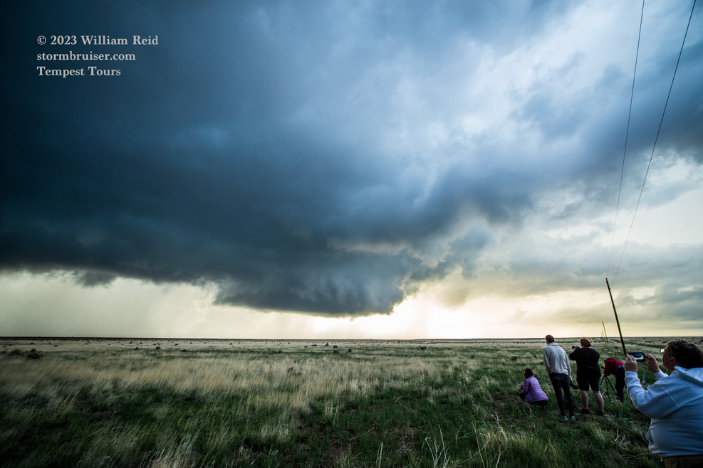
Start: Clayton, NM
Brunch: Front Porch/Texline, TX
End: Springfield, CO/235 miles
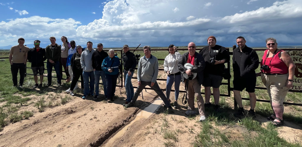
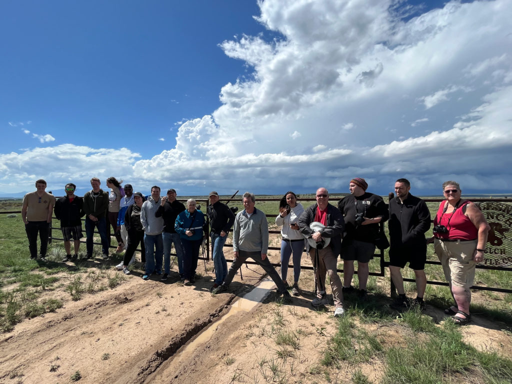
Chase account by TT guest Lesleyanne
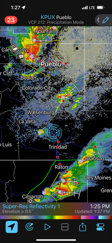
The best area for robust severe weather today was well to our southeast. We were in Clayton, NM, again, and supercells with a semi-decent tornado chance (5%) were forecast for areas south and southwest of Fort Worth. I stuck with the High Plains again instead of driving back and forth from Clayton to Brady and Brownwood. There was continued upslope flow of moist air today, June 12, but the low levels were trashed by a lot of morning convection. By midday it was still mostly cloudy in the target area, just north of the Raton Mesa again in southeastern Colorado (see first mesoscale discussion above for a satellite pic). Dews were in the mid 50s for us, but temperatures were still in the low 60s during the early afternoon.
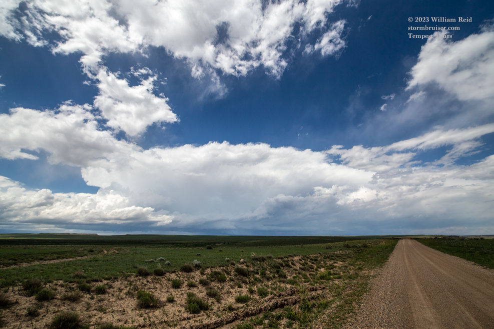
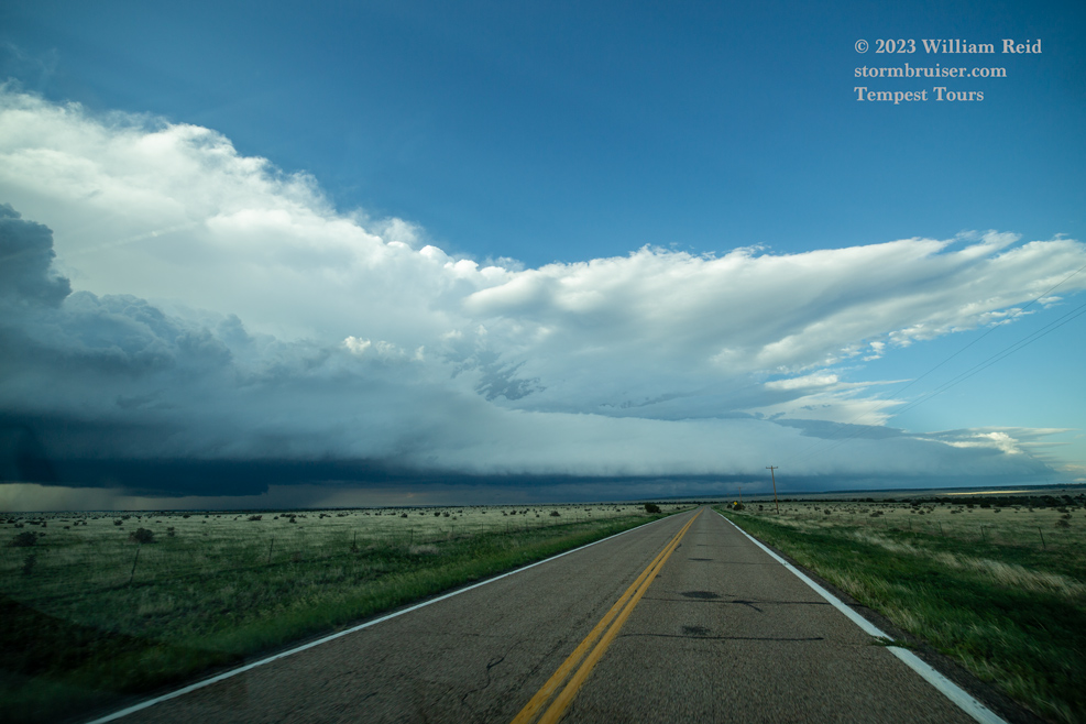
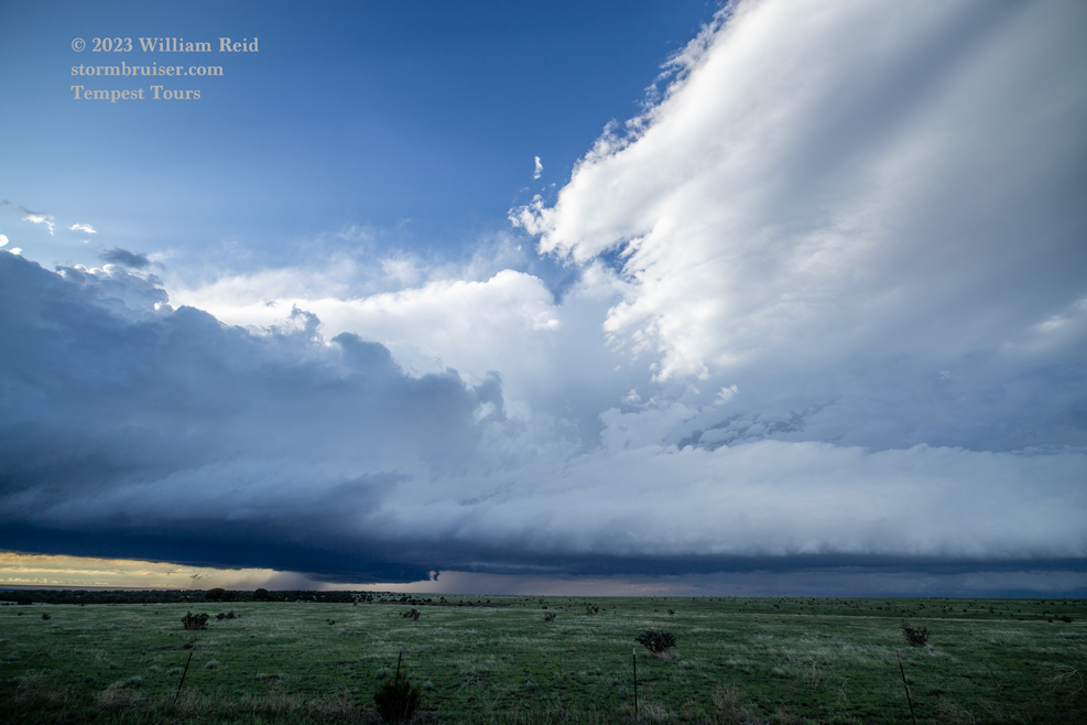
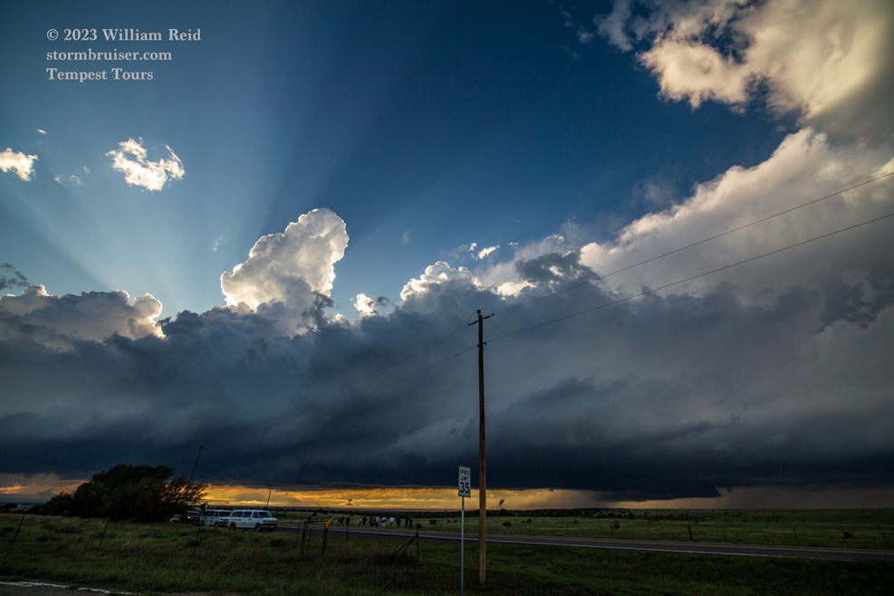
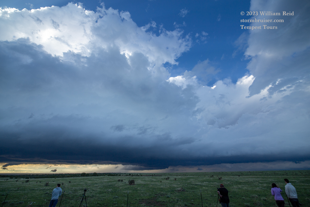
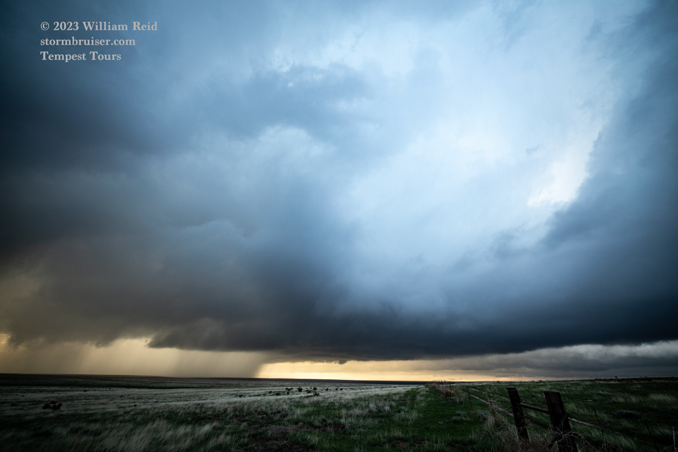
We wound up with some low-topped and low-based storms which were not entirely uninteresting, generally from east of Walsenburg to west of Kim. I don’t recall seeing any lightning on this chase, as instability was just too poor. The area with the enhanced slight and 5% tornado around Brady, TX, had decent supercells, large hail, and no tornadoes.


Leave a Reply
You must be logged in to post a comment.