Start: Gering, NE
Lunch: Convenience store/Newcastle, WY
End: Baker, MT/505 miles
Chase account by TT guest Lesleyanne
The drive to this target area began the morning prior. There was little or no severe risk on the 18th, so we had a late-morning brunch in Woodward, OK, and then made our way north and northwest. We did 560 miles to Gering on the 18th, and 505 miles total on the 19th.
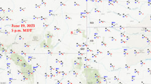
CAMs had been fairly consistent on showing a nice and isolated supercell through southeastern Montana around late afternoon on this chase day. Moisture (dews in the 50s) and instability (CAPE 1000-2000) were rather mediocre, but shear was very good. Tornado prospects were low because of the so-so low-level moisture and resulting high storm bases.
Everything worked out according to plan. We could see convective development well to our west on our way north from Ekalaka to Baker. Storm movement would be fairly fast, to the NE or ENE at 30-35 mph. Given the lousy road network up here, I had to figure out when and where today’s activity would be strongest and look its best. Fortunately, that looked to be the Baker area around 7 to 9 p.m. MDT. See those other red dots to our west on the radar grab from 6:35 p.m. below (southeast of Miles City)? Those chasers were in good shape…until the storm passed by to their east. Then they had a long way to go (north and east) to catch up again — not fun.
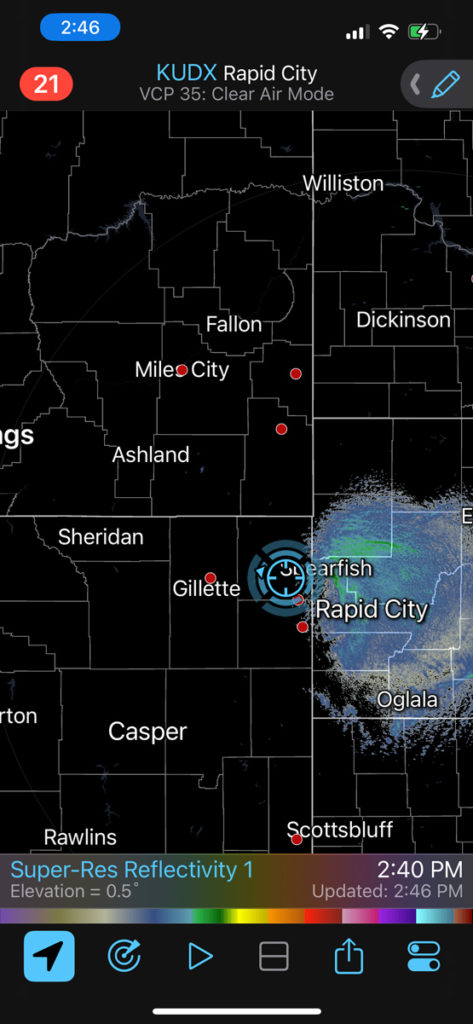
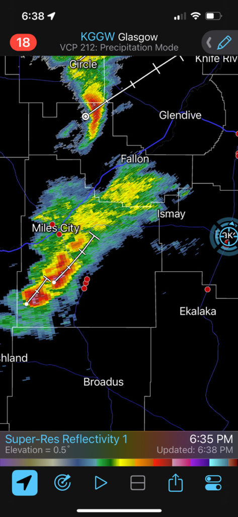
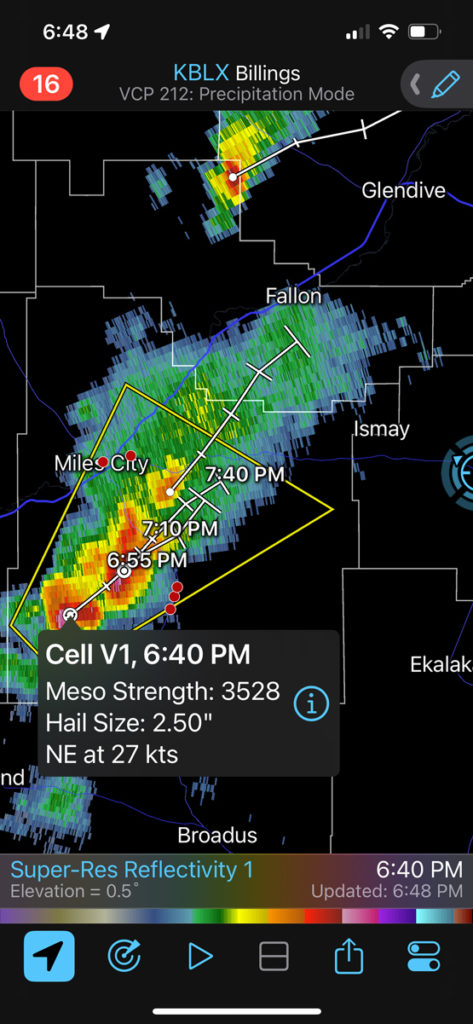
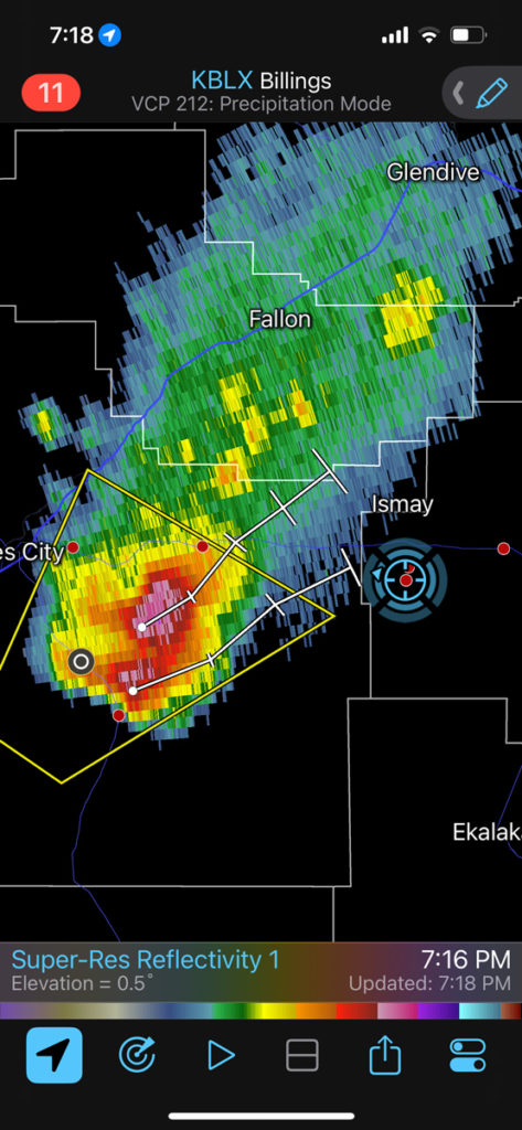
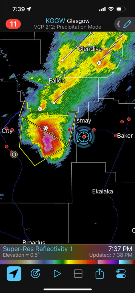
U.S. 12 wound up a near-perfect road west out of Baker. We continued beyond Plevna, crossed O’Fallon Creek and then turned south on unpaved Ismay Road (south of Ismay — see our position in blue circle on Radarscope above at 7:16 and 7:37 p.m. MDT). I basically wanted to be in the direct path of (what-was-now) a really nice supercell. The storm was moving to the ENE, and I stopped about five miles south of U.S. 12 at Road 312 (in extreme western Fallon County). One dumb problem was that the terrain here was a little hilly and along the west side of O’Fallon Creek. Thus, it was not easy to find good high spots with great views to the west and southwest. Our stopping place at Road 312 had a little hill to the west…oh, well!
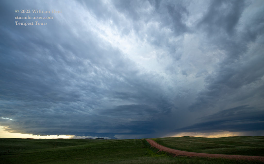
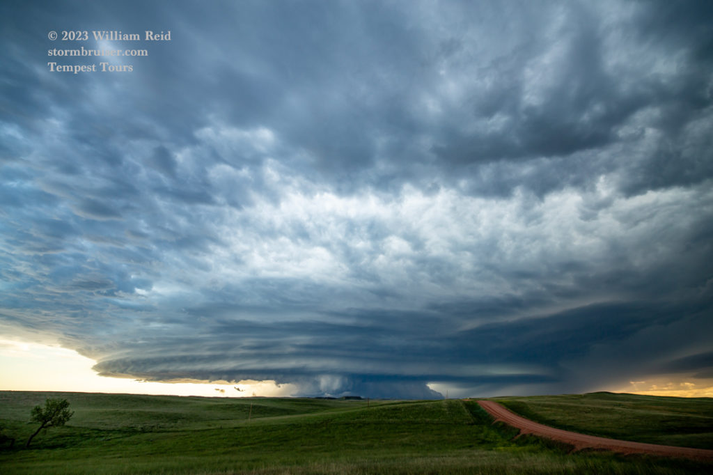
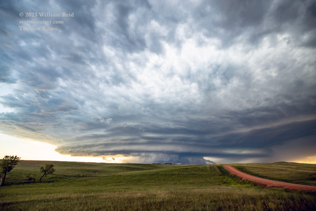
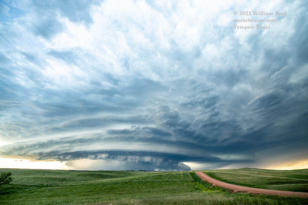
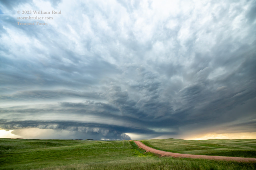
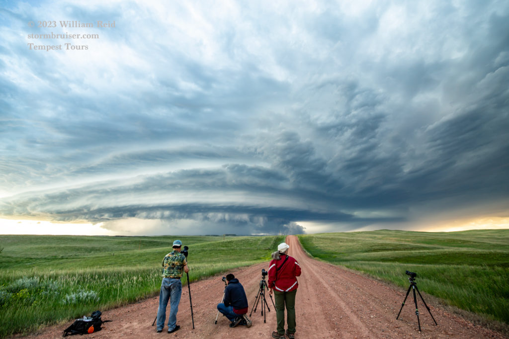
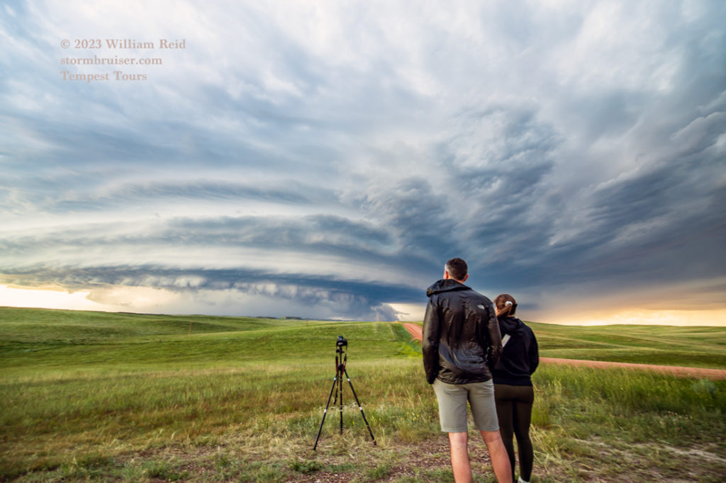
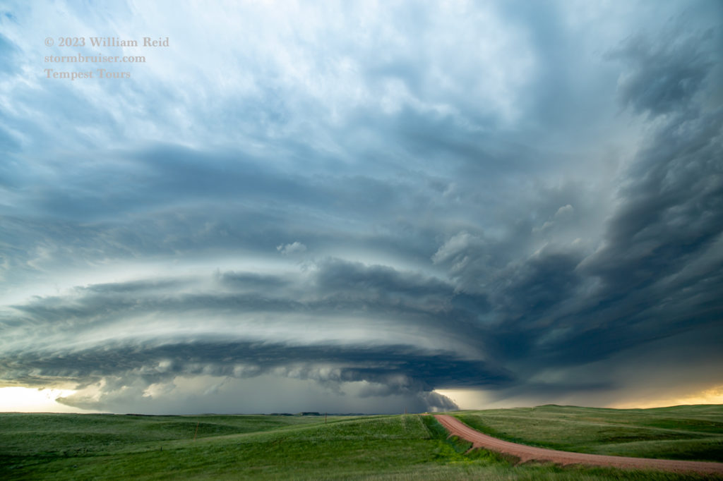
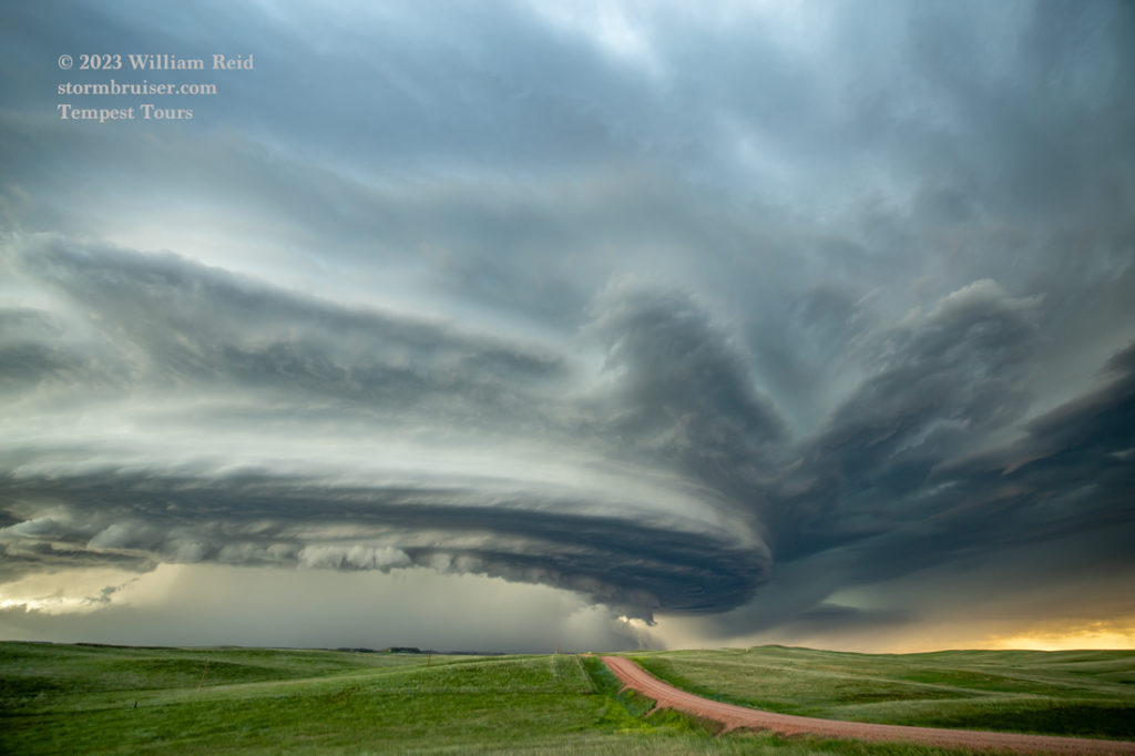
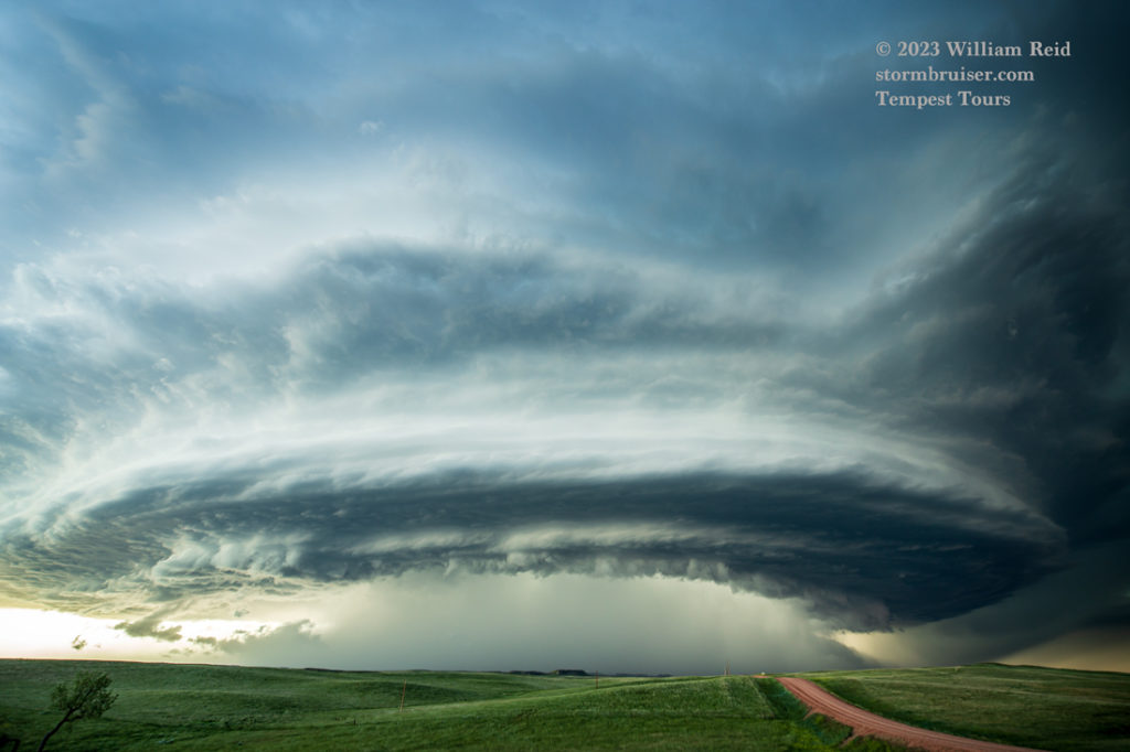
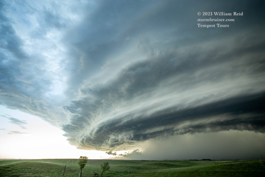
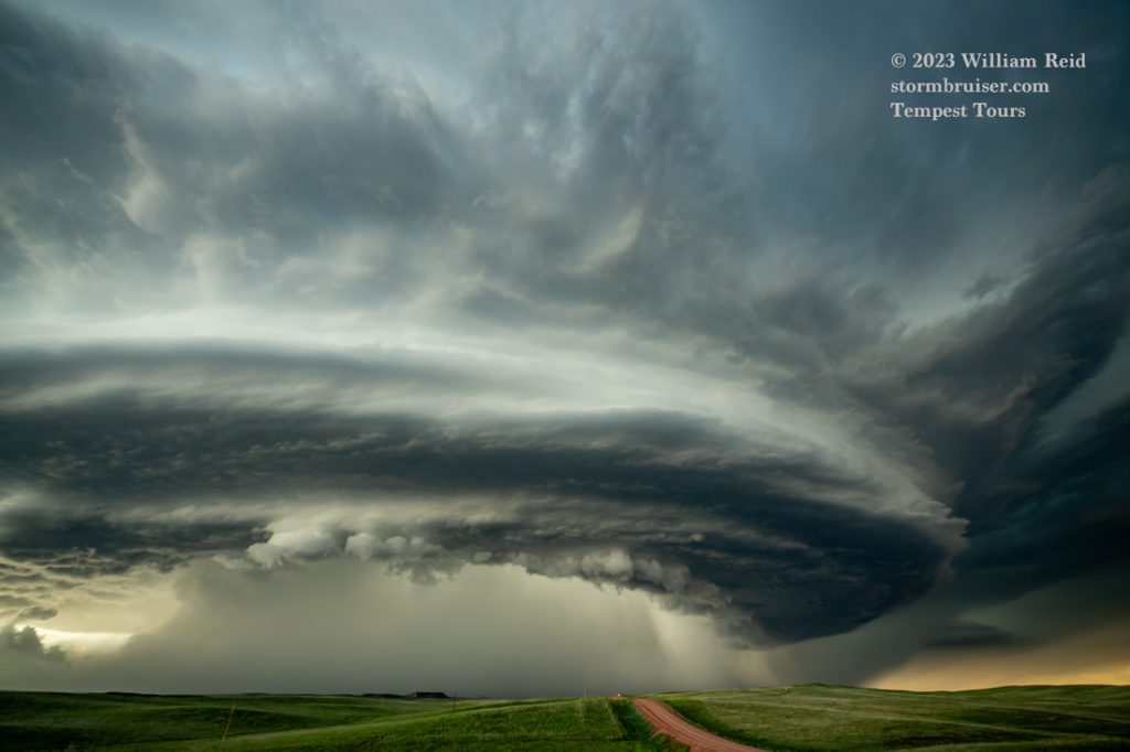
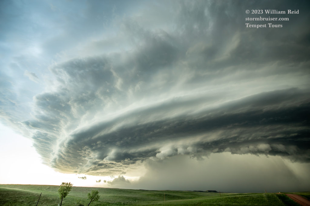
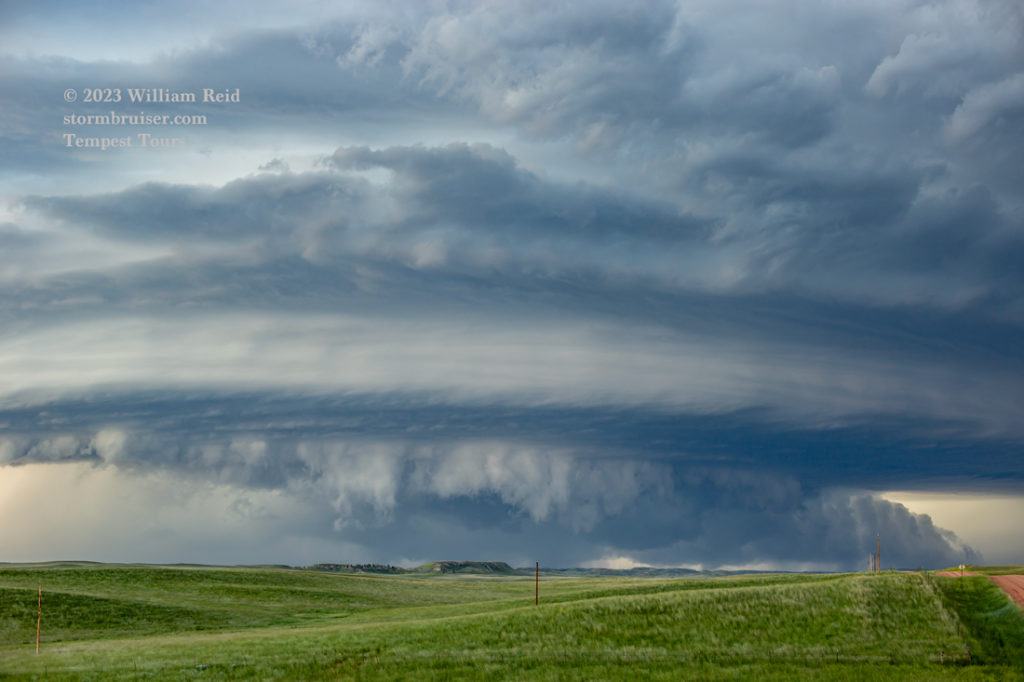
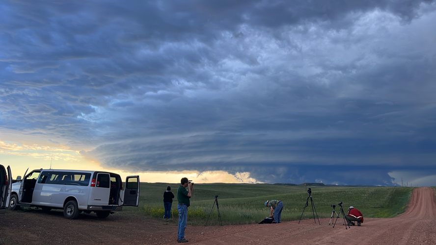
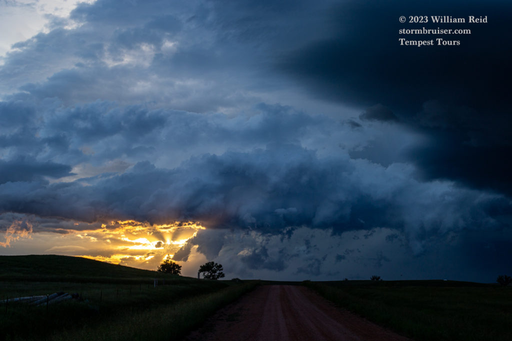
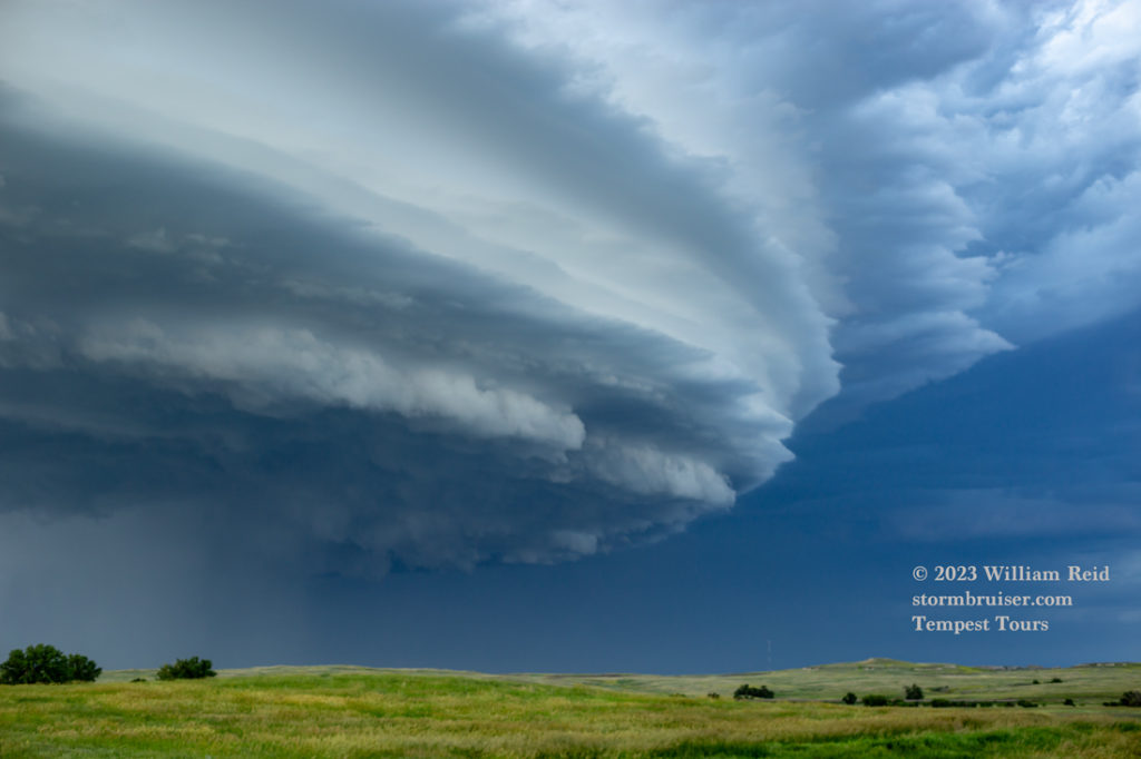
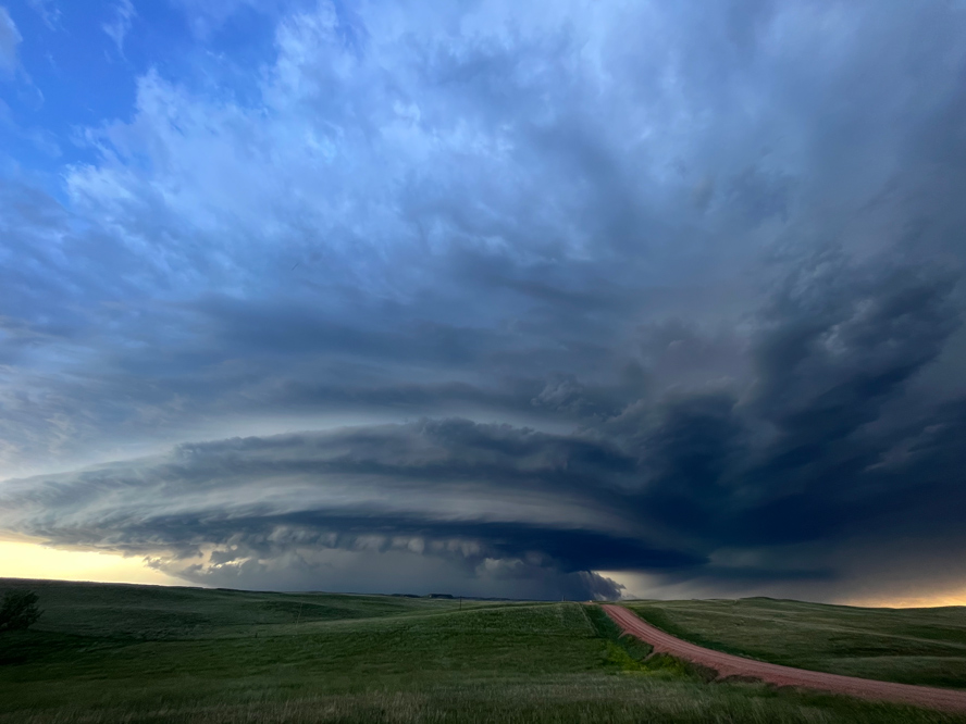
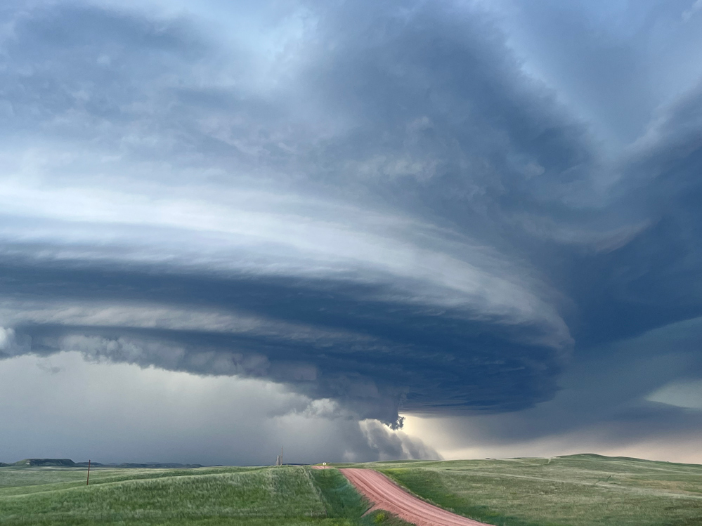
Here, our group had plenty of time to set up the tripods and to gawk at the magnificent supercell structure. Initially, there was some very impressive wall cloud stuff happening. The storm might have been some 15-20 miles distant at this point, and MAYBE was close to making a tornado. The precipitation core appeared to expand and increase in intensity as the storm neared, and the action areas became largely rain-wrapped. The images above are wide-angle structure shots, and the images below are zoom shots of the storm base and lowerings.
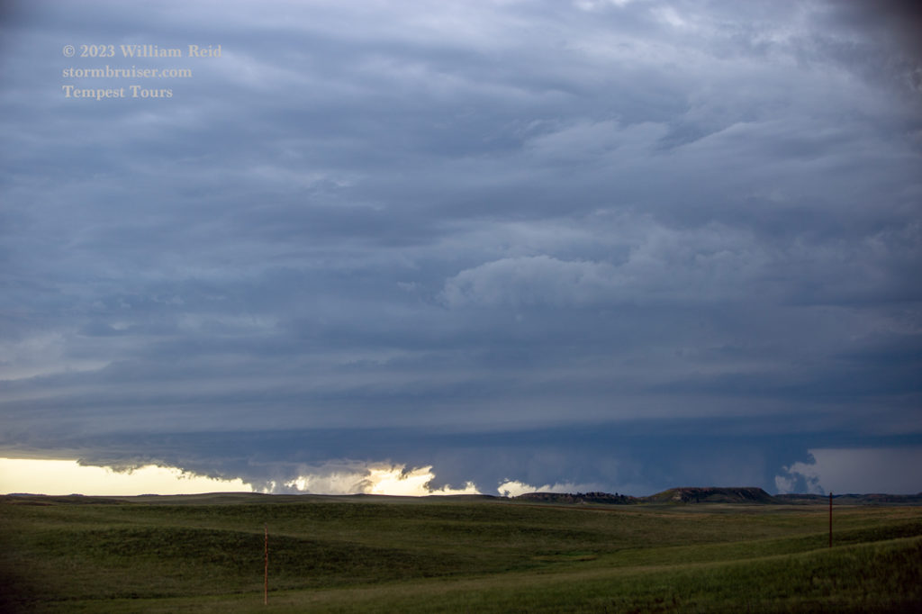
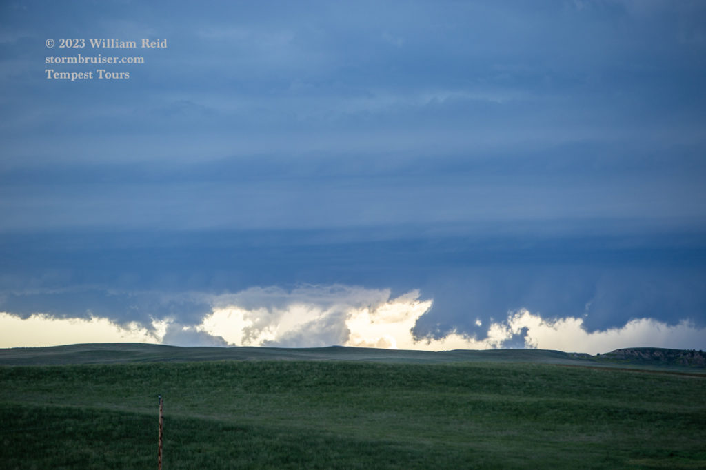
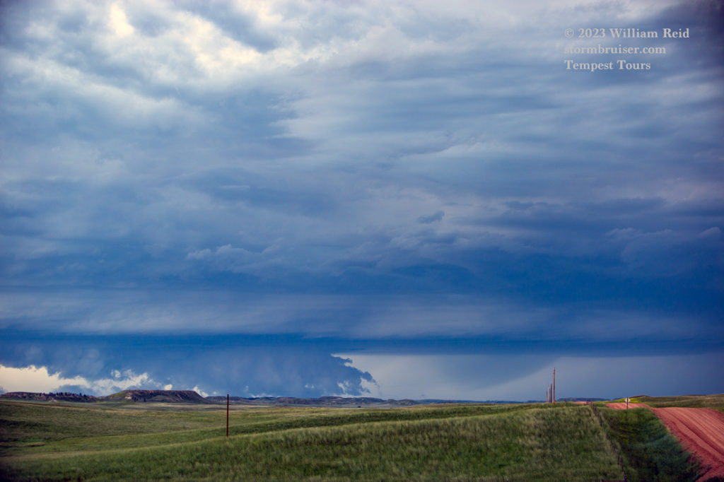
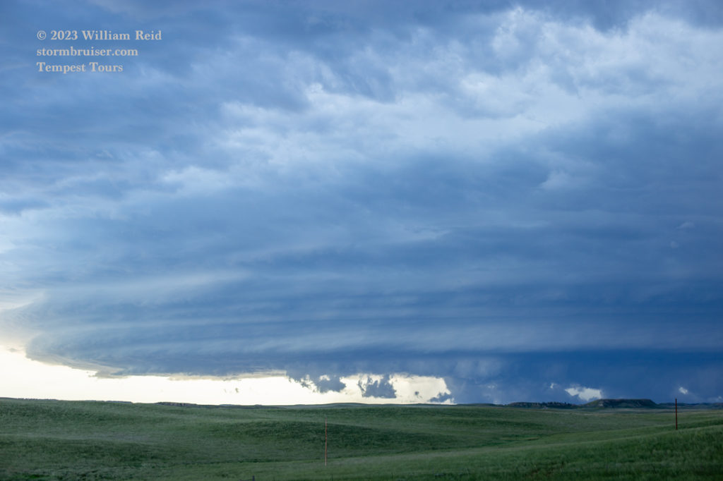
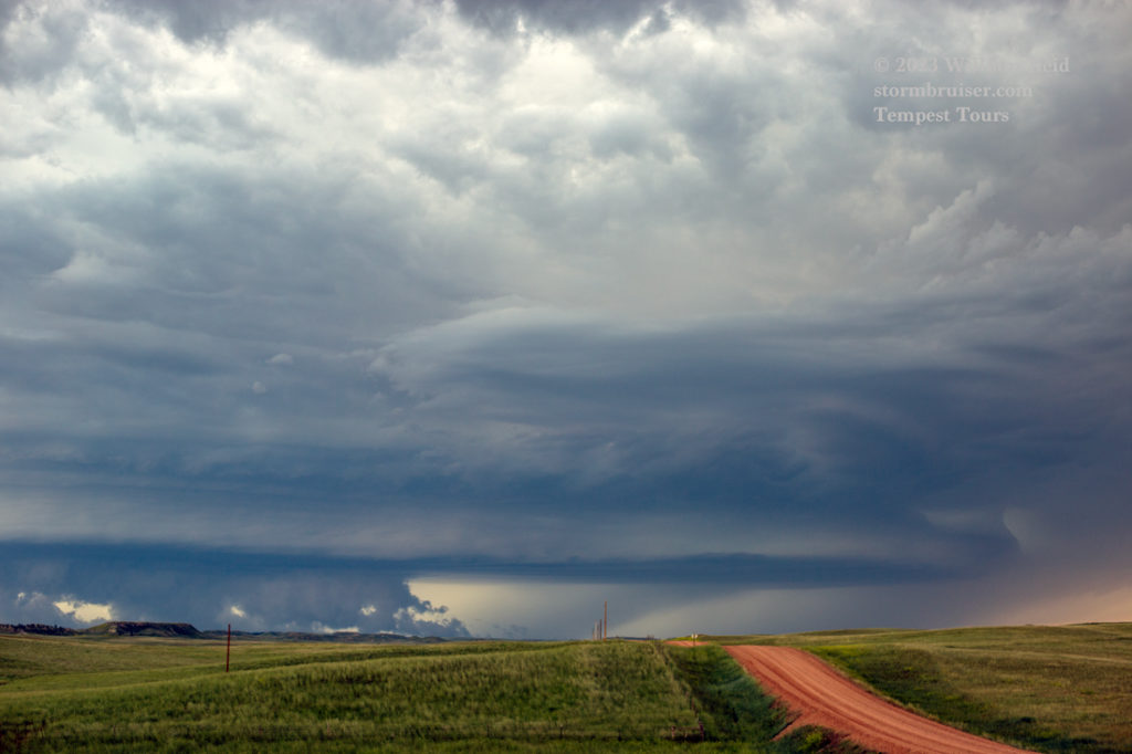
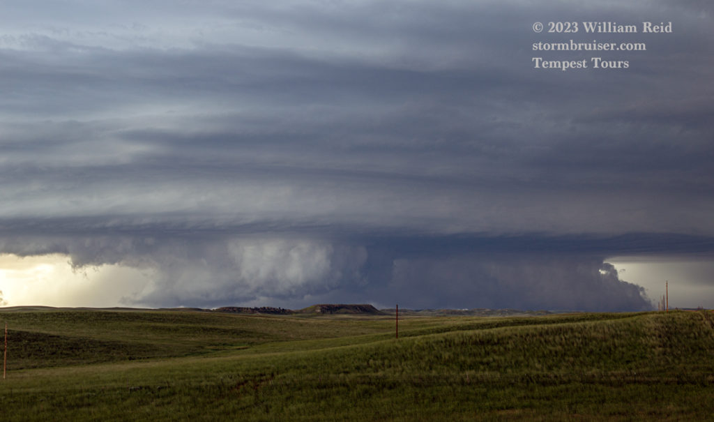
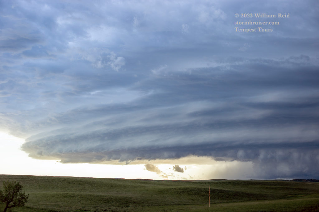
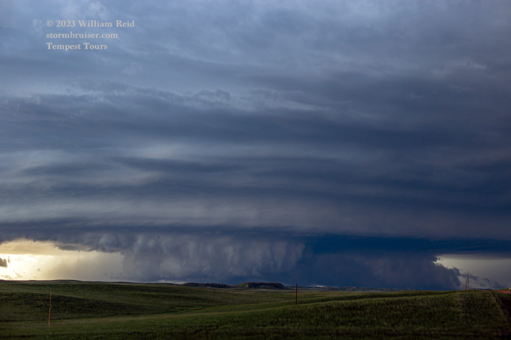
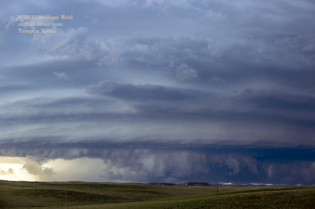
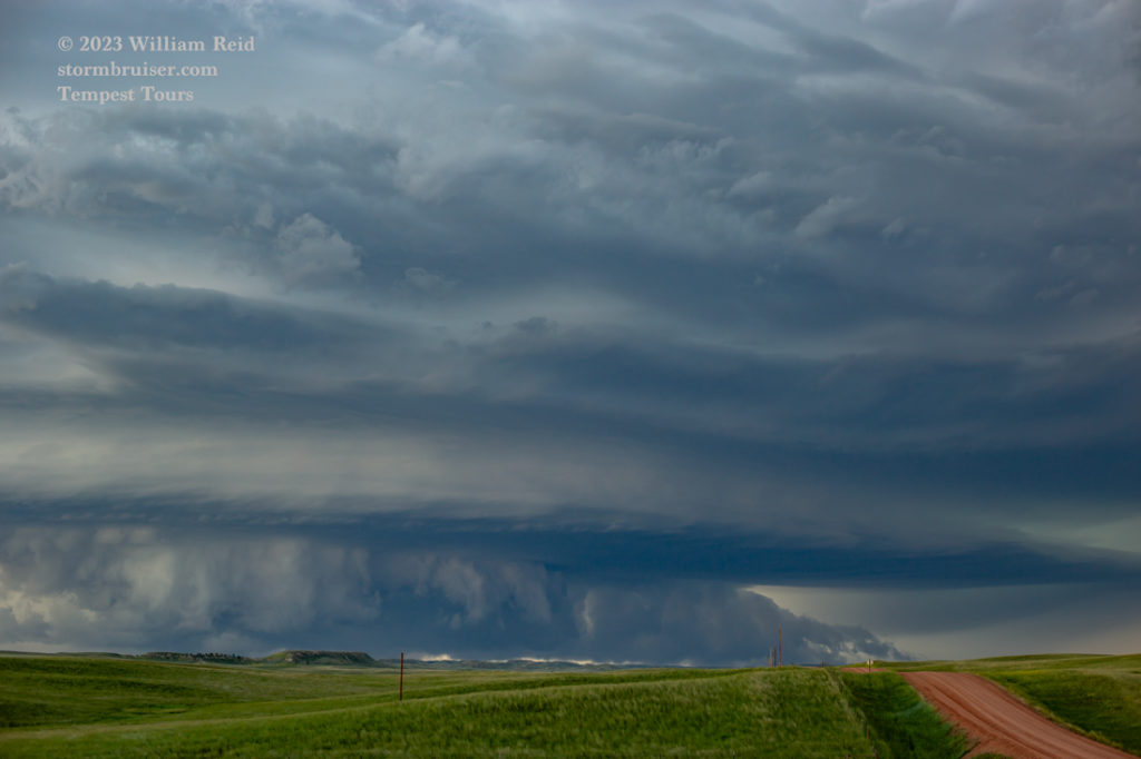
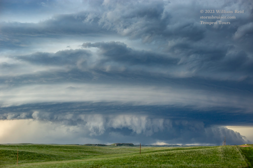
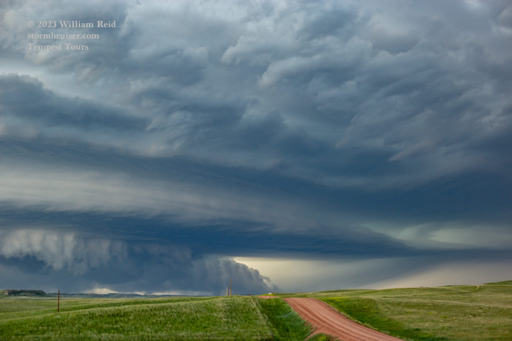

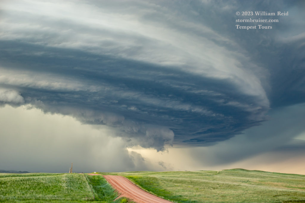
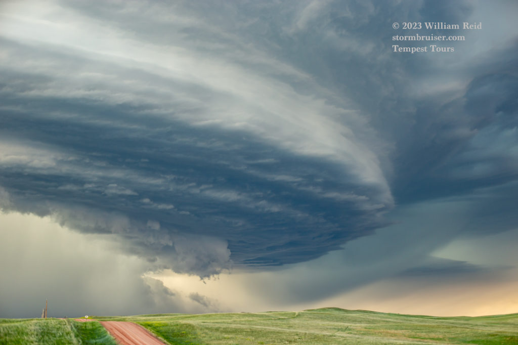
After about 30 minutes here, the impressively-sculpted storm structure was nearly overhead. The nasty storm core was not far behind, and it was certainly filled with tennis-ball-sized hail. Maybe even larger. Our only way to stay in front of the supercell would be to make the 5-mile dash north to U.S. 12 and then east. We managed that without much time to spare, and by the time that we got to U.S. 12, the front end of the storm was to our south (first two pics below).
Our next stop was a semi-quick one in the vicinity of Plevna (with U.S. 12 visible in the pics below). We stopped again on the west side of Baker, and here the storm appeared to be weakening some as it moved to our NW and N.
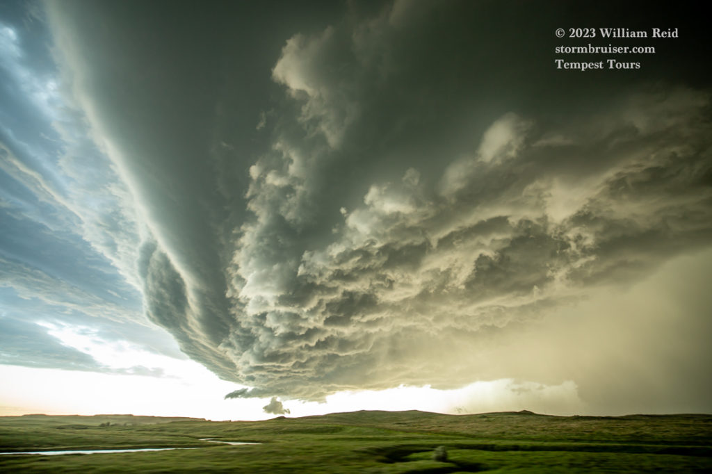
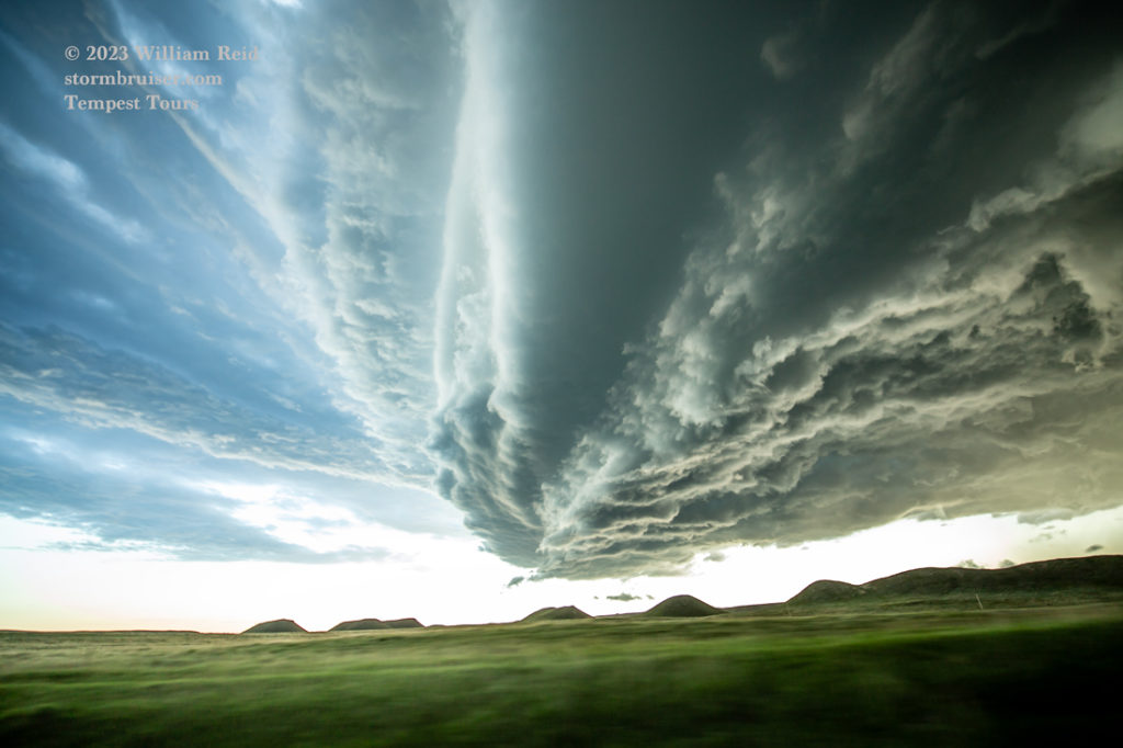
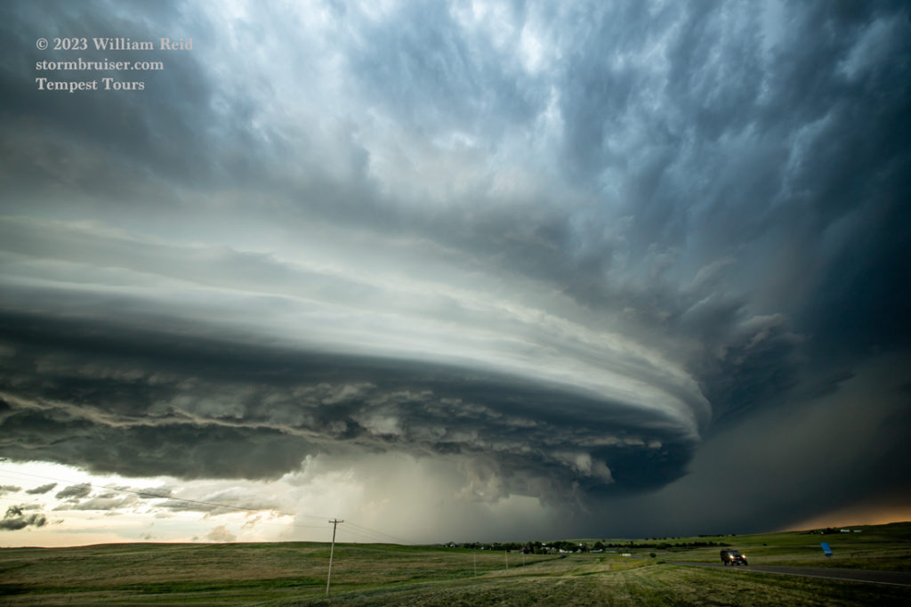
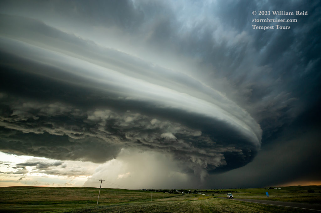
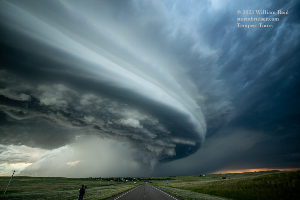
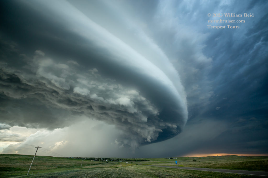
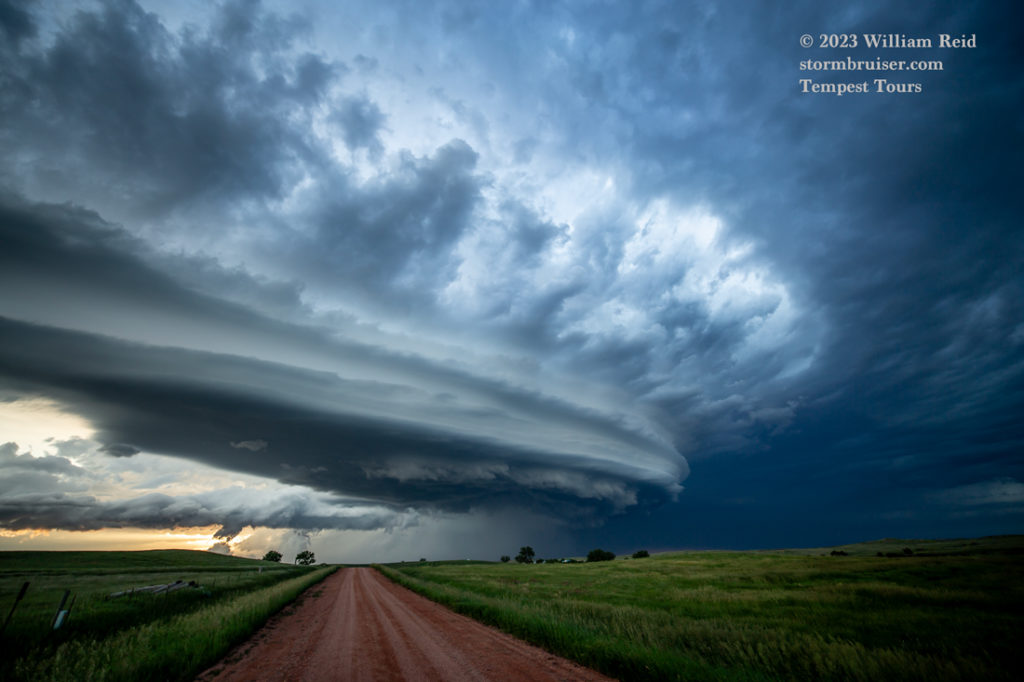
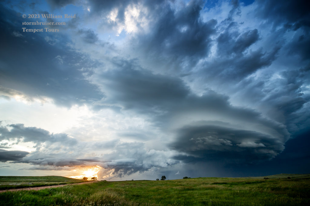
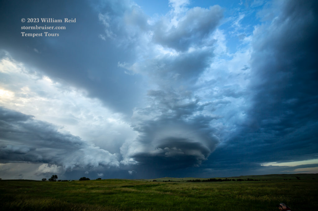
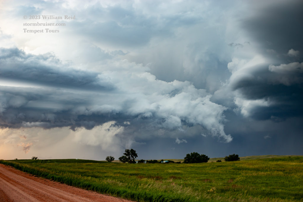
The storm teased us a bit with the lowered areas, nice RFD cut and adjacent wall cloud. We went north of Baker a ways, stopped, and watched the storm drift off to the northeast as the daylight diminished.
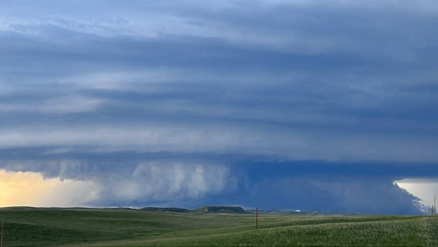
And below are a few extra iPhone shots from the chase.

Leave a Reply
You must be logged in to post a comment.