Start: Yuma, CO
Brunch: Otis/Mom’s Kitchen
End: Limon, CO/420 miles
Chase account by TT guest Lesleyanne
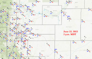
This was another rather easy chase, forecast-wise. The short-range models and CAMs (convective-allowing models) were insistent on a supercell emerging out of the Denver area by mid-afternoon. We were able to have a leisurely brunch at Mom’s in Otis, and then made our way west. We came up to the east side of the Denver area as a severe storm was getting its act together on the city’s southwest side. So, how should we attempt an intercept in a major metropolitan area? Tornado prospects were so-so…SPC painted a 5%, but dew points were just “okay.” I wasn’t really concerned about needing to be close because of a decent tornado threat.
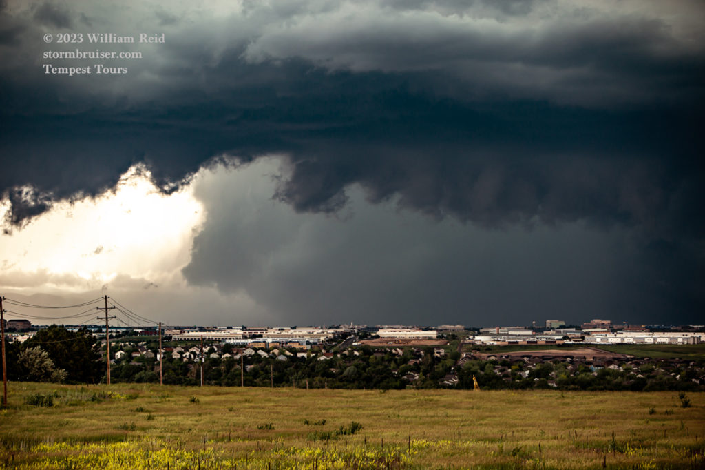
The storm was near Littleton and Highlands Ranch and was moving east kind of slowly. I could have scampered southwest and west along 470 in order to get really close, but I decided to stop a little east of I-25 on the north side of Parker (close to Parker Road and 470). I didn’t want to mess around with a severe storm in city traffic with the tour group. I found a decent high spot with a great view of the storm and its structure to the due west.
It wasn’t long before the storm became tornado-warned, and suspicious stuff took shape in the action area (maybe 15 miles to our west). Here is a NWS blurb regarding this tornado. From our perspective, it looked like a very large wall cloud had developed, but it was involved in a lot of precipitation. The NWS statement says that the associated tornado was EF0 to EF1, and was up to 50 yards in diameter. It lasted for about 25 minutes, from 3:25 to 3:50 p.m. MDT, with an 8-mile path all of the way to I-25!
The pics below are with the Canon and the zoom lens, during the tornado timeframe by the third photo.
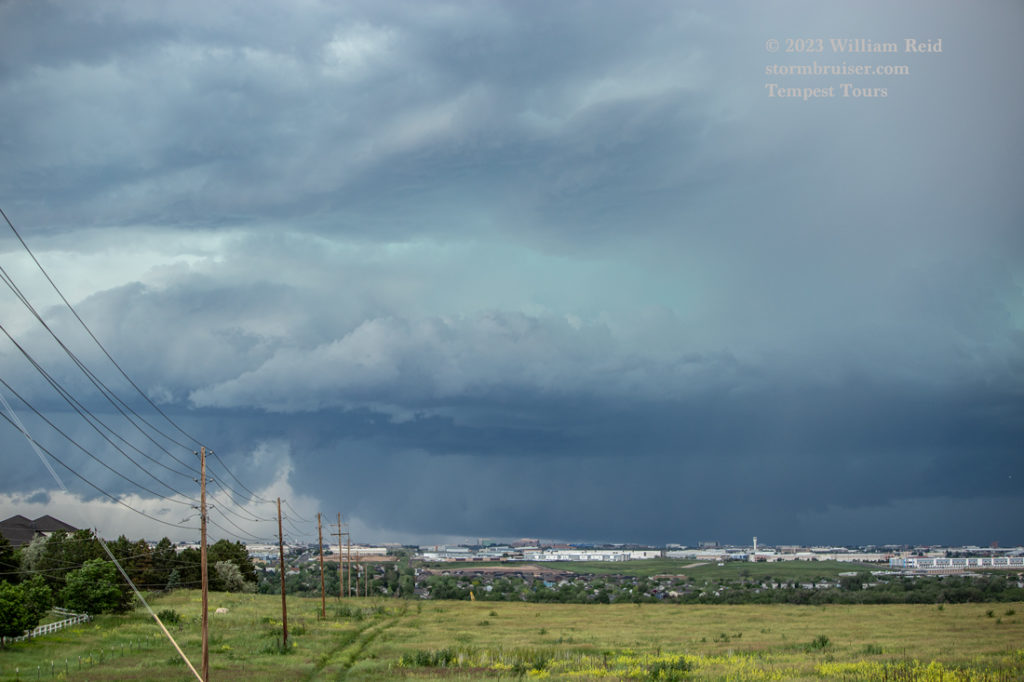
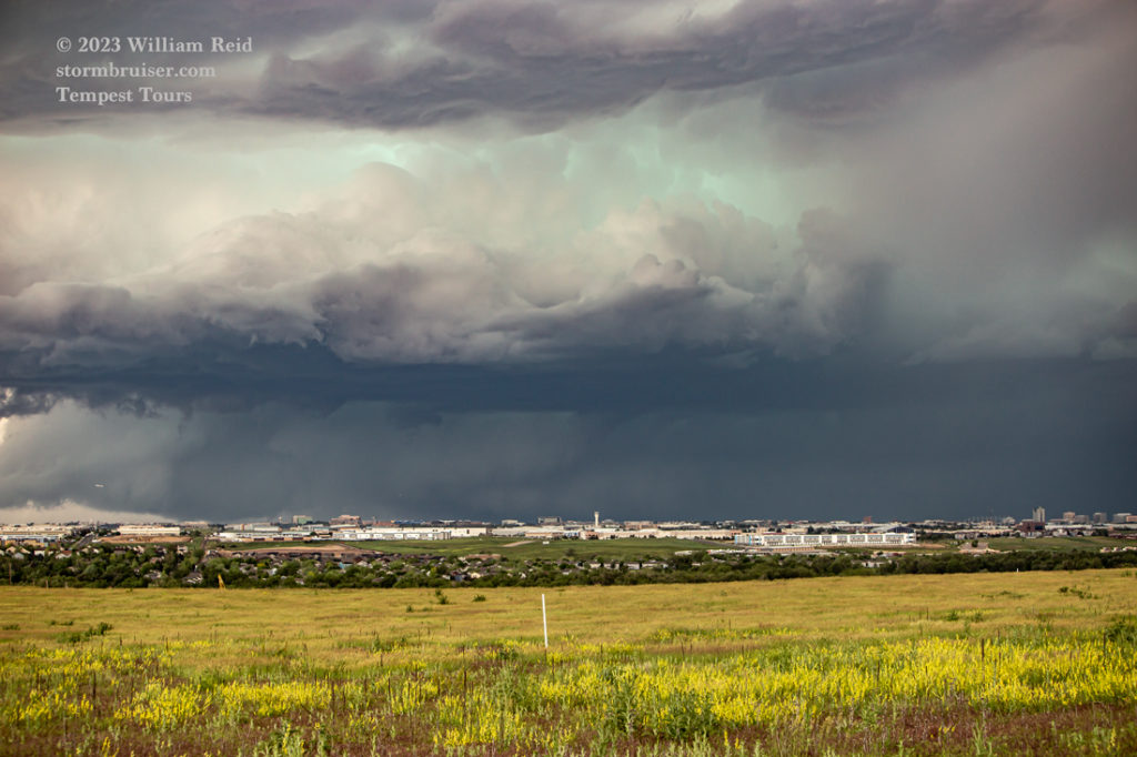
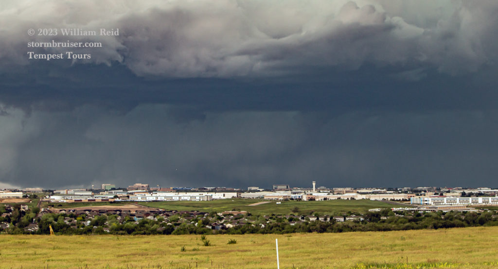
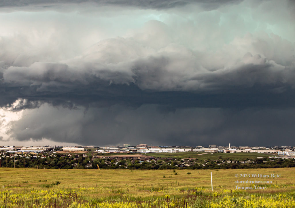
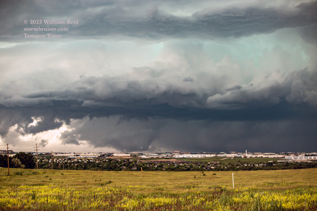
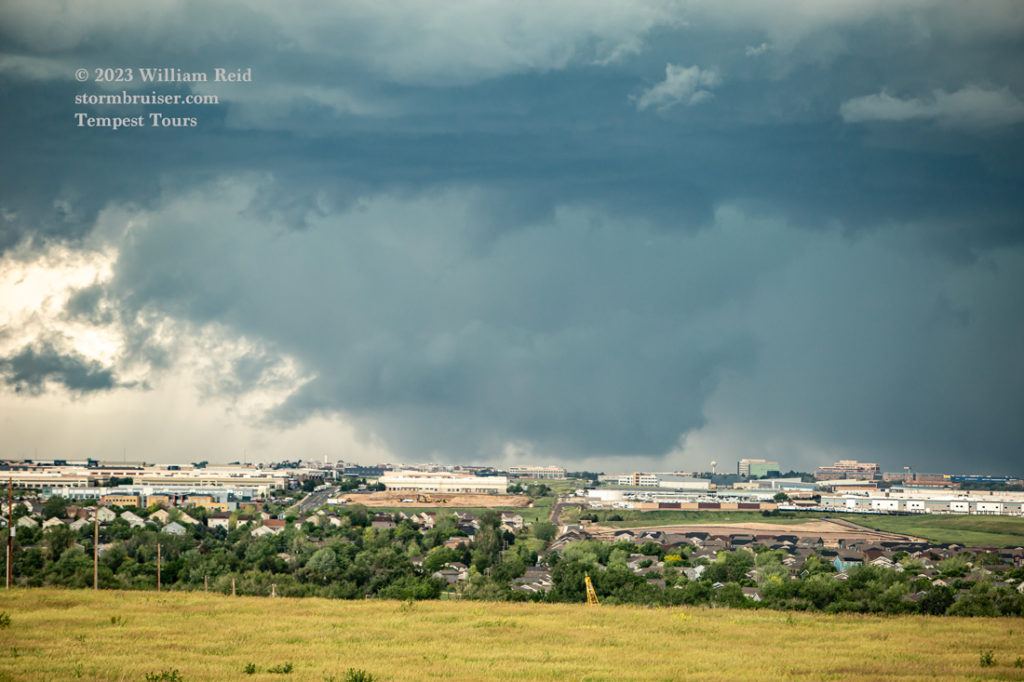
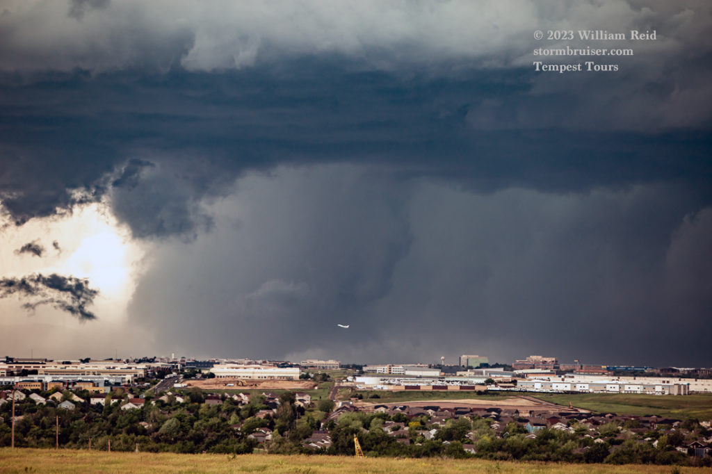
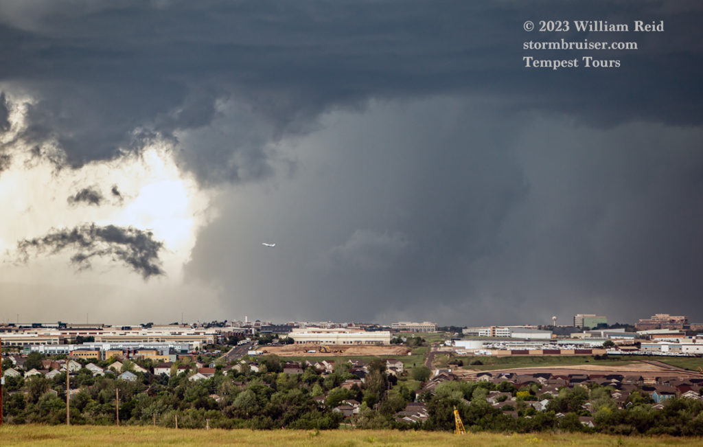
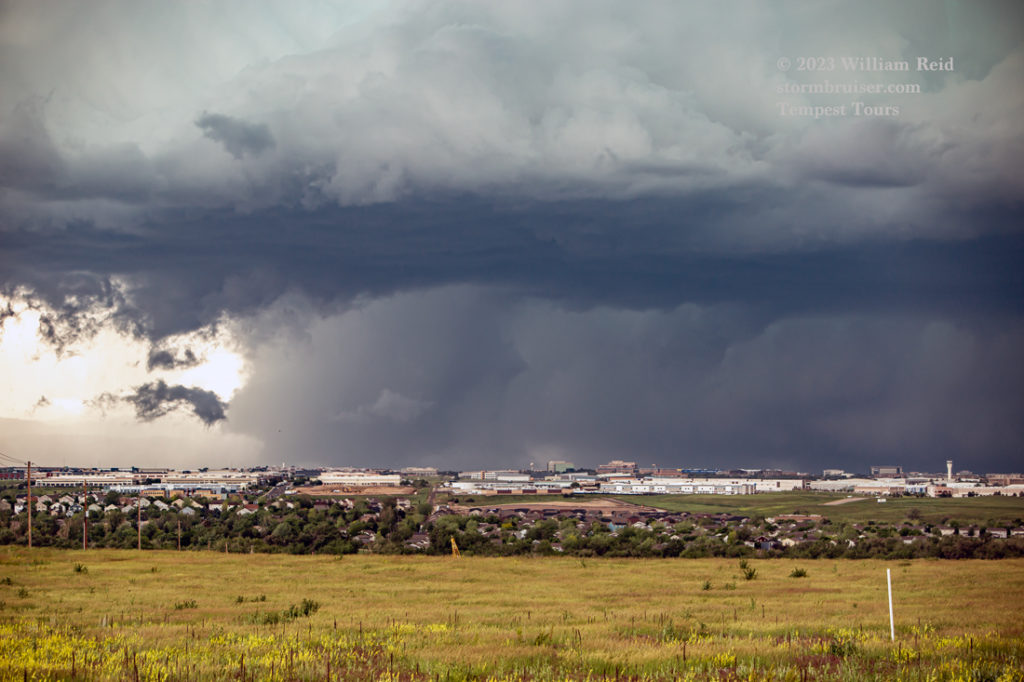
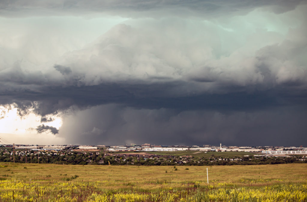
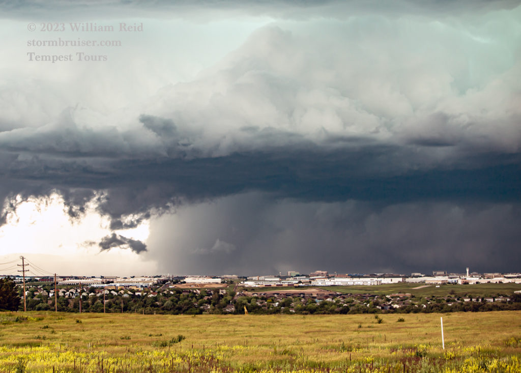
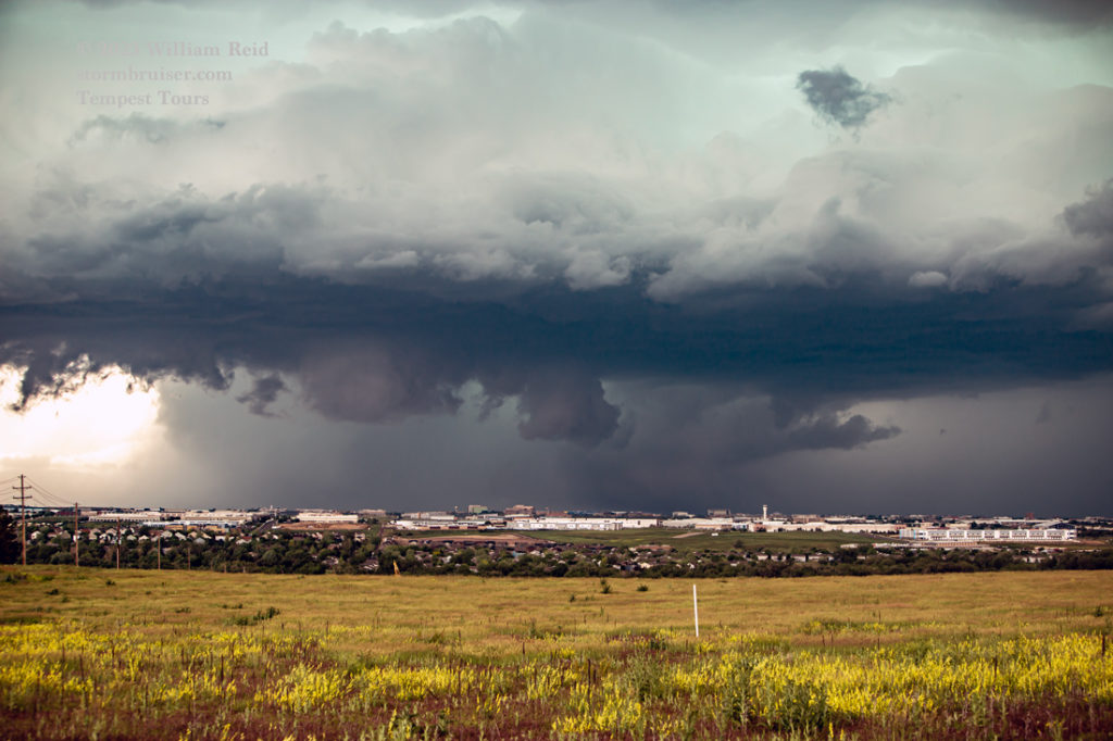
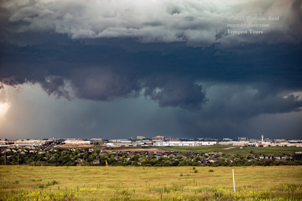

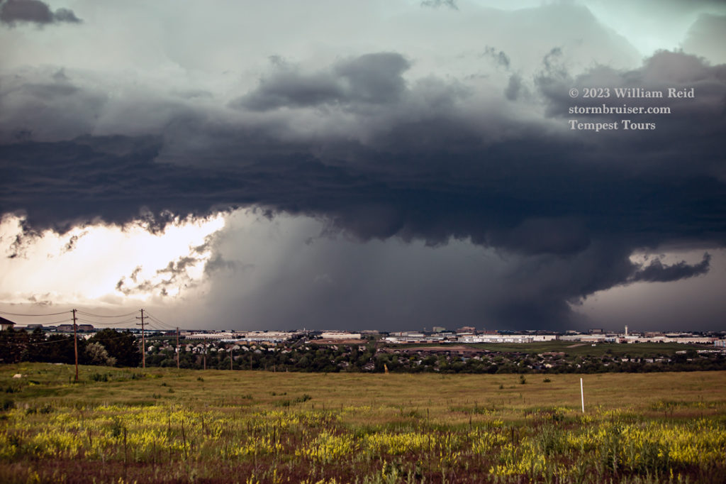
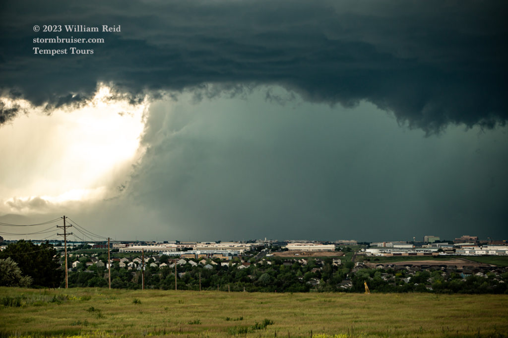
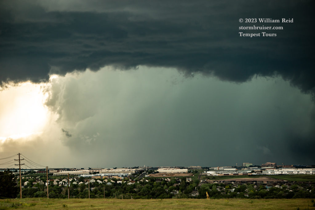
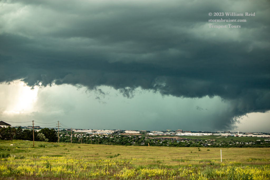
The storm became more and more “HP”, and we were not able to detect a tornado for sure.
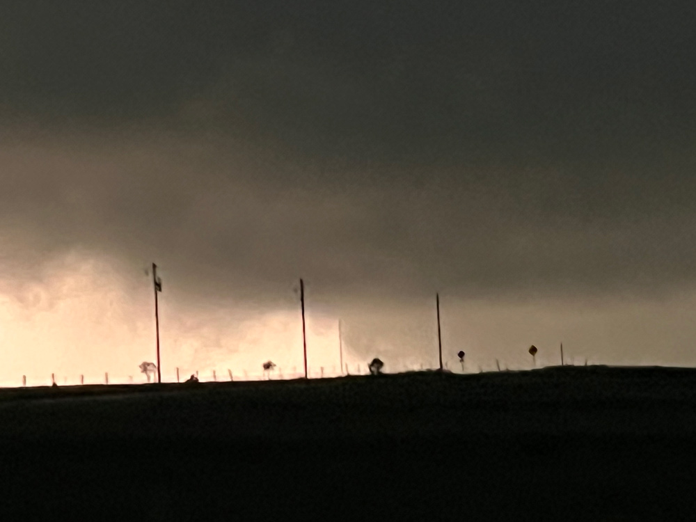
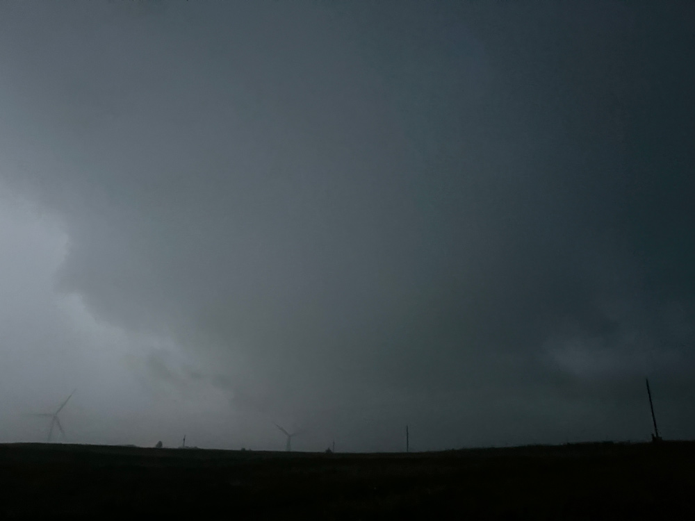
Below are some iPhone grabs from the drive-up to the storm to about 3:30 p.m. MDT. Note: the last radar image, from 3:16 p.m., should be placed about 6th in the bunch. Otherwise, this iPhone group is in chronological order, and you can see what the radar was showing prior to and during the tornado. That velocity couplet at 3:28 p.m. looks quite impressive on Highlands Ranch.
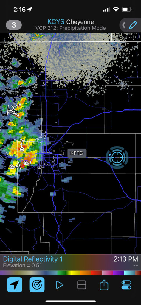
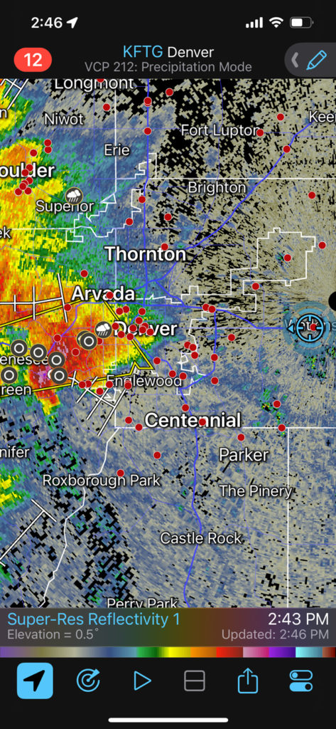
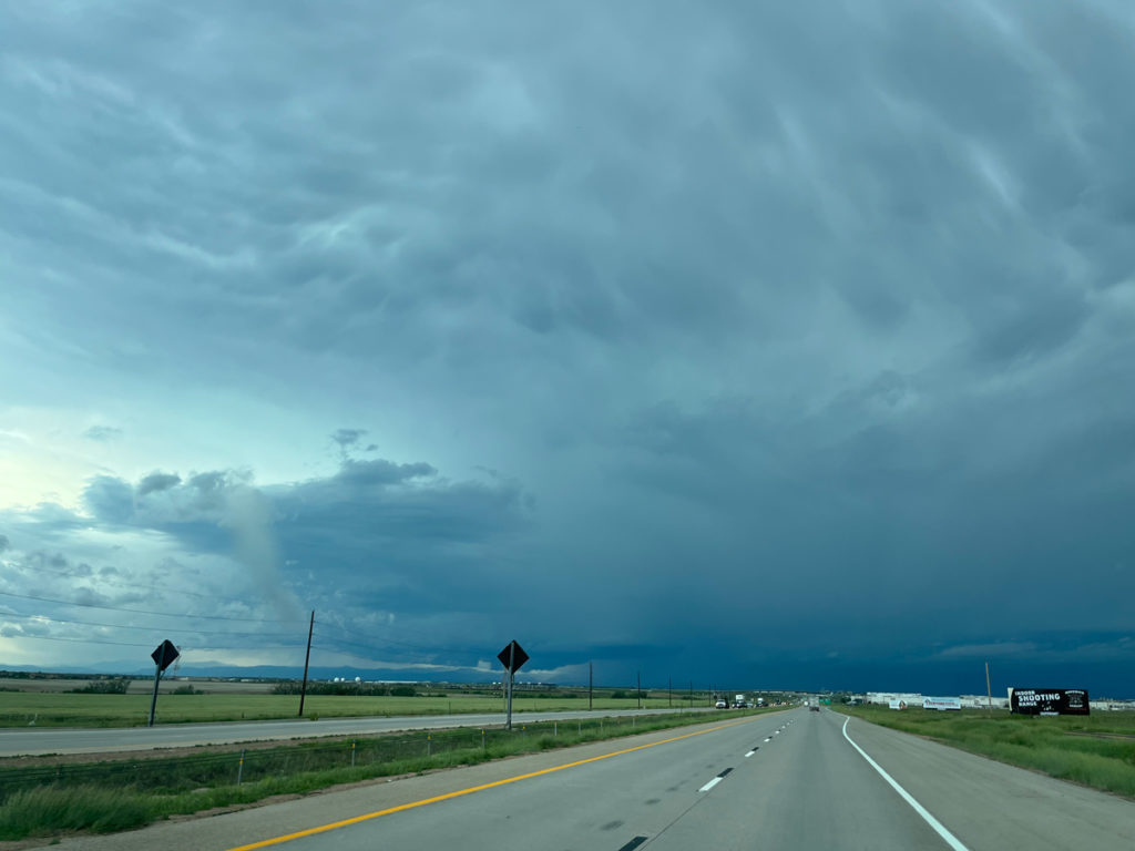
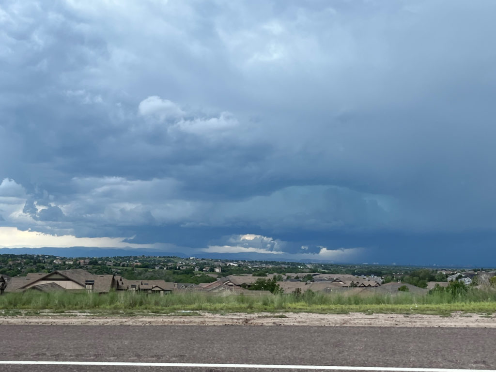
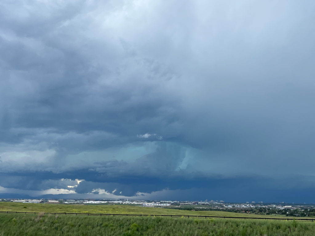
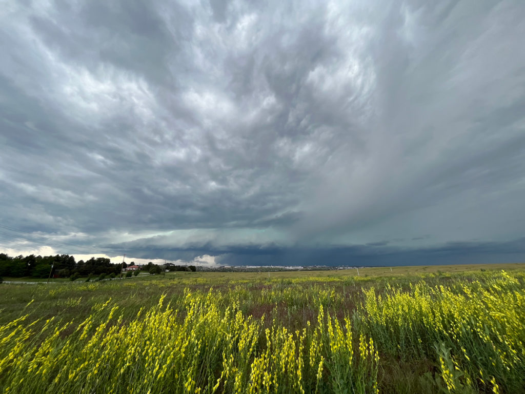
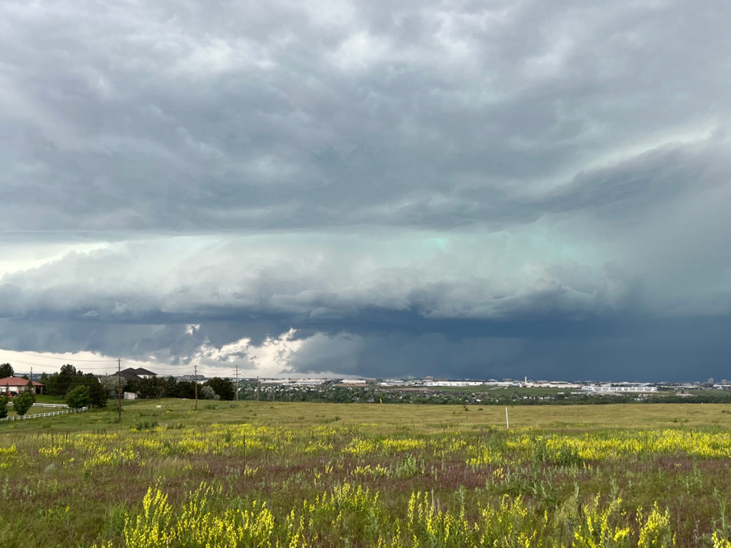
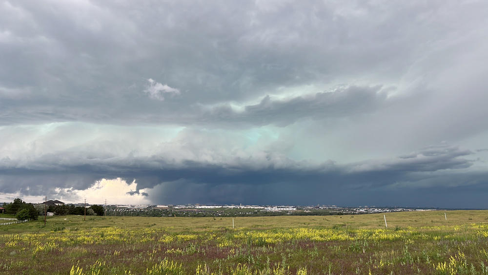
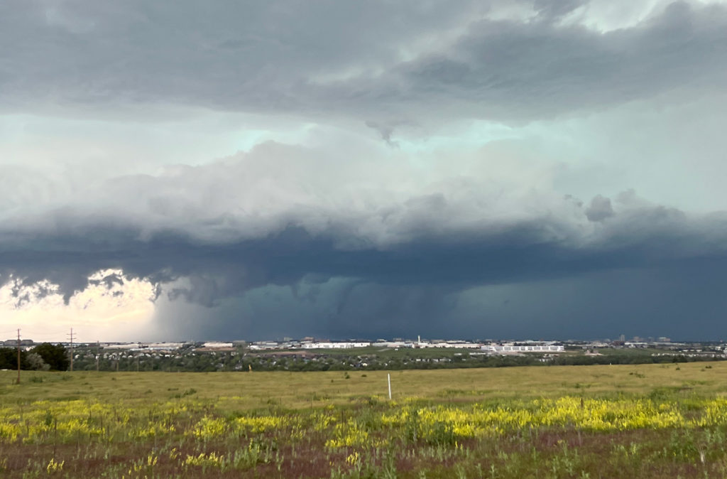
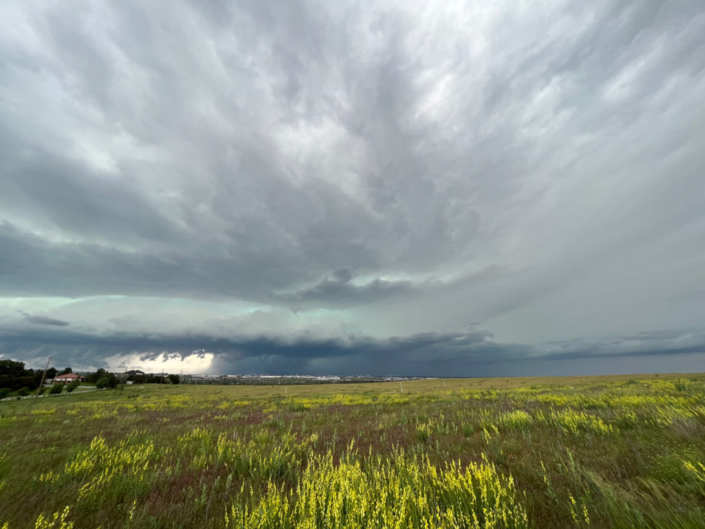
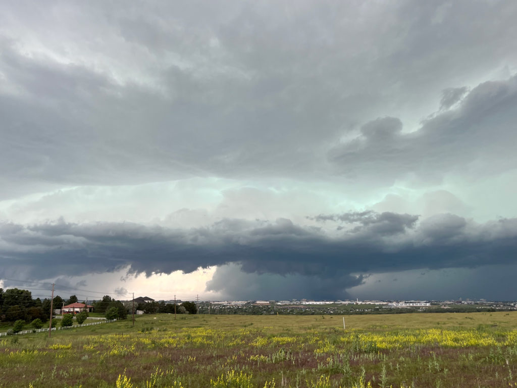
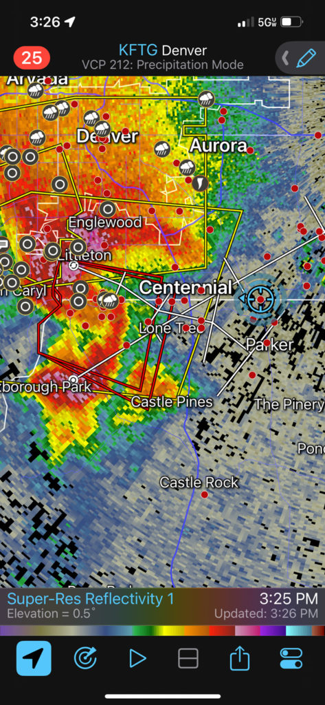
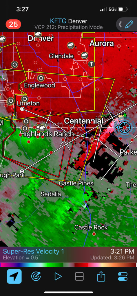
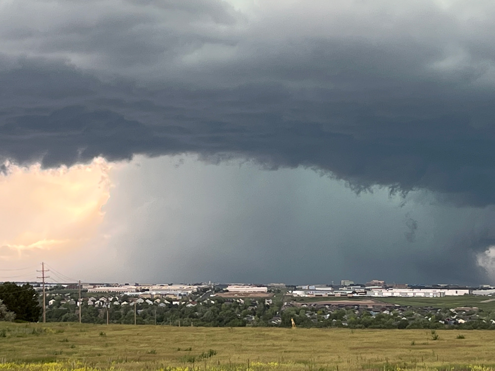
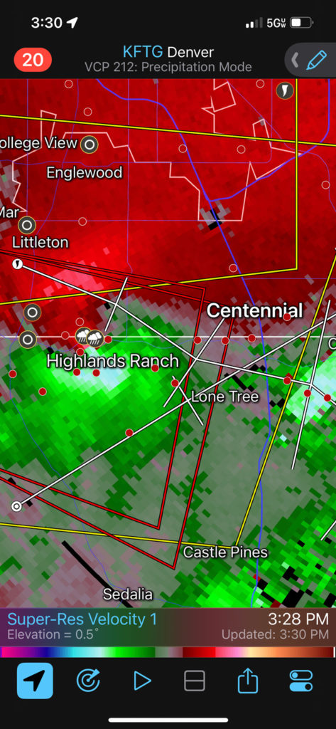
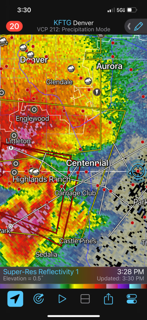
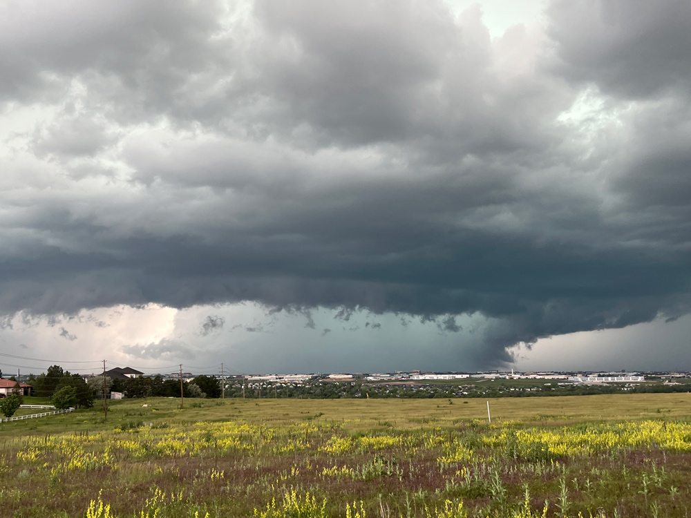
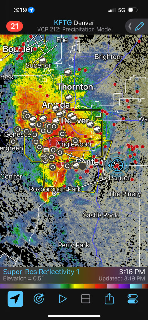
The storm (and its presumably tornadic action area) was tracking more ESE than E, and was approaching Parker. It would not have been too difficult to drop south along 83 to Parker and Franktown to get into better position, on the southeast side of the storm. But, it was looking a little too close for comfort given the traffic and approaching rush hour. I decided not to risk getting involved with the big hail and possible tornado, so we backtracked NNE to I-70 and made the long way around back in front via Limon.
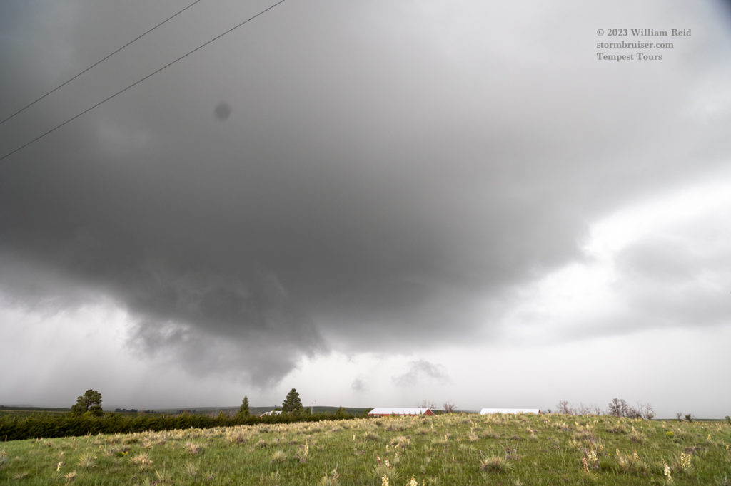
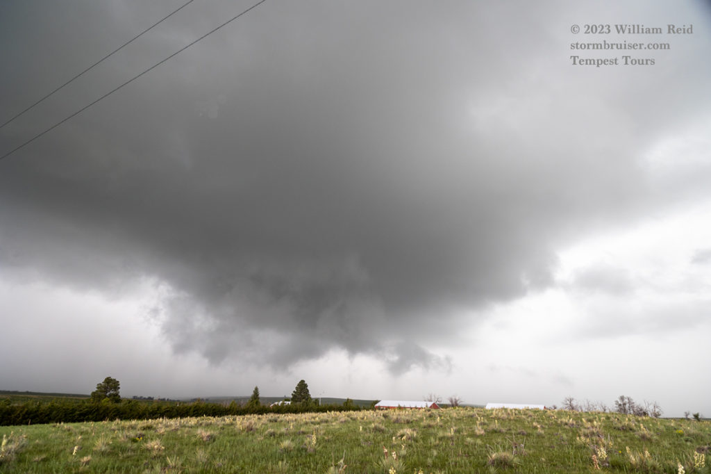
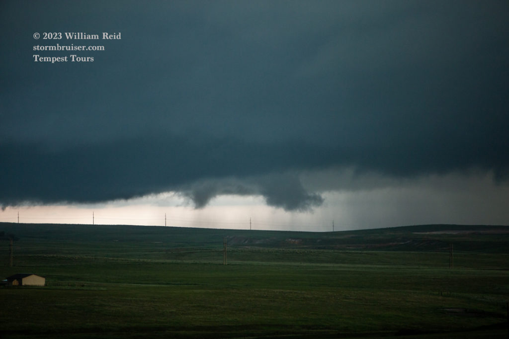
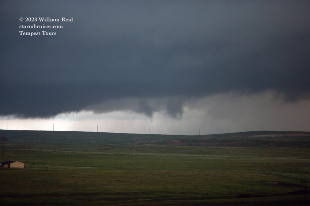
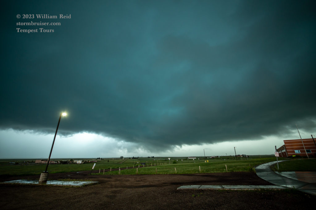
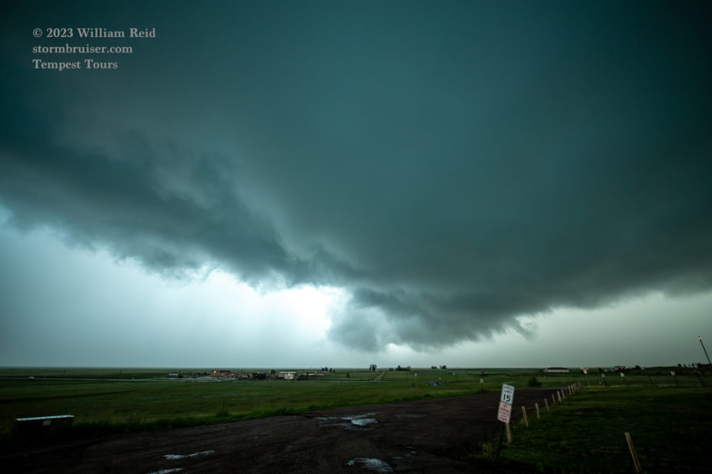
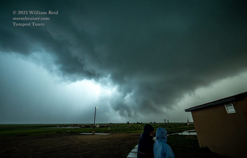
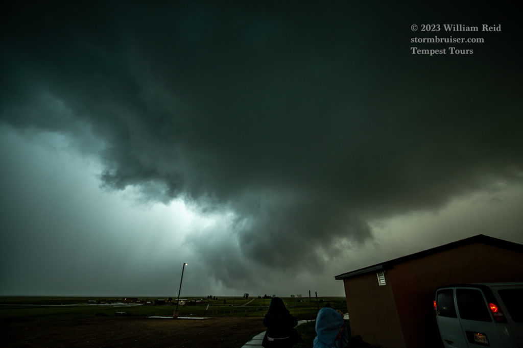
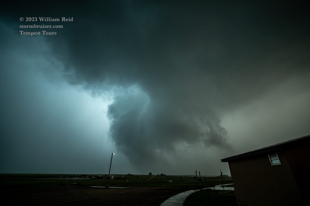
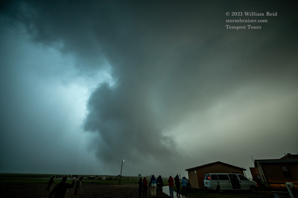
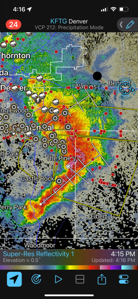
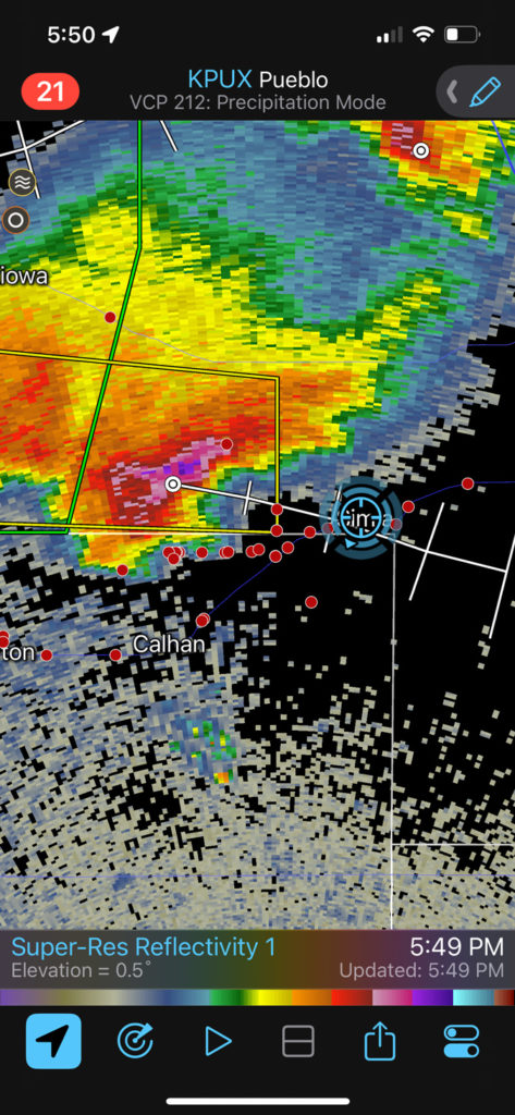
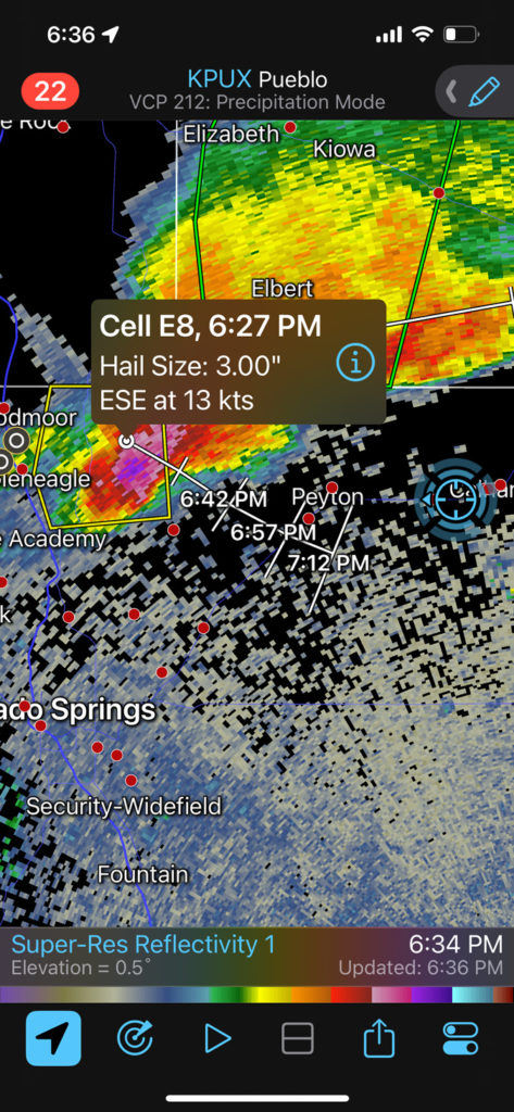
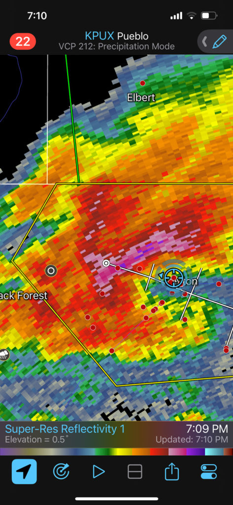
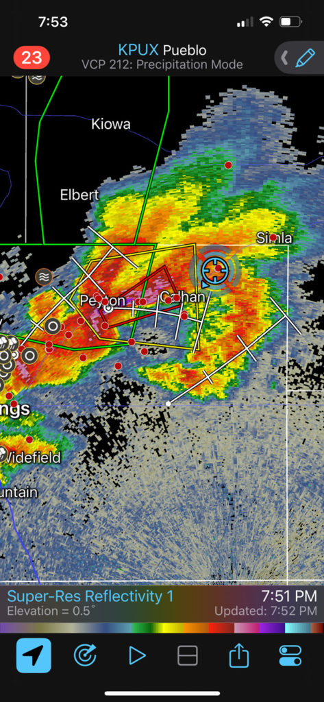
The “storm” became linear (see radar grab for 4:15 p.m. below) and we didn’t miss much while repositioning. Eventually we were in great position a few more times, with severe and tornado-warned storms near Simla, Calhan and Peyton. But, again, we saw nothing that we could definitely call a tornado. There were plenty of very suspicious lowerings which merited attention.
This one below was near Simla:
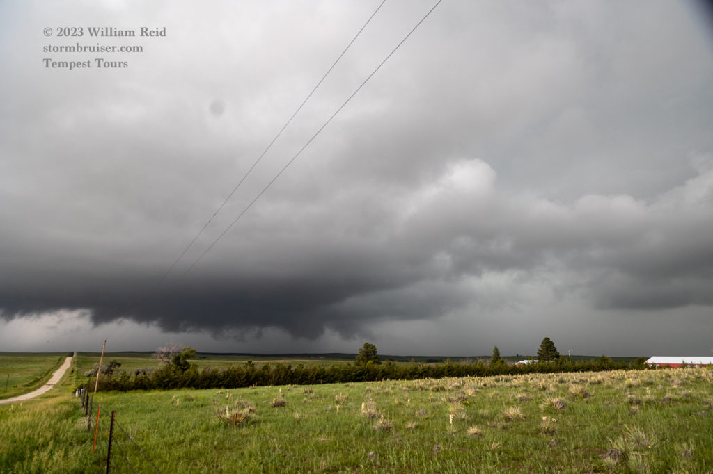
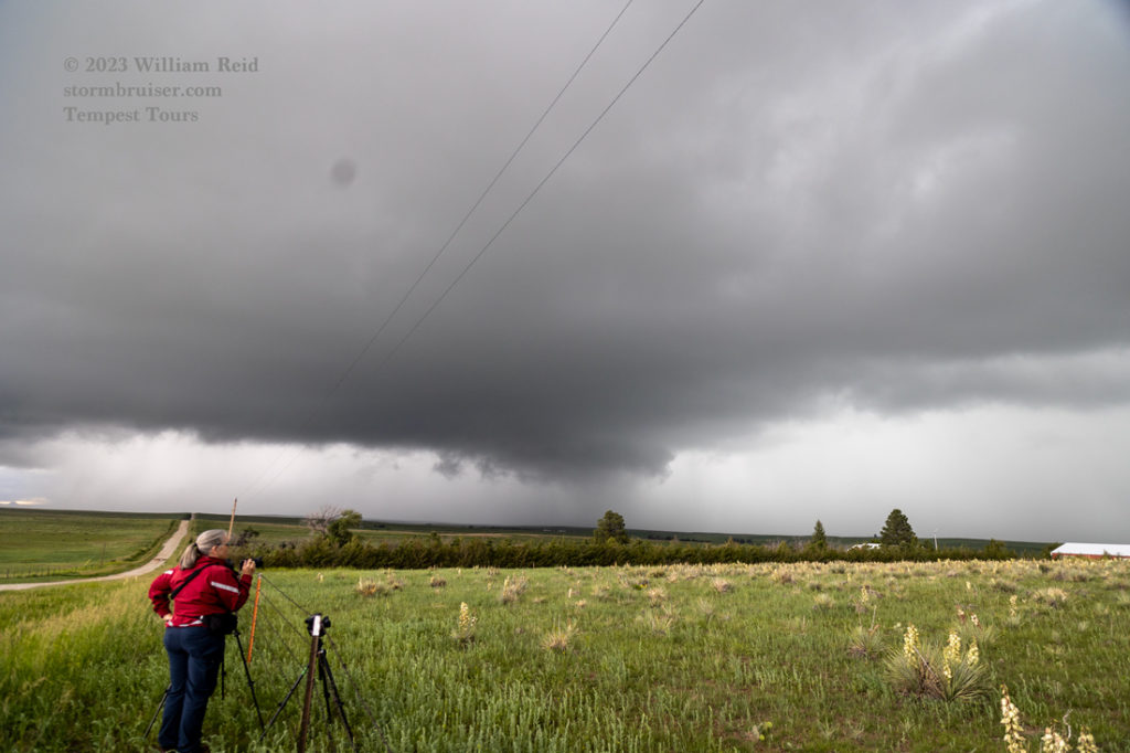
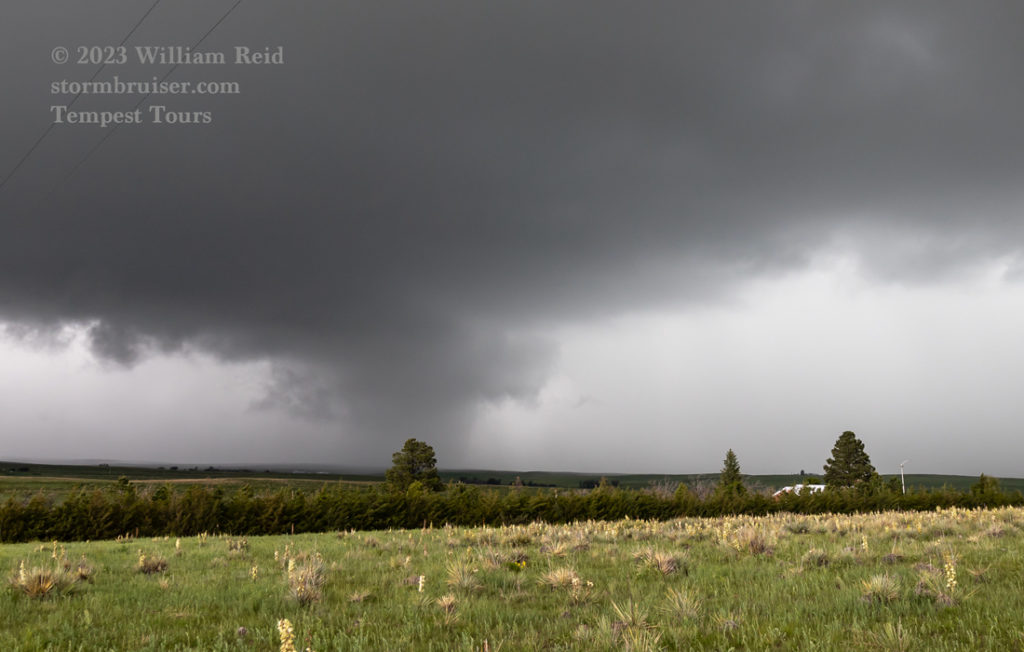
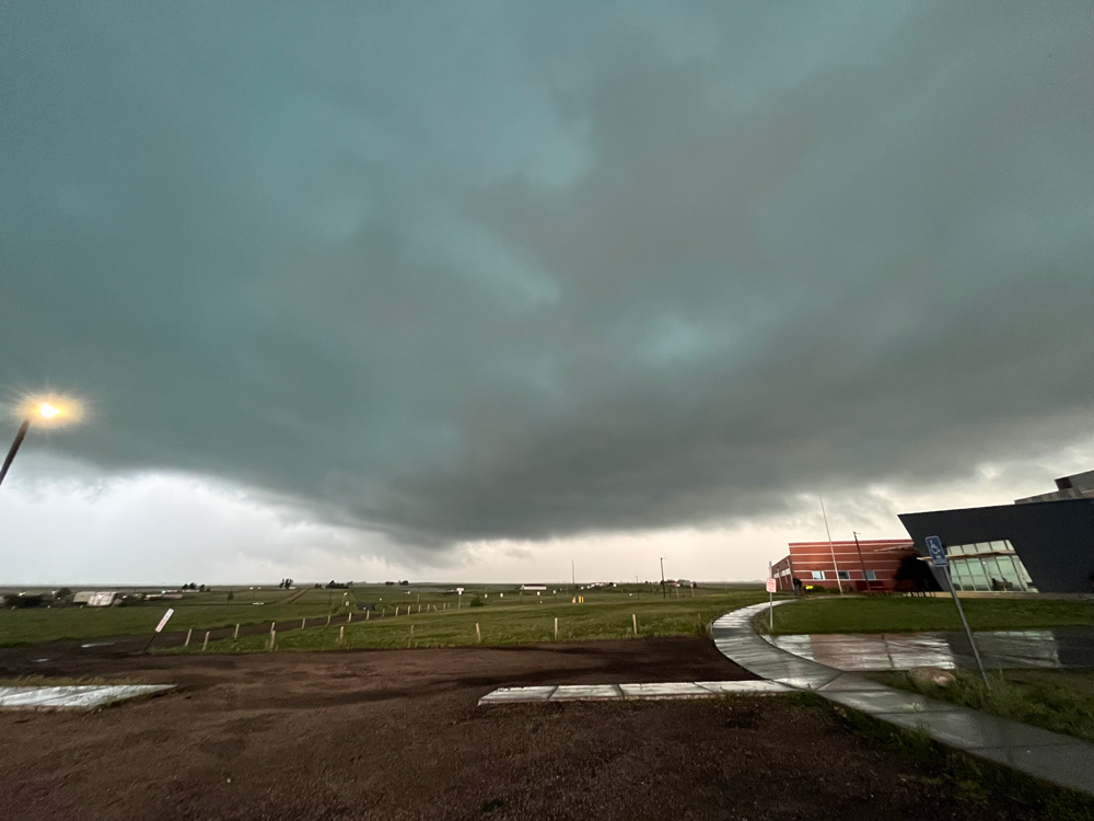
And below are shots from a school near Peyton:
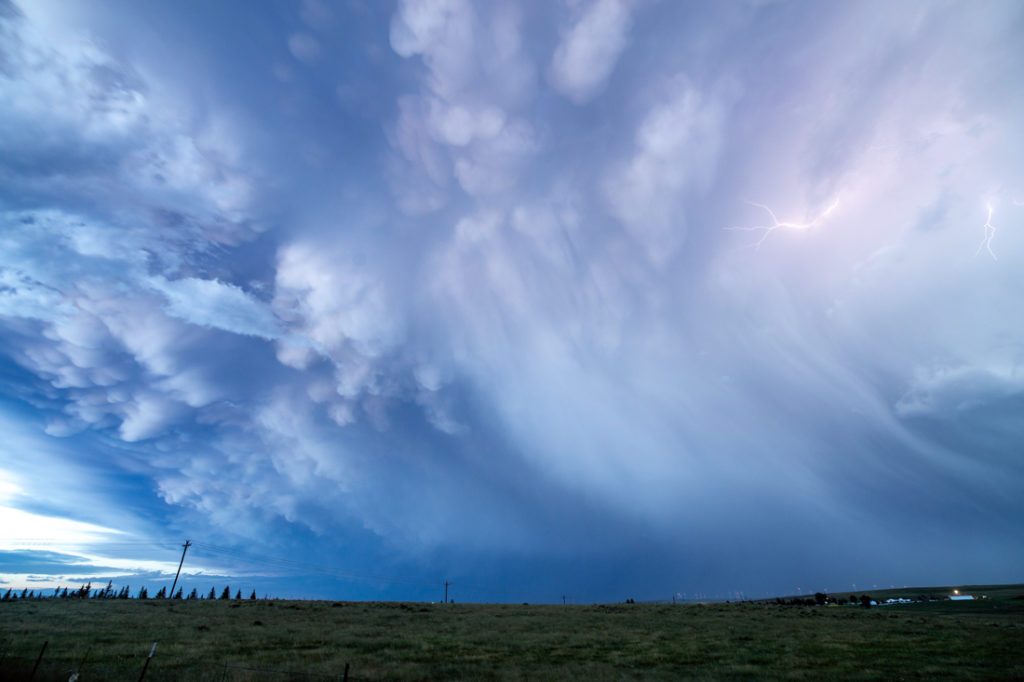
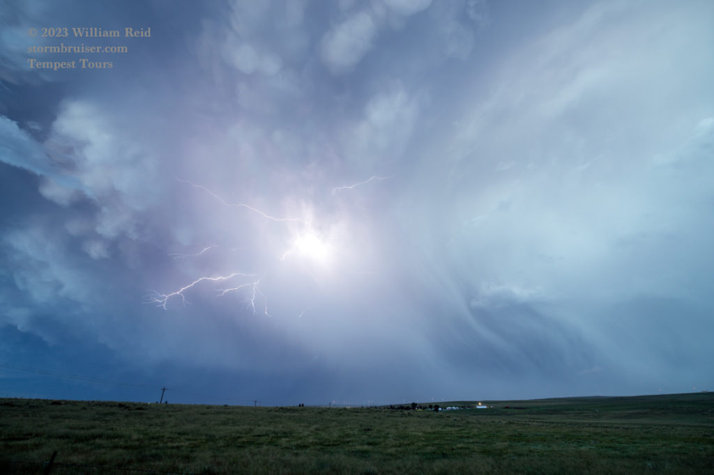
And the backside between Calhan and Peyton:
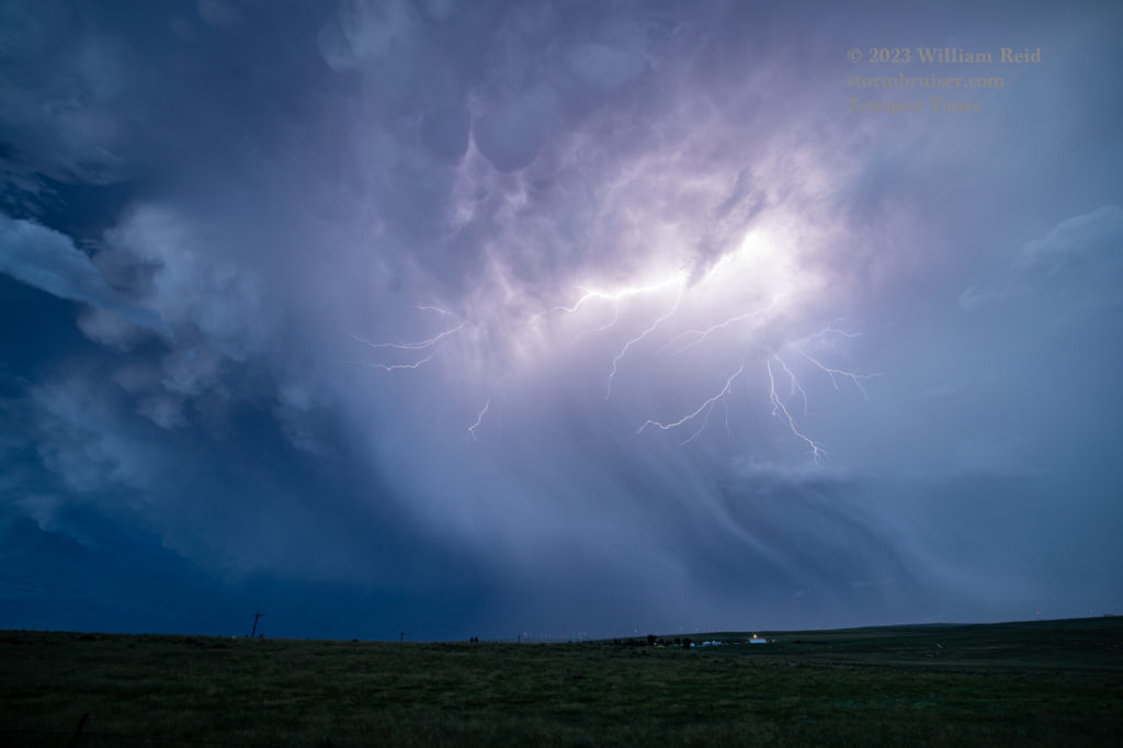
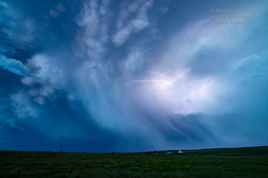
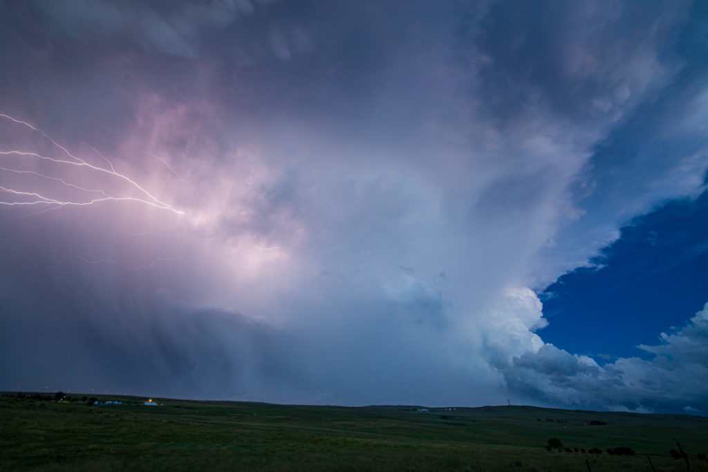
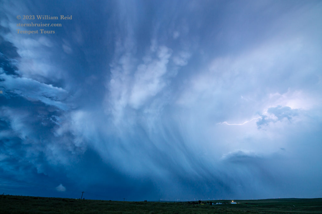
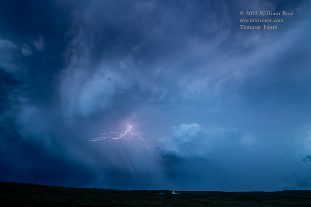
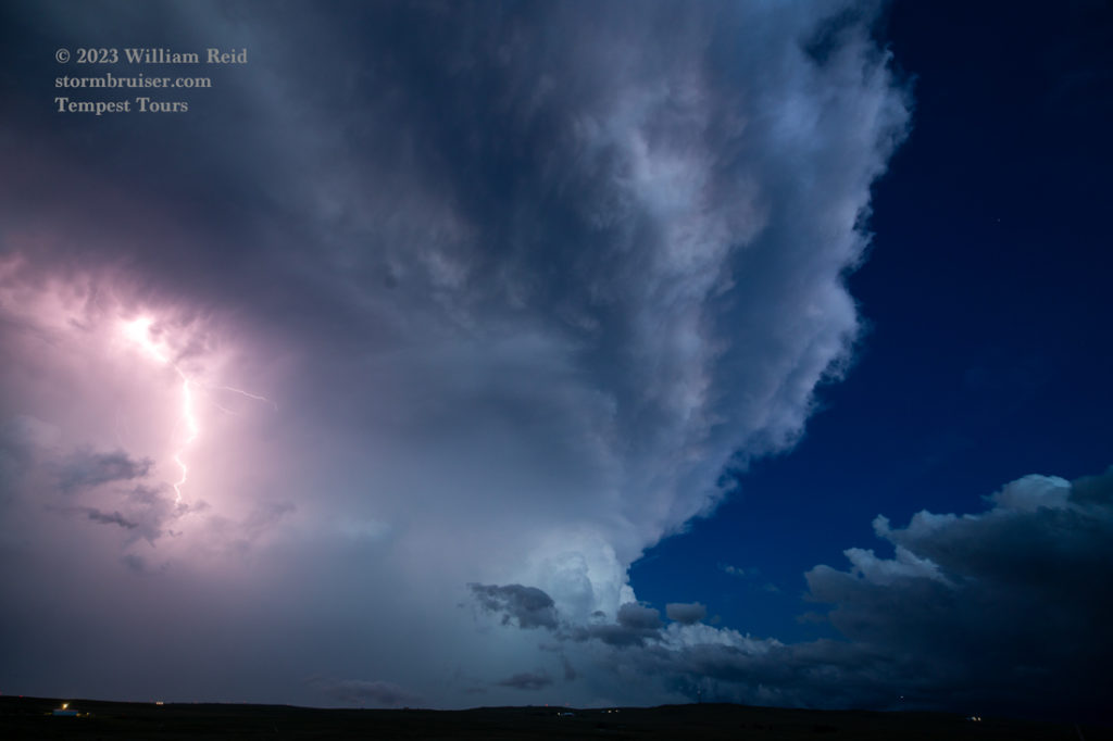
Below are few more radar grabs and iPhone shots for the activity towards evening.

Leave a Reply
You must be logged in to post a comment.