Start: Limon, CO
Lunch: Brush/Fast food
End: Sidney/422 miles
Chase account by TT guest Lesleyanne

Surface map for 5 p.m. MDT
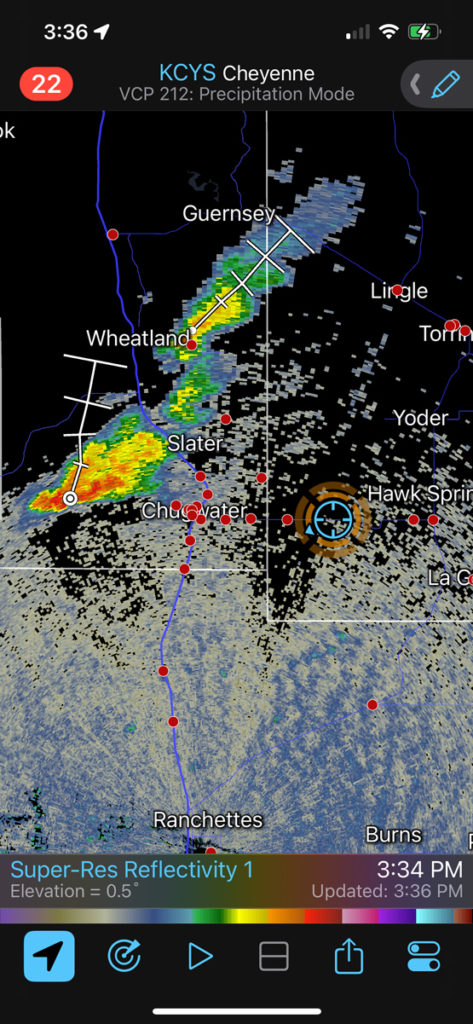
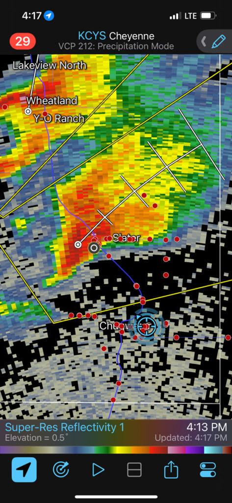
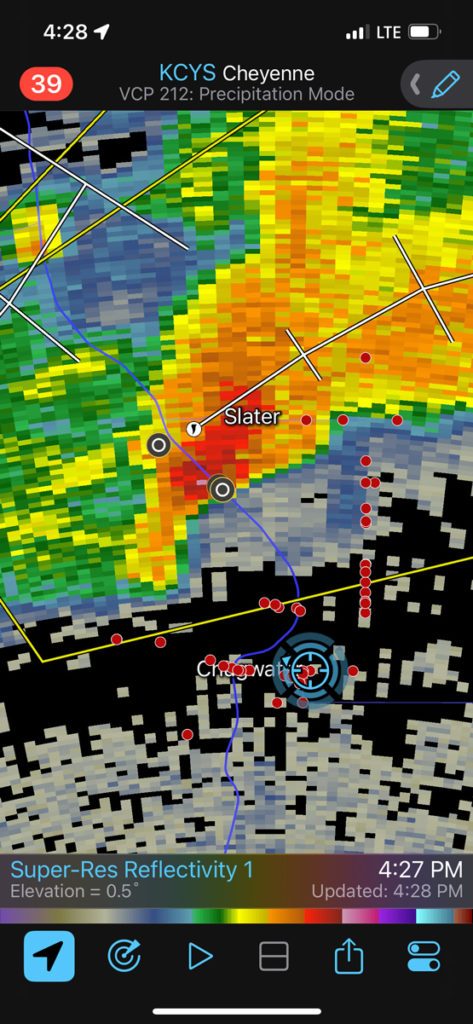
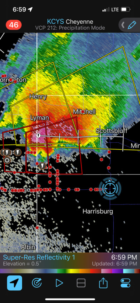
This was the final chase day for the Tour 7 group, with guides Tom T. and Matt M. We had a good starting point at Limon, and just had to mosey north and west a bit to get into SPC’s enhanced slight and 5% tornado area. This was basically from the Cheyenne Ridge northward to about Sheridan in Wyoming. Computer models and CAMs were very helpful, and I was very comfortable homing in on the Chugwater area. SPC mesoscale discussions 1220 and 1225 above provide satellite pics which show plenty of mostly clear skies over the target area of southeastern WY and the southern NE Panhandle during the afternoon, with a mature storm near Chugwater around 5 p.m. MDT. With 500 flow around 40 knots from the SW, and moist upslope (SE to ESE) surface flow along and near the Cheyenne Ridge, this day looked ripe for tornadic supercells. Dew points were near 60F at elevations around 5000 feet, which borders on “excellent” if you are hoping to chase tornadoes. At the end of this chase account I include a lot of iPhone images, which include the radar screenshots. The screenshots show the time and our location, and all of the iPhone shots should be in chronological order.
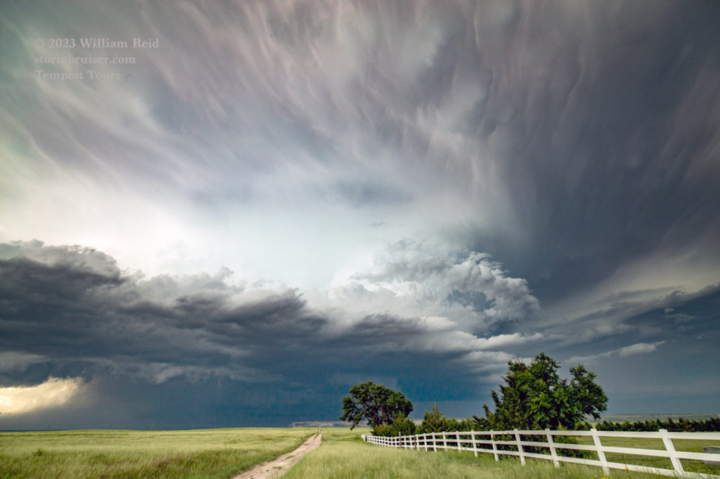
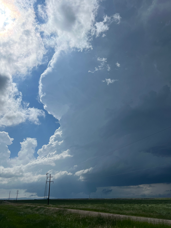
From our lunch stop at Brush we continued north to Kimball and eventually west to LaGrange, in WY near the state line. Right on cue, strong convection commenced on the high terrain west of Chugwater by 4 p.m. and moved towards I-25. We made our way to the fantastic, almost treeless “Chugwater Flats” and stopped a little short of the drop-off near Chugwater. One very strong updraft was to our WNW.
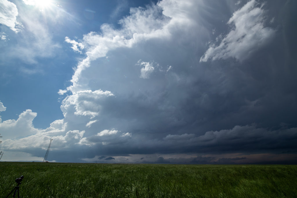
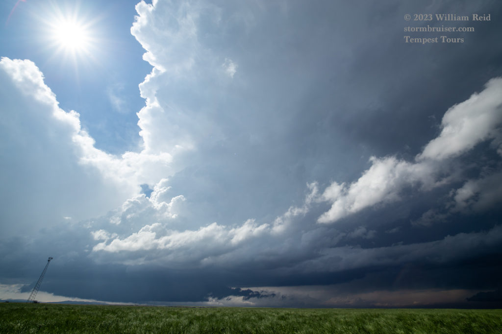
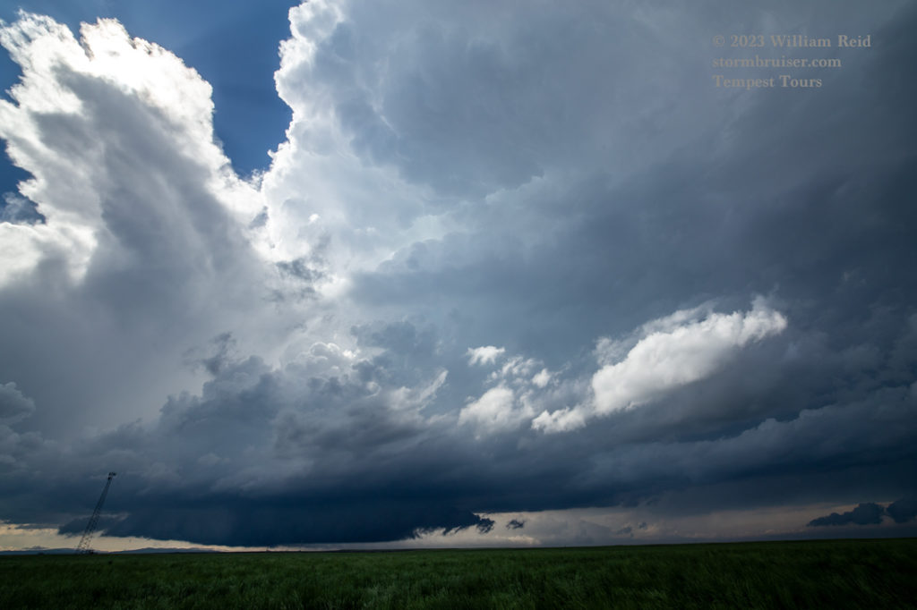
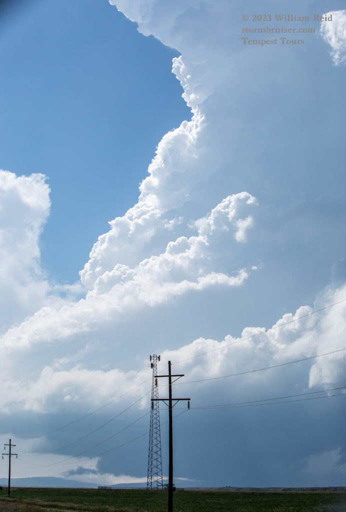

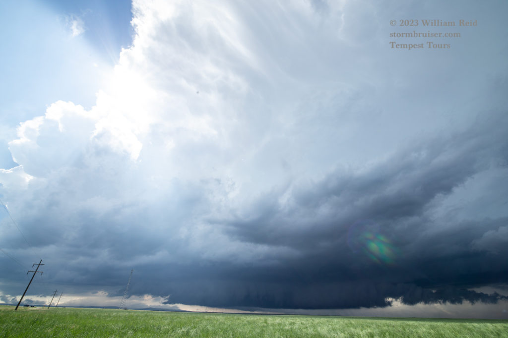
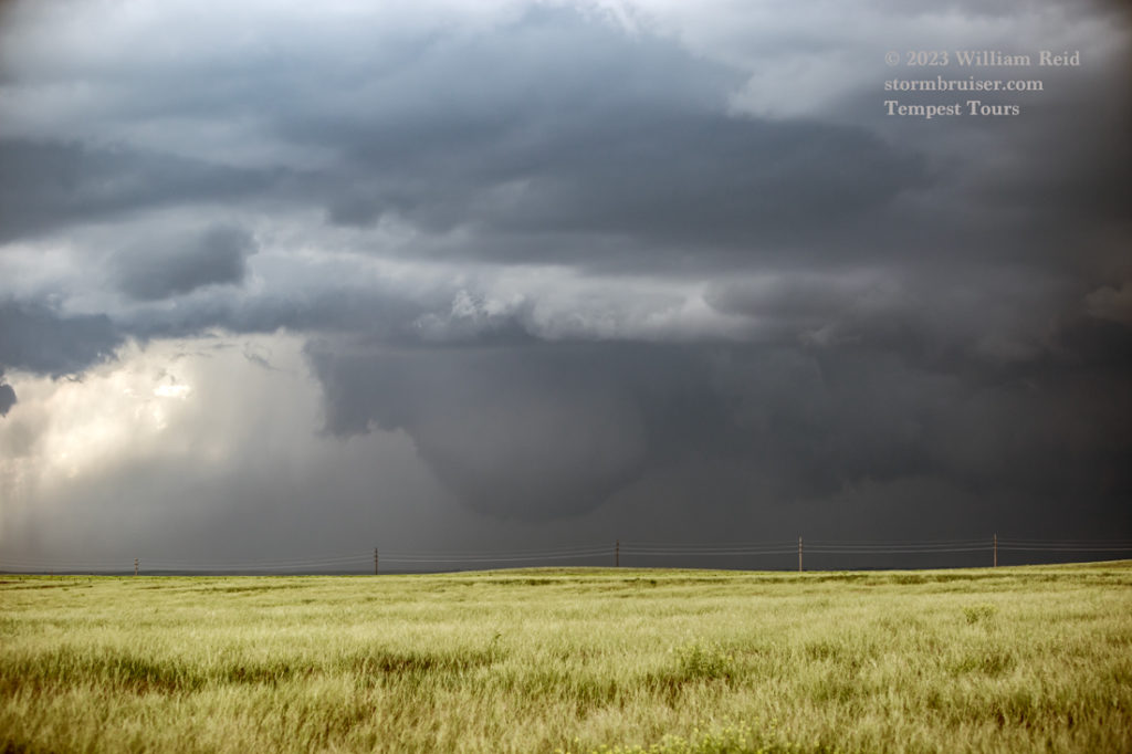
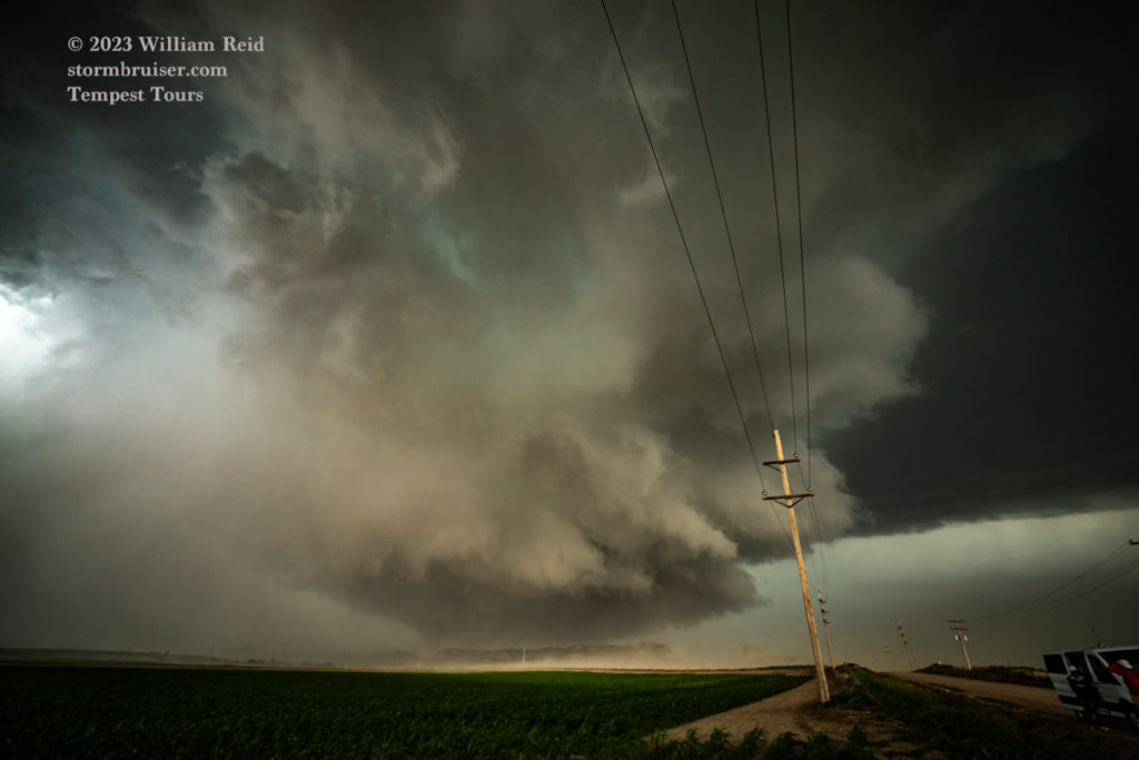
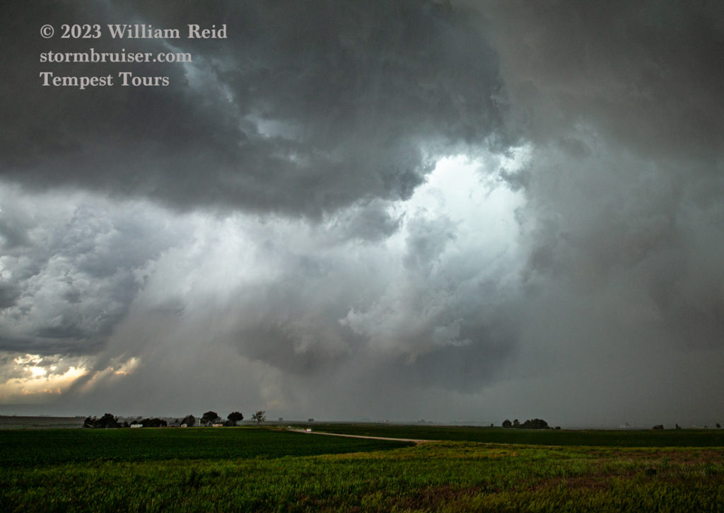
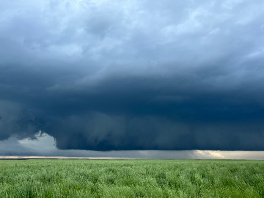
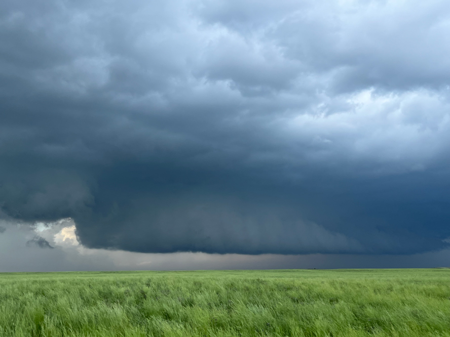
This storm sported a stout updraft and a very low cloud base. A little inflow tail on the north side was bumping up against what was, I guess, a very beefy wall cloud. This storm already looked like a great tornado candidate.
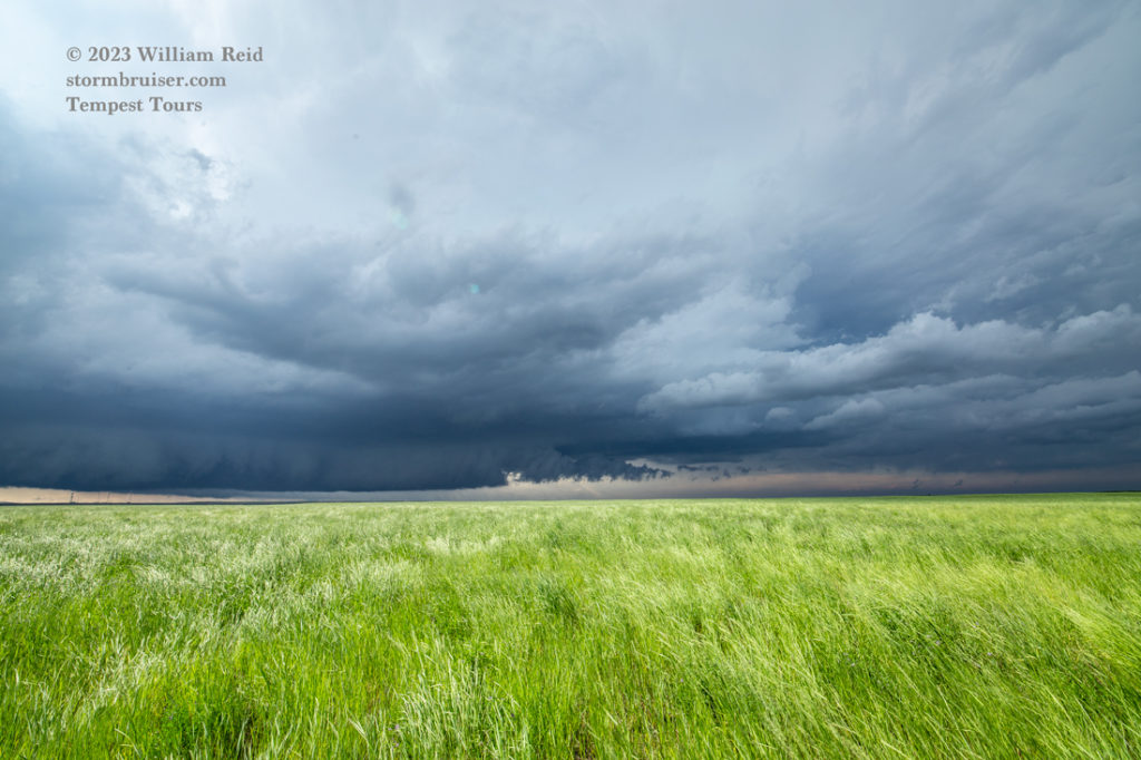
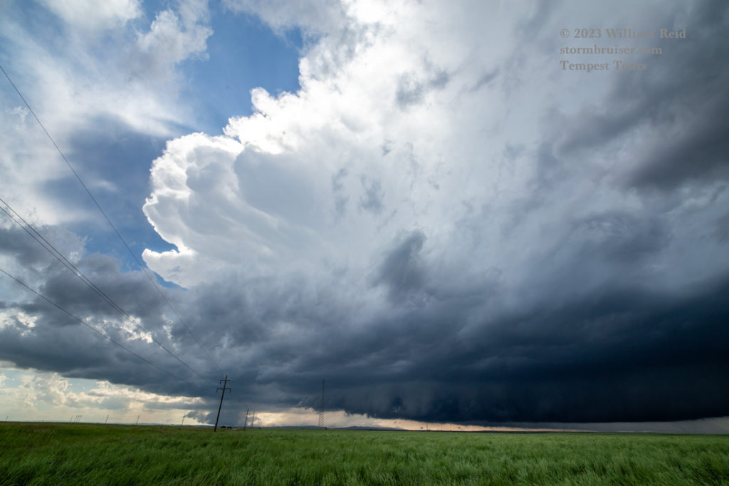
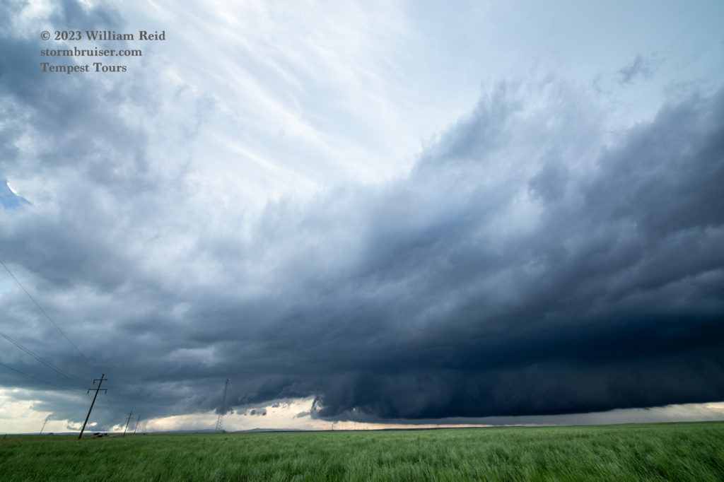
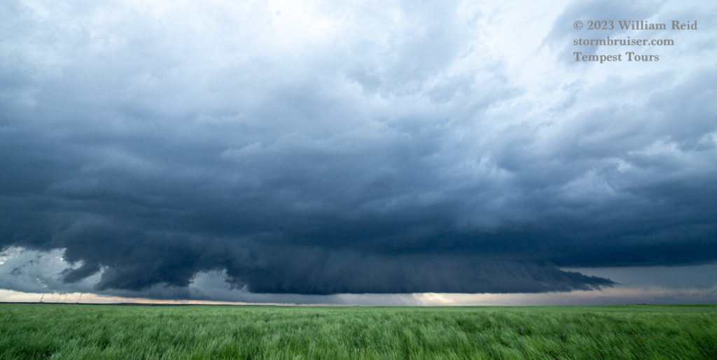
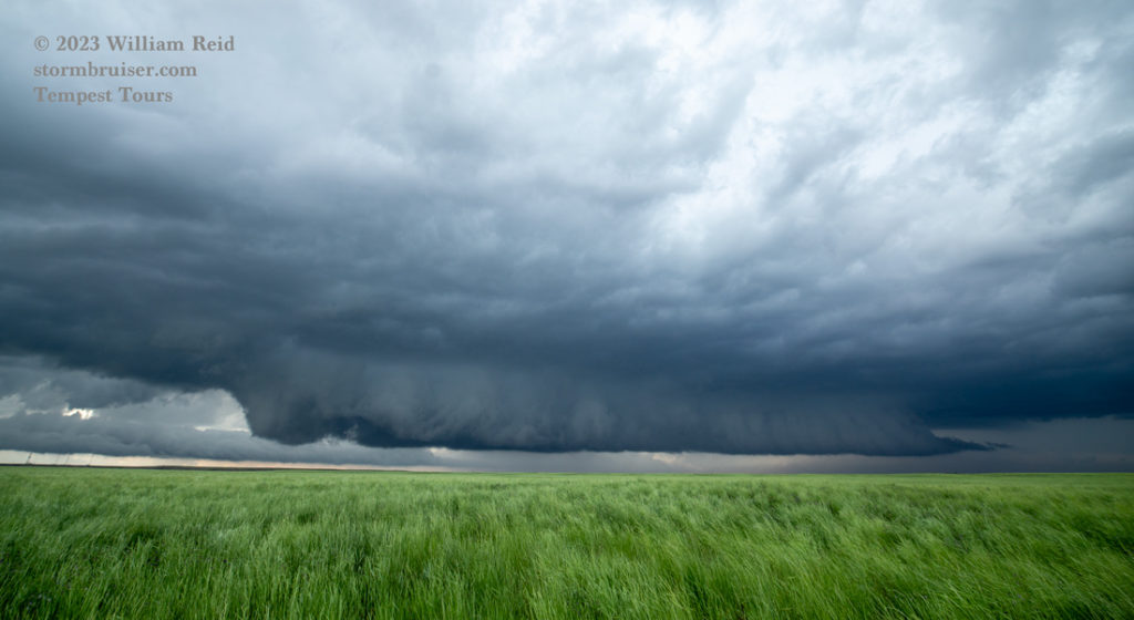

The images above show the very low cloud base to our northwest. There was not much apparent low-level rotation with this wall cloud, and funnel clouds were not forthcoming. This storm seemed to struggle some as it drifted more to our north, in the vicinity of the town of Slater. The road network in the storm’s path was rather poor (only dirt roads), and I was not (yet) inclined to reposition to a spot in front of this storm. It was little strange and disconcerting that this thing was struggling, but another decent updraft was going up not far to its southwest.
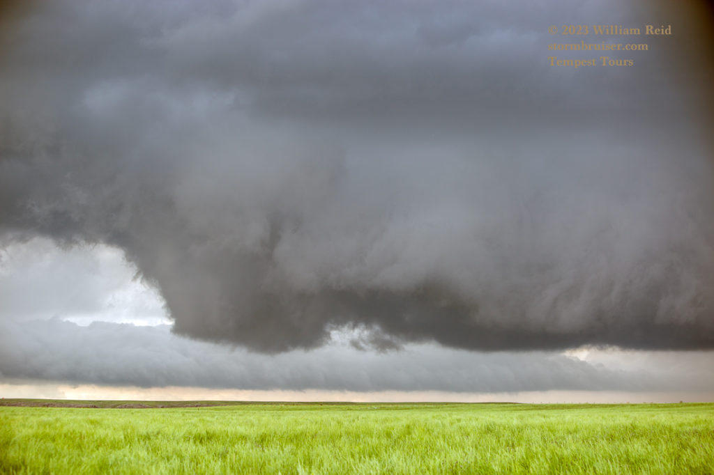
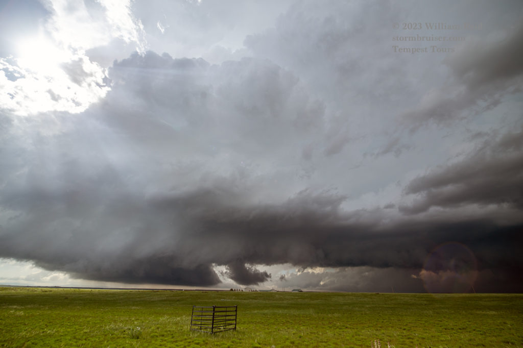

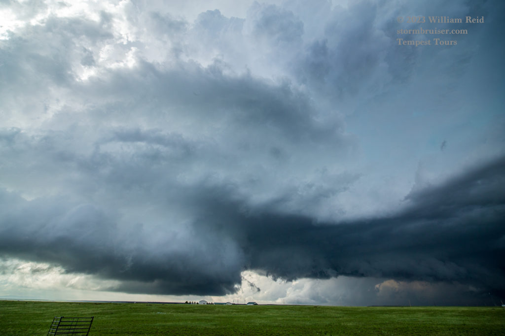
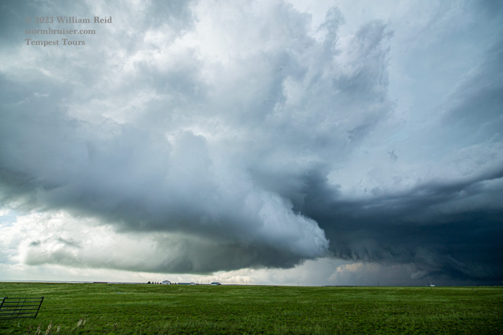
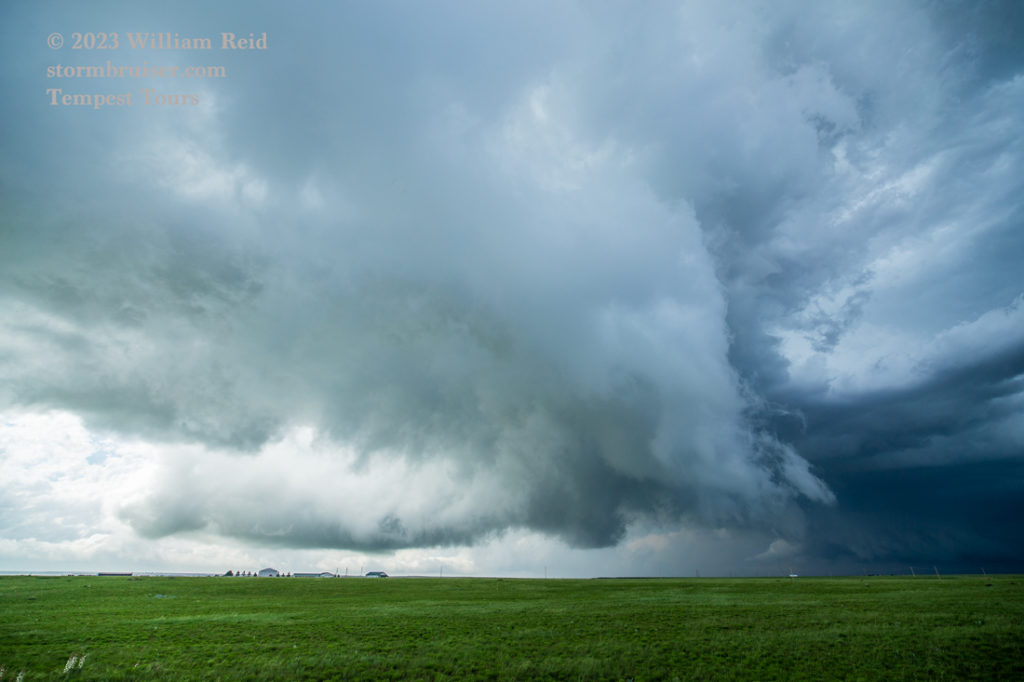
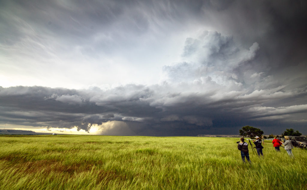
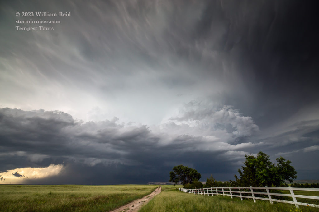
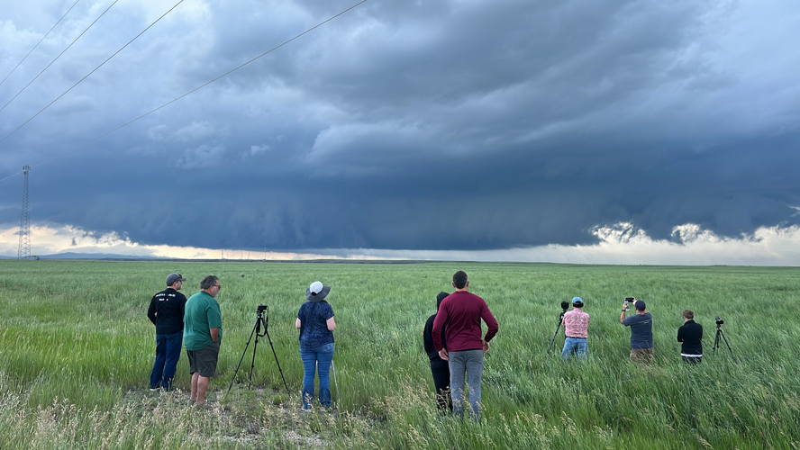
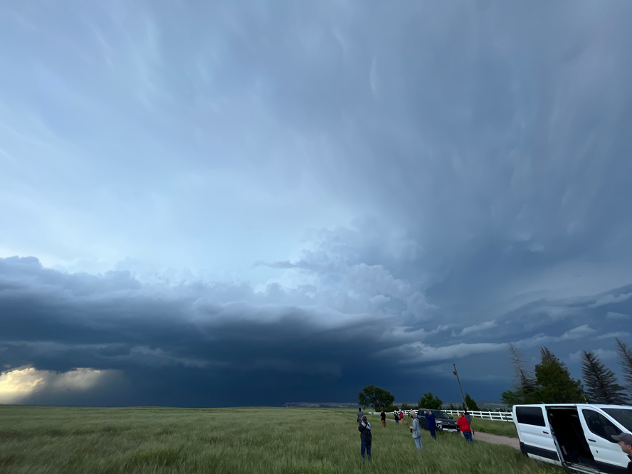
The newer storm was not far to our west. We adjusted a few miles to our southwest, just a 5-minute jaunt, and we had a great look at its structure (pics 2 thru 6 above, looking NW and then N). This supercell had much better (more compact) look, with a prominent RFD jutting into the storm base. Rotation with the wall cloud was serious this time, and I was a little surprised that it didn’t plant a tornado a mile or two away to our north as it passed by. We were positioned along Windmill Road, just west of Lone Tree Rd (Hwy 313).

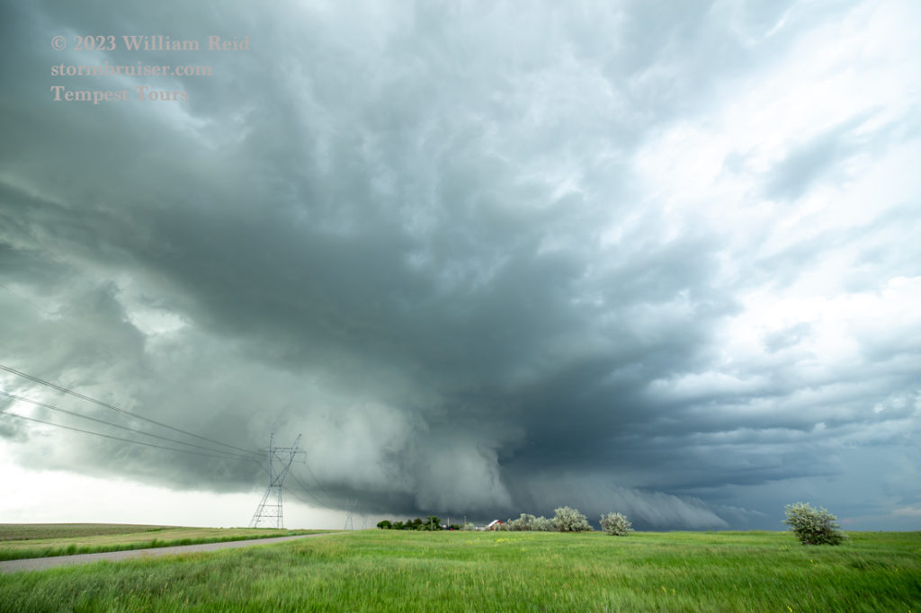
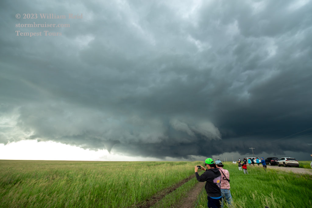

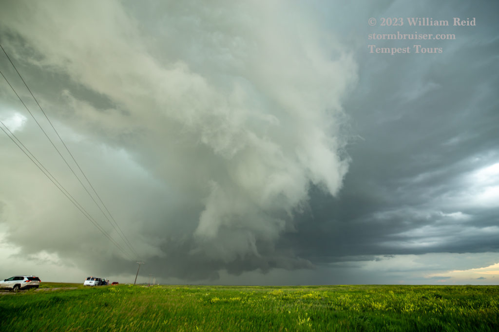
The supercell was ready for business and was tracking just north of 313 above Chugwater Flats. We went east a few miles and stopped briefly where those big transmission towers are (at the county line, Rd 205). I needed to get a little more ahead of the action area, and went another two miles east to Road 5 and north a half mile. There were a lot of chasers along this road, and a tornado emerged from the wall cloud to our northwest not long after we stopped.
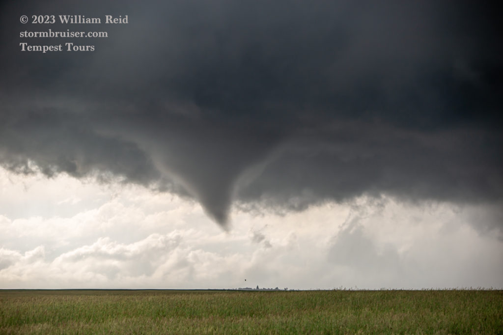
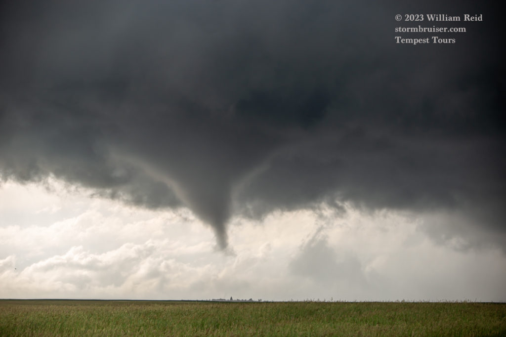

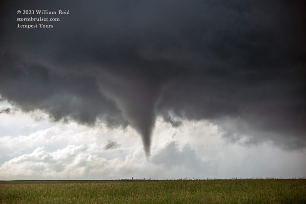
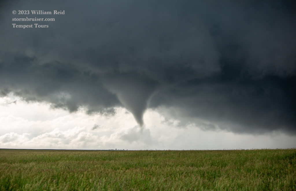
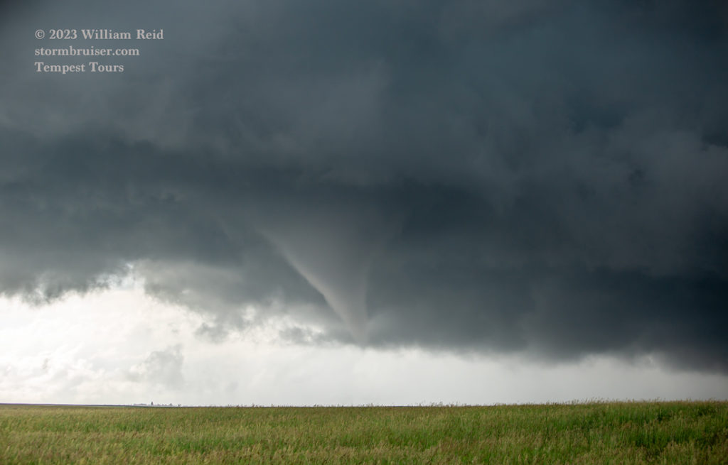

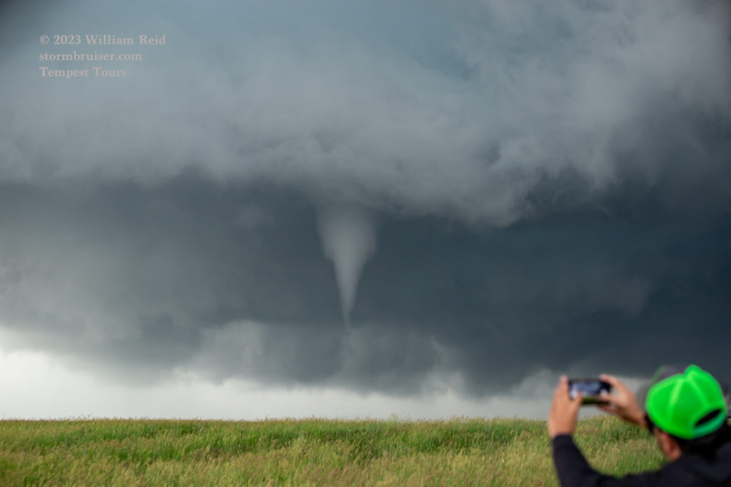
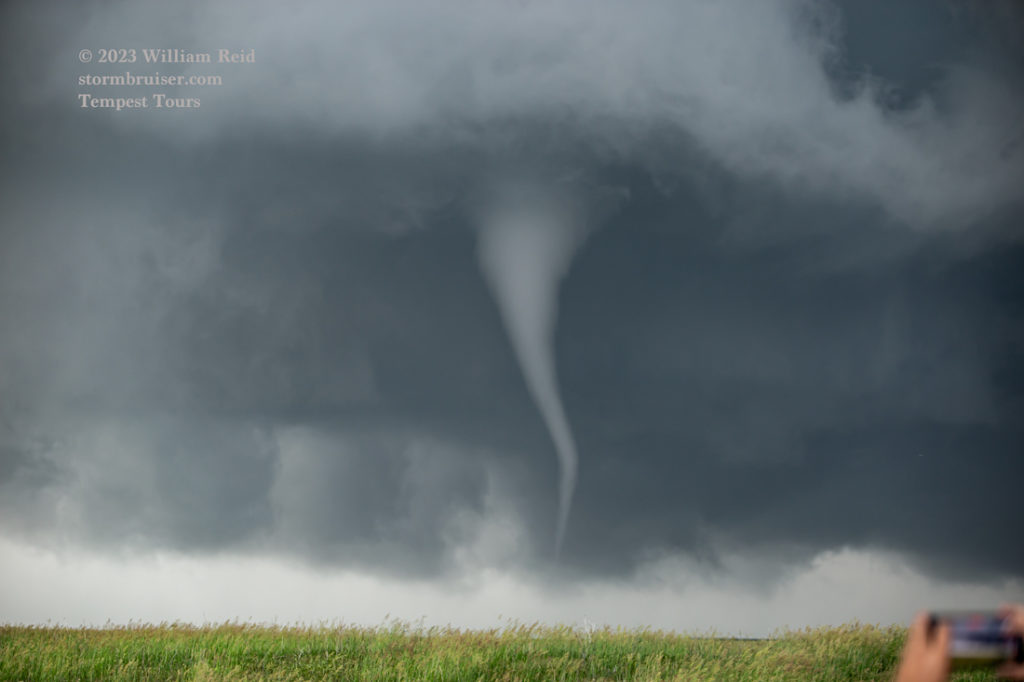
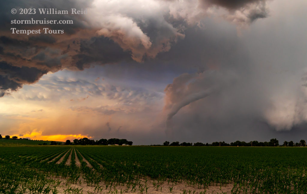
This was a skinny, slinky one that teased the ground for most of its (3-minute?) lifespan. There wasn’t much of a dust and debris swirl with it, thanks to the moist soils and thick grass cover. The tornado was only a mile or so distant when it neared our N-S road to our north, and it was looking great! (First image below.) And then it quickly dissipated.
Well, that was nice! The supercell continued to look fantastic, but it was about to move off of the Chugwater Flats and onto the lower terrain of Goshen County near Hawk Springs, Horse Creek and U.S. 85. I had to get back in front, so we made our way east again on 313 and down the steep grade. I had Matt stop just beyond the curve back to the east, short of Road 31.


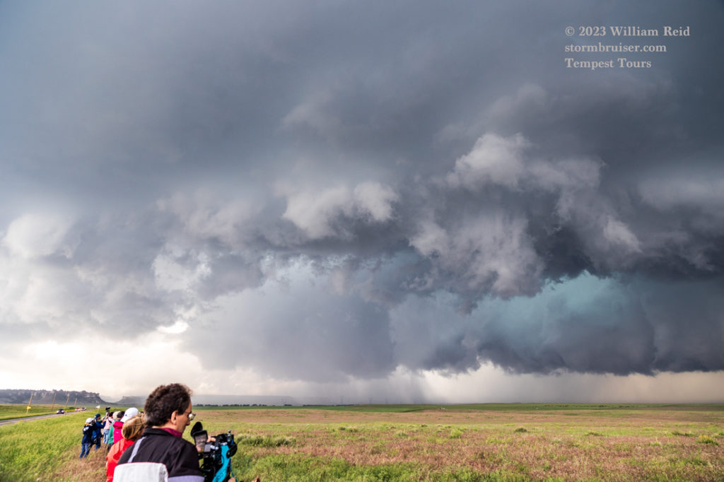
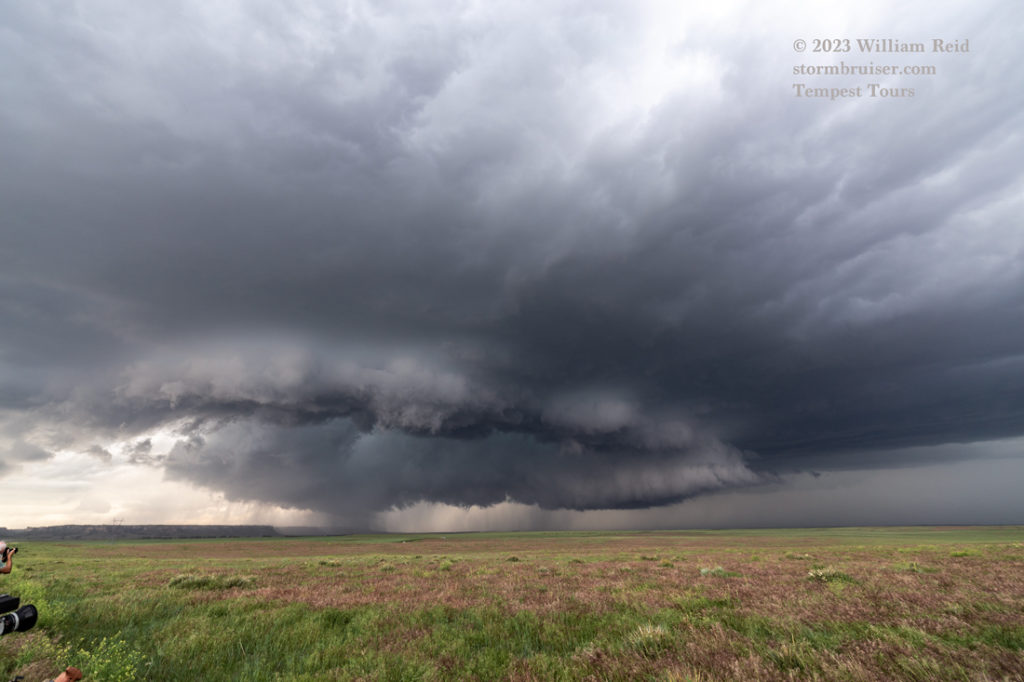

Shots 2 to 5 above were along the fence on the north side of 313, with a view of the action area to the northwest. You can see a large clear slot/RFD cut, surrounded by lowered areas. A tornado quickly developed near the area with precipitation, which is commonly the case. Tornadoes like to be near the wet stuff (or vice-versa). This was way back on the west edge of the storm base, where the “occlusion” is greatest, presumably.
This second tornado formed as I was walking from the video tripod along the fence to the van, to grab my Canon camera with the long lens. It was good timing!
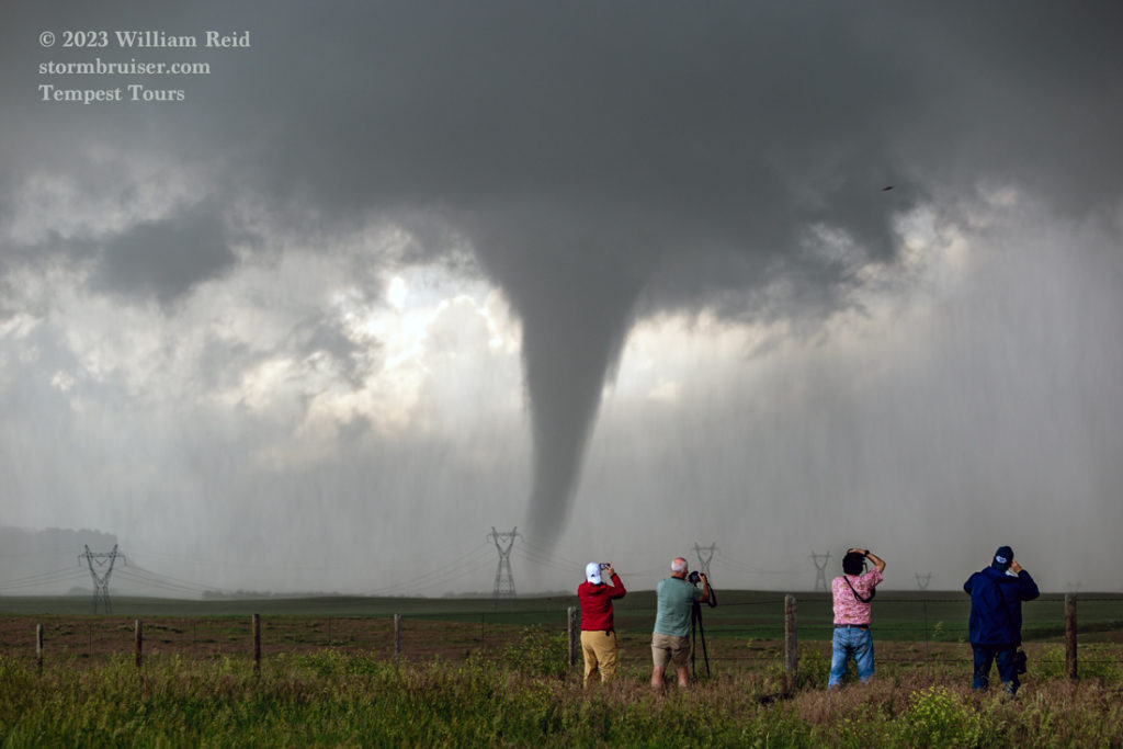

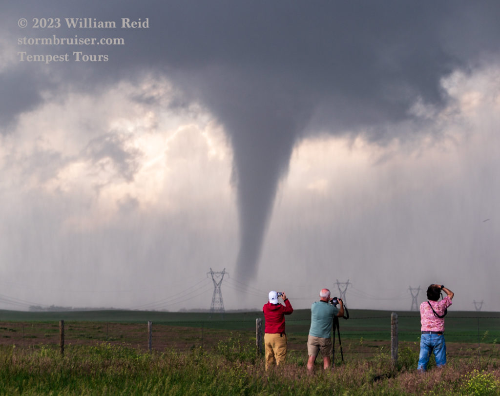
The tornado was quite stout, but it lasted only for a minute or two (first pic below, right after it dissipated). Why could it not put on an extended show for us here while we are stopped and so close?
I was now presented with a bit of a dilemma. The storm was moving just about due east. We would be close to the action area here along 313 to 85, and then the road network east of 85 was bleak. The option to head three miles north to Hawk Springs and then east on unpaved Road 32 would have been a thrill ride for sure. But I try not to suffer heart attacks while leading the tour group. I elected to head south on 85 (six miles) to WY 151/NE 88. There is a really nice elevated view point just east of LaGrange, so we stopped there for at least 15-20 minutes. Our view of the supercell to the NNW and N was superb. A tornado occurred during this timeframe, and my pics (below) show a prominent funnel cloud beneath the storm base. The storm was becoming more HP-ish and the contrast on this funnel was poor. The storm report for 0032Z/6:32 p.m. MDT: “Numerous reports of large … damaging … and rain wrapped torando located east of Hawk Springs moving east.” I suppose we can forgive the spelling error in the heat of the moment. But this does help to increase my total torando sightings.




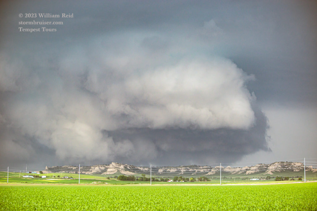
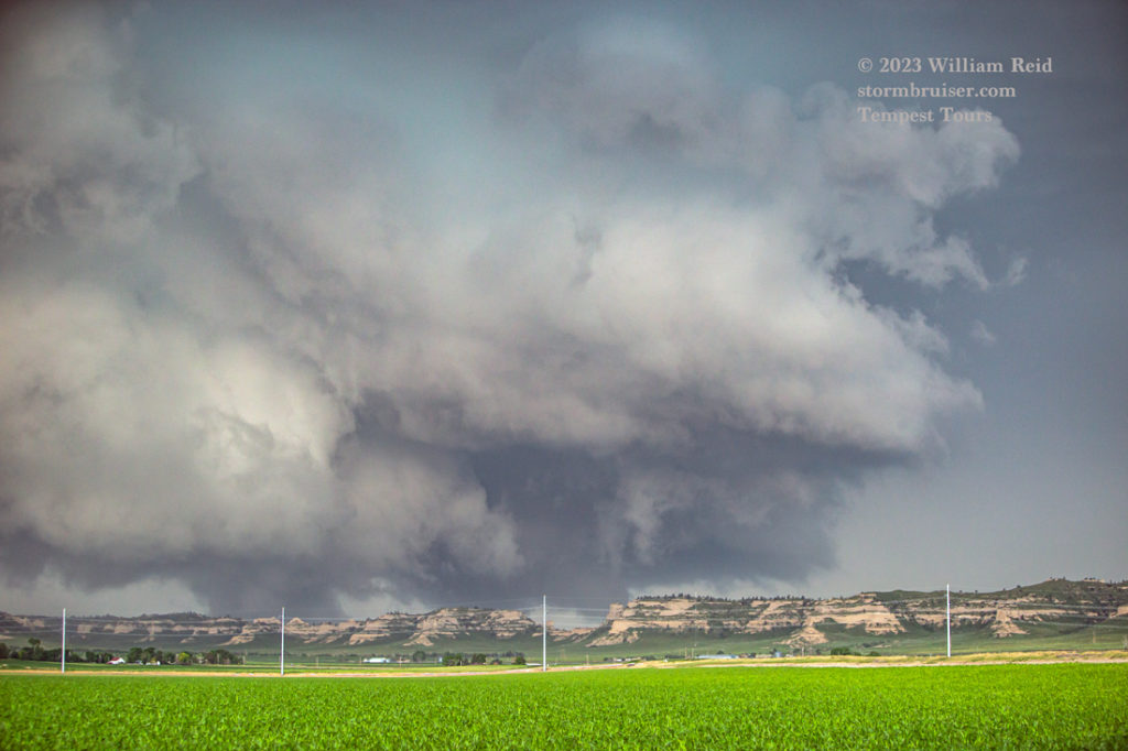
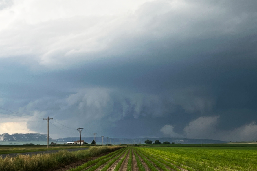
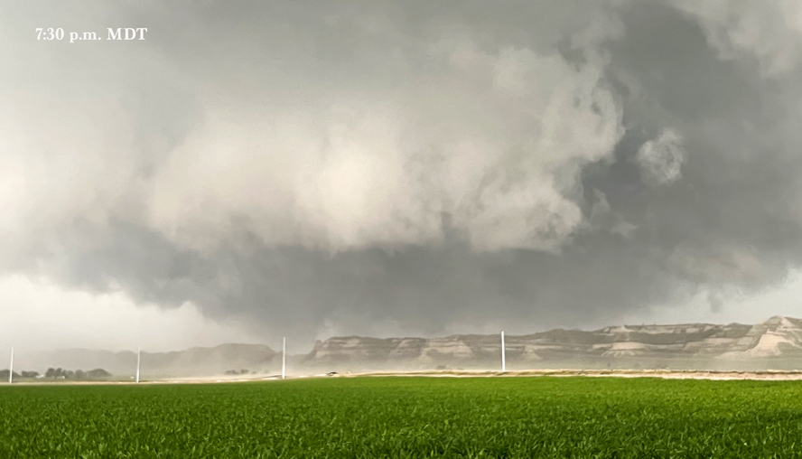
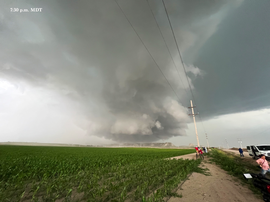
Our cyclic supercell continued to the east, right towards the Scotts Bluff National Monument. We went east on 88 to 71 north, stopping in farmland near the southwestern edge of Gering (south of Scottsbluff). A massive wall cloud materialized beneath the storm base to our northwest, but any associated tornado seemed to be right behind the bluffs. Thus, the storm might have been producing a tornado as it approached Scottsbluff, but I could not determine one way or the other for sure.
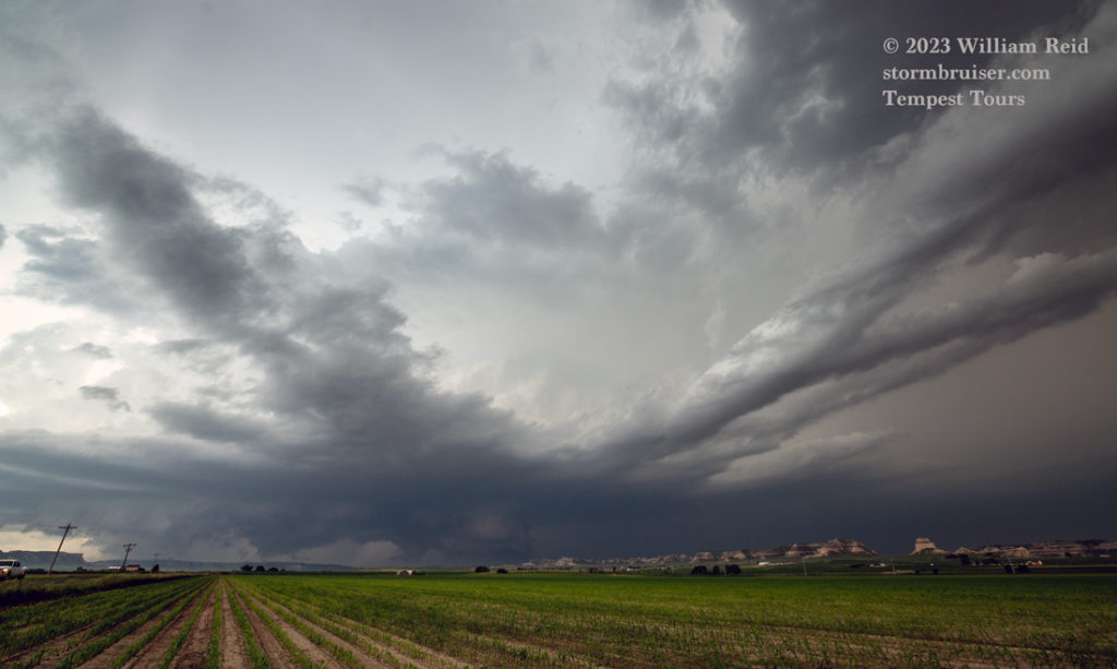

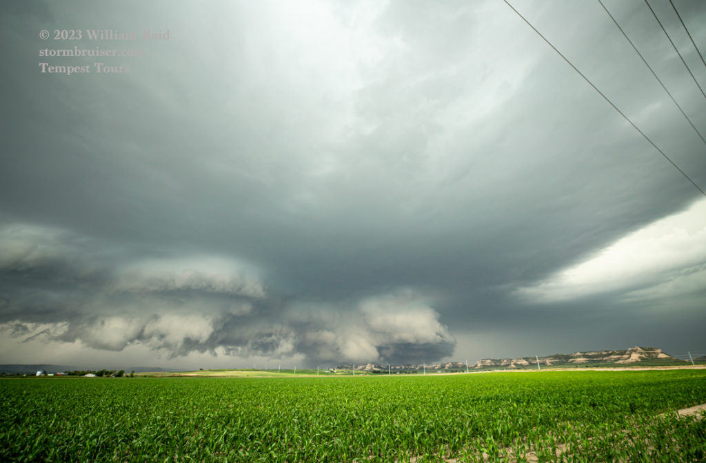
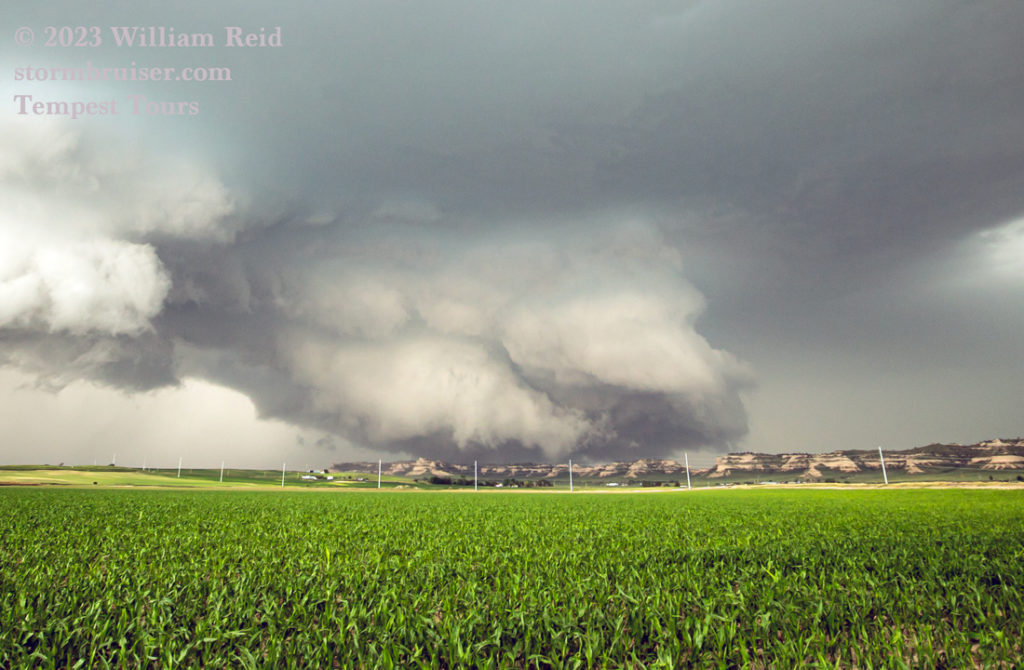
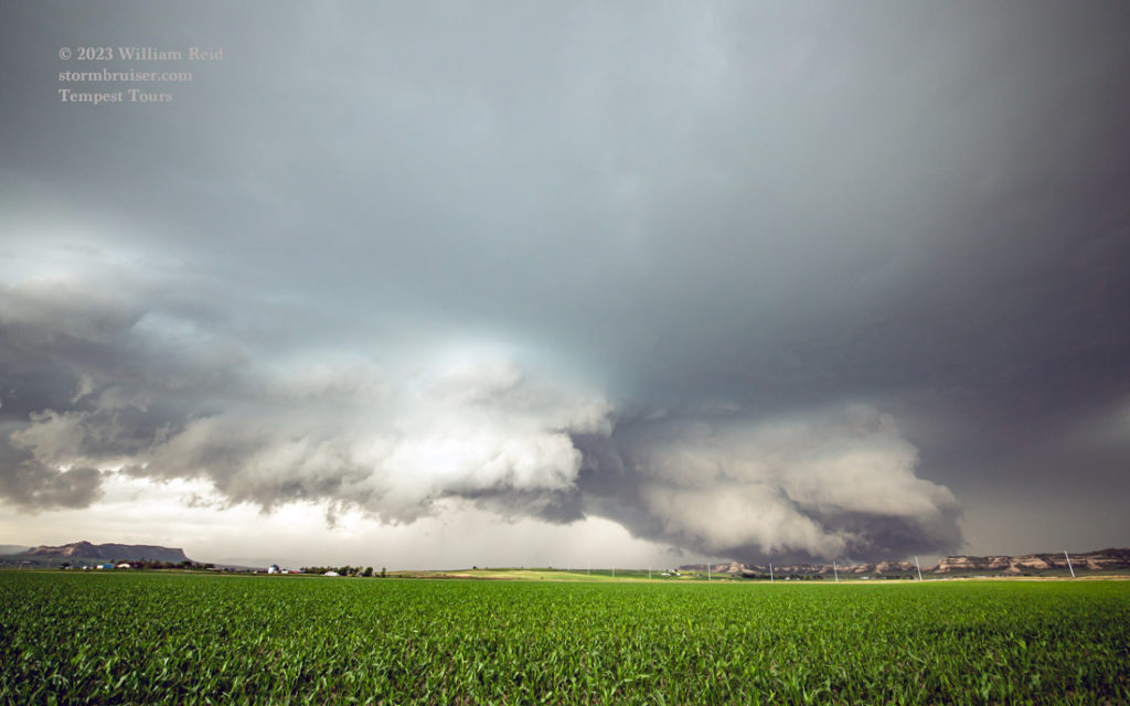
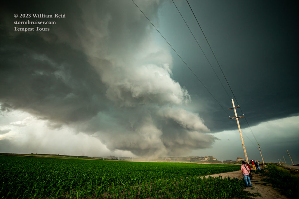
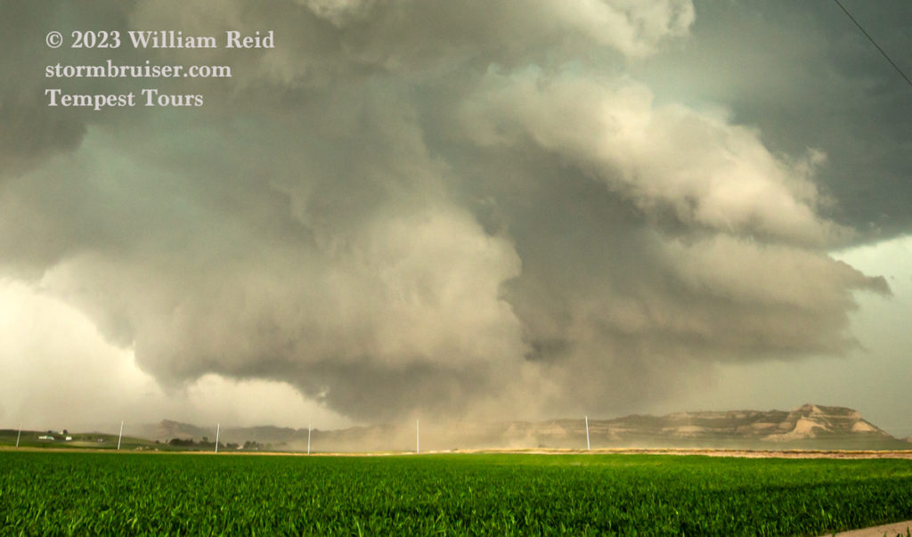

The first four images below are zoom shots towards the monument. About this time it was very apparent that the supercell had the town of Scottsbluff in its sights. Would a large tornado impact the town? The NWS in Cheyenne issued a “tornado emergency” for Scottsbluff. This was based largely on spotter and chaser reports of a large and rain-wrapped tornado somewhere between Hawk Springs and the monument. But roads in this area are few, and if the storm is HP then the tornado is largely hidden. It seems, in hindsight, that the tornado reports MIGHT have been a bit overdone. Scottsbluff received a good bit of large hail and strong winds, but it escaped a significant tornado event.

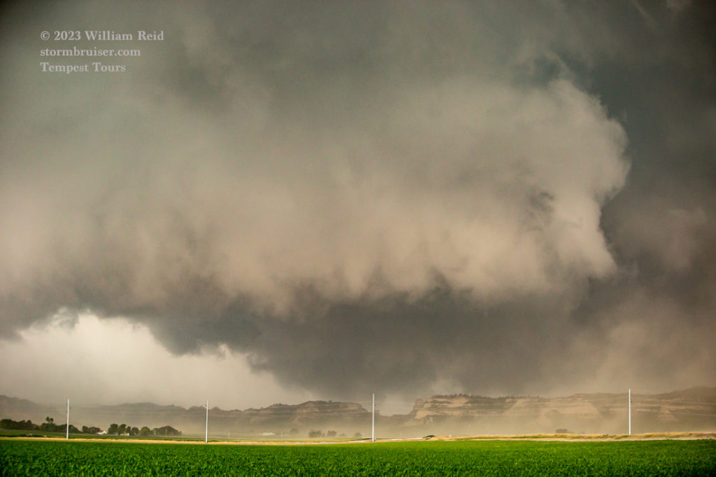

It was time to move east again. We utilized County Road S (towards Melbeta). The storm remained largely HP. We had a great view of it, but still it was not known if a tornado was in progress at this time or not. We found a good location to stop at after about 8 miles, a mile short of Melbeta and just south of Highway 92. The last two images above and the first few below were taken from this location. The big swath of hail and rain swamps the action area.
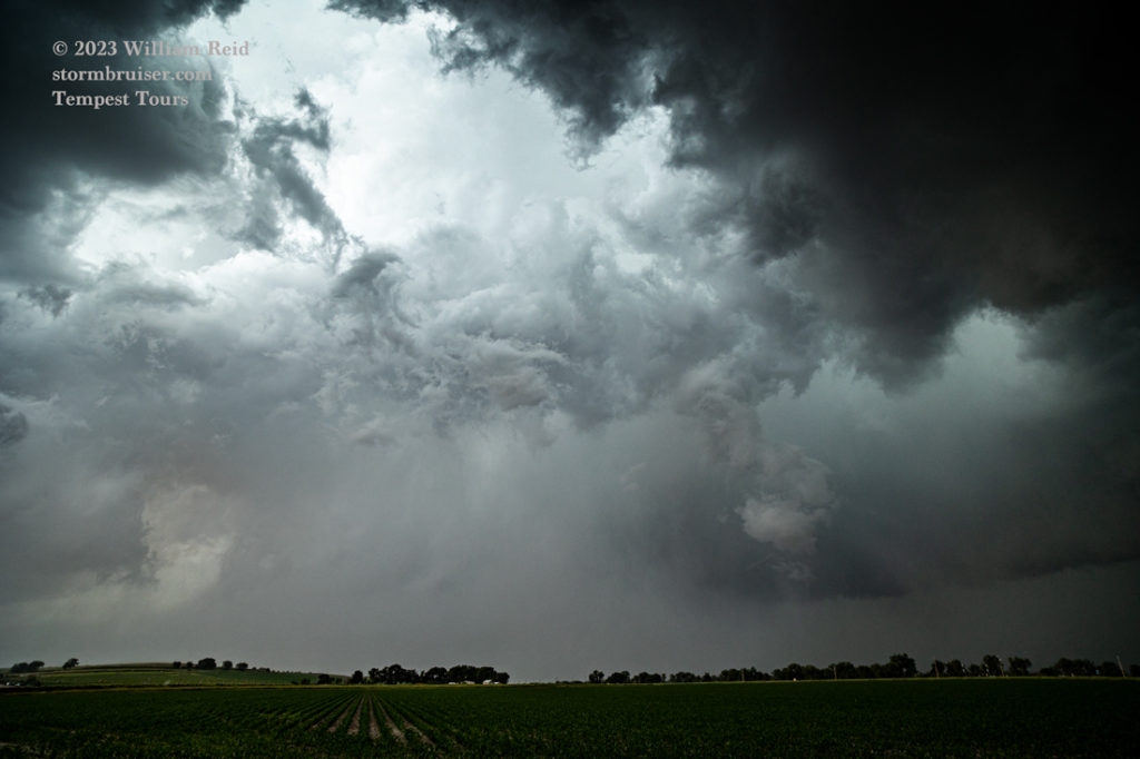
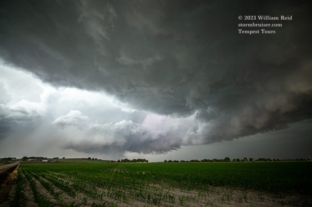
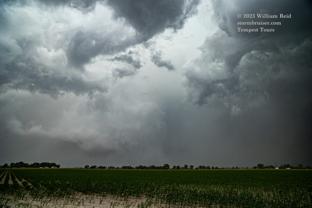
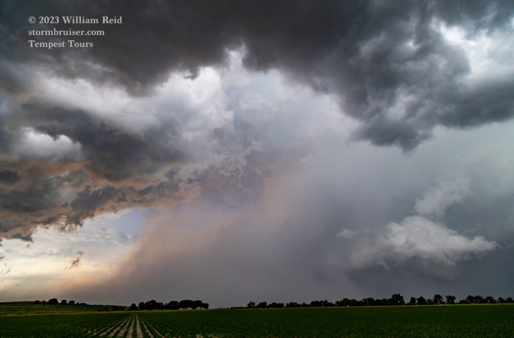
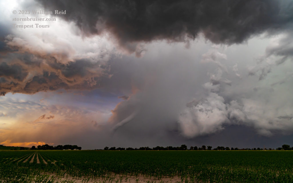
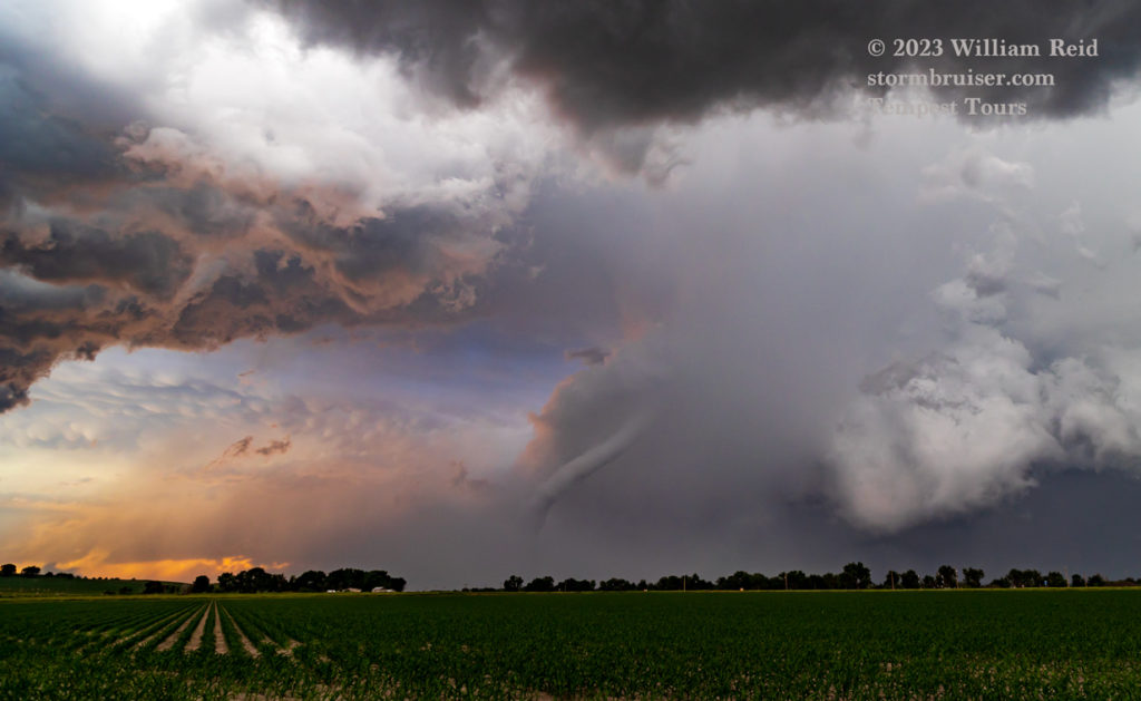
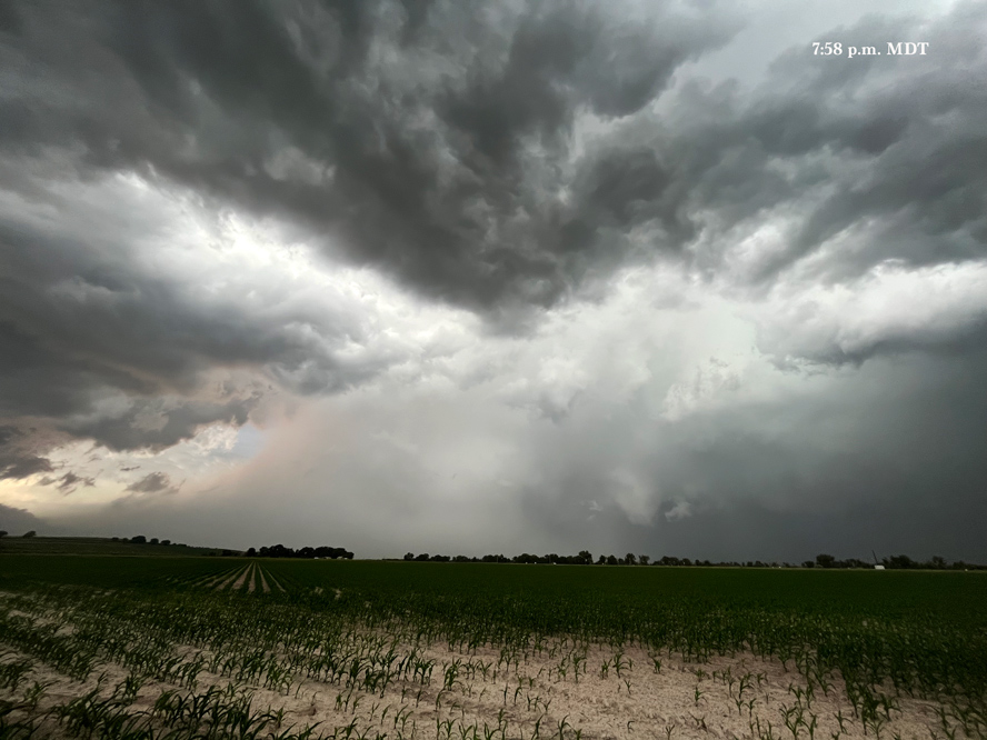
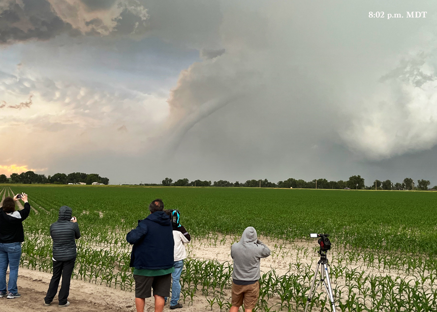
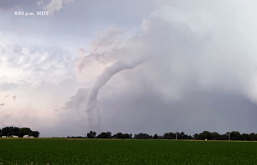
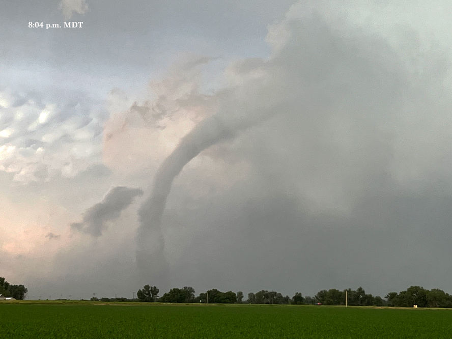
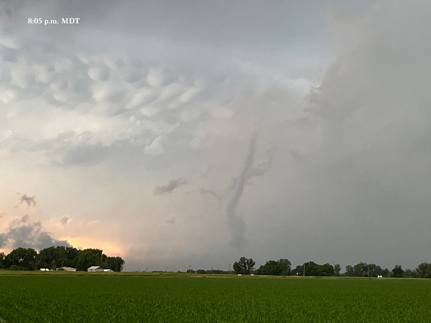
But then Matt P. told me to take another look, and a nice slender tornado was making an appearance! The rain and hail dump had ceased in time to expose this pretty tornado near sunset. Some chasers call this the “Minatare” tornado.

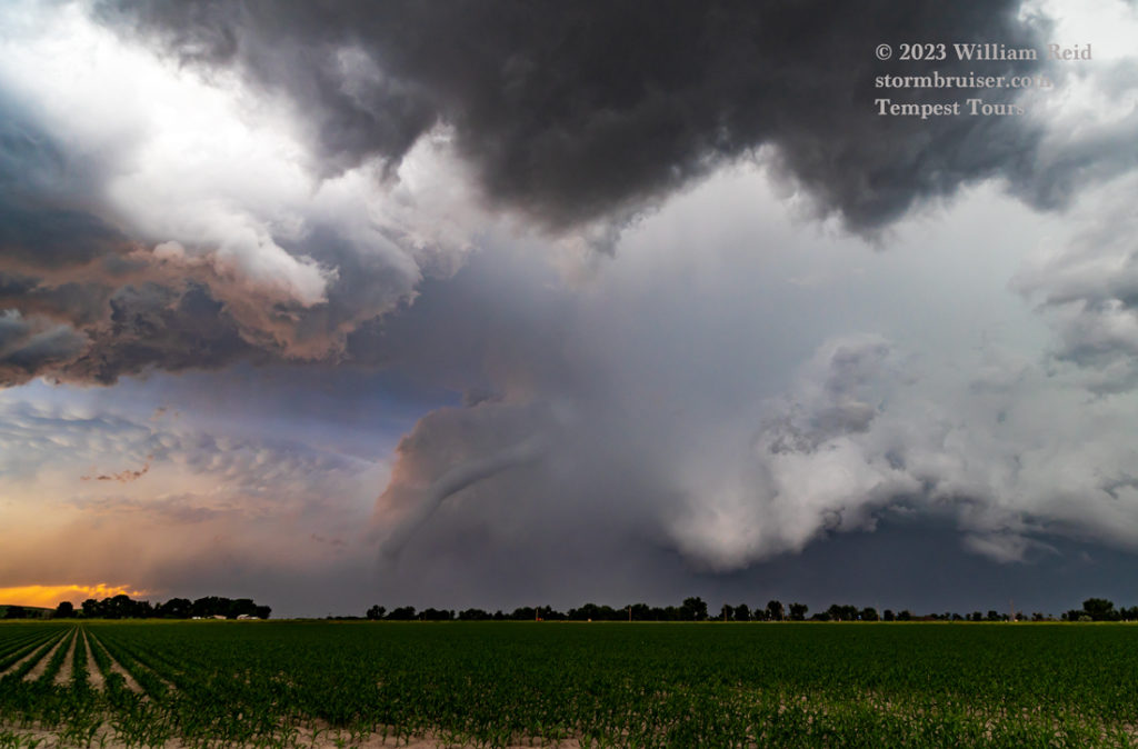

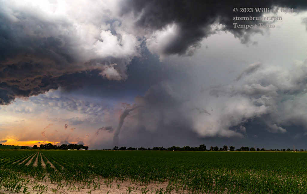
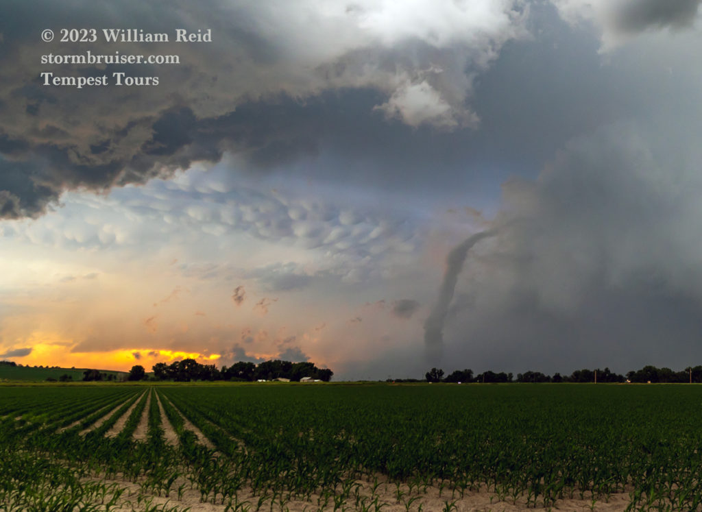
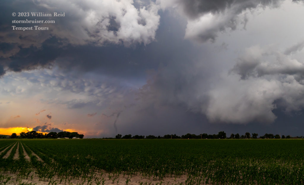
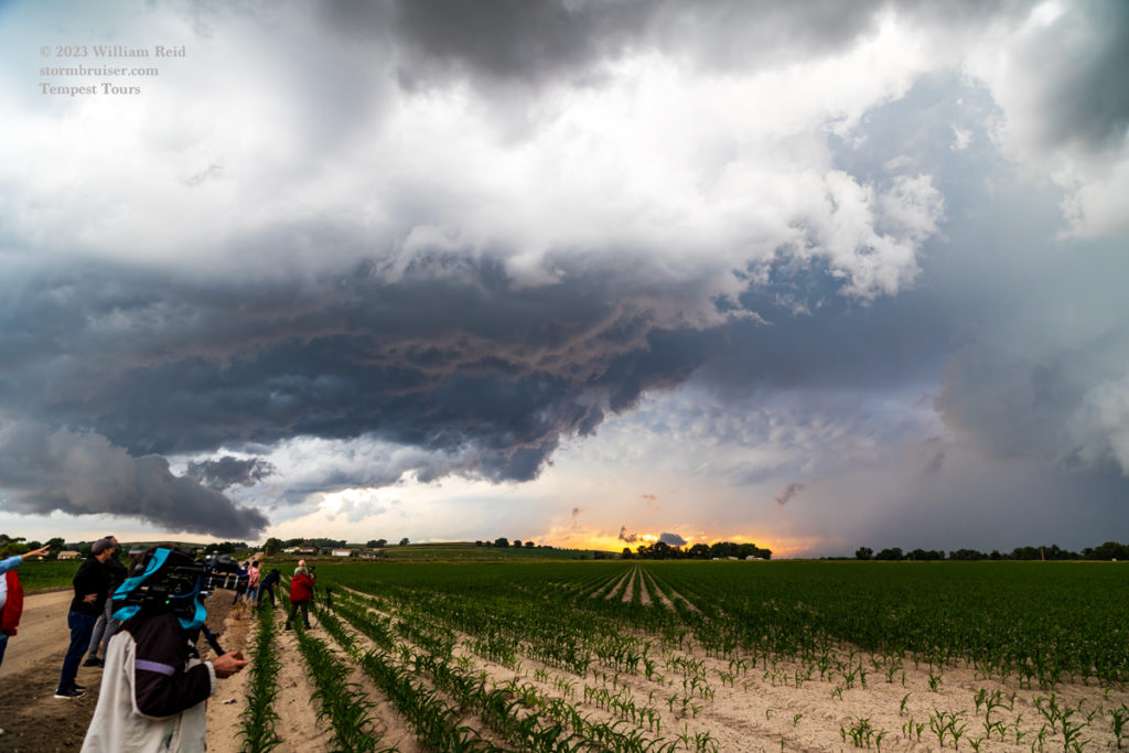
This was about the 4th “for sure” tornado of the chase for us. It lasted for a couple of minutes and dissipated. We stayed with the storm to Bayard and watched it drift off to the ENE (see pics below).

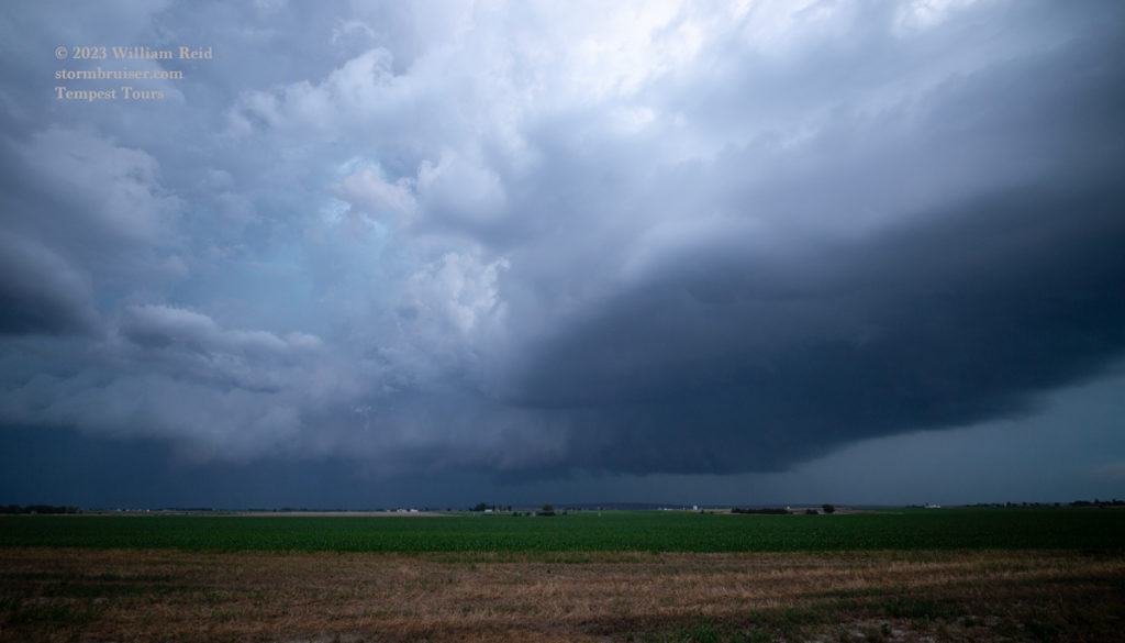
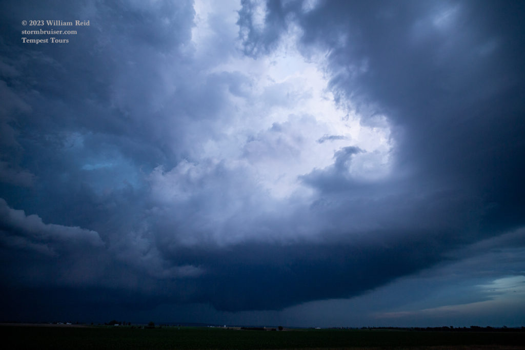
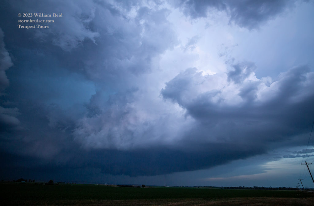
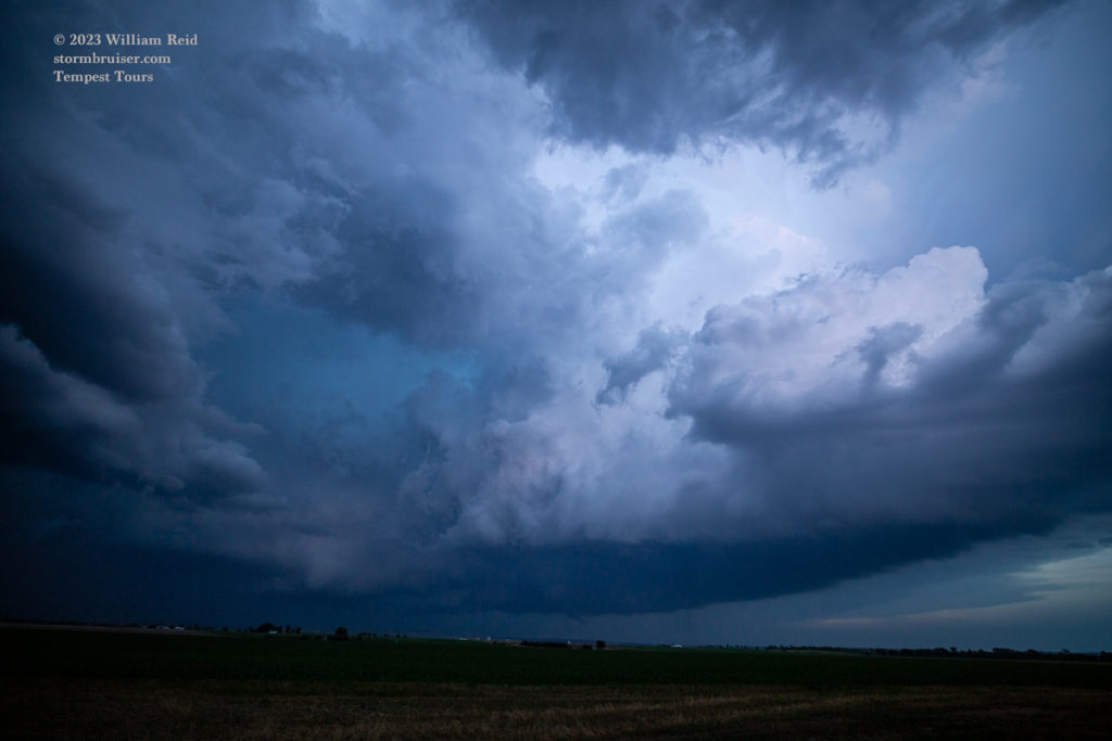

We saw no tornado with the storm near Bayard. On the way to Sidney for the night, we stopped one more time near 92 and 385. And, a guest or two spotted an obvious tornado in the lightning flashes to our northeast!
iPhone images and radar grabs below







Leave a Reply
You must be logged in to post a comment.