Start: Hugoton, KS
Lunch: Goodland fast food
End: Brush, CO/616 miles
The last few mesoscale discussions above are for the long-lived supercells as they tracked eastward through southern Nebraska and northern Kansas to Missouri after midnight.
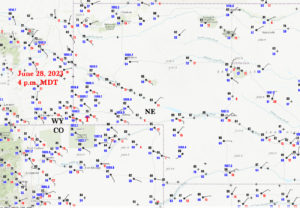
4 p.m. MDT surface map above
Above, video of the beginning of the Kimball tornado by Tempest guide John Lamicq (two minutes in length)
This was another rather easy chase forecast for me. We just had to get ourselves up N and NW a ways from SW KS (at Hugoton) to SW WY. Flow at 500mb was perfect, around 50 knots from the WSW. Low-level flow was upslope and moist. And it was June. Open up the chase forecast textbook to this section and you will see the wording “Get thee to the Cheyenne Ridge.”
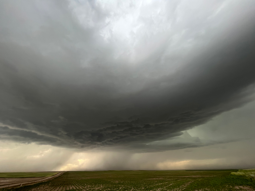
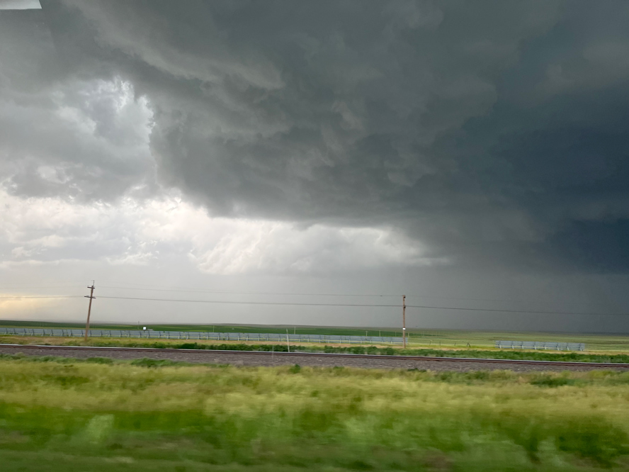
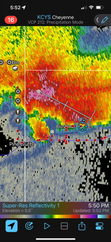
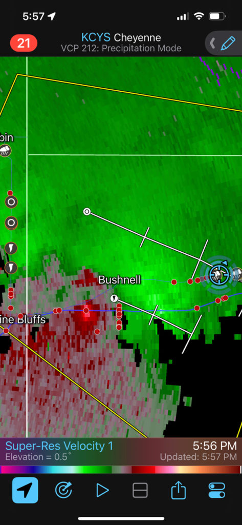
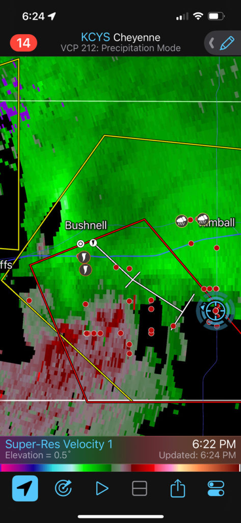
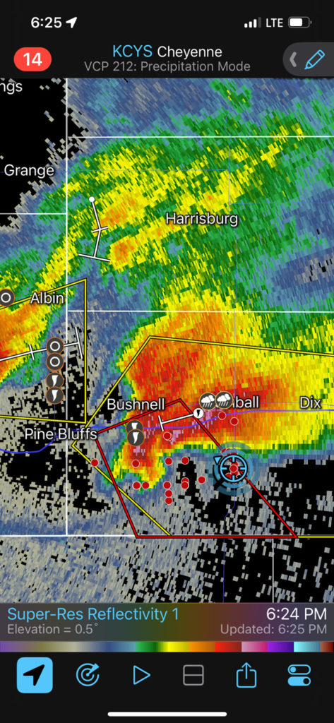
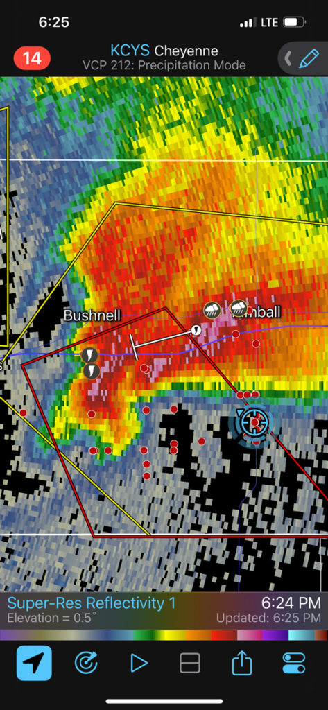
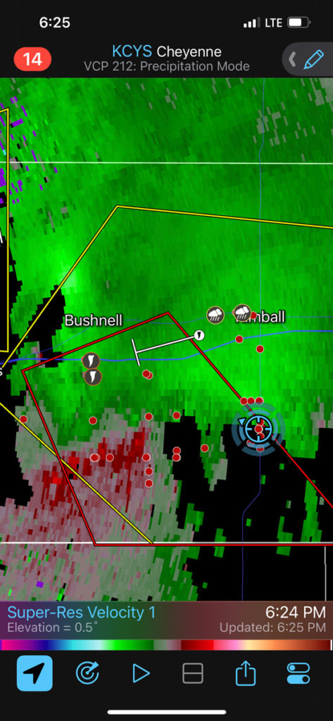
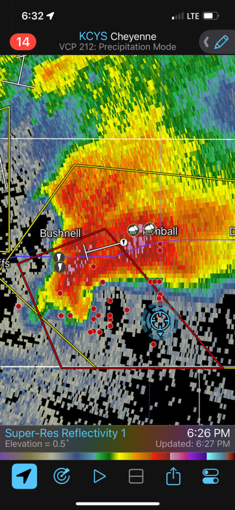
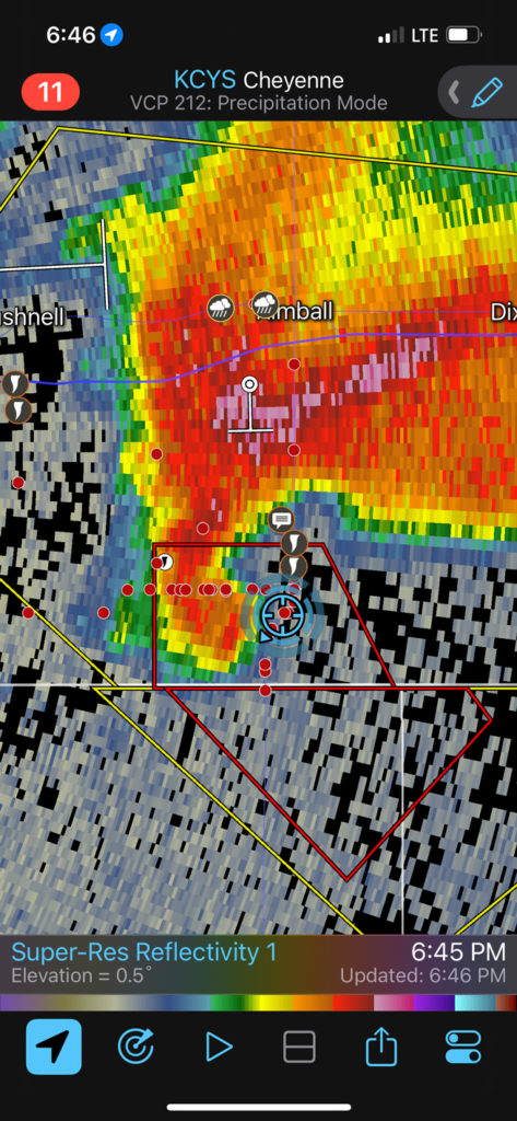
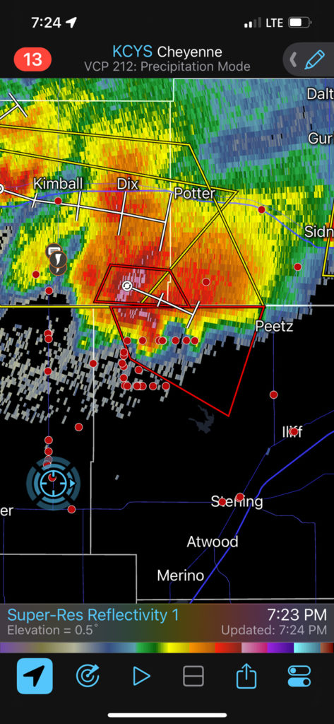
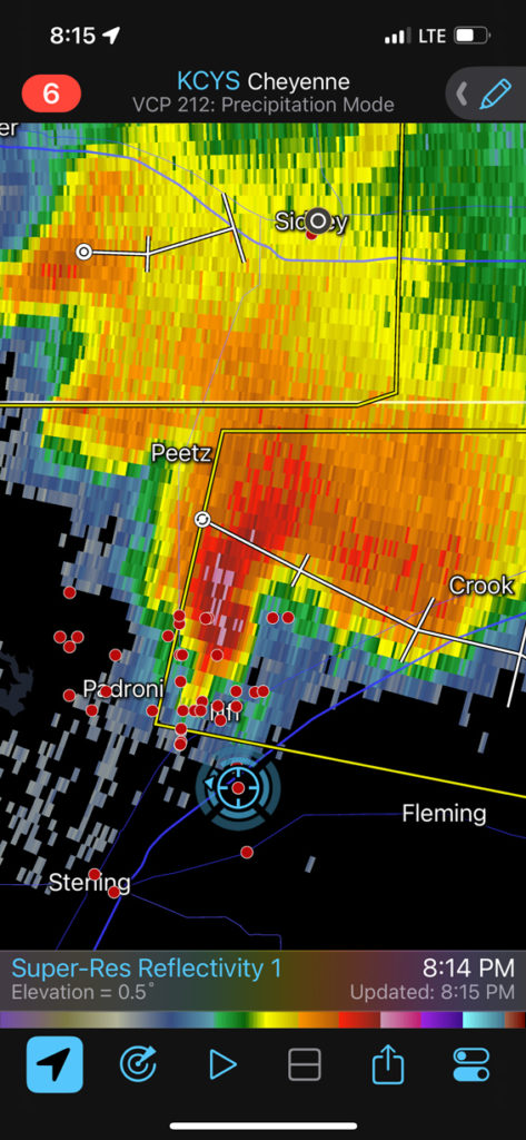
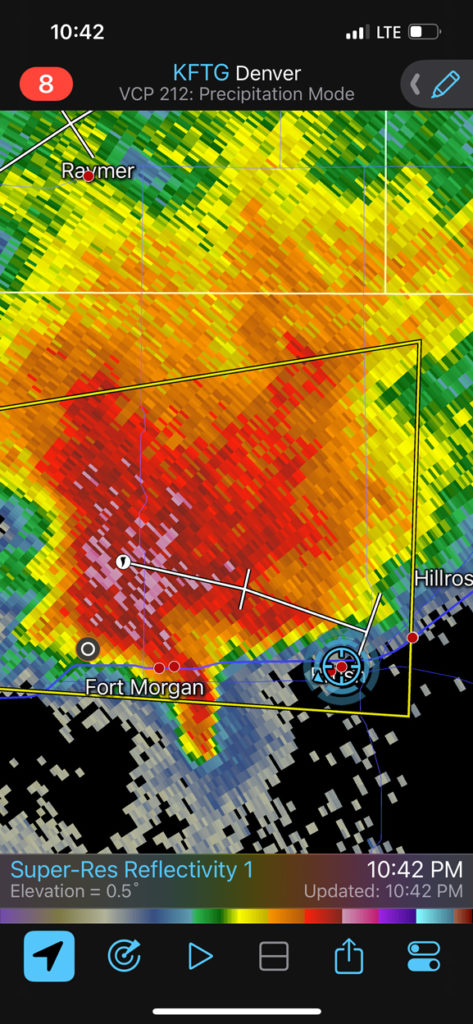
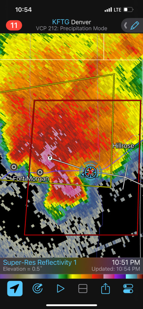
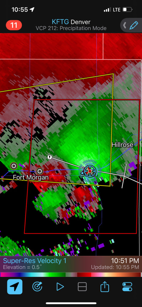
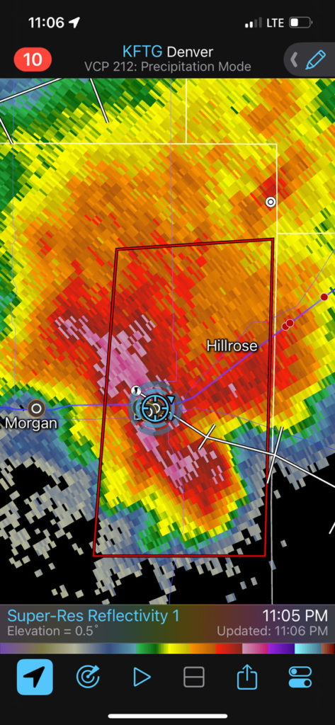
Similar to June 26th, a supercell developed in the vicinity of Chugwater and moved to the ESE. We were a tad late compared to the local CO and WY and NE chasers, but it didn’t matter too much as the storm took its sweet time to get into a tornado-making mood. The images from the iPhone below show our progress and position (blue circle) and the development and movement of the supercell.
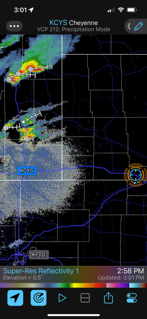
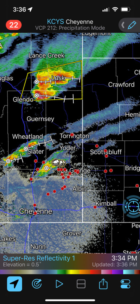
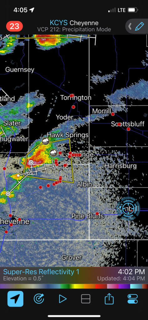
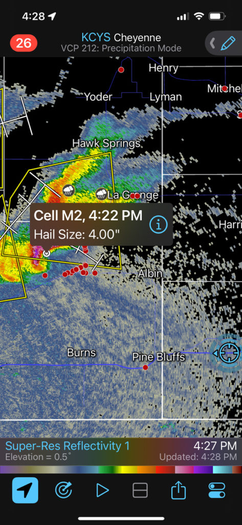
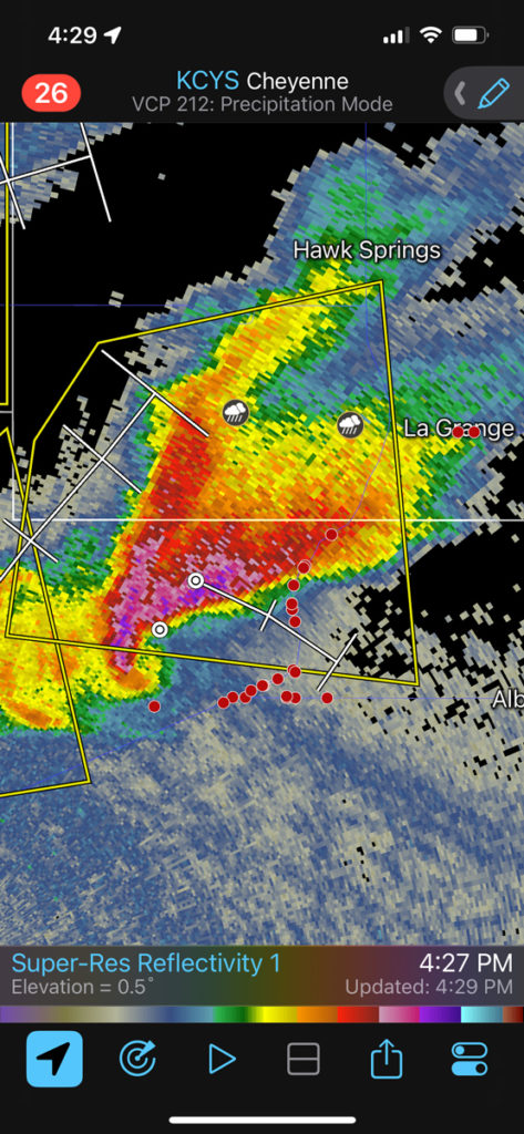
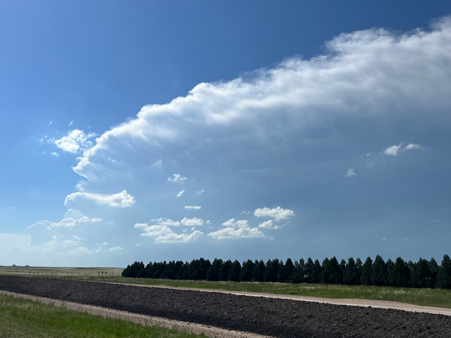
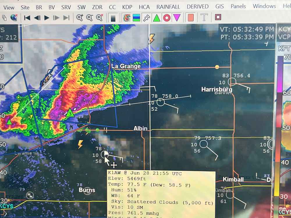
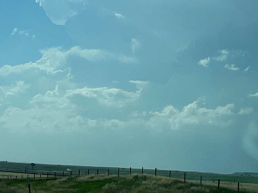
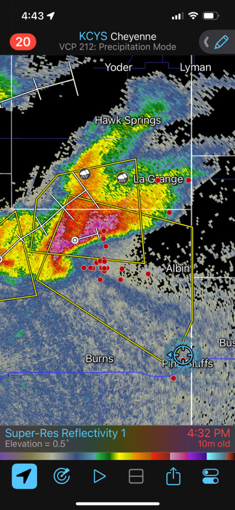
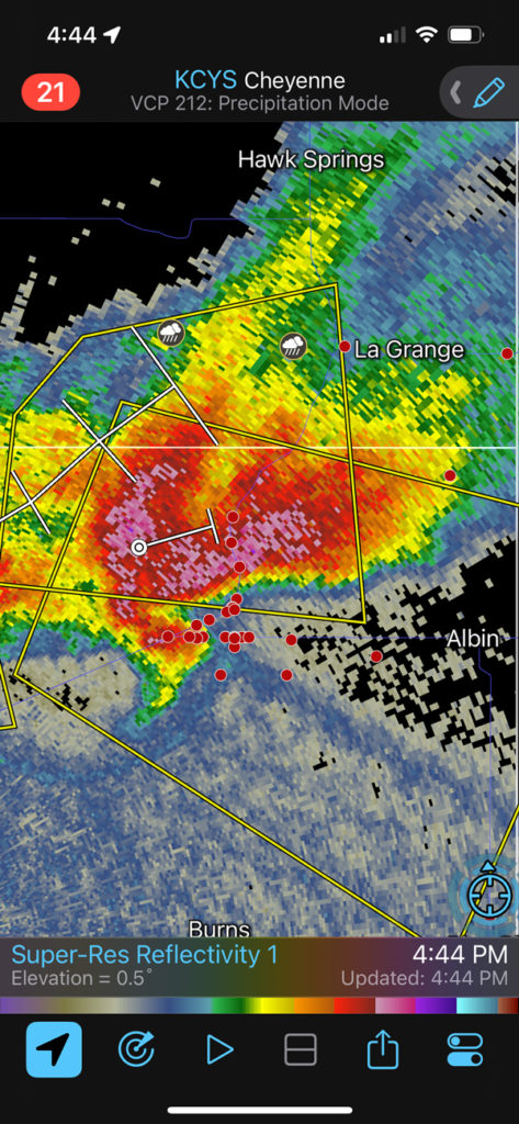
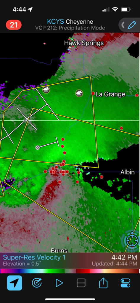
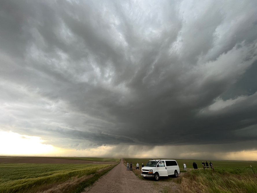
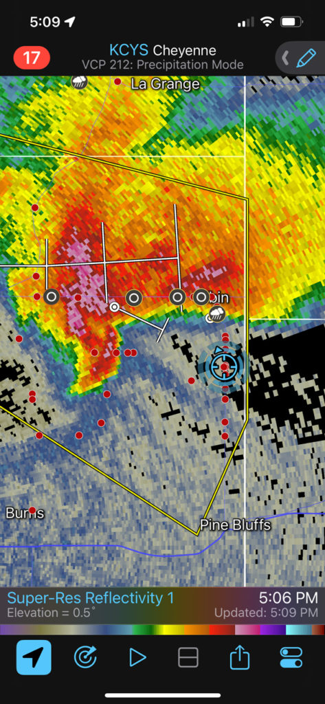
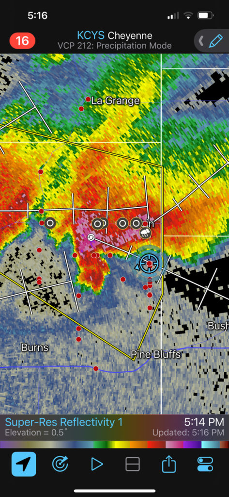
We stopped about 2/3 of the way from Pine Bluffs to Albin. The storm was not sporting any prominent lowerings at this time, but the radar presentation really looked nice. The notch and the action area were aimed right at us. Do you see that darker “spike” shooting to the ESE from the notch area of the supercell on radar? It is pointed at Bushnell. This looks like an old boundary of some sort, and the storm is likely anchored to it. The storm will move to the ESE, right along that boundary. The boundary will help to promote tornado development. Eventually we had to get out of the way and bail out to the south.
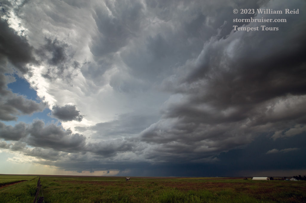
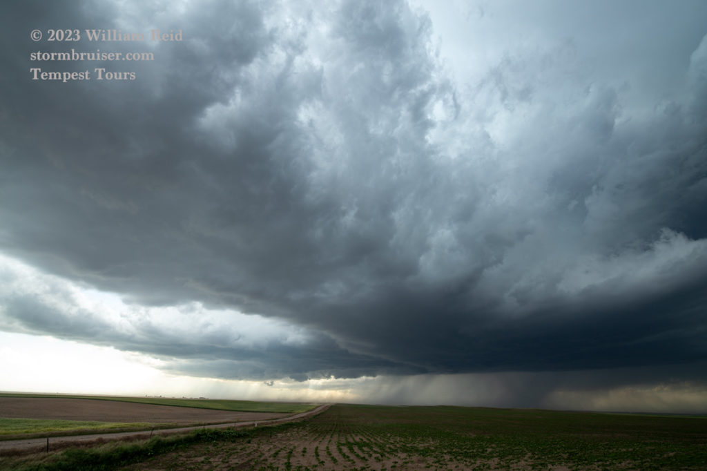
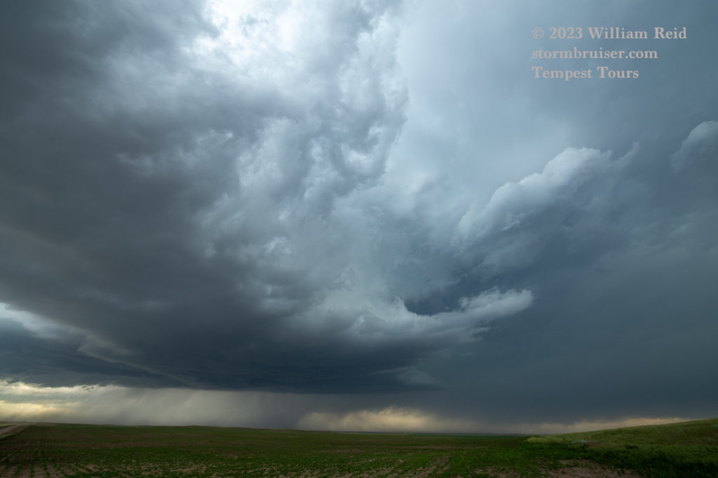
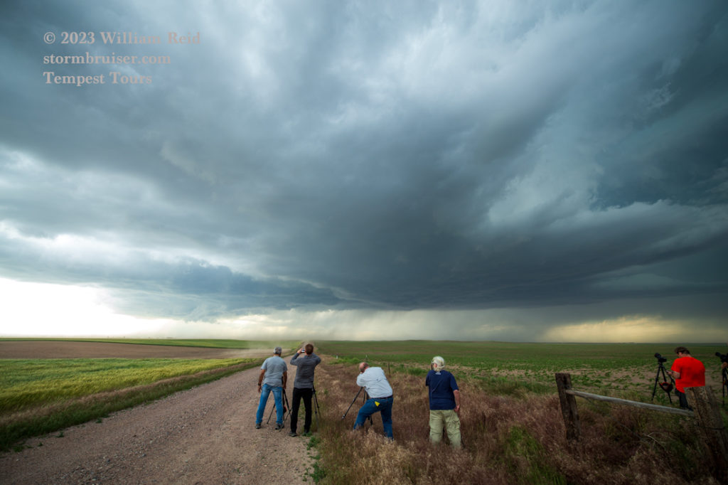
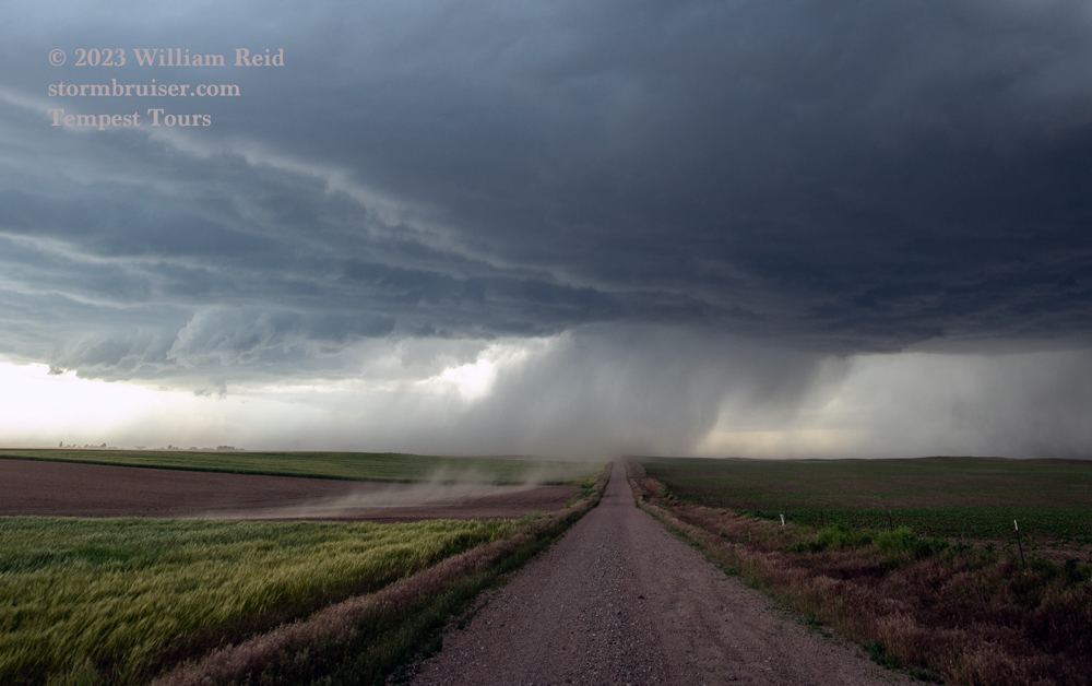
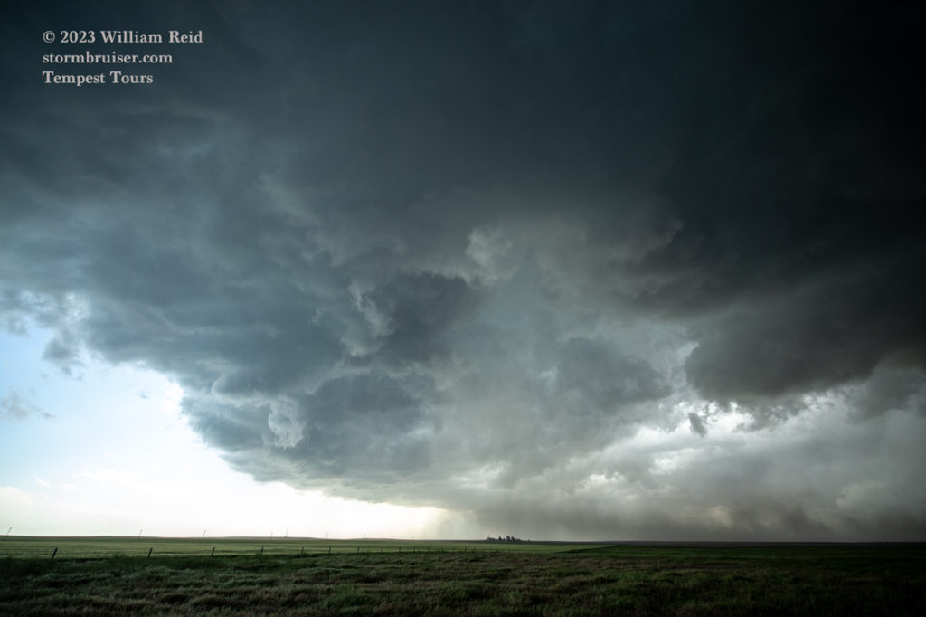
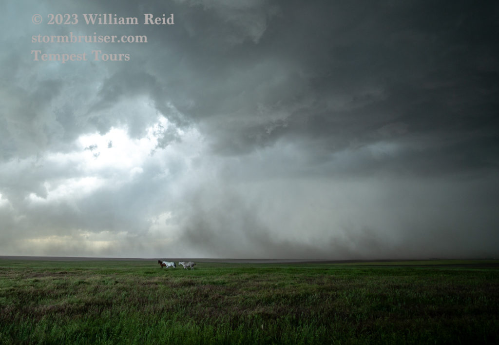
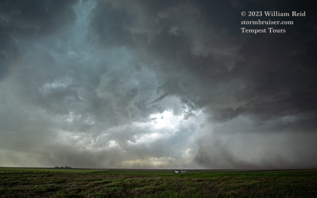
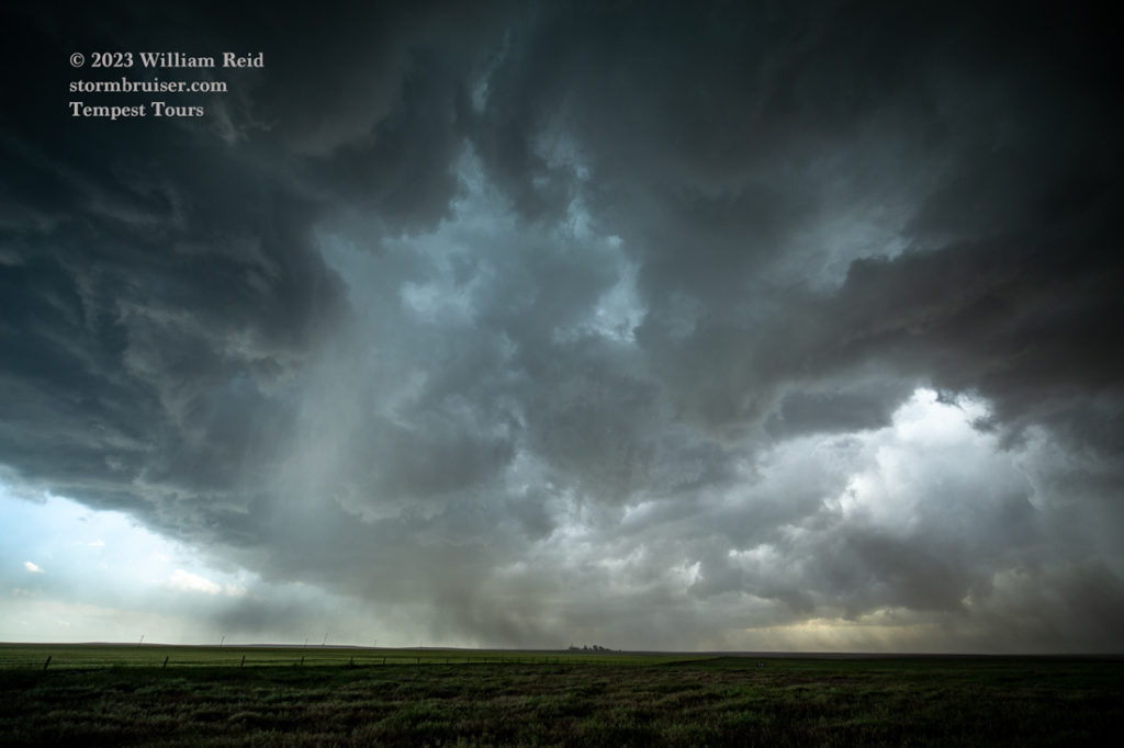
It looks like we had a decent funnel and perhaps a tornado with the storm along the way from Pine Bluffs to Bushnell (pic 8 in the group above). The storm was moving right along at a decent clip, and I had to head into Kimball and then south on 71 to stay ahead of it and to stay out of the hail.
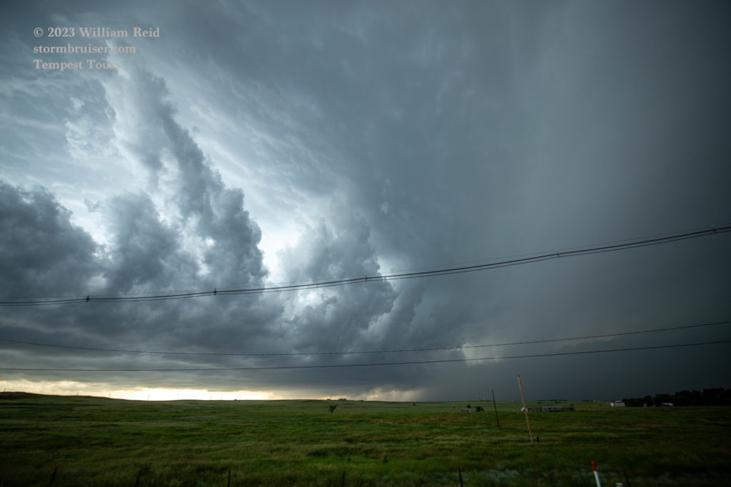
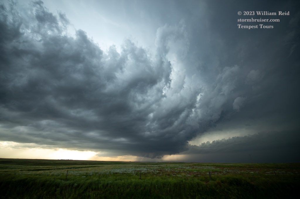
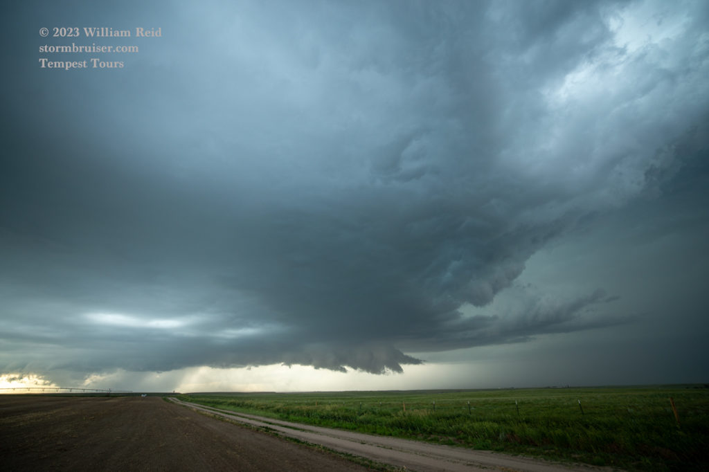
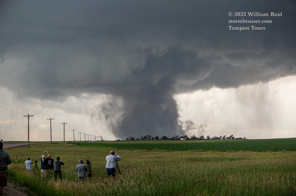
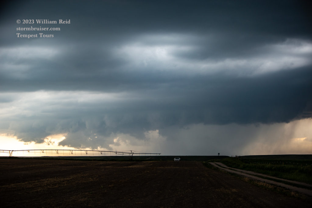
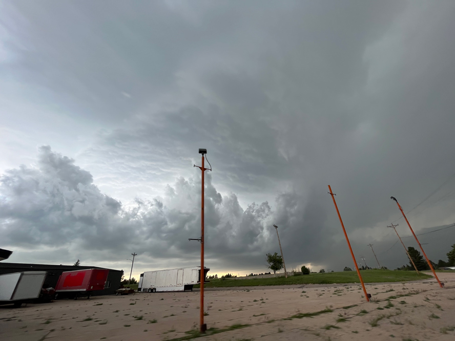
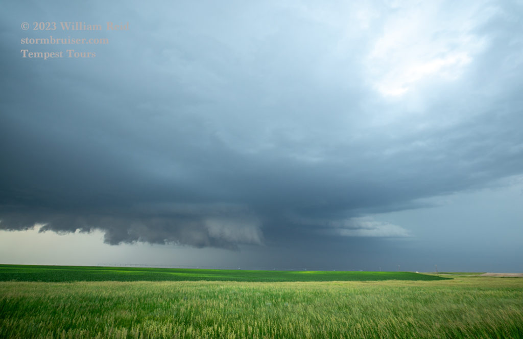
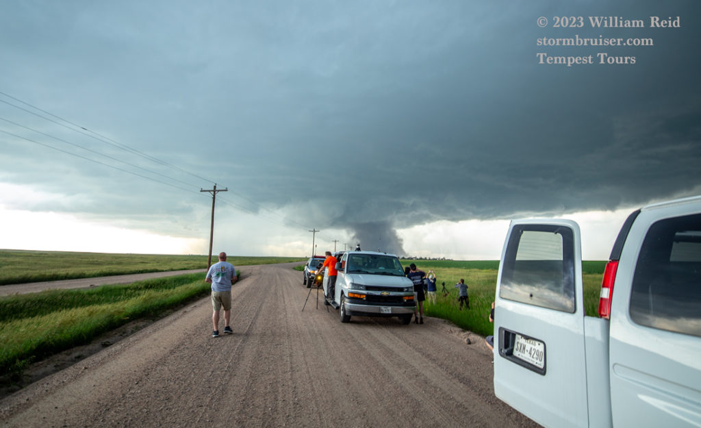
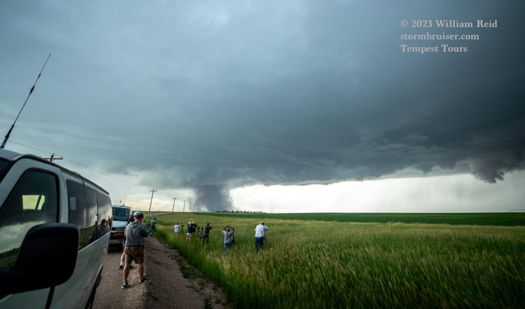
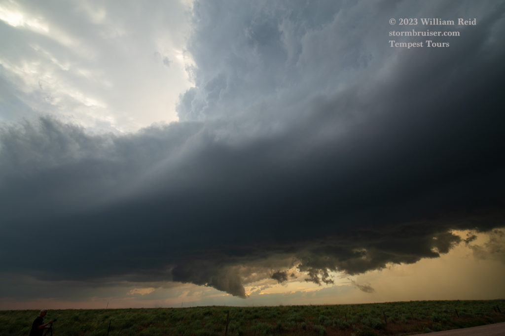
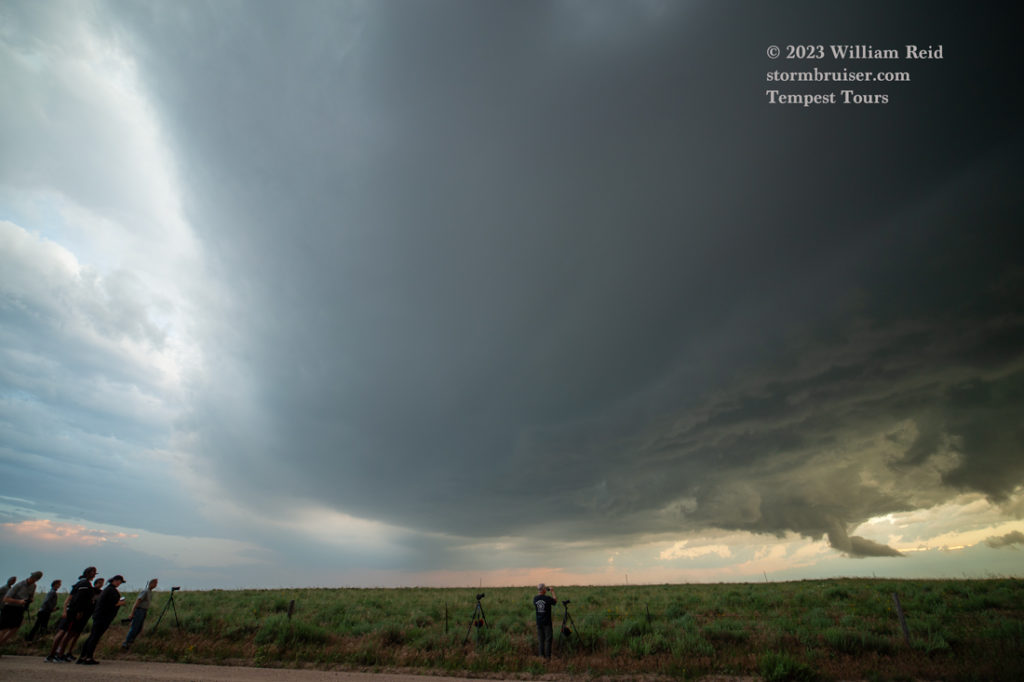
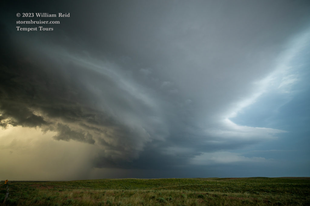
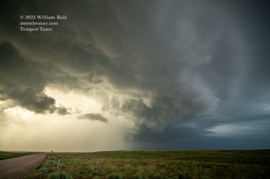
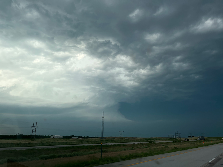
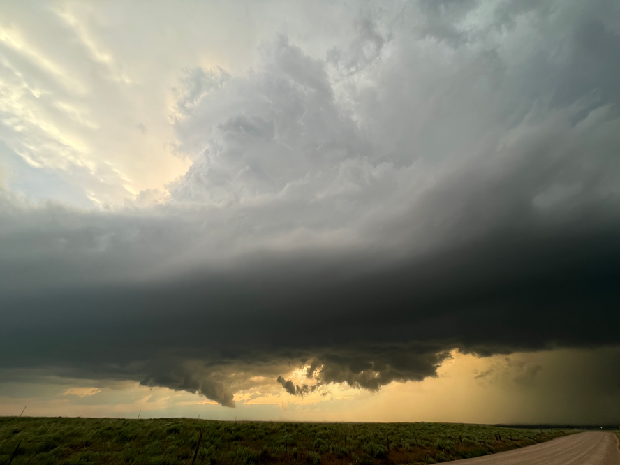
Some wide-angle images of the supercell, near Bushnell, are above. And, some shots with the long lens, prior to the Kimball tornado, are below. Some prominent lowerings took shape as the supercell moved a little south of I-80.
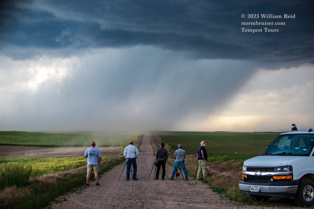
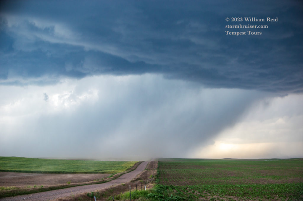
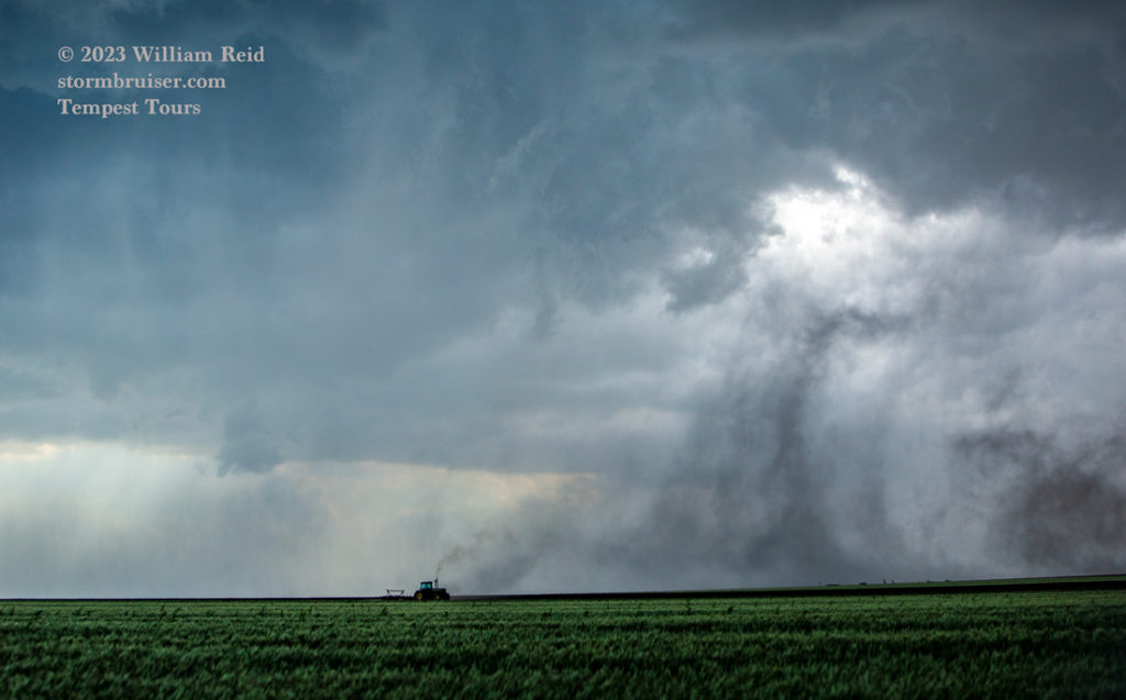
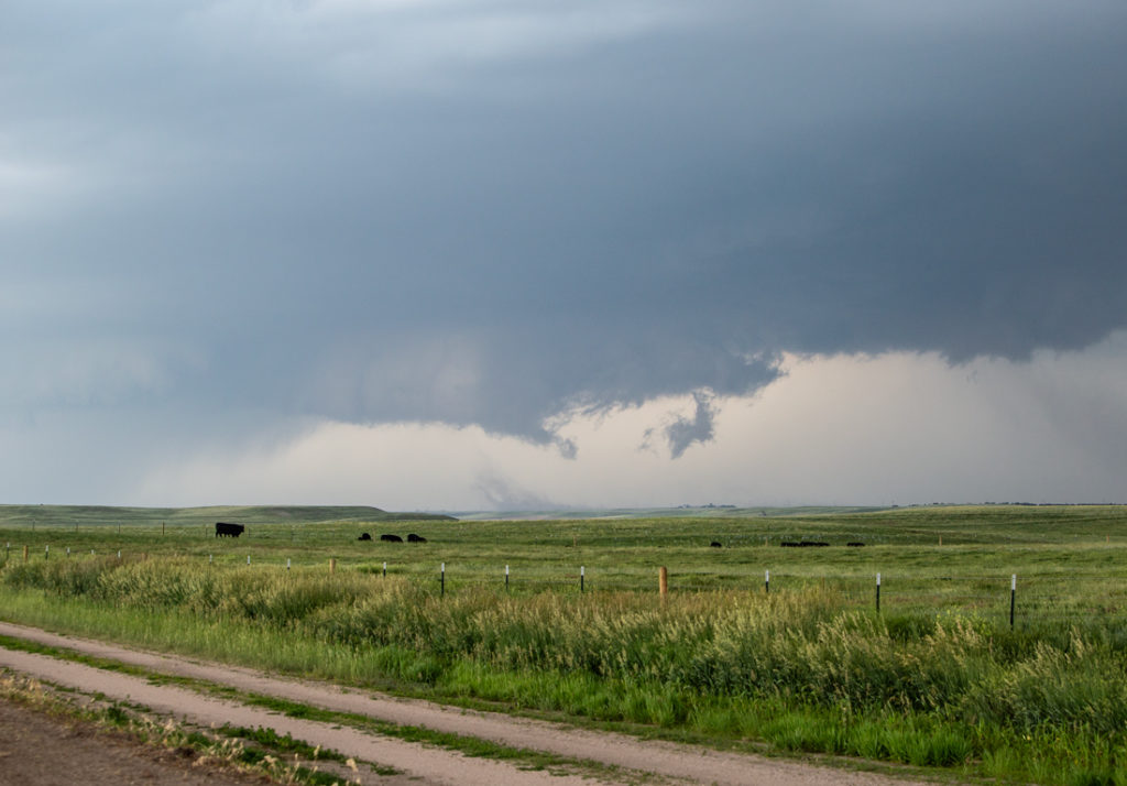
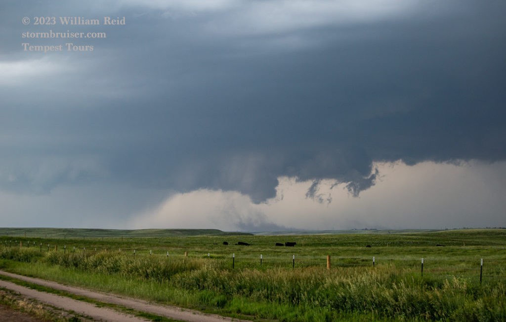
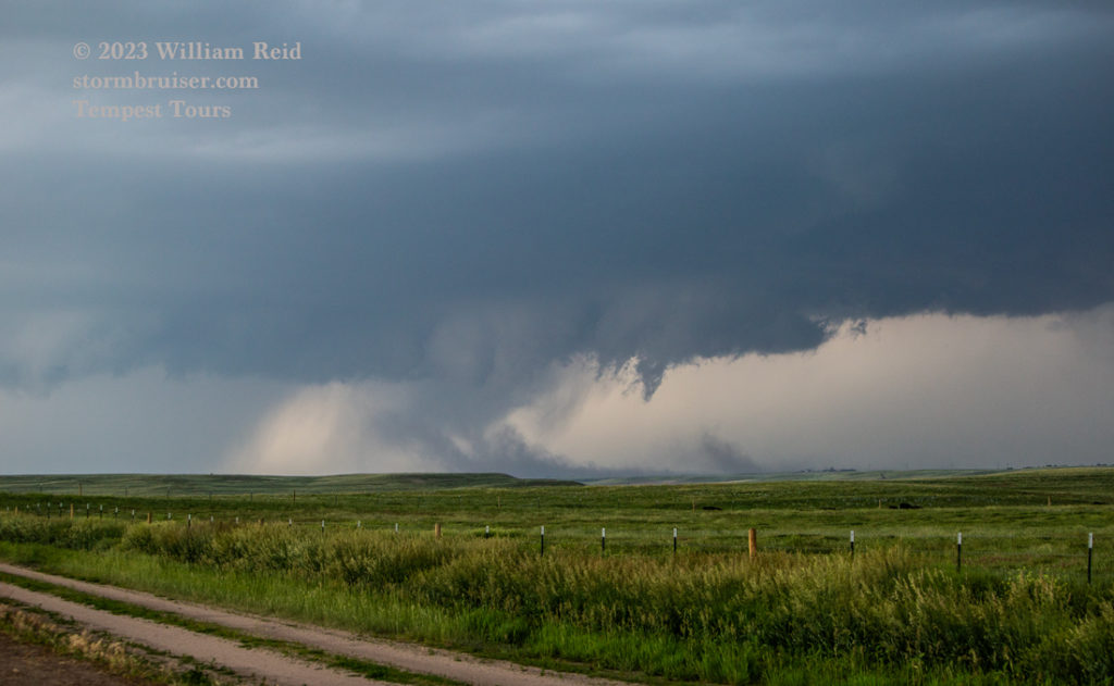
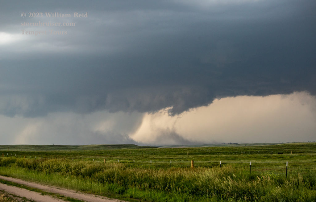
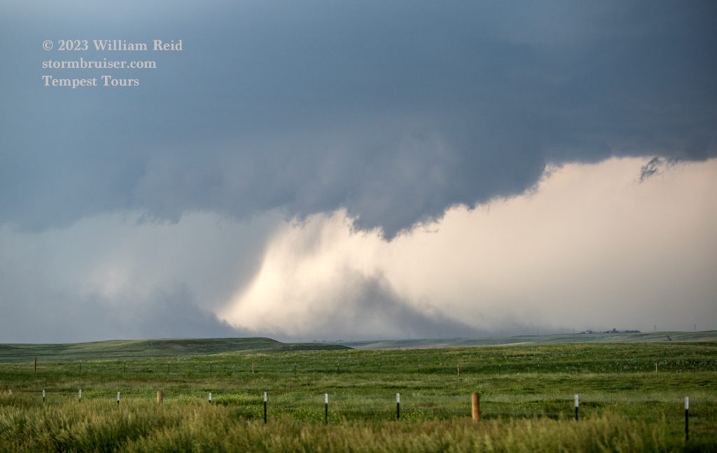
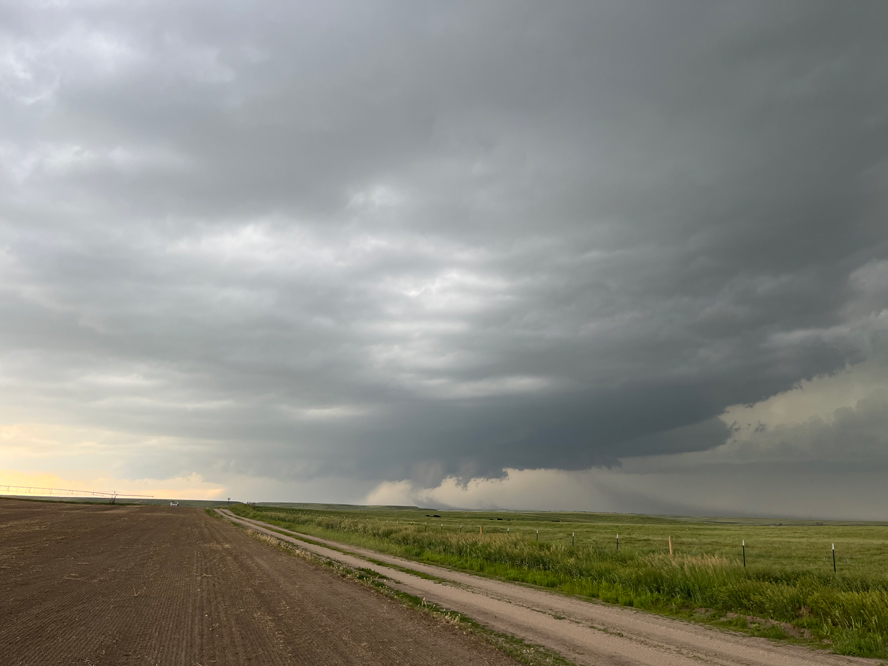
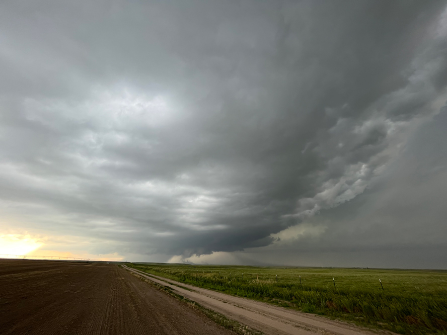
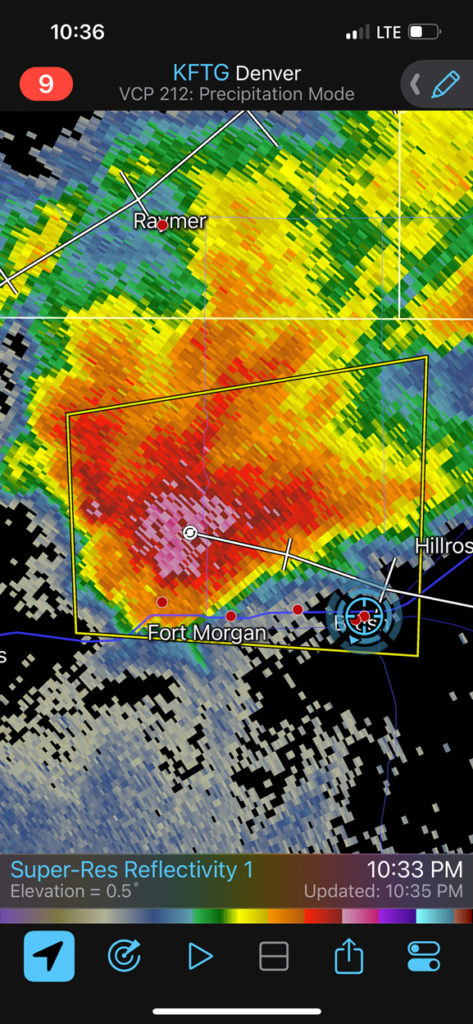
The block of images below are from the iPhone. It shows our position south of Kimball as the (soon-to-be-tornadic) supercell approaches from the WNW. We were about 70 percent of the way from Kimball to the NE/CO state line on 71, at Road 10 S, at (phone times) 6:32 and 6:45 p.m. The tornado occurred around 6:35 to 6:45 p.m. MDT.
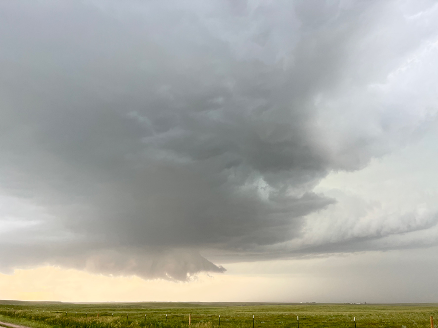
Below are my shots with the zoom lens of the Kimball tornado. It looks like it was about two-to-three miles to our due west. The tornado emerged from a relatively shallow lowering and immediately started to kick up a lot of dust and dirt. That was a little surprising, as the area soils were quite moist at the time. I wasn’t complaining, though!
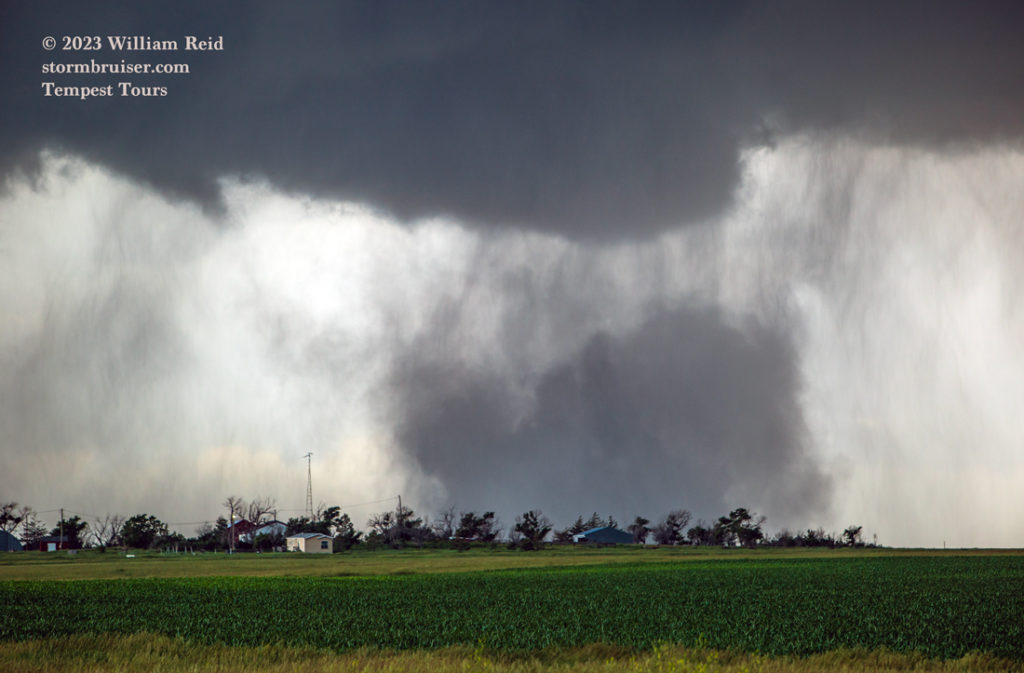
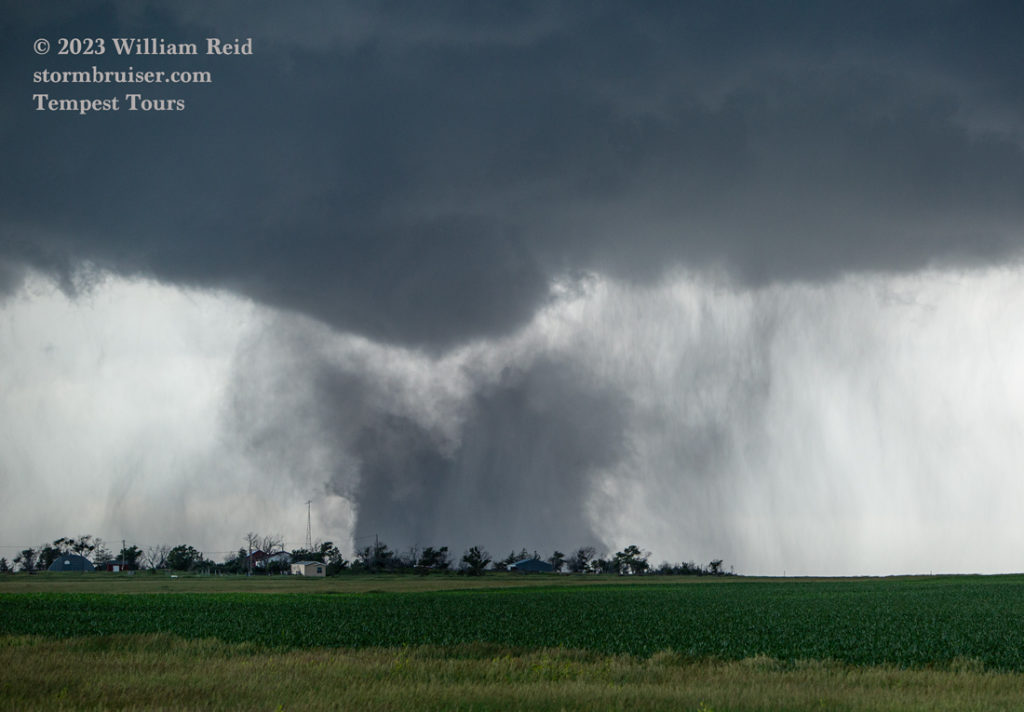
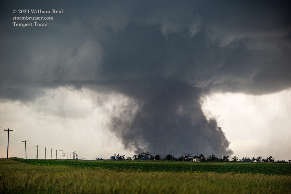
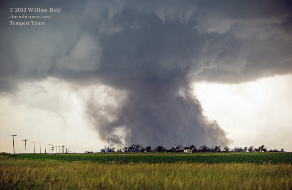

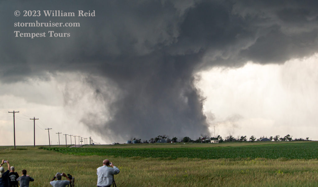
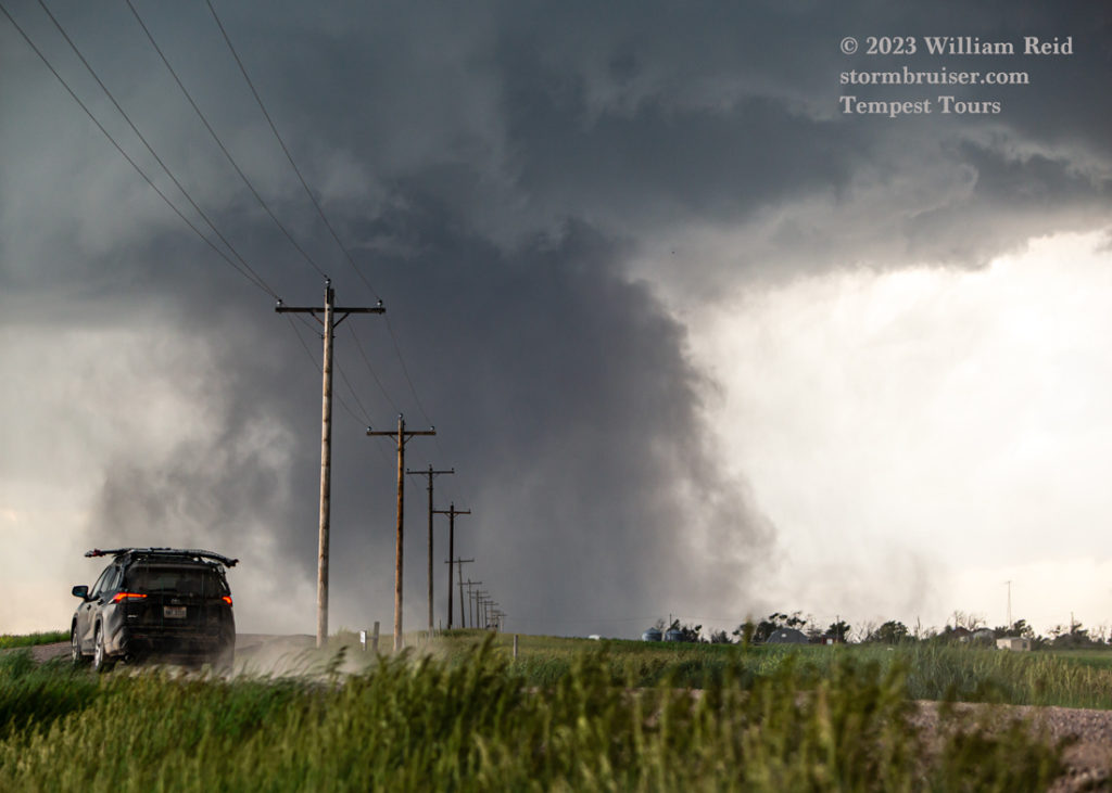
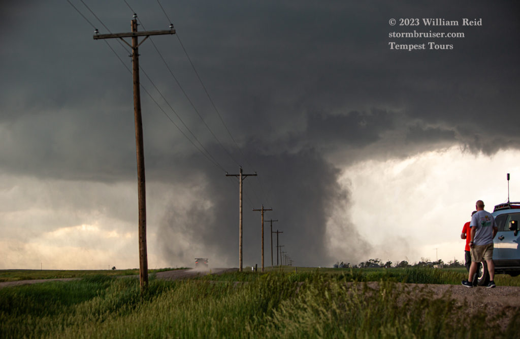
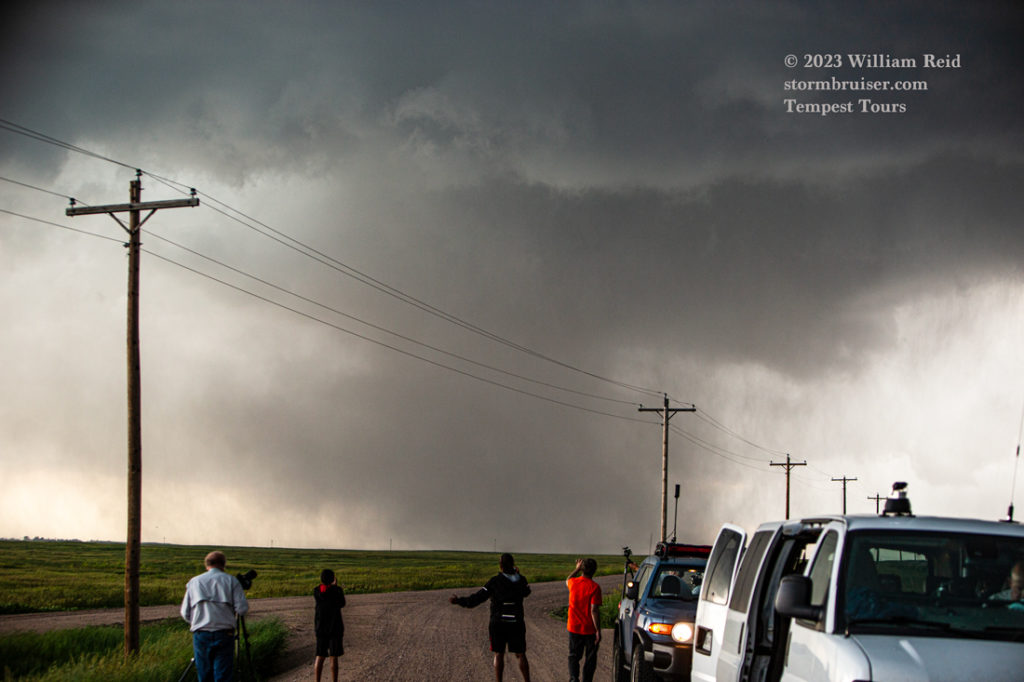
A lot of CGs (cloud-to-ground lightning bolts) commenced just as the tornado formed. And, these were hitting within a mile of our area — UGH. I took the chance and had the video camera on the tripod while shooting stills. The tornado was rather healthy for a few minutes as it moved right to left (towards the south) from our perspective down Road 10. This was about 12 miles south of Kimball.
The twister weakened quite a bit as is moved south of Road 10. When the tornado ended, we got back into the vans, headed south, and crossed our fingers that there was nothing still spinning in the hook-echo area along the jog to the southwest on 71.
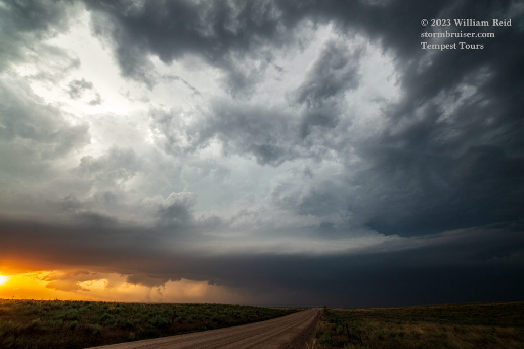
I didn’t want to play around on the unpaved roads, so we went all of the way to 14 at Stoneham and then east. Below are some additional stills with the Canon and wide-angle from south of Kimball to the Sterling and Iliff area at sunset.
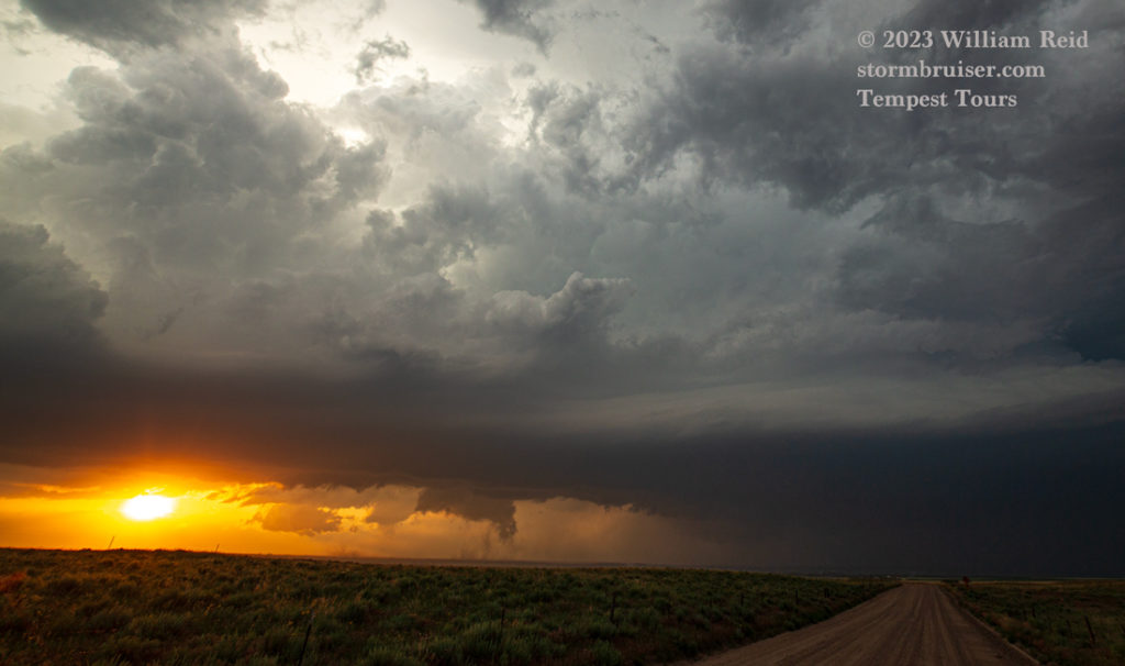
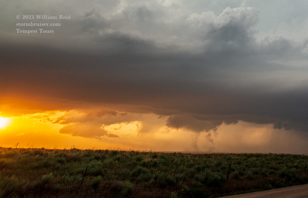
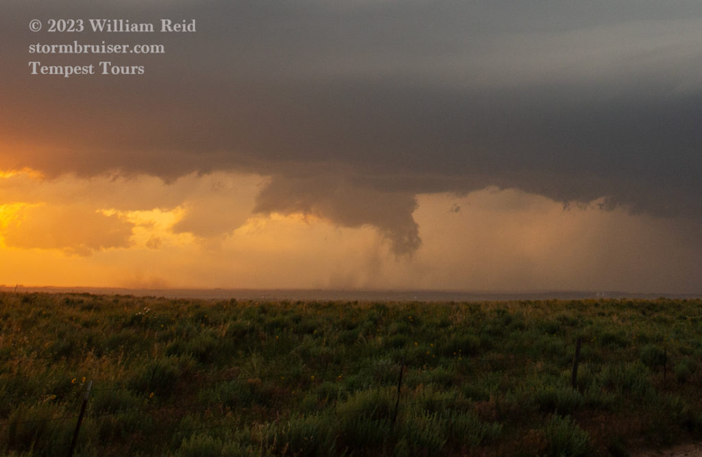
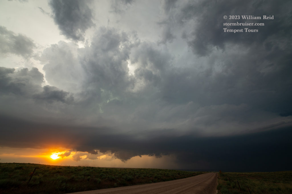
And below are some additional iPhone shots, the first one of the same supercell looking to the northeast near Sterling. Near sunset the storm was still strong, but looked about done with regard to making tornadoes. We headed SW to Brush for the night, where a couple of tornado-warned cells kept us up late and broke Matt’s motel window!

Leave a Reply
You must be logged in to post a comment.