

Start: Brush, CO
Lunch: Home Plate/Fort Morgan
End: Brush, CO/210 miles
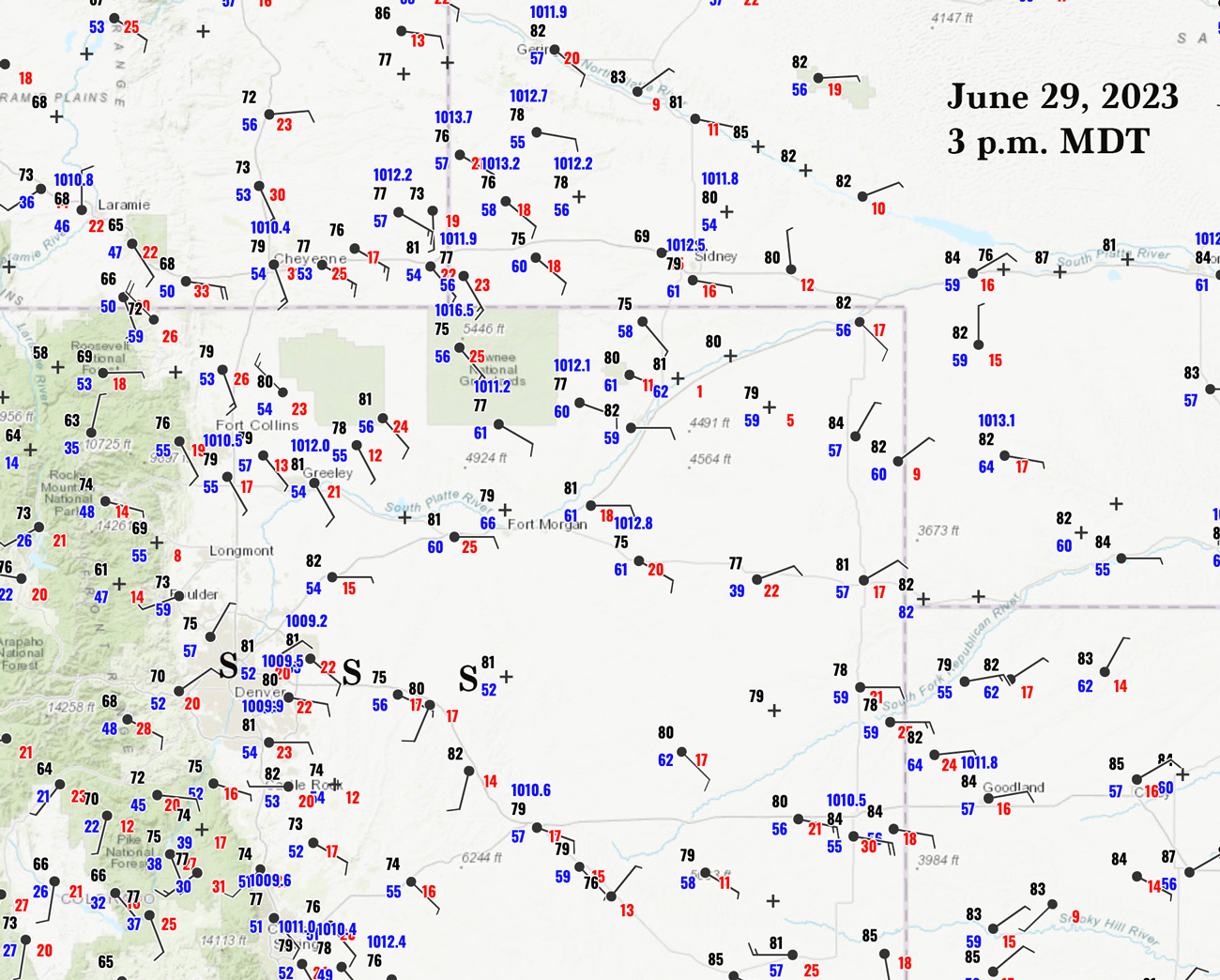
3 p.m. MDT Surface Map above
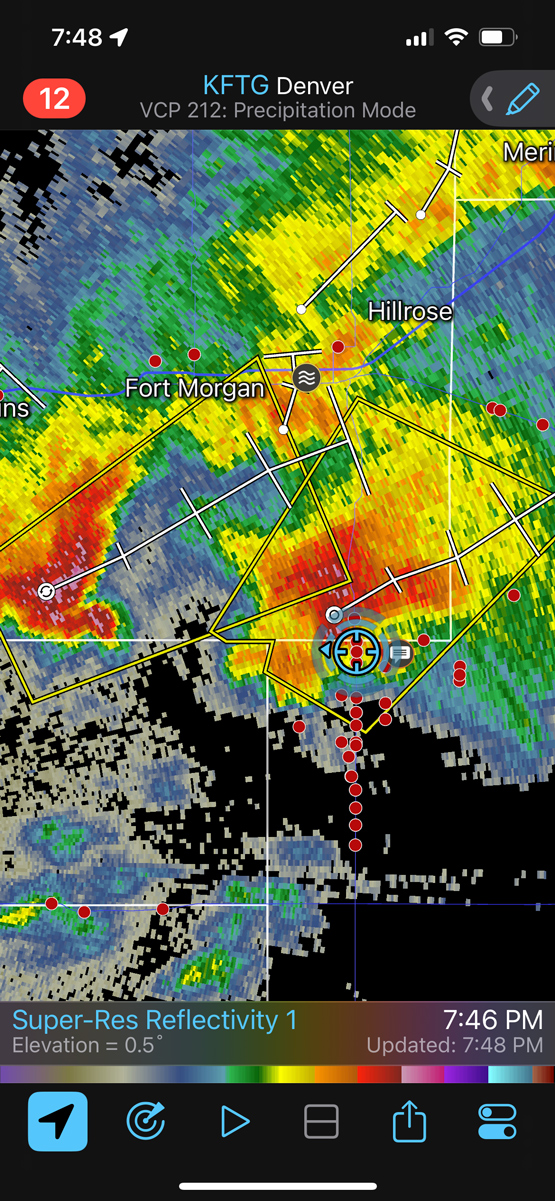
SPC showed an enhanced slight and 5% tornado from Denver and the Palmer Divide up to Chugwater and the Cheyenne Ridge for today. After lunch in Fort Morgan it was fairly clear that our play today should be the southern one. The CAMs showed a supercell emerging from the Denver area, and they wound up spot-on. SE Wyoming had its severe hailstorms, too, but it was not a tornado day unless you were in Illinois around noon.
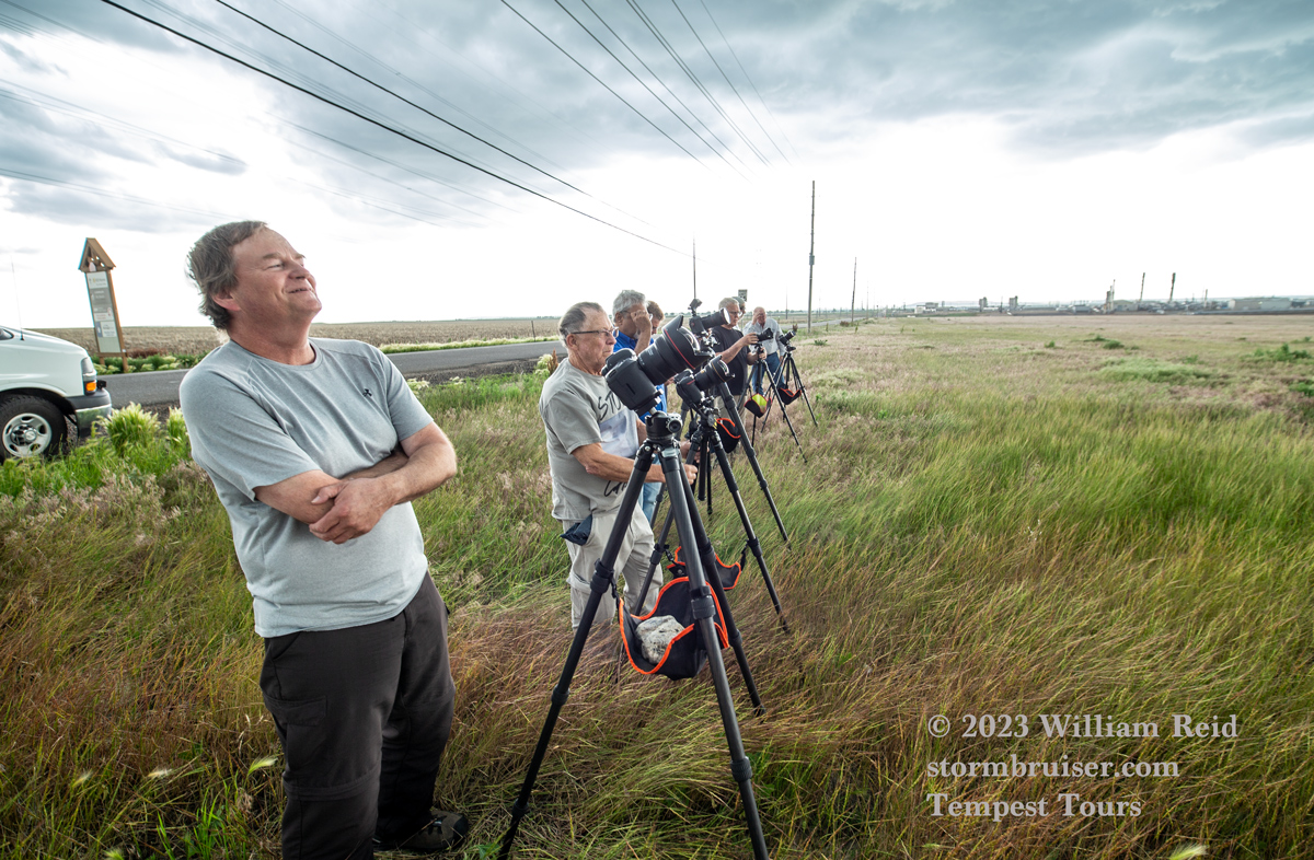
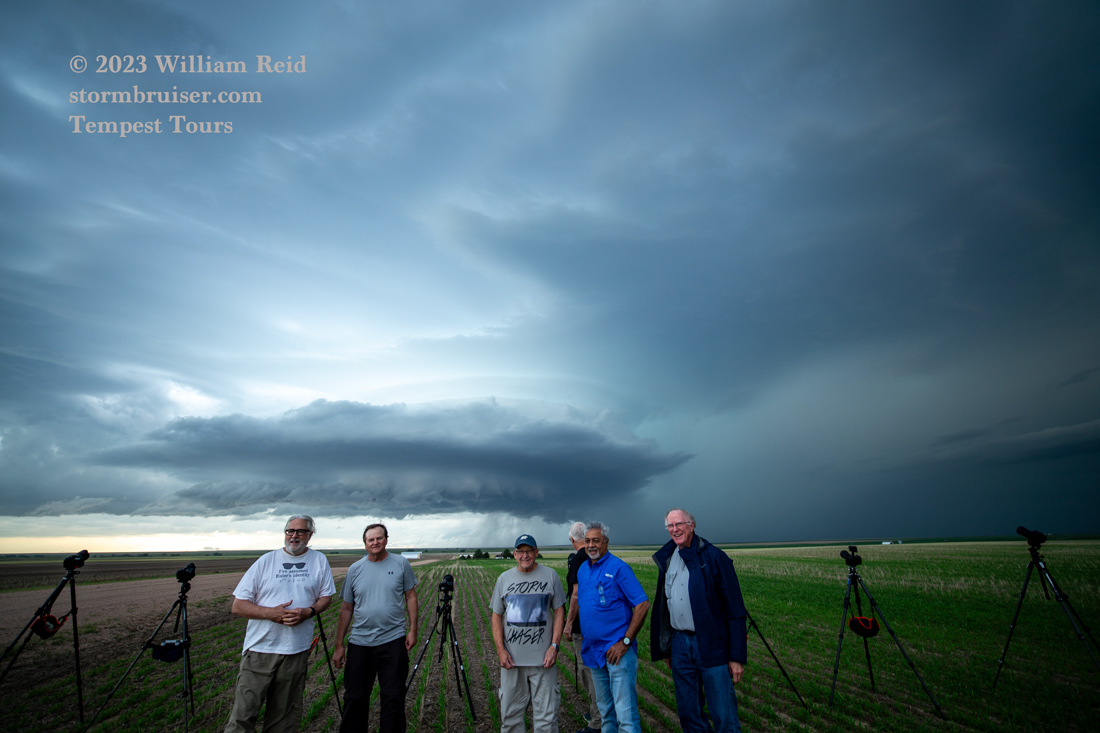
We made it to the Aurora area near I-70 and found a semi-open area to watch the nicely-organized cell approach.
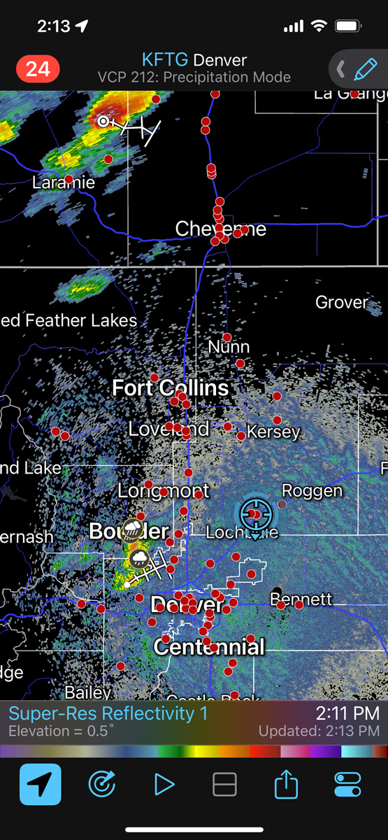
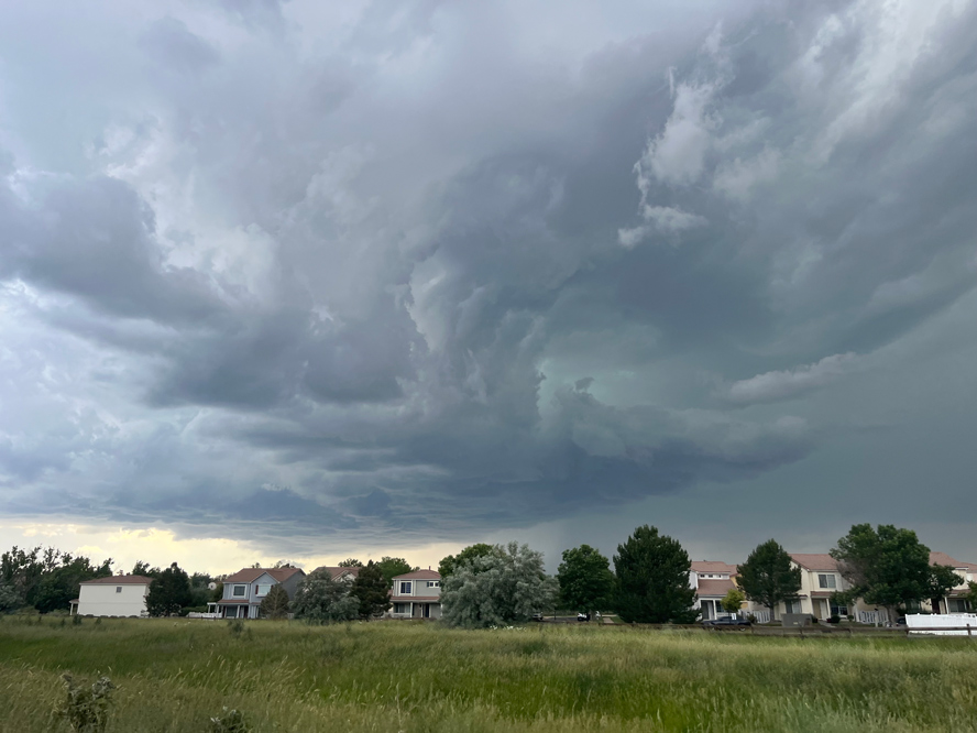
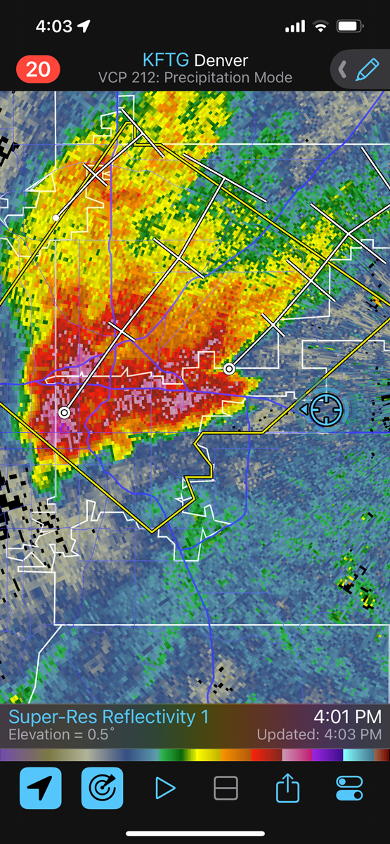
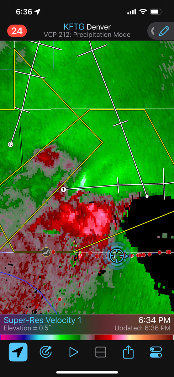
This supercell was rather high-based, but it showed promise. It pushed us east along I-70 to Watkins and Bennett.
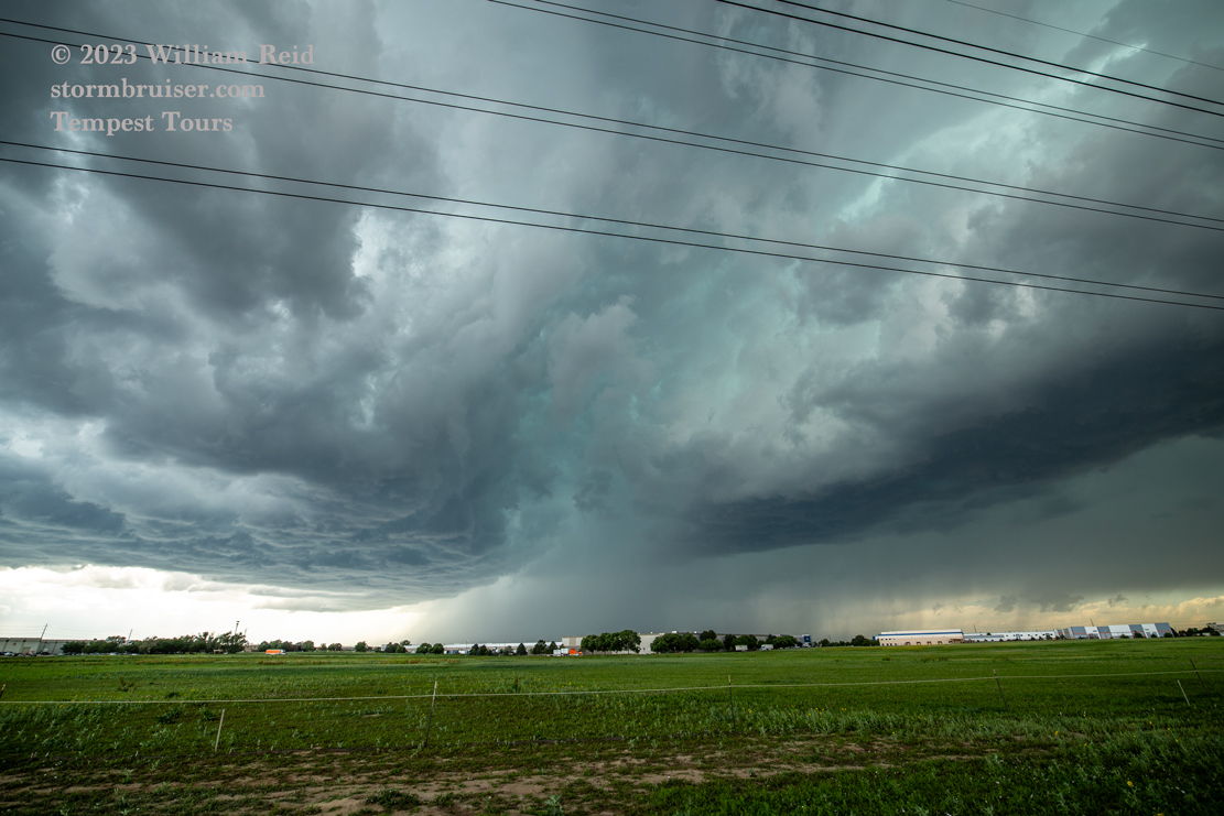
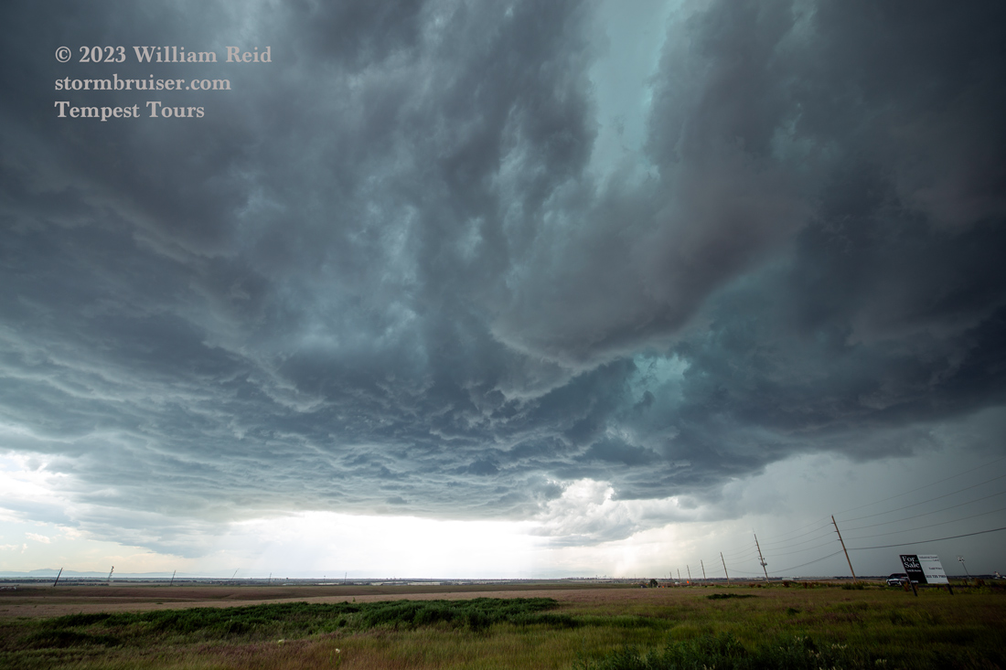
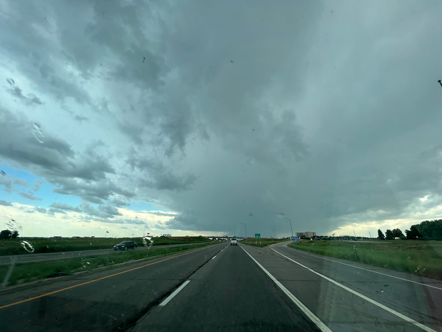
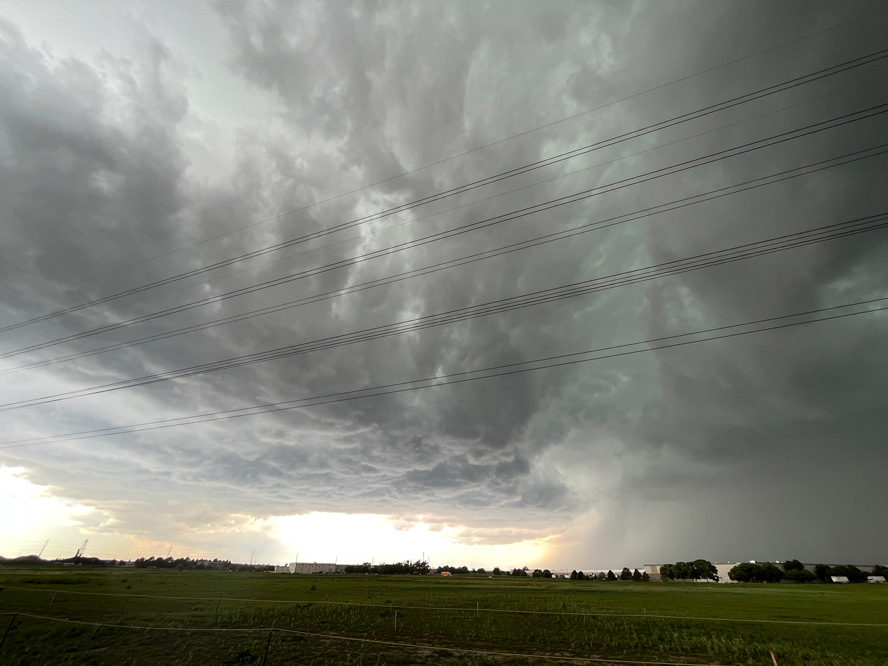
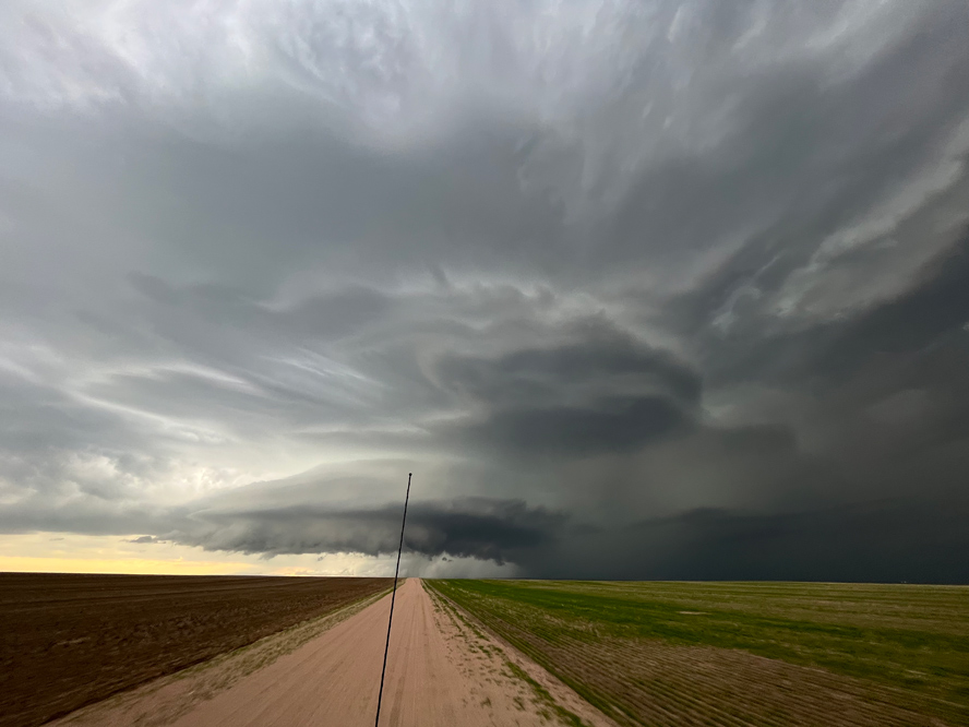
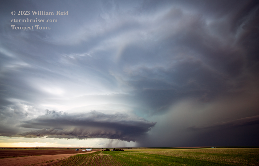
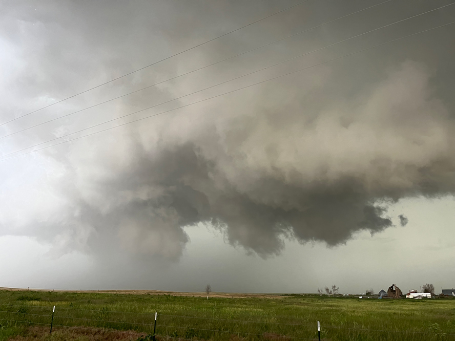
In the Bennett/Strasburg area, the storm base was a little south of I-70, and it suddenly decided it was time to show off some. Cool outflow started to undercut the base, and a monster wall cloud quickly formed. That was neat!


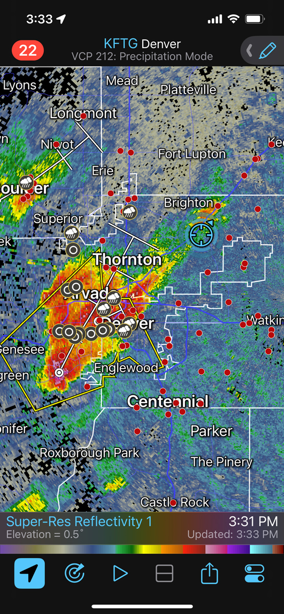
That area was looking gnarly and ominous for 5 or 10 minutes, but it dissipated and then the main show jumped back to the north of I-70 a tad. We stayed with the cell down 36 from Byers to Last Chance, and got in front of it a little bit north of Last Chance, just west of 71.

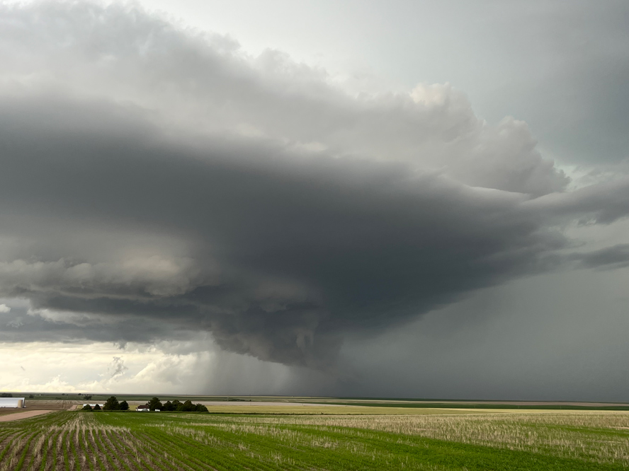
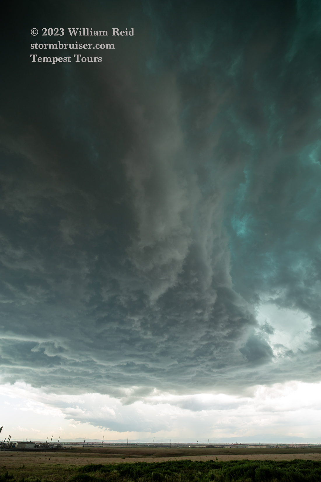
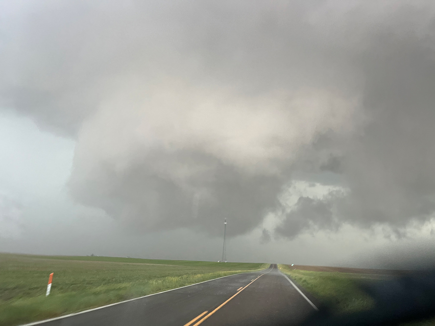
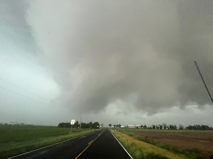
The supercell structure was great, but it didn’t have much going on down low. And, as it approached 71, the storm wimped out a bit, but now a wall cloud was almost scraping the ground again.
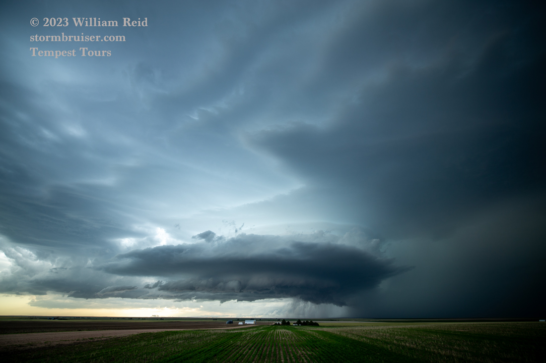
The lowering didn’t show a whole lot of rotation, but the look of it was not bad at all. It continued to the east side of 71, and the unpaved road network and recent rains meant that we were not able to stay with it.
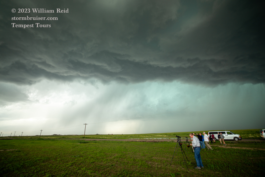
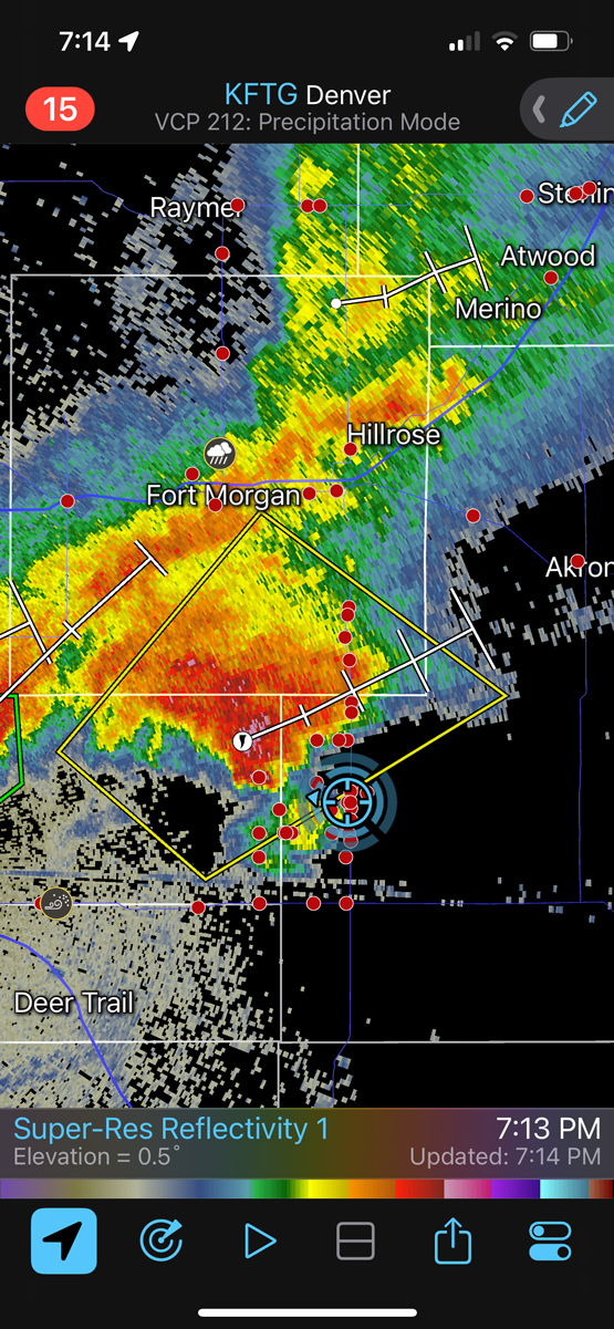
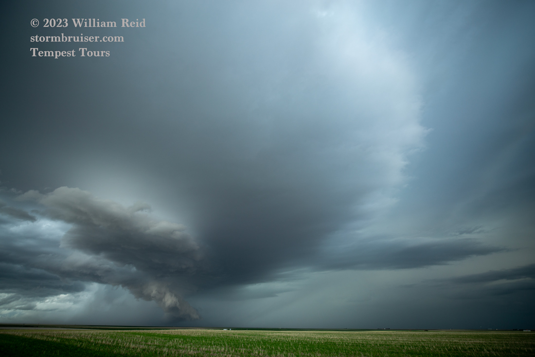
Another trailing supercell came up to 71, but it was a bit of a yawner. It seemed that we were battling rain for this part of the chase, and it was cold. Any tornado fun for us today was over. I suspect that the low-level moisture was not good enough for tornadoes on this day, and/or maybe low-level easterlies or southeasterlies were not strong enough.
Leave a Reply
You must be logged in to post a comment.