
Video Clips: Rock Crusher 1
RC2 RC3 RC4 RC5 RC6 RC7 RC8 RC9 RC10
Video Clips from the North Side: North1 North2
A significant high surf/big waves and swell event had been forecast to develop by Thursday, December 28, for much of Central and Southern California. The big swell was due to an intense cyclone or two in the eastern North Pacific Ocean, well to the west and northwest of California. One storm to the west of Northern California had a minimum central pressure near 960 mb. The big swell that was generated would be primarily from the WNW, so beaches with a good exposure to the W, WNW and NW would be favored for high surf, especially if the beaches were not “shadowed” by offshore islands. Parts of Ventura County and beaches from Manhattan Beach to Palos Verdes wound up with some very tall waves and dangerous surf conditions on the 28th.
Where was I? I had just started a week out on San Nicolas Island on the day prior. Of course, this island is extremely well-exposed to wave energy from the west to northwest. I had to hope that I could time a visit to the shore with the time of the highest waves. My Thursday shift at the airport was 6 a.m. to 4 p.m., as usual, so I had a window of about an hour after work to get near the water and to see the show.
There is a buoy to the west of San Nicolas Island with wave height information. I recall being out here for previous high surf events, with the waves maxing out near 15 feet at that buoy. On the 27th, wave heights were generally around 6 to 10 feet. The buoy showed 10-12 foot waves when I checked around 7 a.m. on the 28th, and by early afternoon the numbers were up near 20 feet! I was praying that these stupendous wave heights would persist for a few more hours. And they did! A wave height of 23 feet (7.0 meters) popped up around 3 p.m. And, lucky me, the airport closed a little early, and the air traffic controllers were keen on heading to the shore to check out the surf. (I don’t have access to a vehicle, so I had to hope for a kind soul to provide a ride.) By 4:15 p.m. we were at Rock Crusher, an aptly-named “beach” at the west end of the island (see map).
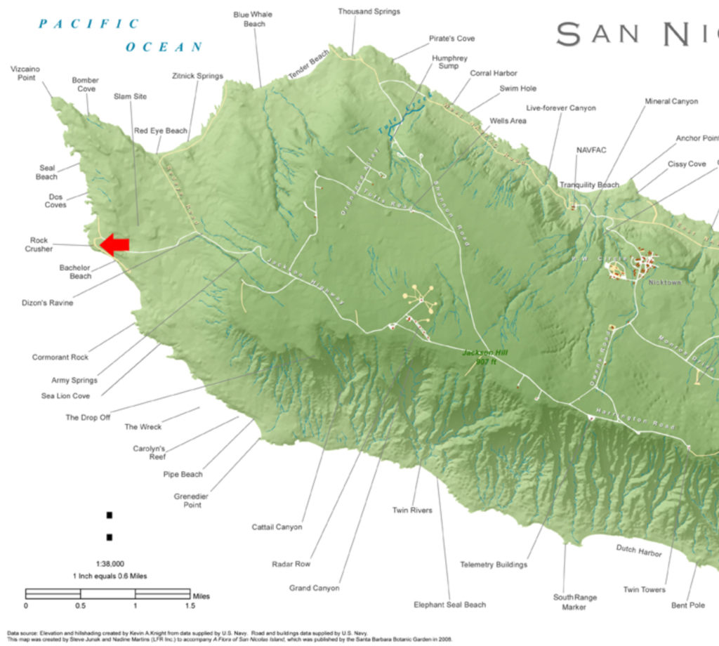
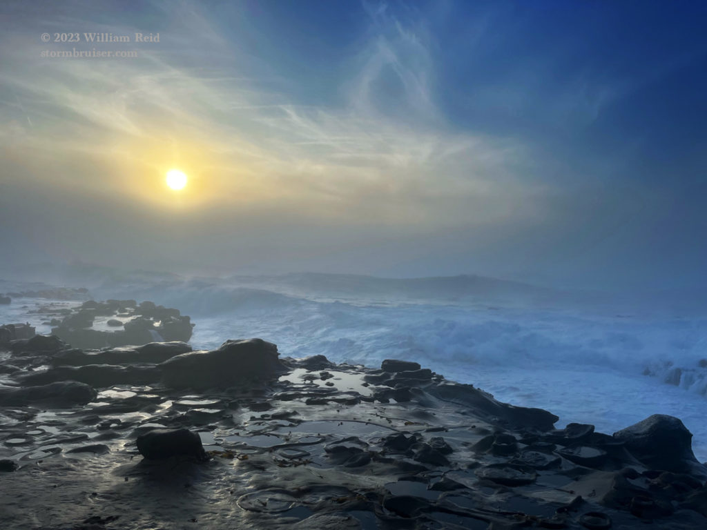
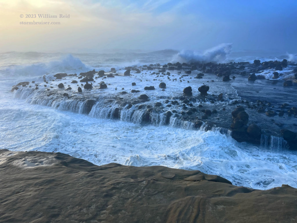
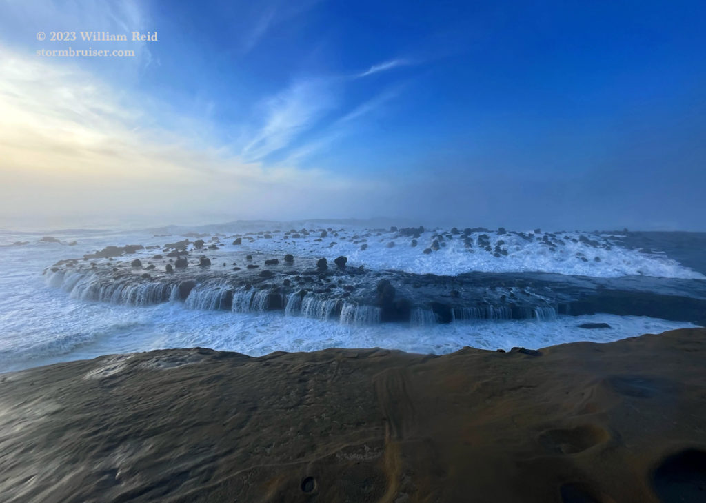
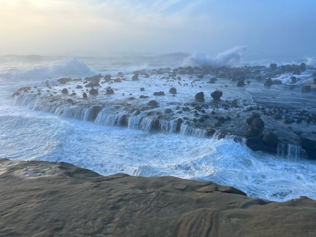
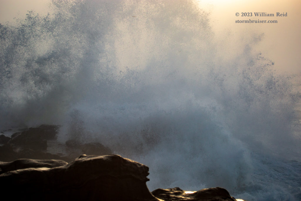
It was WILD out there! There is a little passageway-like water inlet where the water surges in and out. On its north side is a flattish “table” with various hoodoos and other rock formations on top. This table would get smacked by high waves and ocean water would surge over it and drain into the passageway near me. It was foggy with occasional sun. The fog and spray did not allow much visibility, so it was difficult to see the high waves approach to our west. I shot mostly video with the iPhone here, and I provide (above) a bunch of links to my YouTube channel with this video content.
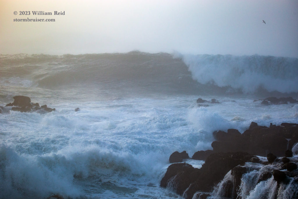
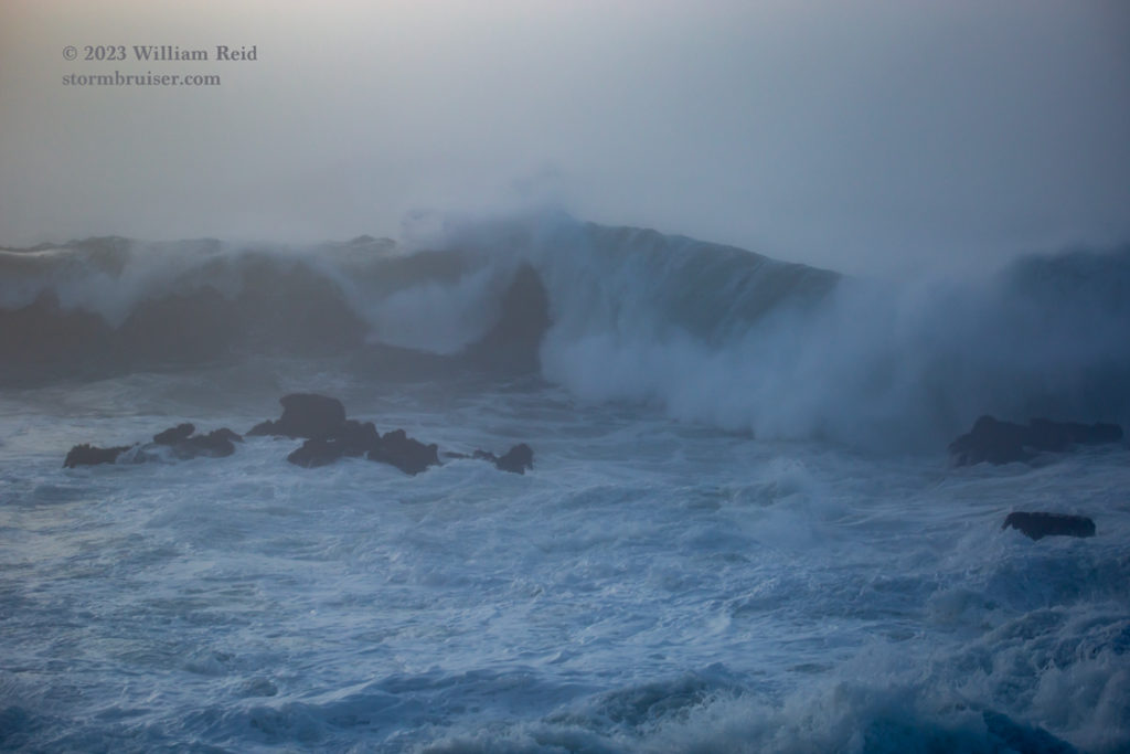
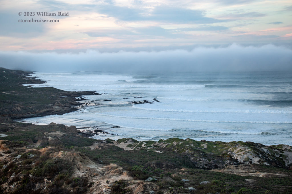
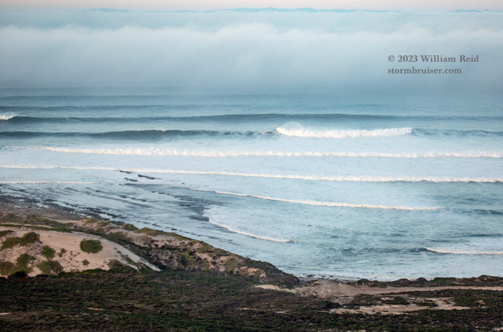
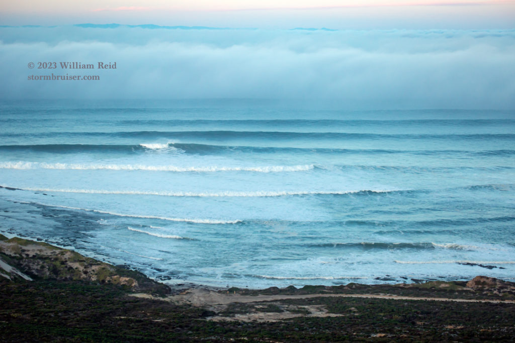
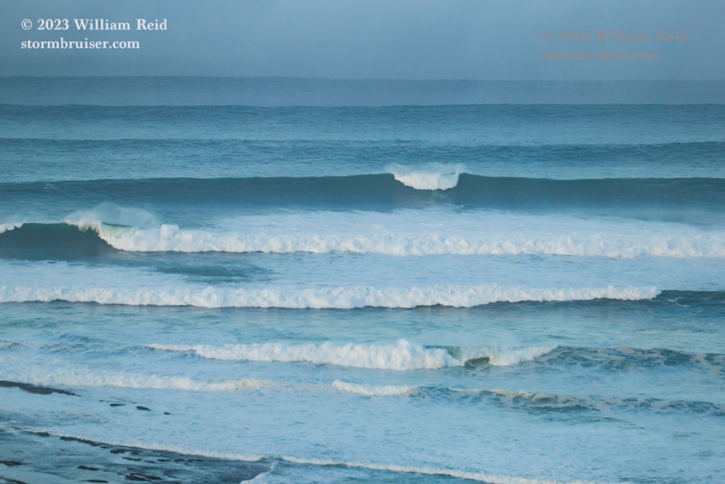
Below are some still images with the Canon and the long lens. The long lens wasn’t particularly helpful here at Rock Crusher, and the camera was getting wet quickly from spray. The top three shots below are from Rock Crusher.
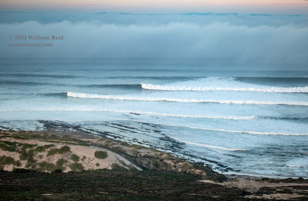
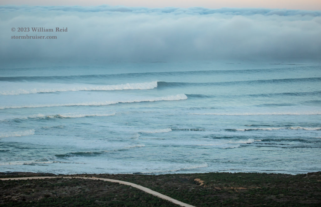
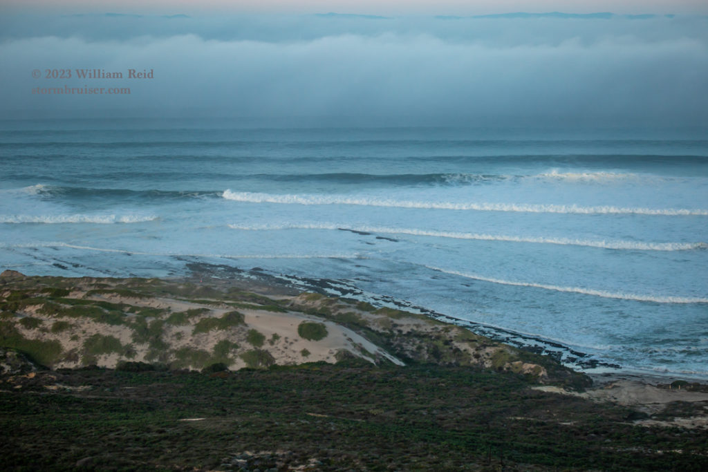
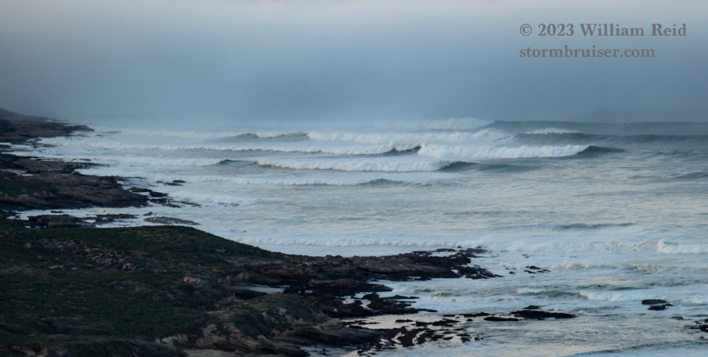
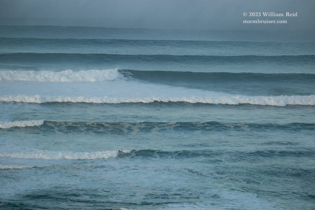
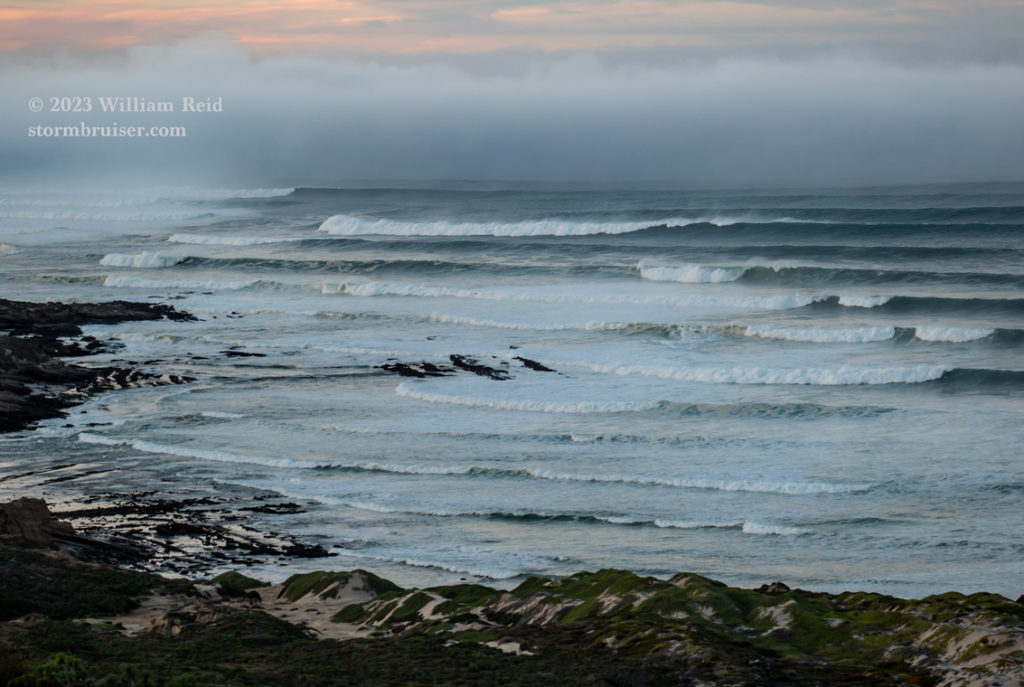
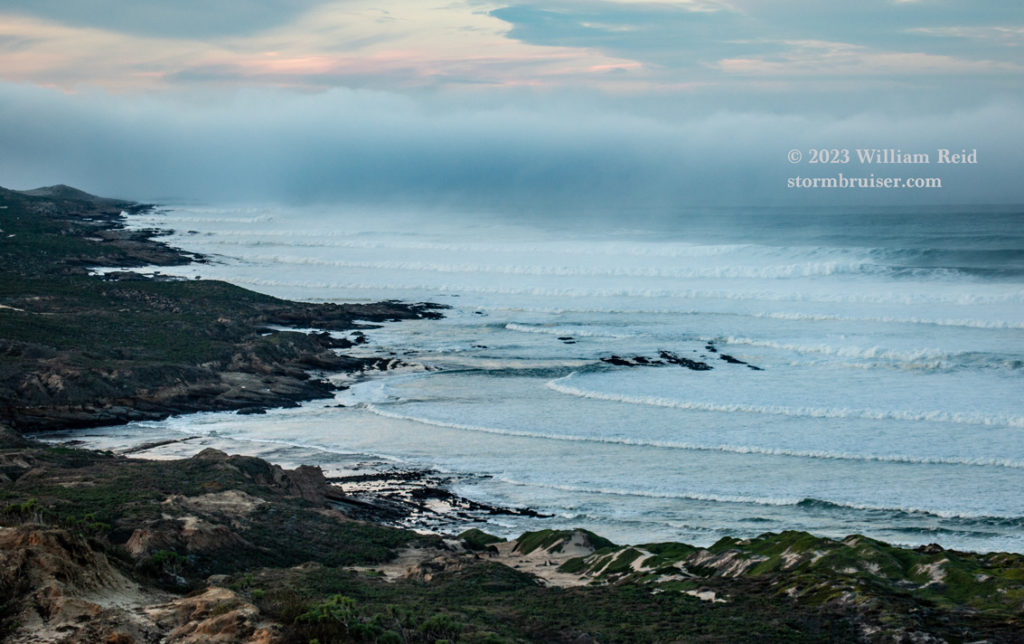
From here the ATCs took me to the north side of San Nicolas Island, just north of Nicktown. I had a great view from high on a cliff of the approaching waves (final 13 images below). The long lens was very helpful for this shoot. The surf looked largest out to the west, to my left. The ocean was often a big, white foamy maelstrom as big sets of waves crashed, one after the other. See the two links above for iPhone video from this northside/clifftop location.
iPhone stills:


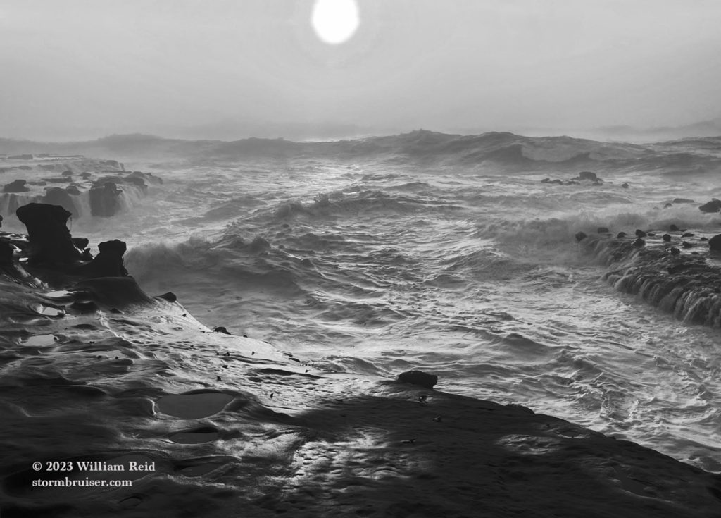

Canon stills:



Leave a Reply
You must be logged in to post a comment.