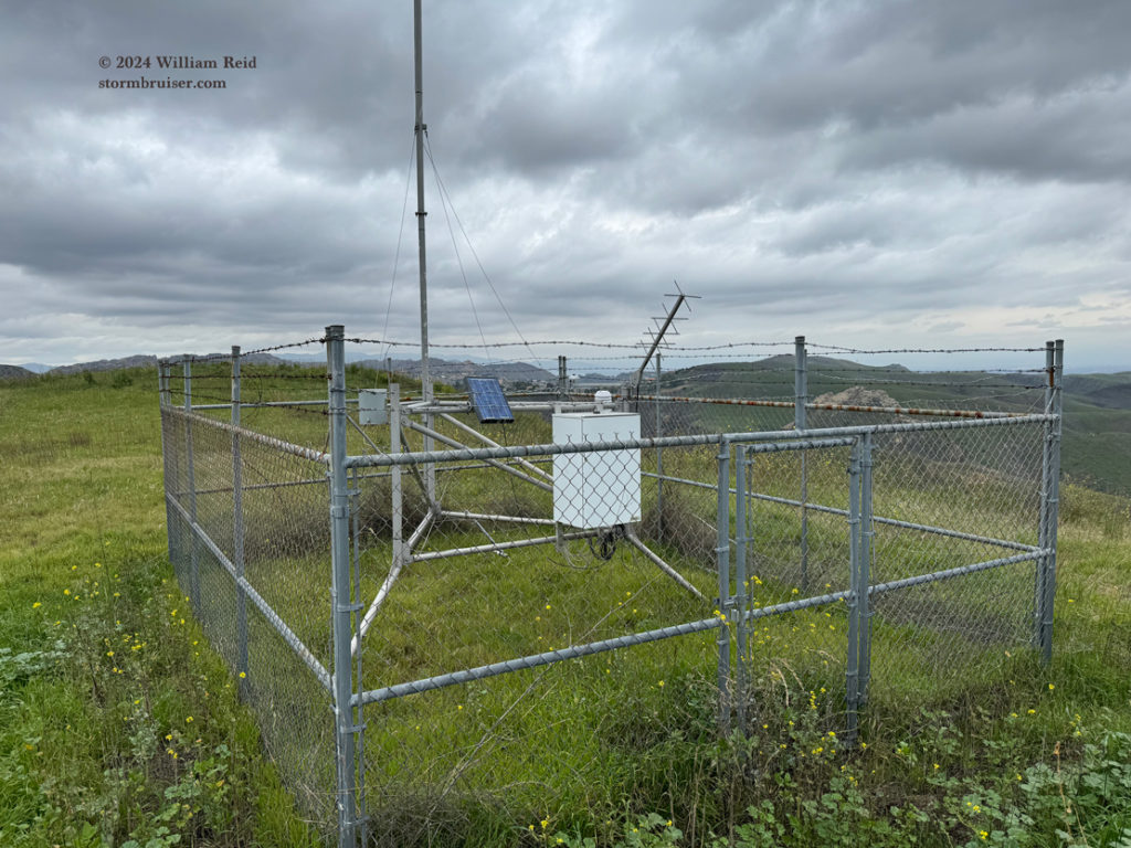
Okay, so I like weather stations.
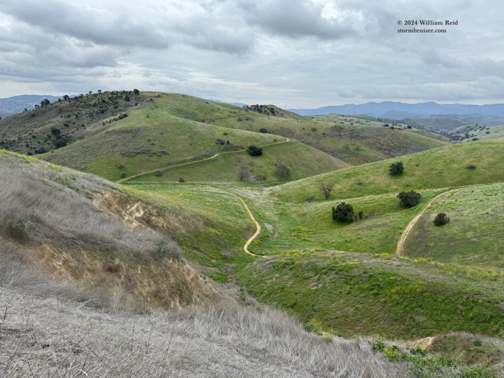
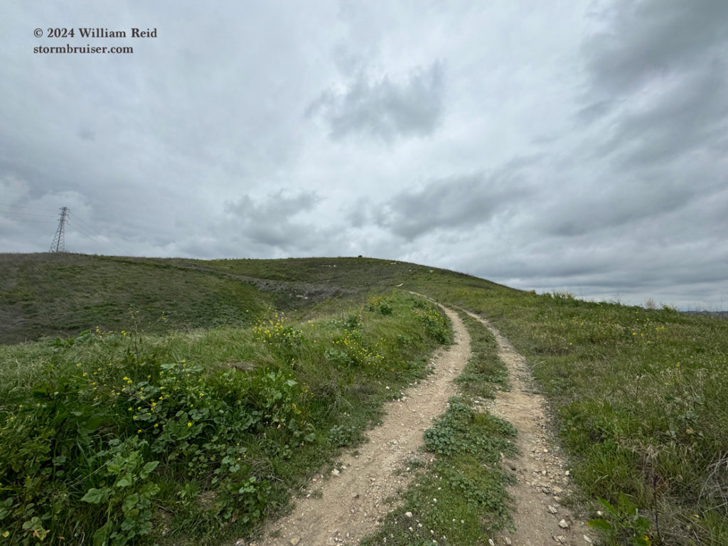
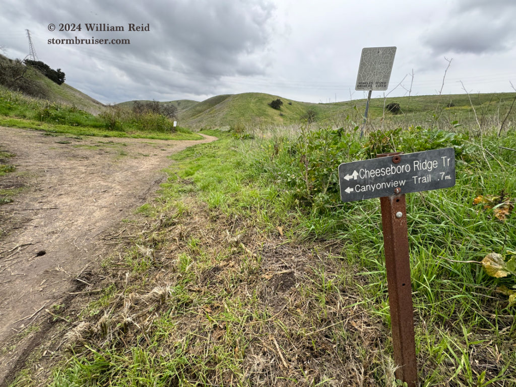
This mild January afternoon in my local area was perfect for a 2-3 hour hike in the hills just north of Calabasas. Doug and I took the trail from the north end of Las Virgenes Road, in Calabasas, northward along Las Virgenes Creek and then west and north along a ridge to a weather station. I had not been on this trail before, and this was the first time that I had ever set out to visit a somewhat remote weather station. At least on foot. The weather station is named “Cheeseboro,” and it is a RAWS type station. RAWS stands for Remote Automated Weather Station, and this Cheeseboro station has been in operation since September, 1995. These “RAWS” stations were established in part to provide real-time weather information for fire weather concerns. The stations measure all of the regular weather parameters such as temperature, humidity, wind speed and direction, solar radiation and rainfall. Sorry, there are no barometric pressure readings from RAWS stations. Well, none from Cheeseboro, at least.
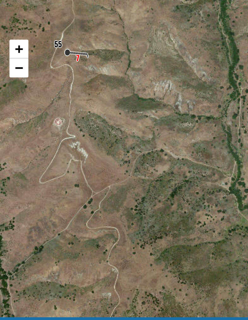
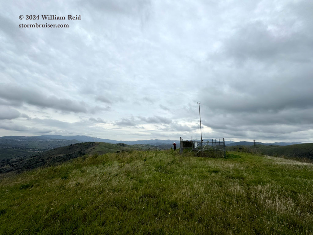
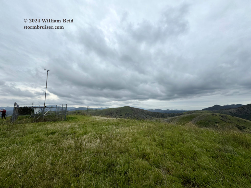
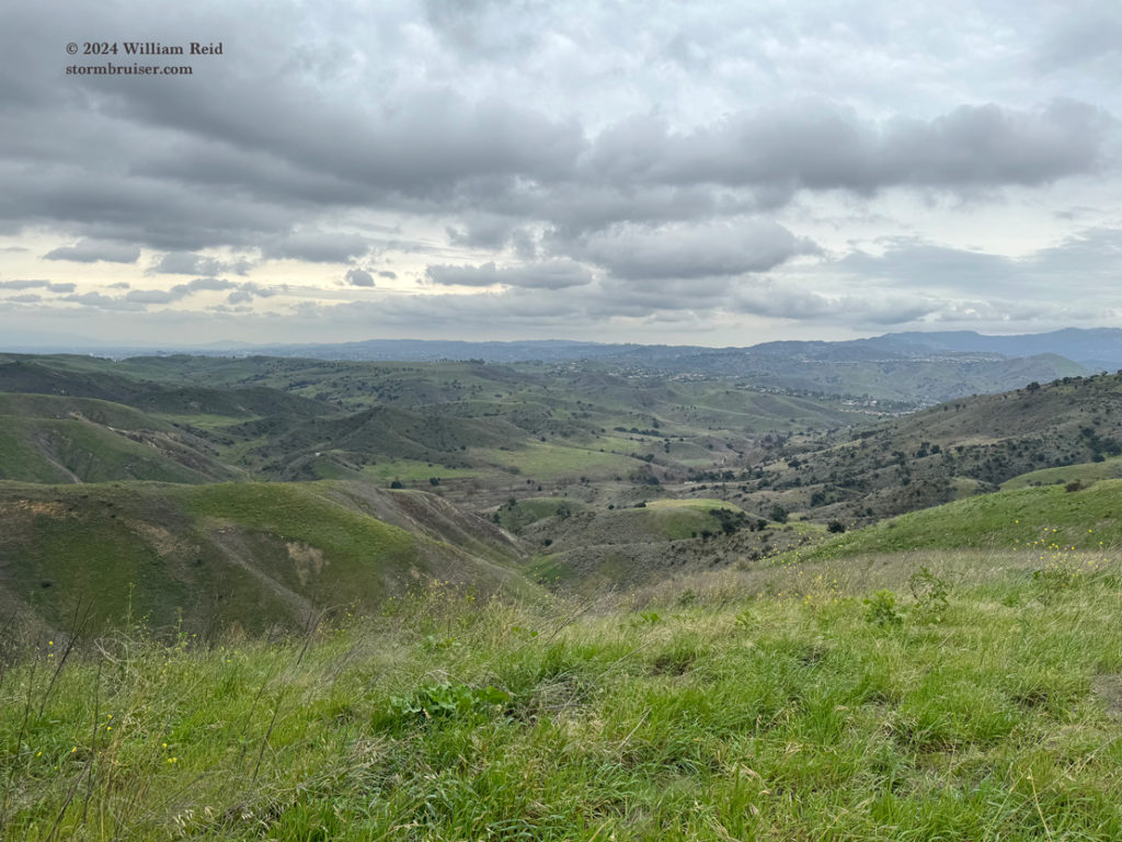
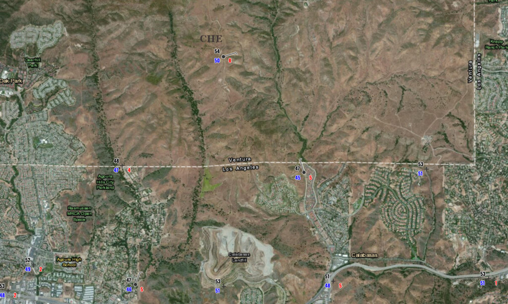
Like many RAWS stations, Cheeseboro RAWS is well off of the beaten path, and it is in a locale that is undeveloped and quite exposed to the elements. RAWS stations, like Cheeseboro, tend to be sited on or near hilltops and ridges, where there is excellent exposure to wind. Cheeseboro RAWS is on a hilltop between Las Virgenes Canyon and Cheeseboro Canyon at an elevation of 1707 feet. The official RAWS/DRI web page for Cheeseboro has the elevation at 1650 feet, the NOAA/NWS weather map has it at 1707 feet, and the area topo map shows that the station is just southwest of a high point at 1721 feet. So, let’s go with 1707 feet. The station is about 700 feet above Las Virgenes Creek to its east, about 500 feet above Cheeseboro Creek to its west, and nearly 1000 feet above the Ventura Freeway at Liberty Canyon to its south. Simi Peak, to its WNW about 4-5 miles, is at 2401 feet elevation.
I have been logging weather data daily from Cheeseboro RAWS for more than 25 years. I have lived within about 8 miles of the station since it was installed, and the station is excellent on temperature, humidity and wind for Agoura and Calabasas and vicinity. Since it is so well-exposed, nighttime minimums are generally very mild compared to most surrounding areas along or near creeks. This is due to the good mixing through the station and the lack of nighttime radiation inversion development (which is common in the low spots when skies are clear or mostly clear). Daytime maximums are also on the conservative side due to the comparably good mixing of air on the hilltop. Also, compared to most nearby developed areas, the higher elevation for Cheeseboro would promote cooler maximums by a few degrees F due to compressional effects. Thus, moderate minimums and conservative maximums at Cheeseboro will mean that daily temperature ranges are on the moderate side, for sure, compared to other stations in the area from Agoura Hills to Woodland Hills.
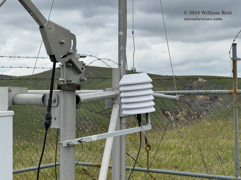
And, here, unfortunately, I must note that it has been my experience in comparing RAWS station data with other (reliable) stations that its daytime temperatures on sunny days tend to creep up a few degrees F too high when wind is on the light side (under about 8 mph). I suspect that the radiation shields in use at all or most RAWS station are inferior. (By comparison, the NWS MMTS radiation shields used at the cooperative station sites are excellent.) But, since most RAWS station (such as Cheeseboro) enjoy very good exposures where the wind blows freely, the problematic shields are not TOO BIG of an issue on high temperature reports on most days. There are some RAWS stations, such as Beverly Hills RAWS, where the maximums seem to be routinely several degrees too high on sunny days. Anyway, that is another long investigation and writeup by me waiting to happen, but not today. Let’s just say that the good exposures at most RAWS stations tend to “mute” or “mitigate” the effects of their lousy radiation shields. I suspect that the high temperatures at Cheeseboro RAWS are probably a couple of degrees F too high on many, or most, sunny days.
Picture time:
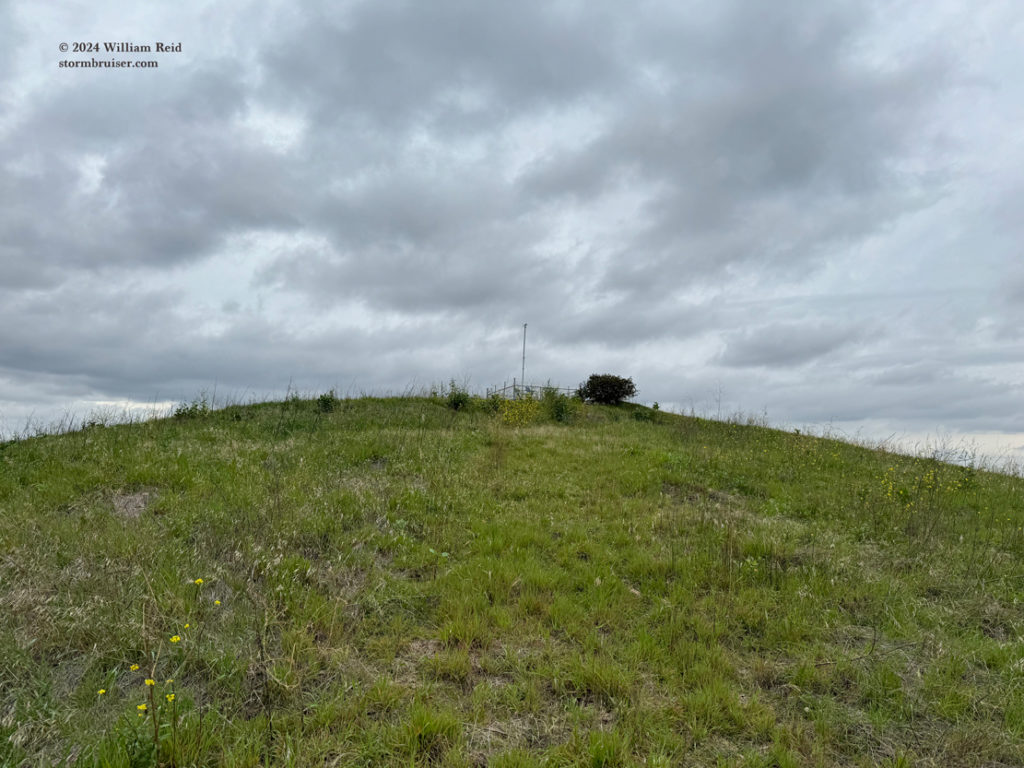
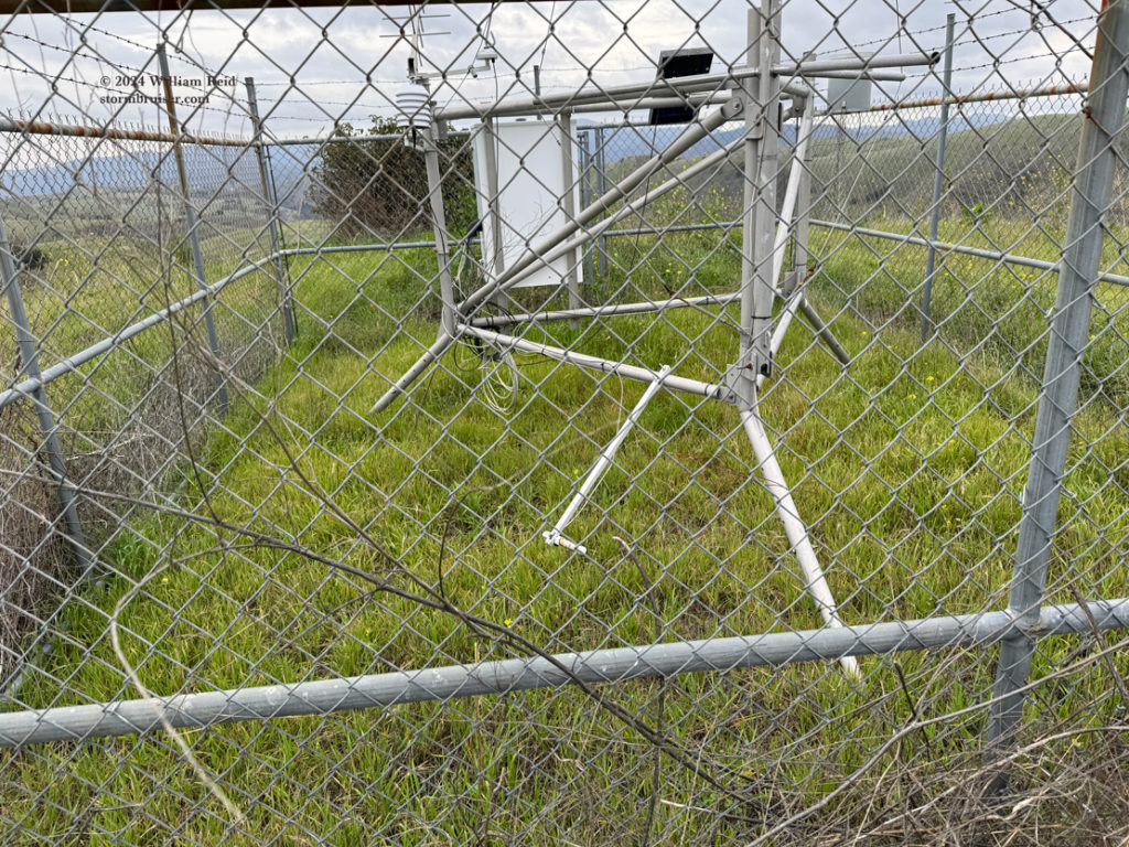
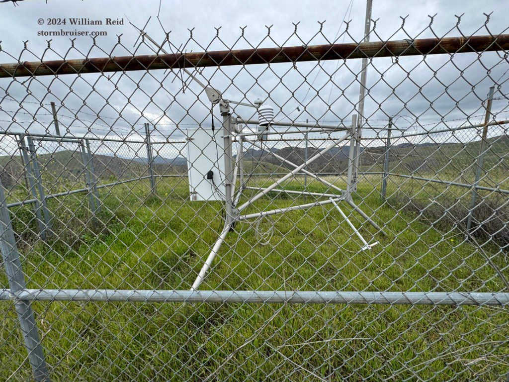
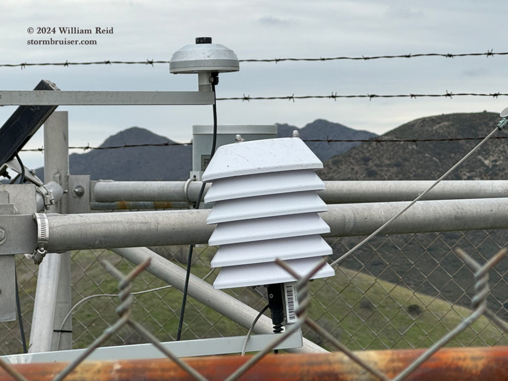
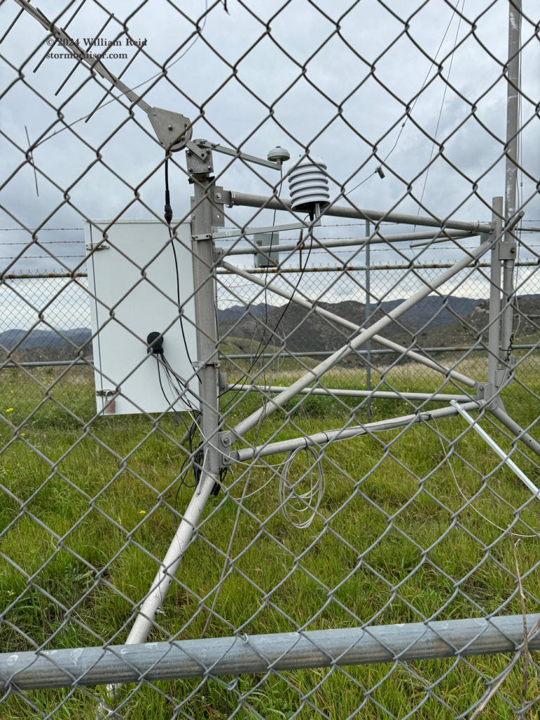
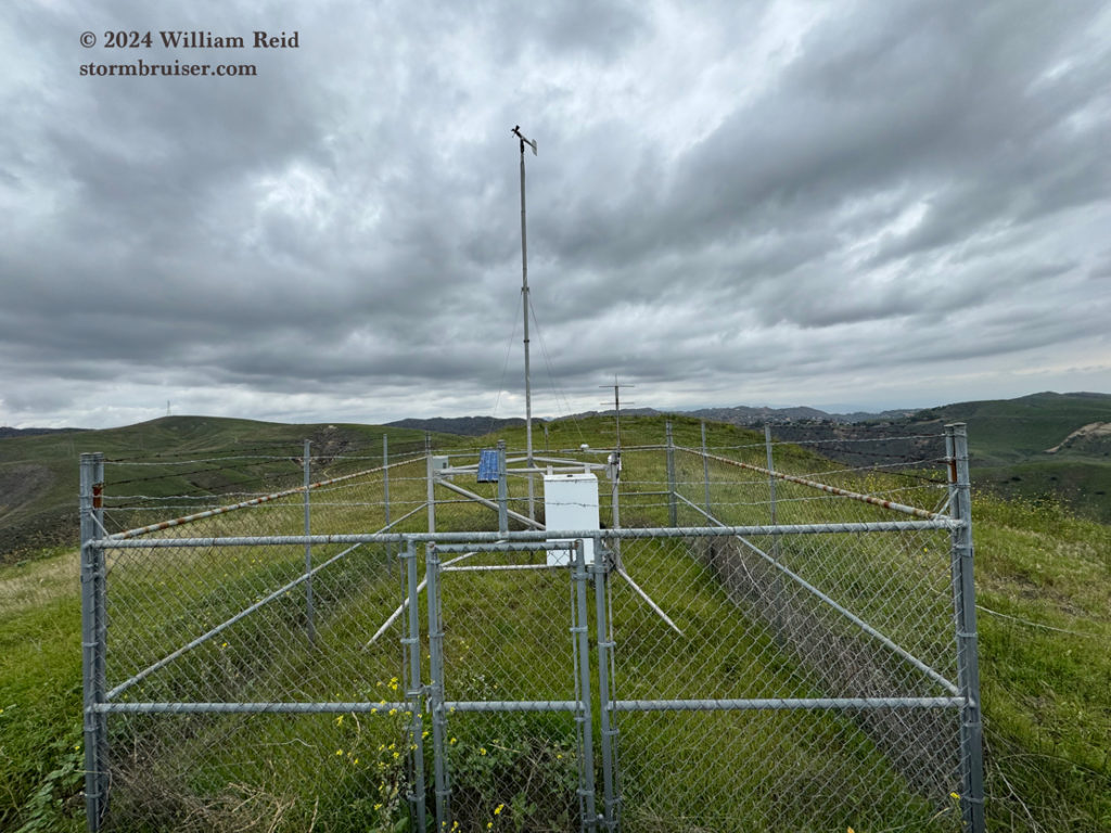
The 3rd and 4th images above show the station up on the hilltop. The white beehive radiation shield is about 5 1/2 feet above the ground, which is perfect. It is really close to some metal posts and electrical boxes, which is not perfect. Do these metal objects help to heat the air a little extra near the shield when it is sunny? I don’t know.
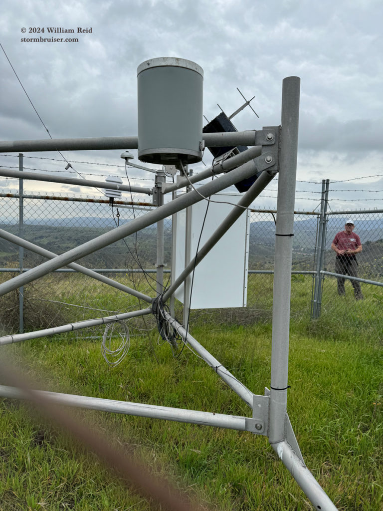
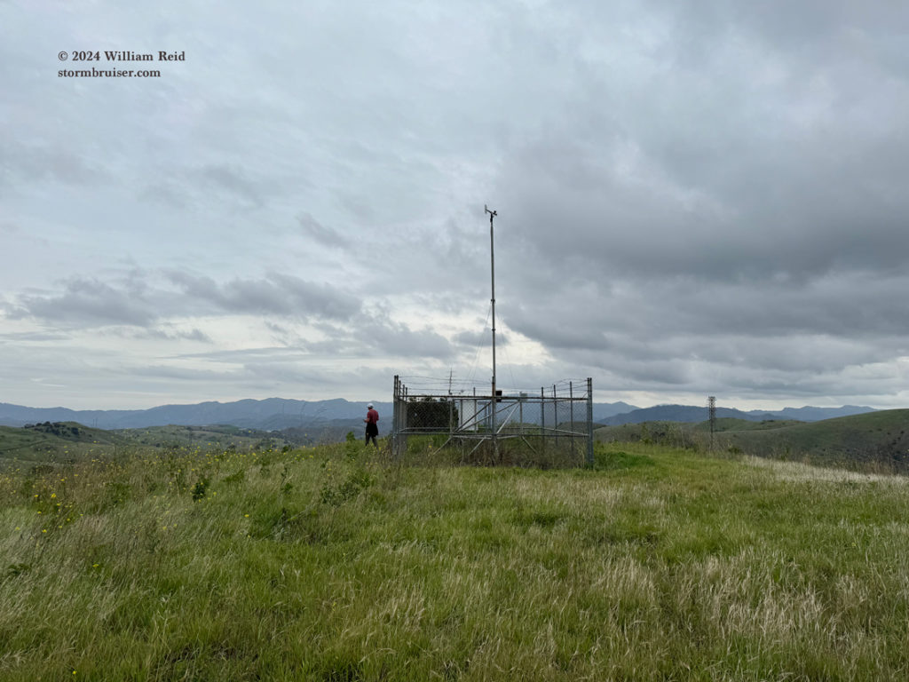
Anyway, I tried to get some photos of the stations from all directions. As you can see, there is nothing to slow down the wind up here!
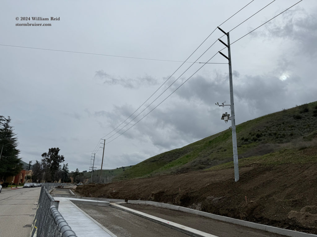
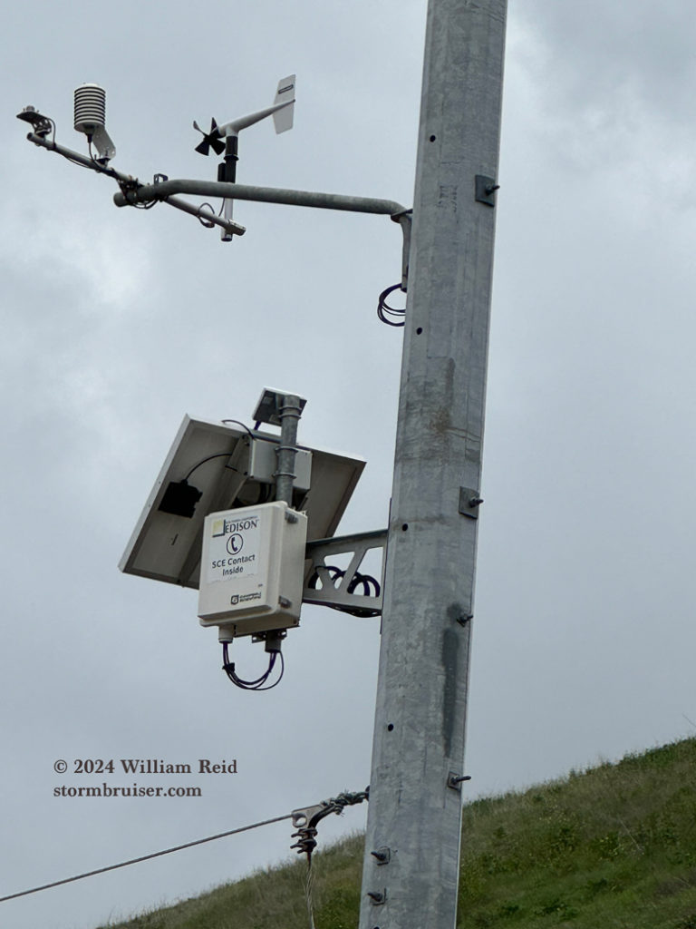
The last two images below are of the SoCal Edison (SCE) weather station at the north end of Las Virgenes Road (where our hike began). The radiation shields with these stations seem to be a lot better than the RAWS shields. The SCE daytime temperatures are generally very conservative (in sunny conditions) since the sensors are typically 20 to 30 feet above the ground. At those levels well above the surface; exposure, wind and mixing are much better comparably. Maximums on sunny days with light winds are typically a few degrees F lower at SCE stations compared to stations with temperature sensors at the conventional 5-6 feet above the ground.


Leave a Reply
You must be logged in to post a comment.