
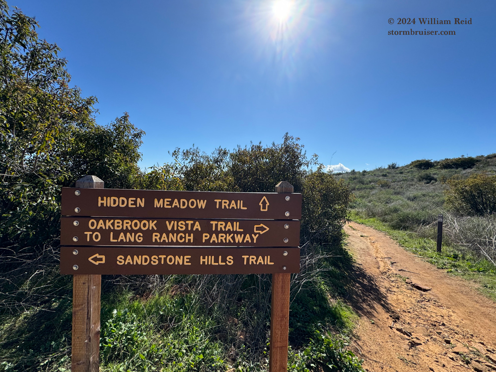
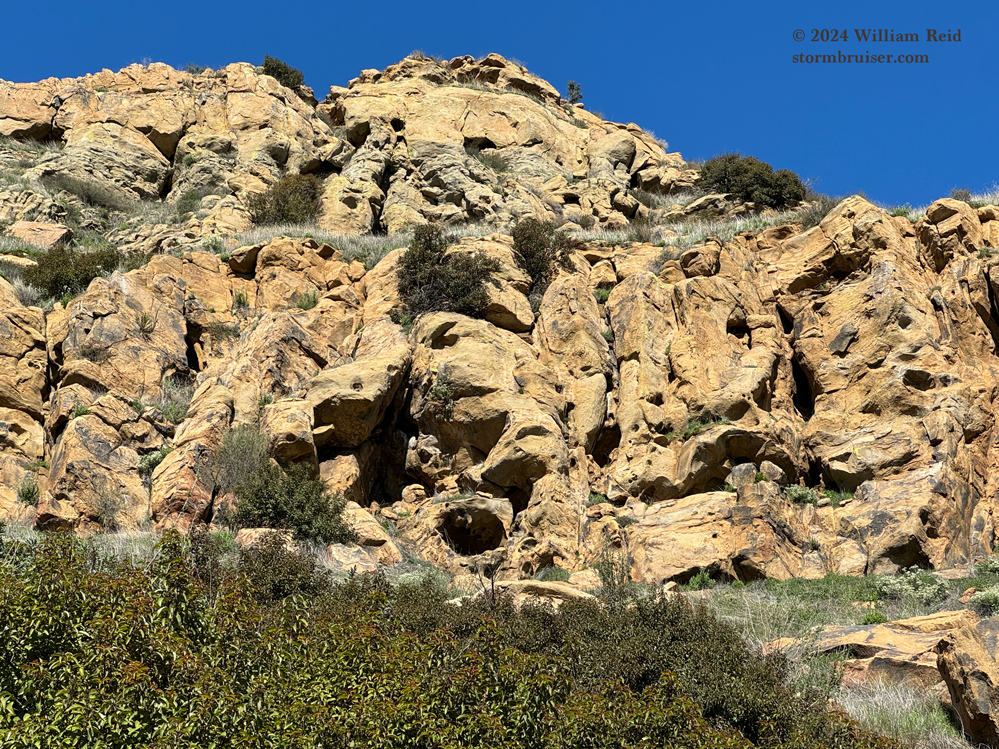
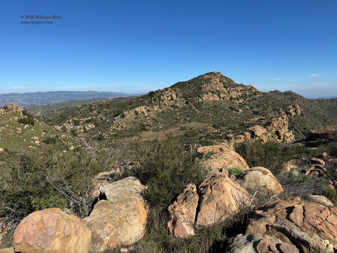
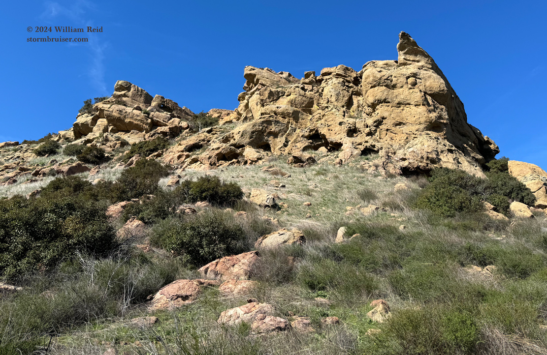
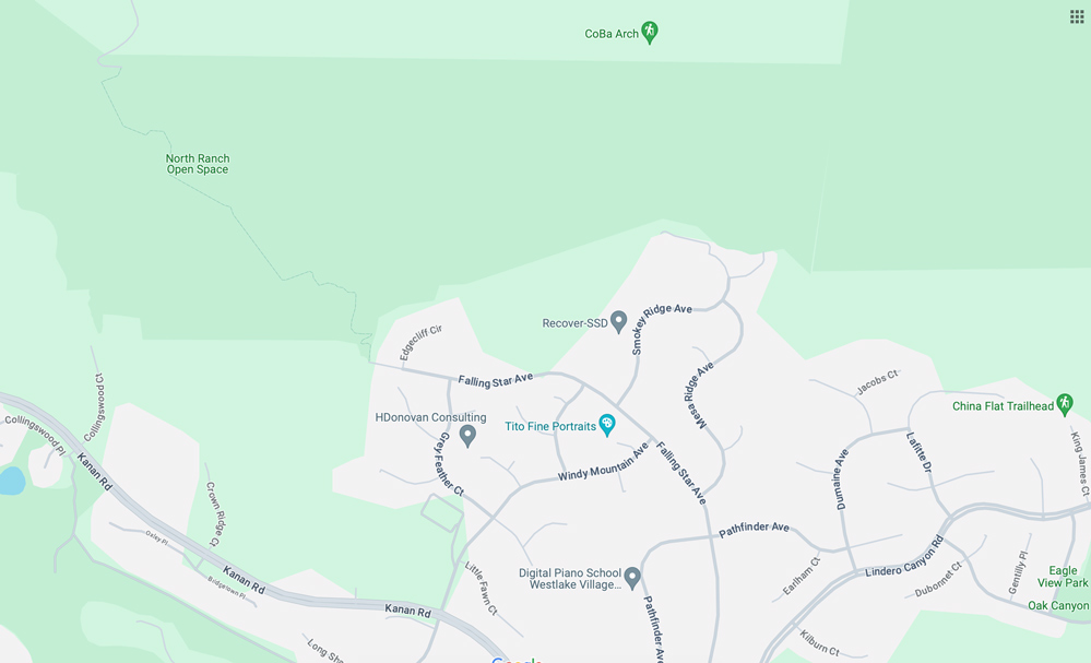
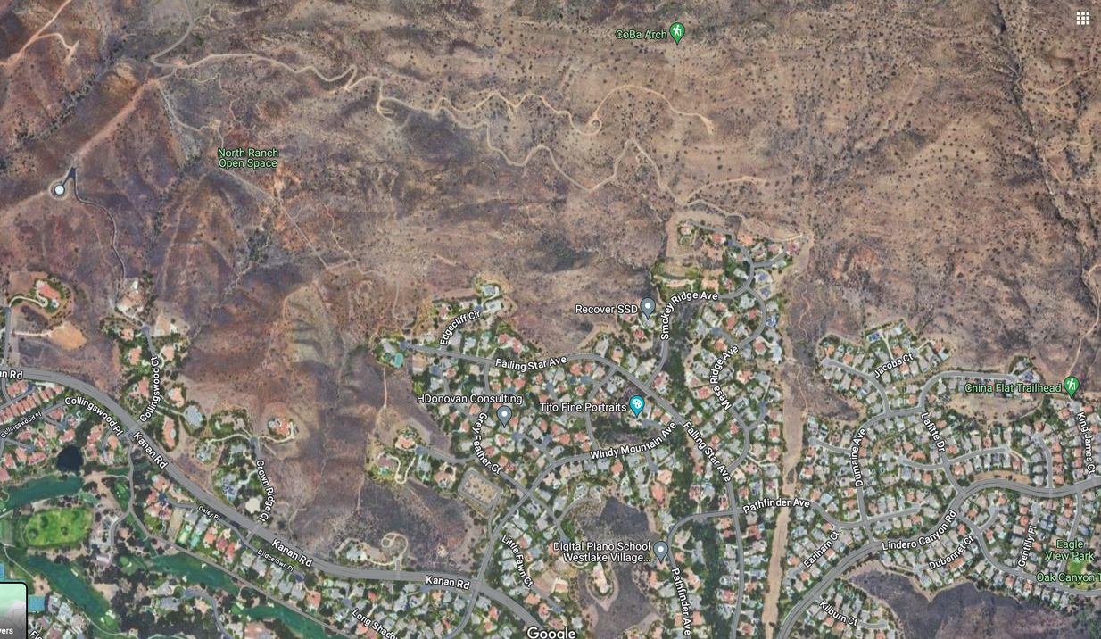
The first week or so of this February was very wet, with about ten inches of rain in the Westlake Village and Agoura Hills area. February 13 was bright and sunny and mild, though, and was a perfect day to do a local hike. Doug and I met at the top of Falling Star Avenue to do the hike to CoBa Arch, in the Simi Hills above Westlake Village/North Ranch/Oak Park. We were not familiar with the hike except for a quick check online, and it seemed easy enough. I had not heard of this “arch” until very recently. The hike started at about 1450 ft elevation, and the trail took a very indirect approach to the top of the ridge and the arch. Elevation at the top, at the arch, was about 2220 feet. The trail was very easy except for a steep section or two near the top, where some careful climbing is required.
I researched this “CoBa Arch” a little bit. There are some videos of the hike and the arch online. But, I didn’t see anything about why it is called “CoBa” or why that “B” is capitalized. Weird.
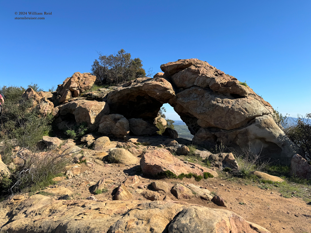
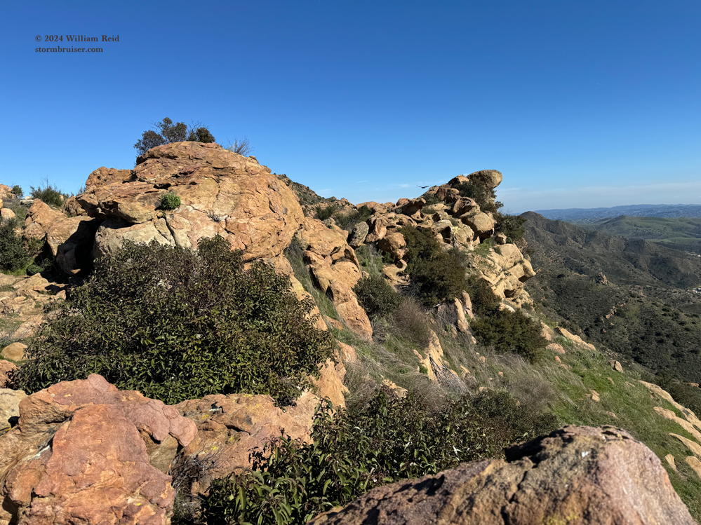
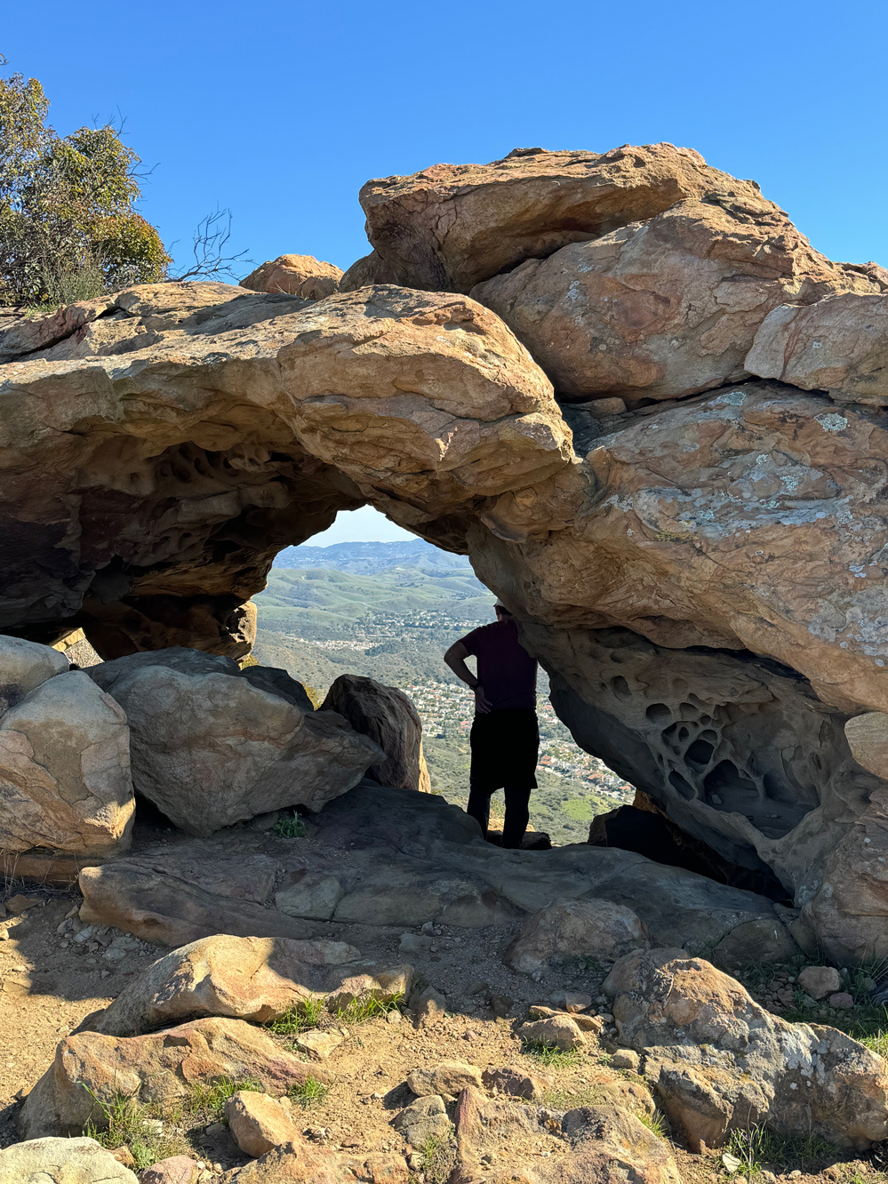
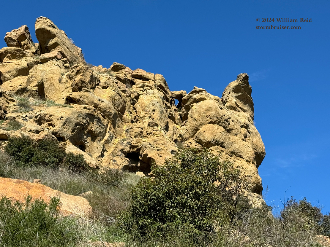
Below are a bunch of images of the arch and the surrounding area.
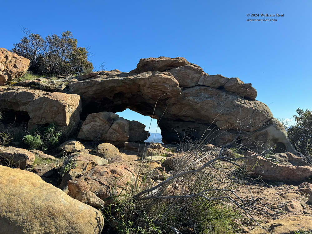
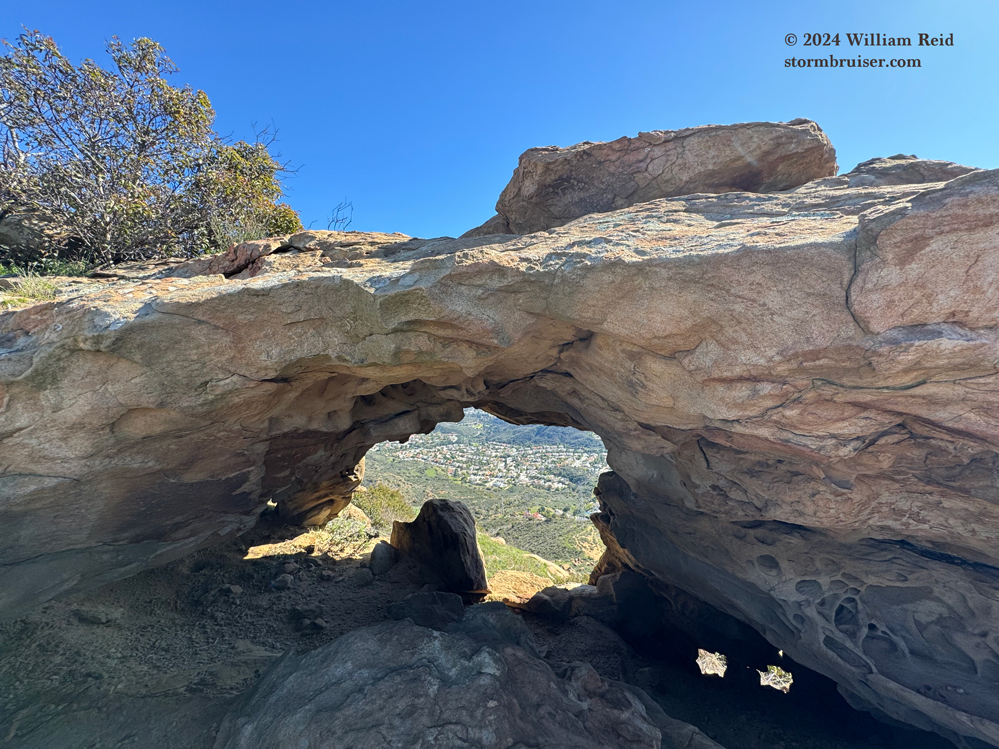
There is quite the drop-off on the other side of the arch!
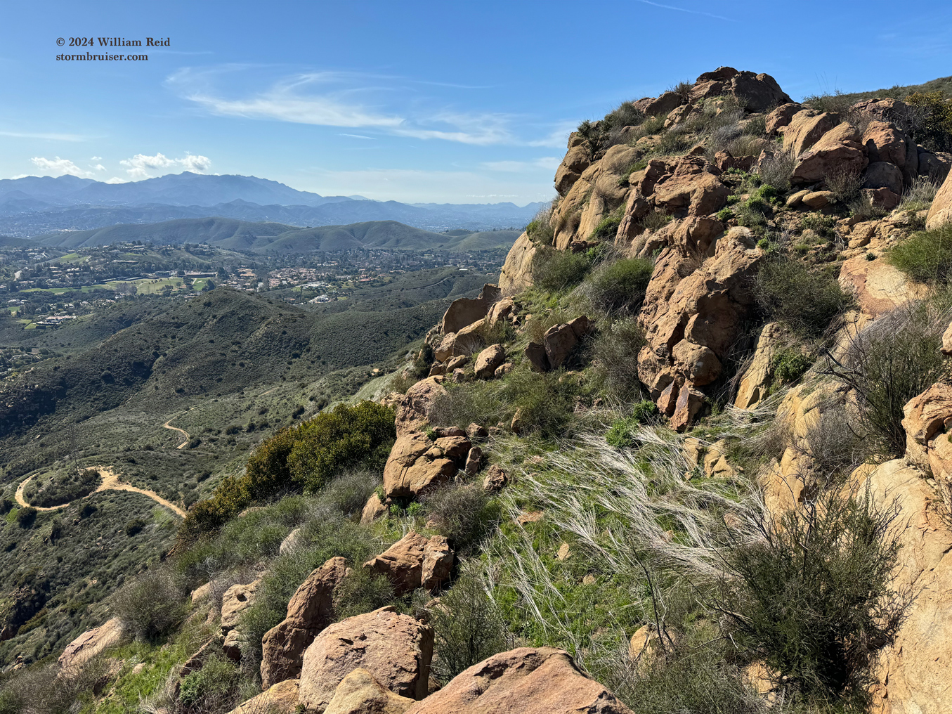
The first three images below are a pan from left to right, from about SE to S to SW. Lindero Canyon Blvd. and Ladyface Mountain are visible in the first image.
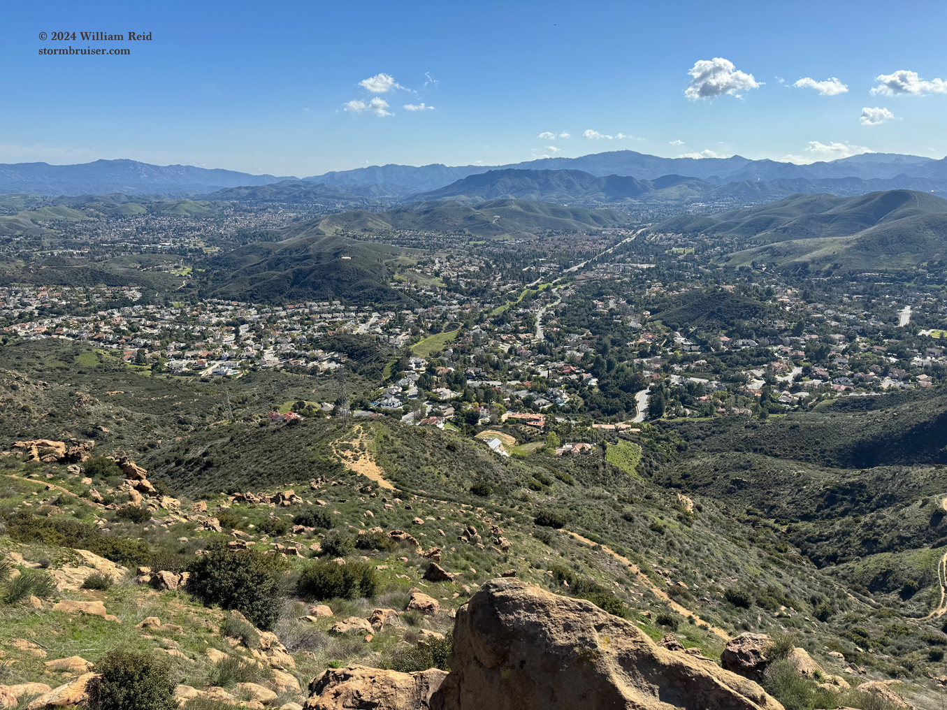

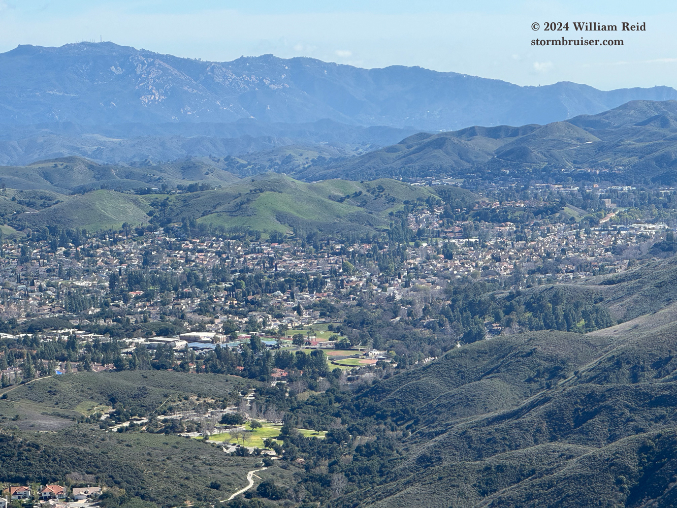
Pic 4 of the 6 above is a zoom towards Lindero Canyon Blvd. in Oak Park.
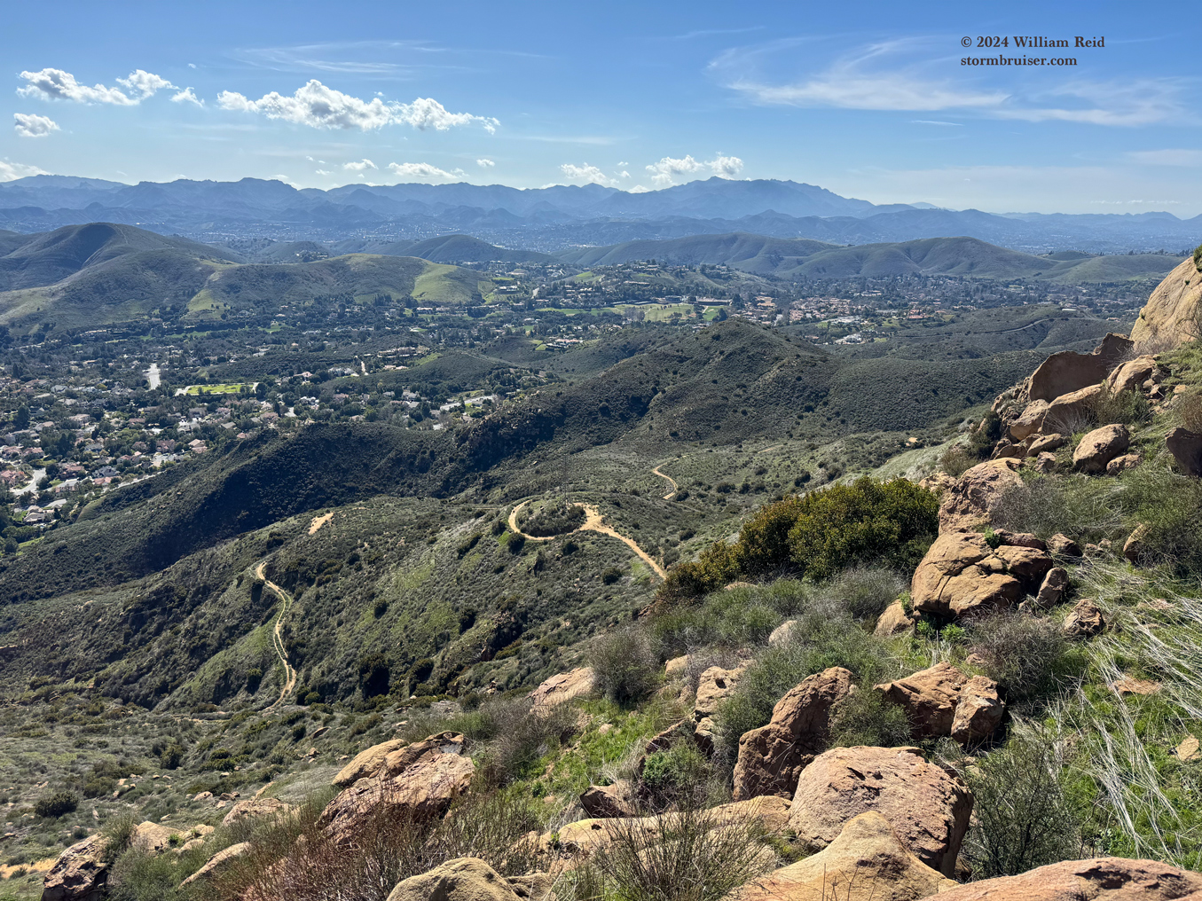
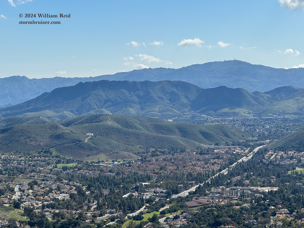
Pic 2 below is of Simi Peak (elevation 2405′), not far to the east of CoBa Arch. Pic 3 is to the north, towards the western end of Simi Valley.


Allow about 2.5 to 3 hours for this hike from the end of Falling Star. There were a couple of other hikers on the trail.
Leave a Reply
You must be logged in to post a comment.