
Start: OKC/lunch ??/End: Ardmore, OK/501 miles
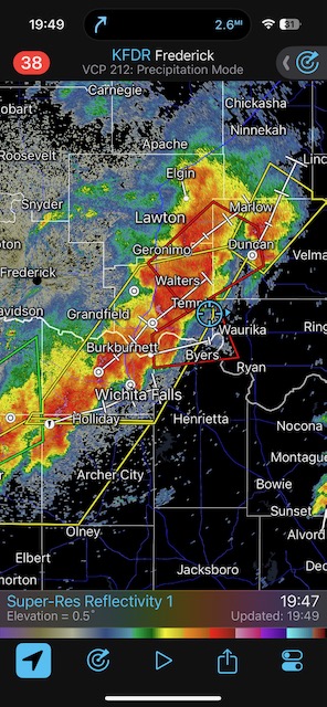
Geez — a massive 15 percent hatched tornado risk was plastered over much of Tornado Alley today. We rounded up the new Tour 2 group, and I elected to try my luck down towards the Altus area of southwestern Oklahoma.
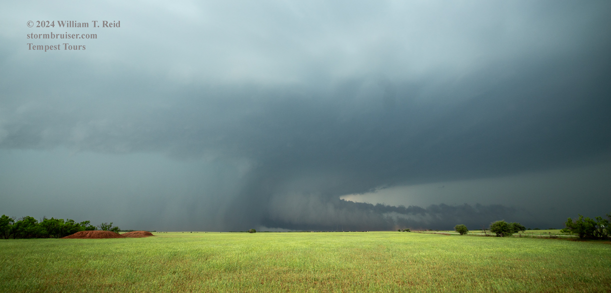
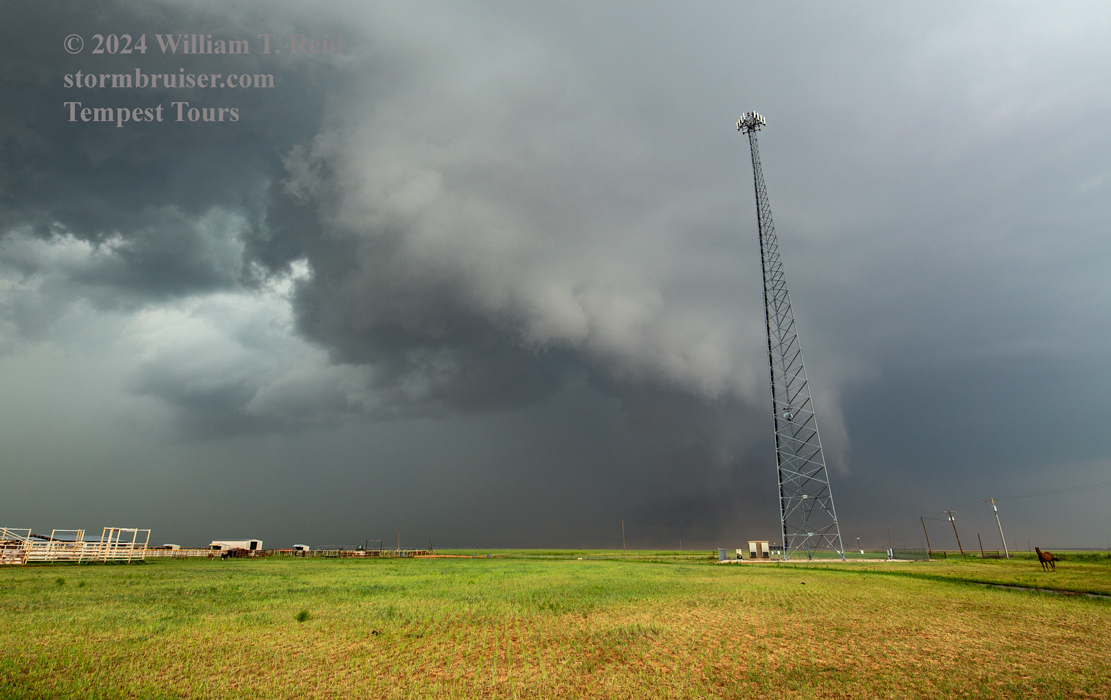
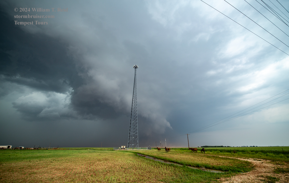
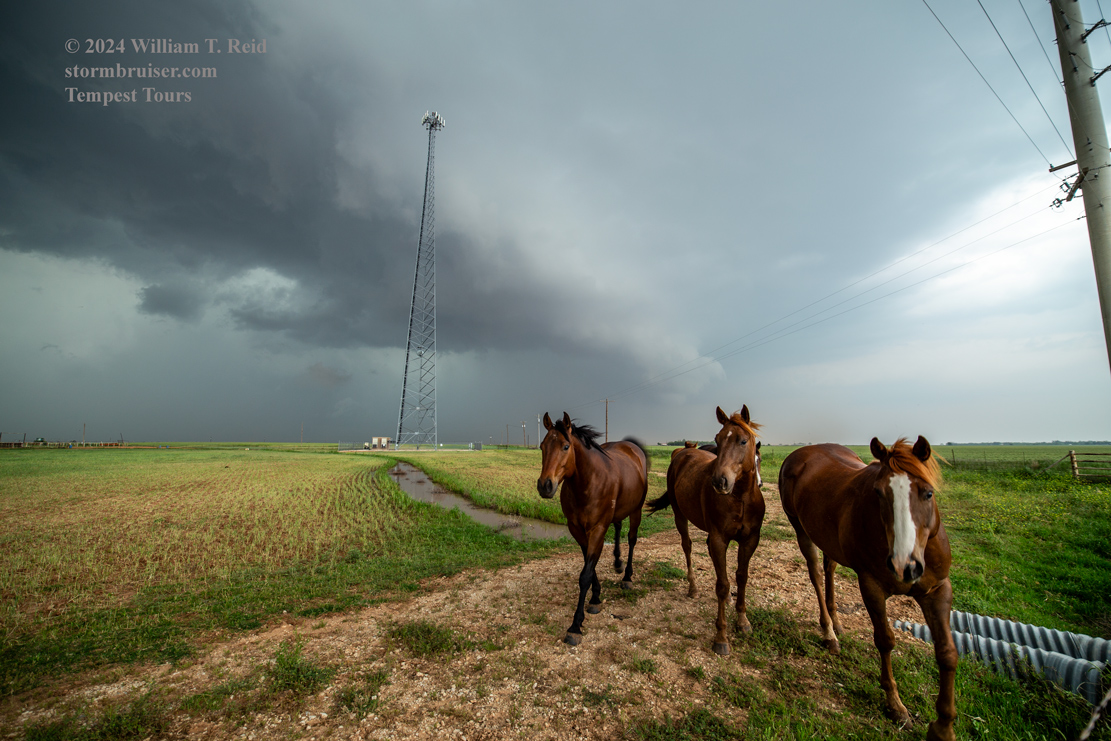
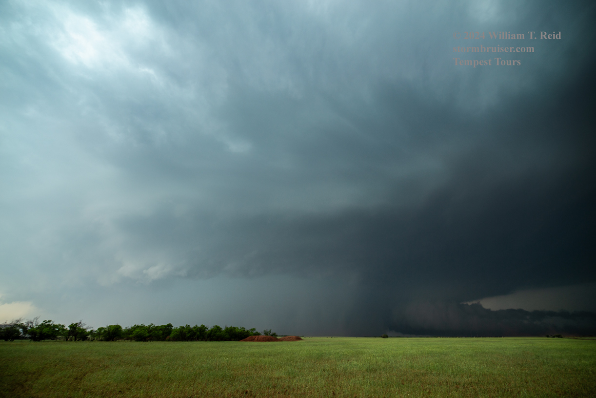
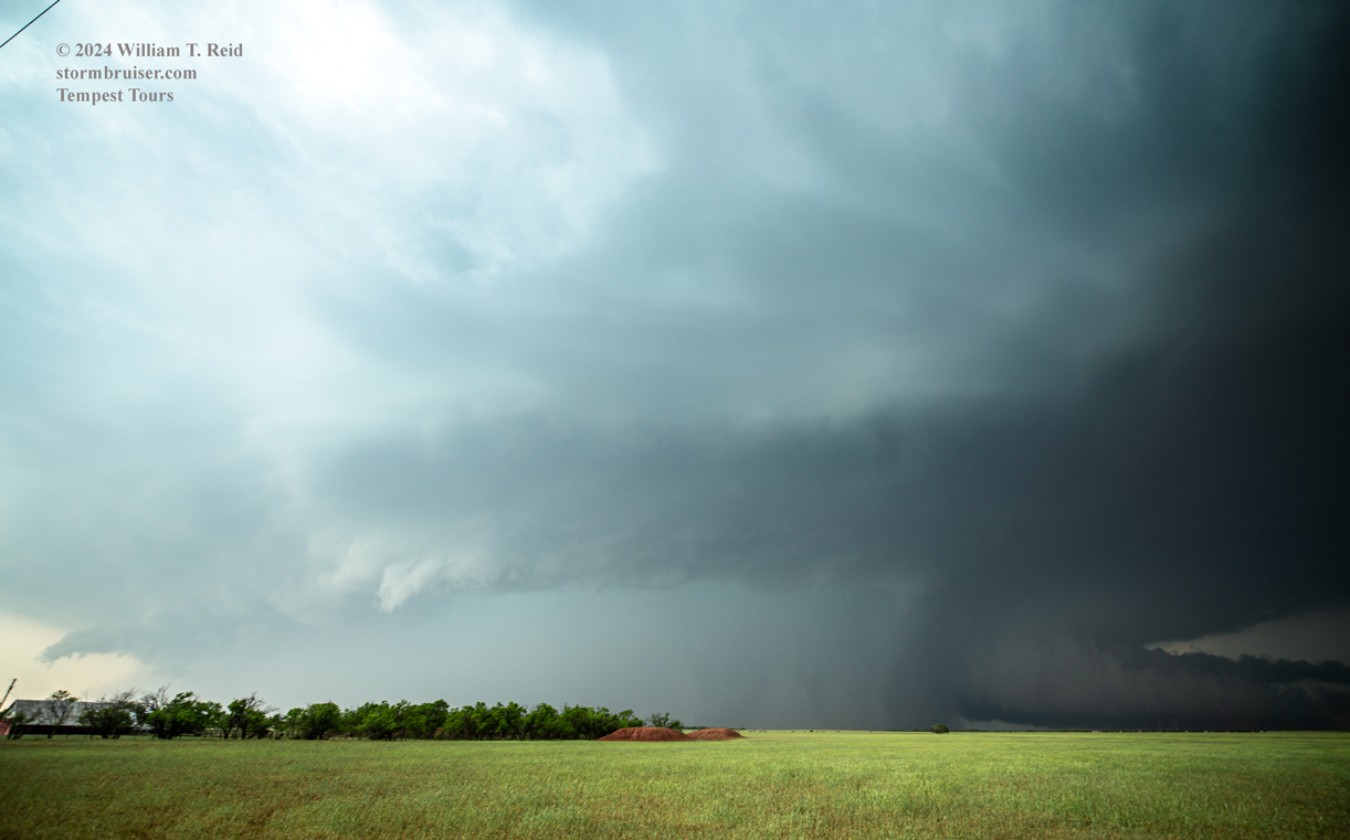
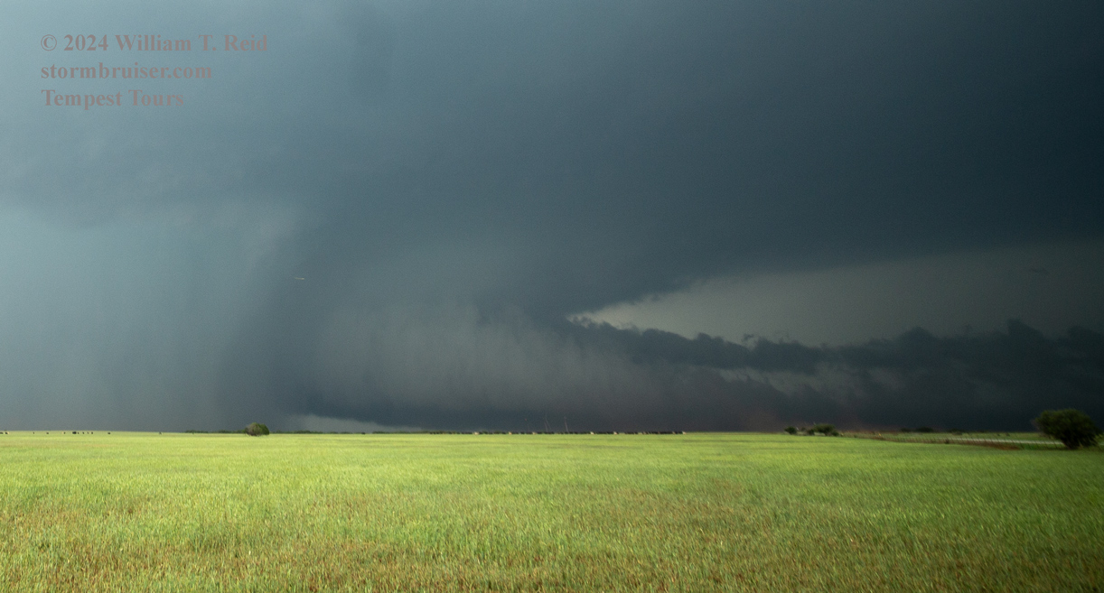
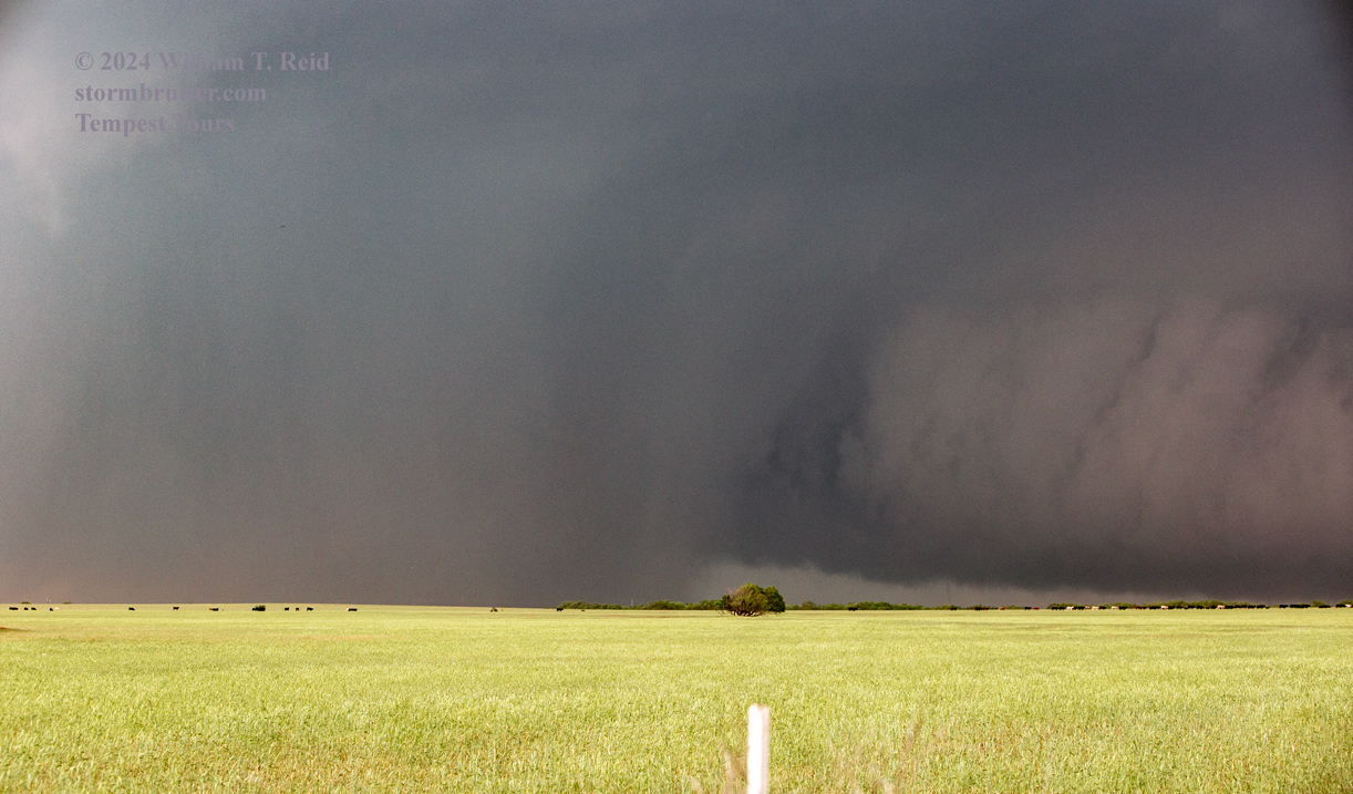
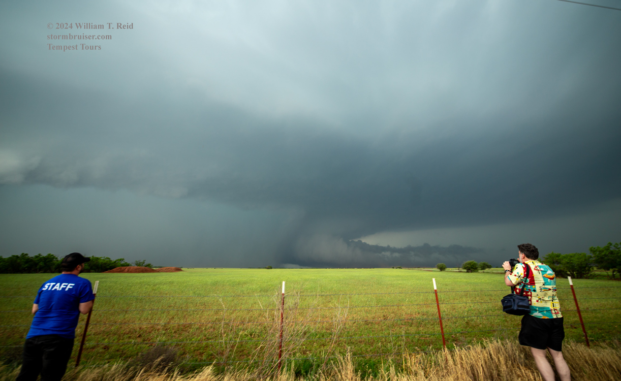
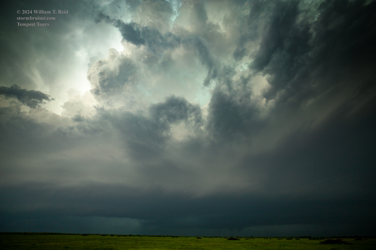
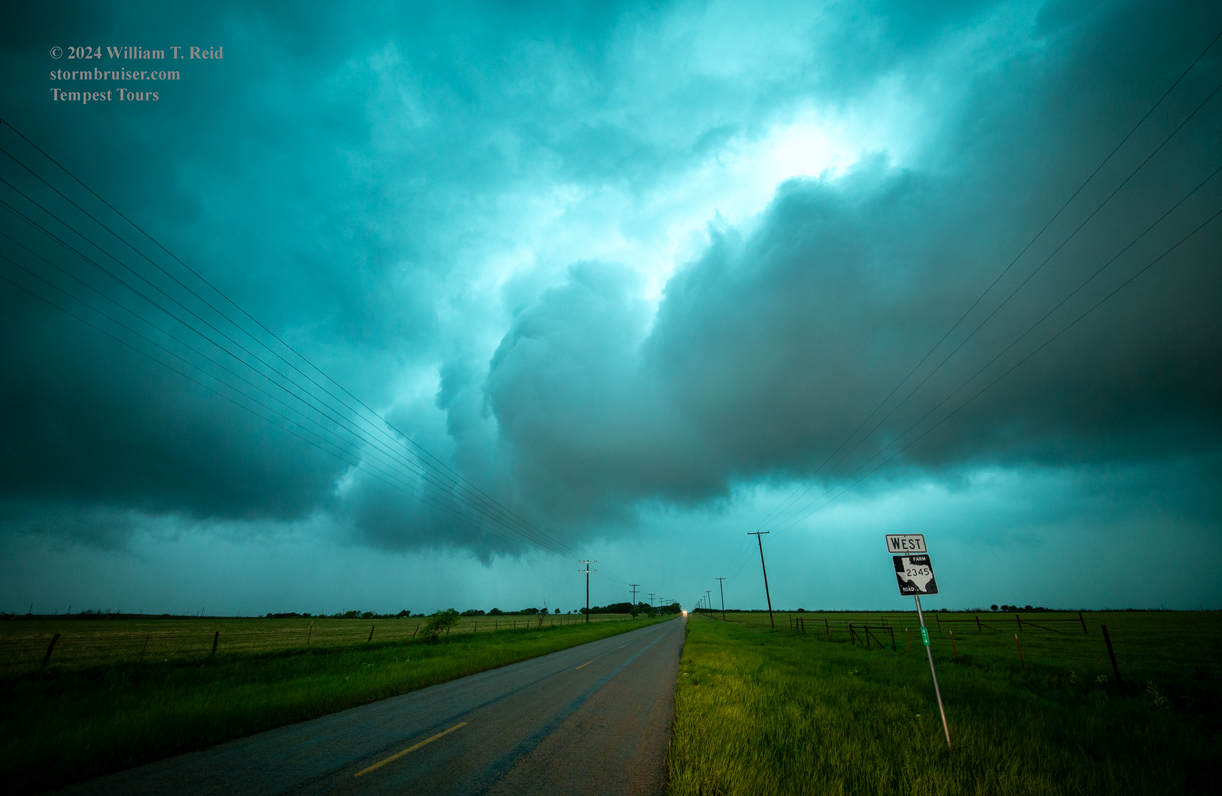
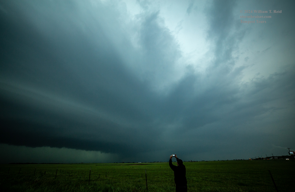
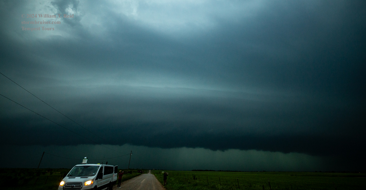
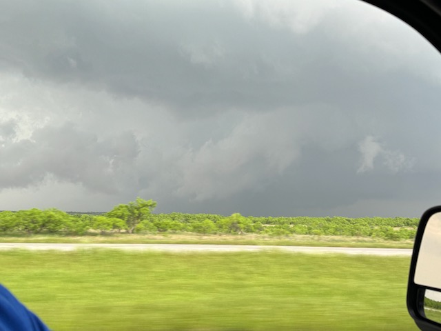
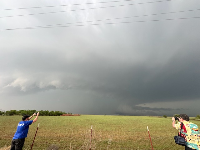
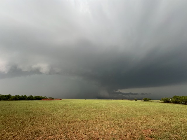
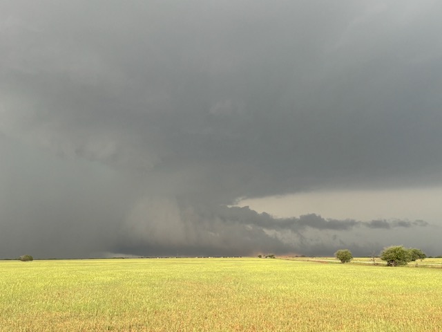
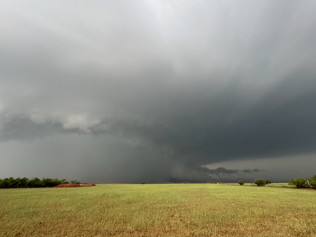
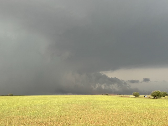
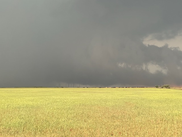
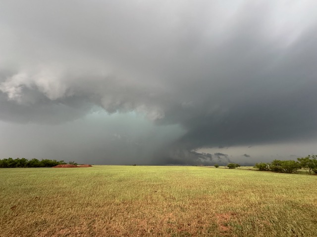
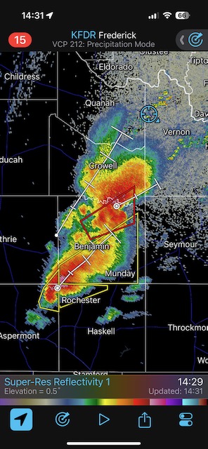
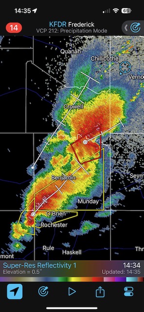
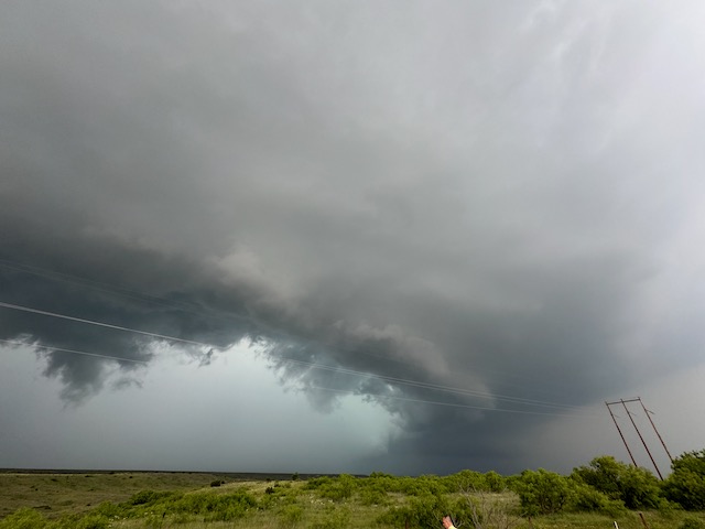
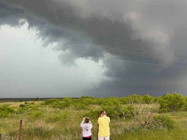
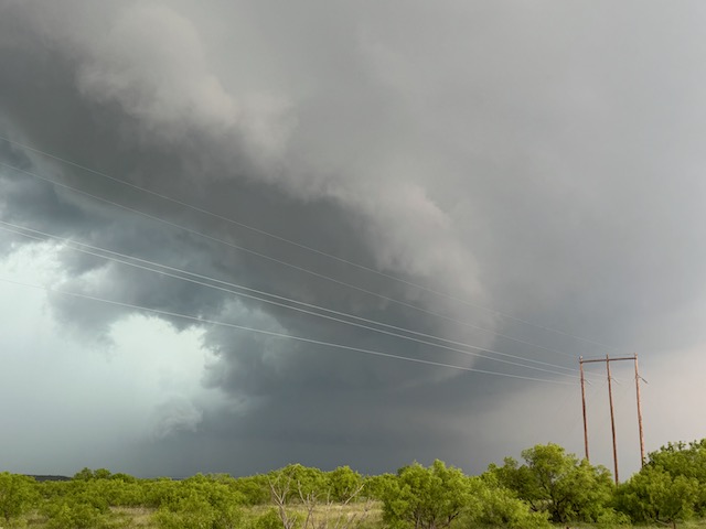
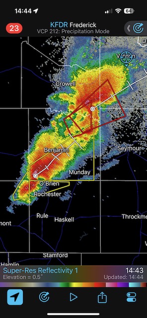
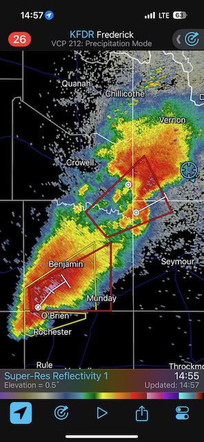
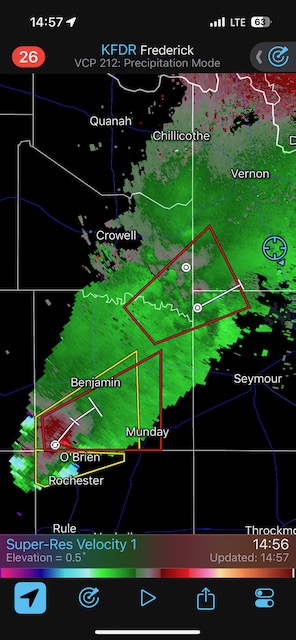
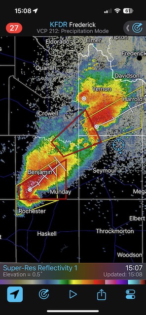
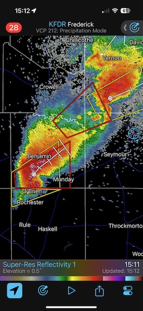
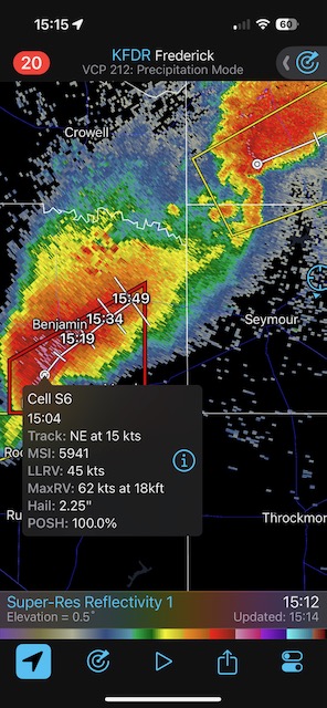
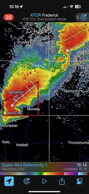
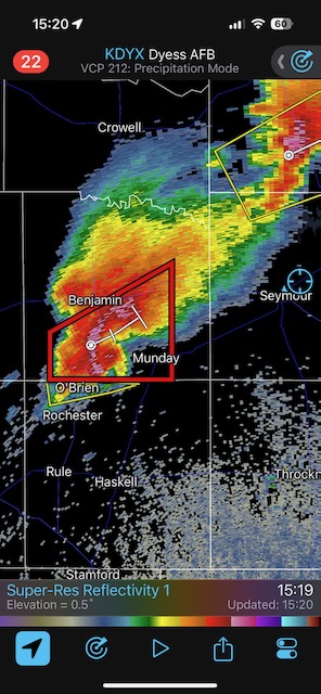
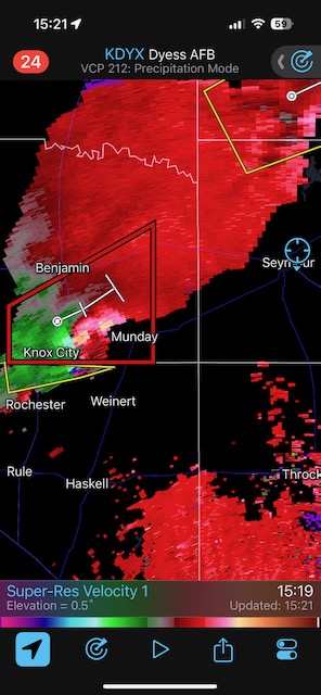
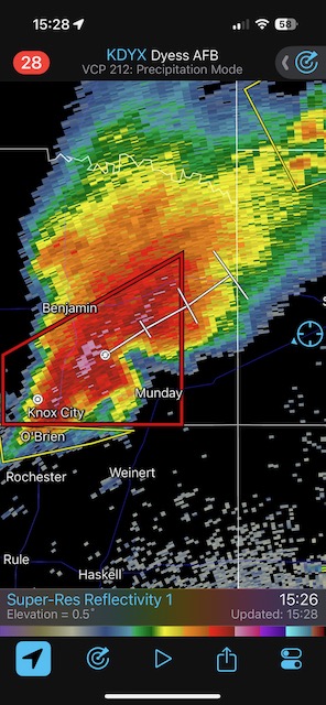
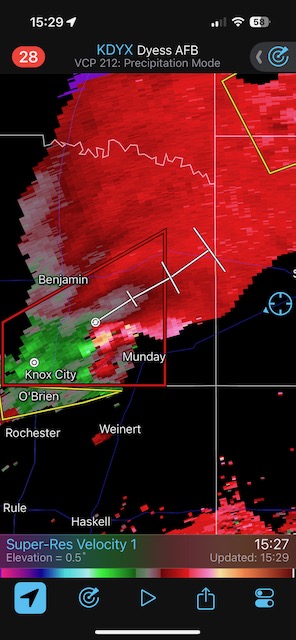
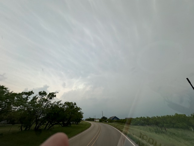
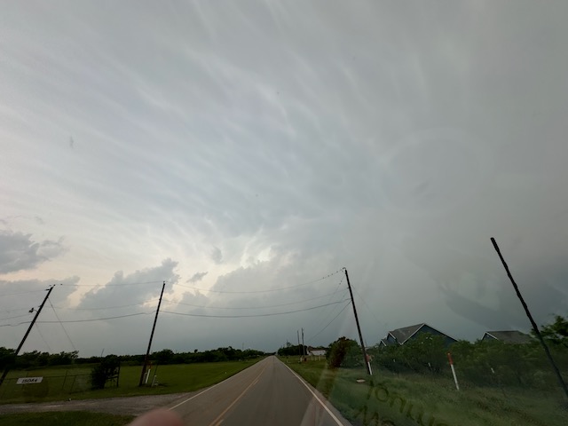
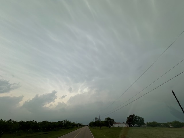
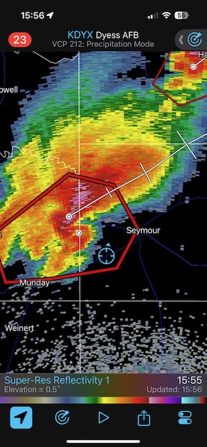
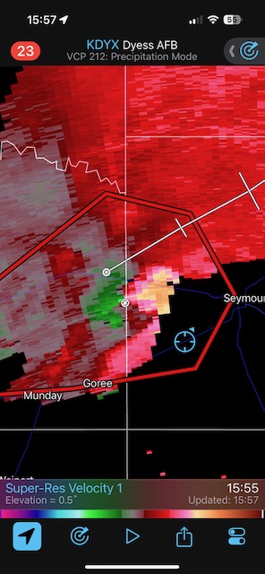
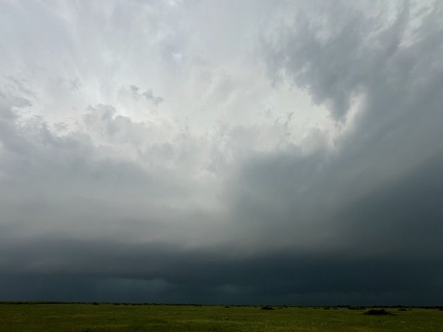
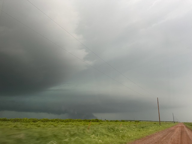
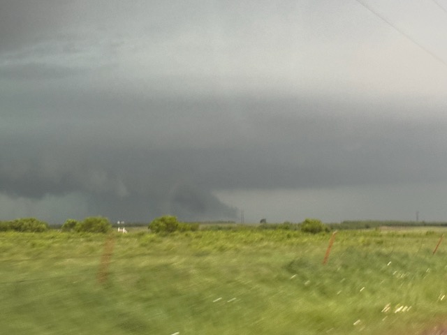
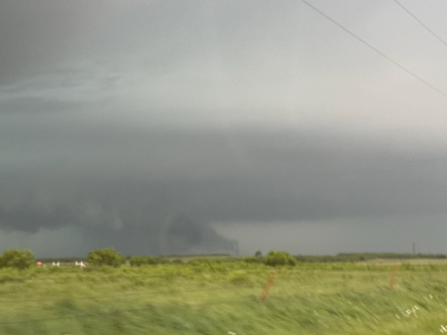
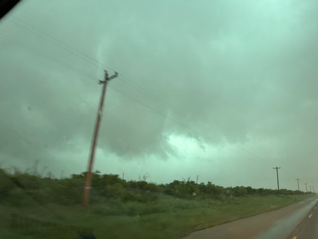
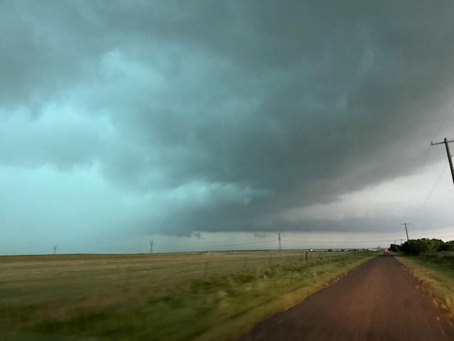
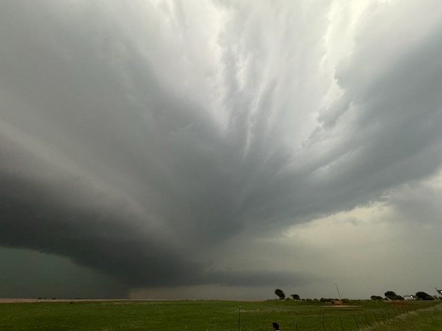
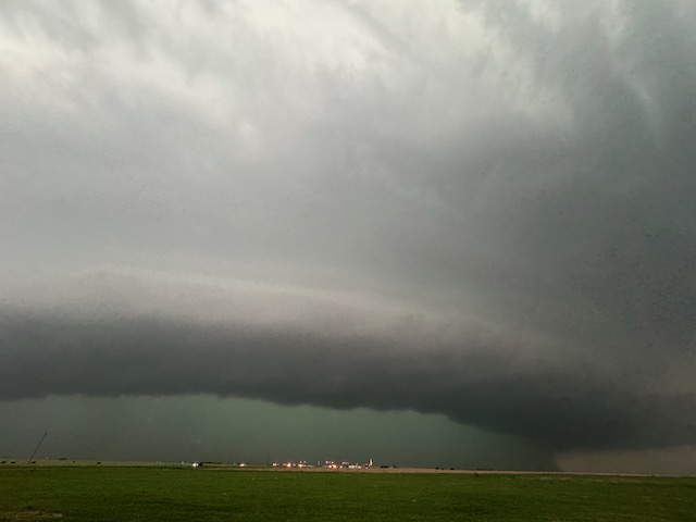
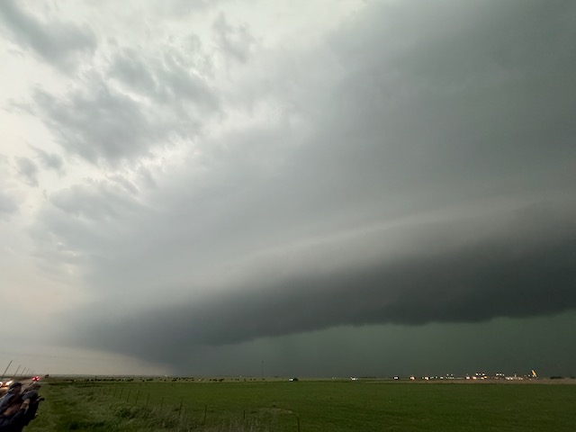
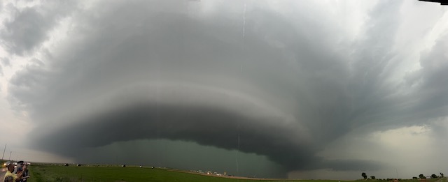
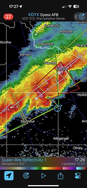
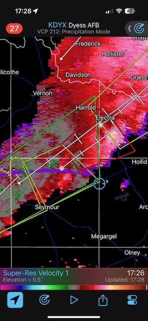
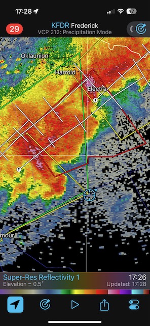
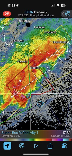
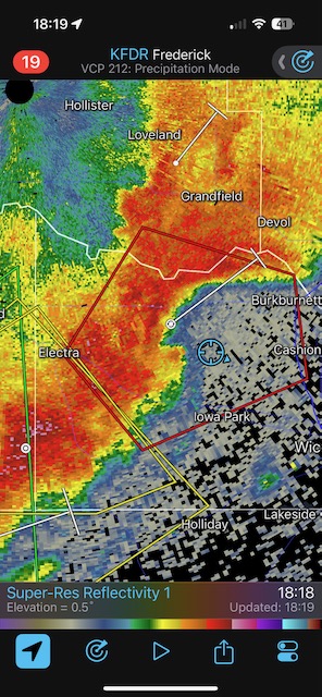
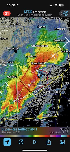
After maybe 15-30 minutes of head-scratching with not much potential apparent in this area, we bolted southward to get in front of the developing severe storms in northwest Texas. The northern-most cell was good for a bit, but we needed to scoot in front of that and keep going south to get in front of the one that was nearing Munday. This Munday/Seymour supercell produced a tornado near Knox City (which occurred too soon for us to observe) and later west to WNW of Seymour. We positioned a bit NNW of Seymour and had a good view of structure, with a nice low-level feeder band out of the north and into the low base. We had a for-sure tornado briefly just after stopping. The low levels then became largely rain-wrapped, and any tornado was hidden.
Below is video by TT guide Matt Phelps, looking WNW, shortly after we stopped about 2-3 miles WNW of Seymour AP on FM 1919.
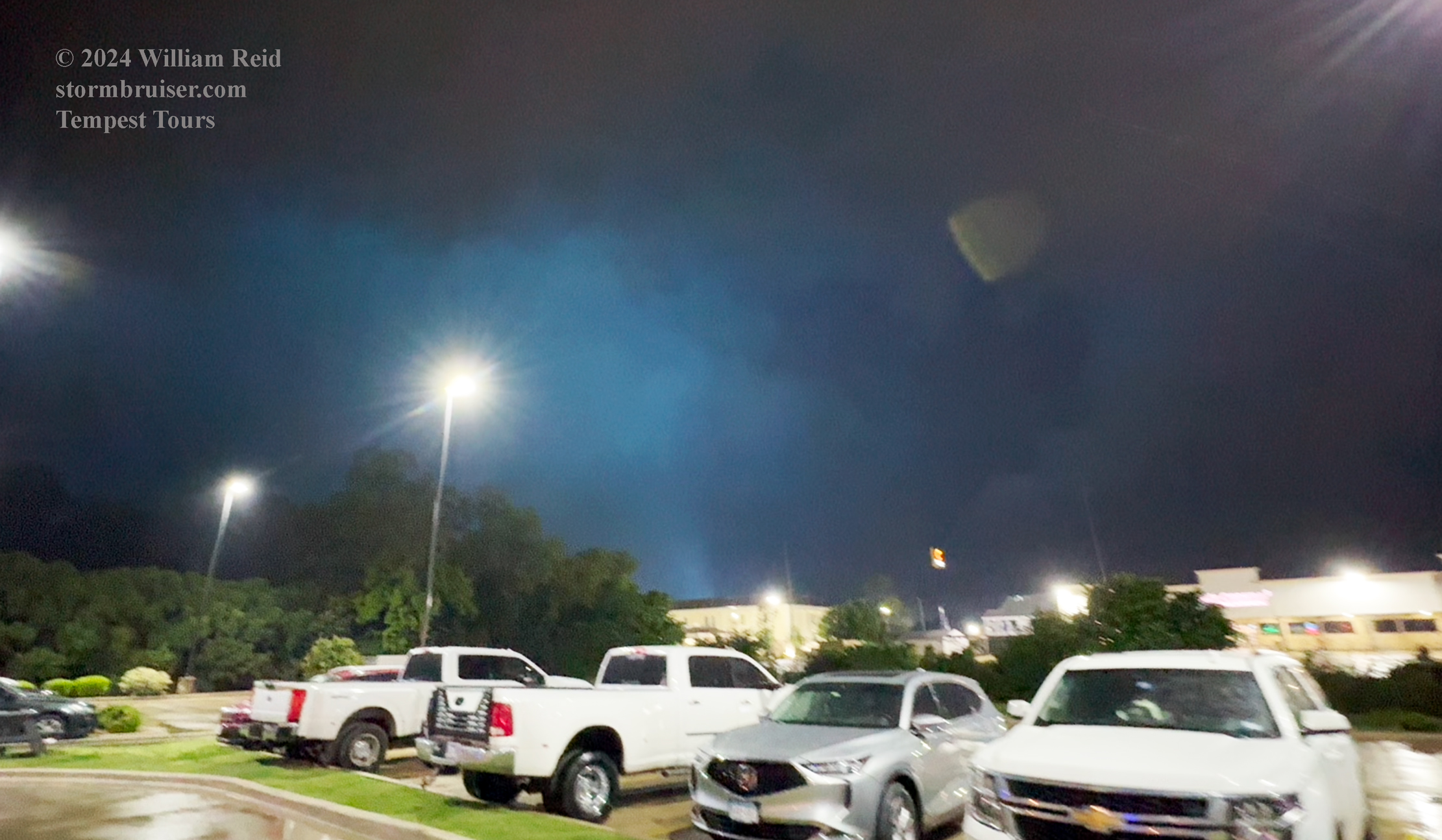
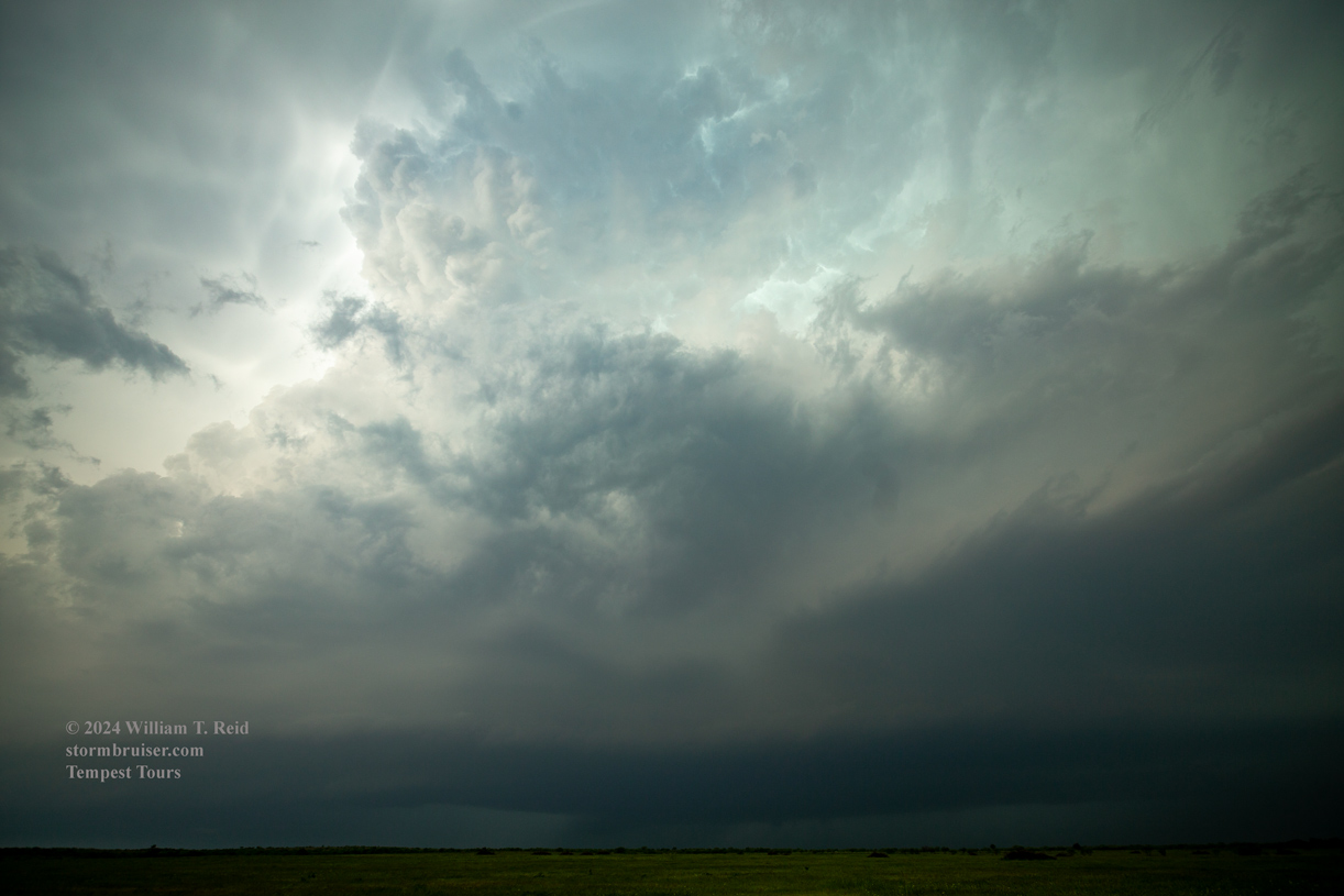
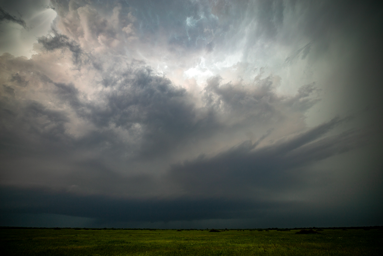
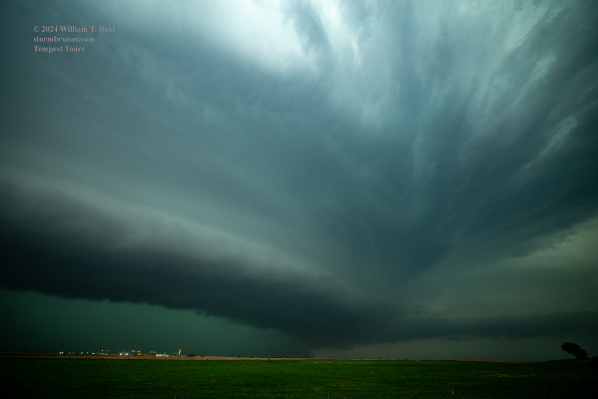
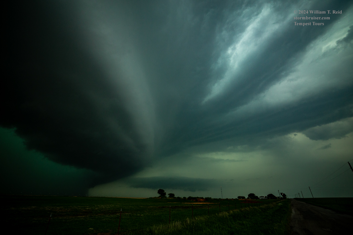
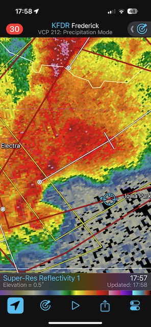
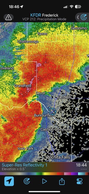
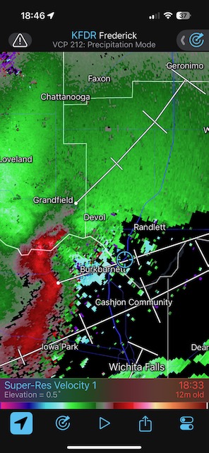
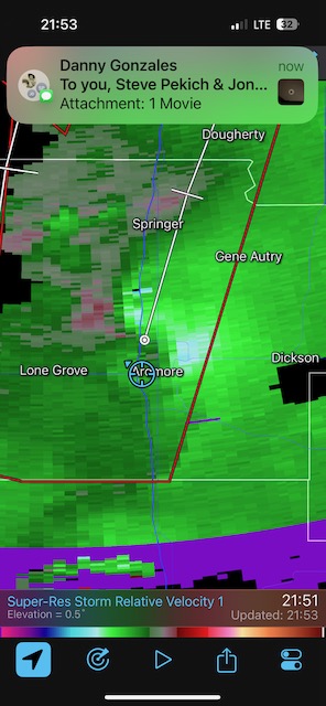
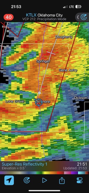
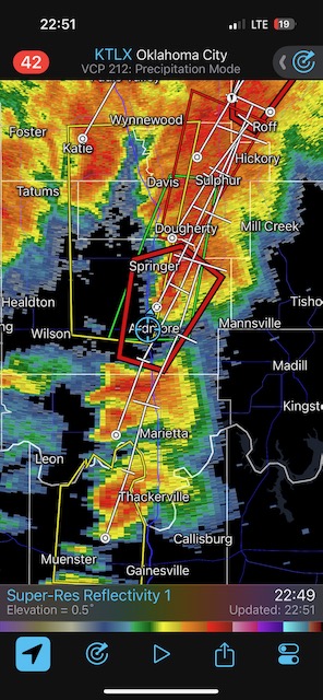
Thereafter, the activity turned a bit messier and more linear, and the tornado threat near this line diminished. There was a nice hook echo near Iowa Park, but no tornado was seen. After dusk we had new supercells moving northward along I-35 from the Red River and through our hotel town of Ardmore. One of these produced a tornado less than a mile or so to our west, and the next one another tornado a ways to the east of Ardmore! What a night! We remained at the hotel, as it was much too dangerous to be chasing these fast-moving tornadic storms through the trees at night.
Below is a short clip as a tornado moves from our SW to our W, from the Best Western Hotel near the Interstate at Ardmore. And below that is a video still of the tornado during a power flash.
Below are the stills for the Seymour supercell, and later, the supercell near Iowa Park.


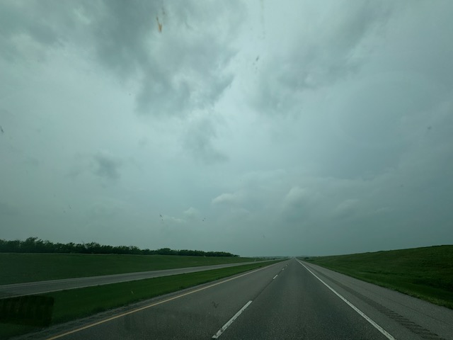
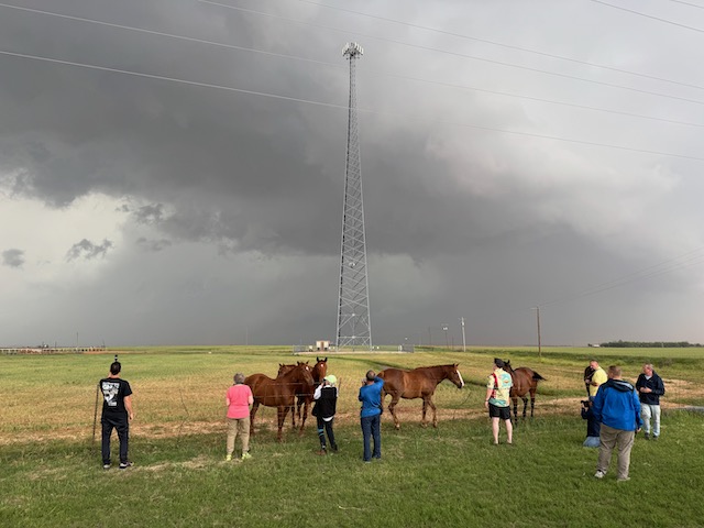
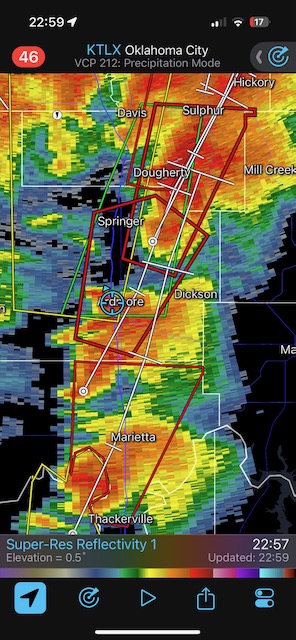
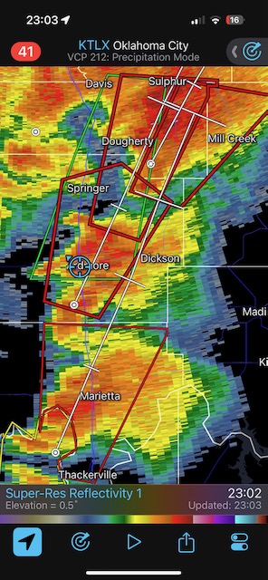
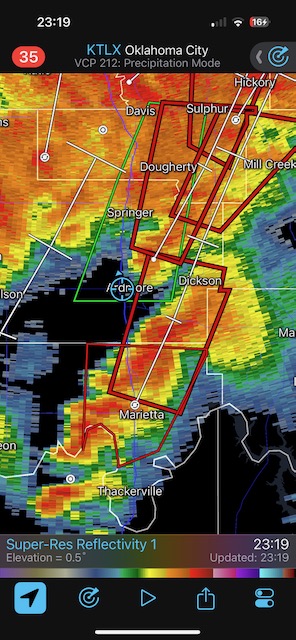
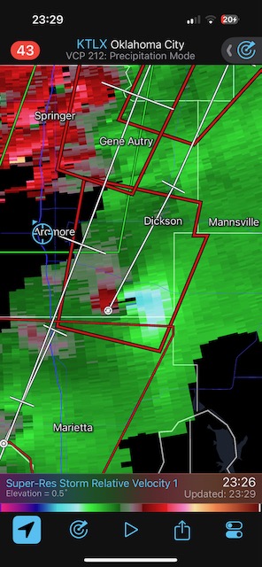
A bunch of iPhone stills and radar screenshots below

Leave a Reply
You must be logged in to post a comment.