Stormbruiser.com

William T. Reid

  • About
  • Video Links
  • Climate
  • Categories
    • Astronomy
    • Aurora/Northern Lights
    • Artsy
    • Airports (LAX and VNY)
    • Animal Day
    • Beach
    • BEST and MOST POPULAR
    • Chase Season Summary
    • Chasers and friends
    • Cumulonimbus
    • Death Valley
    • Desert
    • Desert/Mountains
    • Elevated photography
    • Eyesores
    • Fire
    • Flooding
    • Hurricane
    • Landscapes
    • Lightning
    • Local: Conejo Valley/San Fernando Valley
    • Mid and High Clouds
    • Nighttime photography
    • Old Stuff
    • Rainbows/Optical Phenomena
    • San Nicolas Island
    • Storm Video Sales
    • Stormy Skies
    • Stupid Bugs
    • Sunsets and Storms
    • Supercells
    • The City
    • Tornadoes
    • Unusual Clouds
    • Vegetation
    • Wind and Dust
    • Winter Weather
  • Contact
You are here: Home / 2025 / May 25, 2024 Tornadic Supercell near Hazleton, Kansas

May 25, 2024 Tornadic Supercell near Hazleton, Kansas

May 25, 2024 By William Reid Leave a Comment

Start: OKC End: Pratt, Kansas

Storm Reports

SPC Day One/20z

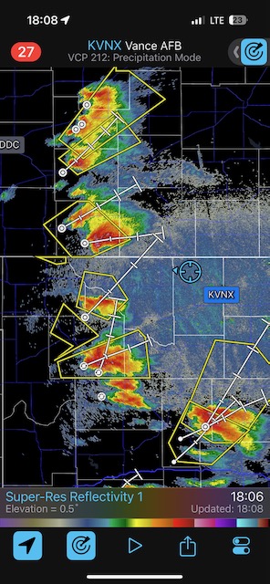
This was a fun chase day between Tours 4 and 5, as Tempest staff was doing the shift of operations from OKC to DEN. I had Carol with me and a couple of Tempest vans trailing behind. SPC was going moderate with a 15 percent hatched tornado outlook. The day did not go nuts with regard to tornadoes as the early stuff went rather HP and messy. SPC thought that the evening increase in the low-level jet might cause consternation with maybe some high-end tornadoes in OK and KS, but that did not eventuate.

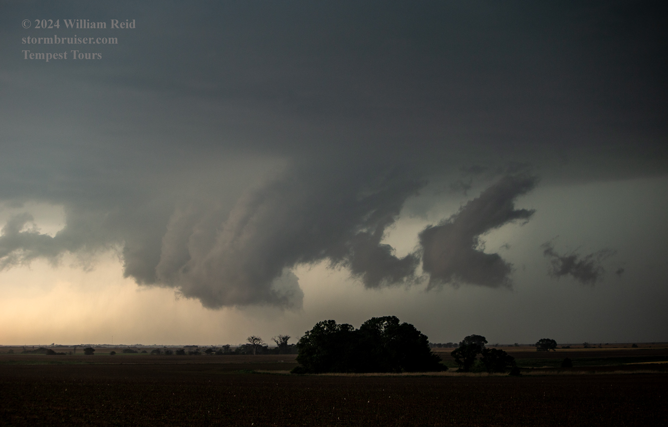
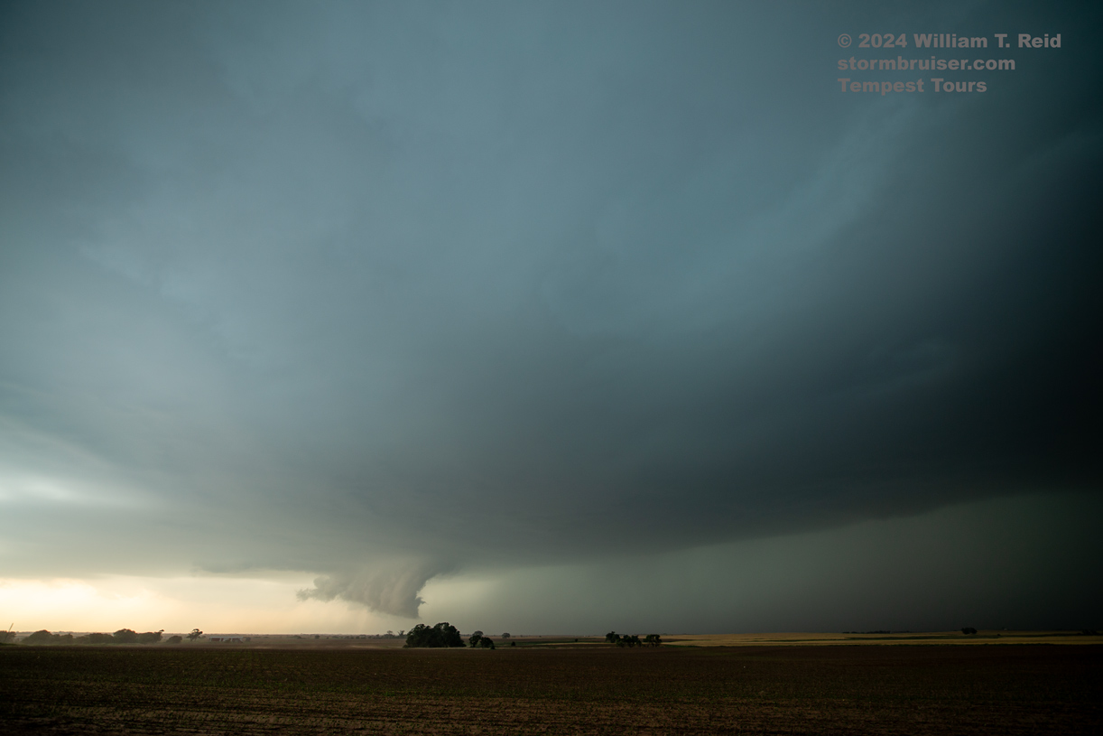
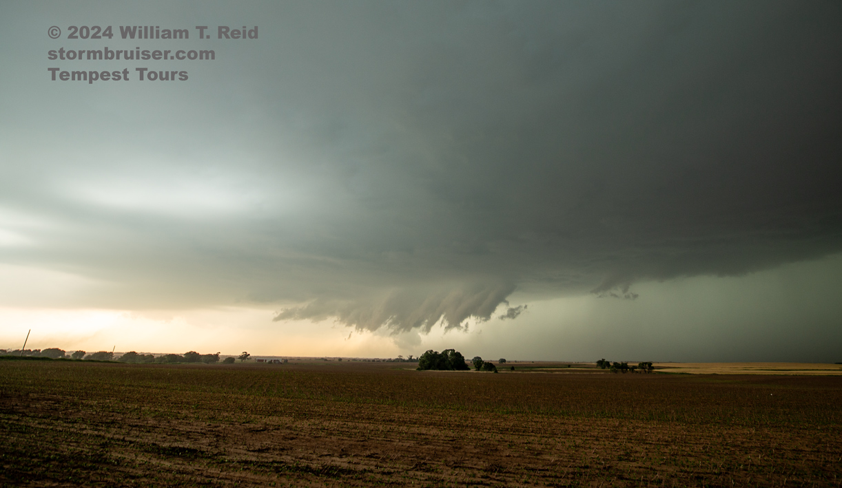
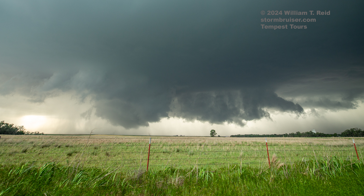
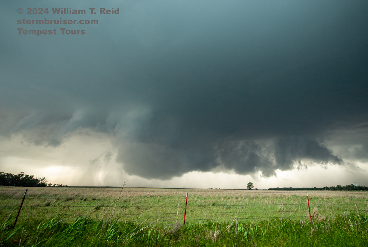
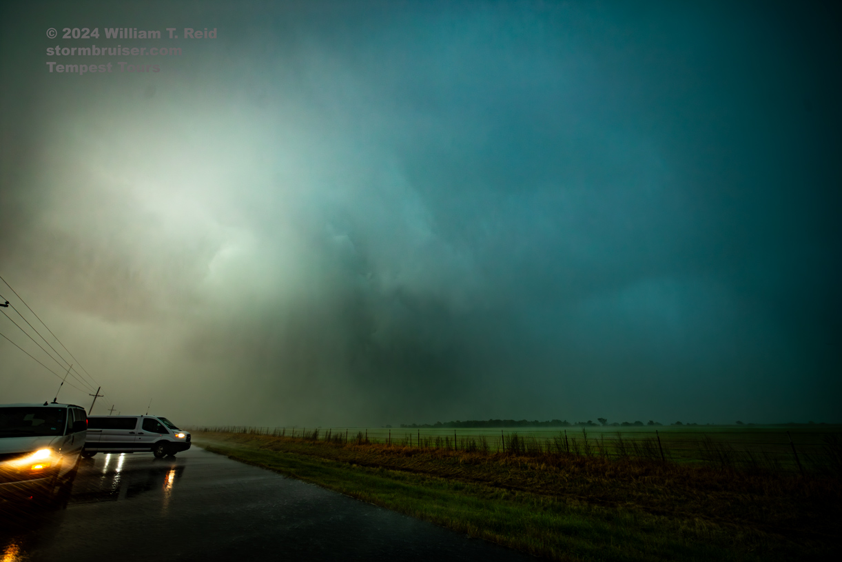
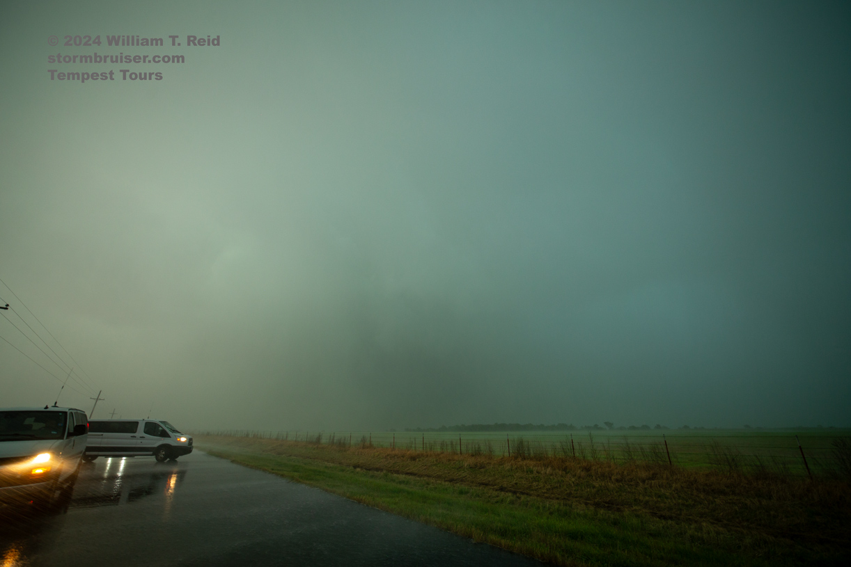
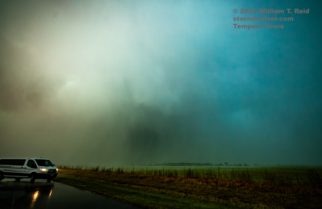
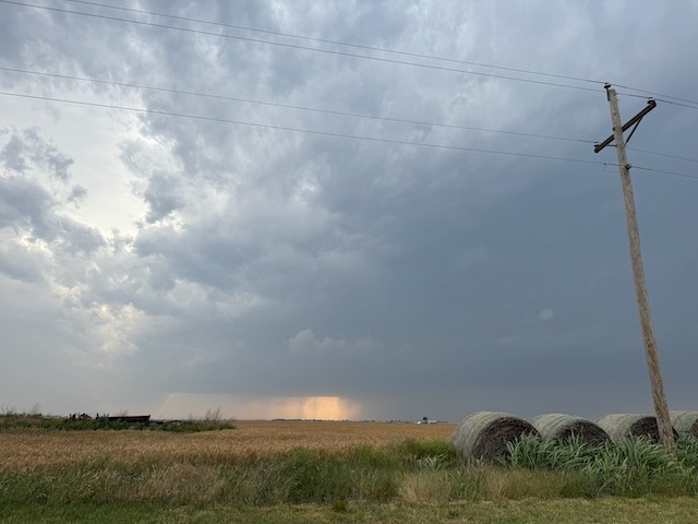
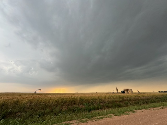
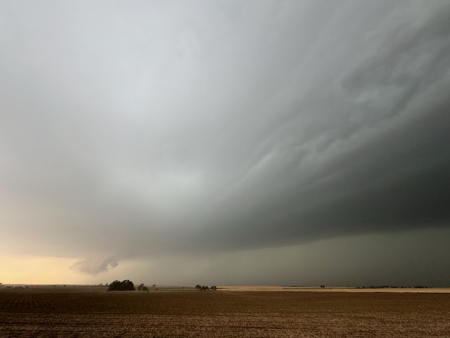
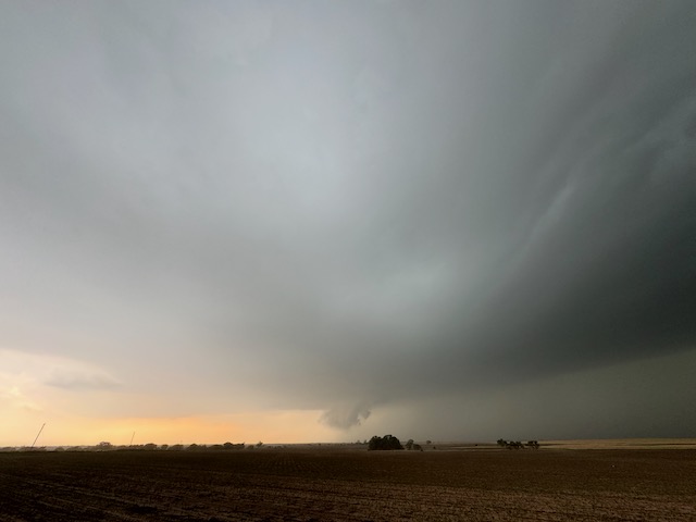
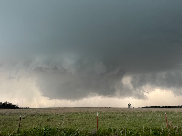
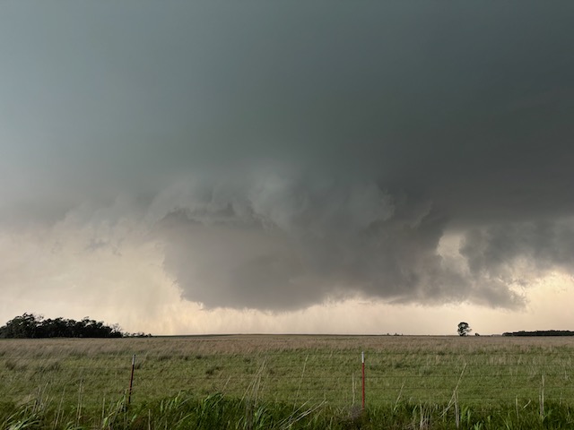
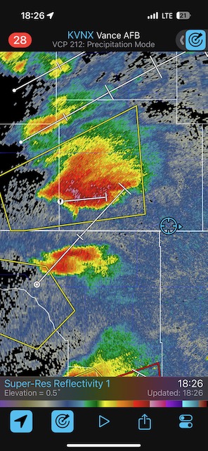
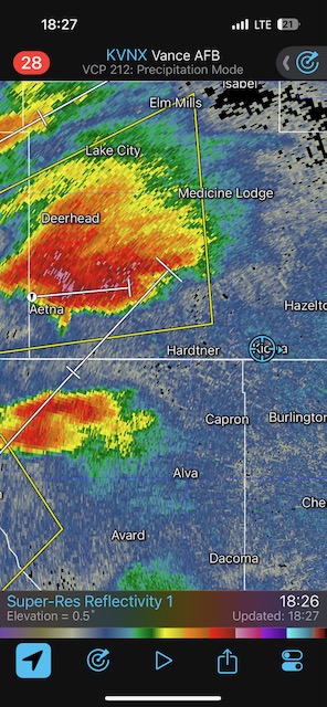
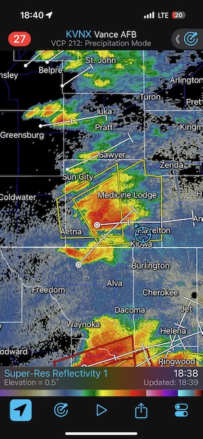
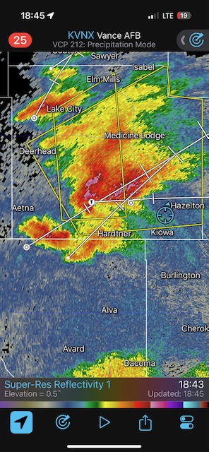
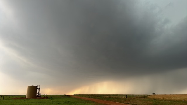
We got in front of a developing supercell near the OK/KS border, around Kiowa. Winds were backed nicely and dews were in the upper 60s. Around Hazelton, KS, the base sported a large lowering as the RFD kicked in. We had a great look as the action area advanced upon us. There might have been a weak tornado with this storm as we dove southward to get out of the way. As the storm passed by quickly to the north, the storm DID have a tornado…at least a weak tornado. The action area had become rain-wrapped, and my heavily-enhanced photo below shows something nasty in there.

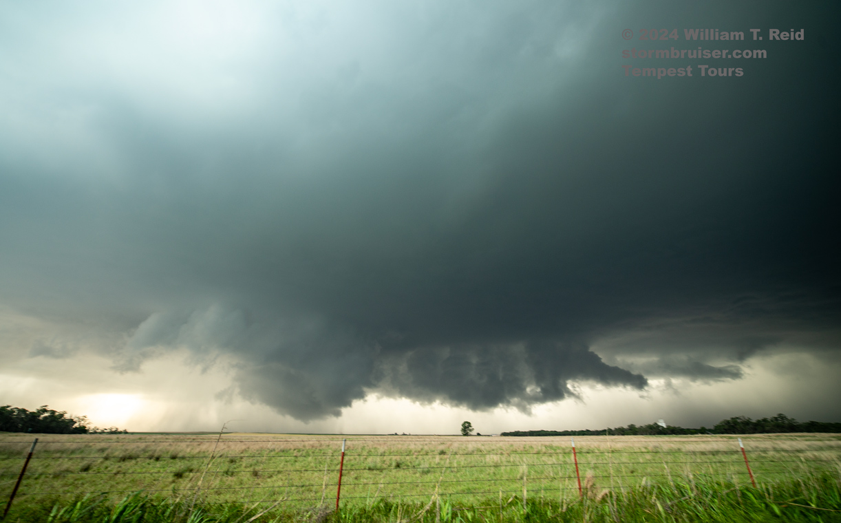
Well, that was about it for us! The storm had become a fast-moving HP. It was moving to the east, and we needed to head towards Denver.

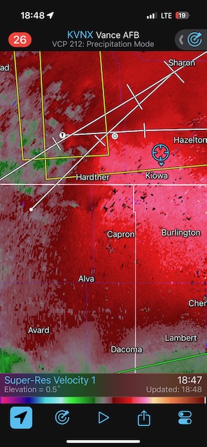
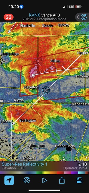
iPhone images and radar grabs below

Screenshot
Screenshot
Screenshot
Screenshot
Screenshot
Screenshot
Screenshot

Filed Under: 2025, Supercells, Tornadoes

Leave a Reply

You must be logged in to post a comment.

Search

May 2024
S M T W T F S
 1234
567891011
12131415161718
19202122232425
262728293031  
« Apr   Jul »

Categories

Archives

Copyright © 2025 stormbruiser.com ยท Log in