
Start: OKC/Lunch: Los Potros Mexican in Blackwell, OK/End: Webb City, MO (near Joplin)/446 miles
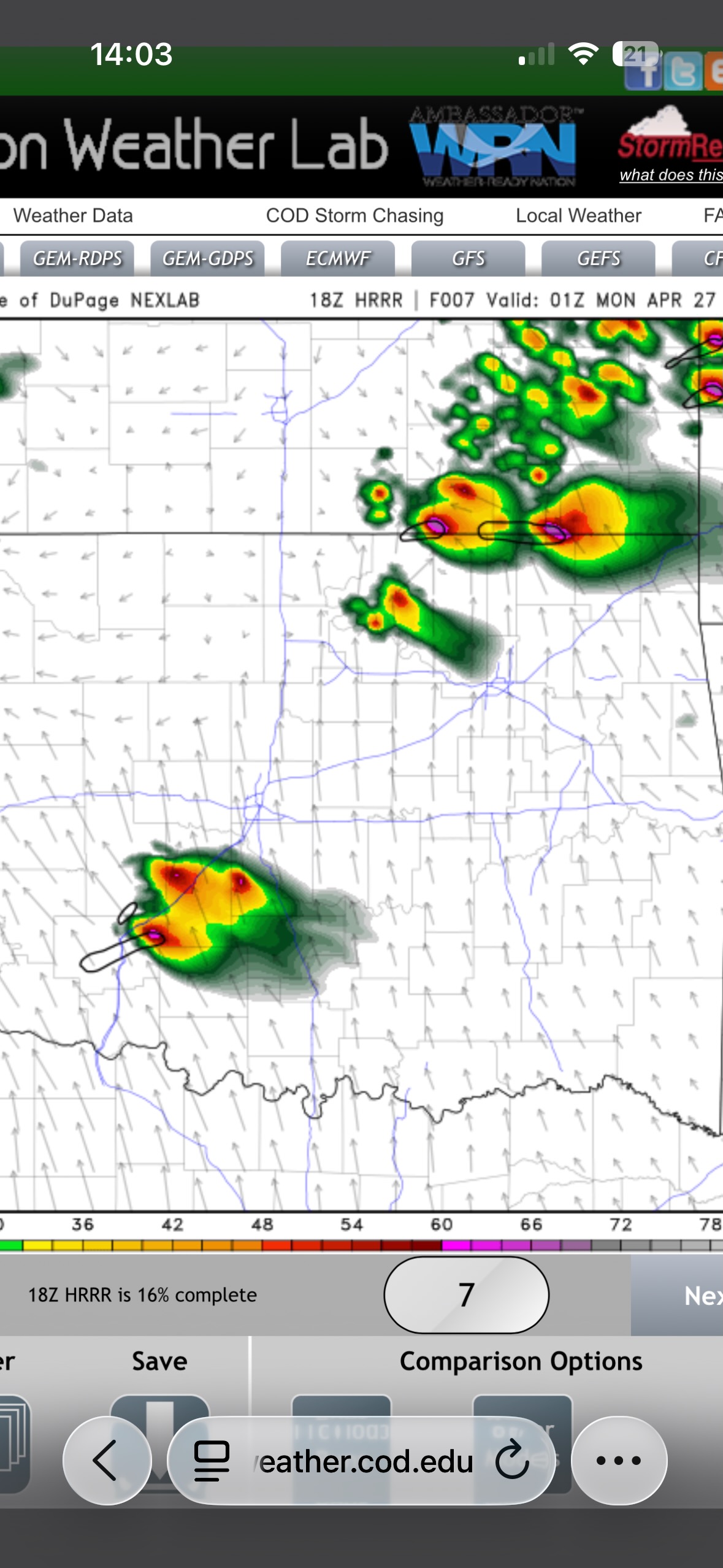
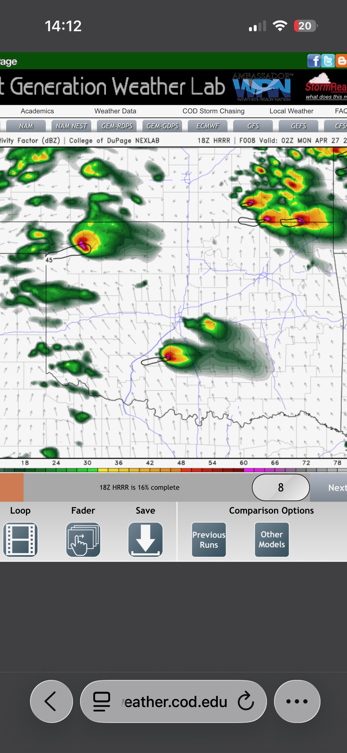
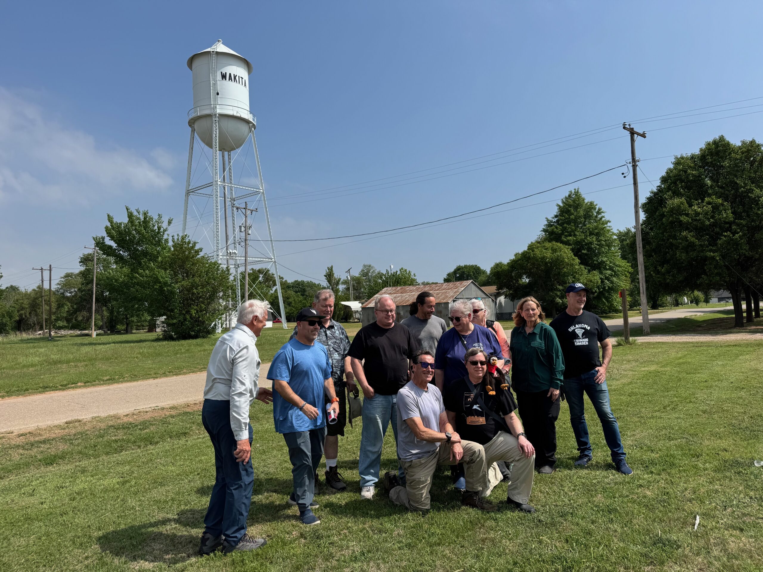
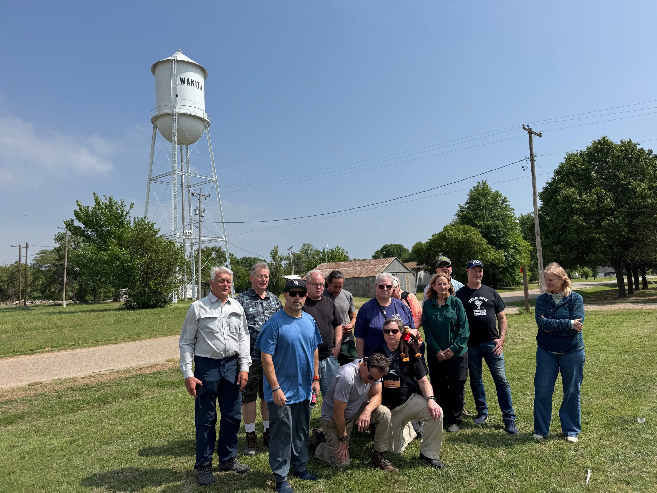
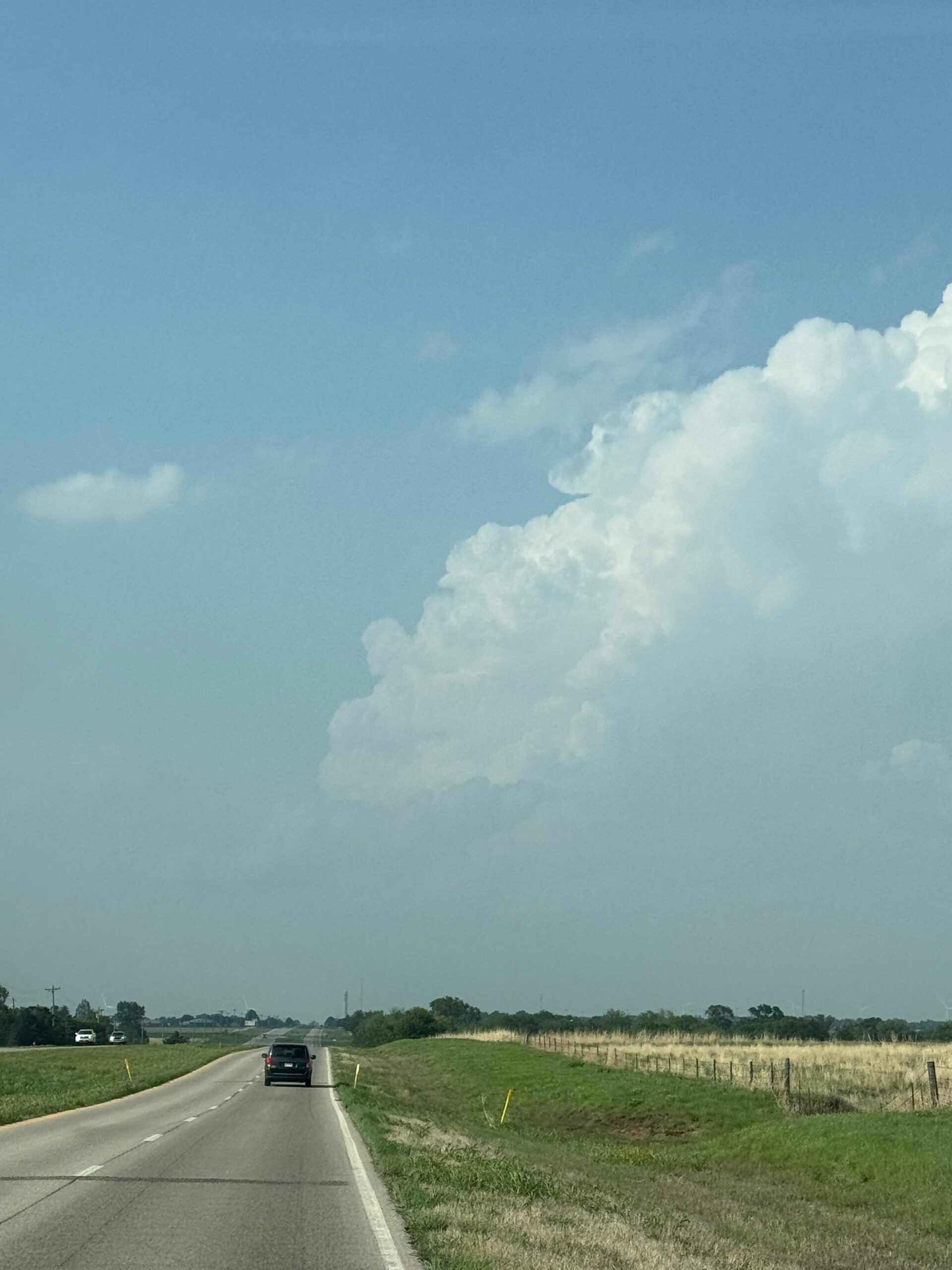
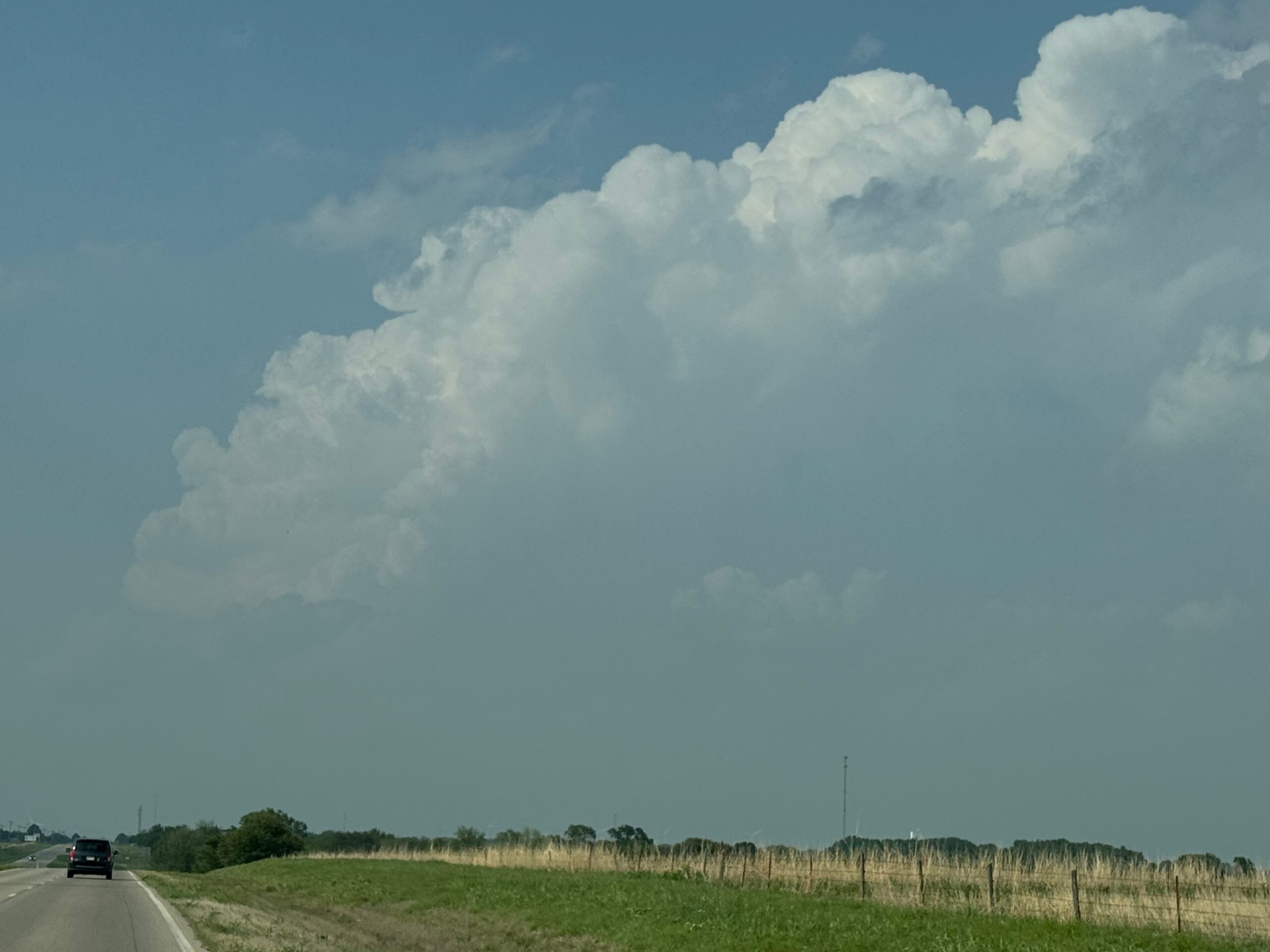
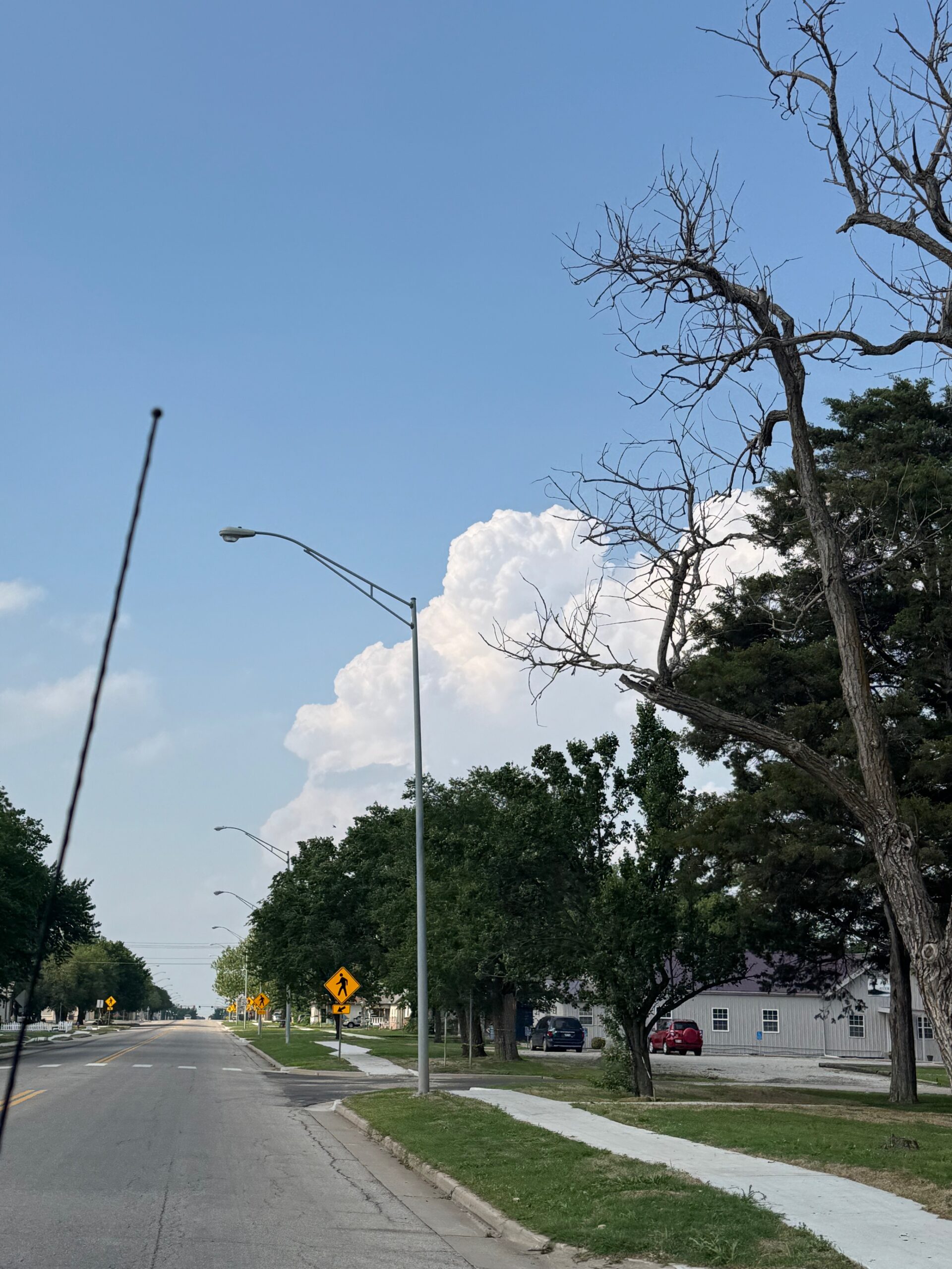
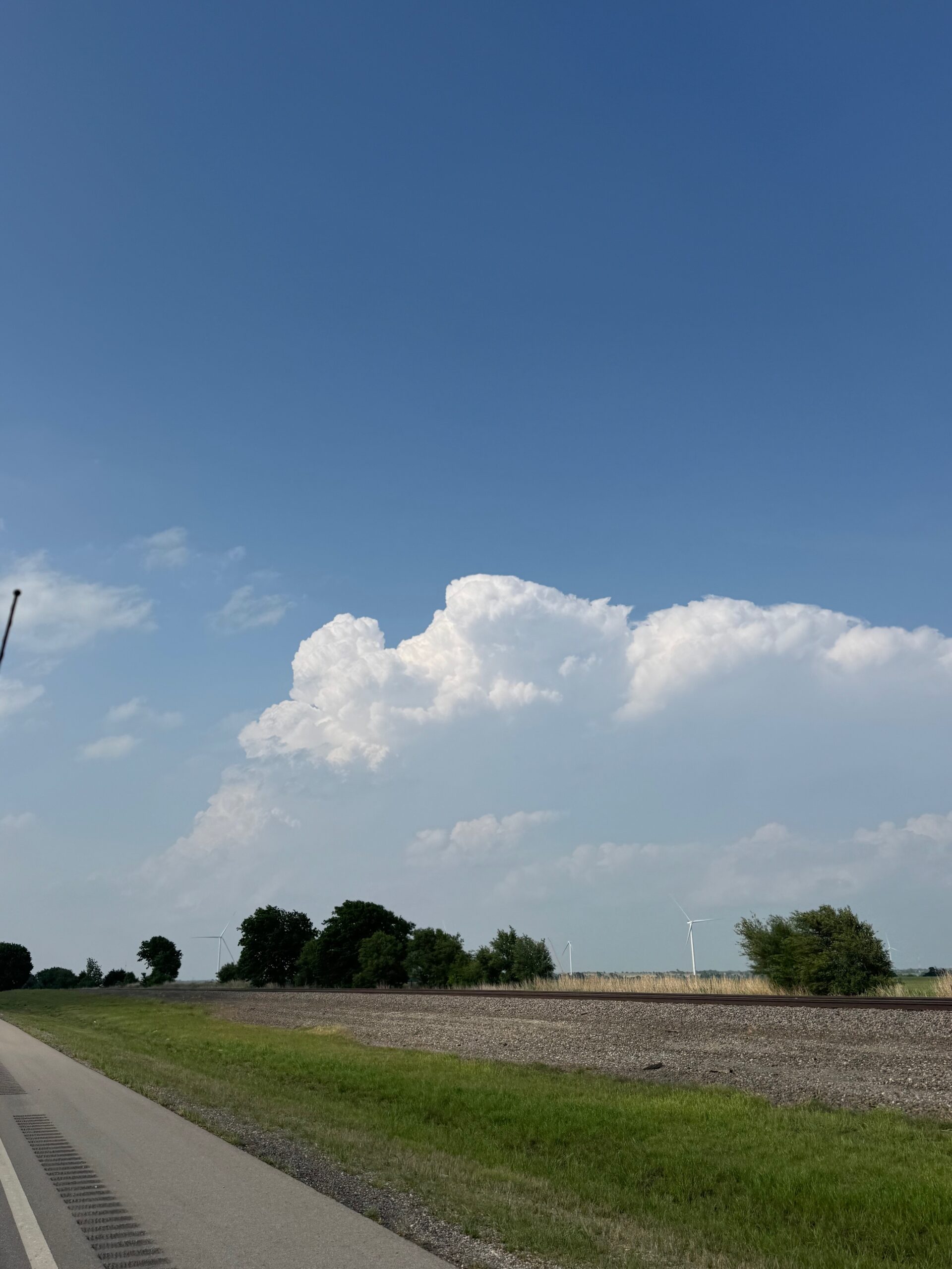
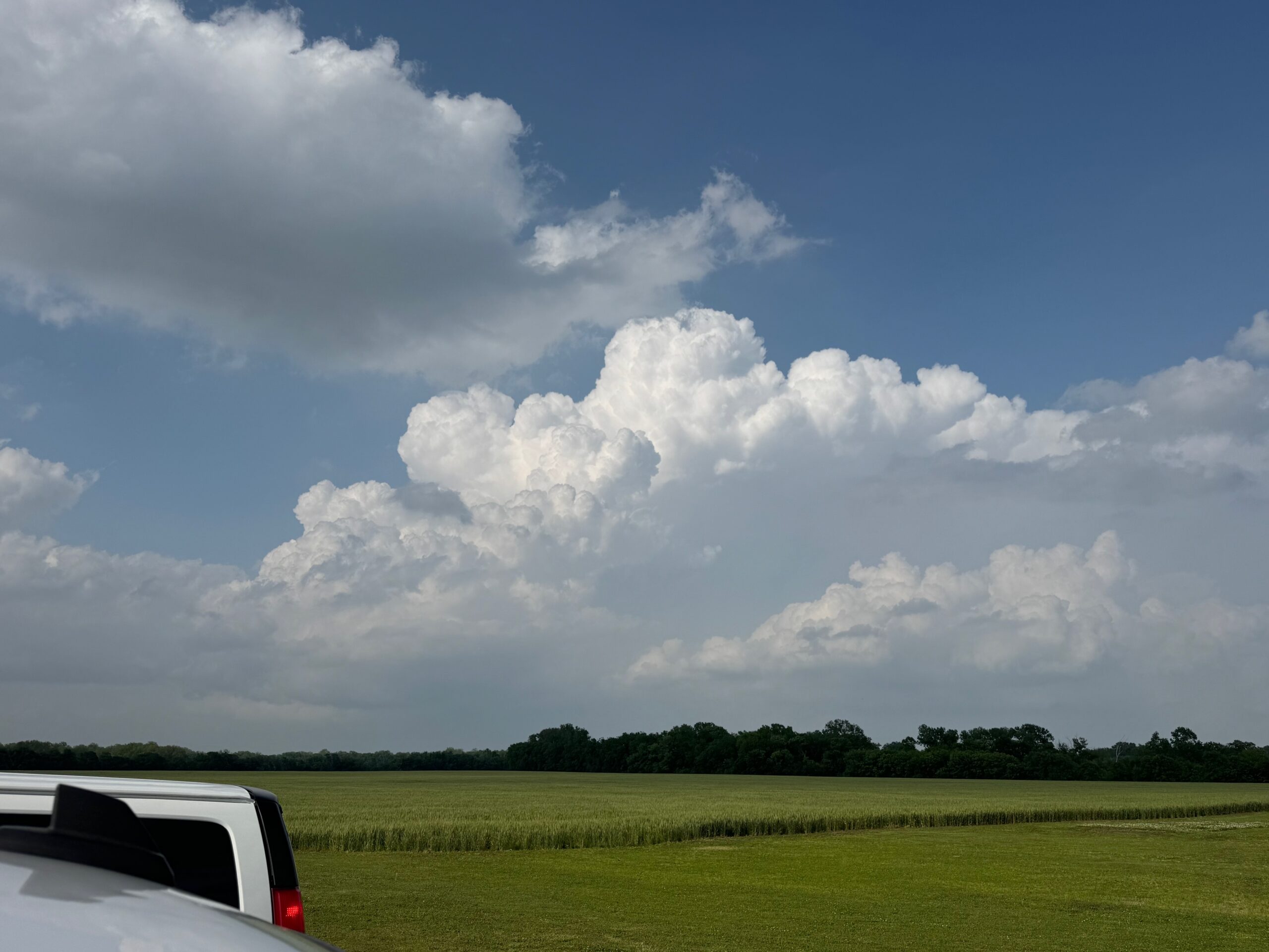
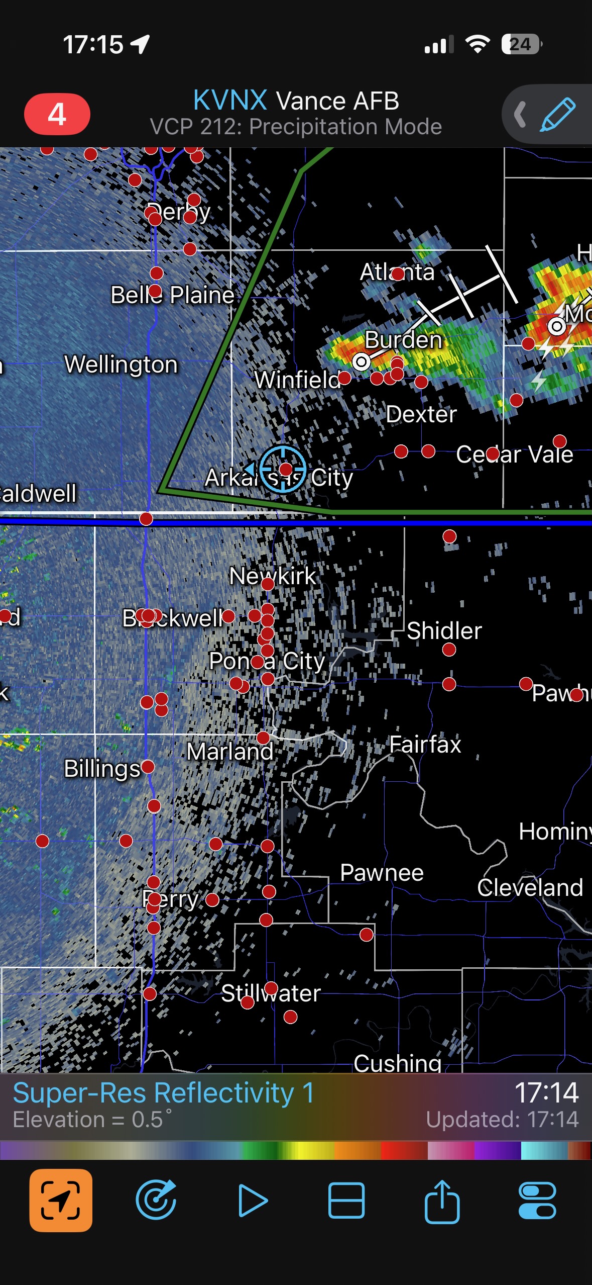
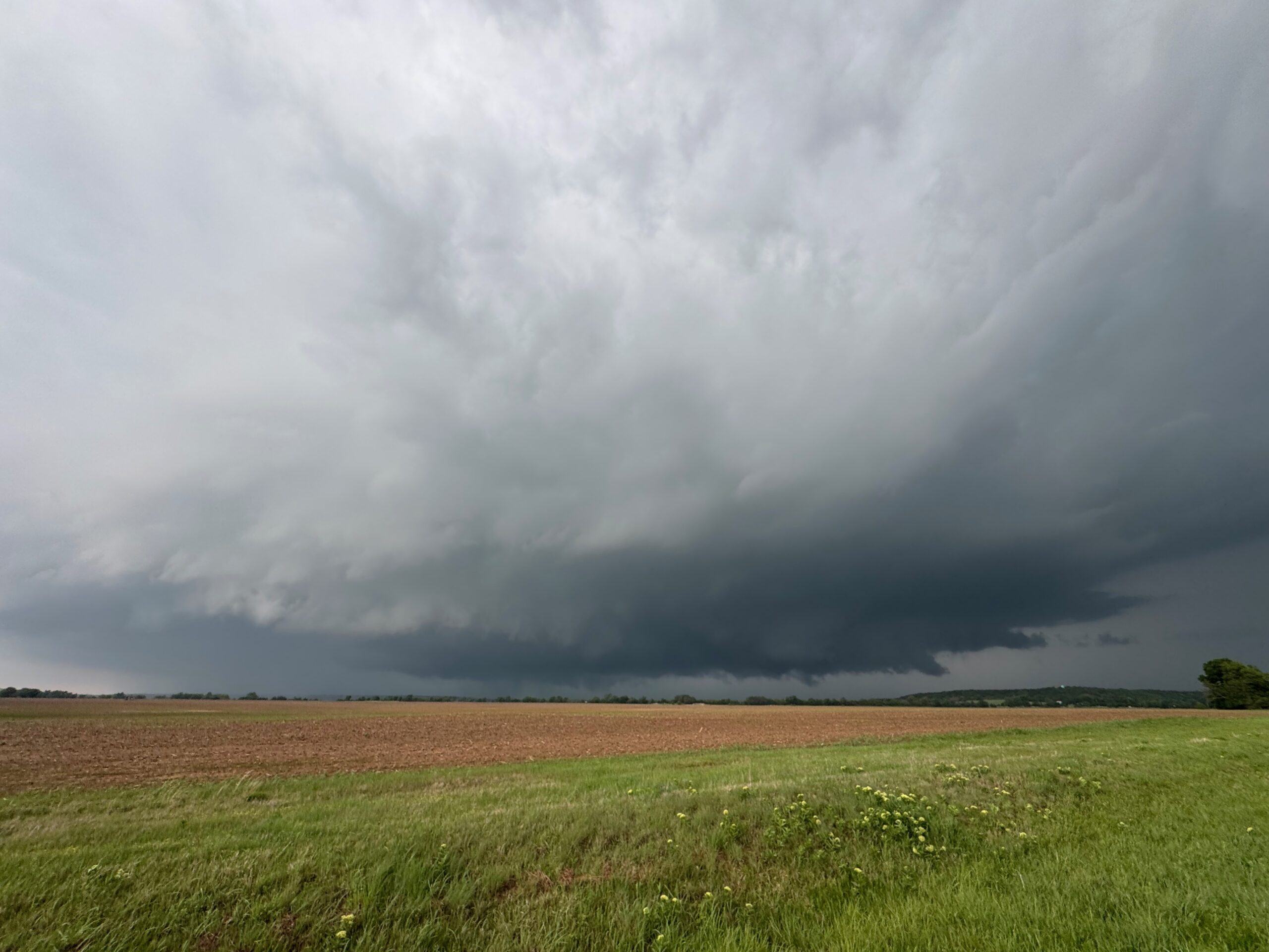
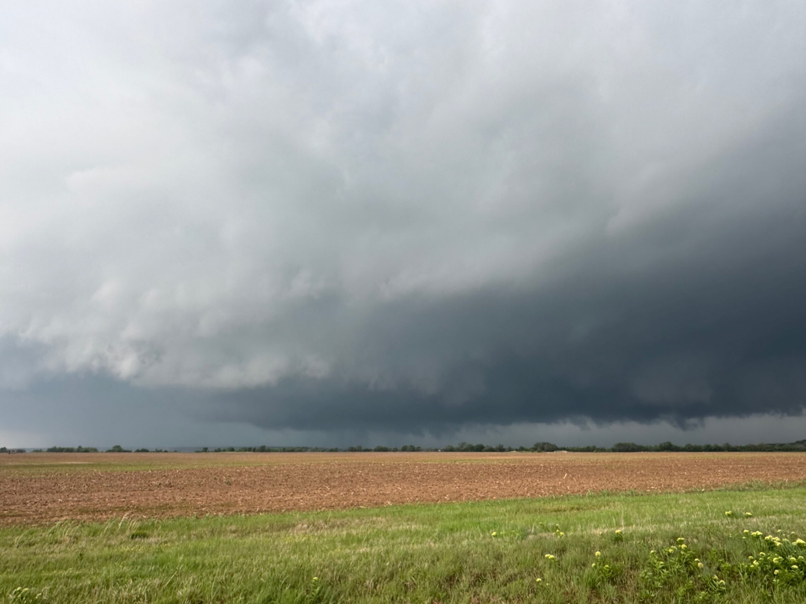
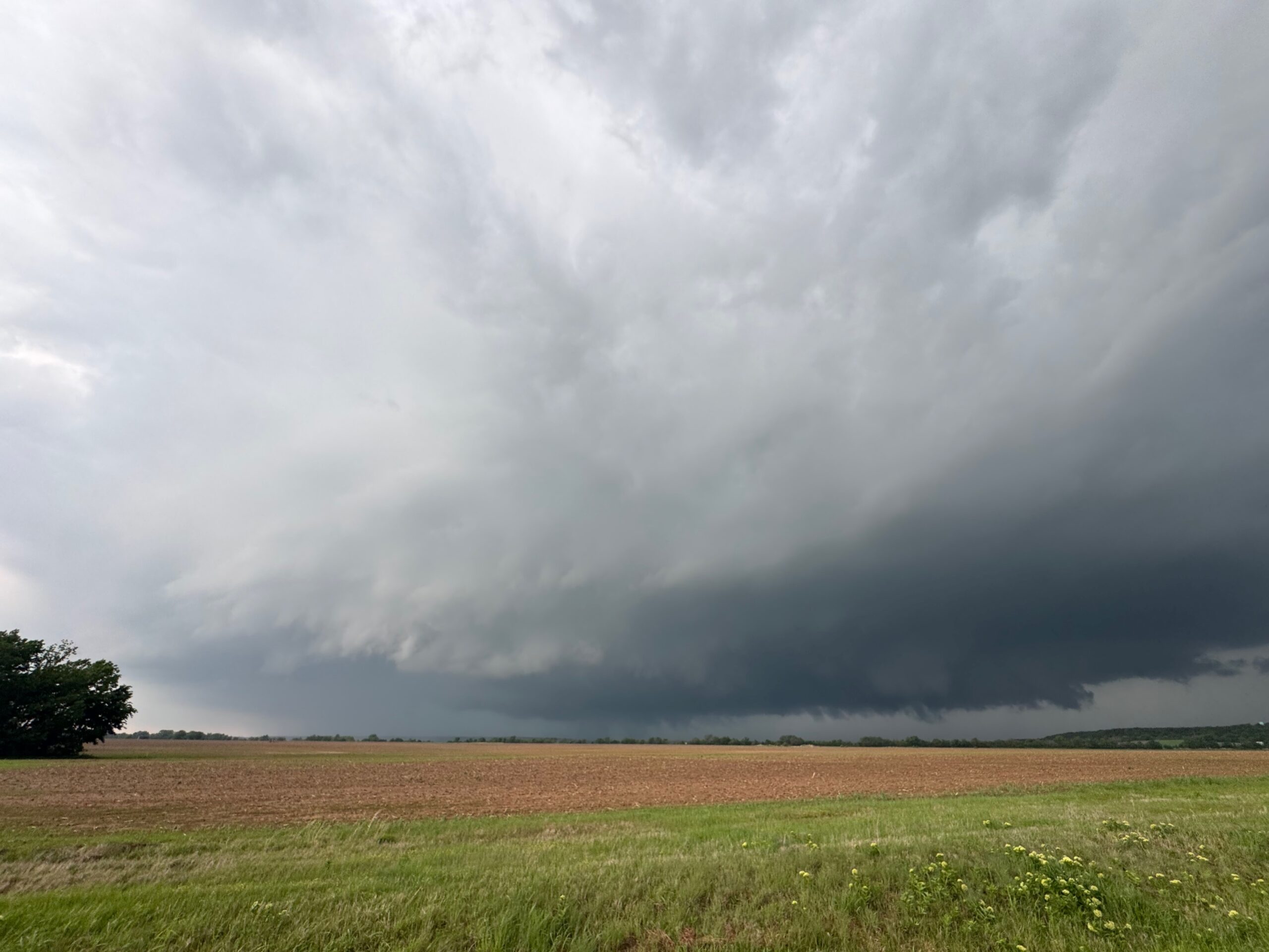
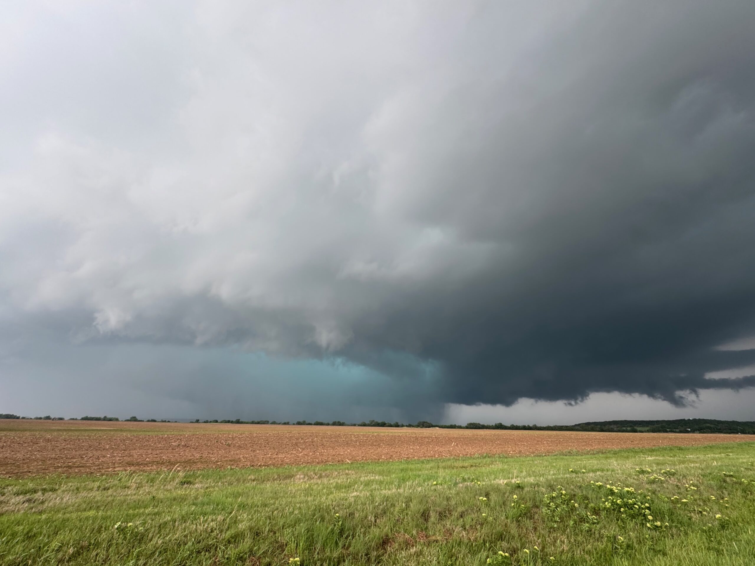
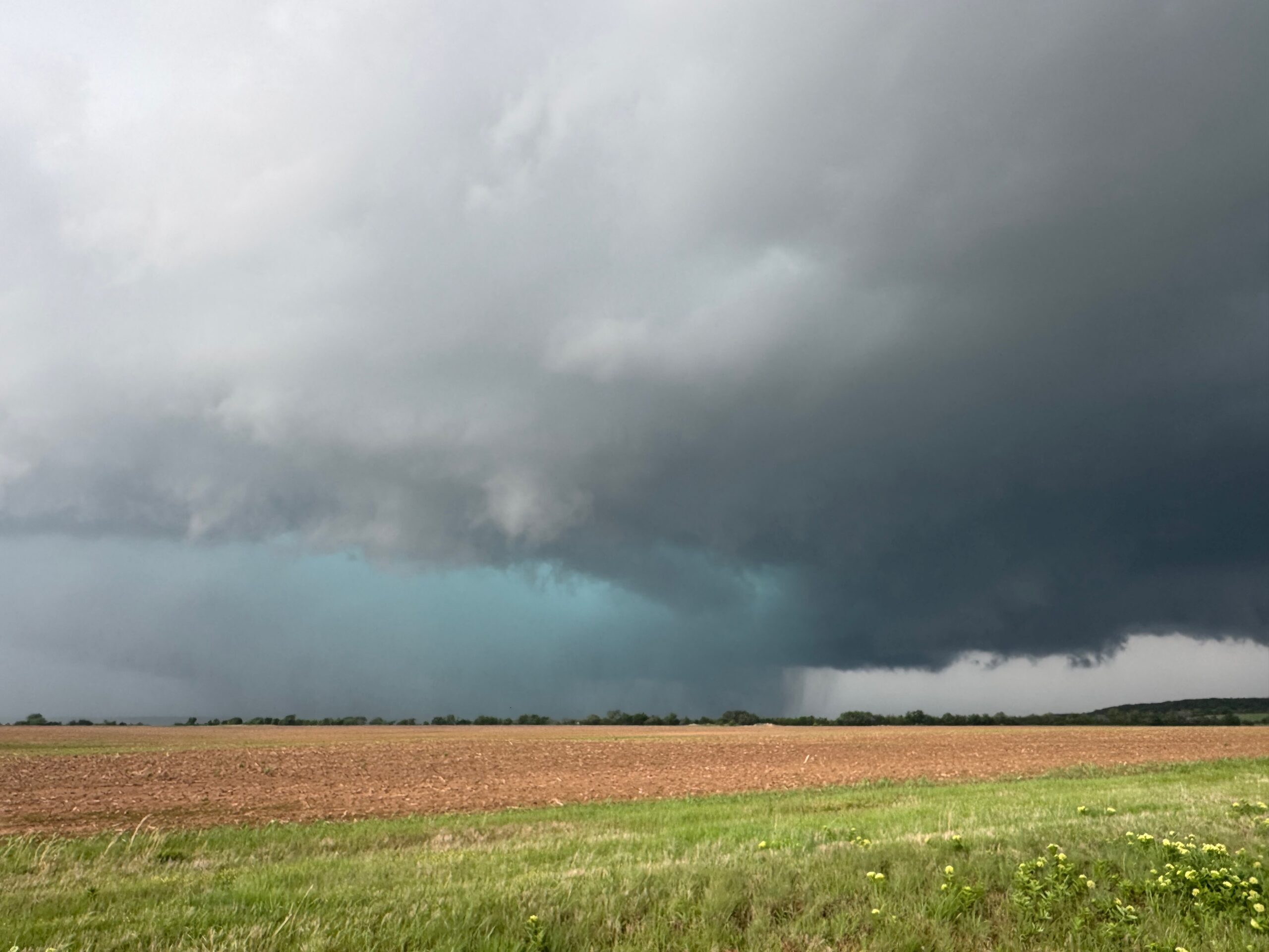
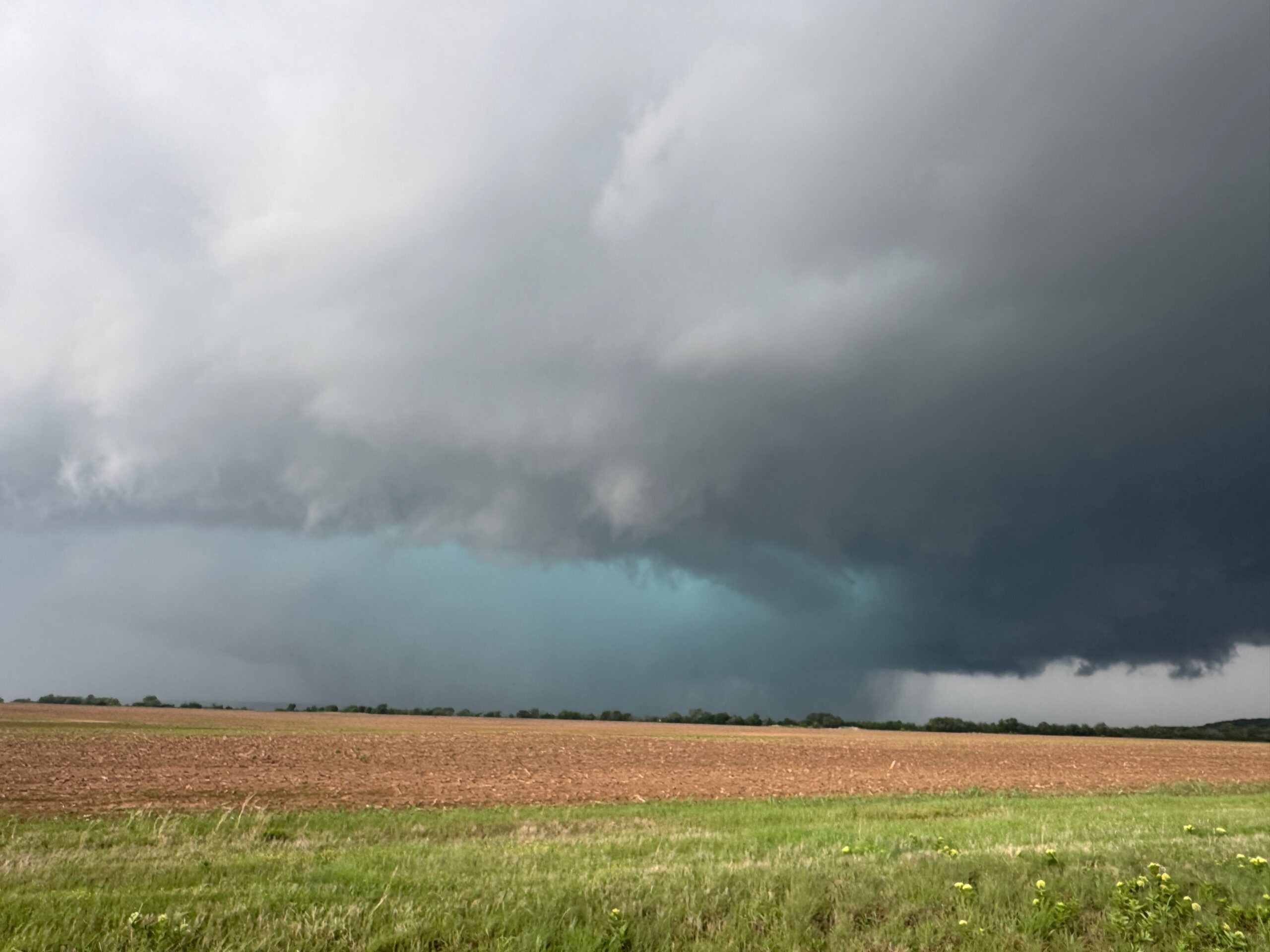
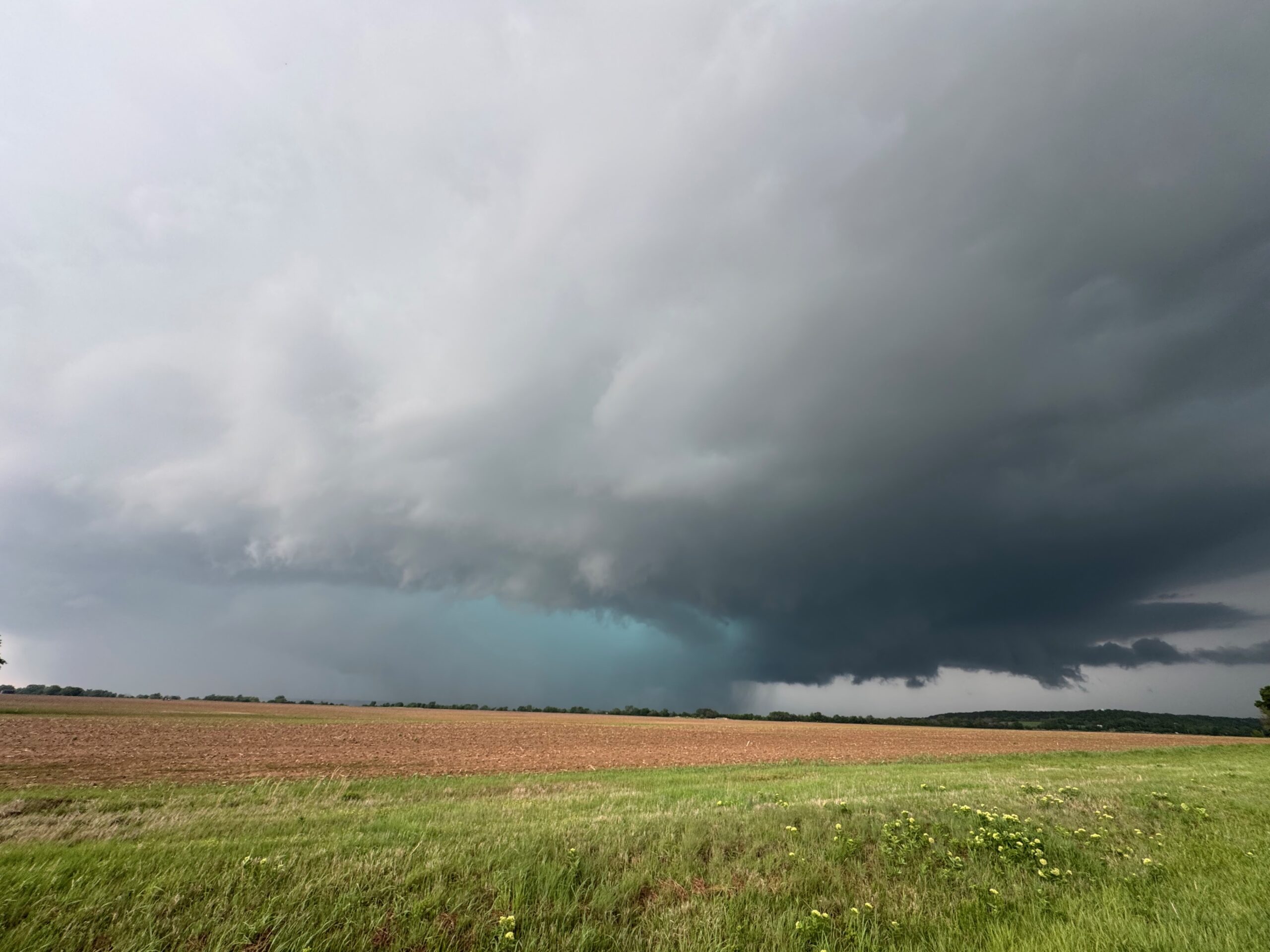
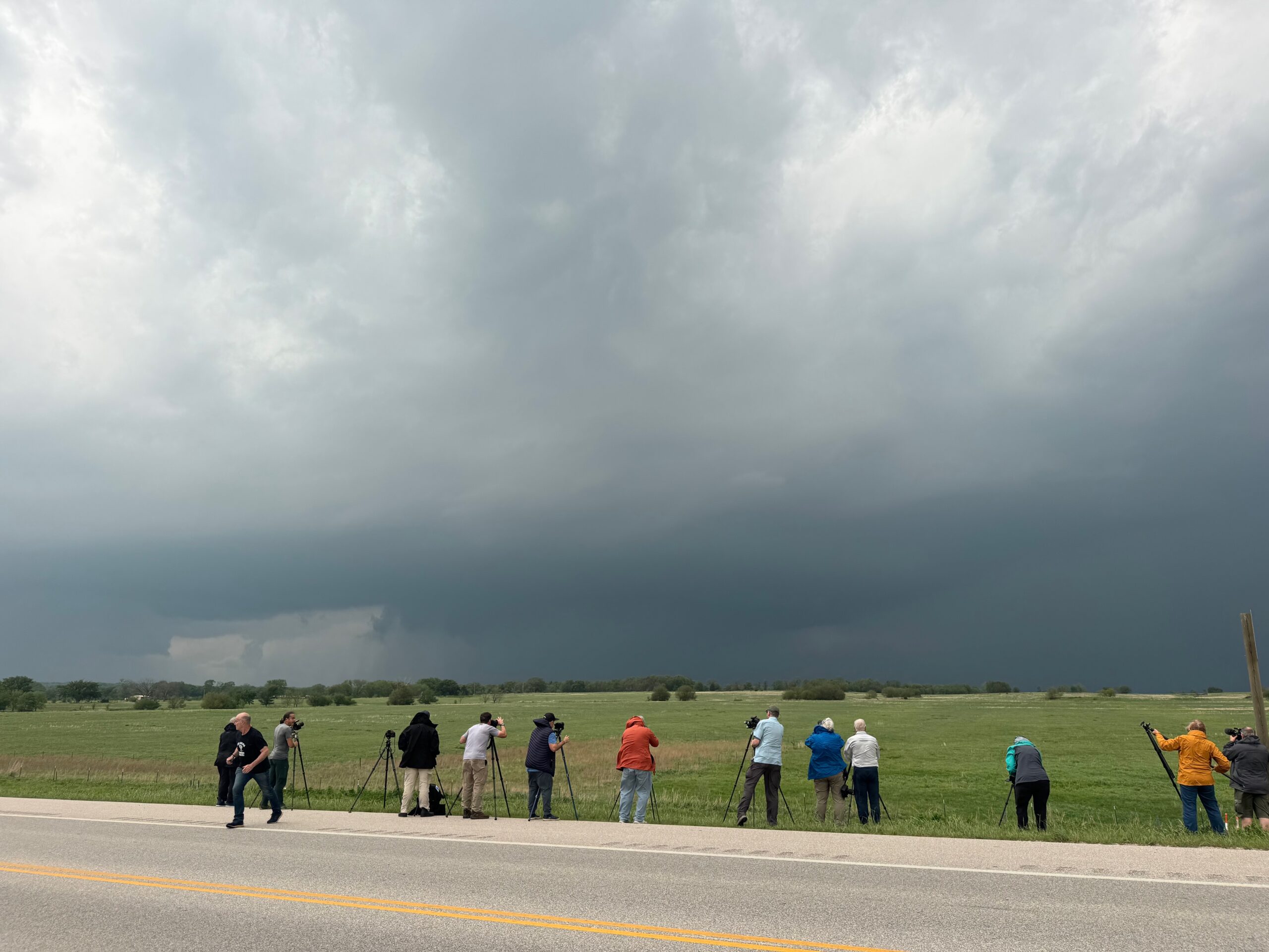
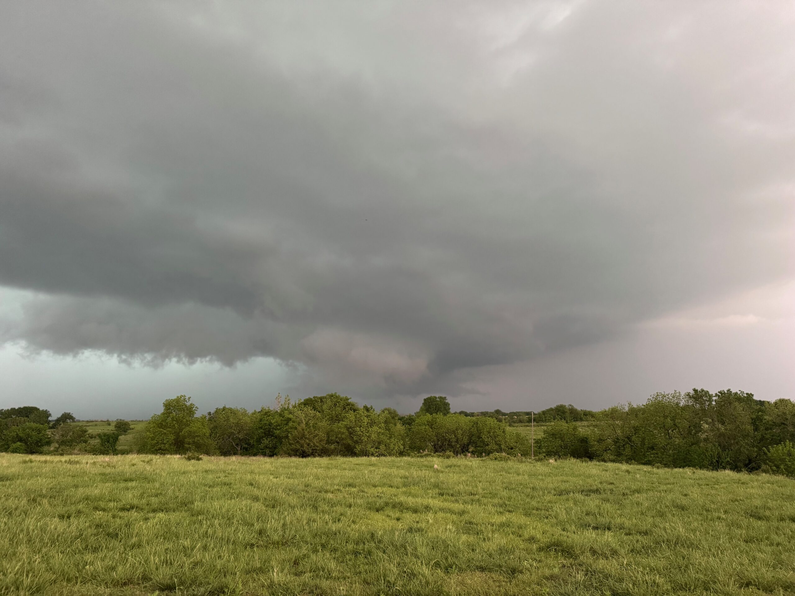
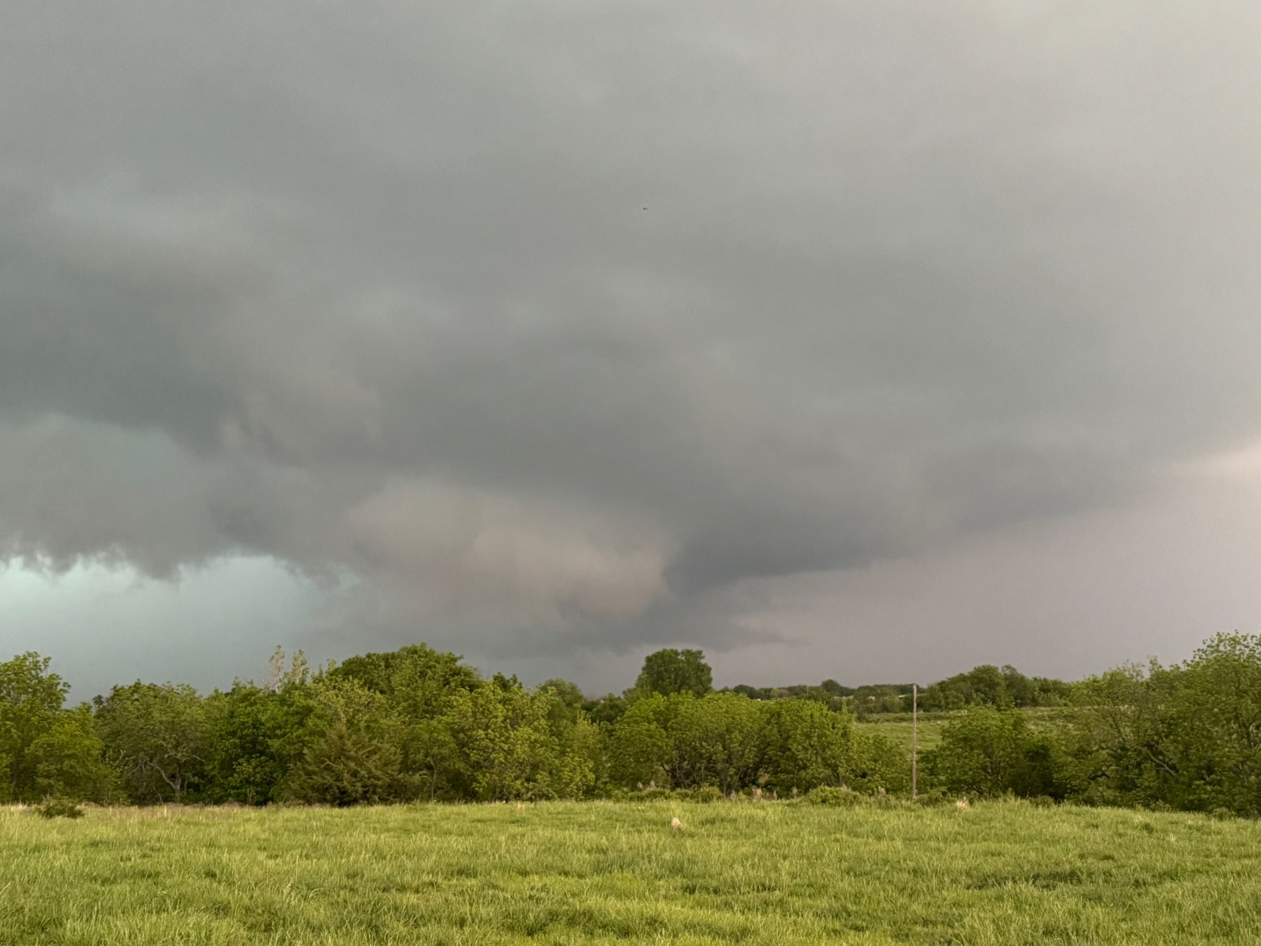
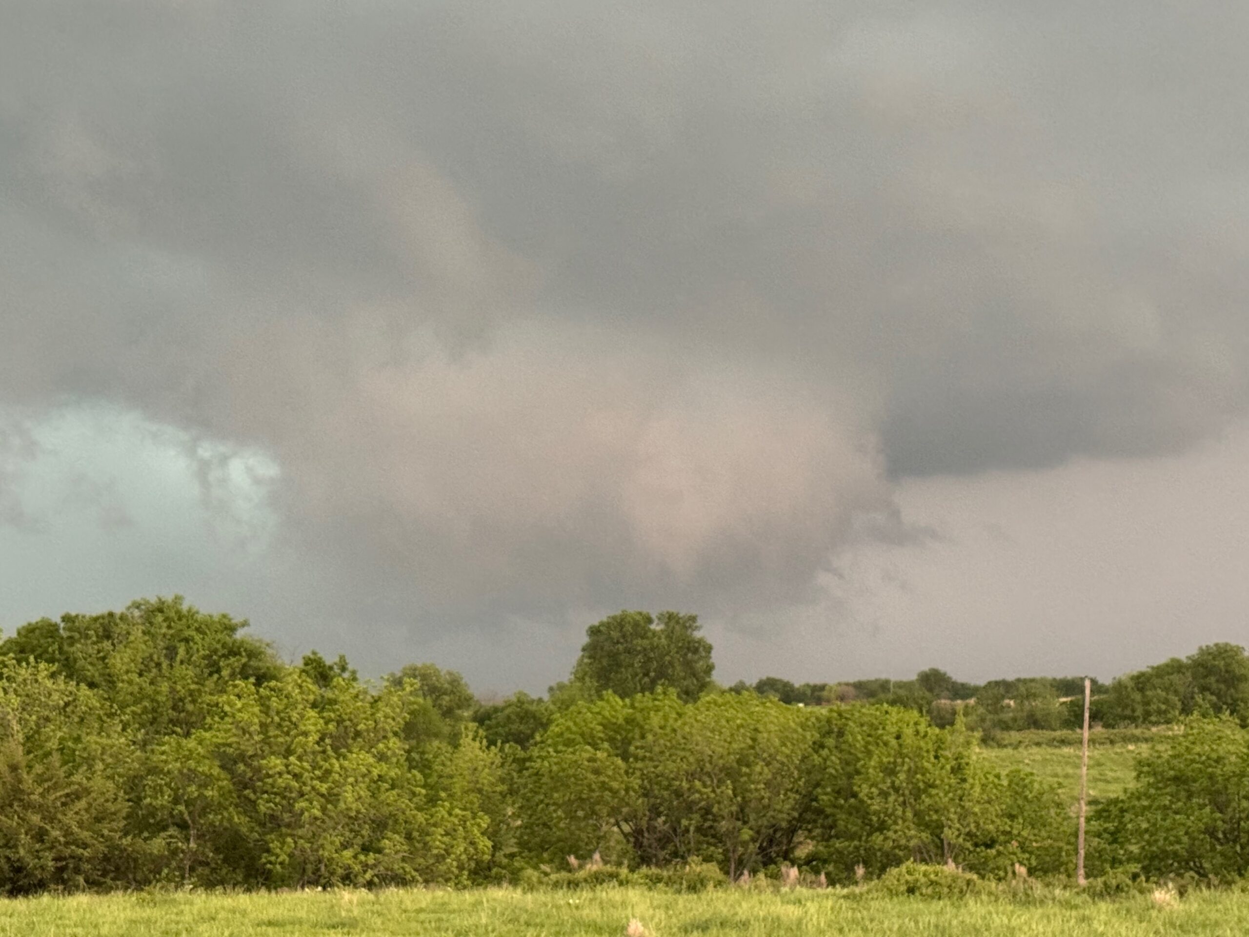
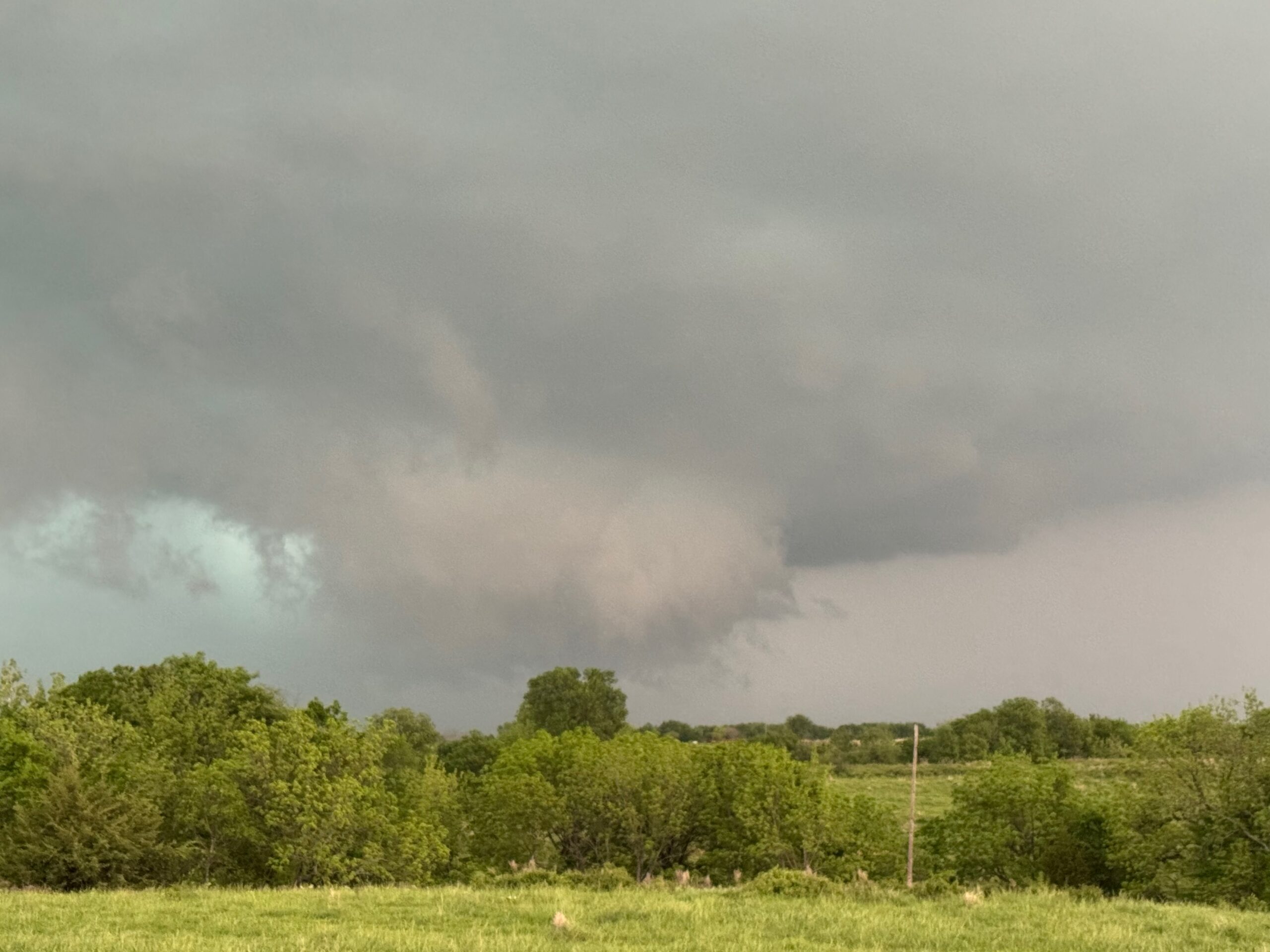
We made our way north on I-35 late morning, again with the vision of big and strong tornadoes in our heads. SPC showed a 5% hatched tornado risk area from about Norman to Hebron. The models were advertising a bit of a late show, and I liked the HRRR’s thinking of something near the OK/KS border after 5-6 p.m. We killed some time at Wakita and then made our way back to I-35, close to the OK/KS border. The exact target area was not especially clear cut. A cell was going up to our north in Kansas, but it looked soft. That would be moving east into a fairly good environment, but would it be able to get strong? The Oklahoma side looked a little more volatile on paper, but would anything be able to go up here in northern Oklahoma? The chase terrain and road networks weren’t particularly good east of I-35 on either side. It was a tad better on the Kansas side. I decided that we had better get moving north and east in order to be close to this Kansas-side updraft just-in-case. See the iPhone pics below for looks at this cumulonimbus, not far from Dexter.
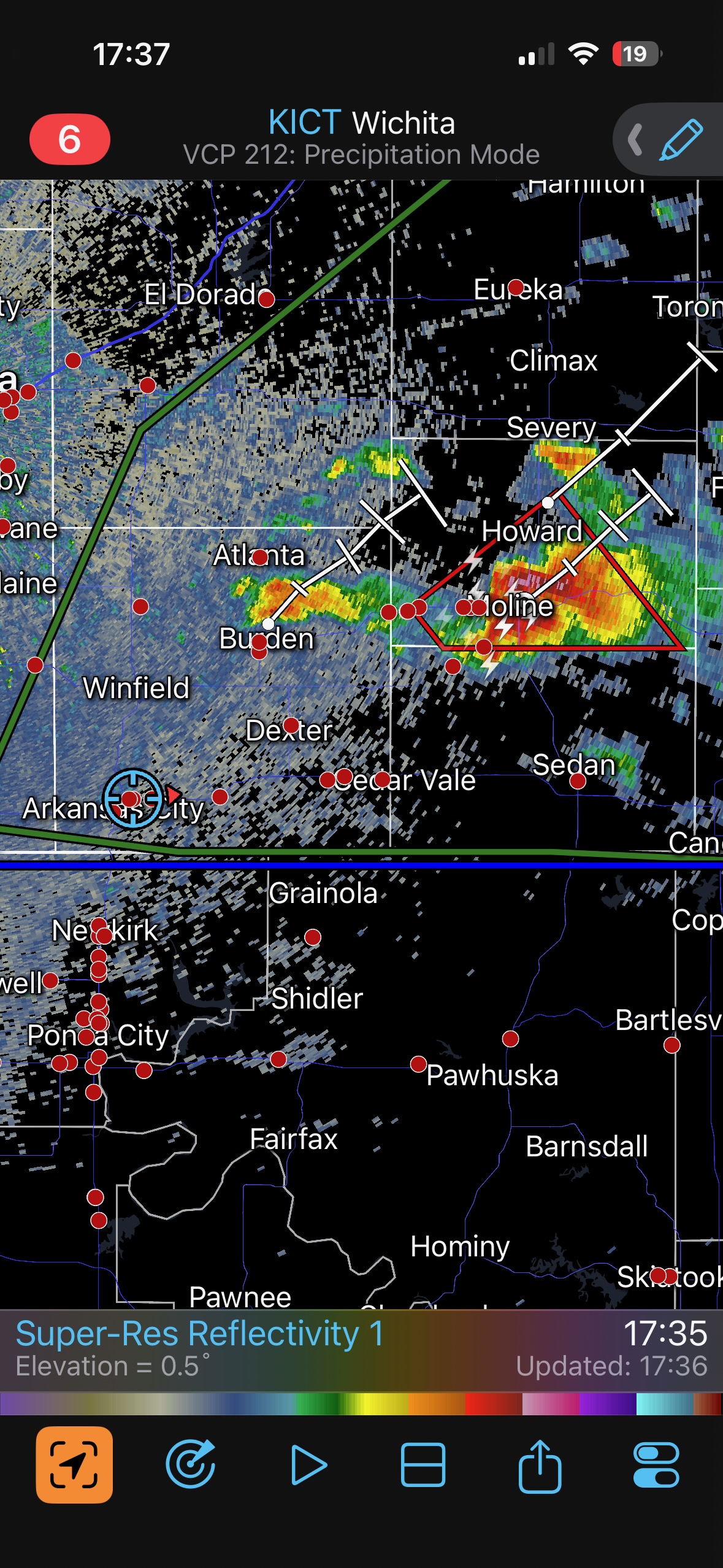
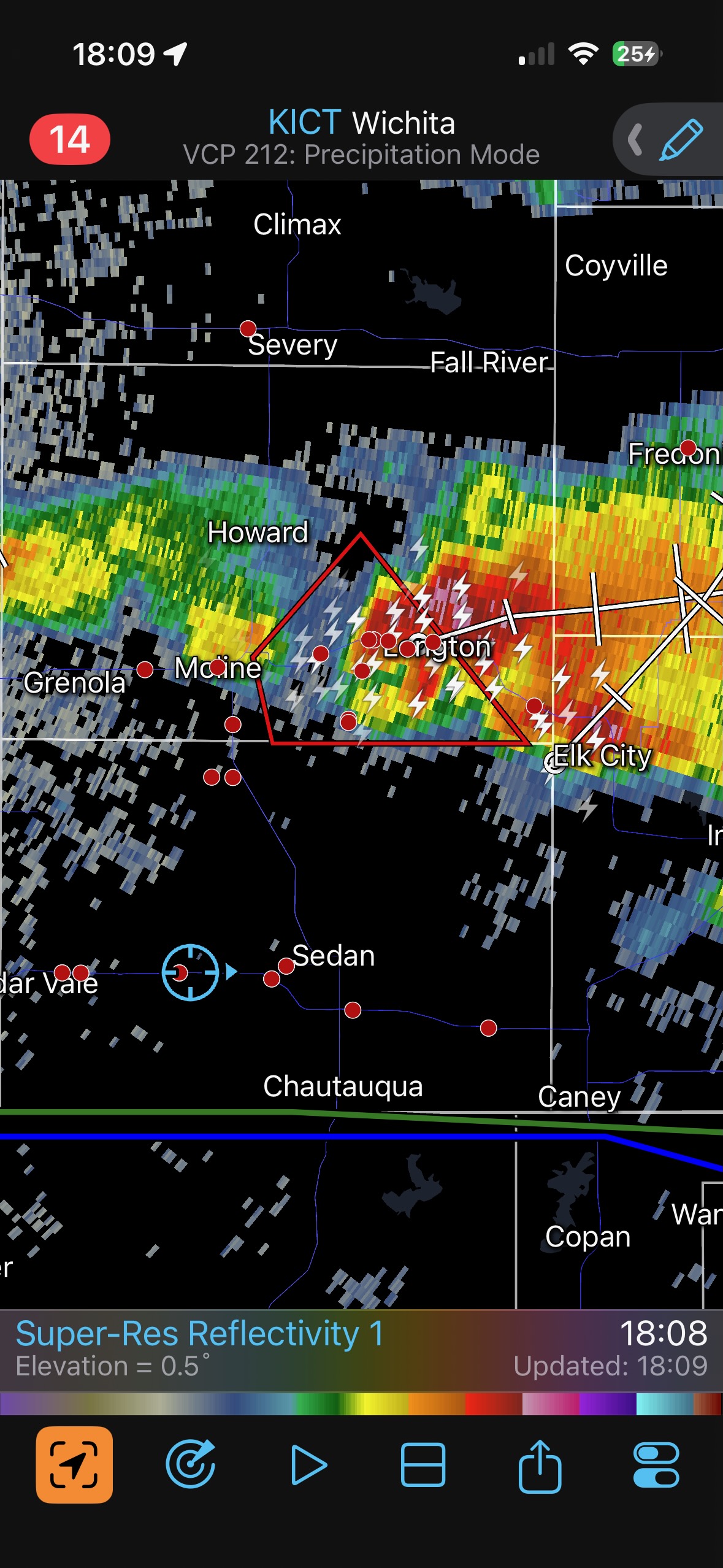
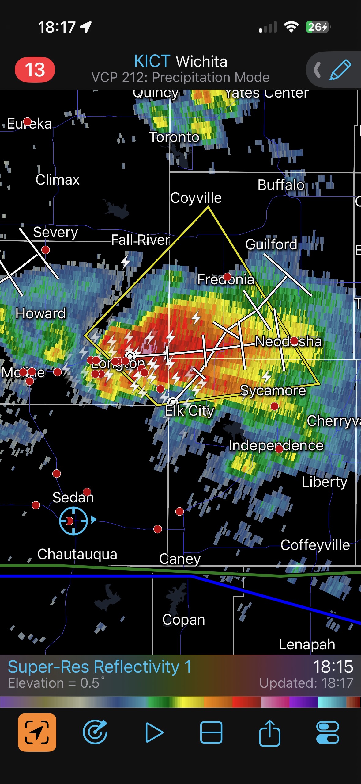
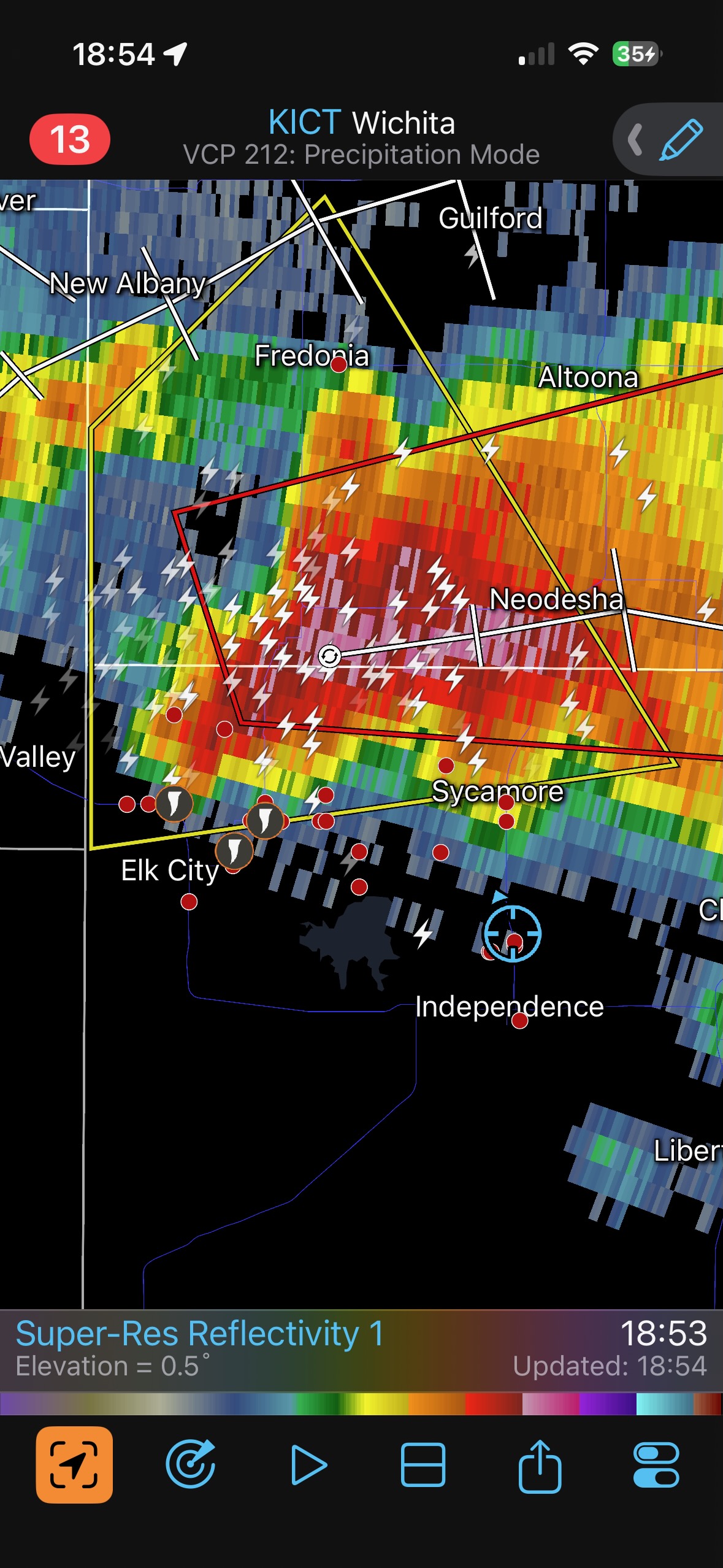
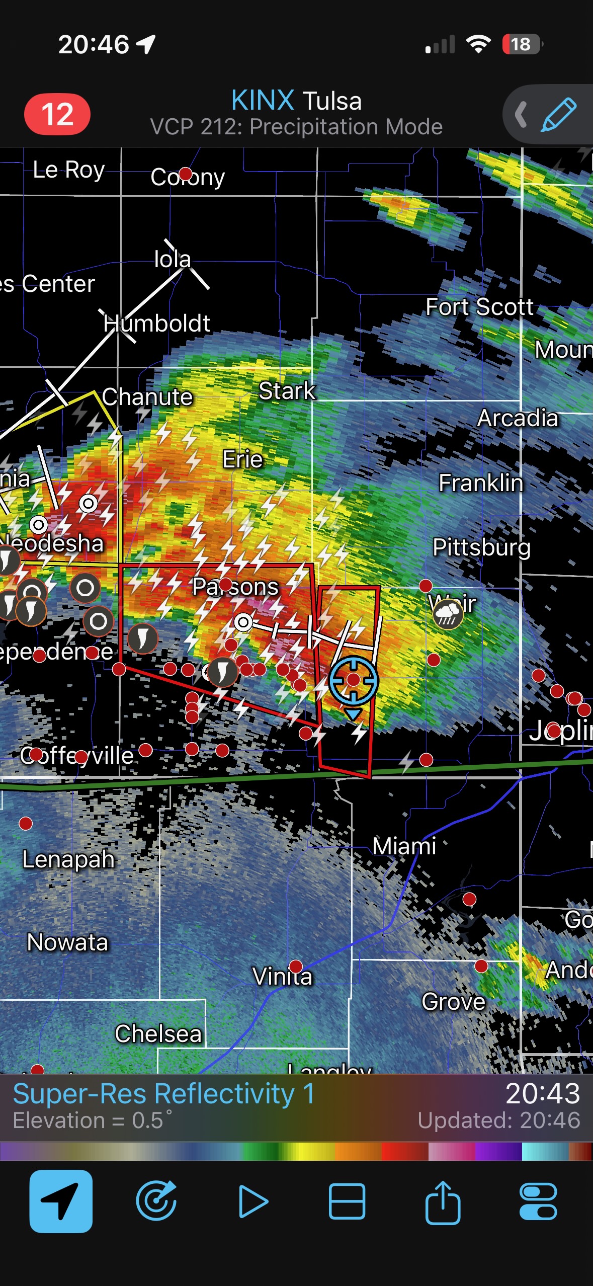
The Dexter cell was sputtering, and another new storm to its east was a lot better. This farther-east supercell was near Moline and was tornado-warned by 5:37 p.m. CDT. It was to our ENE by maybe 50 miles and moving to the east. Was it worthwhile to even try to catch up to this storm? Could we catch up and get into position? We pushed onward to the east along 166 and made progress. Finally, a little more than an hour later, we were south of the supercell when it was near Elk City. The storm was not tornado warned at this point, and apparently the storm had yet to produce a decent tornado.
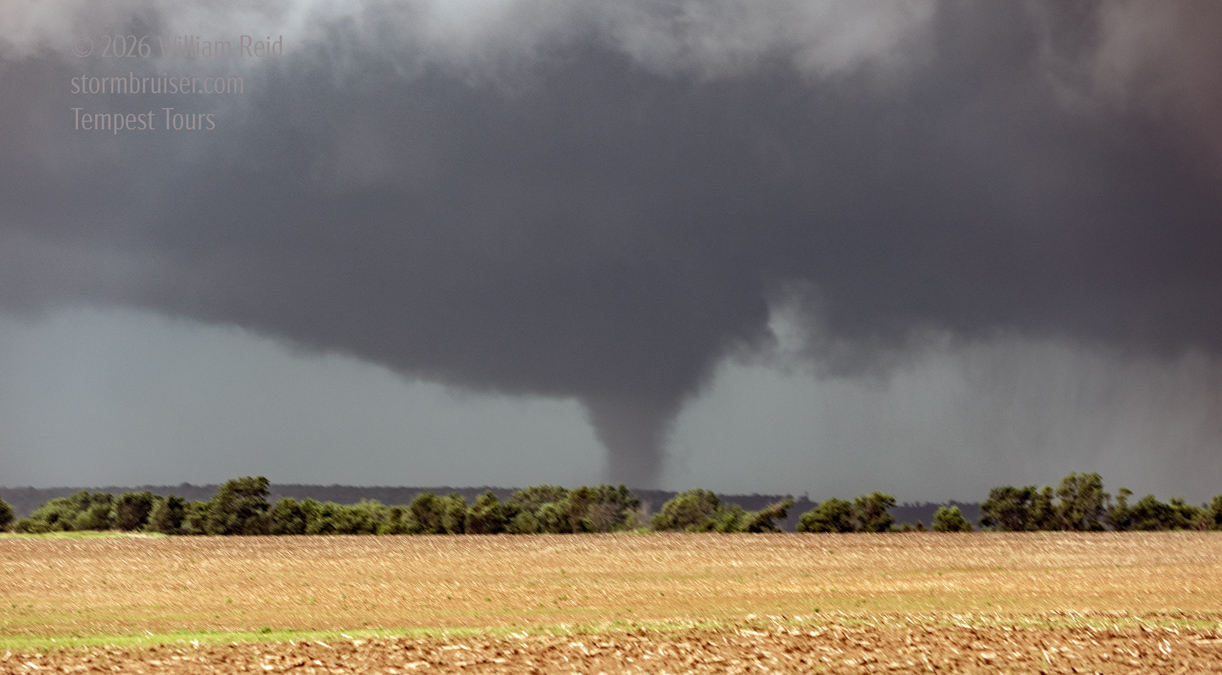
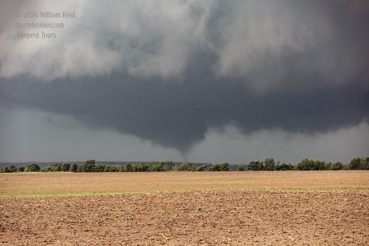
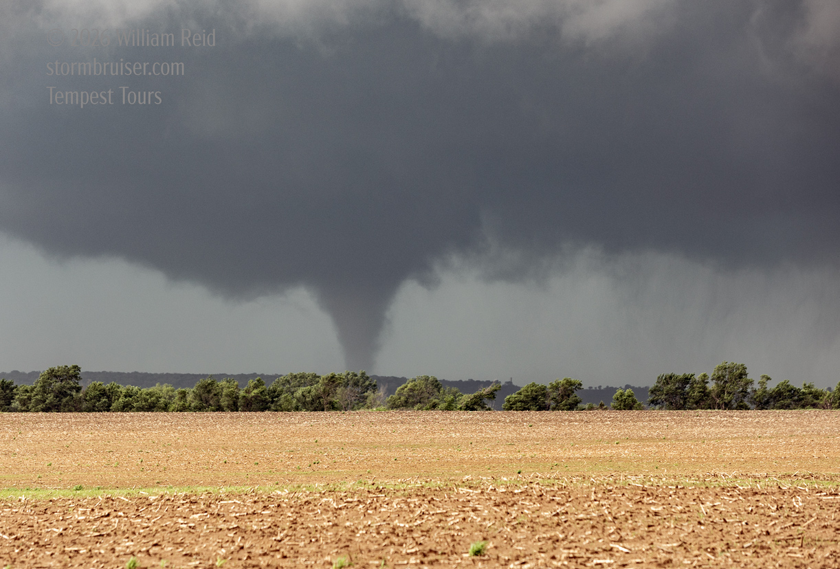
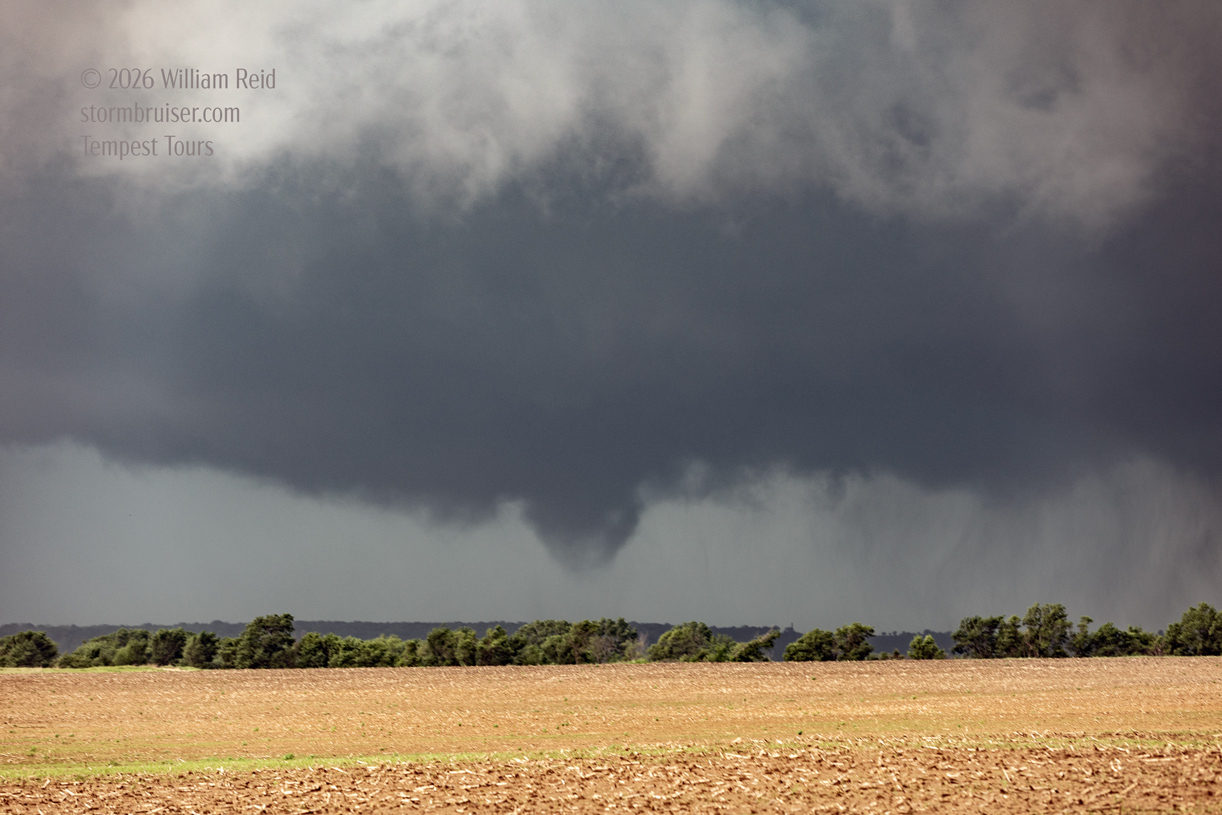
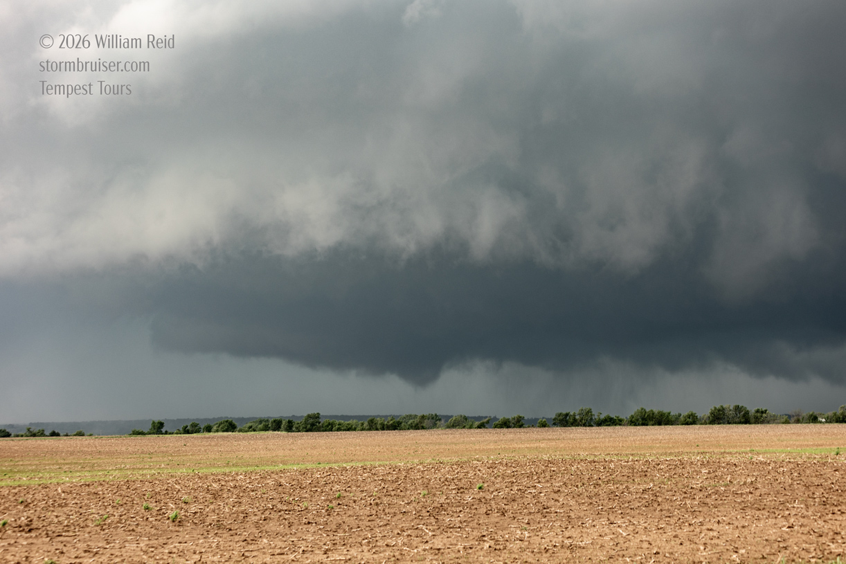
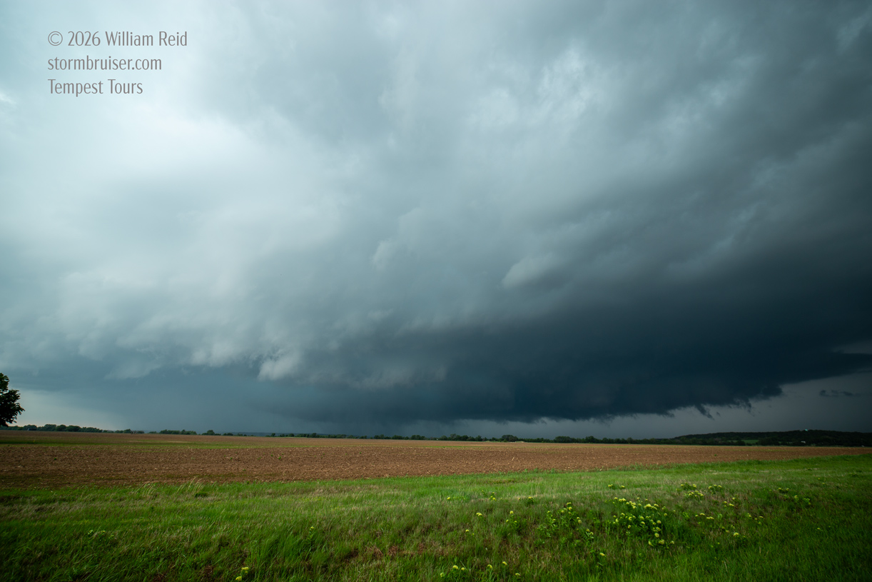
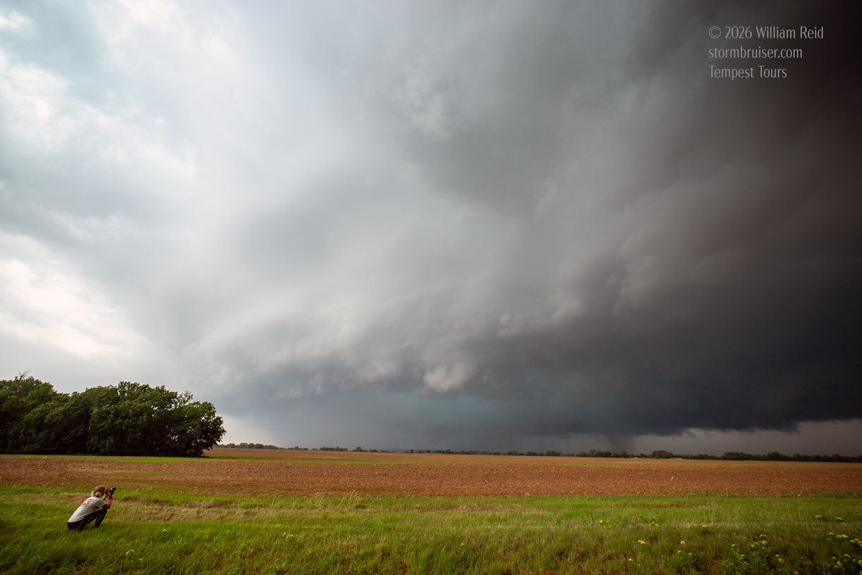
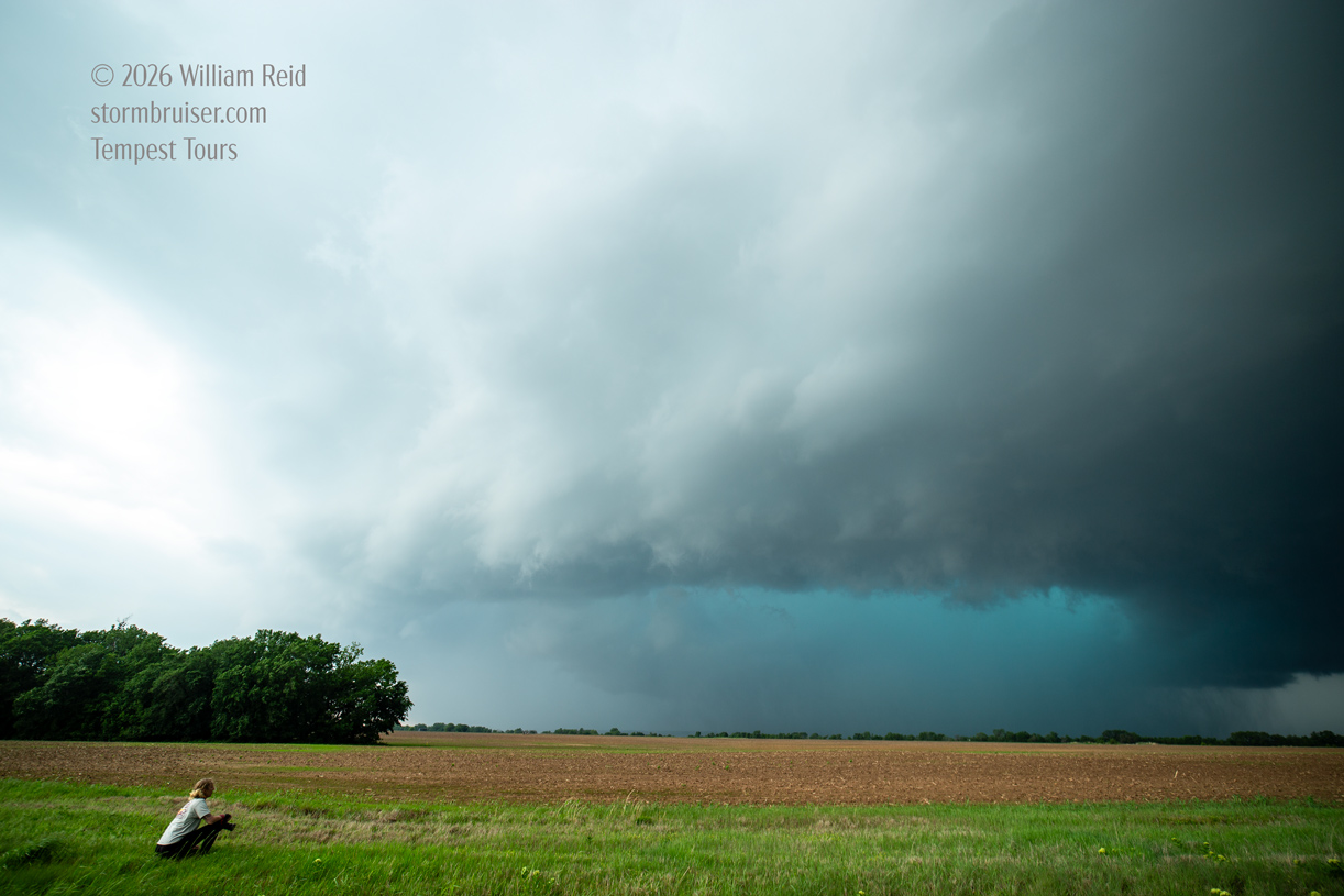
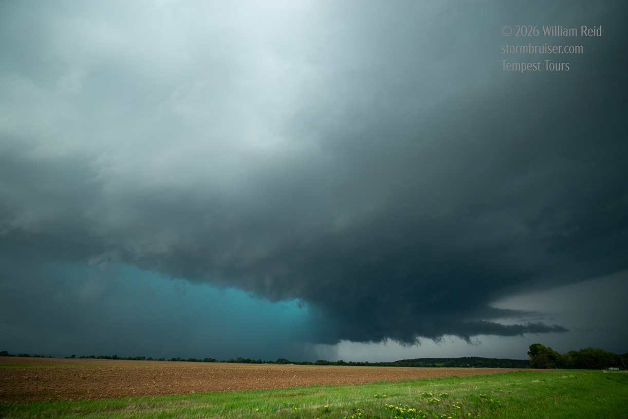
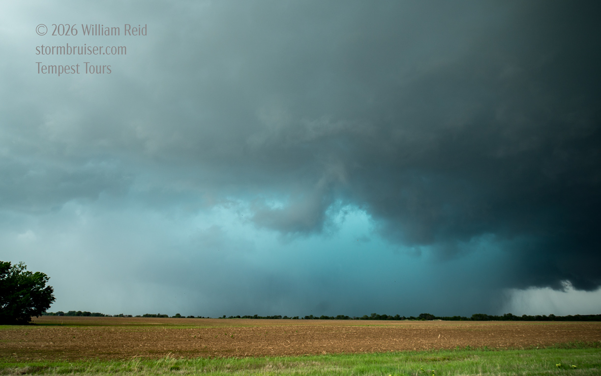
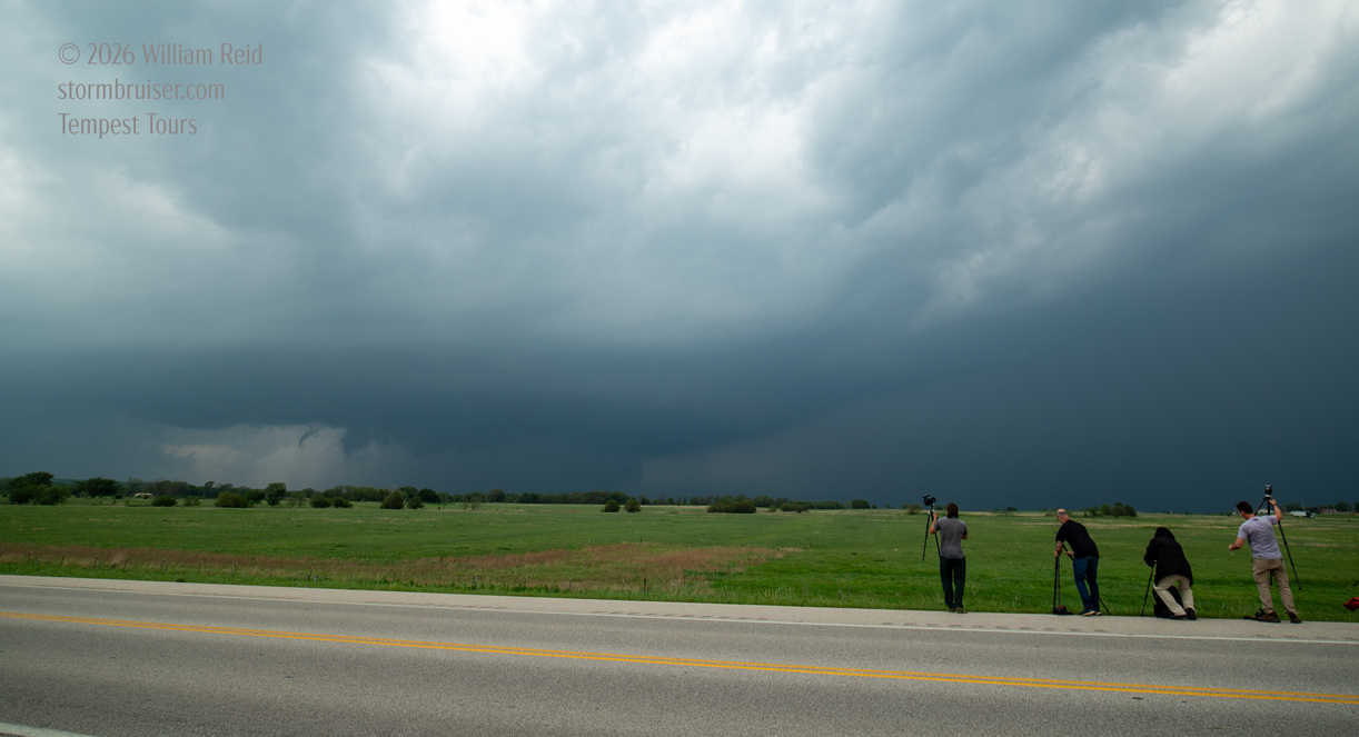
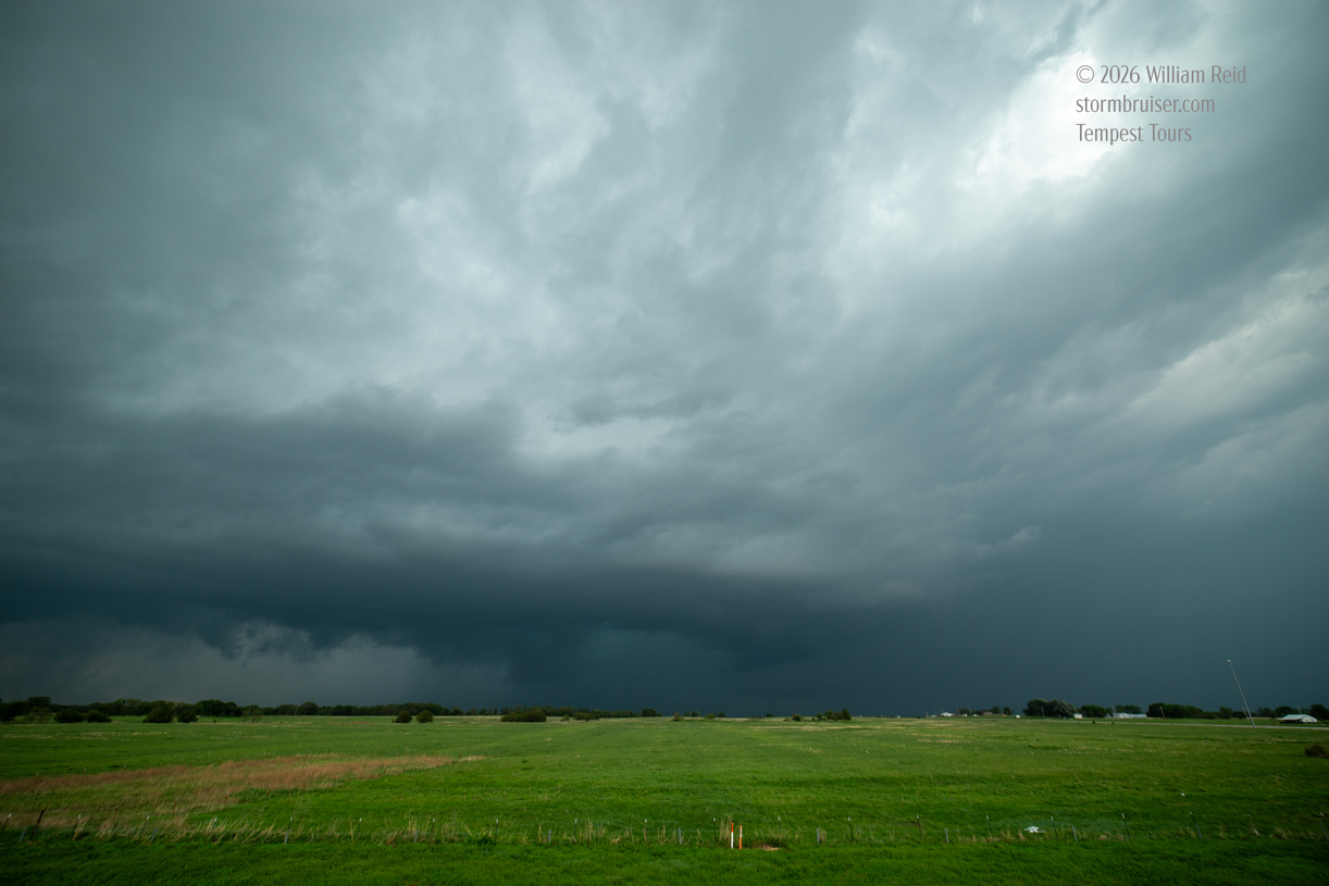
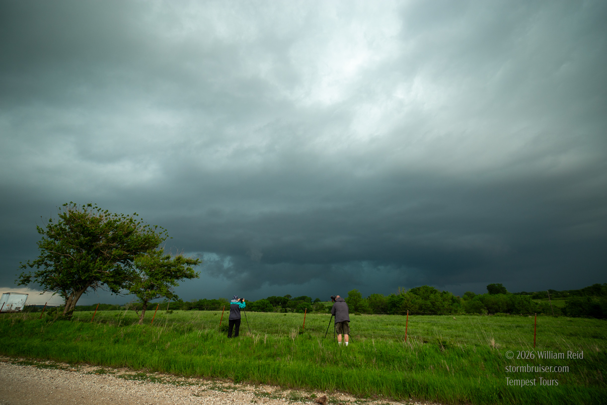
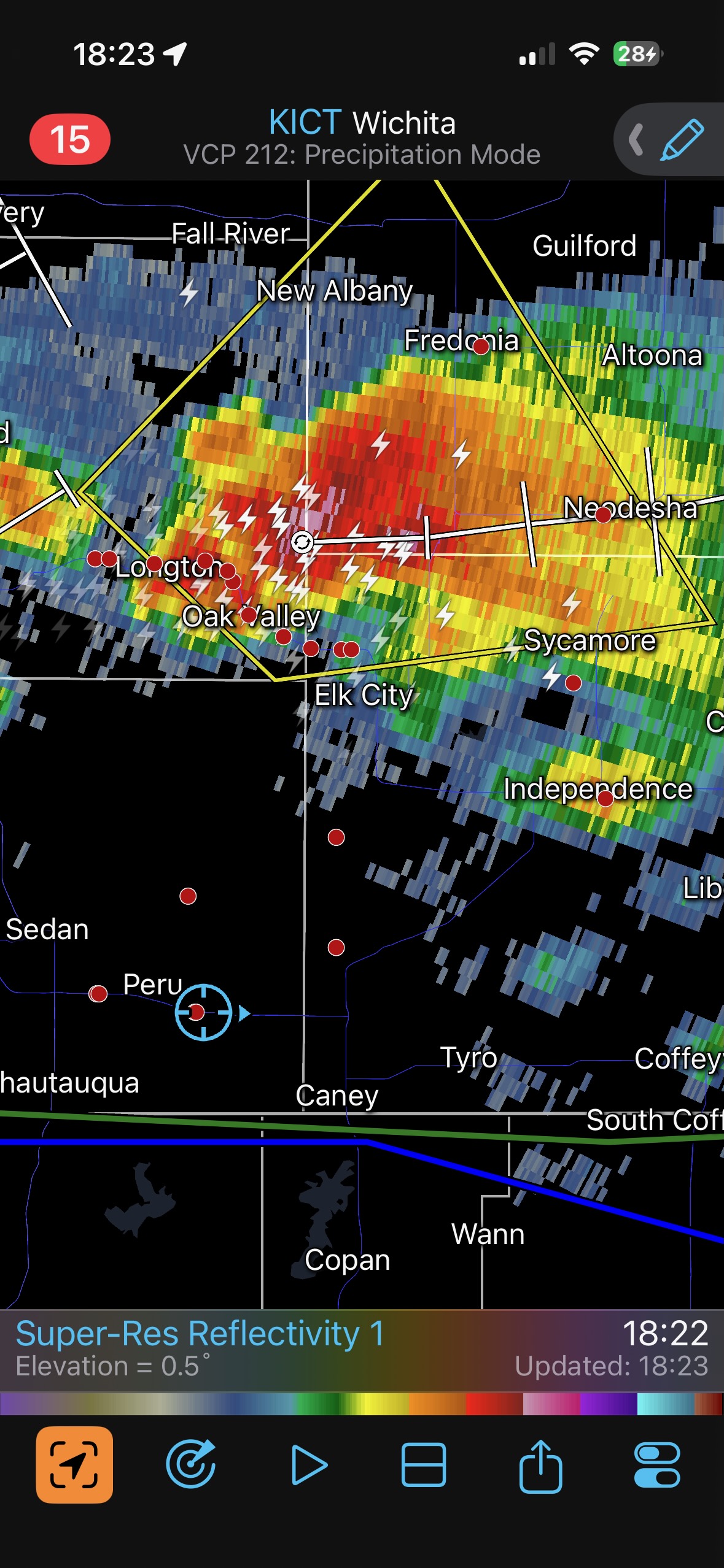
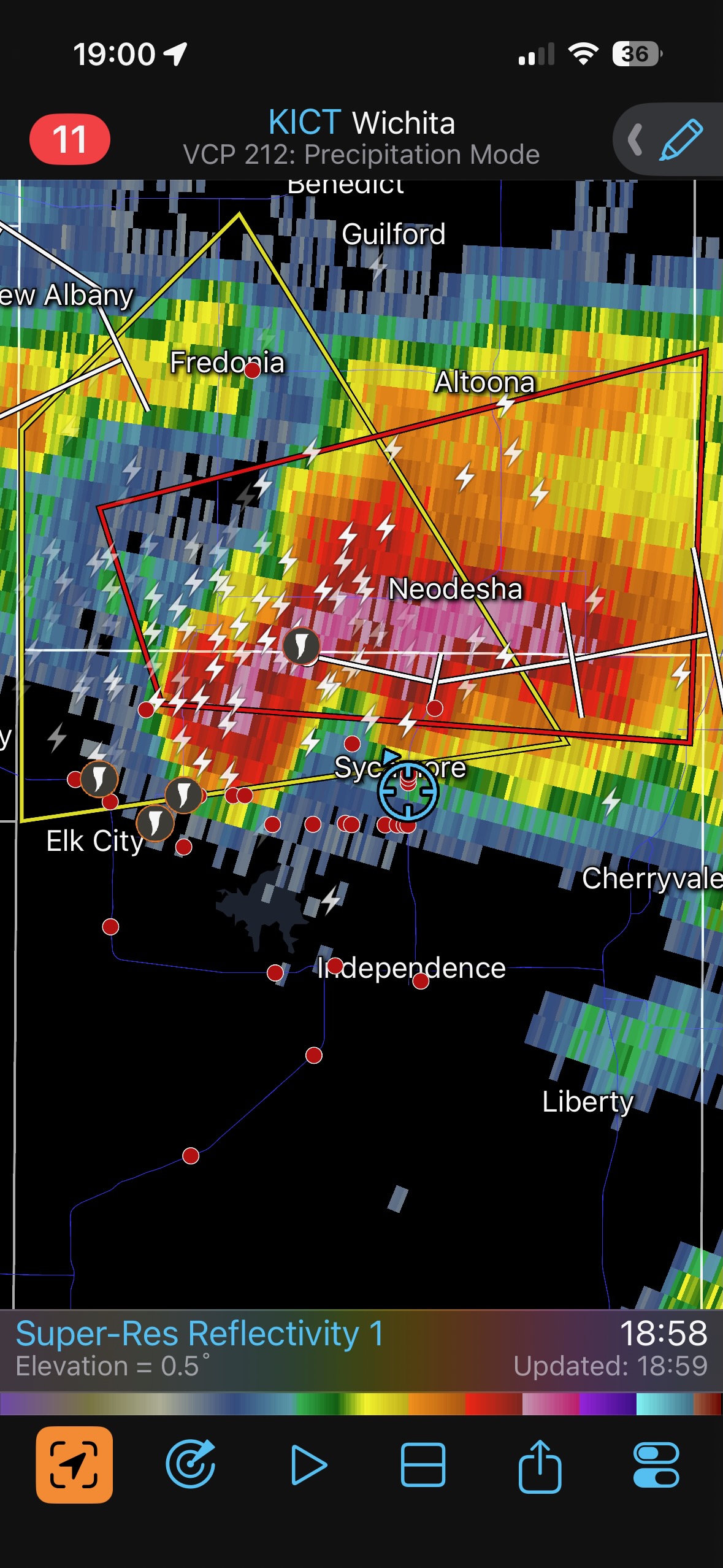
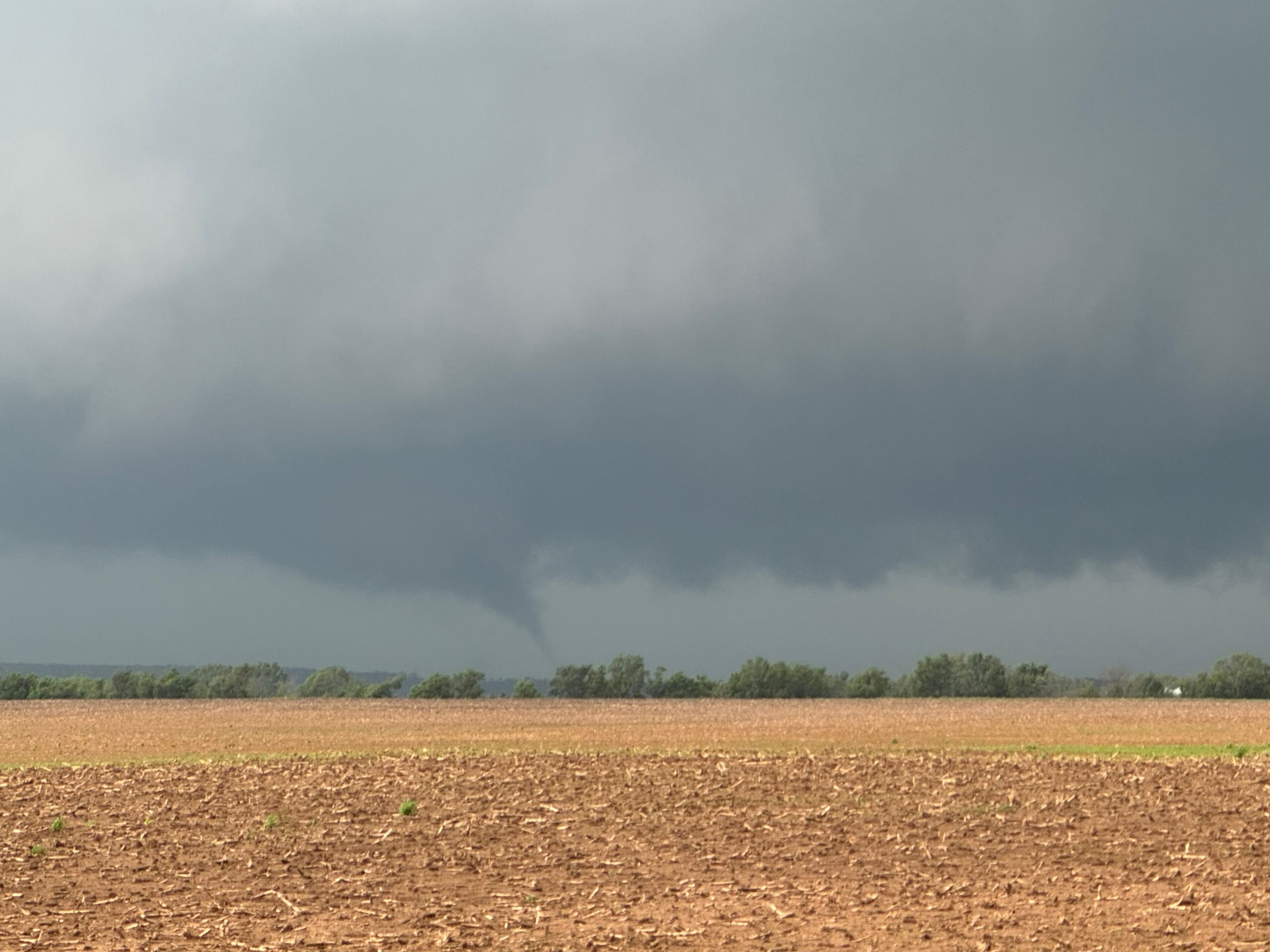
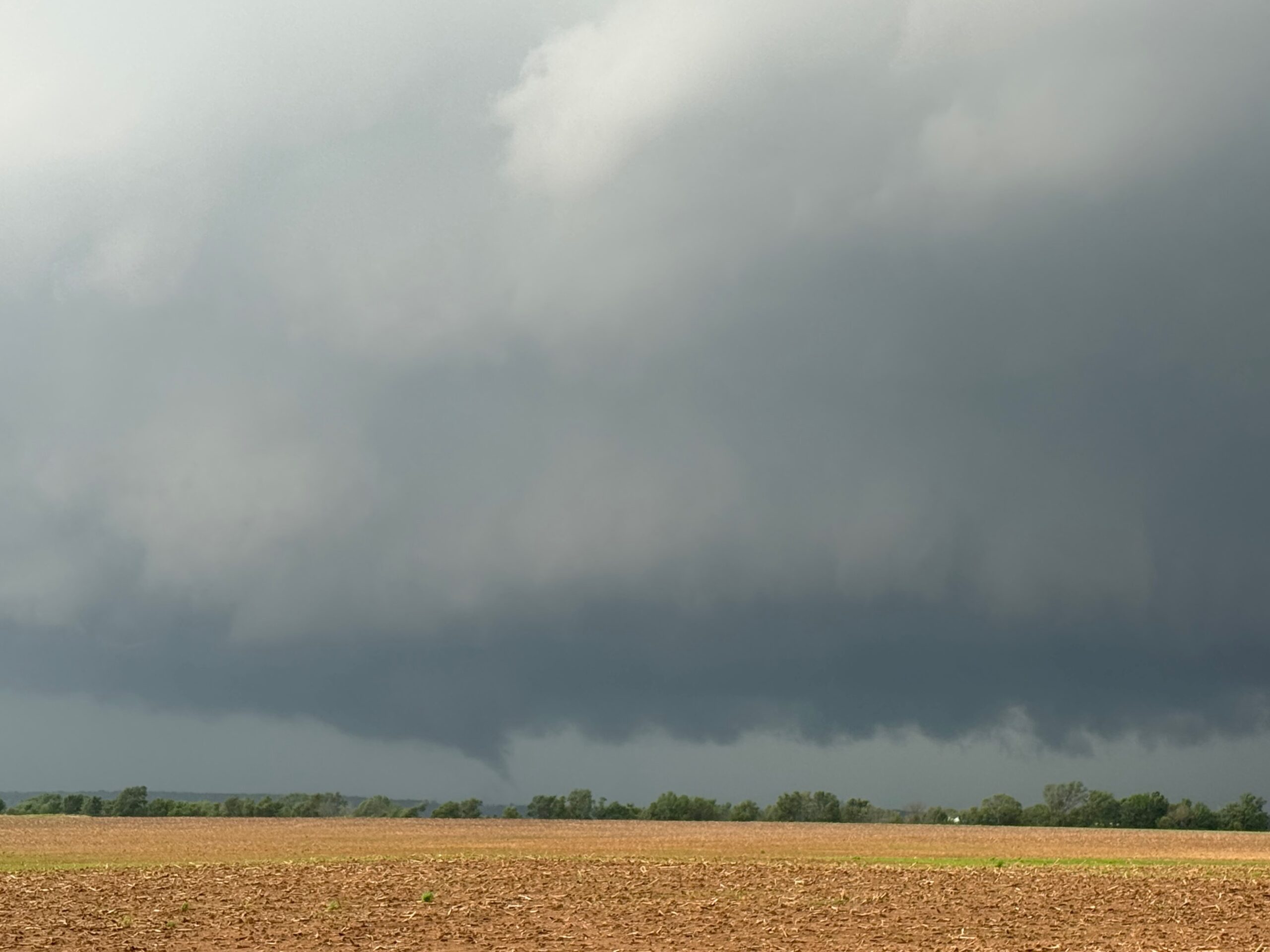
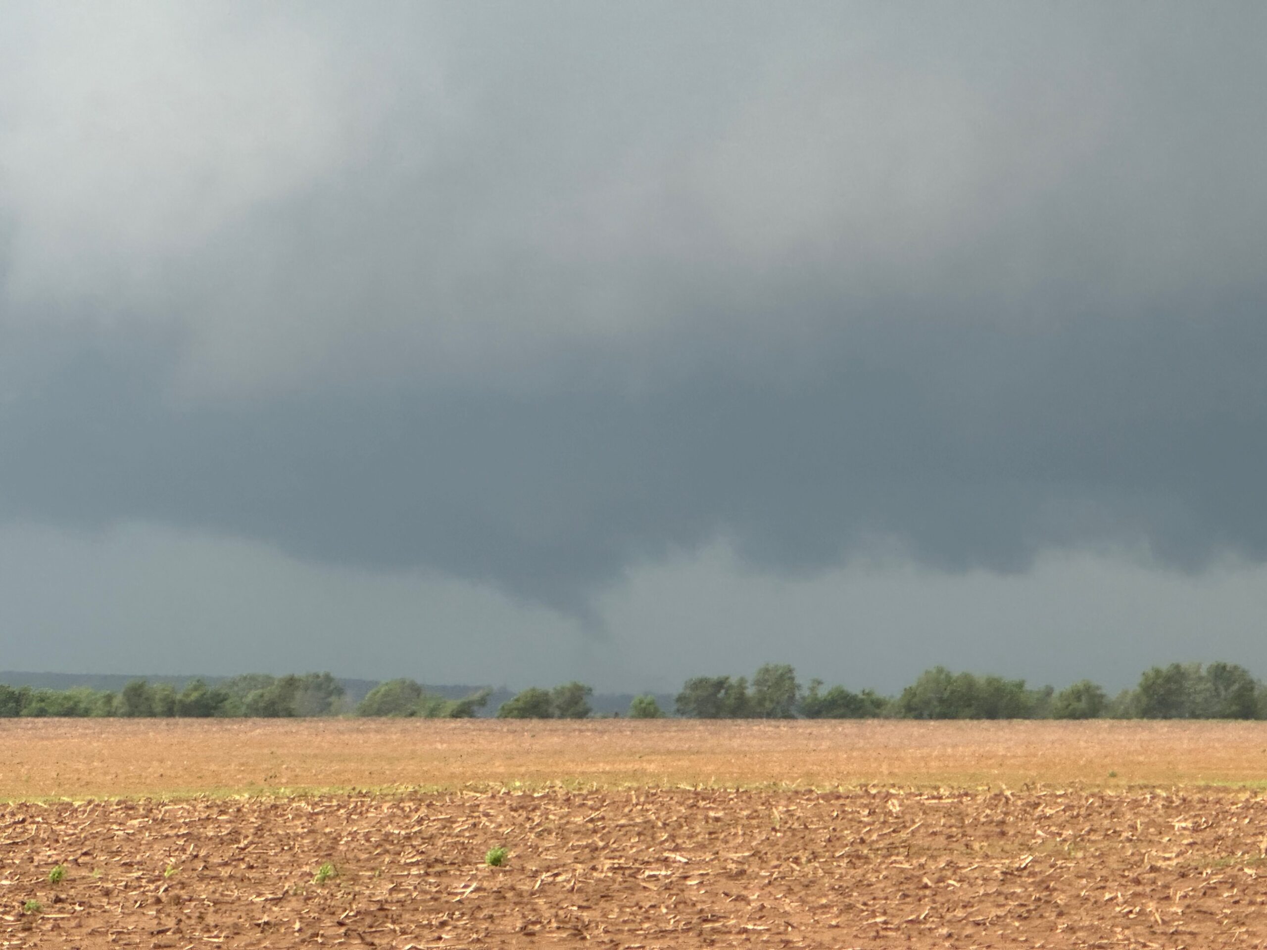
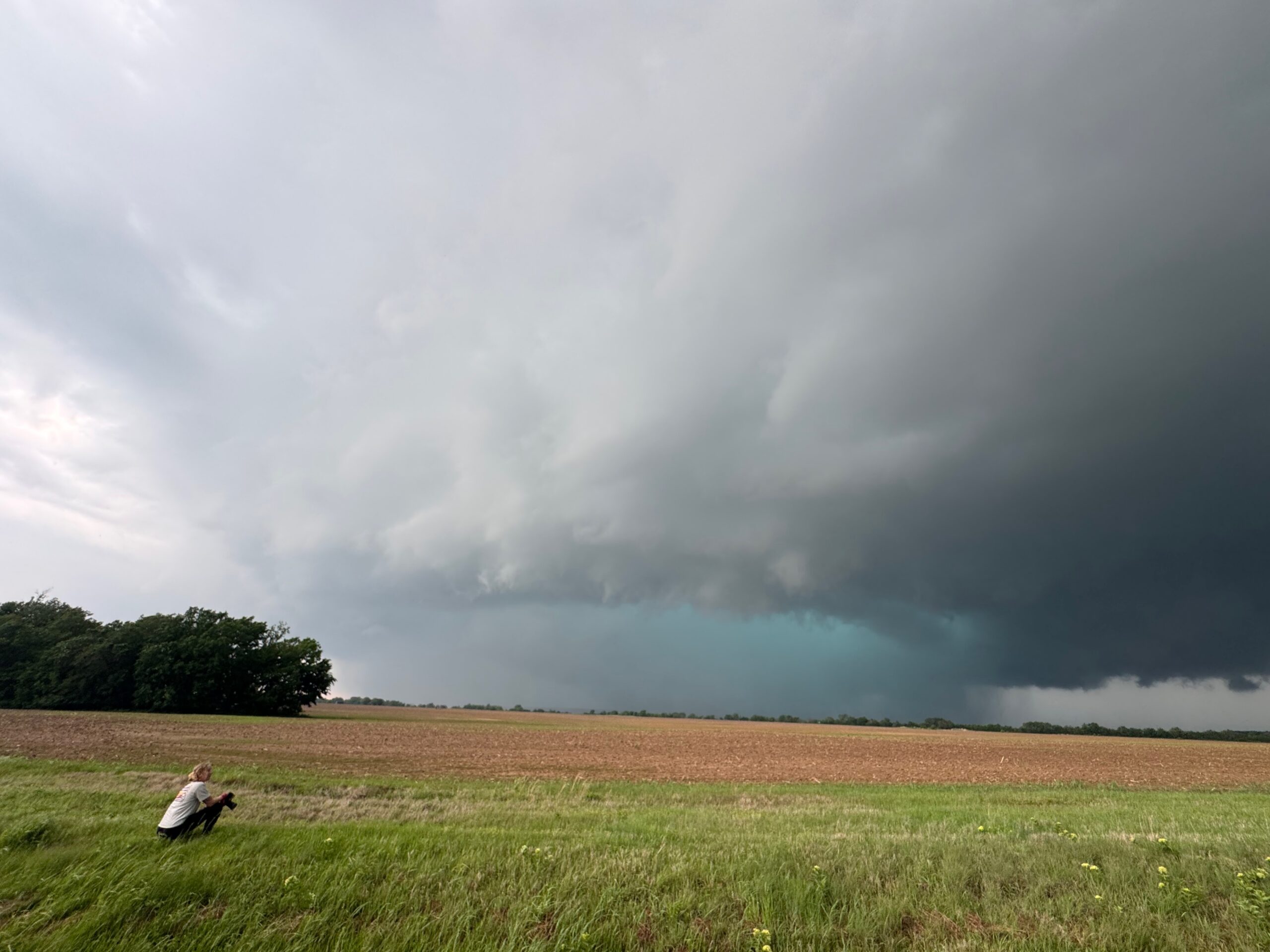
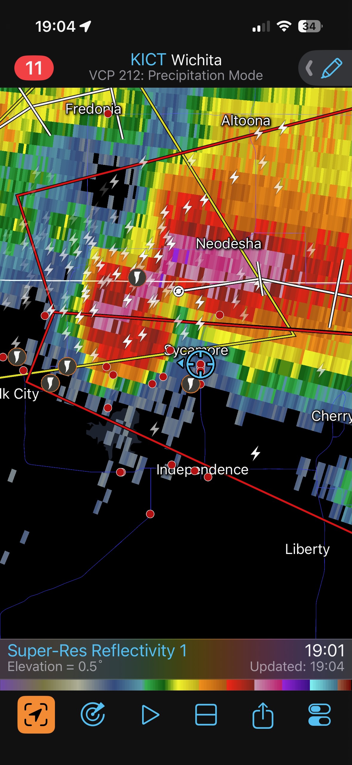
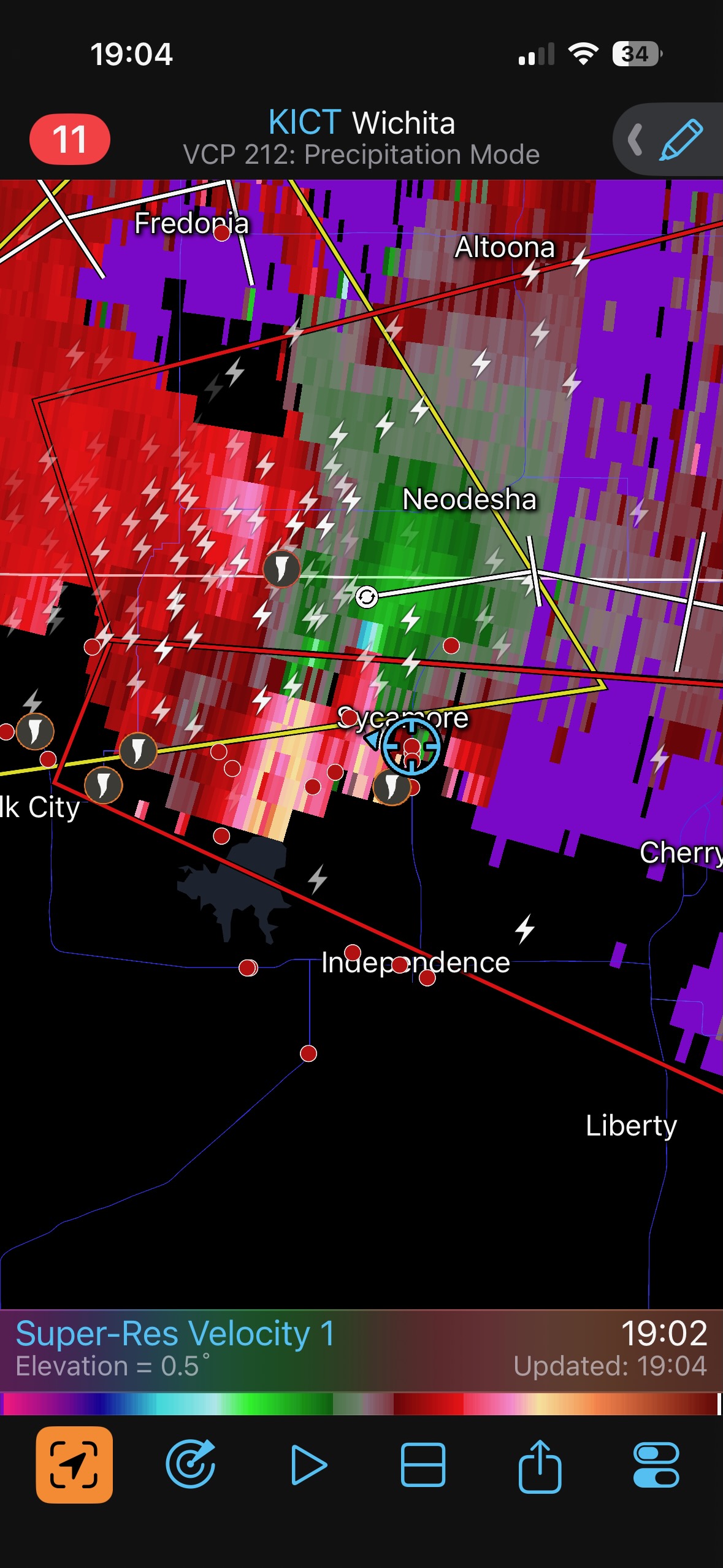
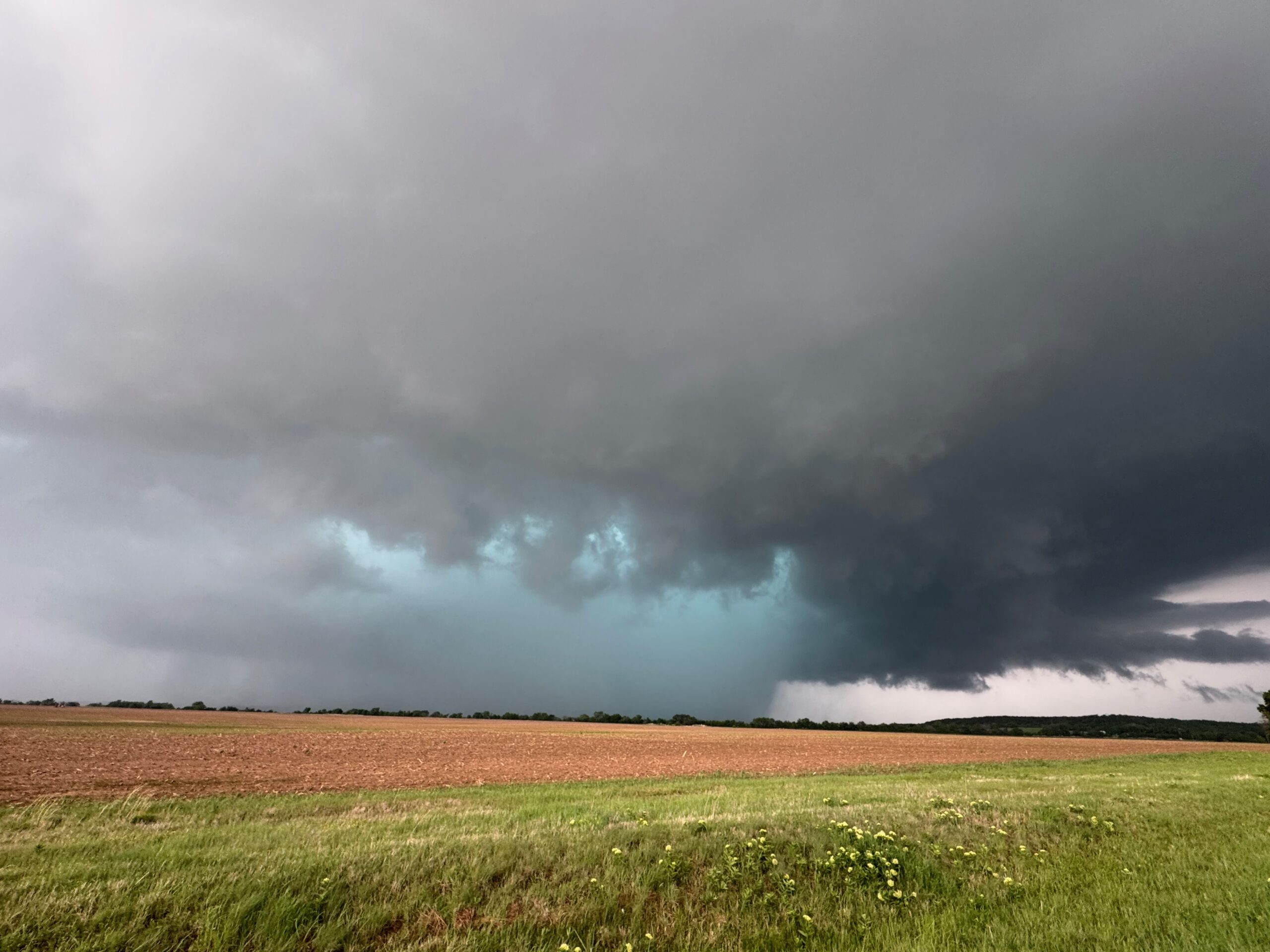
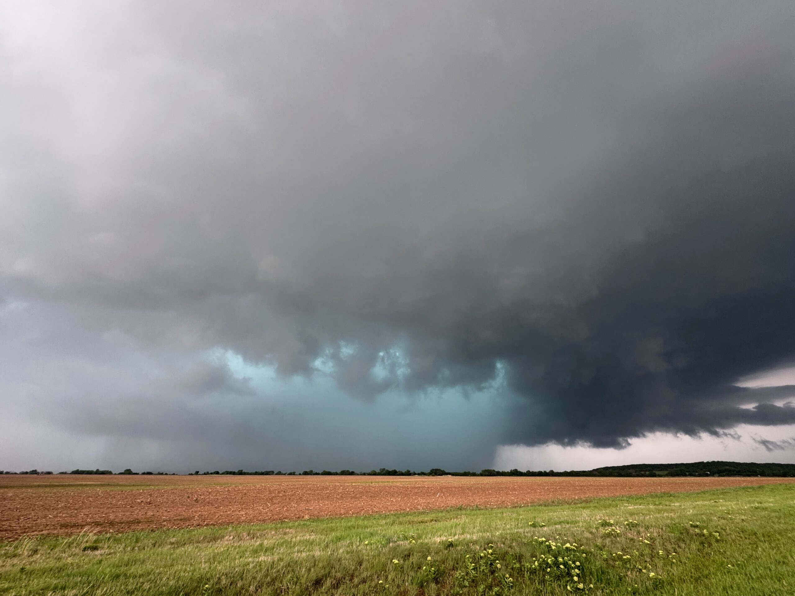
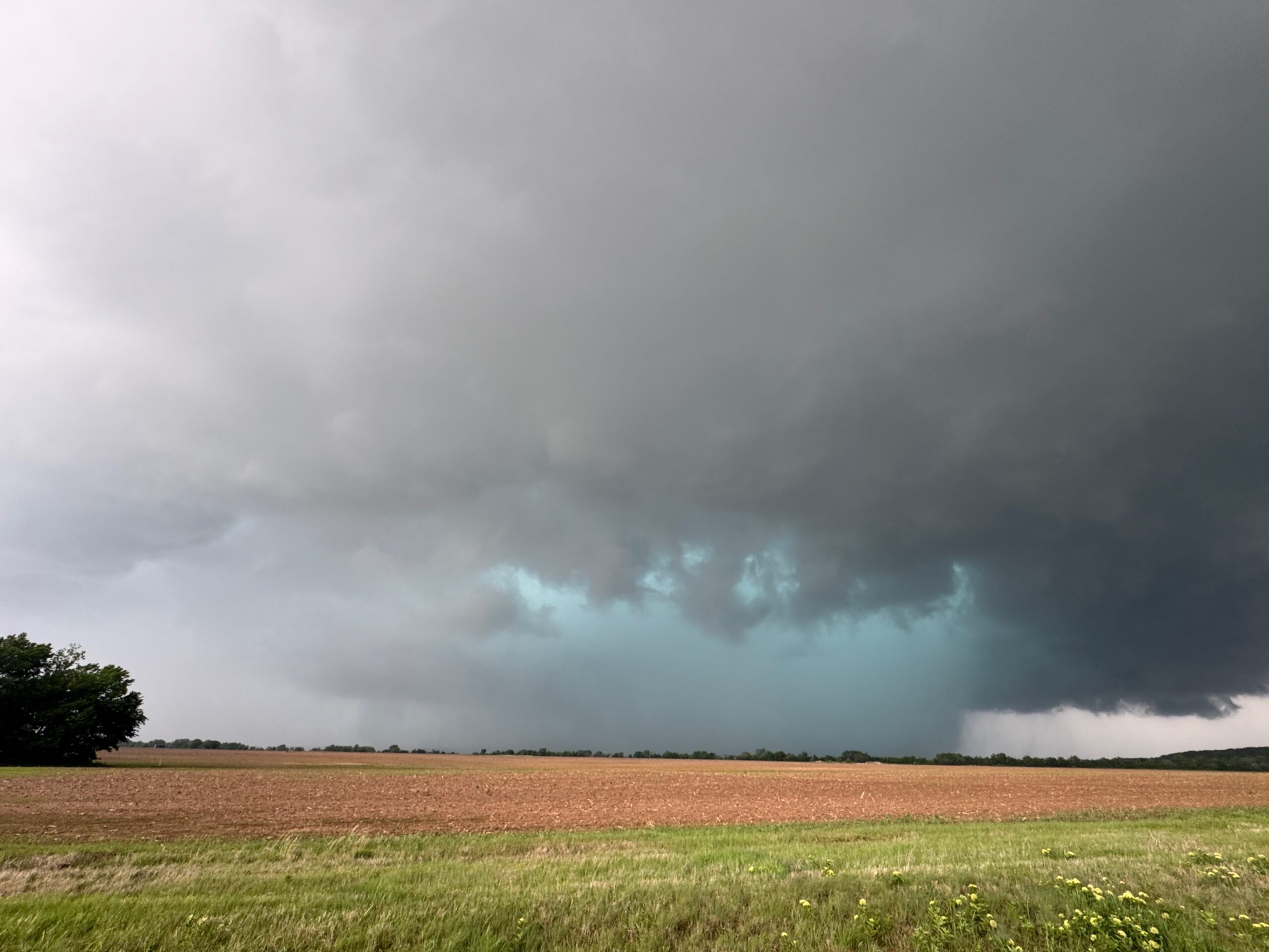
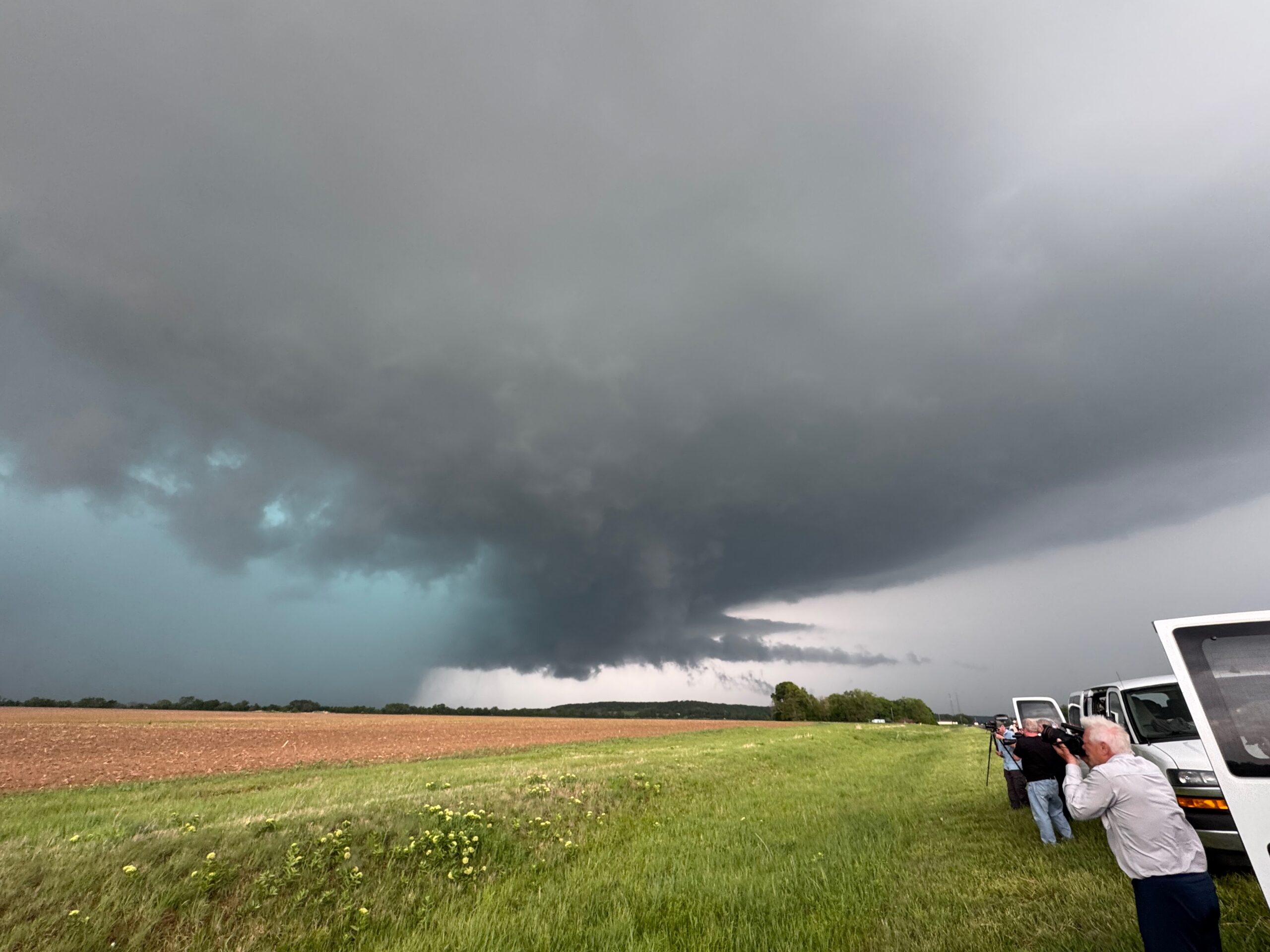
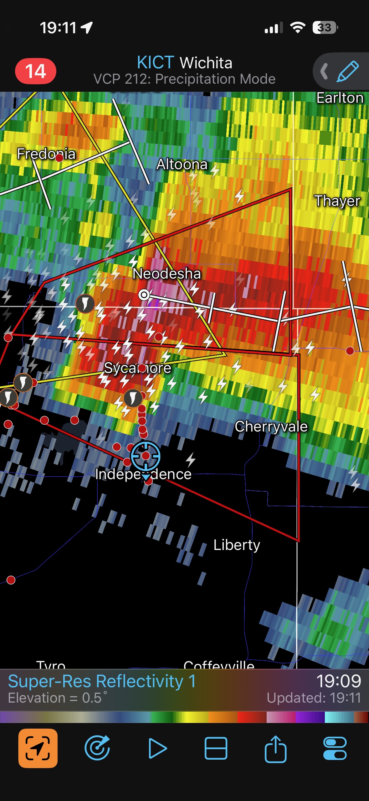
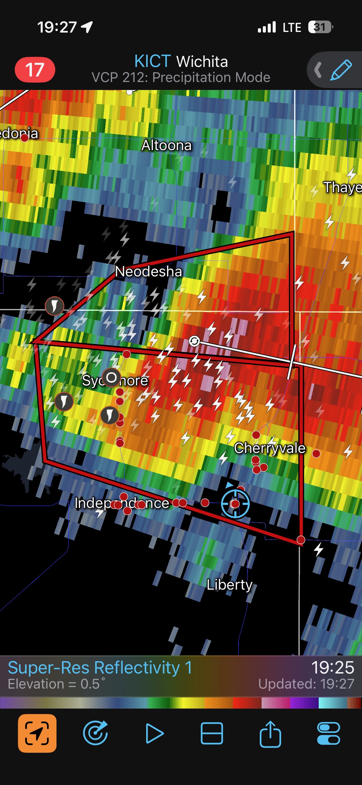
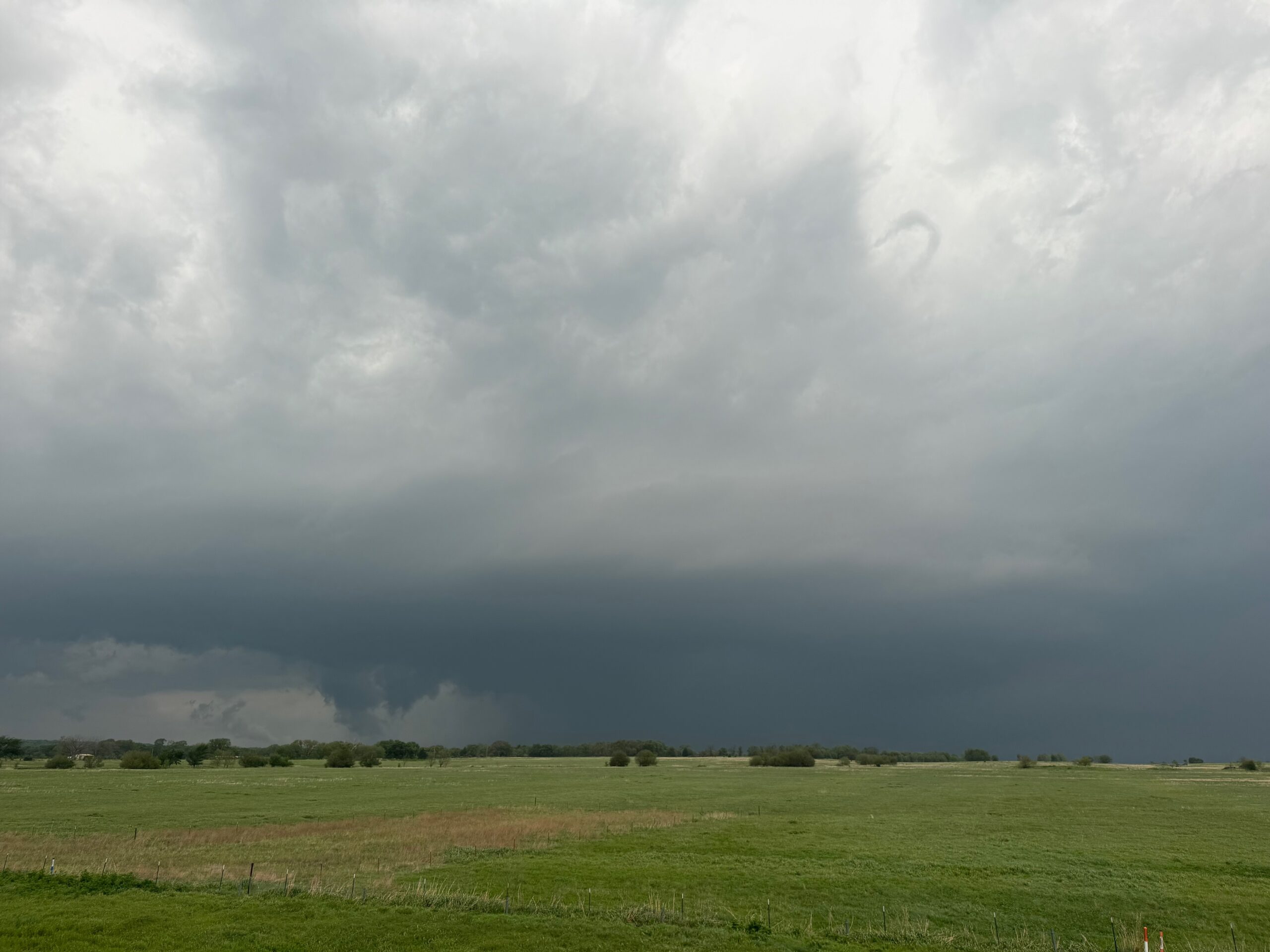
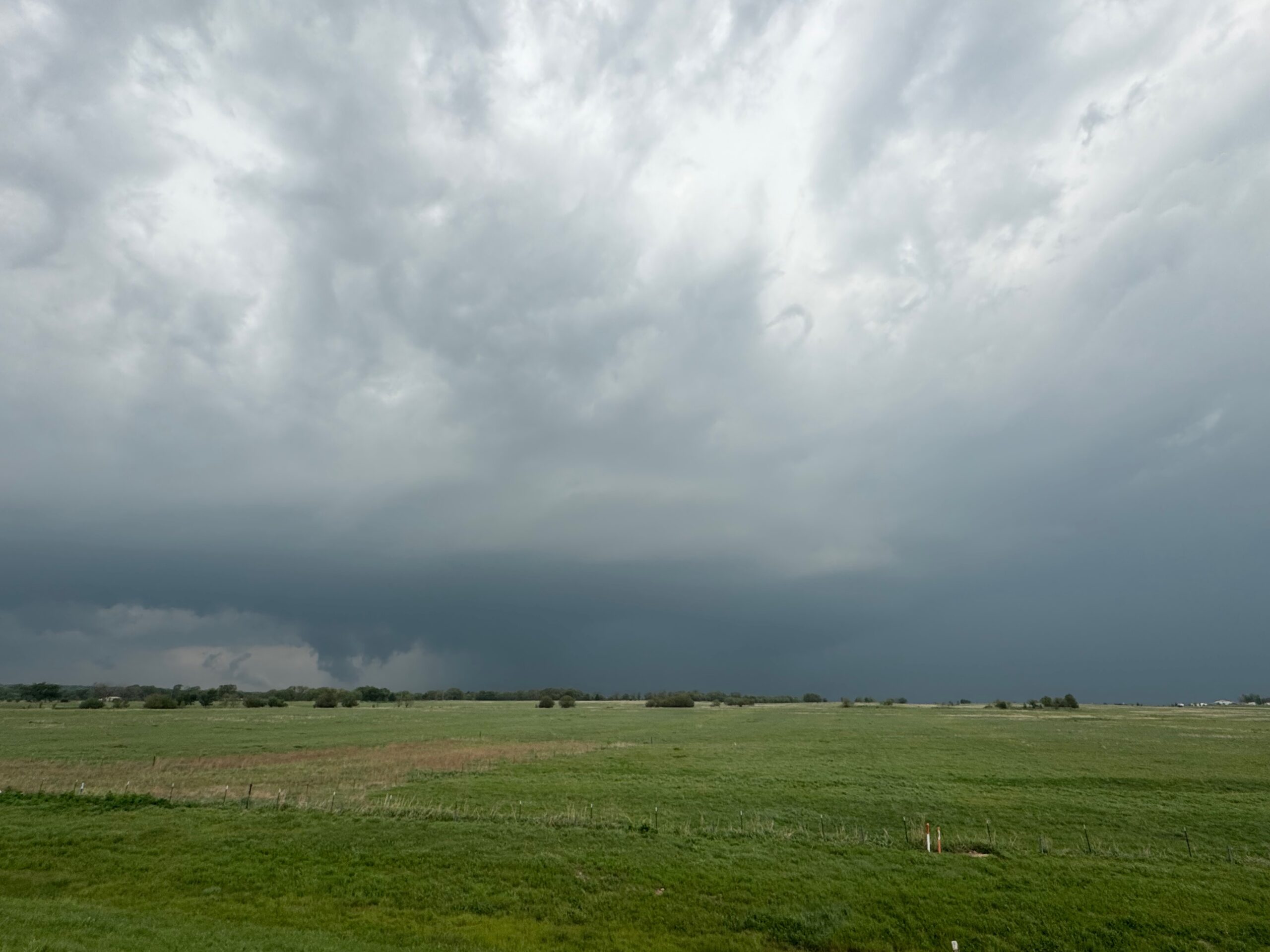
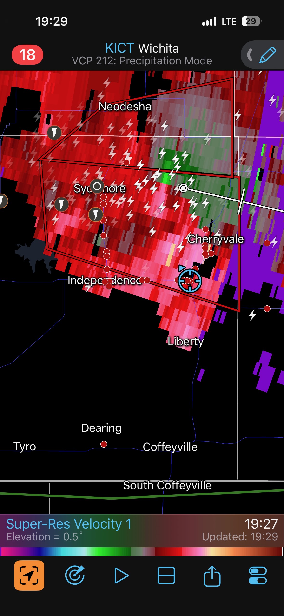
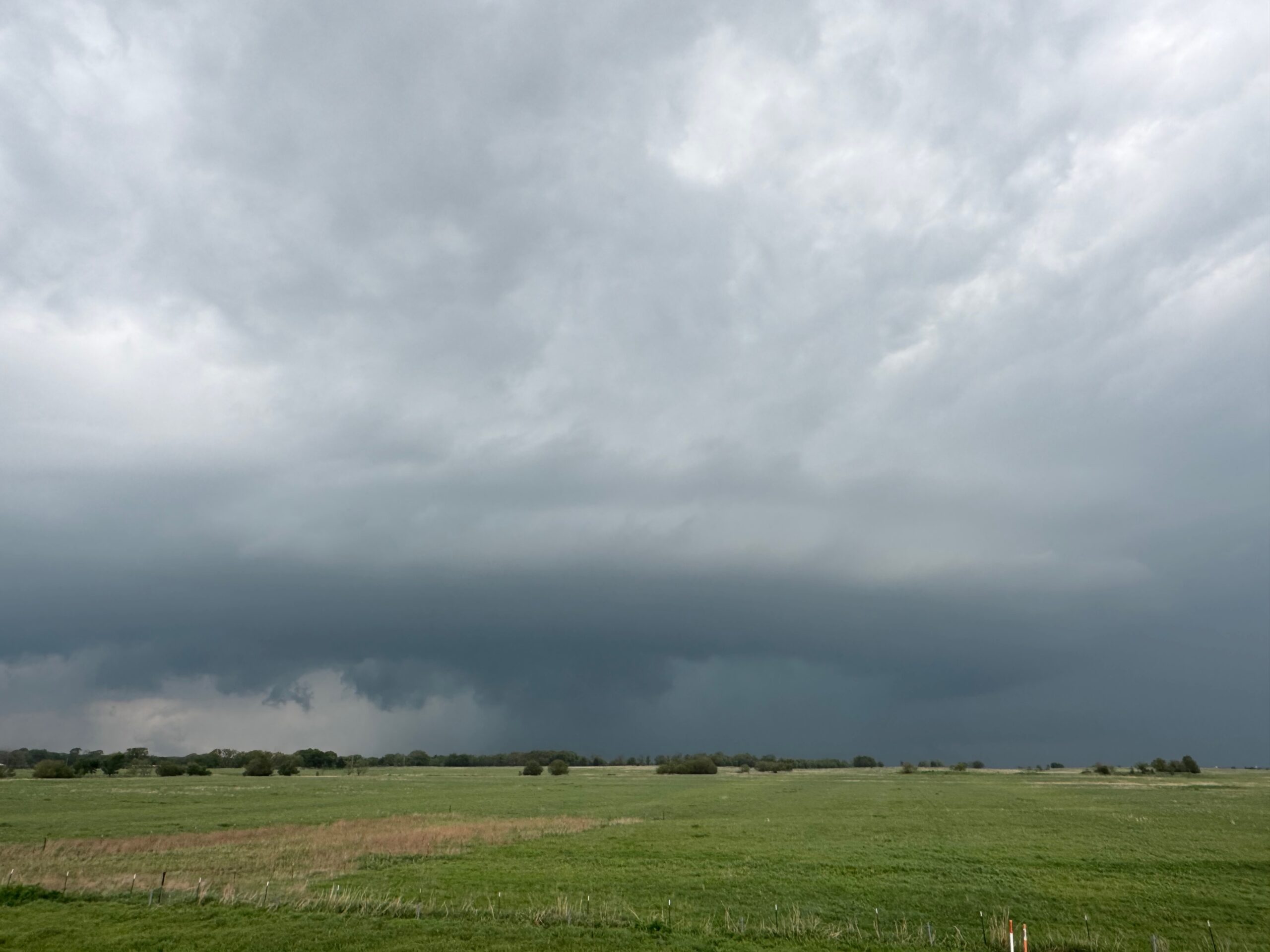
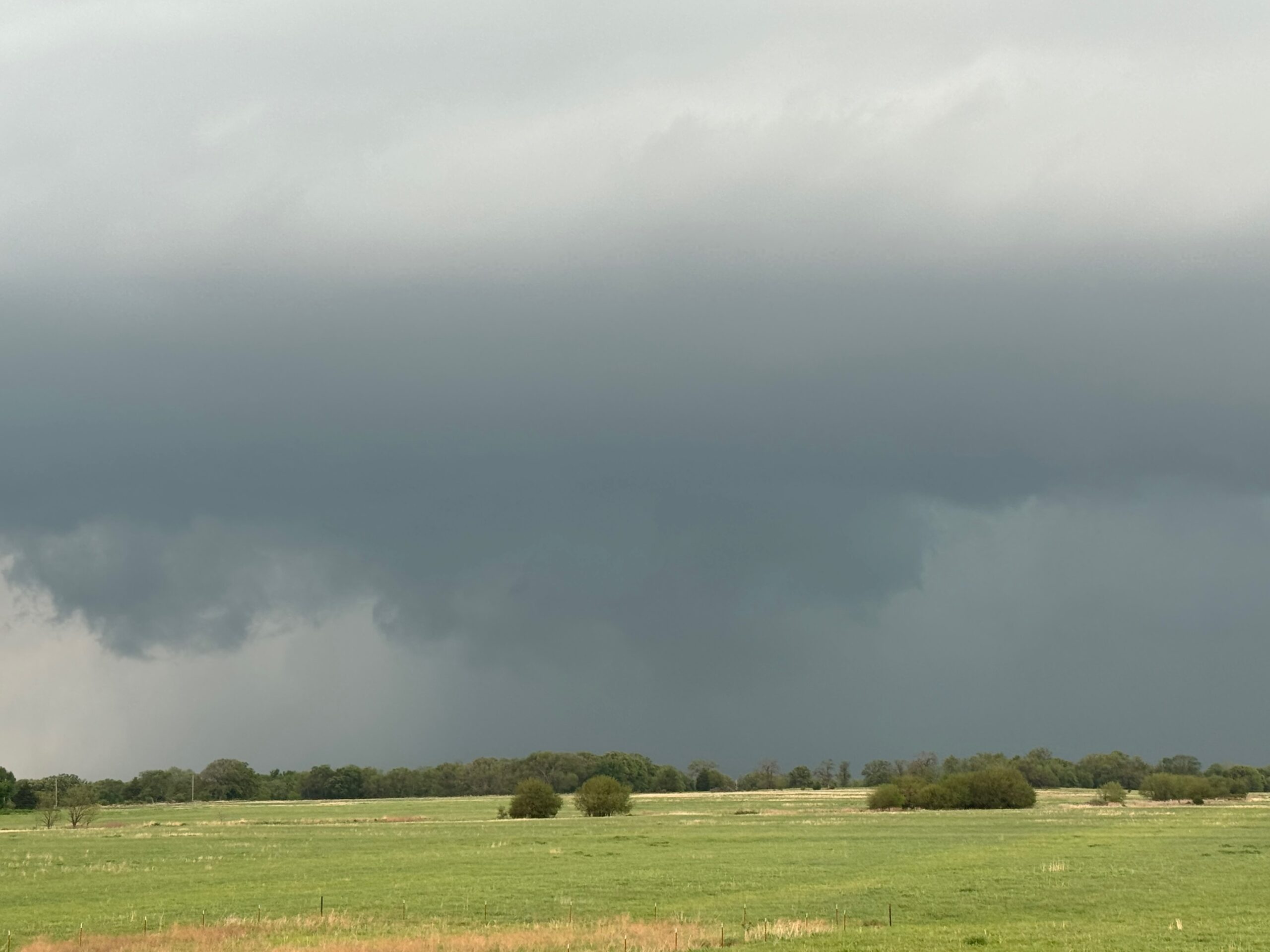
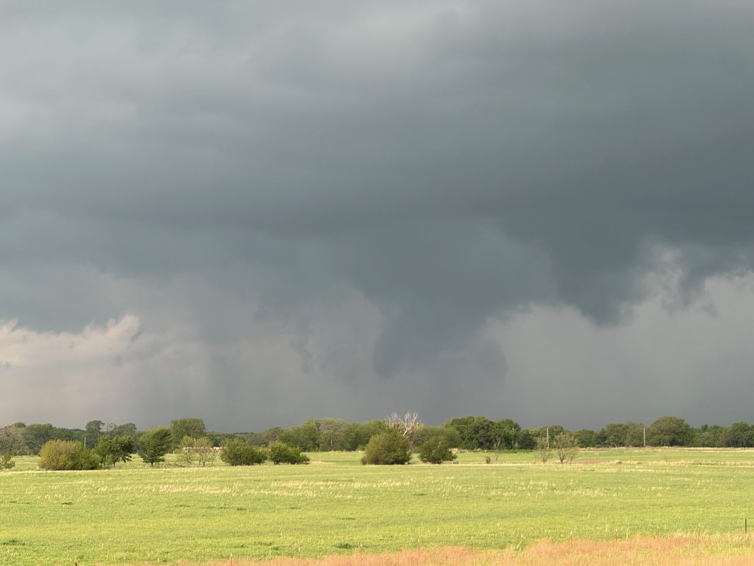
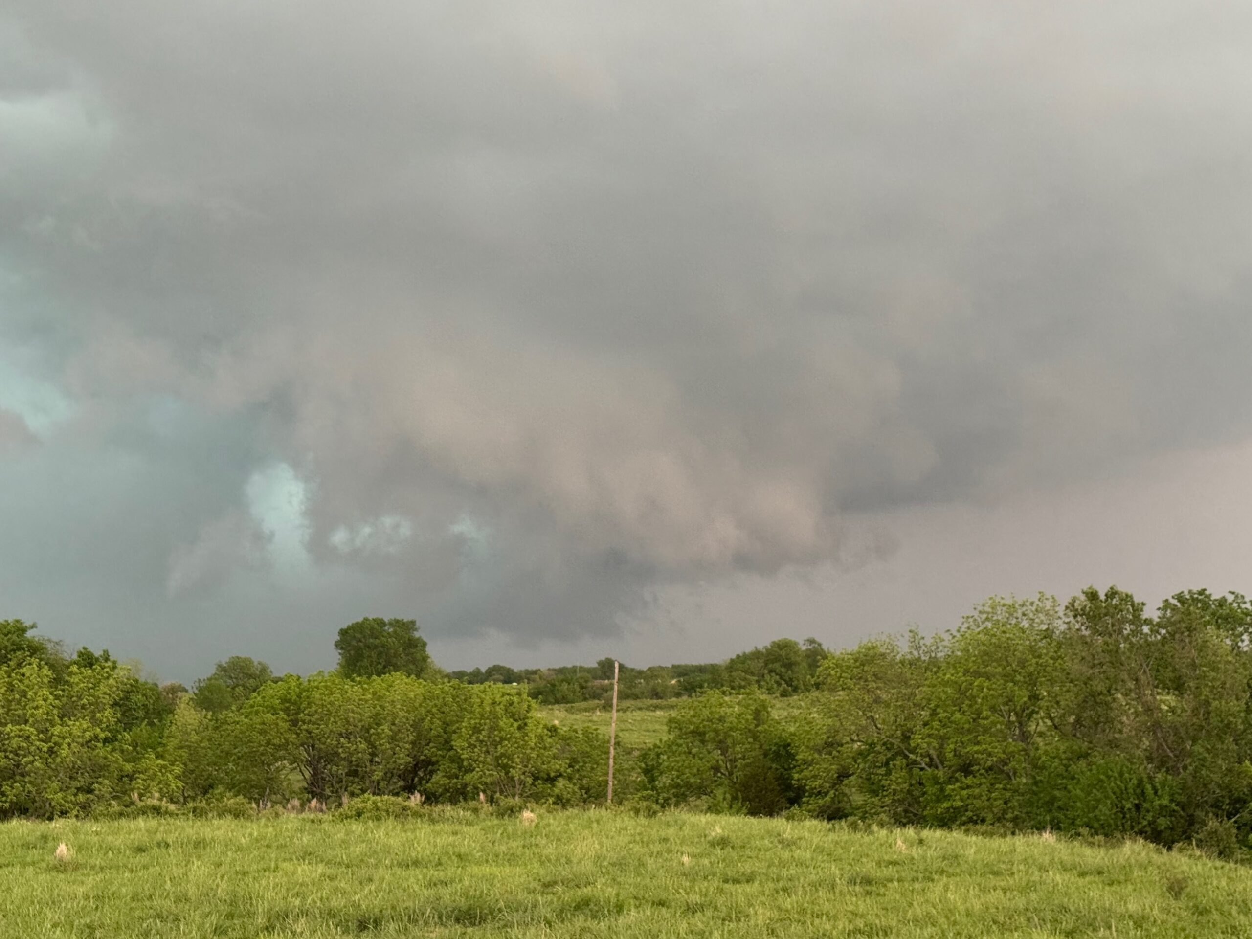
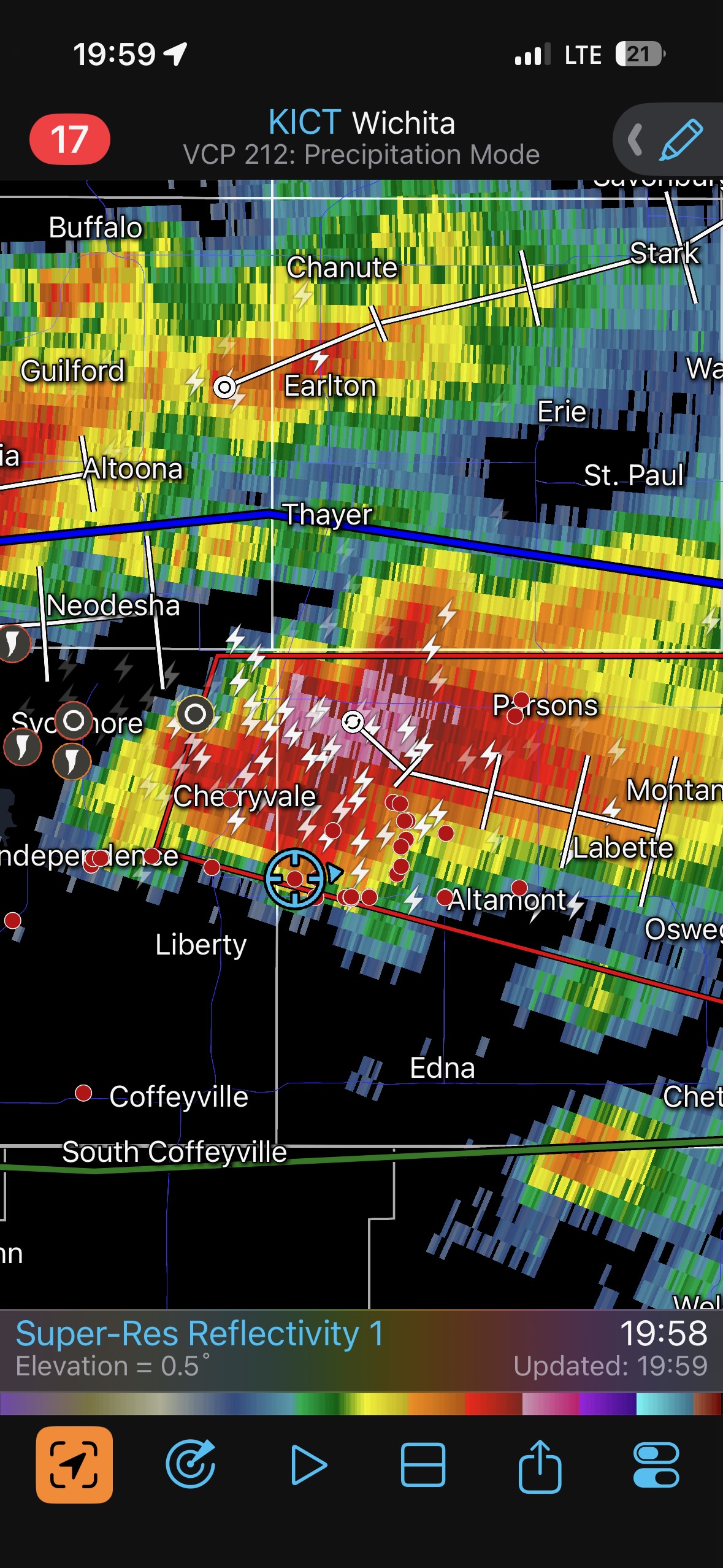
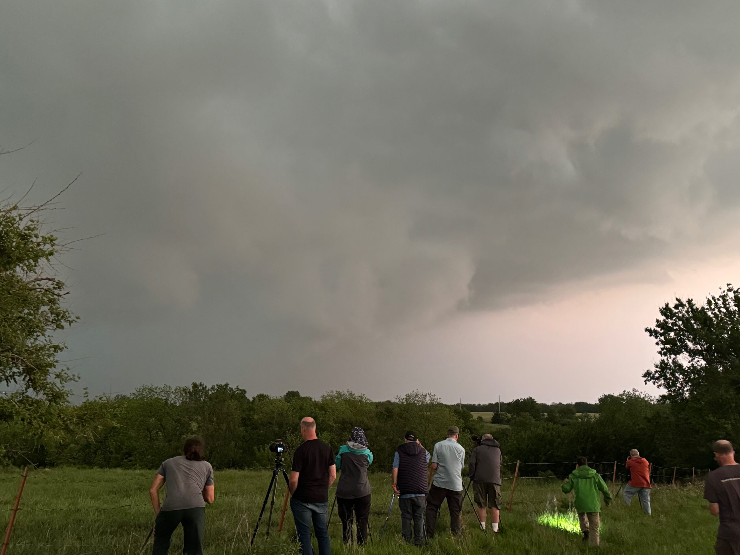
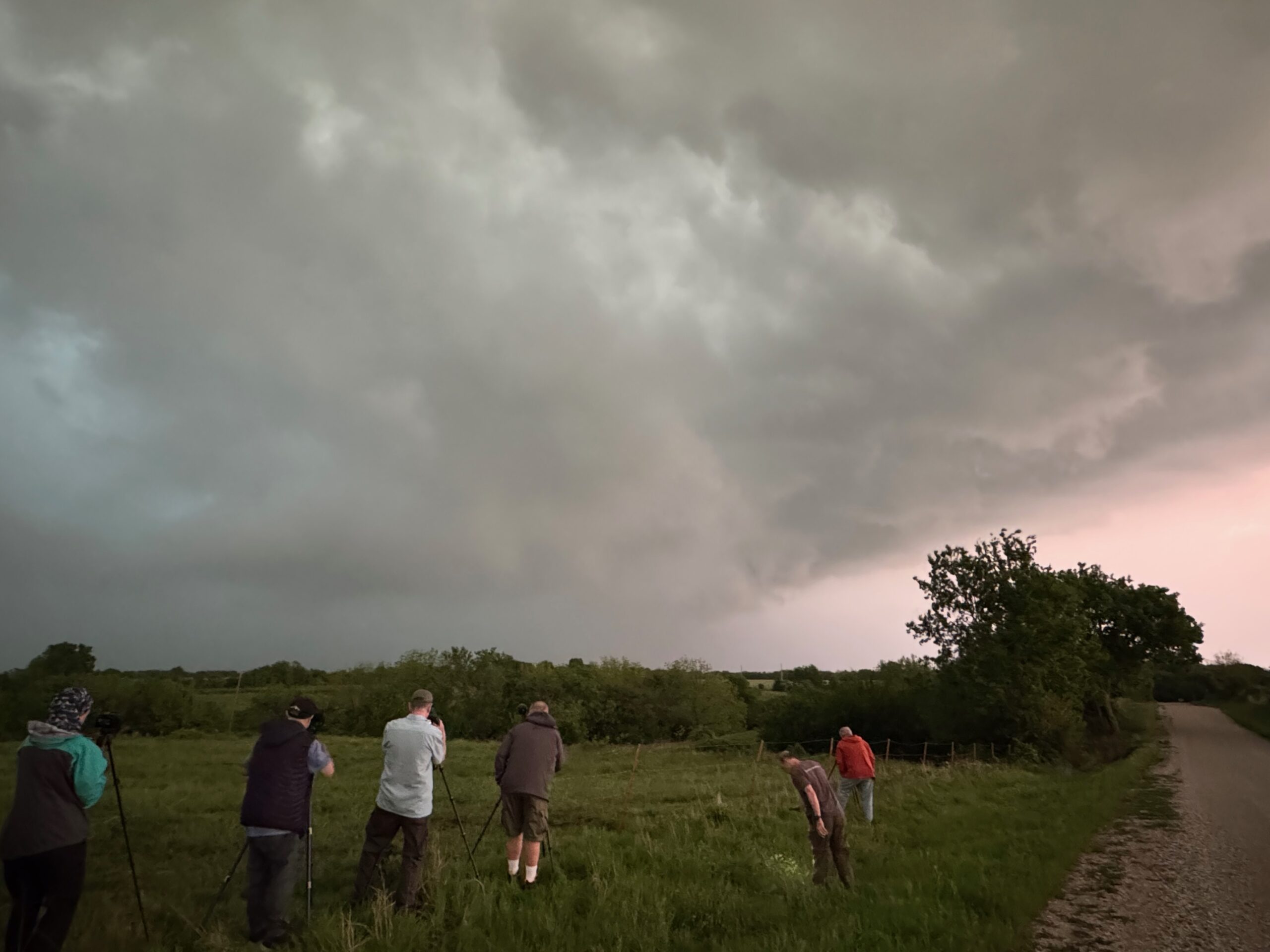
We made our way through the central business district of Independence and shot northward on U.S. 75. The action area of the supercell and its low base were coming into view to our northwest. I found a decent high spot that was free of trees a mile or two south of Sycamore, and almost immediately a funnel cloud was descending from the storm base to our west or WNW. A tornado quickly materialized, perhaps five miles distant. It persisted for several minutes it seemed, with a variety of shapes, mostly slender. The action area, which included this tornado, began to become involved in some rain. The supercell took on a decidedly blue hue and was quite the ominous sight. The enhanced images of the storm suggest a big wall cloud and perhaps a large tornado at least at one point, while it was still to our northwest (see pic 8 below).
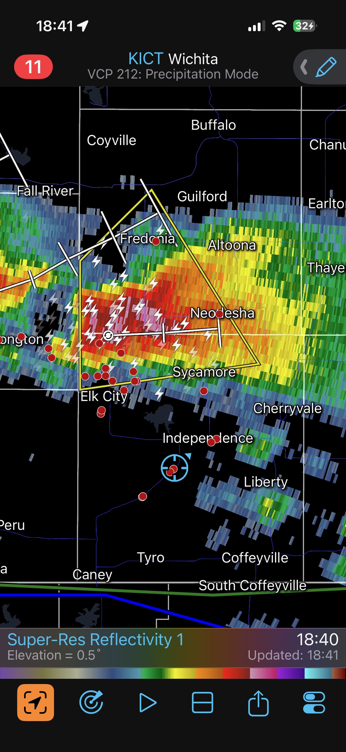
It looked like the storm would swallow Sycamore, so moving on up to U.S. 400 in order to stay safely east of this thing was not going to happen. As the supercell became more HP, we dropped back down to Independence and went east on 166 to observe. The storm gave us a lot of scary lowerings. If there was a tornado still with it, then it was buried in precipitation.
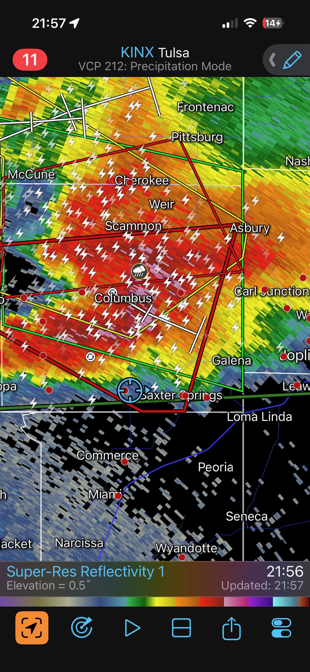
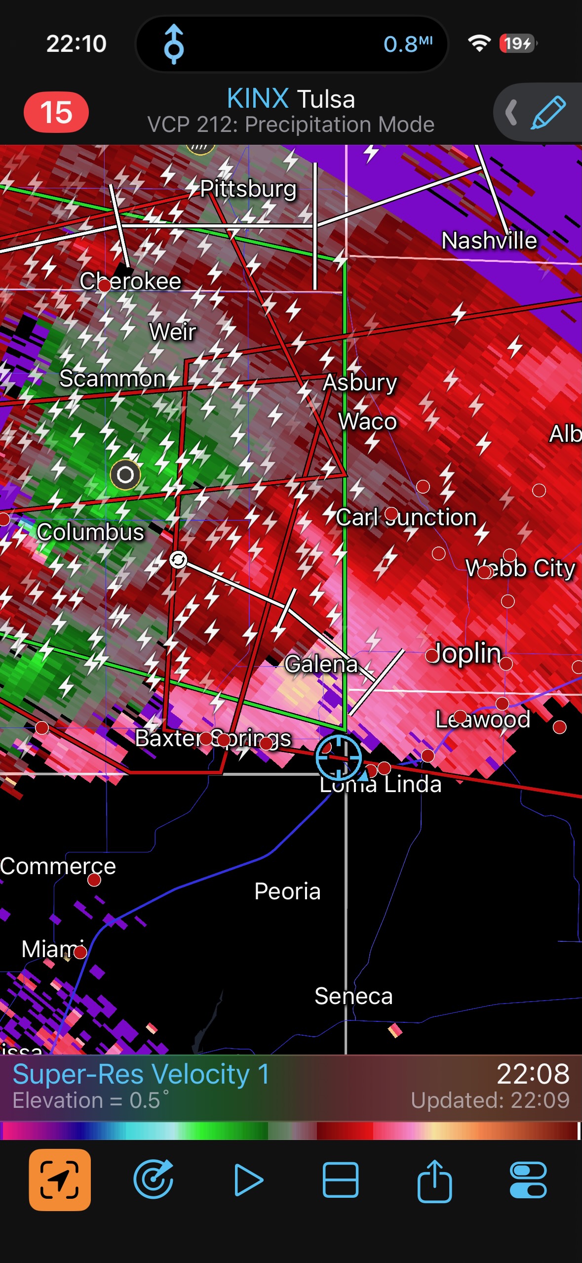
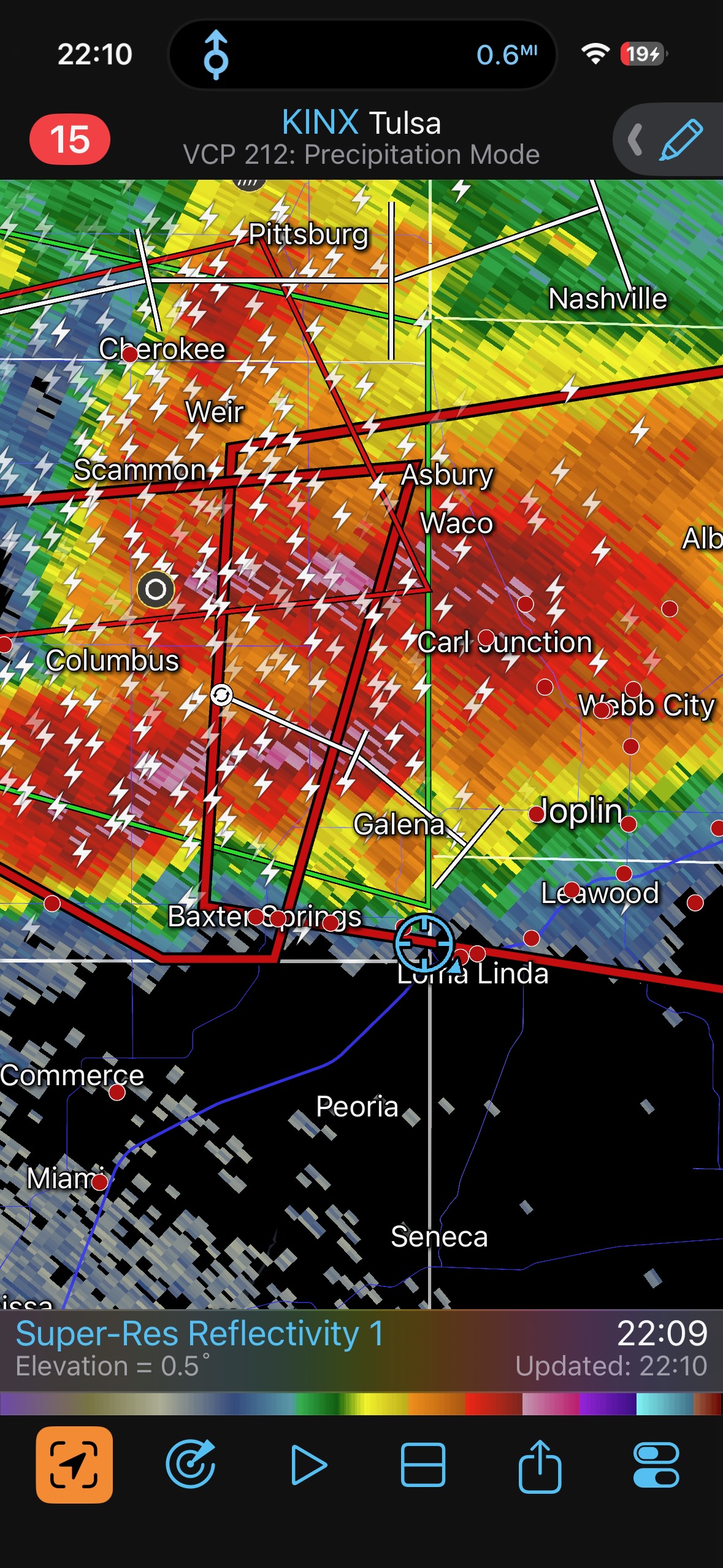
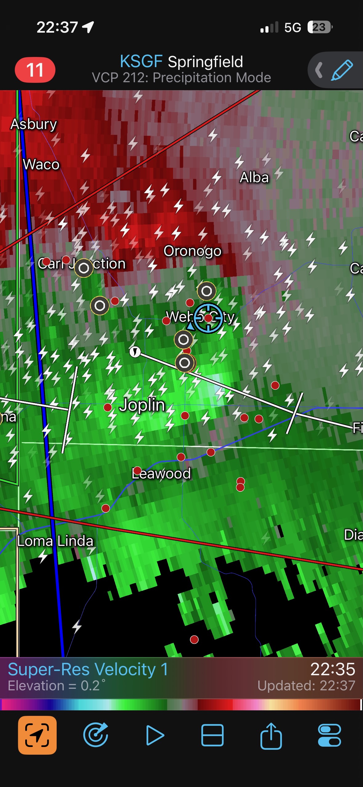
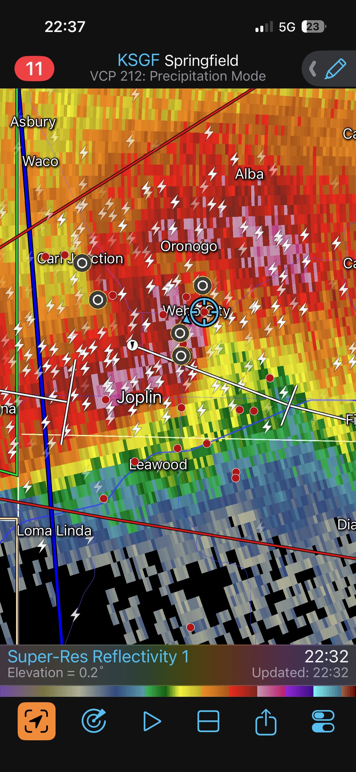
Towards dusk the activity sagged a bit farther south towards us, and we stopped a time or two to watch lightning and another tornado-warned area near Columbus. We made it into our hotel at Webb City right as the severe squall descended upon the town.
The first batch of photos below is off of my Canon cameras, and the second batch is the iPhone photo dump which includes the radar screen grabs.
iPhone pics below
Leave a Reply
You must be logged in to post a comment.