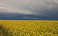
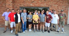
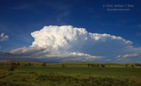
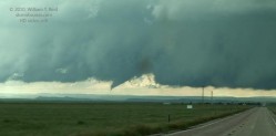
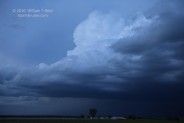
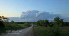
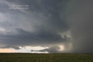
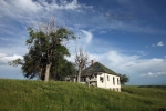
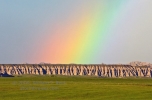
It had been ten days since a decent, long-lived supercell had been observed. Chase prospects finally appeared good on this day, somewhere in and around… [Read More]
July 2, 2010 Raymore, SK tornado
Raymore is a little town about 60 miles north of Regina, Saskatchewan. On July 2, 2010, a strong, long-track tornado (rated F3) did considerable damage… [Read More]
June 26, 2010 Wheeler County, NE storms
Today was the last full chase day for this tour, and we needed to be back in Denver by about noon tomorrow (6/27). The good… [Read More]
June 24, 2010 Bismarck, ND supercell
Our group wound up on a pretty, isolated supercell in south-central North Dakota on June 24th. The 23rd was a down day, and we repositioned… [Read More]
June 20, 2010 Chugwater, WY tornado
This was not exactly your typical chase day. There was no in-depth forecasting or chase strategy consternation. The “chase” began as soon as the noon… [Read More]
June 15, 2010 Tatum, NM LP Supercell
This was Day 2 of the short 4-day “mini-tour” out of OKC, and our group was in Lubbock. SPC showed a slight risk for severe… [Read More]
June 9, 2010 Scottsbluff cumulonimbus
We scooted north on I-25 from Colorado Springs to target something on or around the Cheyenne Ridge. Lunch was in Fort Collins, and, to my… [Read More]
May 17, 2010 Artesia, NM severe storms
This day began in Odessa, TX, and we motored northwest into NM for some fun. Near Artesia we watched a couple of strong storm towers… [Read More]
May 15 and 16, 2010 Marathon, TX convection
On both the 15th and 16th we were in Fort Stockton for lunch, and from there we headed southwest towards Alpine on U.S. 67. We… [Read More]
May 11, 2010 Woodward County, OK supercell
The atmosphere over the southern Plains was much more relaxed compared to yesterday! A strong cap and weak boundaries were above western OK. With decent… [Read More]
May 2, 2010 Southeastern KS weak convection
This was a day to get out of the Arkansas forests and back to the west. There was a chance of some convection in southeastern… [Read More]
April 29, 2010 Washington County, KS tornado
Today was my first full chase day of spring 2010, with Rob Petitt, Bob Conzemius and the Tempest Tours guests. We met the guests on… [Read More]
July 6, 2009 Bruiser’s Last Chase
Bruiser and I met Martin and Matt in Vernon, had lunch, and swapped vehicles. I was FREE! It was time to go home. We headed… [Read More]
June 29, 2009 Alliance, NE high-based mediocrity
What more can be said about this chase day that hasn’t already been said? Well, a whole bunch, given that today’s activity was run-of-the-mill and… [Read More]
June 25, 2009 Badlands “Bad” Storm Day
That’s “Bad” as in “yuck”. The target was Rapid City upon departure from Mitchell — an easy 3 or 4 hour drive on I-90. A… [Read More]
- « Previous Page
- 1
- …
- 11
- 12
- 13
- 14
- 15
- 16
- Next Page »

