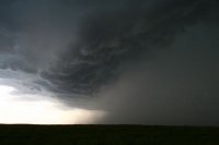
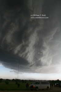
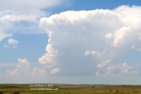
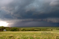
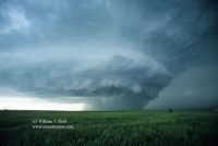
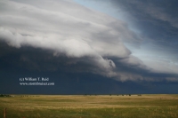
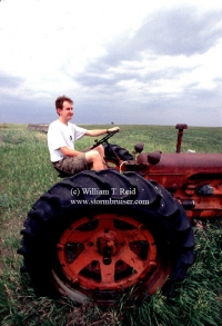
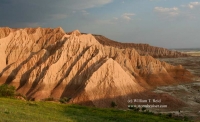
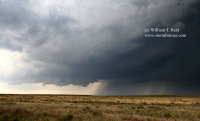
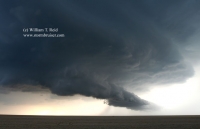
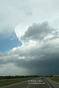
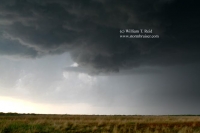
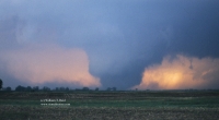
I spent a few non-chase days in Omaha from the 18th to the 20th, and had to be in Denver for the start of Tour… [Read More]
June 11, 2007 Faith, SD supercell
I had about ten days free prior to the next tour, so Brian Morganti and I teamed up for several days. We headed to the… [Read More]
June 1, 2007 Portales, NM Supercell
We targeted the extreme western Texas Panhandle, had lunch at the Big Texan in Amarillo, and moseyed down U.S. 60 to Bovina. A cell went… [Read More]
May 31, 2007 Keyes, OK HP Supercell
Short version: This was one of those days where you basically do everything right, but nature conspires against you. We were on a beautiful supercell… [Read More]
May 29, 2007 Simla, CO HP supercell
Following a healthy and enjoyable meal in downtown Wray, we sauntered south and west to Limon for some strengthening cells moving off of the Palmer… [Read More]
May 22, 2007 Wakeeney, KS Tornadic Supercell
Summary for Tuesday, May 22, 2007 chase in NW Kansas Short version—-observed a fabulous tornadic storm in Graham County, KS….many more good structure photos will… [Read More]
June 23, 2006 Agate, NE supercell and mammatus
Wow, a beautiful supercell near Harrison, NE (in the extreme northwest corner of the Nebraska Panhandle) was photographed from the south, near Agate along Hwy… [Read More]
June 15, 2006 Burnstad, ND Supercell
It took a while, but storms finally fired towards sunset in south-central ND and moved northeast. We were in front of a cell in Logan… [Read More]
June 14, 2006 Baker, MT Severe cell
A nasty supercell was cranking near Miles City, MT and we were in front of it as it elongated and weakened somewhat between Miles City… [Read More]
June 13, 2006 Red Shirt, SD Badlands Supercell
This high-based cell provided some good-sized hailstones near Red Shirt, in extreme northwest Shannon County, SD. As the cell drifted off to the east, it… [Read More]
May 30, 2006 Cimarron County, OK supercell
A decent updraft with a wall cloud developed to our southwest, in extreme southern Baca County, CO, west of 287. The storm moved east-southeast towards… [Read More]
May 8, 2006 Kalvesta, KS supercell
This was a long day with a long drive, beginning at Sweetwater, TX. Activity went up in west-central Kansas, north of Garden City, and we… [Read More]
May 5, 2006 Patricia, TX supercell
When large hail began to bombard us in Seminole, we dashed east to safety and waited near Patricia. This afforded a great view of the… [Read More]
May 3, 2006 Clairemont, TX supercell
The arrival day for the Tour One guests with Tempest Tours was a success, as we intercepted an impressive supercell in Kent County. Clairemont is… [Read More]
May 30, 1998 Spencer, SD tornado
SPENCER TORNADO CHASE VIDEO Recent NOAA review of the event This entry is fairly lengthy. The initial write-up here was written for Stormtrack Magazine… [Read More]
- « Previous Page
- 1
- …
- 28
- 29
- 30


