
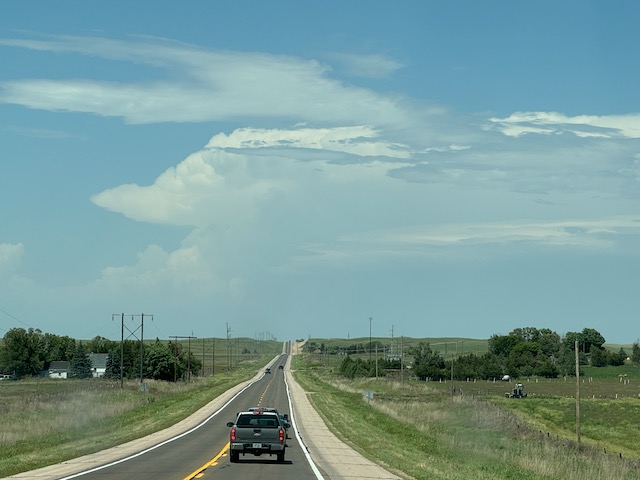
Start: Hugoton, KS/lunch: Grab and Go, Subway in Oakley/End: McCook/584 miles
SPC Meso Discussion 12:50 p.m.
(Check back for some time-lapse video clips of the beastly supercells this chase day.)
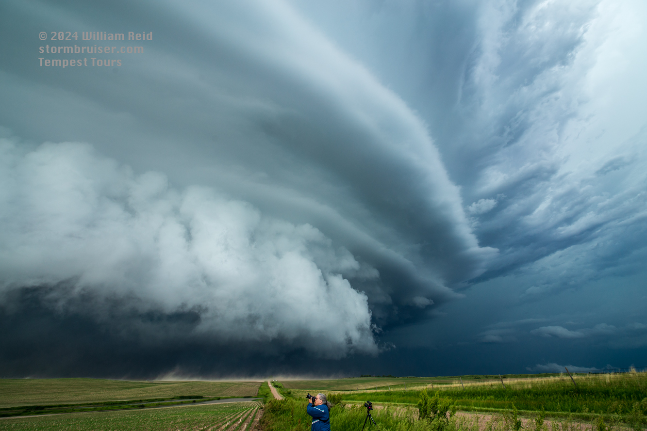
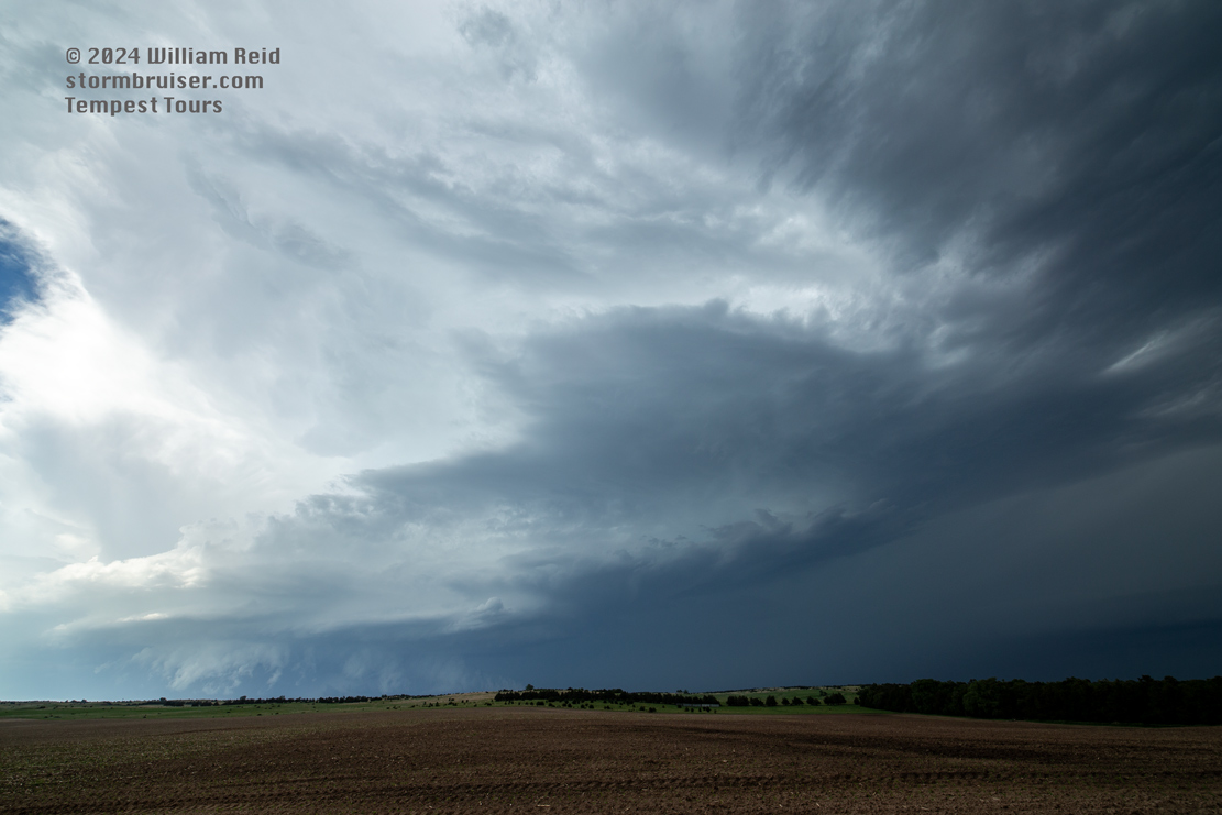
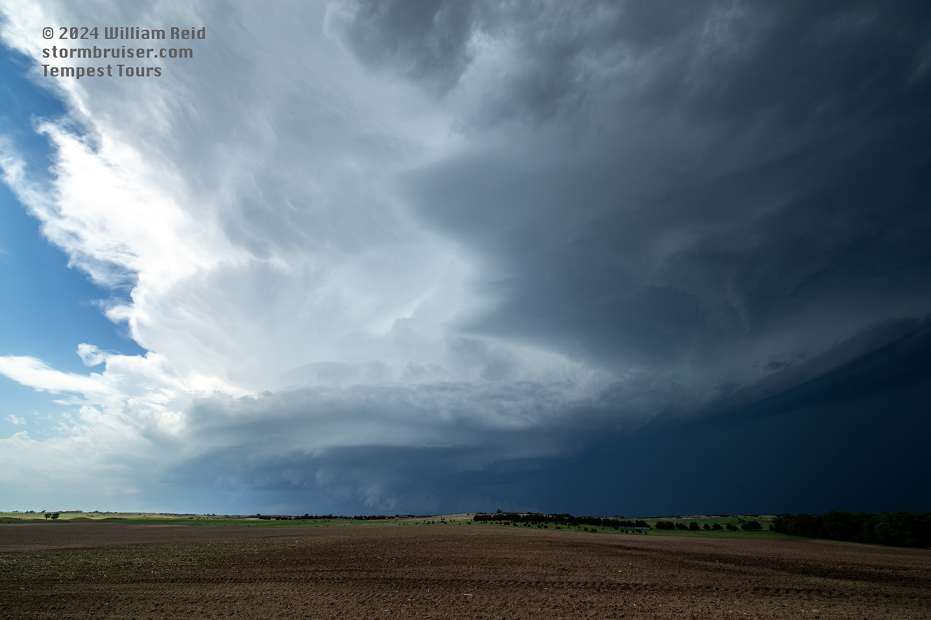
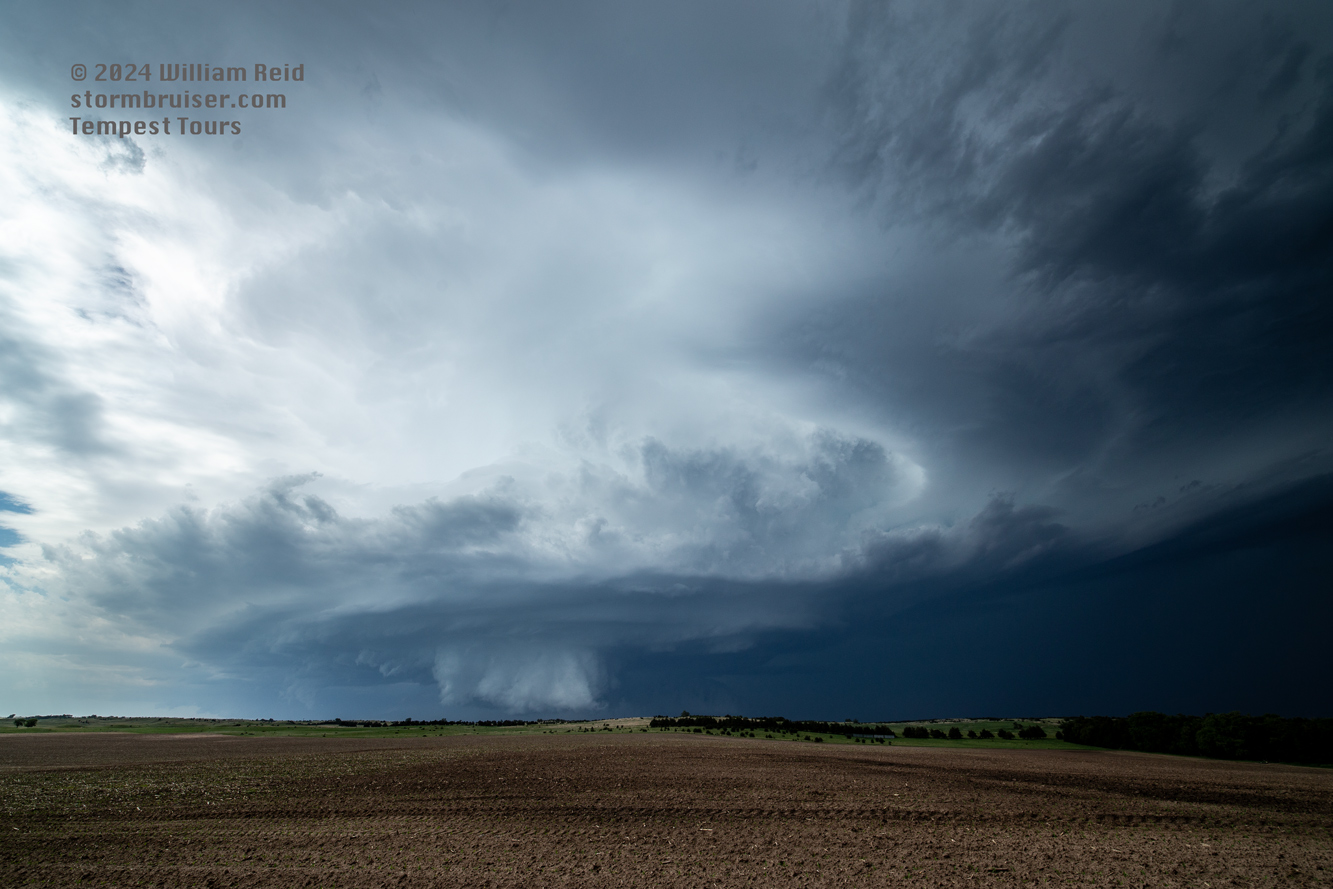
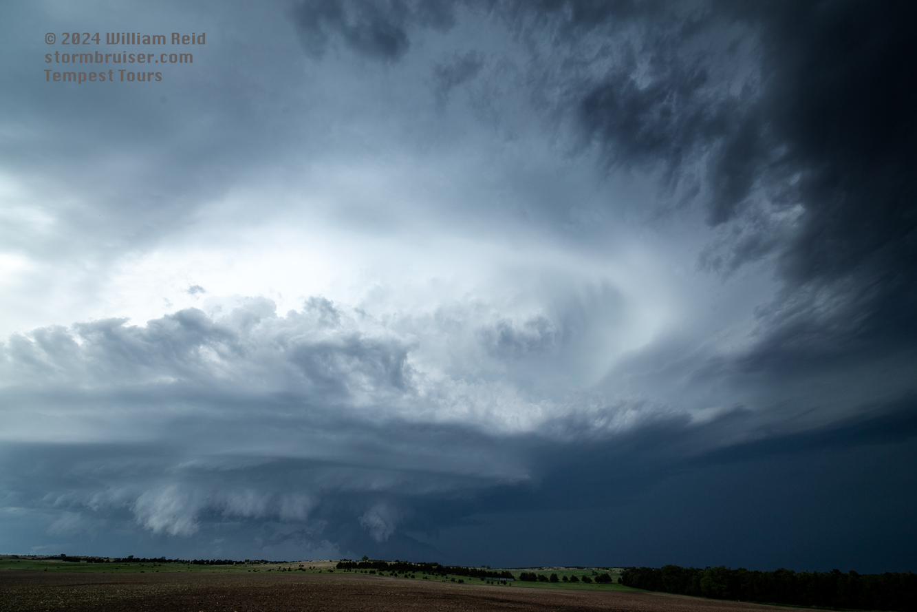
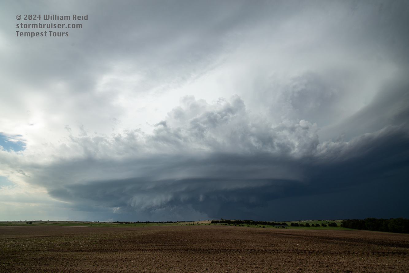
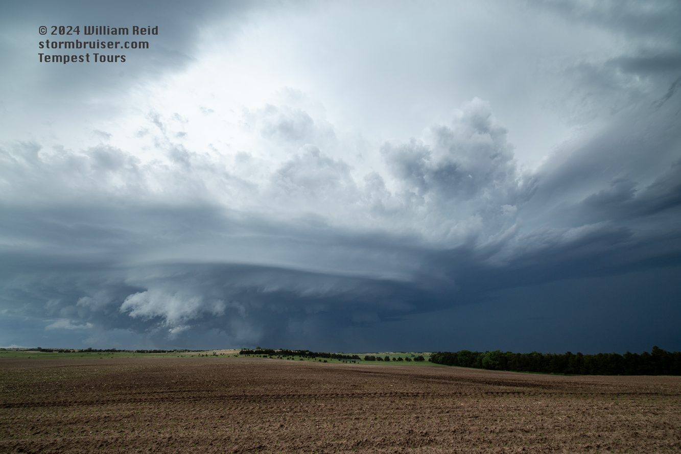
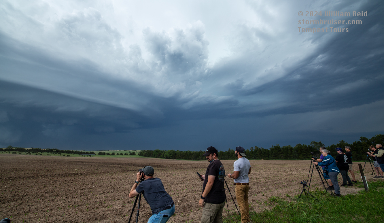
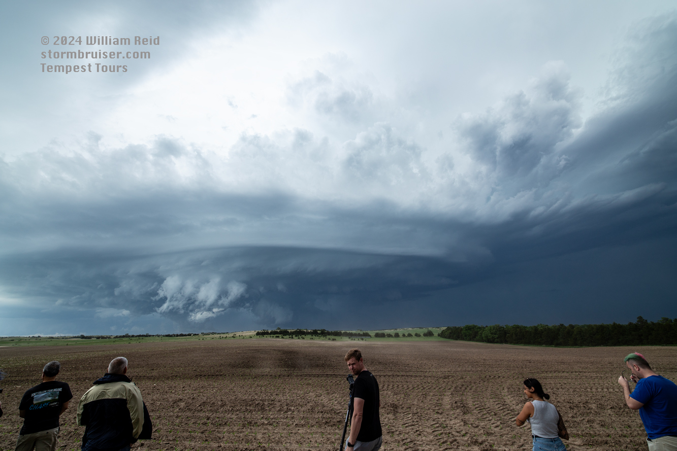
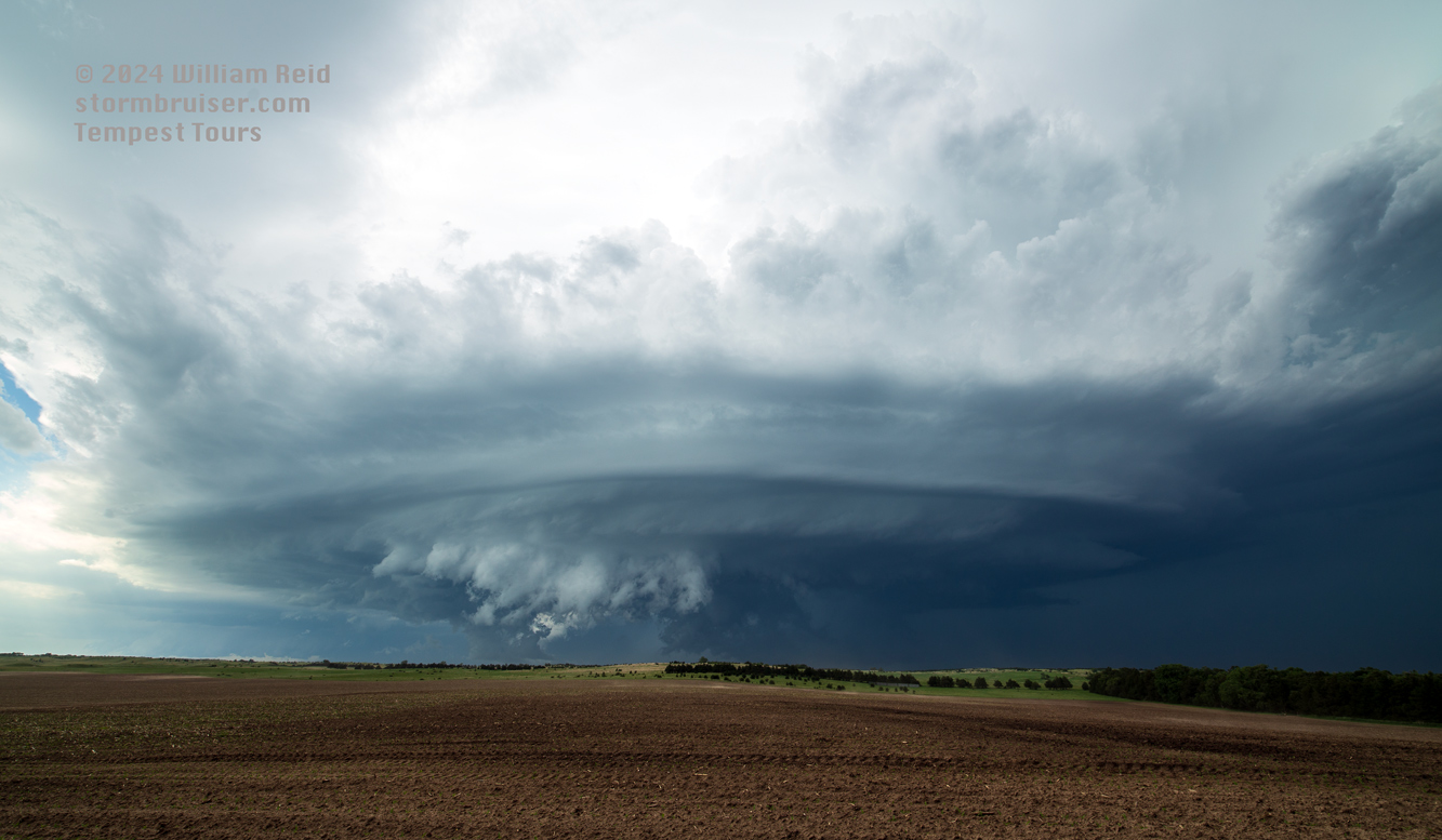
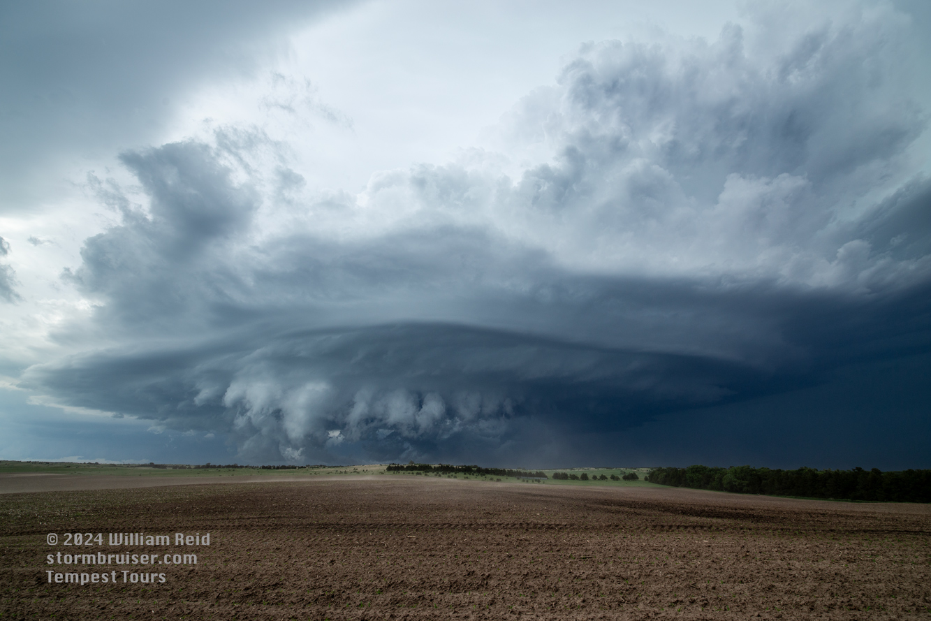
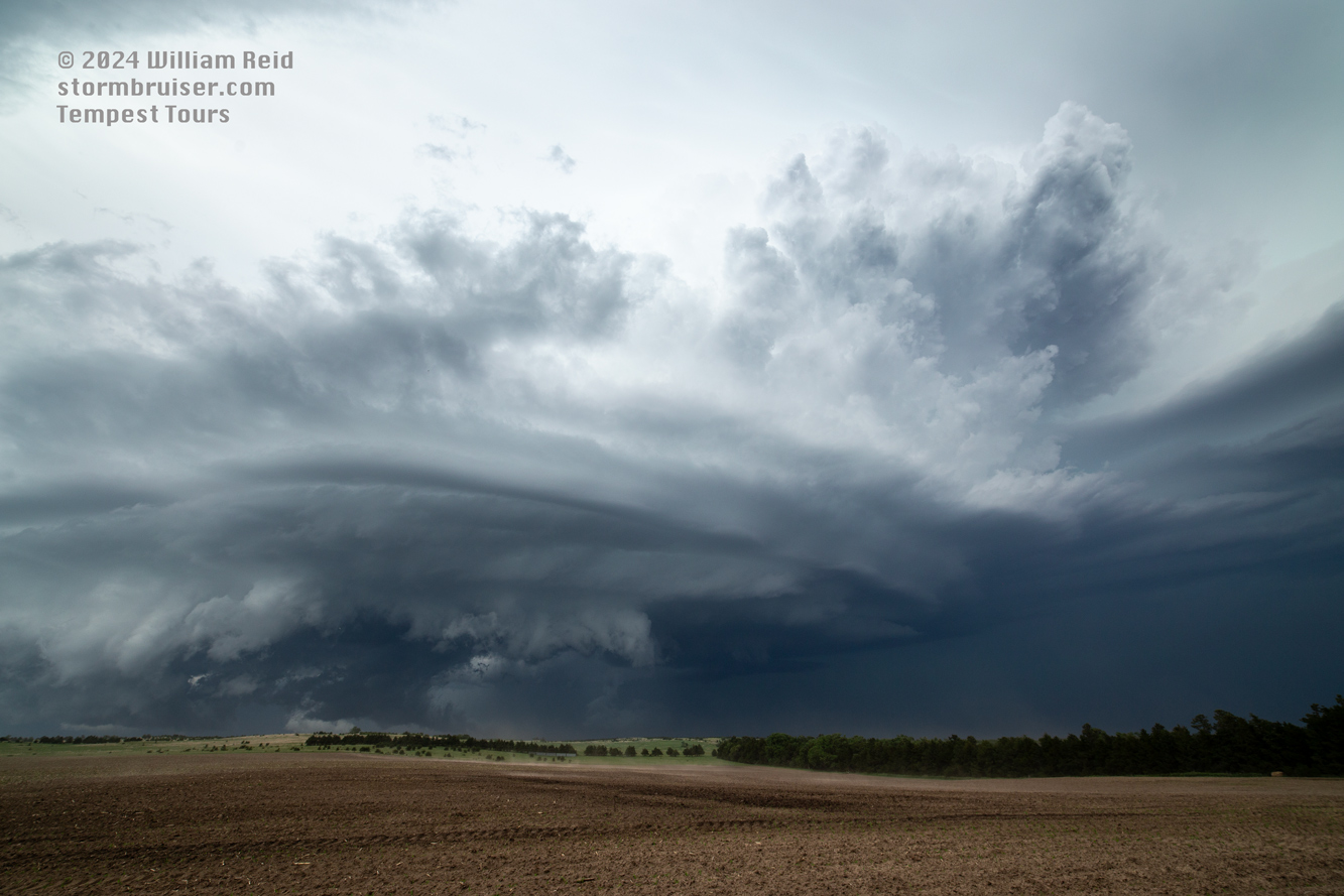
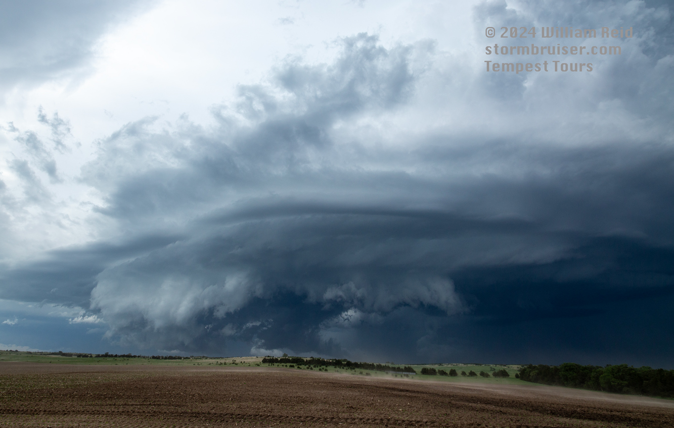
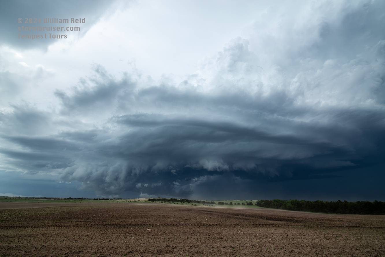
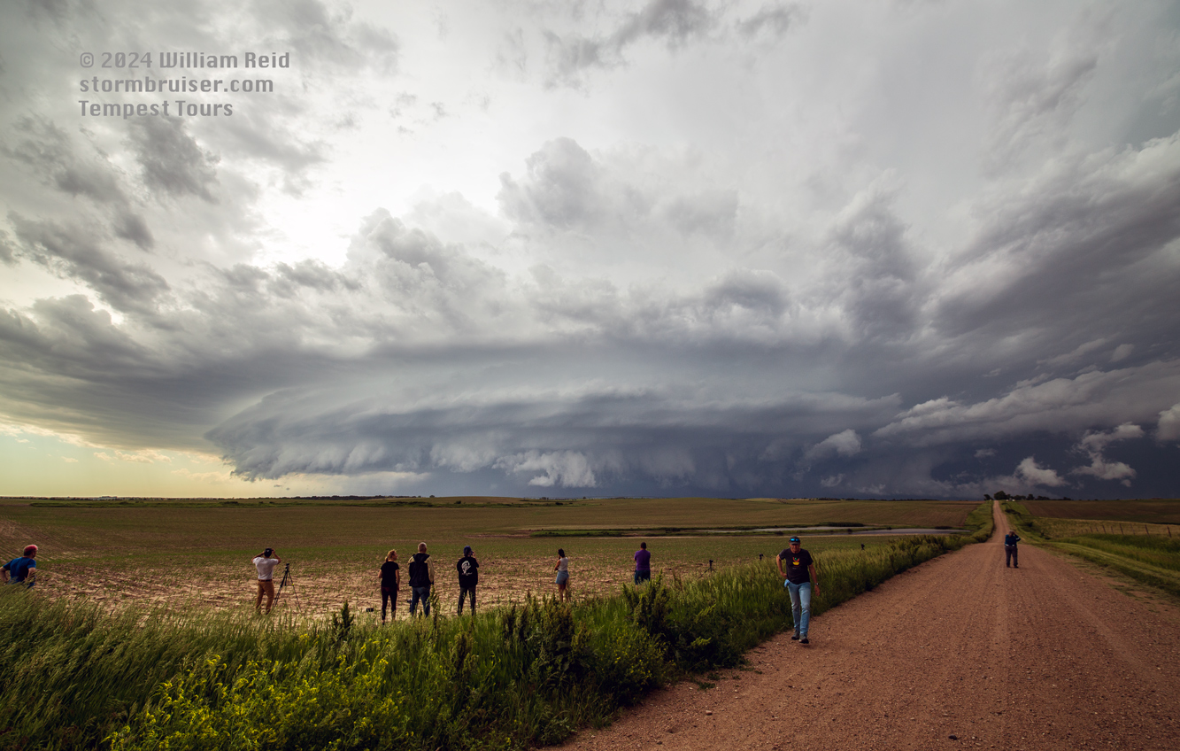
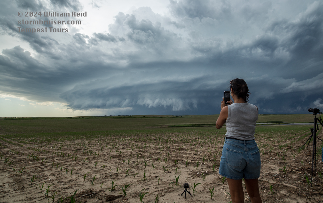
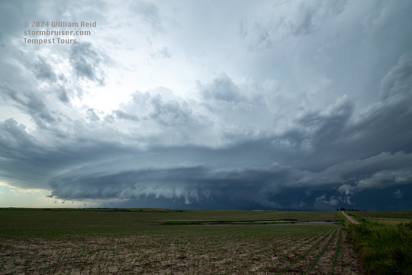
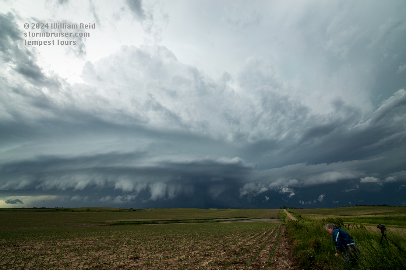
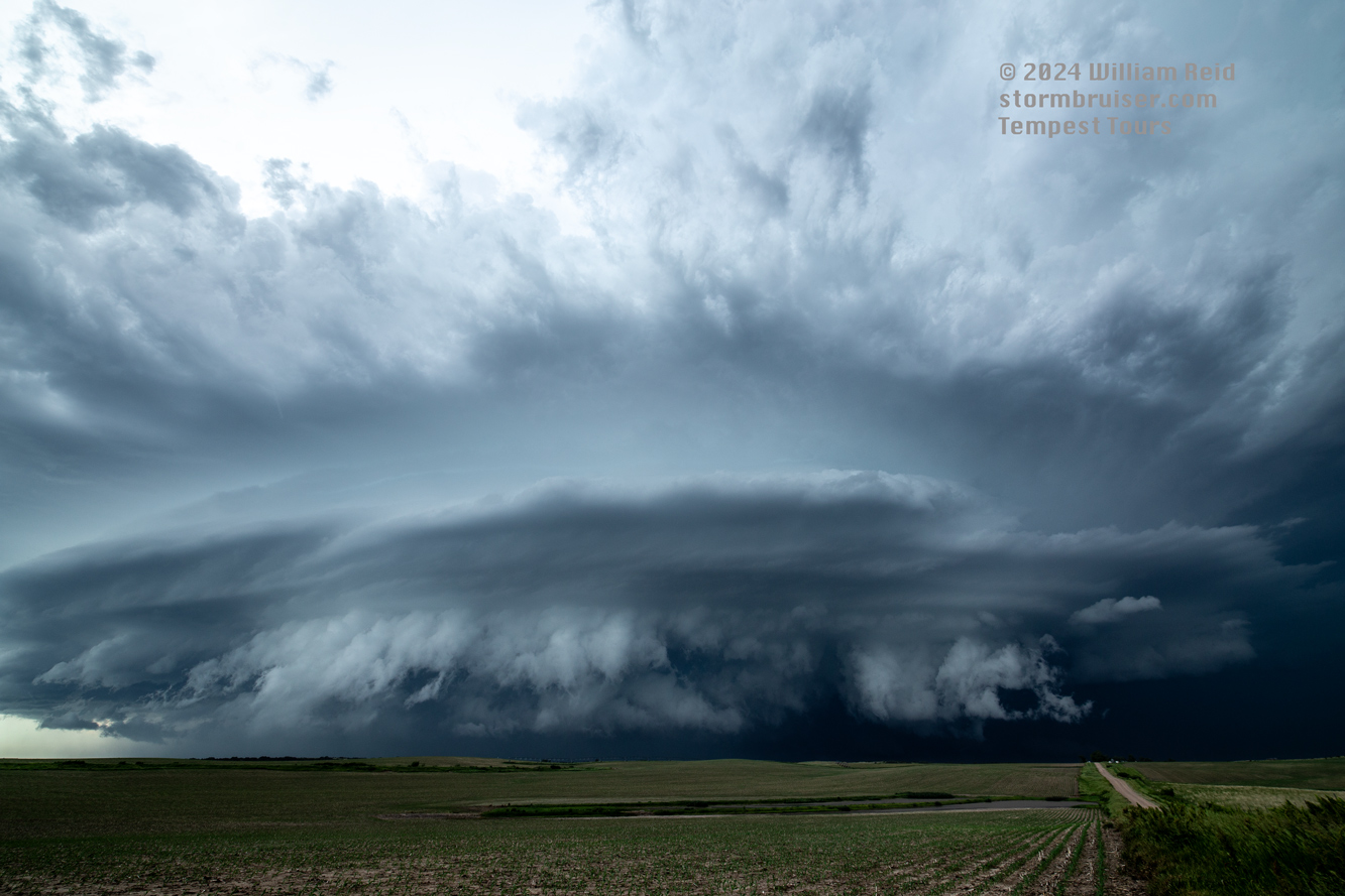
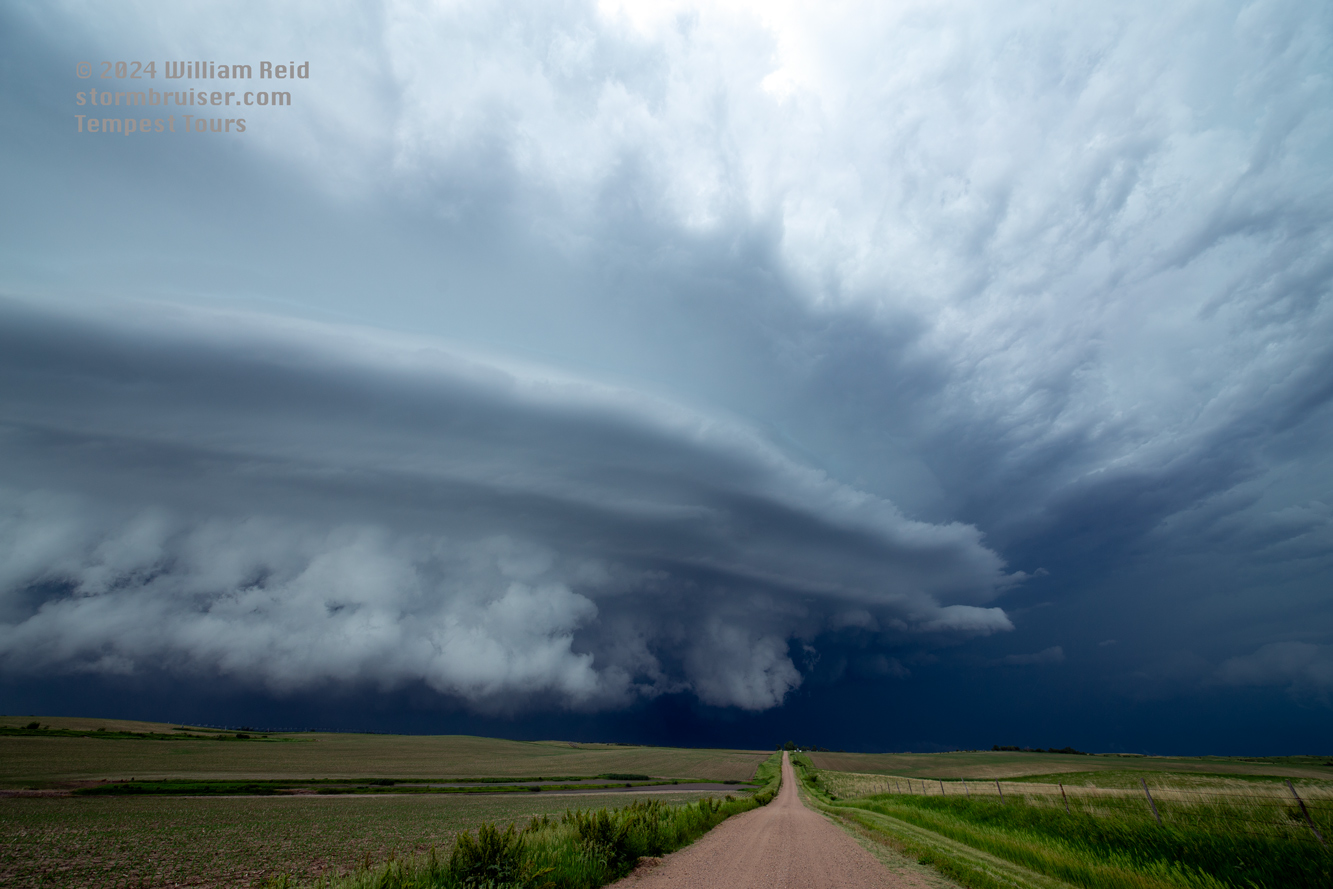
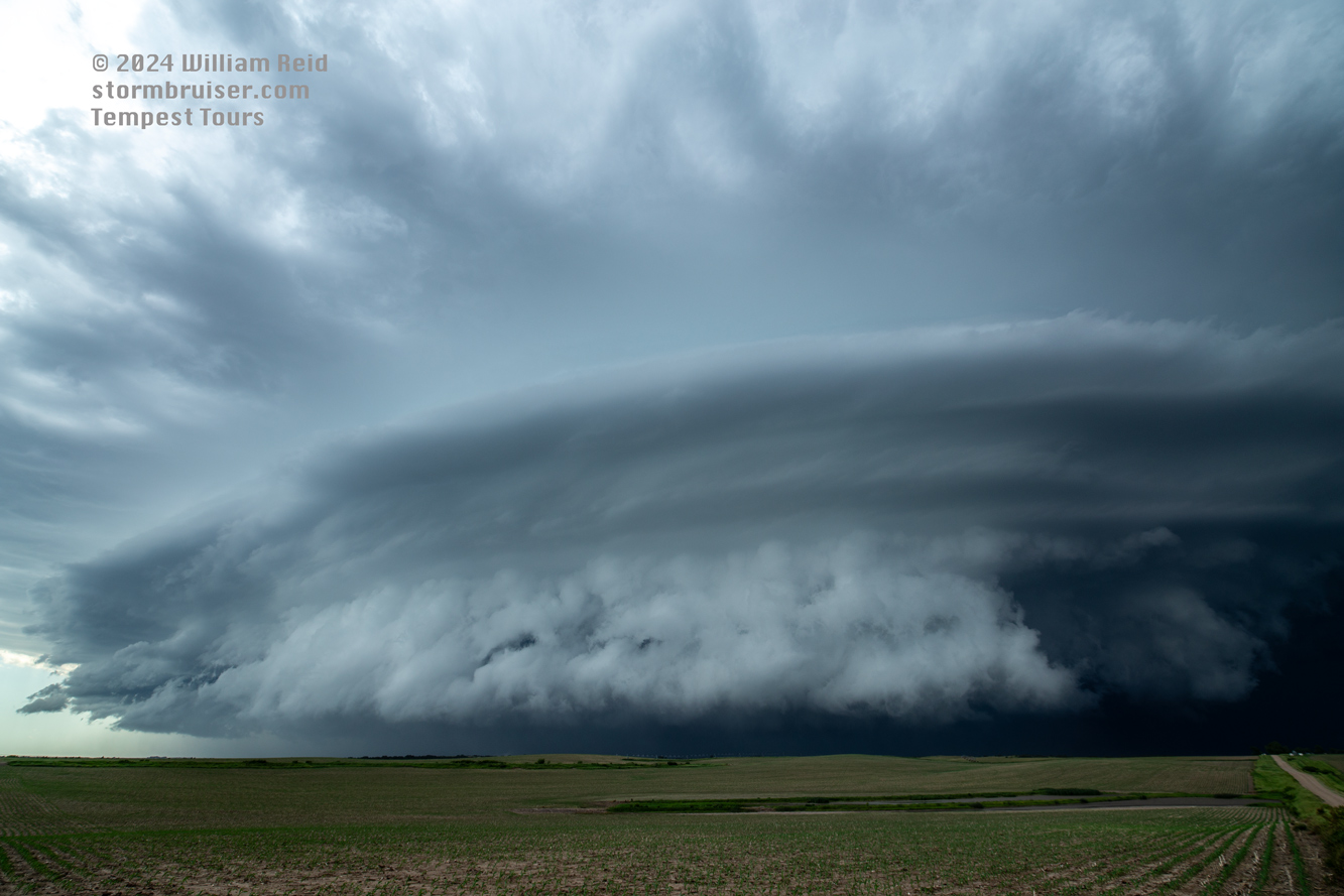
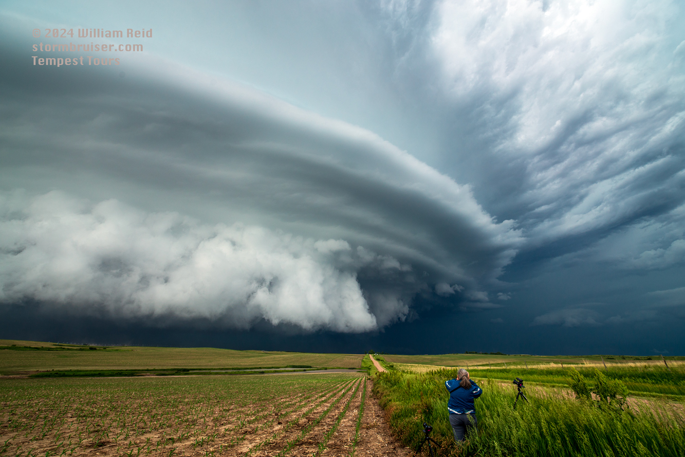
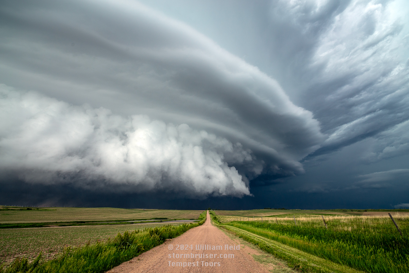
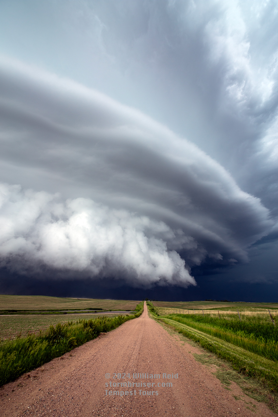
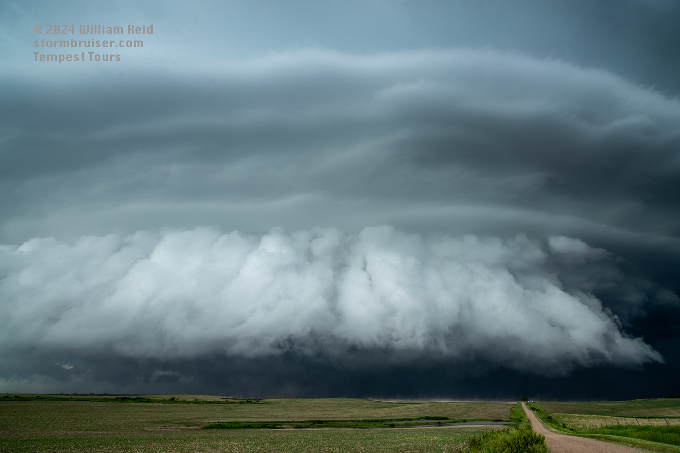
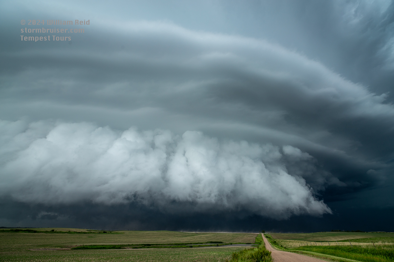
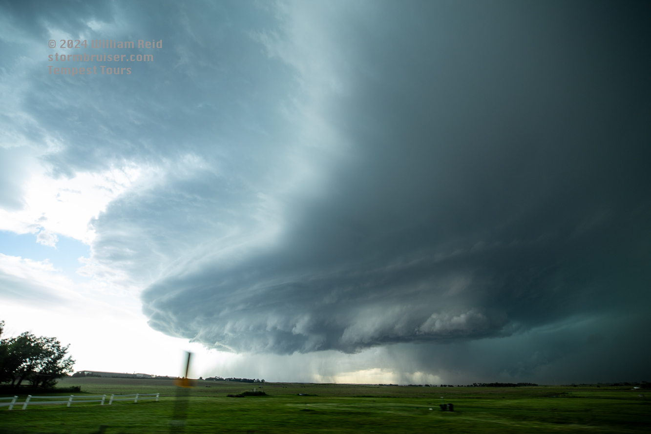
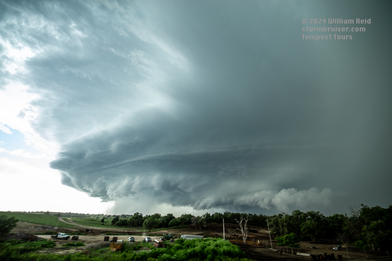
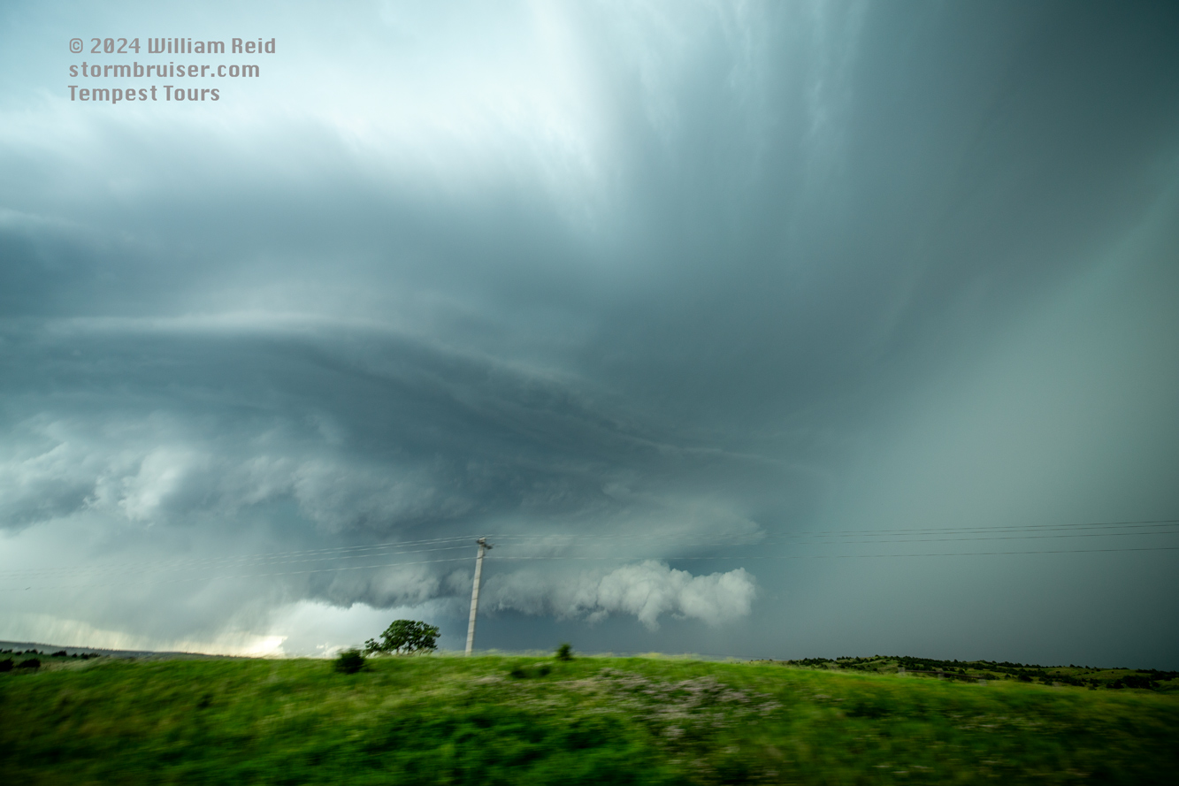
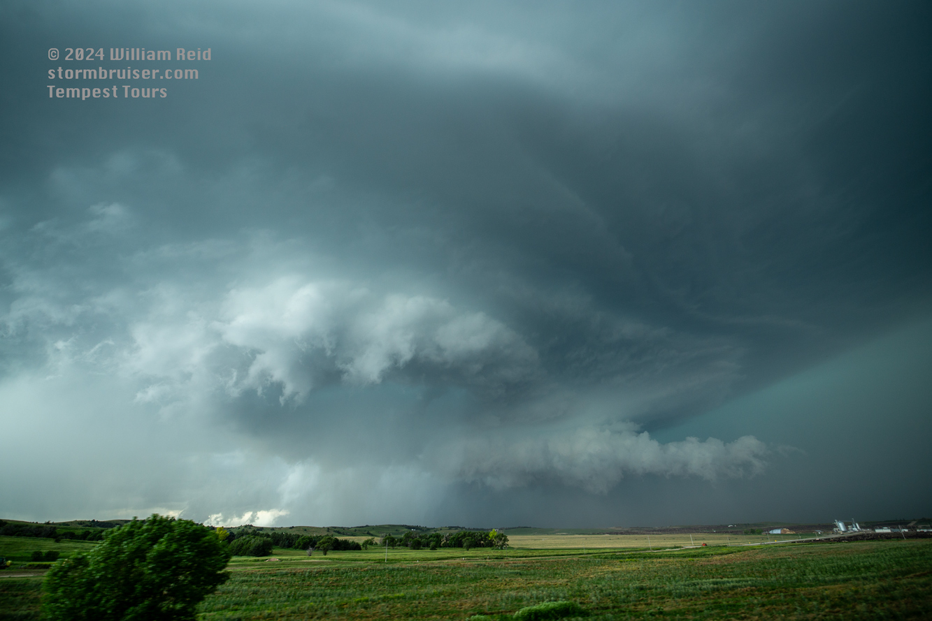
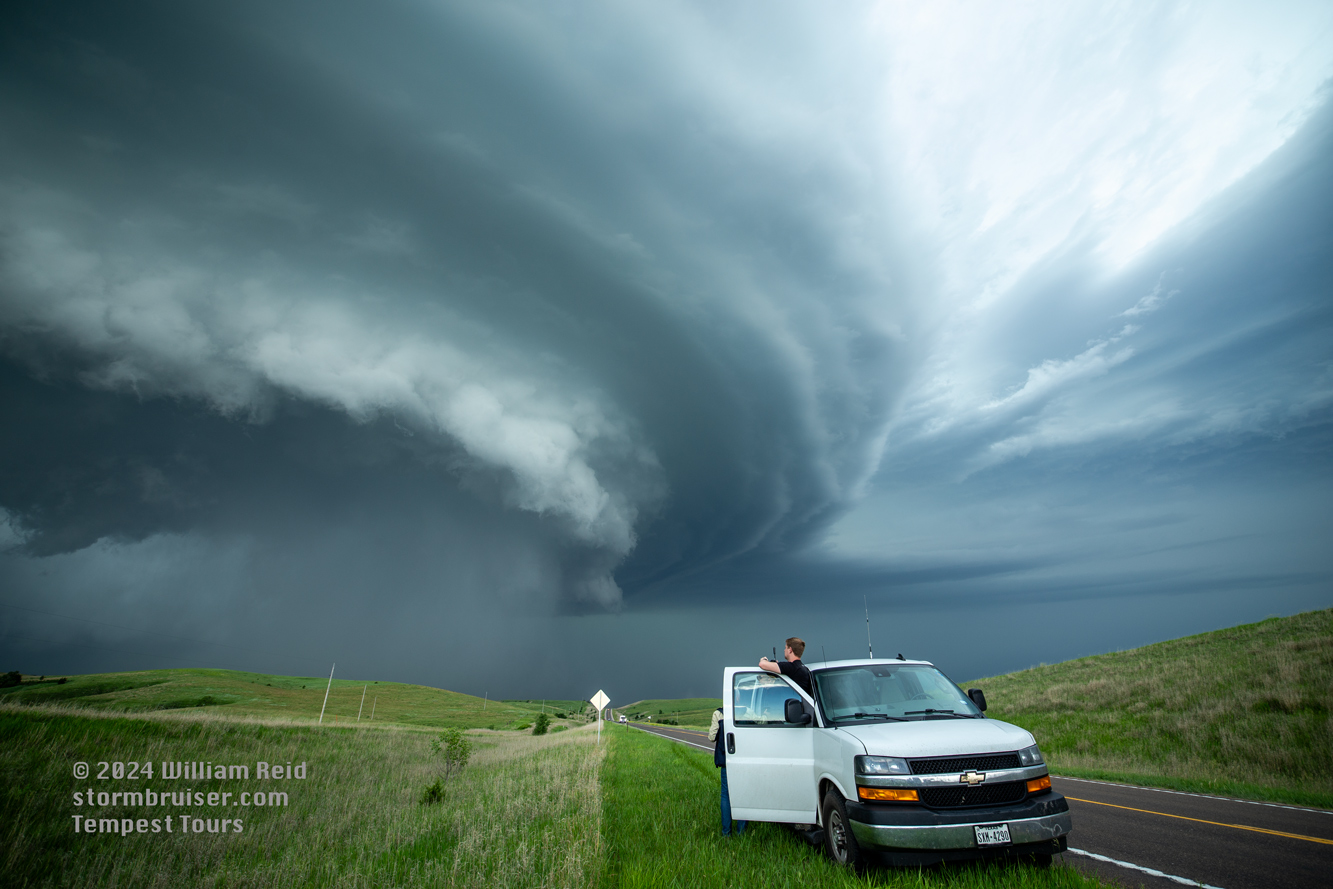
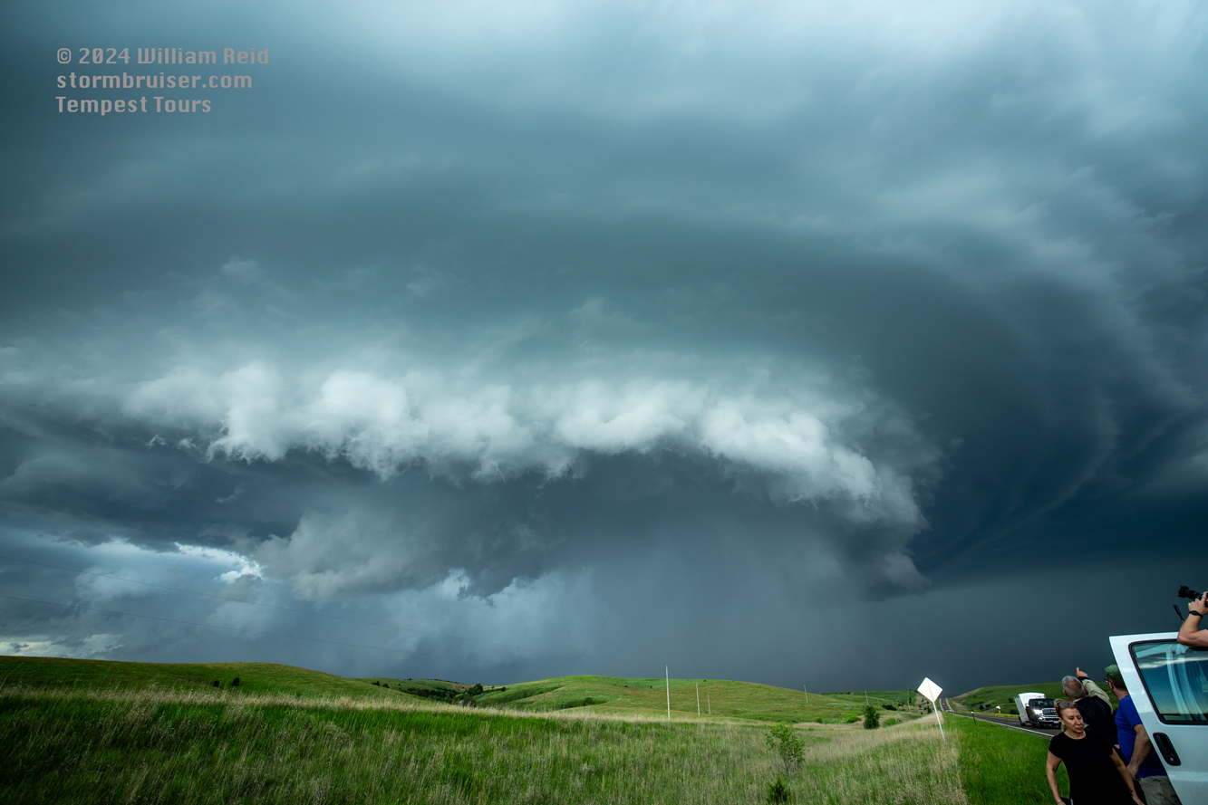
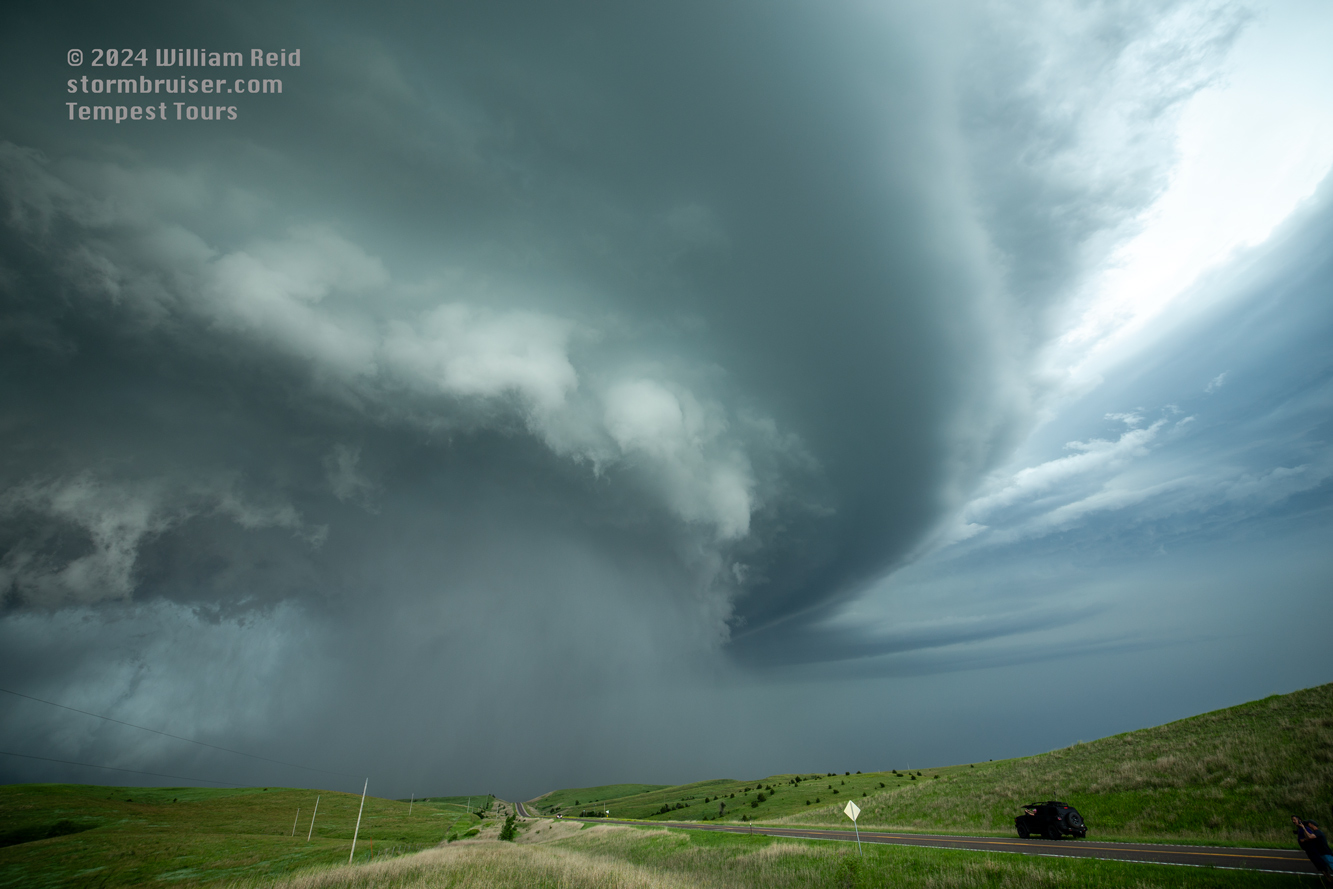
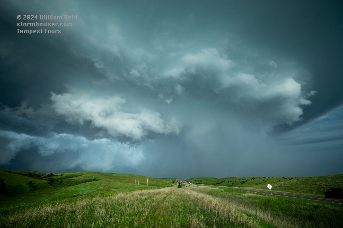
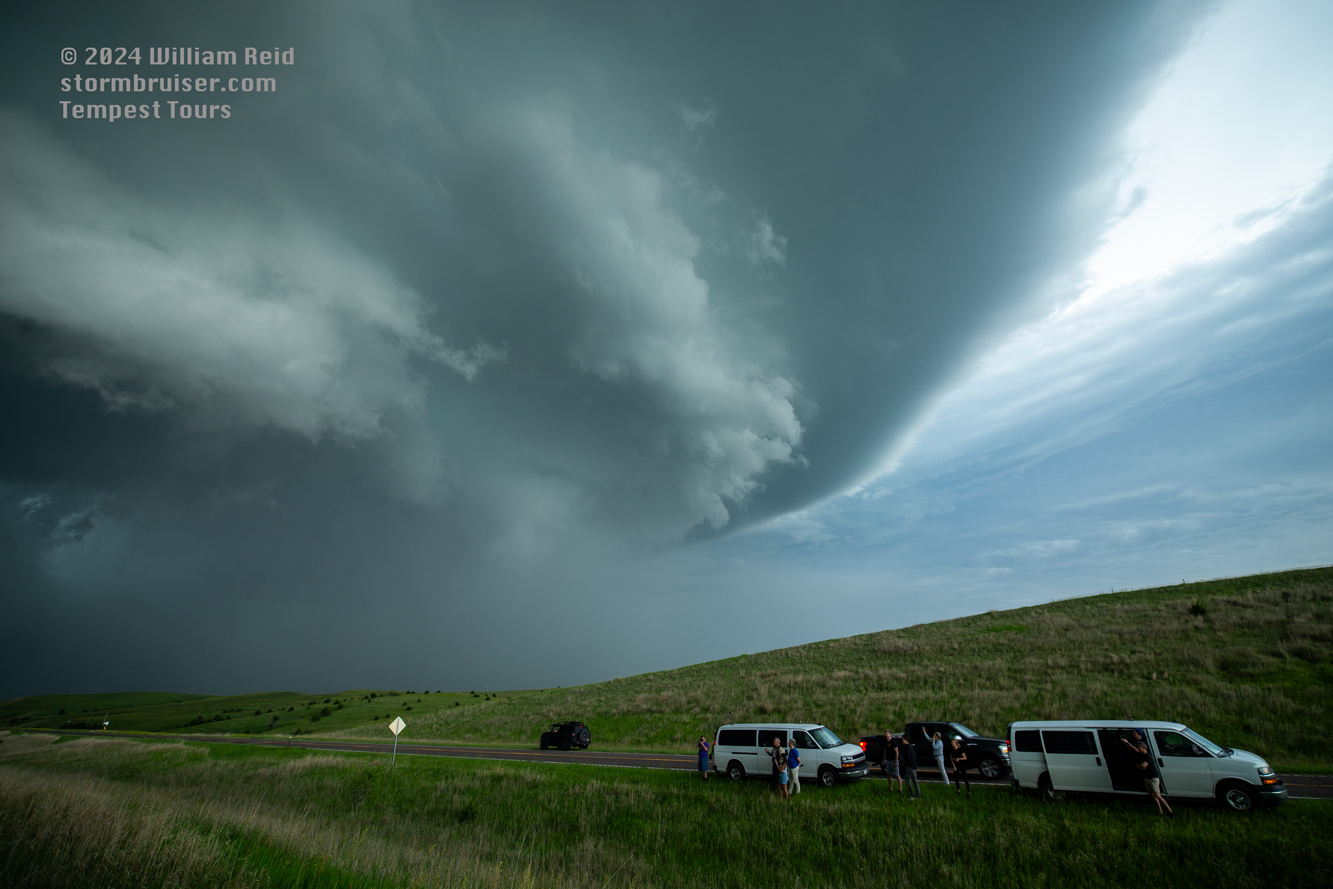
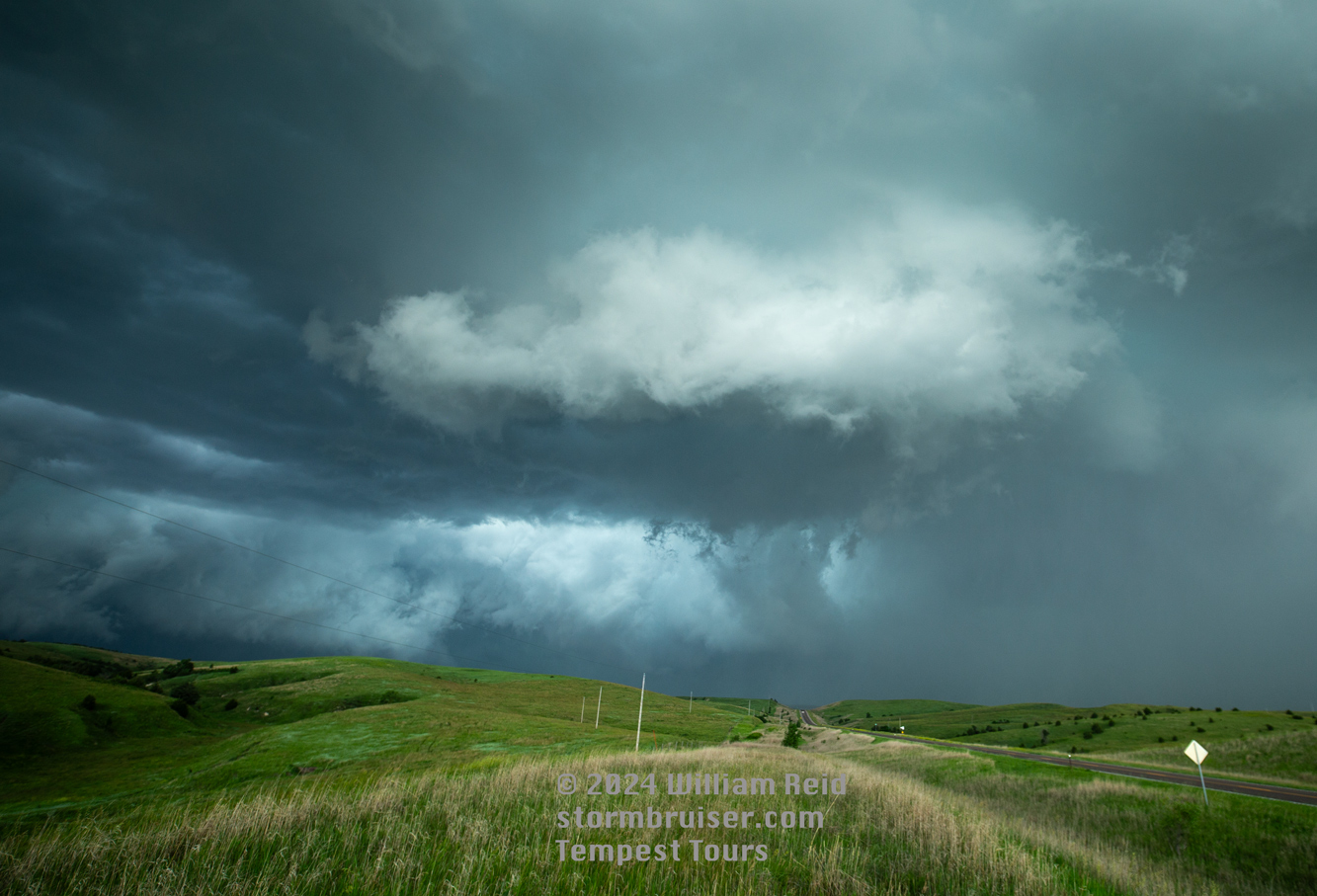
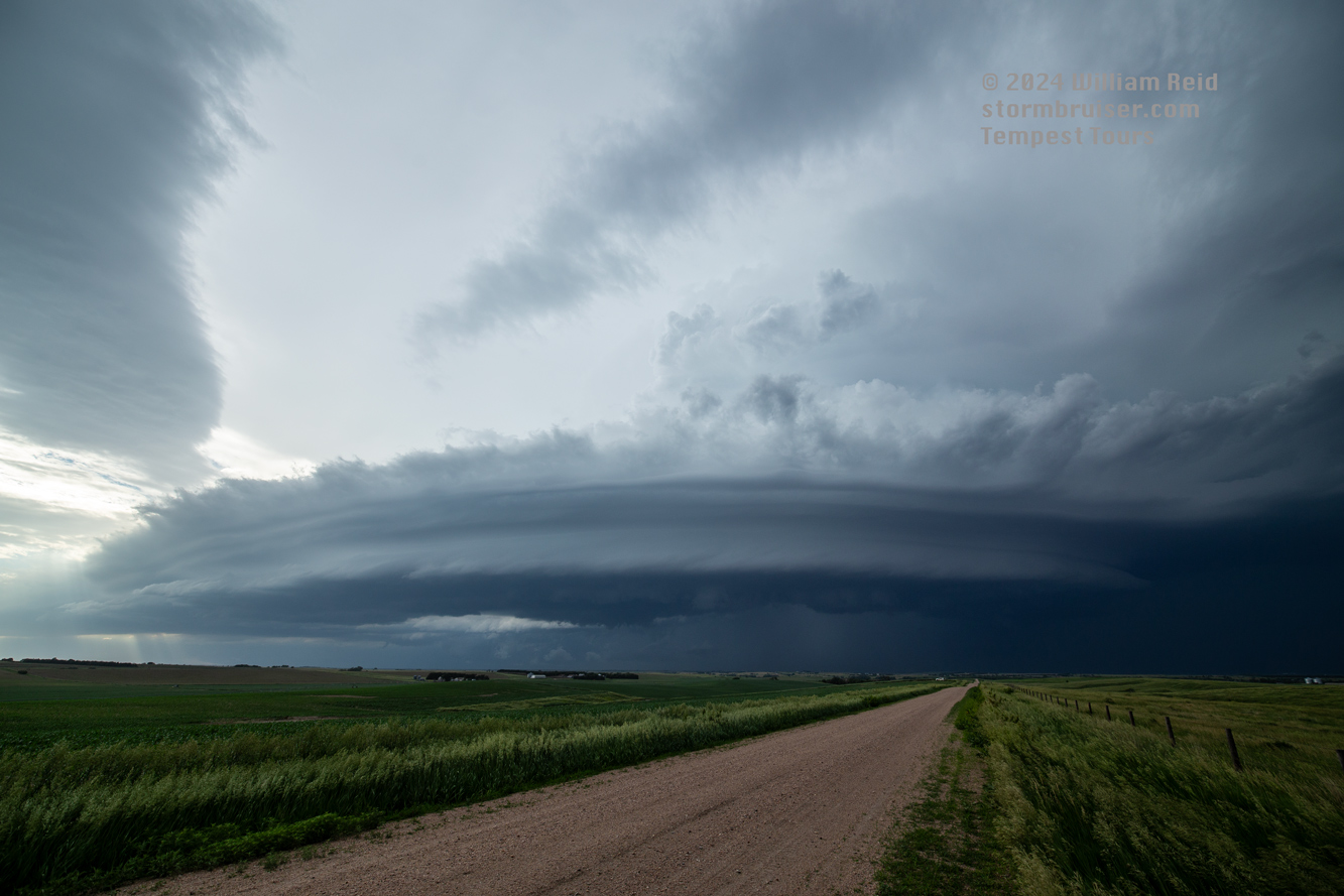
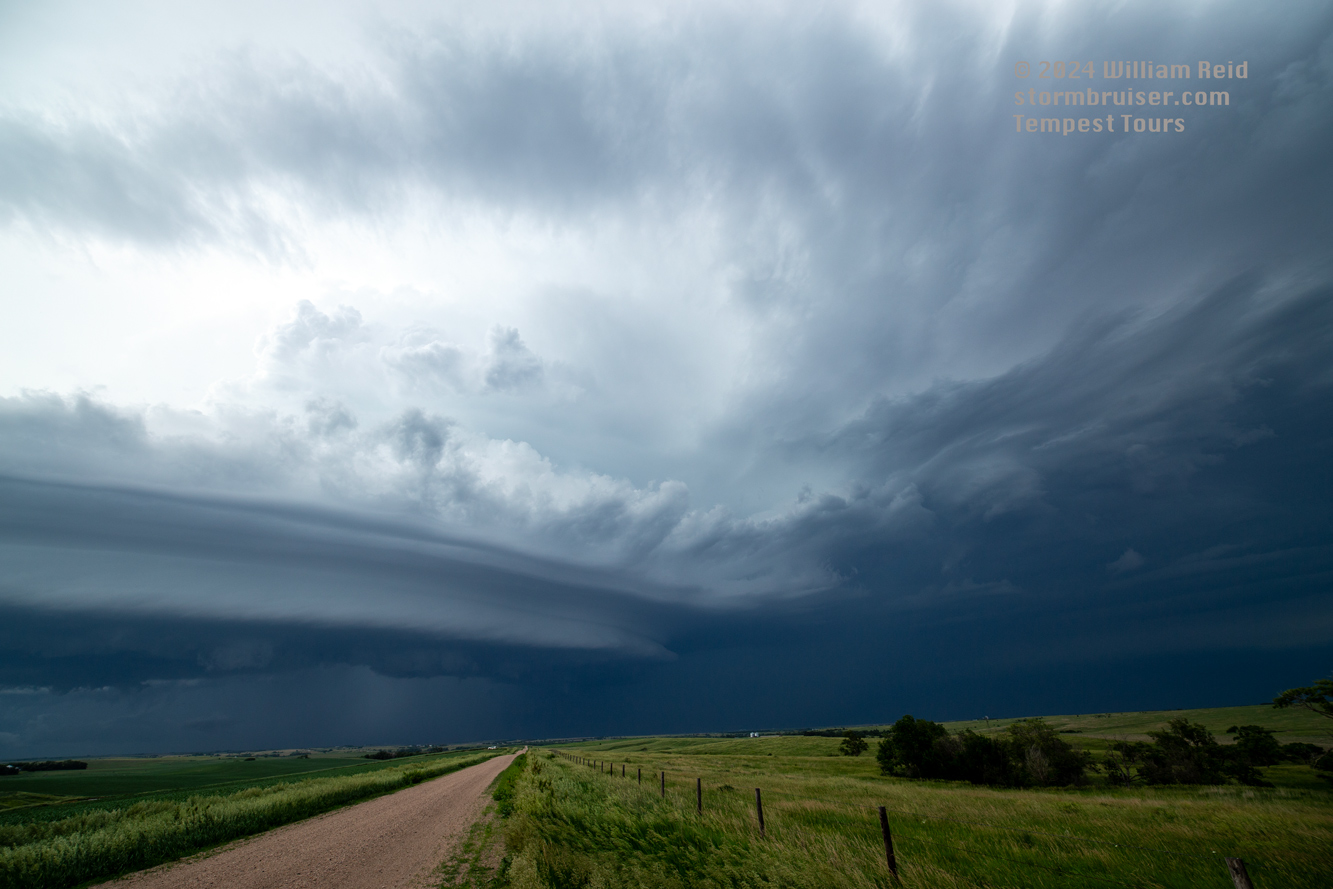
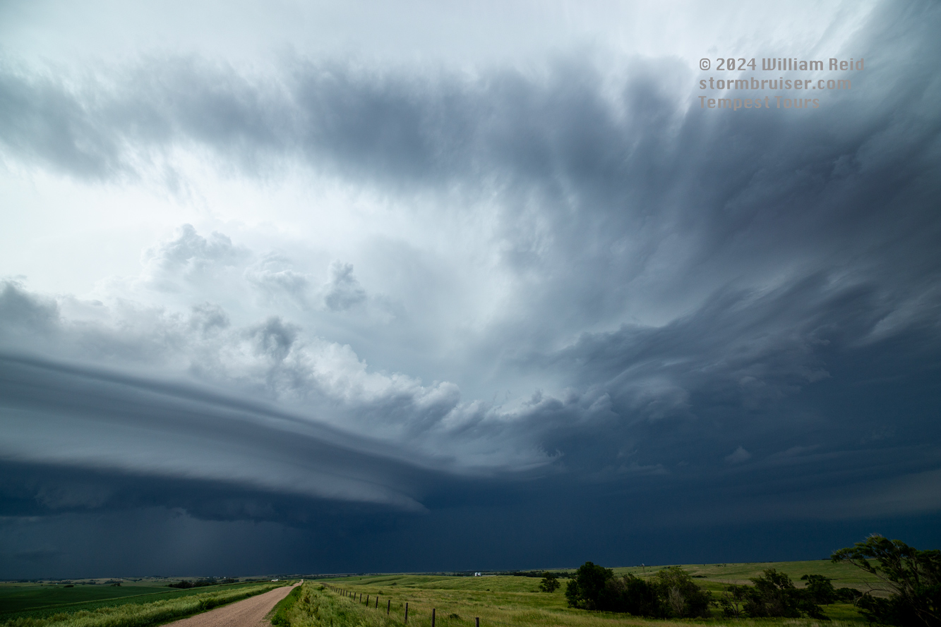
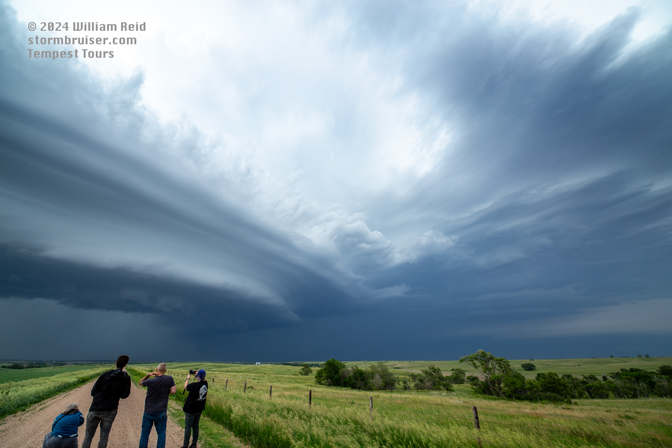
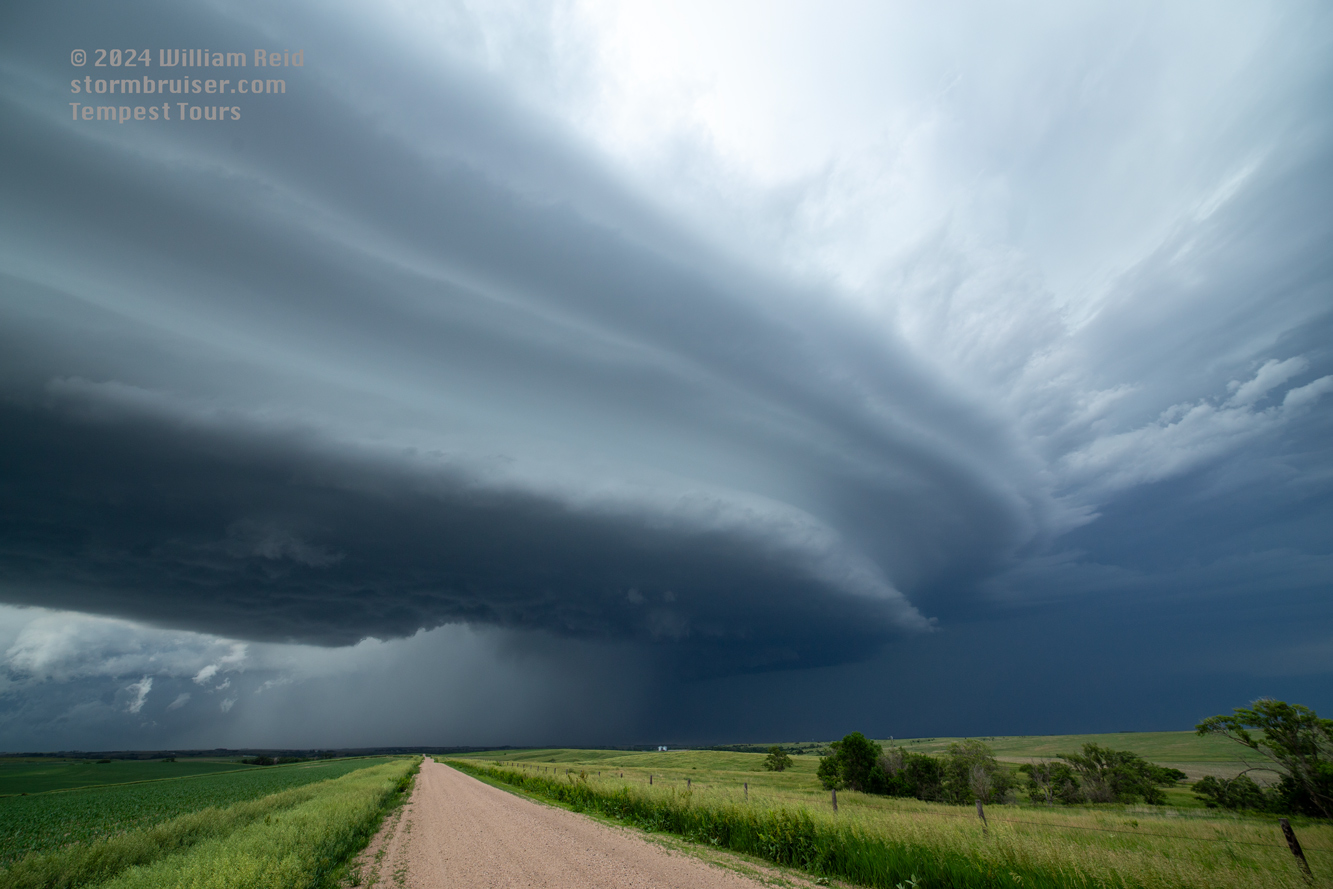
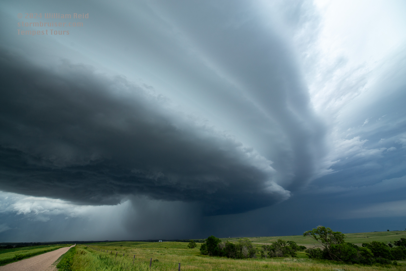
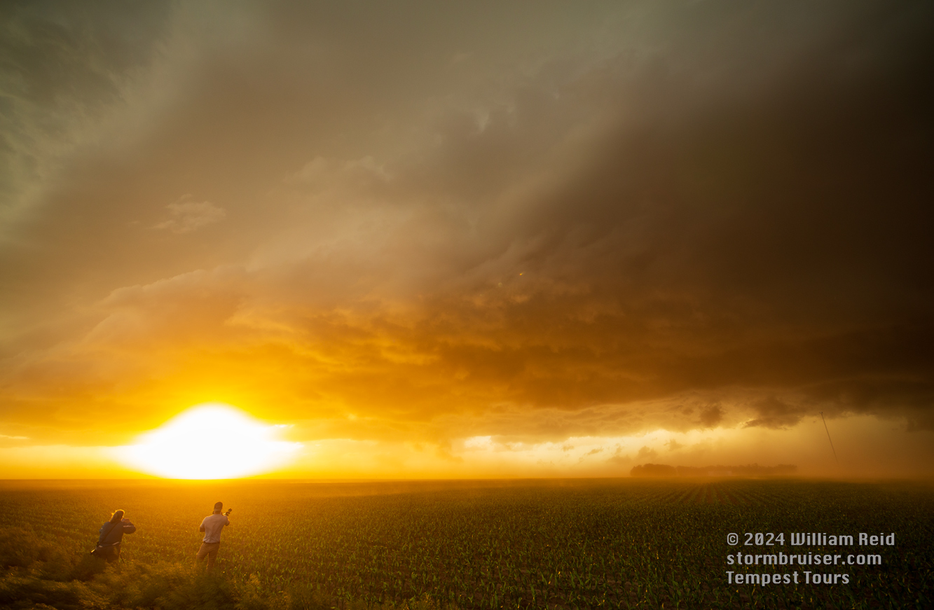
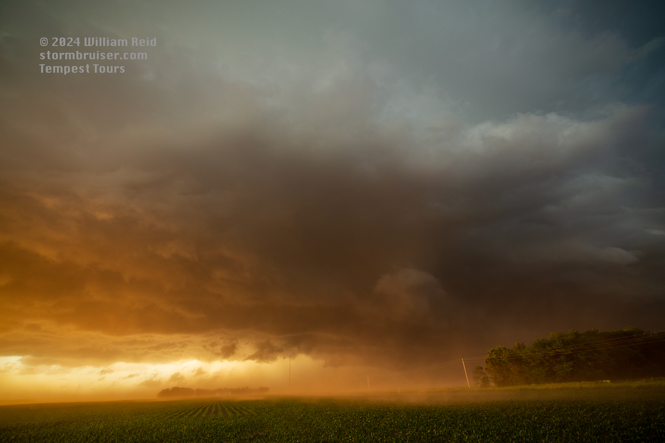
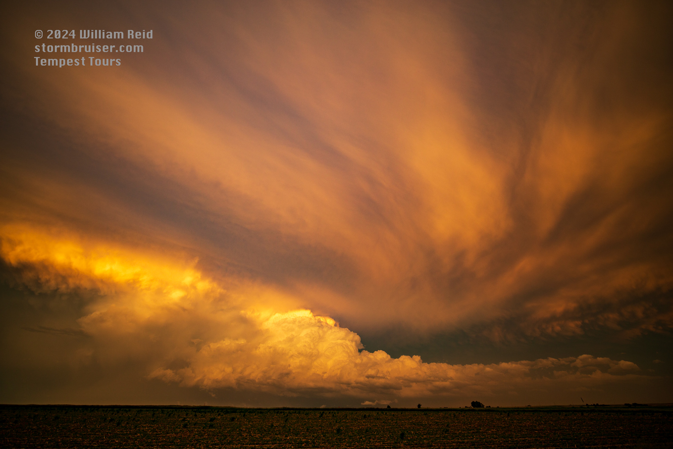
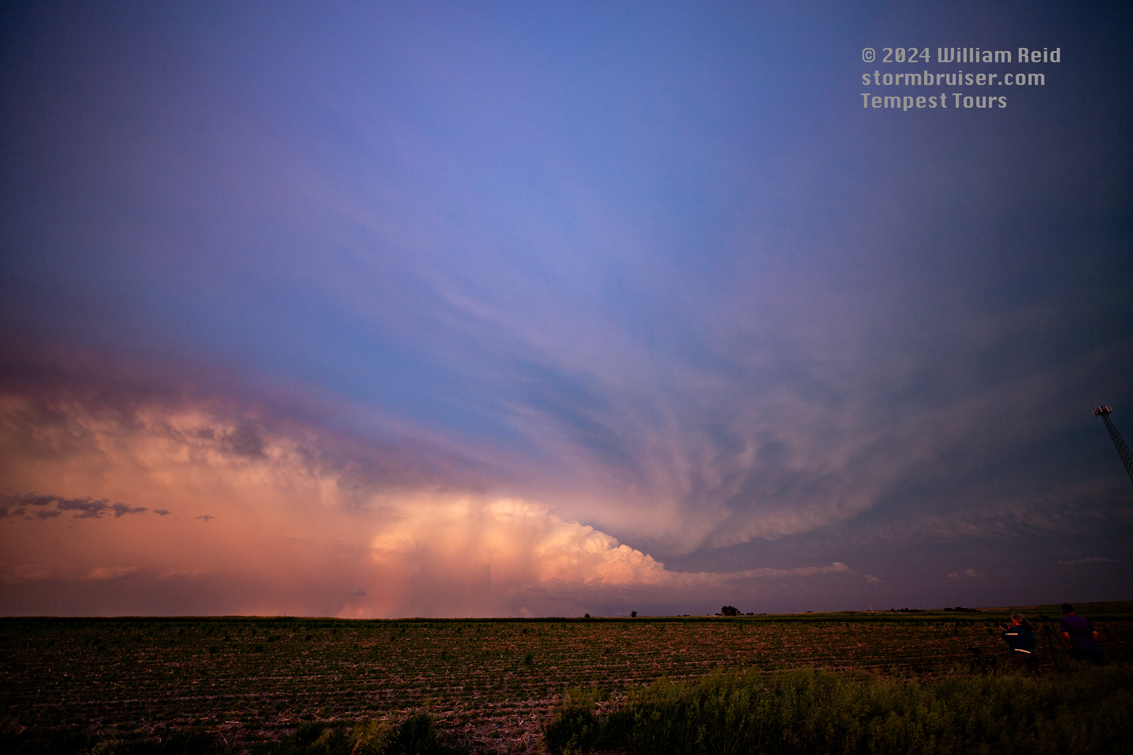
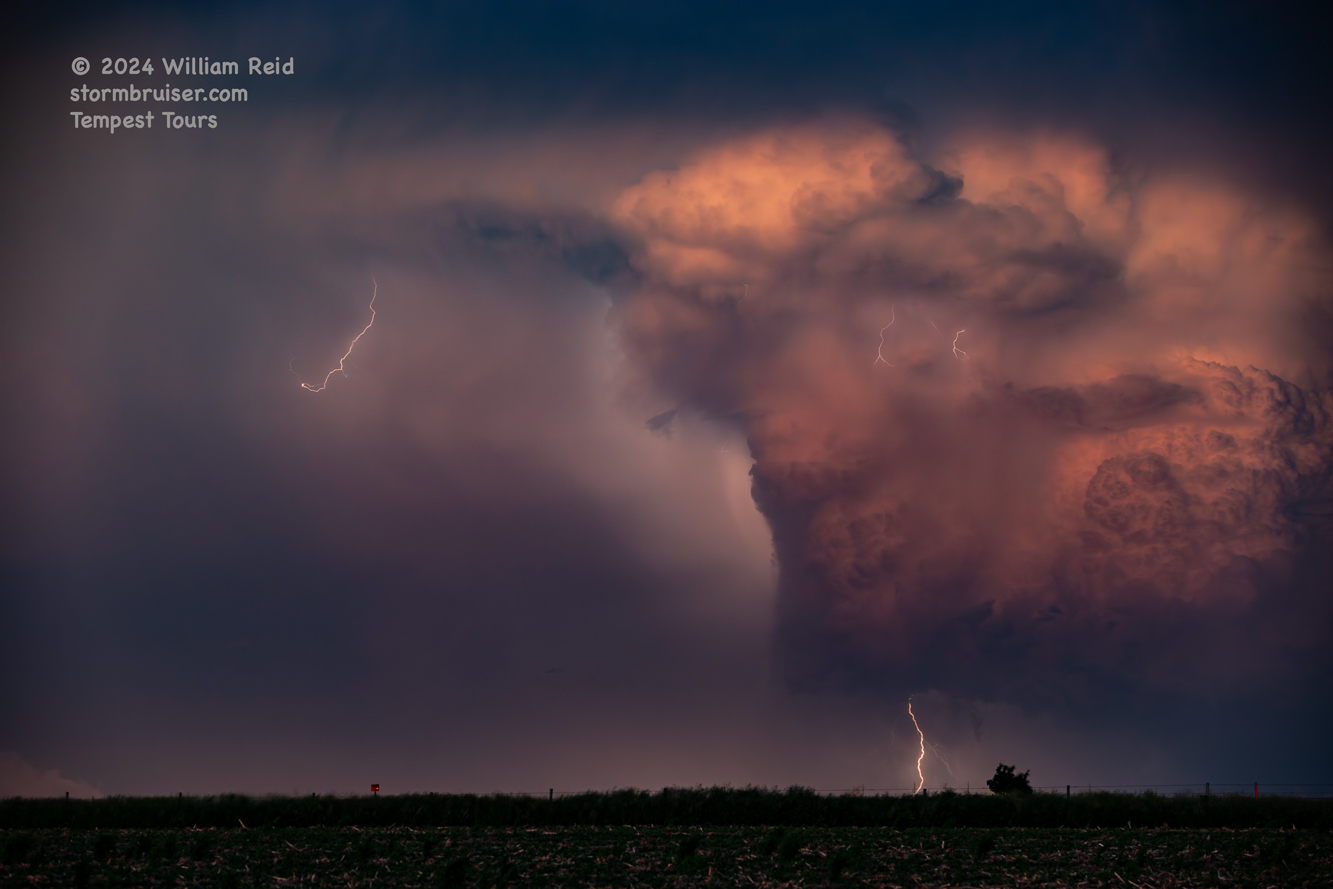
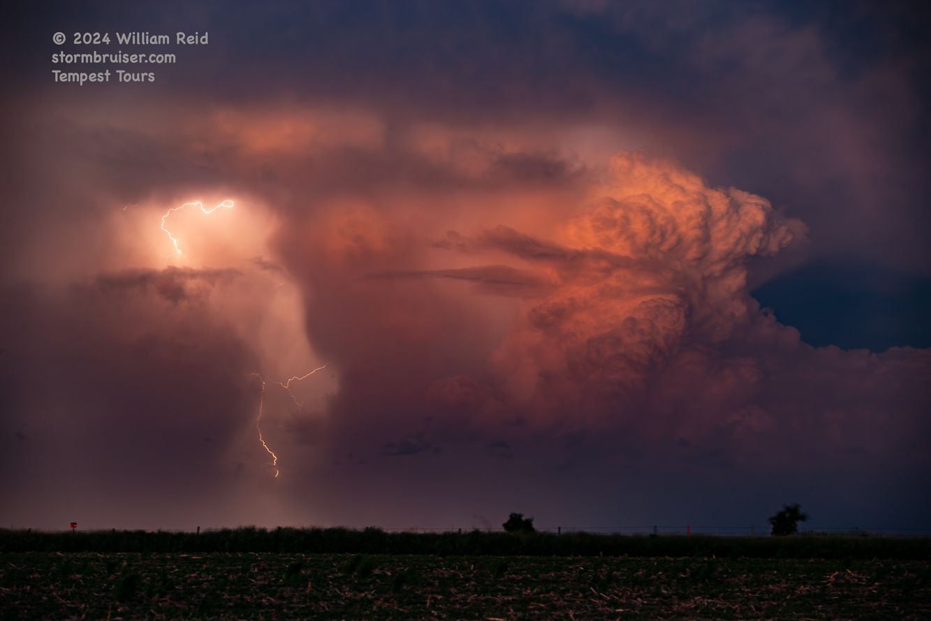
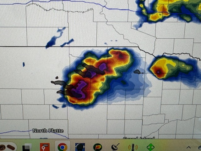
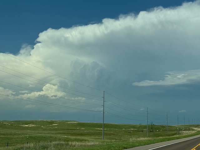
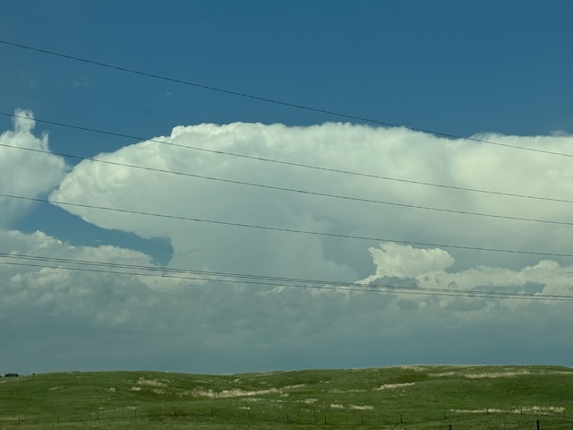
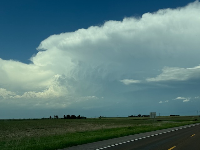
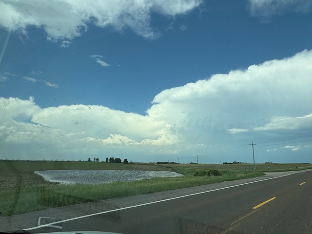
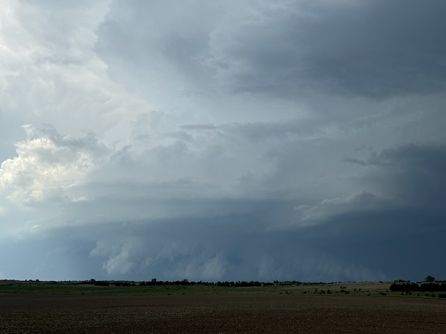
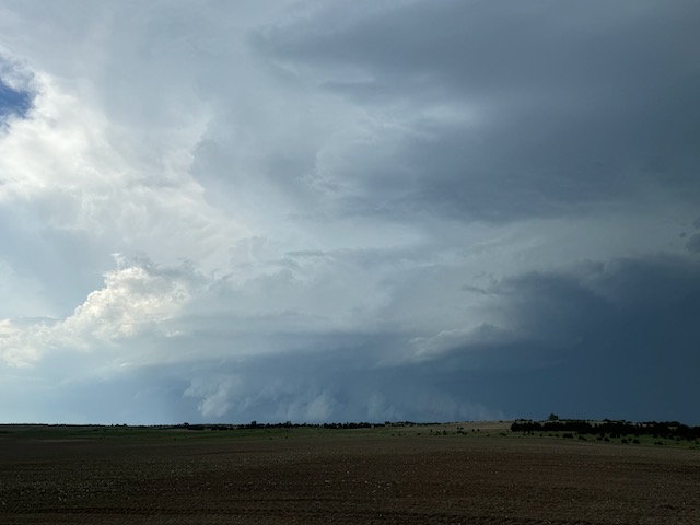
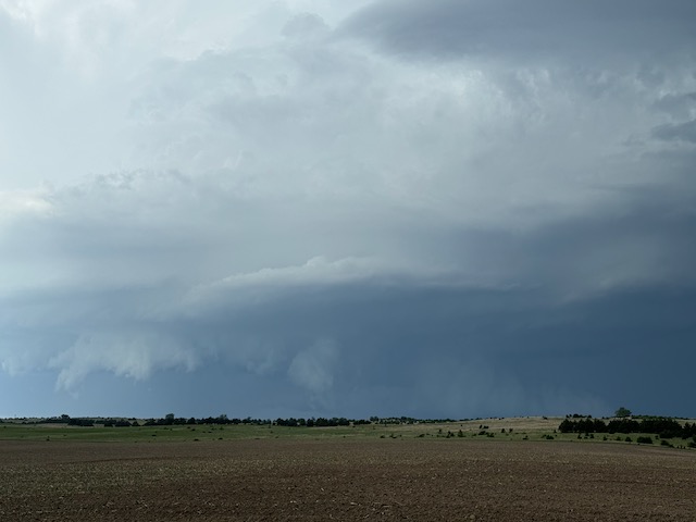
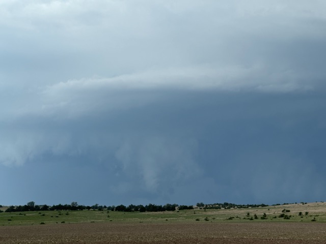
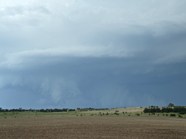
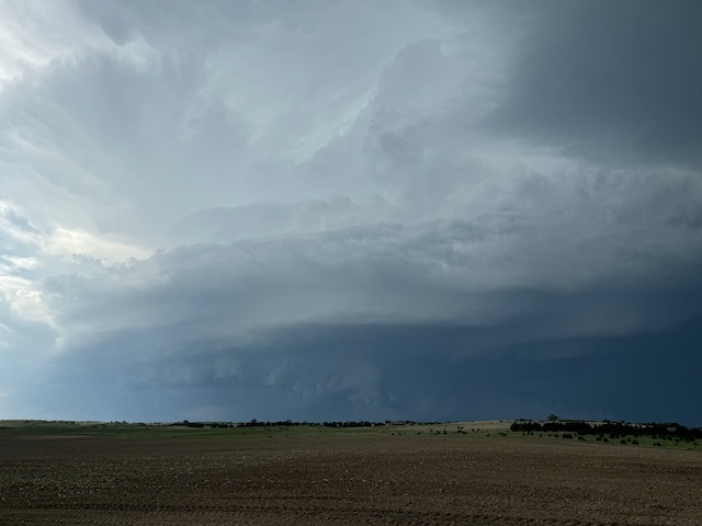
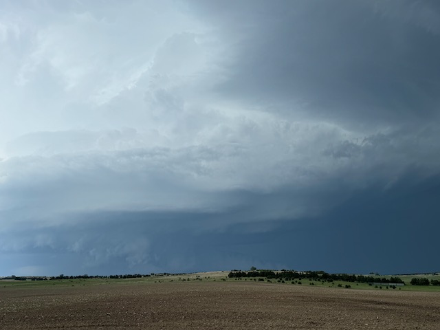
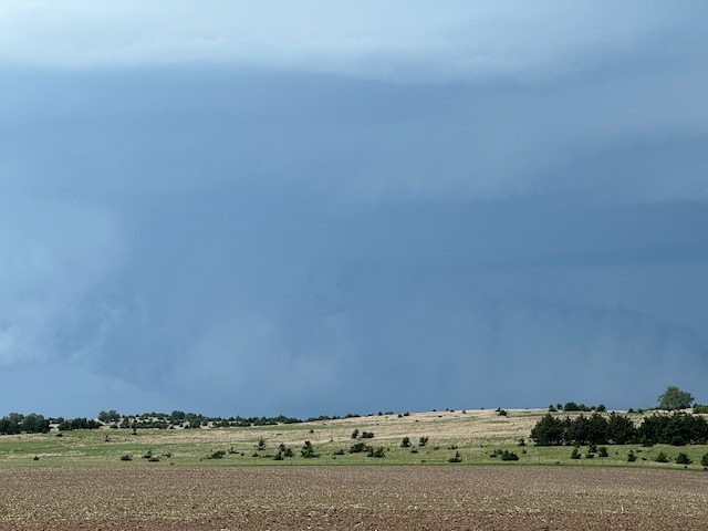
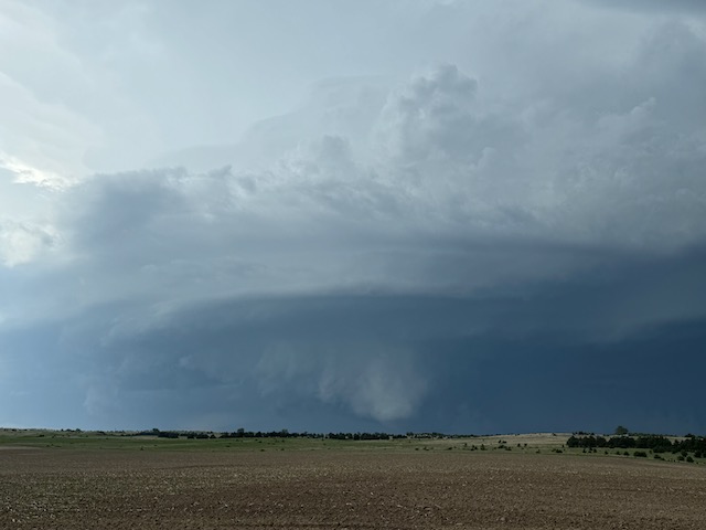
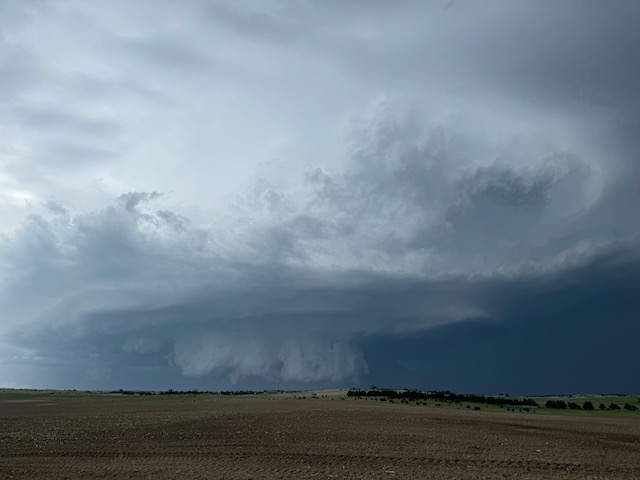
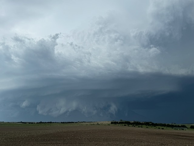
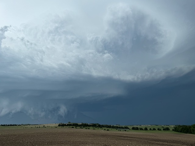
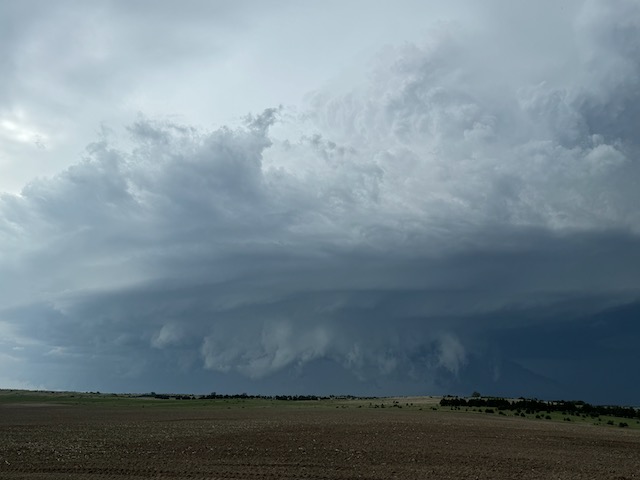
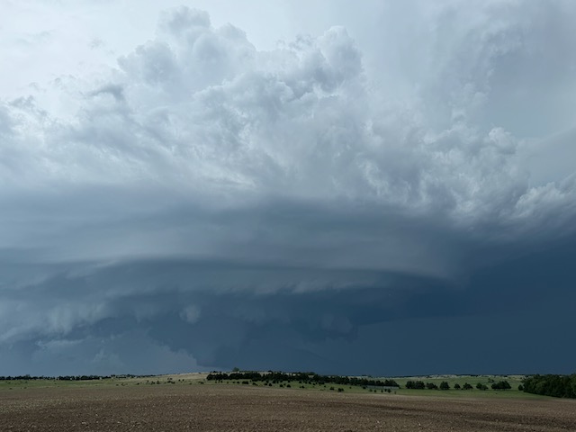
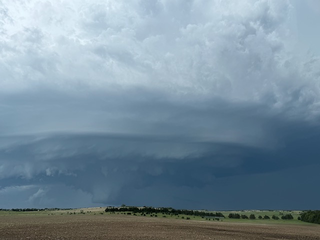
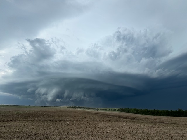
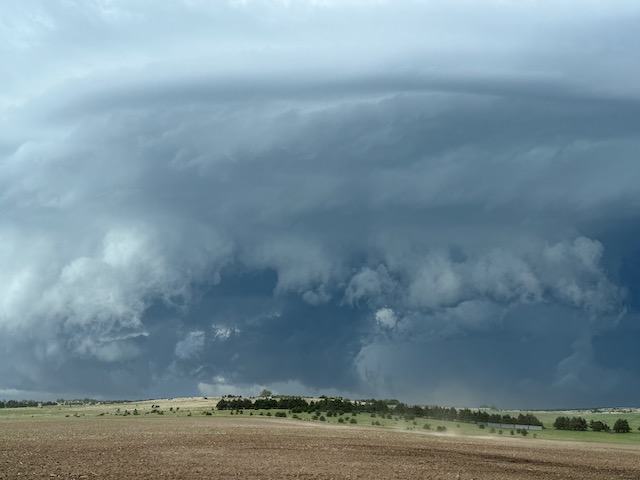
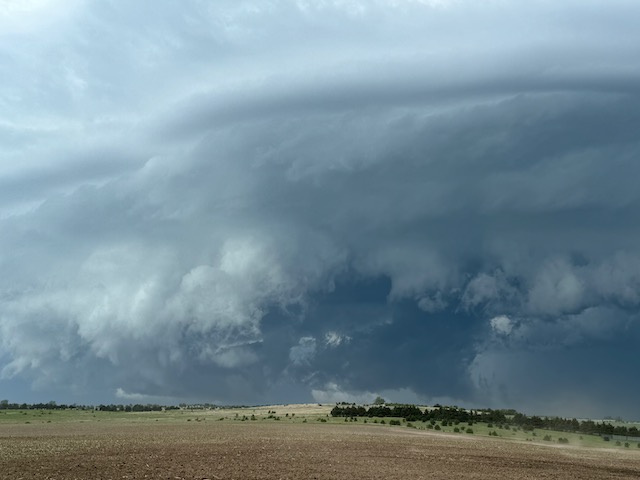
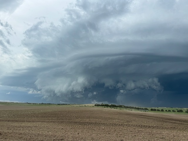
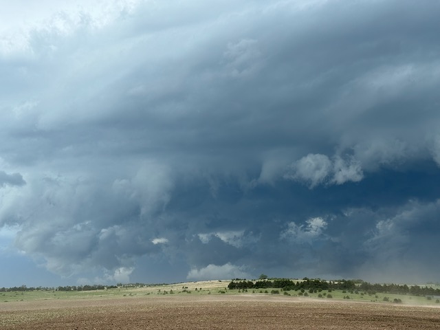
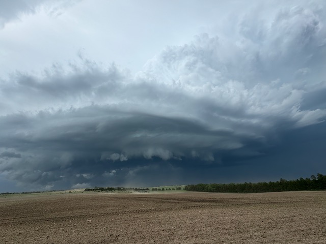
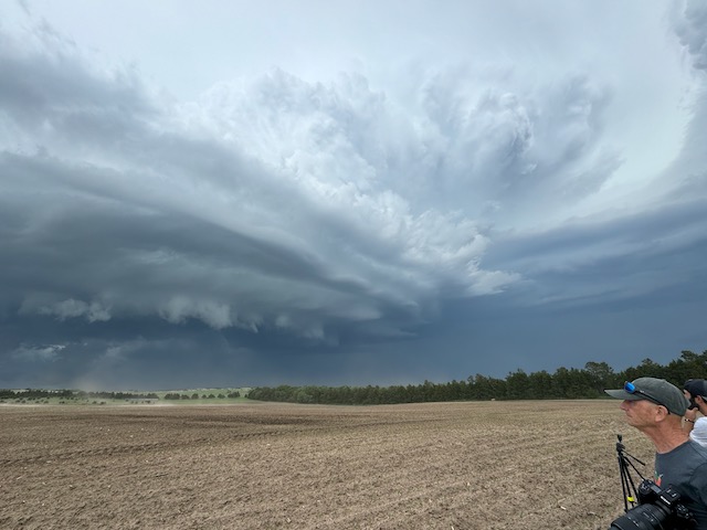
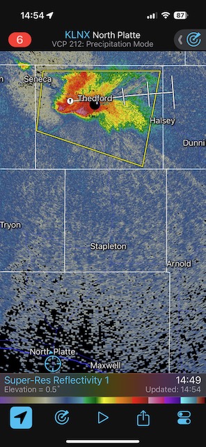
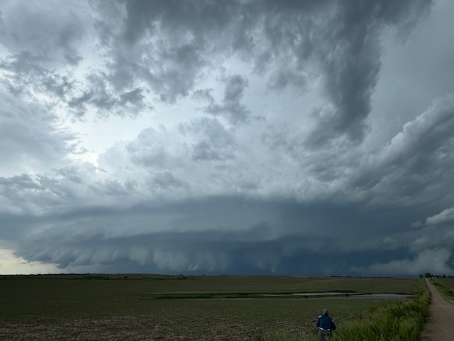
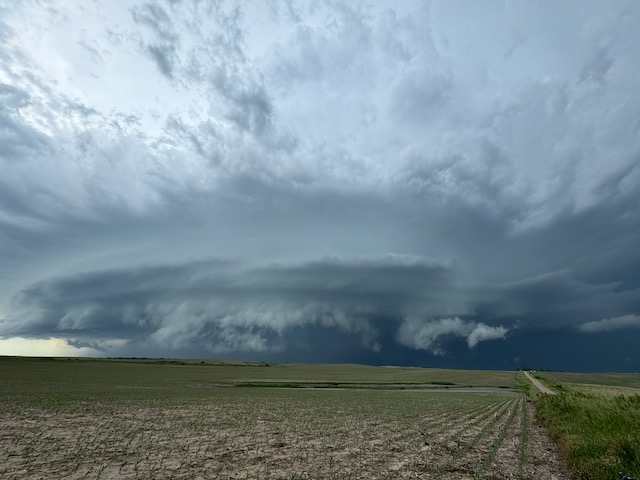
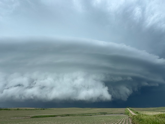
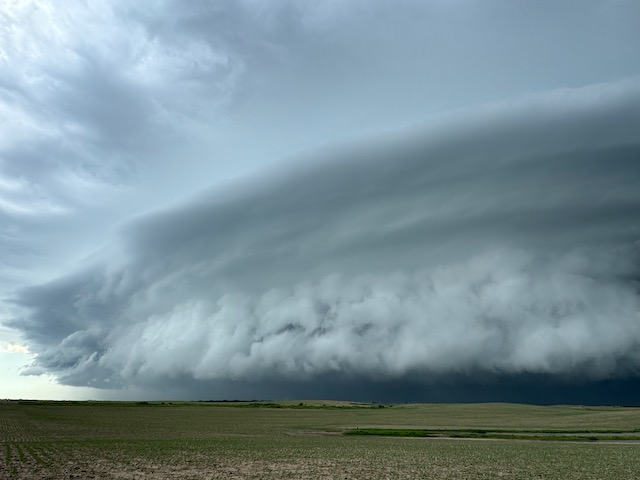
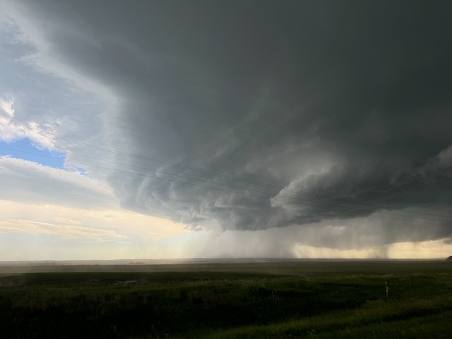
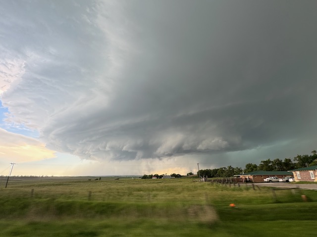
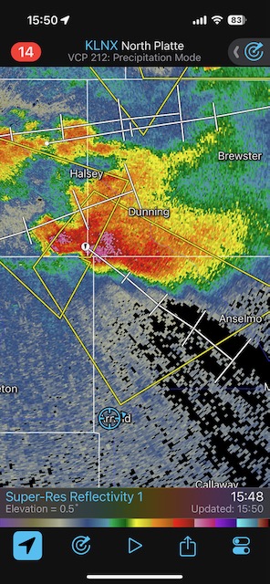
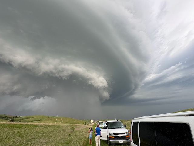
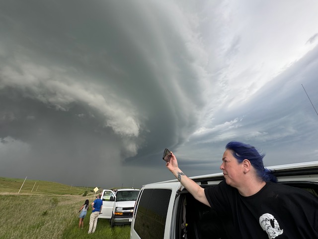
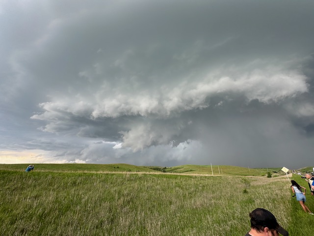
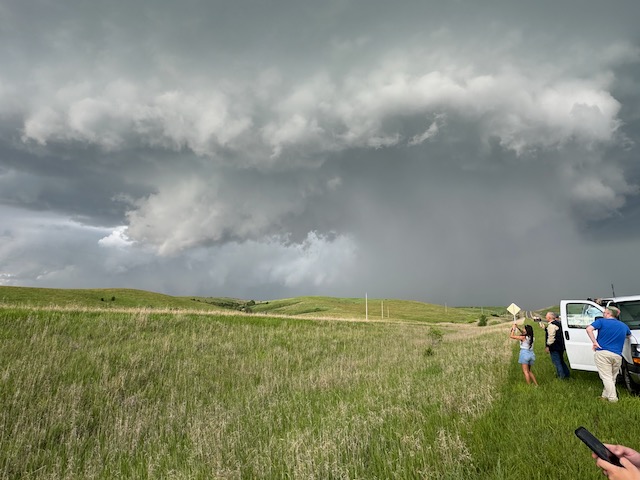
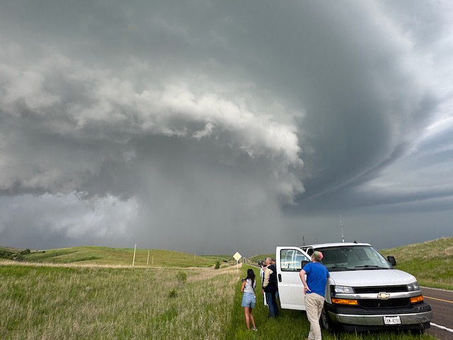
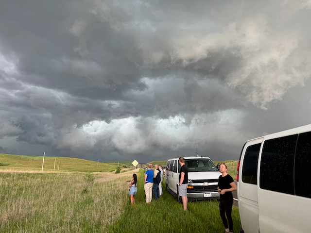
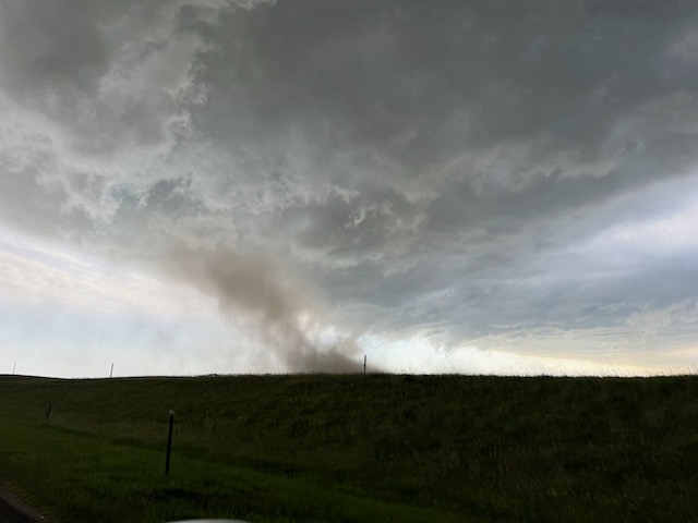
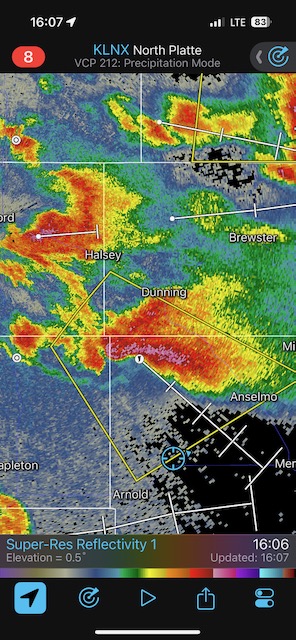
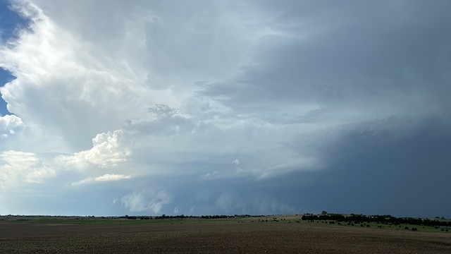
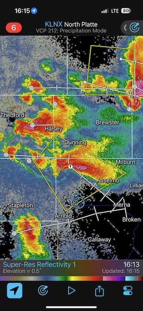
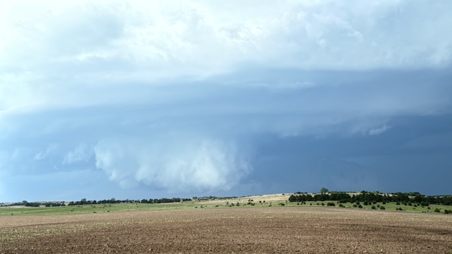
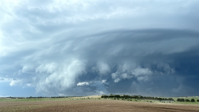
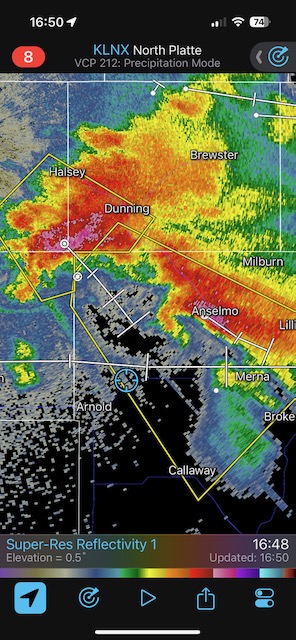
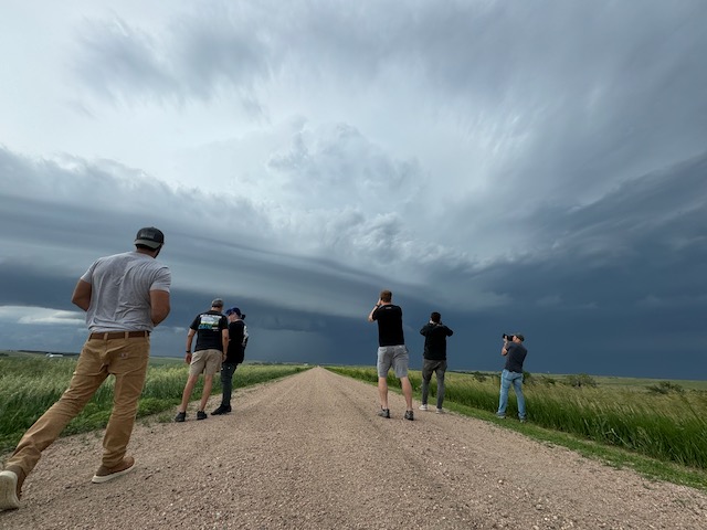
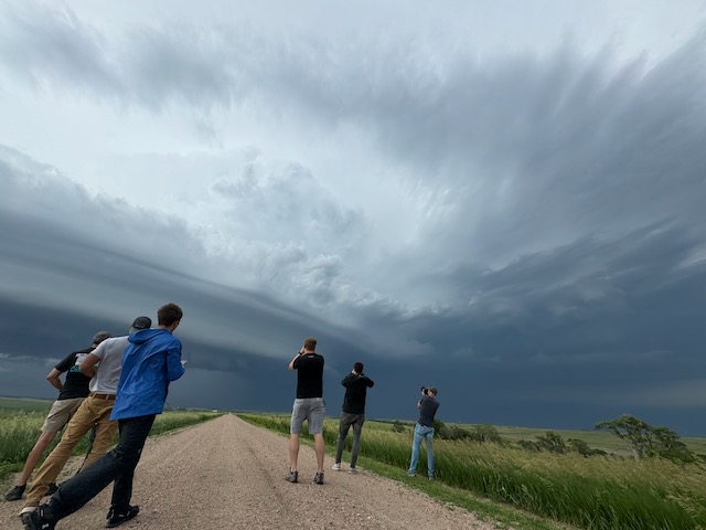
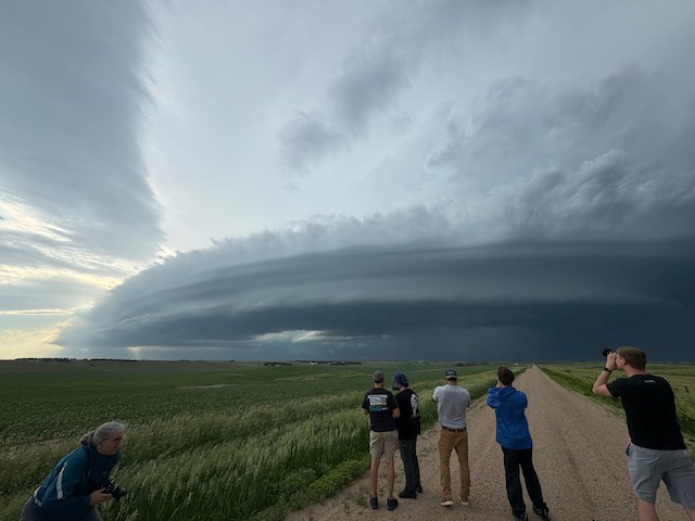
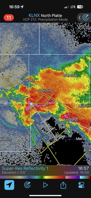
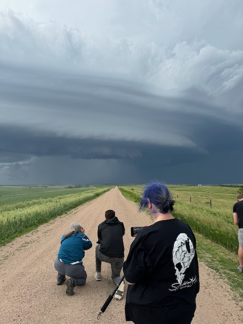
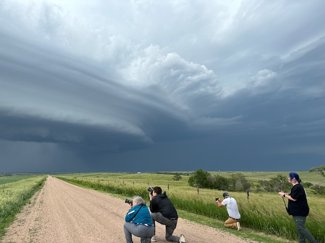
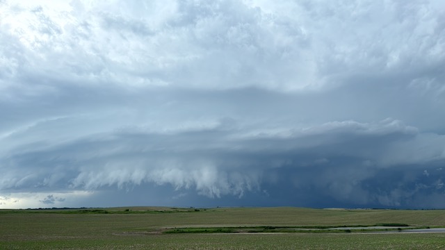
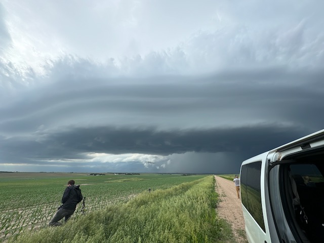
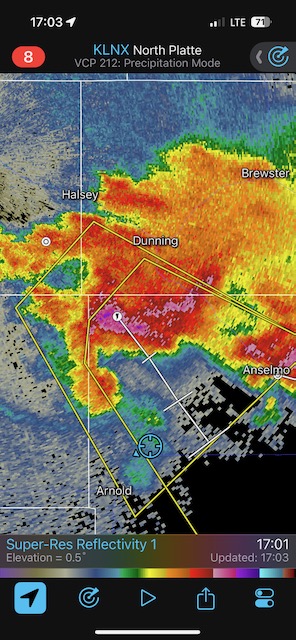
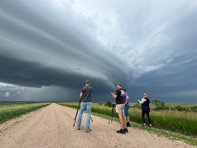
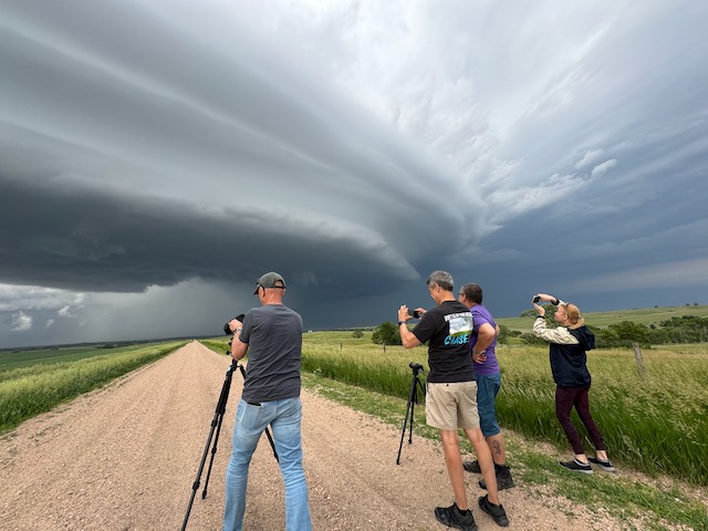
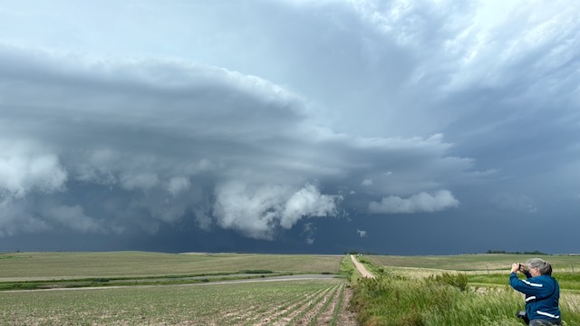
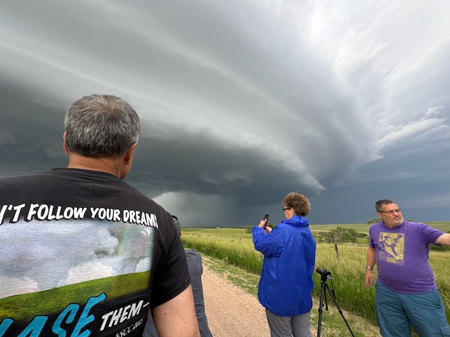
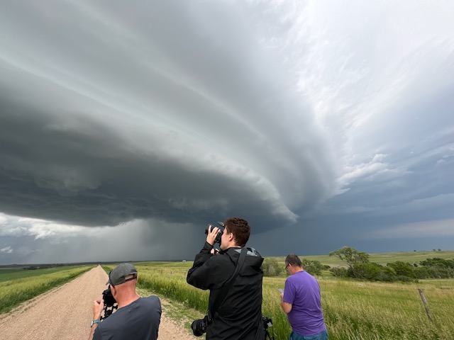
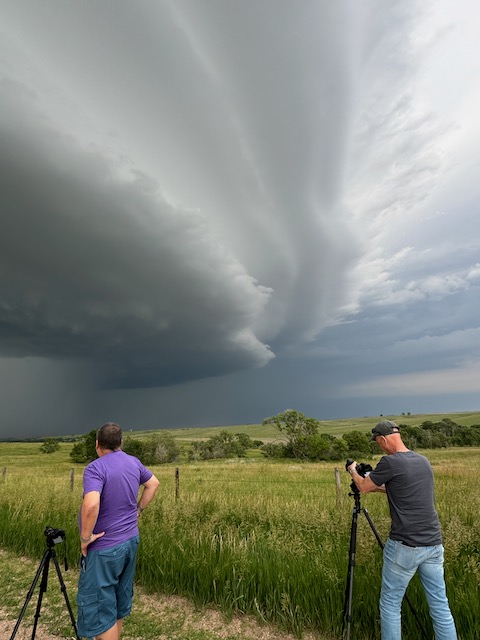
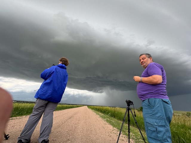
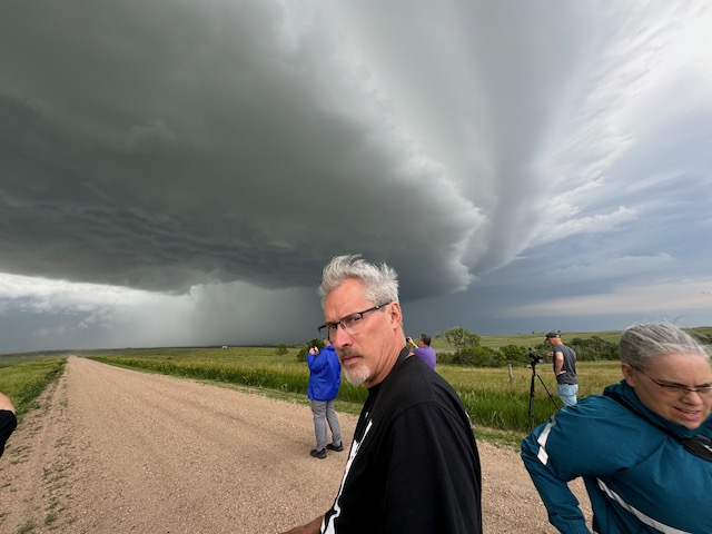
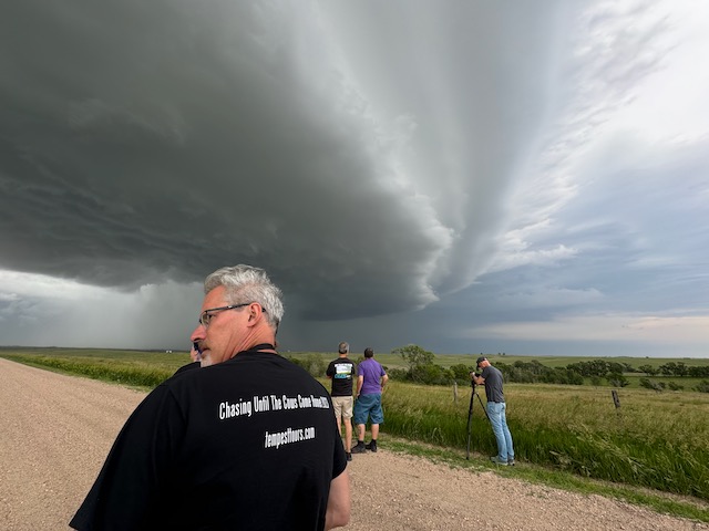
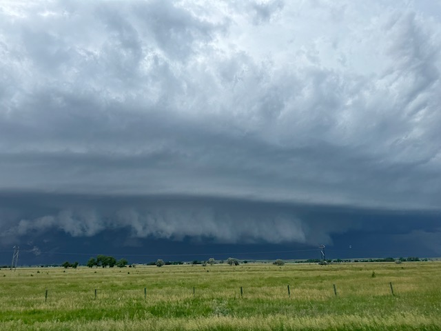
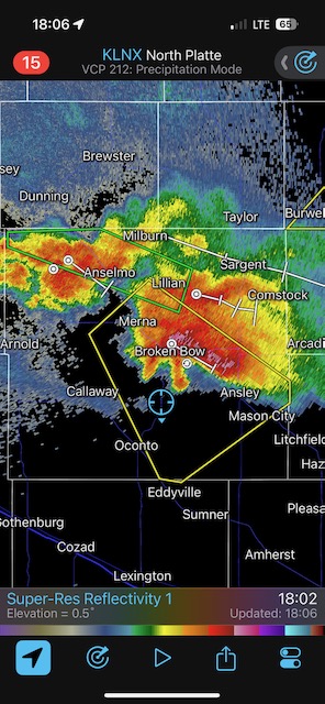
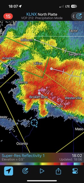
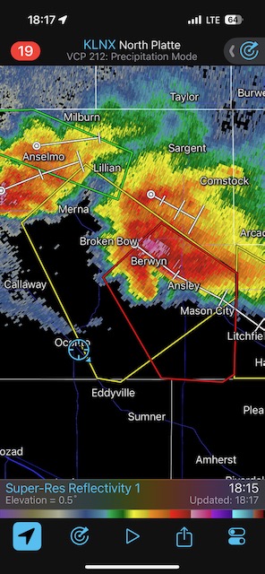
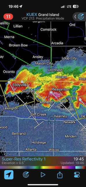
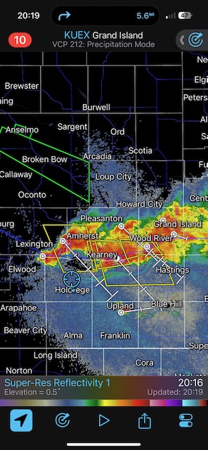
Tour 6 finally gets their higher-end supercell day, with some scary lowering in the action area which may have carried some weak tornadoes. We had a couple of supercells approach us, and positioned between Arnold and Anselmo (Custer County, Nebraska) for the first one. That one had great structure and a suspicious lowering. Instead of staying with this one as it moved to our northeast, I decided to scoot west a little, closer to Arnold, to get in front of the next supercell. It was also crashing southeastward, and its structure was FAB! The radar depiction at 17:03 CDT shows a big hook echo, and we were right there watching. No obvious tornado was observed. Storm reports indicates some tornado damage this day about 11 miles northeast of Arnold.
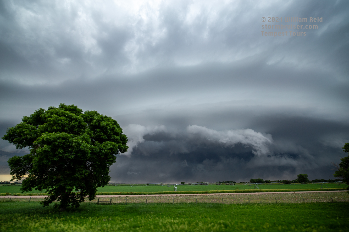
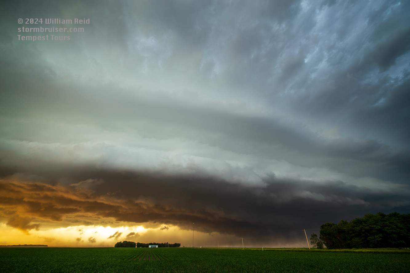
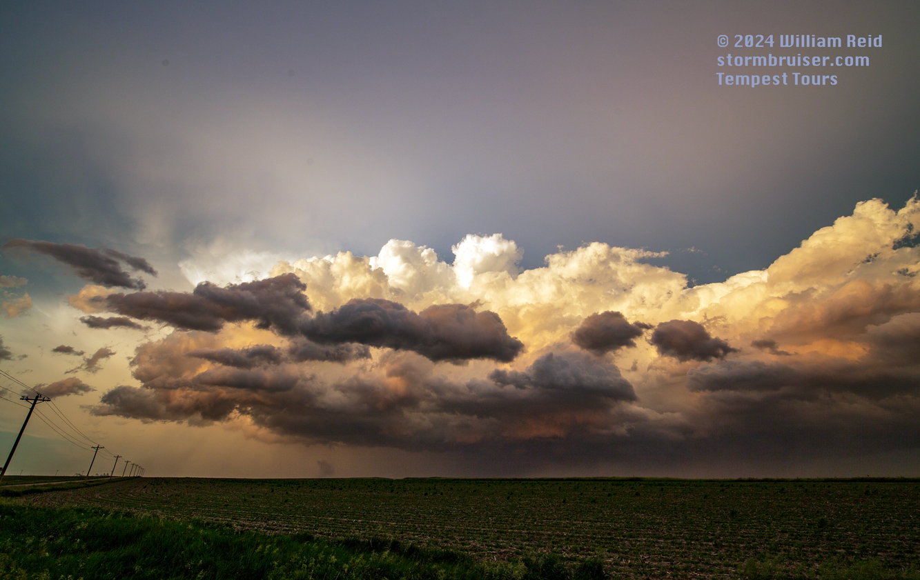
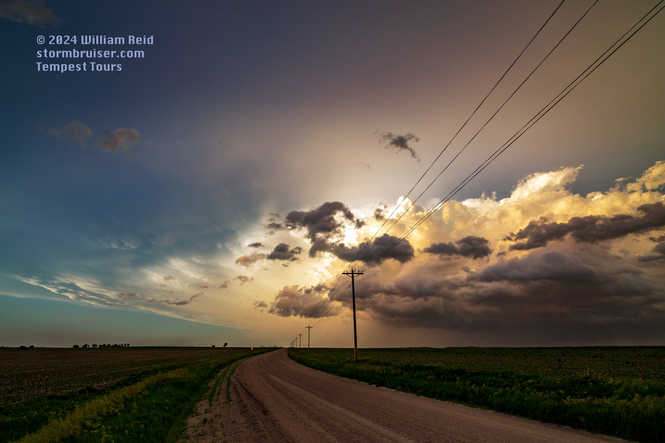
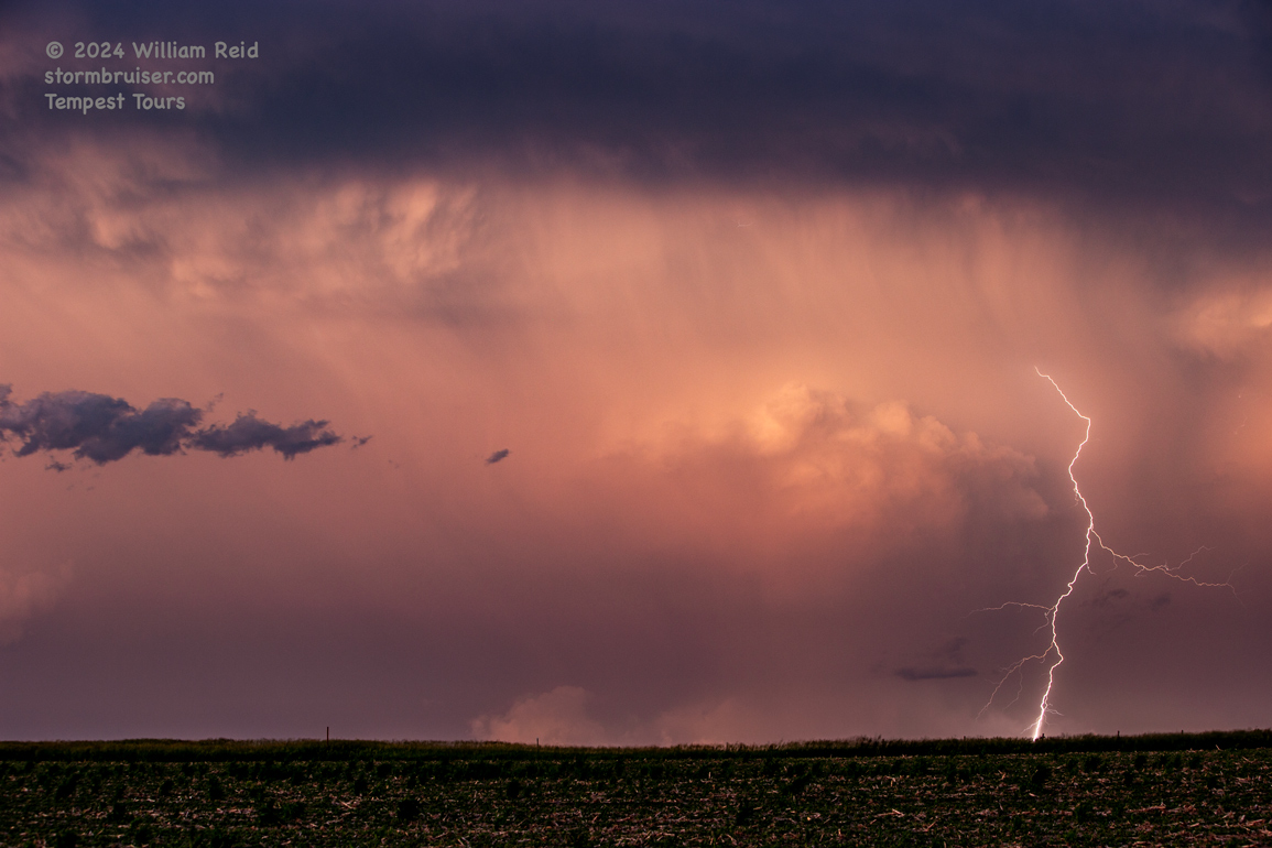
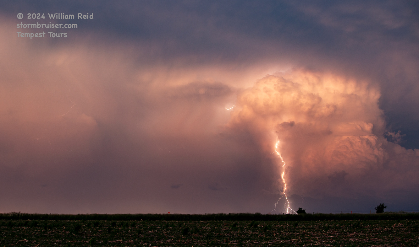
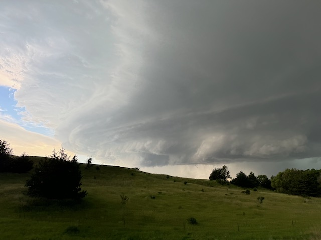
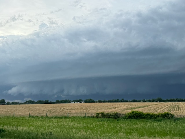
We stayed in front of this one for a bit southward through Custer County, and wound up with another pretty storm with photogenic CG bolts near sunset, west of Kearney.

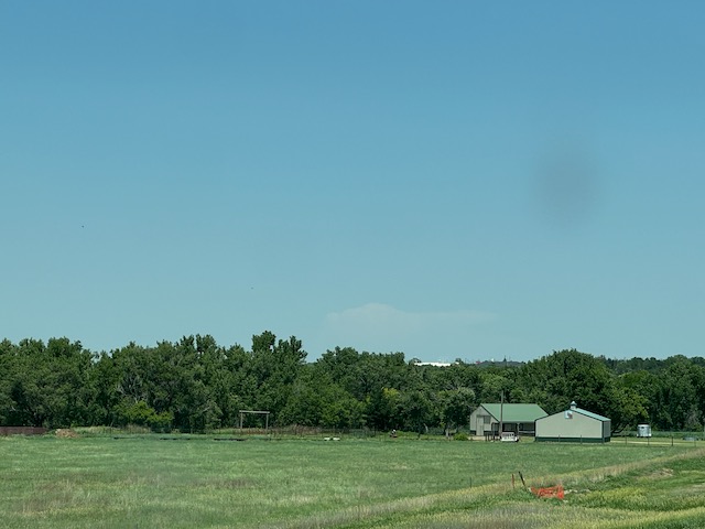
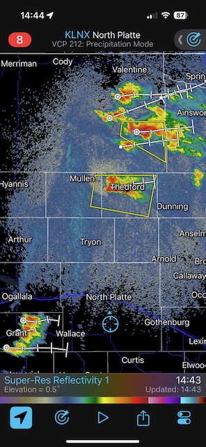
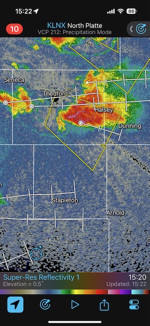
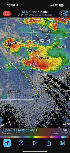
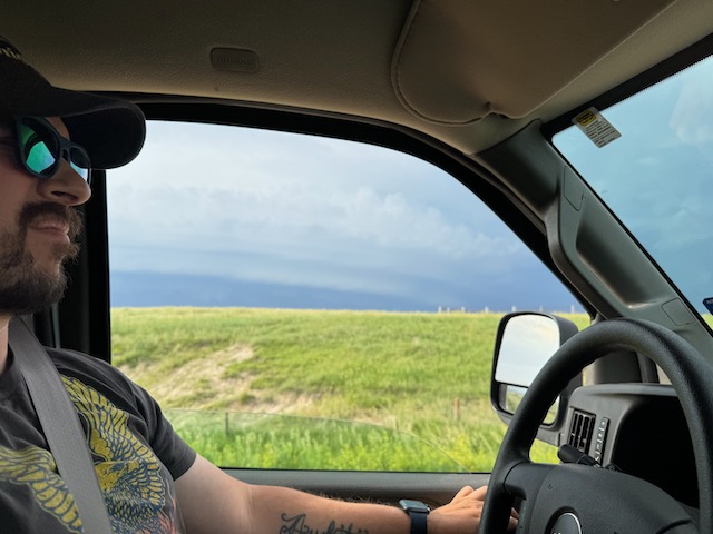
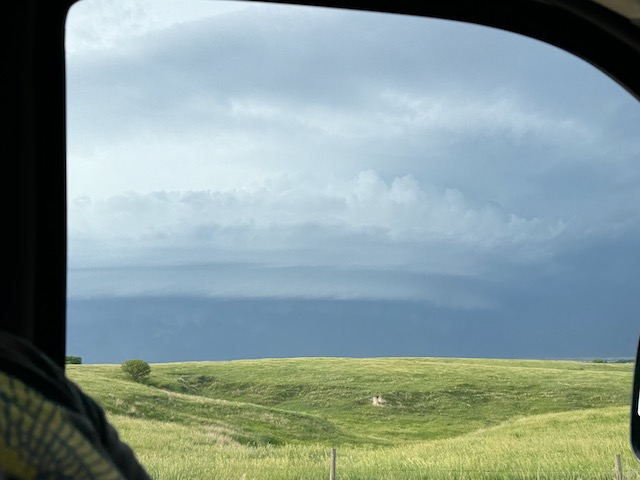
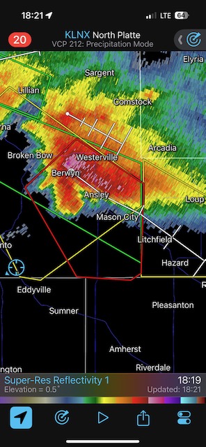
iPhone pics below. The times on the radar screenshots are correct, but are about two hours behind with respect to the storm pics. Why does the iPhone do this to me? For example, the radar image at 14:44 shows our position near North Platte, as we head north to intercept the supercell near Thedford at that time. So this would correspond to the iPhone pics taken two hours earlier, with the developing storm in the distance to the north.


Leave a Reply
You must be logged in to post a comment.