

Start: Grand Island, NE/lunch: Holdredge Country Kitchen/End: McCook/307 miles
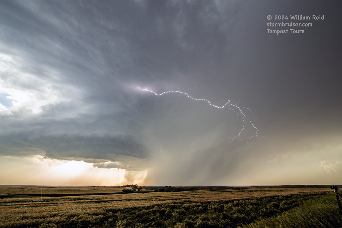
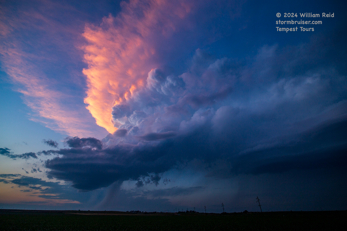
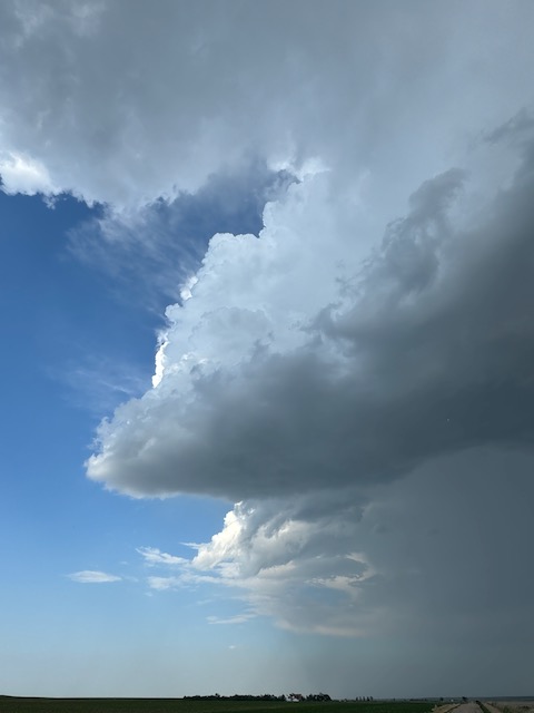
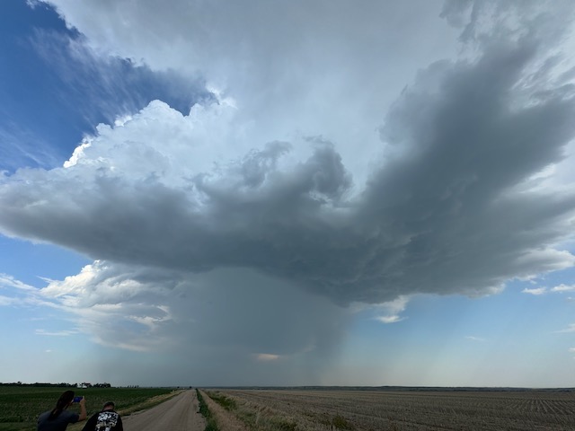
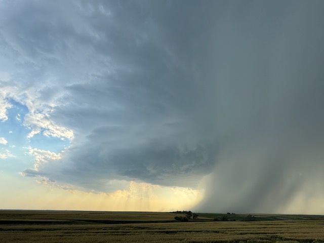
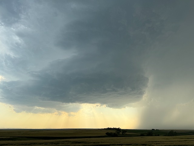
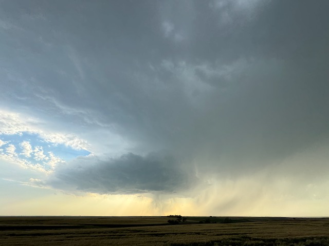
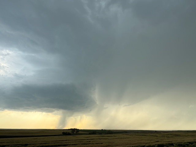
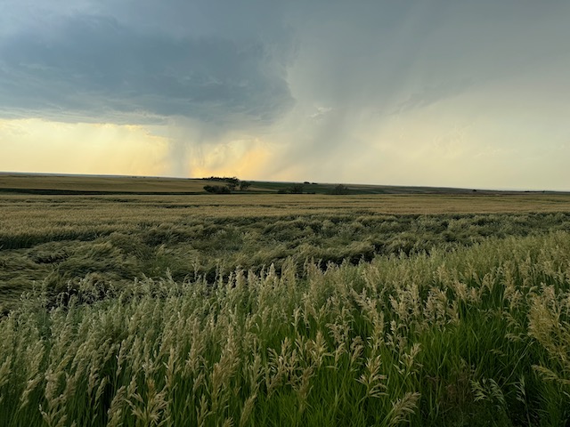
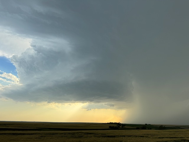
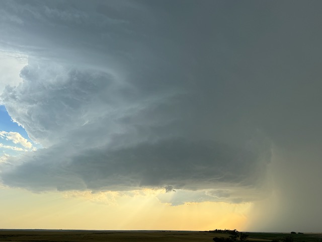
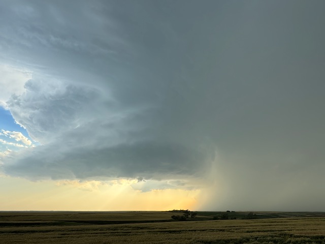
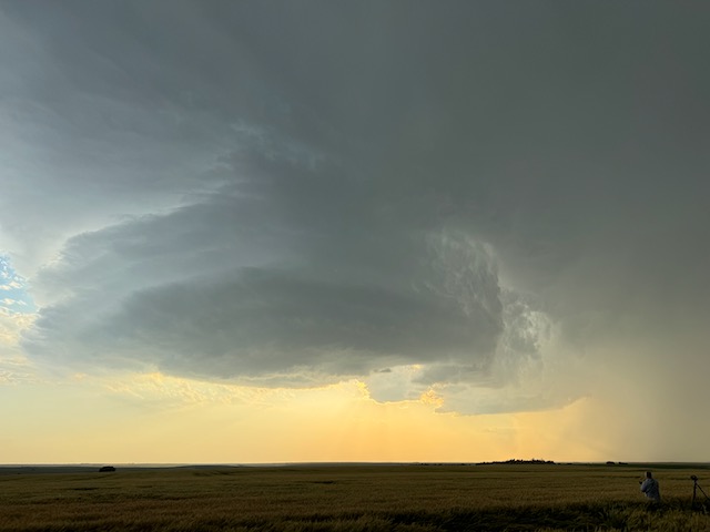
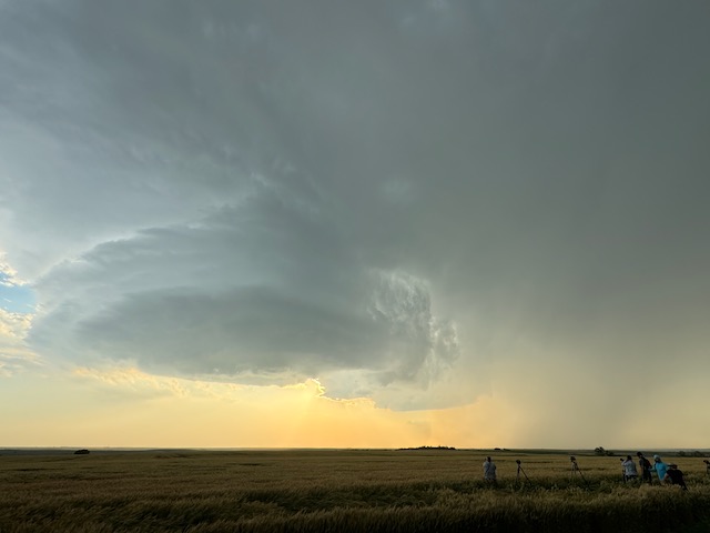
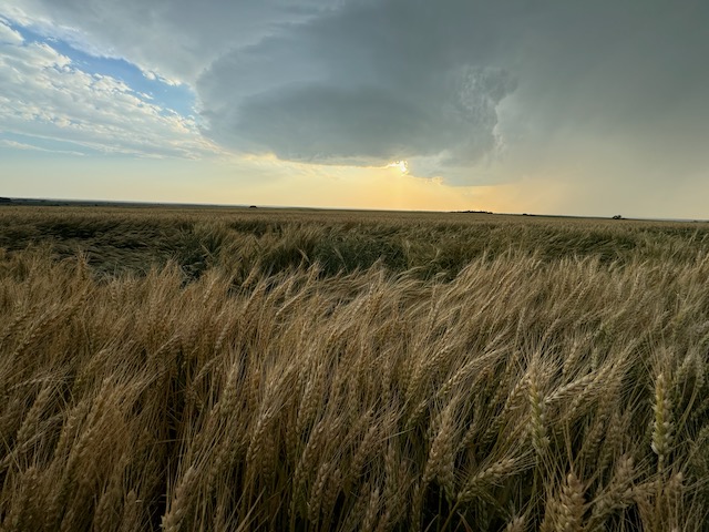
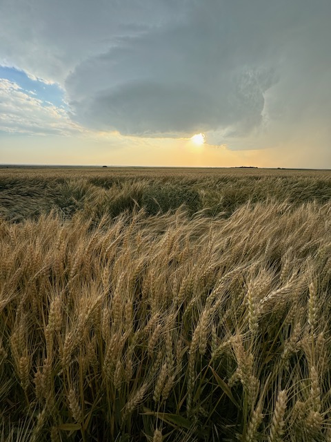
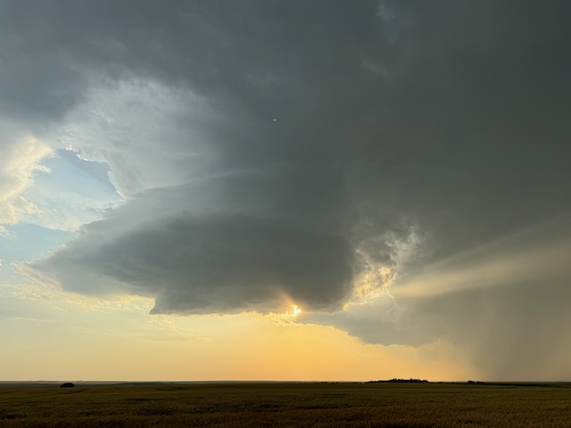
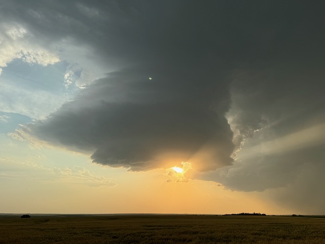
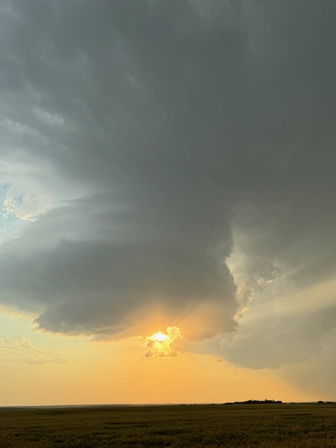
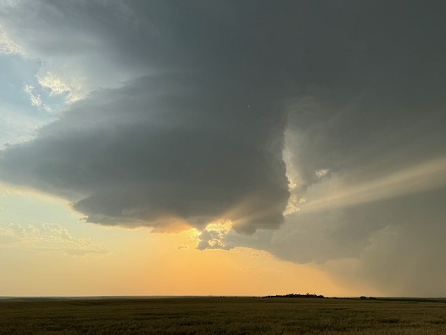
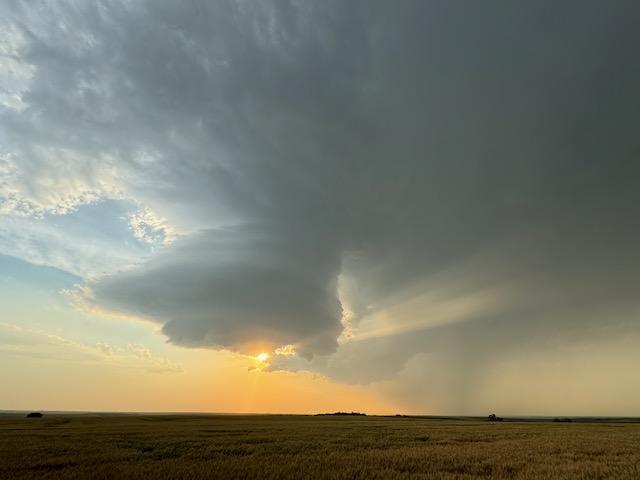
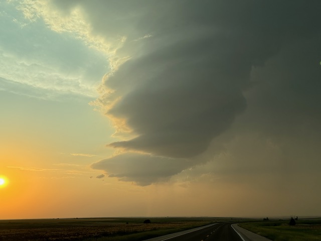
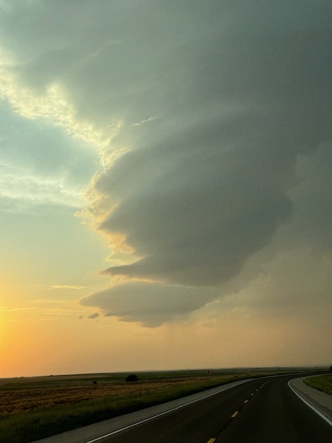
This was a very fine chase day, as we watched a supercell develop from scratch and then sit and spin in the same spot southwest of McCook for an hour or two.
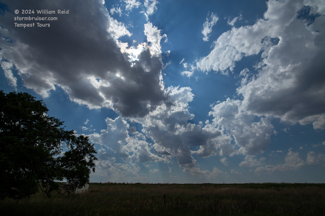
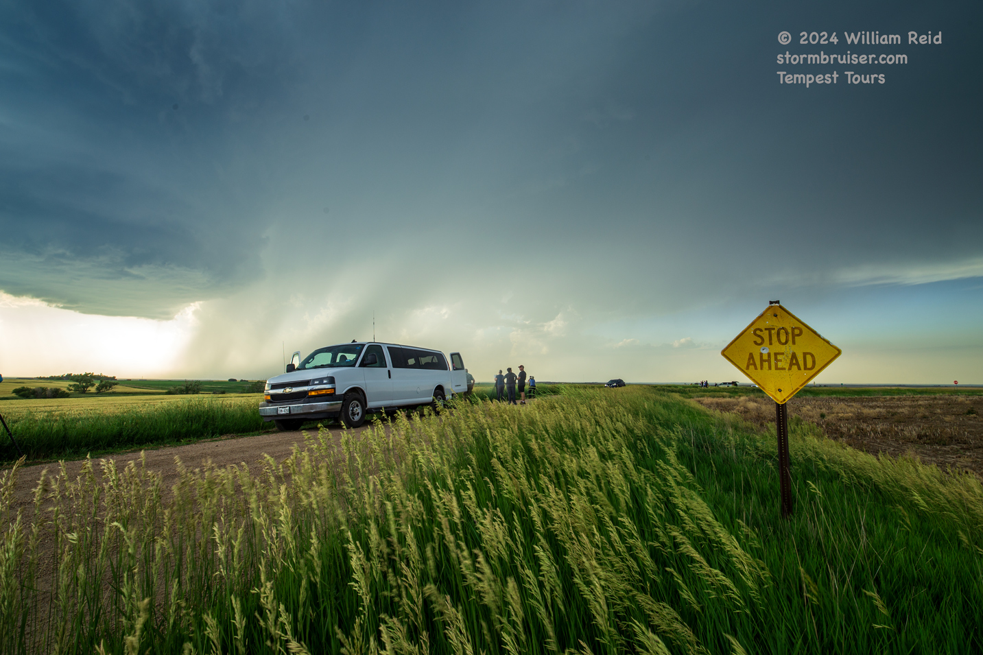
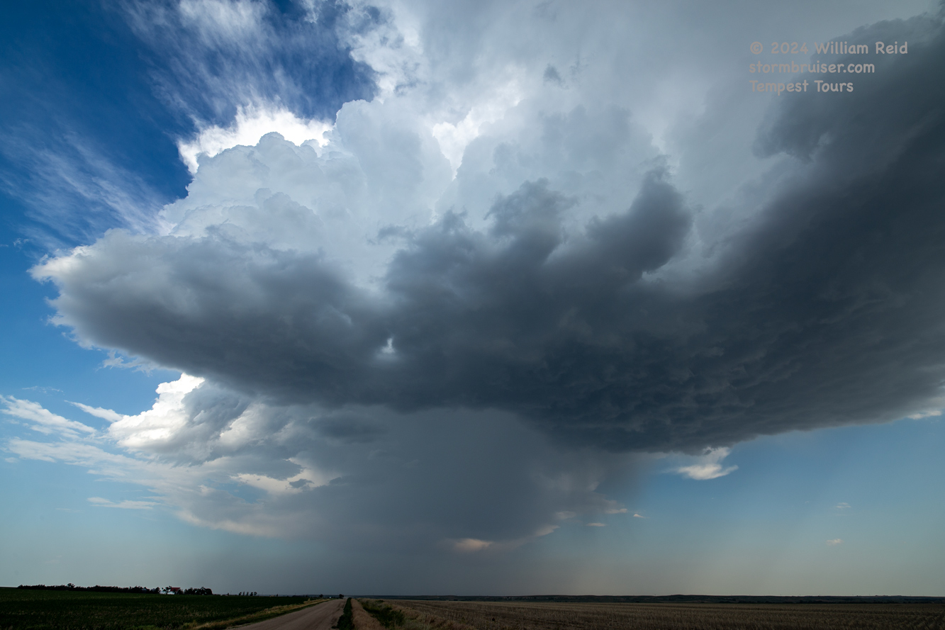
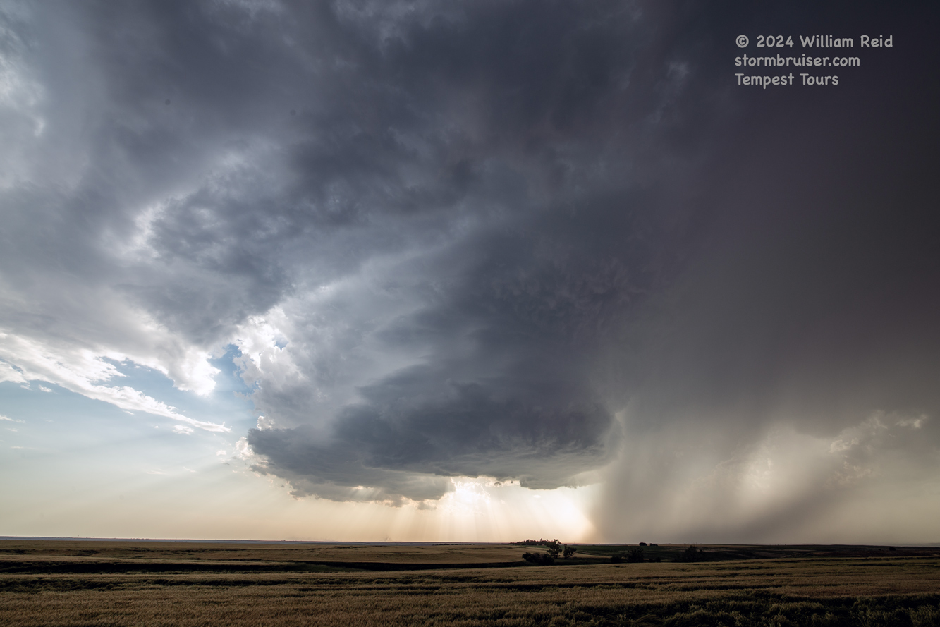
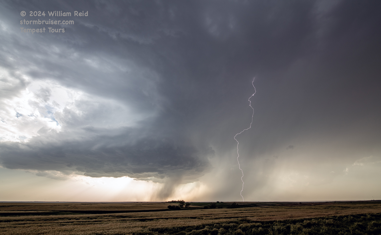
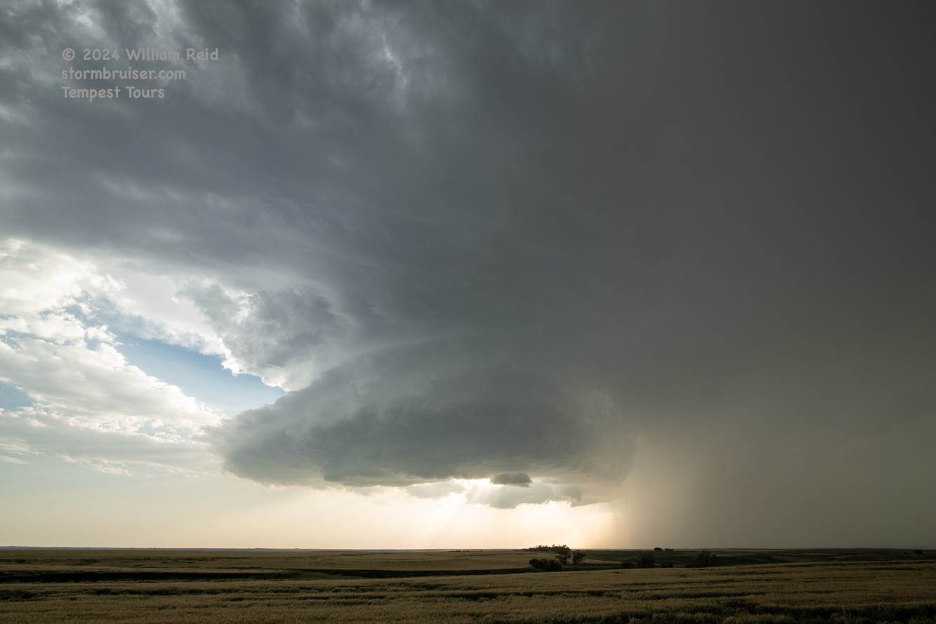
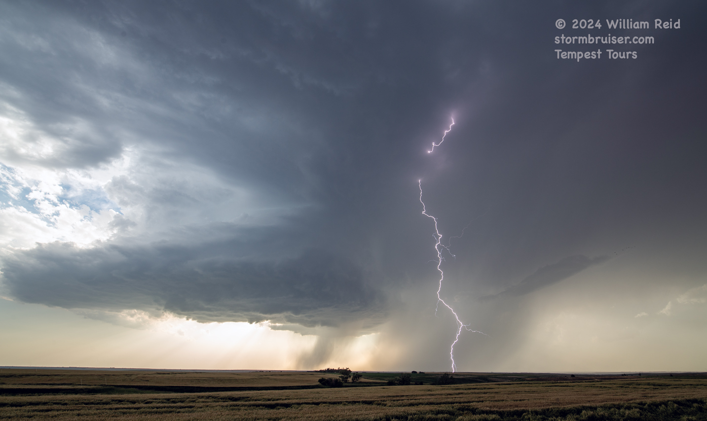
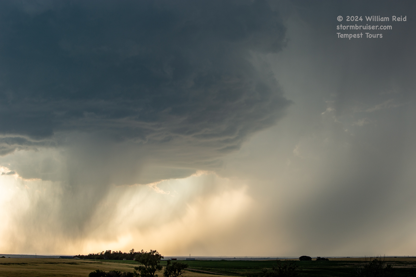
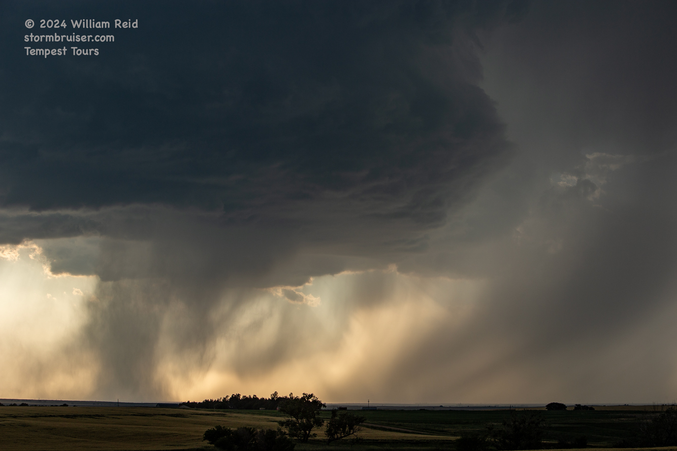
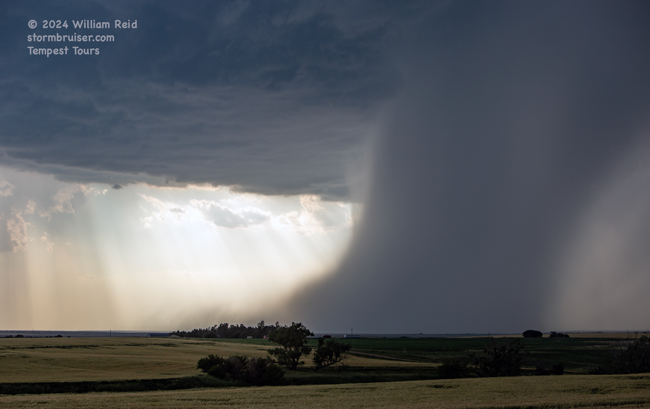
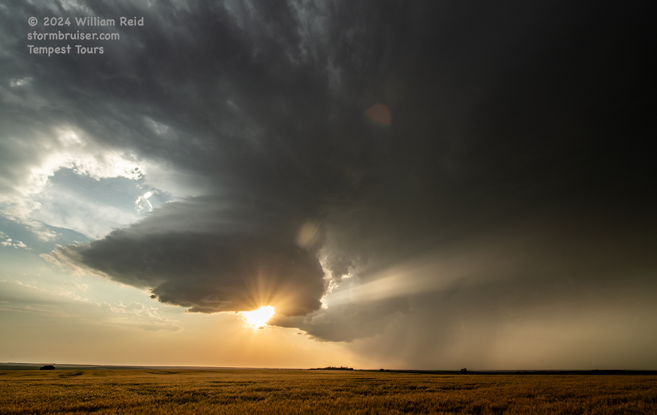
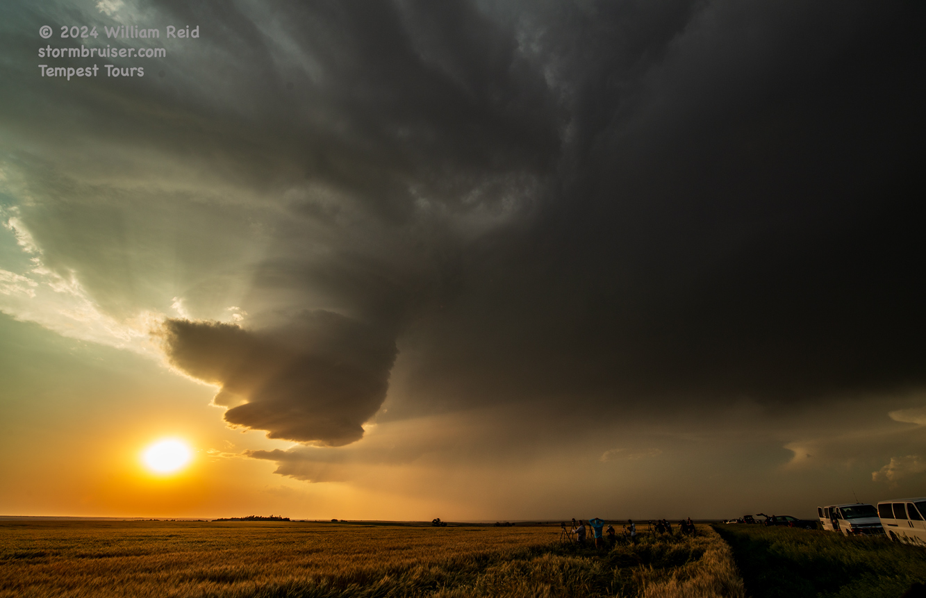
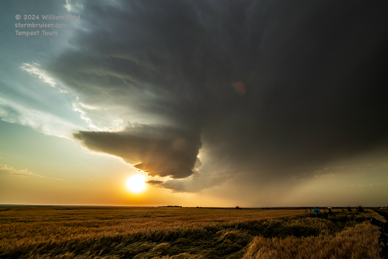
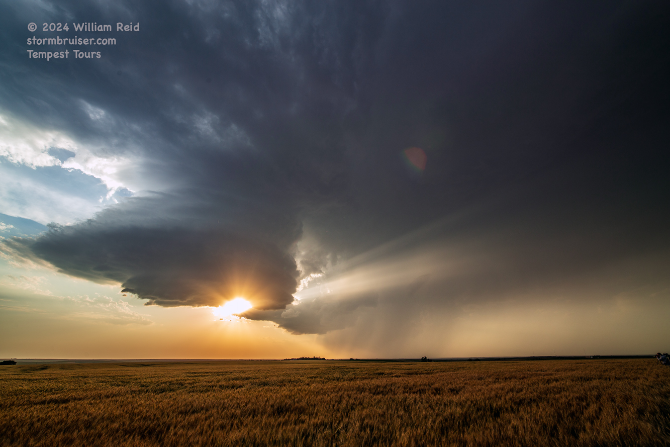
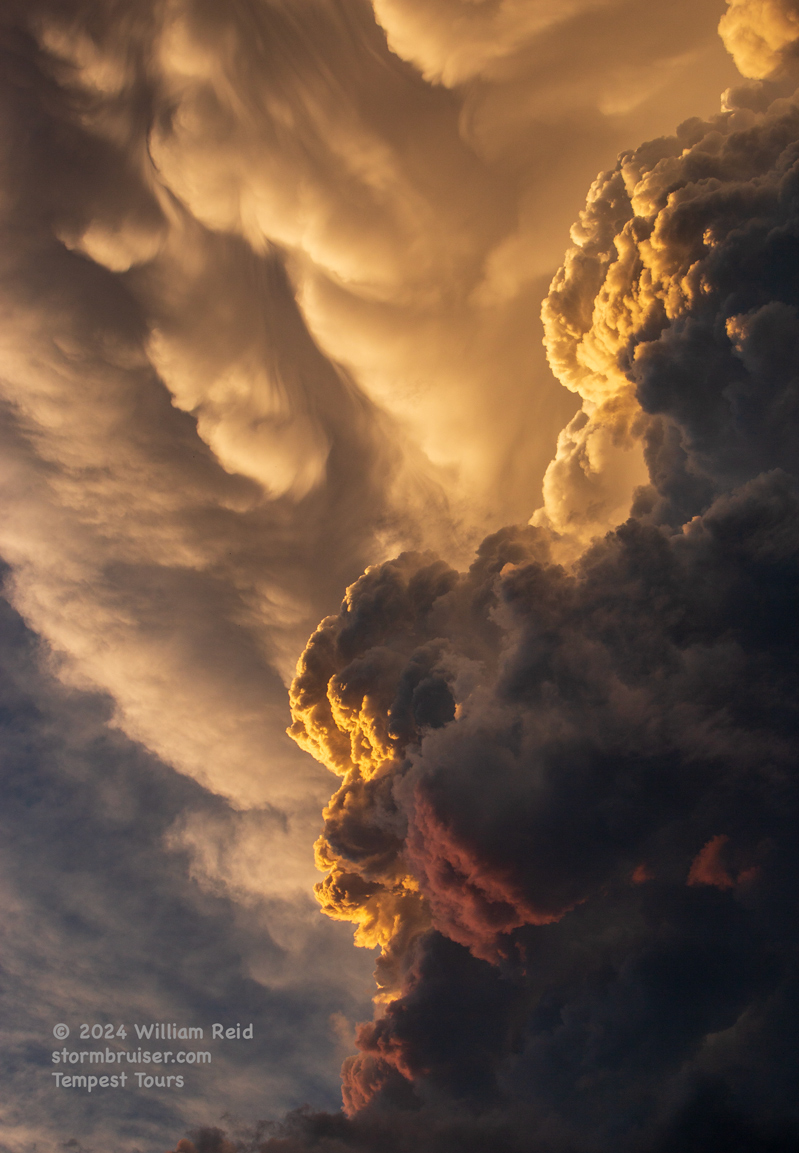
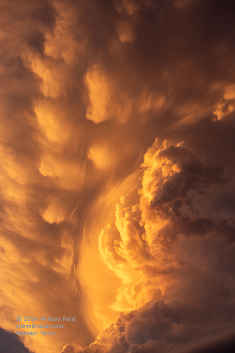
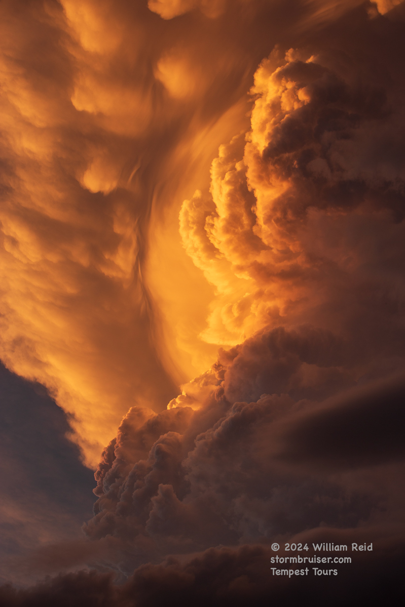
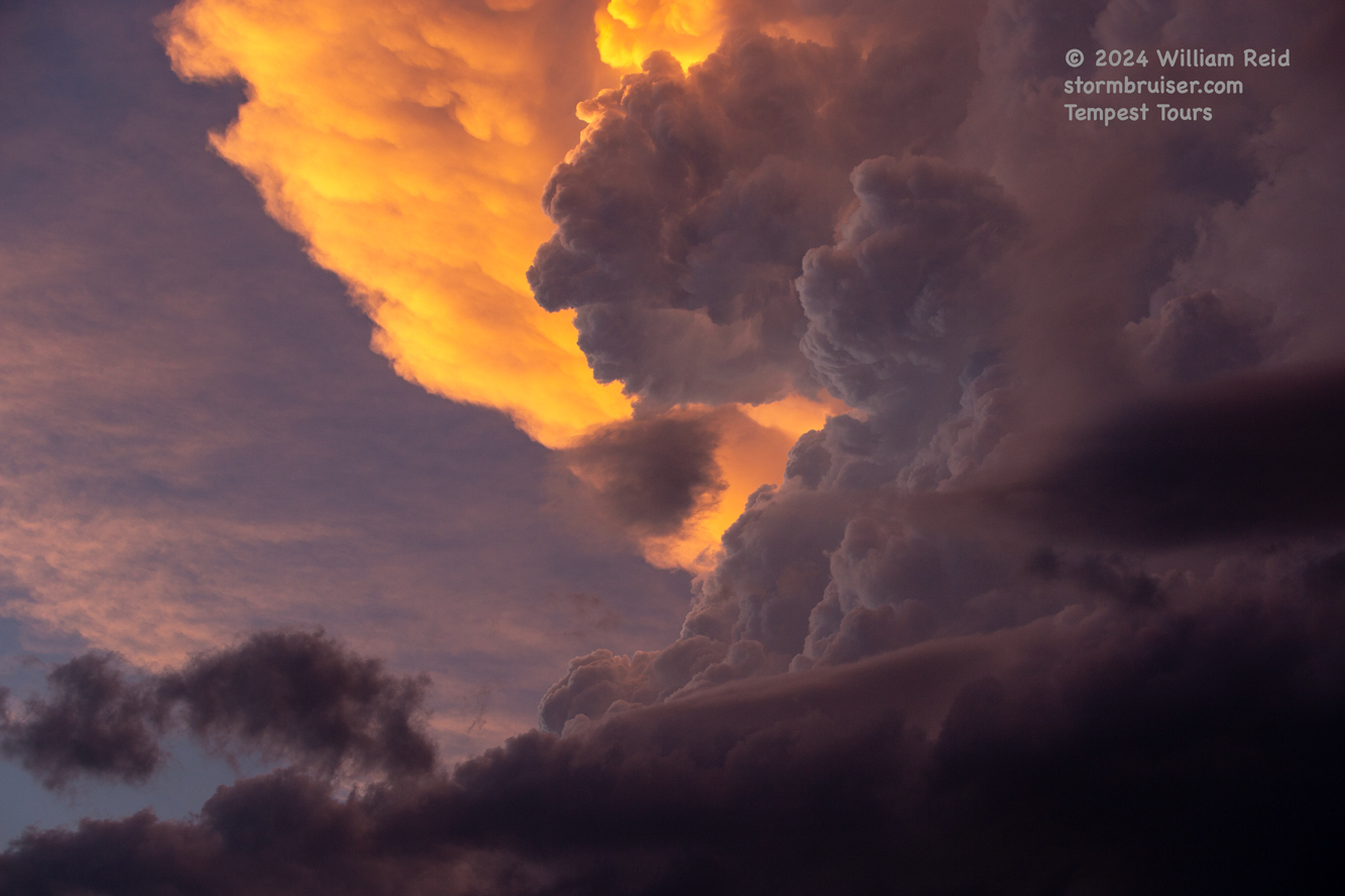
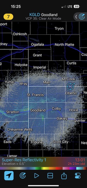
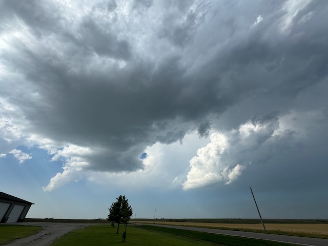
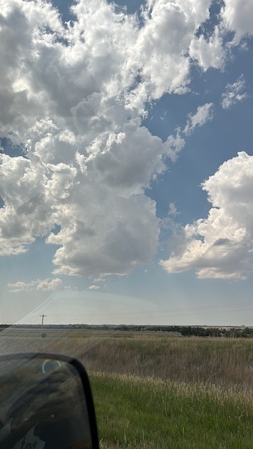
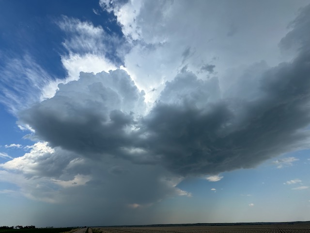
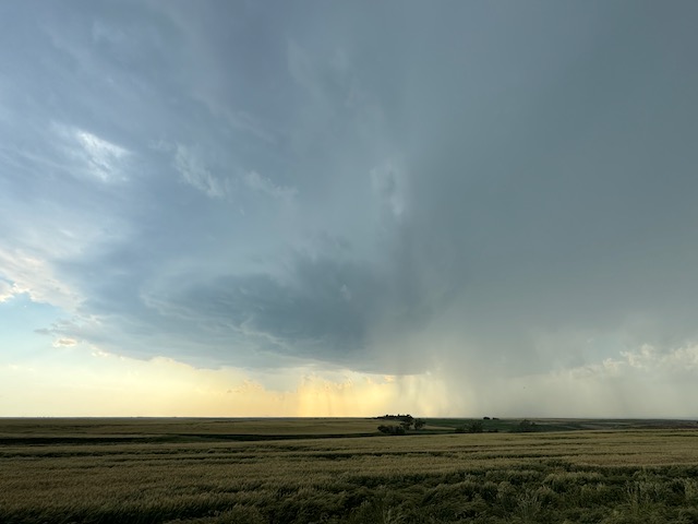
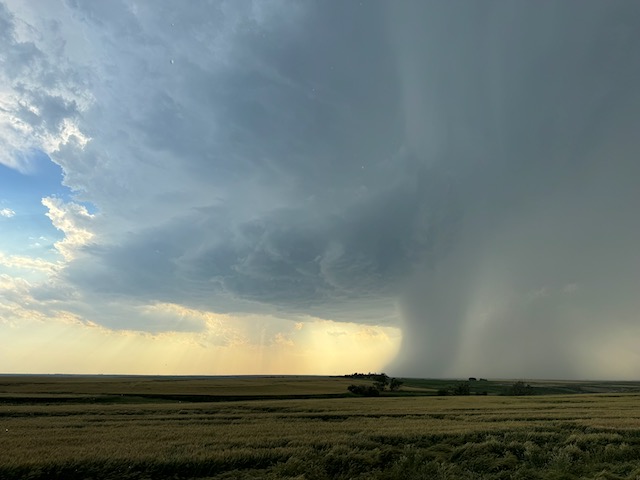
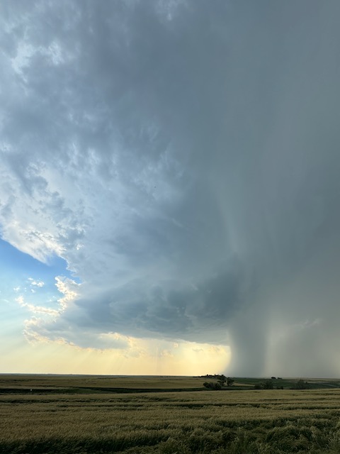
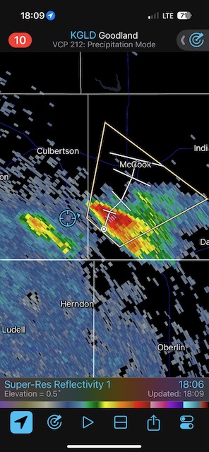
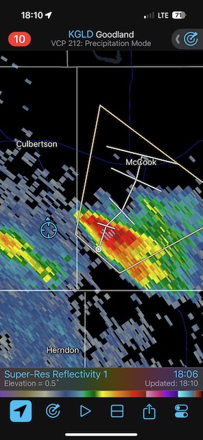
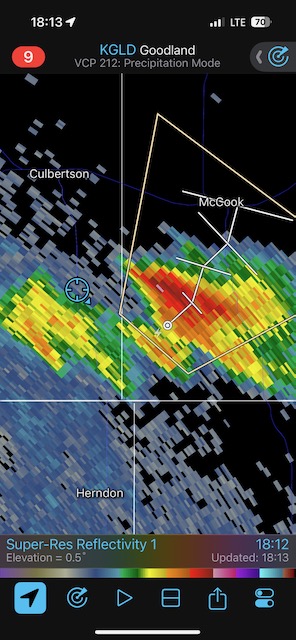
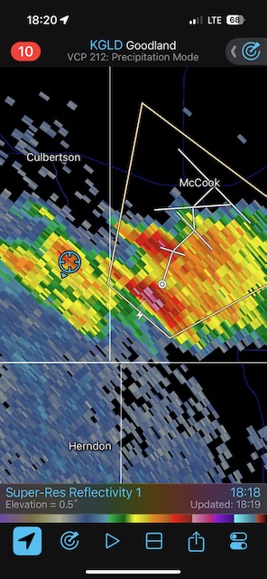
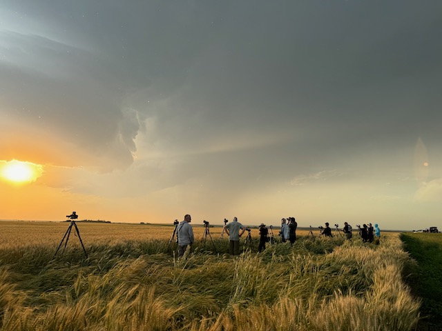
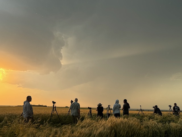
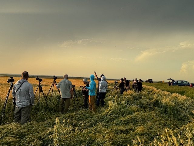
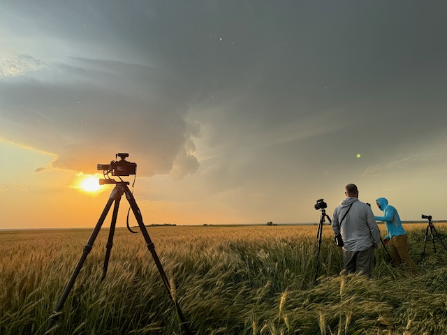
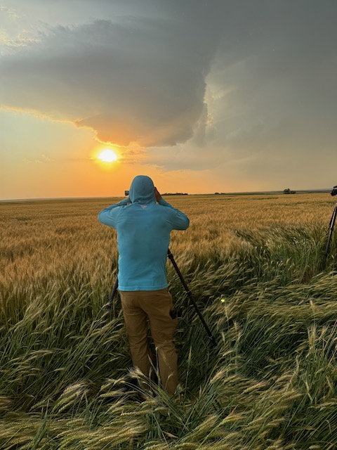
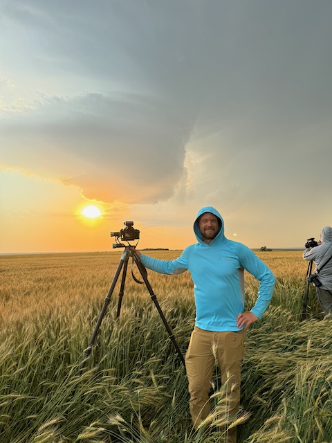
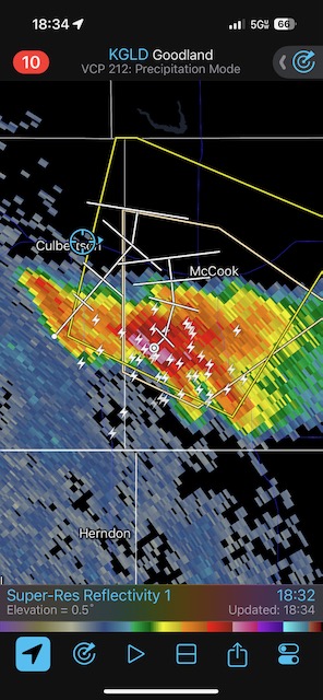
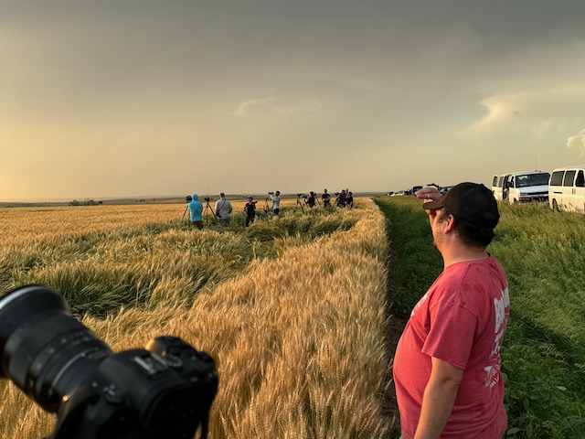
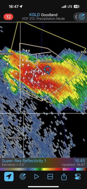
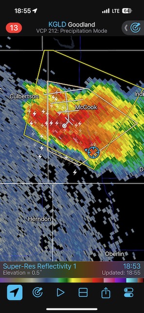
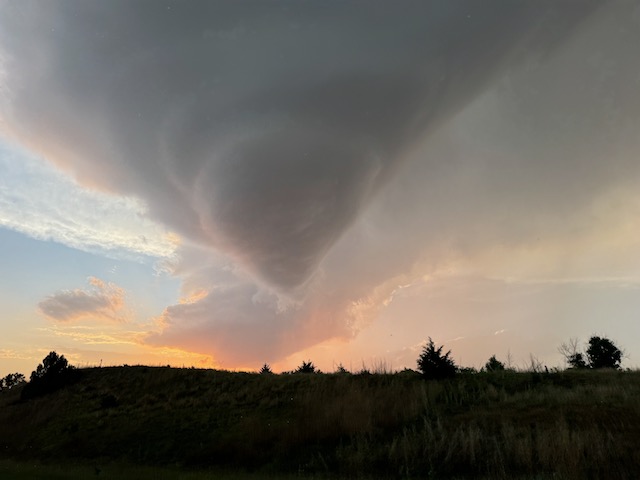
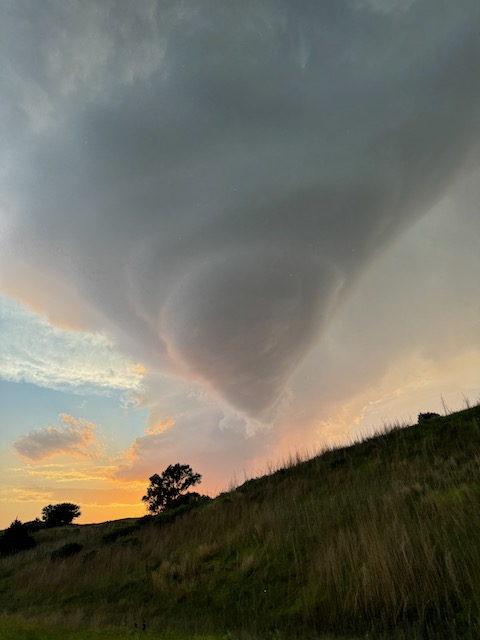
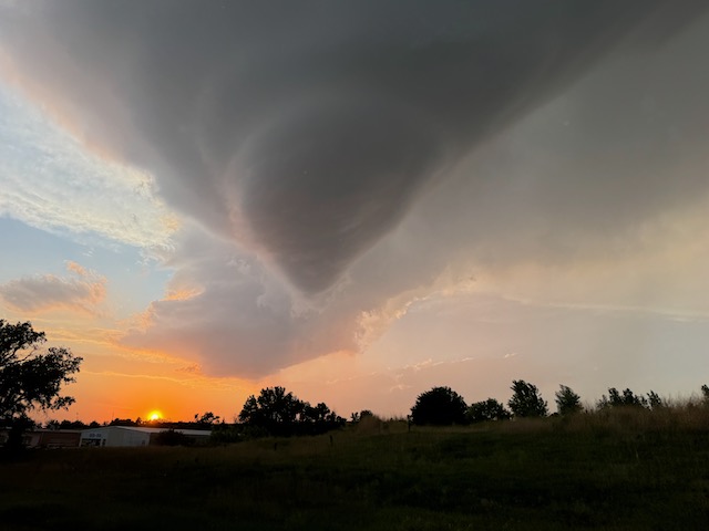
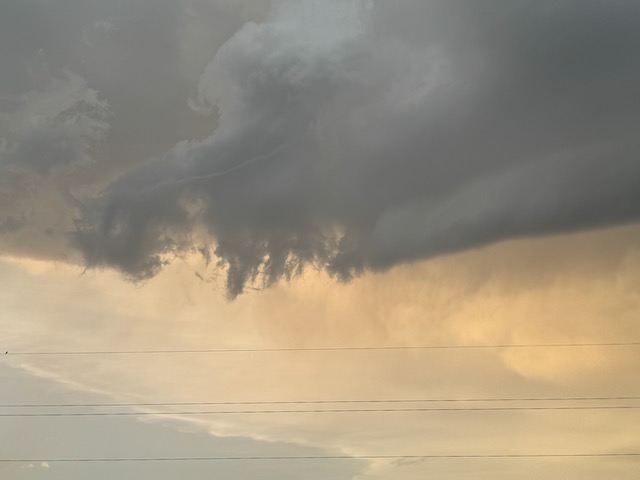
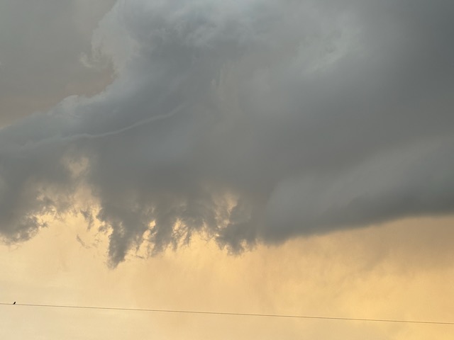
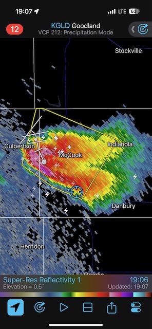
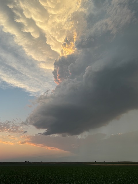
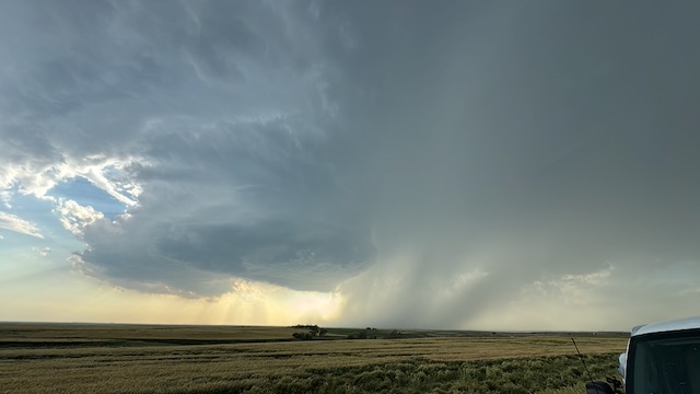
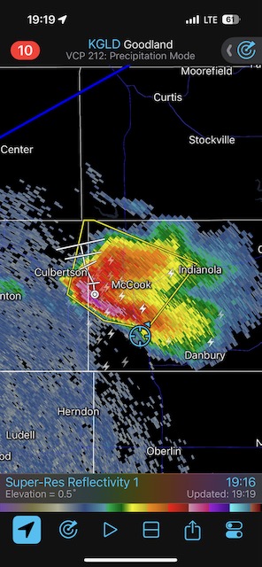
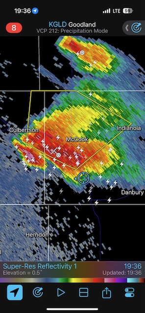
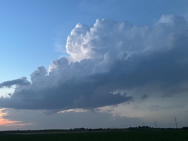
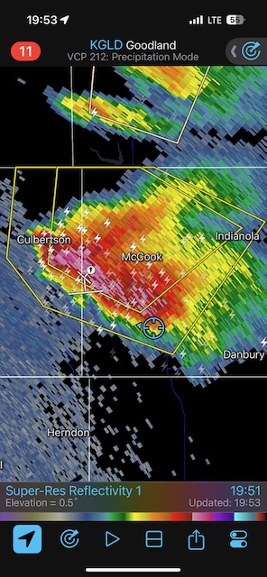
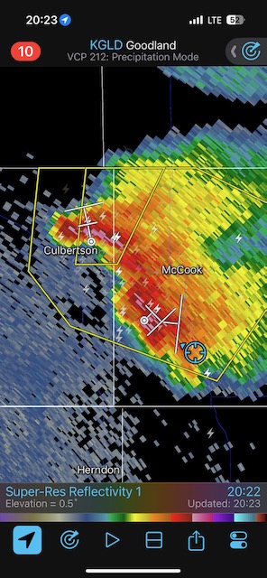
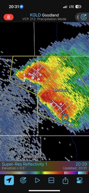
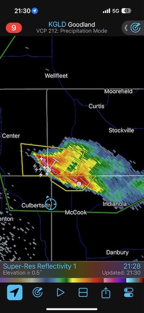
I had the right idea as to the target area. After lunch in Holdredge we continued WSW-ward to a cumulus field a little north of the KS/NE border, south of Culbertson. A strong updraft developed between Highways 17 and 83, so we went around the north side of the storm, east to McCook on 6, and then south on 83 several miles. I found a decent spot that was just south of the rain and hail, with a good look at the rotating updraft. We set up the tripods and didn’t have to move until close to sunset! There was great supercell structure and an obvious clear slot/RFD, but really no signs of serious attempts at making a tornado. Areas in and around and just southwest of McCook found themselves with persistent rain and hail for quite a while.
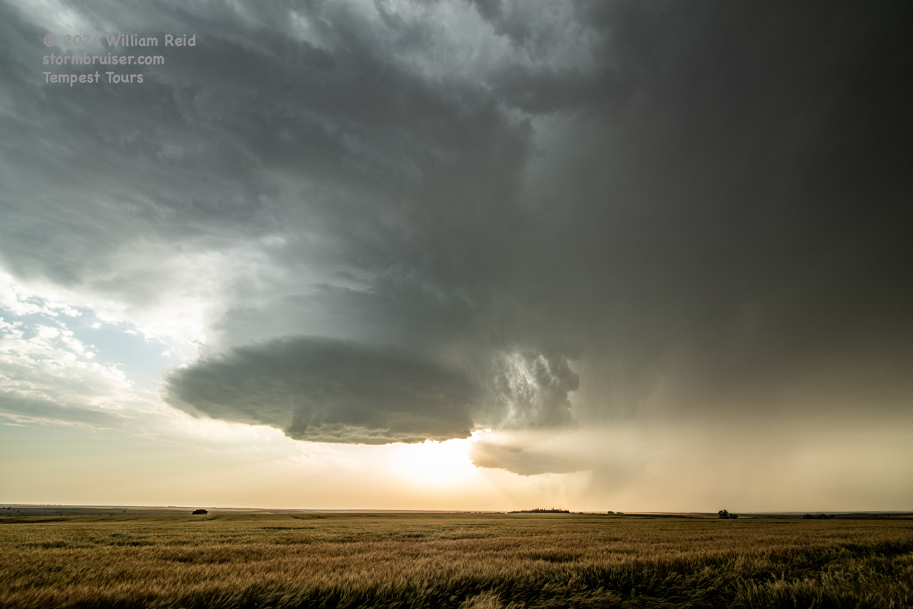
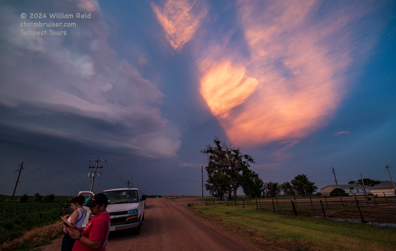
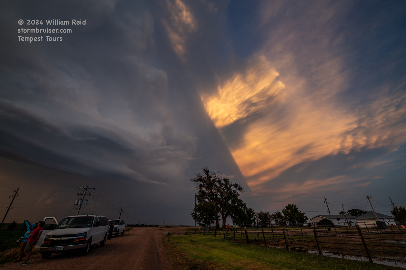
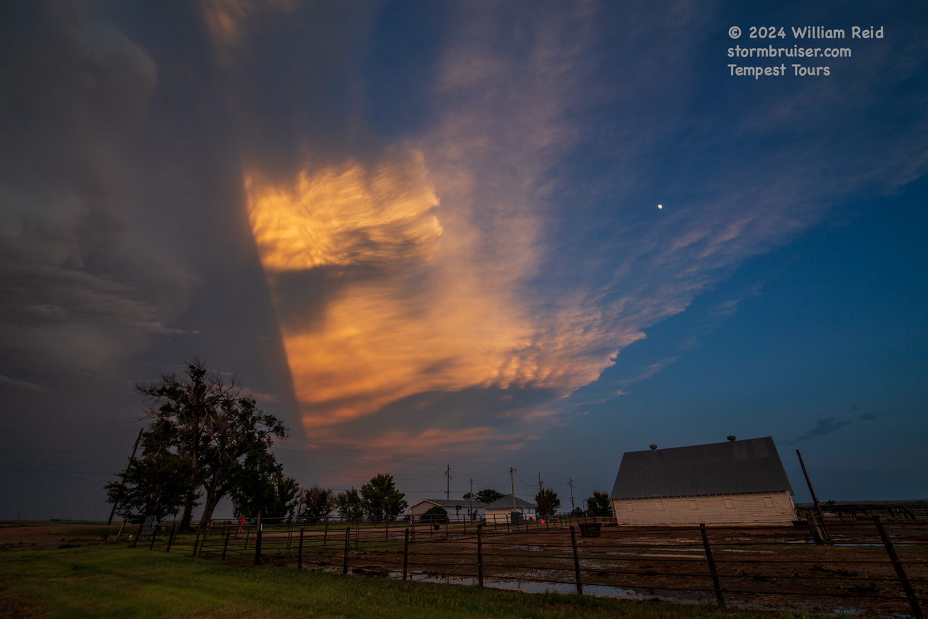
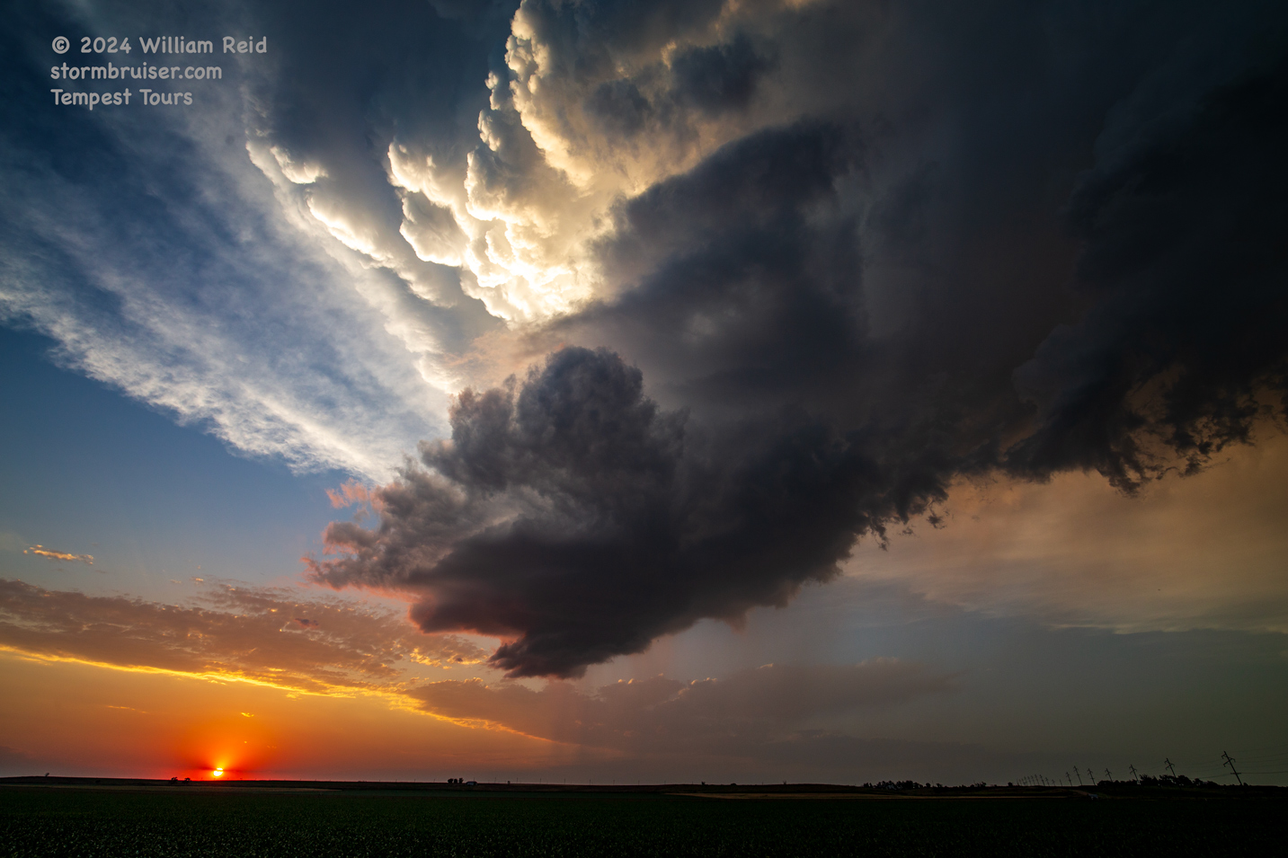
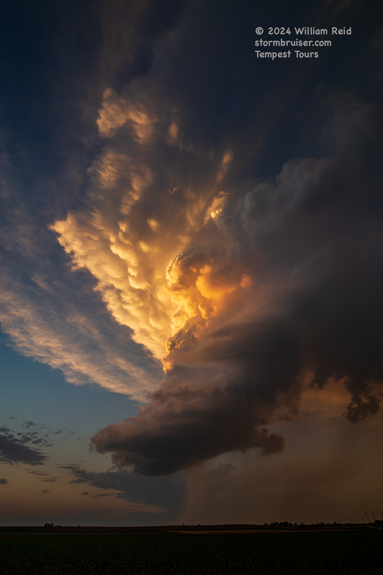
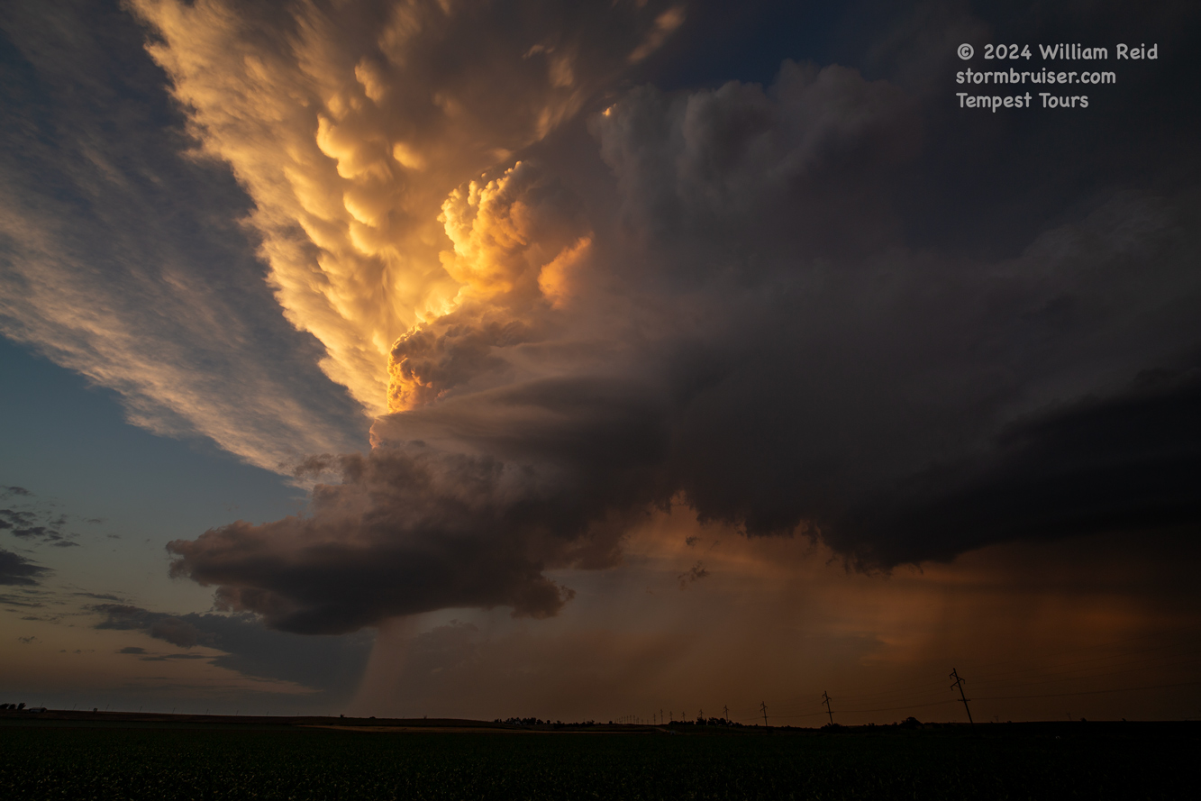
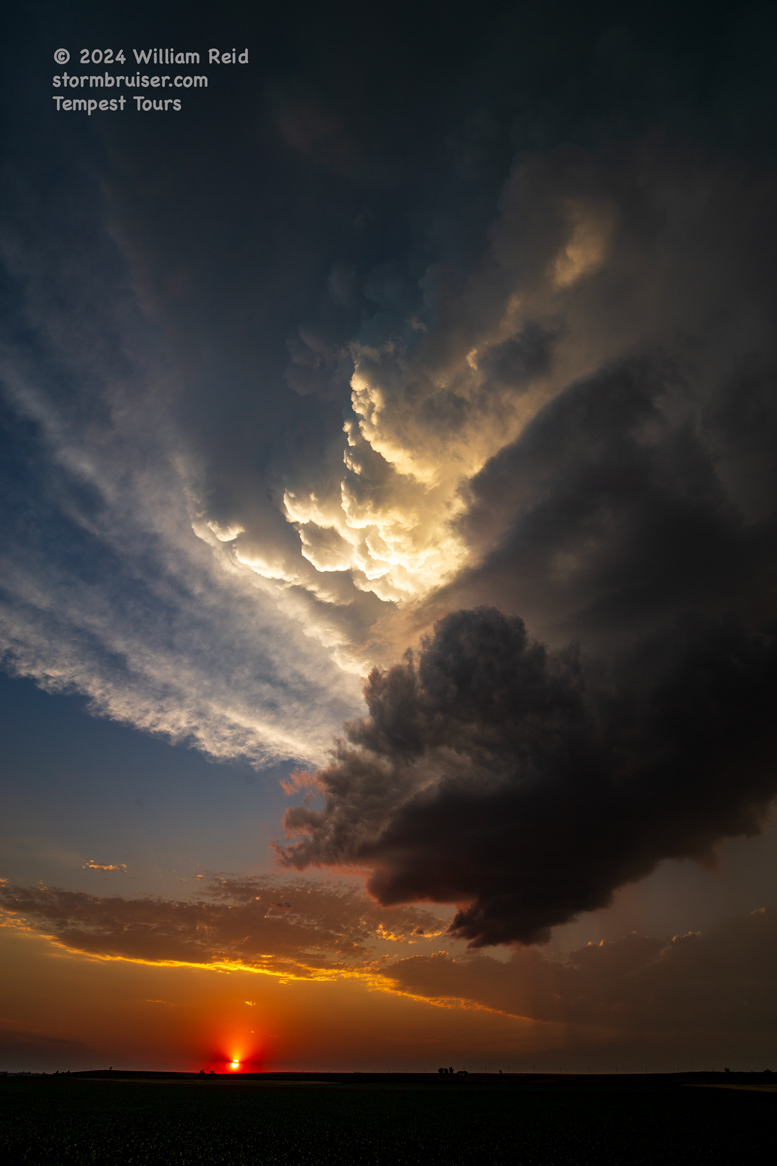
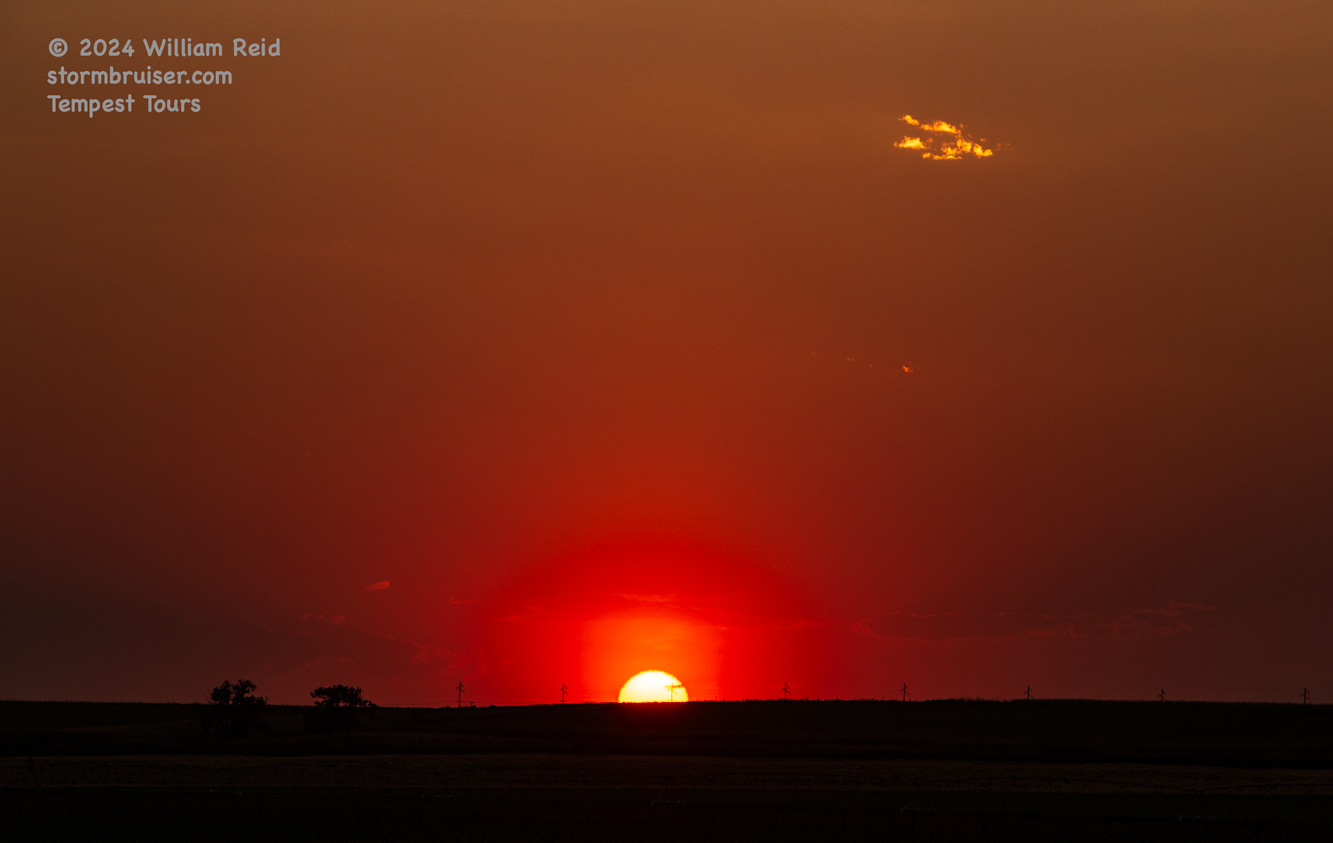
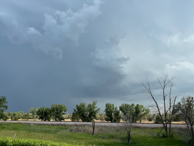
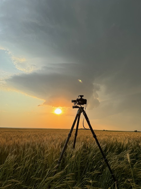
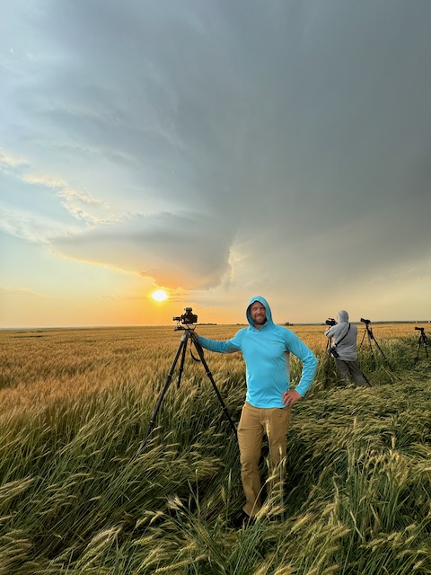
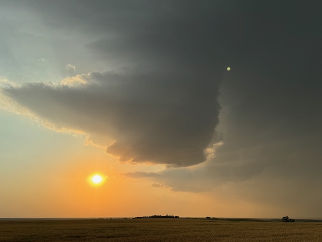
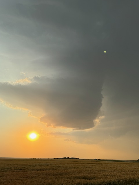
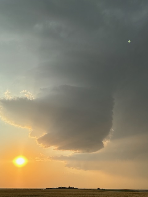
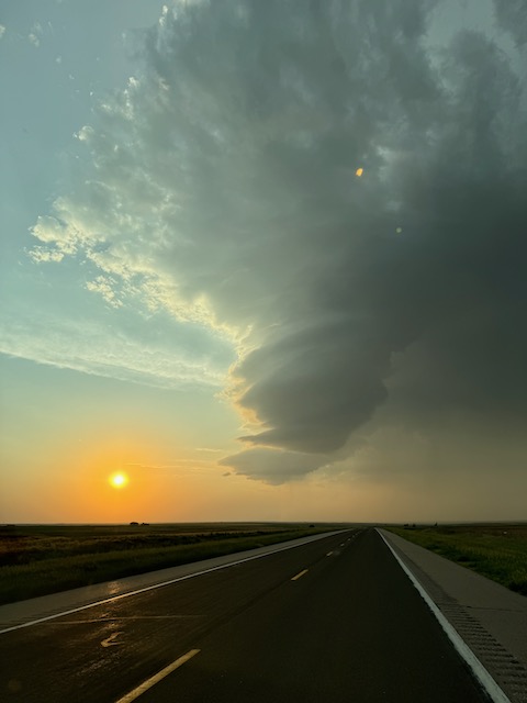
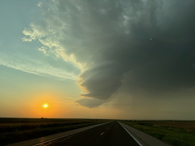
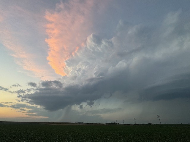
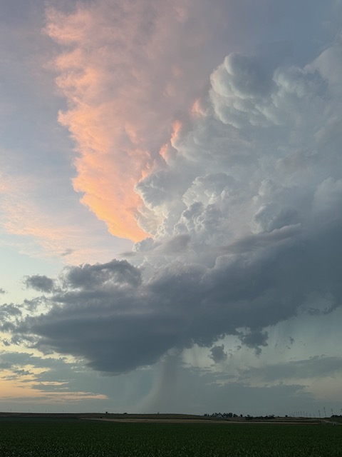
The storm began to weaken and drift to the north towards sunset. The pretty sunset images below were taken a little west of McCook.

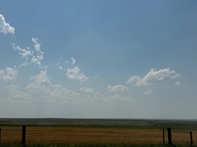
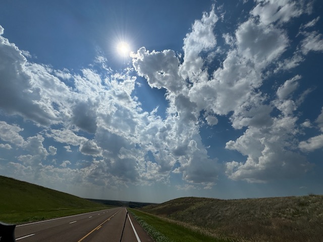
iPhone images and radar screenshots below. Times of radar grabs are about two hours late in the sequence of photos.
Leave a Reply
You must be logged in to post a comment.