
Housekeeping Section:
Start of Tour 8 on June 23 Begin: Denver/lunch: Valentinos in Ogallala/End: Norfolk Position day, no chase/483 miles
June 24, 2024 Start: Norfolk, NE/Sioux Falls Arbys and Subway/End: Watertown, SD/406 miles. Cap bust near Milbank, SD, and Ortonville, MN. I recall some towering cumulus trying to break the cap in an environment supportive of tornadic supercells, but the cap won the day.
June 25, 2024 Start: Watertown, SD/Brunch in Watertown at Pages Cafe/End: Broken Bow, NE/590 miles
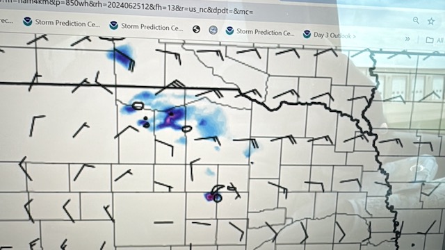
Mesoscale Discussions: 7:09 p.m. CDT 7:13 p.m. CDT 9:10 p.m. CDT
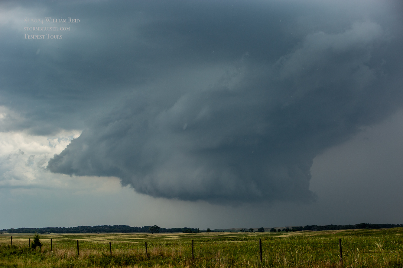
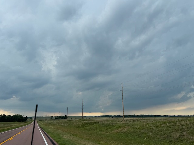
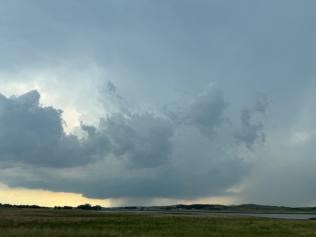
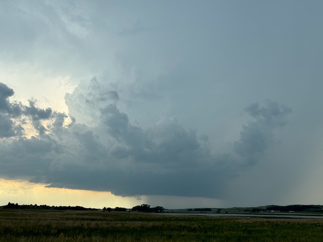
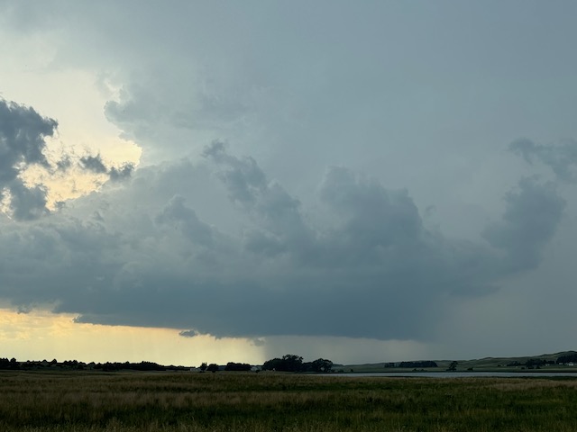
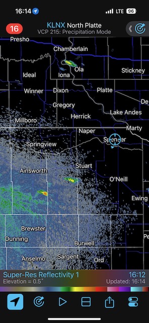
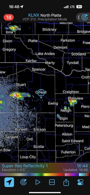
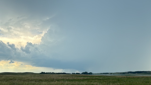
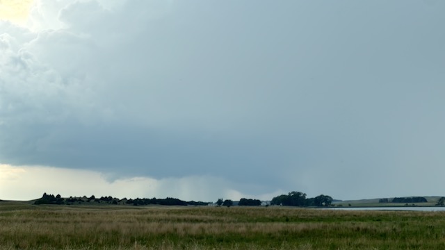
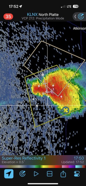
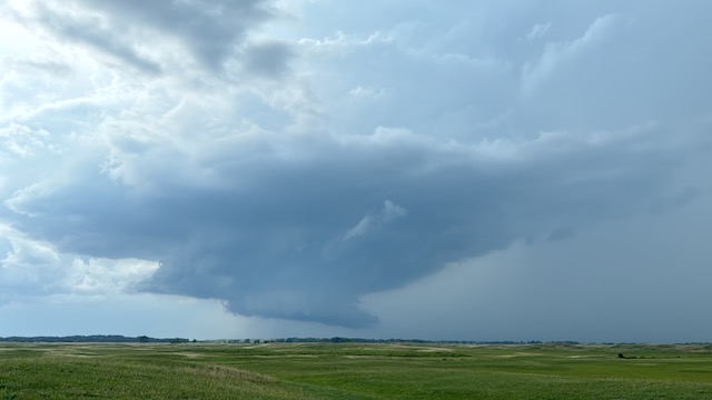
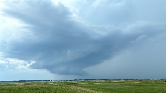
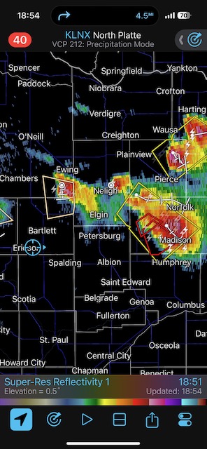
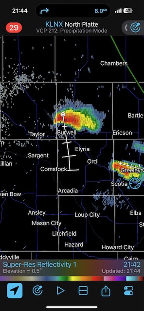
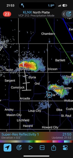
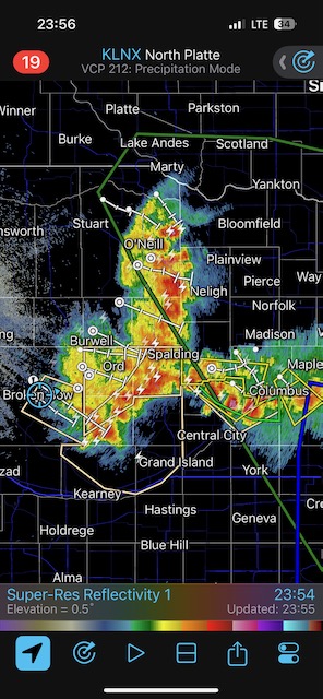
We finally got this Tour 8 group a decent supercell on their third day on the road. But, the darn thing sputtered right at the time when it should have been giving us a great show. This was west of Chambers and south of Atkinson in north-central Nebraska, near a surface low circulation. I don’t know why the storm weakened. It was moving southeastward into decent air.
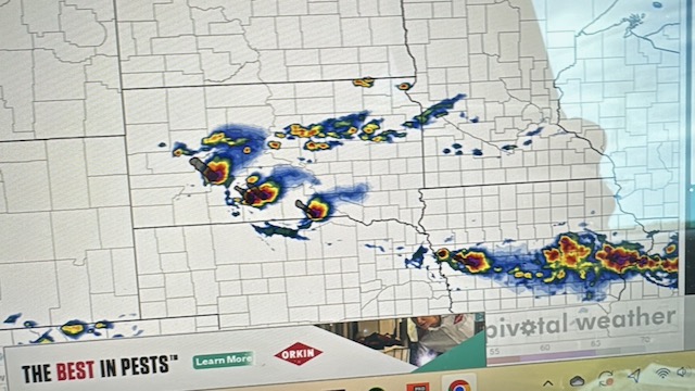
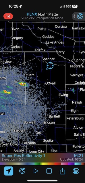
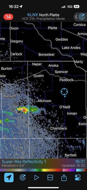
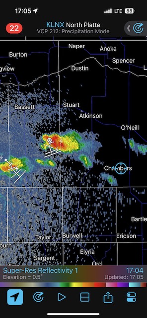
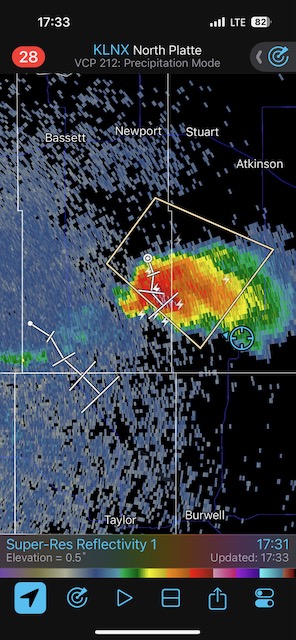
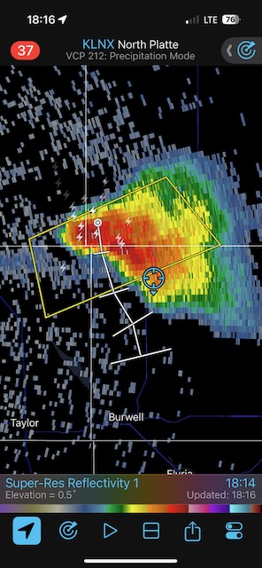
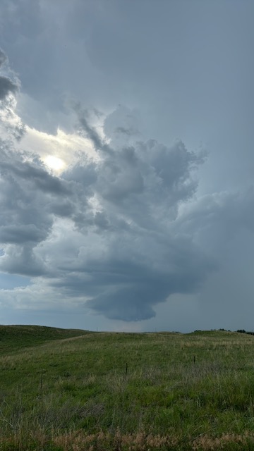
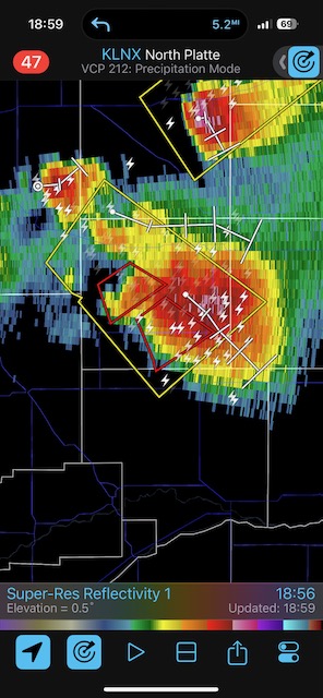
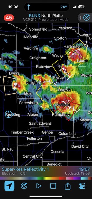
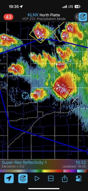
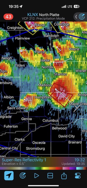
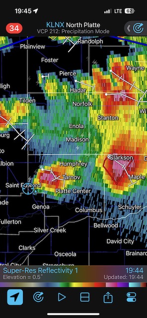
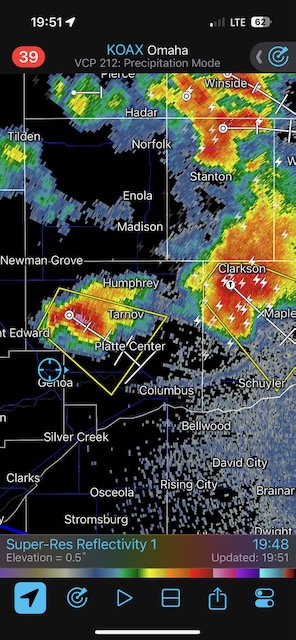
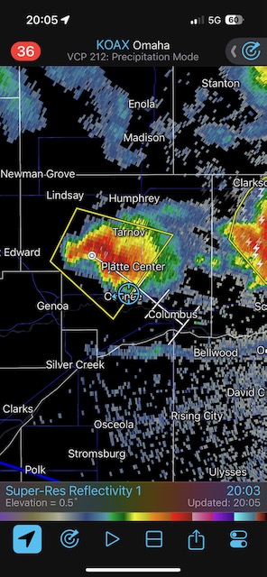
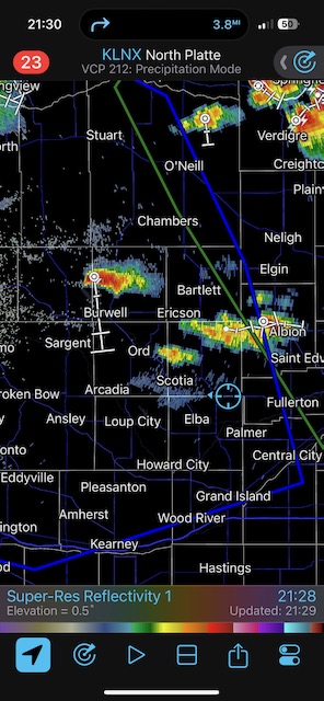
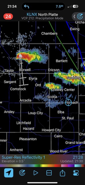
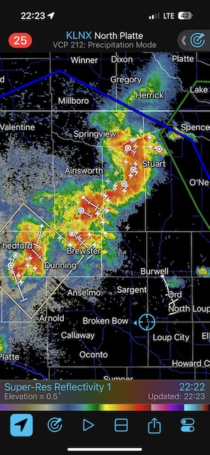
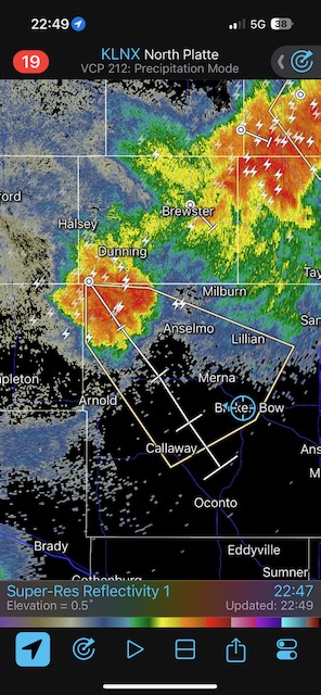
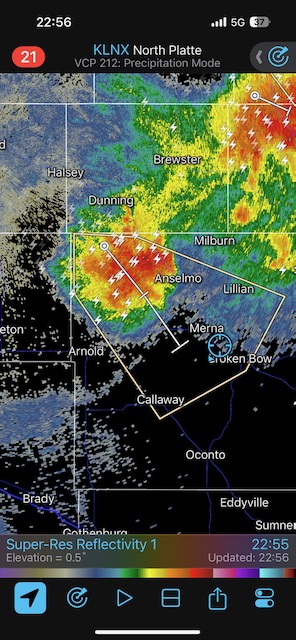
But then the real gut punch occurred. We were drawn eastward towards Madison, due to a new and impressive tornado-warned storm near there. We blasted east, with the storm dropping SE to SSE. Catching it seemed like a long shot. The storm had a brief tornado seven miles west of Madison, and we were still about 25 miles away, to its west. I turned around at Spalding, I think, realizing that this wasn’t going to work. There were more storms expected deeper into the Sandhills to our WNW, so we went back west following this unproductive foray 25 miles to the east. It was getting close to sunset now, though, so I just figured that getting rooms in Broken Bow was a good idea and we might see an interesting storm on the way there. Not too long thereafter we learned that the discrete supercell that was diving SSE-ward through the Sandhills near Whitman (on Highway 2) was a sculpted beast with a large tornado! To top it off, this storm was just west of where SPC had outlined a marginal risk of severe (in other words, it was not in the area outlined with a severe risk). The Tornadic Supercell seemed to be on the west side of the surface low, near north winds. It was diving SSE or S at about 40 mph, so storm-relative inflow was not bad regardless of the wind direction.
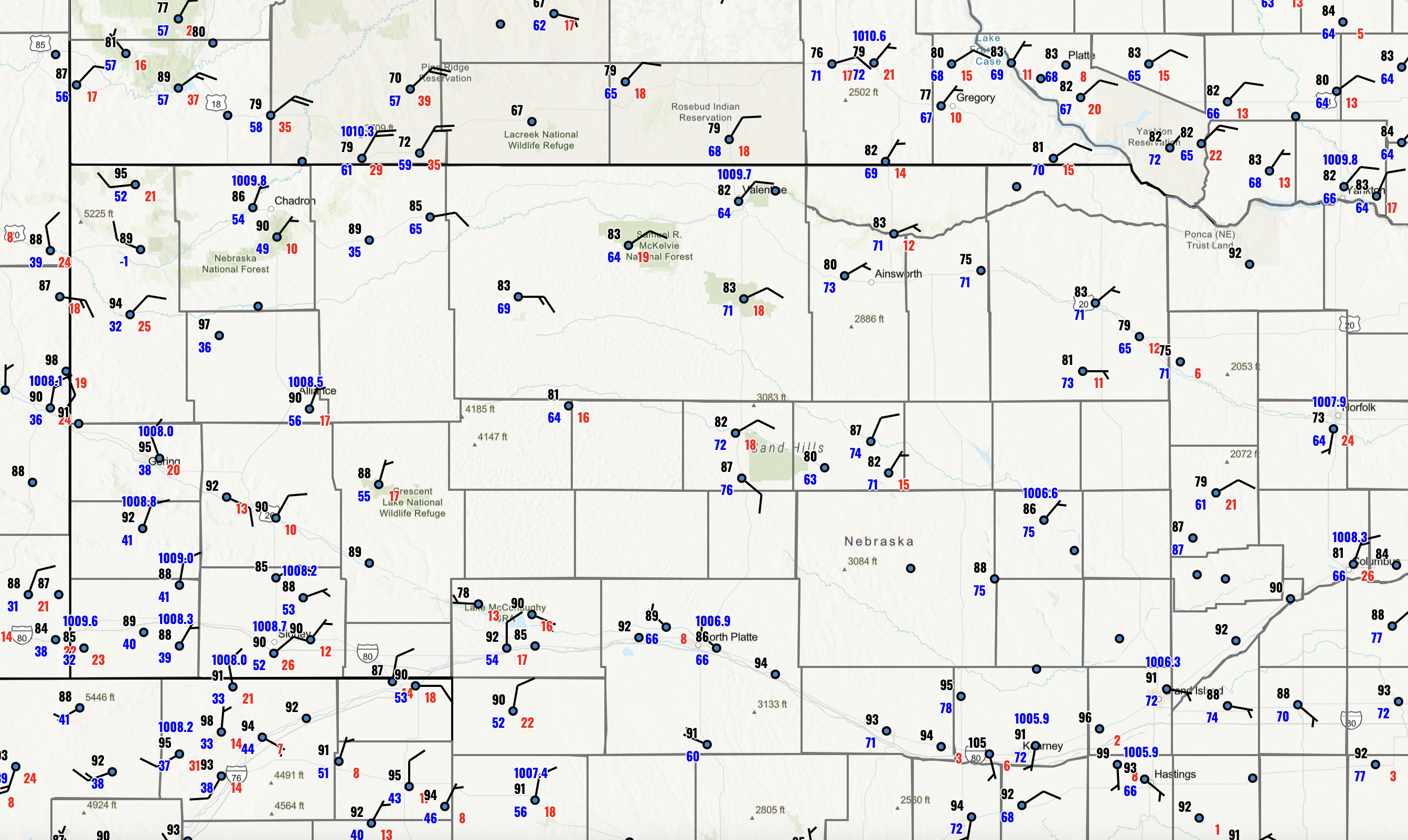
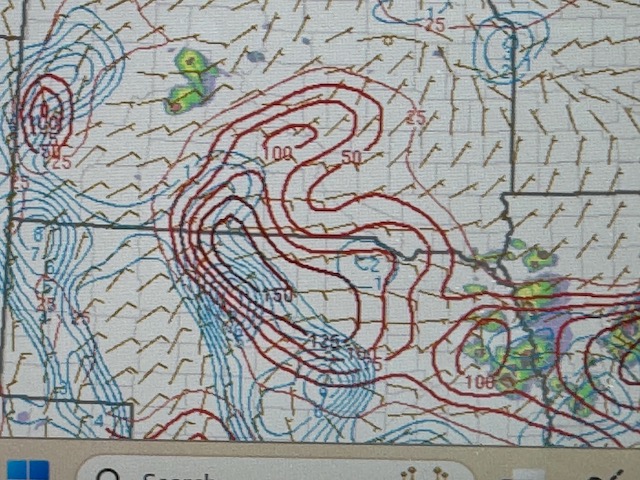
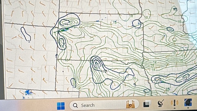
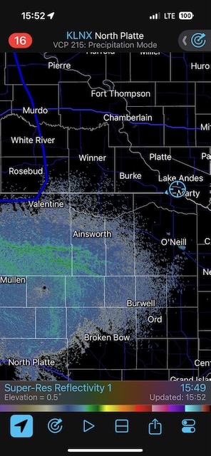
So that was a bummer —- if I had gone west from the declining “Chambers” storm instead of east to the “sucker” storm near Madison, then we might have had a glimpse of the tornadic Whitman supercell. The map below is for 8 p.m. CDT on the 25th, about an hour prior to the tornado near Whitman. The station with 81 over 64 is near Whitman, but this USCRN station does not provide wind direction. It looks like the supercell might have been (or probably was) on a boundary separating E to ENE winds on the east side and more northerly winds on the west side. Also note the great dew points over 70F near Thedford. My target storm today was about four counties east of this boundary. Remember, tornadoes like boundaries!
Surface plots at 8 p.m. CDT on June 25


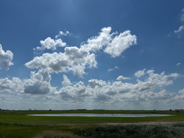
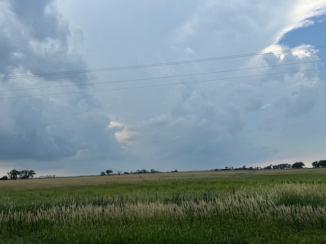
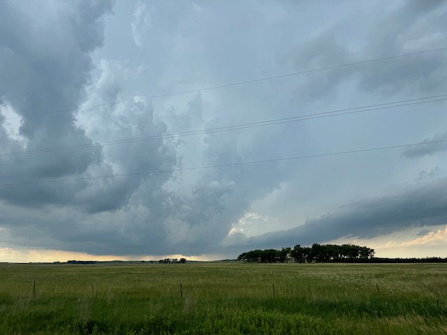
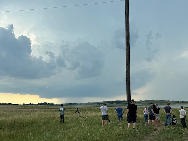
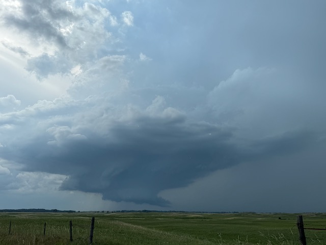
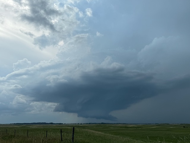
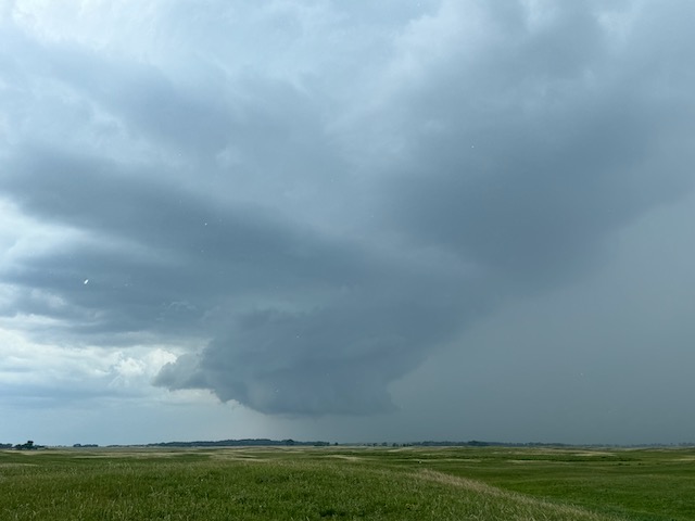
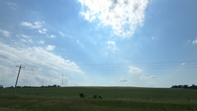
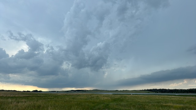
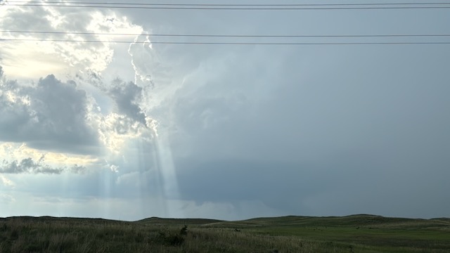
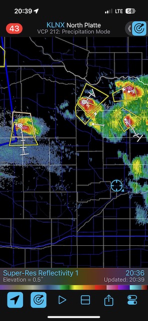
Amelia, NE, storm above. This is west of Chambers, along Highway 11.
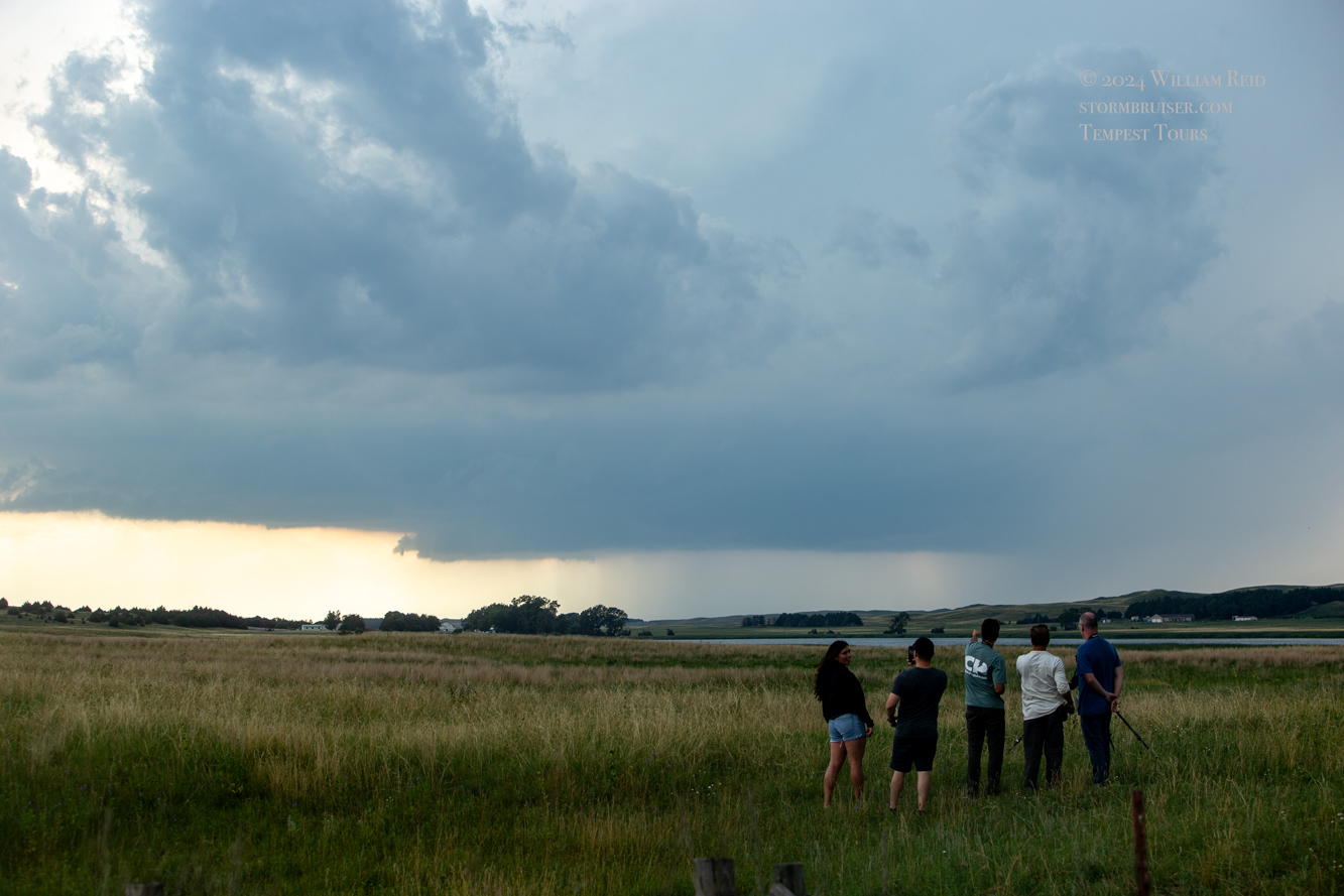
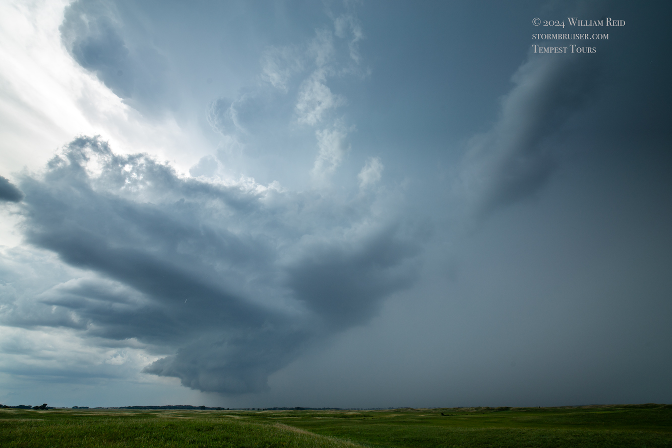
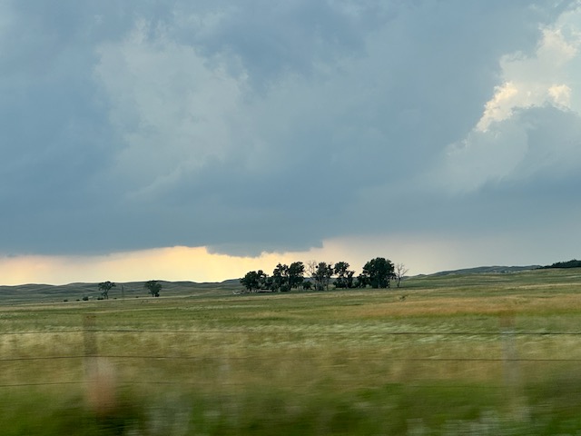
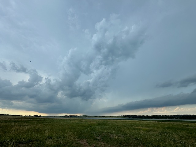
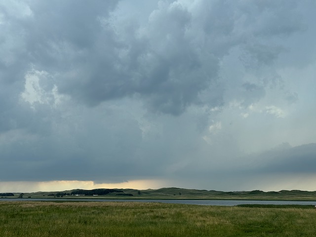
iPhone pics below

Leave a Reply
You must be logged in to post a comment.