
June 26, 2024 Junky Storms near Chugwater, WY
Start: Broken Bow, NE/lunch: Bridgeport Burger Werx/End: Hot Springs, SD/535 miles
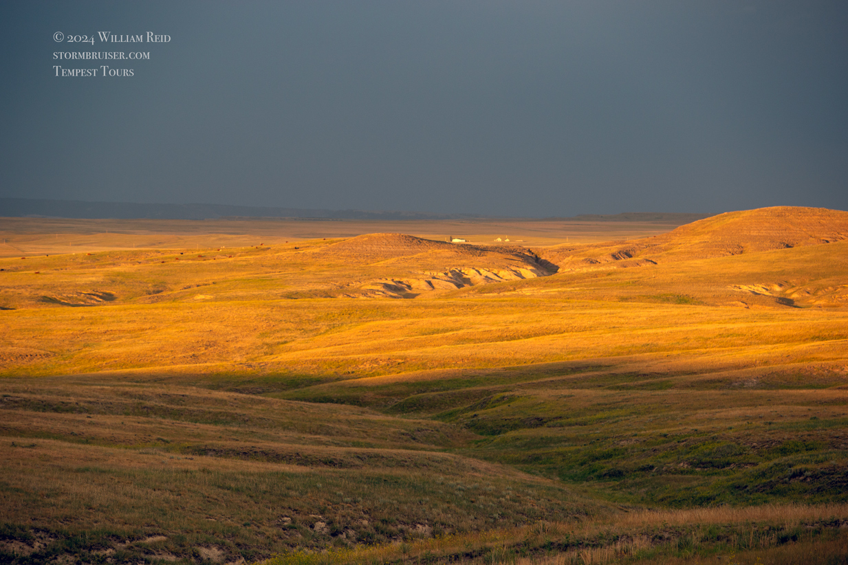
A day with a lot of miles. We went westward to storms in and around Chugwater. It was an overall dud. And we did not wear overalls.


June 27, 2024 Late Show Near Midland, SD
Start: Hot Springs, SD/lunch: Rapid City Pizza Buffet/End: Presho, SD/464 miles
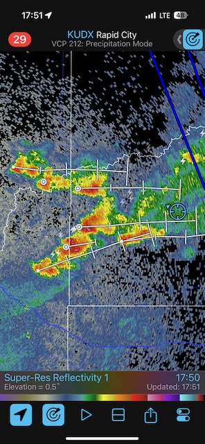
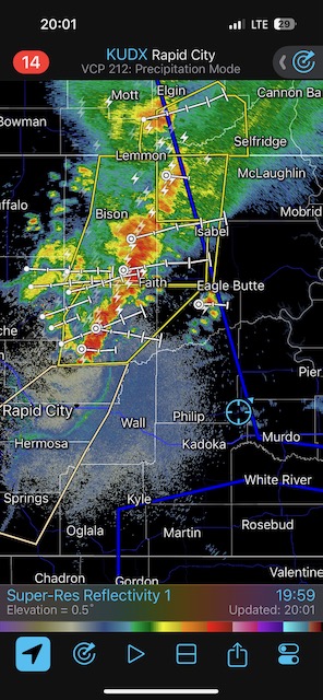
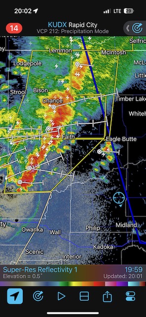
SPC Mesoscale Discussions: 3:18 p.m. CDT 6:21 p.m. CDT 6:47 p.m. CDT 8:11 p.m. CDT 9:50 p.m. CDT 10:46 p.m. CDT
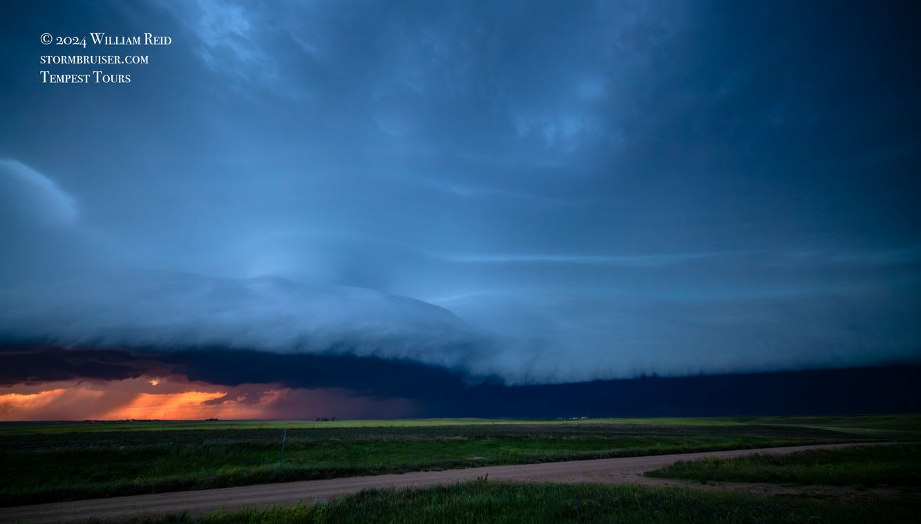
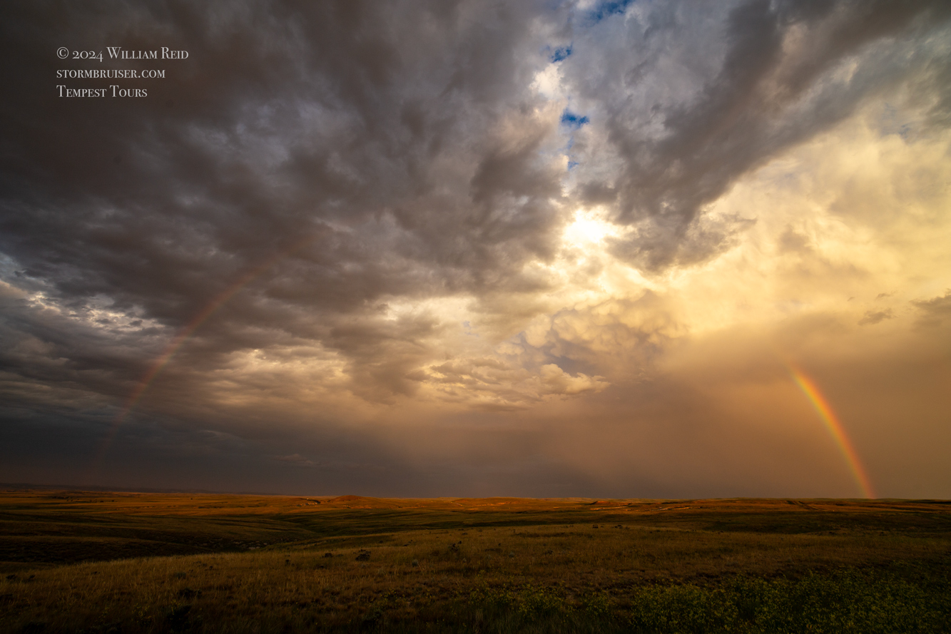
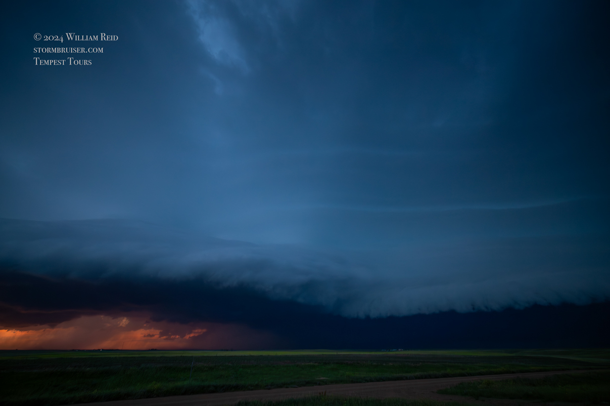
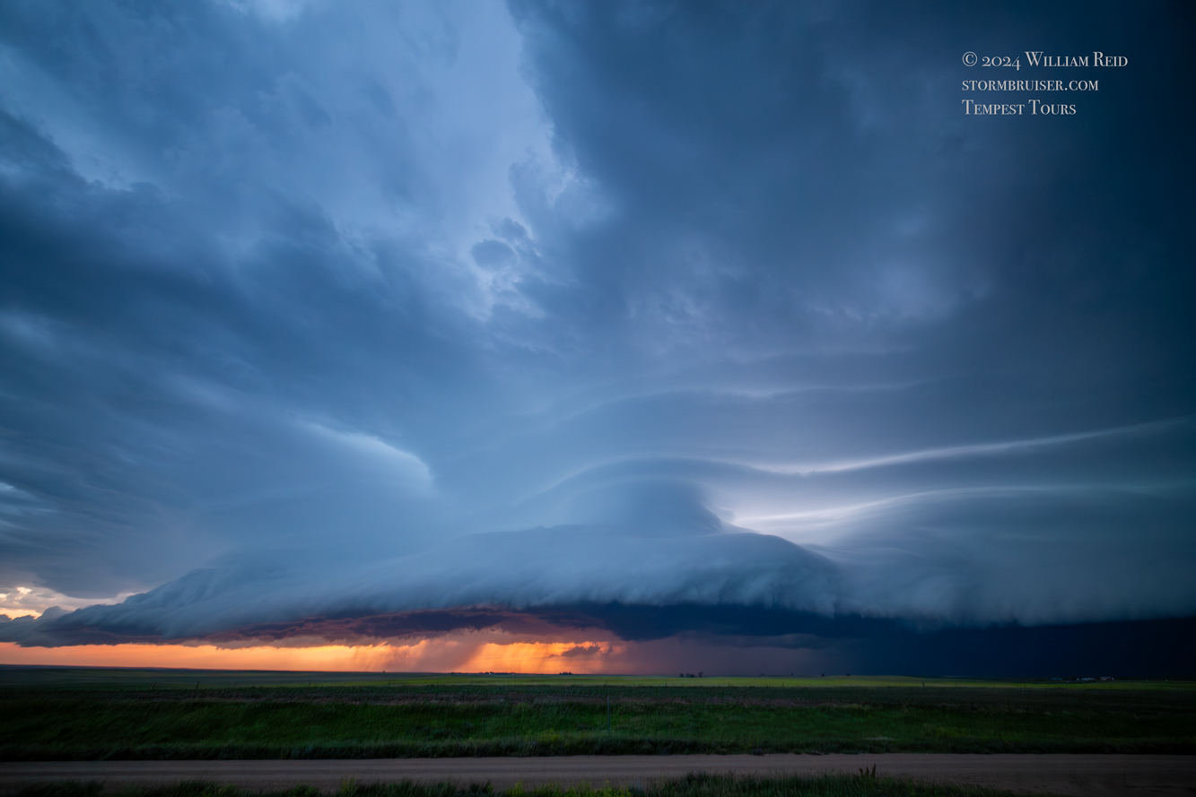
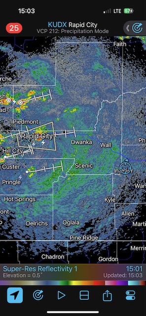
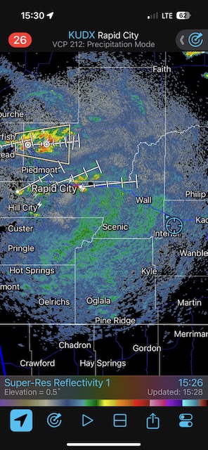
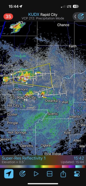
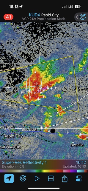
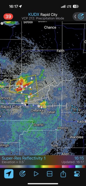
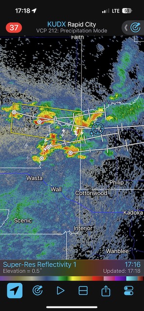
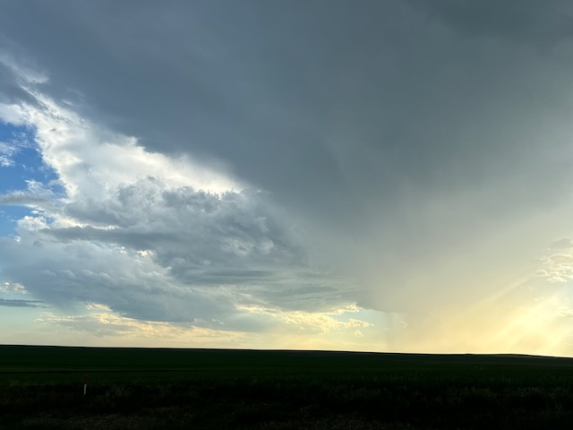
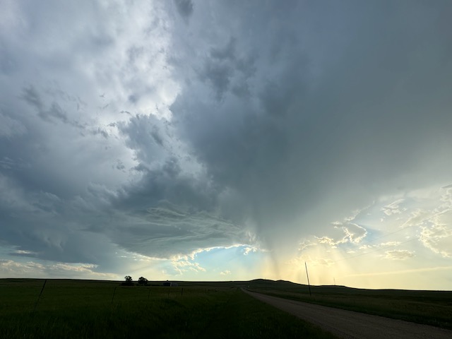
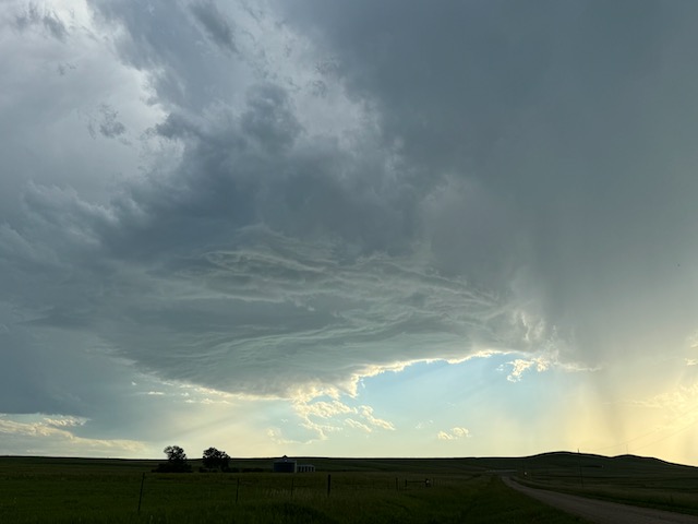
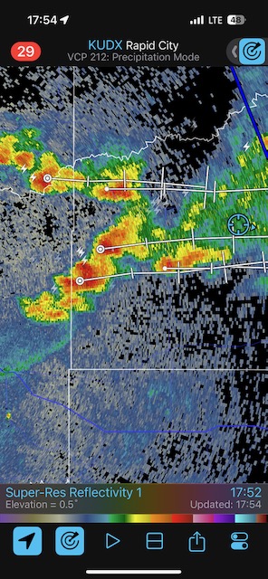
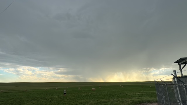
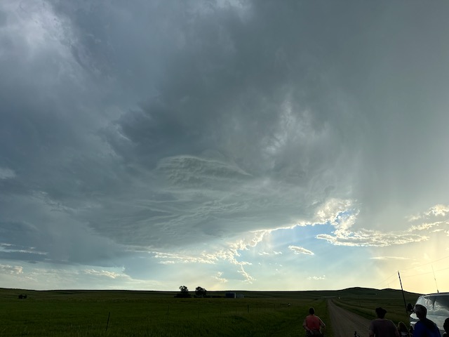
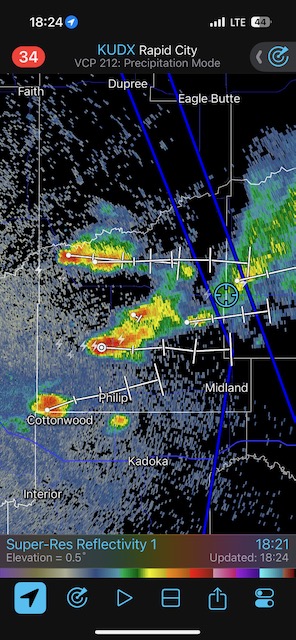
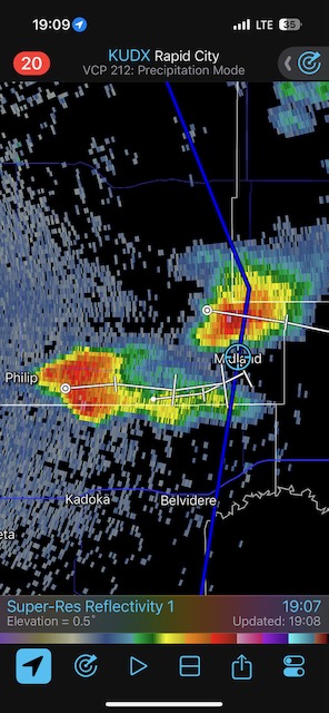
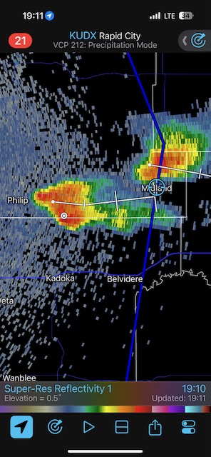
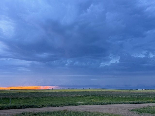
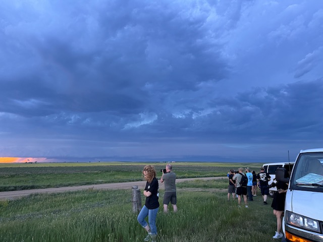
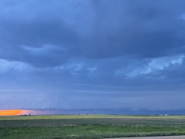
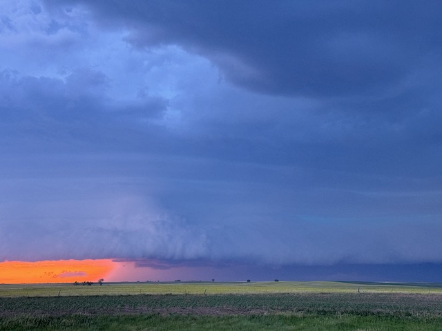
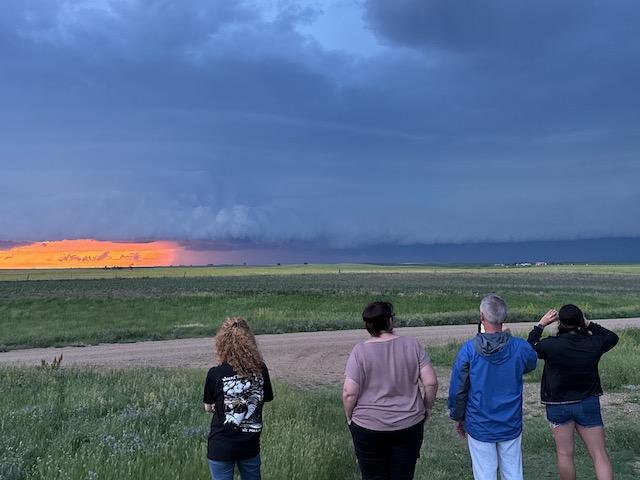
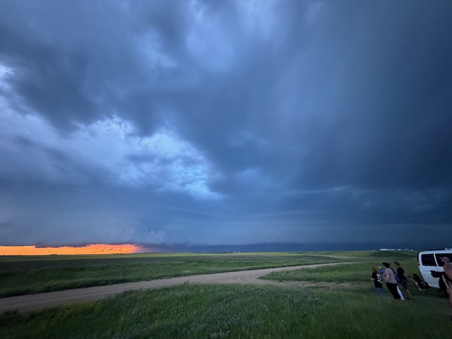
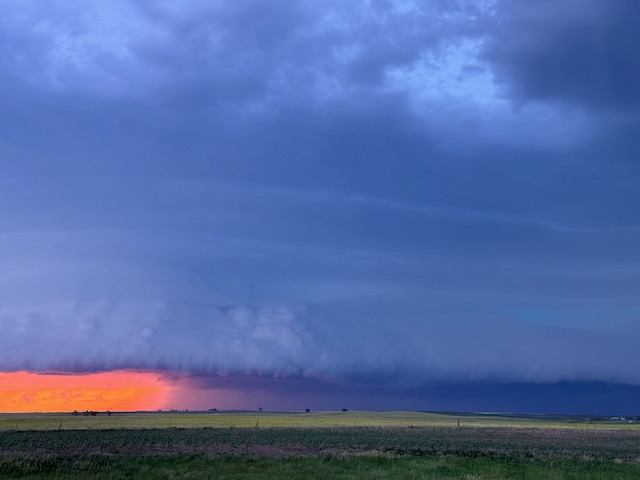
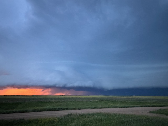
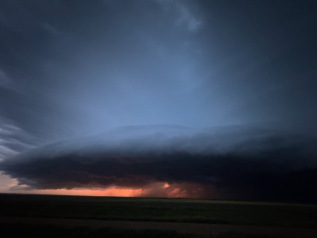
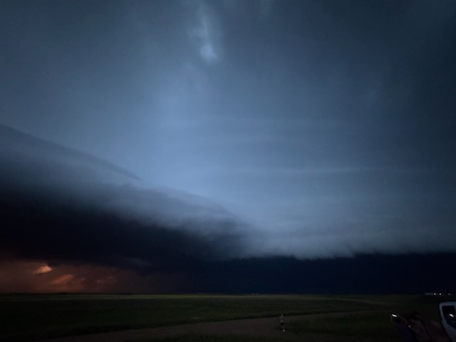
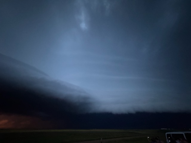
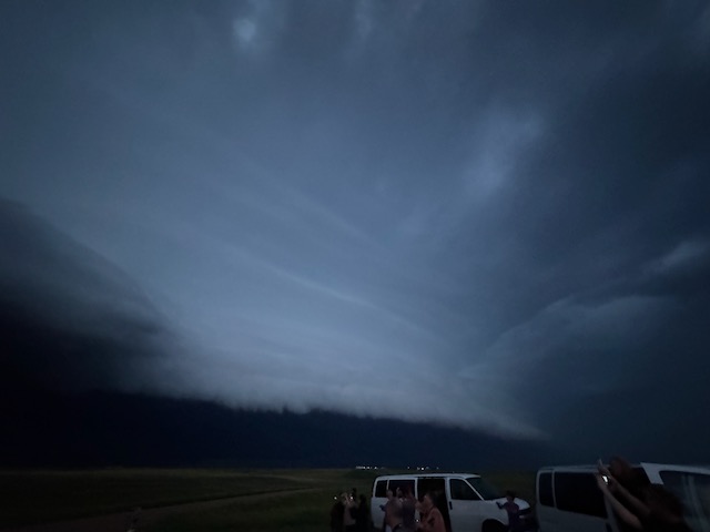
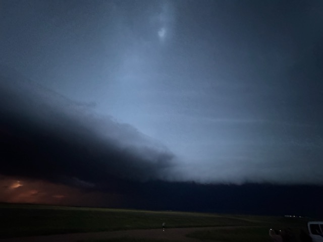
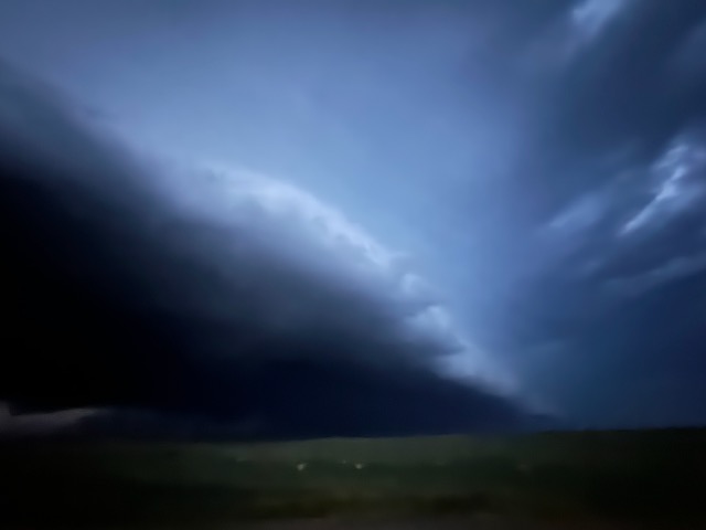
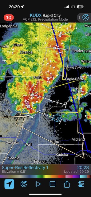
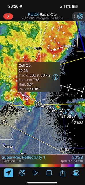
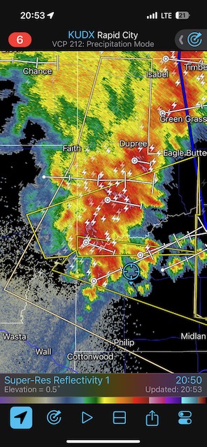
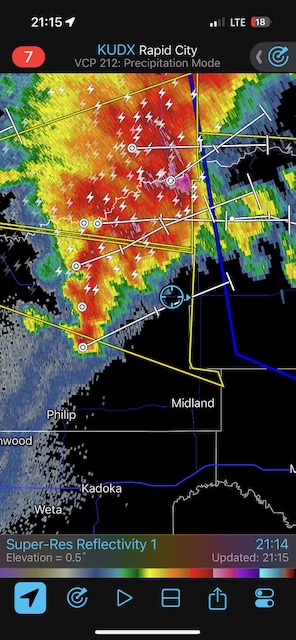
This day had high potential, but we needed to break a strong cap around the Philip and Midland area, east of Rapid City. Some cumulus bubbled. Some storms teased during the mid-afternoon but were high-based and junky. The cap won again. I decided to wait around for the evening show, as storms coming out of extreme western South Dakota towards sunset should be interesting eventually in the area of high instability where we were. (There is still some lingering daylight around 9:30 p.m. MDT in late June here!)
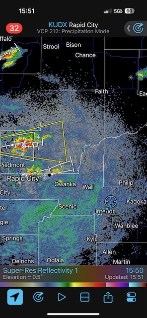
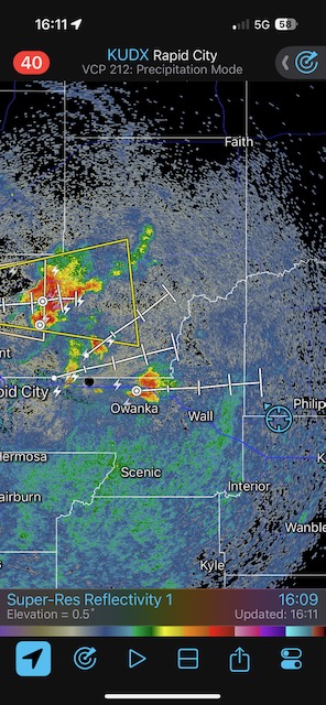
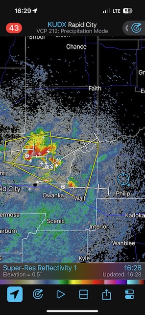
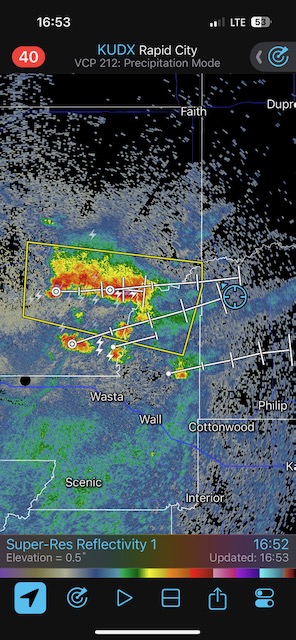
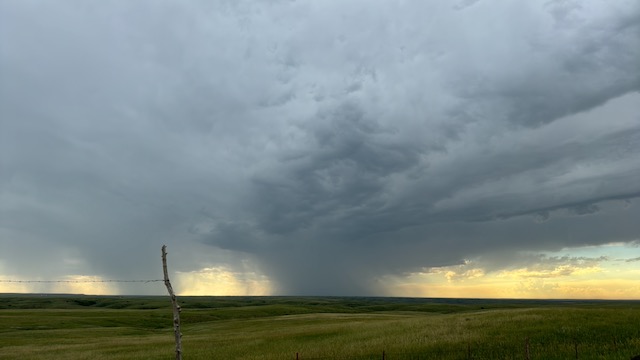
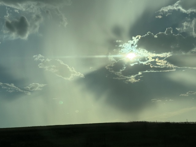
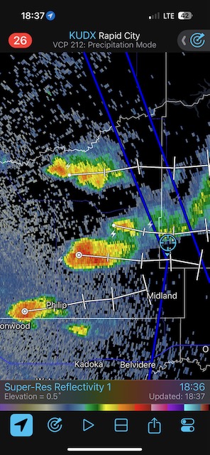
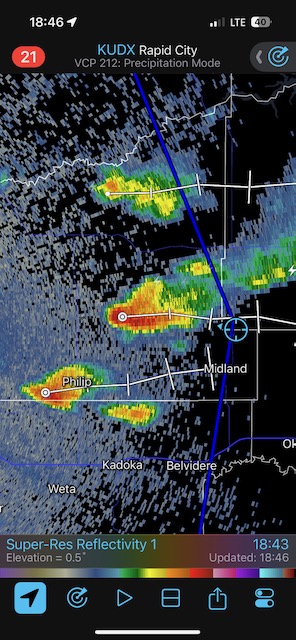
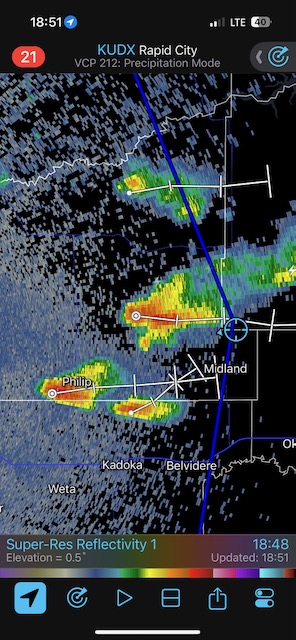
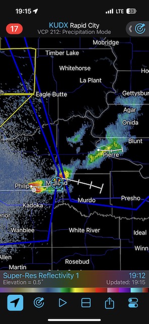
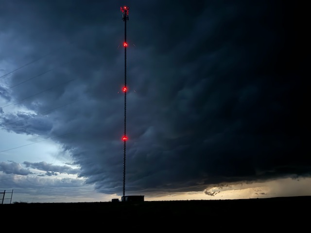
From Midland we went north and west a bit to watch a squally thing approach. We were at the south end of the complex, and there was some decent rotation and laminar structure on the leading edge. The activity chased us back to the east, and we had to get out of the way of strong winds and hail by diving back south to I-90. The lightning show to our north wasn’t too bad along 90 on our way to Presho.

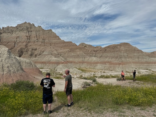
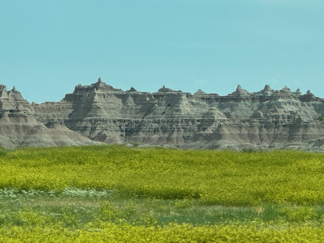
iPhone pics below
Leave a Reply
You must be logged in to post a comment.