
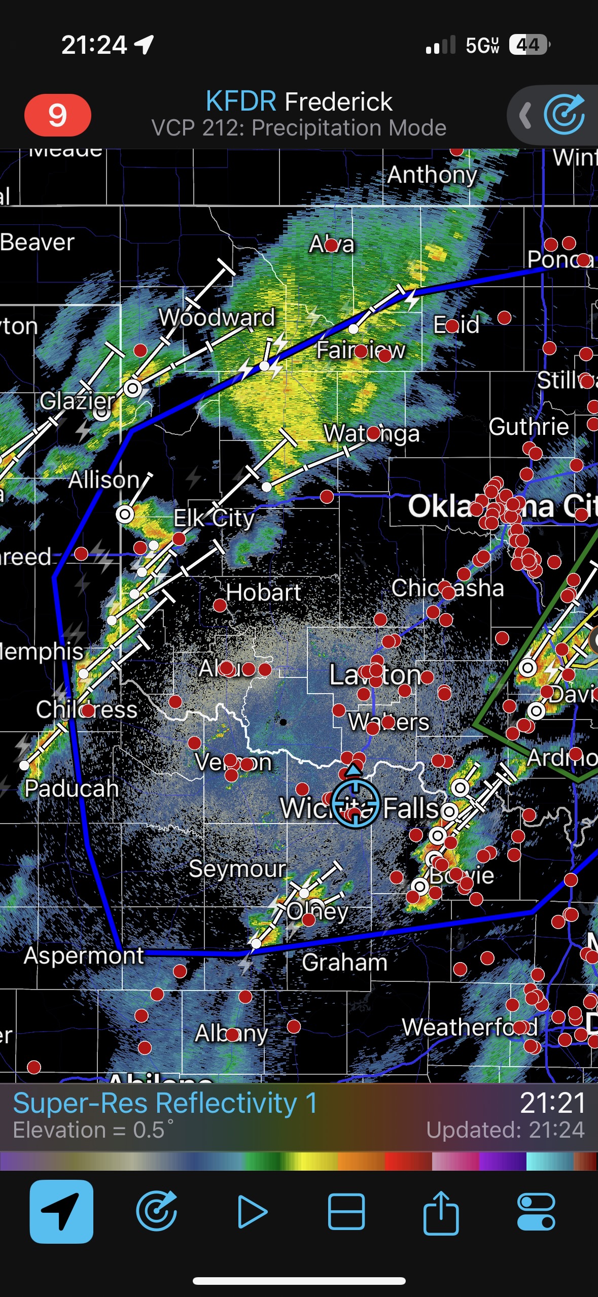
Let’s stick April 18 in here before April 19. It looked like the 18th could be a big day around the Red River and Lawton in Oklahoma. But thick middle and high clouds prevented heating during the day, and there was nothing to chase before it got dark.
April 18/Start: York, NE/lunch: Schlotzkys in E Wichita/Dinner: El Grande in Wichita Falls, TX/End: Wichita Falls/971 miles…could that be right?!
April 19/Start: Wichita Falls/Grab and Go lunch at a market in Ballinger/End: San Angelo/566 miles
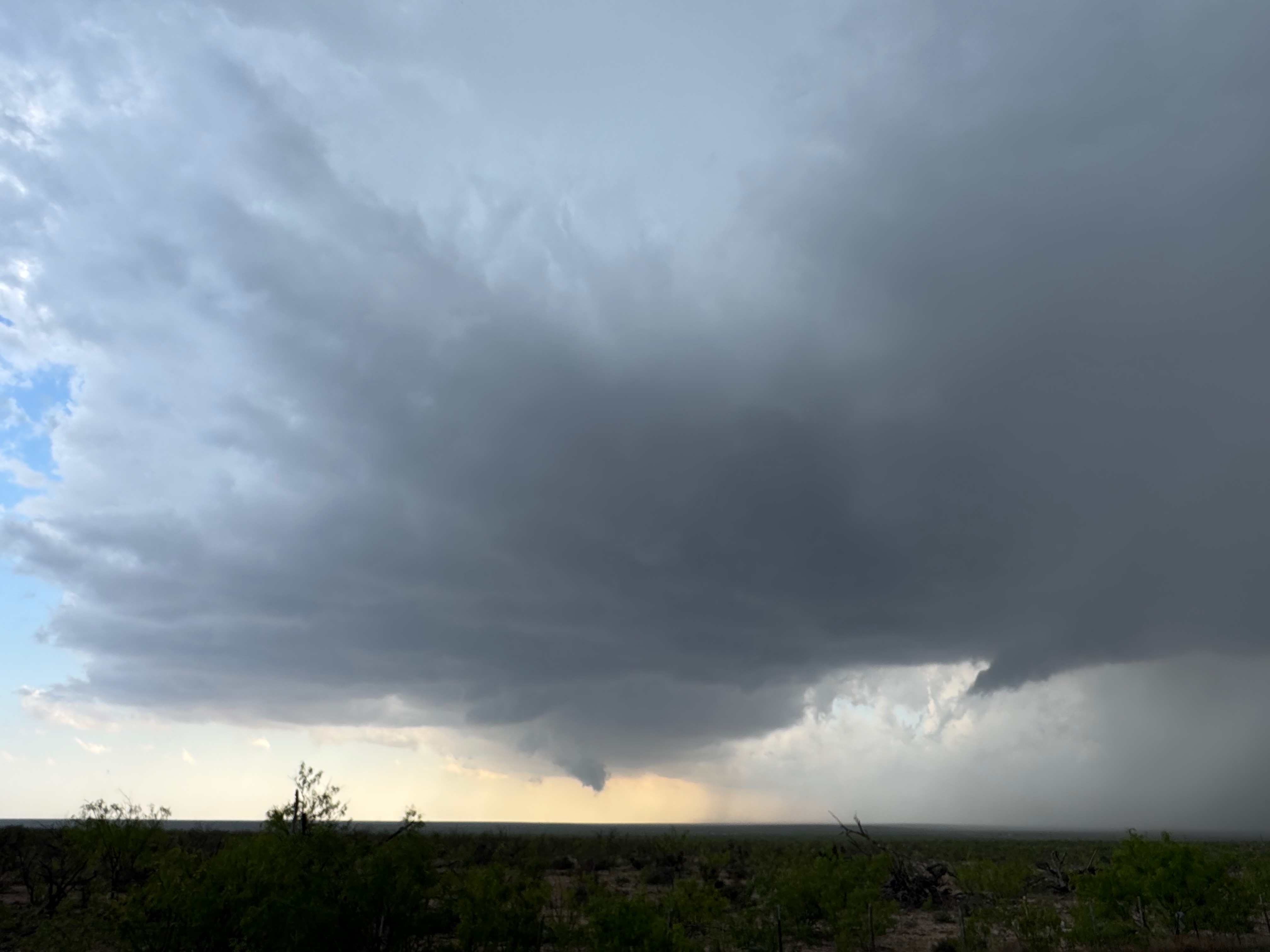
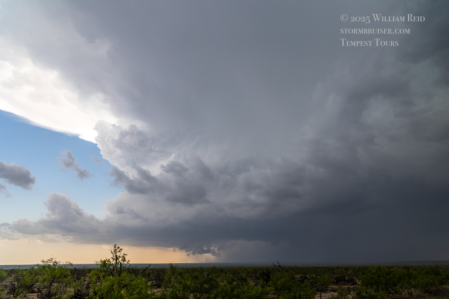
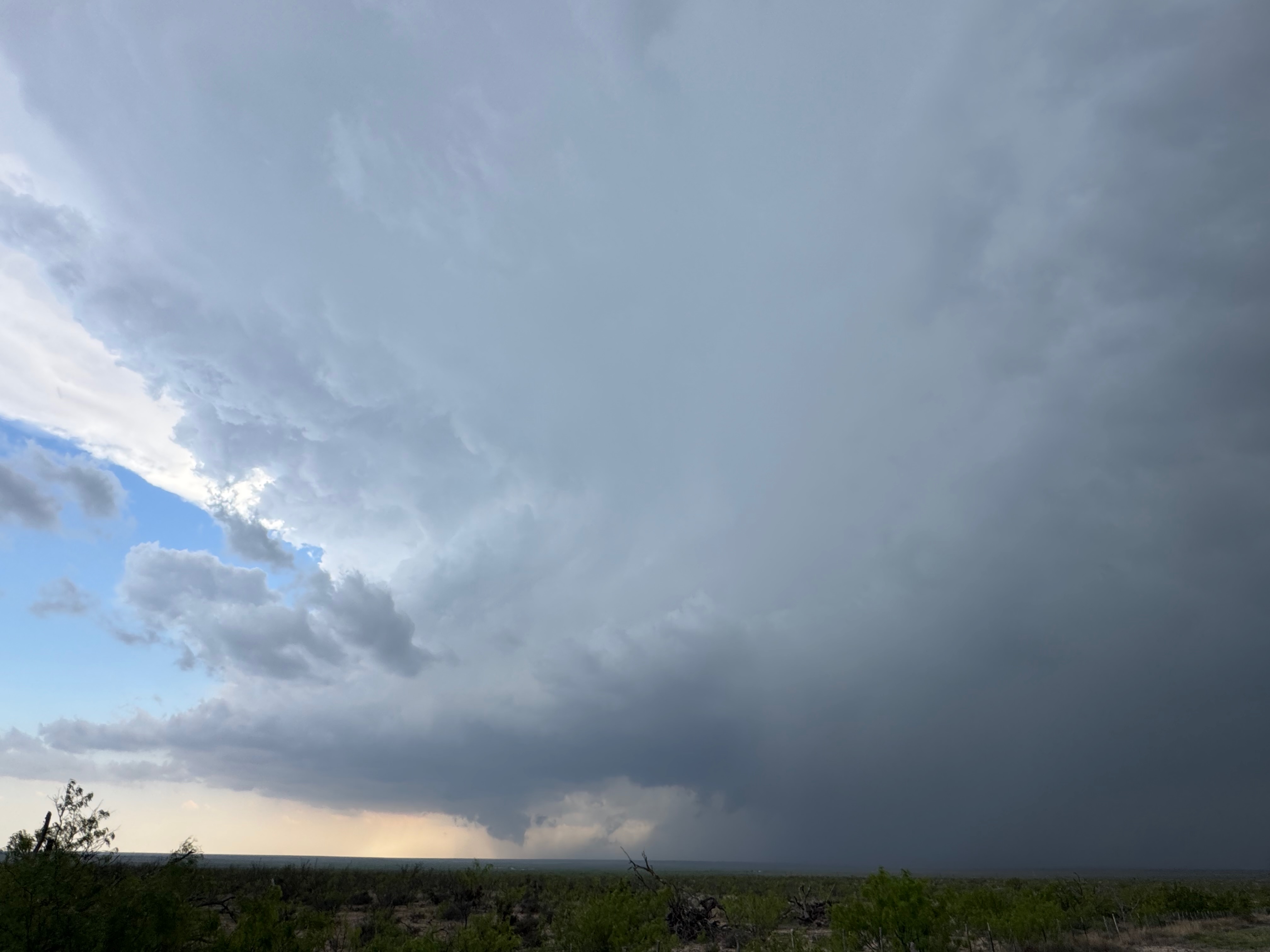
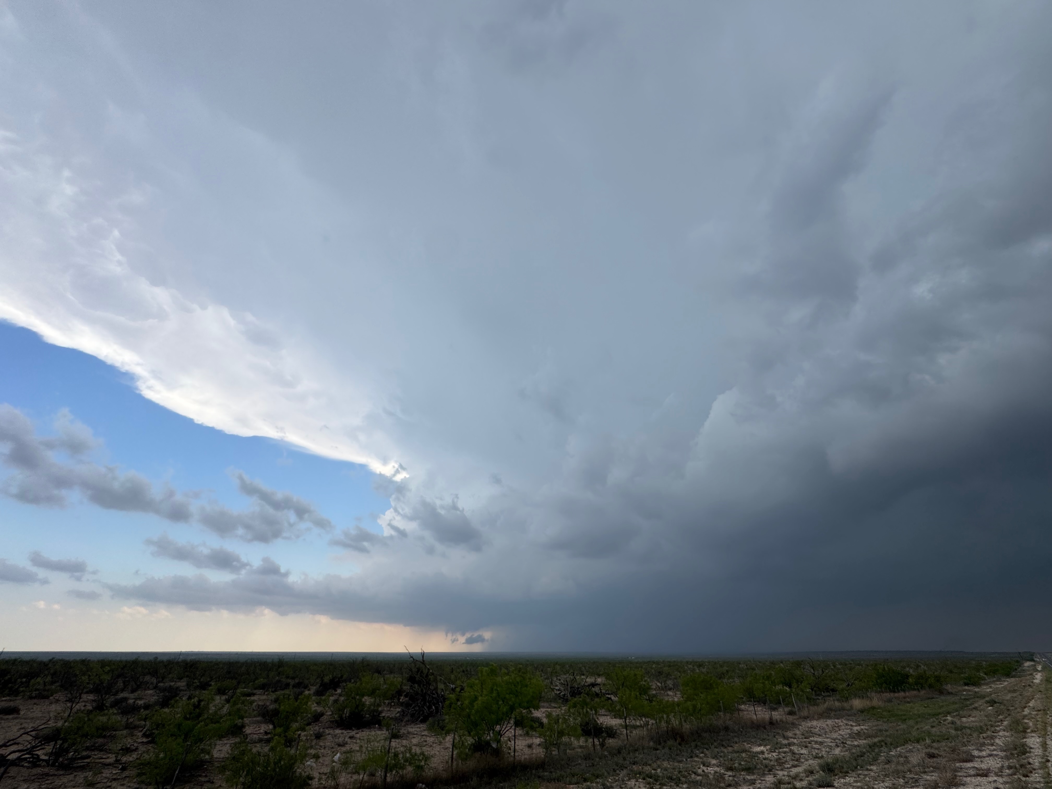
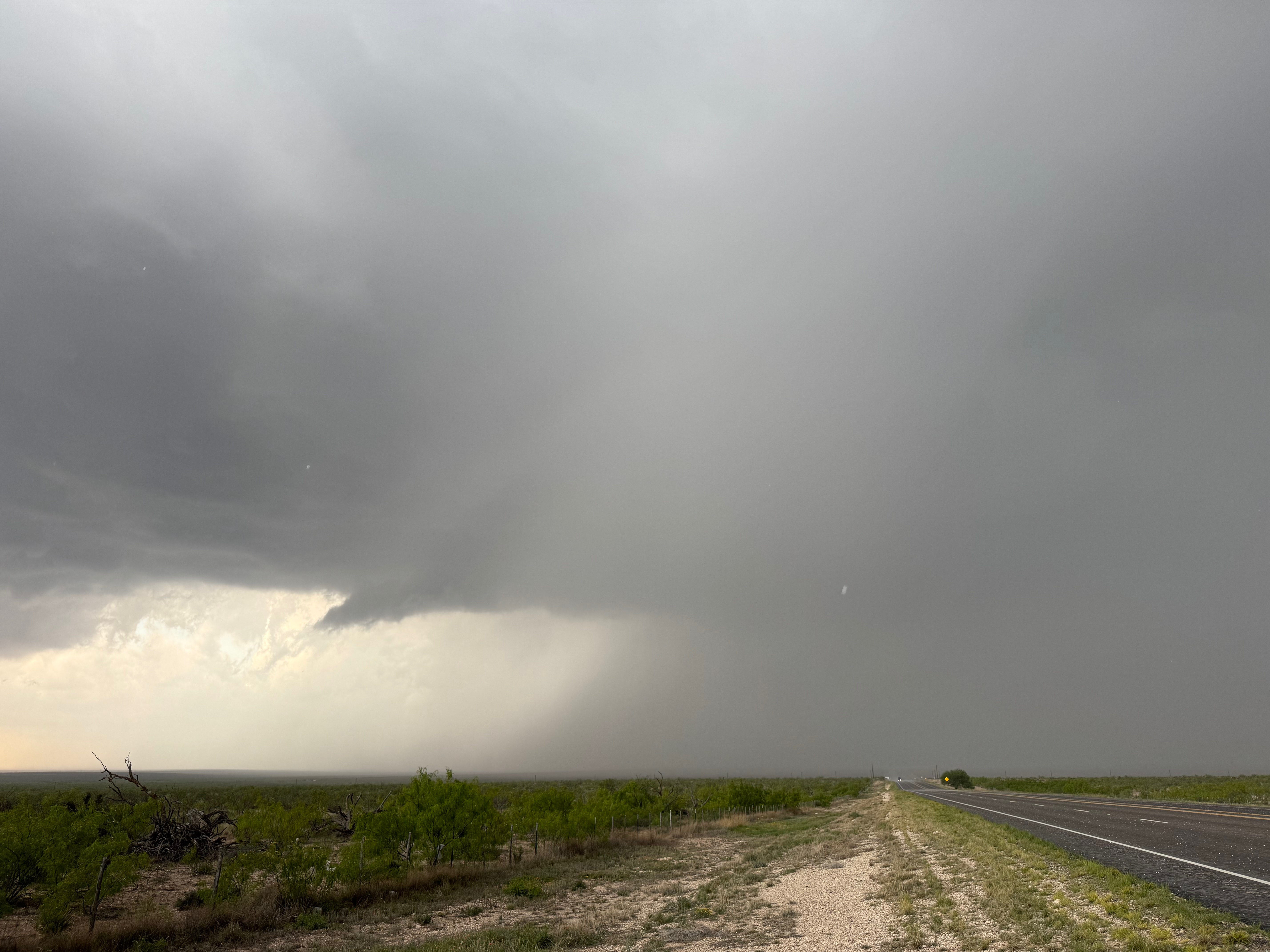
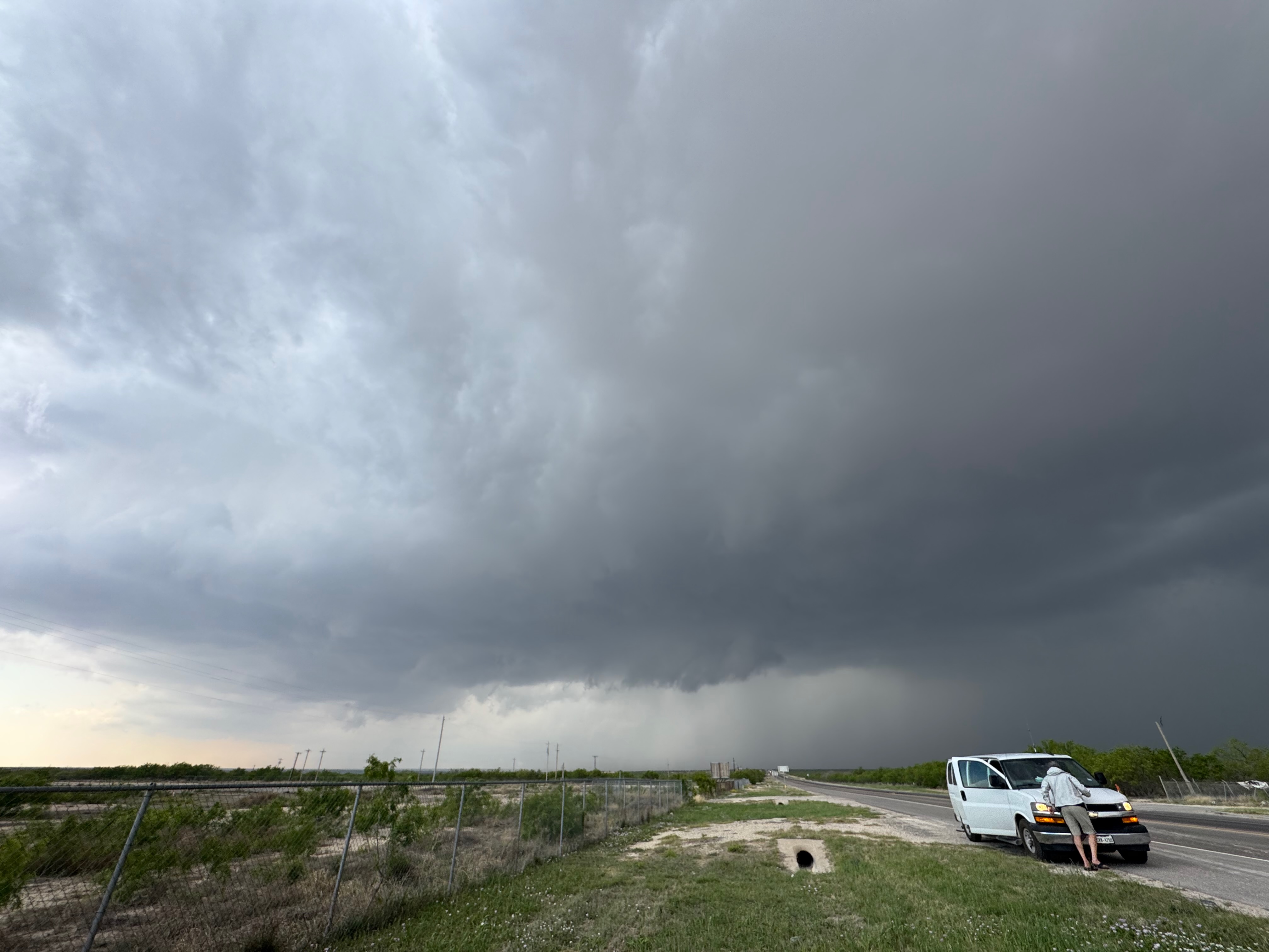
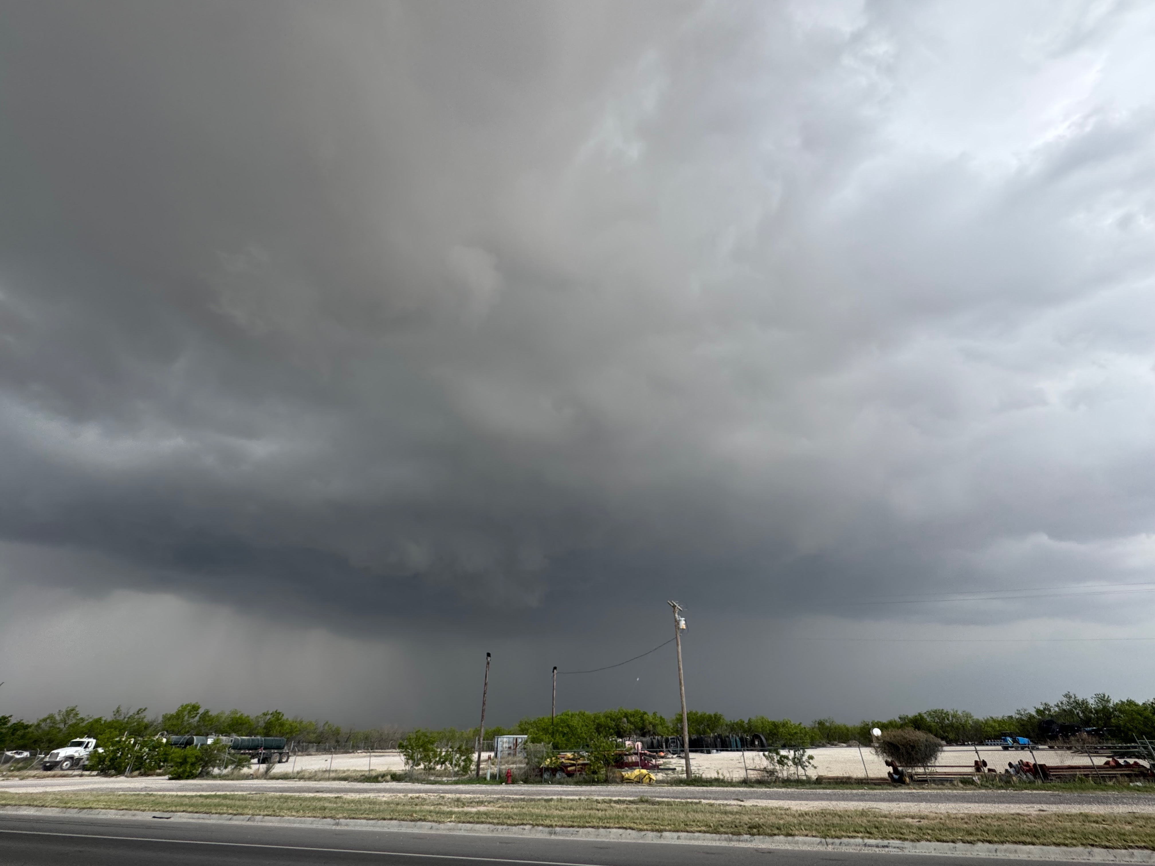
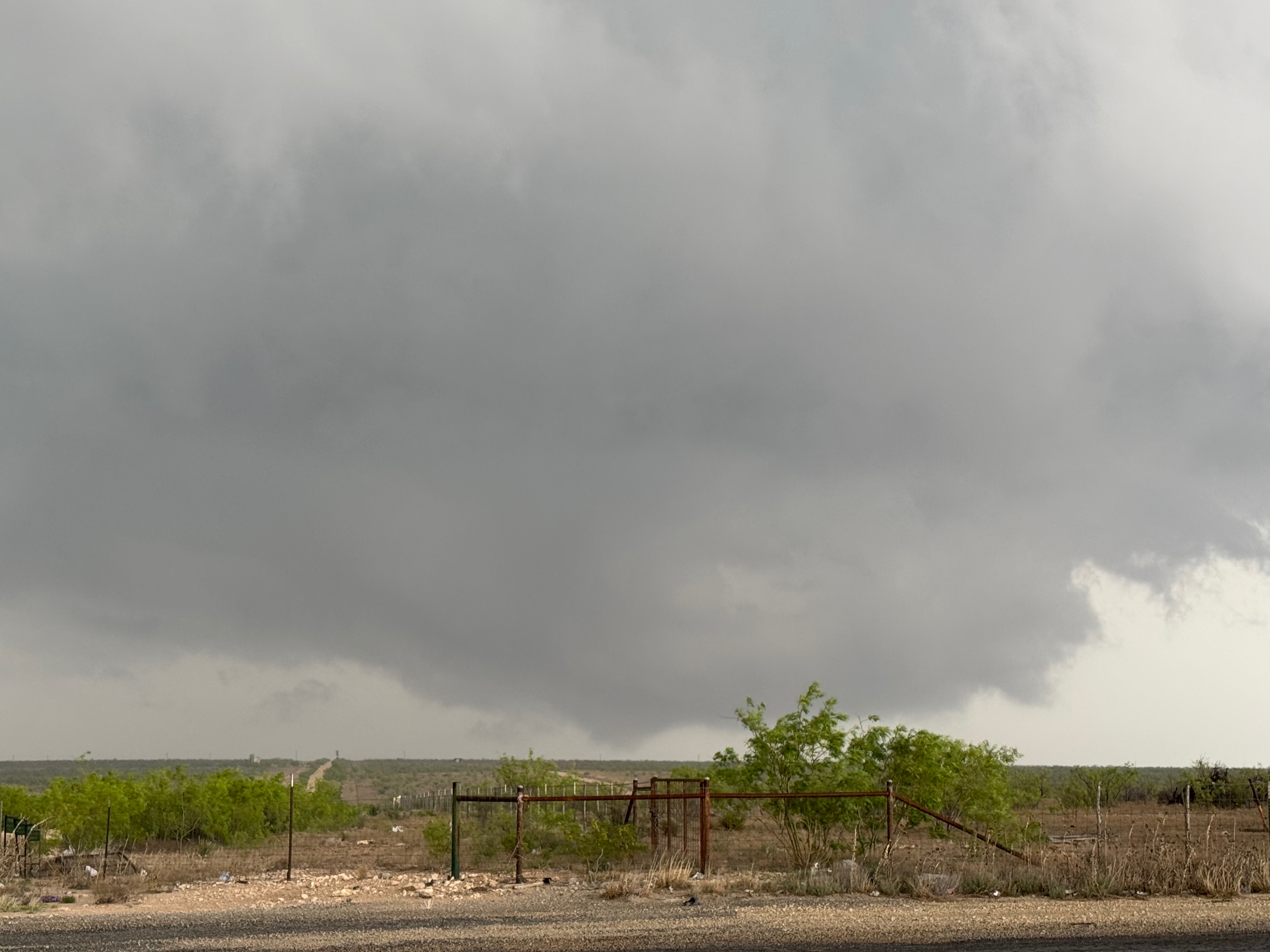
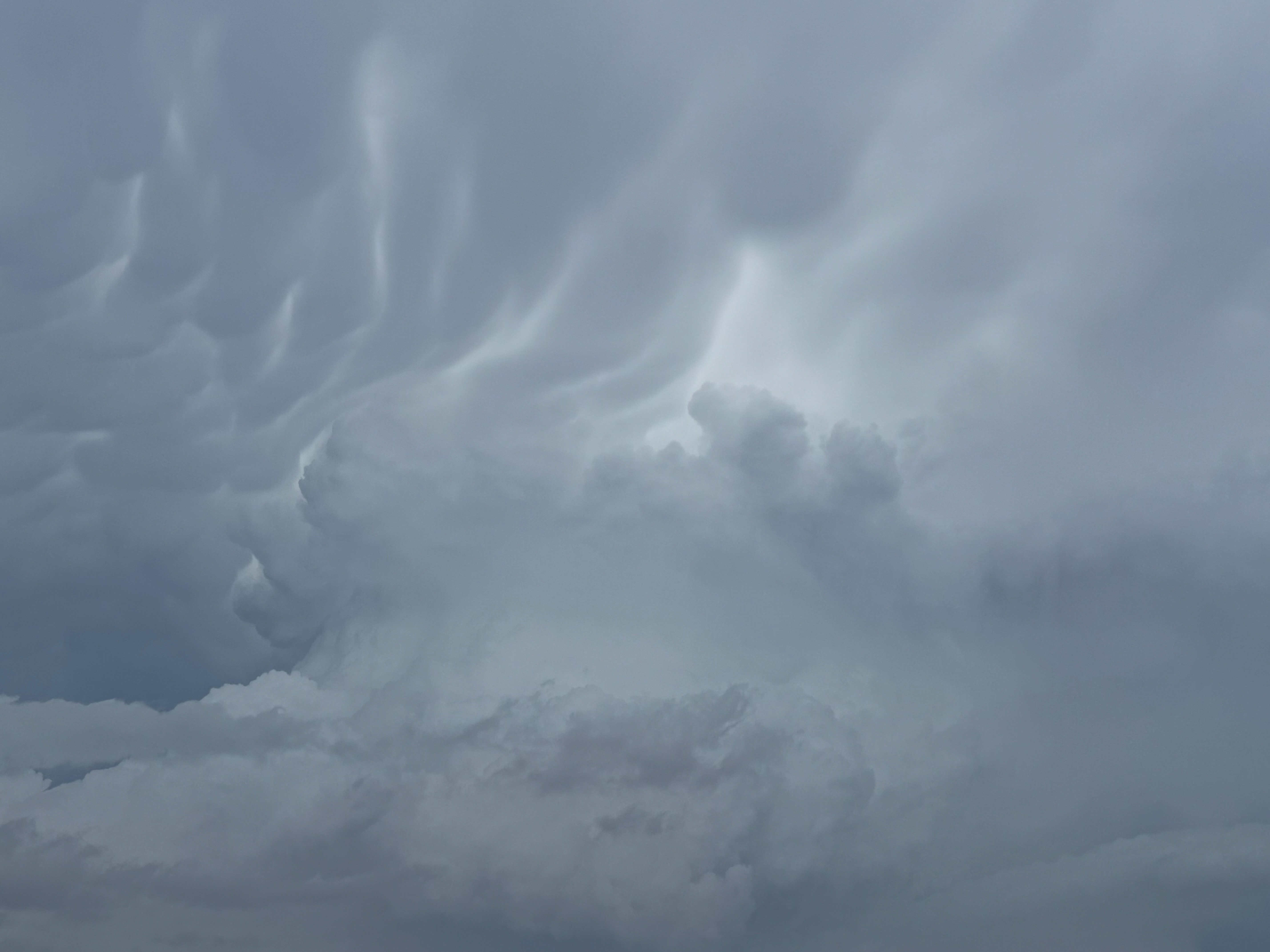
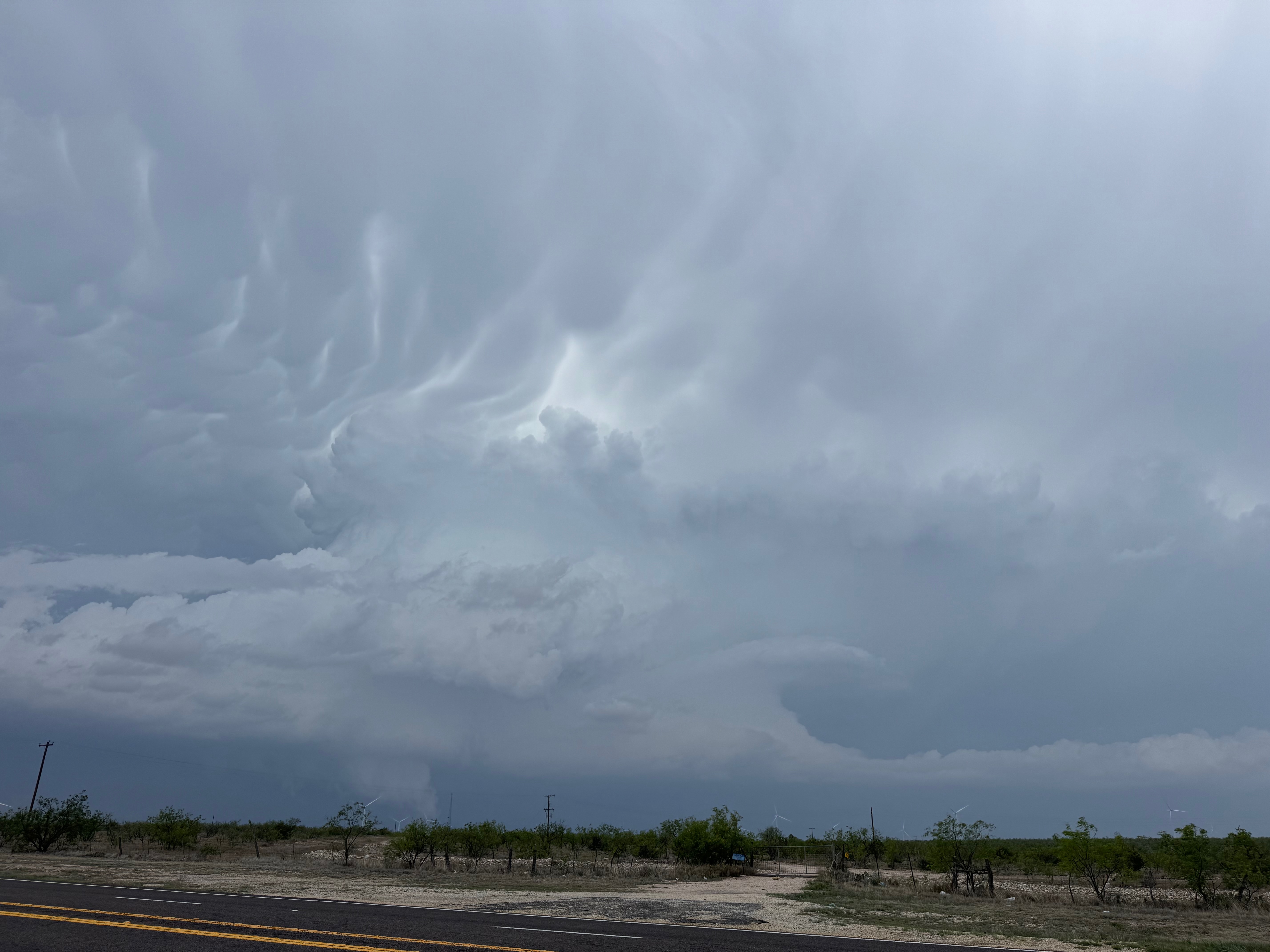
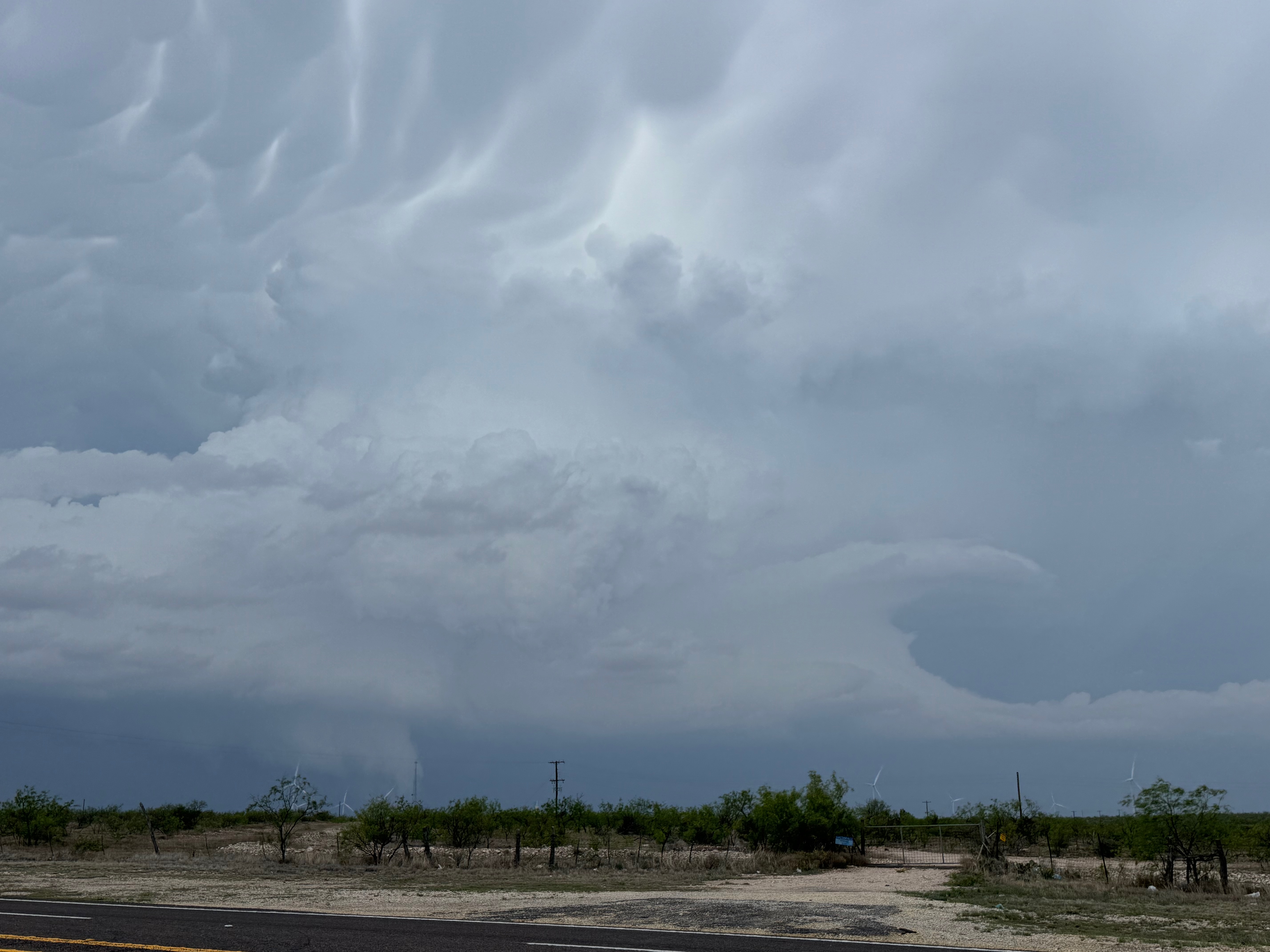
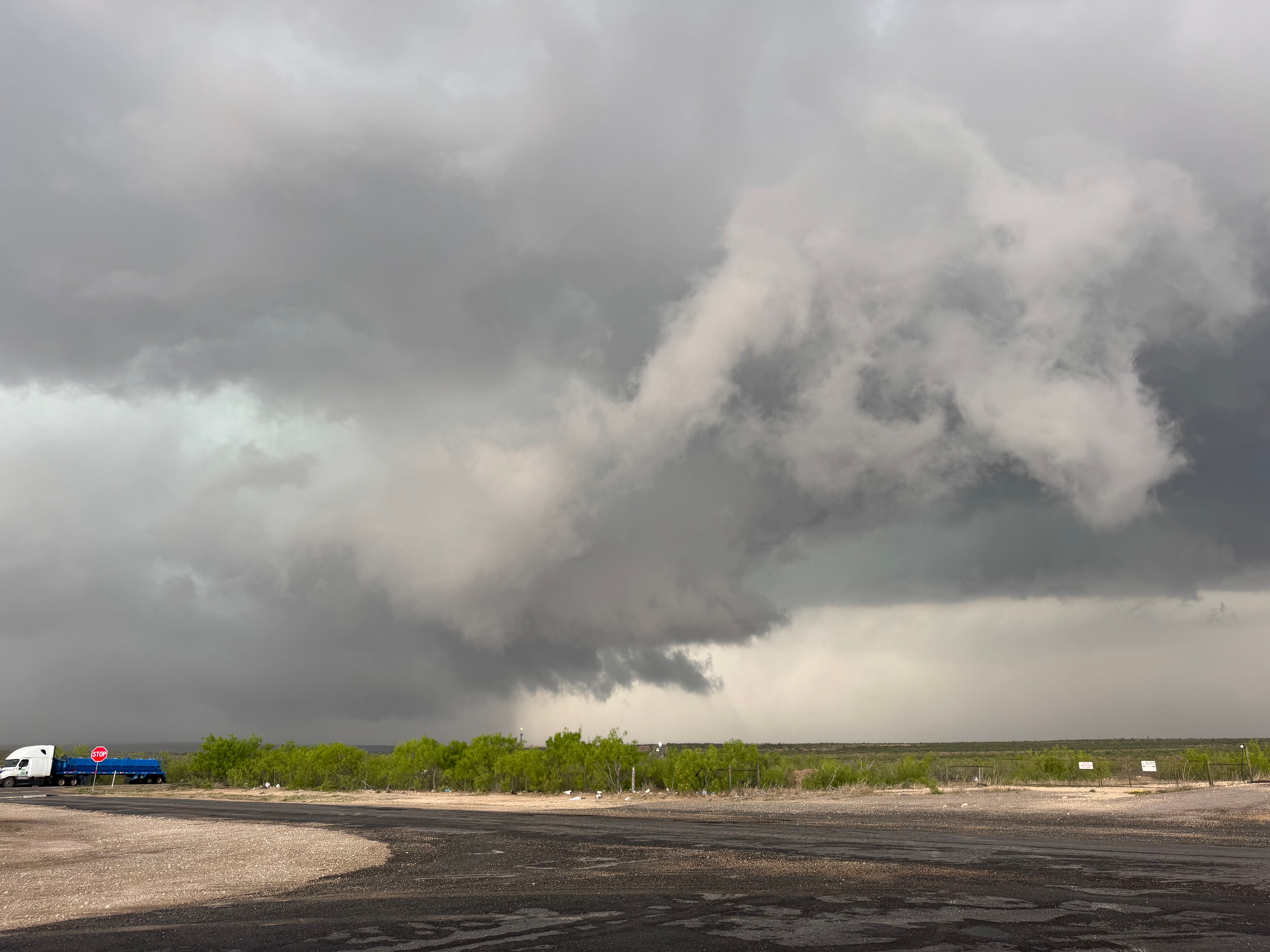
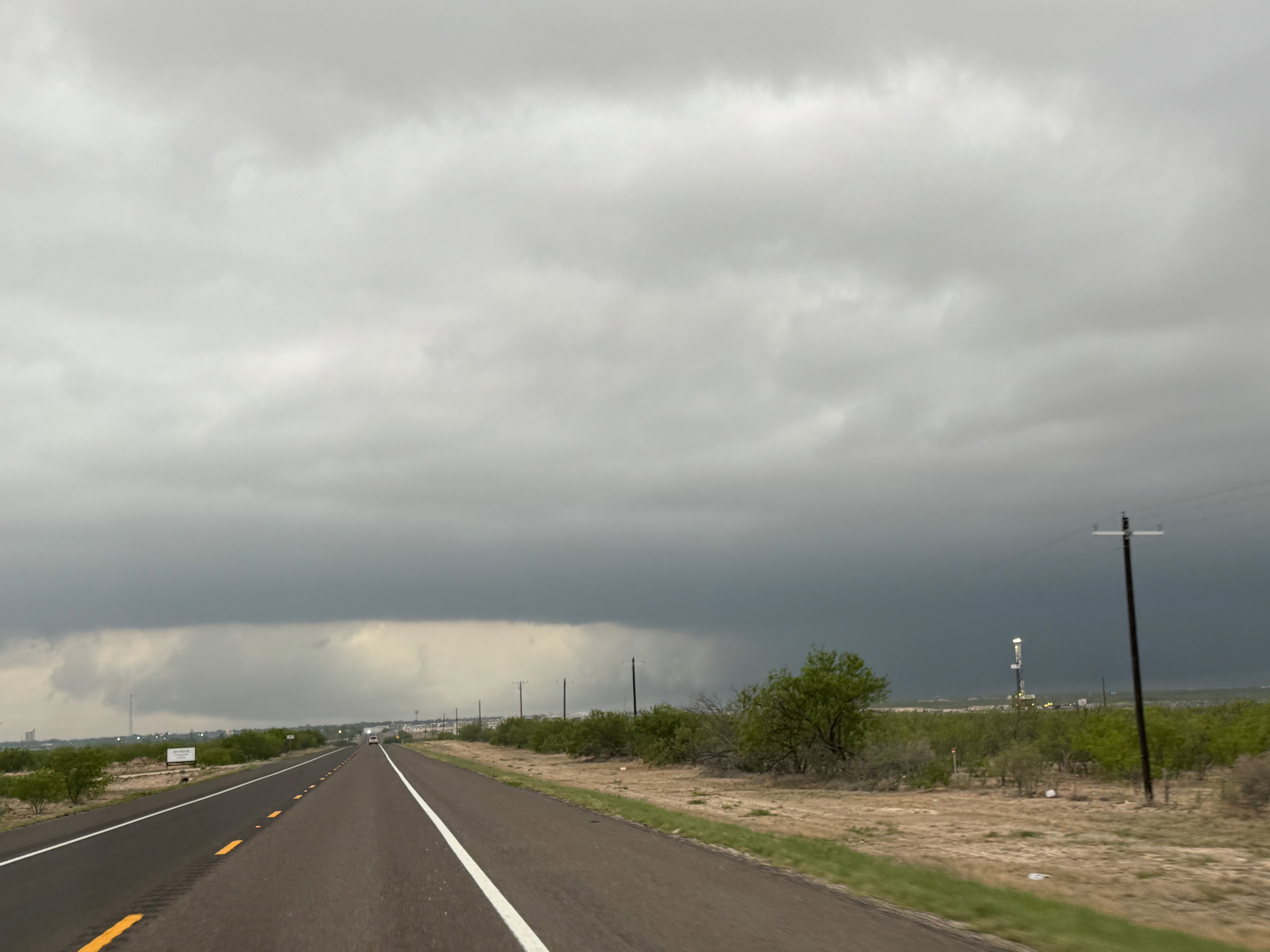
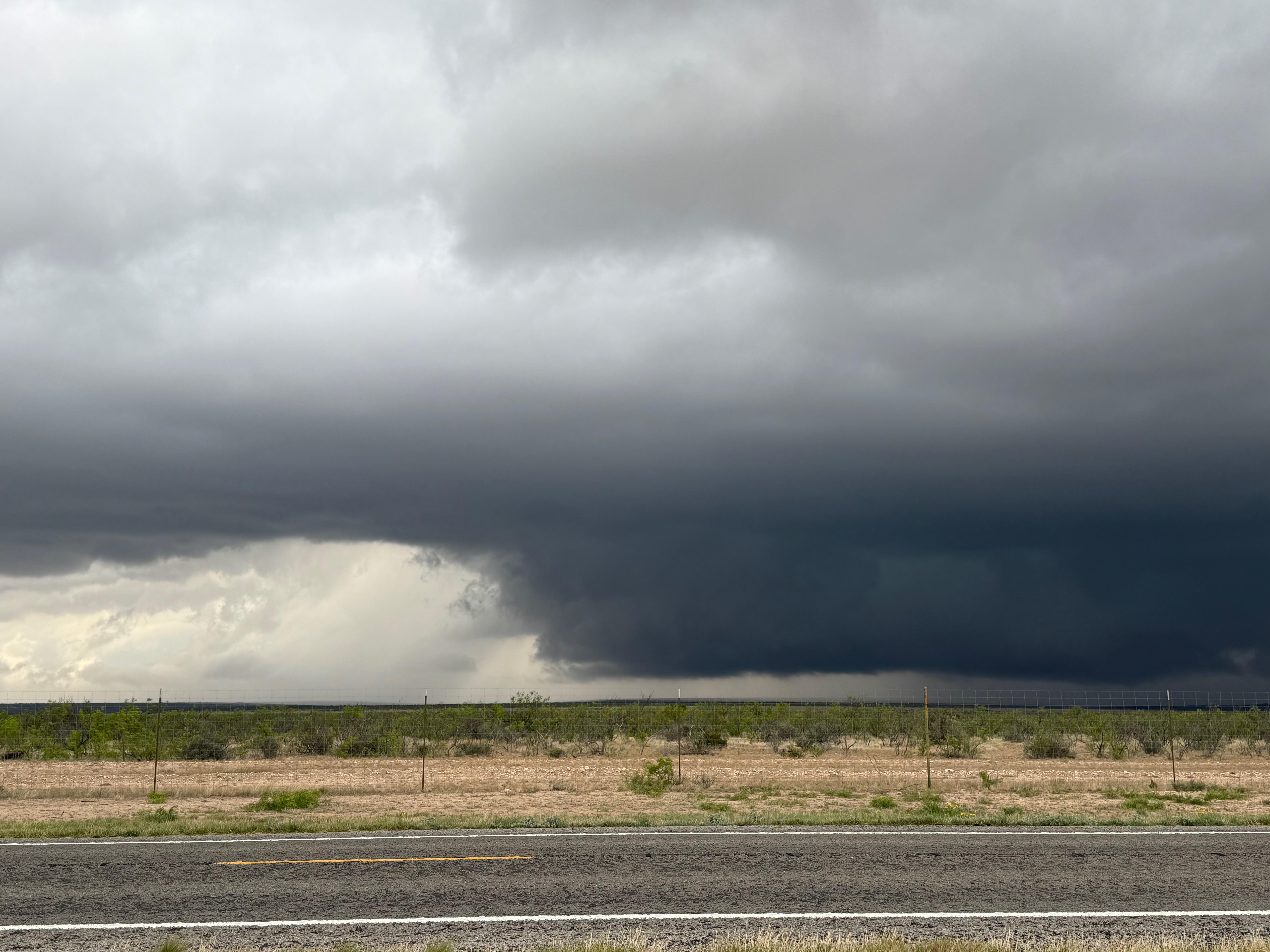
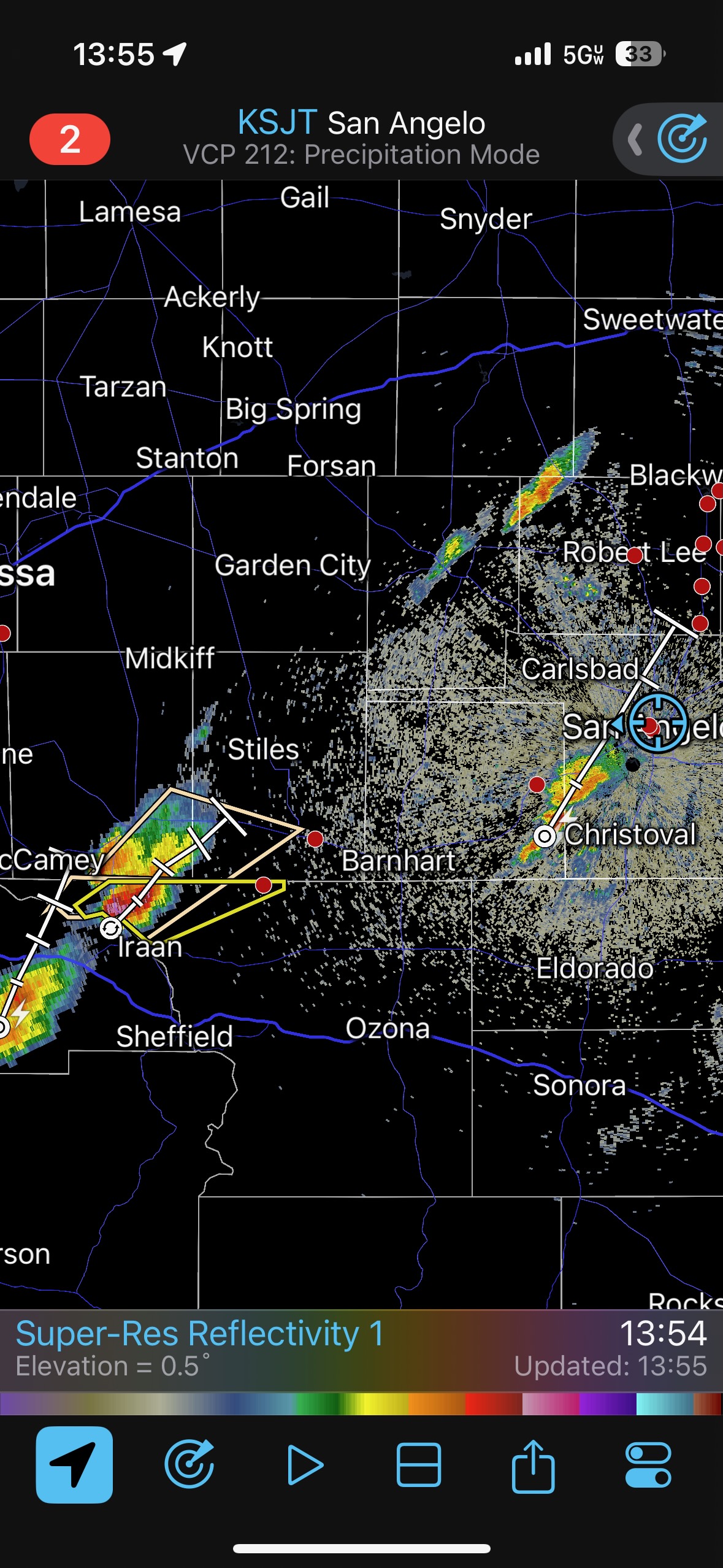
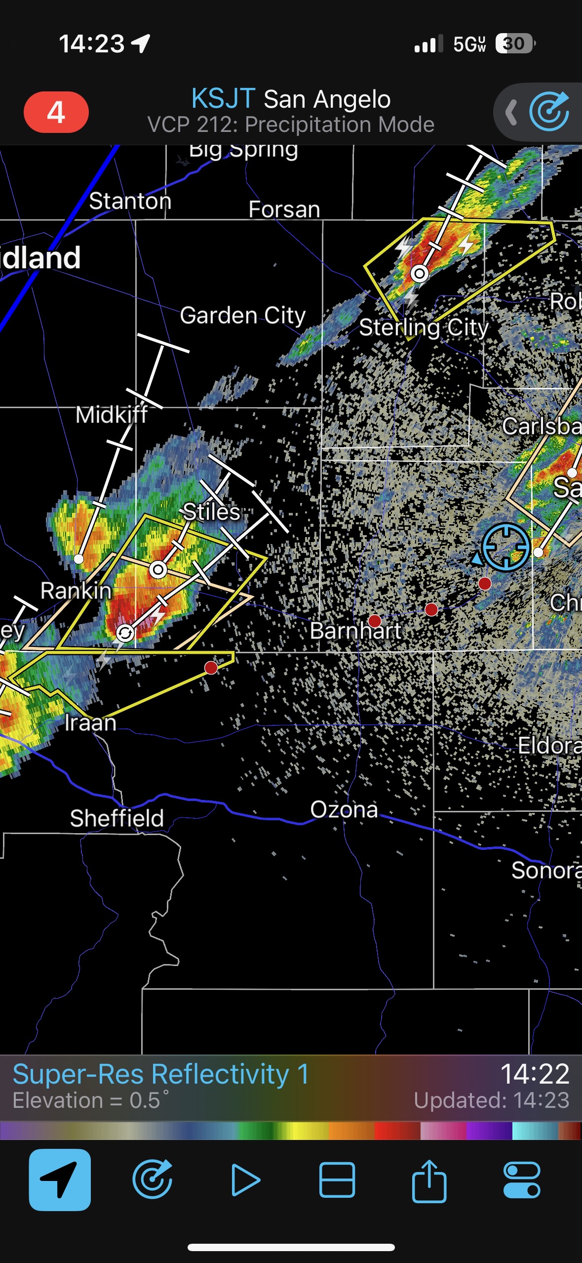
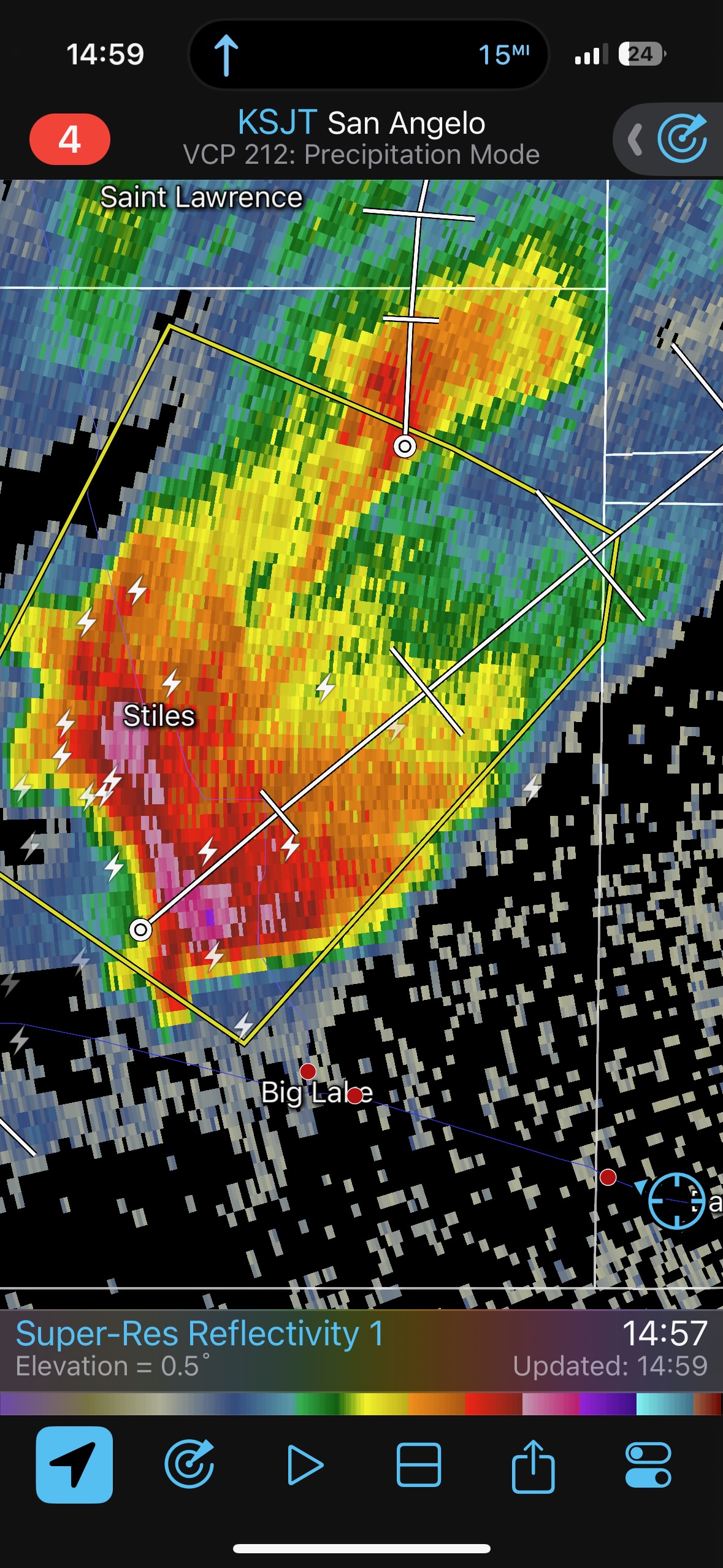
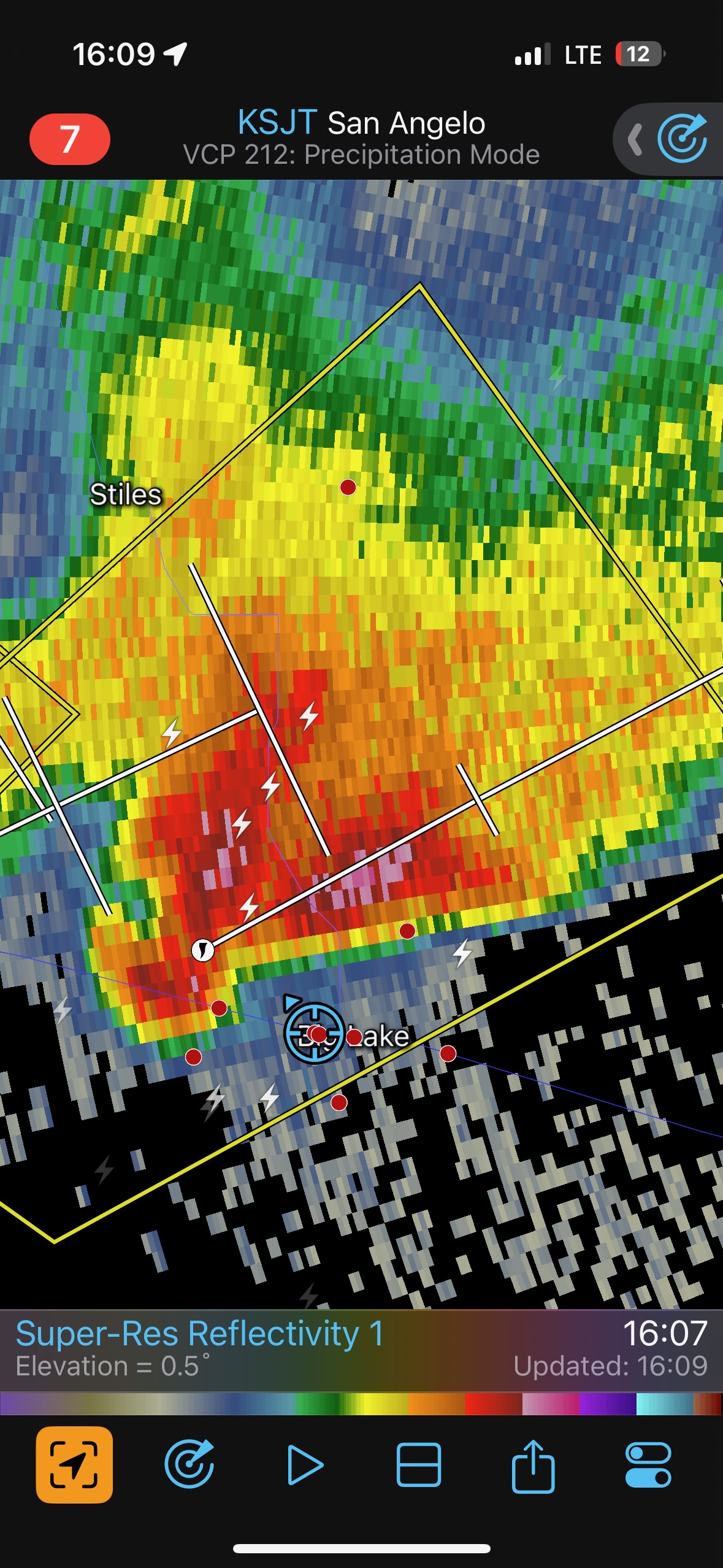
There was much disappointment on the 18th due to the thick high clouds which resulted in a bust. The long drive from Nebraska to the Red River, though, allowed a reasonable drive south to the San Angelo and Big Lake area for the chase on the 19th. Once again, big hail and a decent chance of tornadoes were in the forecast. From San Angelo I targeted strong development that was SSW of Big Lake. The first big storm approached our location a few miles west of Big Lake. It had a really good look as it approached. It looked like the core was going to miss us just to the west, and we started to get some one-inch hail. That was fun, but then it was soon two-inch hail and our windshields were getting cracked. That was not really what I wanted. The glass damage wasn’t too horrible, and the vans were drivable. But we had to get the windshields replaced later in the tour.
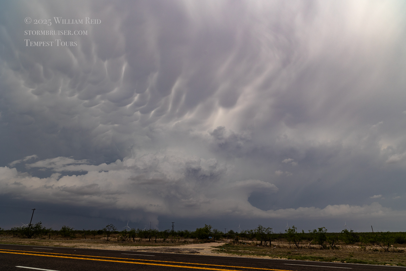
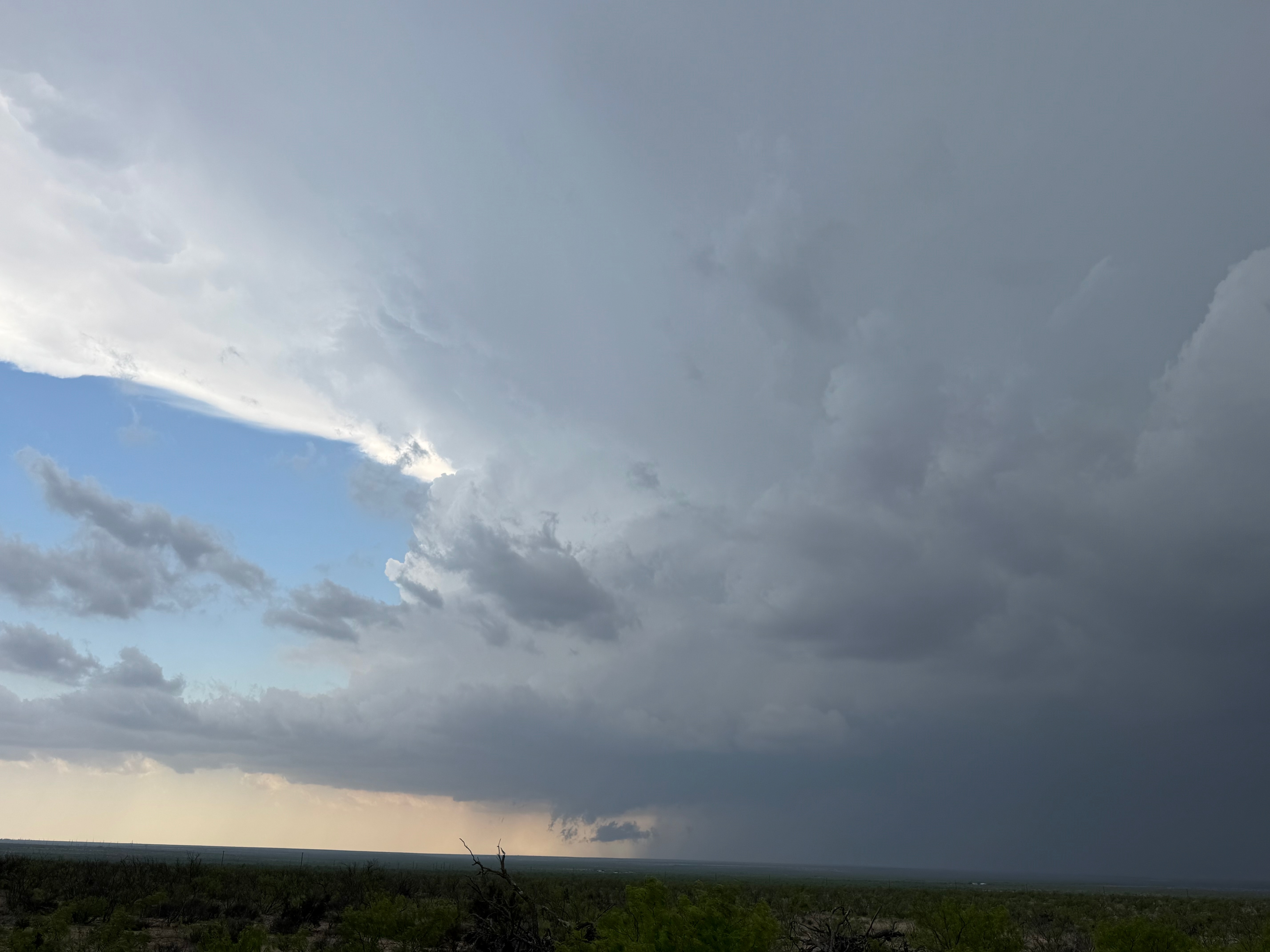
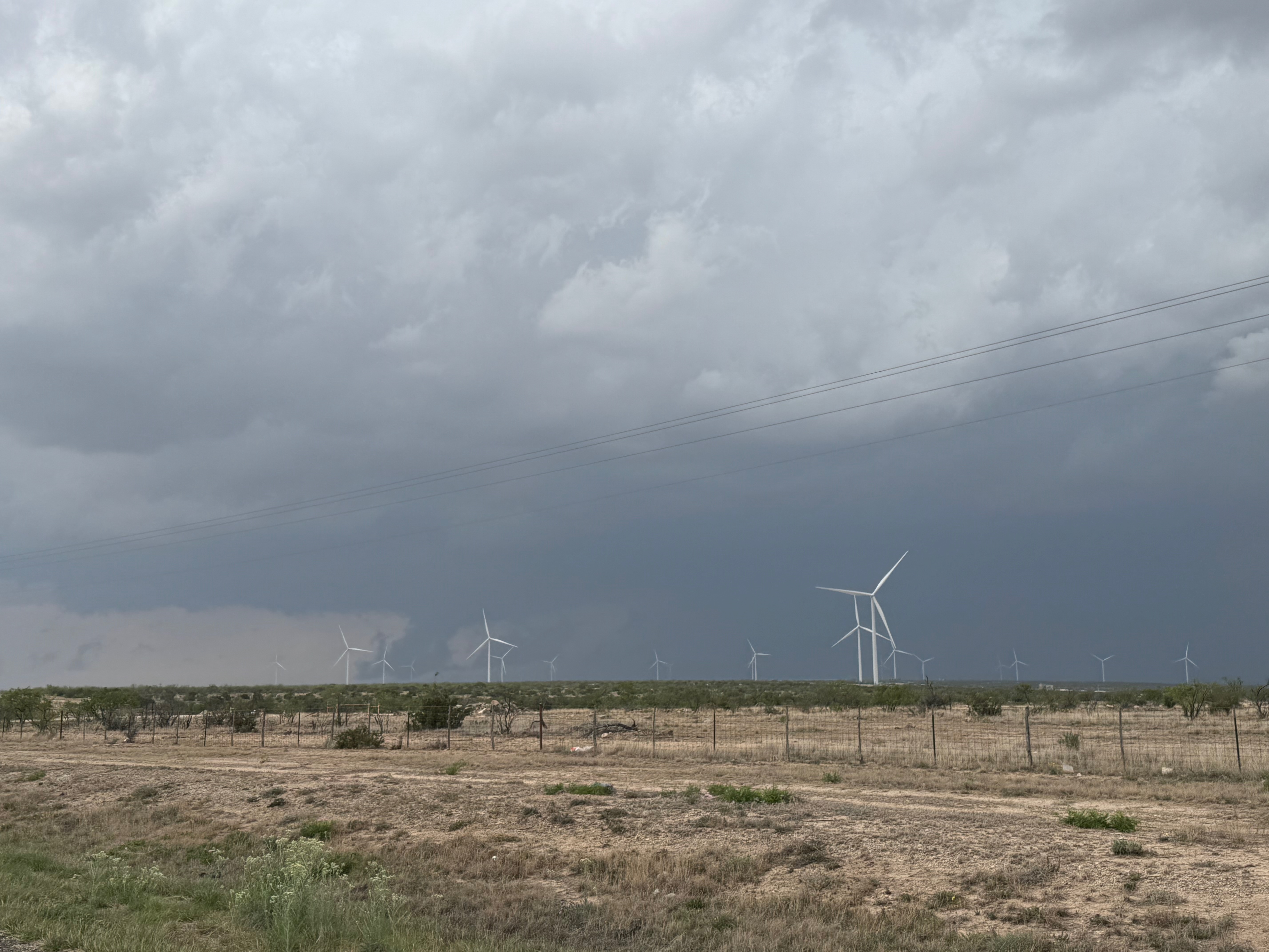
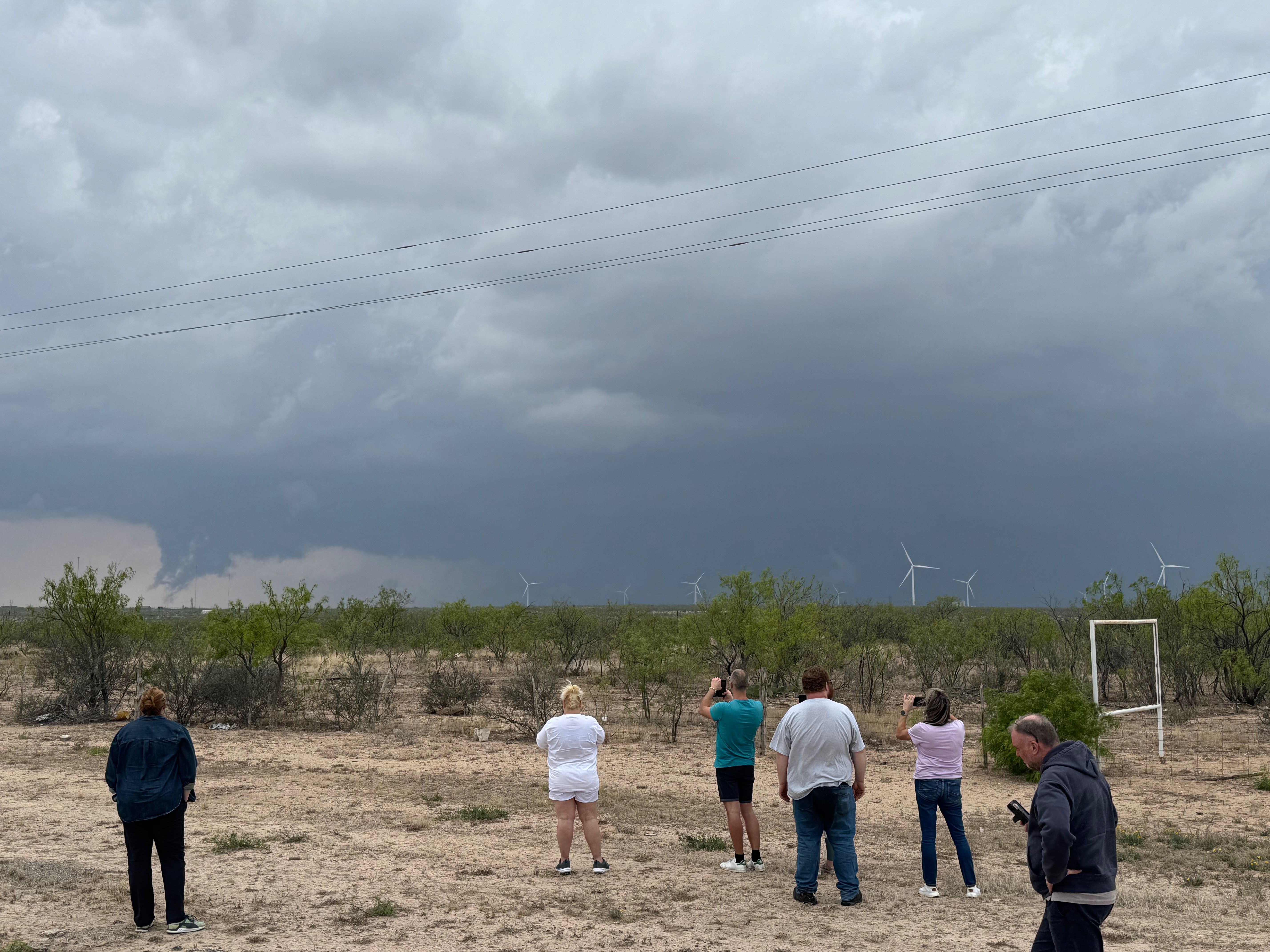
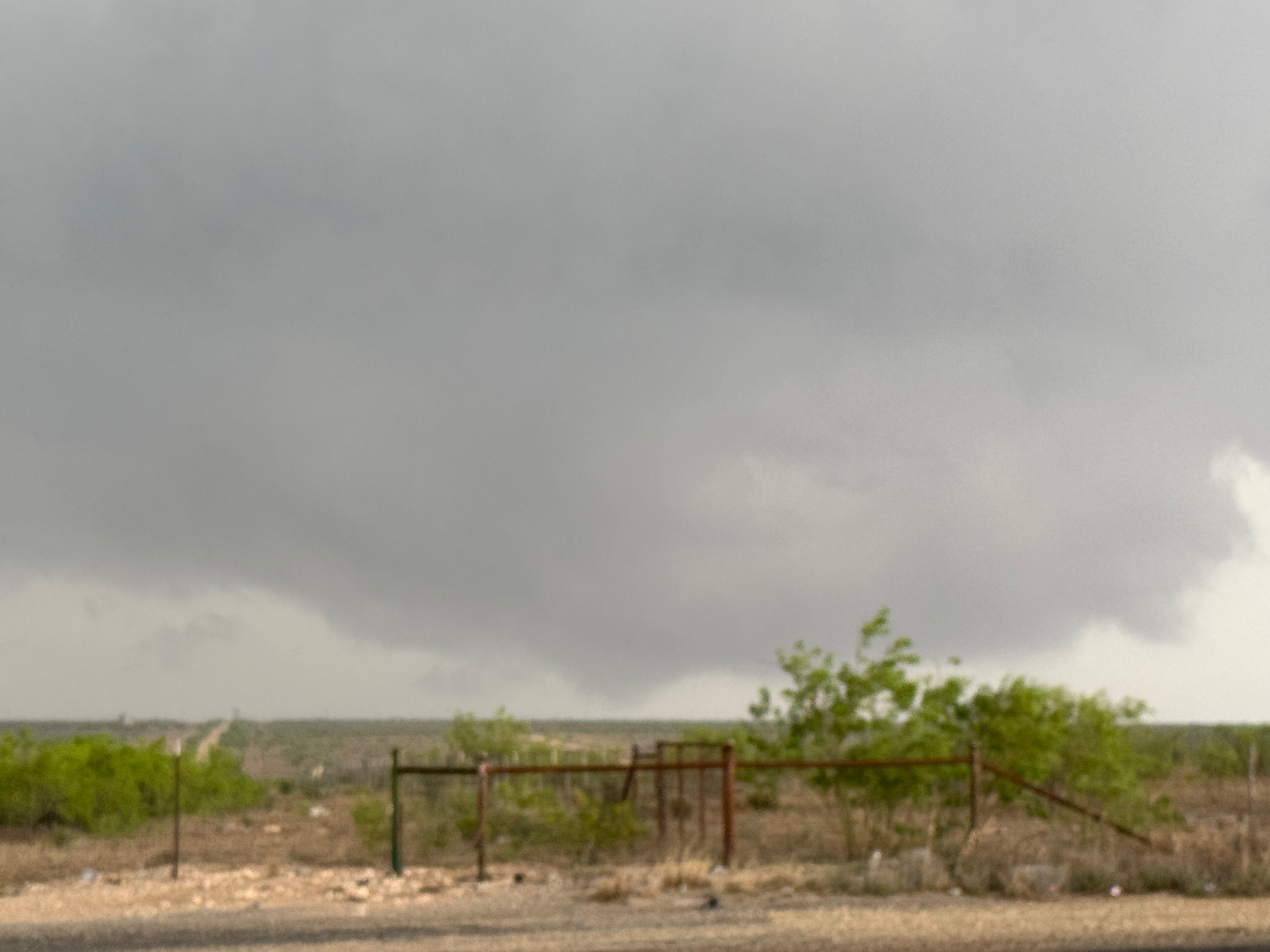
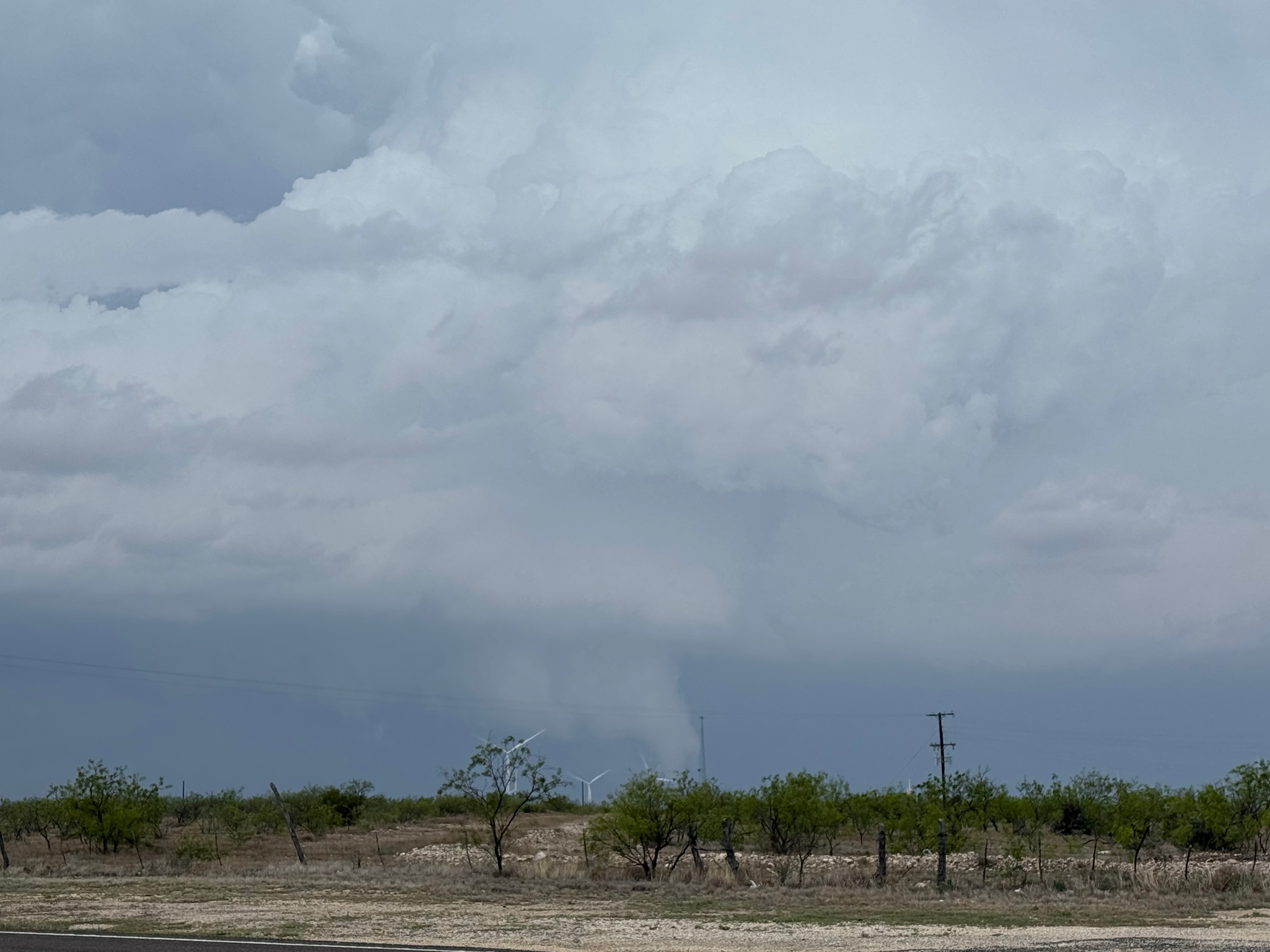
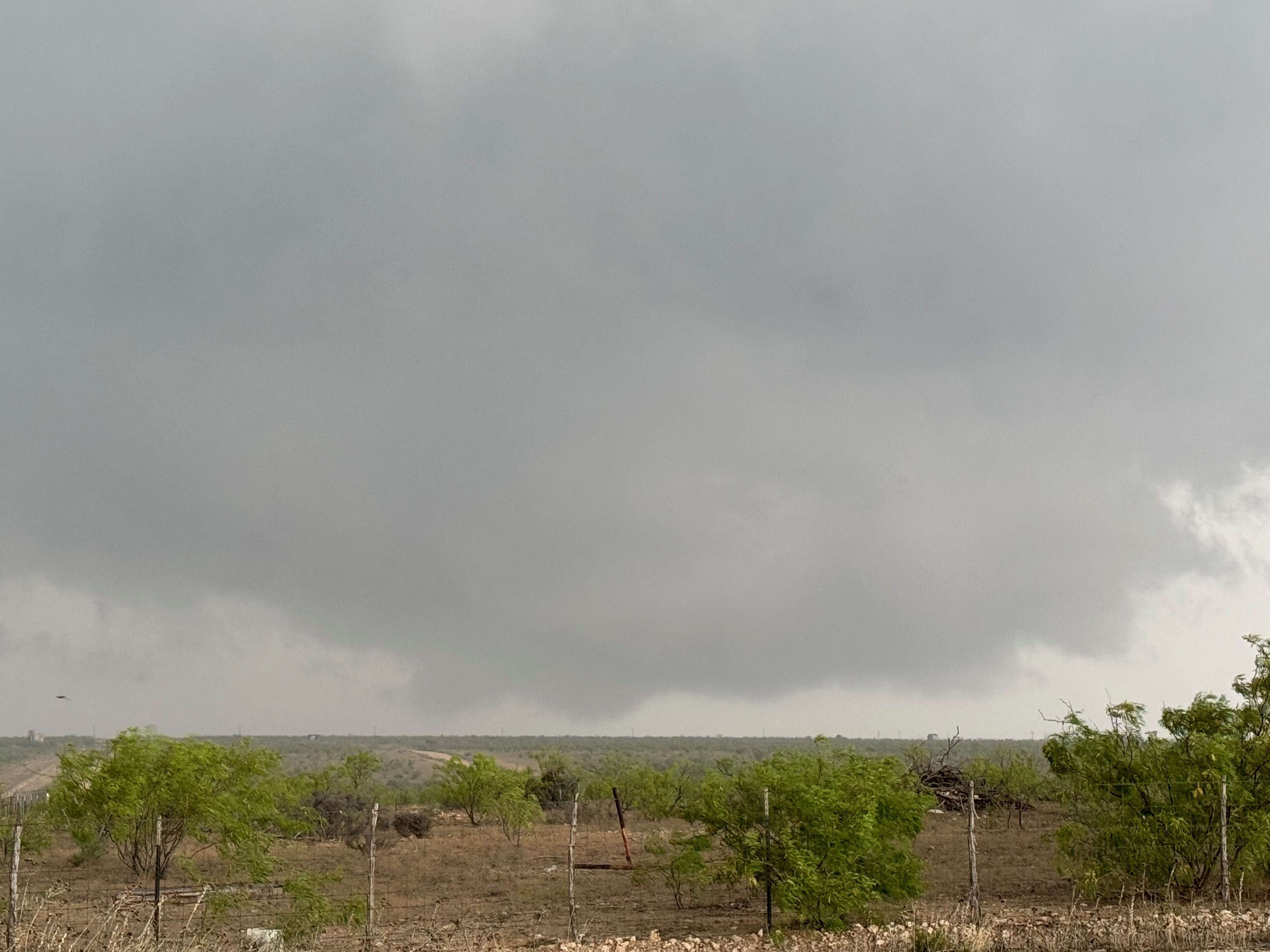
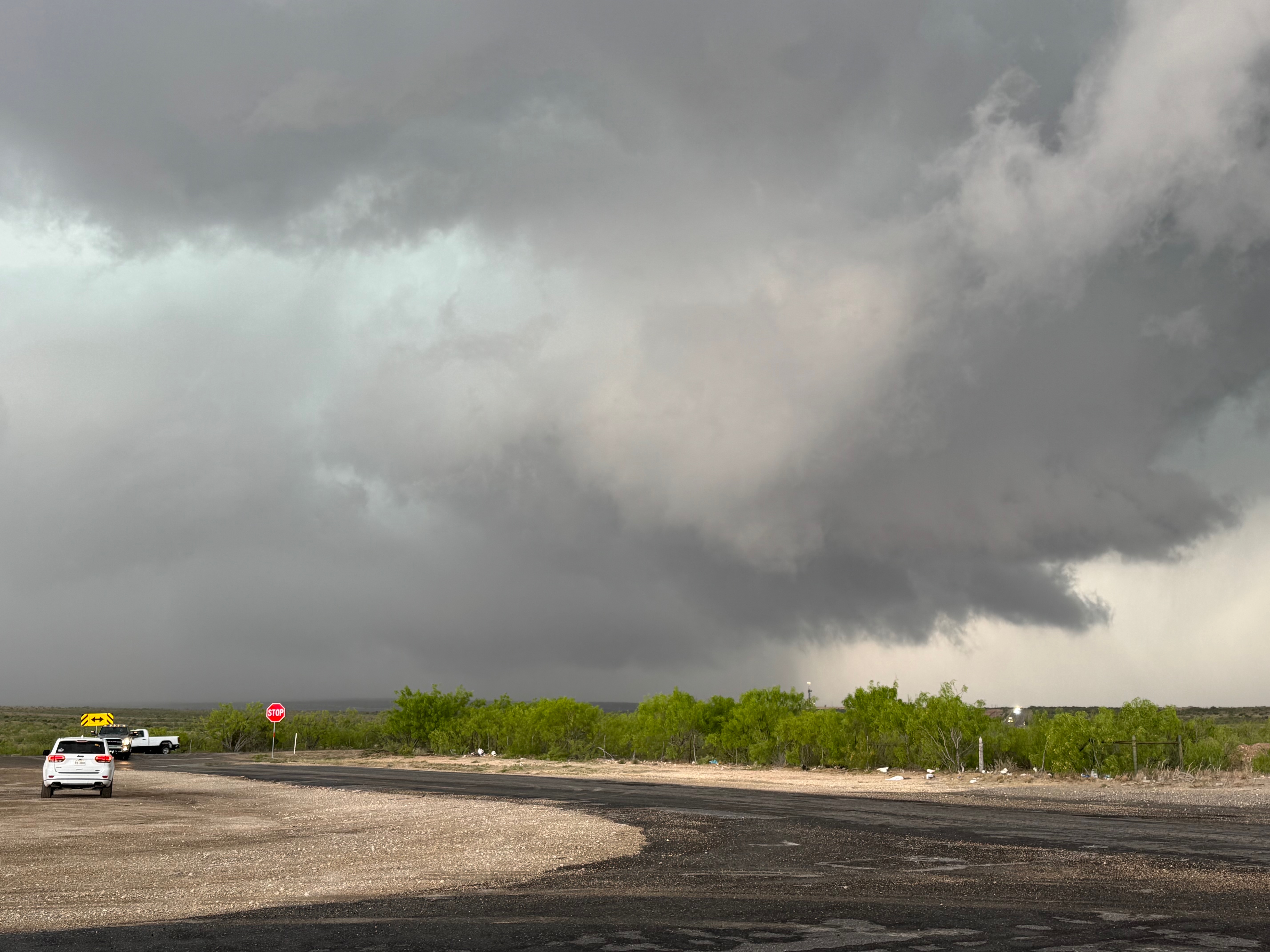
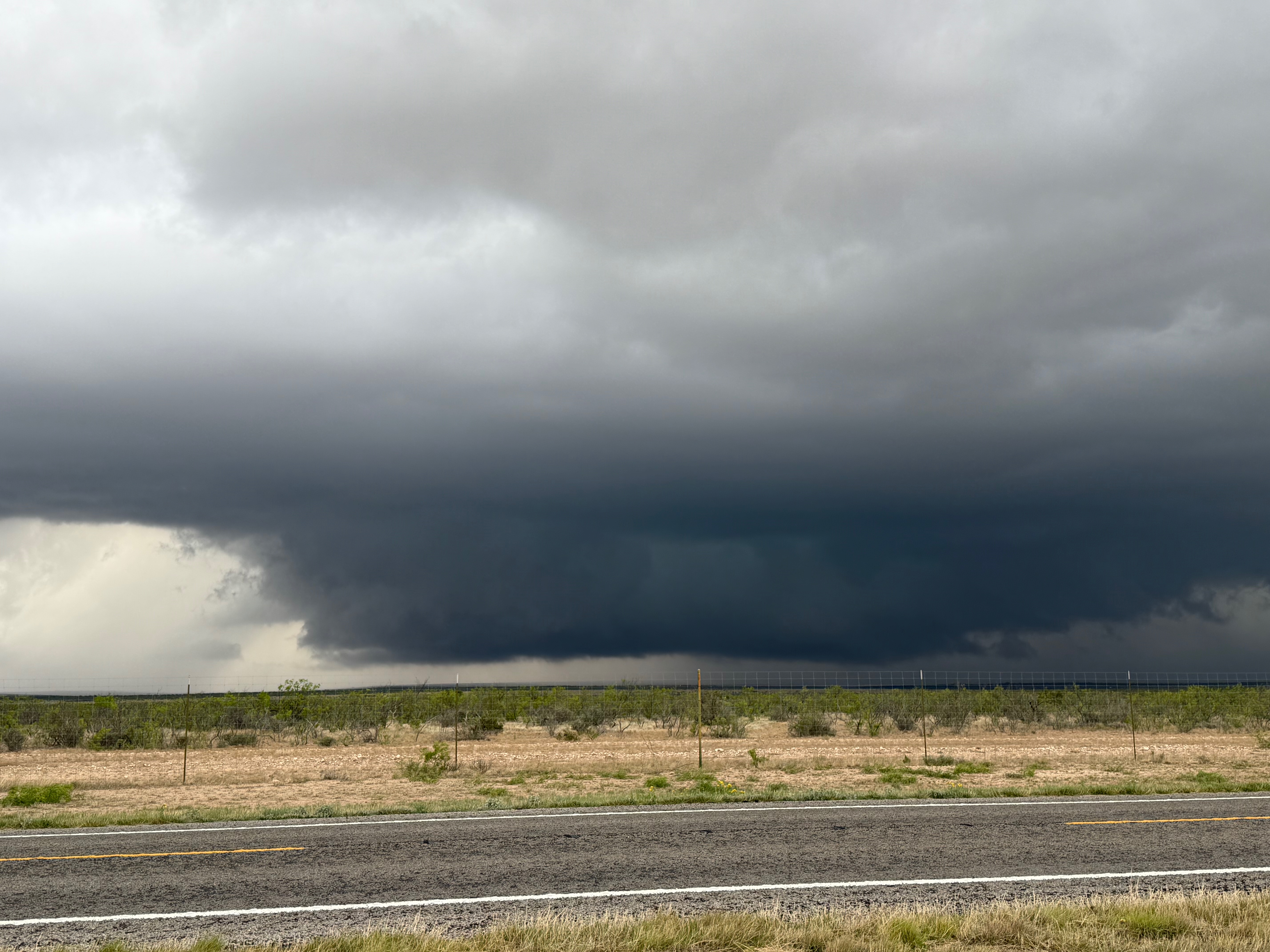
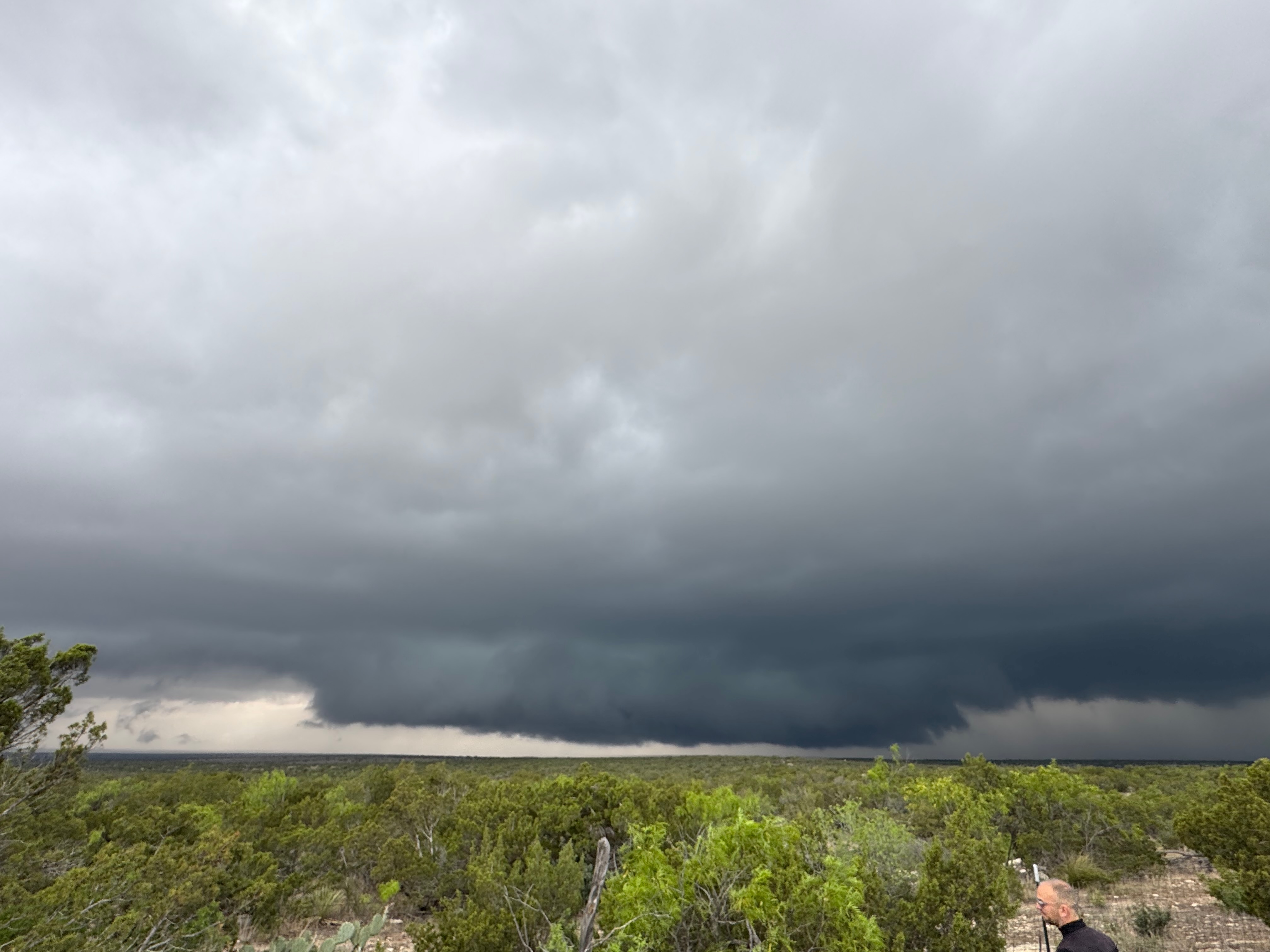
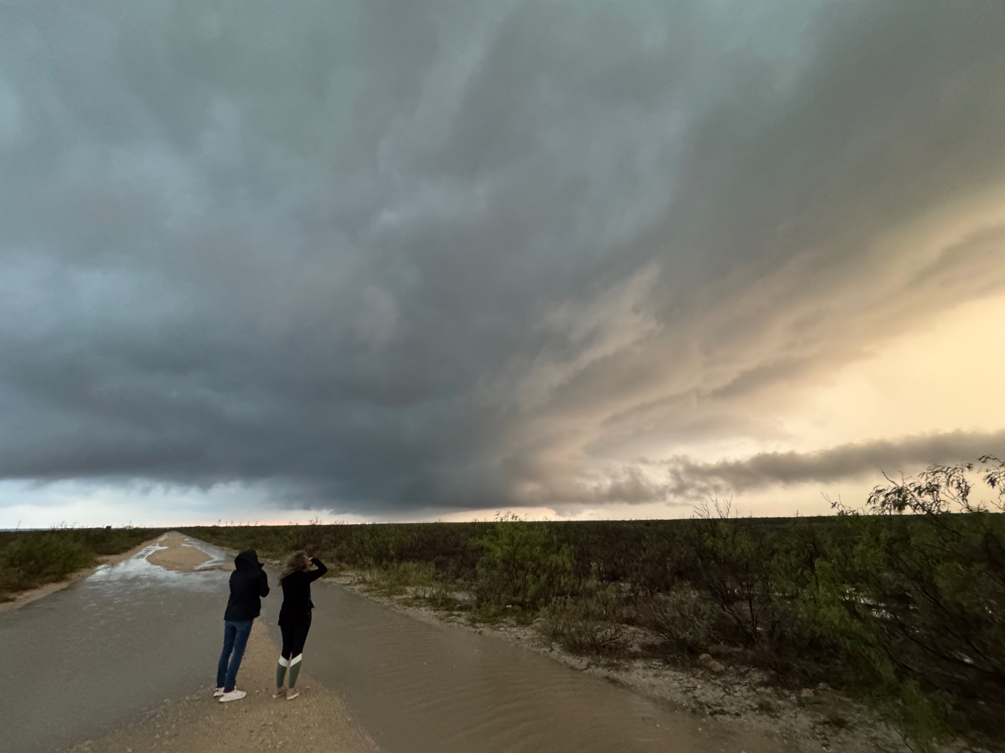
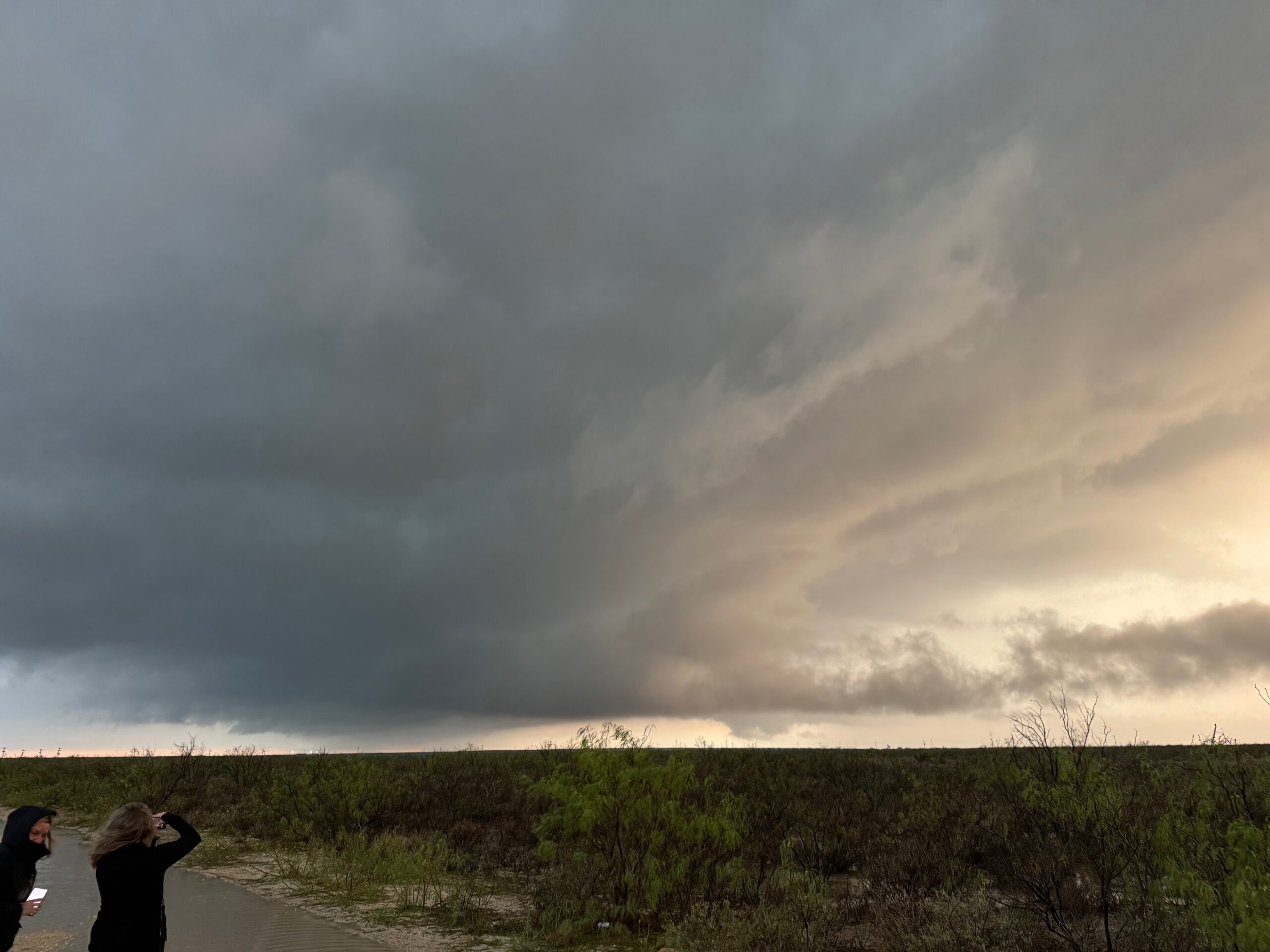
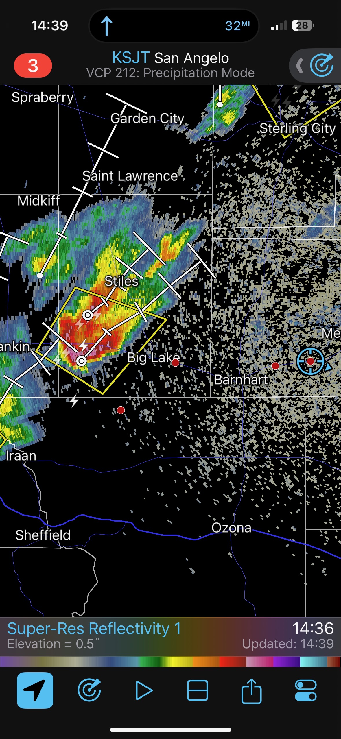
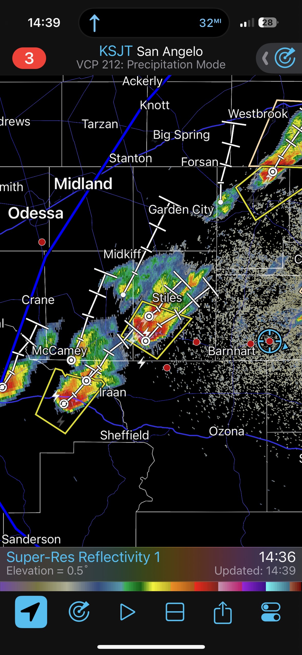
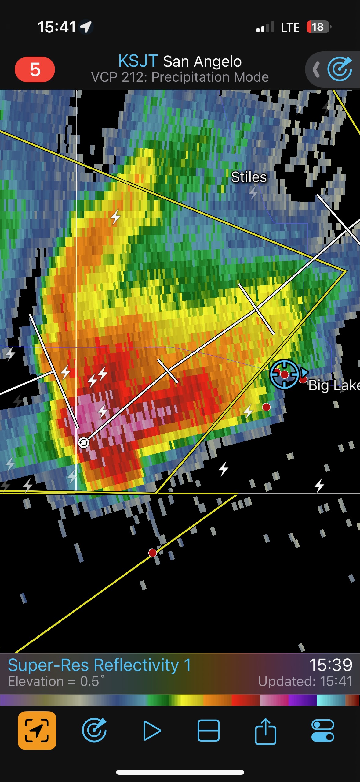
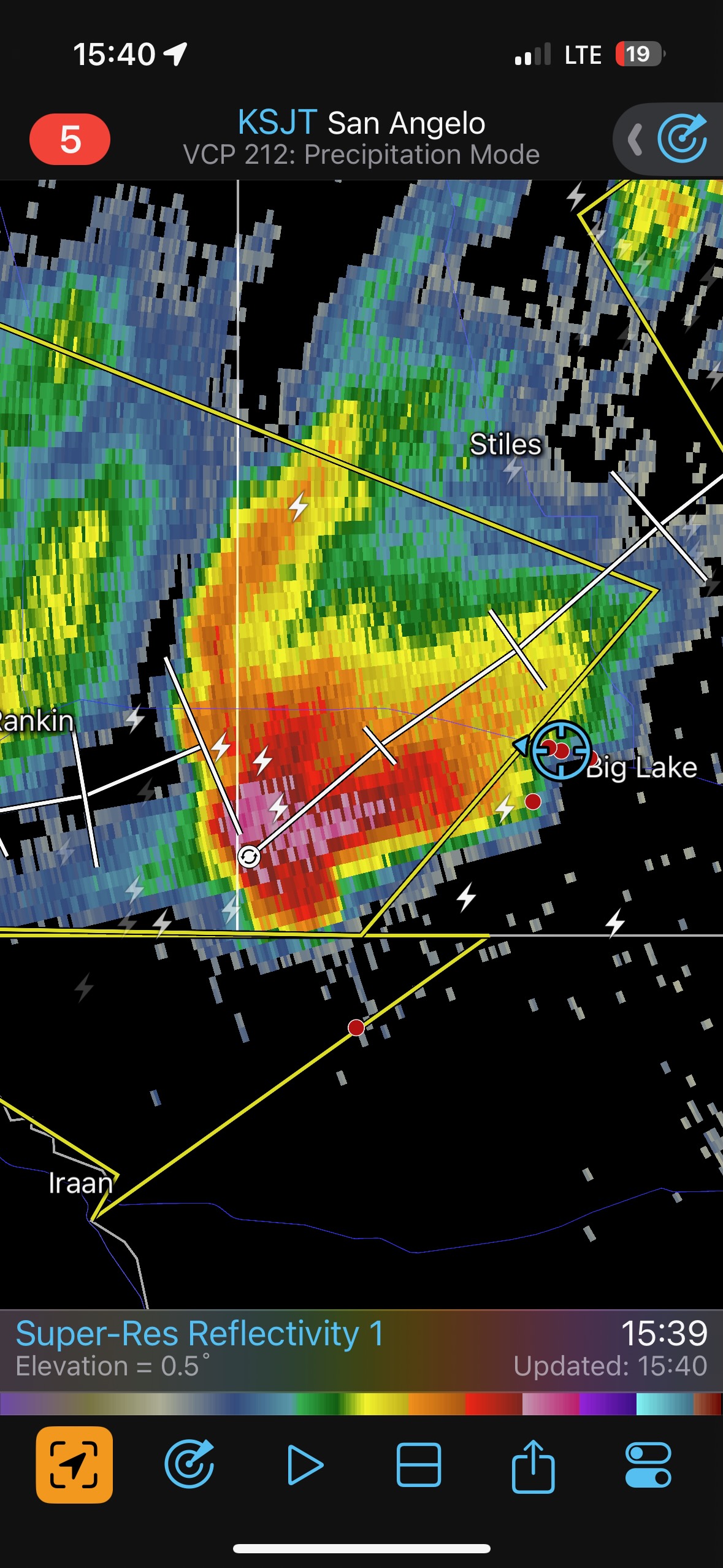
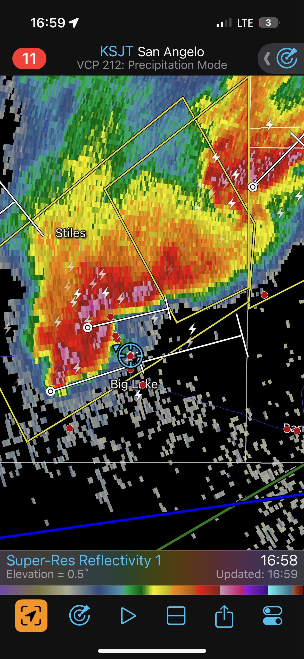
Our supercell continued to the NNE or the northeast, into a road void northeast of Big Lake. We went west of Big Lake to Barnhart, and then a little to the north. The storm was still good-looking, to our northwest. But, another supercell was coming up towards Big Lake and that one would be an easier catch. We went back south and west to Big Lake, and during this timeframe our first supercell (just abandoned) produced a decent tornado about halfway between Barnhart and Sterling City. Shoot.
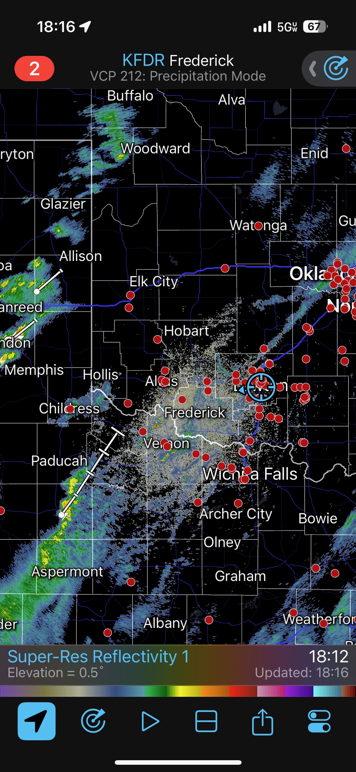
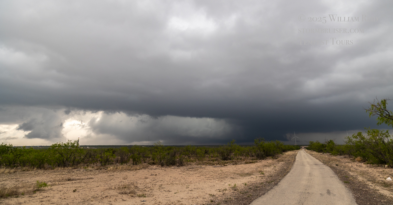
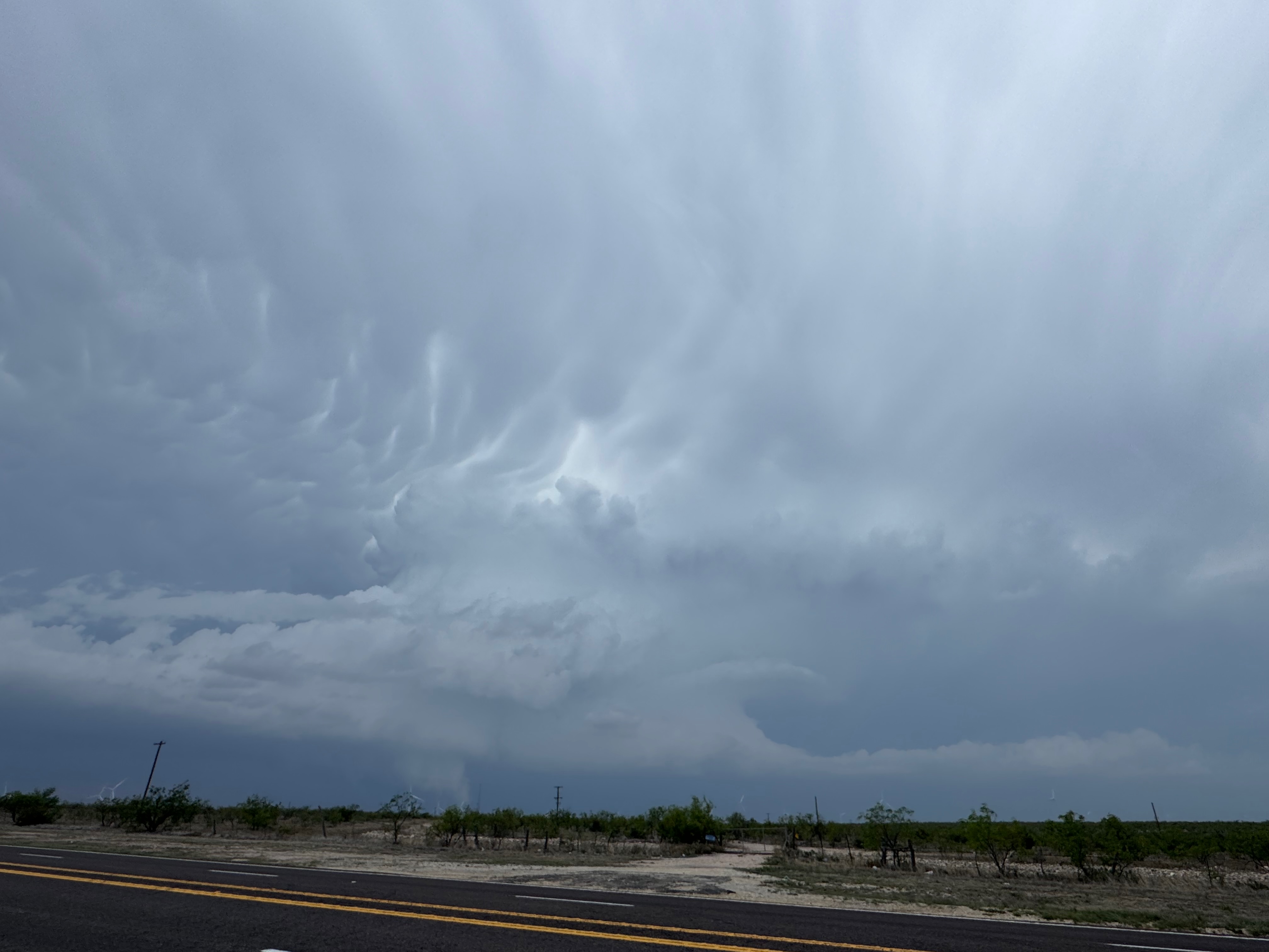
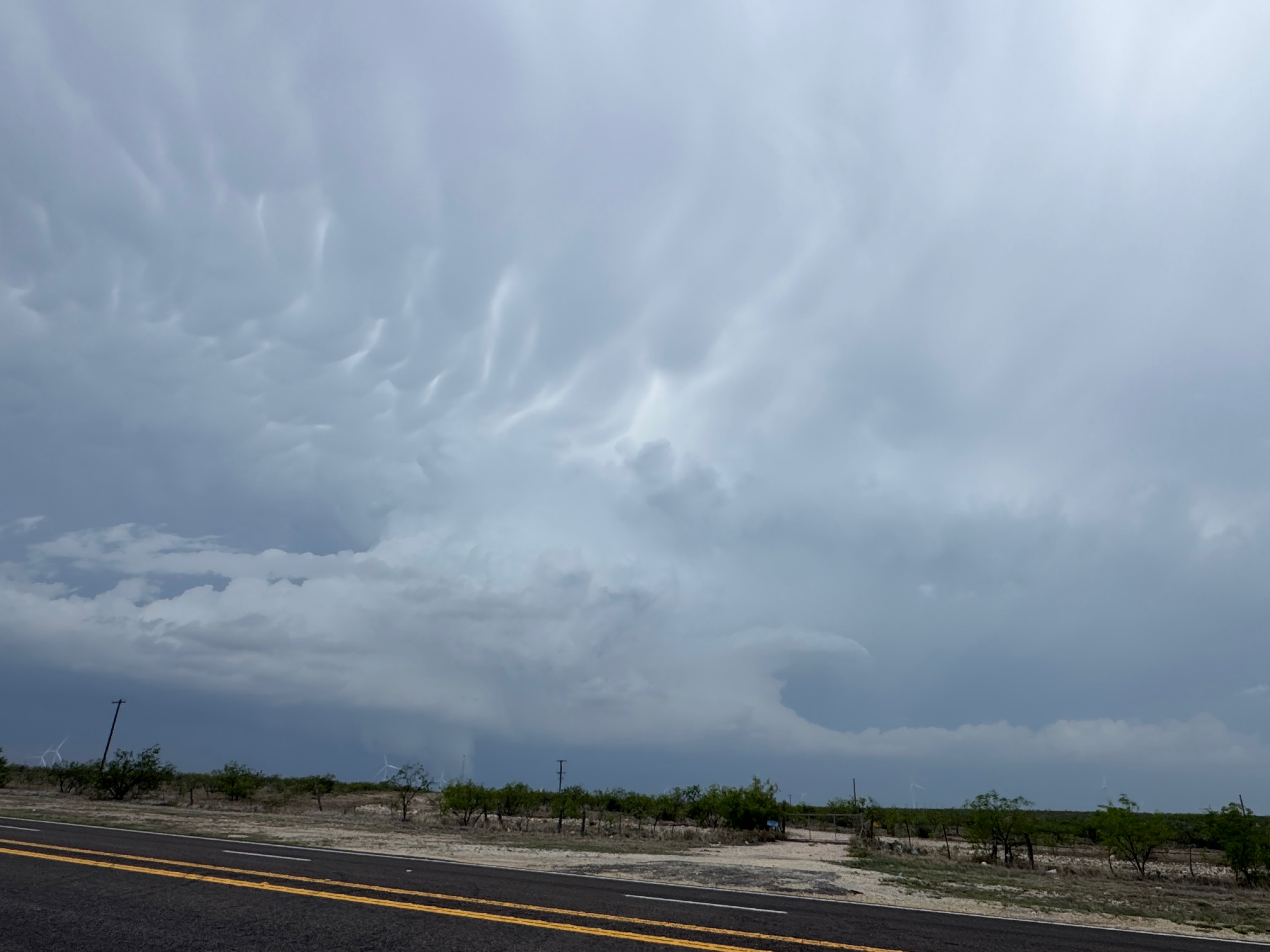
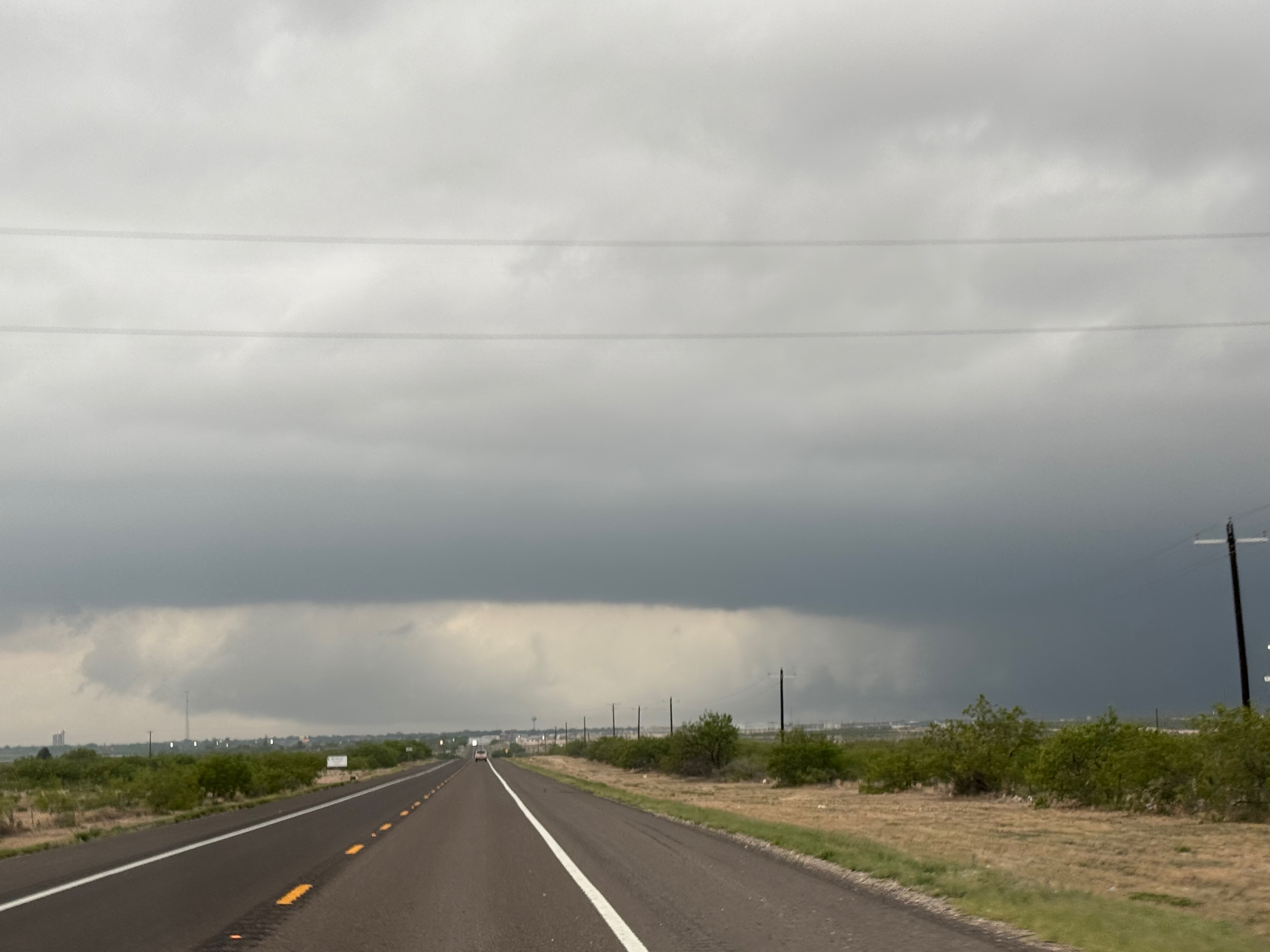
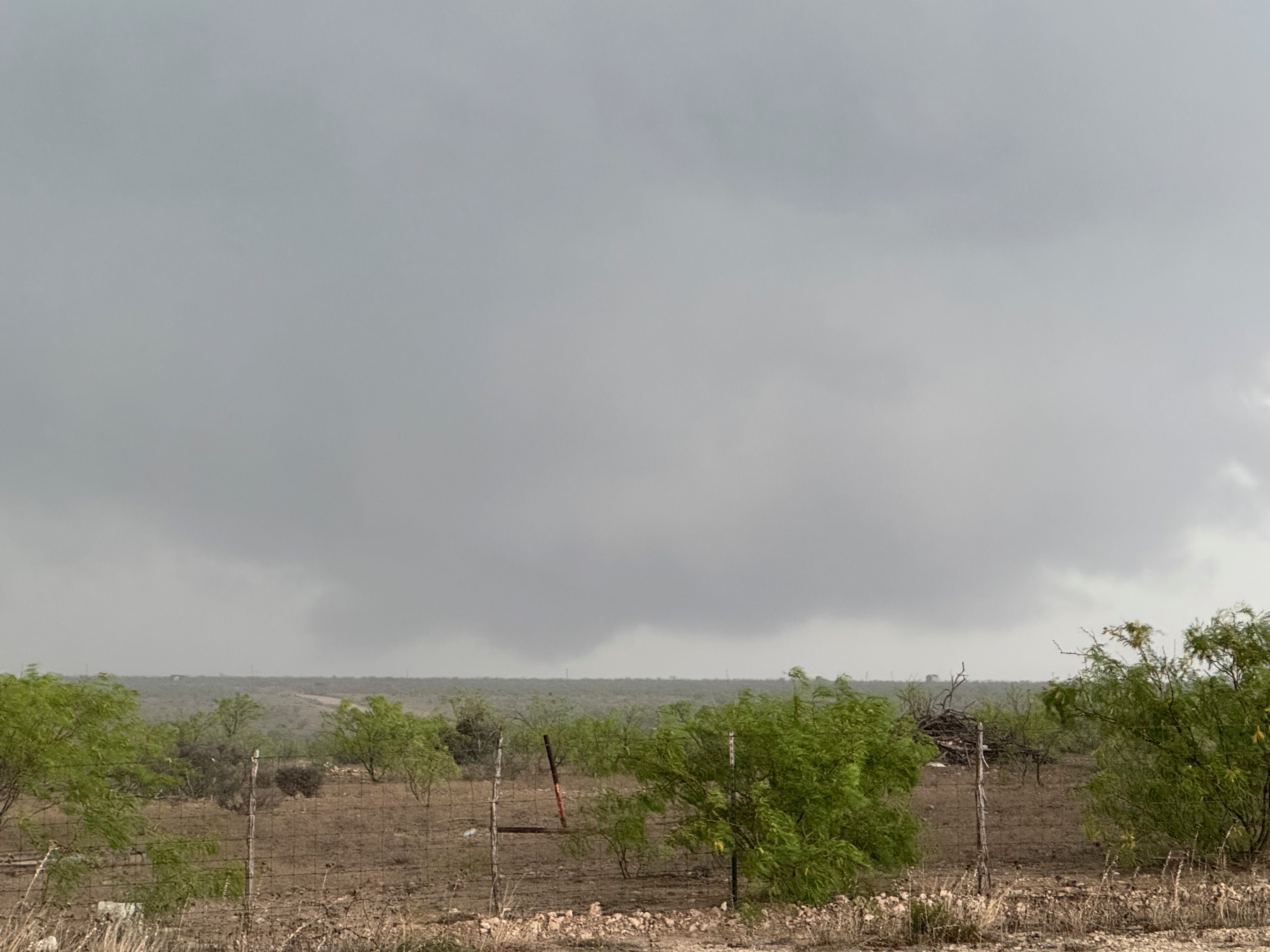
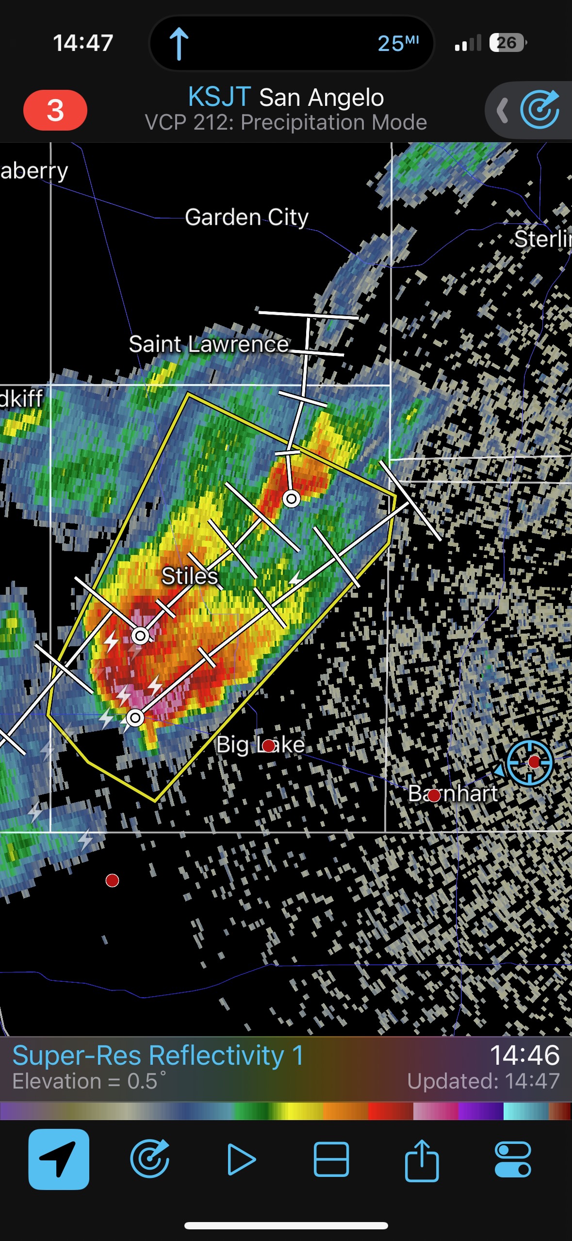
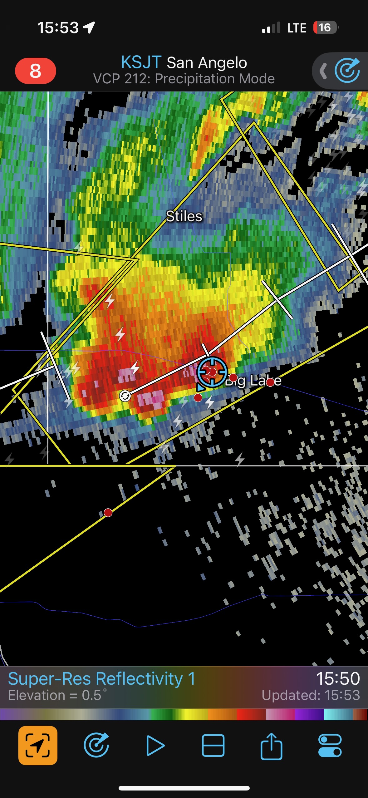
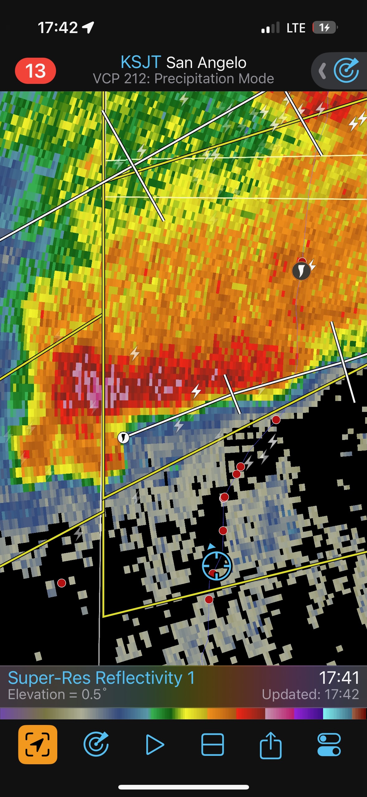
The second supercell had a big RFD cut and seemed like a good tornado-making candidate not too far from Big Lake, but we did not observe a tornado. That first supercell produced when it interacted with a boundary. See the mesoscale discussions for more on that. This boundary started to sag to the south and soon we were dealing with undercut storms on the way to San Angelo. Game over.

iPhone pics below

Leave a Reply
You must be logged in to post a comment.