

April 26/Start of Tour 2 in OKC with Roger E and Bob S/position day to Norton, KS/lunch in Woodward at Hectors Mexican Restaurant
April 27/Start: Norton/lunch: Bird City Cafe/End: North Platte/494 miles
SPC Mesoscale Discussions:
3:29 p.m. CDT 3:47 p.m. CDT 6:44 p.m. CDT 8:47 p.m. CDT
A couple of video clips at dusk, heading north from Whitman, Nebraska.
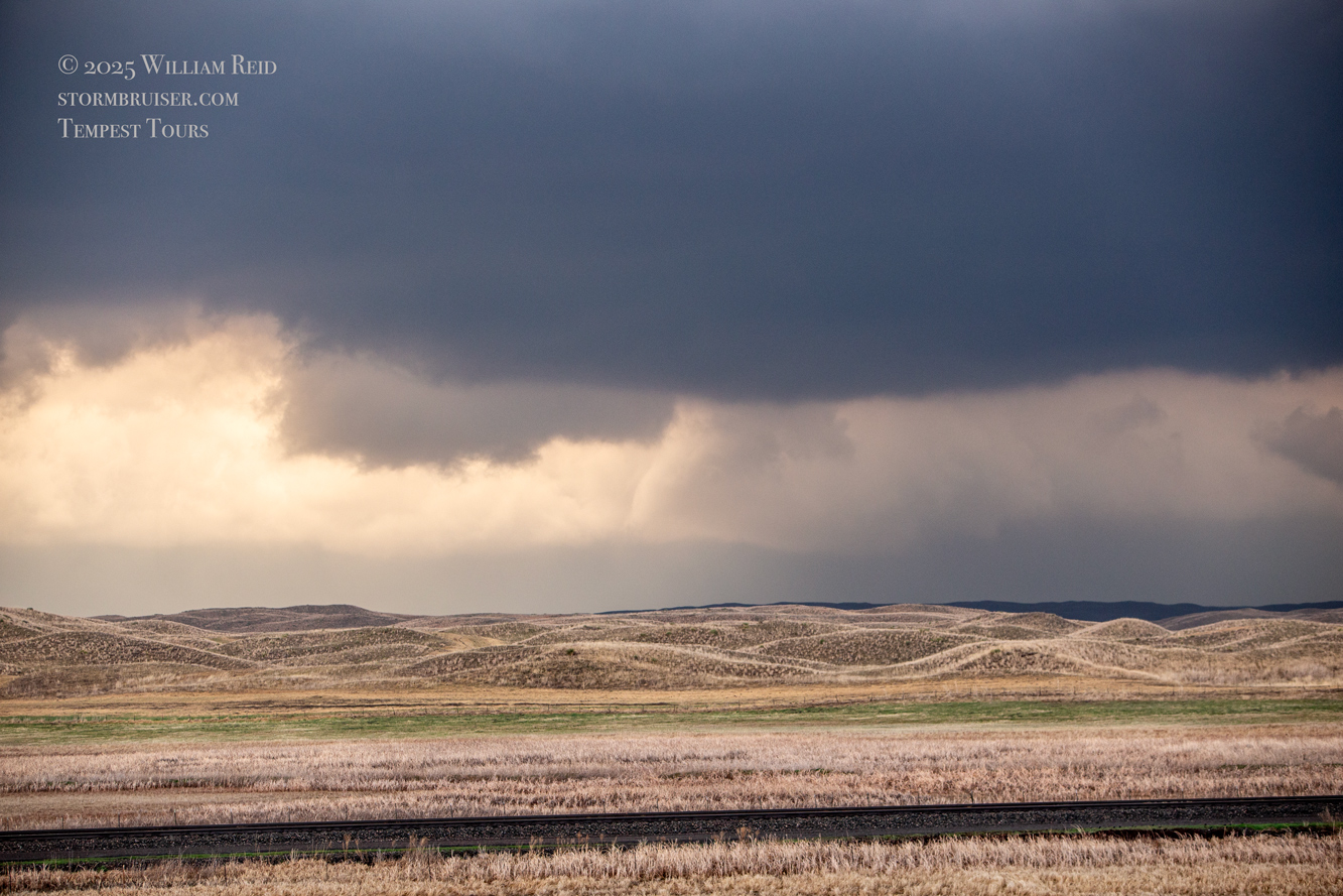
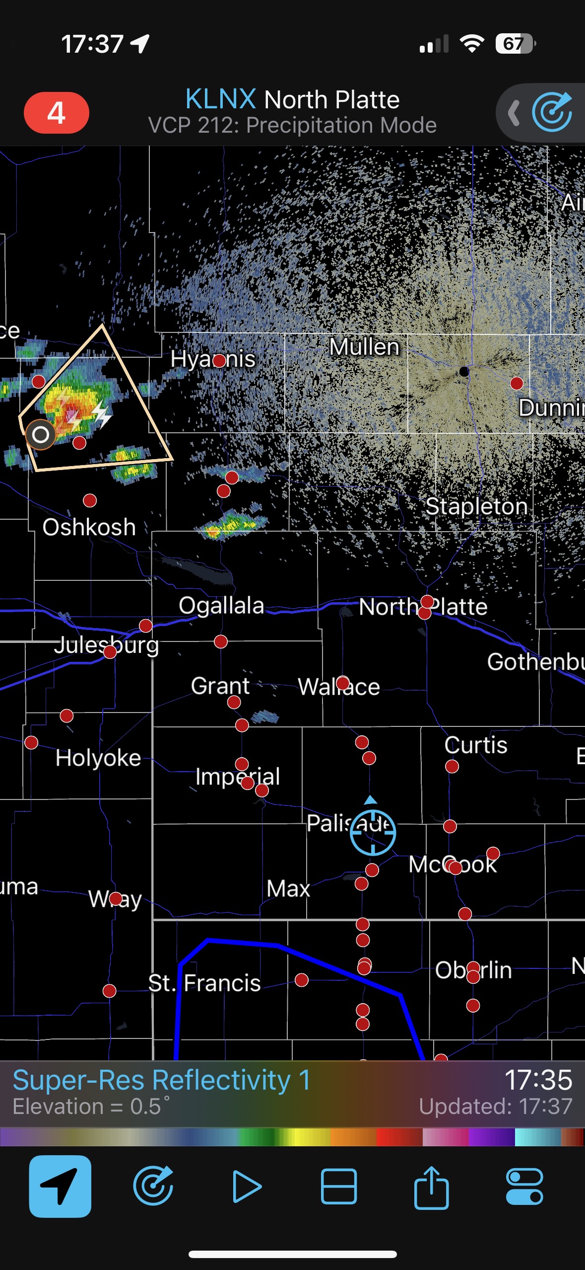
Well, this day was a bummer. We began in northwest Kansas, at Norton, and shear and instability looked rather good for a tornado chance within a county or two or three by late afternoon and evening. There was a surface low fairly close to the CO/KS/NE triple point. It was drawing moist air northwestward through Kansas and into western Nebraska. The other area to consider for a chase was north or NNE of the surface low, somewhere around Ogallala northward into the Sandhills. This secondary target area seemed to be a tad less favorable with regard to moisture. But, it WAS favored with regard to storm development. CAM models showed severe storms north of I-80 in Nebraska, but were much less certain about development in northwest Kansas. This is the one chase day of 2025 that I wish I could do over. Though the Nebraska target looked decent…well…it’s the Sandhills. The road network is marginal at best, and it is difficult to see any tornadoes as one is usually in low spots between the higher dunes.
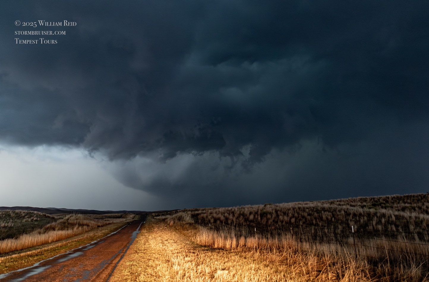
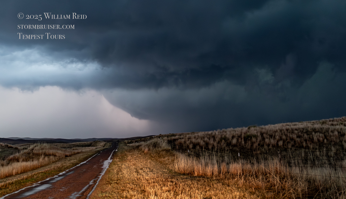
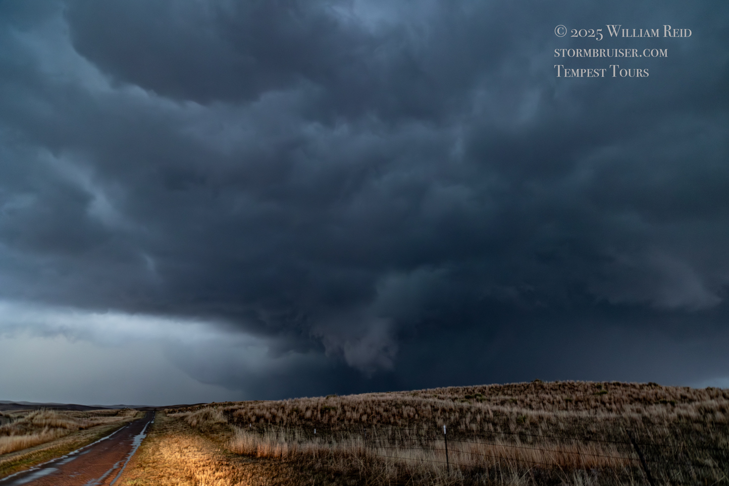
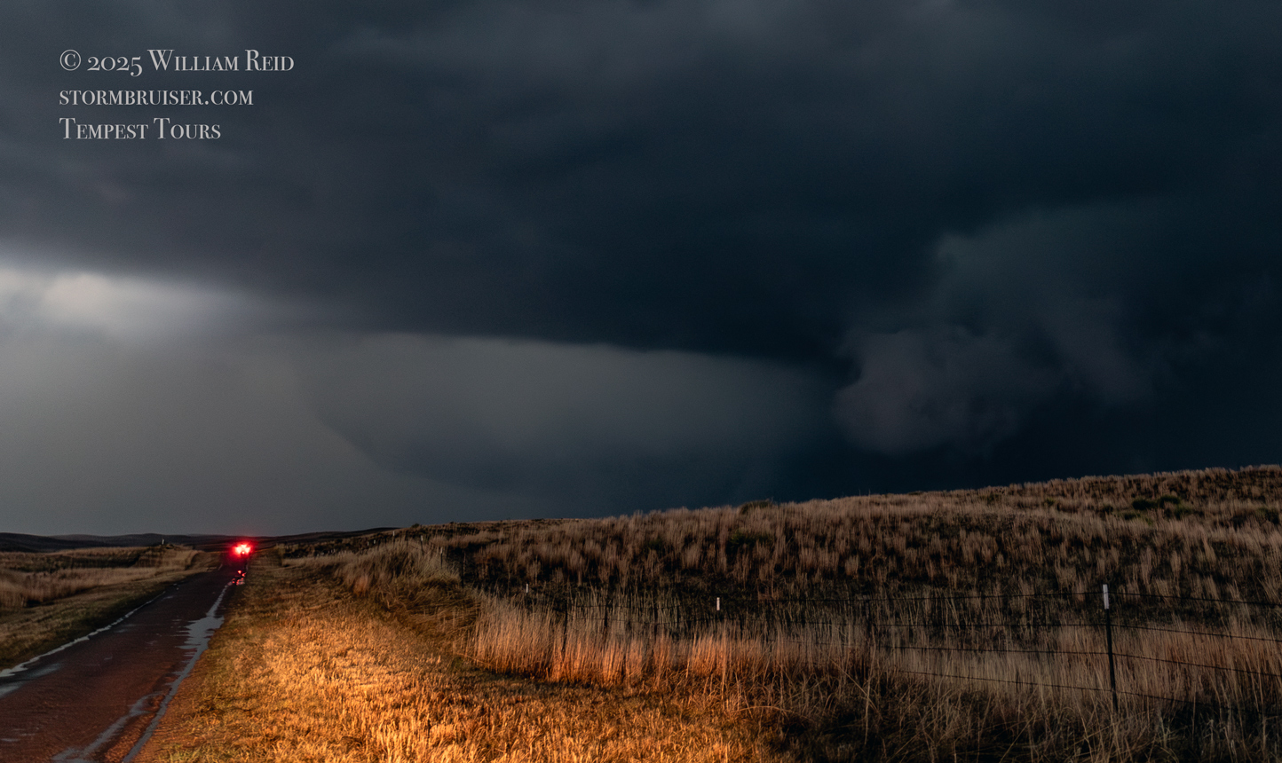
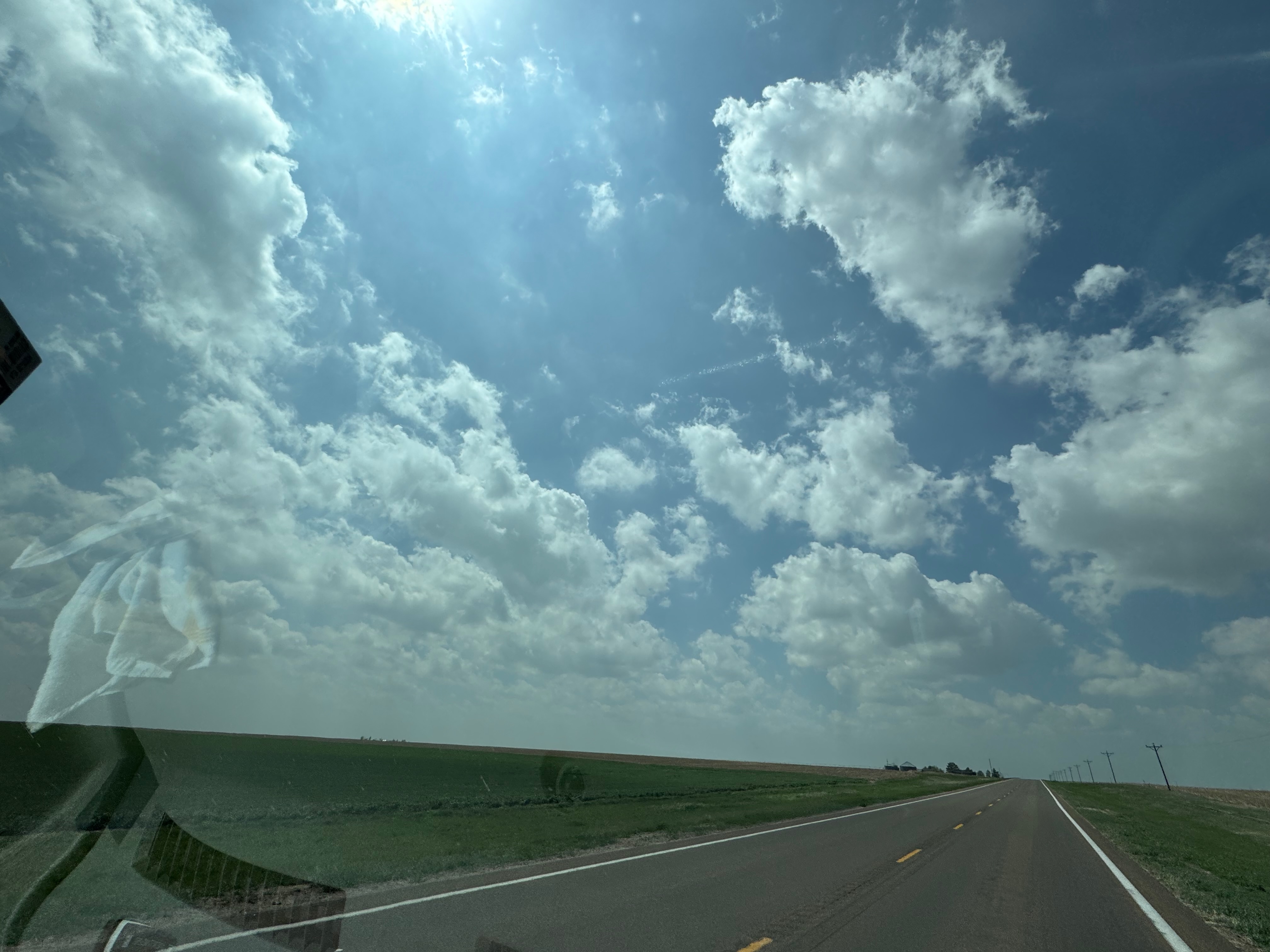
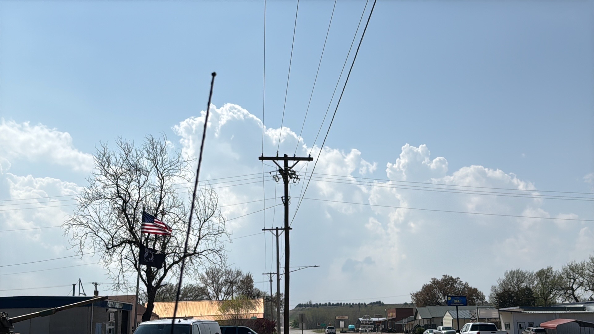
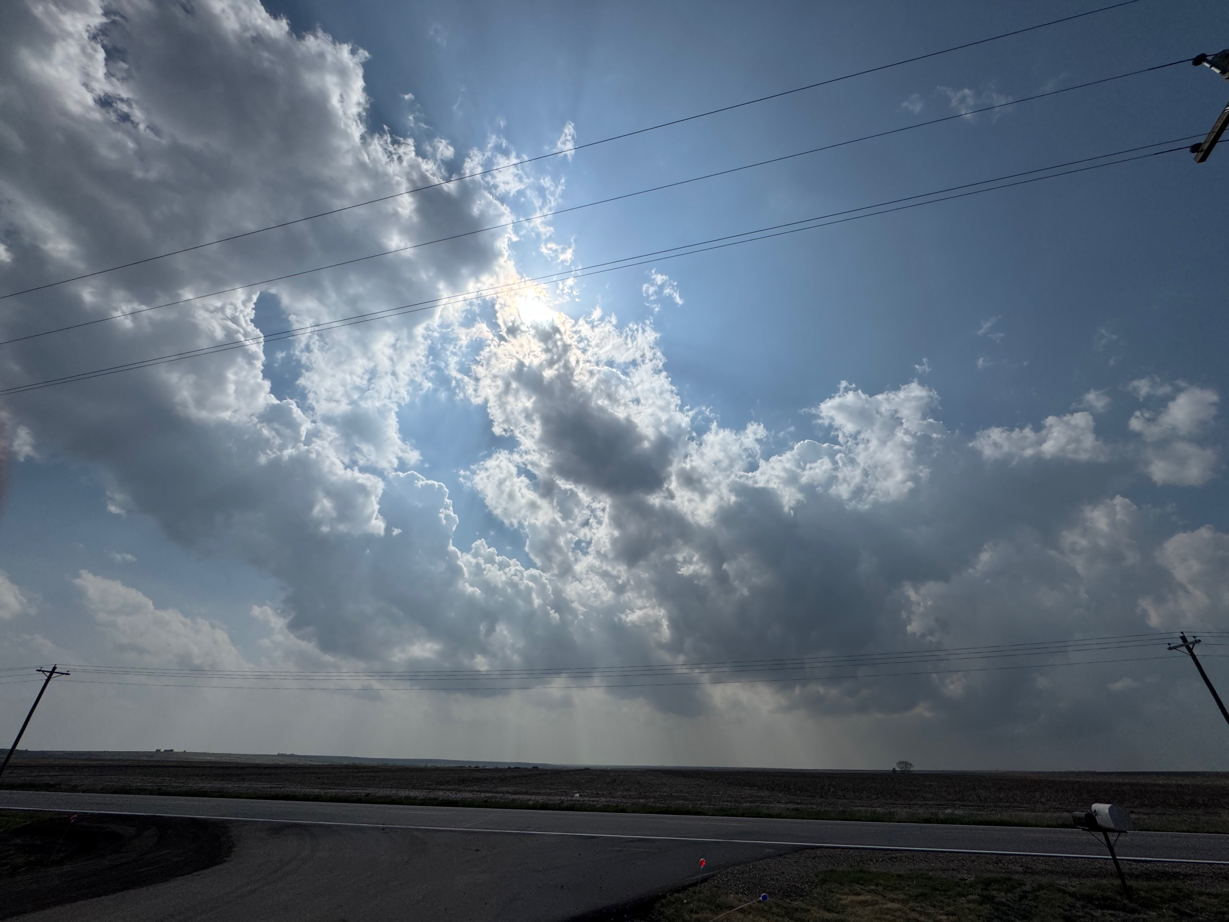
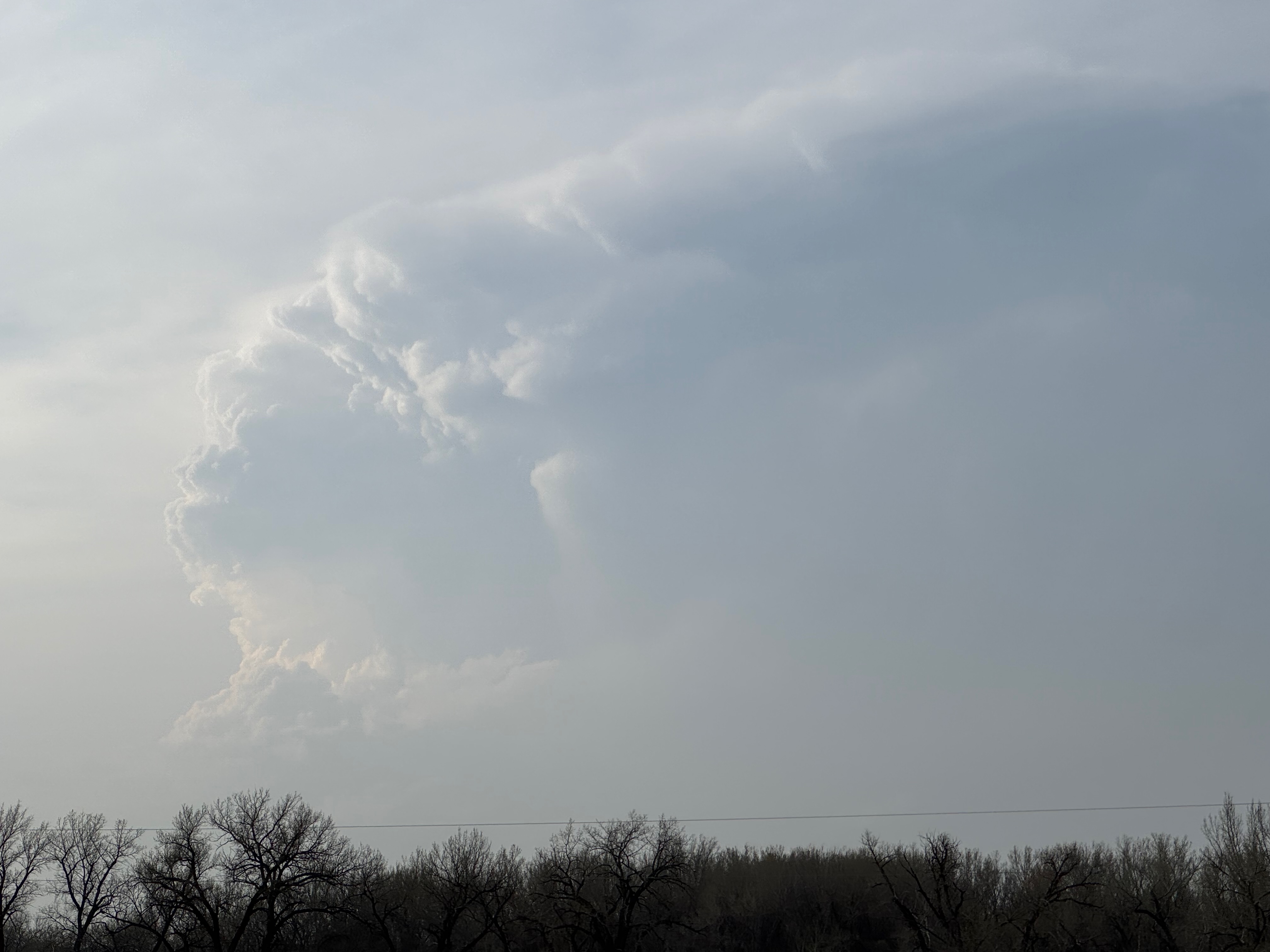
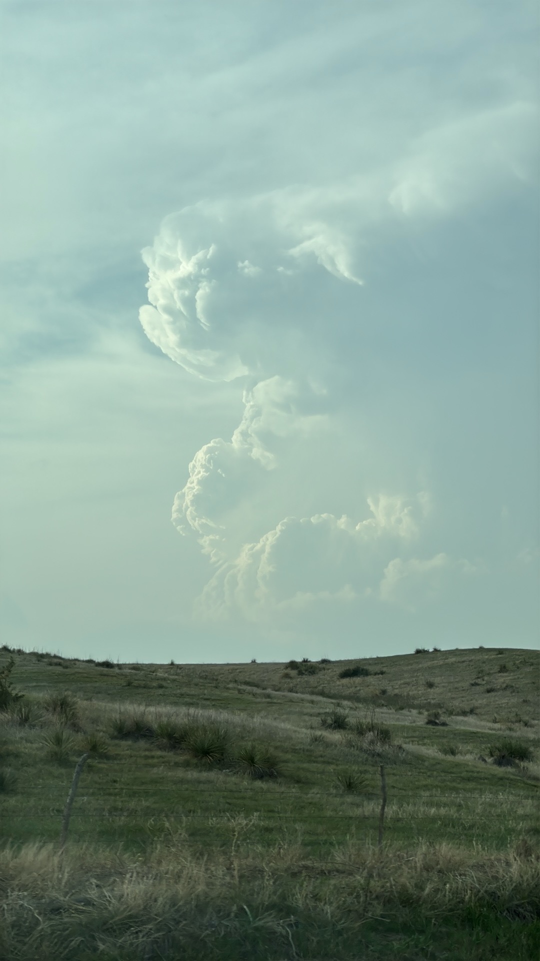
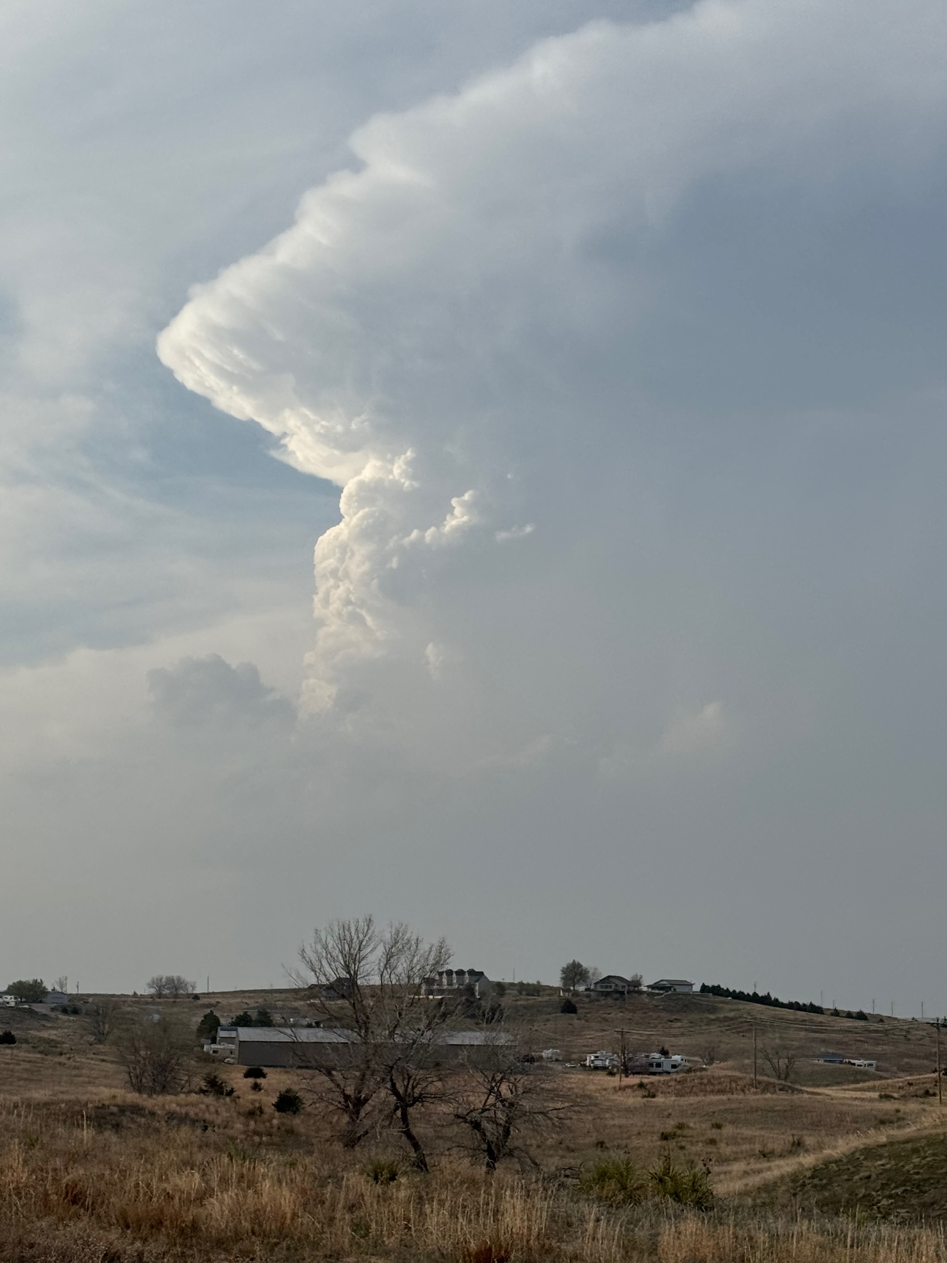
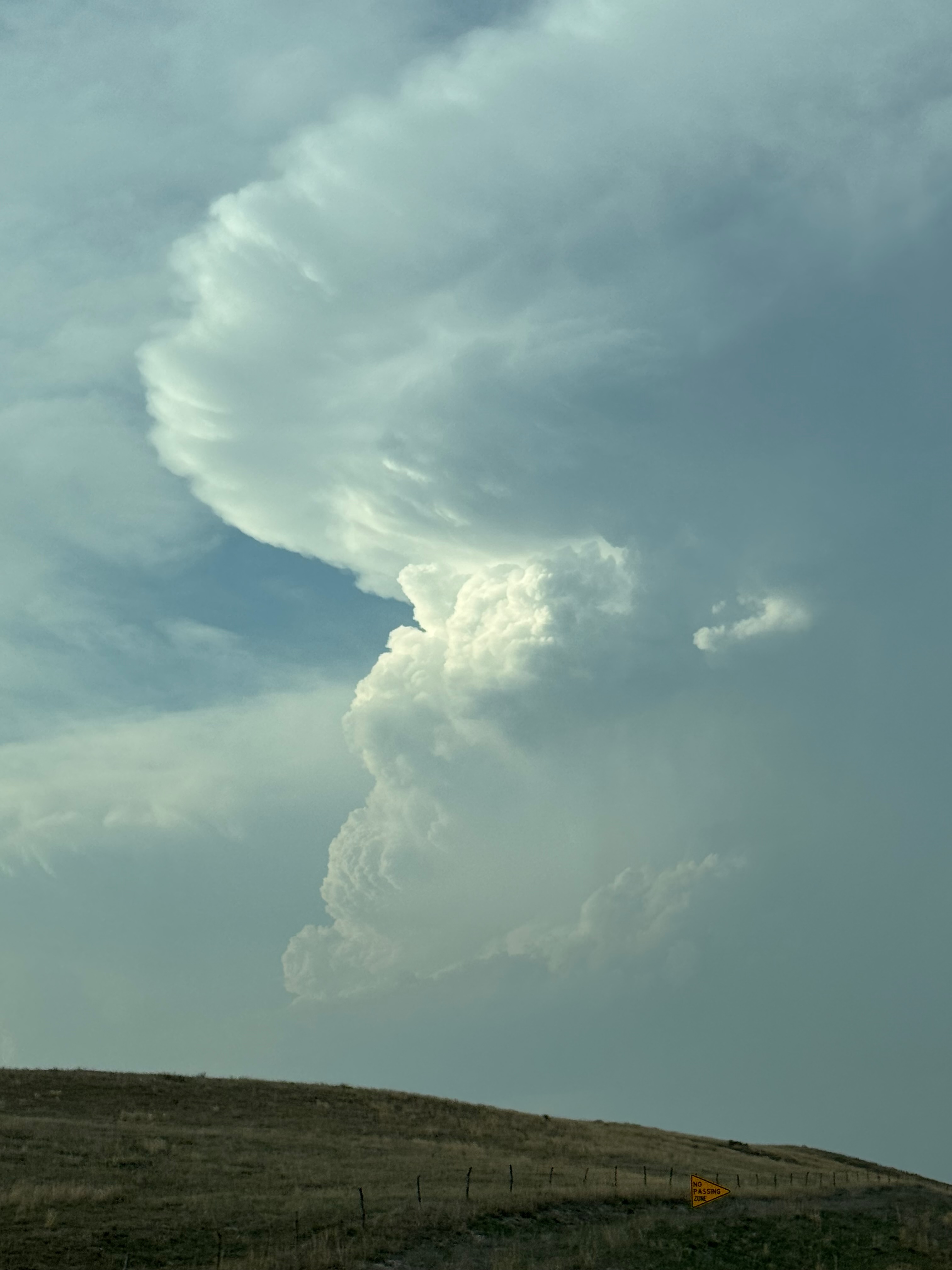
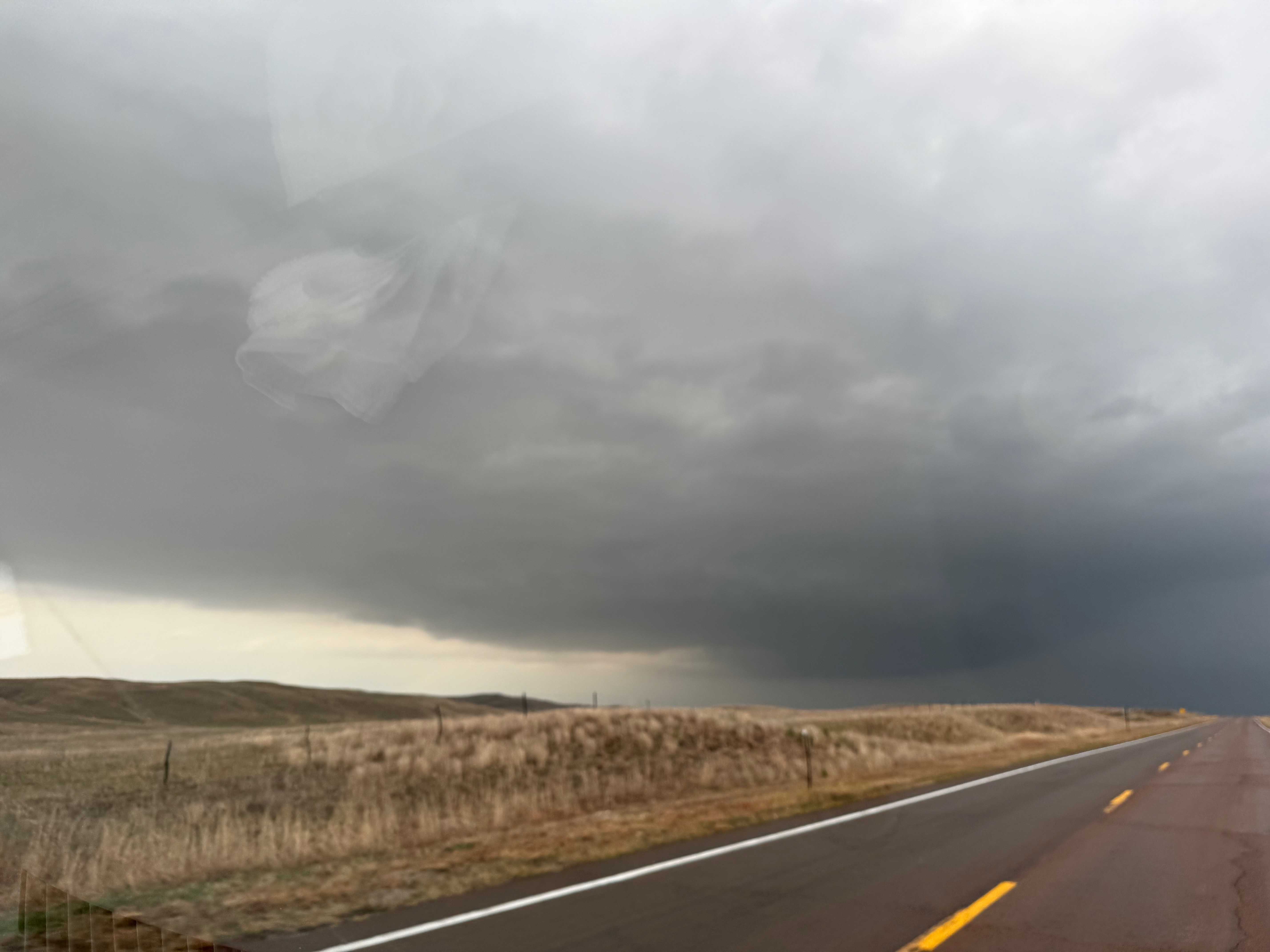
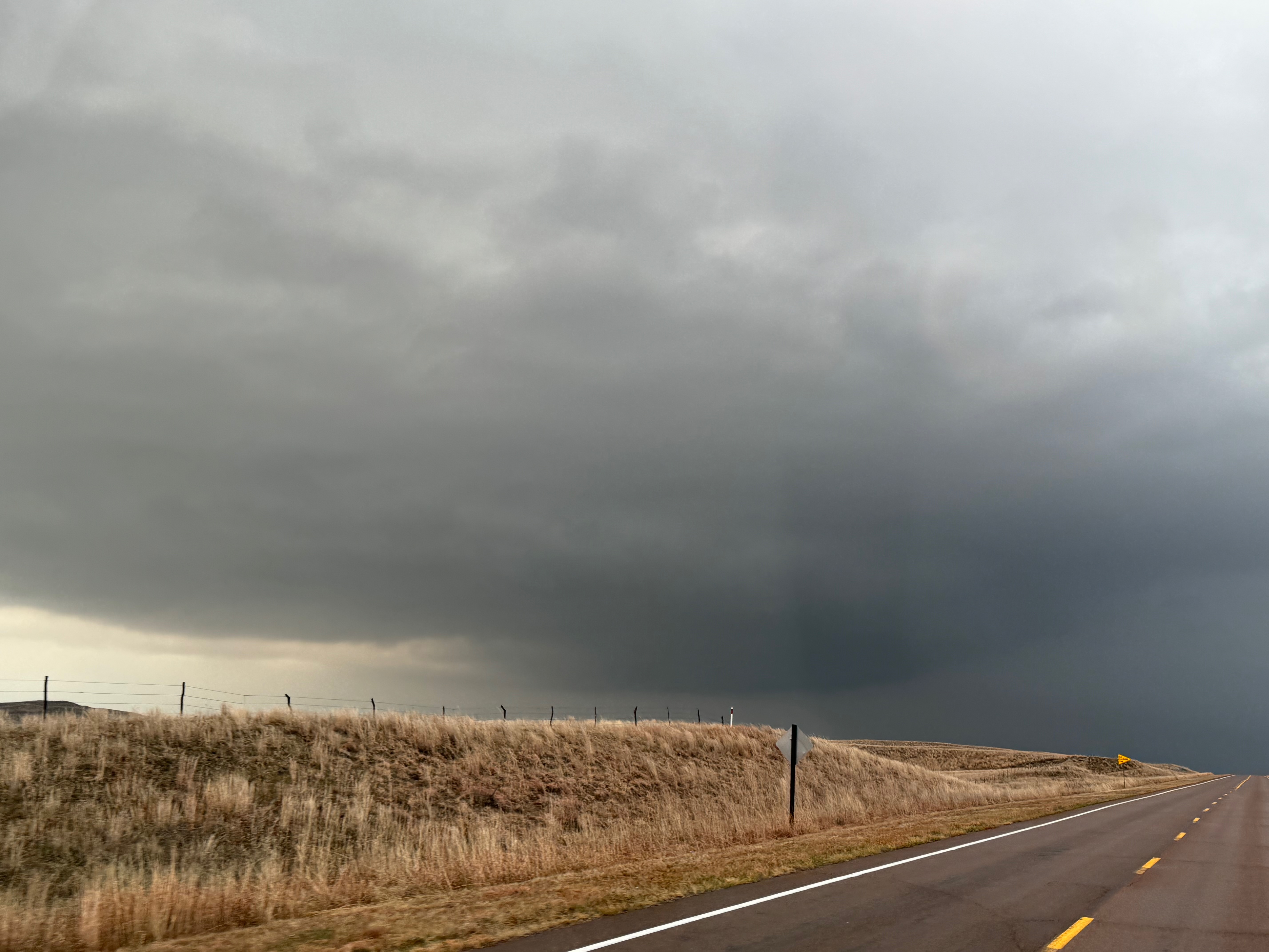
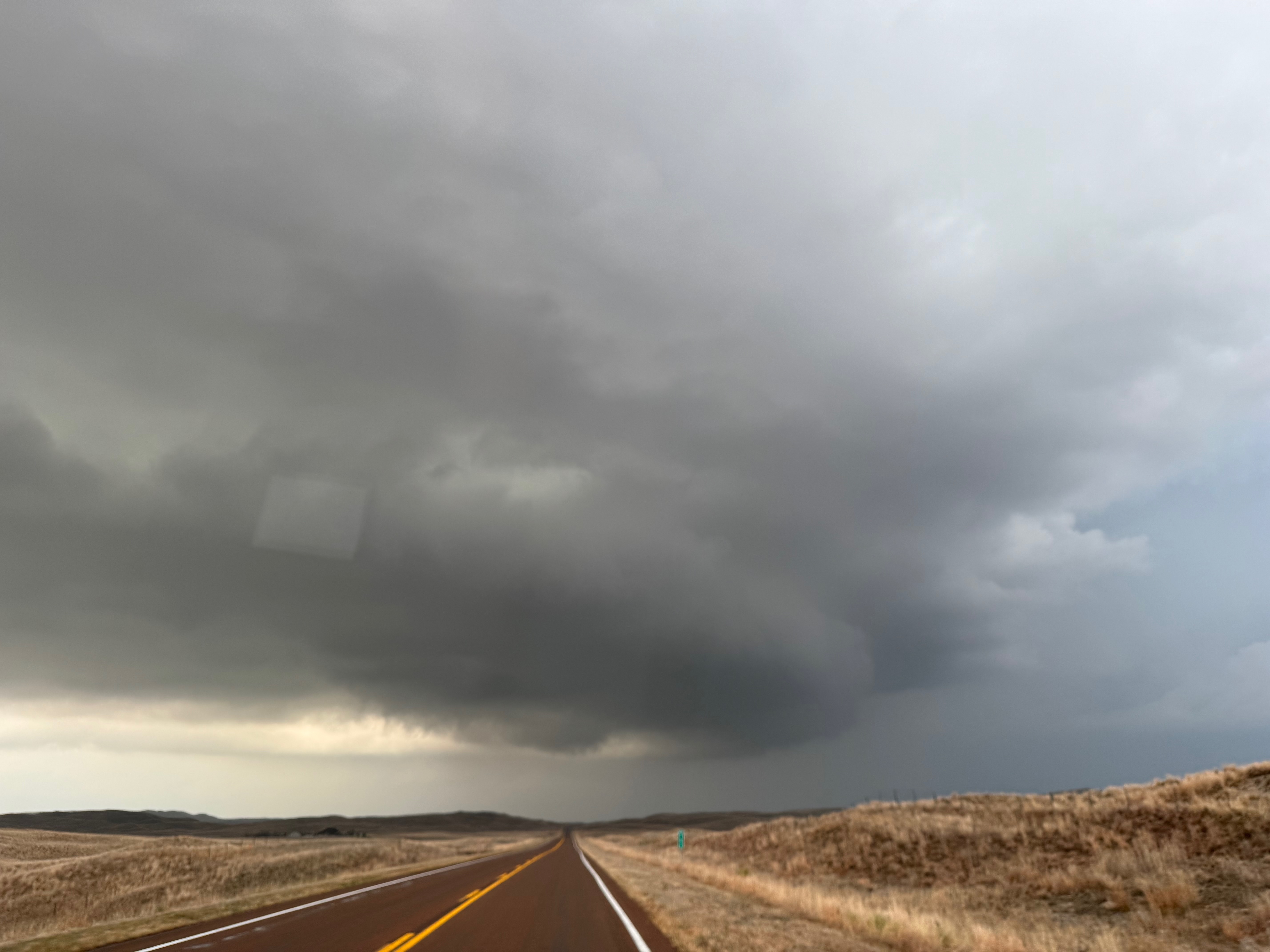
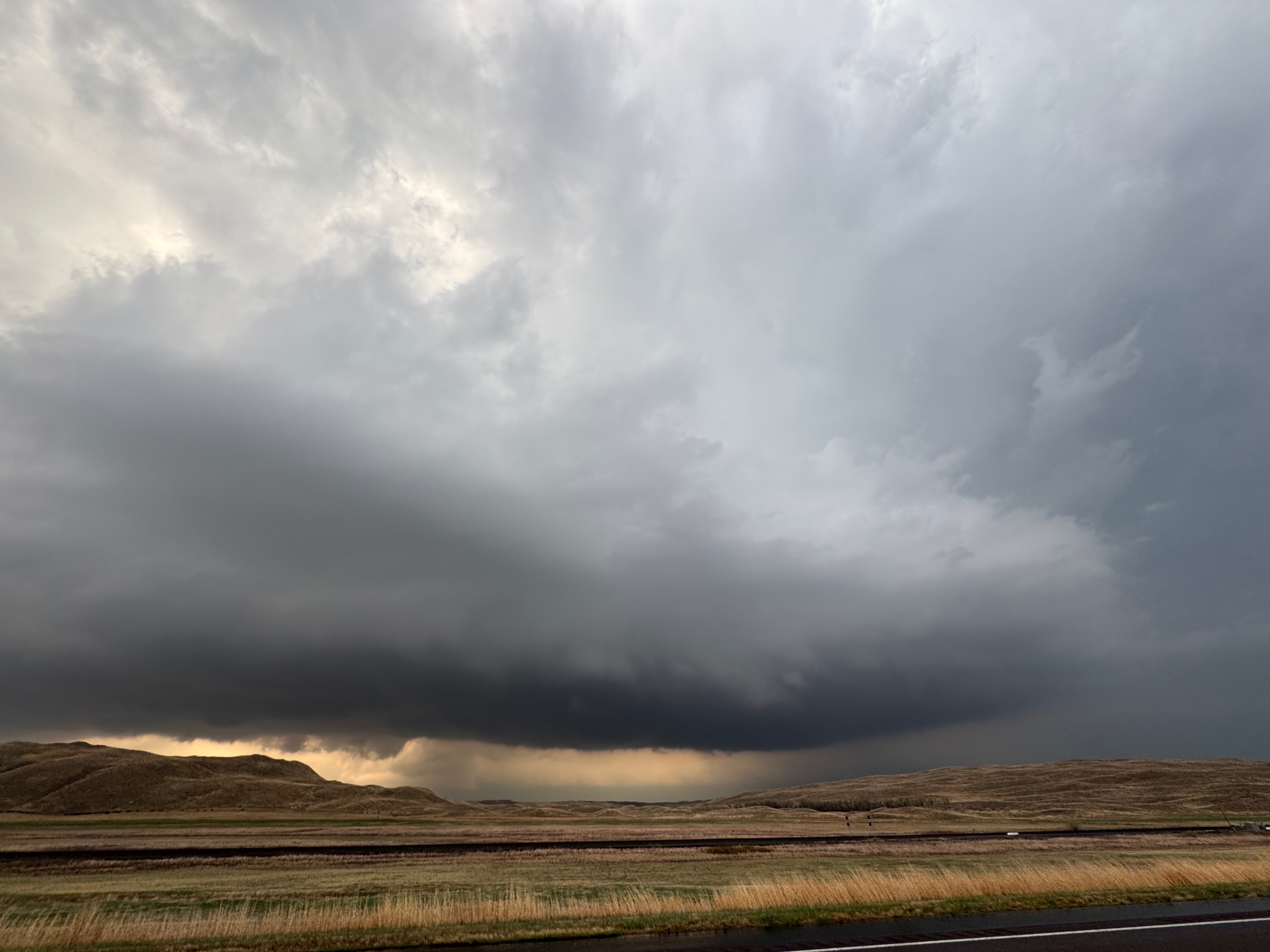
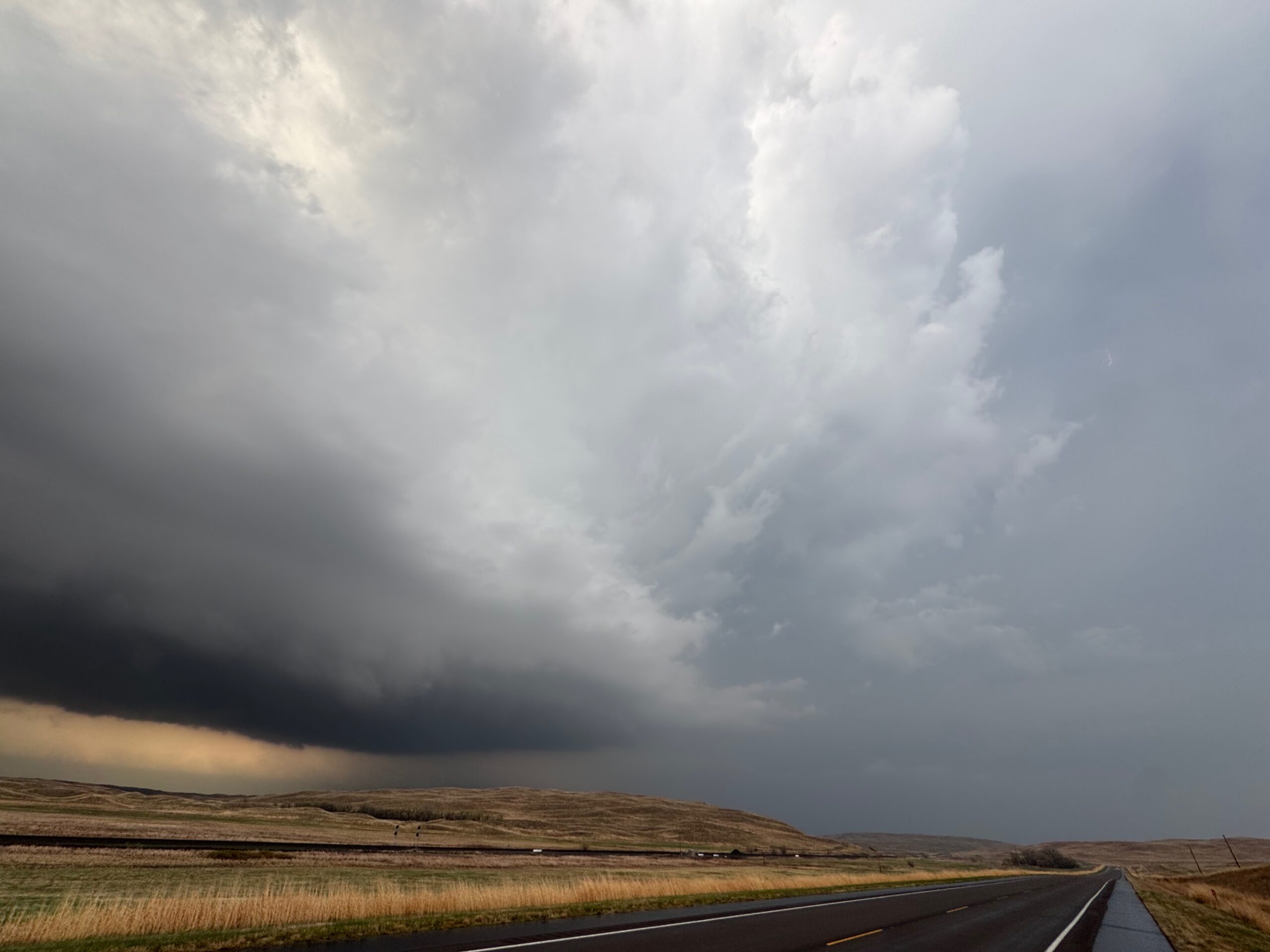
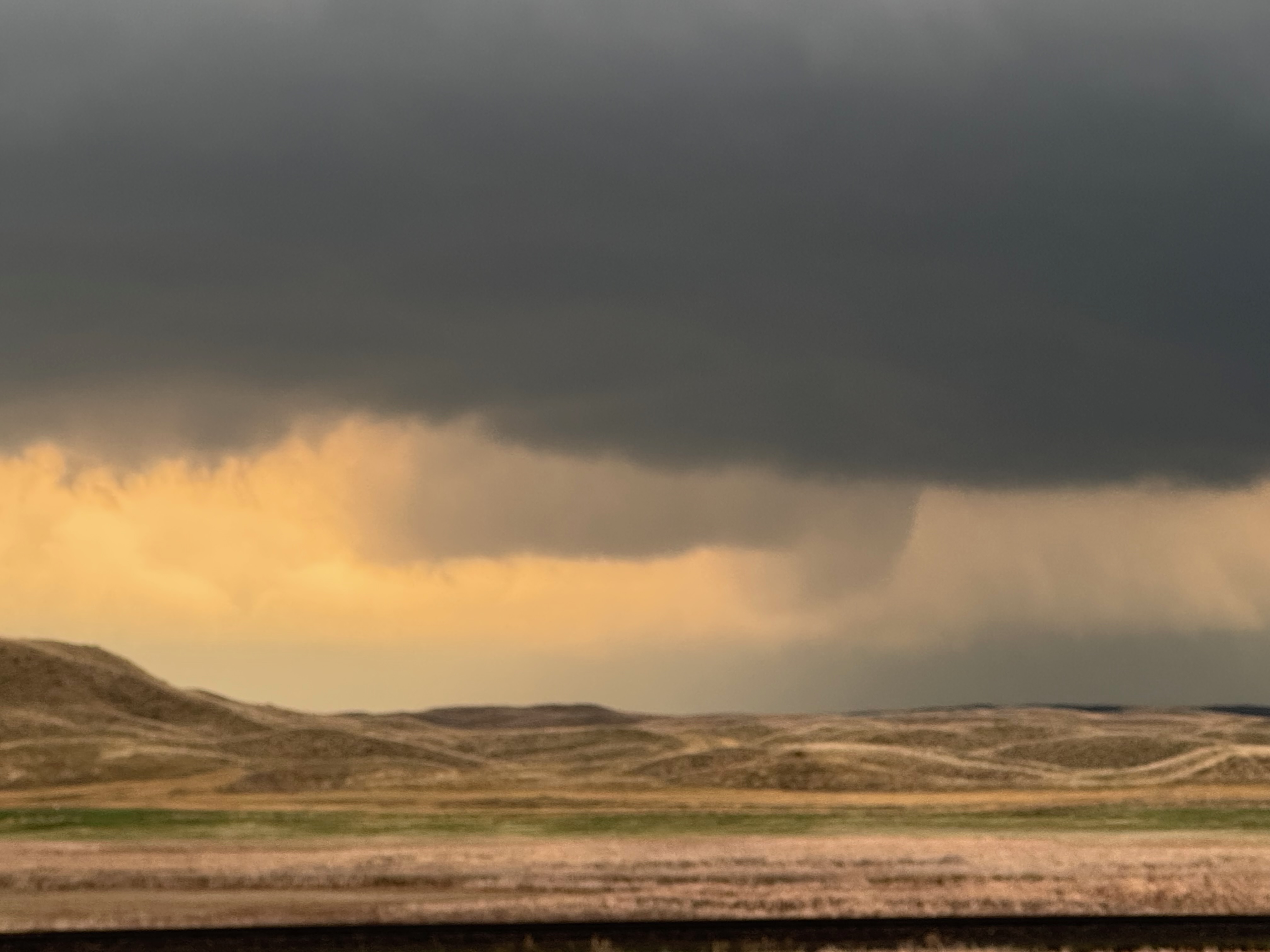
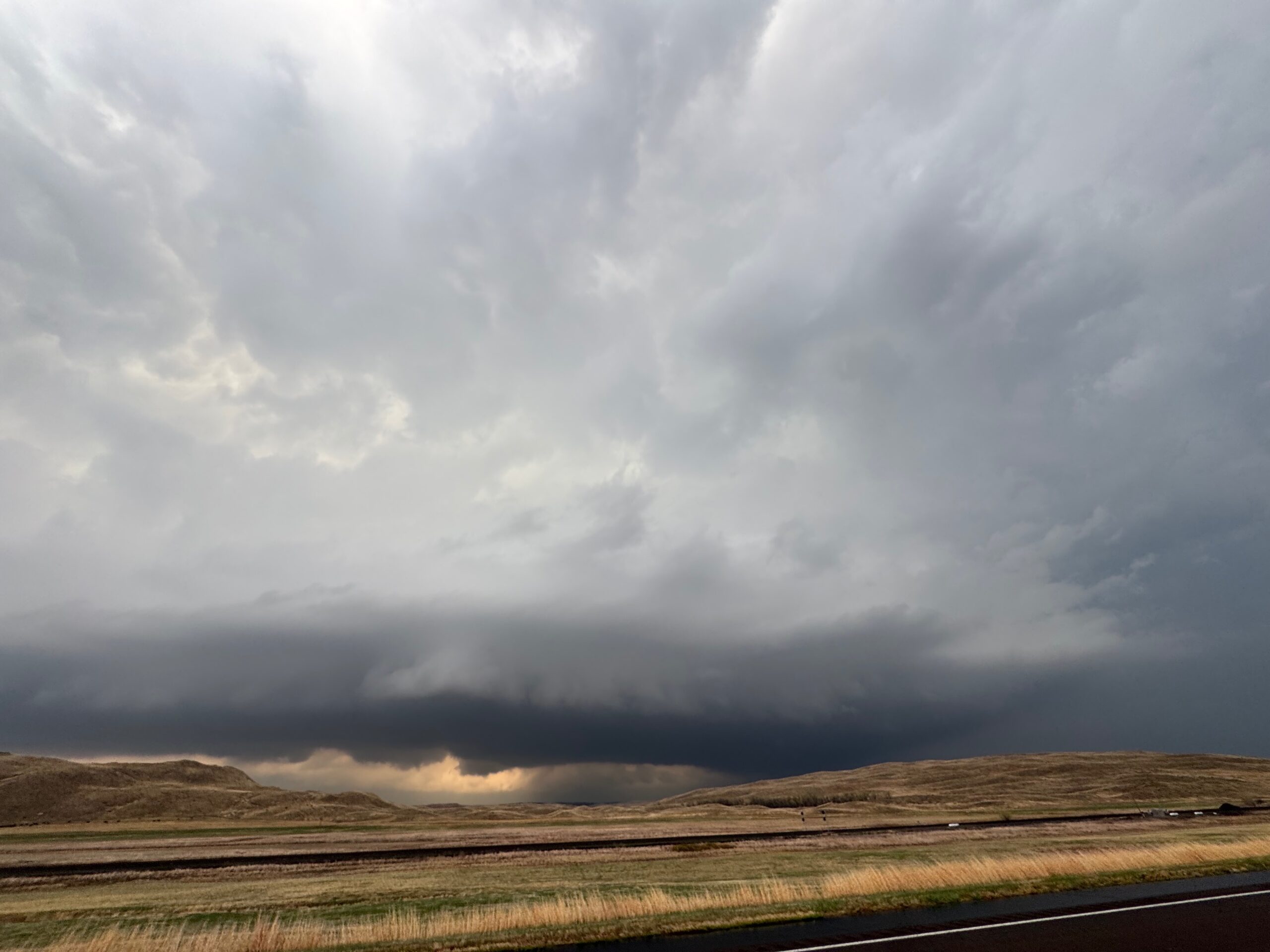
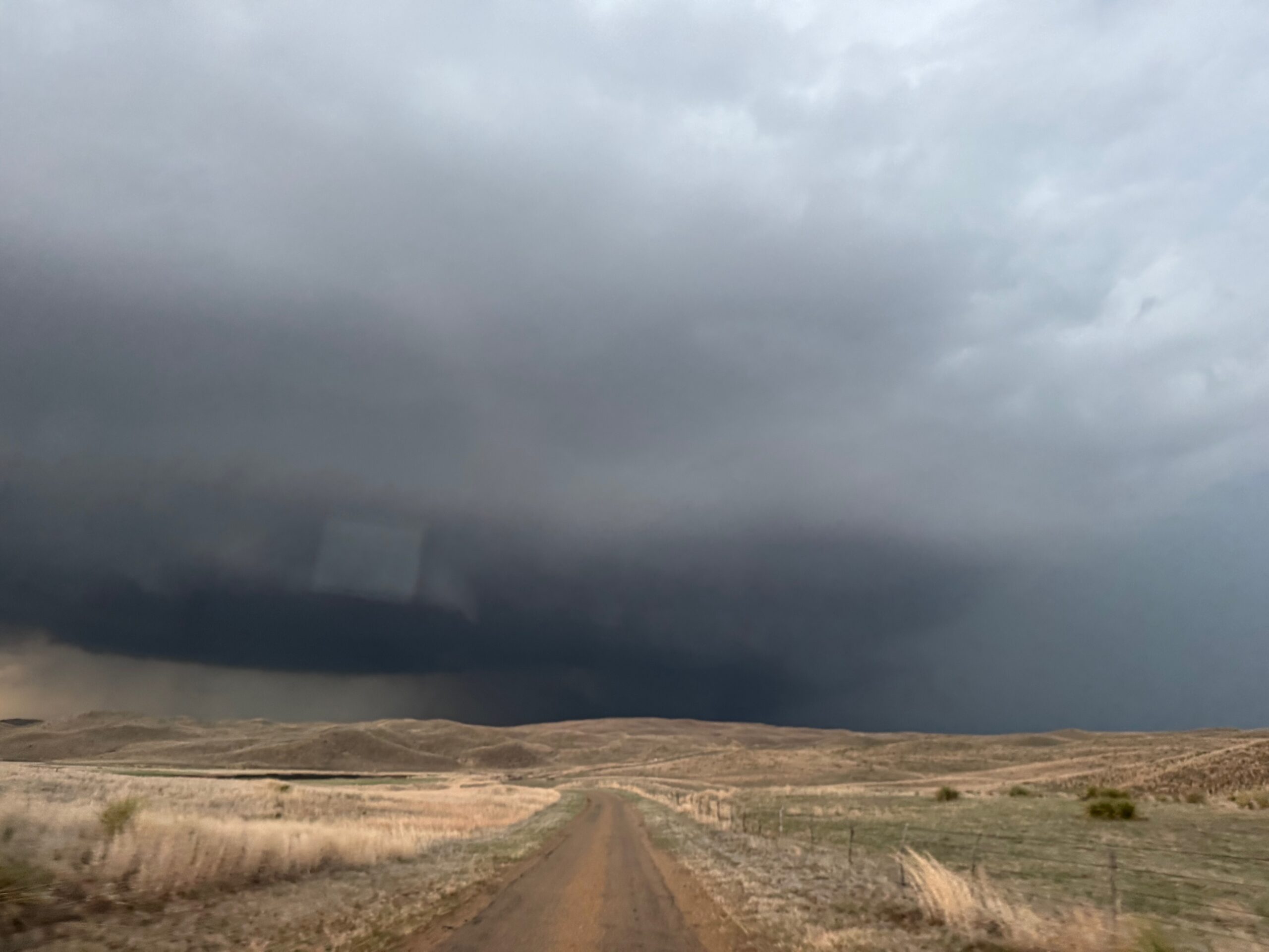
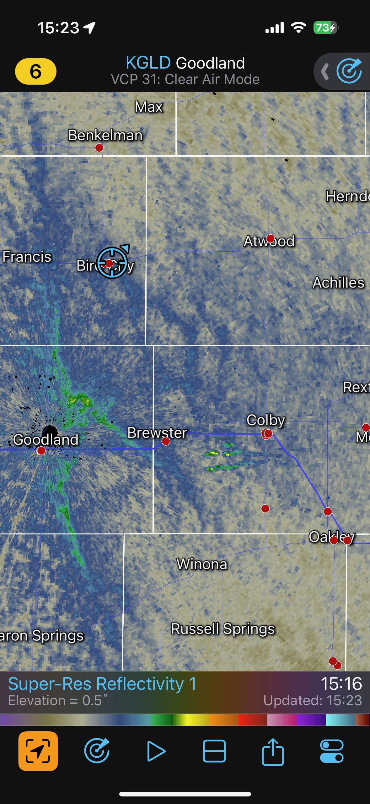
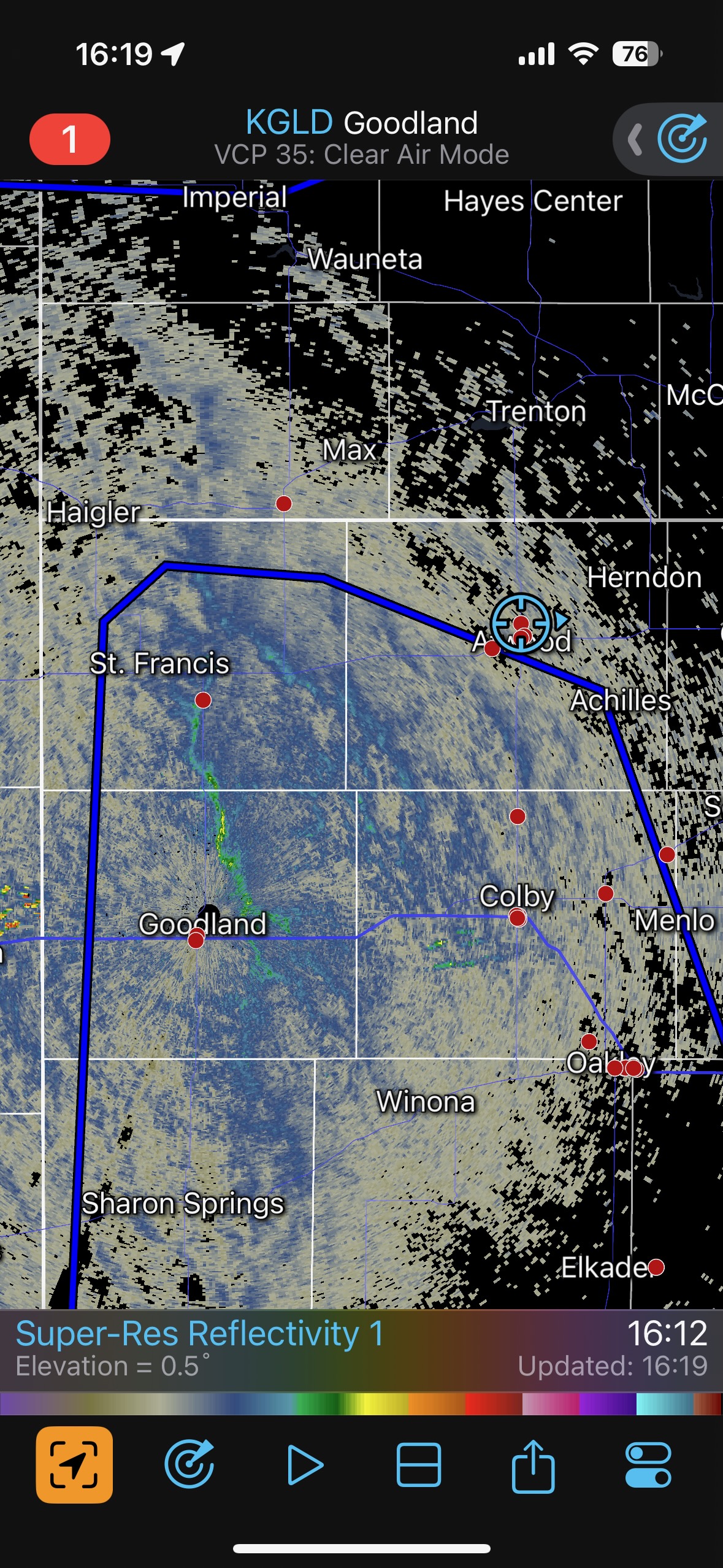
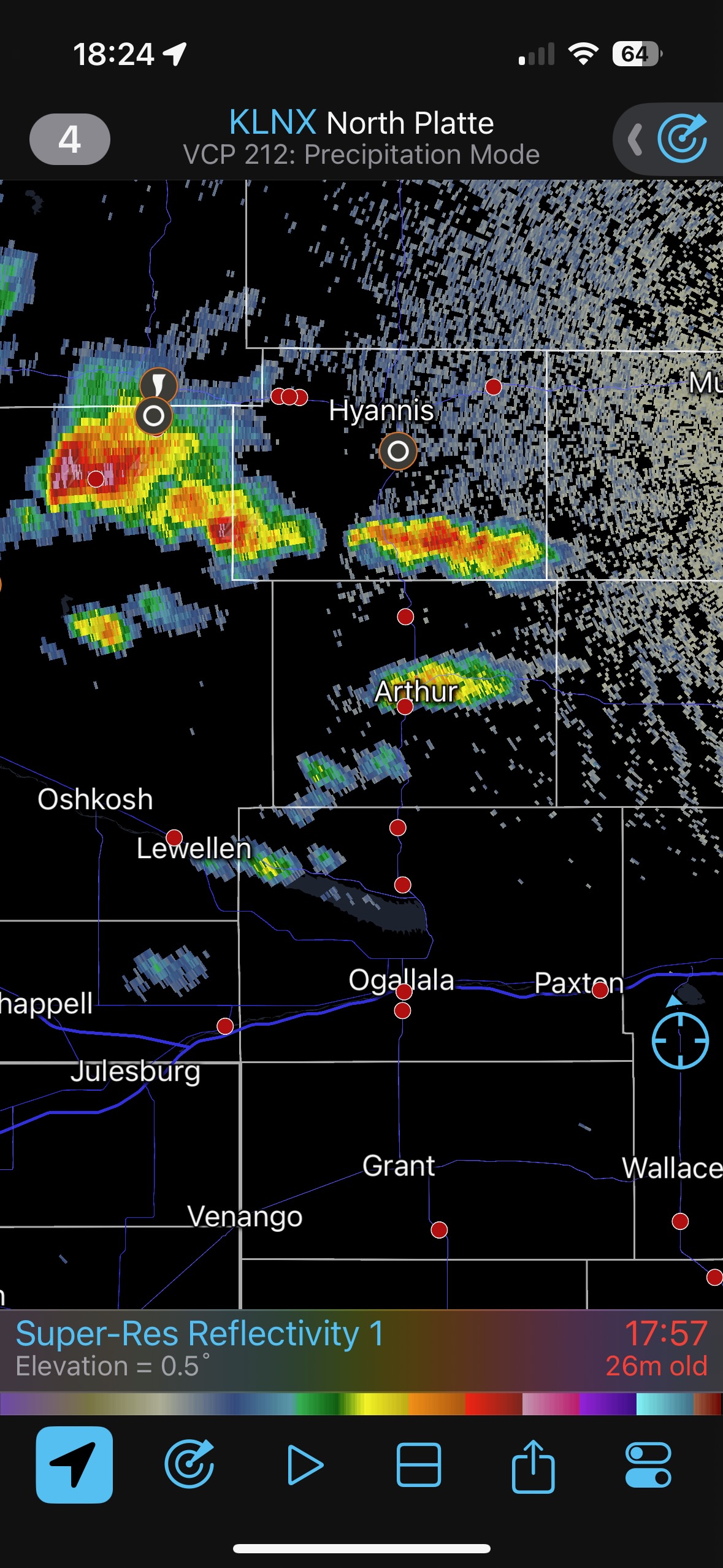
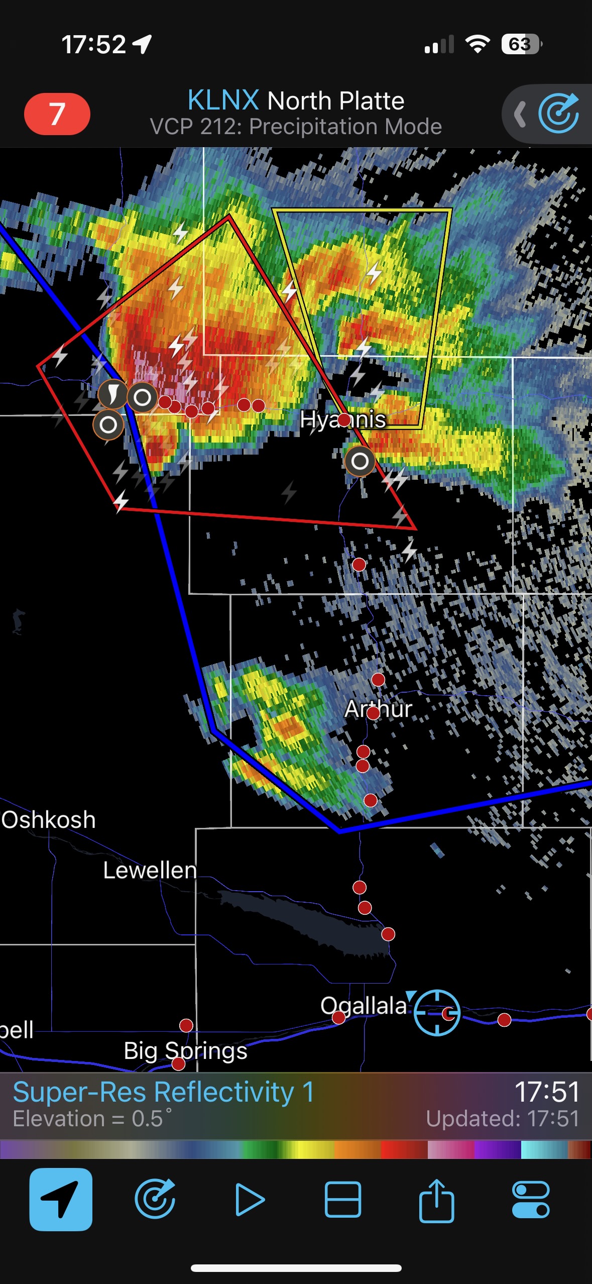
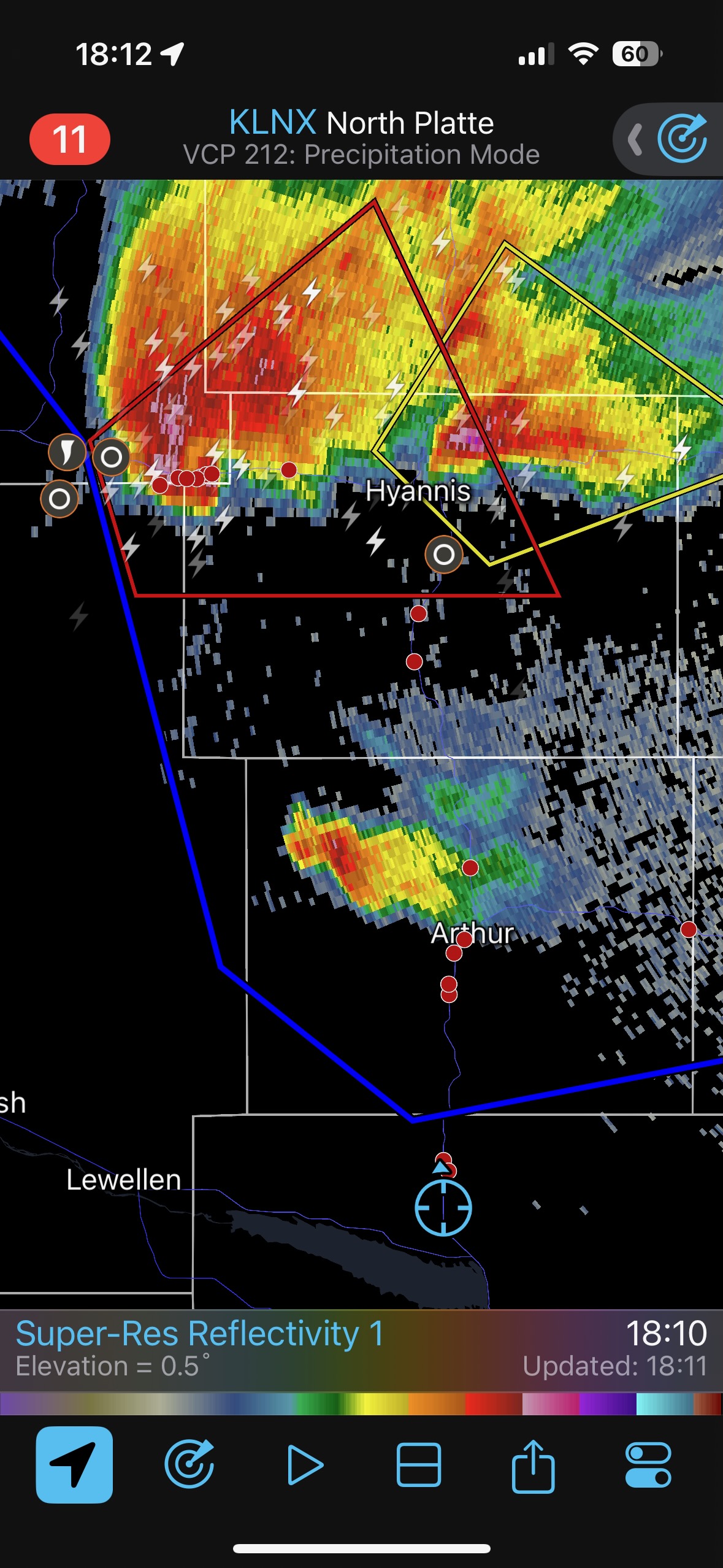
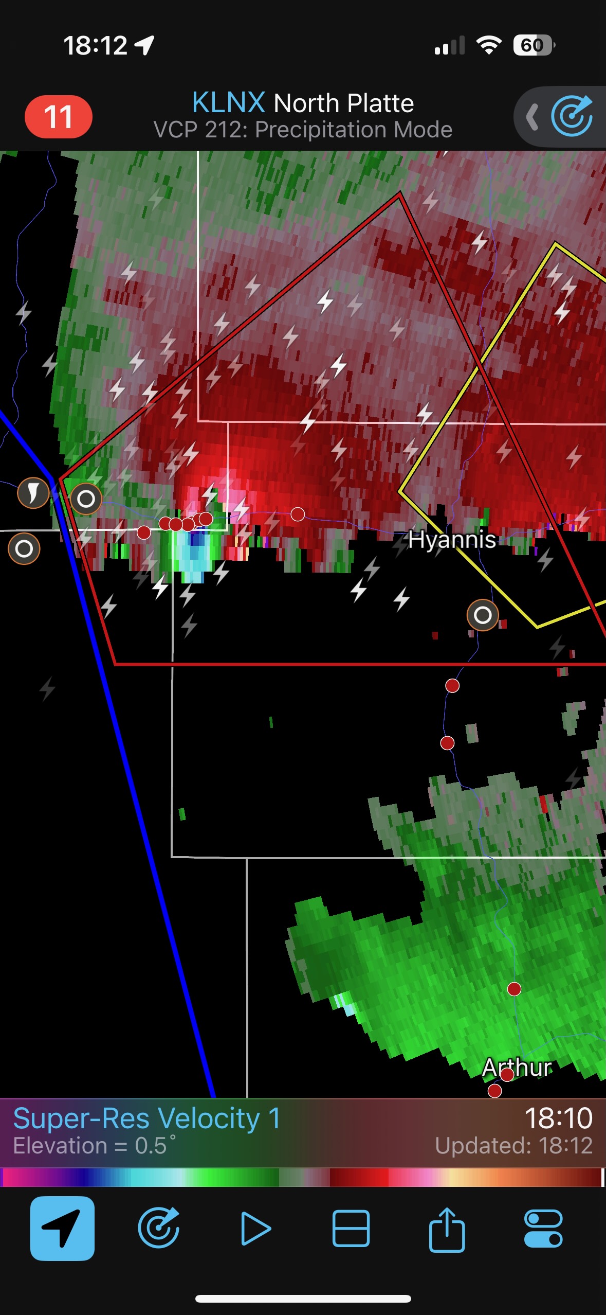
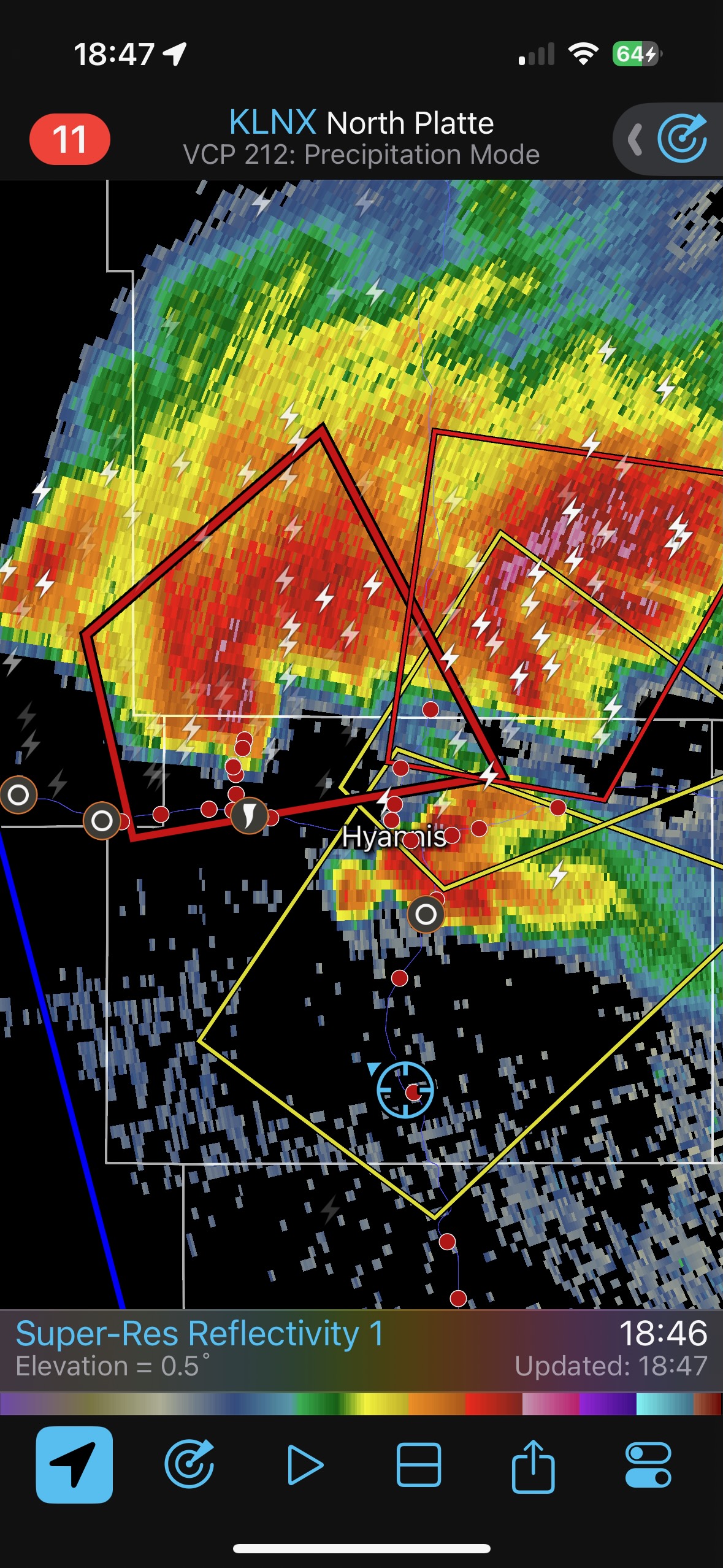
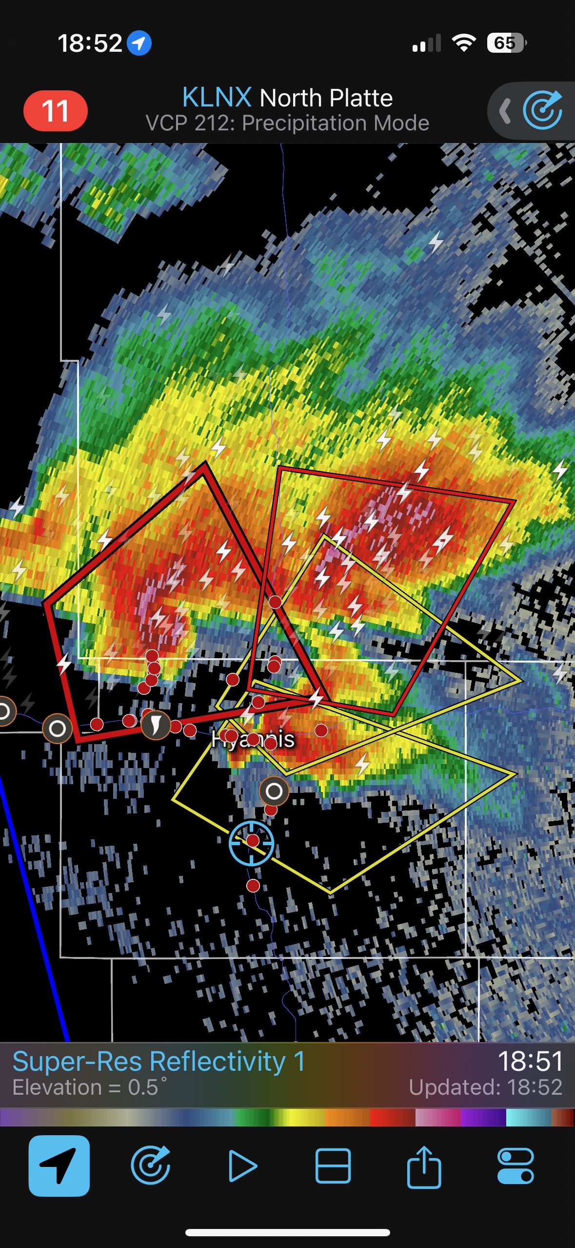
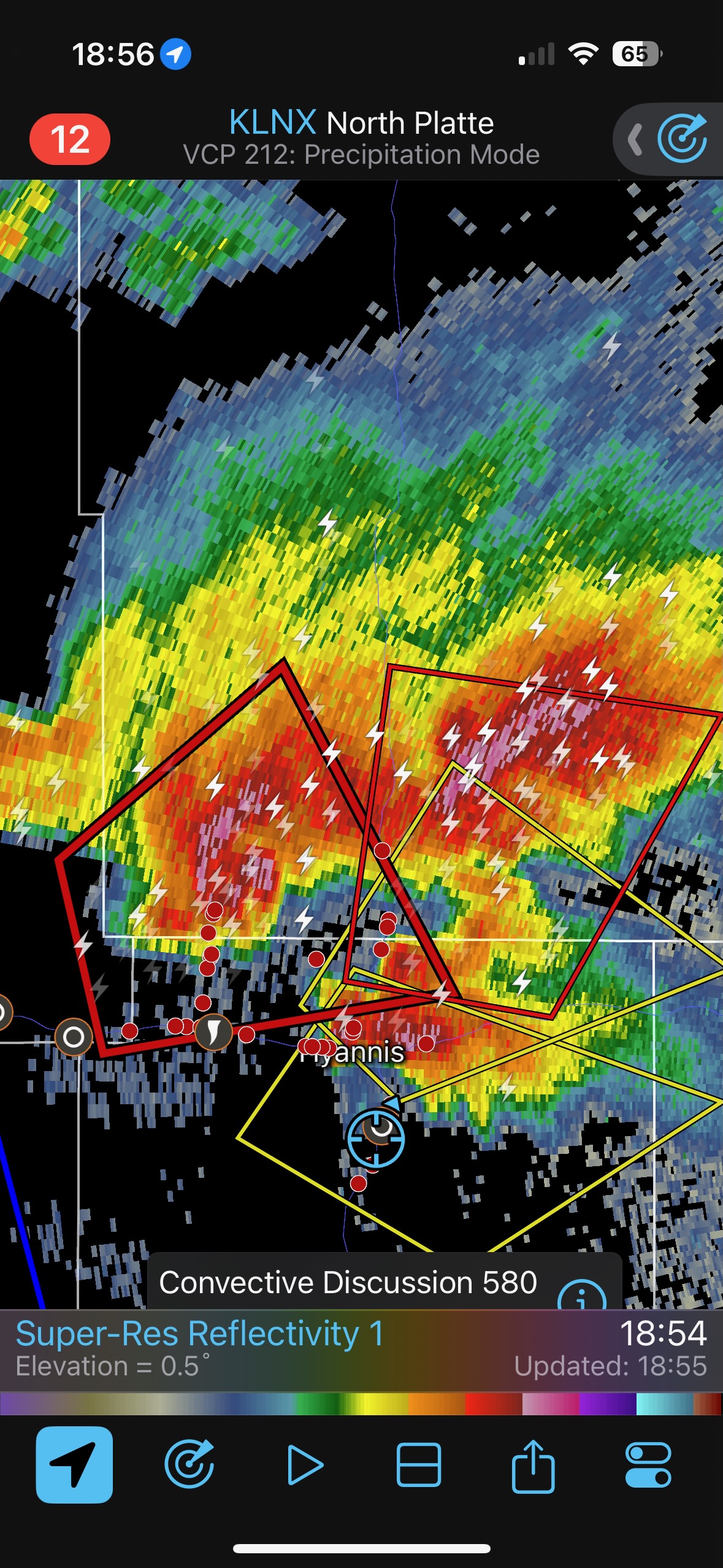
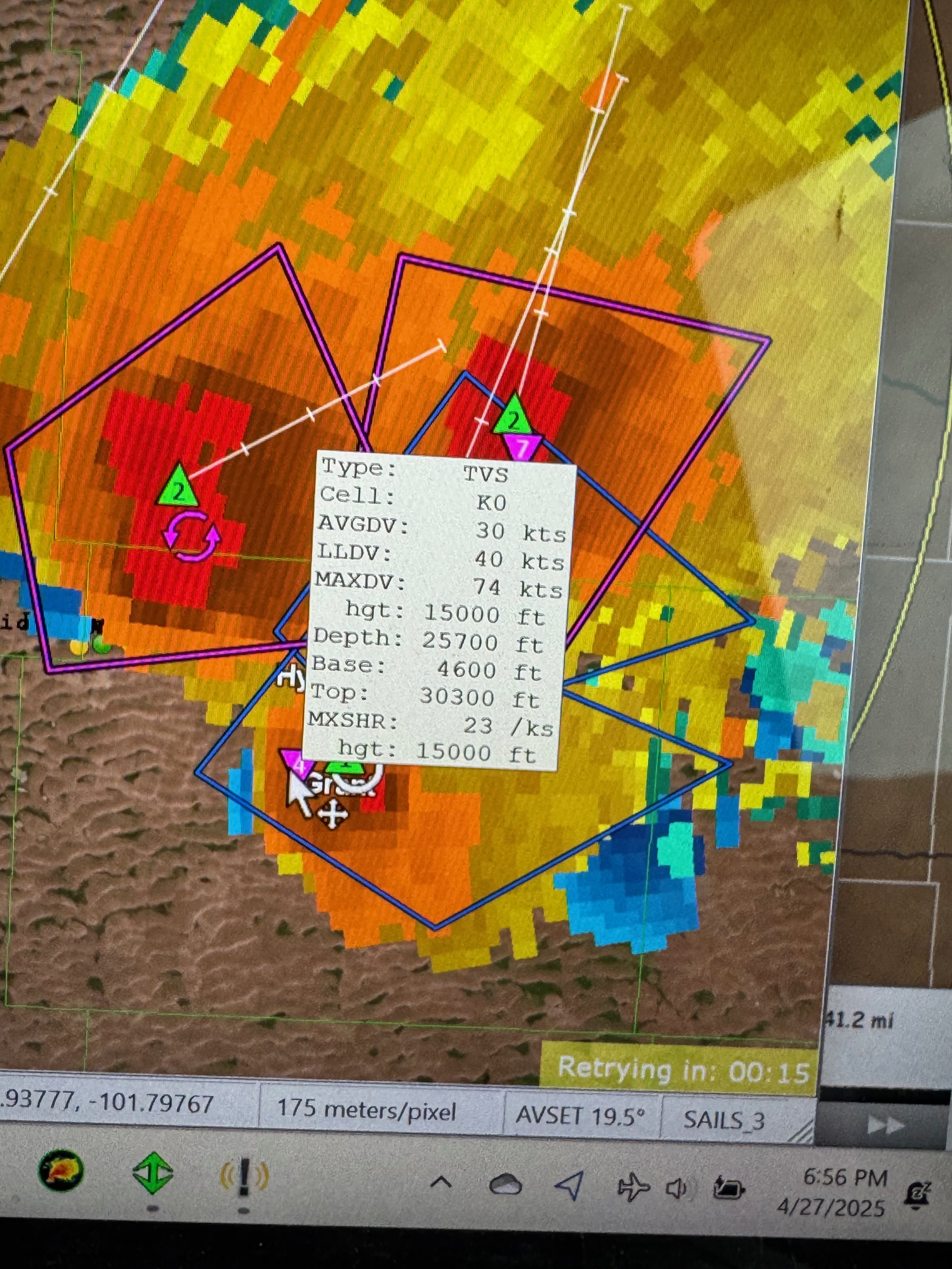
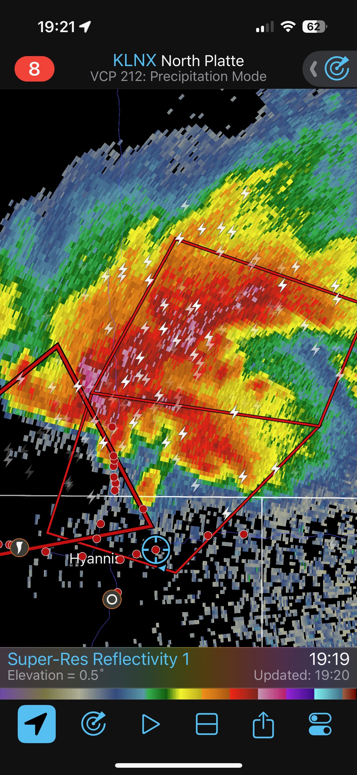
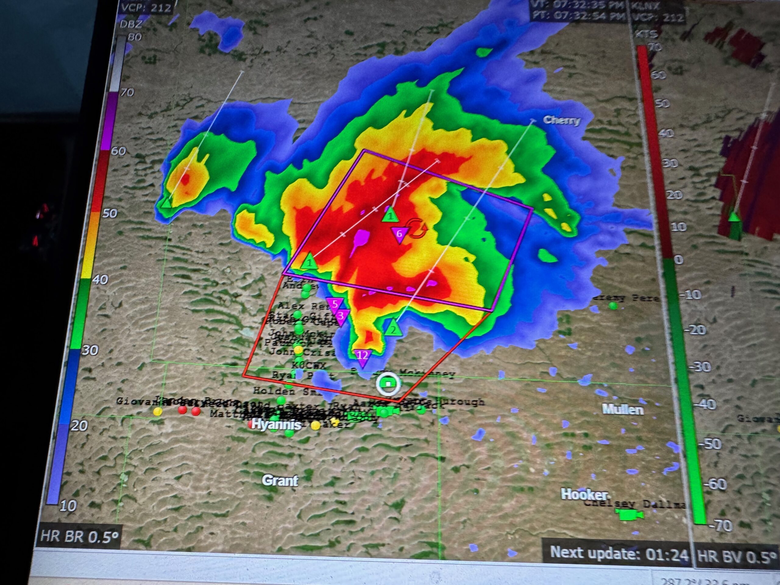
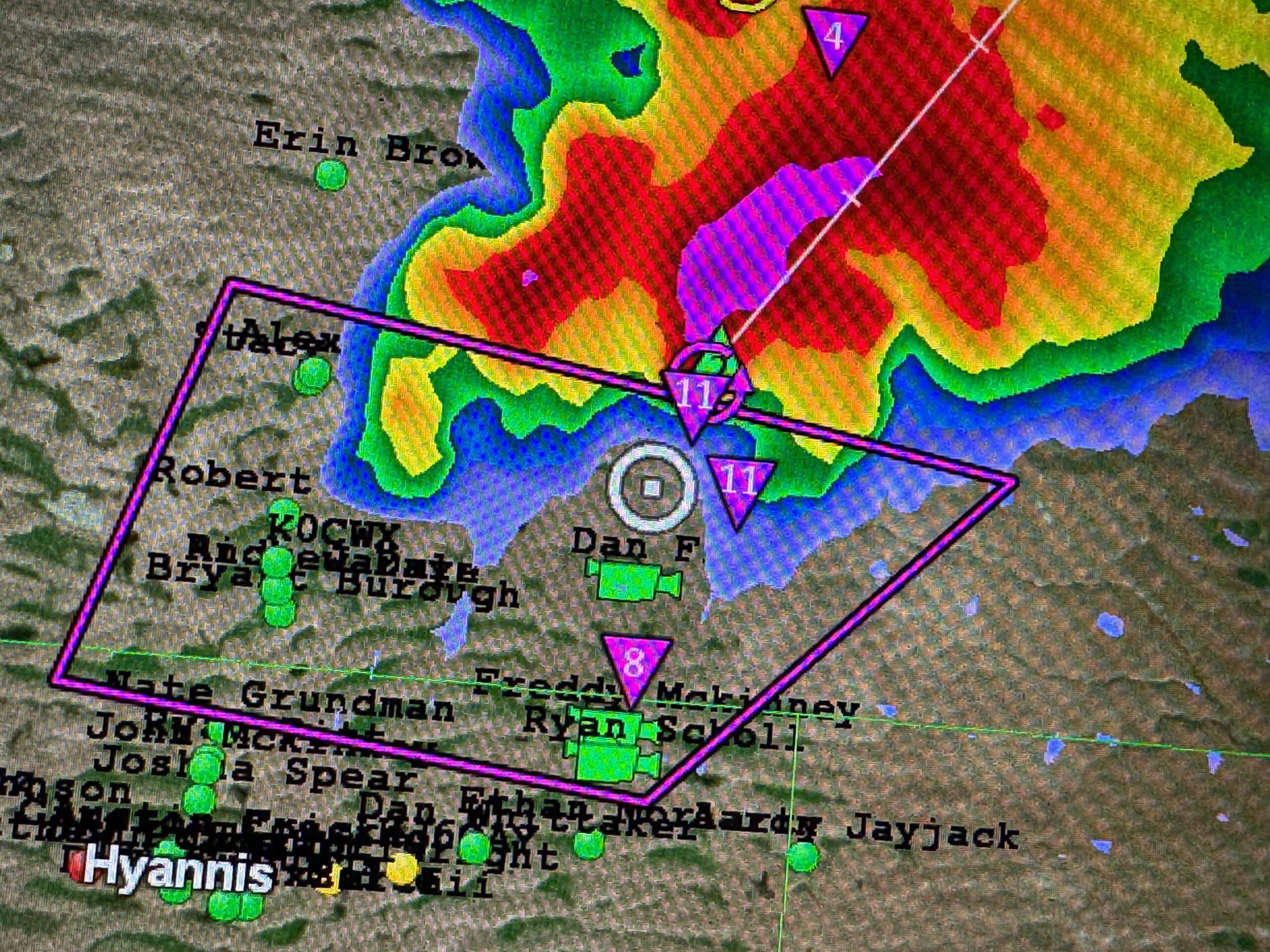
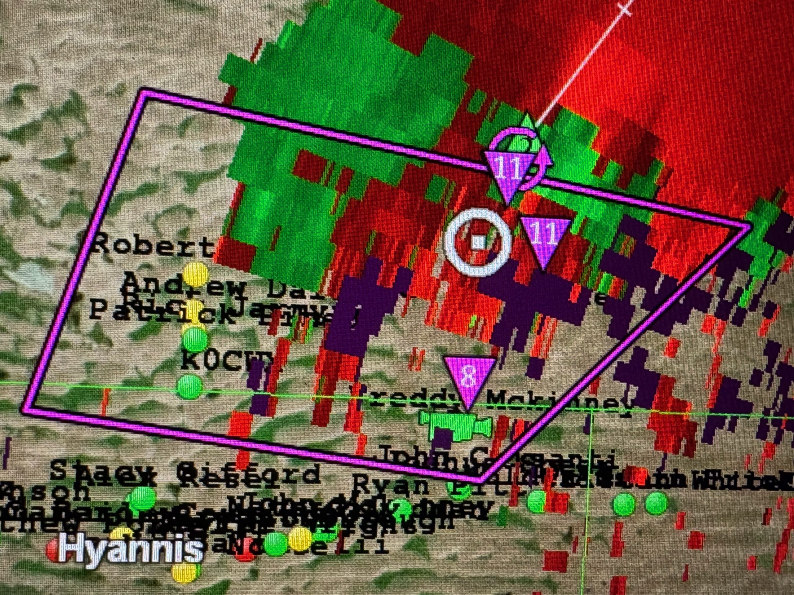
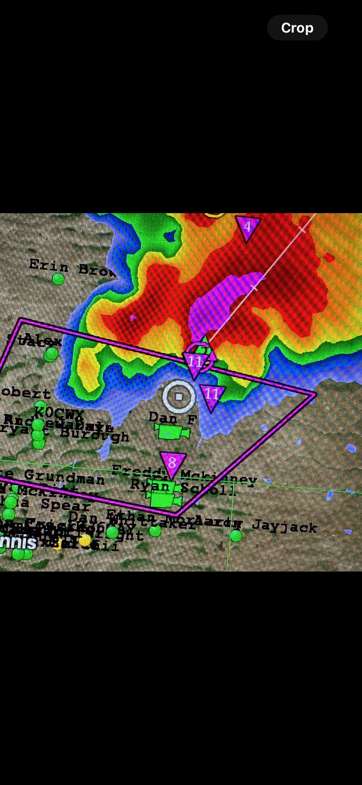
We observed a cumulus field west of Atwood, Kansas, mid-afternoon…and getting into late-afternoon. An updraft or two looked promising briefly and then died. Meanwhile, the chase prospects and developments well to our NNW in Nebraska were looking better. I elected to abandon the struggling Kansas stuff and headed northward to try to salvage something. The decision wound up being about an hour too late as a high-end large tornado occurred west of Hyannis, along Highway 2, near Bingham, between about 5:30 and 6:00 p.m. MDT. It took about three hours to reach Hyannis. A very decent supercell was a little to the north of Hyannis (see radar screenshots taken around 7 p.m. MDT), but if there was a tornado with it, we could not see it. Storm bases were low! As darkness began to fall upon the land we tried our luck in the Sandhills by heading north on a narrow and lonely road out of Whitman. This got us closer to a supercell which sported a very suspicious action area. An RFD was just south of a large bowl-shaped lowering. See the last four images in the group below (view to the north for the most part). The storm was tornado-warned and it may well be that a large tornado was in progress at this time. See our position on the last few radar images at the bottom of this entry. The TVS markers on GR Level showed high values above 100 knots.
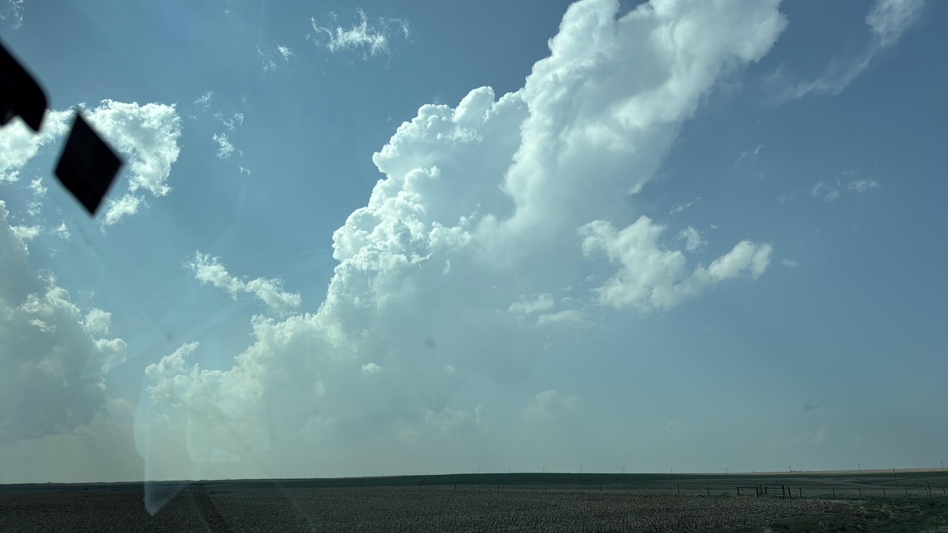
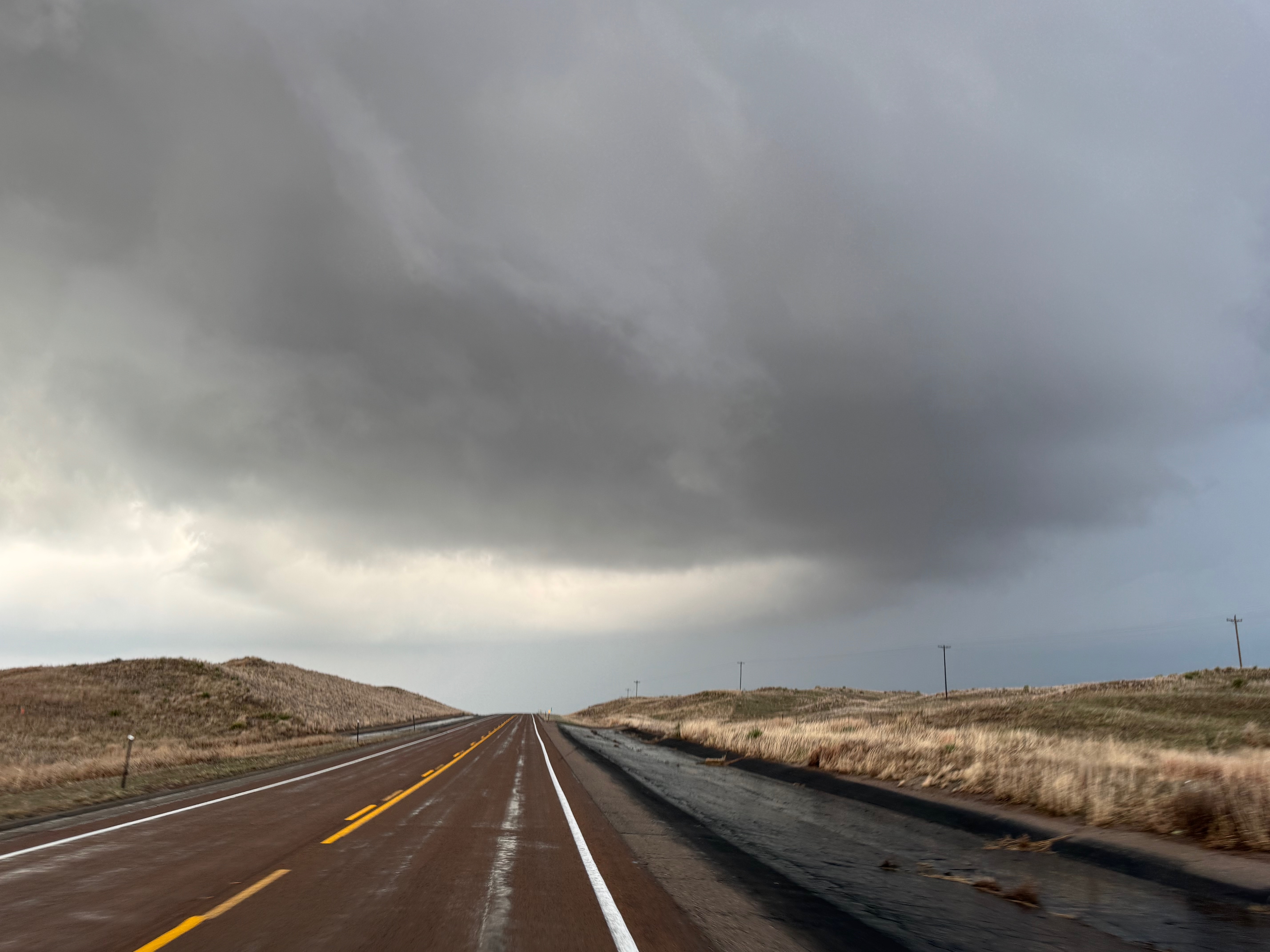
The images above were with my Canon camera, and the images below are from the iPhone. The first few show the sputtering Kansas junk.
As we reached I-80 and headed north past Lake McConoughy towards Arthur, we were lamenting that we were missing the tornado show along Highway 2 to our NNW. But, a new strong updraft was developing now that was a lot closer, to our northwest (near Arthur at 6:12 p.m. MDT). This one (images 4 to 8 below) wound up being the supercell that we were near at Hyannis, and then chased north of Whitman (remaining iPhone images below). The radar shows three Sandhills supercells in progress an hour or so after the Bingham tornado, and it looks like these all merged into one major cyclone a little after sunset.
Leave a Reply
You must be logged in to post a comment.