
Start: North Platte, NE/lunch: Runza in Beatrice, NE/End: Park City, KS/642 miles
SPC Mesoscale Discussions: 3:28 p.m. CDT 7:55 p.m. CDT
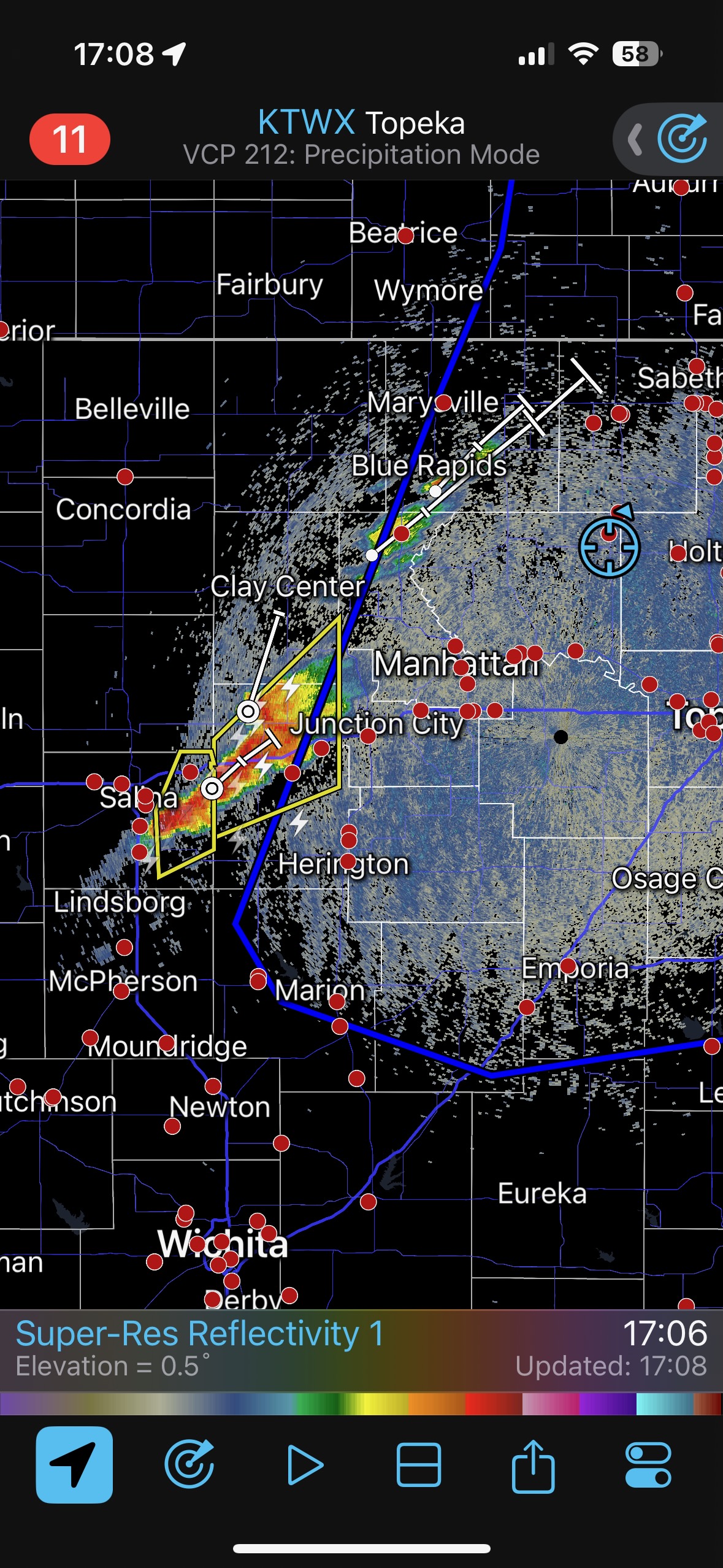
SPC showed a long swath with severe potential near a front which extended from Wisconsin to southwest Texas. The greatest tornado threat, according to the convective outlook, was in and around northern Iowa and southern Minnesota (15 percent hatched!). Strong tornadoes were possible, but the chase day wound up a big dud for the most part with regard to tornado observing. The low-level flow was not backed much at all on the east side of the boundary, storms went up a bit early, and then lined up rather rapidly.
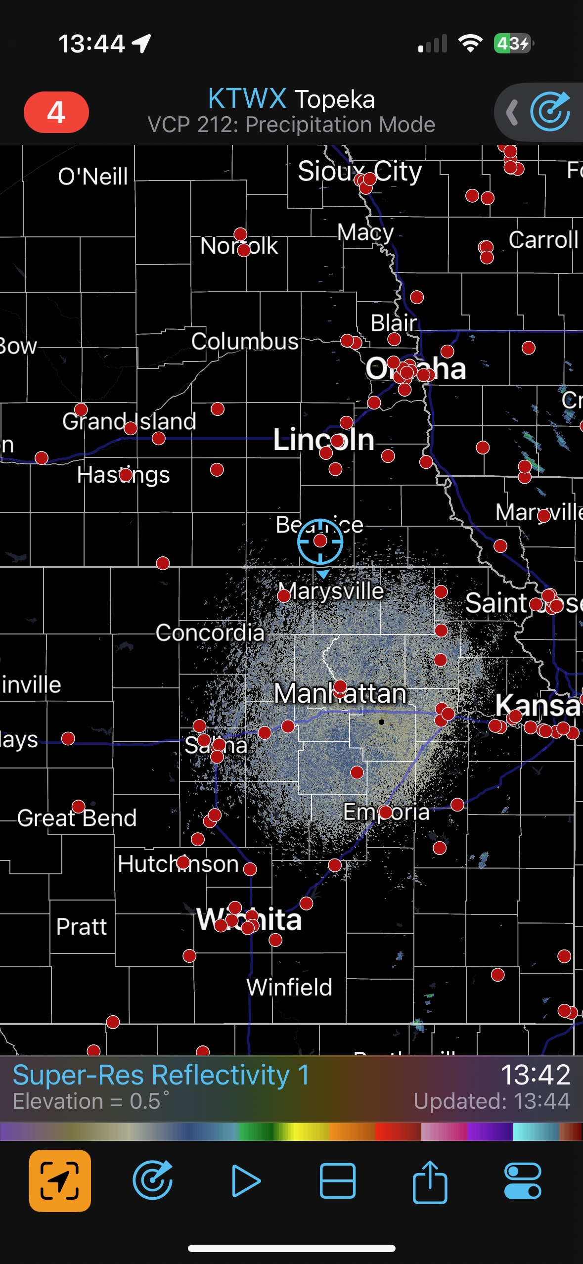
Our group was a bit too far west to consider the IA/MN target, not that I was keen on chasing the setup there anyway. I felt that our best bet was along the boundary near the E NE/E KS border.
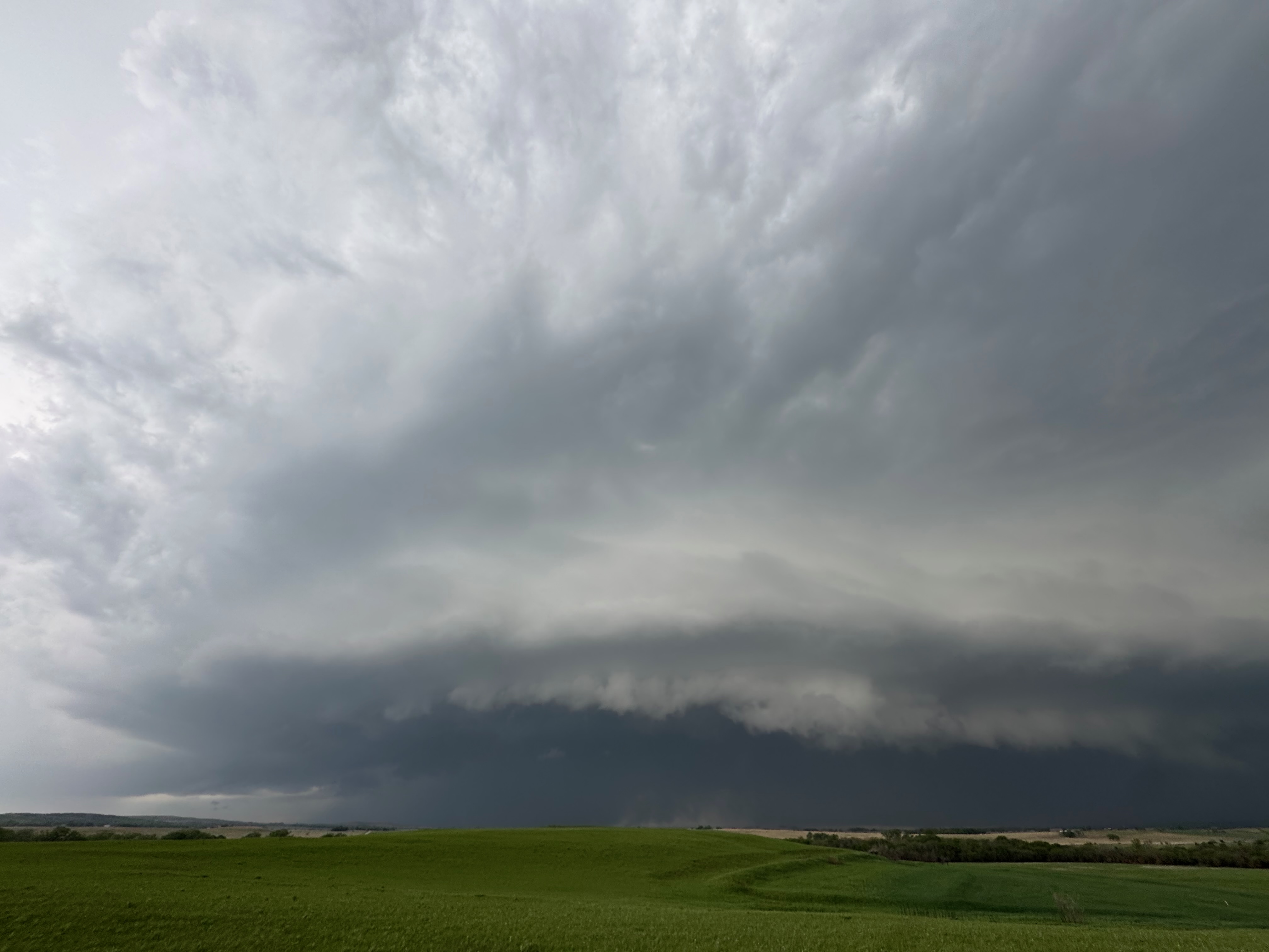
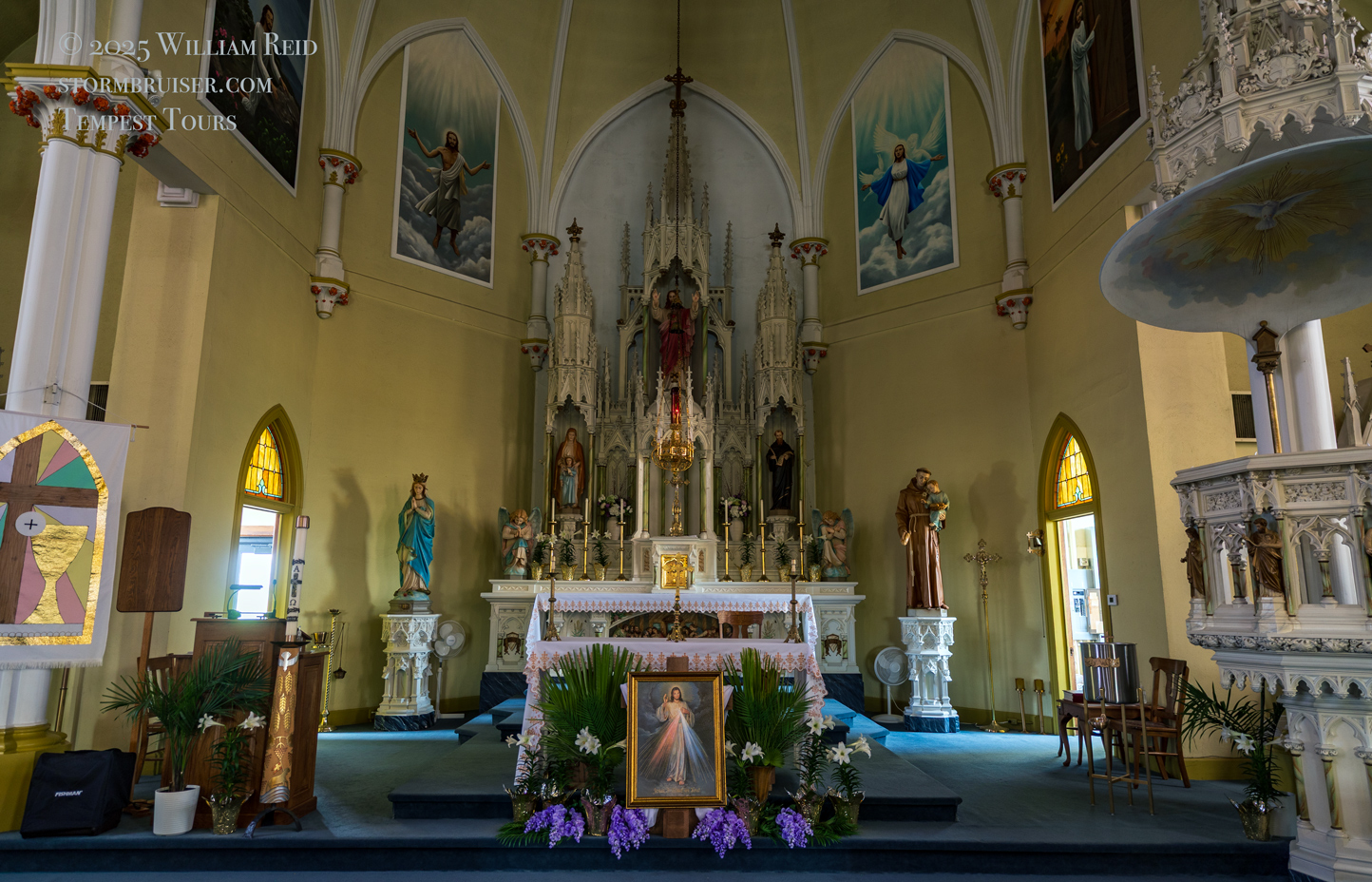
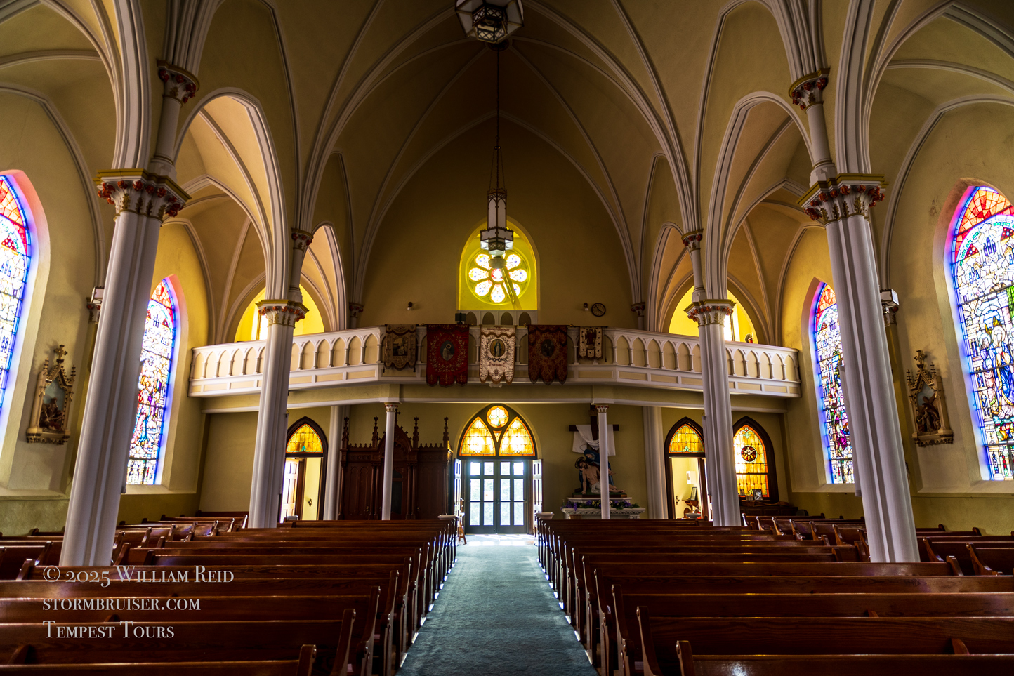
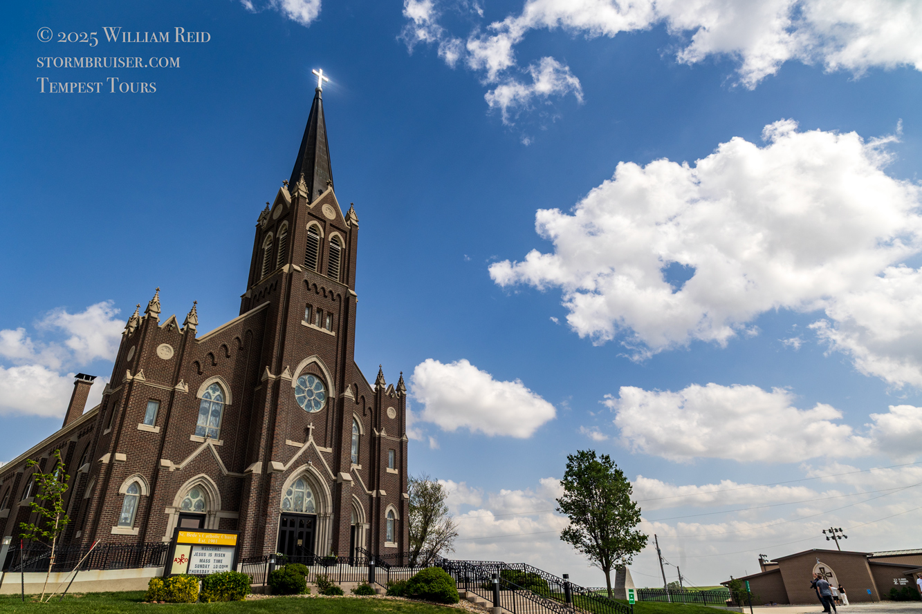
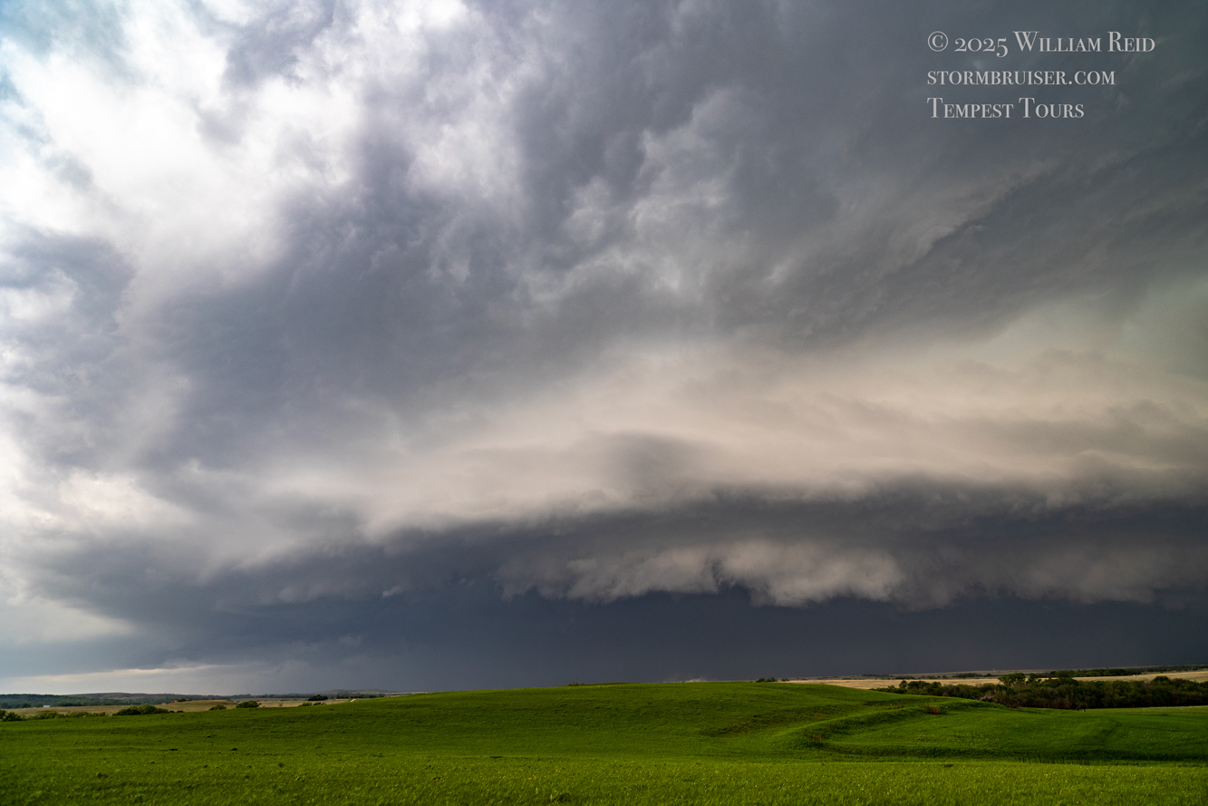
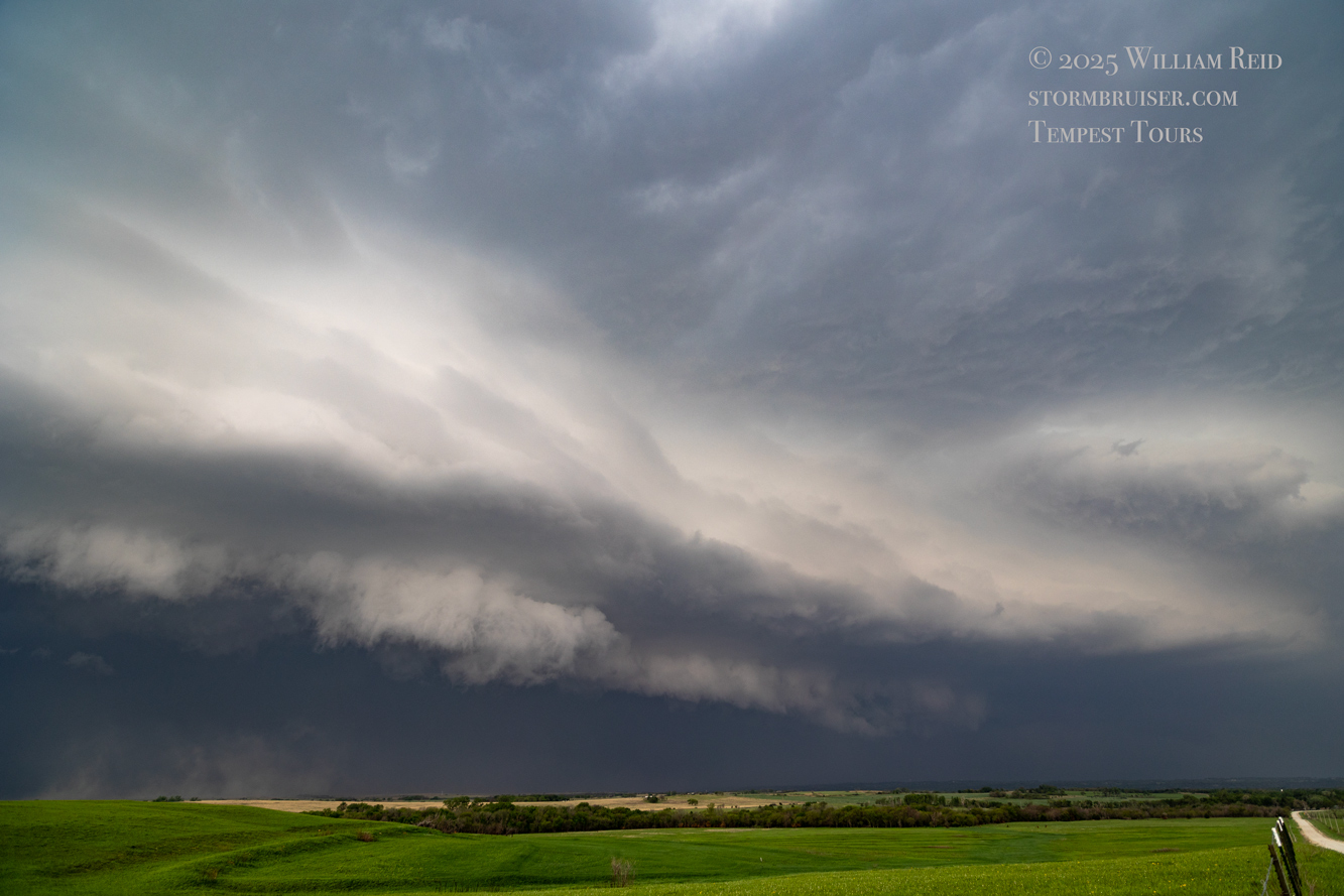
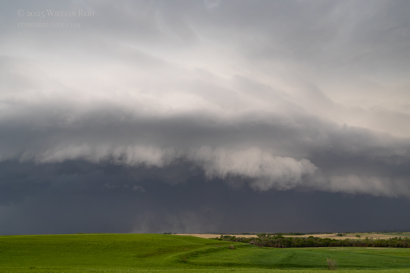
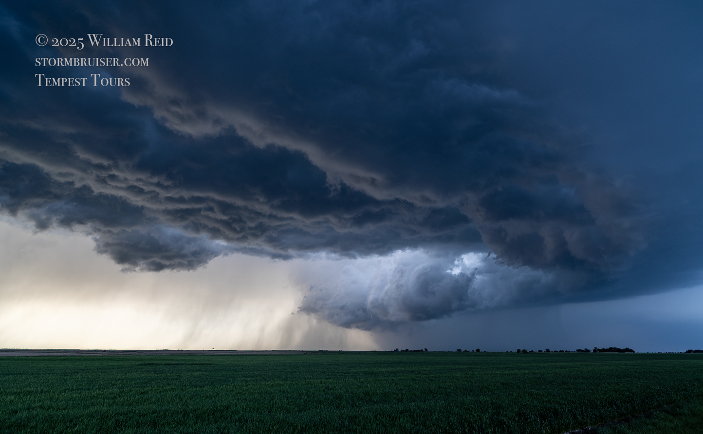
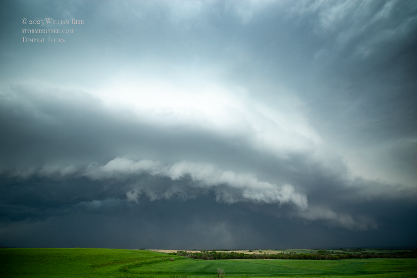
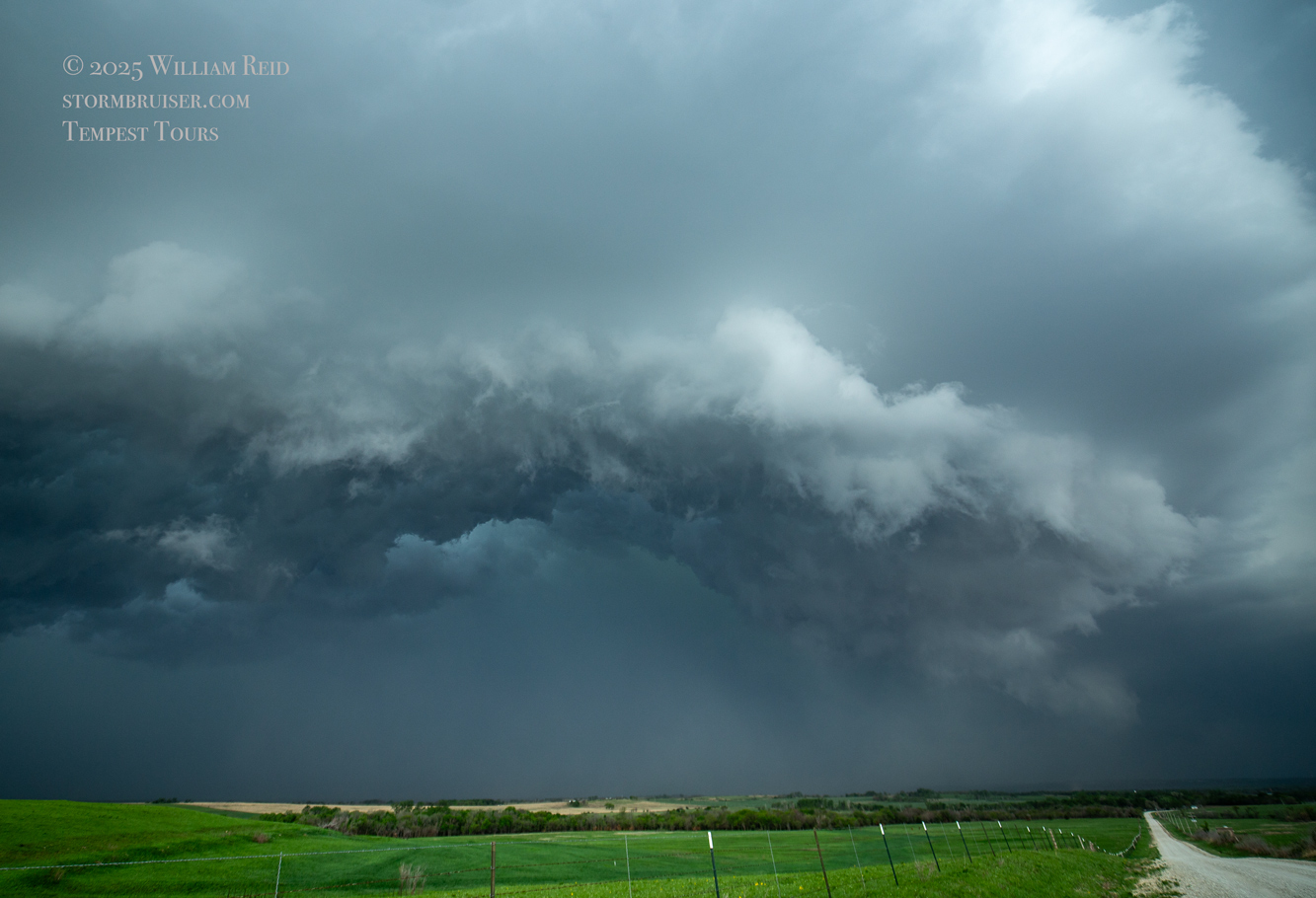
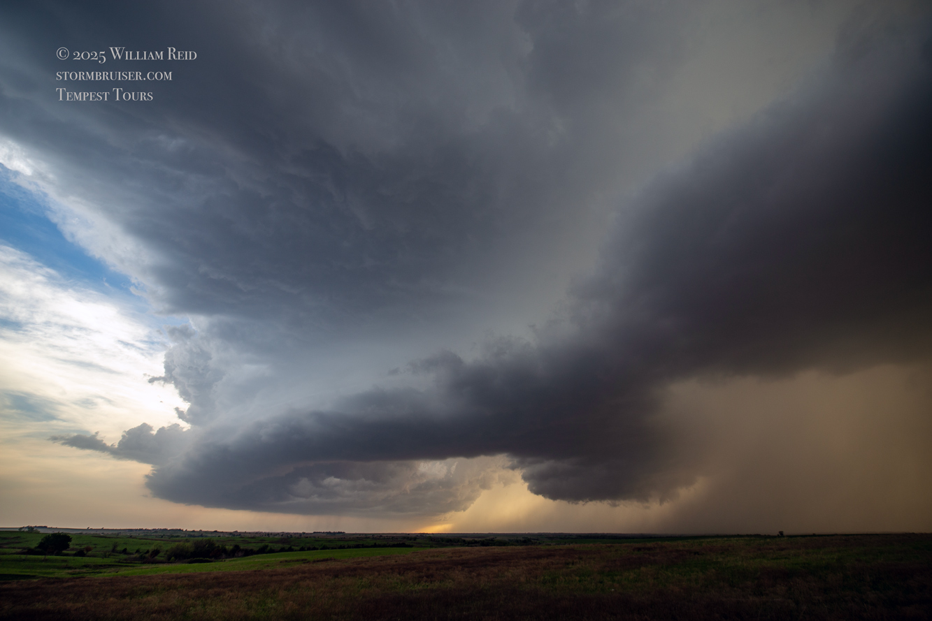
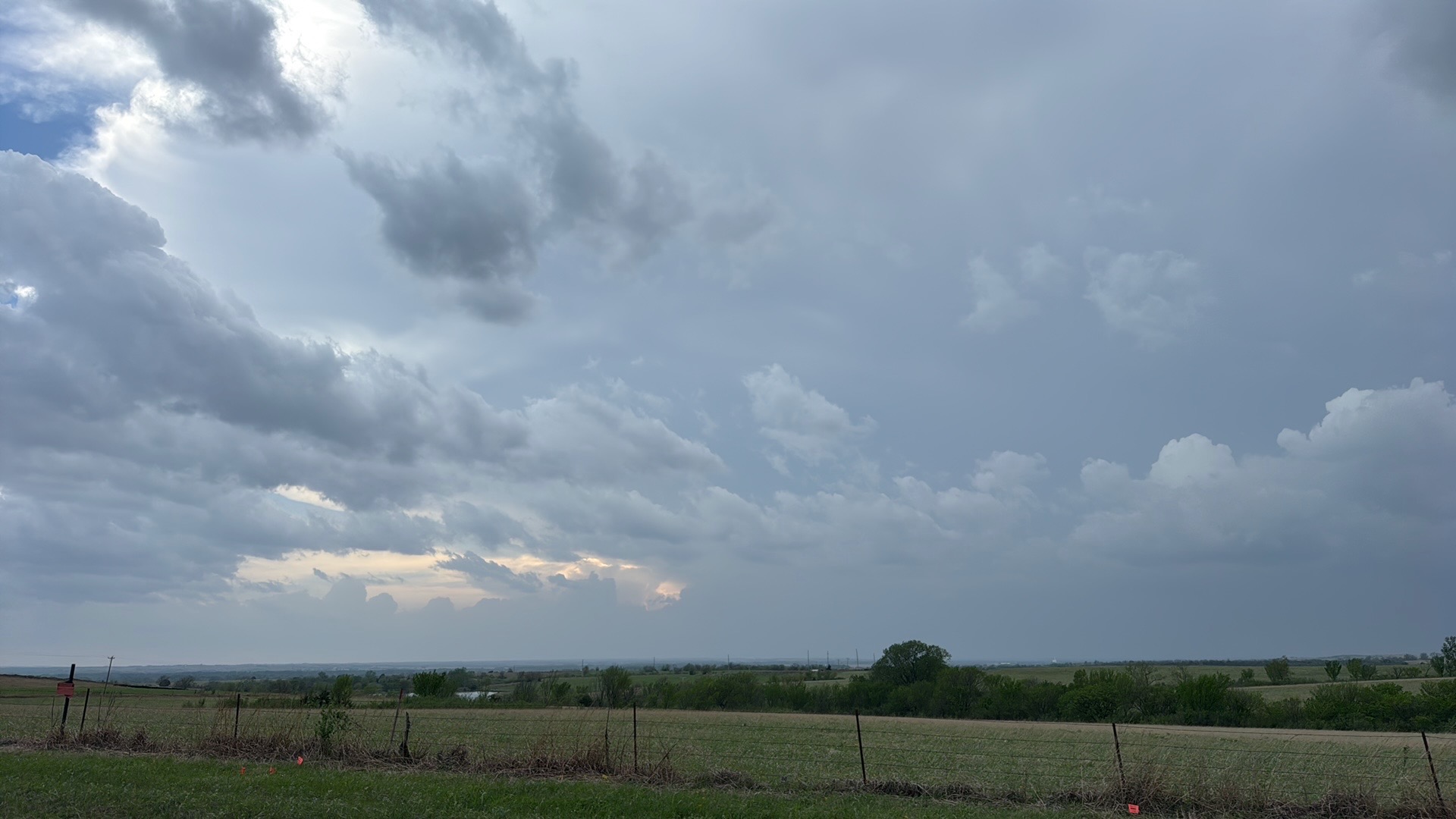
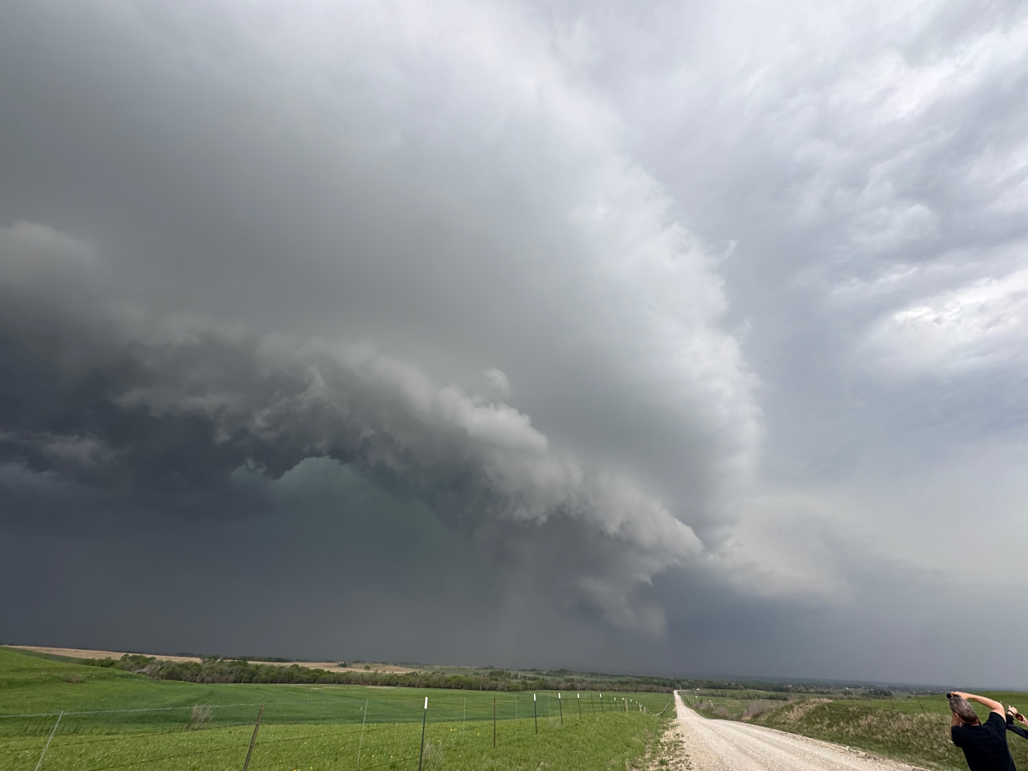
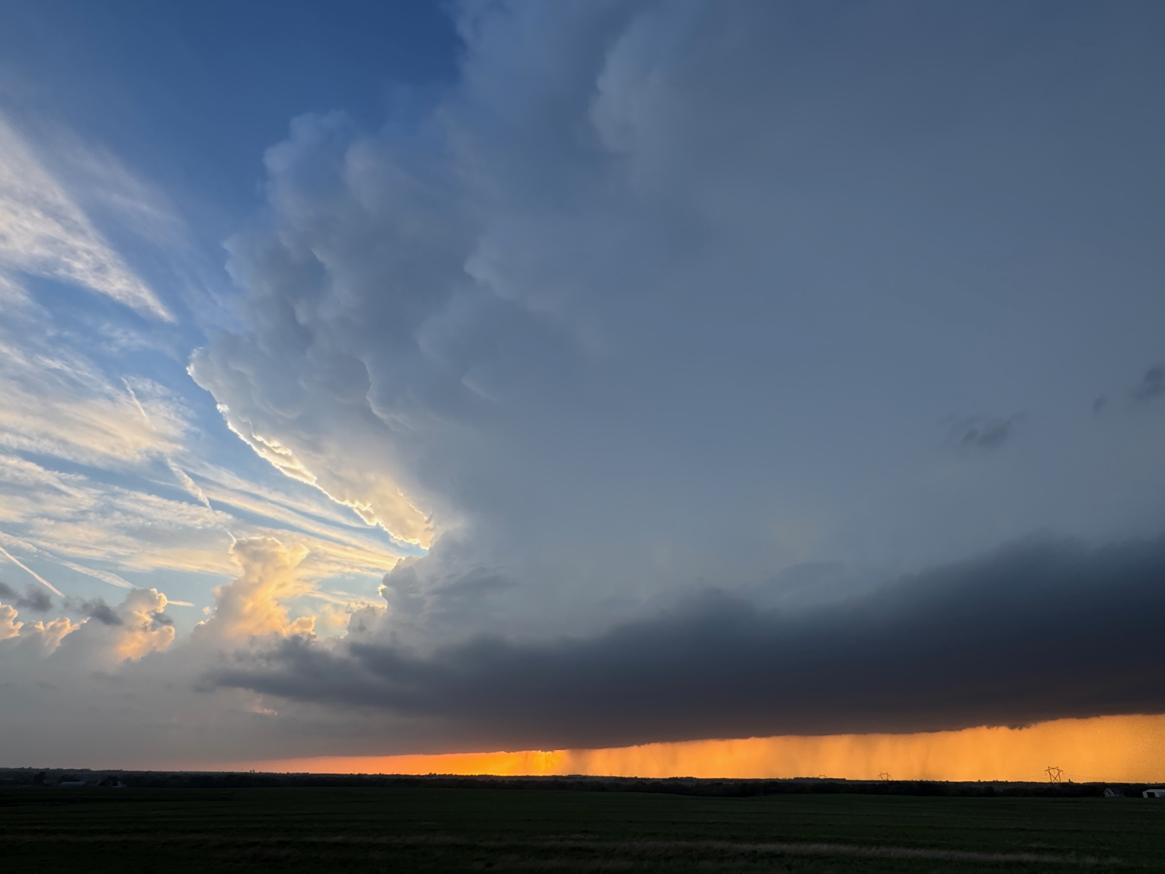
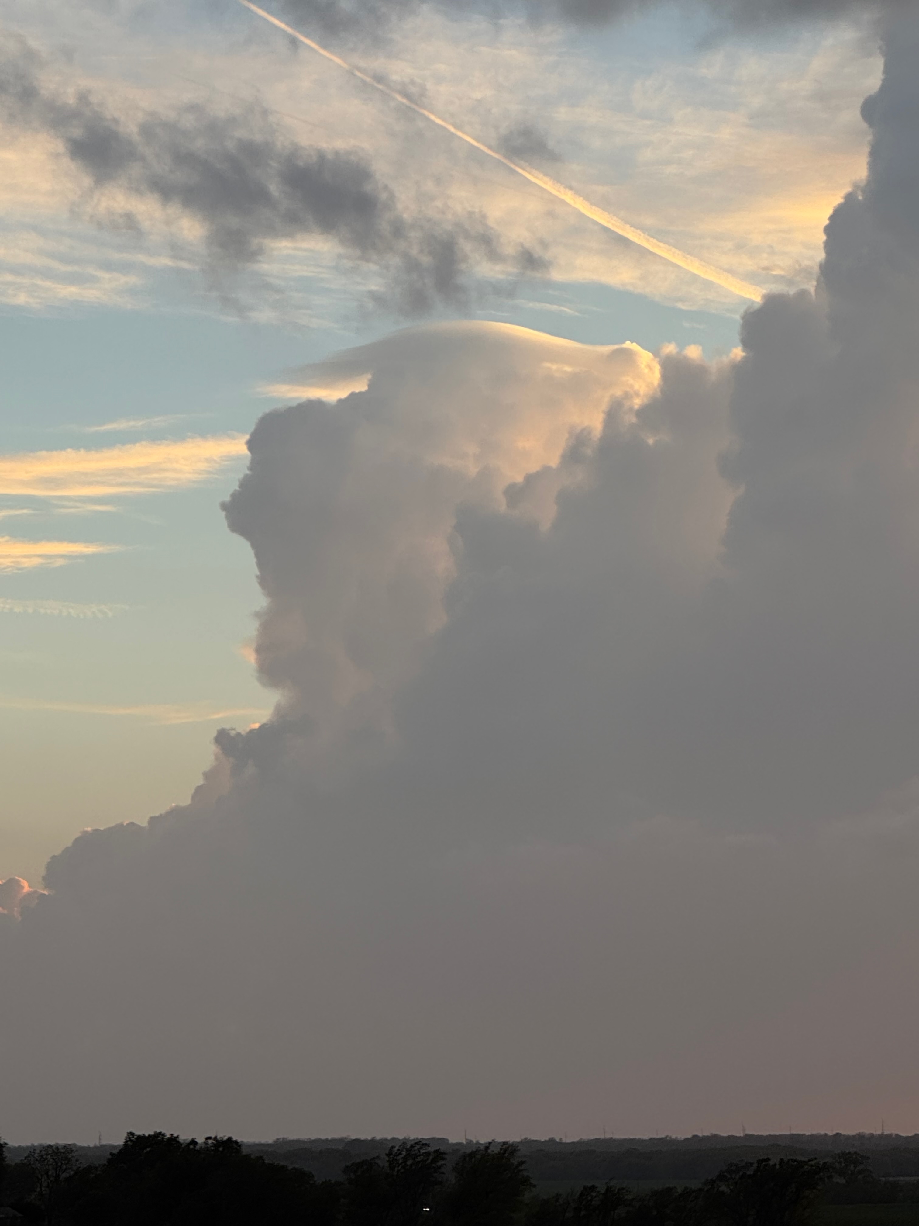
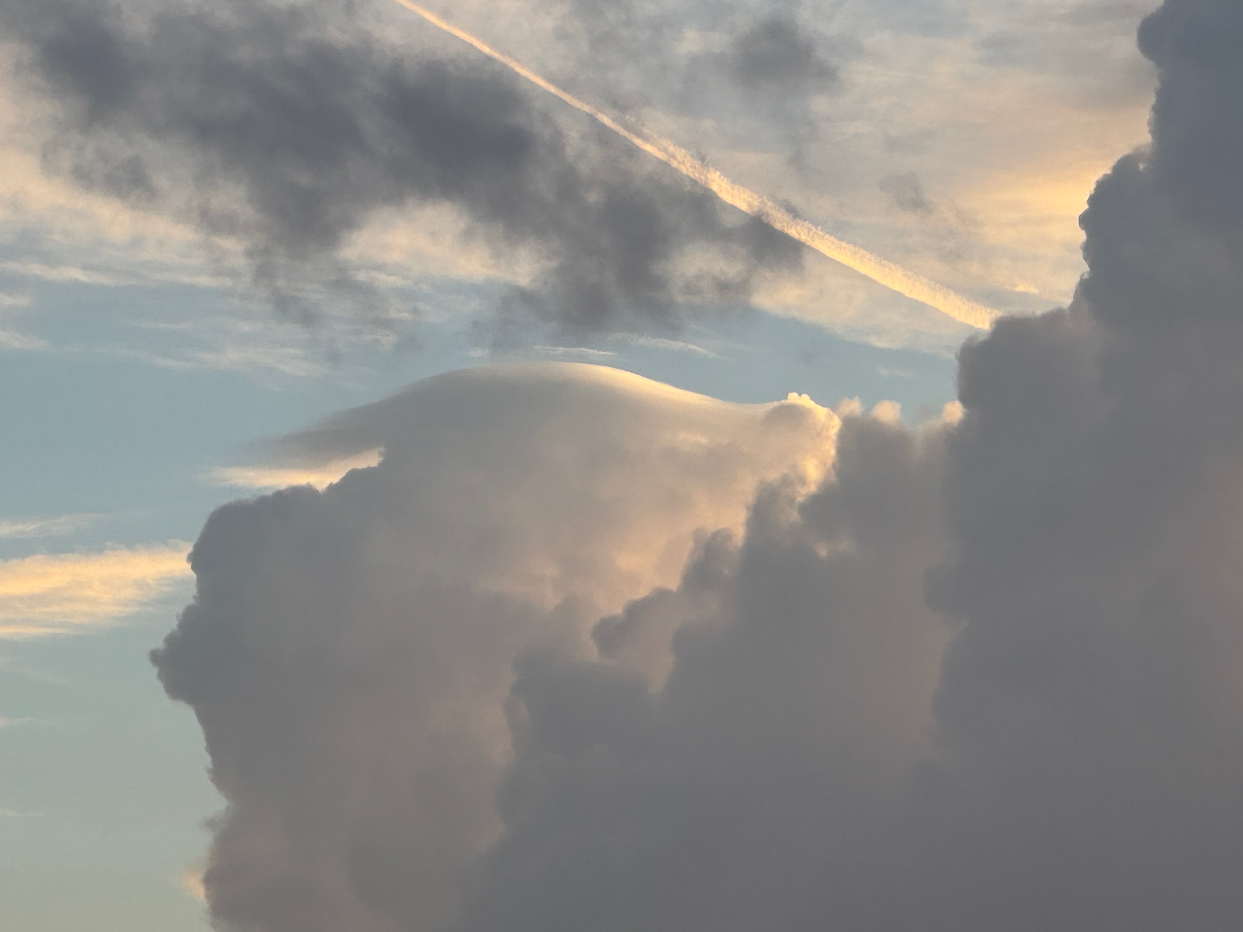
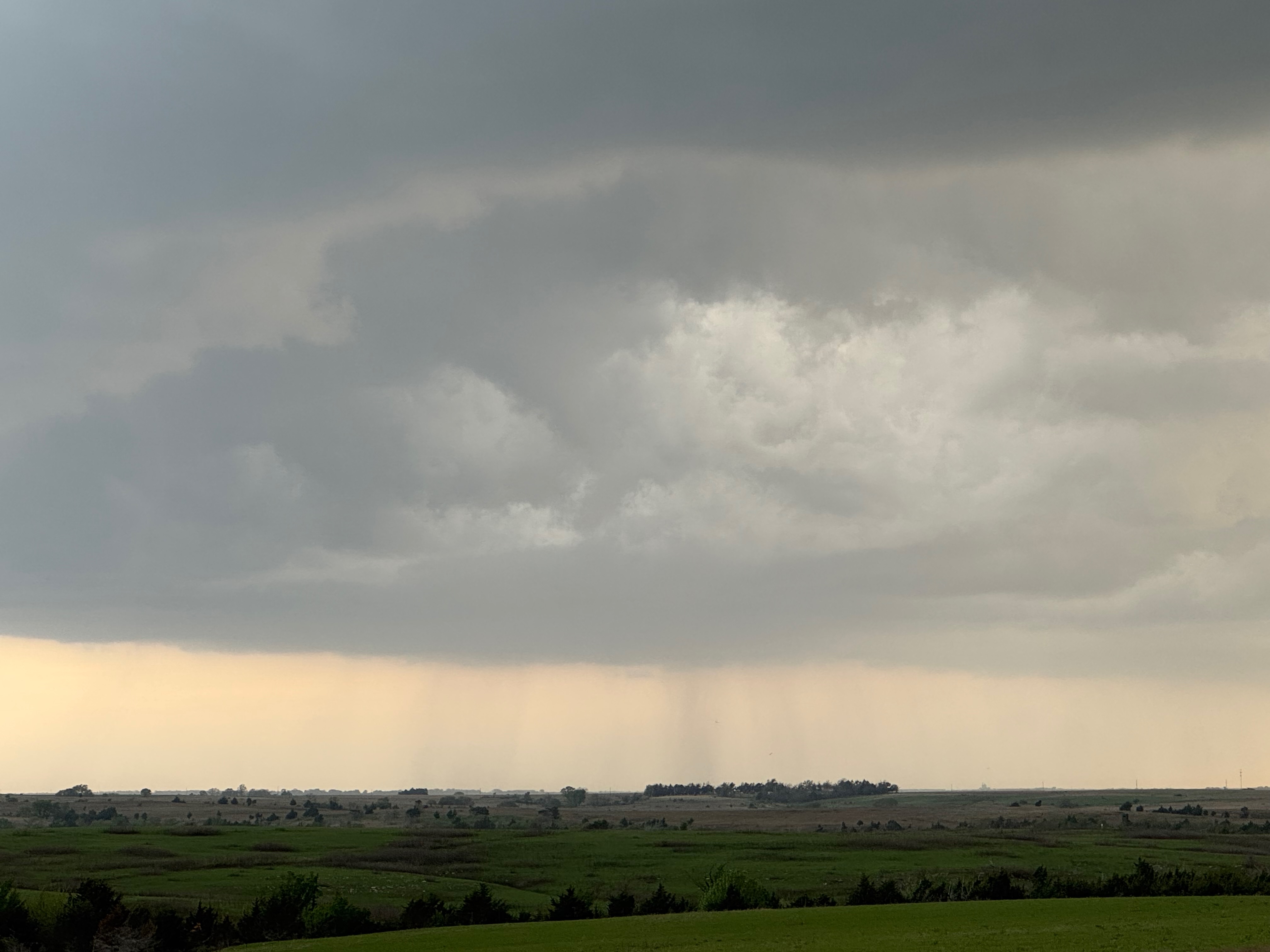
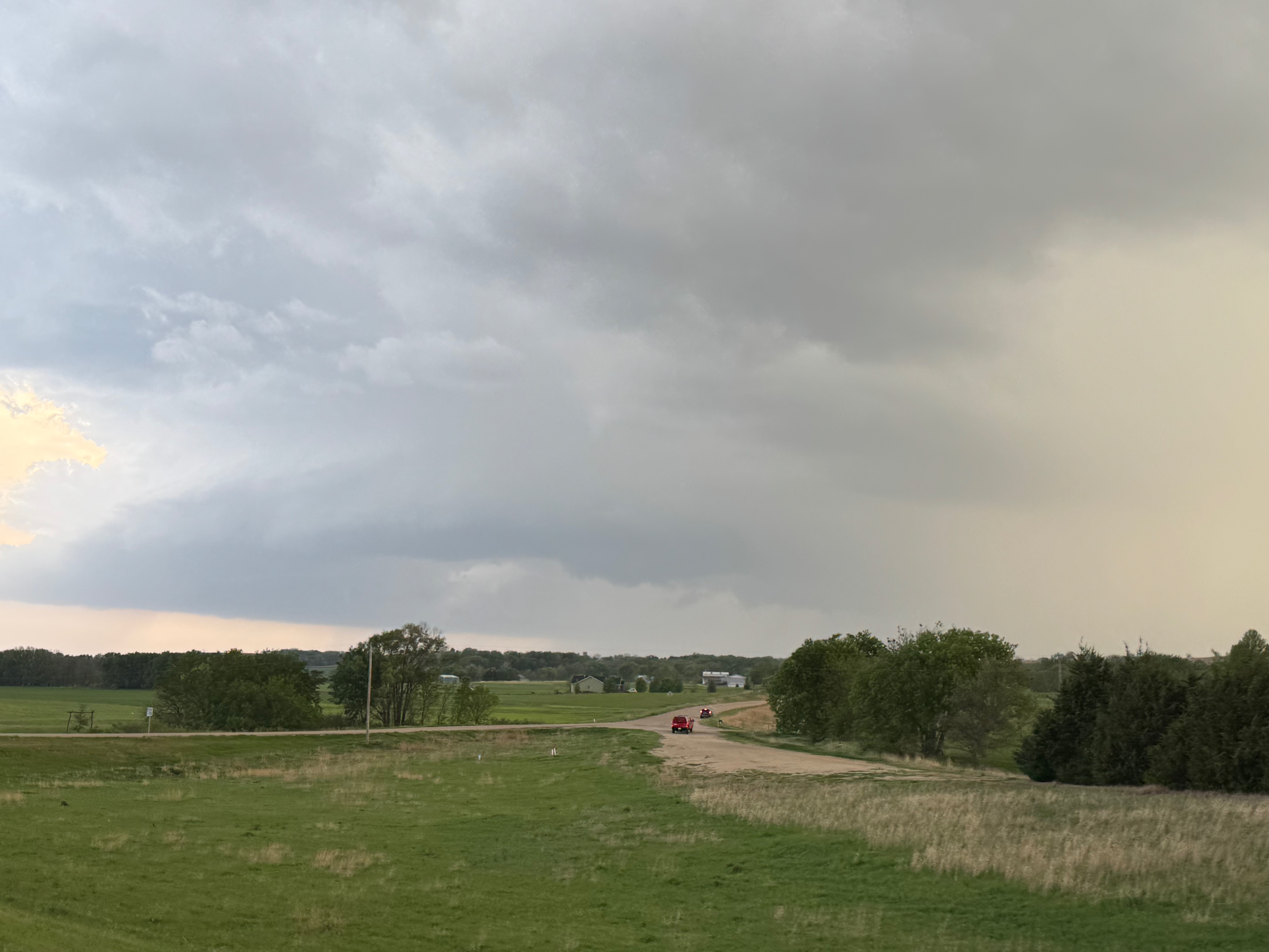
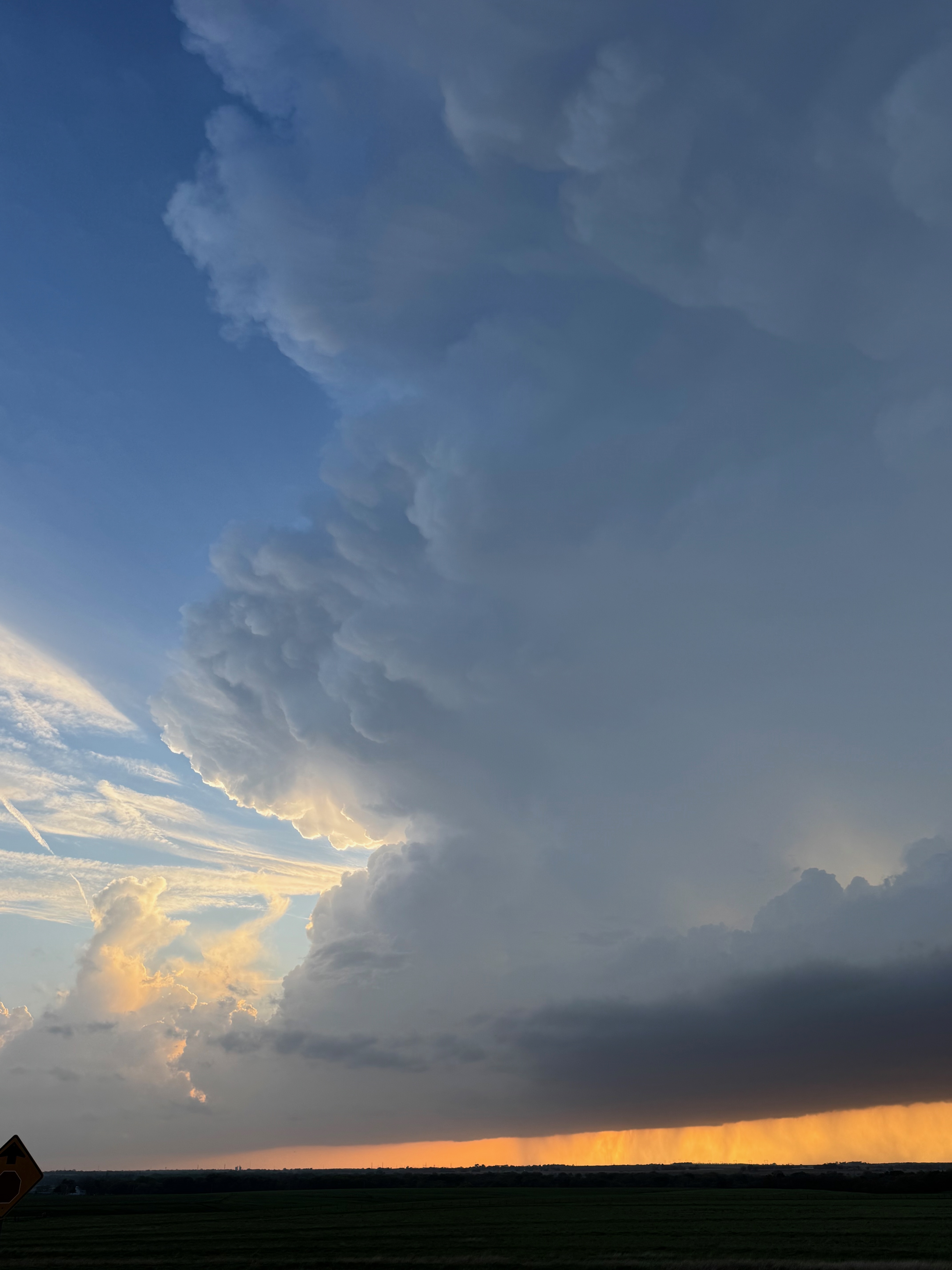
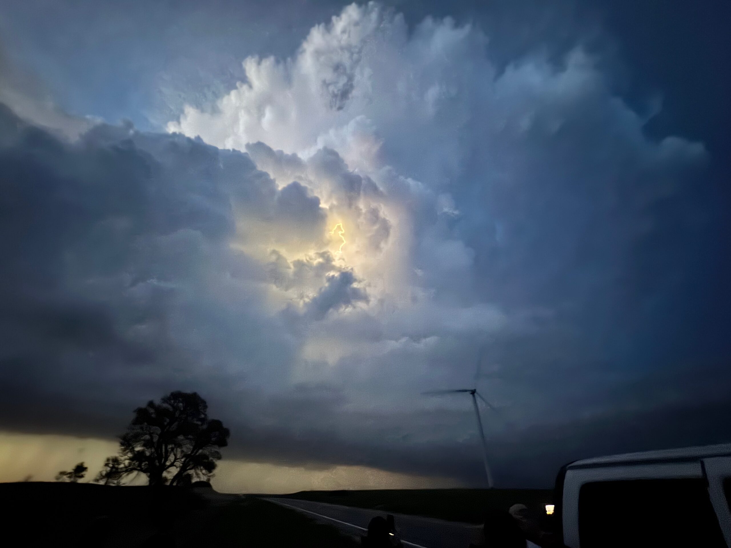
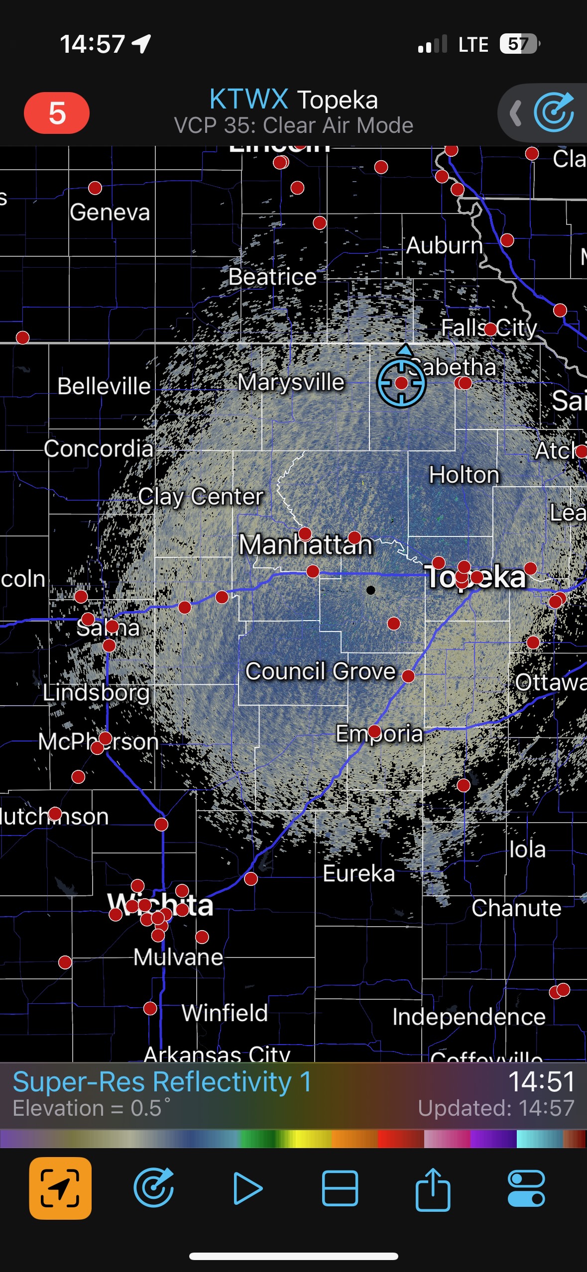
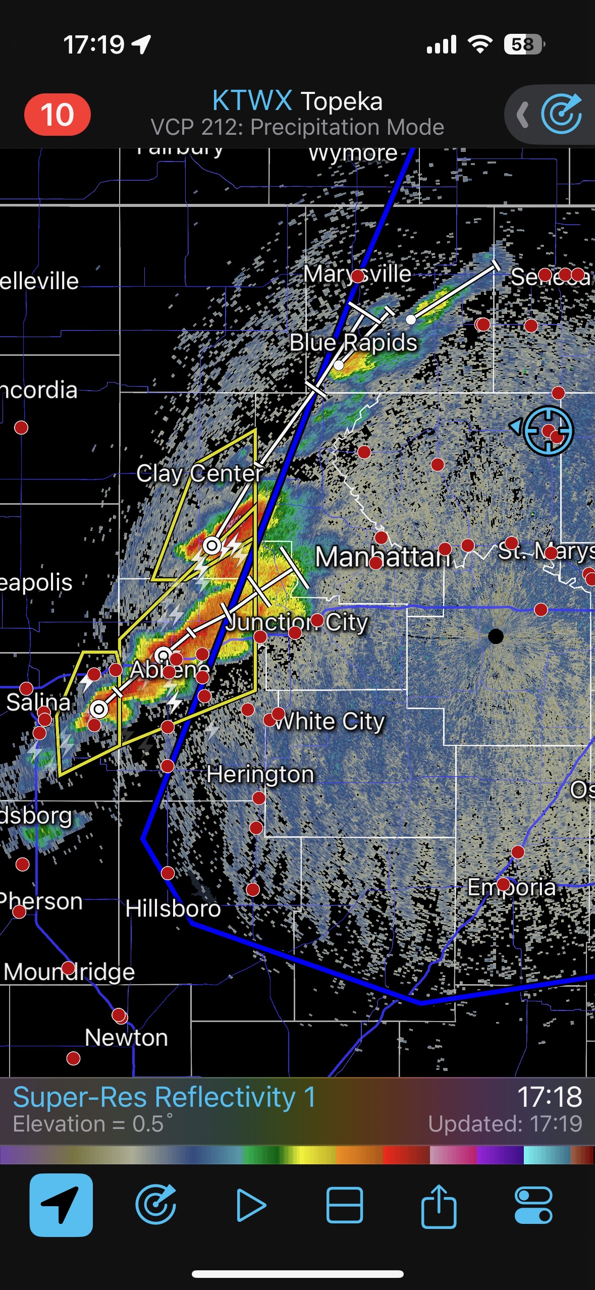
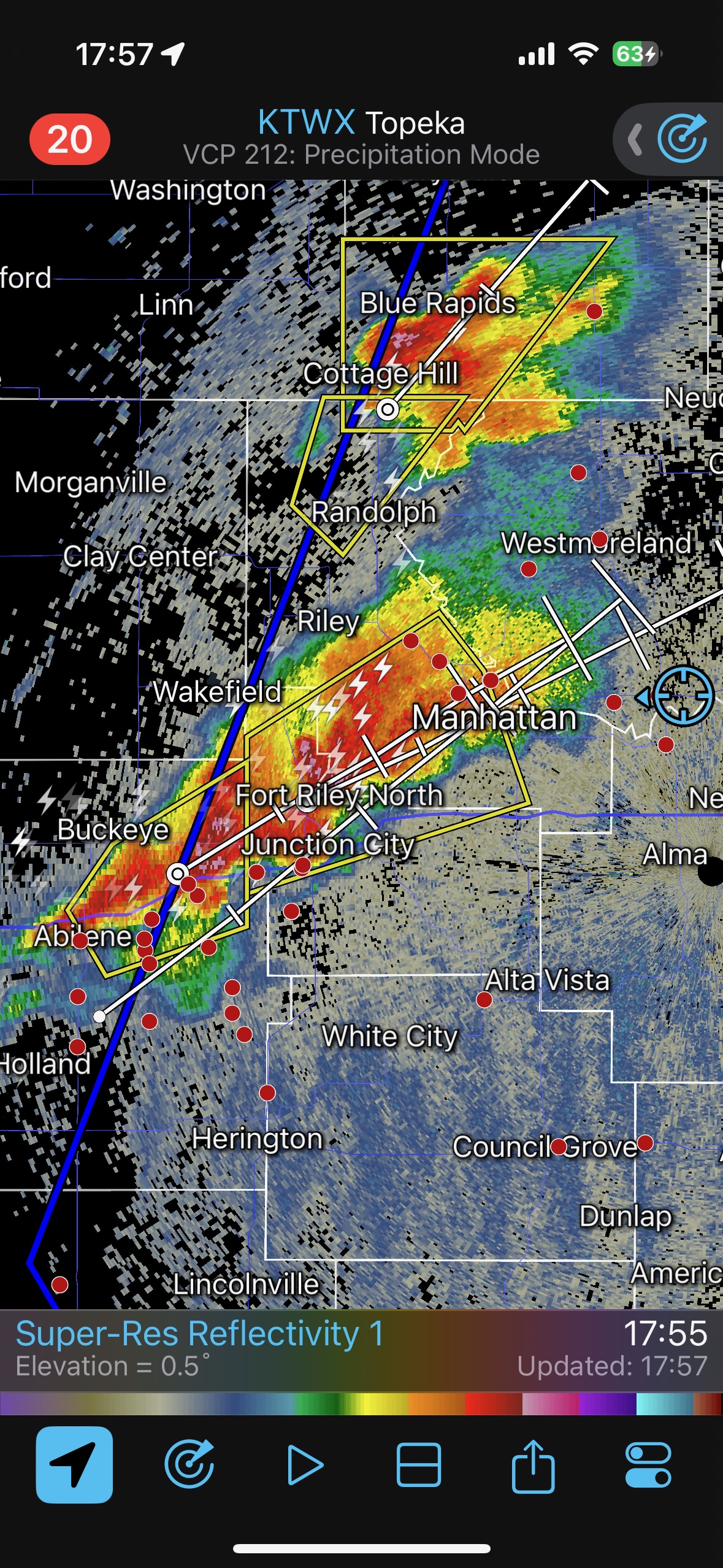
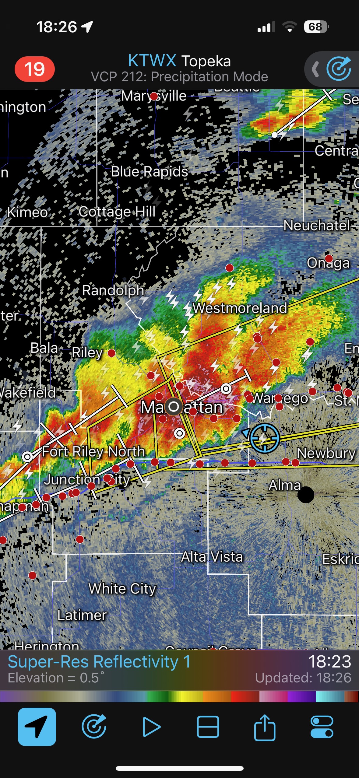
We had time to kill at a cool old church in Kelly, KS (near Seneca), and were then drawn southward towards strong development along the front near Manhattan. We positioned near Wamego and Waubaunsee and viewed some storm structure along the leading edge of activity that was moving to the northeast. This stuff already looked rather linear and was undercut. There was an inflection point here and there with an associated lowering. I didn’t see anything close to a tornado.
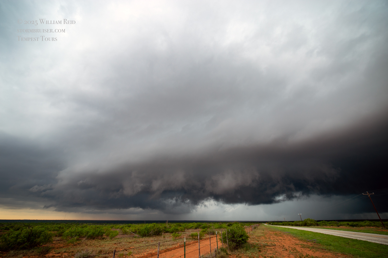
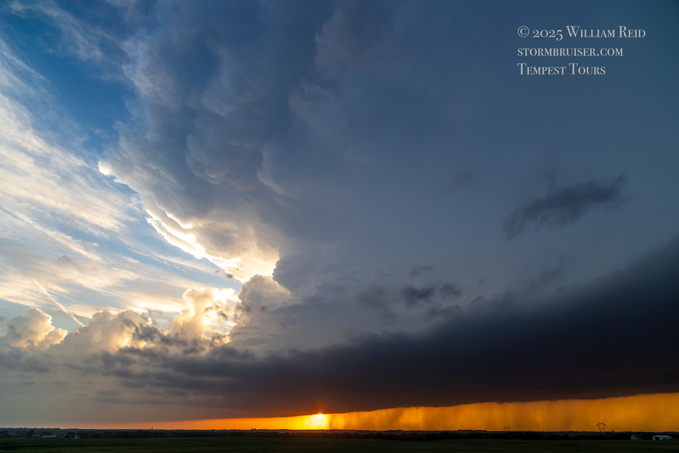
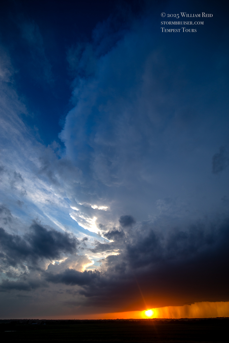
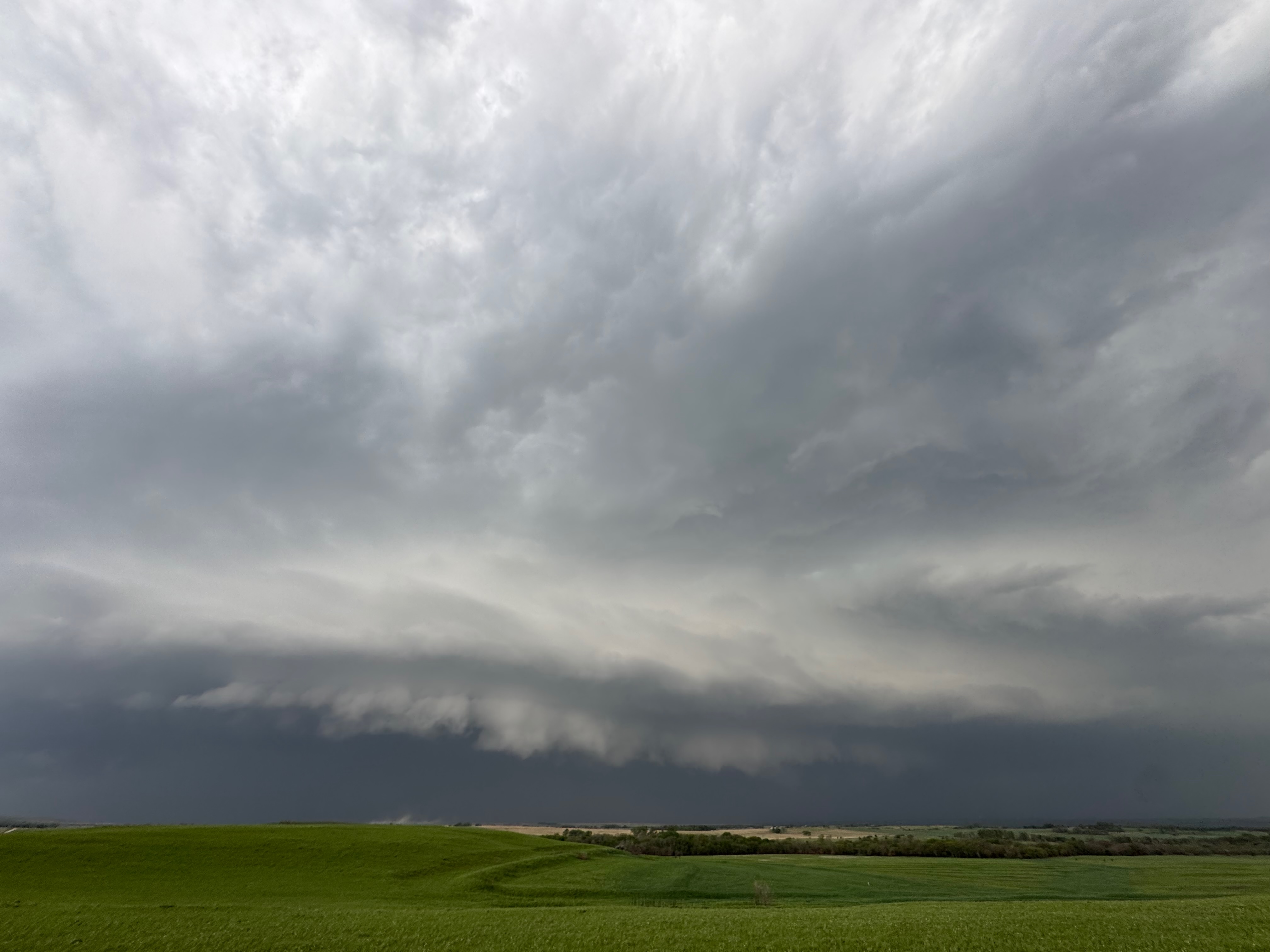
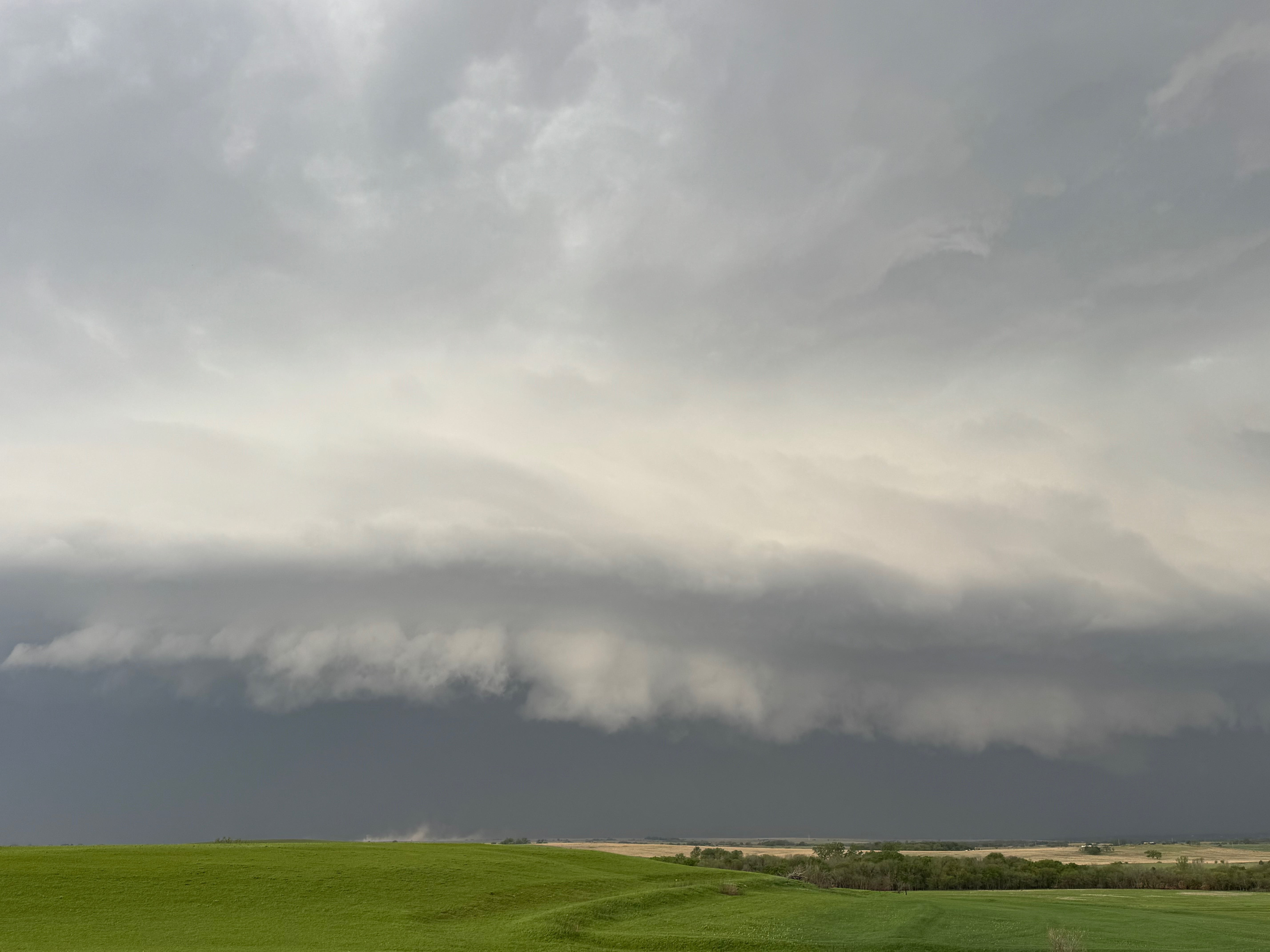
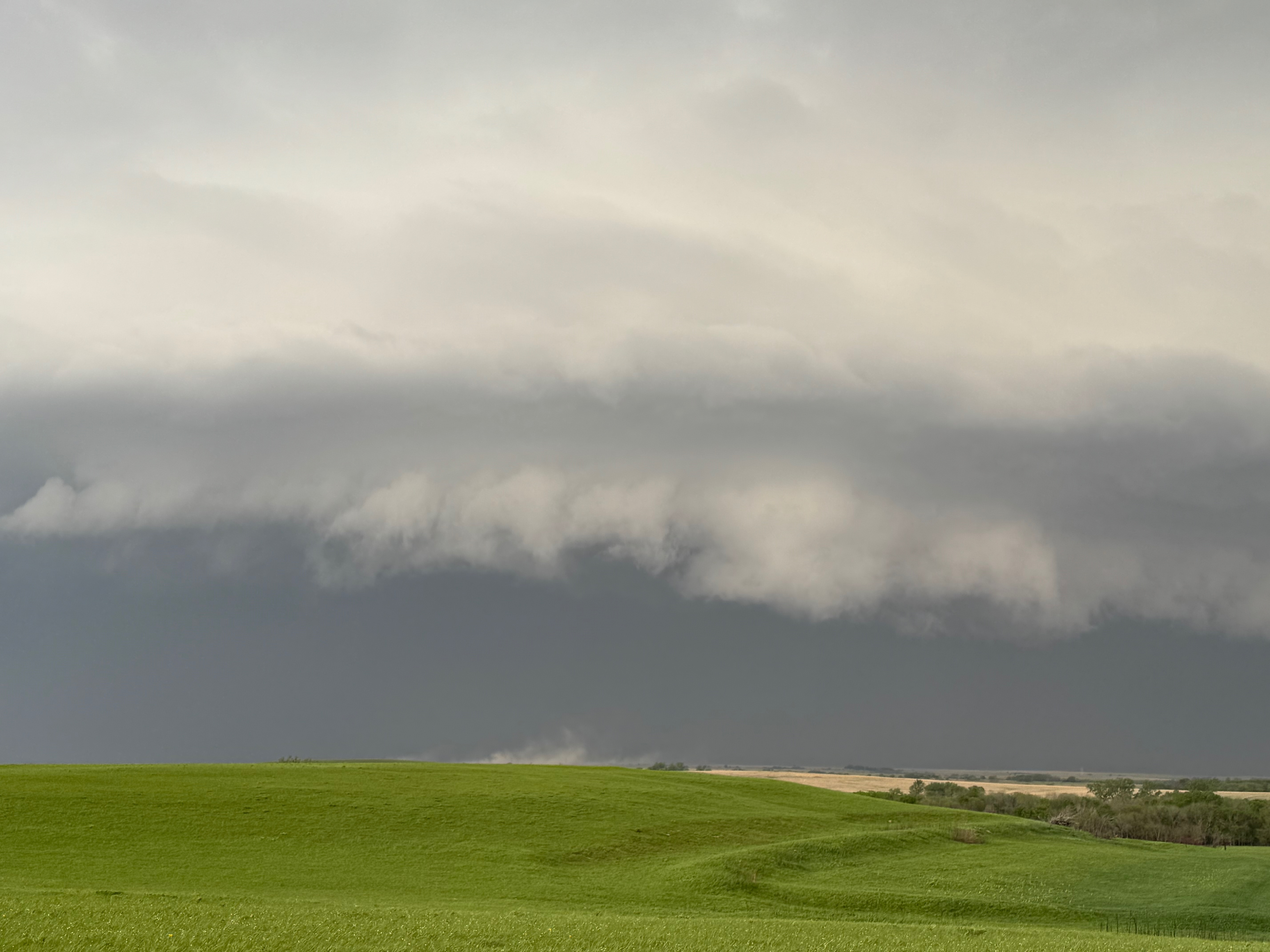
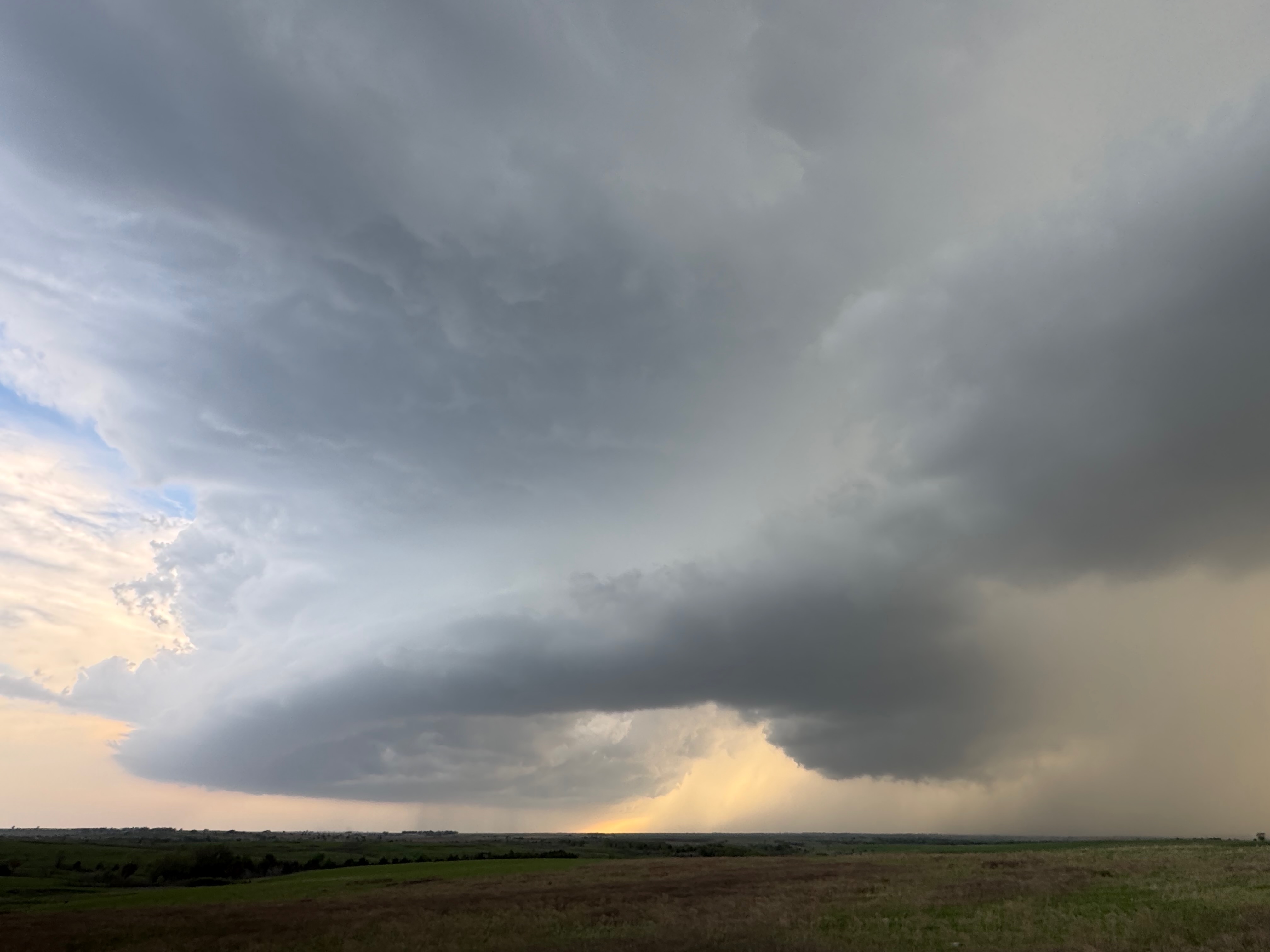
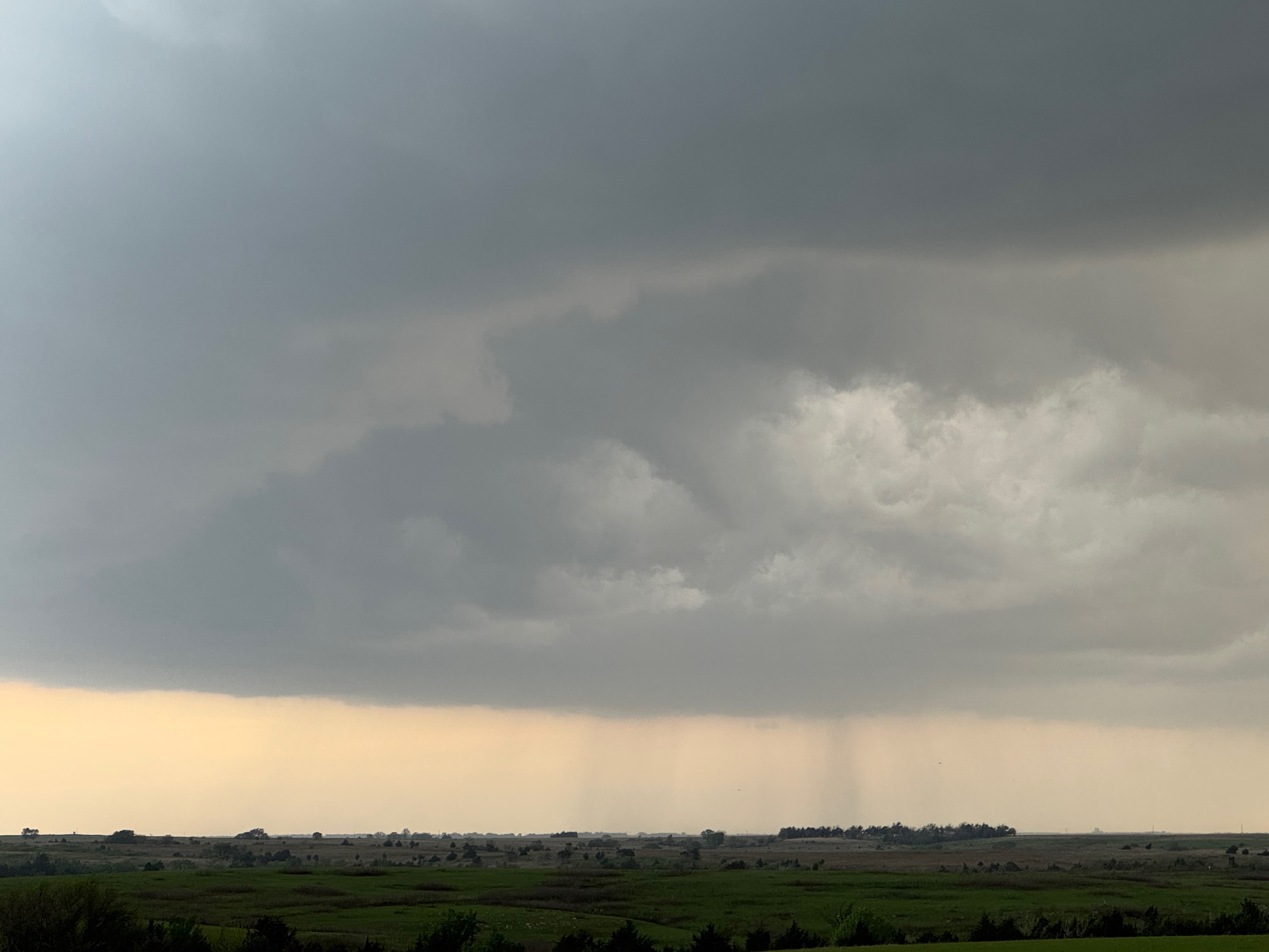
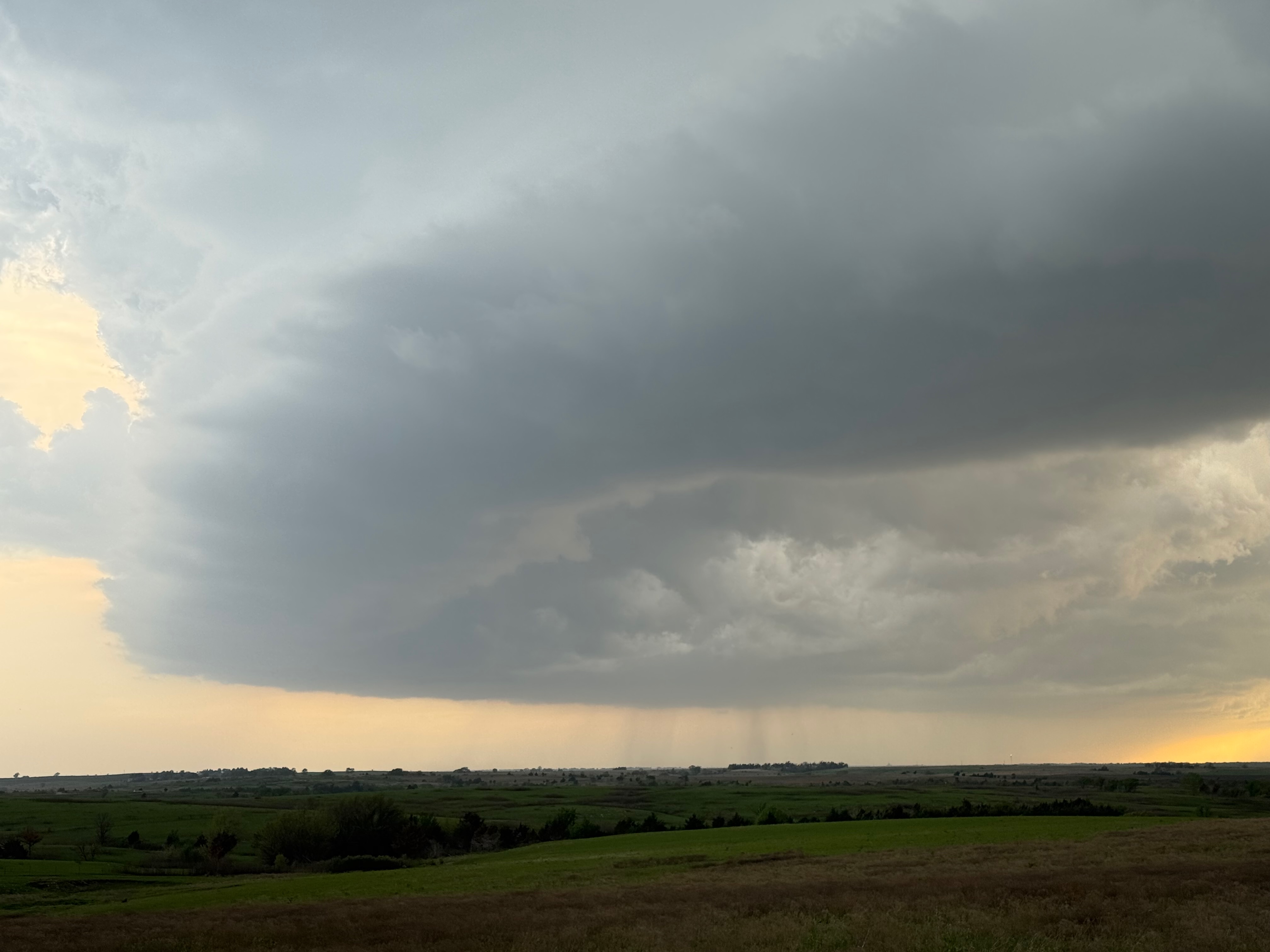
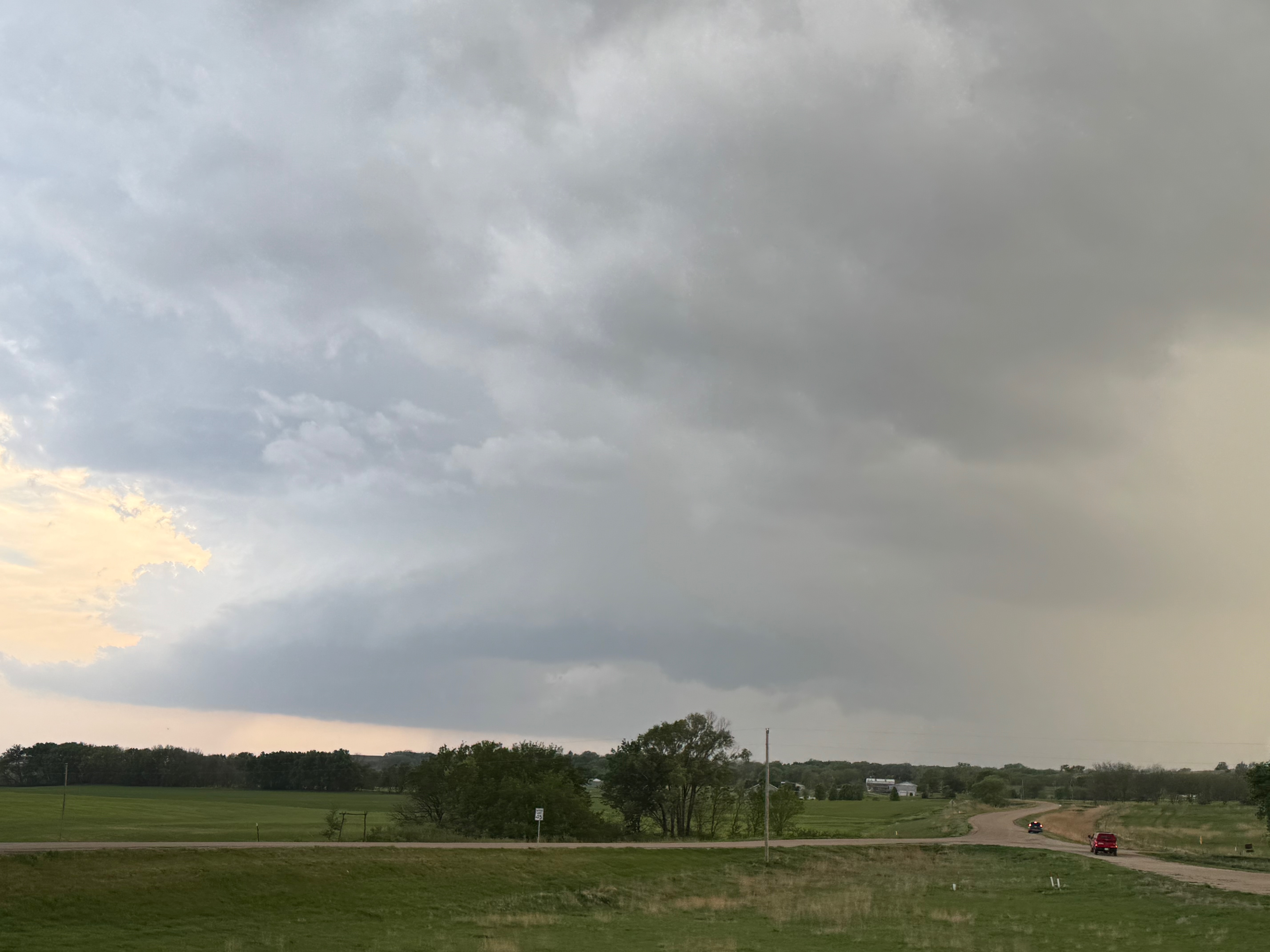
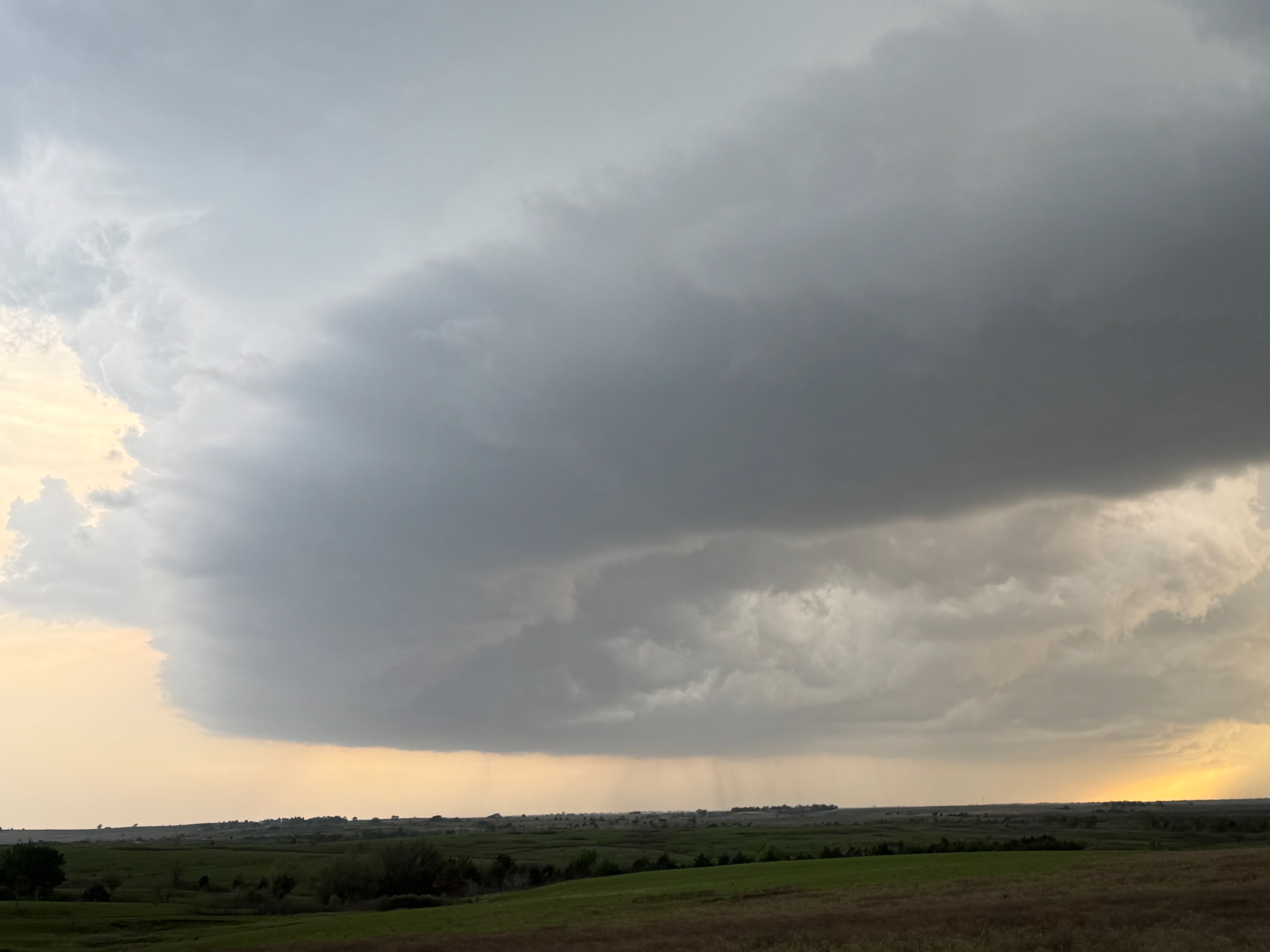
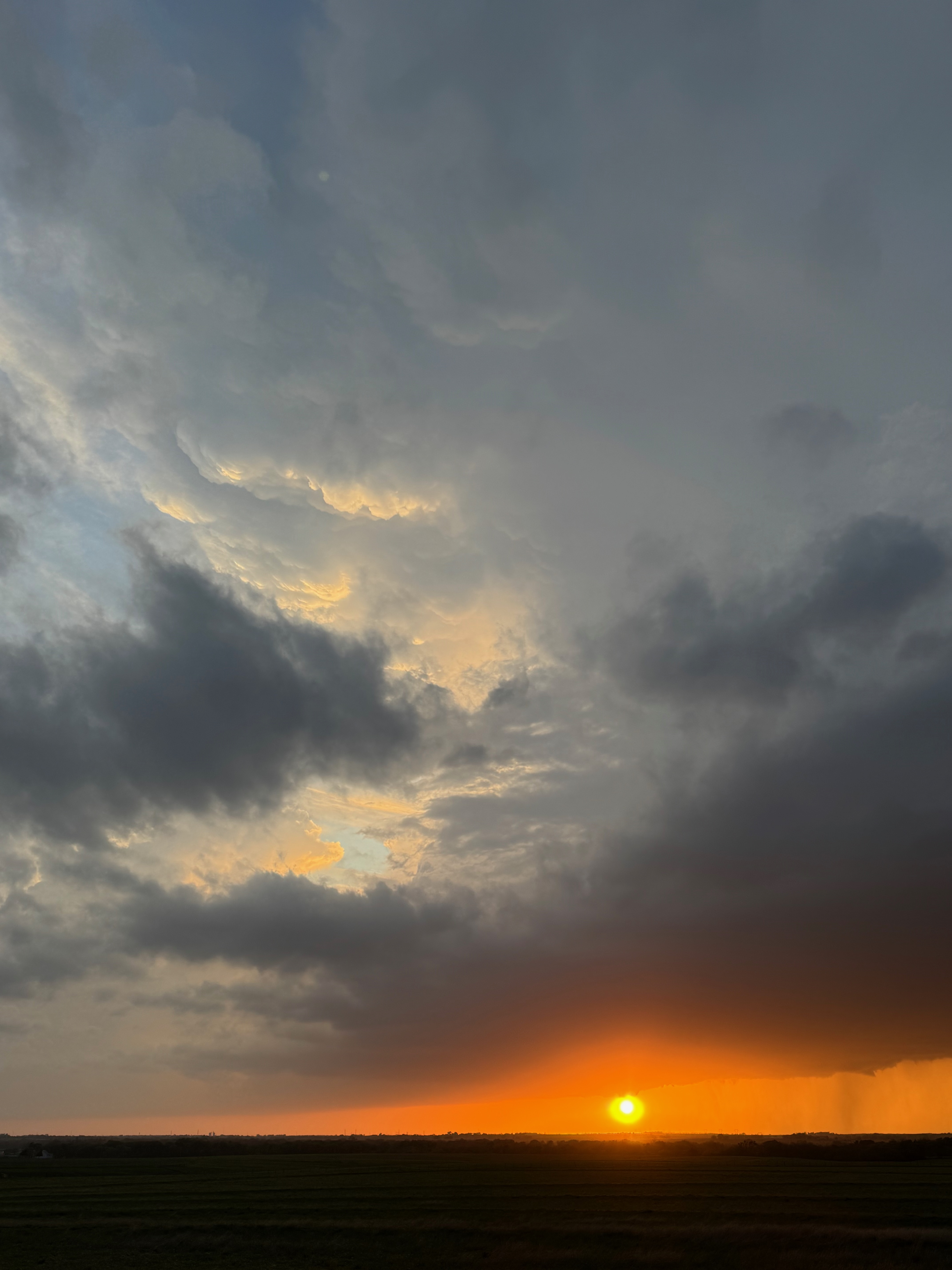
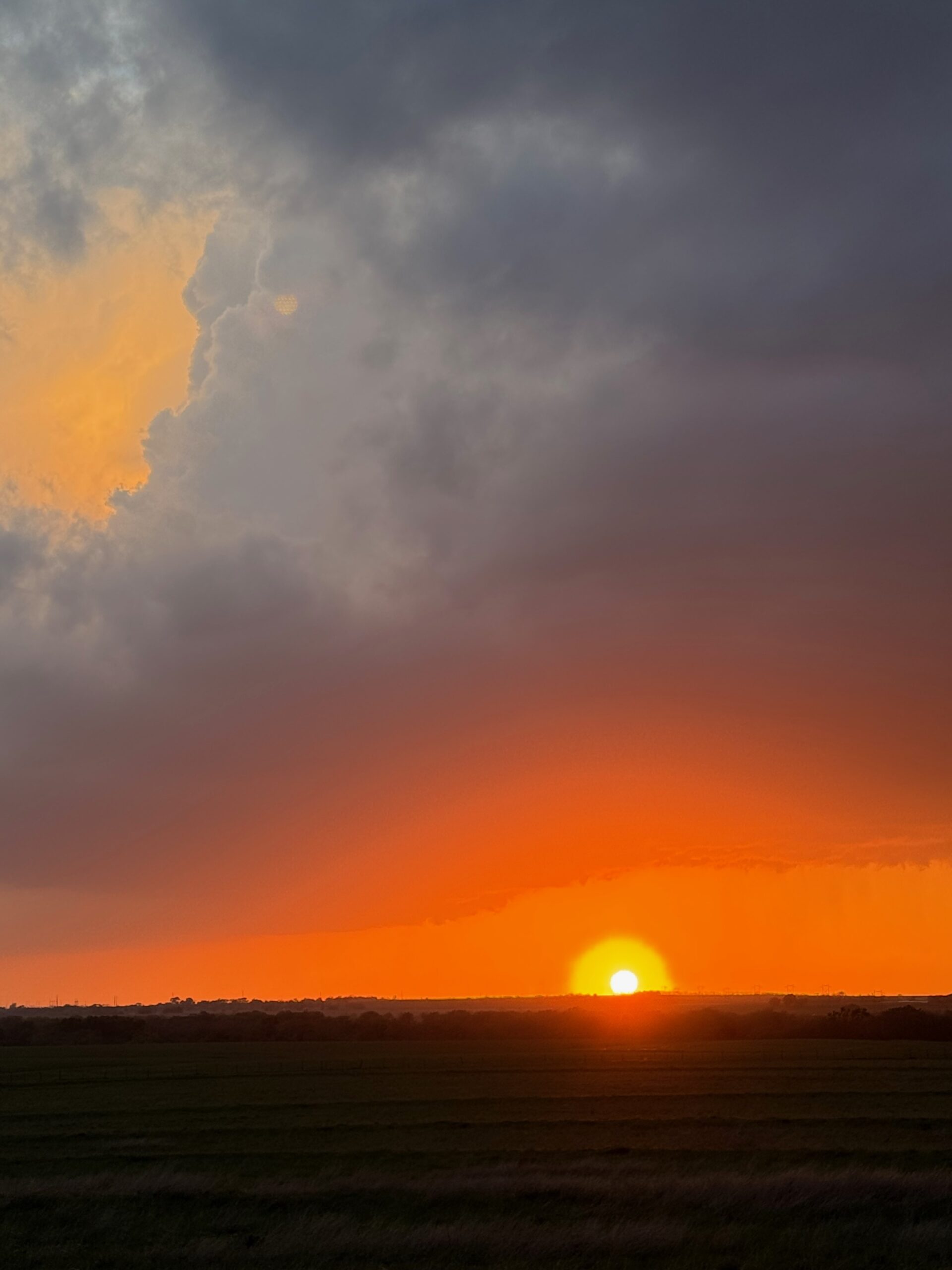
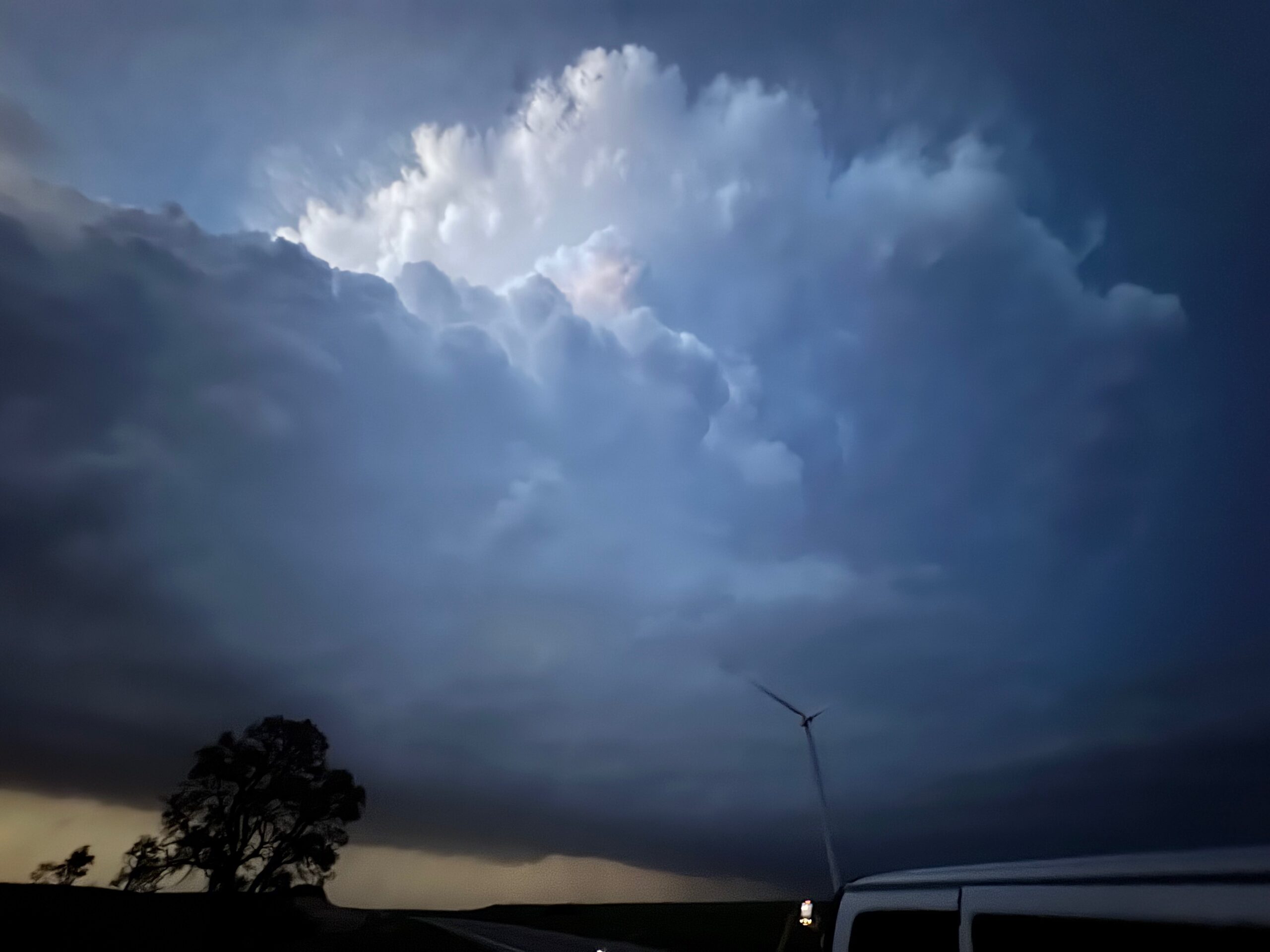
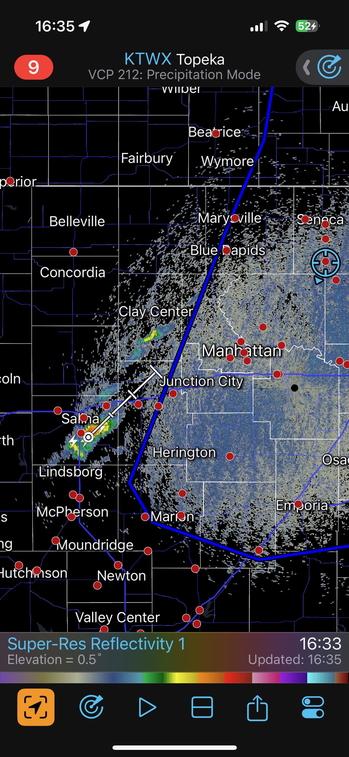
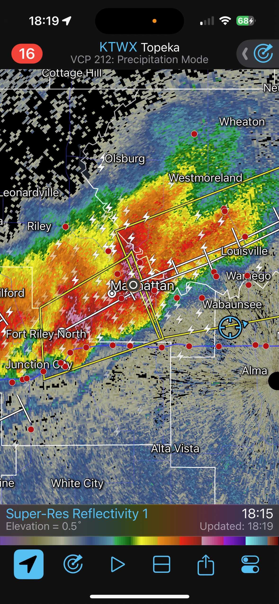
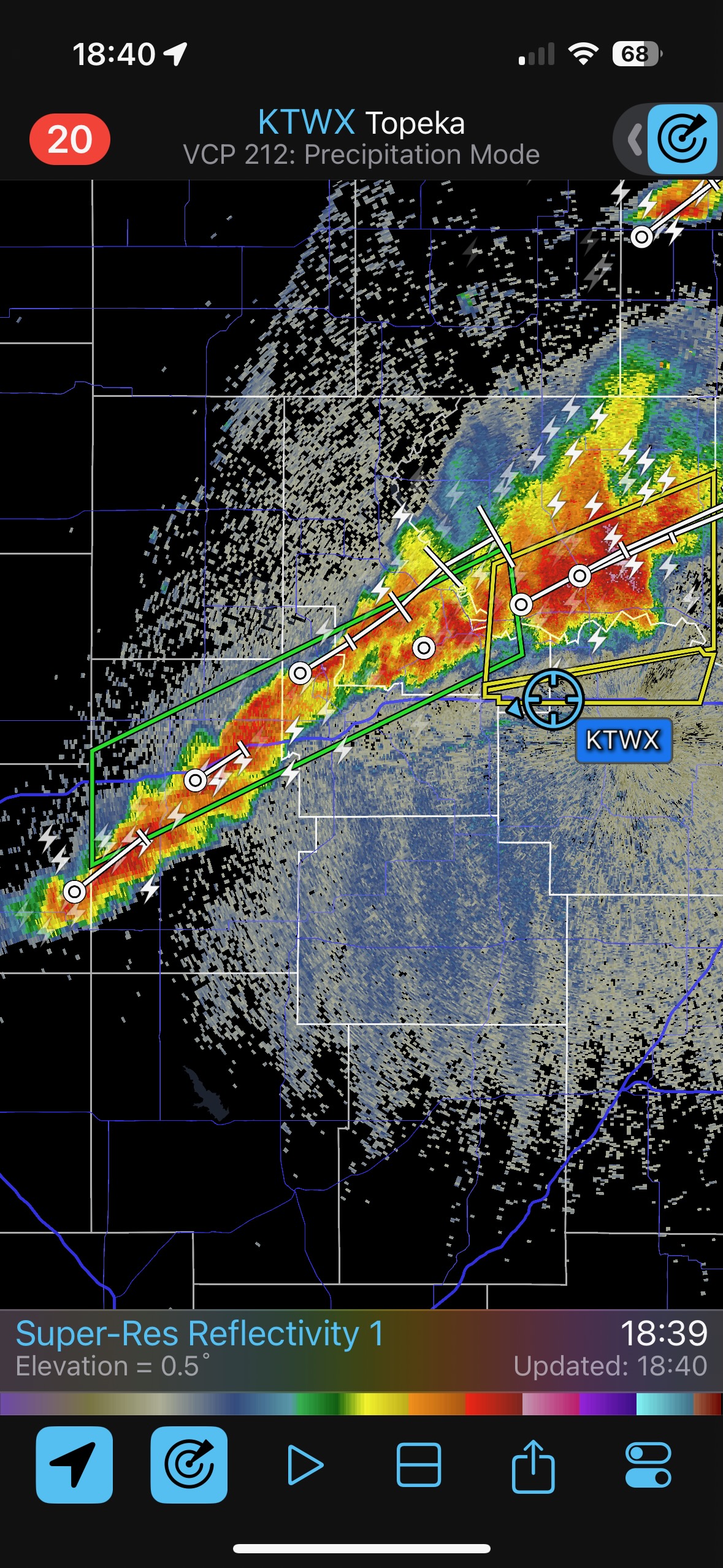
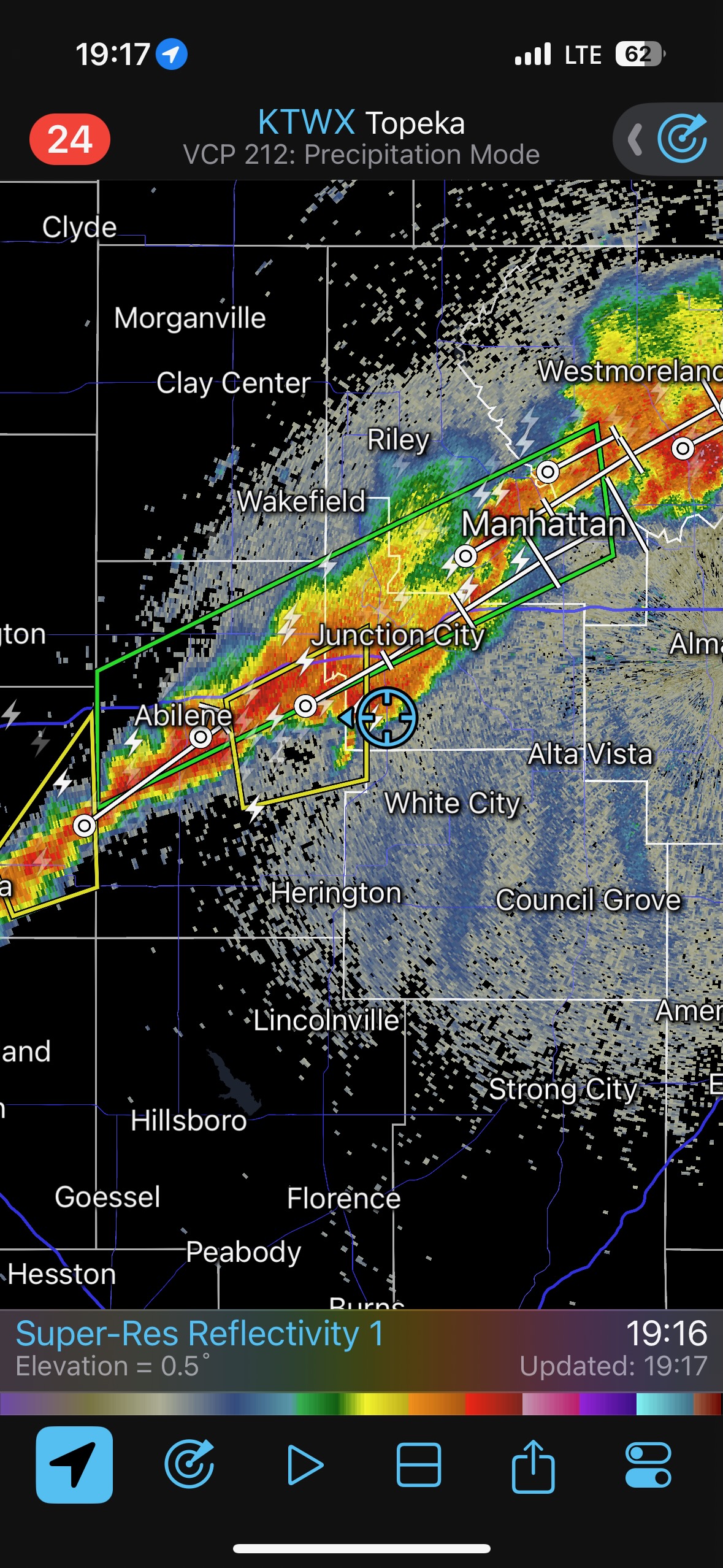
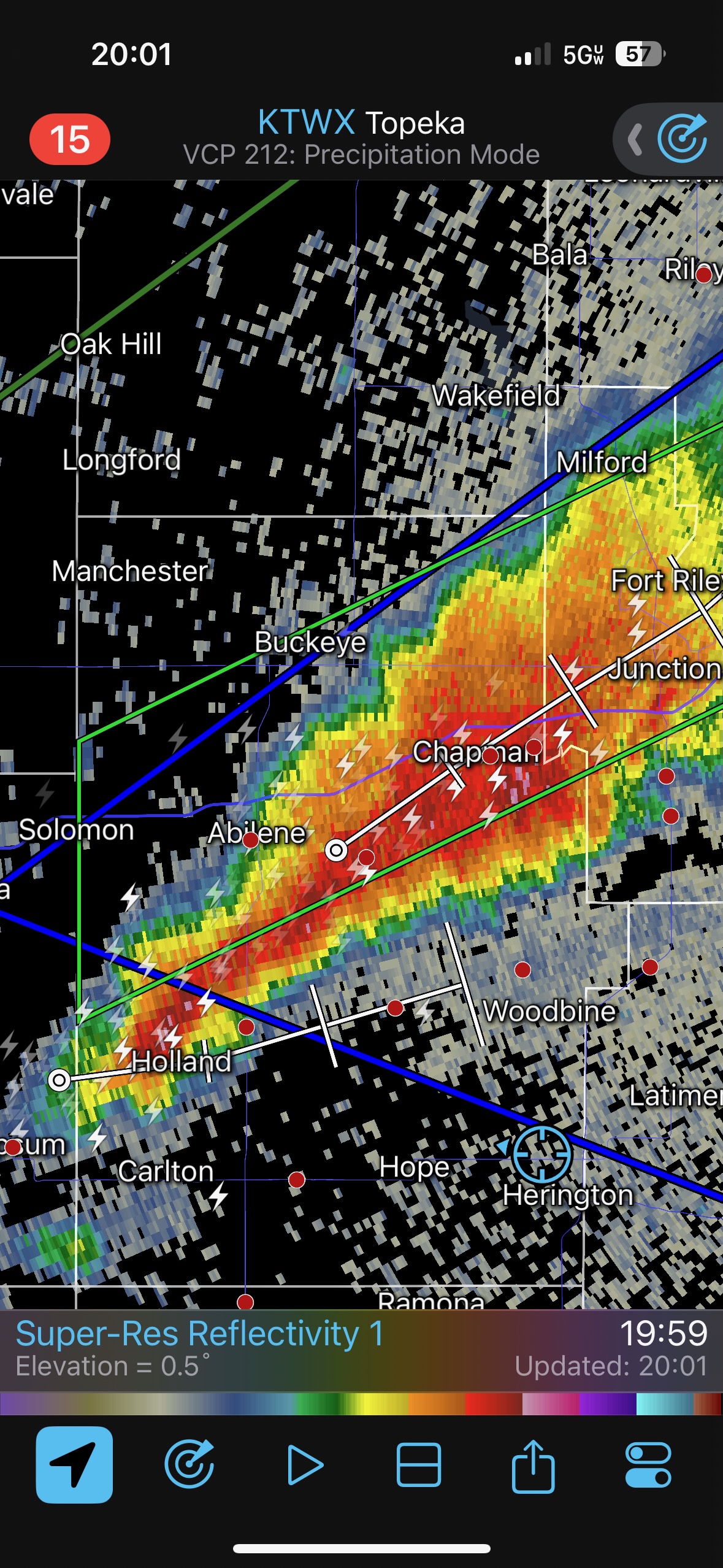
Since our storm looked so-so, it wasn’t worth staying with. We went west on I-70 and checked a tornado-warned cell near Enterprise. The base had a big RFD cut, but the lower levels had a stable look. After the pretty sunset we made our way SSW to Park City for the night.


Leave a Reply
You must be logged in to post a comment.