
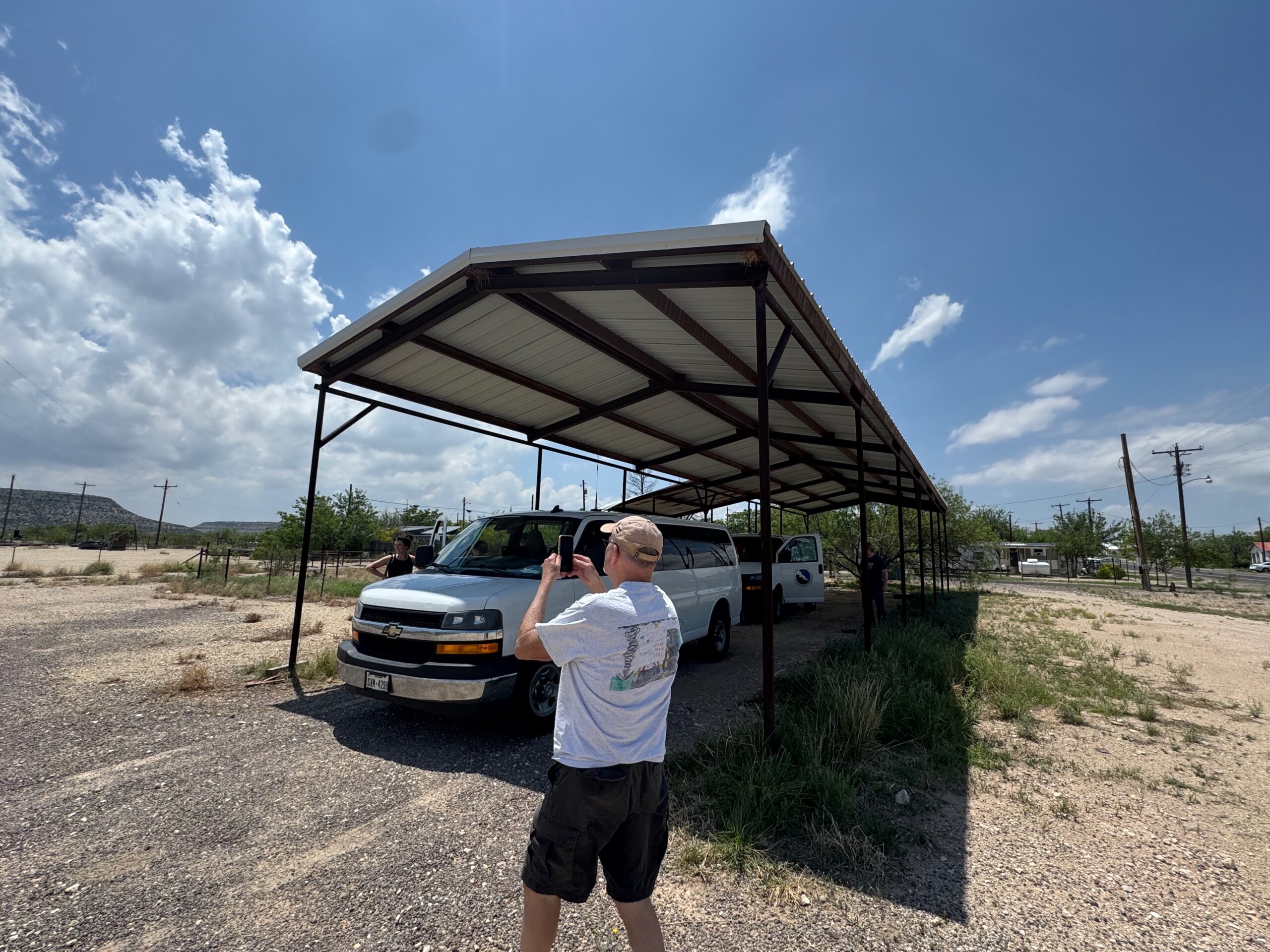
May 2 Start: Lubbock/lunch: Subway in Big Lake/End: Sonora/520 miles
SPC Mesoscale Discussions 1:23 p.m. CDT 3:44 p.m. CDT 7:12 p.m. CDT
May 2 was the final day with a storm chase for Tour 2. May 3 was an easy but rather long drive back to the base in OKC.
(May 3/Start: Sonora/brunch at Fleming’s Family Diner in San Angelo/End: OKC/445 miles)
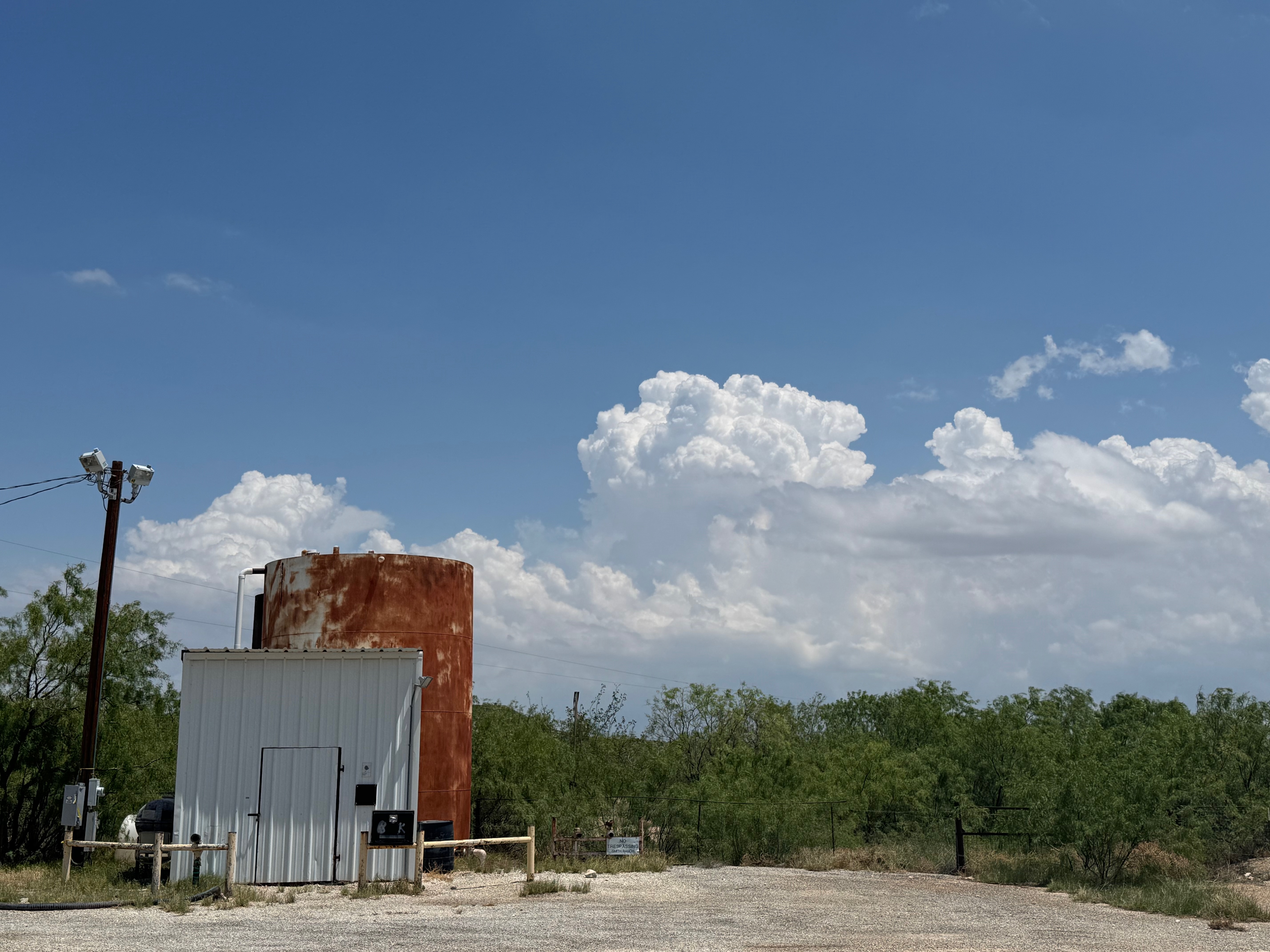
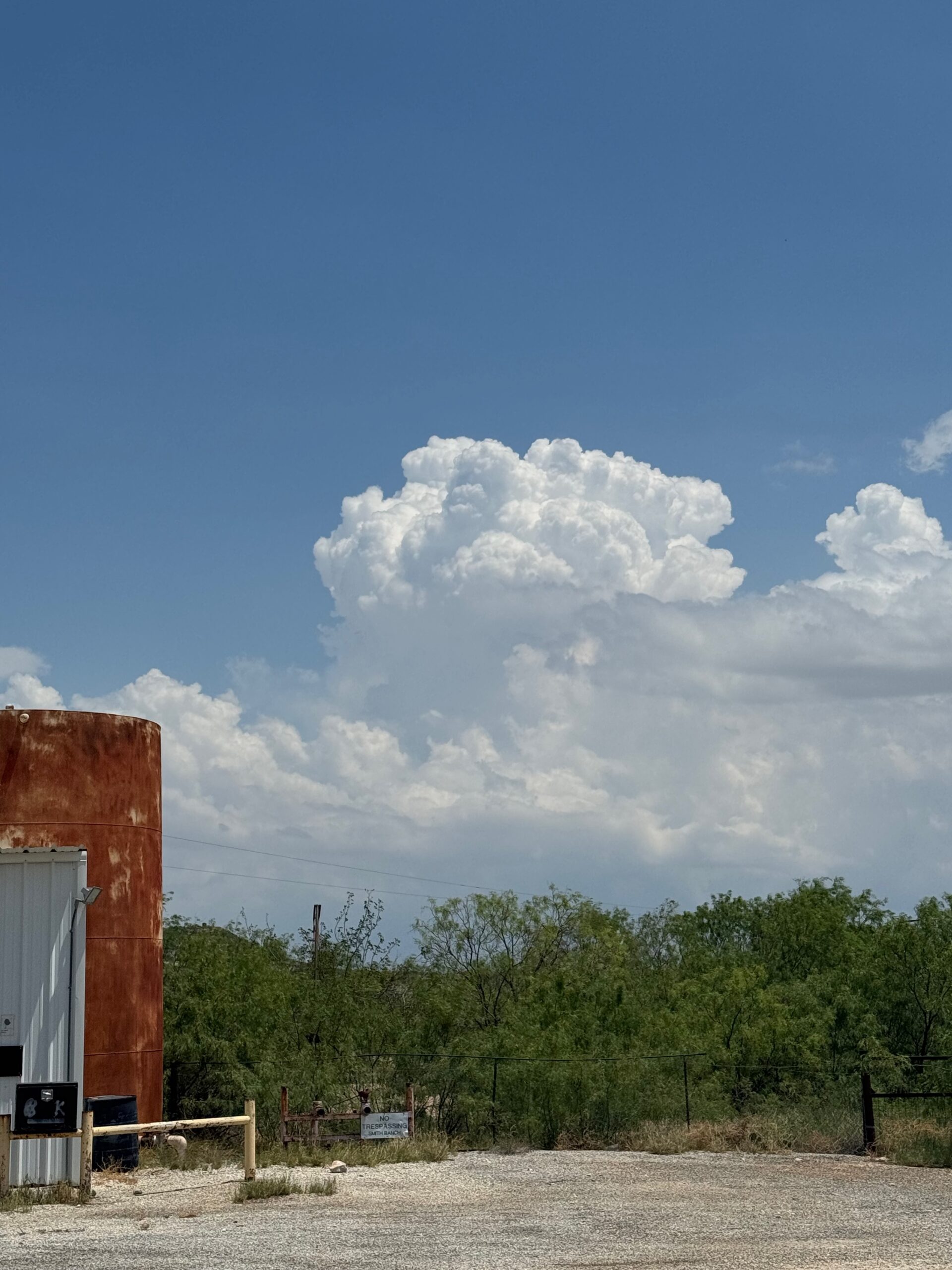
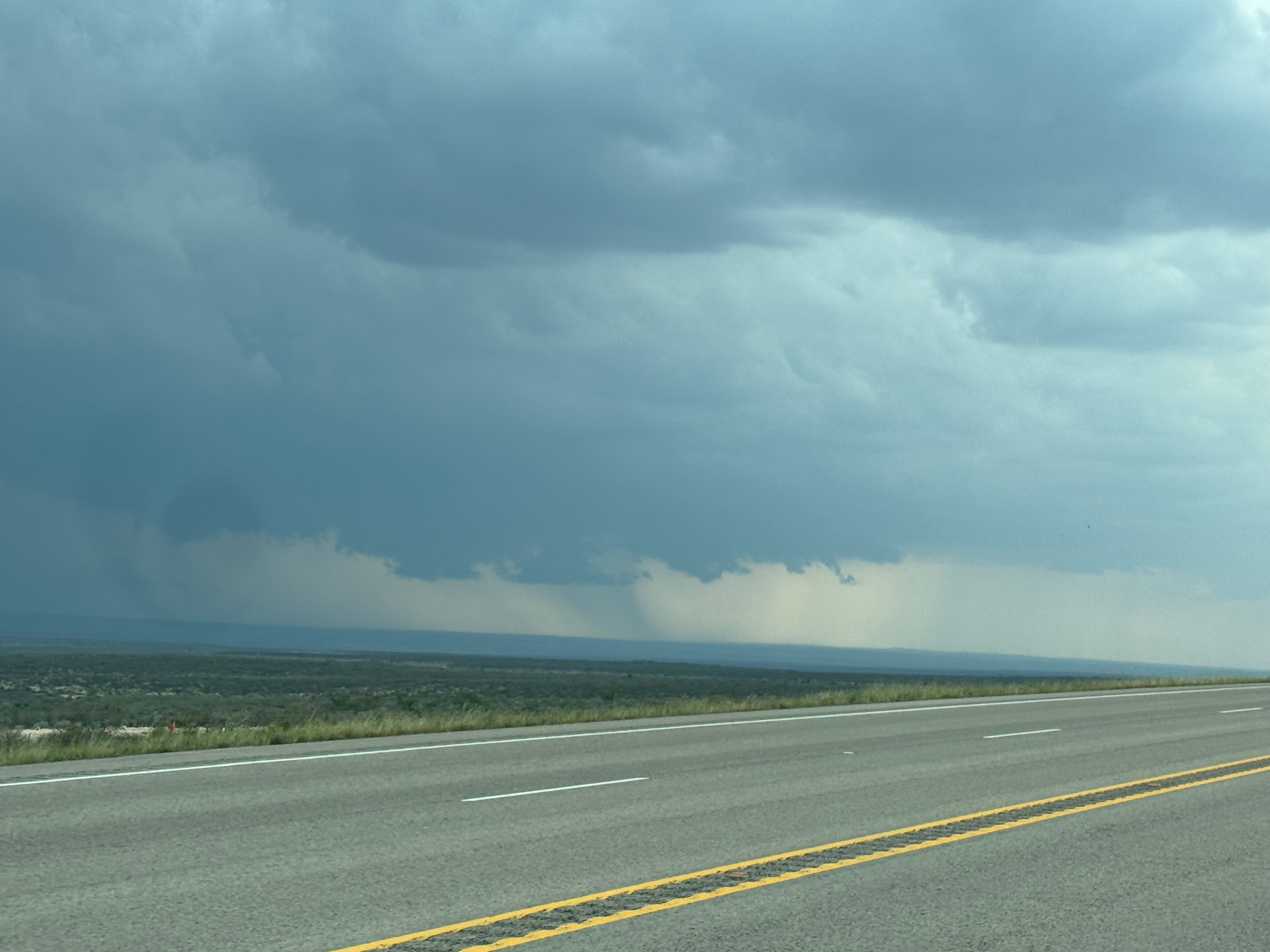
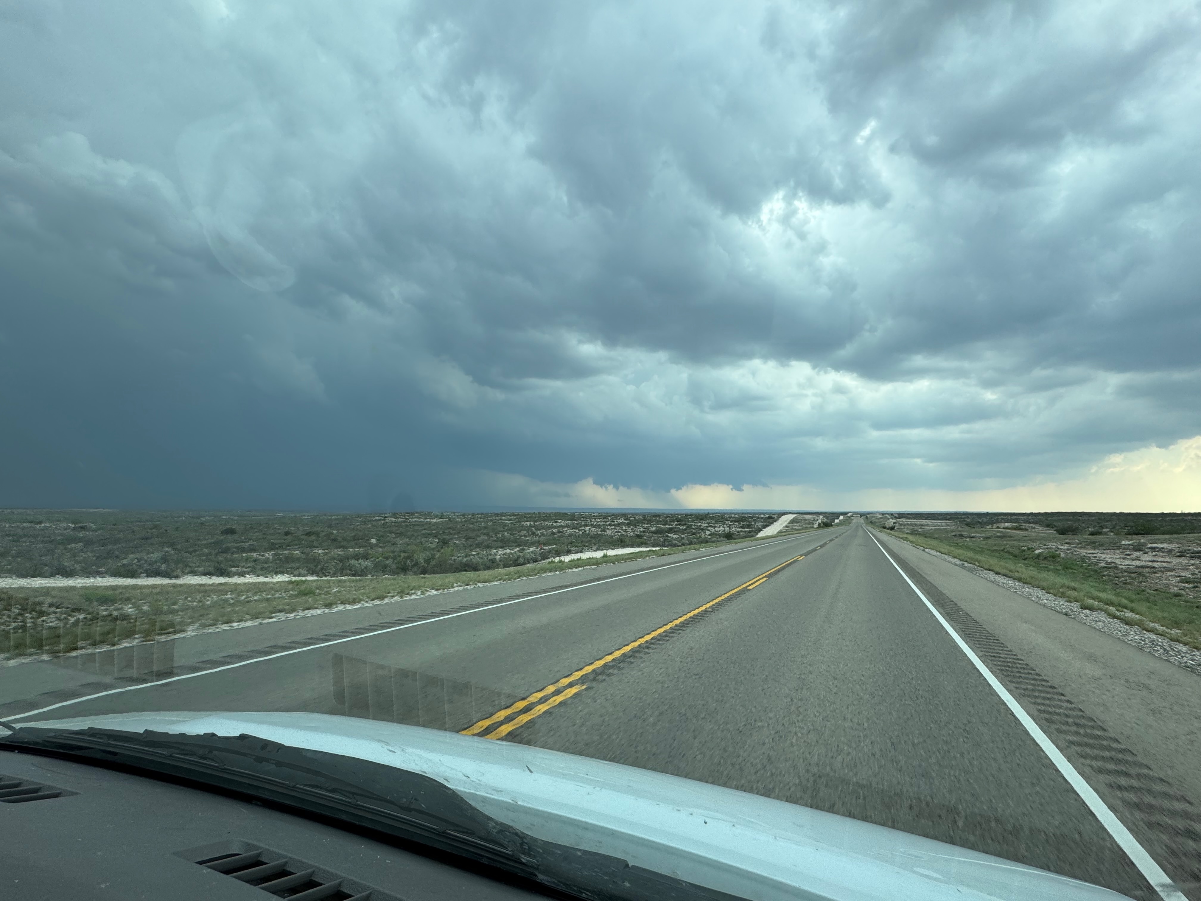
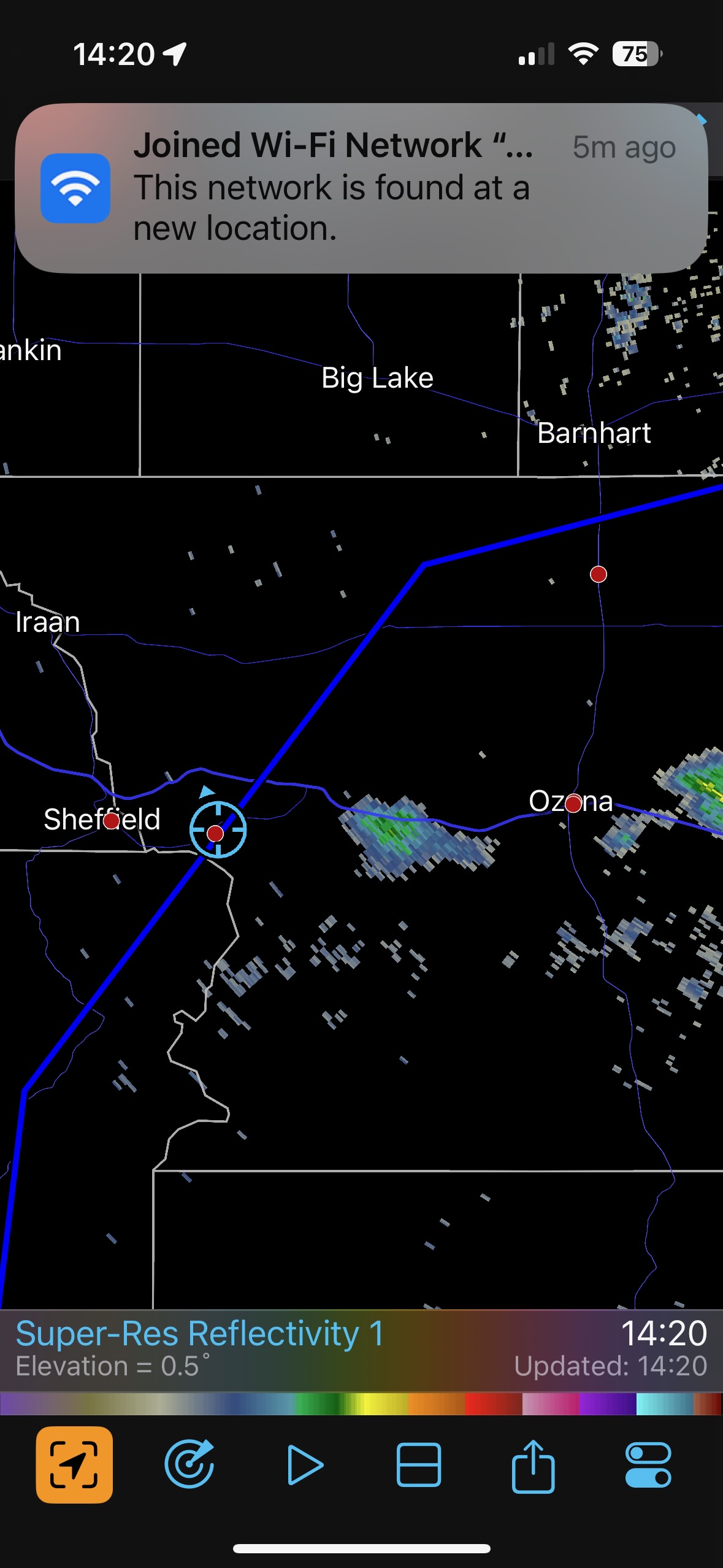
Prospects for a supercell looked pretty good along a sagging cold front near I-10 today, maybe somewhere near Ozona or Big Lake. Dew points were up into the 60s and shear was excellent. We had to get ourselves down south from Lubbock in time to see initial development along the boundary (see afternoon SPC mesoscale discussions for locations of the boundaries).
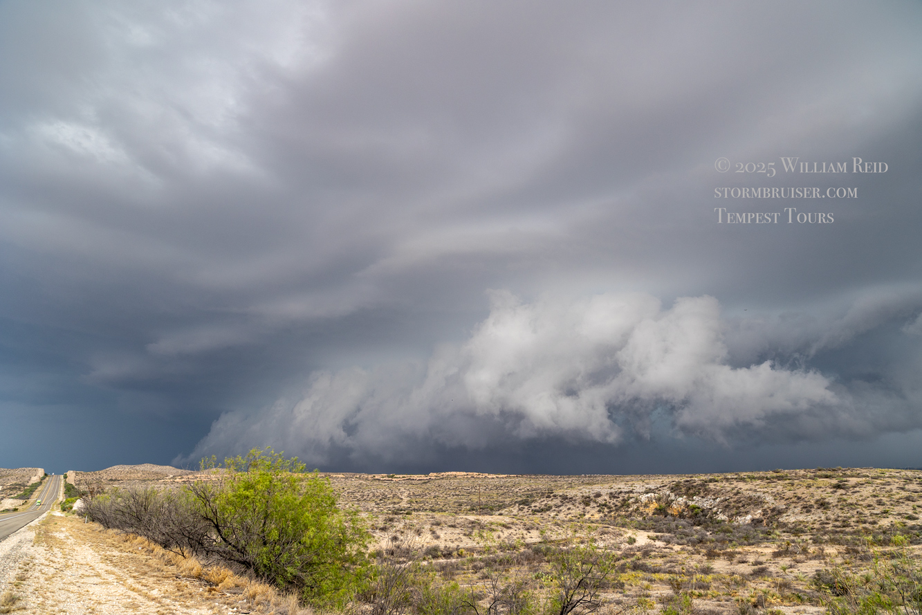
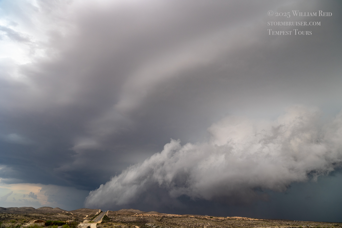
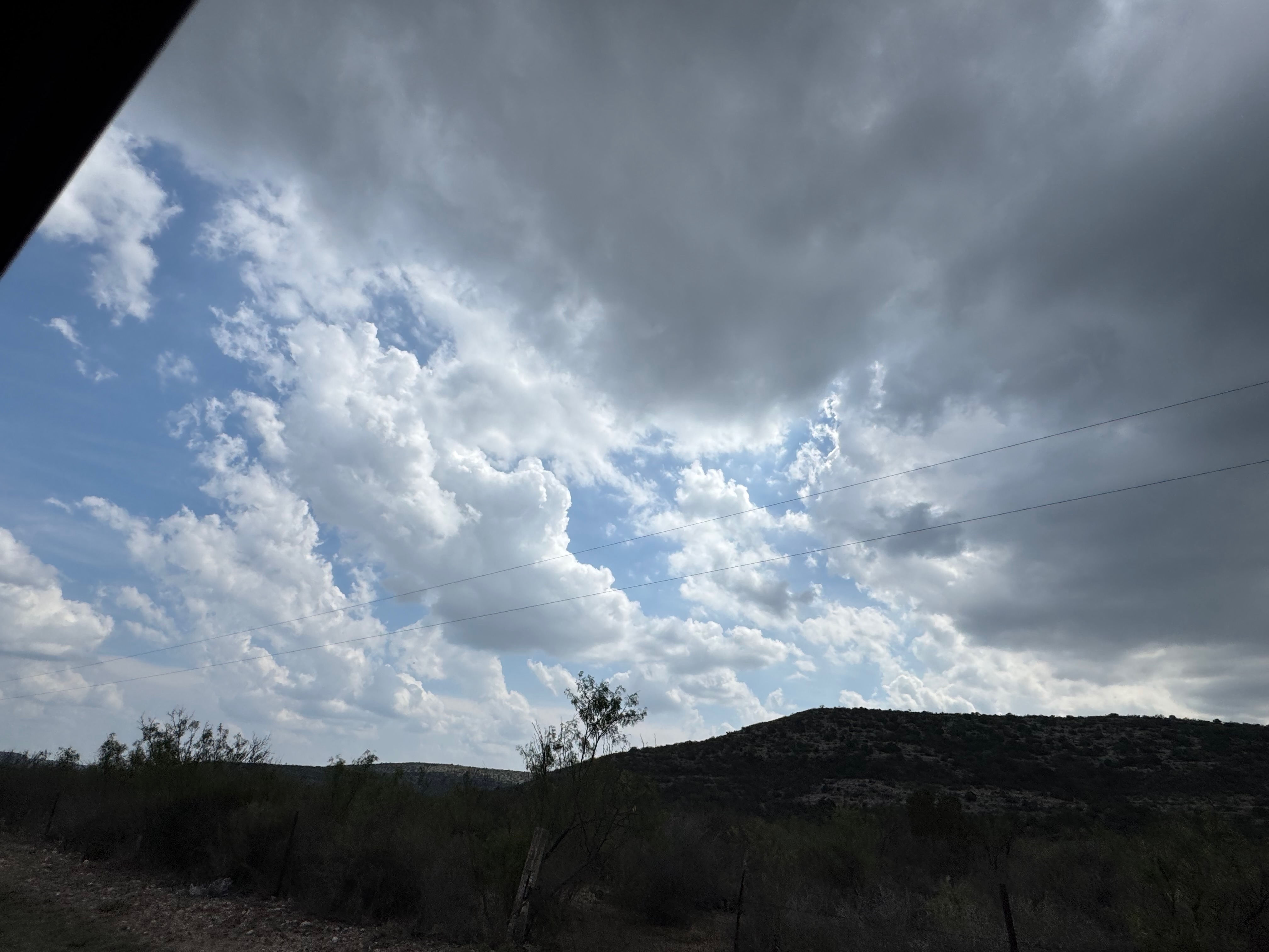
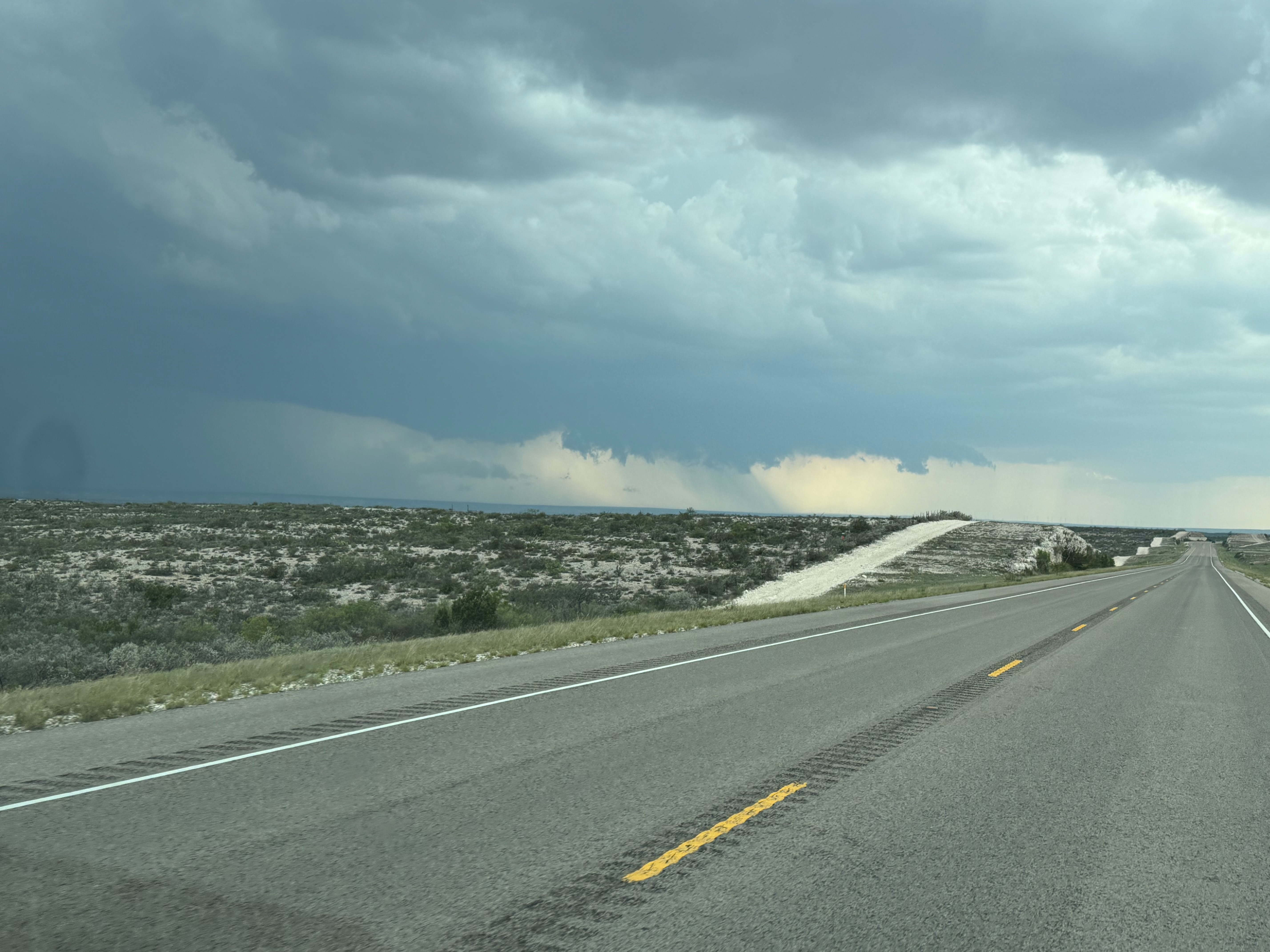
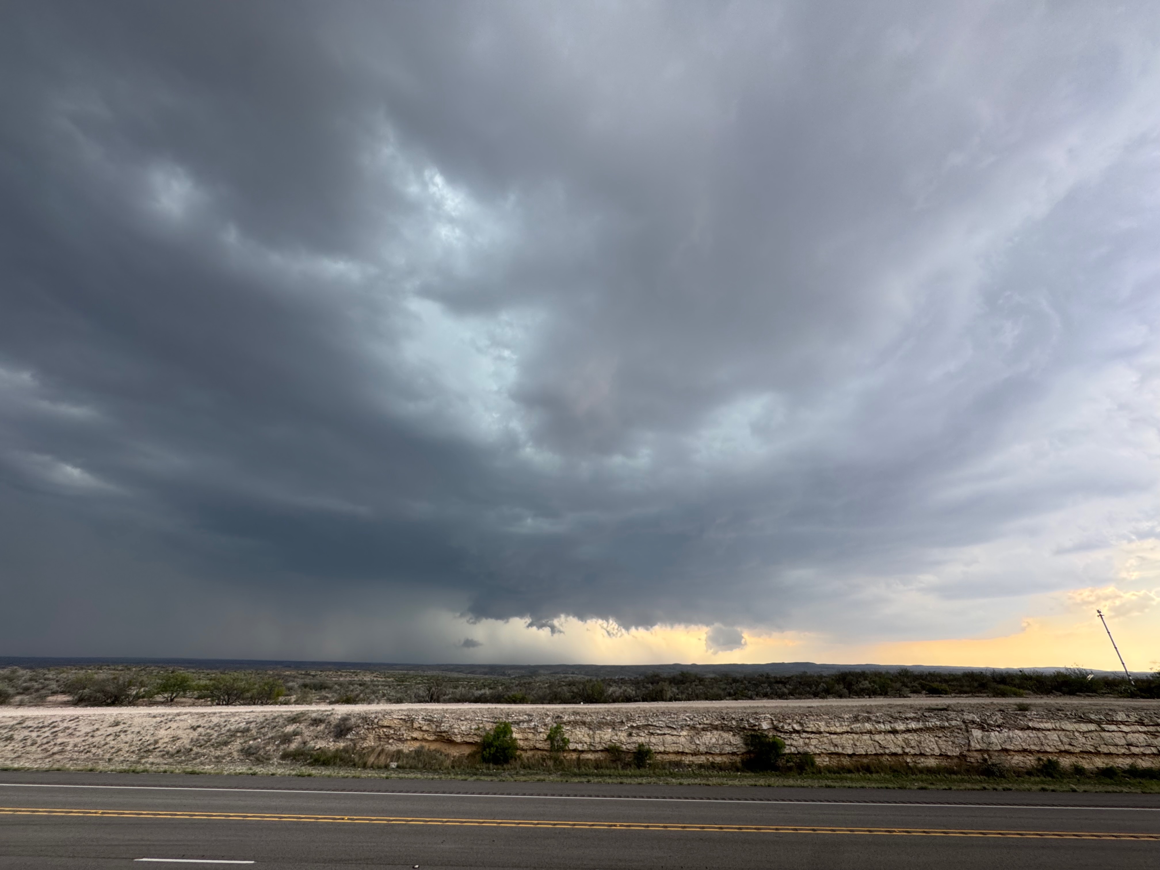
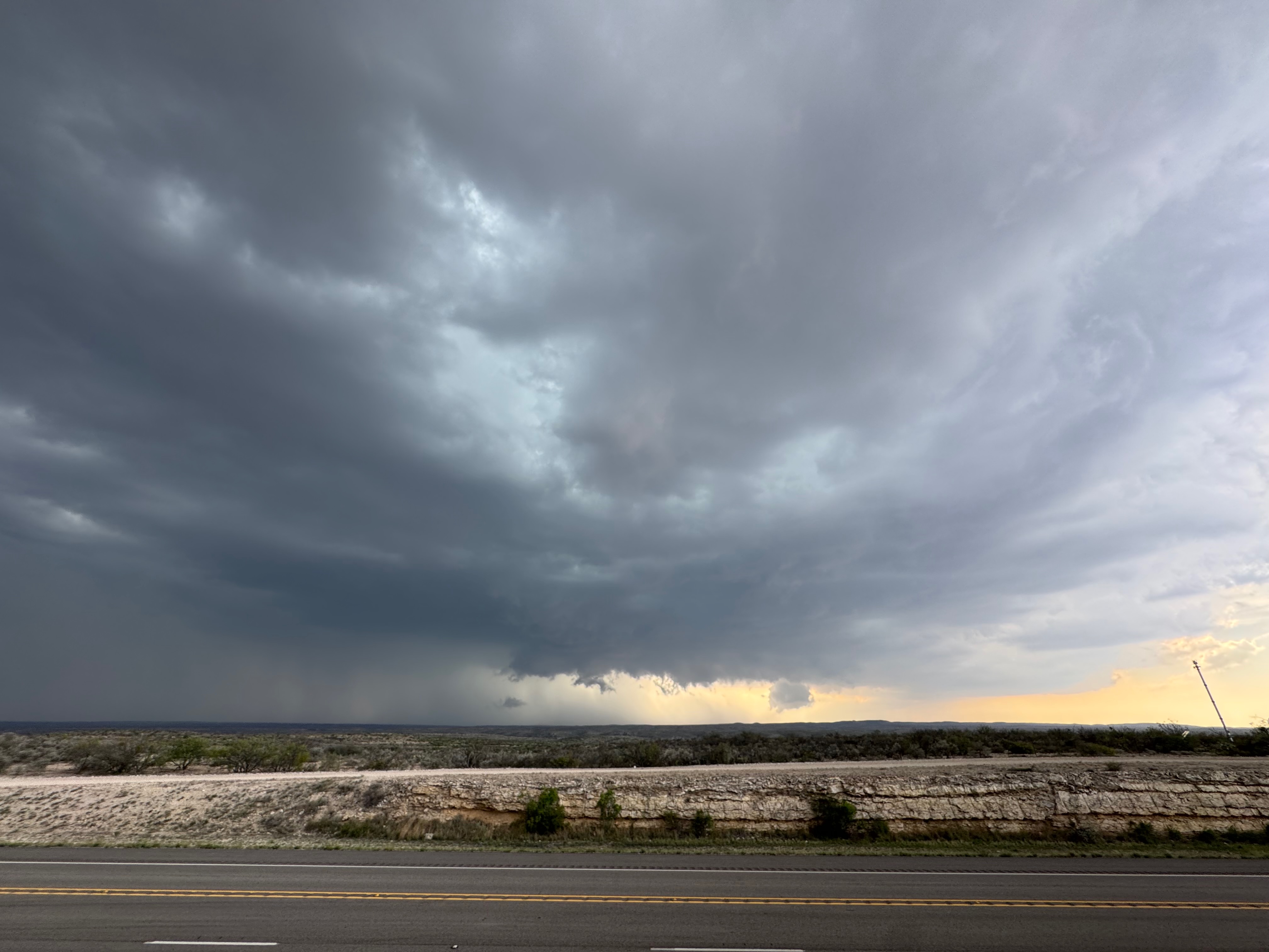
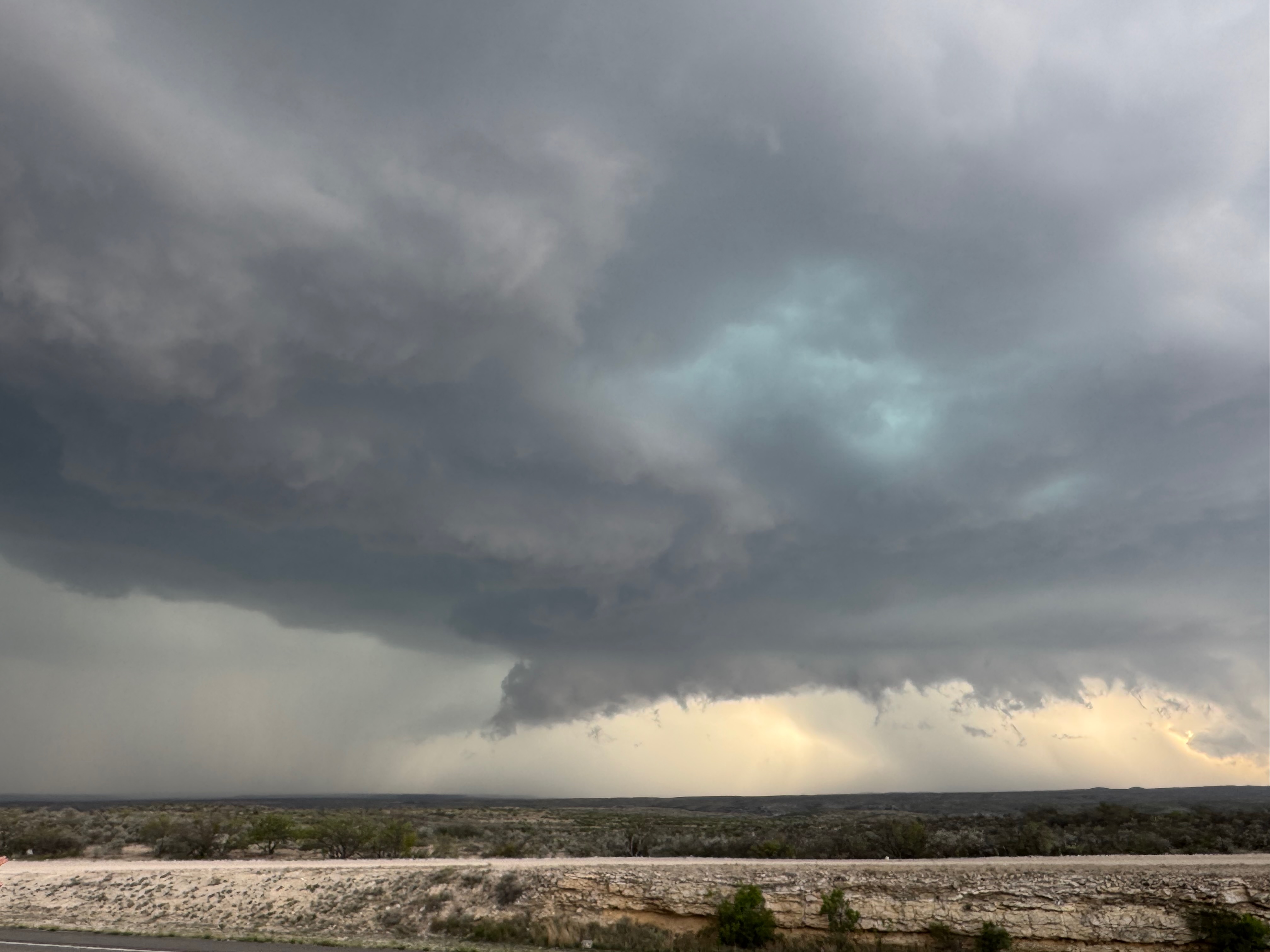
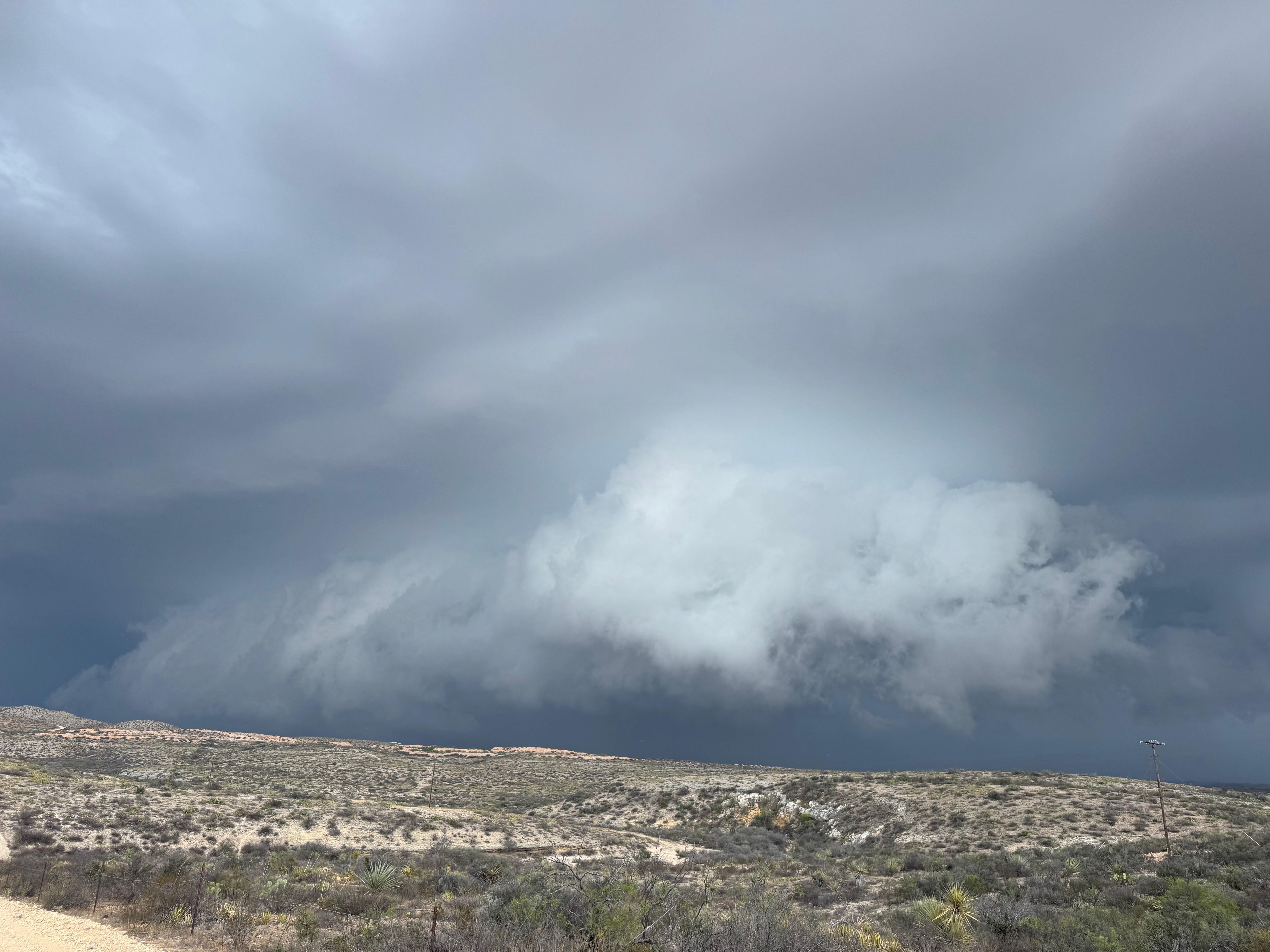
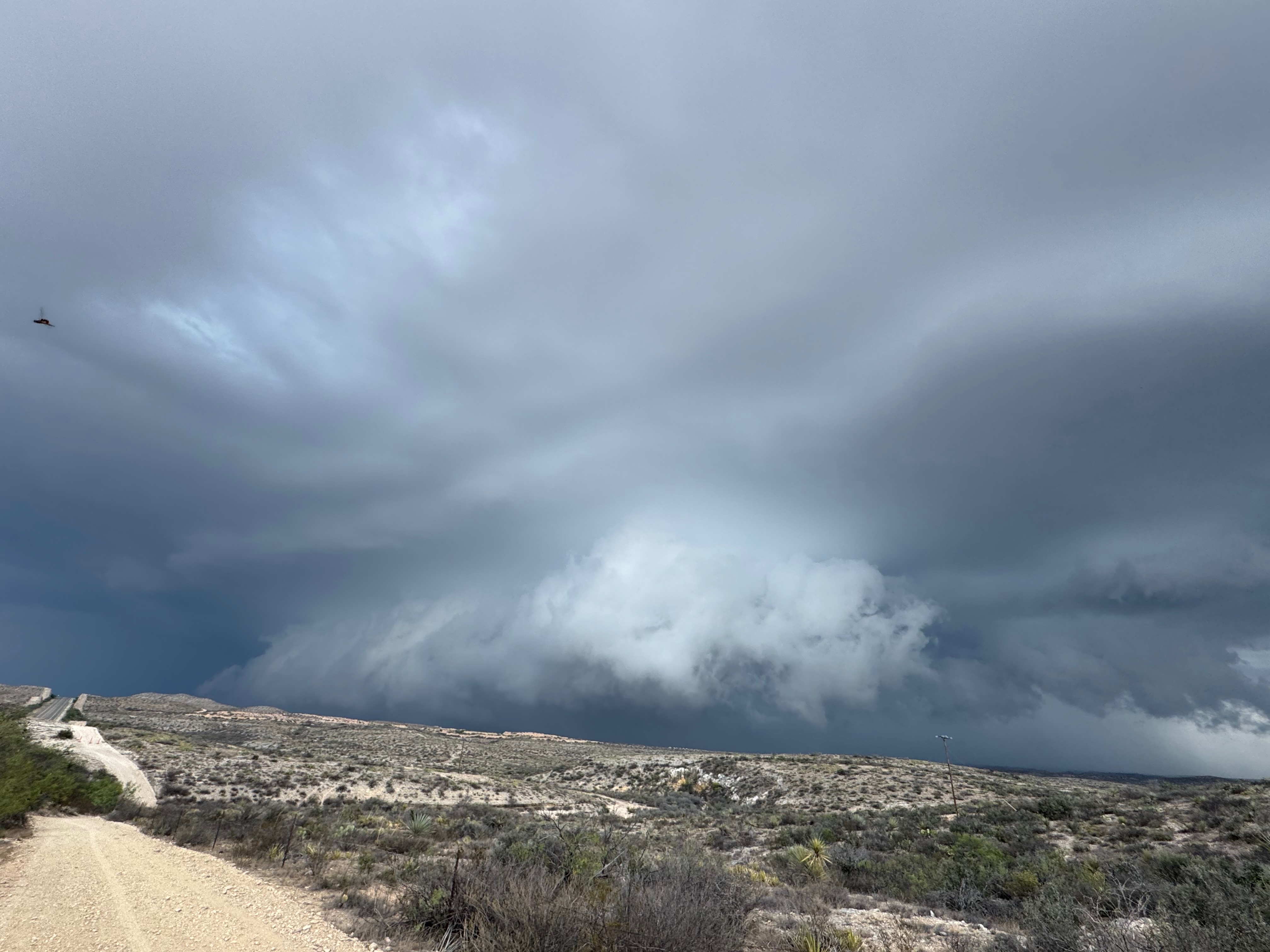
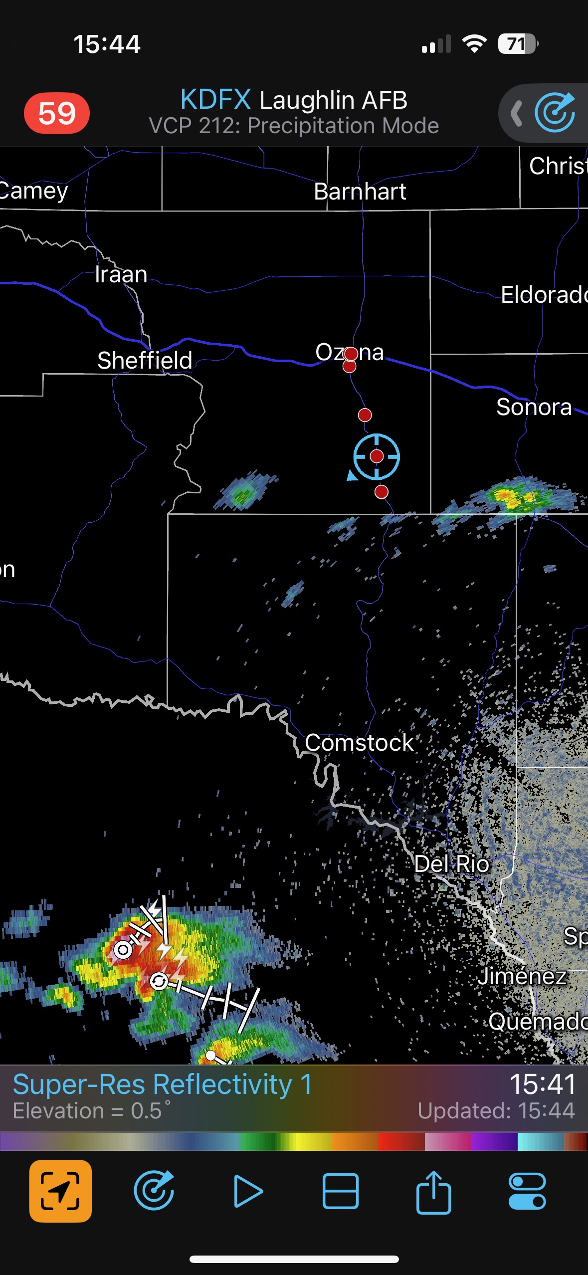
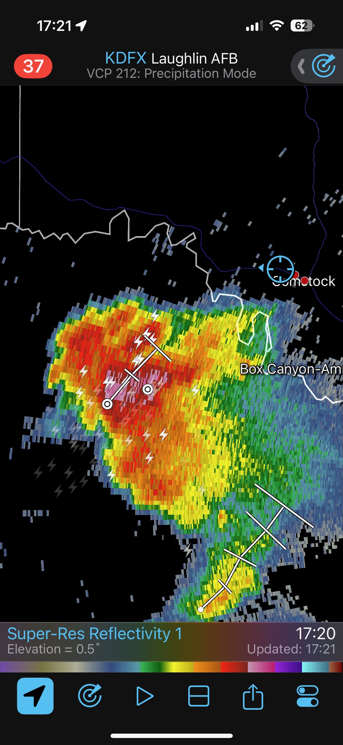
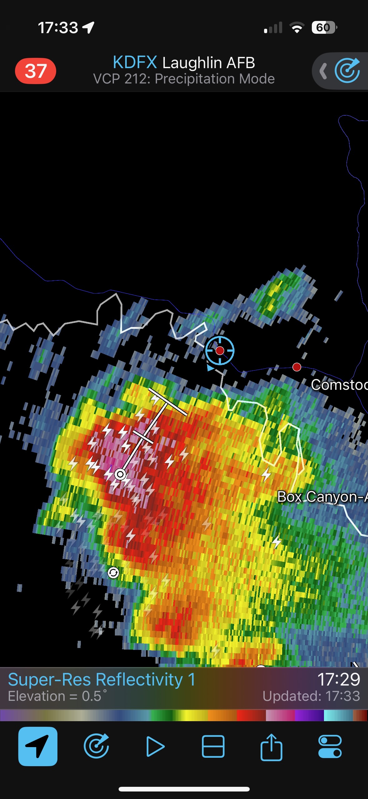
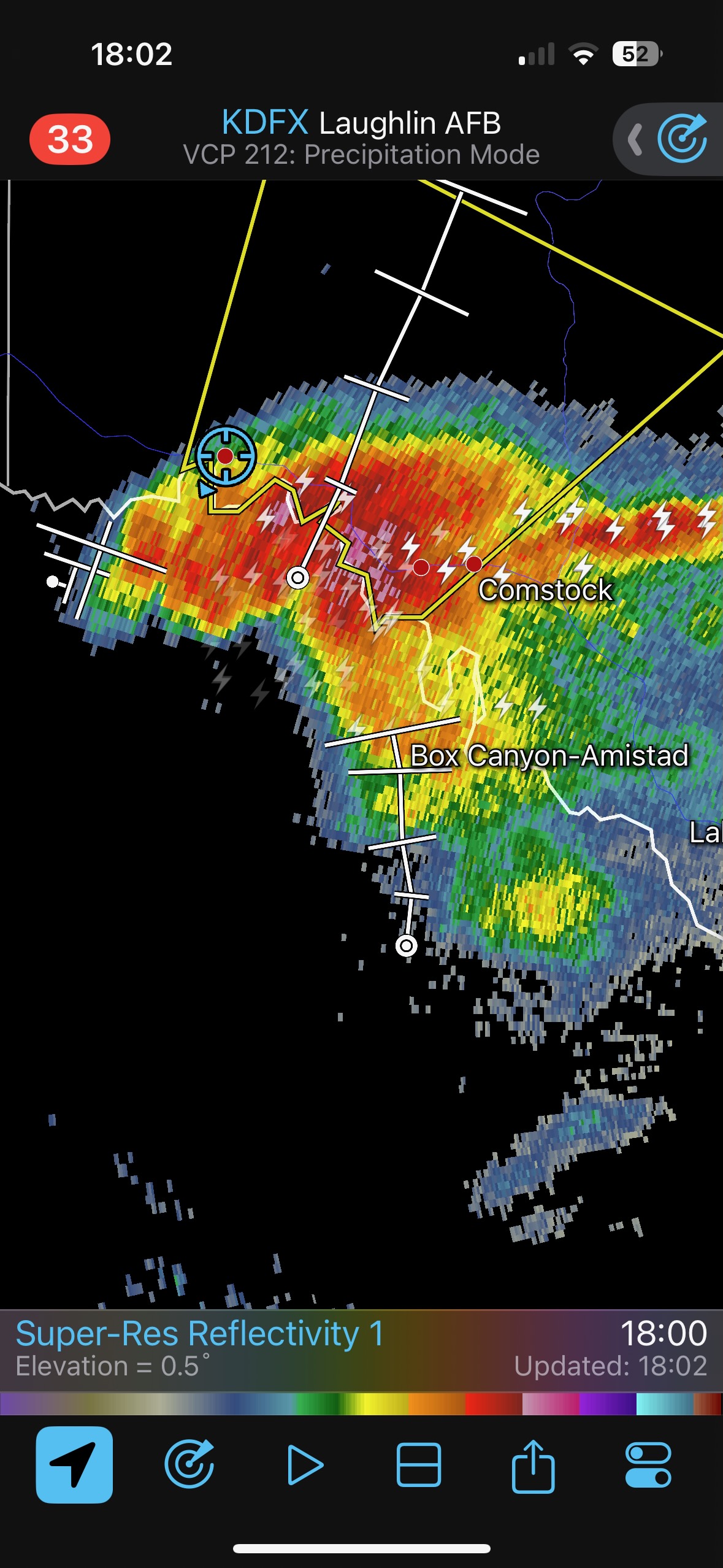
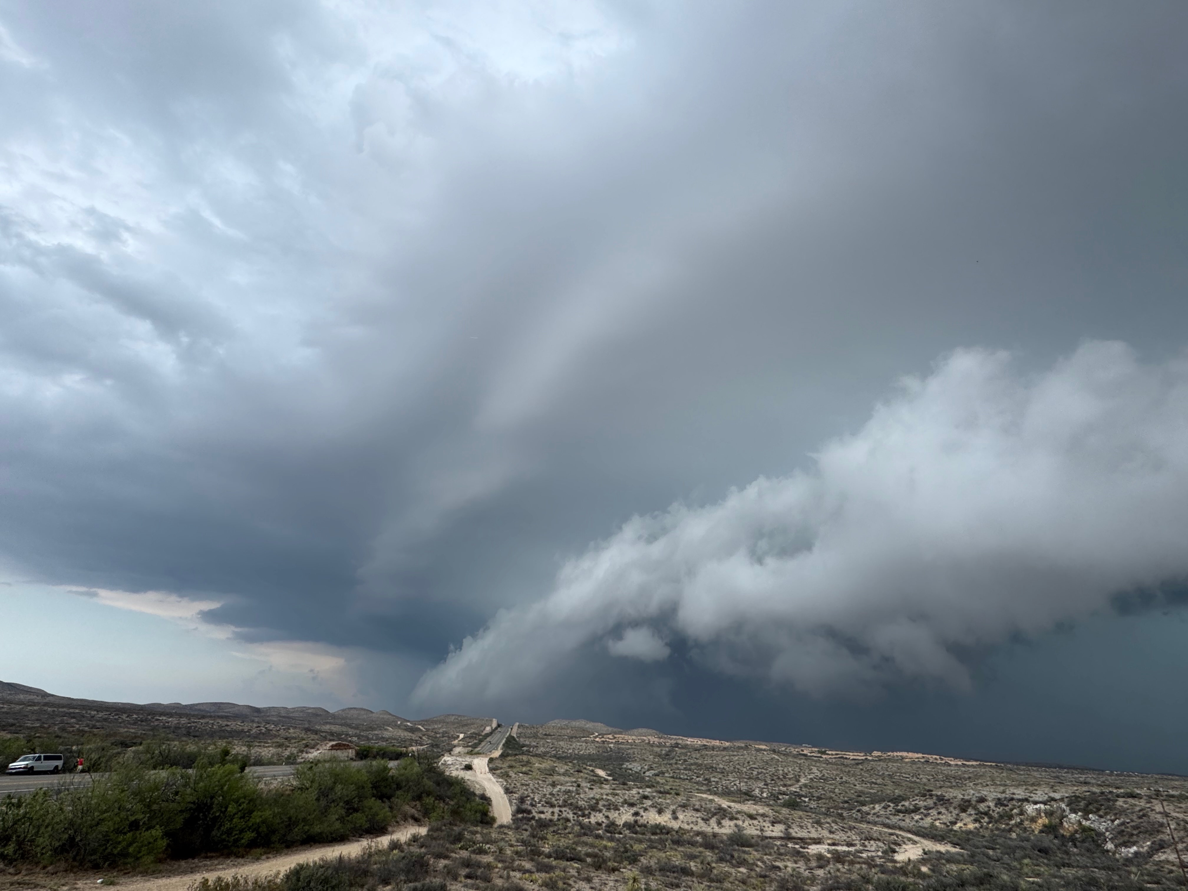
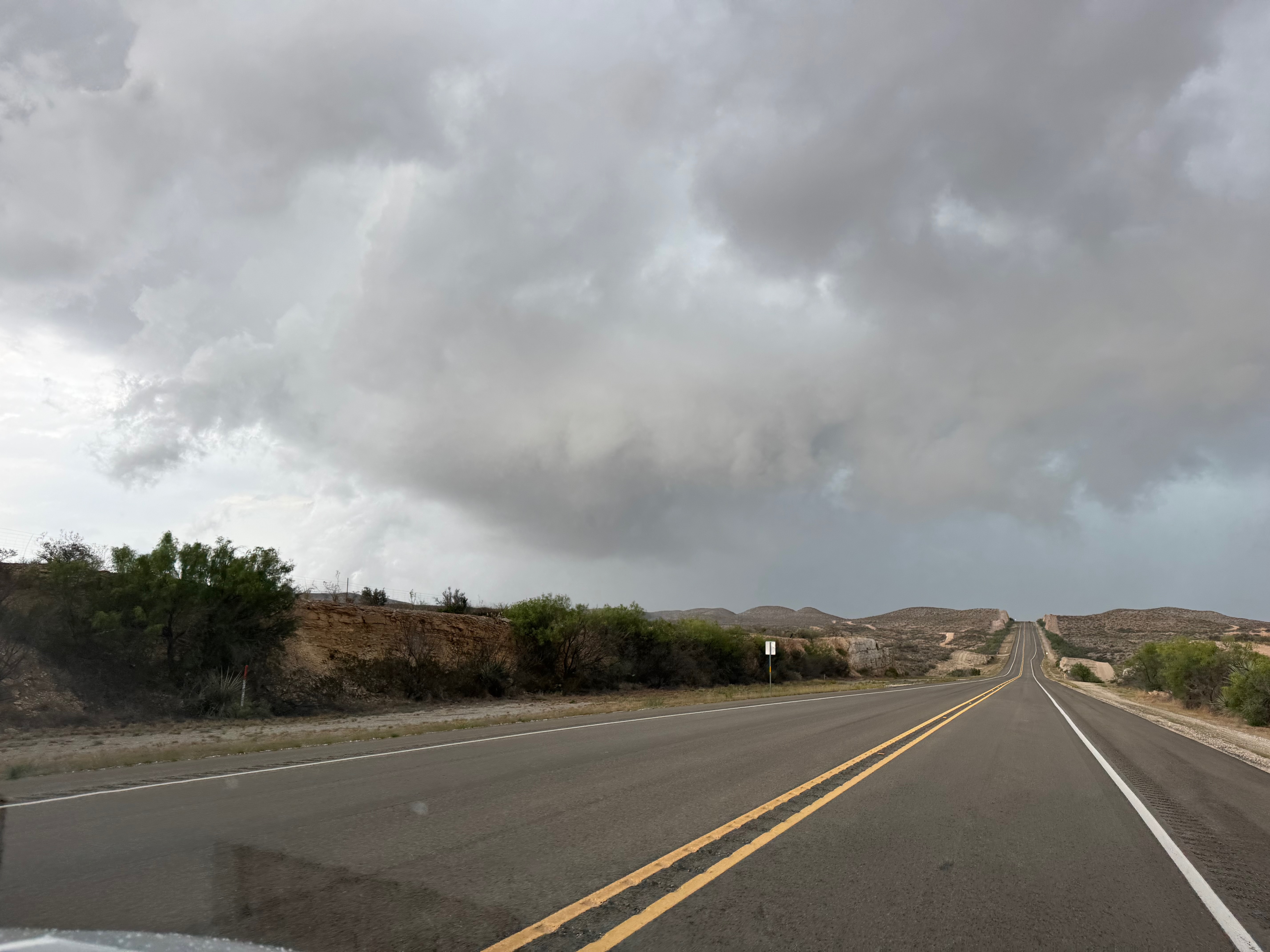
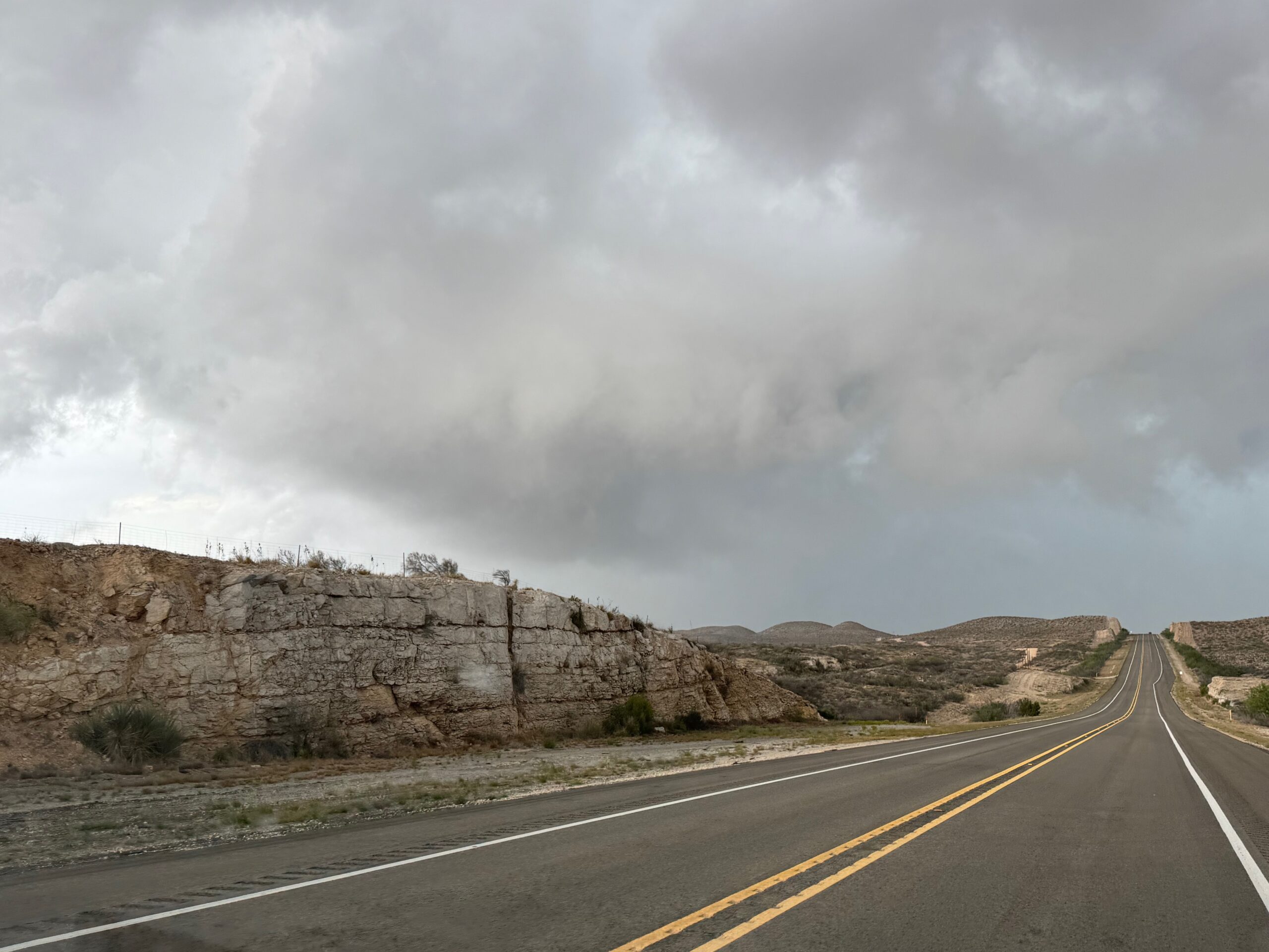
A new, crisp and strong updraft dragged us from Sheffield to Ozona on I-10. It looked like we were in Fat City as it turned more to the southeast, but the storm would not take the next step and go severe. A second attempt to our west sputtered near Juno on Highway 163. We killed some time and twiddled our thumbs some at Juno…it was looking like this play along the sagging front was going to bust. But, there was intense convection south of the Rio Grande, in the mountains of Mexico, to our south. Any right-moving supercell out of this development would not be a chase candidate, but luck was on our side! A left-mover was coming towards the river!
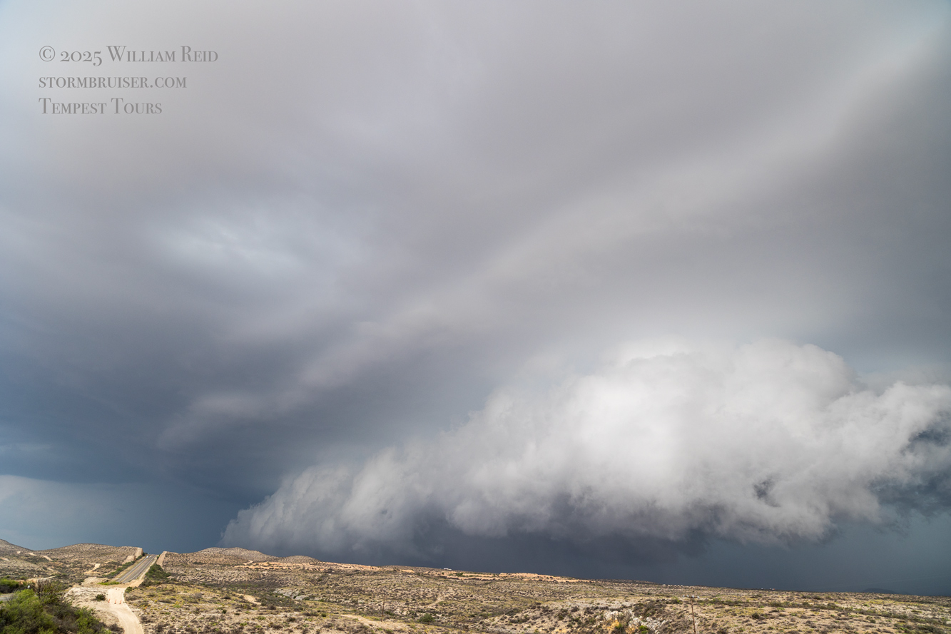
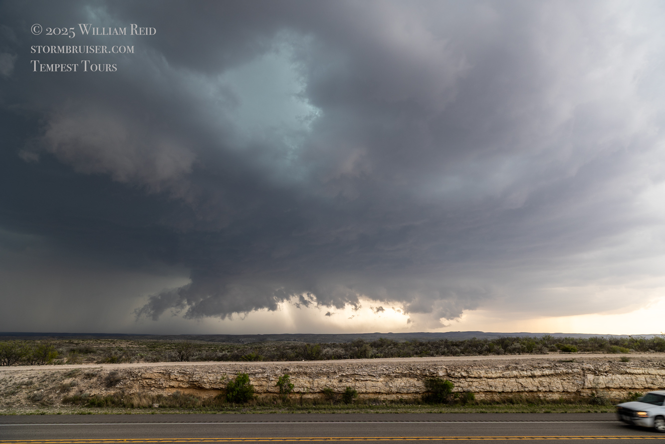
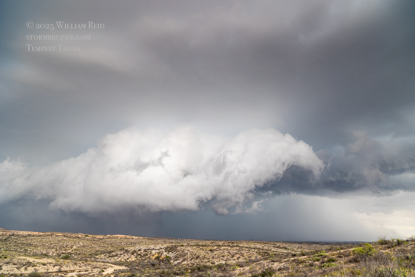
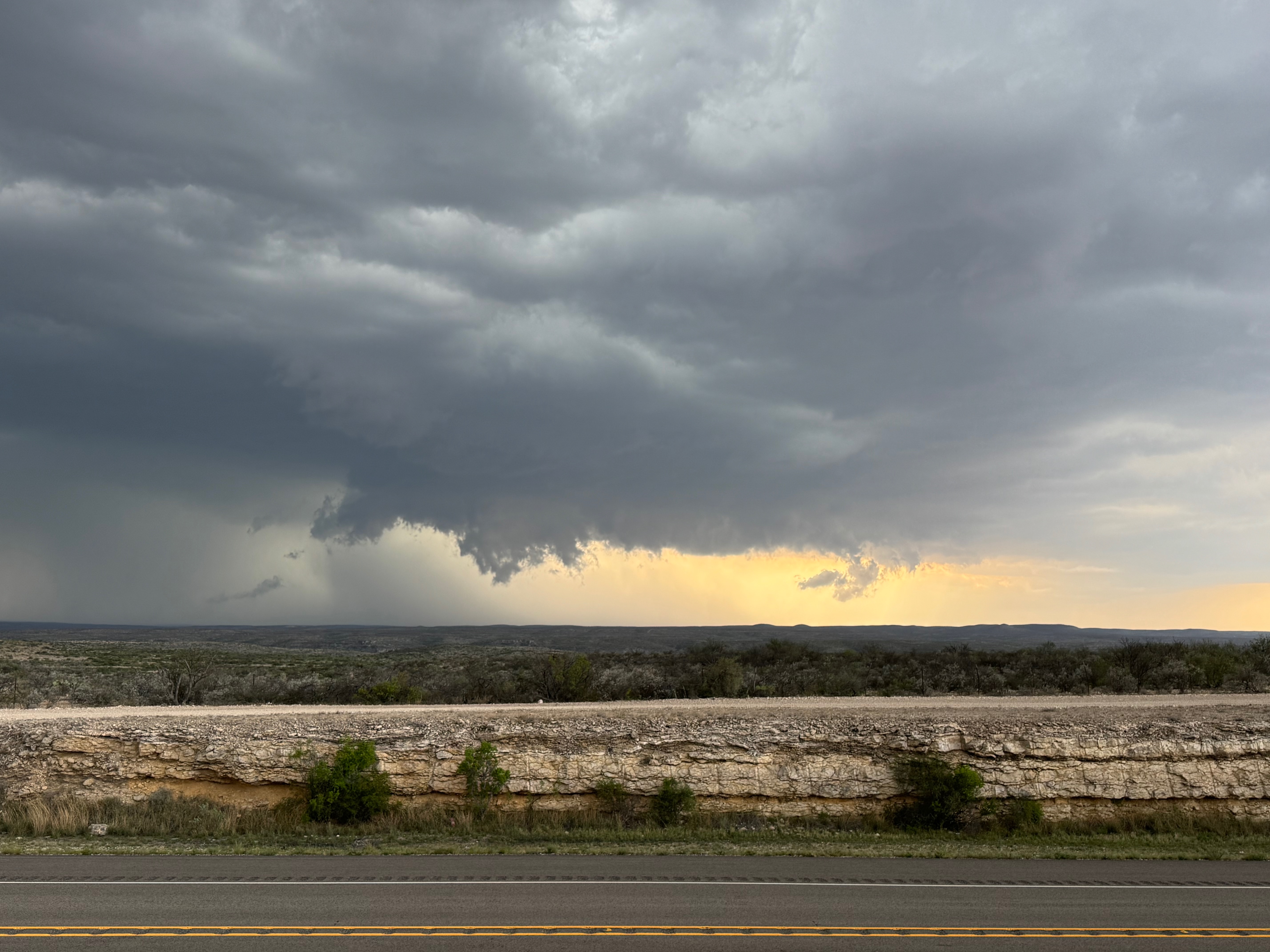
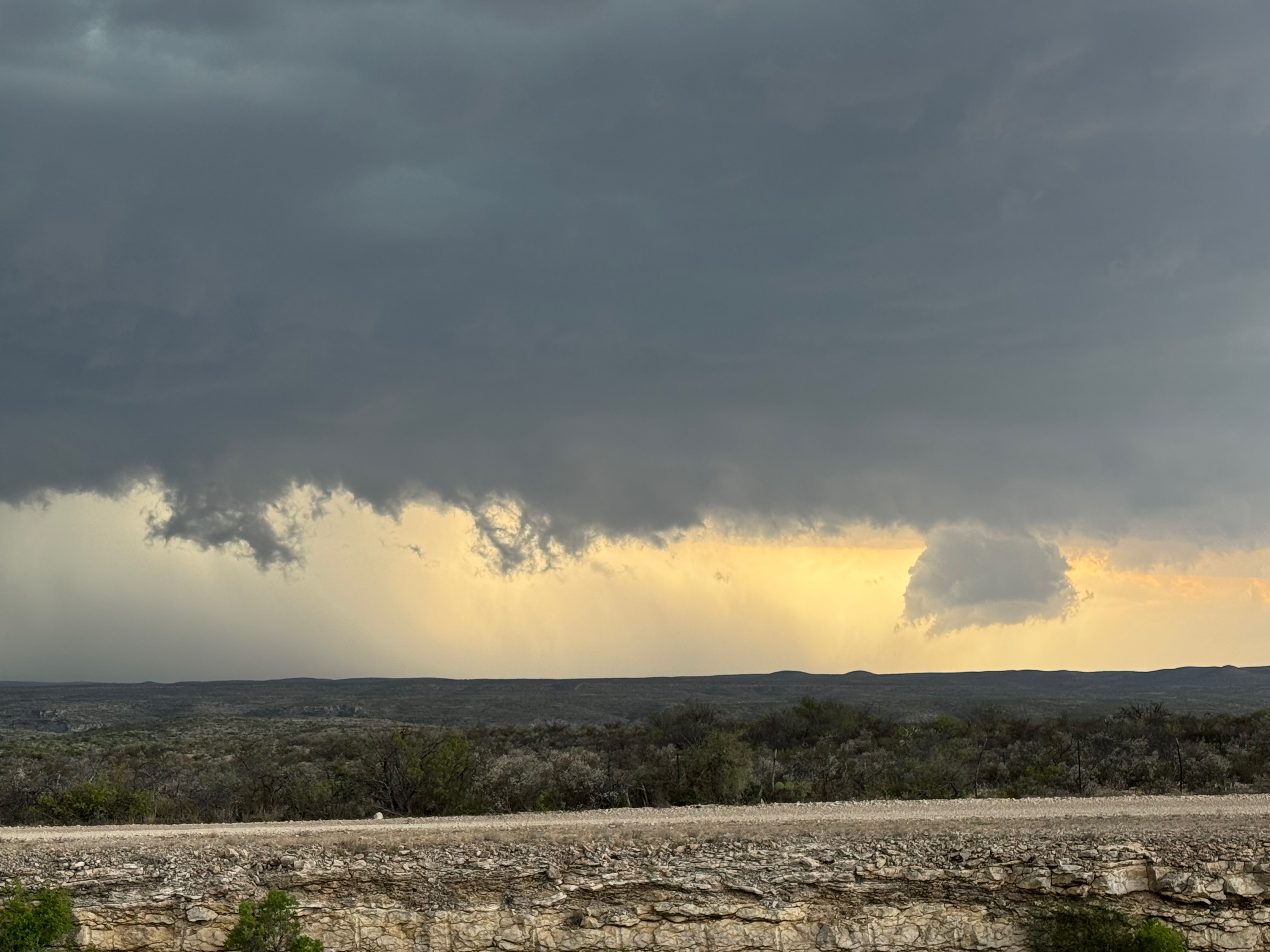
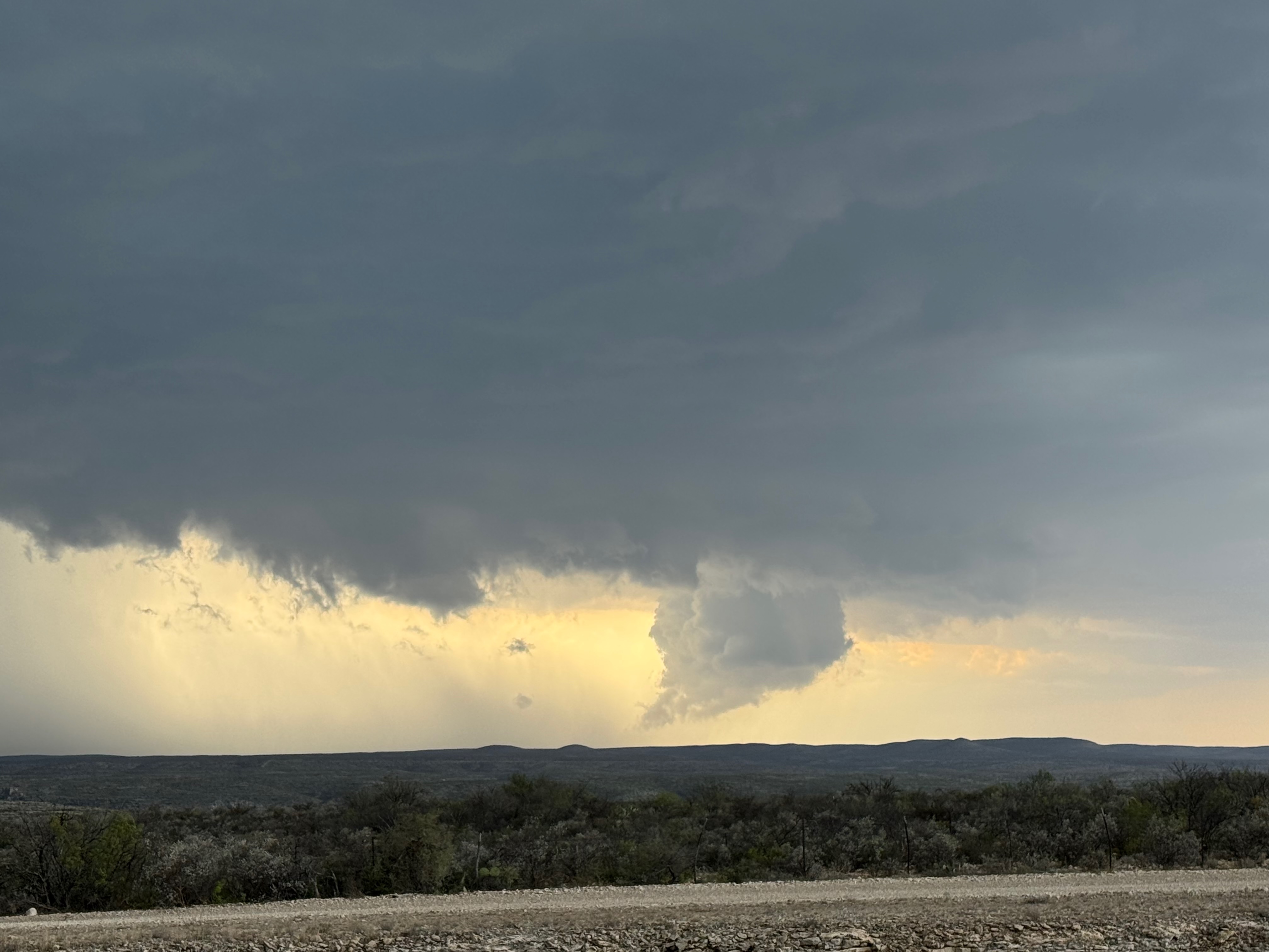
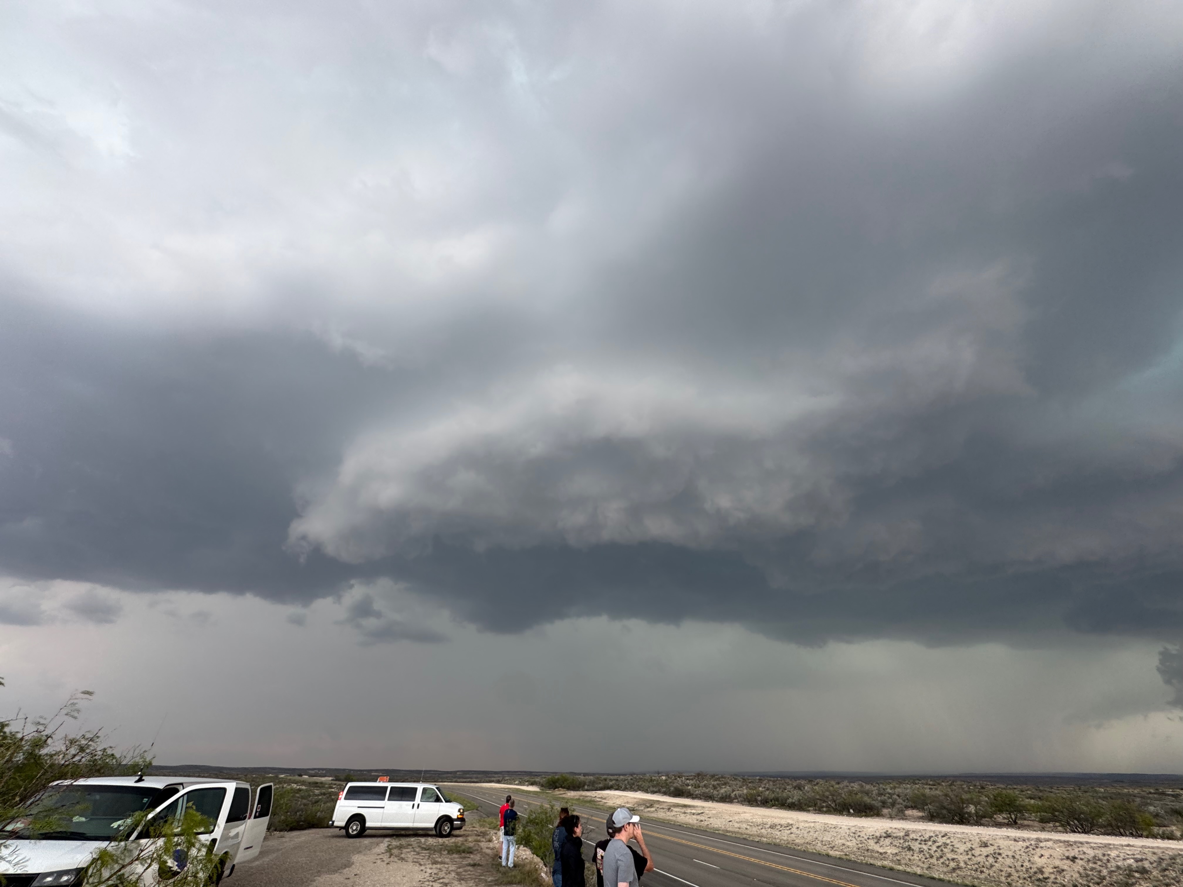
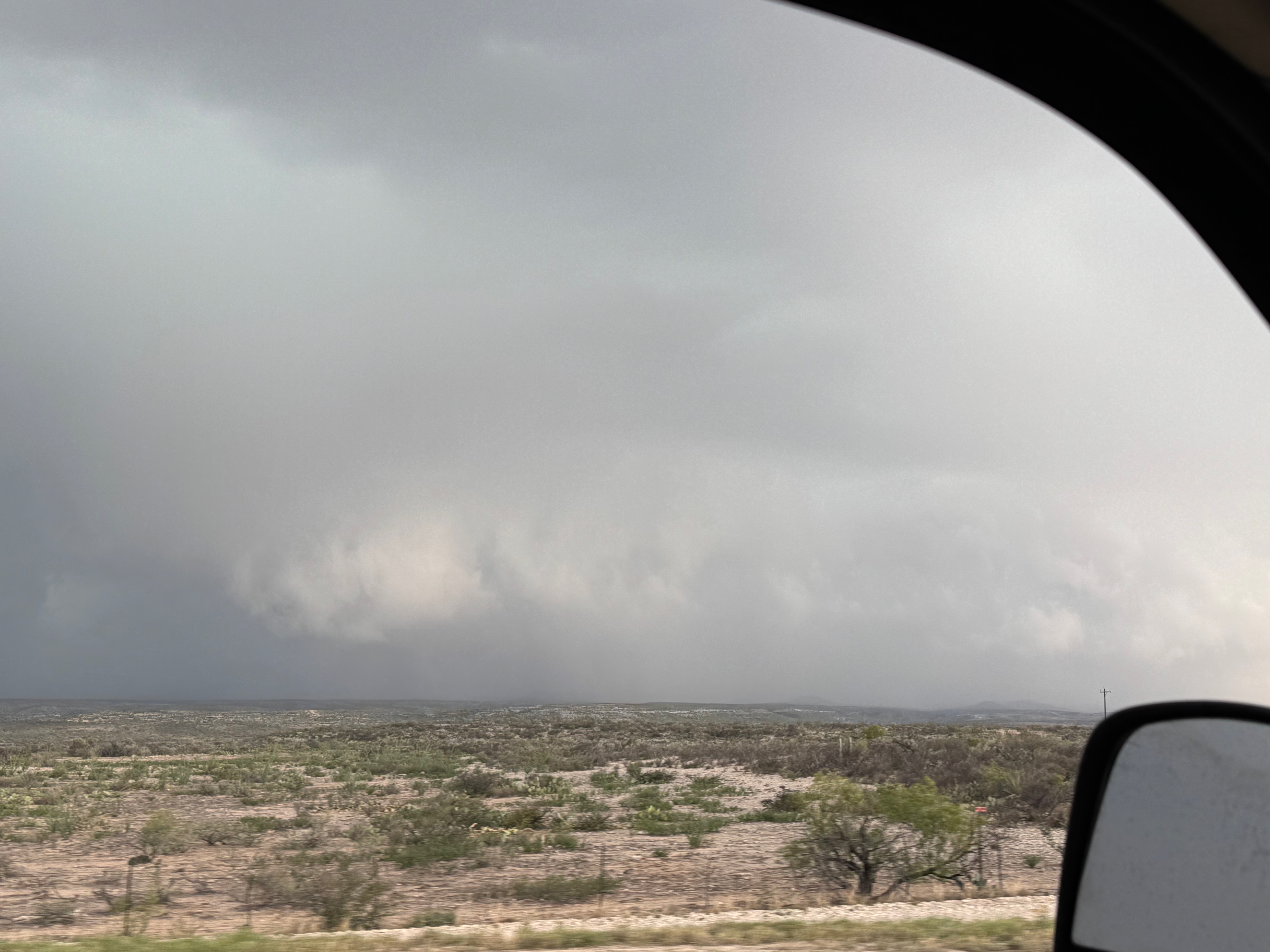
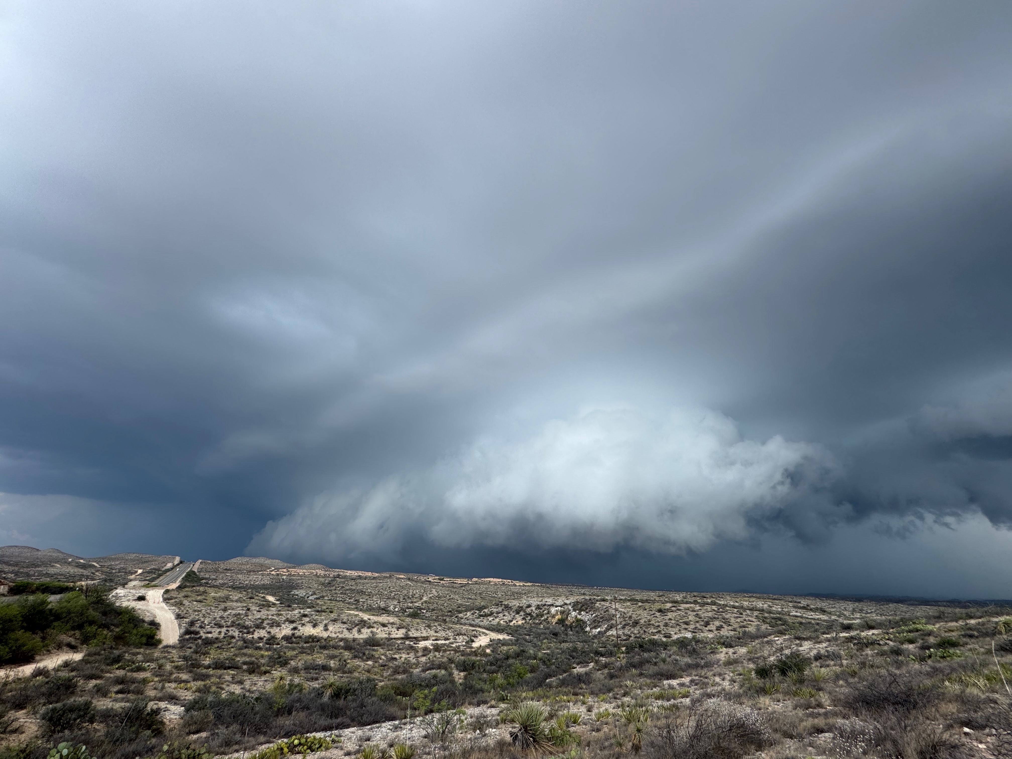
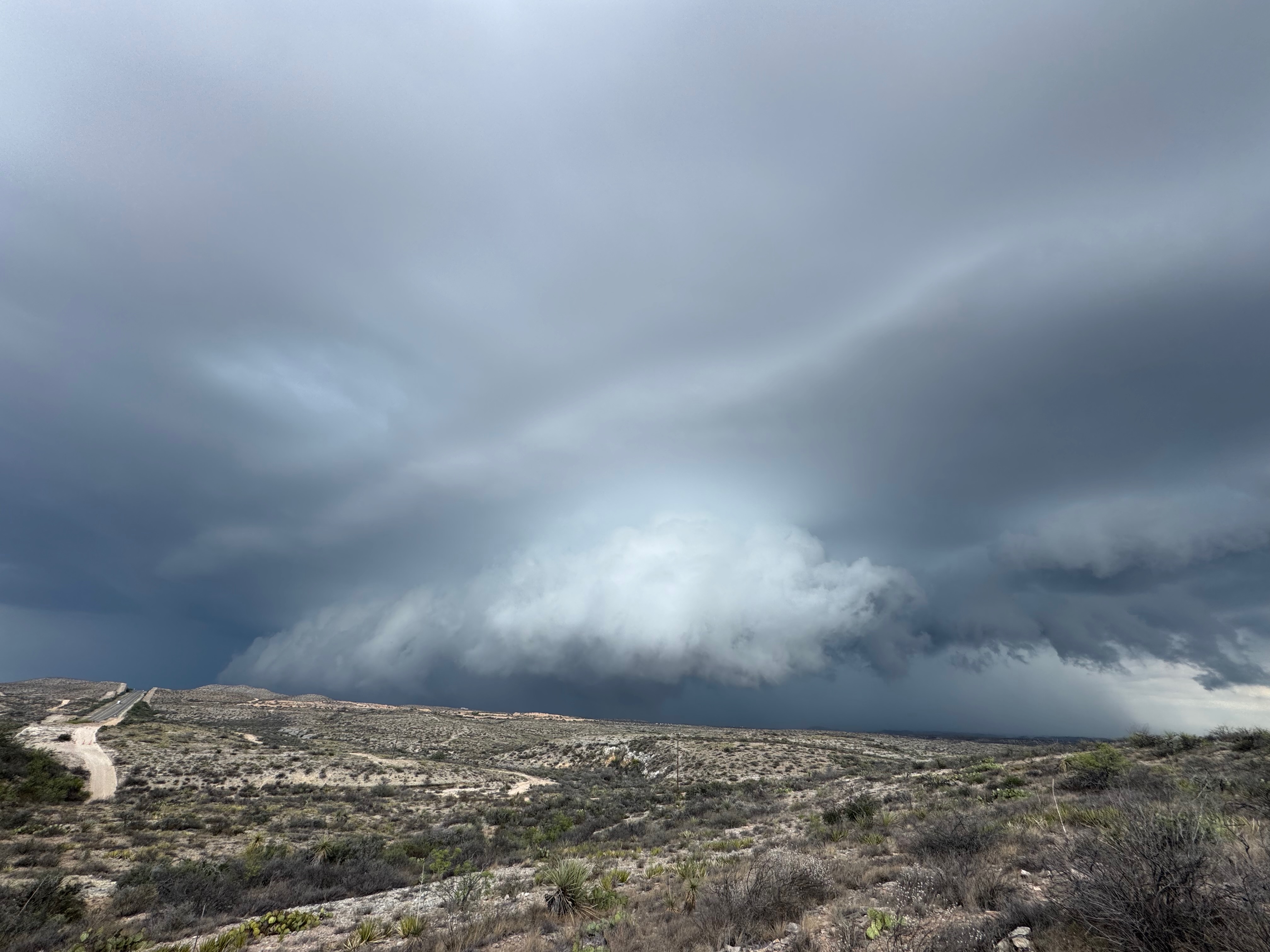
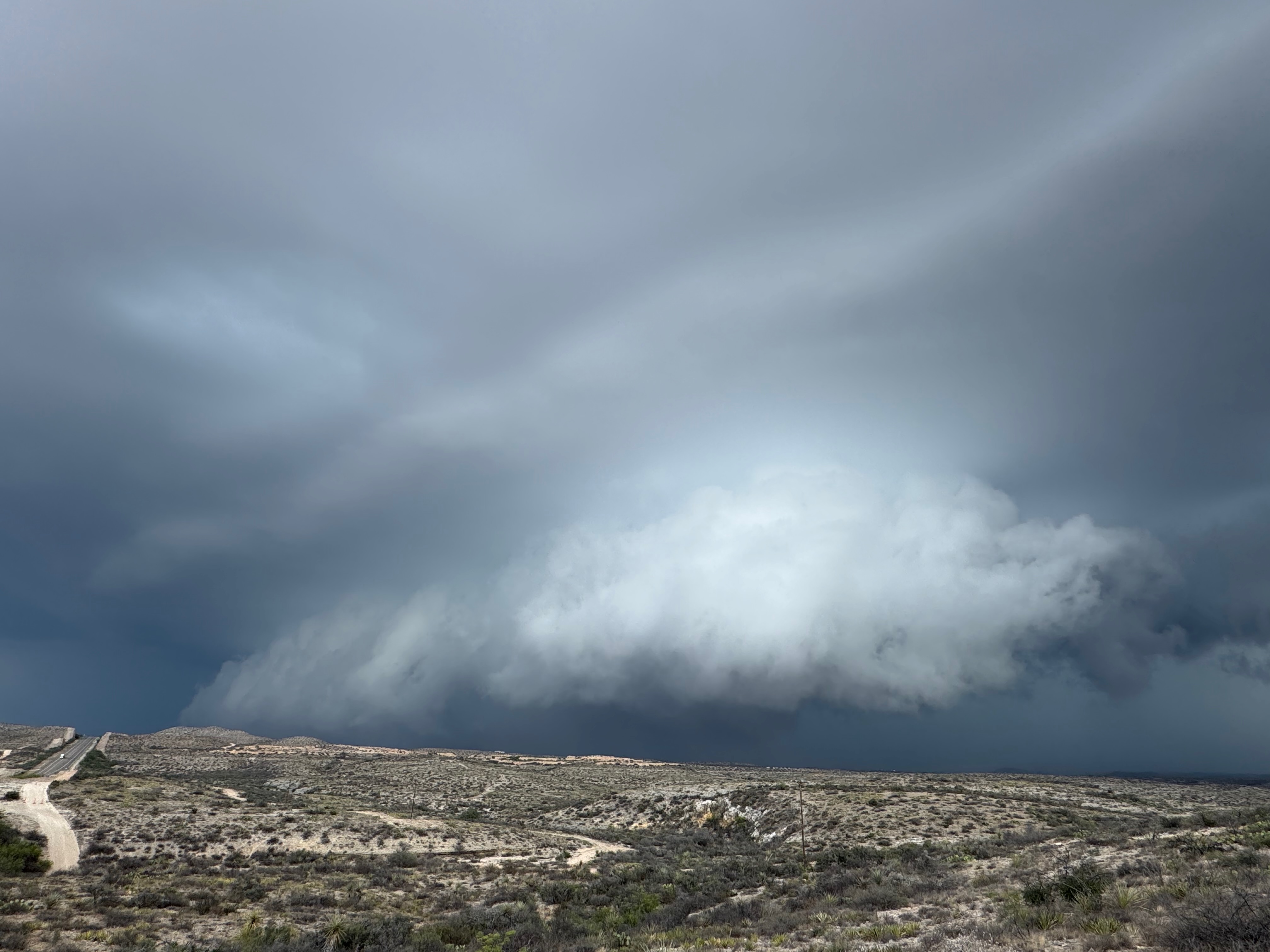
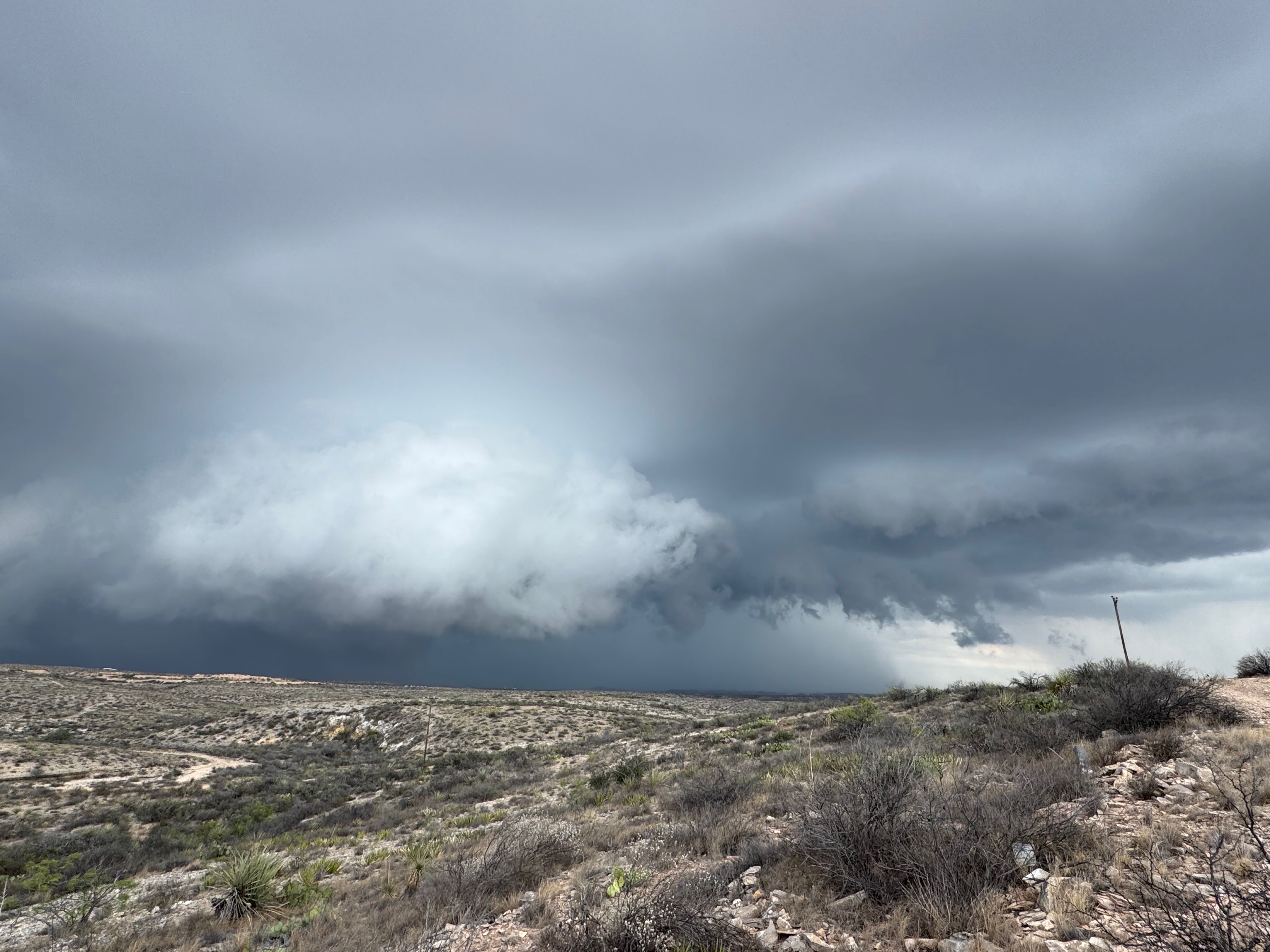
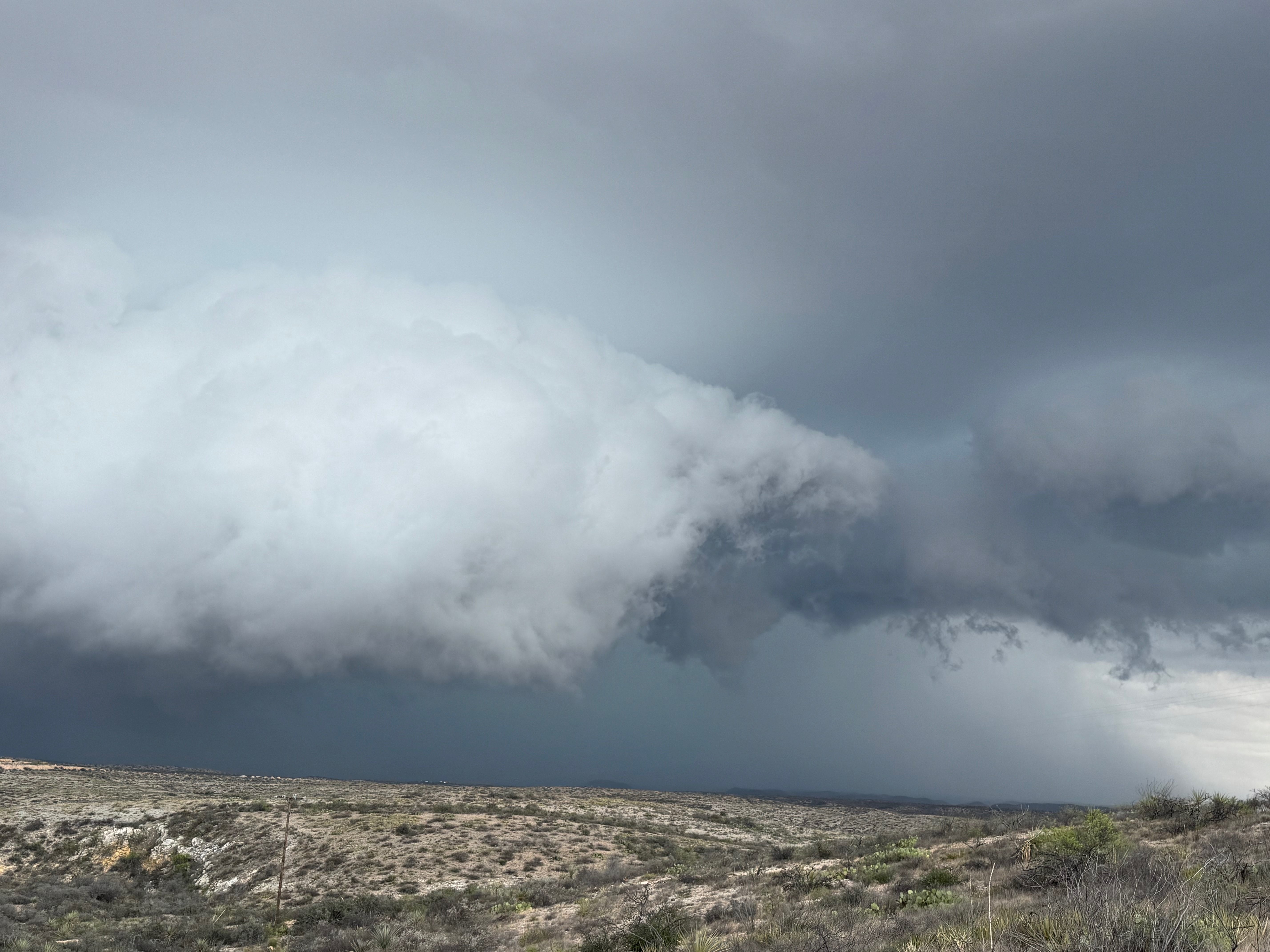
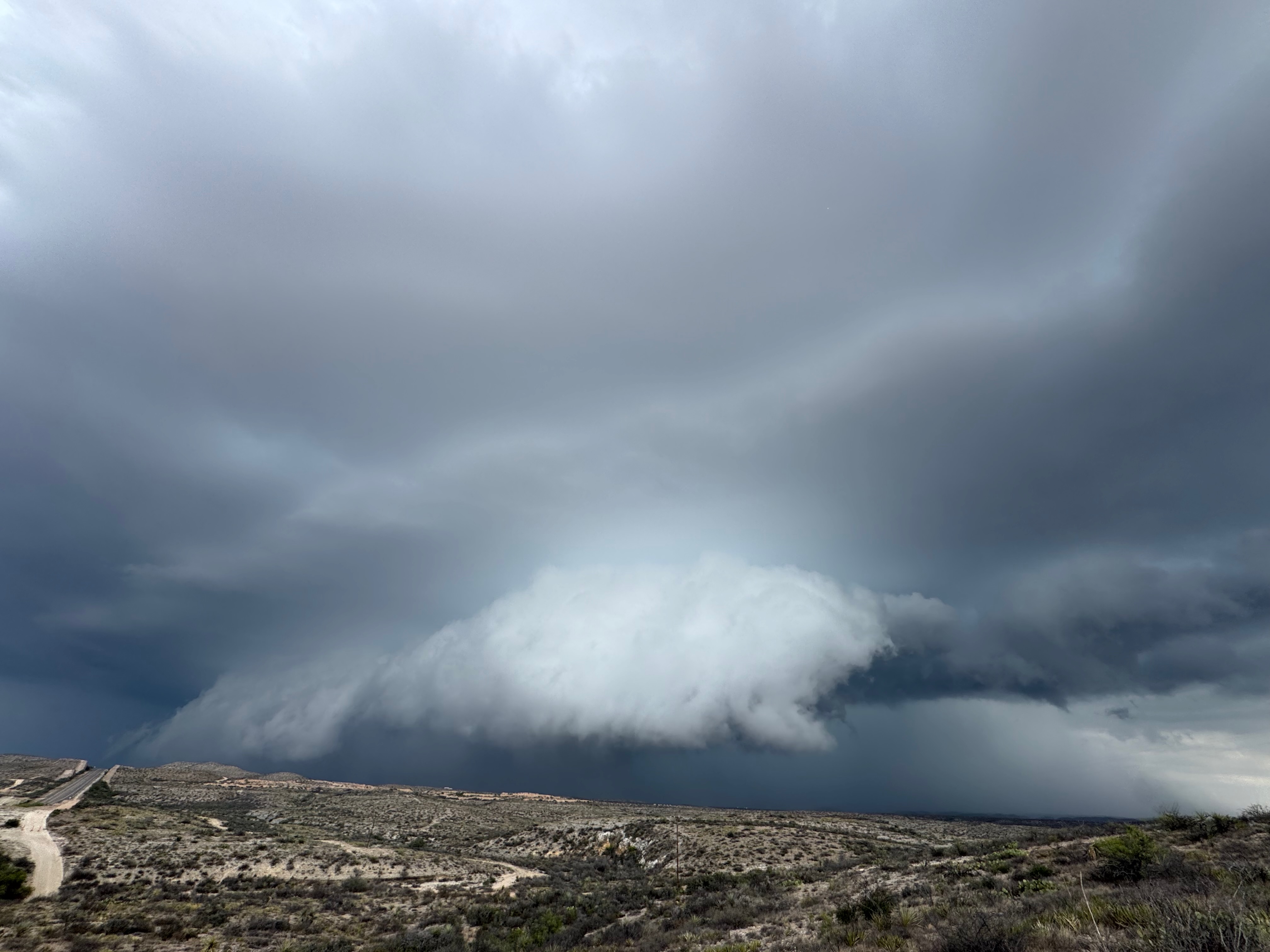
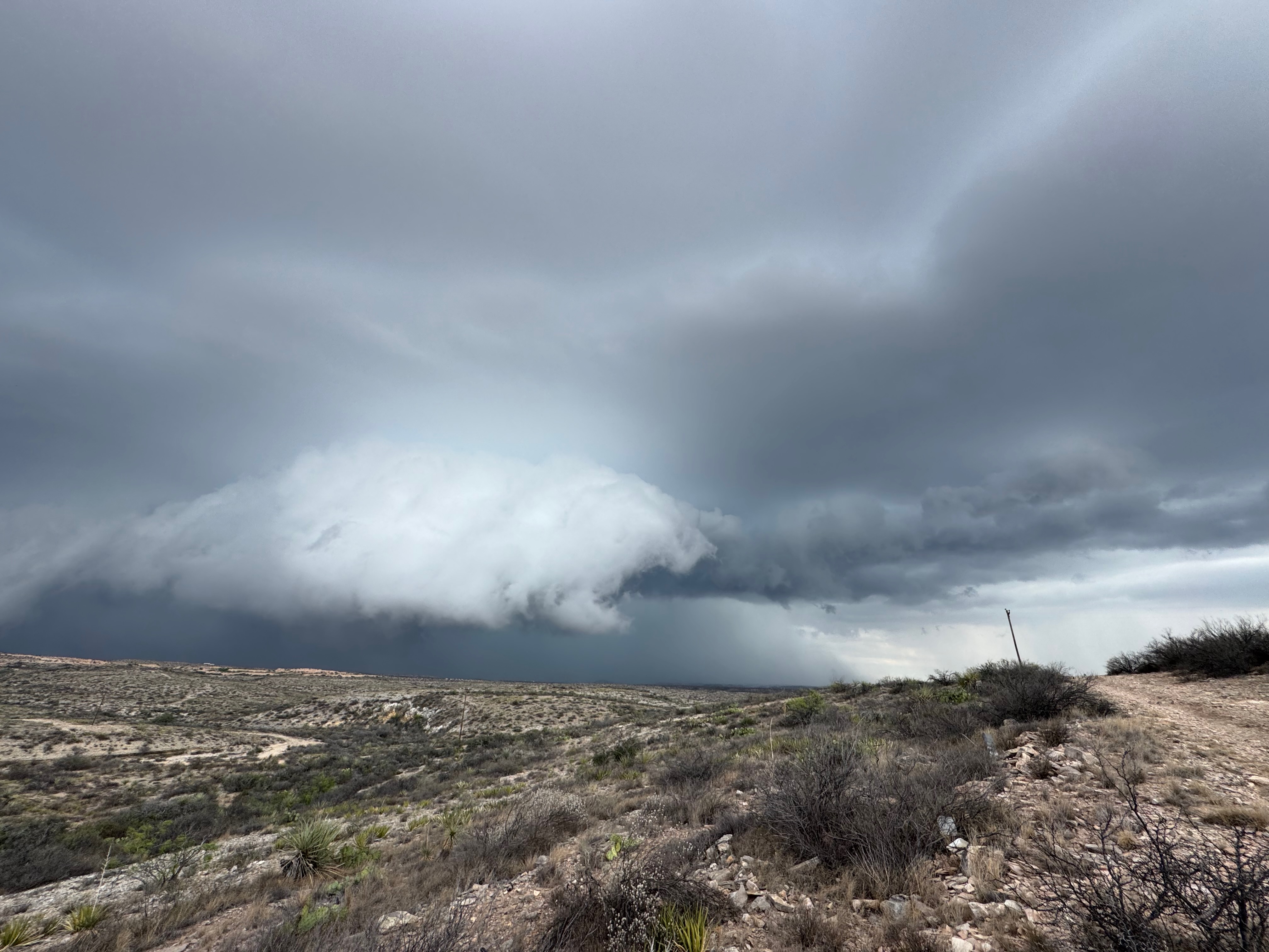
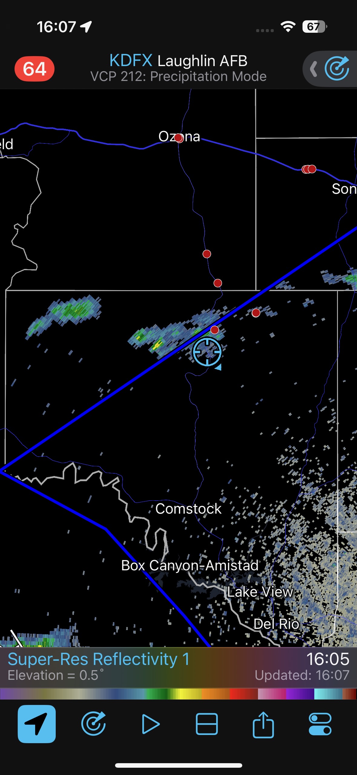
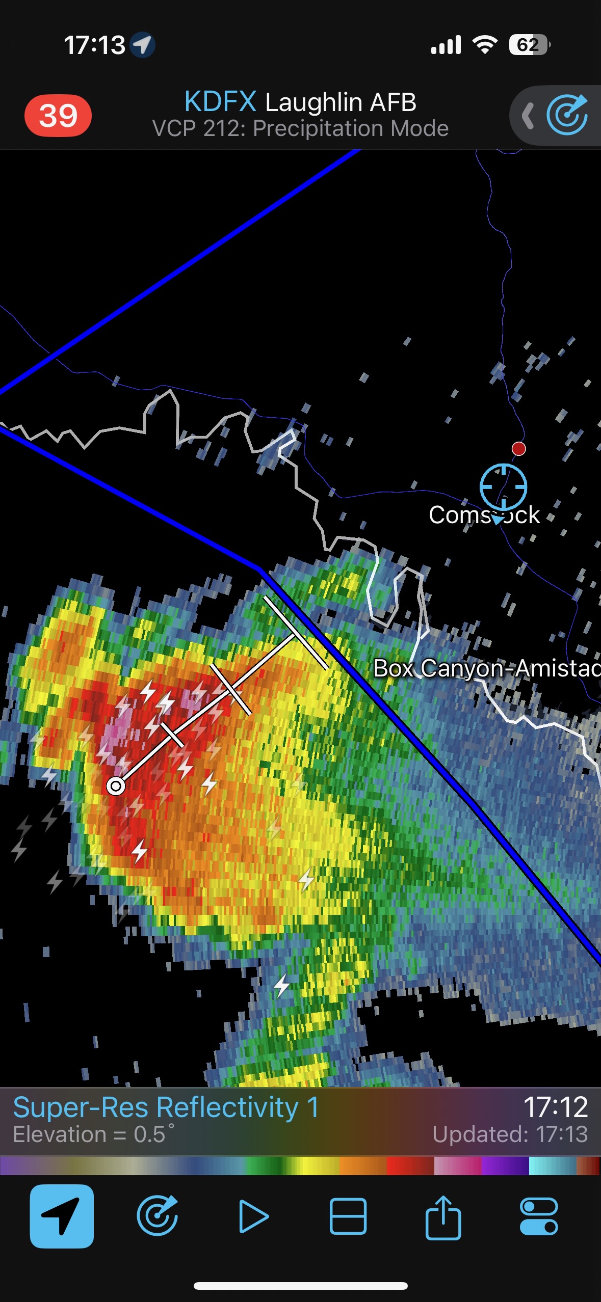
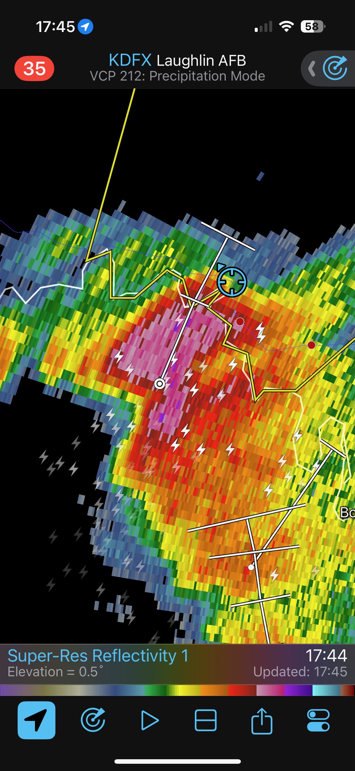
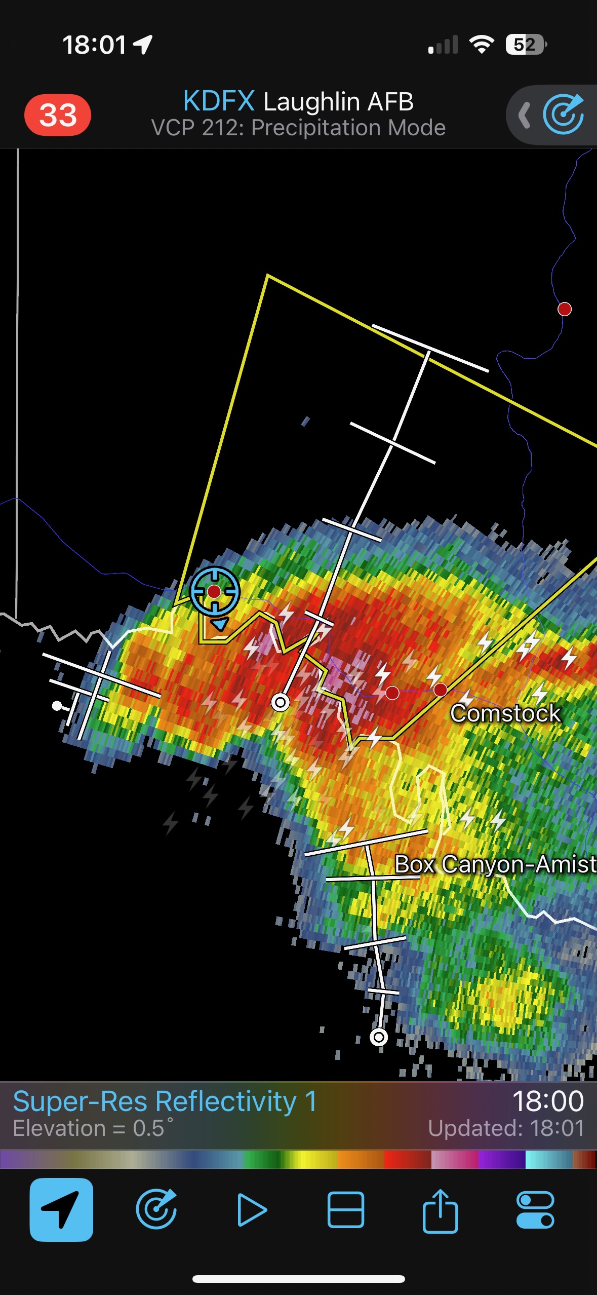
We made our way to Comstock, did a quick pit stop, and then headed west towards Langtry to get in front of the beastly left-mover. It sported some nice lowerings and a splendid shelfie-cow-catcher front end. To avoid the hail core we had to scoot a few miles to the west. The storm covered U.S. 90 just to our east and blew a semi-truck over. We looked a little bit for large hail and did not come across any.
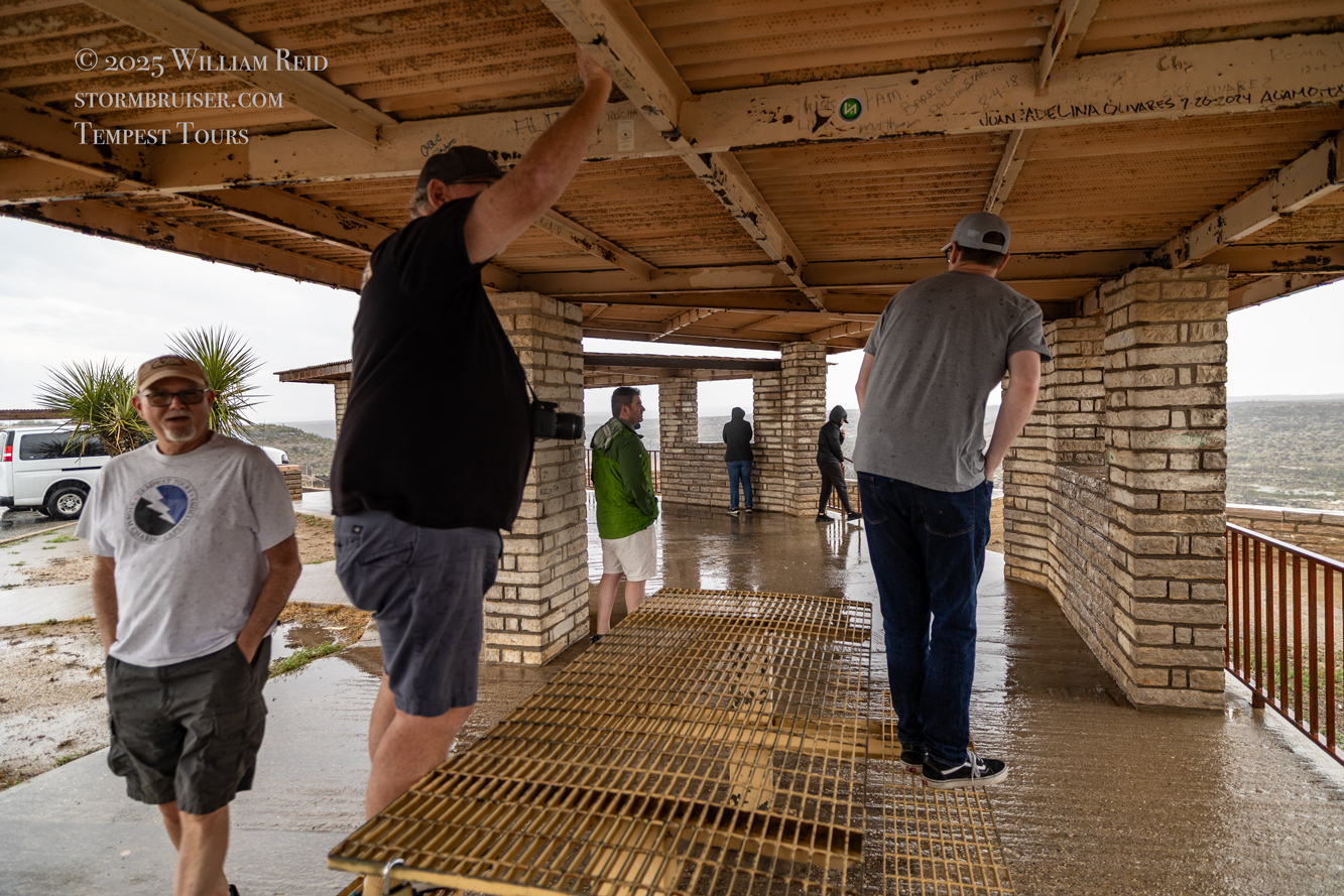
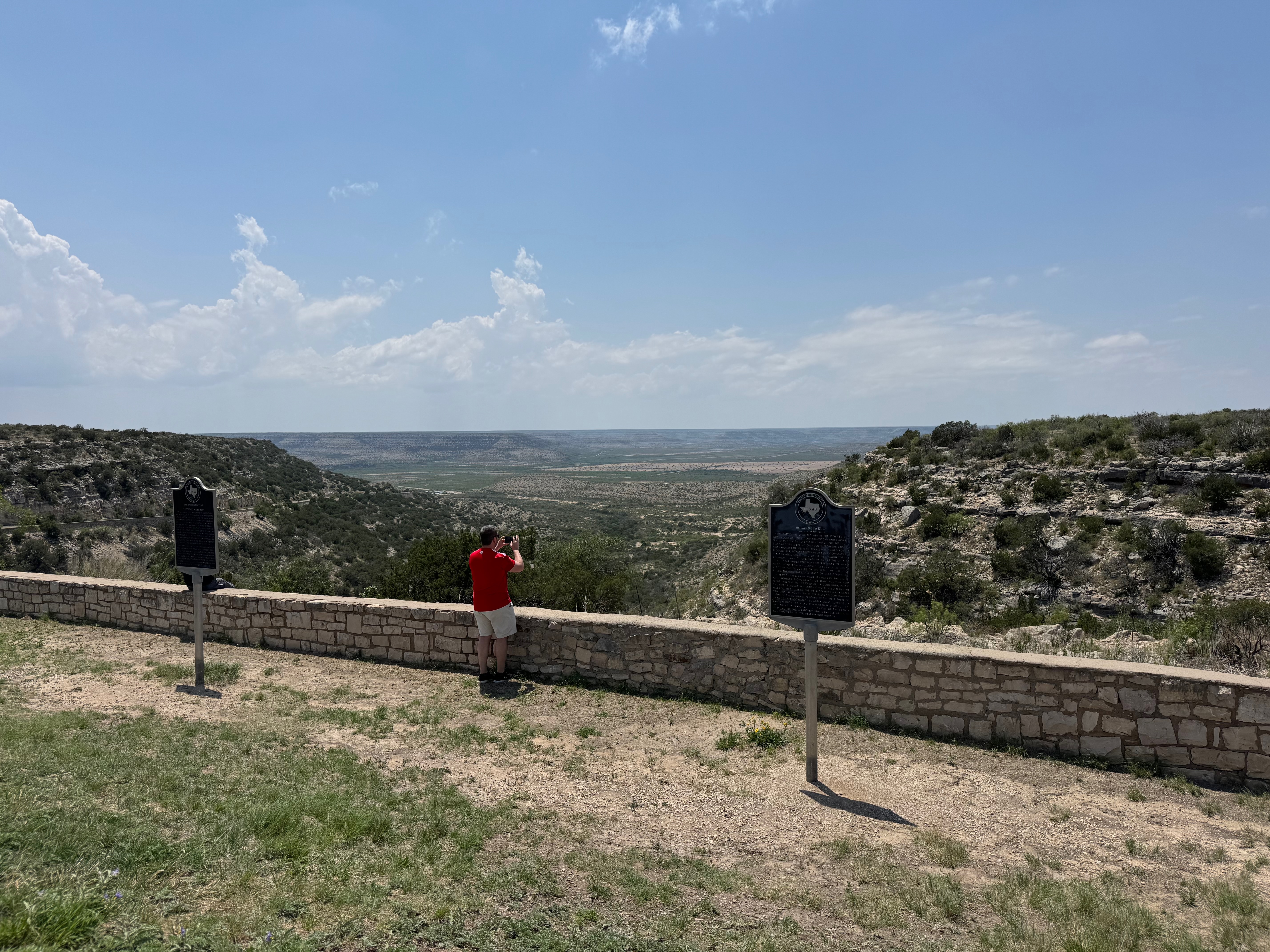
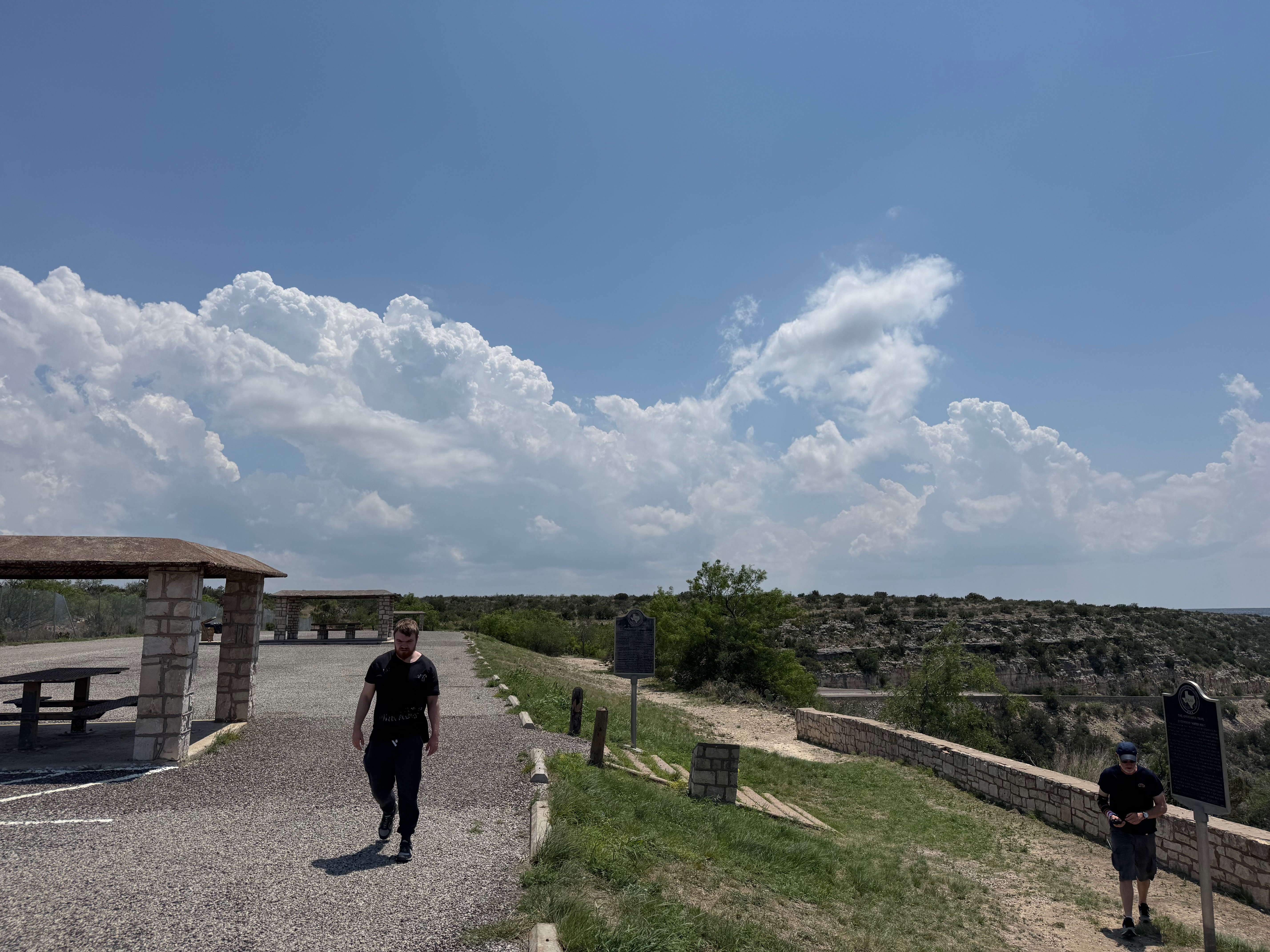
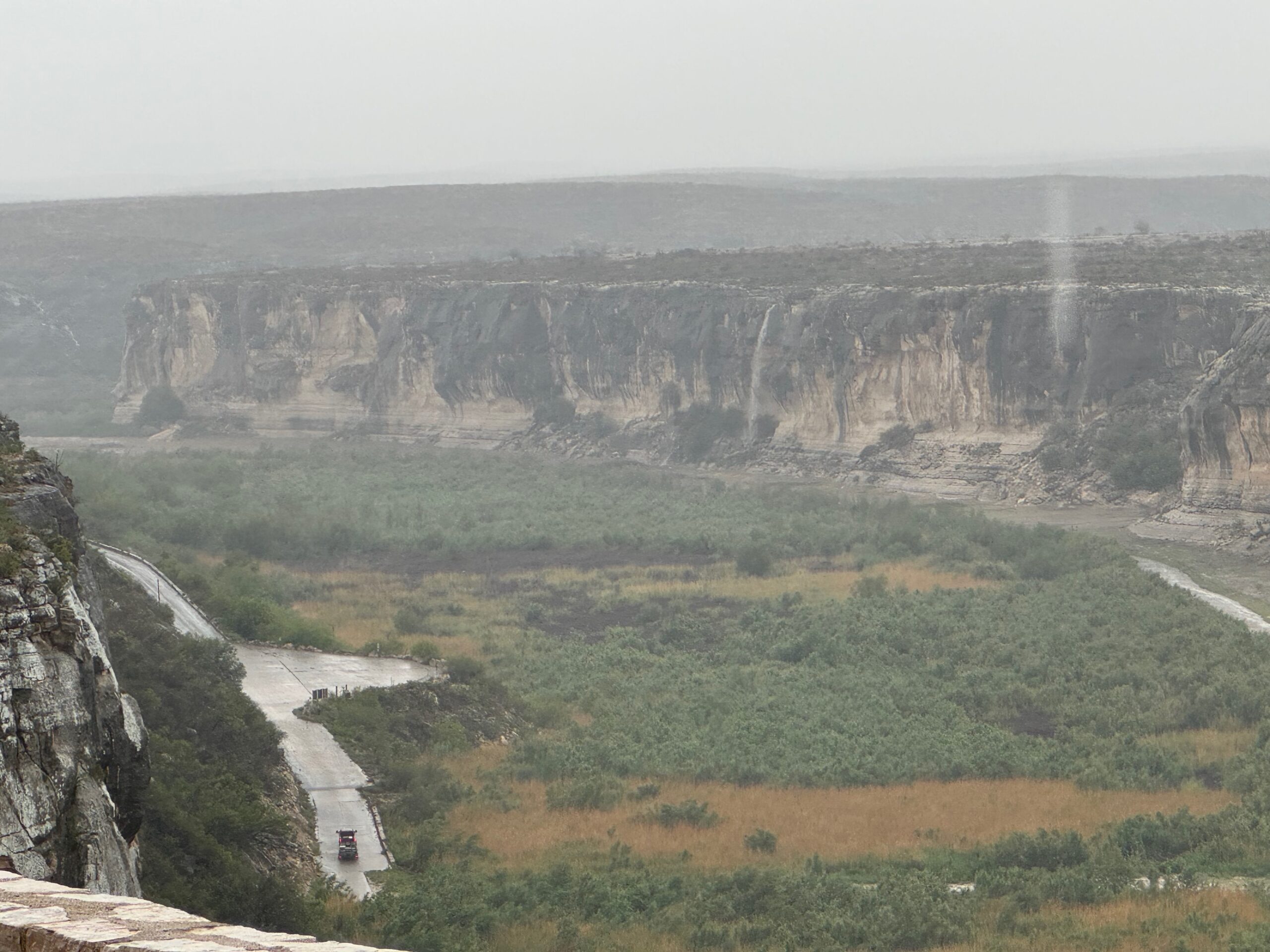
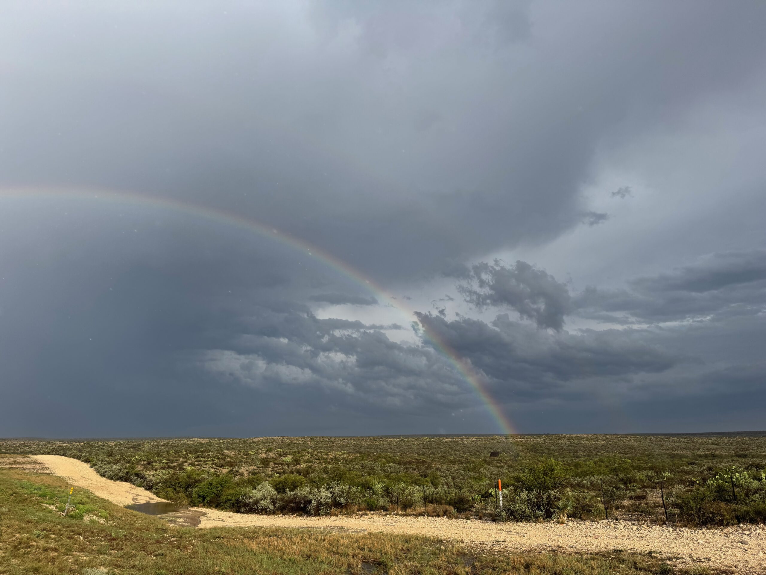
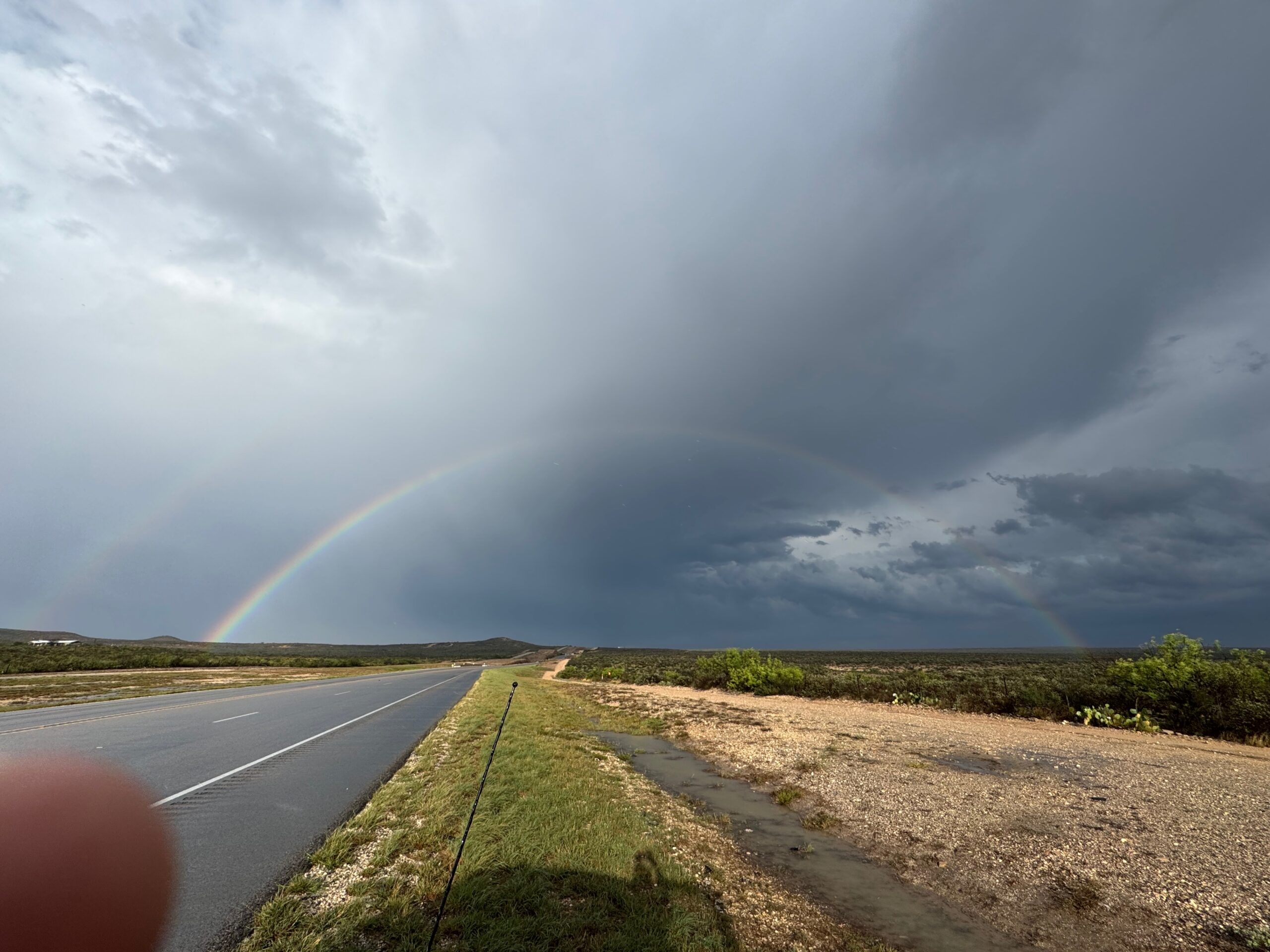
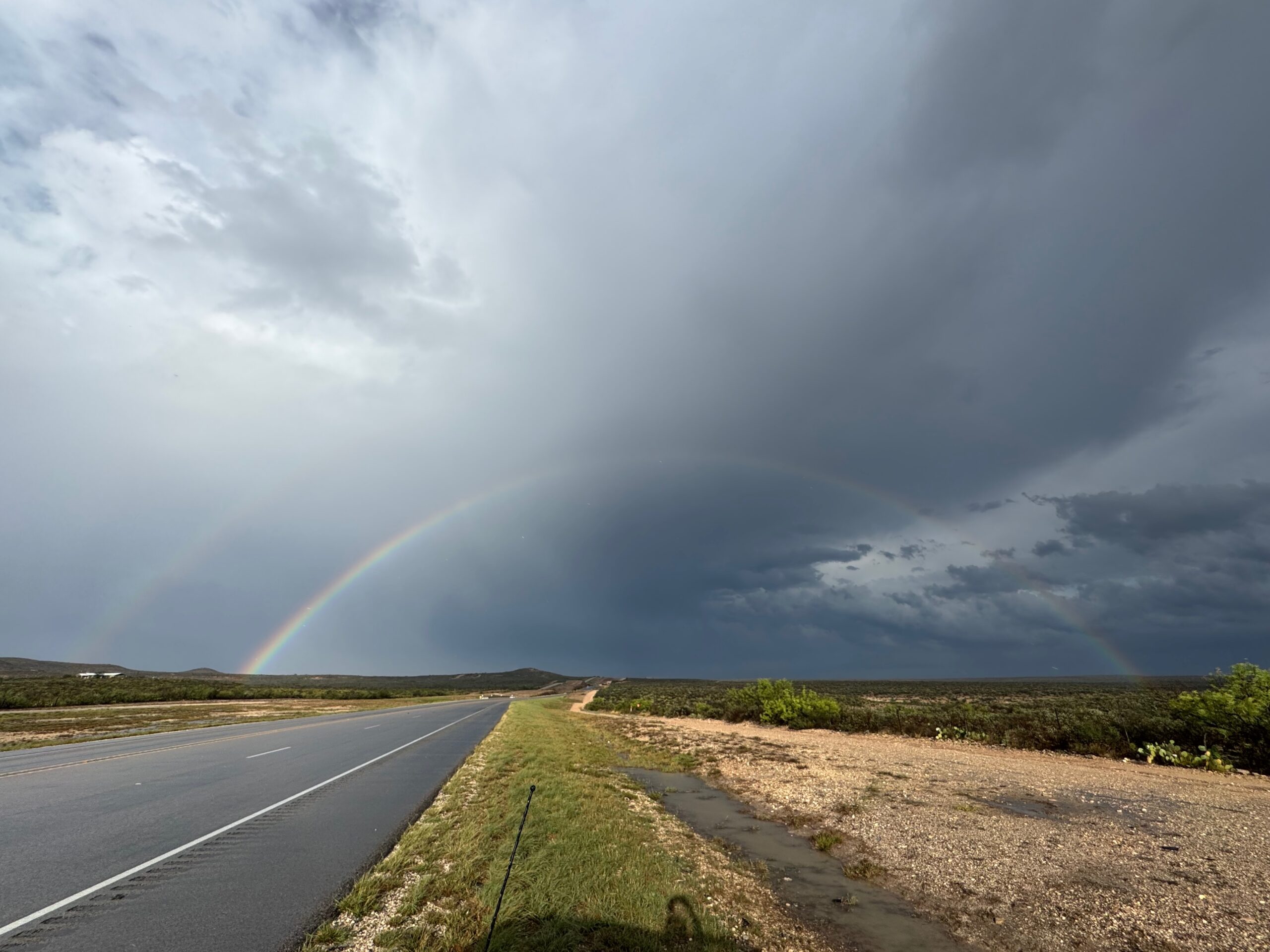
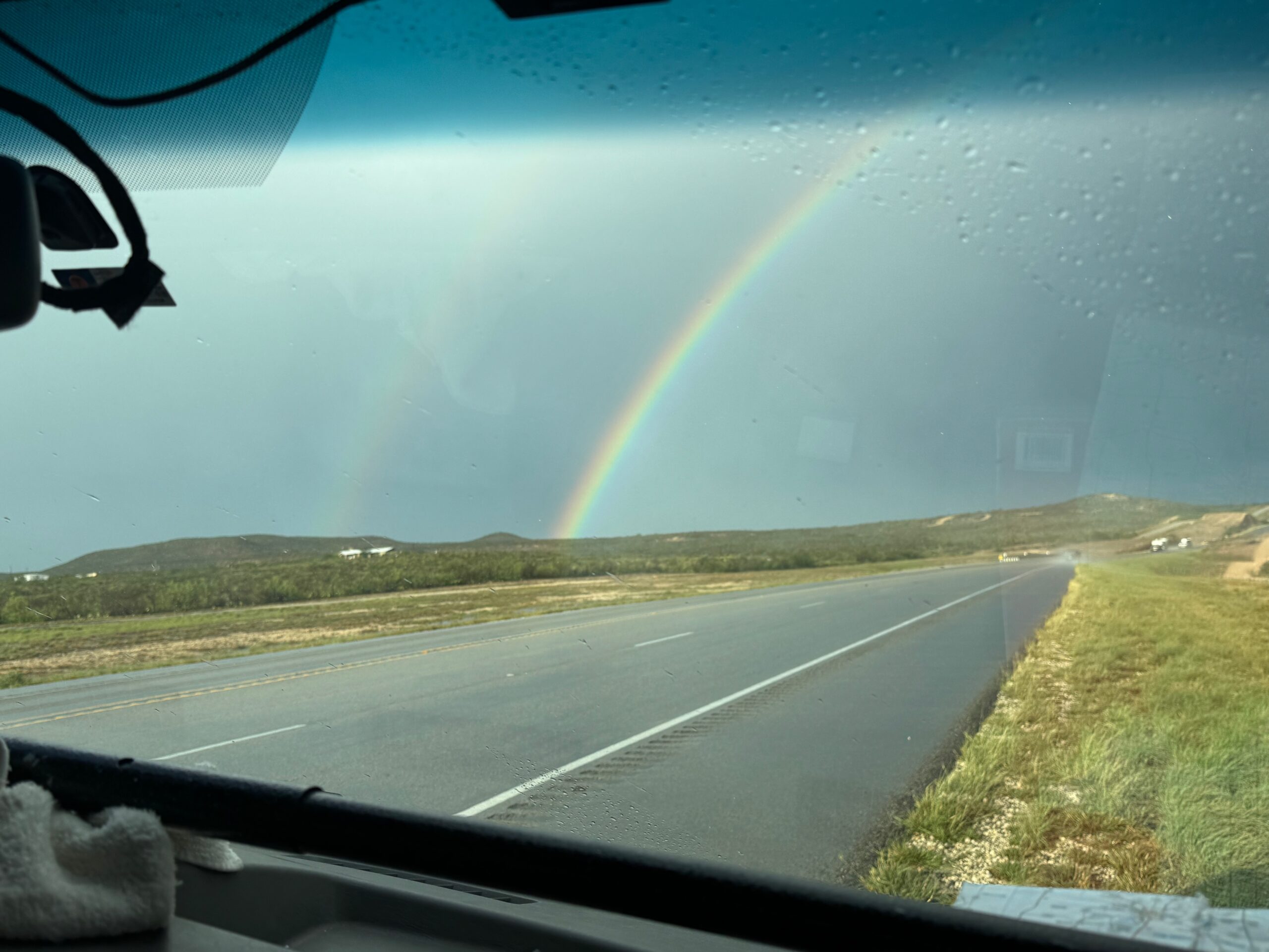
The storm lost its punch as it continued to the NNE into cooler air behind the front. We stopped at the Pecos River viewpoint along U.S. 90 and had a double rainbow to photograph, too.


iPhone images below
Leave a Reply
You must be logged in to post a comment.