
Start: Chadron/lunch: Valentine Subway/End: Broken Bow/393 miles
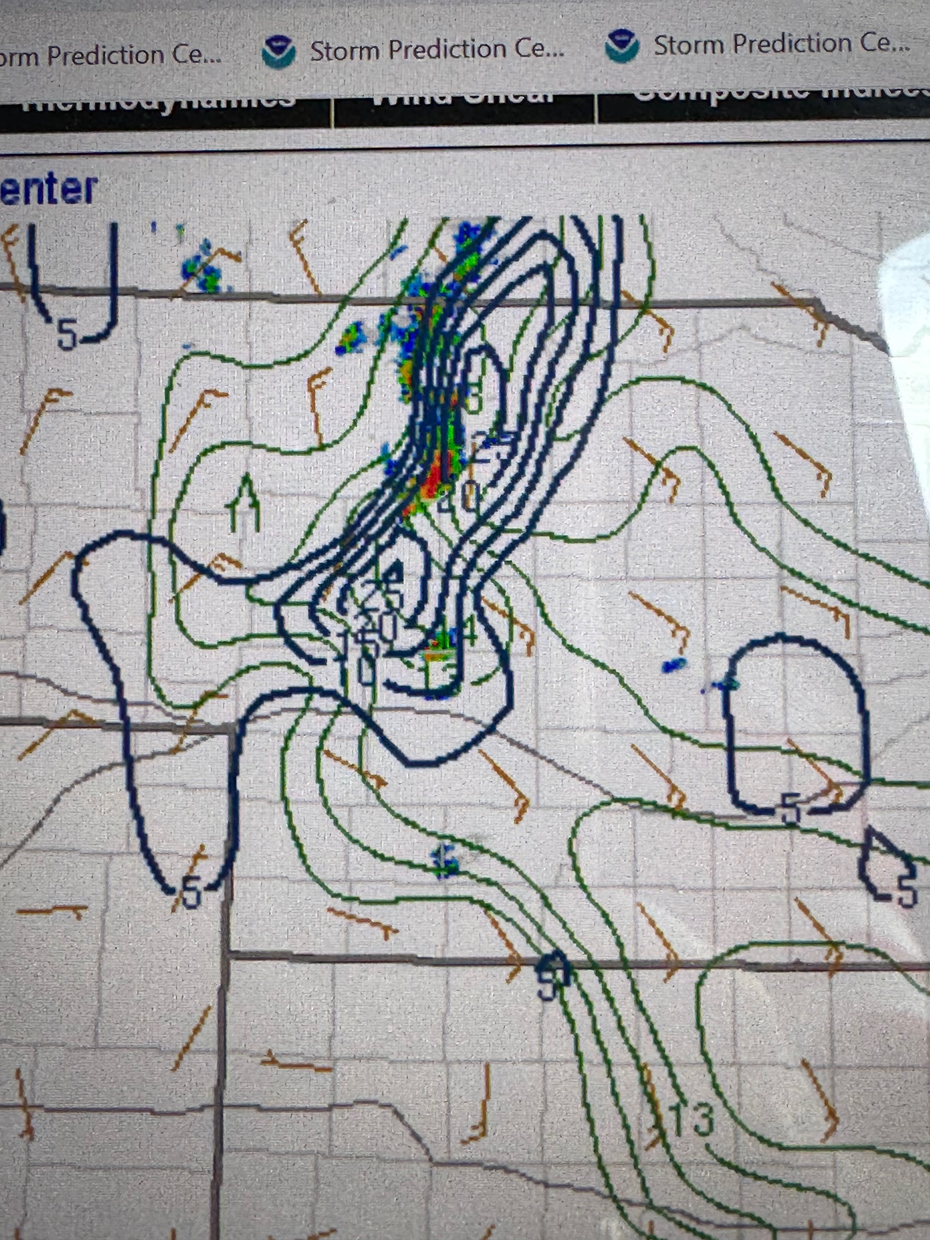
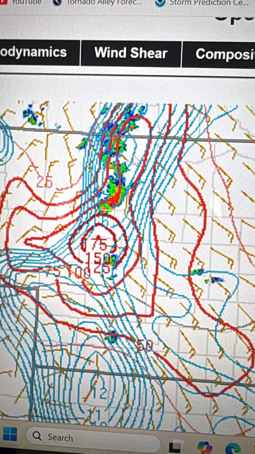
SPC Mesoscale Discussions 3:07 p.m. CDT. 4:56 p.m. CDT. 7:09 p.m. CDT. 7:42 p.m. CDT.
This was a fun chase day, and we managed to see a fairly long-lived tornado…but it was with the next storm to the south!
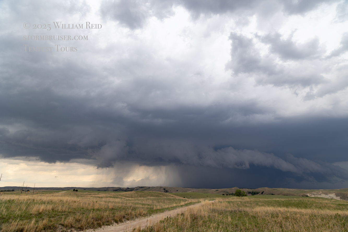
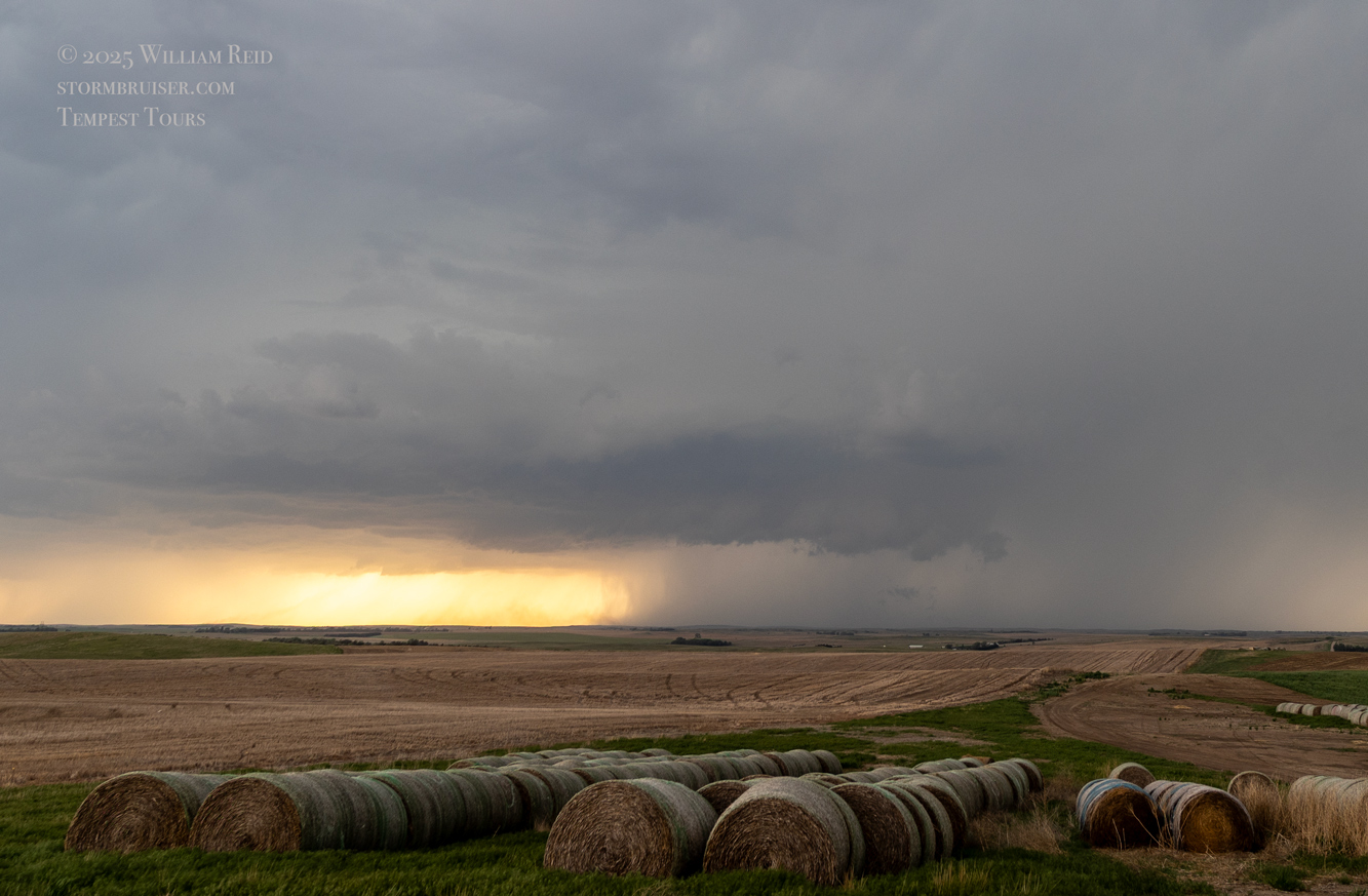
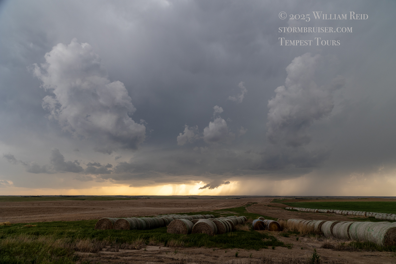
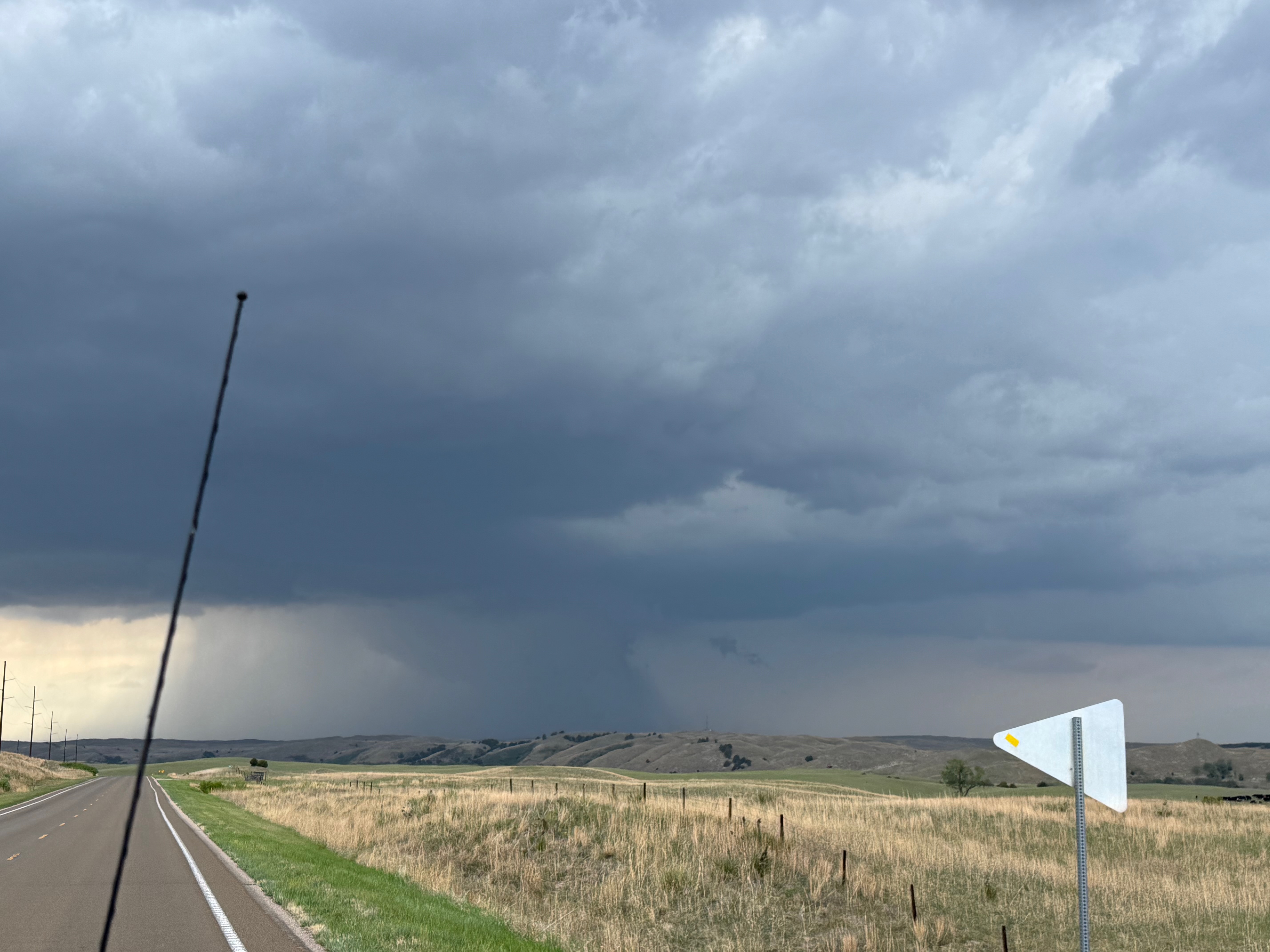
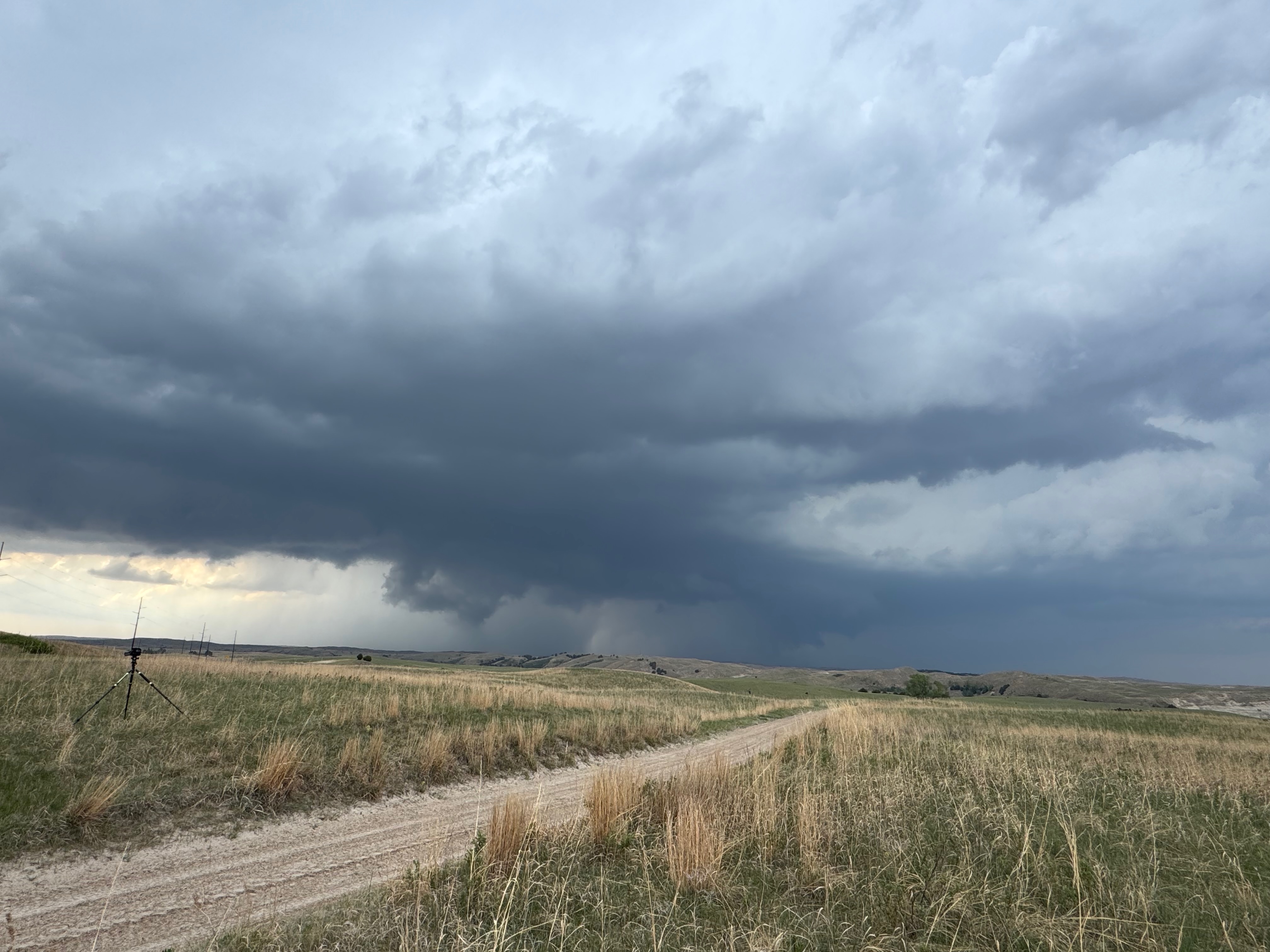
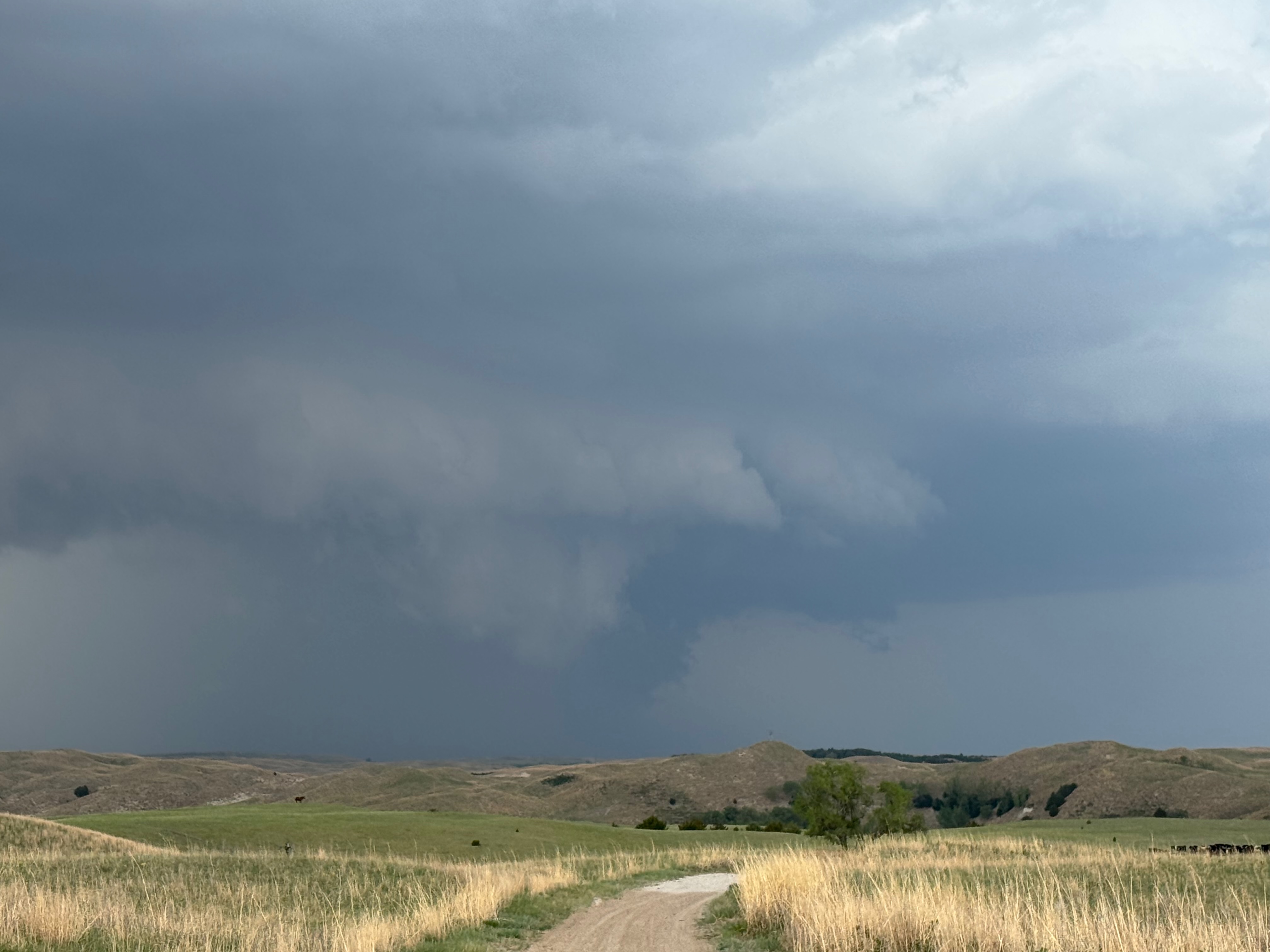
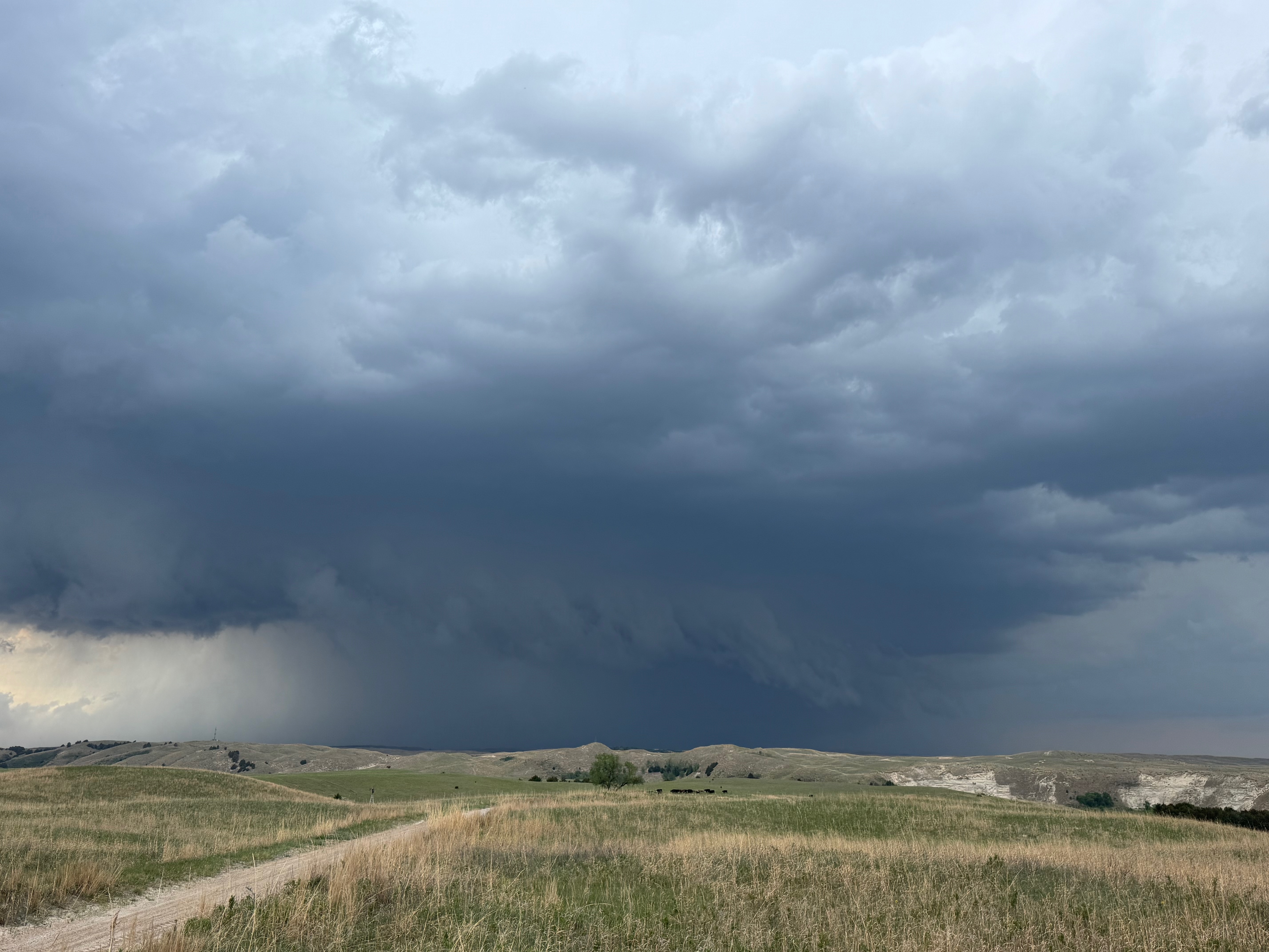
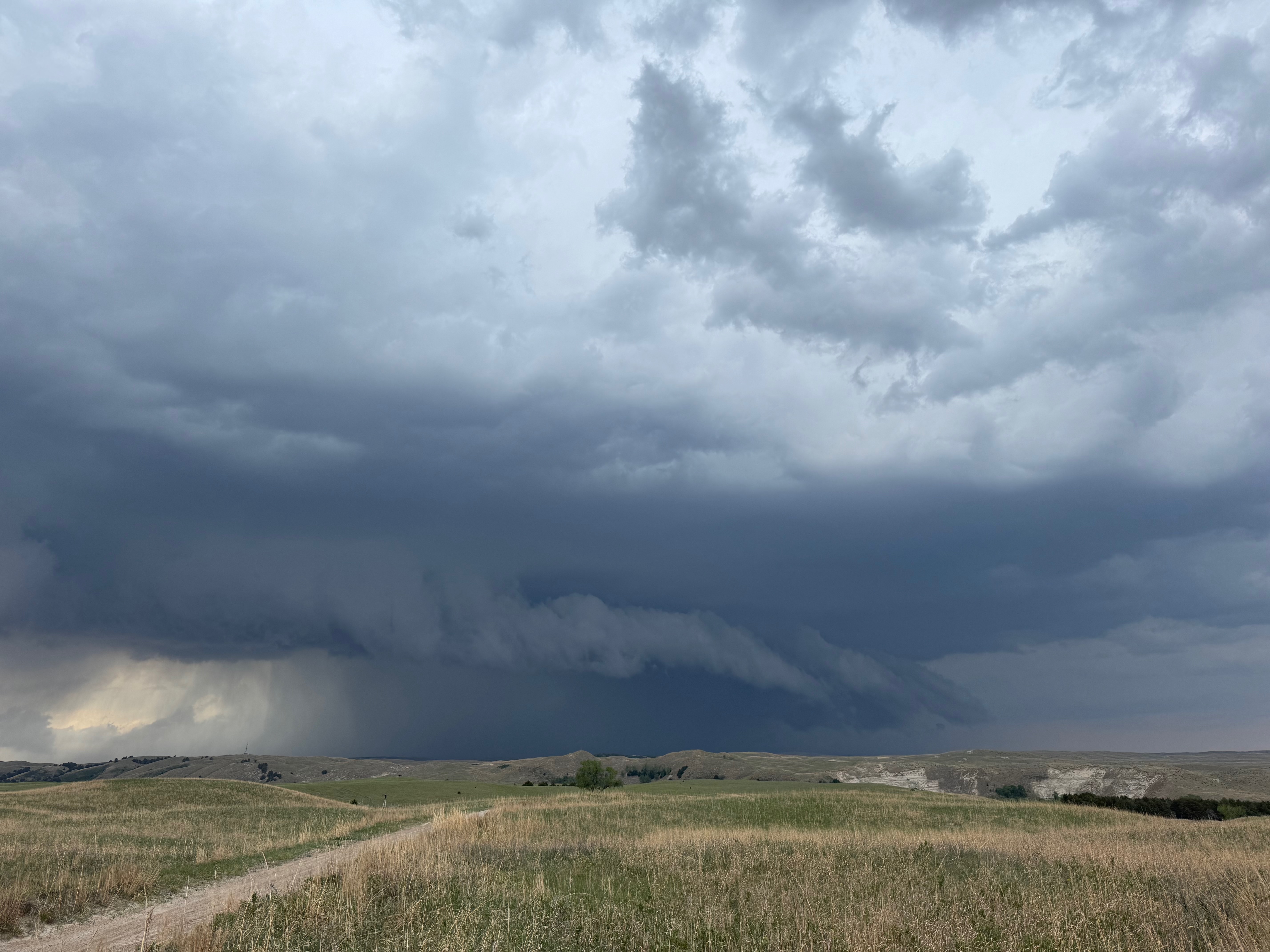
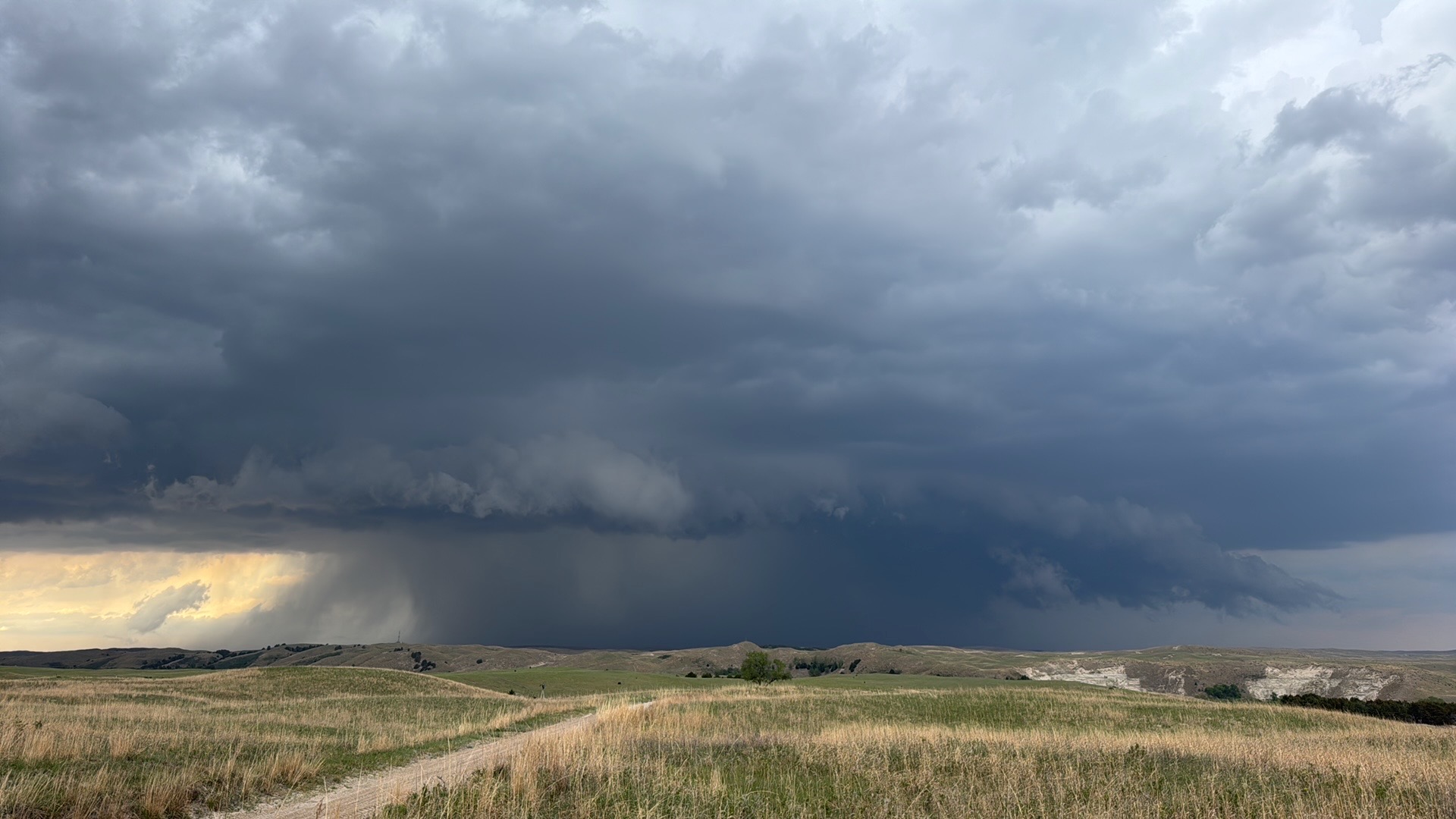
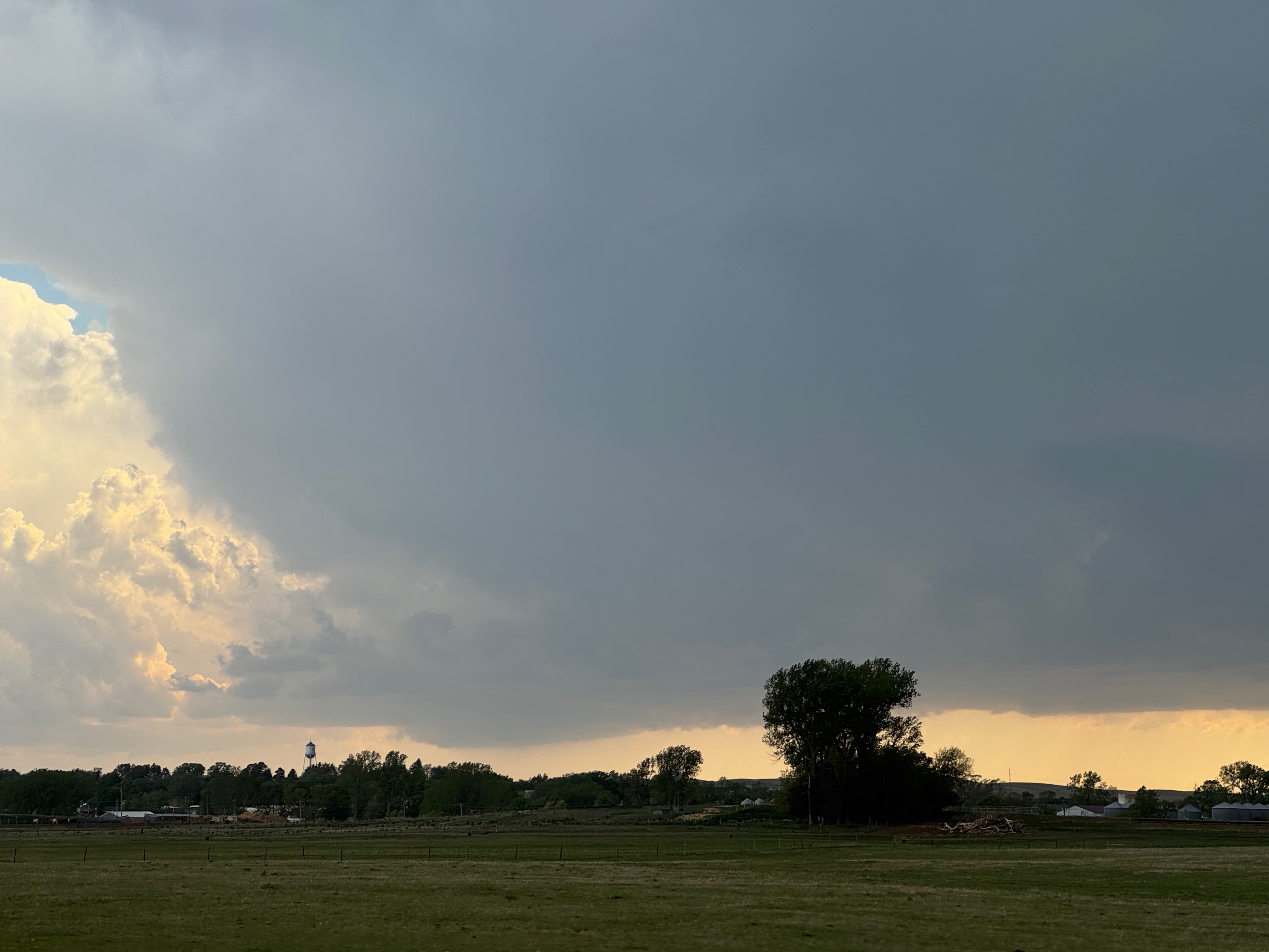
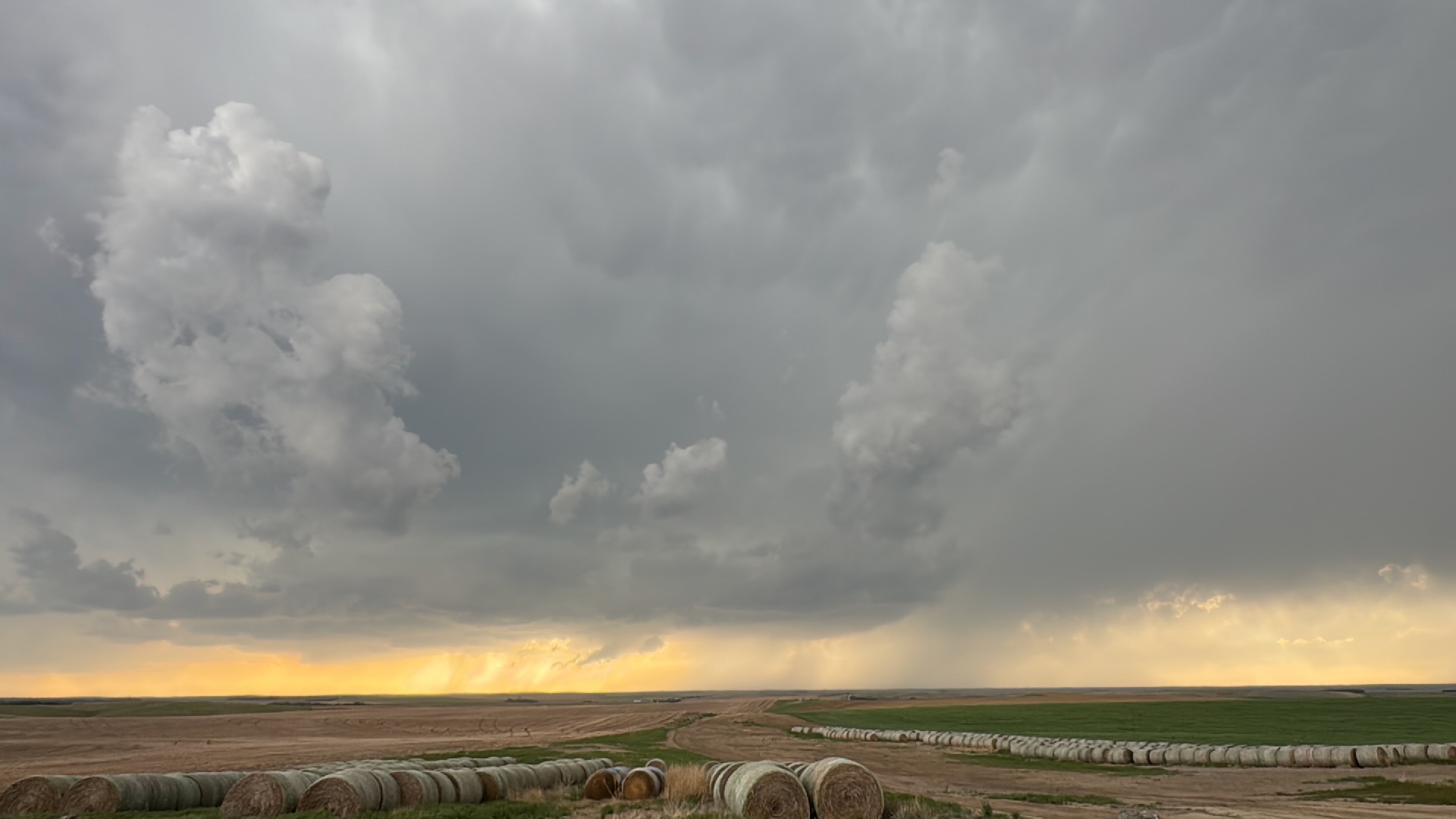
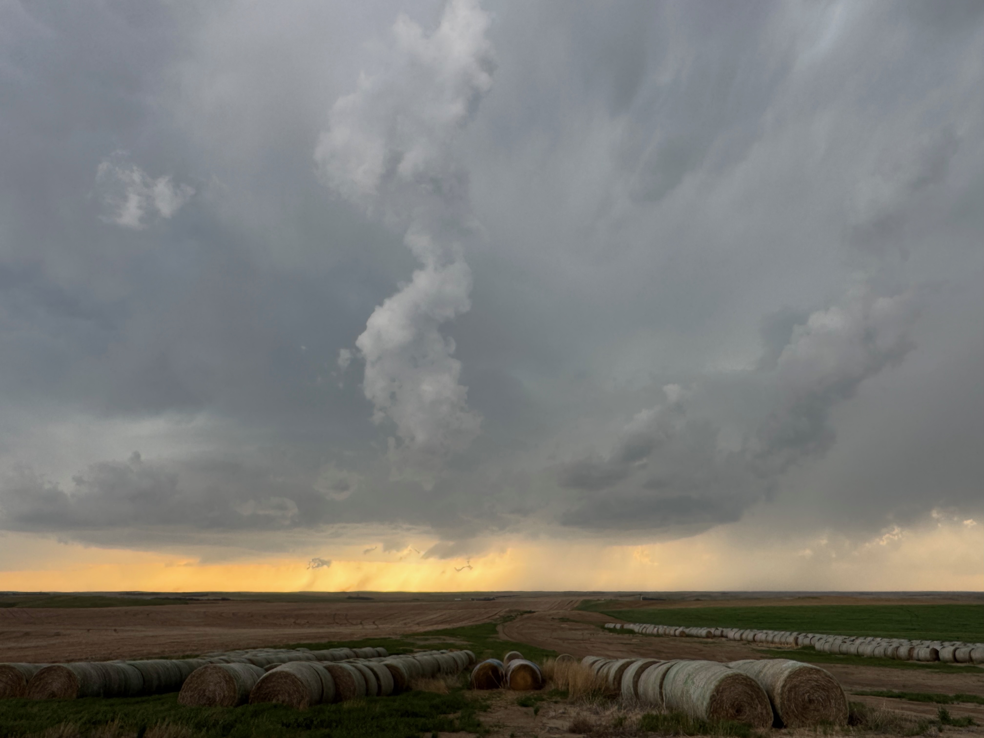
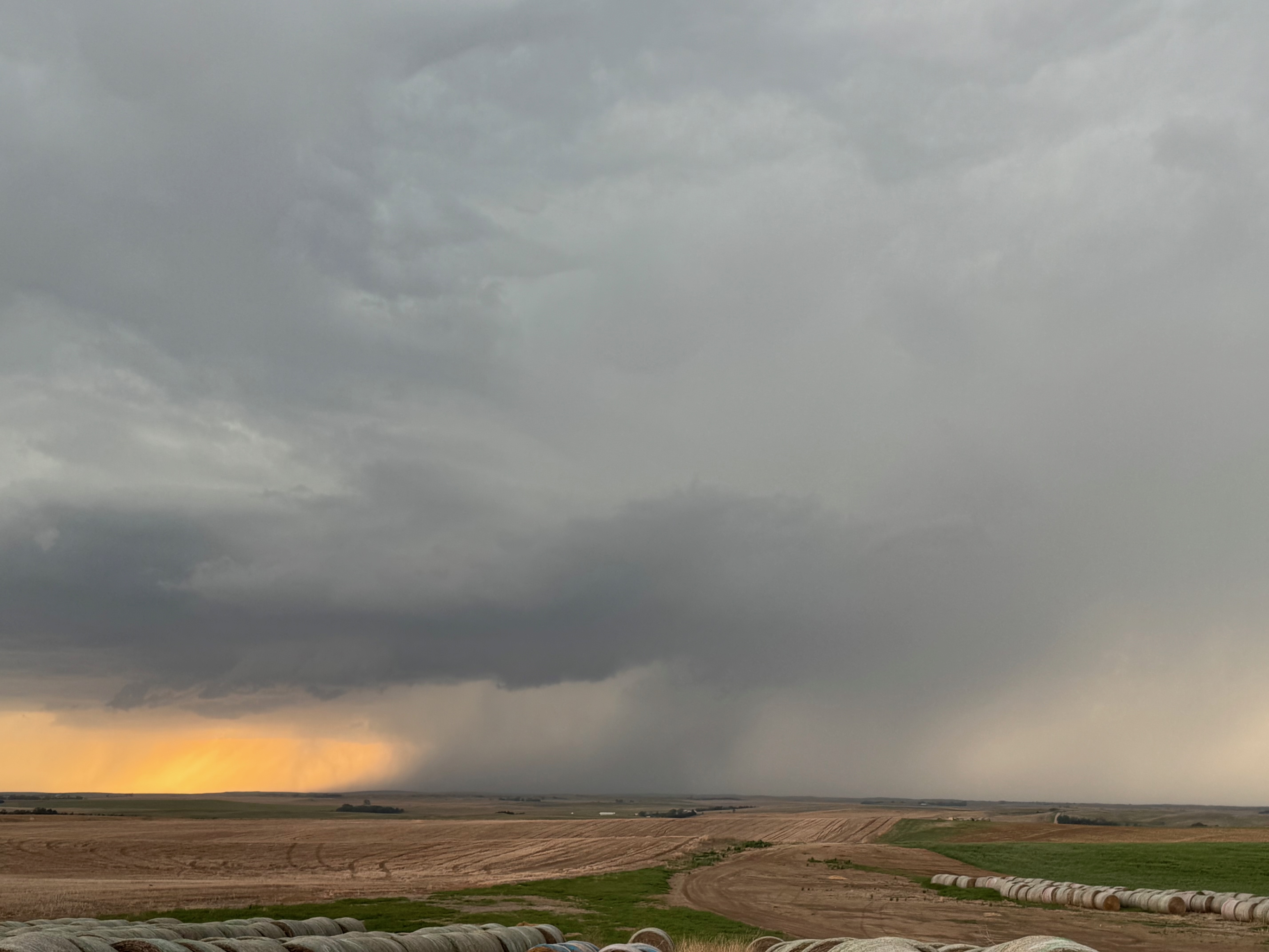
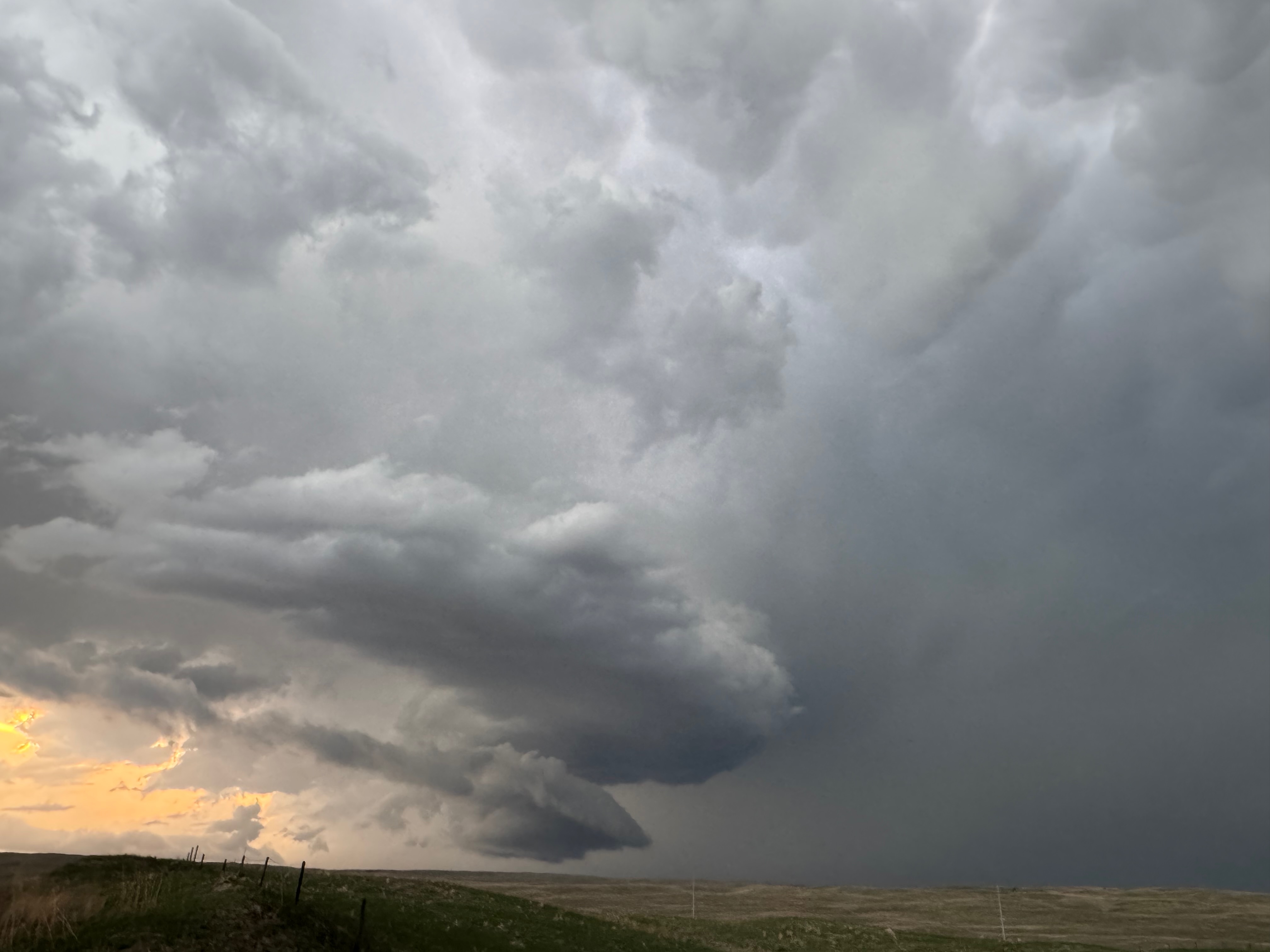
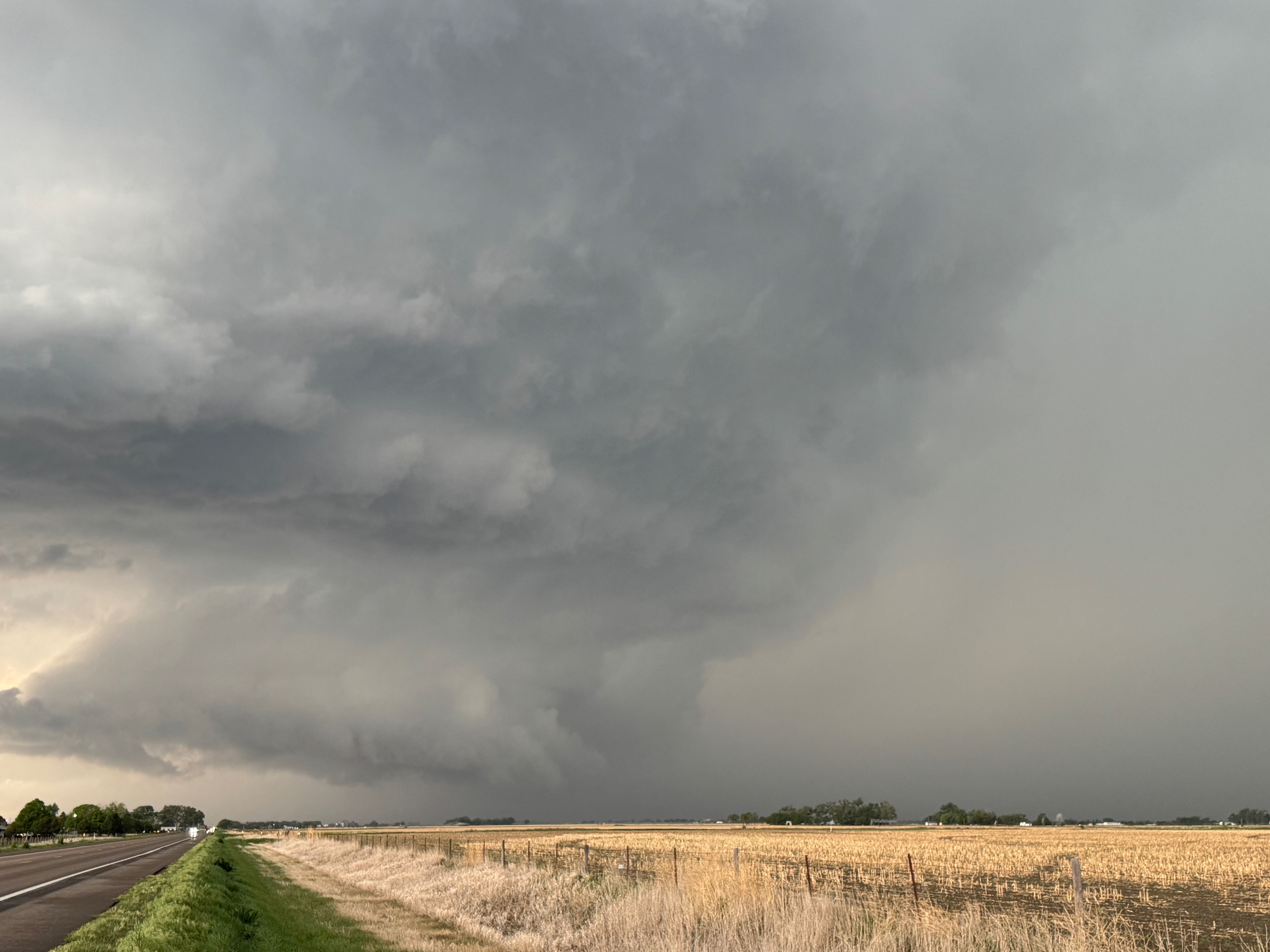
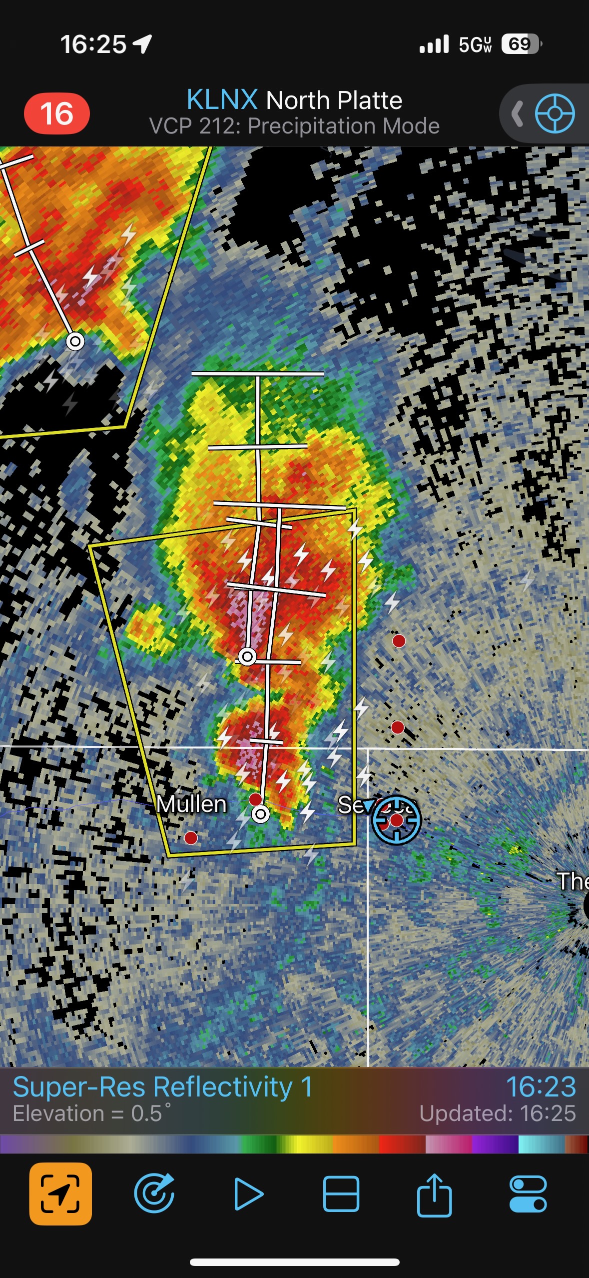
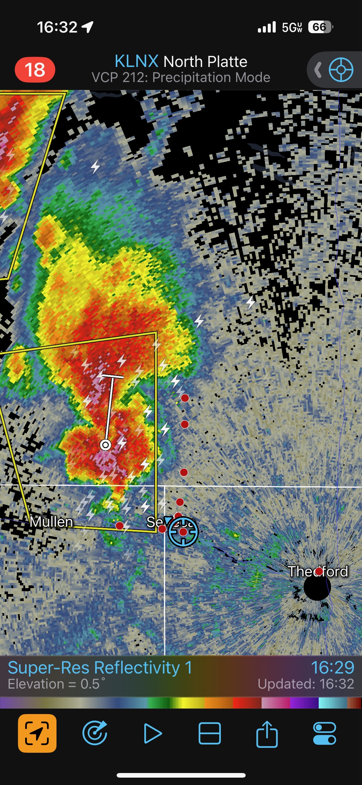
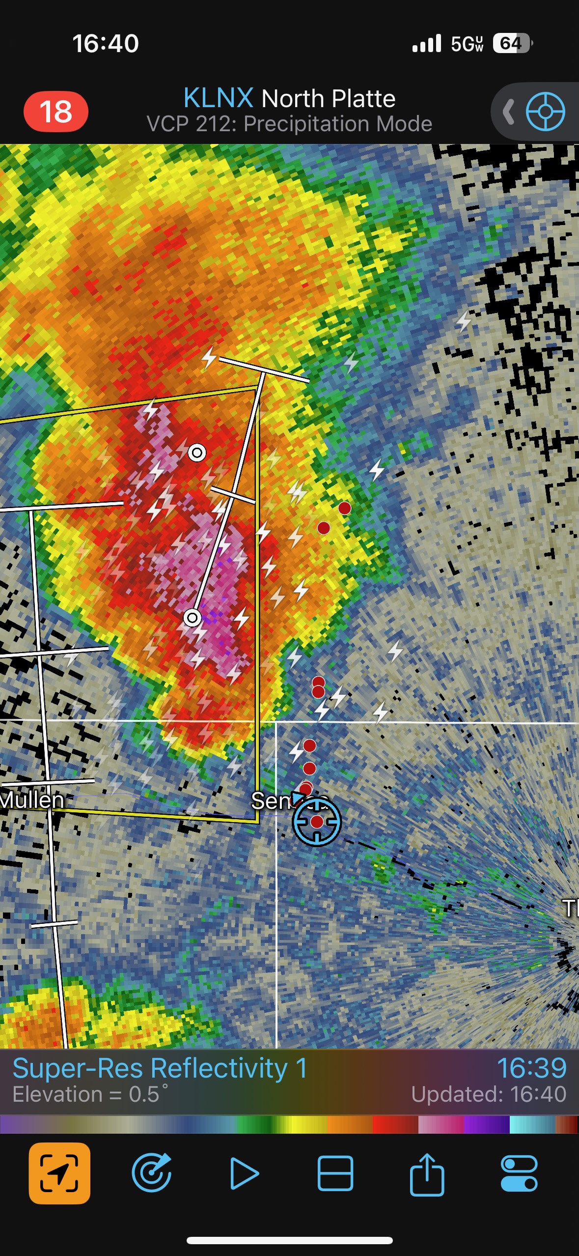
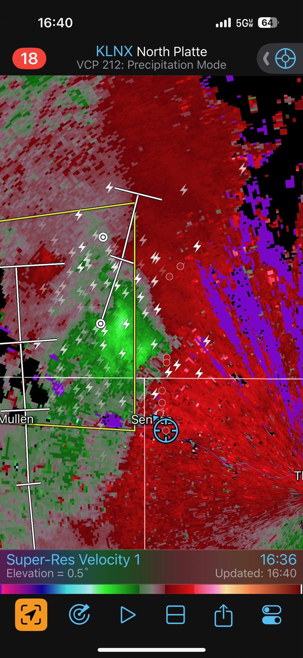
The target area was in or near the Nebraska Sandhills along a N-S boundary. Dews and instability were pretty good on the east side of the boundary. We moseyed south from Valentine after lunch and came up on some strong storms west of Thedford, near Seneca. These storms (first three pics below) were moving N or NNE and showed some organization, but they did not seem to be what we wanted. I let these go, and we continued south from Thedford to Stapleton.
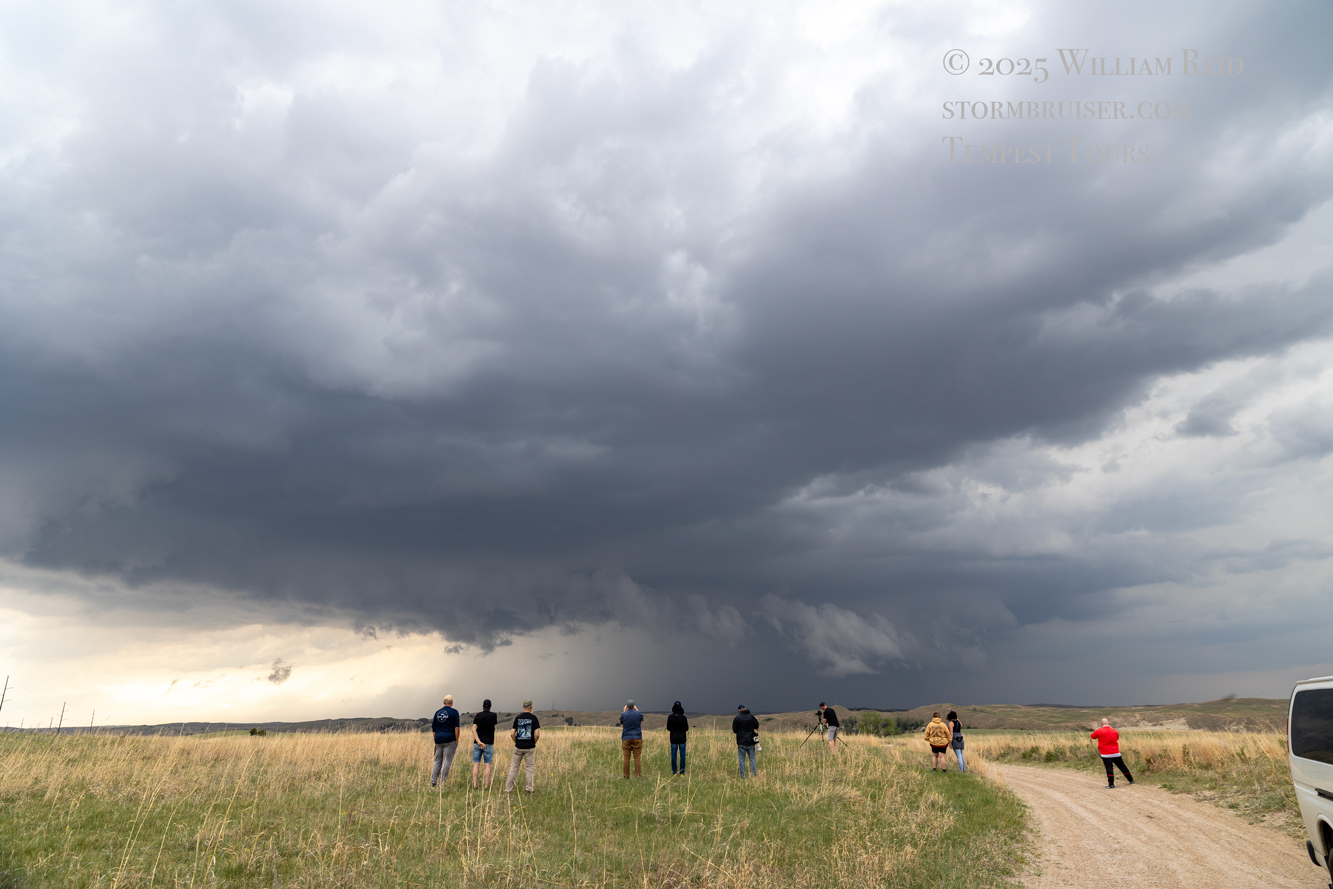
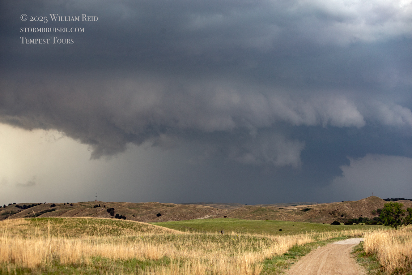
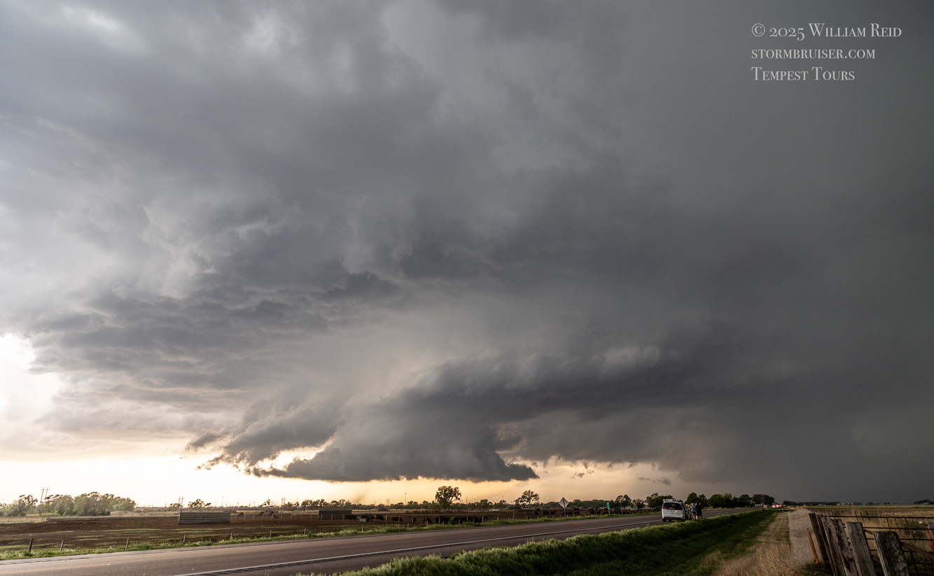
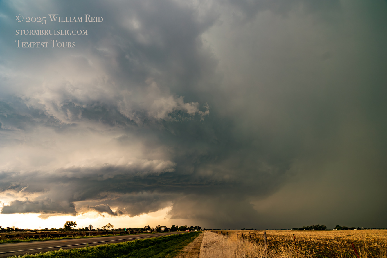
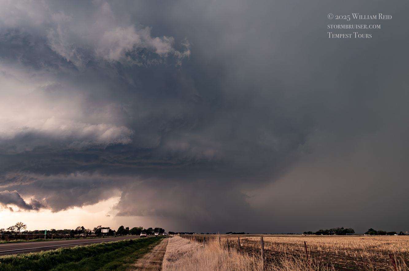
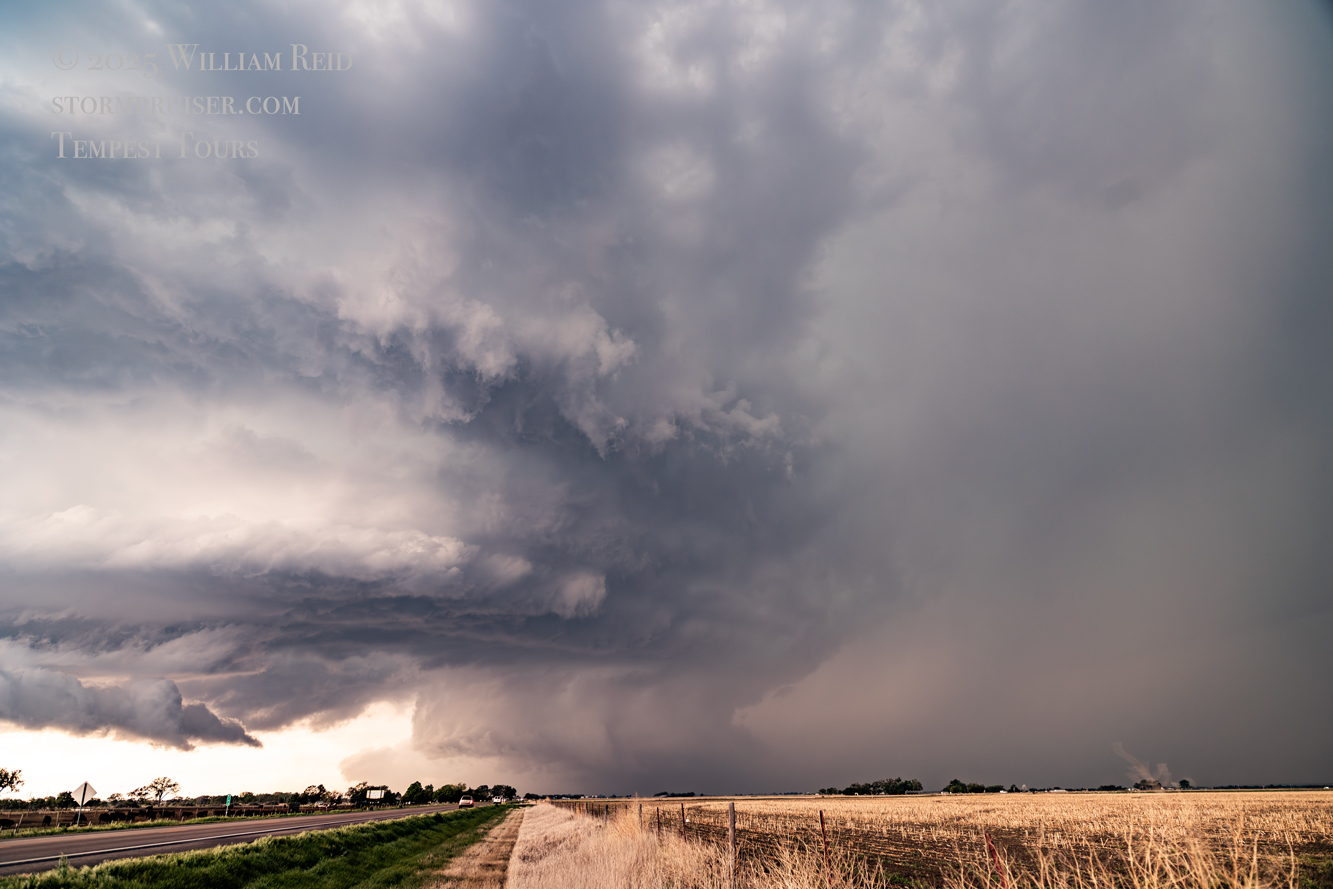
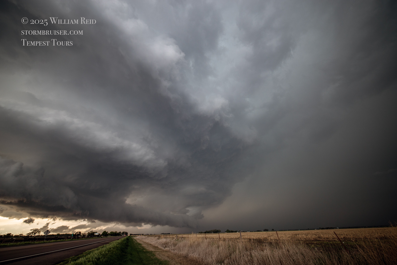
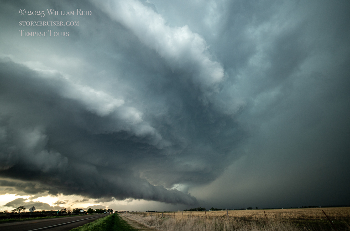
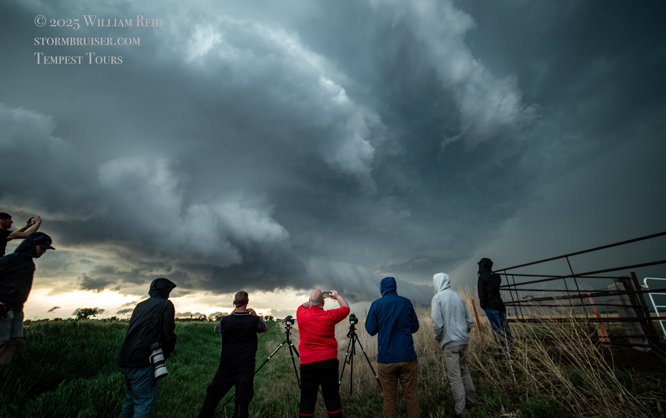
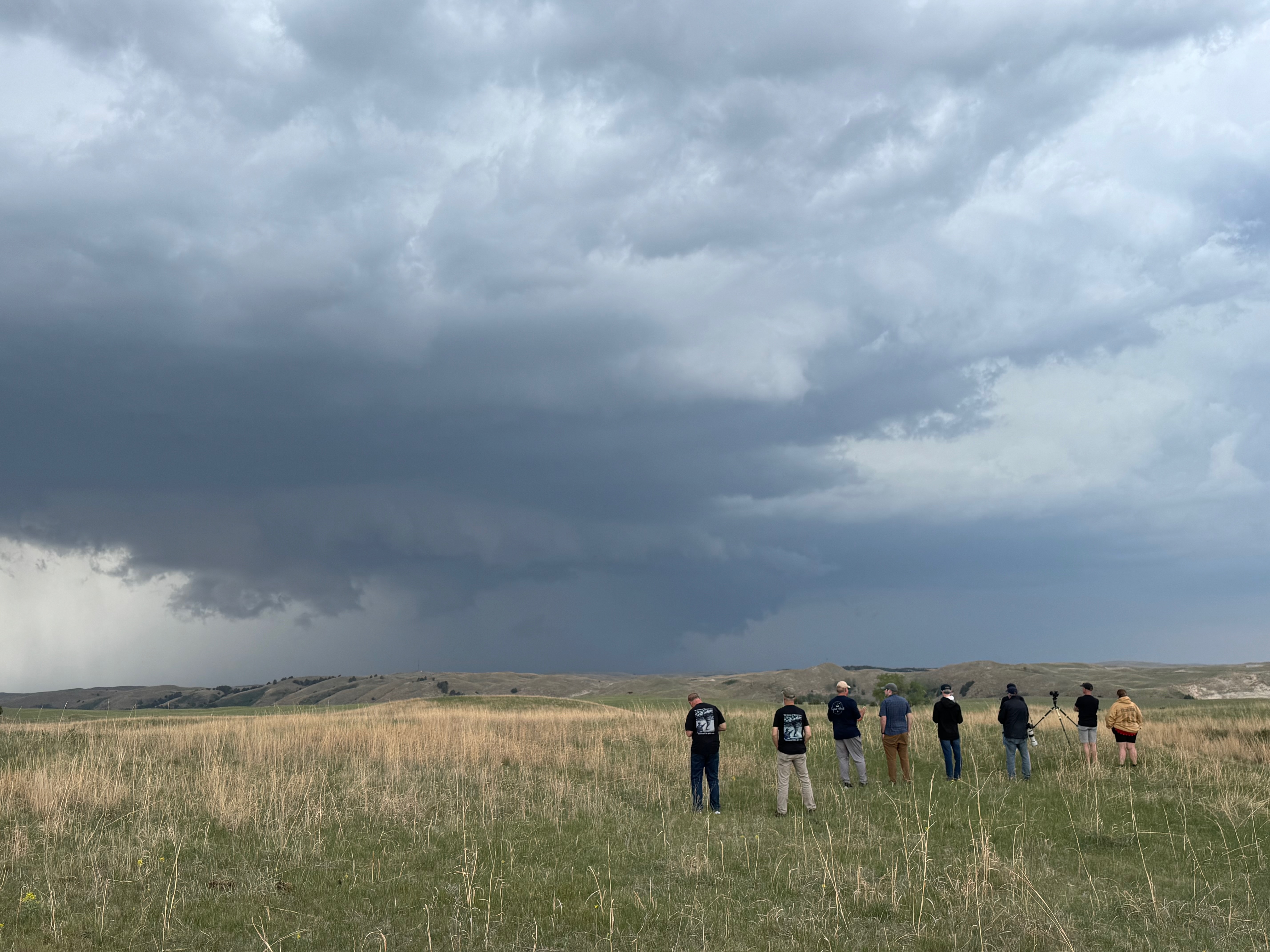
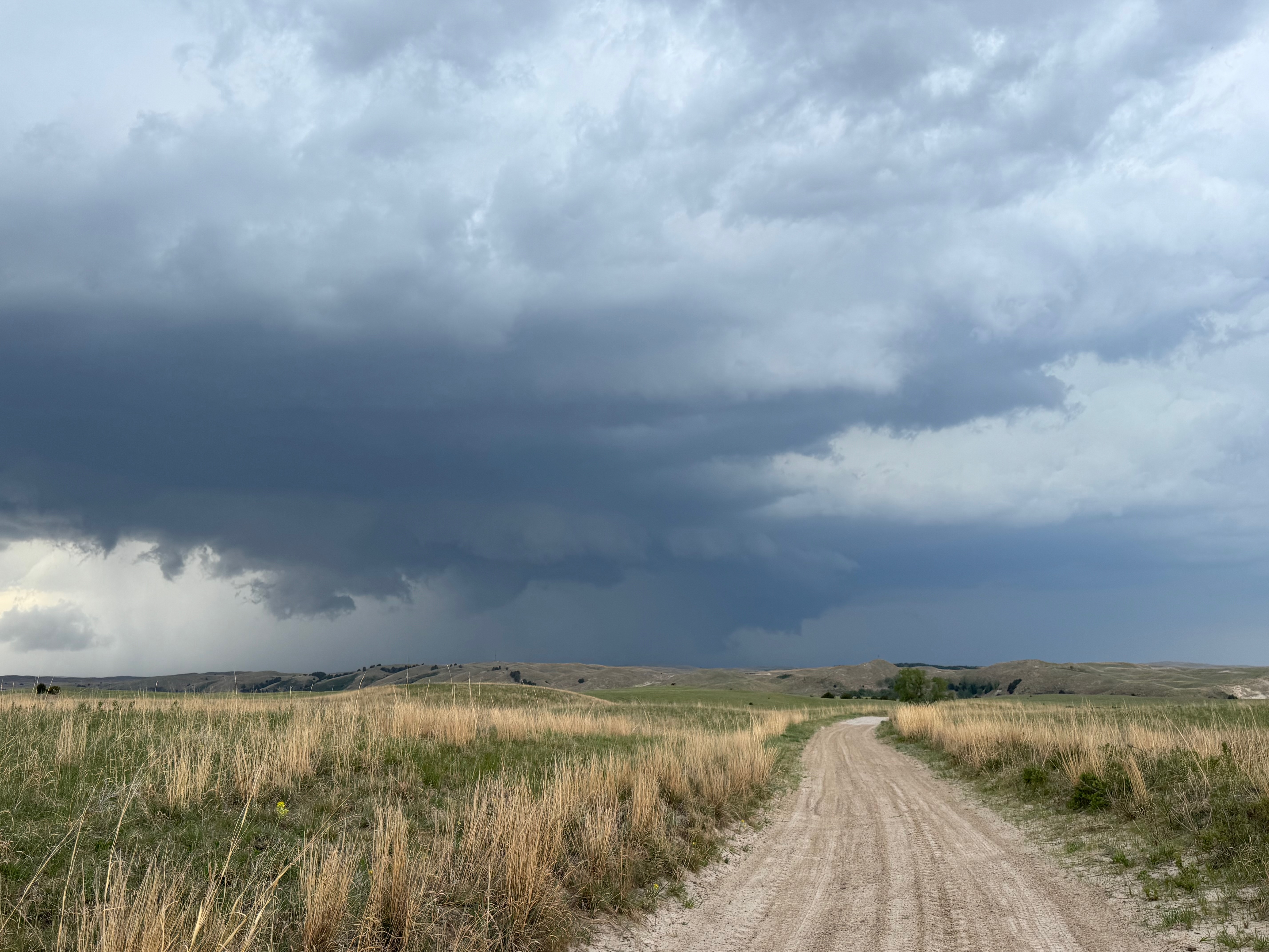
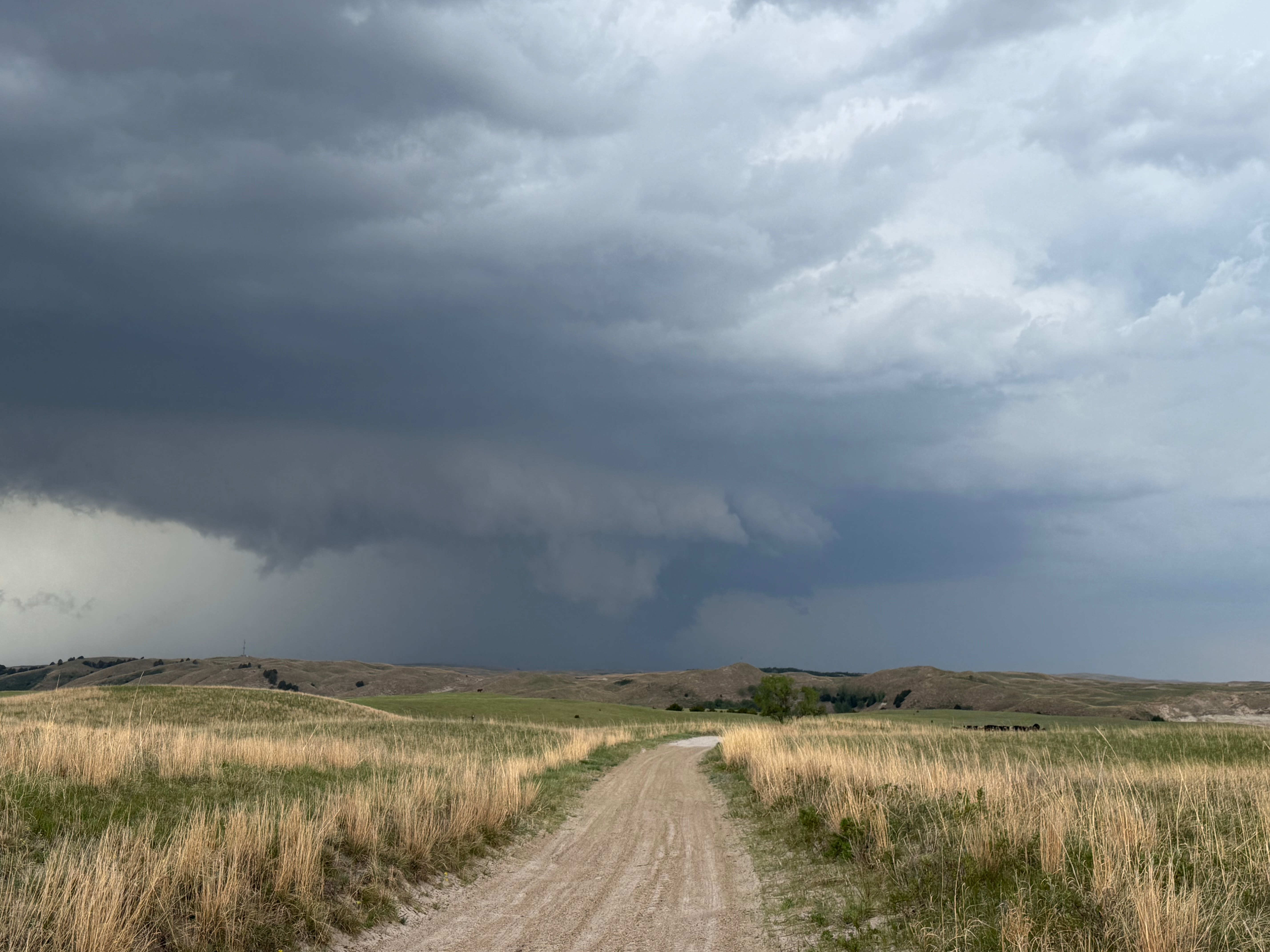
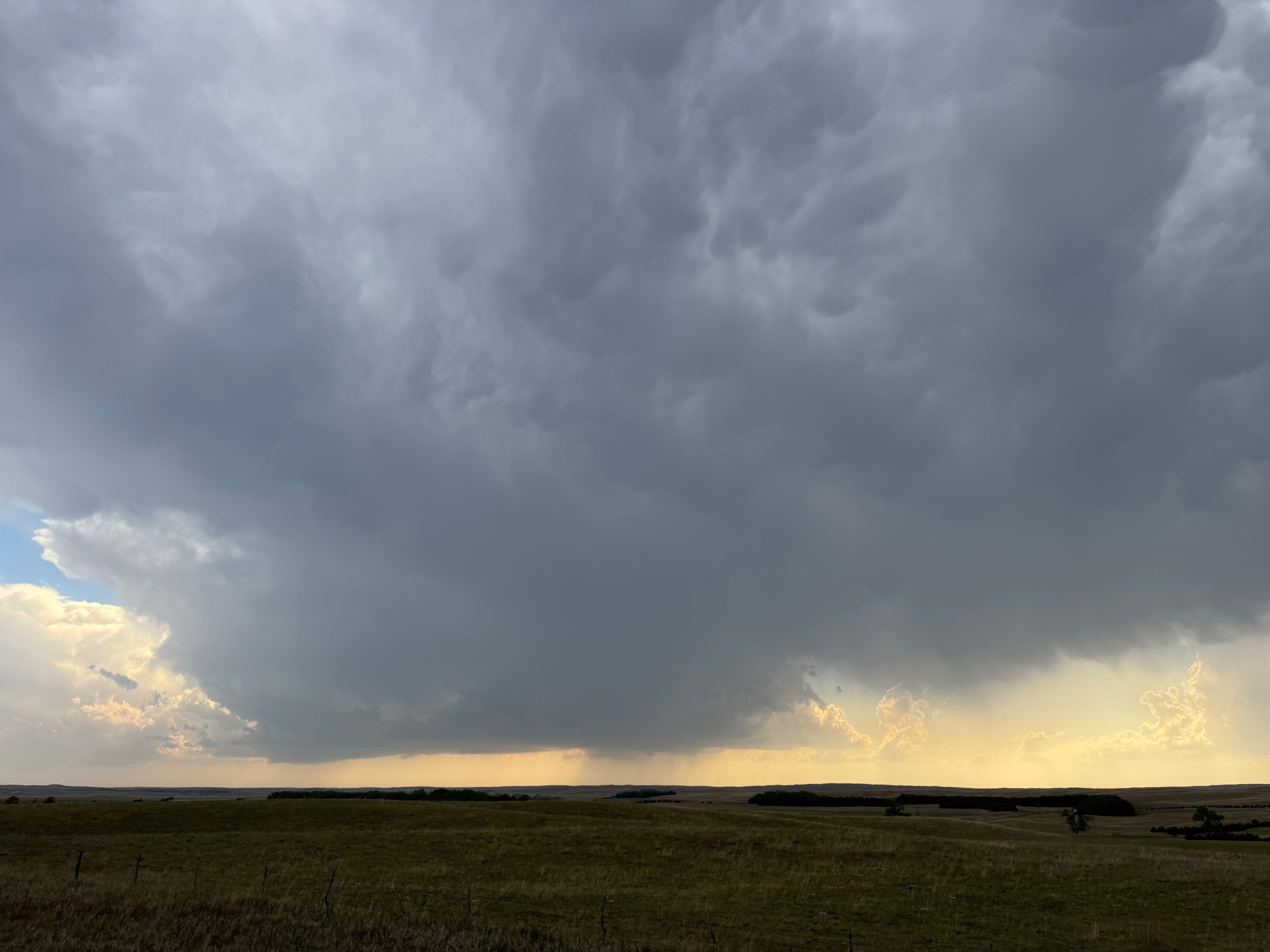
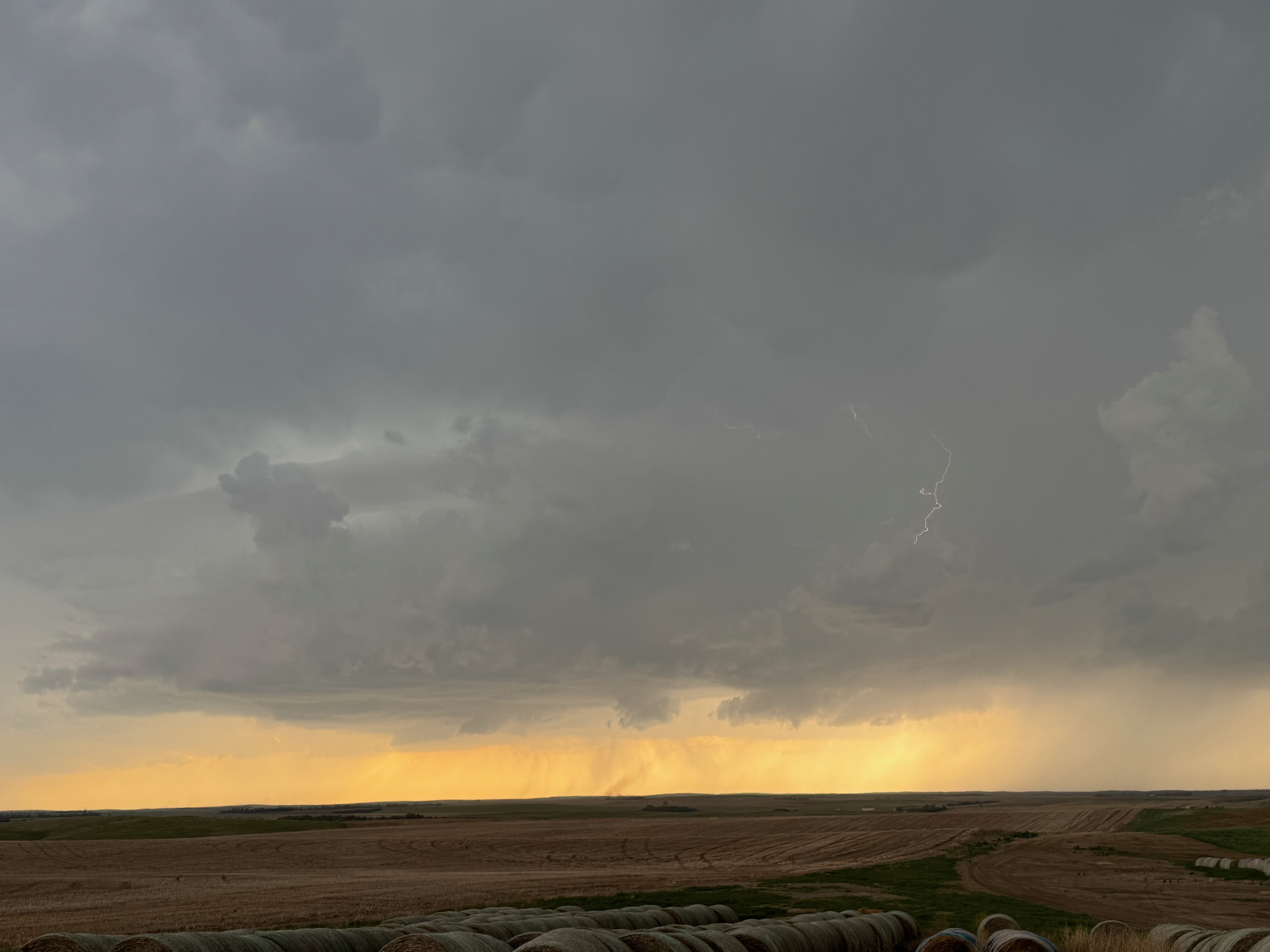
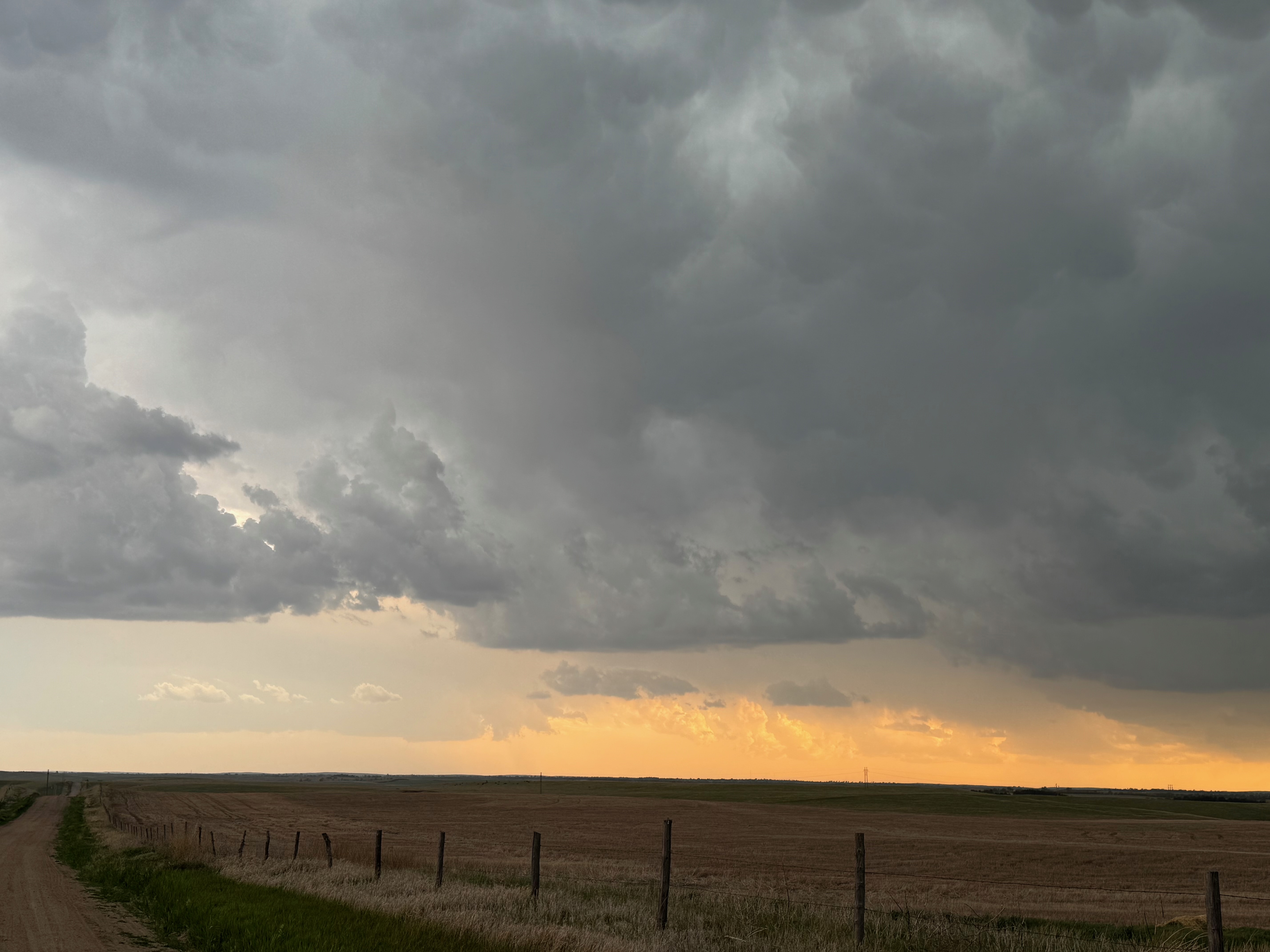
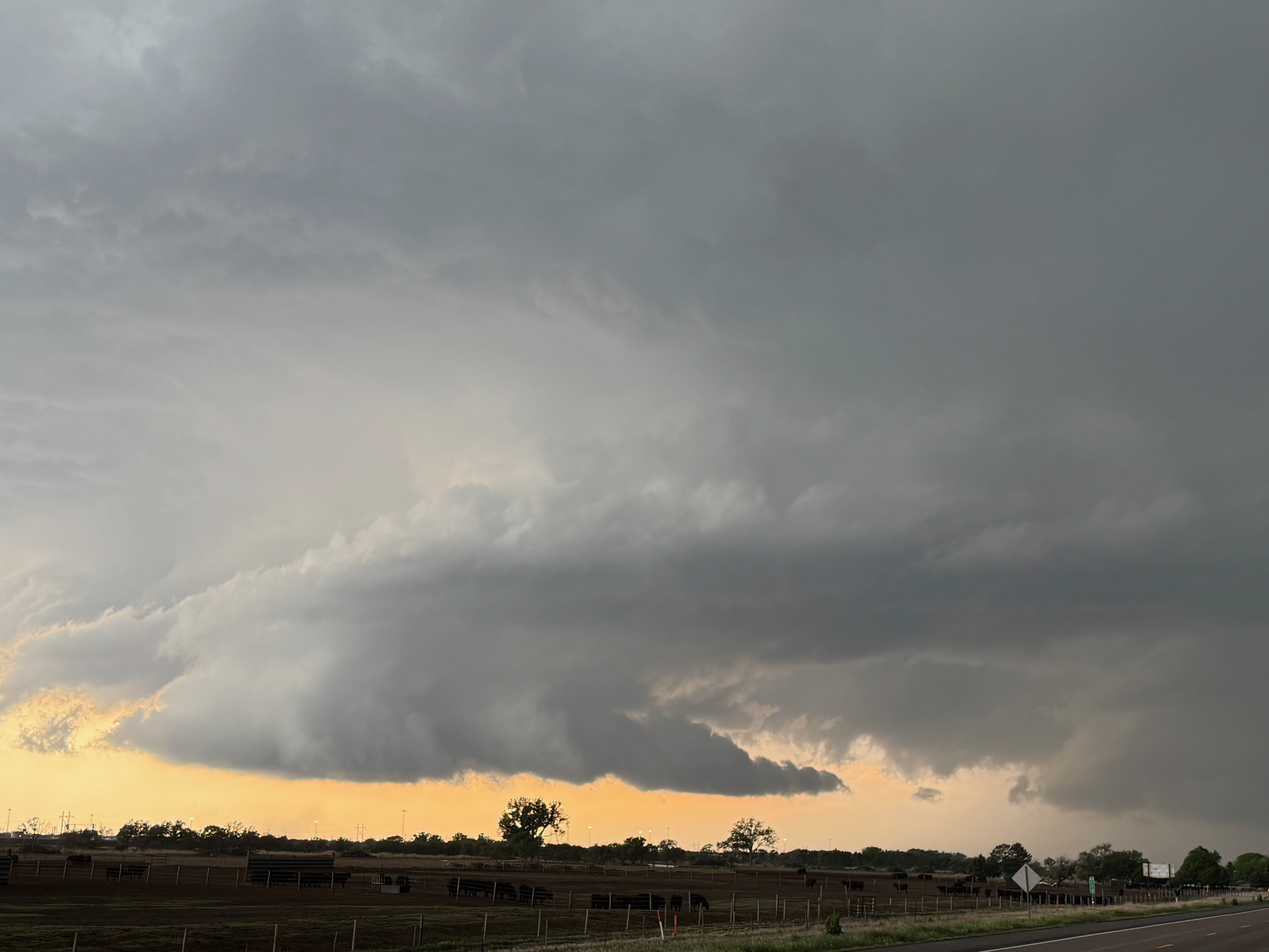
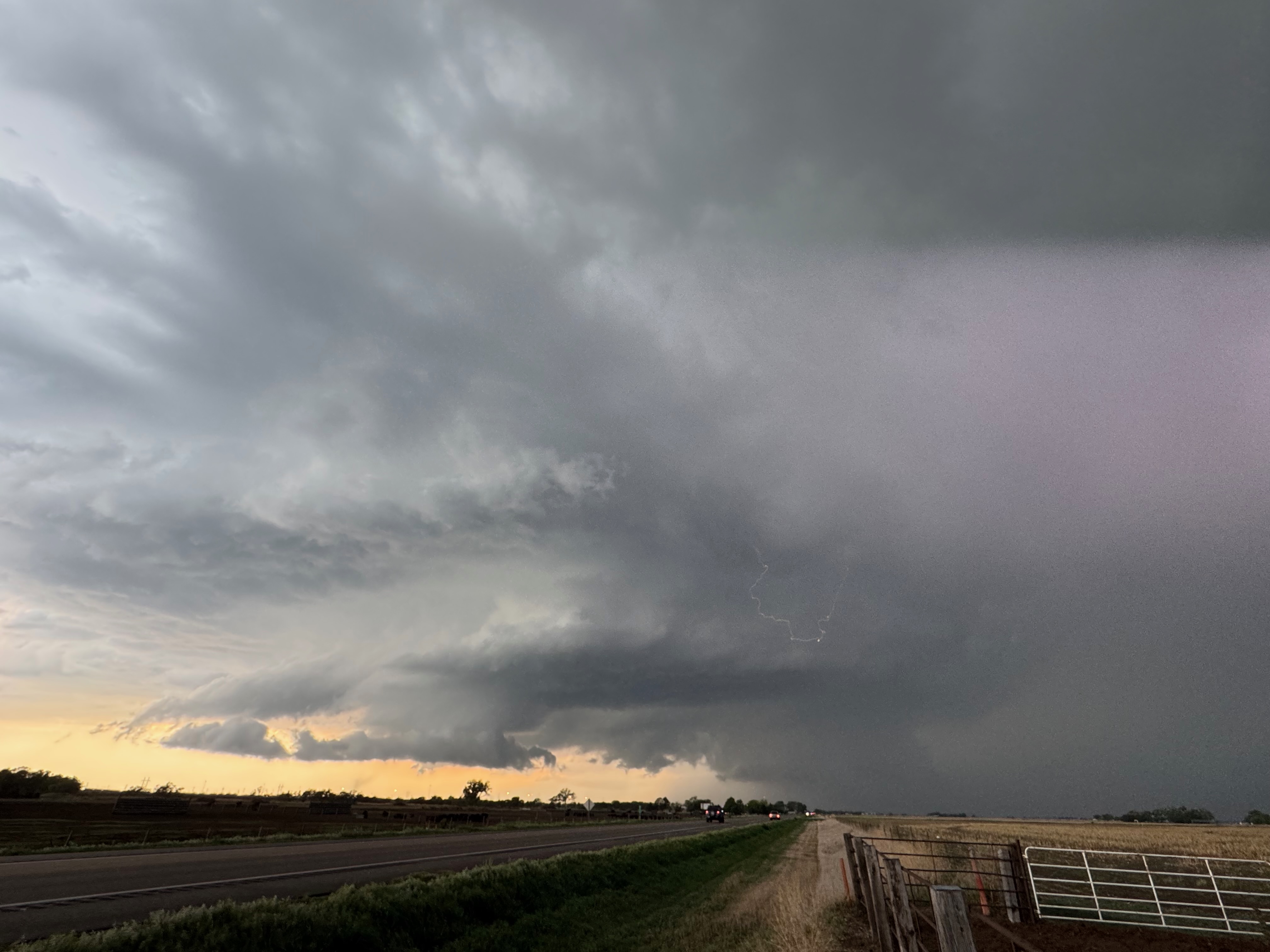
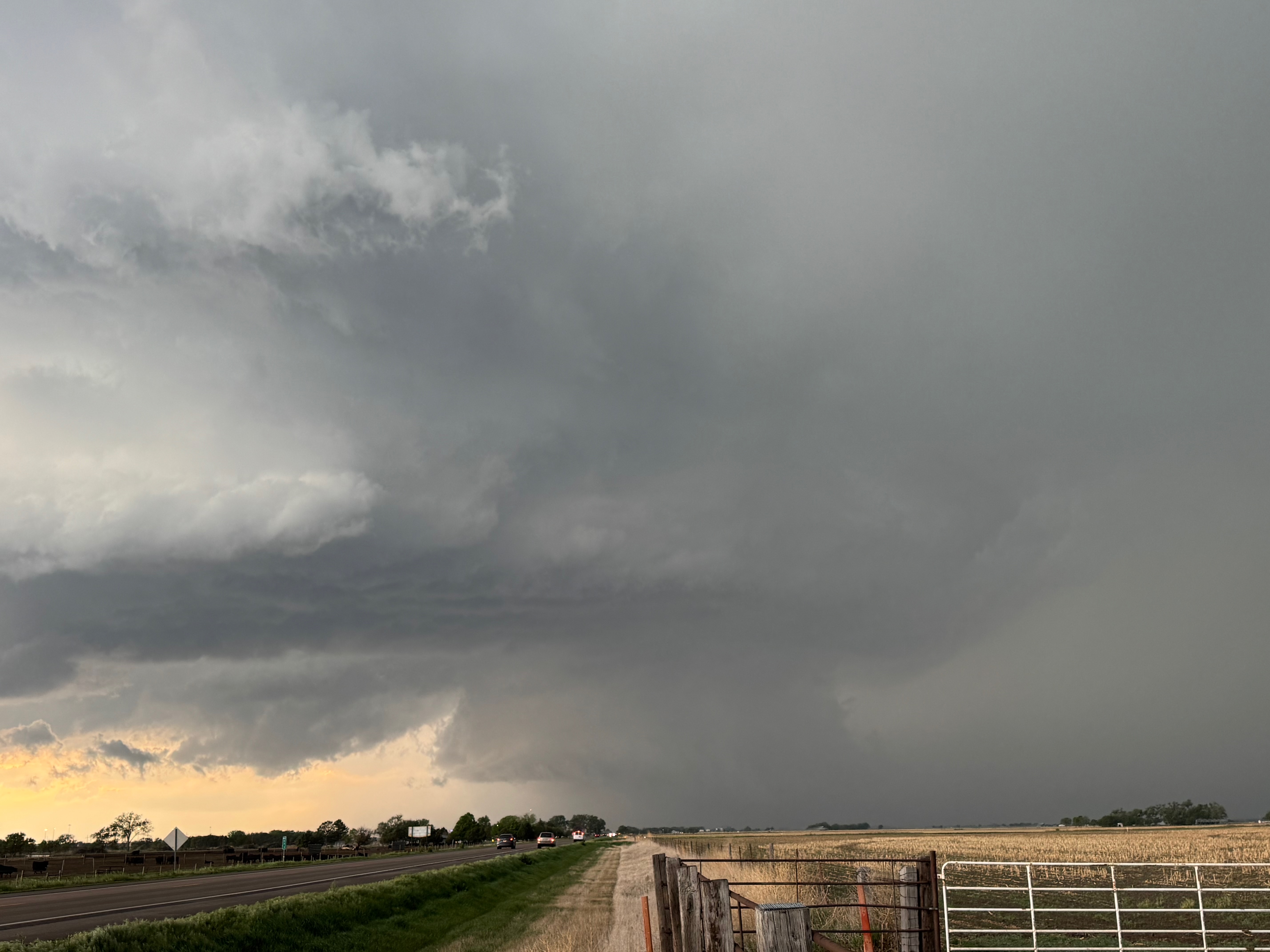
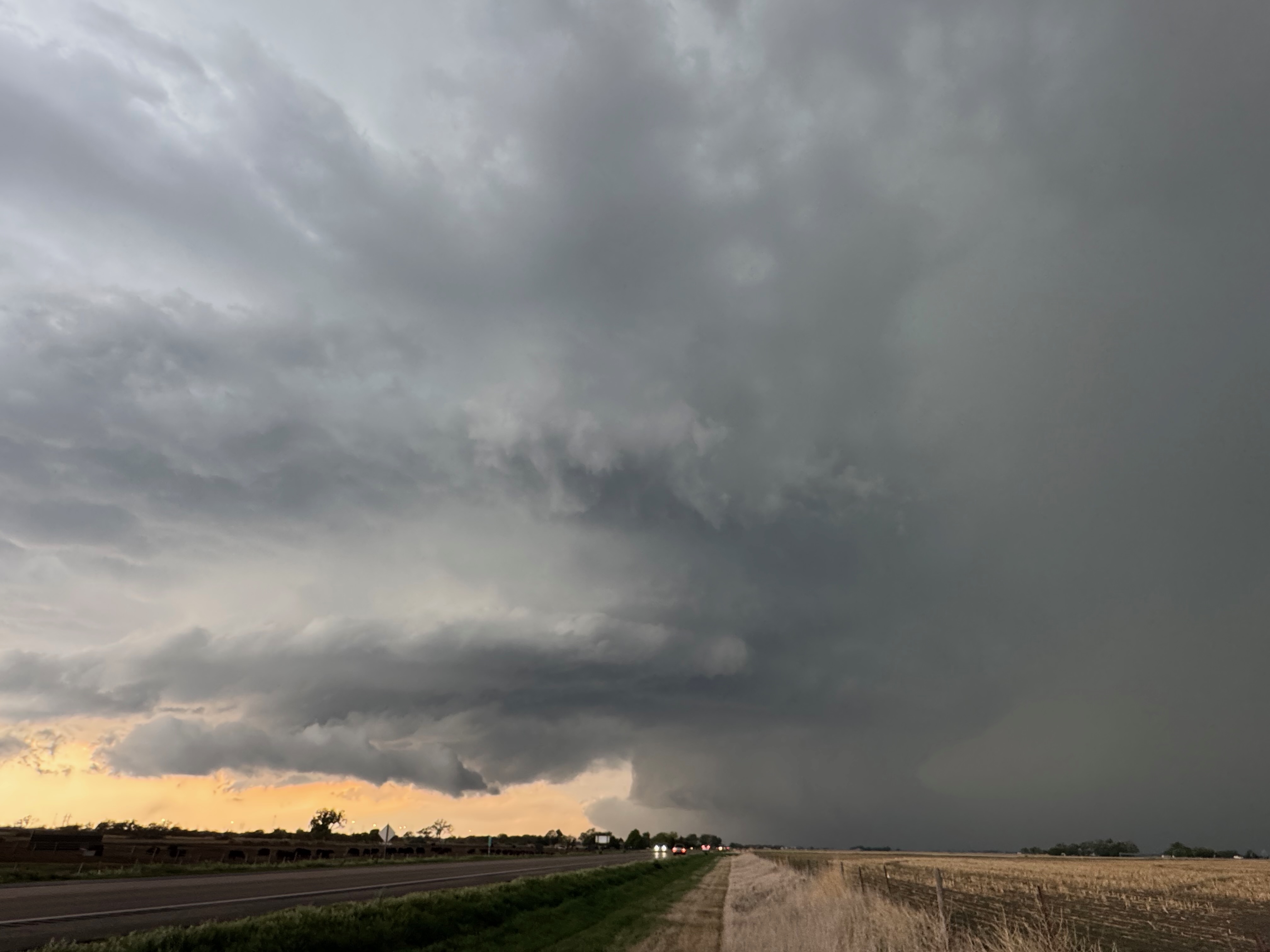
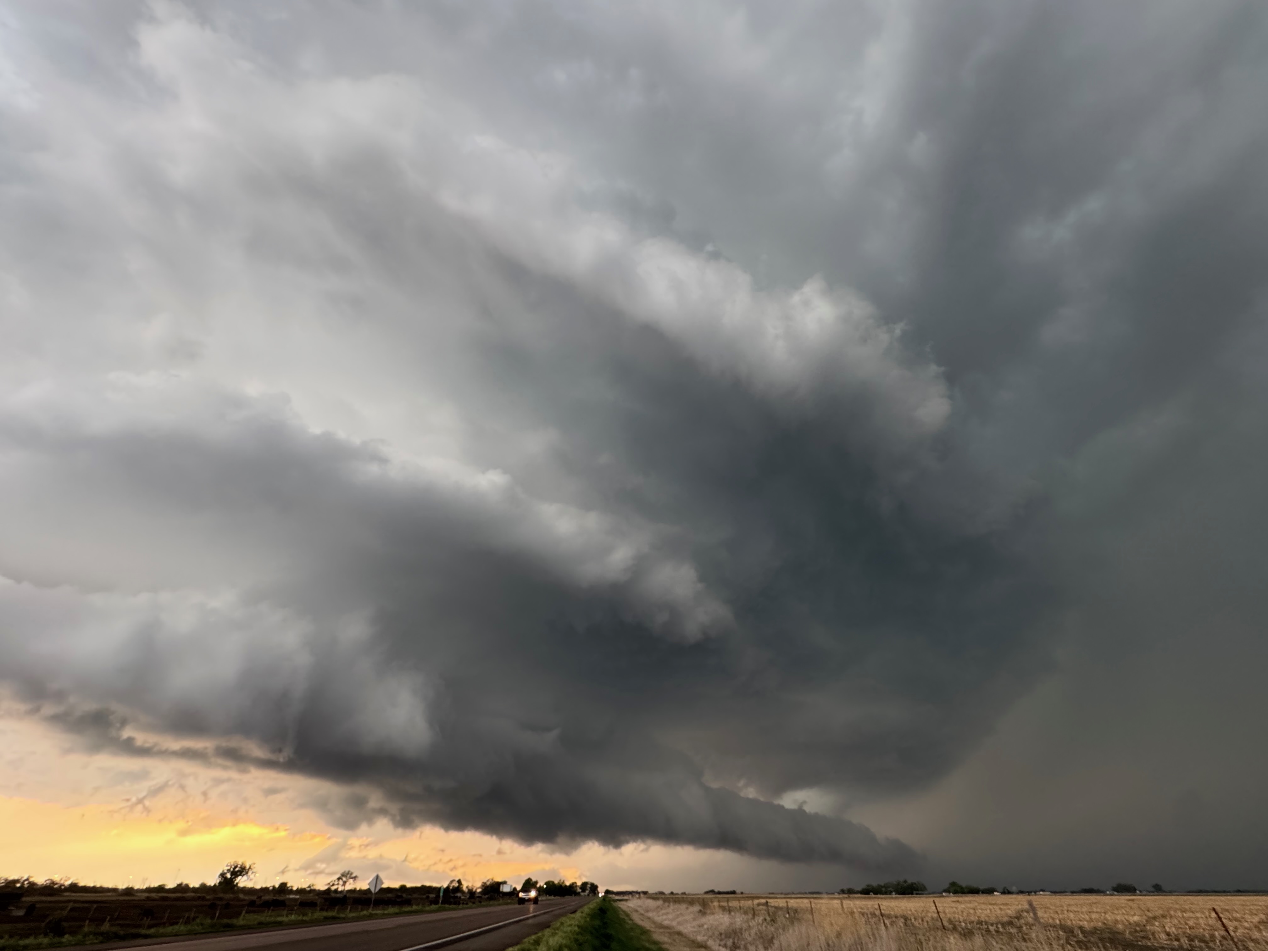
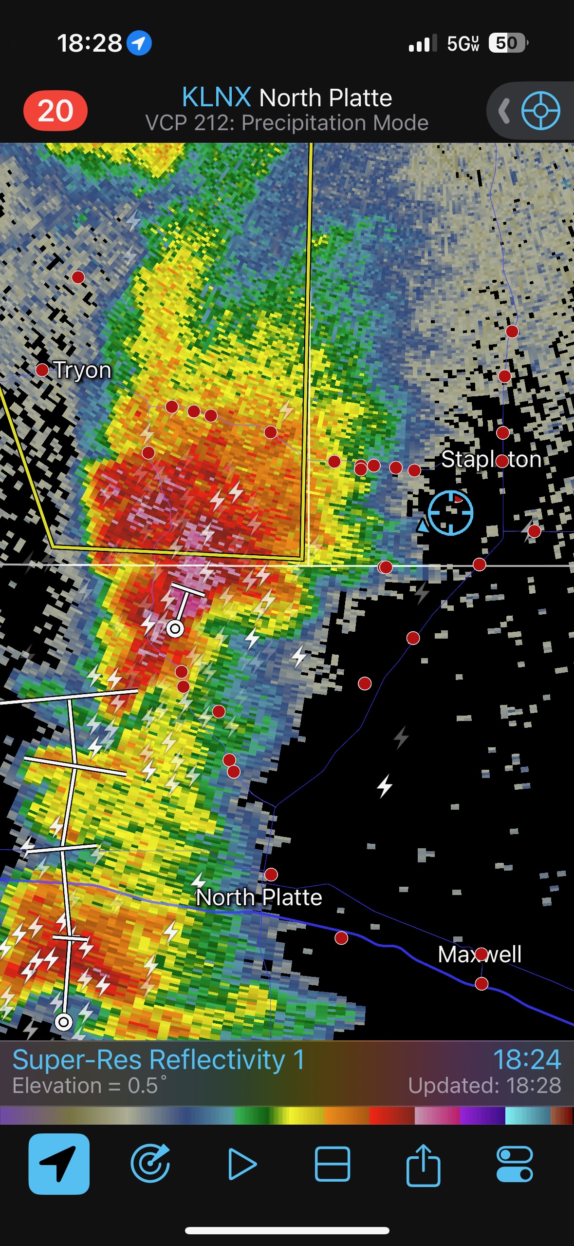
Soon we were just east of development that was WSW of Stapleton (northeast of North Platte). A supercell took shape, and we had a great view of the base (pics 4 and 5 below). The thing had some lowerings, decent structure, and it was not moving much at all (in strong contrast to the earlier cells!). The Stapleton storm seemed disinterested in trying hard to make a tornado, however, even though it seemed content to spin in its happy spot.
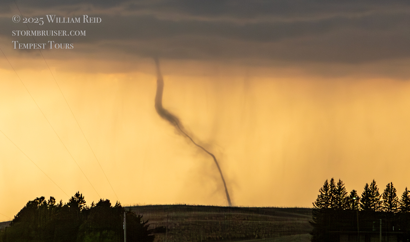
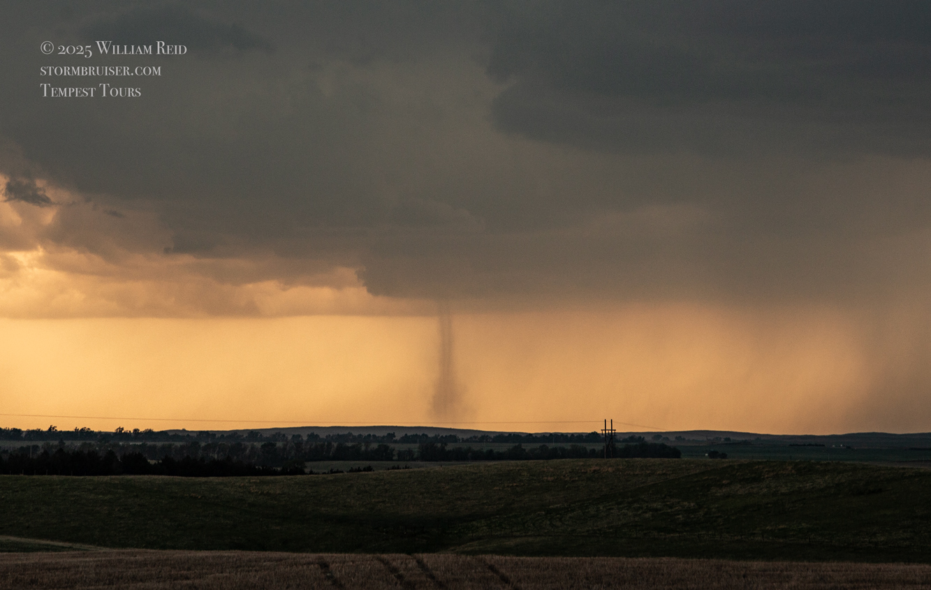
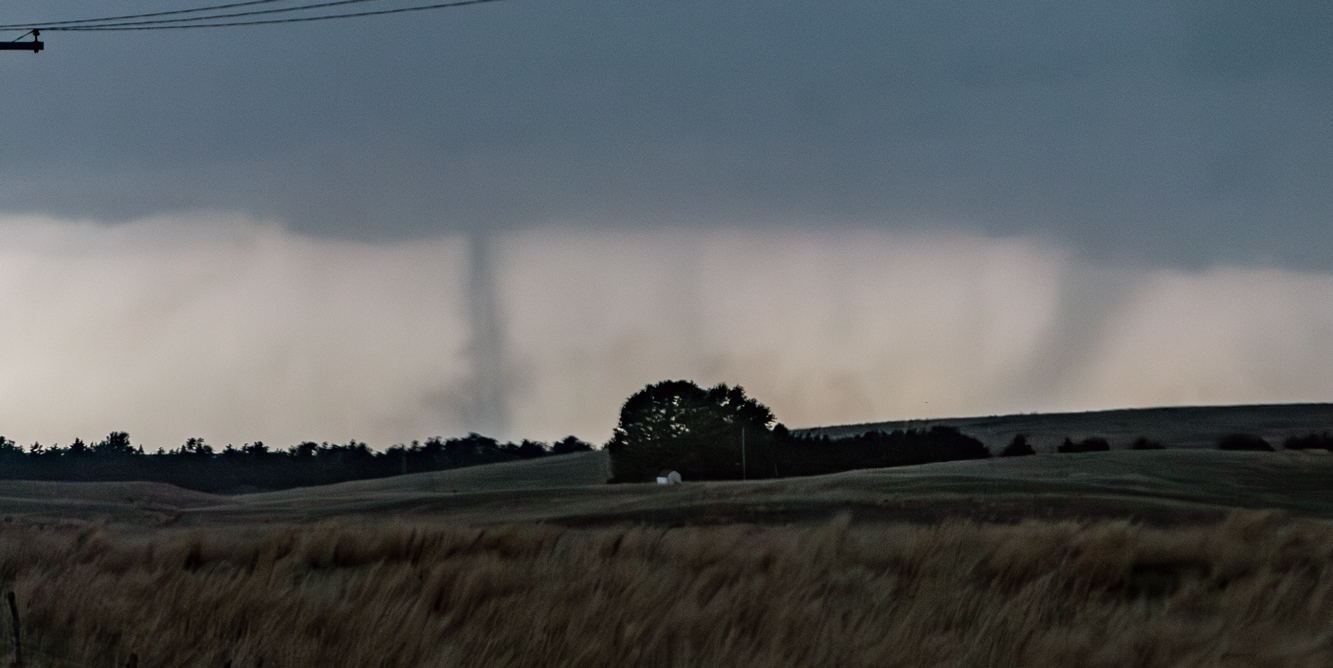
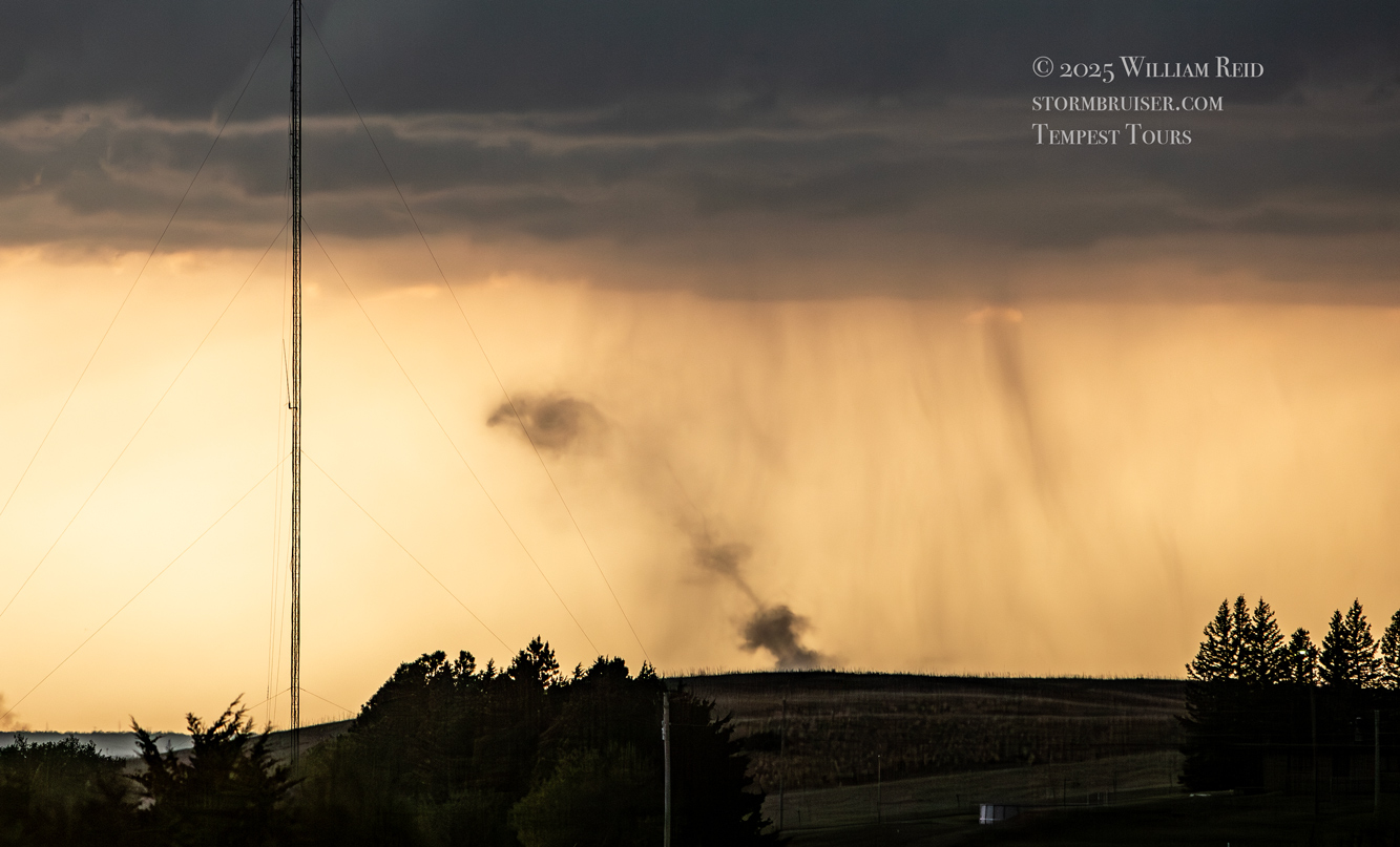
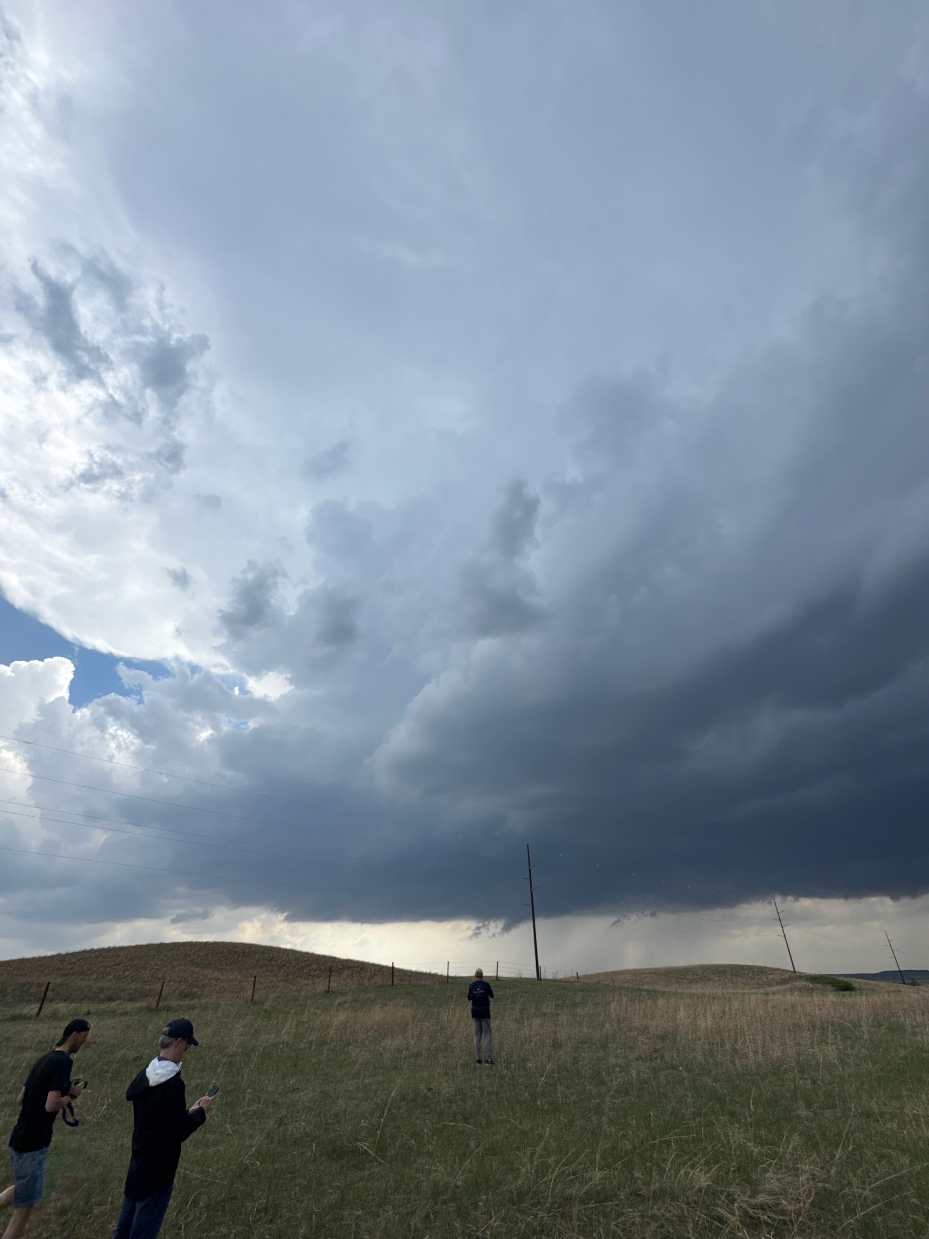
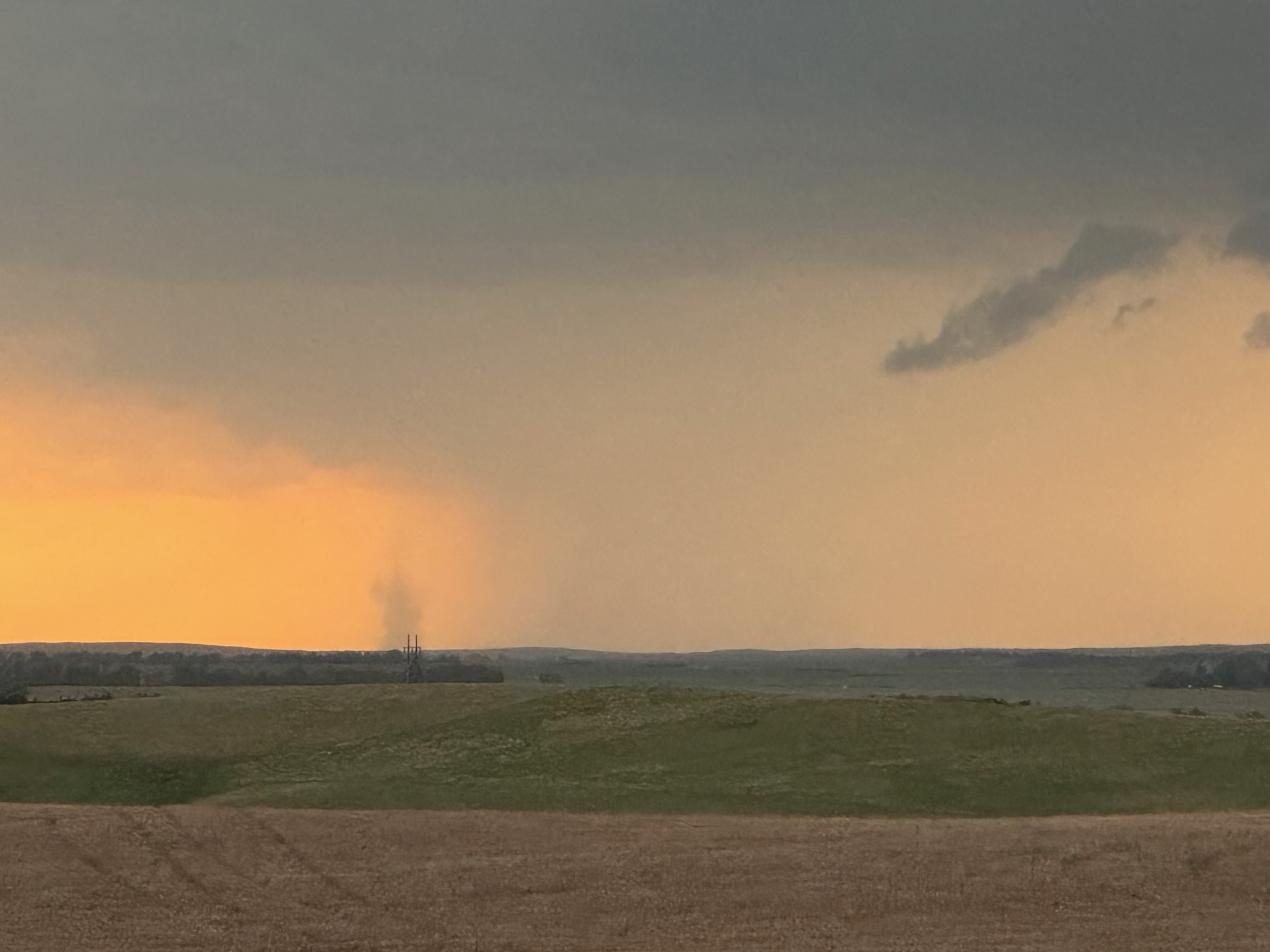
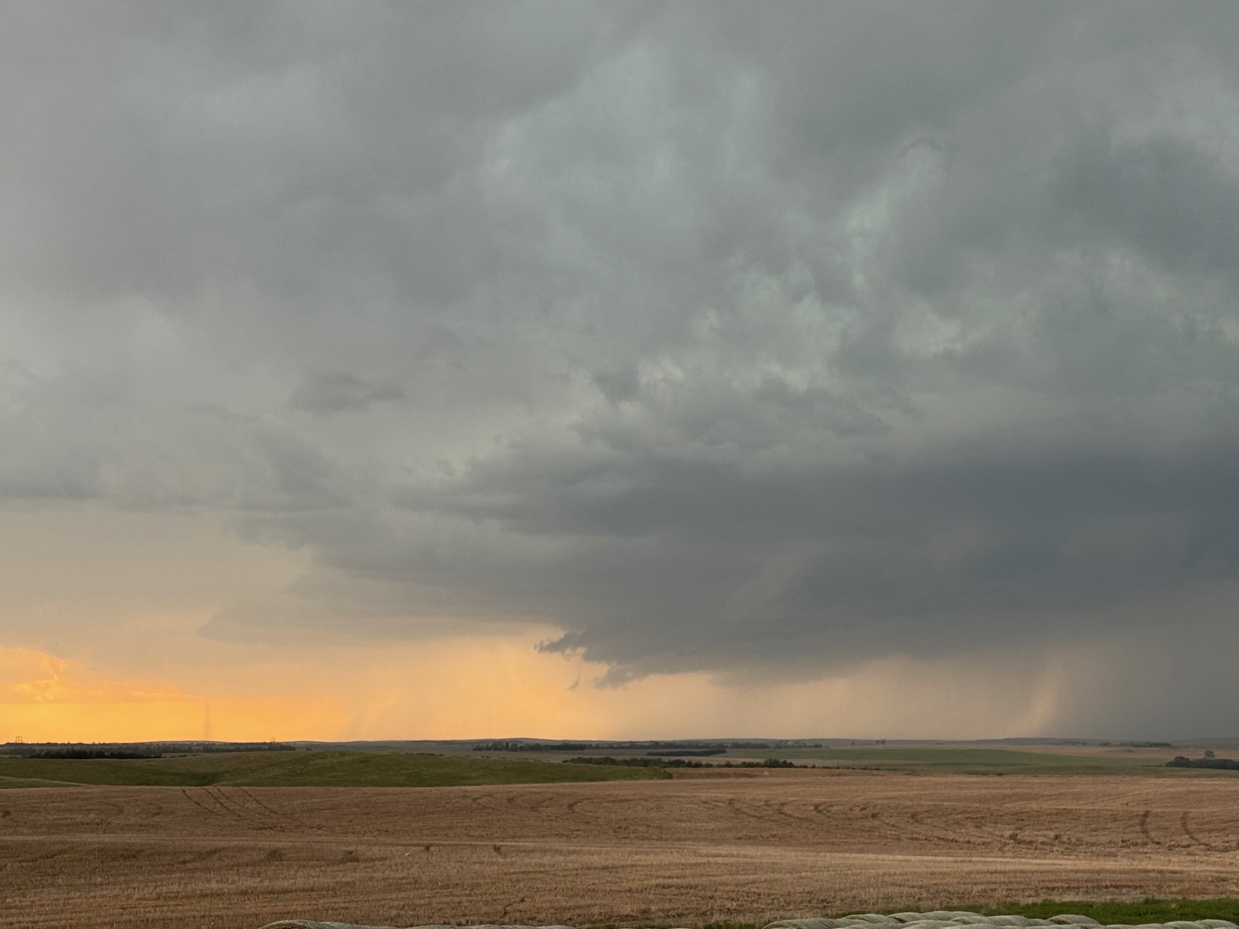
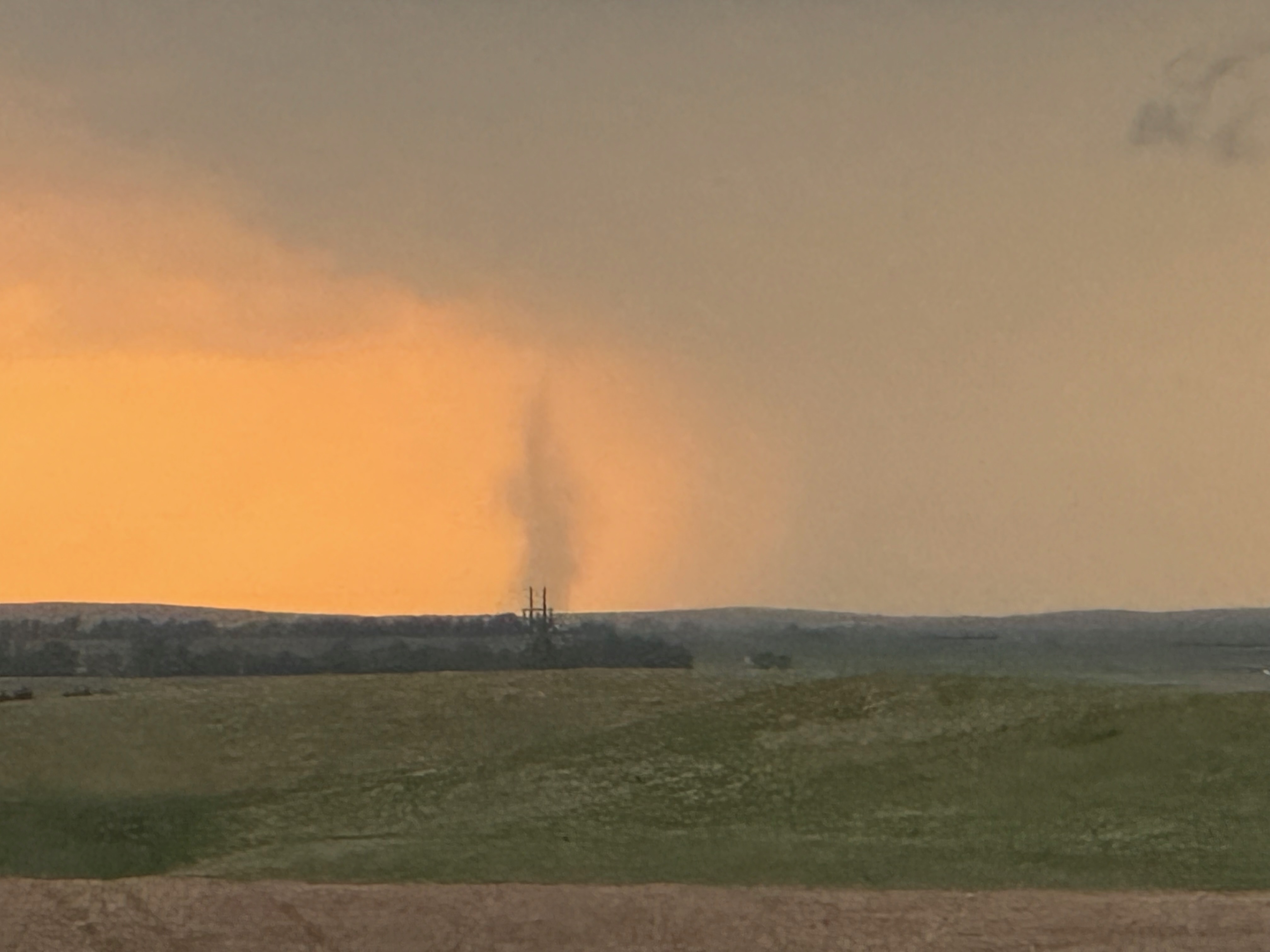
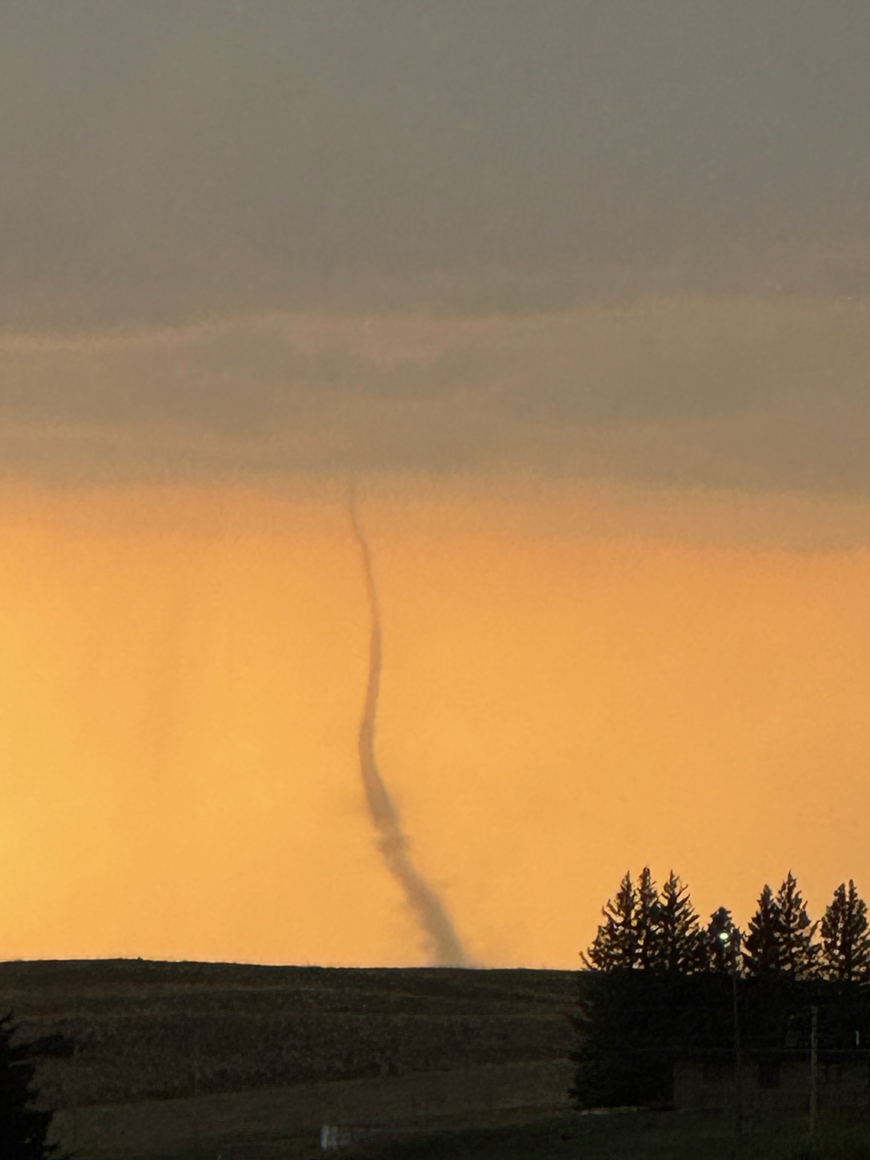
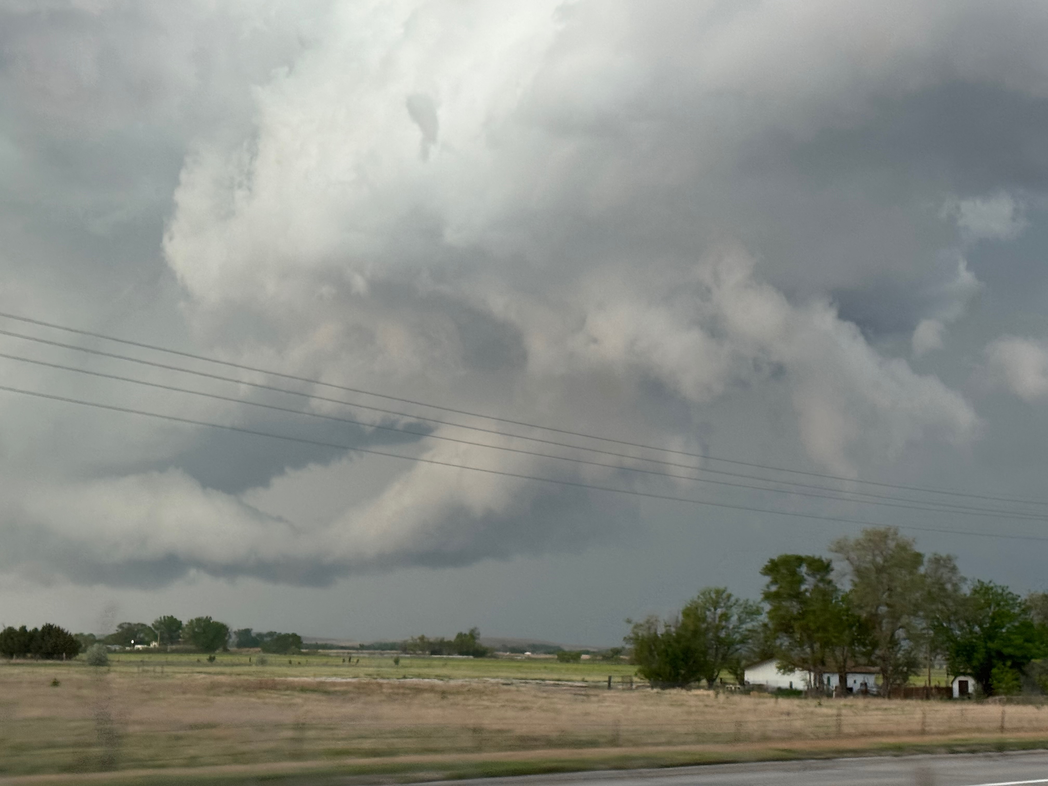
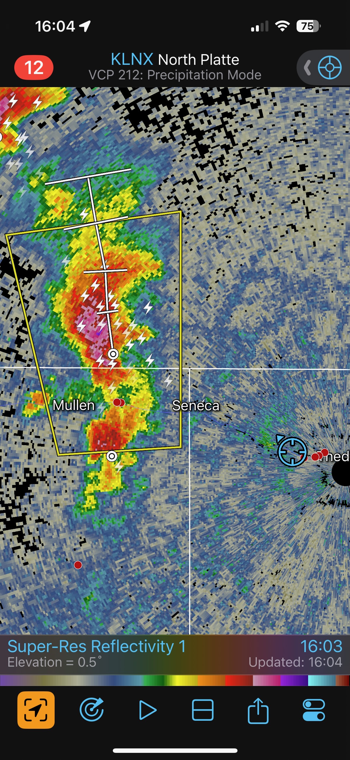
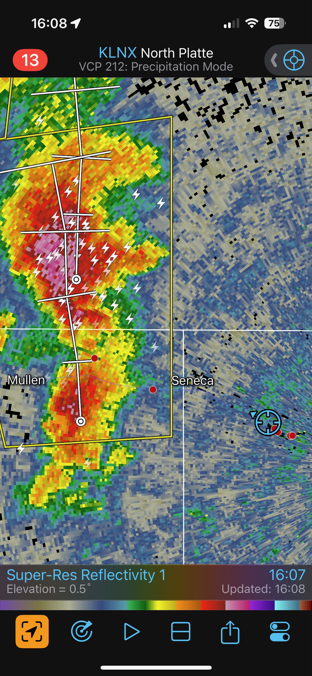
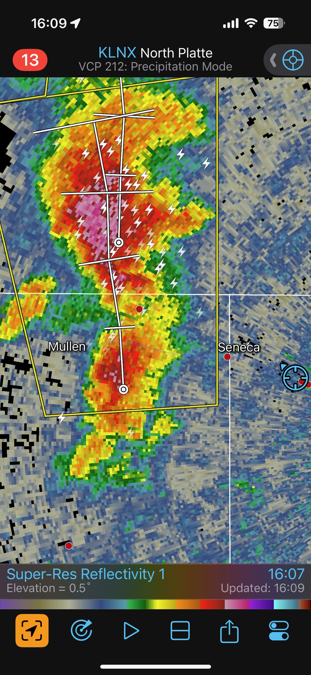
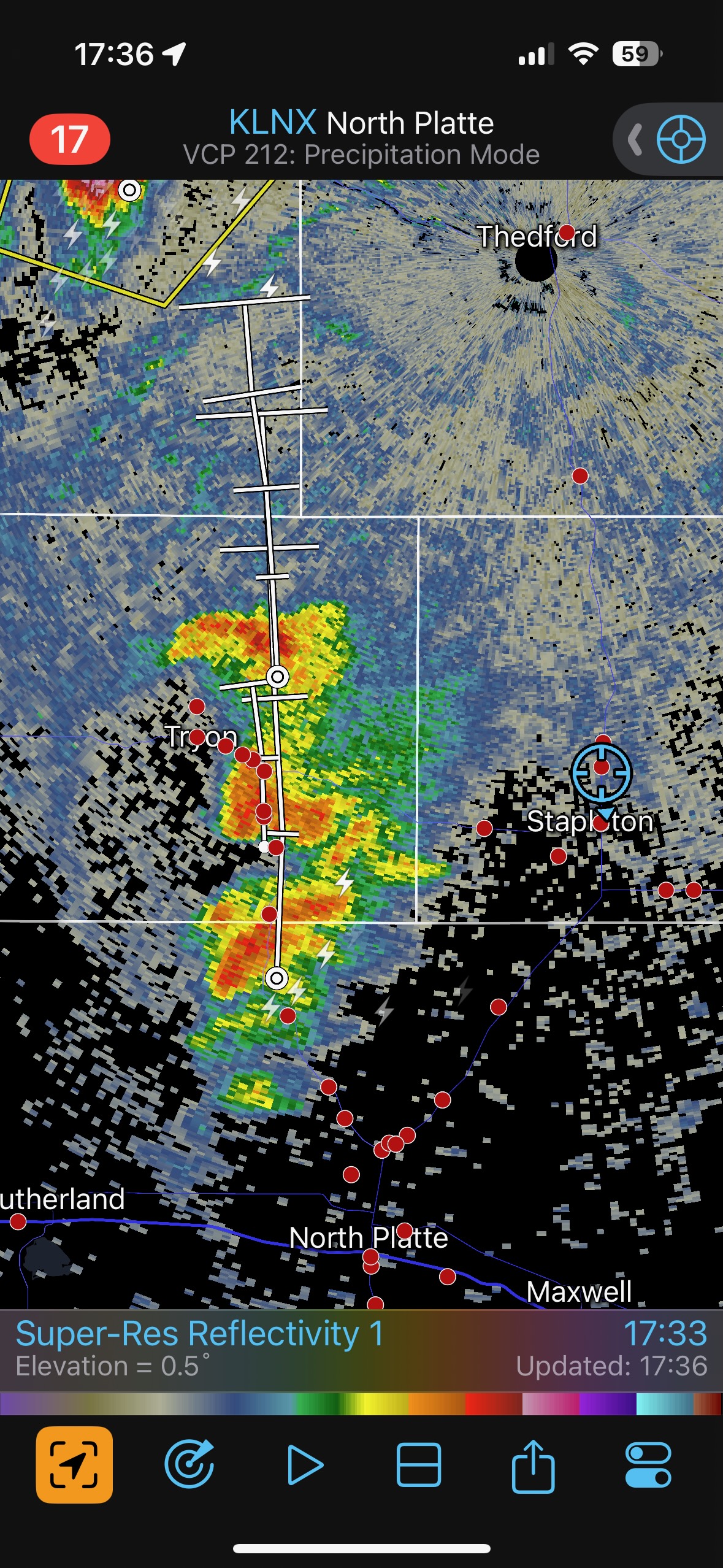
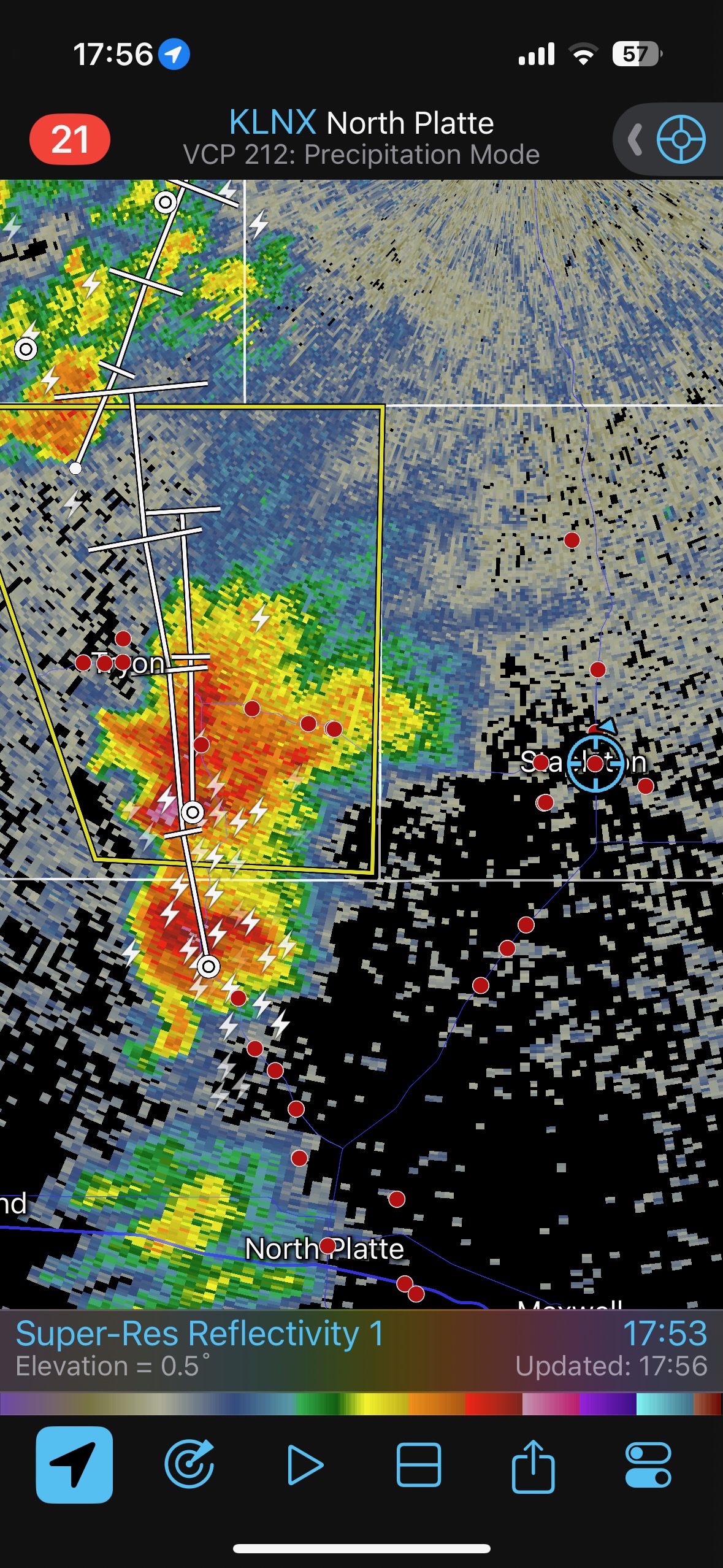
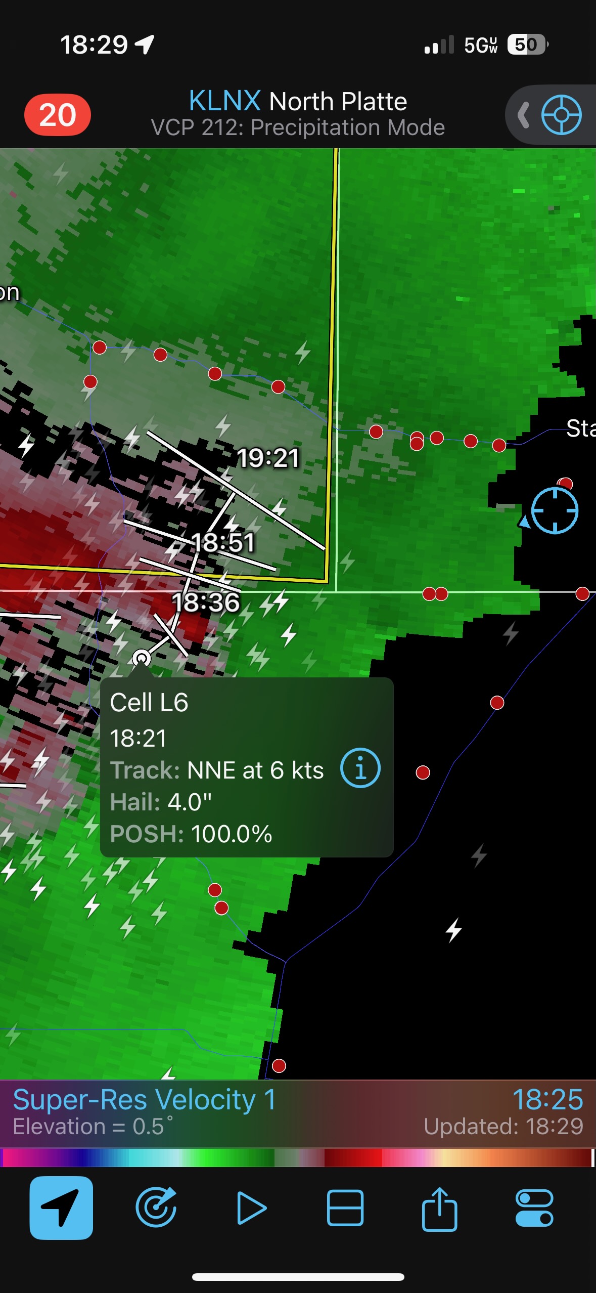
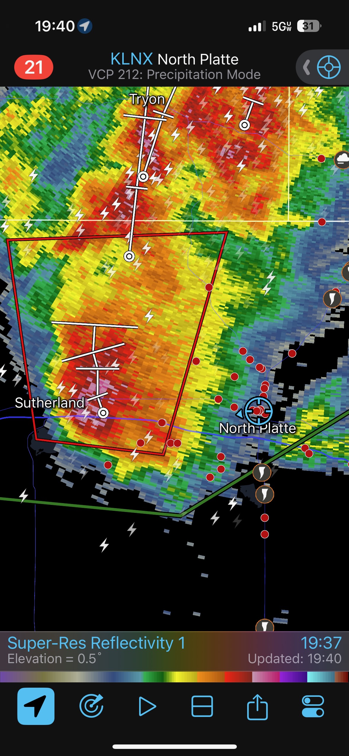
Meanwhile, a newer storm was visible well to the southwest, maybe 40 miles away. The base of this distant storm looked a lot higher than the base of our storm, and I did not have any inclination to head to that one. But then we saw a fuzzy thing holding up the distant storm base from the ground. It looked like a tornado! It seemed fairly obvious that a landspout tornado was in progress with this “Sutherland” storm to the southwest. The tornado was near the Sutherland Power Plant, south of I-80. I had to decide whether to blast towards the storm with the tornado or not. Our nearby storm was not exactly setting the world on fire, but it did seem to be a good supercell with some tornado potential still —- potential for a real supercell tornado and not a wimpy landspout tornado!
Well, after a few minutes, with the Sutherland tornado persisting, with this Stapleton storm just so-so as far as supercells go…I told the group to pack it up so we could get closer to the landspout tornado.
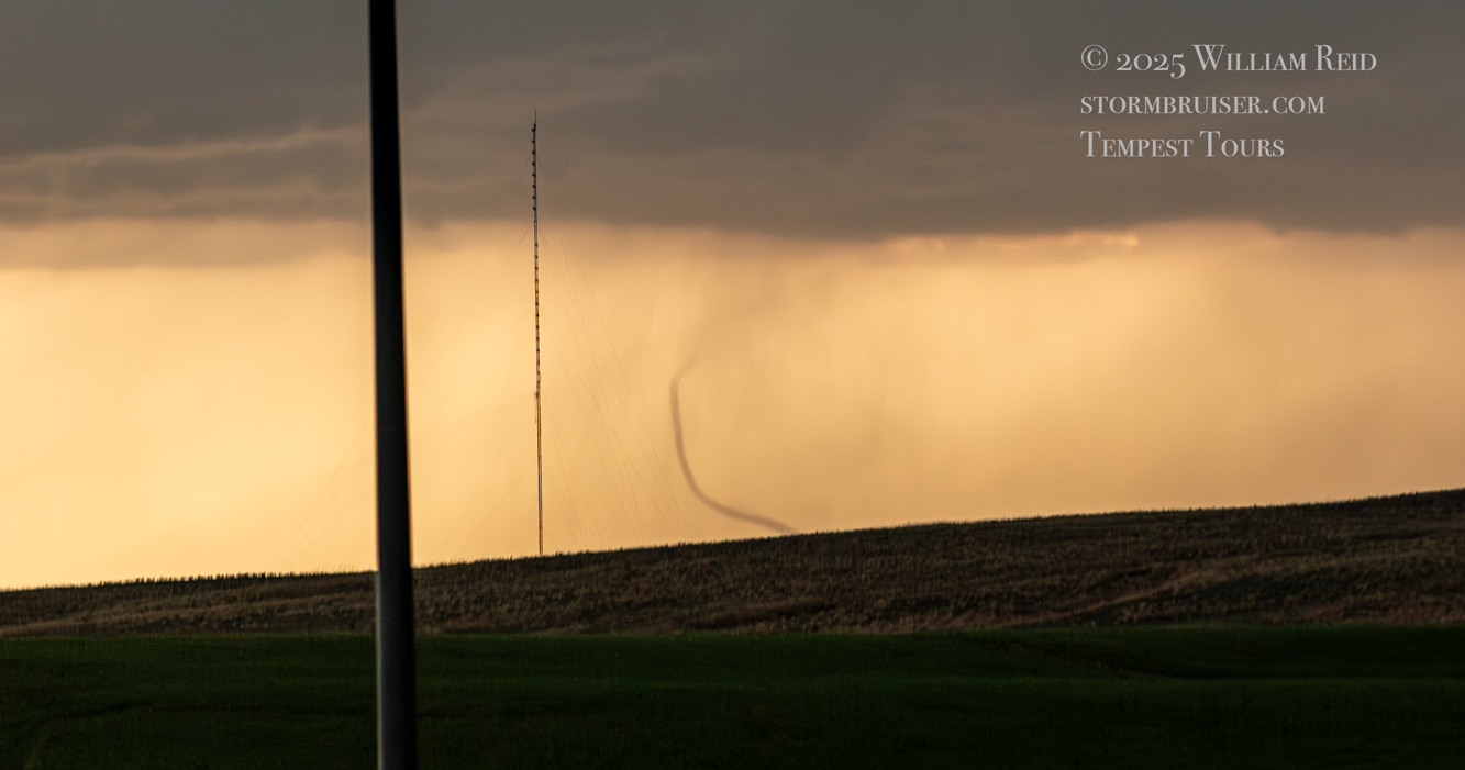
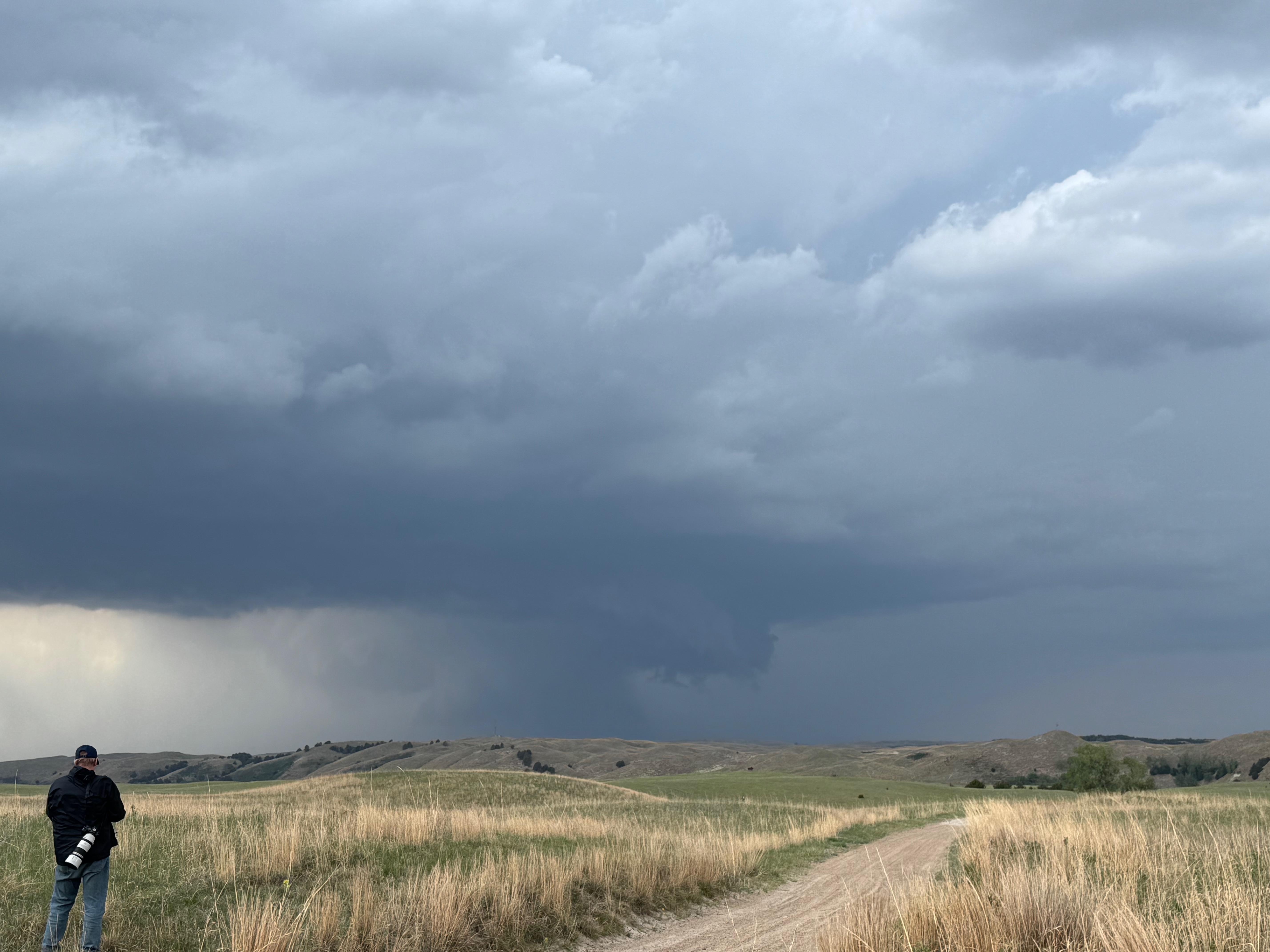
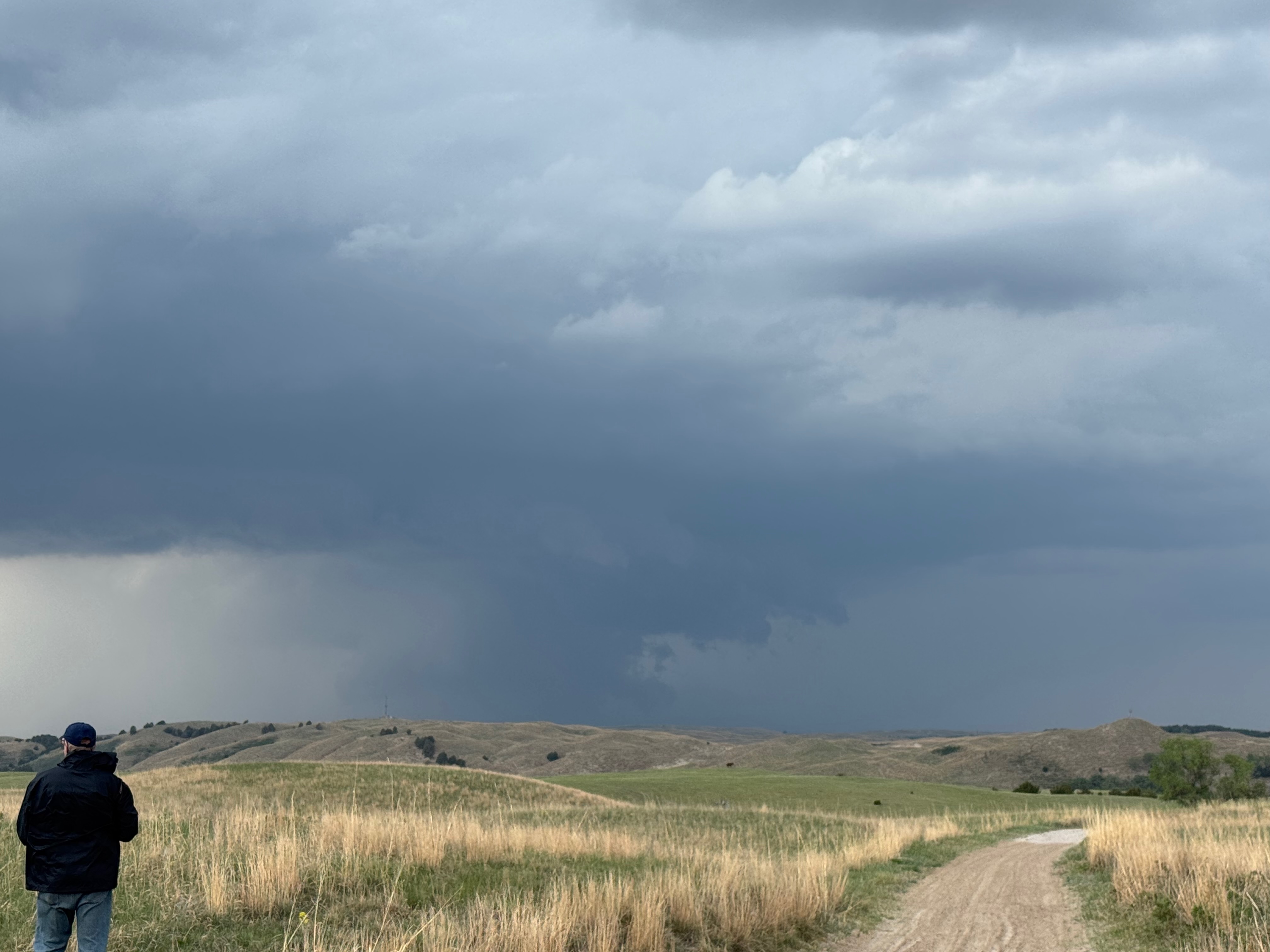
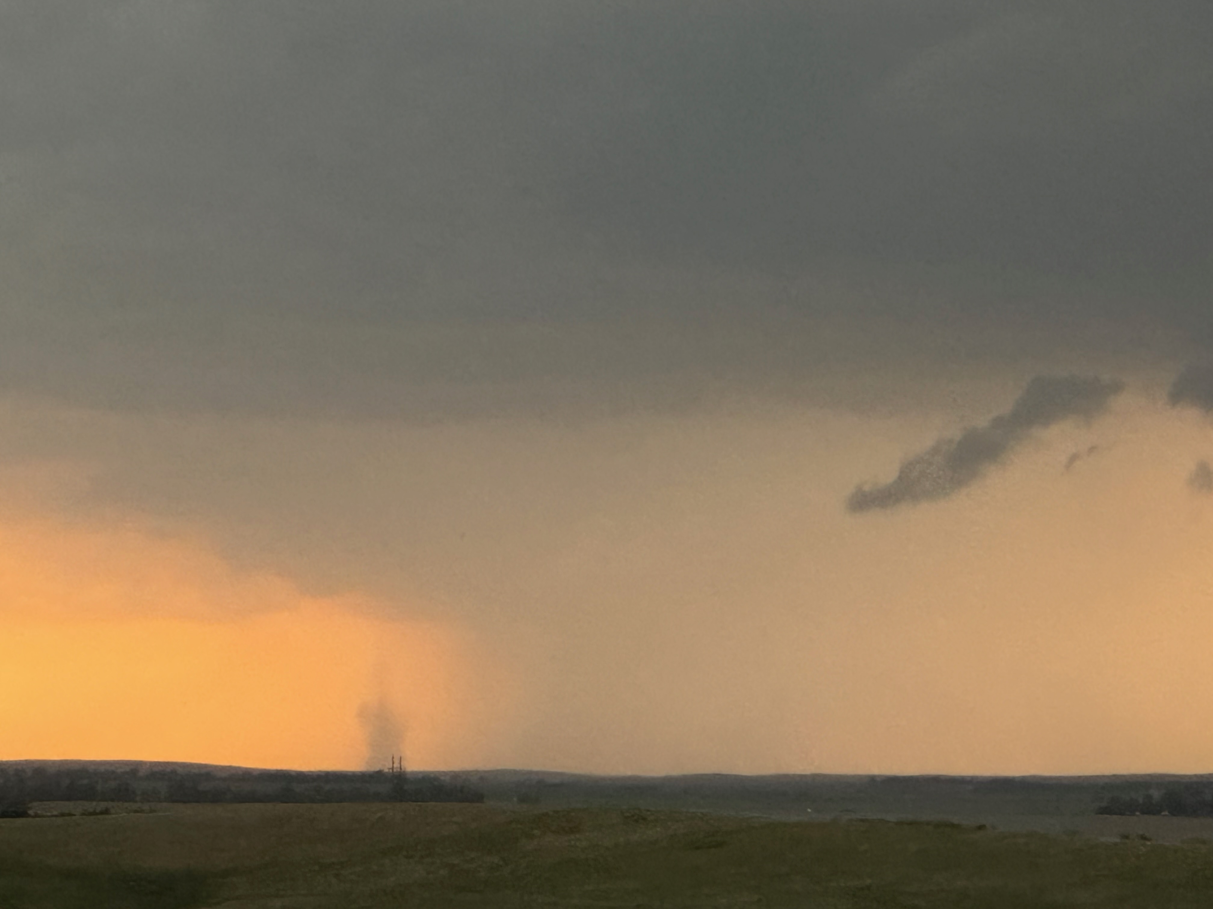
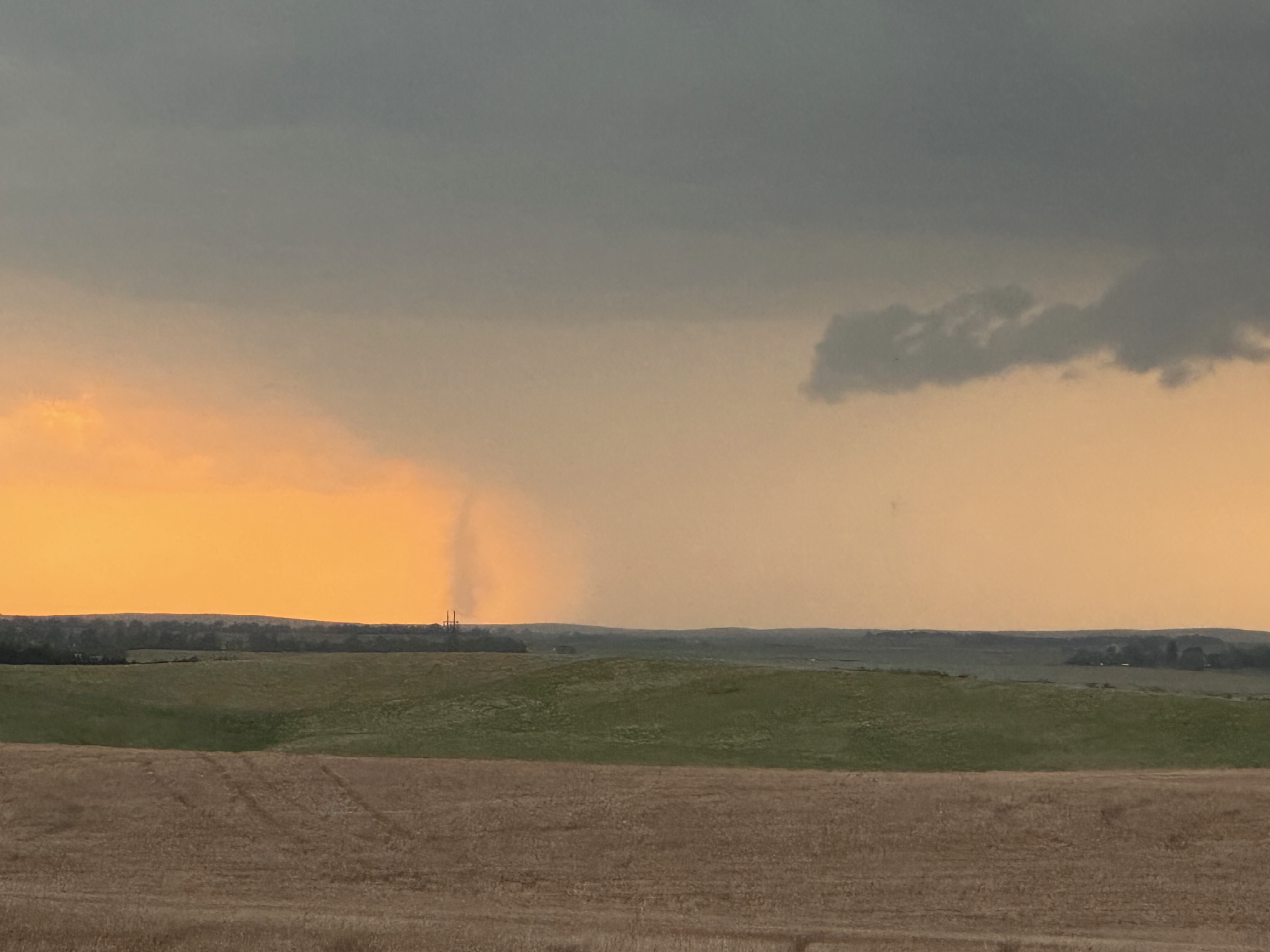
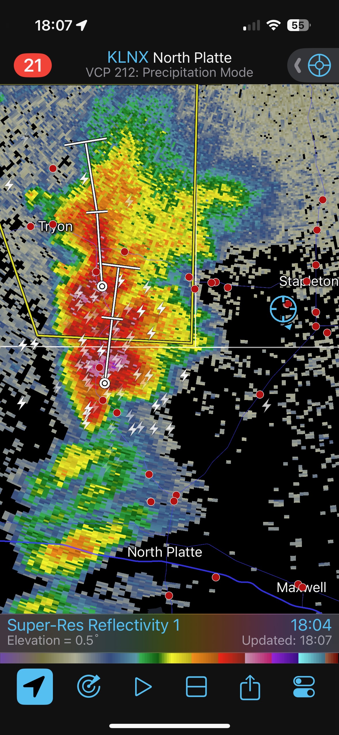
We had to go back east a few miles, and then made good time south and southwestward on U.S. 83. This section which headed southwestward was very helpful. I didn’t expect the tornado to last an hour, because that is how long it would take to get close. But if we could get halfway there then maybe it would look a lot less like a fuzzy caterpillar.
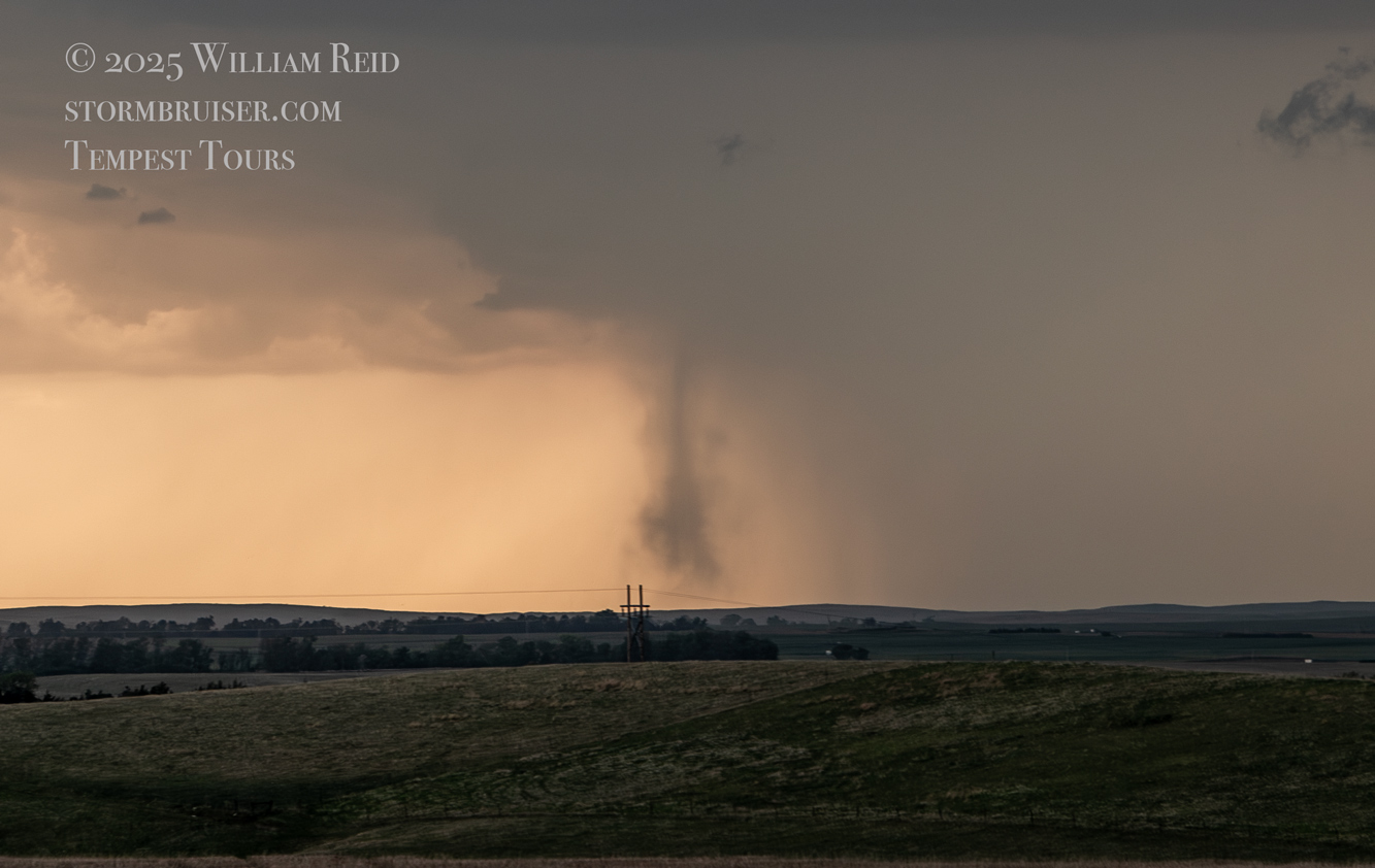
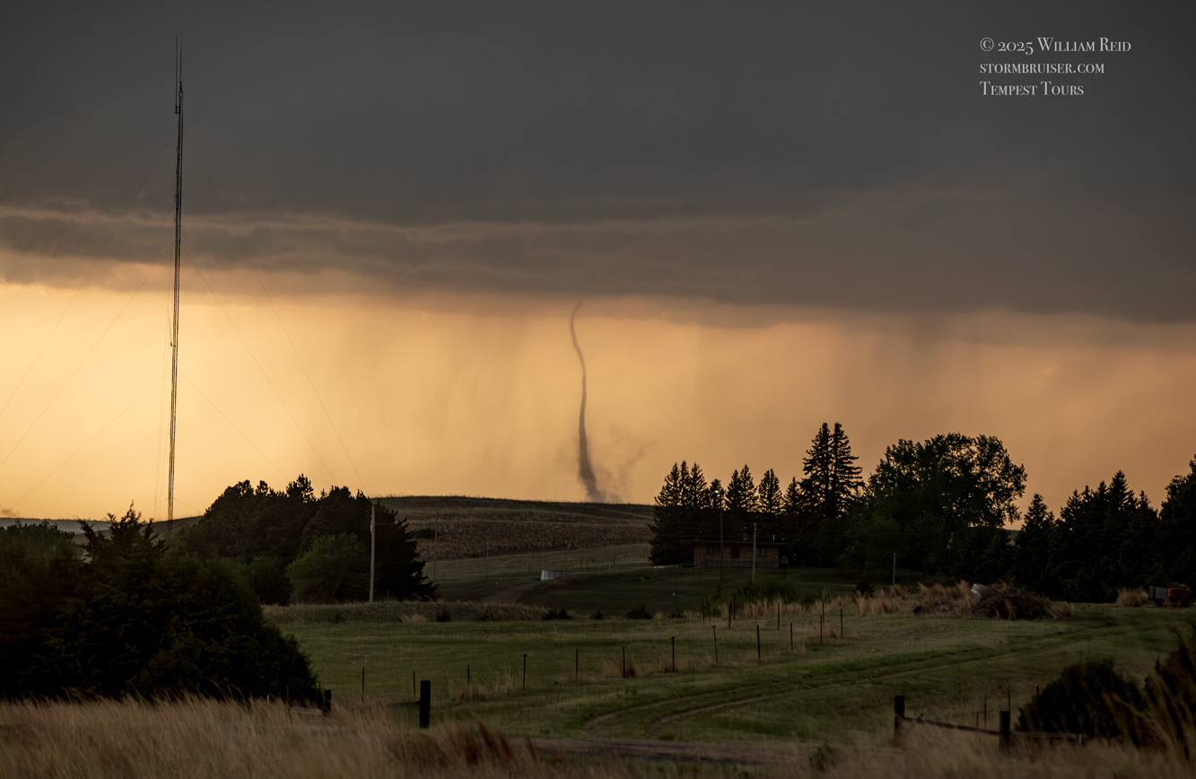
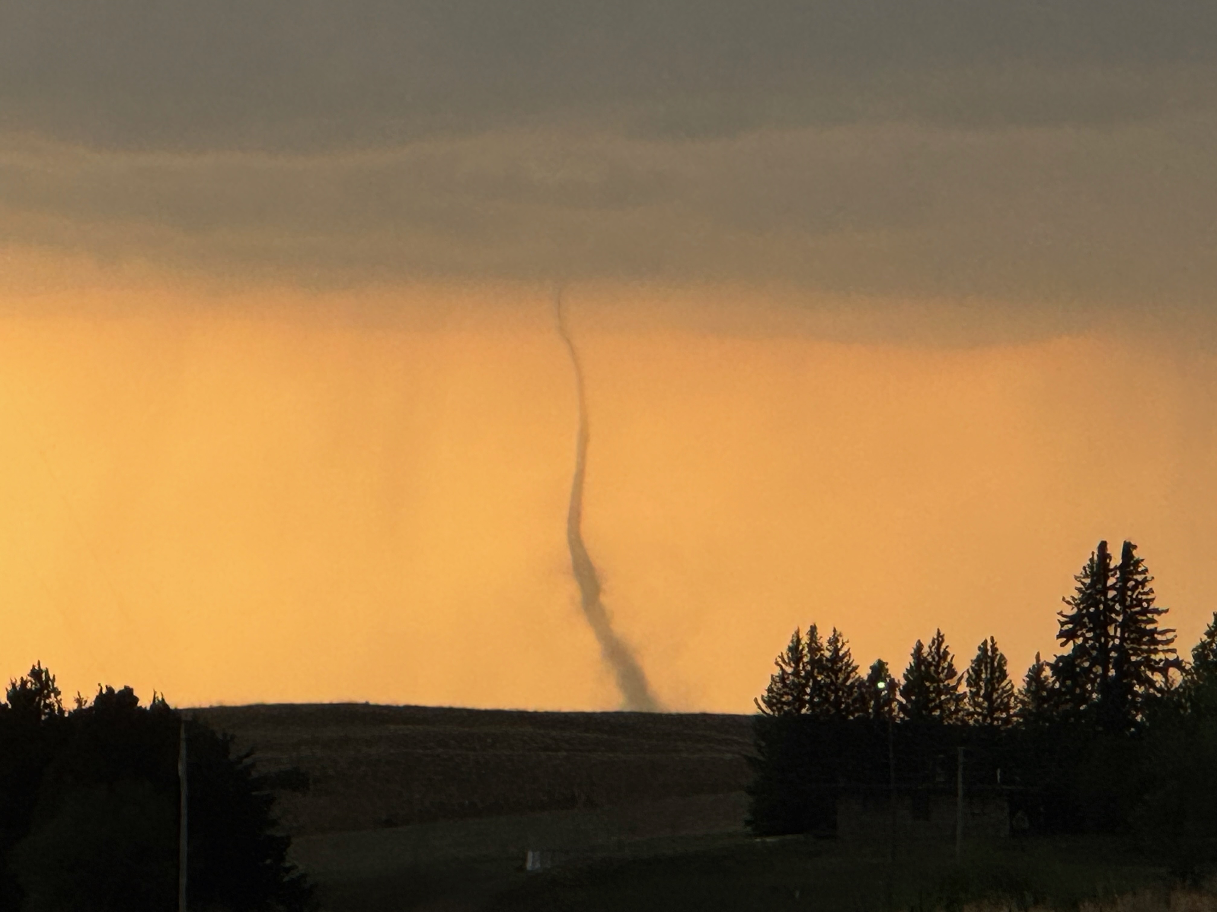
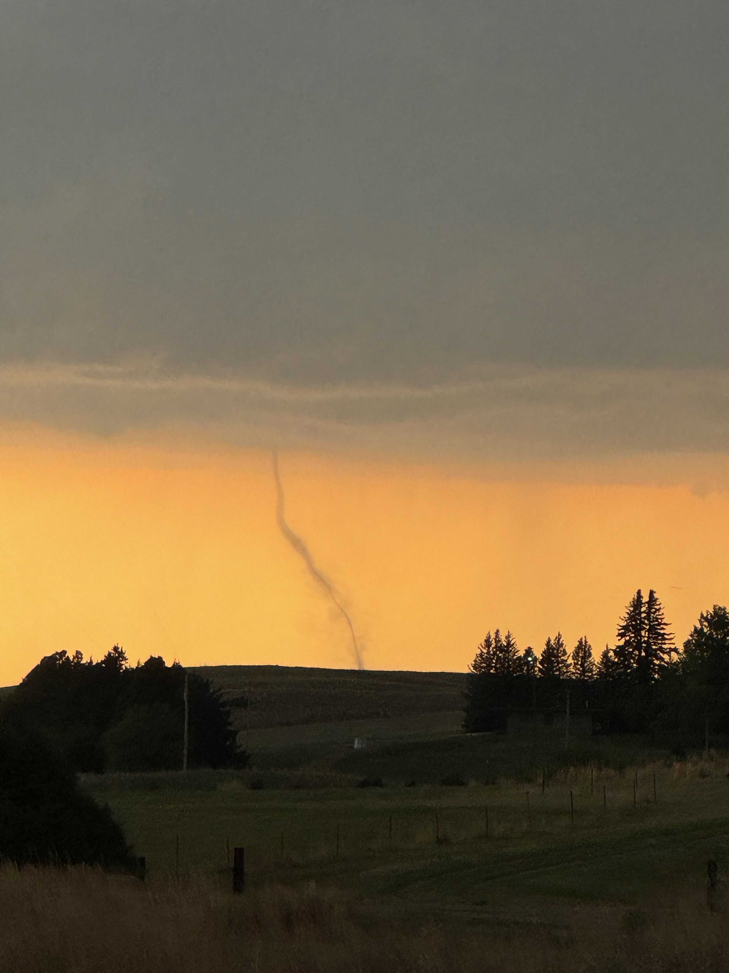
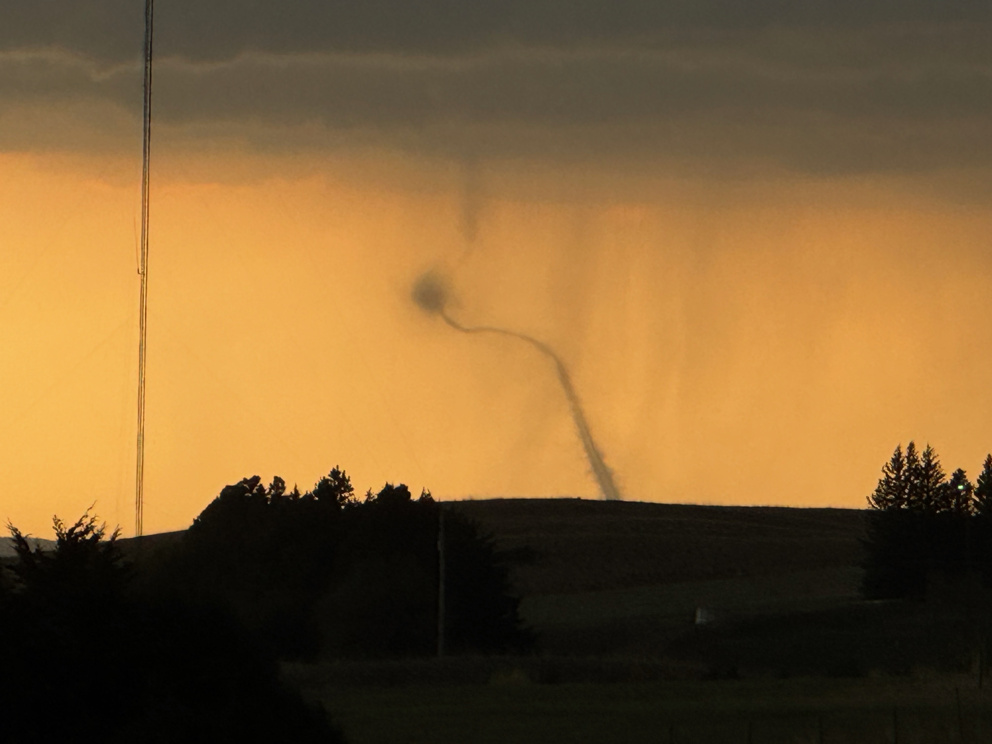
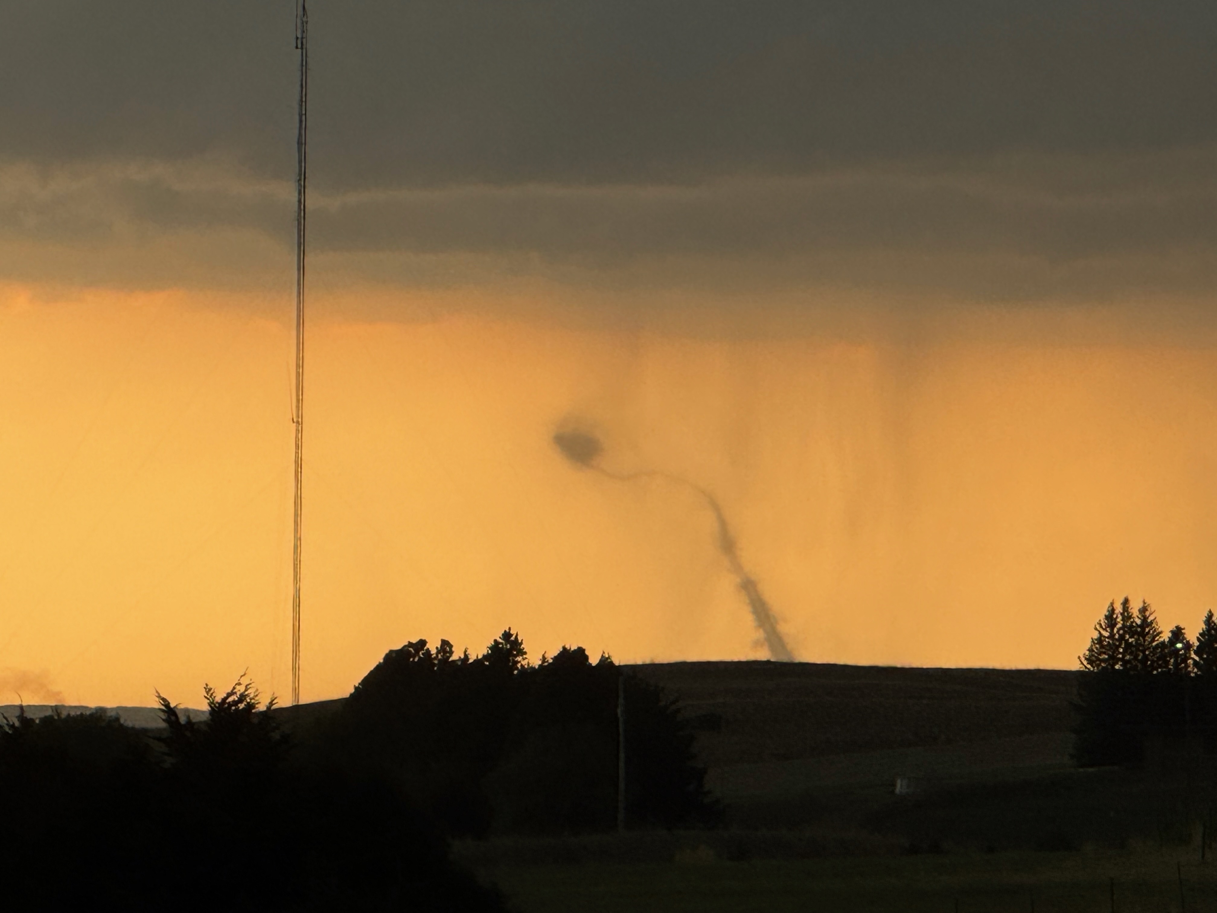
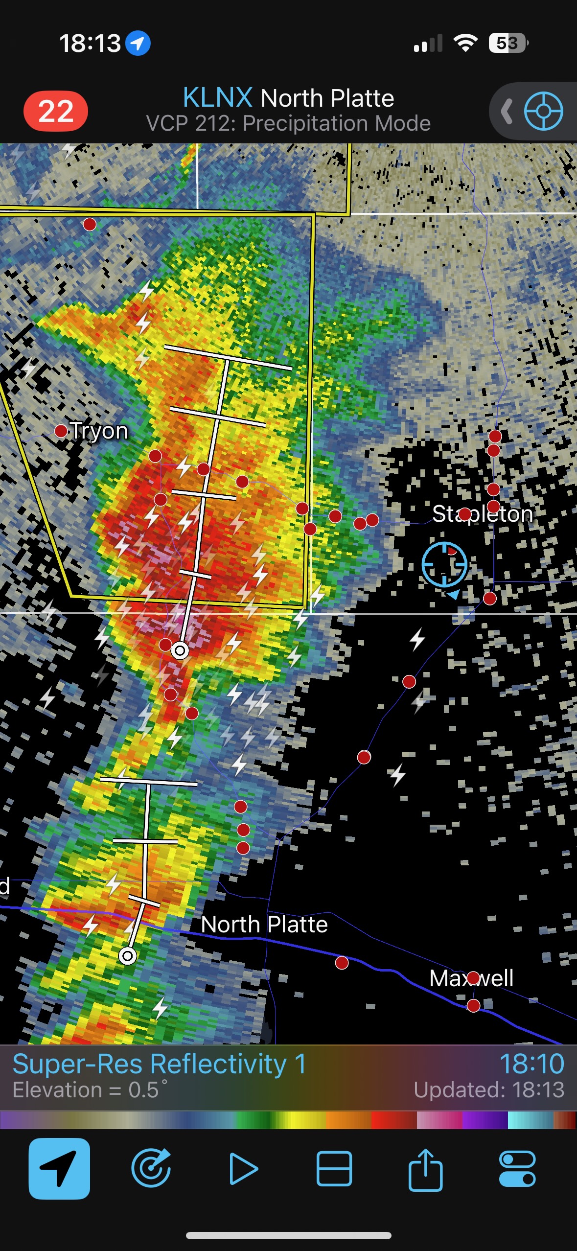
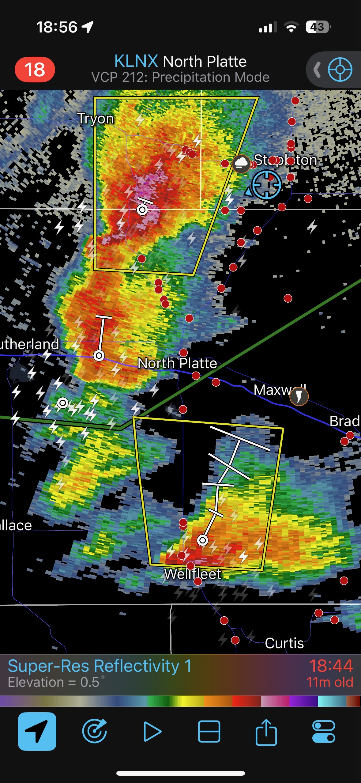
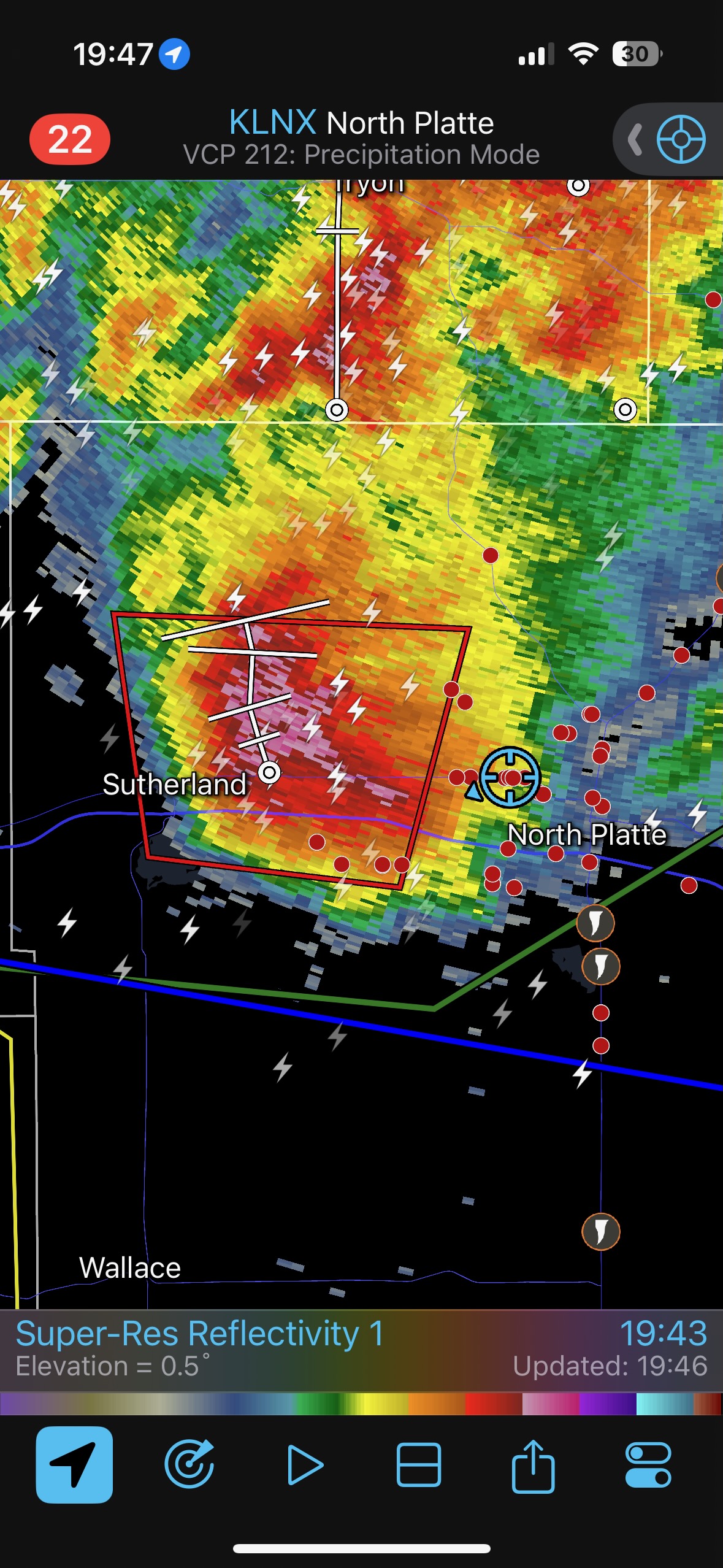
And that is what we did — we quickly covered the section on 83 that heads to the SW, and then stopped just north of North Platte, north of the river. It wasn’t easy to find a decent spot to view the tornado, but I finally found a place without trees and hills causing big headaches. We had to stop as it seemed unlikely that the tornado would last a whole lot longer —- it must have been going for close to a half hour by now!
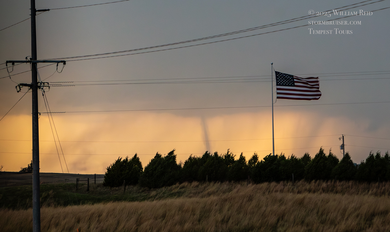
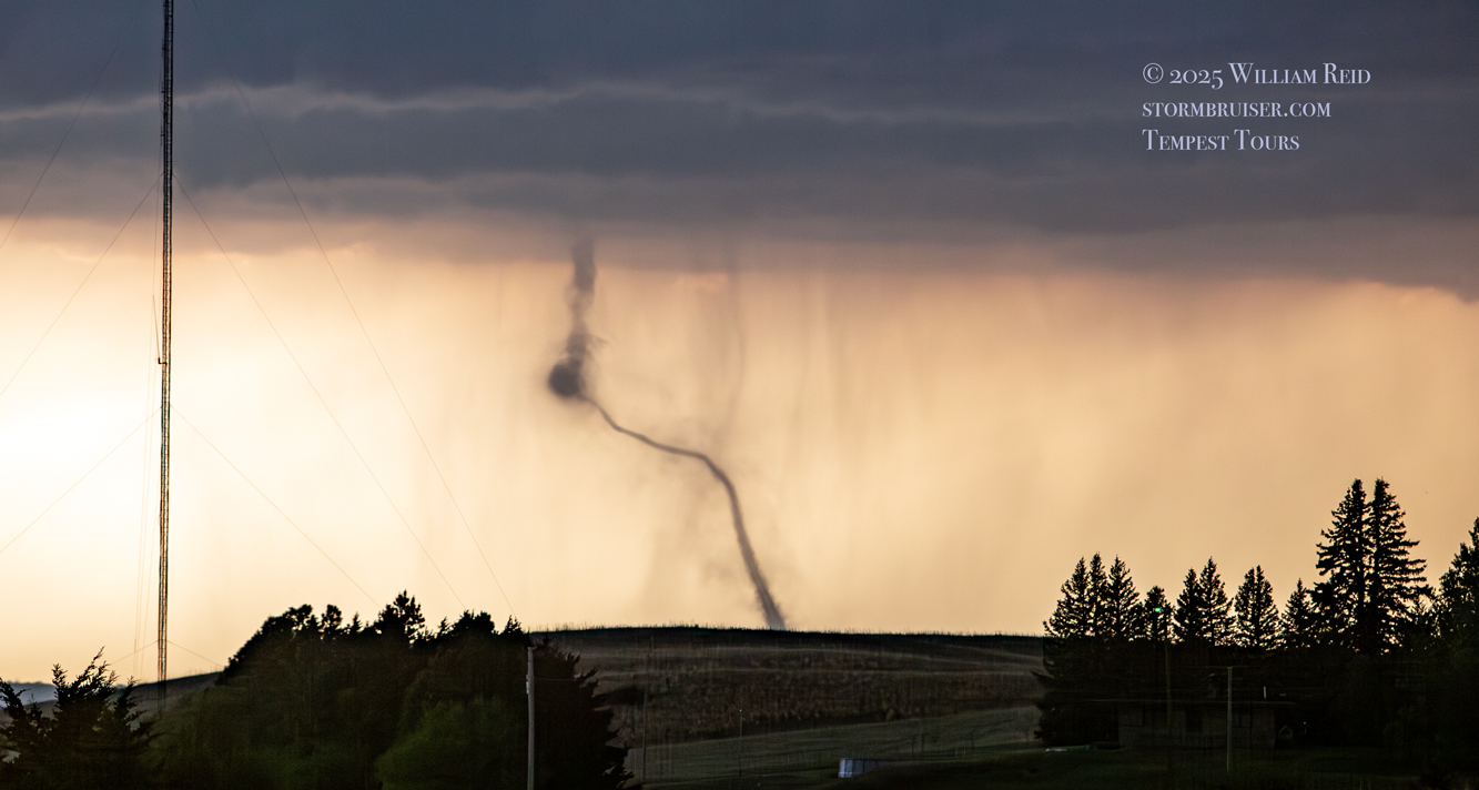
These tornado images below were taken with my long lens, some taken out of the window while Amanda drove. Fortunately, the tornado gave us a few more minutes of excitement after we stopped. The contrast was good and it did a pretty rope-out. I took a bunch more shots and video with the iPhone (farther below).
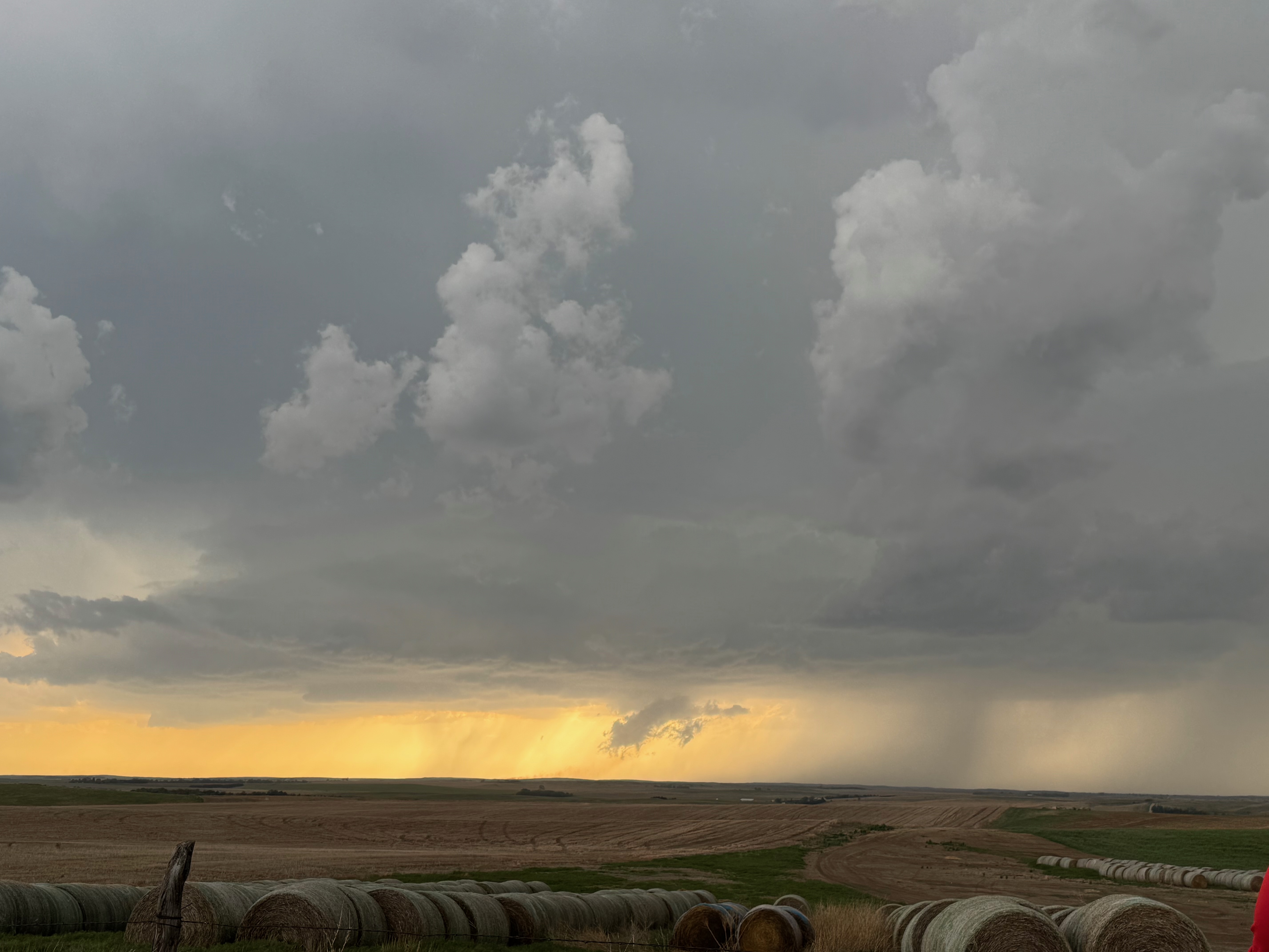
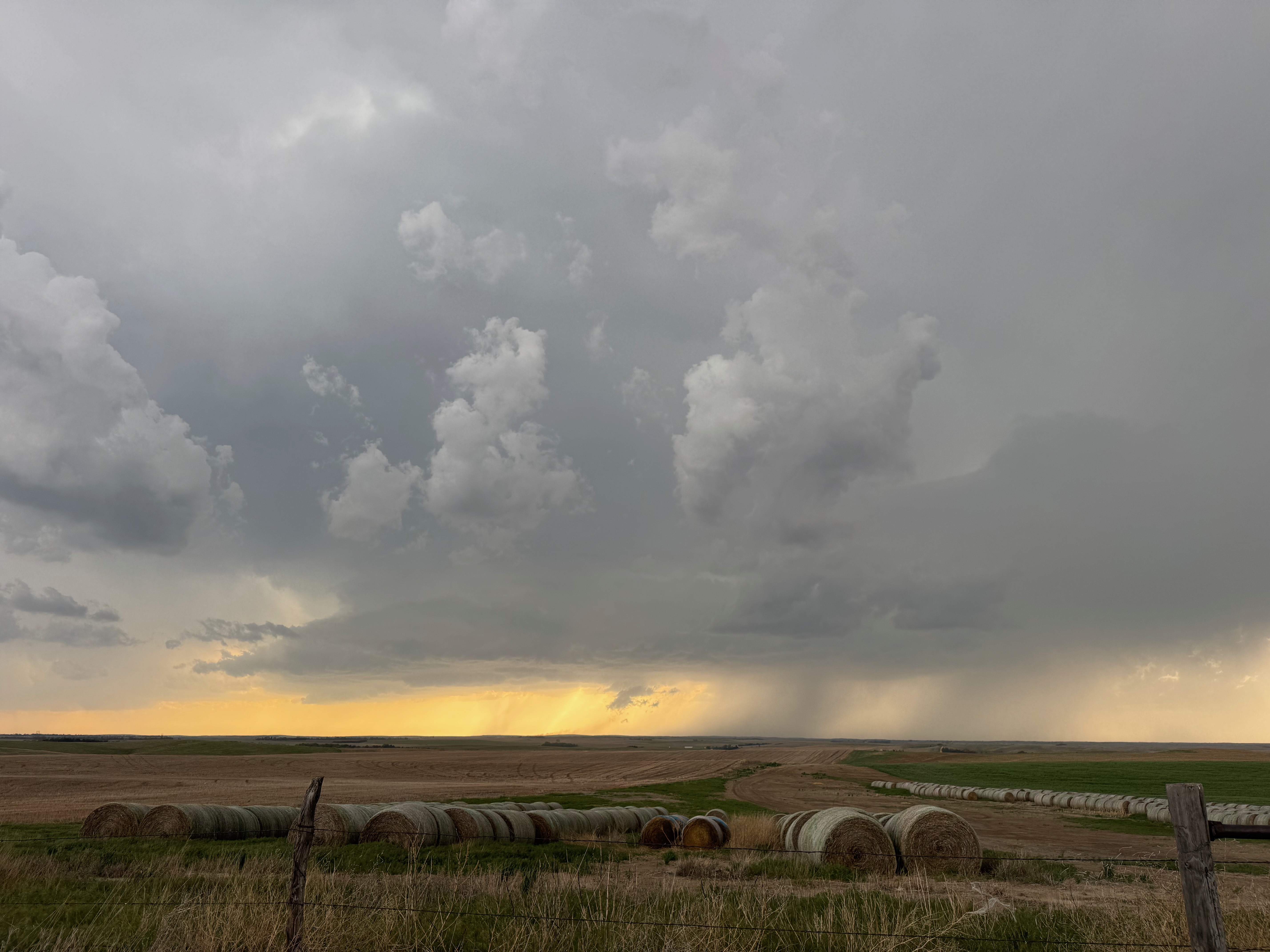
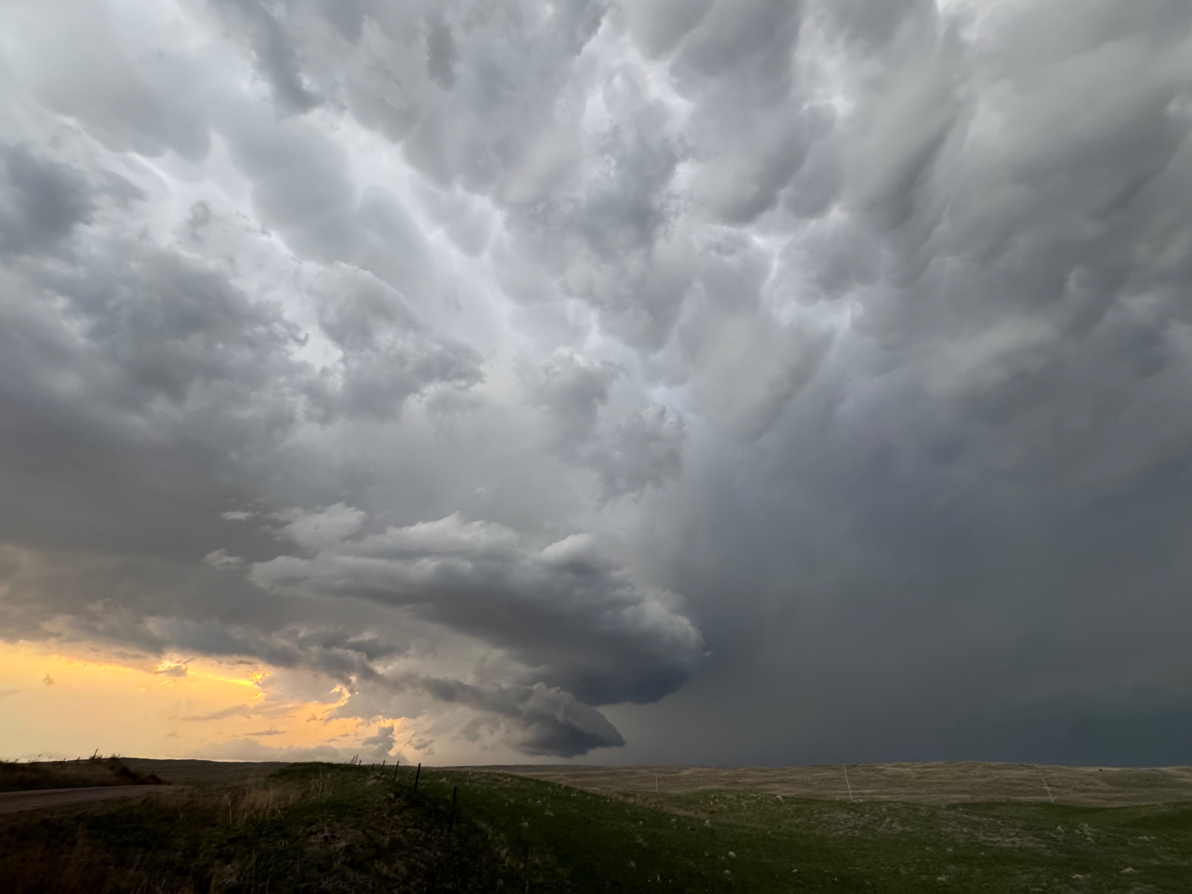
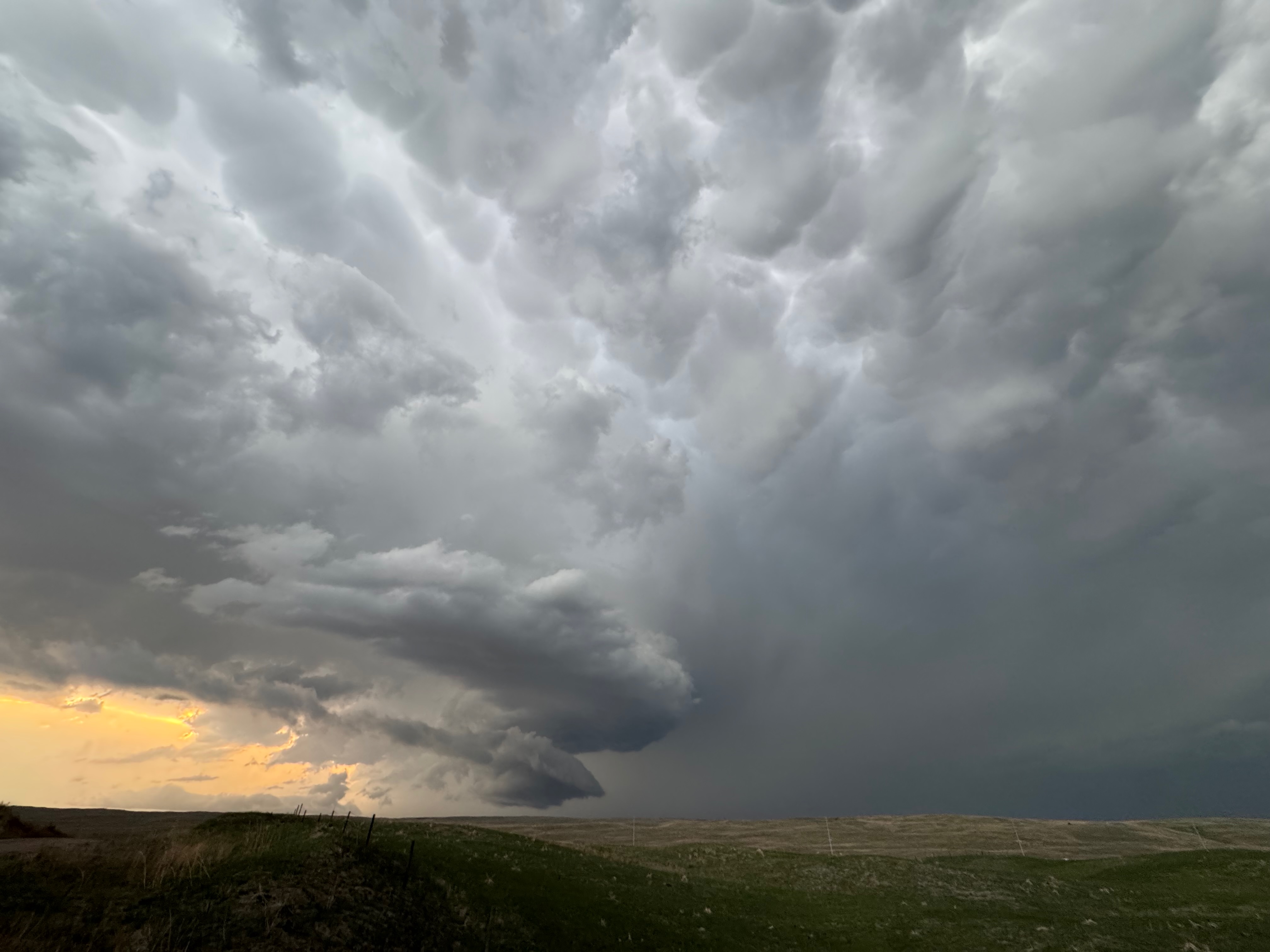
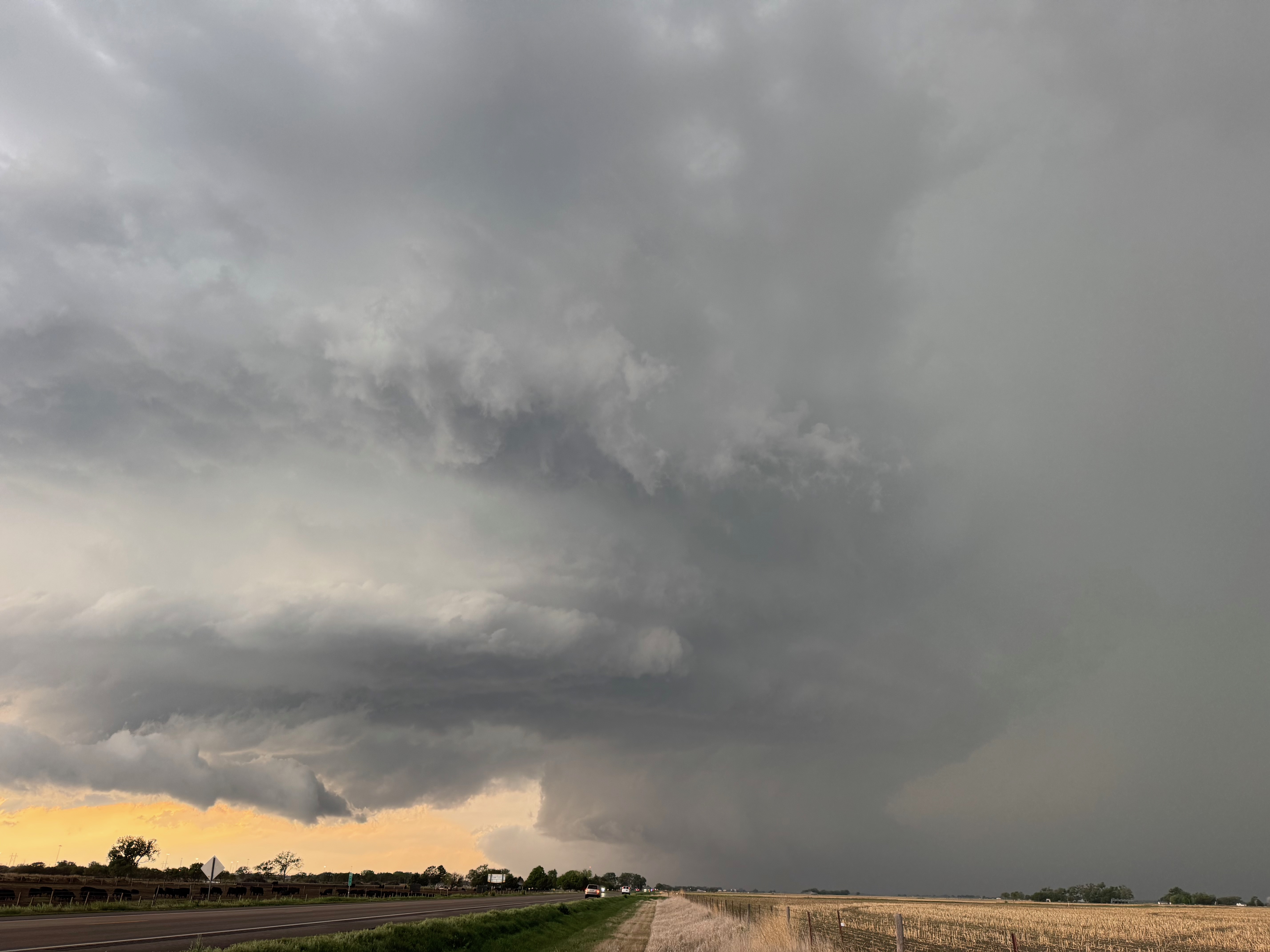
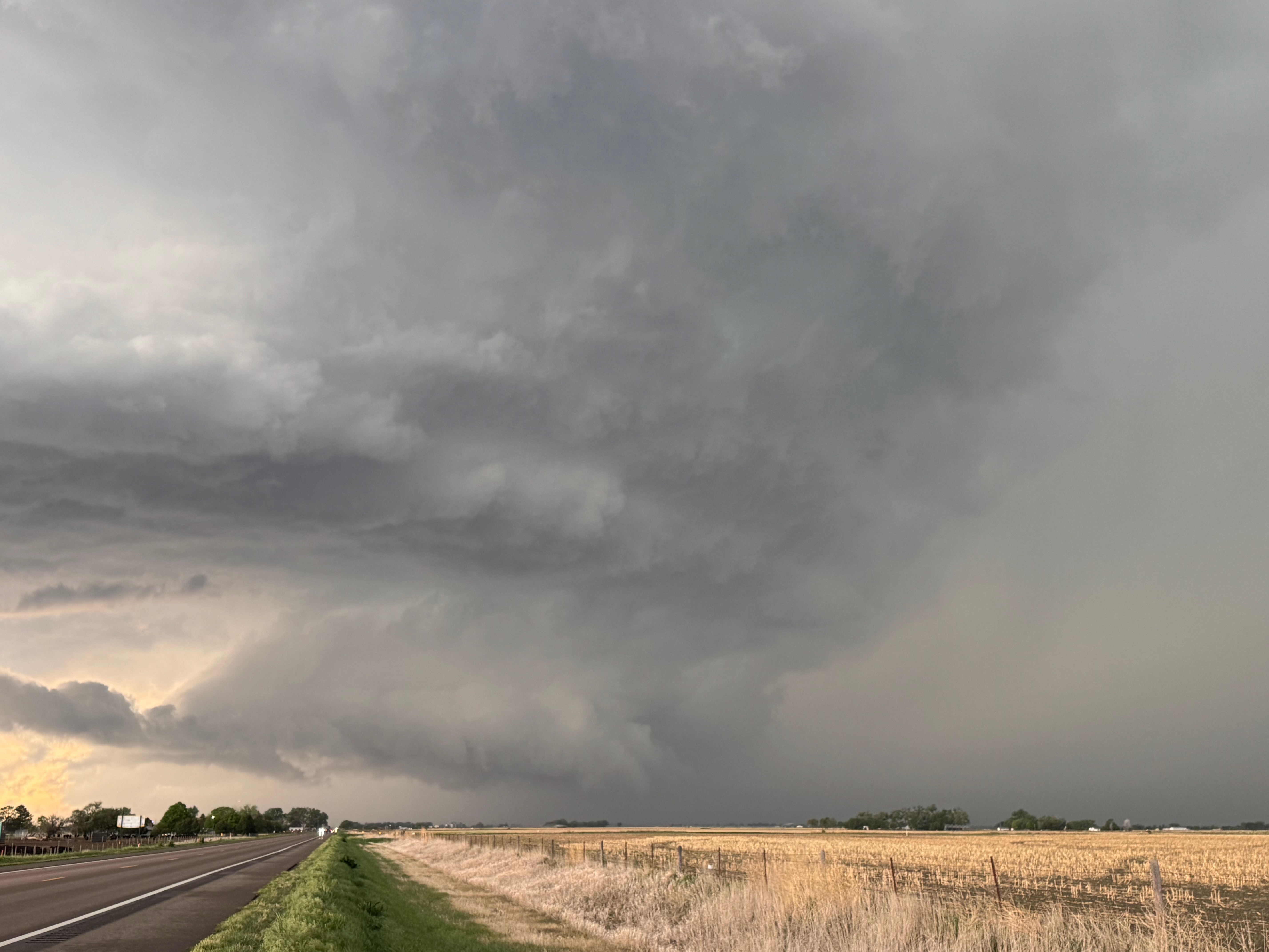
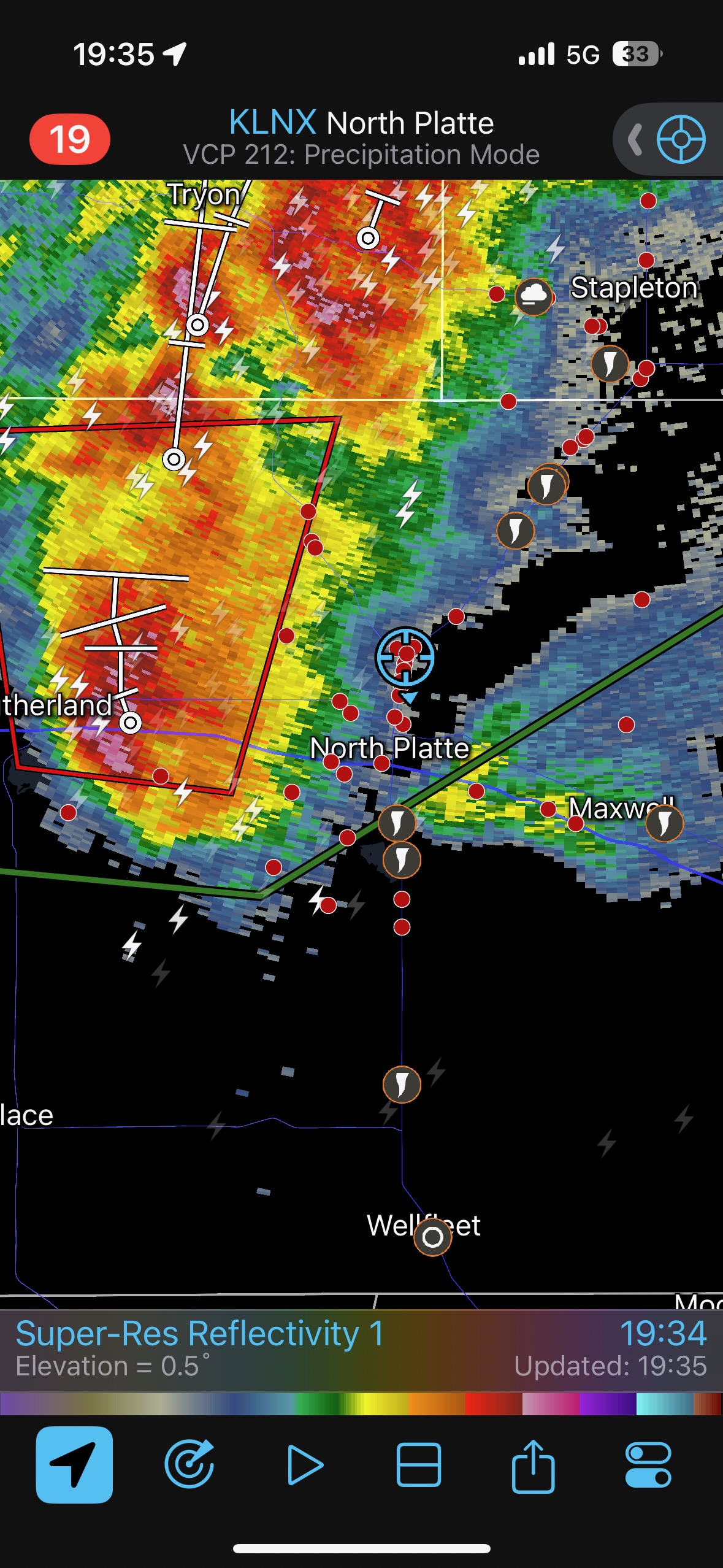
Once the Sutherland tornado disappeared, we continued into North Platte as the associated Sutherland storm was ramping up. We went a little west of North Platte and observed an ominous wall cloud or two with the cell. There was outstanding structure, too (final 7 images above). This supercell continued to the N or NNW, just missing North Platte. We stayed with it to Stapleton, where it sputtered.
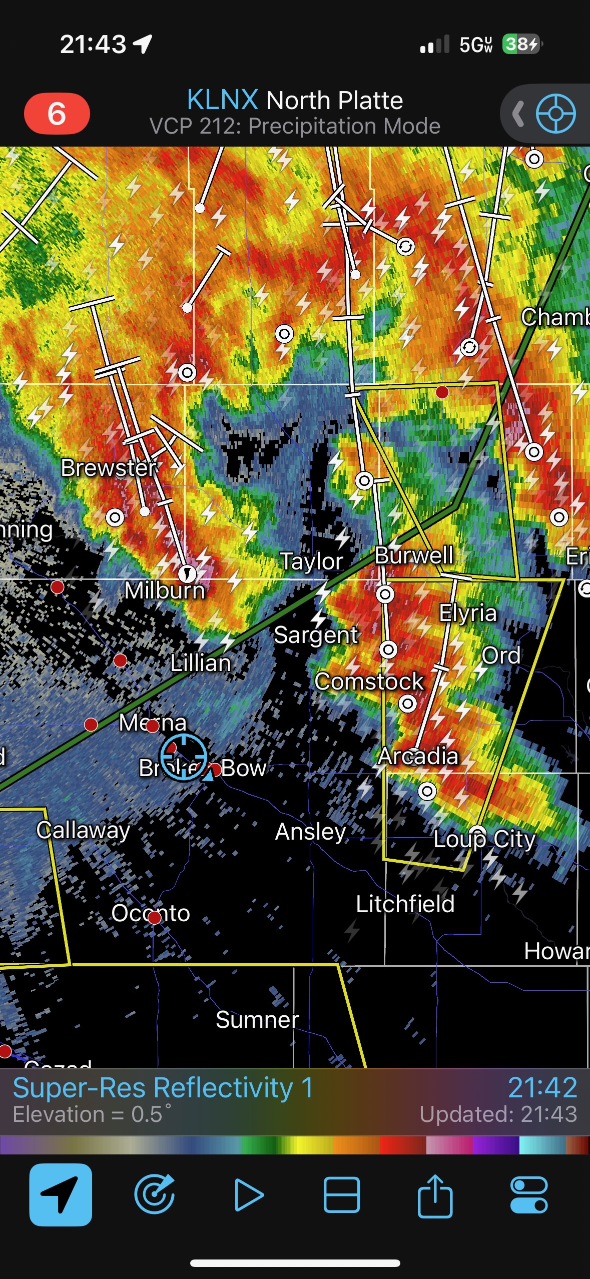
On the way to Broken Bow for the night we learned of very strong outflow winds with a squall a county or two to our WSW. This kind of pooped out as it neared Broken Bow.


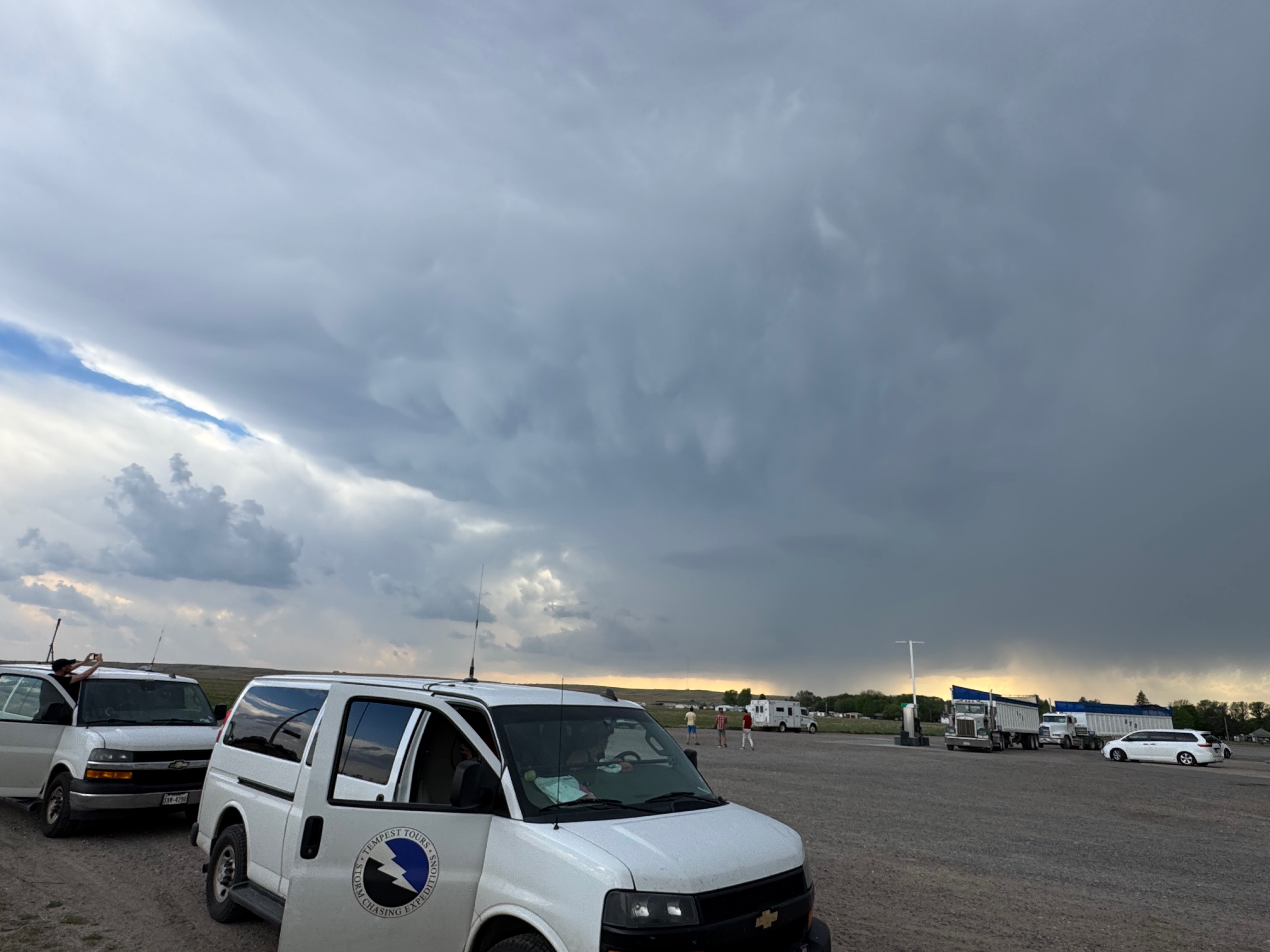
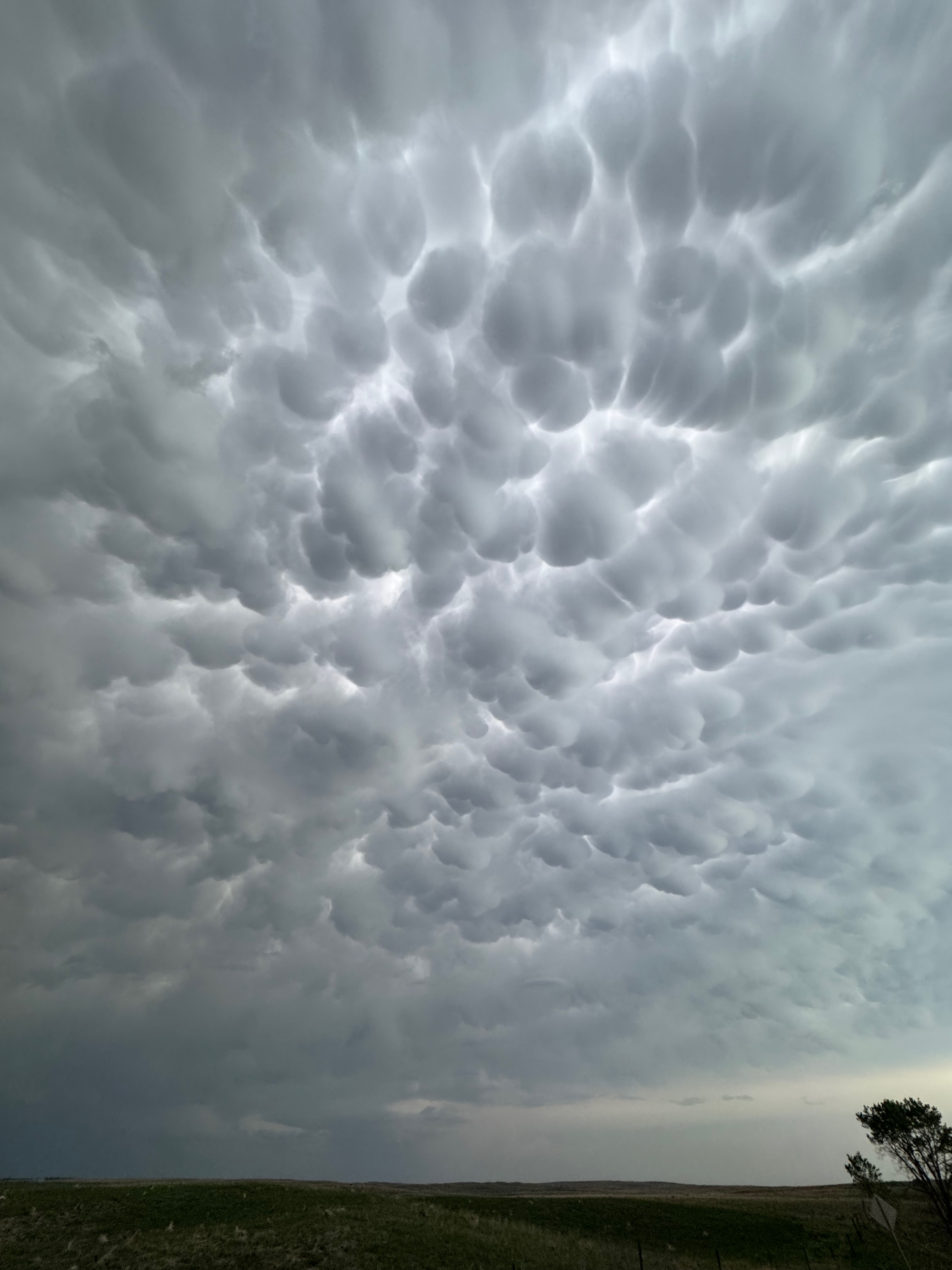
iPhone pics below
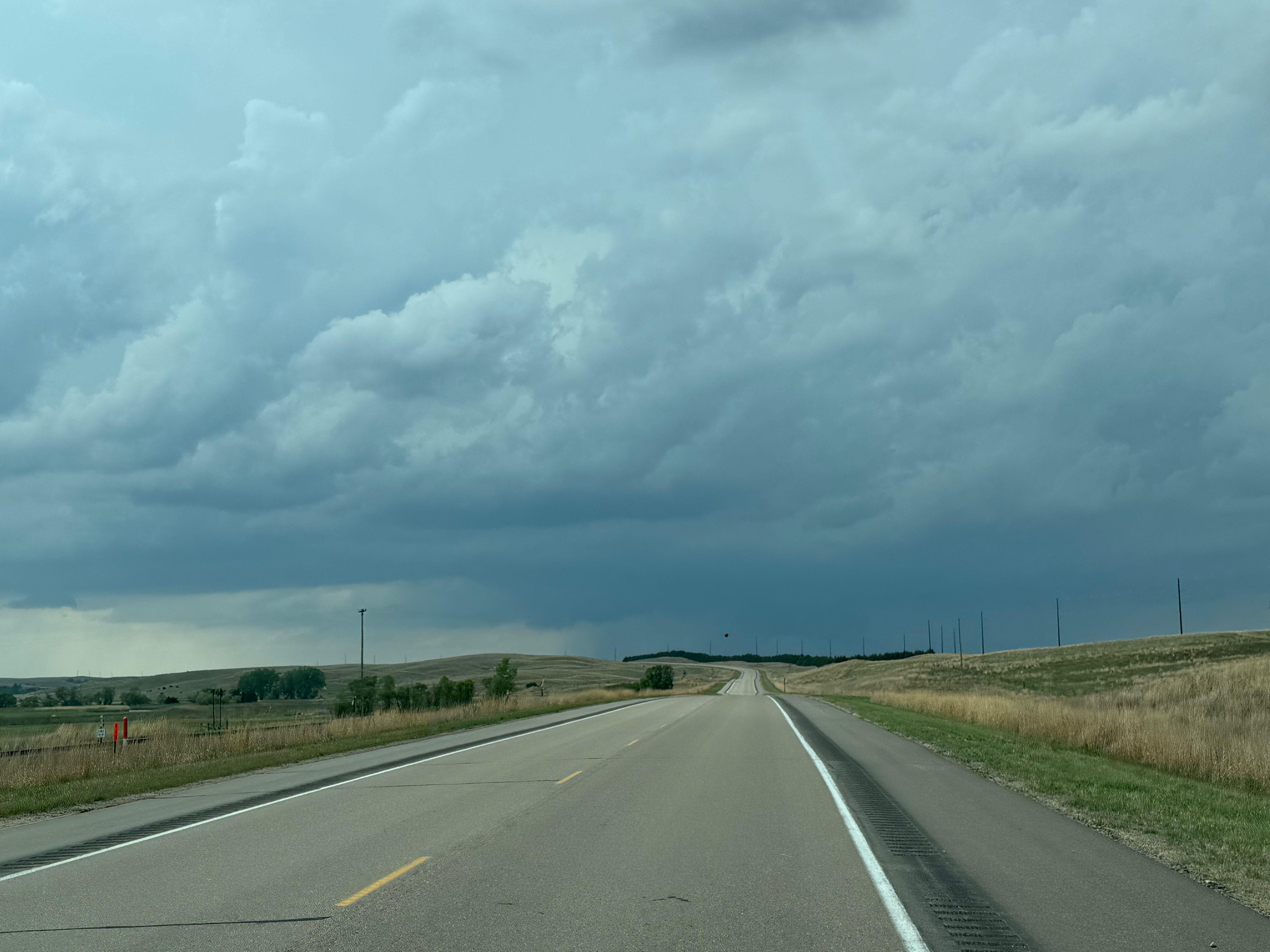
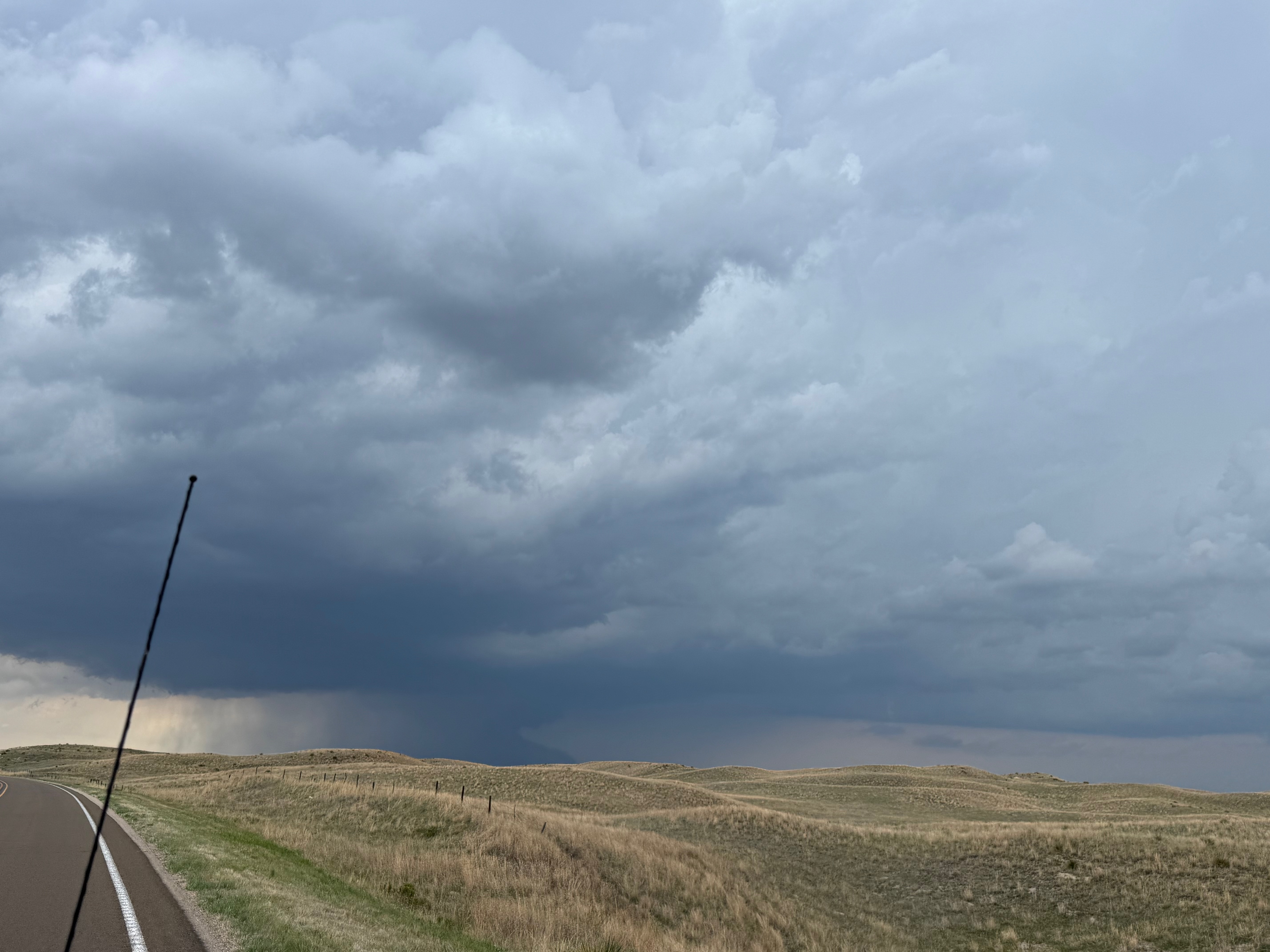
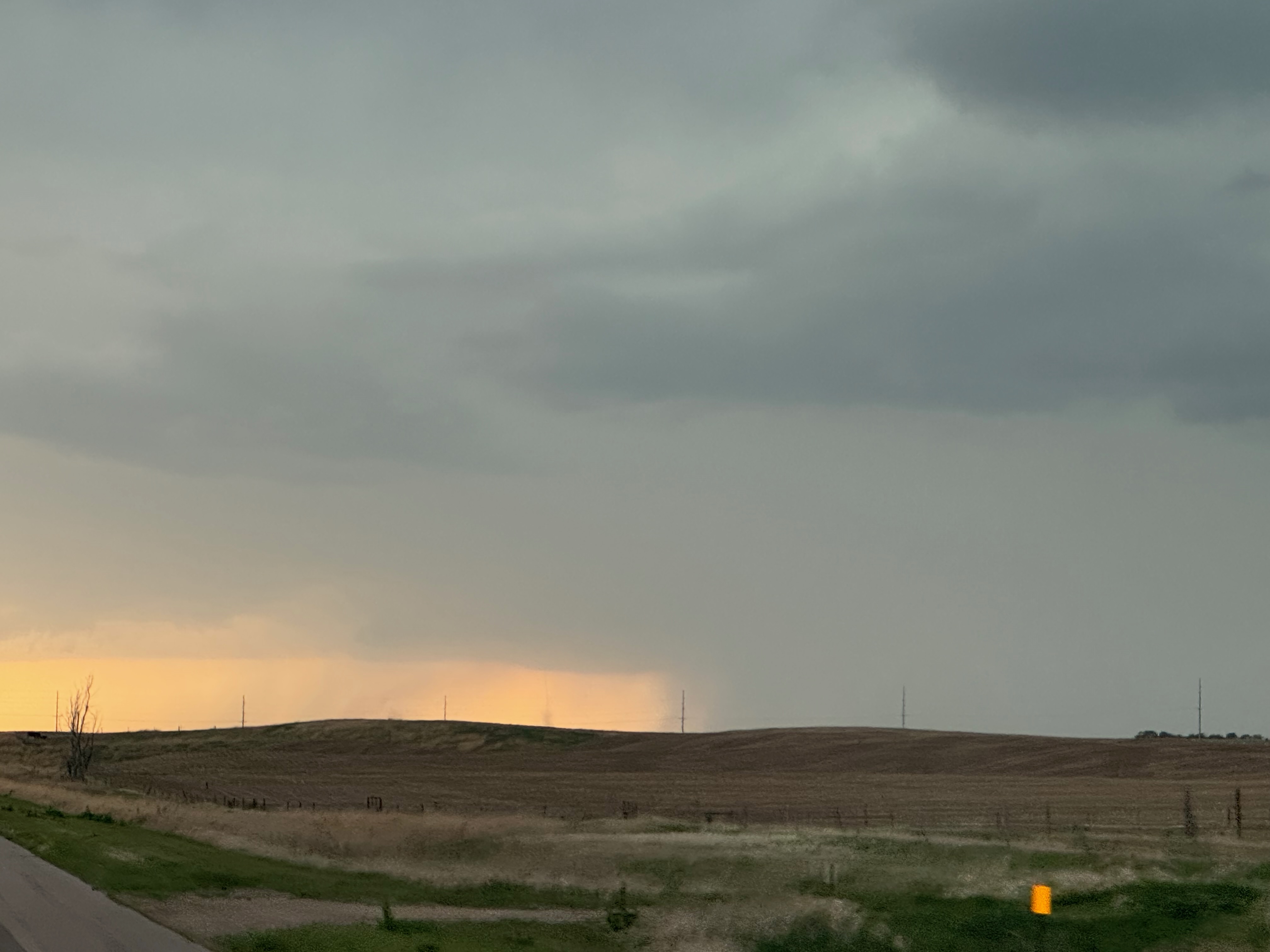
more phone pics, beginning near the start of the distant landspout phase and drive S and SW.

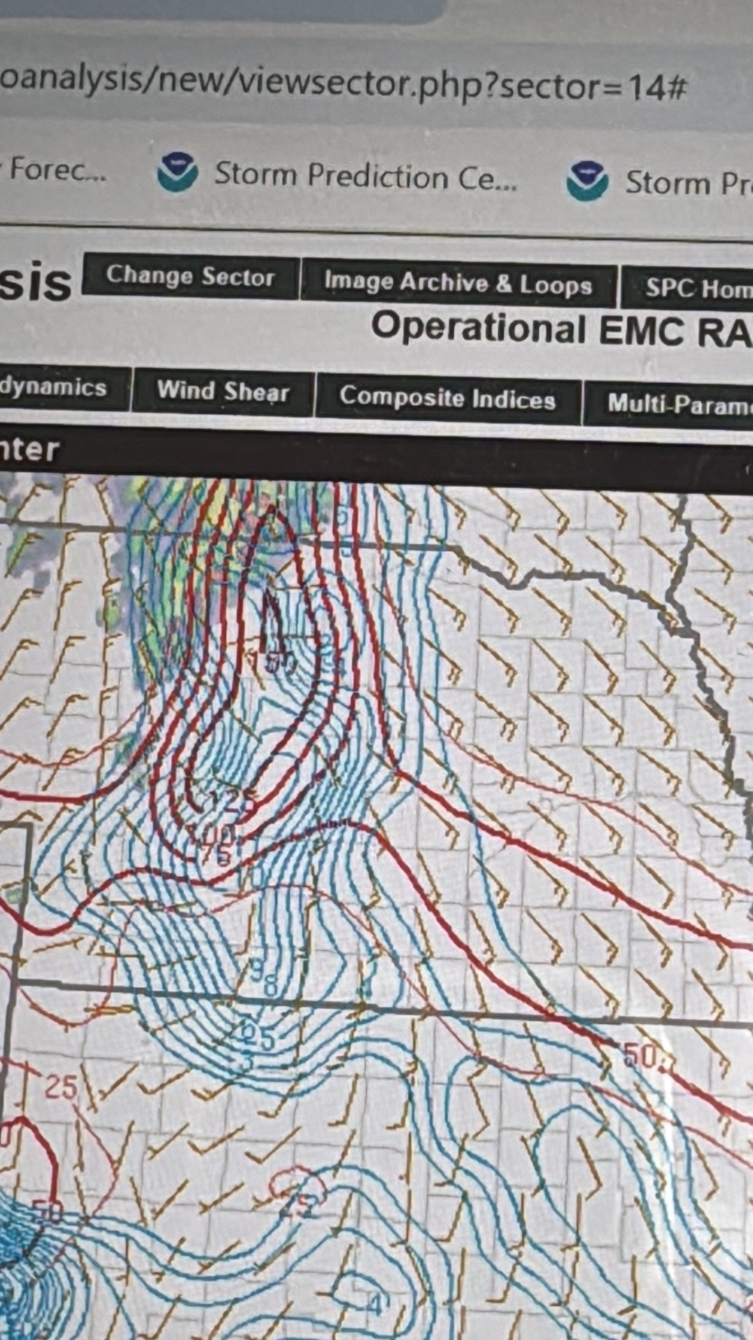
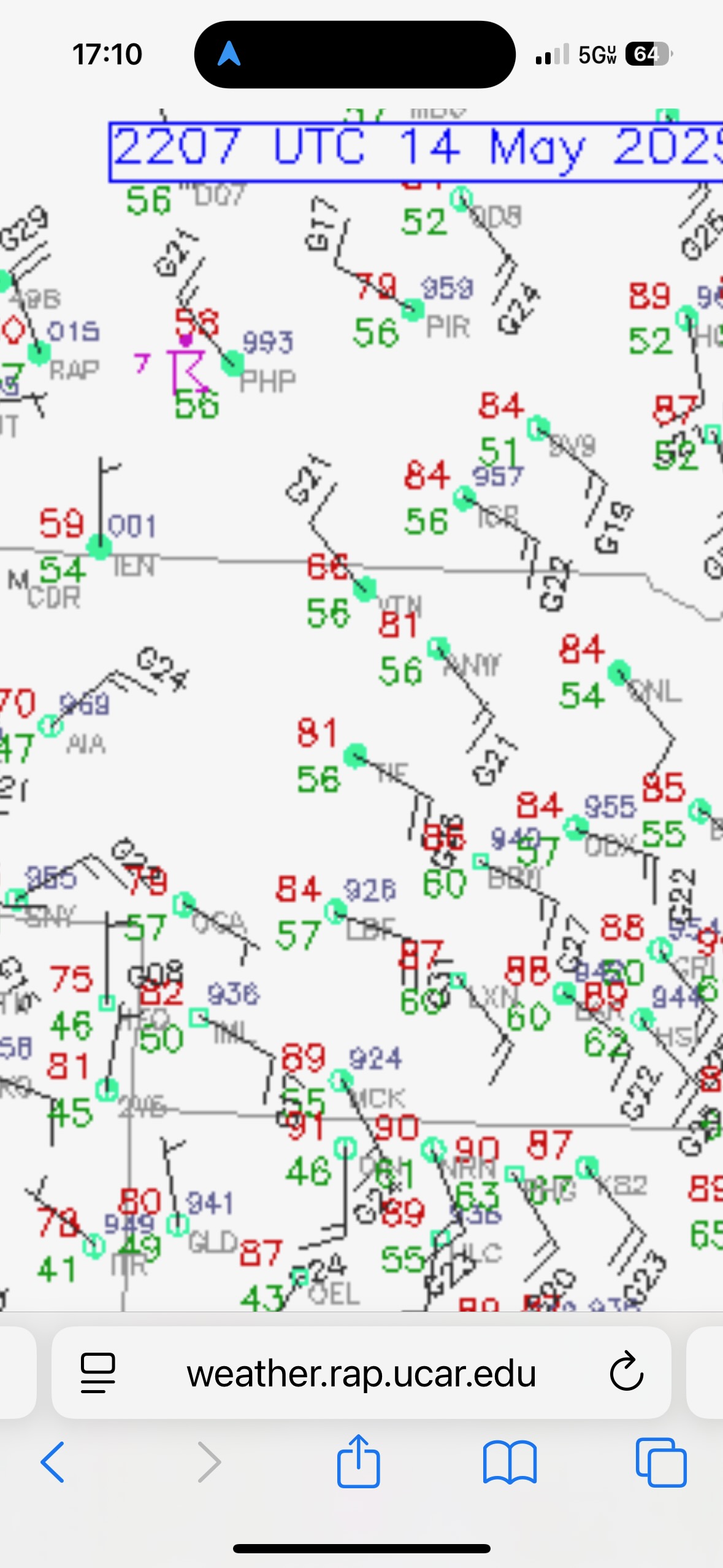
iPhone radar grabs below
Leave a Reply
You must be logged in to post a comment.