
Start: Enid, OK/Lunch: Wellington Bruams/End: Emporia, KS/333 miles
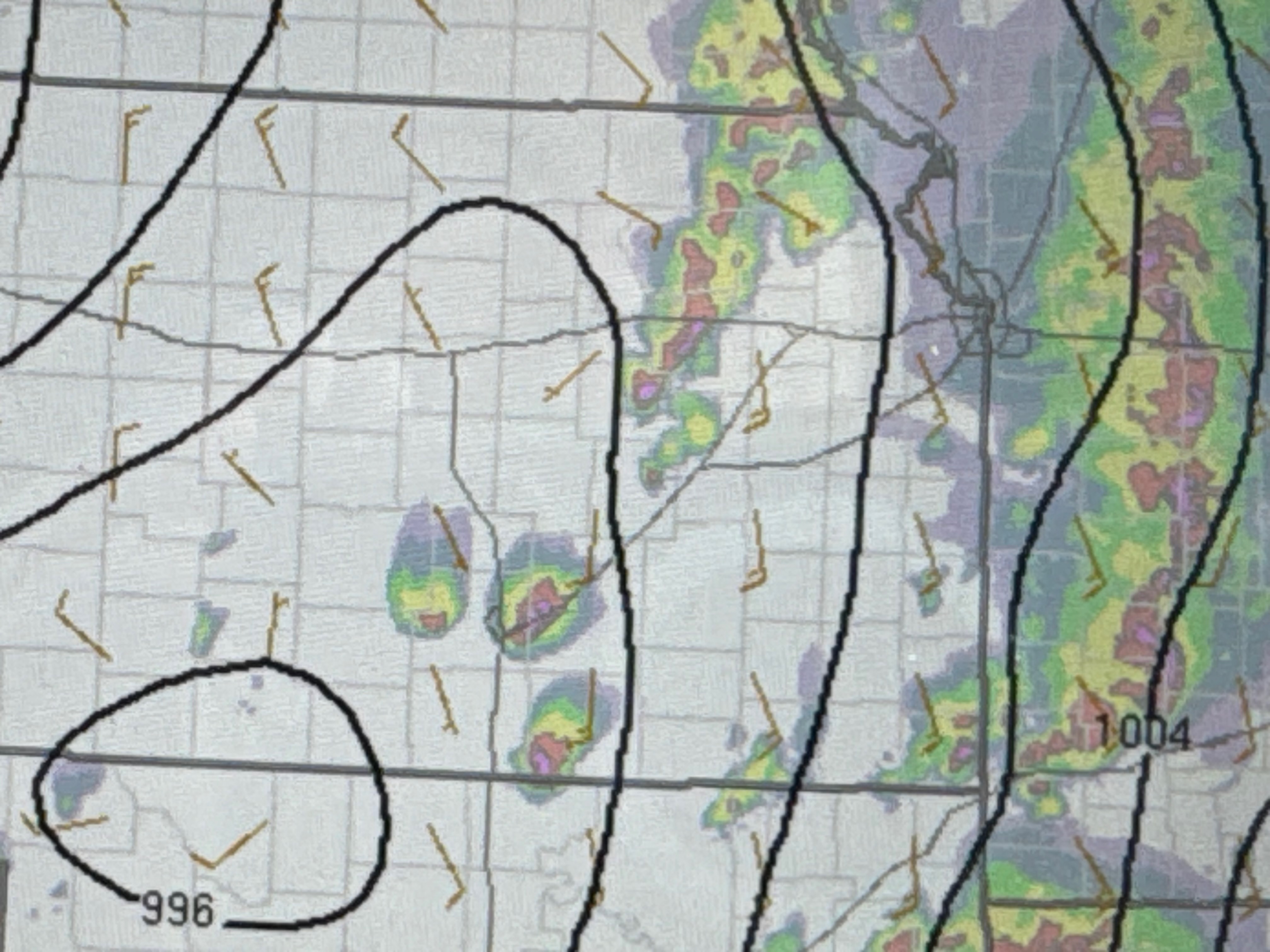
Mesoscale Discussions 3:12 p.m. CDT. 3:38 p.m. CDT. 5:21 p.m. CDT. 6:08 p.m. CDT.
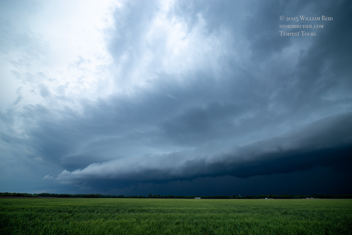
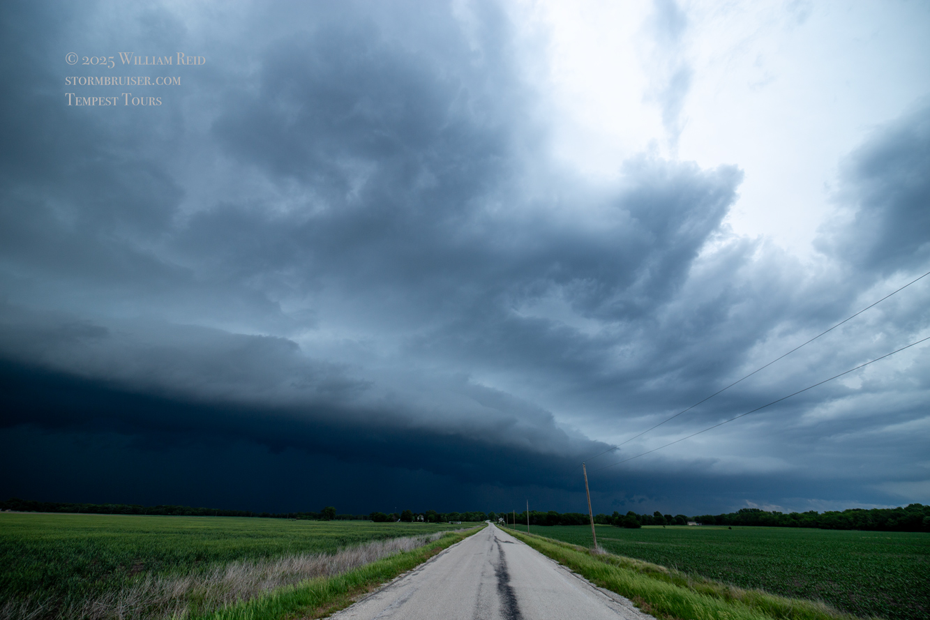
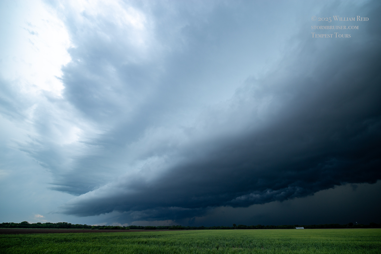
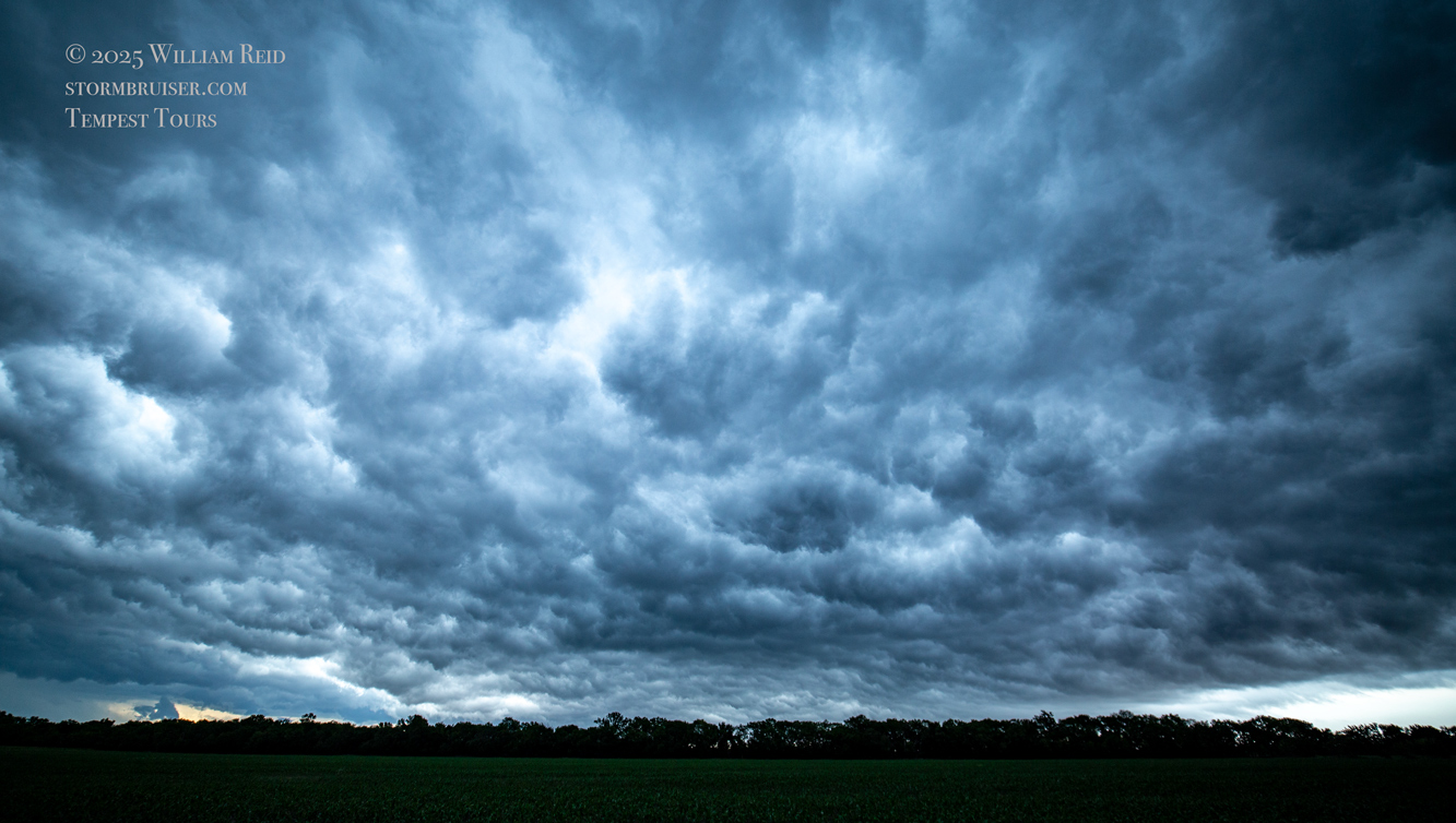
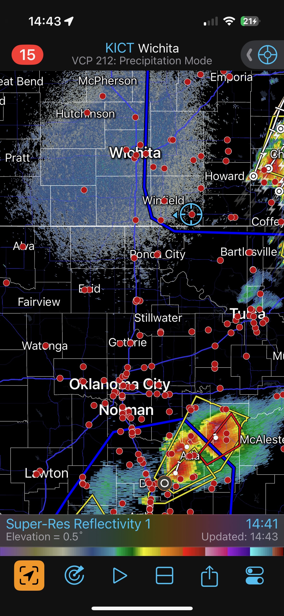
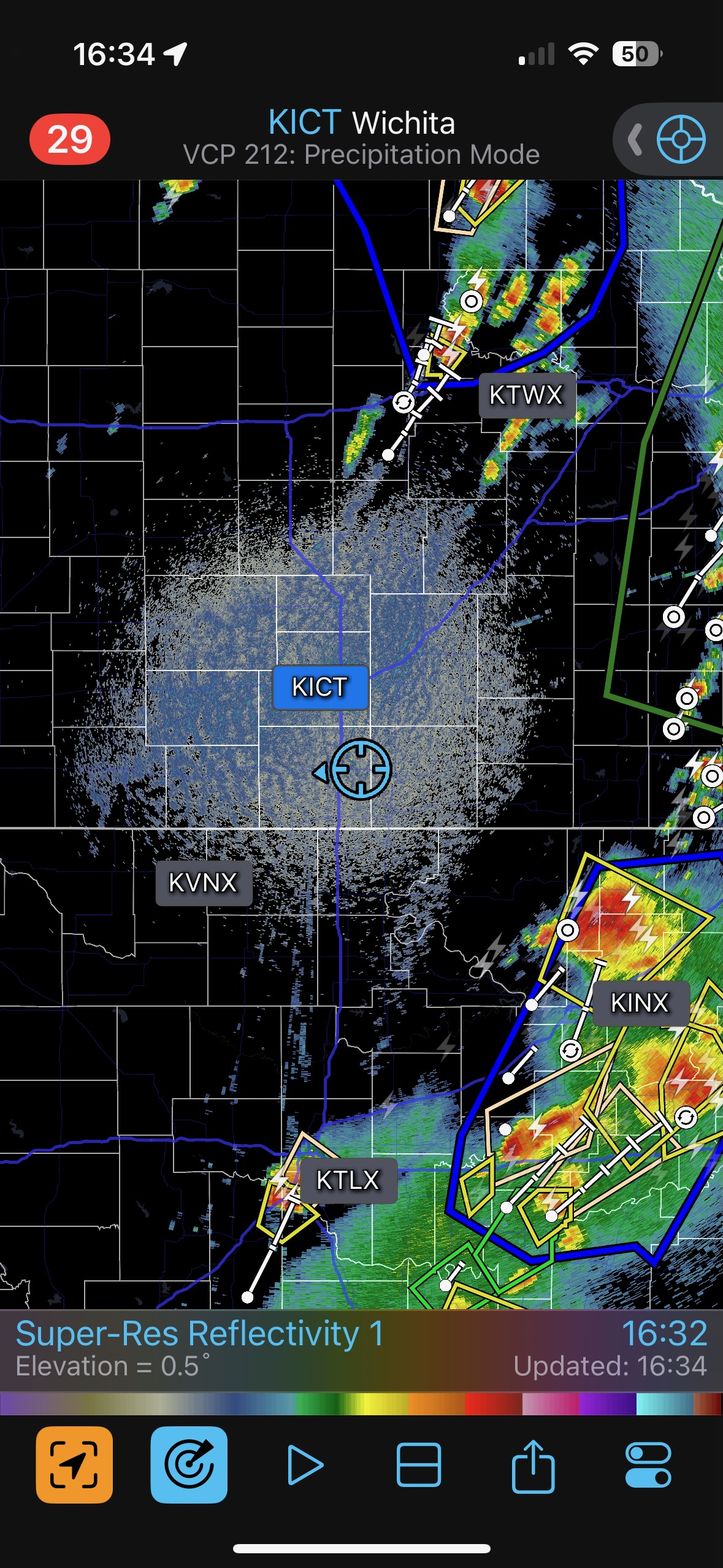
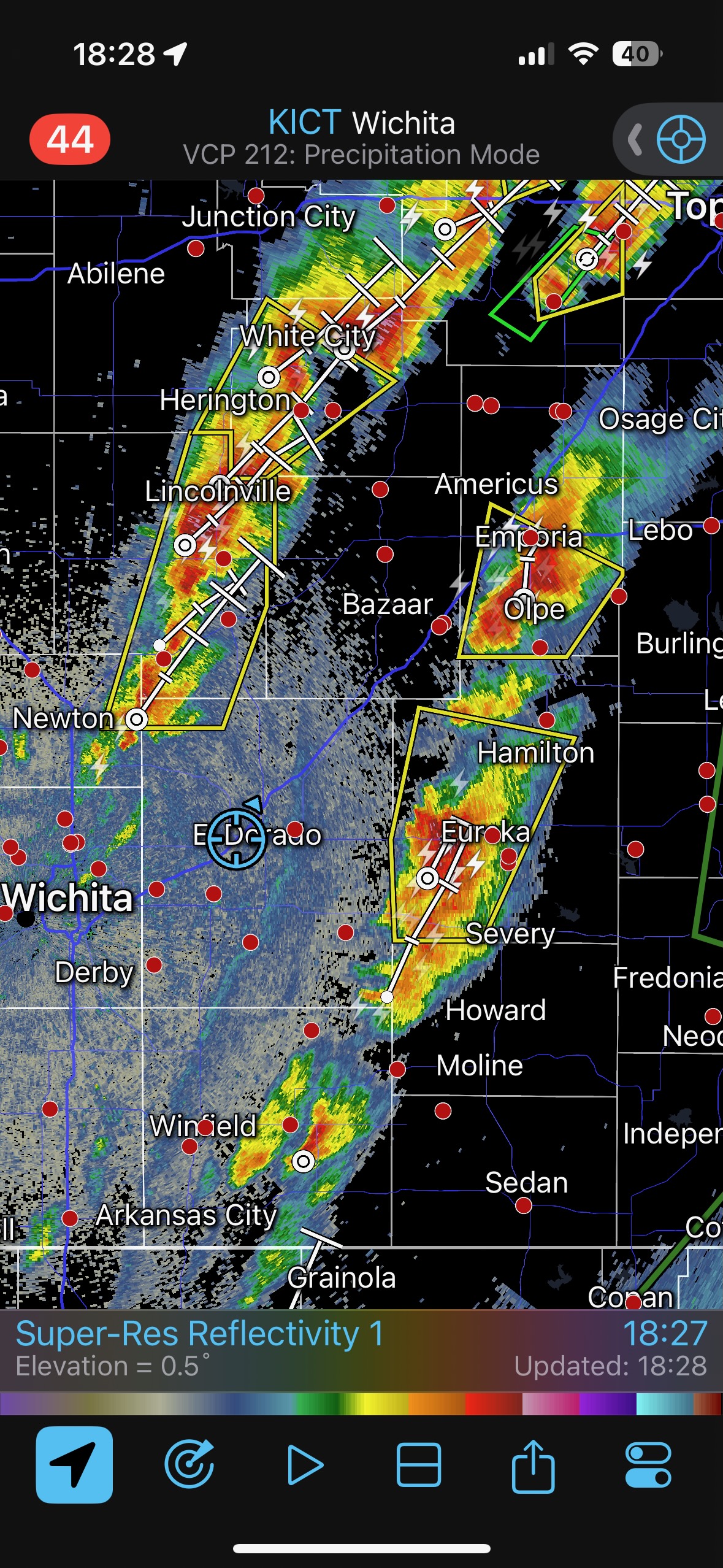
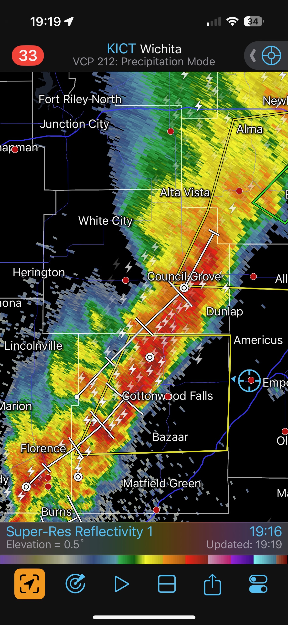
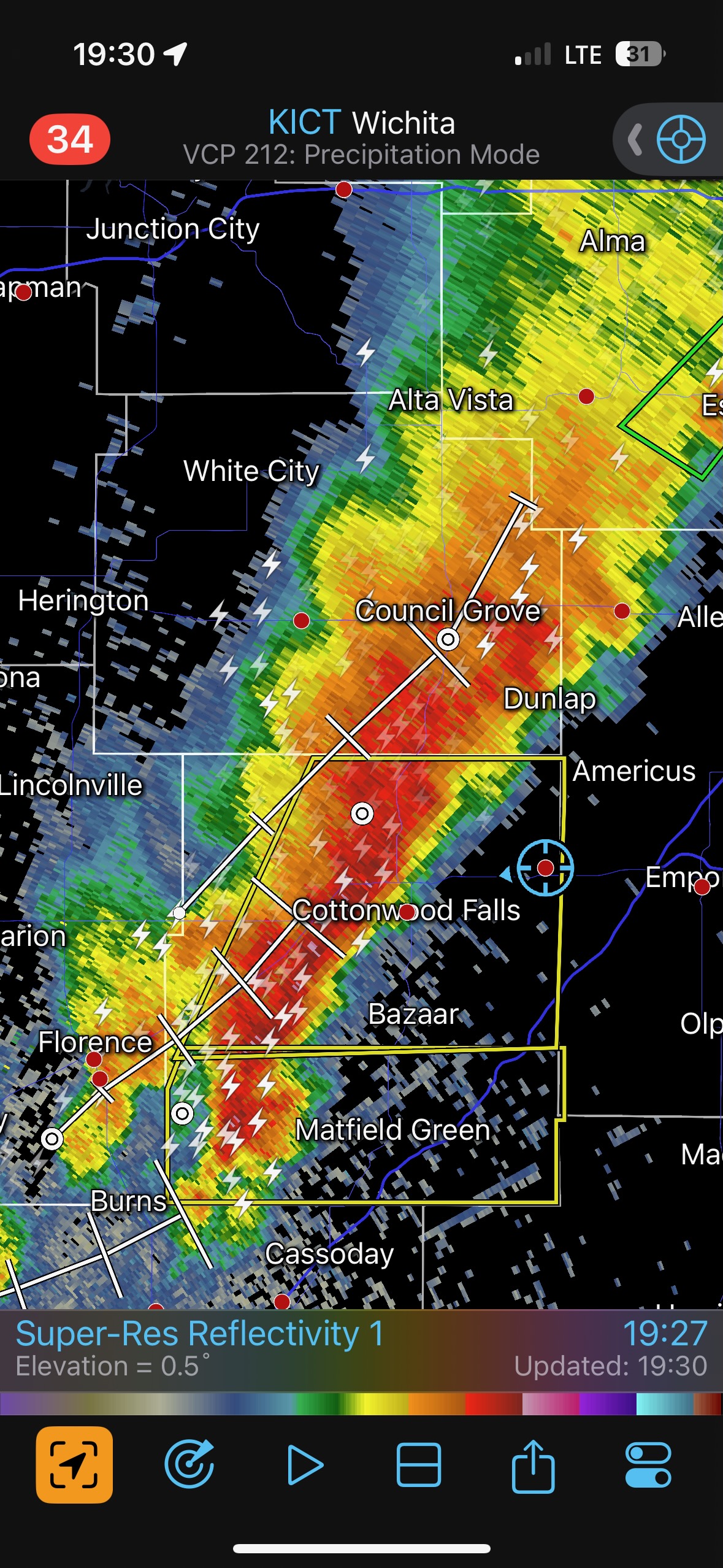
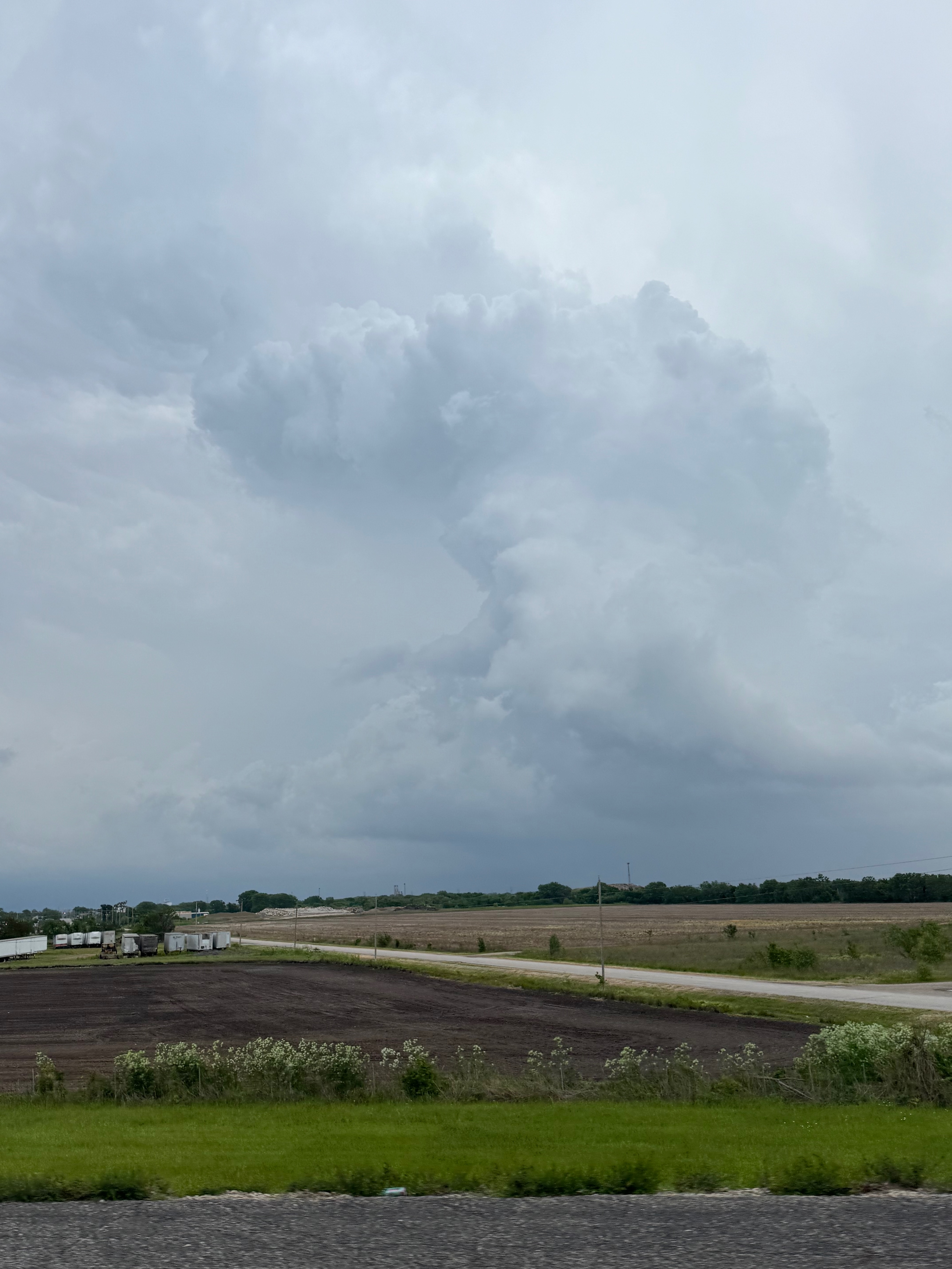
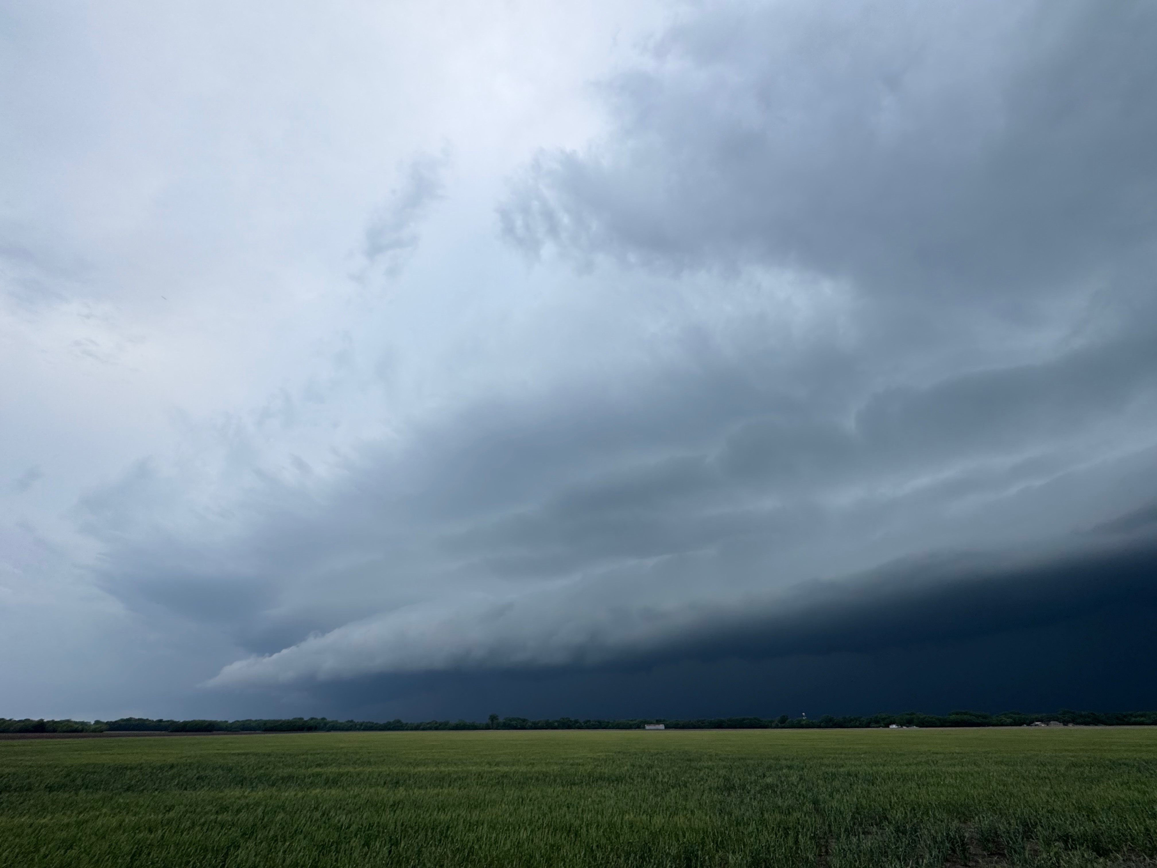
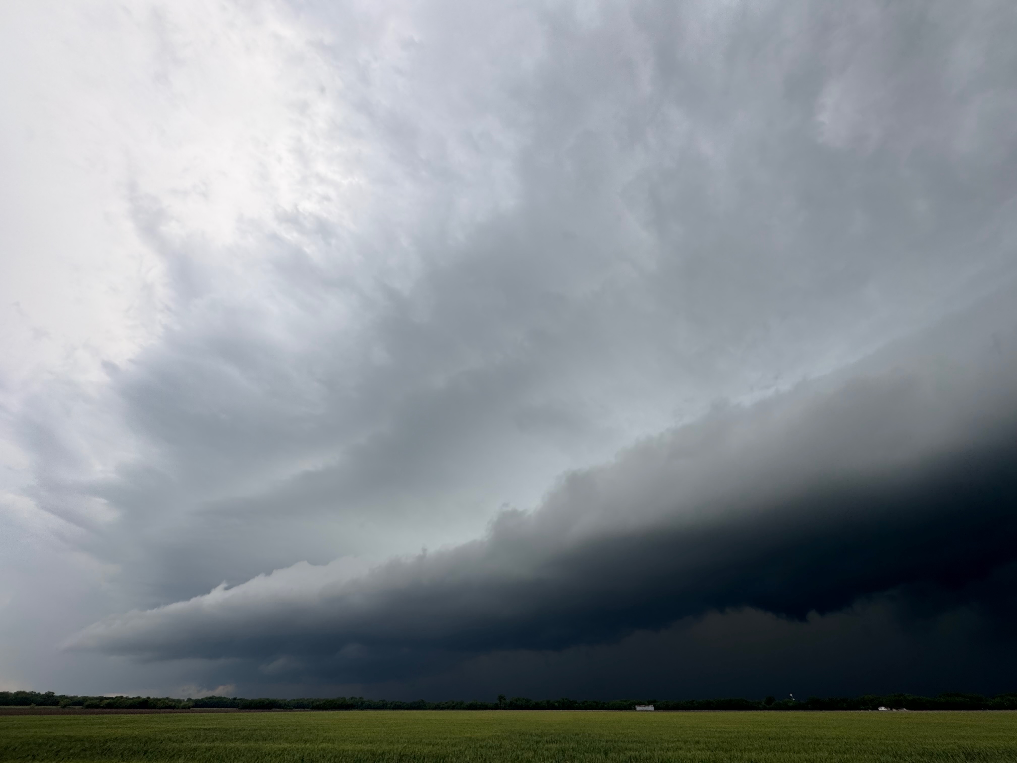
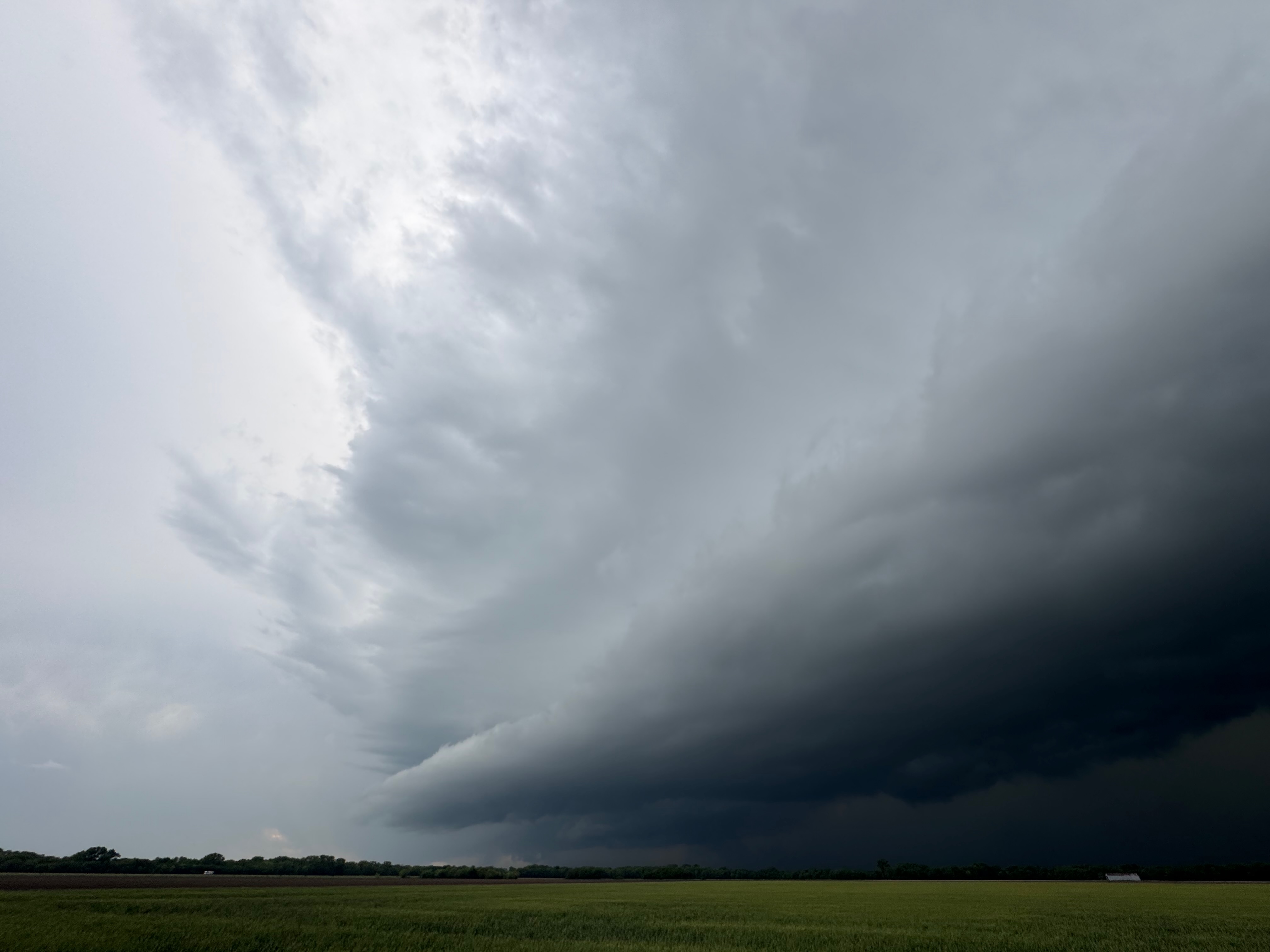
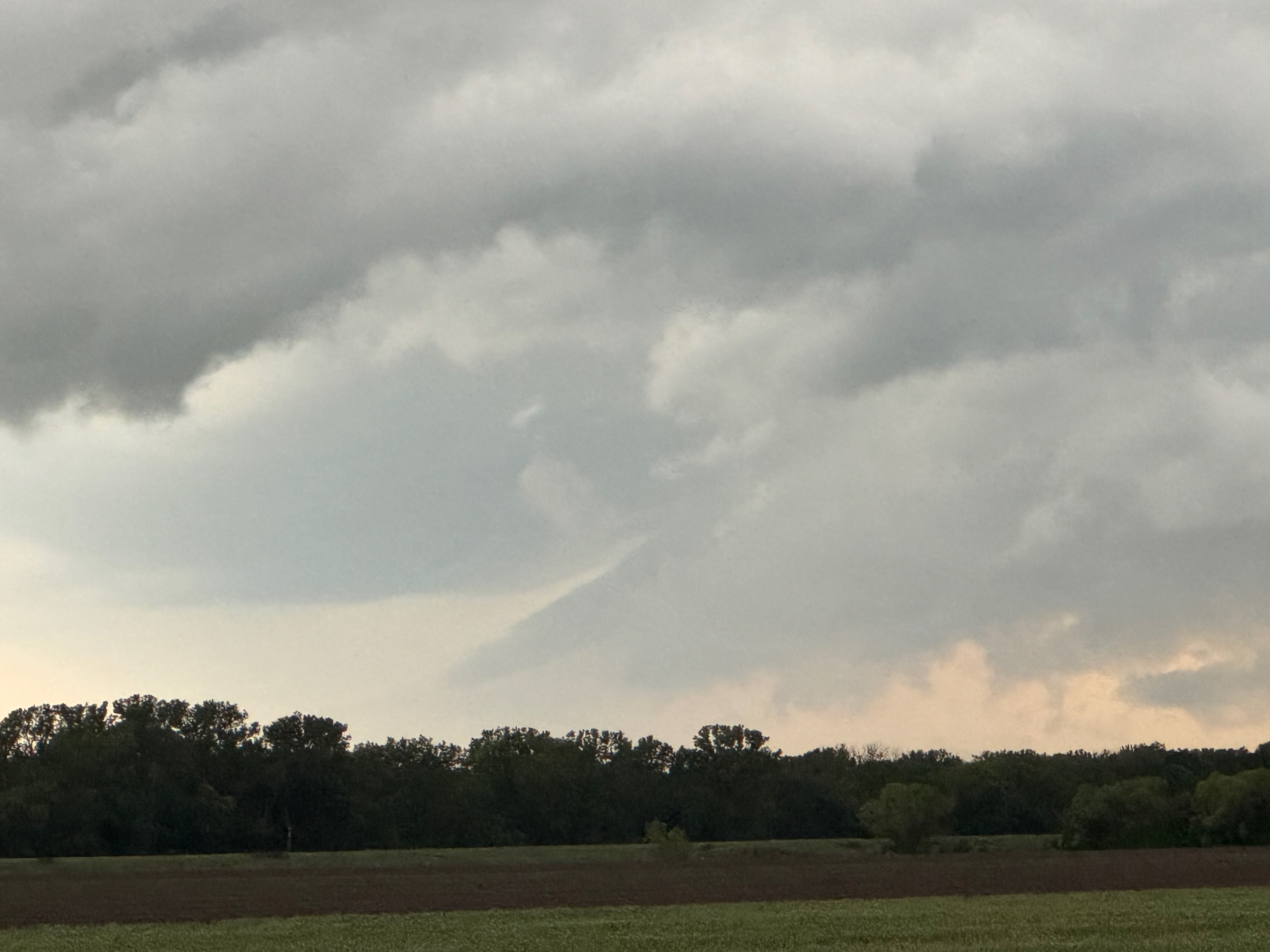
SPC showed a large 15 percent hatched tornado outline this day, but it was far from clear as to where the best place to target might be. I wound up going for the tried-and-true “northeast of the surface low” play, and we wound up with a big and marginally-severe linear system and a shelfy thing. Ho-hum. Much of the tornado threat was in the trees of eastern OK and vicinity, and I did not see enough positives to drag me that far east from our starting point in Enid. From what I can tell, though there were quite a few tornado reports, it was not a big day tornado-wise for chasers. The radar at 2:43 p.m. CDT shows somewhat early severe storms southeast of Norman, OK. Apparently destructive storm interactions were common. Nice and discrete supercells were few.
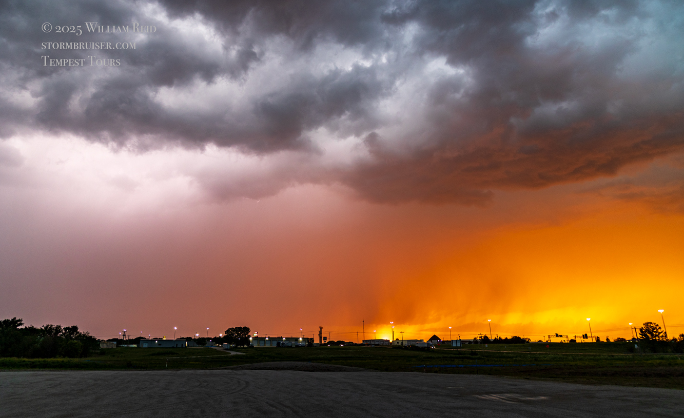
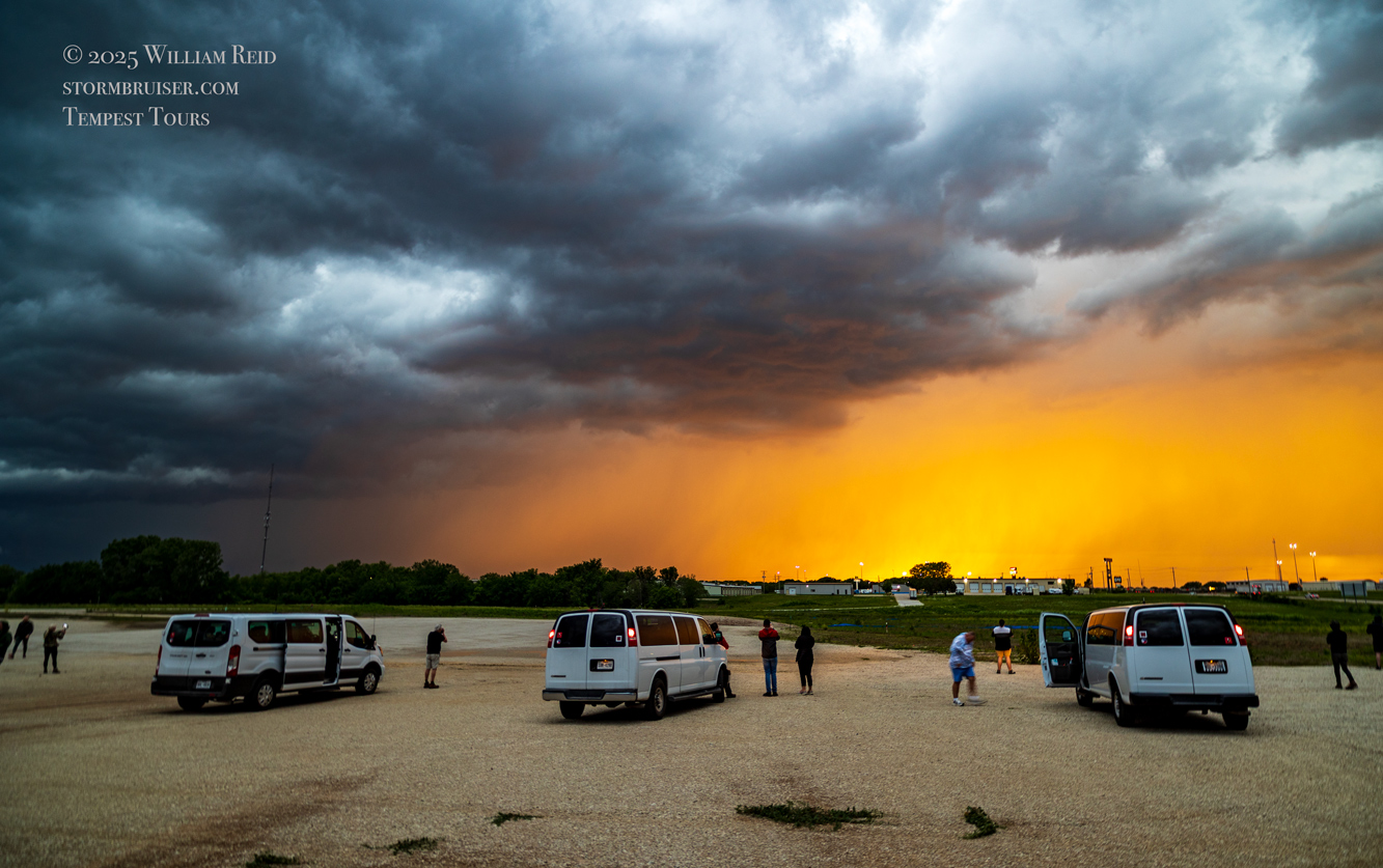
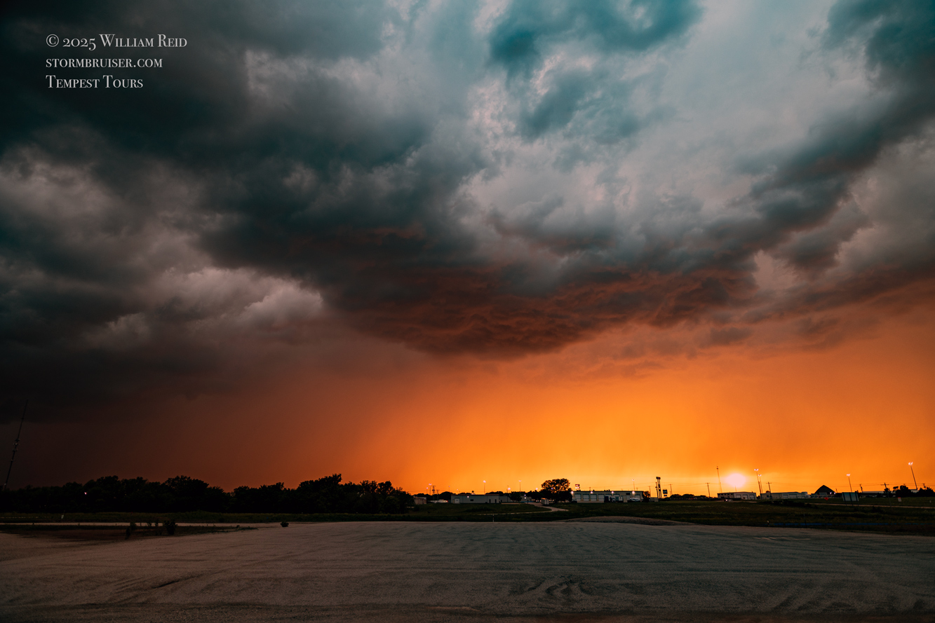
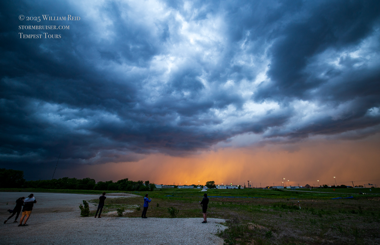
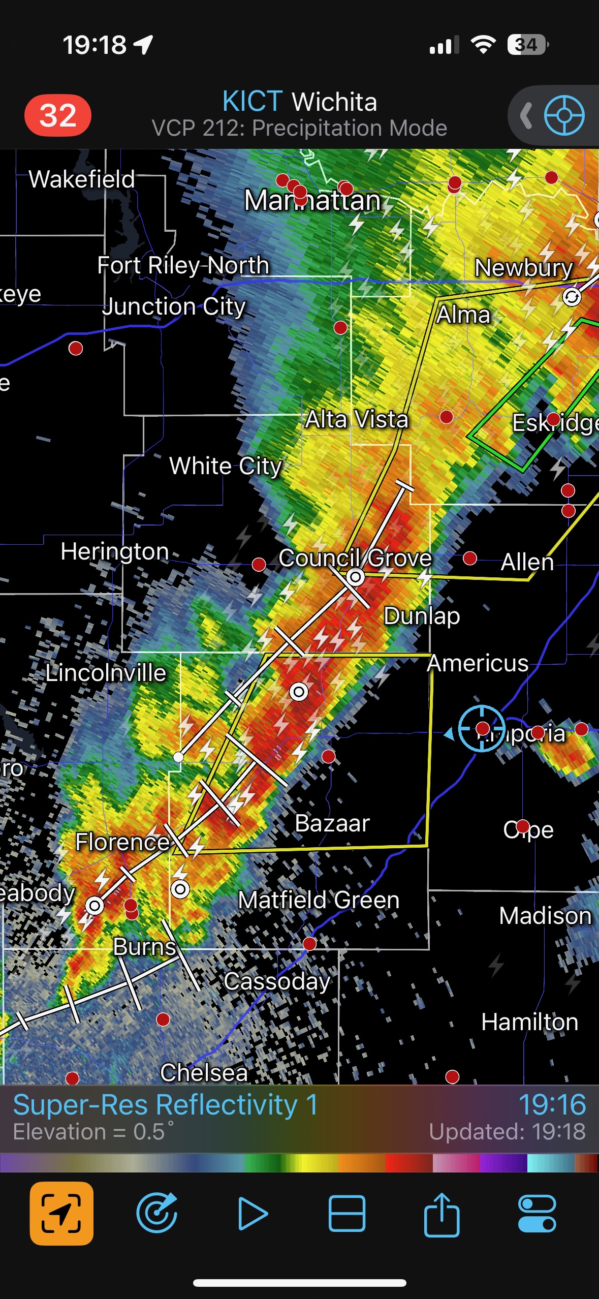
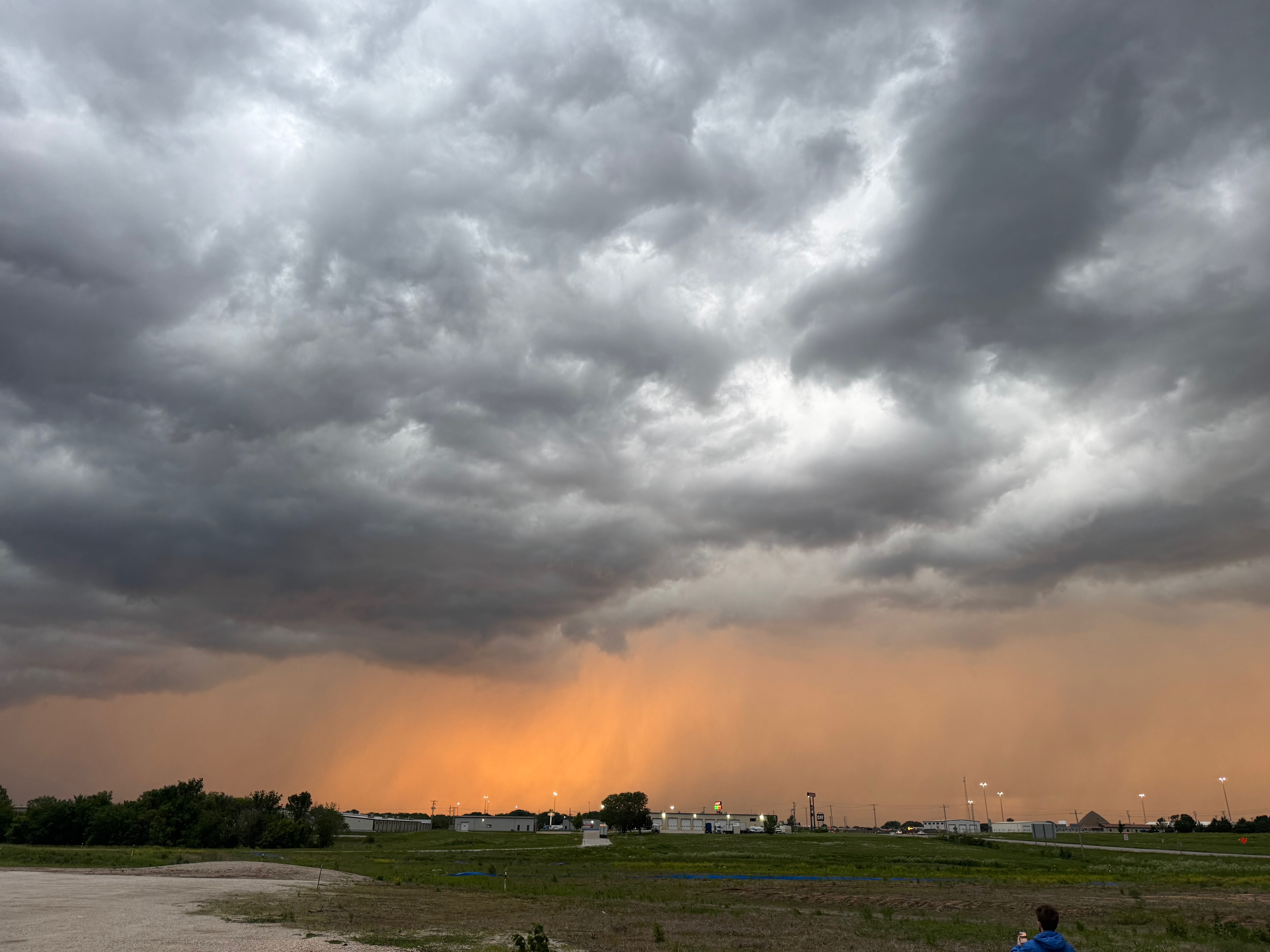
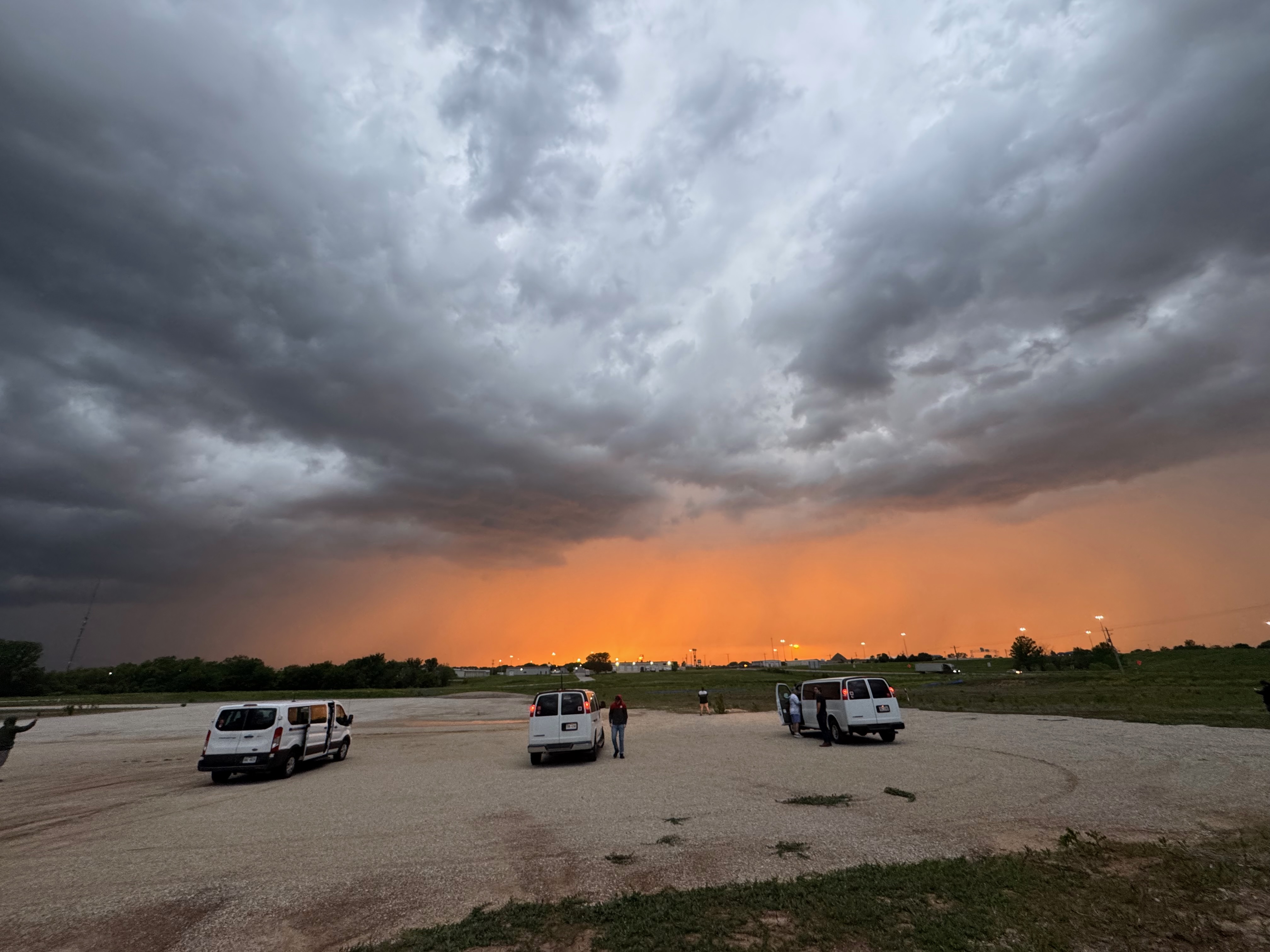
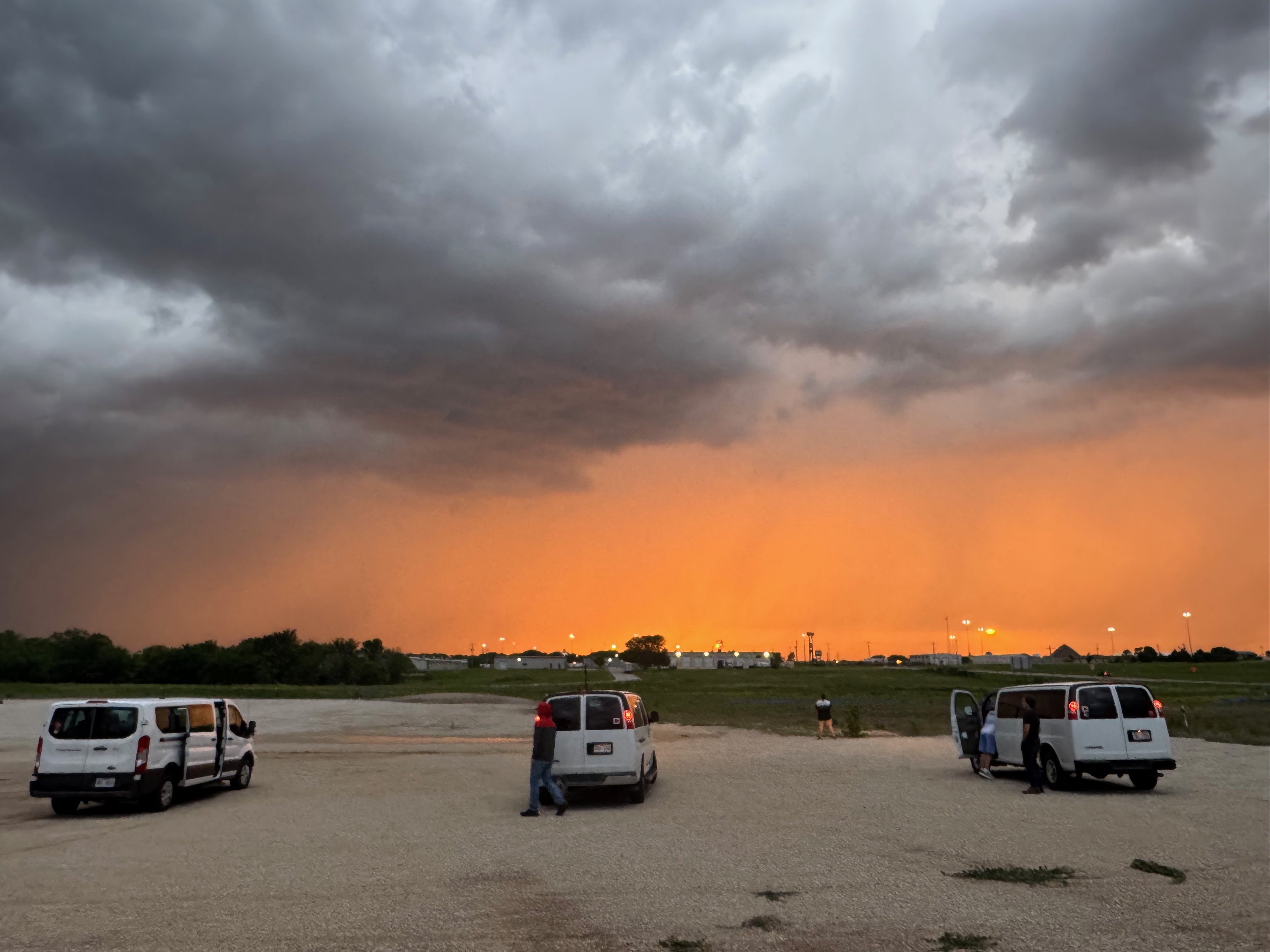
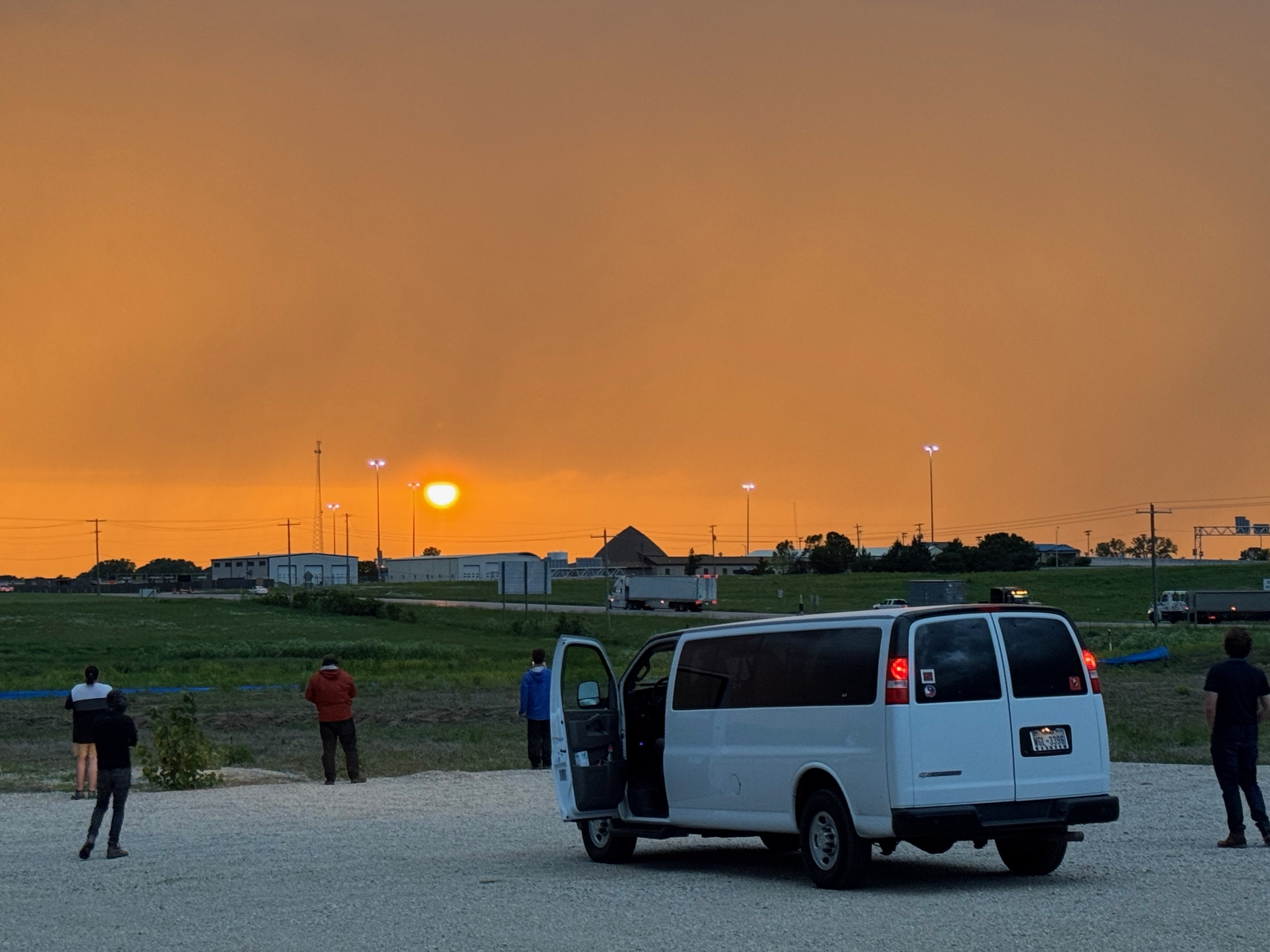
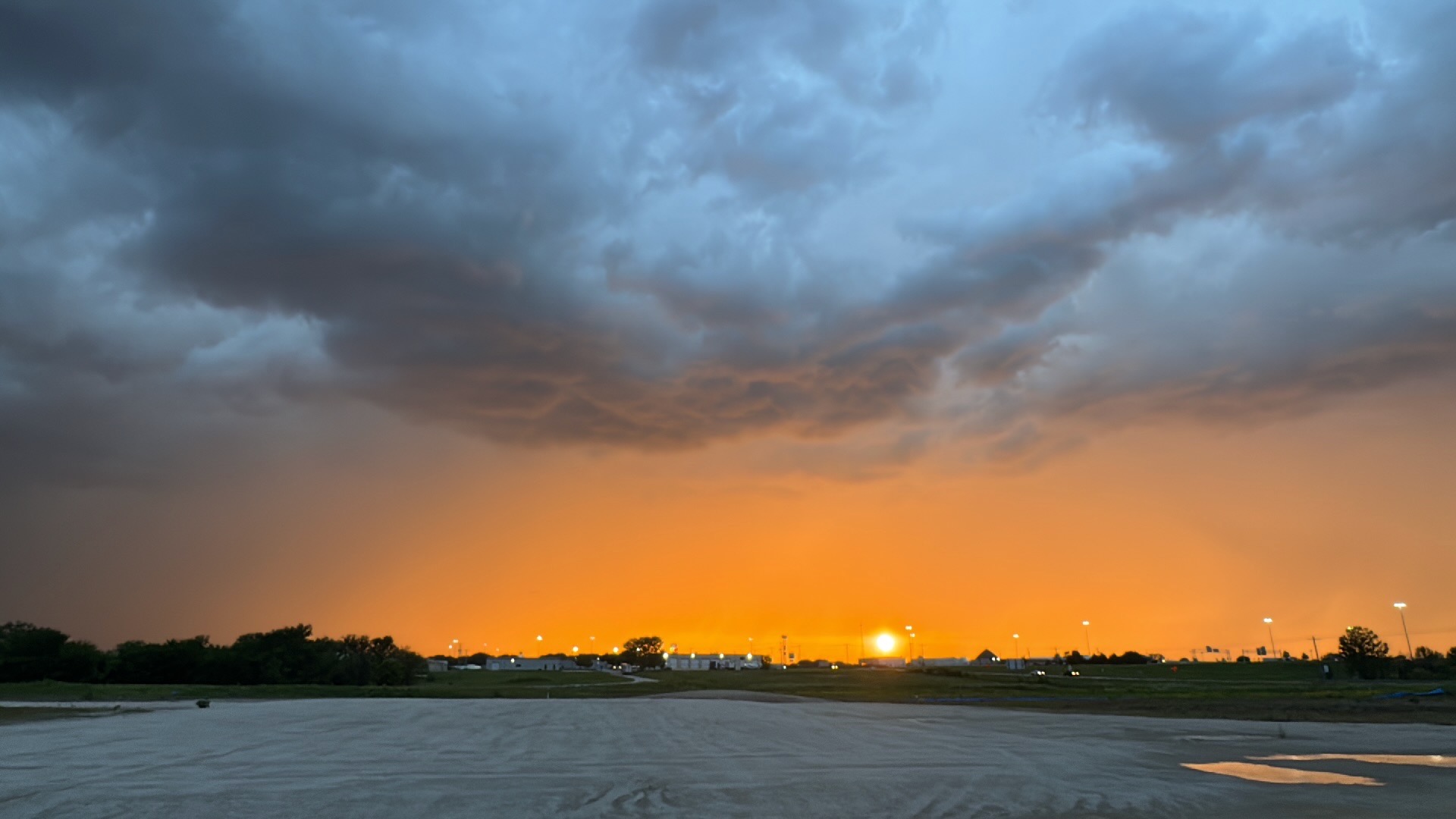
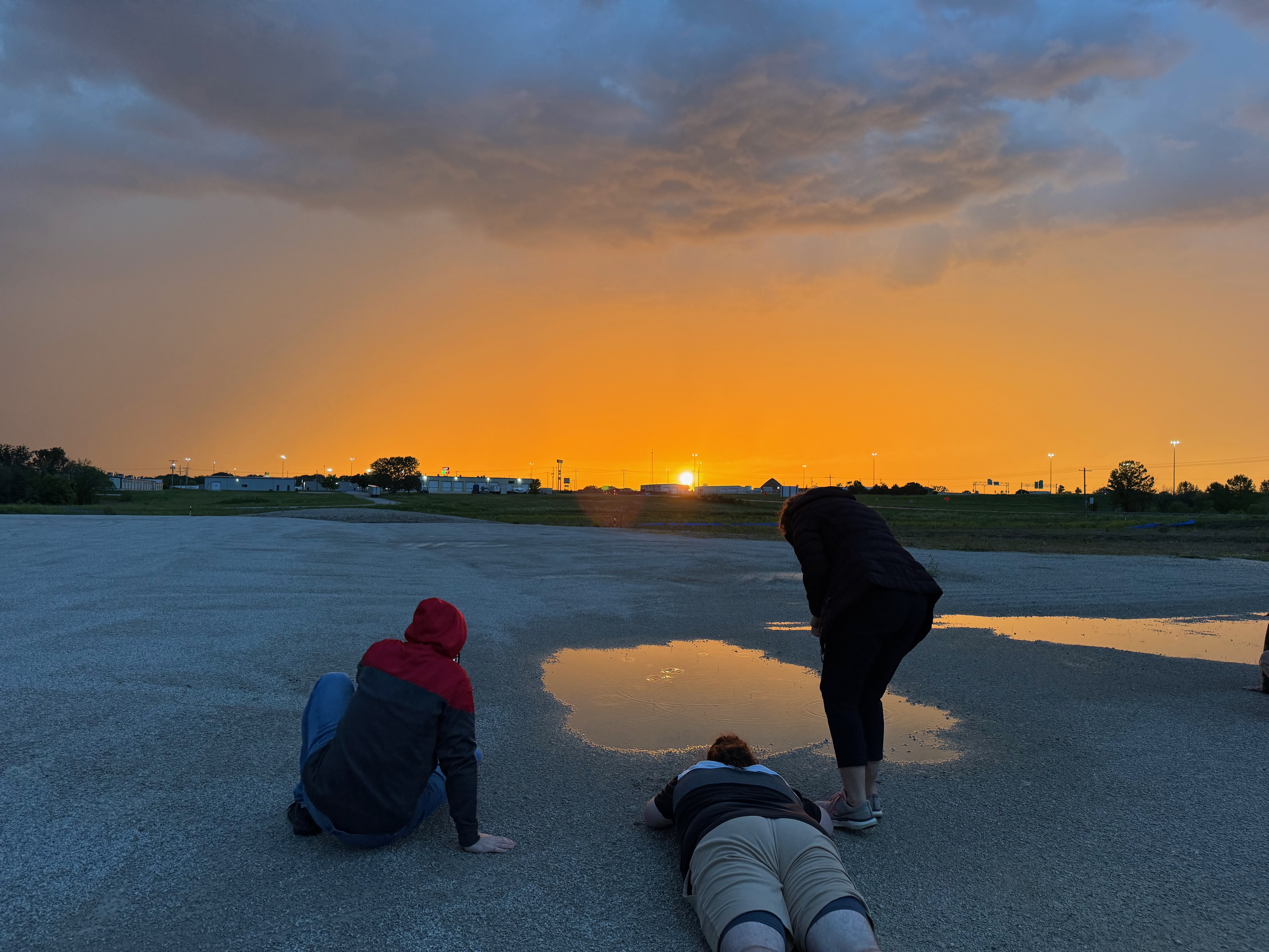
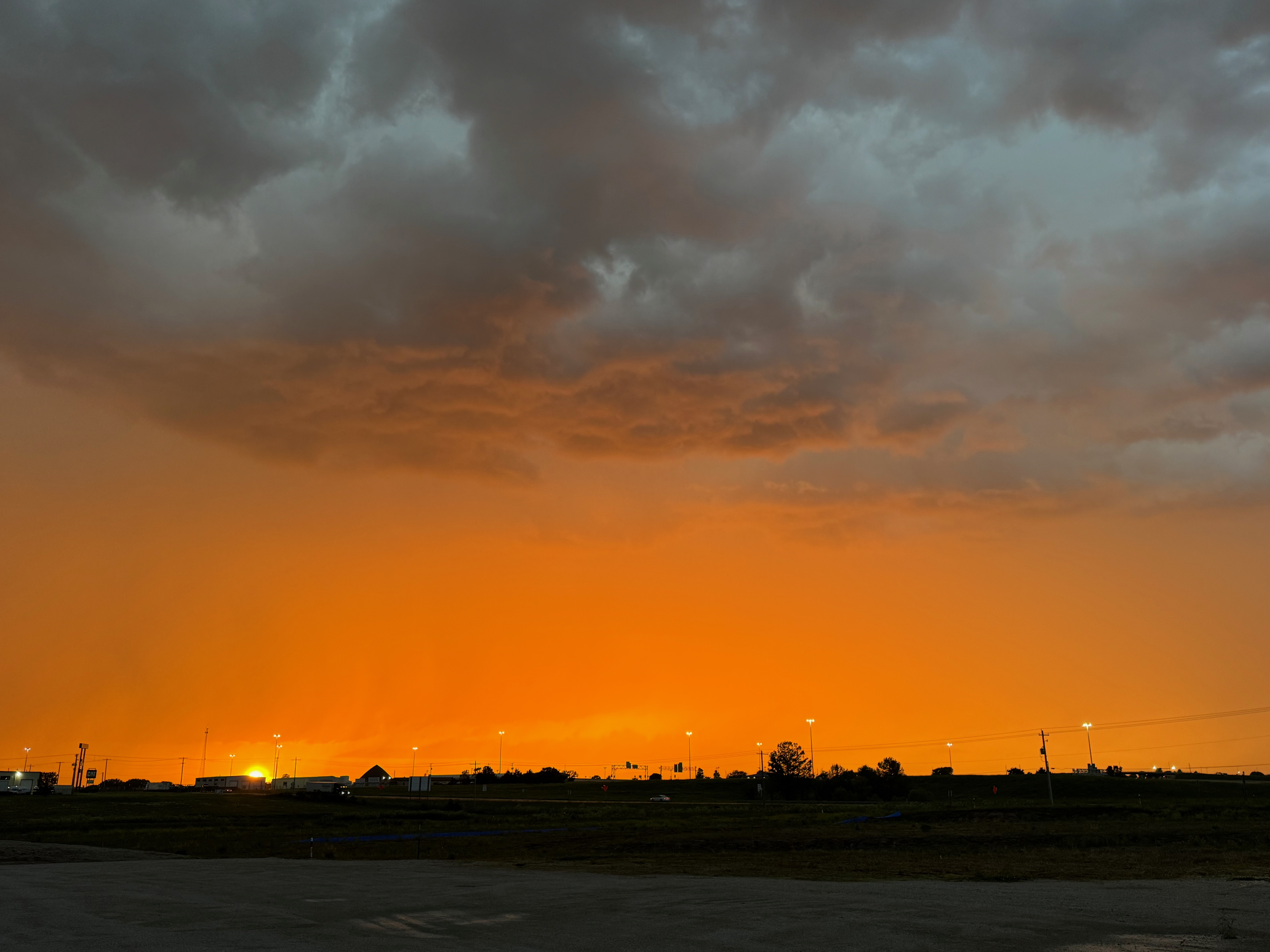
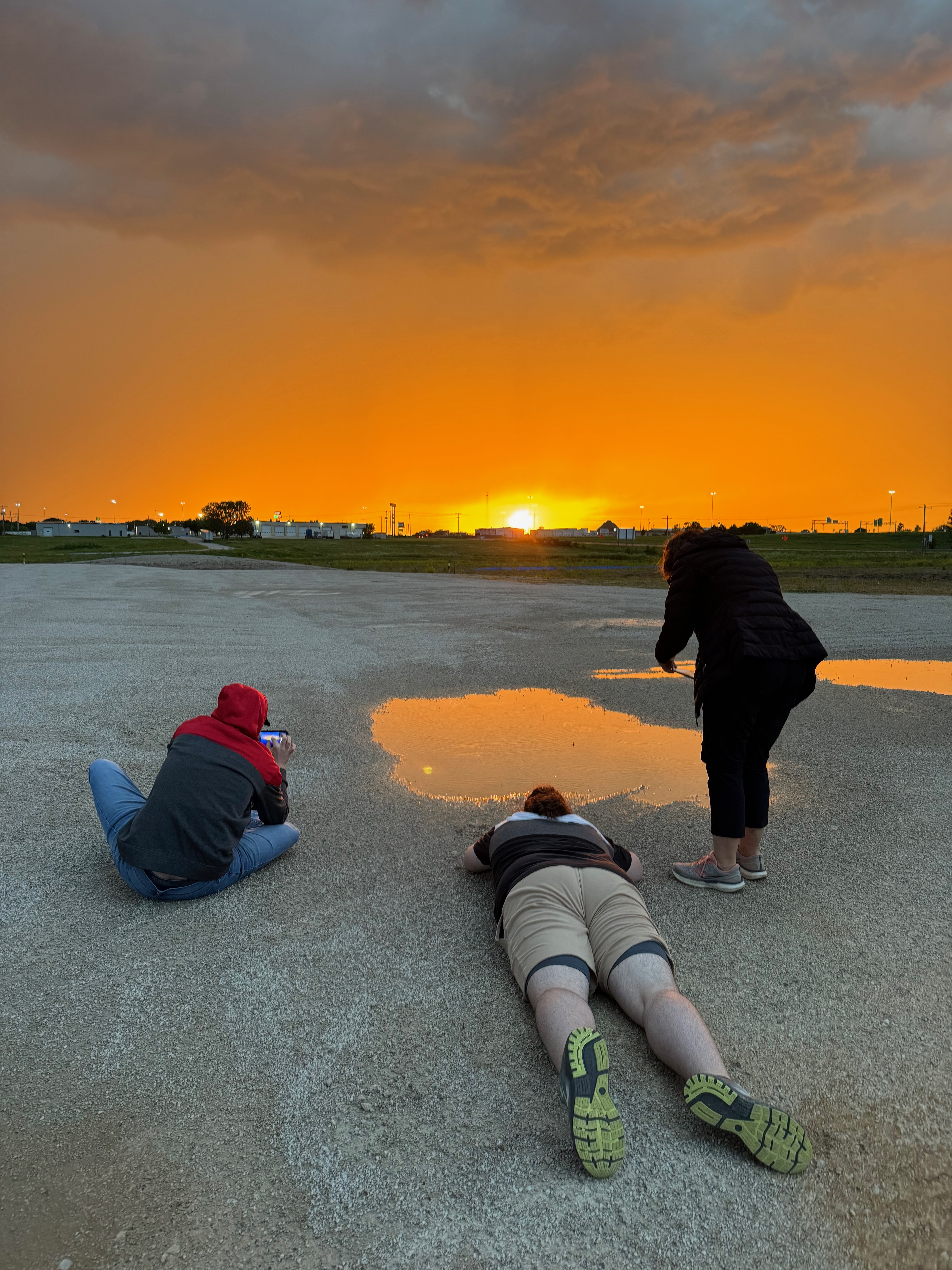
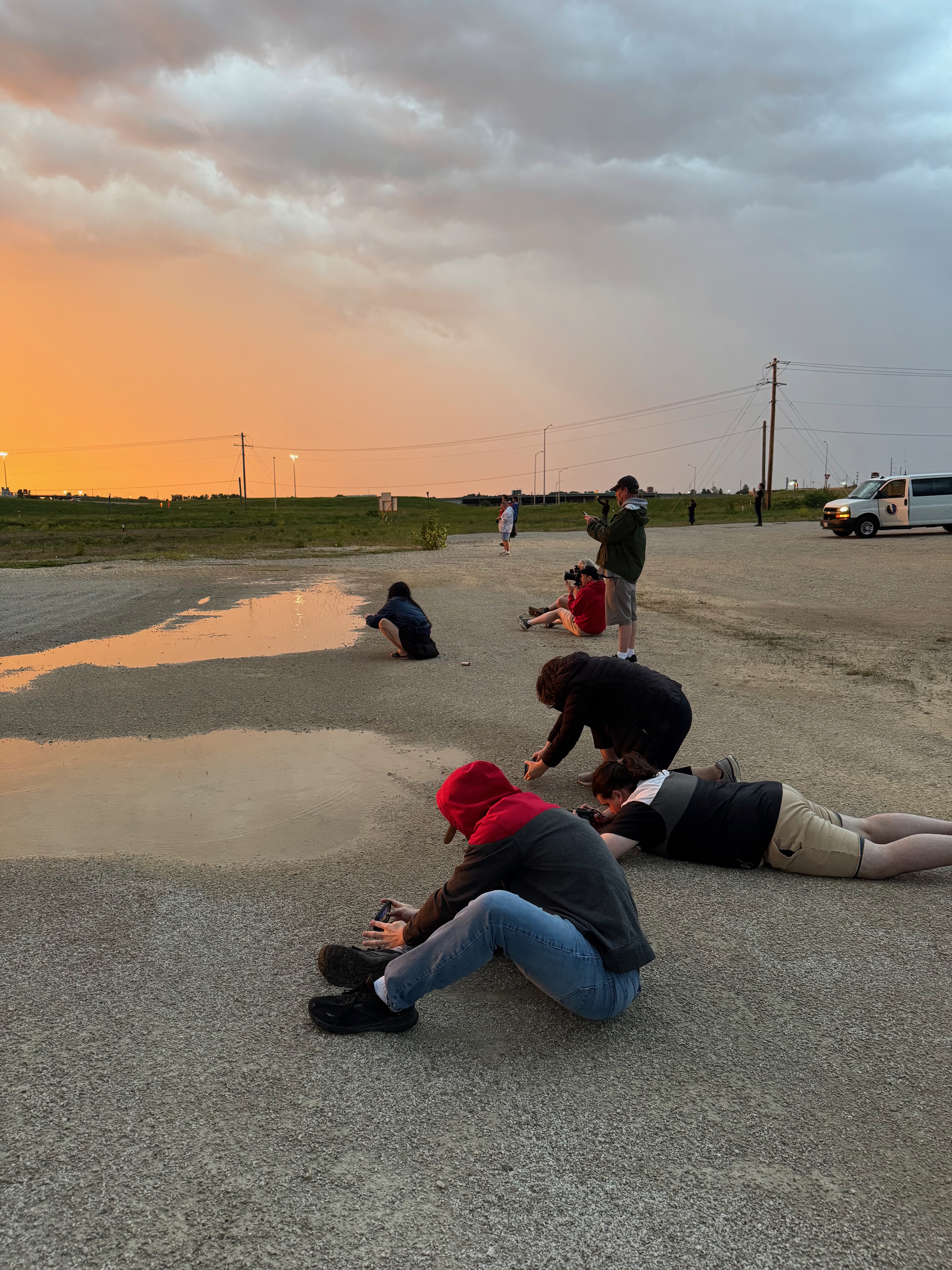
Our semi-interesting and undercut shelfy thing pushed us south into Emporia at sunset. More lightning out of that pretty orange light would have been nice.


Leave a Reply
You must be logged in to post a comment.