

May 20 down day/Start: Emporia/lunch: Wellington Traveling Smoke BBQ/End: Kiowa, KS/214 miles
May 21 down day/Start: Kiowa/brunch: Hardtner Yur Place/End: Randlett, OK/294 miles
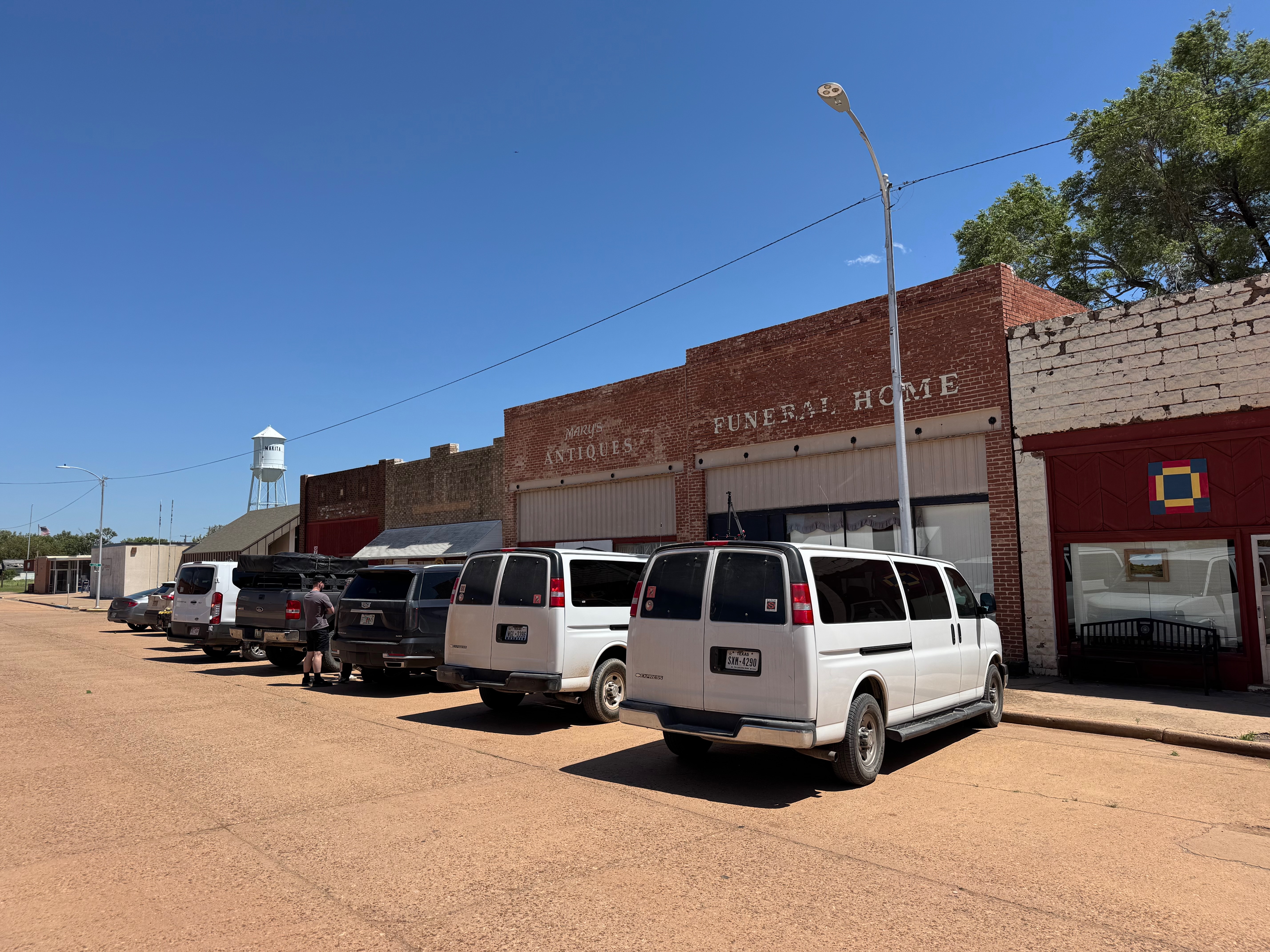
May 22/Start: Randlett, OK/brunch: Wichita Falls Cracker Barrel/End: Shamrock, TX/360 miles
Mesoscale Discussions 12:26 p.m. CDT. 1:44 p.m. CDT. 2:24 p.m. CDT. 4:38 p.m. CDT. 5:00 p.m. CDT. 7:06 p.m. CDT
Link to Bob’s chase day with Tour 4B. They stayed with the big HP supercell (that my group was on near Margegal) and wound up with a beautiful Barberpole LP storm.
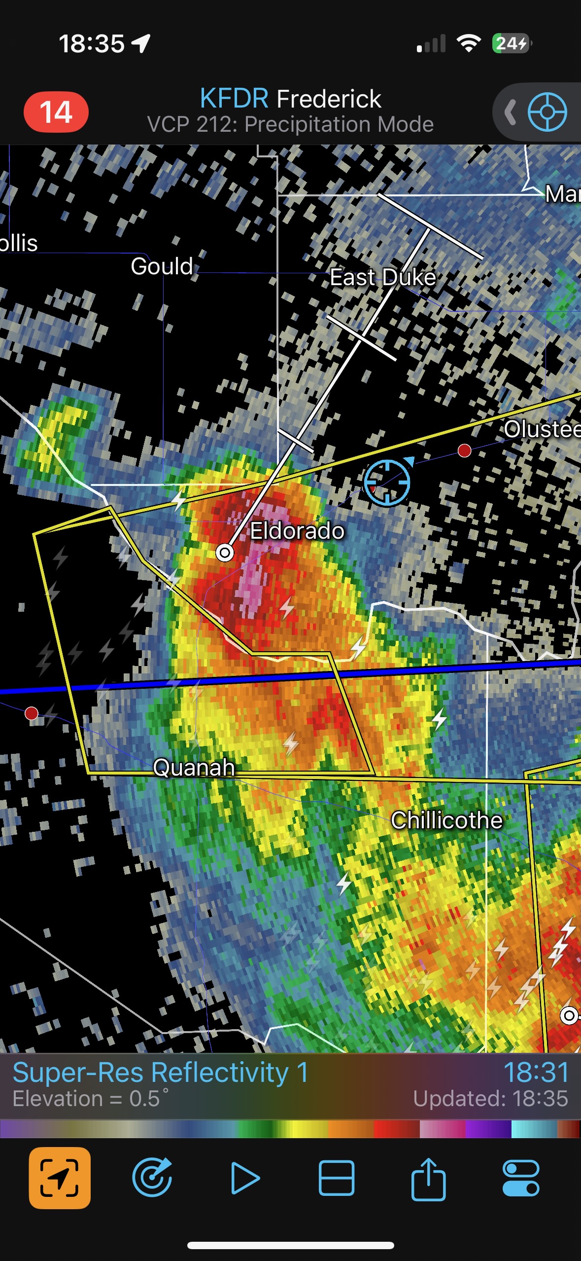
We had a very easy drive to the west after our brunch in Wichita Falls. Some strong morning storms just north of the Red River in OK were still going, and an outflow boundary was heading south into north Texas. The outlook for tornadoes was not particularly promising, but there was a lot of instability for supercells with big hail.
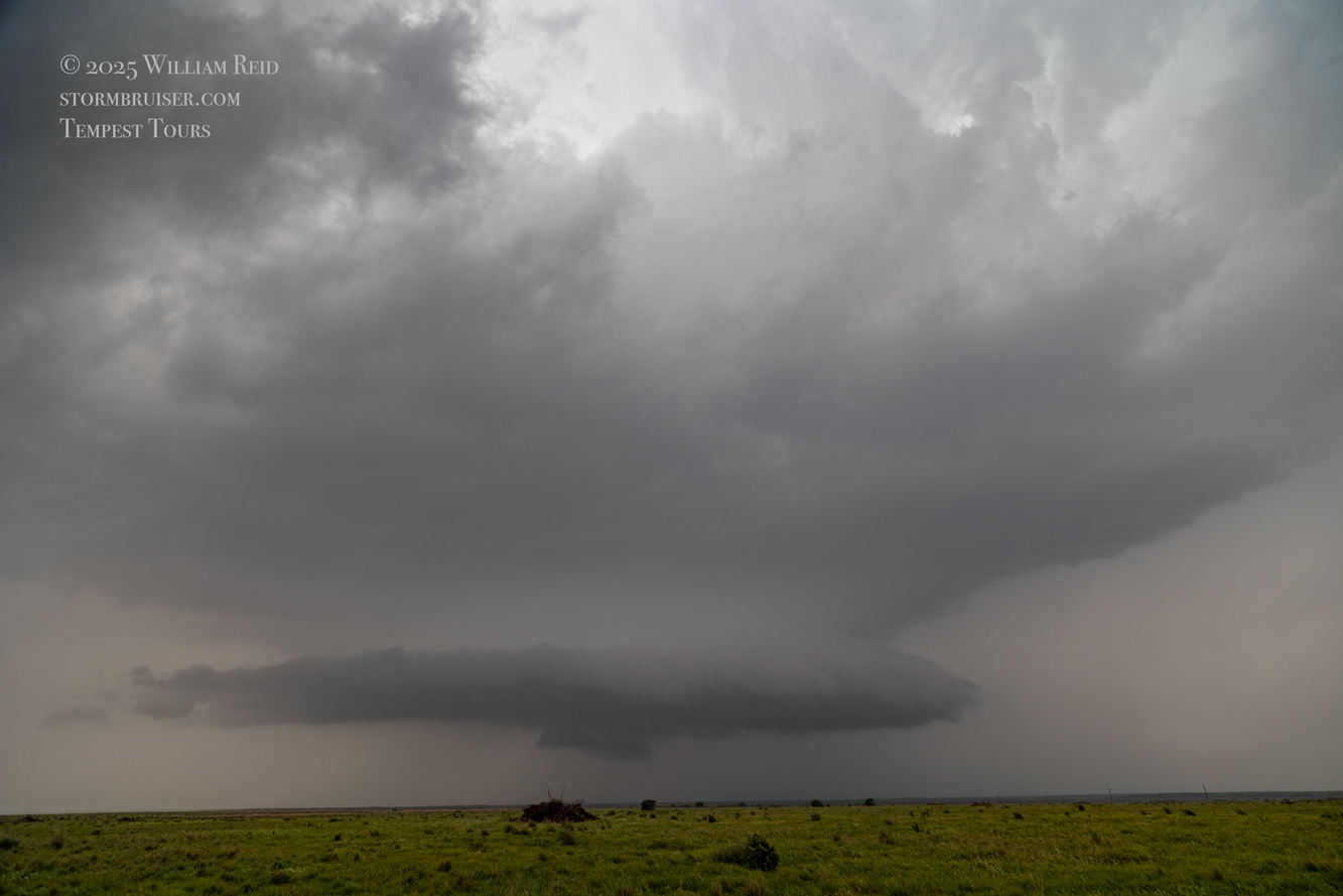
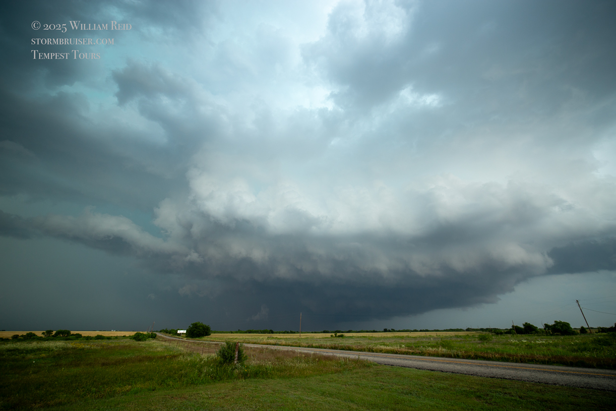
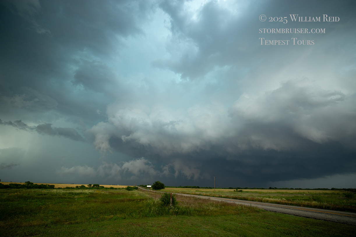
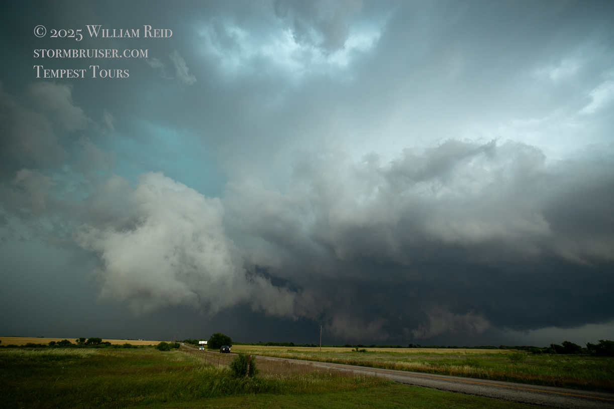
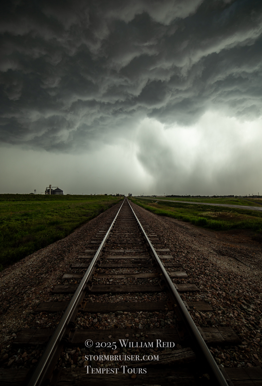
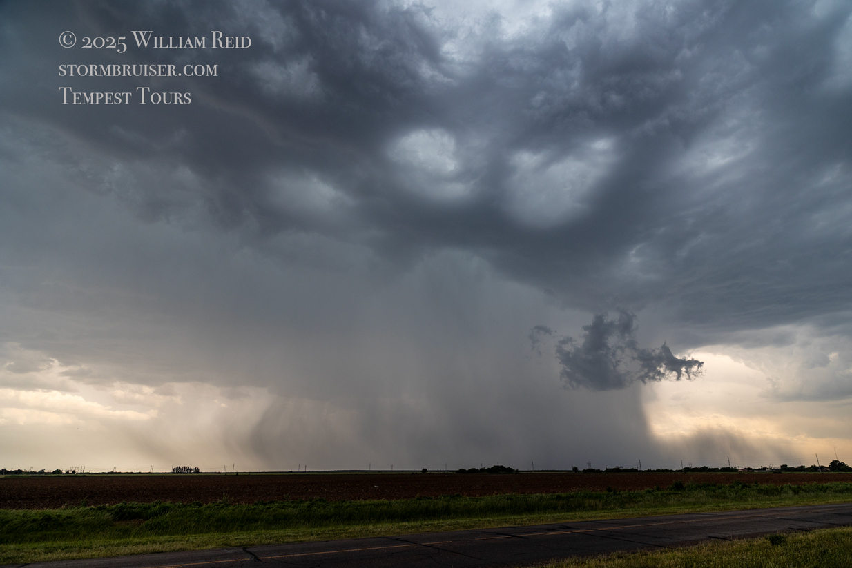
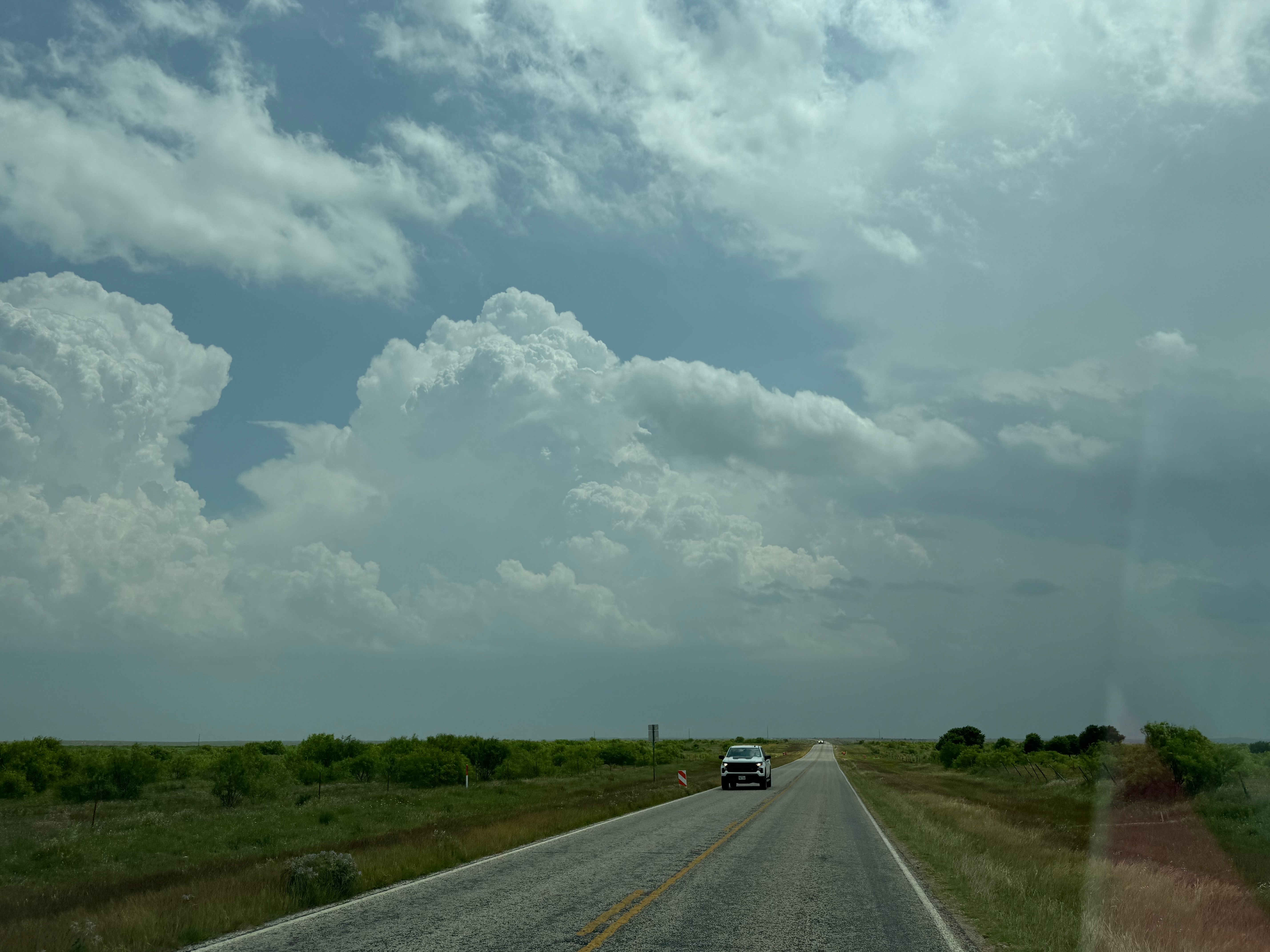
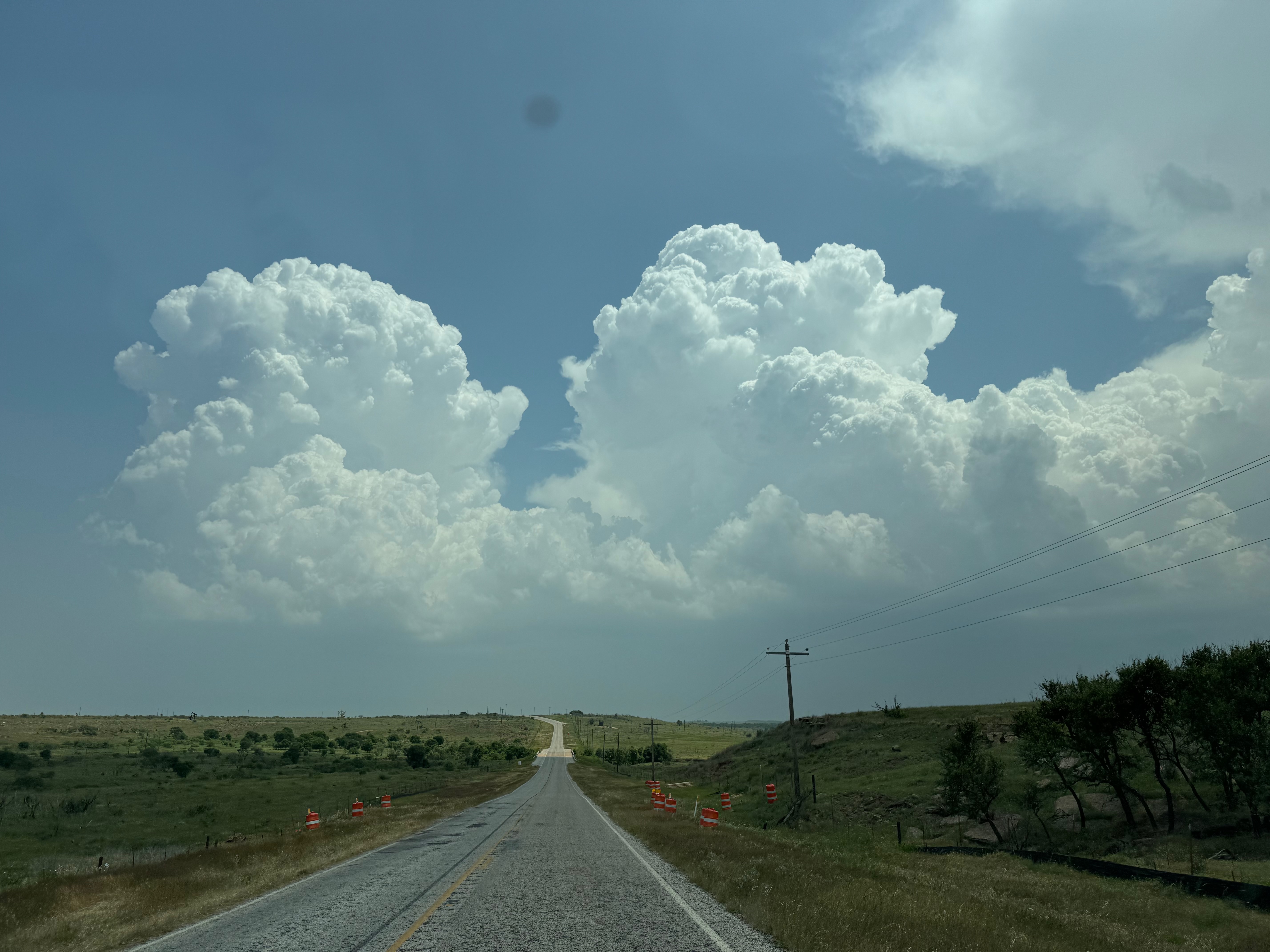
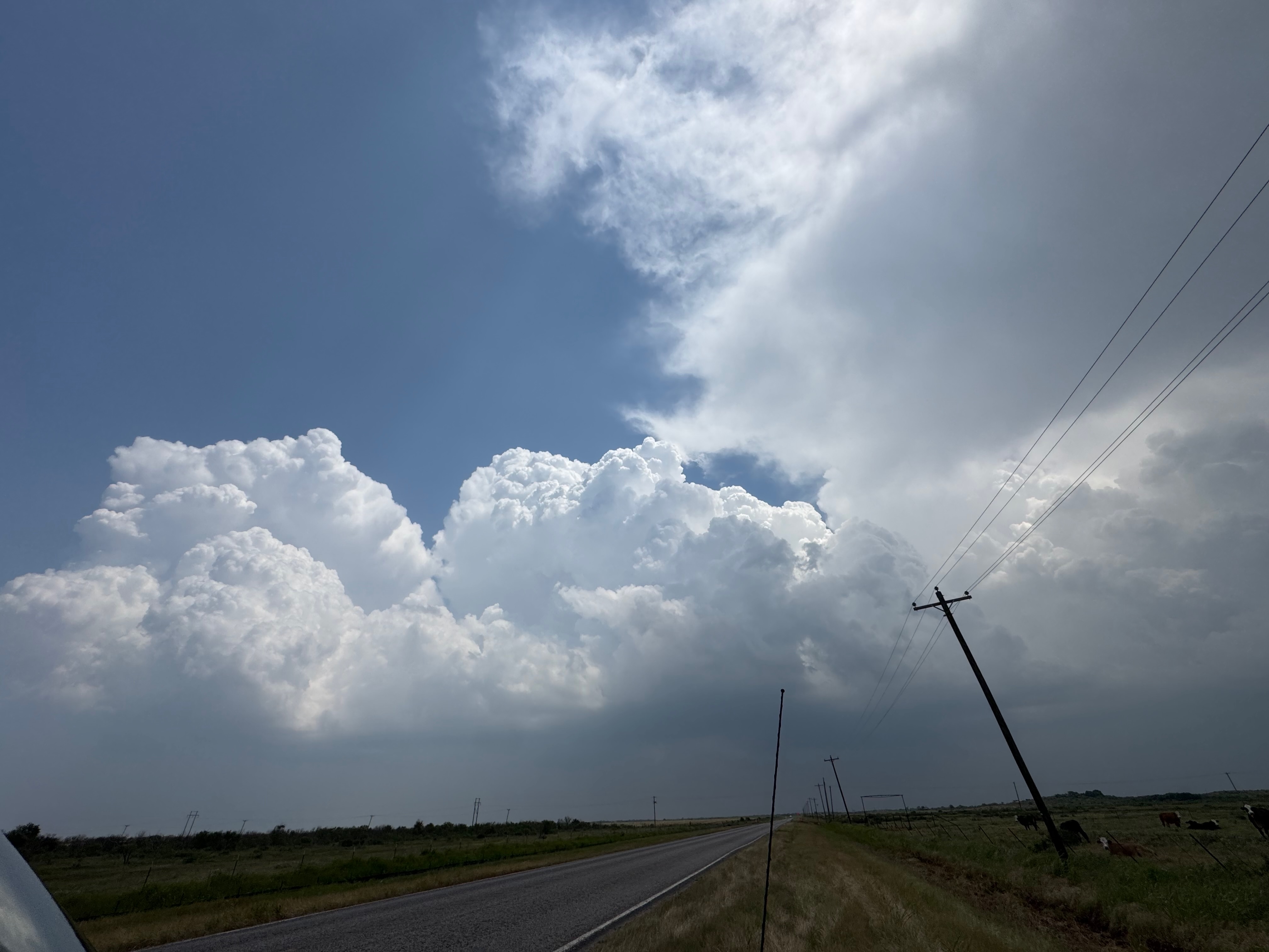
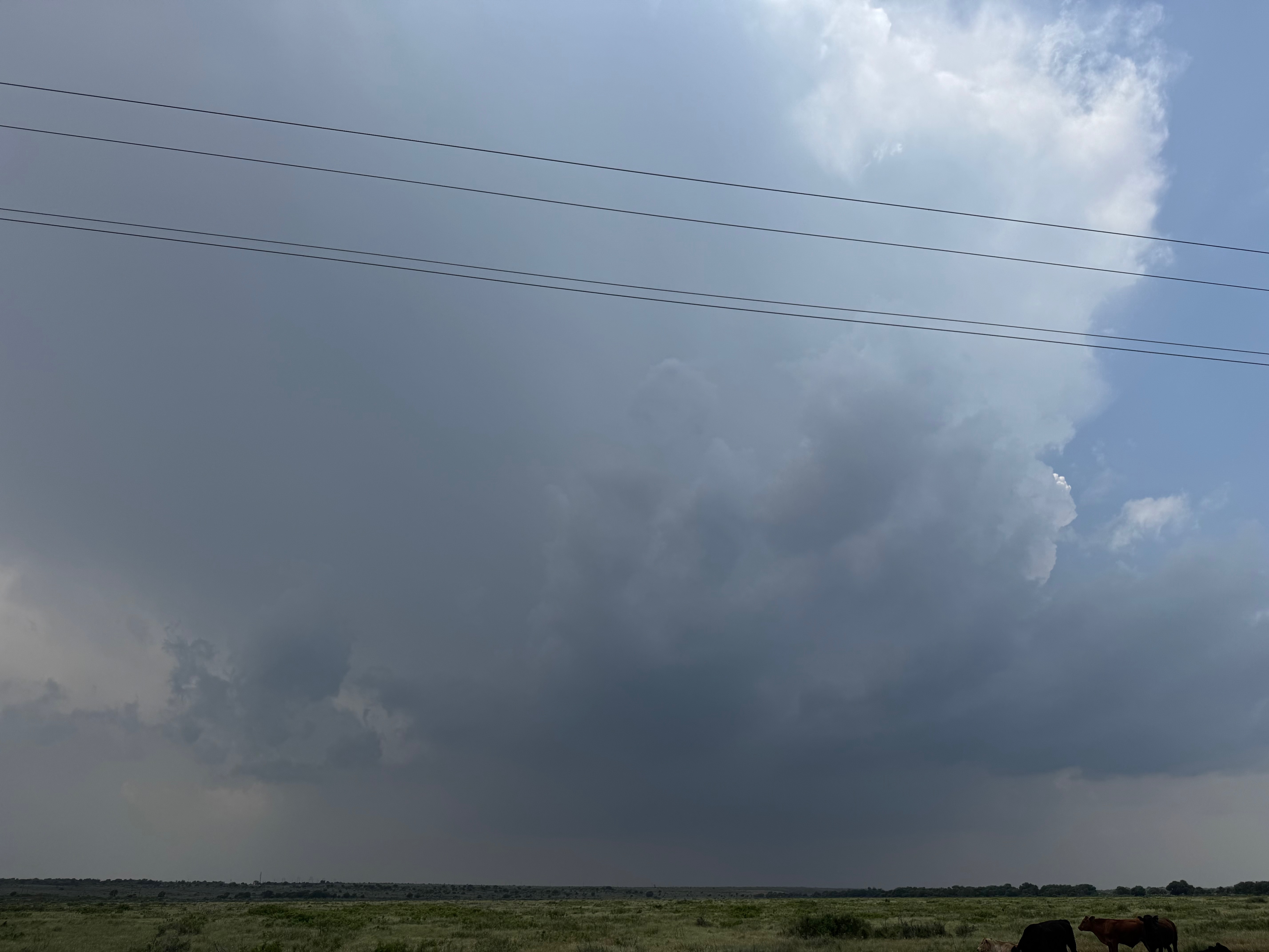
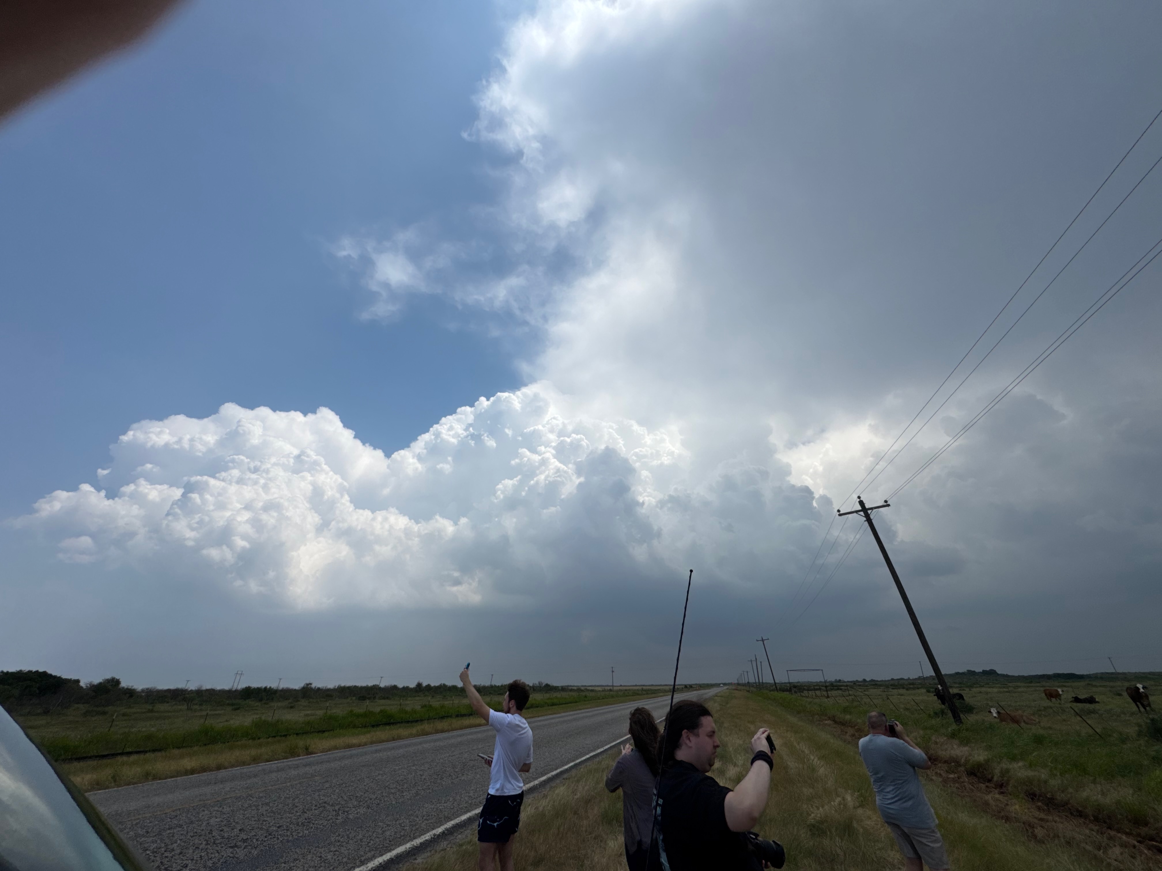
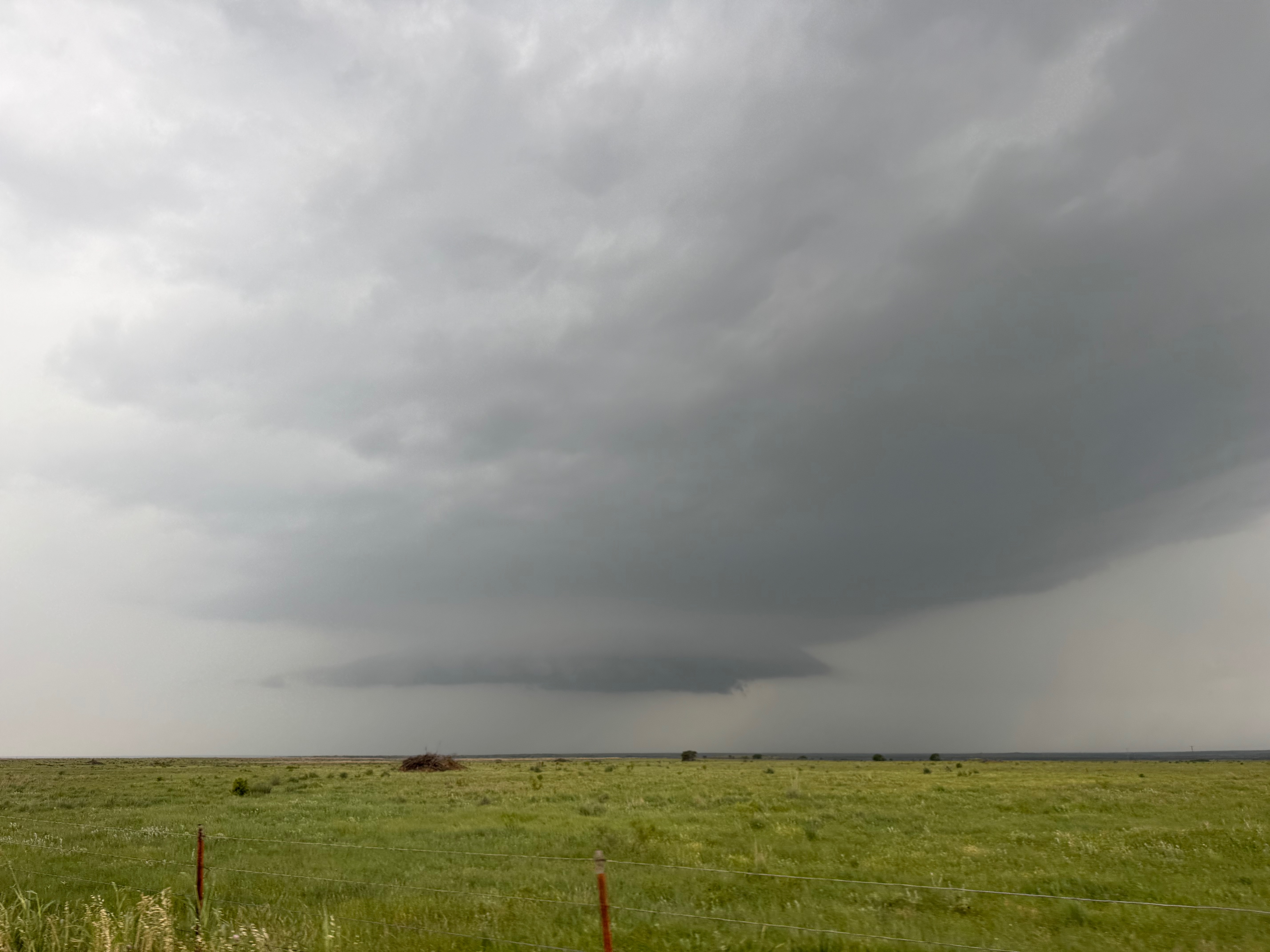
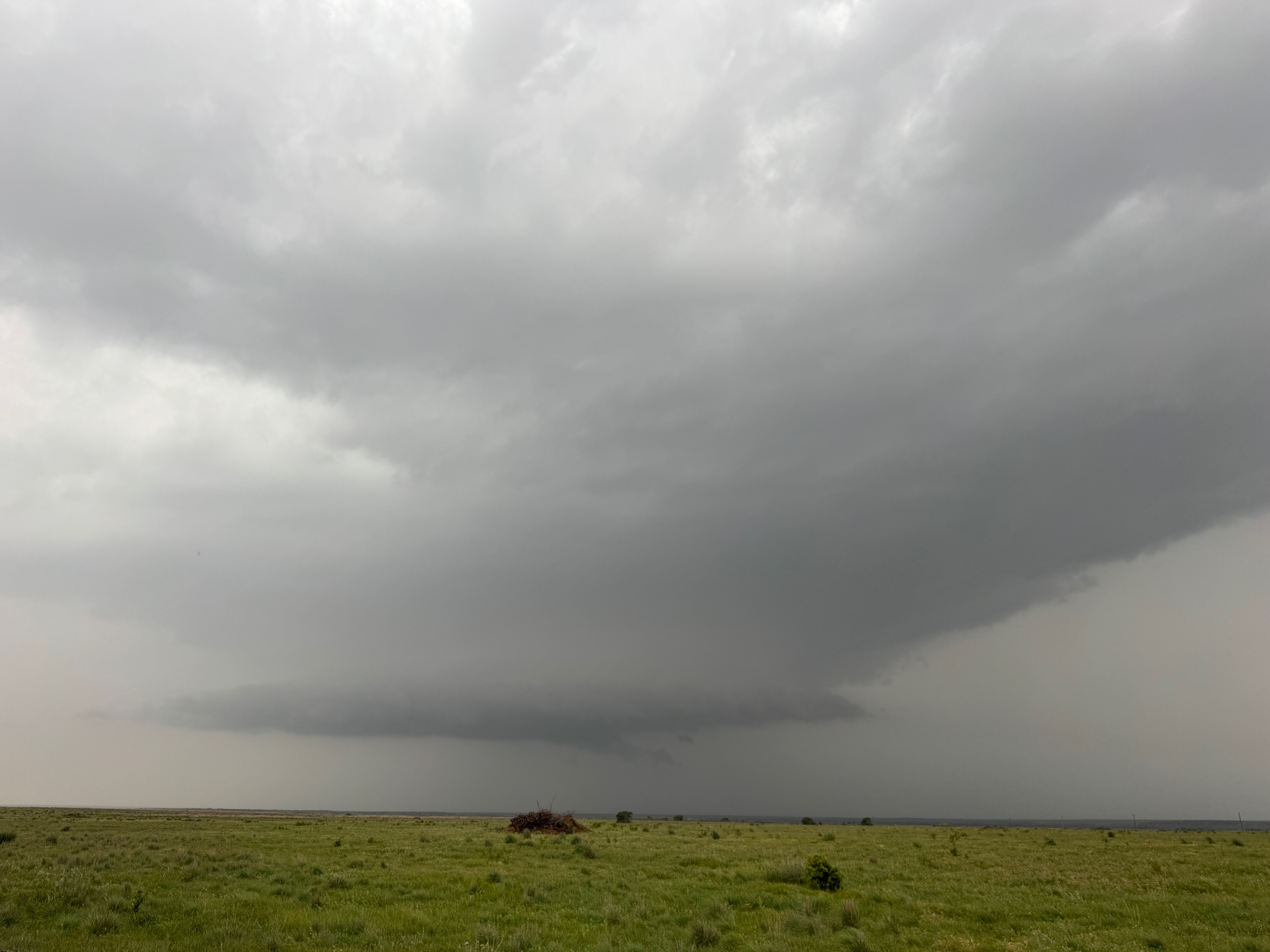
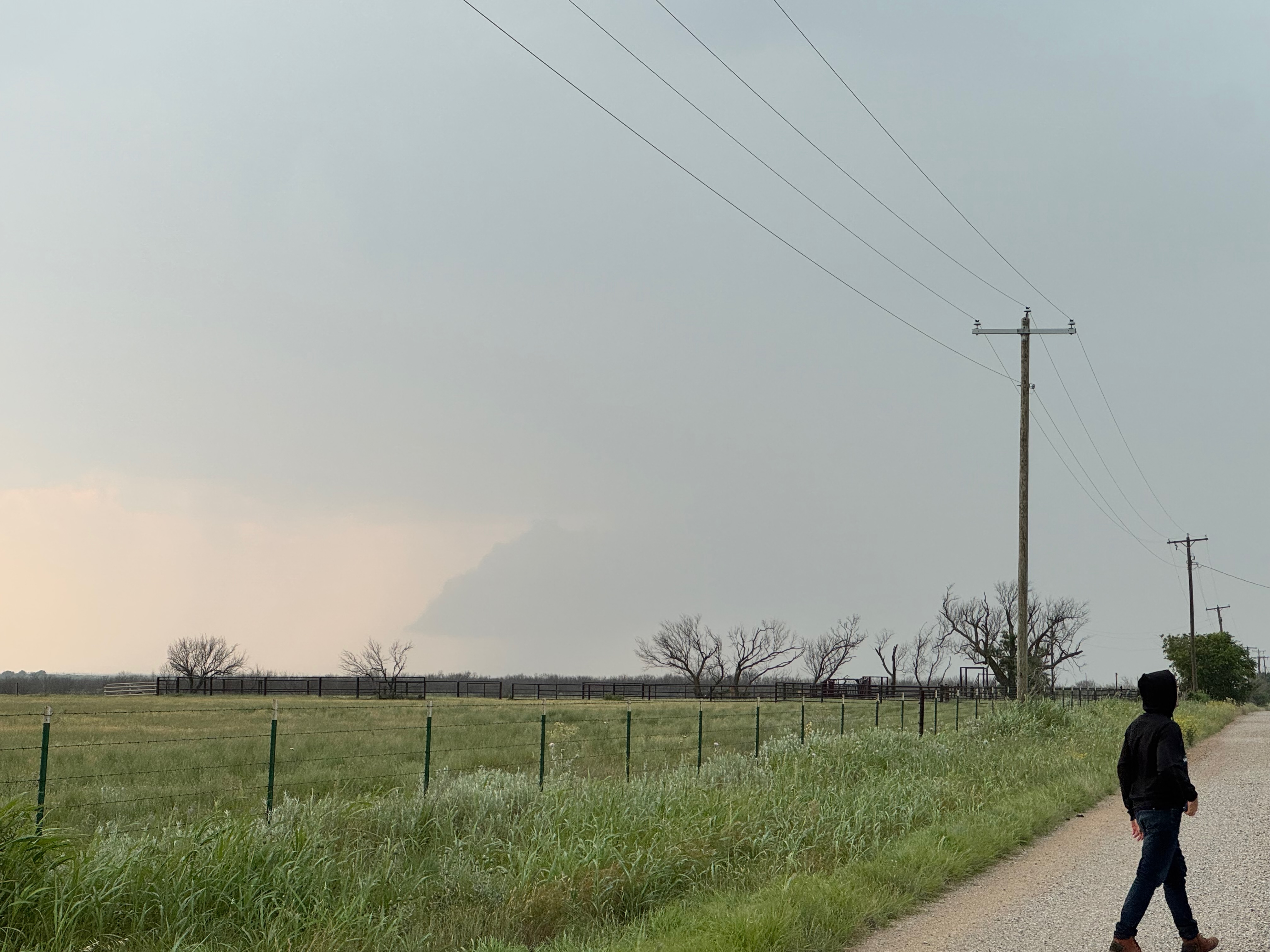
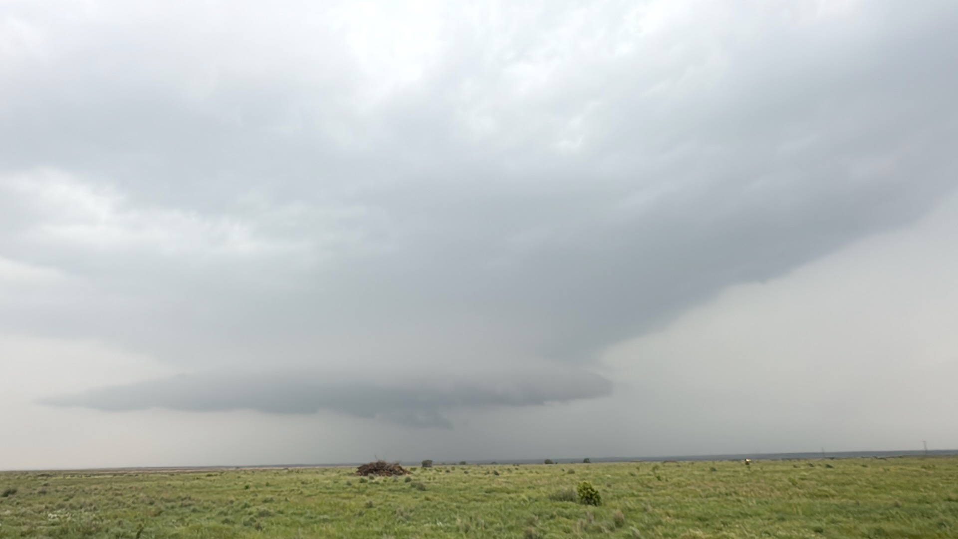
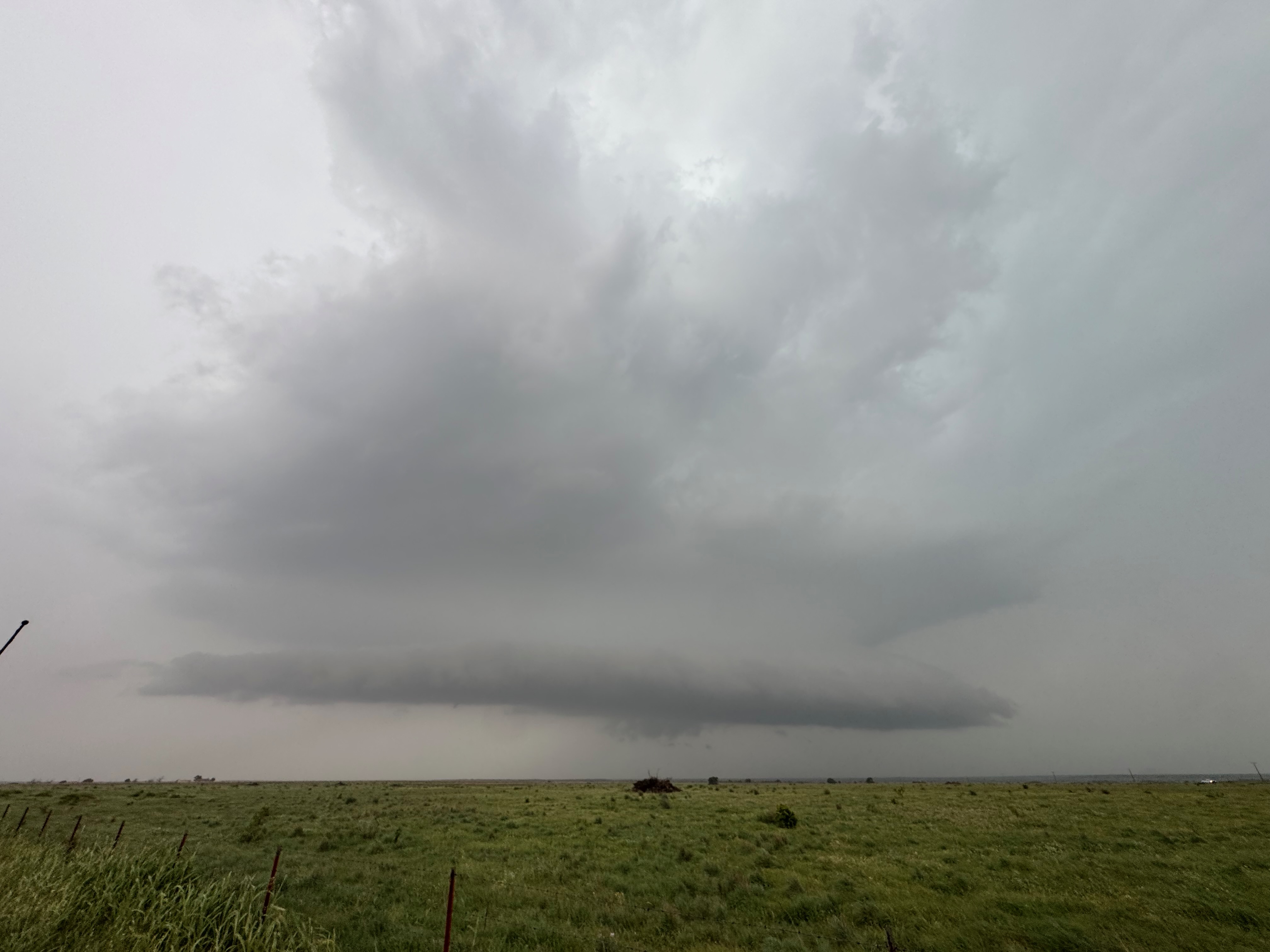
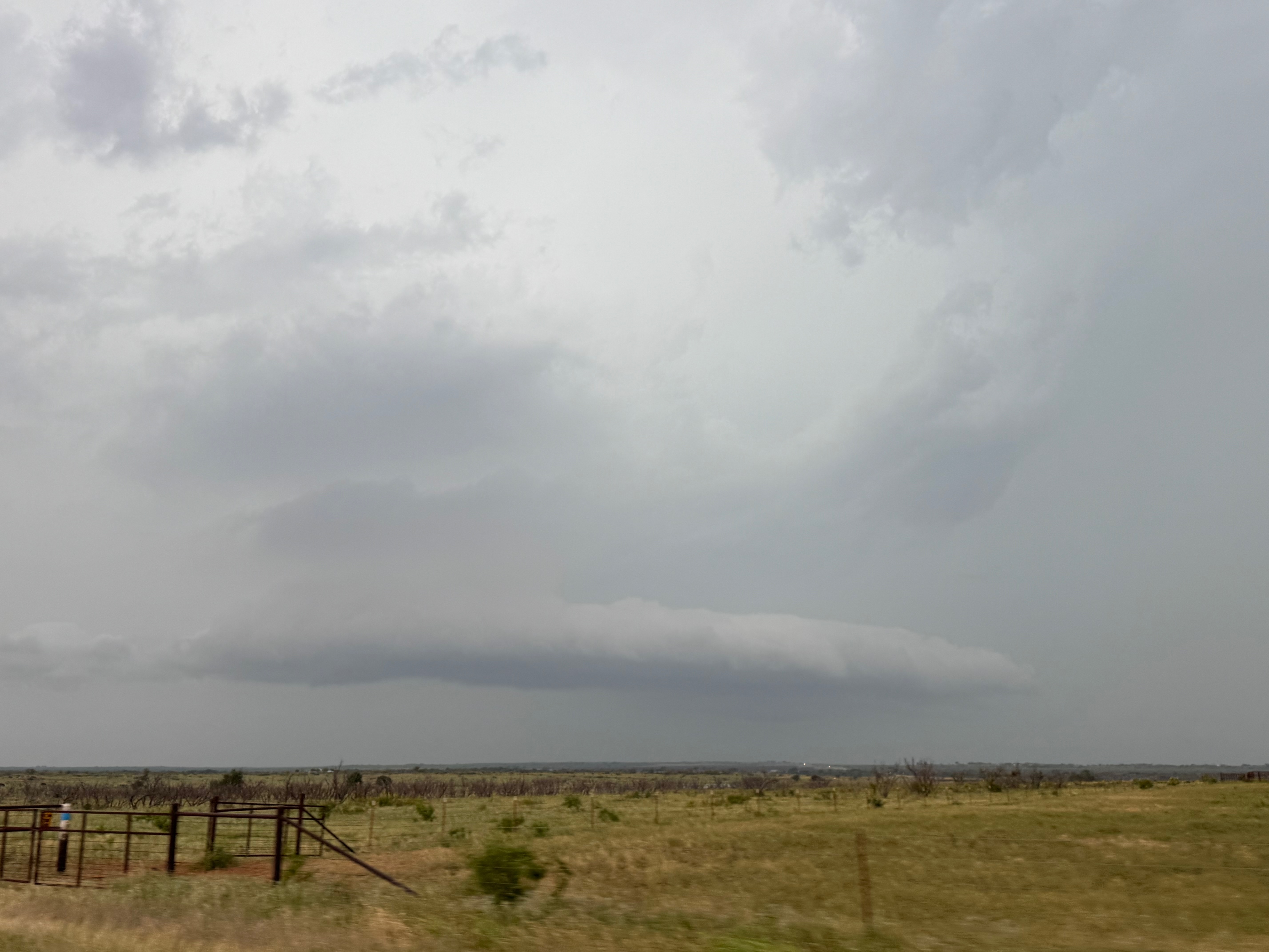
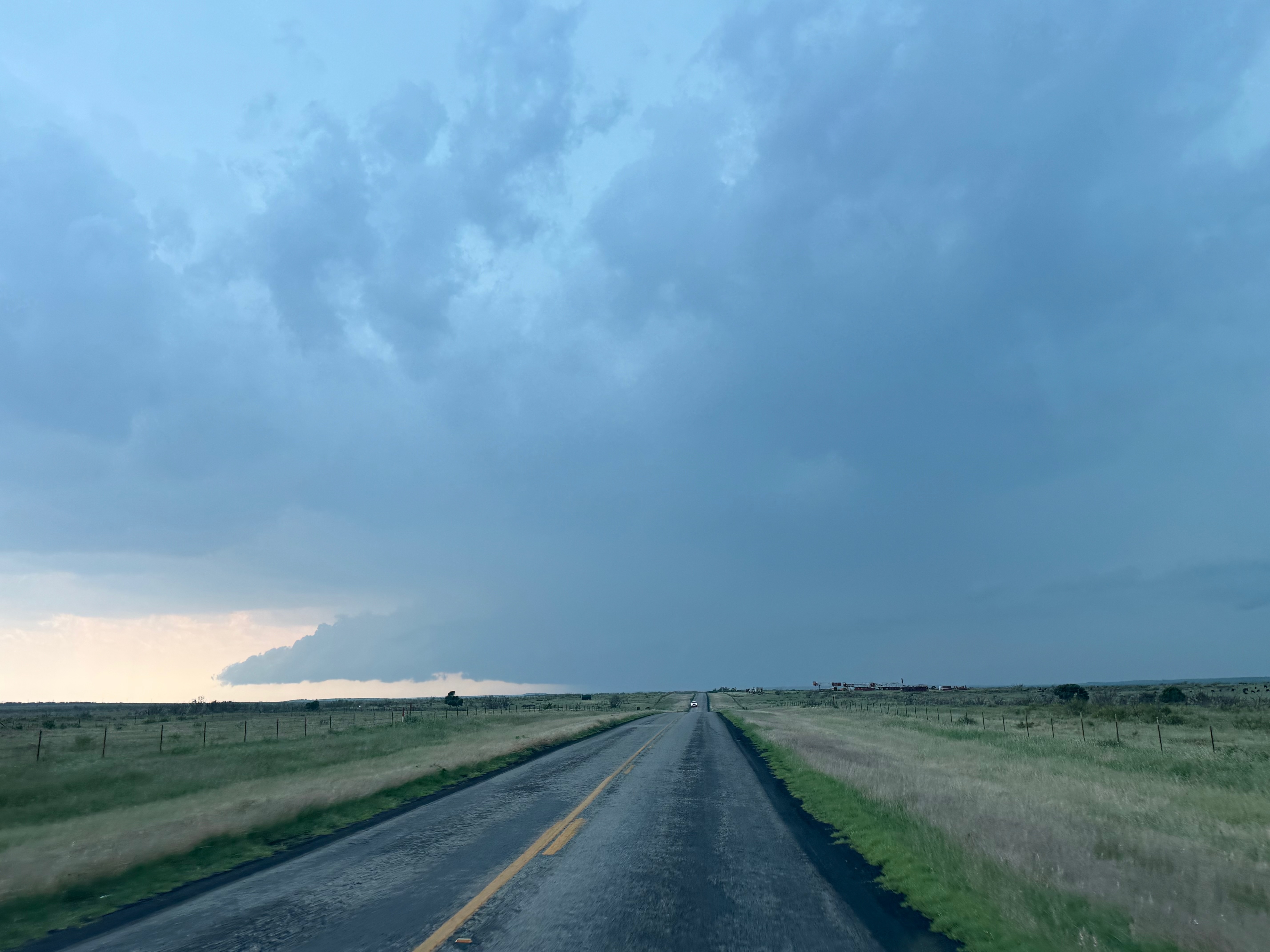
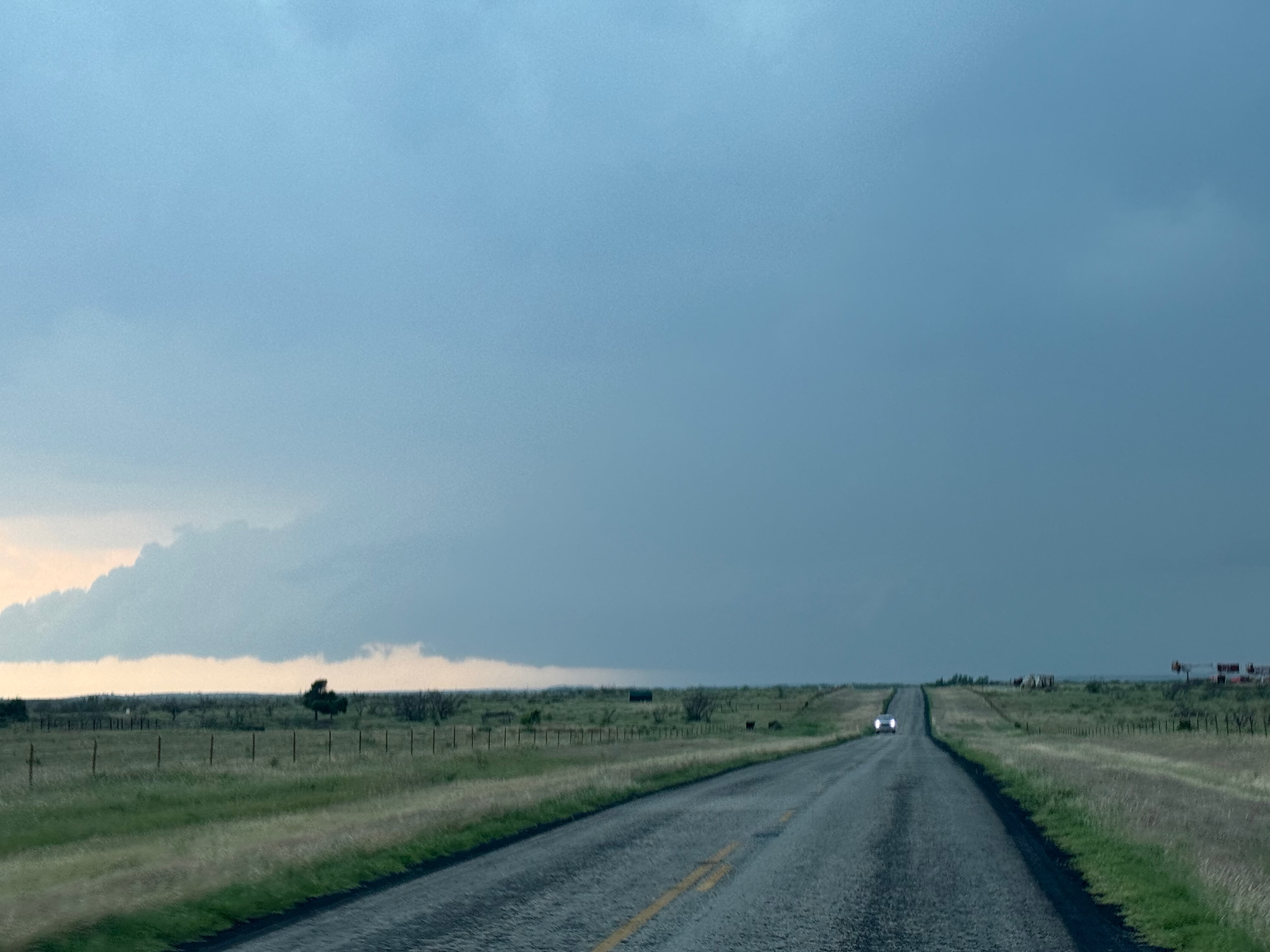
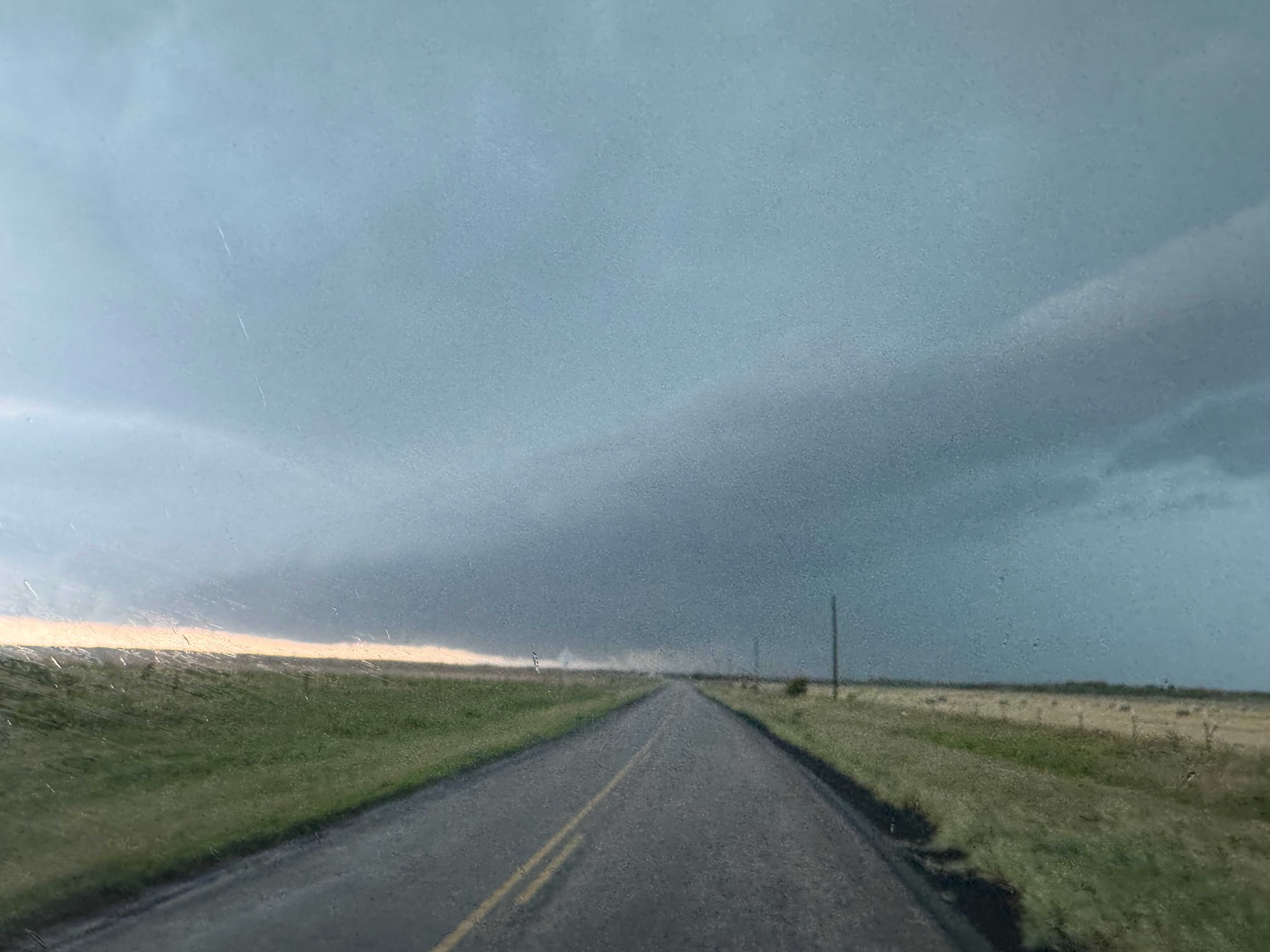
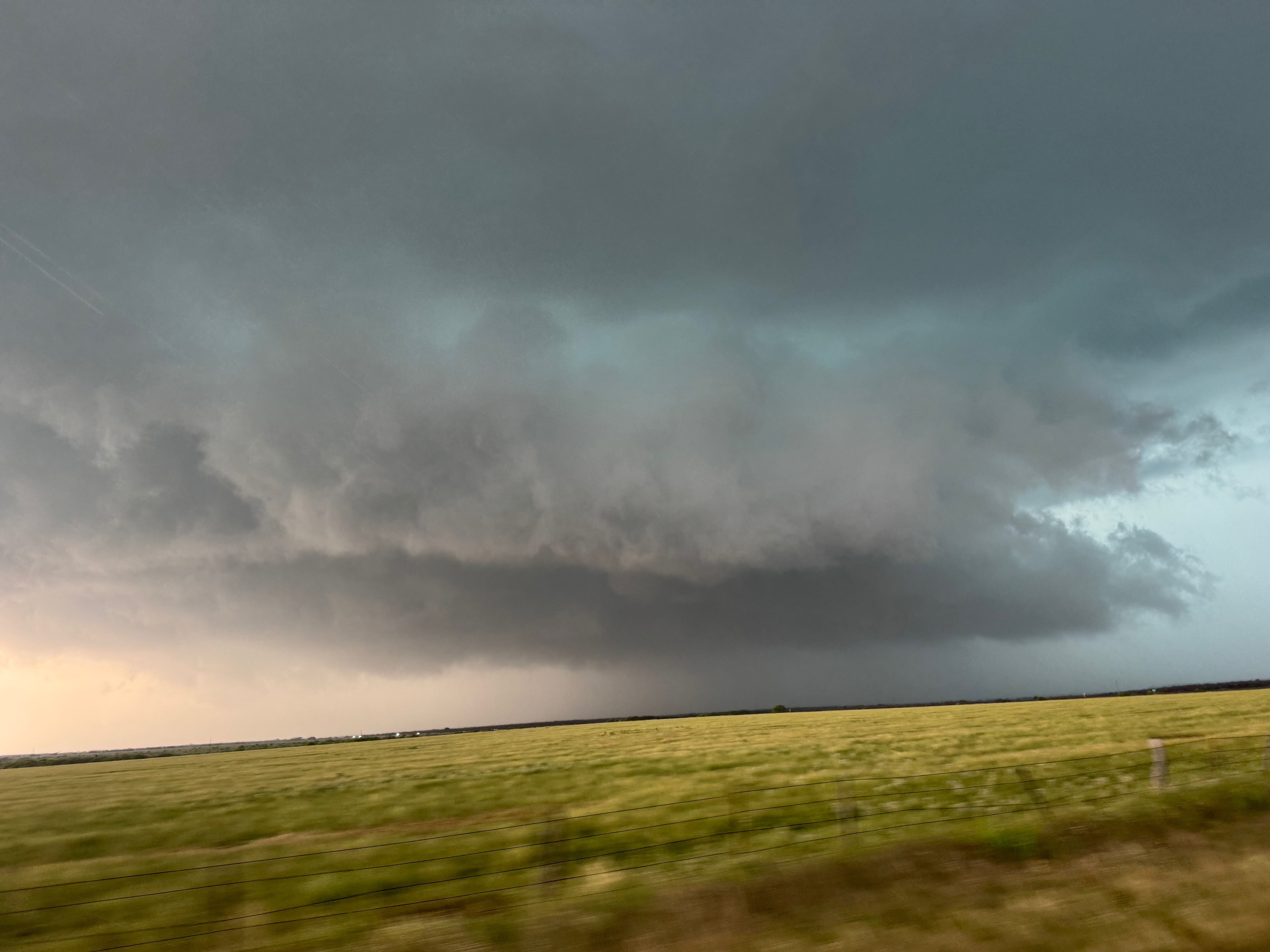
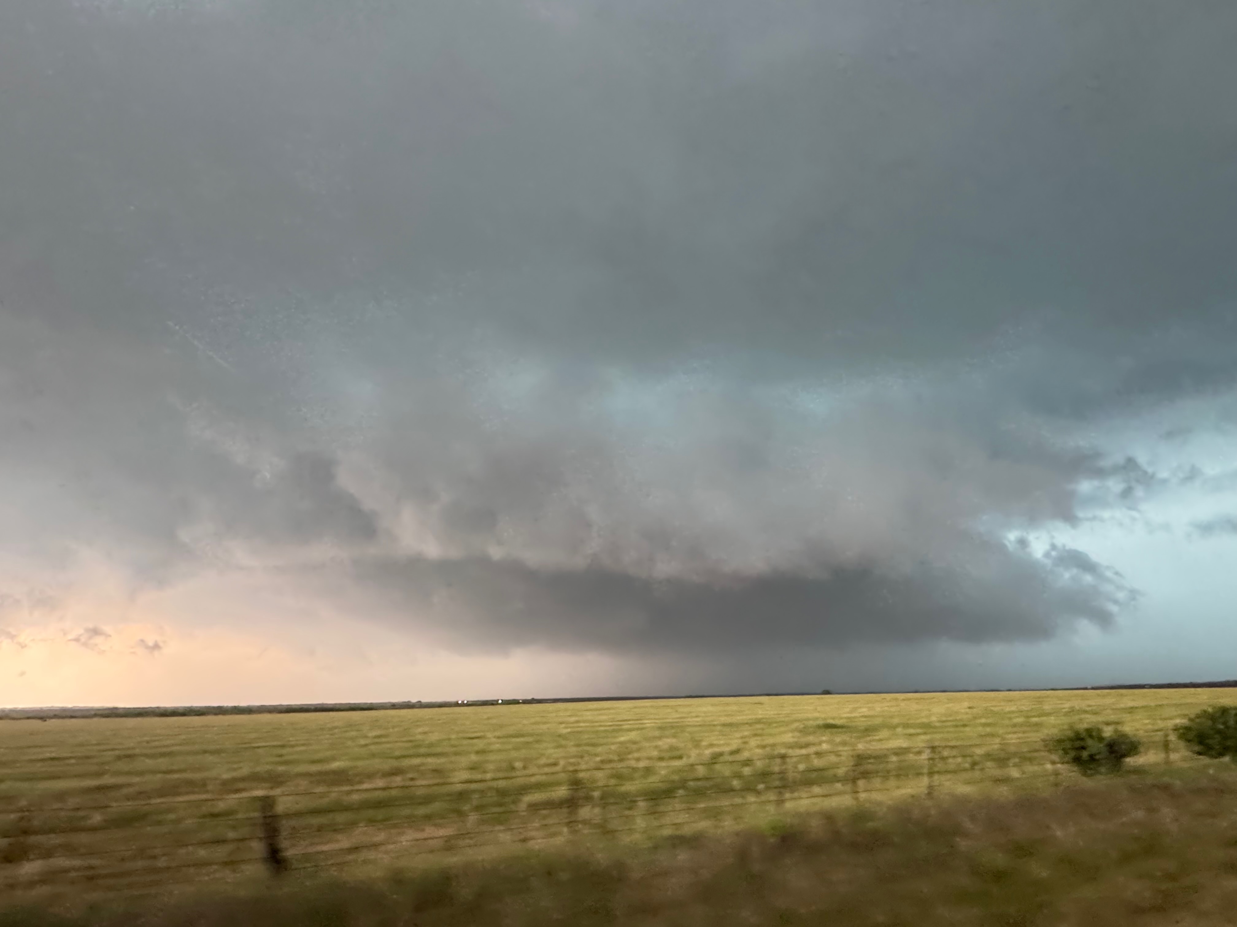
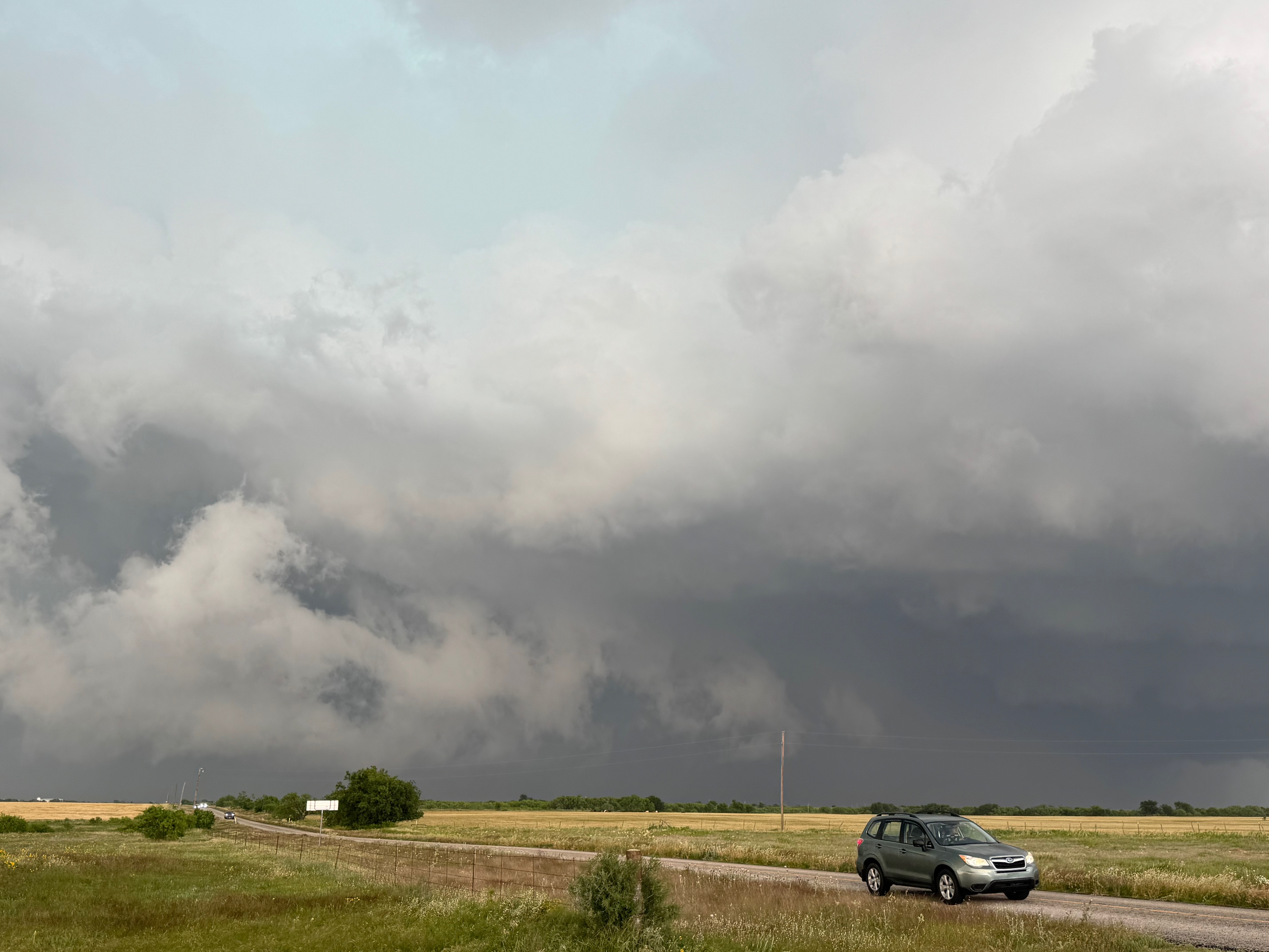
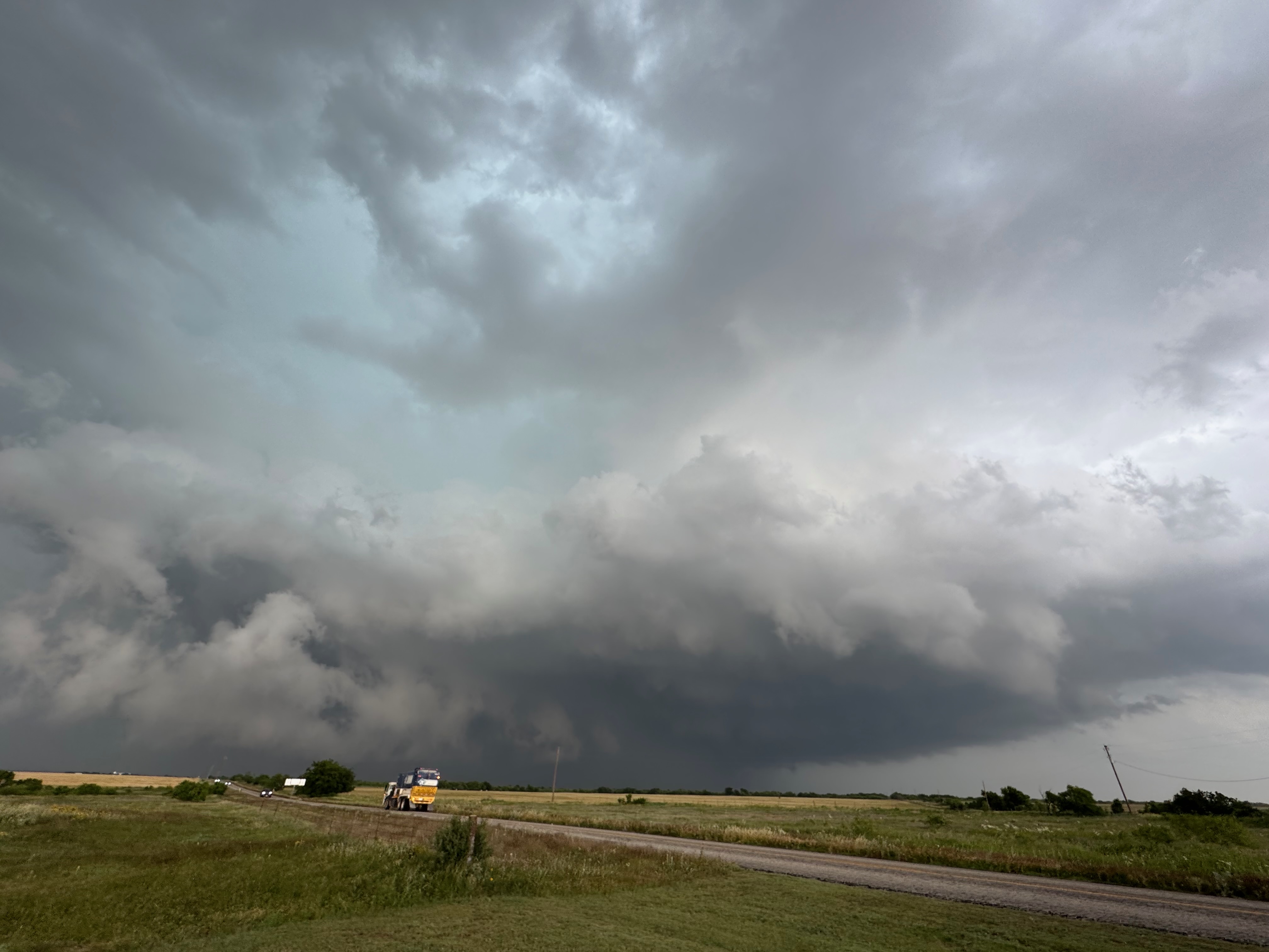
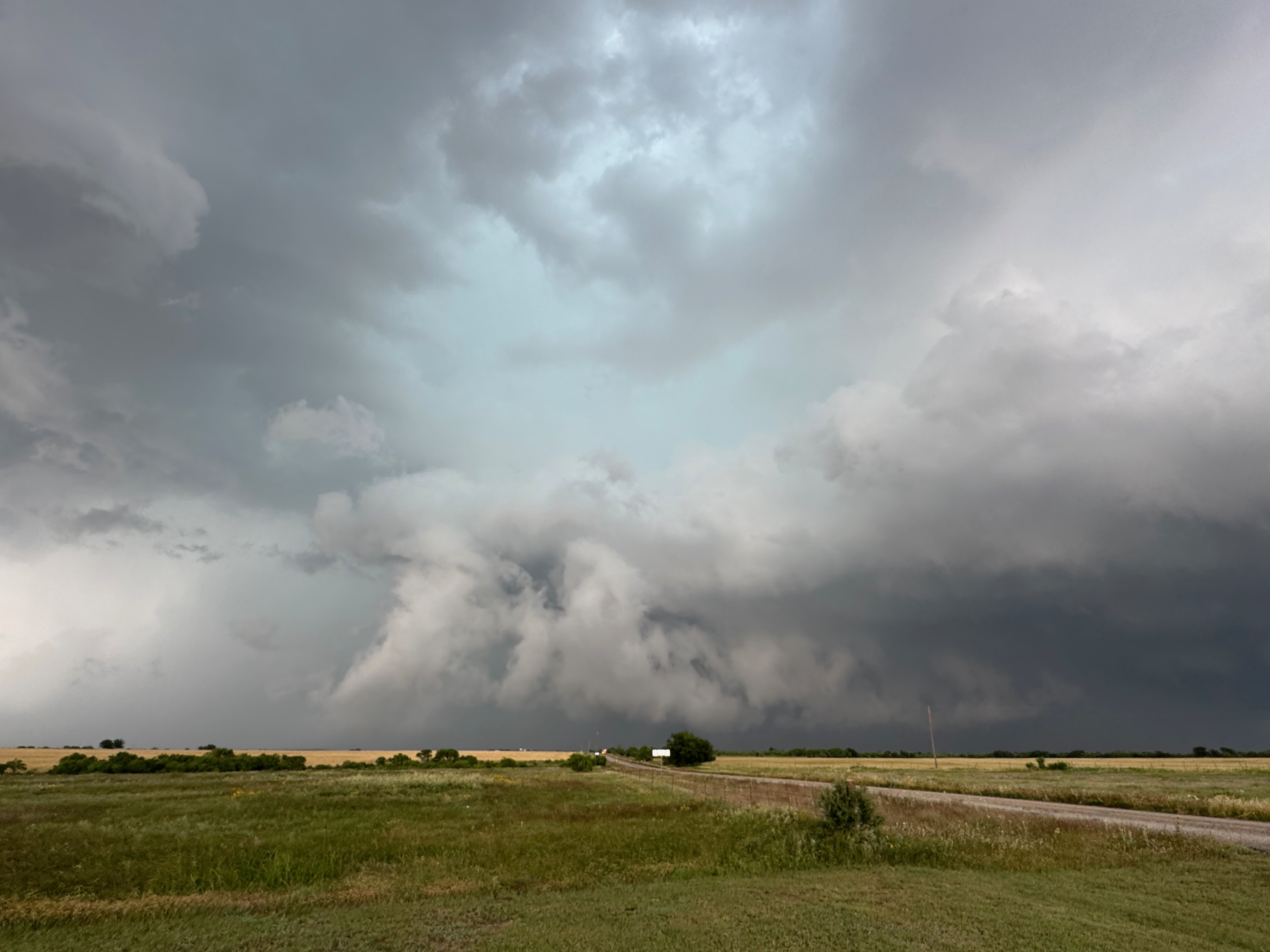
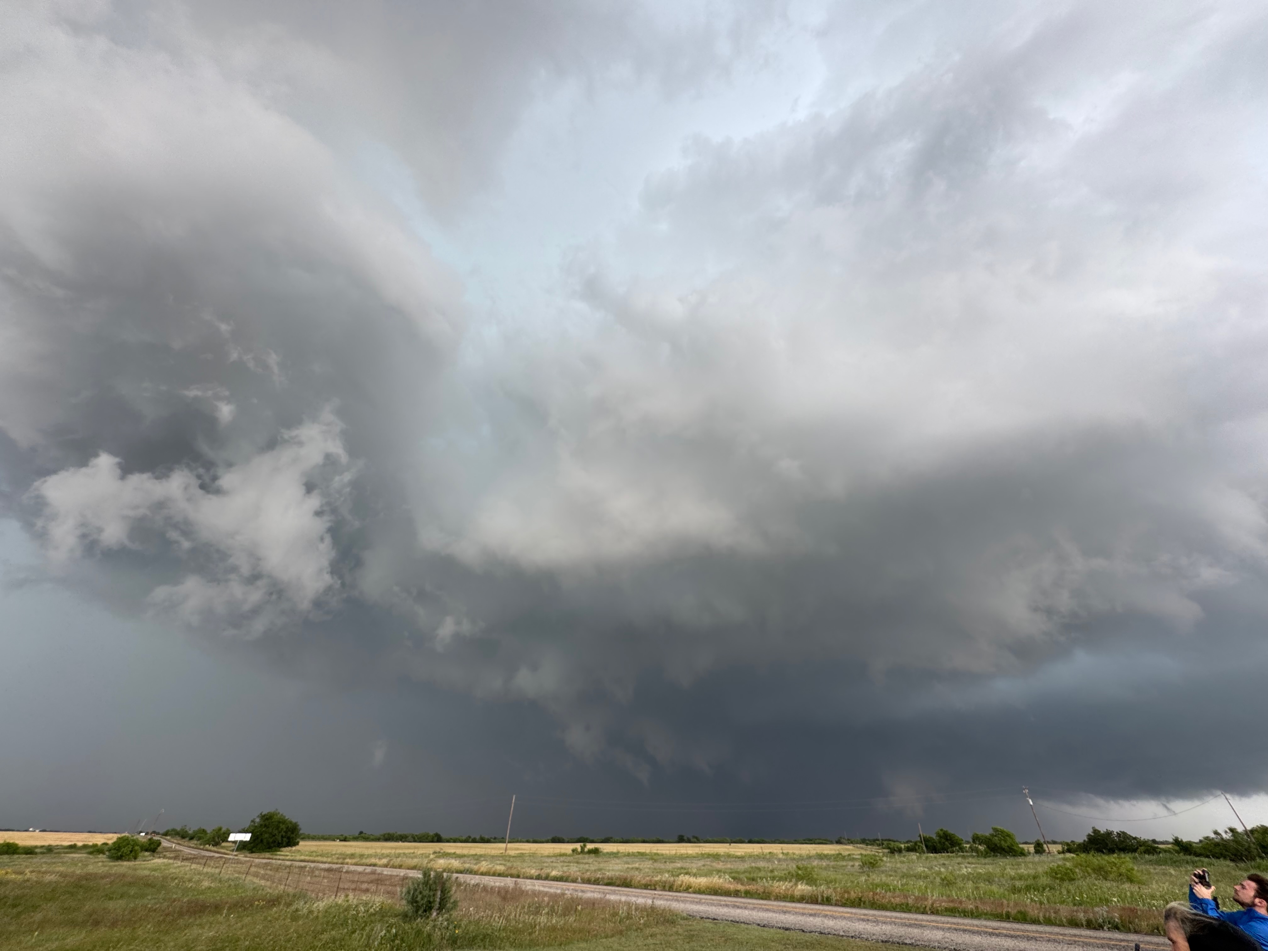
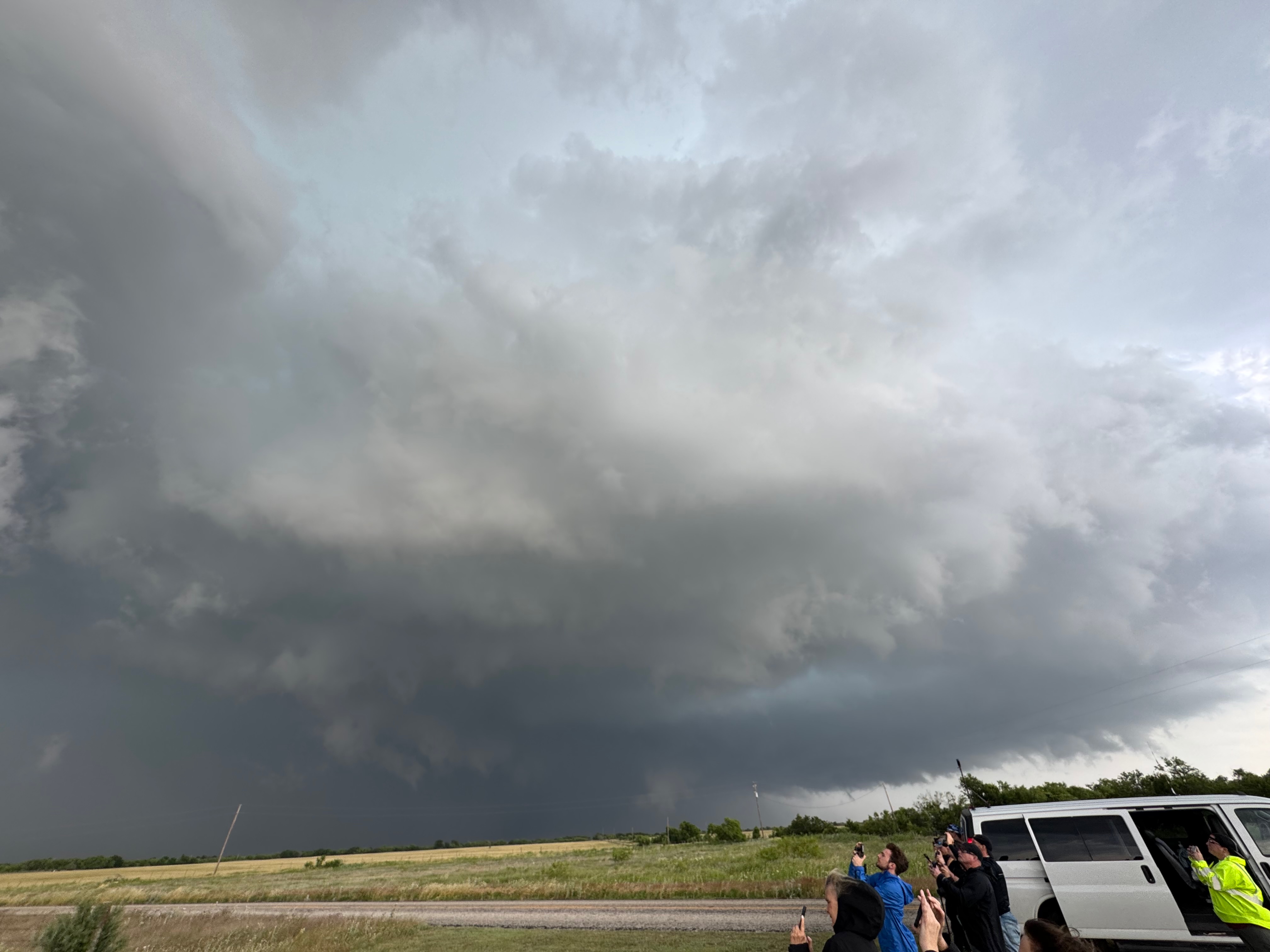
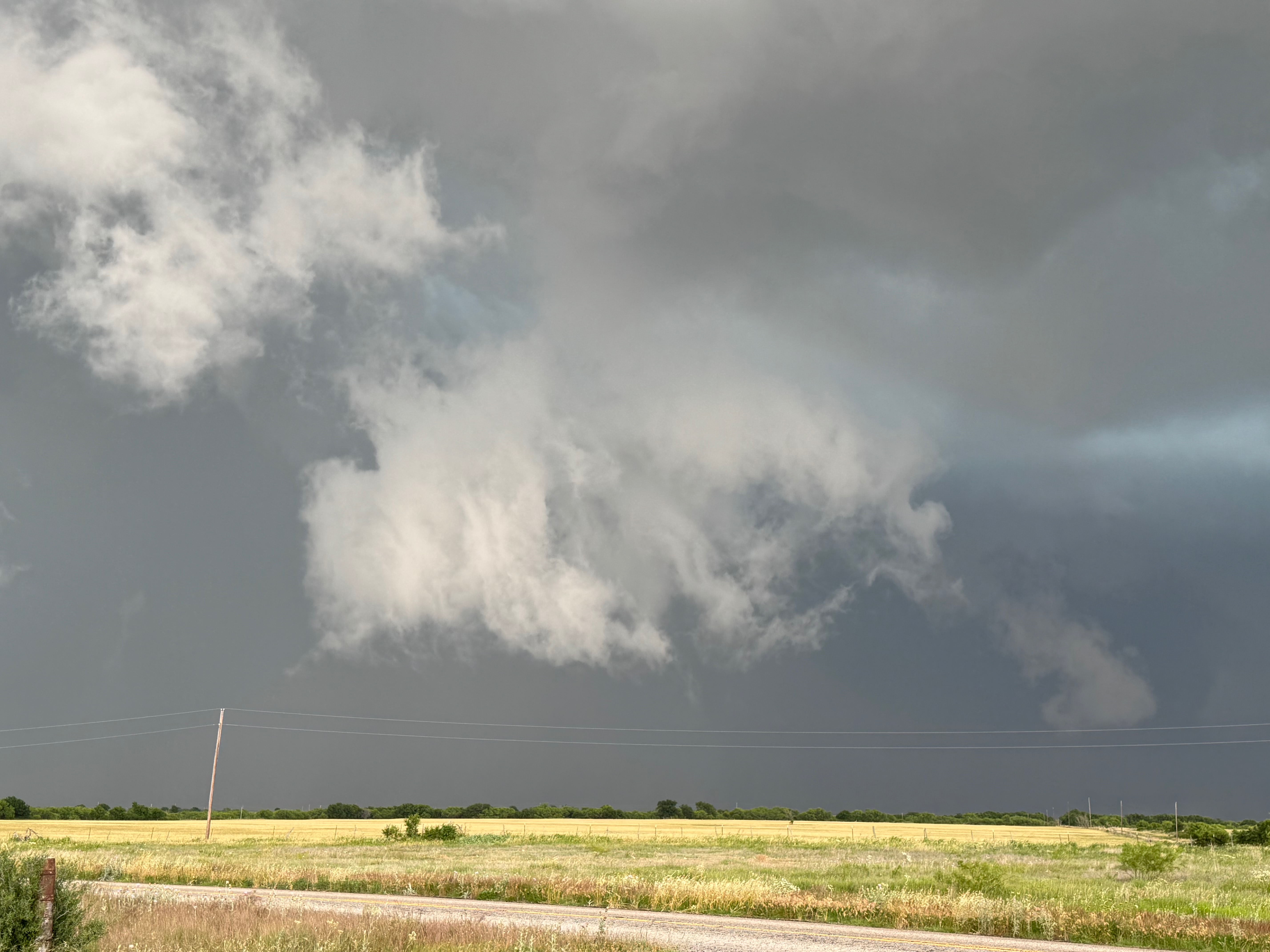
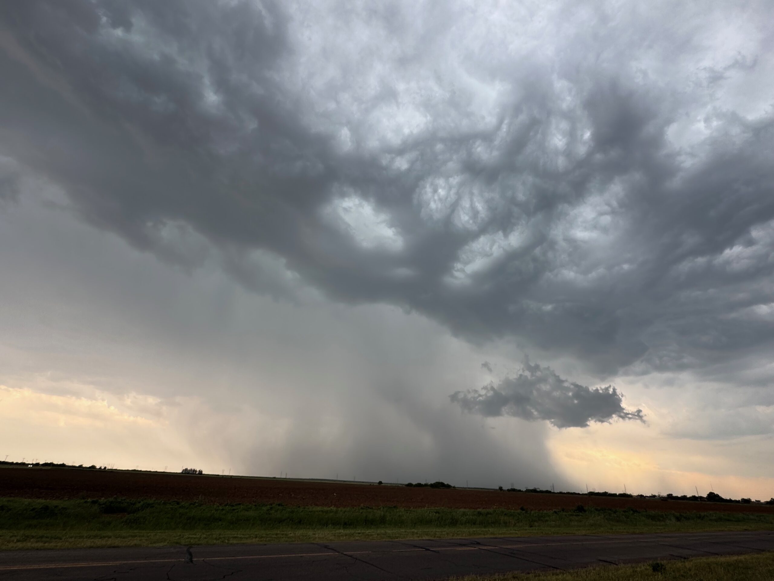
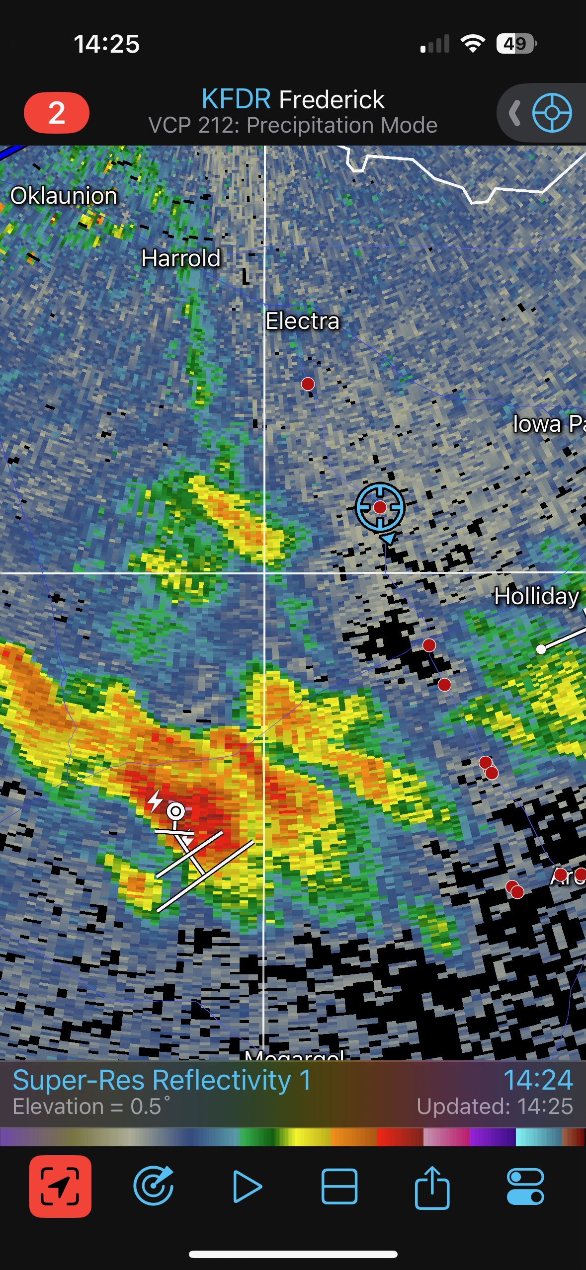
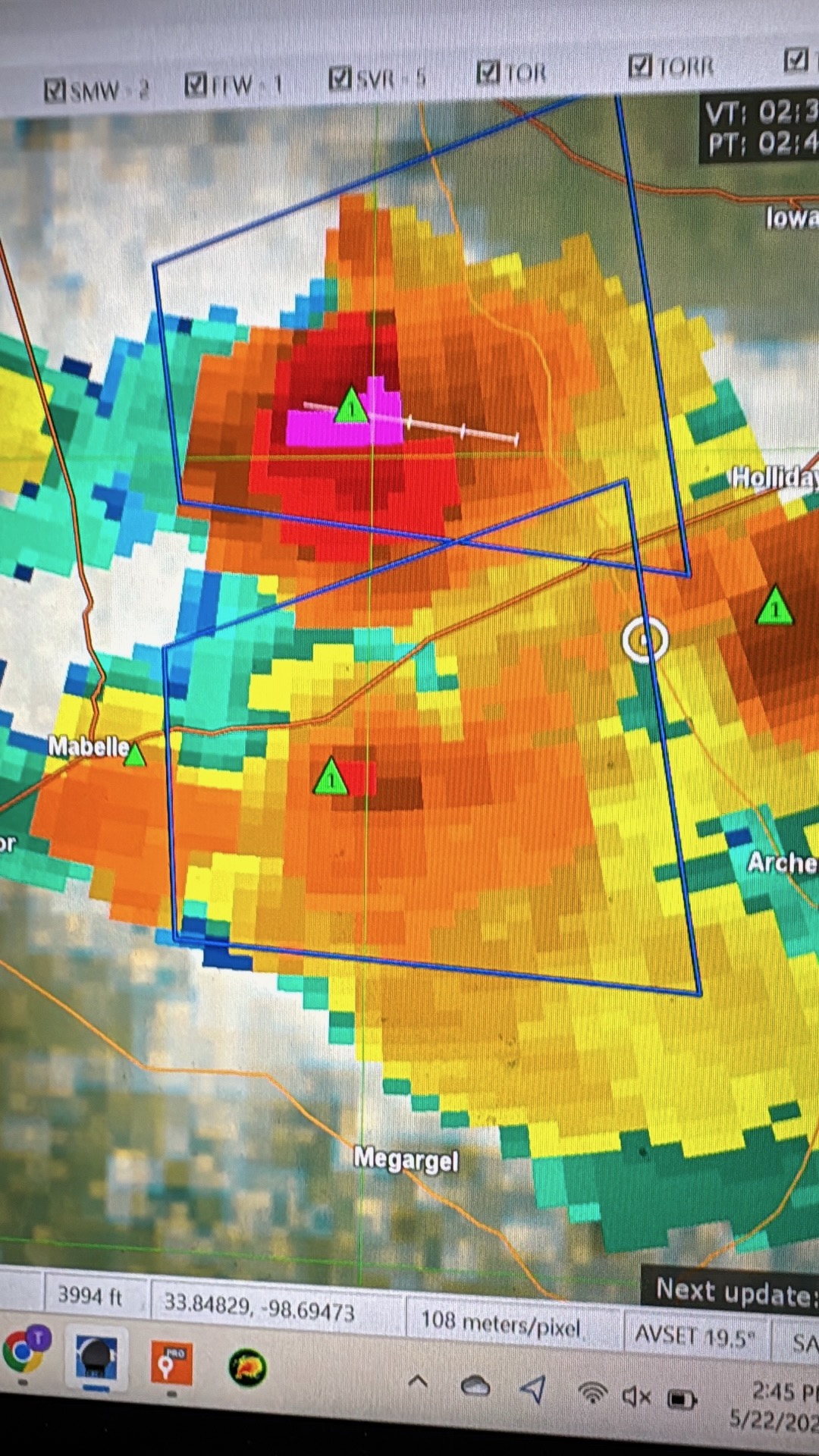
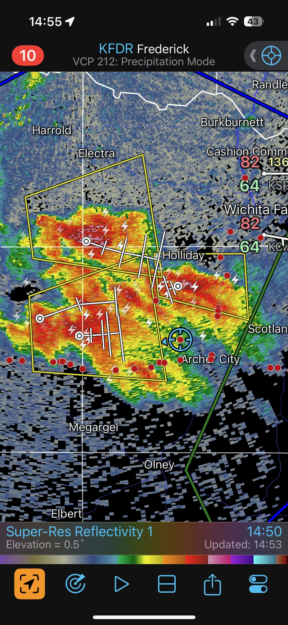
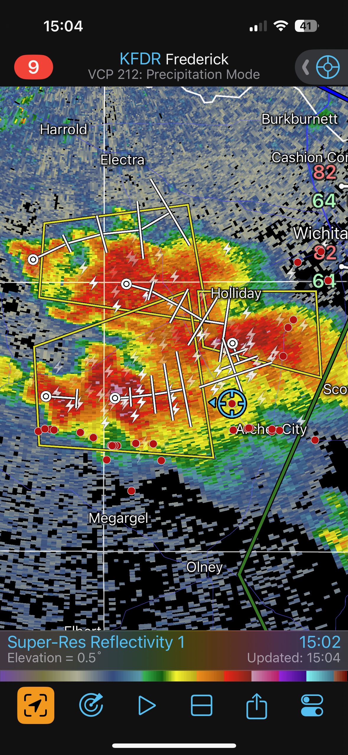
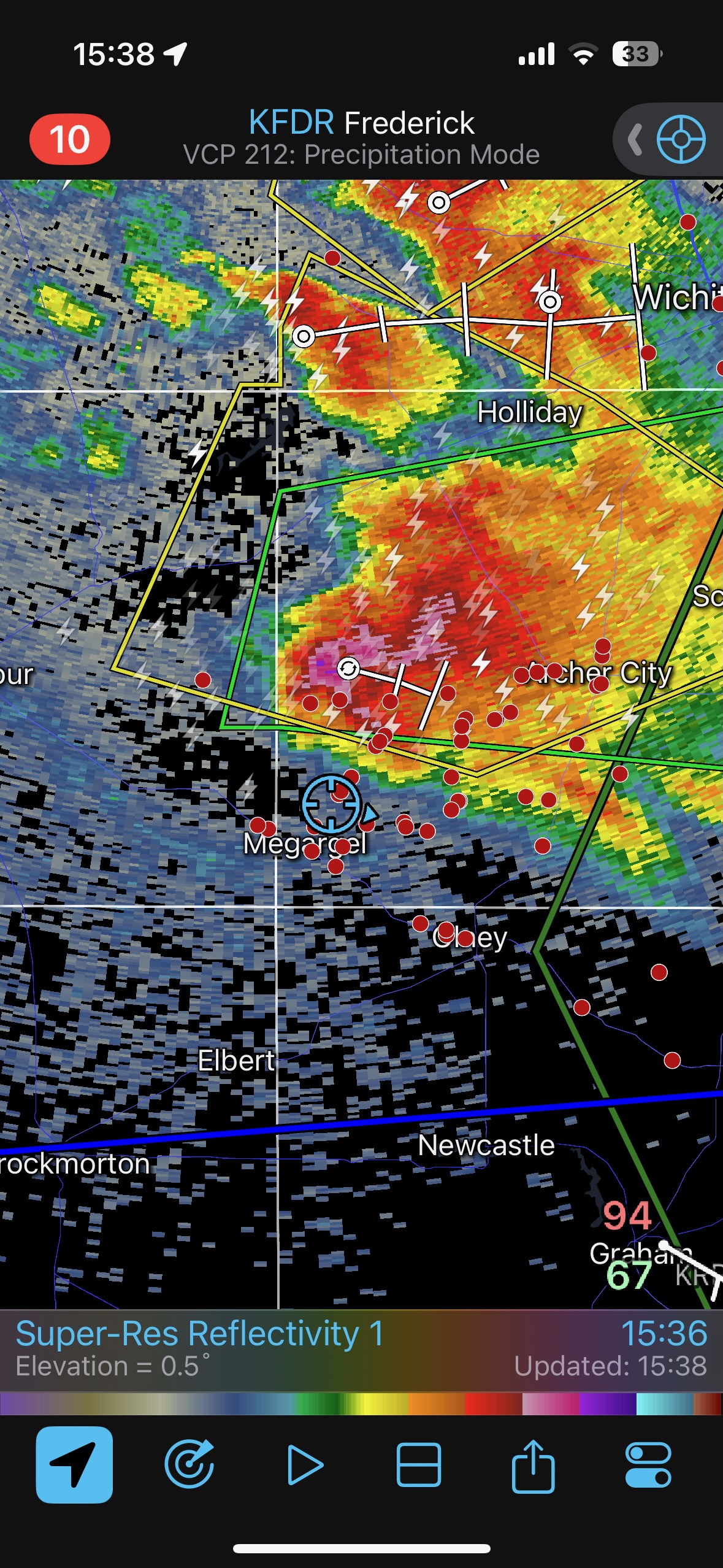
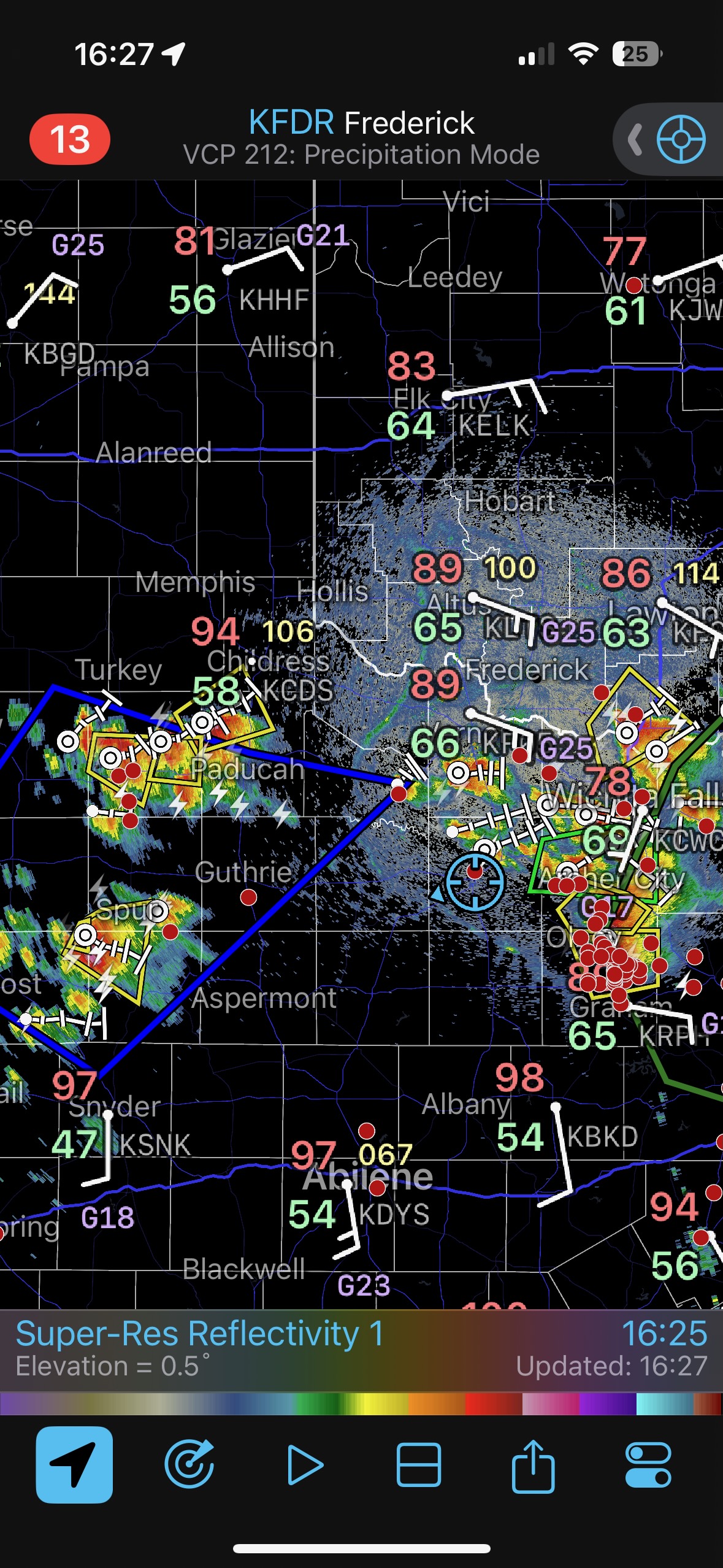
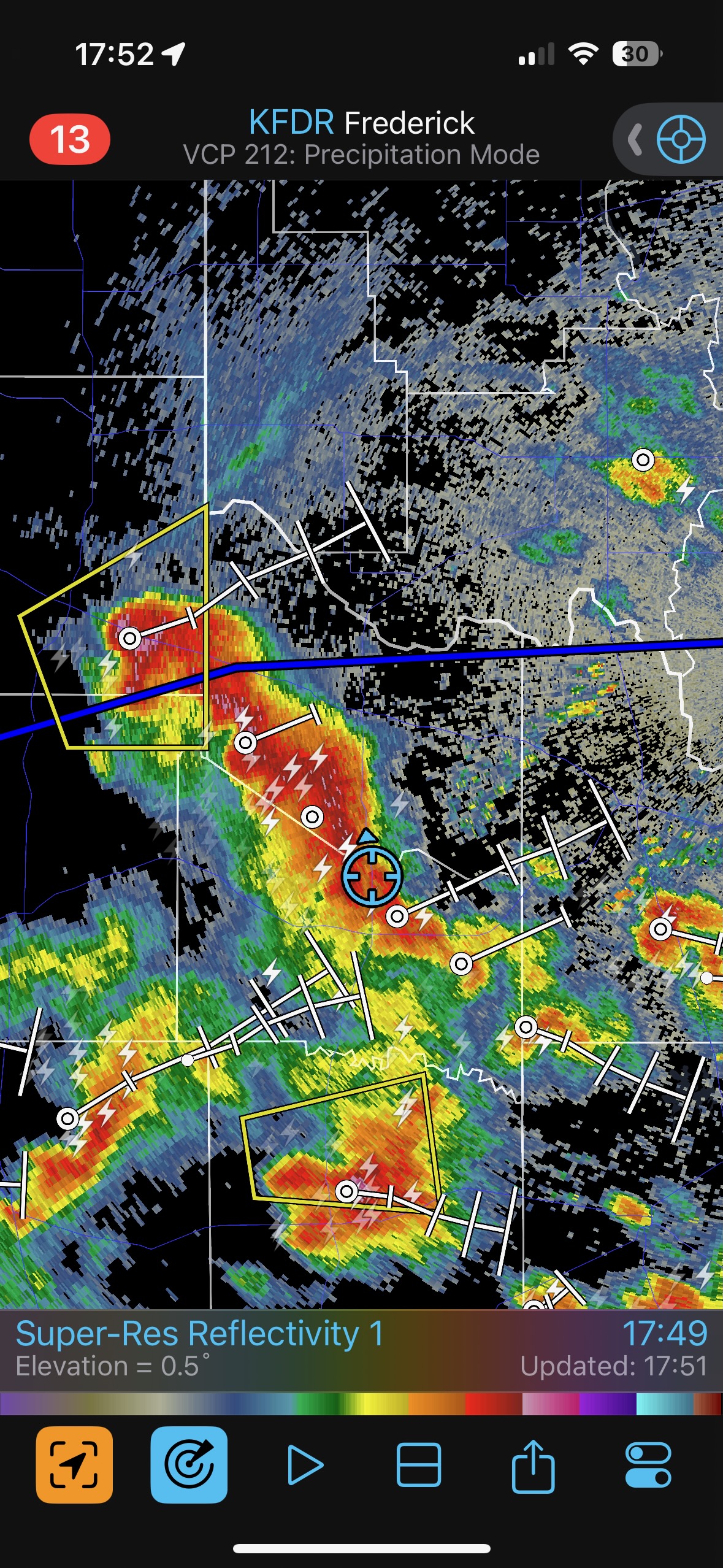
Strong convection south of the Red River began a bit on the early side. We got in front of a storm base with a laminar look north of Archer City. It sputtered in the cool and stable low-level air. Then we tried our luck with a new storm to the WSW, close to Megargel. This one was rather beastly! Its nasty base showed some organization and lowerings, but it did not seem to try very hard to tornado. This one continued quite strong as it moved to the ESE, but it looked too HP and outflowy for a good tornado chance. I elected to check out the new batch of storms out to our west about an hour way. These were high-based and wound up going linear with little to get excited about.


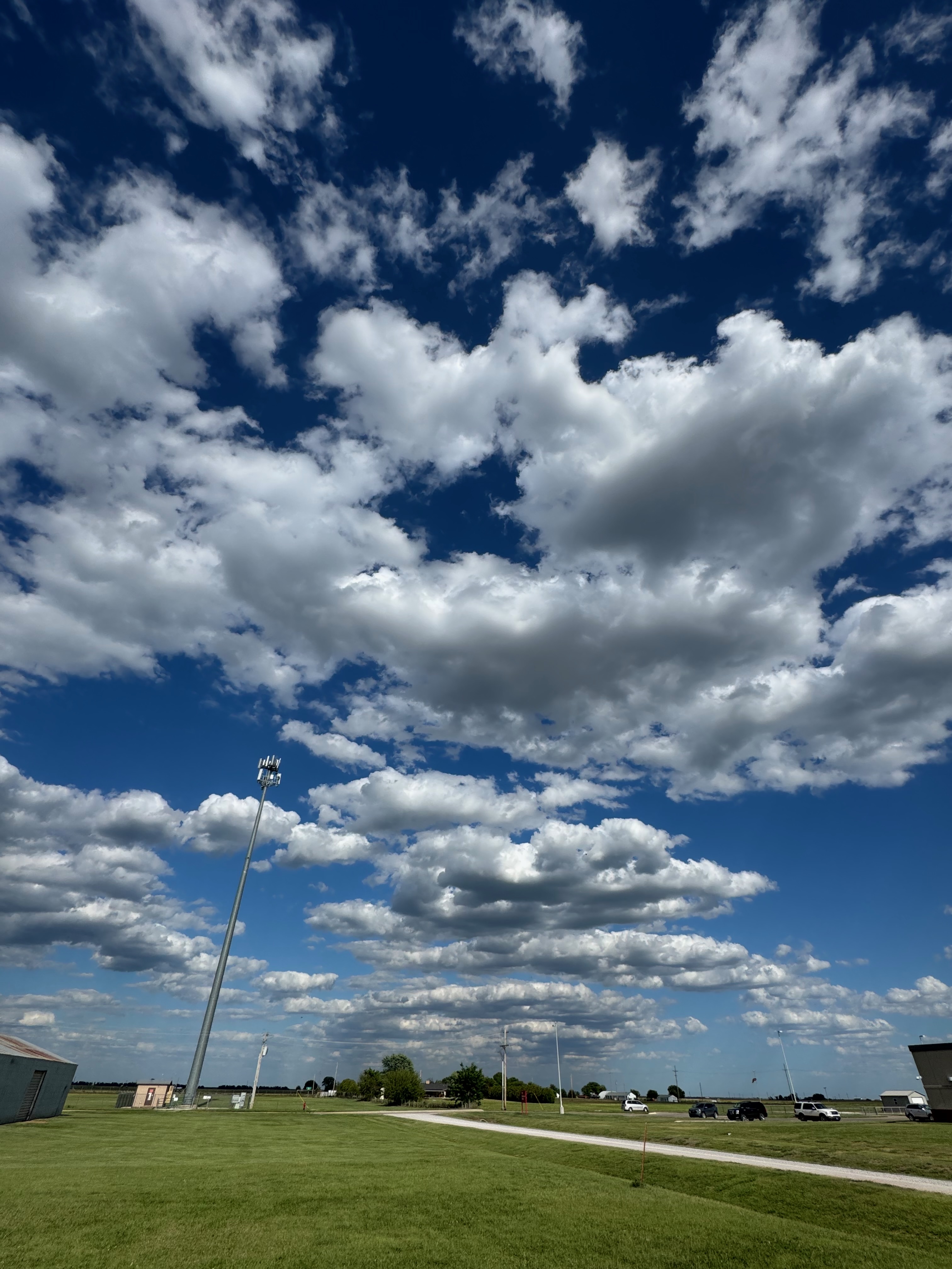
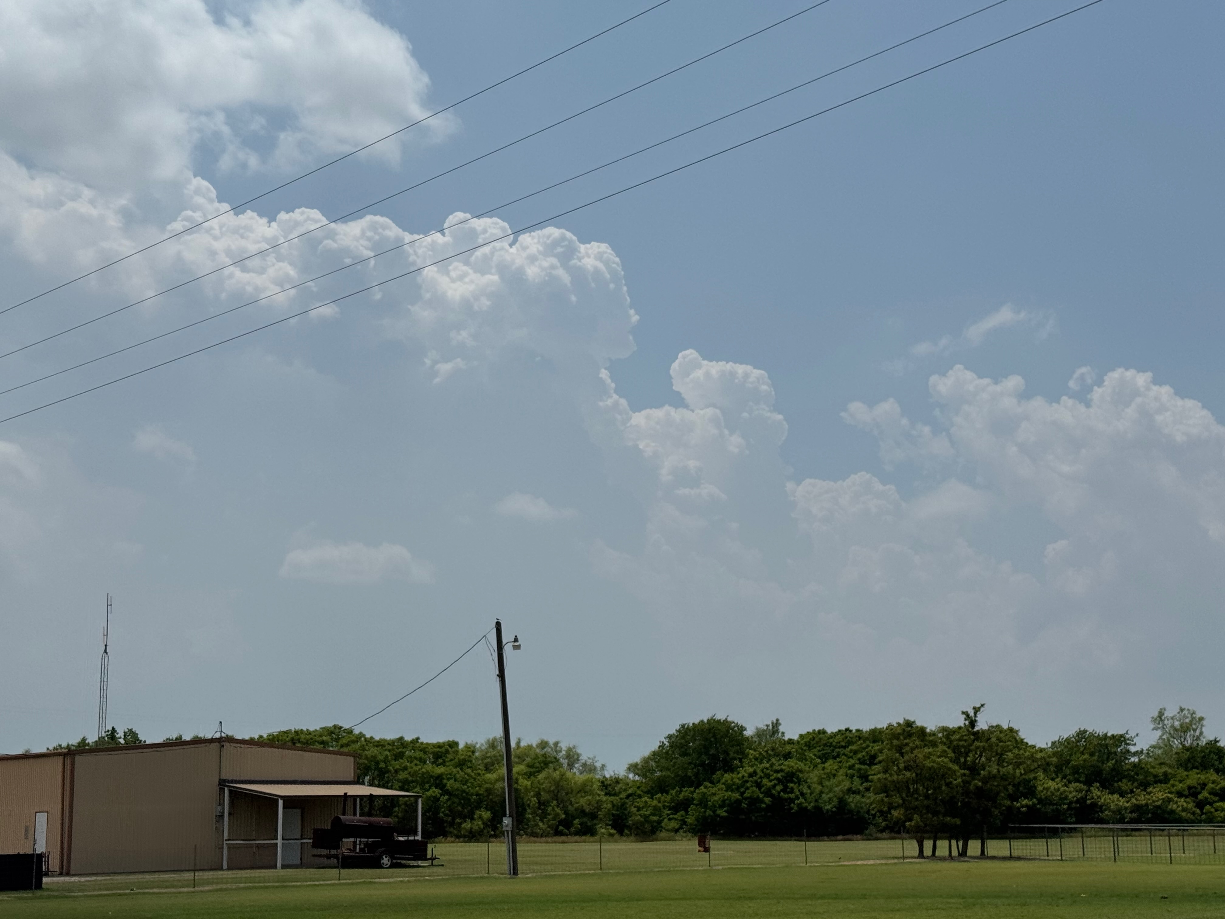
iPhone images below
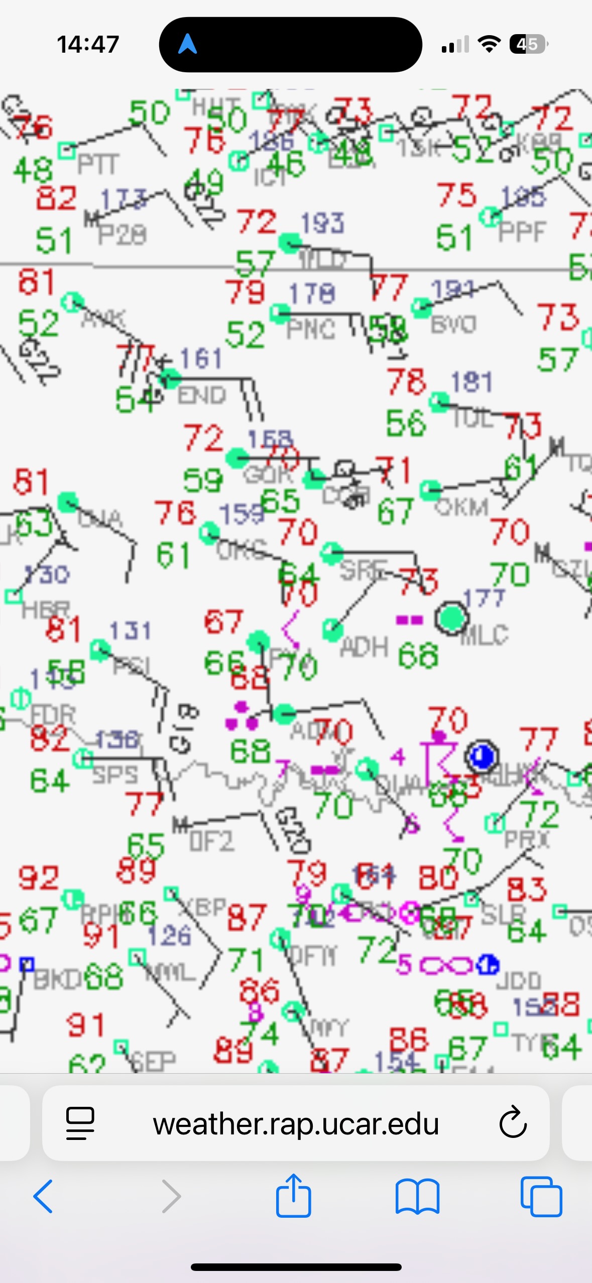
iphone radar grabs below
Leave a Reply
You must be logged in to post a comment.