
Start: Dodge City to OKC for end of Tour 4/End: Shamrock
Mesoscale Discussions 3:57 p.m. CDT 7:52 p.m. CDT 11:12 p.m. CDT
We had the Tour 4 folks back to OKC by 1 p.m. or so, and it was time to turn around and head for Denver. Tour 5 would begin on the morning of May 26th. And lucky me, there was decent tornado risk along the route to Denver, primarily in northwest Oklahoma. I usually try to get close to Colorado for a motel stay on these changeover periods between OKC and DEN, but a chaser cannot pass up a 10 percent tornado outline in western Oklahoma. Shear and instability and low-level moisture were quite good, and the one big question mark was when and if a storm or two could initiate. The cap was strong, with the 700 mb temperature at a toasty 14C. Carol was tagging along in my vehicle, and Gary and Adam were following in a Tempest van.
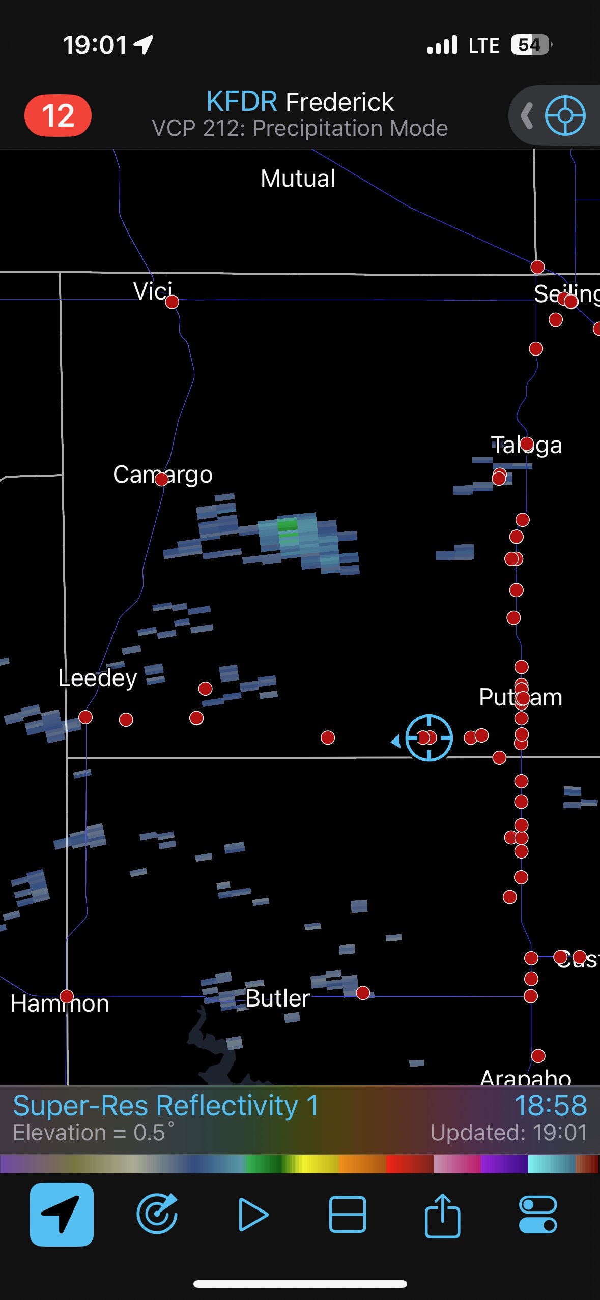
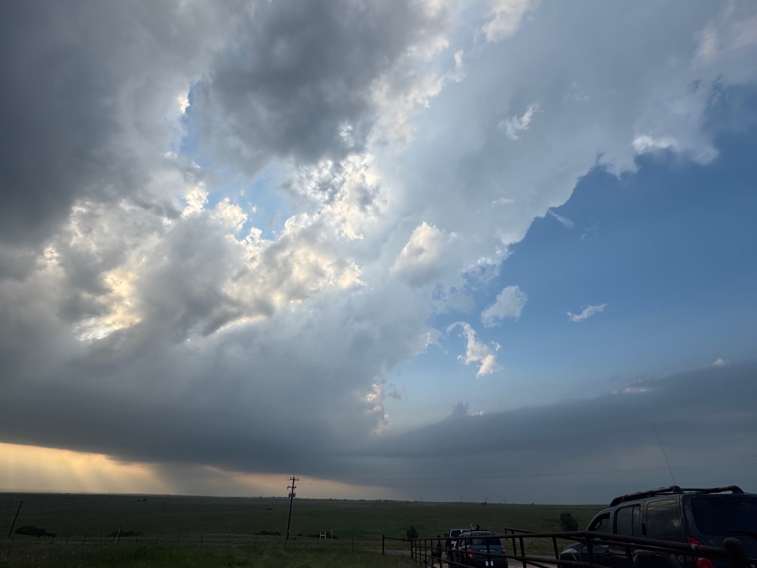
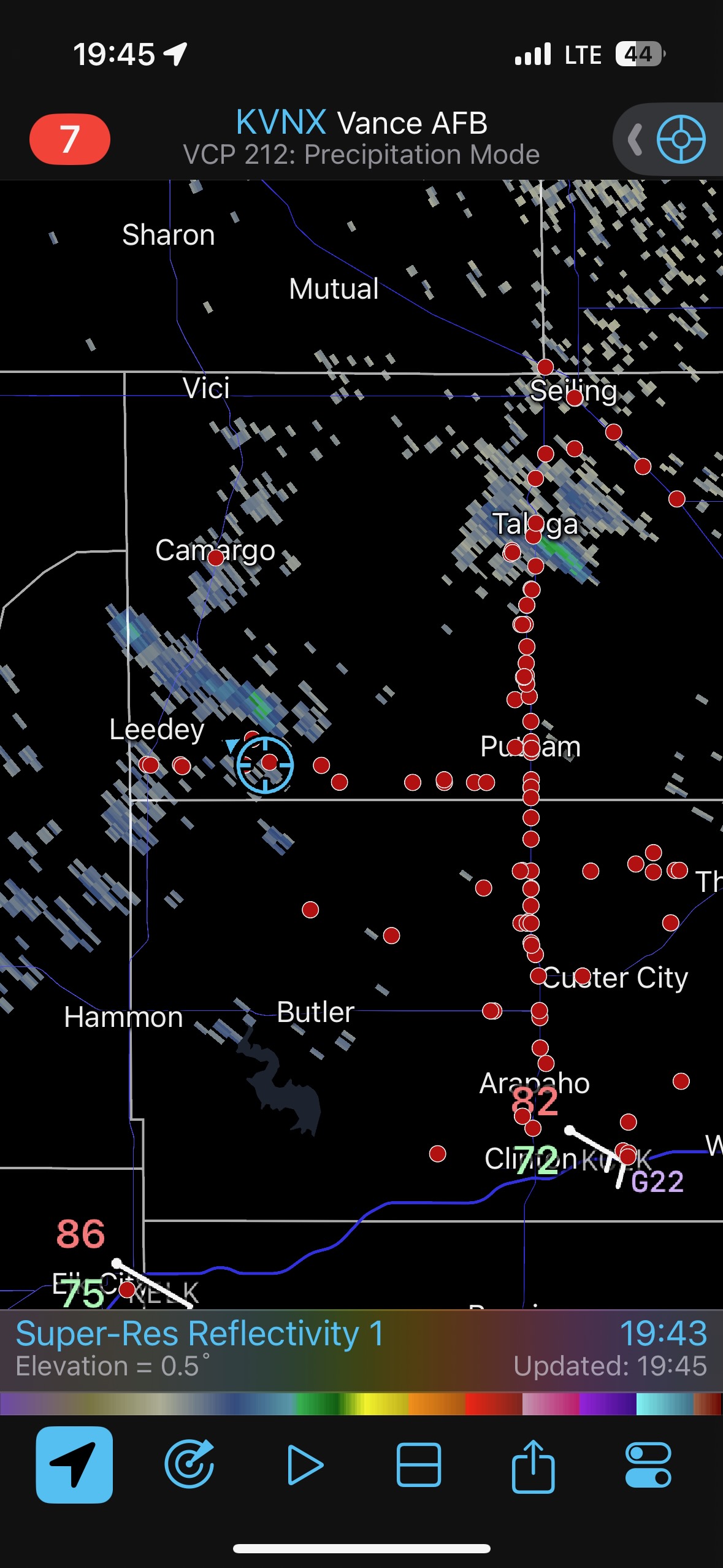
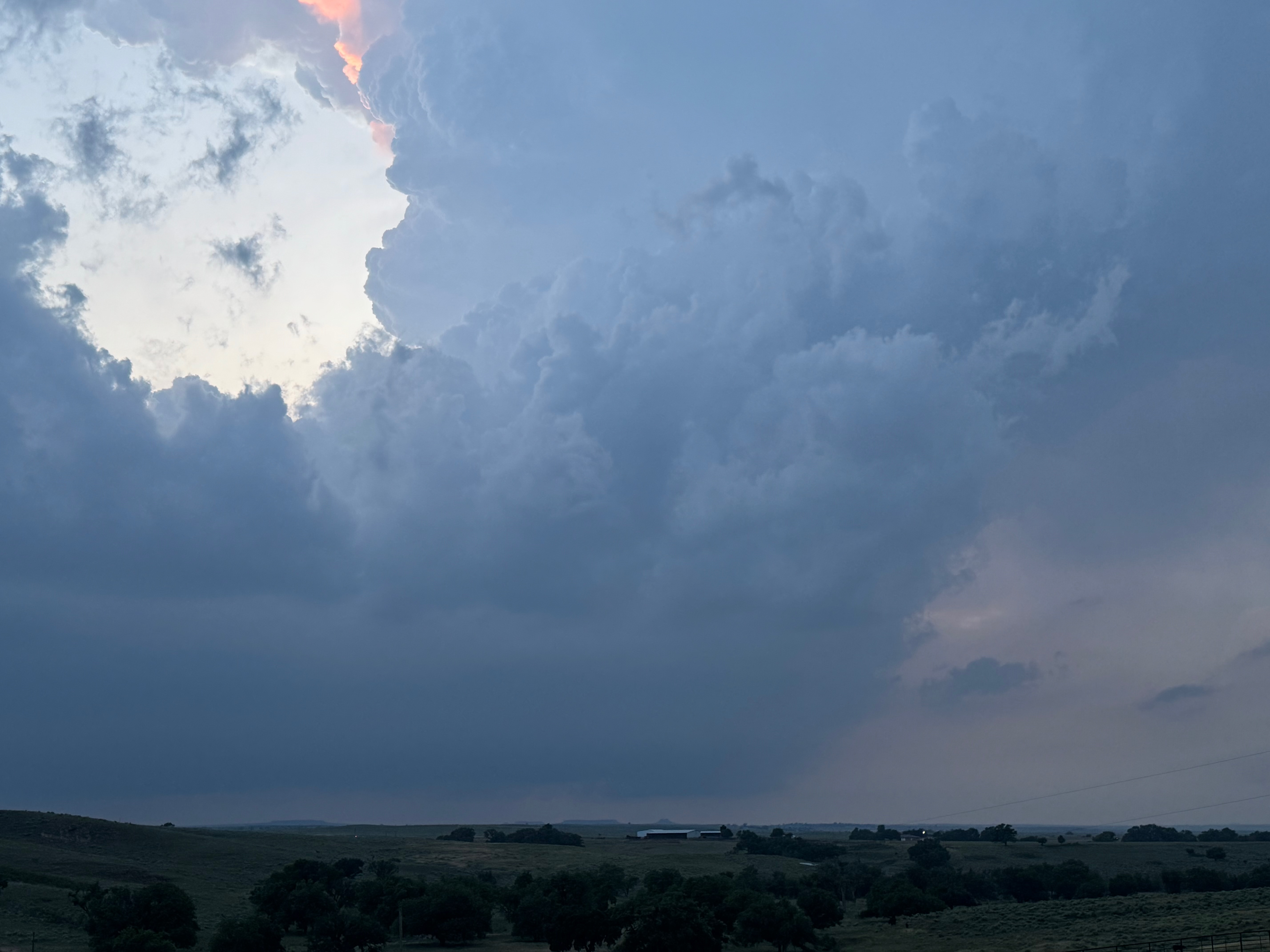
If you take a gander at the first few iPhone shots in the second group below, you will see our location near Putnam, OK, around 7 p.m. CDT. A storm or two tried to get strong west and northwest of Putnam. These showed plenty of interesting low-level laminar siding, but they were rather anemic on the updrafts. The spotter network shows the impatient chasers lined up along N-S road U.S. 183. With sunset only an hour or so away, we had nothing to chase. The low levels were too stable near this boundary and the cap was too strong. It looked like a bust, at least in this particular area.
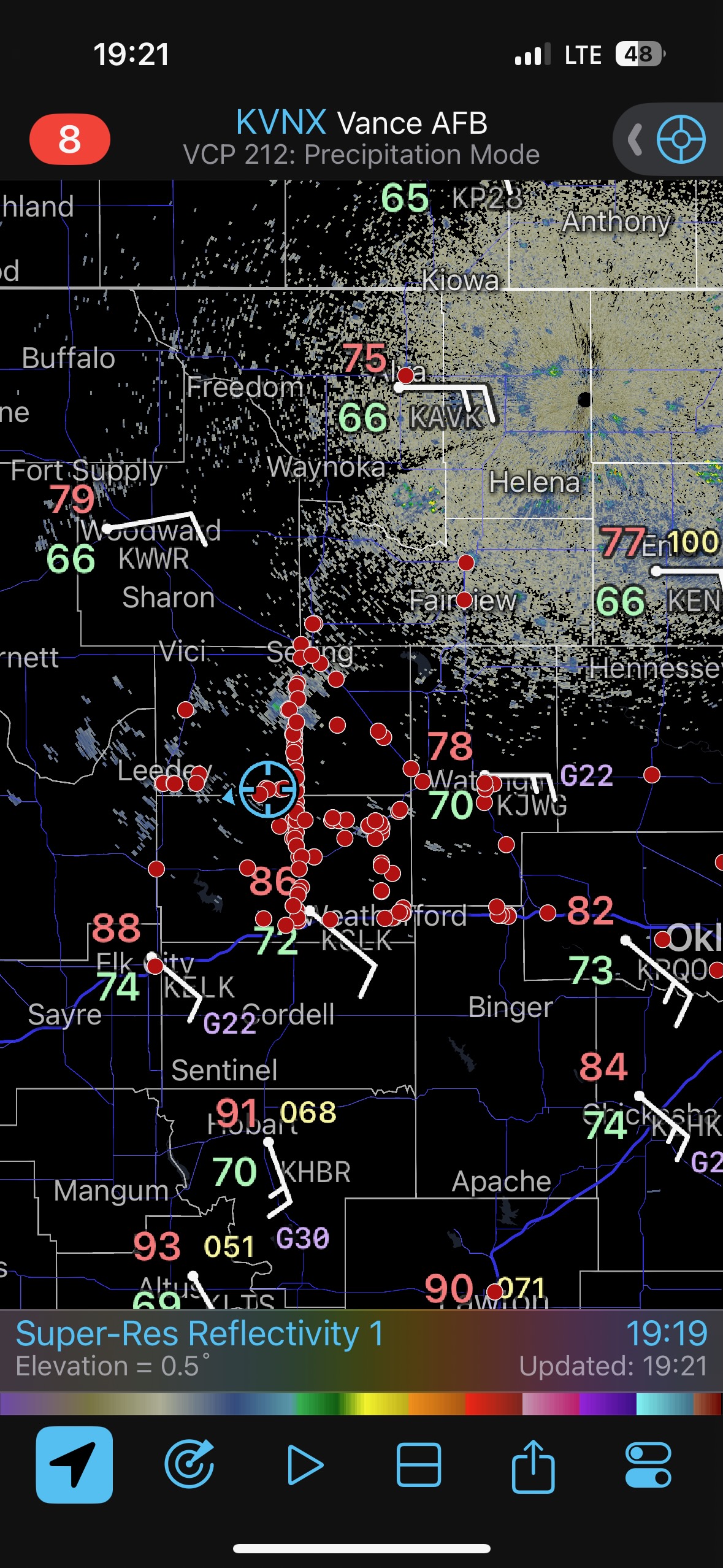
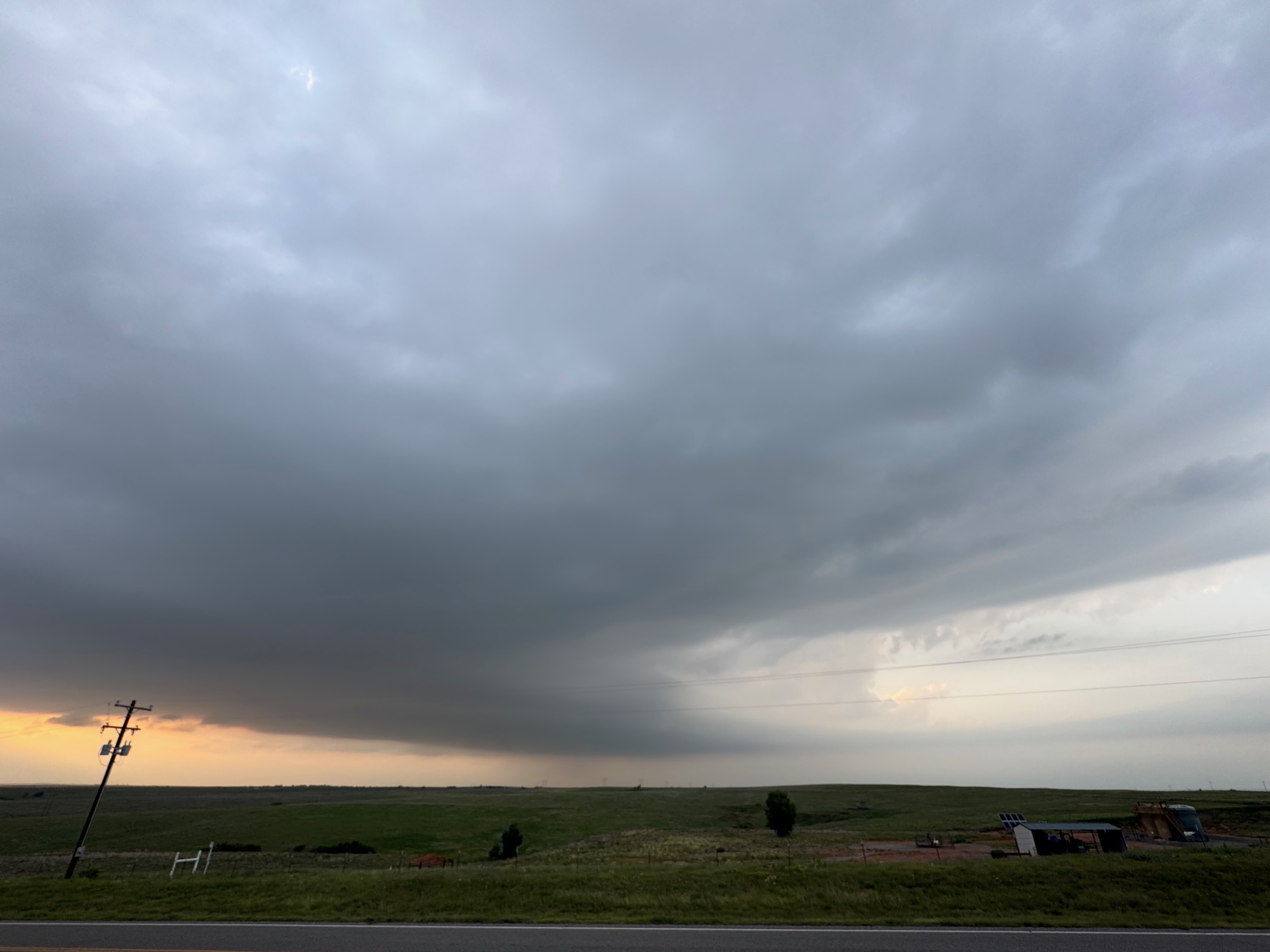
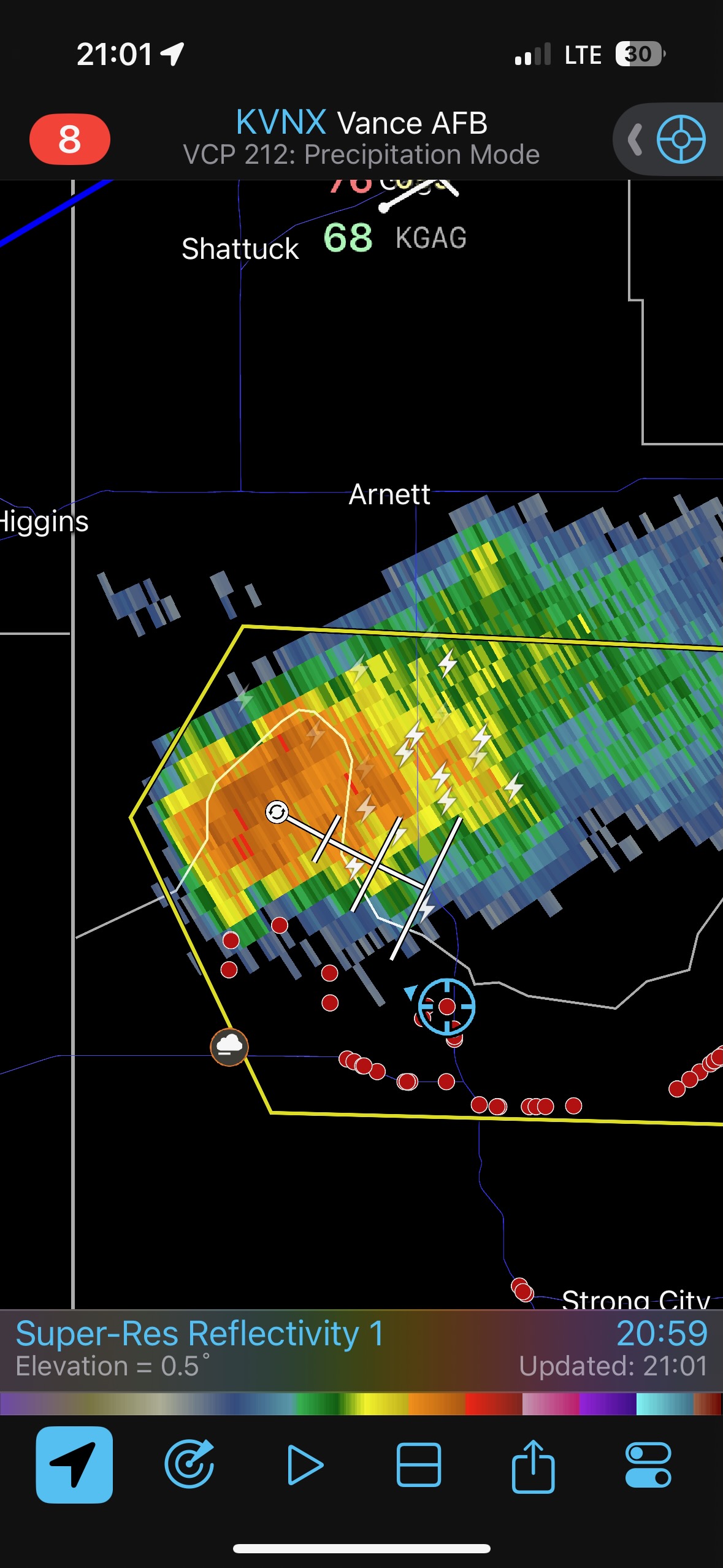
Satellite showed some perkier development out west near the TX line, SSW of Arnett. Since that was the direction we needed to go anyway, I headed west on 47, leaving 99 percent of the red dots behind. HAHA!
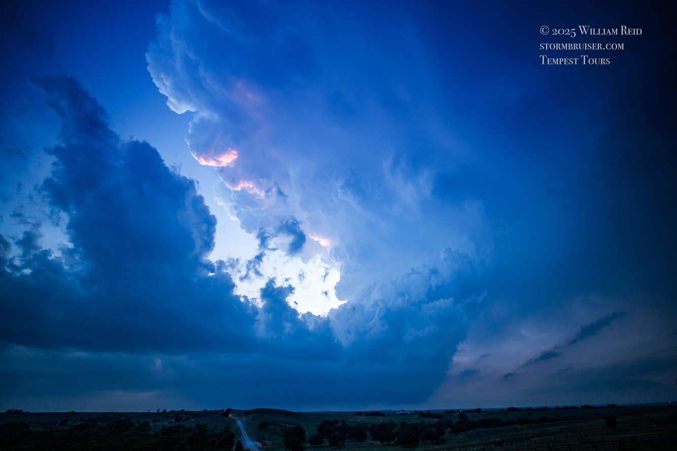
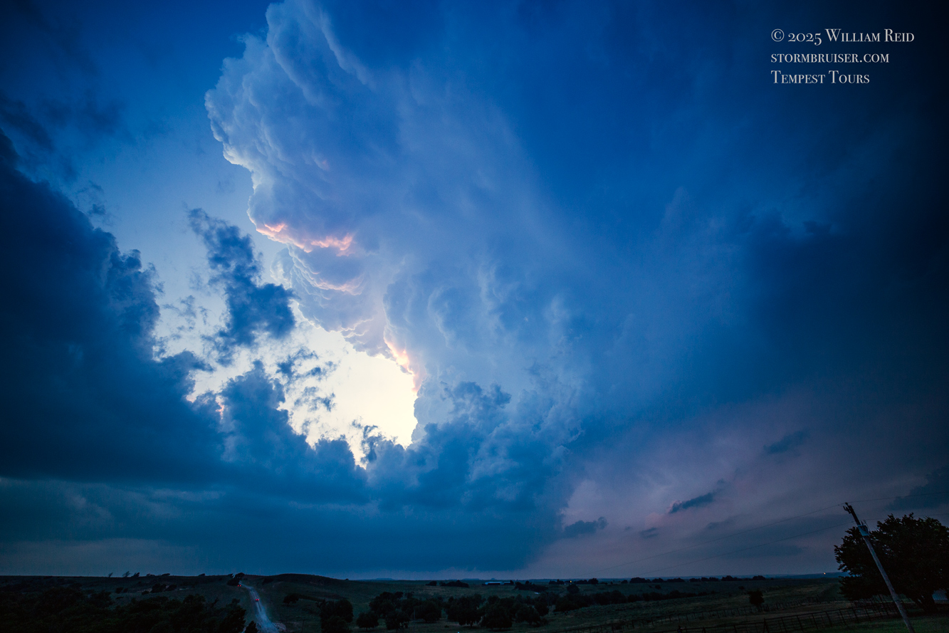
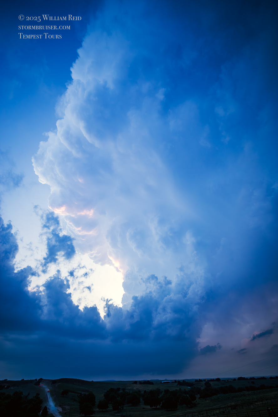
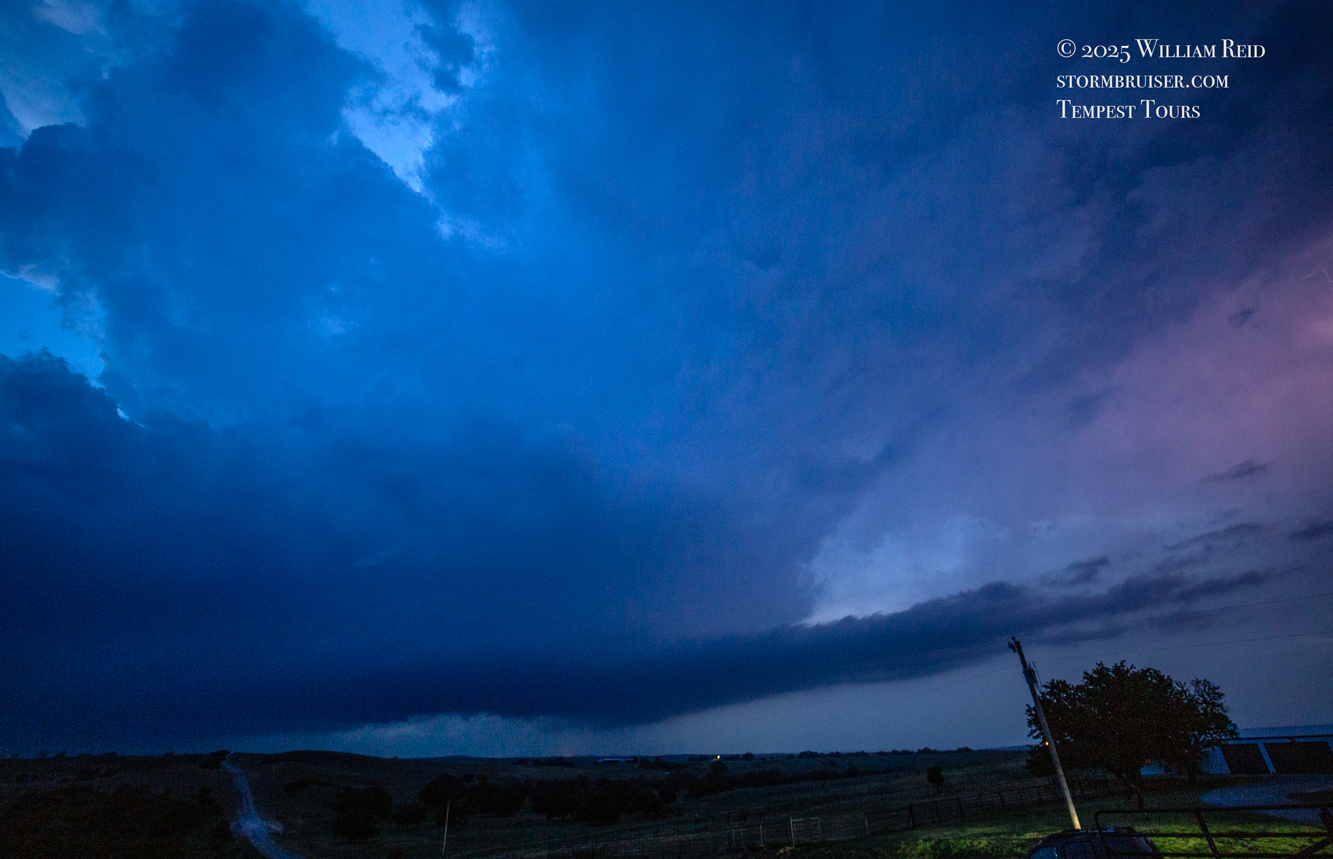
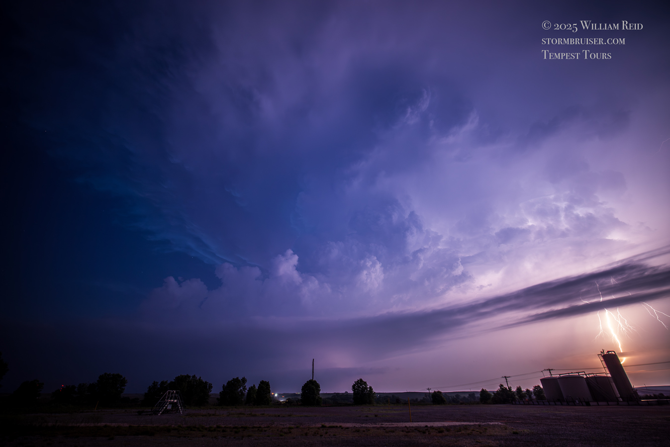
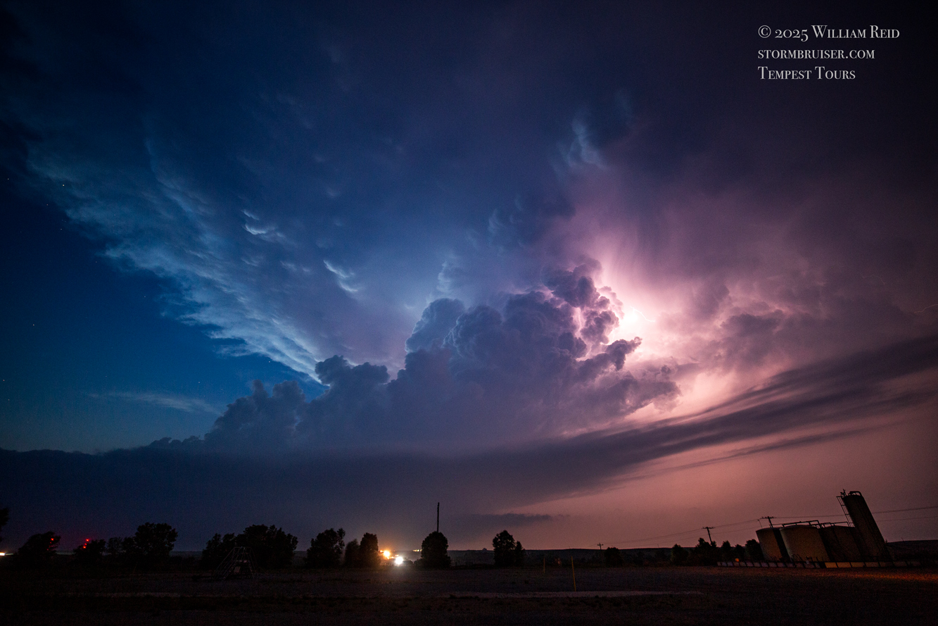
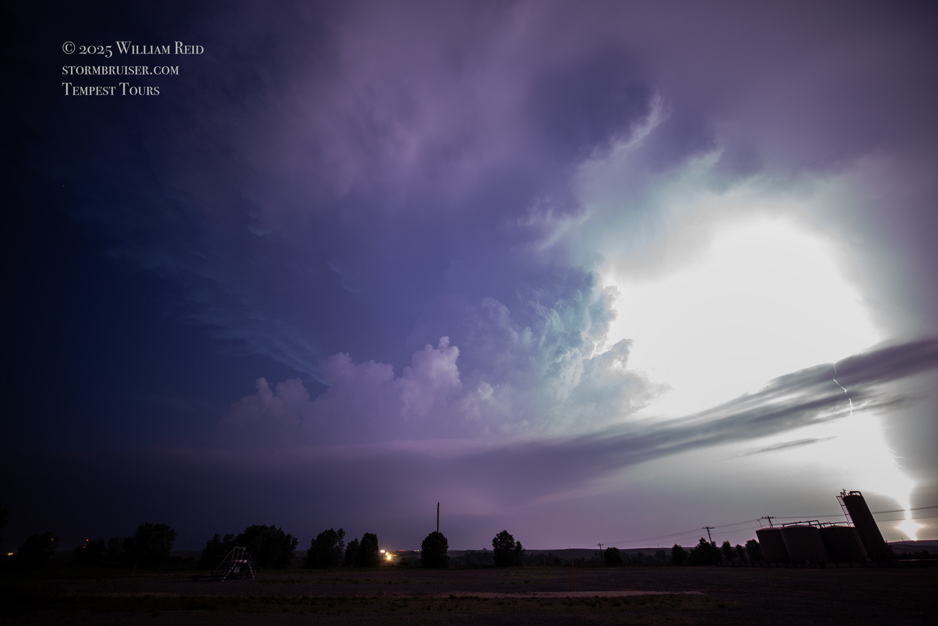
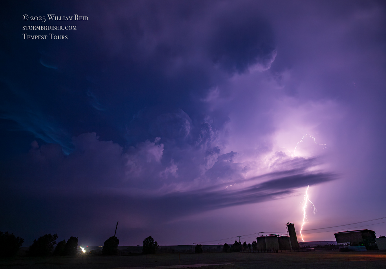
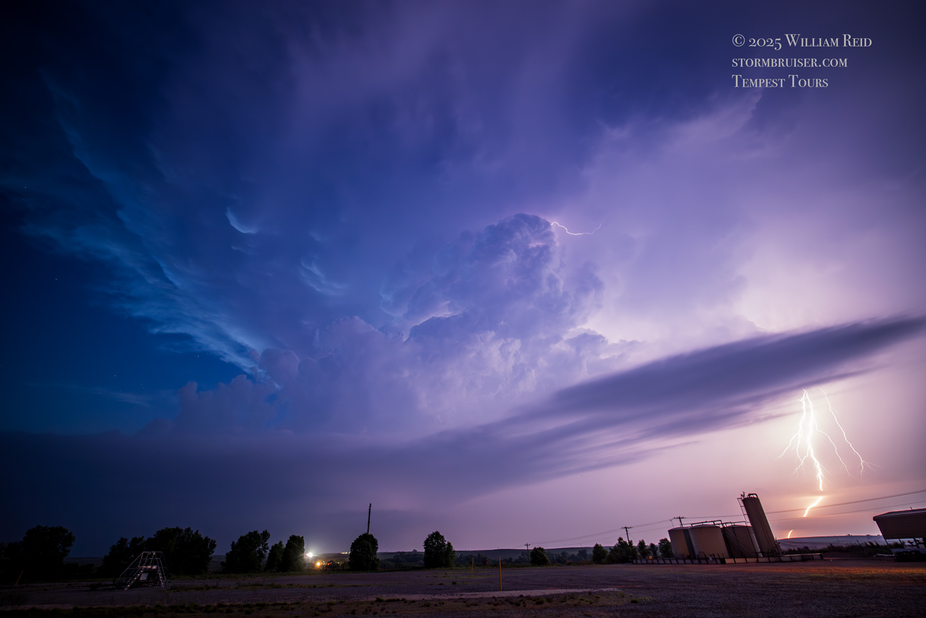
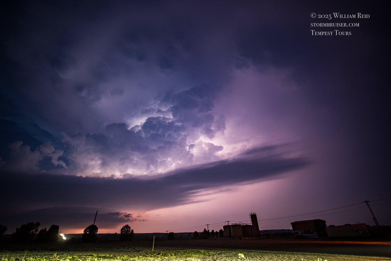
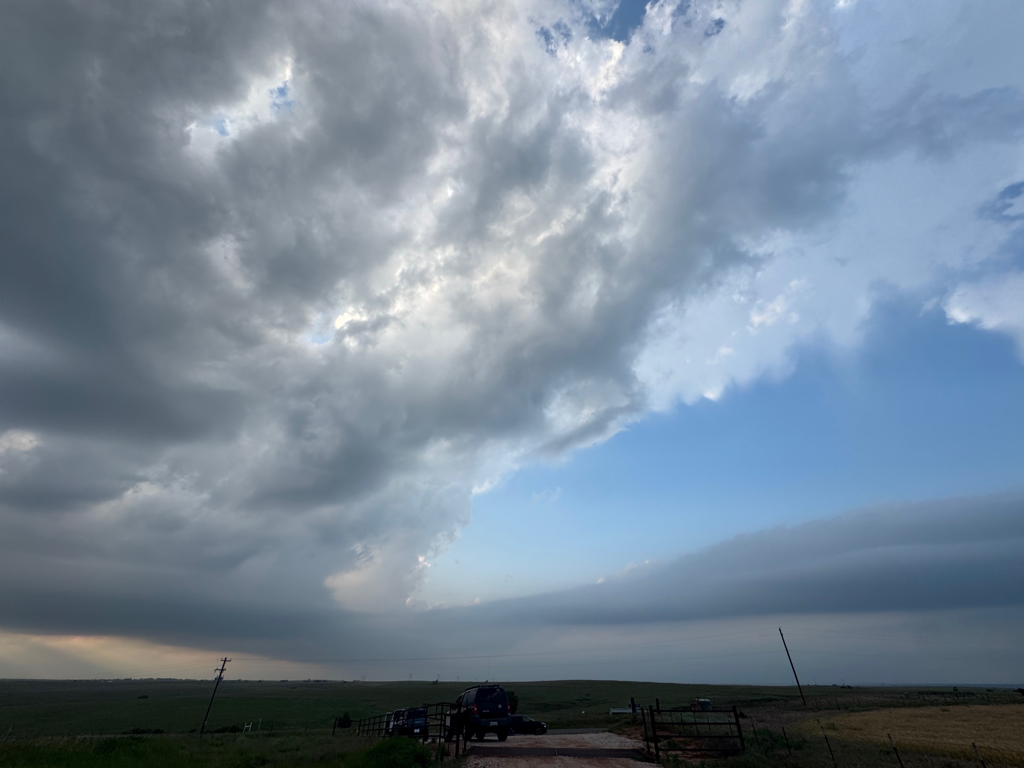
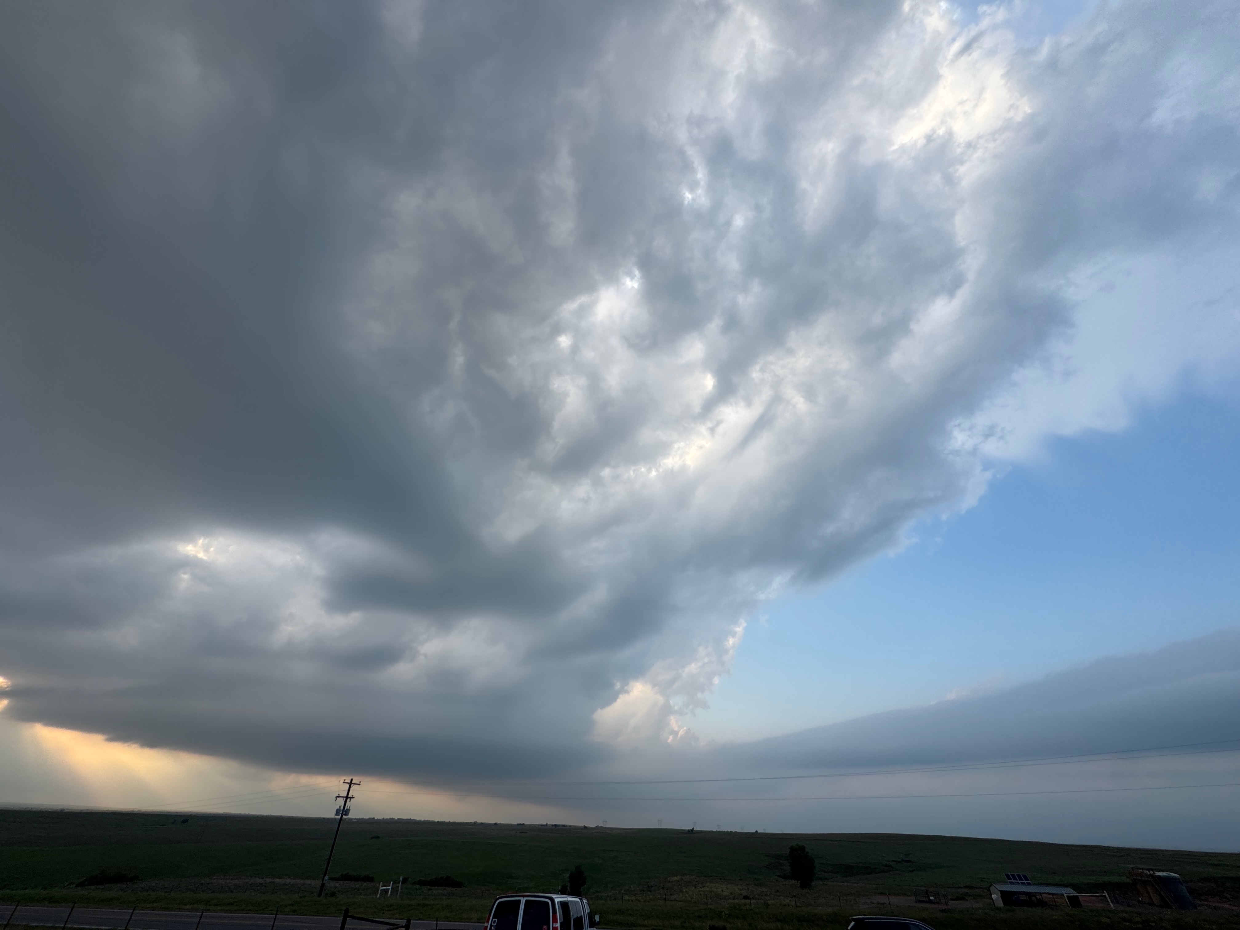
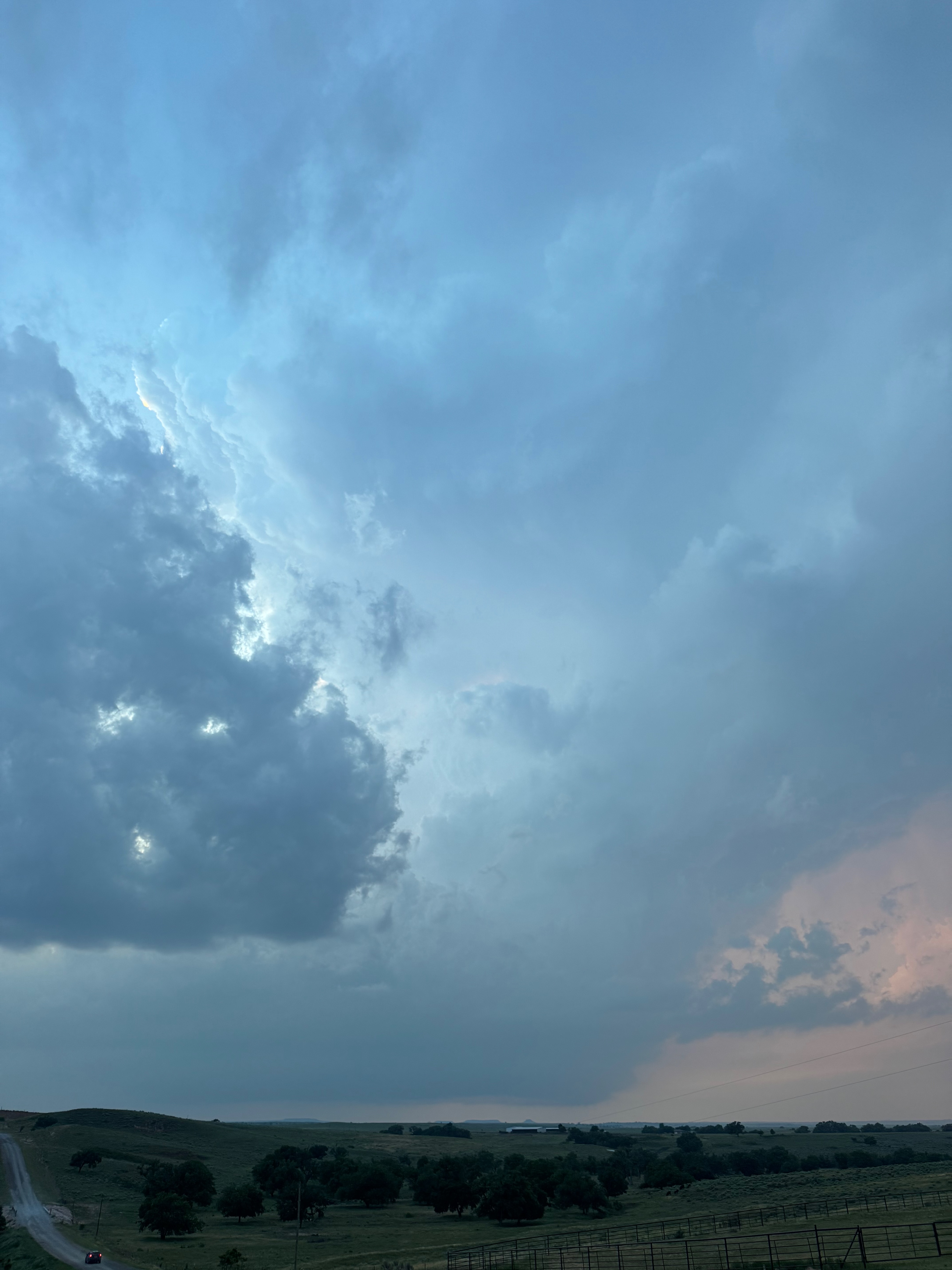
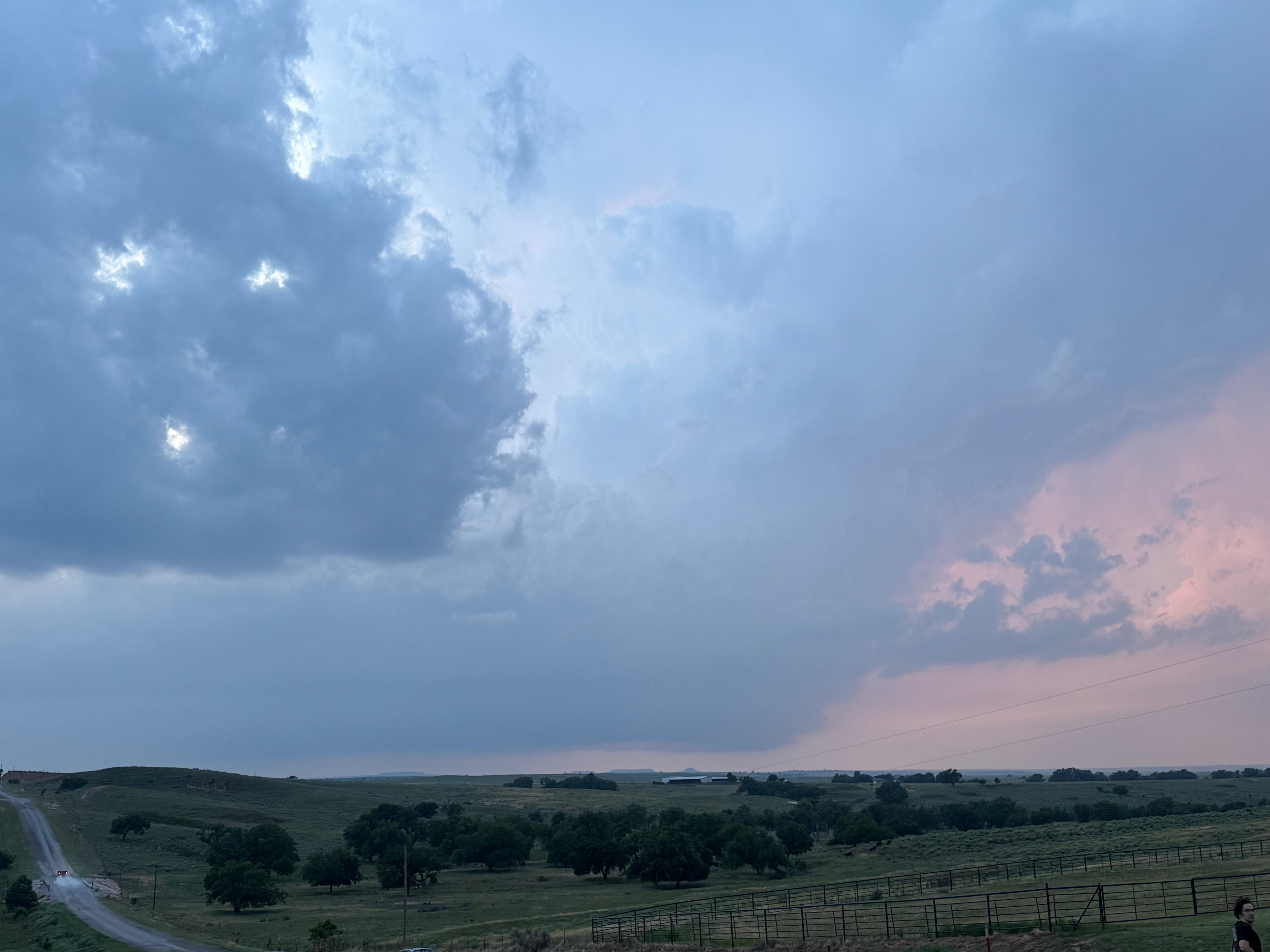
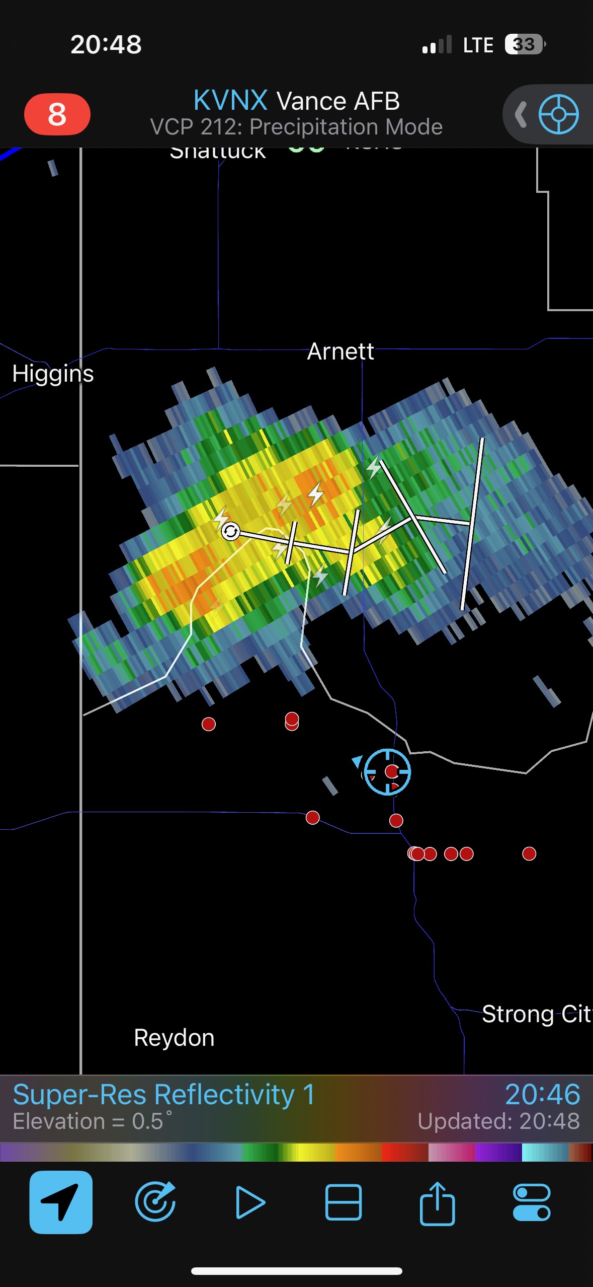
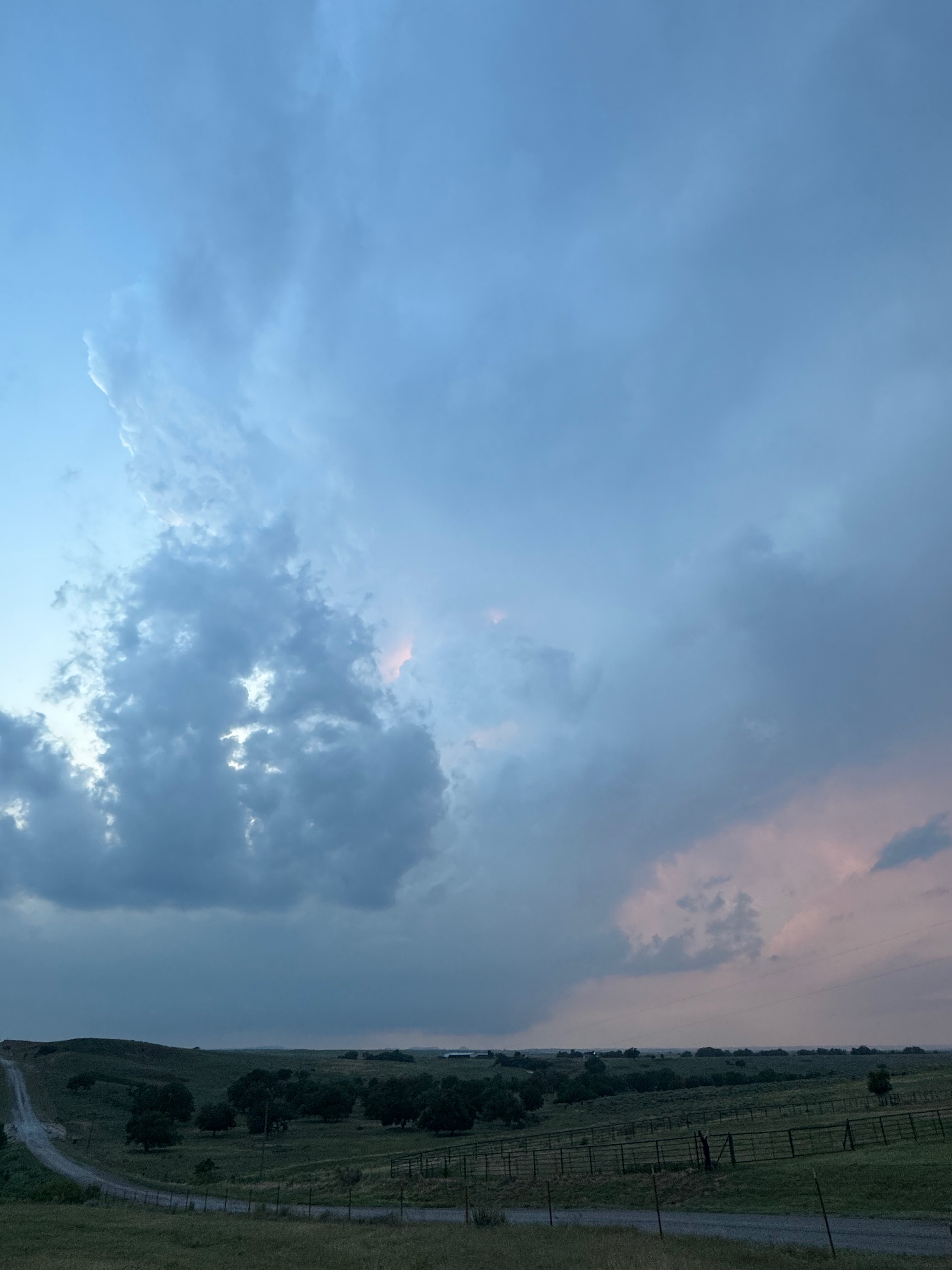
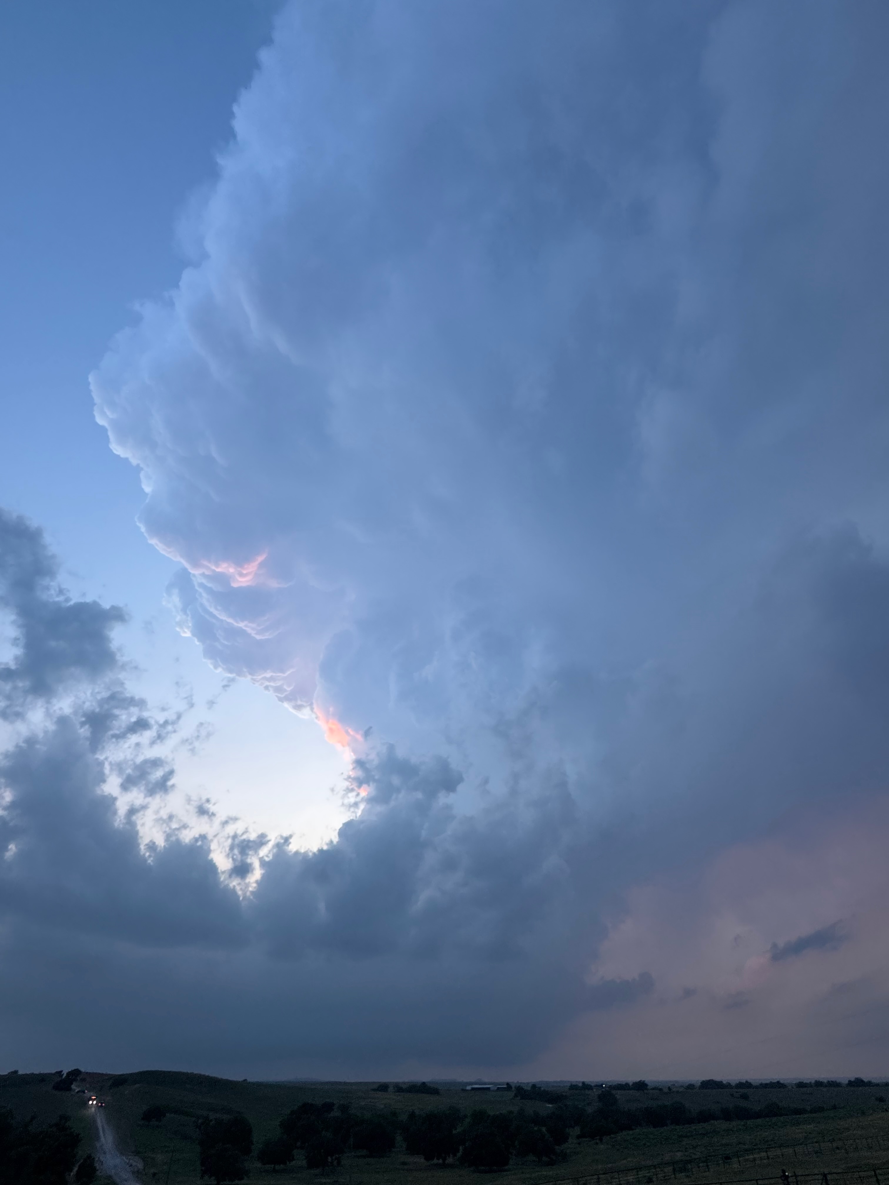
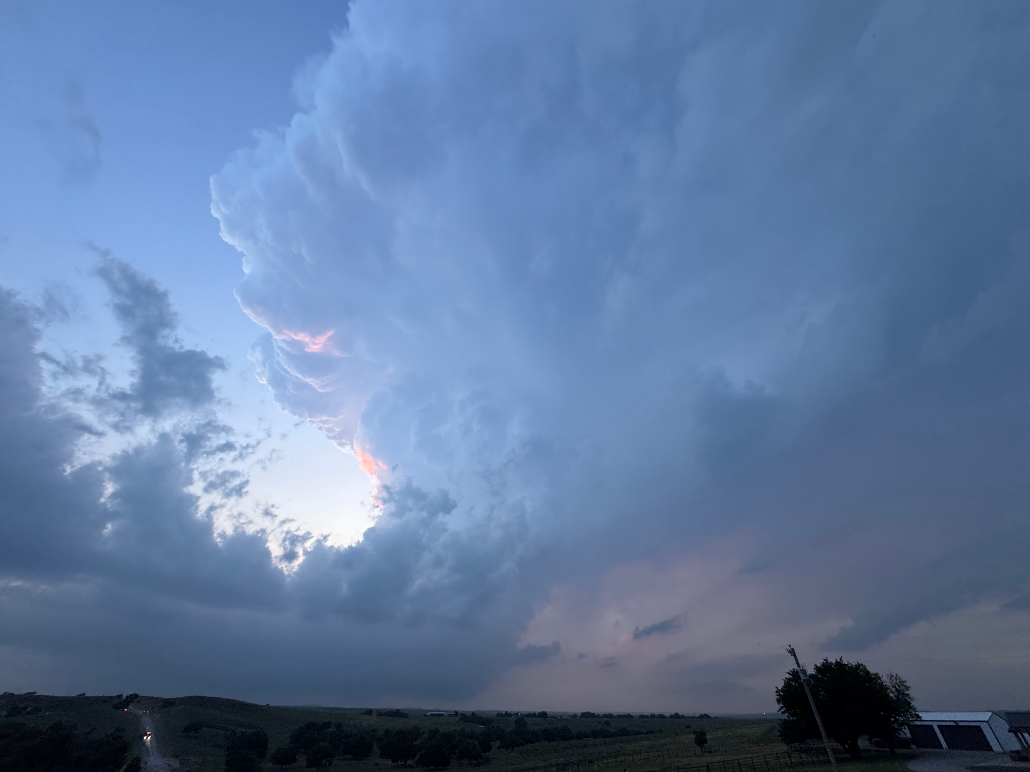
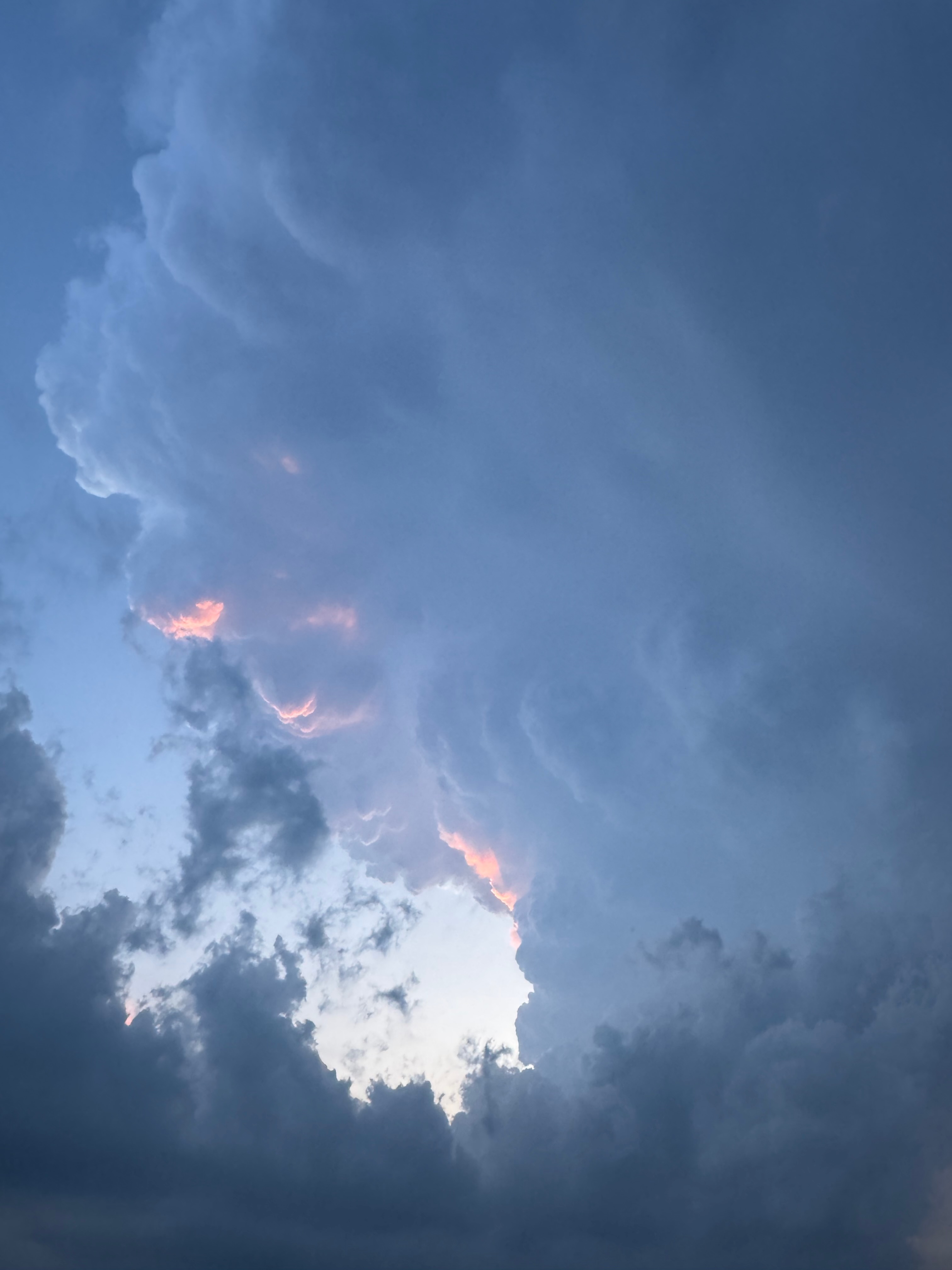
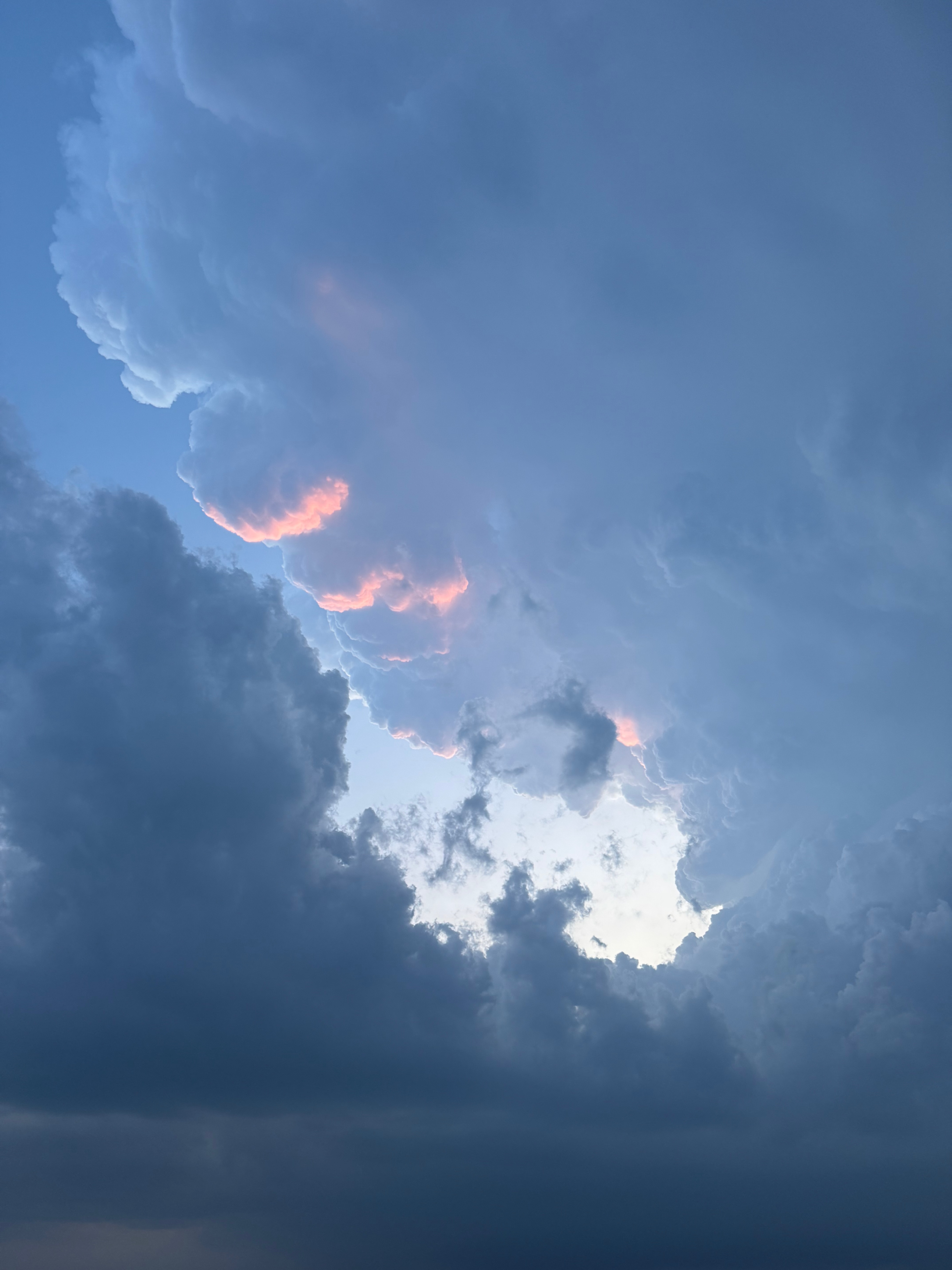
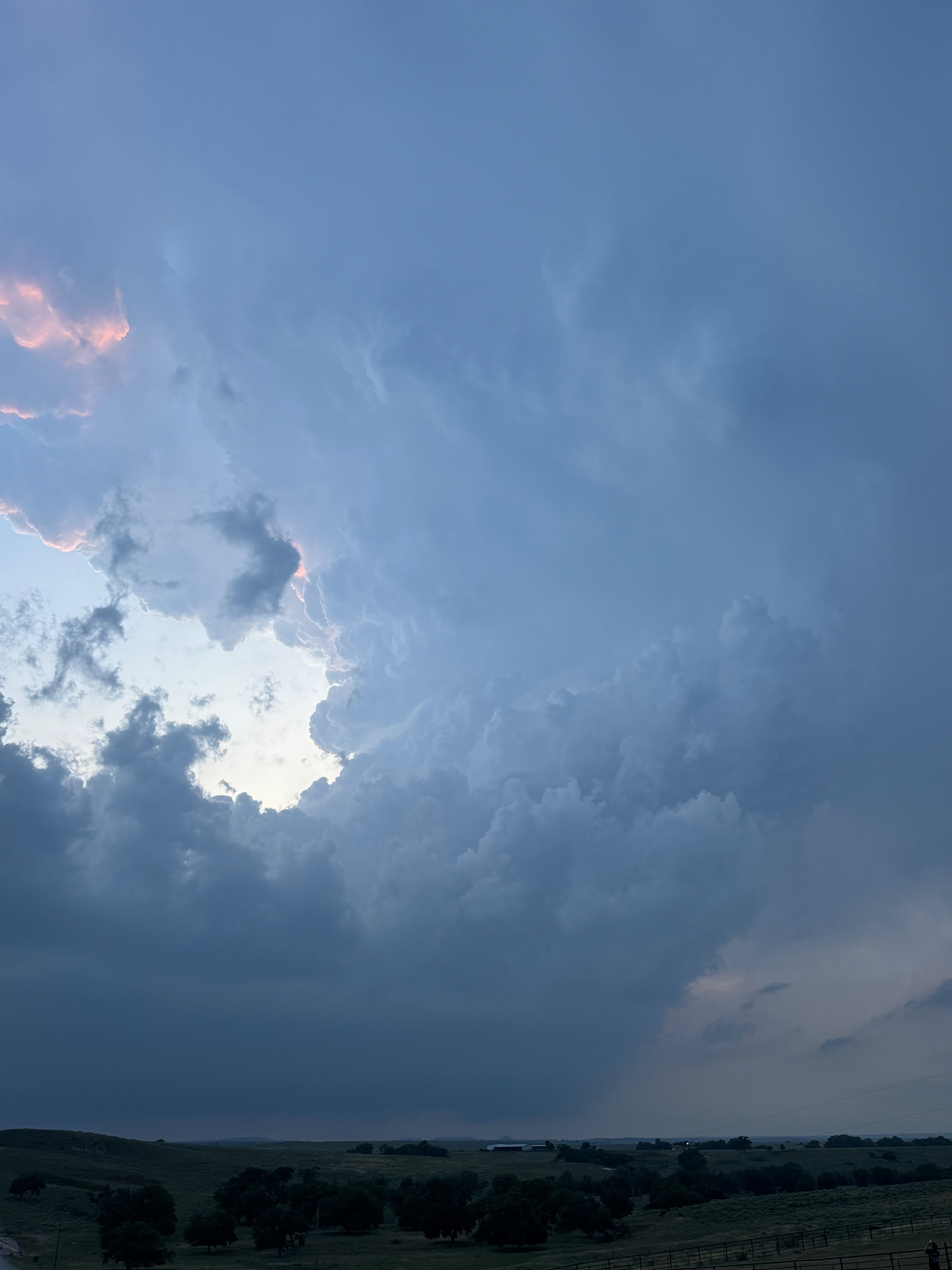
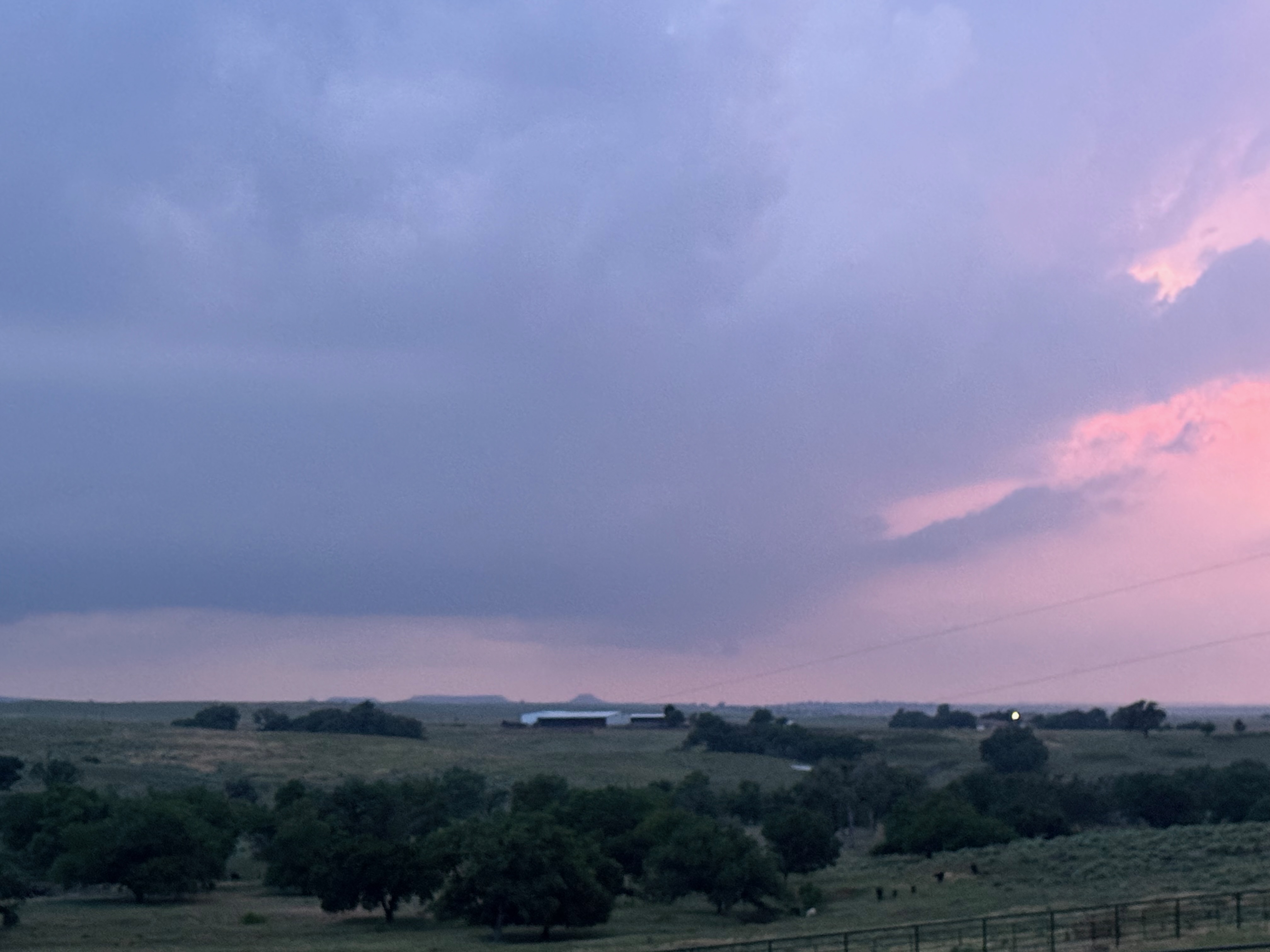
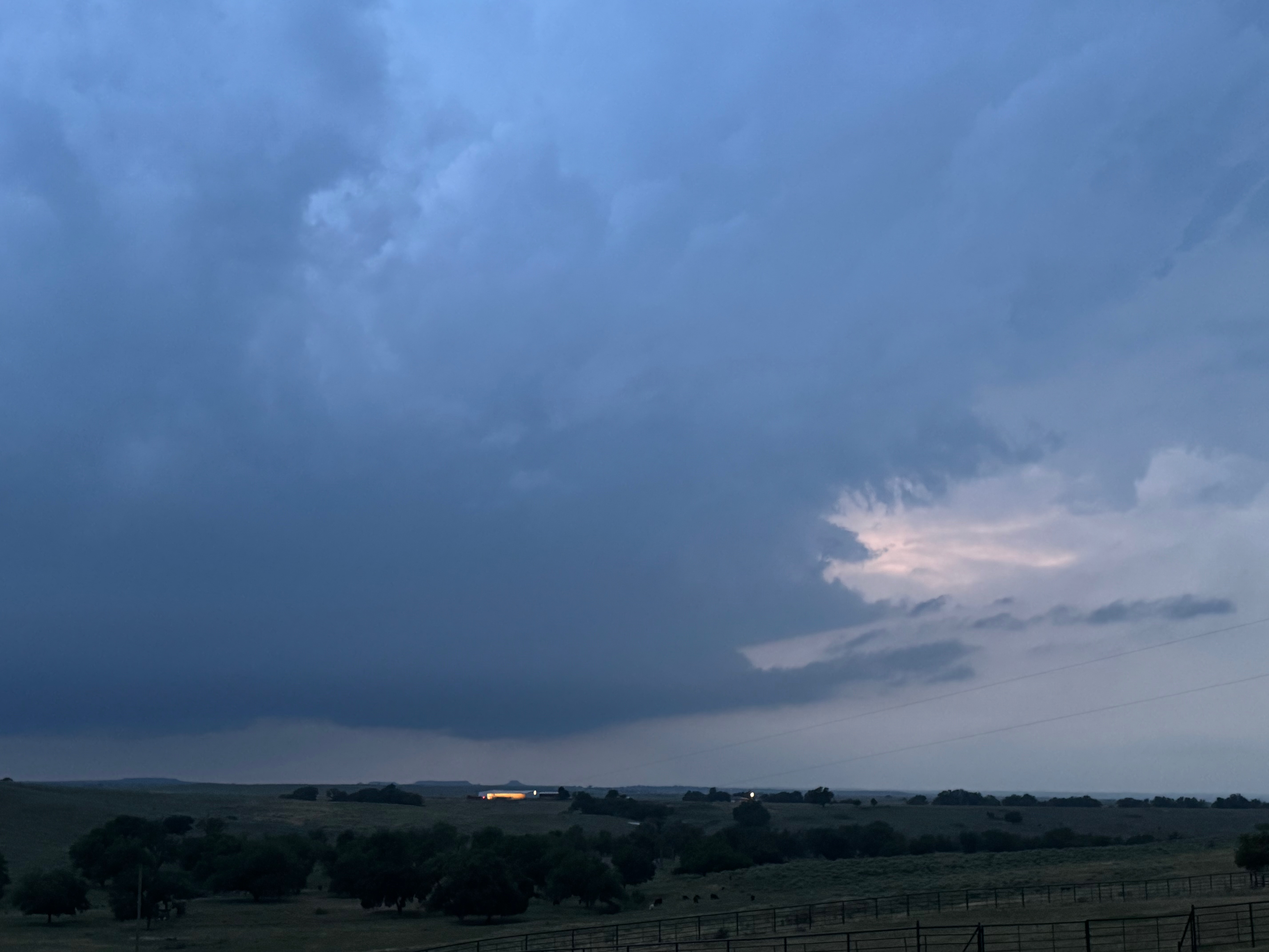
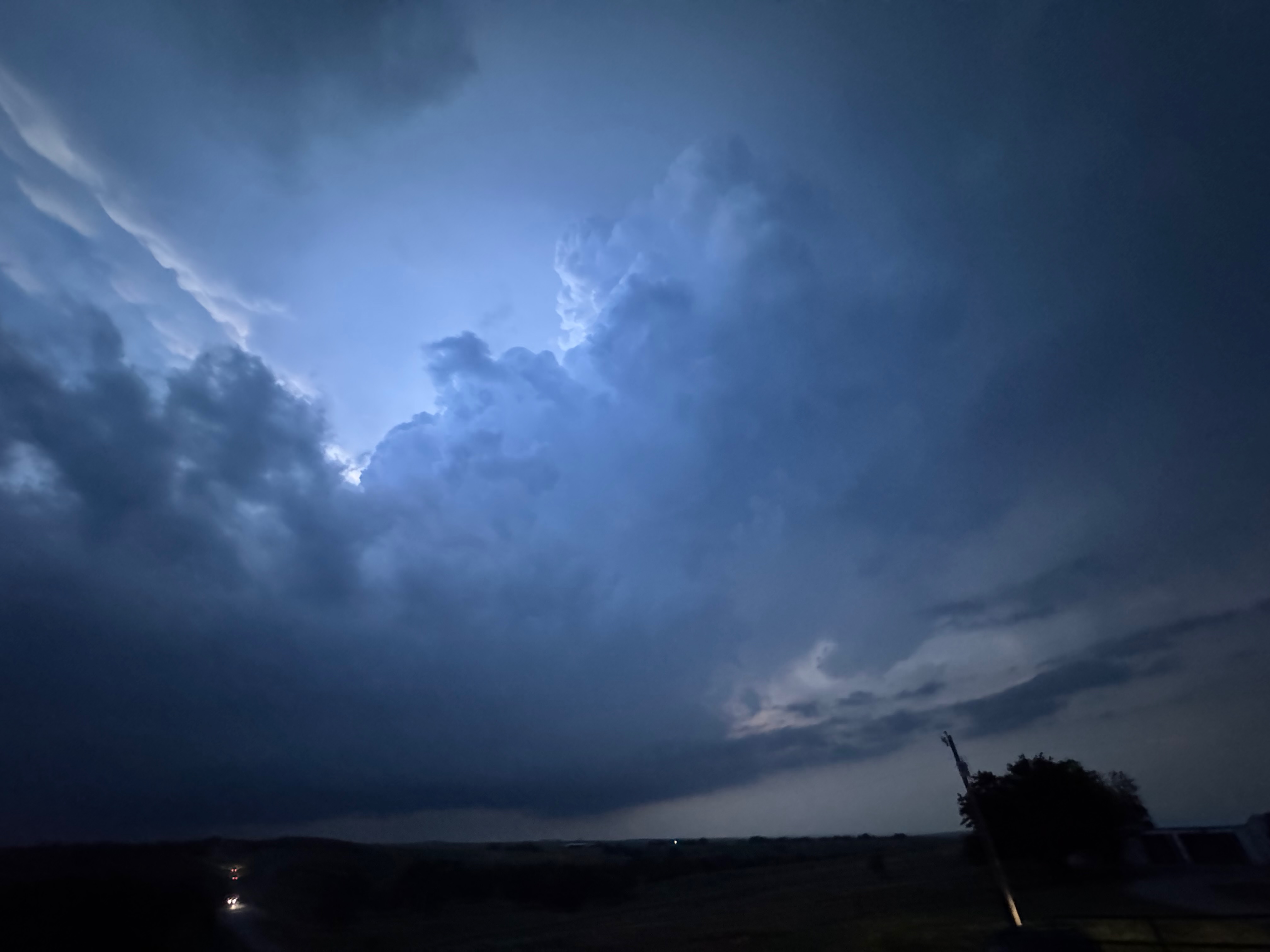
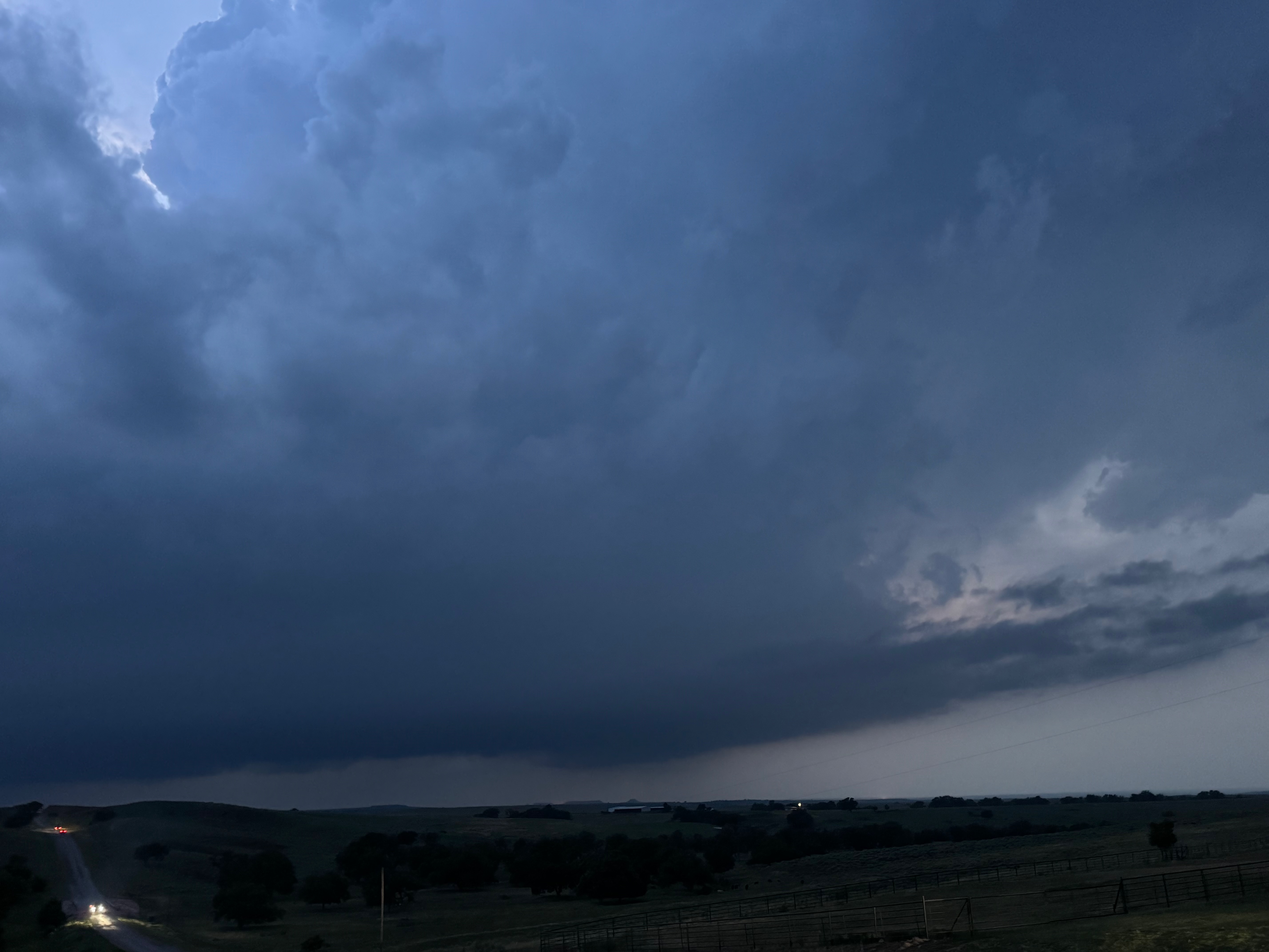
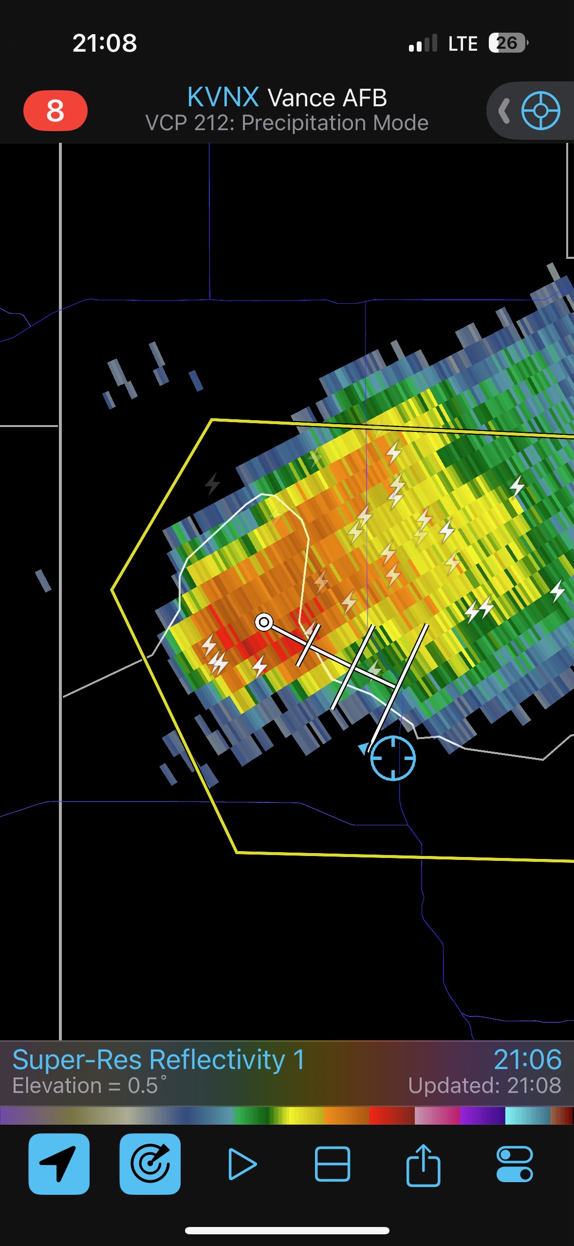
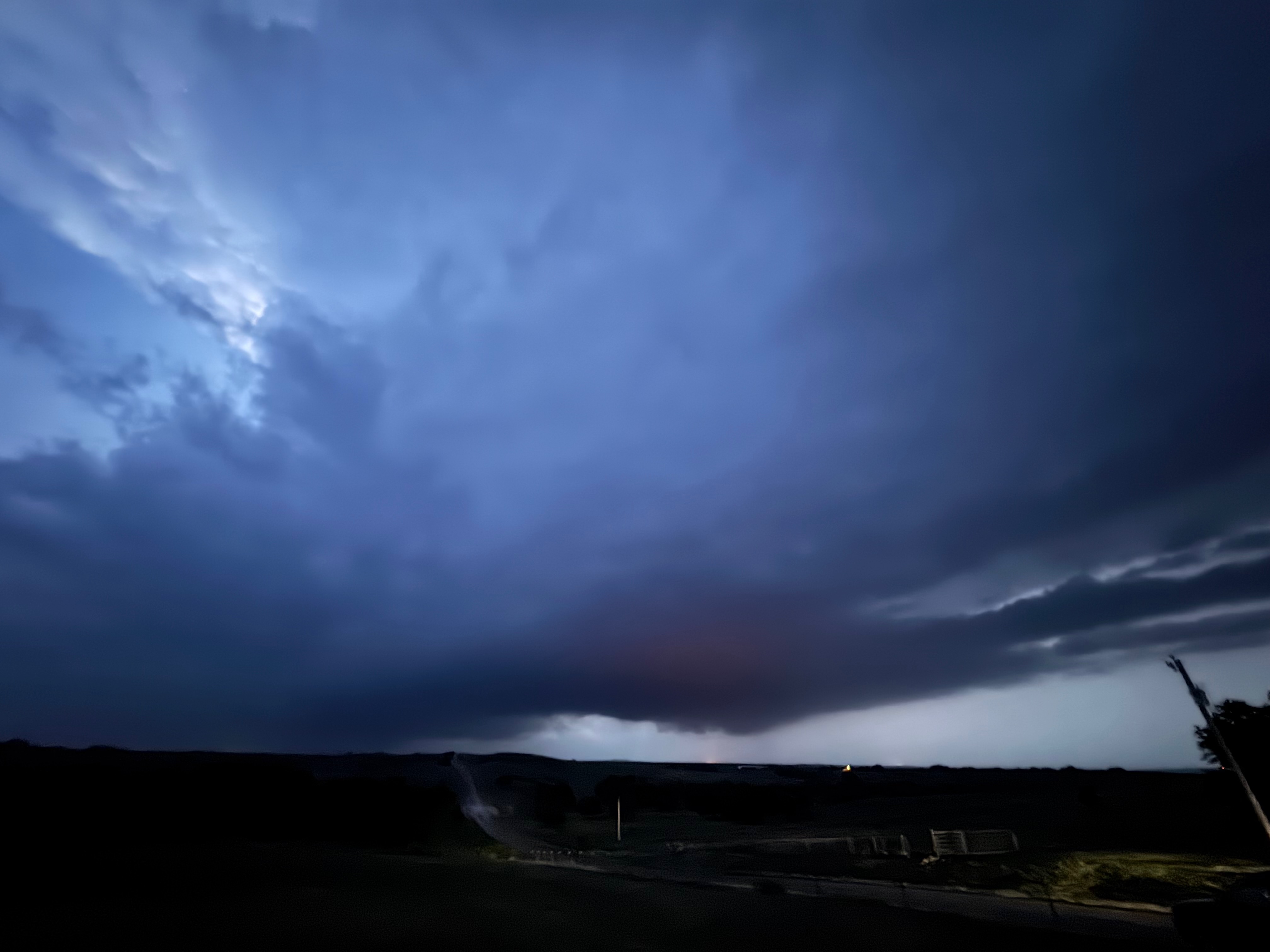
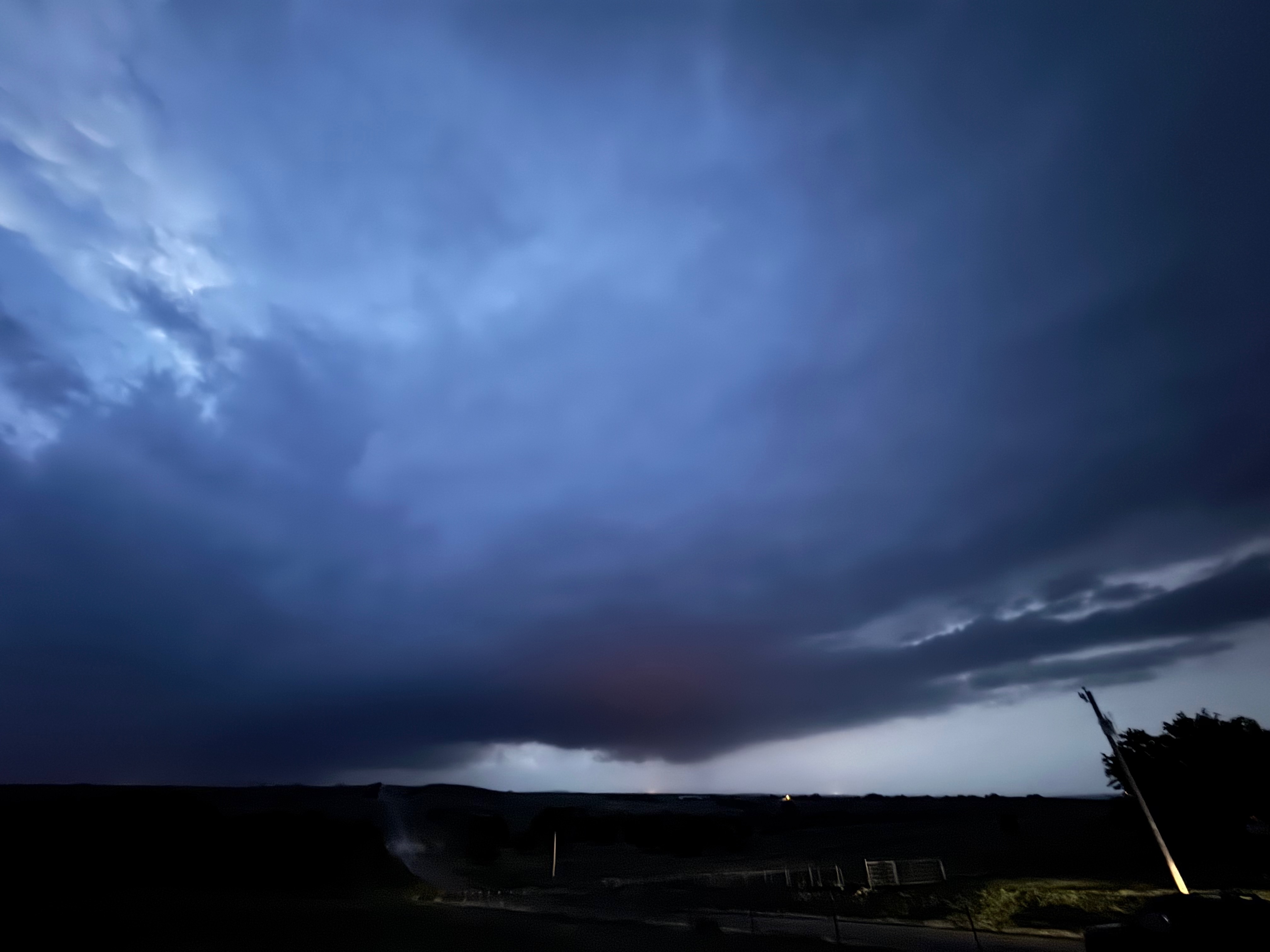
The little cell to our WNW strengthened nicely as we approached. We went north out of Roll on 283 several miles and stopped perhaps ten miles southeast of the storm’s updraft base. The sun had just set, but the light on the updraft was quite nice. The storm approached slowly and showed a low base with a somewhat suspicious look to it. I think the NWS threw a tornado warning onto the storm as it neared U.S. 283 north of Roll. We had to get out of the way as a storm core approached and found thousands of chasers scurrying around. I went south about ten miles to lose the crowd and to shoot the storm structure and lightning.
The photos in this first batch below are from the Canon camera with the wide lens.


The images below are off of the iPhone.

Leave a Reply
You must be logged in to post a comment.