
Start: Canadian, TX/lunch: Braums in Pampa/End: Brownfield/400 miles
Mesoscale Discussions. 2:22 p.m. CDT. 3:06 p.m. CDT. 6:42 p.m. CDT
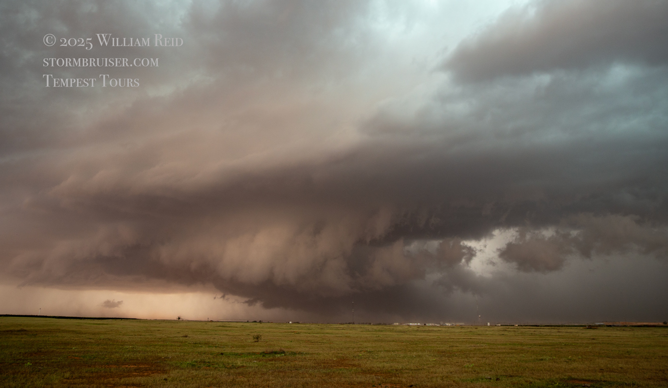
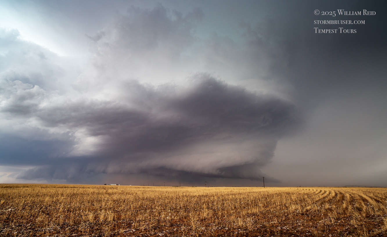
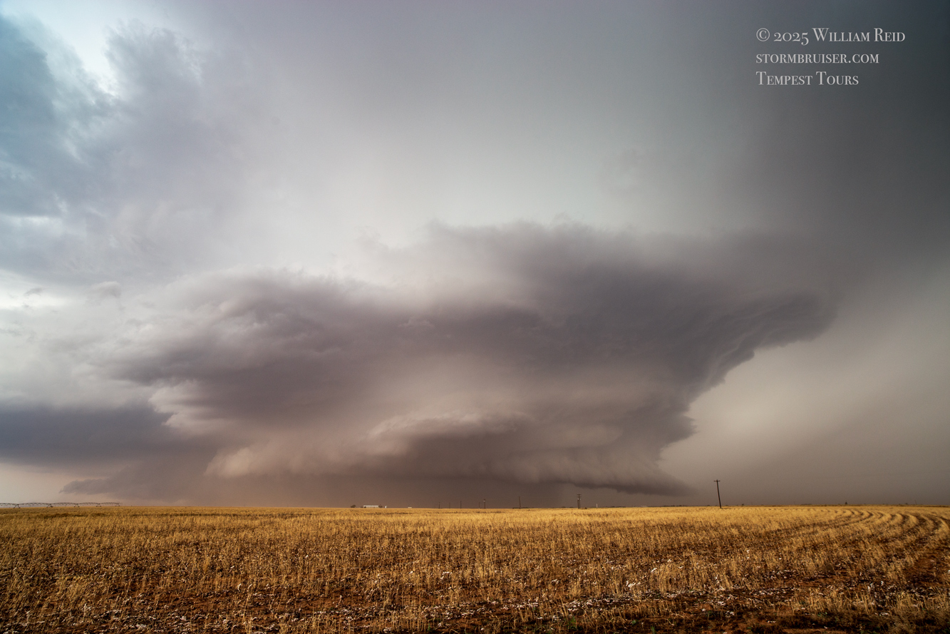
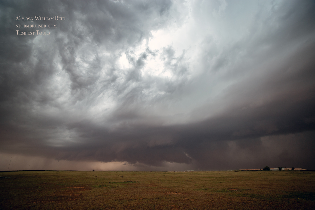
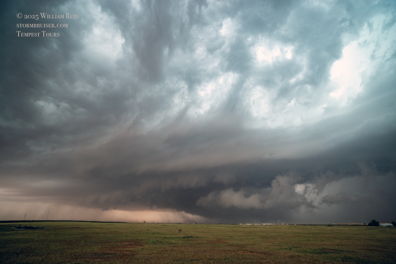
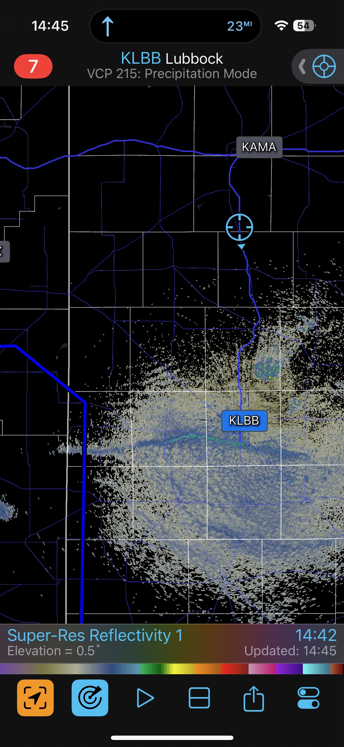
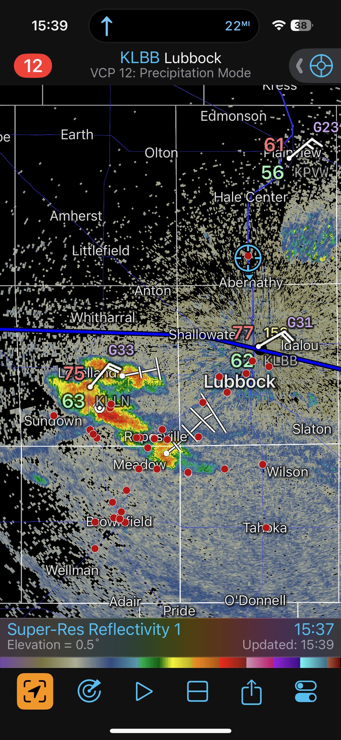
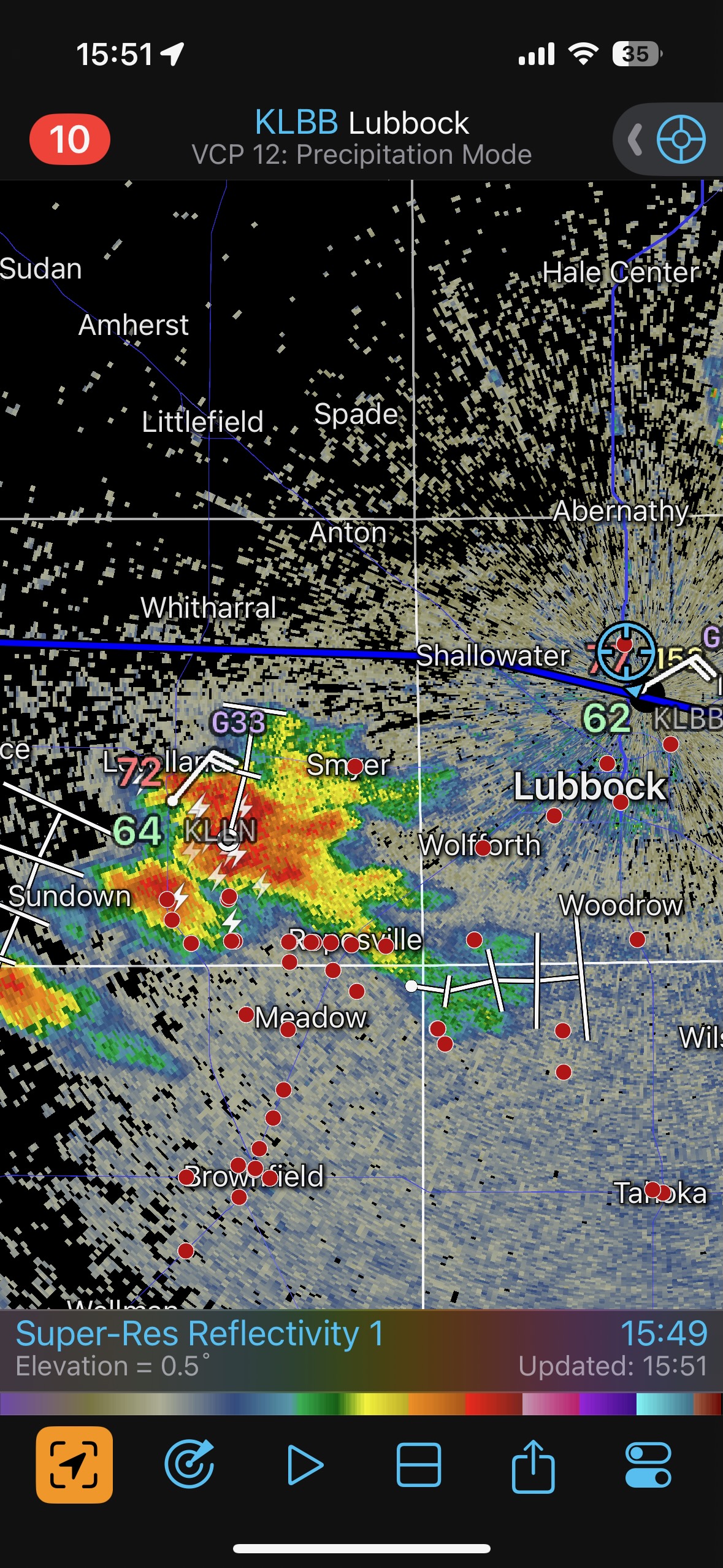
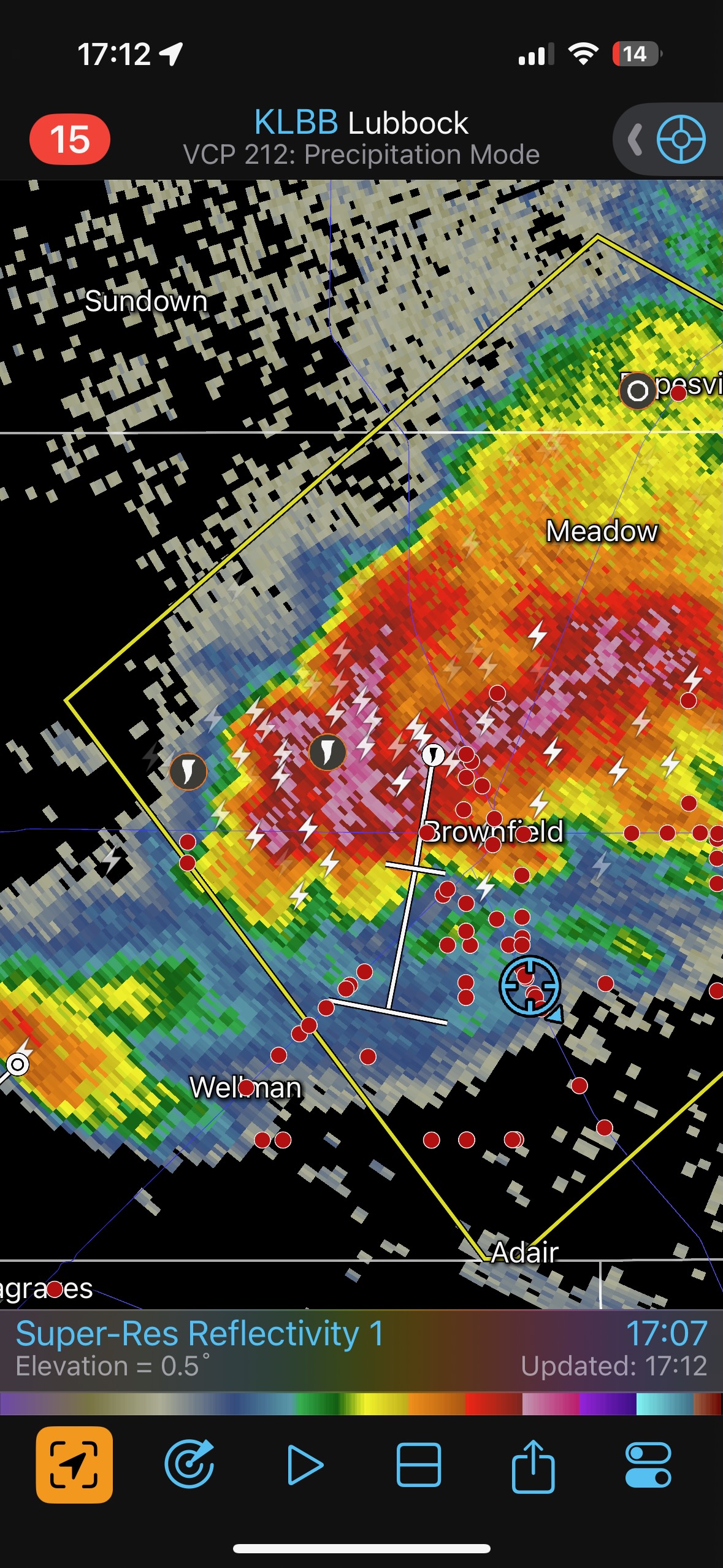
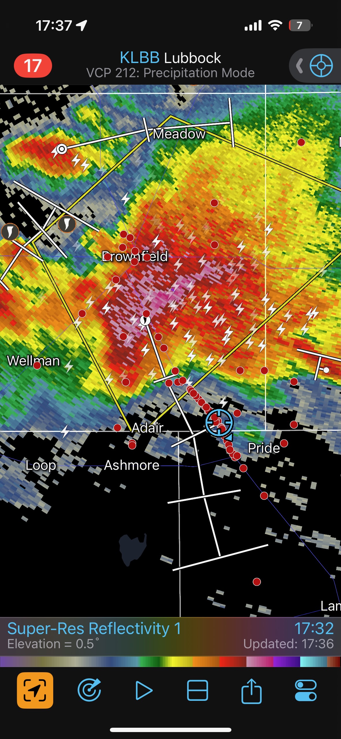
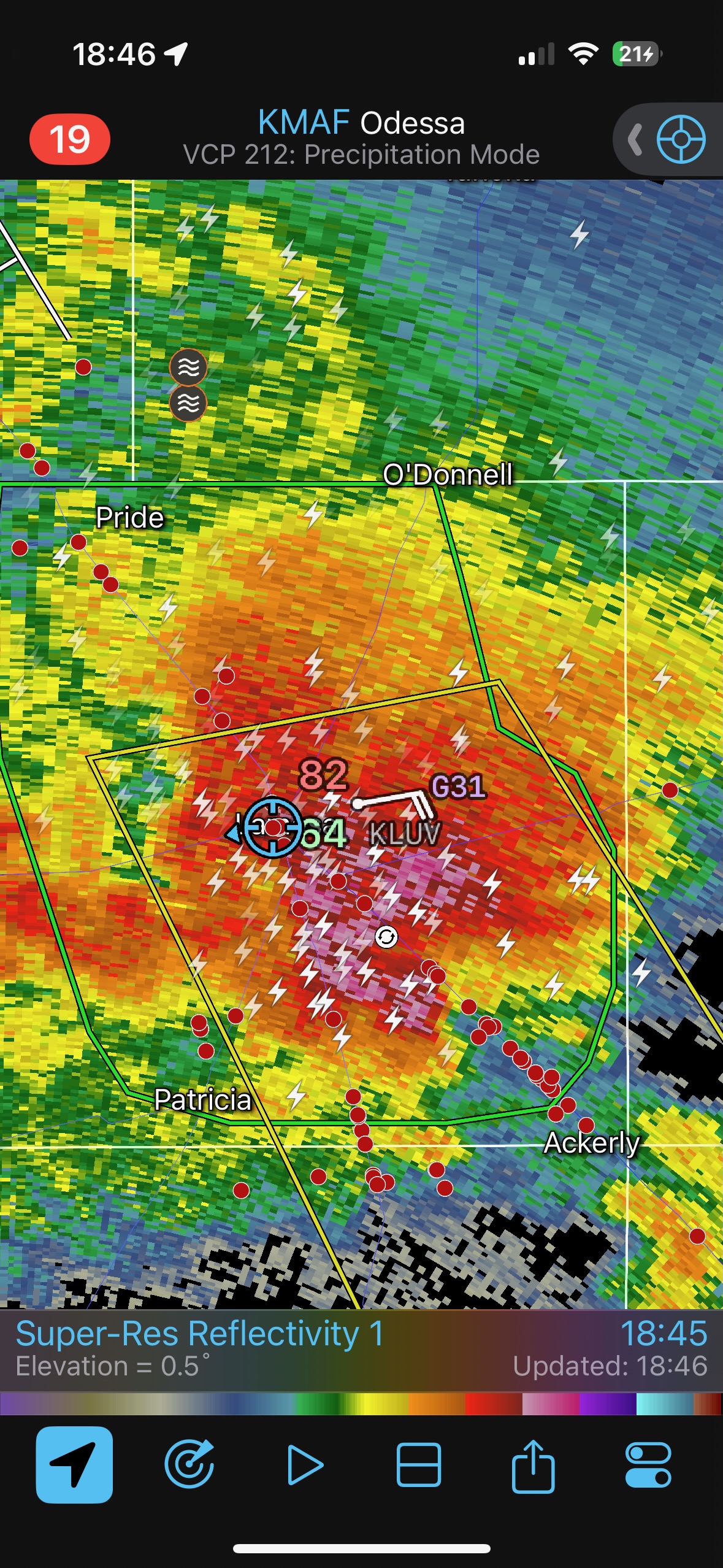
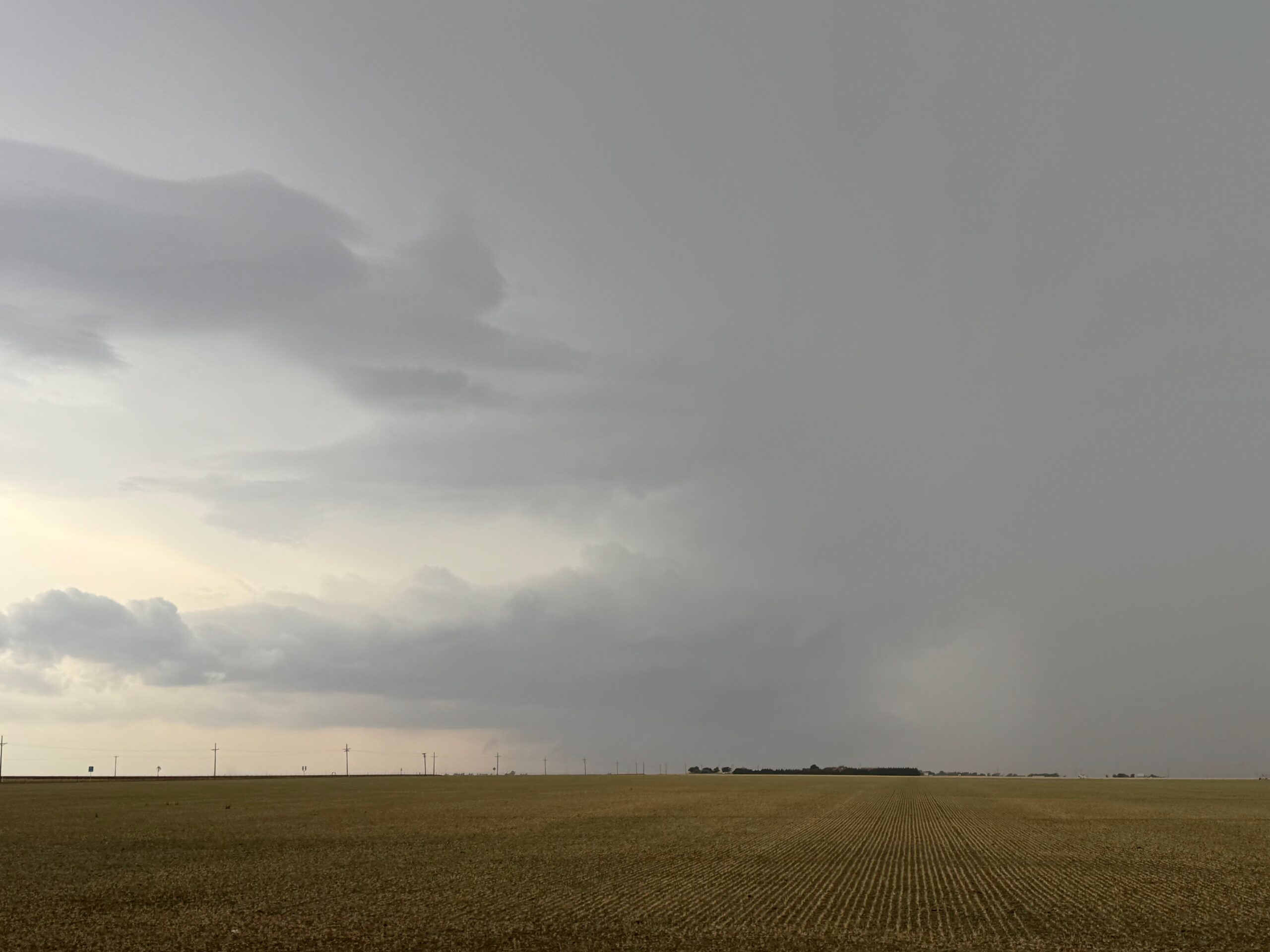
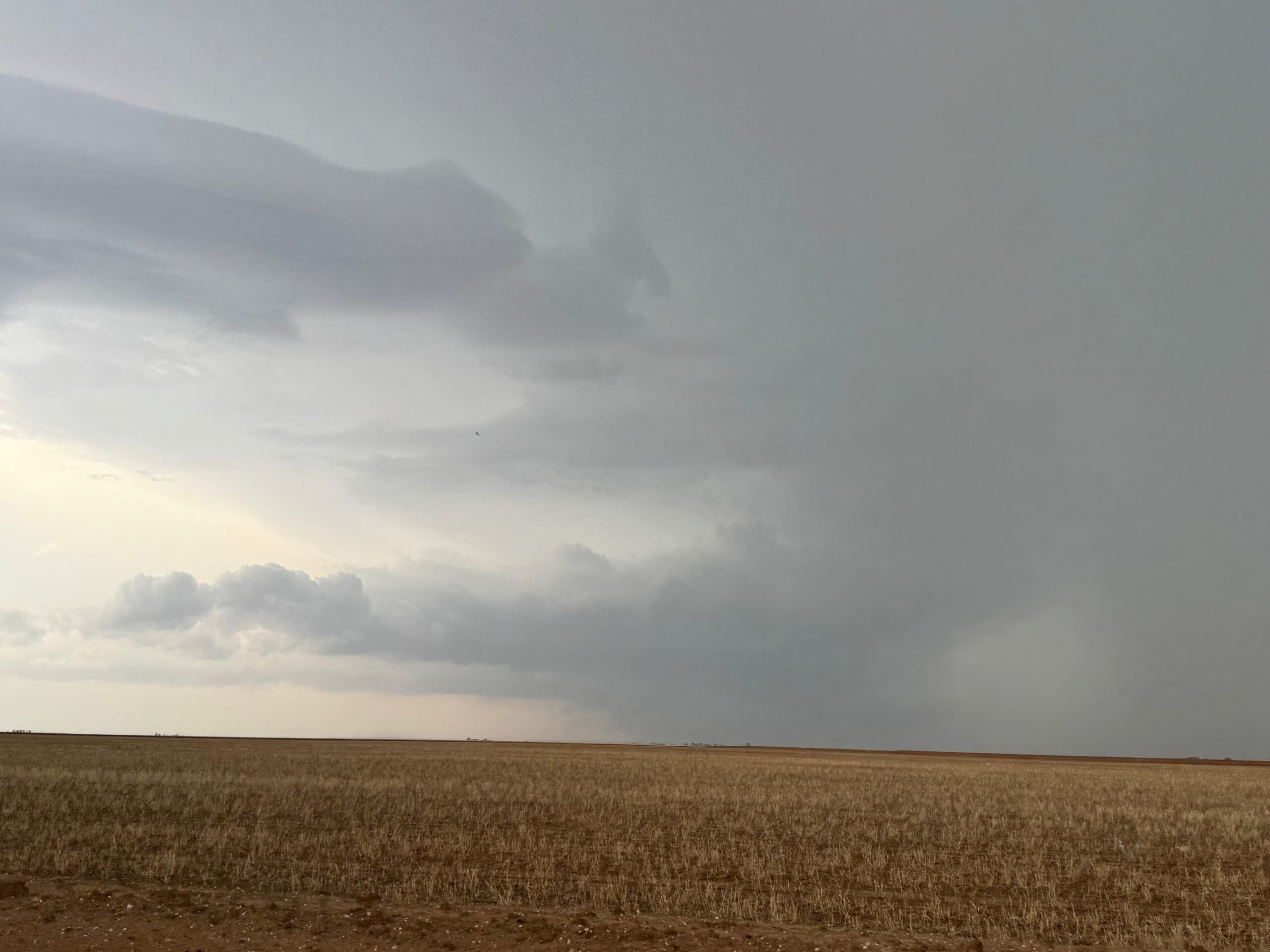
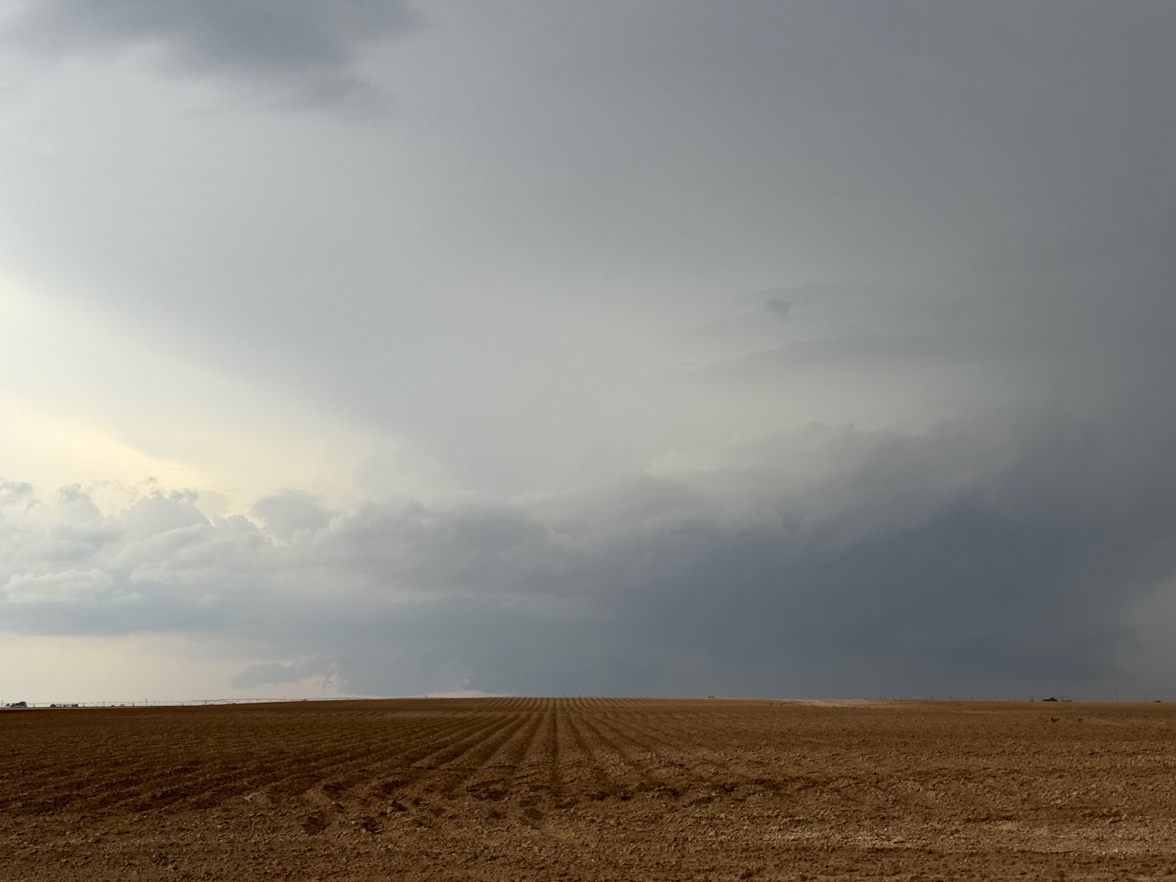
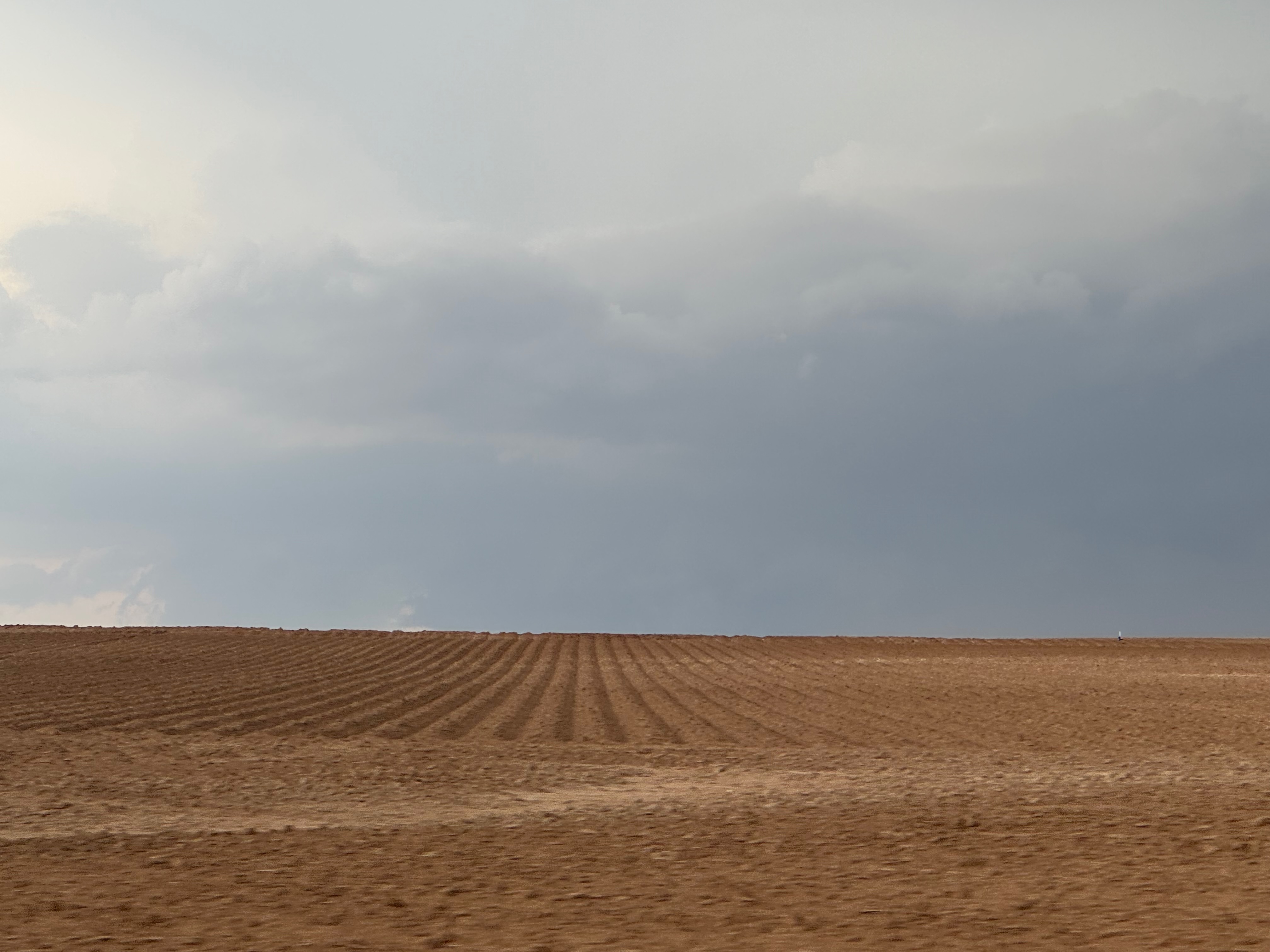
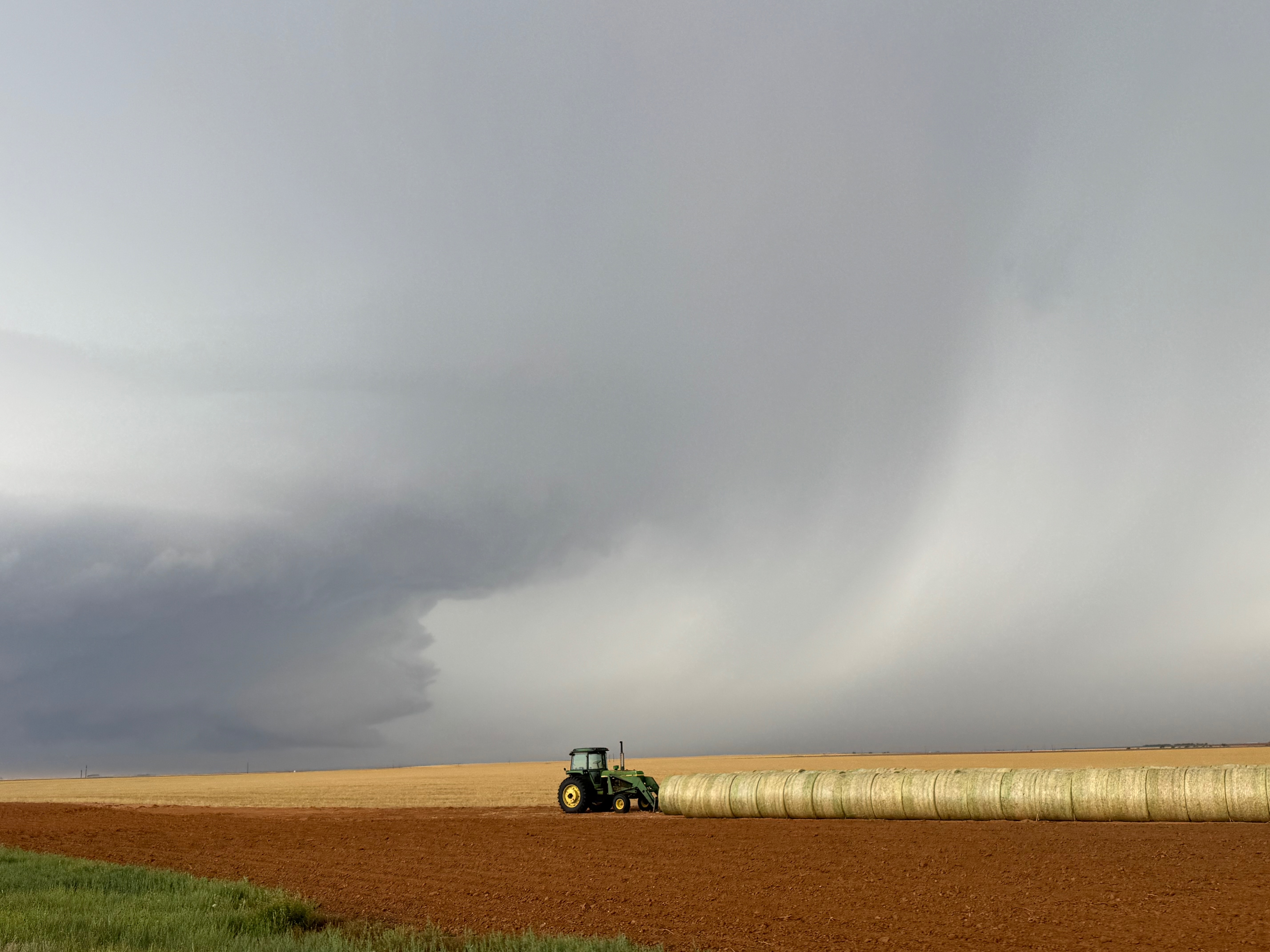
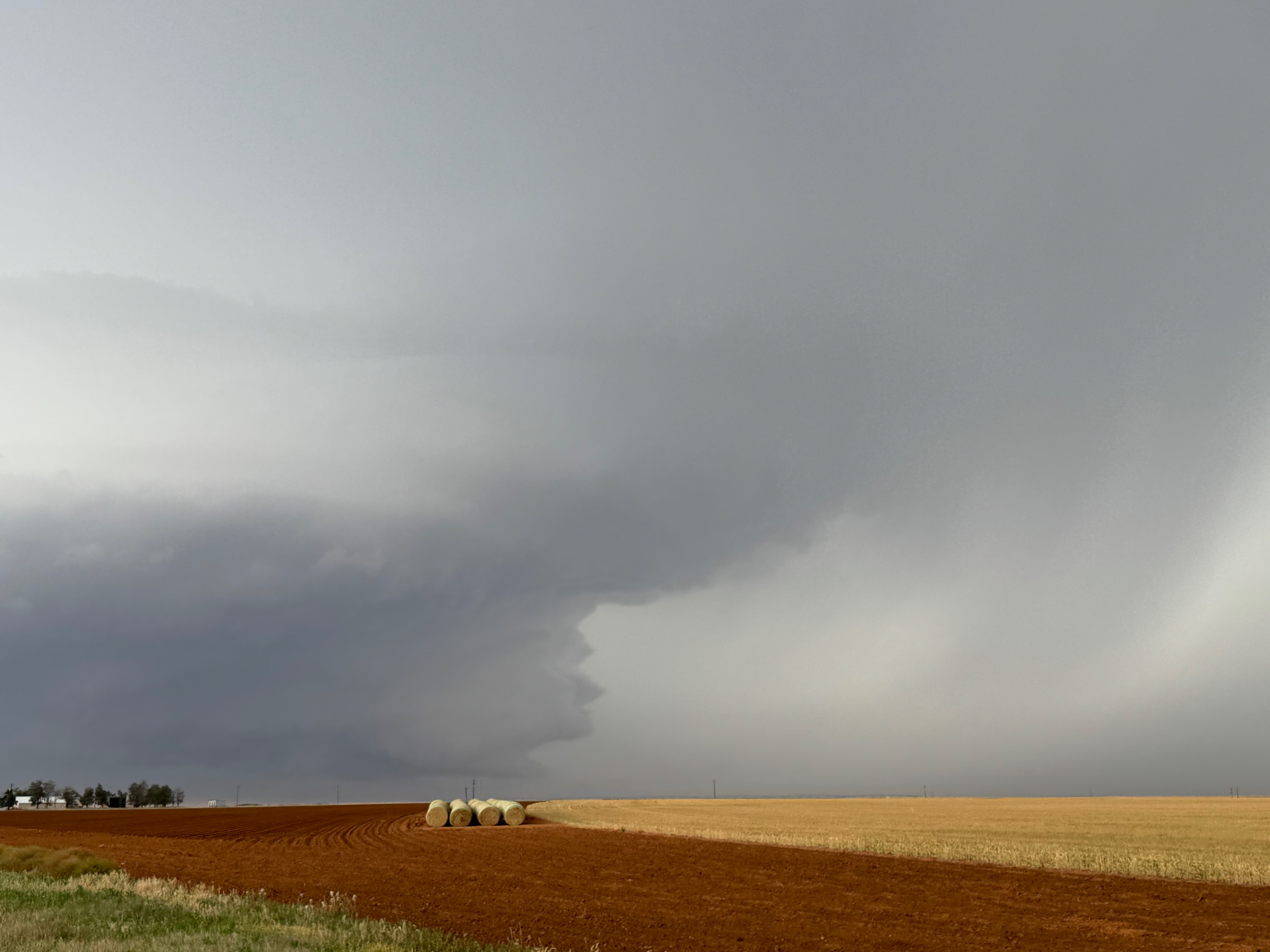
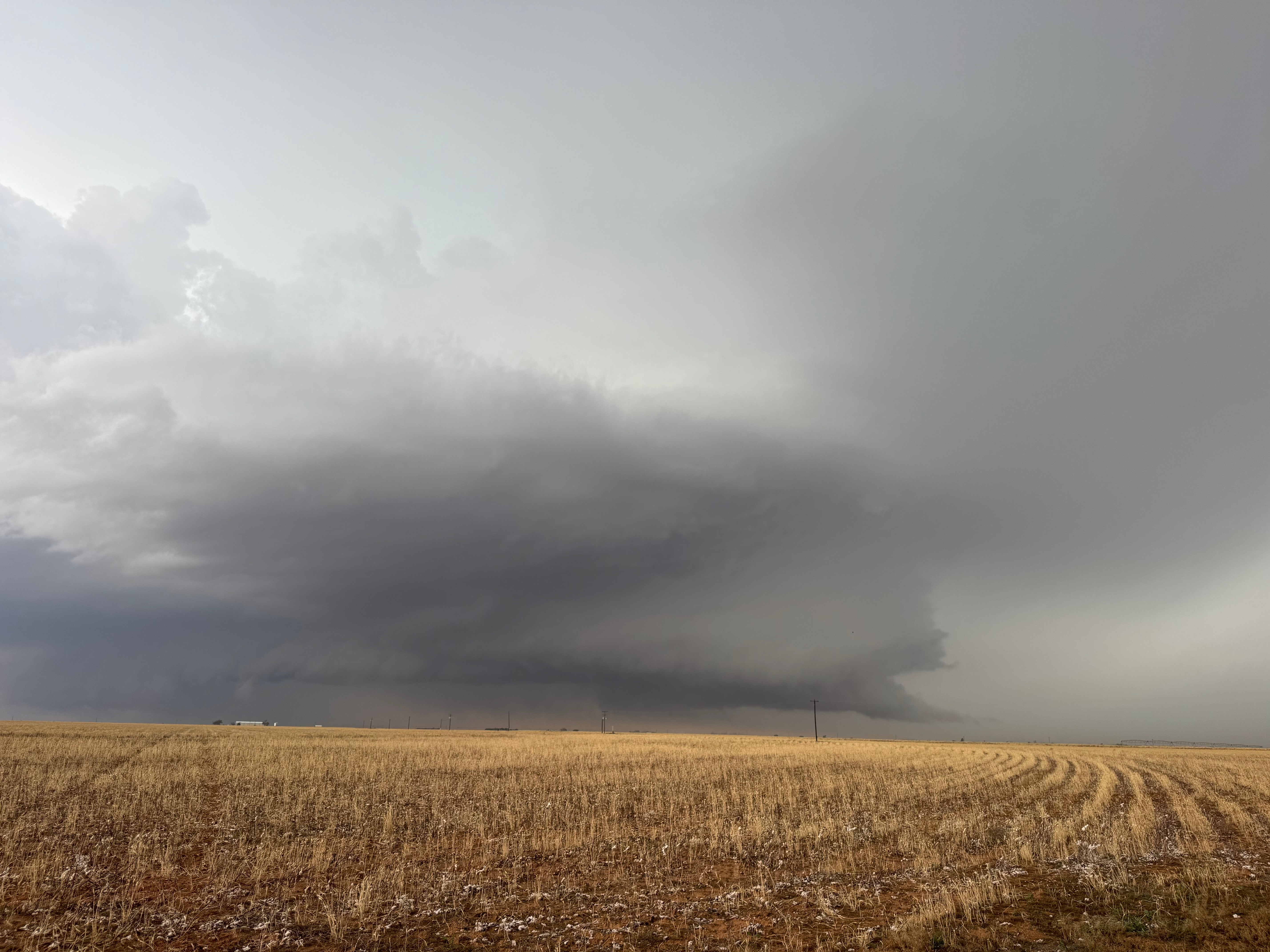
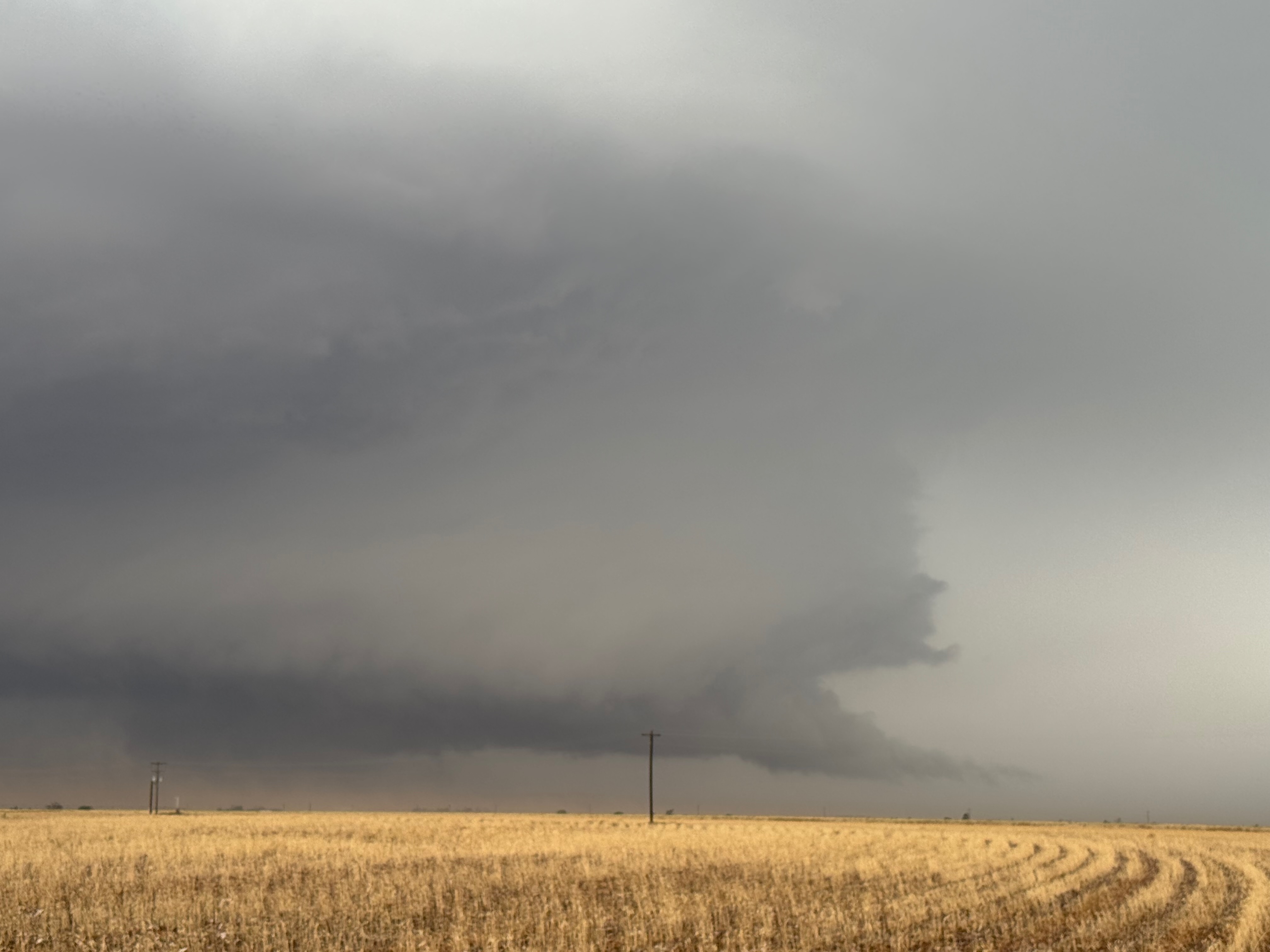
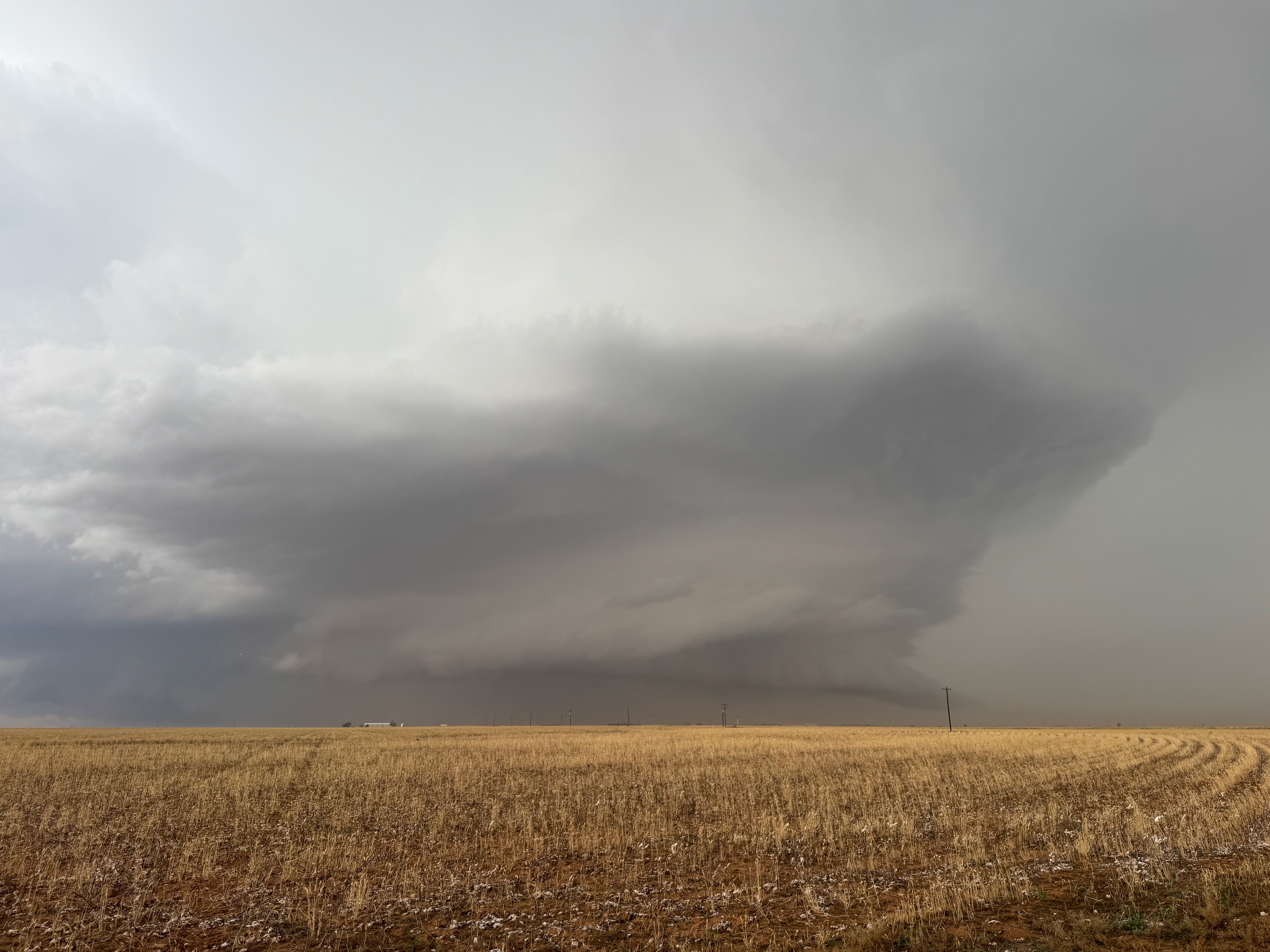
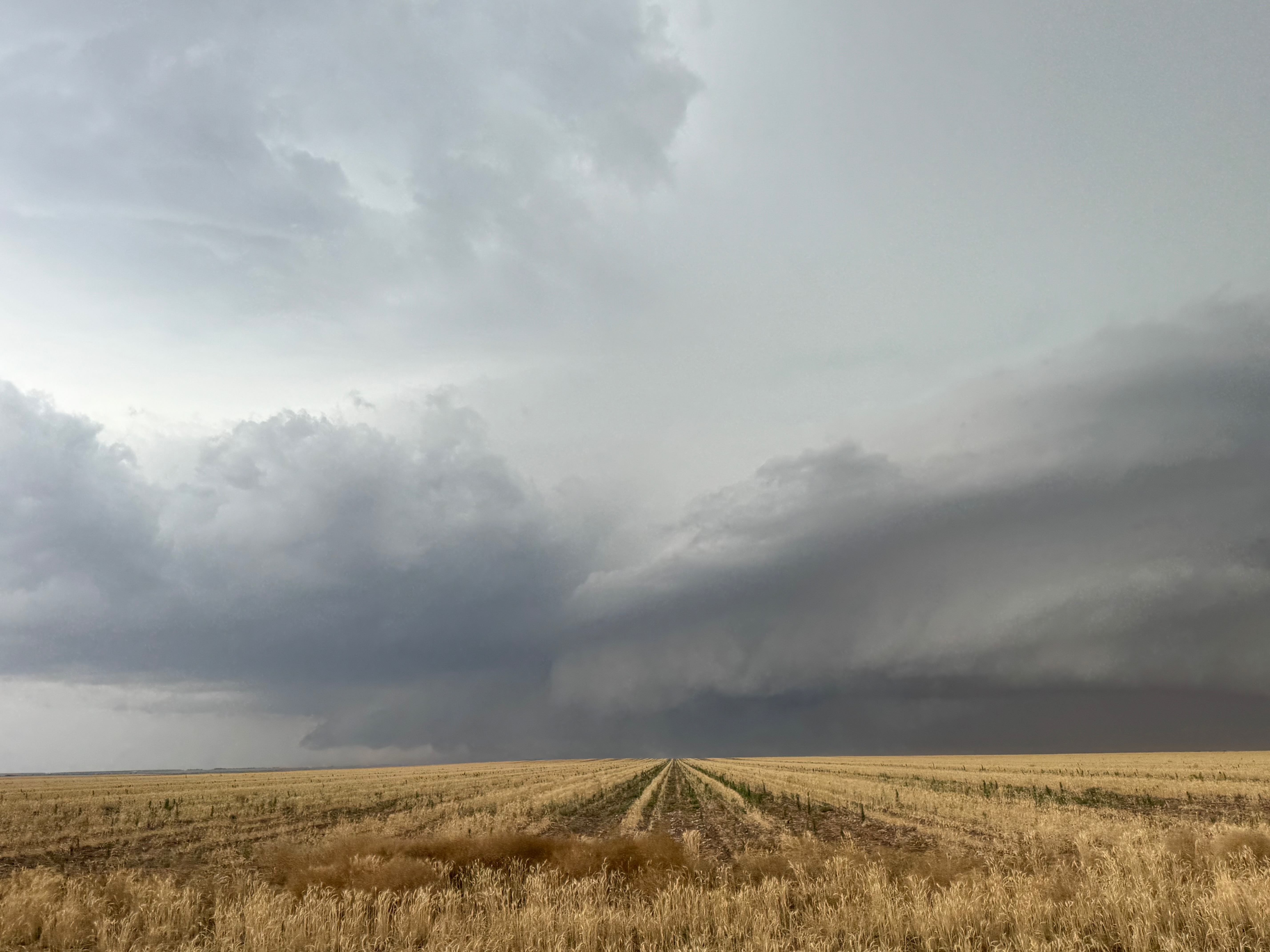
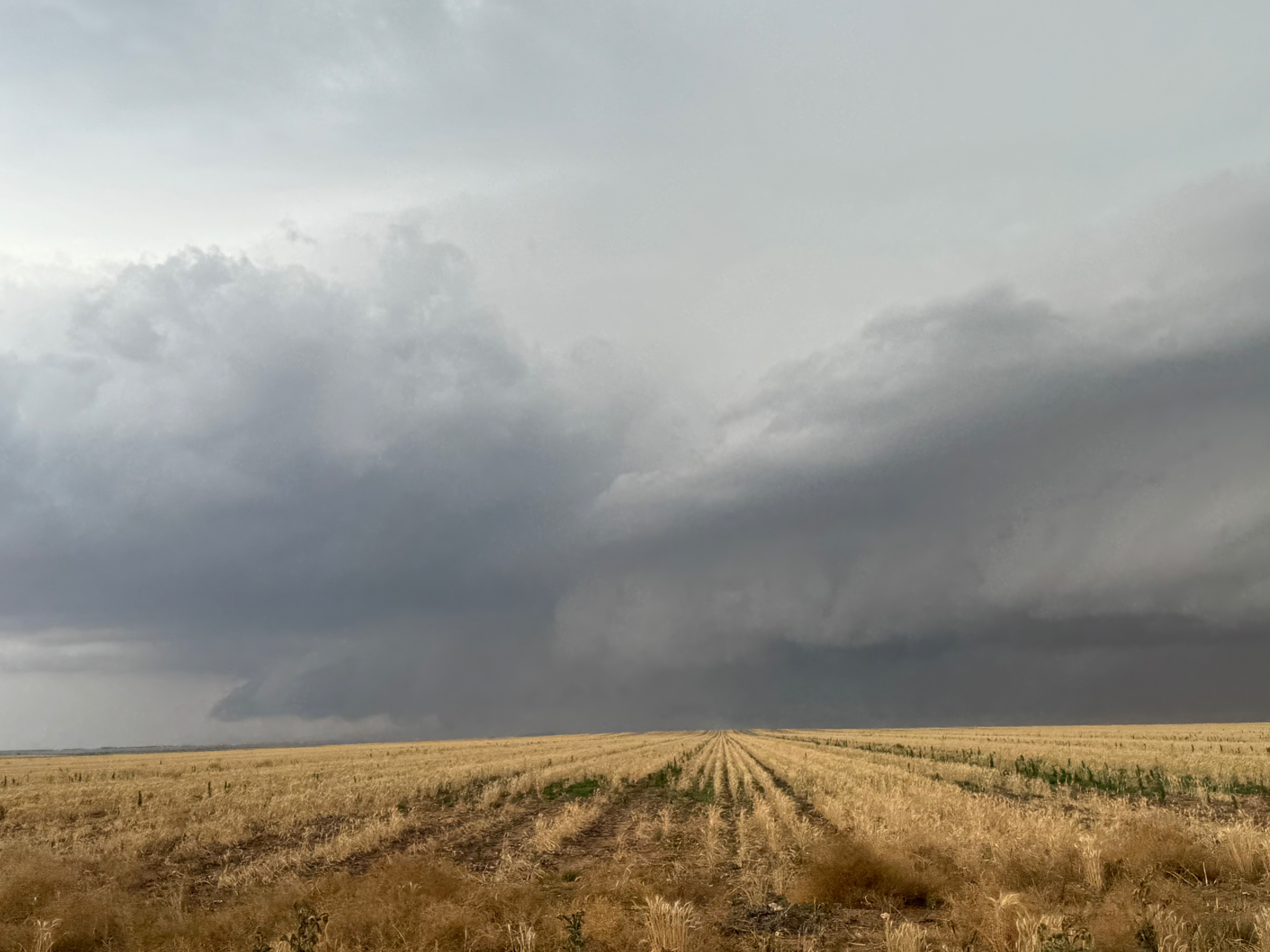
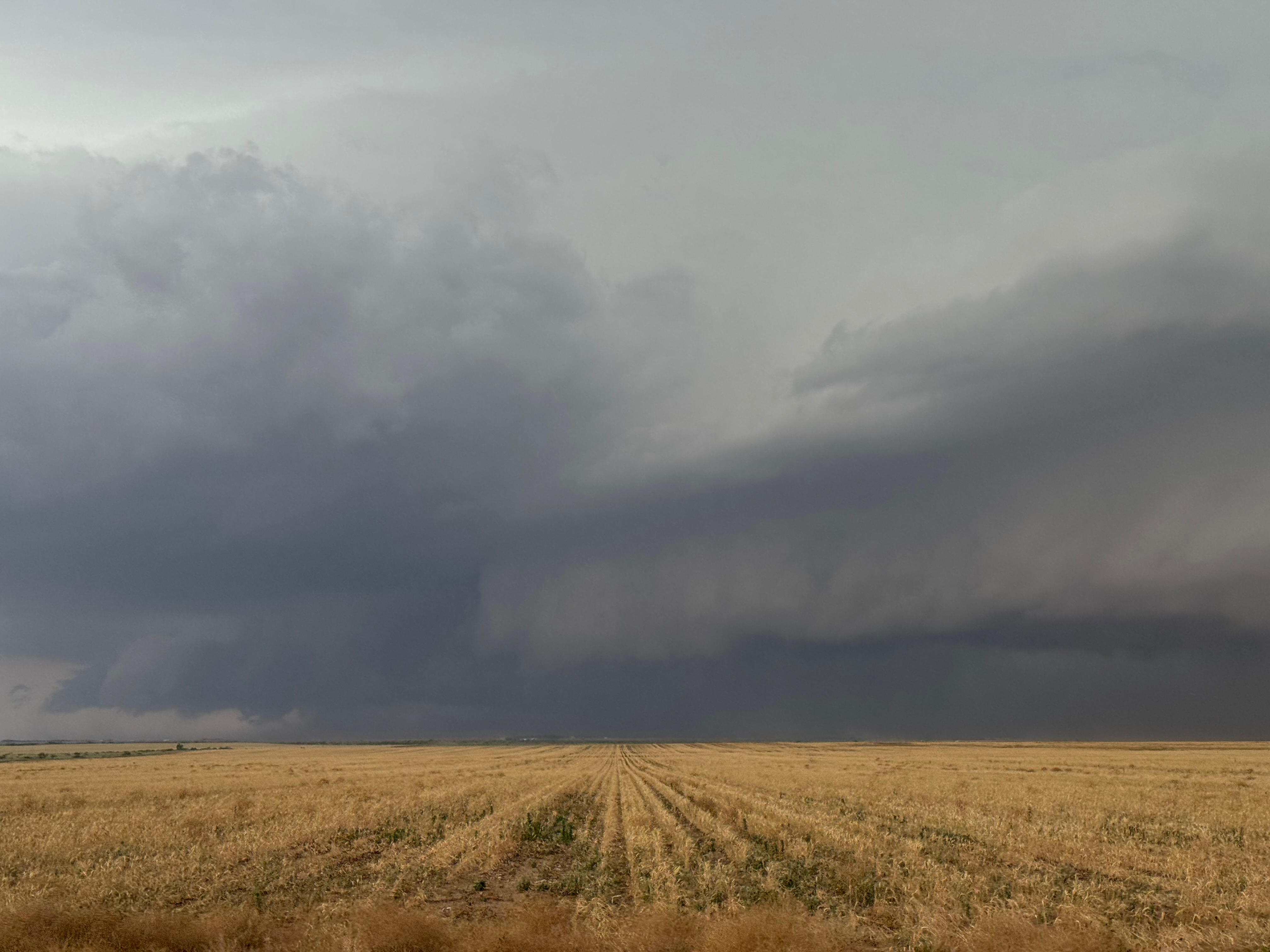
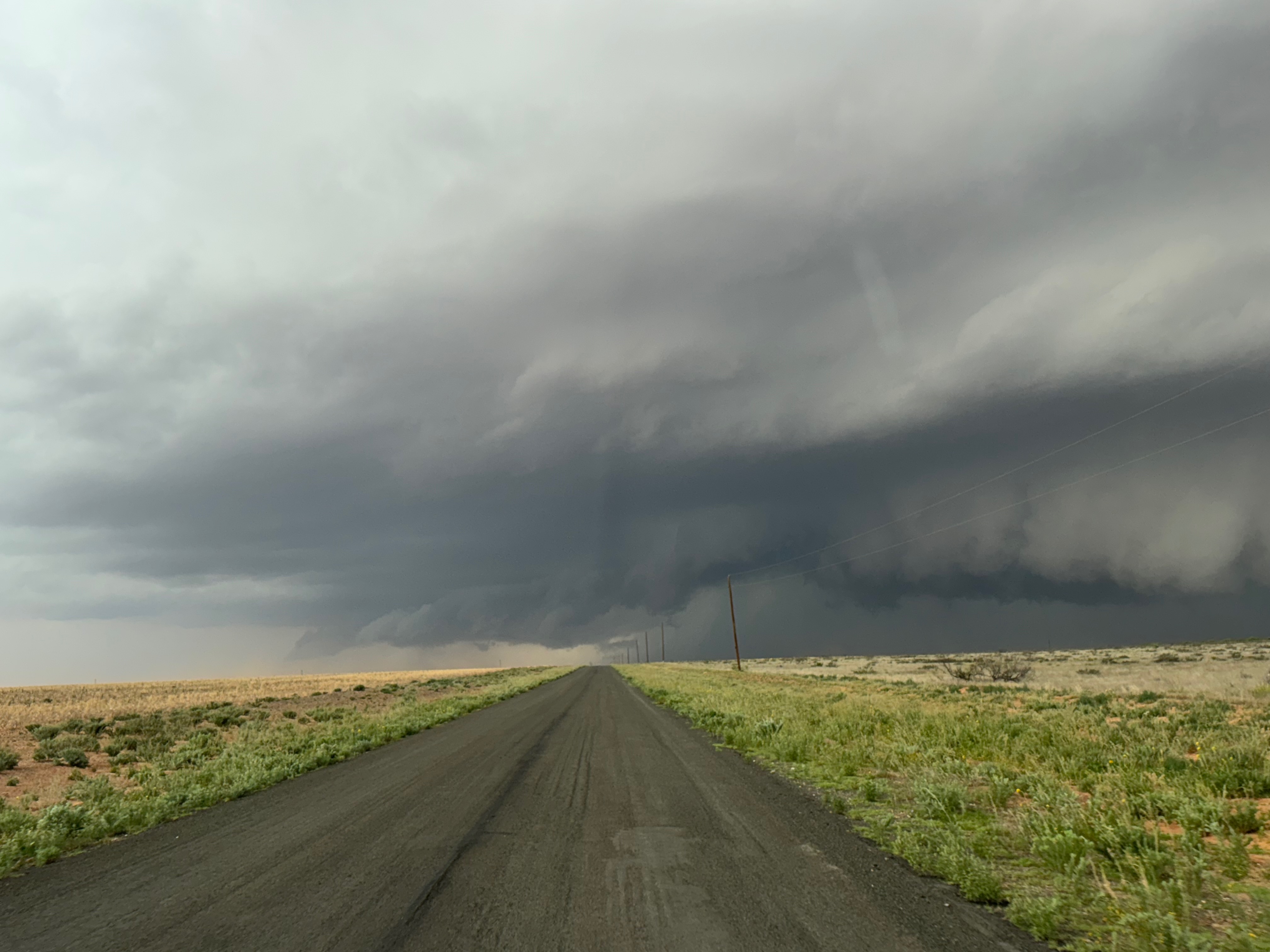
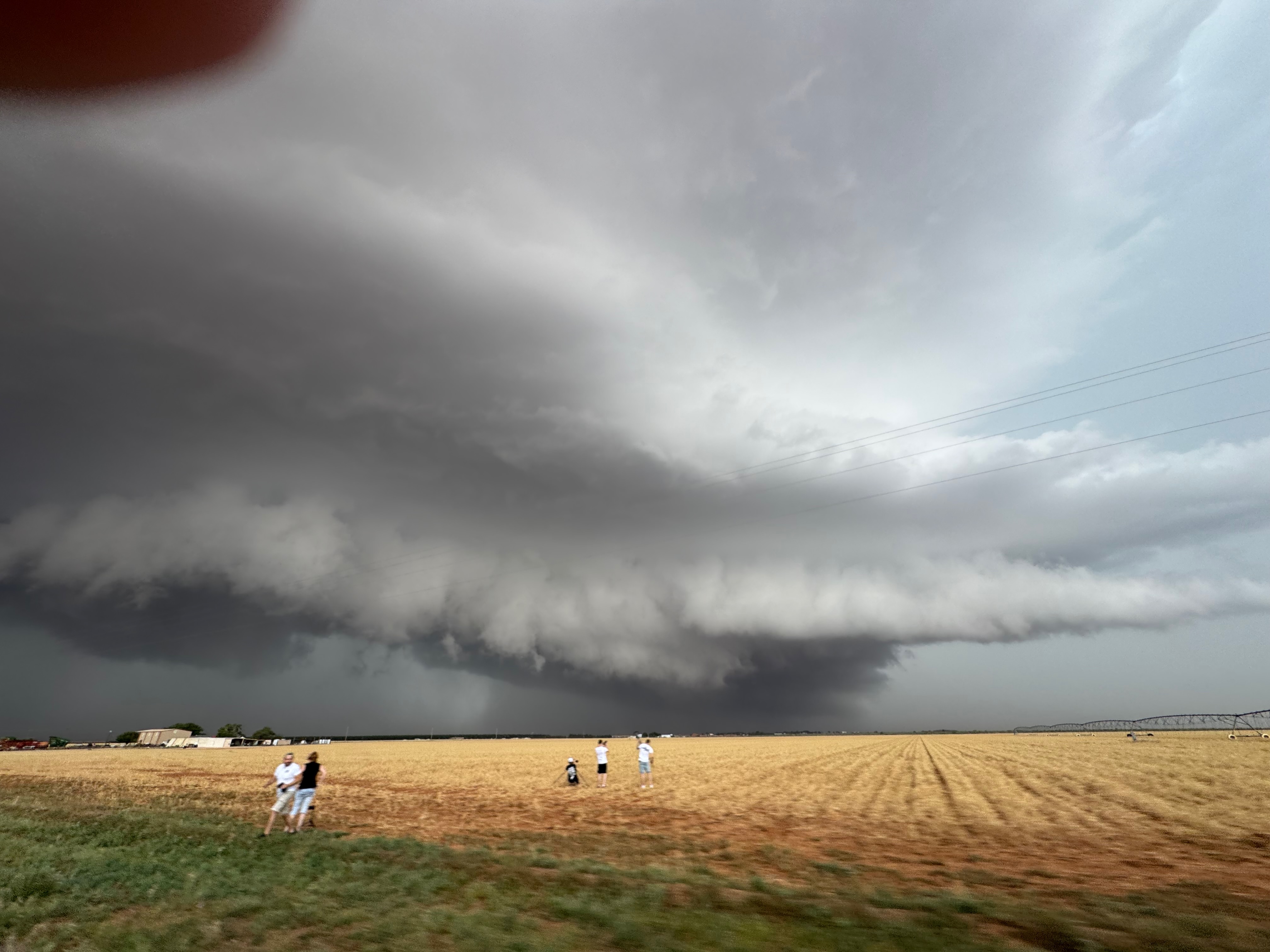
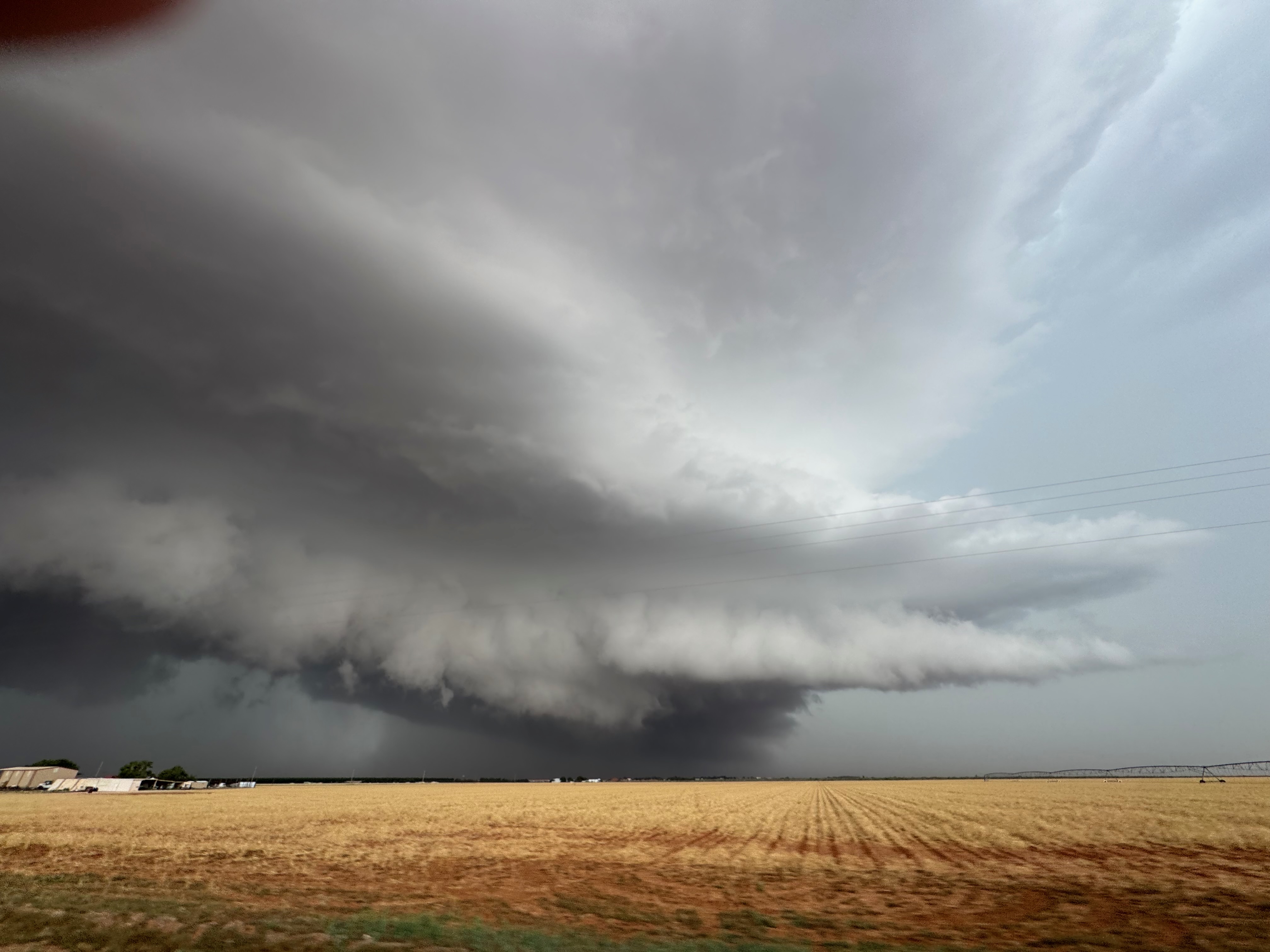
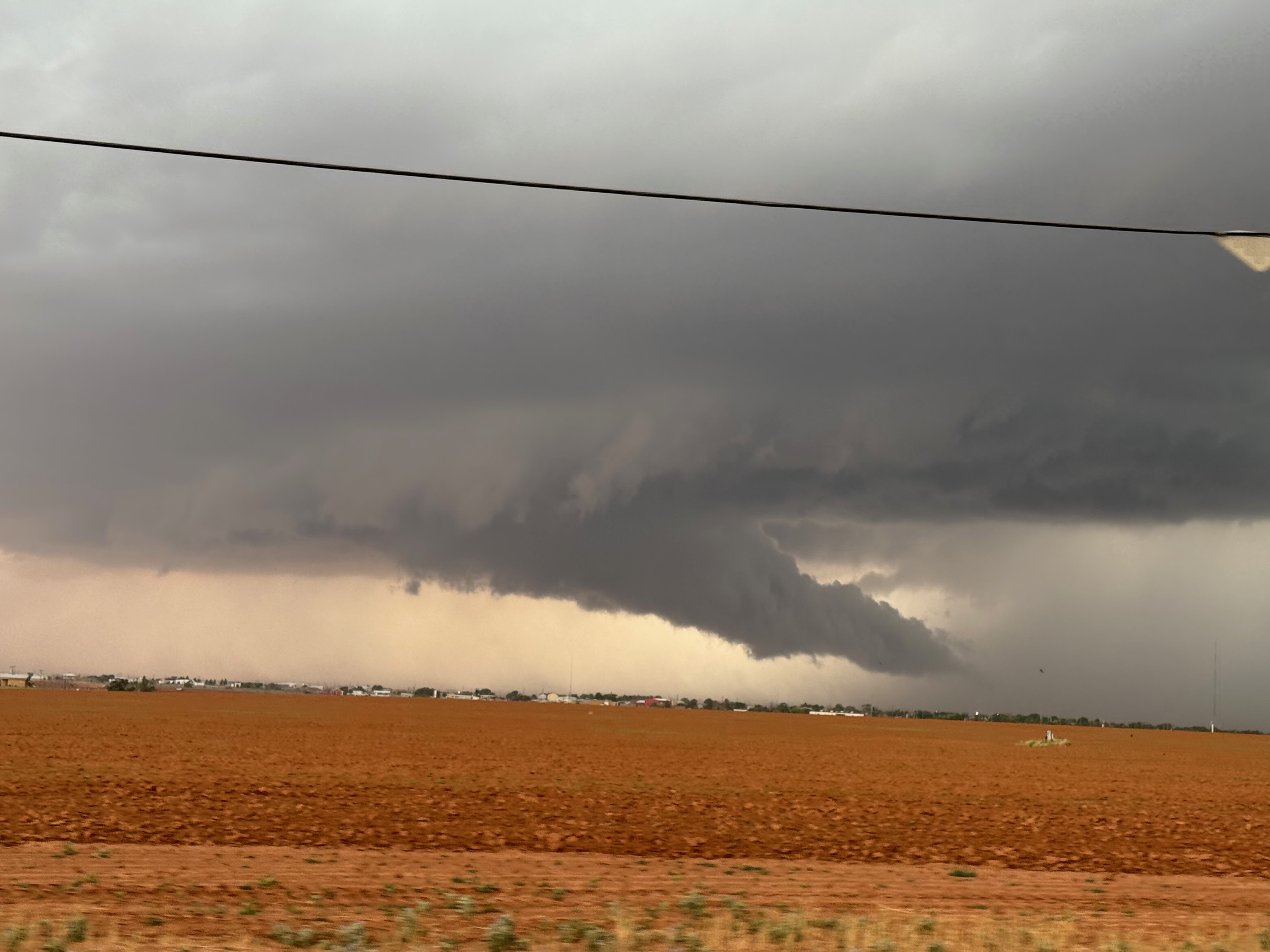
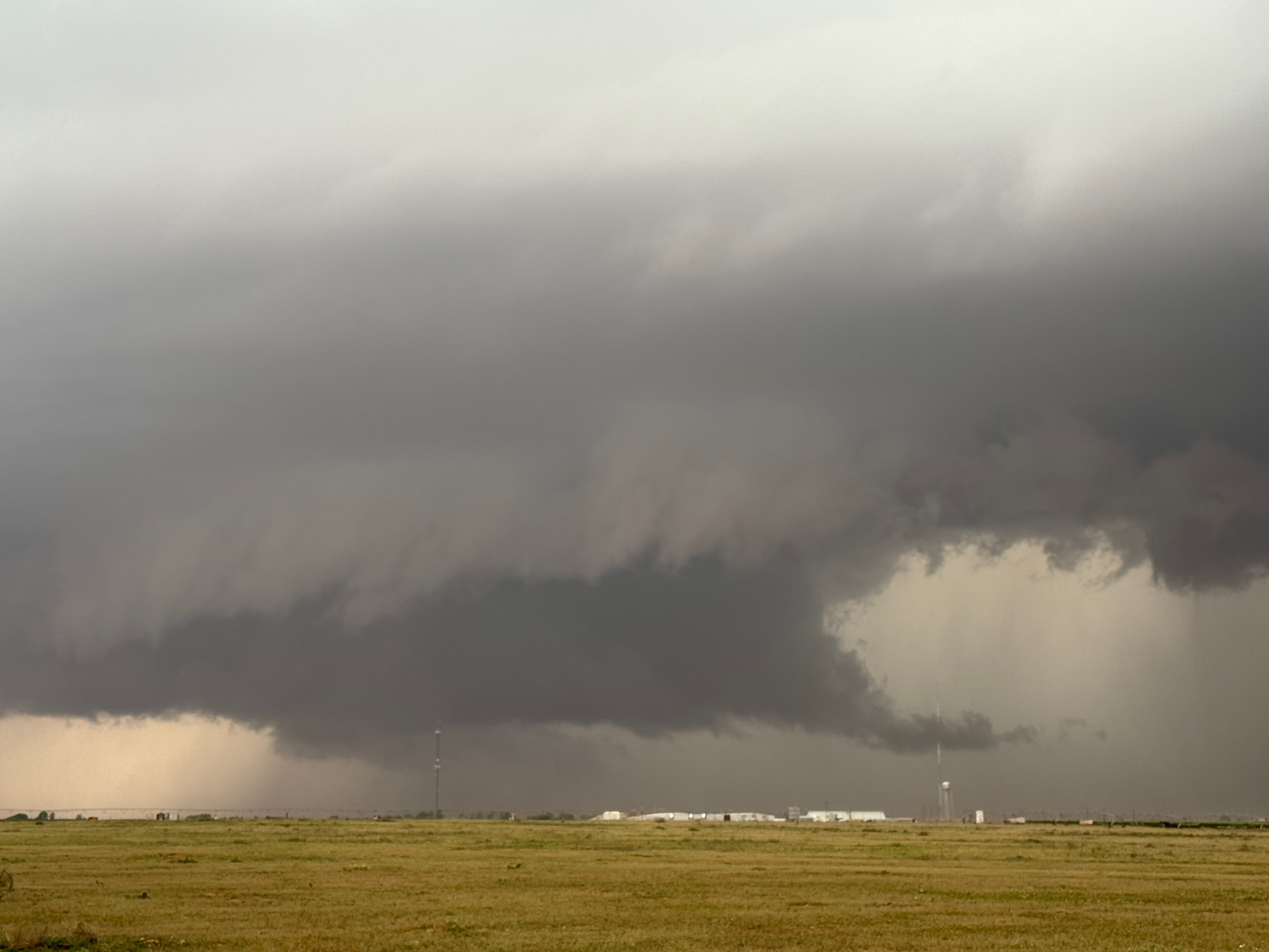
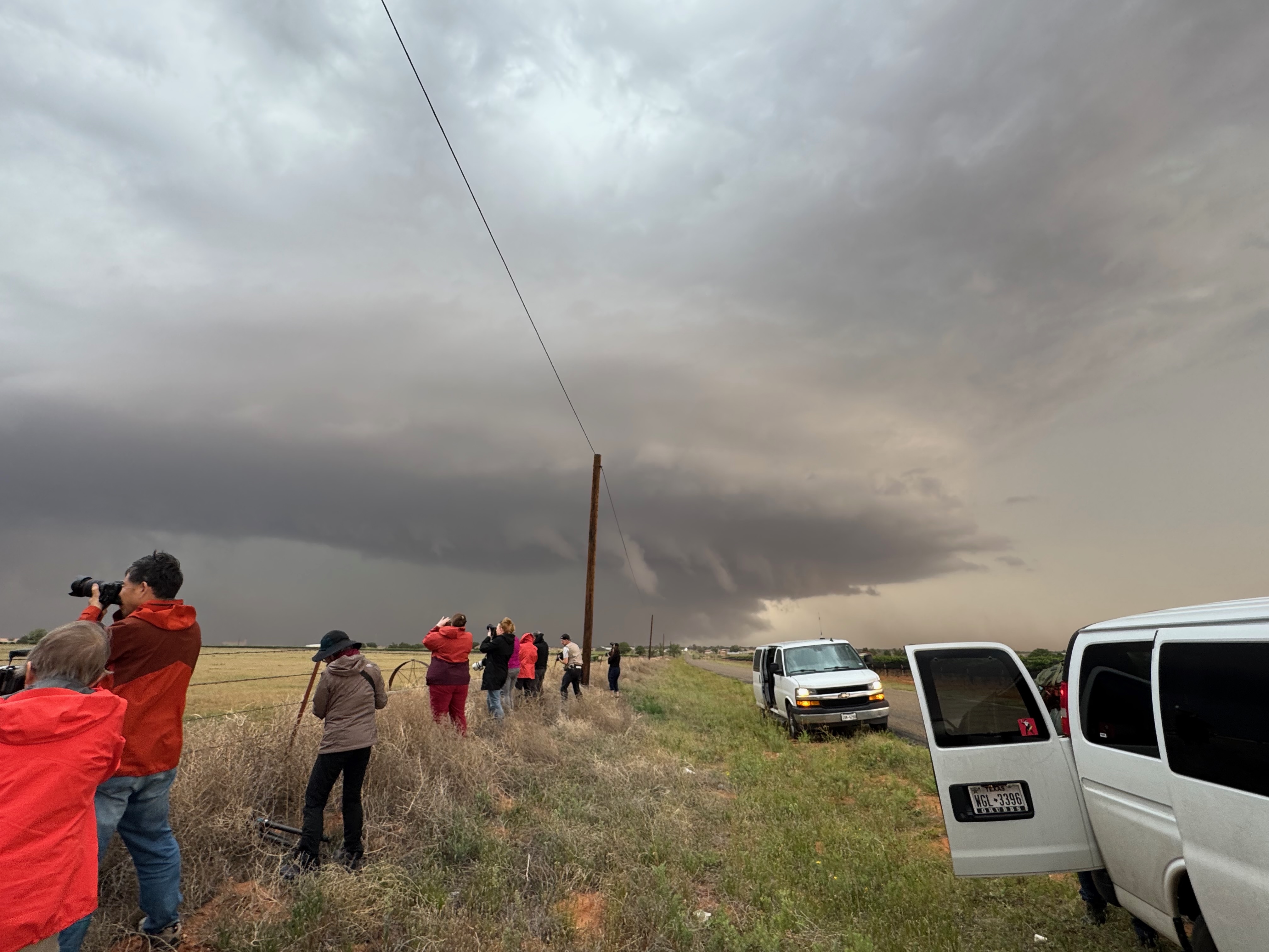
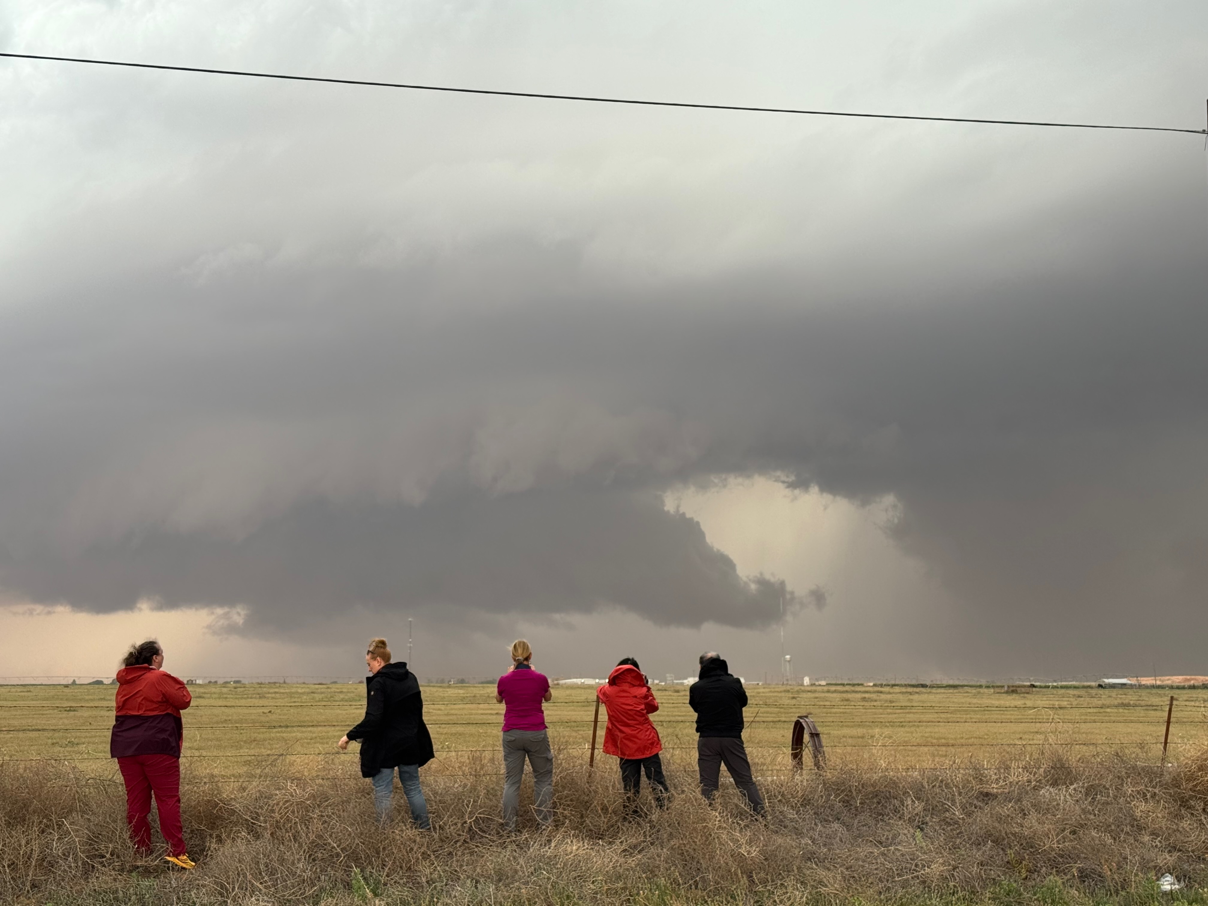
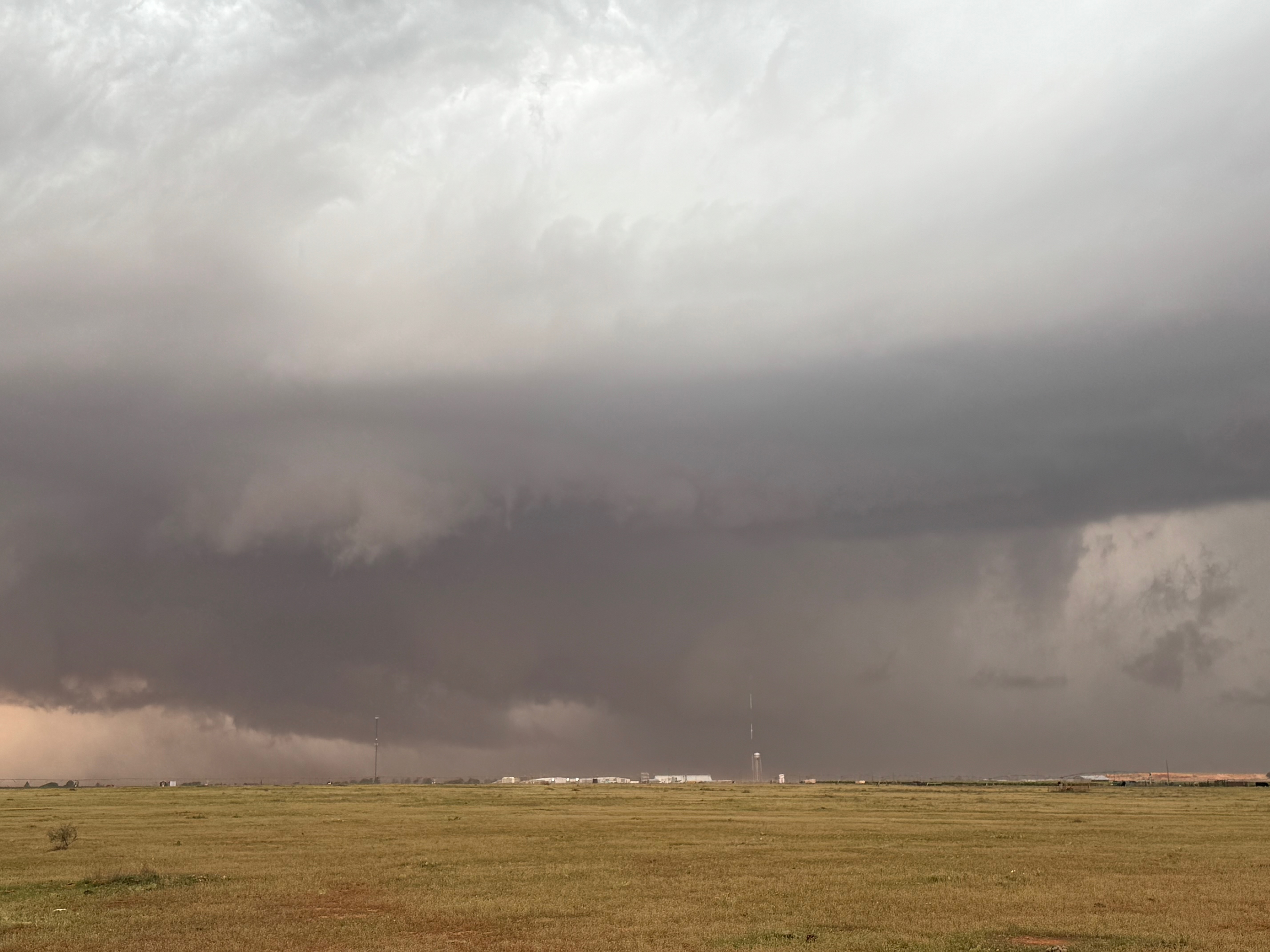
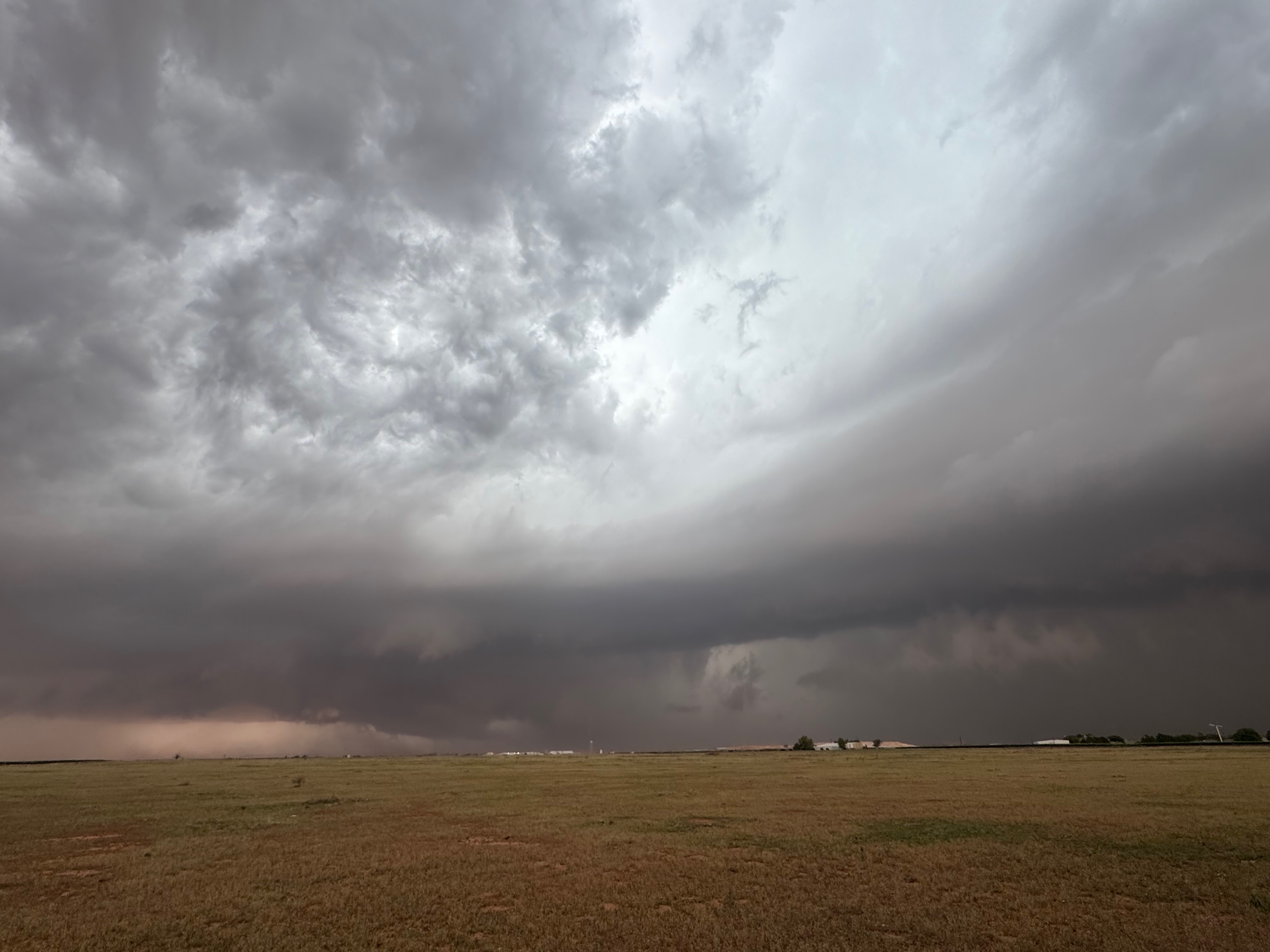
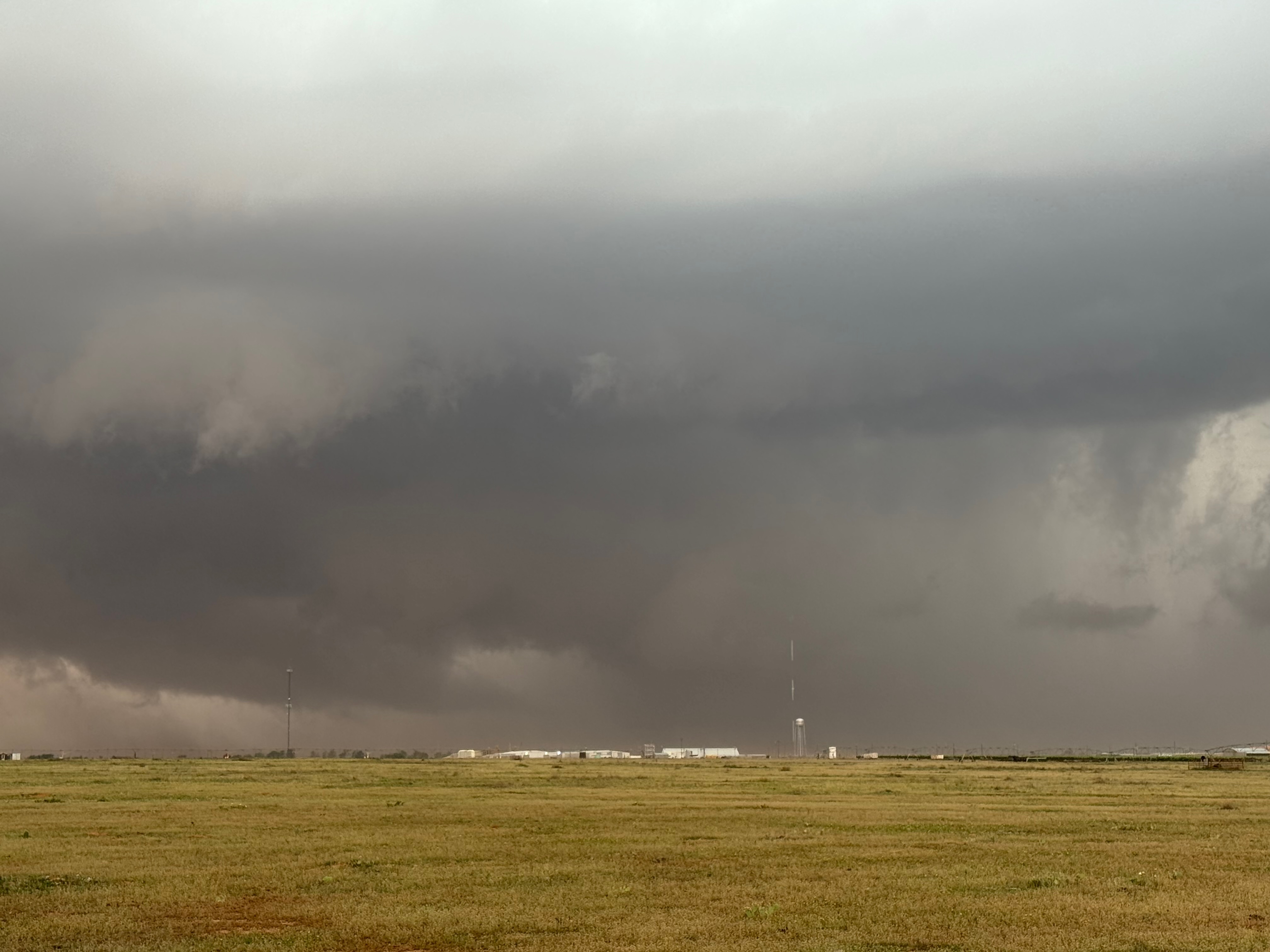
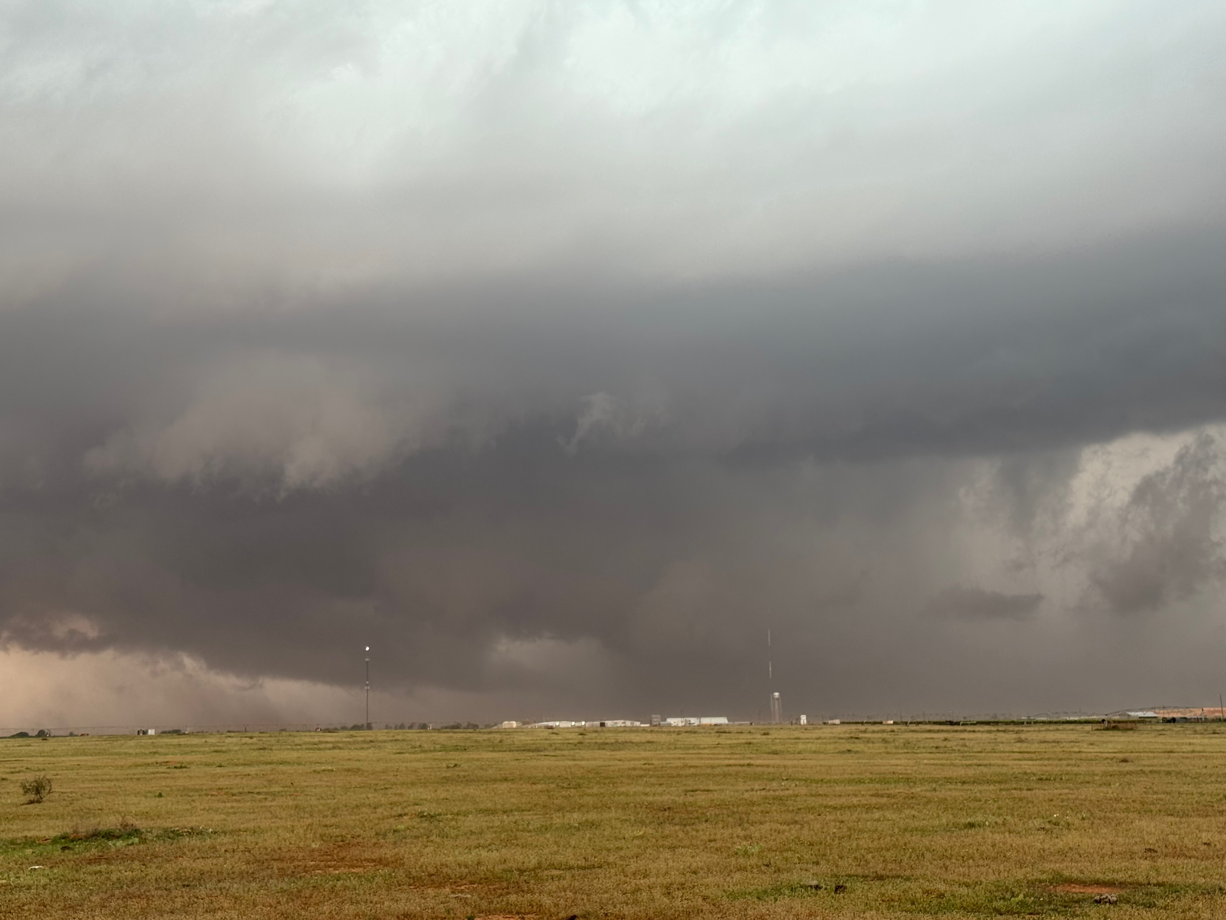
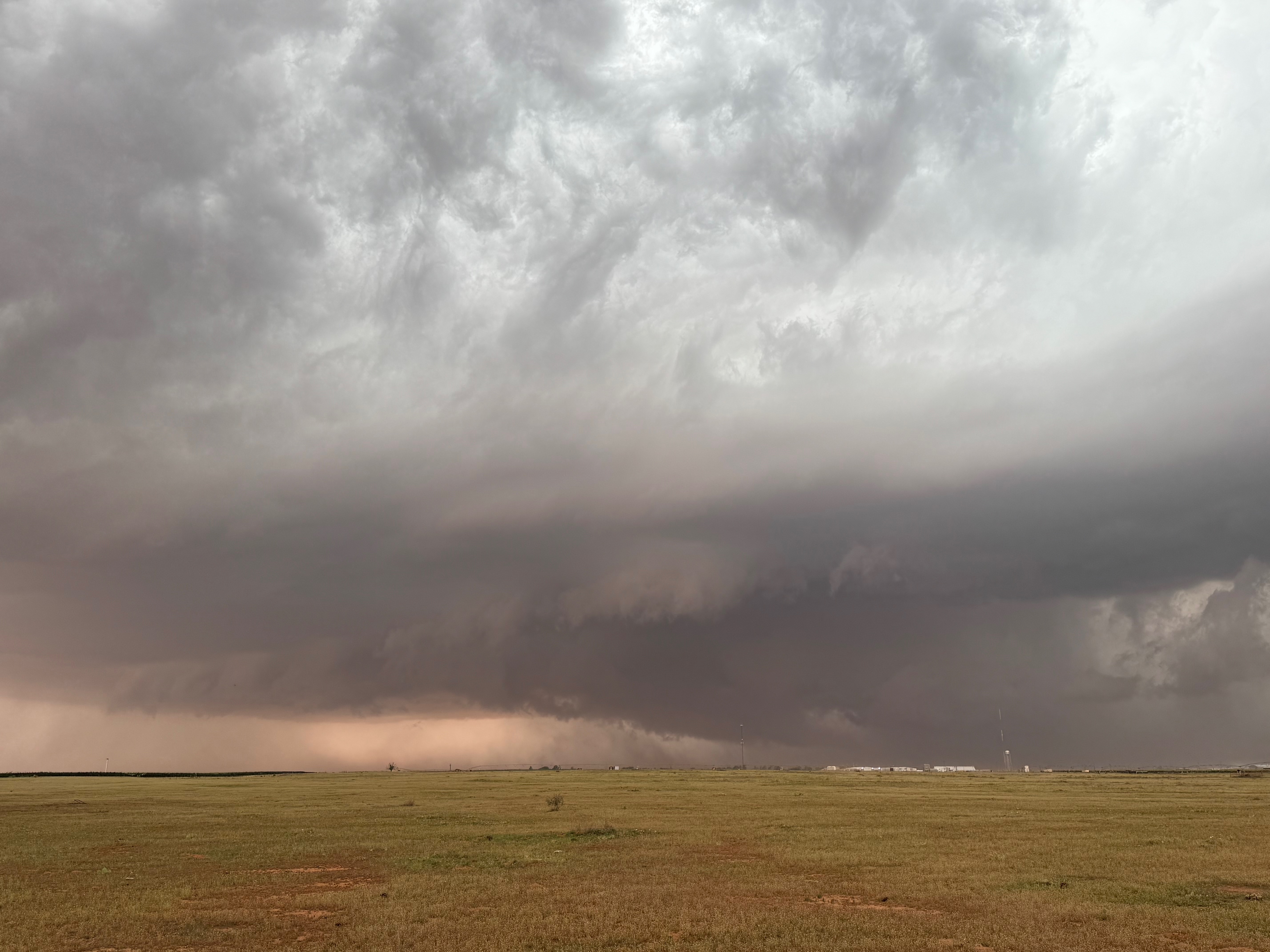
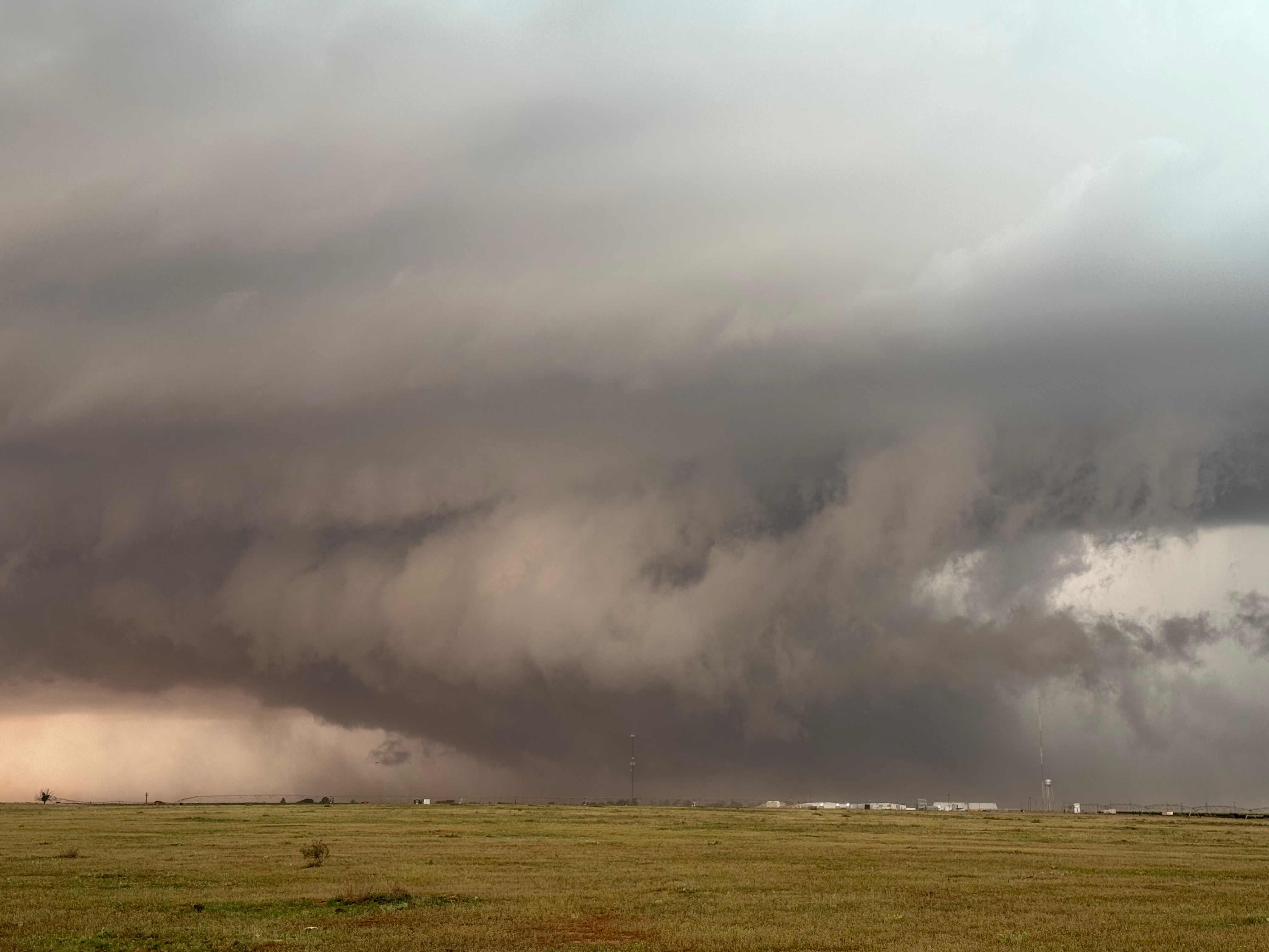
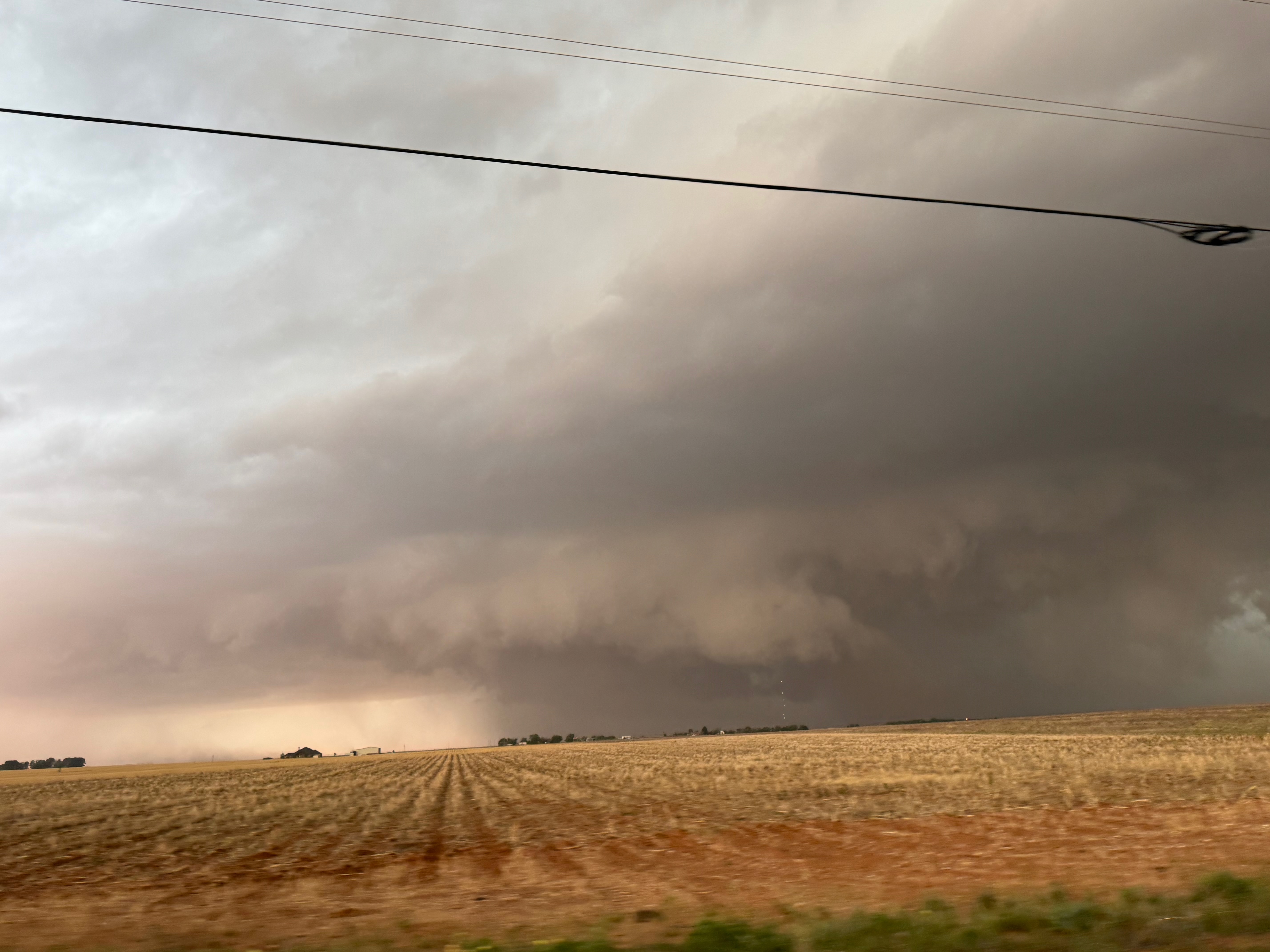
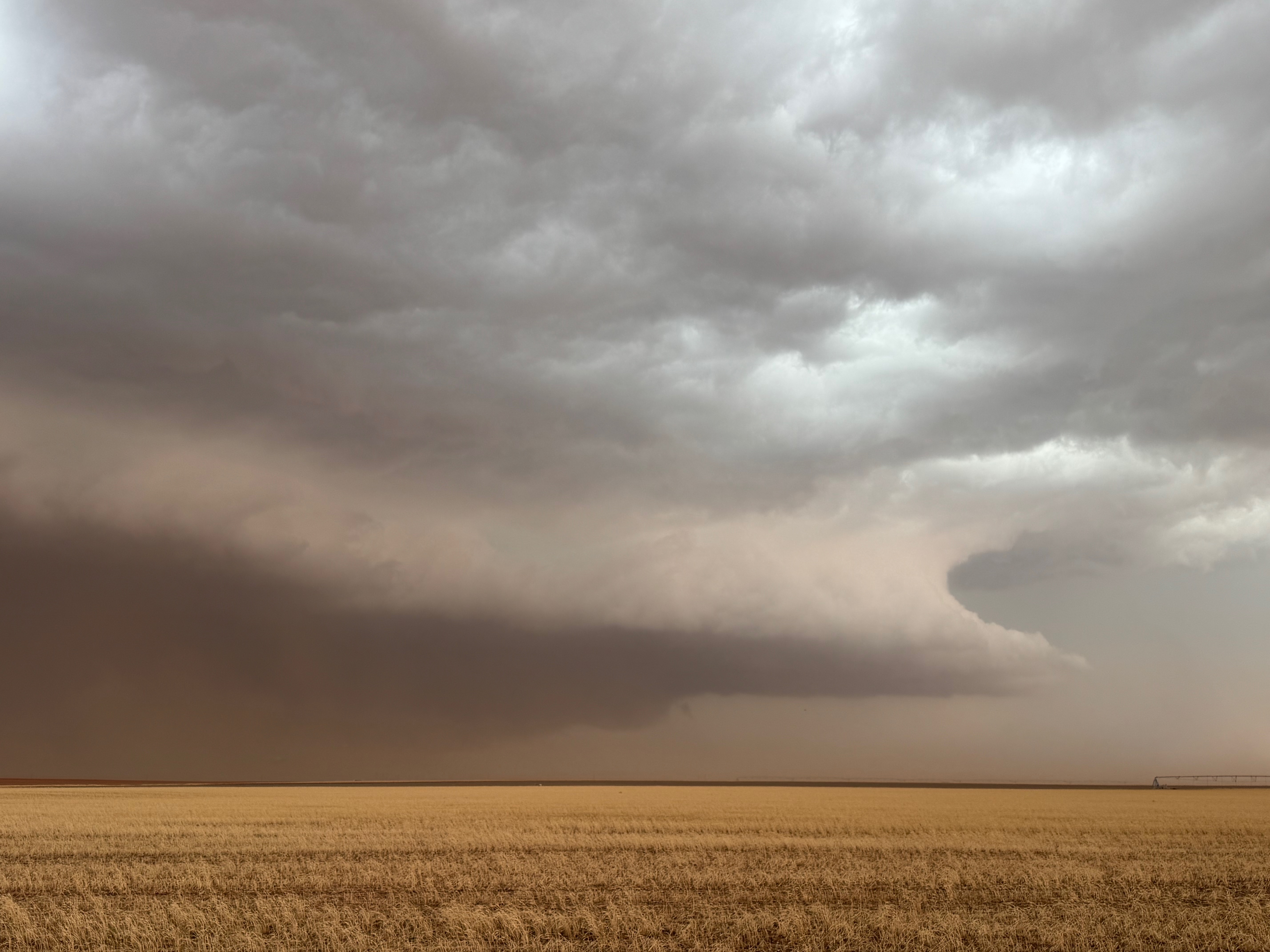
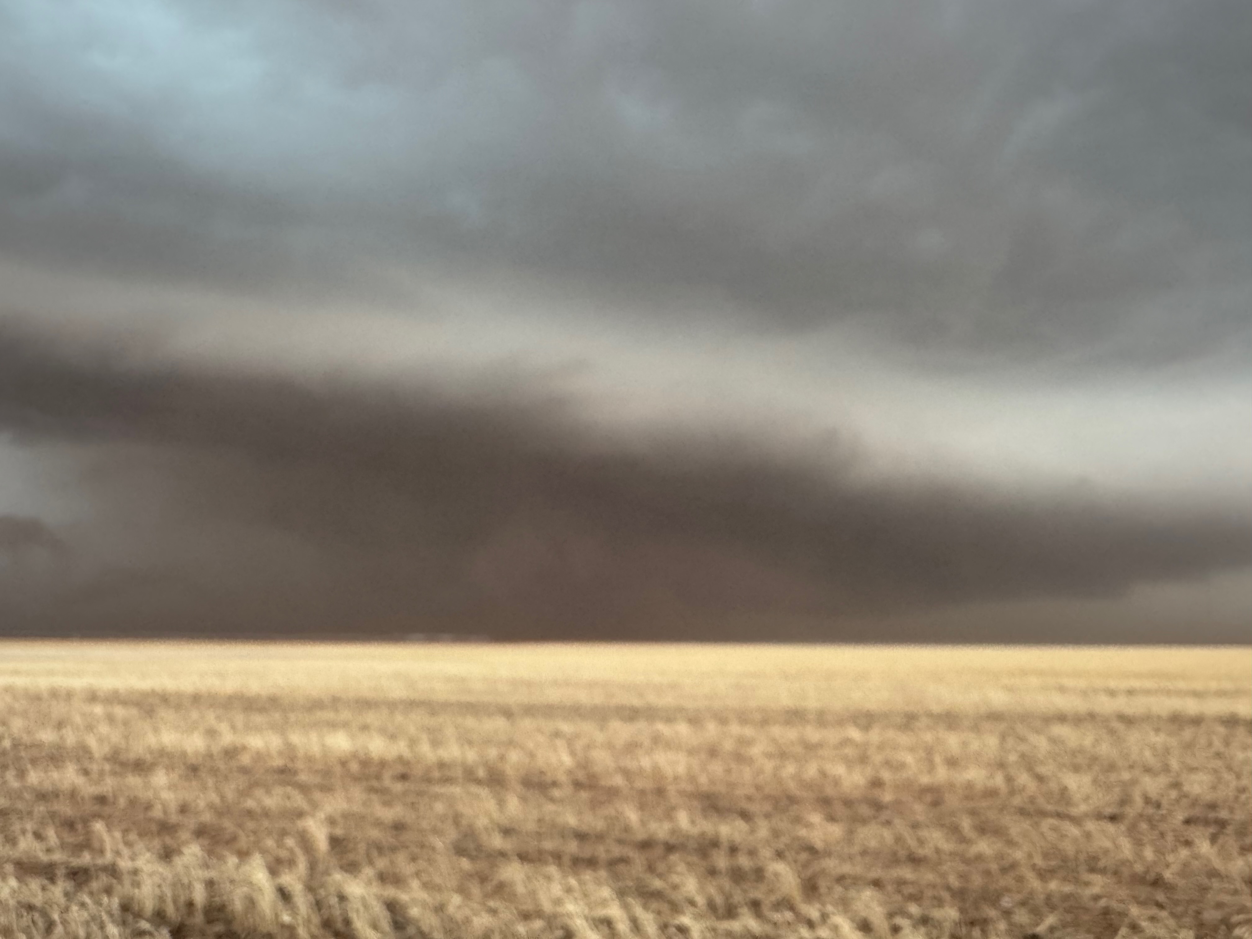
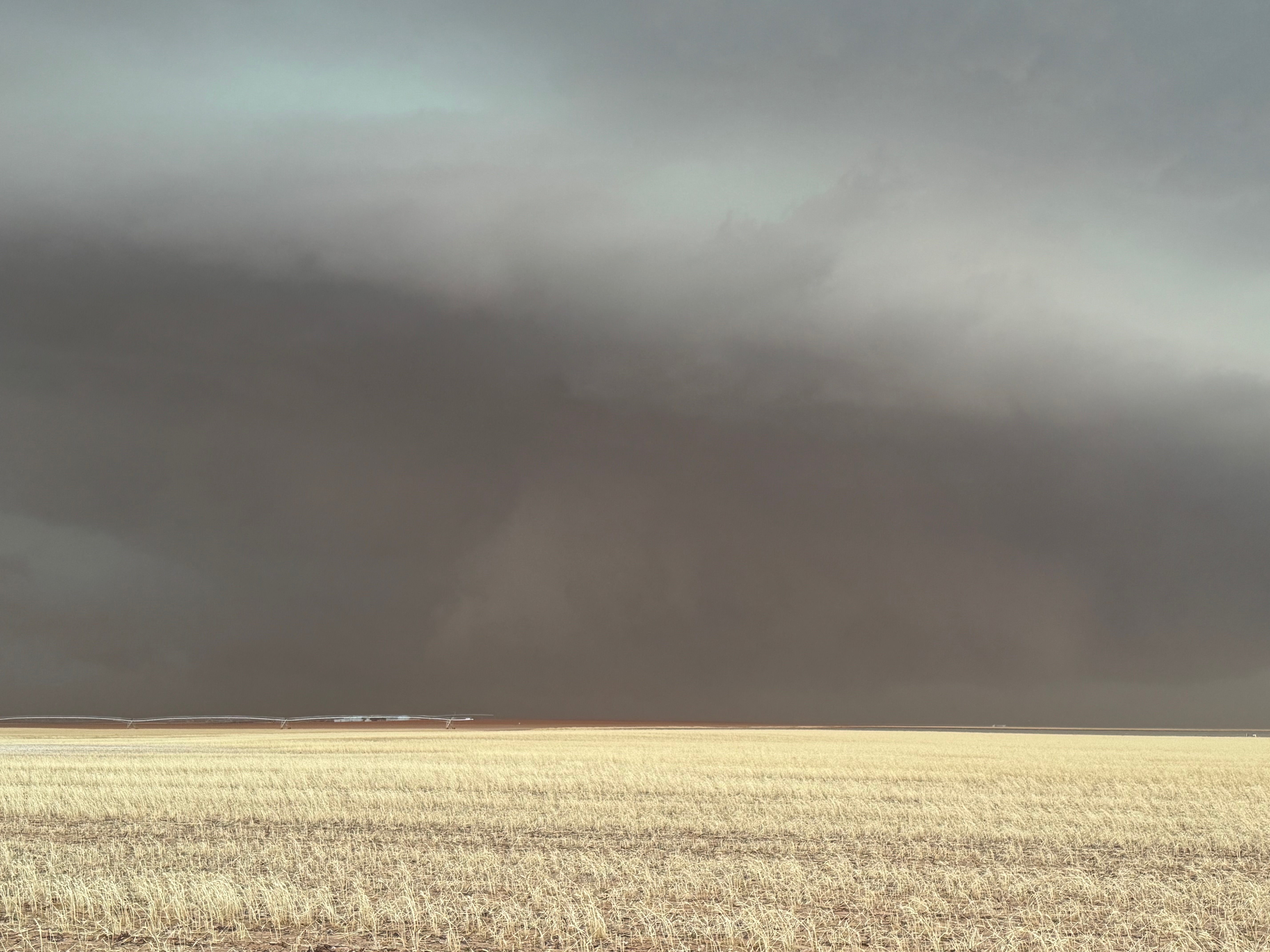
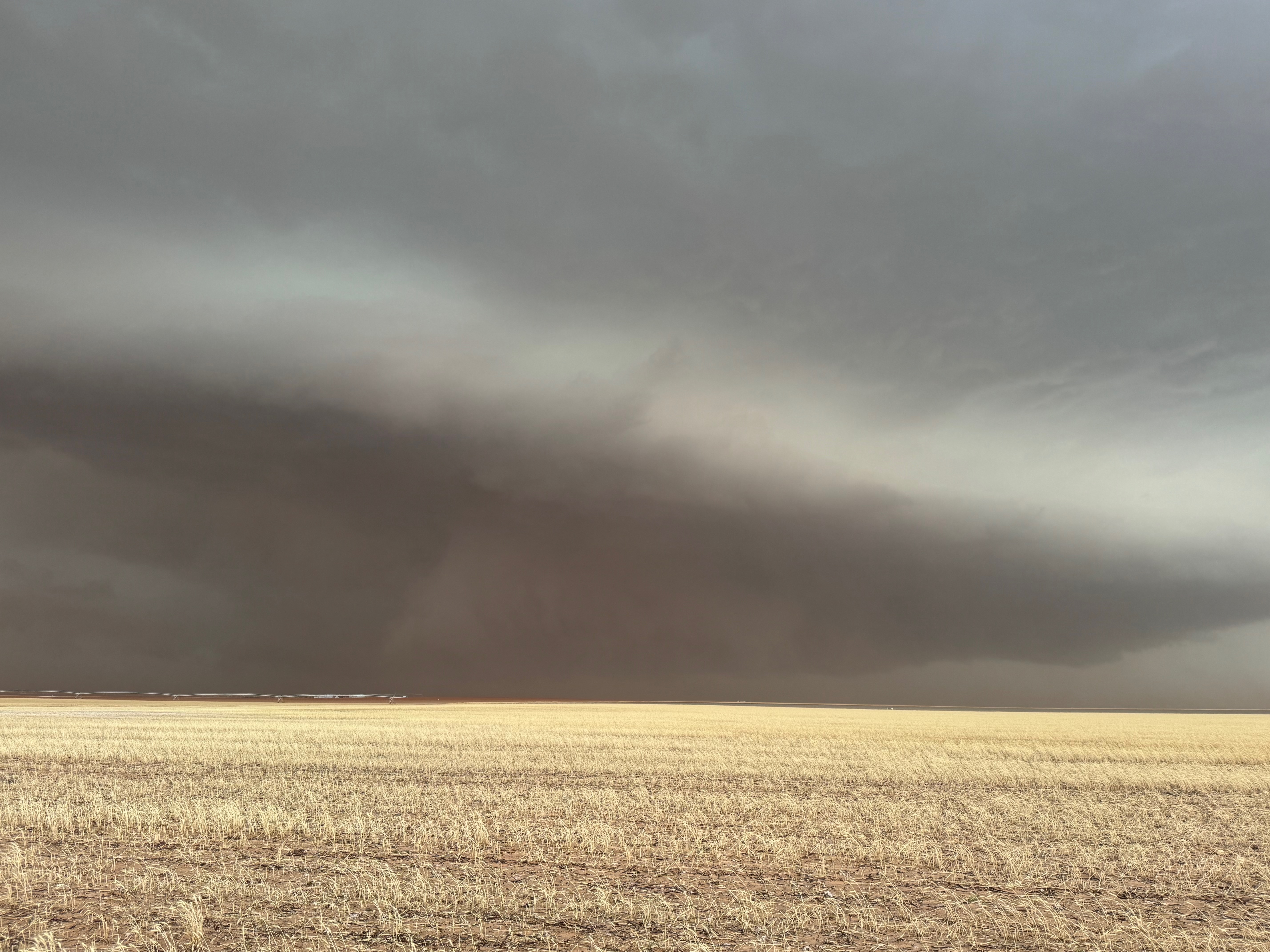
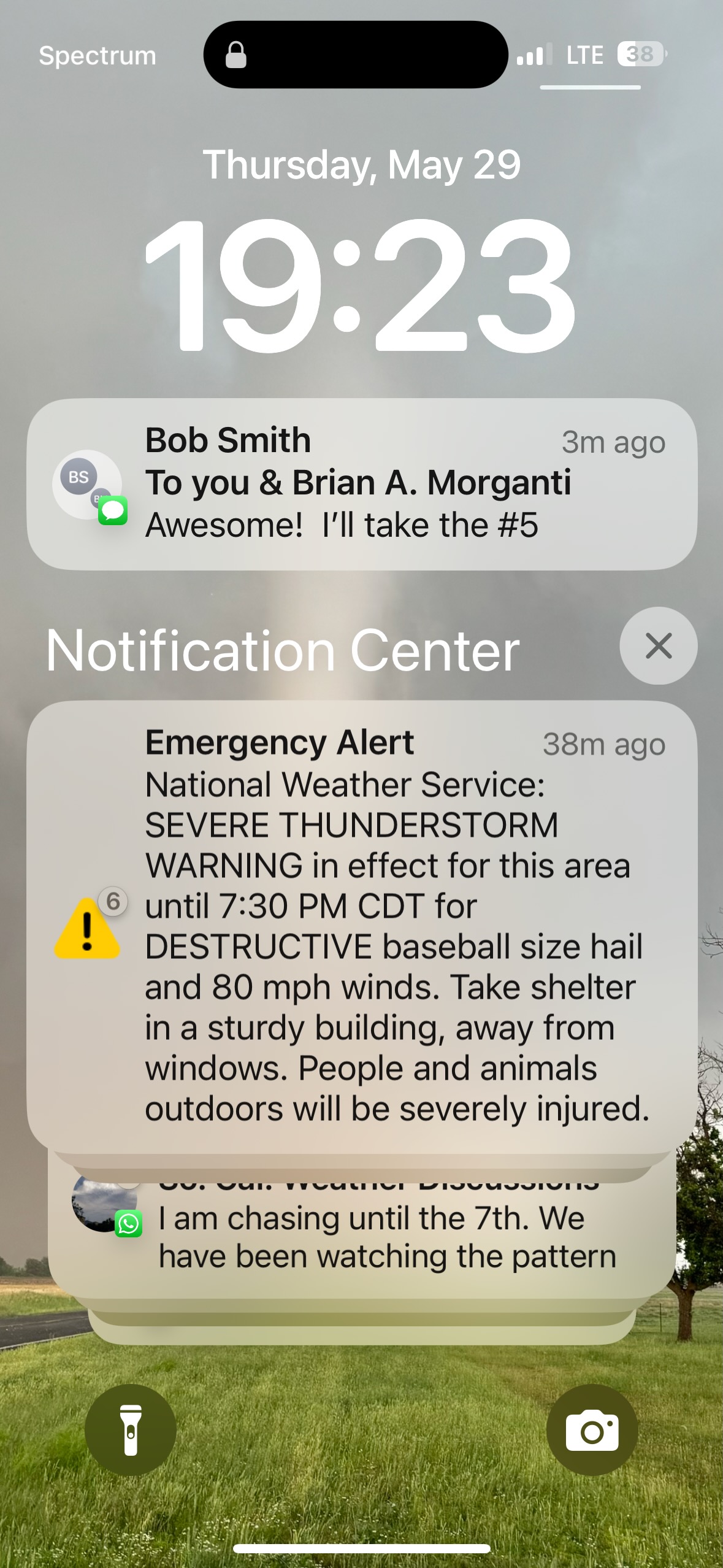
This was a fun chase. We had to boogie south from Pampa after lunch to get south of a front that was sagging south, just south of Lubbock. I know, I used the word “south” a little too much in that sentence. Too bad. Our departure from Pampa was a little delayed as one in our group had to visit urgent care. Warm and moist air was just south of the E-W front, and SPC showed a 5% tornado risk. We dropped south from Wolfforth to position east of severe storm near Brownfield. This gave us a good look at storm structure. The action area featured decent lowerings and wall clouds and laminar sides. A tornado or two was/were reported from this storm near Brownfield. These were described as “brief” and/or “landspout” and we did not observe a tornado.
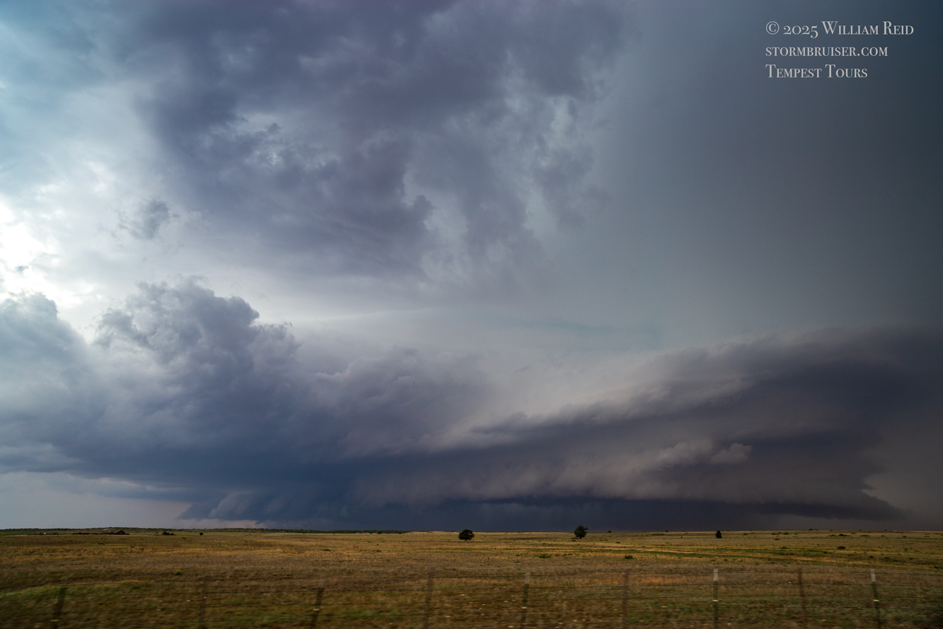
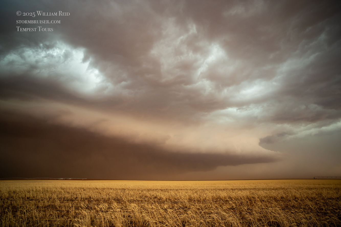
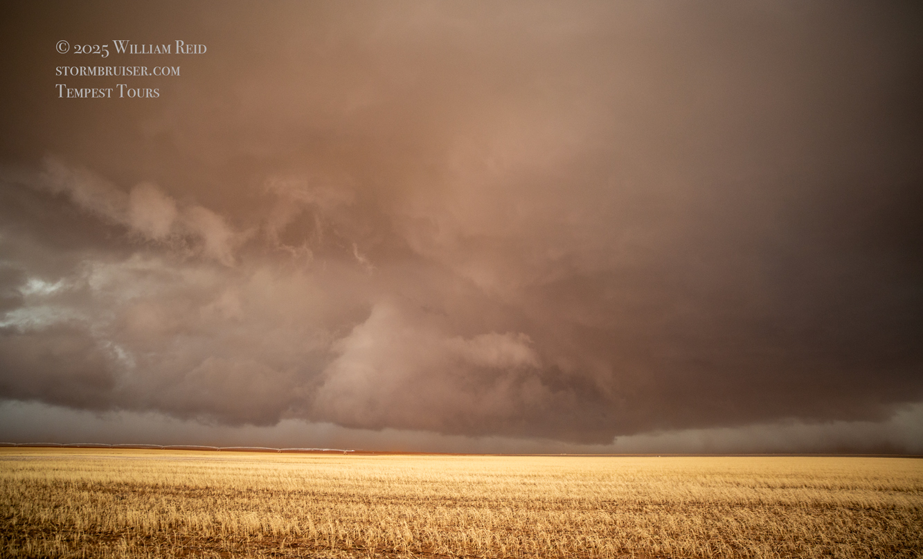
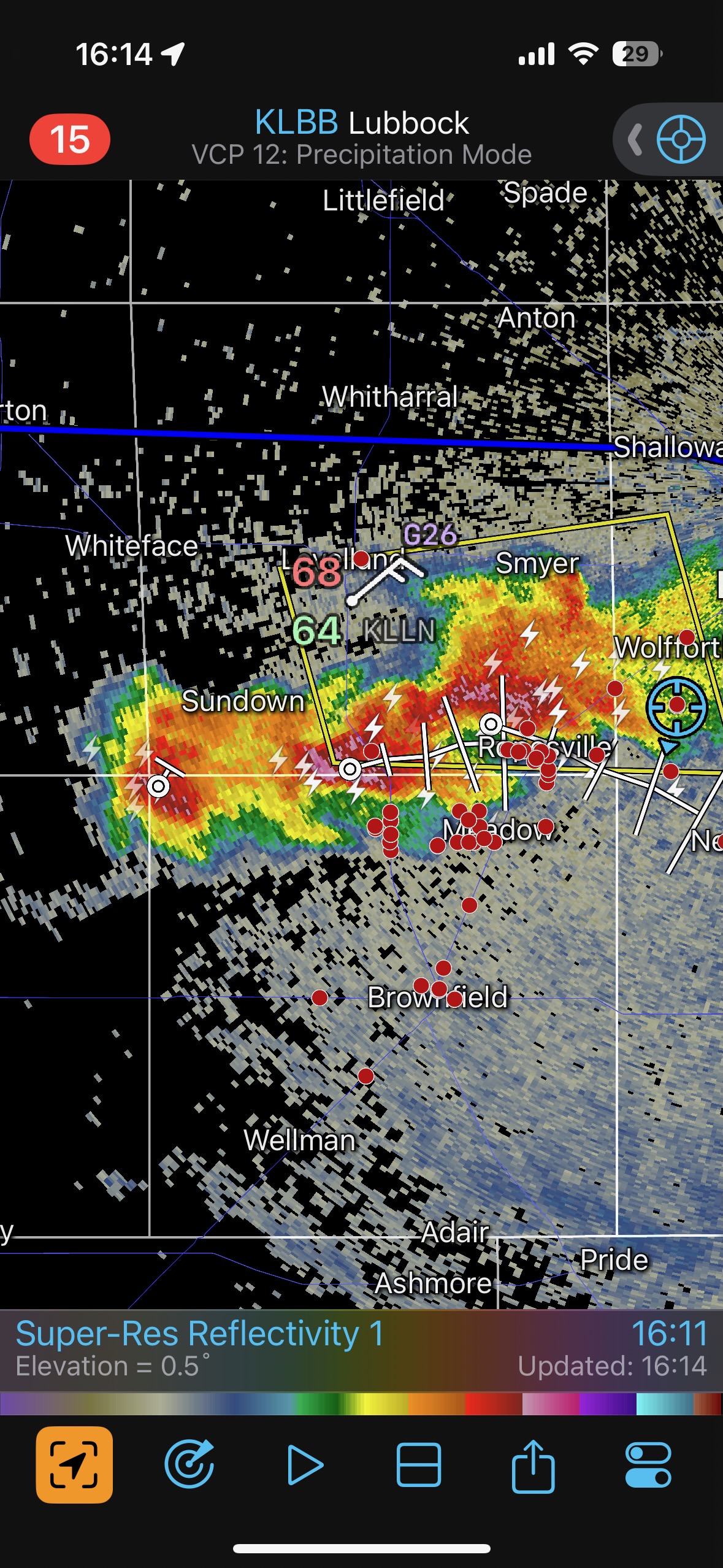
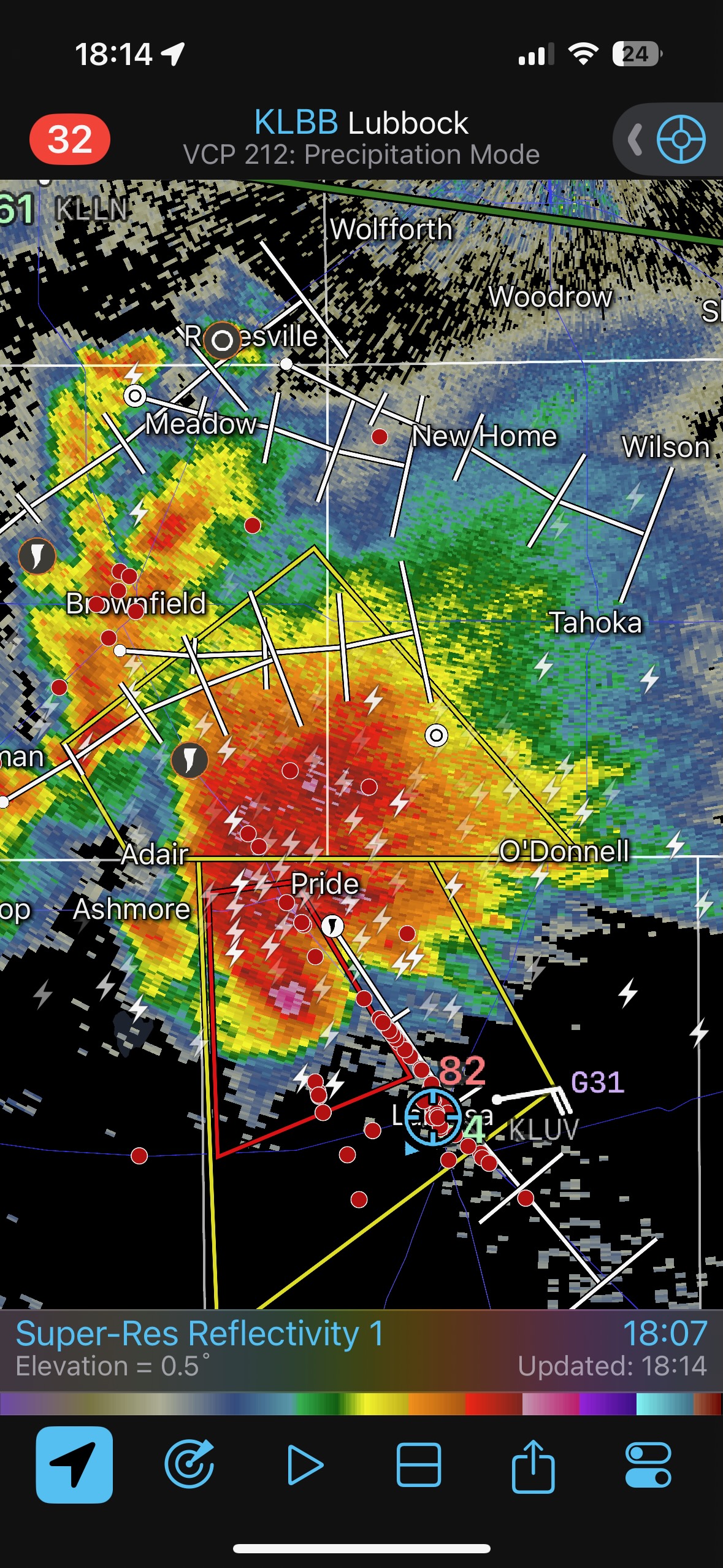
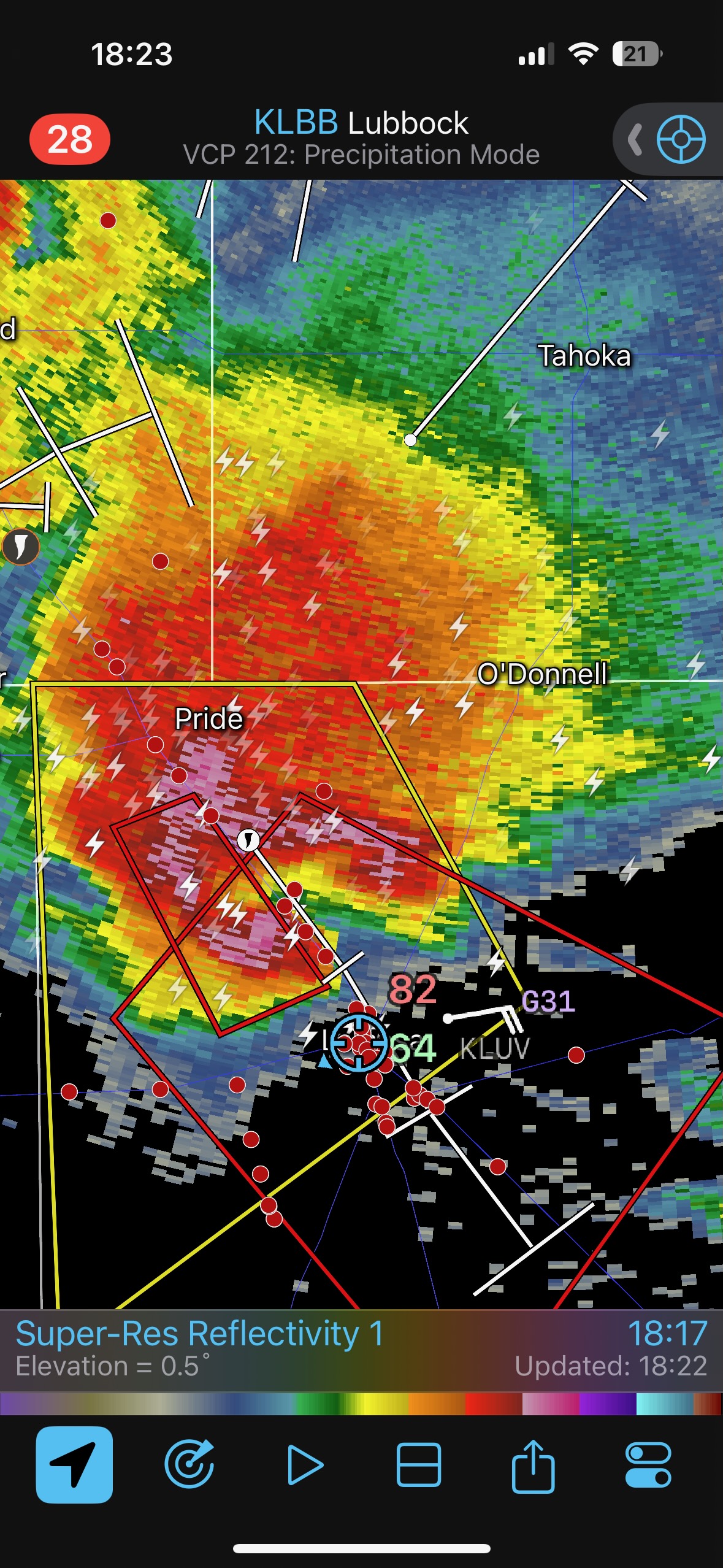
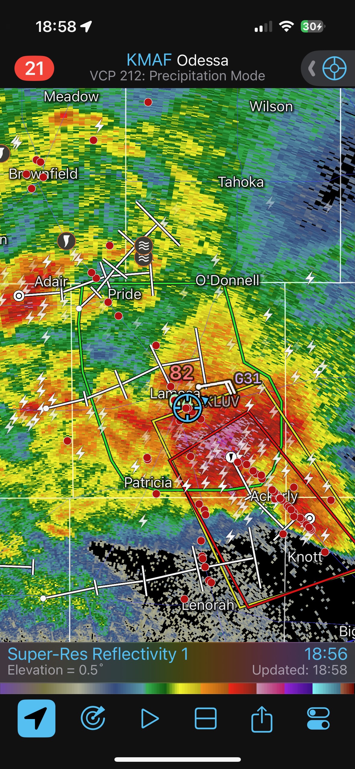
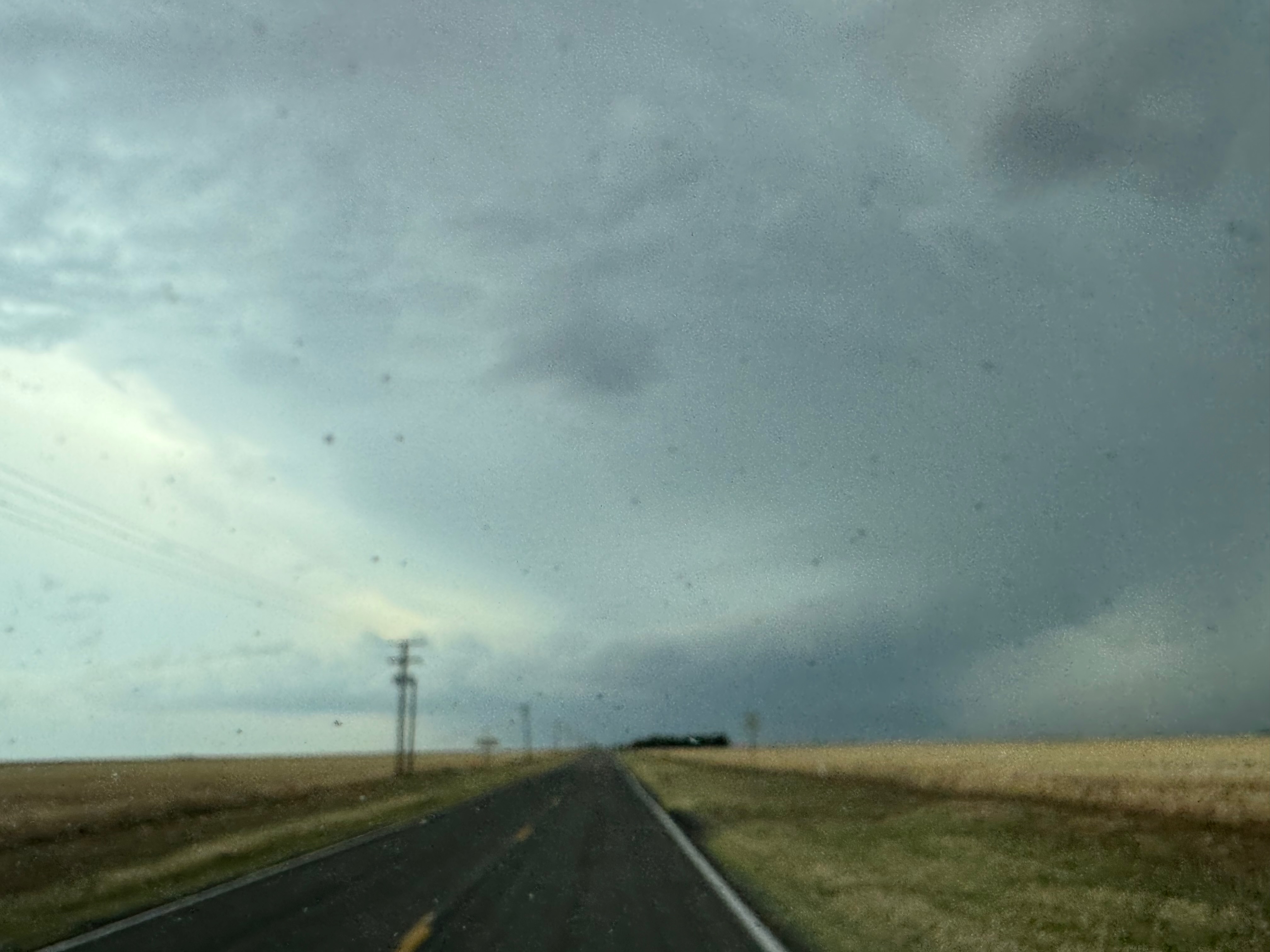
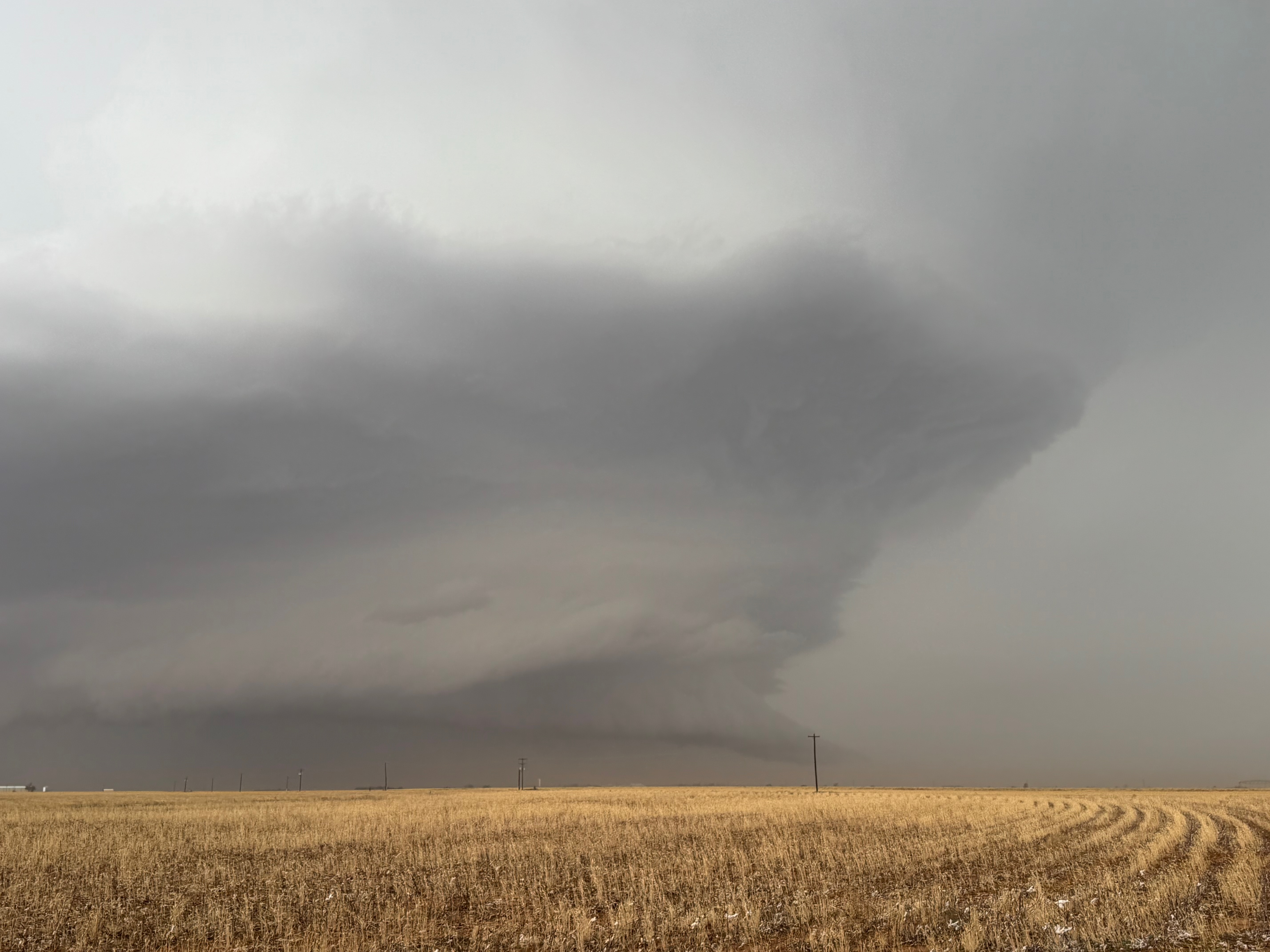
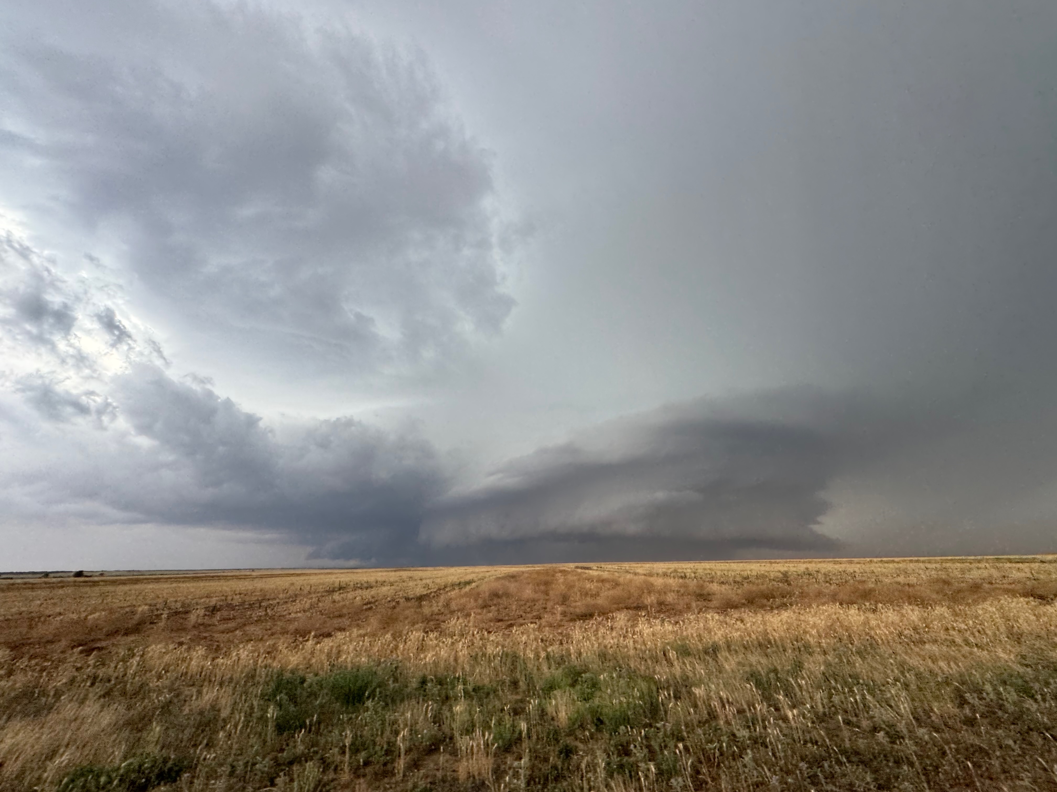
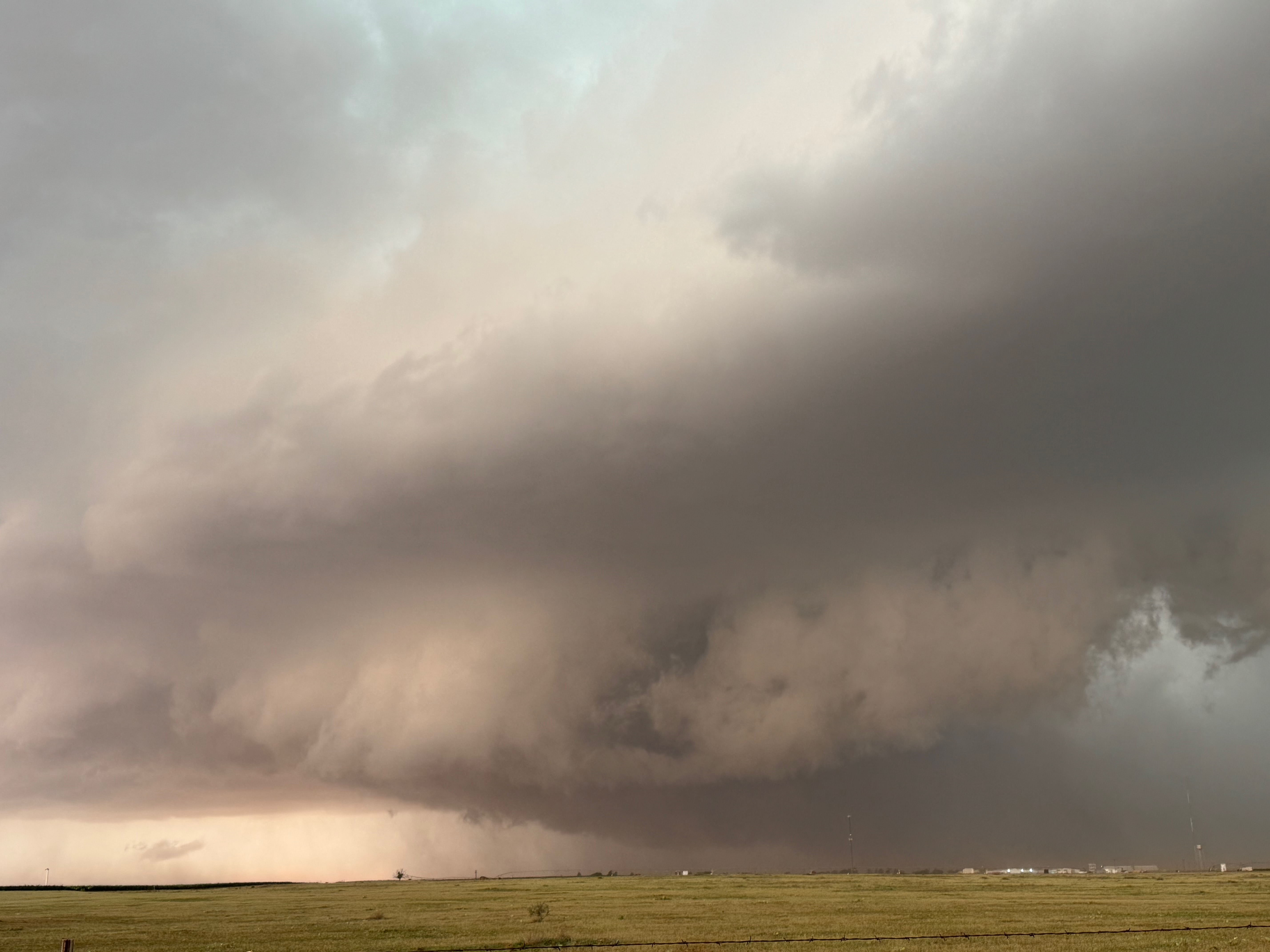
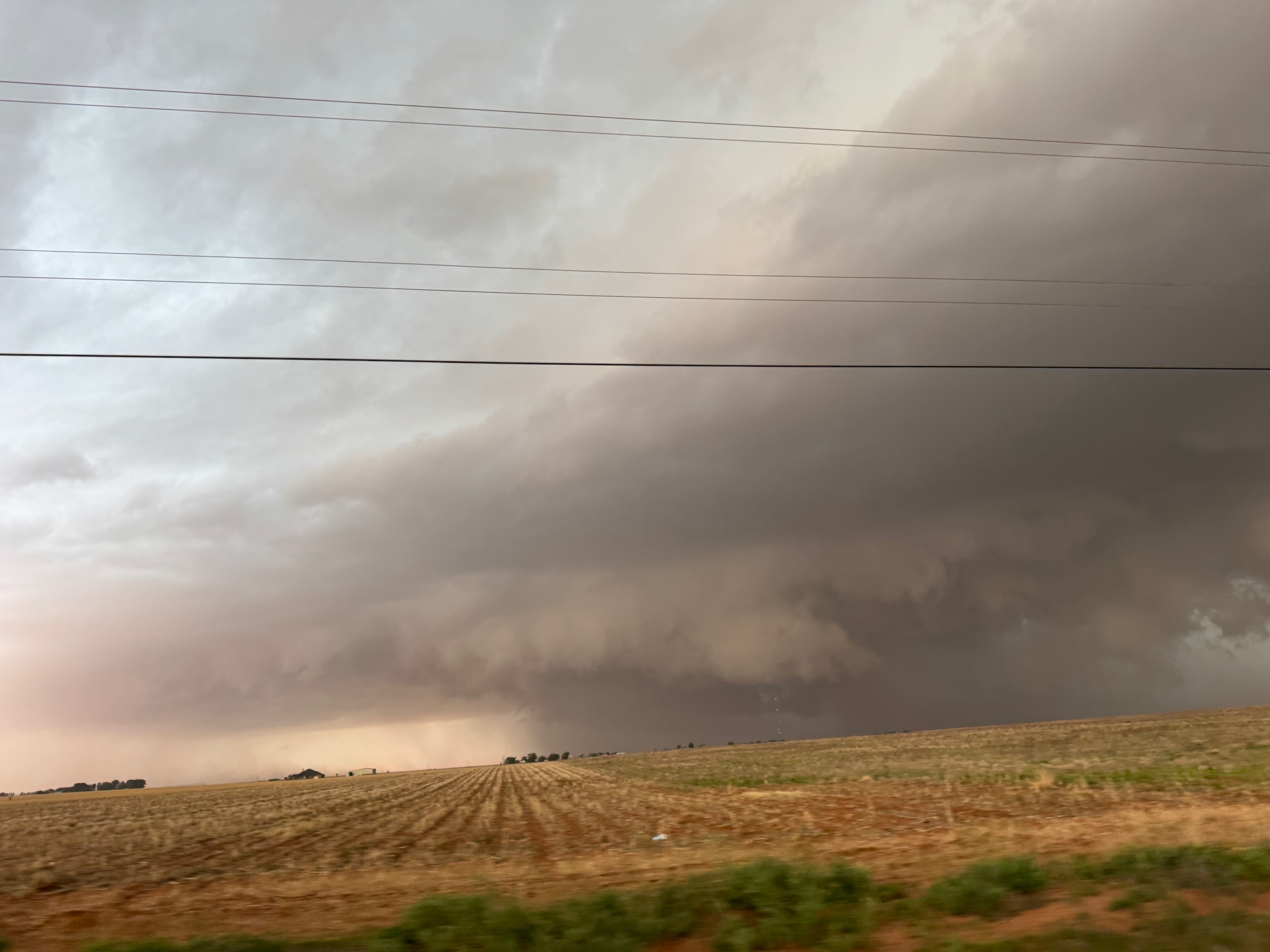
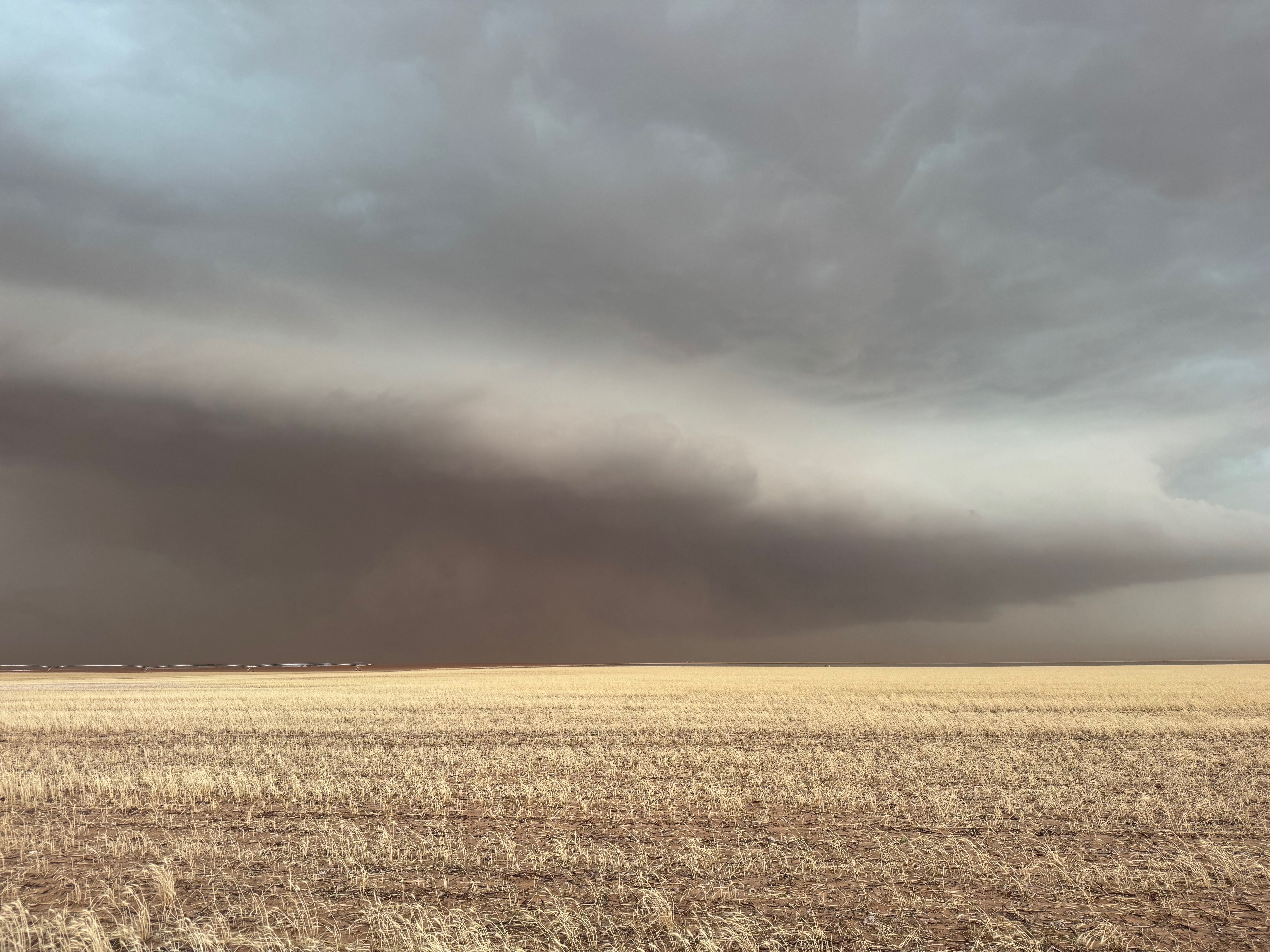
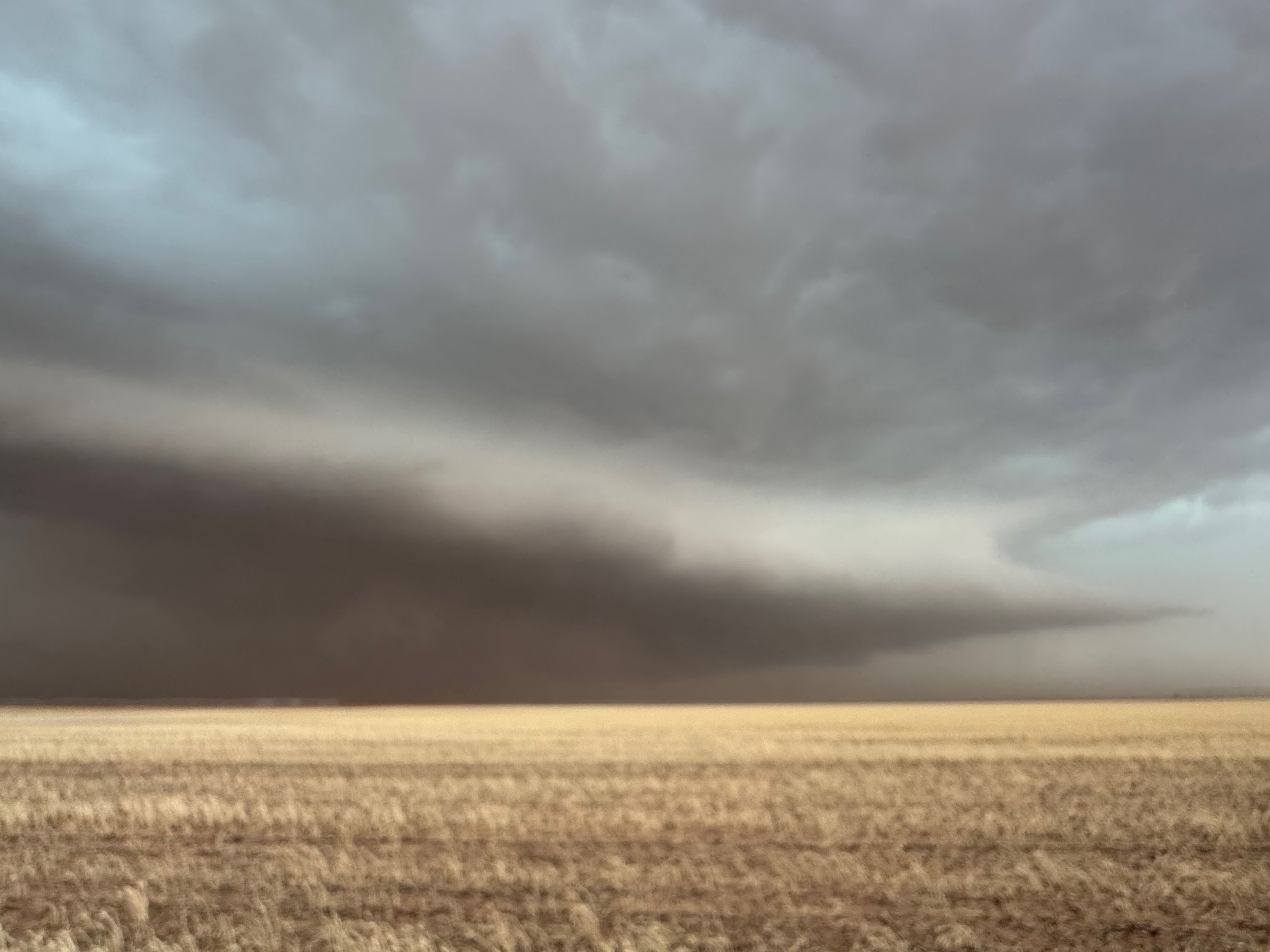
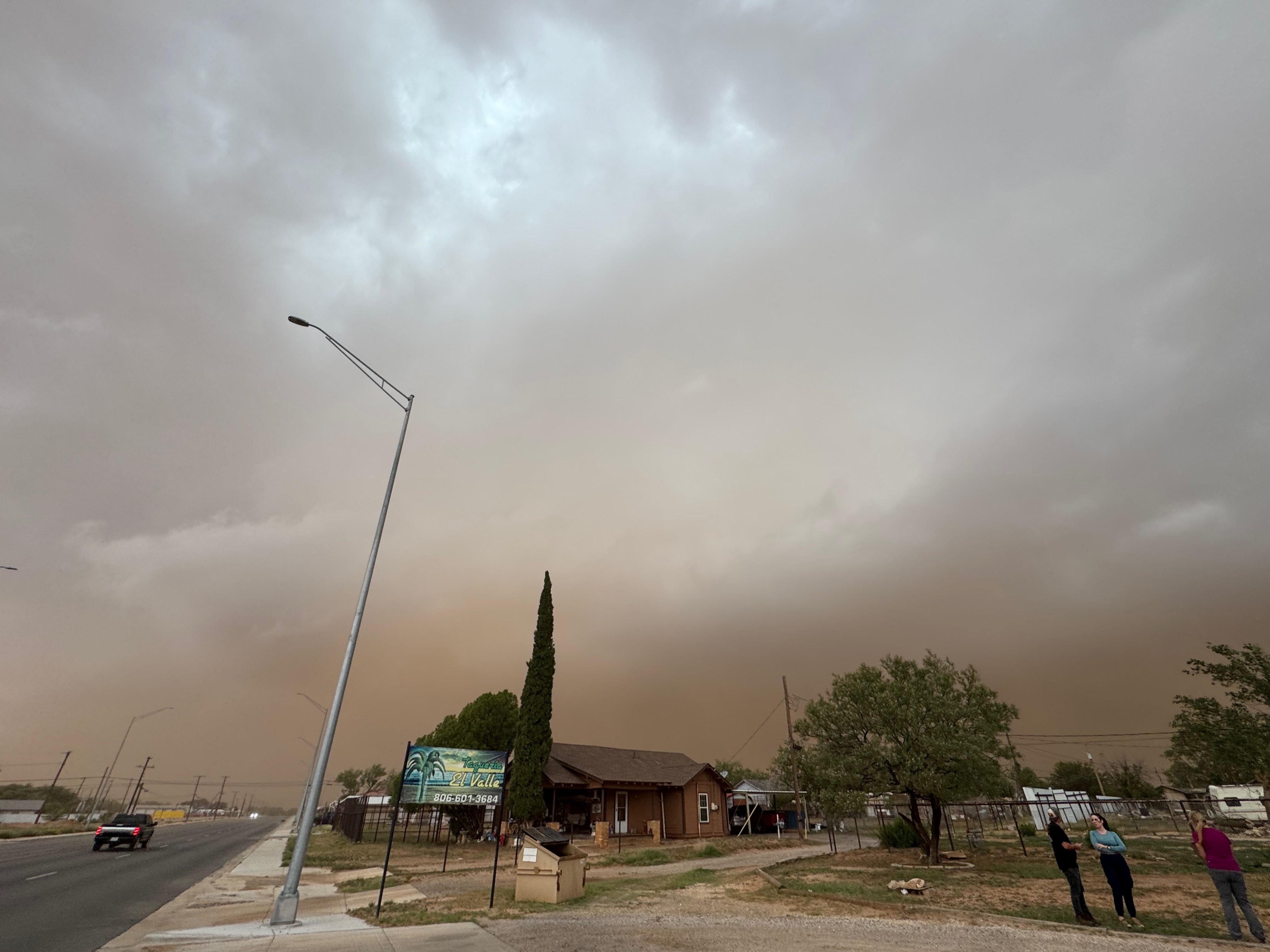
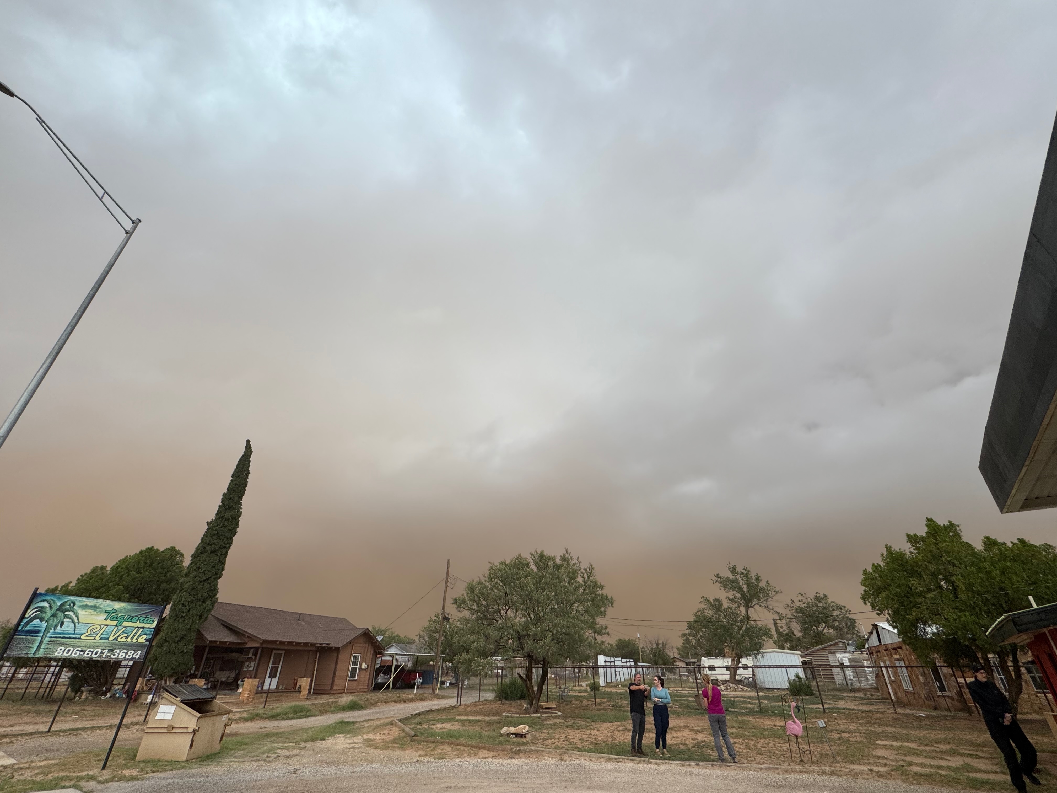
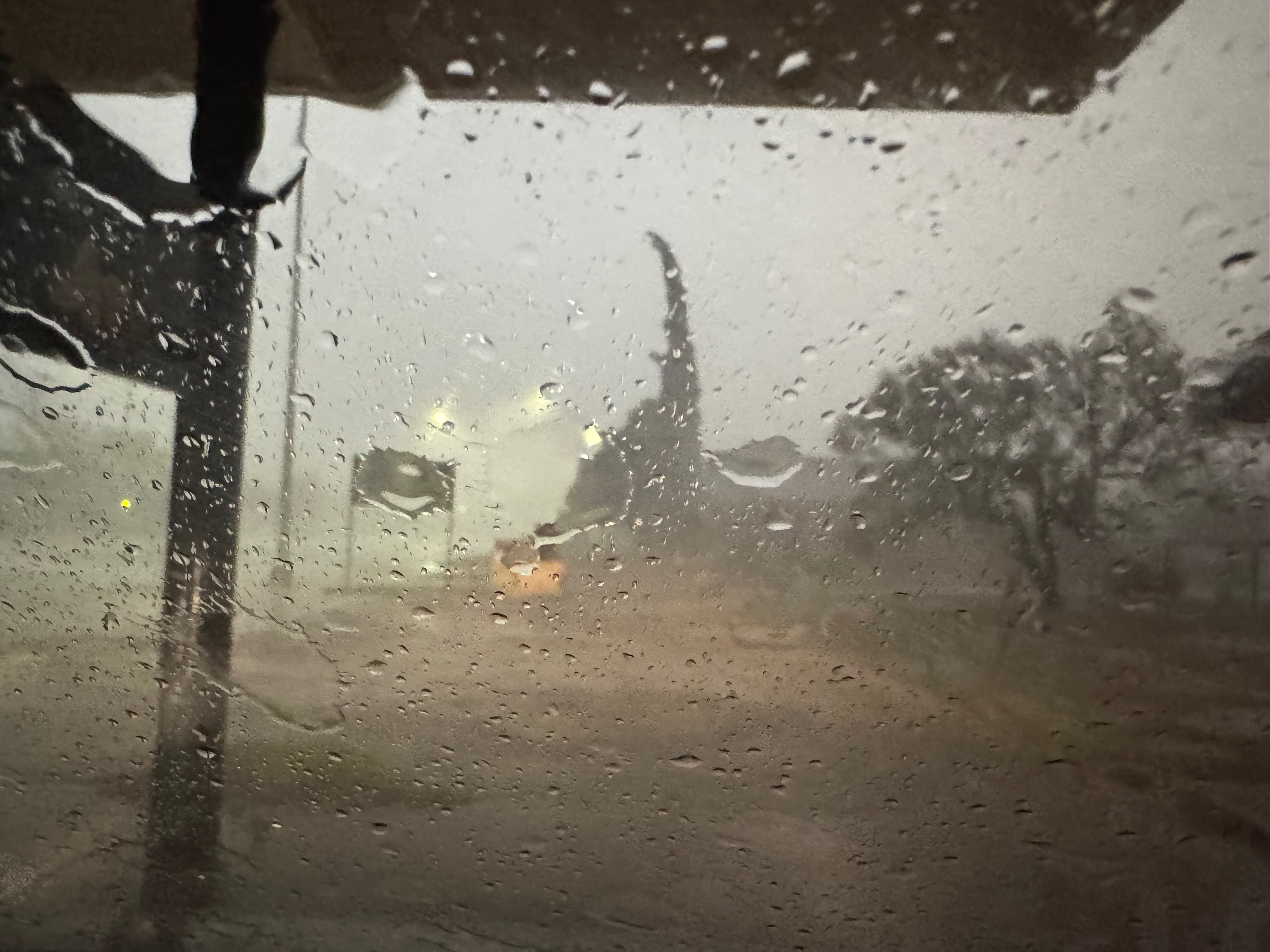
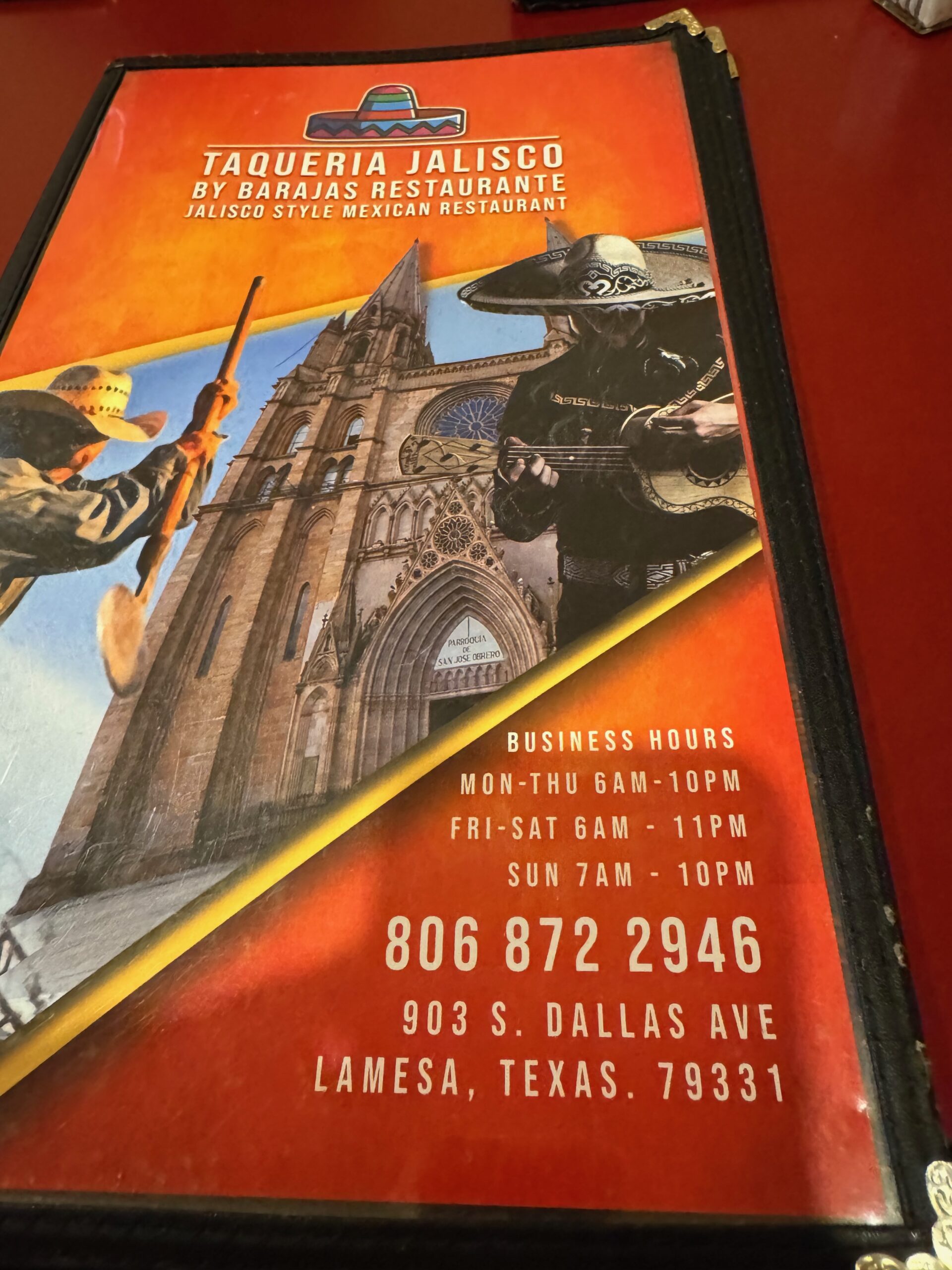
The Brownfield supercell lugged southeastward towards Lamesa. Strong inflow was filled with dust, which made it difficult to observe storm structure along Highway 137. Hail to baseball size or larger was reported, and we located a spot in Lamesa to ride out the core. We got hit with strong wind and a one-inch hail…maybe a little larger. The storm was a bit of a mess and unphotogenic at Lamesa, and I let it go. After a relaxed Mexican meal in Lamesa we attempted to head west to our booked rooms in Seminole, but the road was closed due to power lines down. We successfully re-booked in Brownfield.


iPhone radar screenshots and pics below.

Leave a Reply
You must be logged in to post a comment.