
Start: Denver/lunch: It’s All About the Smoke BBQ in Fort Morgan/End: Goodland/527 miles
Mesoscale Discussions. 2:04 p.m. CDT. 3:47 p.m. CDT. 5:55 p.m. CDT. 7:28 p.m. CDT
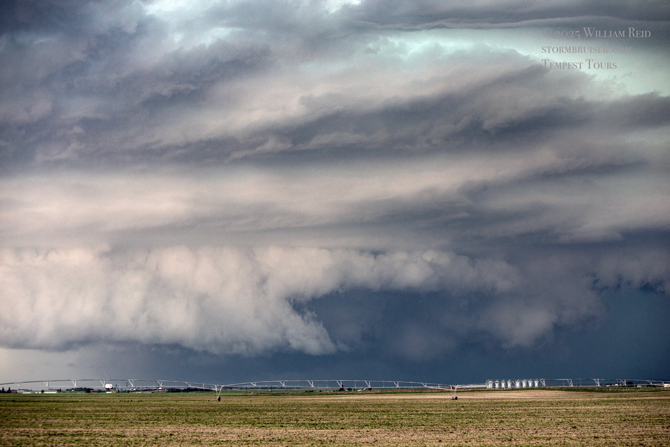
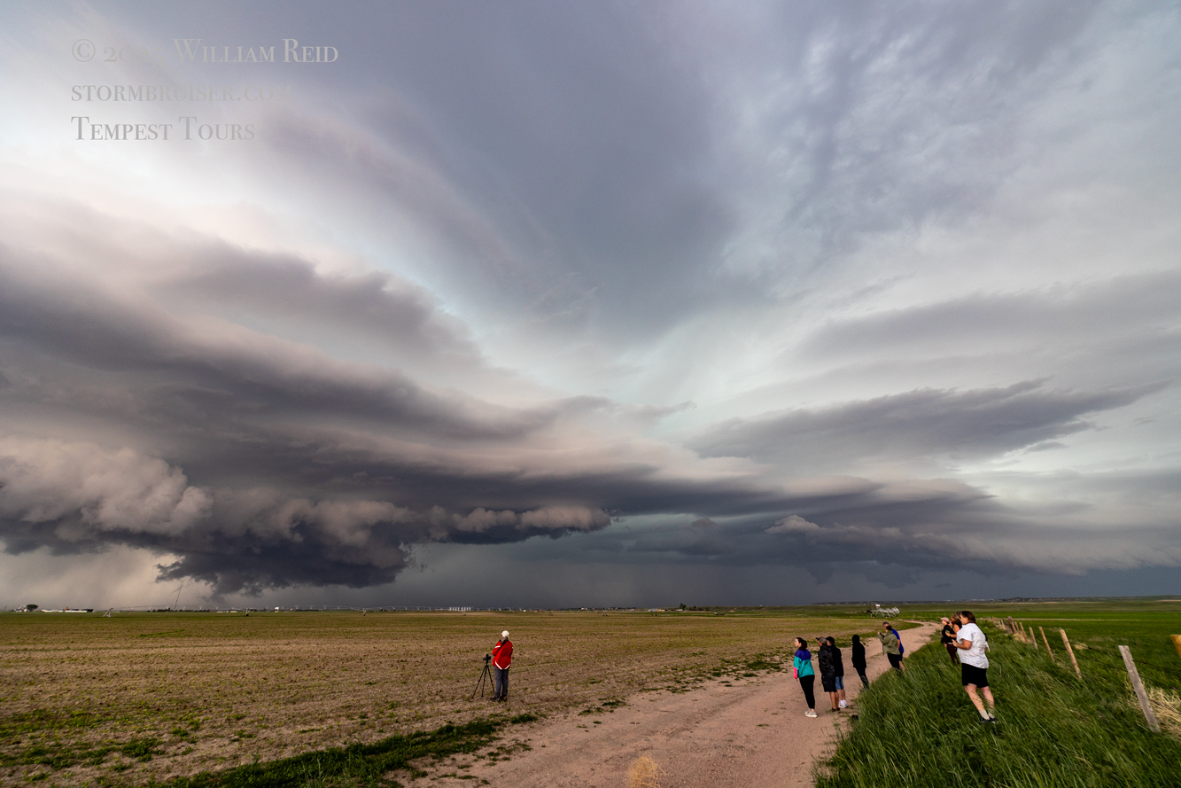
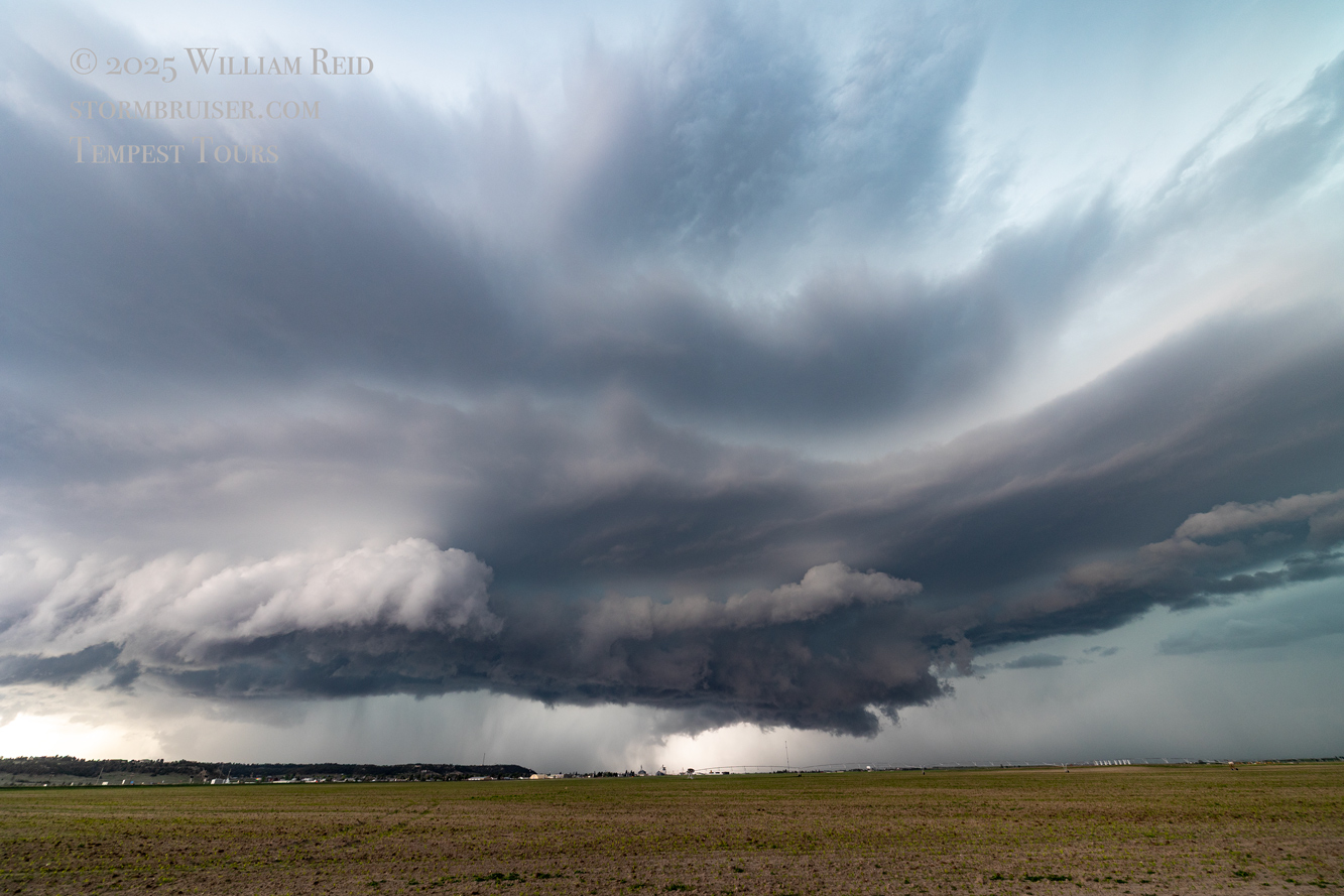
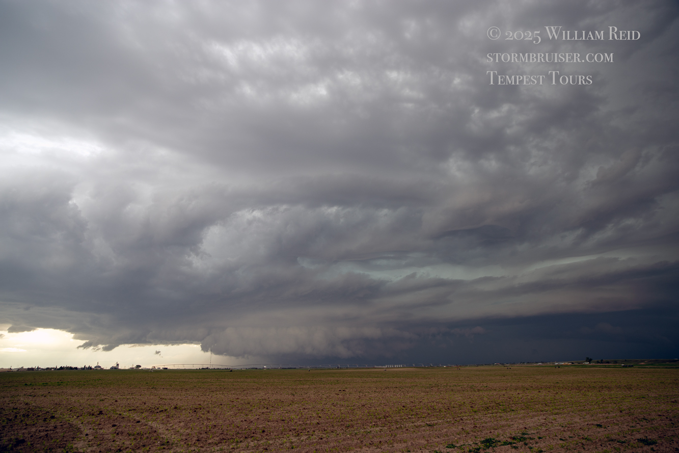
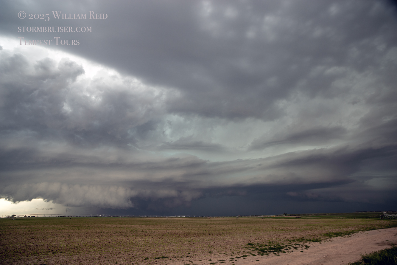
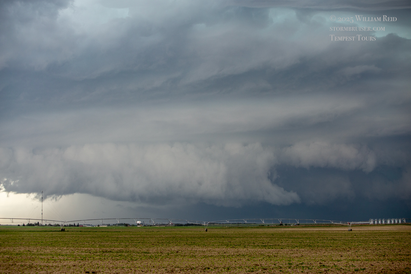
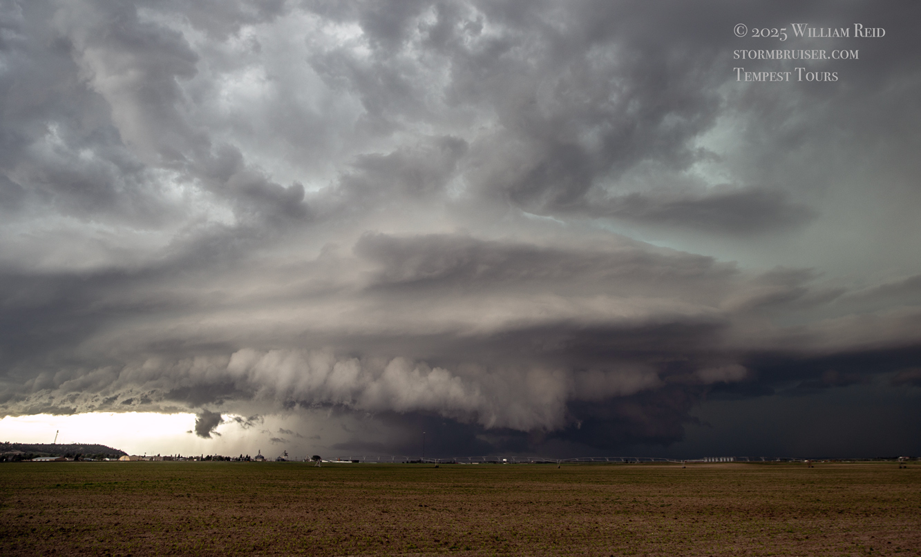
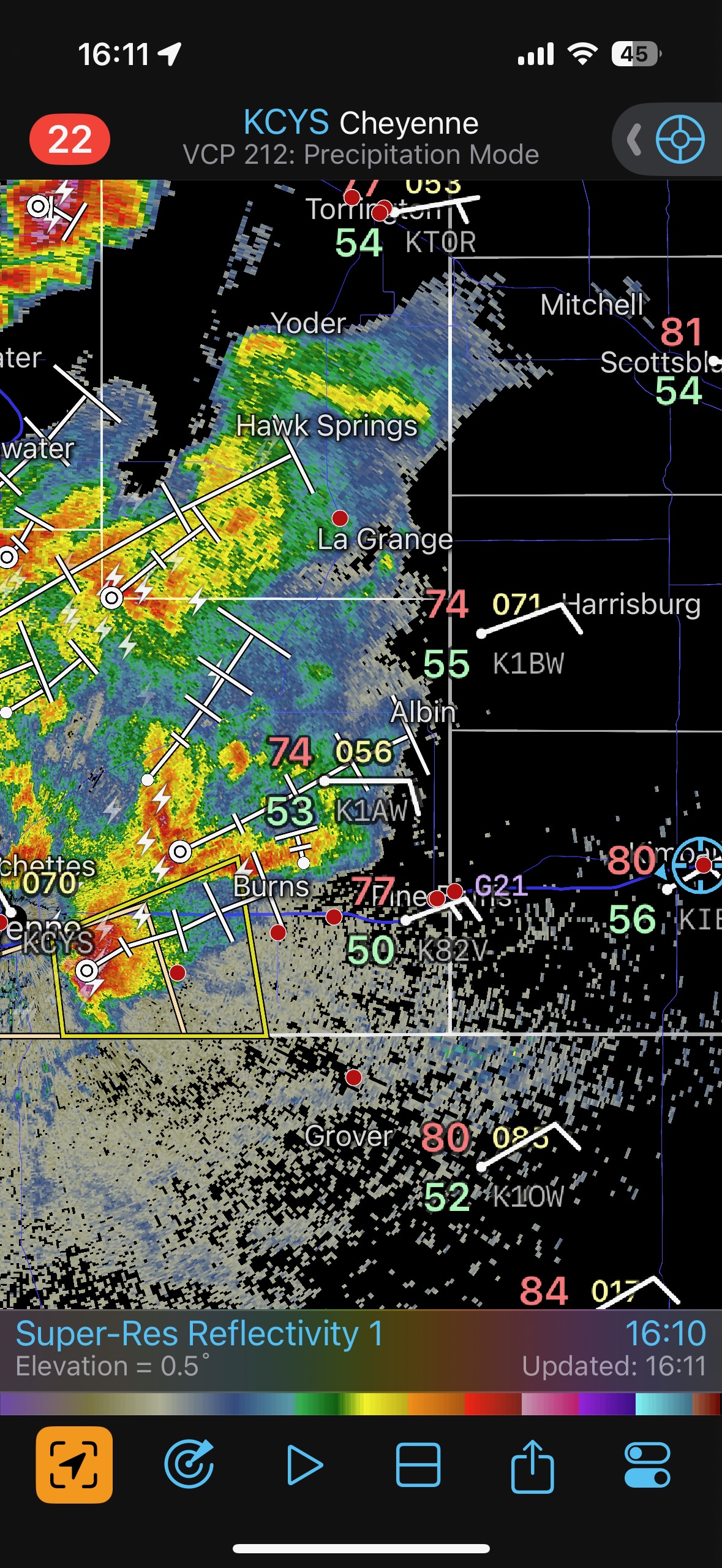
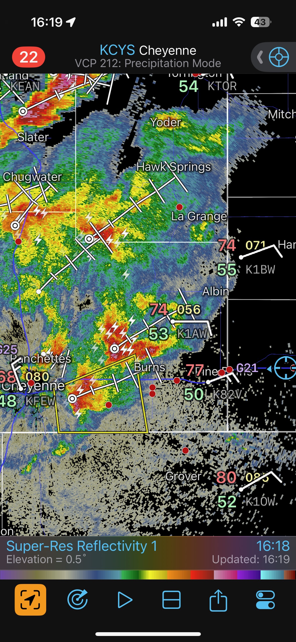
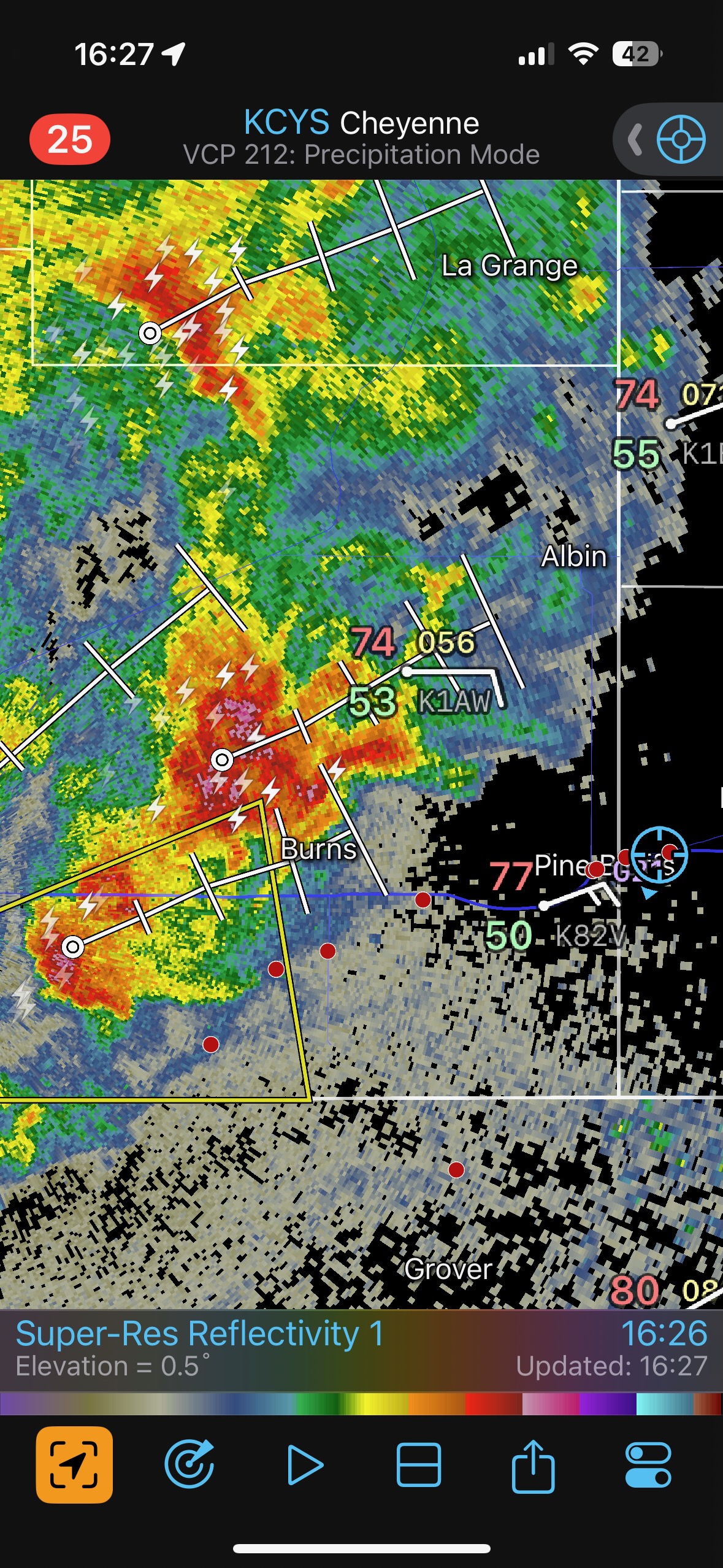
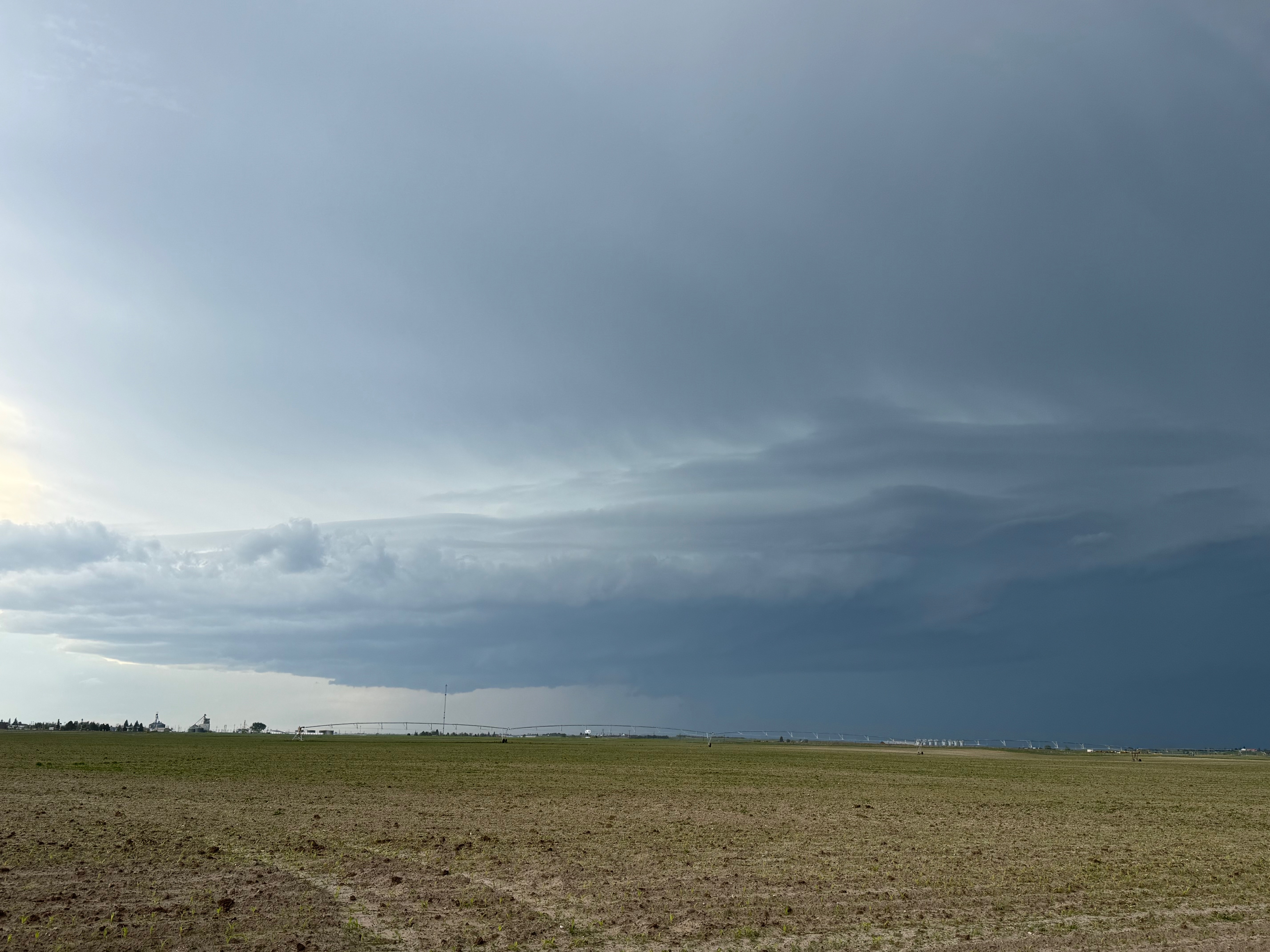
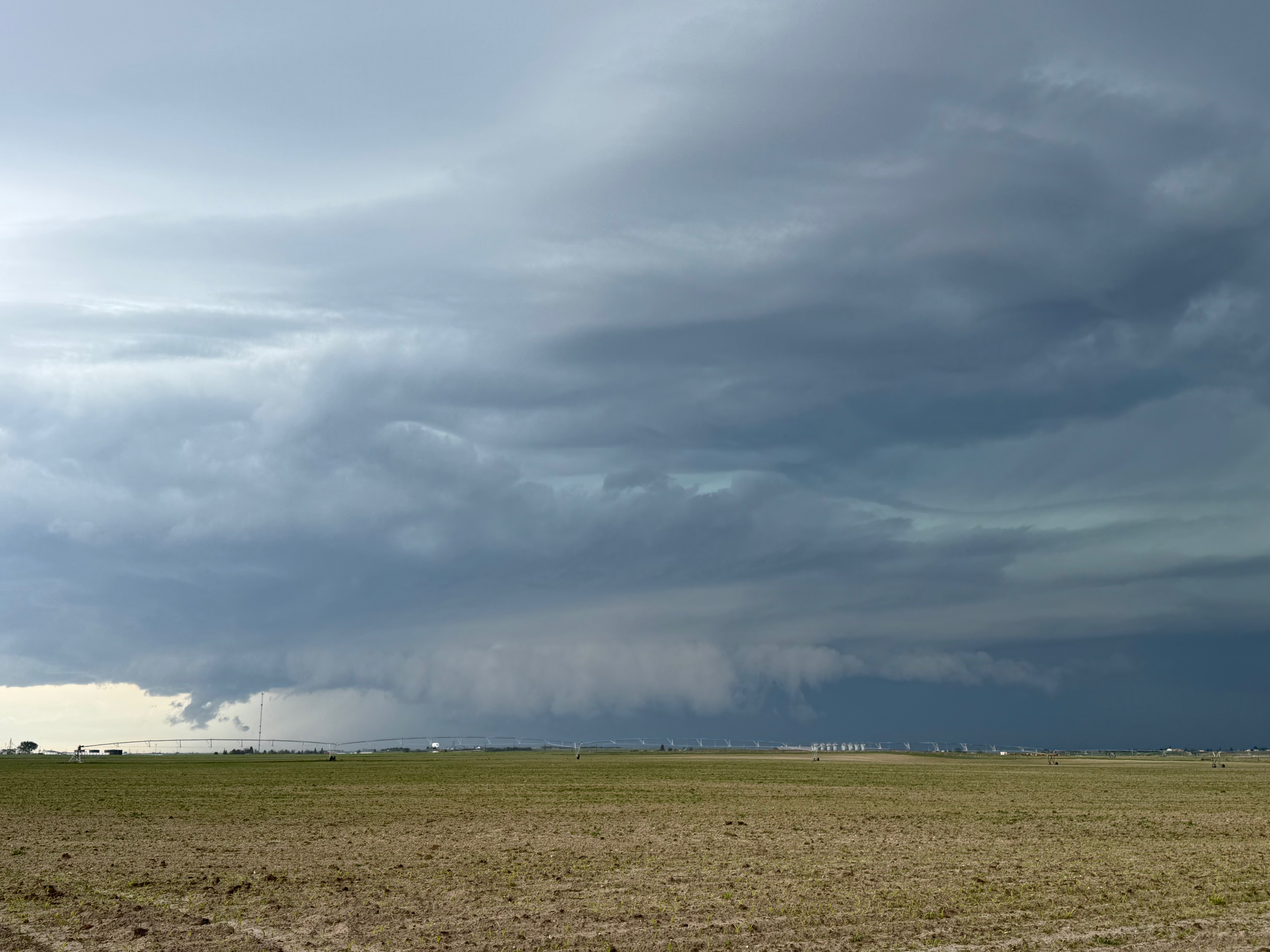
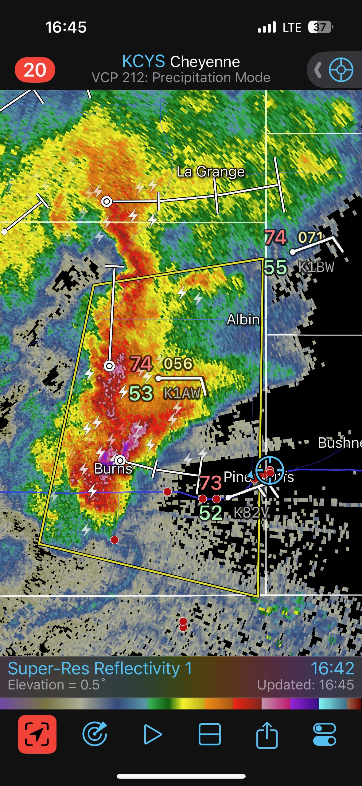
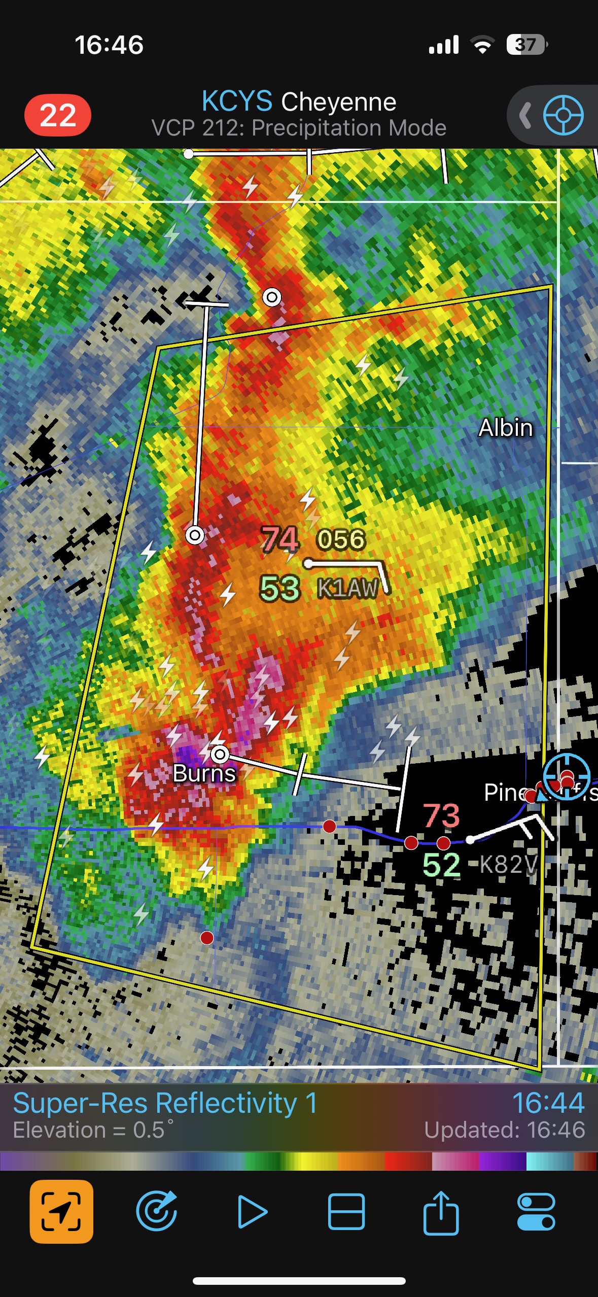
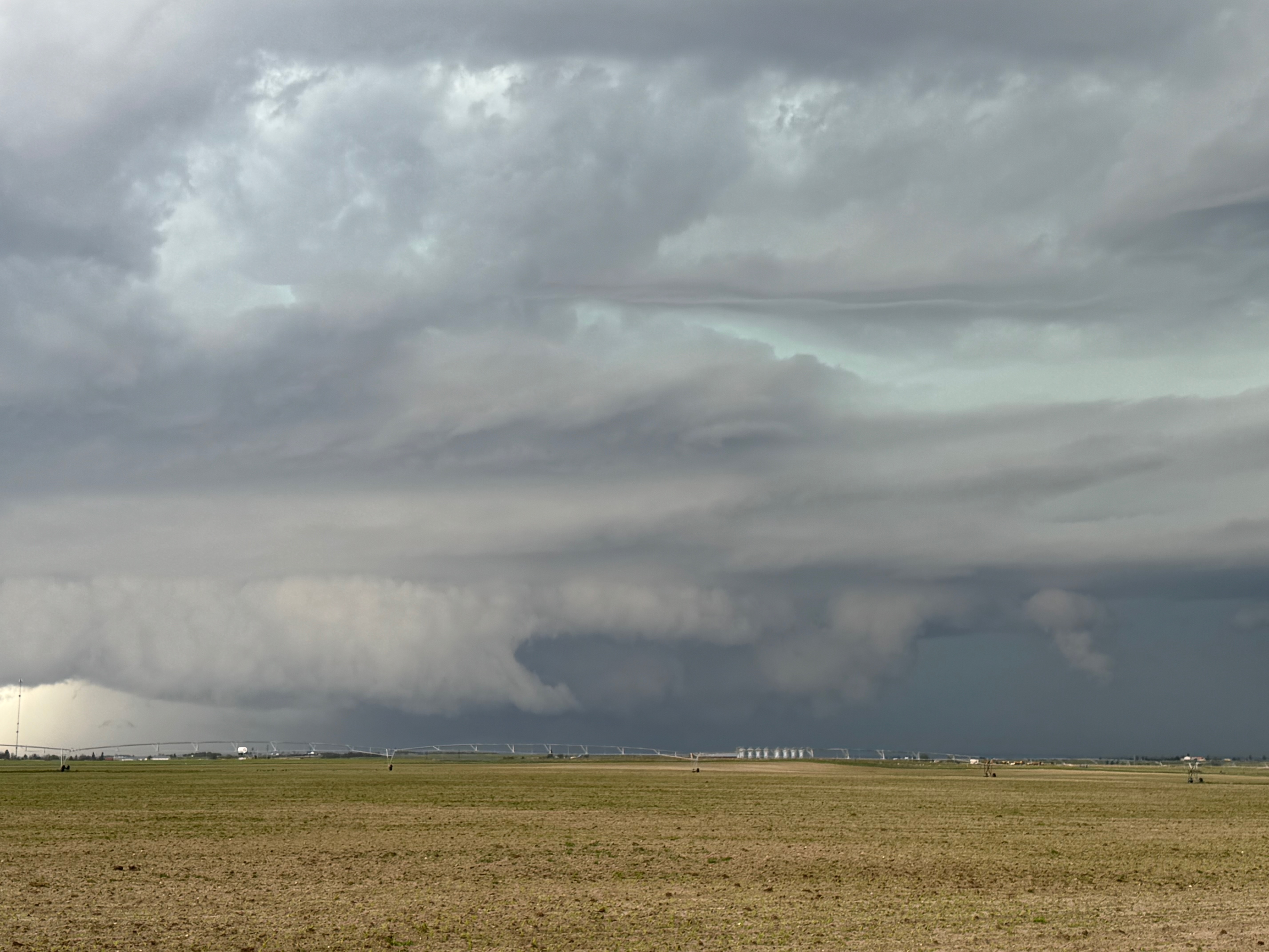
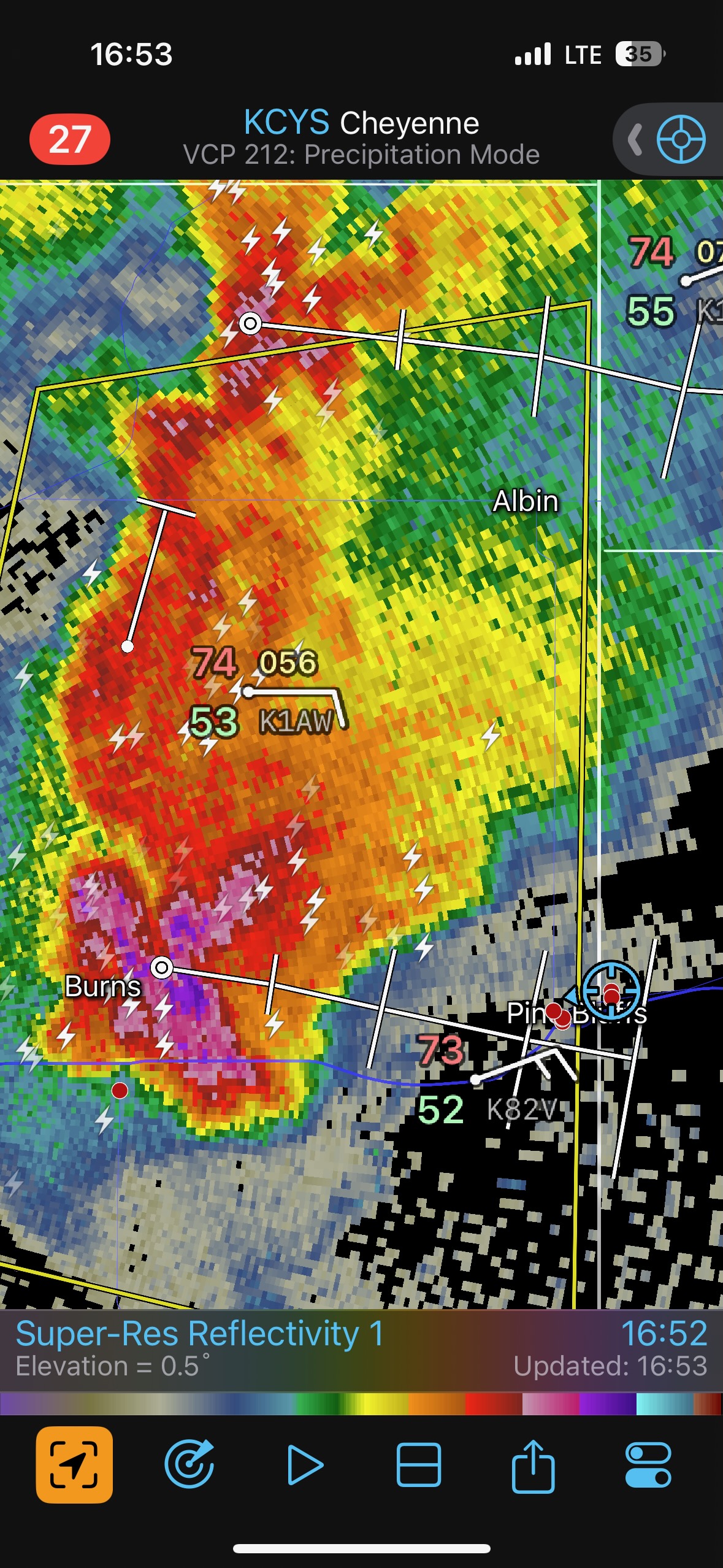
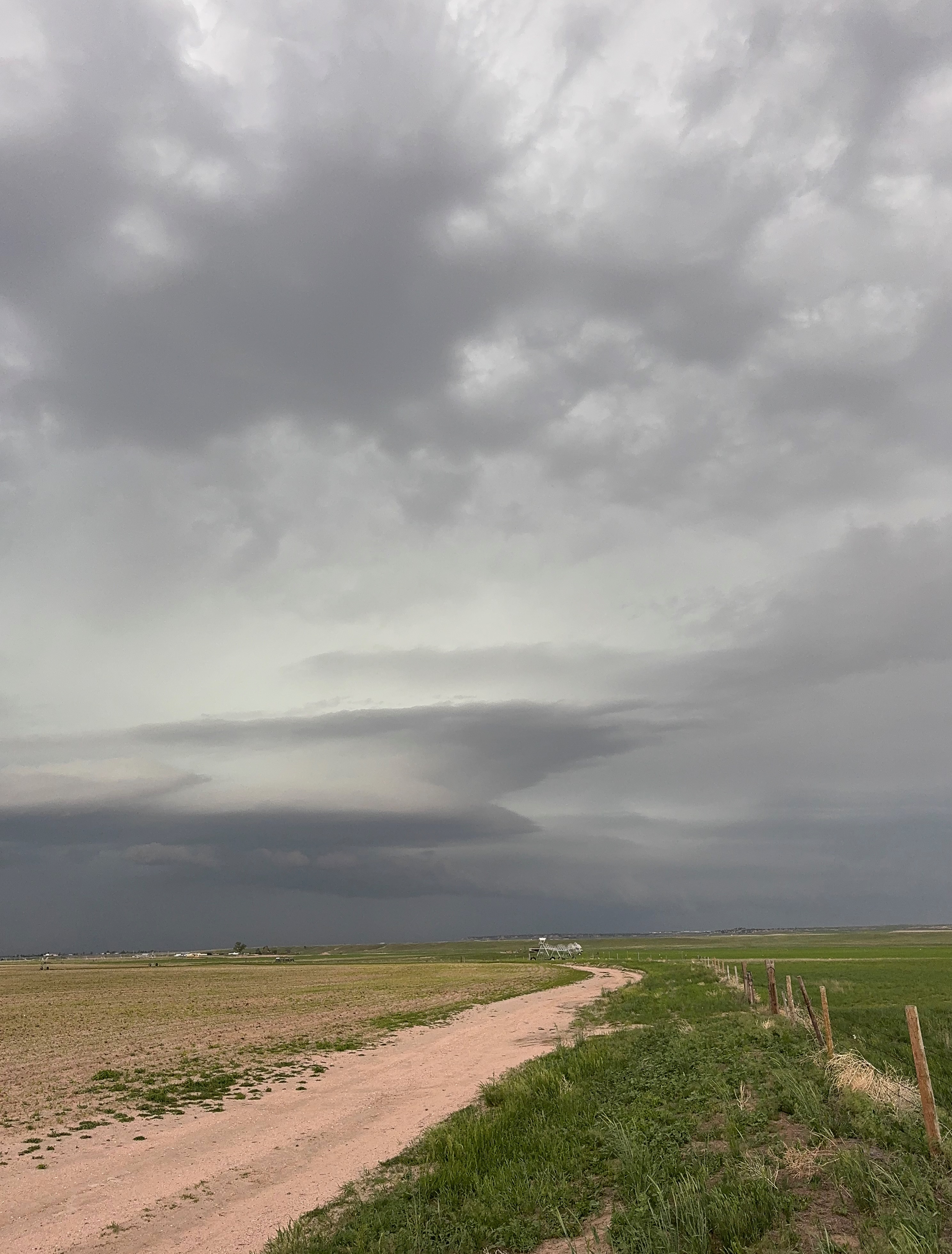
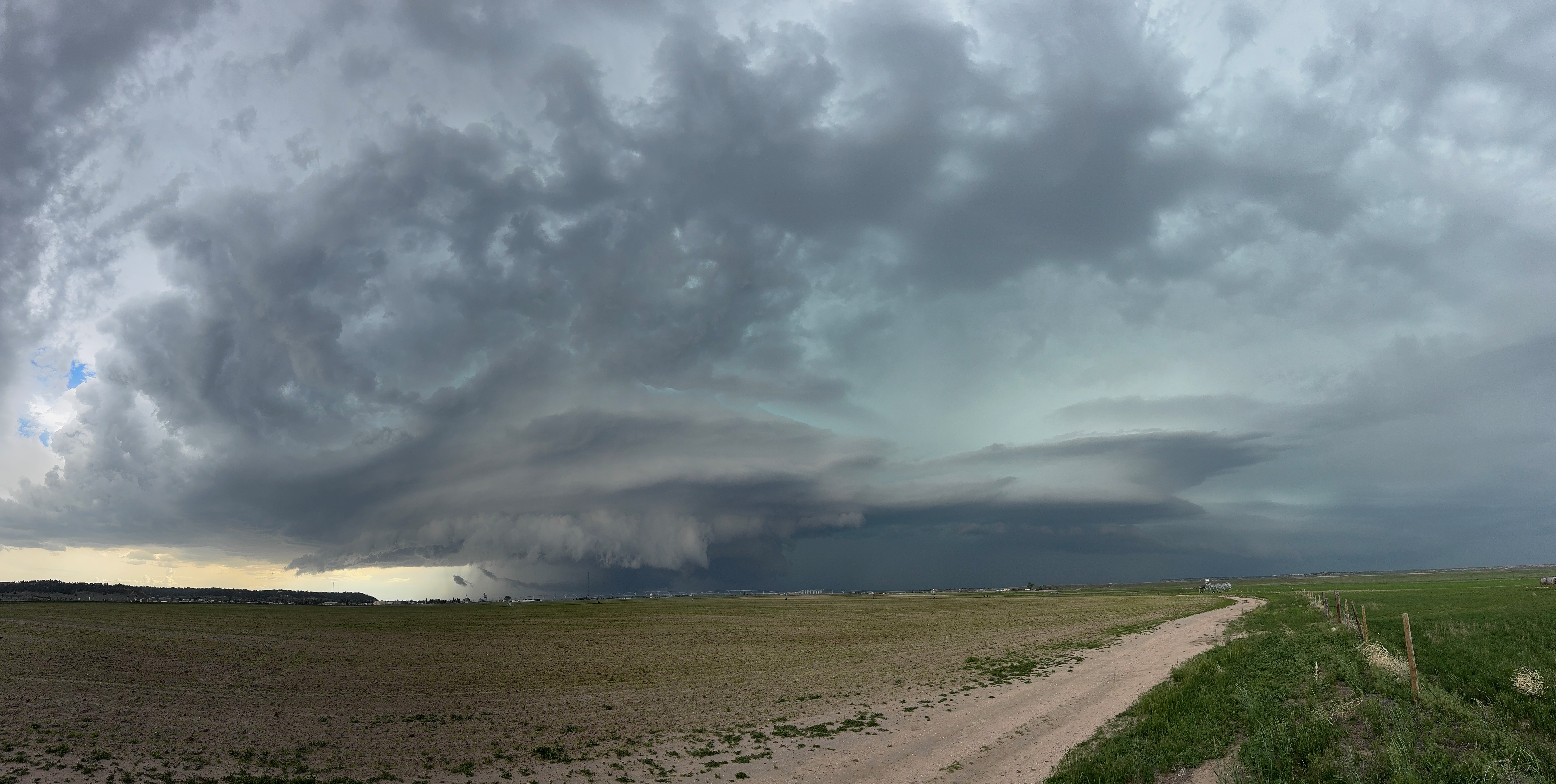
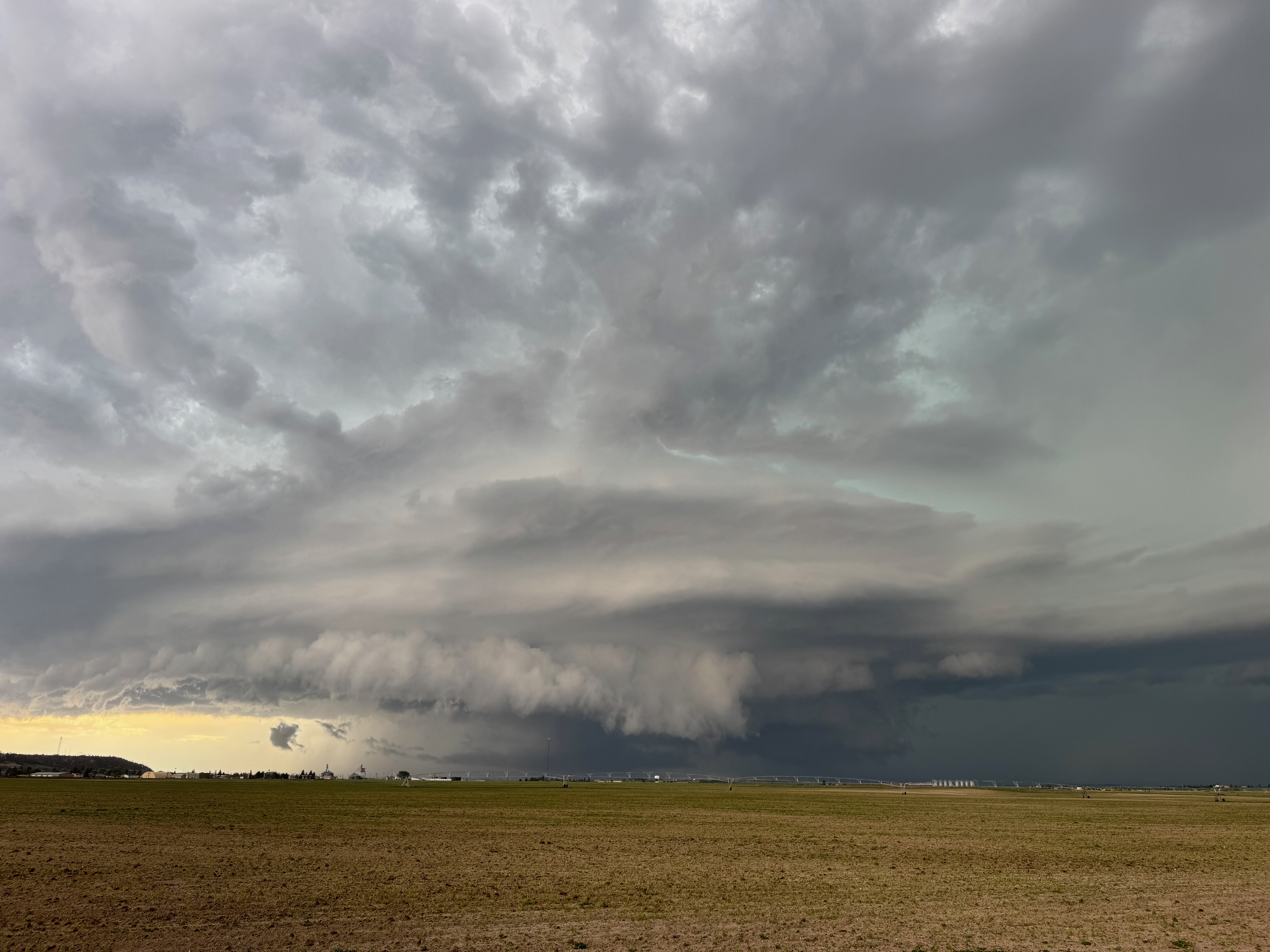
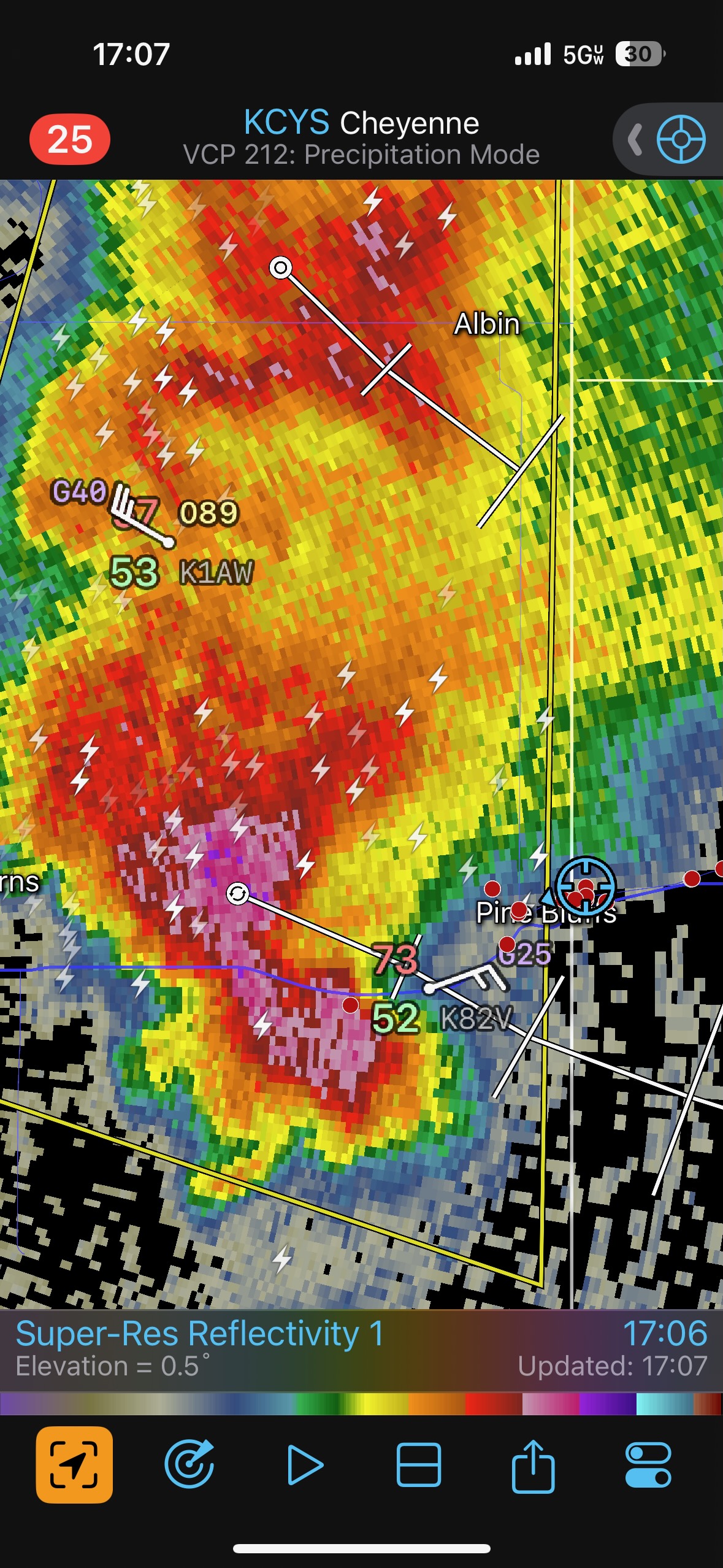
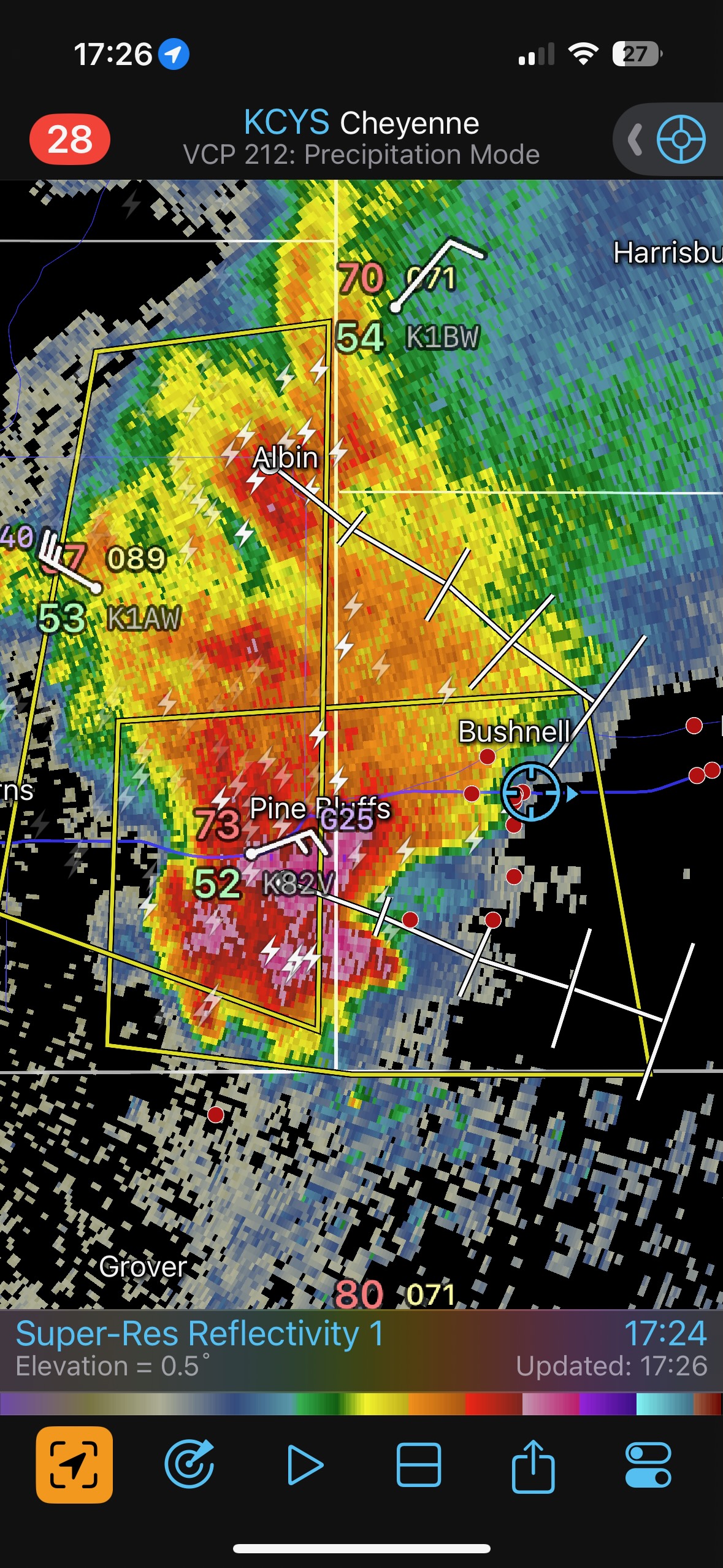
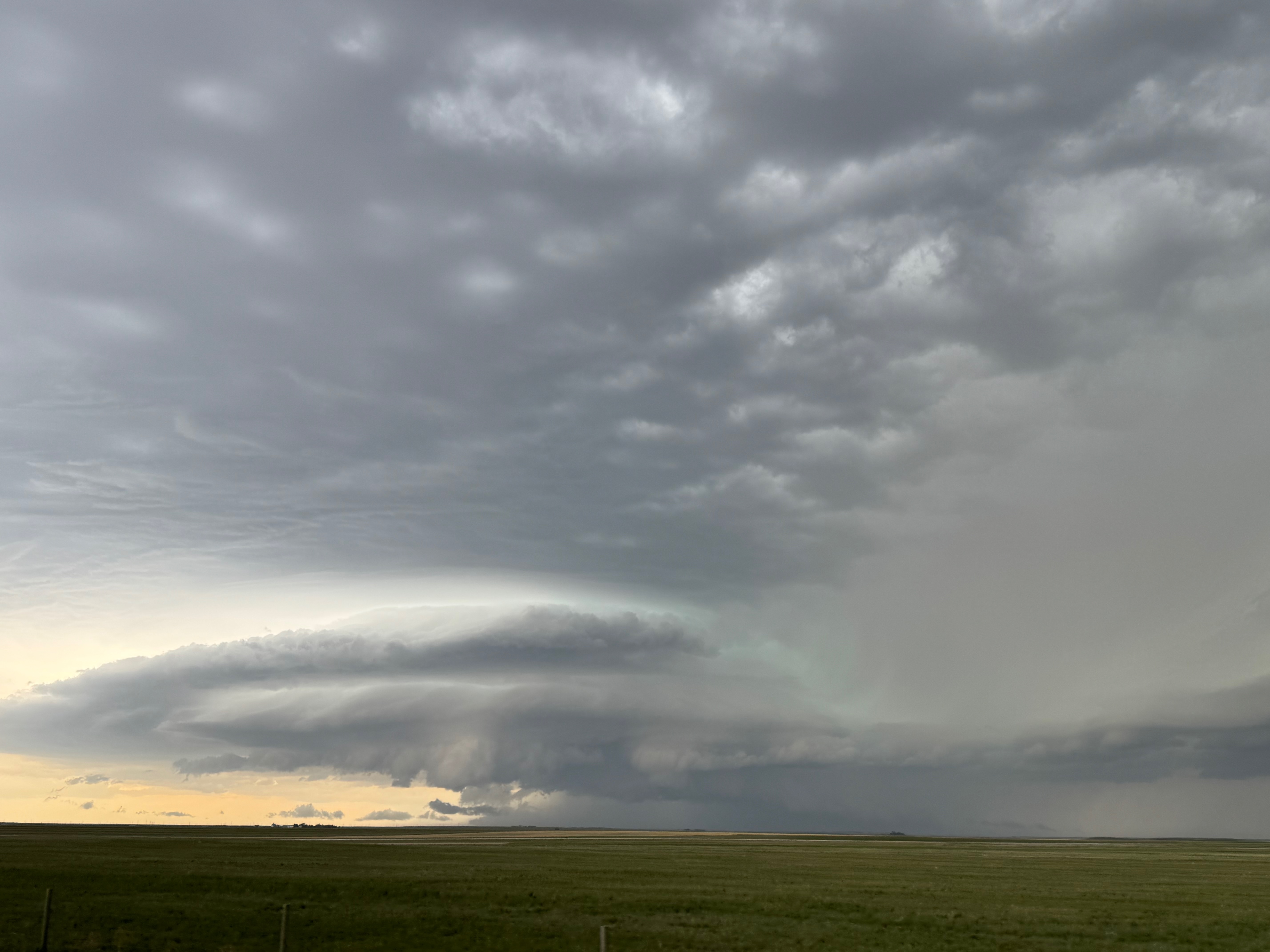
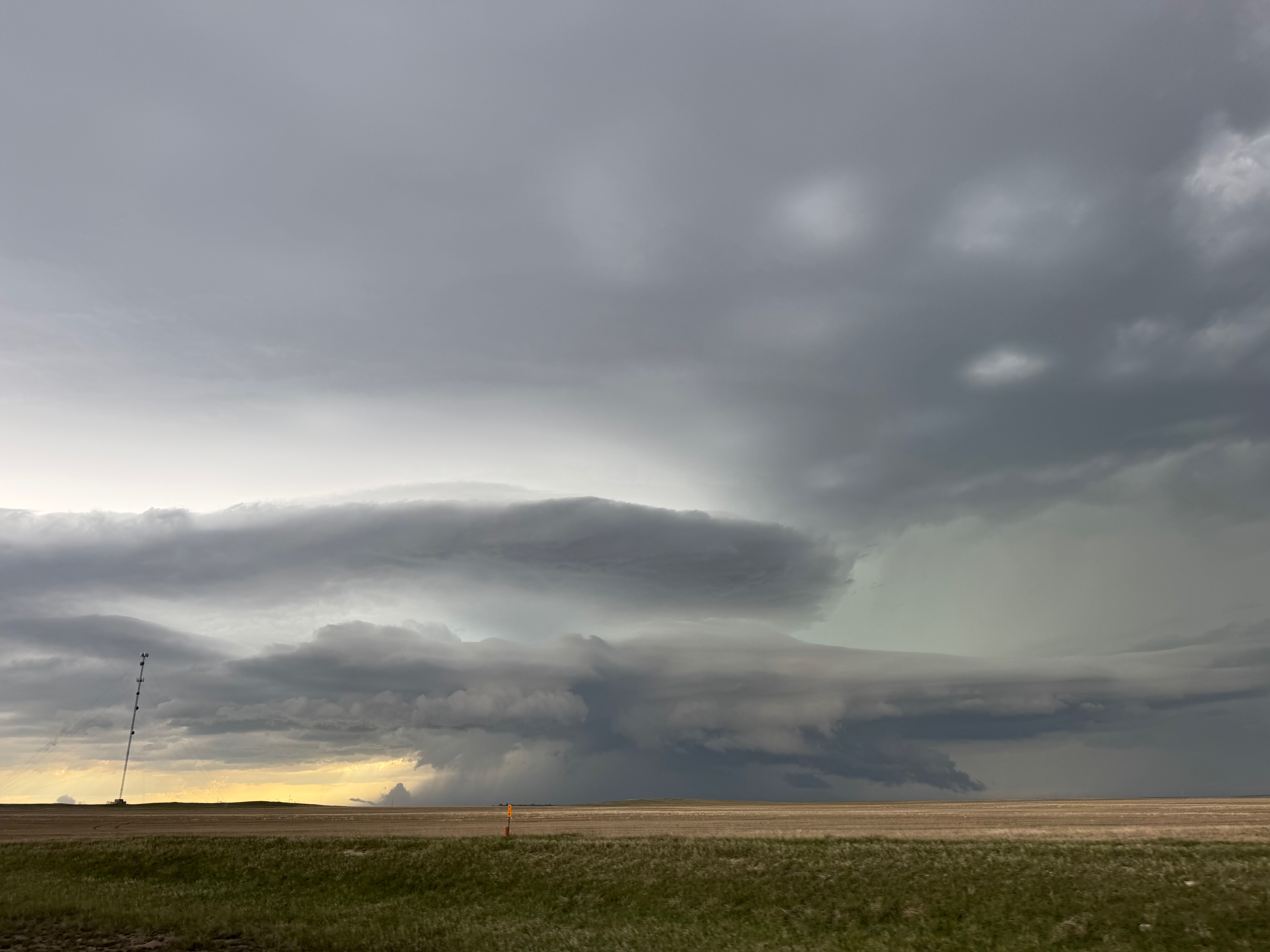
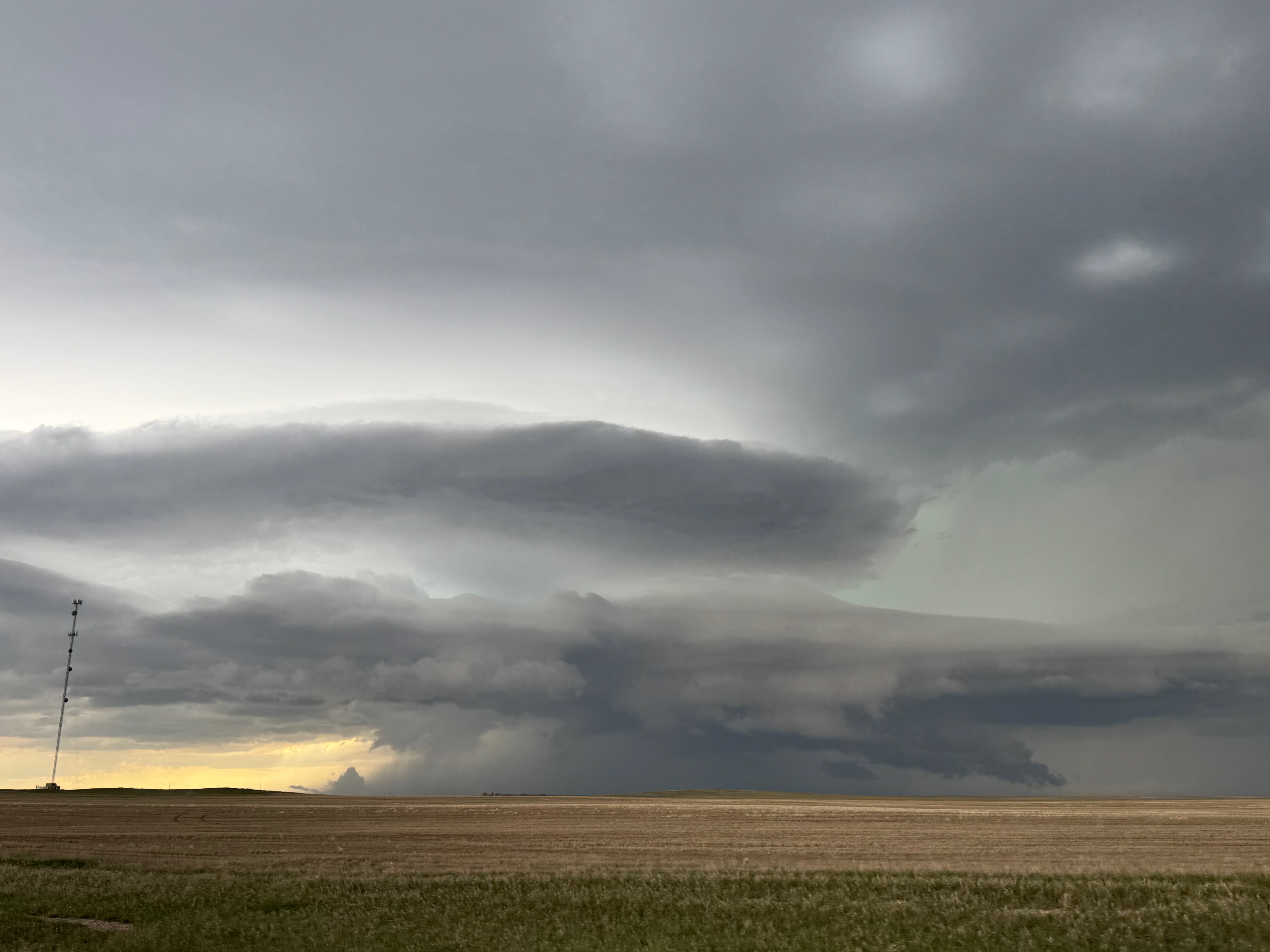
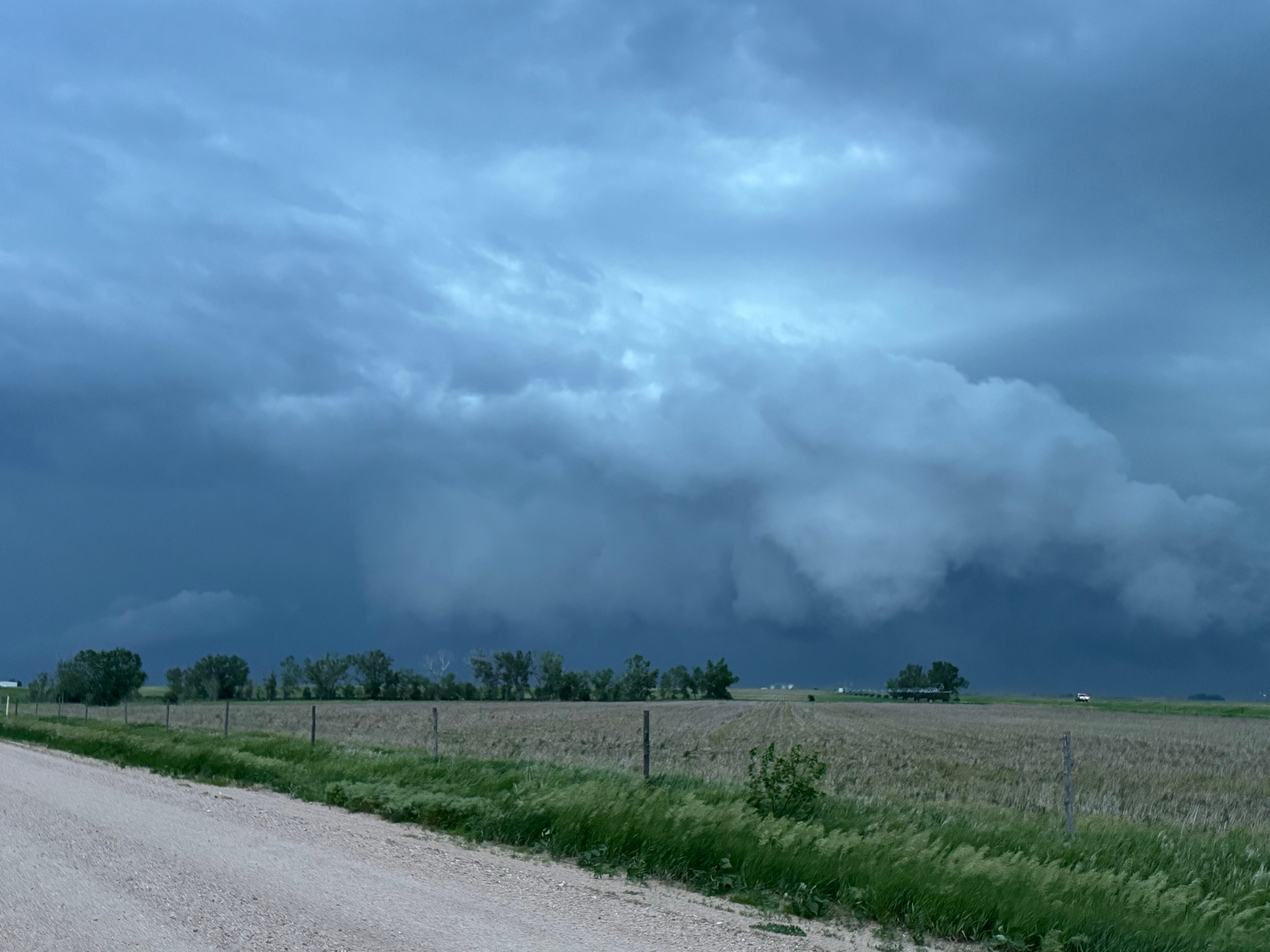
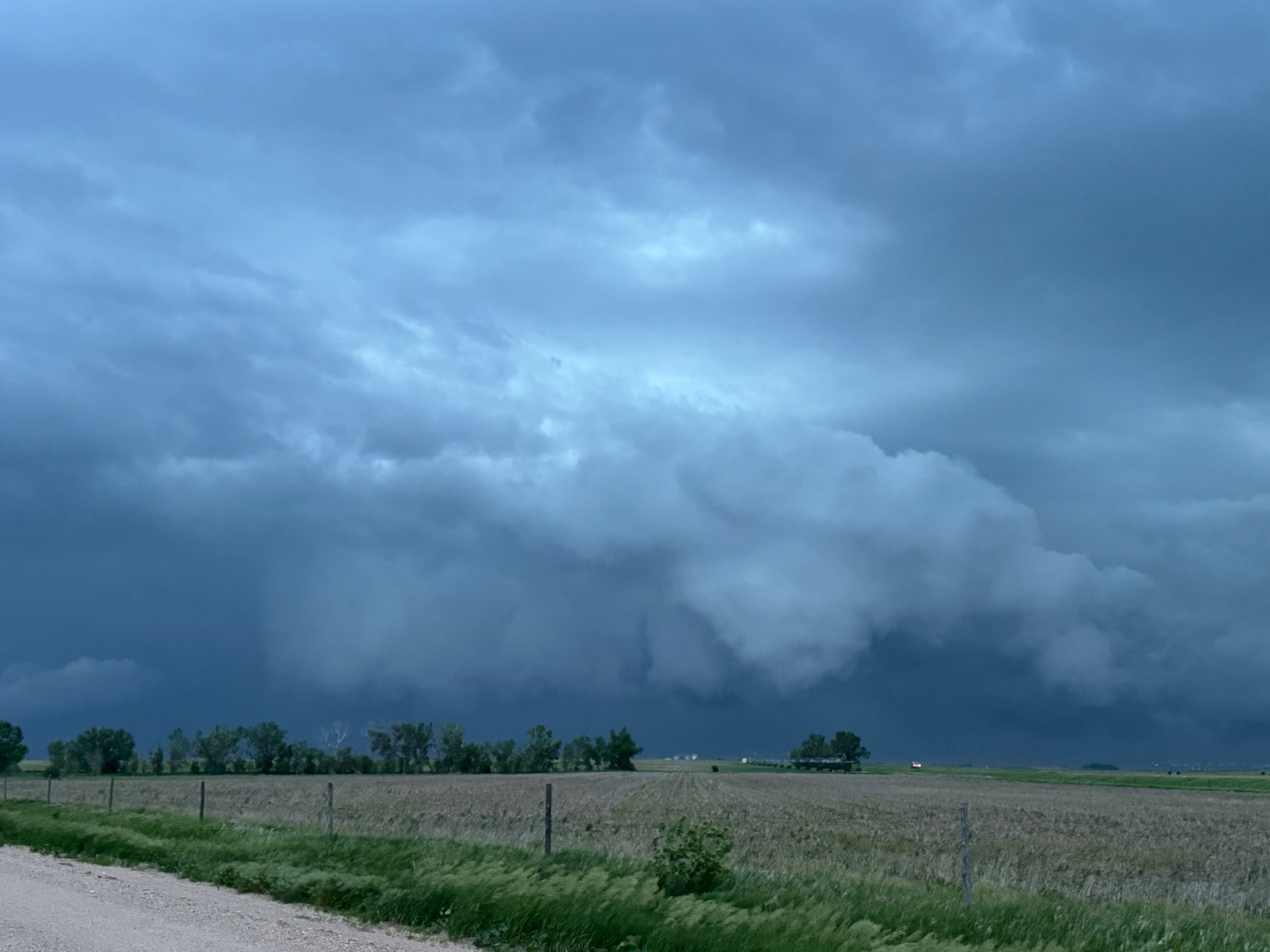
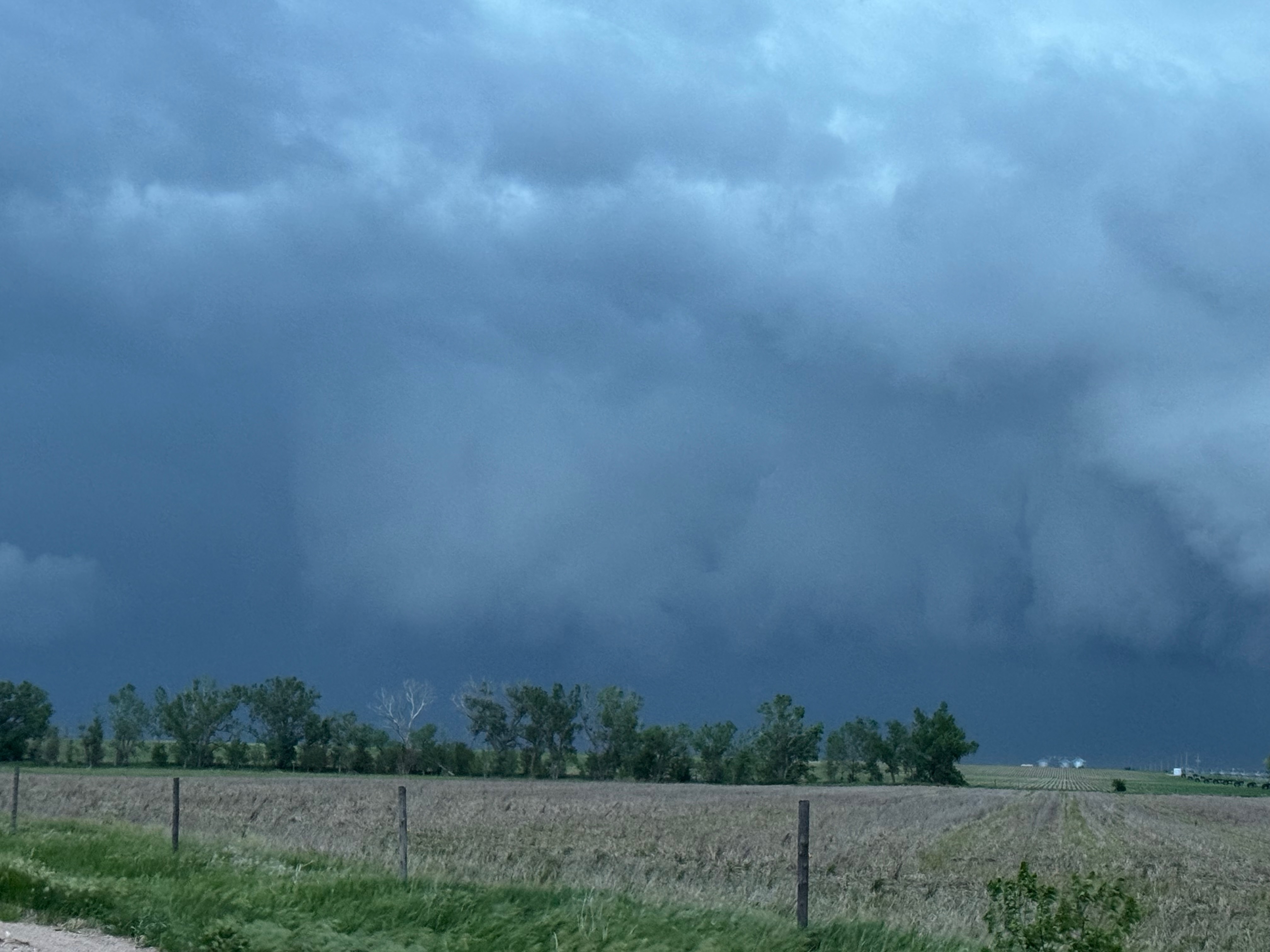
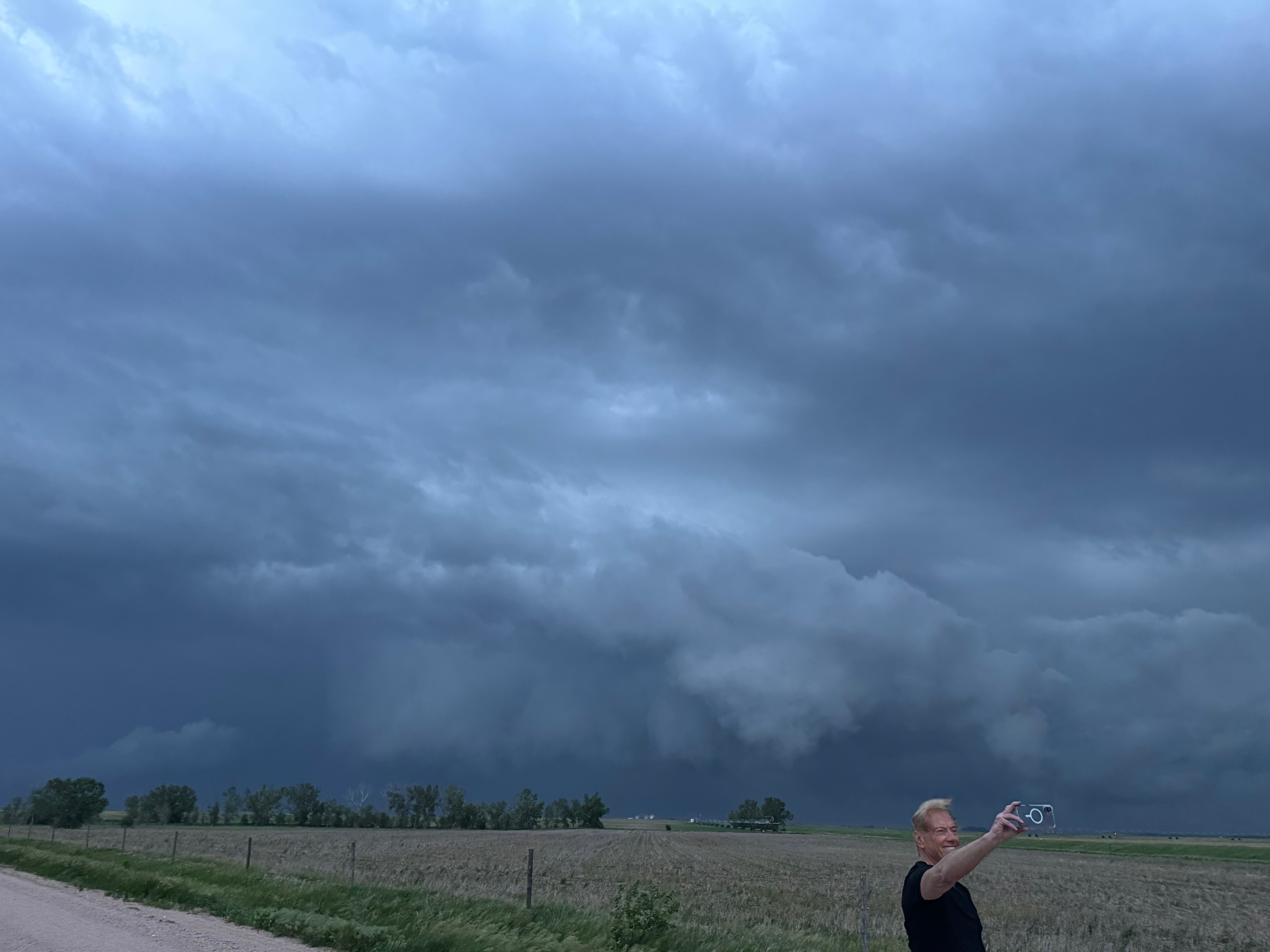
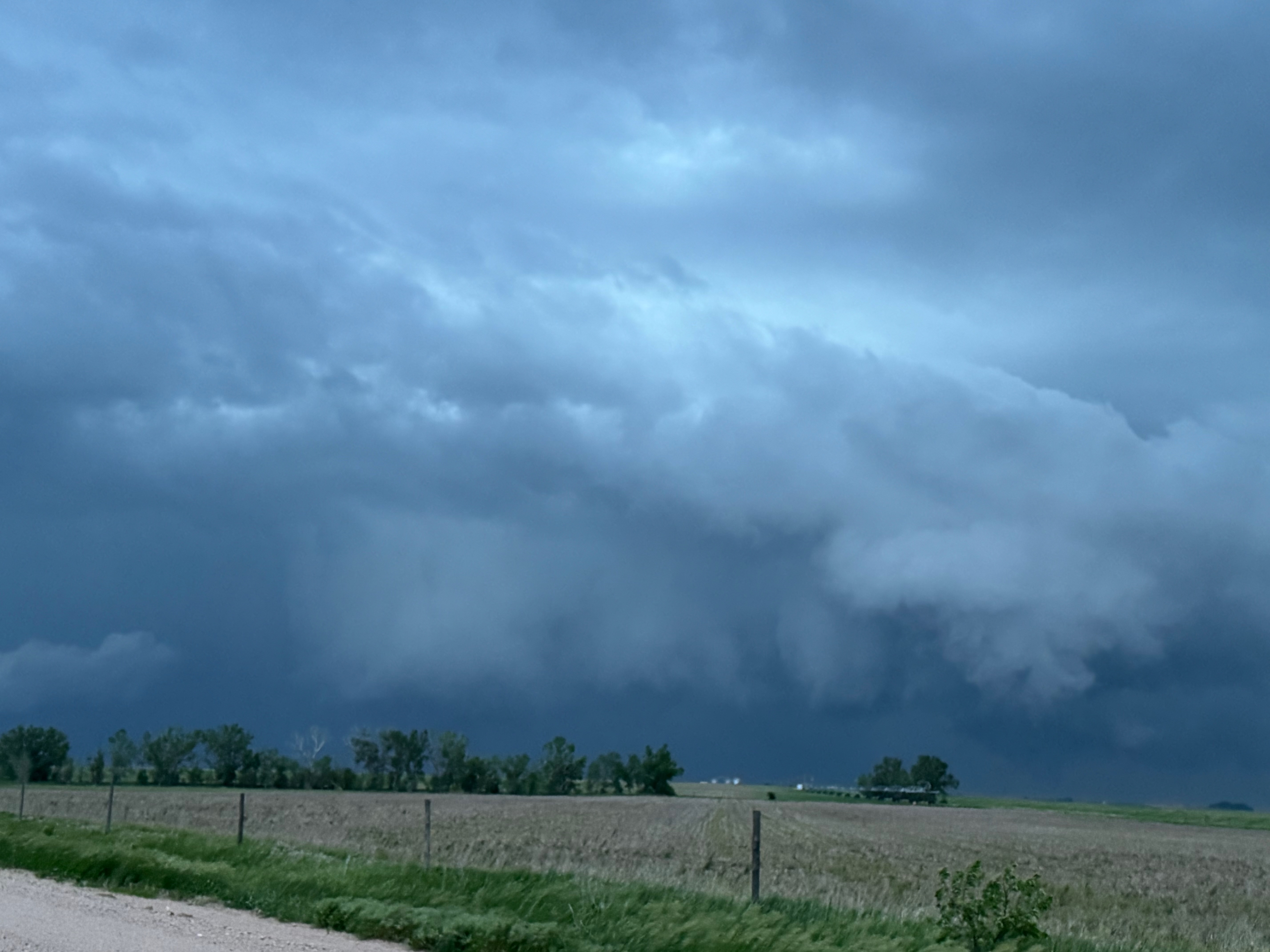
This was the first day of Tour 6. We were anticipating a good severe weather day, and fortunately we were fairly close to a target area. However, I was waffling heavily between SW Nebraska and the Cheyenne Ridge towards Cheyenne. After the BBQ lunch in Fort Morgan I decided to try the Cheyenne Ridge play. We found our way in front of a nicely-structured supercell that was approaching Pine Bluffs, Wyoming, near the Nebraska border. The low-level shear and instability weren’t quite right for a good tornado risk, but we did observe a big honking wall cloud. See the Canon pics below, and additional narrative below.


iPhone pics below:
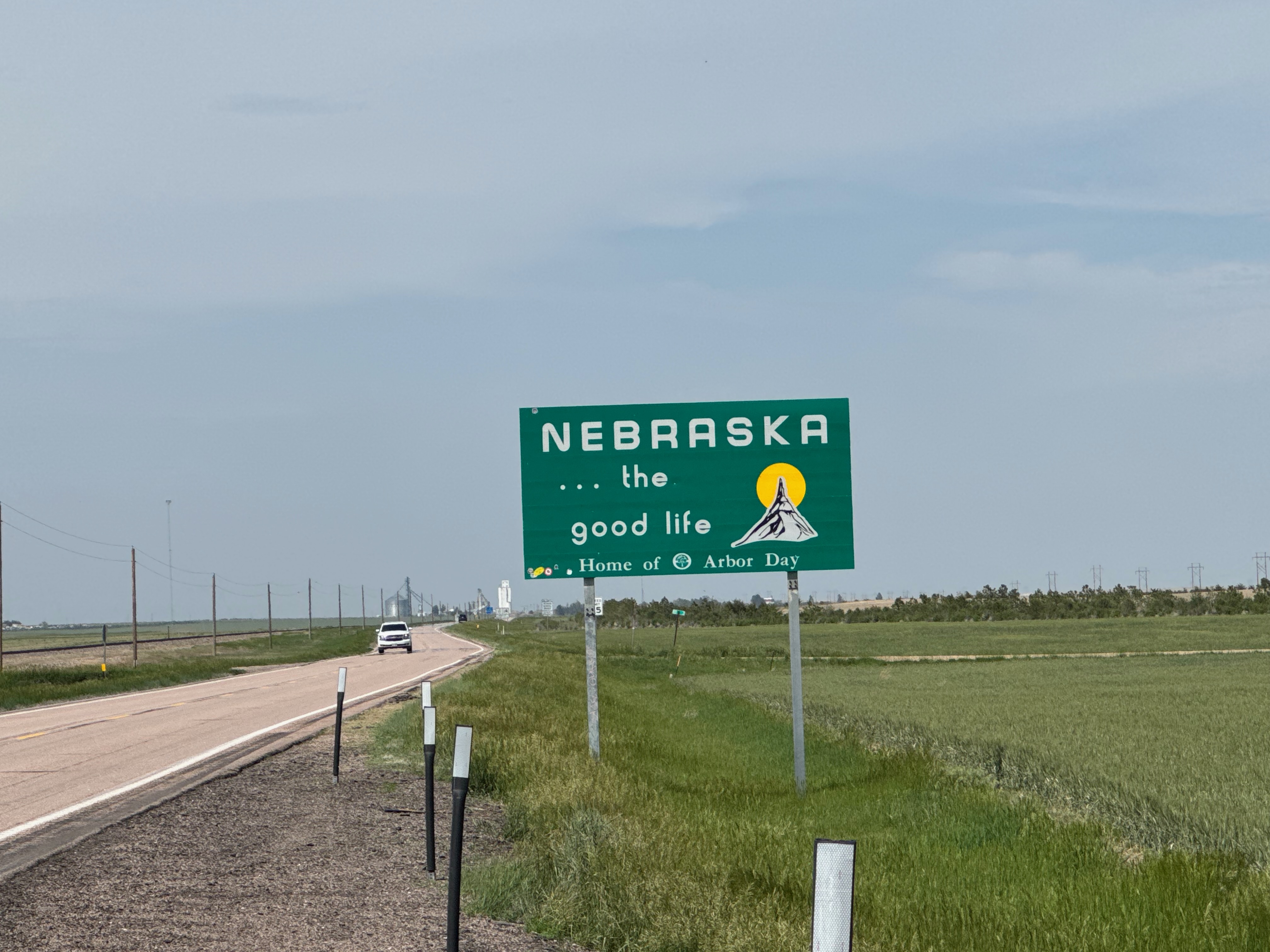
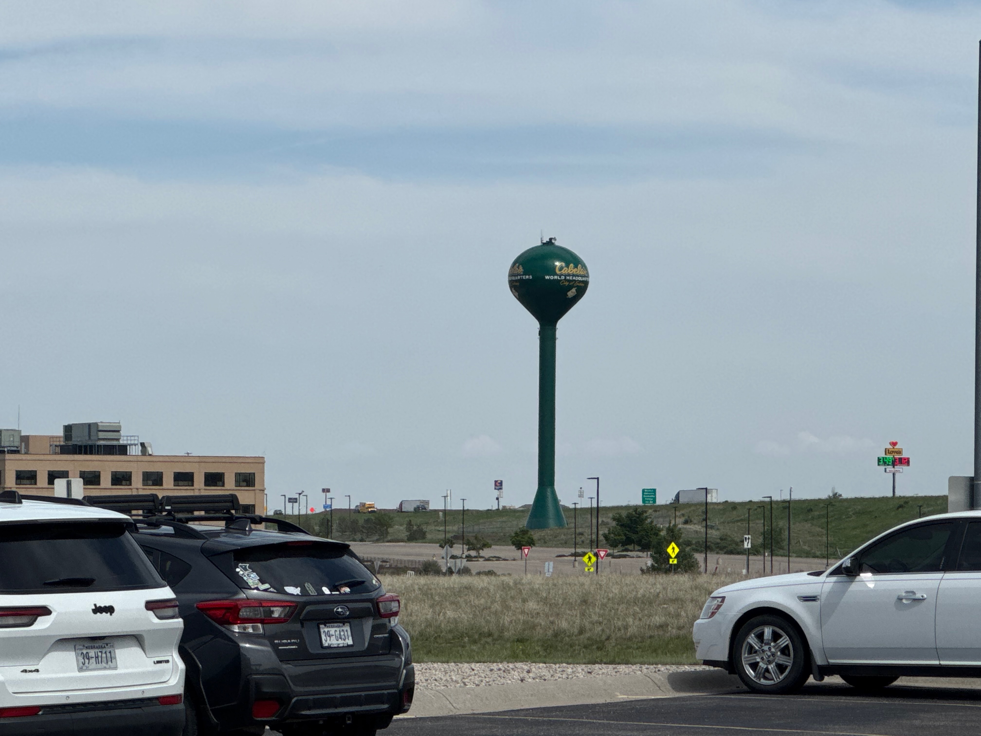
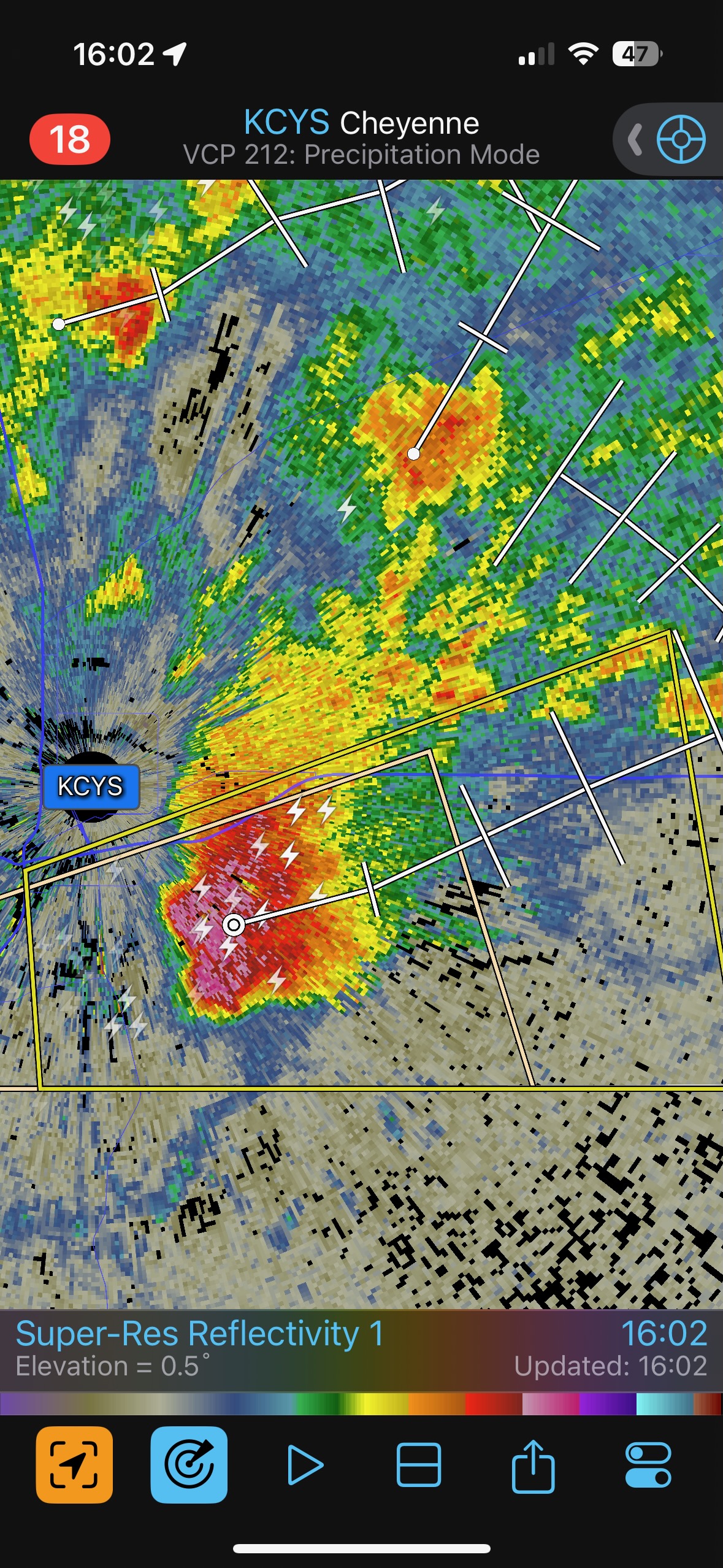
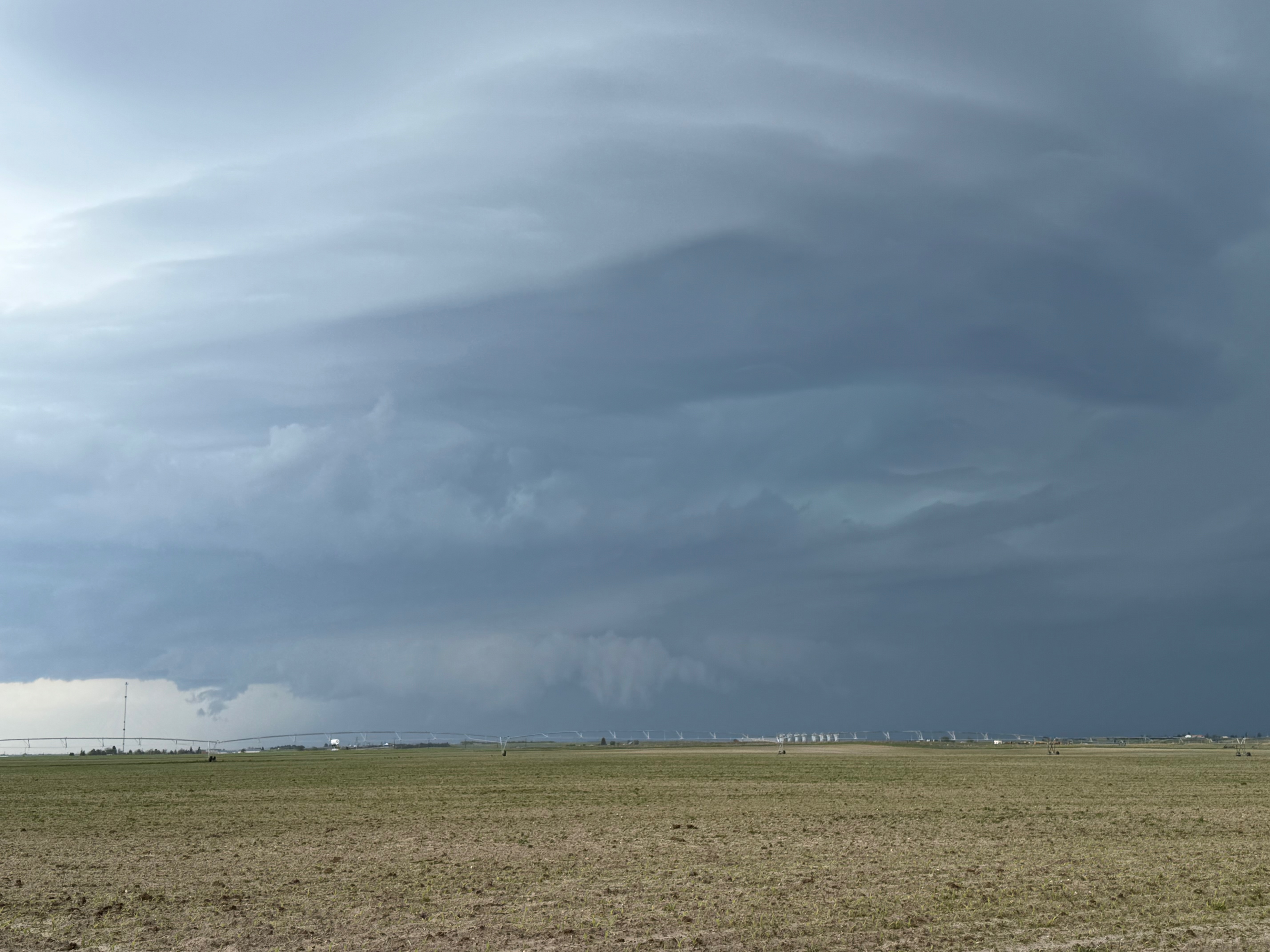
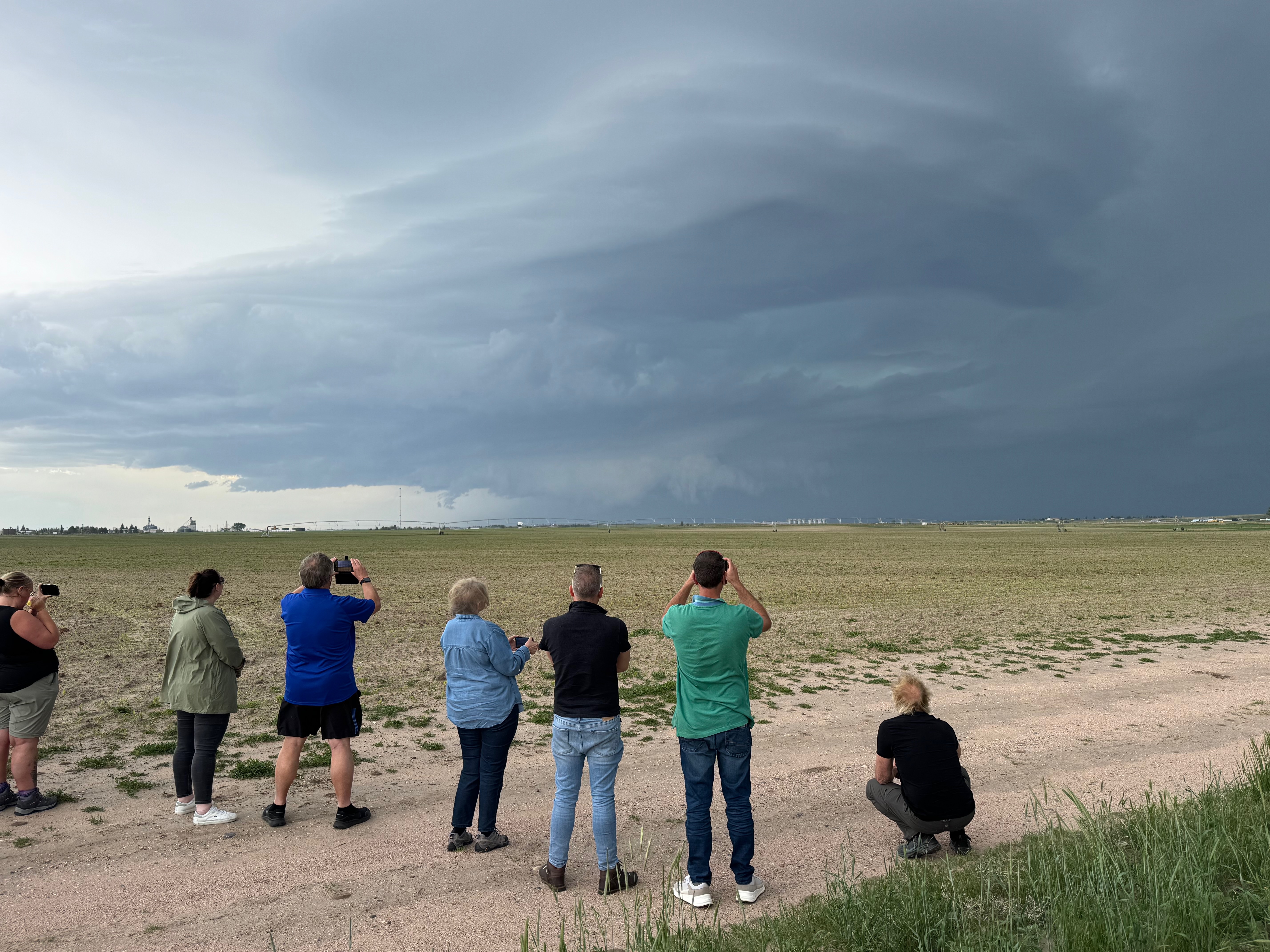
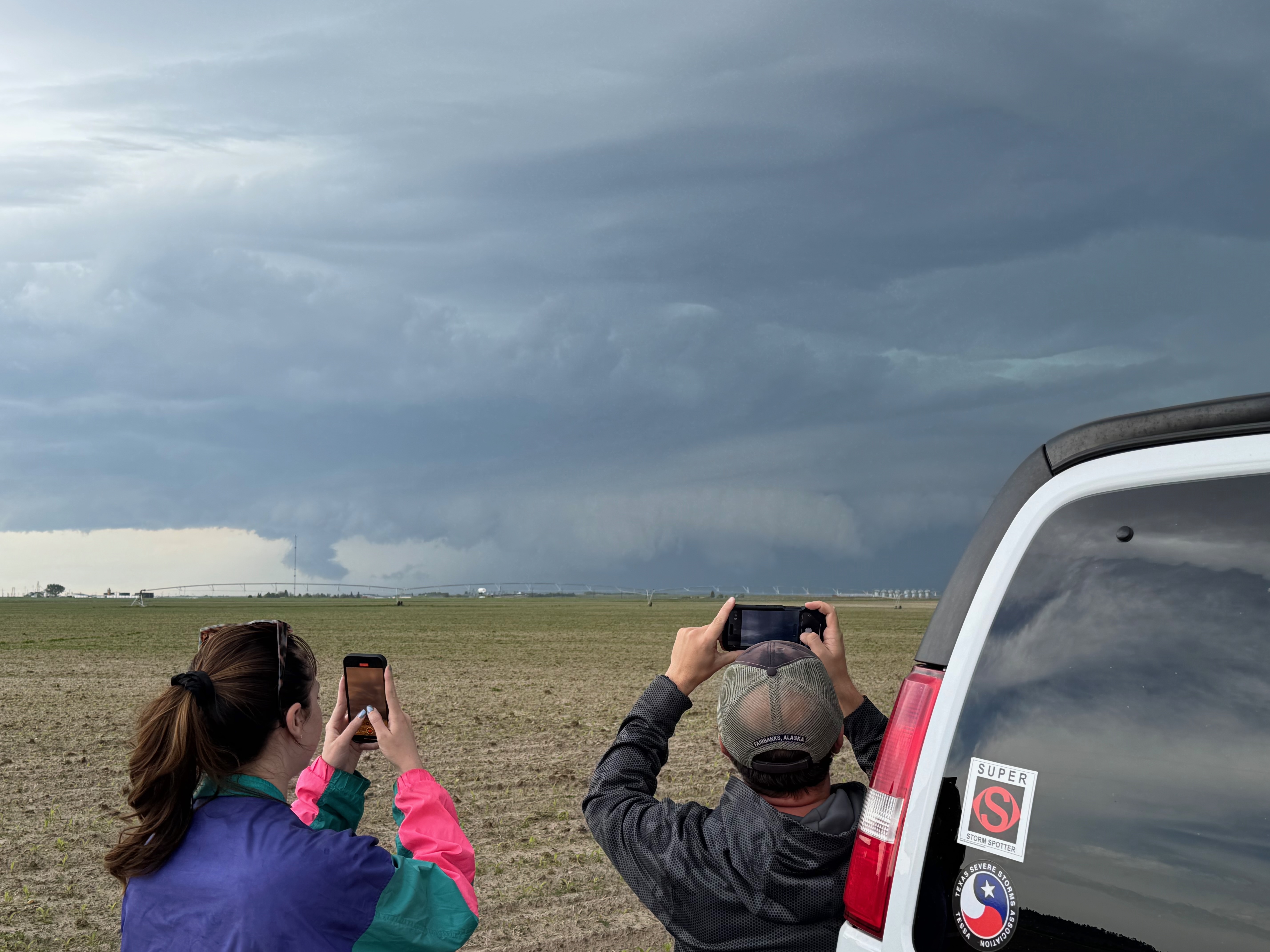
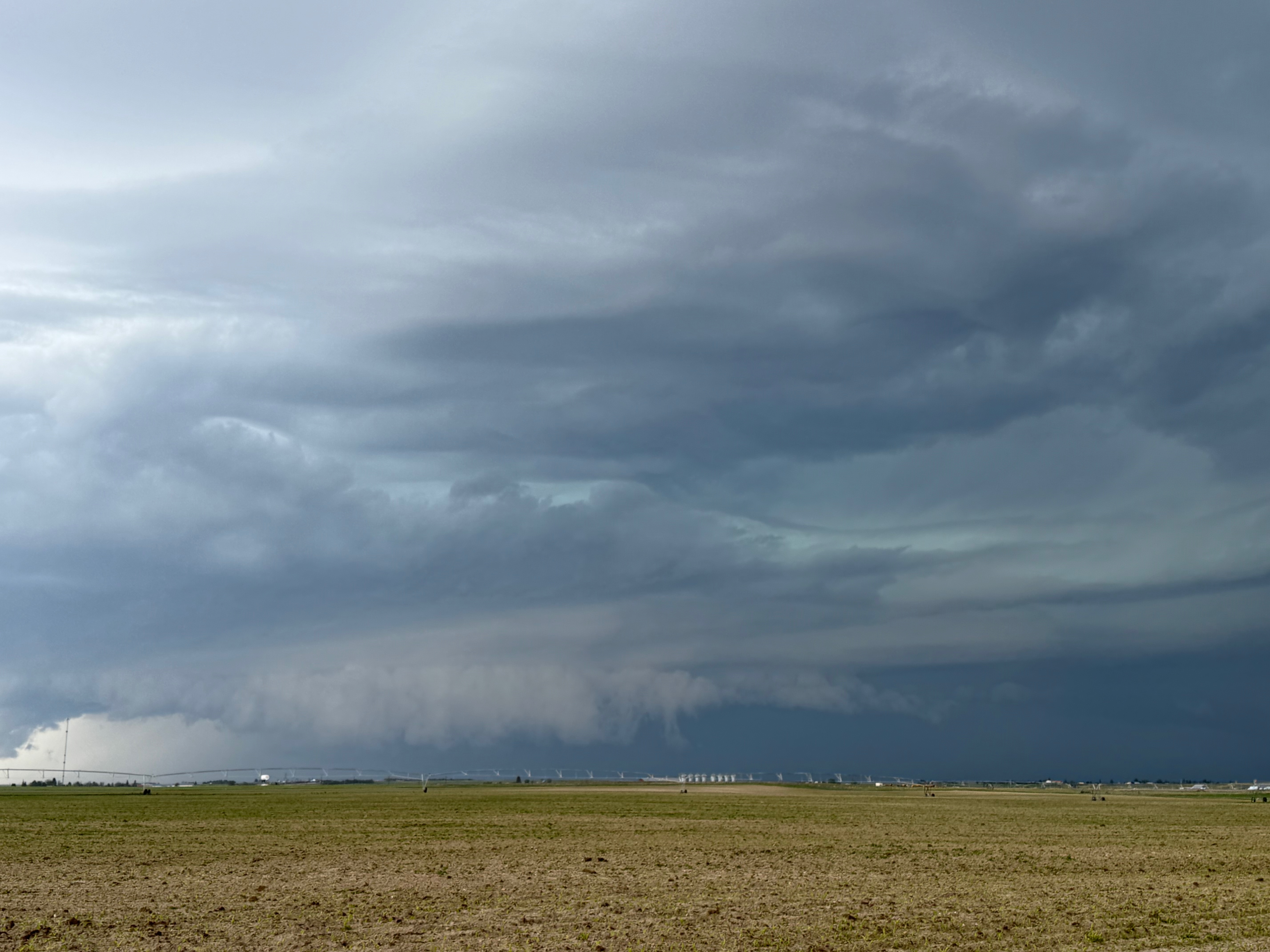
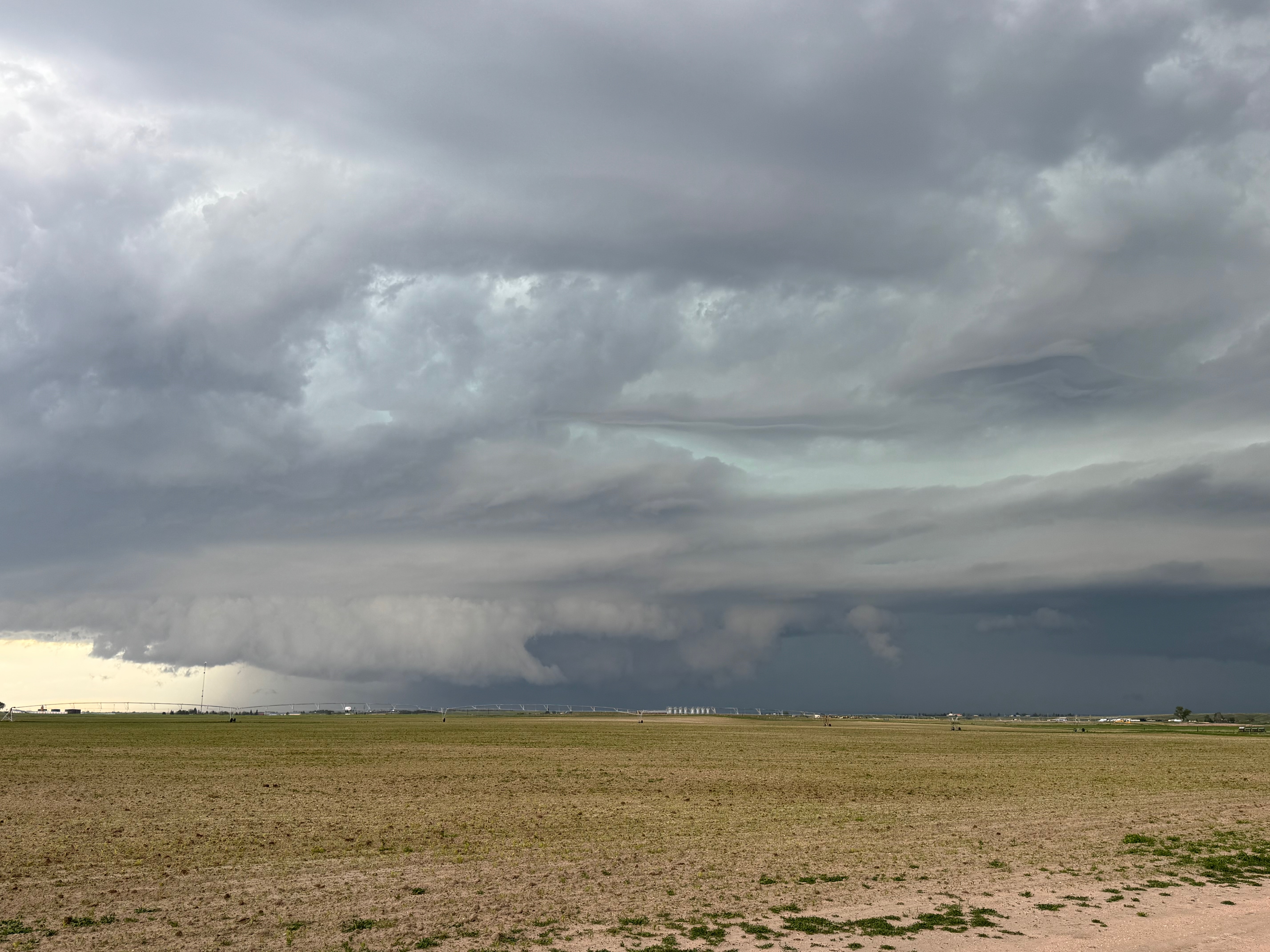
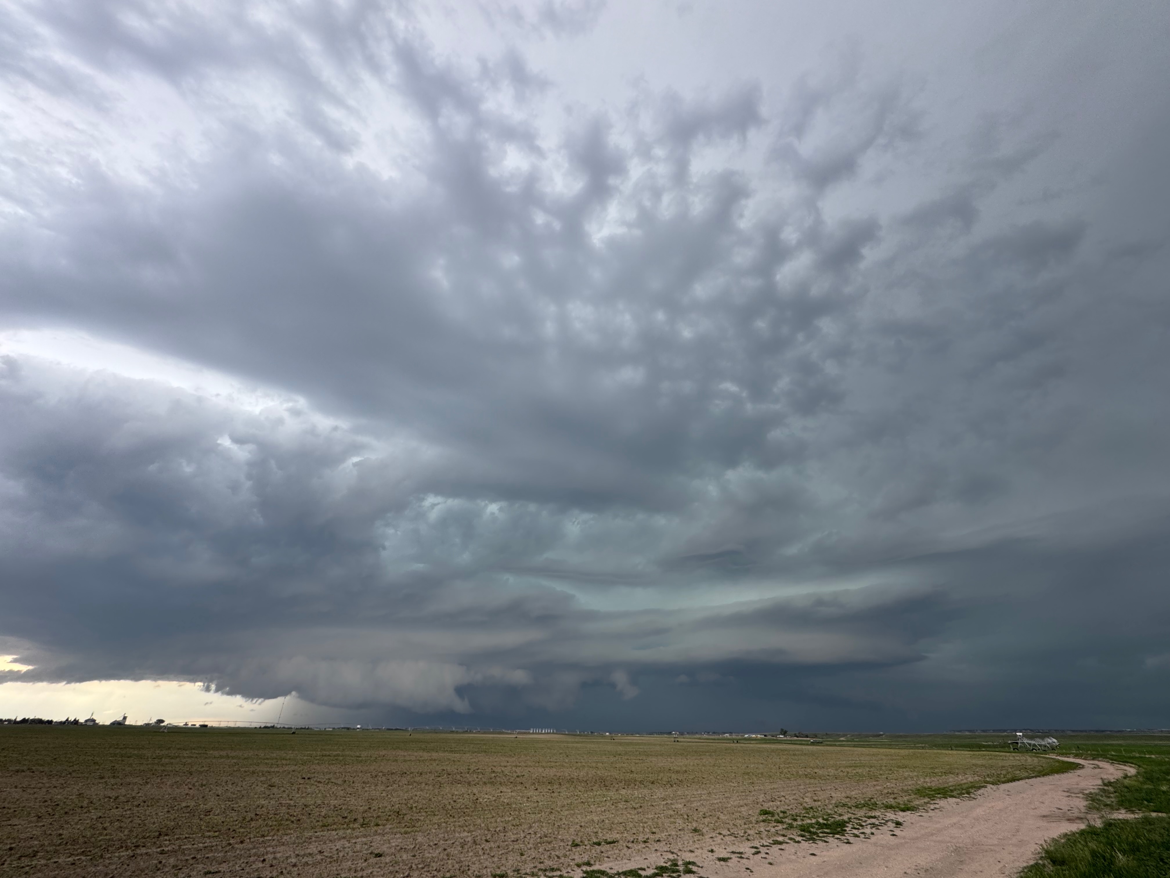
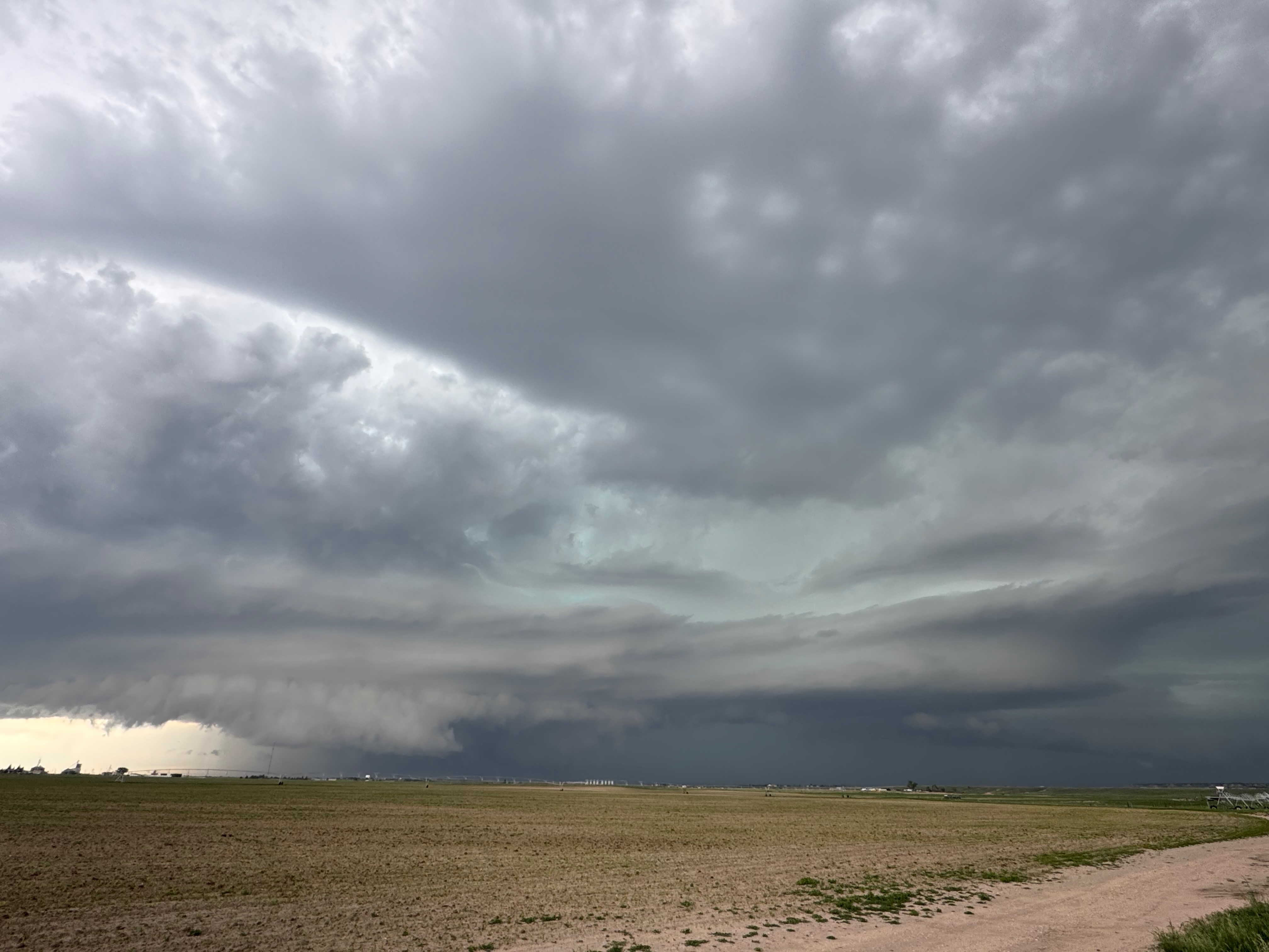
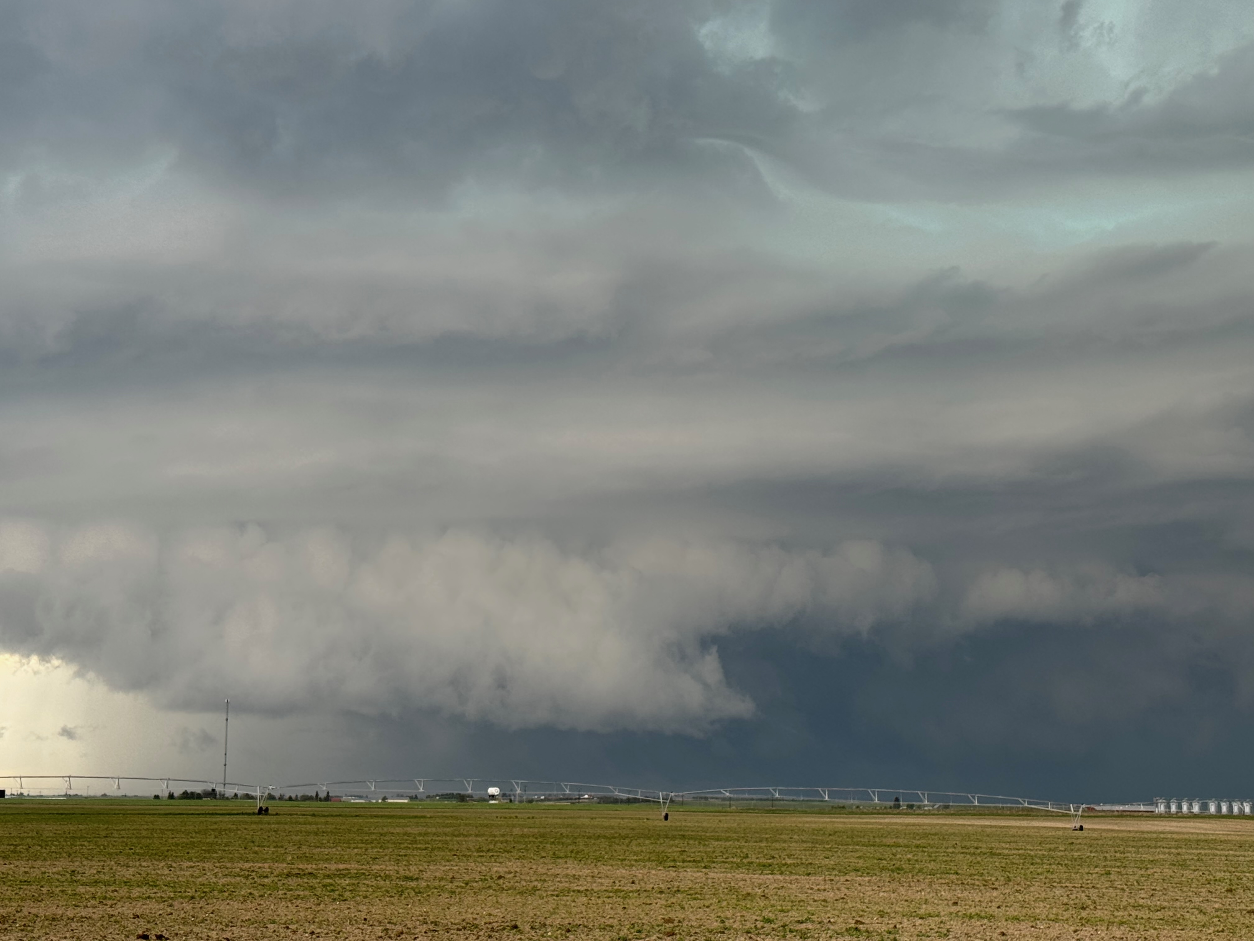
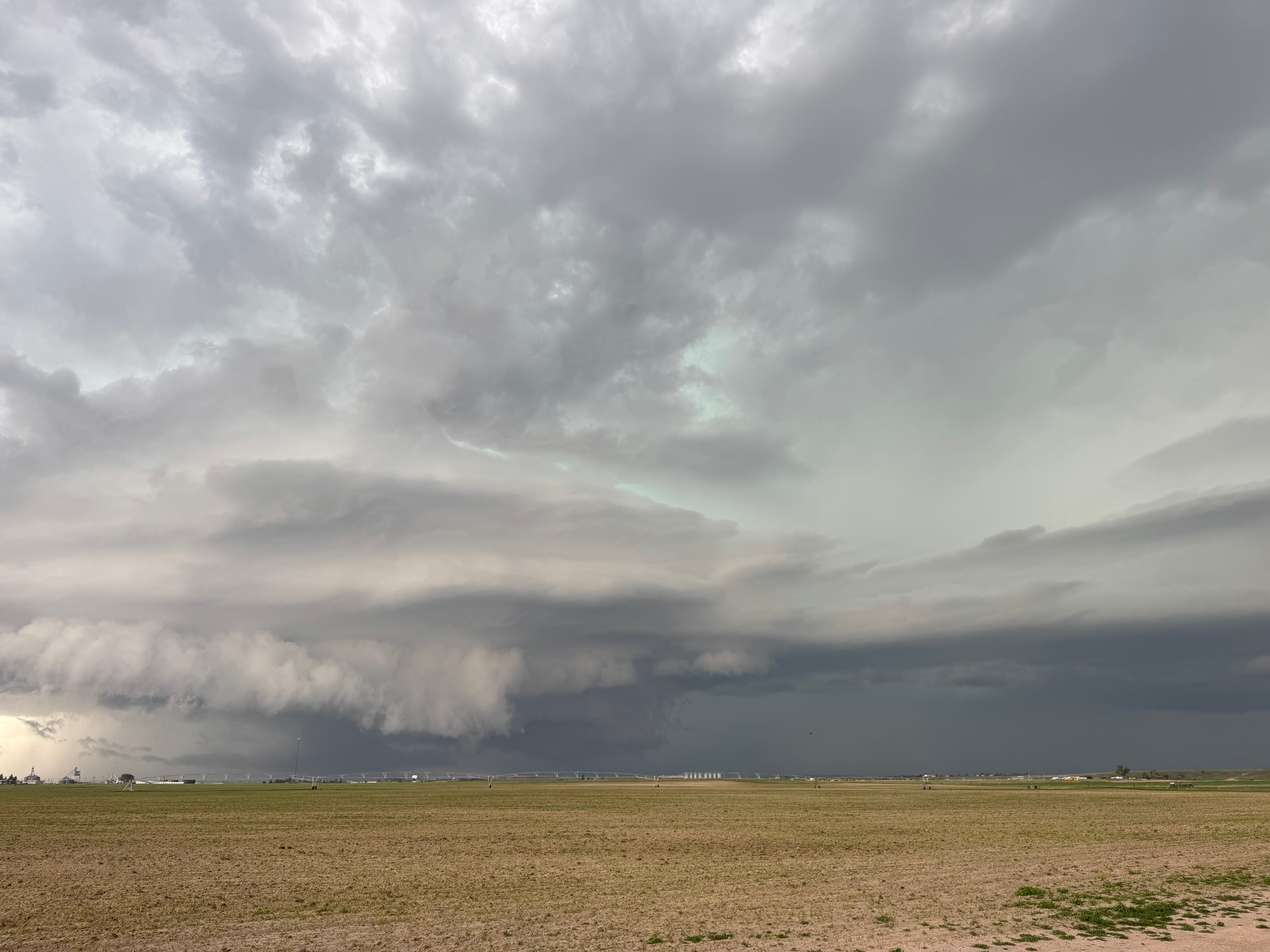
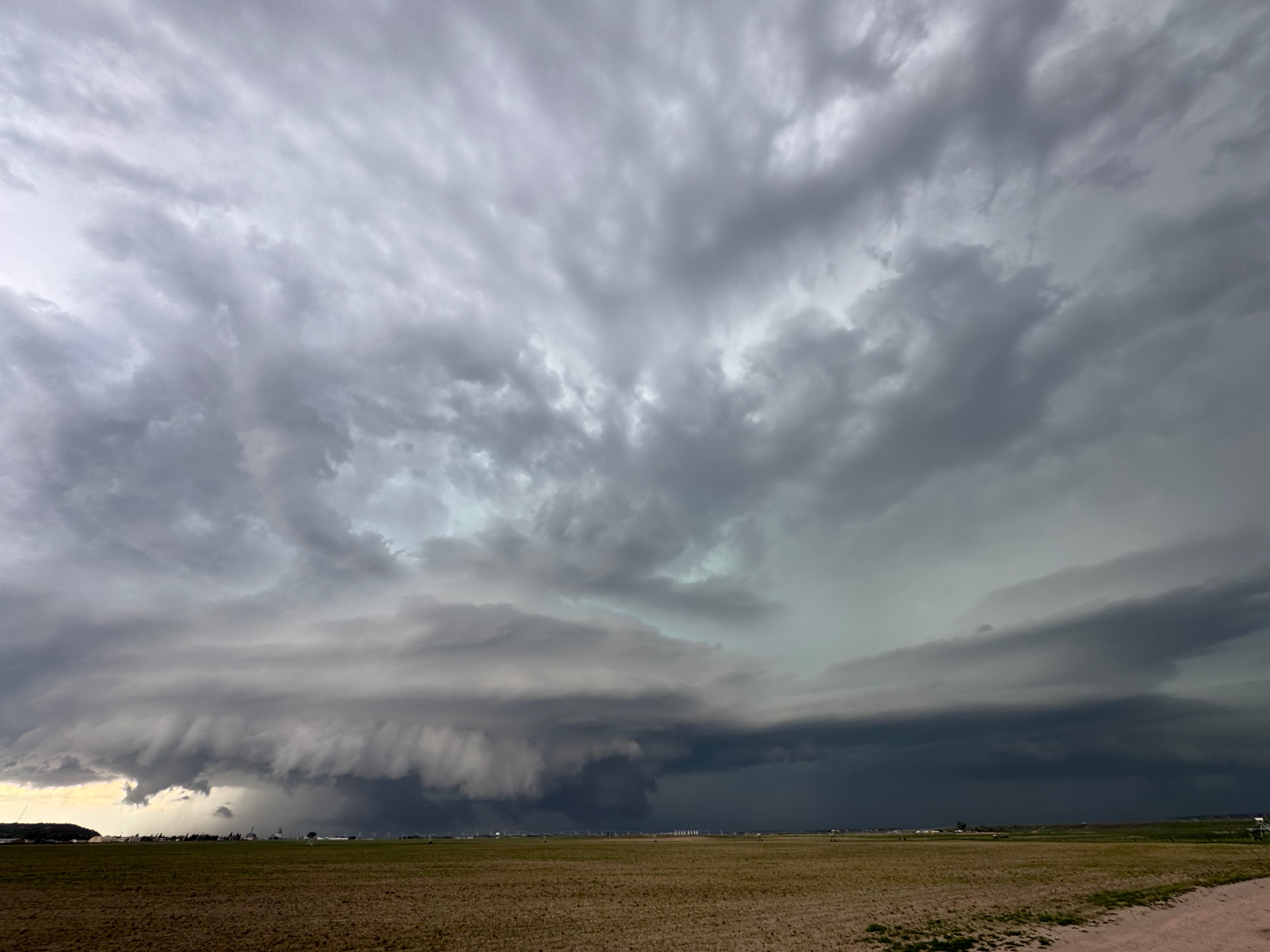
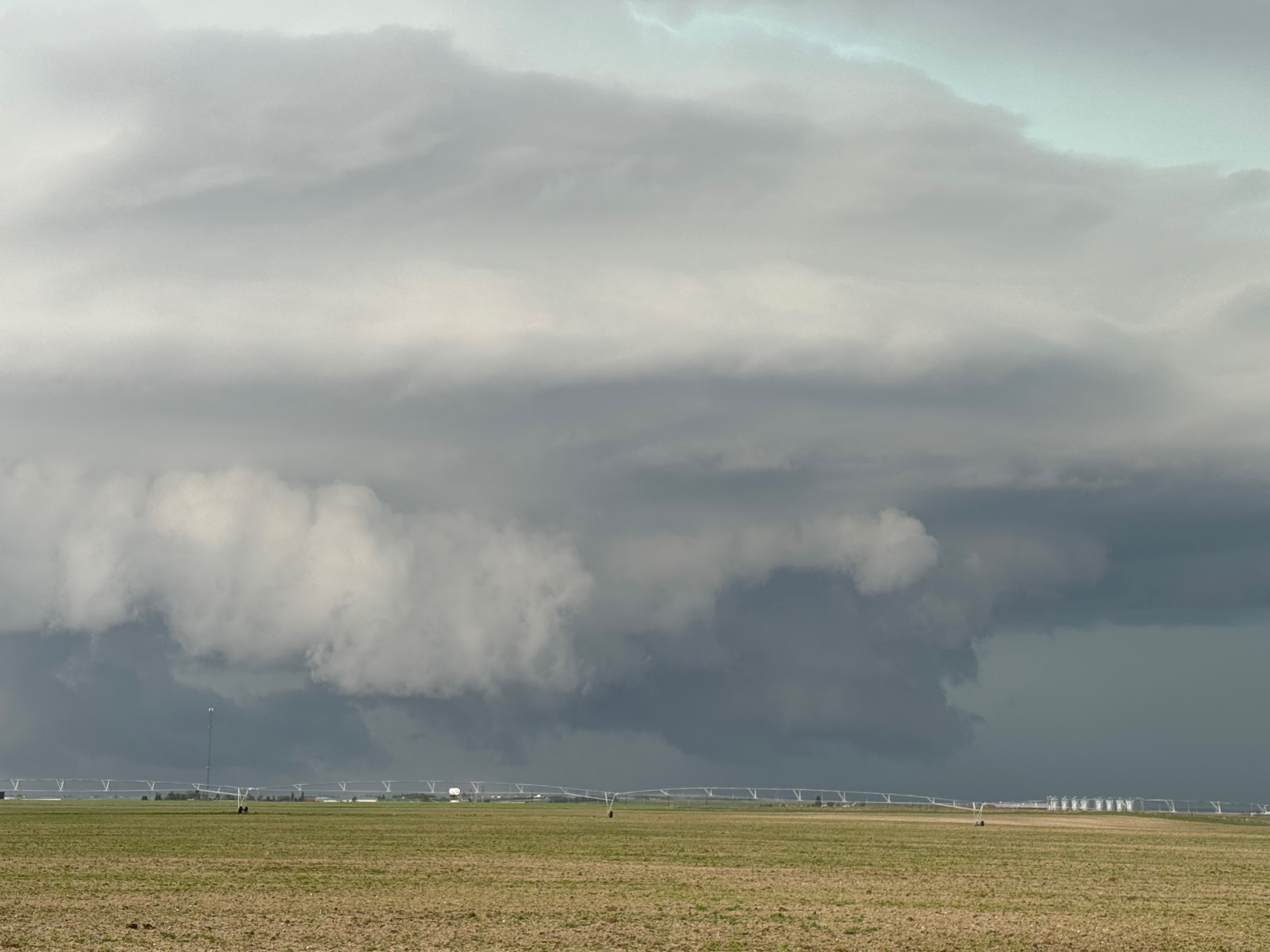
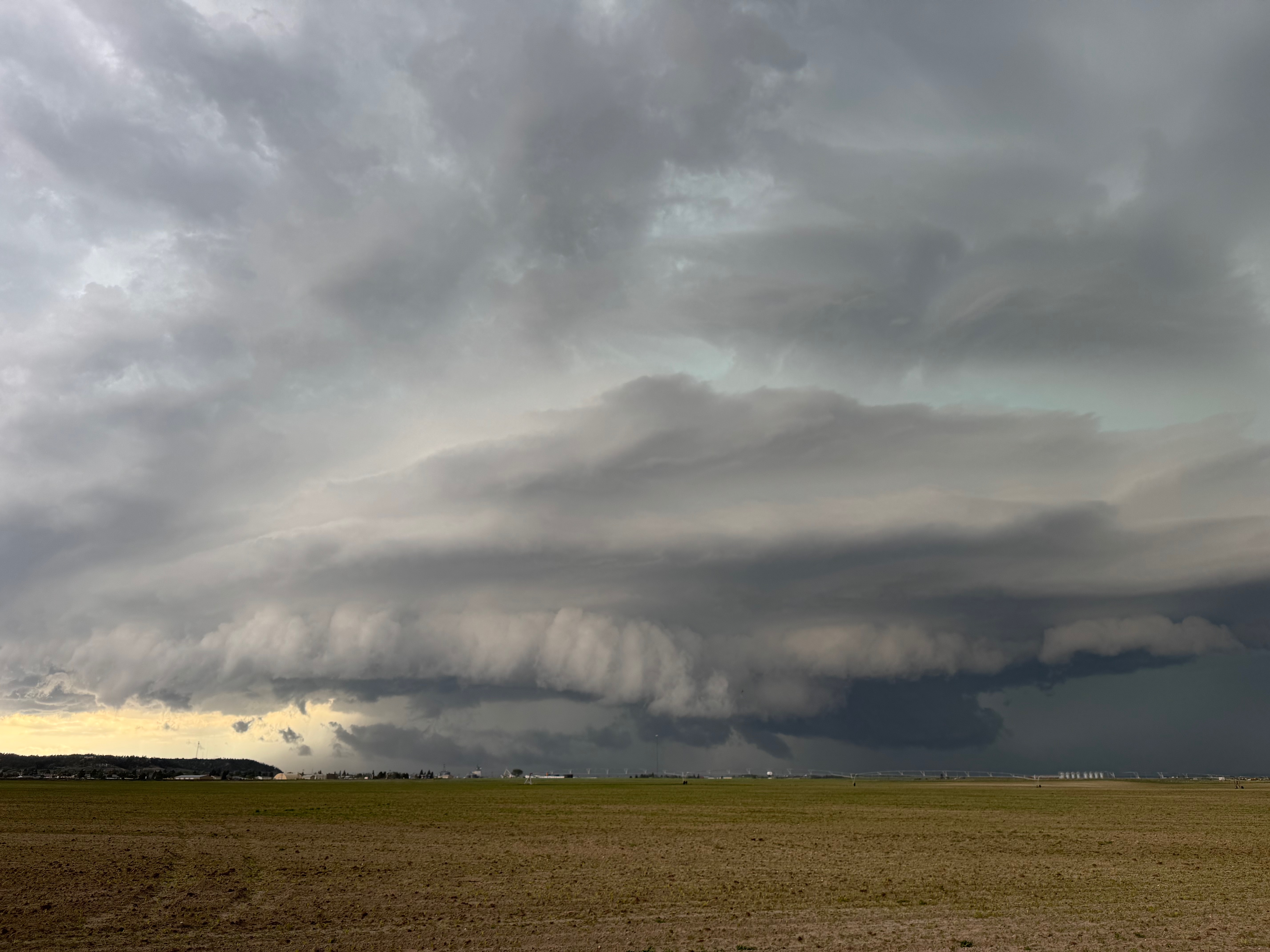
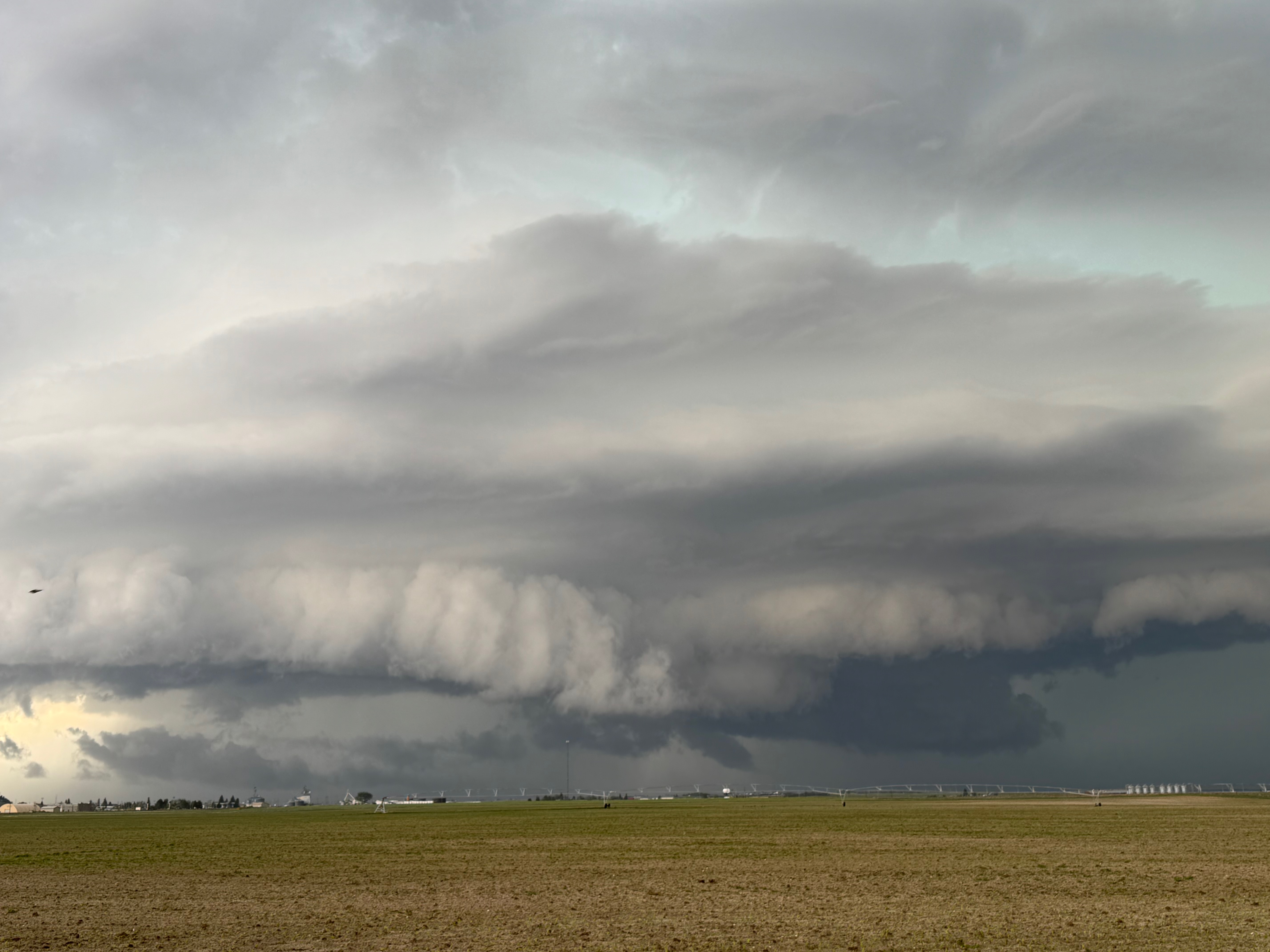
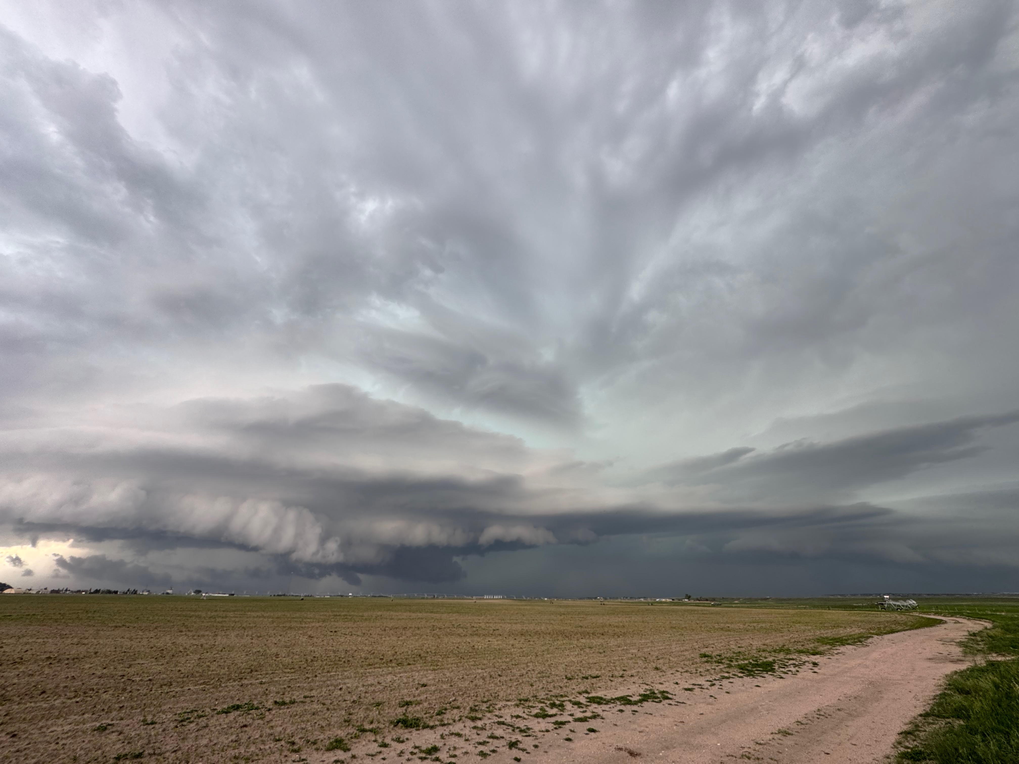
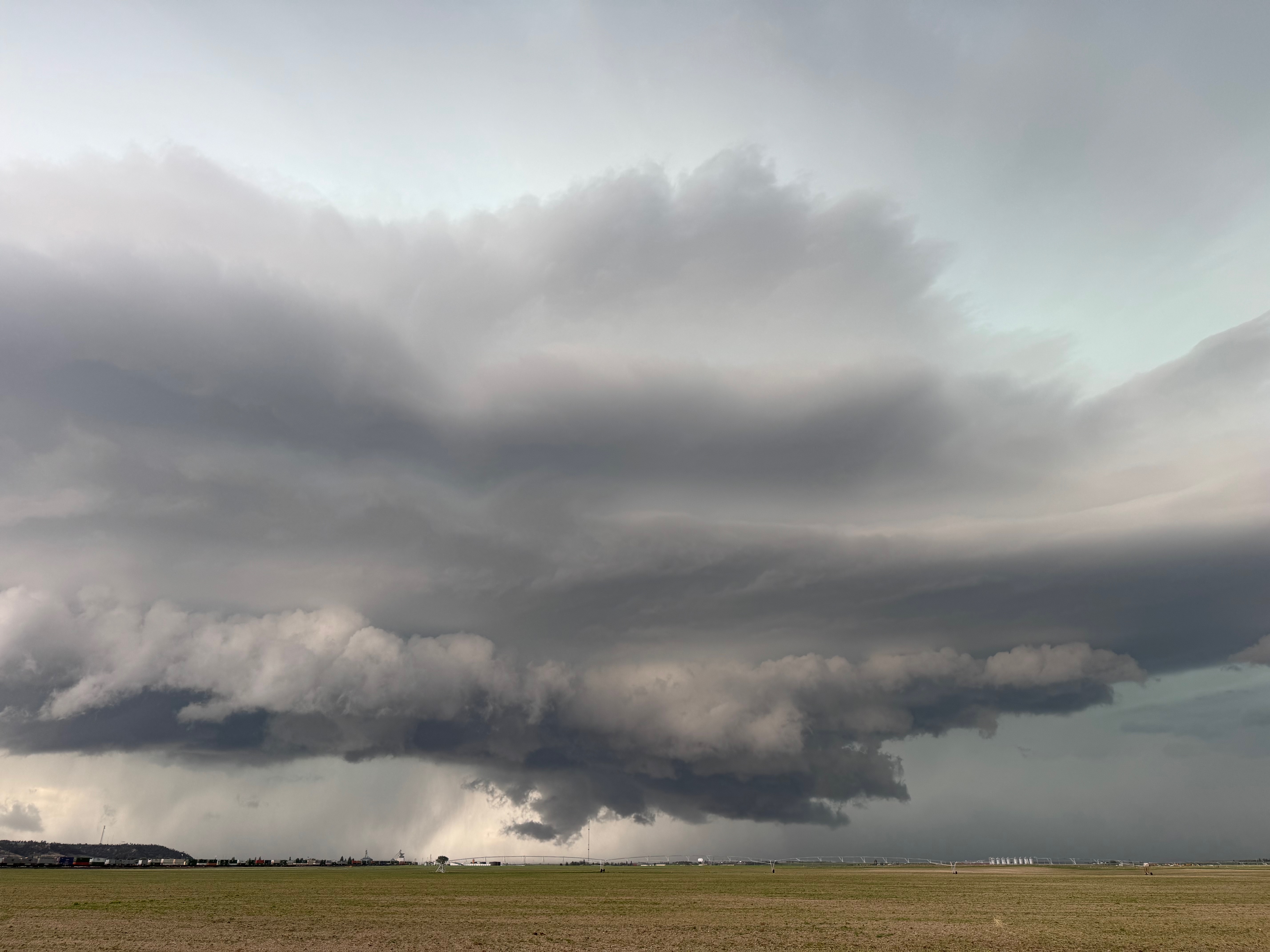
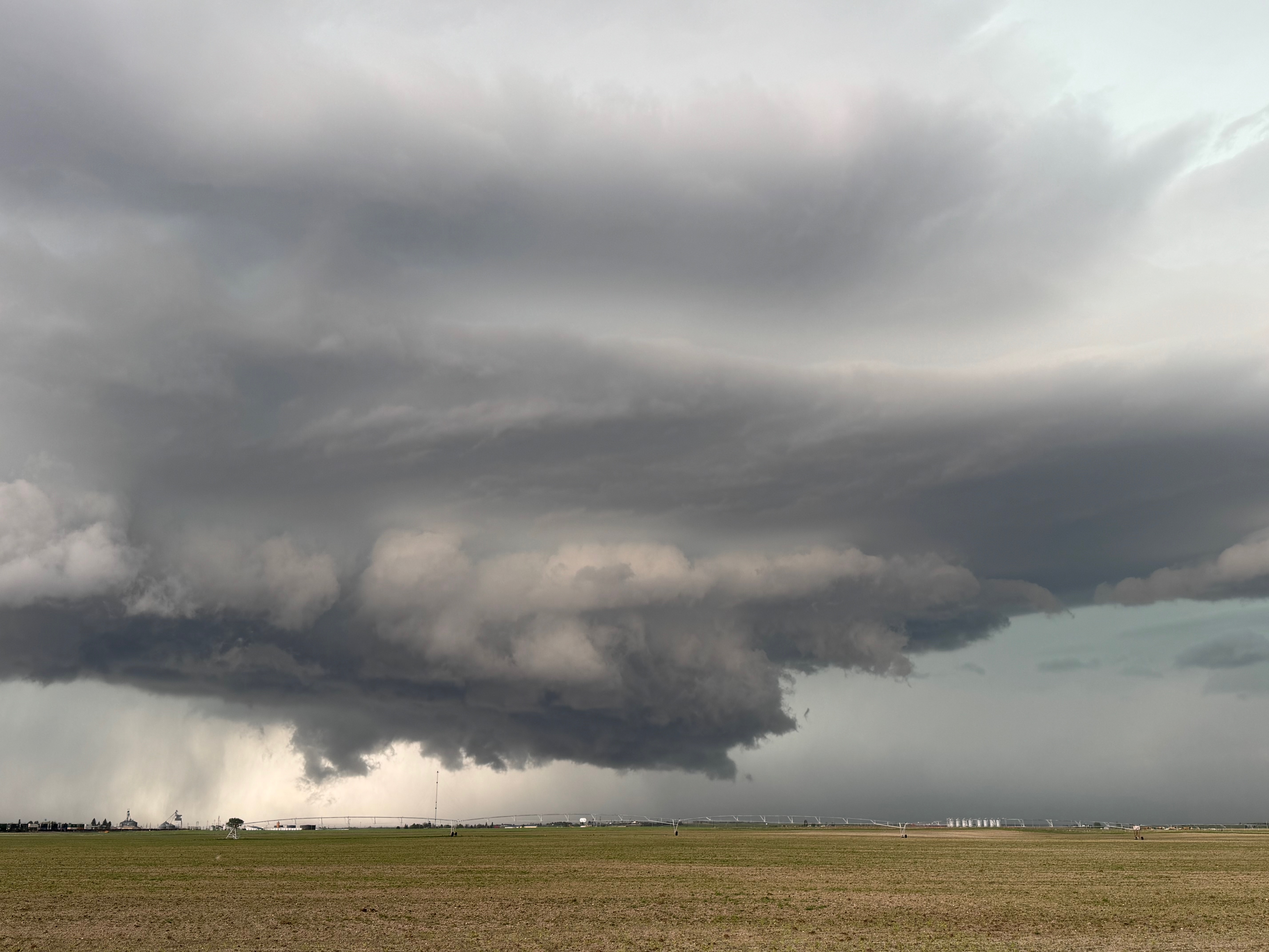
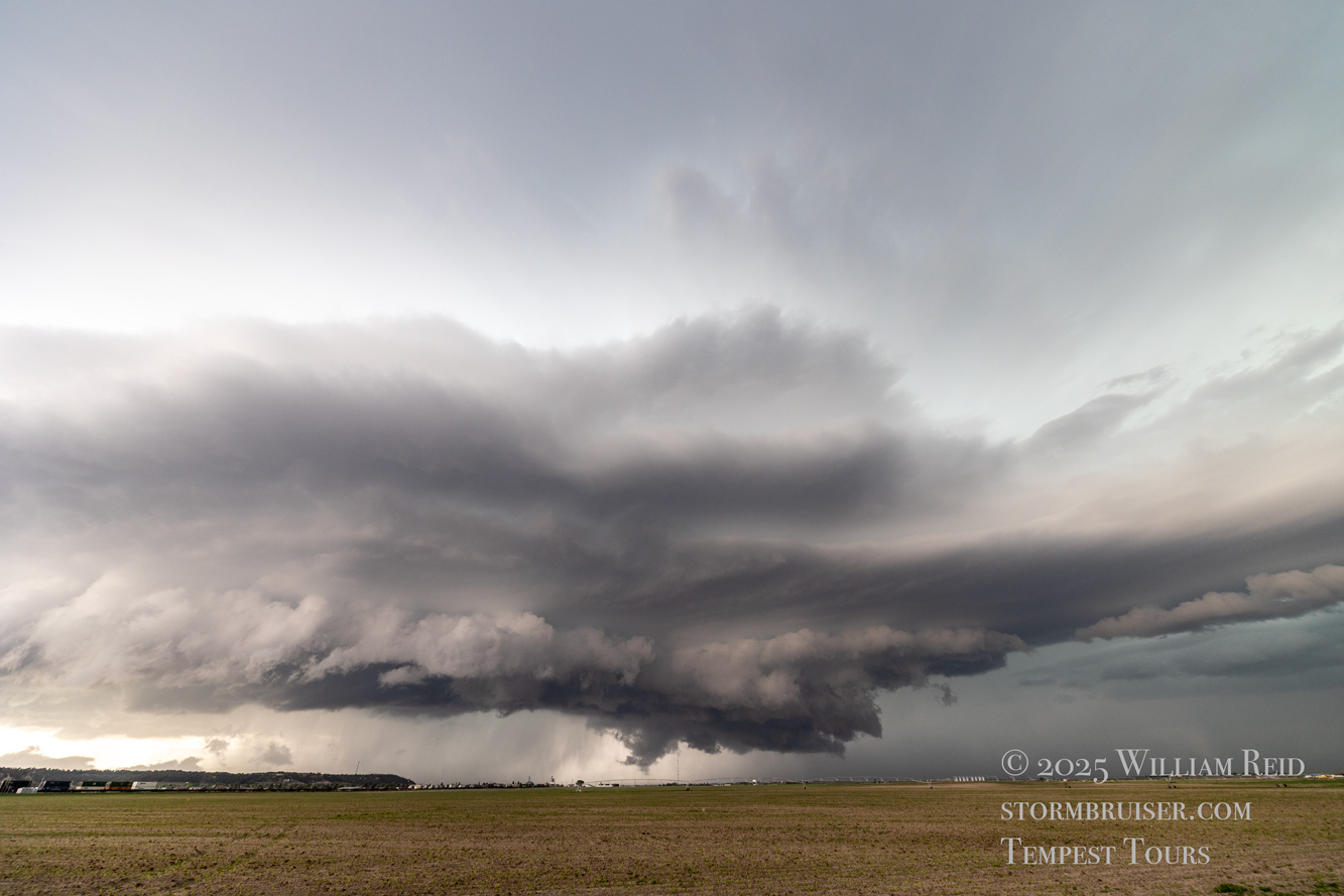
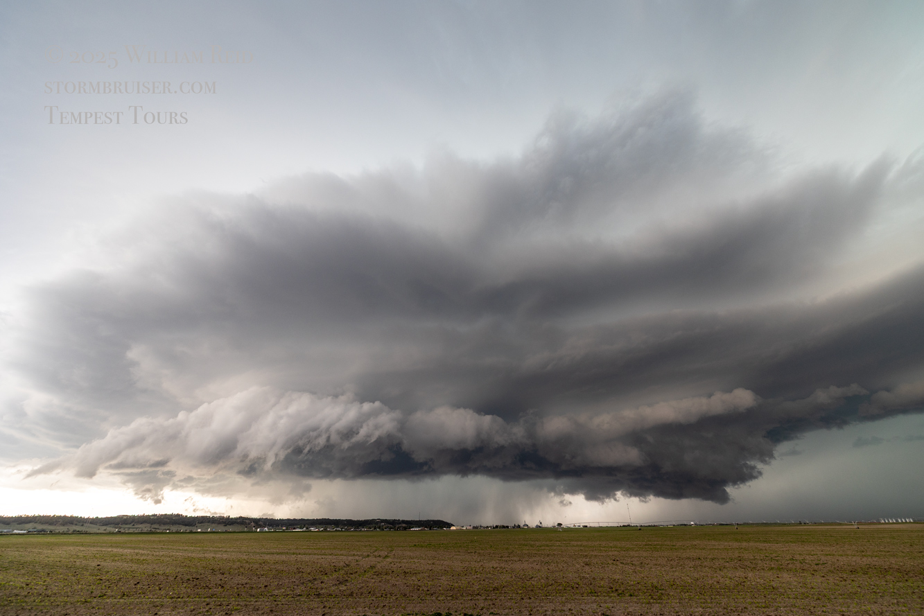
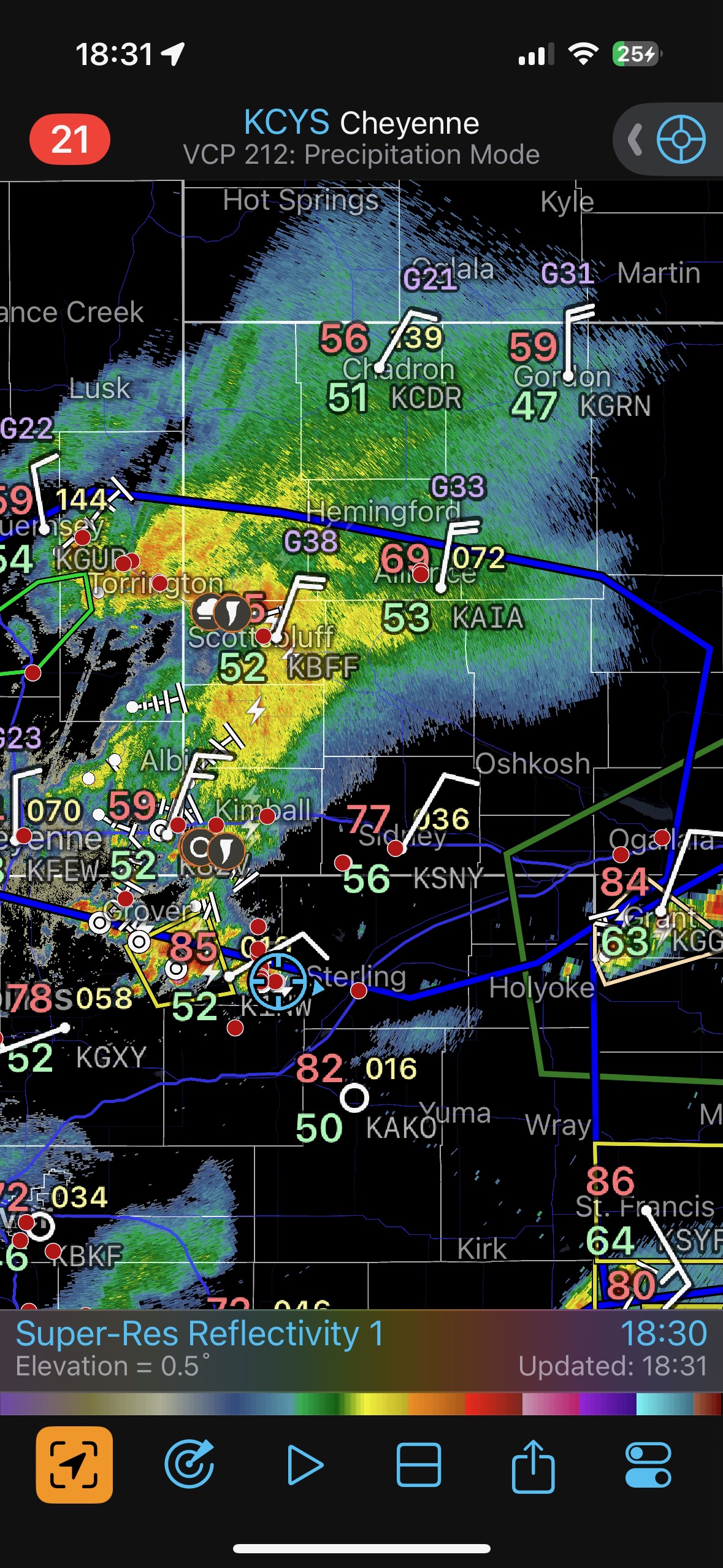
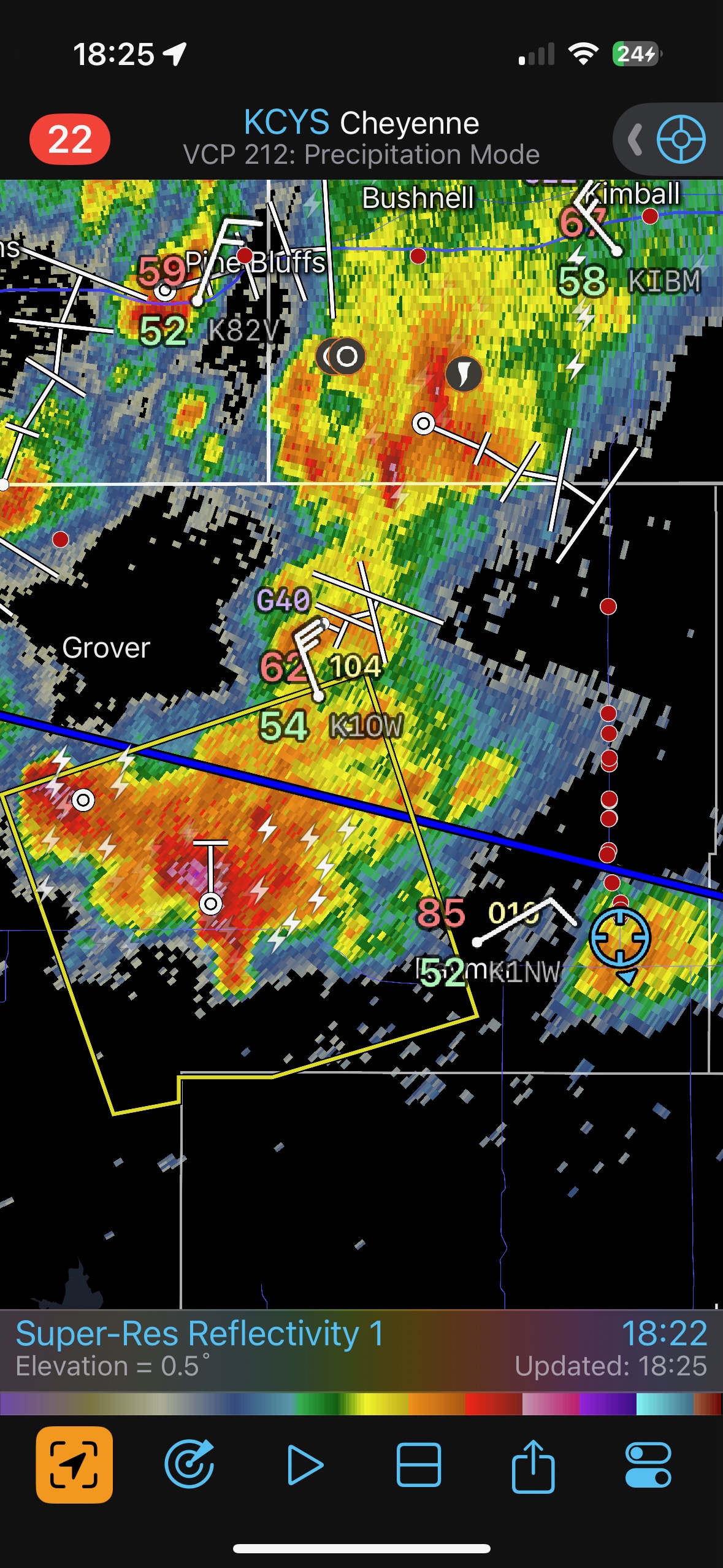
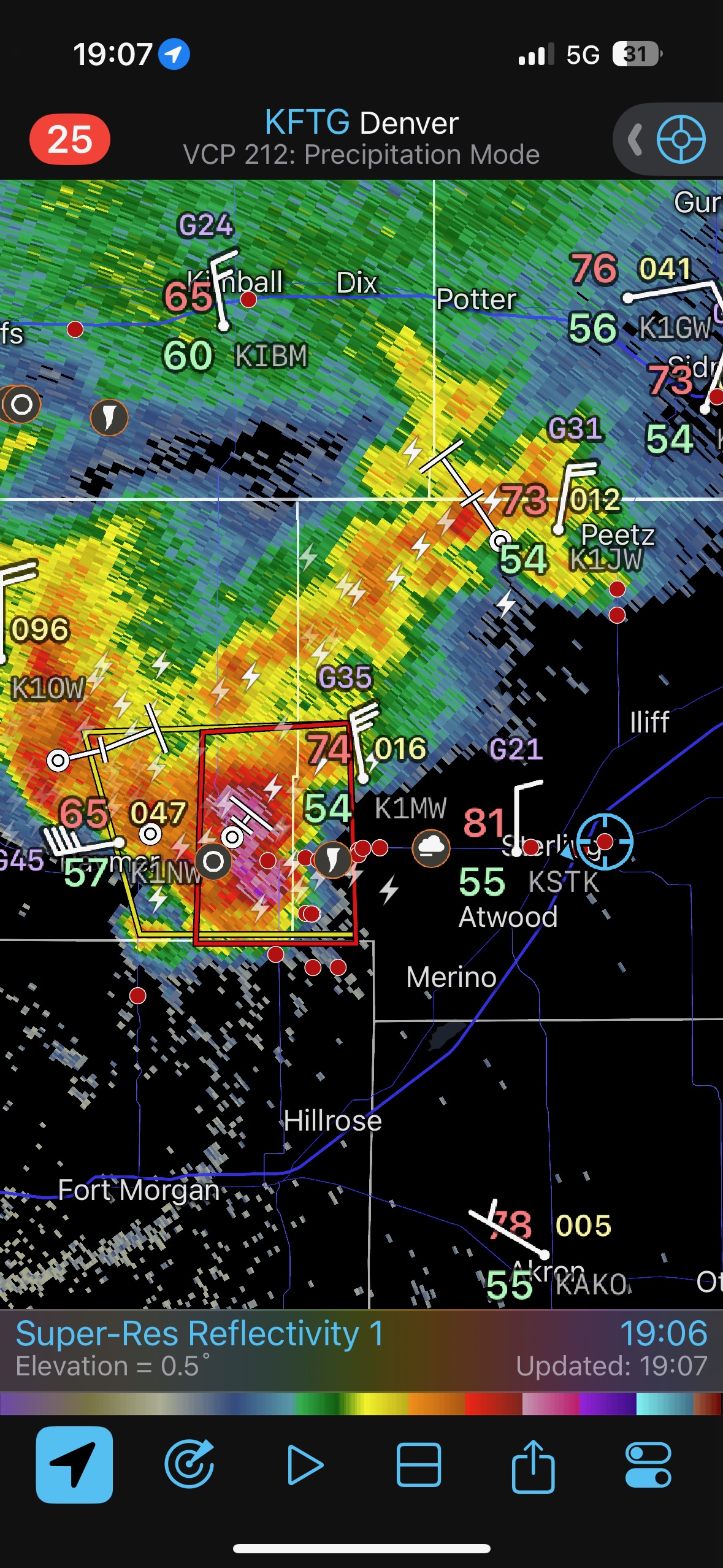
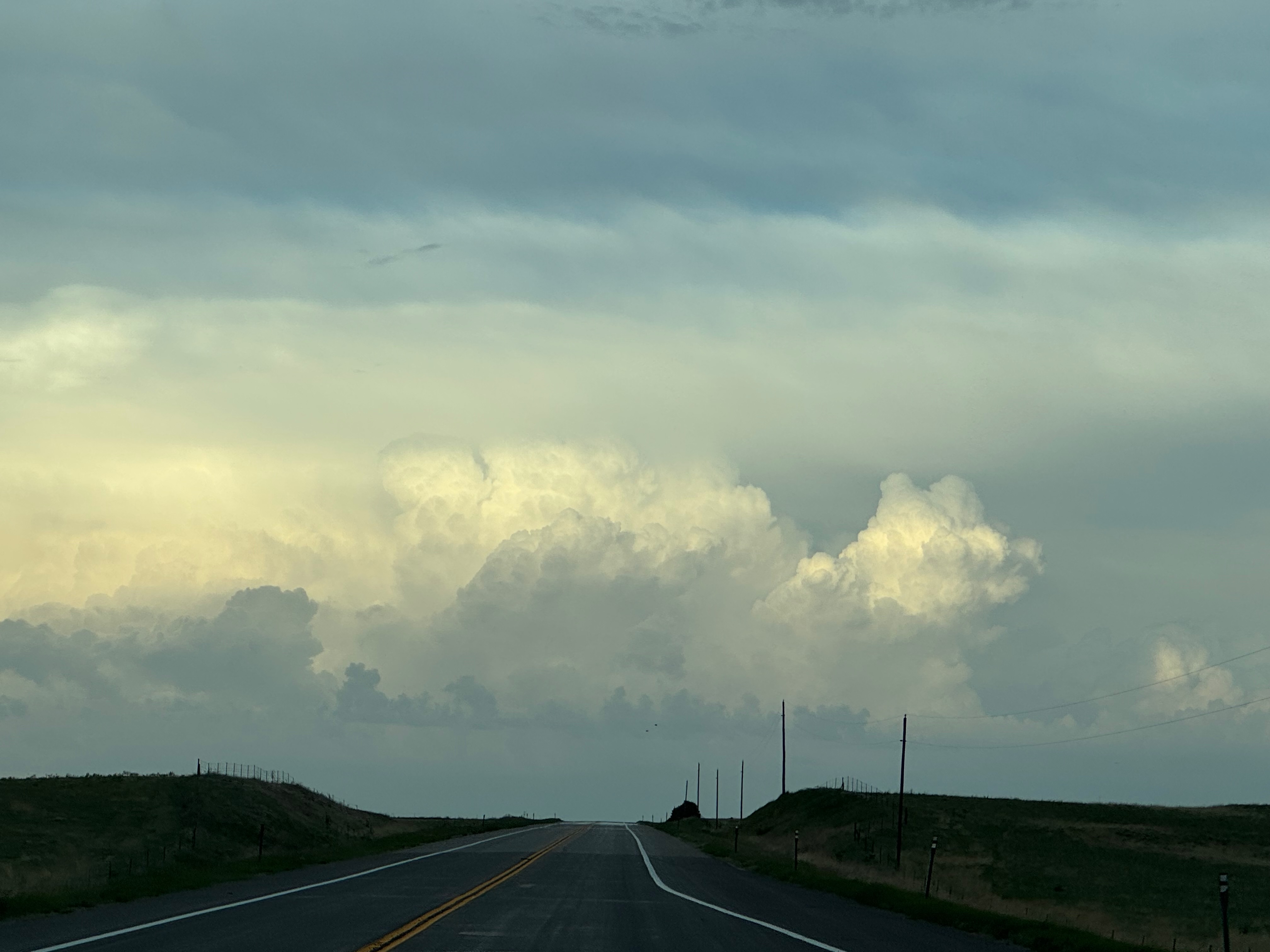
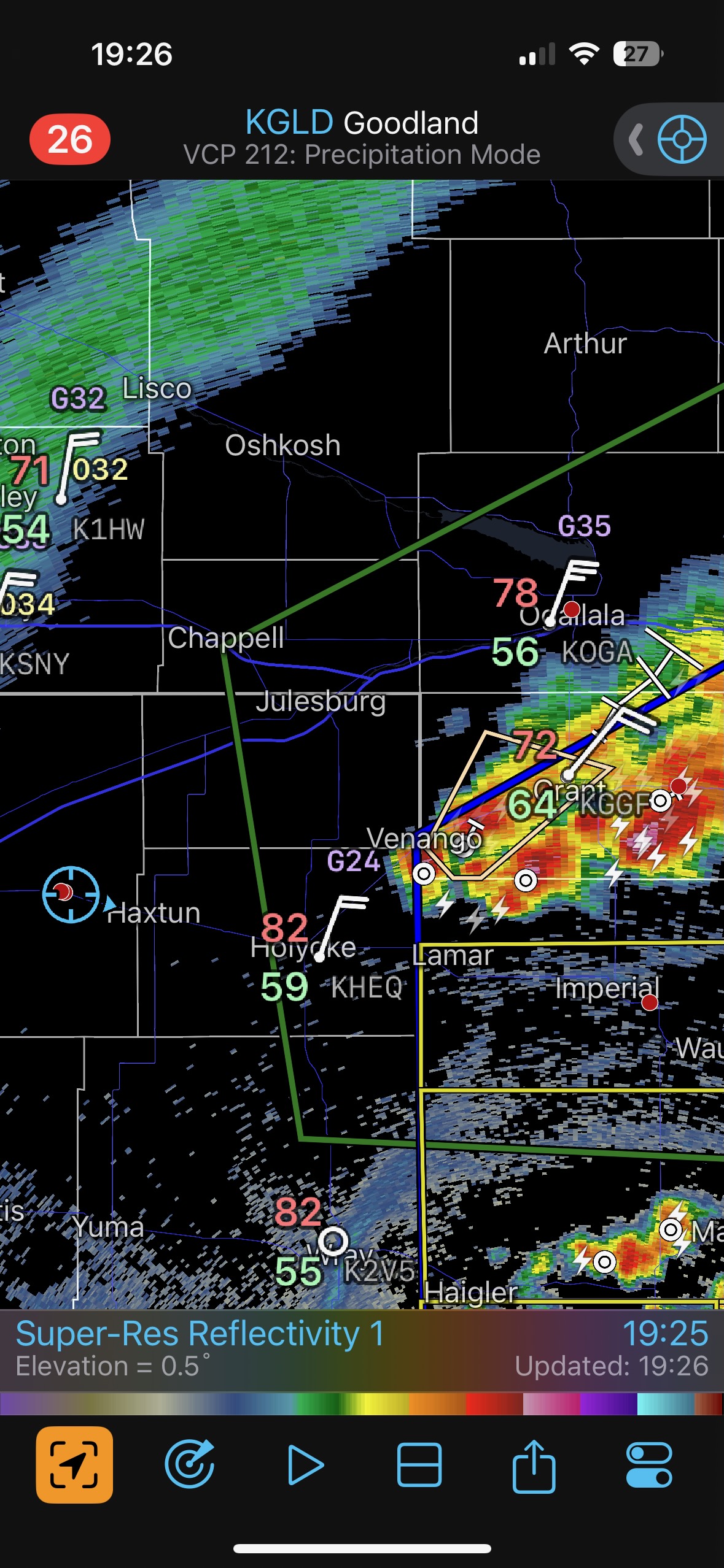
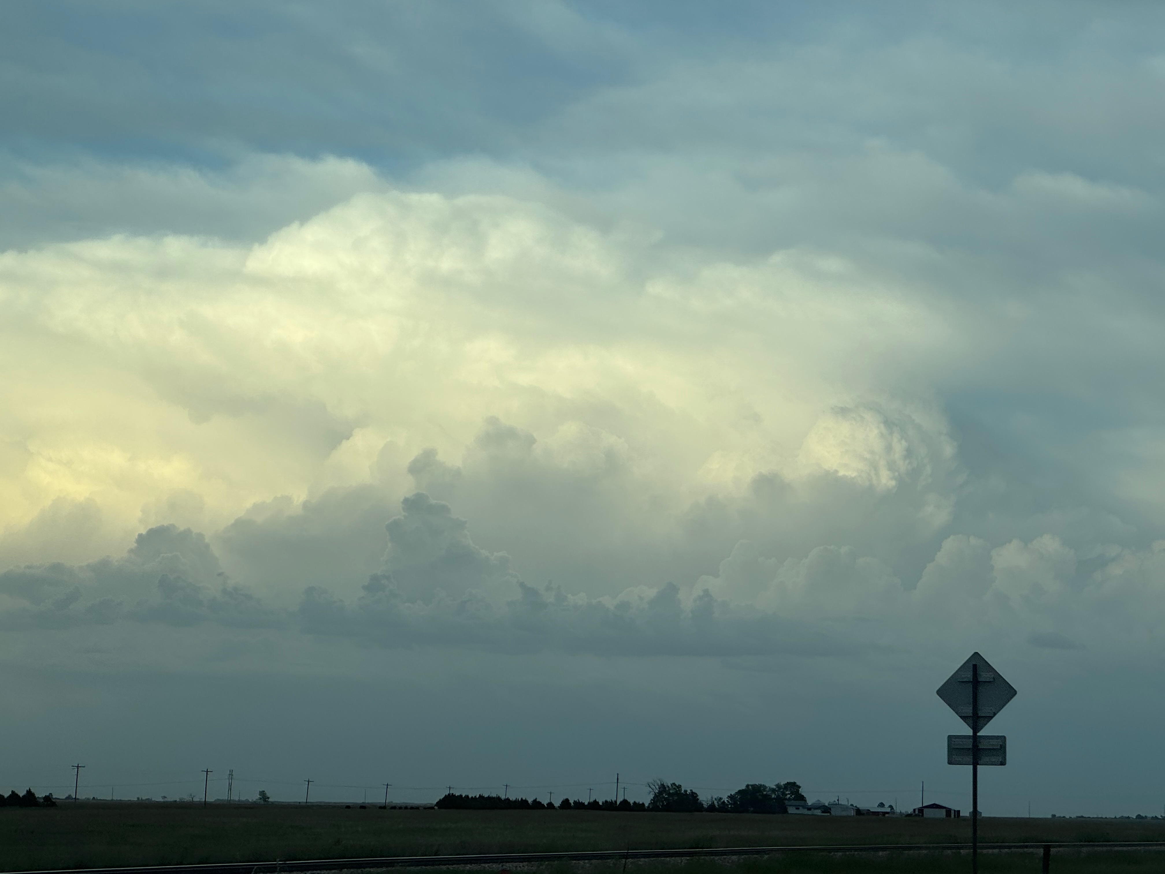
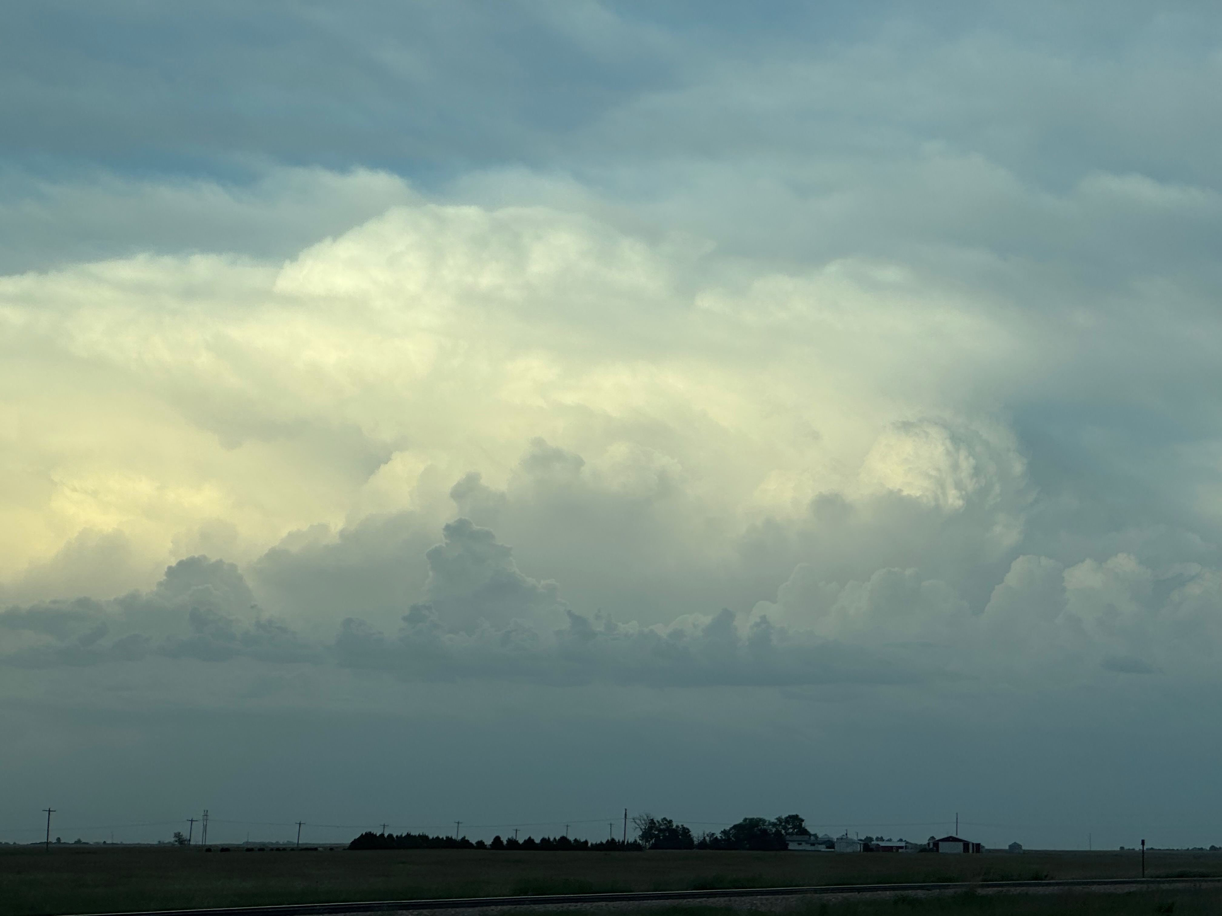
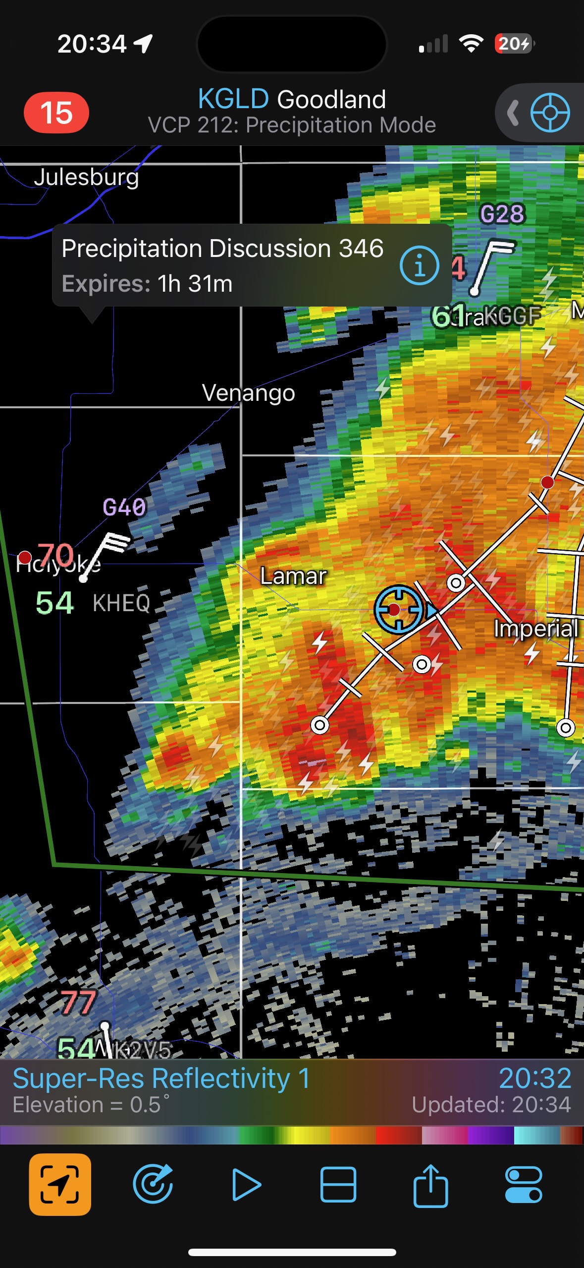
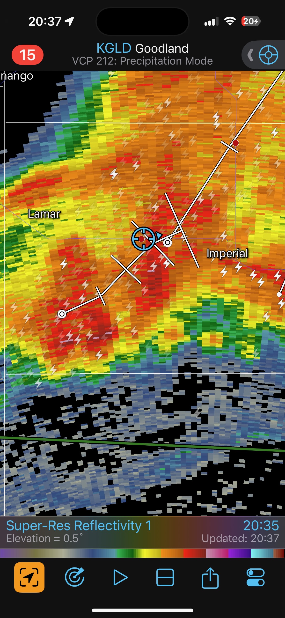
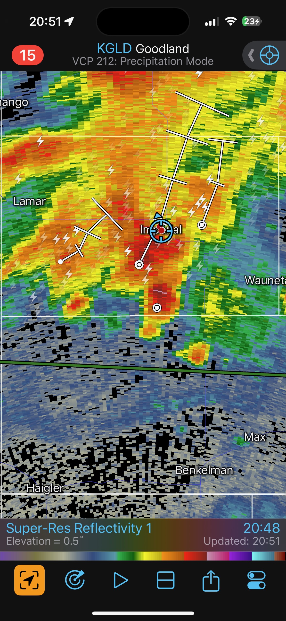
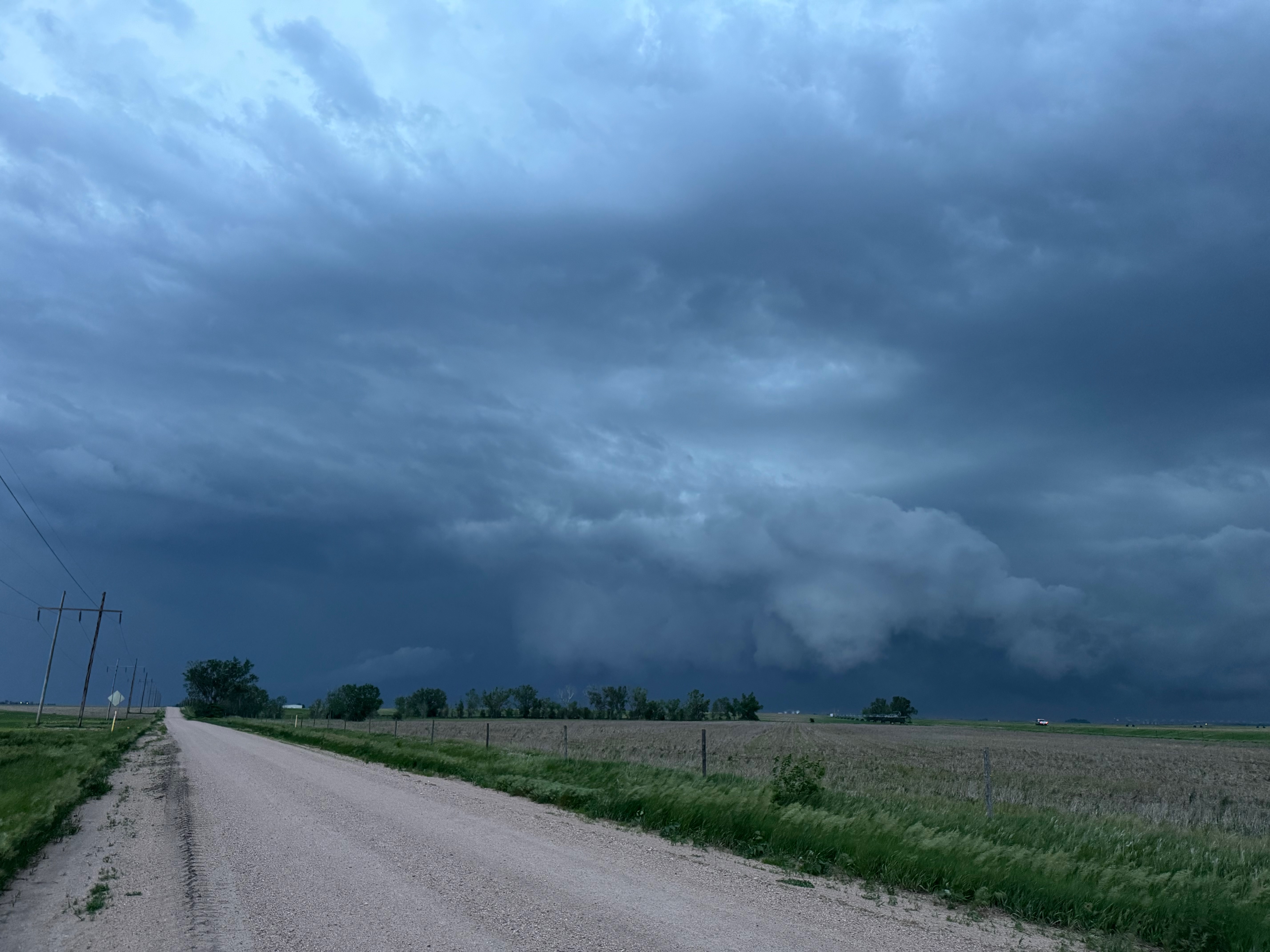
Our Cheyenne Ridge severe storm was moving to the ESE, so we scooted east to Kimball and southward into Colorado (first three images below). The storm started to look less organized when we reached Highway 14, and I decided to blast east towards Sterling and Holyoke. We were leaving behind a new updraft or two near Raymer, and one of these became tornado-warned with decent structure. But we were at Sterling for a pit stop at the time. I elected to keep going east to the strong activity near the CO/NE border. We finally came up behind some very strong storms with interesting lowerings west of Imperial (last 6 pics below). But this was now a linear mess. We battled very heavy rain into Imperial and gave up the chase.

Leave a Reply
You must be logged in to post a comment.