
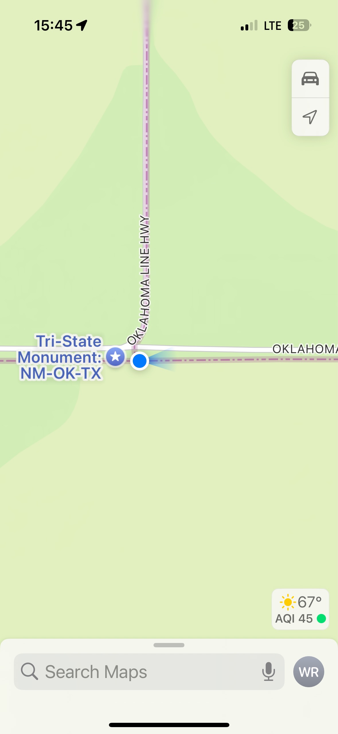
Start: Clayton, NM/brunch: Texline Front Porch/End: Clovis/539 miles
(June 3 was a reposition day, Goodland to Clayton, 355 miles)
Mesoscale Discussions 1:11 p.m. CDT 5:38 p.m. CDT 9:14 p.m. CDT. 11:47 p.m. CDT
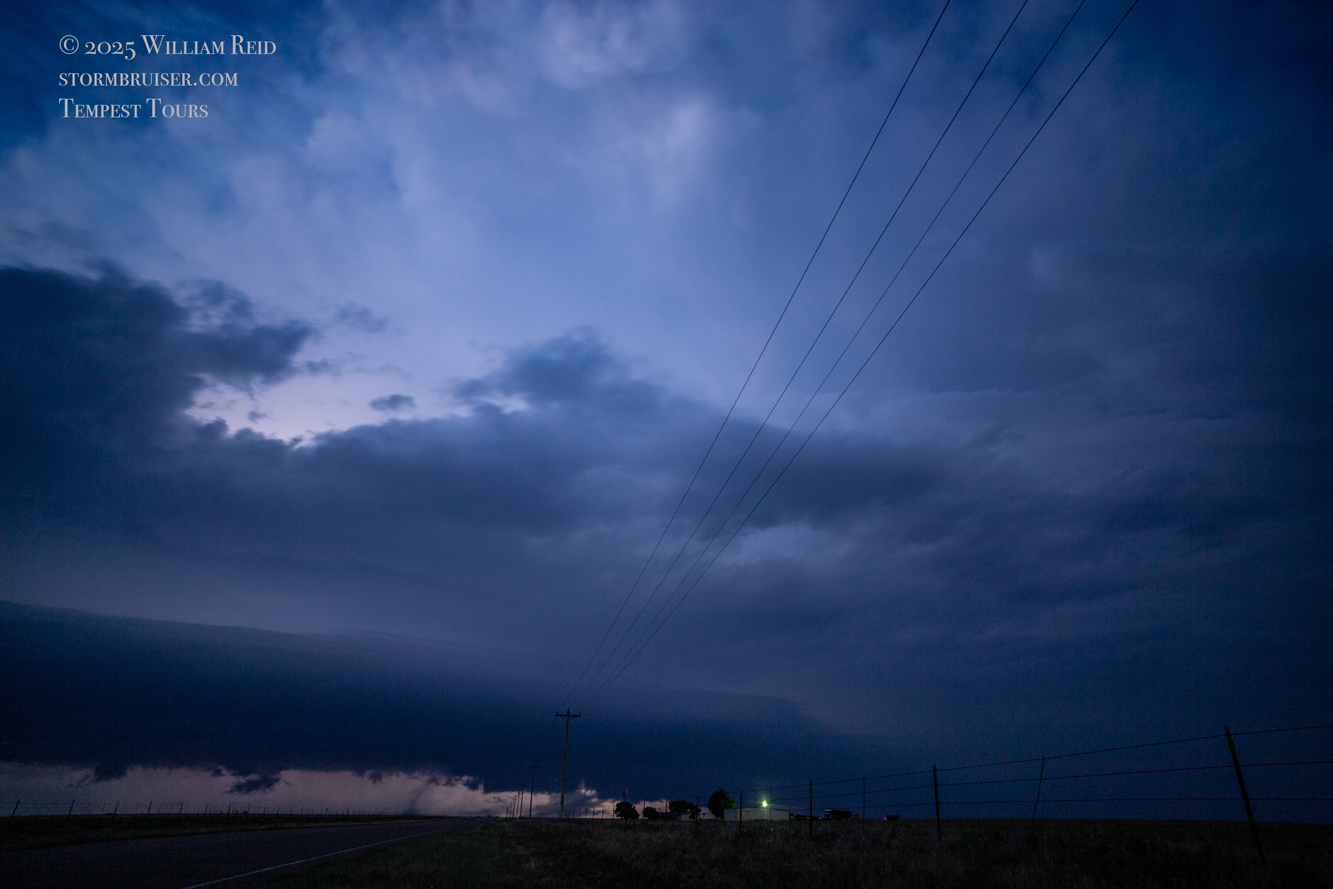
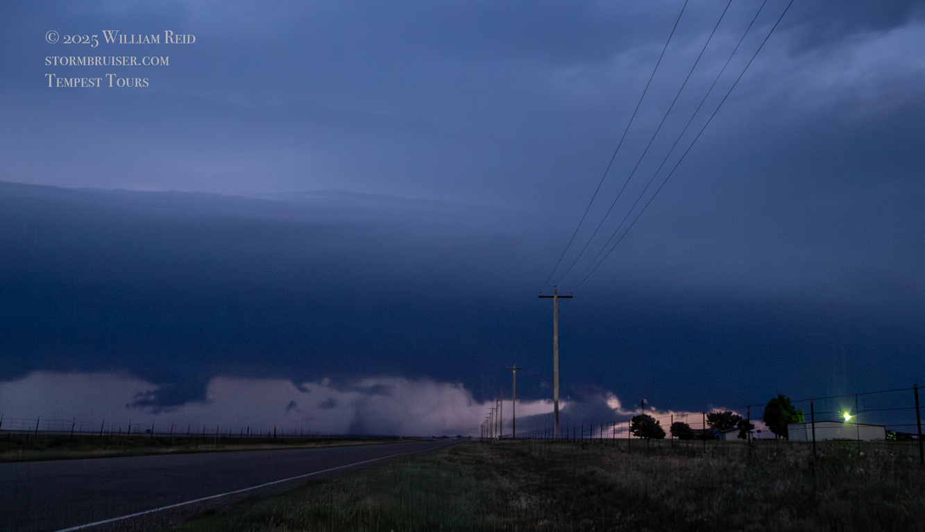
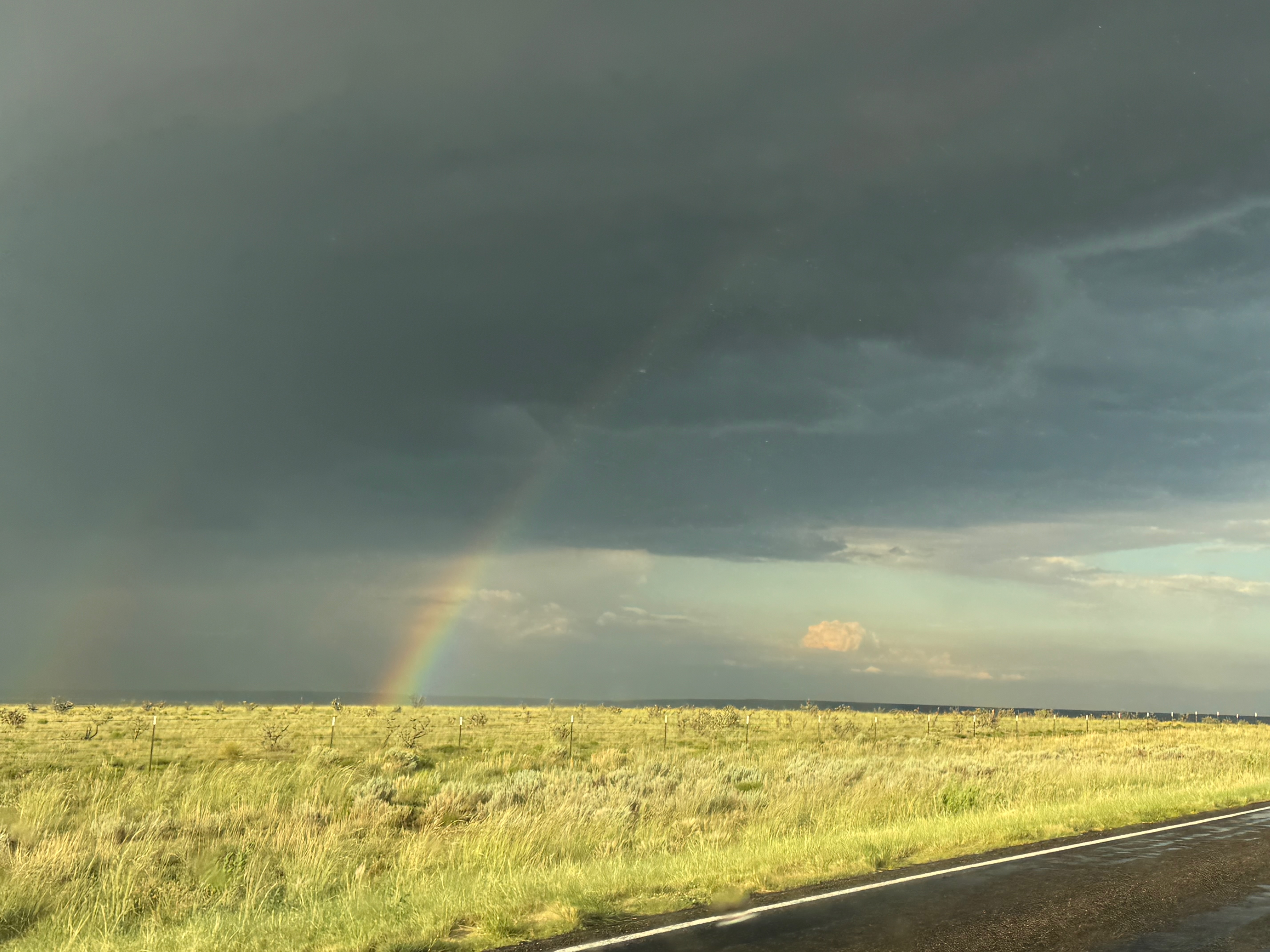
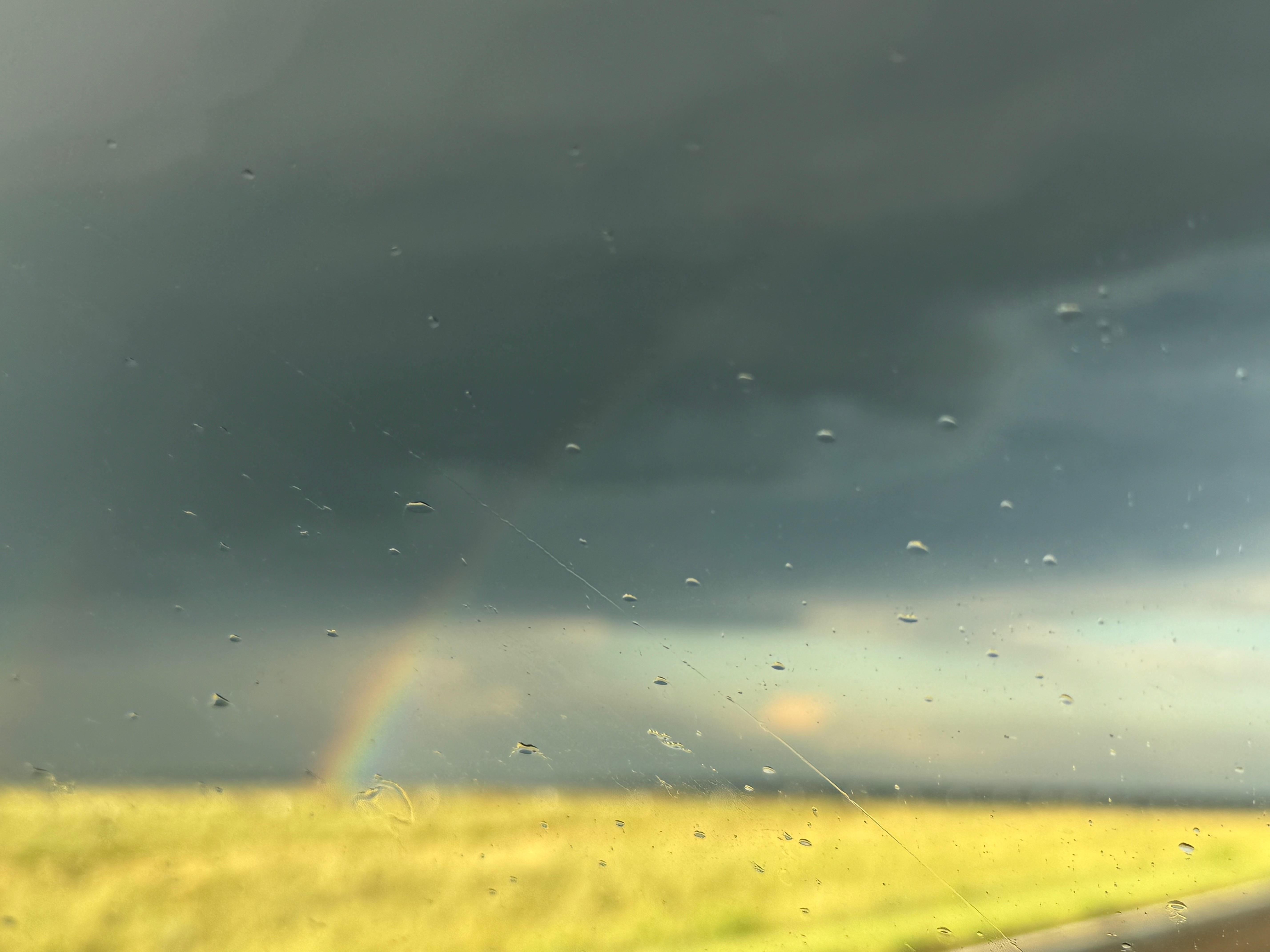
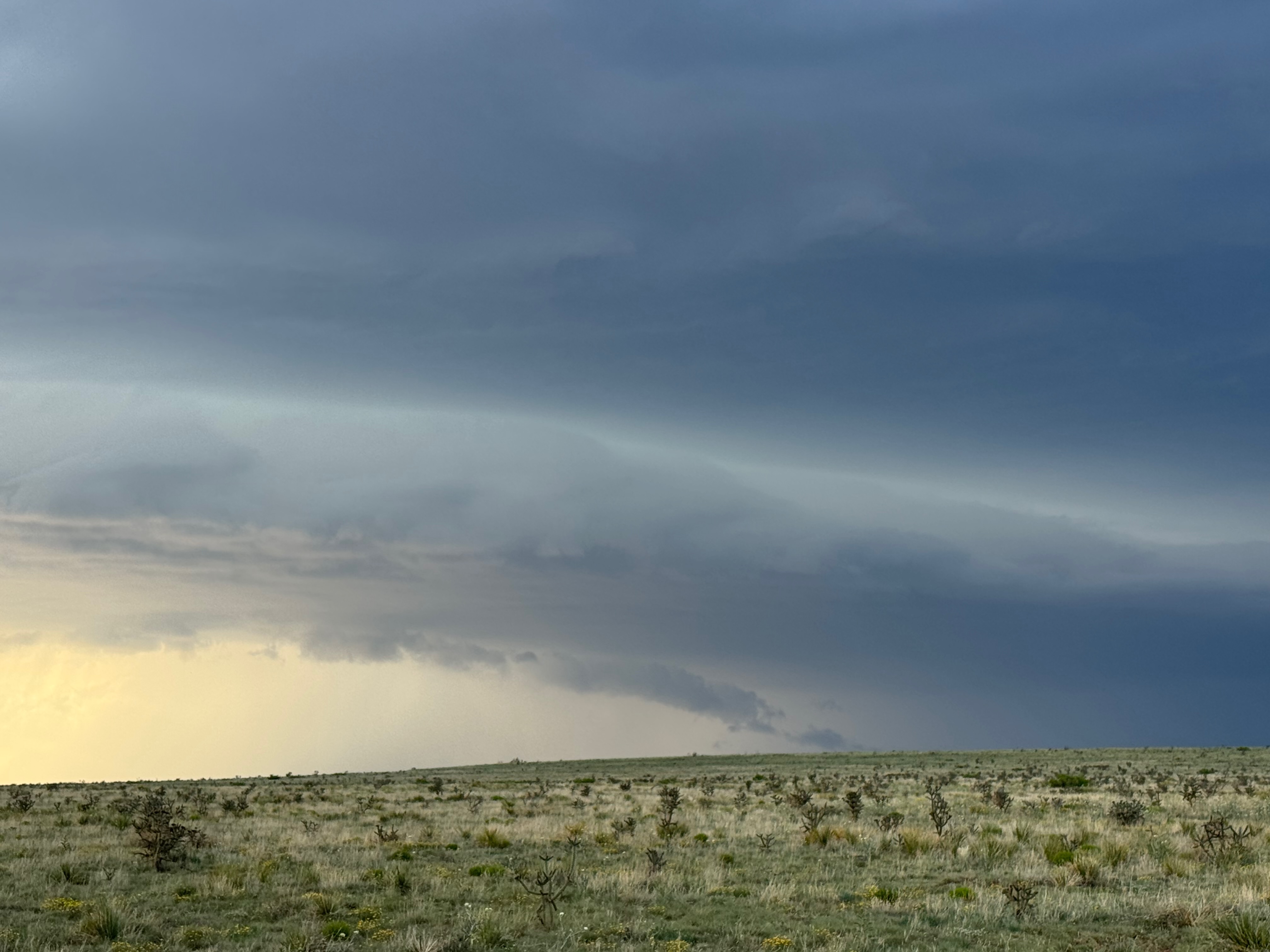
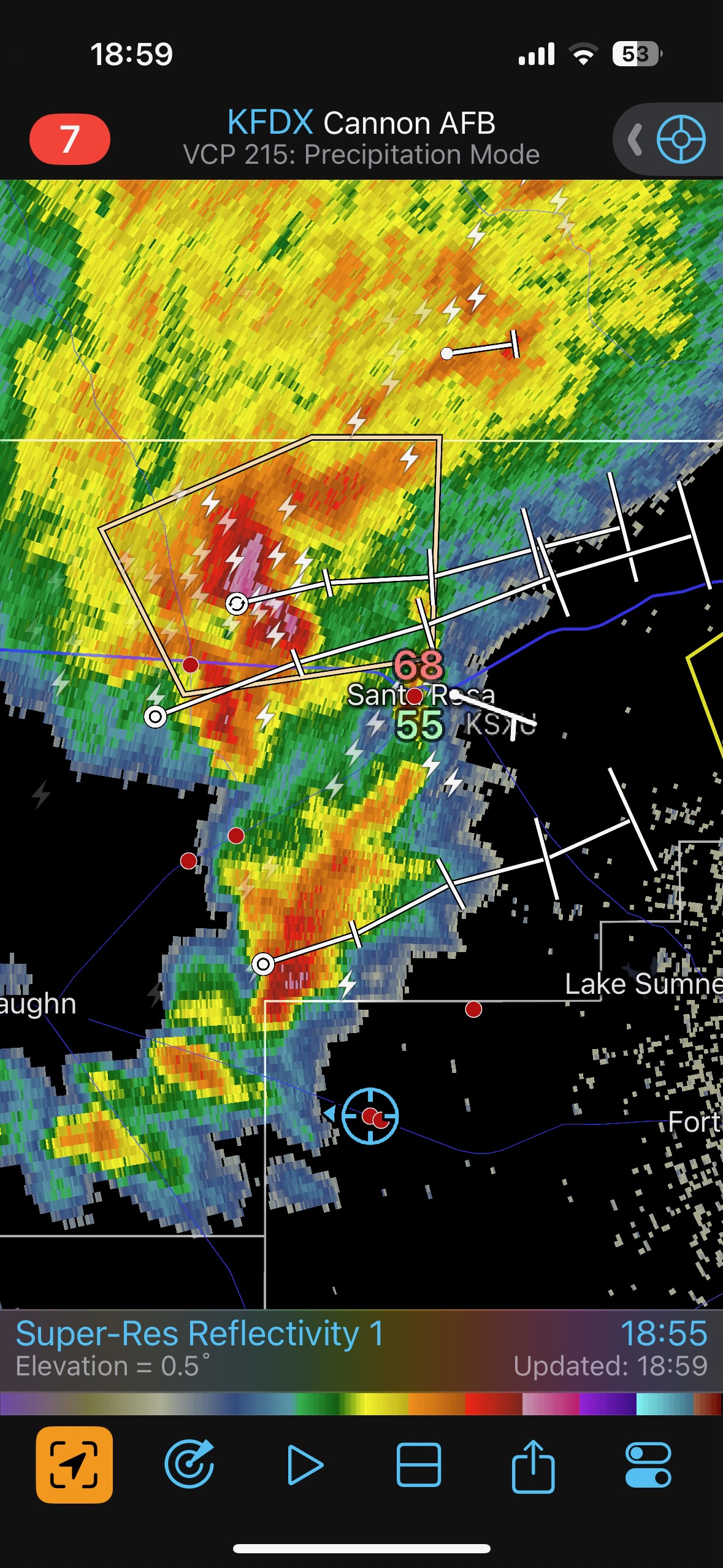
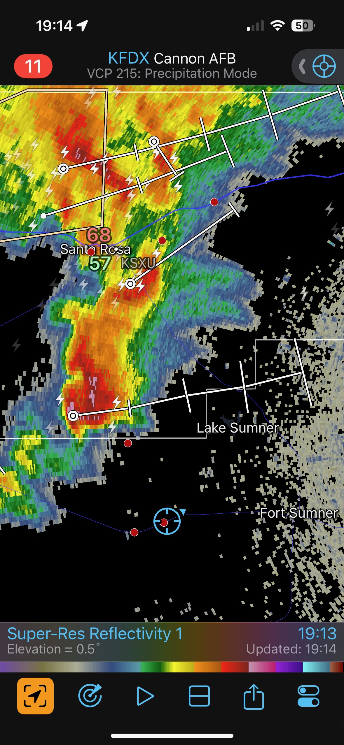
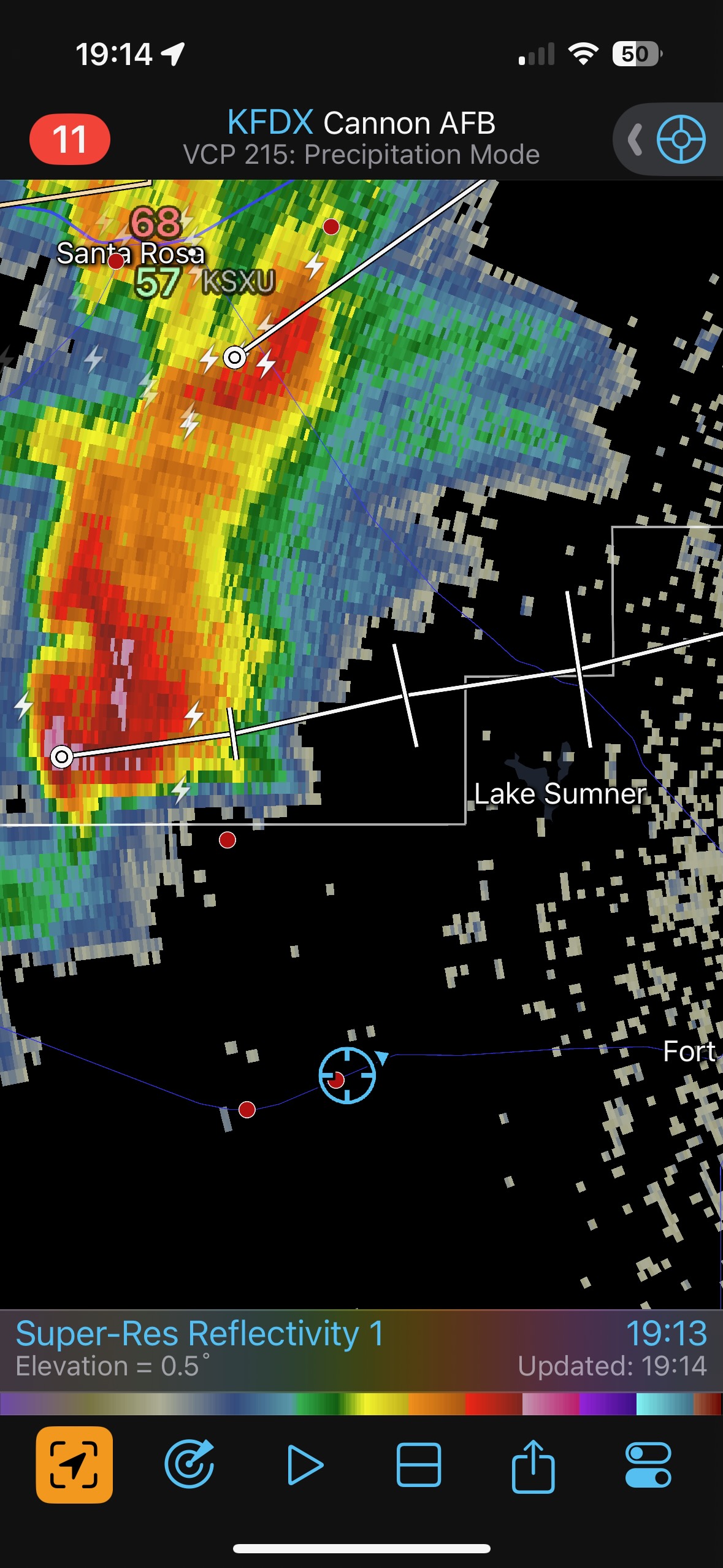
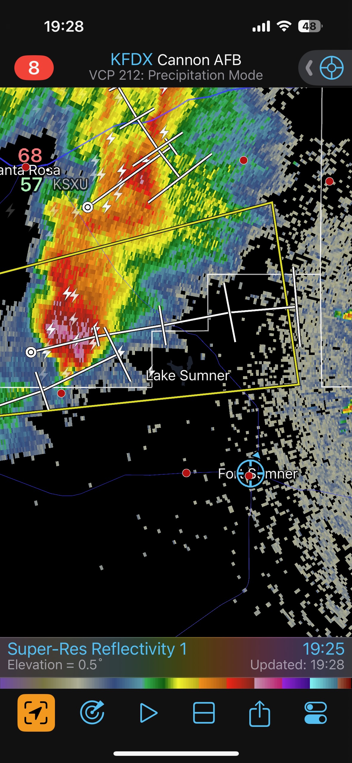
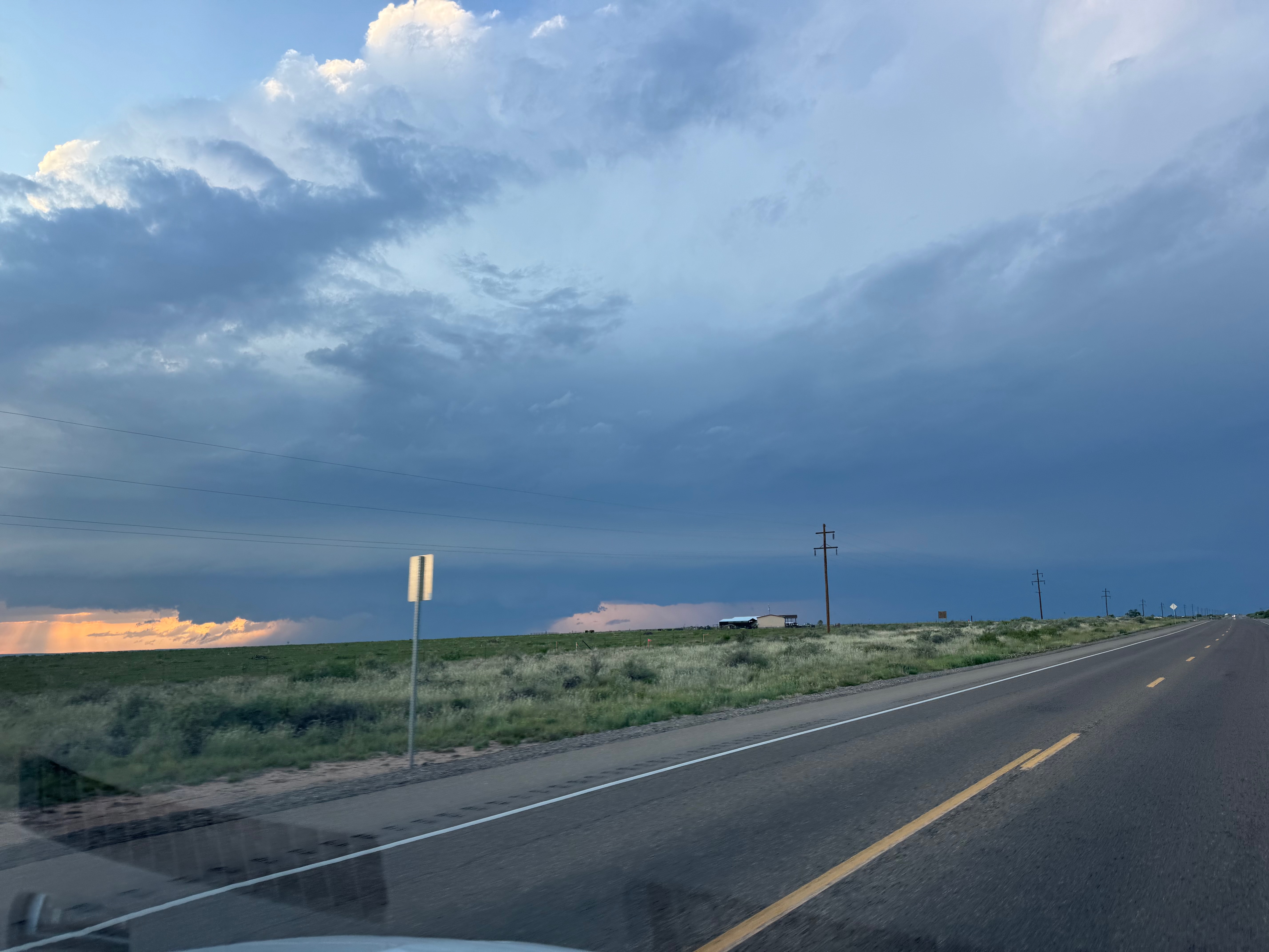
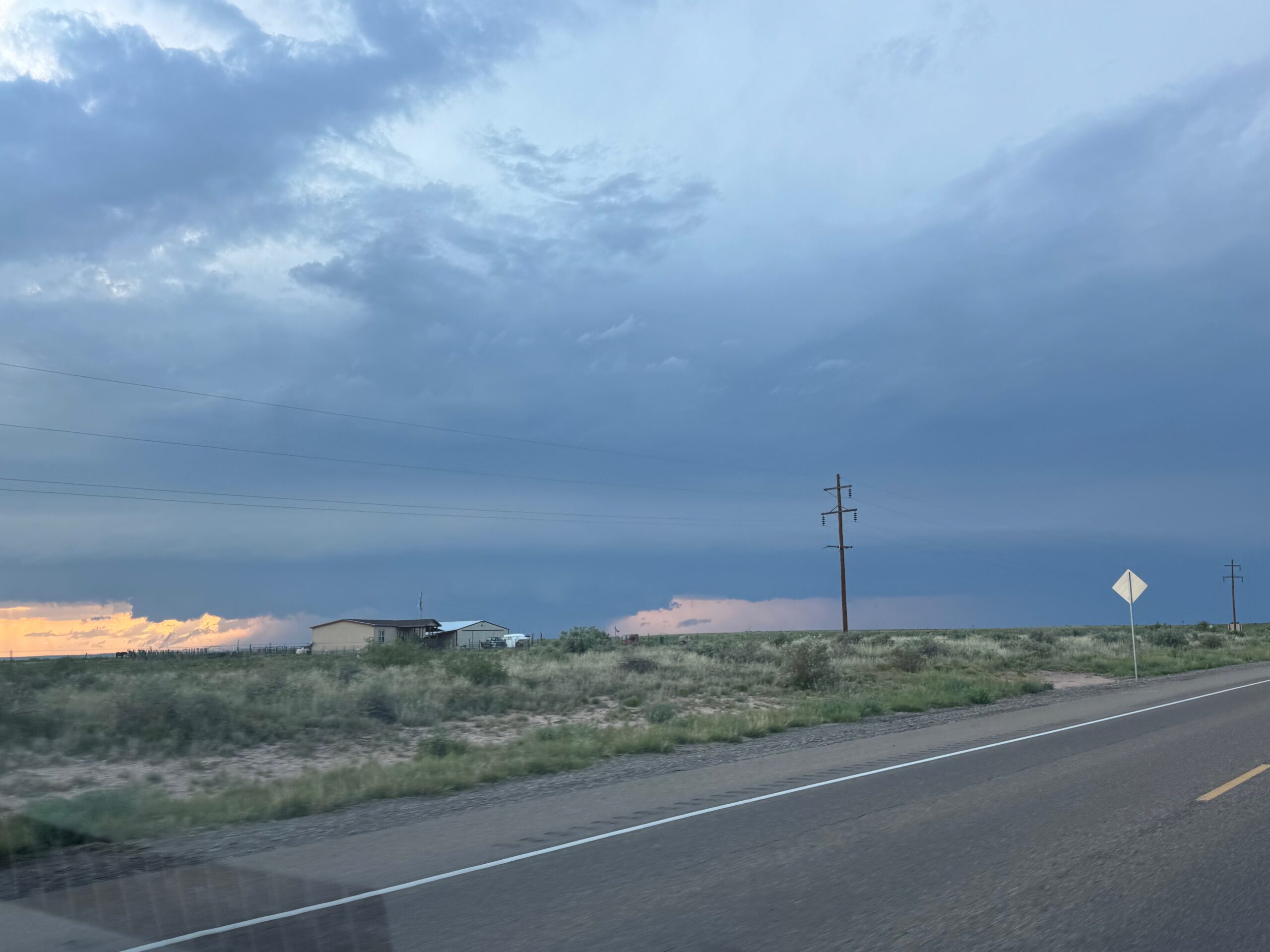
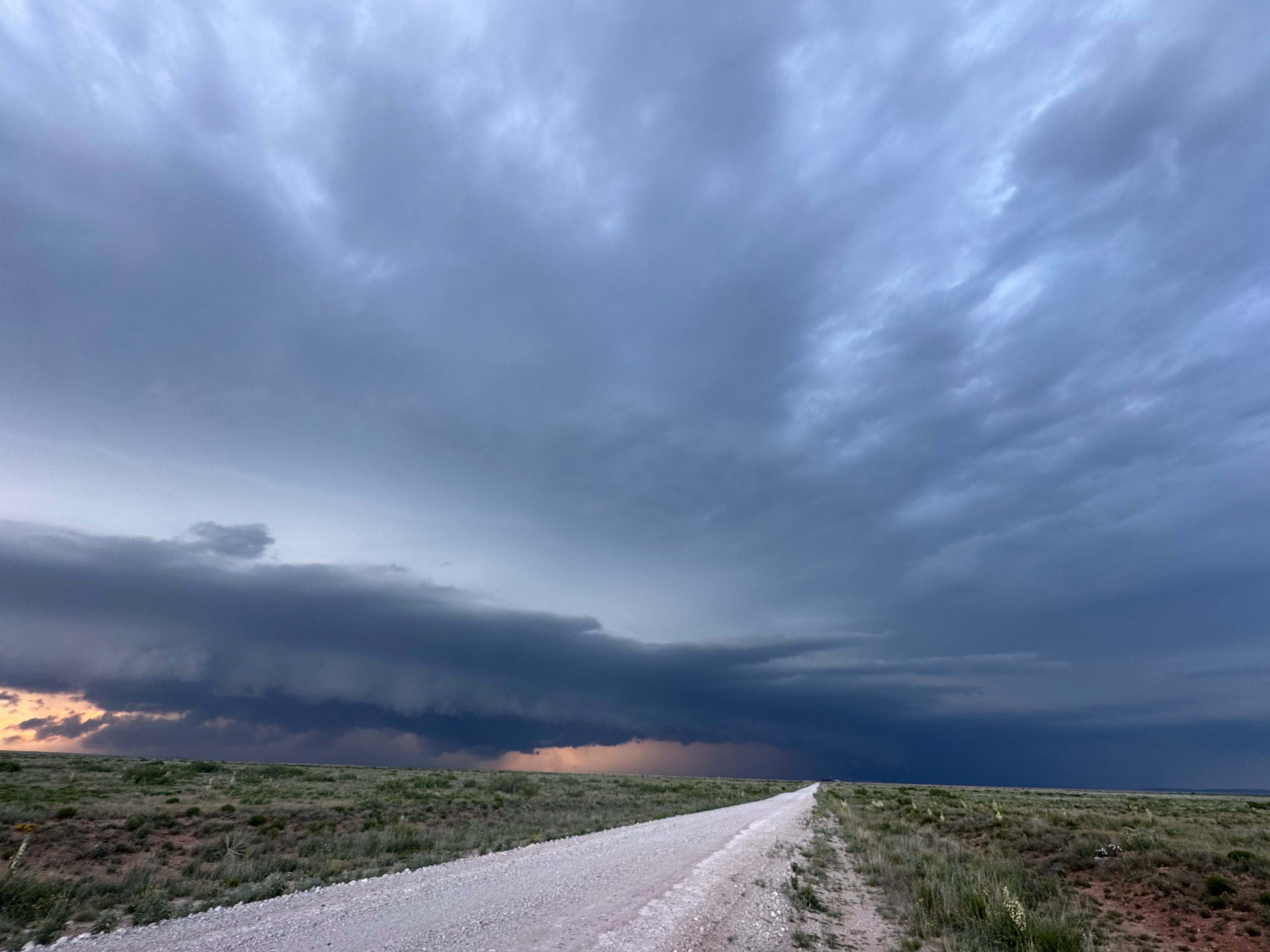
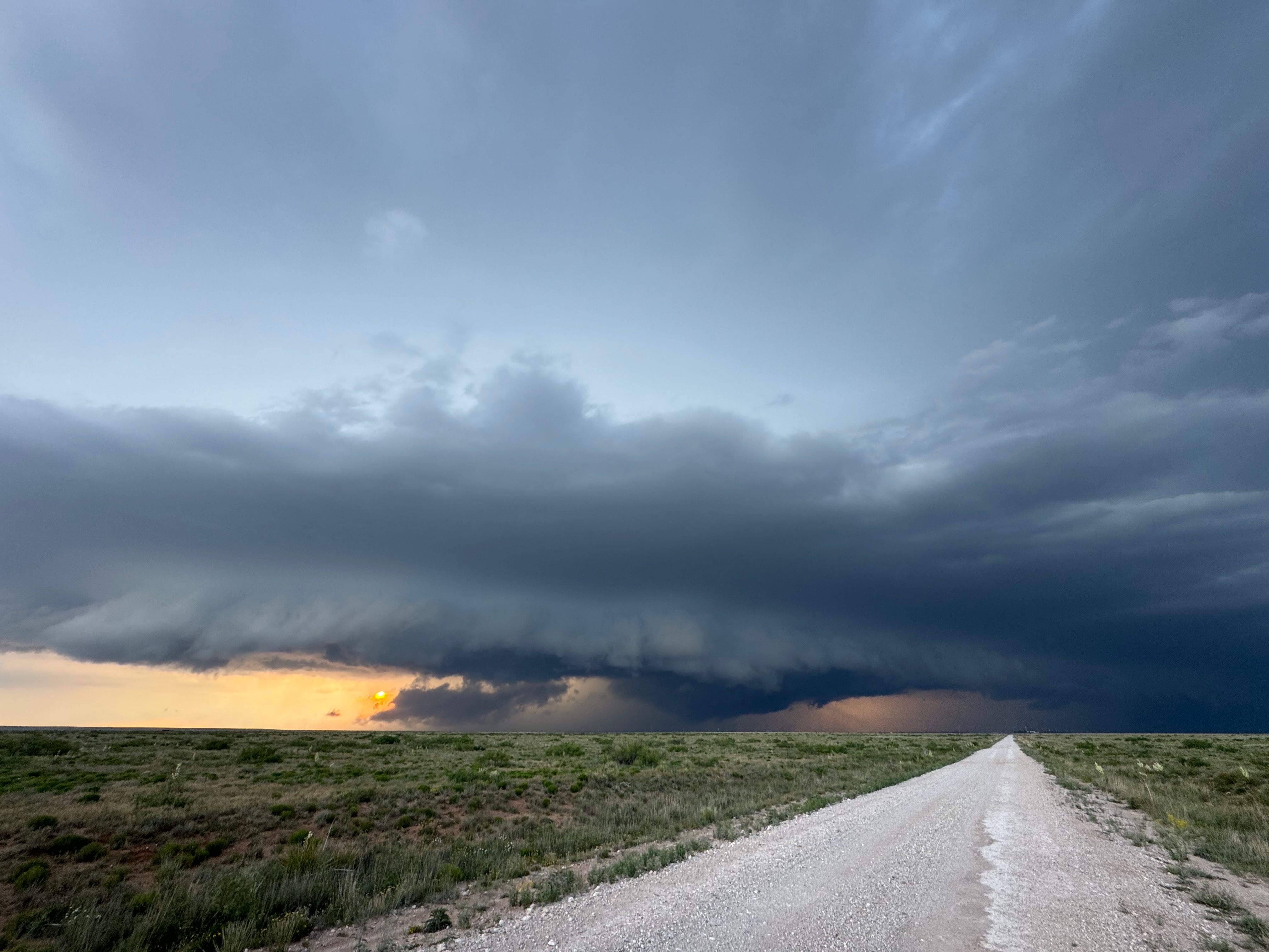
On this chase day in eastern New Mexico we found a supercell near Fort Sumner and Melrose, NM. My pics at dusk show a little tornado with the storm north of Melrose (below).
Canon pics below:


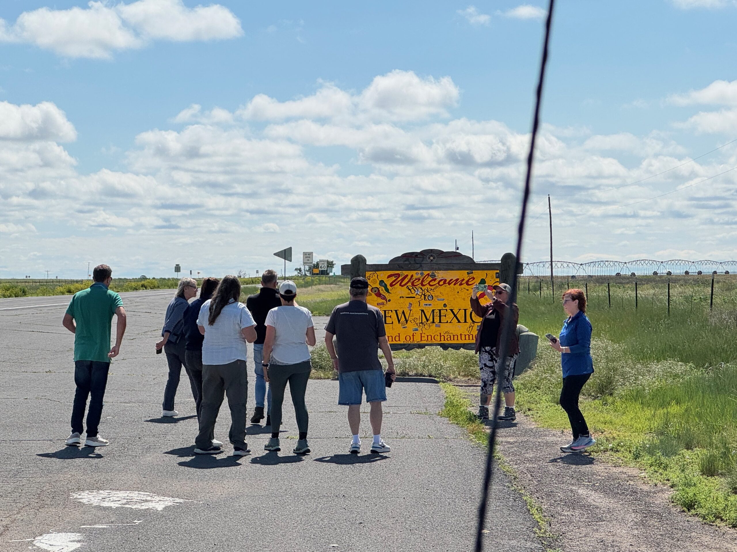
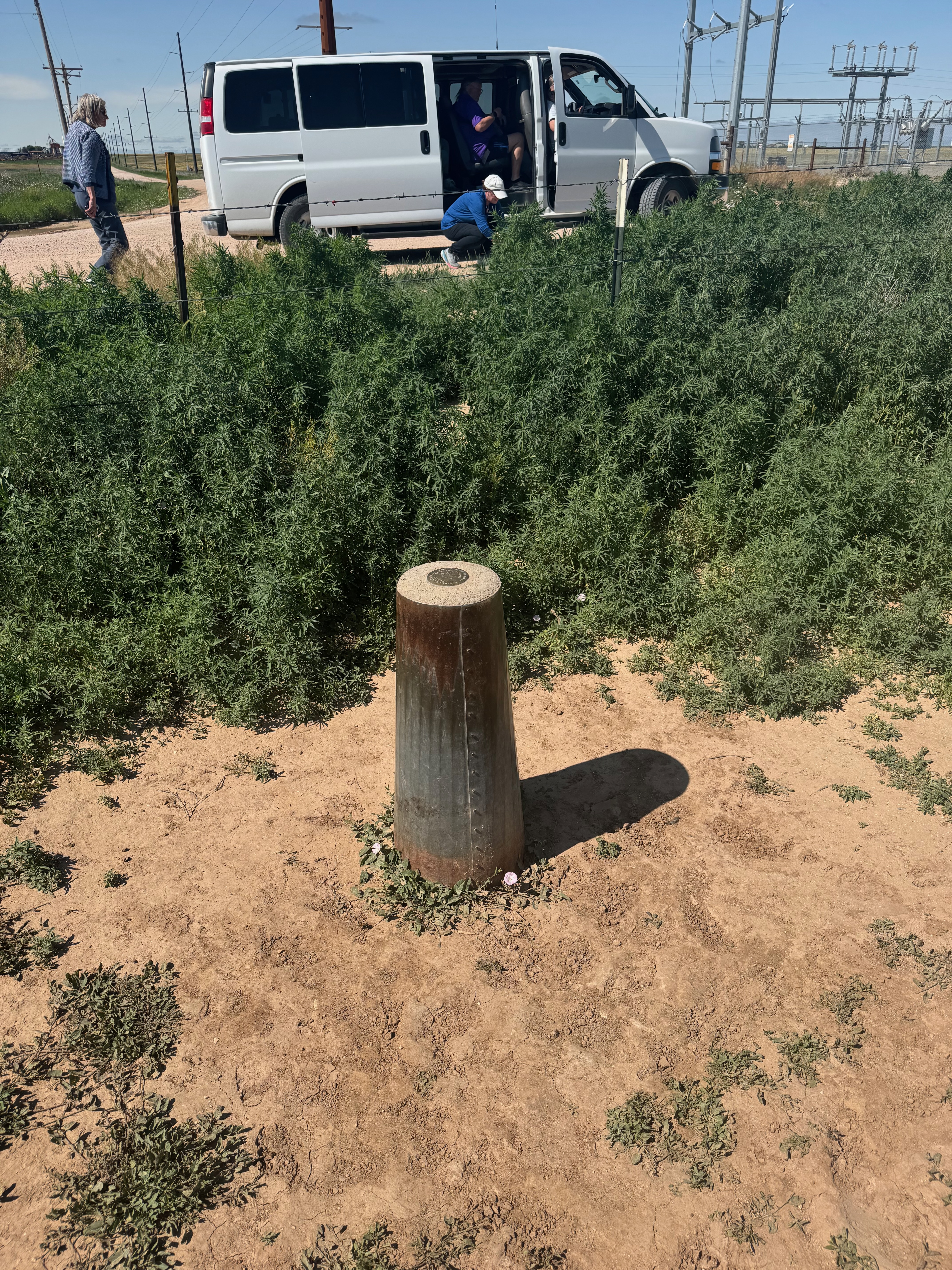
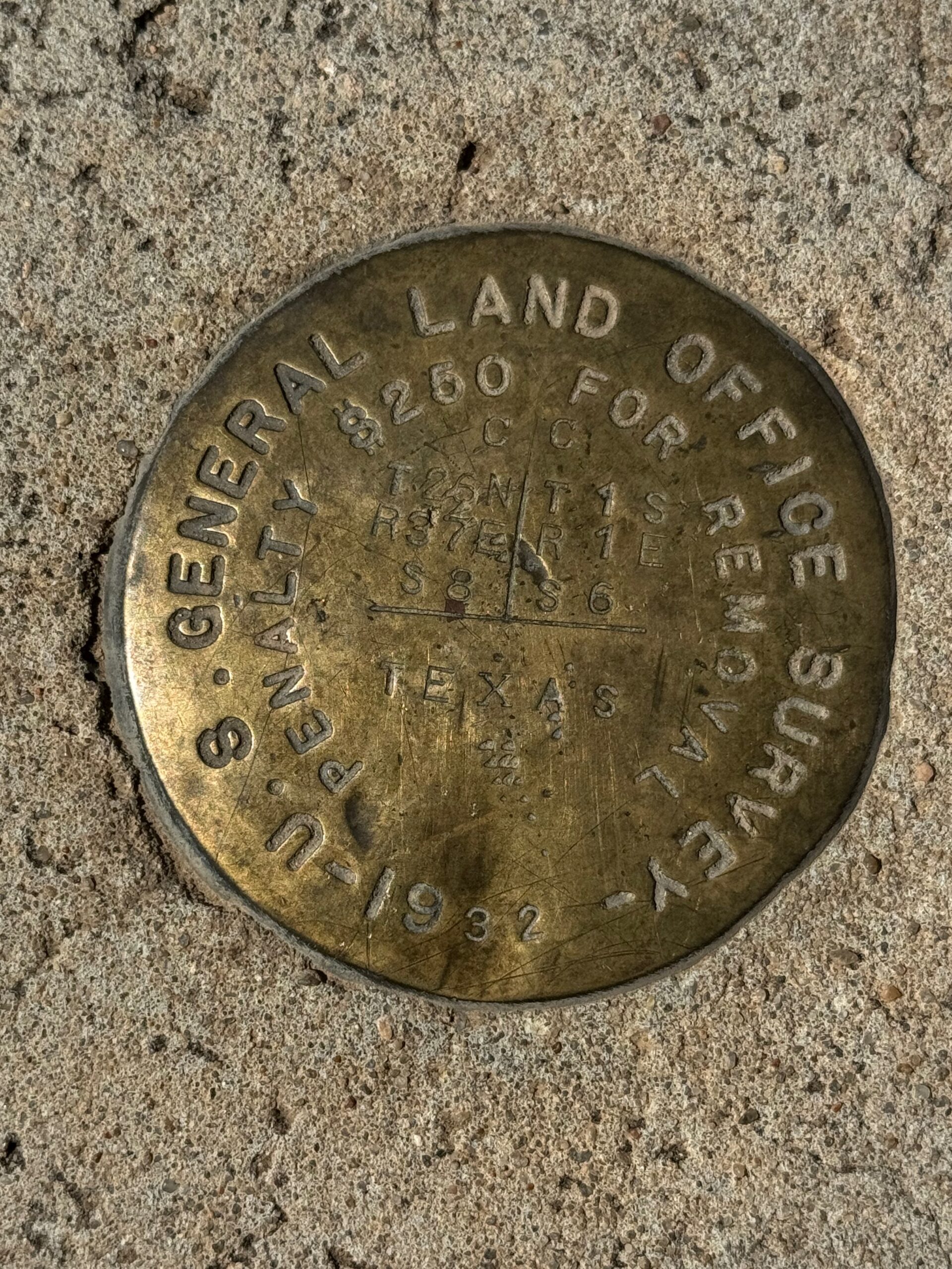
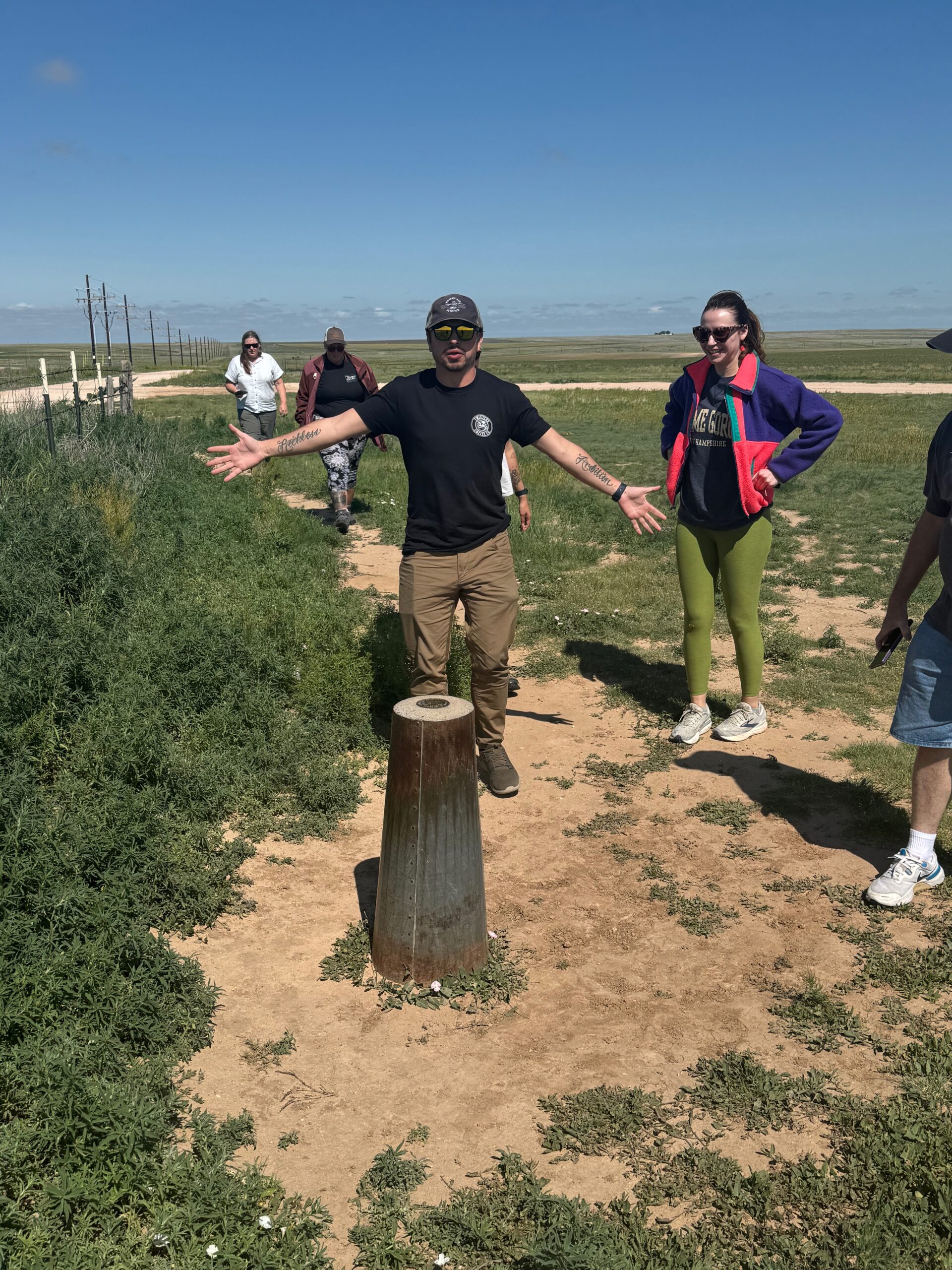
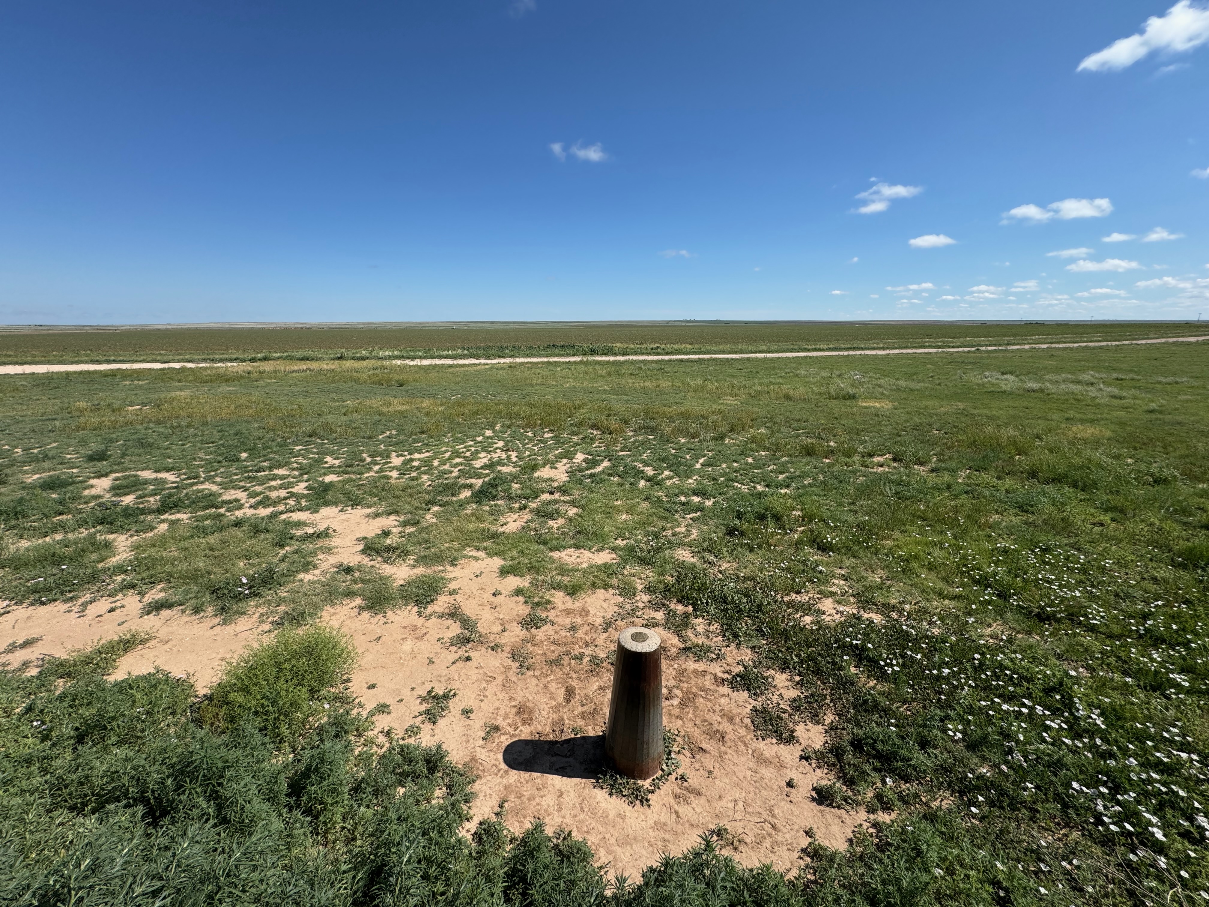
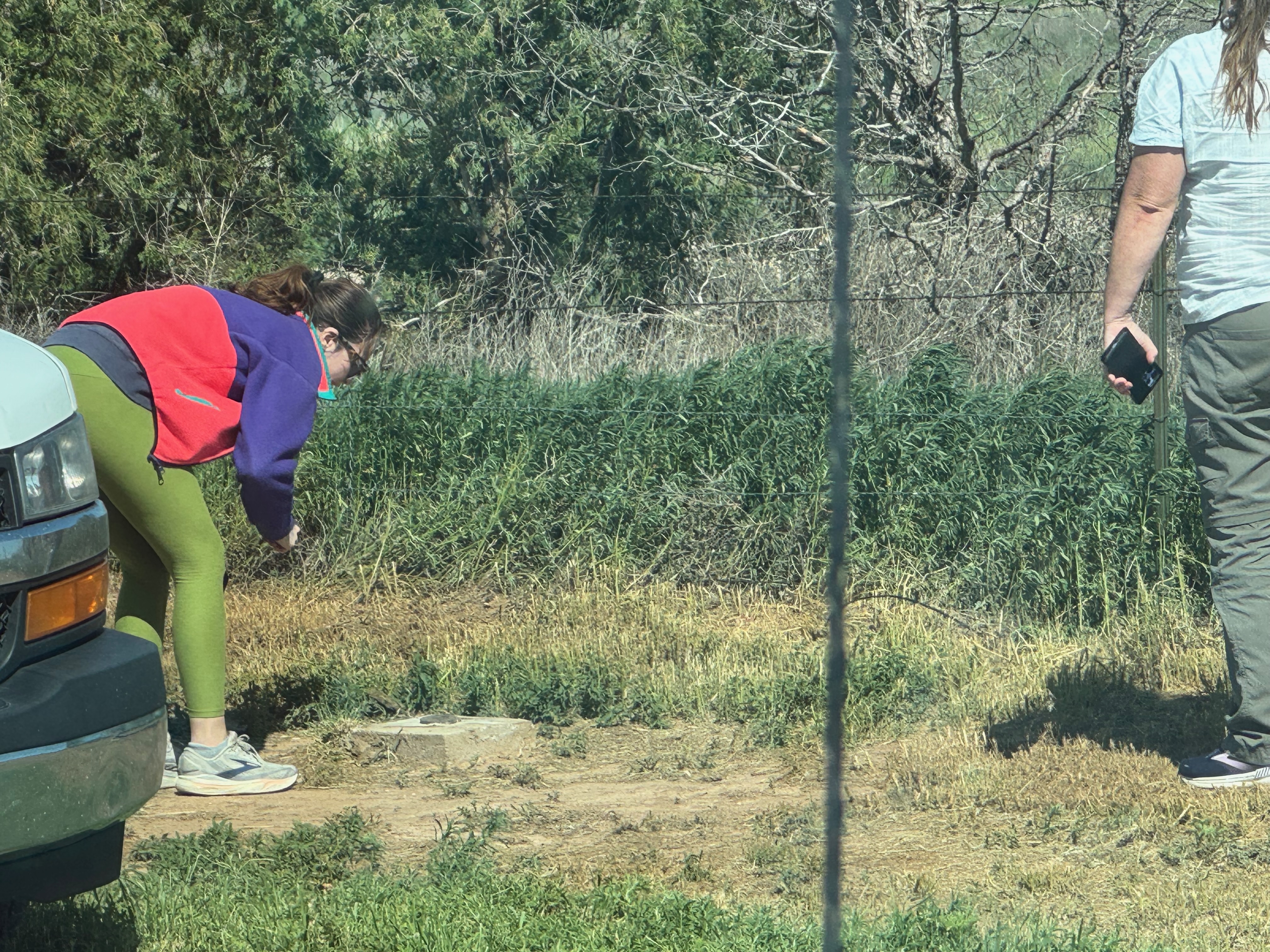
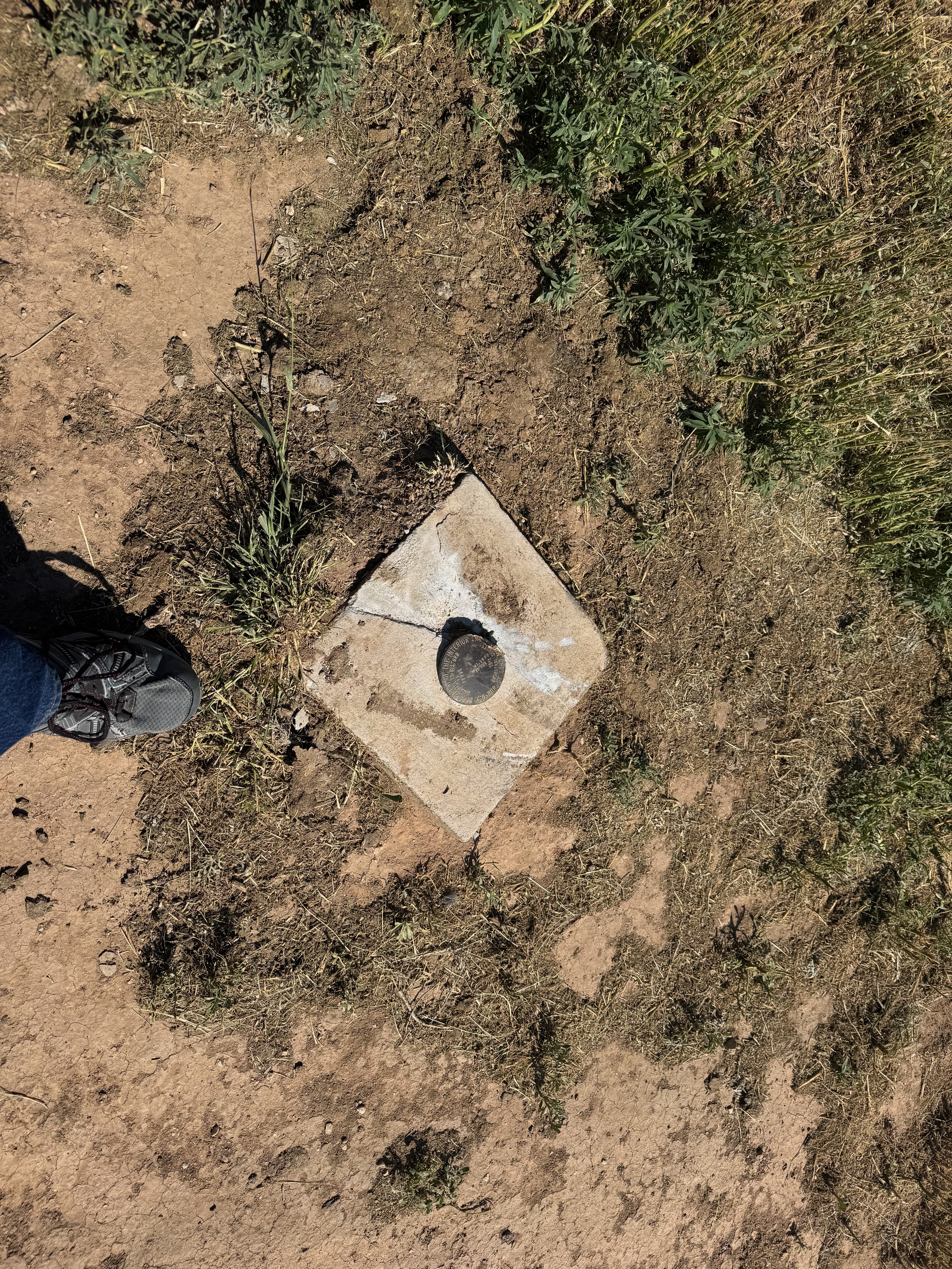
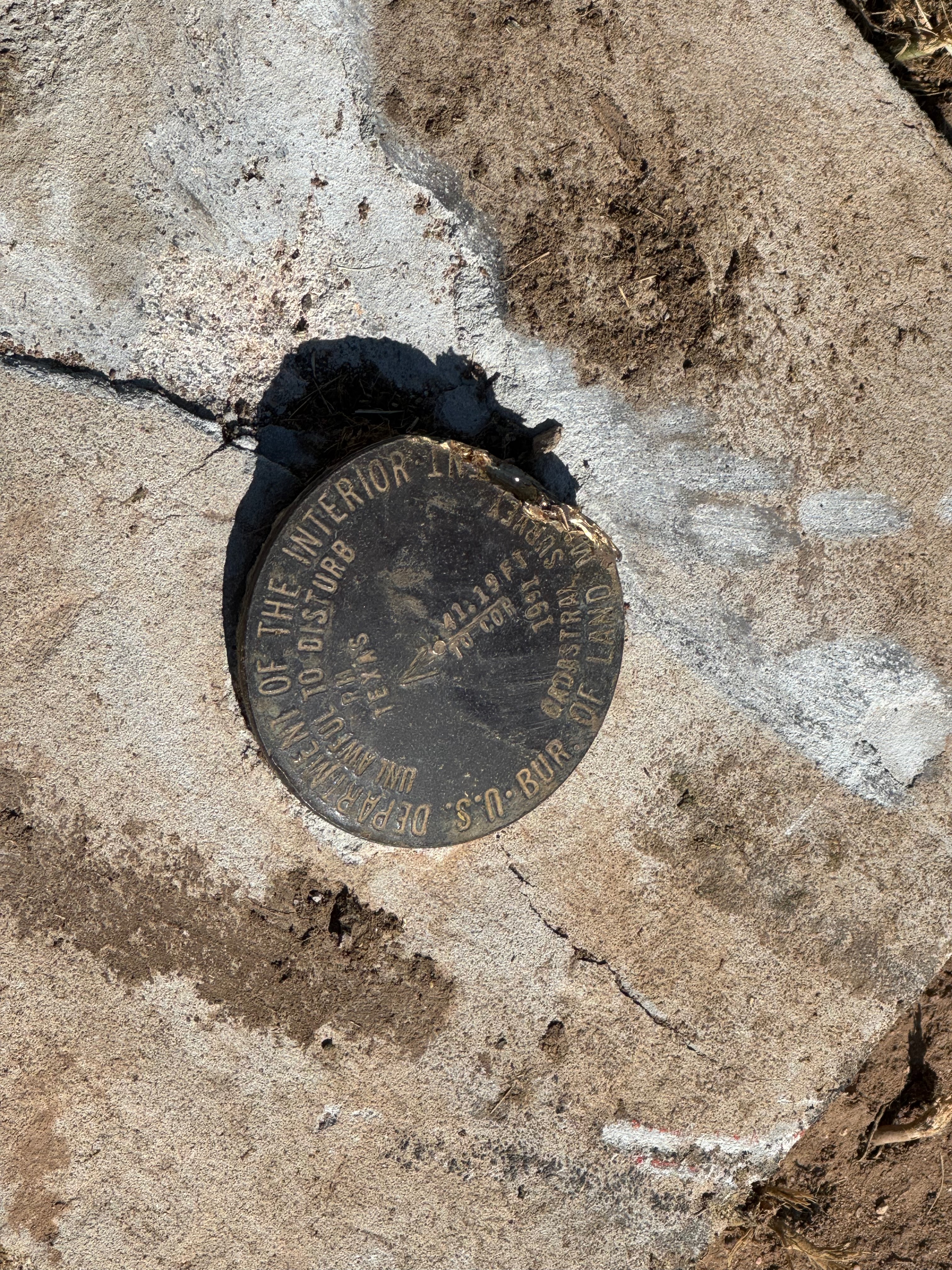
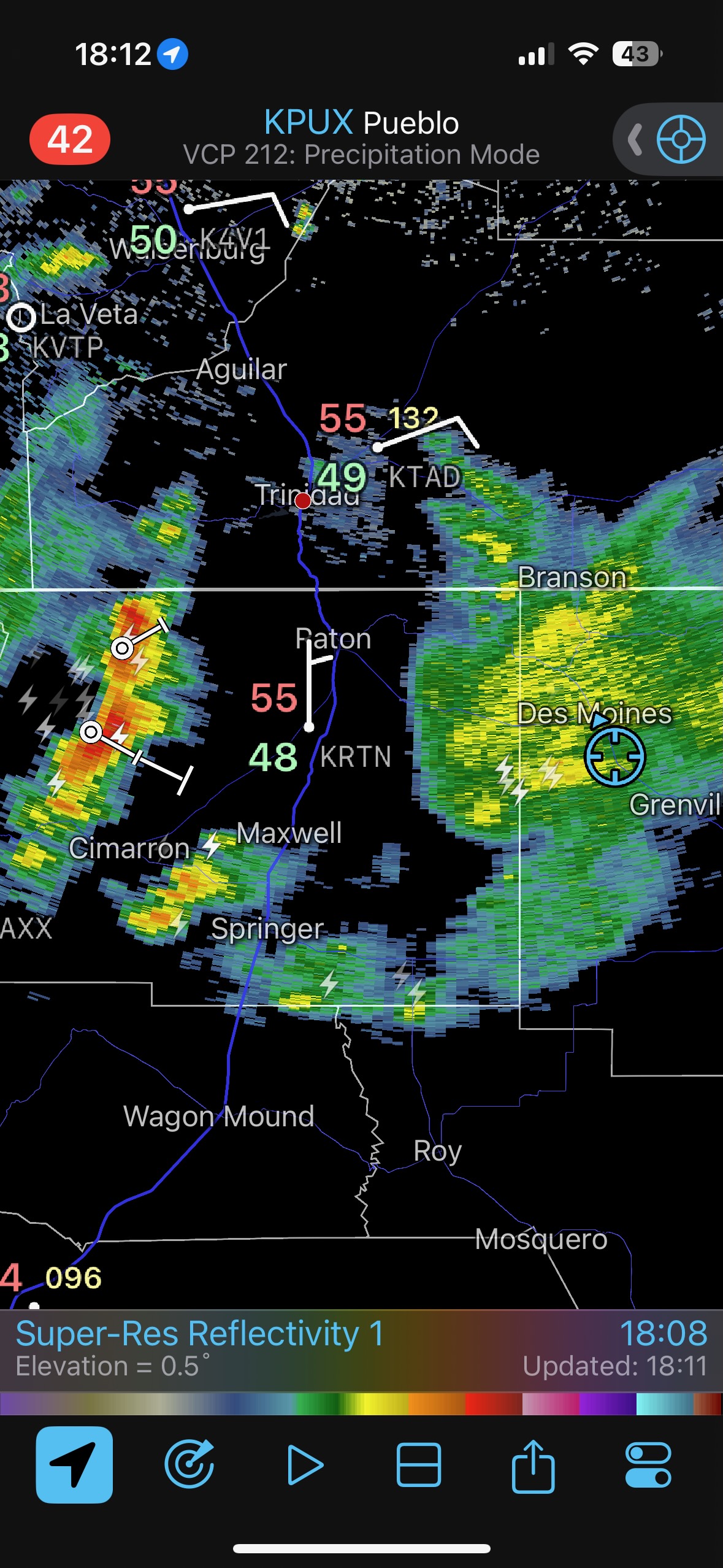
Let’s get the June 3 reposition day iPhone pics out of the way, first. After we checked out some survey markers and checked into the Holiday in Clayton, we took a look at the activity to our west near Des Moines. It was pathetic.
iPhone pics from June 3 below

iPhone pics and account for June 4 below
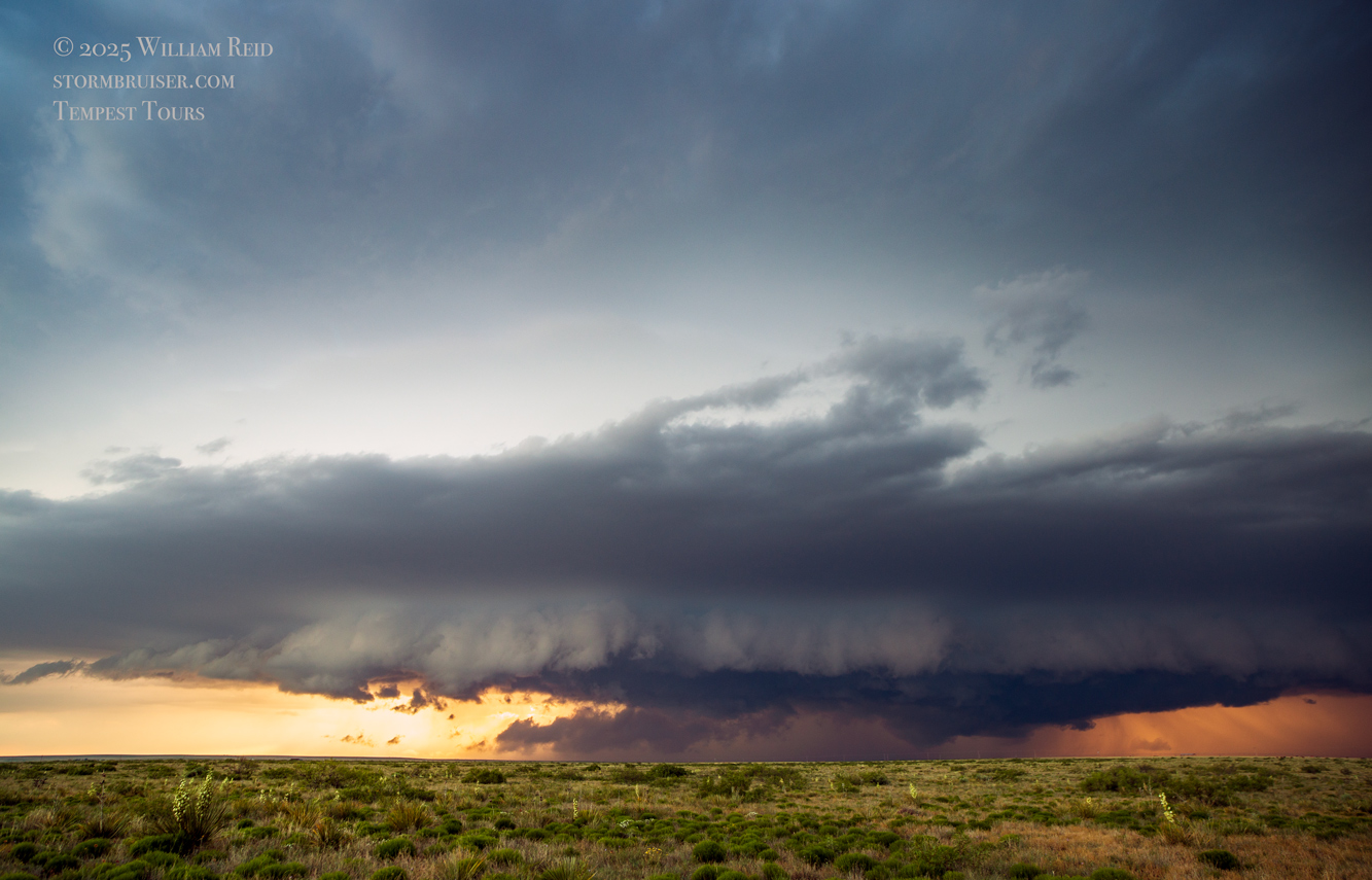
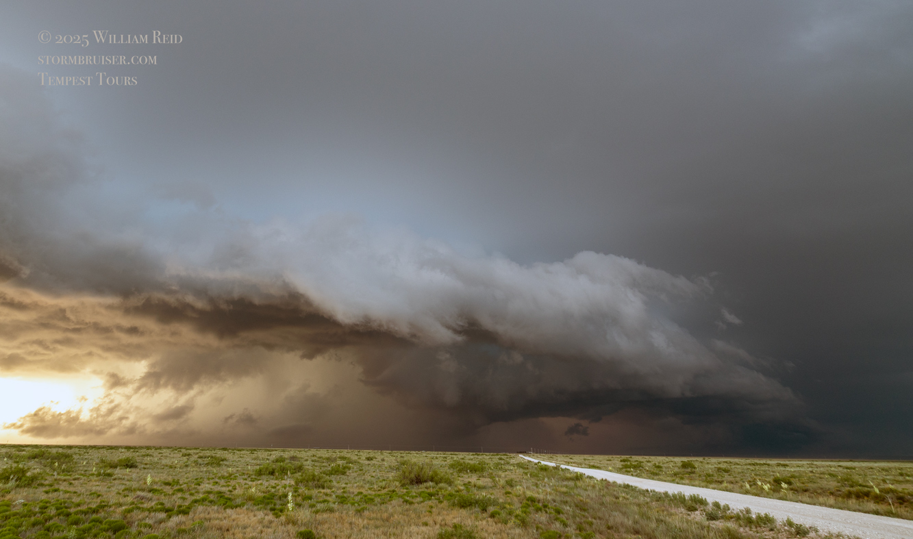
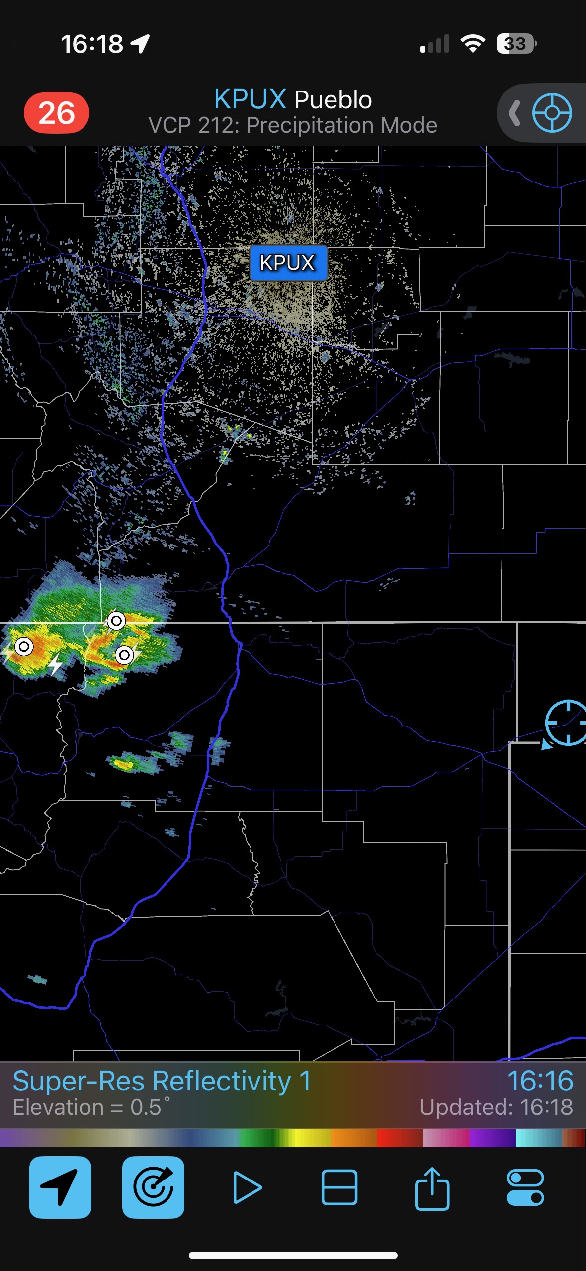
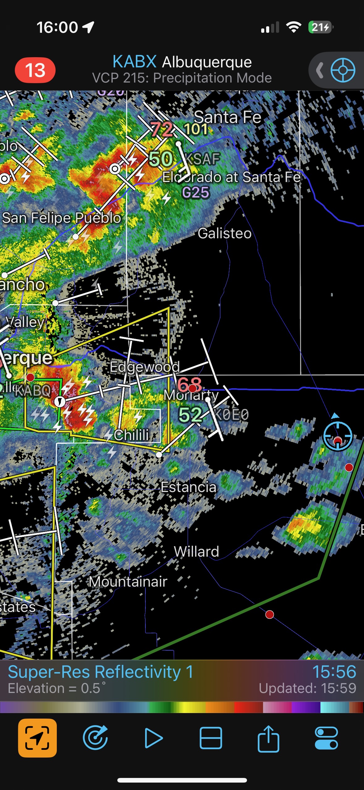
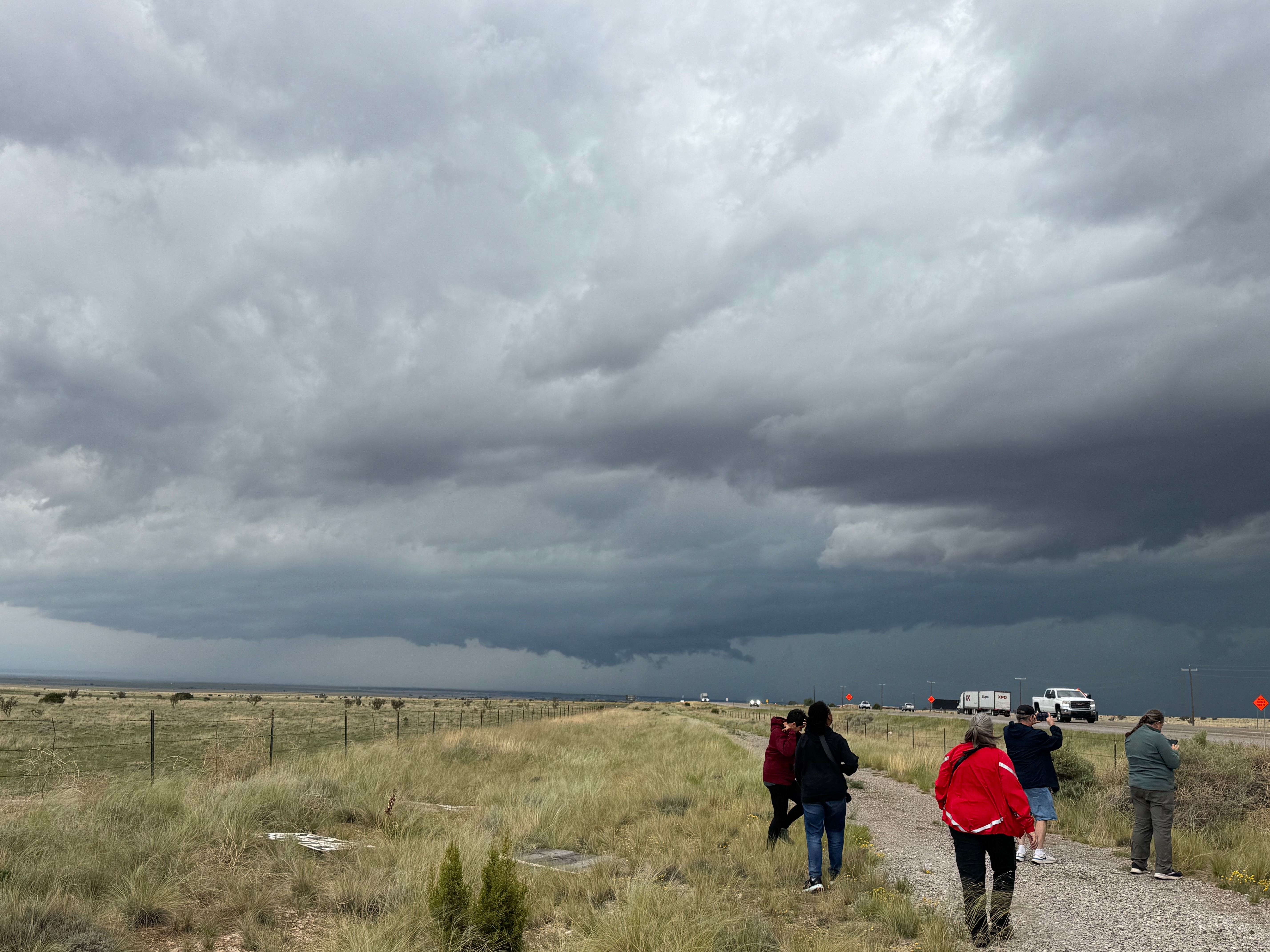
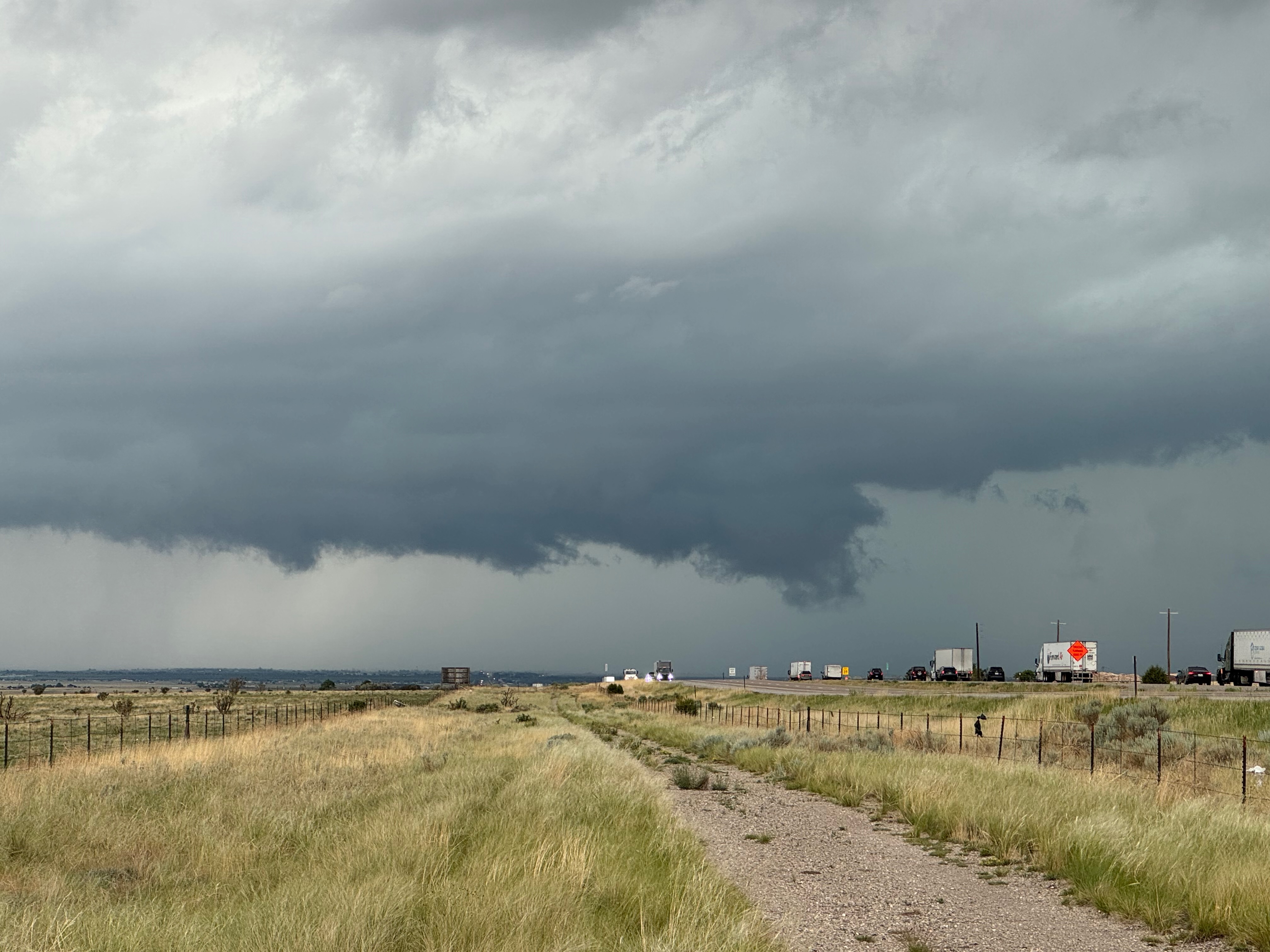
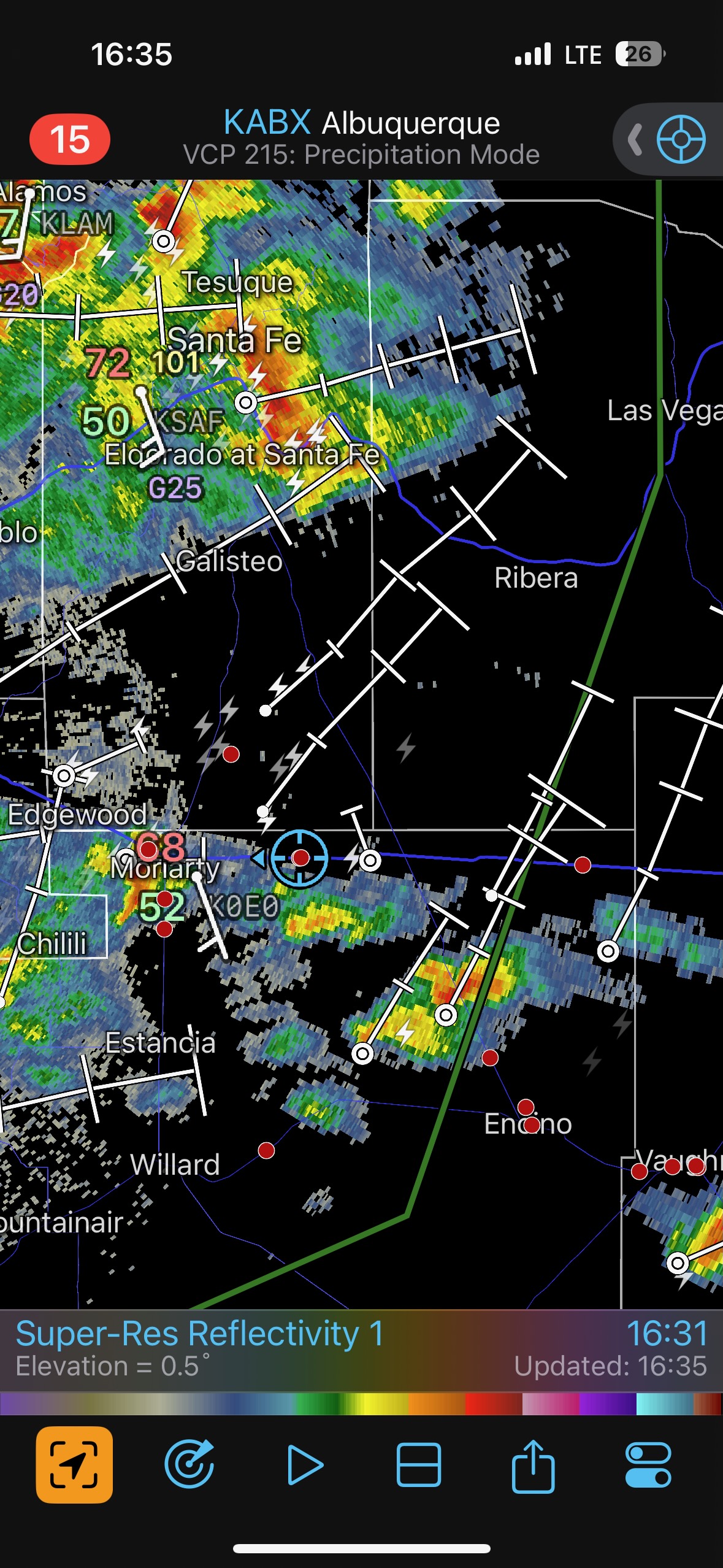
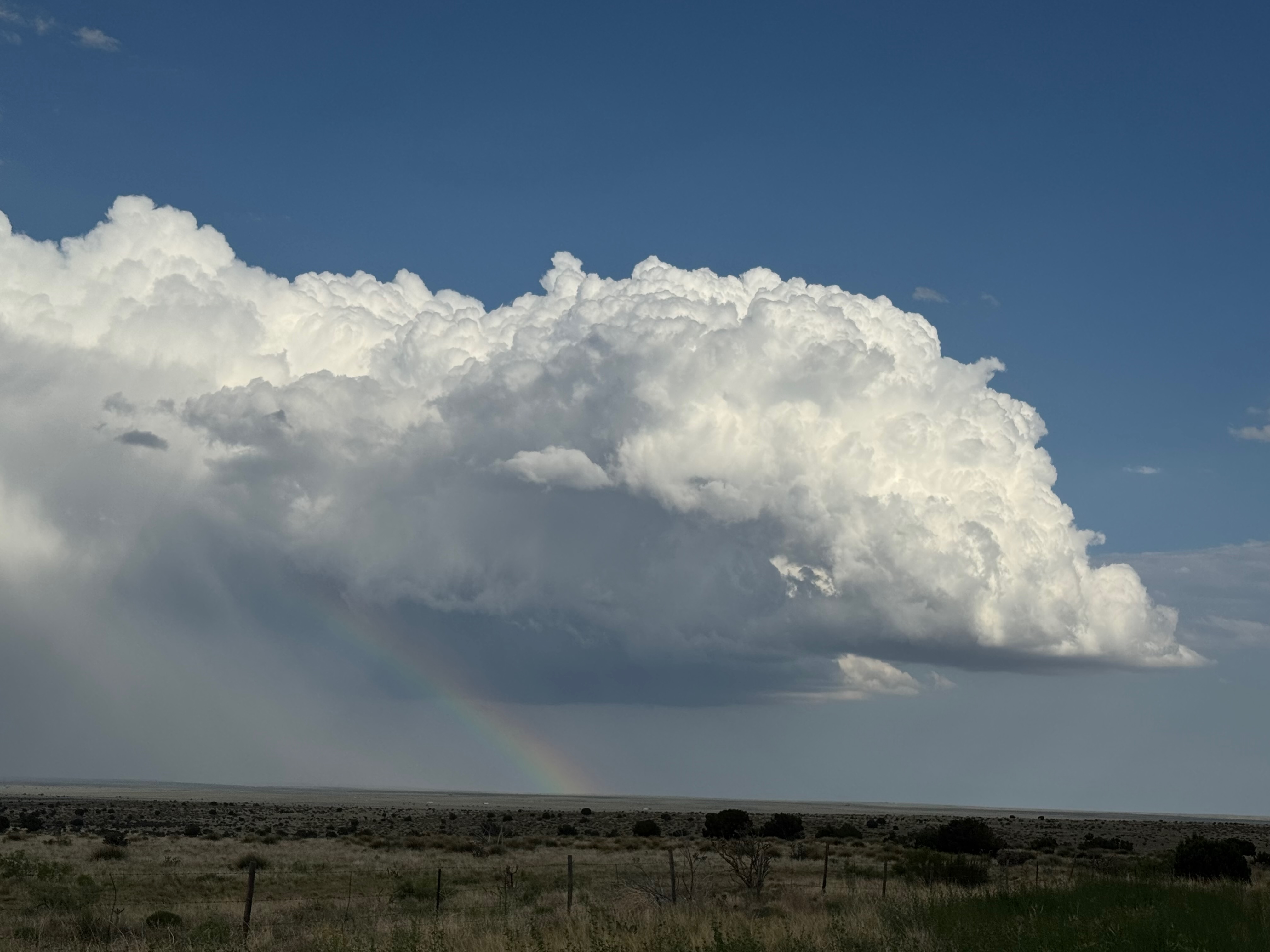
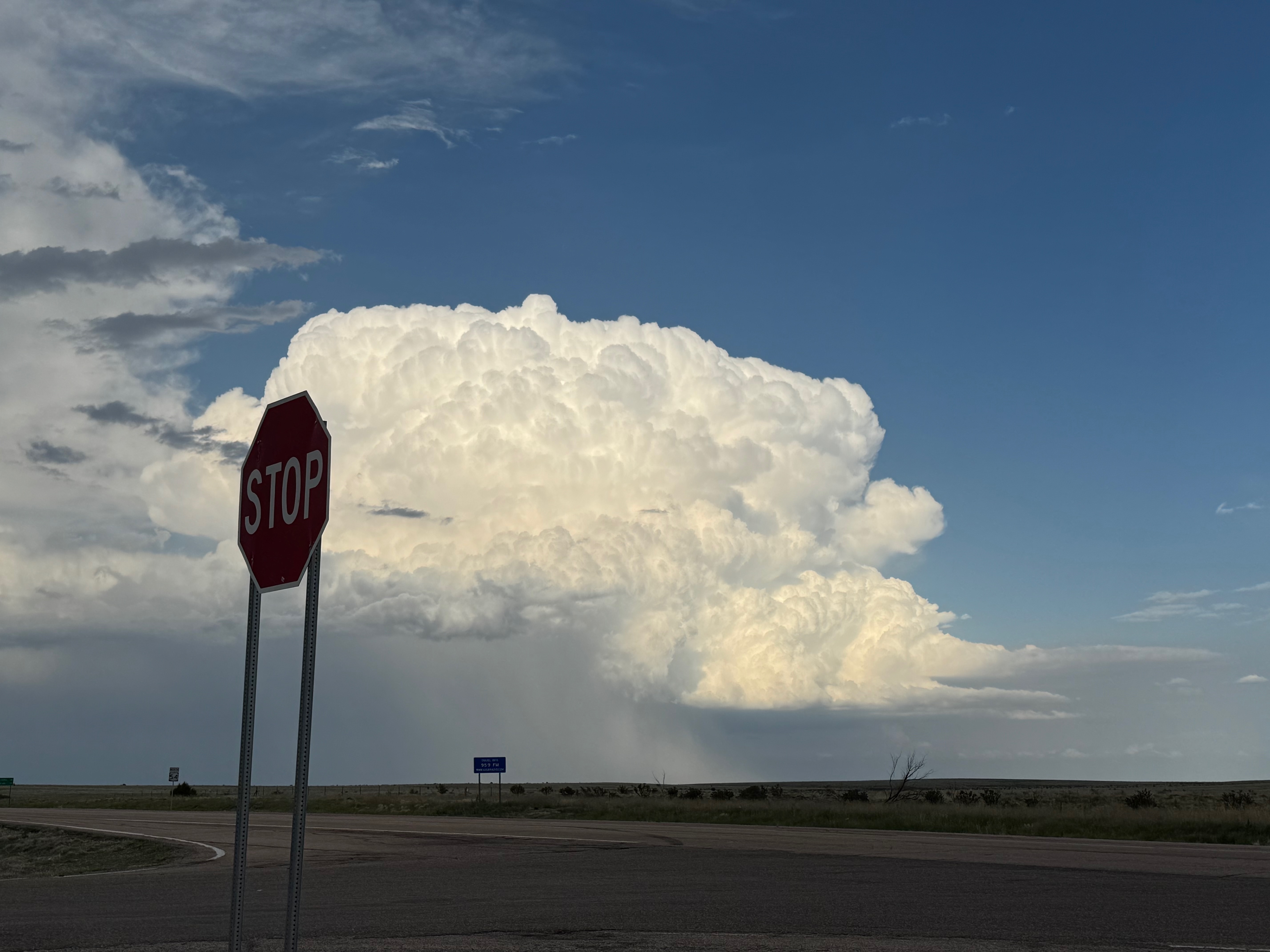
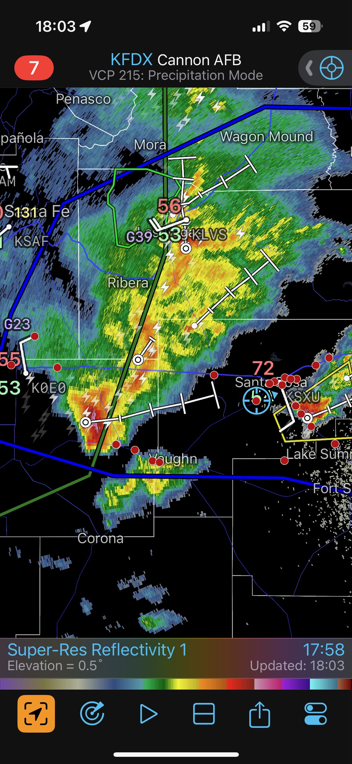
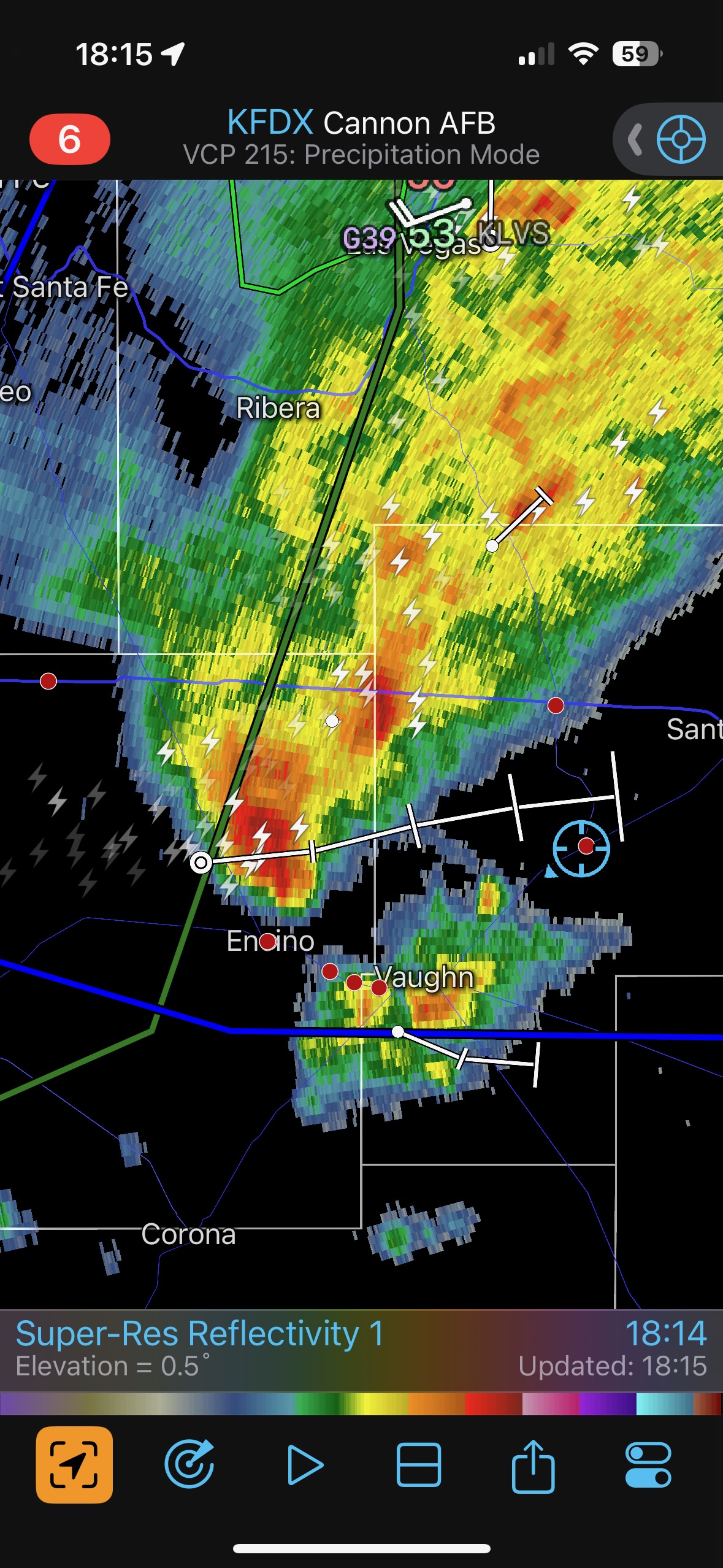
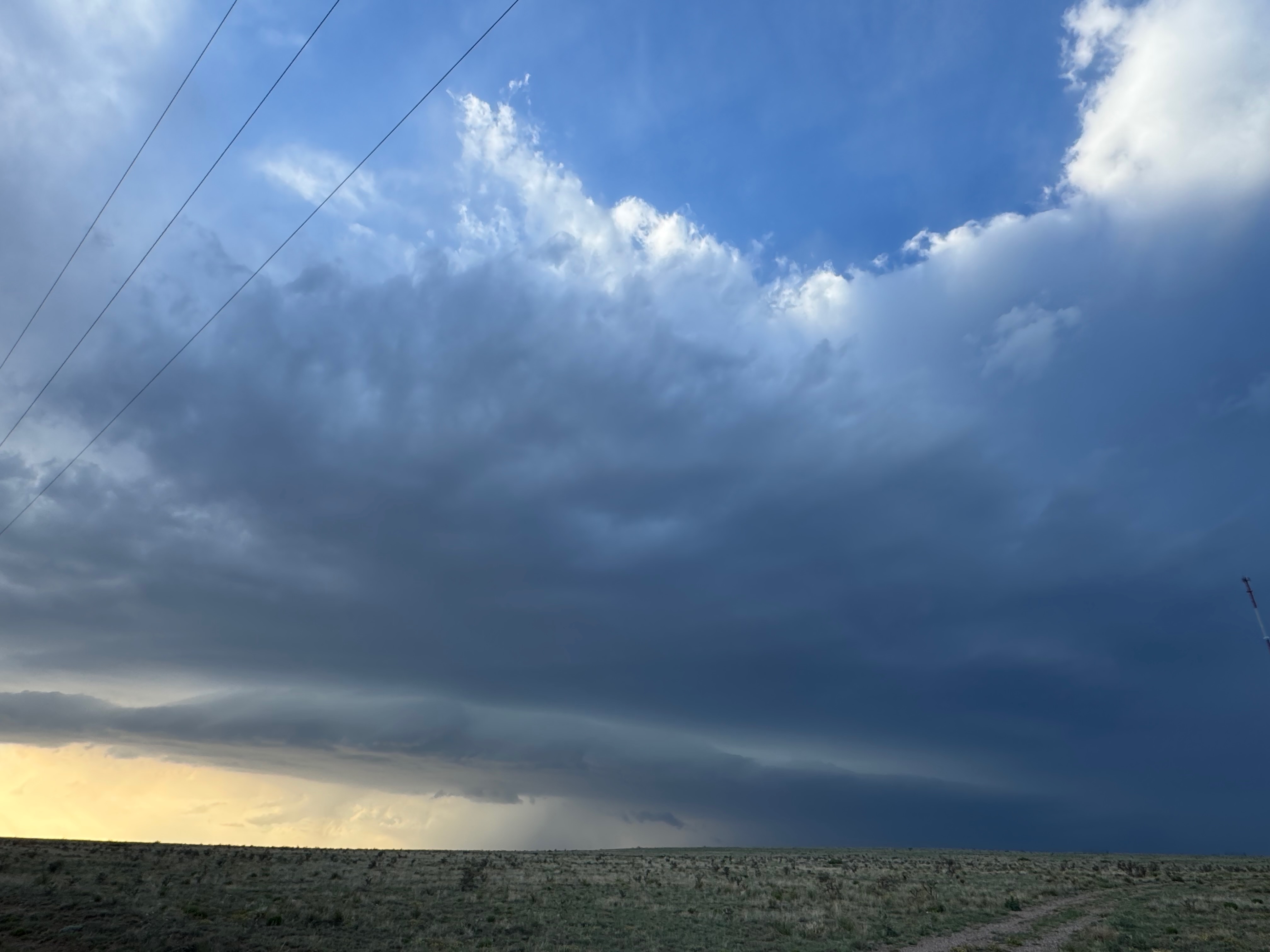
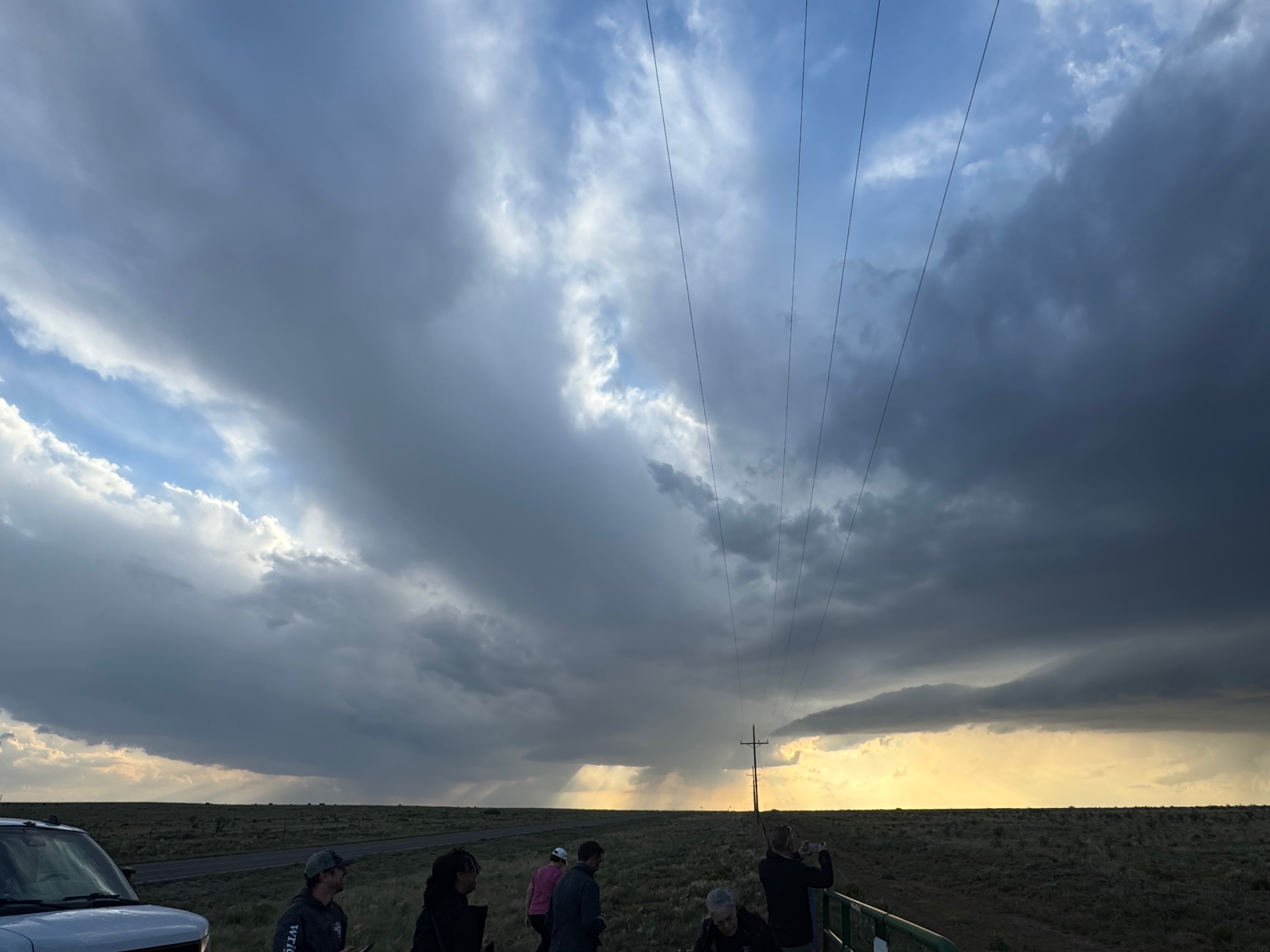
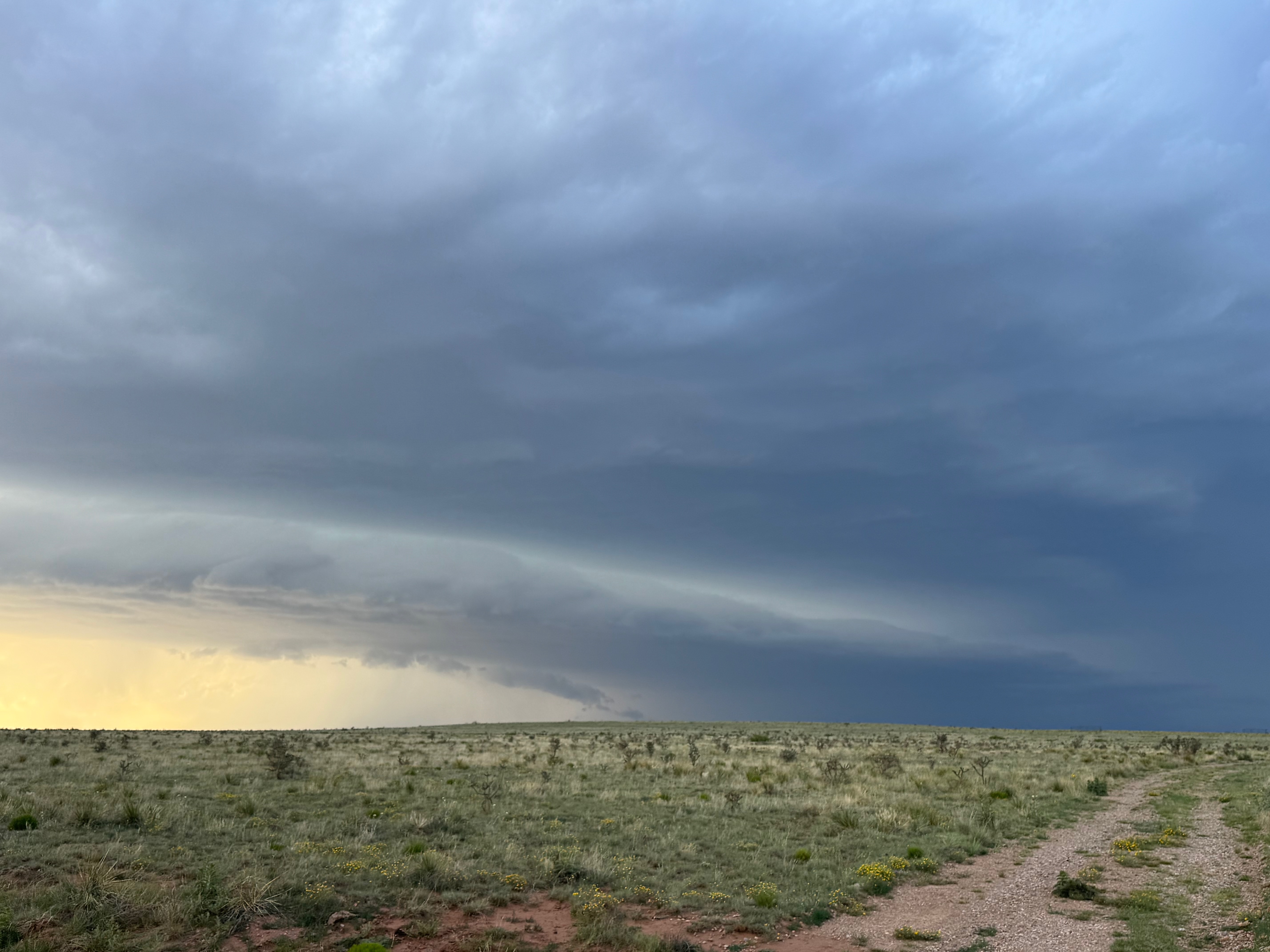
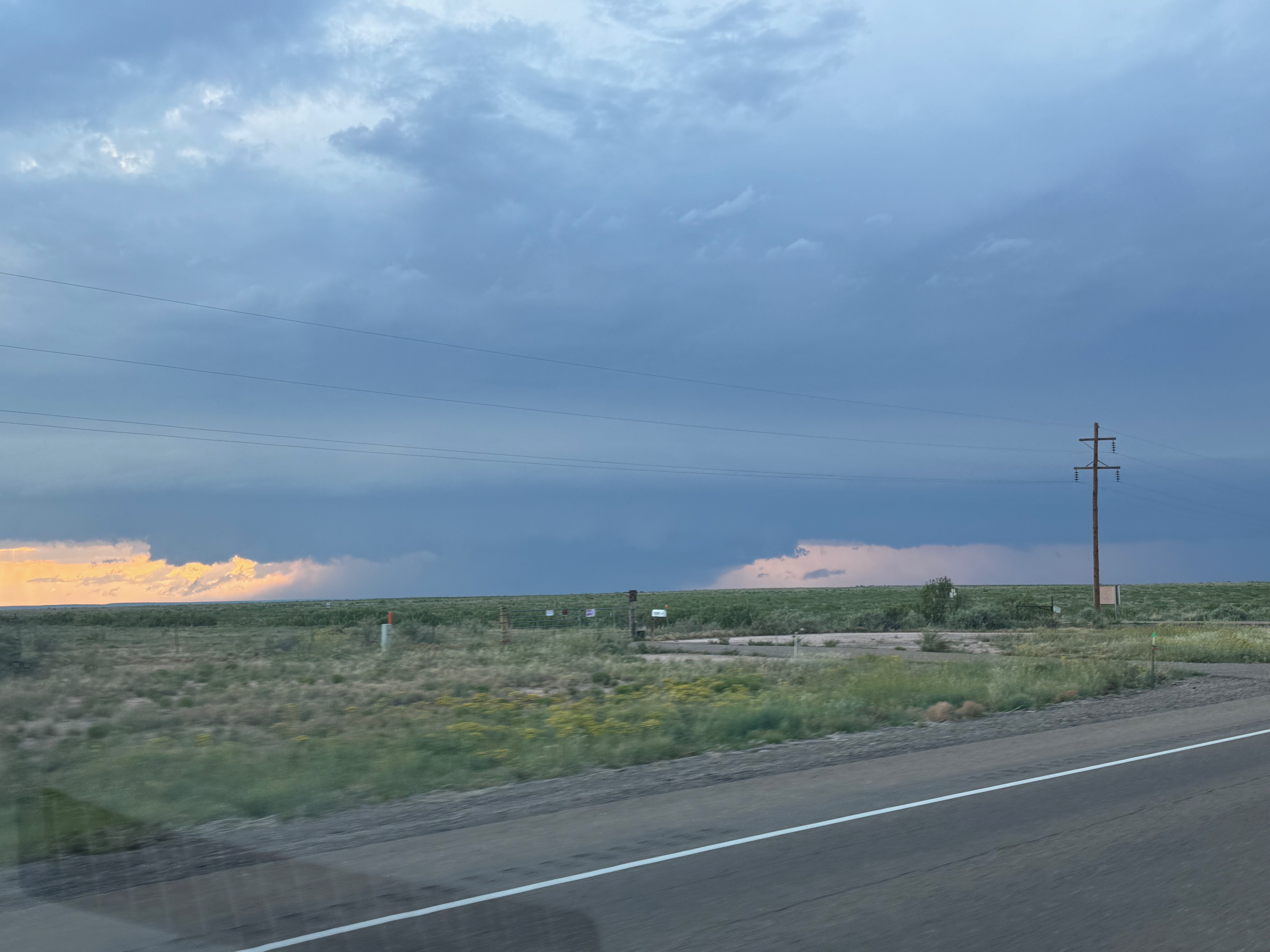
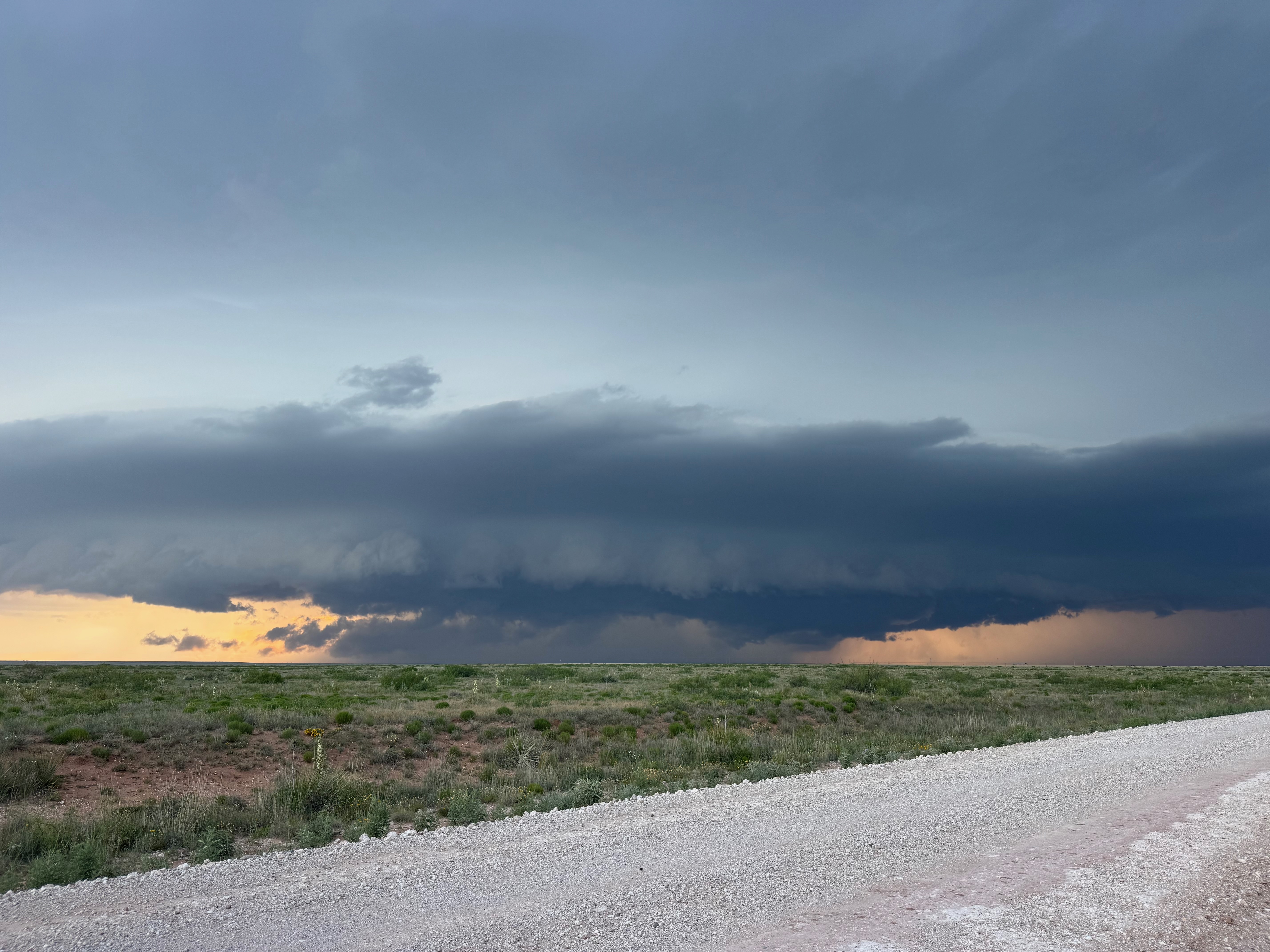
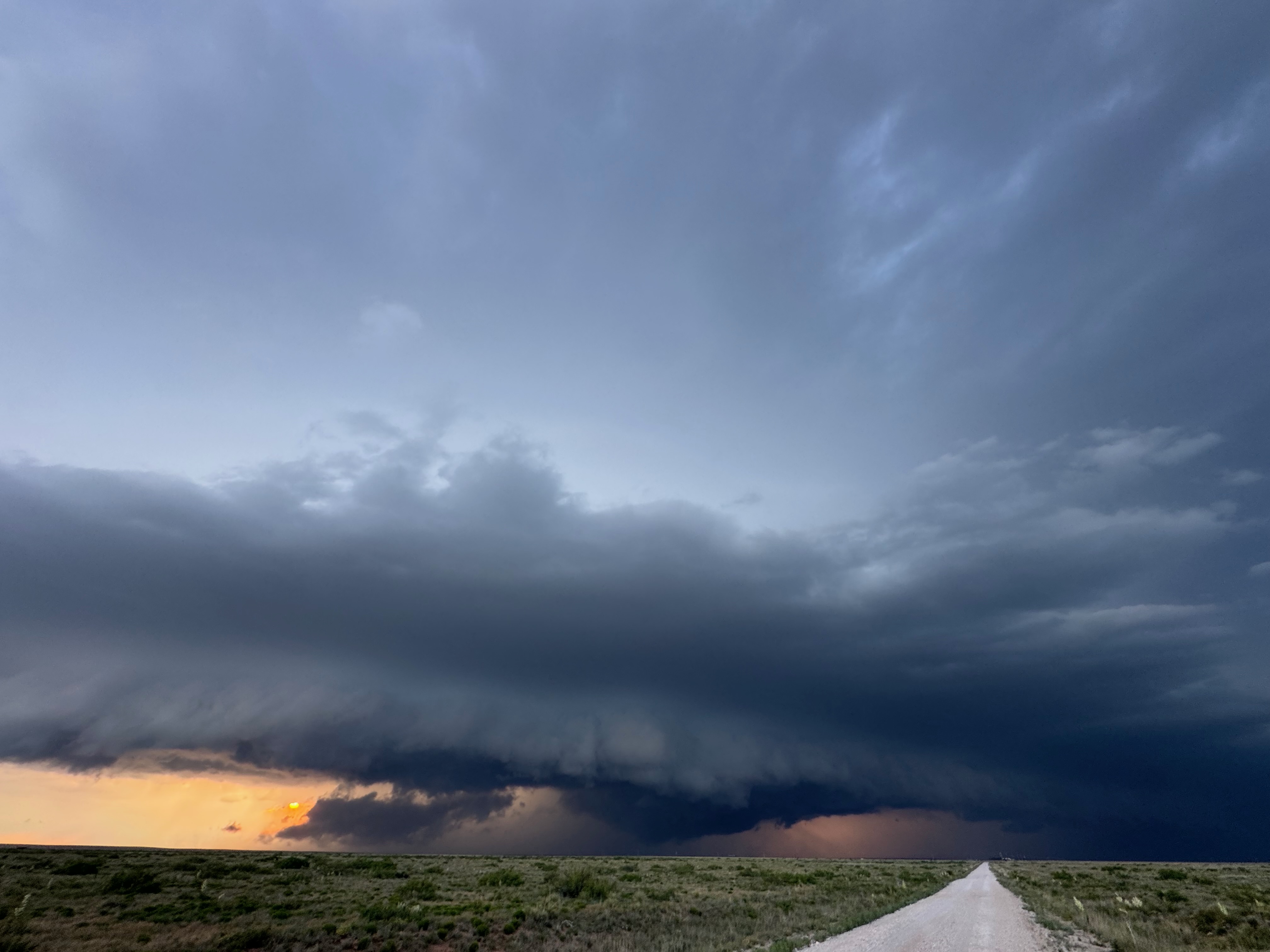
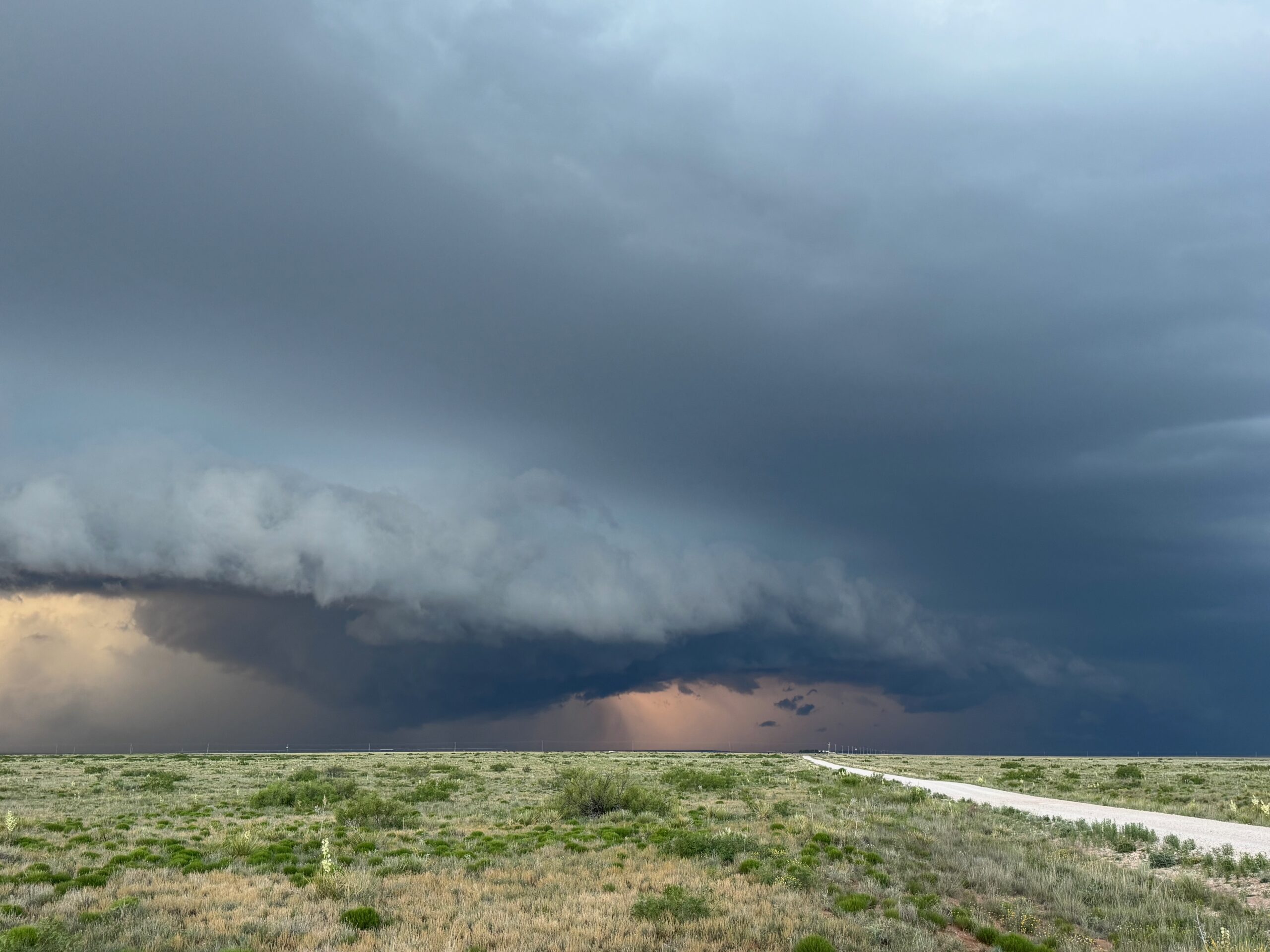
Moisture and shear and upslope flow were good enough for severe storms in east-central New Mexico on this chase day. We headed to Tucumcari and Vaughn. There was some high-based junk around Vaughn. From there we checked out stronger stuff coming out of the Moriarty area along I-40 (second and third photos in the second batch below, around 4:35 p.m.). This stuff looked cold and outflowy. We went back east again to intercept a new updraft that was southwest of Santa Rosa. It looked big and beefy, and eventually we had a good look at the organized storm base that was northwest of Fort Sumner (see last several images below).
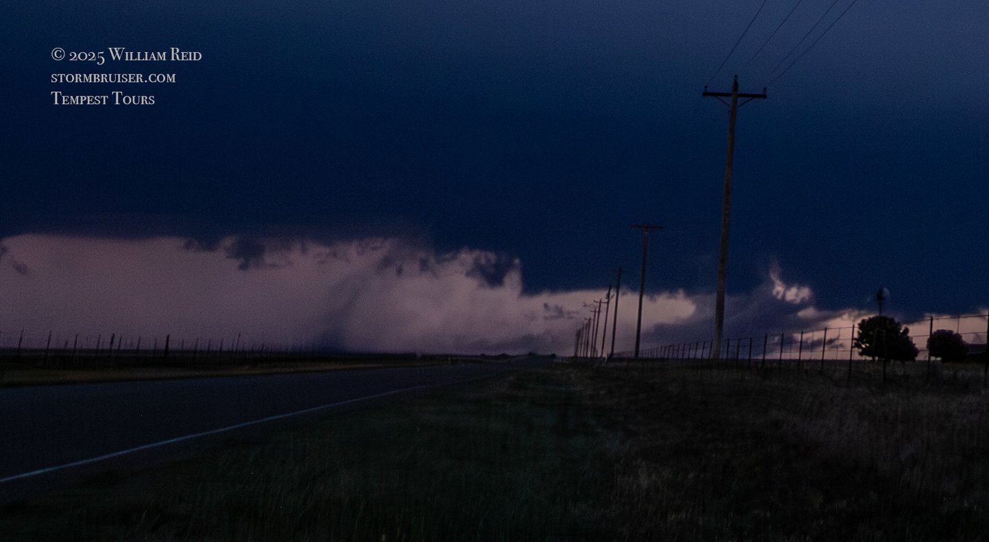
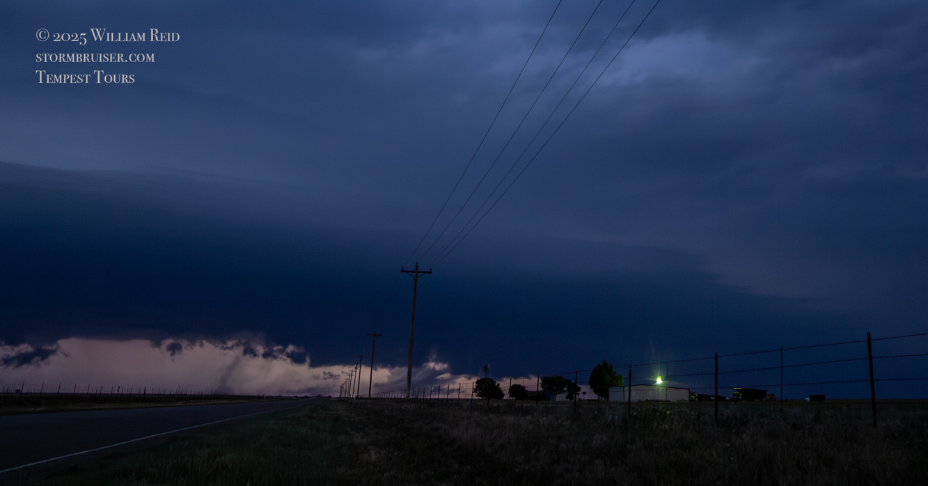
The storm maintained a good look as it continued to the east just after sunset. We had to scoot back south to Fort Sumner and our road east to keep with it. At Melrose it was getting dark, and we went north a few miles to get another look (see the last five shots in the Canon section above). We had a decent supercell going, and some of the lightning flashes revealed a fairly solid and skinny tornado which we, apparently, did not notice at the time.
Leave a Reply
You must be logged in to post a comment.