
Start: Oberlin, KS/lunch: quick grab-and-go at Casey’s in Hill City/End: Canadian, TX/441 miles
Mesoscale Discussions. 1:27 p.m. CDT. 5:16 p.m. CDT. 6:05 p.m. CDT. 8:13 p.m. CDT. 8:48 p.m. CDT
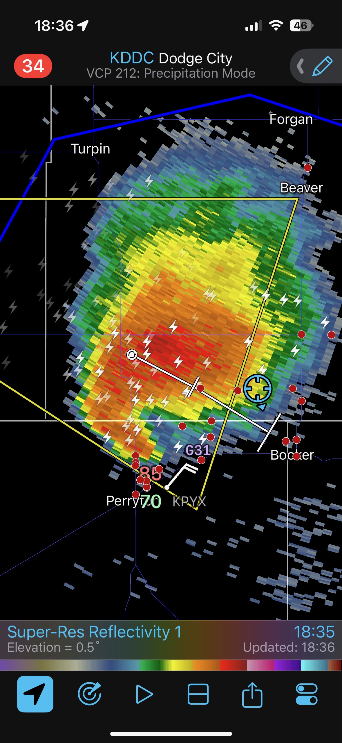
The SPC mesoscale discussion at 5:16 p.m. provides a nice surface ob plot, showing the circulation and convergence near Perryton, TX, in Beaver County, OK.
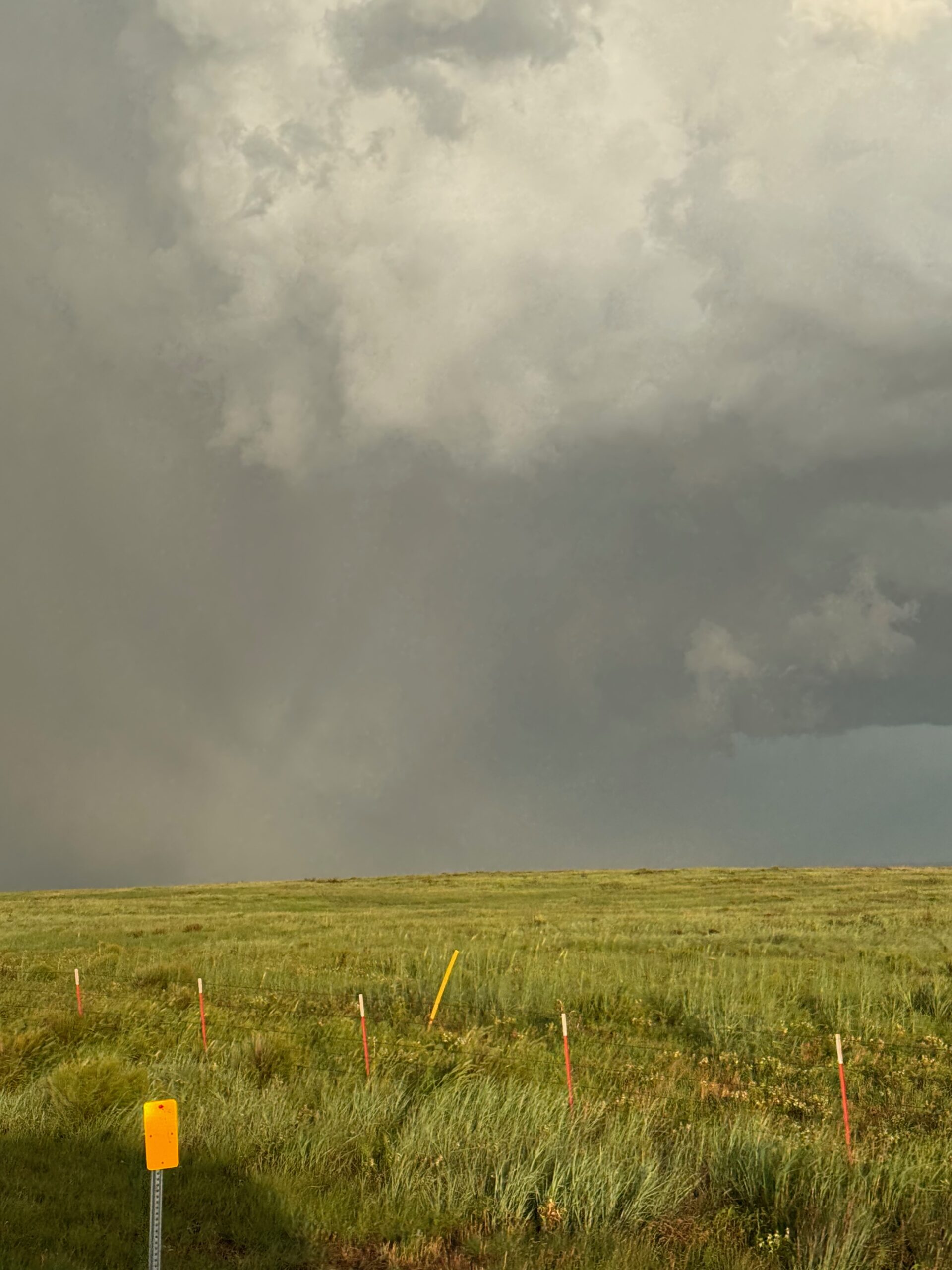
Like the day prior, we had to scoot south in order to attach ourselves to a boundary which was sagging southward. High theta-e air was on the south side of the boundary, around the eastern OK Panhandle and into the northeastern TX Panhandle. We dropped south through Dodge City and made it to Beaver County in time.
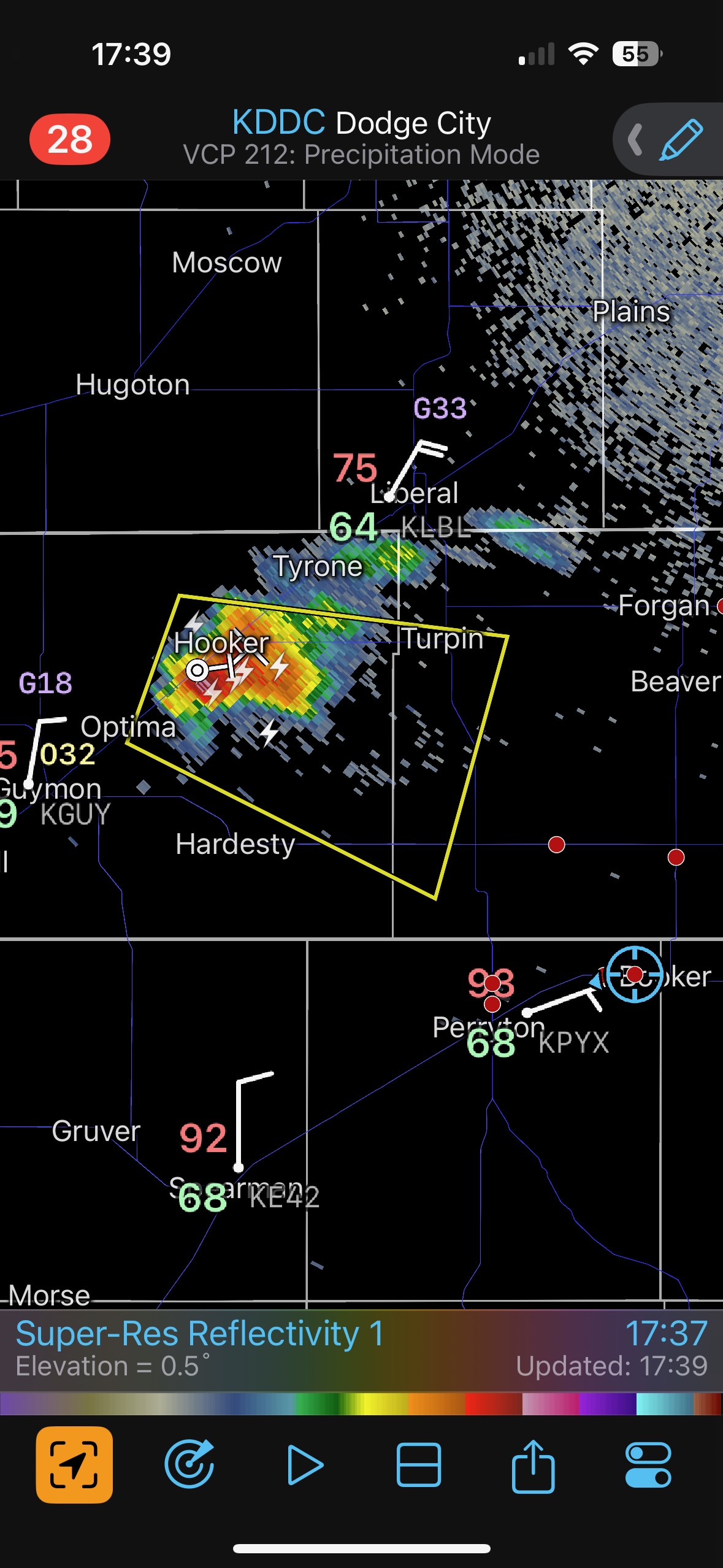
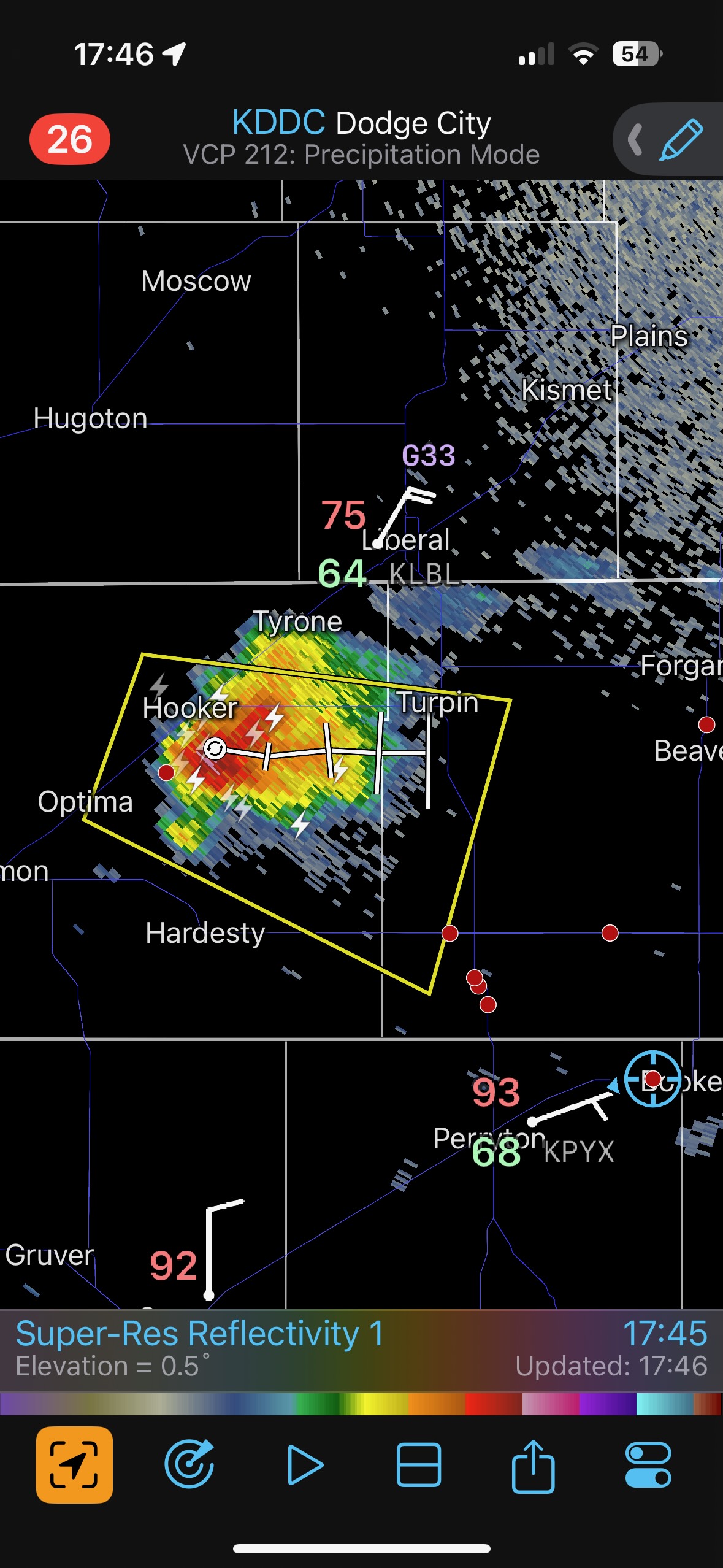
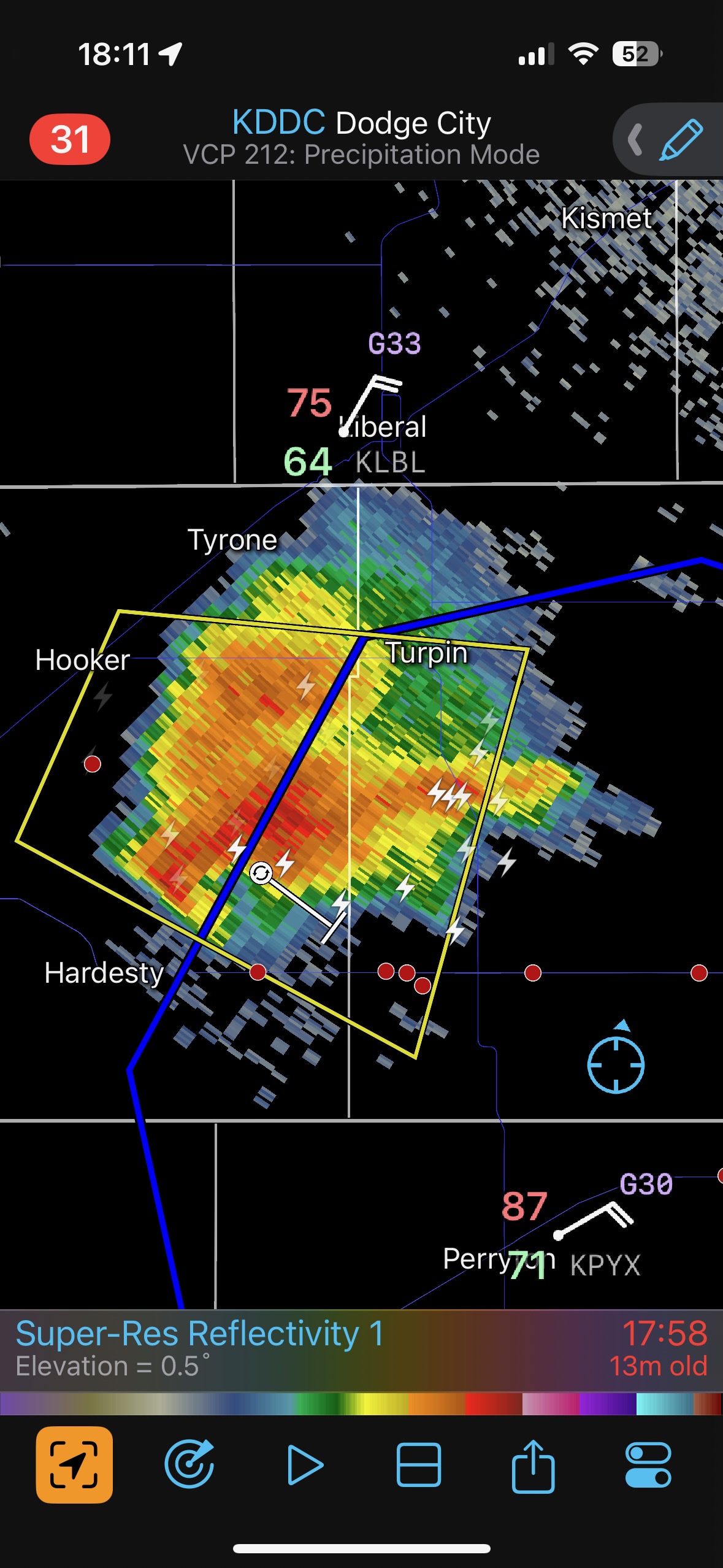
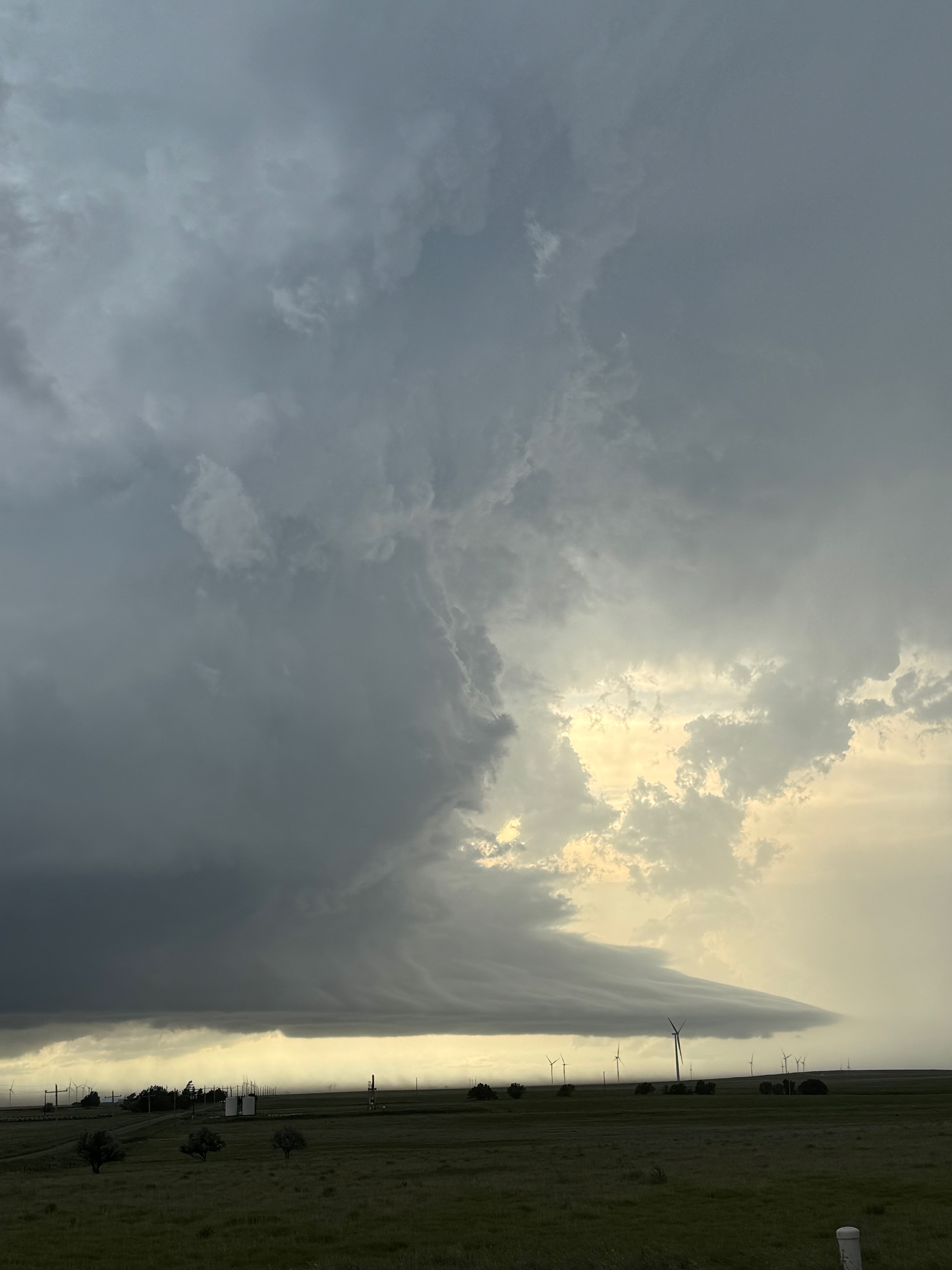
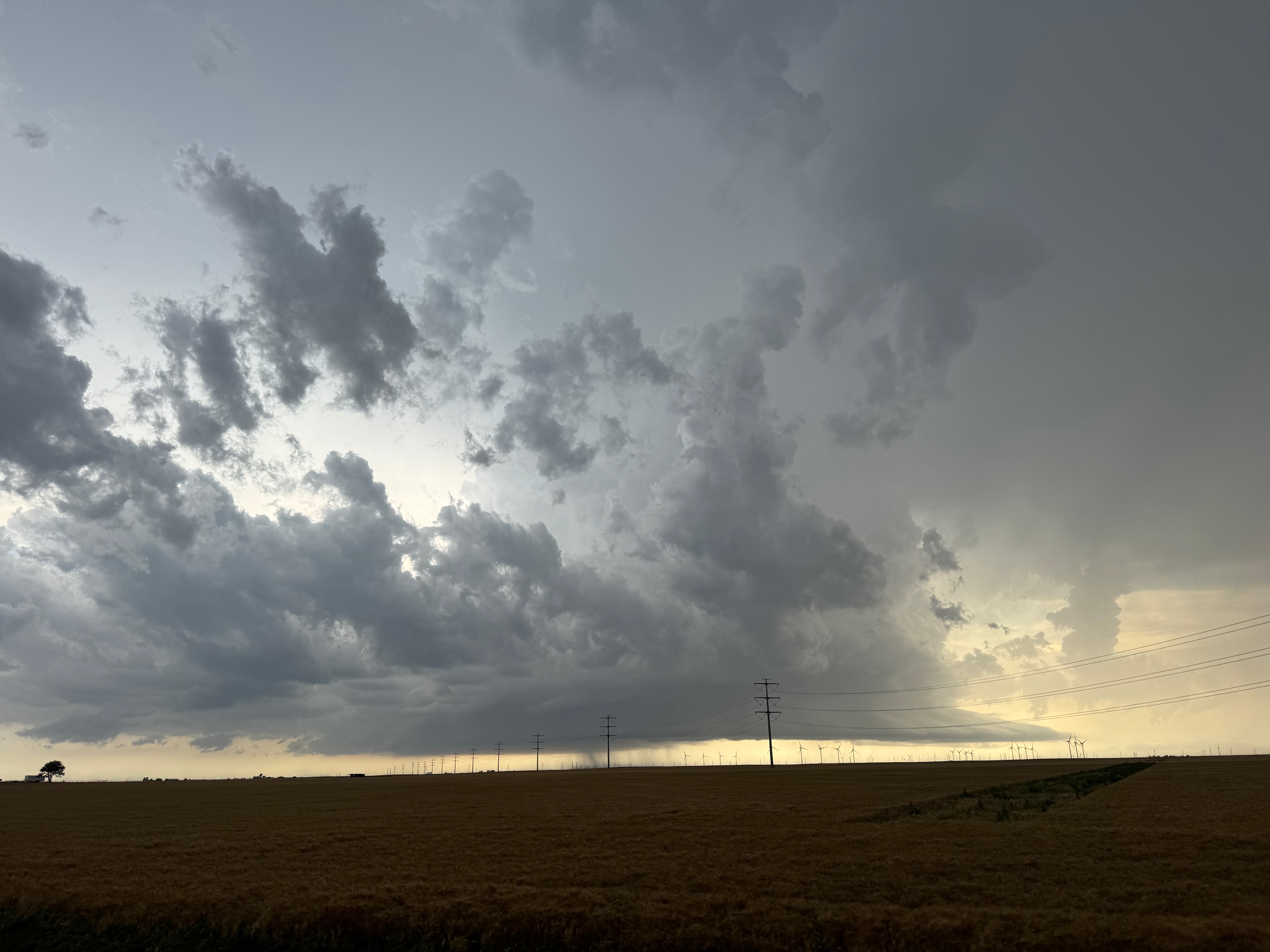
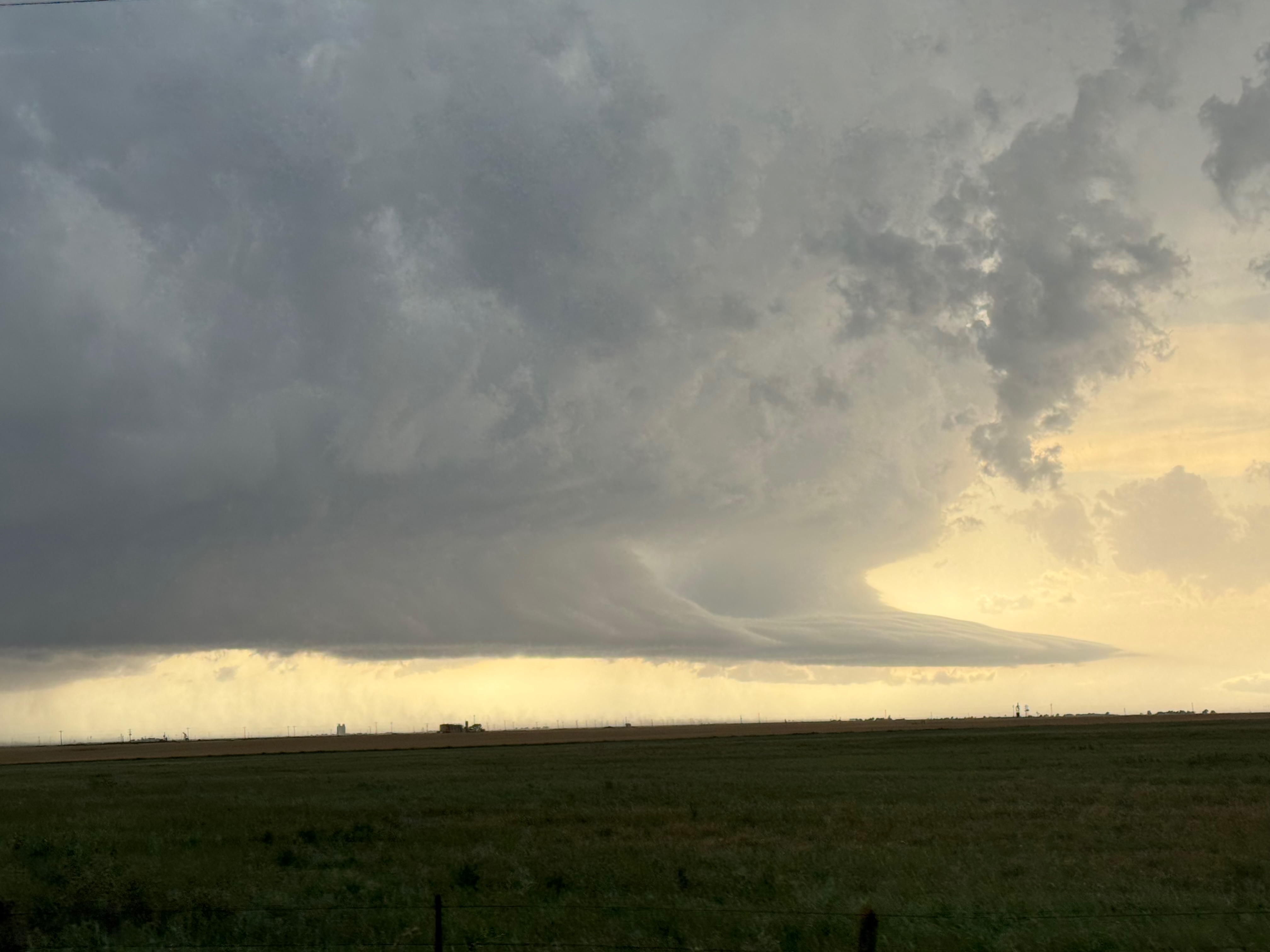
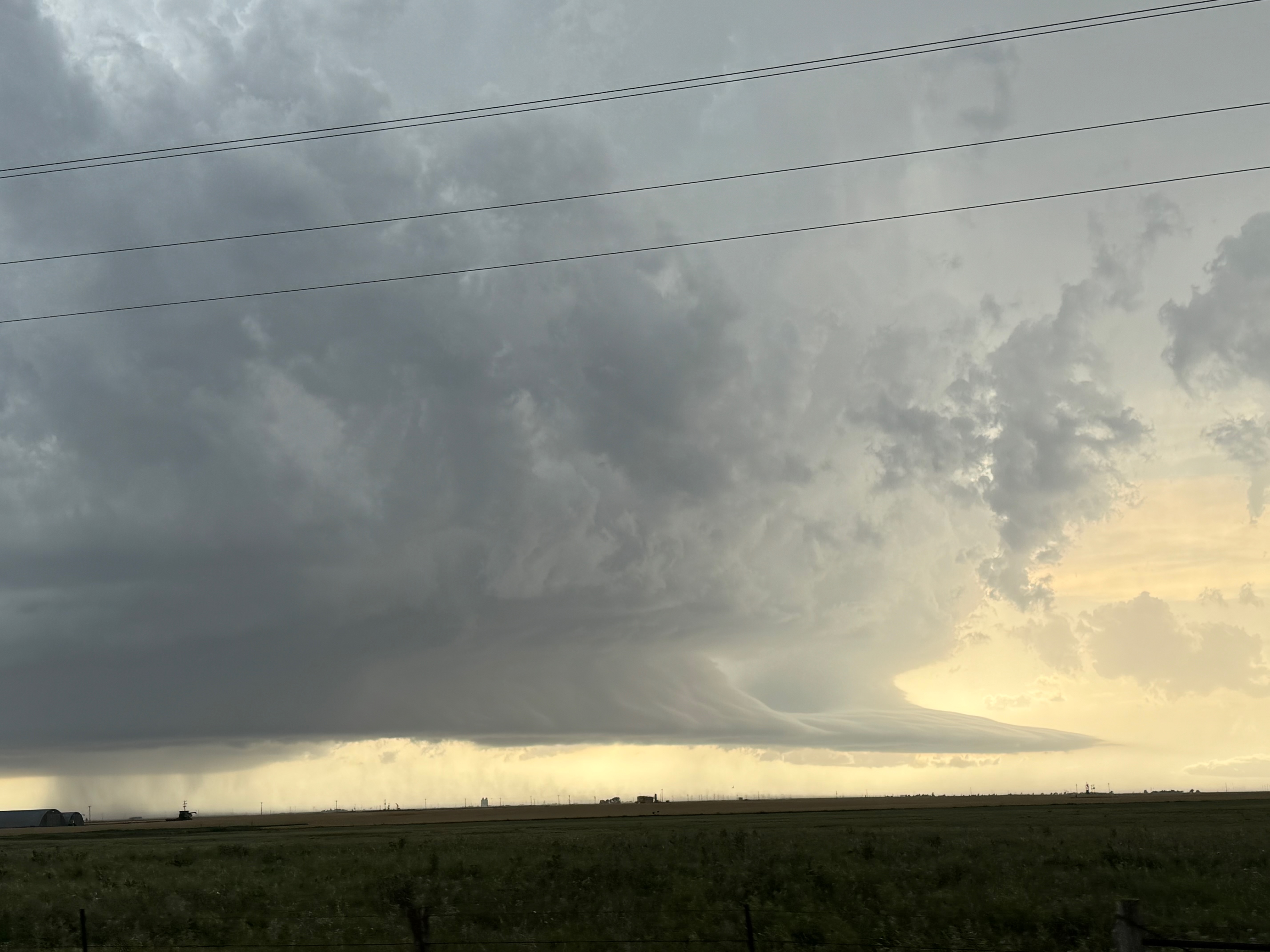
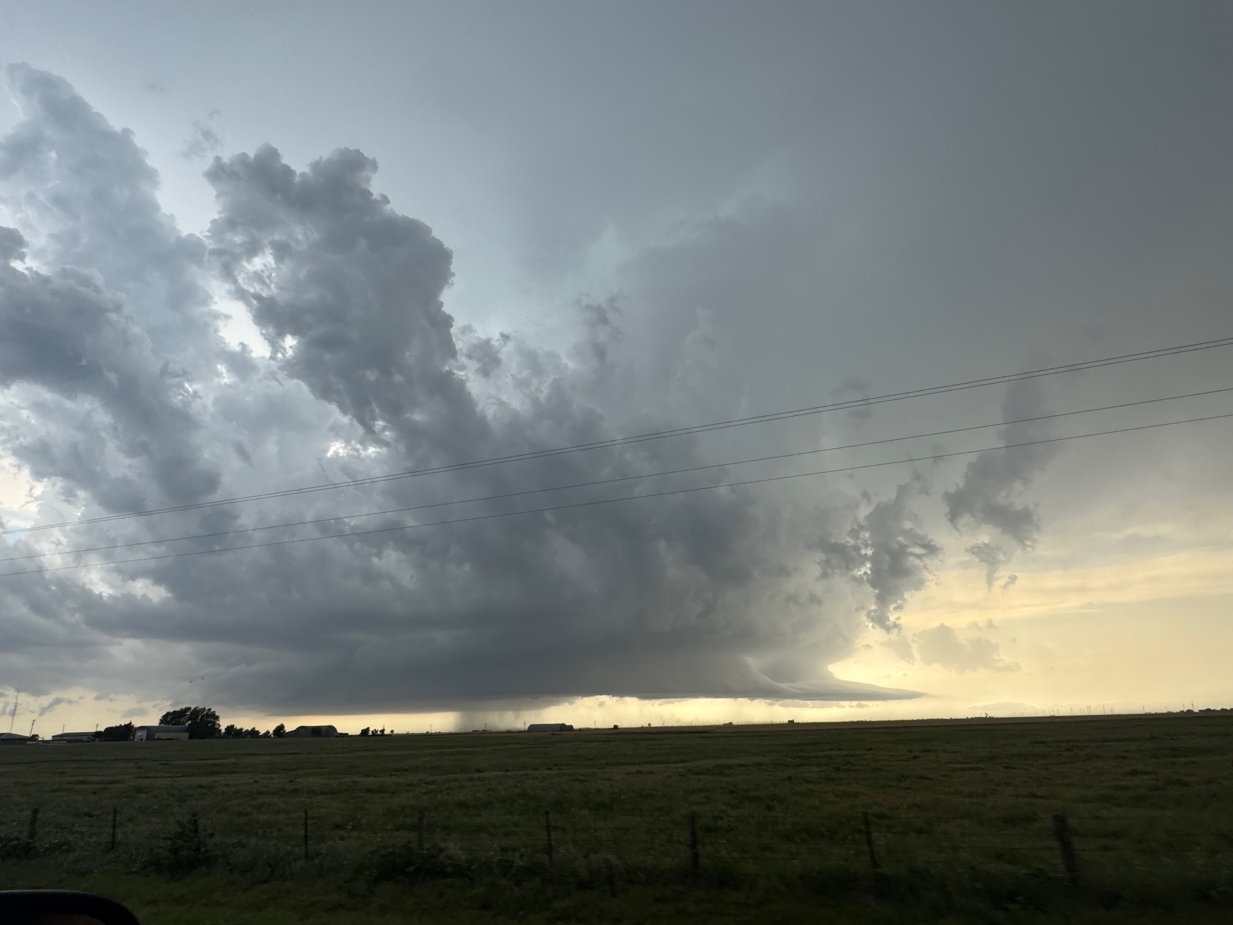
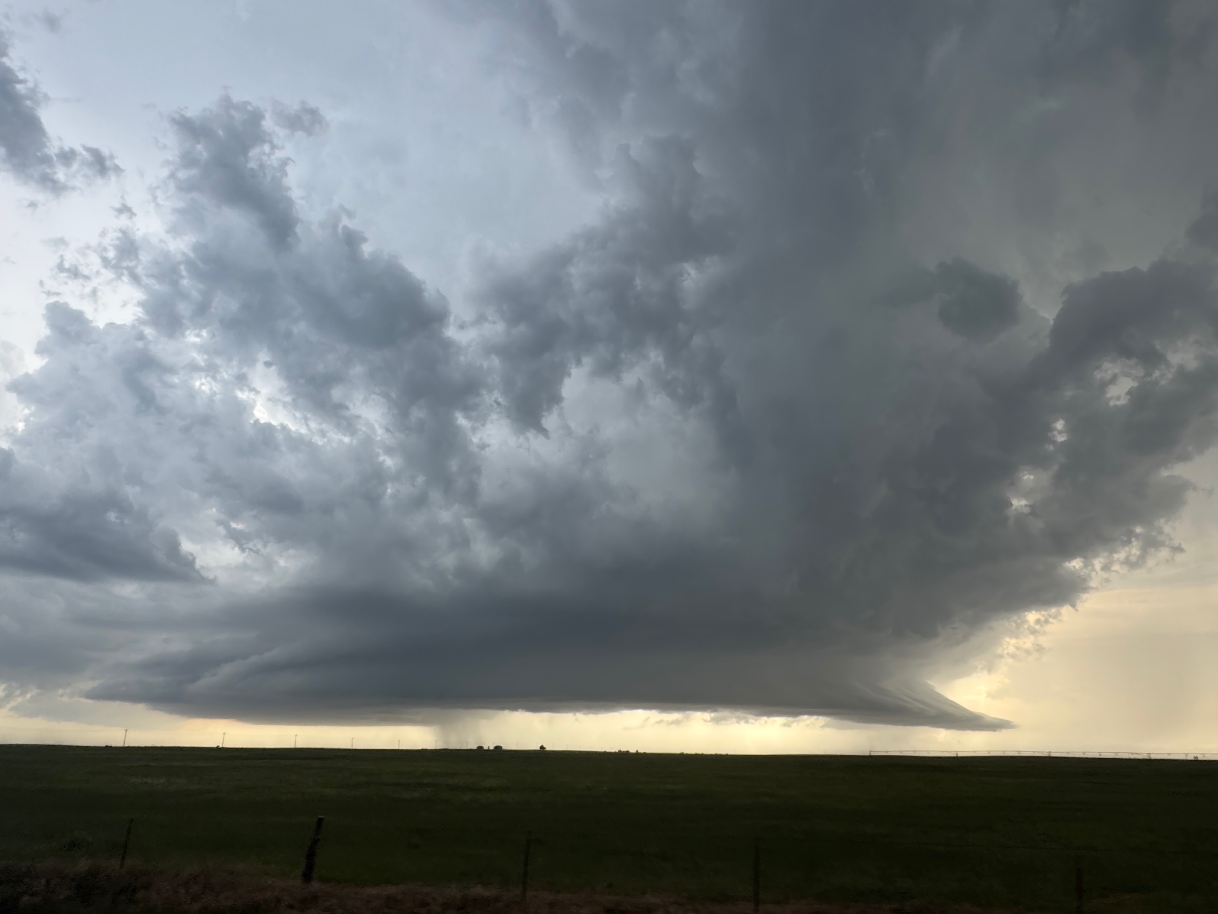
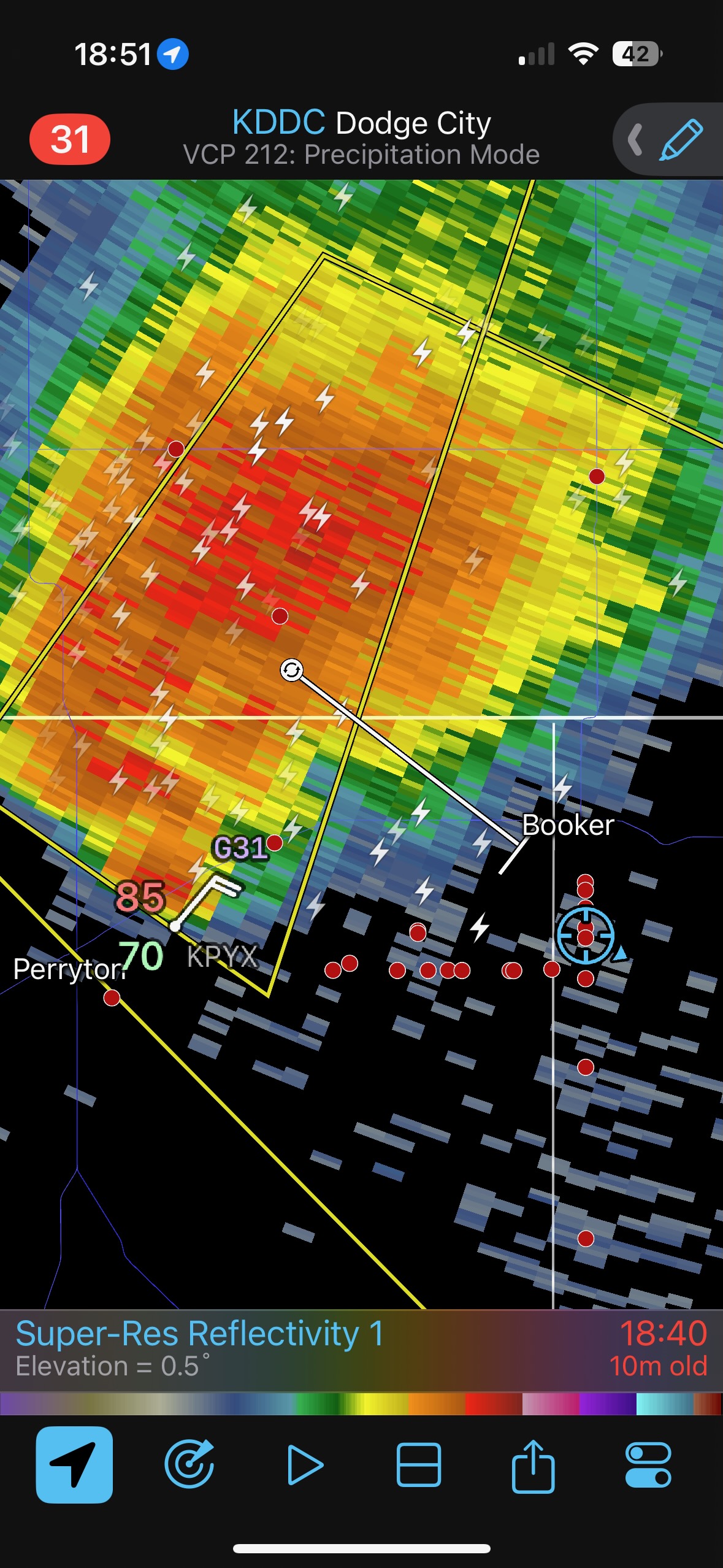
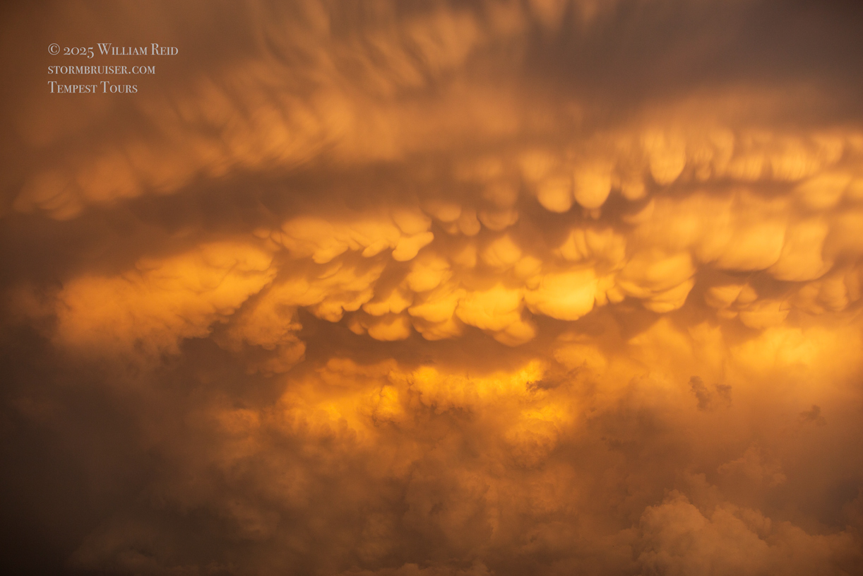
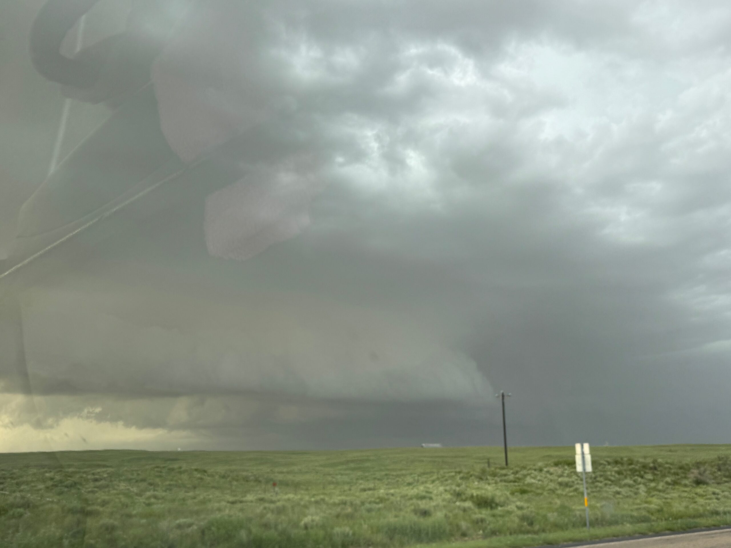
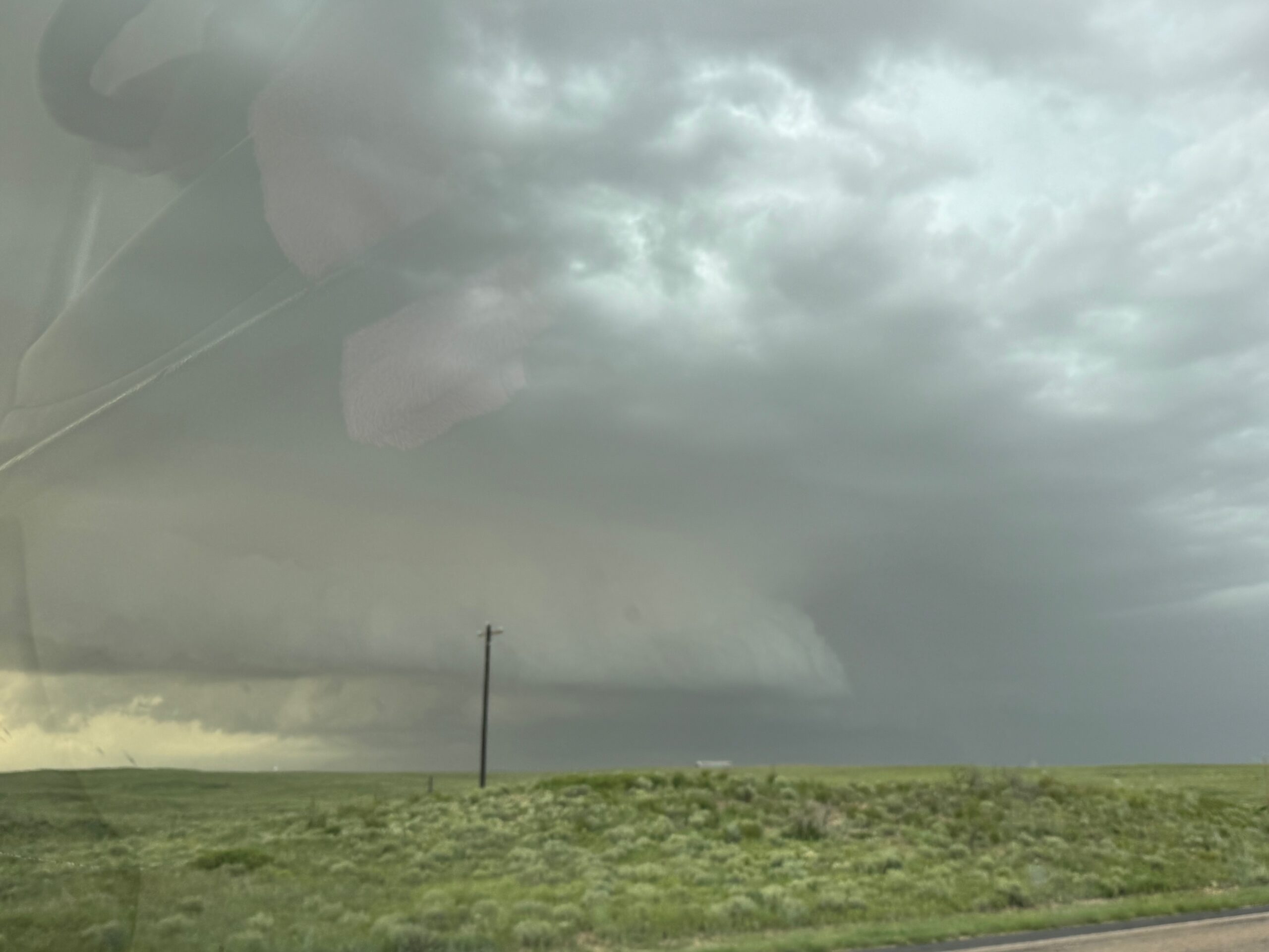
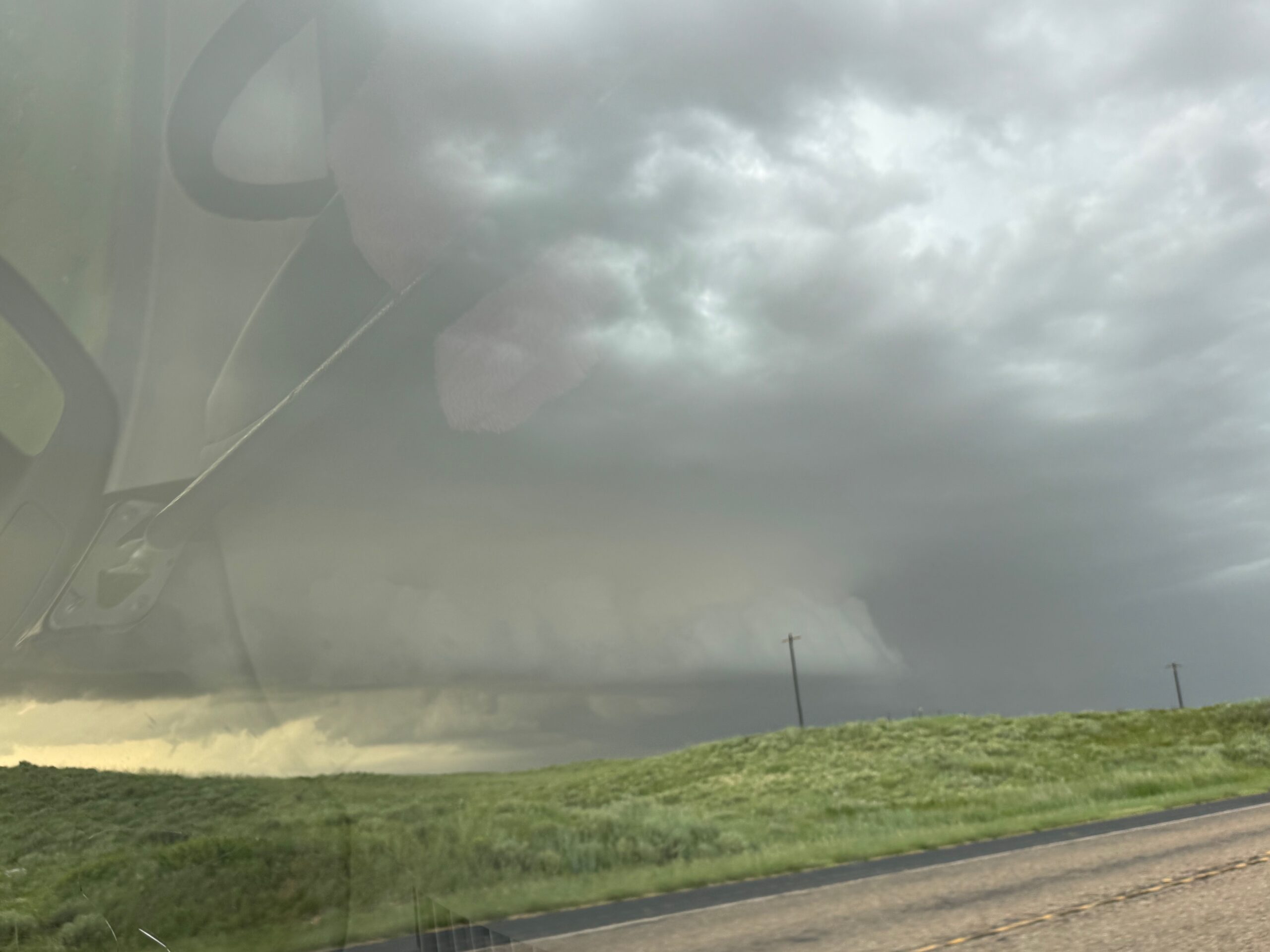
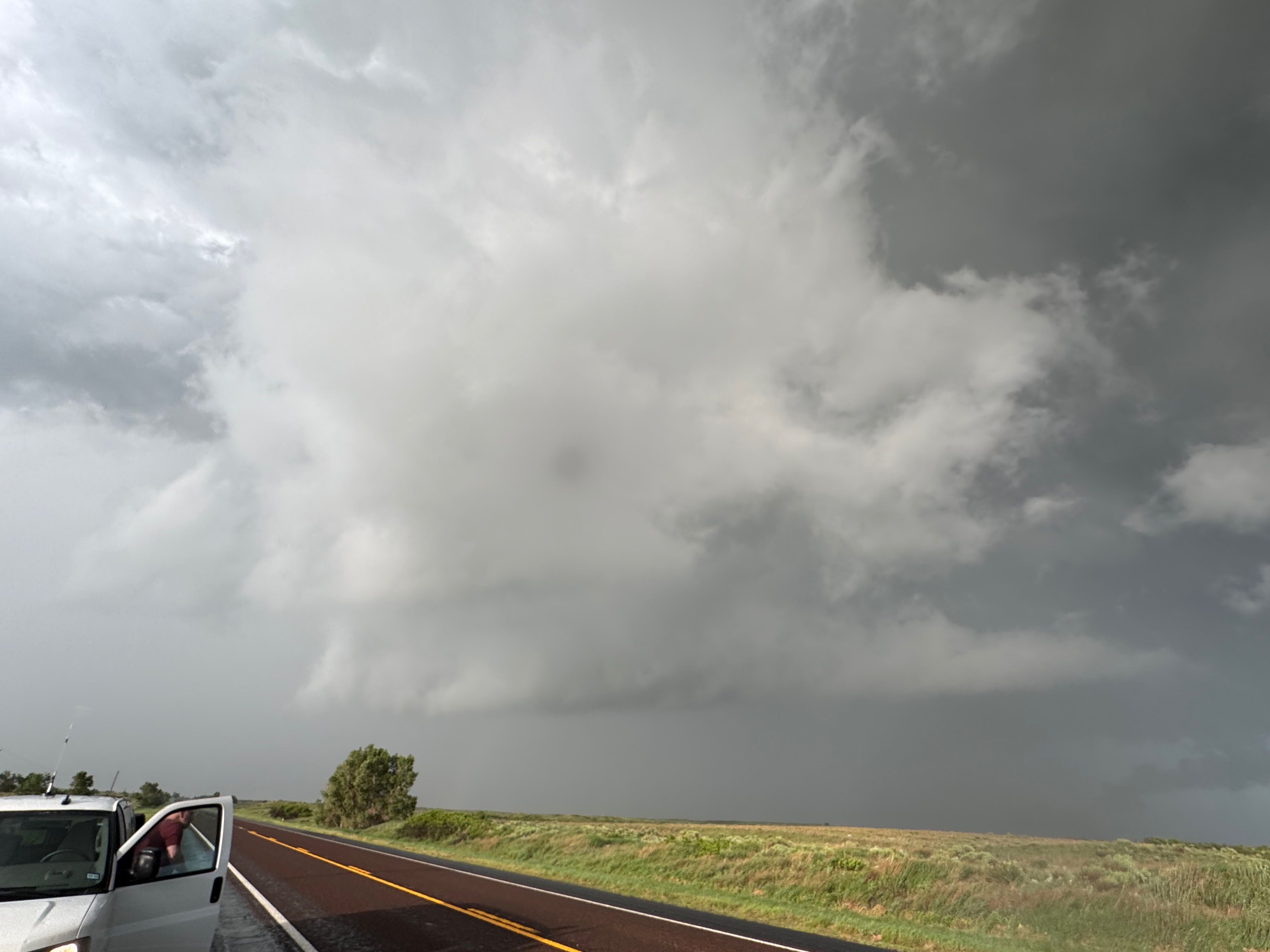
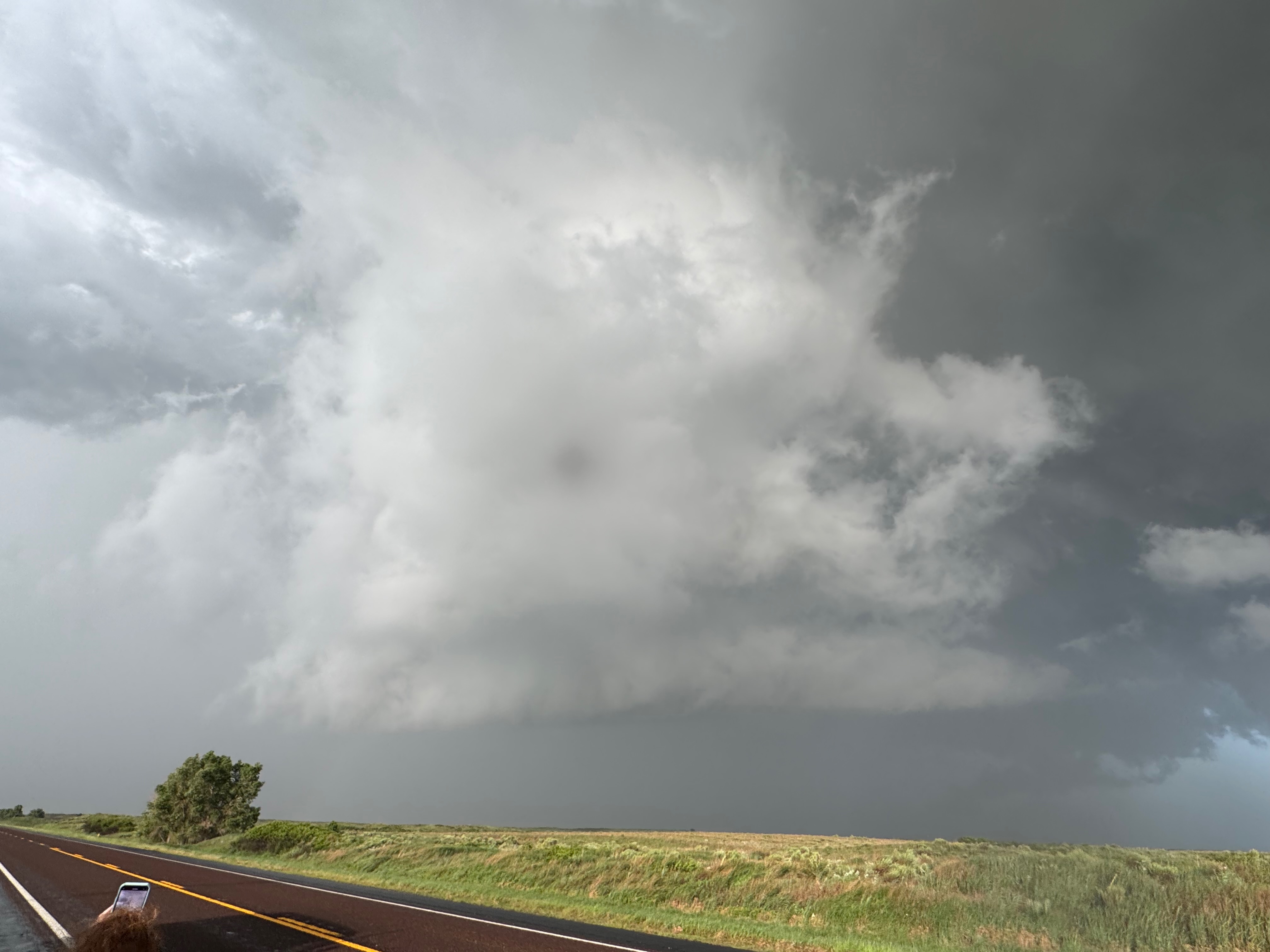
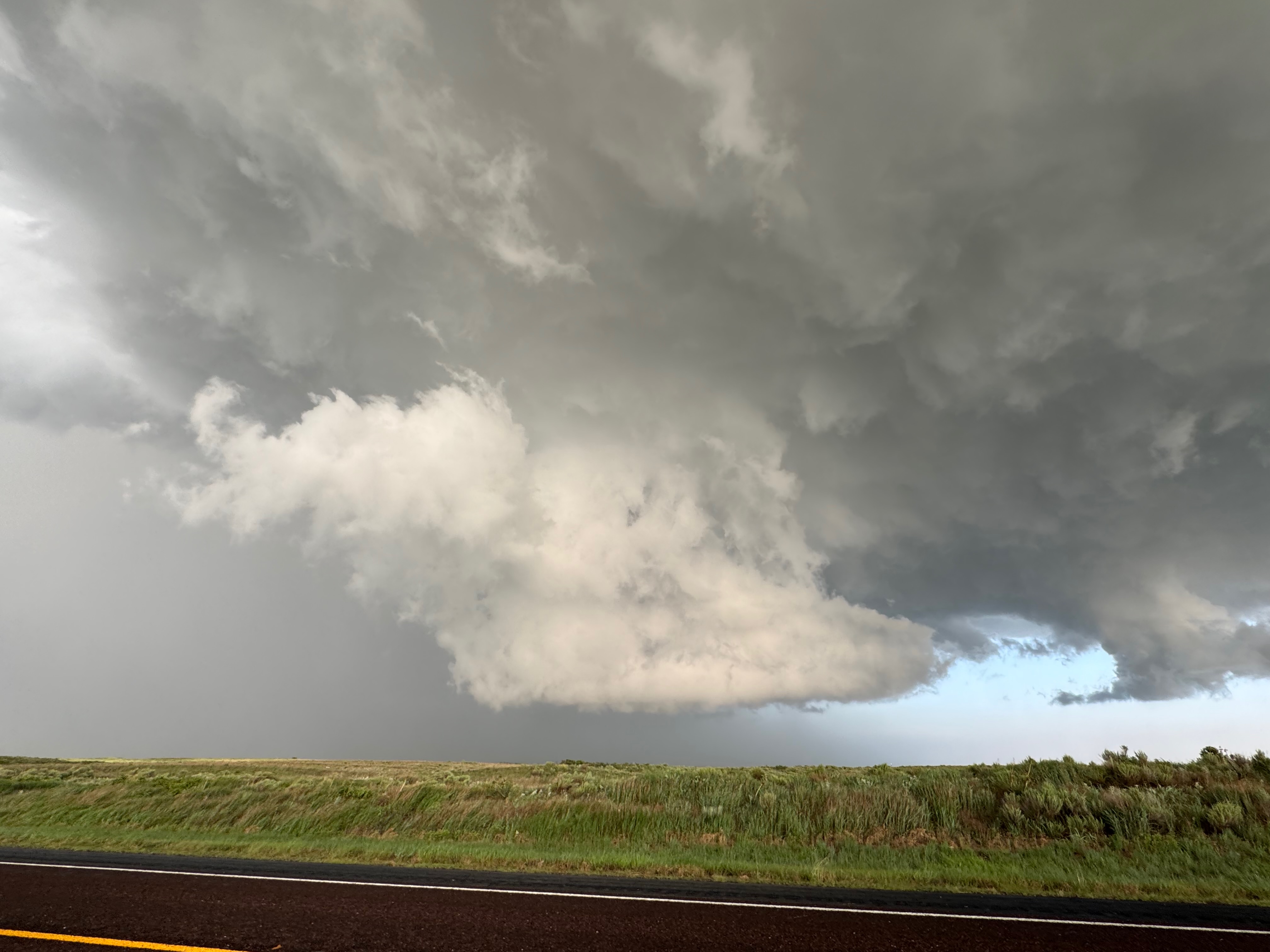
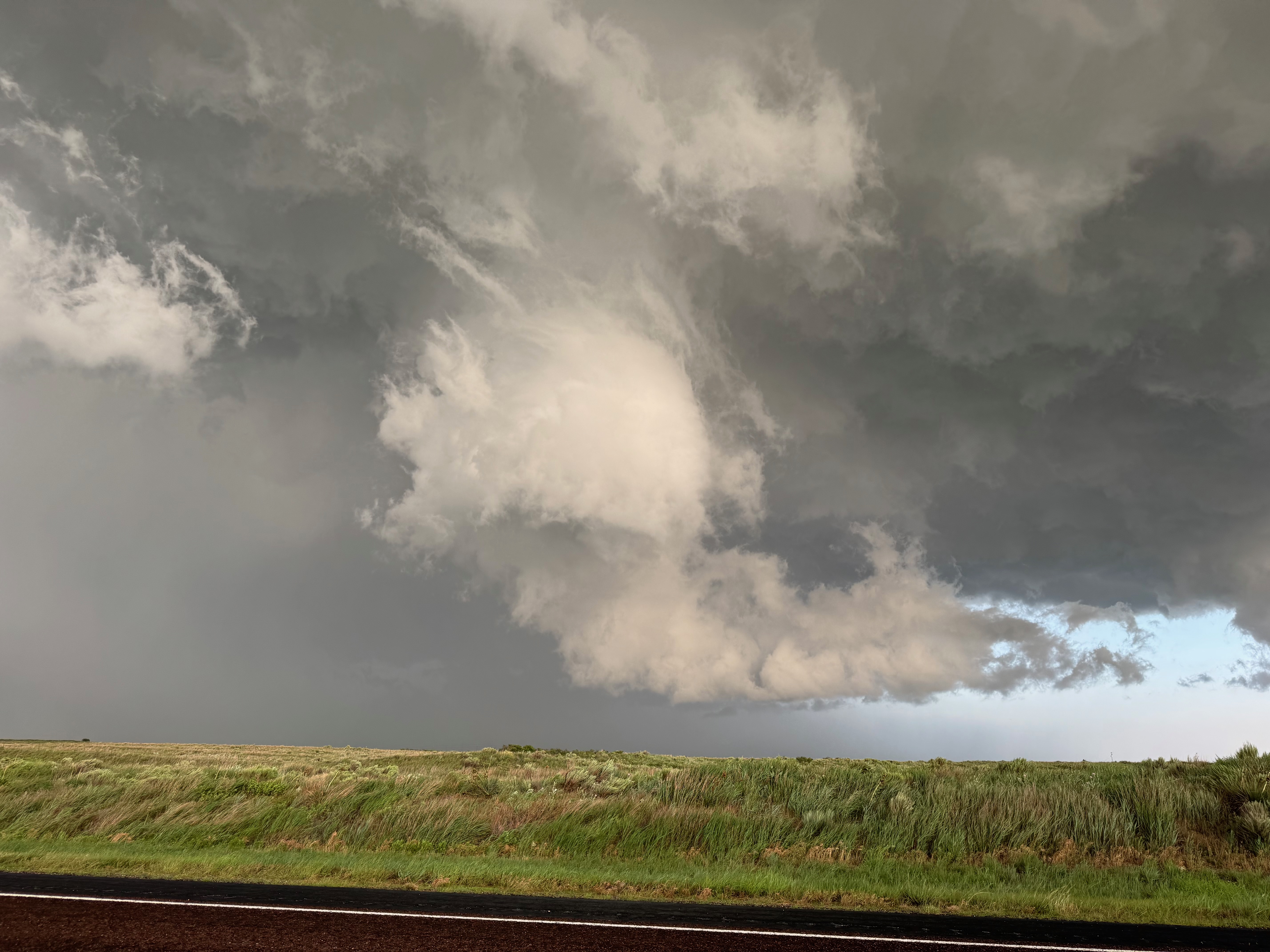
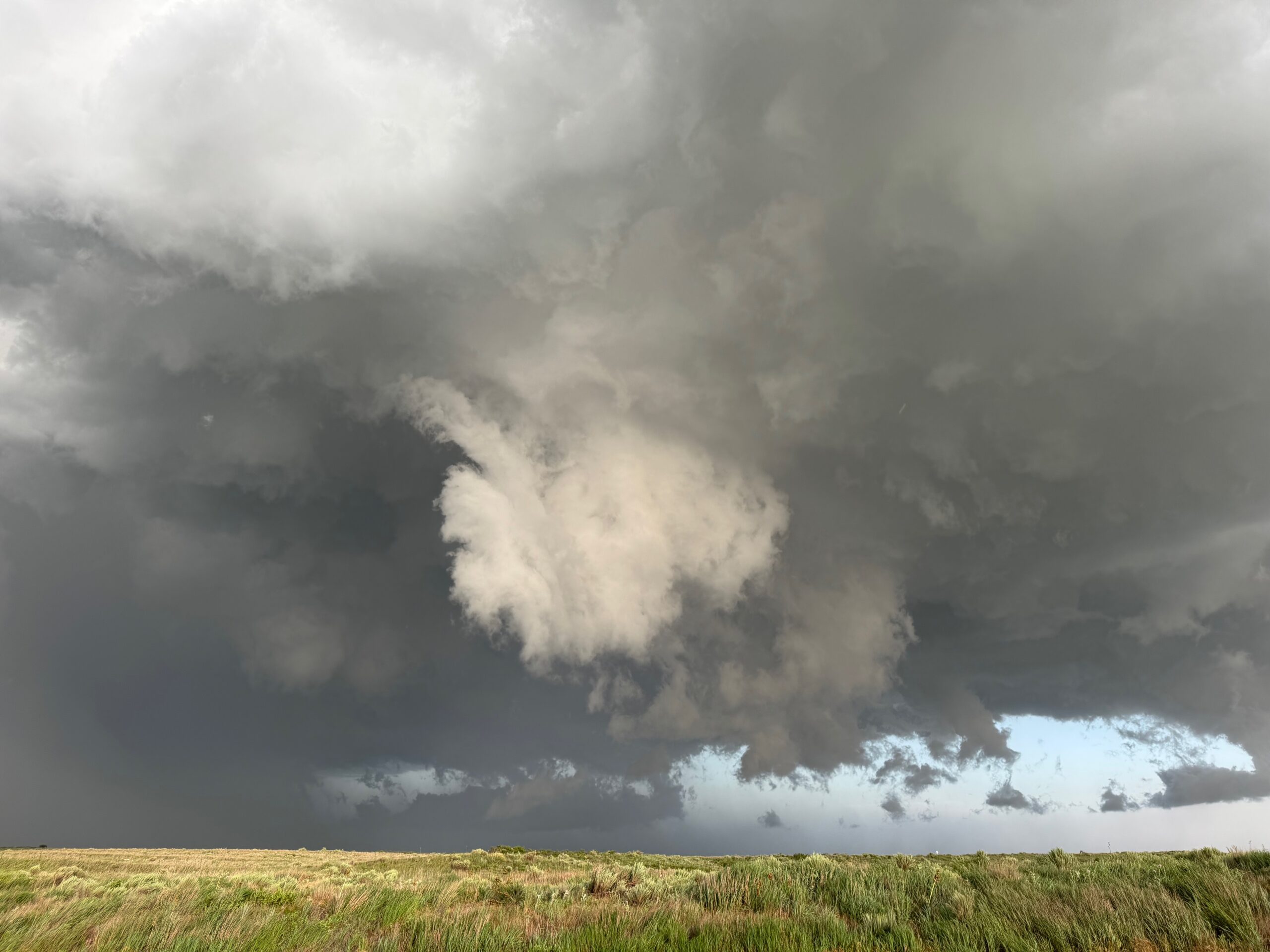
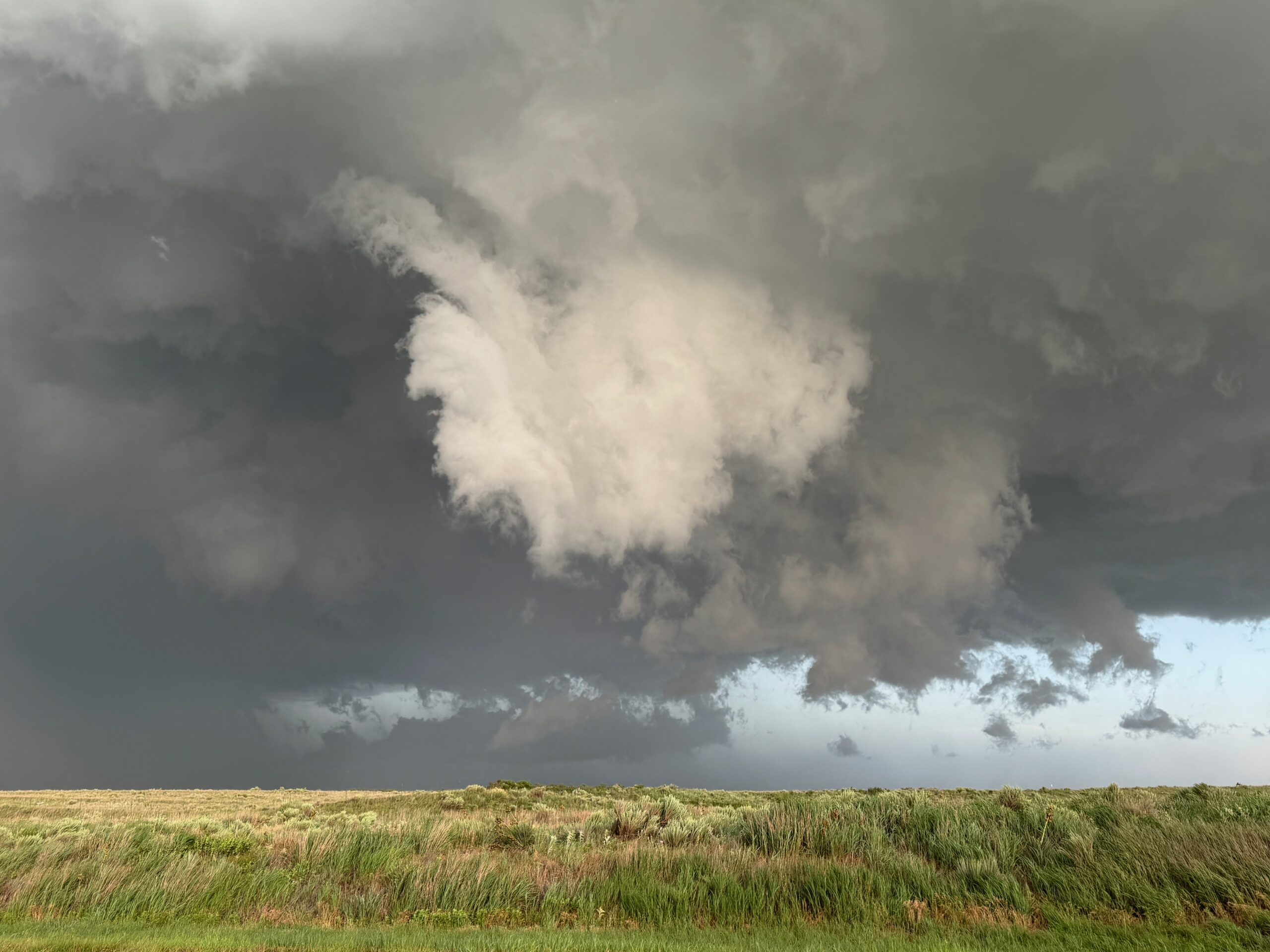
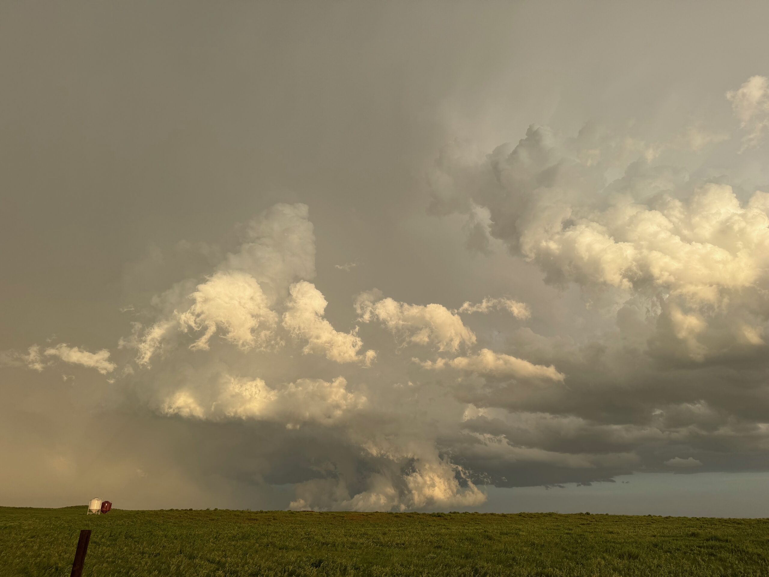
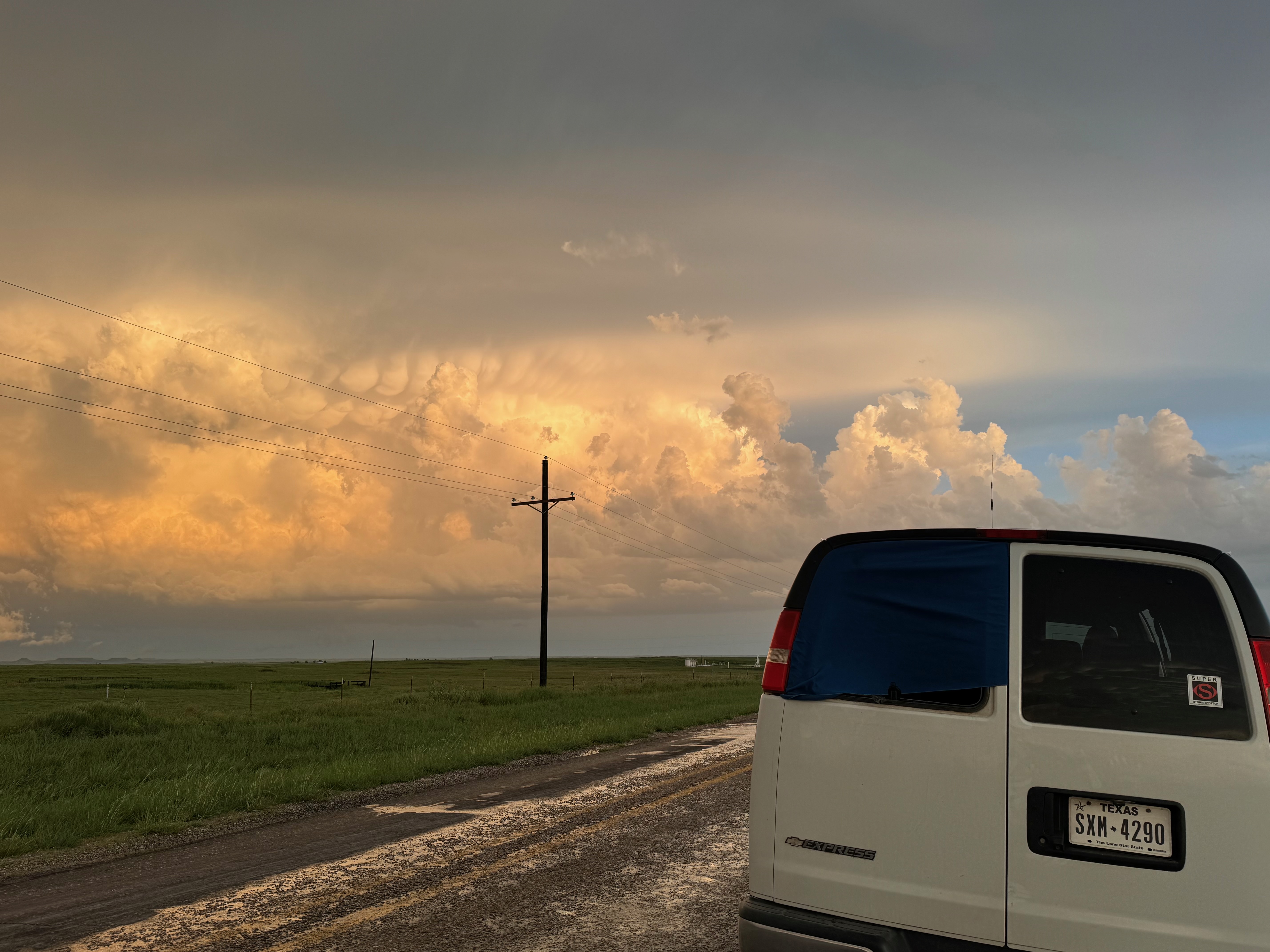
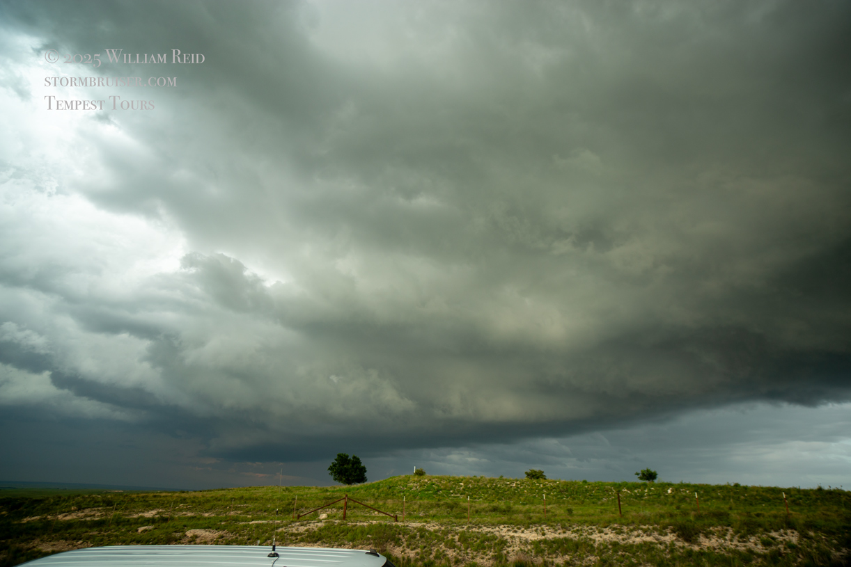
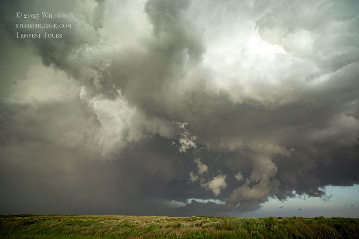
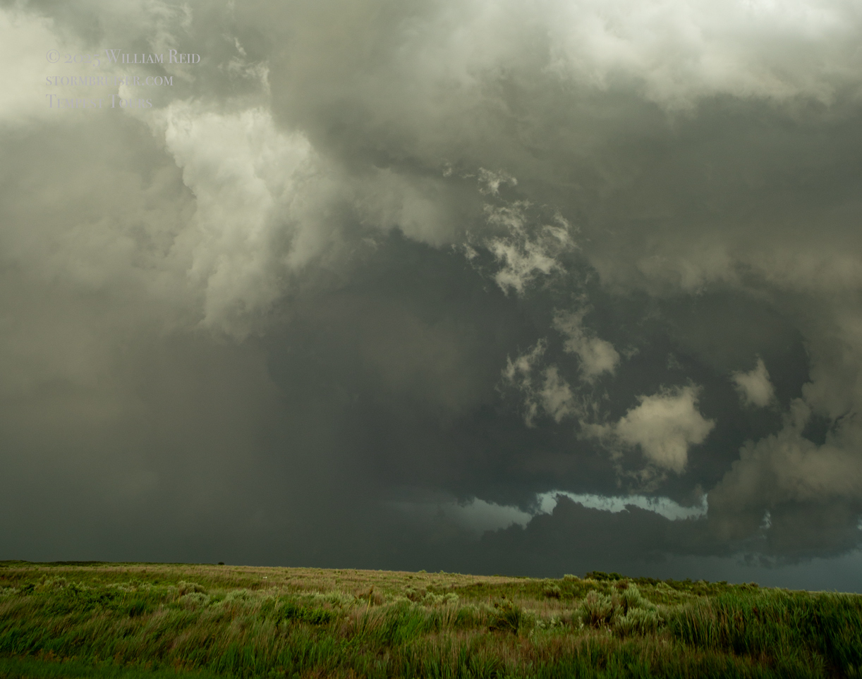
The group of images above shows our pit stop town of Booker, TX, around 5:45 p.m. CDT. An isolated storm developed to our northwest, where surface winds looked to have a northerly component. We jogged a bit to the northwest to watch it get its act together, and the updraft soon sported a flared storm base. The reflectivity scan showed a hook echo early on, and this supercell began to track to the southeast. We needed to stay southeast or south of the updraft base, and we needed to be in position when the storm hit the juicier and warmer southeast winds in the northeastern Texas Panhandle.
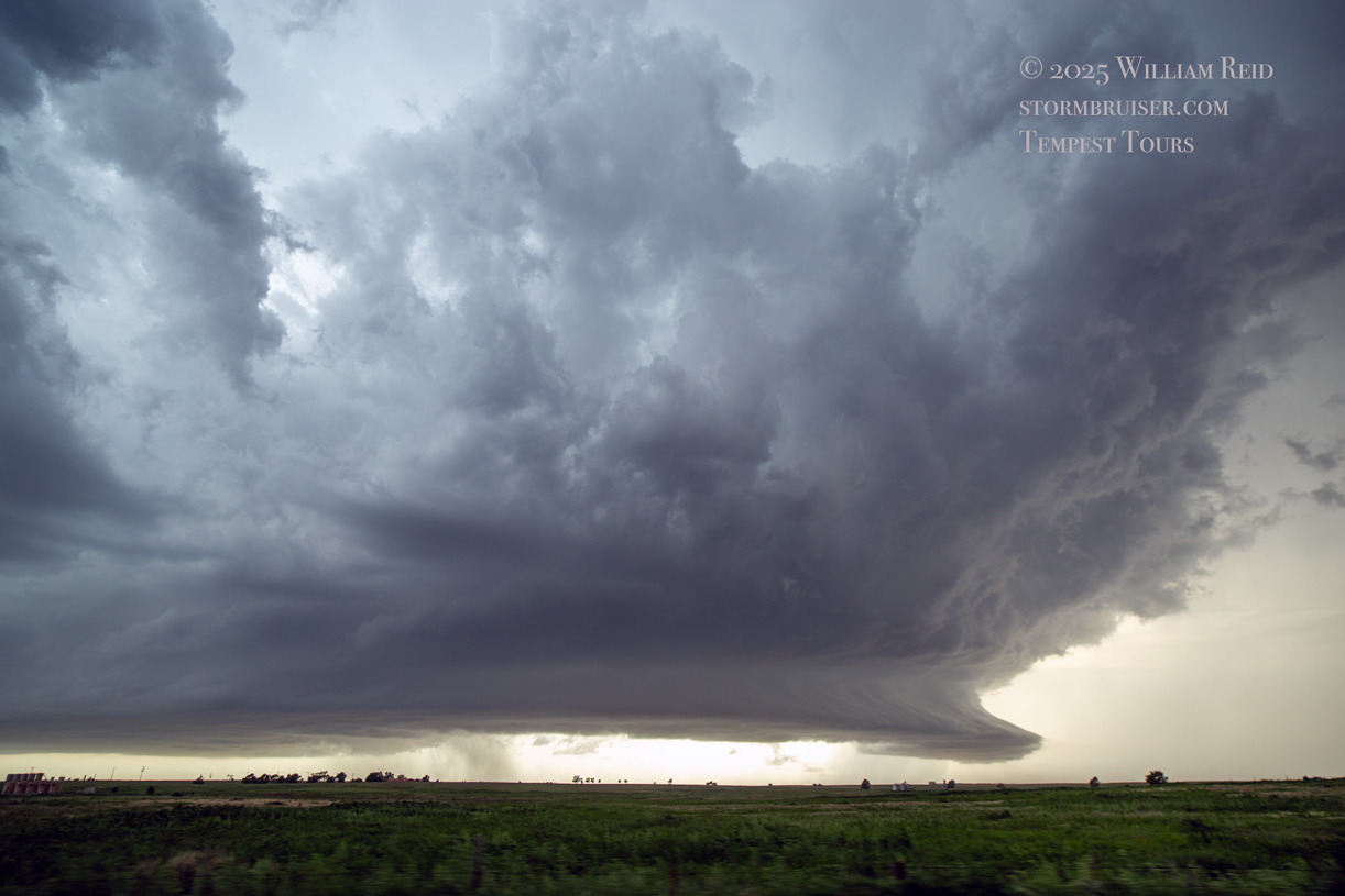
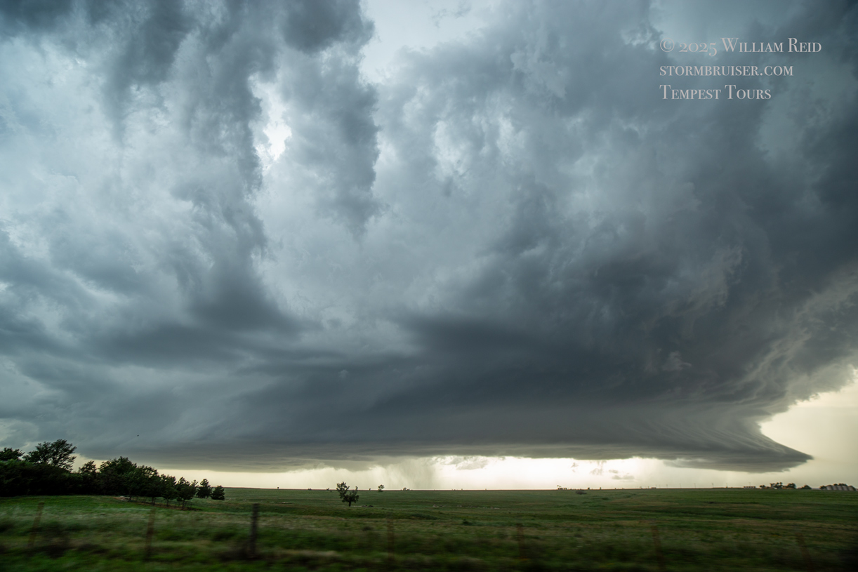
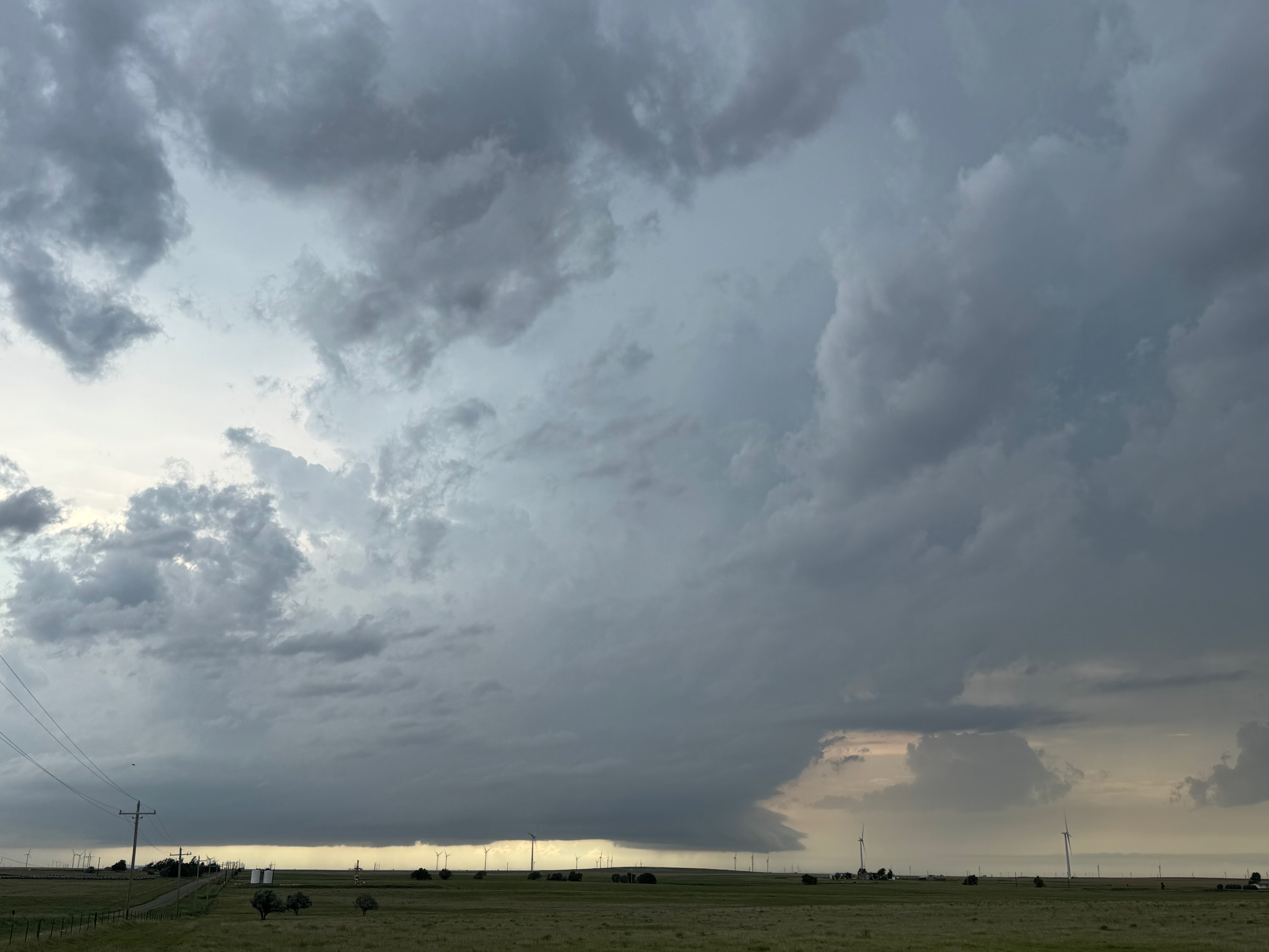
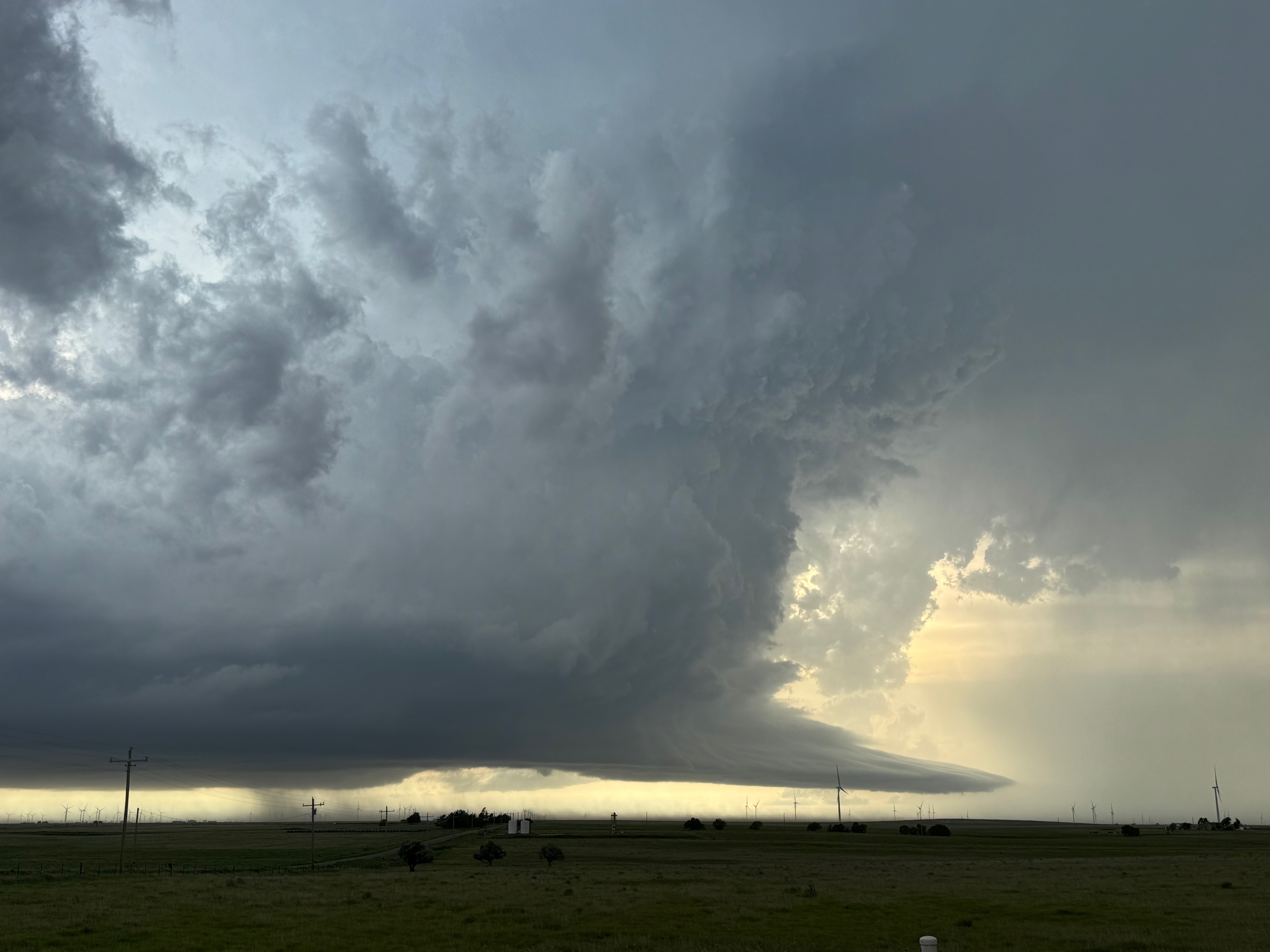
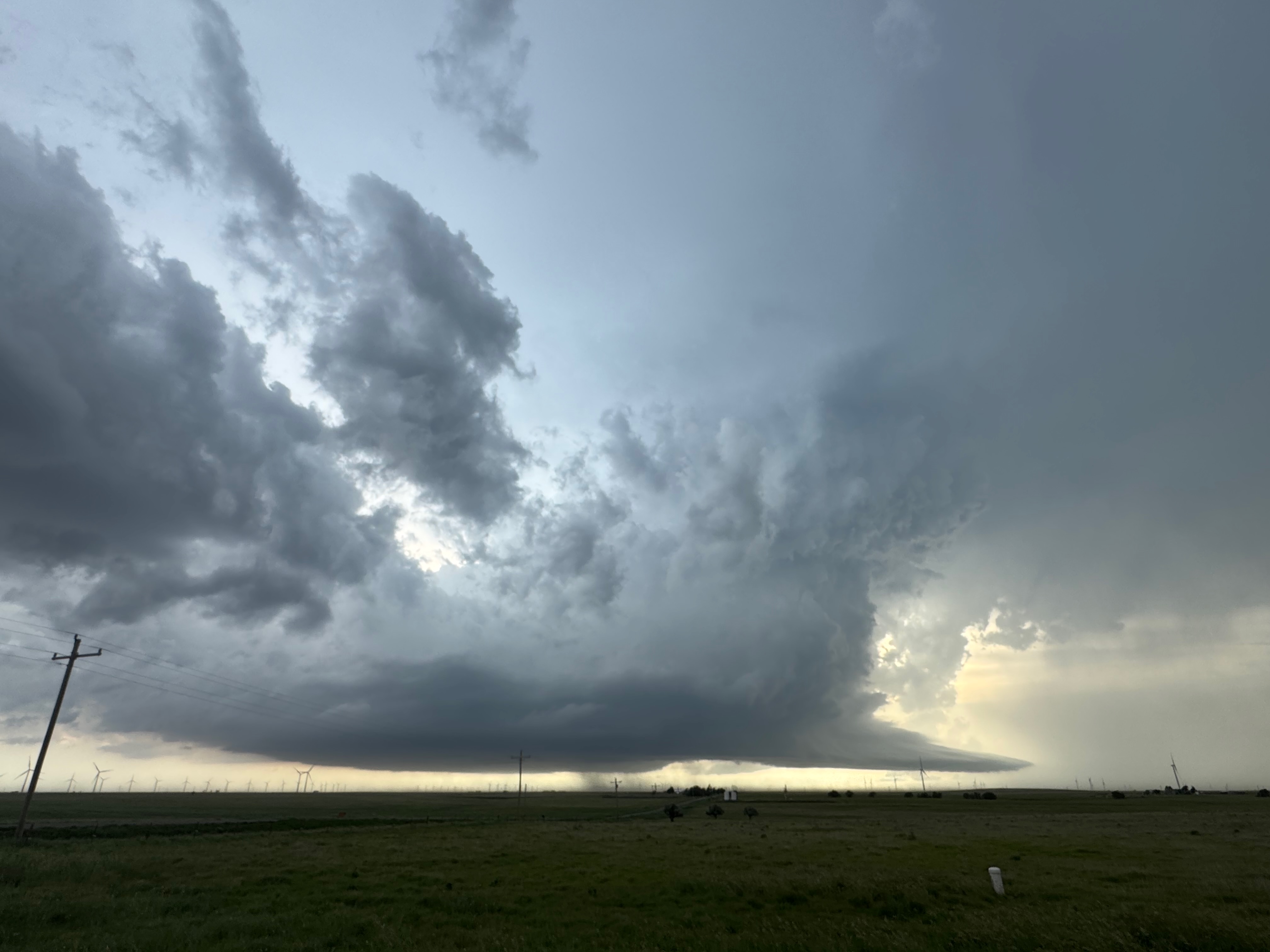
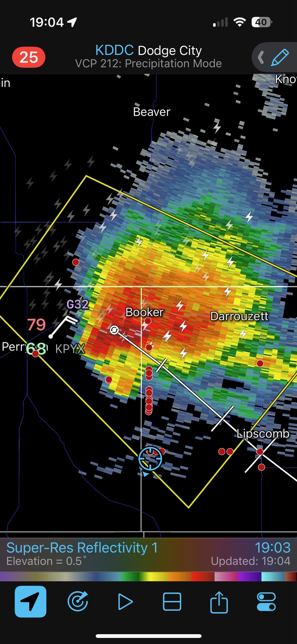
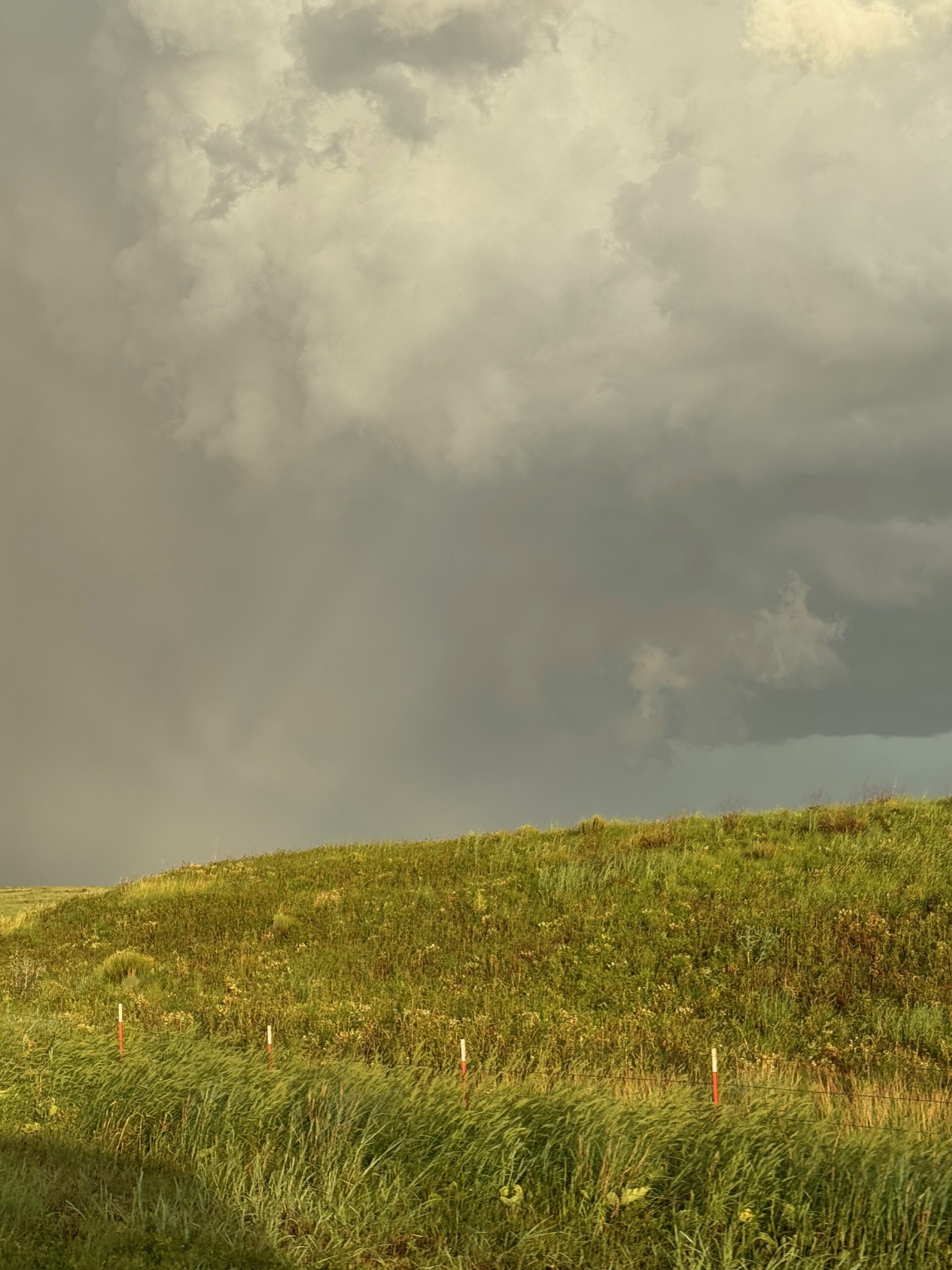
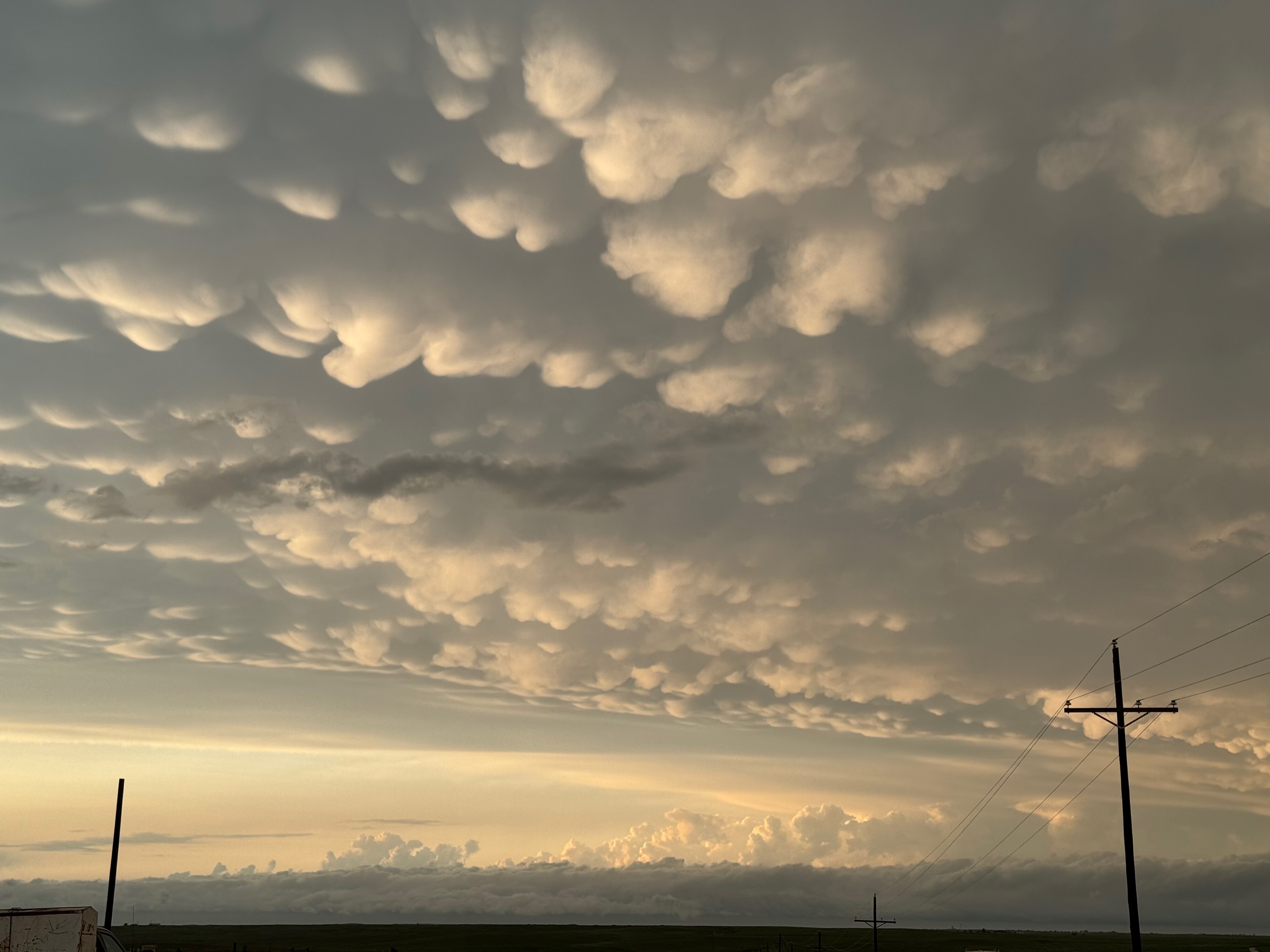
The five images above are off of the Canon. The last one shows the storm base mostly to our north. We are near U.S. 83 and Texas FM 23, south of Booker. I elected to hedge south and not to cut east earlier towards Lipscomb.
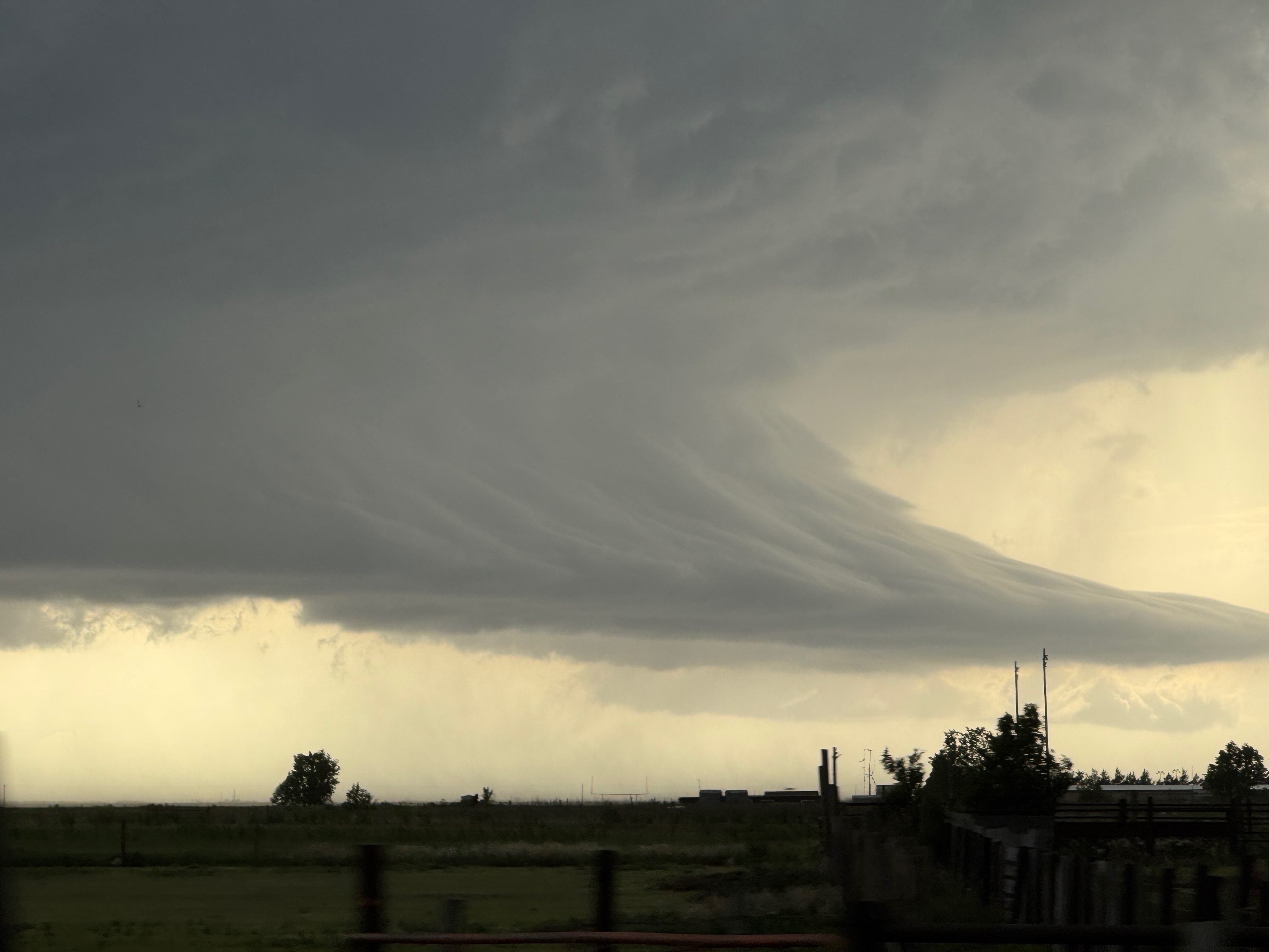
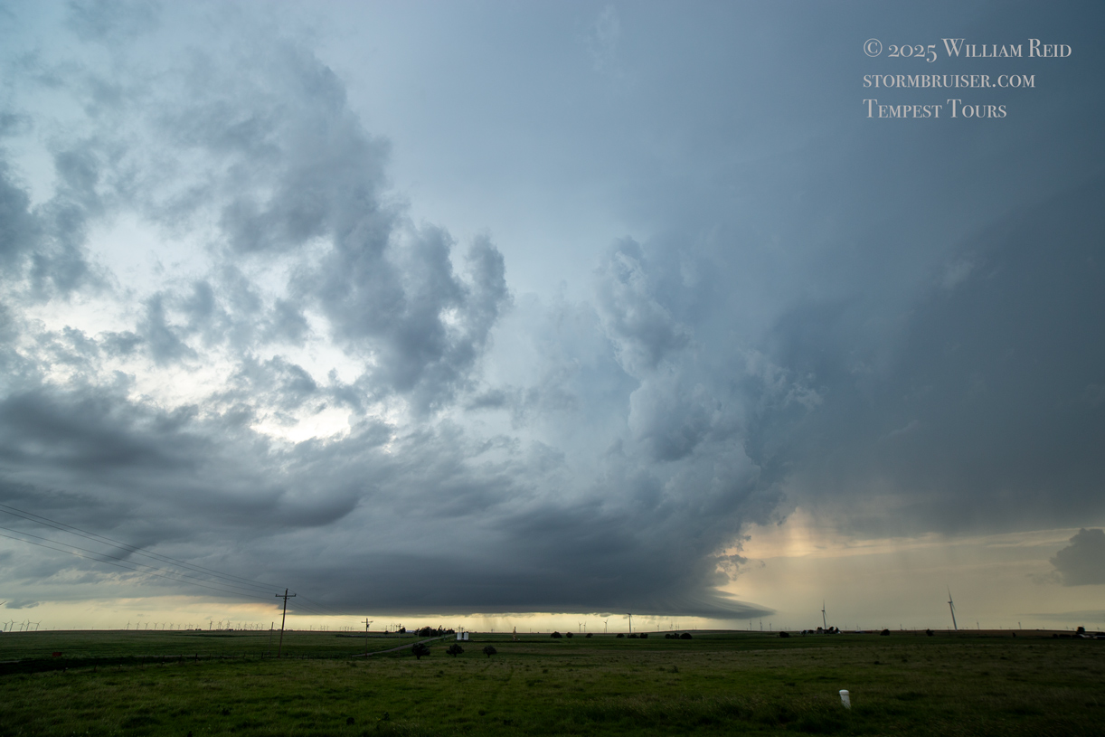
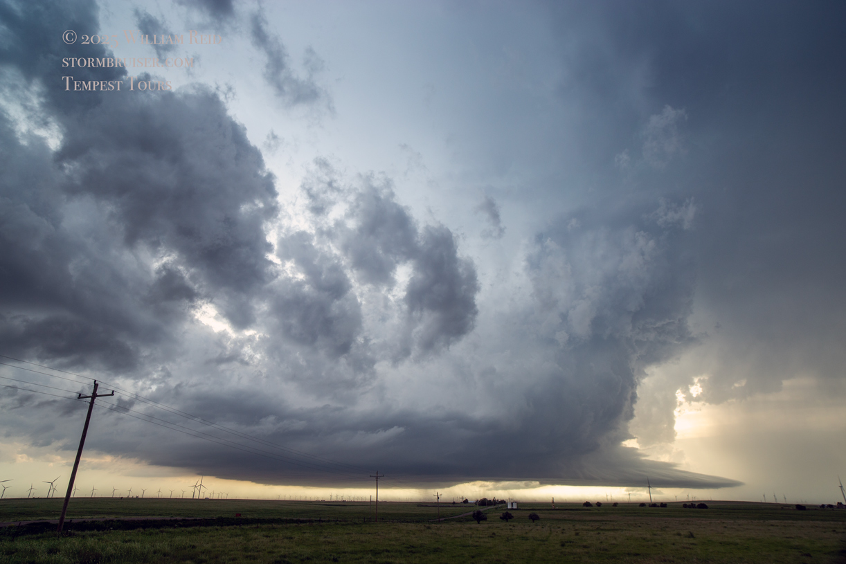
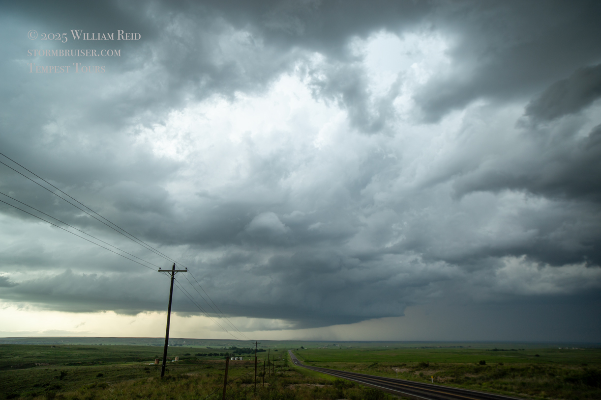
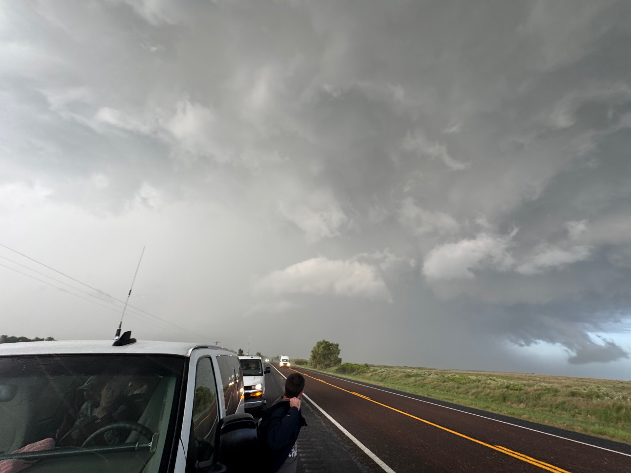
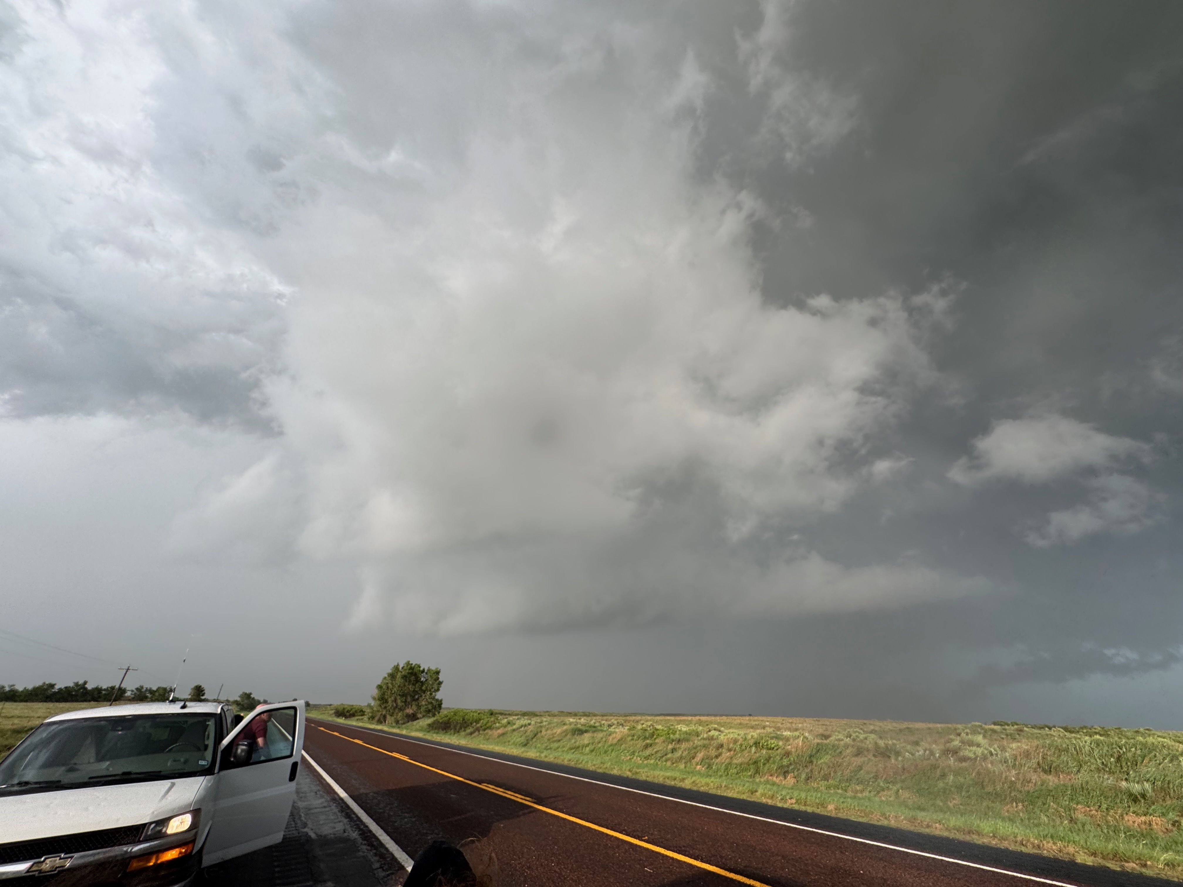
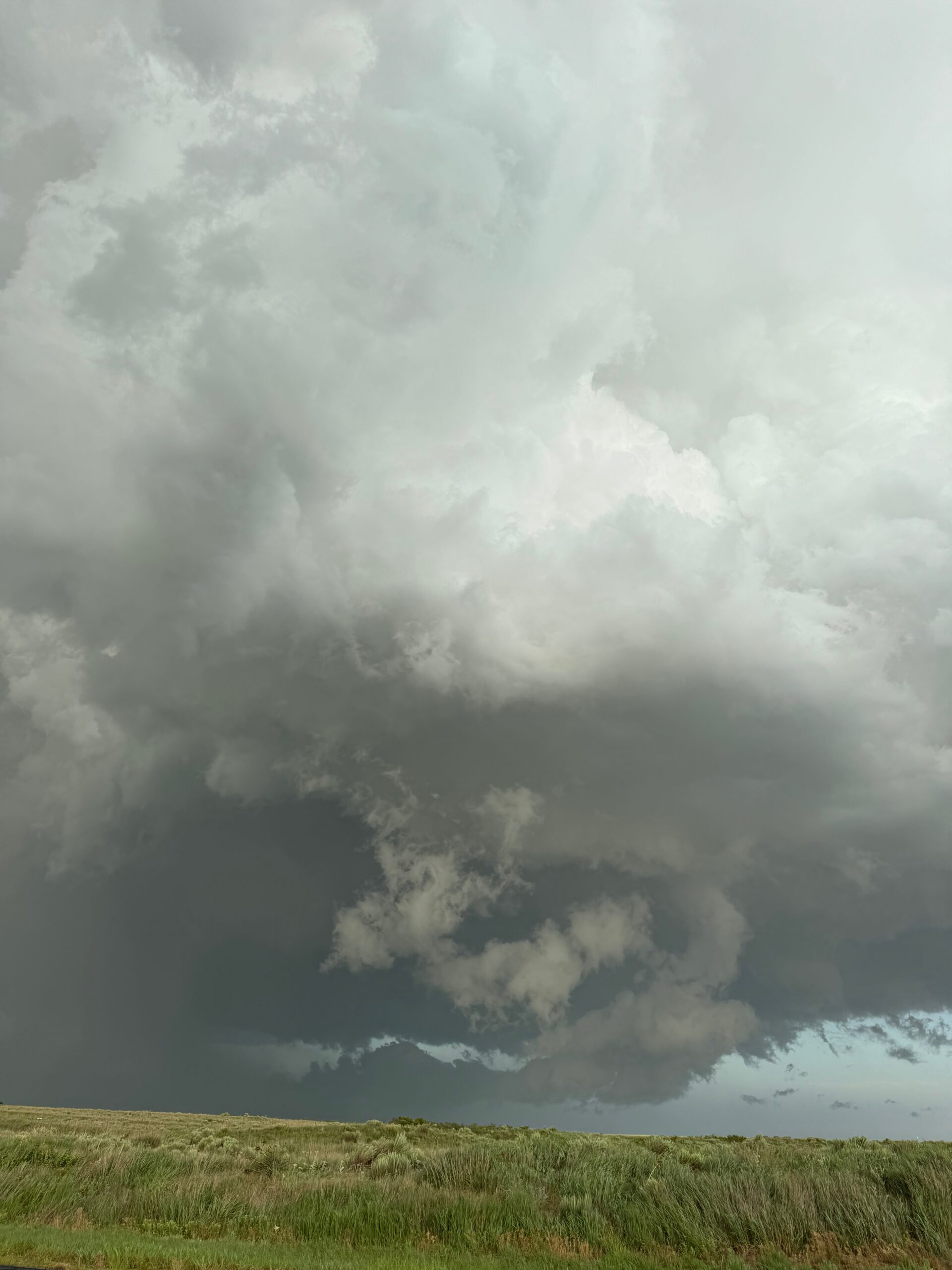
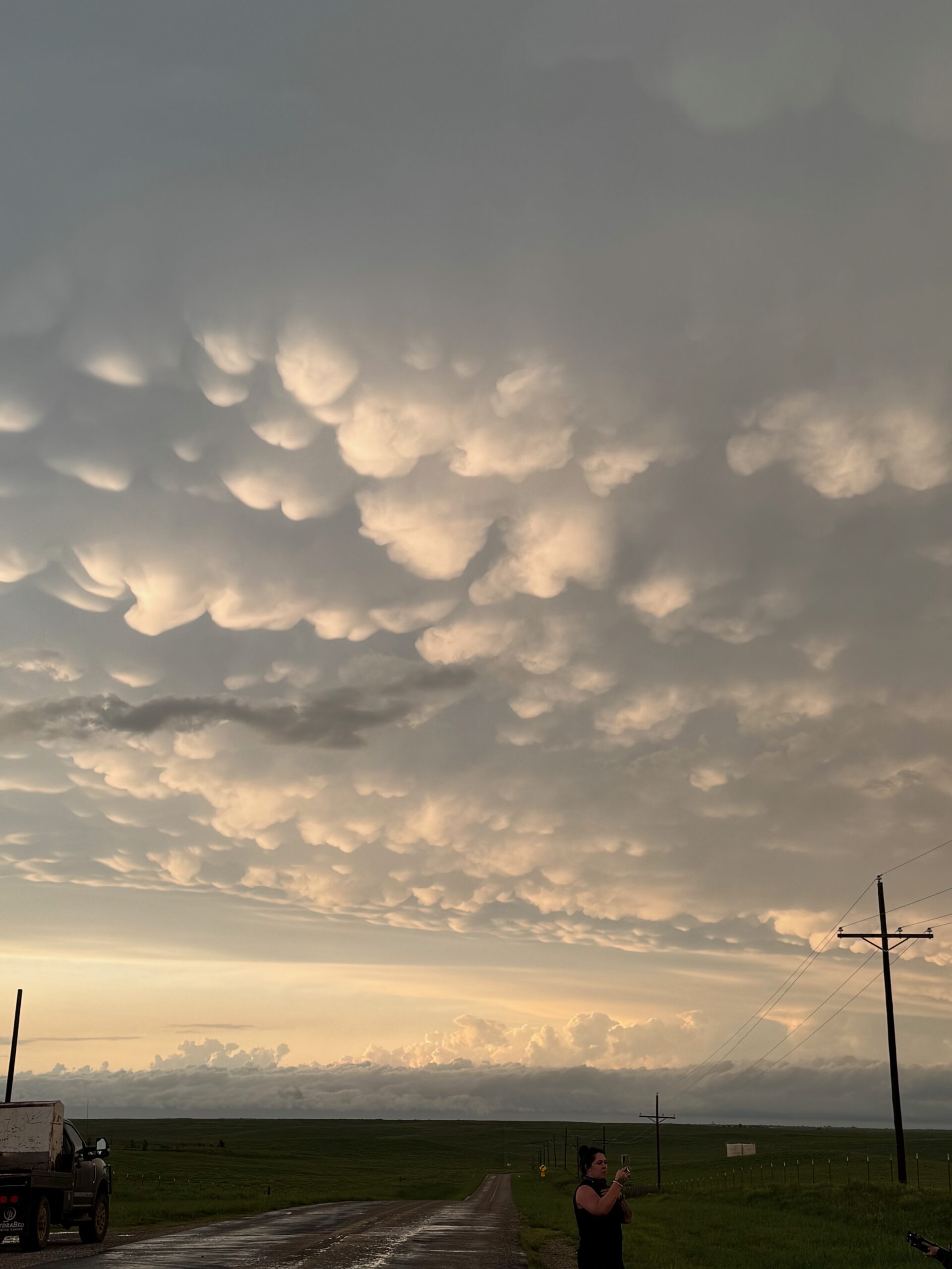
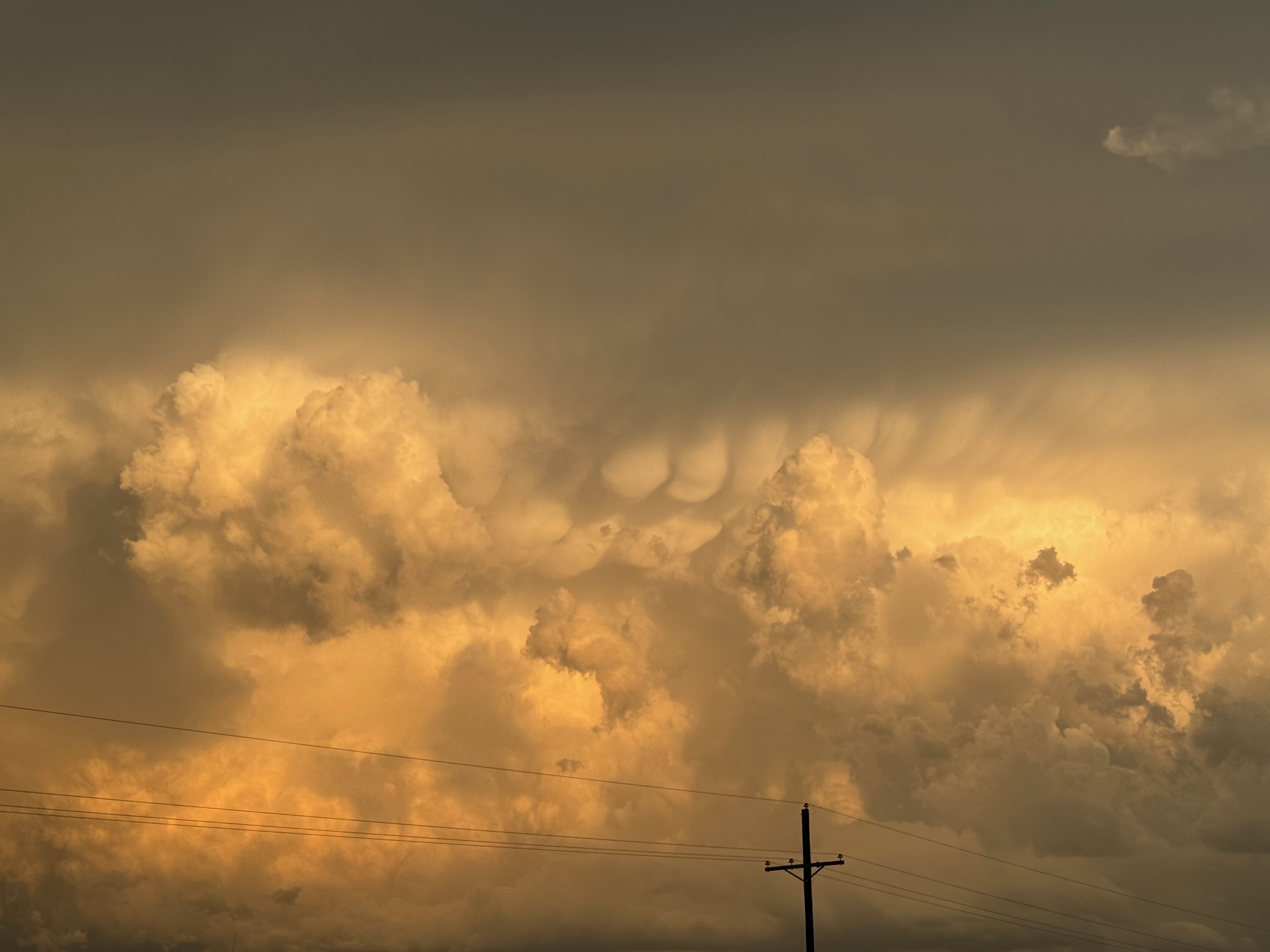
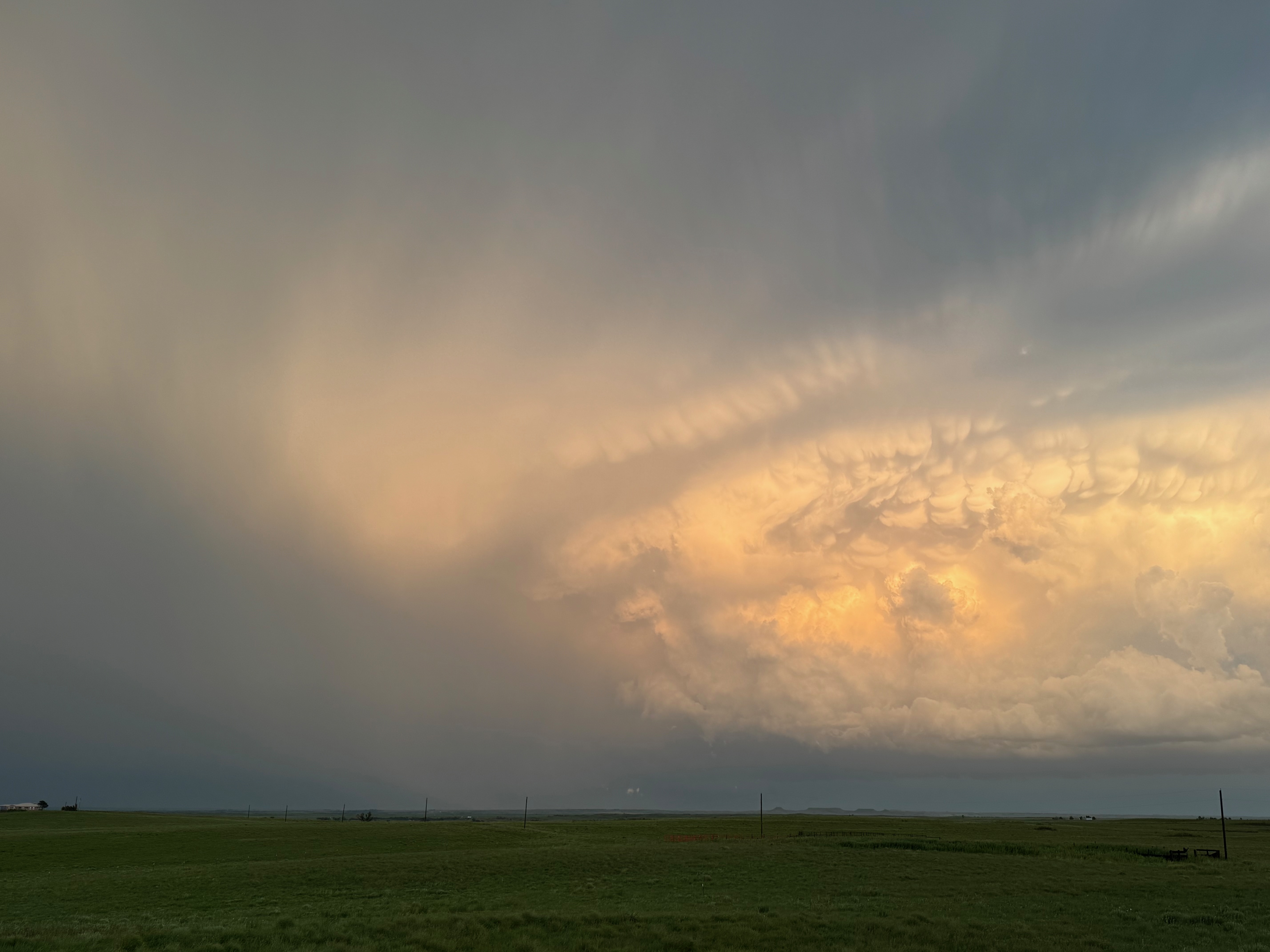
The storm must have hit that really good air near Lipscomb, or perhaps just south of Lipscomb. We were watching a low and very organized base to our northeast as we made our way to the southeast to Canadian. From there we were able to come back to the northeast via U.S. 60., and this brought us up close to the storm quickly, a little past Glazier. The front end that was just north of 60 had “that look” that something was wrapping up and we might get a tornado really quickly. I went a bit too far ENE on 60, and we had to backtrack a mile or so to the WSW. We were hit with precipitation curtains and winds to maybe 40-50 mph, nothing too bad. The storm continued to look like it was trying to “tornado,” but the action area now just to our east or ESE was largely filled with rain. The movement of the storm to the southeast made it next-to-impossible to stay with closely, so we hung out here for a bit, ENE of Glazier several miles. The storm did produce a significant tornado not long afterwards, as documented by chaser Chris Collura.
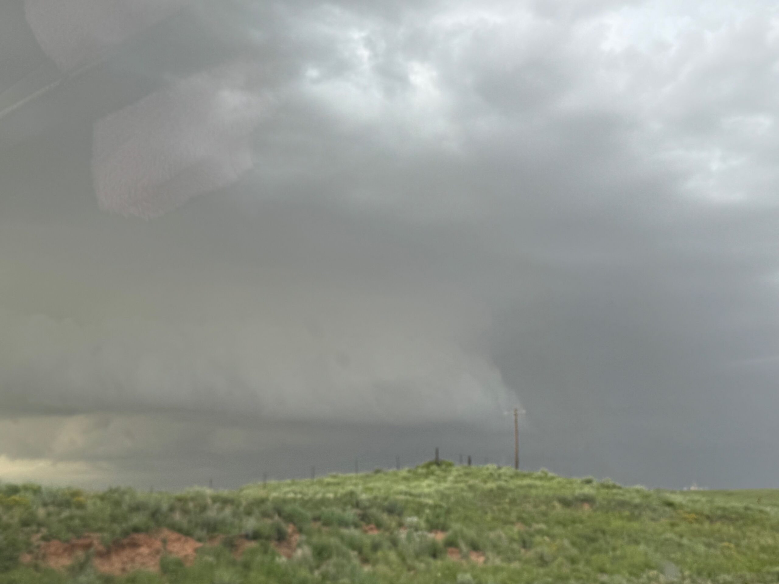
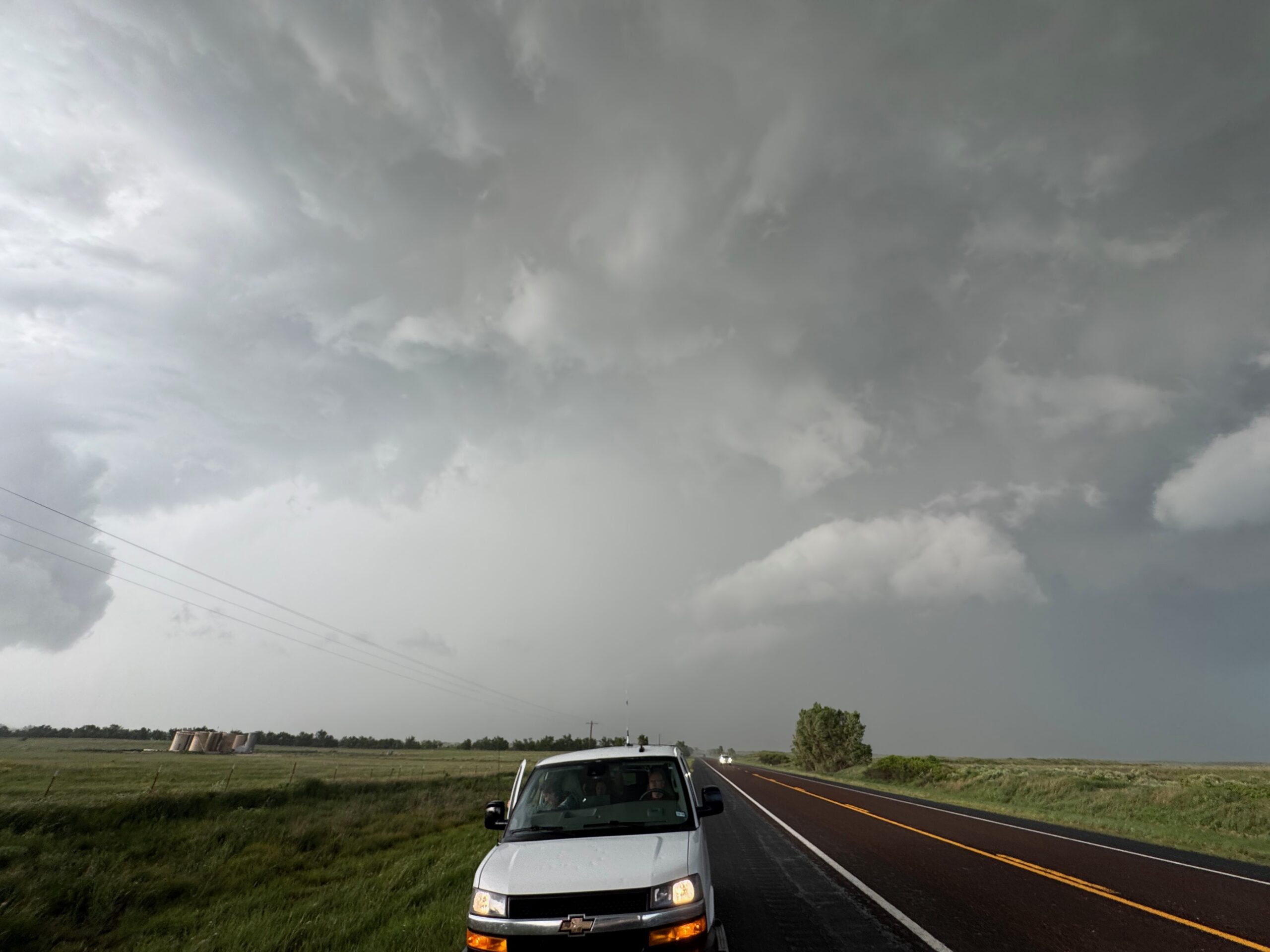
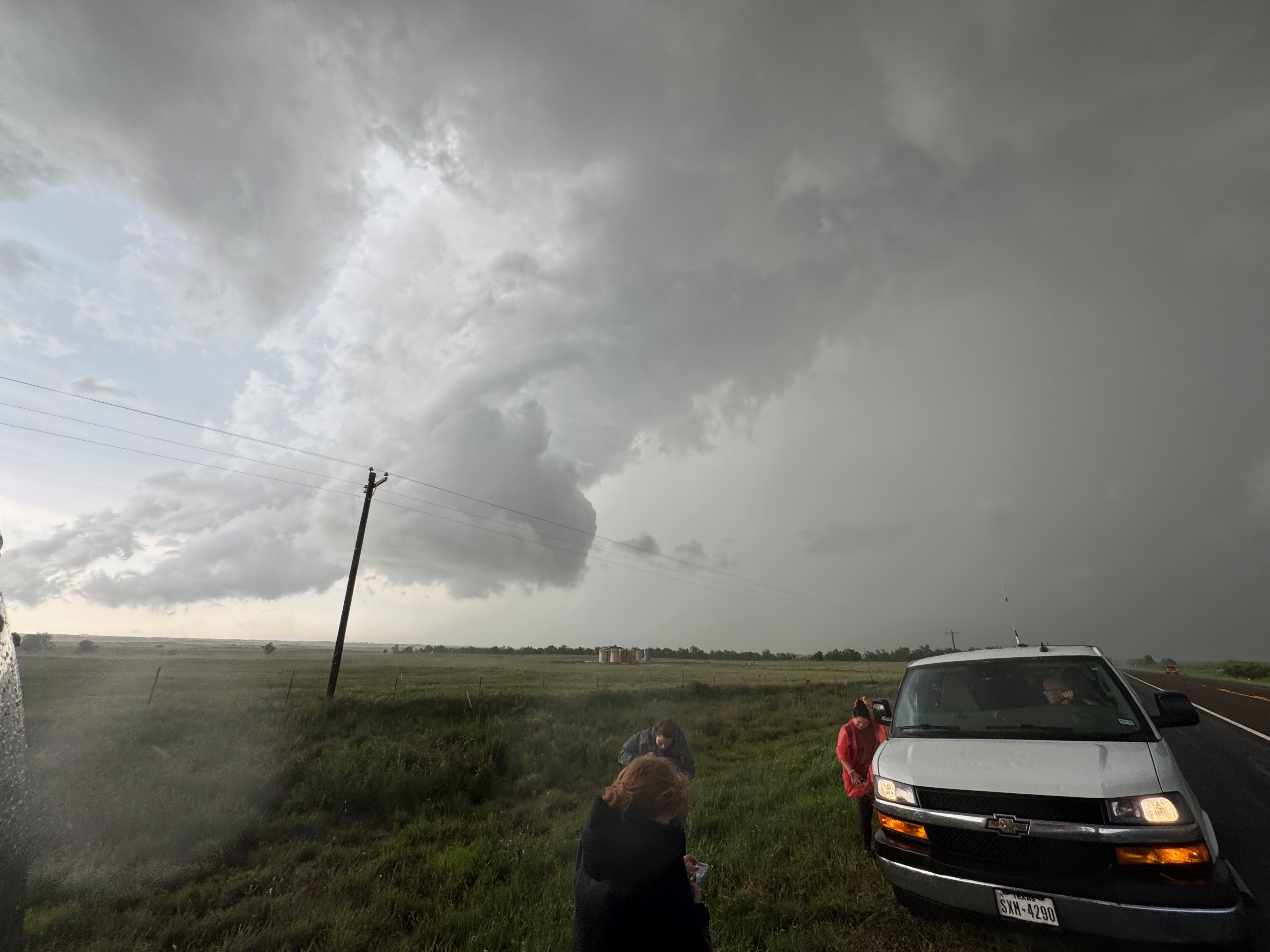
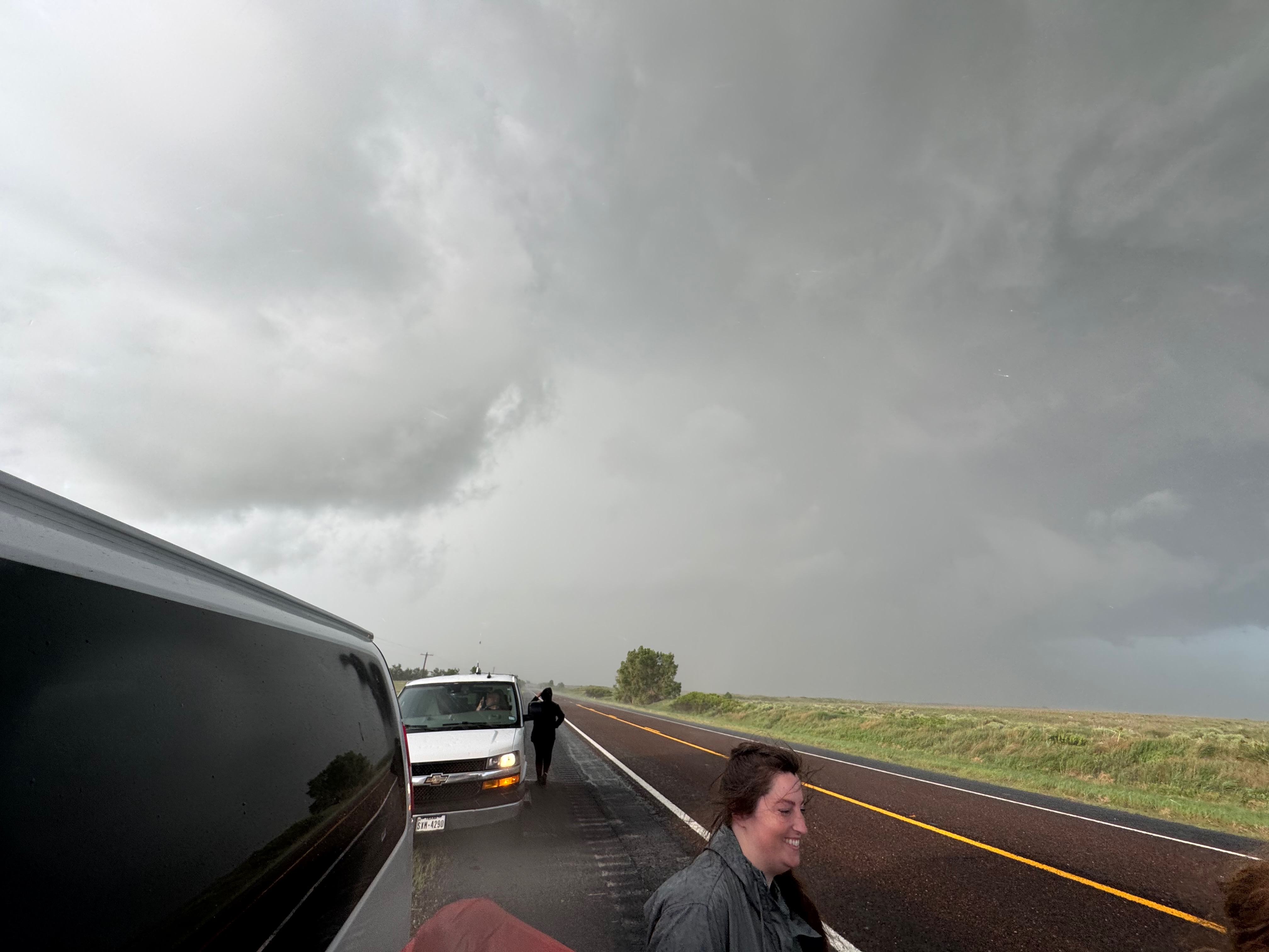
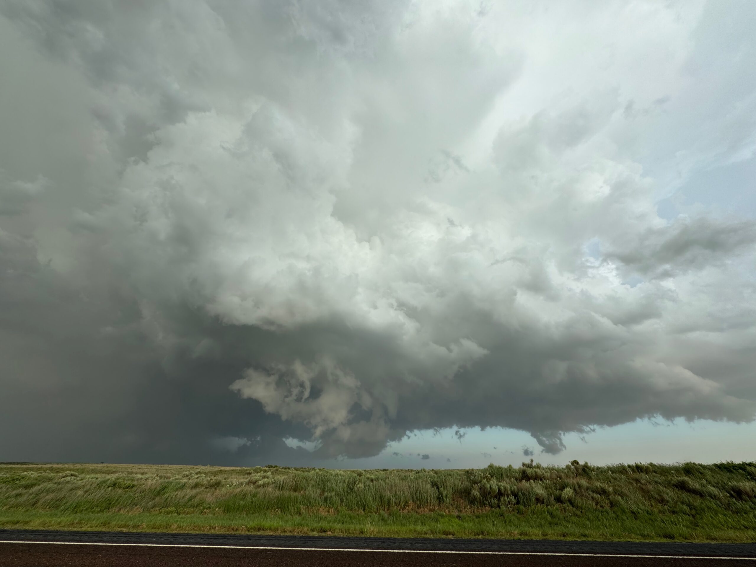
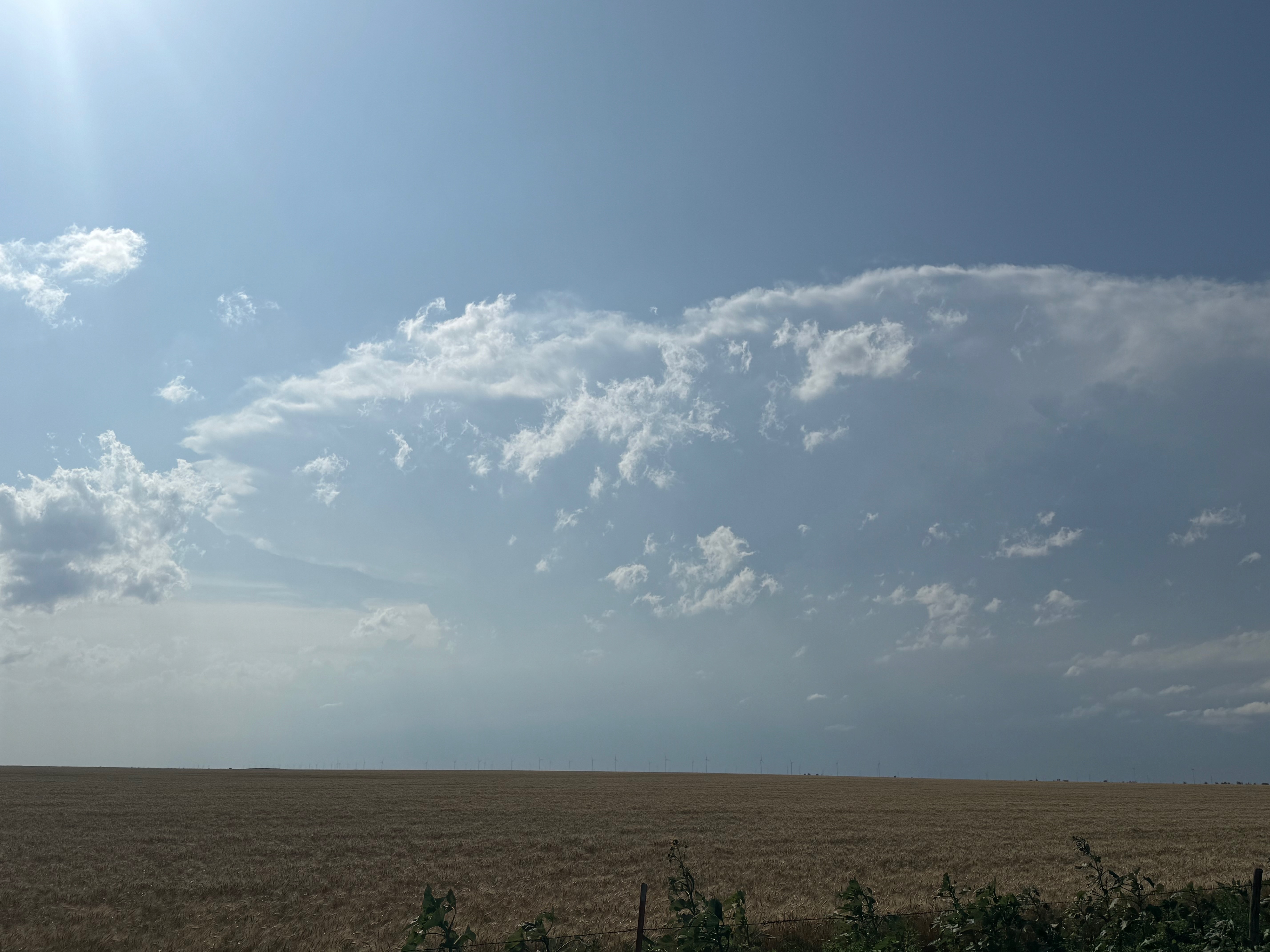
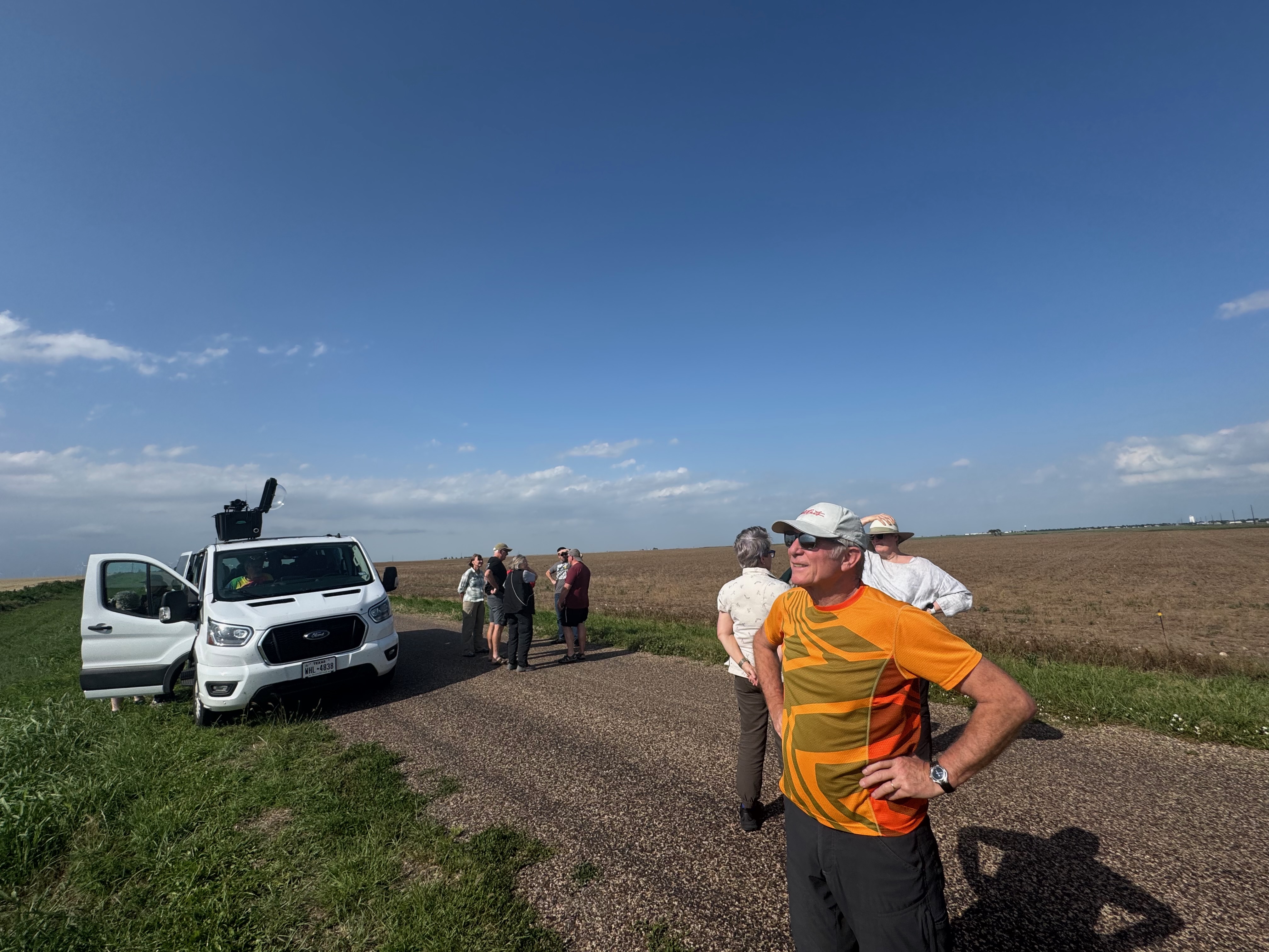
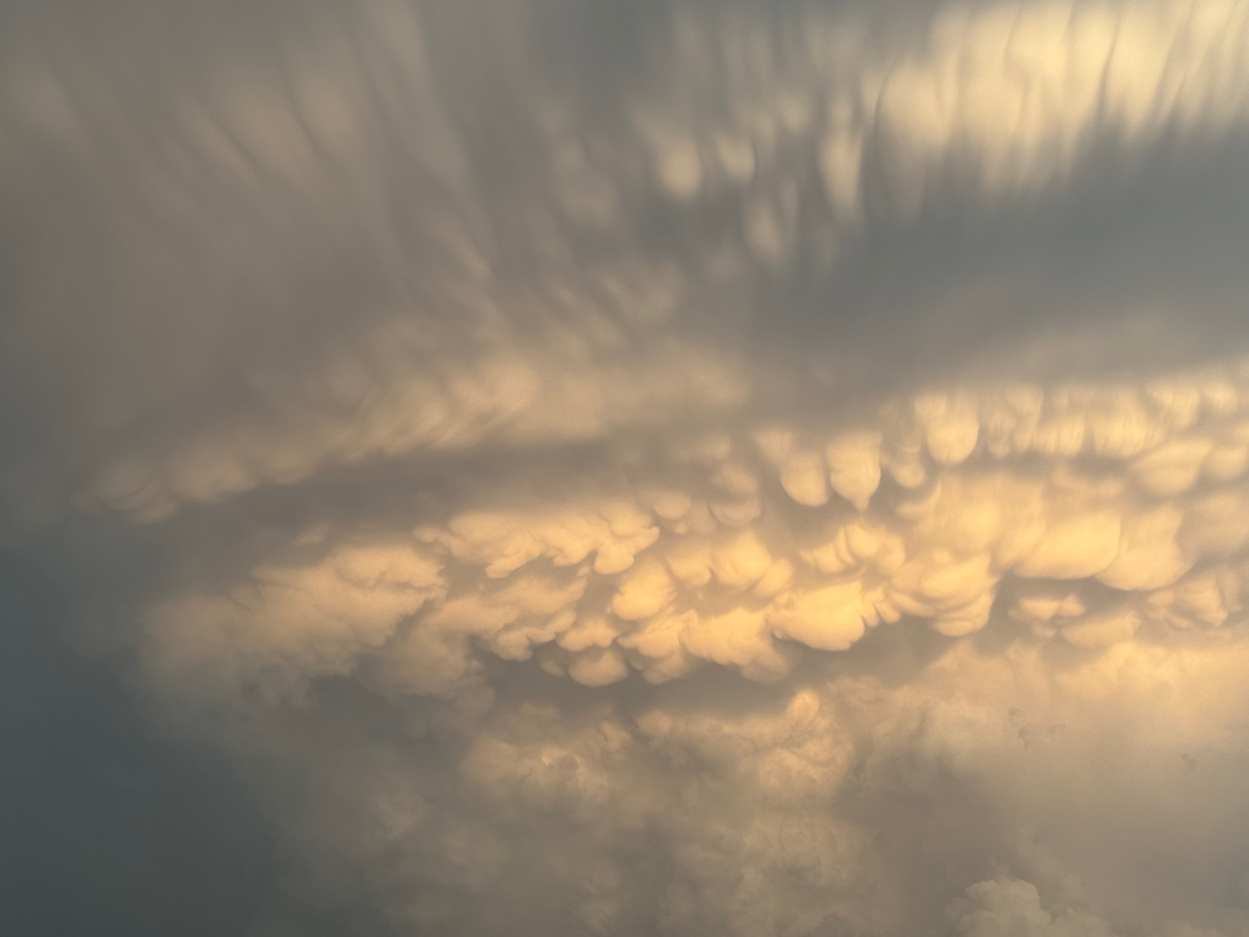
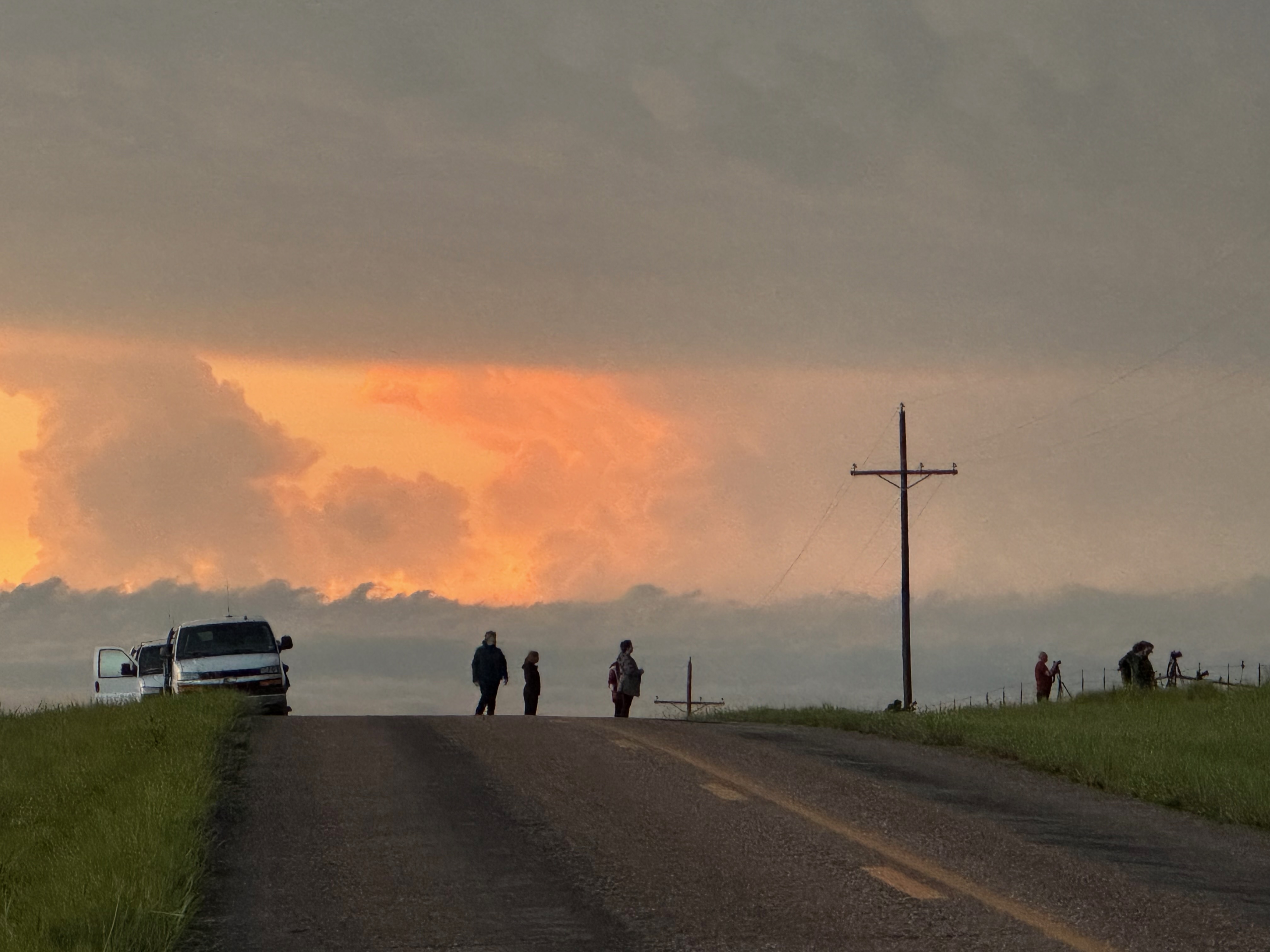
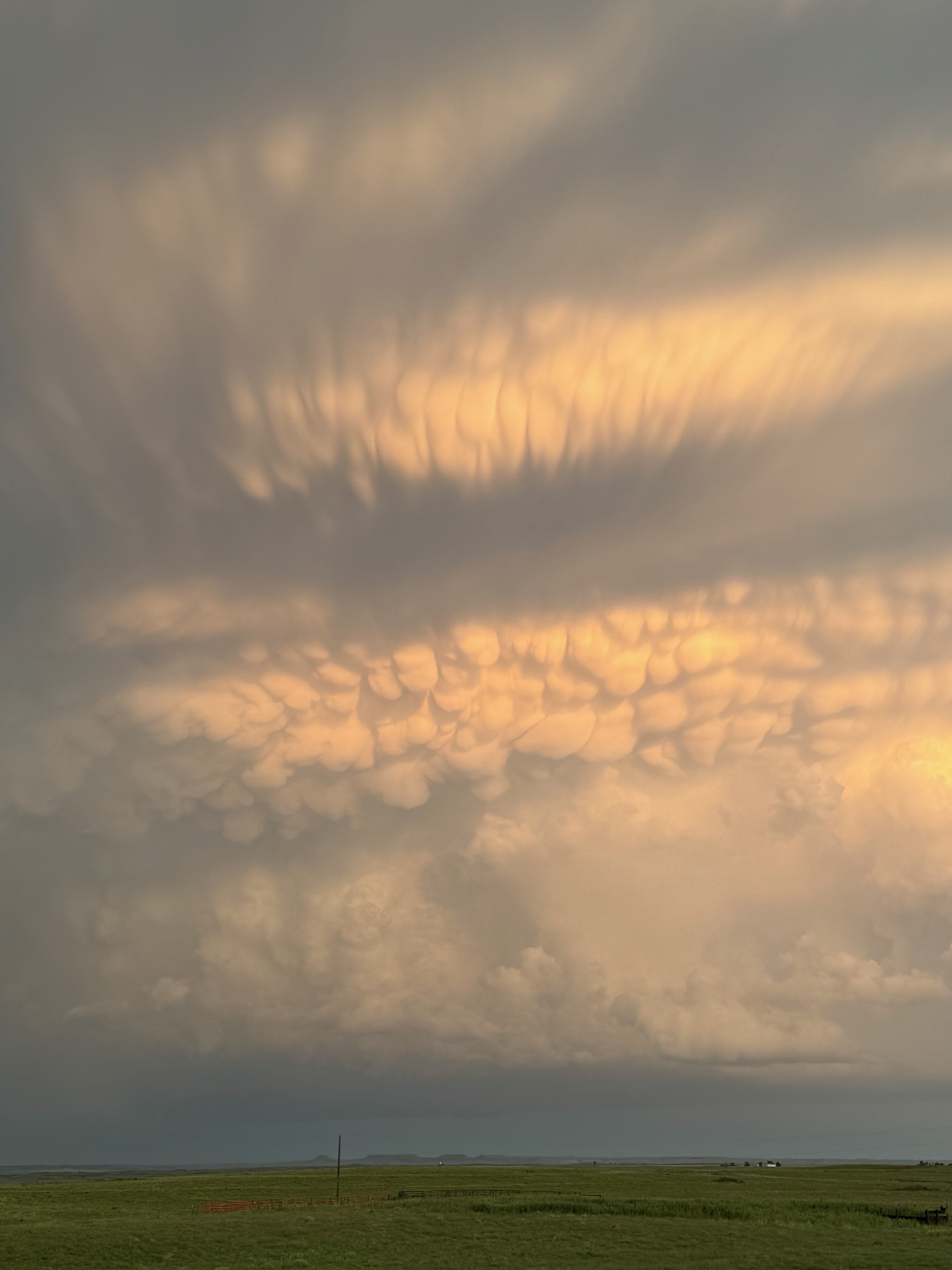
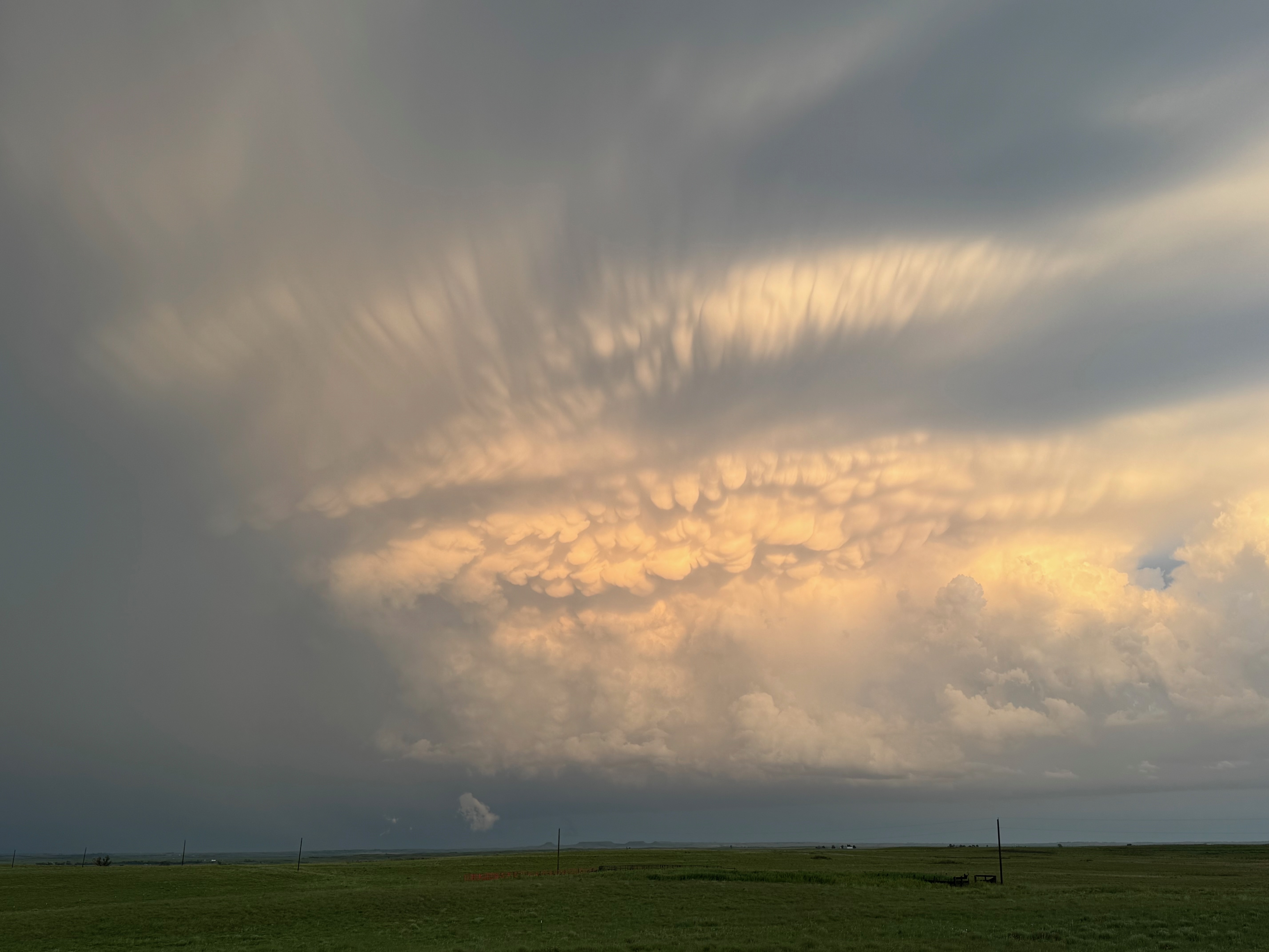
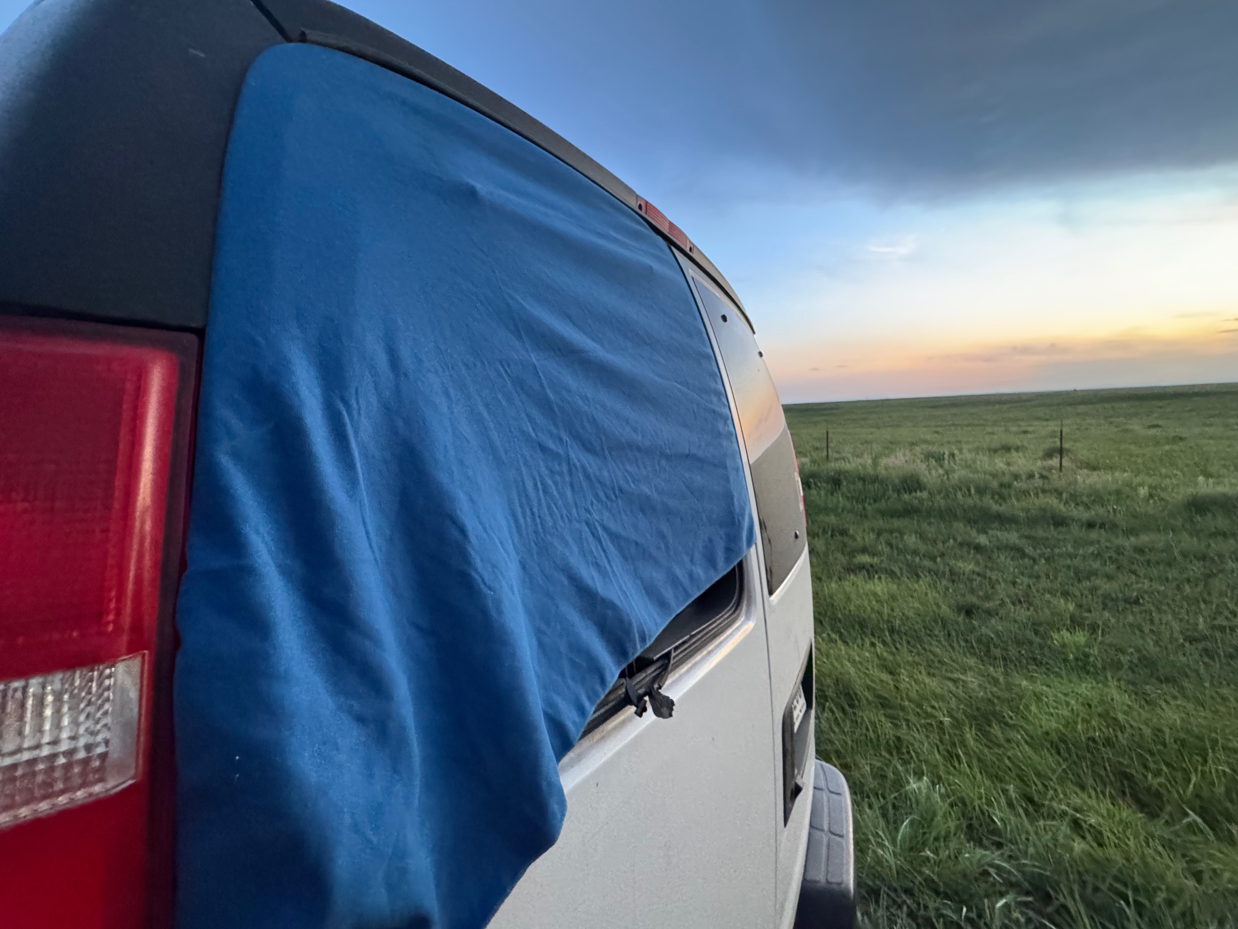
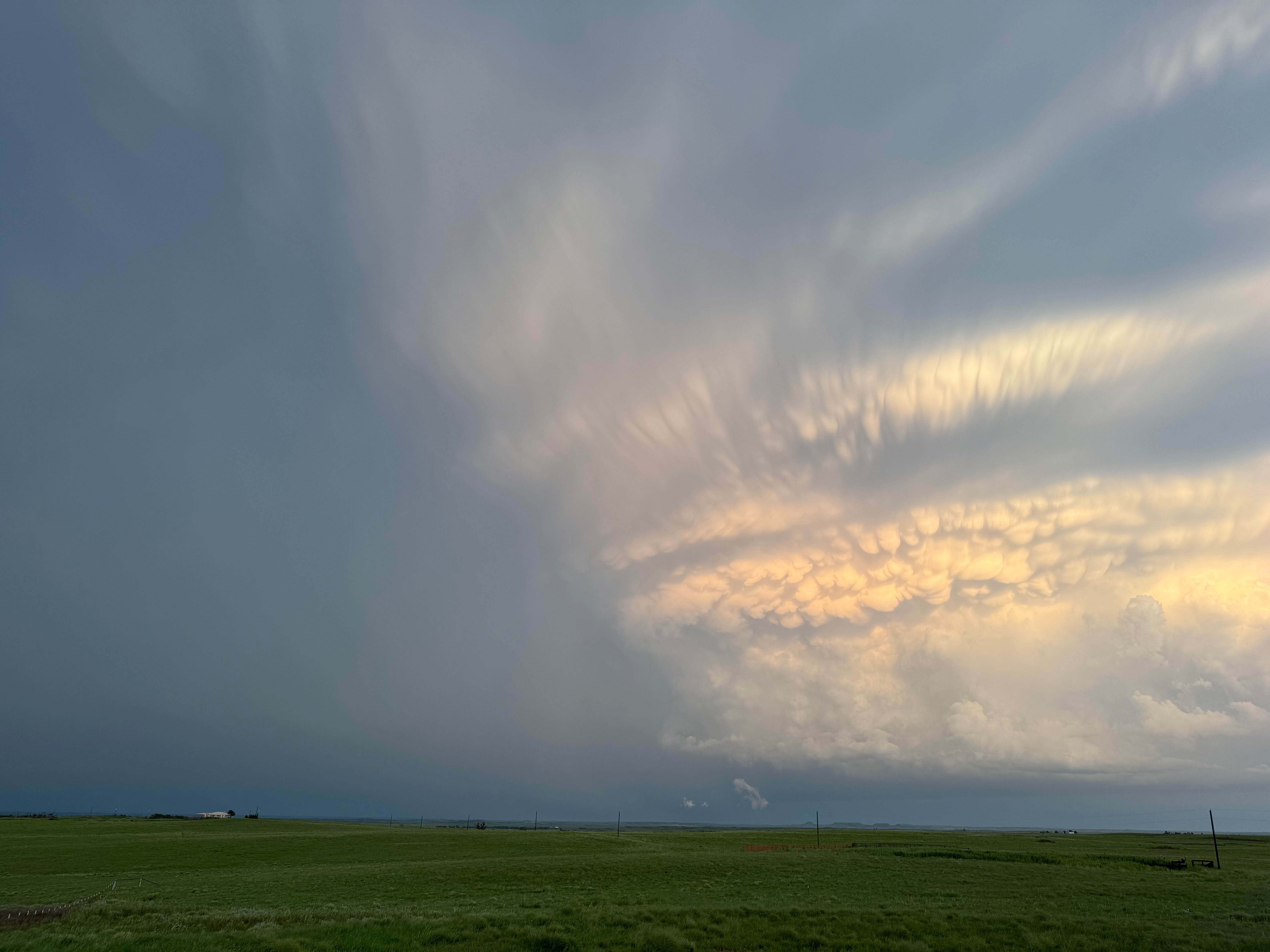
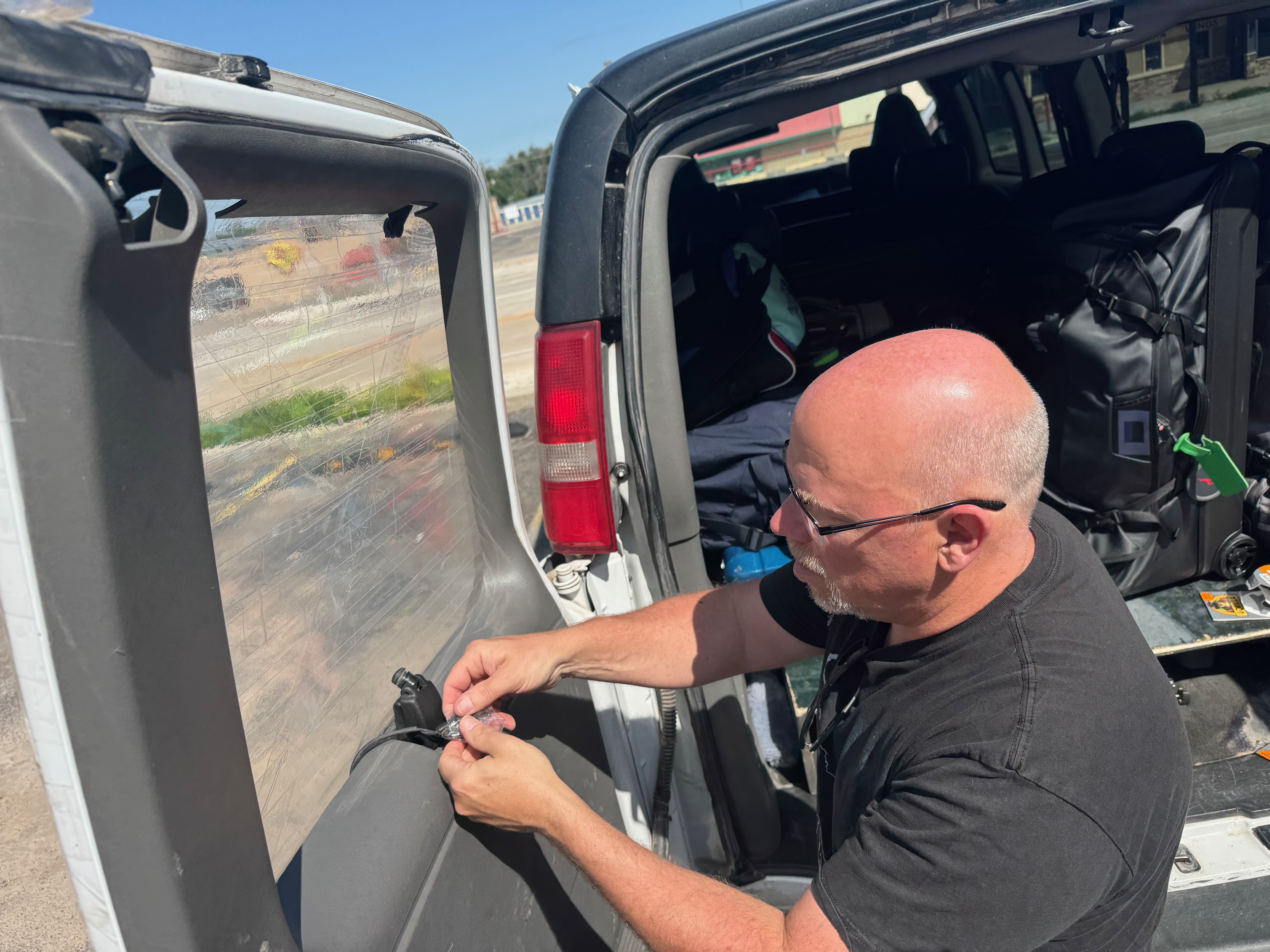
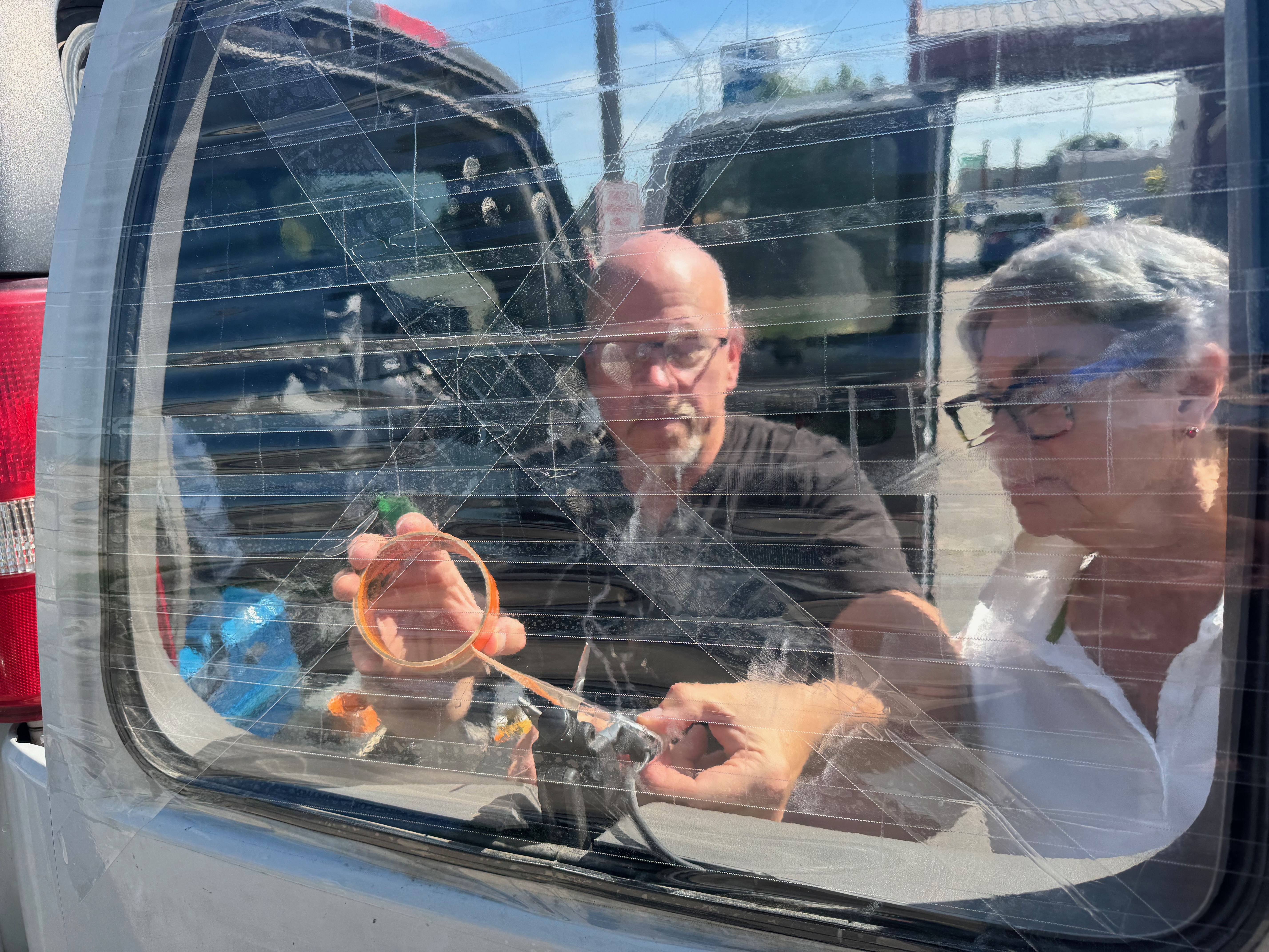
The clouds and storm base just to our southeast were shifting around like crazy, with one large lowering. The lowering wasn’t rotating much, as the main show was a bit beyond that (and rain-wrapped). All of our guests were outside the vans and gawking at the neat scene, when we were suddenly blasted by RFD winds from the ENE, right down U.S. 60. I think these were RFD winds, but I am not sure. Most of us were able to huddle and crouch in the front of the vans to keep from getting blasted by debris and dirt and pebbles. The rear window of Van 2 blew out! The wind blast here must have been at least 75 mph briefly, and it lasted about a minute.
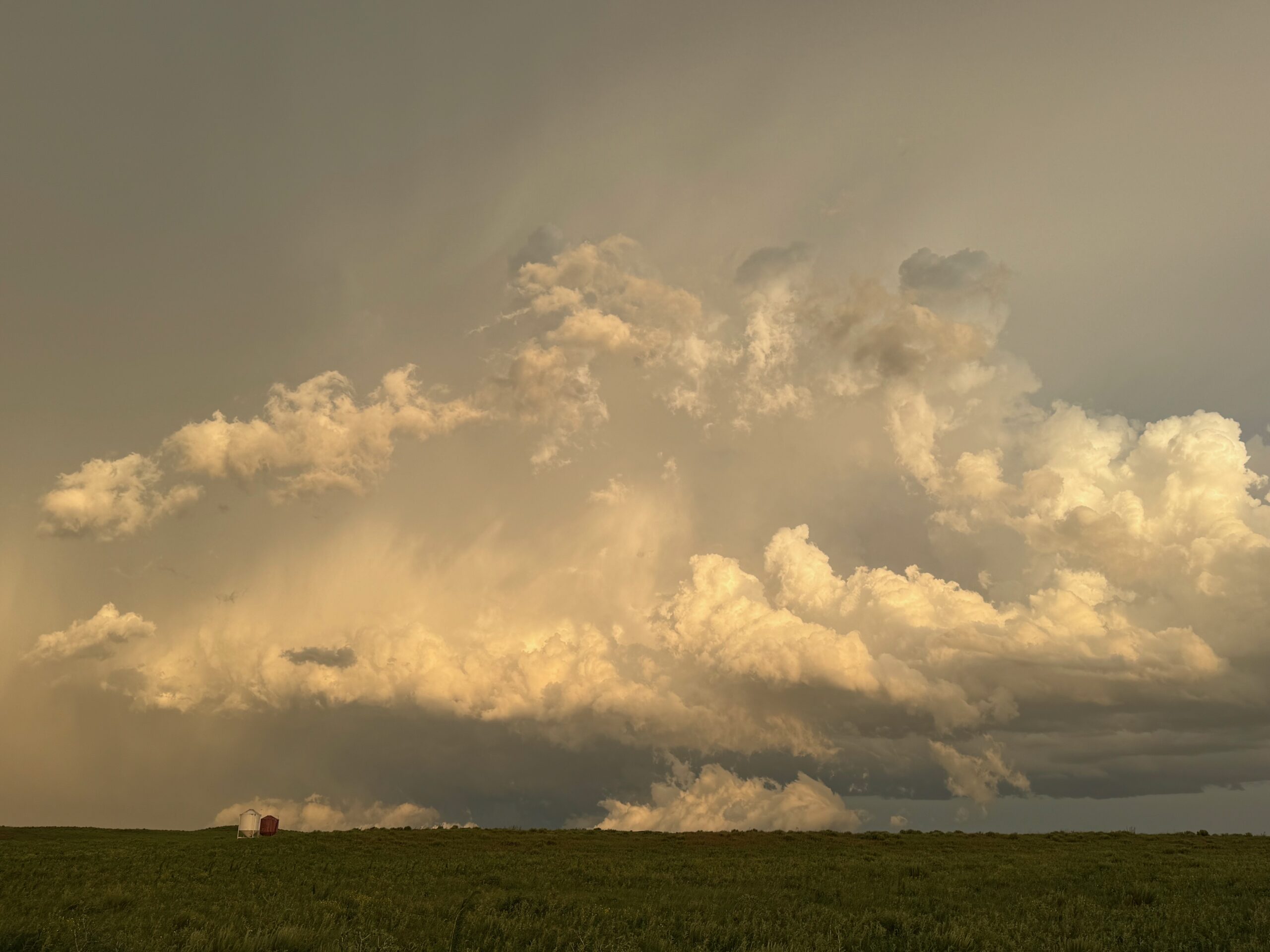
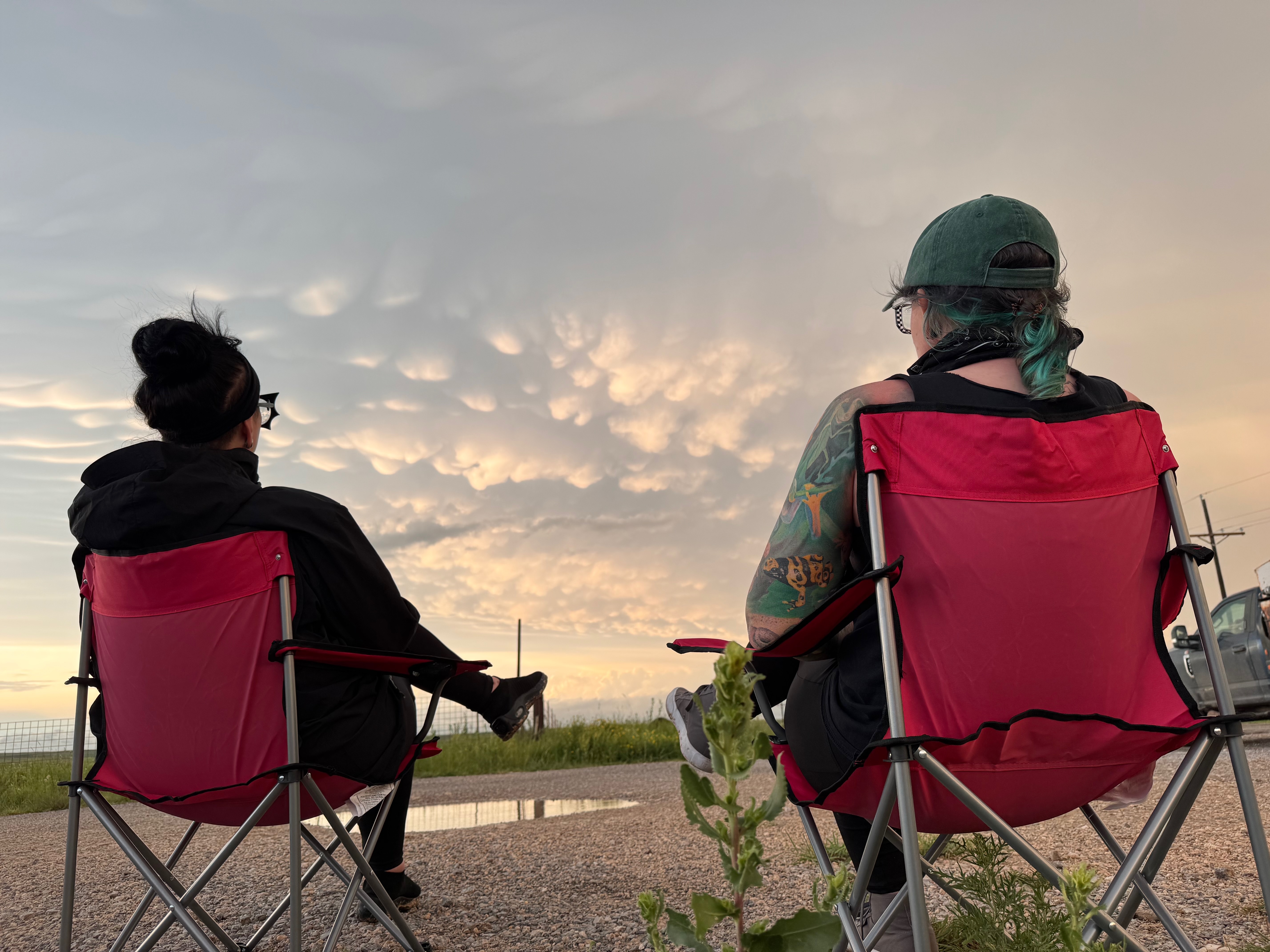
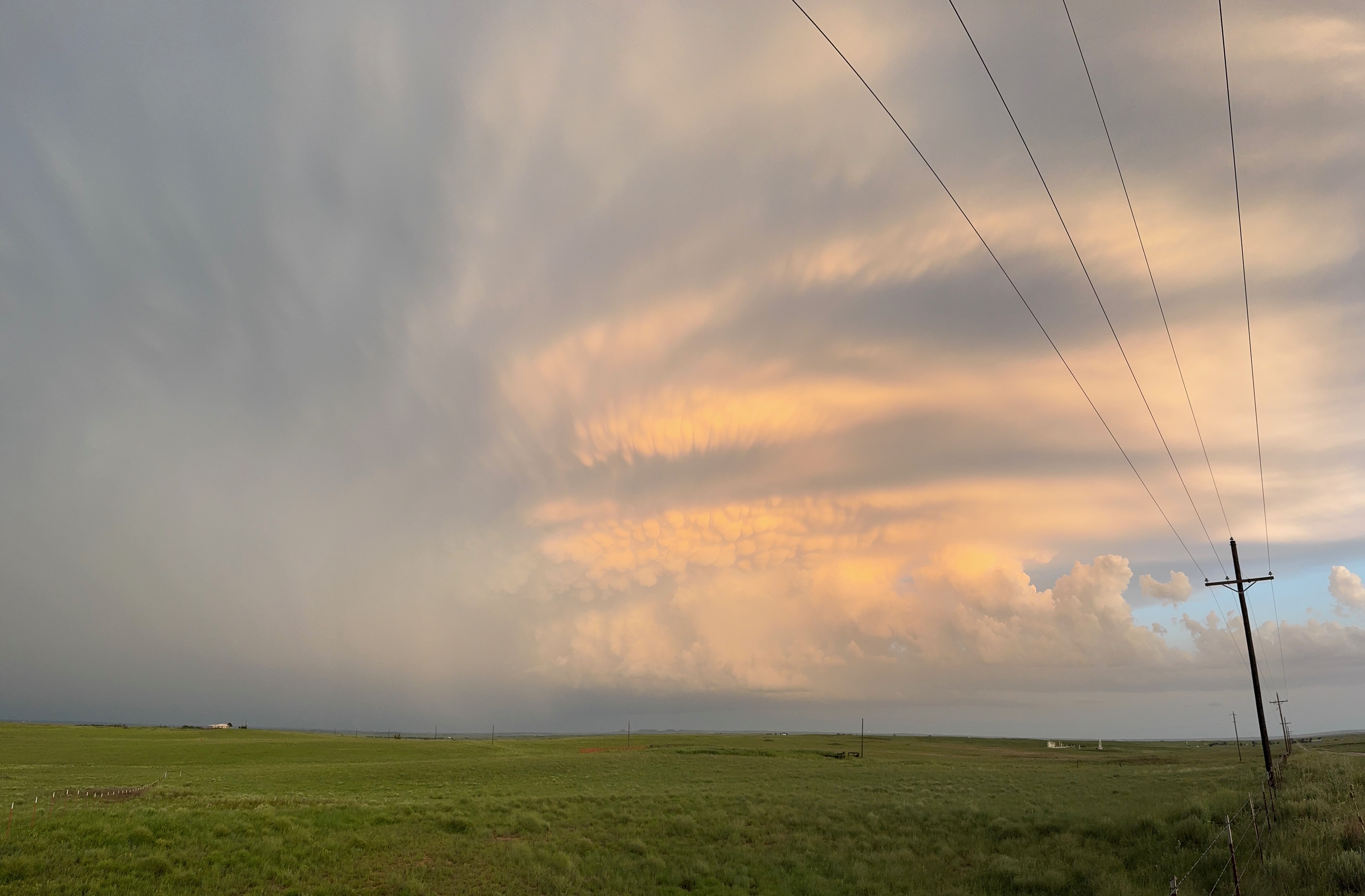
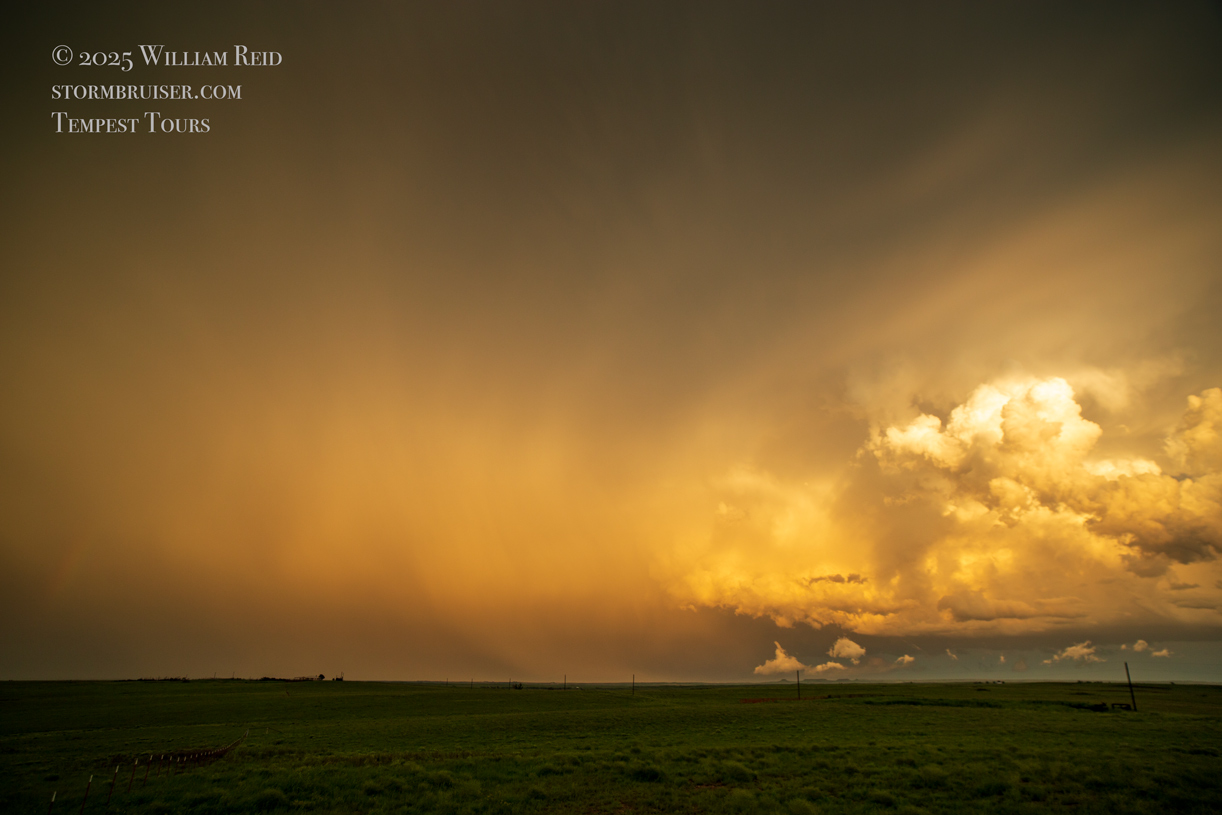
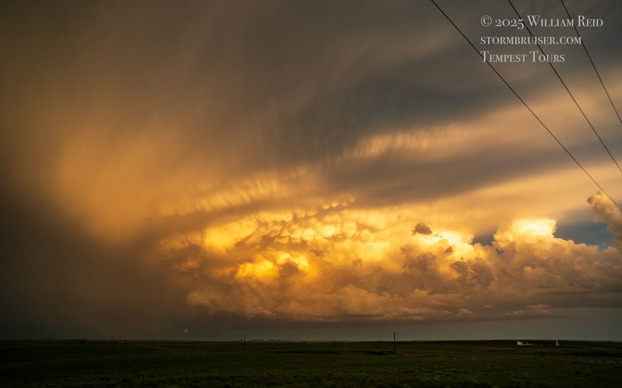
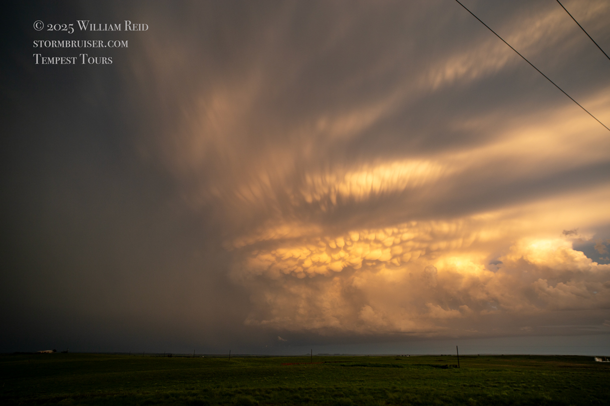
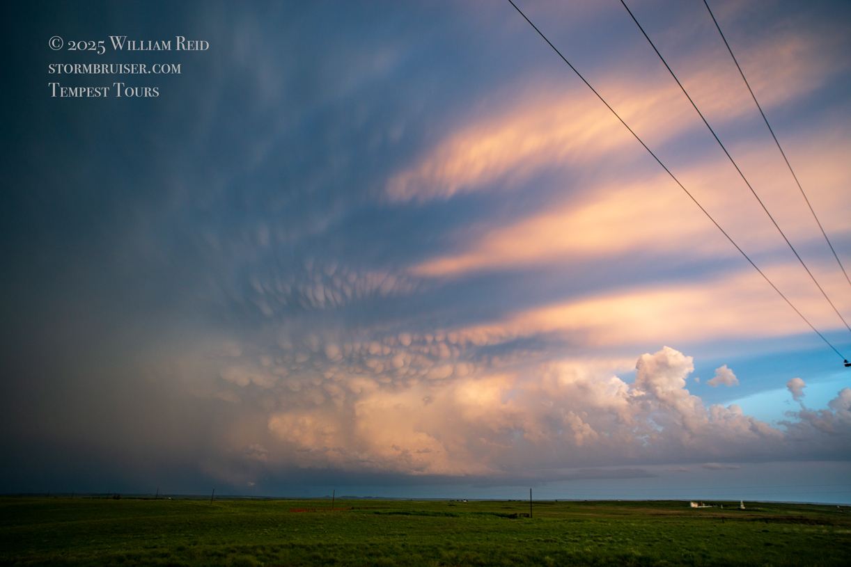
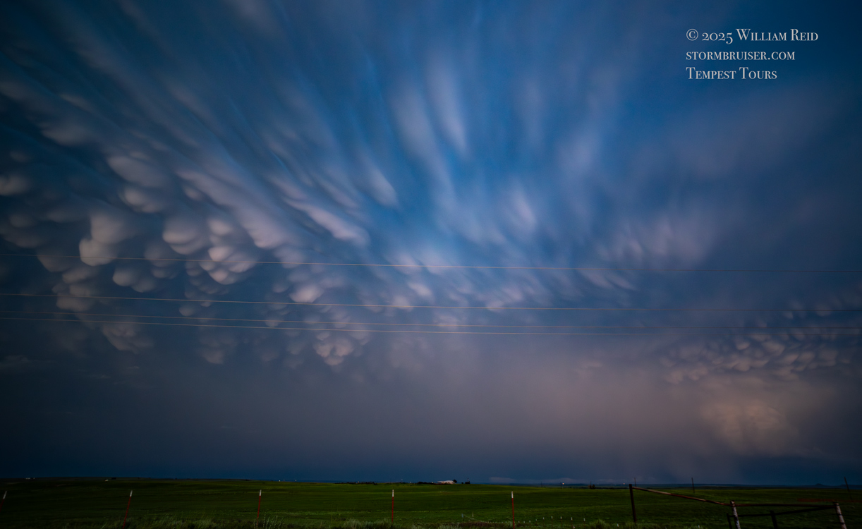
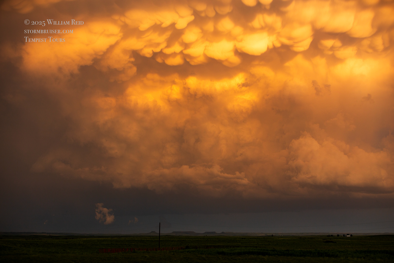
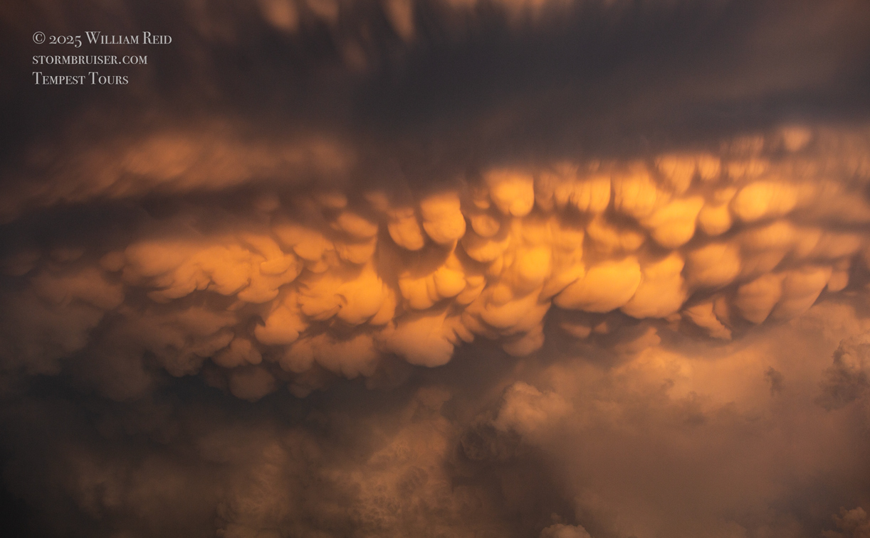
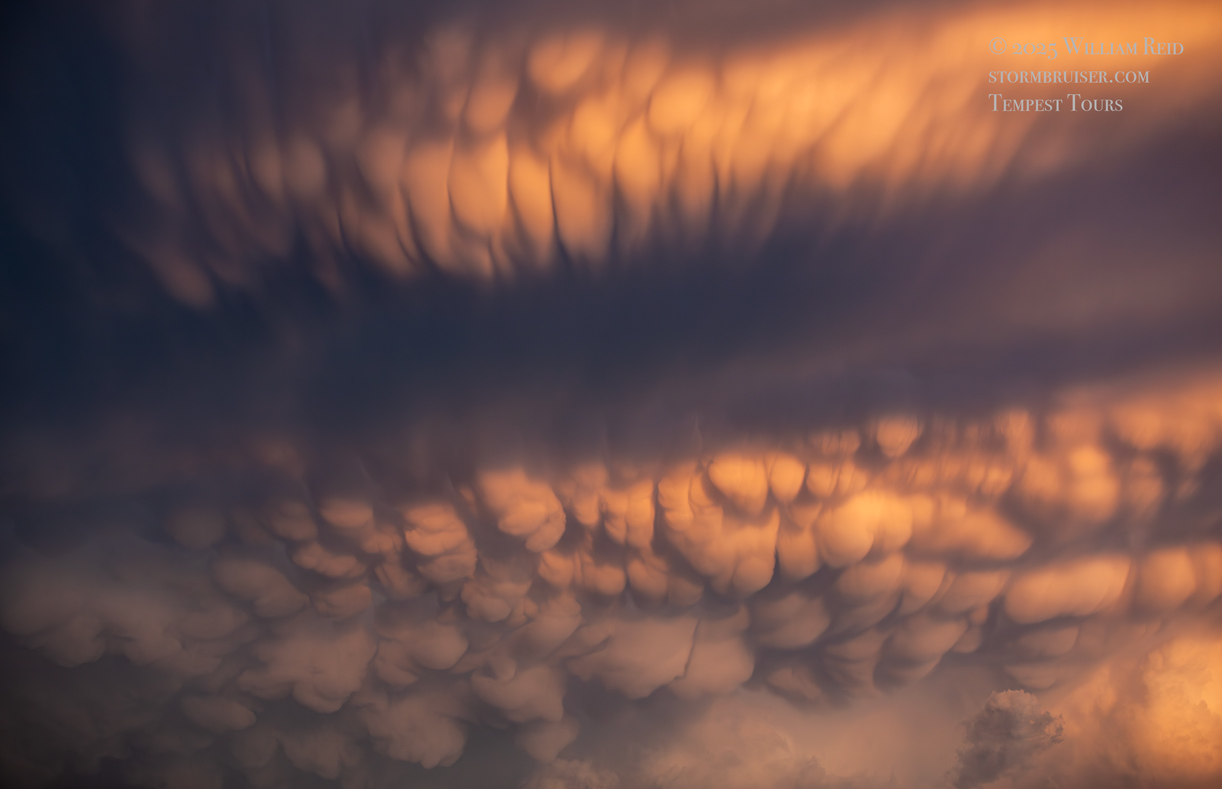
Eventually we composed ourselves, went back to Glazier and then east a ways, almost to the Oklahoma border. We weren’t going to be able to get back into position as the storm was moving away too quickly, so it was time to relax and watch it drift away at sunset.

Leave a Reply
You must be logged in to post a comment.