

Start: Canadian, TX/lunch: Sayre BBQ (First Response Cafe)/end: Shamrock/452 miles
Mesoscale Discussions. 2:39 p.m. CDT. 8:39 p.m. CDT
The place to be today was Indiana, according to SPC. They drew a 10 percent outline for tornados in that state. But we were way out west and had no way of chasing in Indiana. The weather event through Indiana wound up being a linear squally mess with no tornadoes. Should I spell “tornadoes” with or without the “e?” Does the question mark go before or after the apostrophe mark? What is the meaning of life? Who cares about this boring chase day?
We had the back window of the van replaced somehow, according to my notes. I don’t believe my notes, as I thought it was fixed when we got back to Denver.
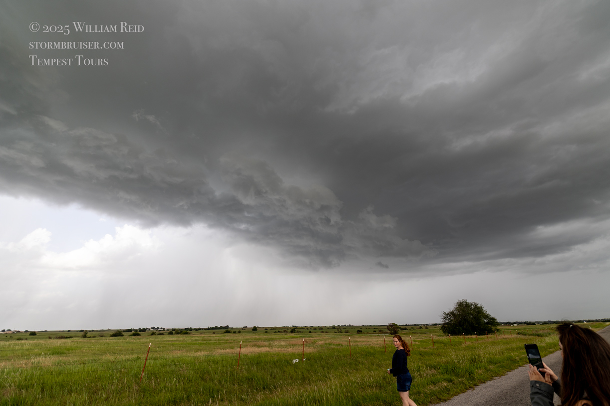
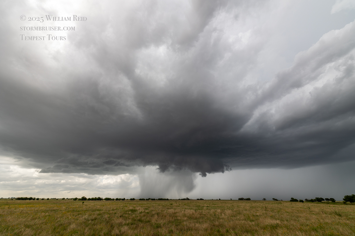
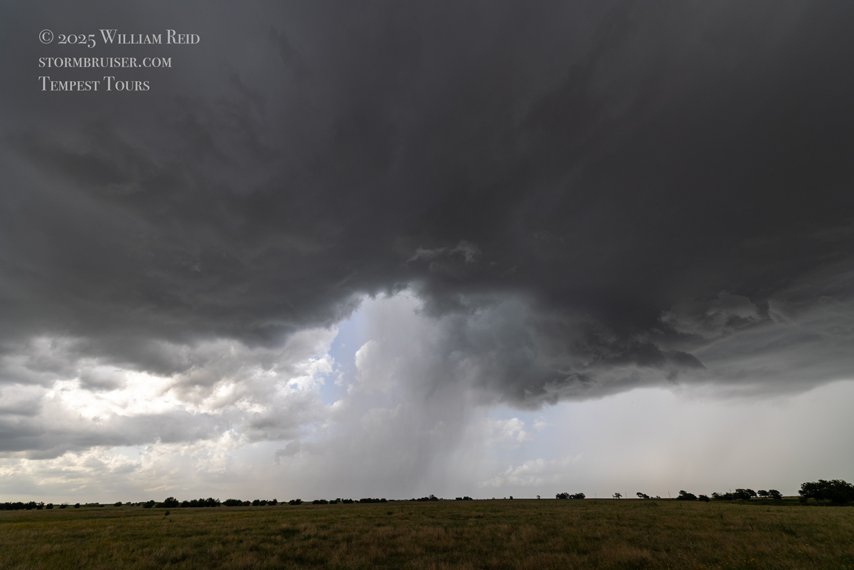
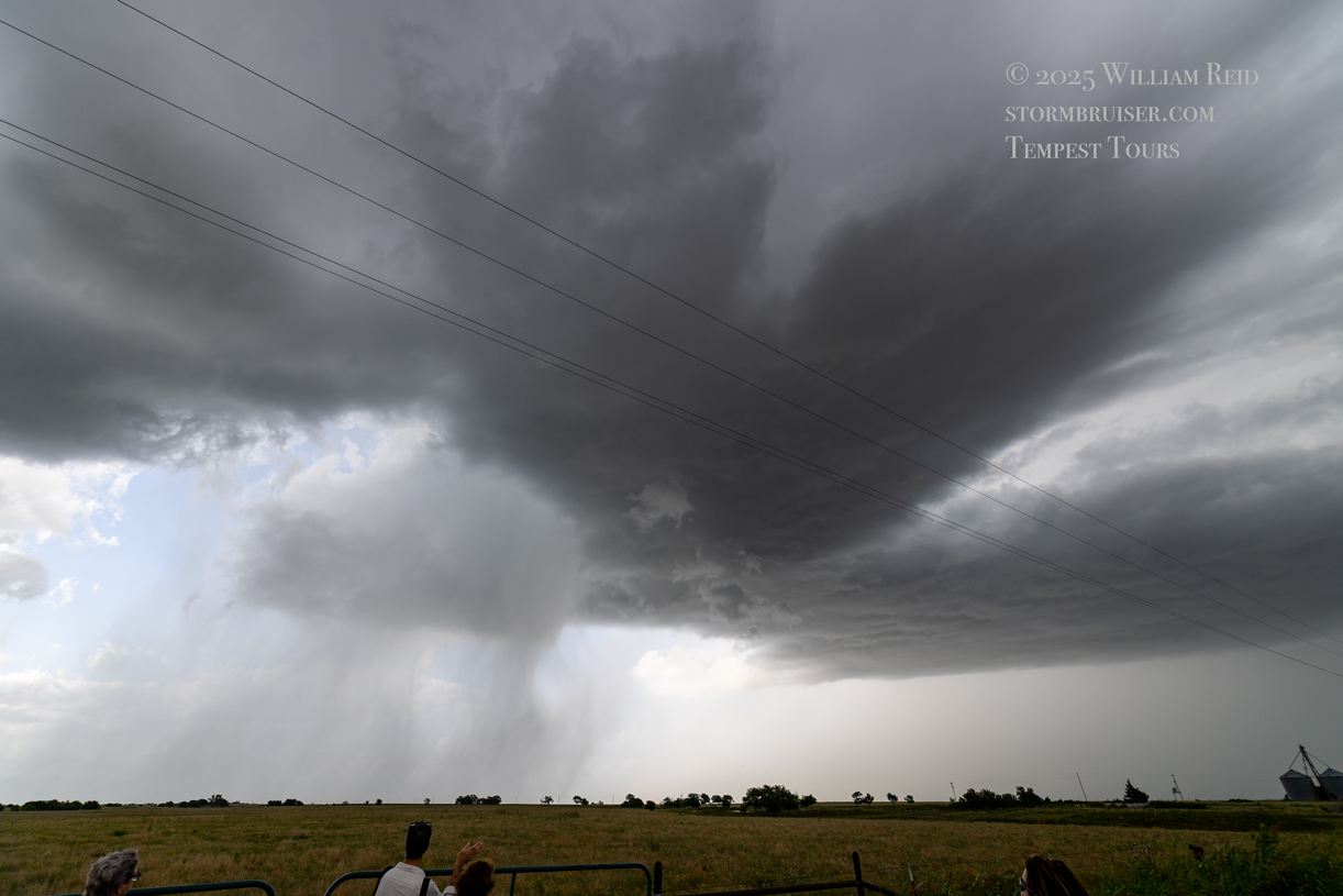
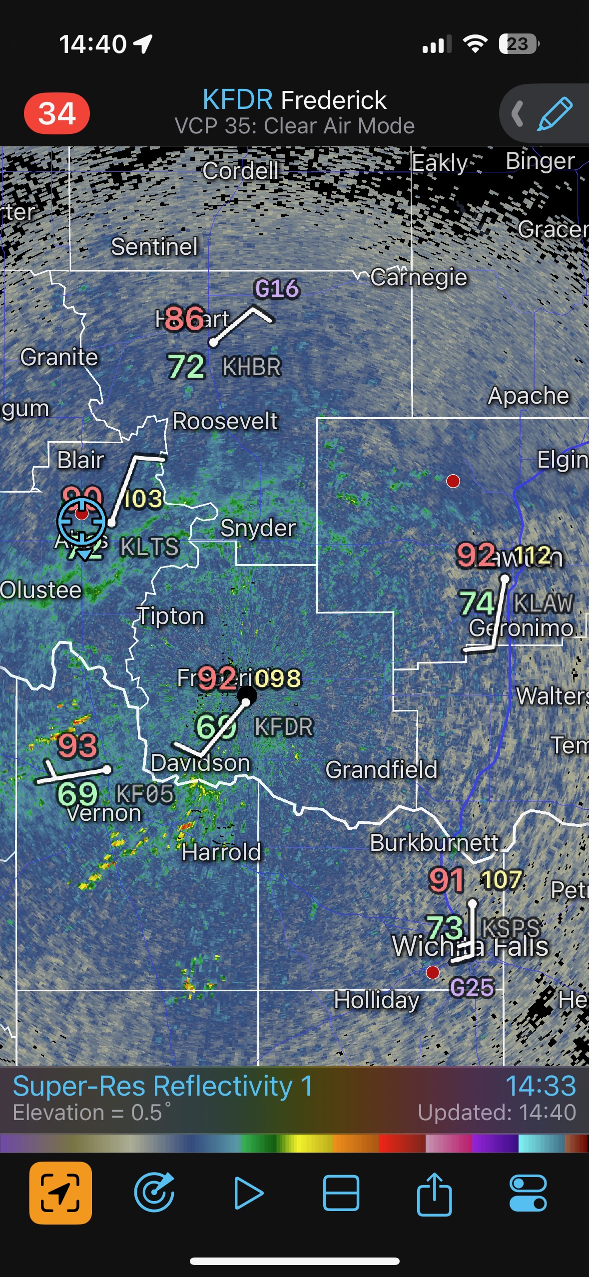
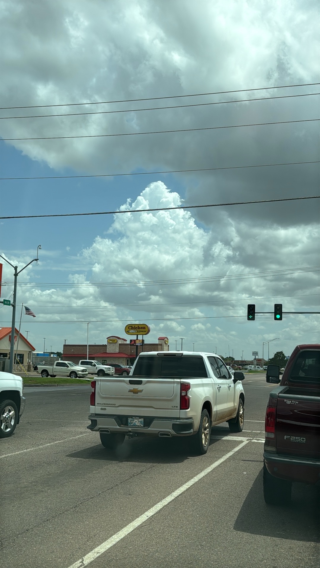
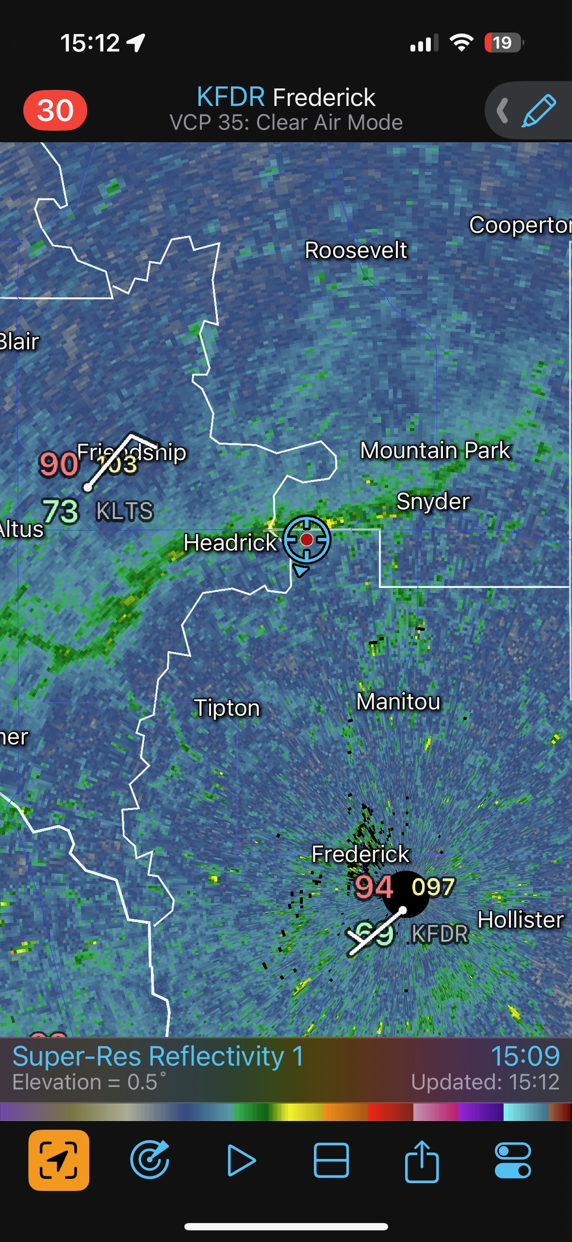
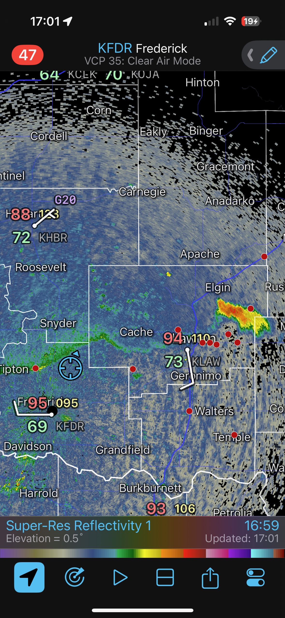
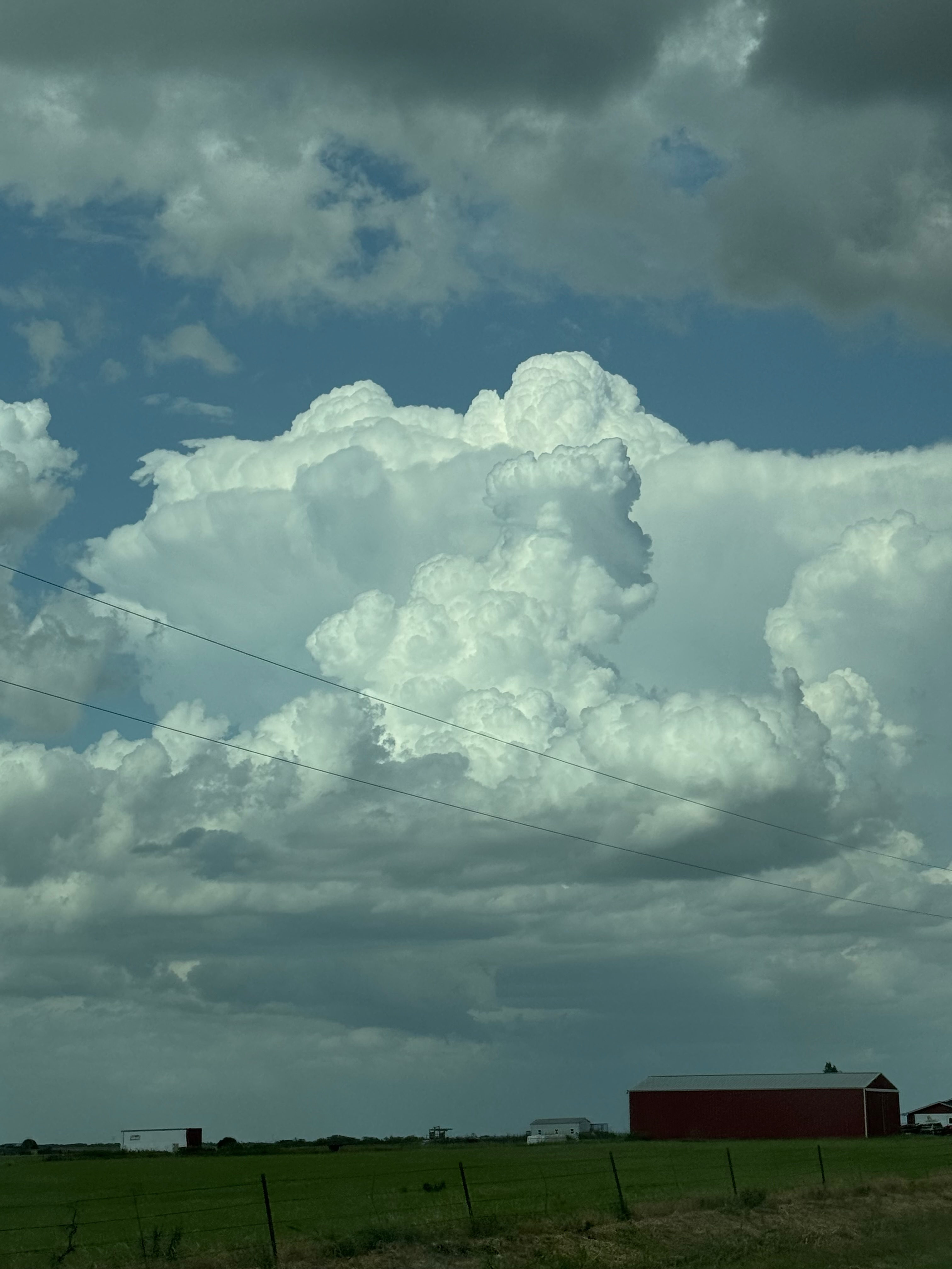
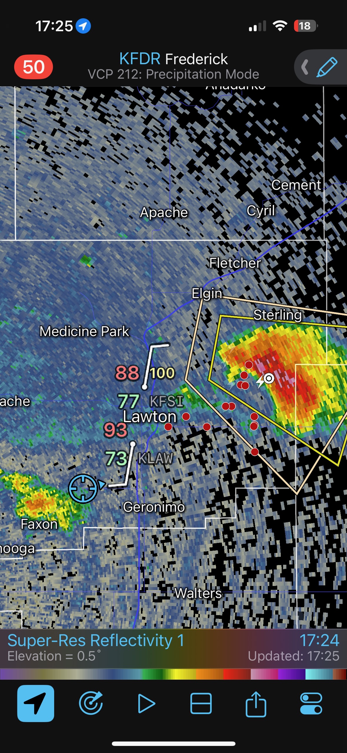
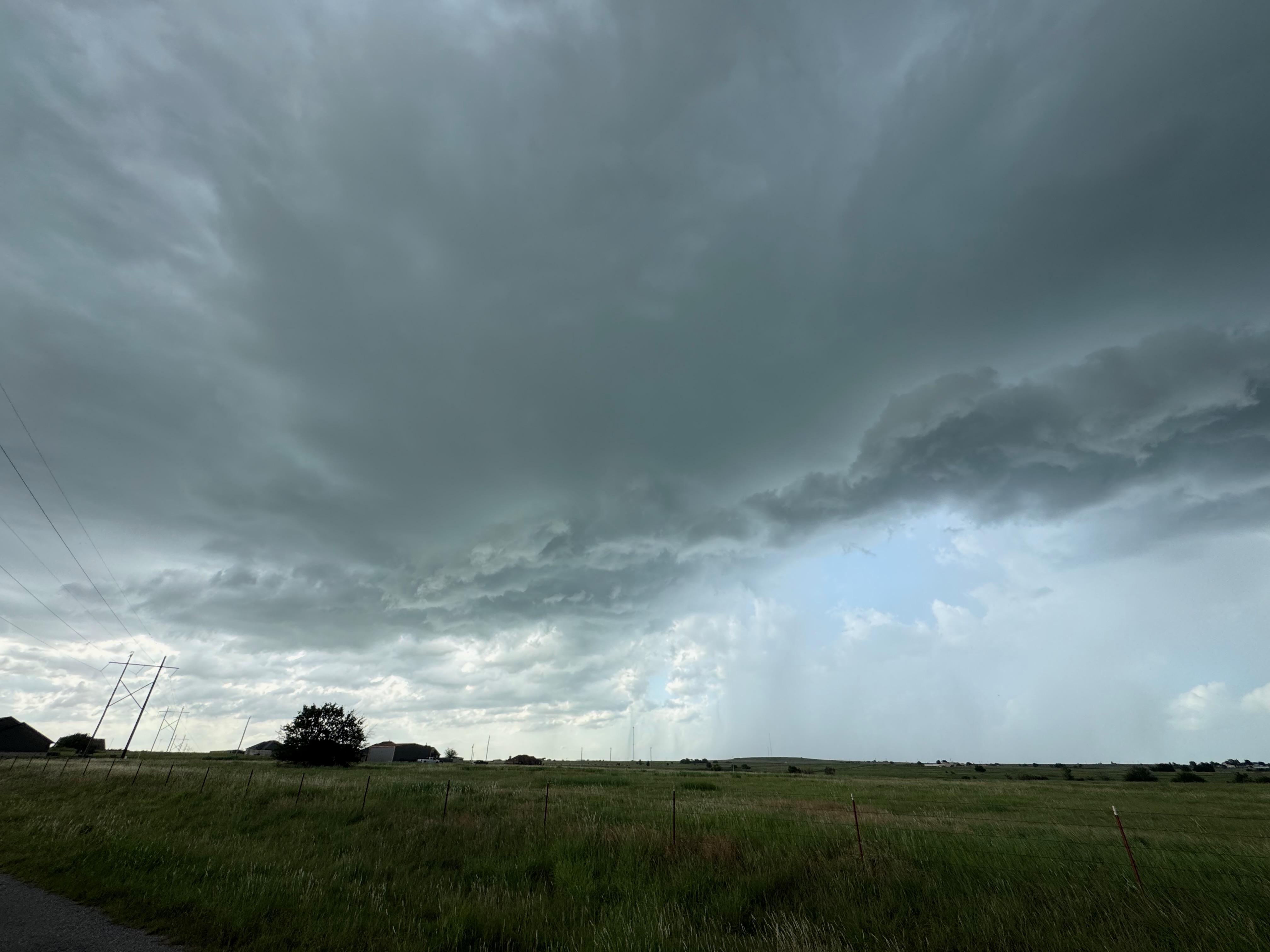
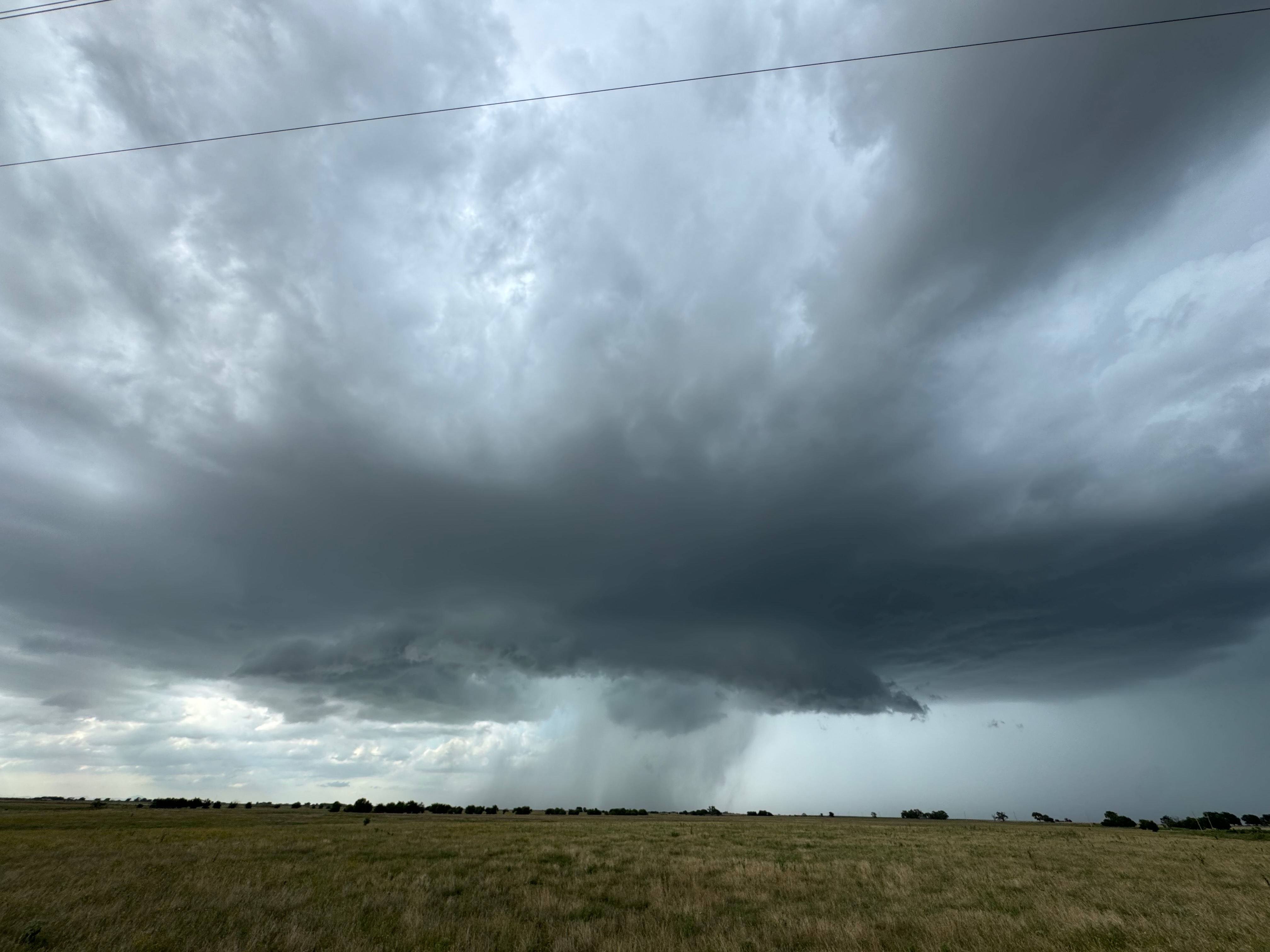
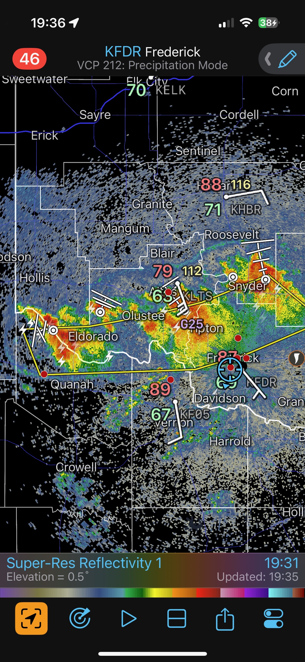
The best chance for something interesting and within reach today was along a boundary near the Red River. We made our way over to Lawton and watched some beefy towers go up. We settled south of one, which sported a little lowering and a little organization. And then it sputtered. Shear today was lousy.
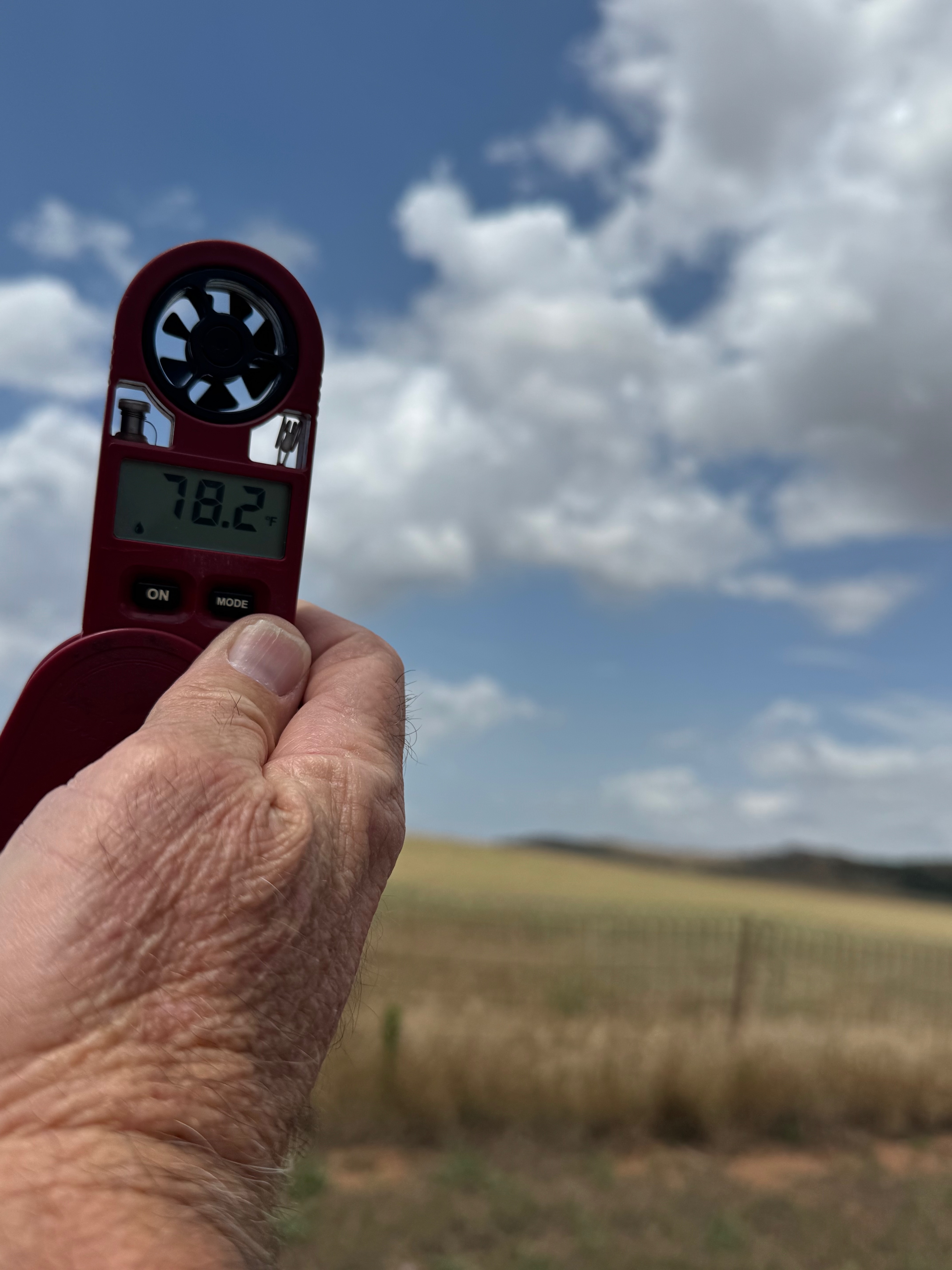
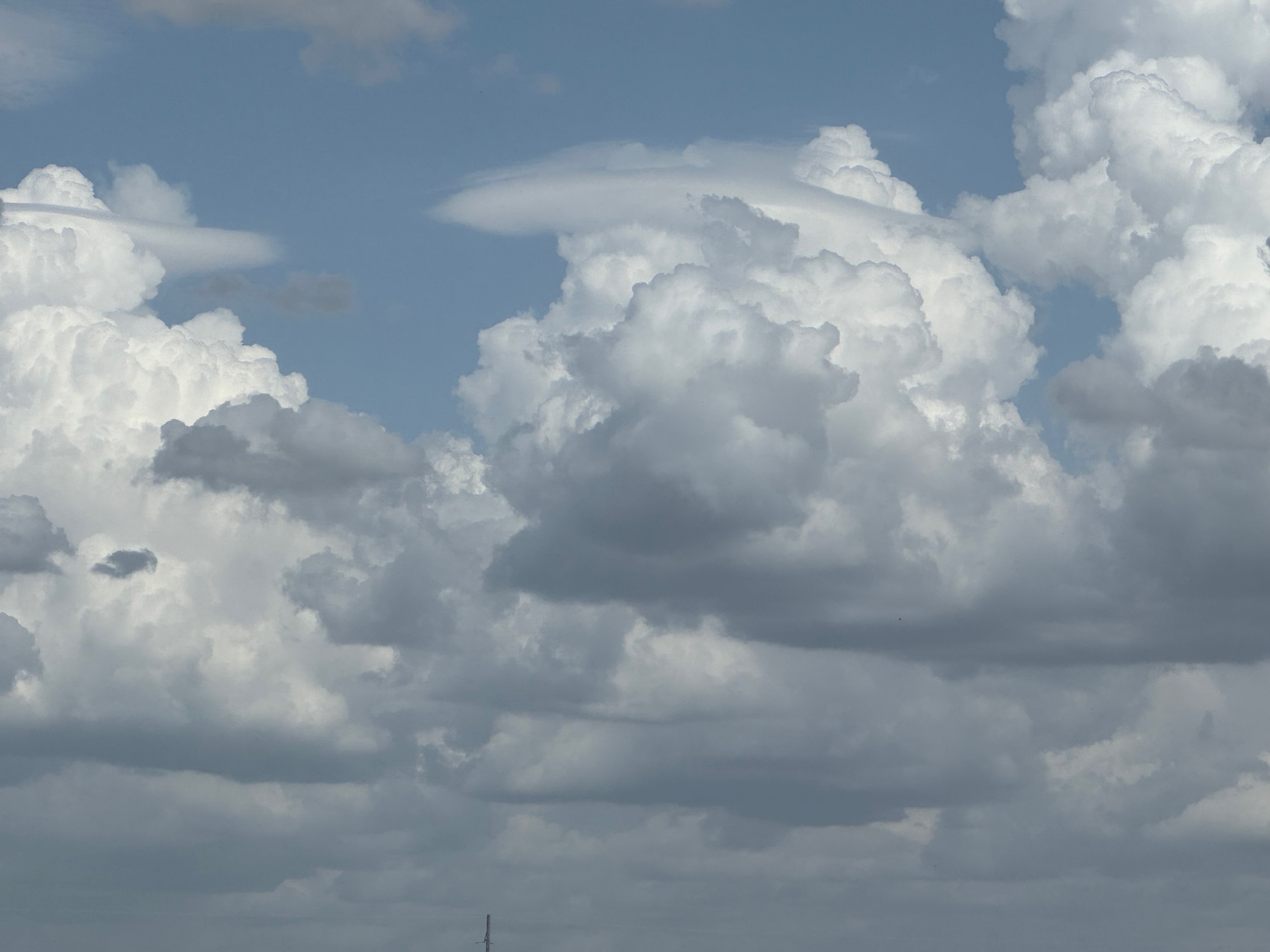
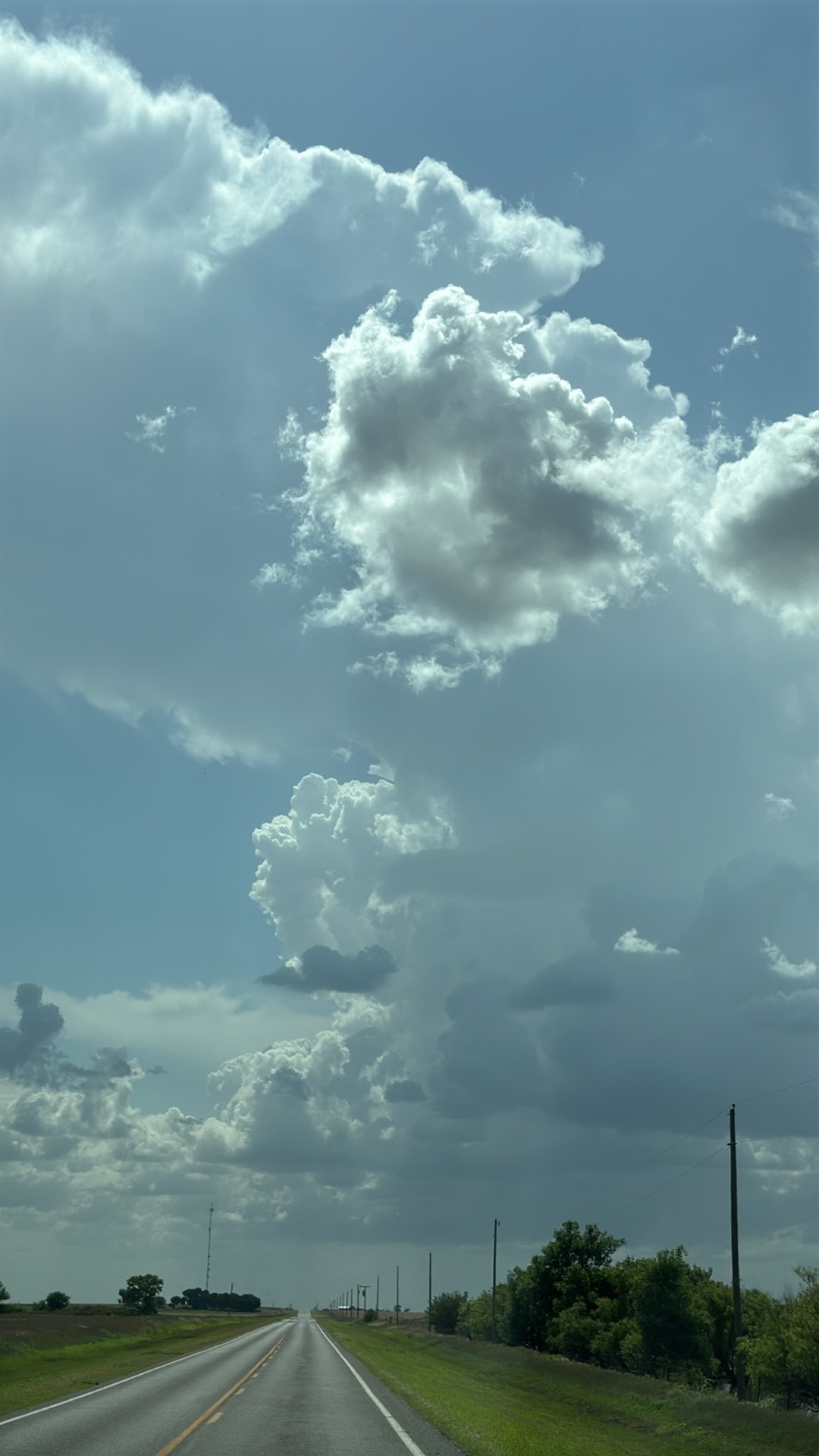
The four pics below are the only ones worthy of sharing off of my Canon.
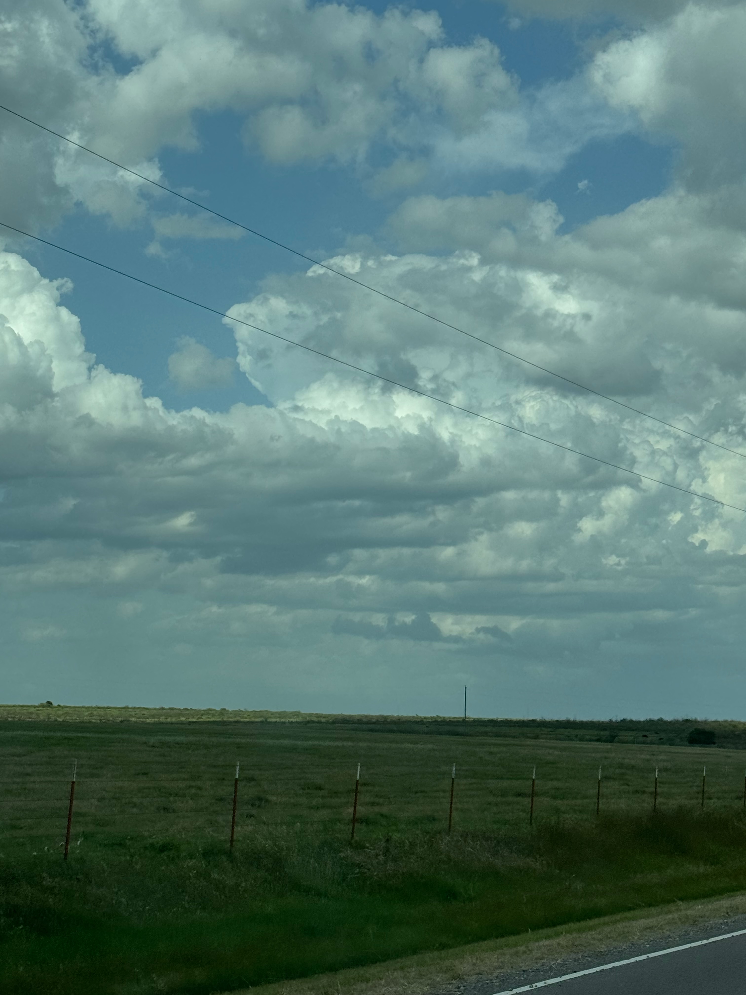
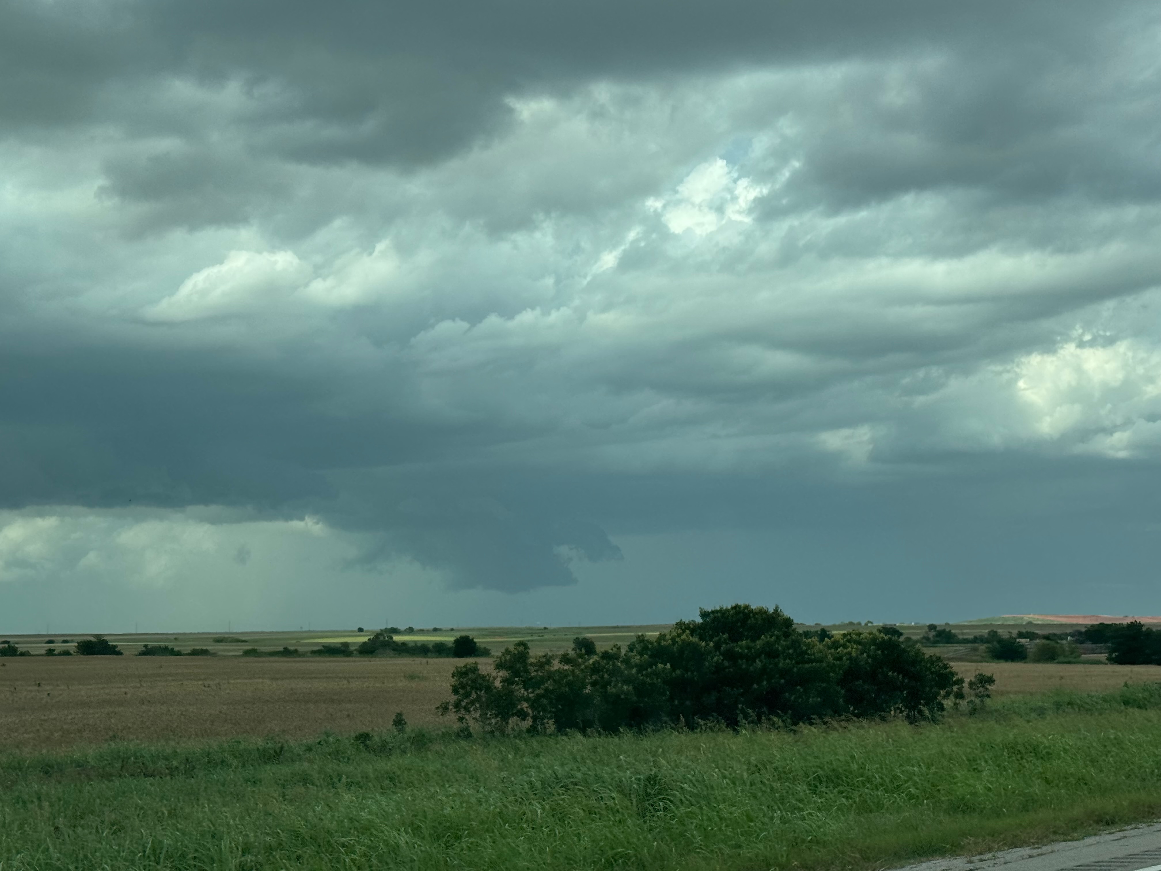
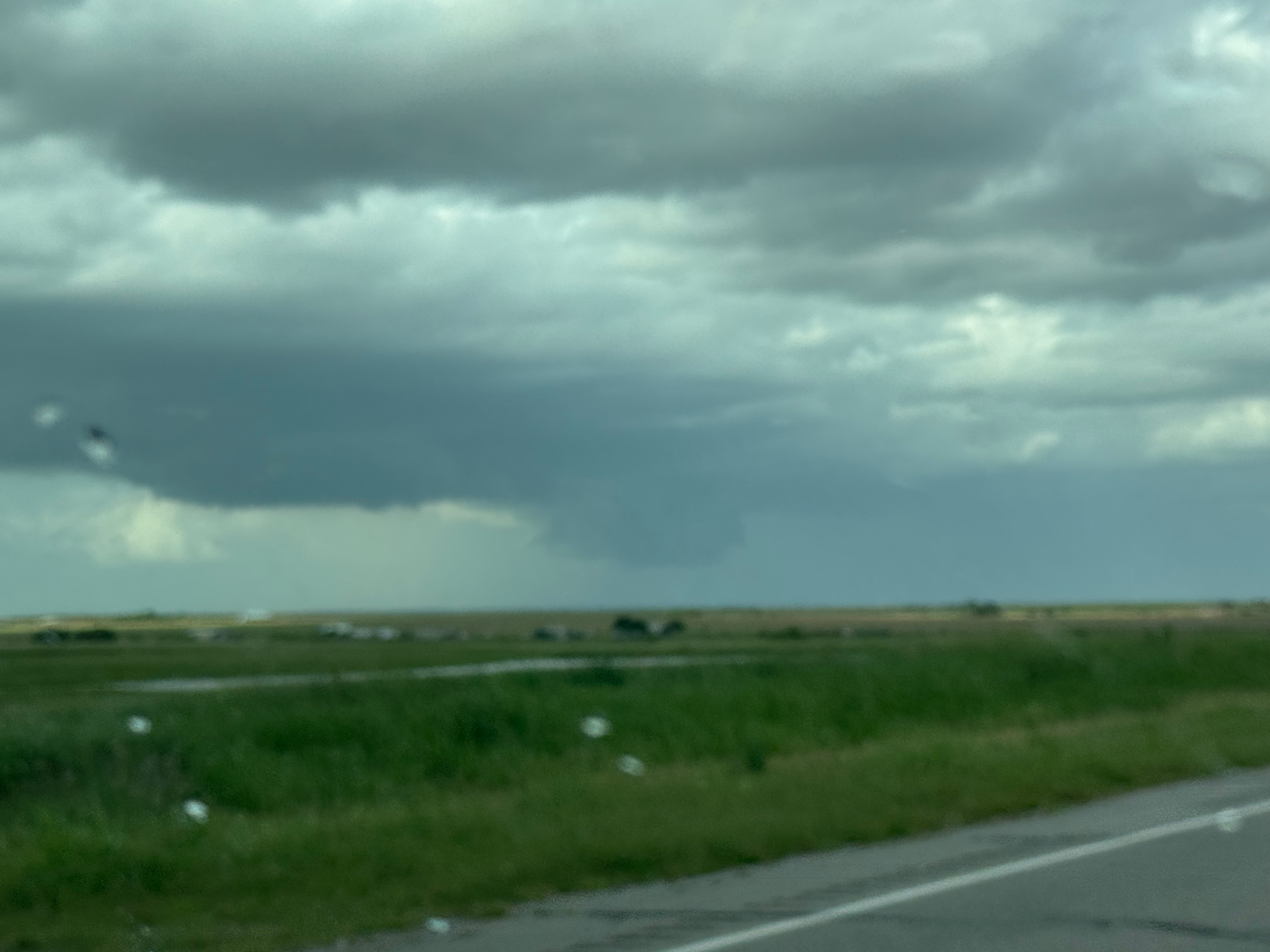
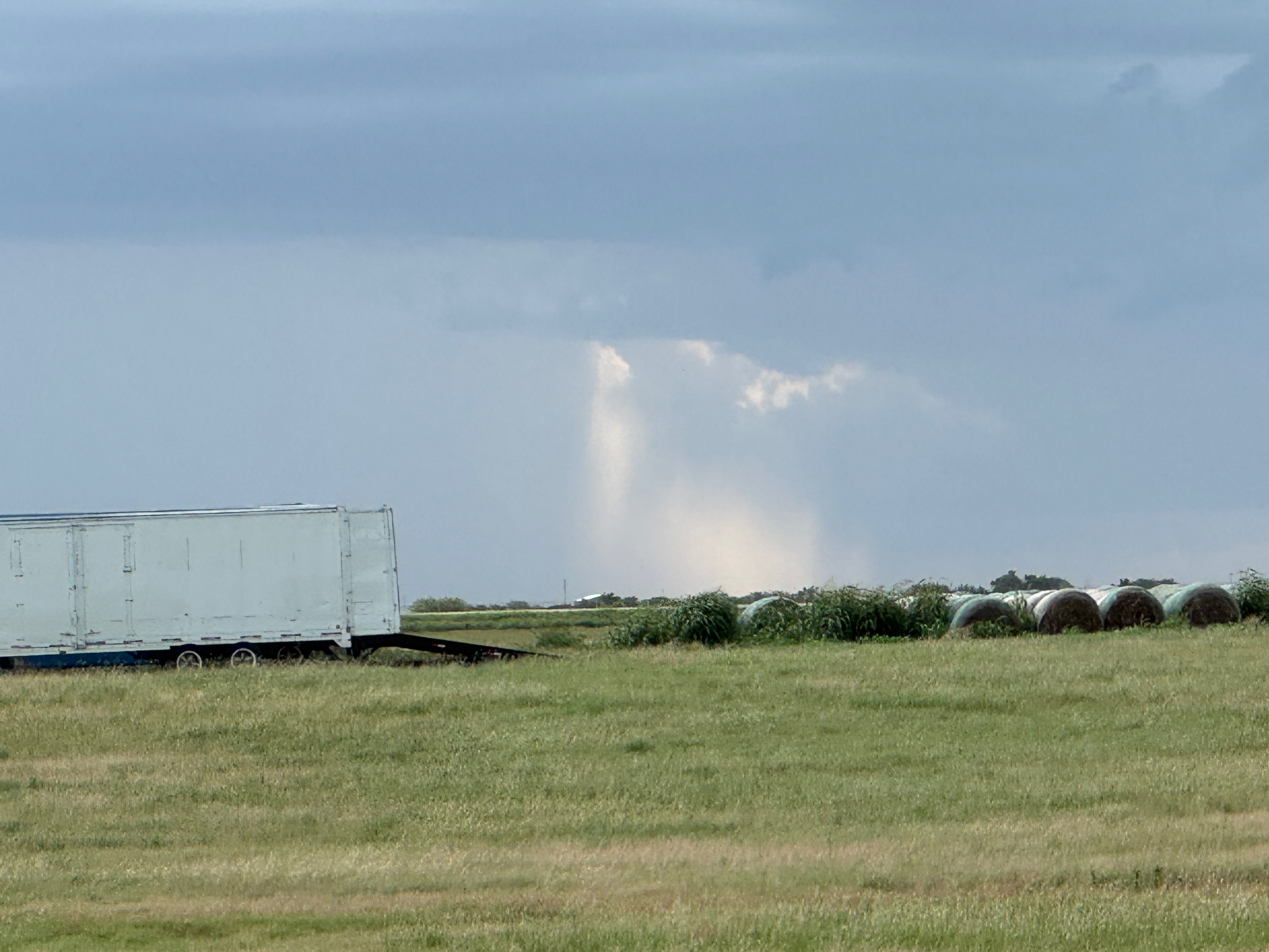
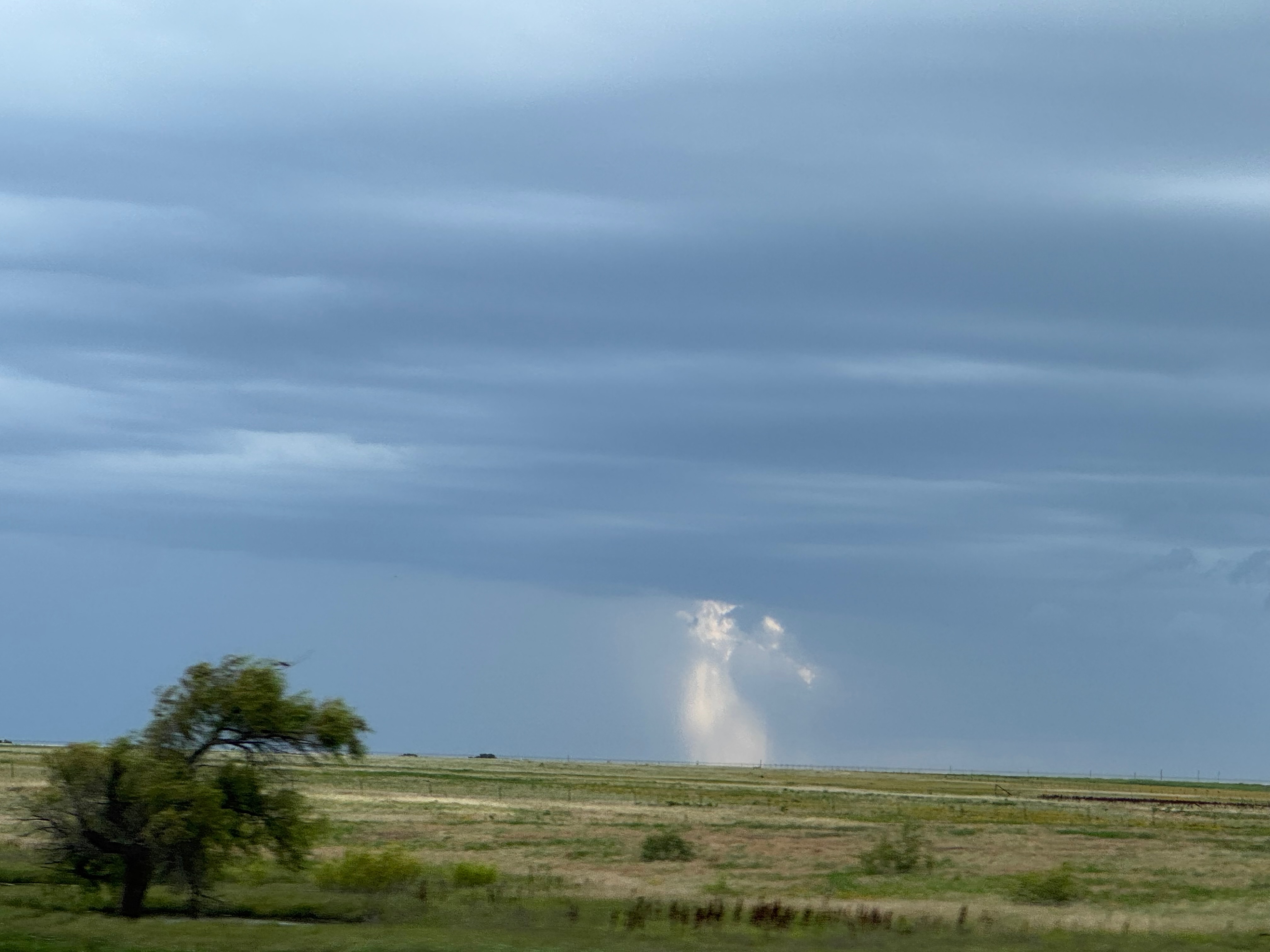
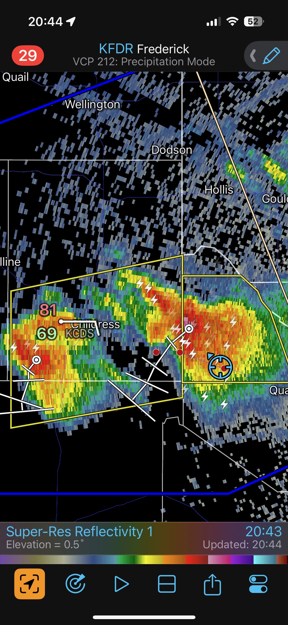
We went back west to newer storms after this Lawton one failed to impress. These were equally unimpressive. I provide the iPhone photo dump below. Storm Reports indicates a long-lived landspout near Elmer, OK, at 6 p.m. CDT. We were still a little too far east to get a glimpse of that.

Leave a Reply
You must be logged in to post a comment.