
Note: scroll down for the boring chases on June 19 and June 20.
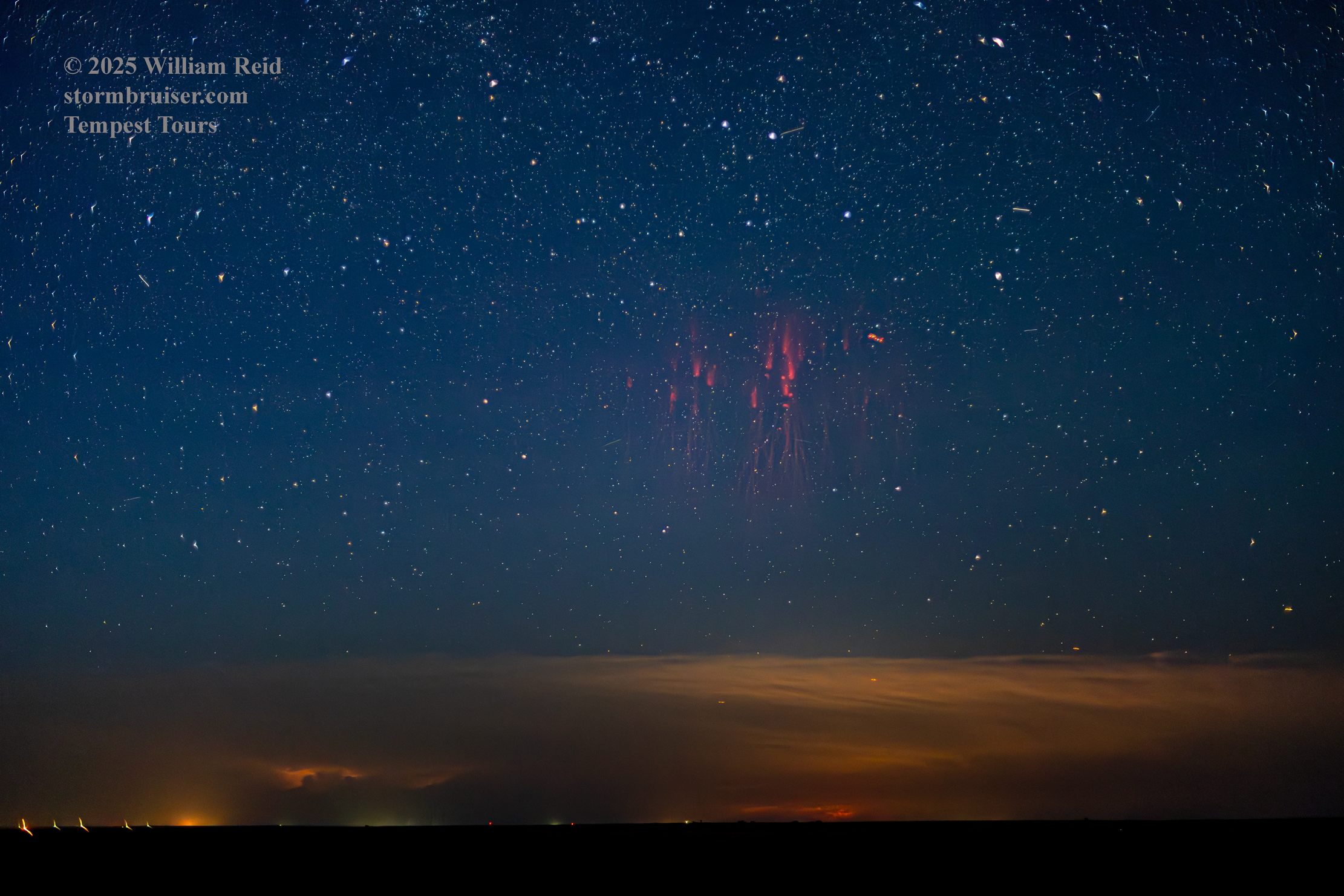
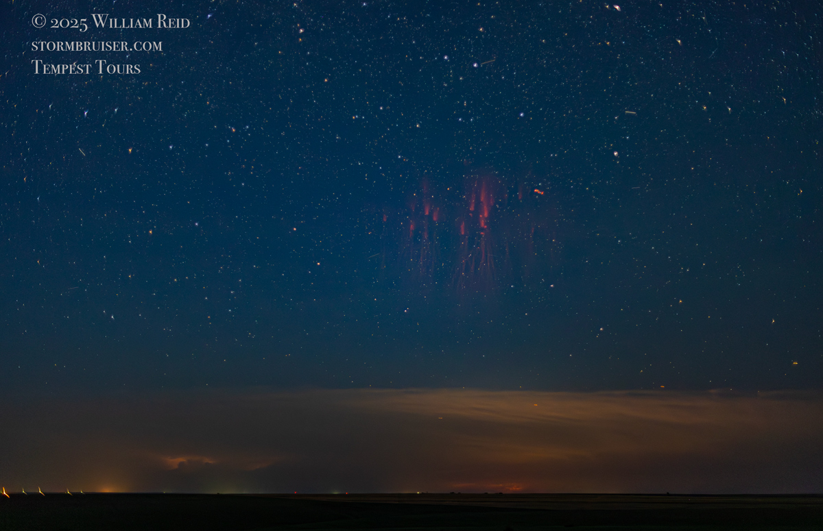
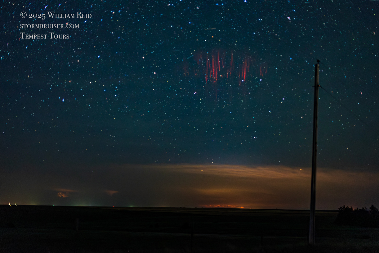
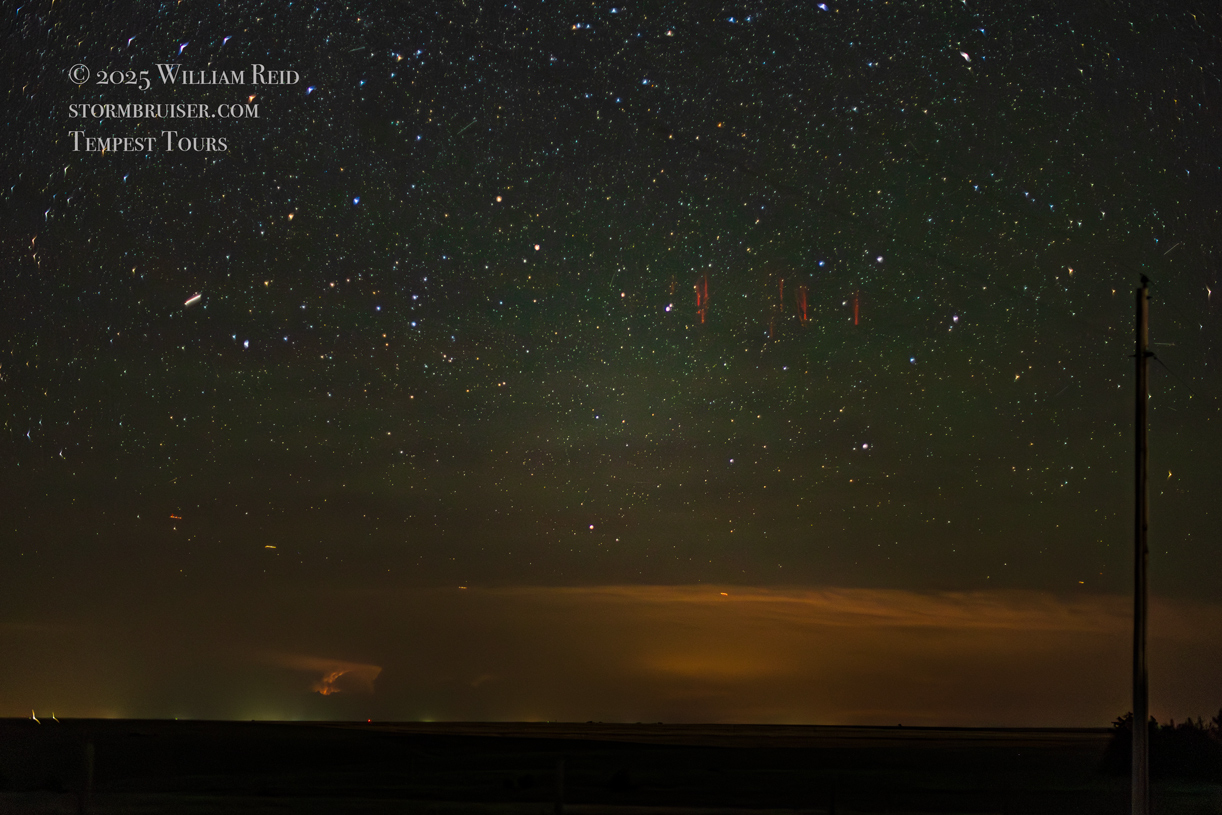
On the evening of June 19 I went out into the hinterland north of Oberlin, Kansas, to try my luck at capturing a red sprite for the first time. It was my first attempt ever to photograph a sprite, and I managed to get a few!
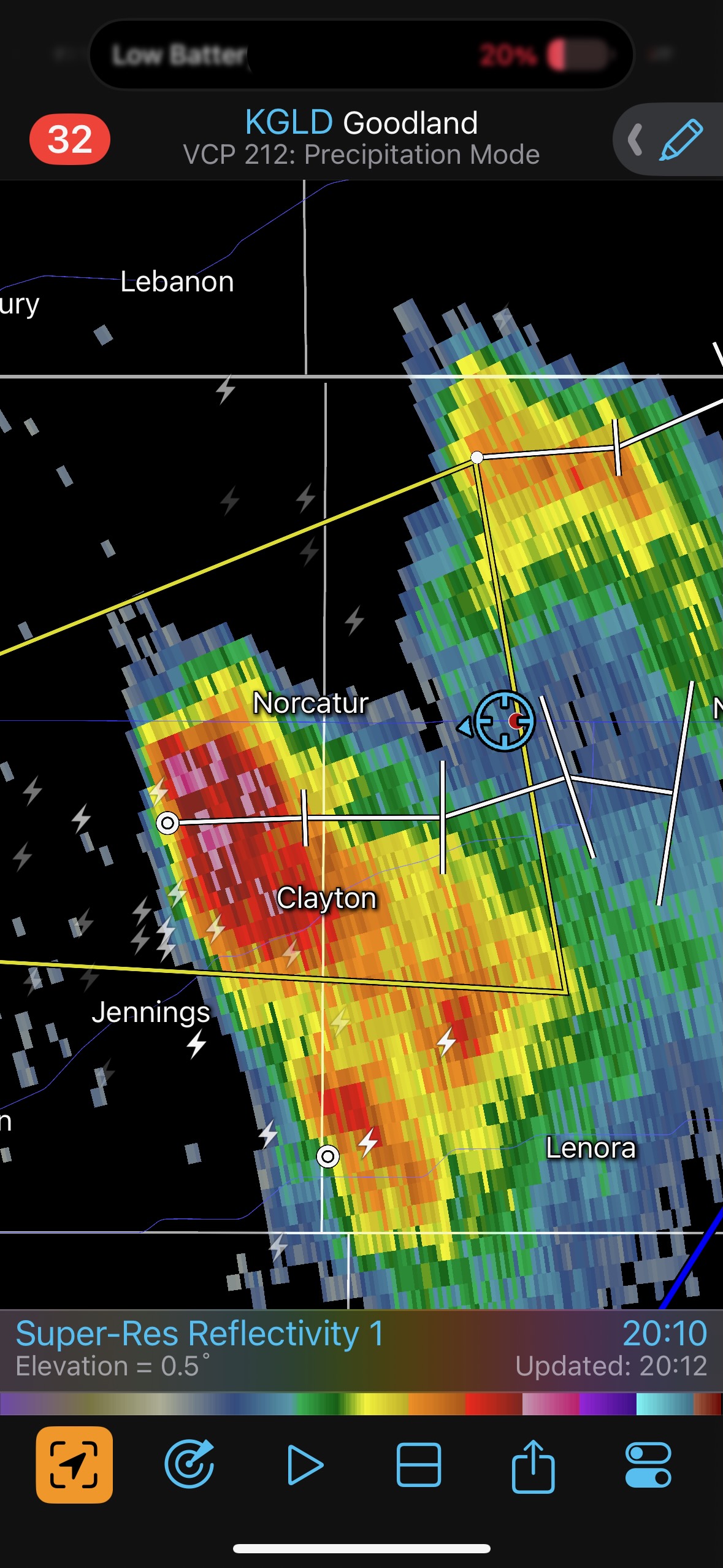
The chase on the 19th in western Kansas was rather low-end, with a couple of marginally severe and high-based storms to watch near Oakley and Oberlin. They fizzled towards sunset. We wound up east of Oberlin, with a view of a storm well to the northeast, near Burwell, Nebraska. It was about 140 miles distant. The thought occurred to me that it might be worthwhile to try to photograph sprites above the storm once it got dark, around 10:30 p.m. I did a quick search online as to how to do this. It was best if the storm was about 100 to 200 miles away, so that was good. There were no intervening clouds, there was little or no light pollution about 7 miles north of Oberlin, and there was no moonlight. The dew point was near 60F, so there was a slight haze. It was advised to use a fast lens of about 35mm focal length. I used my 50mm f1.4 lens. It was advised to shoot wide open, around 3200 ISO, at 3-4 seconds. I followed this advice!
It finally got totally dark around 10:40 p.m., and the lightning in the distant storm was very frequent. Its cloud tops were near 60,000 feet above the ground. I kept shooting stills, and eventually one of the flashes in the cloud looked like a really fast and bright positive bolt. I checked the display on the camera, and there it was! I got another sprite maybe 20 minutes later. We quit after shooting for a little over an hour and after about 500 images were taken on my Canon R6.
The image above was edited in Photoshop with just a bit of enhancement to bring out some details. I used the AI Noise Reduction, too.
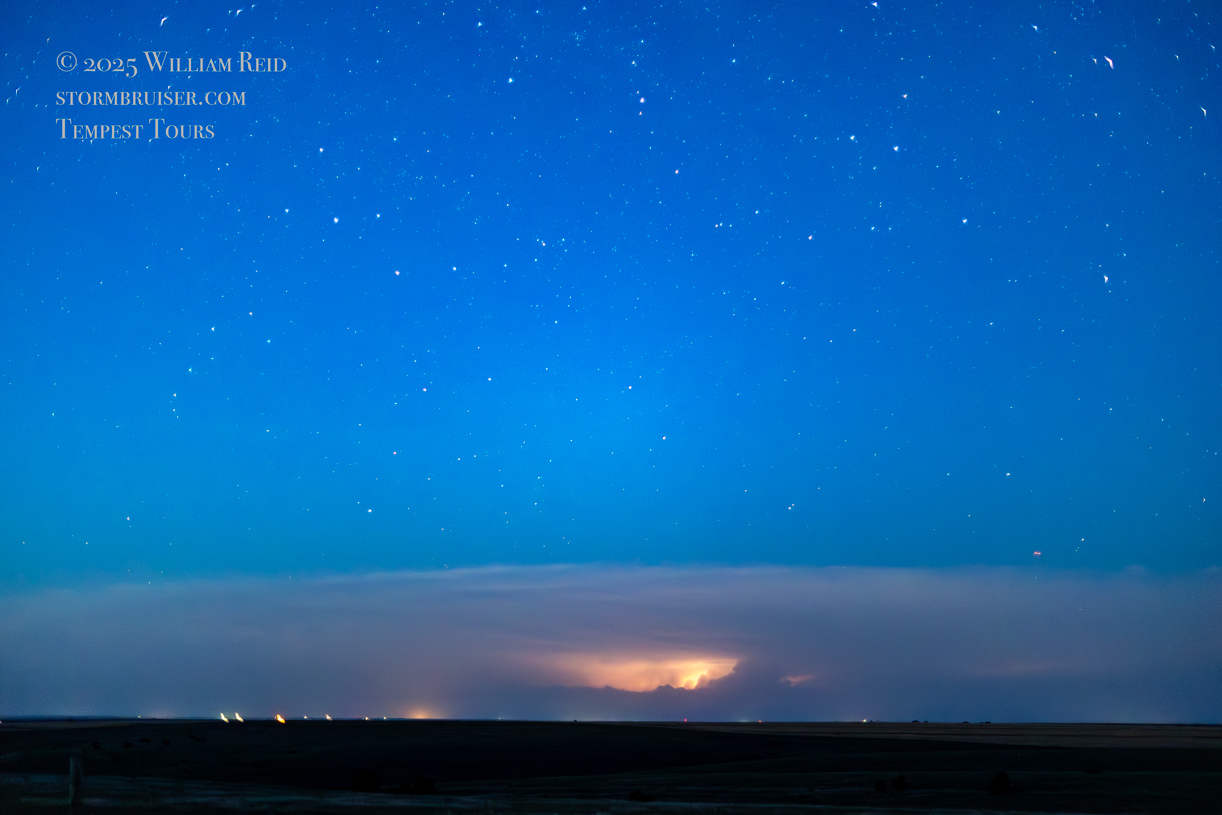
Below are additional images off of my Canon R6 camera with the fast 50mm lens, made during our “sprites” run north of Oberlin on the evening of June 19th. The distant supercell at this time was over Valley County, Nebraska, approximately 140 miles to our northeast. See the SPC mesoscale discussion at 10:07 p.m. linked below for more details on the storm.


Let’s add the routine chase-day details below:
June 19th Start: Shamrock/lunch: Tortuga Brewing Company in Liberal/End: Oberlin/461 miles
Mesoscale Discussion. 6:29 p.m. CDT. 10:07 p.m. CDT.
June 20th Start: Oberlin/lunch: Bird City Cafe/End Denver/290 miles
On the 19th we just had some junky high-based storms to look at around Winona to Norcatur in northwest Kansas. I have donated my images of these to the fine folks who publish the Brittanica Encyclopedia of Mediocre High-Based Thunderstorms. The storm to be on today was the isolated and discrete supercell which moved southward through central Nebraska: near Ord, Burwell and North Loup. I don’t recall that models were indicating such an event this day, though SPC did have the area covered with a marginal risk. it would have been nice to have seen that one a lot closer up. Chris and the TT photo group came up to that storm around sunset, and the next day they were up in North Dakota for the Enderlin event. My tour’s last chase day was June 20th, and eastern ND was too far from Denver for consideration.
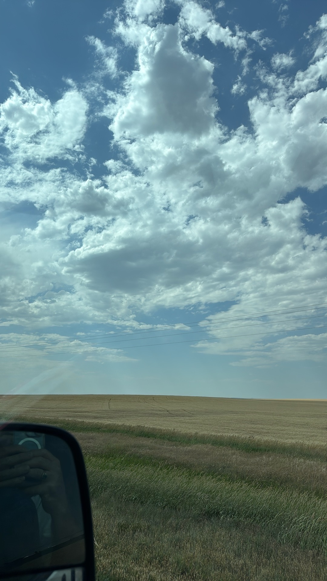
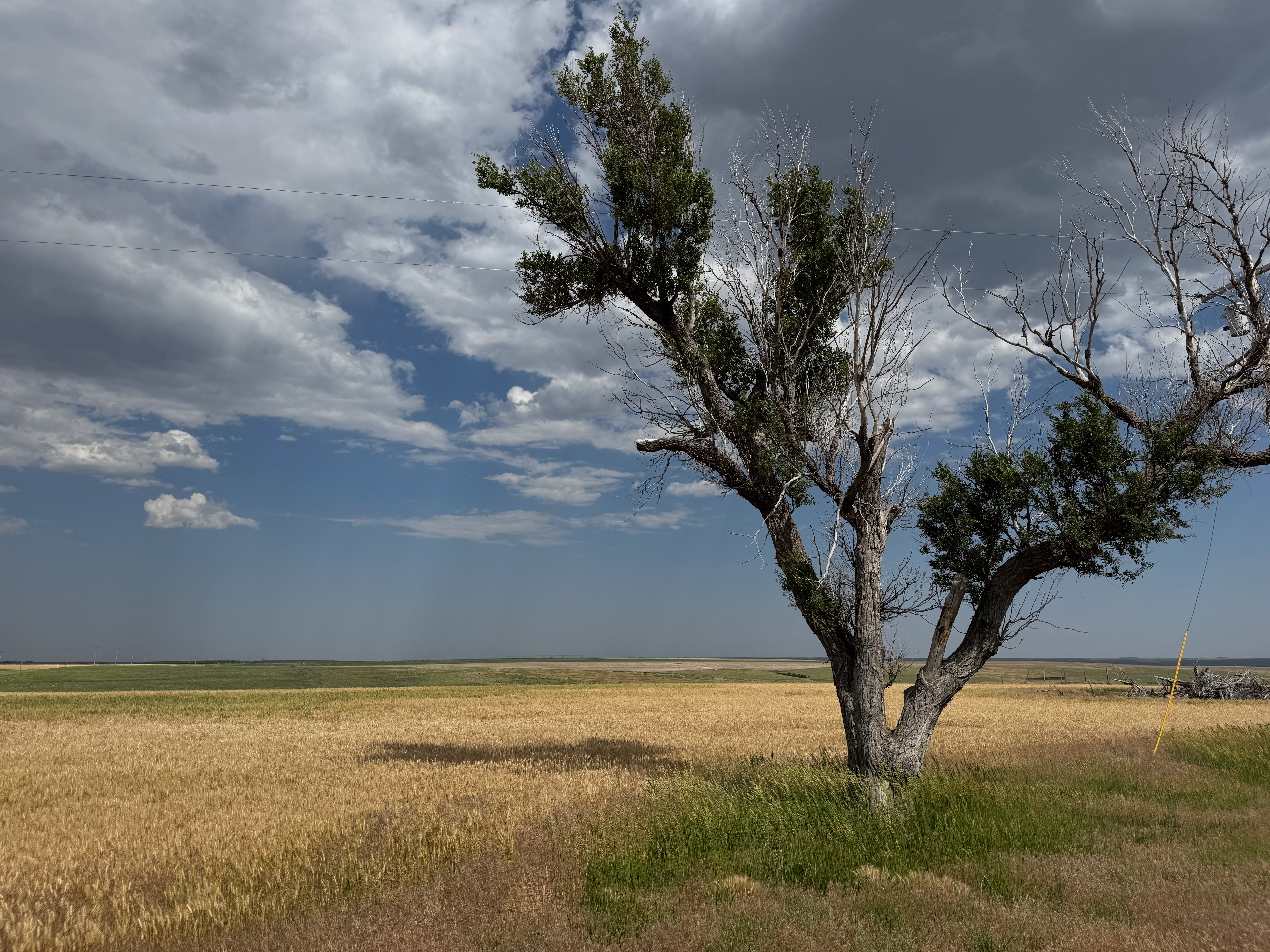
The iPhone images and screenshots below are from the 19th, from about Winona to west of Norton in Kansas. Temperatures were nearing 100F, which is good if you want high-based storms.
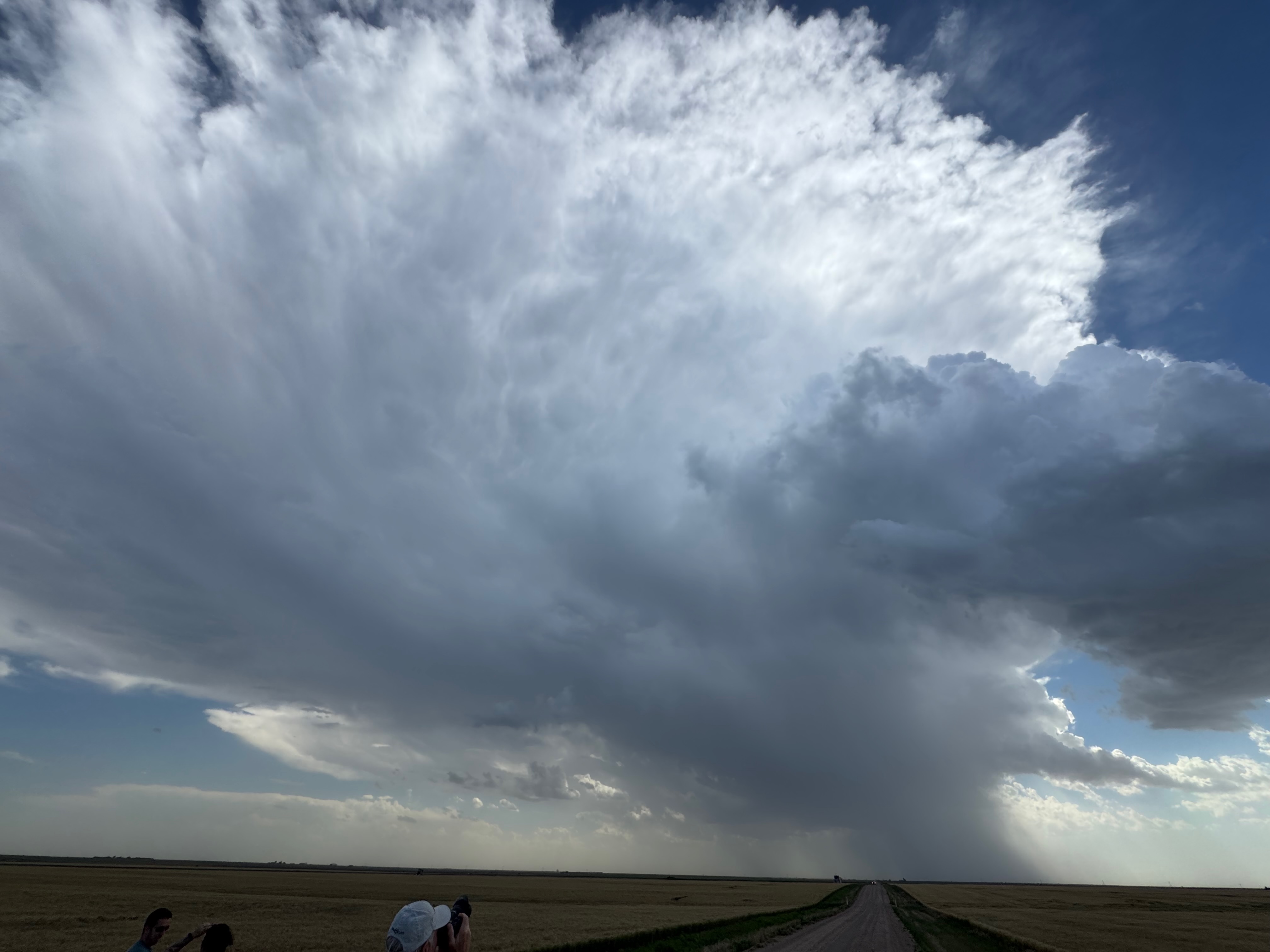
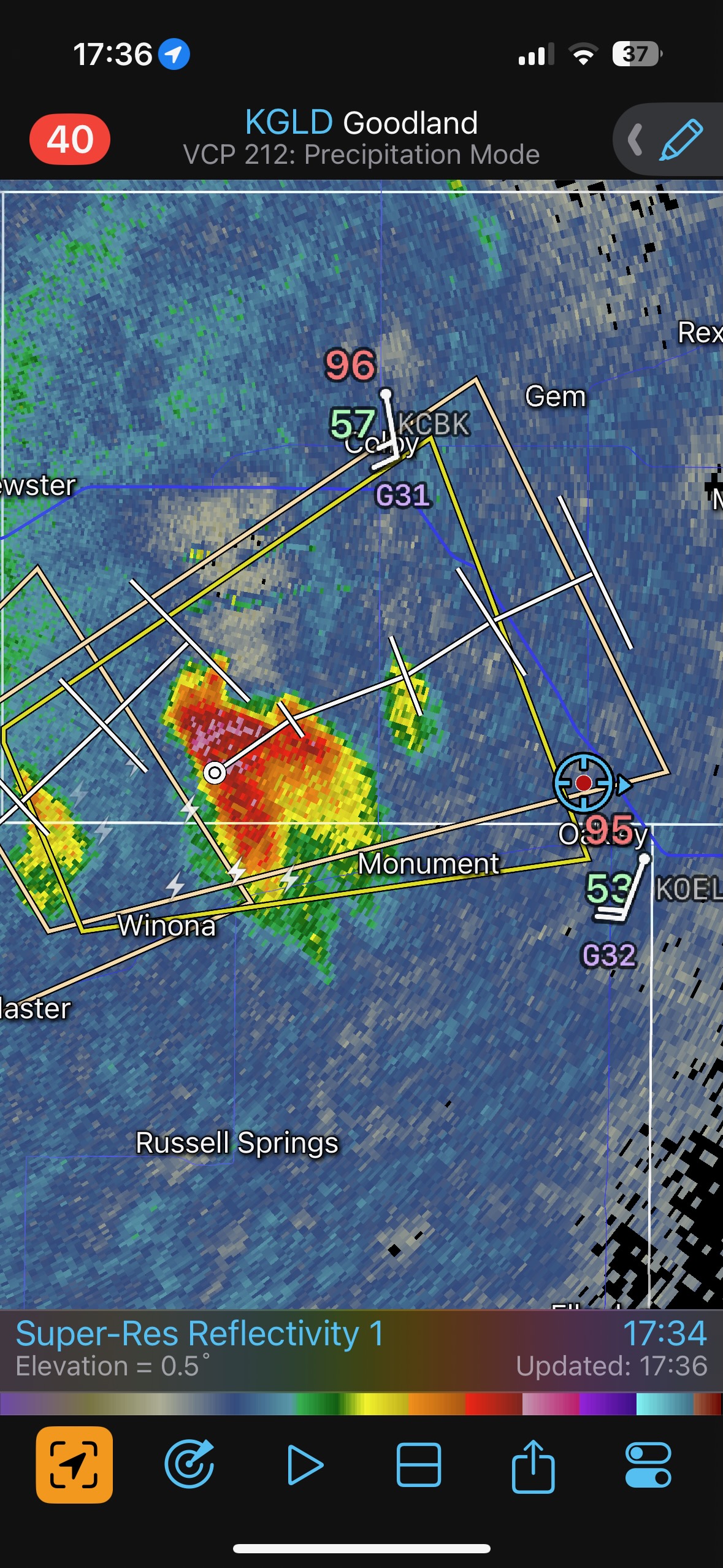
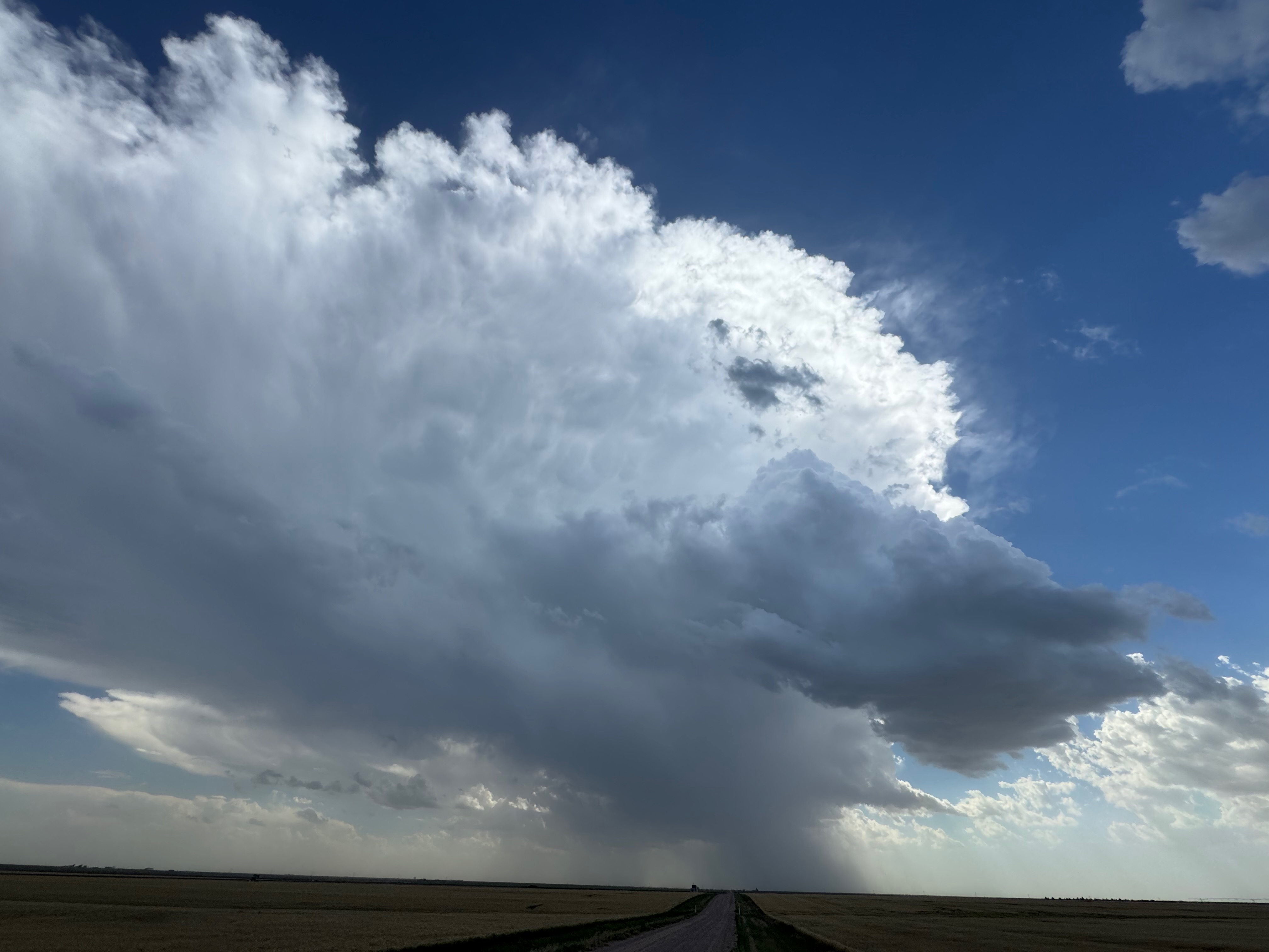
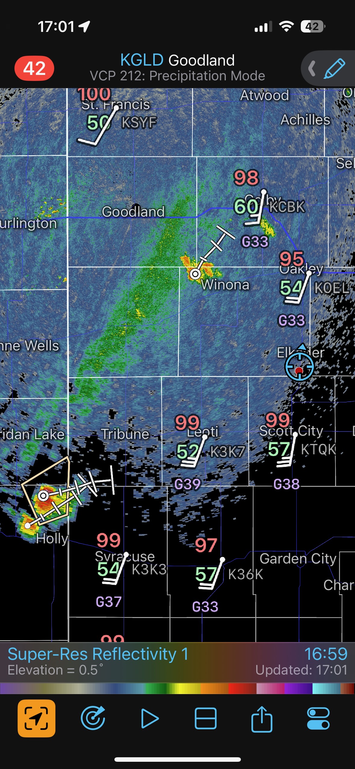
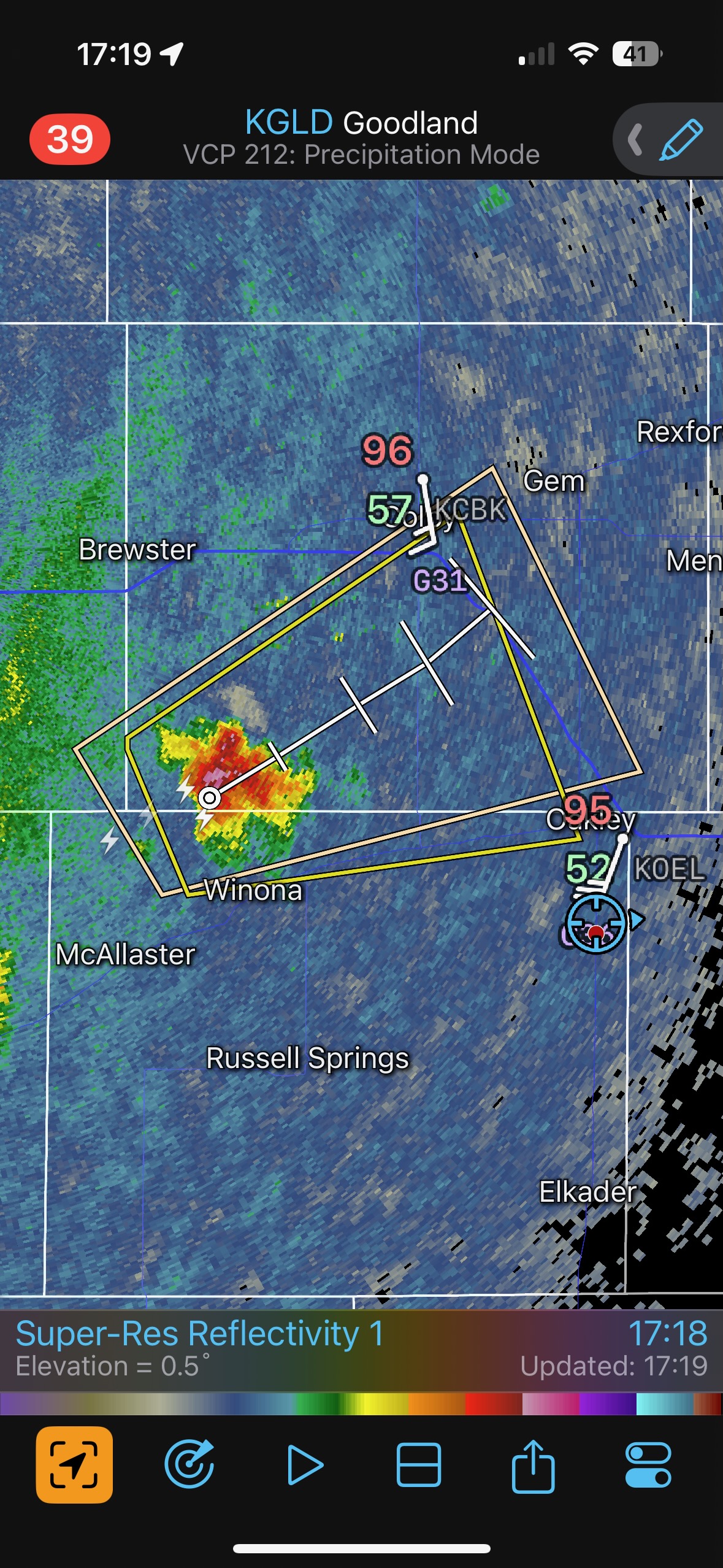
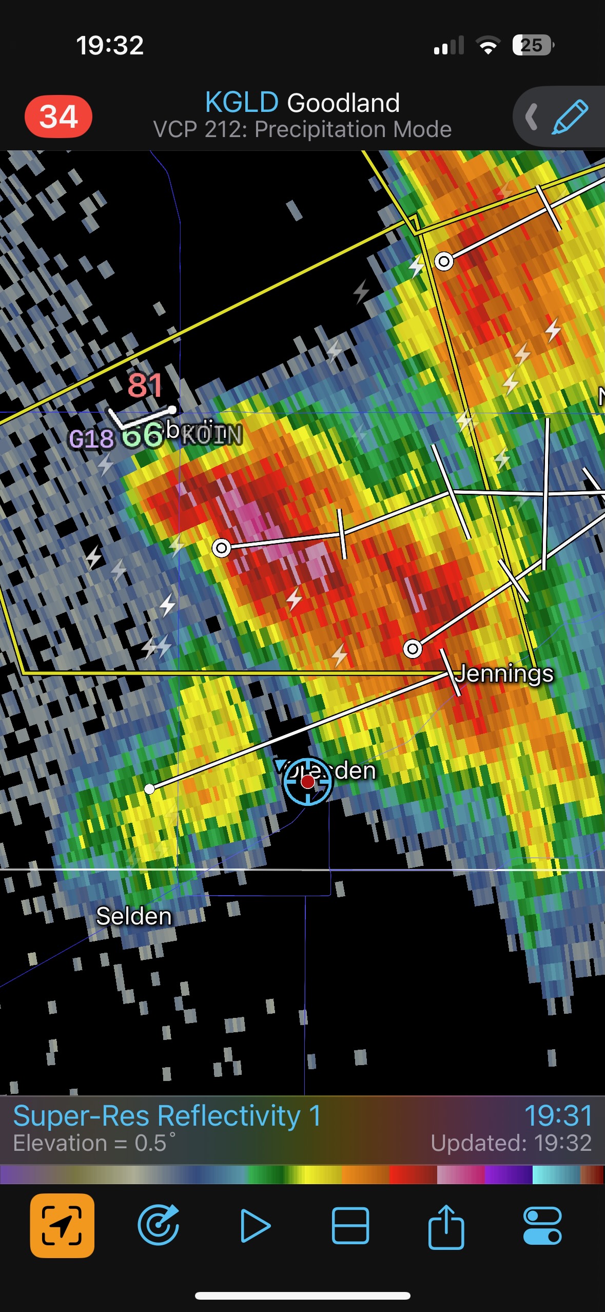
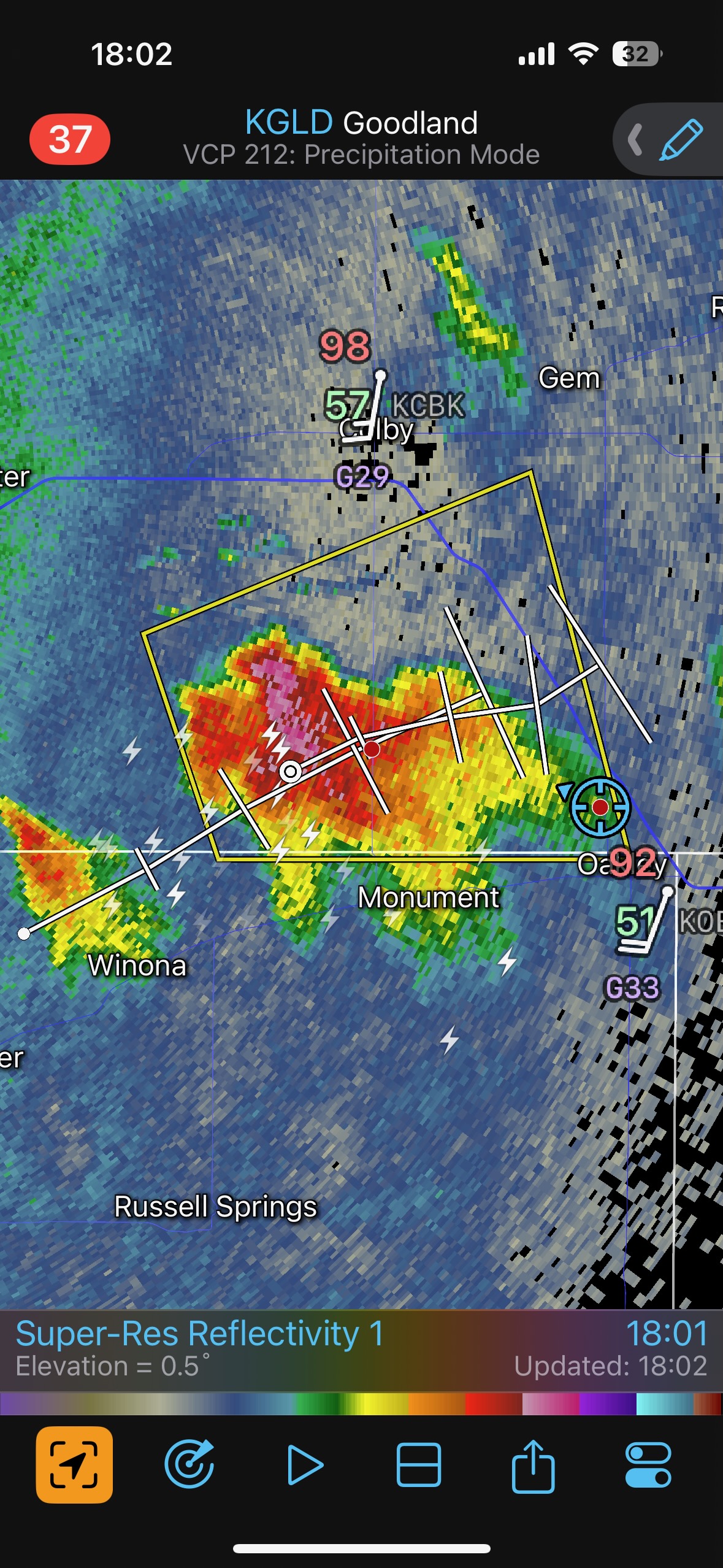
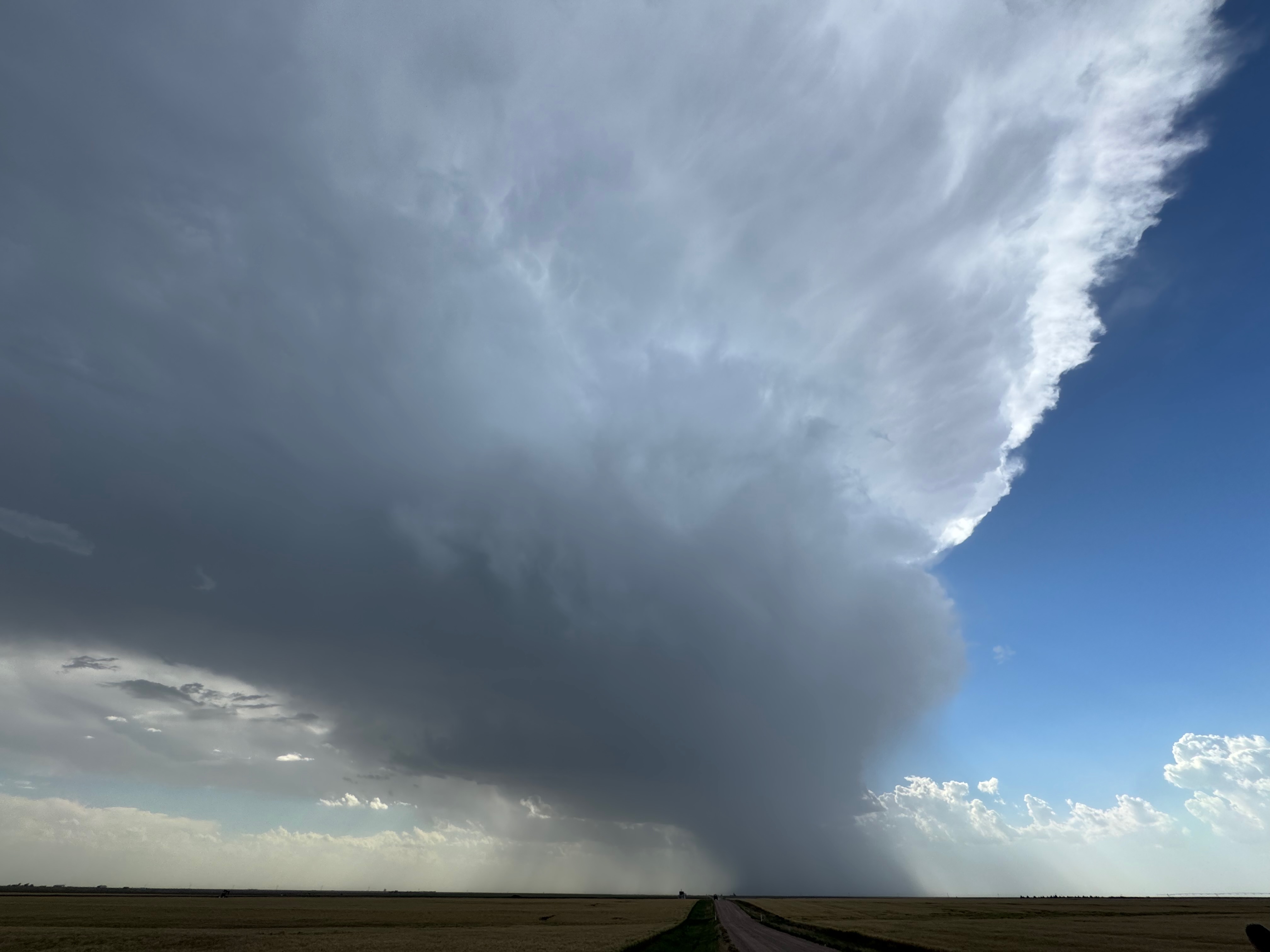
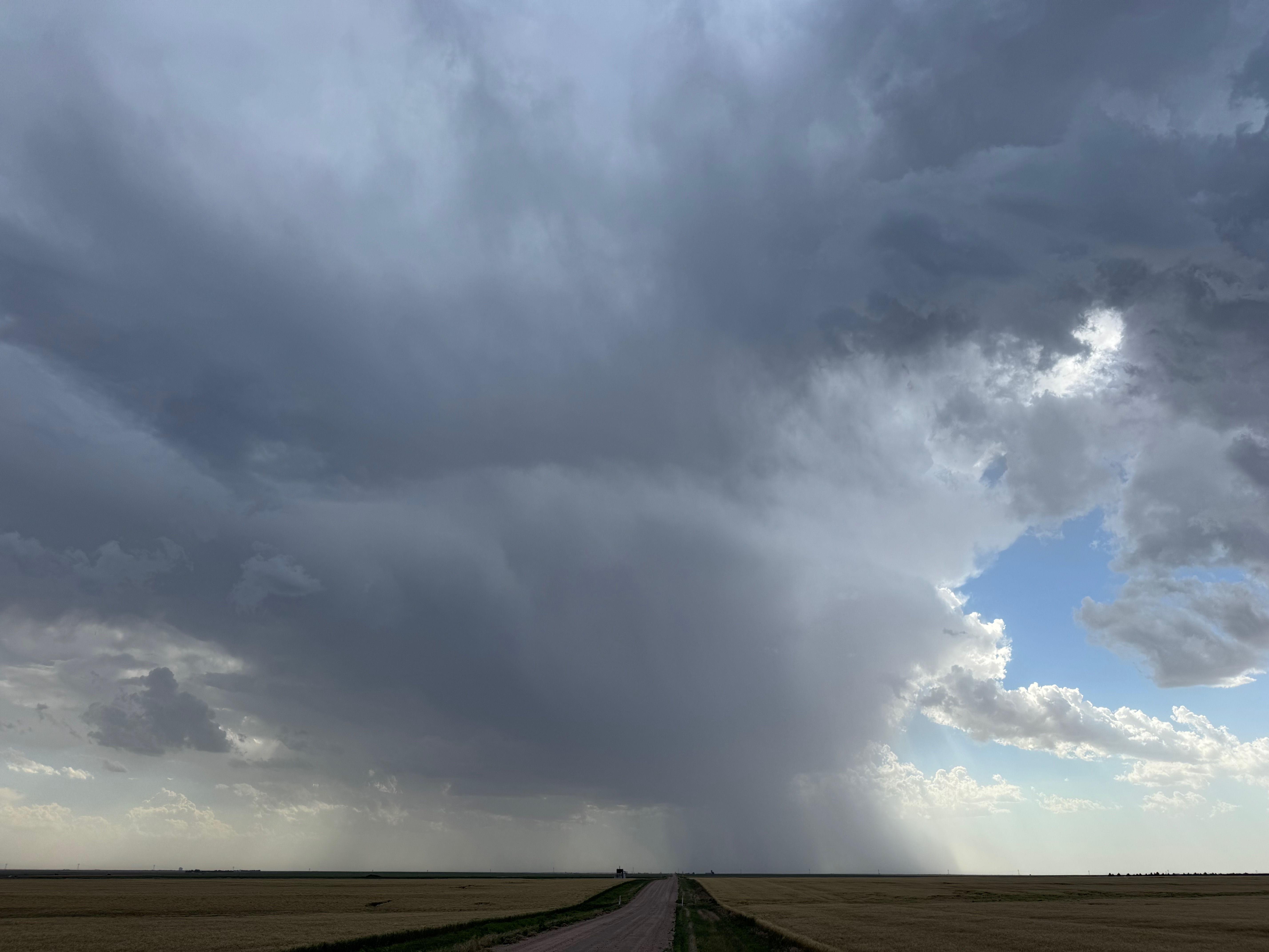
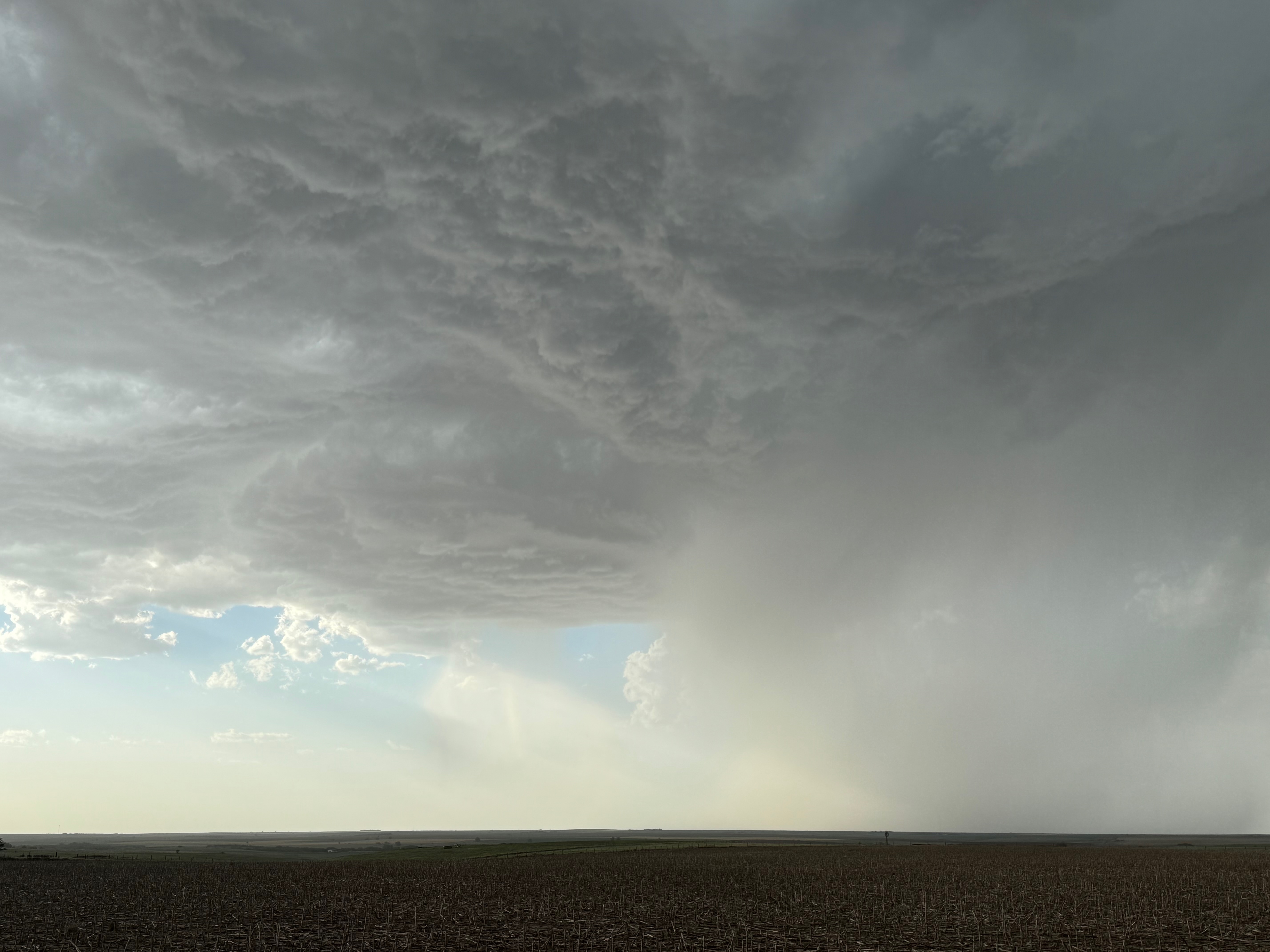
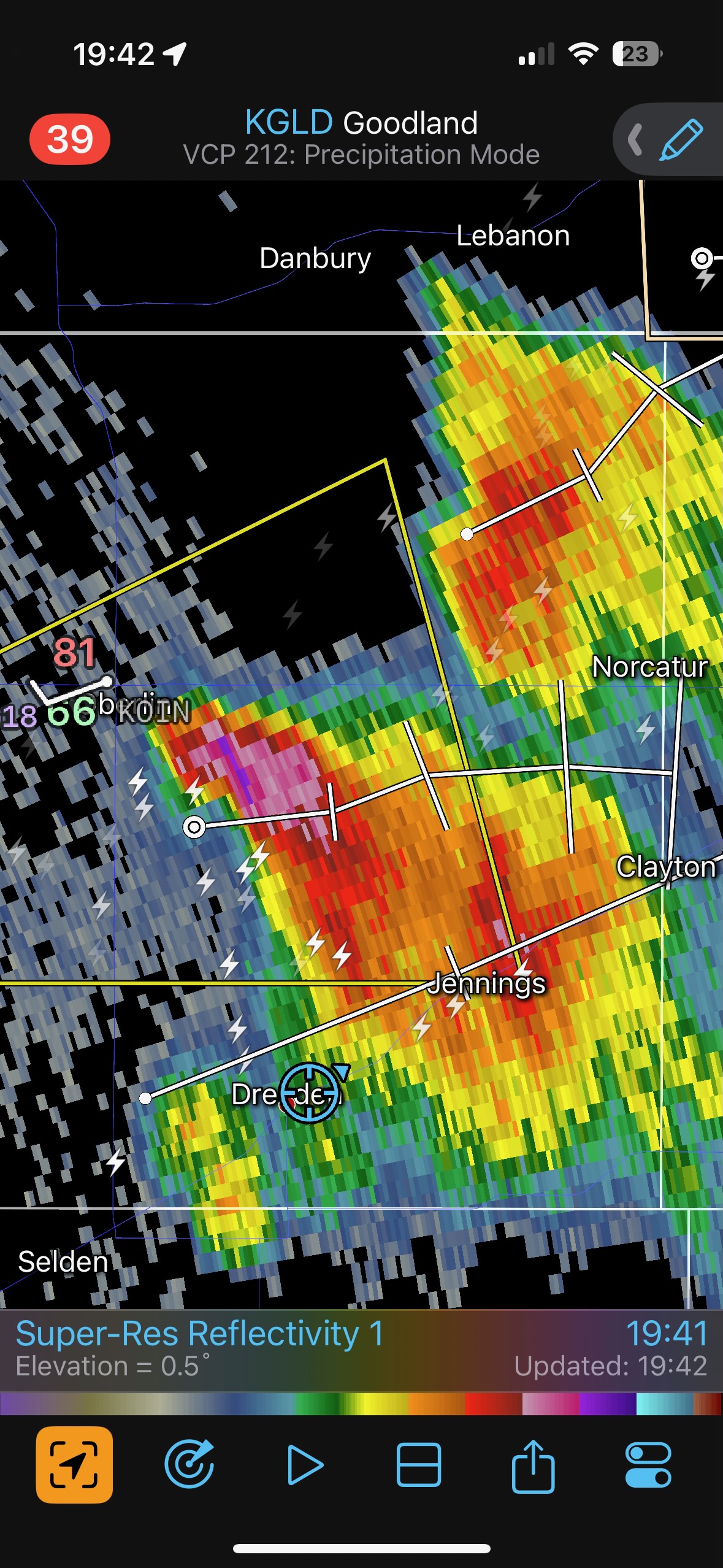
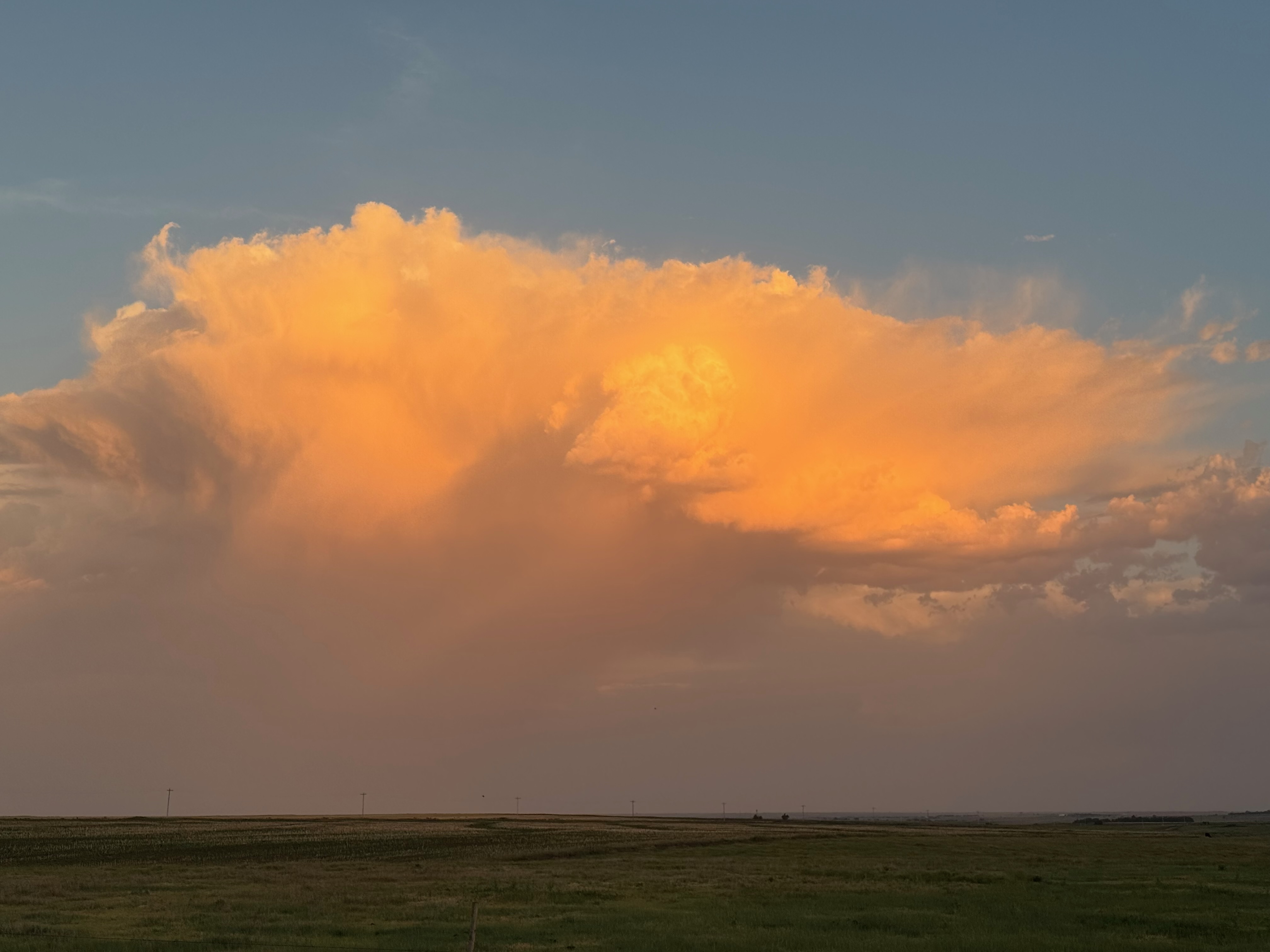
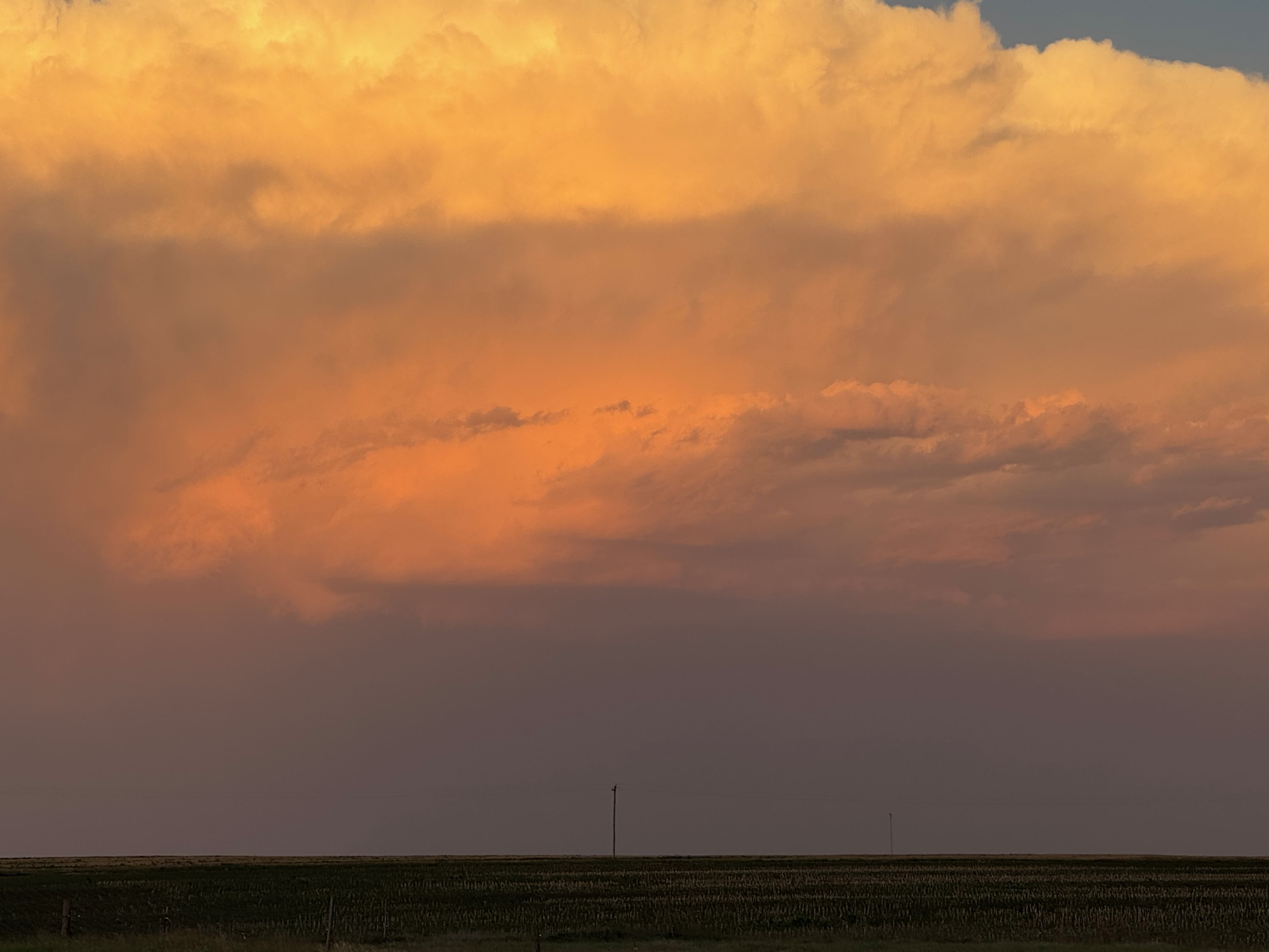
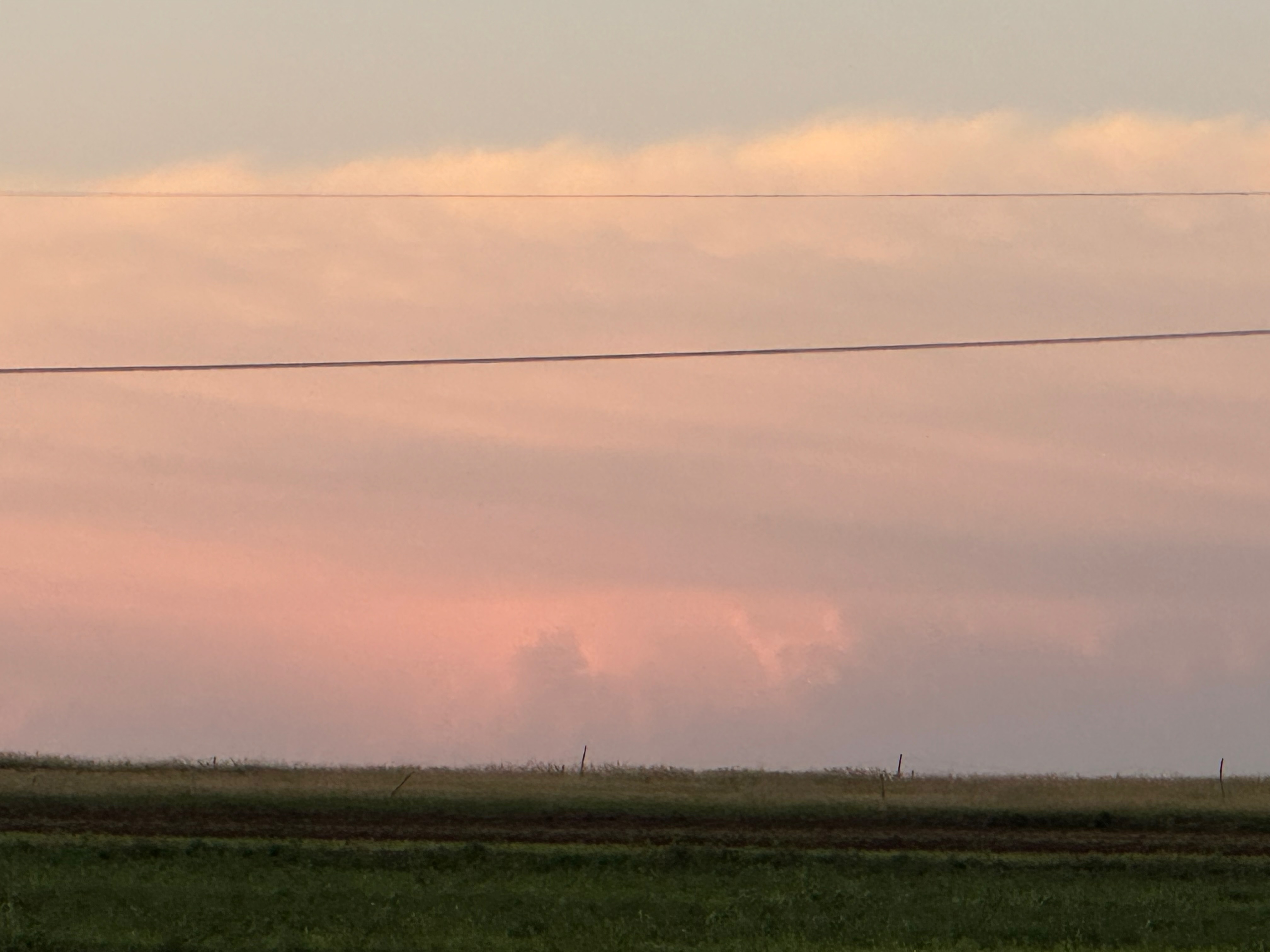
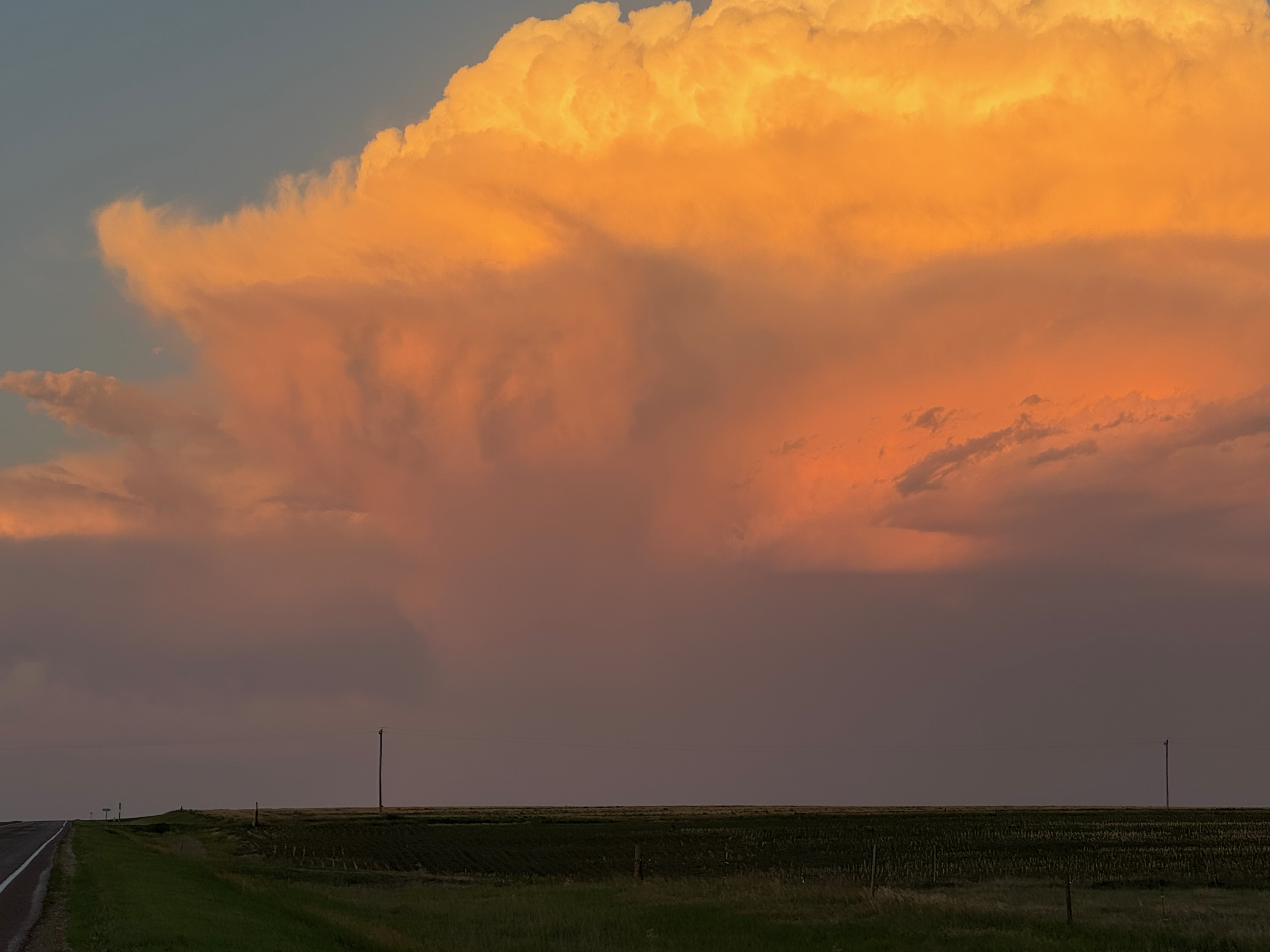
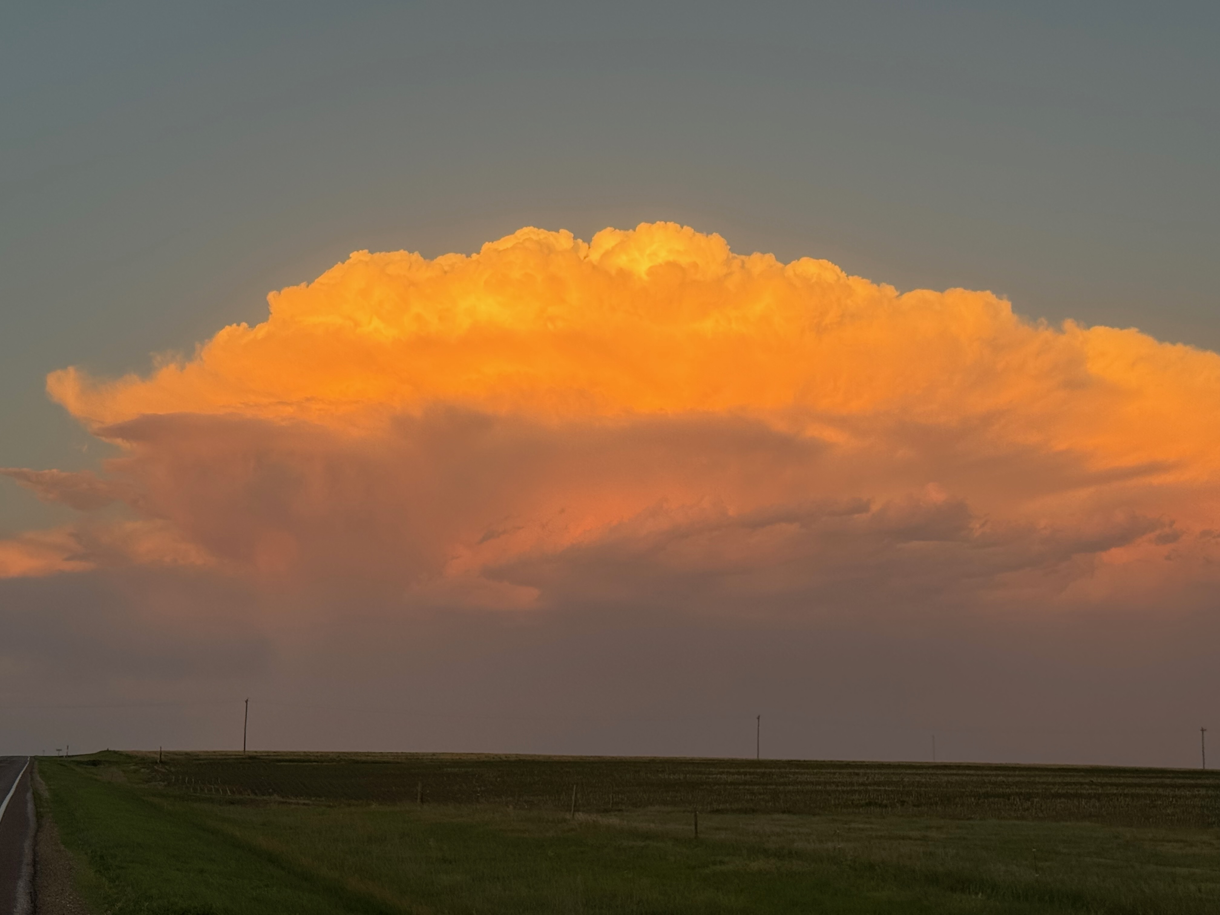
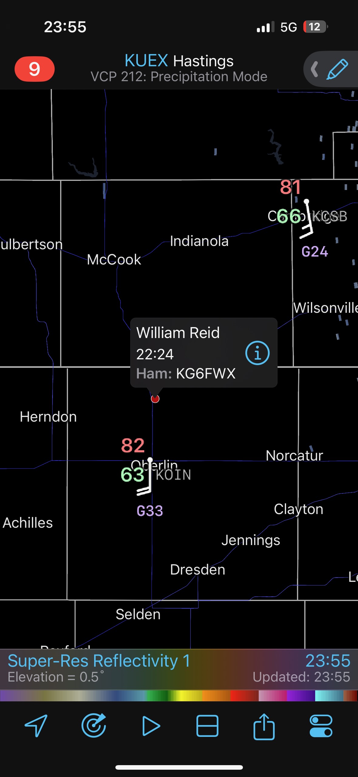
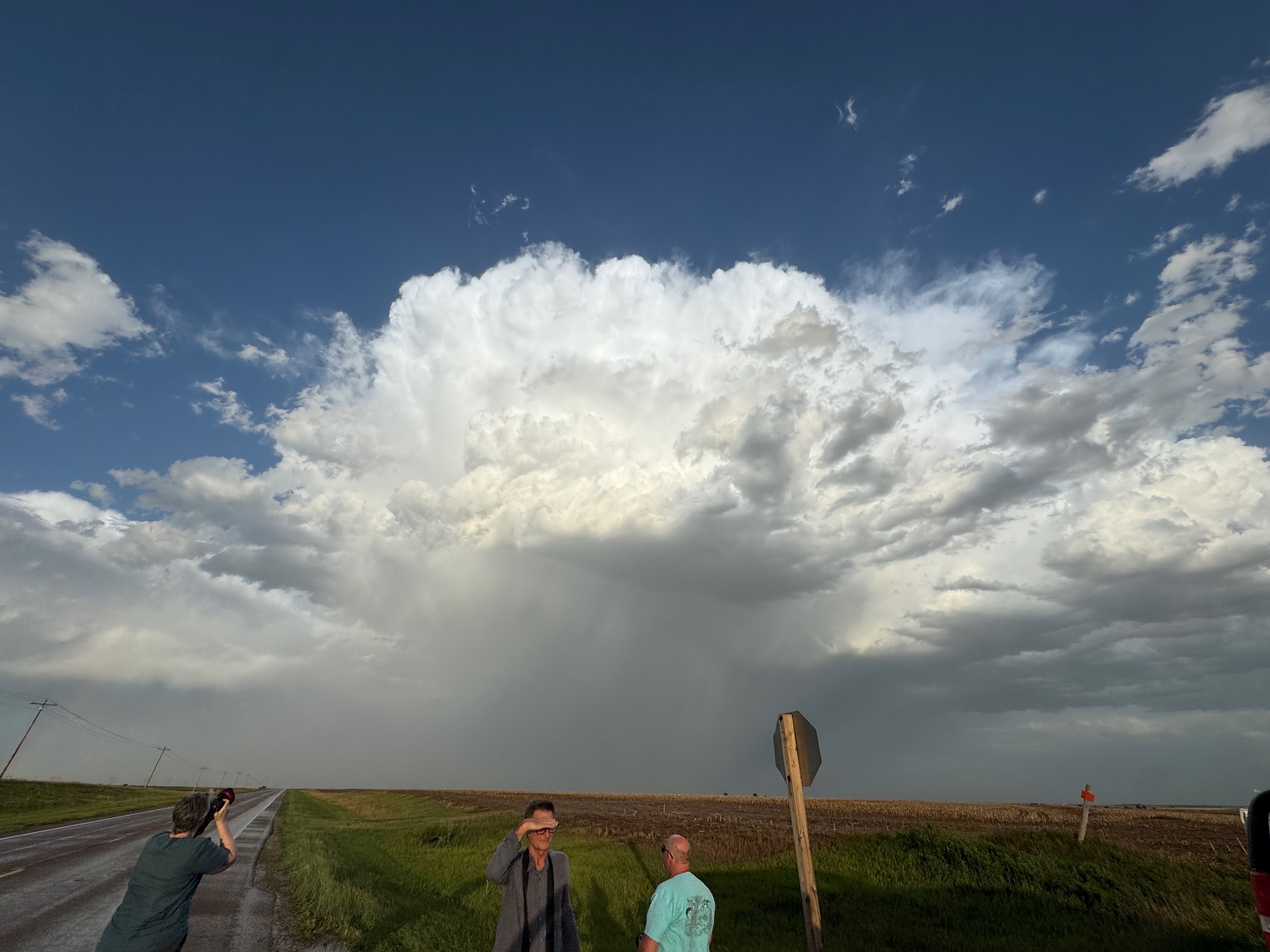
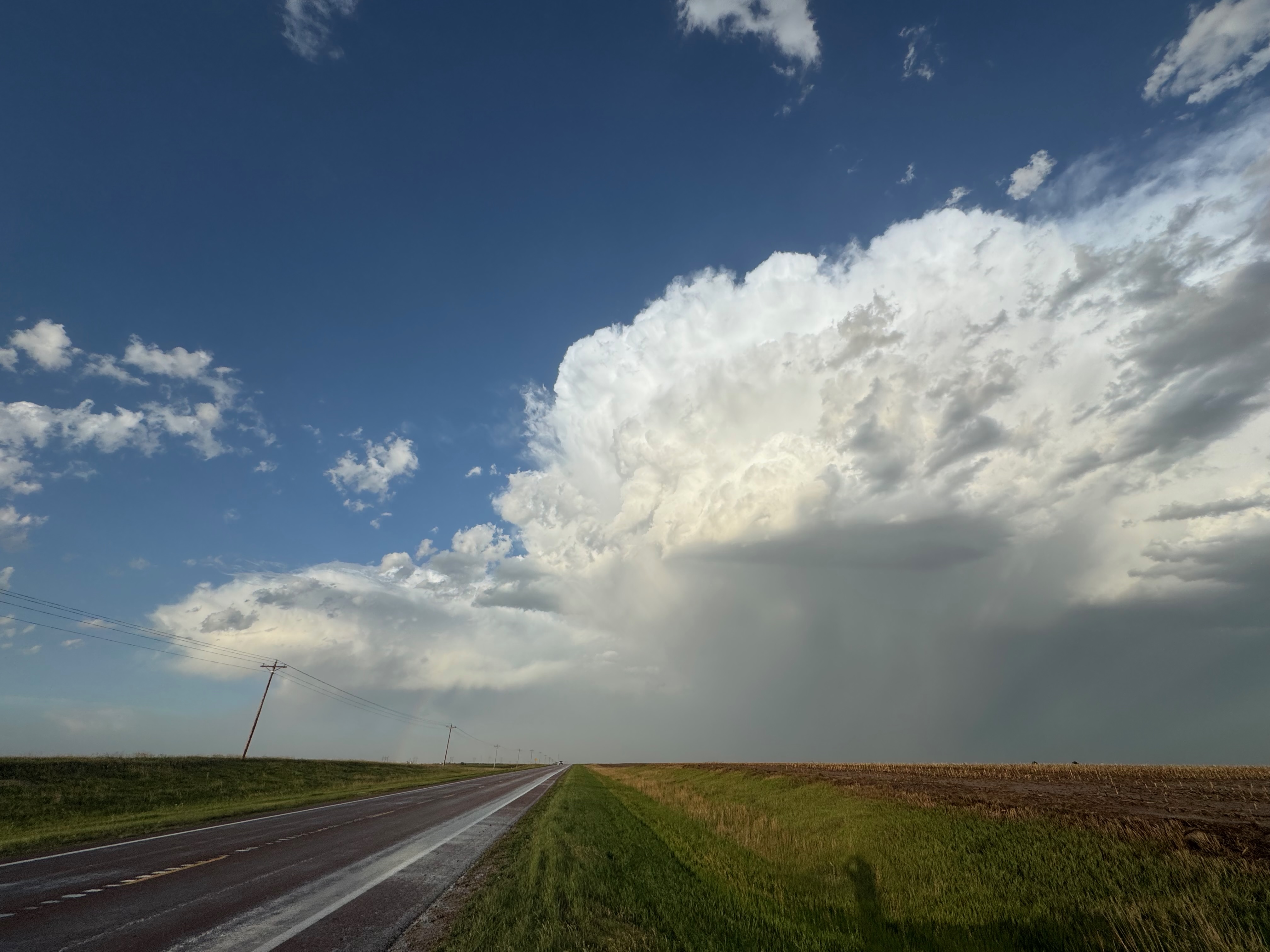
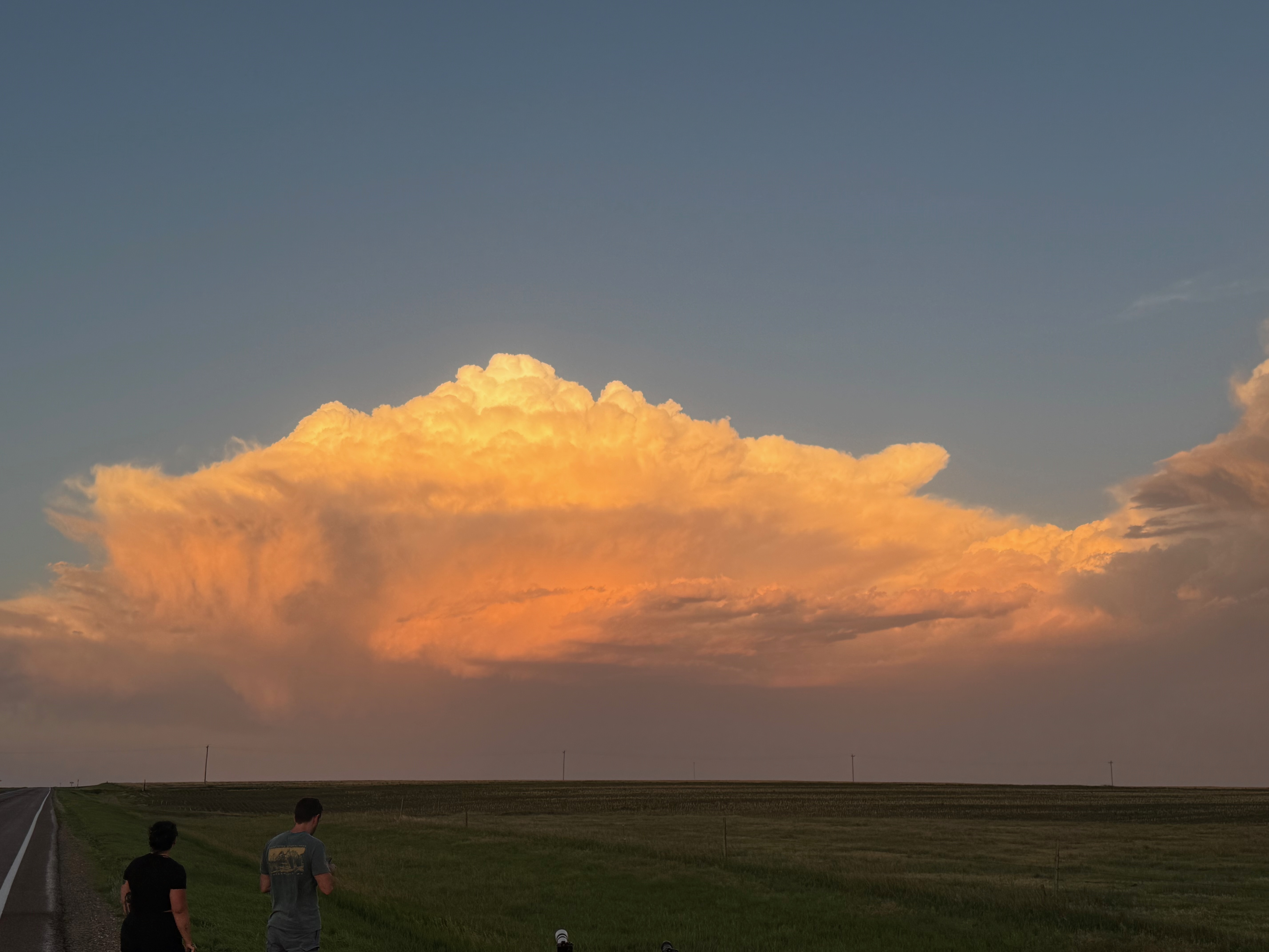
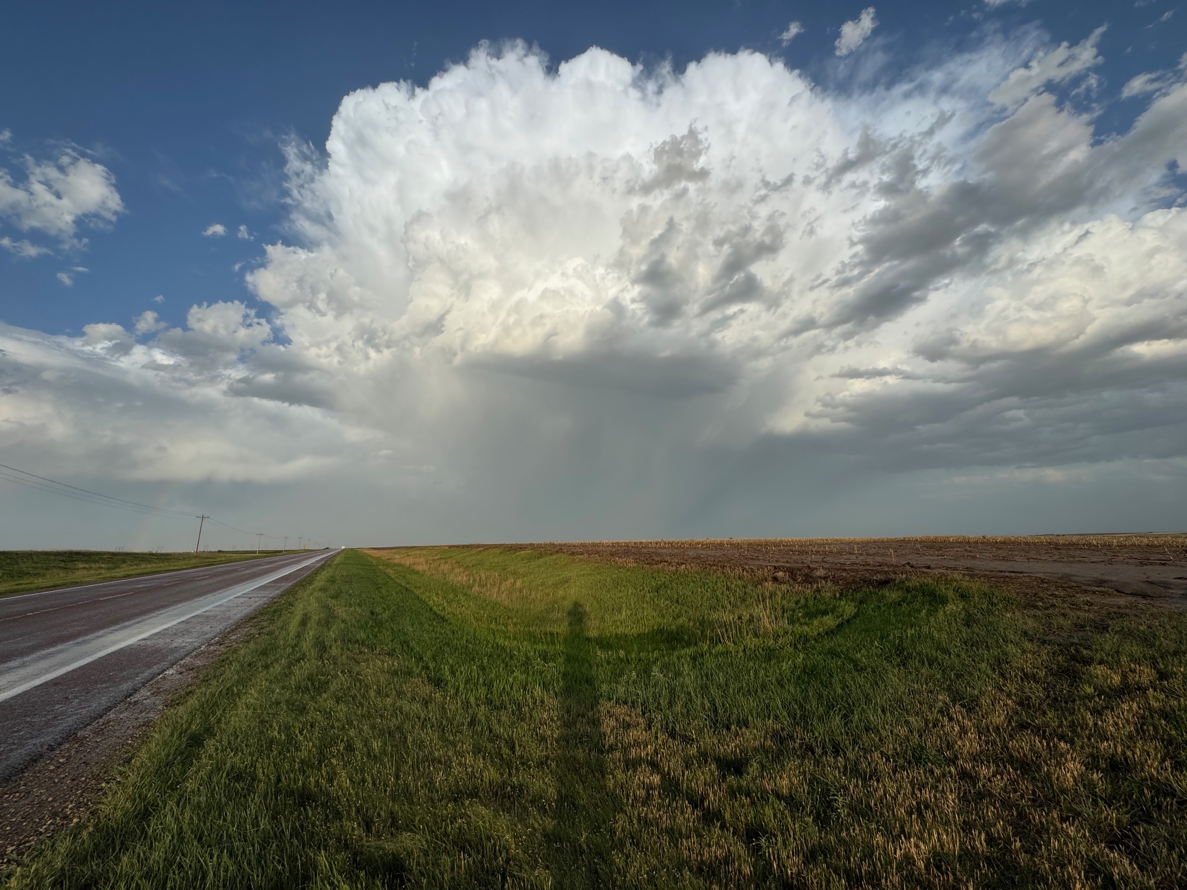
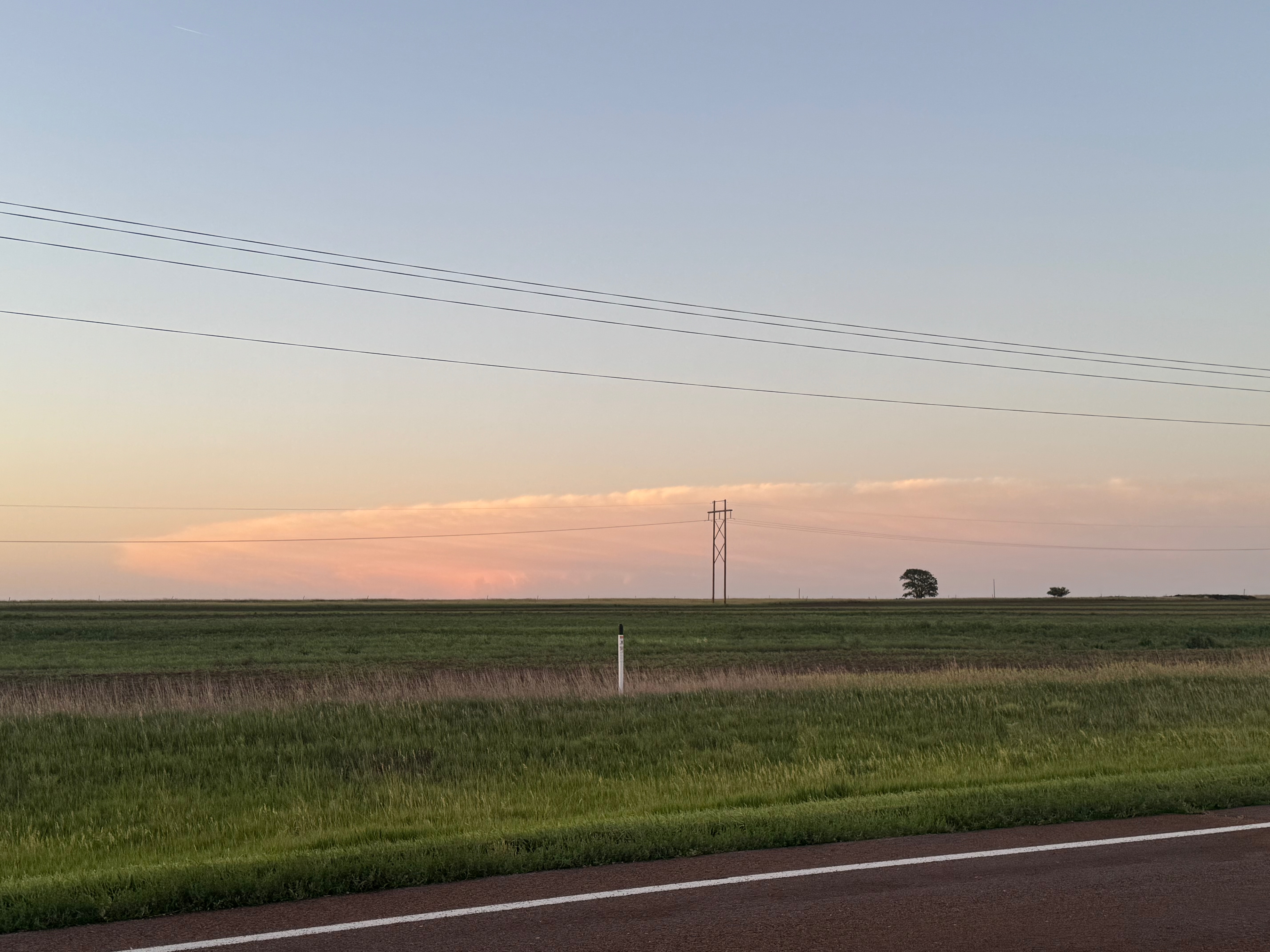
Pics 1, 2, 4 and 5 below are the sunset pics of the cell near Norcatur, KS, on the 19th. Pic 3 looks like a zoom of the very distant central Nebraska supercell, from U.S. 36 near Norcatur. And the radar screenshot shows our position for the sprite photography, north of Oberlin.
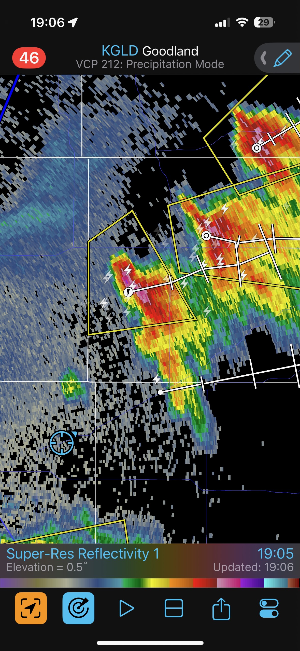
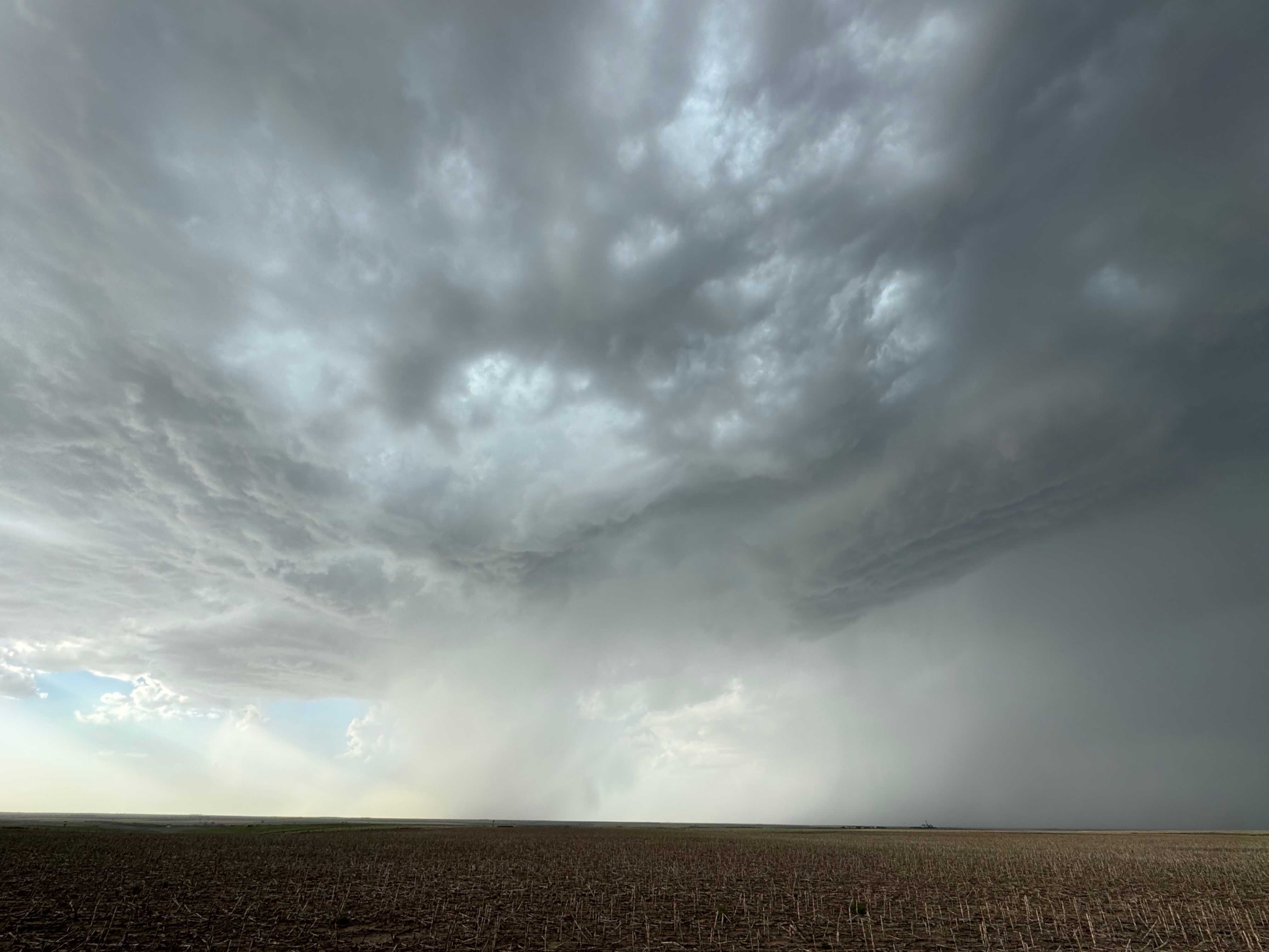
A few more from the 19th below.
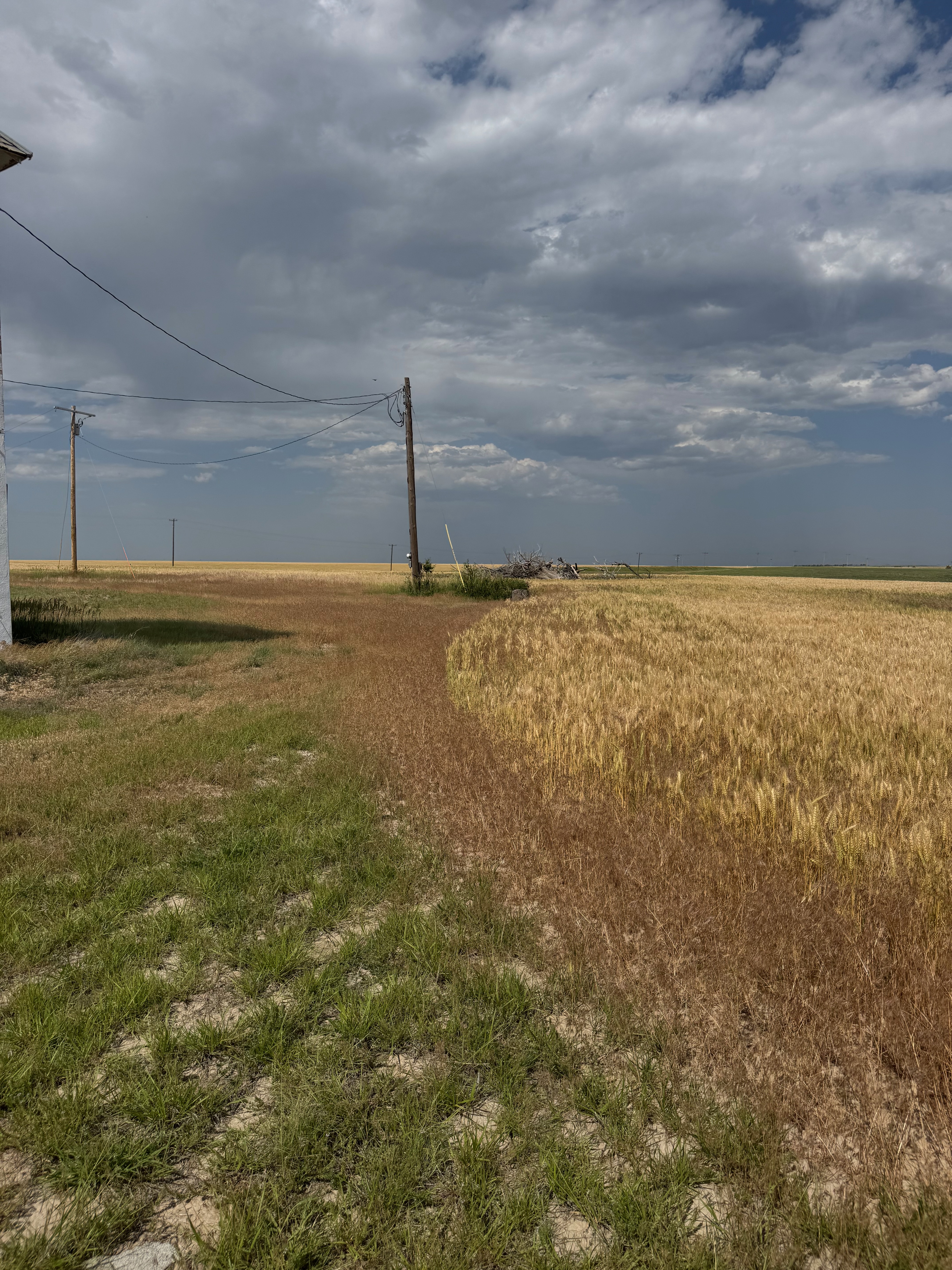
The images below are from June 20th. We could only consider a chase within about 6-8 hours of Denver since it was the last chase day, so it was a no-go for the high-end setup in North Dakota.
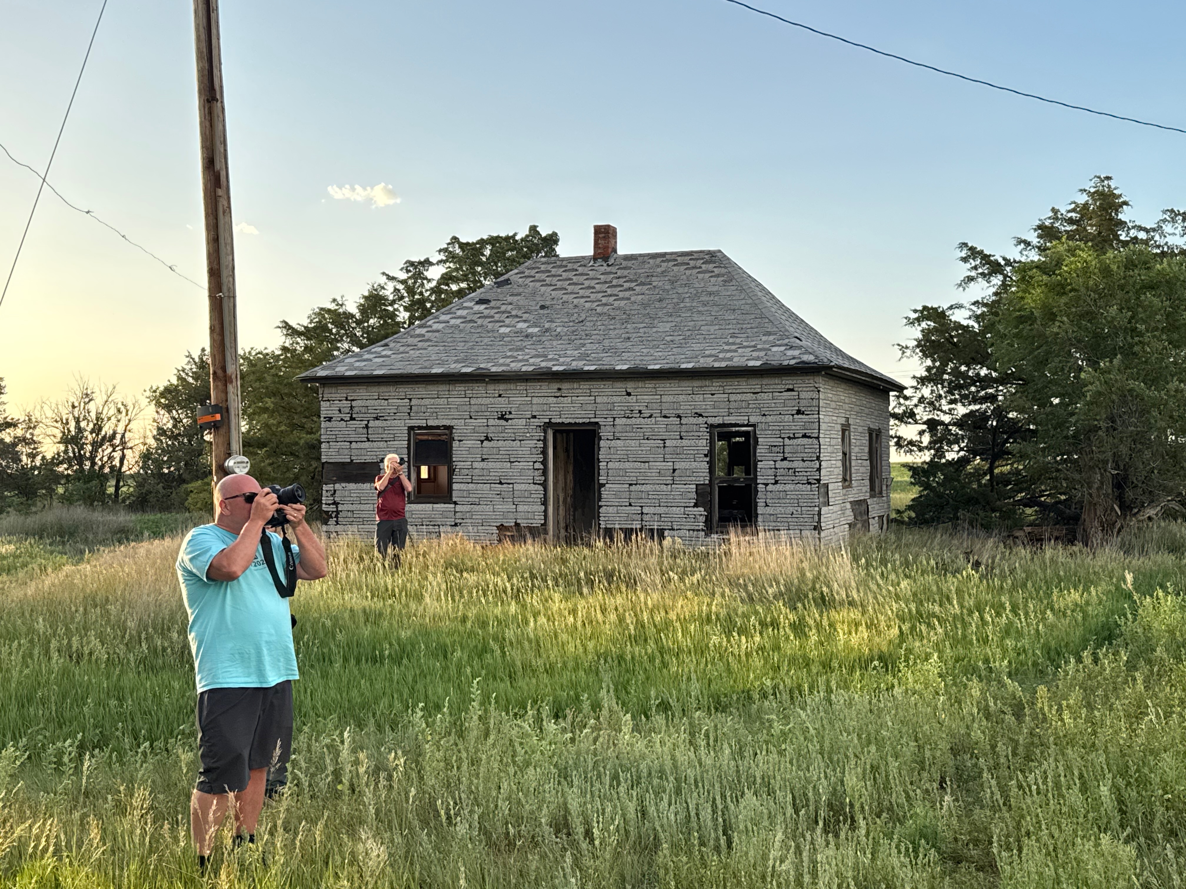
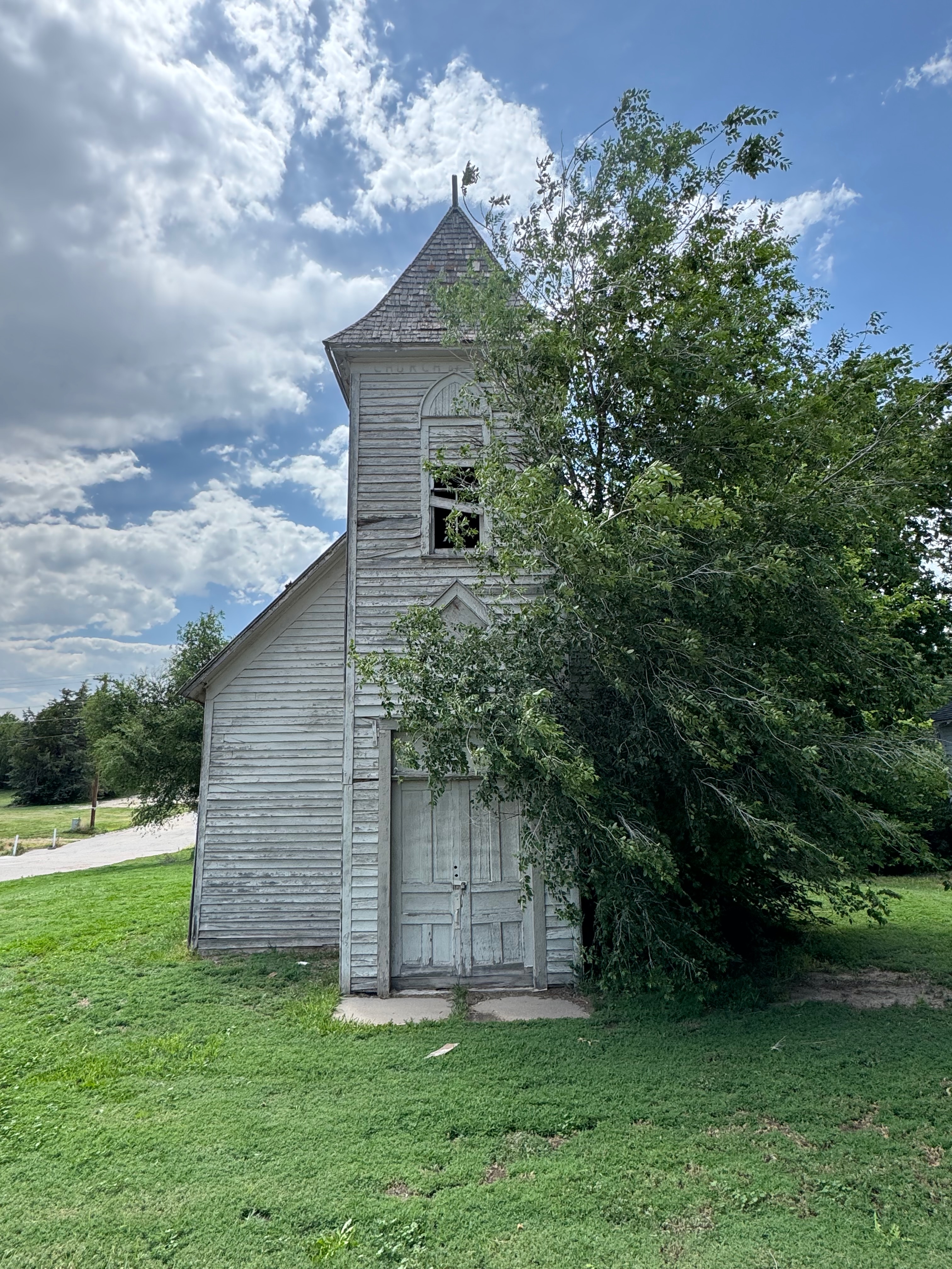
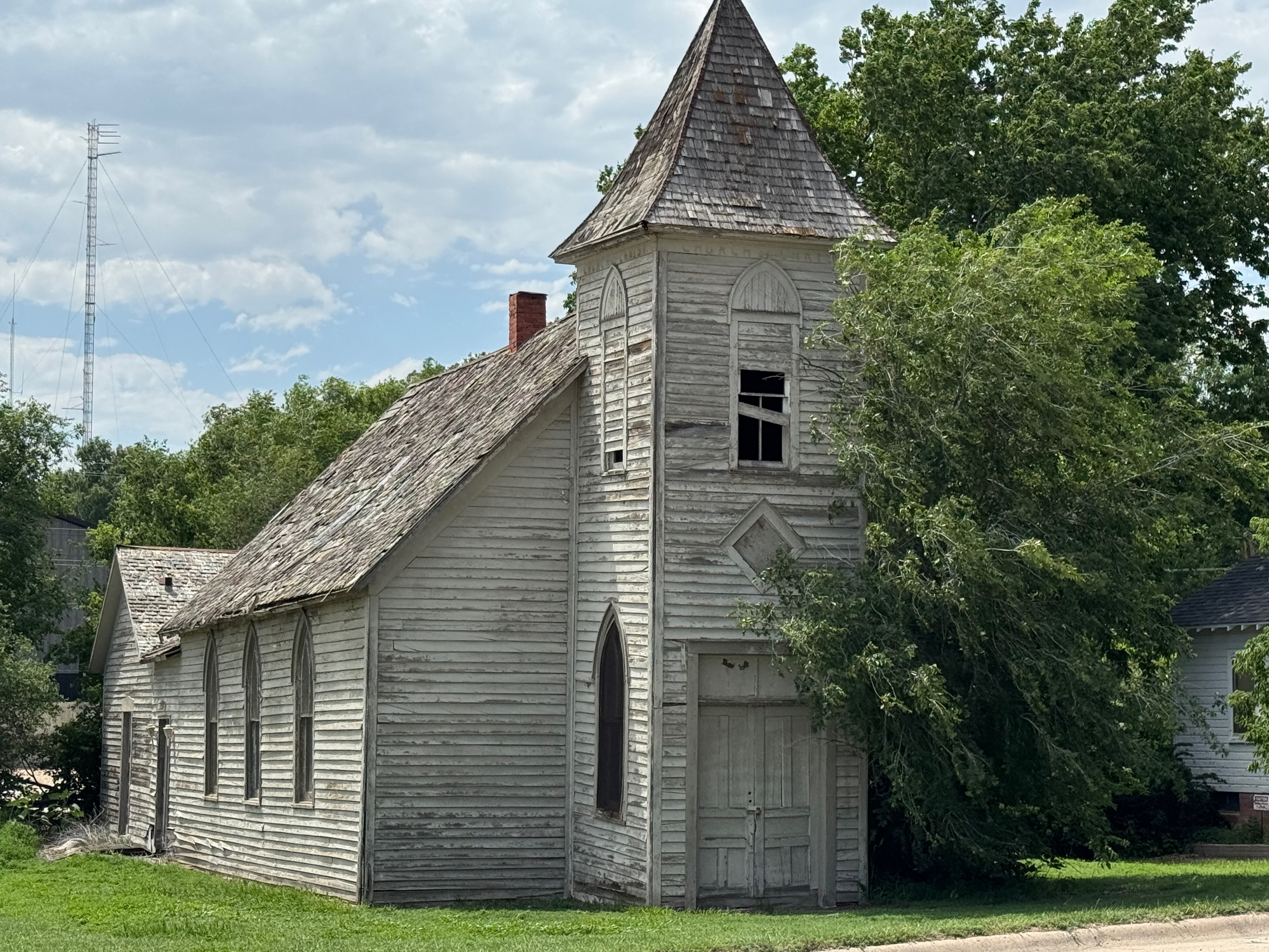
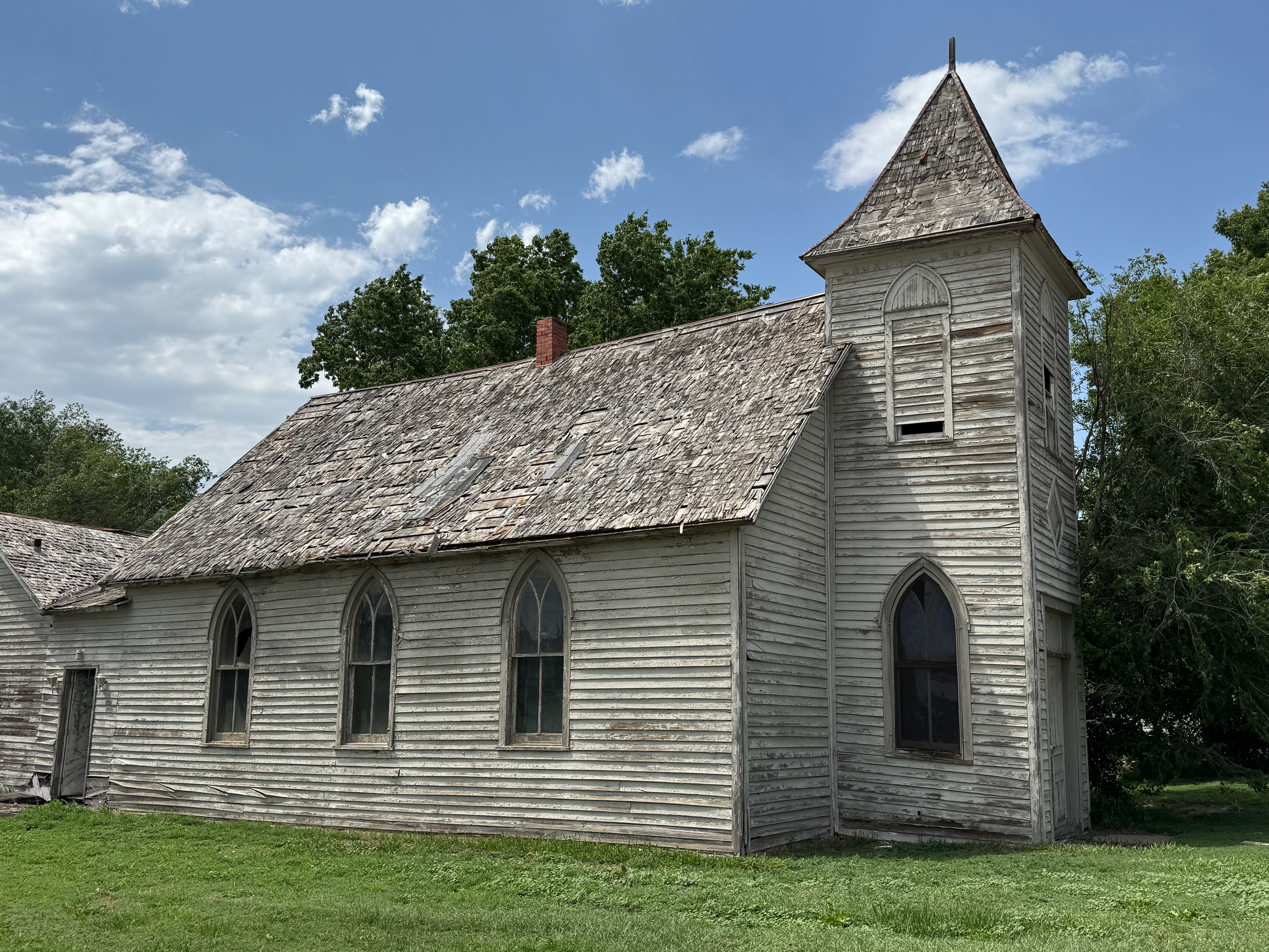
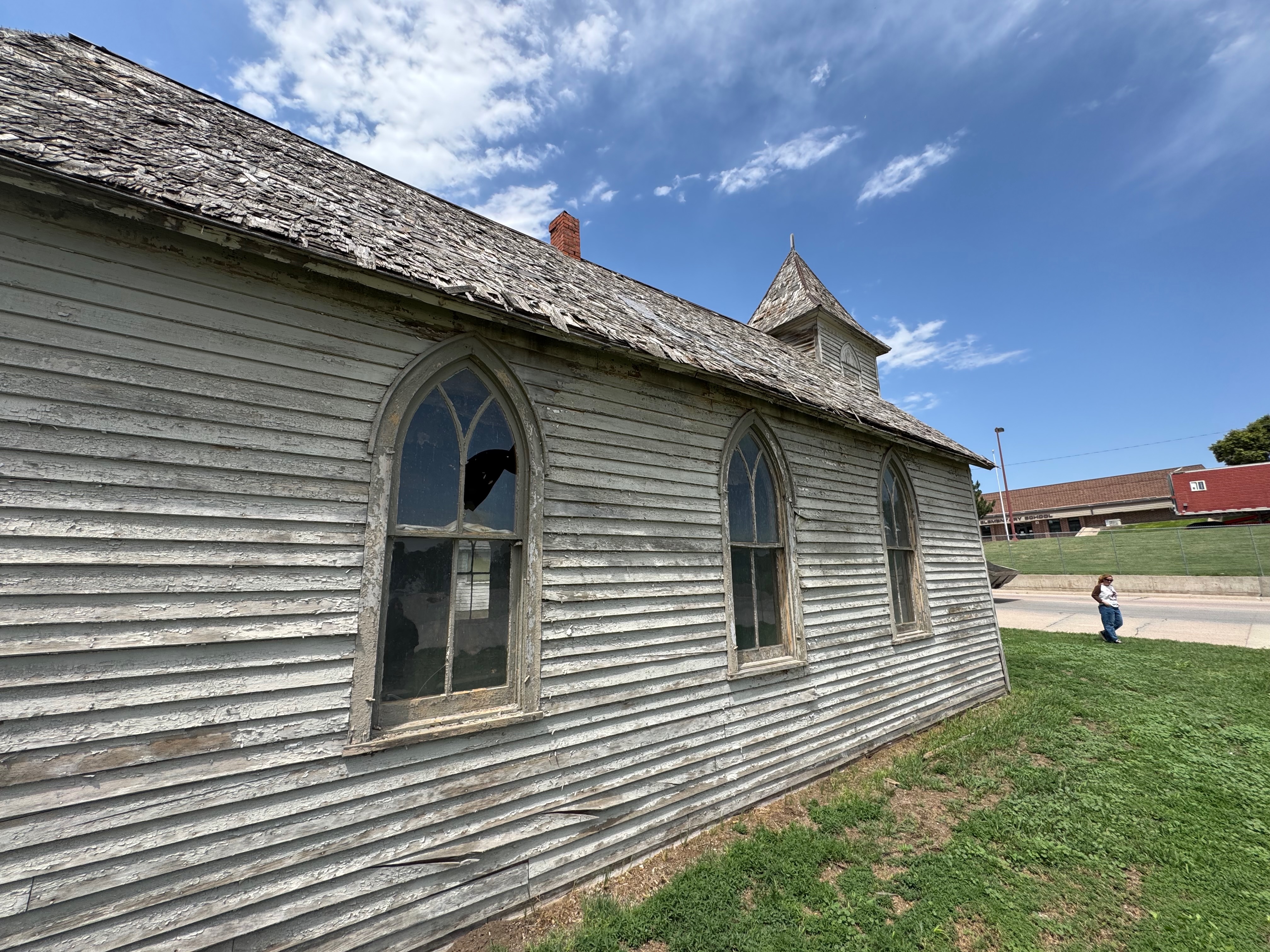
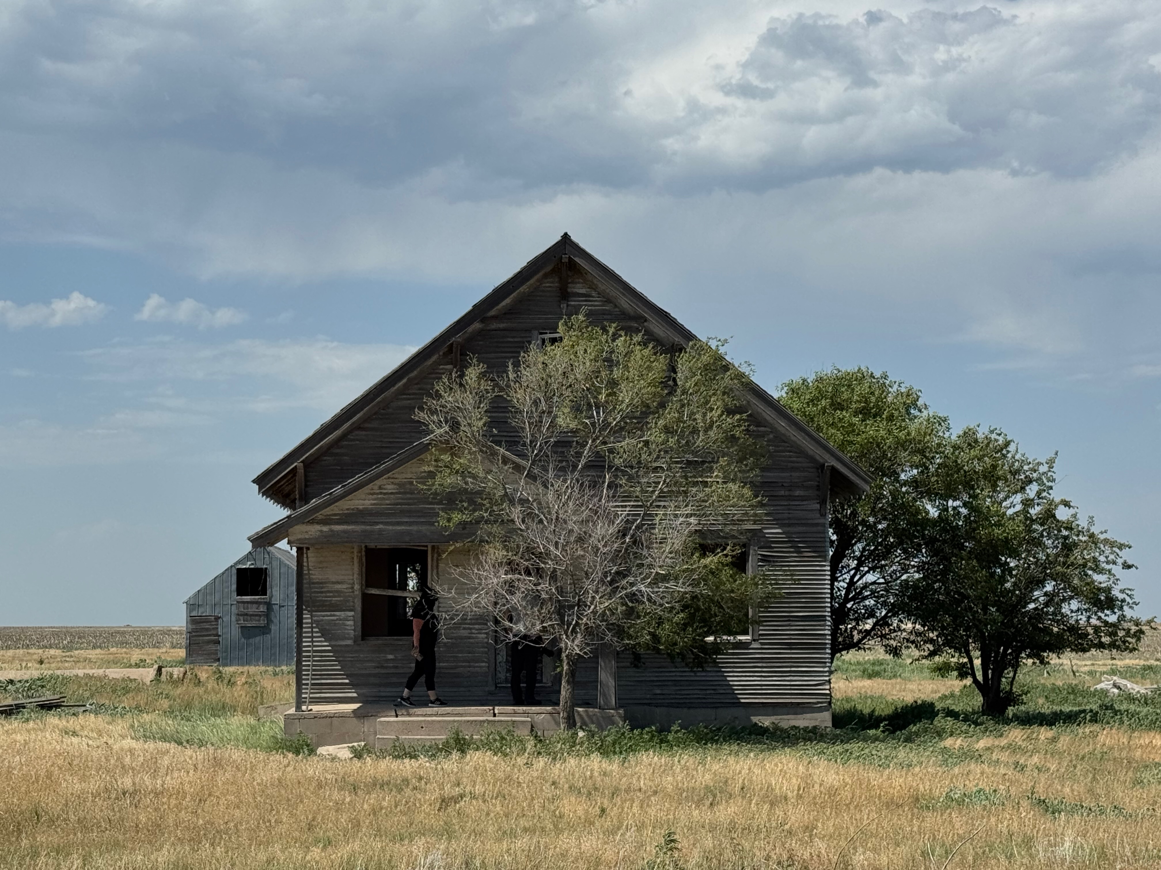
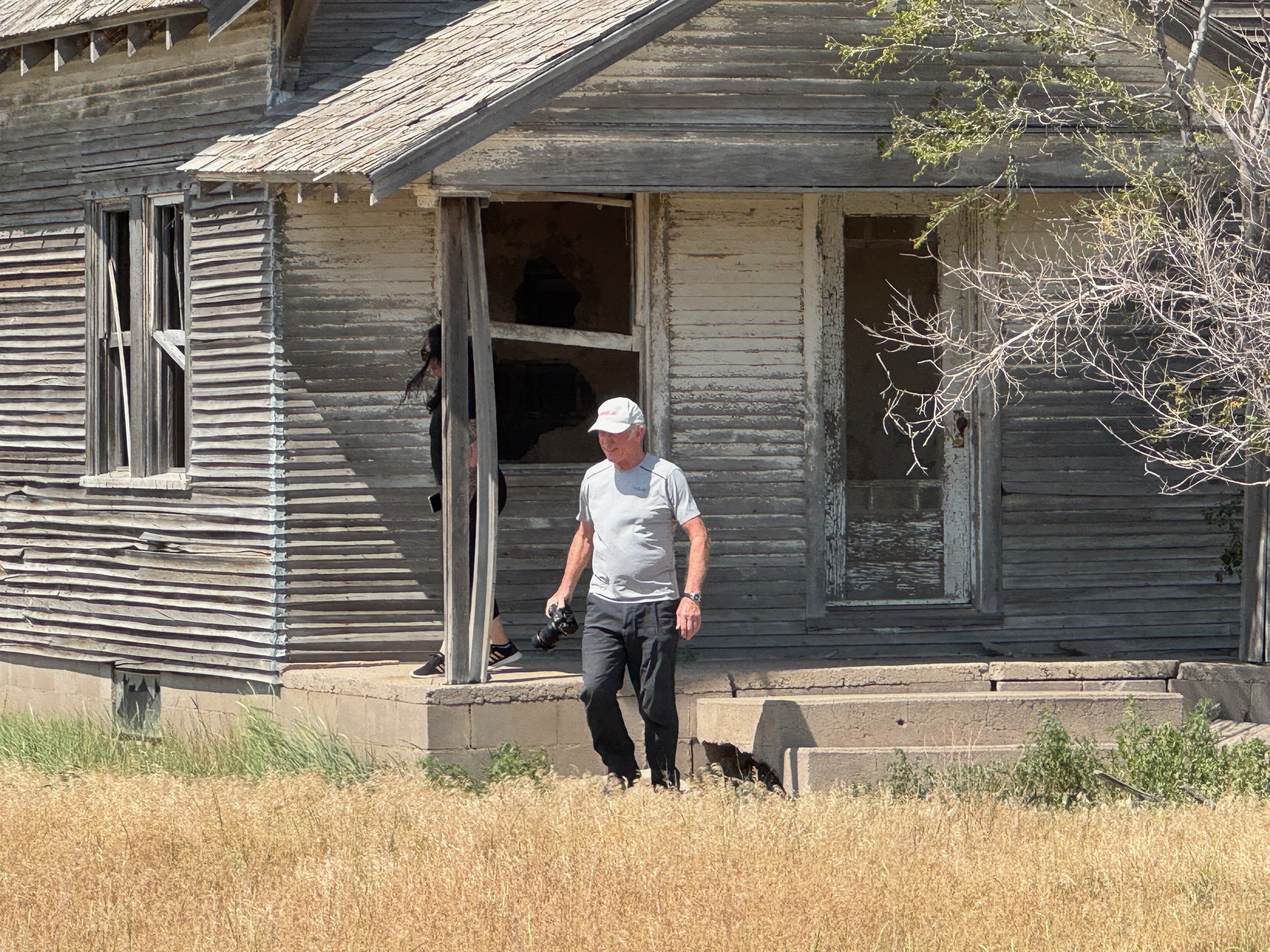
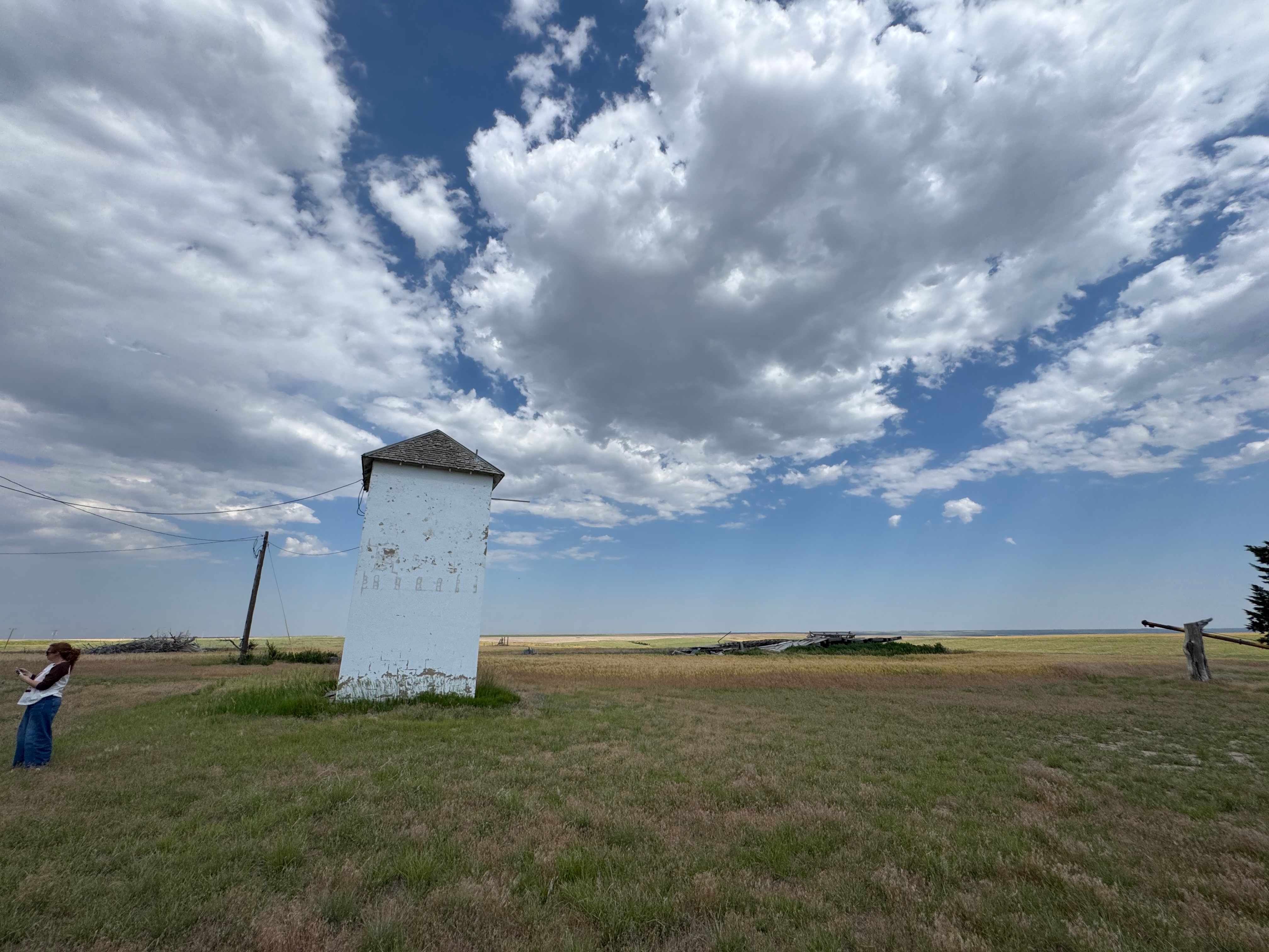
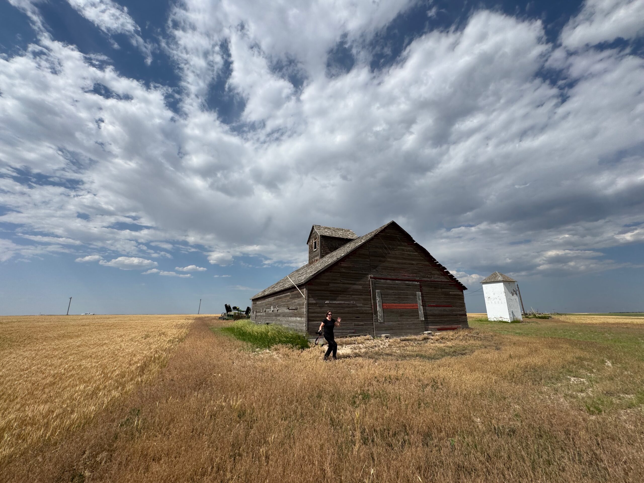
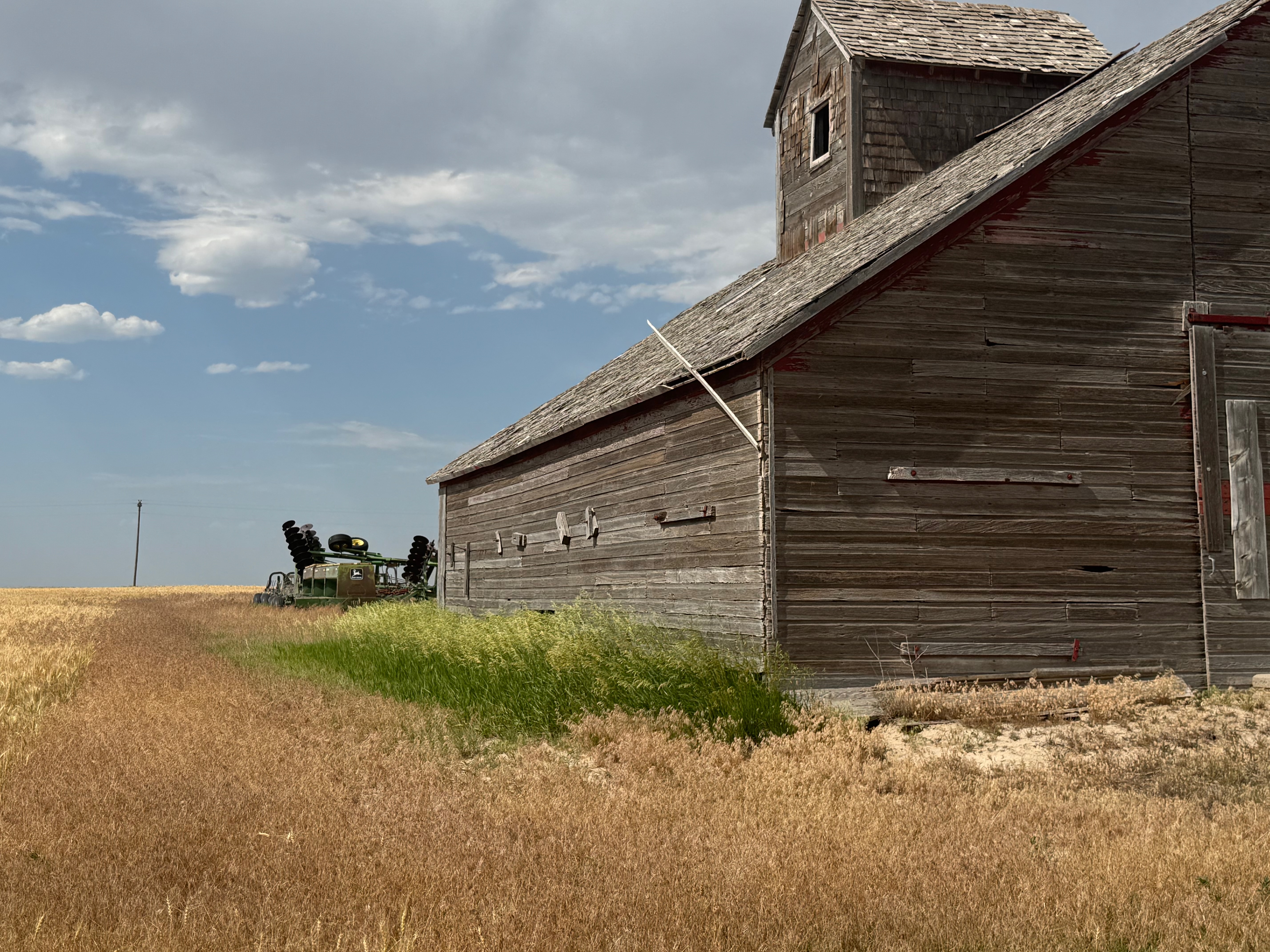
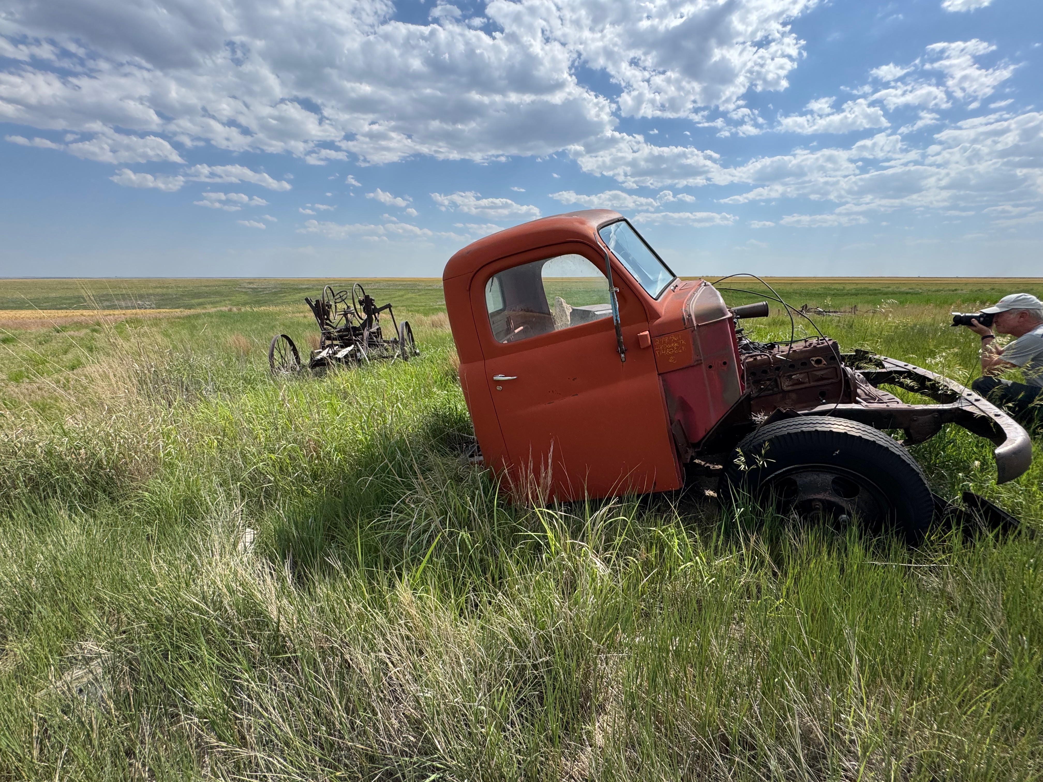
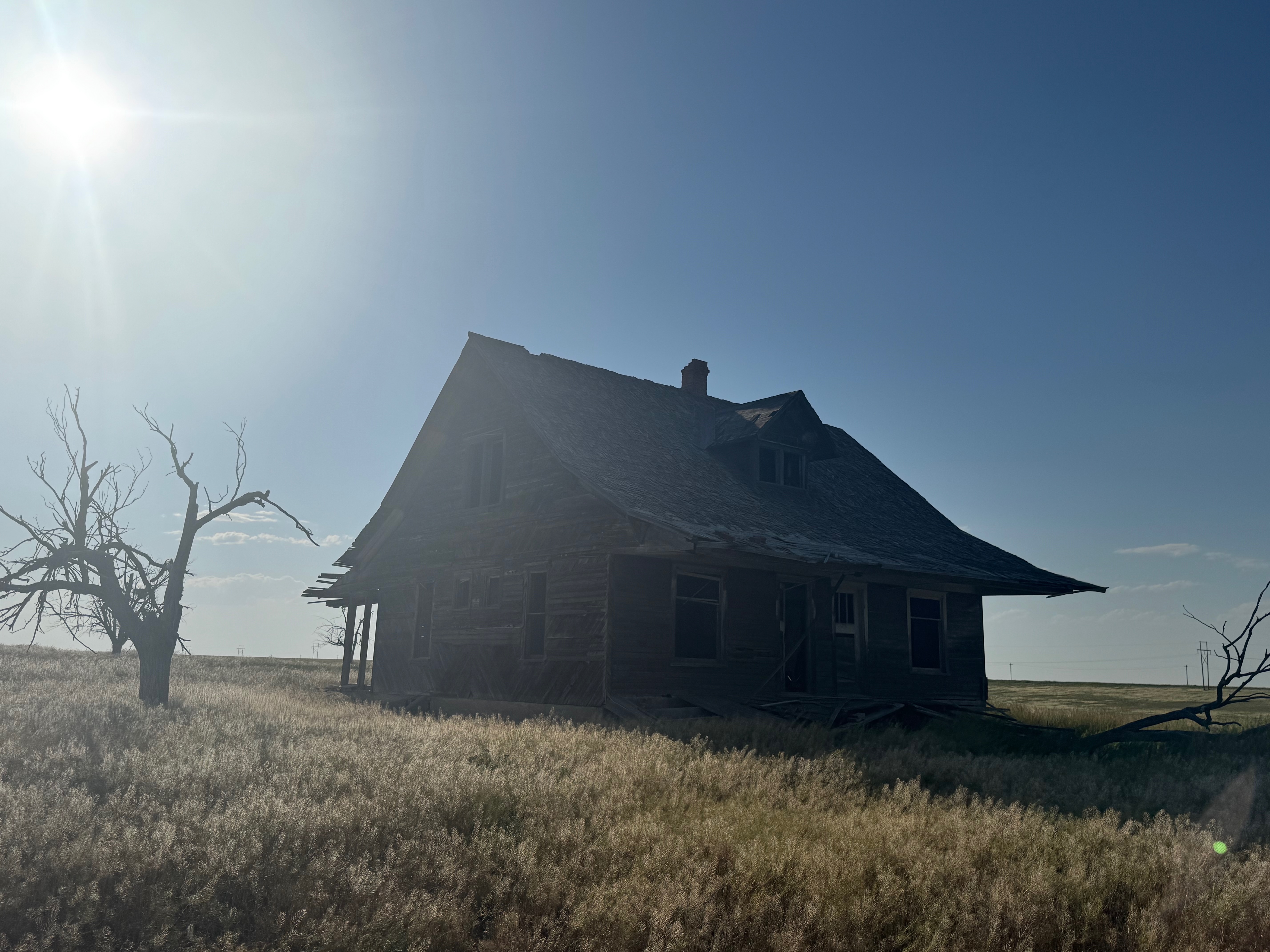
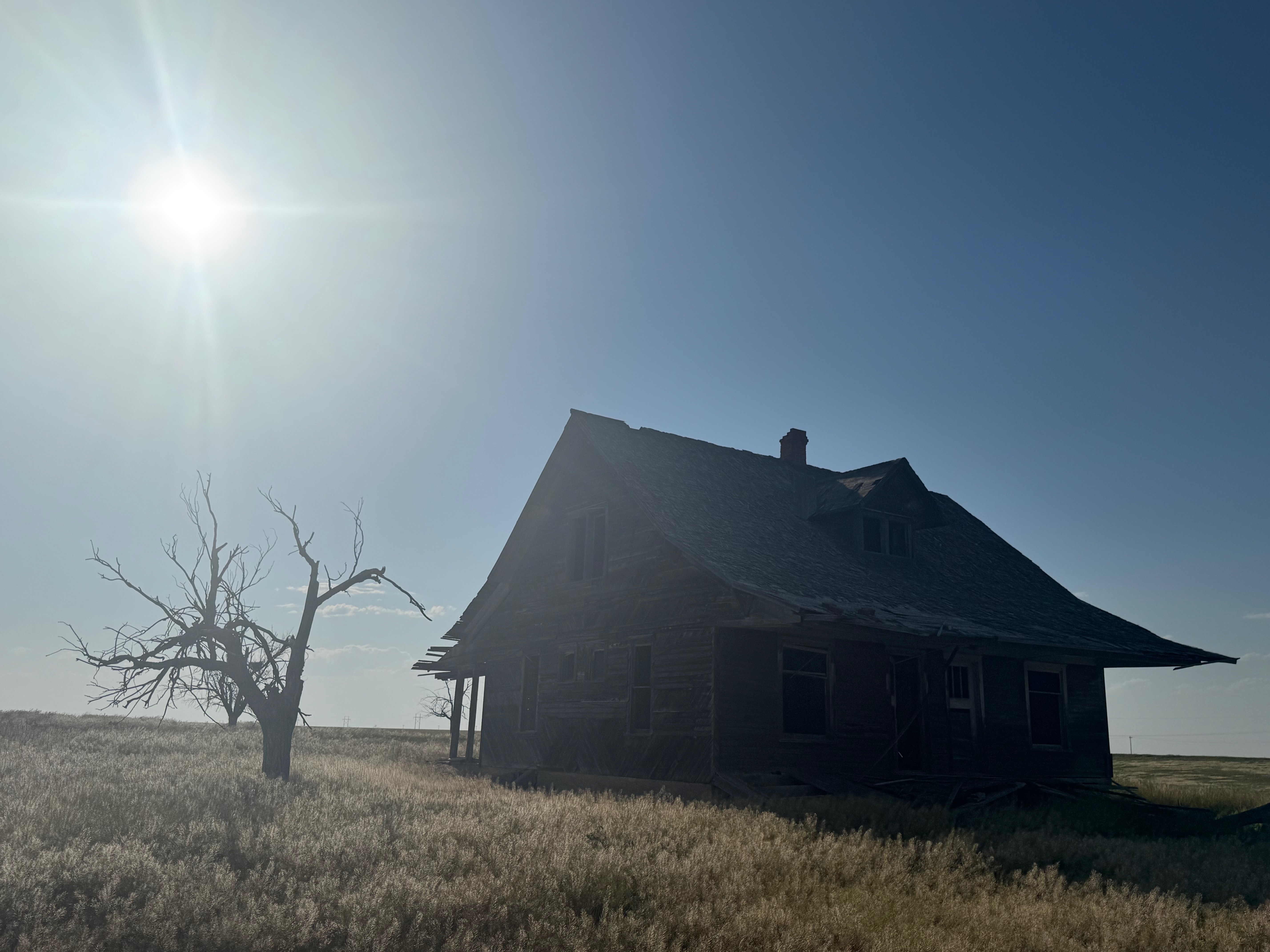
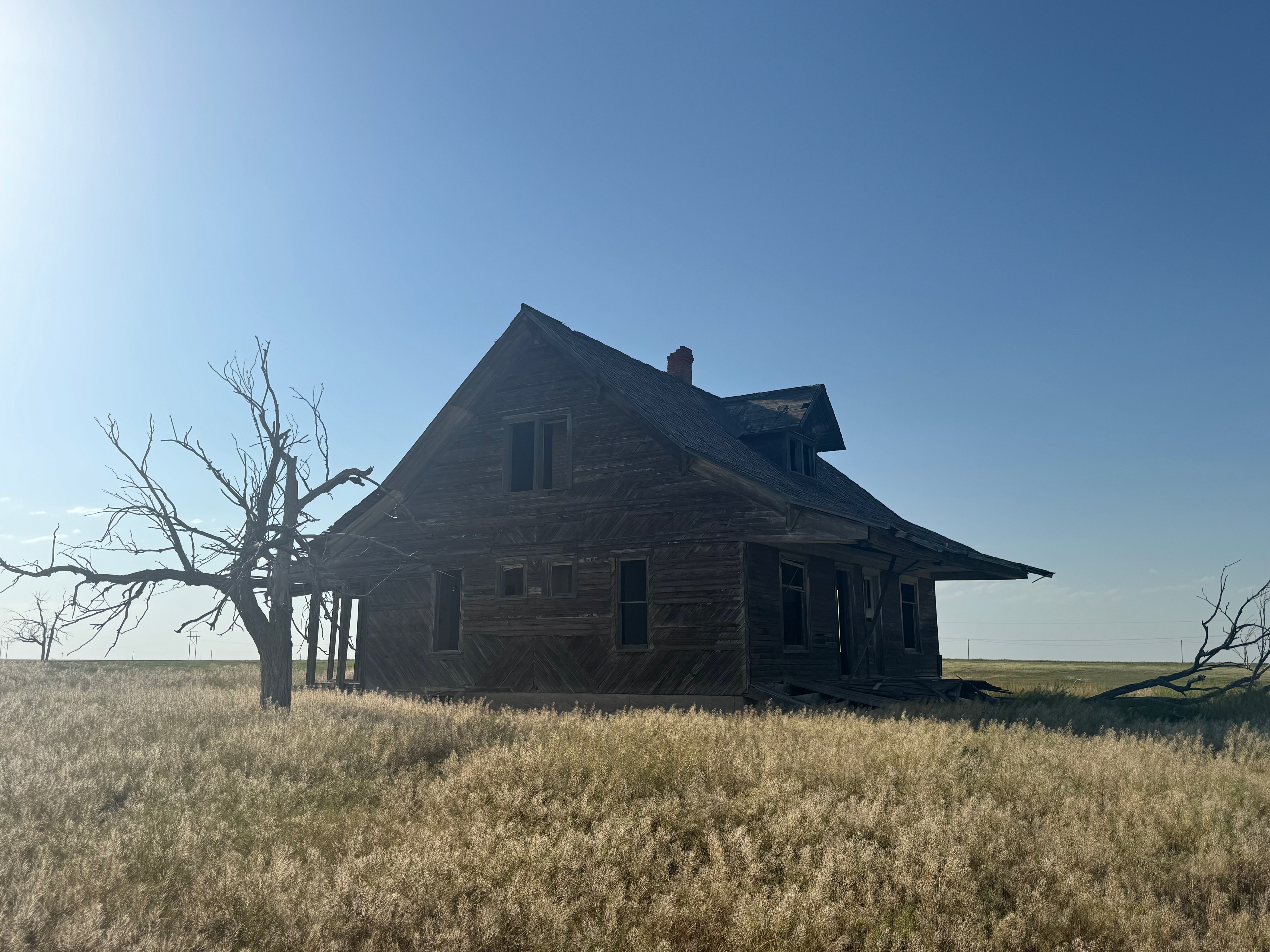
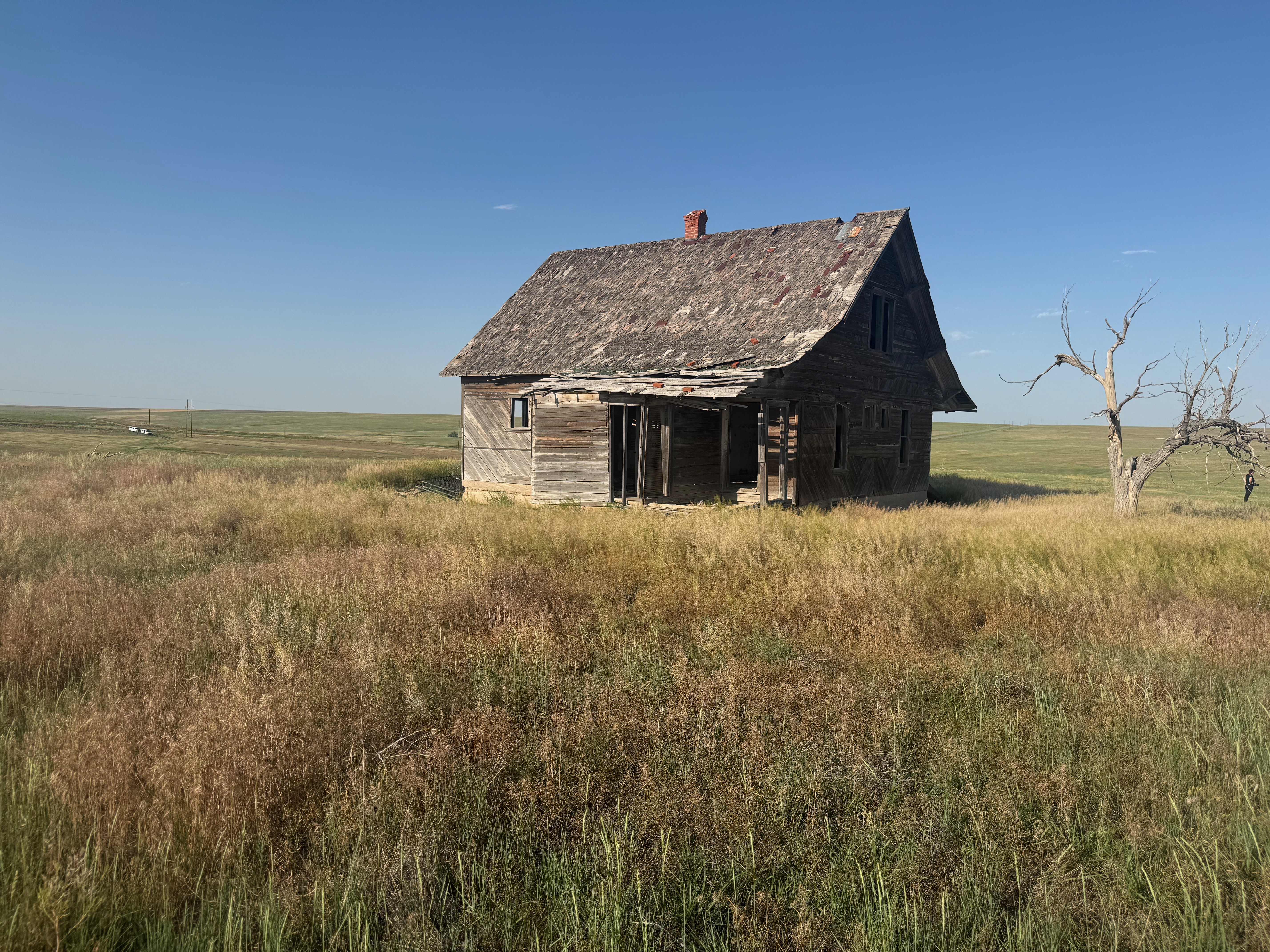
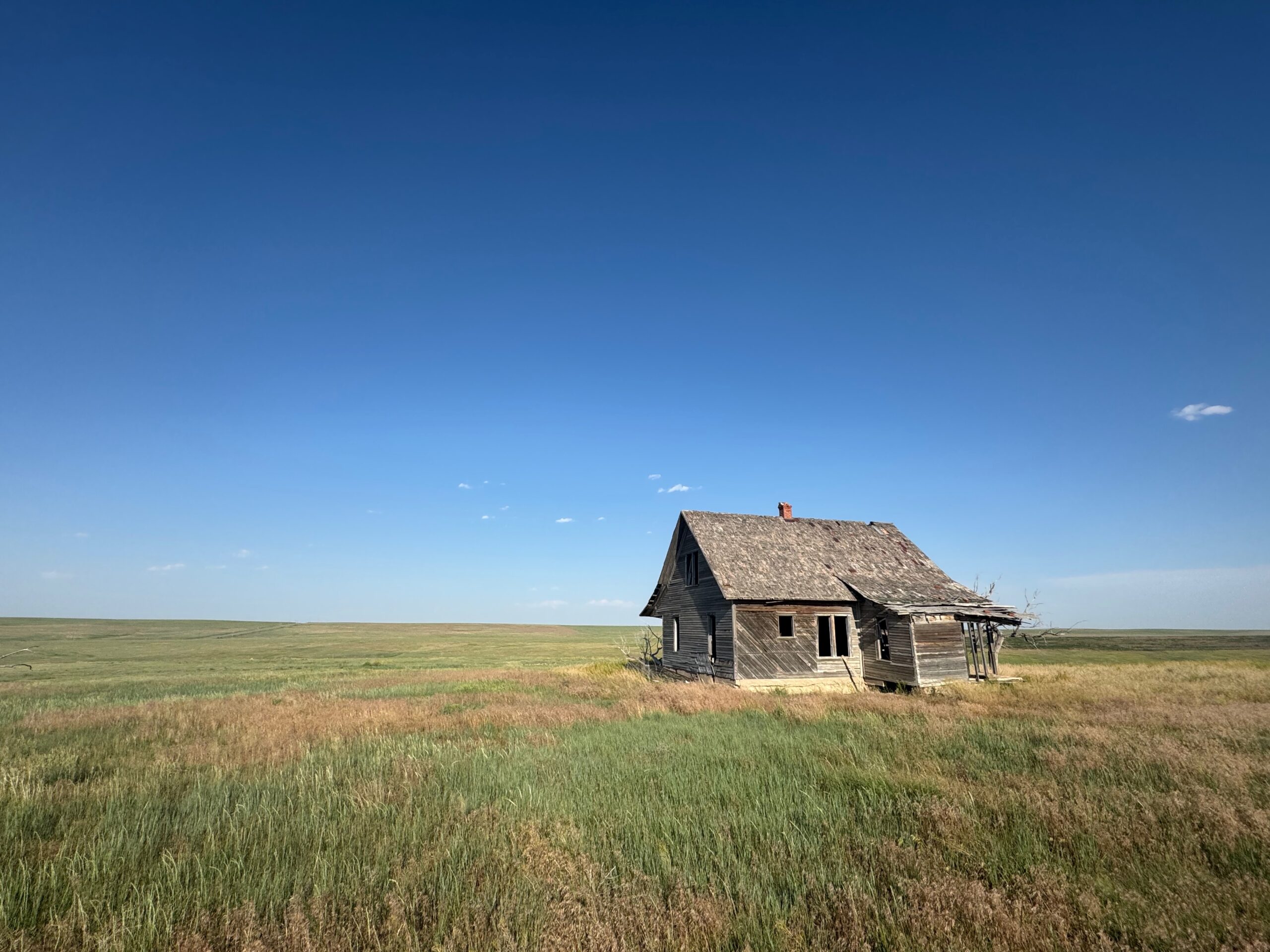
Some mid-level stuff was unable to get strong around Benkelman mid-afternoon, and we called it a day. Temperatures were as high as 107F, so even just getting out and exploring an abandoned house was not particularly enjoyable! The final five shots are of the old abandoned house just east of Last Chance.
Leave a Reply
You must be logged in to post a comment.