
Start: Denver, CO/lunch: Heritage Cafe in Kimball/End: Sidney, NE/391 miles
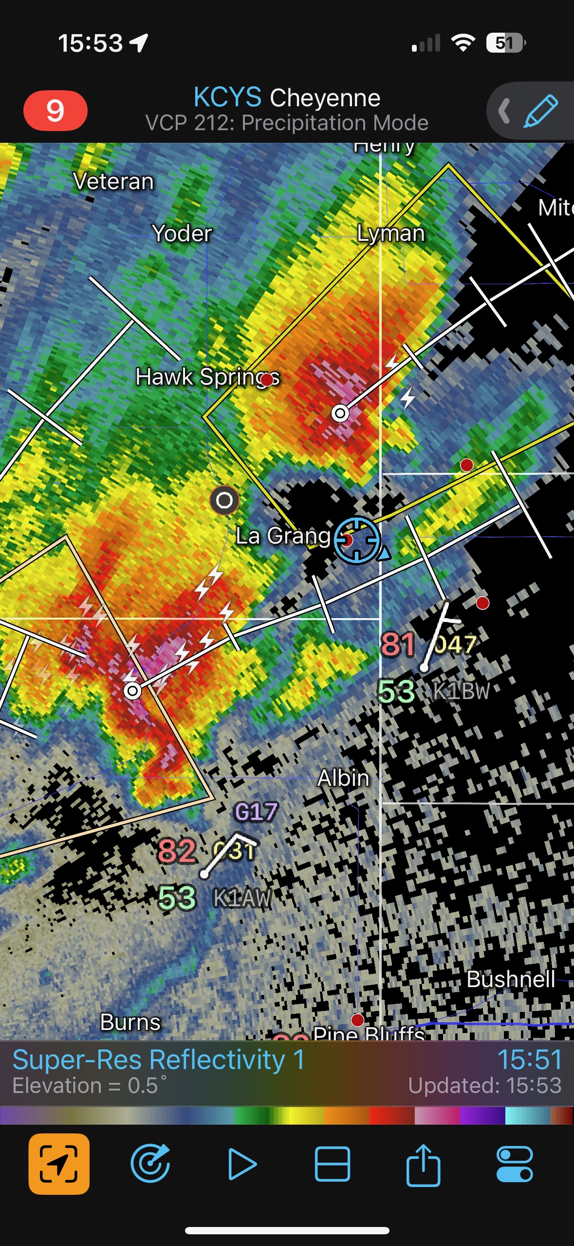
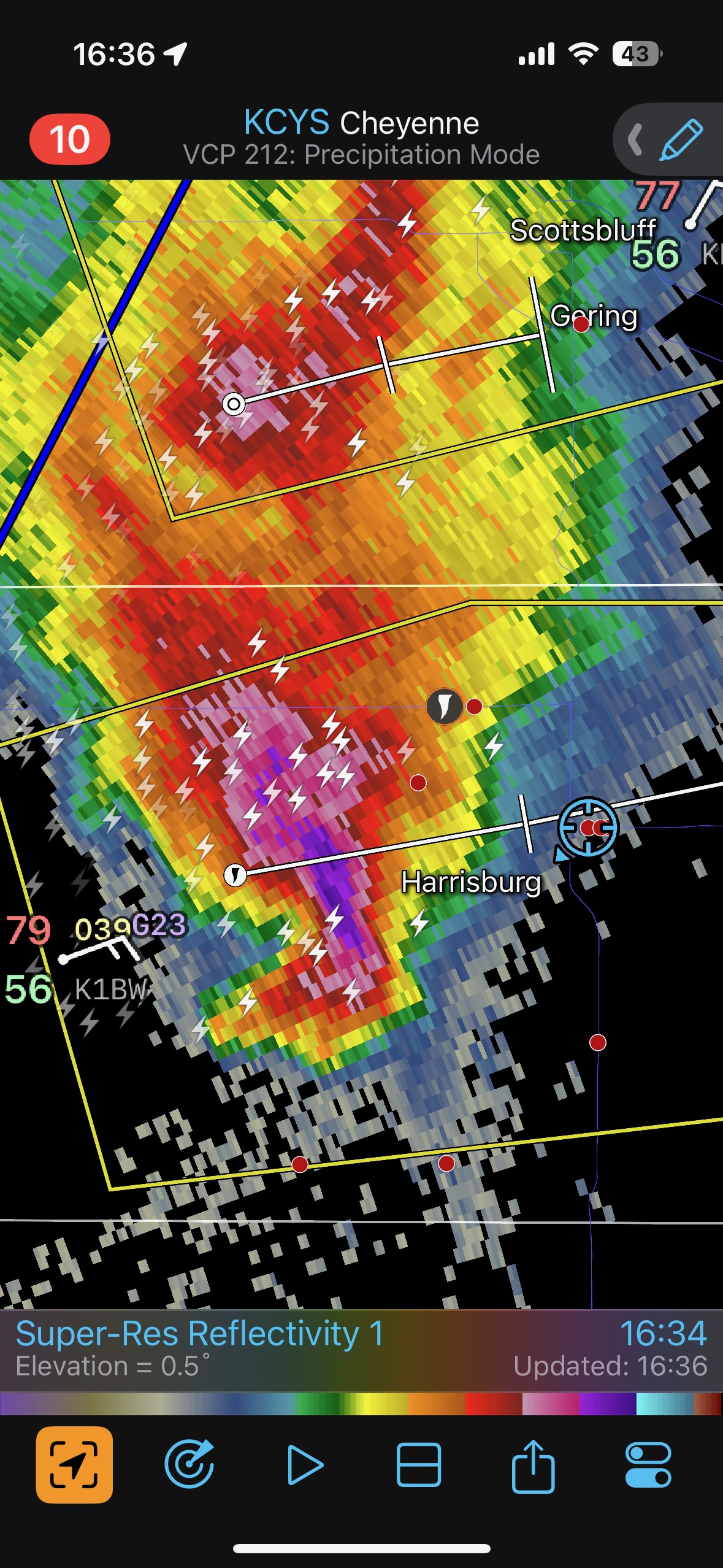
Mesoscale Discussions. 1:50 p.m. CDT. 5:26 p.m. CDT. 7:55 p.m. CDT
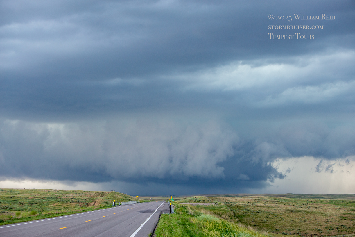
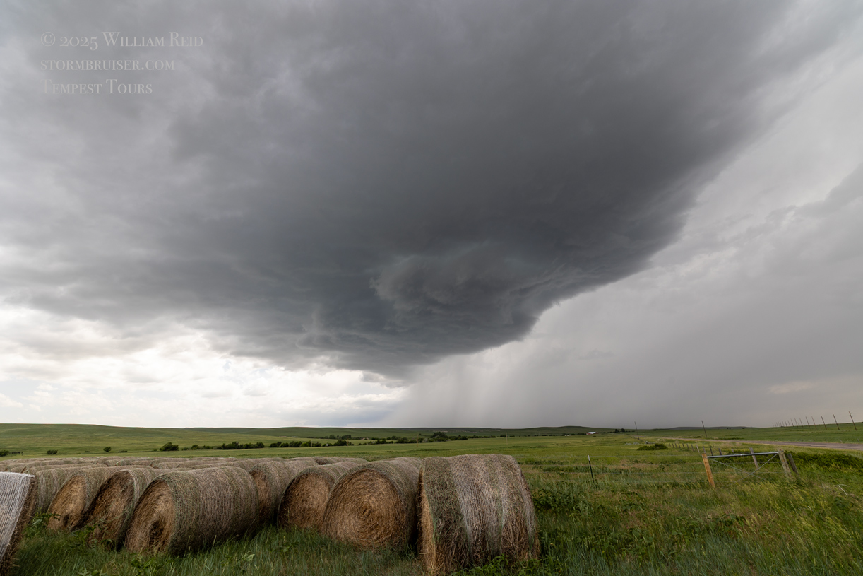
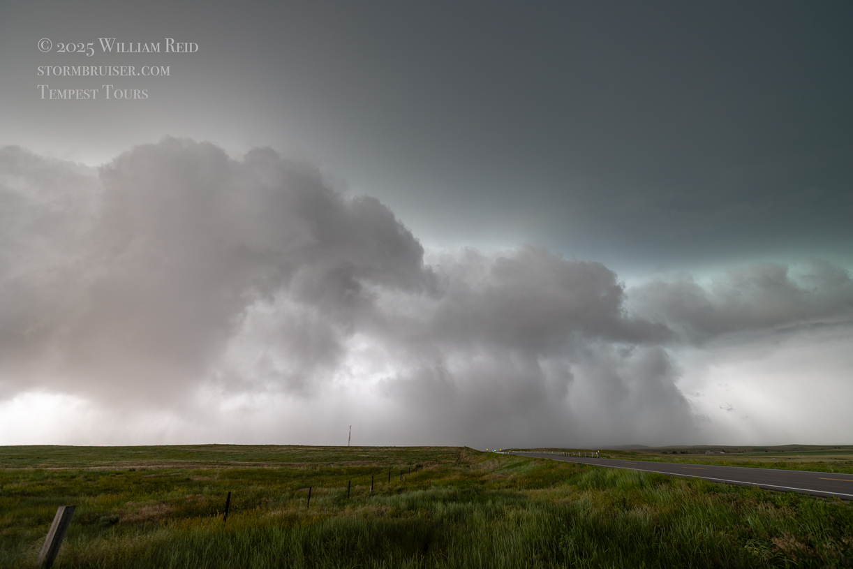
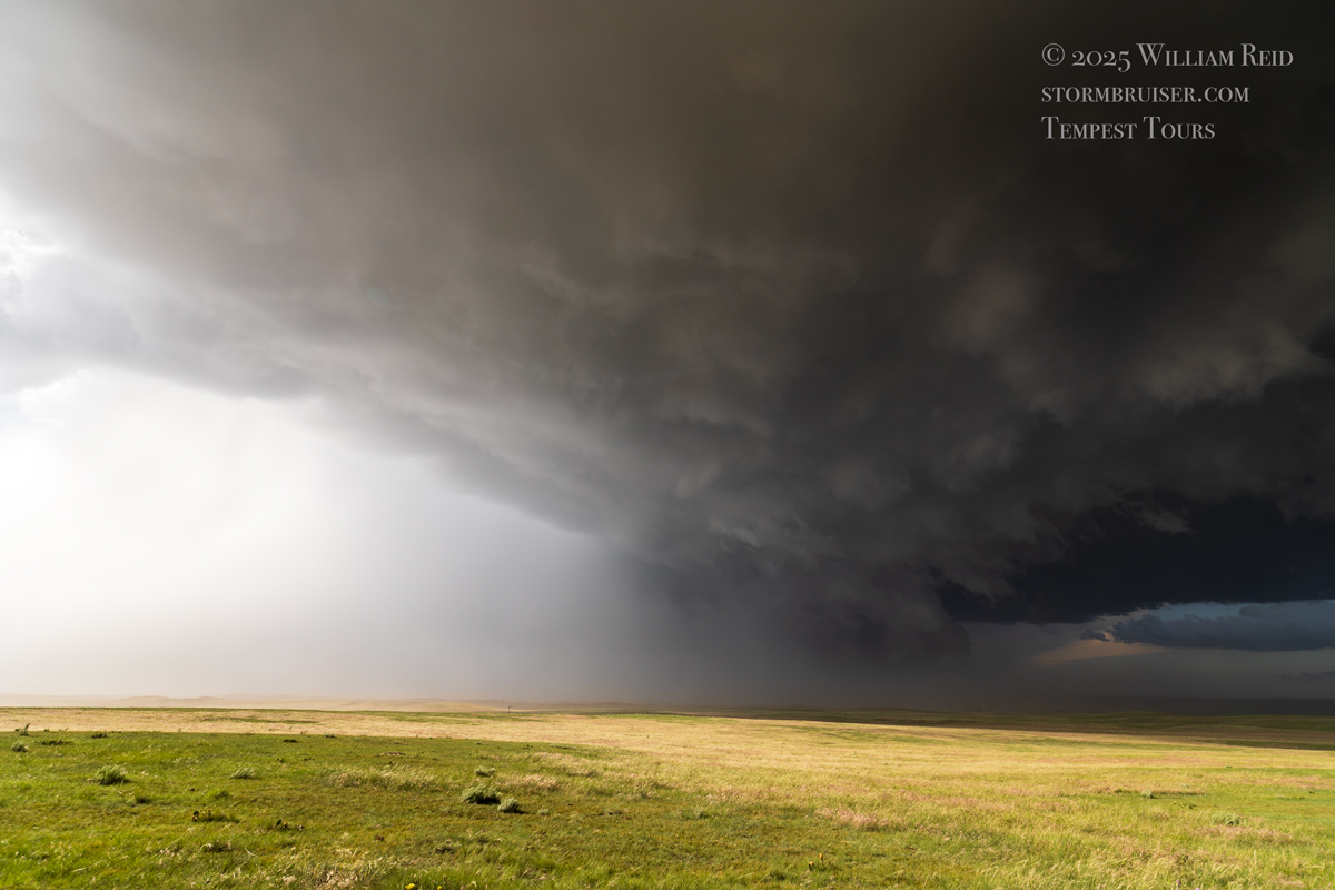
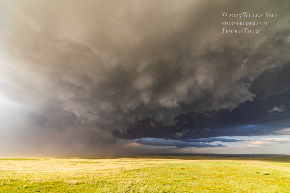
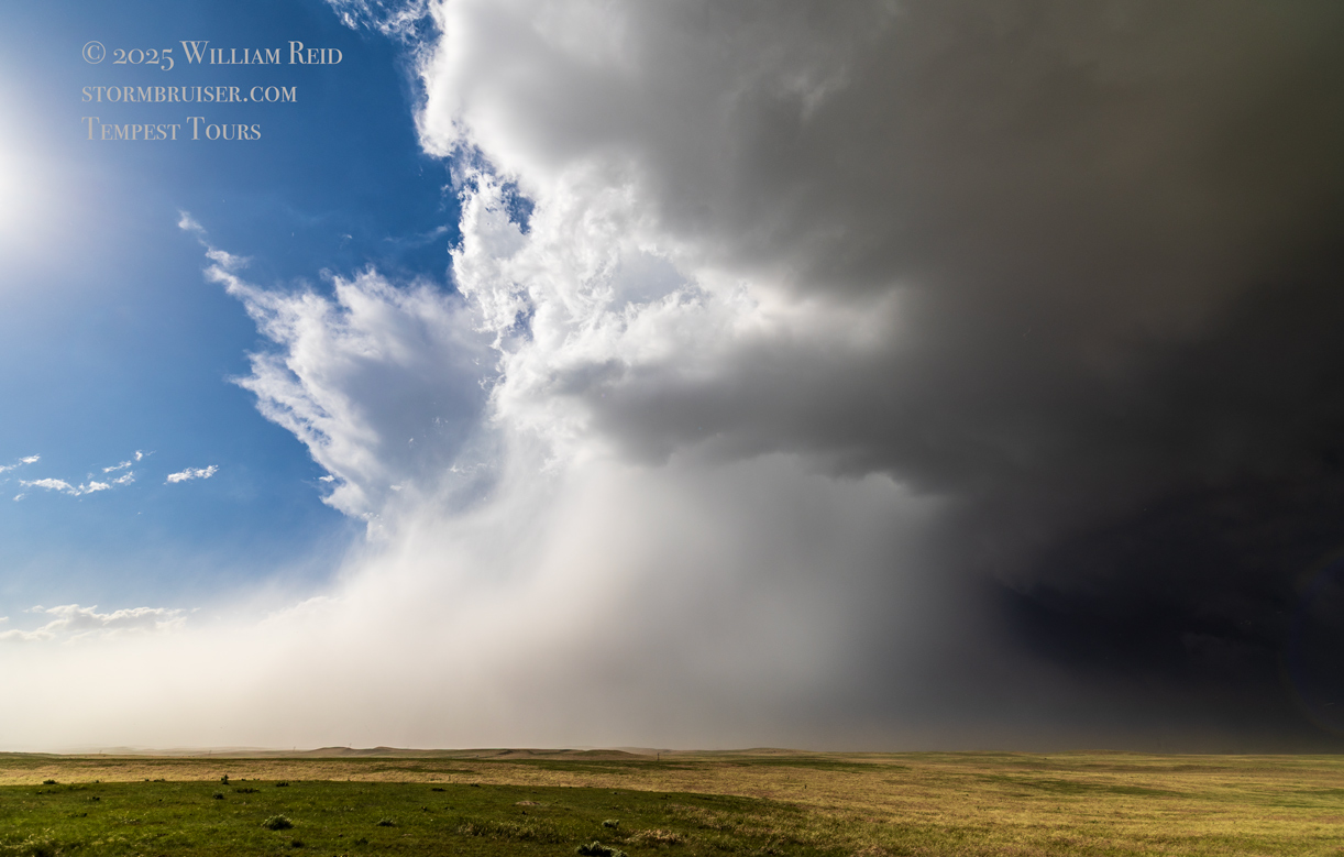
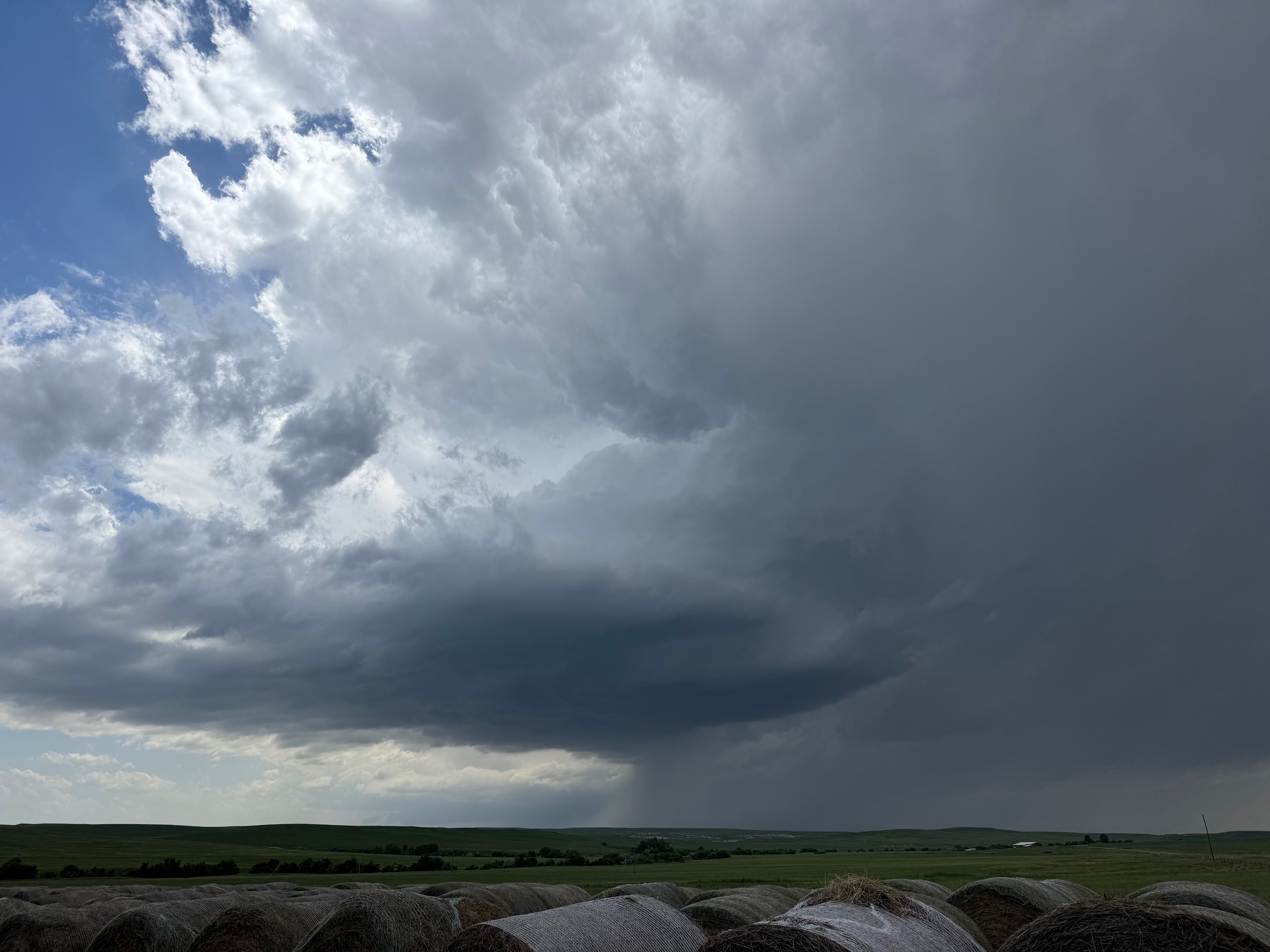
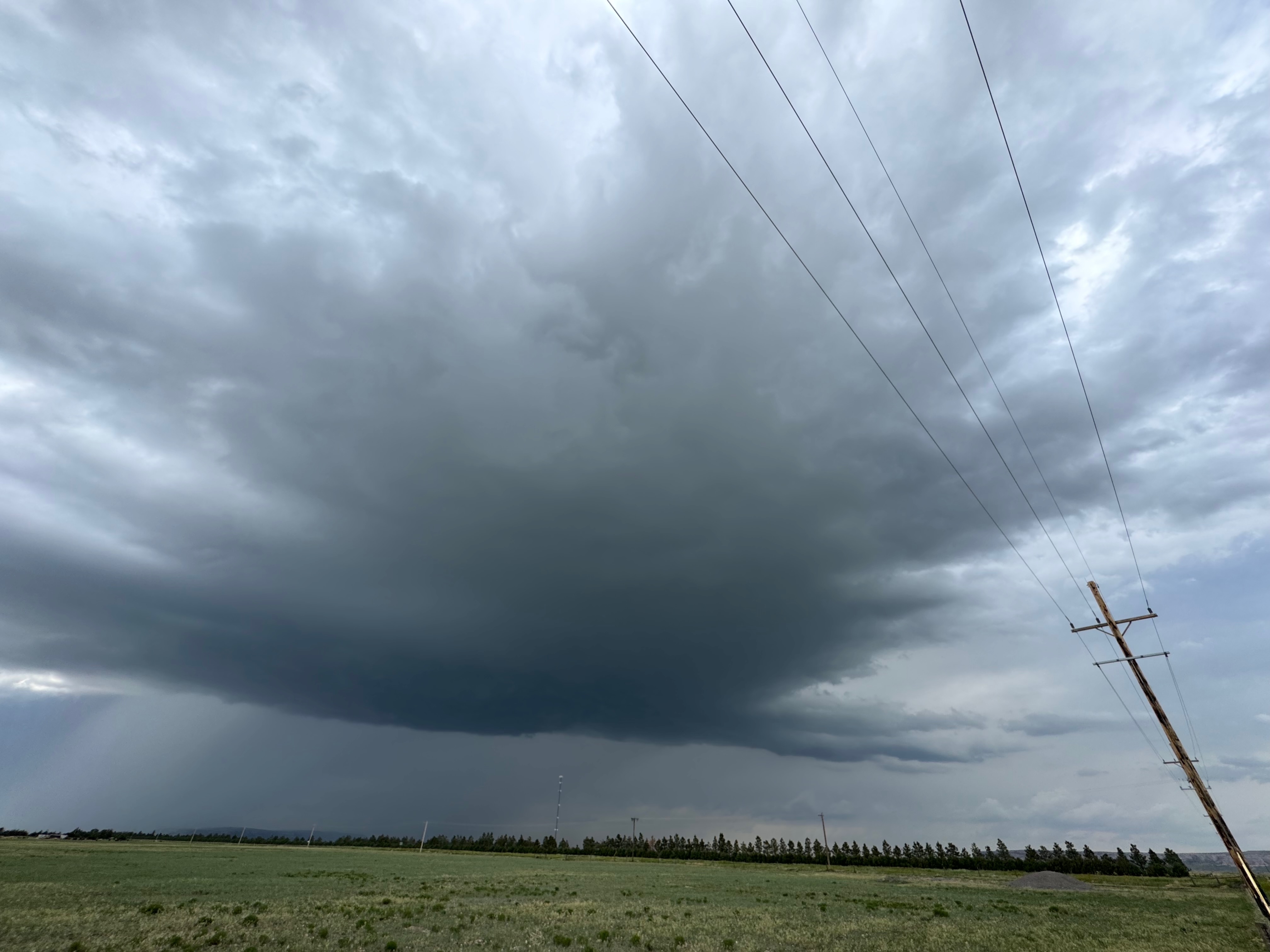
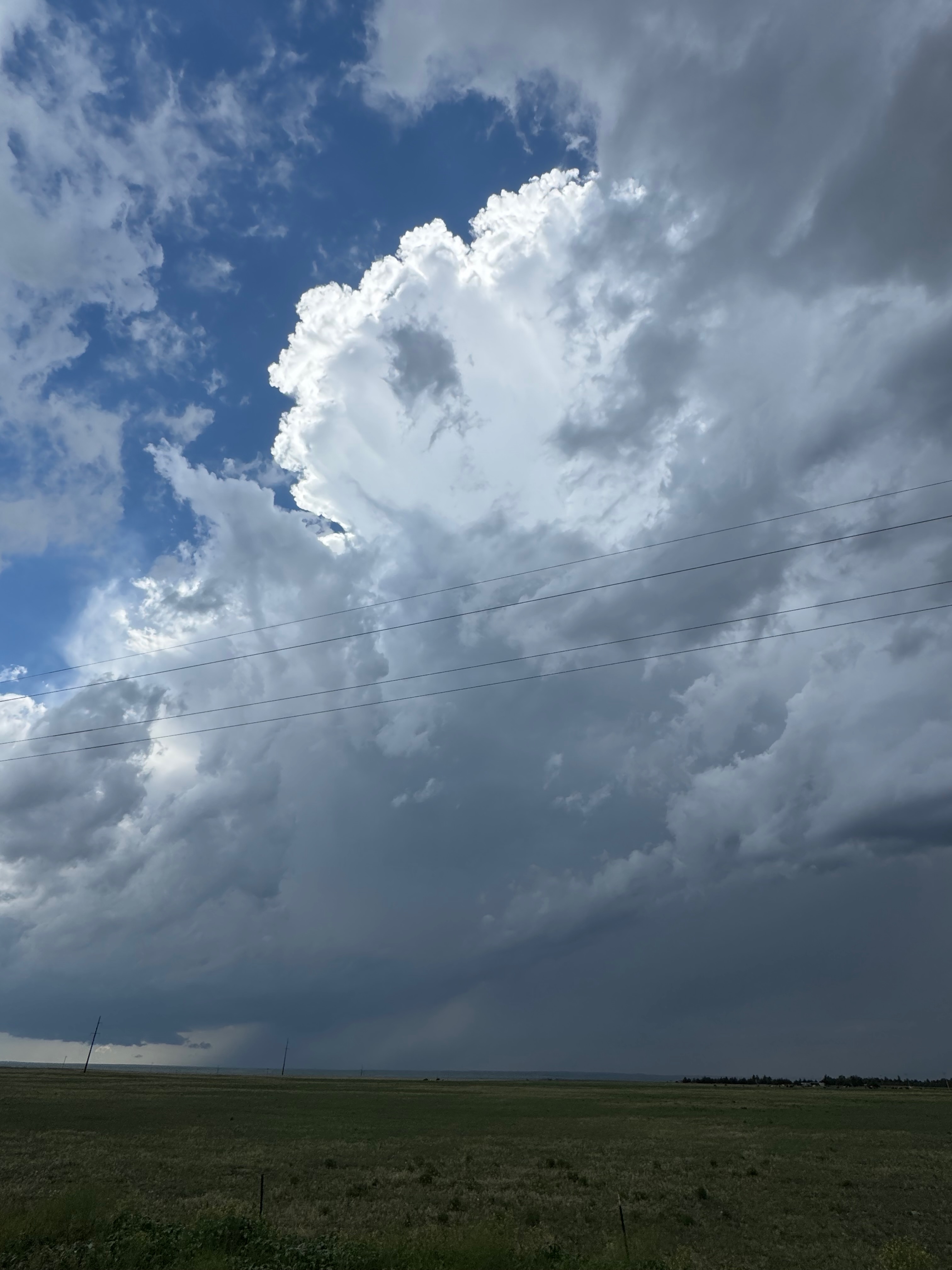
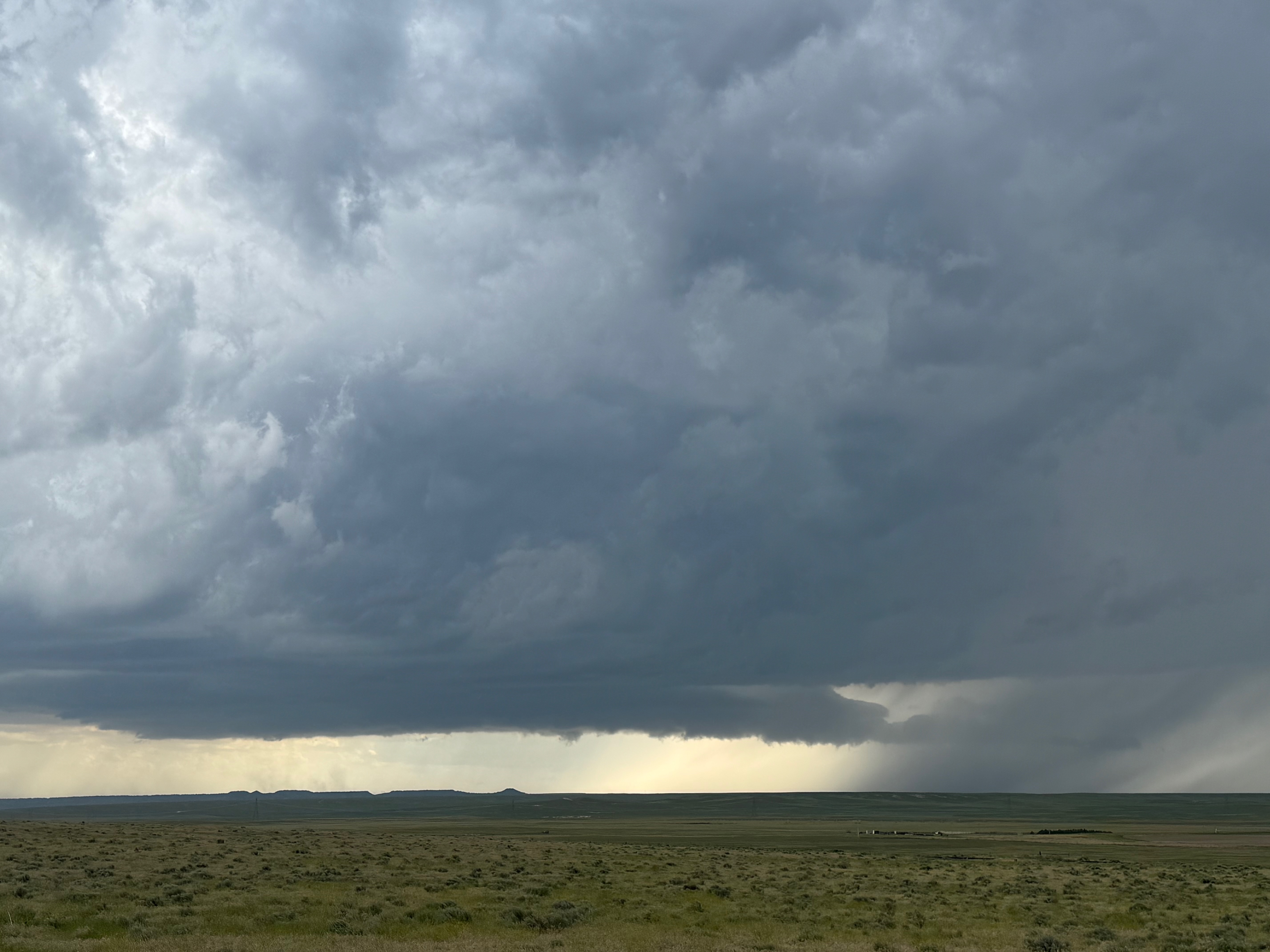
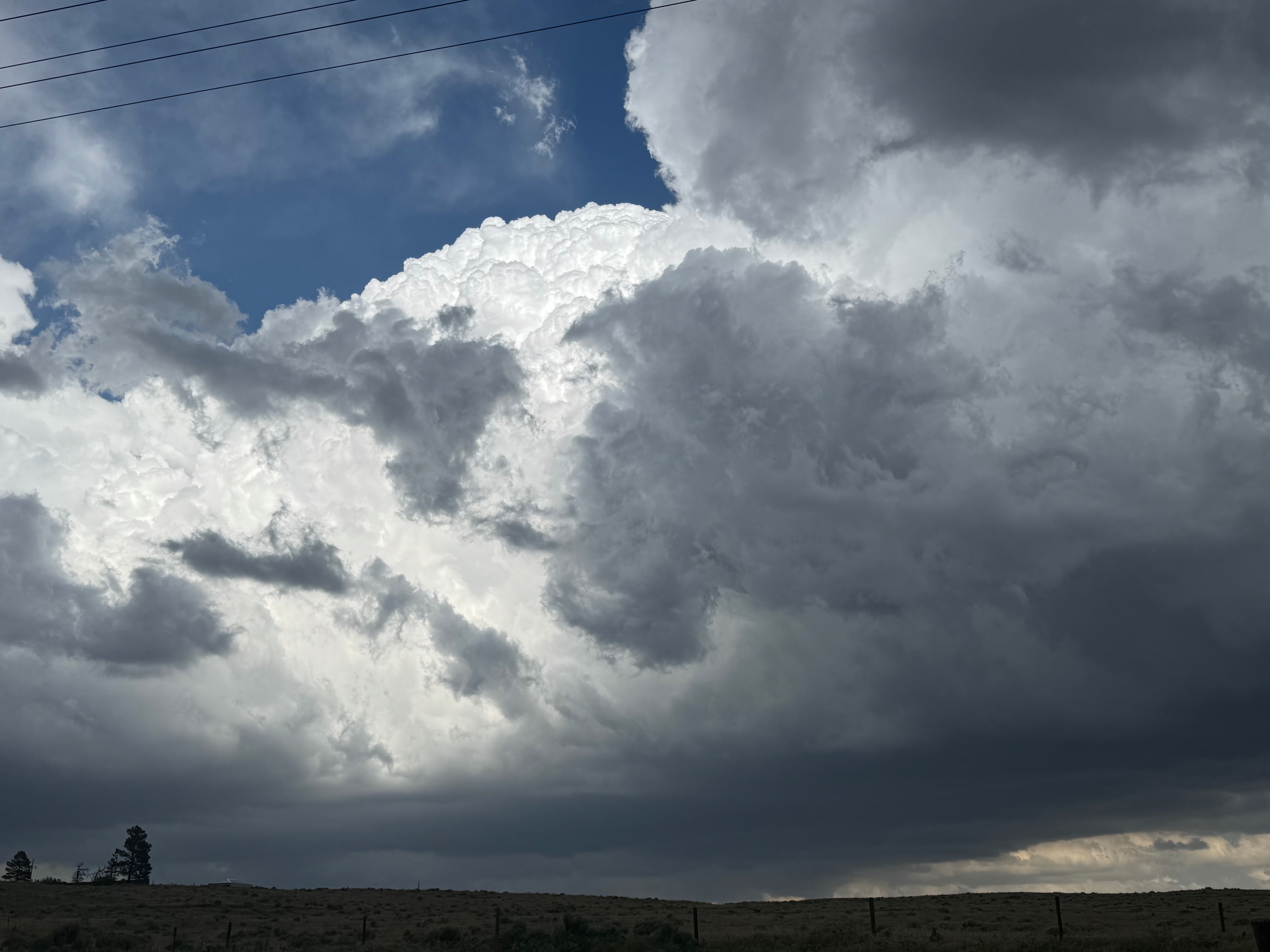
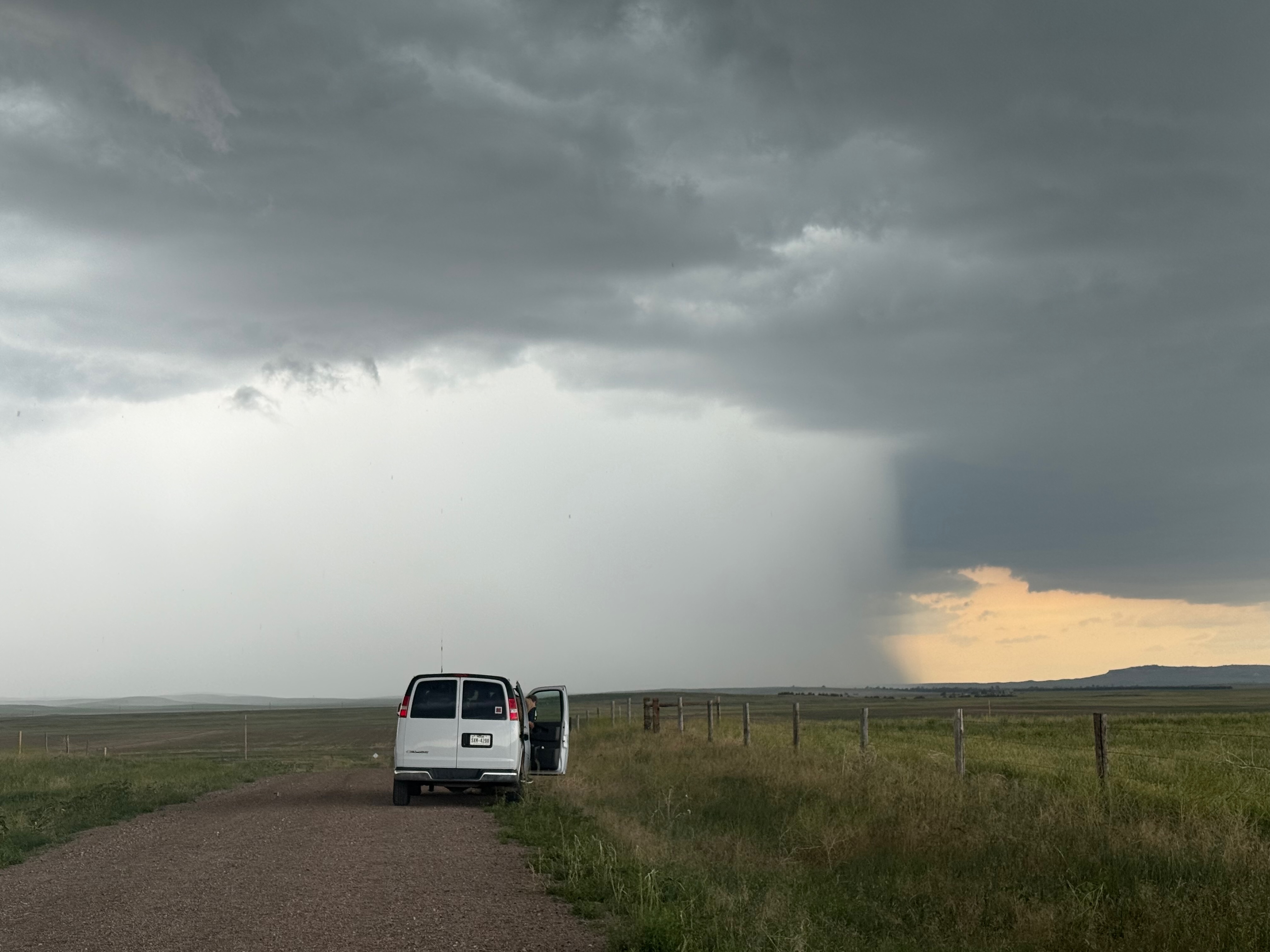
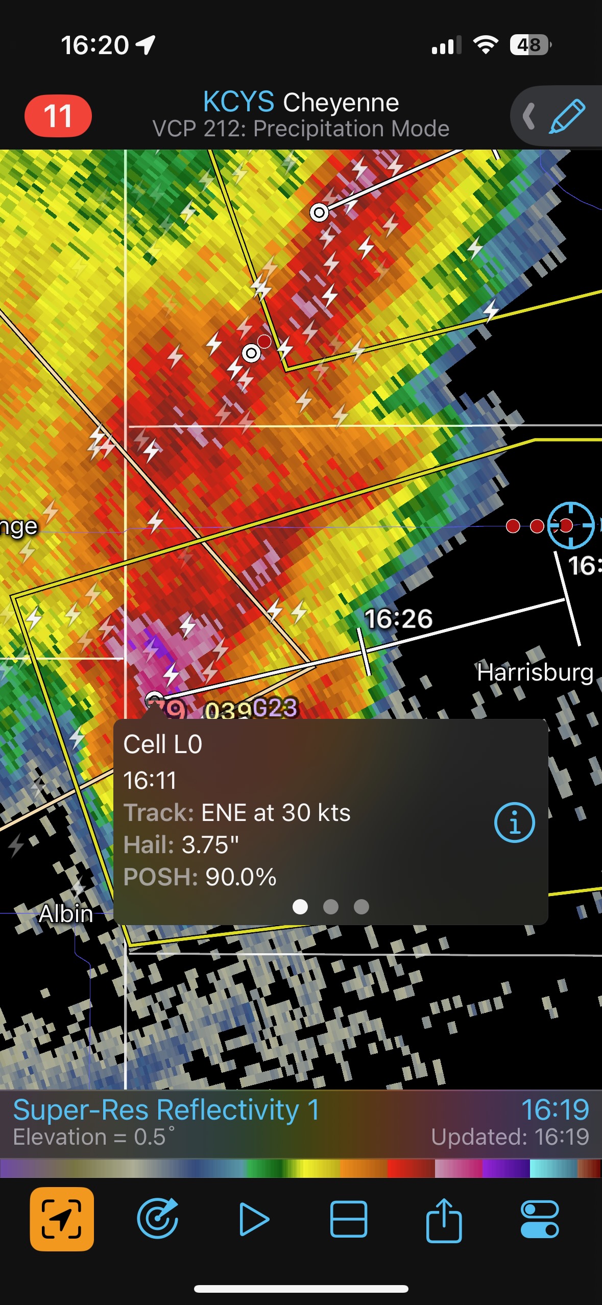
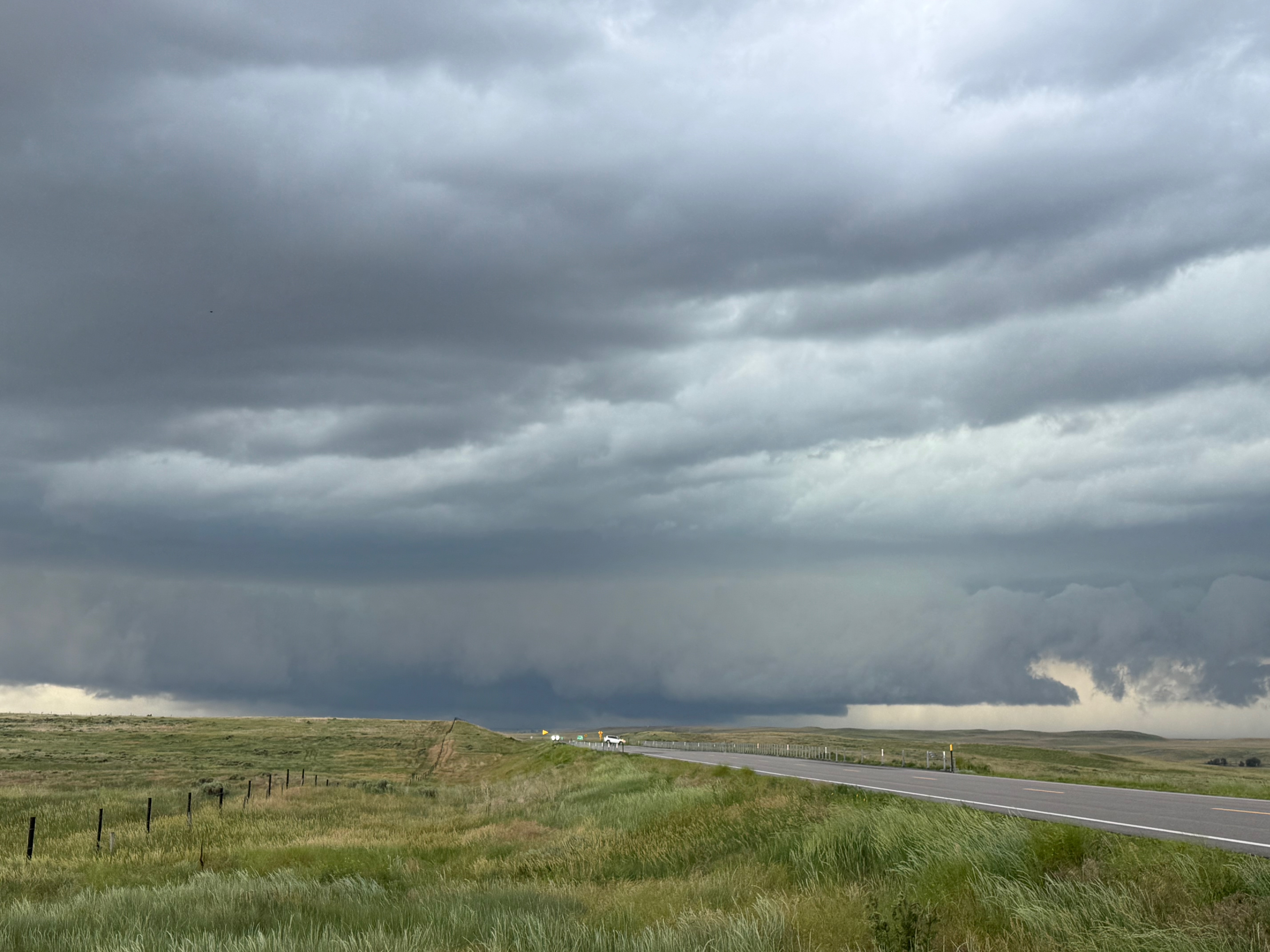
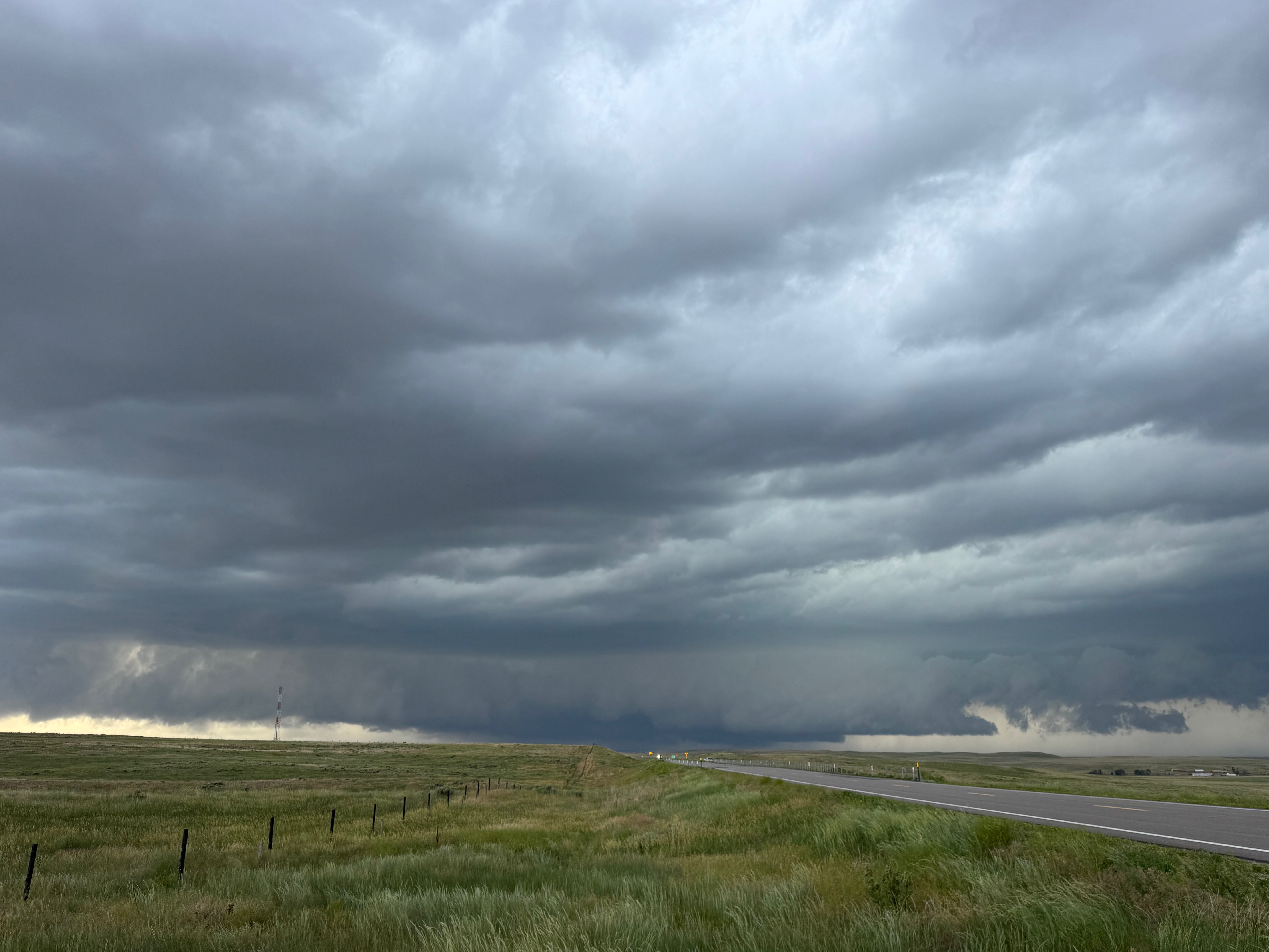
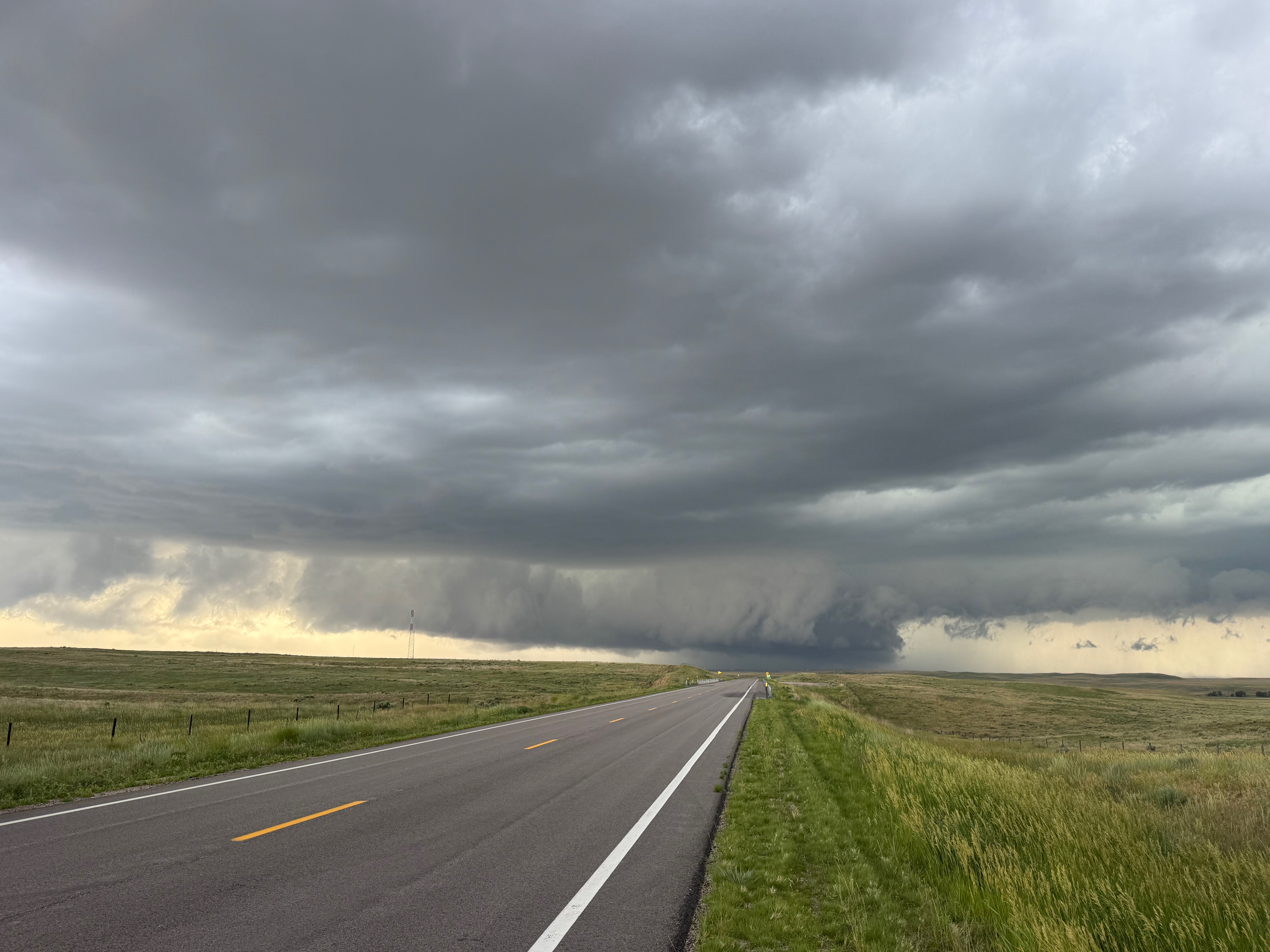
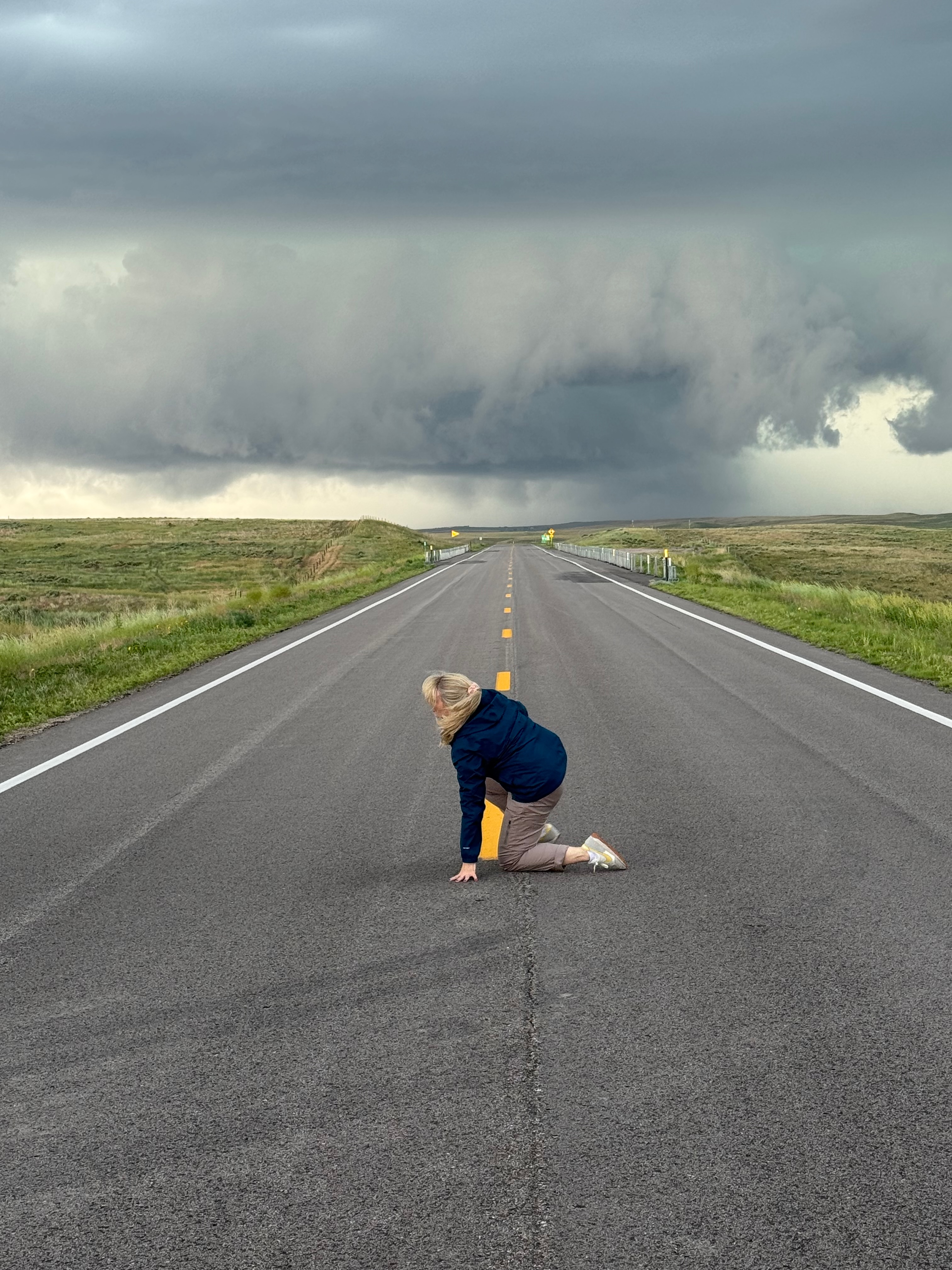
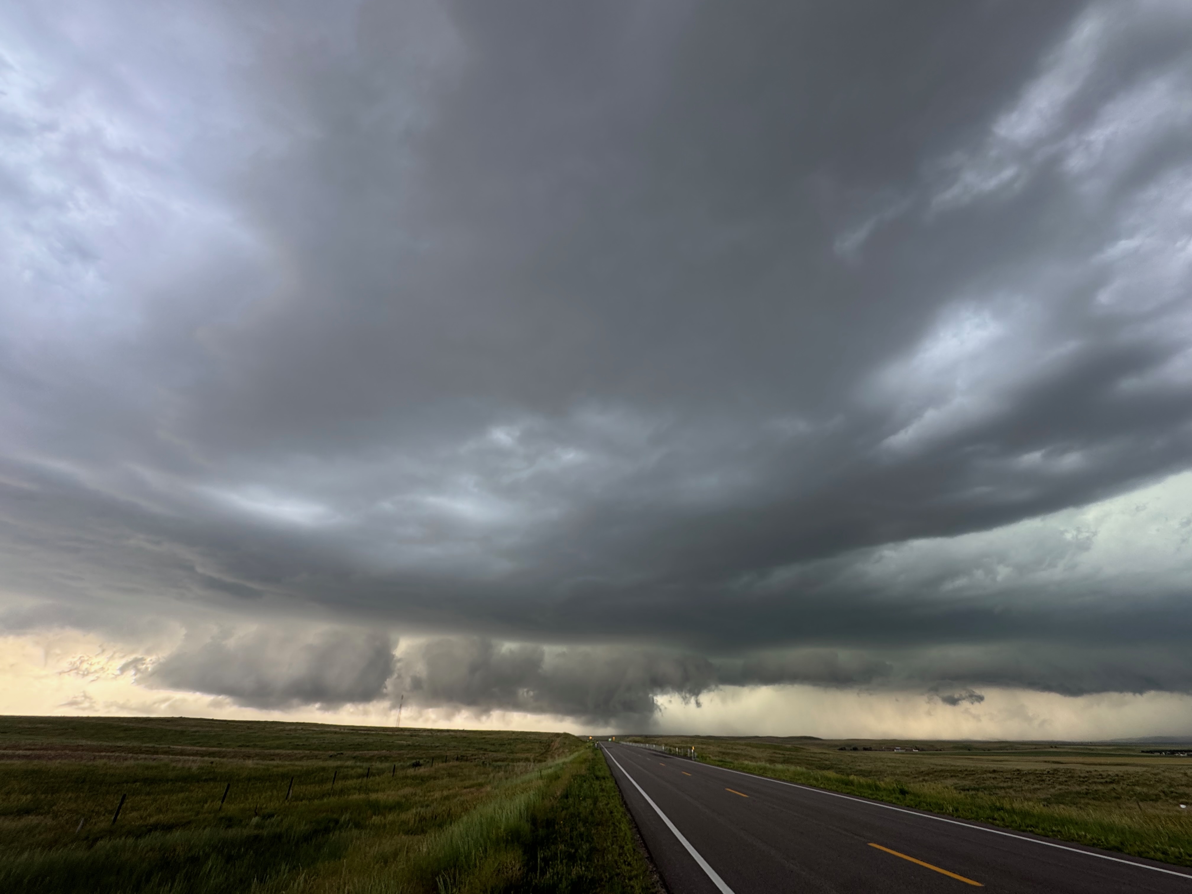
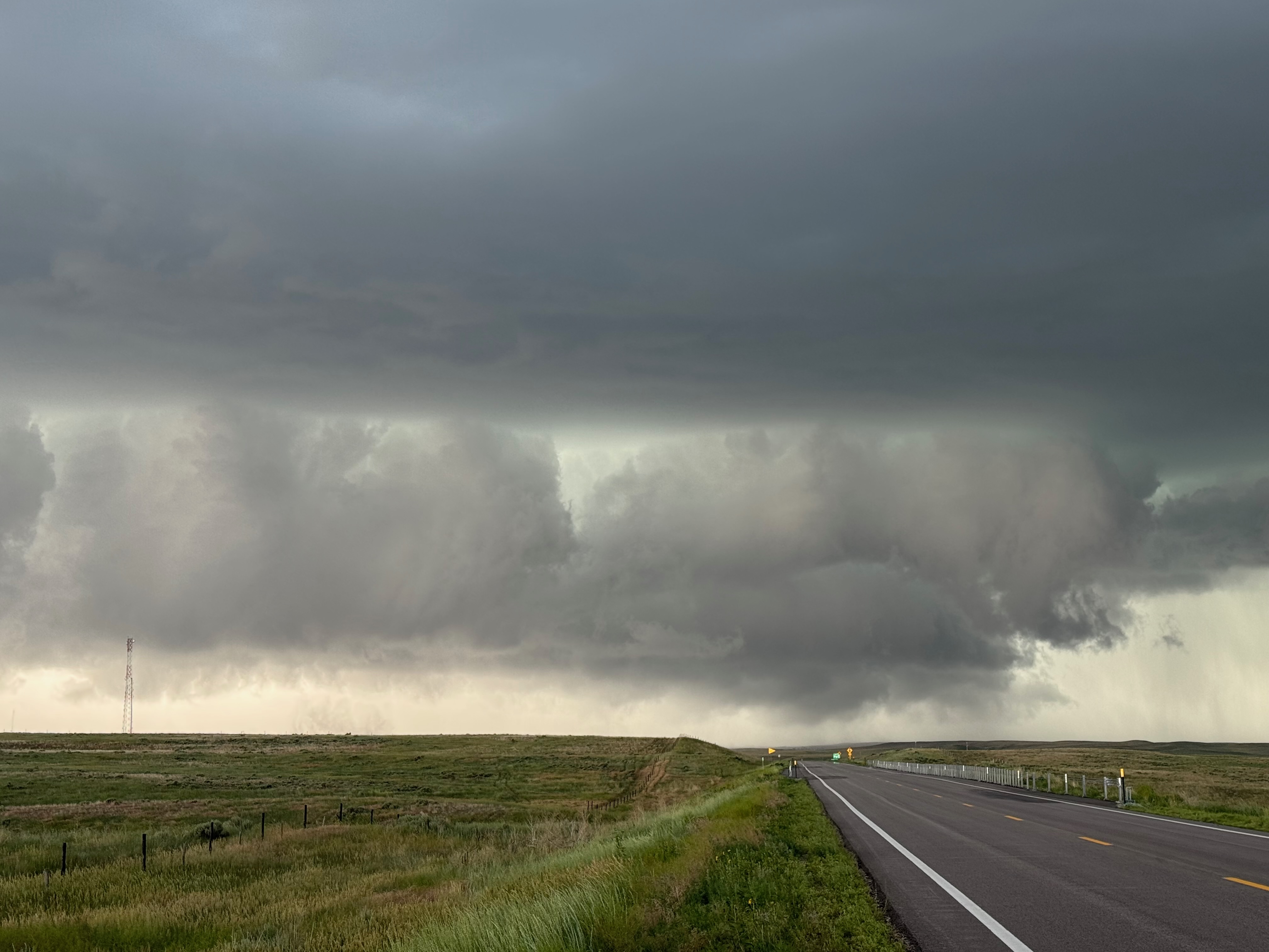
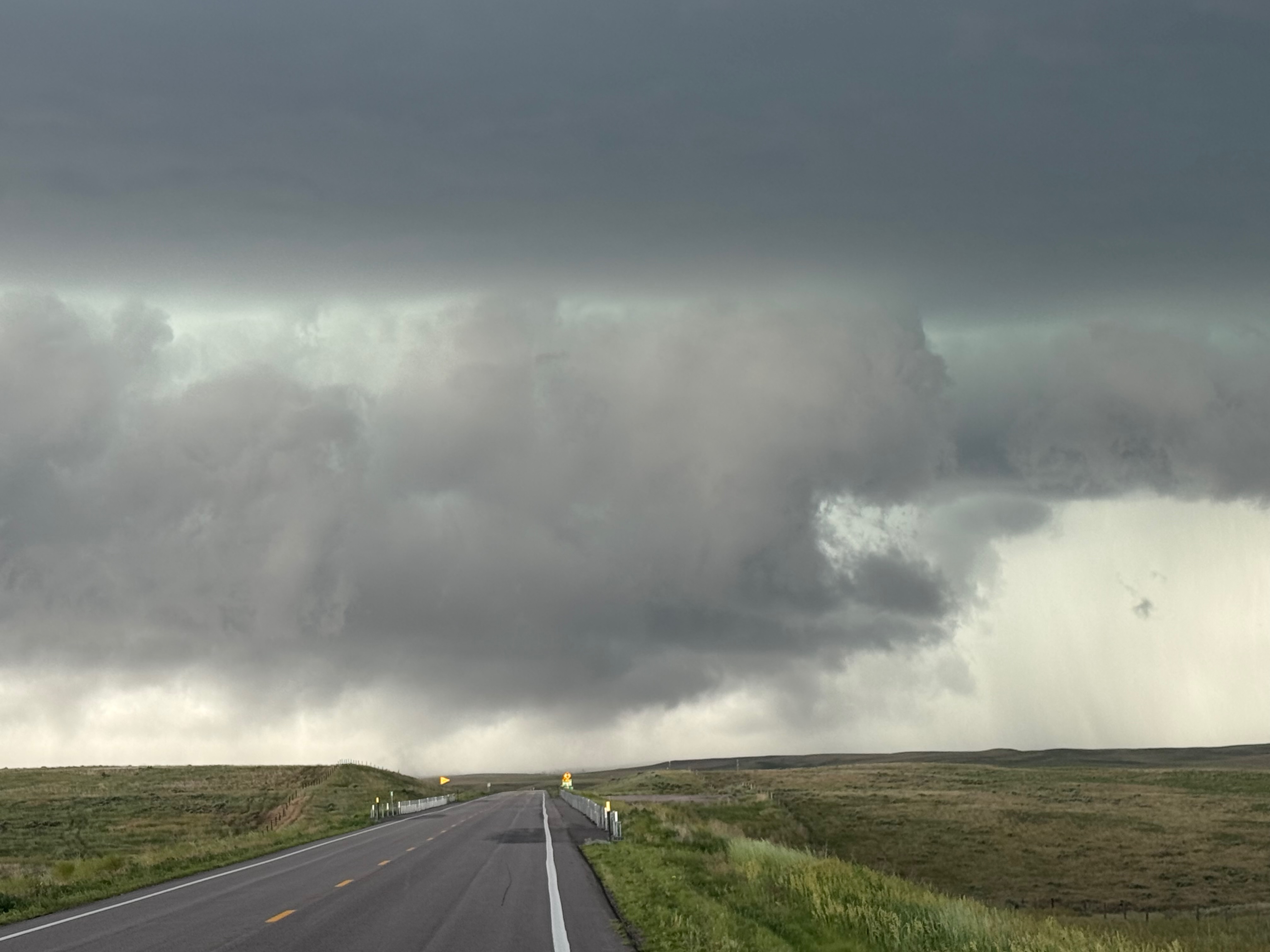
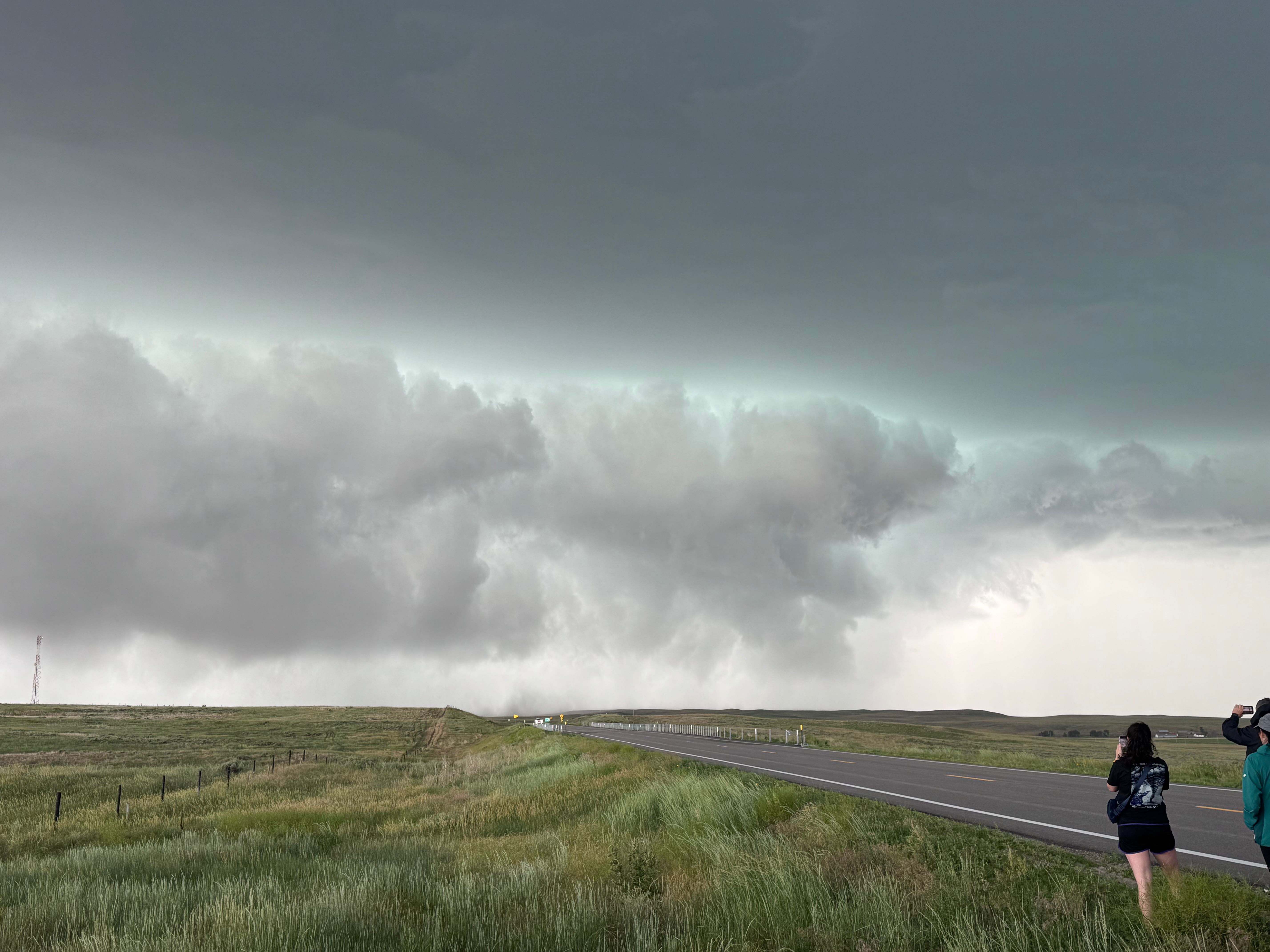
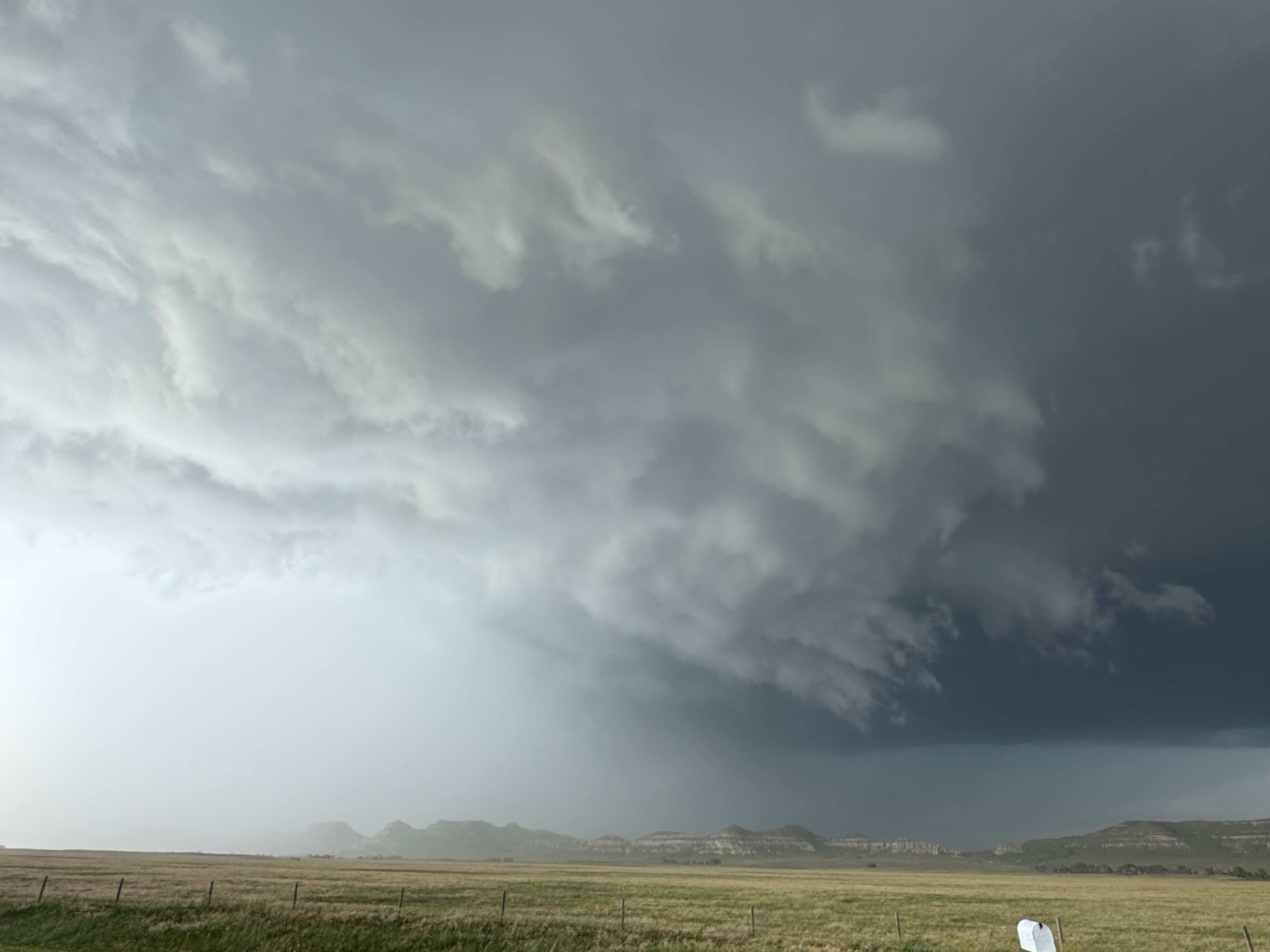
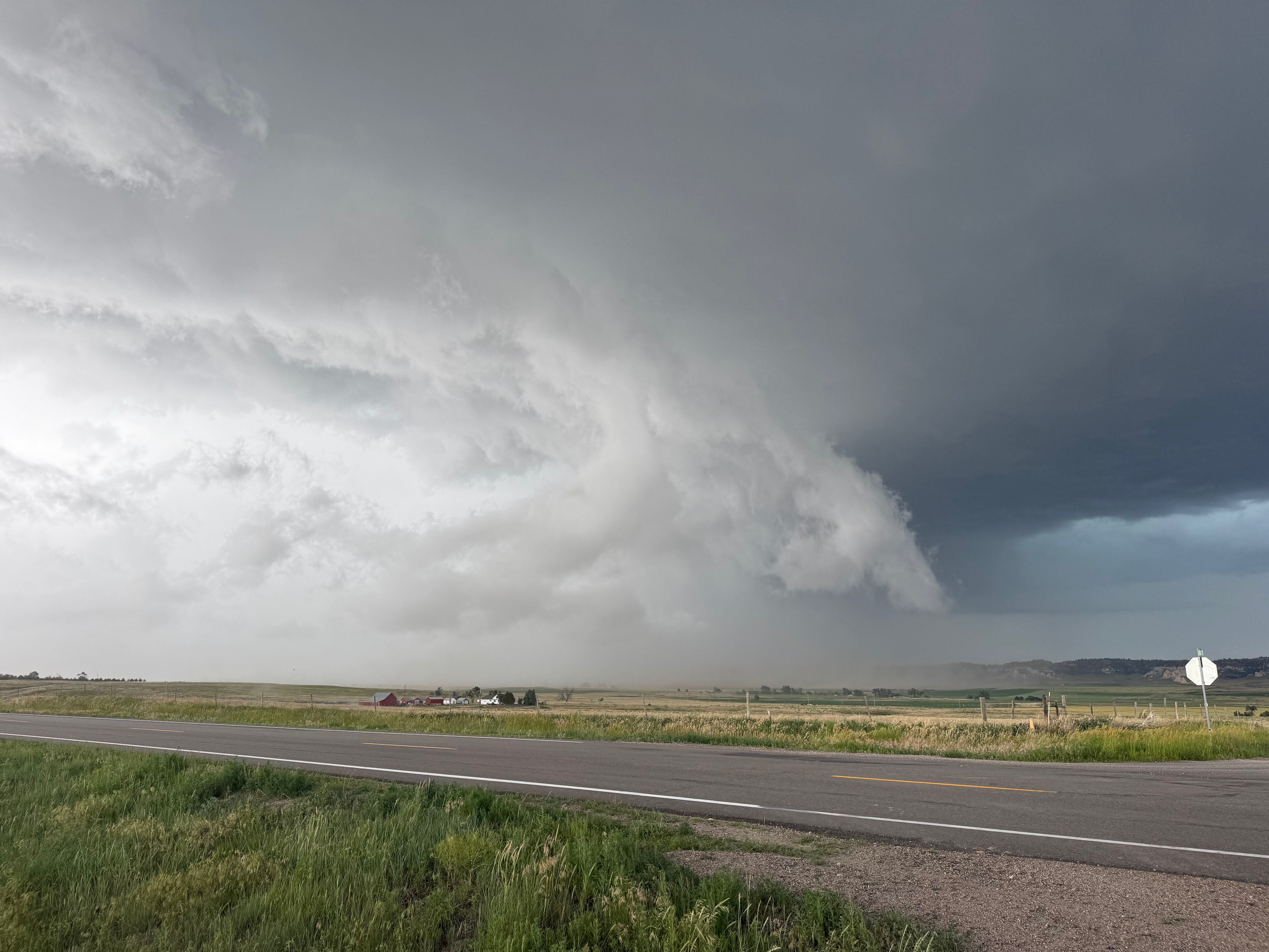
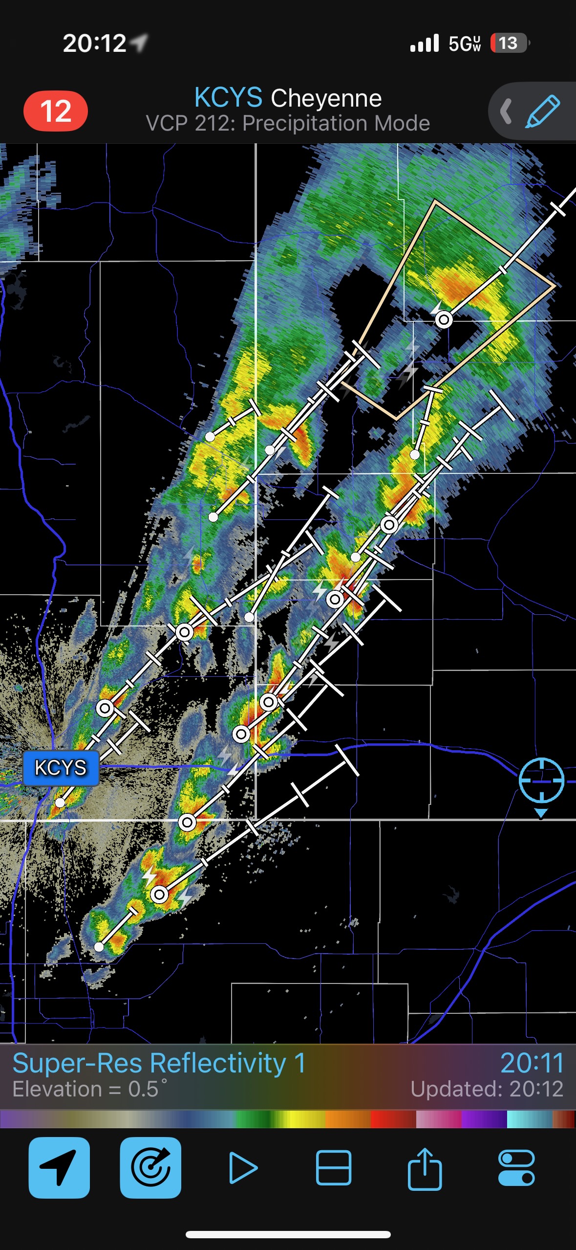
Today’s chase, on Day One for Tour 8 out of Denver, was fairly interesting. I named it the “Bridgeport Windbag” because we got blasted by strong RFD winds from a medium high-based supercell just south of that town. But I probably could have called this entry the “Ground-scraping Harrisburg Wall Cloud Beast,” as there were moments near that town when the supercell put on a show and looked close to spinning something up. Low-level flow was loused up today, dew points were so-so at best, and tornado potential was very low.
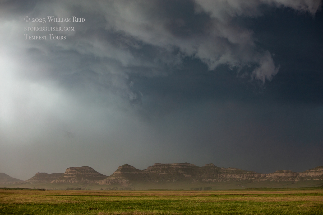
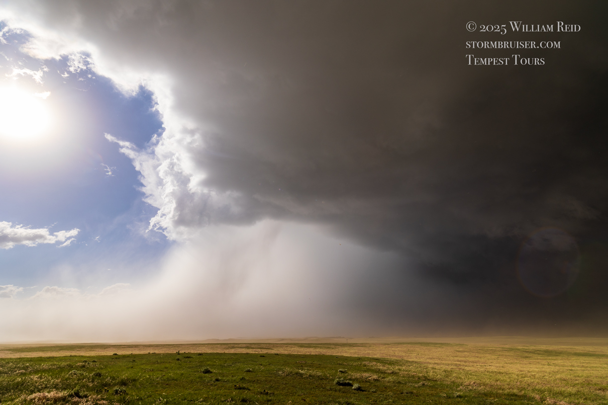
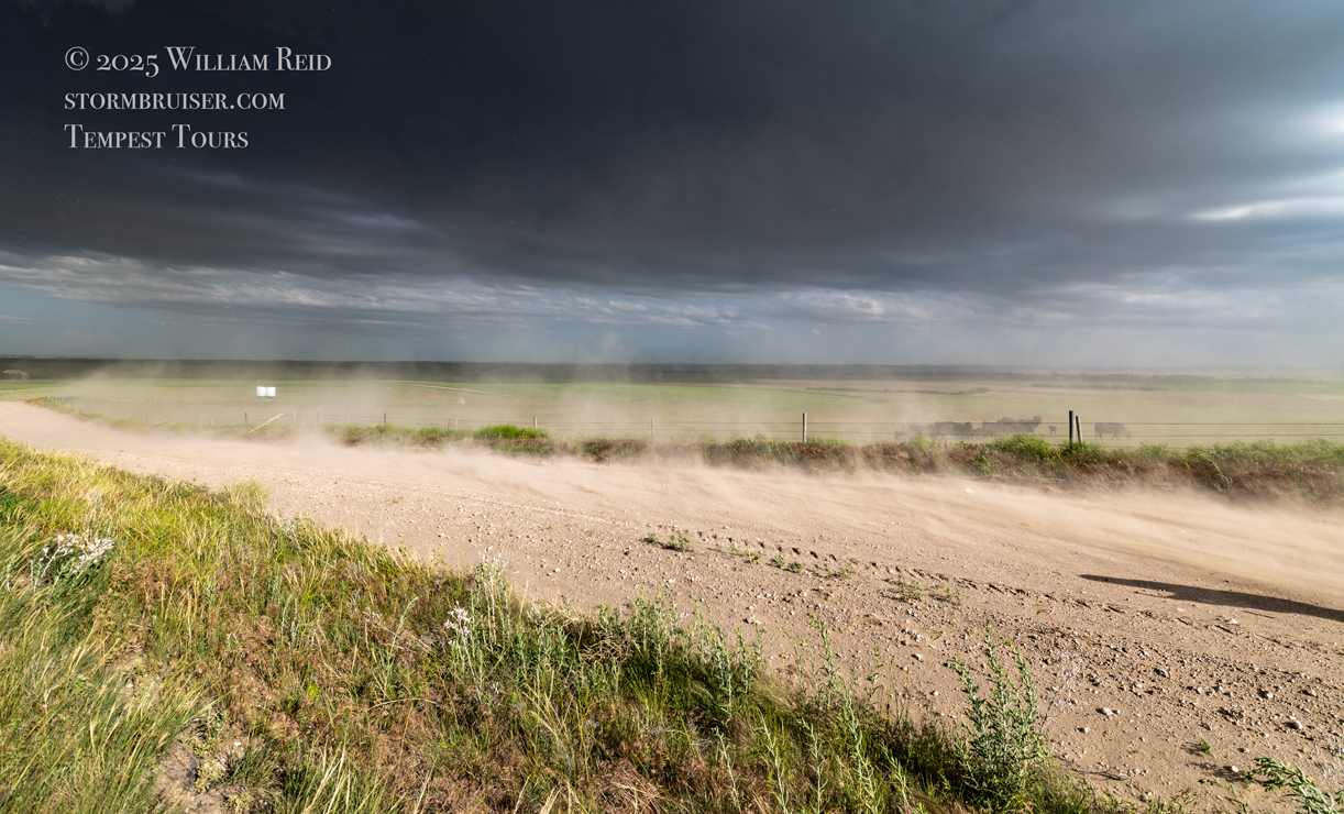
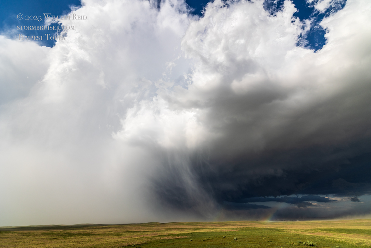
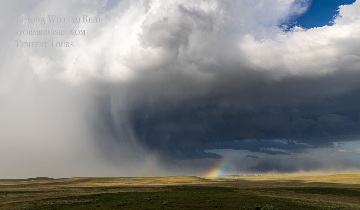
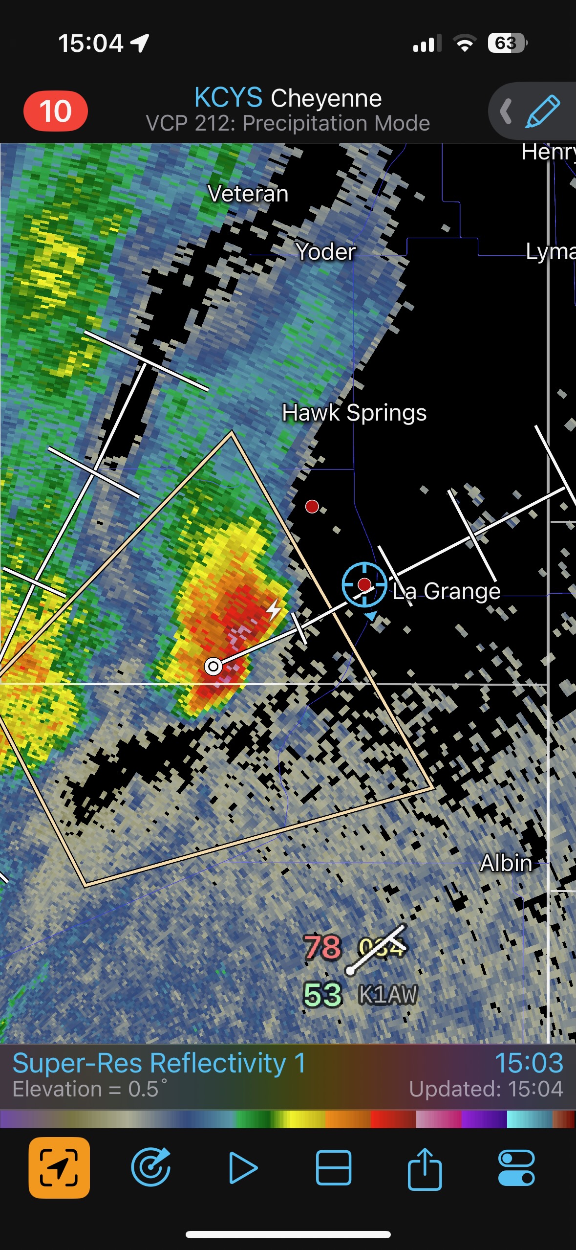
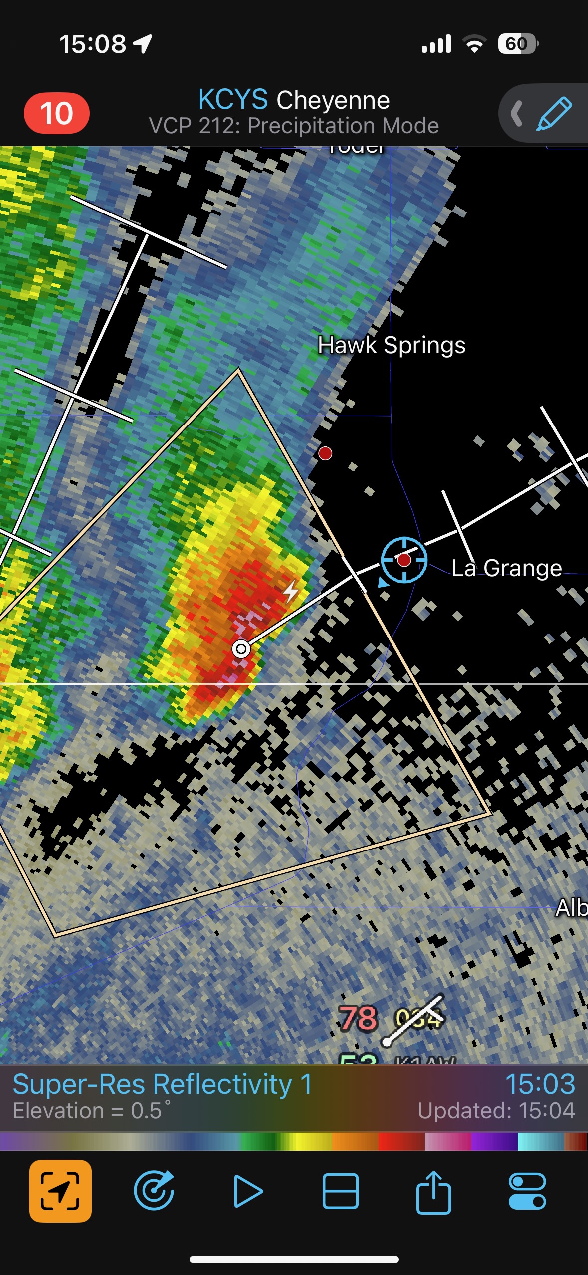
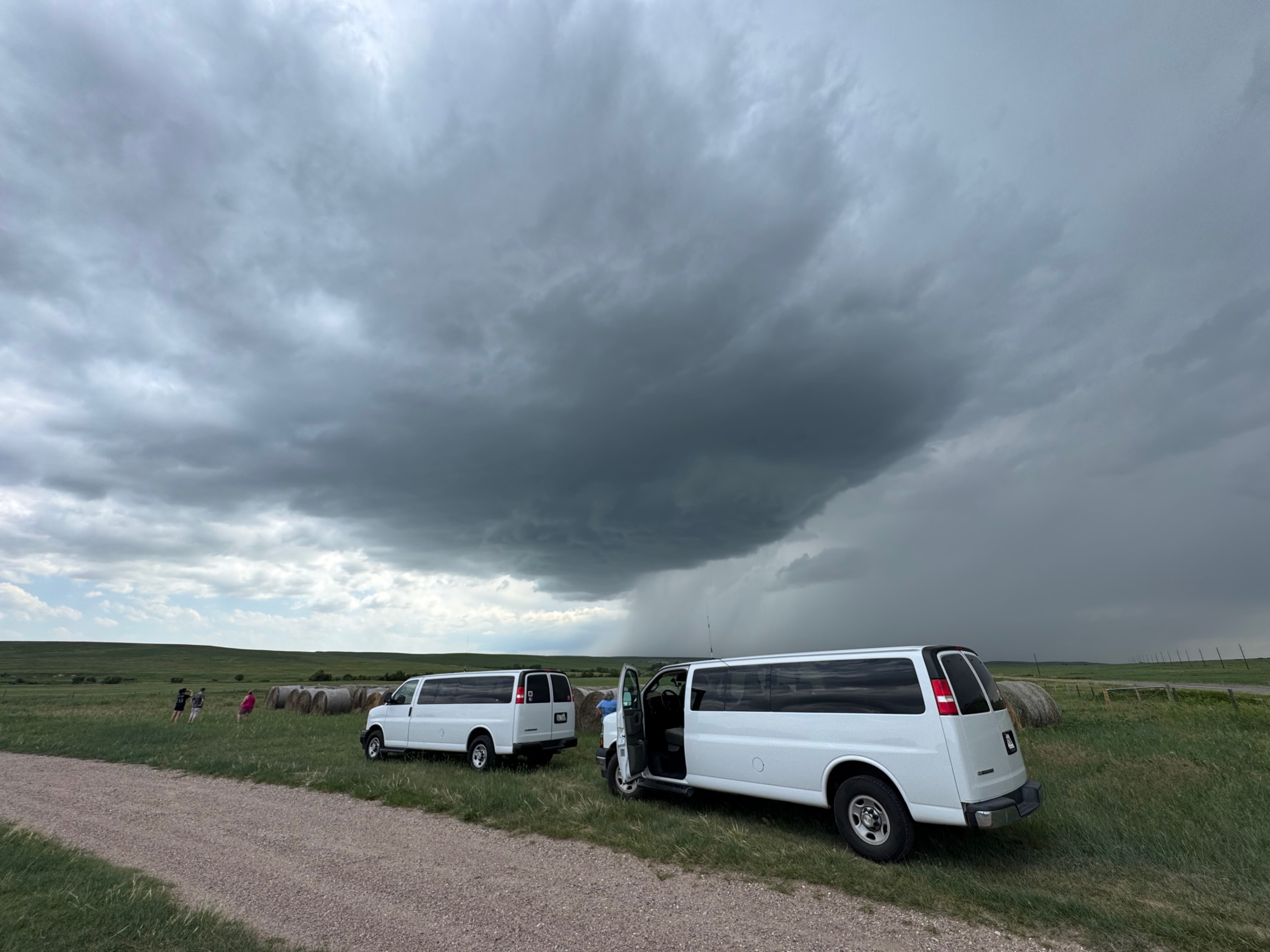
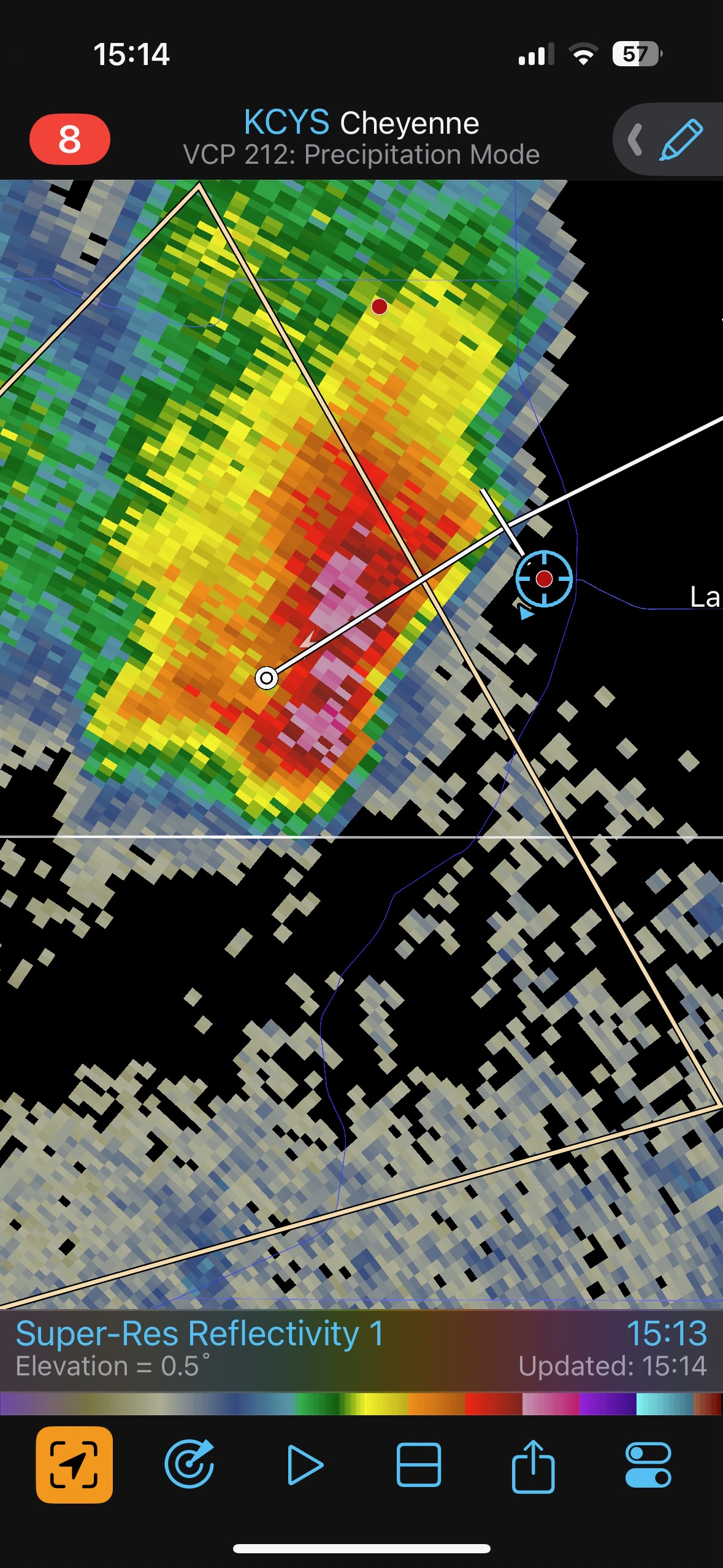
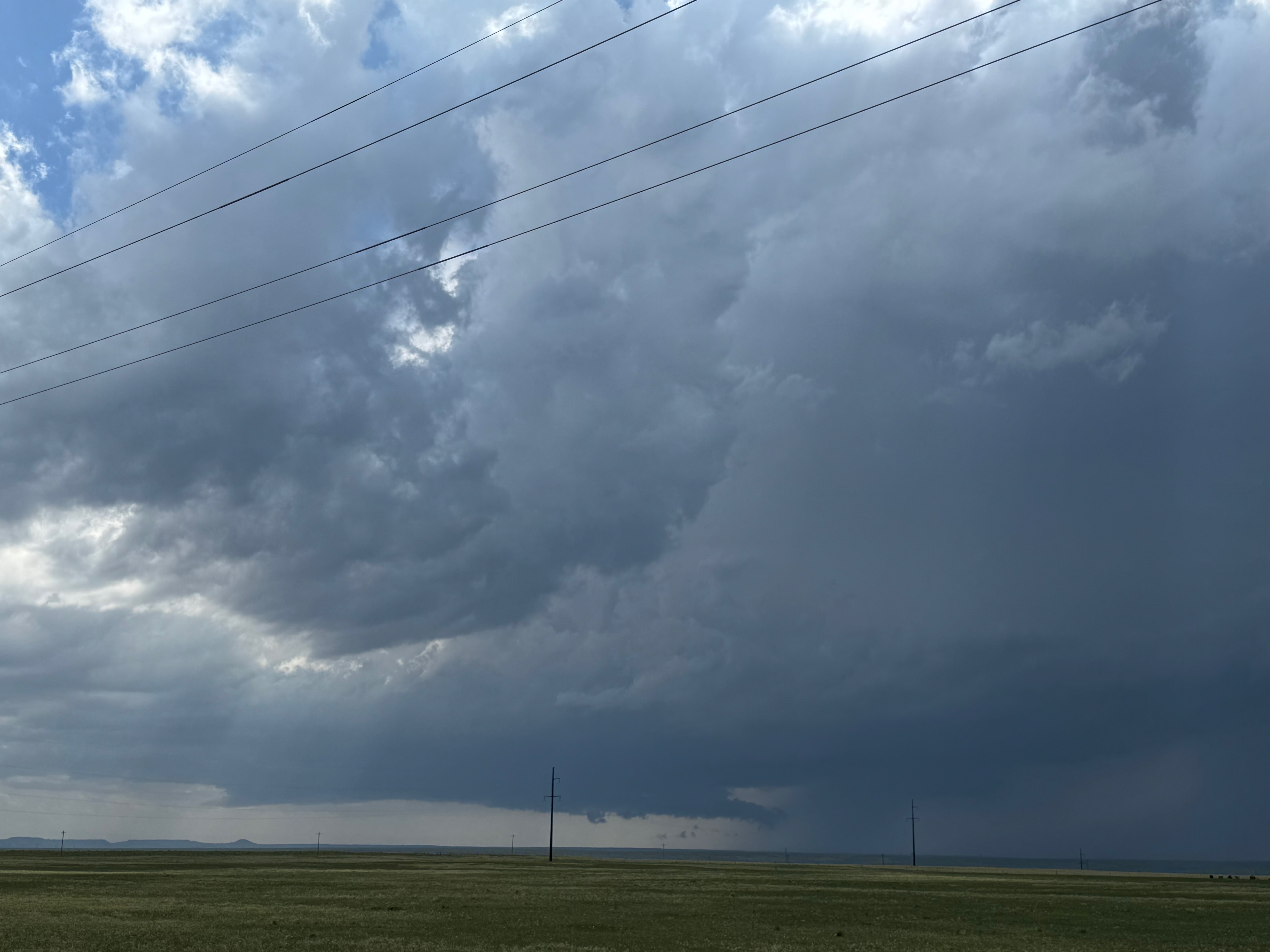
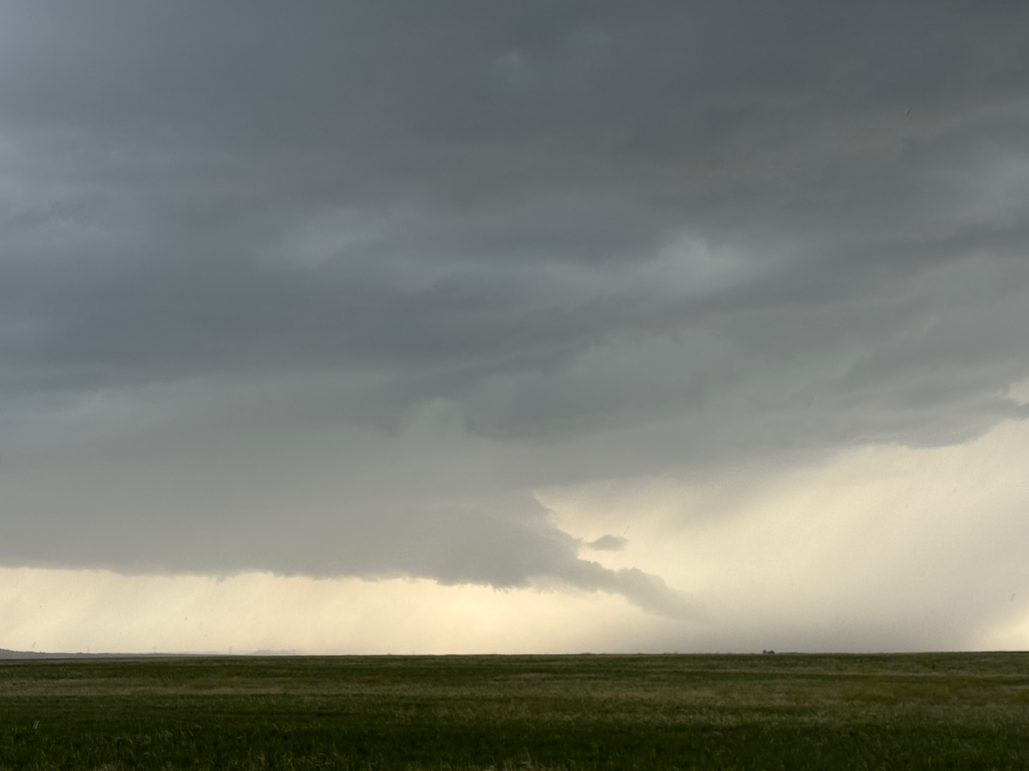
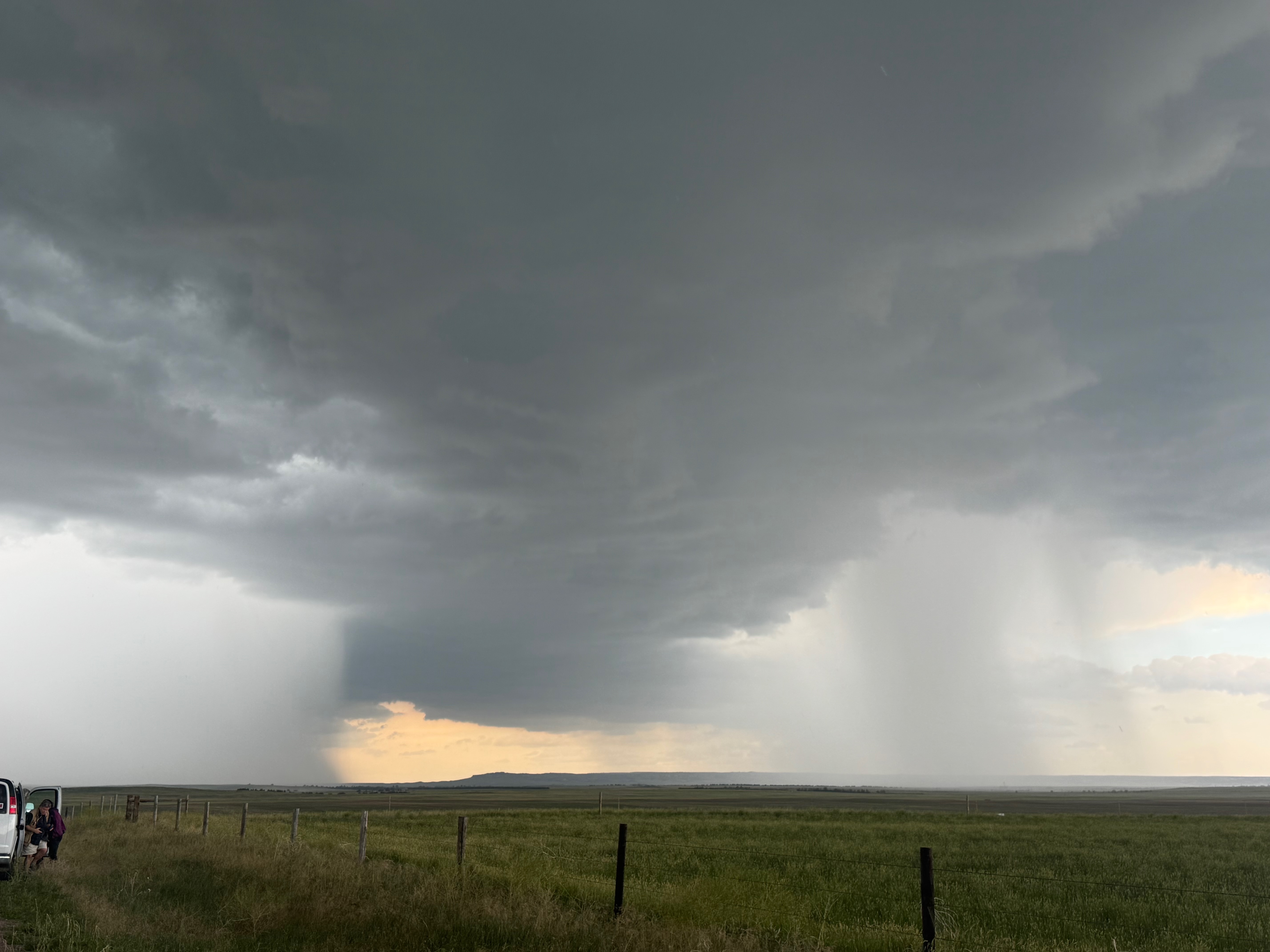
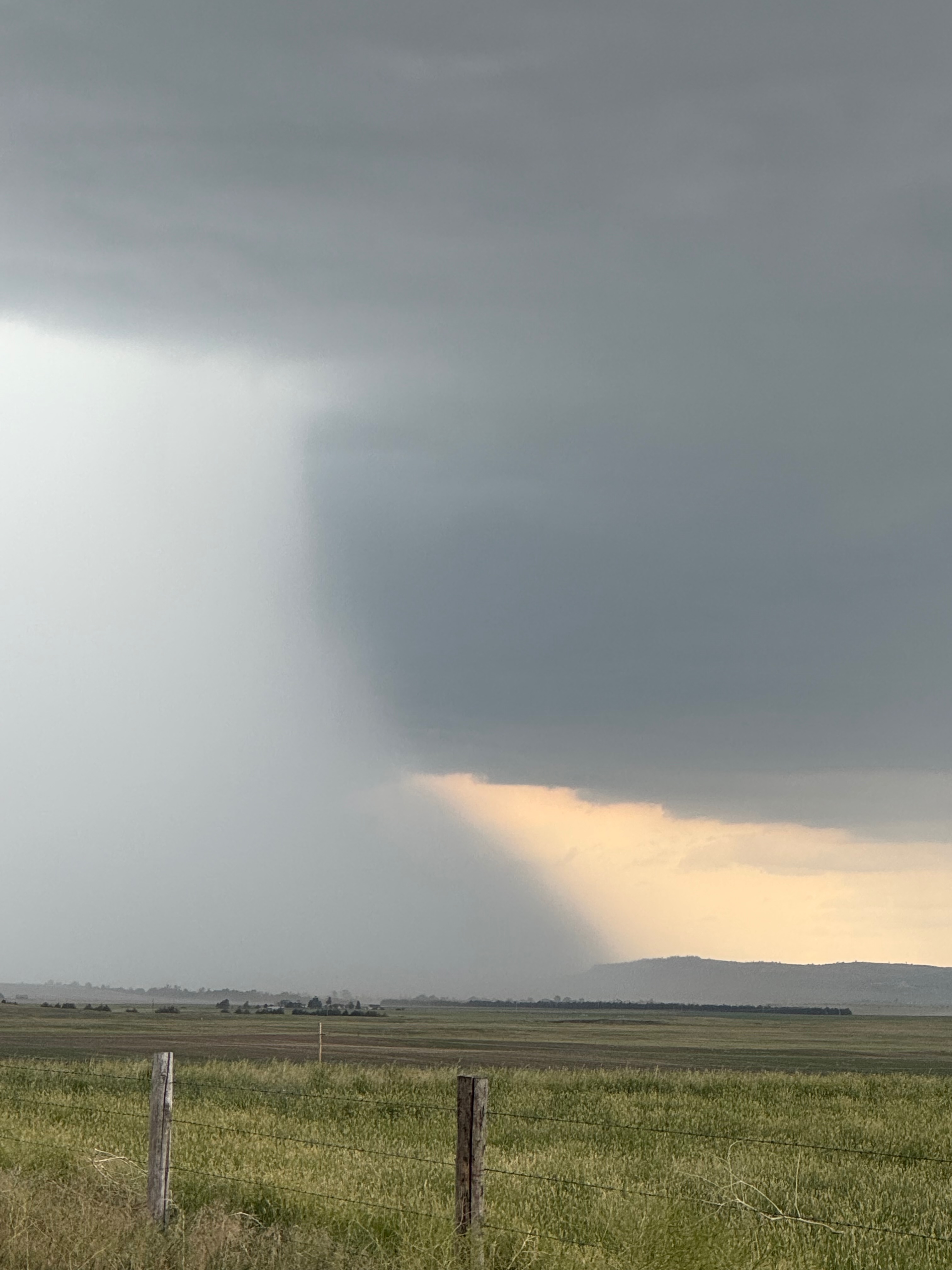
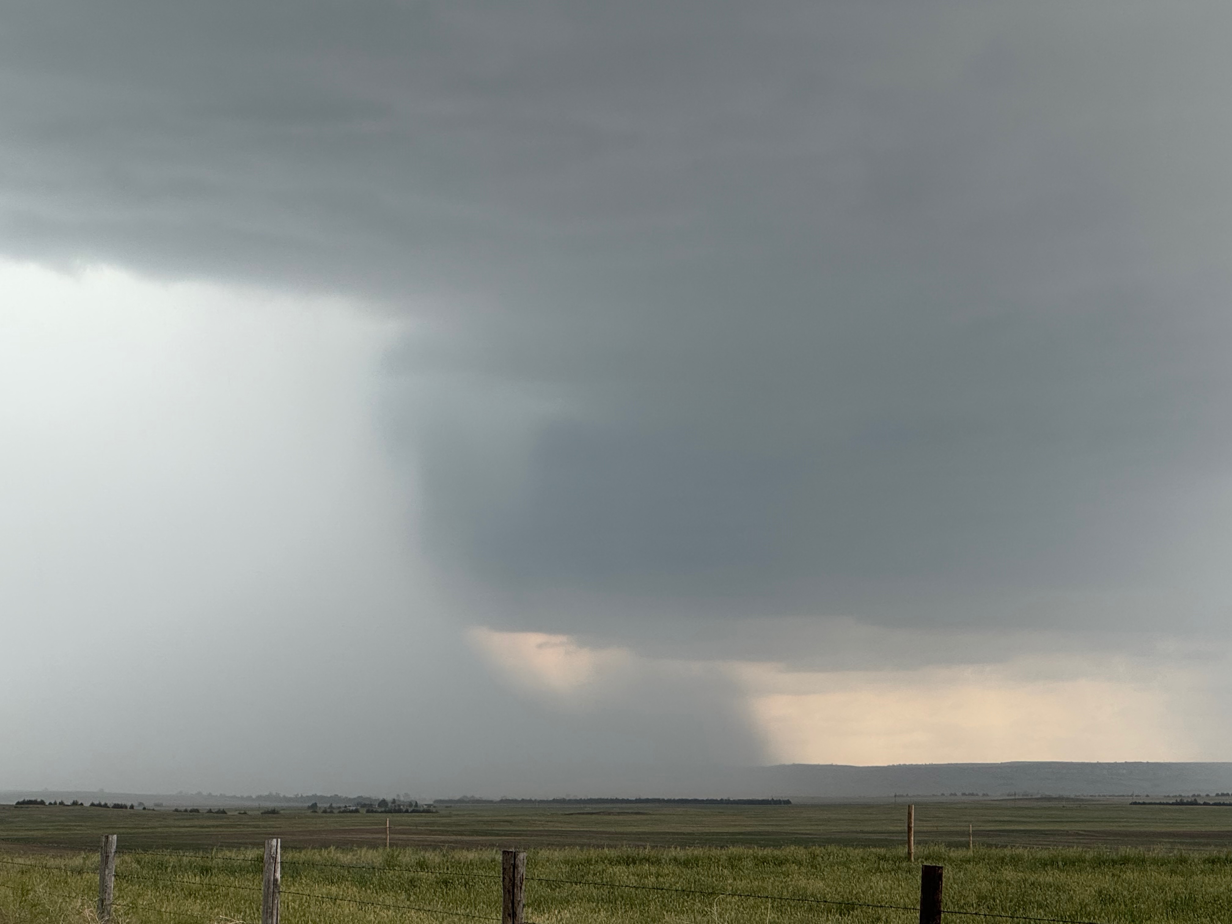
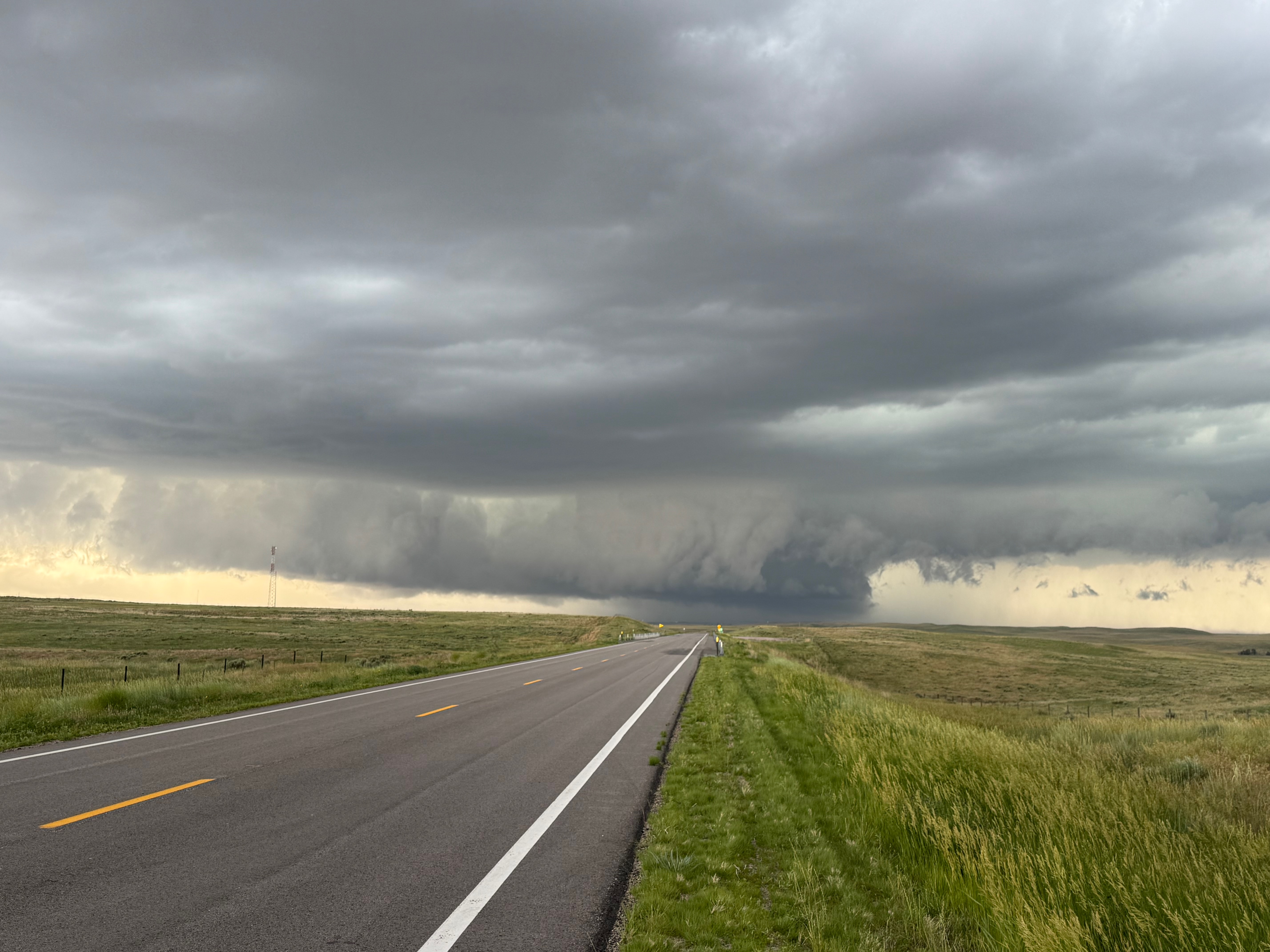
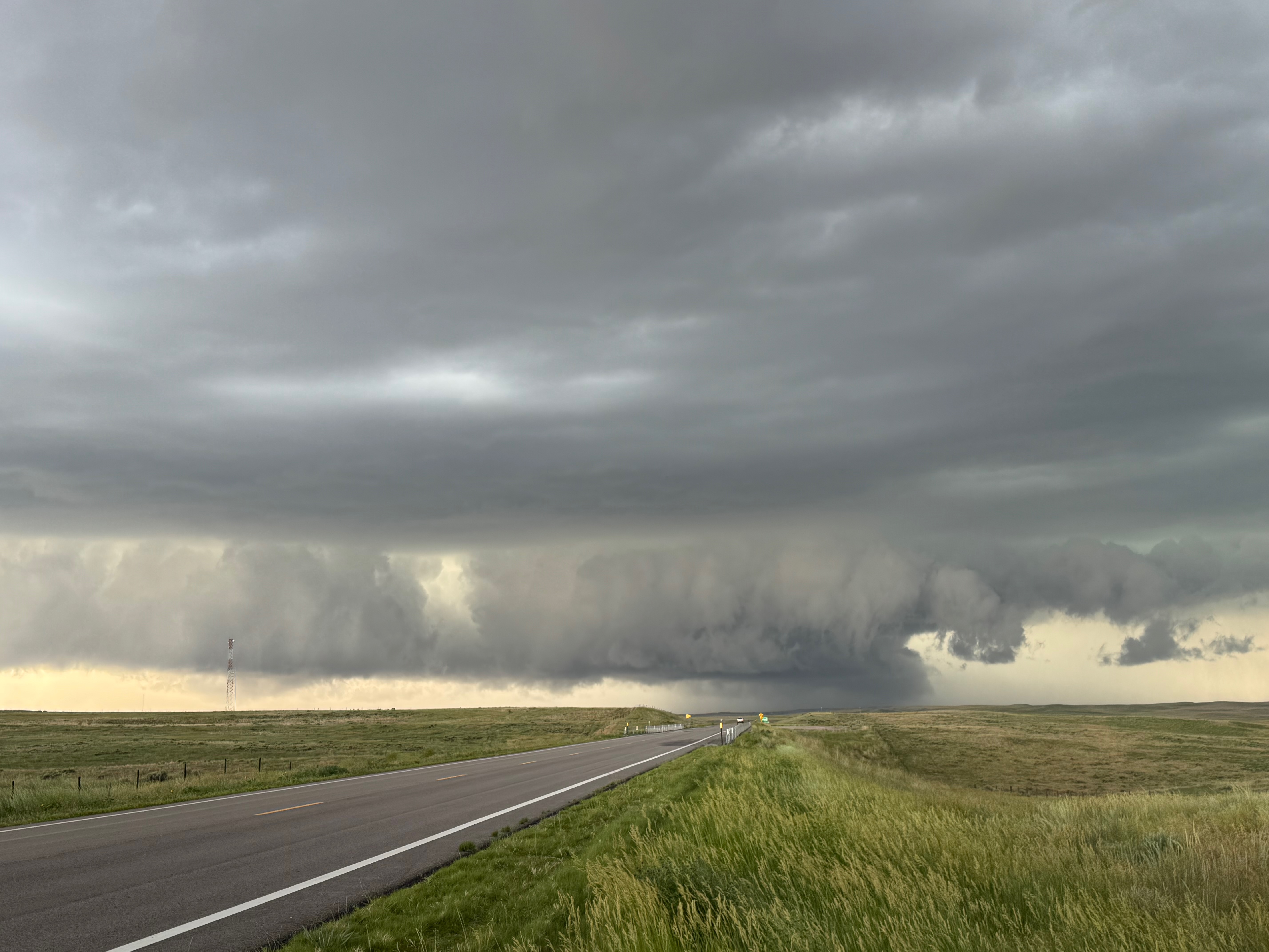
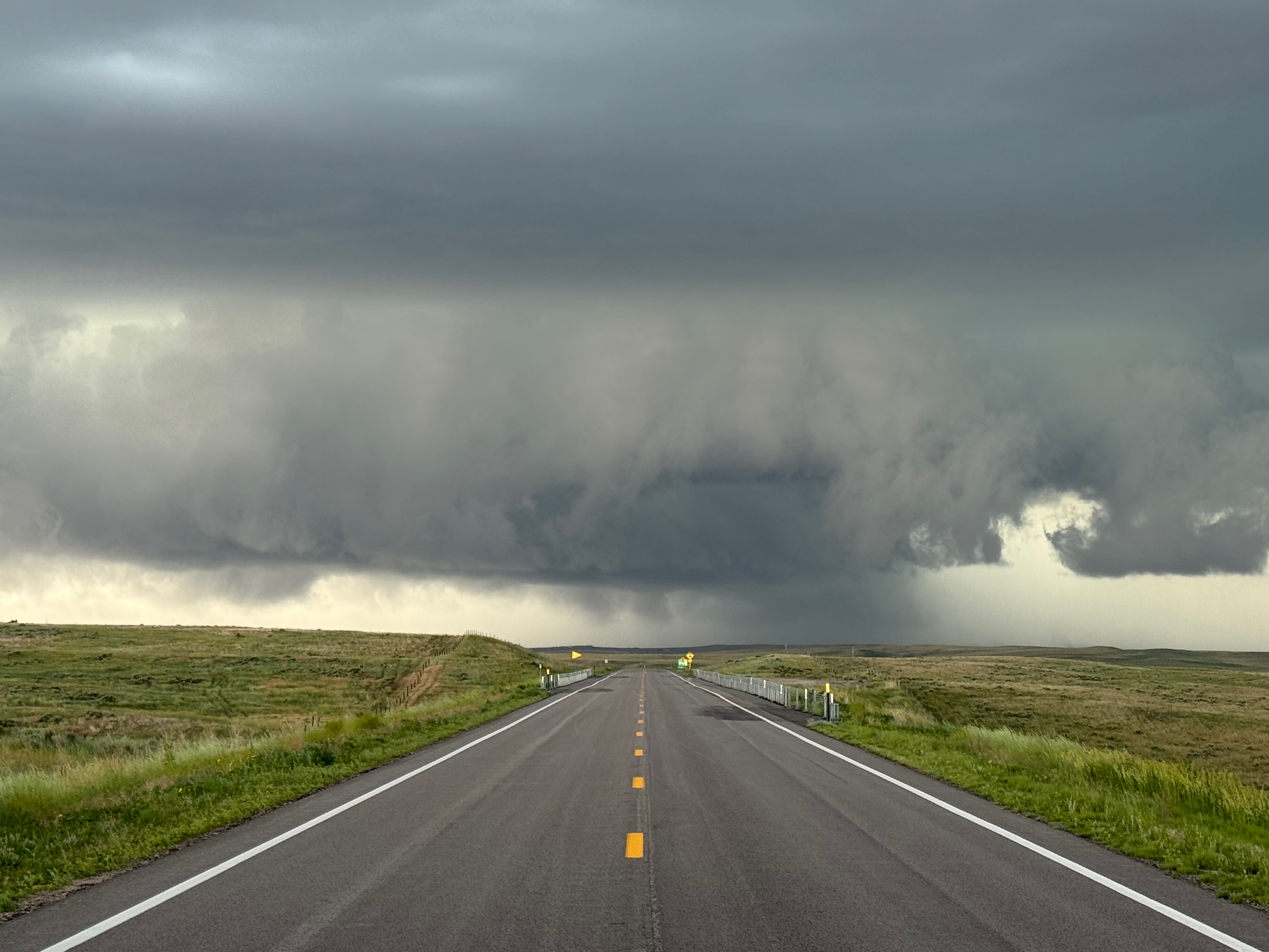
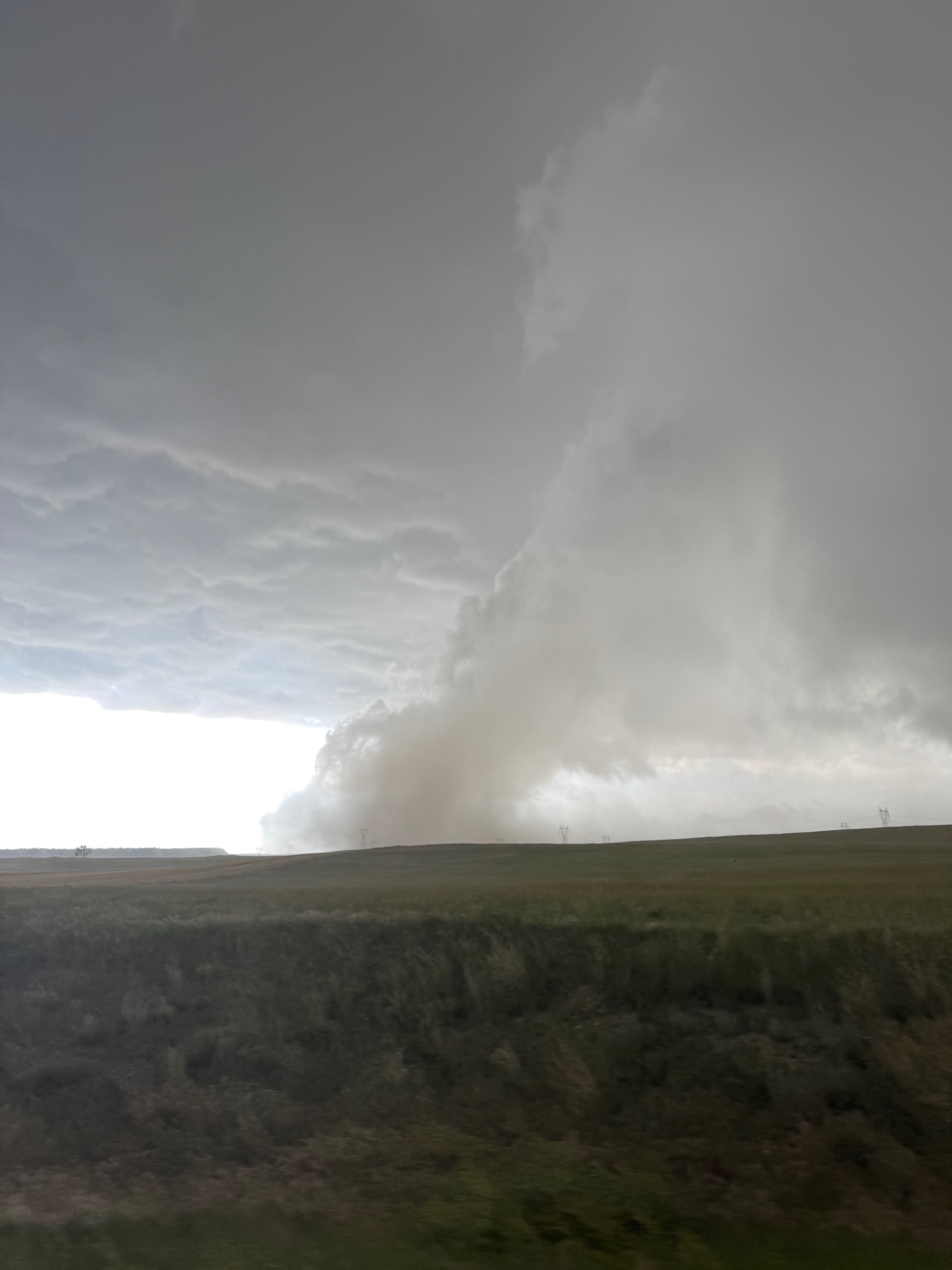
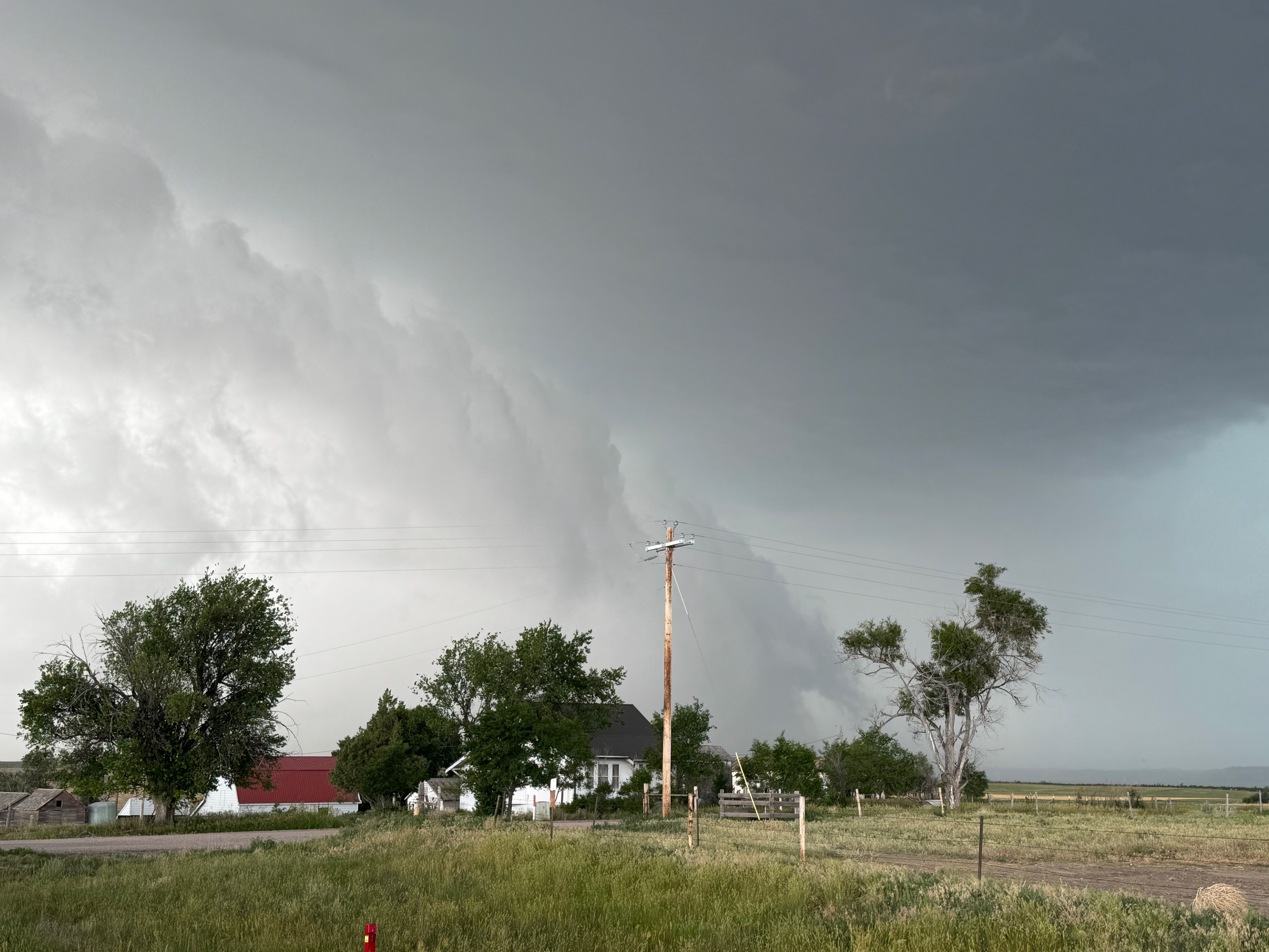
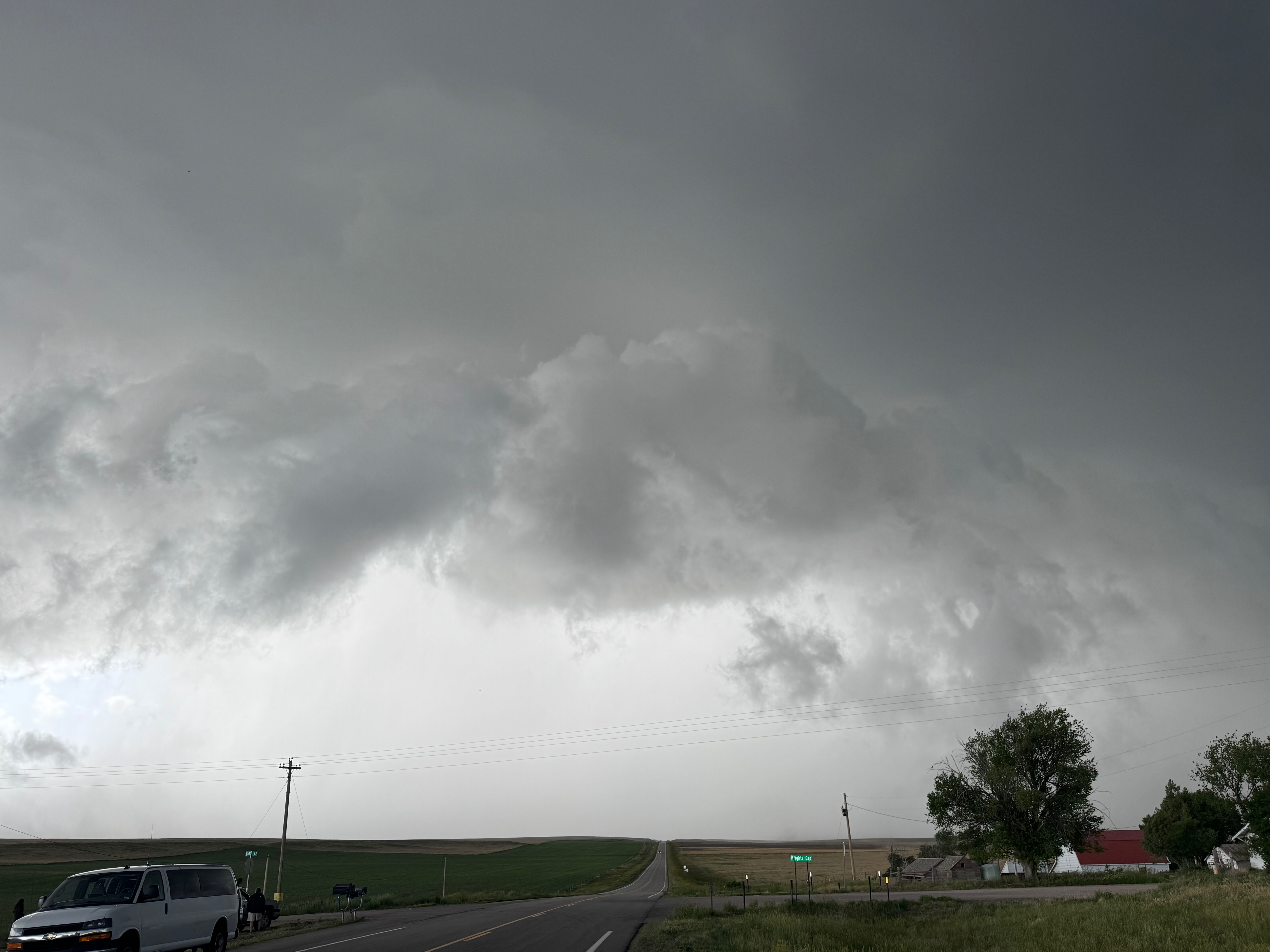
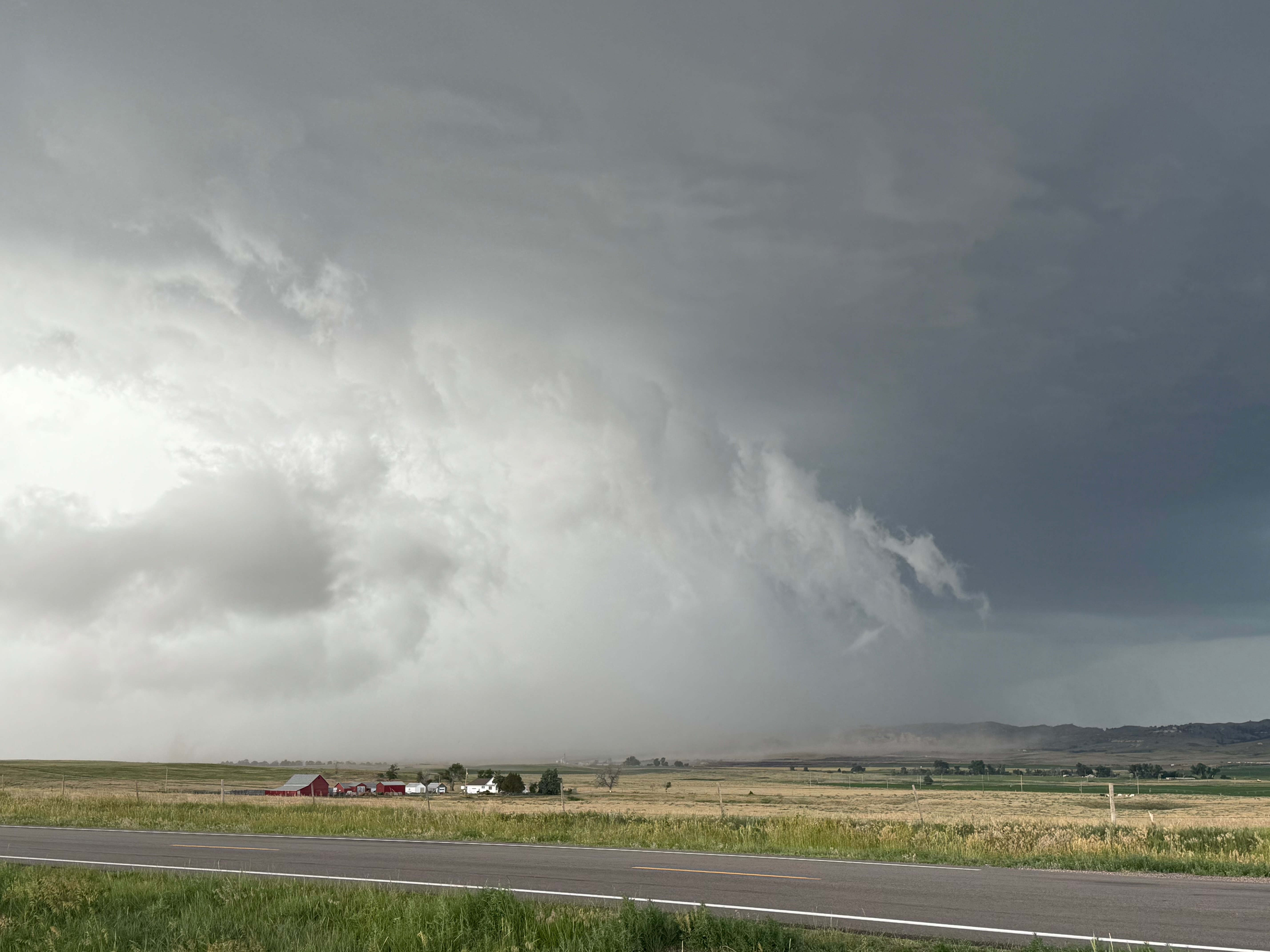
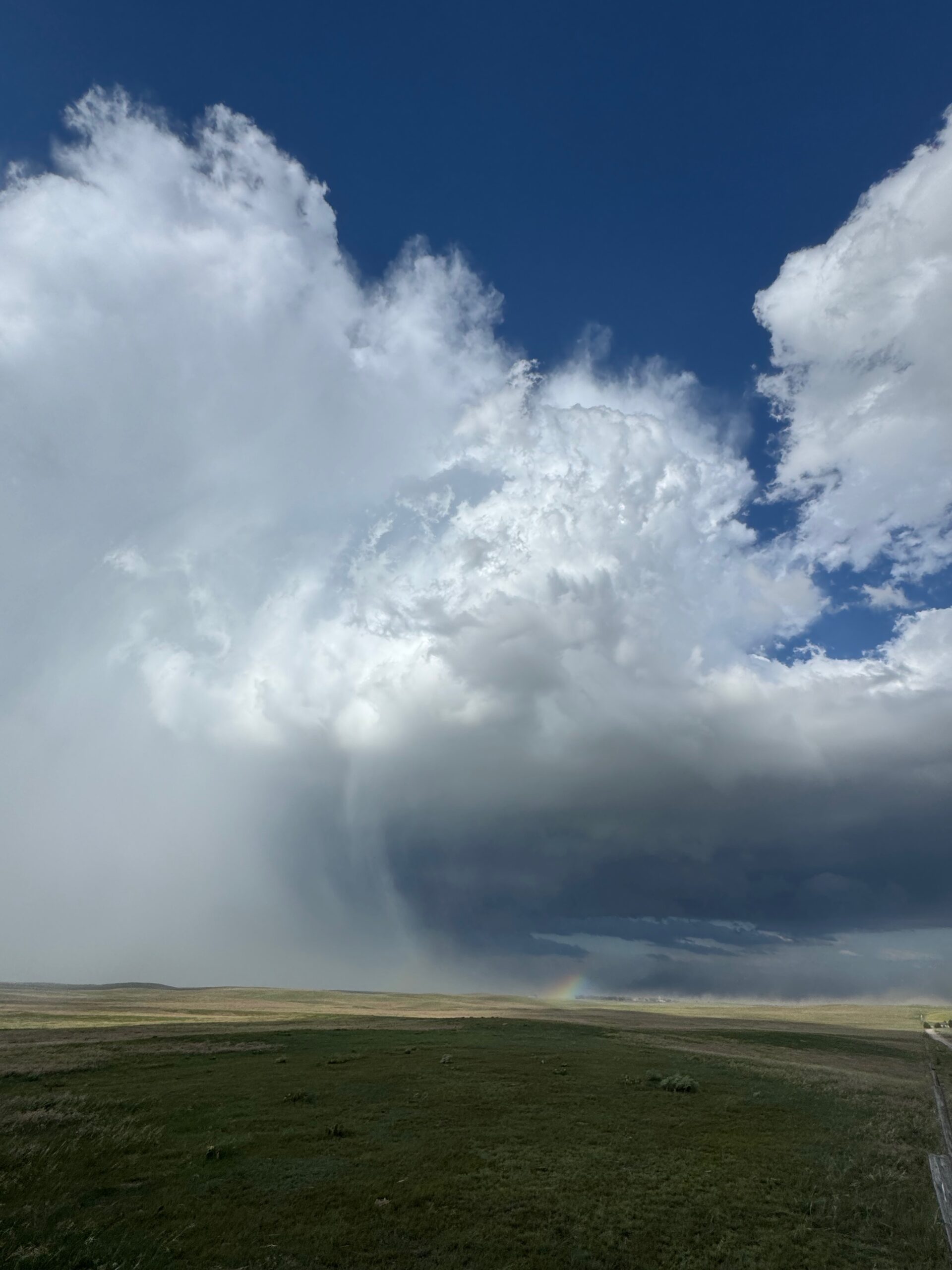
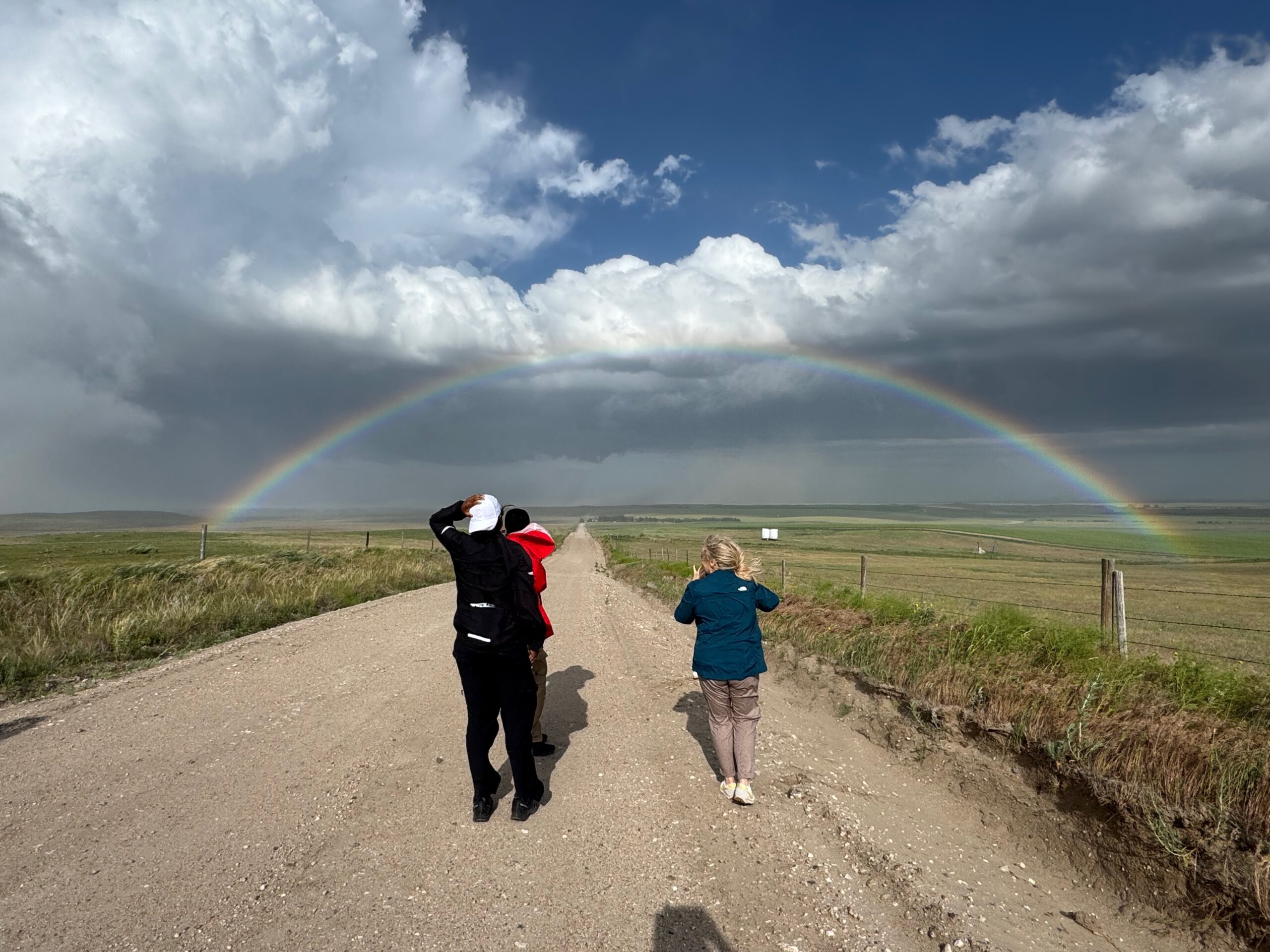
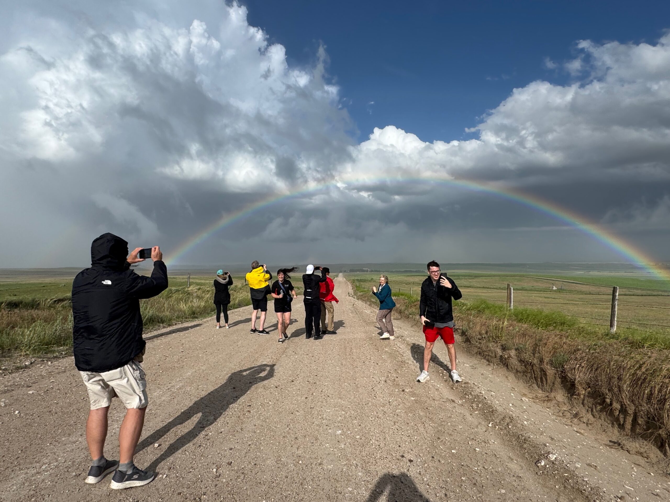
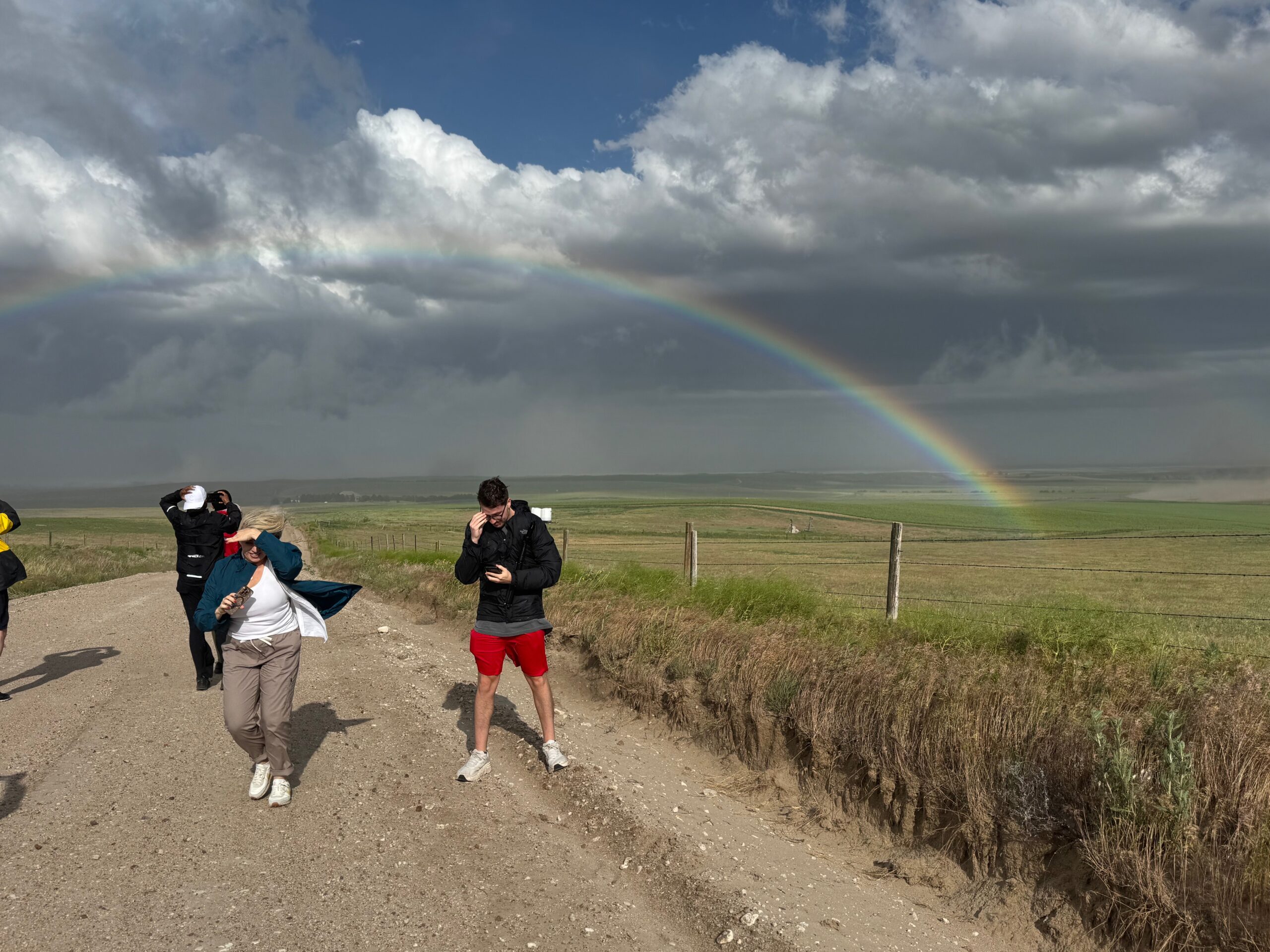
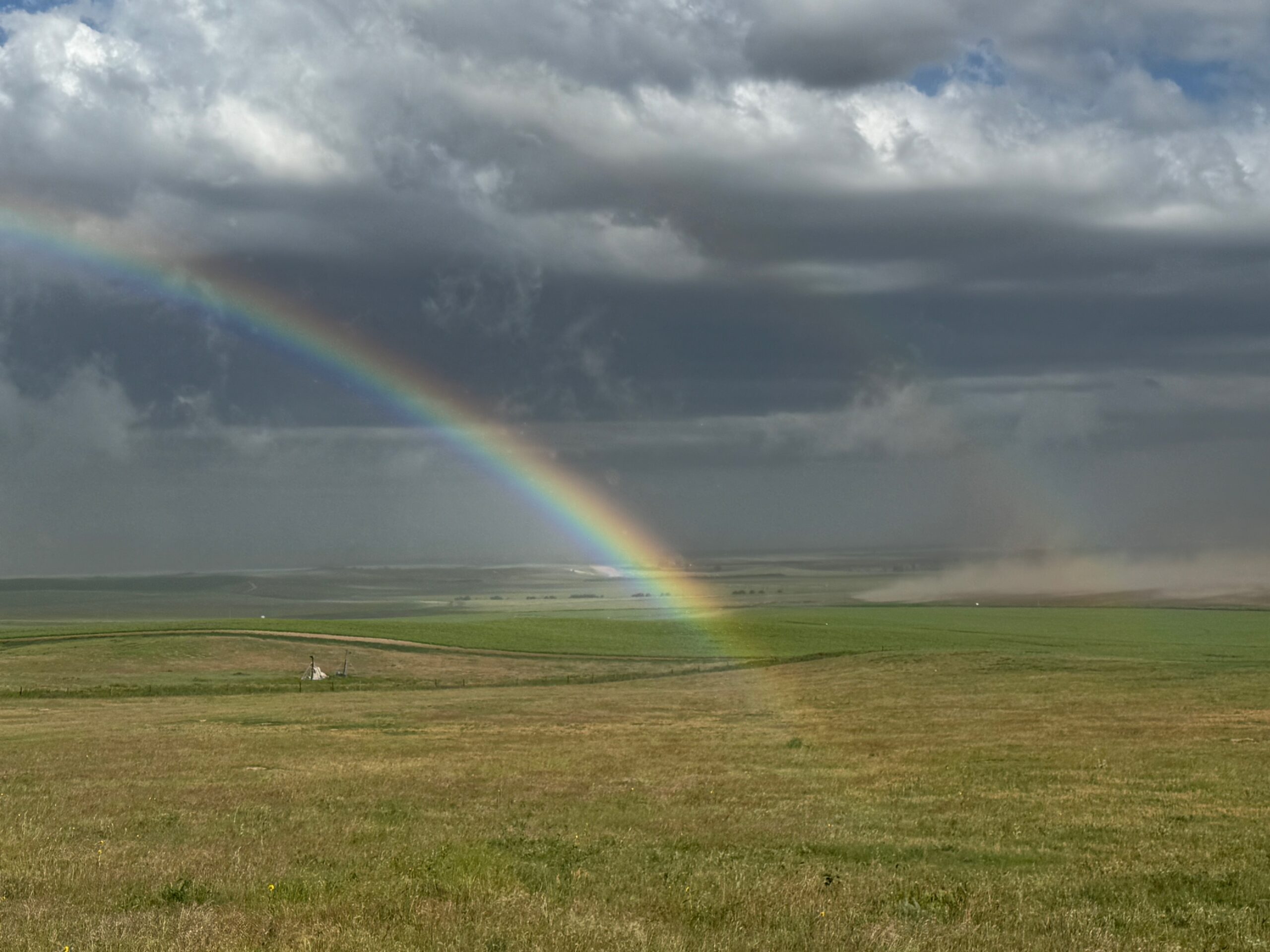
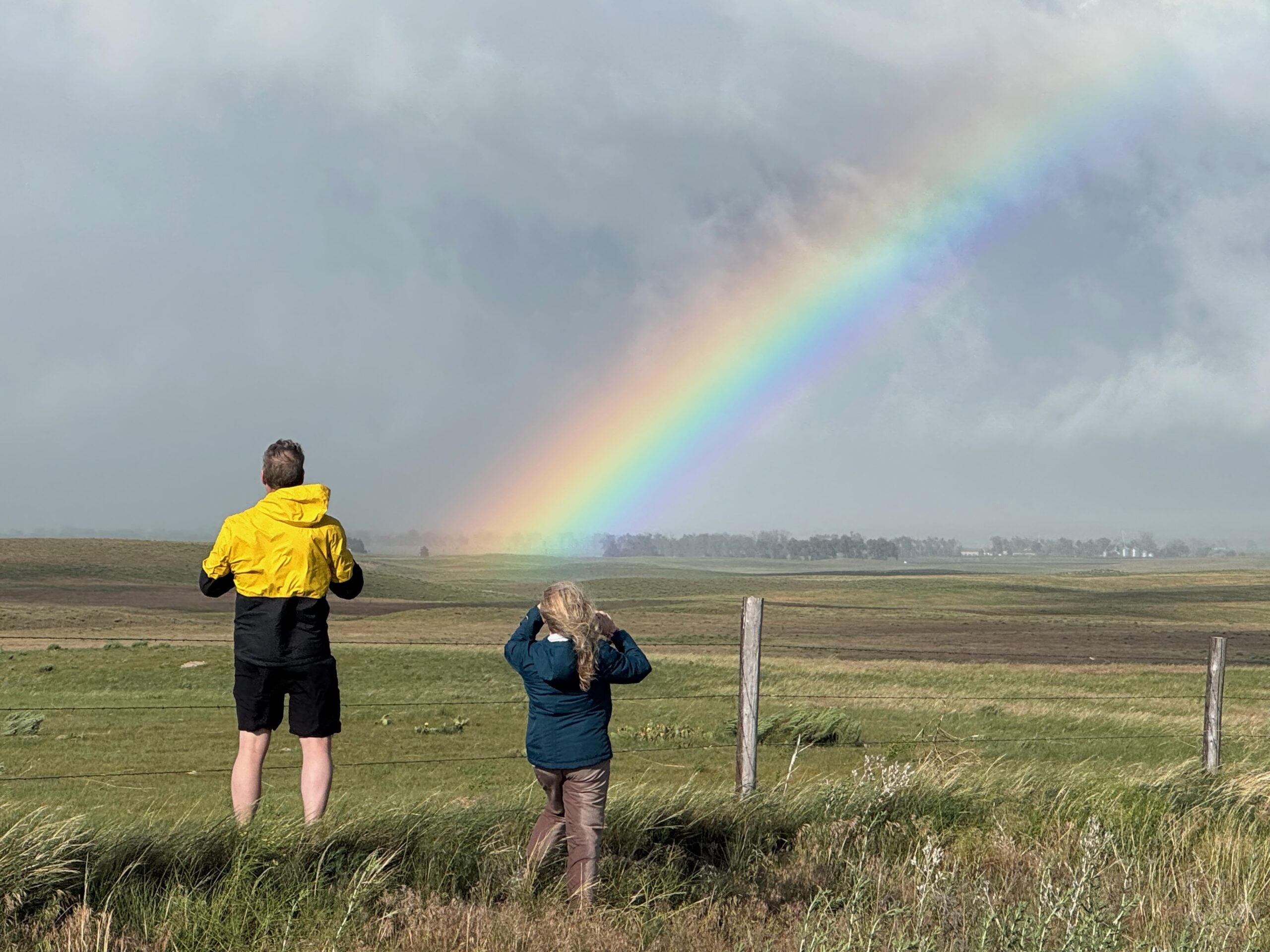
We watched a storm form near LaGrange, WY, and it chased us east into the Nebraska Panhandle. The 3rd and 4th images below show the big and mean lowering near Harrisburg, along Highway 88. Thereafter the storm was gusting out all over the place, and was whipping sand and dust past us on a hilltop south of Bridgeport towards sunset. We got a rainbow out of the deal. I let the storm go from here as it was moving somewhat quickly into the Sandhills.
After checking in at the motel in Sidney, we tried our luck with some new stuff out west towards Kimball, but the lightning with it was mediocre.
The first group of images below is from the Canon cameras.
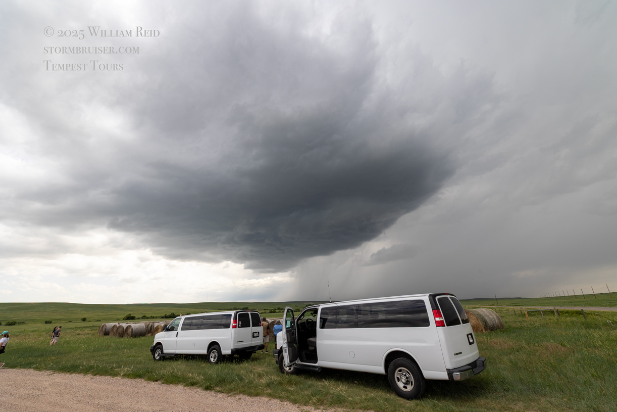


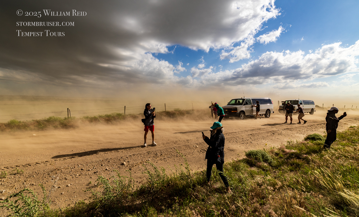
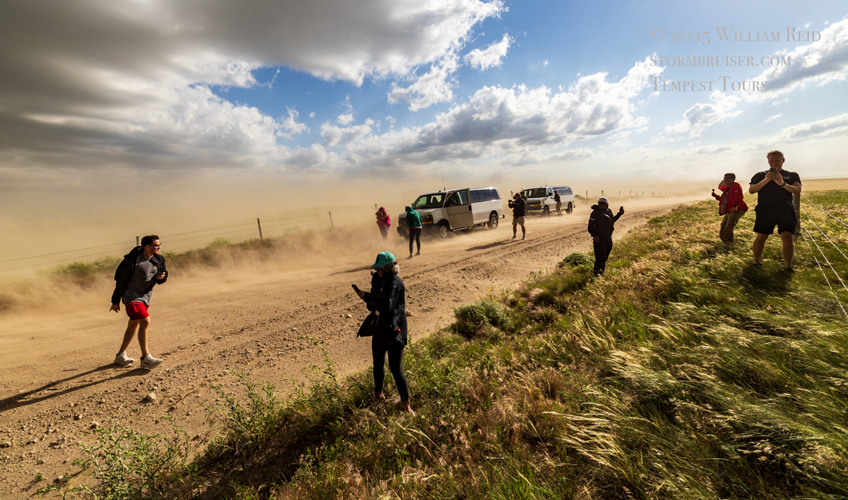
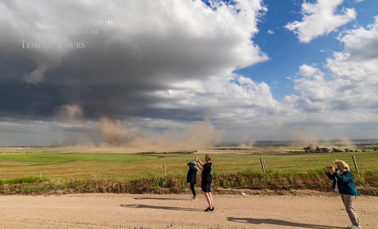
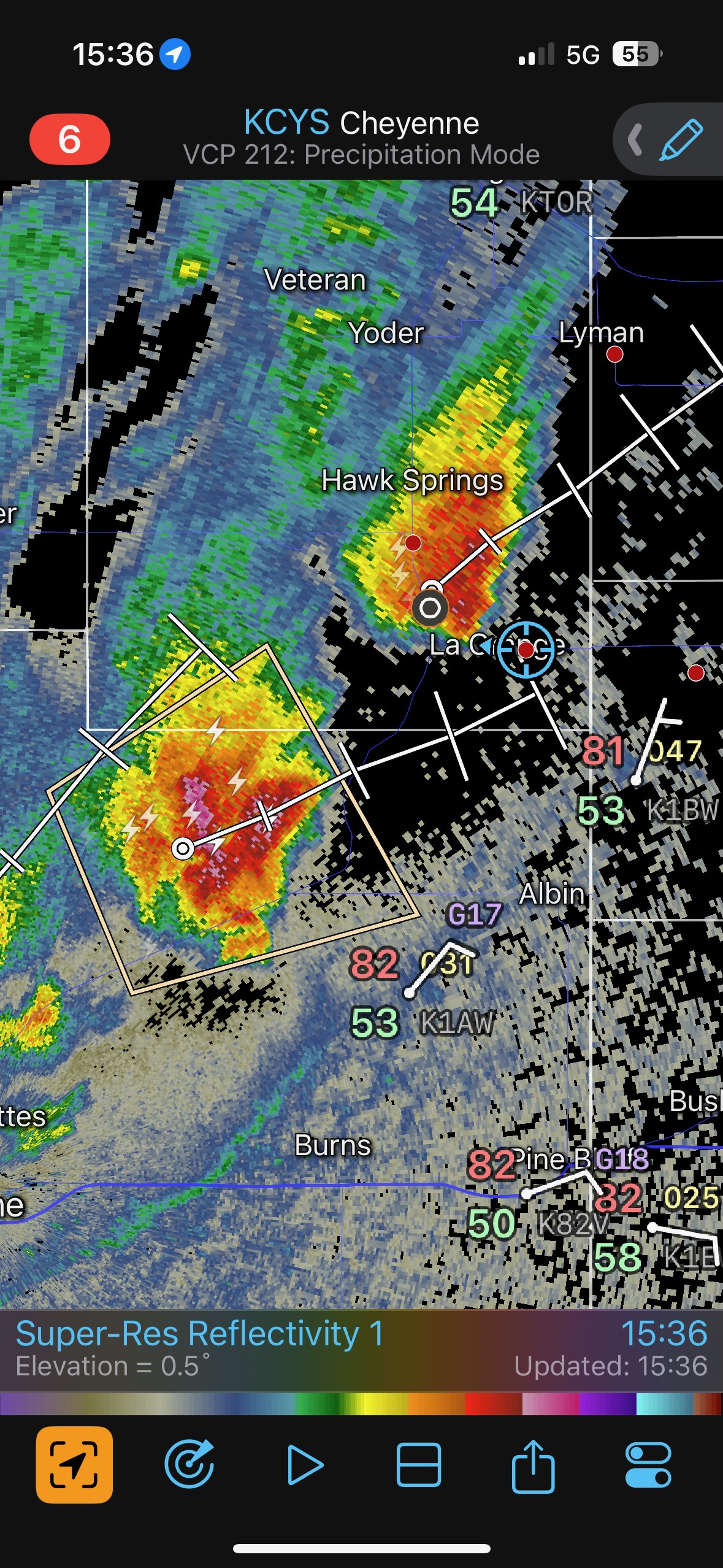
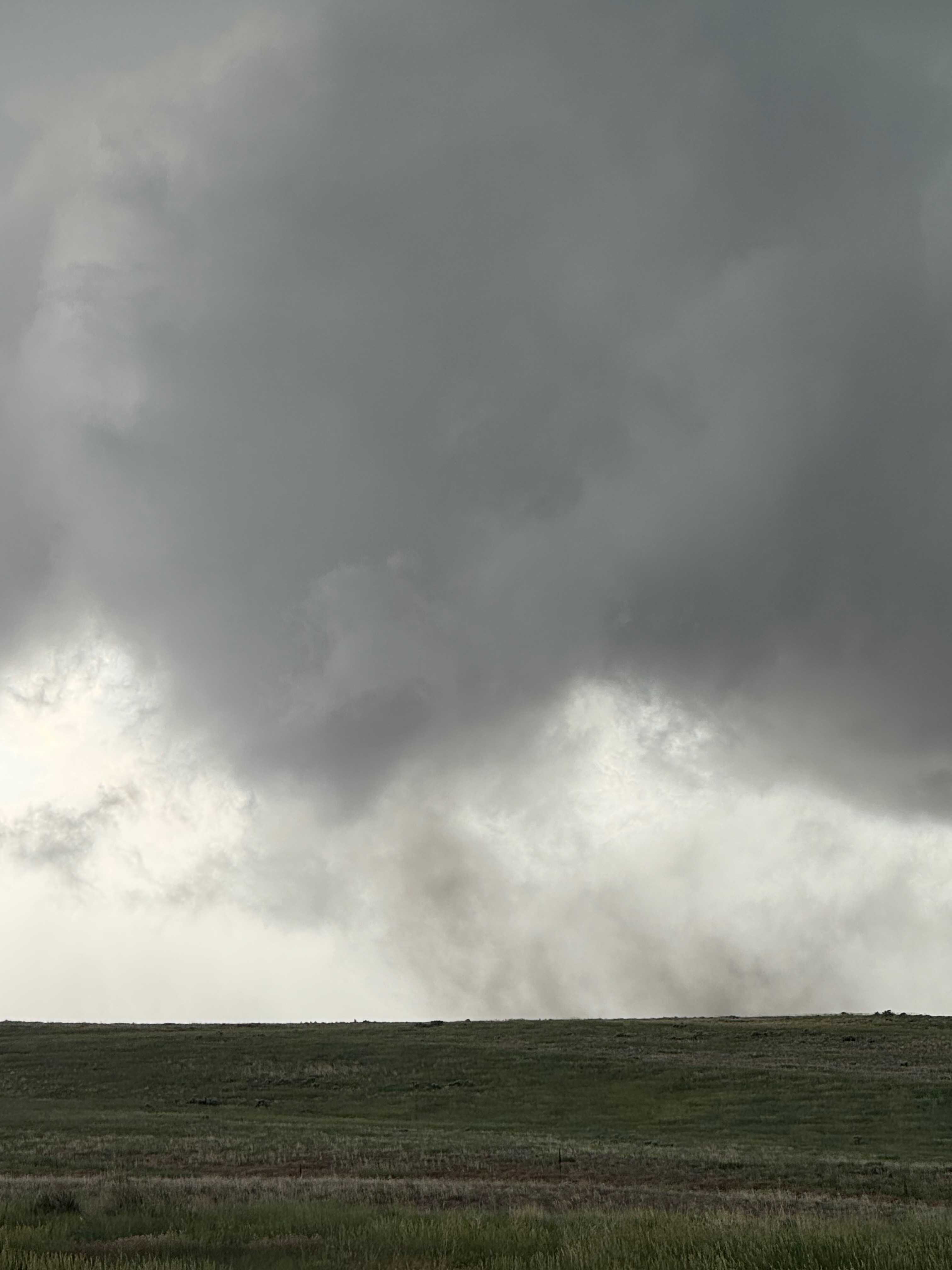
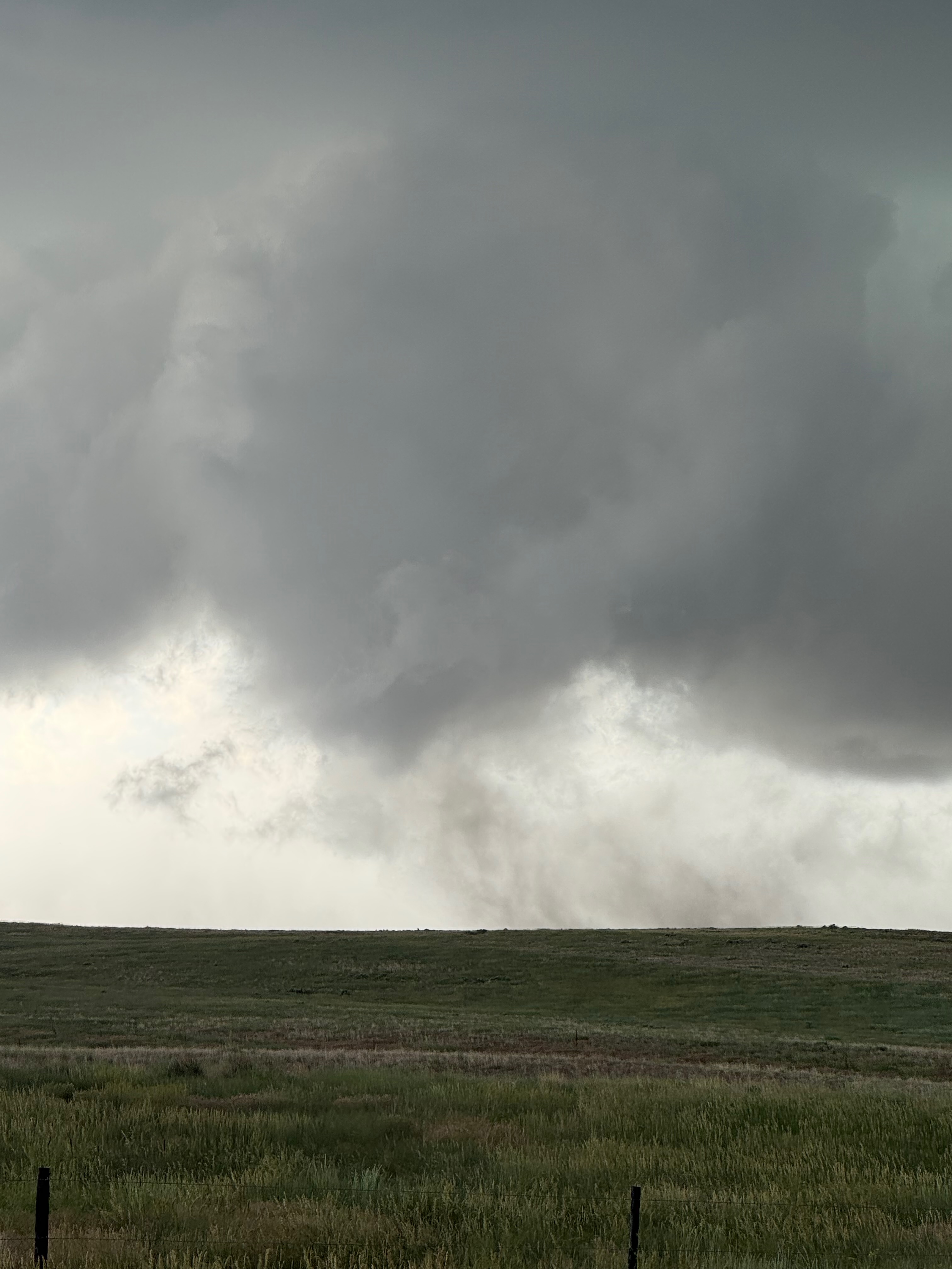
And the group below is the photo dump off of the iPhone. It looks like someone called the low dusty swirly stuff that we were watching a tornado. That was near Harrisburg around 4:30 p.m. MDT.


Leave a Reply
You must be logged in to post a comment.