

Start: Sidney, NE/lunch: Arbys and Subway in Limon/End: Lamar/568 miles
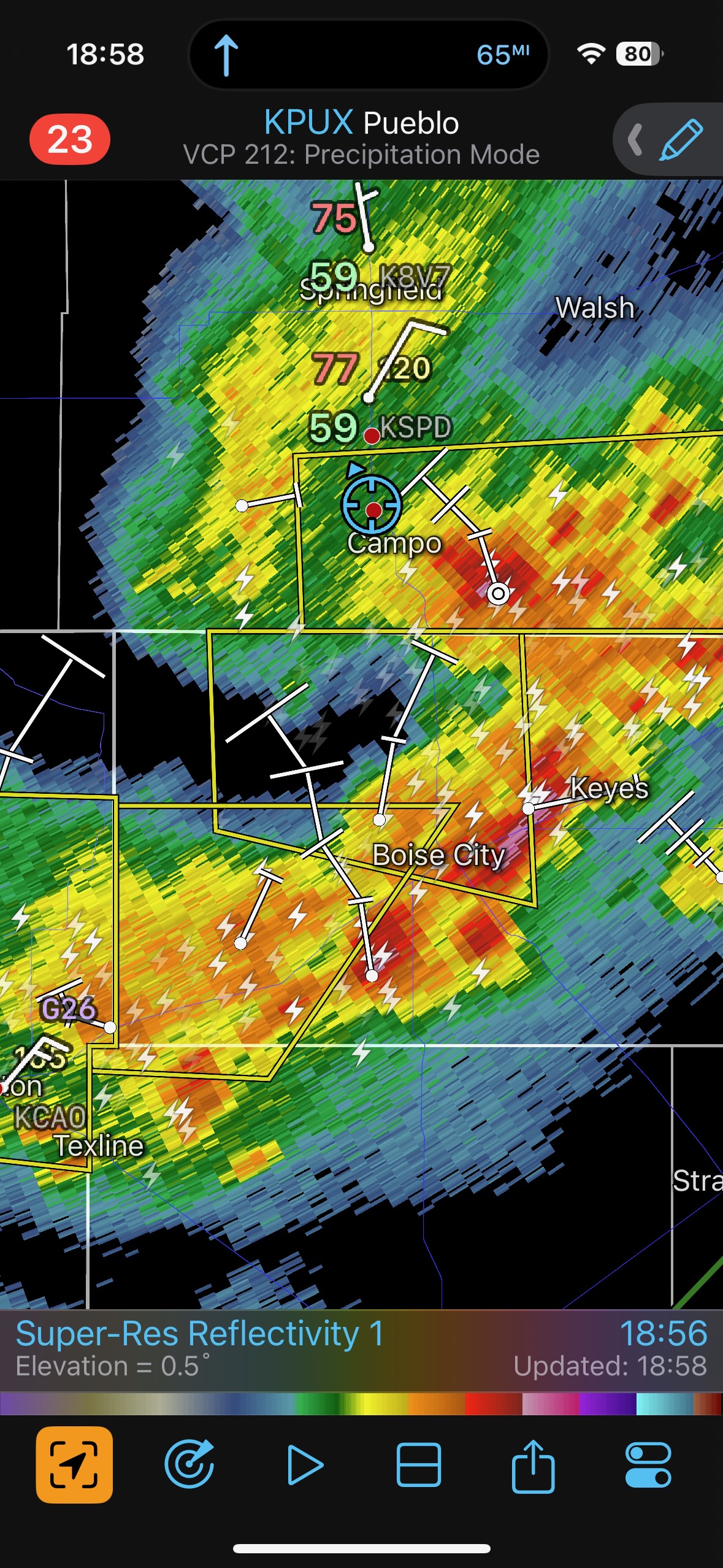
Mesoscale Discussions. 4:45 p.m. CDT (no SPC MD for the storm that we chased on the Raton Mesa into Baca County)
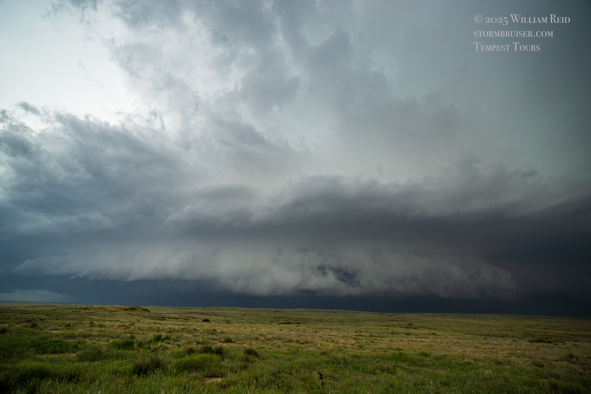
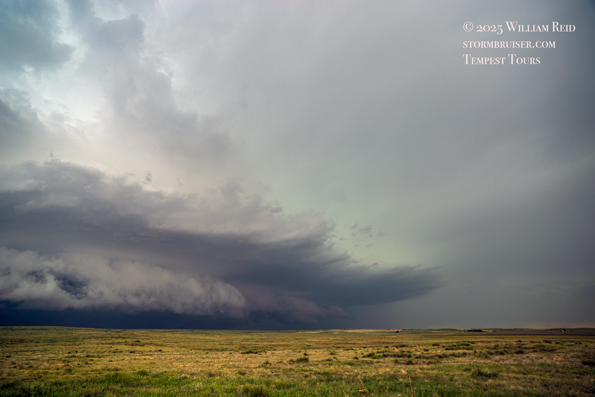
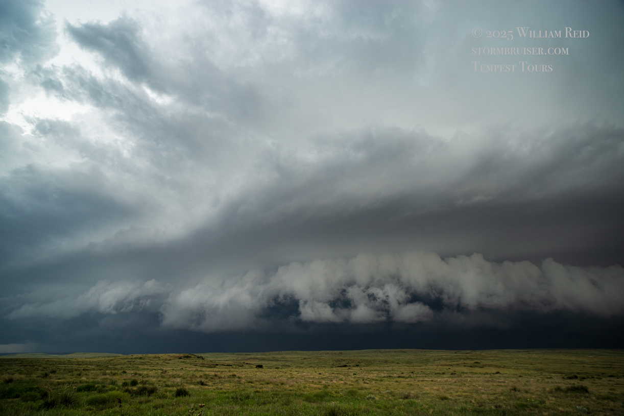
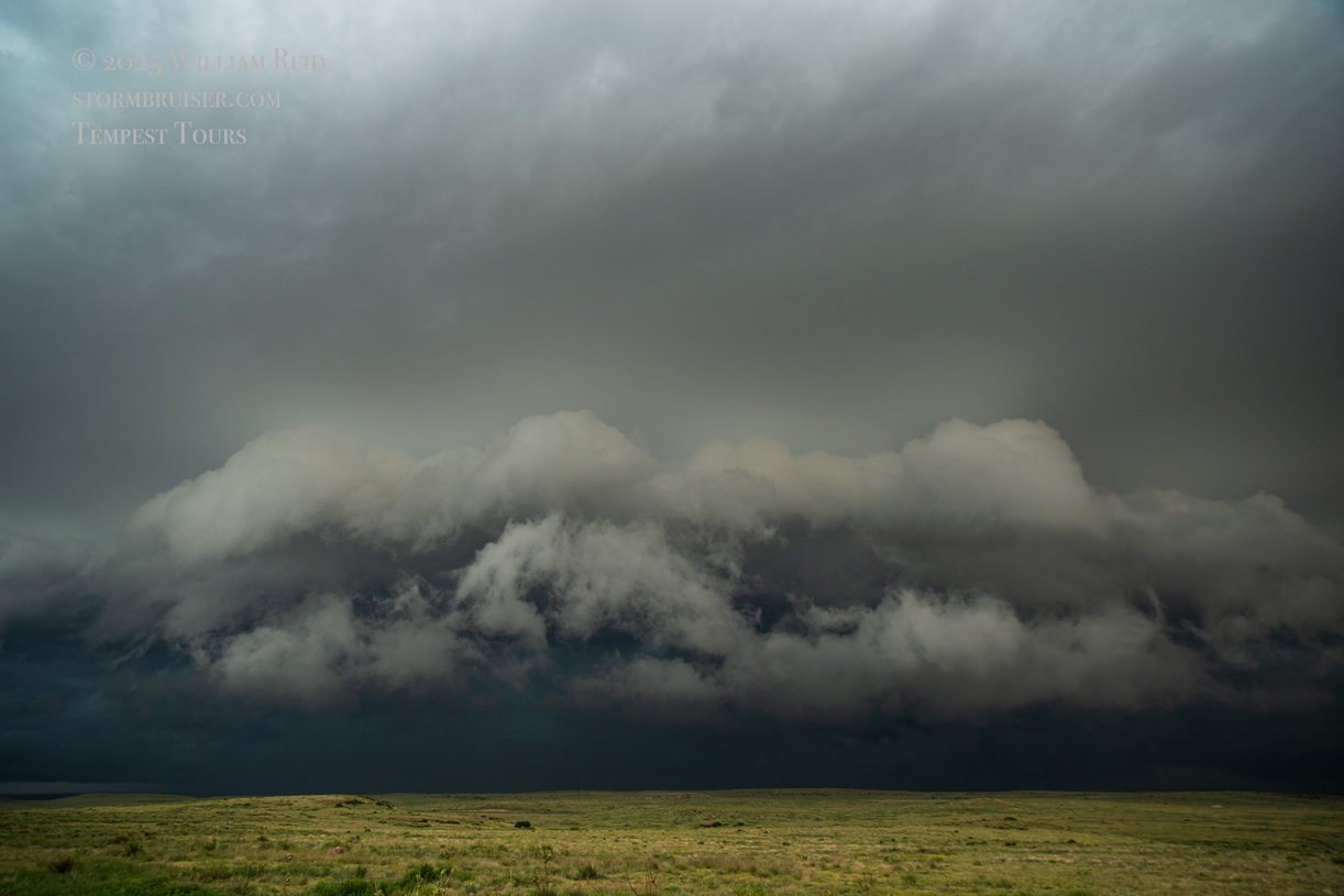
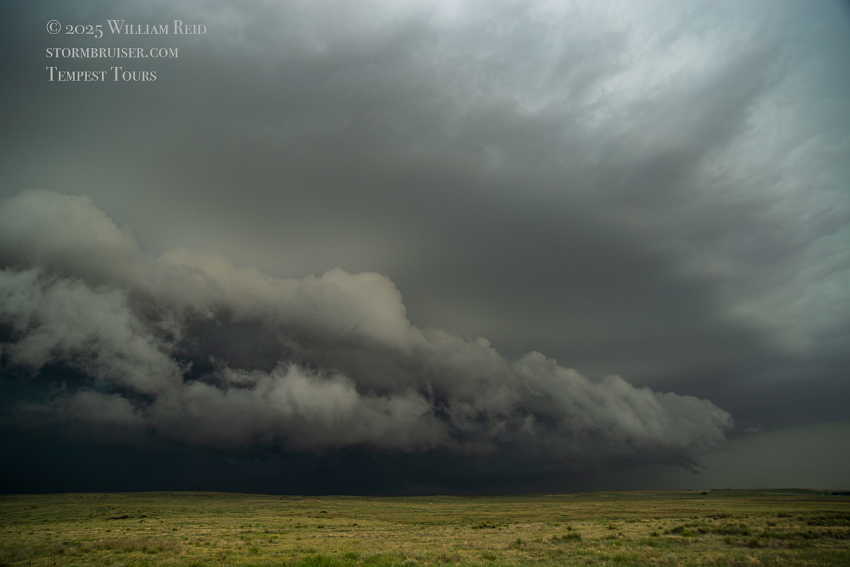
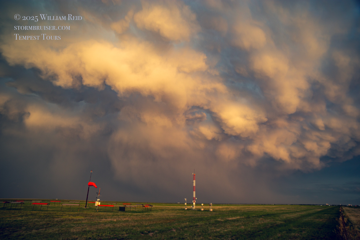
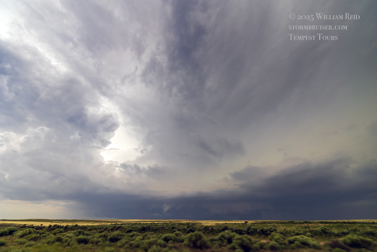
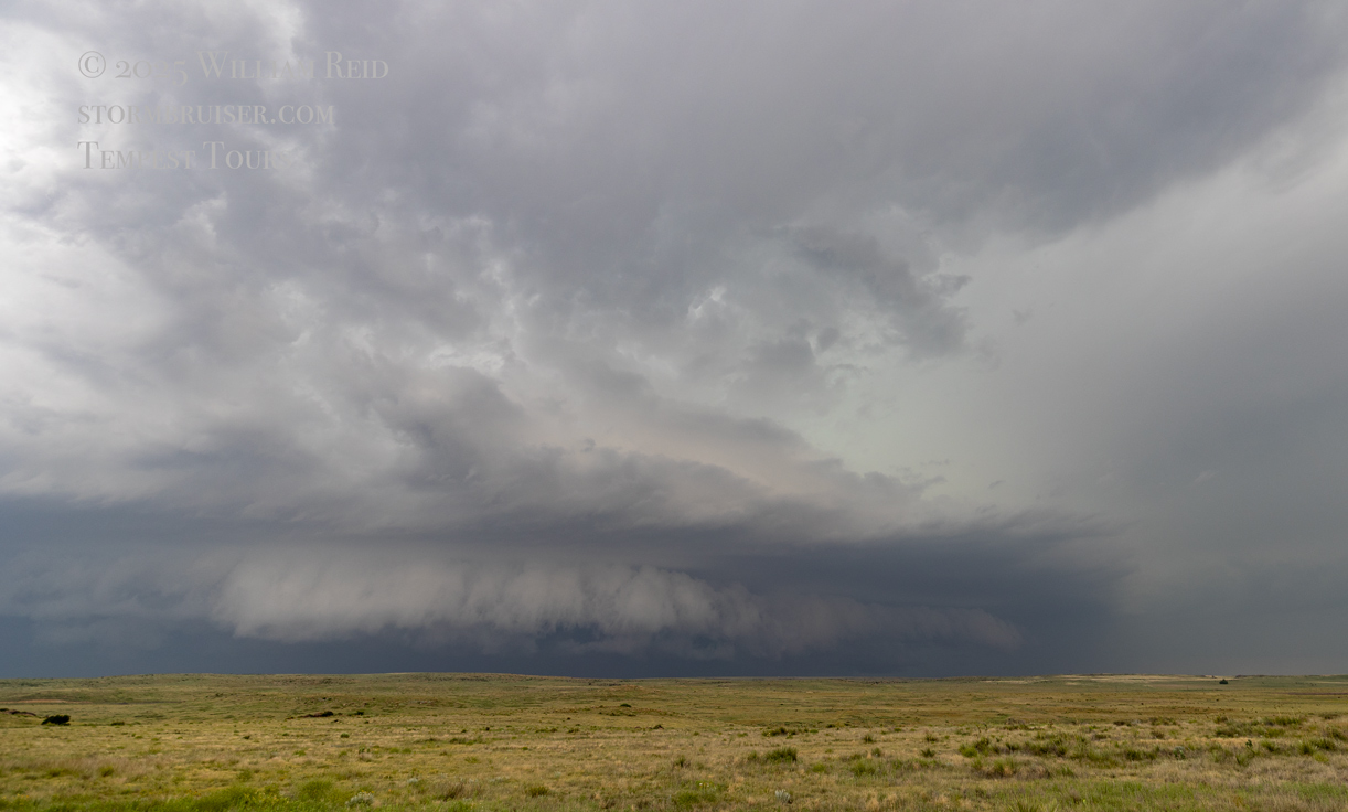
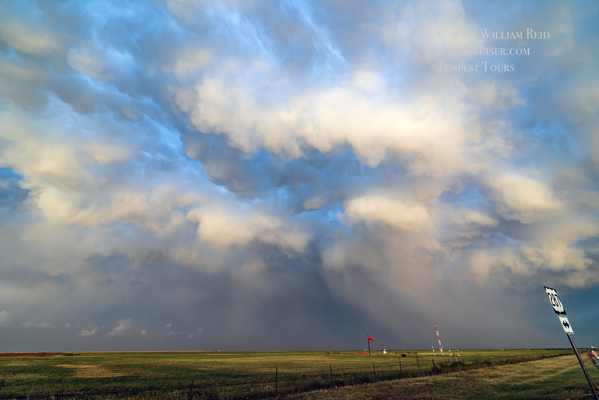
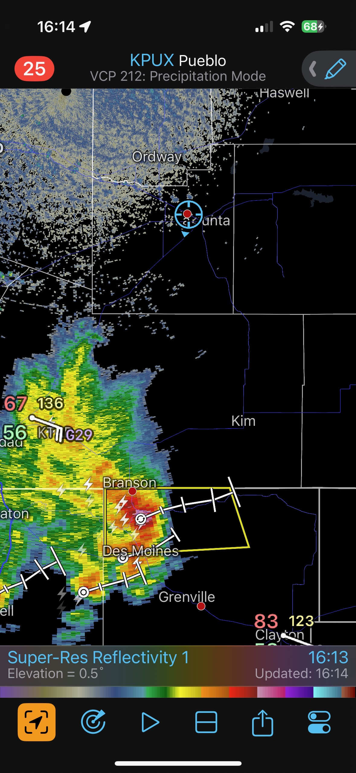
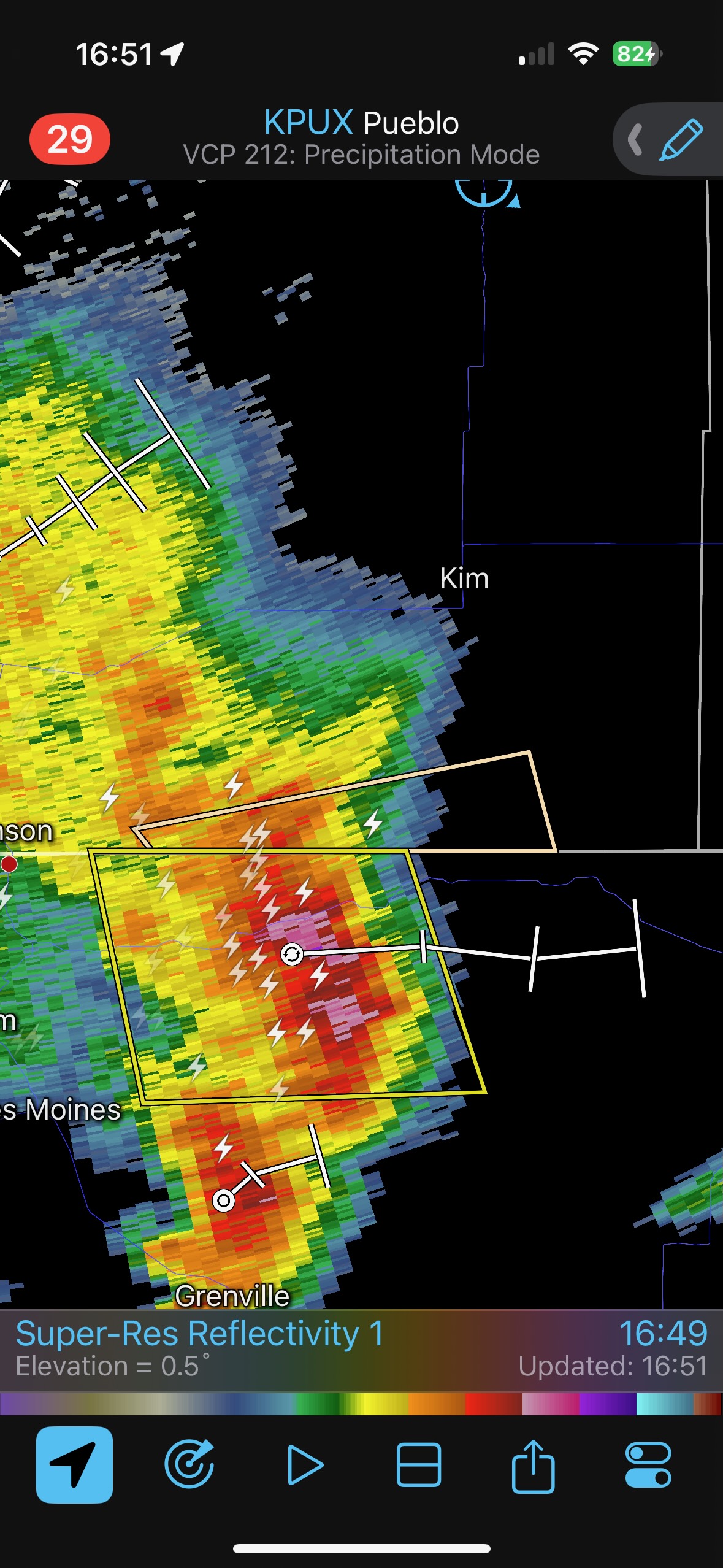
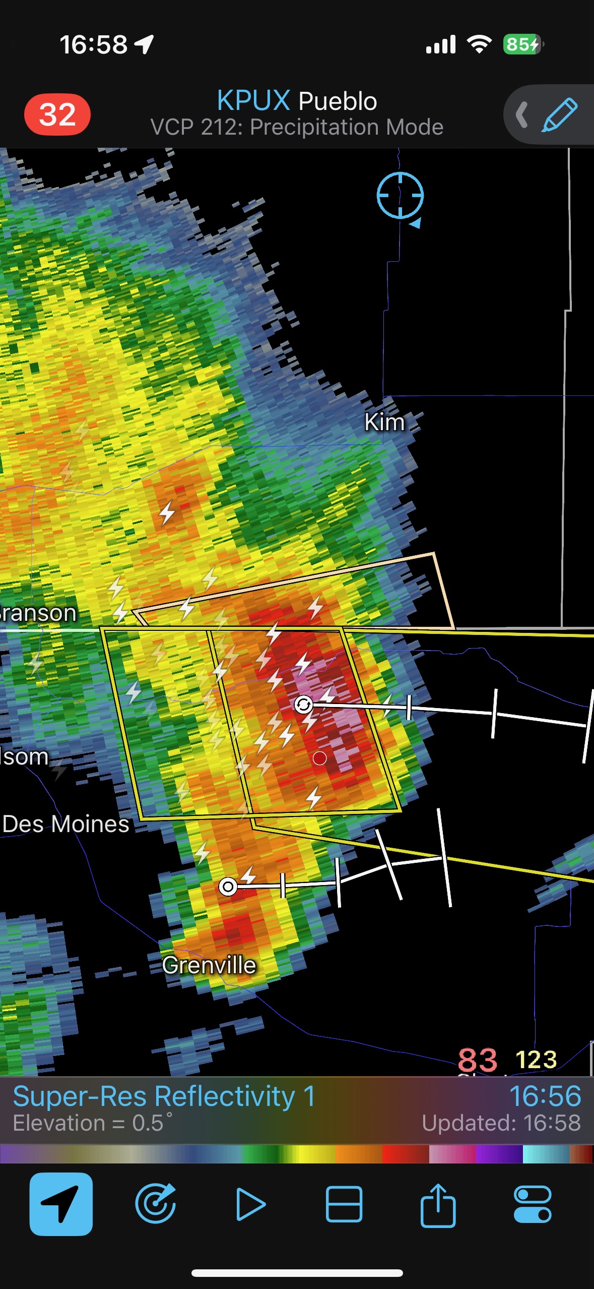
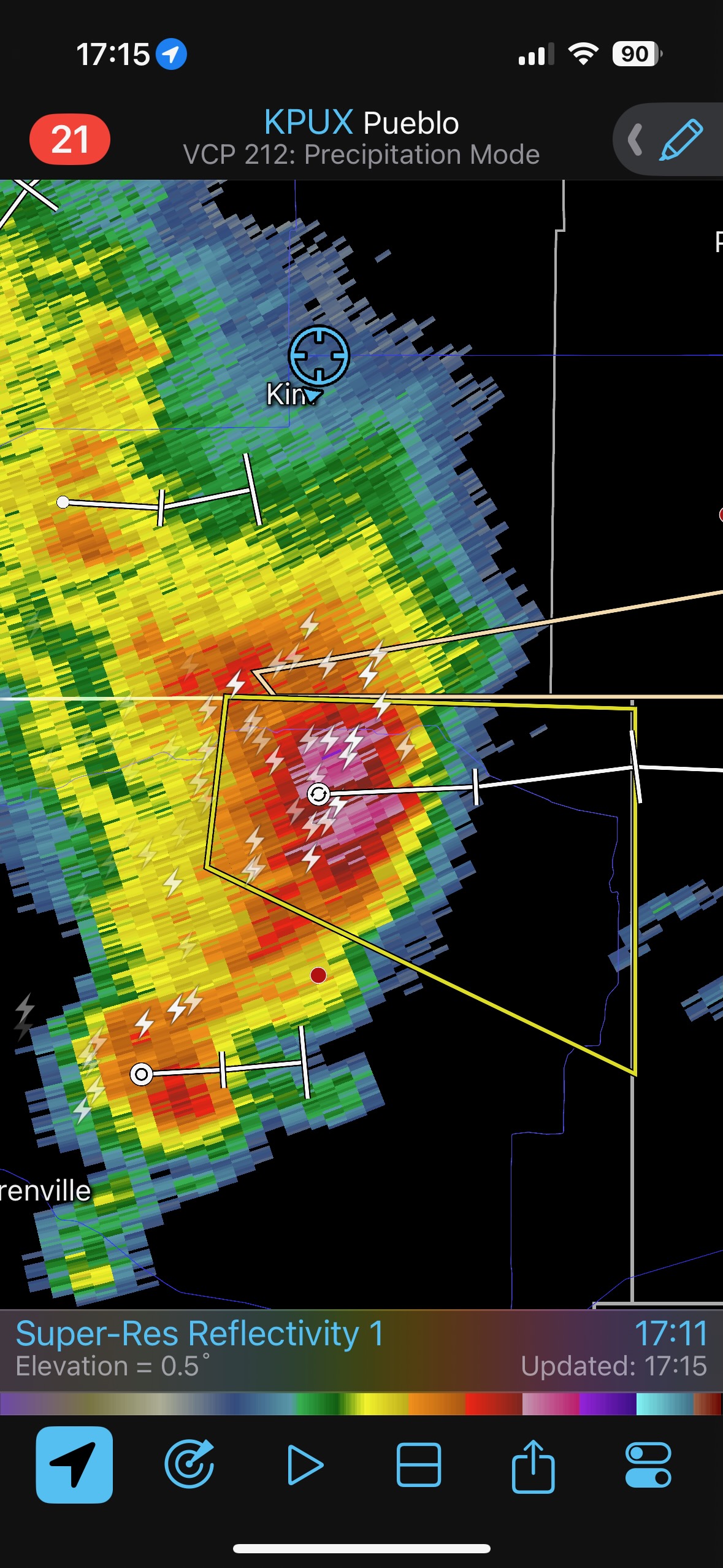
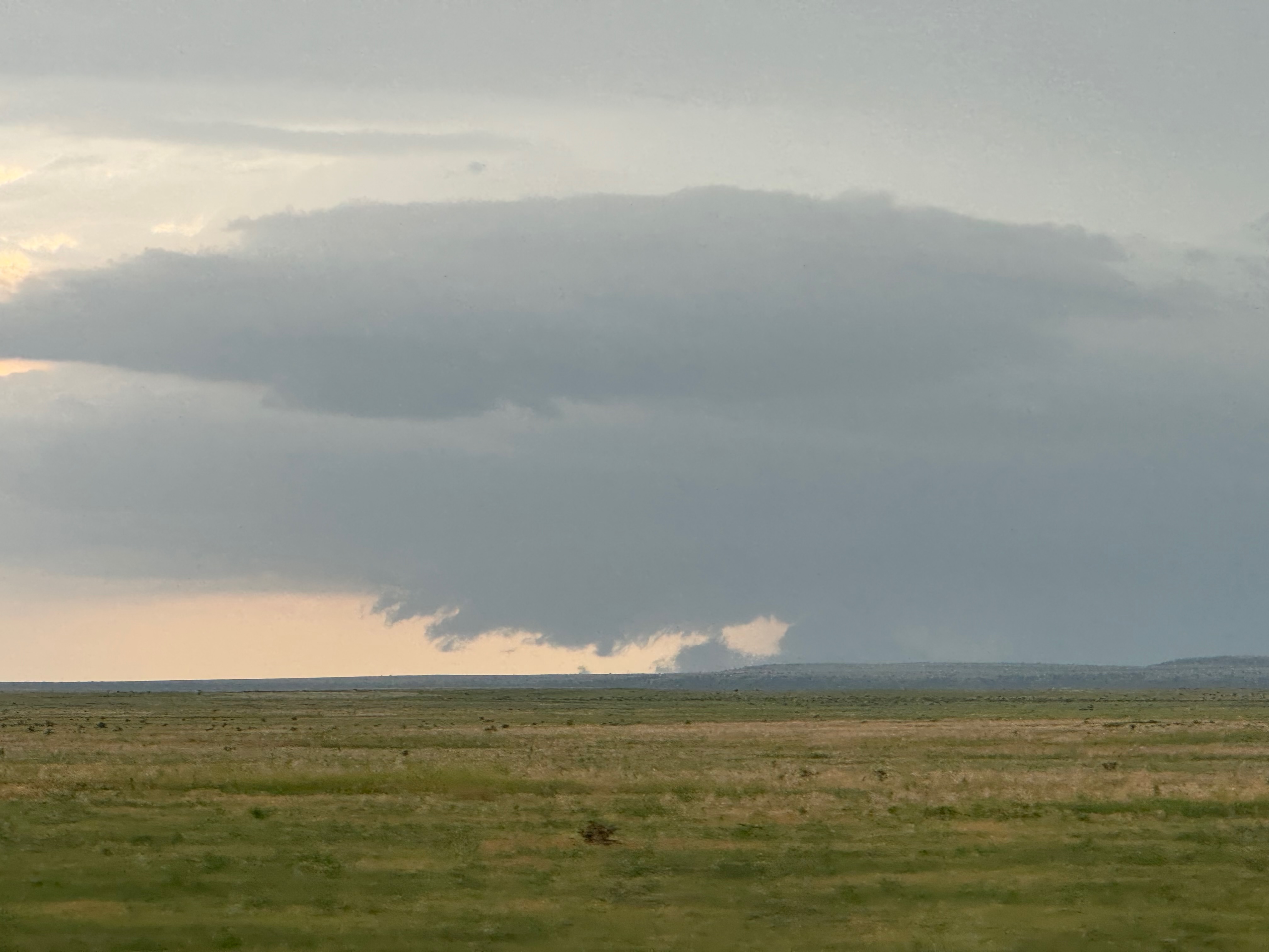
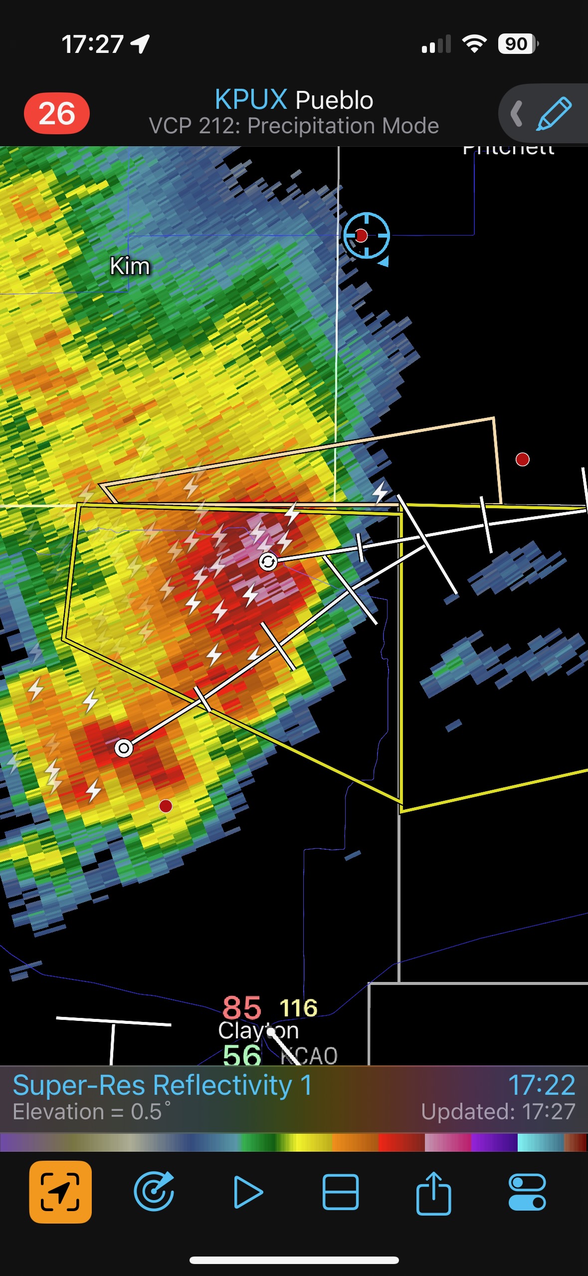
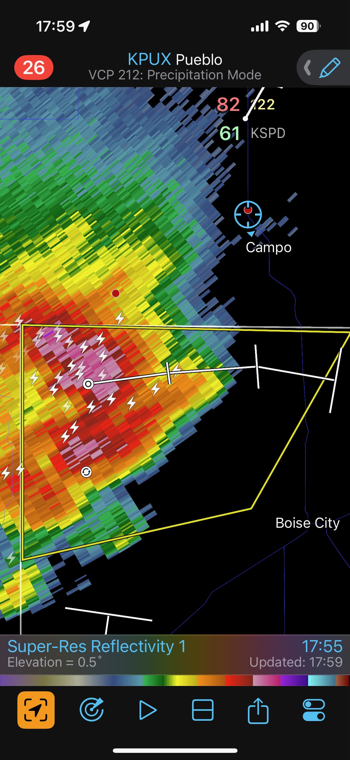
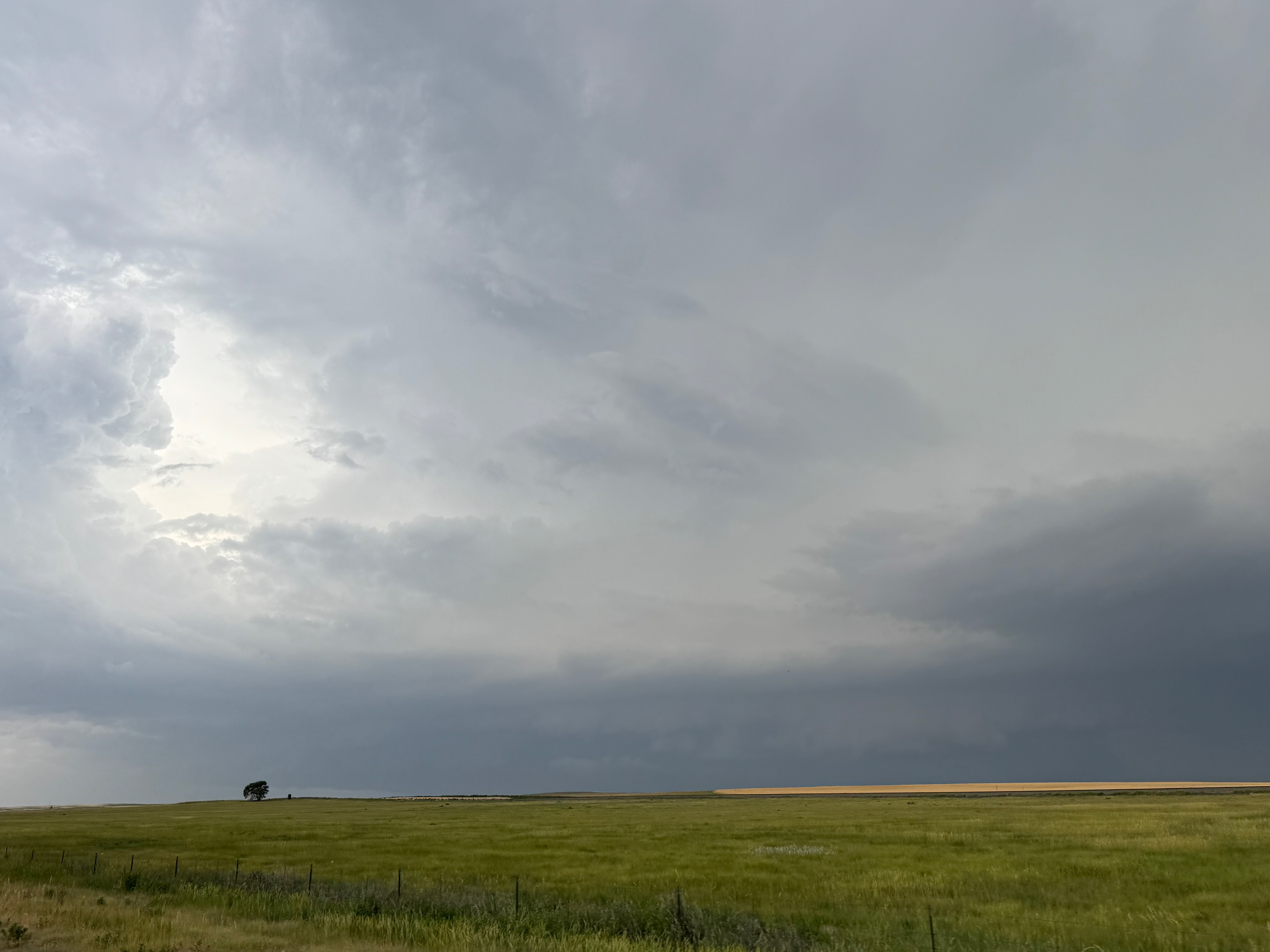
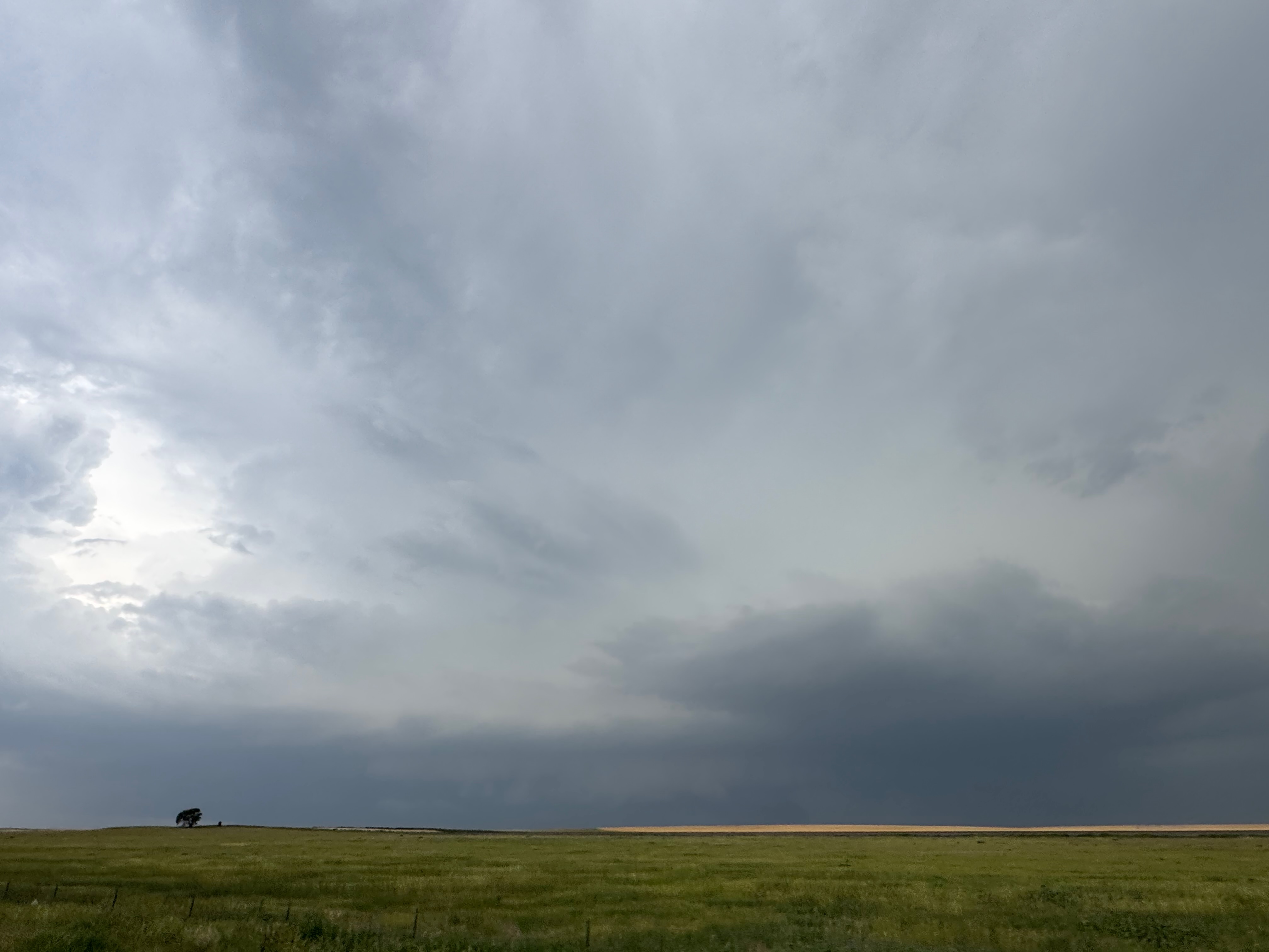
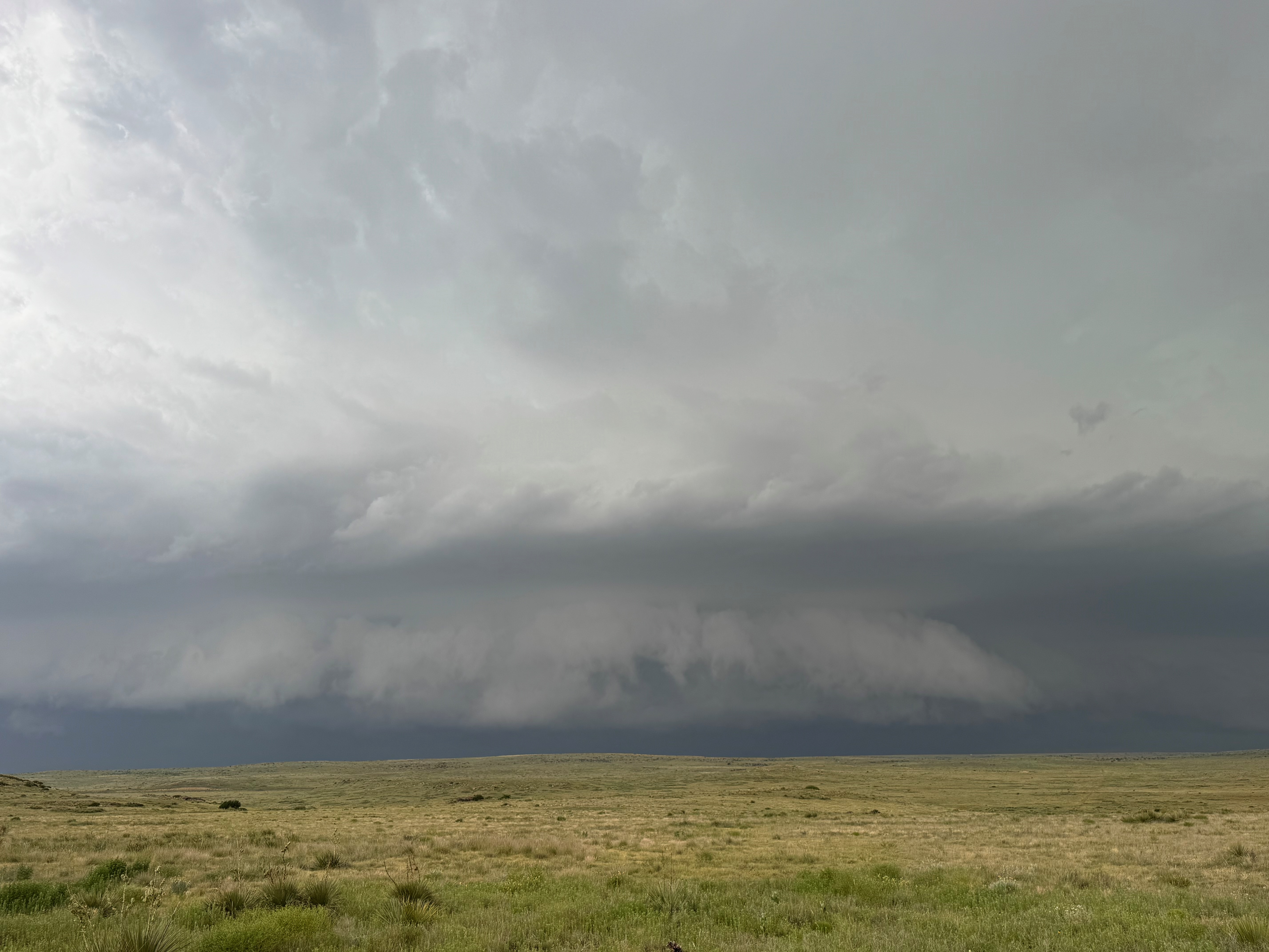
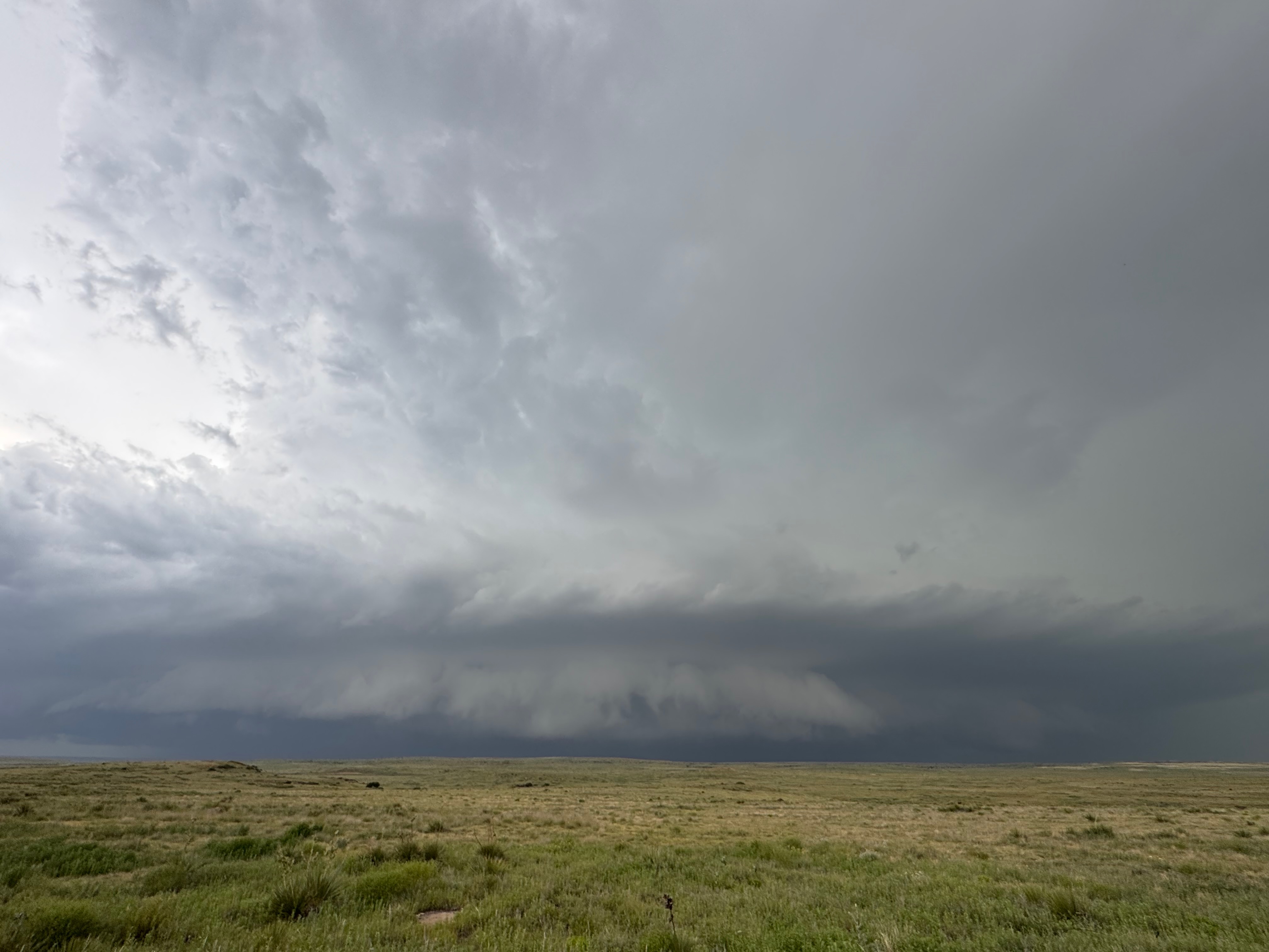
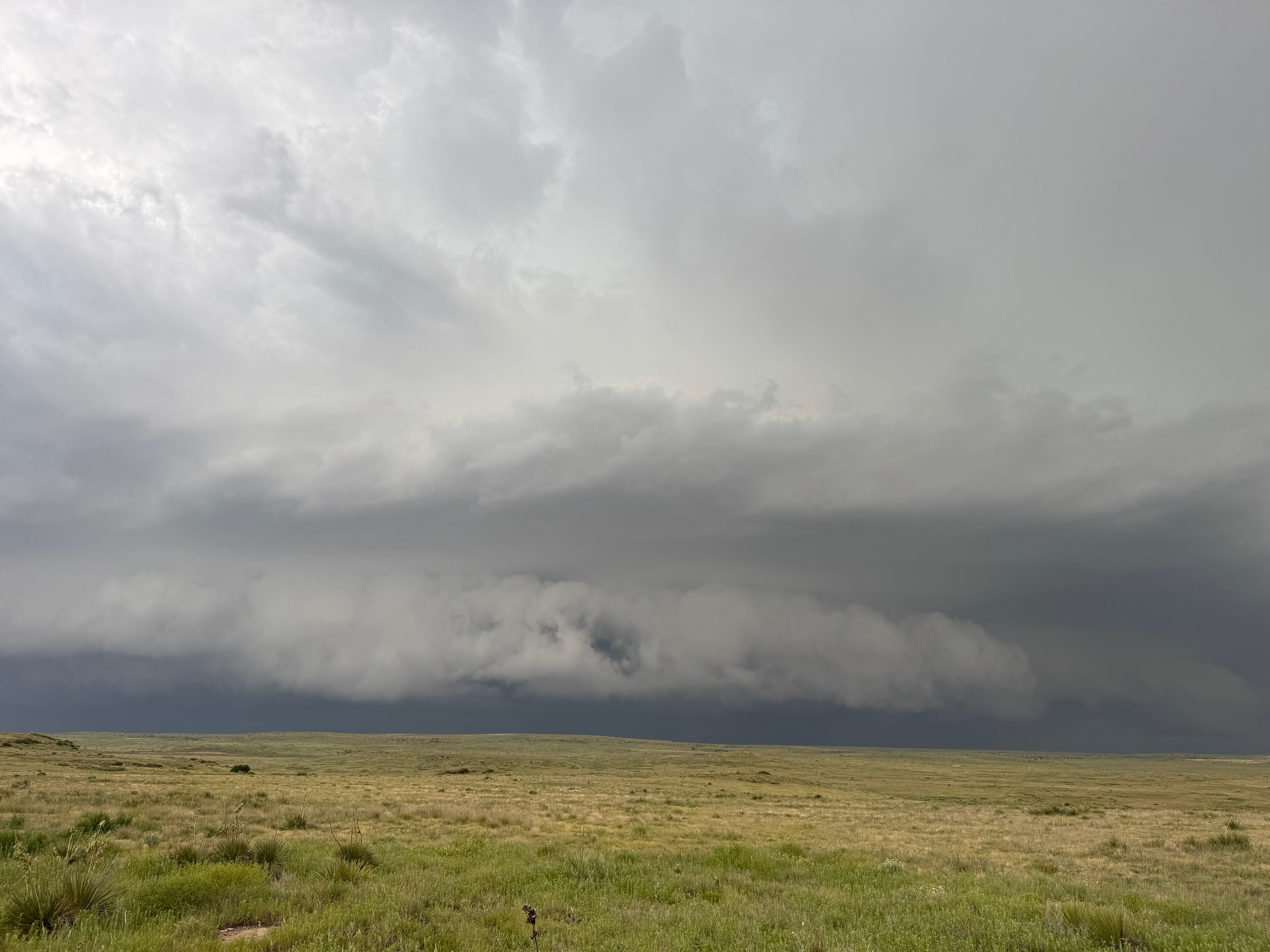
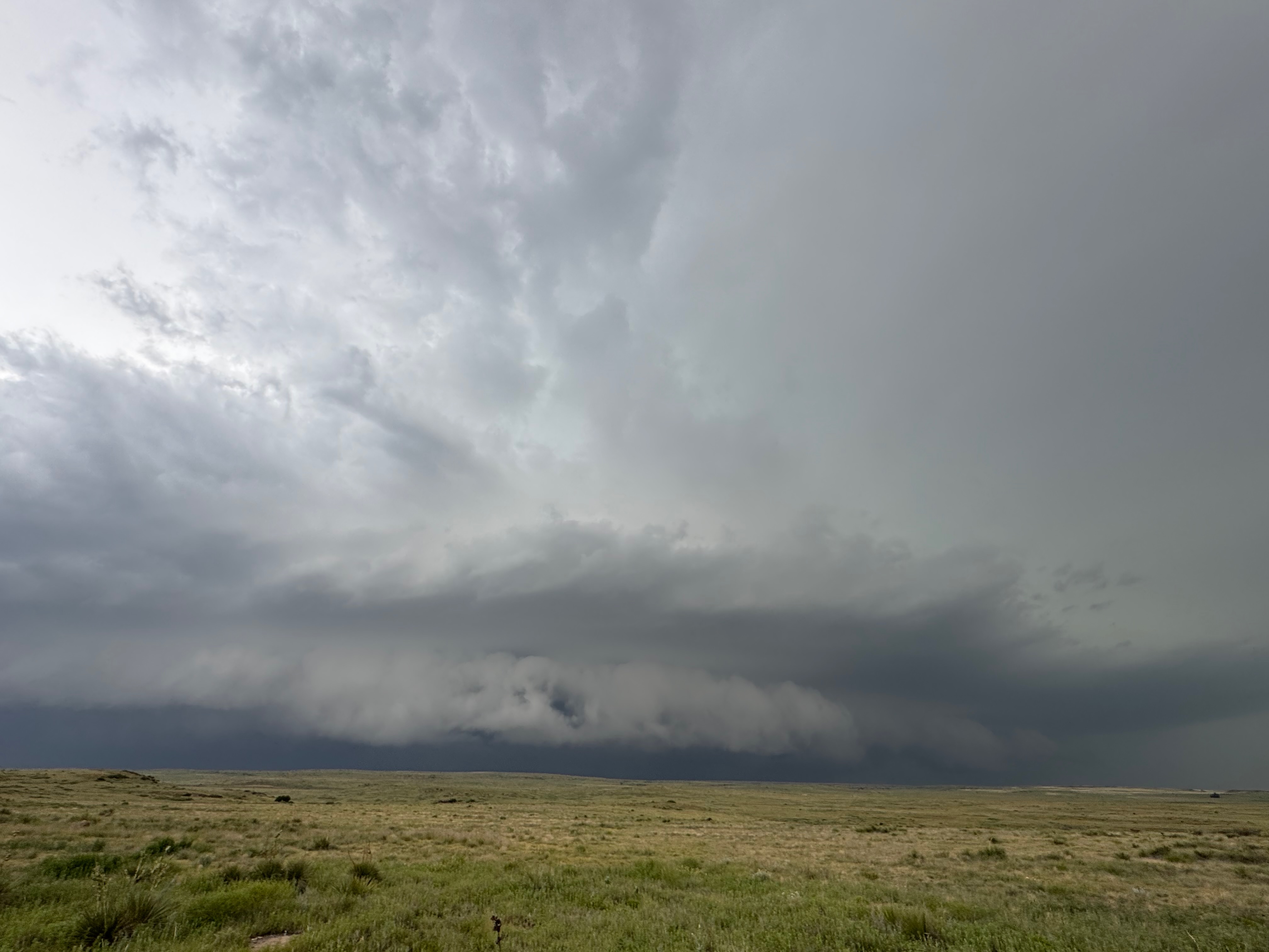
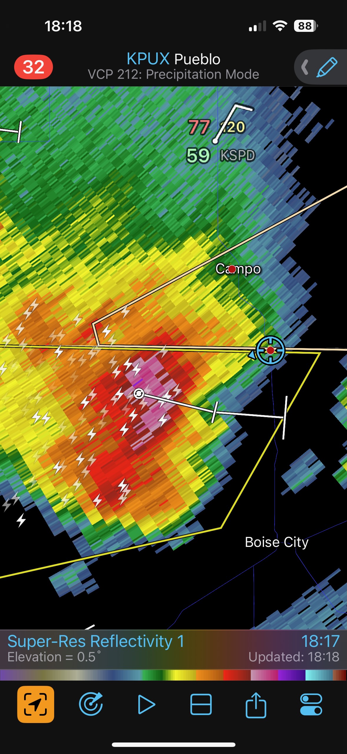
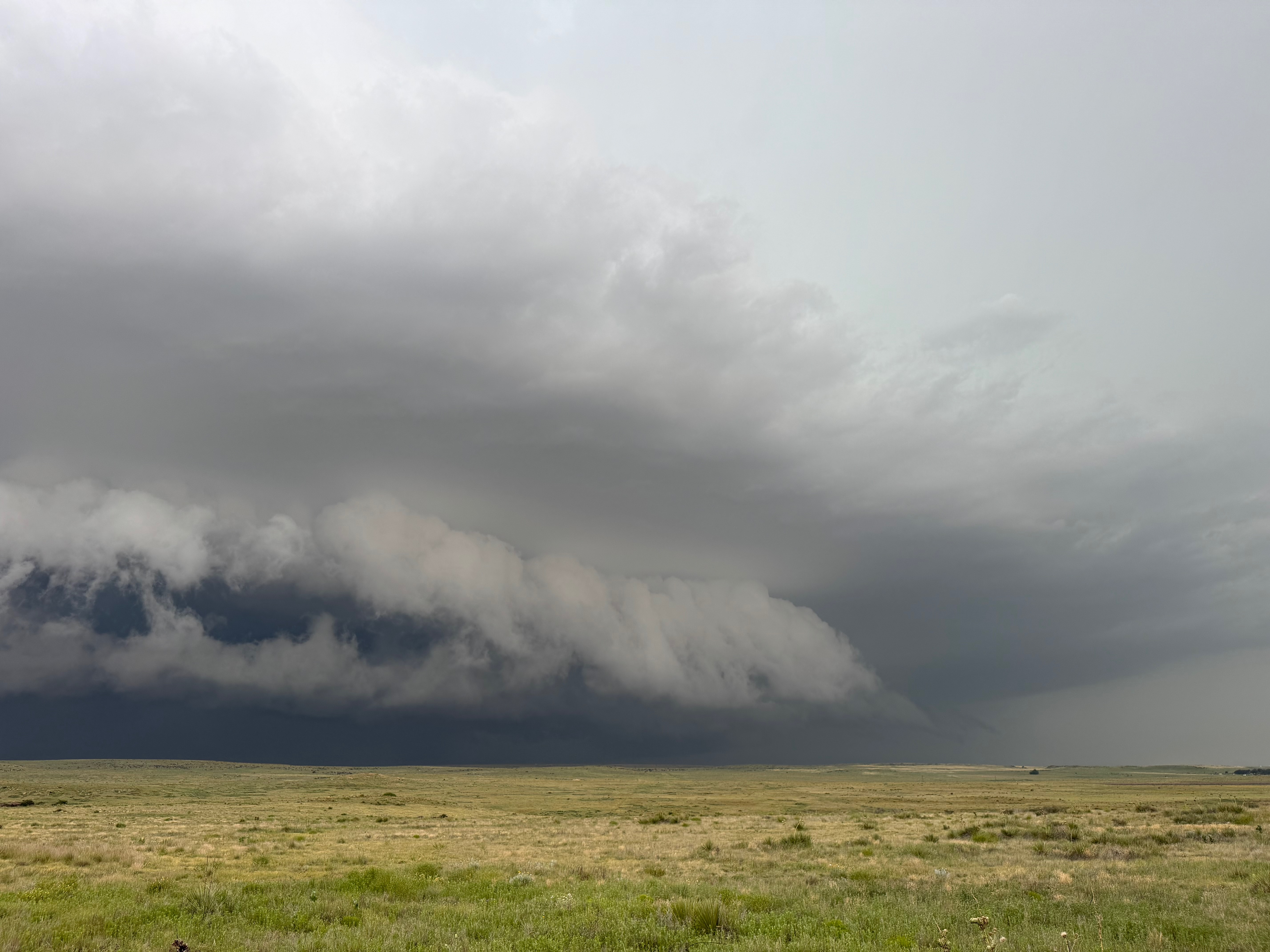
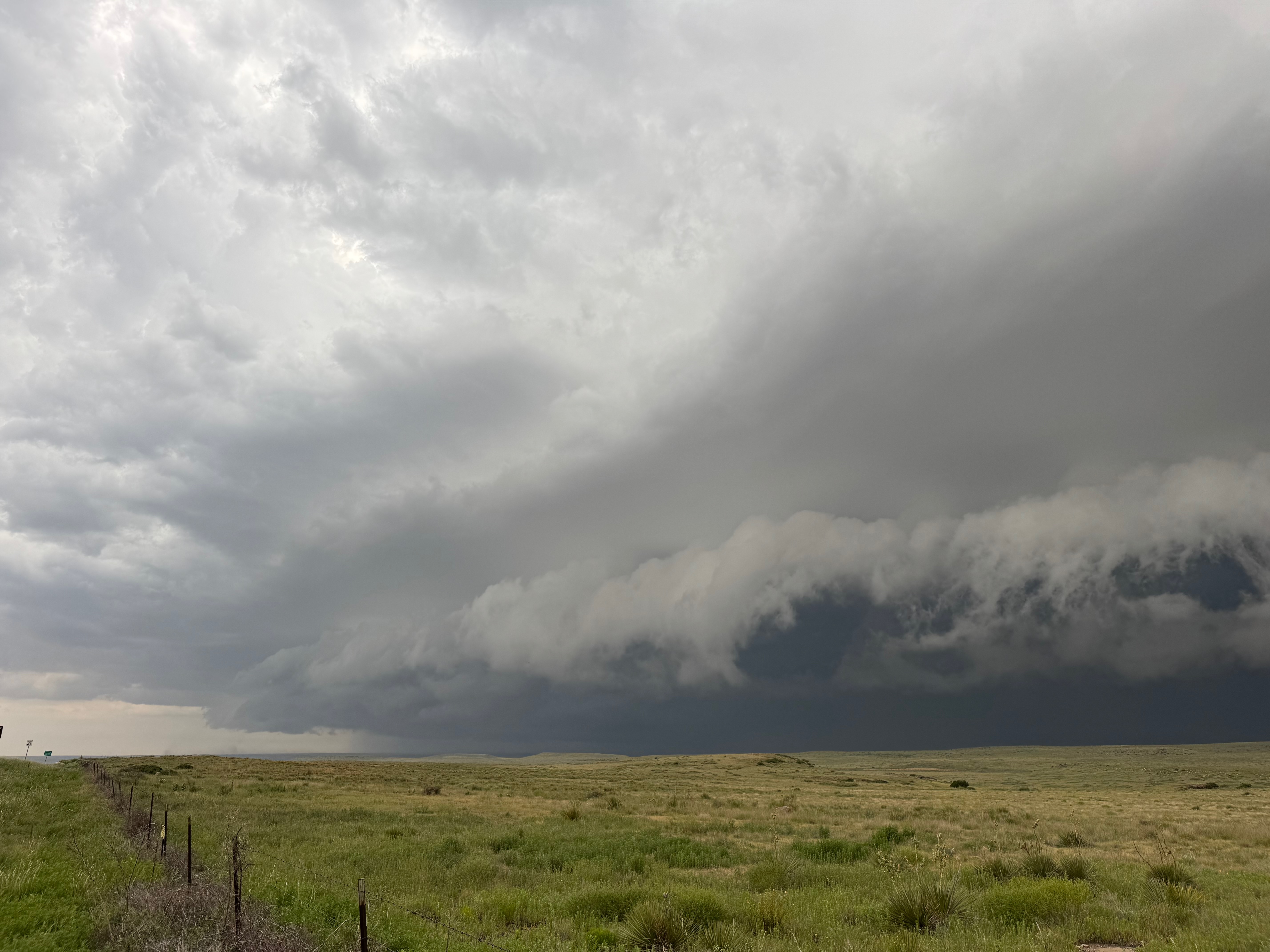
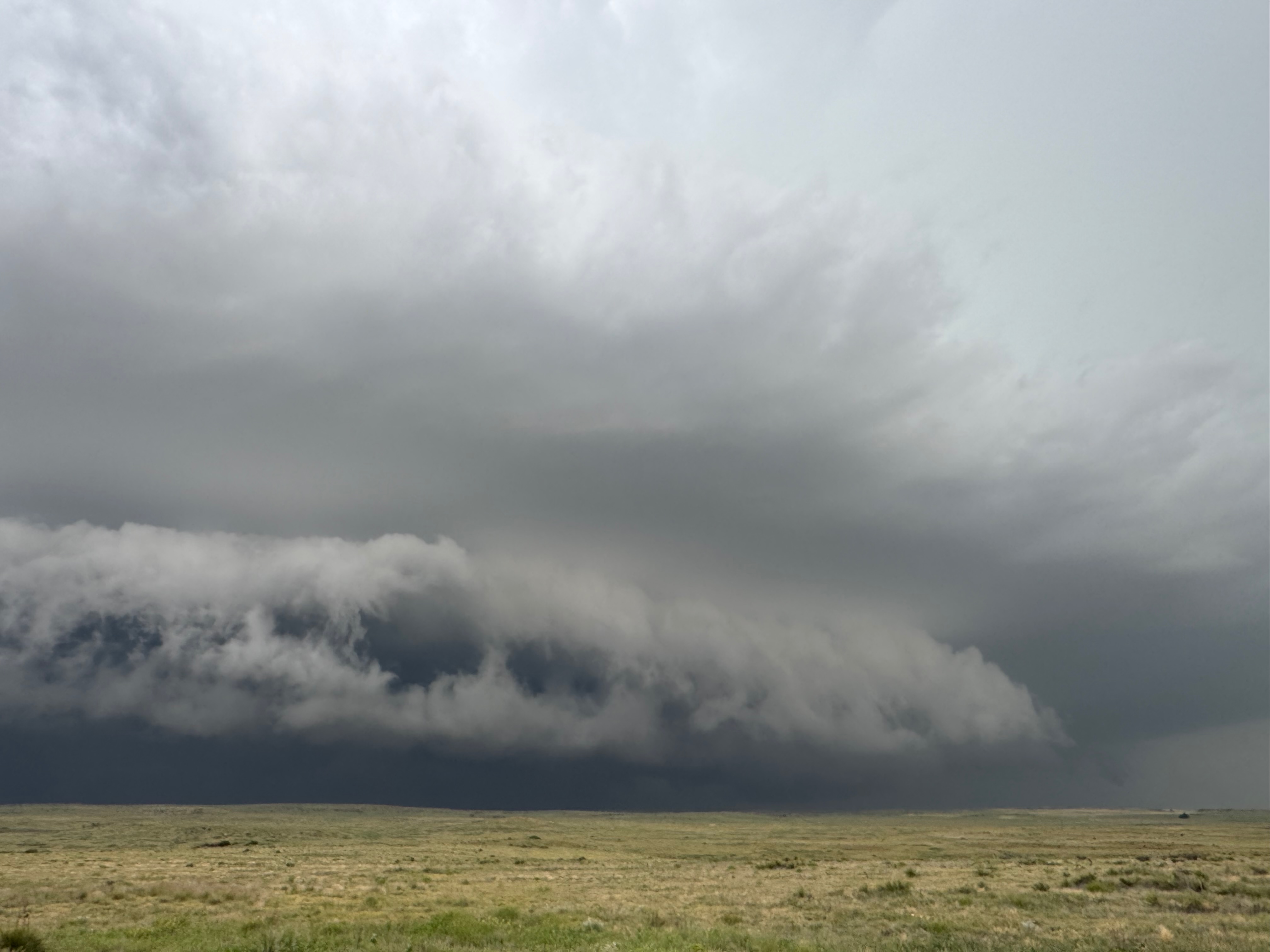
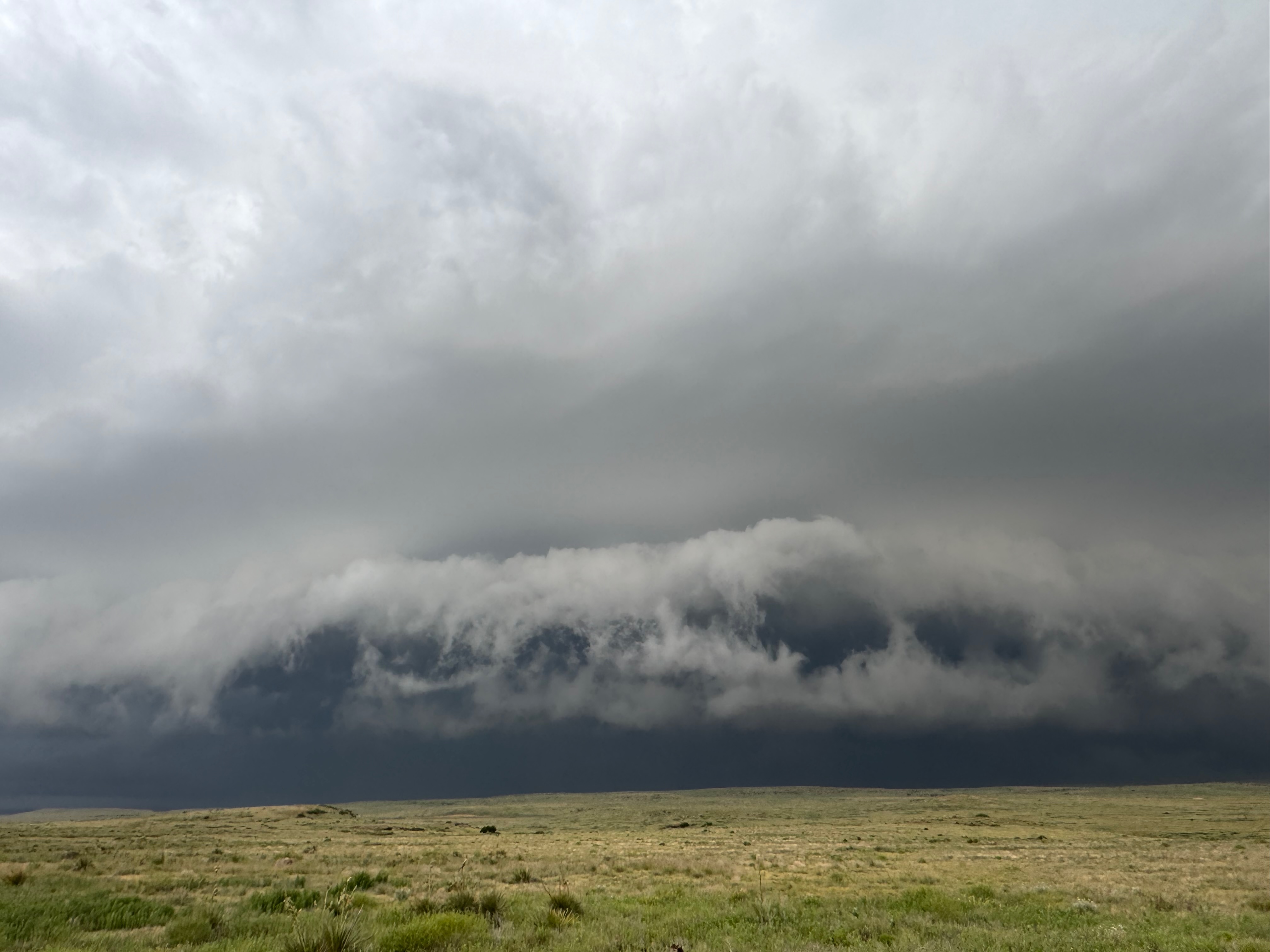
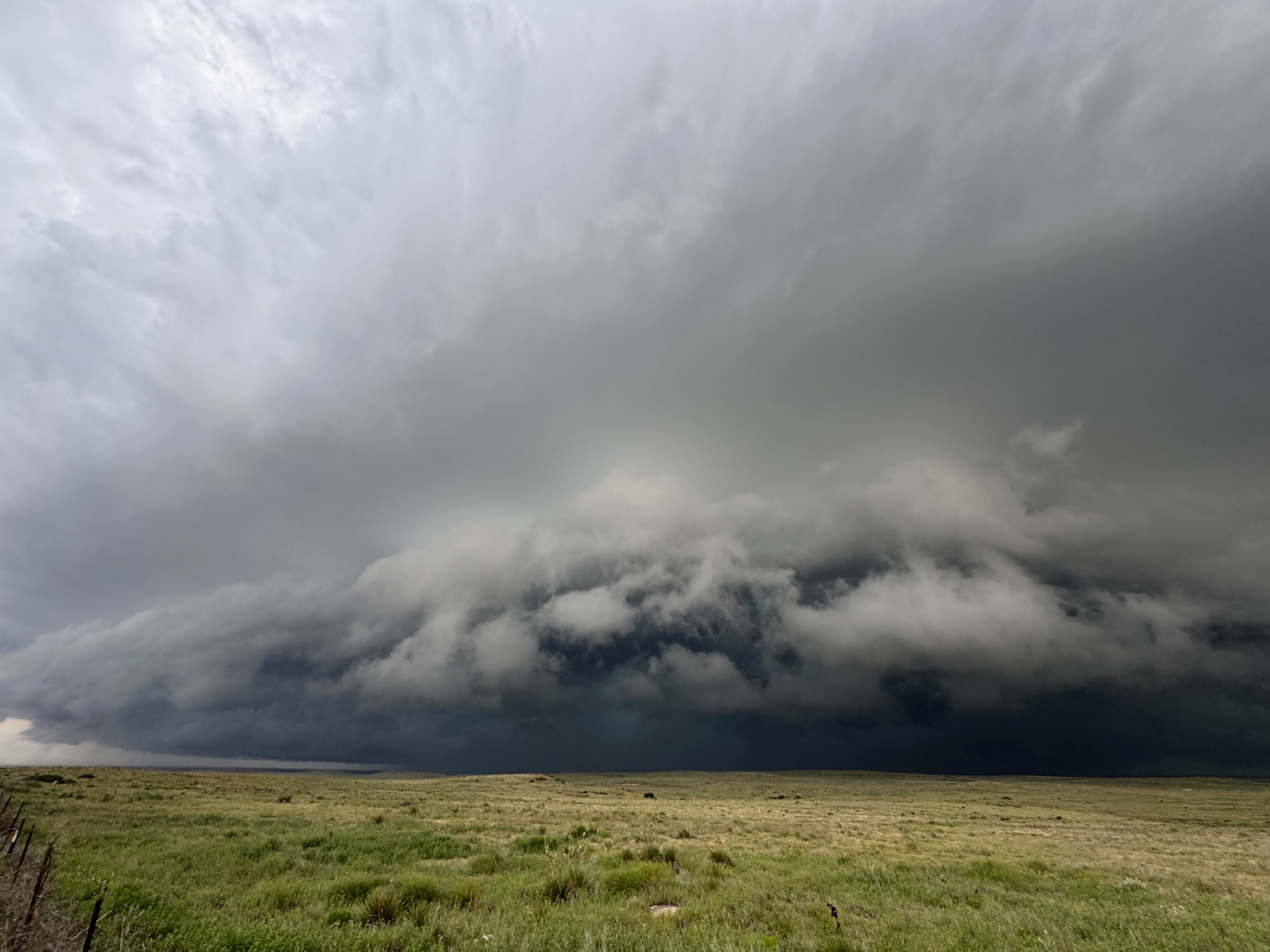
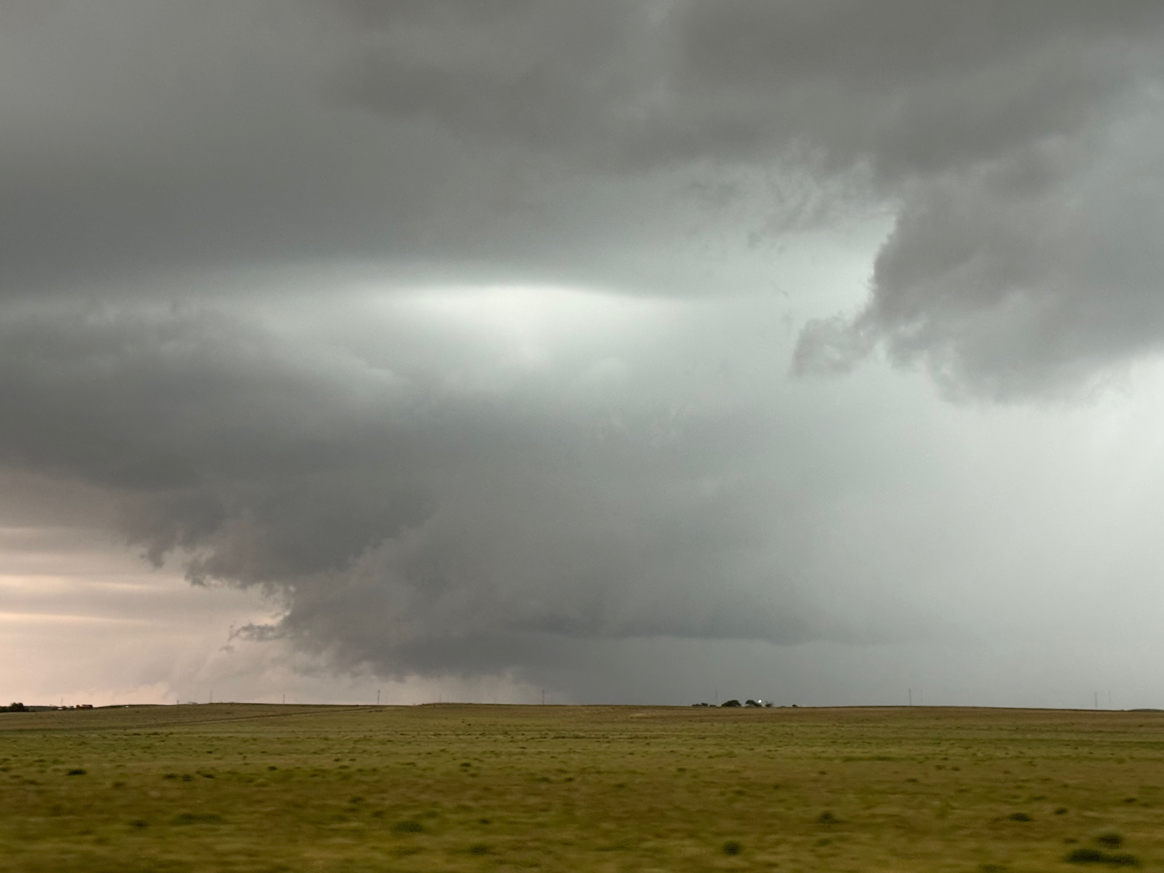
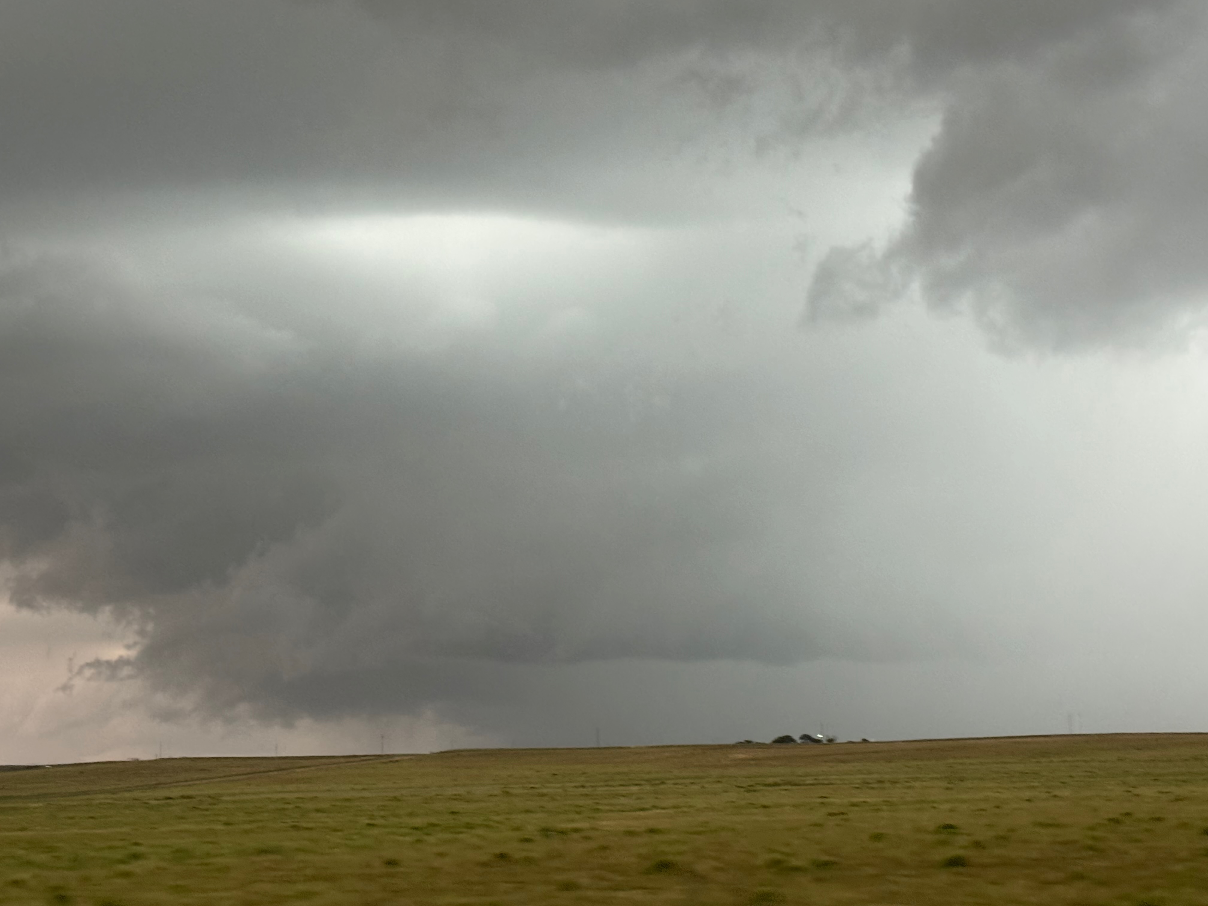
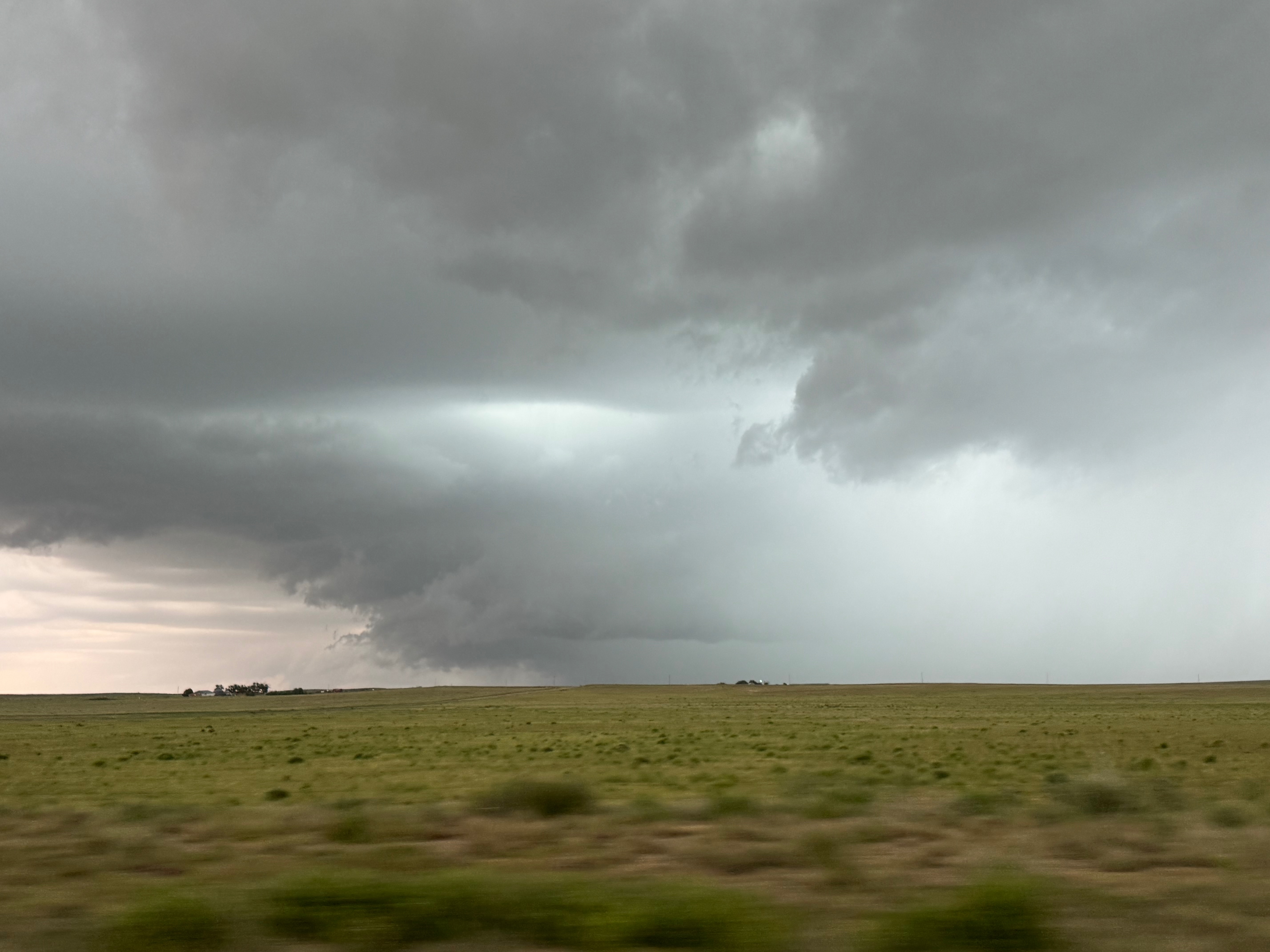
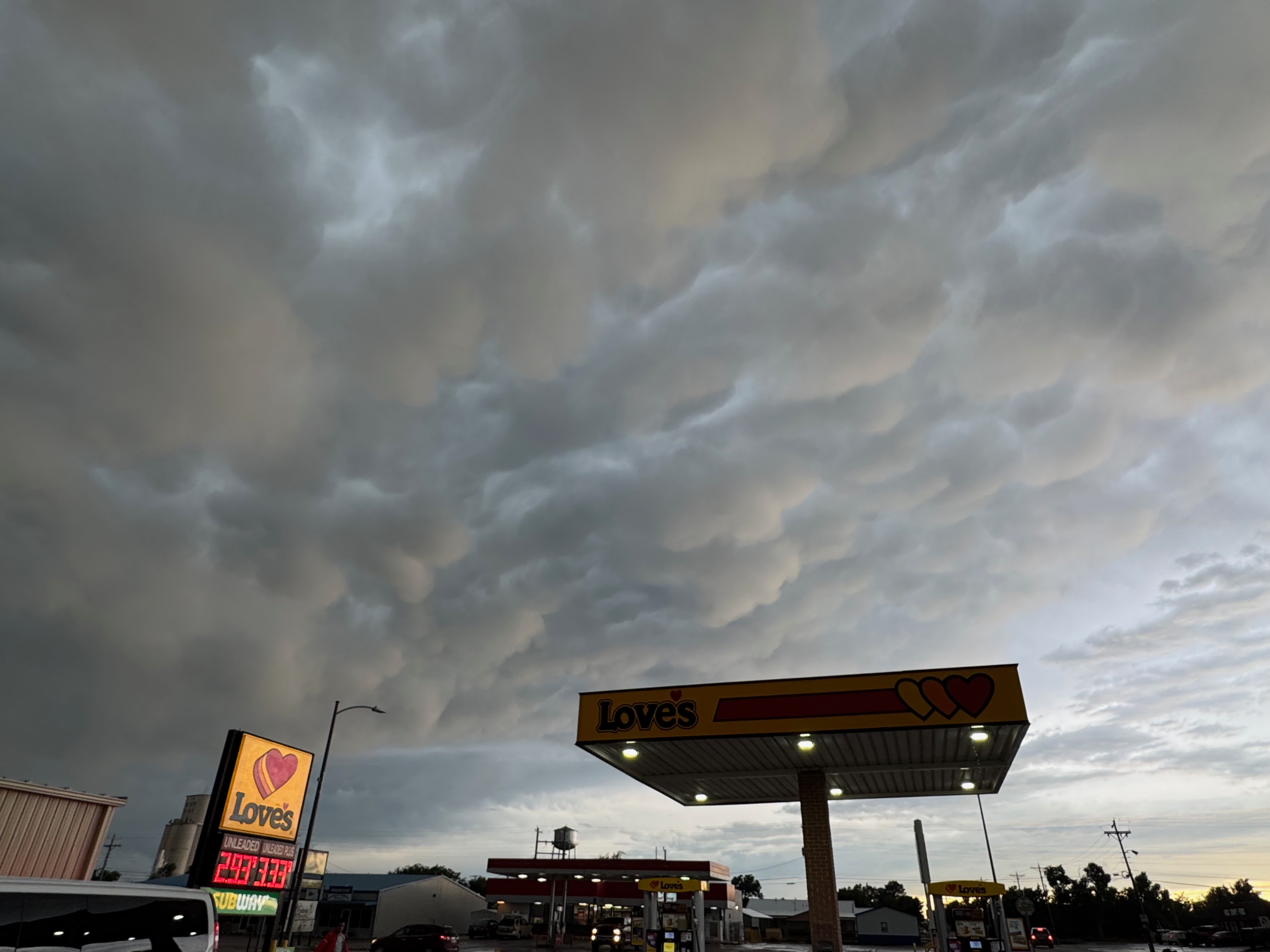
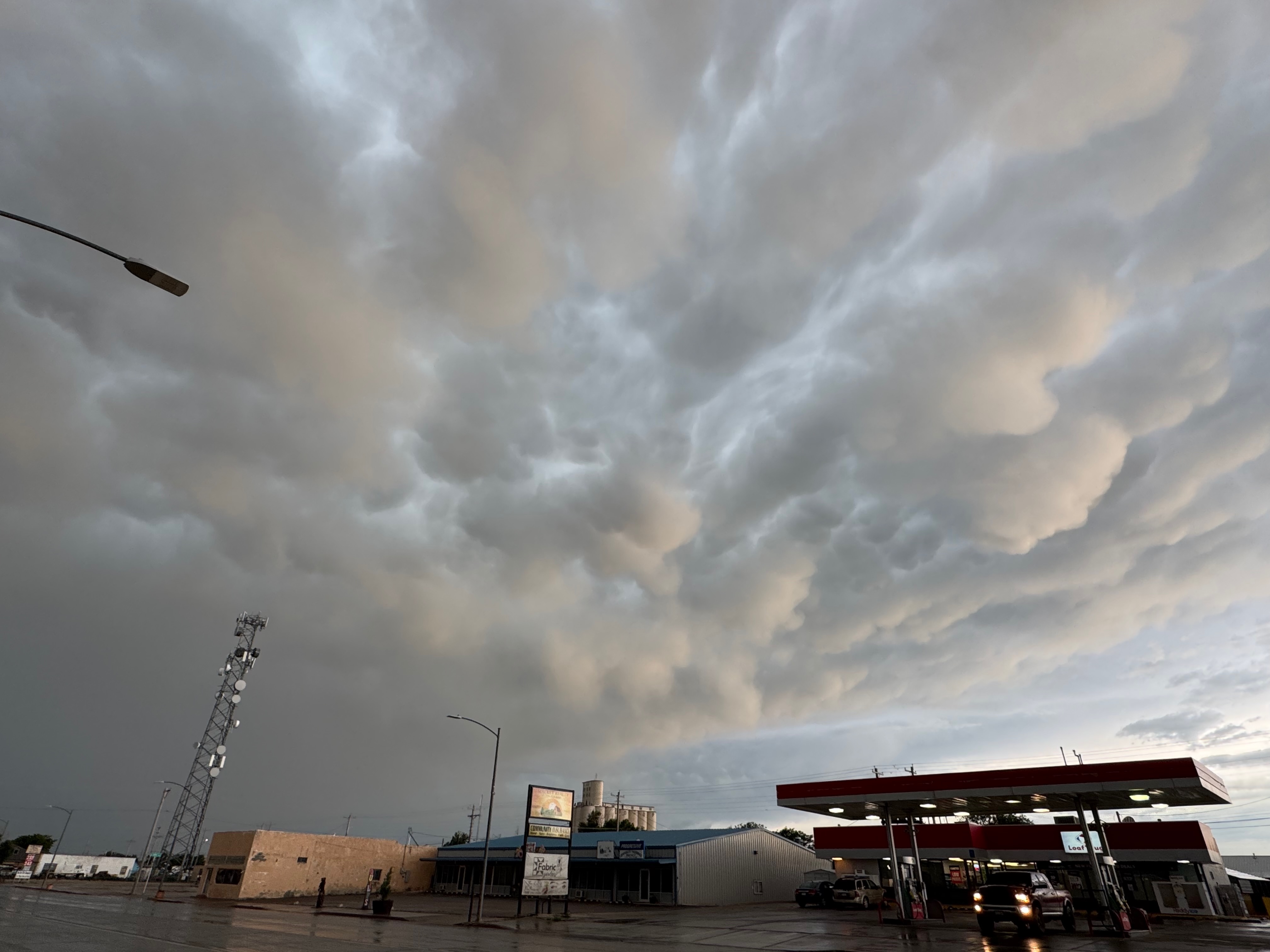
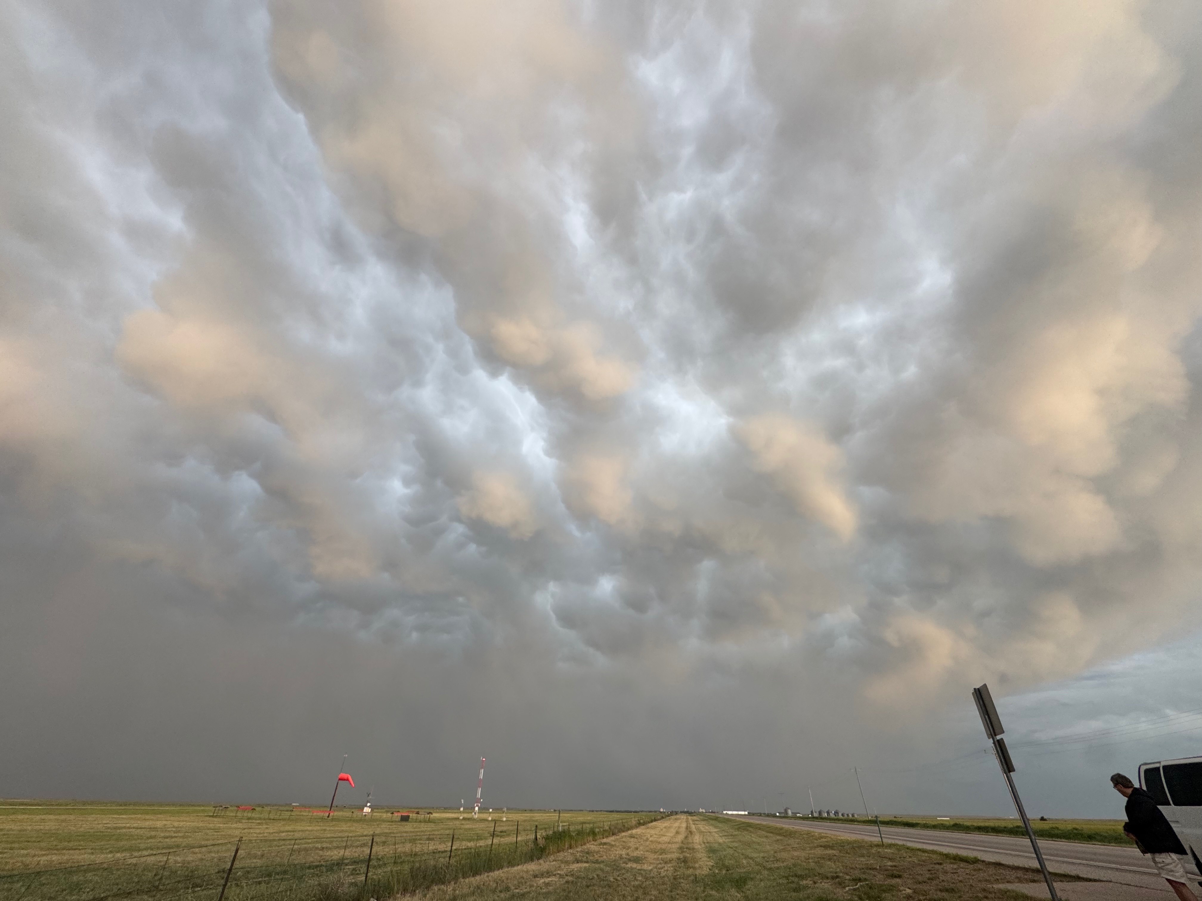
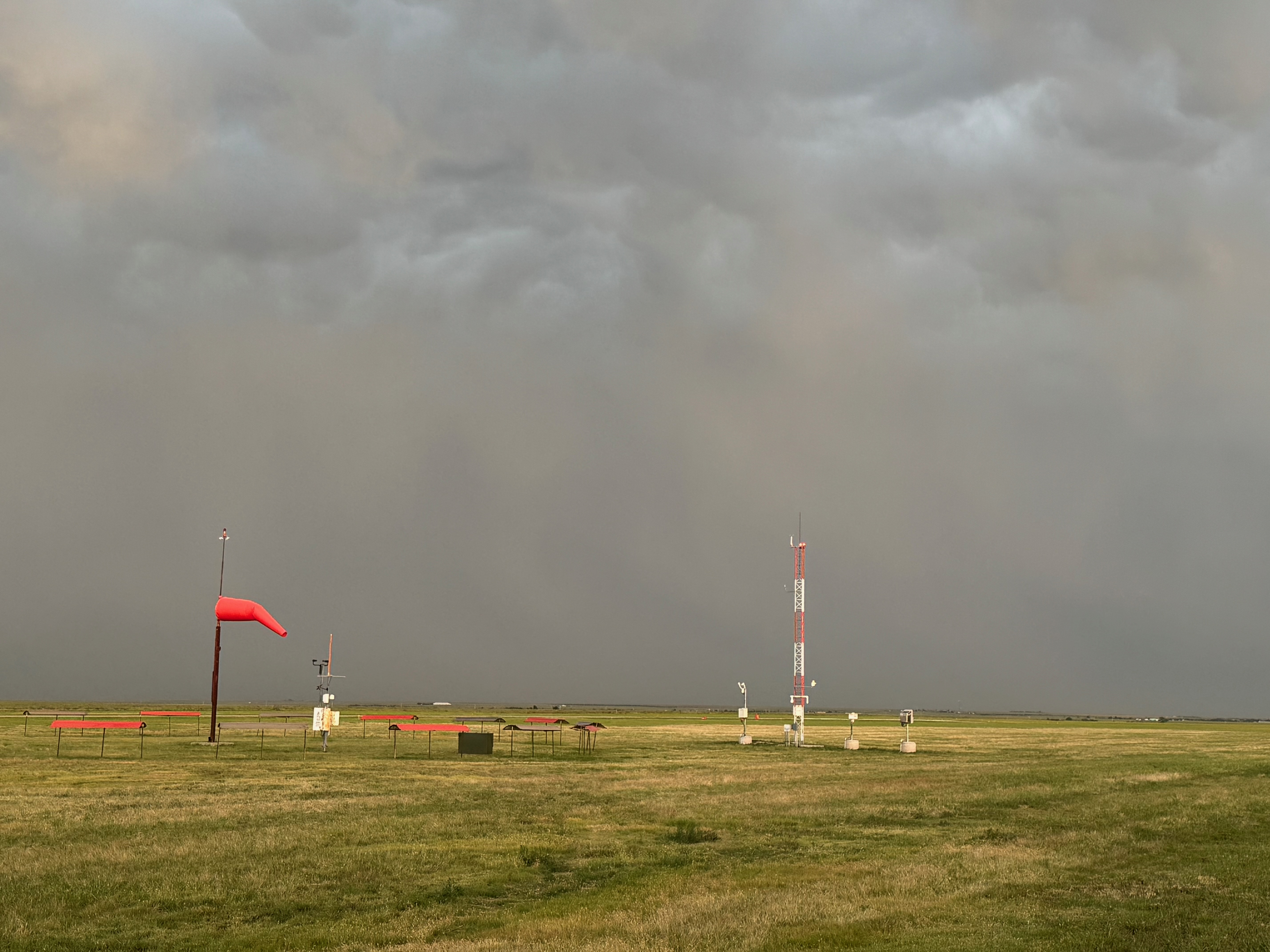
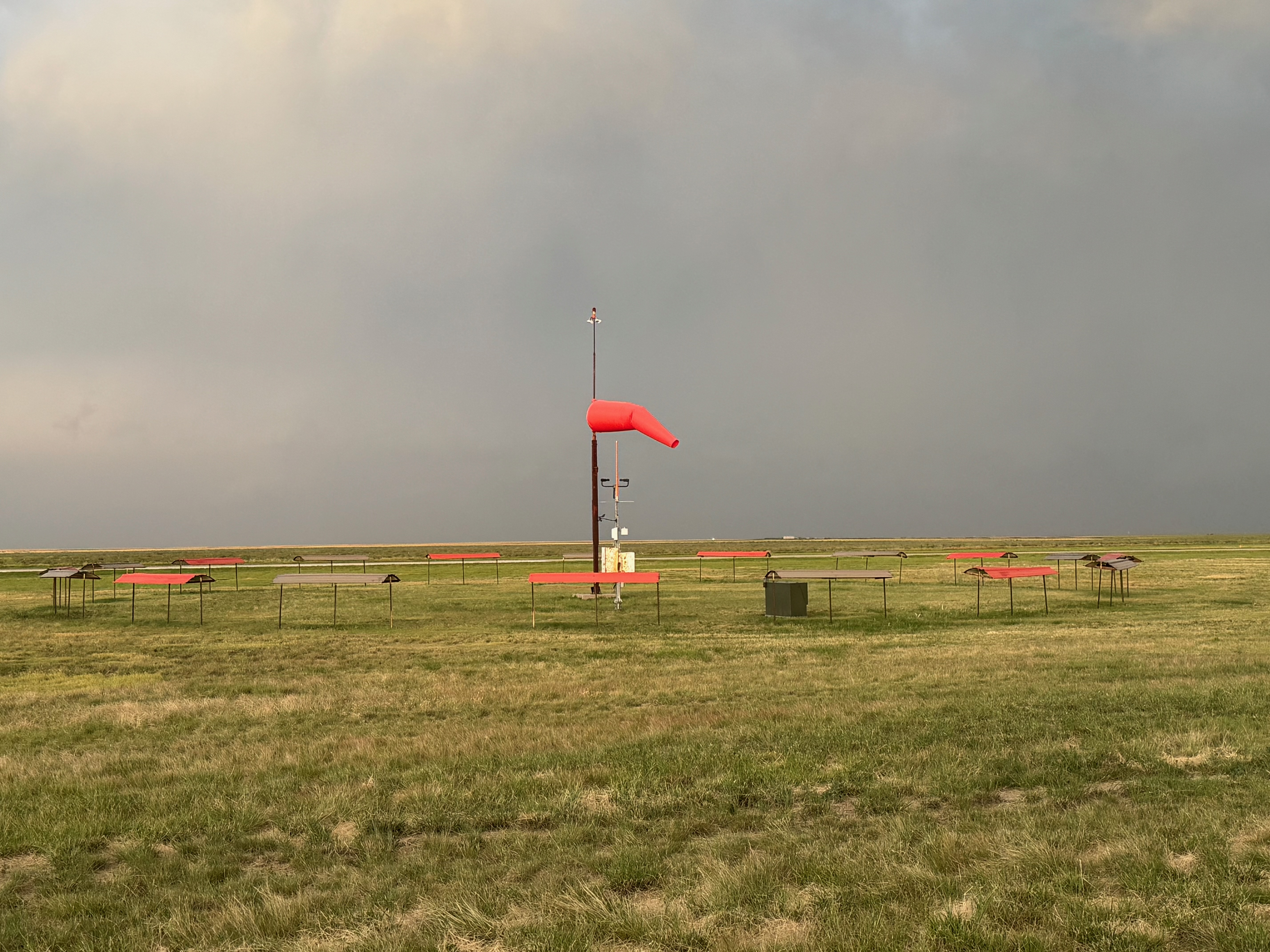
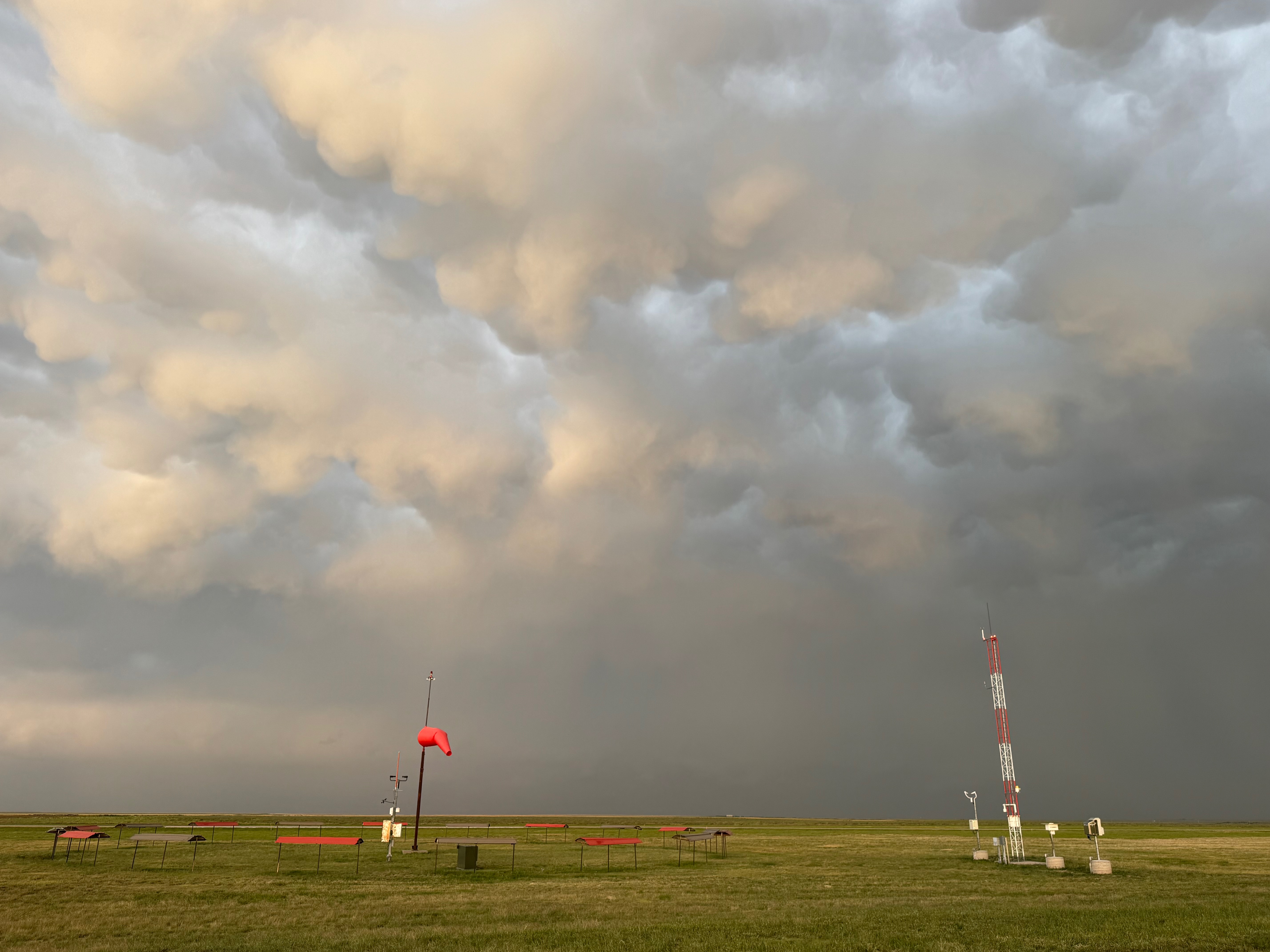
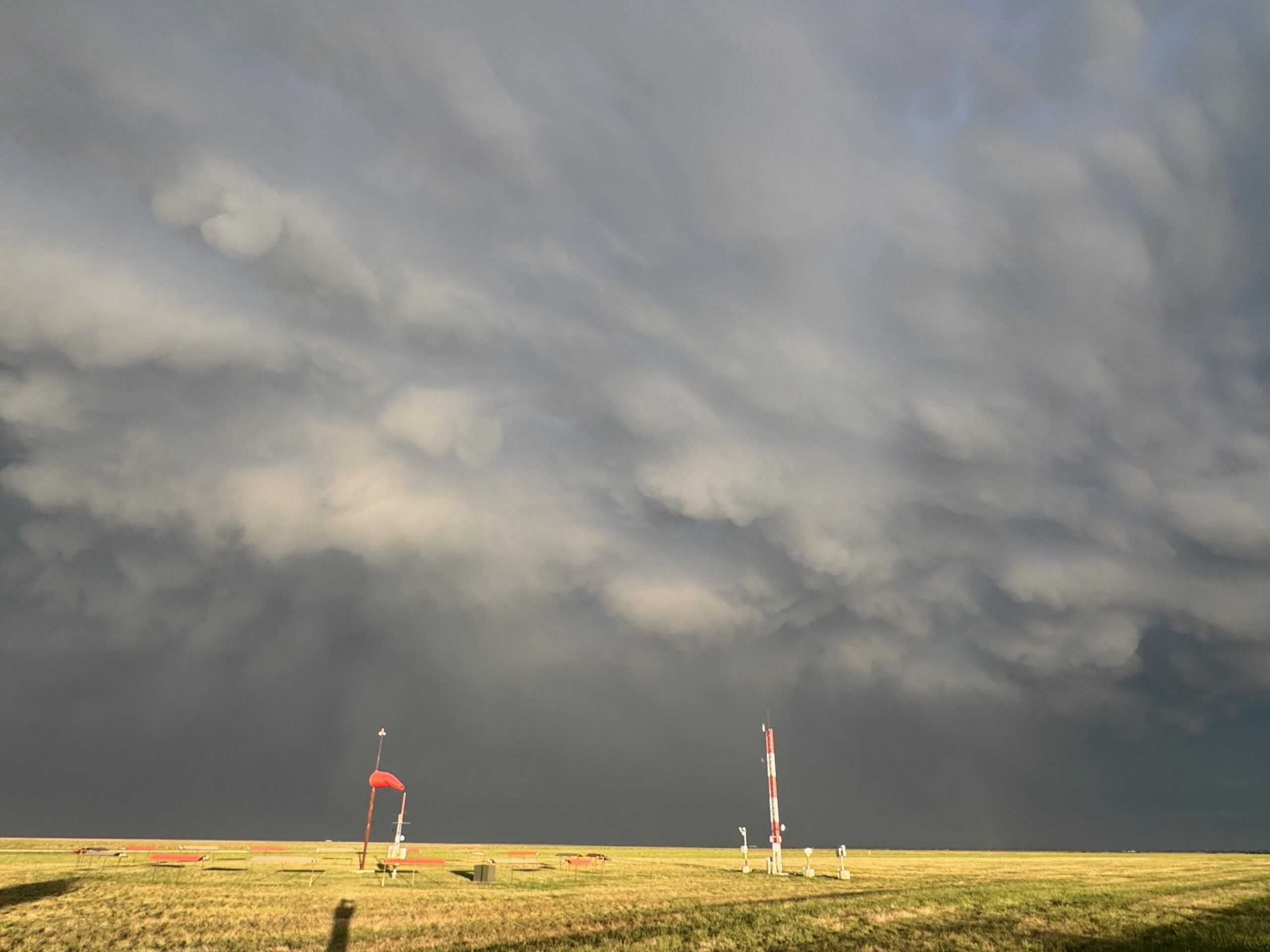
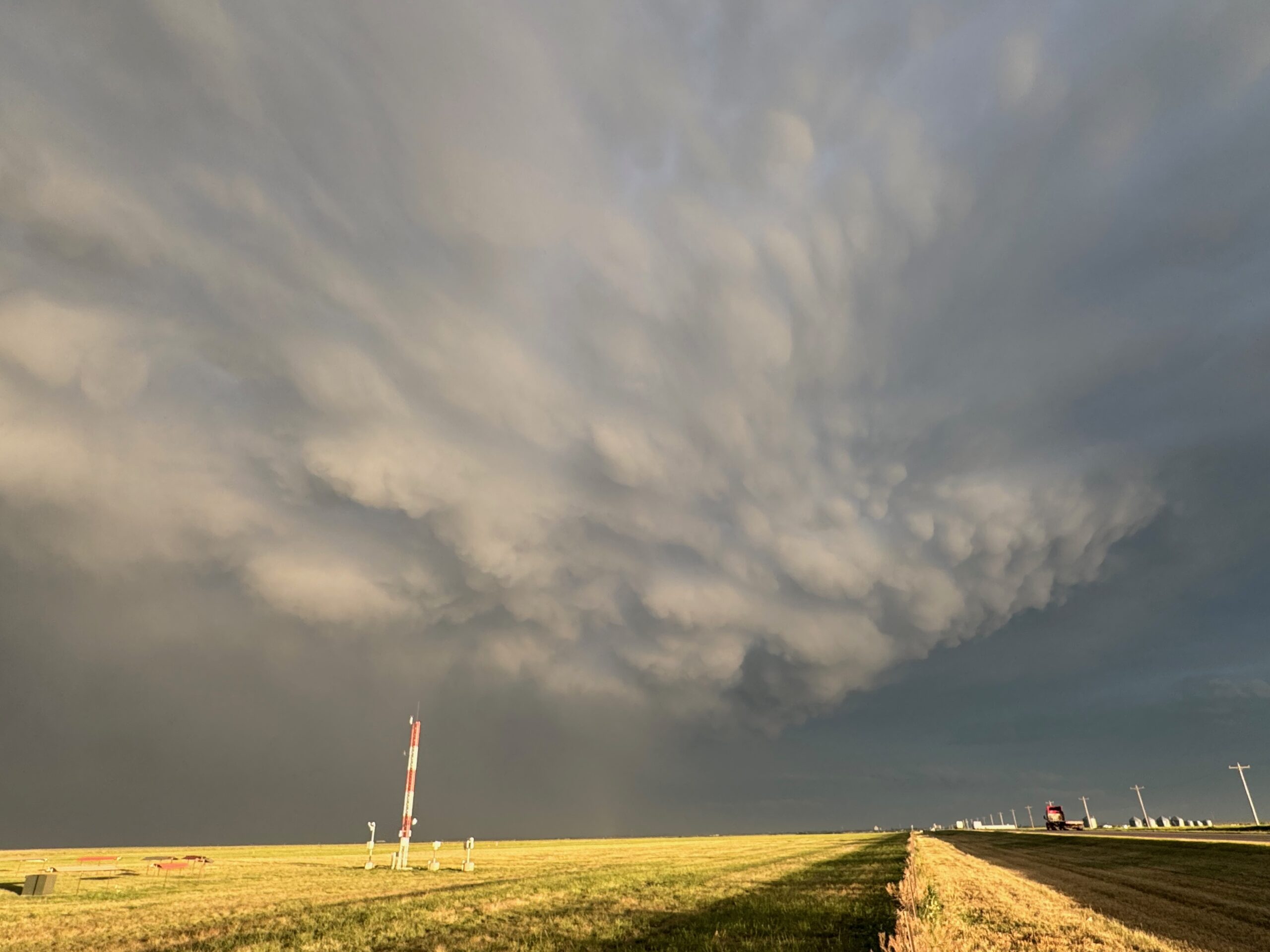
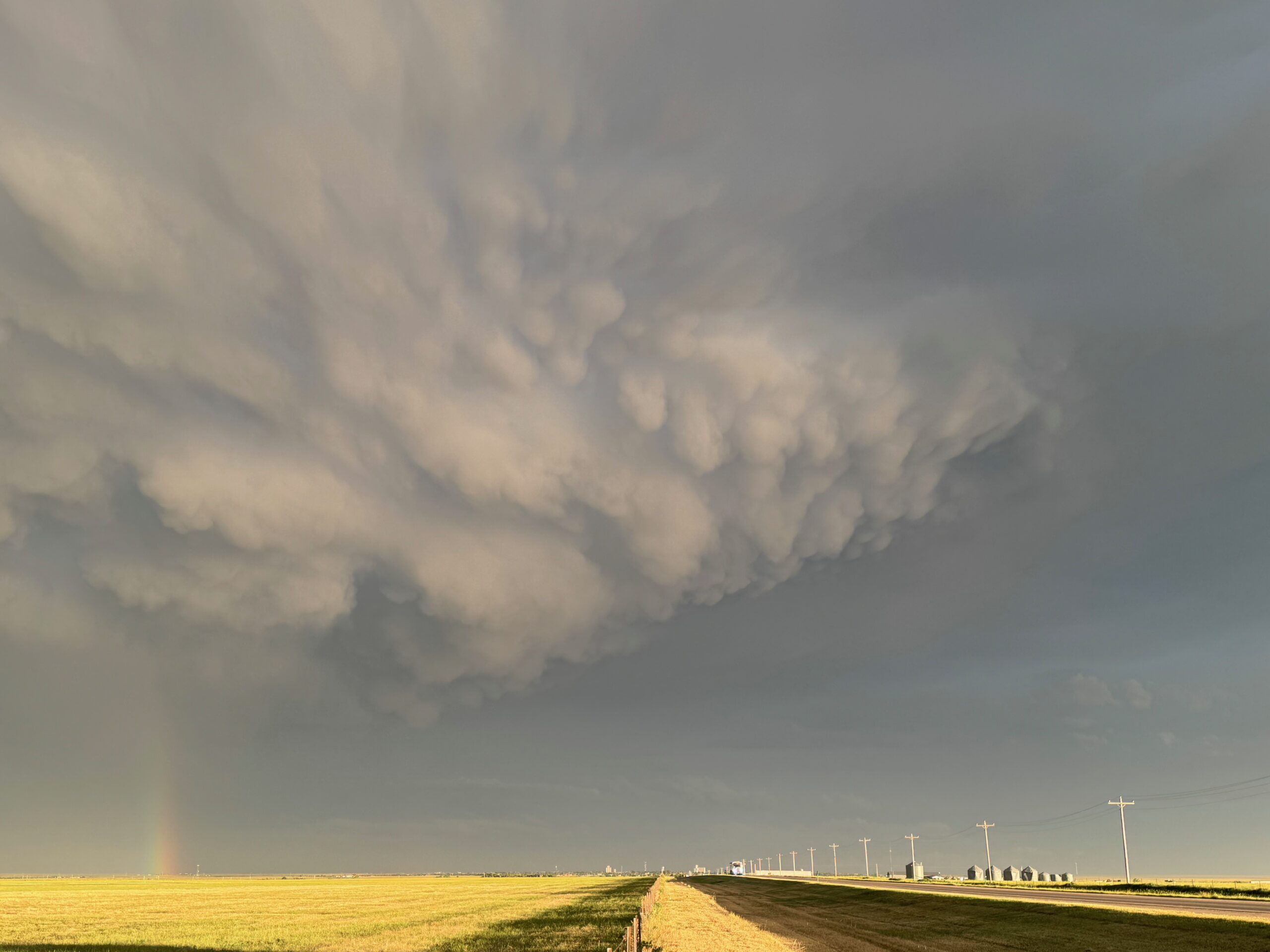
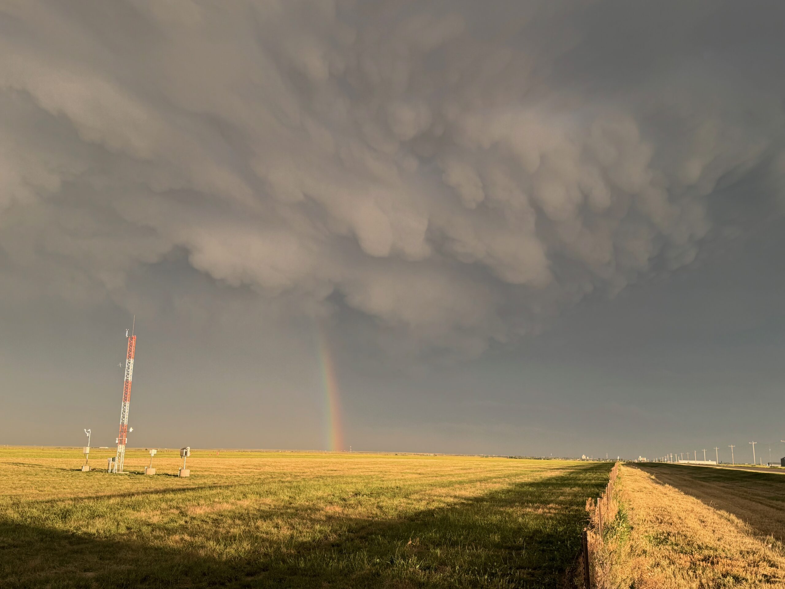
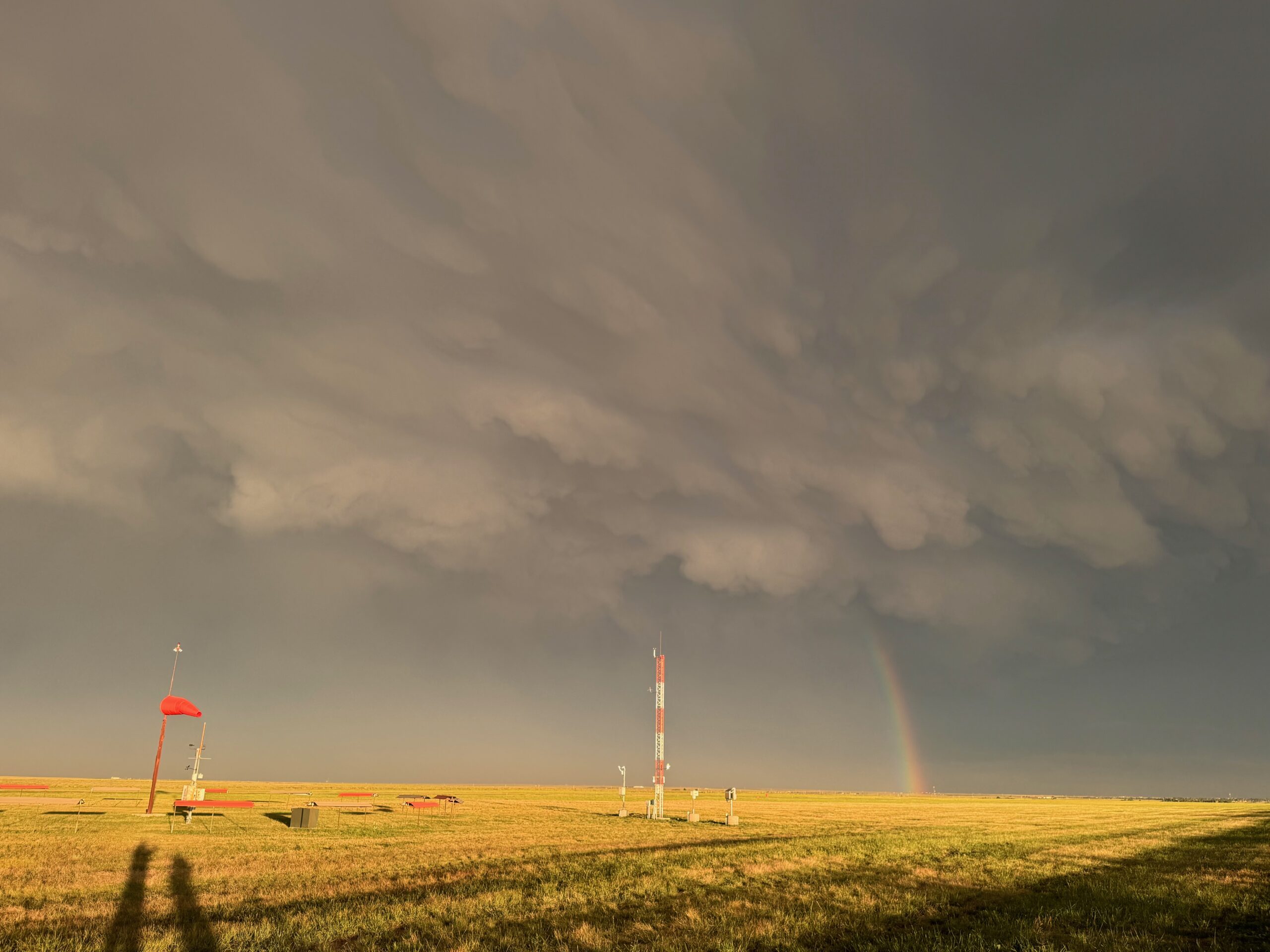
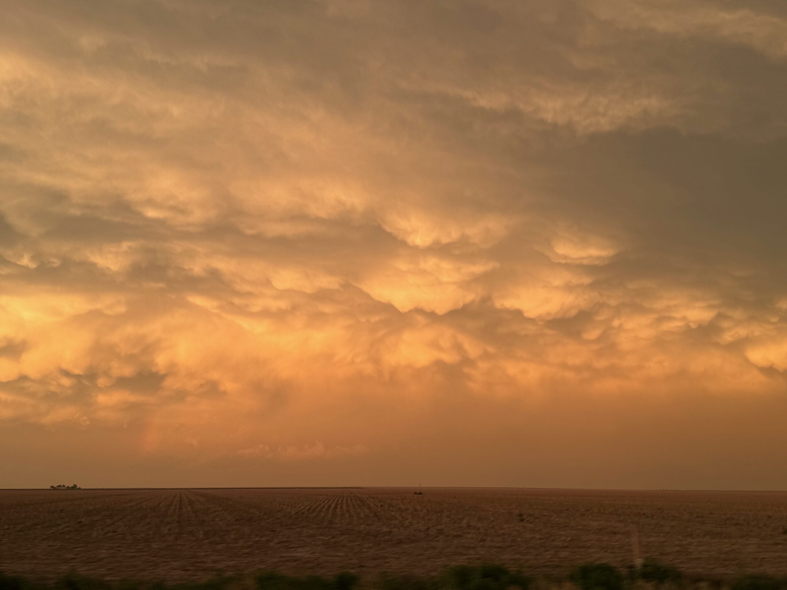
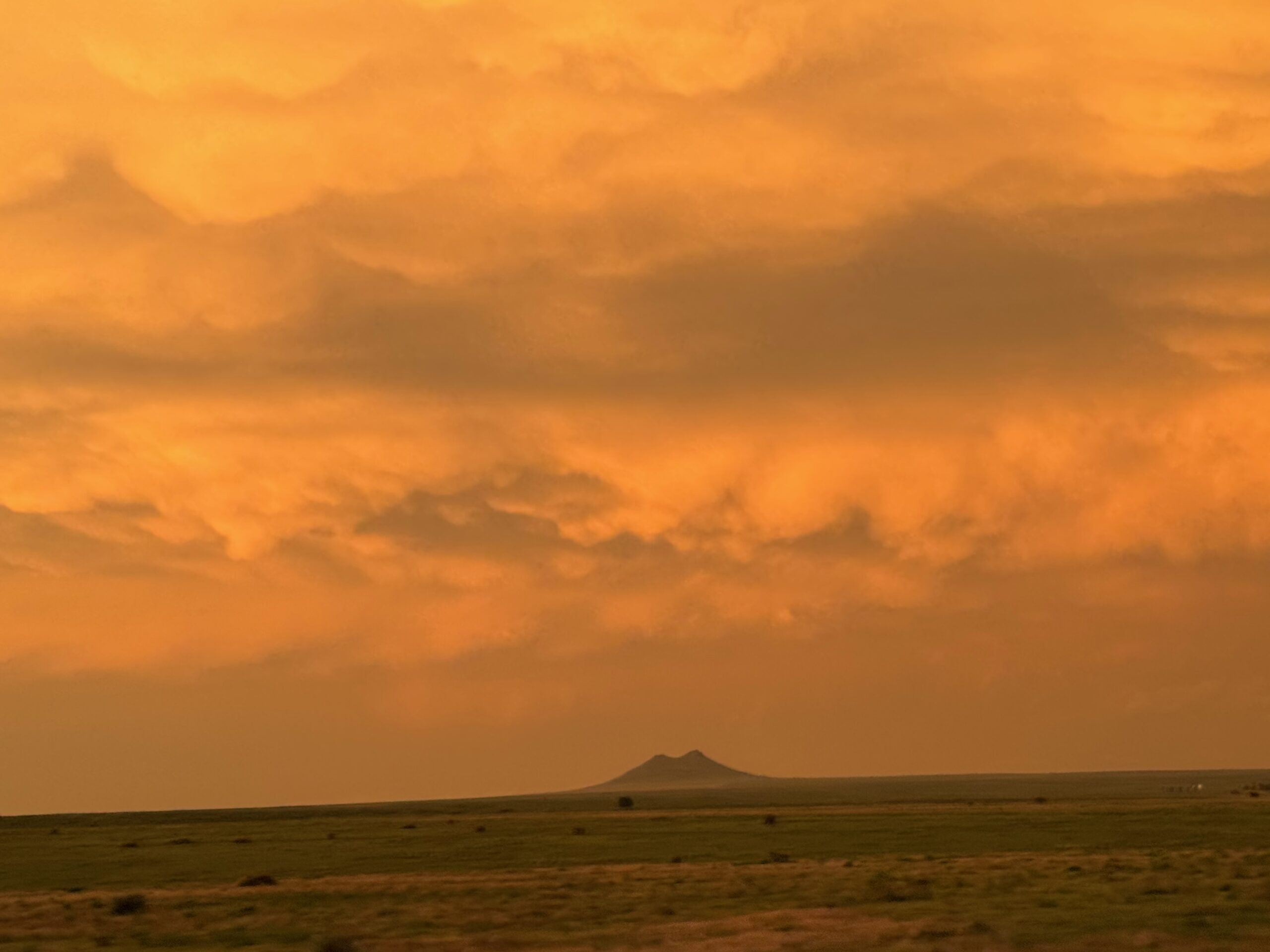
The overall weather pattern was somewhat poor on the Plains for severe weather. A front had sagged southwards to the Raton Mesa, so we dove south from Sidney and Limon to try to get on something. A healthy storm developed just south of the CO/NM border southwest of Branson and moved mostly eastward. Mid-level winds were decent and from the southwest, and I was hoping that this storm would move more to the northeast, but it was reluctant to do so! The storm looked to have a good lowering and low-level structure while south of Kim. But we were still barreling southward, north of Kim, and not that close yet. From near Kim we headed east on 160 to get ahead of the storm. This finally eventuated close to the CO/OK border south of Campo, and we were treated to fairly impressive storm structure as the severe storm approached. We got out of the way to the north and let the storm pass to our south and southeast. It was weakening, so there was little reason to try to stay with it. The mammatus at sunset at the Springfield Airport was very nice!


Canon images above, iPhone photo dump below

Leave a Reply
You must be logged in to post a comment.