
Start: Lamar, CO/lunch: maybe near Greeley??/End: Julesburg/476 miles
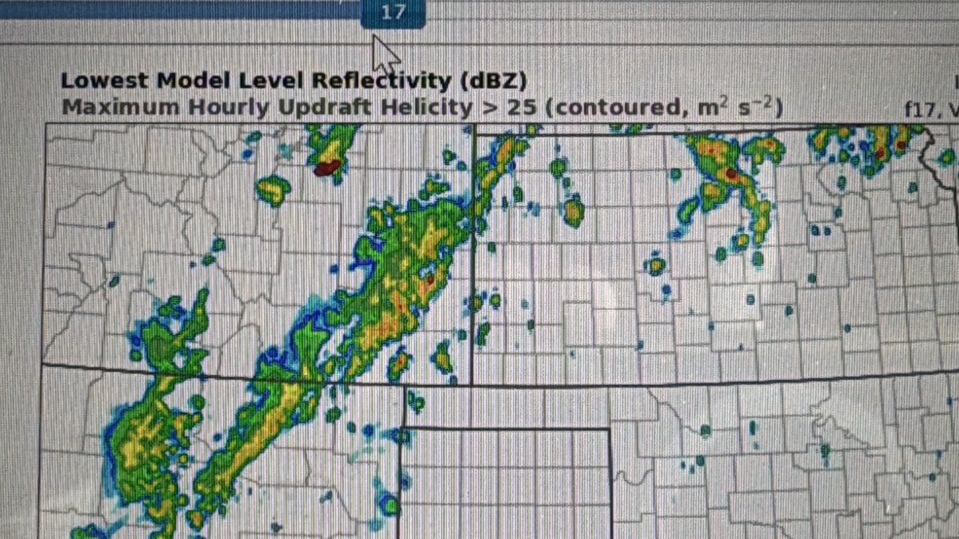
Mesoscale Discussions. 1:35 p.m. CDT. 5:05 p.m. CDT.
We got out of Lamar a little on the early side, thinking that we would probably have to get ourselves well into eastern Wyoming. But by early afternoon it appeared that the Wyoming play was going down the tubes due to too much low cloudiness on the plains east of the Laramie Mountains.
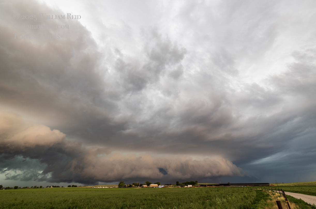
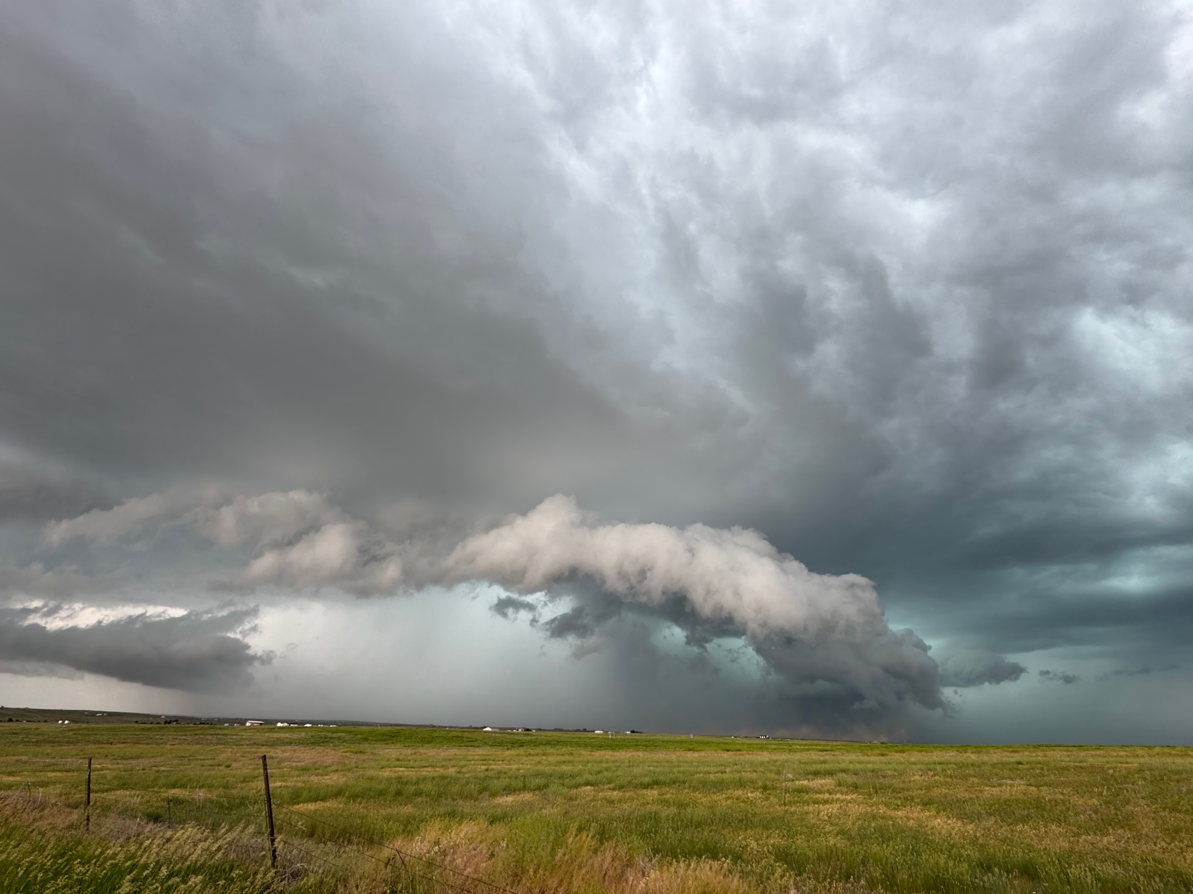
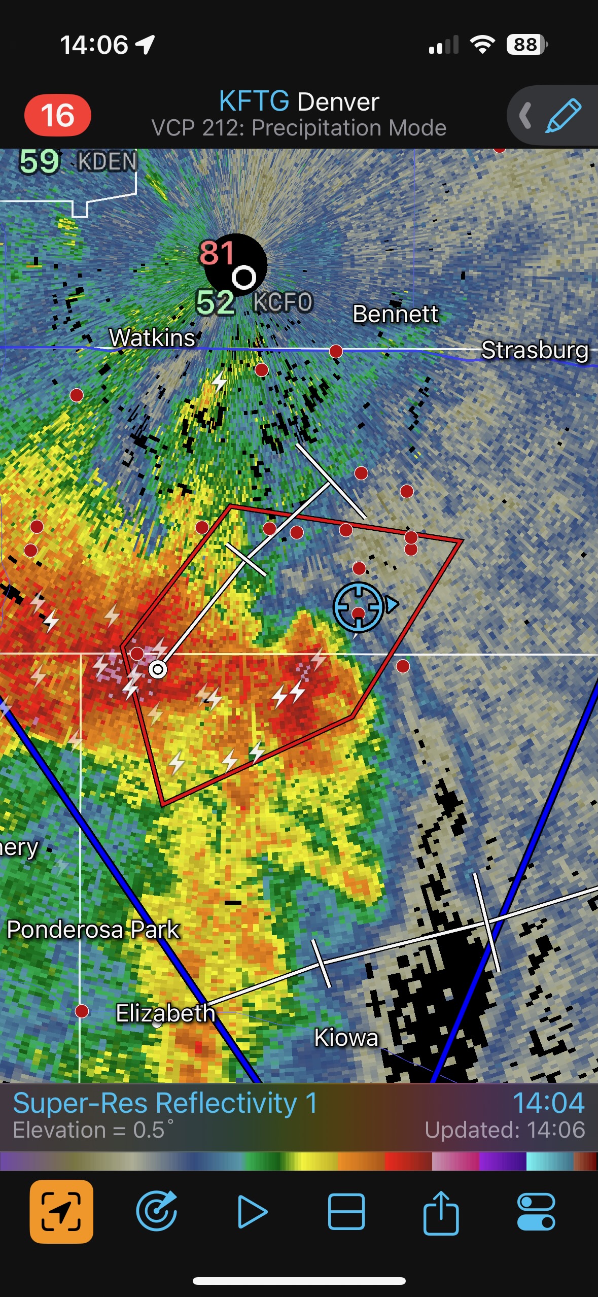
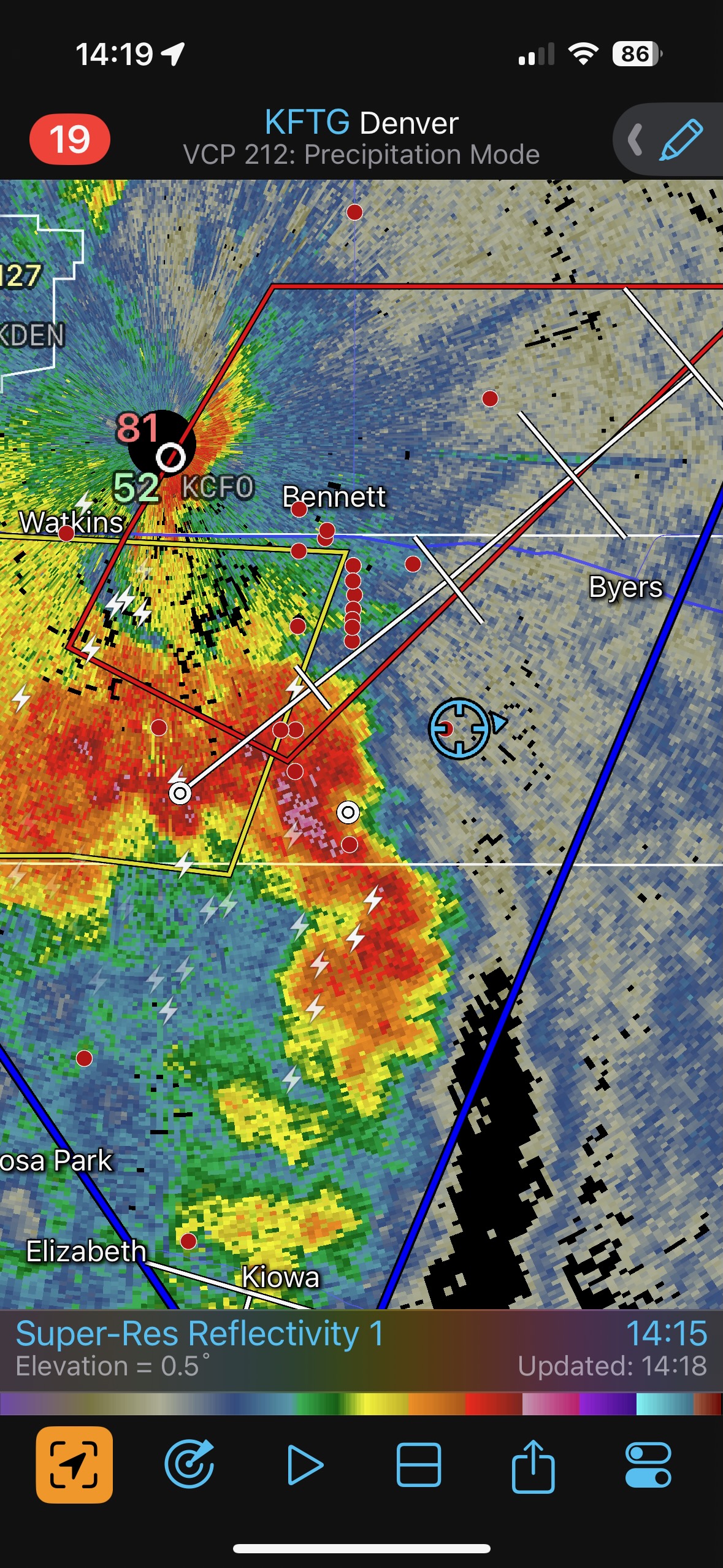
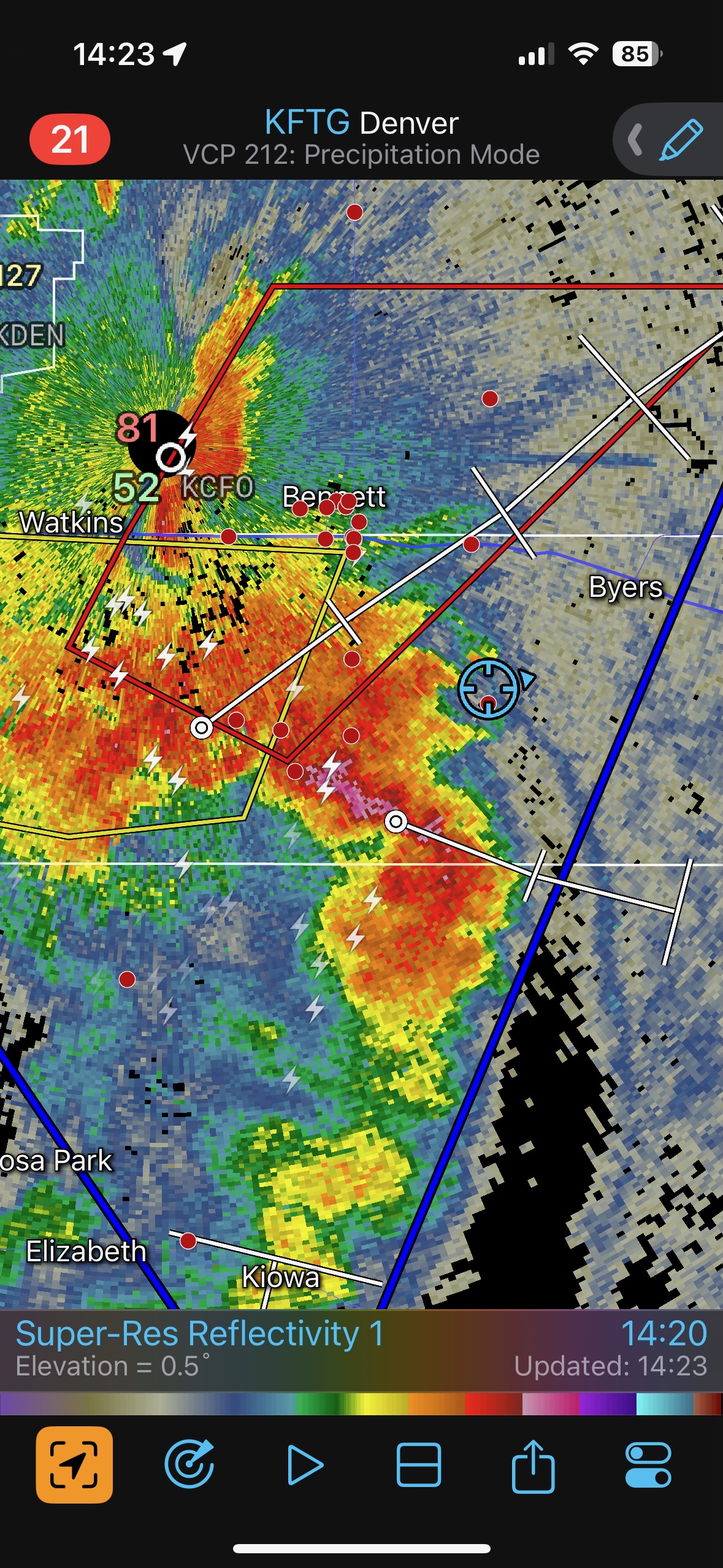
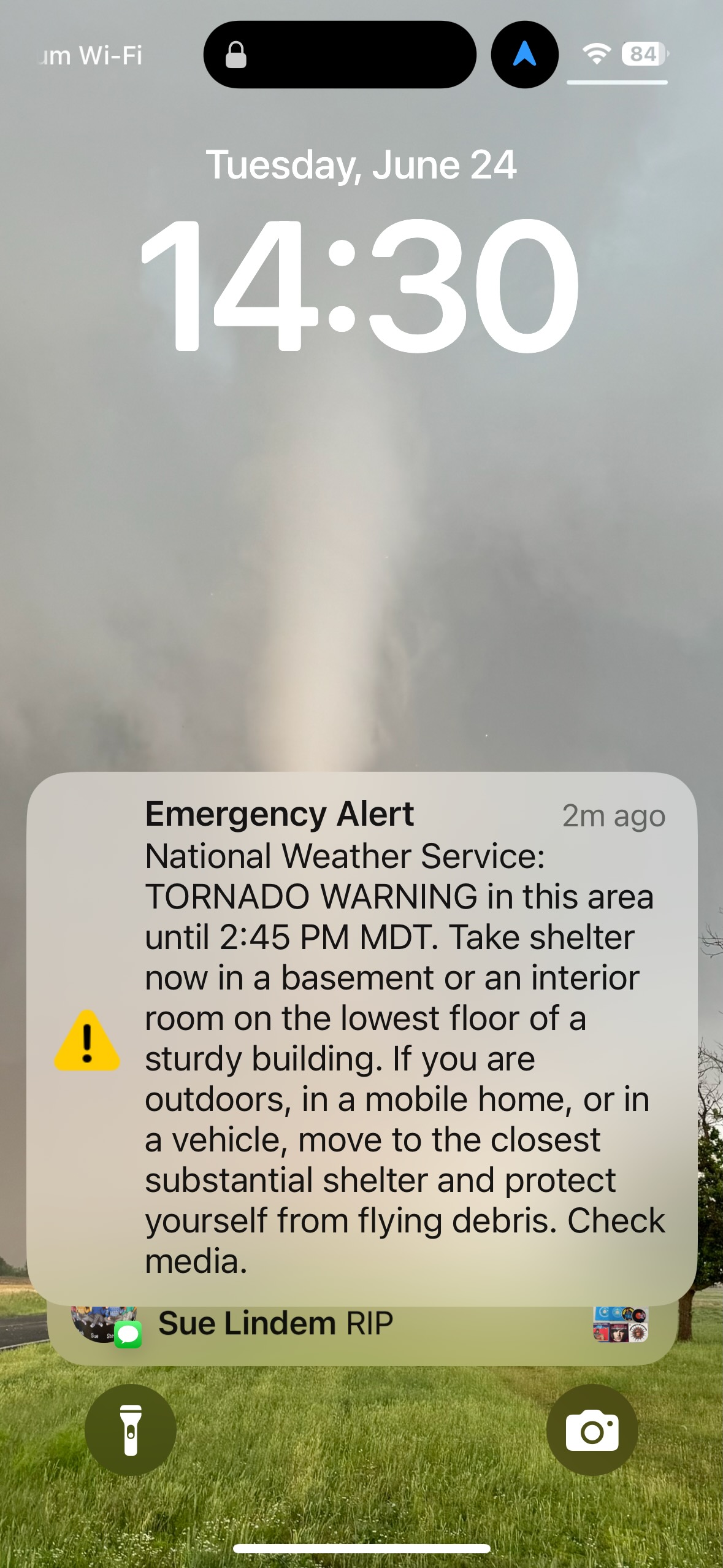
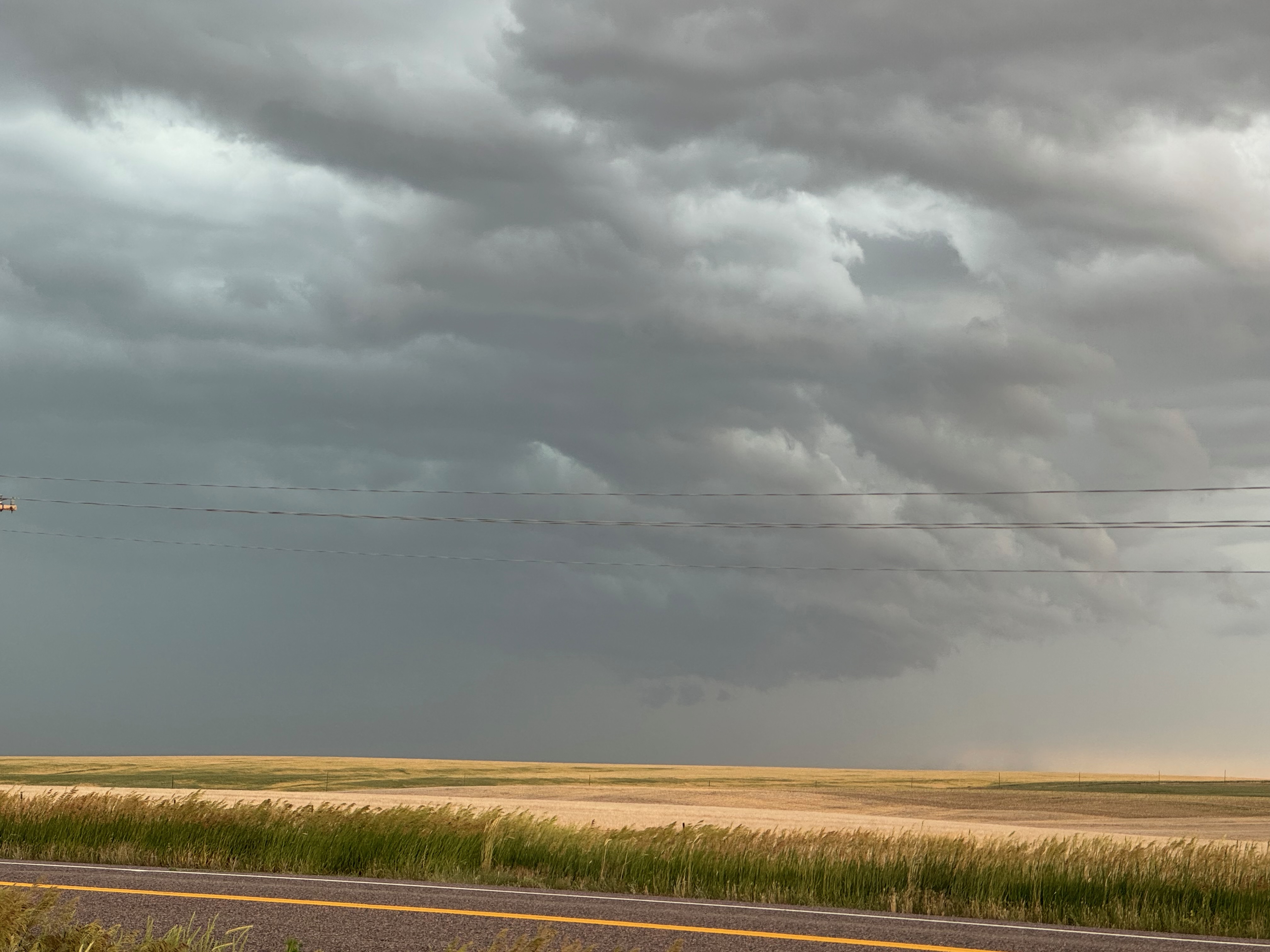
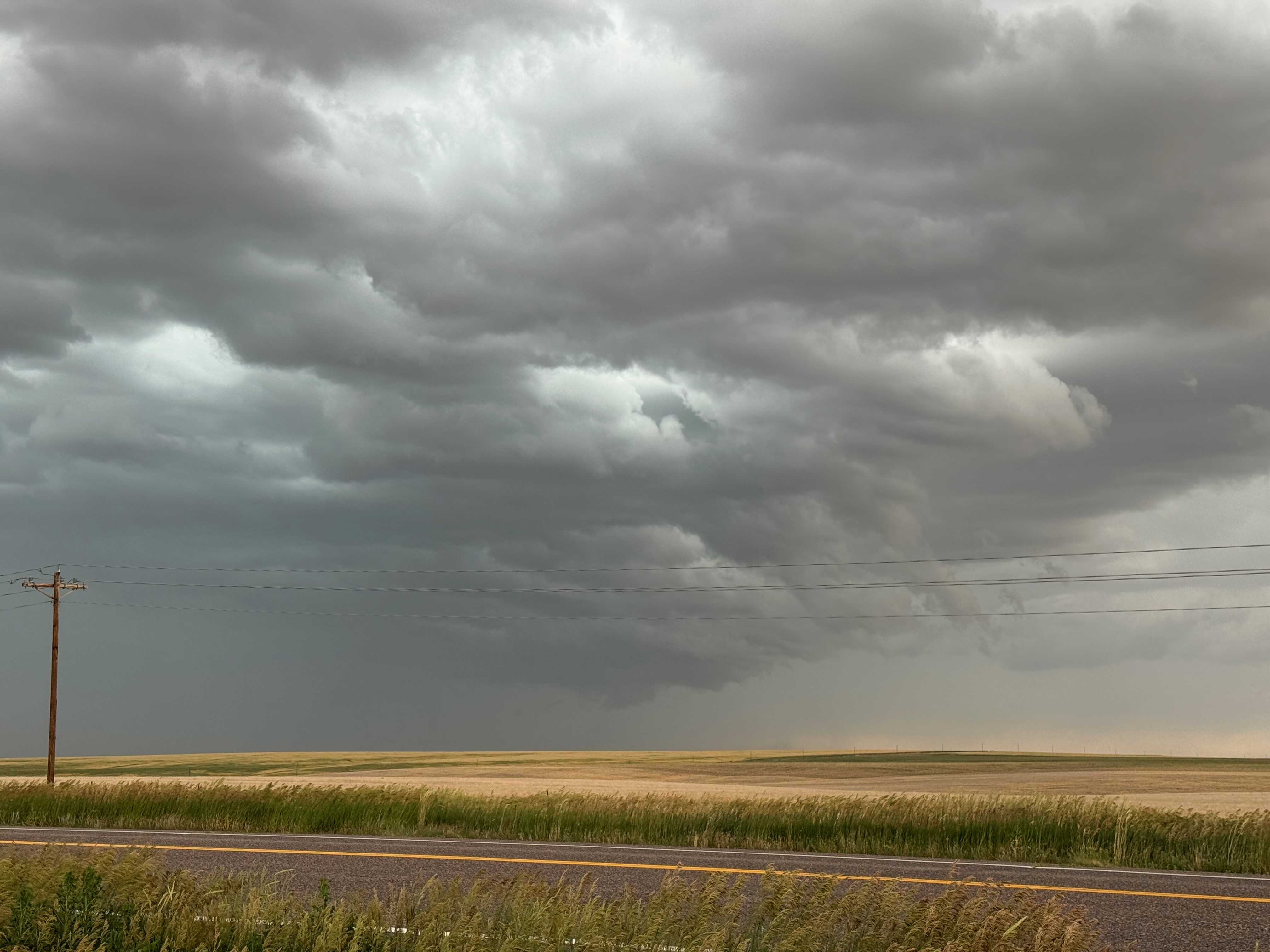
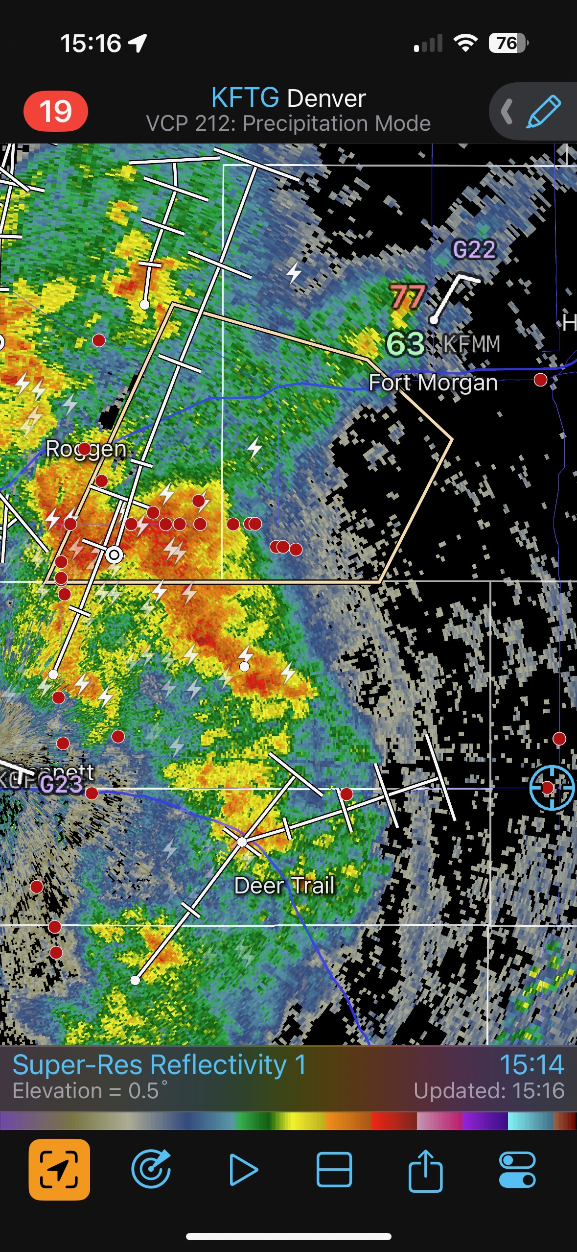
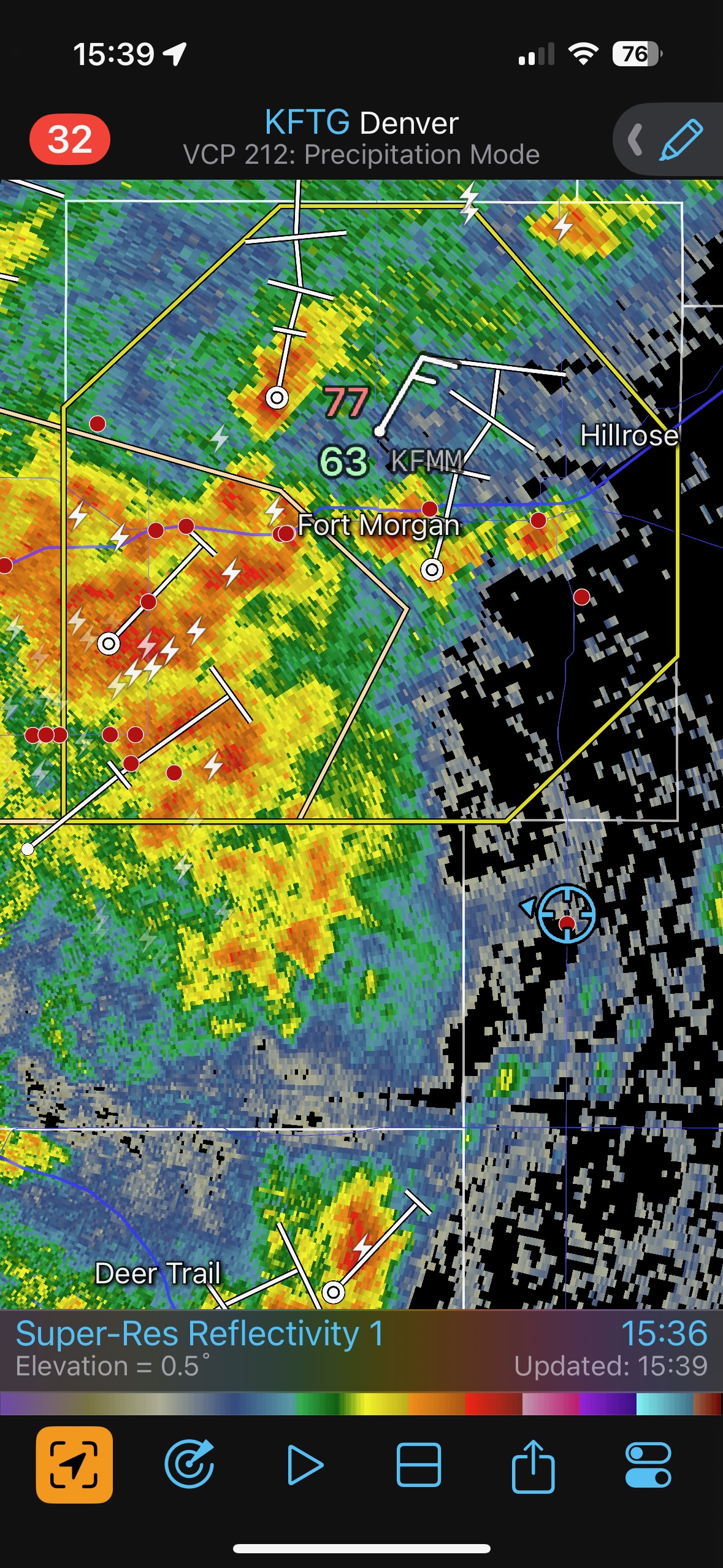
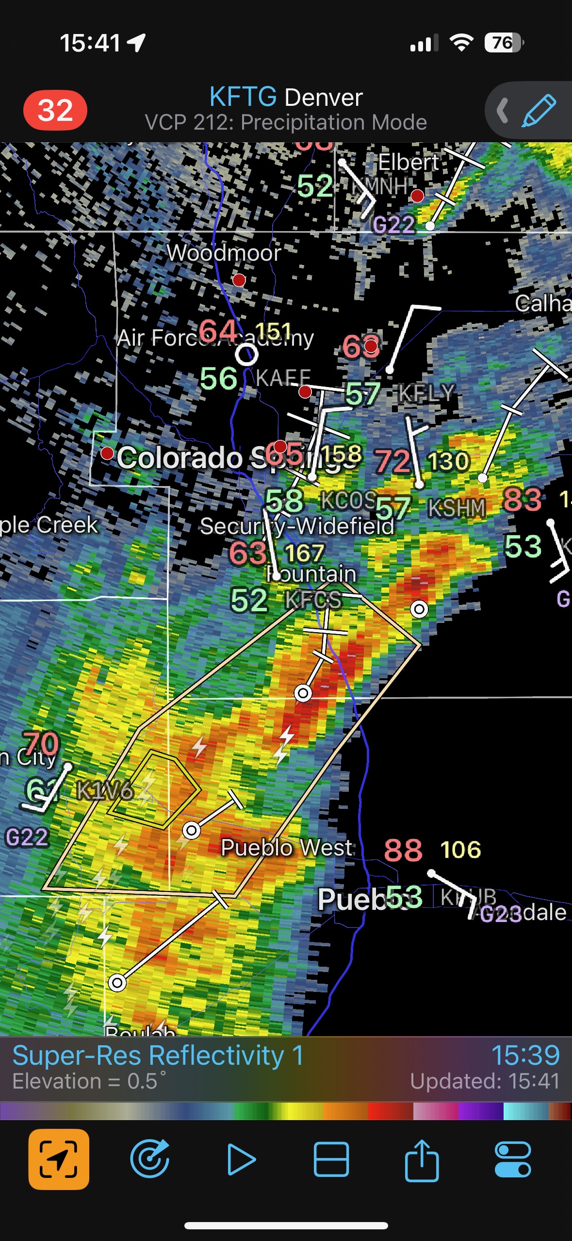
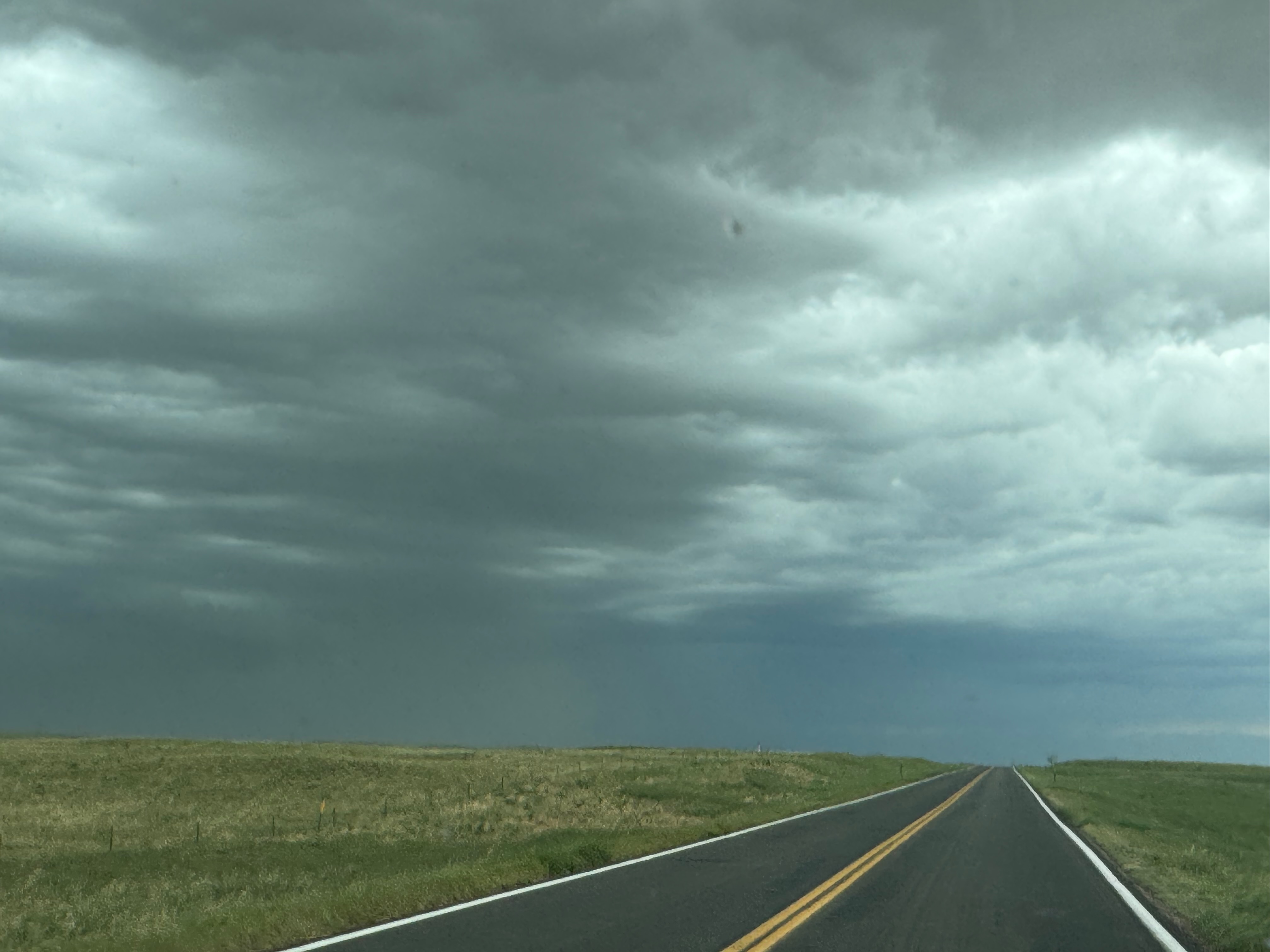
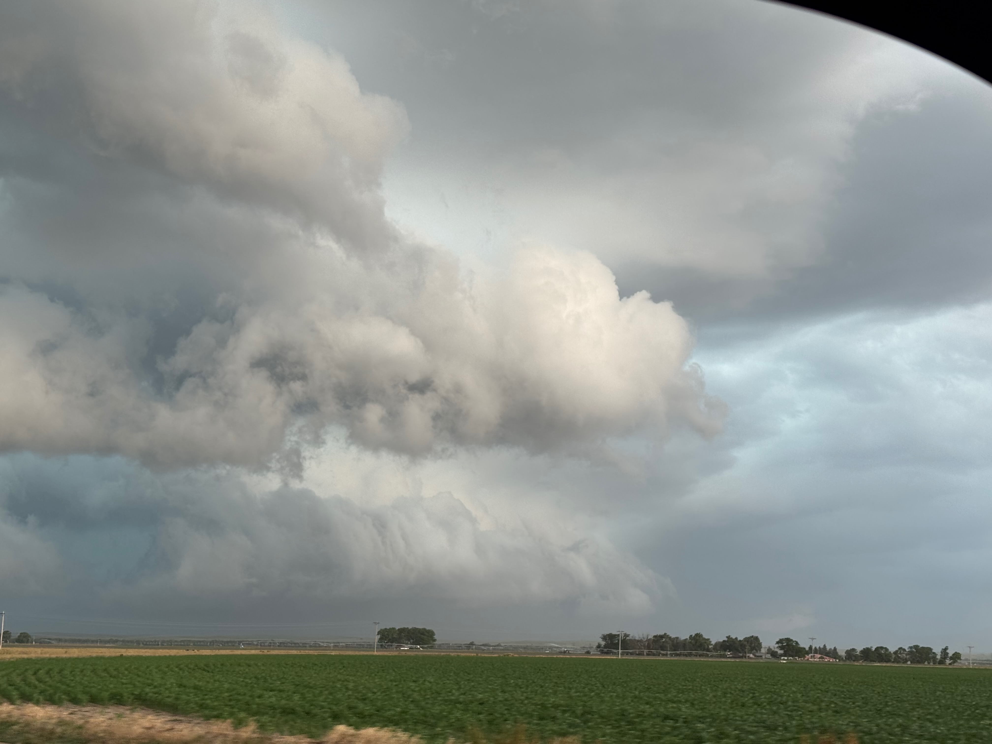
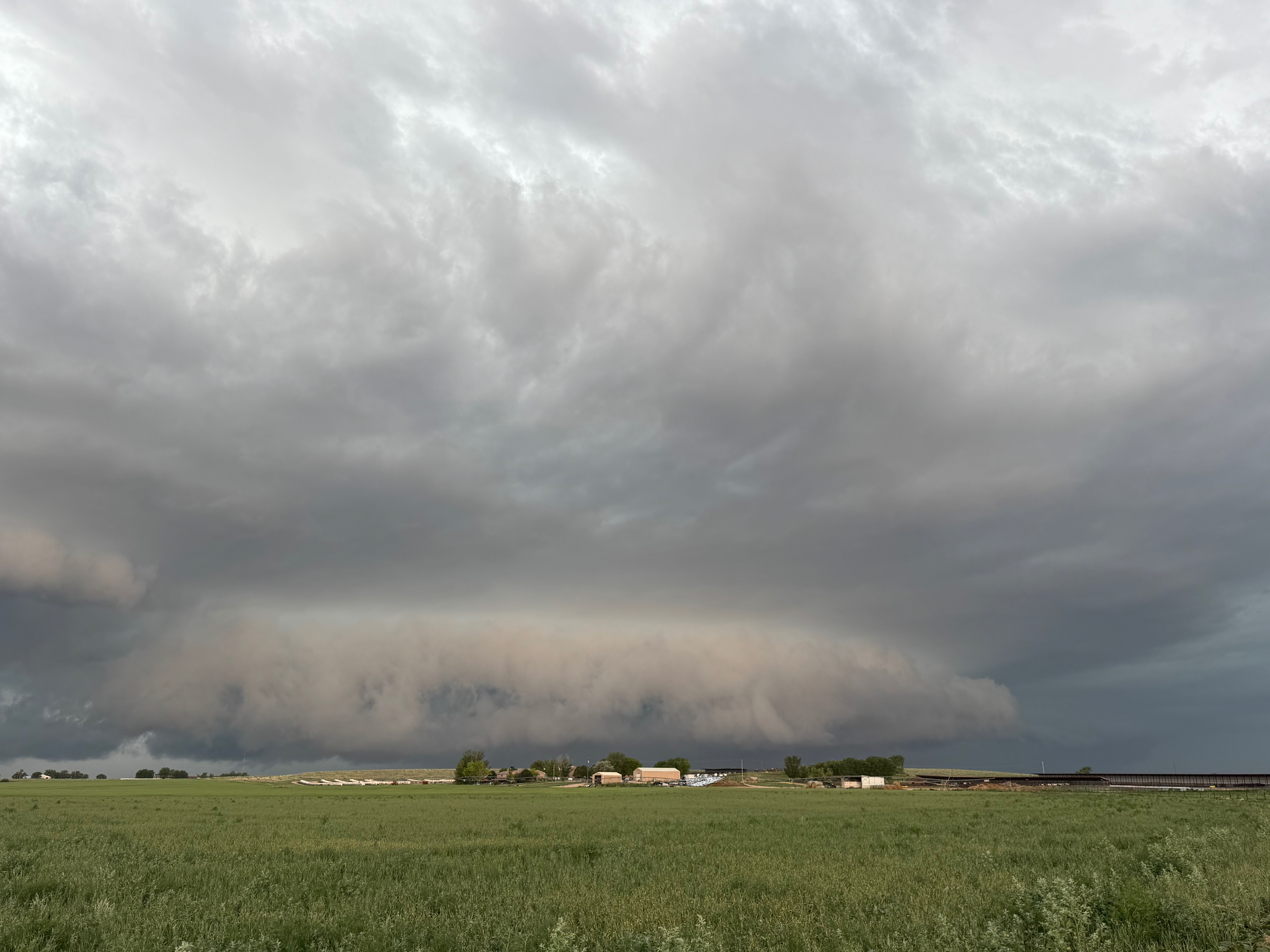
After lunch we sagged back to the south of Bennett and I-70 to watch a tornado-warned cell. The storm pushed some cool outflow out in front of it, at least where we were on the east side. There was an area of interest to our ENE for a bit near Bennett that looked to have some rotation. Nothing important tornado-wise came about.
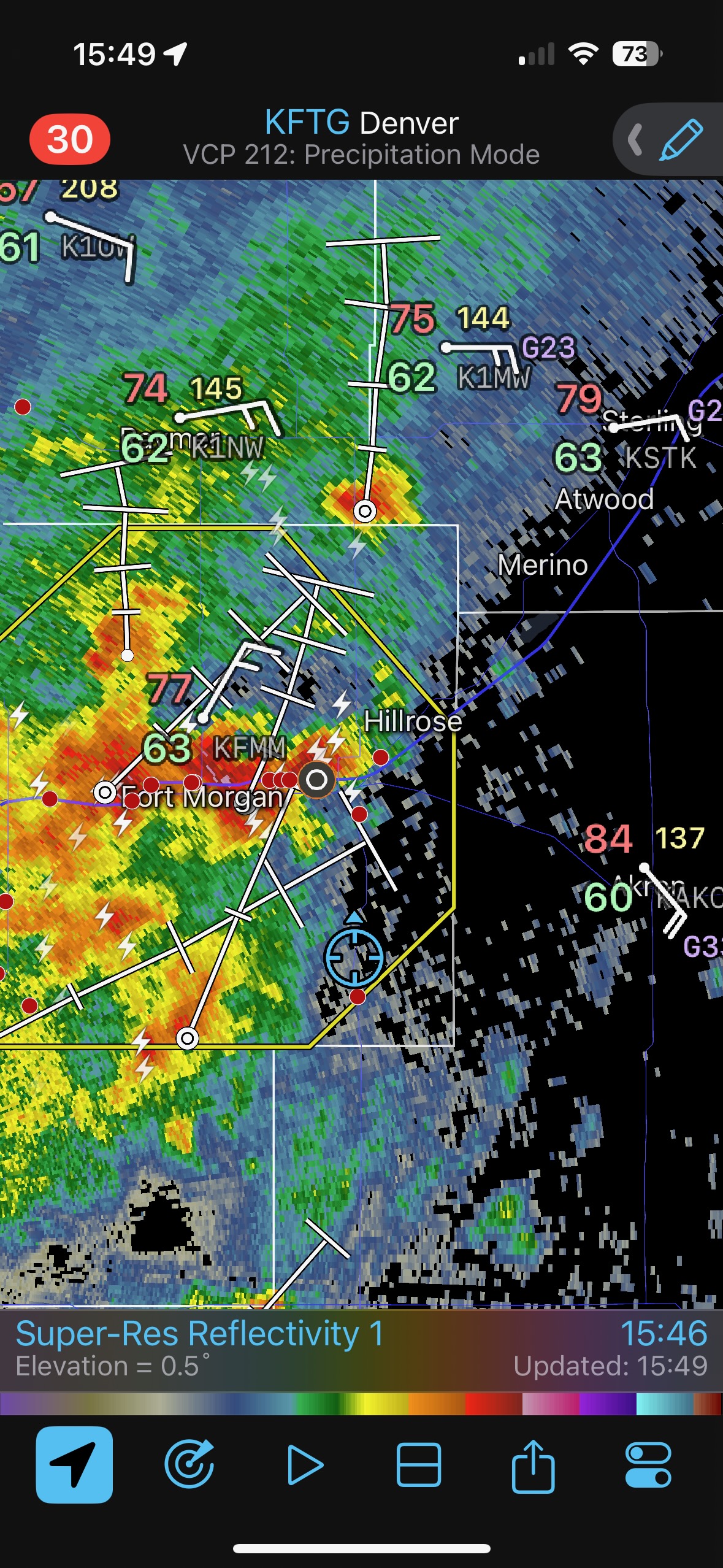
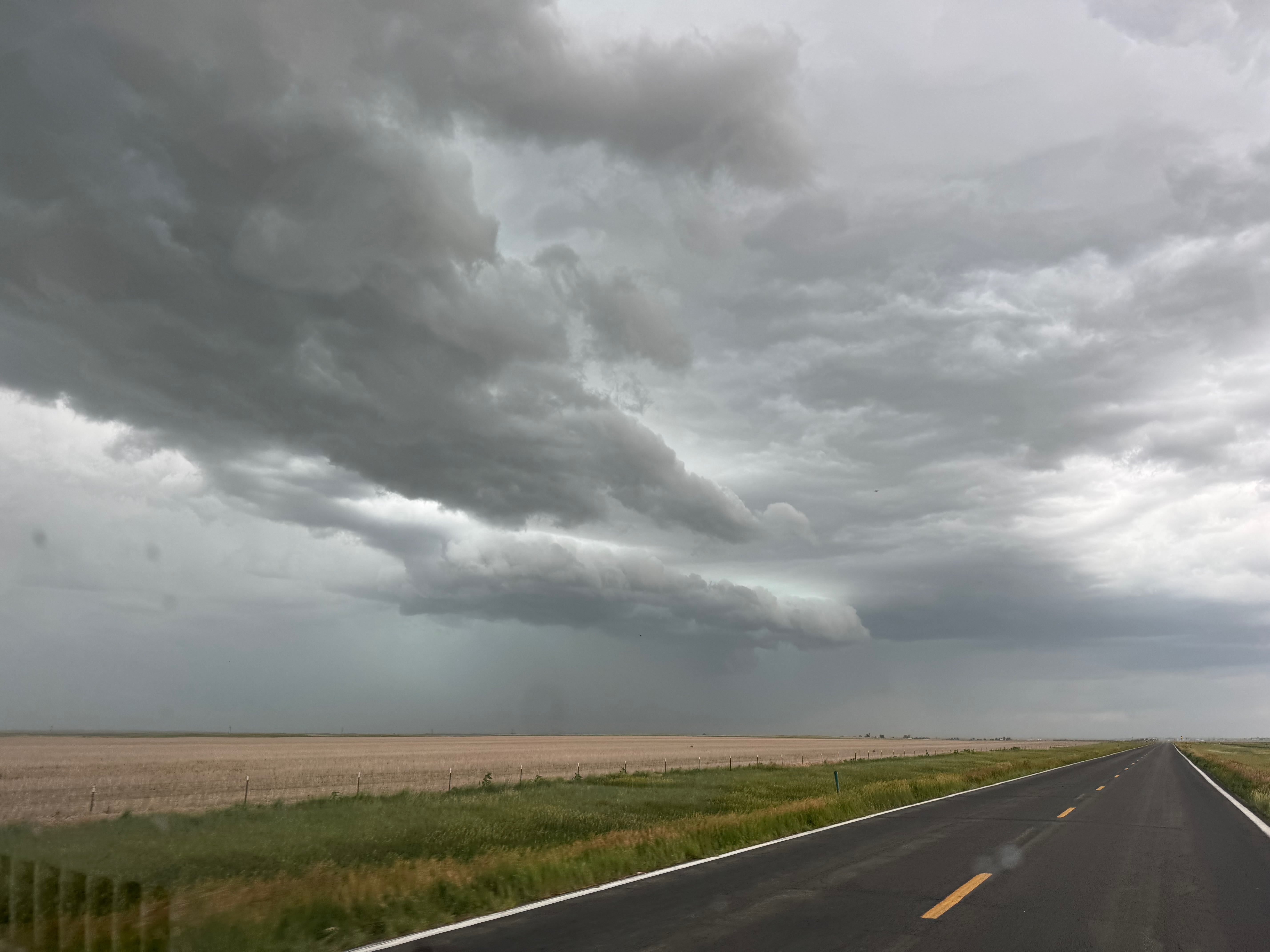
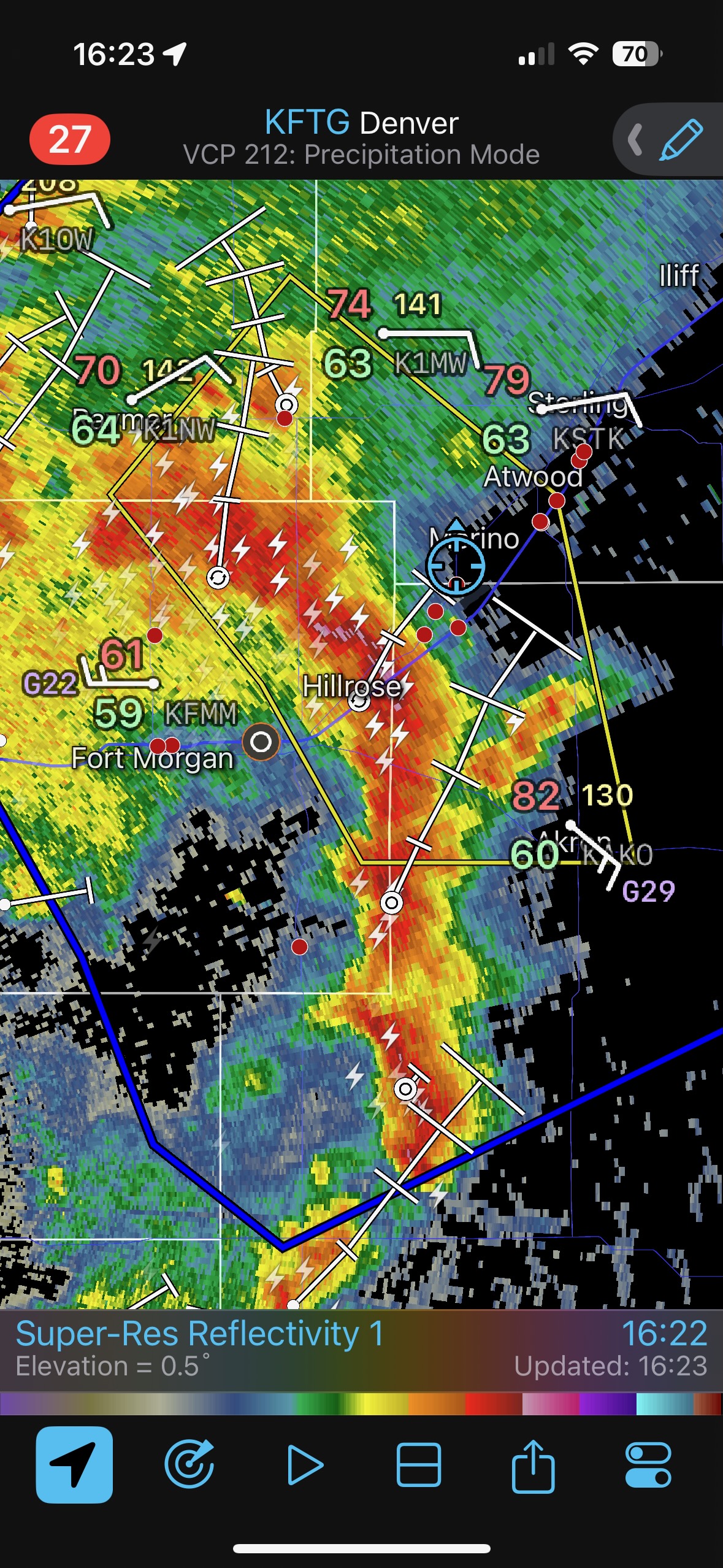
The storm quickly turned junky and disorganized. Later, we met up with a decent squall line southwest of Sterling.
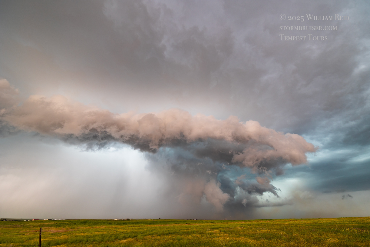

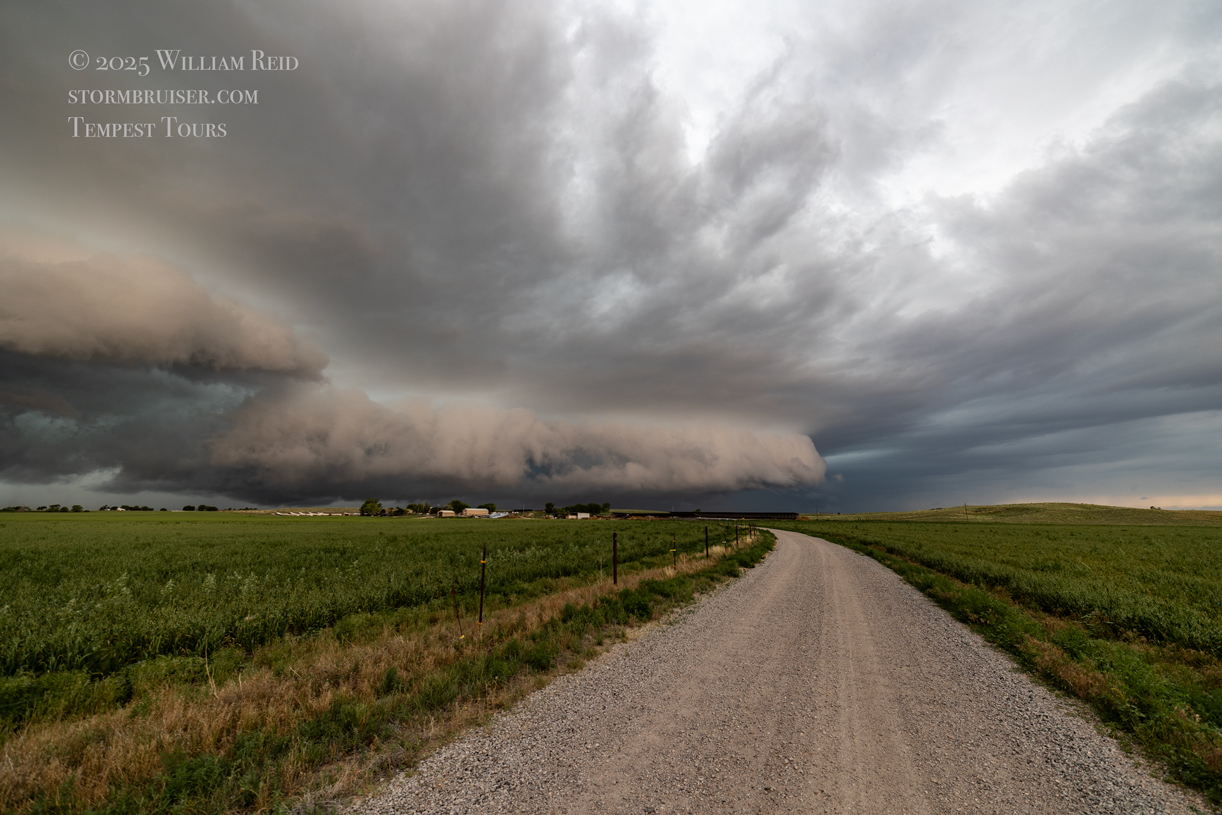
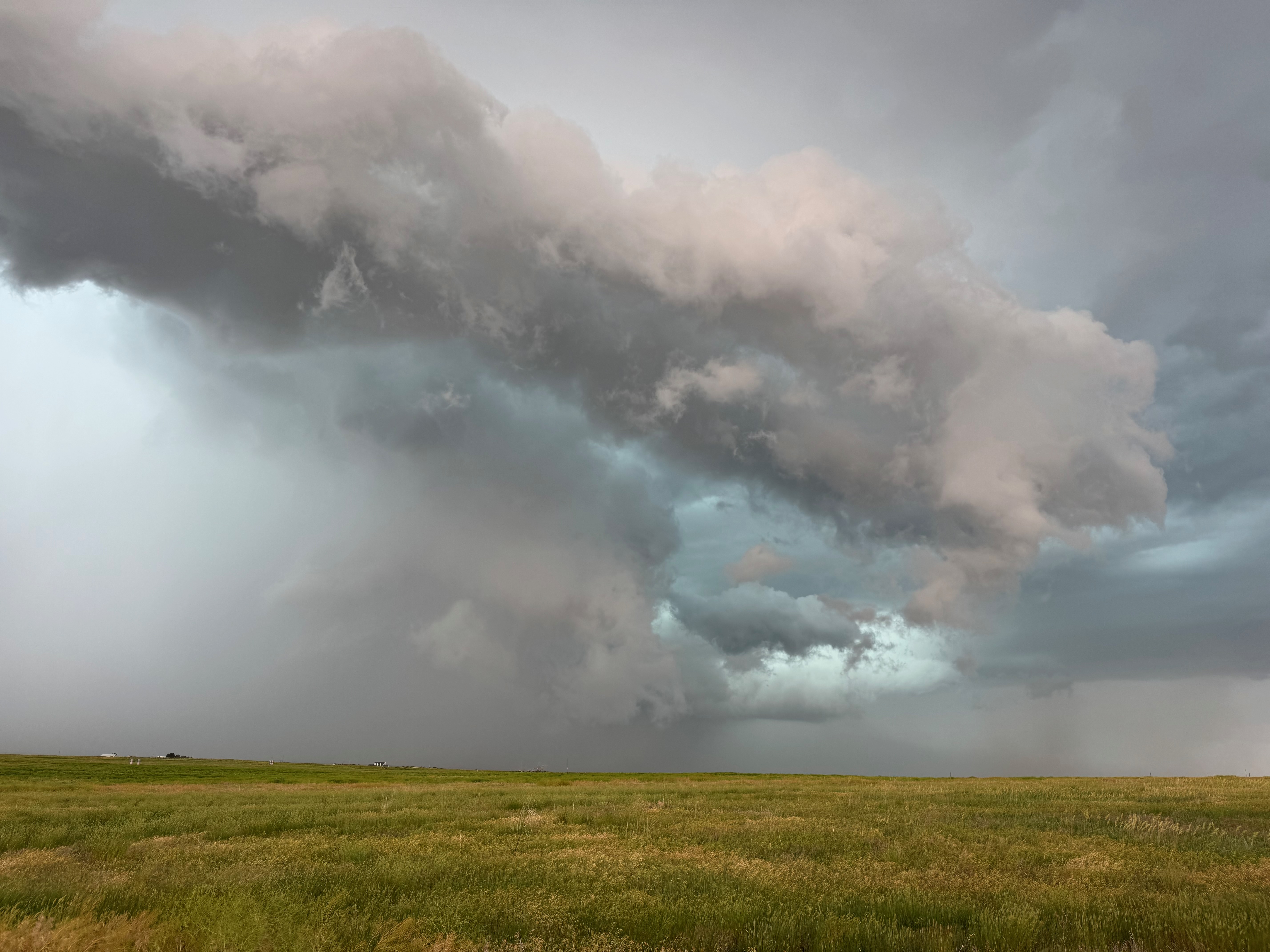
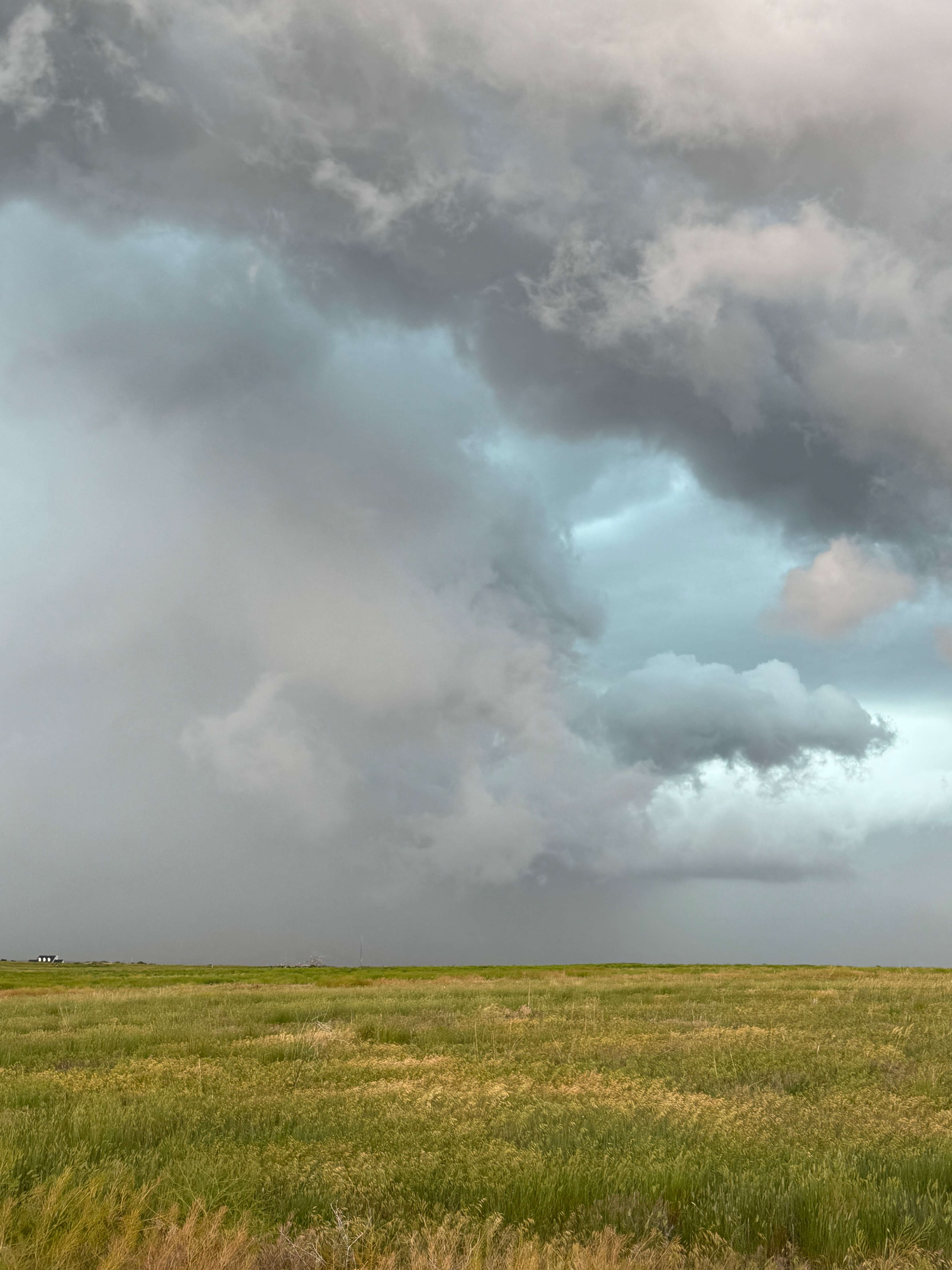
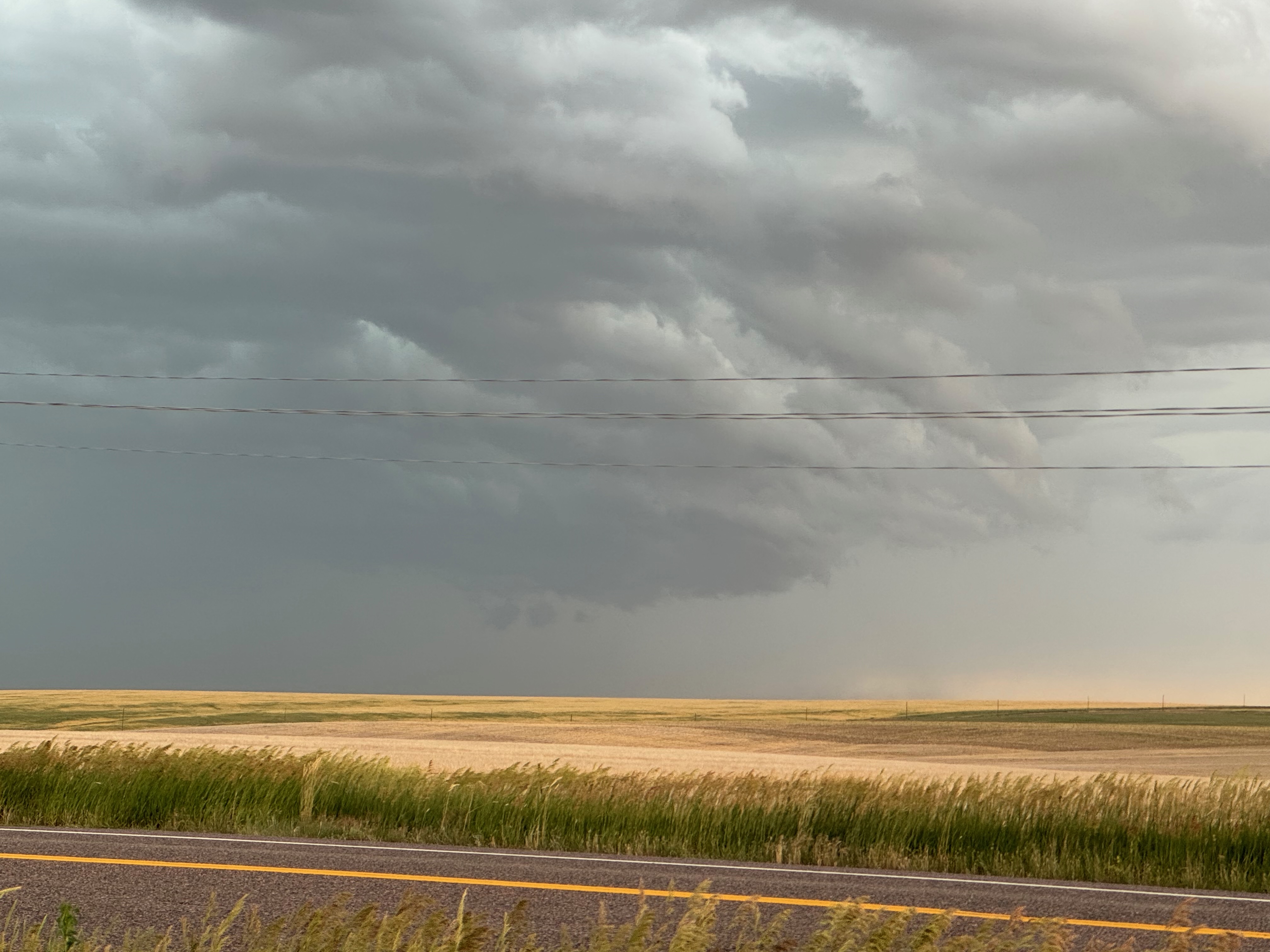
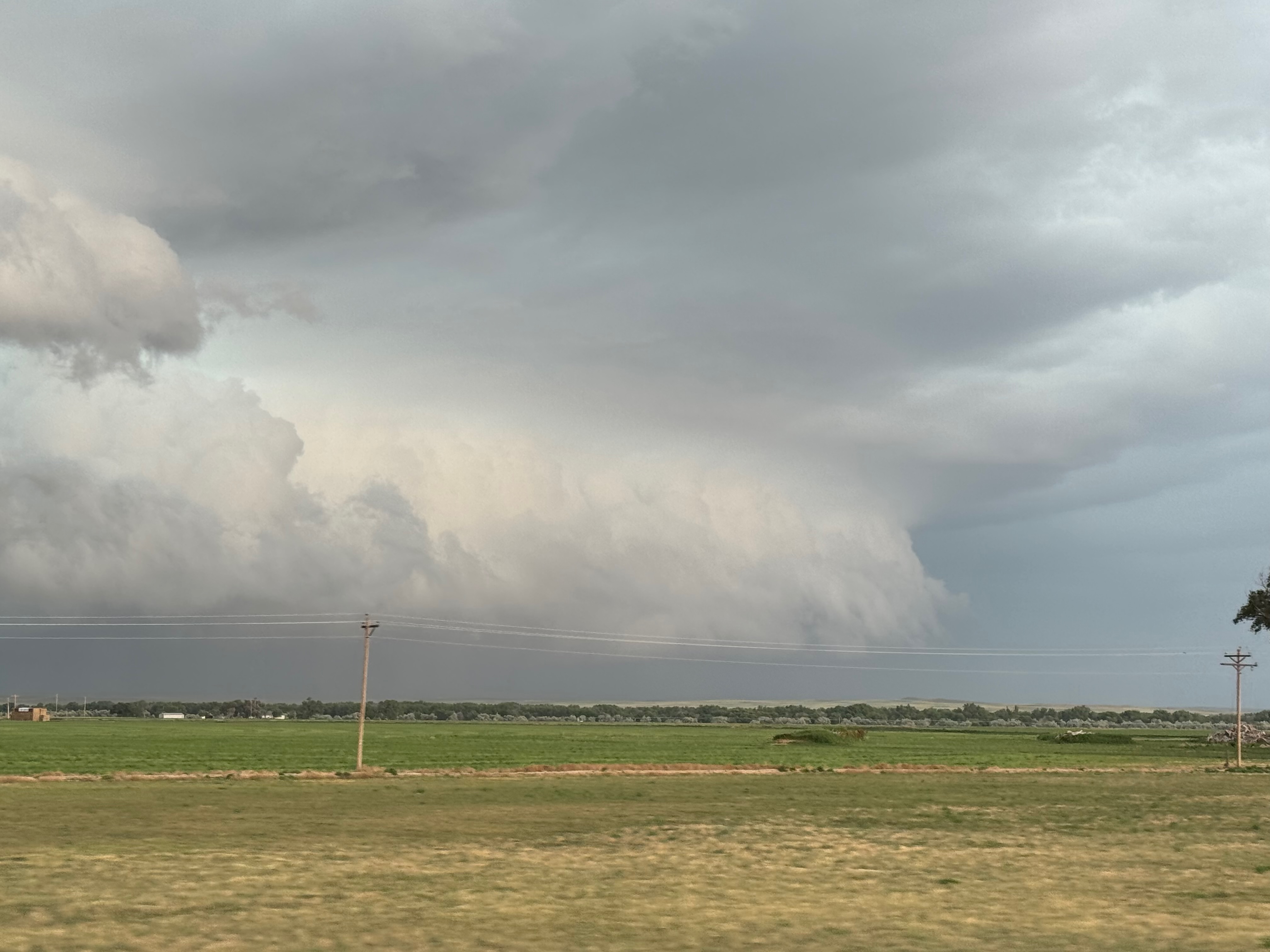
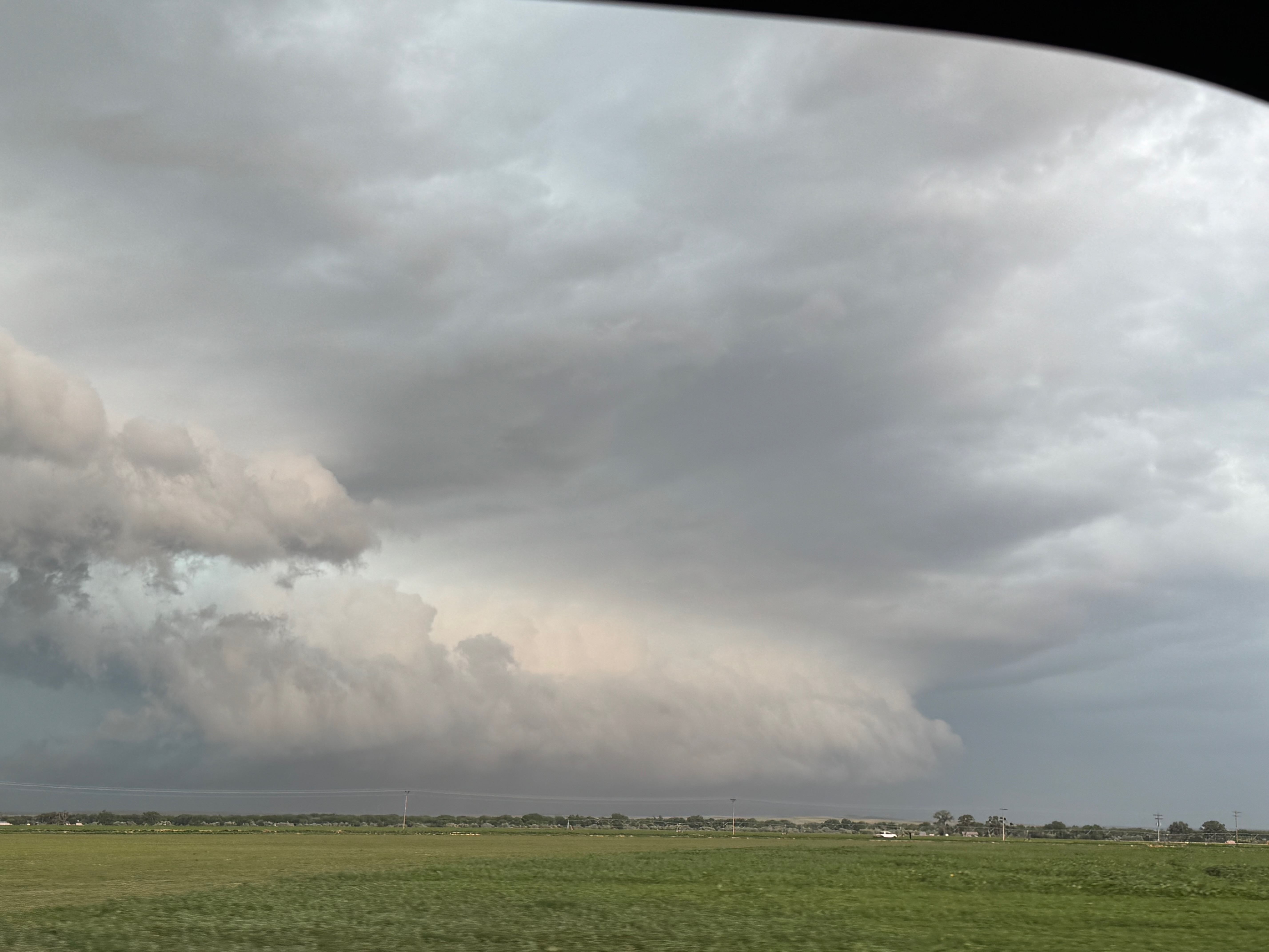
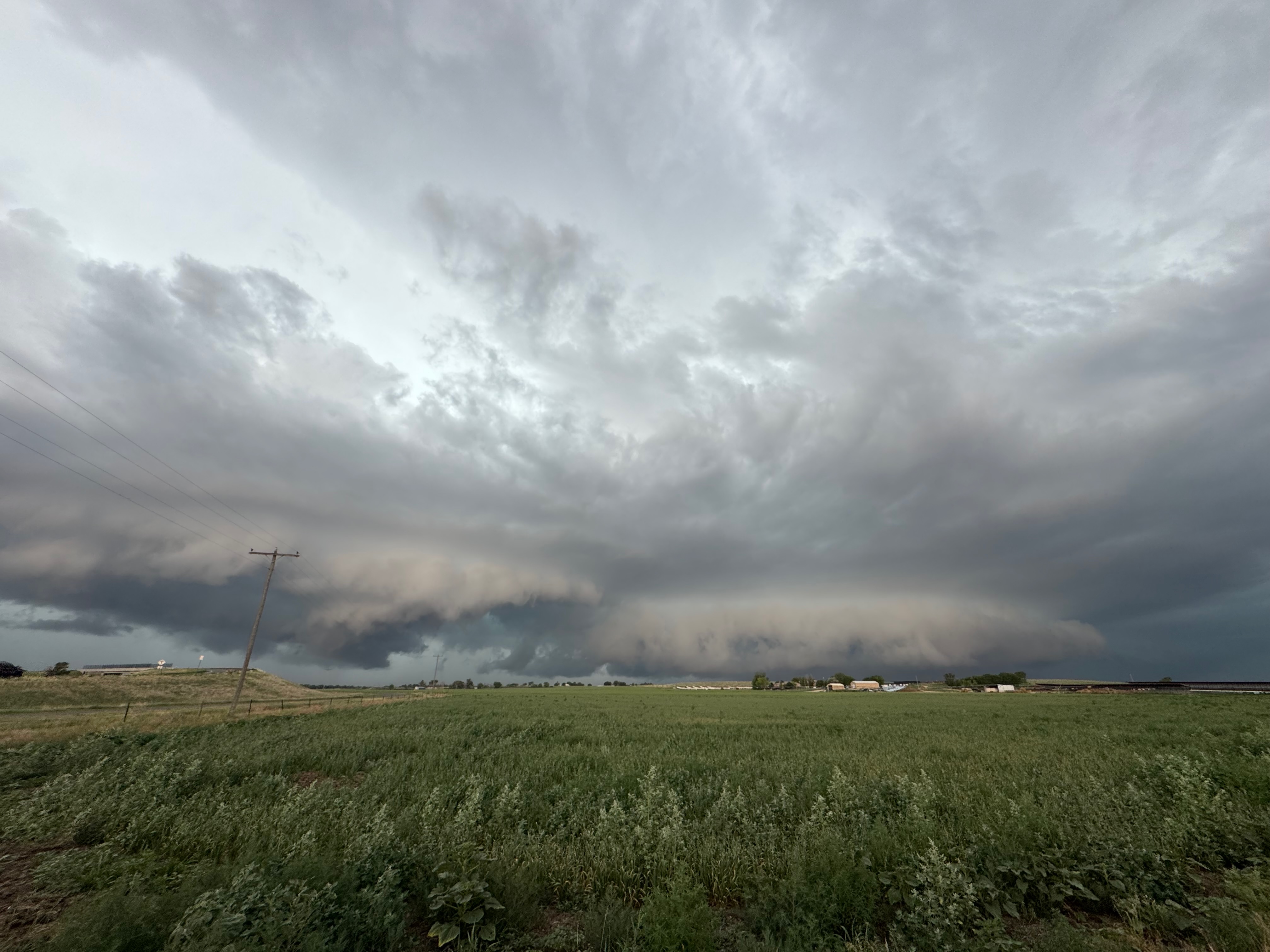
The first photo above is the tornado-warned cell south of Bennett. The next two were taken near Merino.
Below are the iPhone images and screenshots.
Leave a Reply
You must be logged in to post a comment.