Start/Baker, MT
End/Lemmon, SD
279 miles
Lunch at the Baker Cabin Creek Cafe (Baker, MT)
Decent low-level moisture was once again in place over the western Dakotas in advance of an upper-level system that was moving into Montana. By 20Z, SPC was favoring areas generally north of I-94 in western North Dakota. The tornado risk was pegged at 5% by SPC for northwestern ND. My forecast target was on the southern edge of SPC’s enhanced slight risk area, somewhere east of Baker to Belfield and vicinity. This is where storm development appeared most probable, where surface moisture convergence was good, along a surface theta-e axis, and east of a surface low in southeastern MT. Wind profiles looked pretty darn good for supercells, and dew points were somewhat short of levels which would cause high expectations for a tornado.
We headed from Baker to Bowman, and then north to Belfield on U.S. 85. Not much at all was going on during the mid-afternoon. From Belfield we went back to the west along I-94 to hang out near the Theodore Roosevelt National Park. Some somewhat perky cumulus were nearby, but the cap was strong and nothing came close to breaking through. Fortunately, even though it was after 6 p.m. CDT, sunset was still more than three-and-one-half hours away!
A cumulonimbus or two finally developed nearby along I-94, and we got into position on the western one, near Fryburg (west of Belfield).
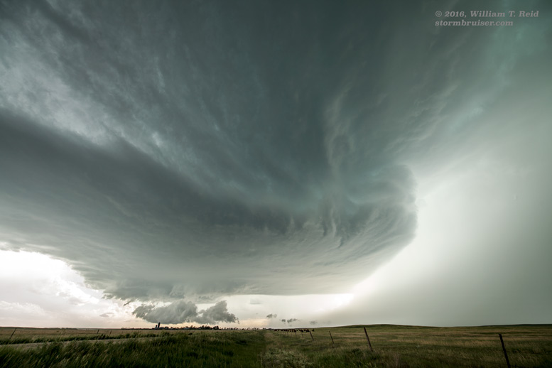
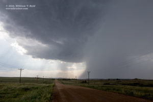
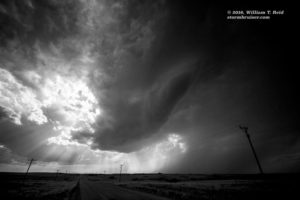
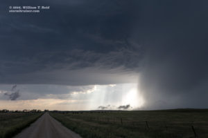
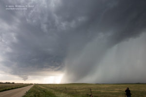
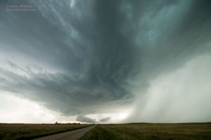
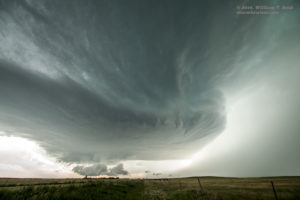
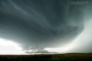
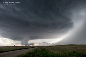
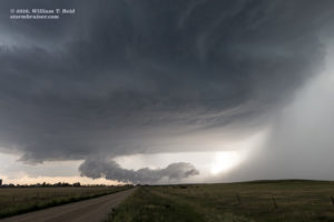
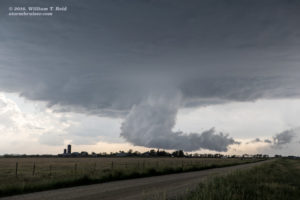
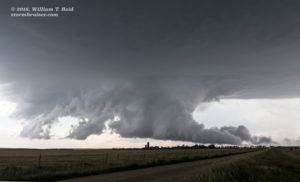
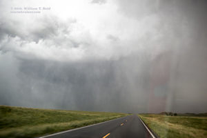
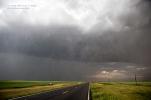
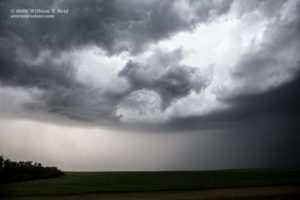
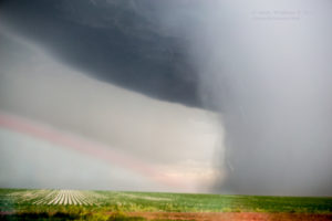
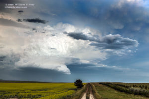
This storm looked like it might go “great guns” for a few minutes, but then the updraft sputtered and it was toast. The other CB not too far to our east did the same. But, there was another cell that was just starting to strengthen, and this one was SSW of the Fryburg storm. It was easy to scoot down U.S. 85 and to get right in front of this new one, which was about ten miles NNW of Amidon, in Slope County. We were on the storm that we wanted to be on! And it was looking better and better every minute. See the nicely-sculpted look to the (mostly) rain-free updraft in the wide-angle shots below. This is looking to the due west. Precipitation from the forward flank (north of the base) was in close proximity to the base, and was getting sucked back towards the base. This helped to increase relative humidity levels and to get that very low wall cloud to materialize. It was scraping the ground, and though we were all hoping for a tornado, any rotation with it was weak to moderate at best.
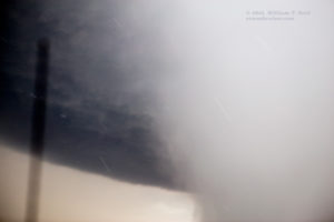
Our nice supercell was moving to the ESE, and its anvil precip was beginning to impact us as the base edged not too far to our southwest. There was an excellent east option about eight miles to our south, so we cut in front of the updraft base unscathed and turned eastbound on Highway 21, to New England. During this stretch, and on the south and east jog to Regent, another storm was getting strong to our south. This new one was unkind to our “Amidon” supercell, and soon it was hurling some large hailstones upon our vicinity. Chris caught one very large one on the GoPro camera.
Supercell timelapse and large hailstone impact, video courtesy of Chris Gullikson
In the hail near Regent, it was clear that we needed to get farther south and east in order to get into position on the tail-end storm base, but the hail was too large and we had to stop and wait for perhaps 5-10 minutes. Hail was at least two inches in diameter, and it looked like the one that smacked the windshield of the second van was at least three inches in diameter.
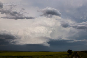
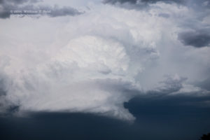
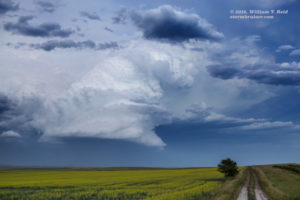
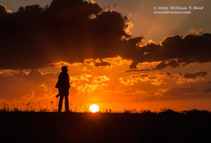
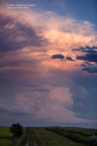
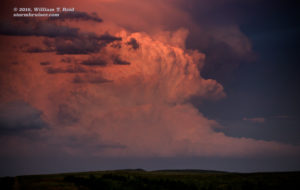
The target storm was moving to the ESE rather quickly, maybe at 30 mph. And, it was a long 25 miles on our paved south option (Hwy 8) to the next east option (Hwy 12). We wound up stopping about halfway south to get a look at the backside of the supercell as it drifted away. We weren’t going to catch it, and it looked like the base was higher and any tornado prospects were very minimal. It looked pretty in the sunset light, as is usually the case in the Dakotas in June! We had an easy drive to Lemmon for the night.





Leave a Reply
You must be logged in to post a comment.