On the day prior to this (June 8), we held out some hope for a storm near the western NE/SD border. We started at Gering (near Scottsbluff, lunched in Harrison, and wound up watching towers lose the battle against the cap near Mission, SD. 395 miles.
————————–
June 9 Start: Pierre, SD
Lunch: Steele, ND
End: Bismarck, ND
570 miles
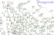
We had a decent chance for a high-end storm today. SPC showed a slight risk for ND and a 5 percent tornado area, primarily north of I-94 in the middle of the state to the Canadian border. A lot of chasers were up in ND for this expected event. The general pattern has been mediocre at best for a week or two, and chasers were hungry for action. Dew points were still a tad marginal for really good tornado prospects. So-so moisture has been the bane of chasers for much of May and early June.
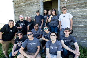
Prior to lunch along I-94 at Steele, we stopped at an abandoned house near Hazelton for the group pictures.
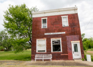
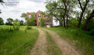
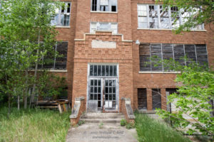
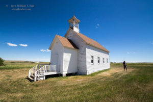
My target area was the middle of North Dakota, where CAPE and shear were both quite nice. There was a warm front and decent surface moisture convergence towards the Minot area, but I was not convinced that heading that far north and northwest was the better play. We headed to Harvey from Steele, and watched the sky from there. We had plenty of time to kill as the cap held well into the afternoon. I was nervous about the Minot-area play, and I had Steve and Justin take us almost halfway to Minot. At Balfour, we took a look at the old and abandoned school and surrounding sites.
As the afternoon slipped past 5 p.m., we drifted back southeastward from Balfour to Drake and Anamoose. Radar suddenly showed development to our SSW, and an anvil was coming our way. Chase time!
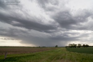
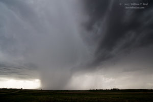
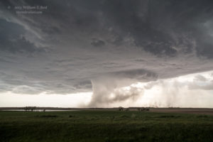
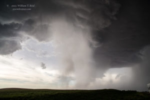
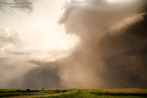
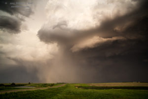
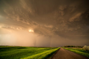
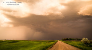
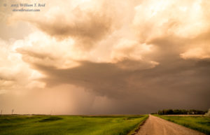
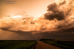
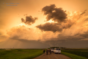
The images above were in the Denhoff area, to the northeast of Bismarck. The views are generally yo the west. A nice, big, and mostly flat updraft base has an RFD cut. The storm moved to the east and chased us eastward on Road 200 to Goodrich.
The base began to sport a shallow wall cloud near Goodrich, and a dusty whirl or two spun up beneath a suspicious lowering. These might have been weak tornadoes. The storm was well-organized and turning a bit more to the right. Since it was headed to the ESE, I figured that we should drop south and then east again. But it was a LONG drive south to the next east option via Highway 3: all of the way to Tuttle, perhaps 20 miles. That is well more than twice as far as I wanted to go! I could have tried unpaved roads, but it was an even LONGER way east on dirt roads to the next paved road. We had some good looks at the updraft and entire storm structure from Tuttle and eastward to Woodworth. We found a restroom for the folks in Woodworth and continued to the east. Another updraft was impinging on us from the southwest. The main show continued to our north.
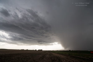
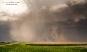
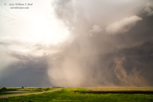
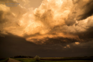
We came up to route 281/52, and unfortunately it runs NNW-SSE. I wanted to go to the northeast. We headed NNW, and wound up behind the strong storm. With another storm to its south, things looked a bit messy, but we forged on eastward to Kensal. I believe the views to the east below were from a spot 2-3 miles west of Kensal. The storm was sucking up dust and throwing out hail blobs now — it was cranking! If the base had been a bit lower, there likely would have been a good tornado chance at this time.
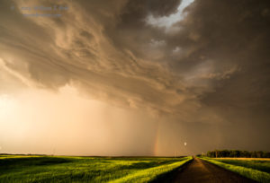
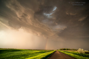
Rain started to fill into the updraft base area, and it didn’t look quite so dramatic. We continued east to Courtenay and a tad beyond. A suspicious and shadowy shape was in the core to our east, to the left of a rainbow. This is about the time a tornado was reported near Walum, which is right where we were looking. Was it a legitimate tornado, or were other chasers seeing what we were seeing and assuming a tornado? I don’t know the answers.
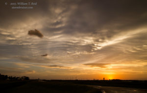
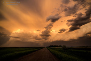
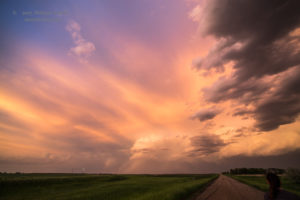
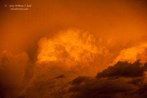
We camped out here for the sunset, with beautiful light in all directions! What else would you expect in the Dakotas? We got into Bismarck for the night quite late, as severe storms began to march eastward along I-94 a count or two west of the capital city. It would have been fun to check it out, but sleep was more important…
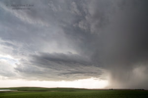
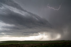
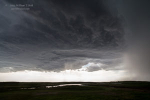
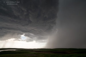
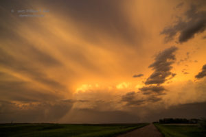
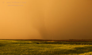
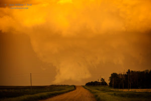
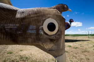
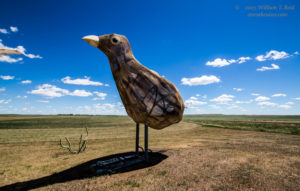
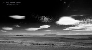
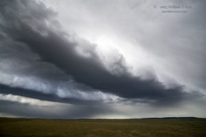
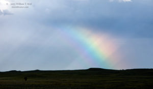
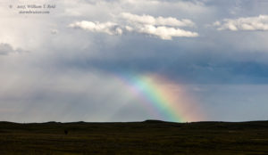
On the following day, June 10, we headed west and south from Bismarck and watched a bunch of junky showers near Camp Crook and vicinity. It was ugly. But it had a few pretty moments, too. We were in Belle Fourche for the night (375 miles), and back to Denver midday on the 11th for the end of the tour (412 miles). Pics below are from June 10, along the Enchanted Highway, near Ludlow, SD, and Camp Crook, SD.






















Leave a Reply
You must be logged in to post a comment.