
Welcome once more to a William Reid chase season summary. The spring of 2017 was not a particularly active one with regard to tornadoes and severe weather on the Great Plains. As usual, I chased for much of May and June (and the first week of July) as the tour director for Tempest Tours. There were a couple of 4-to-5-day periods during which I had to head back home to California to work a couple of shifts at my regular job. Fortunately I didn’t miss any big days on the Plains. Truth be told, May and June were lame this year.
There were a few periods during May and June with a trough in the West and nice SW flow aloft over the Plains, but these were rather transitory and short-lived. The months seemed to be plagued, for the most part, with W to NW flow aloft and marginal low-level moisture. And, for the most part, the days which seemed like they might be big tornado days generally under-performed. The kiss-of-death this year was the 10-percent hatched tornado risk as issued by SPC. Those days wound up being duds for chasers…or maybe I should say “most chasers.” There was, as is bound to happen each spring, one day which was big for many chasers and on which I was not in the right area. This was May 18, when I was in SW KS when NW OK had a very nice tornadic supercell.
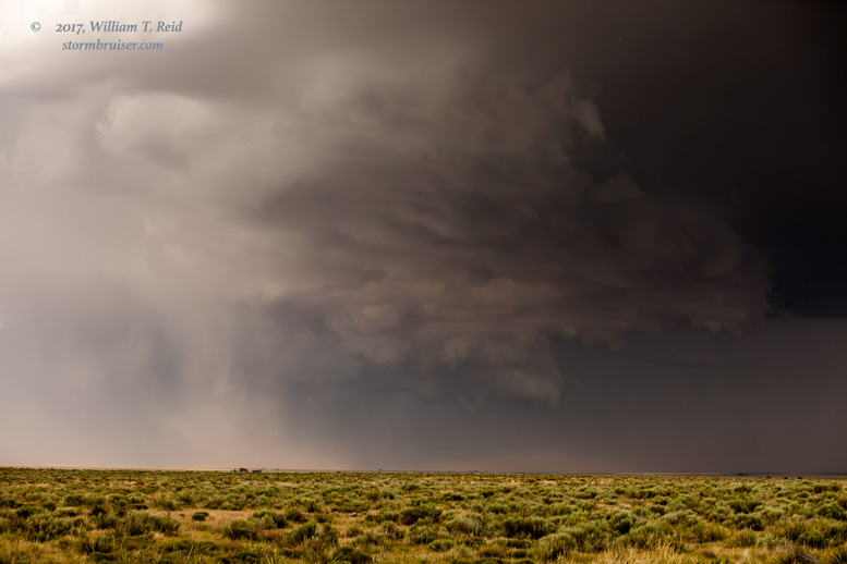
The tours and I did well on the other days on which tornadoes were forecastable, chase-able, and highly visible. These were May 16 (McLean/Sayre), June 12 (CO/WY/NE triple-point area) and June 28 (southwestern IA and northwestern MO). Interestingly, my best three tornado days this year produced tornadoes in seven different states: TX, OK, CO, WY, NE, IA and MO. And, on three other chase days, I observed “maybe” or very weak tornadoes in NM, KS, and ND.
This season I did not chase in MT, MO, MN, AR or LA. I was never in chase mode south of I-20, though Tempest ventured deep into south TX and along the Rio Grande in May when I was in L.A. for a few days. Here is the breakdown of states and regions chased from about May 1 to July 7 by me. Keep in mind that even very low-end chase days with junky storms are counted. On days when two states or regions are accessed, I selected the one that the storm started in or was strongest in. Down days and re-position days are not counted:
TX/OK Panhandles 5
Eastern NM 6
Eastern CO 4
North TX 1
Oklahoma 3
Kansas 7
Nebraska 6
South Dakota 1
North Dakota 3
Iowa 1
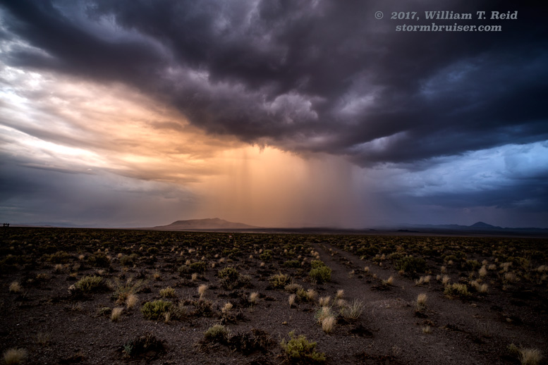
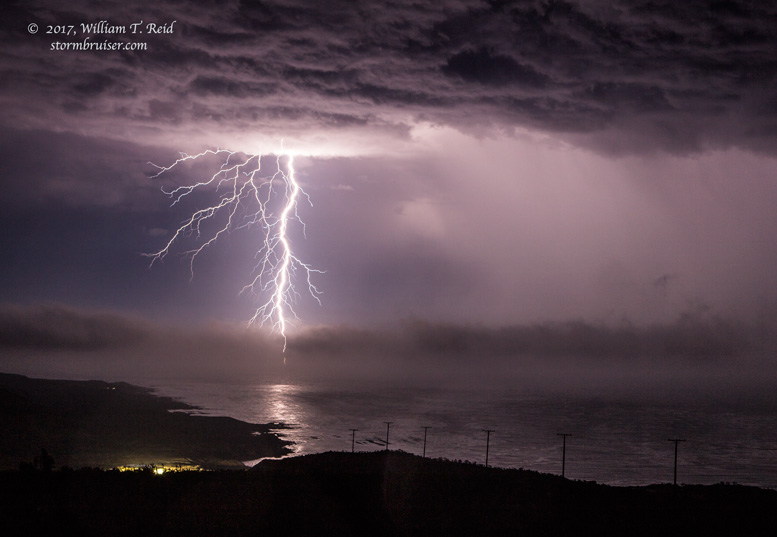
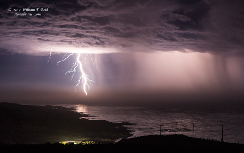
Eastern SD and eastern NE were real duds this season. In fact, all of SD was slow. The High Plains of NM and the Panhandles kept us busy for much of May. I did a solo chase in California’s San Joaquin Valley in March and in western Nevada in July. And, my finest moments for lightning photography were on San Nicolas Island on September 10.
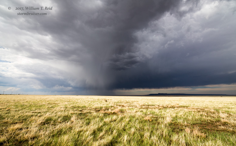
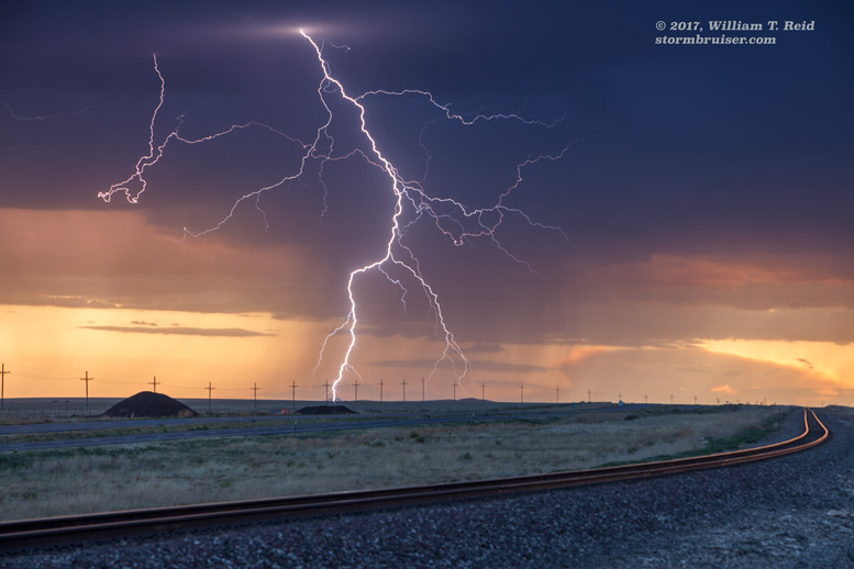
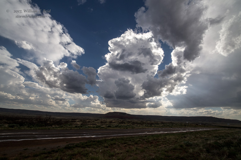
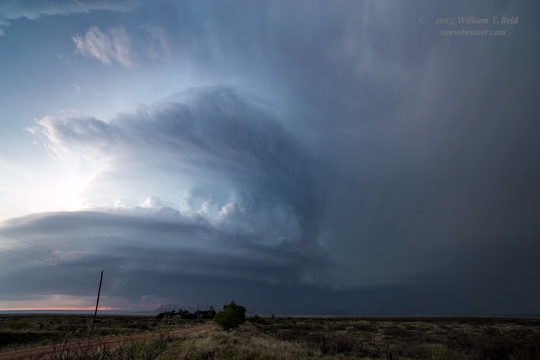
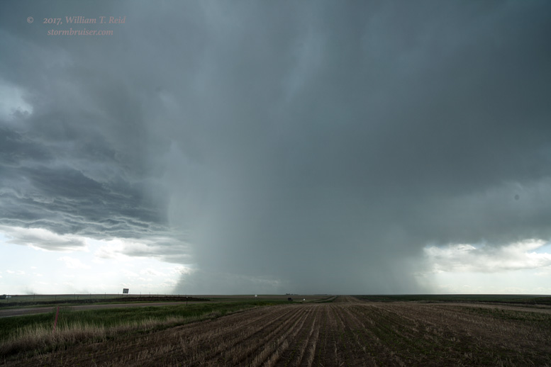
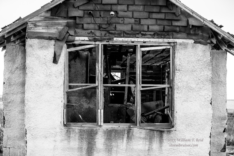
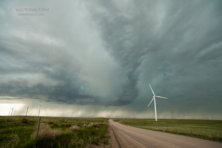
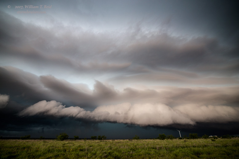
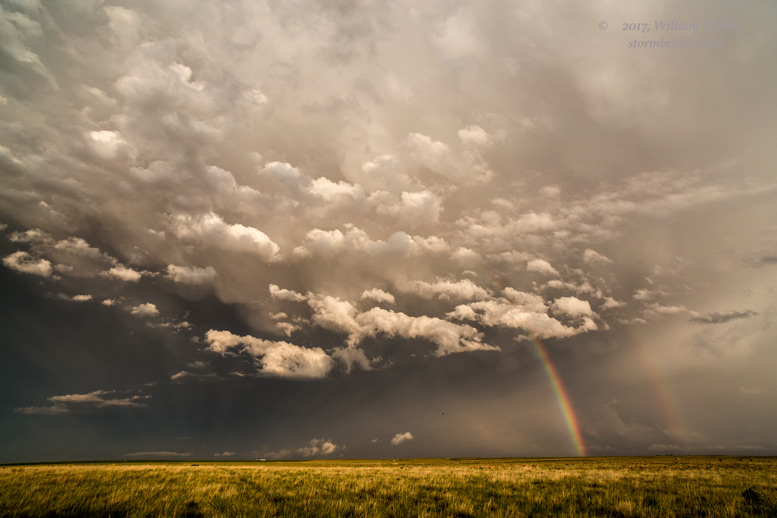
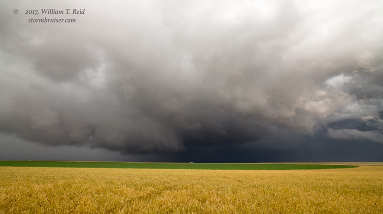
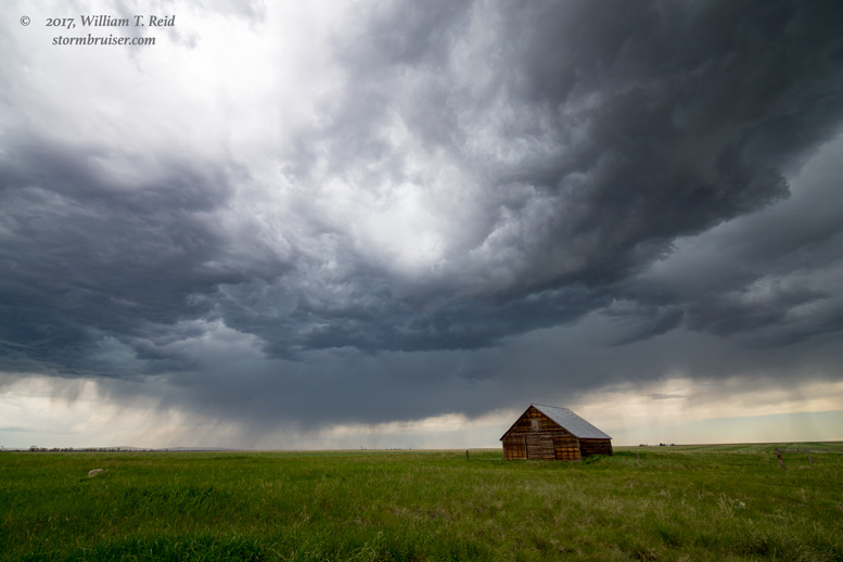
The long listing below provides a link to each chase day in 2017, with a sample of the photos that you will find in the chase account.
——————
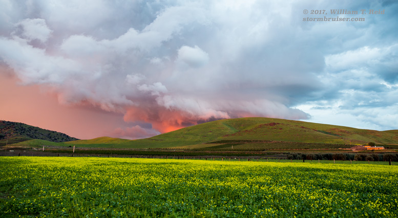
March 21 San Joaquin Valley Chase Supercell near Chowchilla and a fiery sunset…did I mention that this is in California?
May 2 Booker, Texas Supercell With plenty of nighttime lightning
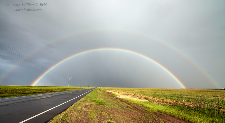
May 3 Western OK storm When the highlight of the chase is a double rainbow…
May 4 Down Day on the TX/NM border
May 5 Down Day in northeast NM Click if you like turtles
May 6 Weak convection near Capulin And my tornado-less birthday streak continues
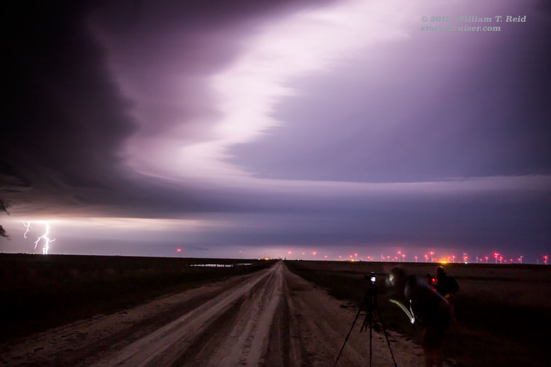
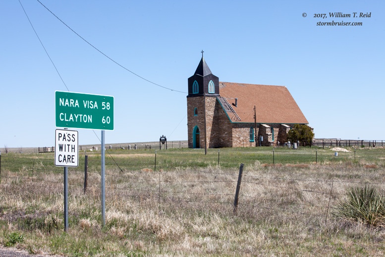
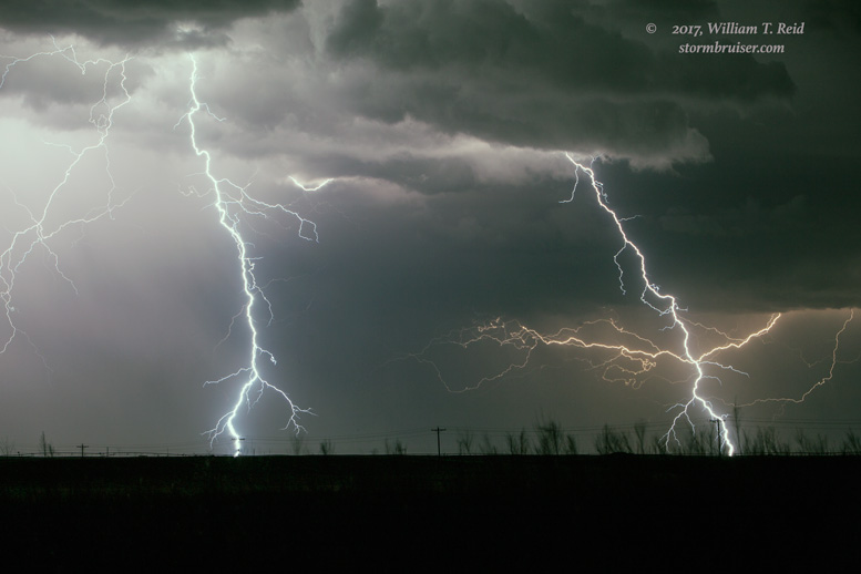
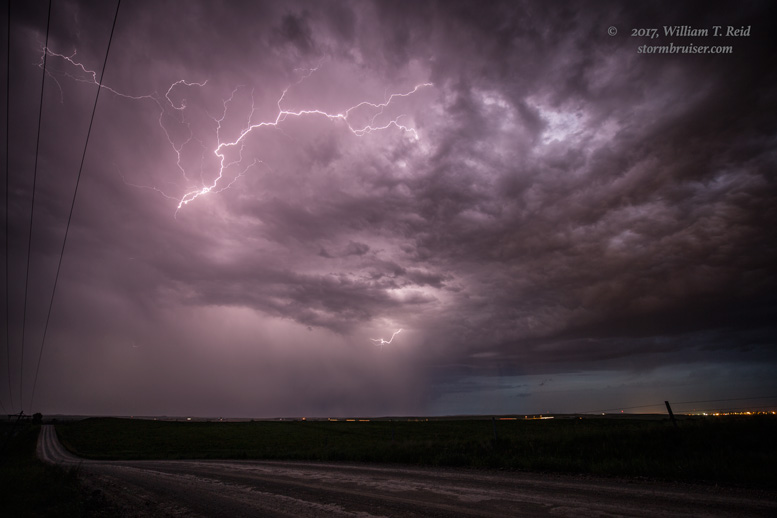
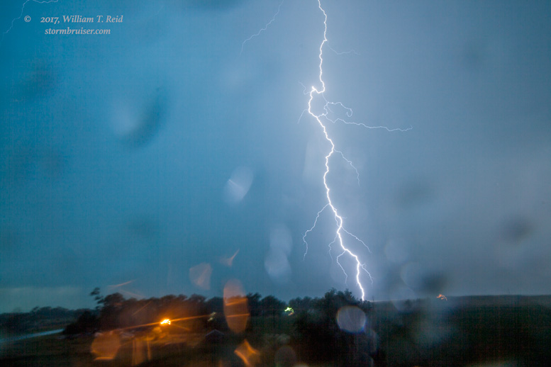
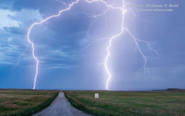
May 7 Lightning near Clayton One big score!
May 8 Supercell next door to House, New Mexico The Plains spring chase season reawakens!

May 9 Supercell and possible tornado near Tatum, New Mexico New Mexico wins again!
May 10 Red River Supercells A couple of big storms from Dickens to Davidson

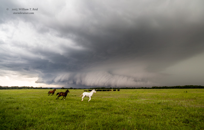
May 11 Central Oklahoma Supercell With horses for no extra charge.
May 15 Northern Texas Panhandle Supercell In Living Color!
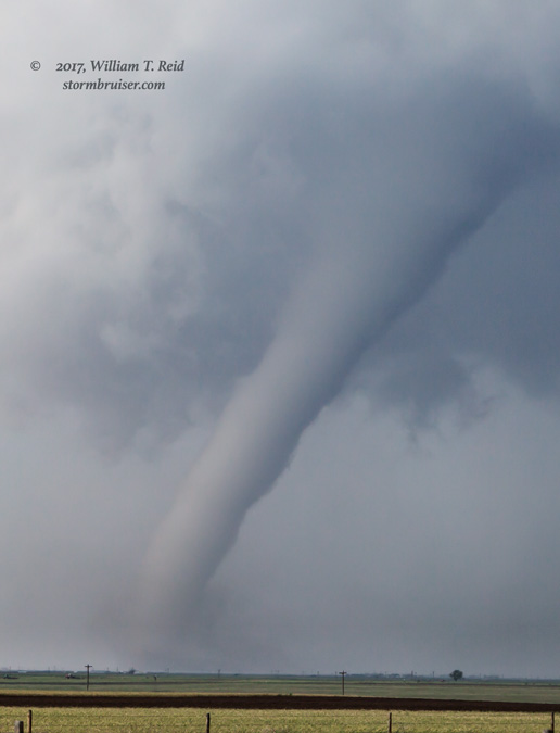
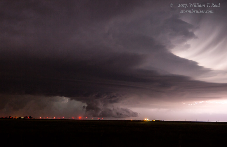
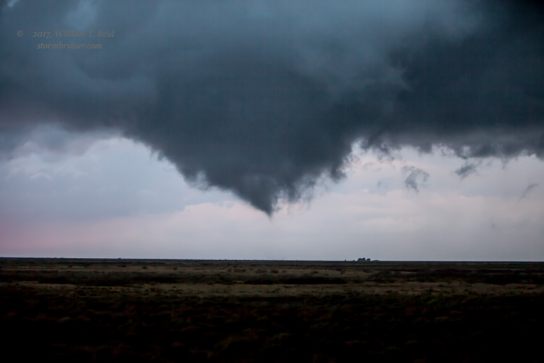
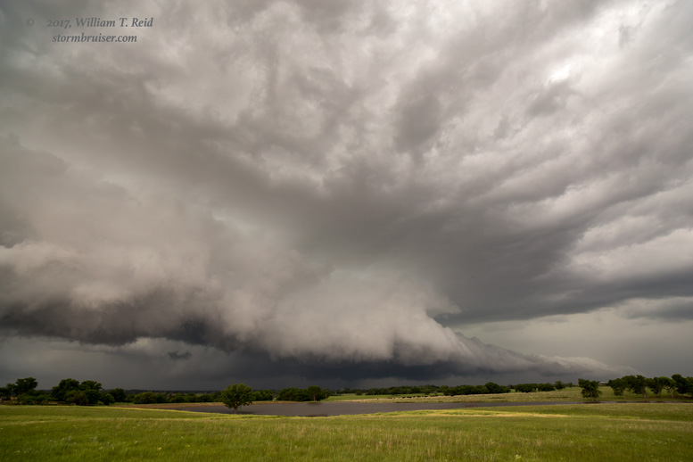
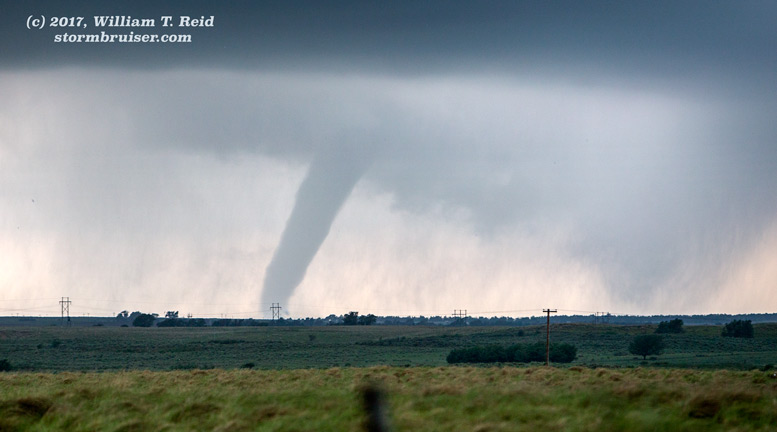
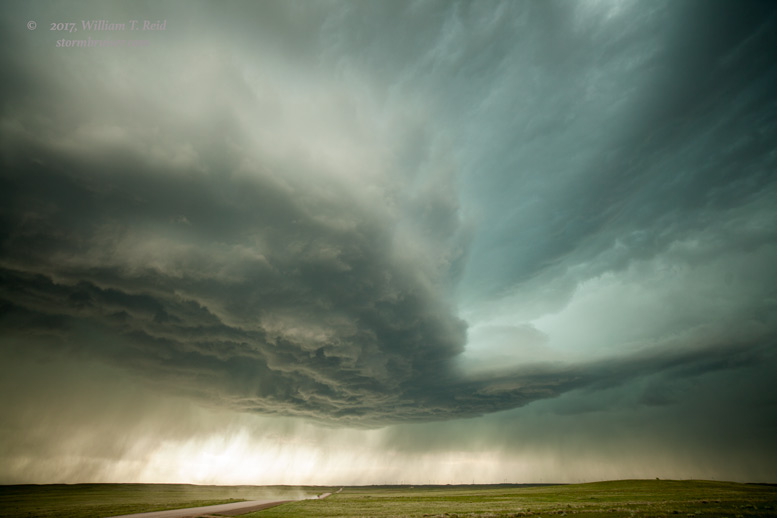
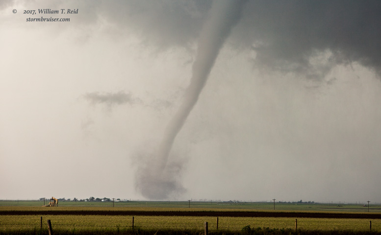
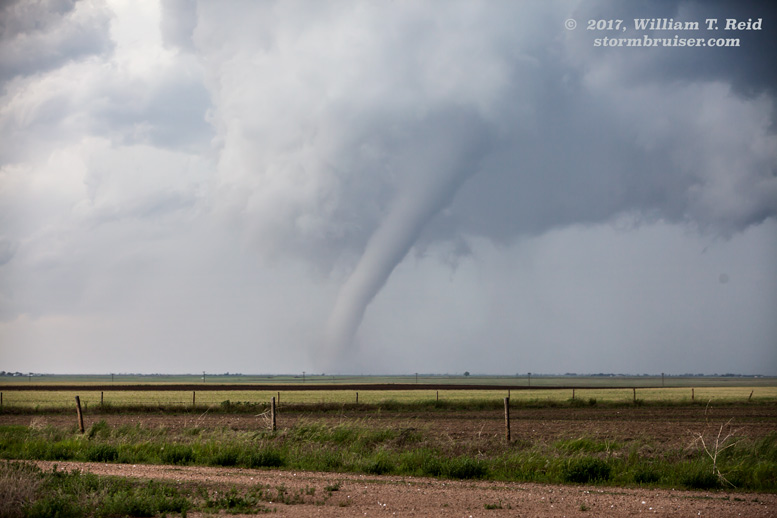
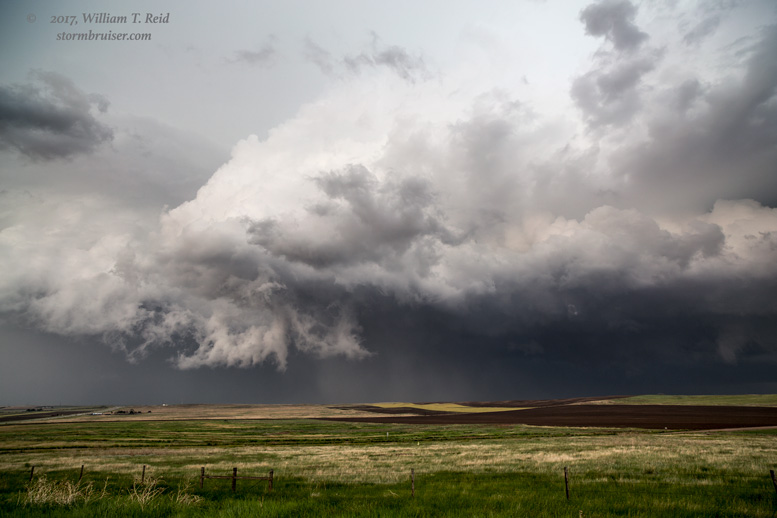
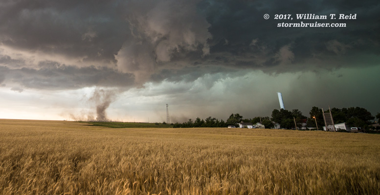
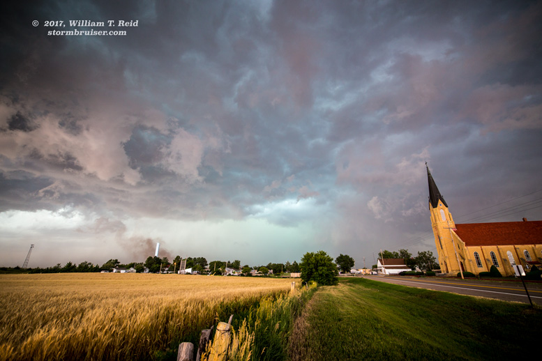
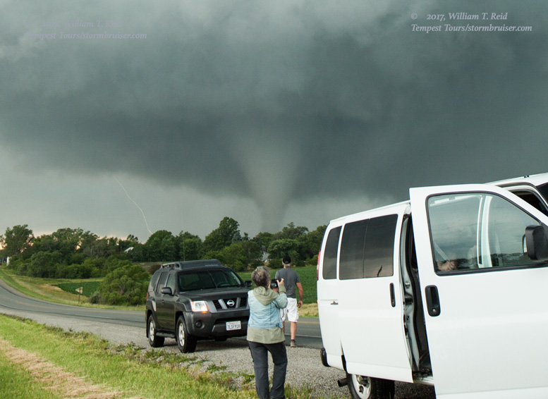
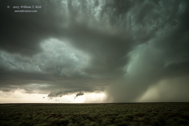
May 16 McLean and Elk City Tornadoes An I-40 chase day in mid-May? Perfect!
May 18 Bust in western Kansas Can I have a do-over, please?
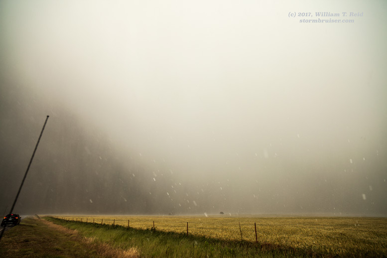
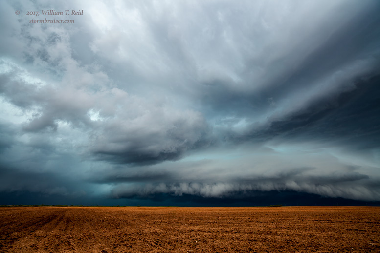
May 25 Northwestern Kansas Supercell We monitor strong outflow and fast storm motion so you don’t have to.
May 27 Vinita, Oklahoma Supercells What makes a 10-percent tornado risk go mad? Please advise.
May 28 Down Day at Endee Please come back north, moist Gulf air

May 29 Mud-whomping on the Mesa With some KS CGs at the end
May 30 Weak stuff in southeastern Colorado At least there are no trees around here.
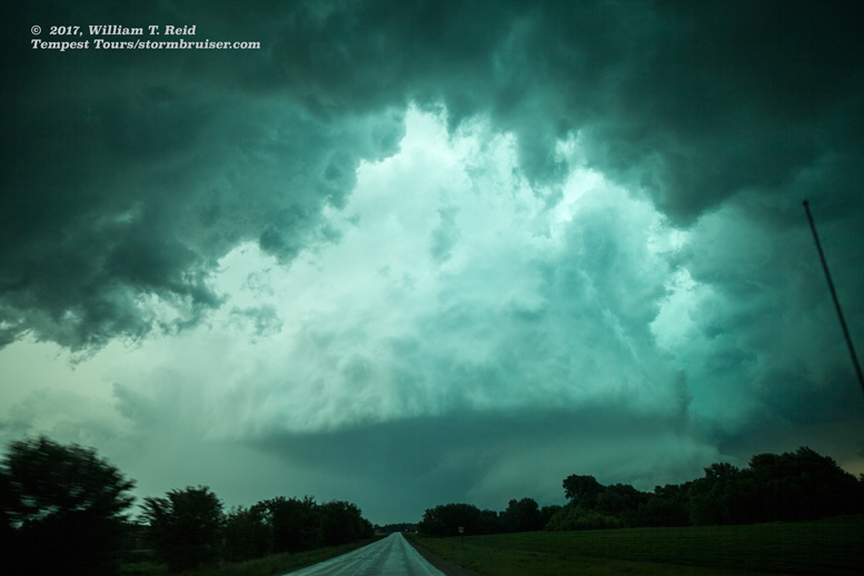
May 31 A super supercell between Kimball and Stonington How did we not get clobbered by large hail?
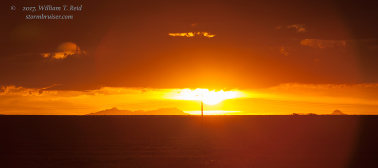
June 1 An amazingly weak storm cell north of Dalhart How many pretty sunset pictures can make up for a dud of a day?
June 2 Southern Texas Panhandle Severe No risk = no other chasers
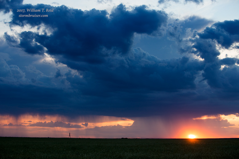
June 3 A Liberal Hooker Storm With a fabulous sunset
June 5 Chugwater to Chadron Chase Lower storm bases, please
June 6 Exceptionally weak convection near Chugwater If ever a chase day deserved to be forgotten, it is this one.
June 7 Western Nebraska Supercell A High Plains dandy — finally!
June 9 Central North Dakota Supercell A fine day for storms
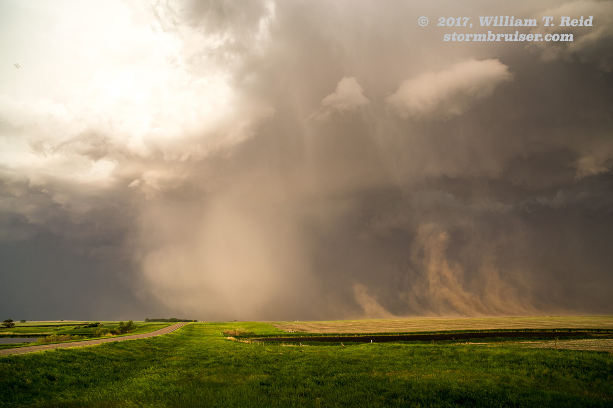
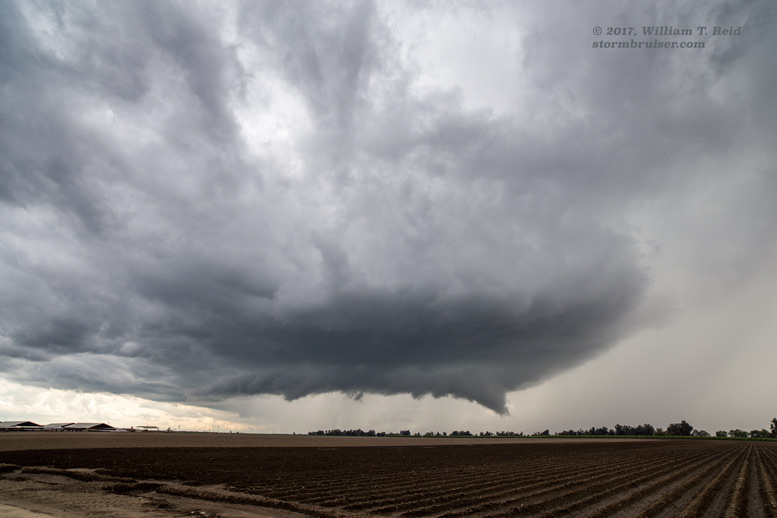
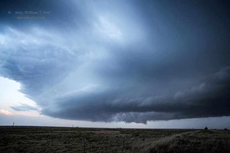
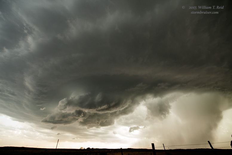
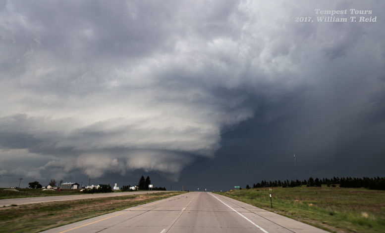
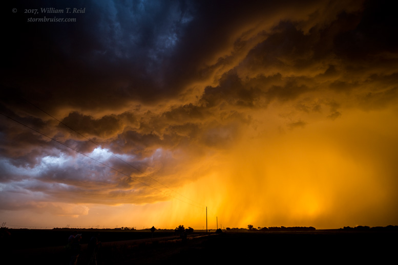
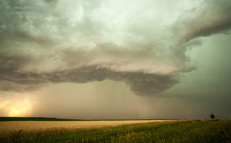
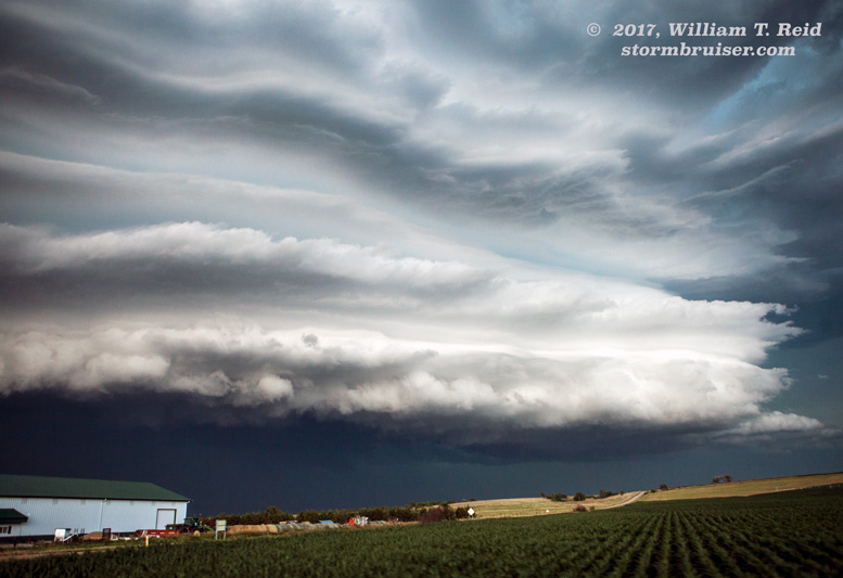
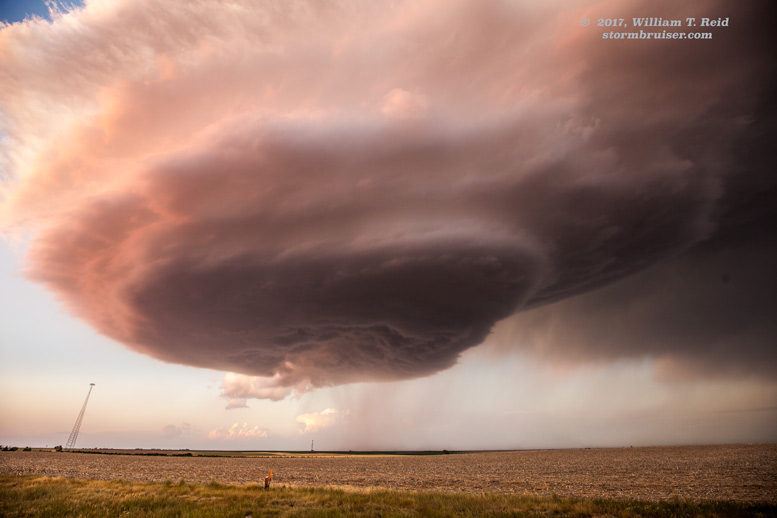
June 12 A tornado bonanza around CO/WY/NE Out of the chase doldrums for a few hours!
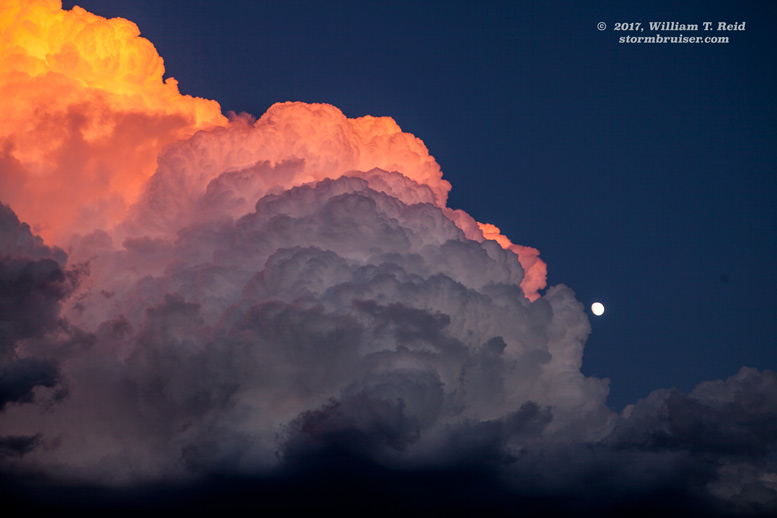
June 13 Storms and Sunset in Southeastern Nebraska Top 500 Sunset Colors!
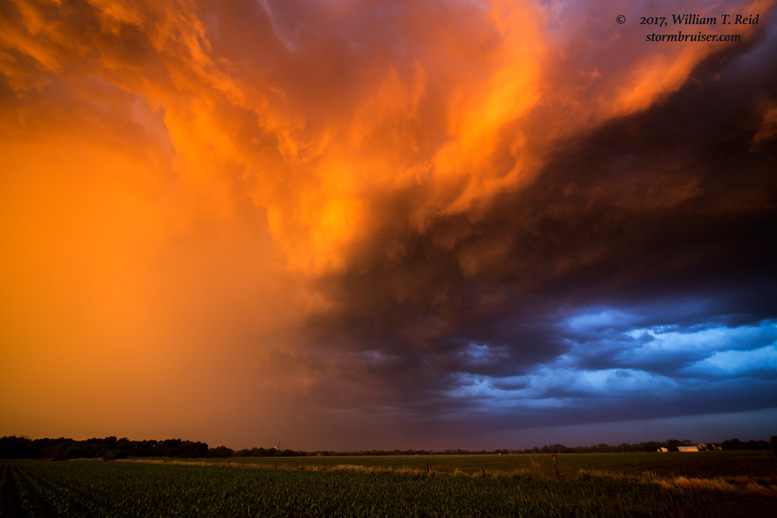
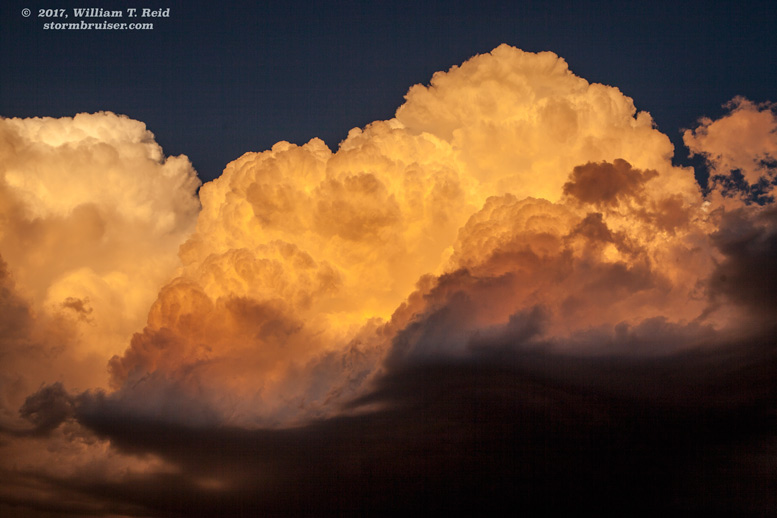
June 14 Brilliant Sunset Supercell near Udall, Kansas Another late-day stunner!

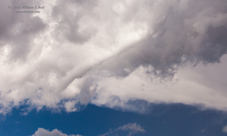
June 15 Middle of Kansas Storm And a dusty whirl
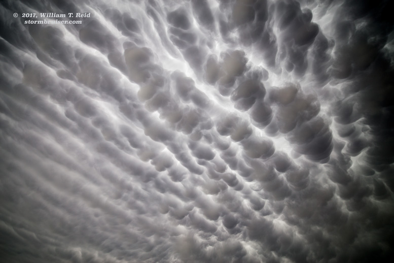
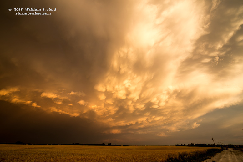
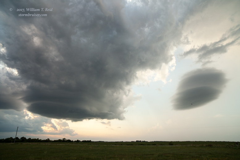
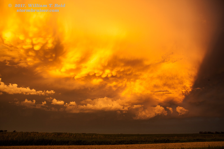
June 20 Western Kansas storms All mammatus-related web traffic is diverted here.
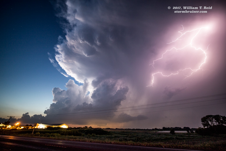
June 21 South-central Nebraska storms A splendid sunset and CG-spewing stunner!
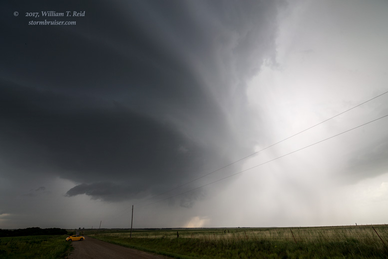
June 26 High-based supercells in northeastern Colorado Wish dew points were higher…
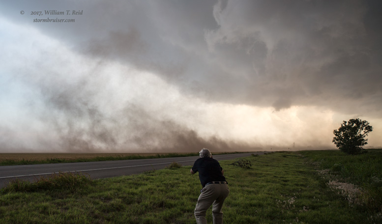
June 27 U.S. 30 severe storm in western Nebraska Replete with strong outflow
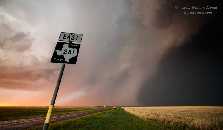
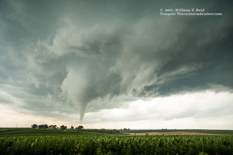
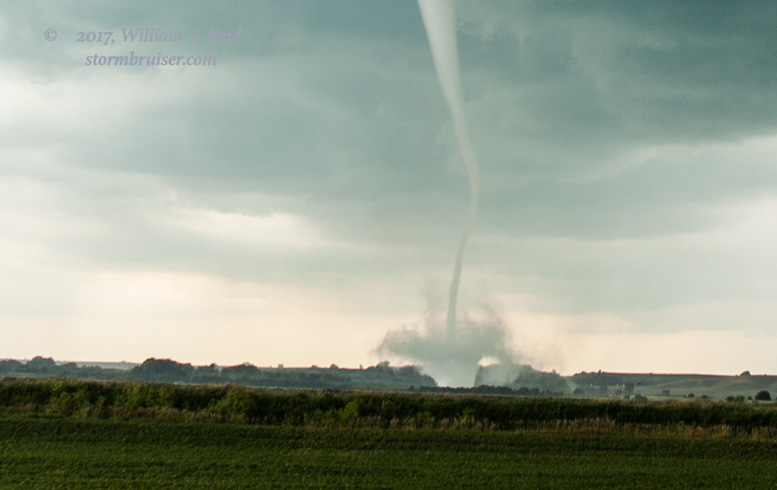
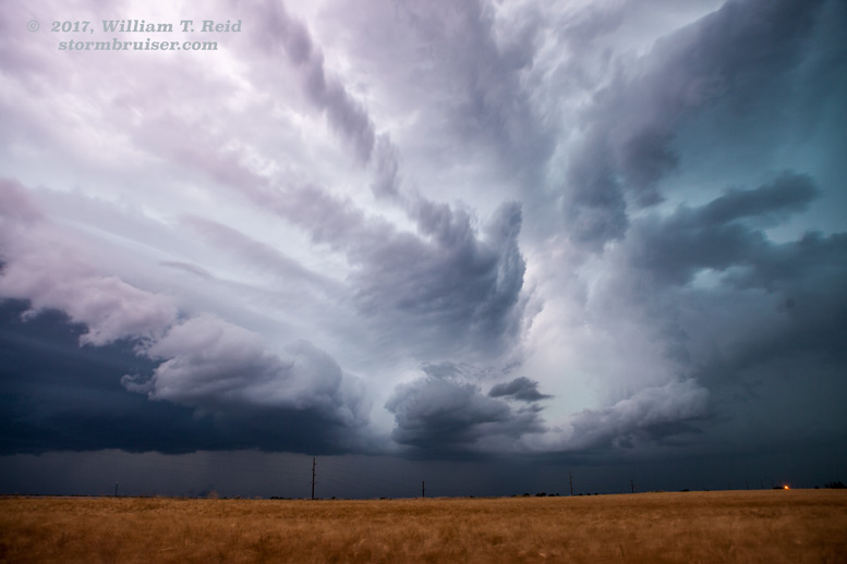
June 28 Tornadoes in southwestern Iowa and northwestern Missouri Drive to Iowa and see tornadoes, guaranteed
June 29 Yates Center supercell See a Kansas supercell disappear faster than you can say “POOF”
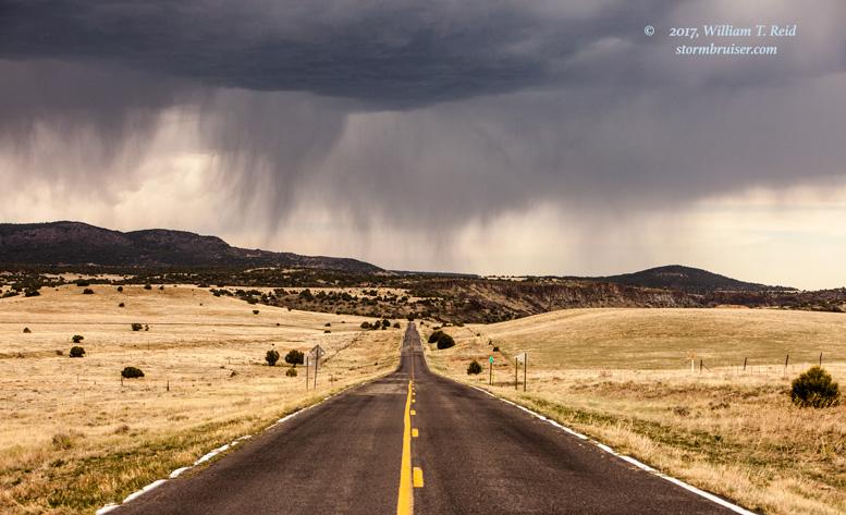
June 30 Clayton, New Mexico supercell Back to the High Plains
July 2 Western Nebraska severe storms Northwest flow and lots of shear
July 3 Junky Storms near Wounded Knee And the day is salvaged by a well-timed CG
July 4 Eastern North Dakota Storms Sunset shots versus the mosquitoes
July 5 A so-so late show in North Dakota
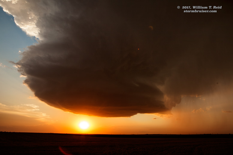
July 7 Big Springs/Julesburg LP Supercell A brilliant end to the chase season for me!
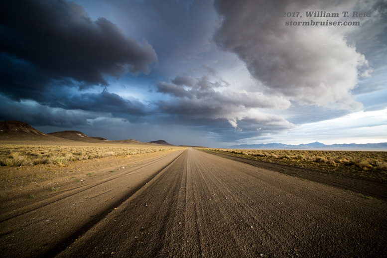
July 24 Tonopah, Nevada storms A bonus chase day for no extra charge for you, the person on the Internet
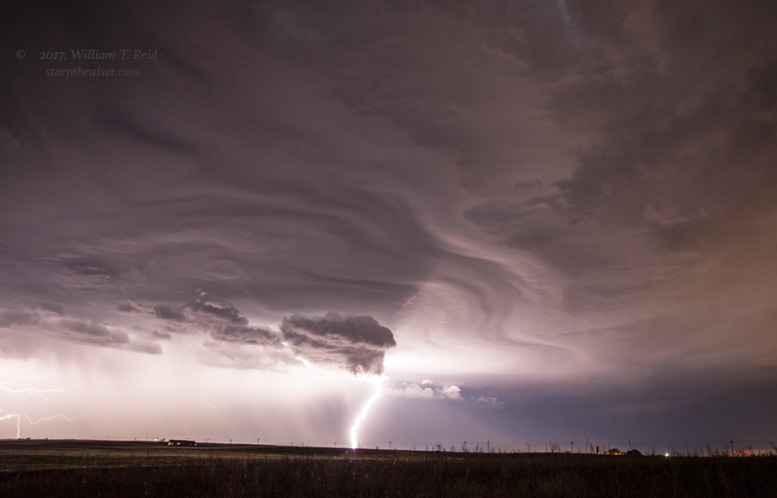
September 10 Lightning Display from San Nicolas Island
Leave a Reply
You must be logged in to post a comment.