Begin: McCook, NE
End:
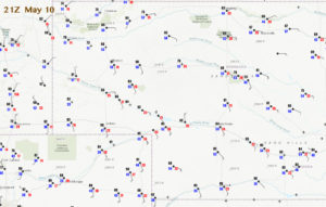
SPC showed an enhanced slight risk today, in western Nebraska. The 21Z surface map showed winds converging nicely between Scottsbluff and Kimball. Dew points were again less than stellar, in the low 50s around Harrisburg in Banner County. Storms would be fairly high-based, at least starting out, with tornado potential low.
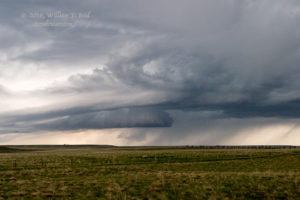
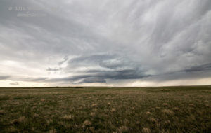
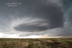
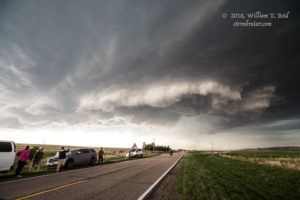
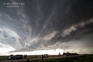
We headed to the Nebraska/Wyoming border near LaGrange to watch initial storm activity approach. A supercell which was WSW of LaGrange showed some decent structure.
With much better moisture and that good convergence to my east, near Harrisburg, I was nervous being as far west as LaGrange. I kept looking to the east for new development. When I spotted the first cumulus development to my east, we were in the vans and heading that way. An updraft organized quickly and was spinning near Harrisburg in no time!
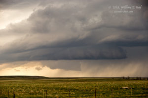
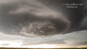
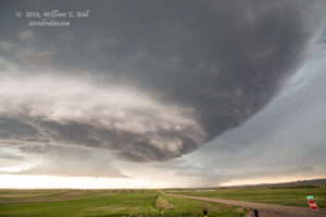
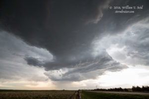
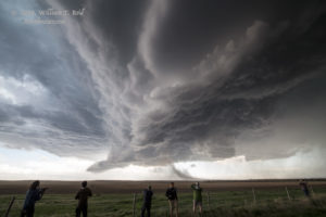
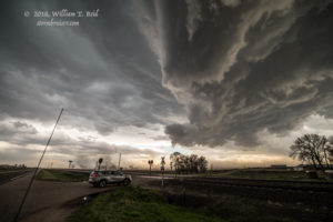
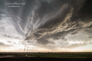
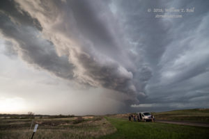
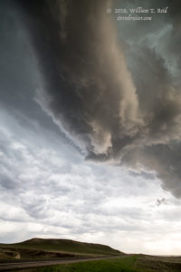
This nicely-sculpted supercell updraft base was definitely on the “high” side, so tornado prospects were still very low at this point. The storm chased us eastward down Highway 88 towards Redington and Broadwater.
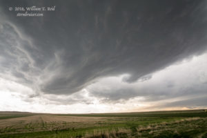
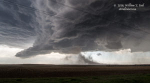
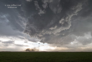
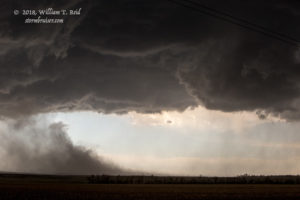
As we neared Broadwater, if I recall correctly, our original updraft base was sputtering as another storm came up on its south side. A storm base lowered quite a bit as a dusty plume surged towards a wall cloud.
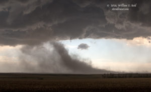
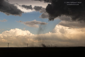
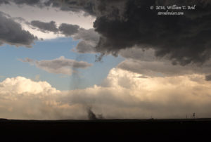
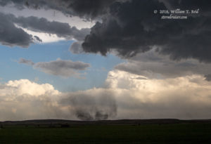
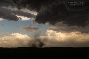
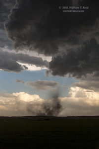
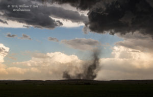
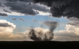
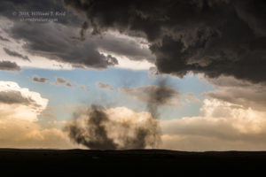
We raced eastward to get closer to the focused area of convergence, to our southeast. A nice dusty circulation developed and we had a weak tornado for a minute or two. This was southwest of Broadwater.
The weak tornado dissipated, and we continued with the storm to the east of Broadwater. The storm became wetter and a little less organized, perhaps, as it moved north of Highway 92 and into the Sandhills.
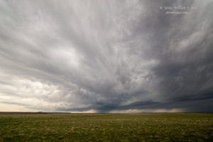
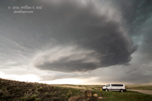
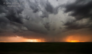
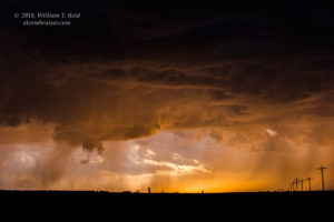
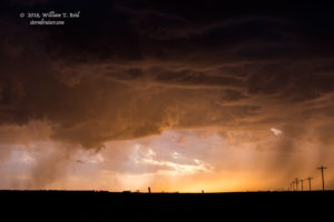
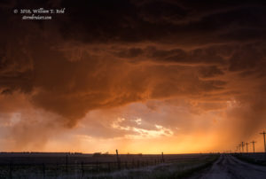
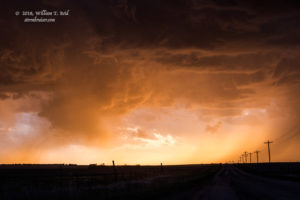
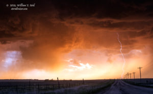
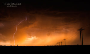
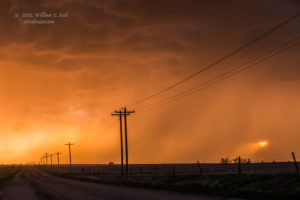
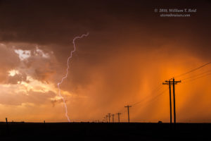
From here it appeared that the best (least disturbed) air was towards Ogallala. With a couple of hours of daylight remaining, we headed towards Ogallala and halfway to North Platte on I-80. Strong storms were developing just south of the Interstate, and we dropped south from Sutherland to get in front of the best one around sunset. We stopped about halfway between Sutherland and Wallace, and were afforded a very pretty view of a cell with a roundish wall cloud to our west.
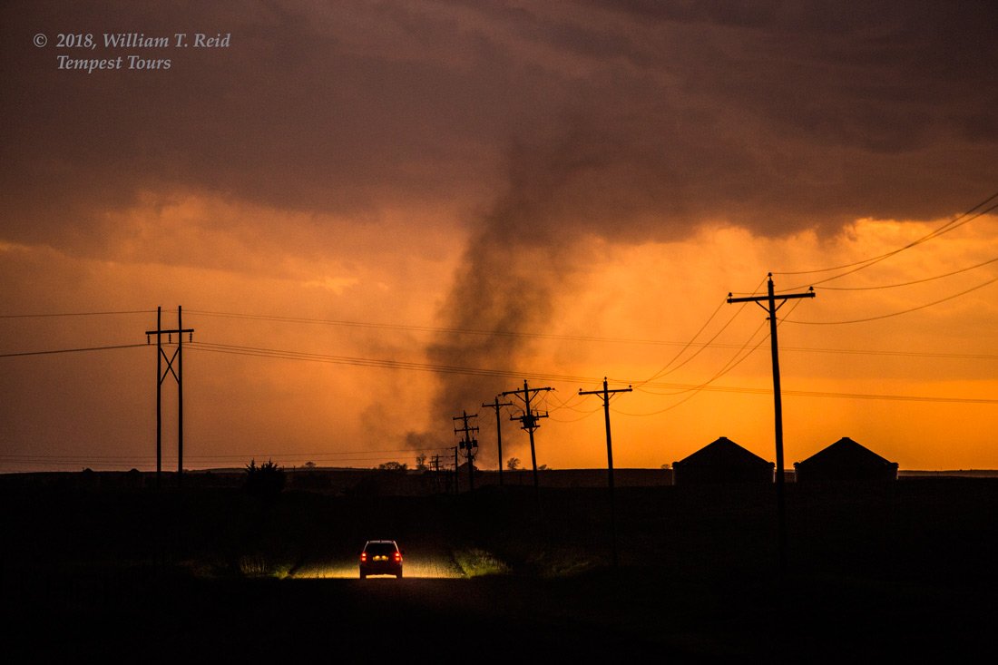
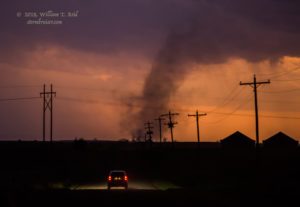
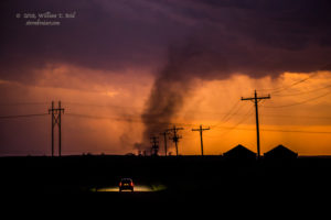
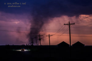
It was getting quite dark when a dusty plume ascended from the ground directly to our west, a few miles distant. What is that thing?! It persisted and drifted northward a little — it was a weak tornado! This was a great way to end the chase day!
There were two tornadoes in the country on May 10, and we were right there to witness both of them — one near Broadwater and one between Sutherland and Wallace, Nebraska.
The pattern went quite stale for the final two days of this tour, and we saw little of interest on May 11 and 12.

Leave a Reply
You must be logged in to post a comment.