Start: Castle Rock, CO
Lunch: Colorado Springs/Rudy’s BBQ
Burlington, CO
The target area for this chase day was not particularly clear-cut for me. SPC had their slight risk down towards southeastern Colorado and the Oklahoma Panhandle and vicinity. We were along the Colorado Front Range at Castle Rock. I preferred the upslope play south of I-70 in eastern Colorado, as overall tornado and isolated supercell prospects did not appear to any better near the Panhandles. (Temperature/dew point spreads were exceedingly large around that surface low in the OK Panhandle, and I did not like the anti-cyclonic curvature in the 500 mb flow around there, either! See the weather maps provided by SPC in the MDs above.)
After a yummy lunch in Colorado Springs, we headed east and south to Cheraw and Las Animas along the Arkansas River. From here we had a look at a decent updraft or two to our south, on the Raton Mesa. That activity was not in my target area. The better air and better overall instability/shear combo was around Lamar, at least in the forecast thinking towards sunset. Hailstorms in the Panhandles were too distant to consider. Here, near Las Animas, the air was rather warm and the chances for initiation nearby were bleak. I was reluctant to head farther south to the so-so looking storms in the road-poor NM/CO border area. The models indicated some late-day supercell prospects back to our NNW, off of the Palmer Divide. Moisture there was adequate, and shear and instability were a little more-than-adequate around Lincoln County. We turned around at Las Animas and went back west and north on 71 towards Punkin Center.
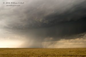
A storm developed west or southwest of Limon and moved slowly towards 71. We easily made our way in front of this high-based cell, and it struggled to organize much.
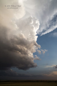
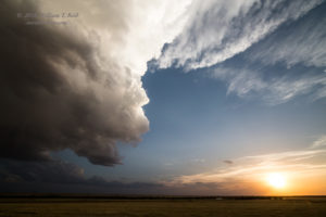
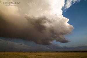
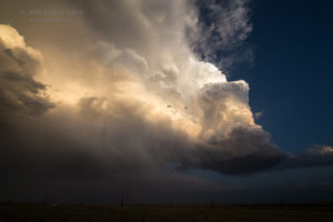
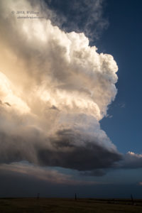
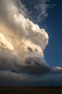
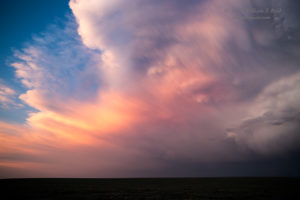
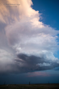
We stayed east of it by heading east on the road from 71 to Hugo. The storm still looked promising when we began this move, but it was a quickly-fizzling mushball when we looked again at Hugo. This gave us a chance for a pit stop in town. In the meantime, the old updraft was starting to crank again, just west of 287 and southwest of Hugo. We remained on the north side of the updraft as it drifted slowly southeastward in the light of the setting sun. The lower portions of the high-based updraft spun hard, but low-level moisture was much too sparse for a tornado.
The highlight of the day was the great sunset color on the storm at sunset. Fun fact of the day: Did you know that Hugo, and not Limon, is the county seat of Lincoln County? Tempest guest Lesleyanne Ryan’s account, with more details and some great time-lapse video.













Leave a Reply
You must be logged in to post a comment.