Start: Ogallala, NE
Lunch: Paxton, NE (Windy Gap Grill)
End: Alma, NE
345 miles
SPC Mesoscale Discussion 648 SPC Mesoscale Discussion 649
SPC Mesoscale Discussion 652 SPC Mesoscale Discussion 653
17-minute time-lapse video of the day’s chase by Chris Gullikson, featuring the GBOR Cam.
Chase account by TT guest L. Ryan, with map and time-lapse video
This day had very big potential, and it did not disappoint! SPC showed an enhanced slight and a fairly large 10-percent hatched tornado risk area around central and southwestern Nebraska. A potent upper-level system was moving through Colorado, and a deep surface low was in extreme northeastern Colorado. It was not difficult to figure that I wanted to be within a couple of counties of Imperial or McCook on this afternoon, and perhaps up towards Custer County in central Nebraska towards evening.
Though the forecast was relatively straight-forward, the chase logistics were very problematic. Storm initiation appeared likely just east of the surface low, in northwestern Kansas. The storms would likely be moving quickly to the northeast, given the strong southwesterly flow at 700 and 500 millibars. The paved road network is not very good in southwestern Nebraska, and a month or two of rains had trashed a lot of the unpaved roads. I had to figure out where the most likely spot for tornadoes would be, as staying with a fast-moving and northeastward-moving supercell through southwestern Nebraska would be very difficult. The last thing that I wanted was to be playing catch-up before the main show. I needed to be patient.
We had time to kill late morning, so we explored some farmland near the North Platte River, north of Paxton. Have you heard of the town of Sarben? It is not particularly noteworthy. After lunch in Paxton, we headed south towards Wallace, and then drifted west a little. We sat and waited as storms developed well to our SSW, in NW Kansas. One organized fairly quickly and became warned. Other storms were to our SW and WSW, I think, and these moved to our west. I ignored this activity that was closer to the CO/NE line. We needed to watch that one moving out of Kansas! It had access to the better moisture. Someone reported a funnel cloud with it already, near McDonald.
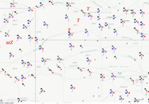
We went south via Hayes Center to Culbertson and McCook, with a view of the storm to our south and southwest. It was moving to the NE or NNE at about 35 mph, if I recall correctly. I was looking at surface weather maps, which showed very nice backed winds up towards I-80. The winds at Lexington (on I-80) were from the southeast and gusting to 30 mph. The winds at McCook were just as strong, but were from the south. I figured that the best chance for a significant tornado was closer to I-80, and I was quite nervous that we were already too far south. I thought that we should hedge east and north, but the next paved north option east of McCook was WAY to the east, at Arapahoe, about 35 miles distant. I had pretty much ruled out using the unpaved roads to the northeast of McCook (to Stockville and Farnam), due to the recent rainy weather and the fast storm motion.
With the storm approaching Culbertson and McCook, we set up east of McCook by a mile or two to watch.
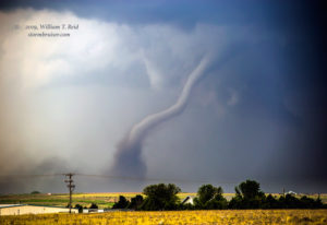
The storm base came up to the western edge of McCook and looked quite nice, with a large clear slot. This was maybe 5 miles distant. I think we repositioned to the east again a short distance to find a better view to the west and WNW. Shortly after stopping, we ran up a little hill on the north side of Highway 34 to see a good-sized tornado develop! It was a little hazy and murky due to distance, but it lasted for quite a while and edged a little closer to us with time. By the time it was roping out, the haze and murk were not as bad!
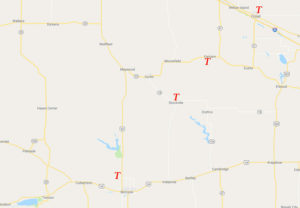
Well, that was certainly nice! I was not really expecting such a nice tornado so soon — not this far south where the winds weren’t backed that much. Showtime had begun for this supercell, and the conditions for tornadoes should only improve with time as it moved northeastward towards I-80. This map shows the bleak paved road network north and northeast of McCook —- yellow is paved:
As the McCook tornado ended and the supercell continued rather rapidly to the northeast, I decided to head all of the way east to Arapahoe and then north from there to try to intercept the storm again. We would be sacrificing a little more than an hour of time WAY out of position on the storm in order for another good chance, where the surface conditions would be most favorable for tornadoes. The other option would be to head north out of Indianola to Stockville, but I was not very familiar with that unpaved road. I didn’t want to wind up waving goodbye to the supercell because of mud or because we could not keep up. As it turned out, some of the best tornado moments of the chase season came for chasers who were on the storm near Stockville! A very photogenic and dusty tornado or two occurred near the tiny town. But we still were going to get our second chance.
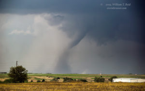
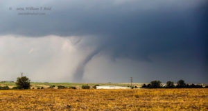
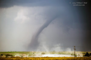
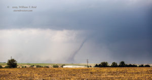
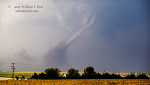
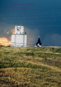
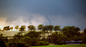
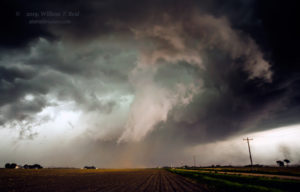
We turned to the north on 283 at Arapahoe, with the tornadic supercell likely giving the chasers a fabulous show at Stockville about this time. We had to make the 20 miles up to Elwood, where we would have a west option to Eustis and Farnham. As we neared Elwood, I think we had glimpses of the storm to the west which suggested a tornado in progress. But it was hazy and still too far away. This was maddening! Finally, we were headed west towards Eustis, and a very nice tornado came into view to our west! I was able to get the shots above with the zoom lens as we neared Eustis. This was evidently the “Farnham” tornado. As we cleared the west side of Eustis, it had dissipated. I was not happy about that, as we now had the perfect road to the west to get close again.
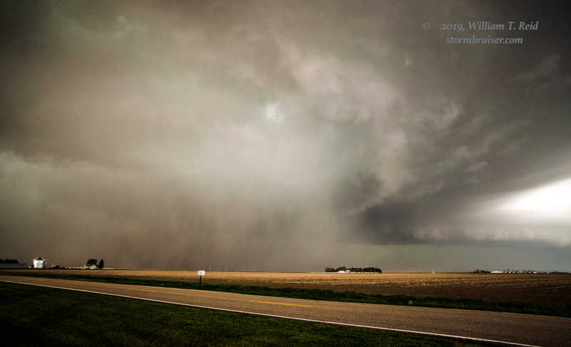
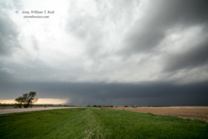
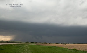
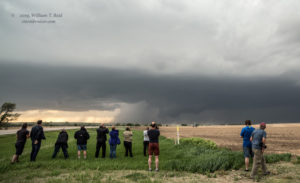
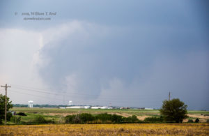
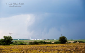
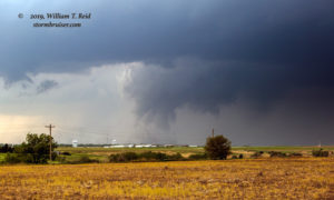
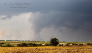
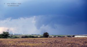
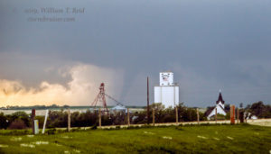
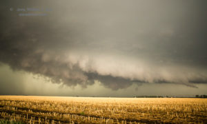
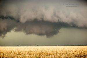
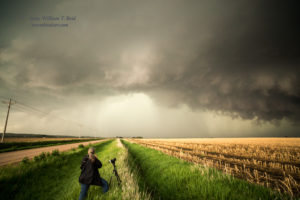
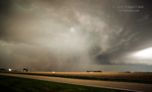
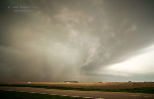
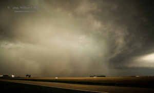
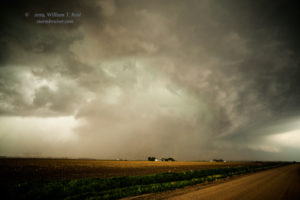
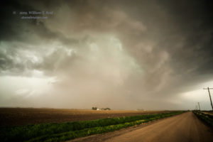
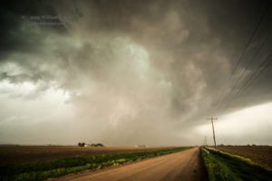
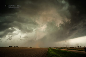
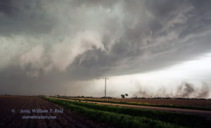
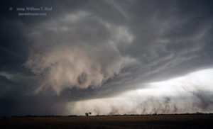
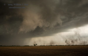
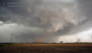
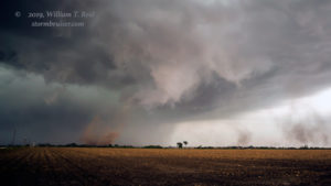
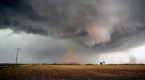
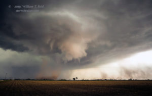
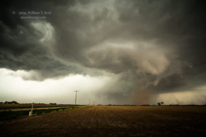
With a great view now of the supercell, we stopped just west of Eustis and set up for several minutes. A wall cloud developed and I was sure that another tornado would soon be on the ground, but I was wrong (first two images below). Very nice inflow from the southeast was blowing past us and into this storm base. It was awesome, but why was the storm suddenly being stingy? We went back to Eustis and north several miles, and stopped again (third image below). The storm was looking a bit messier, with a wetter RFD.
We were finally in great position on the storm, but had the tornado show ended?! We scooted up to Cozad, past I-80, and then, in town, turned due east onto Road 761. It was during this time that the front end of the supercell was moving into the town, and the somewhat wet RFD was fast encroaching. We made our way through some fast-moving wrapping rain curtains on the east side of Cozad, and kept going to make sure that we were not in the path of something! We stopped a few miles east of Cozad and viewed a wrapped-up (rain-wrapped) area to our northwest, no more than 2-3 miles away. It was difficult to tell at the time, but this was a new tornado, just a mile or two N to NE of Cozad. The photos below are enhanced a little, and there definitely looks to be a large tornado in progress.
Again, at the time, we were not certain if this HP supercell was indeed tornadic again. We positioned a little farther to the east and stopped. Another RFD cut was evident just to our north, and this one did not have rain and hail around it. Soon, dust was kicking up beneath a lowered area, and then a tight circulation was spinning beneath a funnel cloud! We had another tornado, and this one was anticyclonic (see sequence below). It lasted maybe a minute or two.
From here, darkness was setting in and it was difficult to see what our HP supercell was doing. Another rain-wrapped tornado was reported up towards Oconto after sunset. This supercell was indeed a tornado-making machine! We called it a day near Lexington, and headed to Alma for the night.

Leave a Reply
You must be logged in to post a comment.