Stormbruiser.com

William T. Reid

  • About
  • Video Links
  • Climate
  • Categories
    • Astronomy
    • Aurora/Northern Lights
    • Artsy
    • Airports (LAX and VNY)
    • Animal Day
    • Beach
    • BEST and MOST POPULAR
    • Chase Season Summary
    • Chasers and friends
    • Cumulonimbus
    • Death Valley
    • Desert
    • Desert/Mountains
    • Elevated photography
    • Eyesores
    • Fire
    • Flooding
    • Hurricane
    • Landscapes
    • Lightning
    • Local: Conejo Valley/San Fernando Valley
    • Mid and High Clouds
    • Nighttime photography
    • Old Stuff
    • Rainbows/Optical Phenomena
    • San Nicolas Island
    • Storm Video Sales
    • Stormy Skies
    • Stupid Bugs
    • Sunsets and Storms
    • Supercells
    • The City
    • Tornadoes
    • Unusual Clouds
    • Vegetation
    • Wind and Dust
    • Winter Weather
  • Contact
You are here: Home / 2019 / May 18, 2019 Meade and Mammatus

May 18, 2019 Meade and Mammatus

May 18, 2019 By William Reid Leave a Comment


Start:  Alma, NE

Lunch:  Greensburg, KS (Crazy Mule)

End:  Woodward, OK

414 miles

SPC Day One (20Z)

SPC Mesoscale Discussion 670    SPC Mesoscale Discussion 671
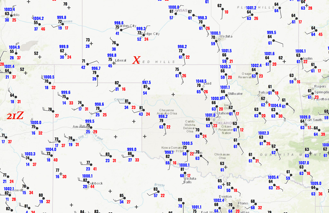
SPC Mesoscale Discussion 674

Storm Reports

21Z Surface map:


Time-lapse video for the chase by Chris Gullikson (GBOR Cam)

Chase account by TT guest L. Ryan

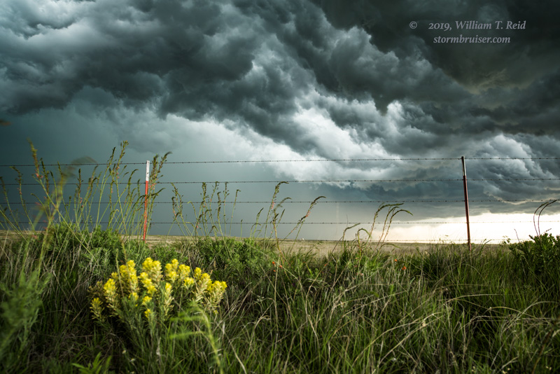
A morning squall was raging eastward through OK and north TX as we made our way out of Alma, Nebraska, mid-morning.  The atmosphere recovered enough behind that activity to allow a chance of severe in southwestern KS during the afternoon.  We made our way into Meade County (southwest of Greensburg), and watched some strong storms develop to our west.  These showed some organization and teased us a little with some interesting lowerings.


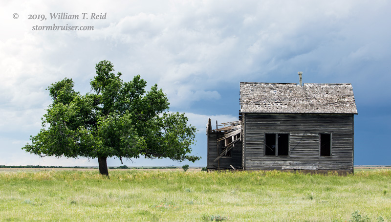
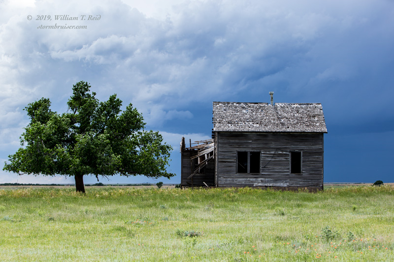
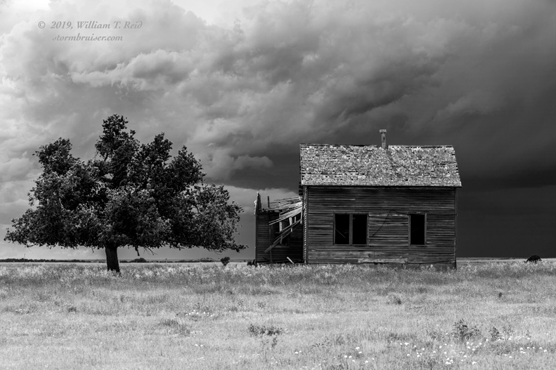
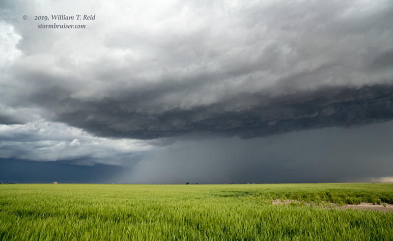
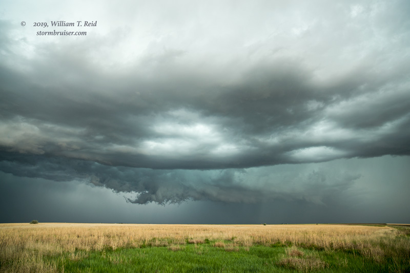
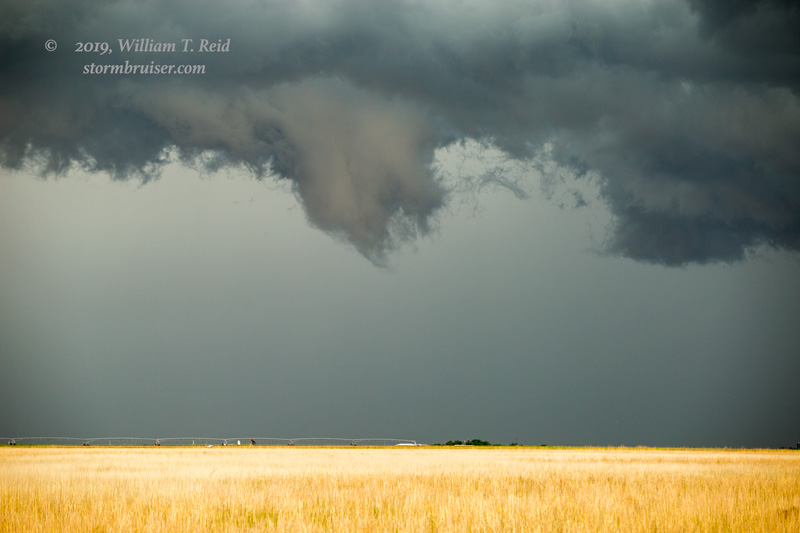
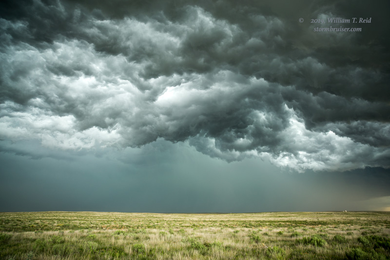
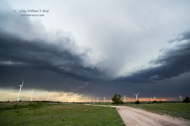
This activity produced some 2-inch hail to our north, in Meade County, but then became outflow-ish and linear.  It chased us to Englewood, and we had a nice whale’s mouth underside to photograph.  The cool outflow was rather strong.


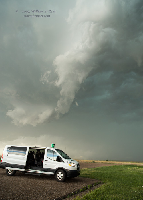
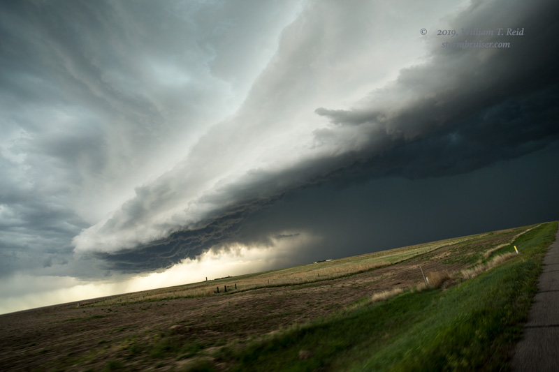
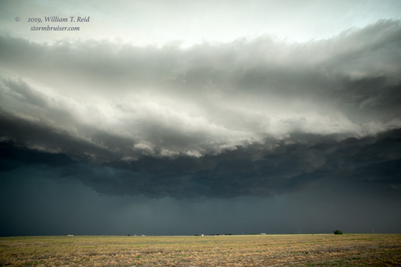
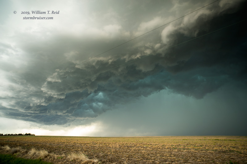
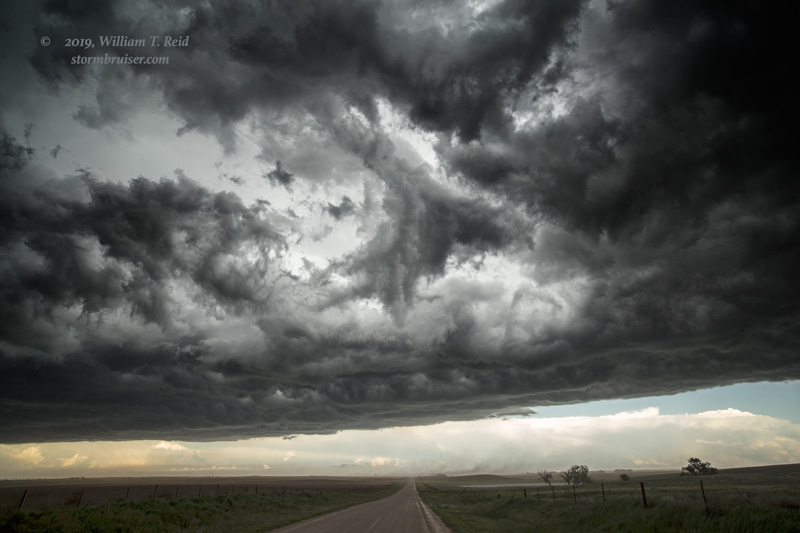
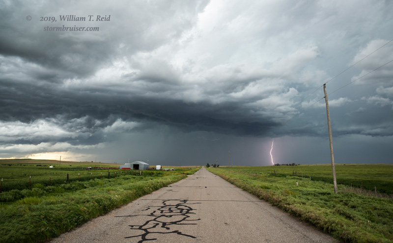
Some new stuff was going up on the south end of this mess, and we got in front of that at Buffalo, OK.


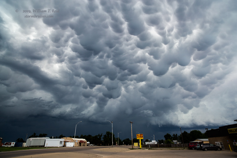
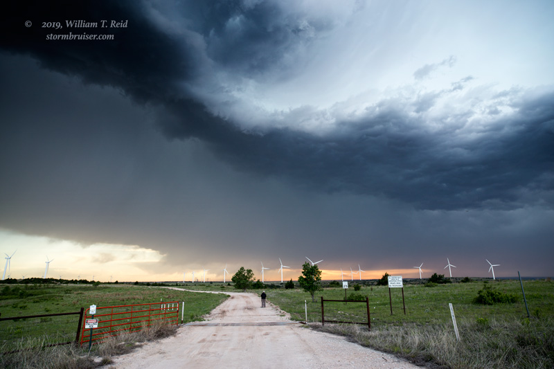
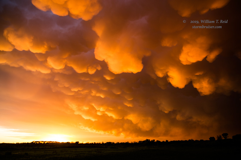
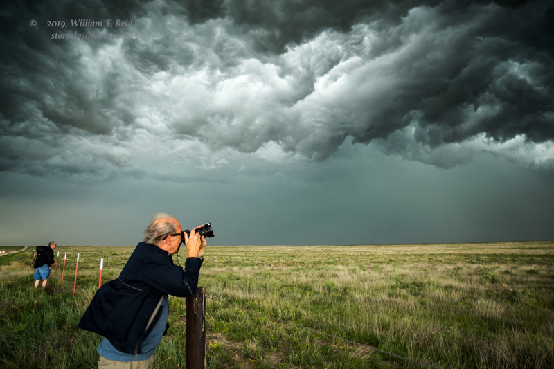
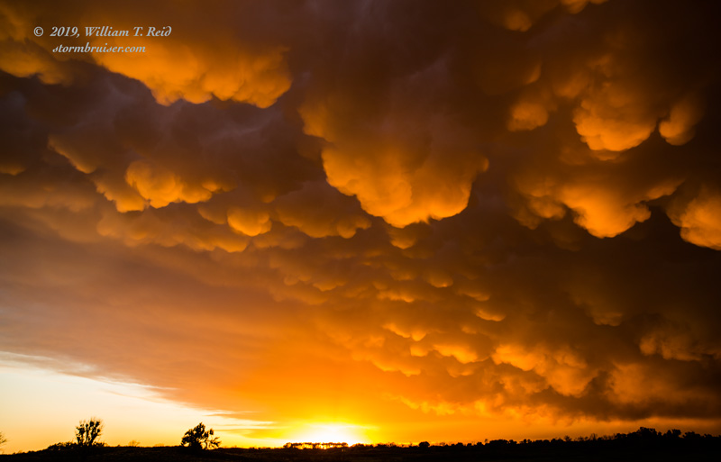
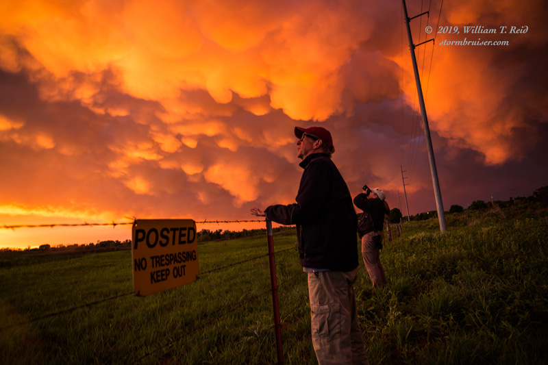
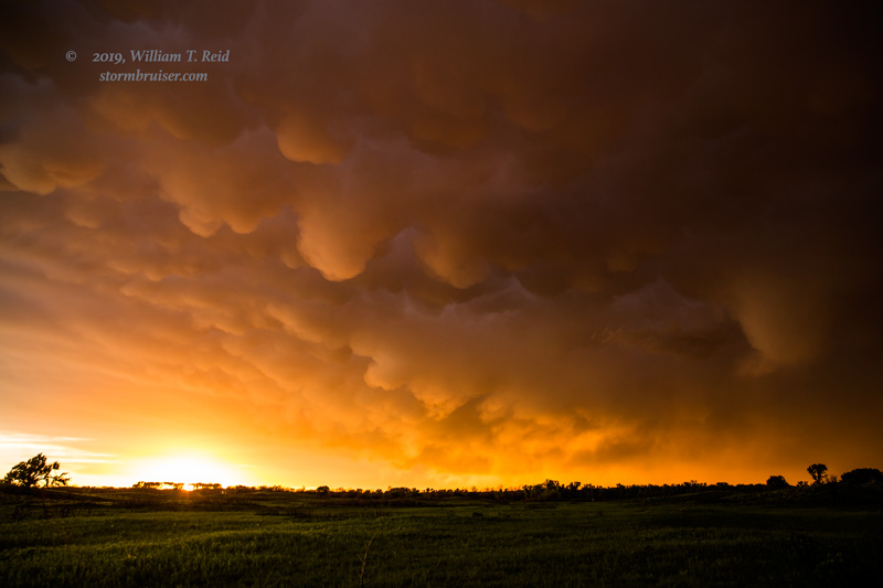
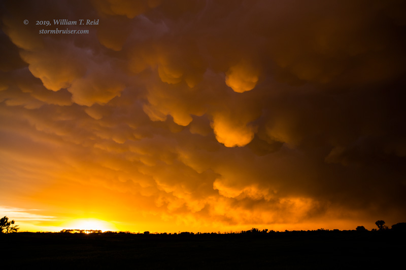
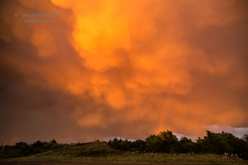
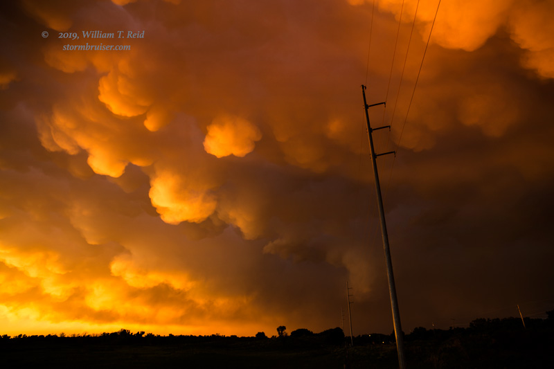
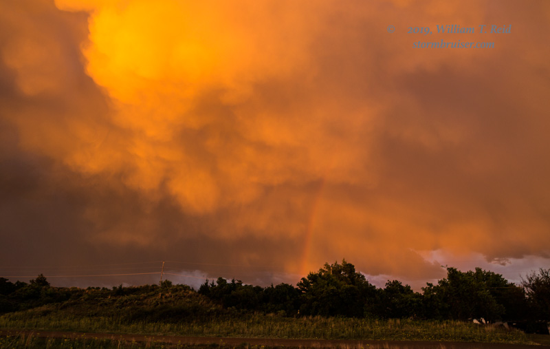
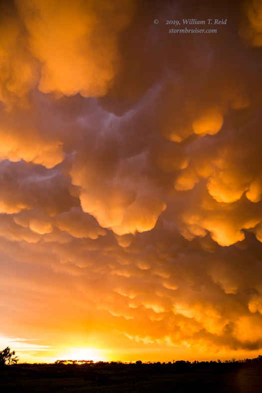
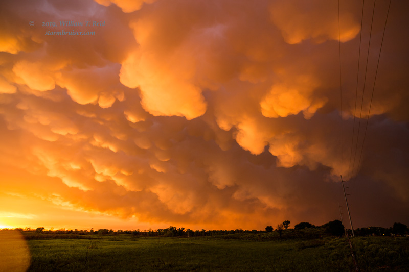
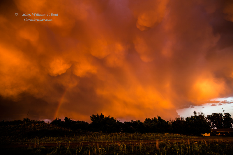
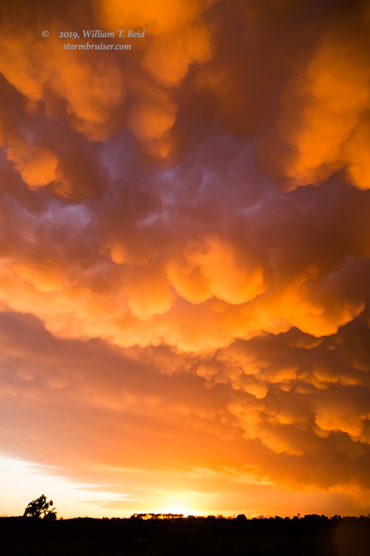
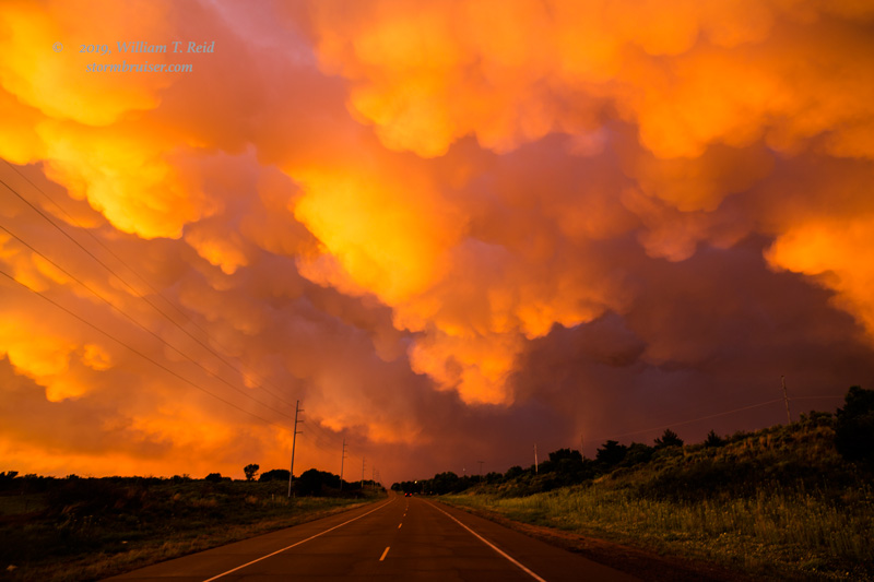
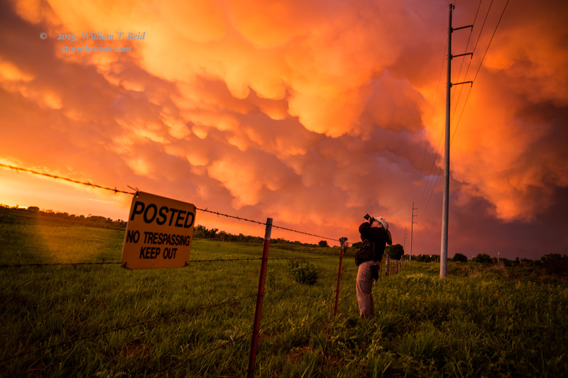
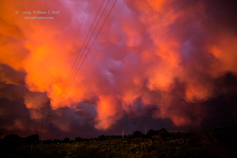
The tornado chances were nil with these storms, but we stayed with them east of Buffalo and then down to Woodward.  The mammatus display at sunset, just north of Woodward, was very high-end!


Filed Under: 2019, Landscapes, Old Stuff, Sunsets and Storms, Supercells, Unusual Clouds

Leave a Reply

You must be logged in to post a comment.

Search

May 2019
S M T W T F S
 1234
567891011
12131415161718
19202122232425
262728293031  
« Apr   Jun »

Categories

Archives

Copyright © 2025 stormbruiser.com · Log in