
Start: Guymon, OK
Lunch: Elkhart, KS, grocery
End: Wray, CO
548 miles
SPC Mesoscale Discussion 810 SPC Mesoscale Discussion 812
SPC Mesoscale Discussion 813 SPC Mesoscale Discussion 815
SPC Mesoscale Discussion 821 SPC Mesoscale Discussion 822
SPC Mesoscale Discussion 823 SPC Mesoscale Discussion 824
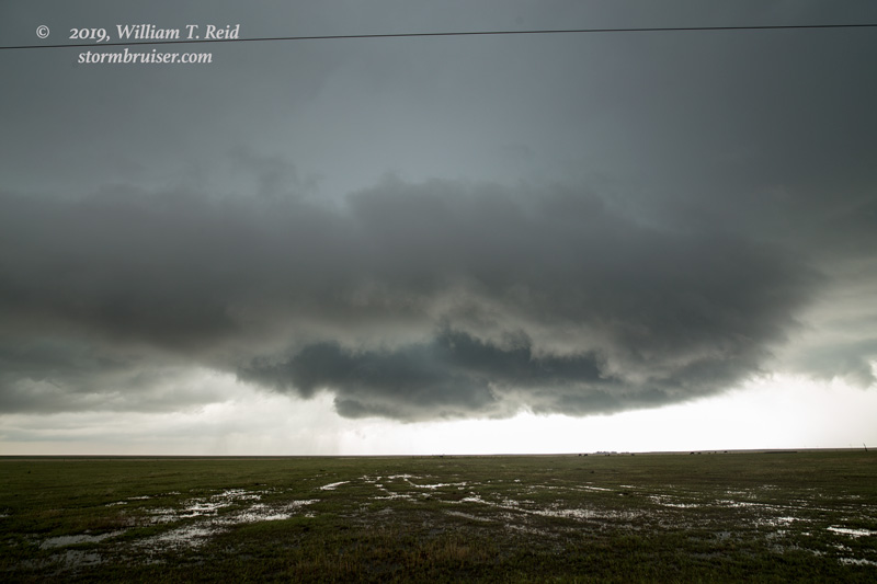
This chase day was generally difficult, messy, long and disappointing. A moderate risk was splattered up and down the High Plains from Burlington to Dimmitt. A large 15-percent-hatched tornado risk was drawn from Colby to Kim. Big-time dynamics were spreading over the Plains, with decent dew points into the low 60s into southeastern Colorado! Well, things went downhill early, as storms went up by noon near the Raton Mesa. Anvil cloudiness was soon spreading over the prime target area of southeastern Colorado and western Kansas. Plenty of junky elevated storms had me running around a bit near the CO/KS border, east of Lamar. I finally figured things out and headed west towards Sheridan Lake and Chivington to get in front of a storm that was moving to the NNE, near Lamar. Apparently it produced a brief tornado near Wiley before we were close. We stopped on CR49 a few miles southwest of Chivington, and watched a well-organized storm base approach. It was tornado-warned as it moved just to our west and northwest, and precip curtains swept around a suspicious lowered area.
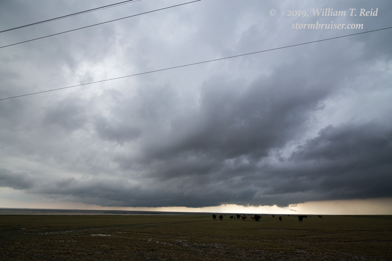

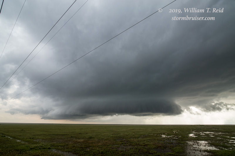
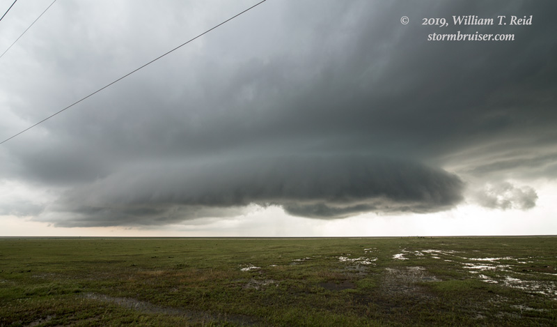
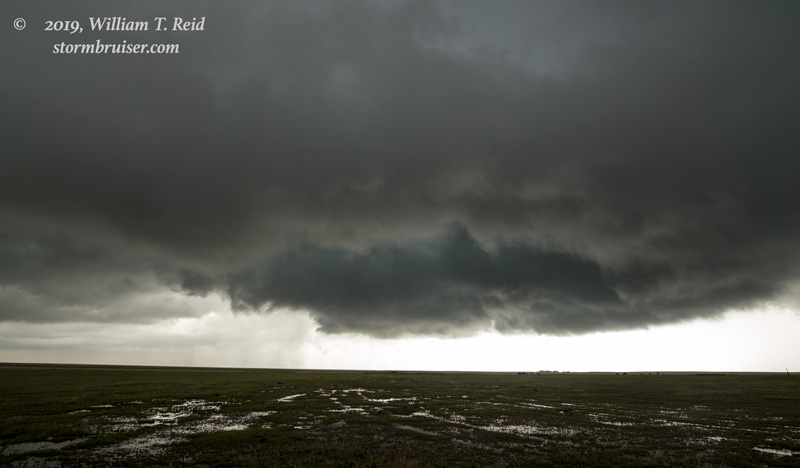
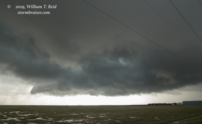
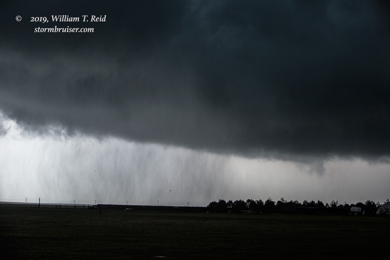
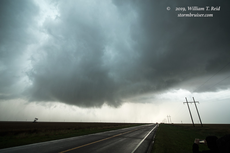
We had a nice front-row seat for this, but the storm failed to produce a tornado. (Or, if there was one, it was very weak and brief.) The storm was moving into nicely-backed winds (they were from the ENE at our location), but the afternoon cloudiness had really done a number on the low-level instability. I think that the tornado prospects were significantly diminished due to the early cloud cover.
As we re-positioned north a little to our east option (Highway 96), we found ourselves amidst one of the worst chaser-convergence traffic jams imaginable. But isn’t it nice to know that so many other chasers agree with your brilliant choice of storms?!
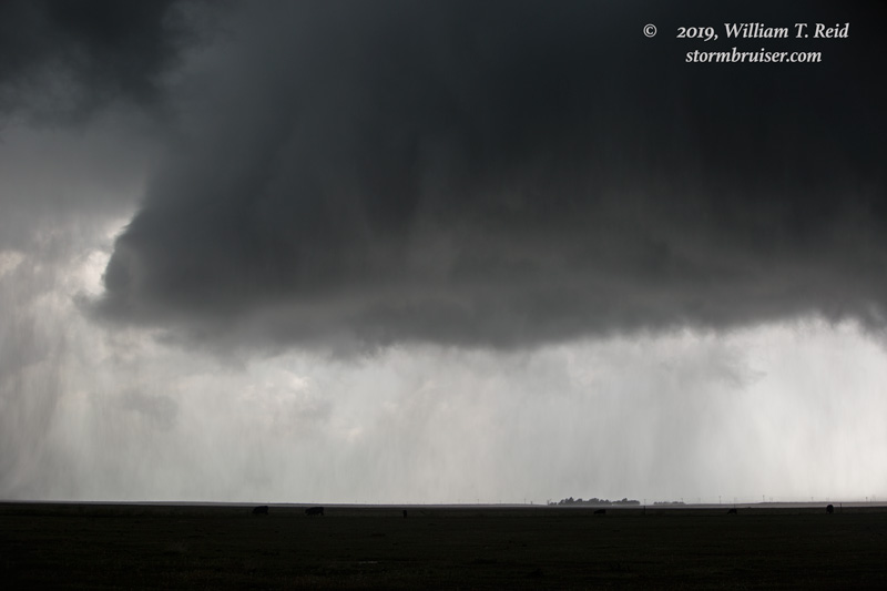
We joined the miles-long train of vehicles to Sheridan Lake and north on 385 as the supercell continued to look promising to our northwest. But, it became a rainy mess. We tried to salvage something interesting north of I-70, around Kirk, CO, but the squally convective remnants of earlier decent discrete cells were not particularly appealing…especially given expectations today. Oh, well. We finished the day with a nice meal in Idalia.
The GRAND PRIZE today was well down south in east-central New Mexico, near Dora. A long-lived tornado provided a tremendous chase for just a bare minimum of chasers! I suspect that this area, which was barely within the lowest (2%) SPC tornado risk outline, was bathed in really nice sunshine for much of the afternoon (in stark contrast to my target area).
Leave a Reply
You must be logged in to post a comment.