Start: Wray, CO
Lunch: Brush (Wendy’s and Subway)
End: McCook, NE
427 miles
SPC Mesoscale Discussion 833 SPC Mesoscale Discussion 834
SPC Mesoscale Discussion 836 SPC Mesoscale Discussion 841
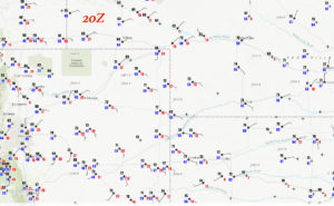
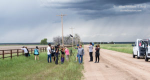
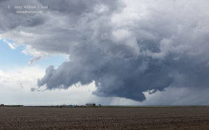
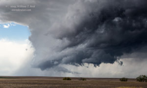
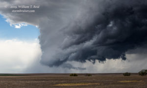
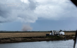
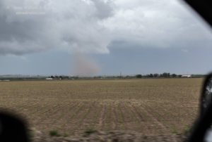
This chase day had high-end severe potential in northeastern Colorado, with great upslope flow north of I-70 beneath strong southwesterly flow at 500 mb (about 55 to 65 knots). The dew points were into the mid 50s, so tornado prospects were good but not great. We lunched in Brush and were in great position shortly thereafter as a rotating updraft approached Hoyt from the southwest. This storm showed nice low-level structure and looked about ready to spin up a tornado. Another updraft to its north then seemed to be the one to watch, and then one that was moving into Fort Morgan. The Fort Morgan storm had a nice, dusty spin-up/tornado beneath it for a minute or two near the town. The pics below are looking SW at the approaching Hoyt cell, and then looking NNE at the little tornado near Fort Morgan.
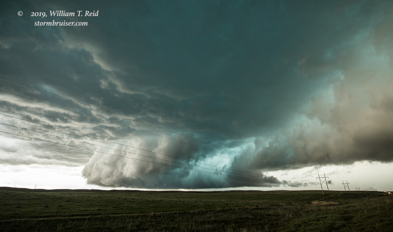
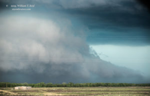
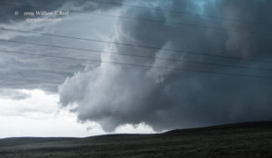
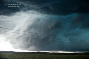
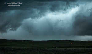
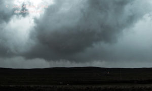
We were near the semi-interesting cell near Fort Morgan and Brush when new development suddenly was to our northeast, near Sterling. I led the tour group up I-76 to get back into position on this, stopping an exit or two beyond Sterling. The severe storm looked rather elongated and poorly organized, from our north to west and southwest. The south end was scraping the ground practically, and the dumb sand hills were partially blocking our view beneath the storm base. This action area (near Fleming) started to look really serious, but we could not tell for sure the lowerings were tornadic or not. Other chasers on the other side of this menacing wall of doom did indeed witness a tornado or two.
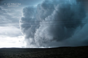
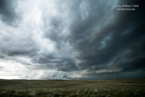
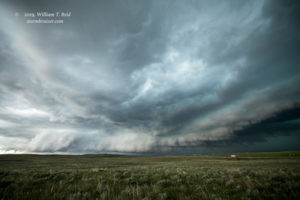
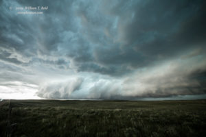
Below are wide-angle images of this supercell near Sterling and Fleming, with views primarily to the southwest.
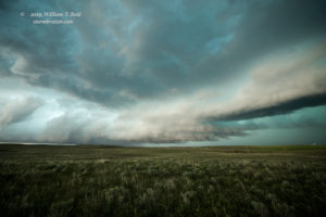
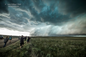
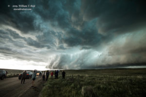
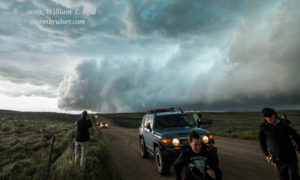
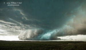
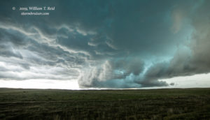
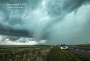
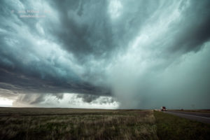
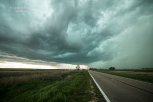
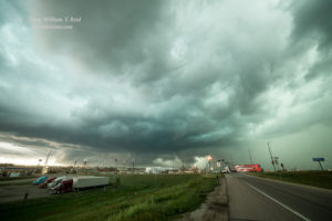
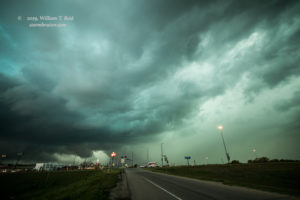
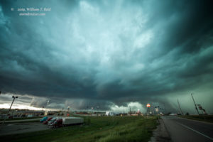
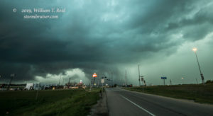
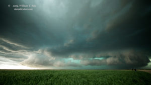
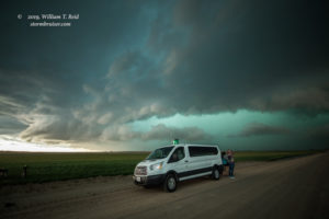
We were northeast of the core of this supercell, and likely close to damaging hail. The storm seemed to kick it into high gear and started to book it along I-76, chasing us to Julesburg, Big Springs, and Ogallala. We managed a few stops to look back behind us. The first three images below were near the CO/NE line, perhaps along I-80. The next four were from Ogallala, where we managed a quick pit stop. The storm wound up trashing part of Ogallala and the vehicles of many motorists on I-80 with large hail. The views are to the WSW and W near the exit to the town. We went east again on I-80 to around Roscoe for one more look to the west (final two images below). The supercell was a beastly and green HP. It was outflowish with little-to-no tornado threat.
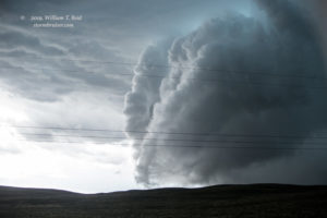
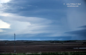
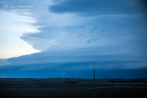
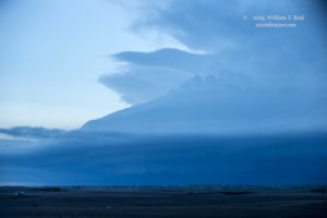
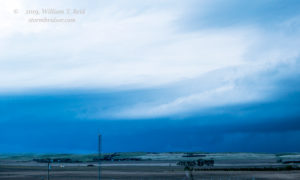
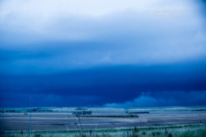
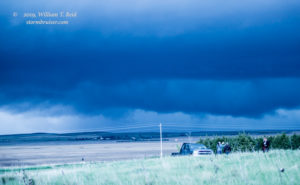
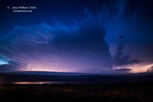
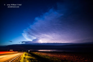
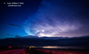
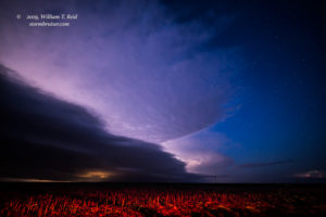
Another more discrete-looking supercell was a couple of counties to our SSW, and was occasionally tornado-warned. We need to get on that one! South we went out of Paxton, and when we came to Elsie and Highway 23, the big beast was to our southwest, to the WNW of Imperial. The storm was moving to the east, and would be impacting Highway 61 (north of Imperial) in 25-30 minutes. That is about the time it would take us to get to the same place! GAD. I could try to squeeze us in front of this impressive and dangerous storm by dashing west and south. I might end up with glass in my lap, though, or worse. I didn’t want to be at the North Platte windshield replacement shop the next day. I tried a gravel road south out of Elsie. It would be a good 15-20 miles south on this road to get us to a good location. But, the road was soft, mushy, and not going to work. There had been so much rain in this region in recent weeks that the unpaved roads were just not an option! We turned around and went back to 23. I sadly headed east to Wallace (about 12 miles) and then south on 25, which angled annoyingly more to the southeast and away from the big supercell, which just happened to showcase some of the best structure of the season. I was rather dejected, knowing that our group was not able to quickly and efficiently get decent position on the Imperial supercell. As we headed south on 25 towards Hayes Center, I elected to stop on a hilltop with a cemetery to wait for the storm. We could have continued south to U.S. 6 and WNW to Imperial, but that was another 40 minutes or so and sunset was not too far off. The Imperial storm did not approach as quickly as I would have liked, either. I managed some zoomed-in shots which show the nice laminar sides of the updraft area, more than 25 miles away I figure. Later we scooted south to Palisade for the nighttime lightning shots.

Leave a Reply
You must be logged in to post a comment.