
Start: Belle Fourche, SD
Lunch: Baker, MT/The Corner Bar and Saloon
End: Glendive, MT
505 miles
SPC Mesoscale Discussion 1008 SPC Mesoscale Discussion 1010
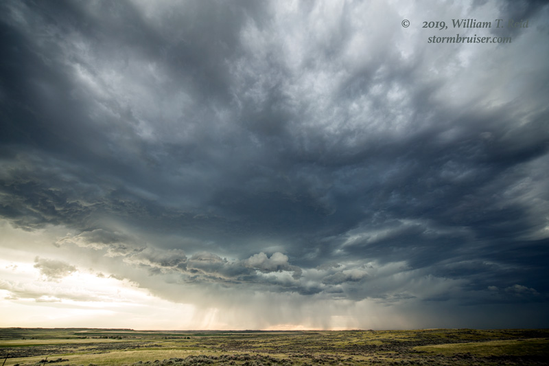
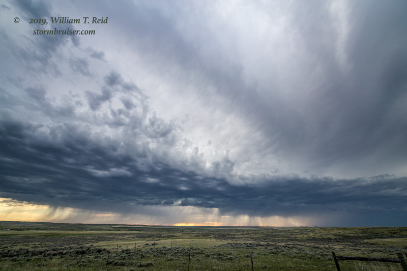
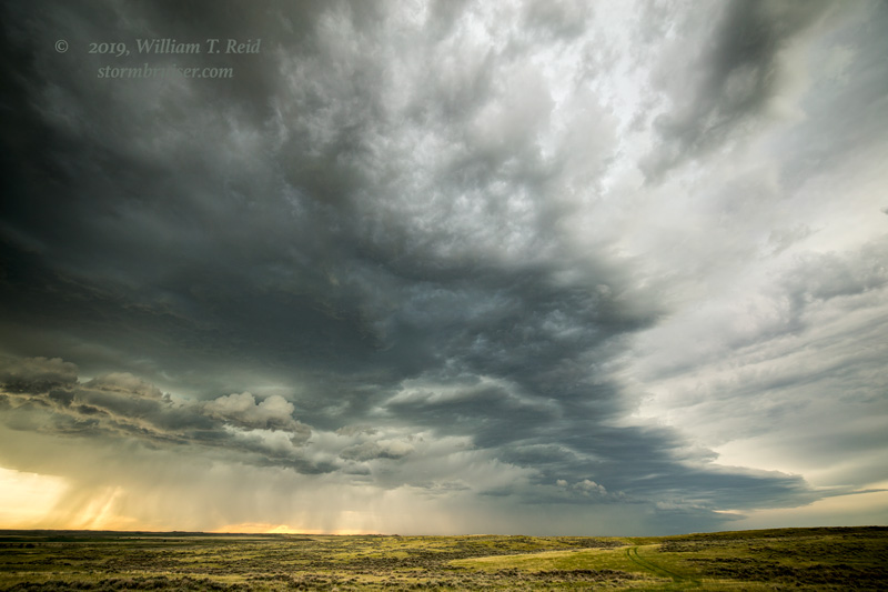
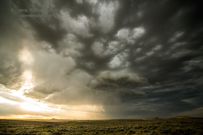
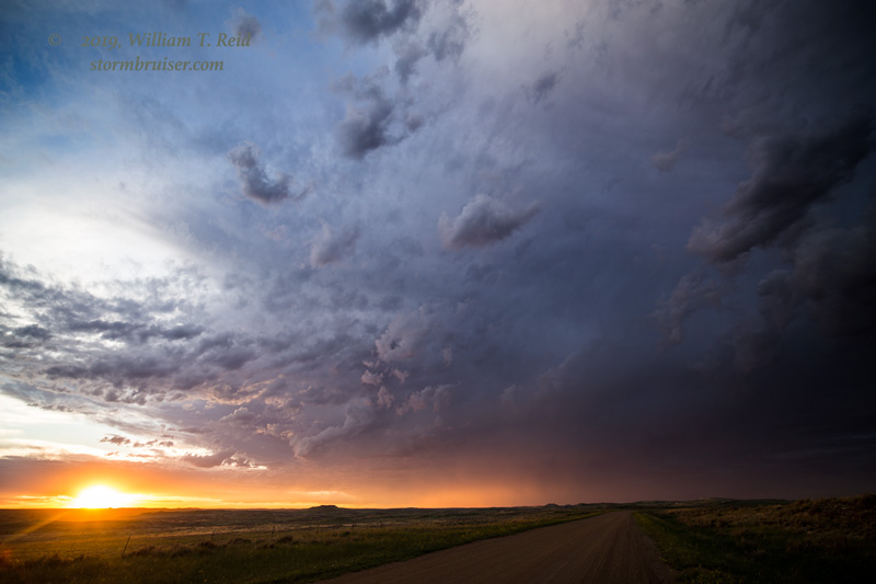
Moisture on the High Plains continued to be on the low side, and the unfavorable upper-level pattern of the last couple of days was slow to move off to the east. It is June 6, and the best severe-weather and tornado chances today are in South Texas and around New Orleans! Storms were expected in central Montana, too, with some moving into eastern Montana towards sunset, according to forecast models. We headed to Baker for lunch, and then towards Miles City. An updraft tried to get strong south of Miles City, but it lost the battle against the cap. (At least one of the CAMs showed a significant supercell near this area on some of its runs, but in this all-or-nothing scenario, the “nothing” part won out.)
I tried to salvage something by heading to Jordan and a little west of there. Some high-based activity was to our west and northwest, and it was not able to organize much or to even provide a decent lightning display at night.
Leave a Reply
You must be logged in to post a comment.