
Start: Ulysses
Lunch: Leoti Feed Store
End: Sharon Springs, KS
285 miles
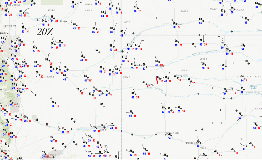
20Z surface map above. X marks the area near Winona, KS
Chase account by TT guest L. Ryan
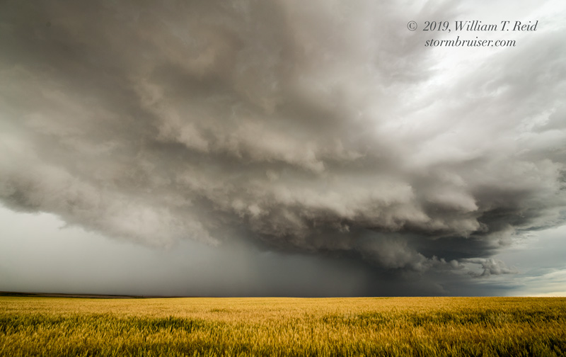
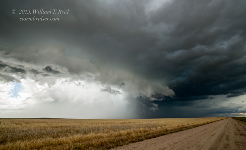
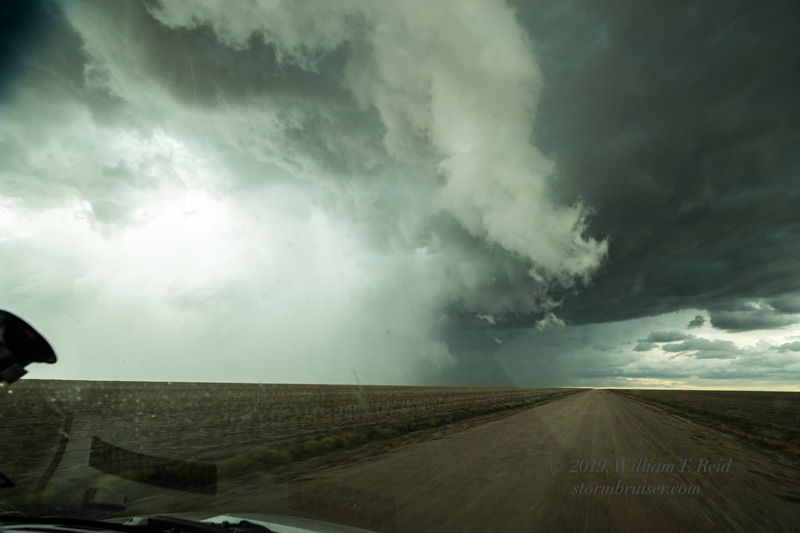
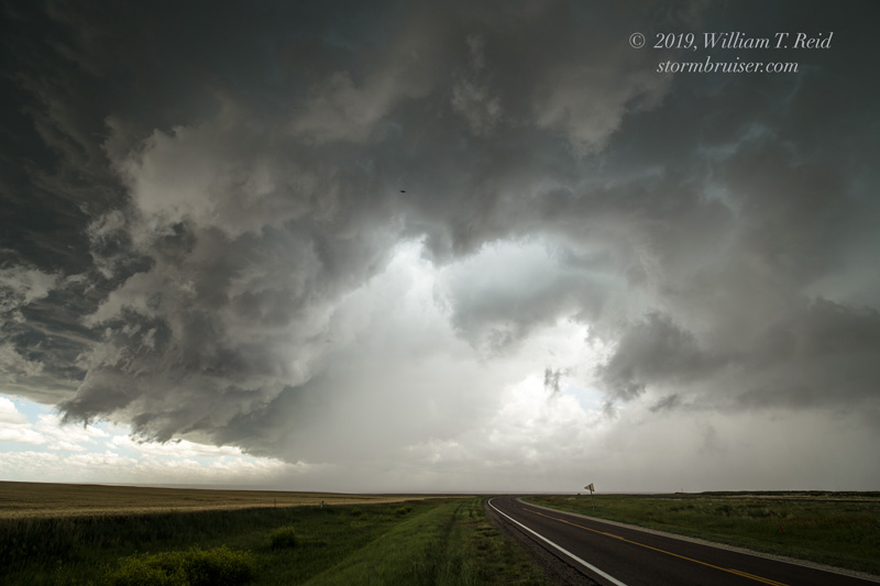
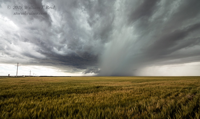
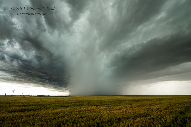
An upper-level low was moving eastward through E CO and W NE today. Shear was strong over NW KS due to strong mid-level winds from the west. Despite low-level winds that were also from the west to northwest, effective bulk shear was sufficient for severe weather. A relatively cool airmass and decent dew points meant rather low storm bases, and a front through northwest Kansas might promote landspout-type tornadoes. We had lunch in Leoti and headed north, and a storm was already in progress to our NNW, west of Winona. We cut right in front of it (near McAllaster on U.S. 40), and barely dodged a nasty-looking hail core. This cell looked to have decent organization and a large RFD area. We were afforded looks at it towards the SSW near Monument and Winona.

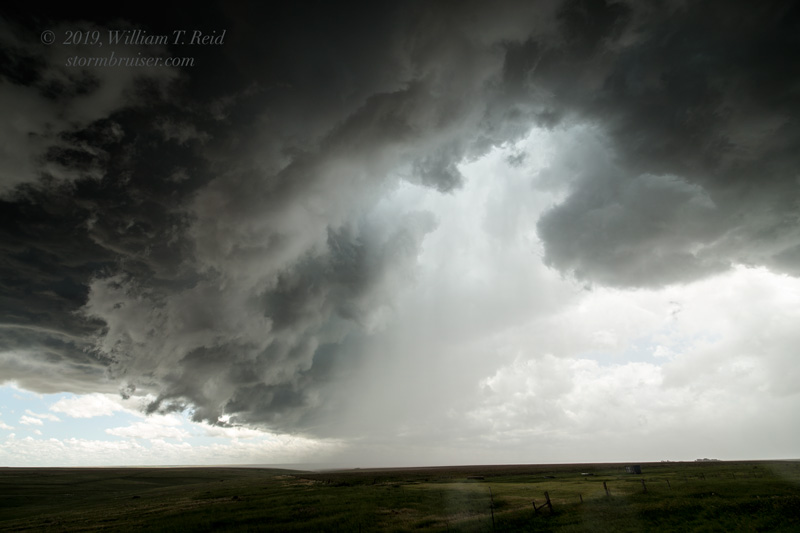
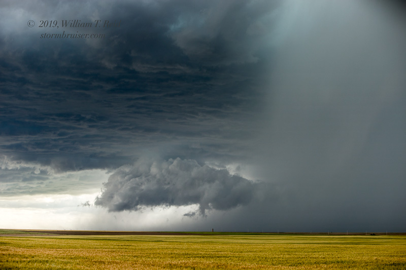
Near Oakley, the warned storm sported a very heavy precipitation shaft and a scuddy lowering.
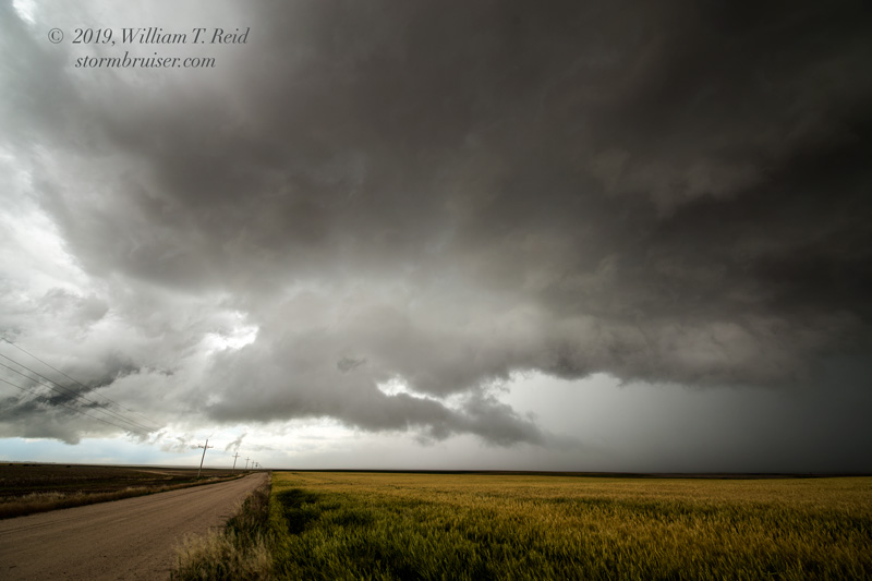
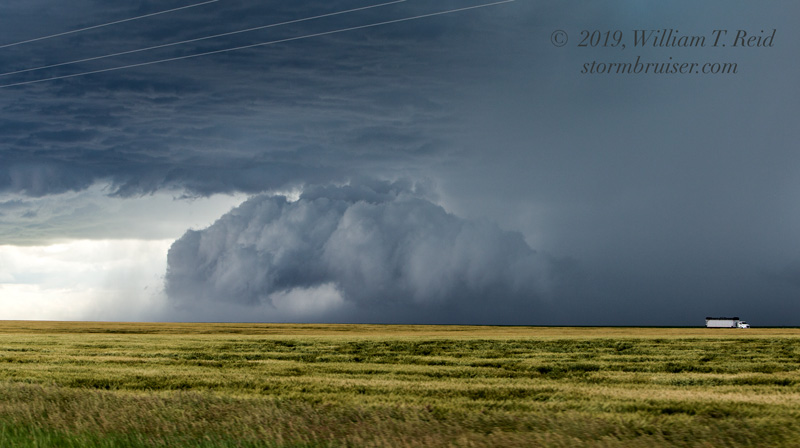
The storm seemed to be in no mood to get any more interesting, so we turned back west for another one that was in Colorado. We caught this one at Arapahoe, CO, just inside of the CO/KS border. It was a big hailer with a nasty-looking base, but was moving quite quickly to the ESE and was difficult to stay with. Our group found rooms in Sharon Springs at an early hour.
Leave a Reply
You must be logged in to post a comment.