
Start: Canyon, TX
Lunch: Clarendon/Sonic
End: Woodward, OK
398 miles
SPC Mesoscale Discussion 575 SPC Mesoscale Discussion 576
SPC Mesoscale Discussion 577 SPC Mesoscale Discussion 578
Moisture was finally ramping up to reasonably good levels this day, with low-mid 60s dew points moving into western OK from the southeast. Overall shear was barely enough for supercells, so SPC gave us an enhanced risk along the E TX PH/W OK border area. The slight risk extended all of the way to the Rio Grande, but it appeared that the best instability/shear combination was close to I-40 from about McLean to Elk City. Tornado risk was not very good due to so-so low-level turning and somewhat high cloud bases.
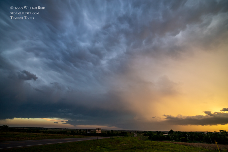
Somewhat early initiation commenced near Clarendon and Pampa. This activity really sputtered, which was a bit surprising. We stayed east of the junk on I-40, hoping that something would become worthwhile. We found a storm near Sweetwater, OK, that looked a little promising for a minute or two. It also sputtered as it dragged us to the vicinity of Foss Reservoir. As sunset neared, we watched a linear feature to the southwest, but it was not interesting enough to charge towards.
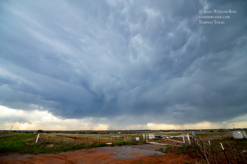
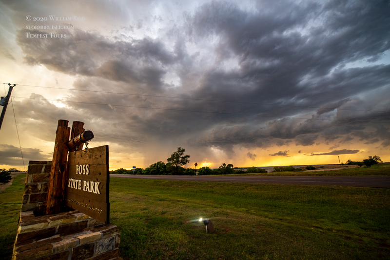
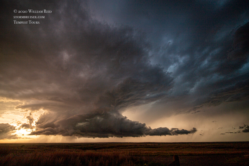
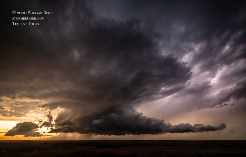
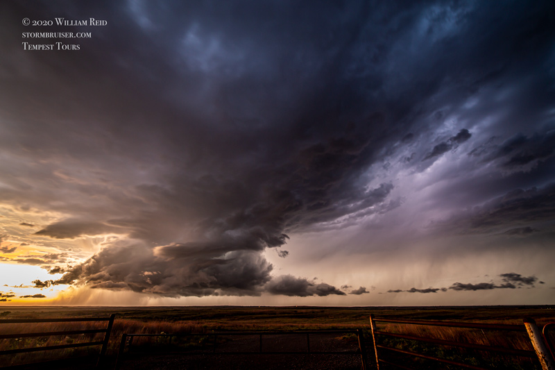
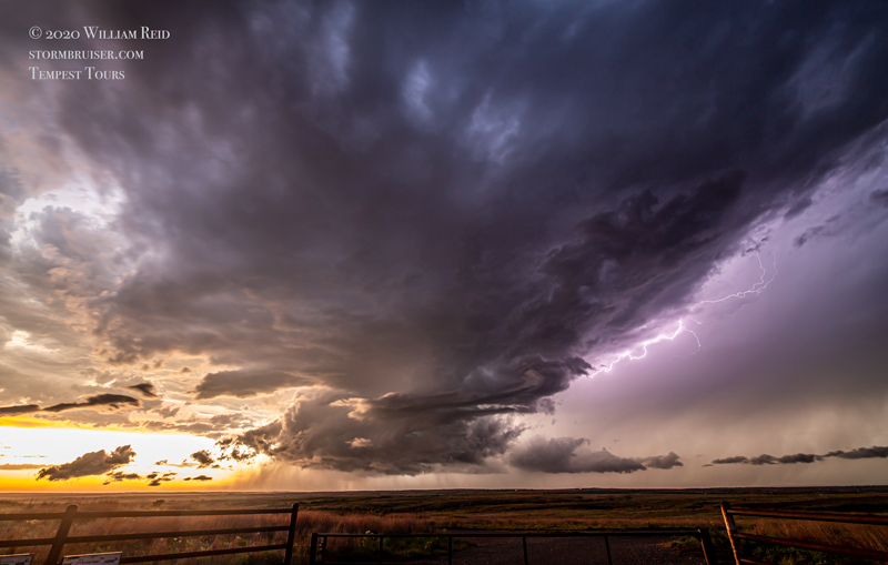
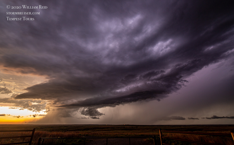
I spent a bit too much time feeling sorry for myself at this stop near Foss before realizing that a decent isolated storm was in progress to our northwest. We caught up to it a little east of Strong City, OK, but it was already slowly weakening. A little lightning persisted to keep our cameras busy.

Leave a Reply
You must be logged in to post a comment.