

Start: Cheyenne
Brunch: Cheyenne/Village Idiot
End: Sterling, CO
406 miles
SPC Mesoscale Discussion 643 SPC Mesoscale Discussion 648
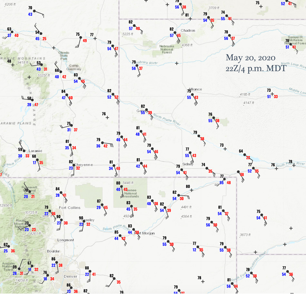
Surface Map 22Z
Moisture was surging northwestward along the North Platte River Valley into east-central Wyoming this afternoon. Upslope flow against the Laramie Range in advance of a trough that was ejecting out of the Great Basin was providing a good severe-weather chance. But, as has been the case for much of May, the low-level moisture (mid-50 dew points) was just “so-so” and was not ideal for tornadoes. SPC drew a little 5-percent tornado area from about Chugwater to almost Newcastle.
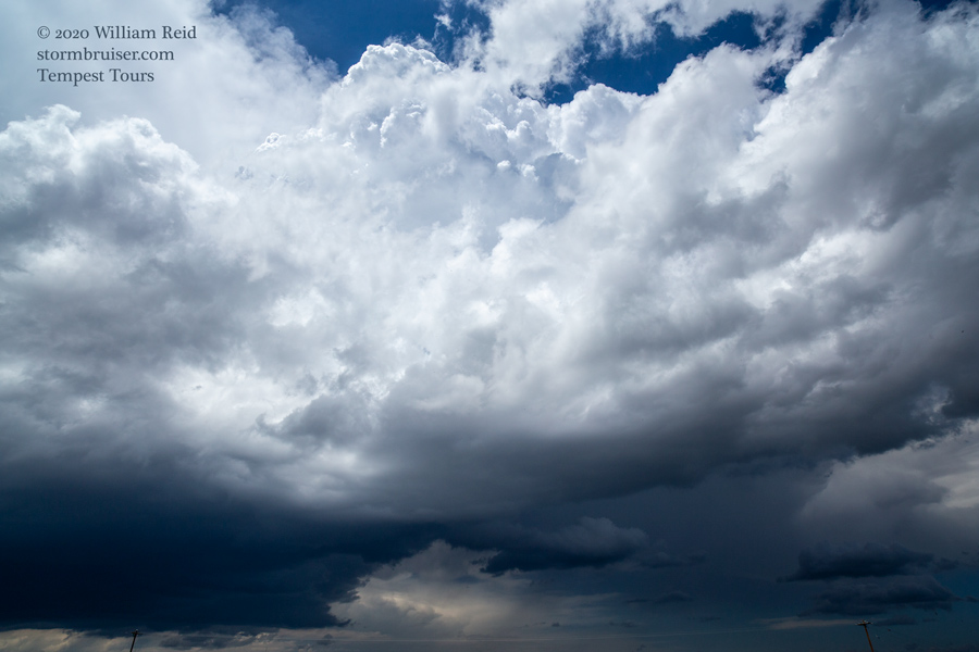
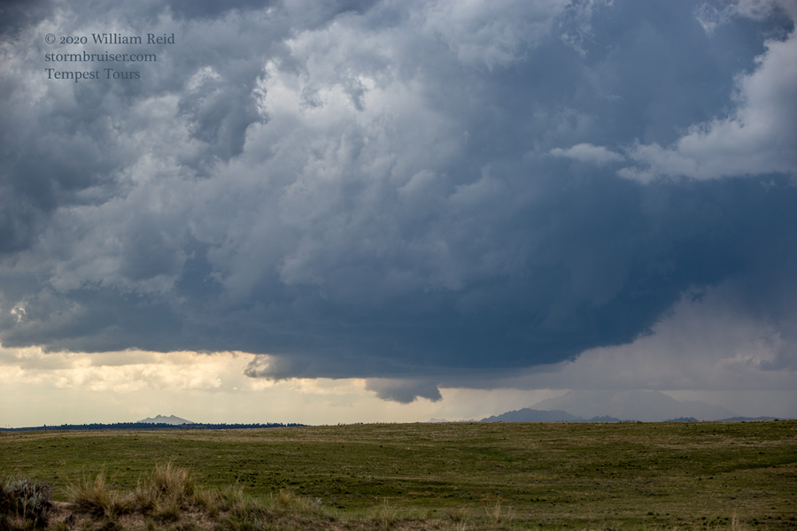
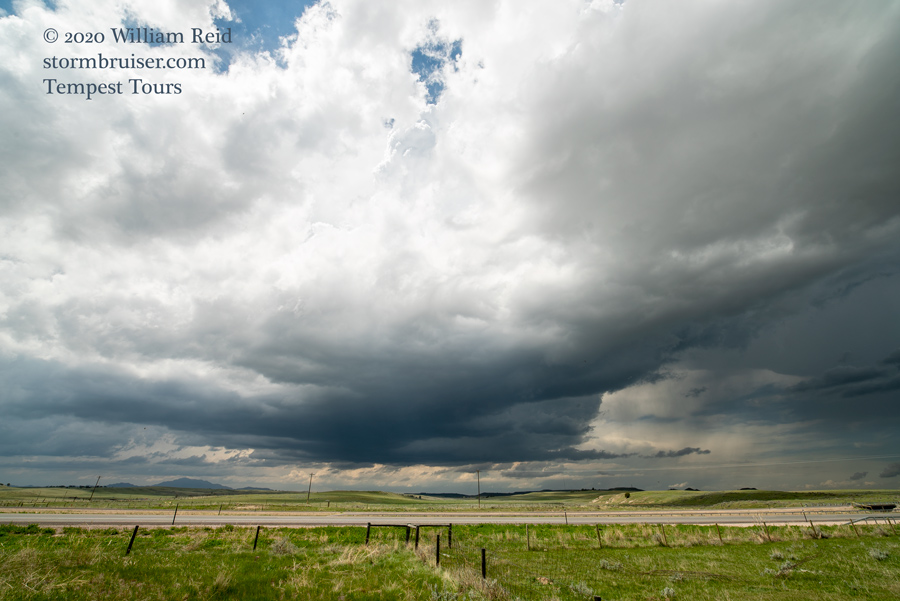
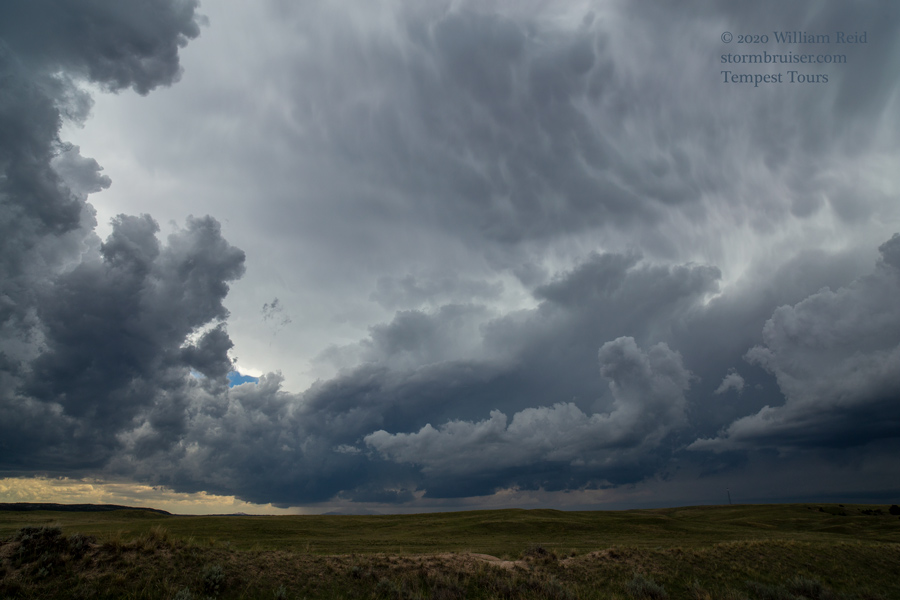
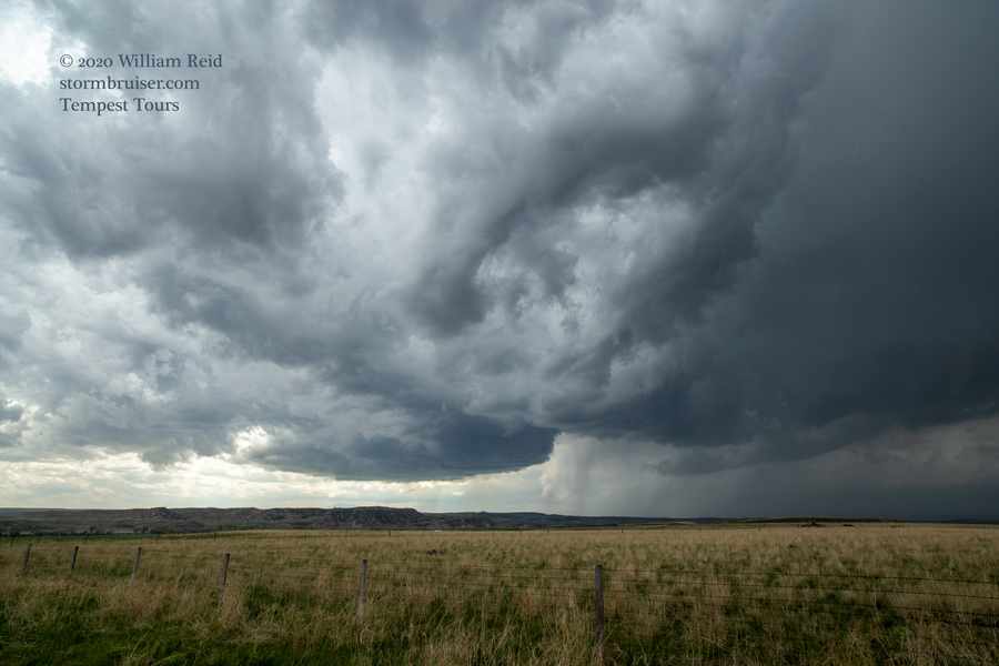
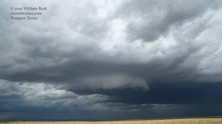
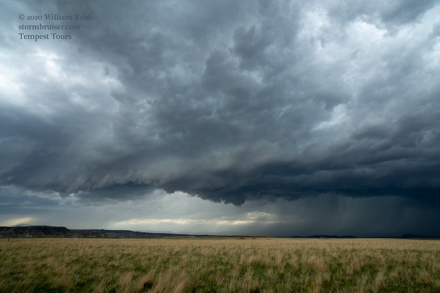
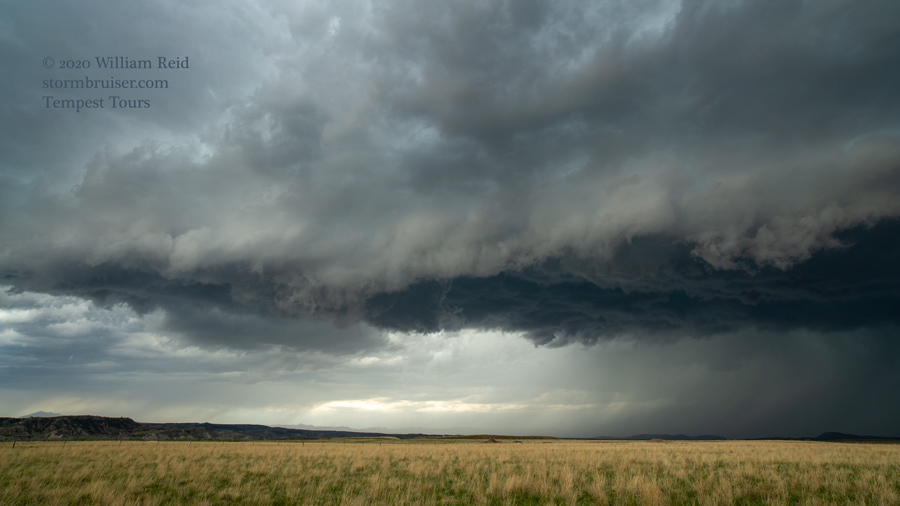
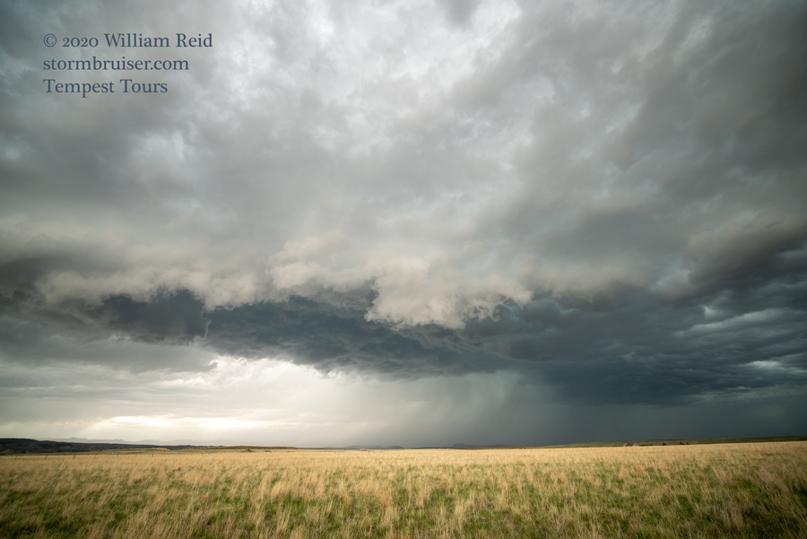
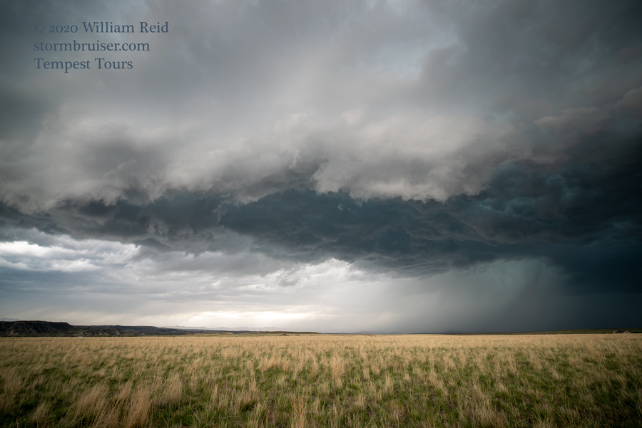
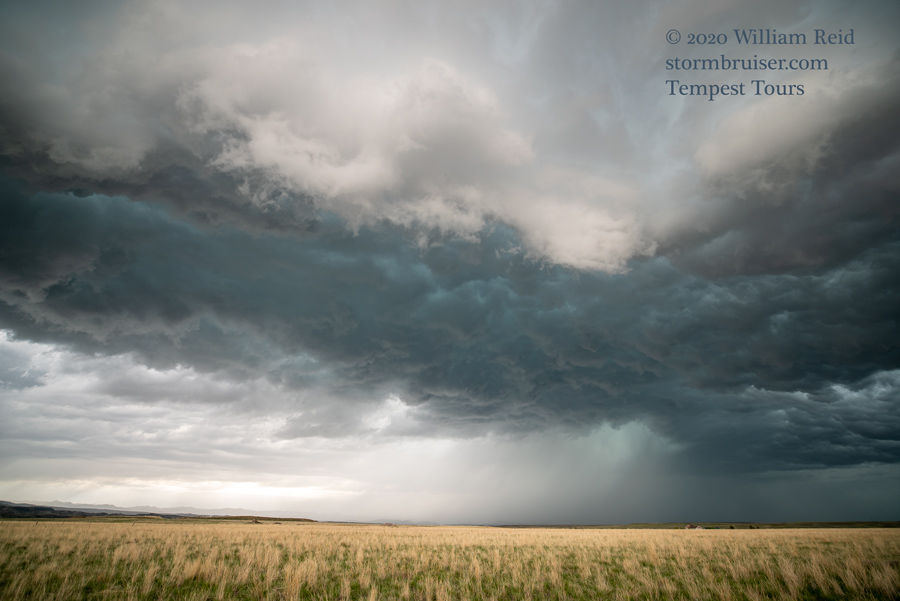
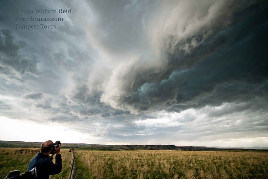
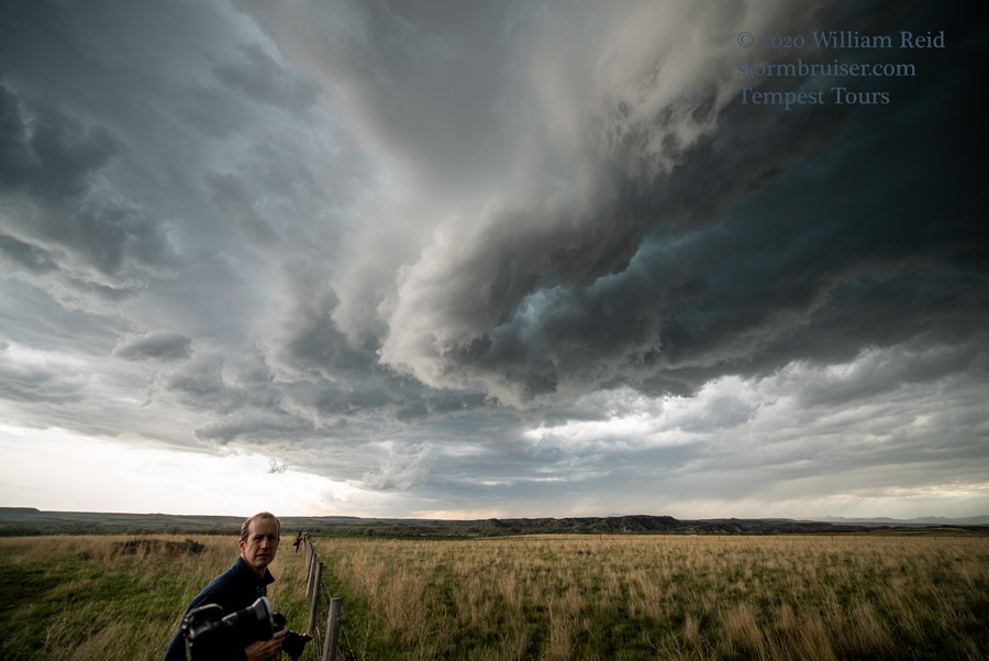
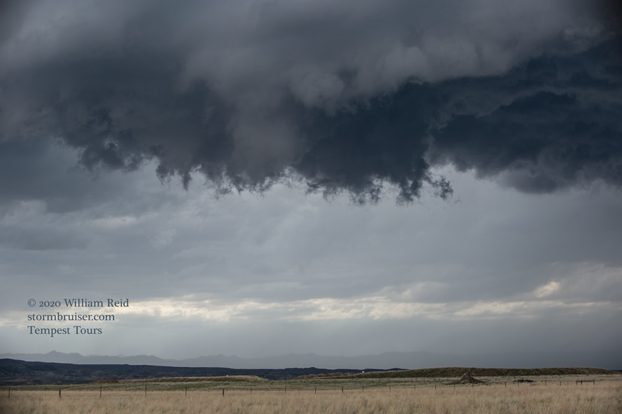
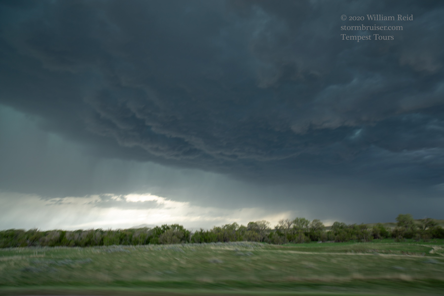
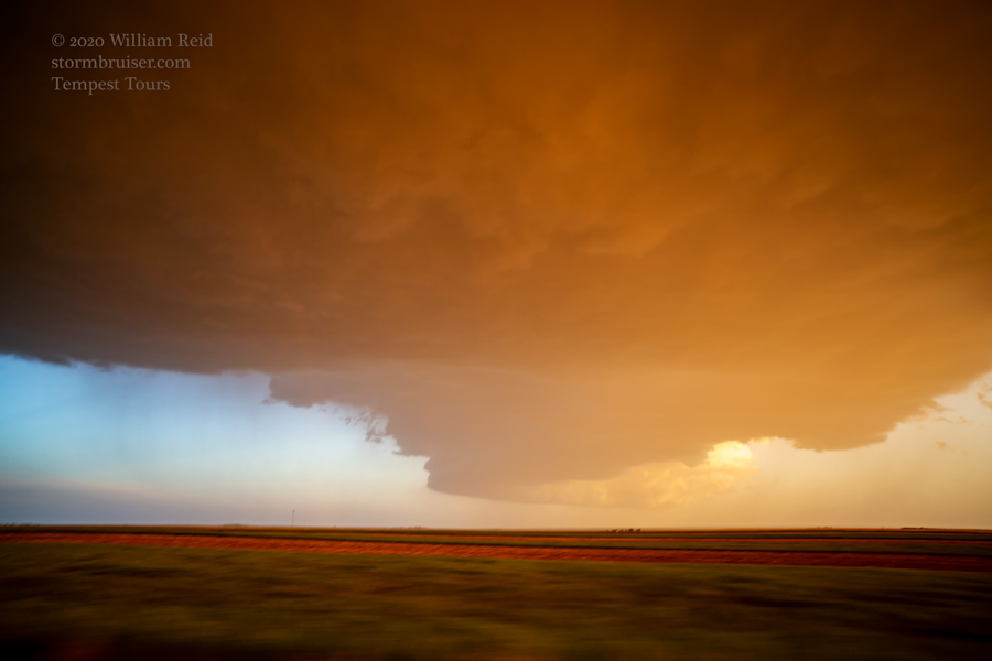
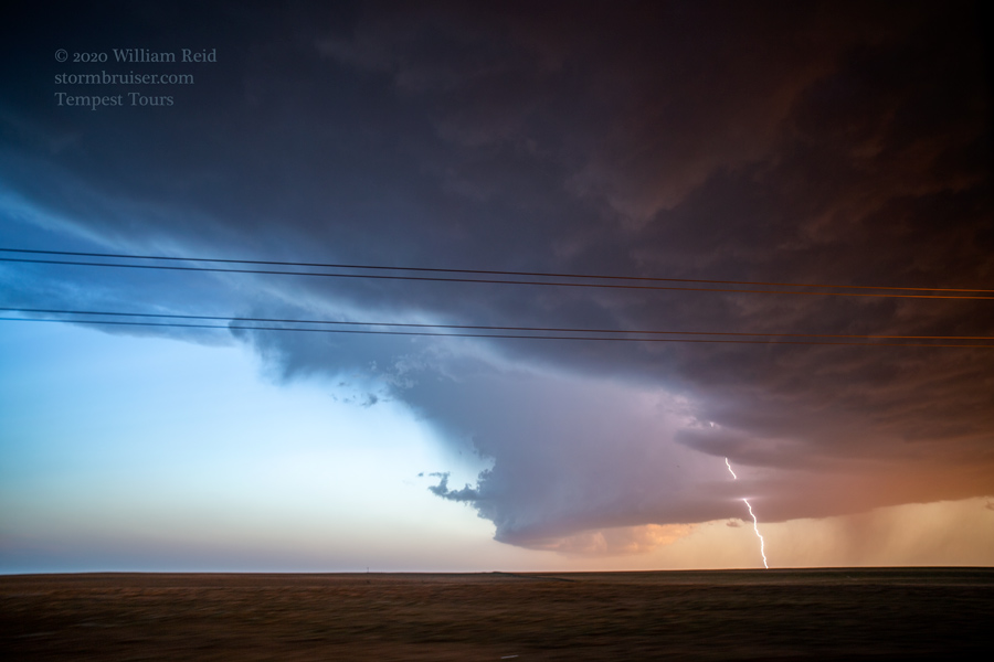
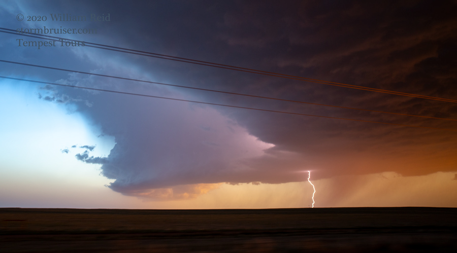
We had an easy drive to watch towers develop in the vicinity of Wheatland. The first good cell was a bit west of I-25 and southwest of Glendo, and the second good cell was WNW of Glendo. These featured some decent mid-level rotation, some scary lowerings, and maybe a funnel or two. We watched the second one approach from a spot just southwest of Orin, along I-25. A medium-high updraft base approached, but coolish outflow preceded it. We were not going to get a tornado from this storm. Here is a slew of images for this part of the chase:

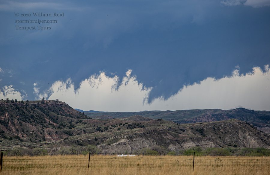
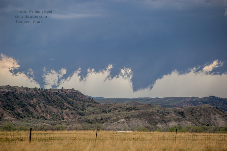
It looked like the window for any tornadoes had closed for SPC’s 5-percent area. Some storms were expected down south and SSE, towards the Pawnee Grasslands area of northeastern Colorado. The air here was good (i.e., it had not been turned over yet), but the dew points were much lower compared to our WY target. On the way south along I-25, we passed a big and dark base which had a good spurt of CGs to our west near Chugwater.
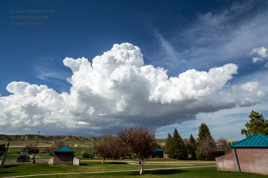
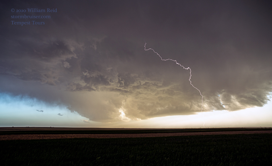
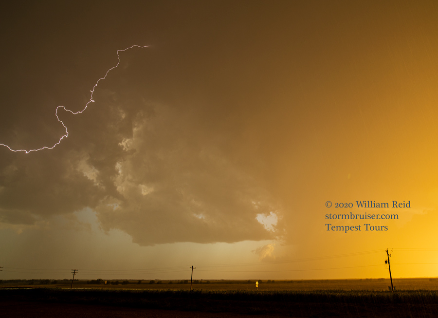
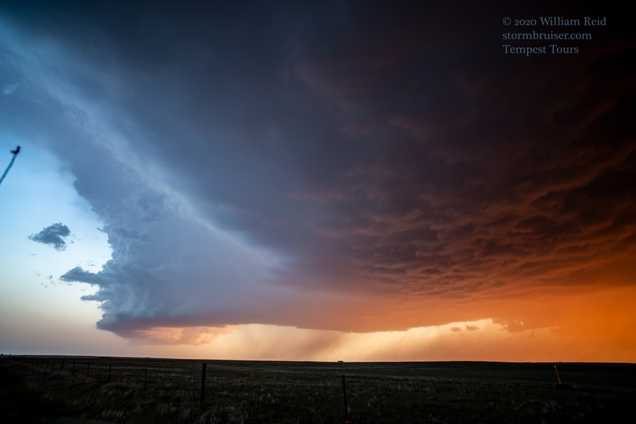
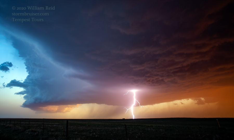
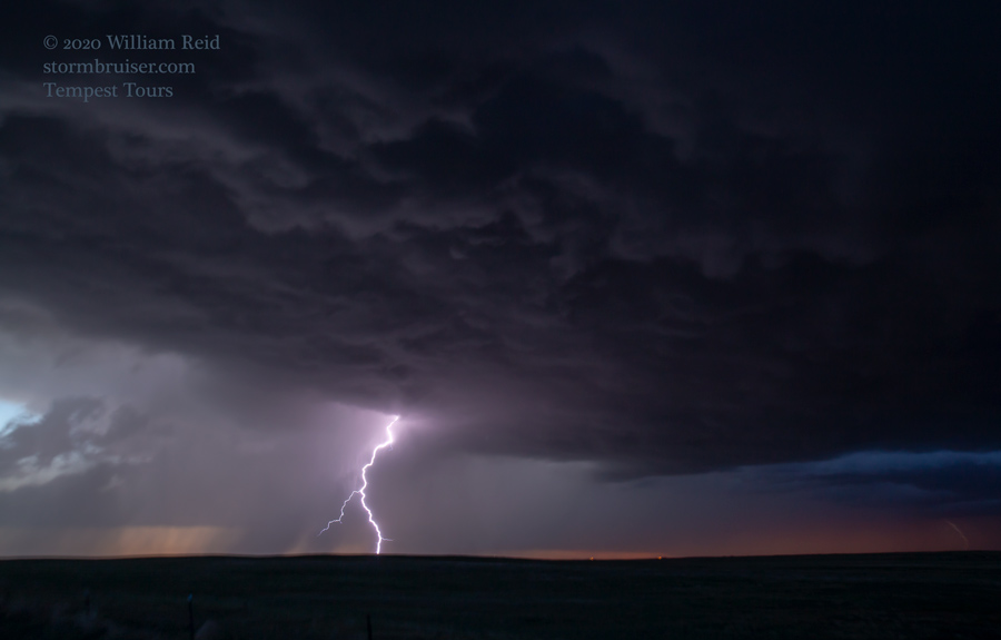
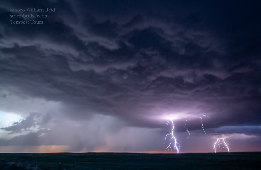
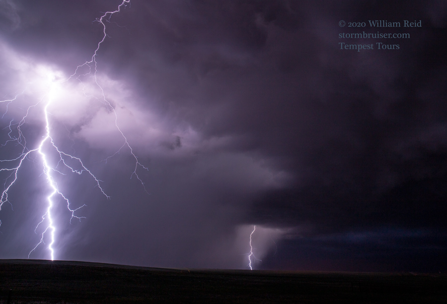
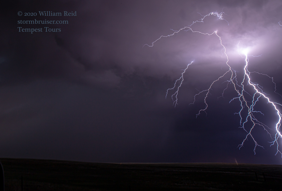
As sunset approached, we placed ourselves amidst some agitated cumulus near Briggsdale. One or two of these got quite strong, but the cloud bases were very high, as expected. The result was a fantastic lighting fest for a couple of hours around sunset, with brilliant sunset colors! I goofed some and was actually too close to get the super lightning images which were possible just after sunset.

Leave a Reply
You must be logged in to post a comment.