
Start: Buda, TX (near Austin)
Lunch: Lampasas/Eve’s Cafe
End: Boerne, TX
about 370 miles
SPC Mesoscale Discussion 739 SPC Mesoscale Discussion 742
SPC Mesoscale Discussion 746 SPC Mesoscale Discussion 747
SPC Mesoscale Discussion 749 SPC Mesoscale Discussion 750
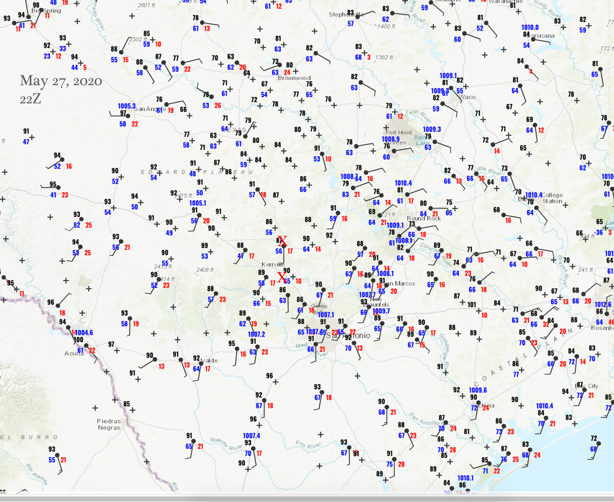
22Z Surface Map
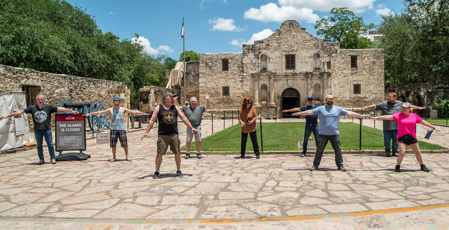
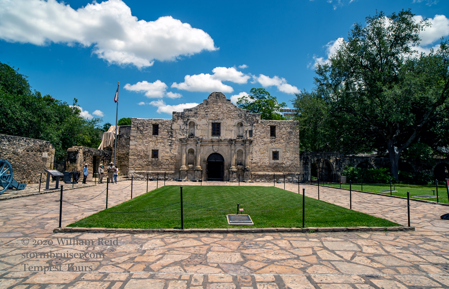
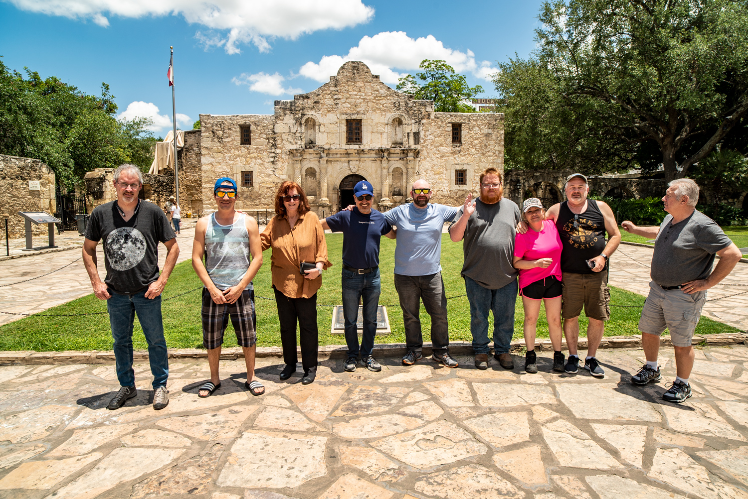
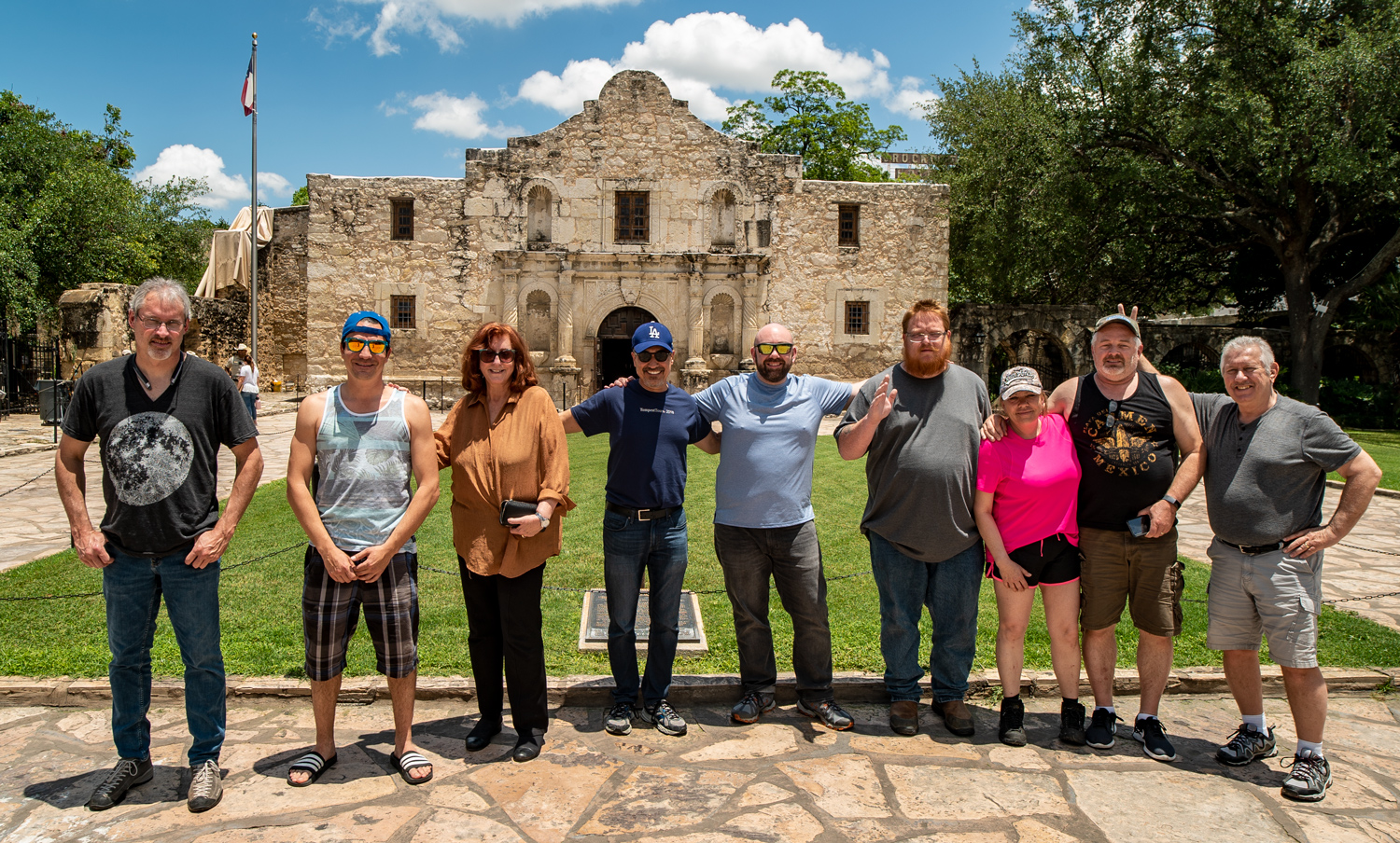
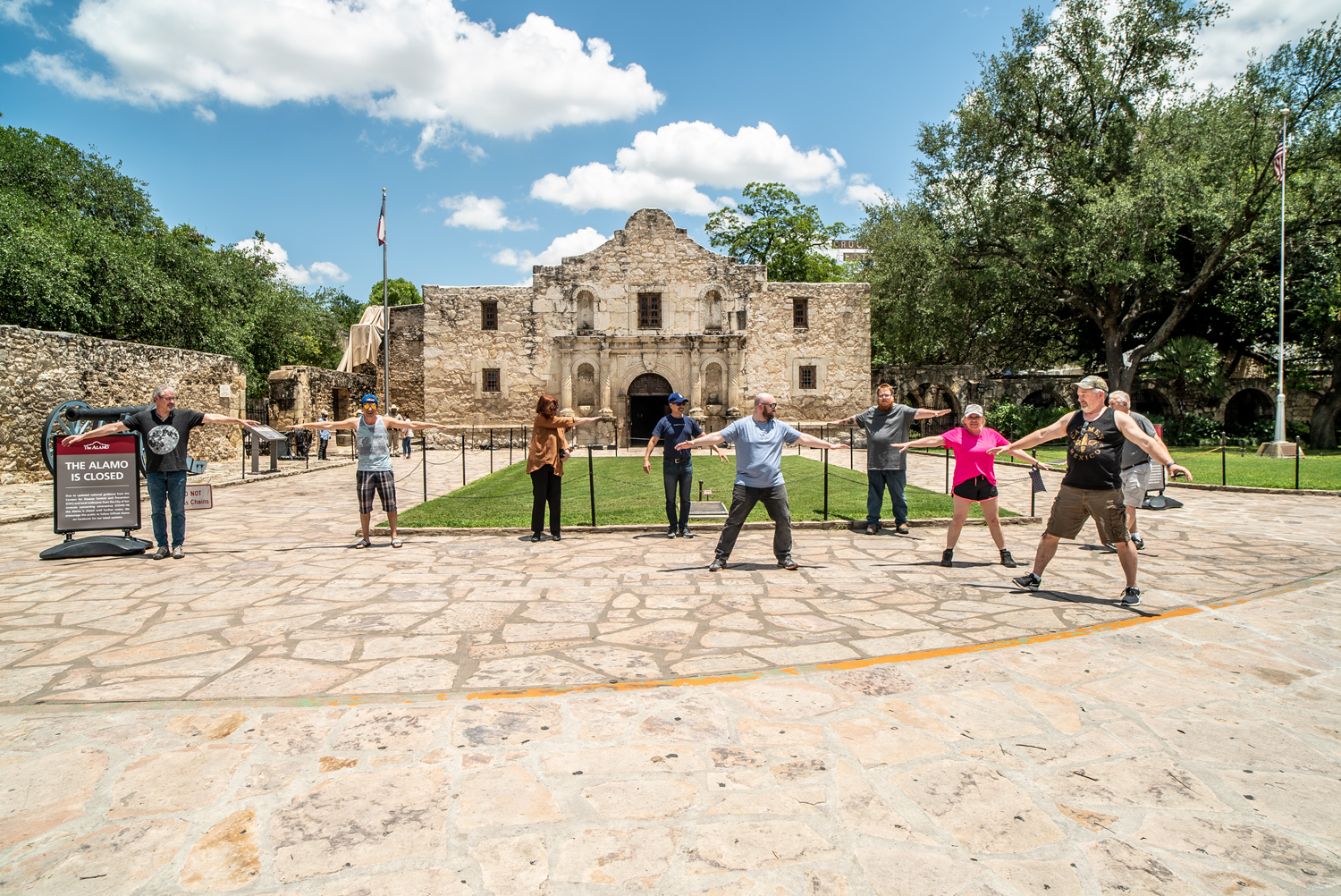
First, a little housekeeping: On May 26th, I blew off the low-end severe risk in TX in the trees east of I-35. We spent a down day in San Antonio and Austin. (Uvalde to Austin, lunch at Ofelia’s Mexican Restaurant in Uvalde).
On the 27th, we were presented with strong NW flow aloft and medium-sized CAPE values over central TX. SPC was impressed enough to paint an enhanced slight risk and 5% tornado risk primarily east and southeast of Eden. The NW flow was due to an upper low moving east into northeastern TX.
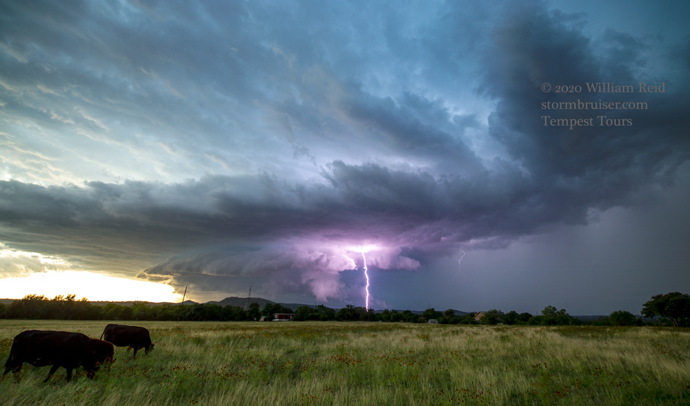
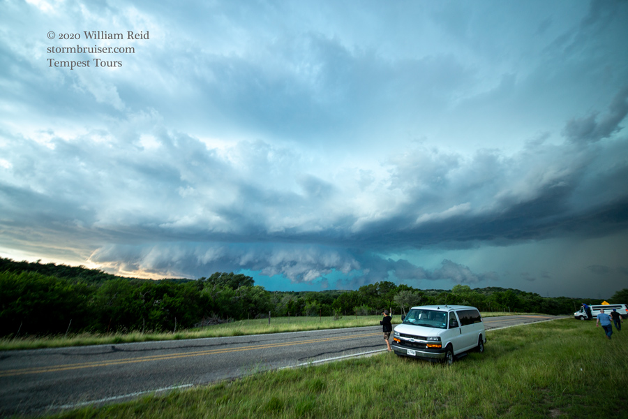
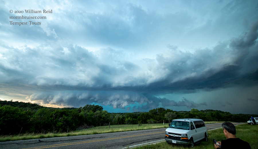
We followed convection south-southeastward from Mason to Fredericksburg, where a decent HP supercell was observed not too far northwest of town.
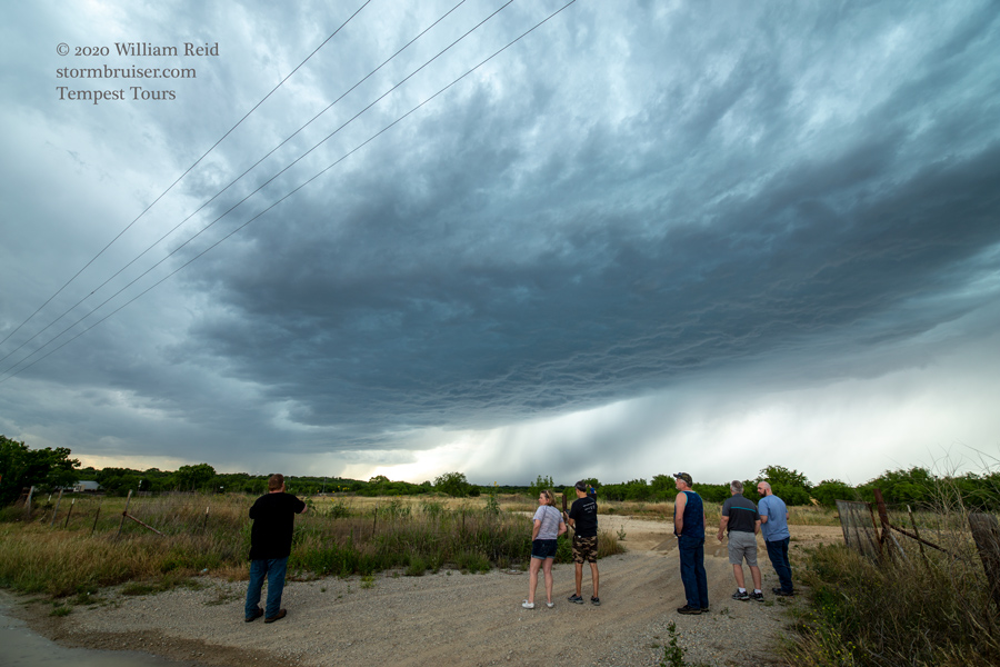
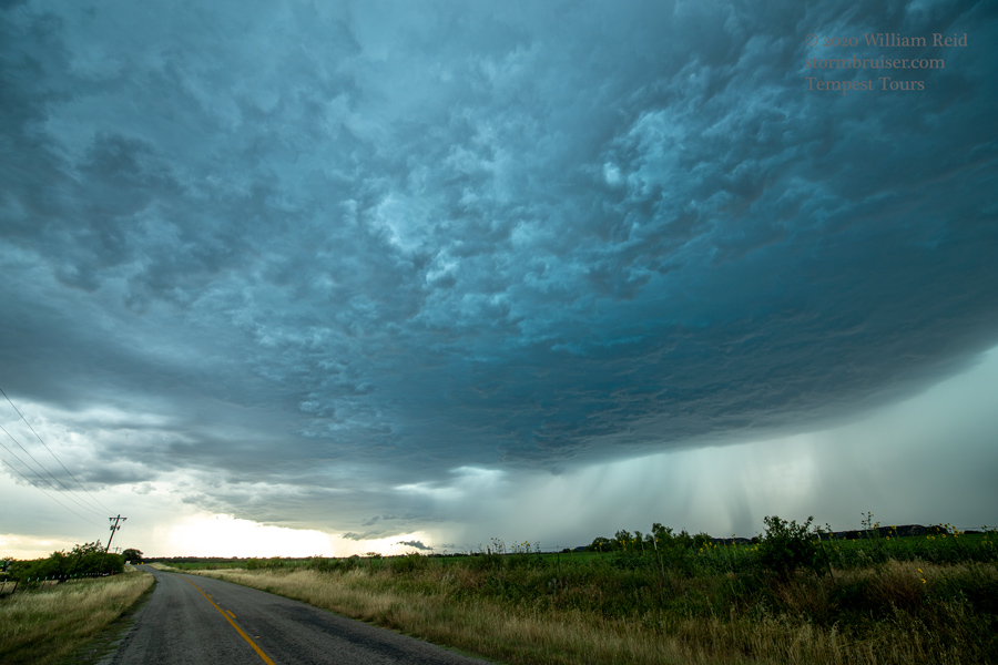
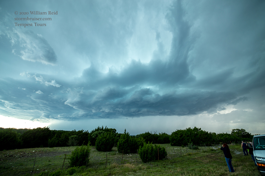
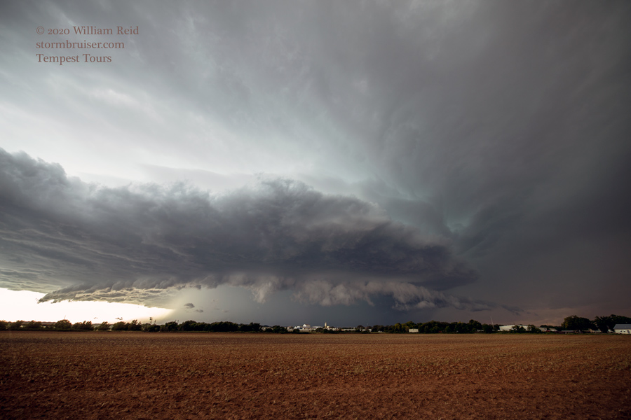
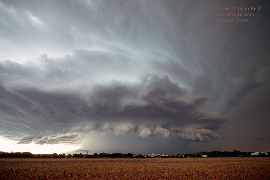
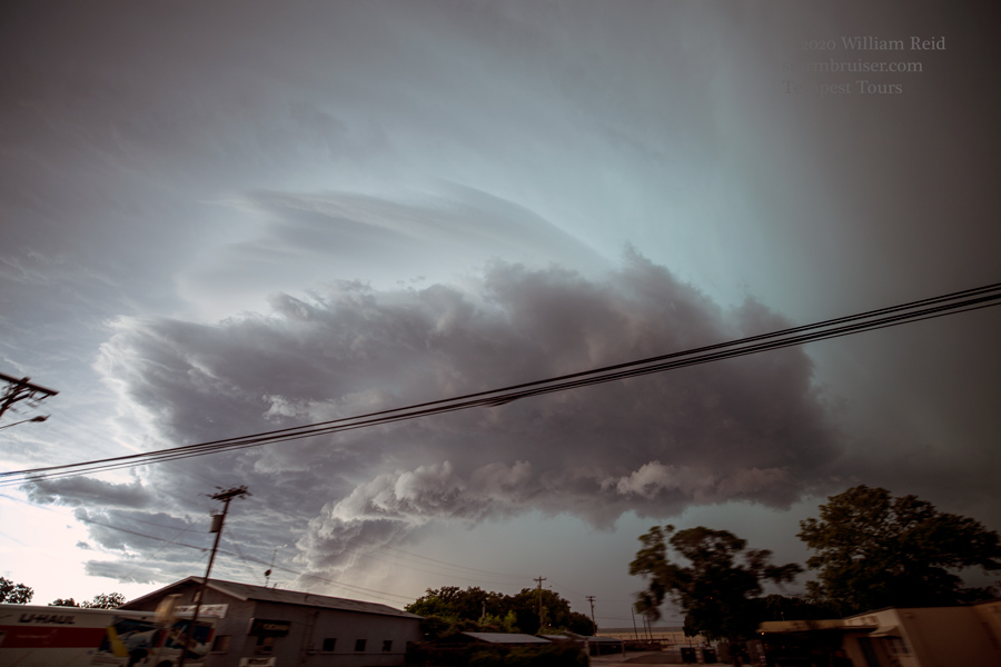
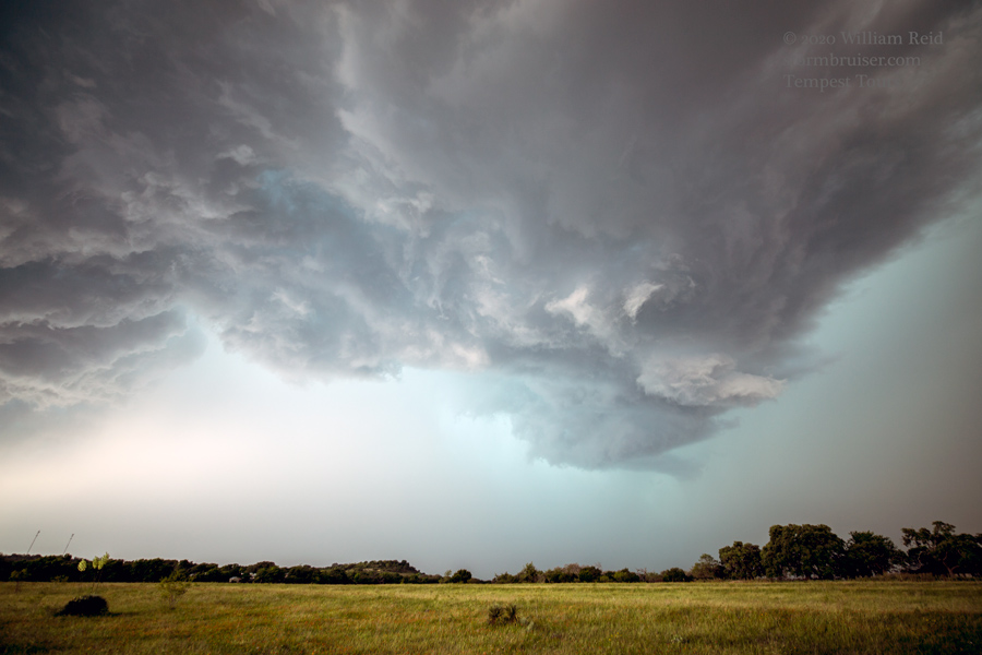
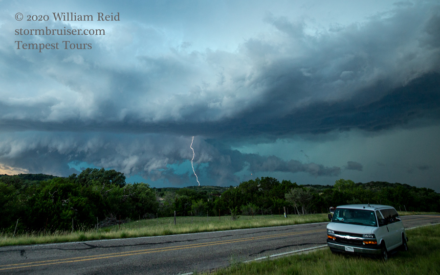
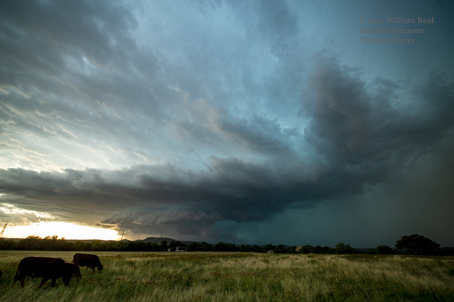
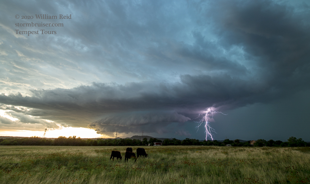
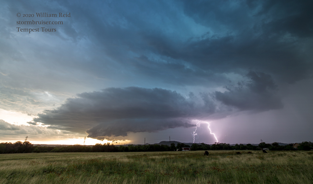
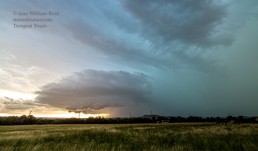
If I recall correctly, the NWS tornado-warned the supercell. It showed a suspicious area on the front end of the base for a few minutes, but then it became rather wet and messy. Additional storms beckoned down towards I-10. We got ourselves down that way, and tried to position ourselves on a supercell that was southwest of Comfort and east of Kerrville. This area was road-challenged and filled with hills. We managed a mediocre view near I-10, WNW of Comfort. This gave us a good look into the notch area, which had a lot of lightning. Towards sunset, we were in a flatter area, with time to set up the tripods for some storm and lightning photography.
Leave a Reply
You must be logged in to post a comment.