Start: Denver
Lunch: Ogallala, NE/Runza
End: Gothenburg, NE
474 miles
SPC Mesoscale Discussion 882 SPC Mesoscale Discussion 885
SPC Mesoscale Discussion 886 SPC Mesoscale Discussion 887
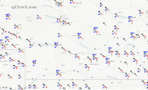
23Z Surface Map
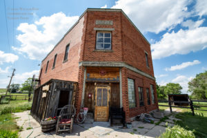
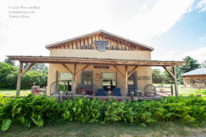
The first day of Tour 6, with guides Gary and Rob, was looking very good in the vicinity of central Nebraska. We made our way out of Denver reasonably early (midmorning), lunched quickly in Ogallala, and headed north out of North Platte towards Custer County. We had some time to kill mid-afternoon while waiting for storms to initiate, and found some old buildings in Gandy.
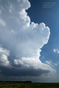
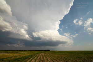
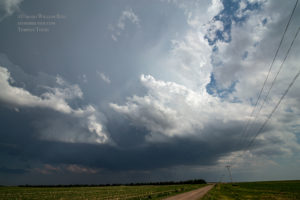
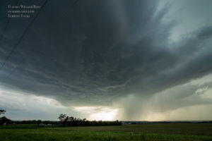
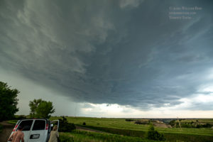
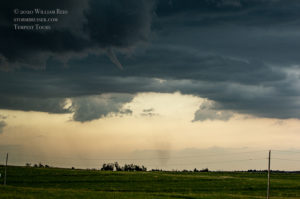
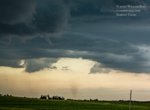
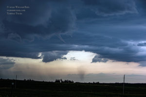
We moseyed a little east to Arnold as a storm or two went up to our SSW–perfect! These were moving right into the enhanced slight risk area, with a 5-percent tornado risk. We went north of Arnold a little and found a hilltop, as a developing supercell moved from nearly overhead (with a one-inch hailstone or two) to our northeast. The images below show the updraft, the updraft base, a somewhat wet RFD cutting into the base from the west side, and a nubby funnel cloud with an associated spin-up/tornado. This tornado was 7 miles NNE of Arnold, according to Storm Reports. That appears to be an accurate estimated location.
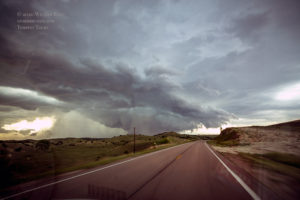
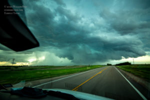
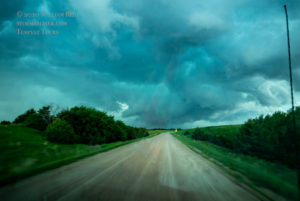
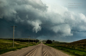
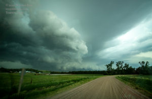
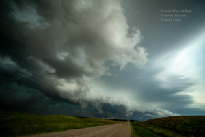
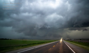
That was certainly a nice way to start the tour! This little tornado didn’t have much of a funnel cloud nor much of a dusty debris cloud, and it lasted maybe a minute or two. The road network did not provide any good options to getting very close to the action area. We went back south a few miles to Arnold, and then east on 92 to stay relatively close. The storm remained tornado-warned. The base was low and wrapped-up nicely to our northeast and then north as we scooted about 3/4 of the way to Merna and headed north on an unpaved road towards Anselmo (see pics below). Though the storm appeared to be a prime candidate to produce a fairly significant tornado, and though a strong RFD with plenty of dust persisted, we could not confirm any additional tornados. Finding a great viewing area between the hills and occasional trees was not easy, nor was staying close, so the storm could have had something rather significant happening for at least a little bit which went undetected.
It looked like Anselmo was in the crosshairs of this storm, but the storm seemed to stop trying hard to tornado about the time it passed near the town. We went north of Anselmo a couple of miles and stopped, with the action area nearby to the northeast. The lowering swirled a bit, but that was about all it did. A tornado was reported a bit farther NNE of here, near Milburn, which eluded us.
This storm was quite potent, but given its reluctance to “tornado” and given the storm motion and lousy road options to stay with it, we let it go from here. This is about the worst part of the Plains, road-wise, to chase northeastward-moving storms!
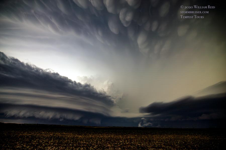
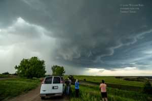
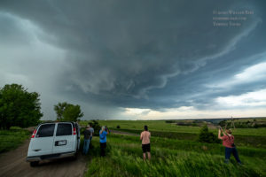
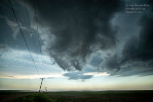
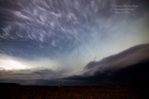
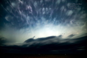
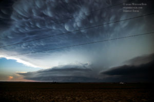
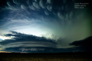
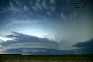
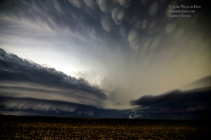
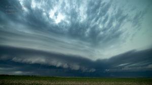
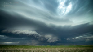
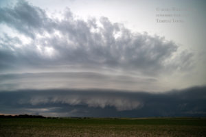
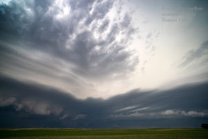
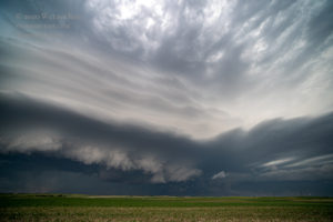
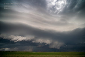
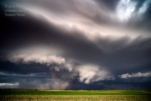
Fortunately, a new storm to our SSW beckoned. It was moving towards us. We motored back to Anselmo, southeastward on 2 to Merna, and then south and west a few miles on the farm section roads. On this relatively short drive, a fantastic and highly-sculpted supercell came into view! The first three images below were during the approach. A beautiful field of mammatus clouds filled the sky in advance of the strong updraft. We stopped far enough ENE of the supercell to get full structure shots with the wide-angle lenses. It was not long before the leading-edge of the updraft base came nicely into view. It was striated and toothy, and then an area of dust evolved beneath the obvious action area. Apparently this was indeed a (somewhat weak) tornado, as other chasers who were closer claim. Like our little tornado NNE of Arnold earlier, this tornado near Arnold was without much of a condensation funnel.
We stayed with the storm a little ways north of Merna, but it seemed to sputter some. Without much to see and with dusk upon us, we headed back to a powerless (but largely spared) Arnold and then south to I-80 for the night.

Leave a Reply
You must be logged in to post a comment.